The Andes

Ecuador - Ruminahui, Rucu Pichincha, Iilniza Norte

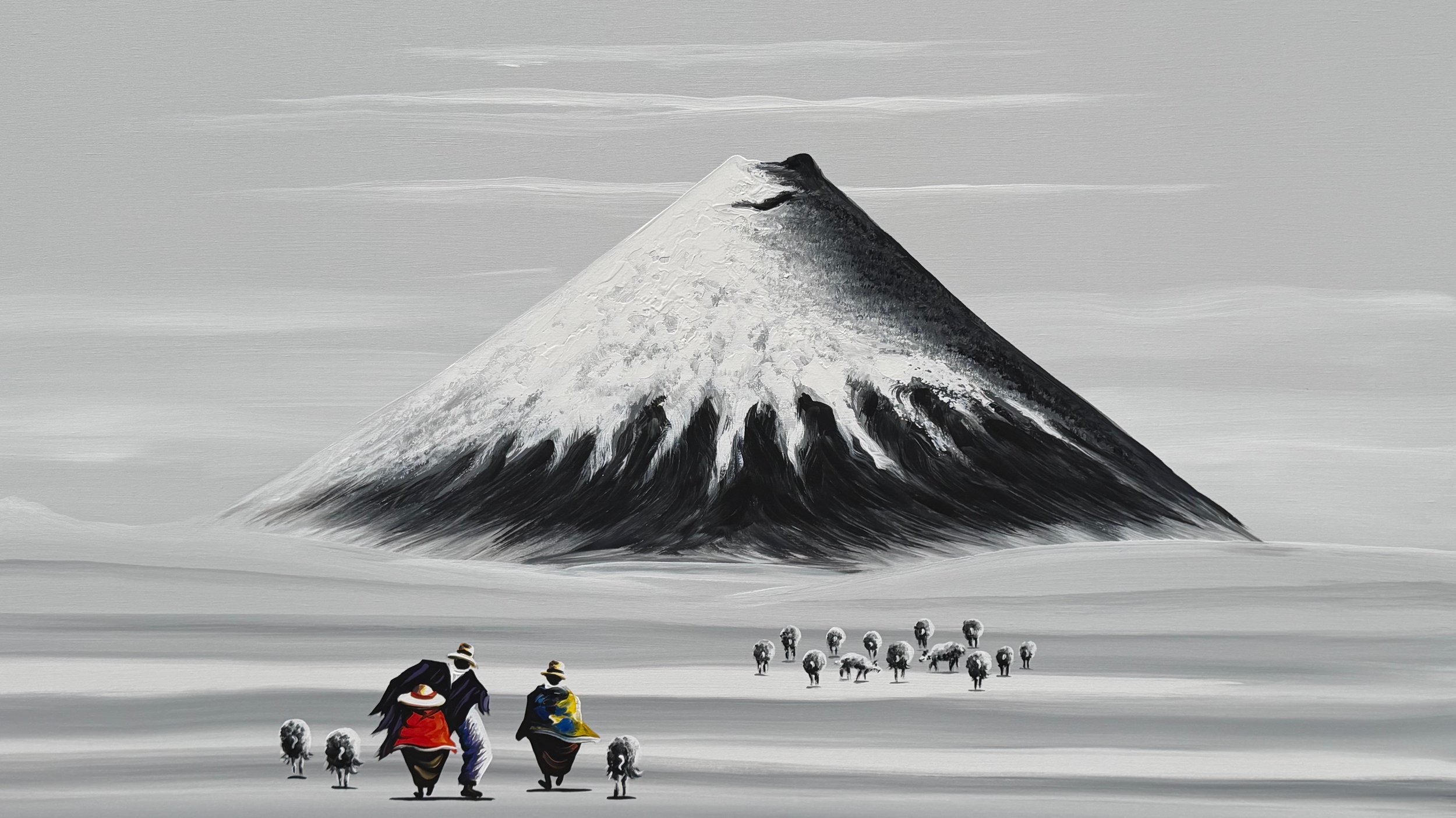
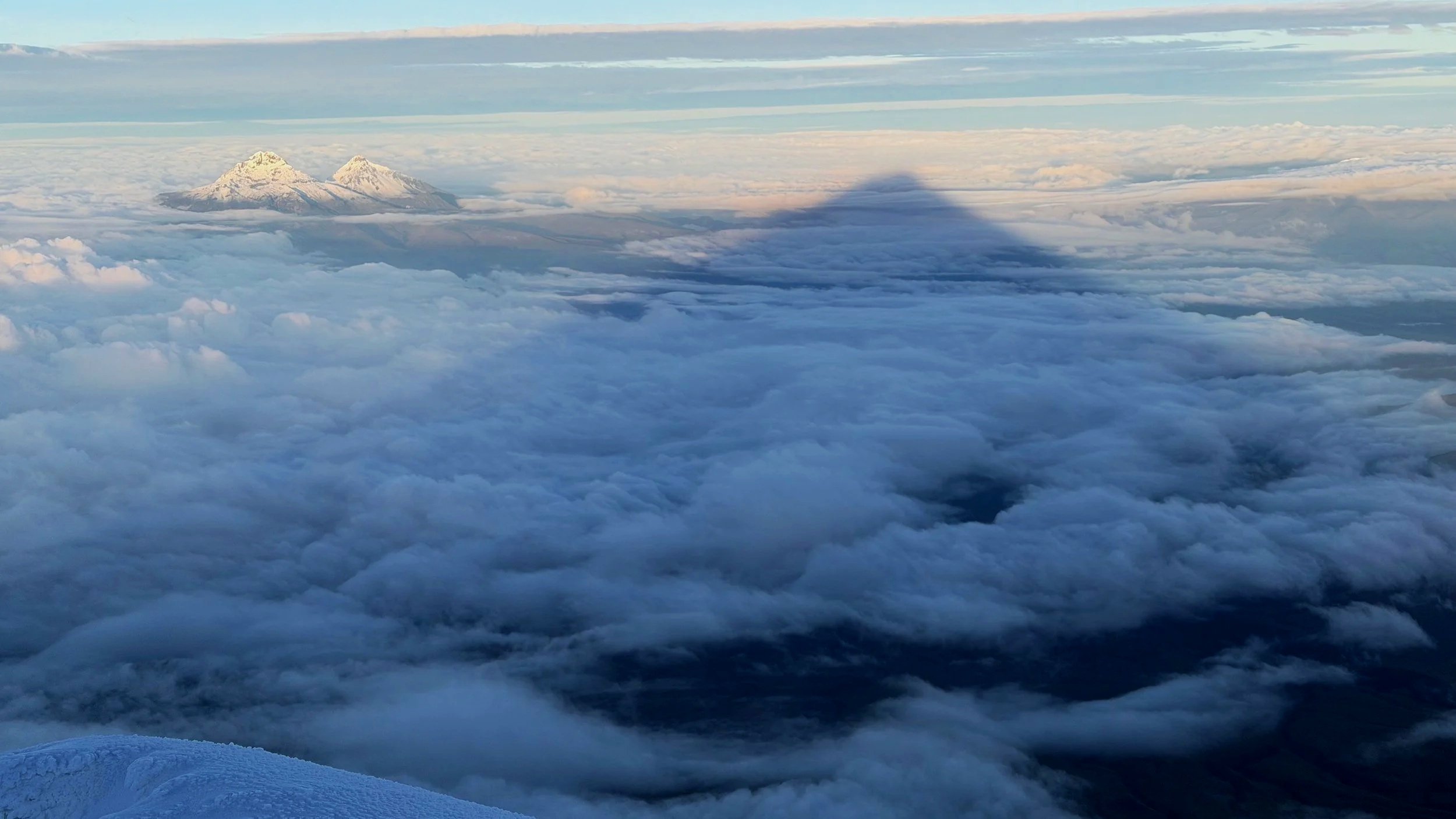
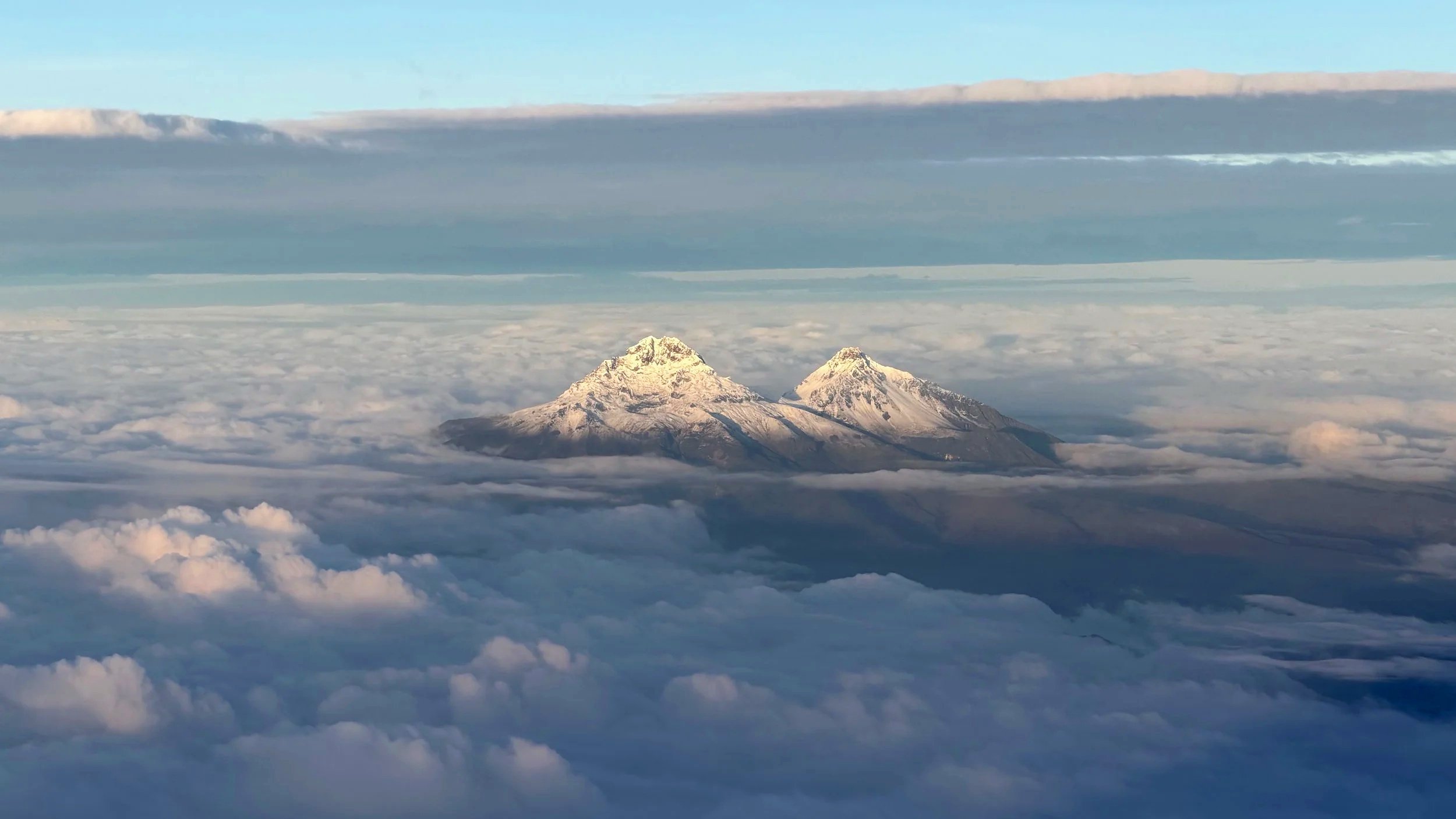
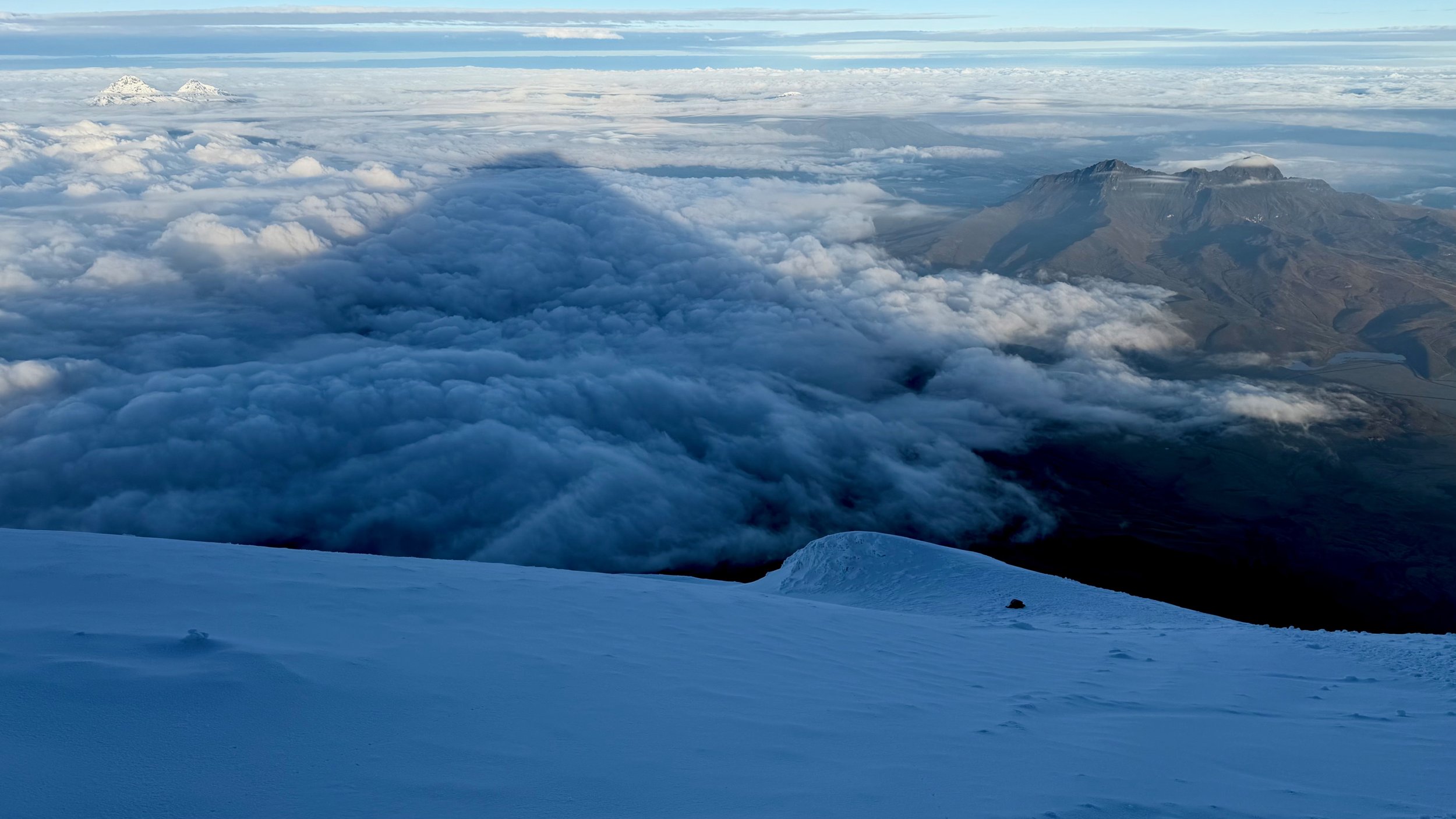
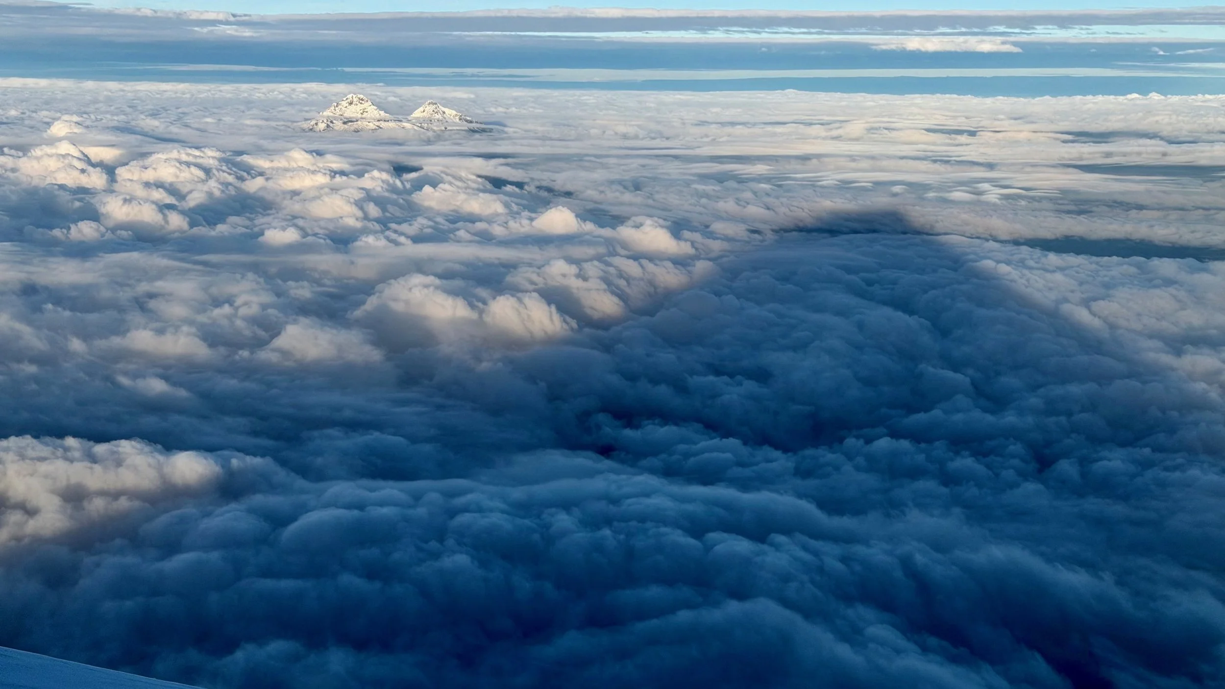
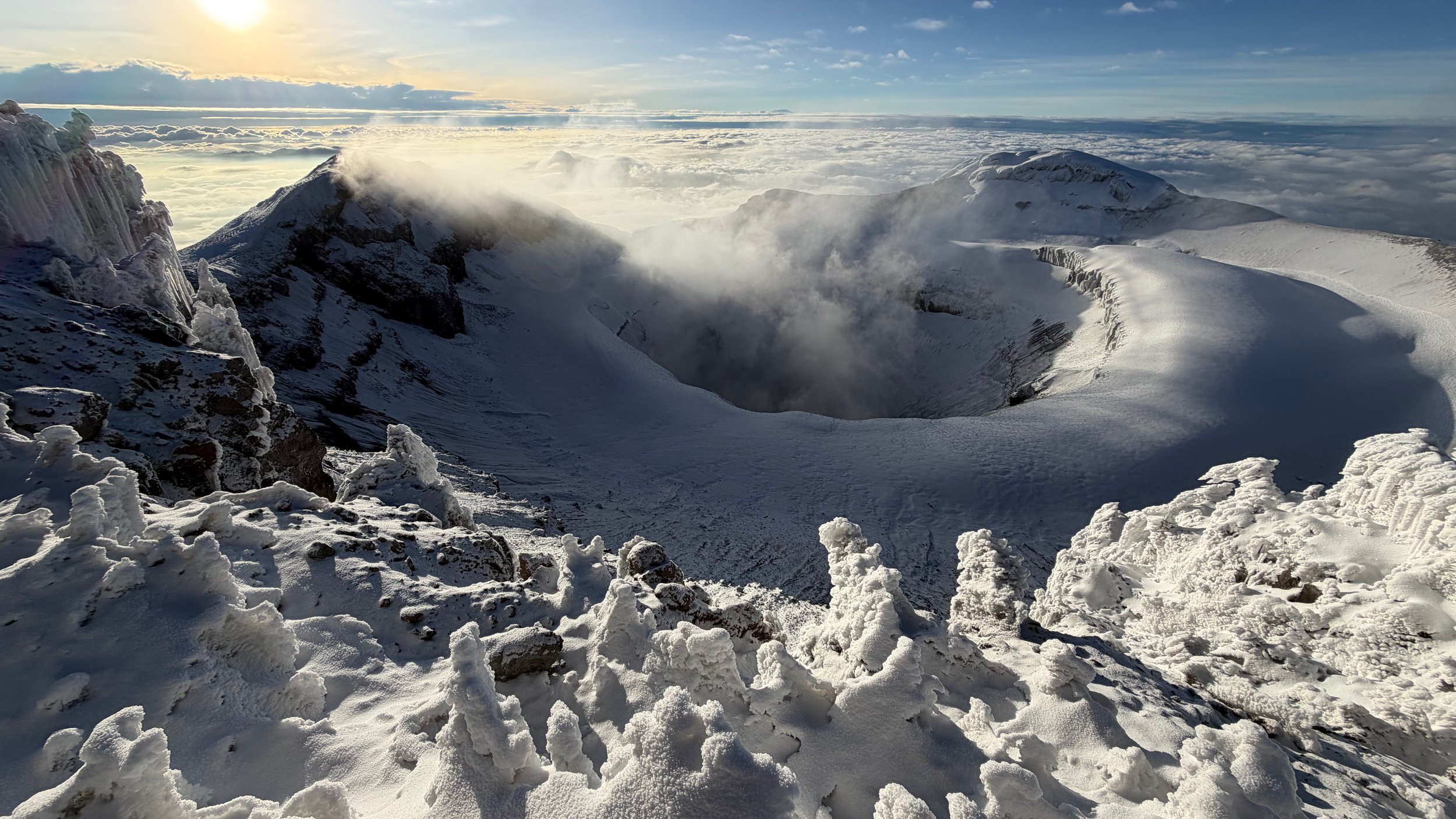
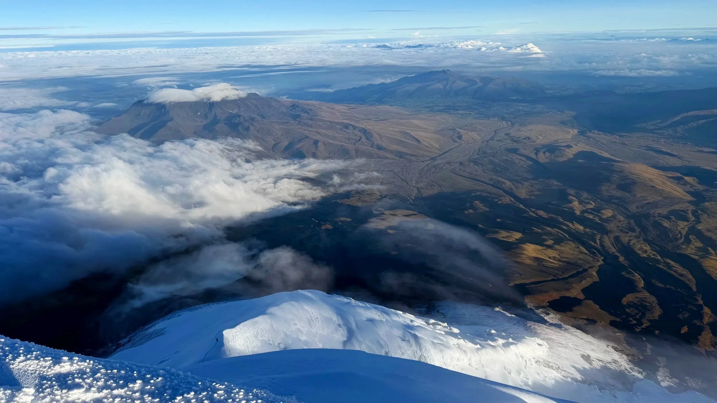
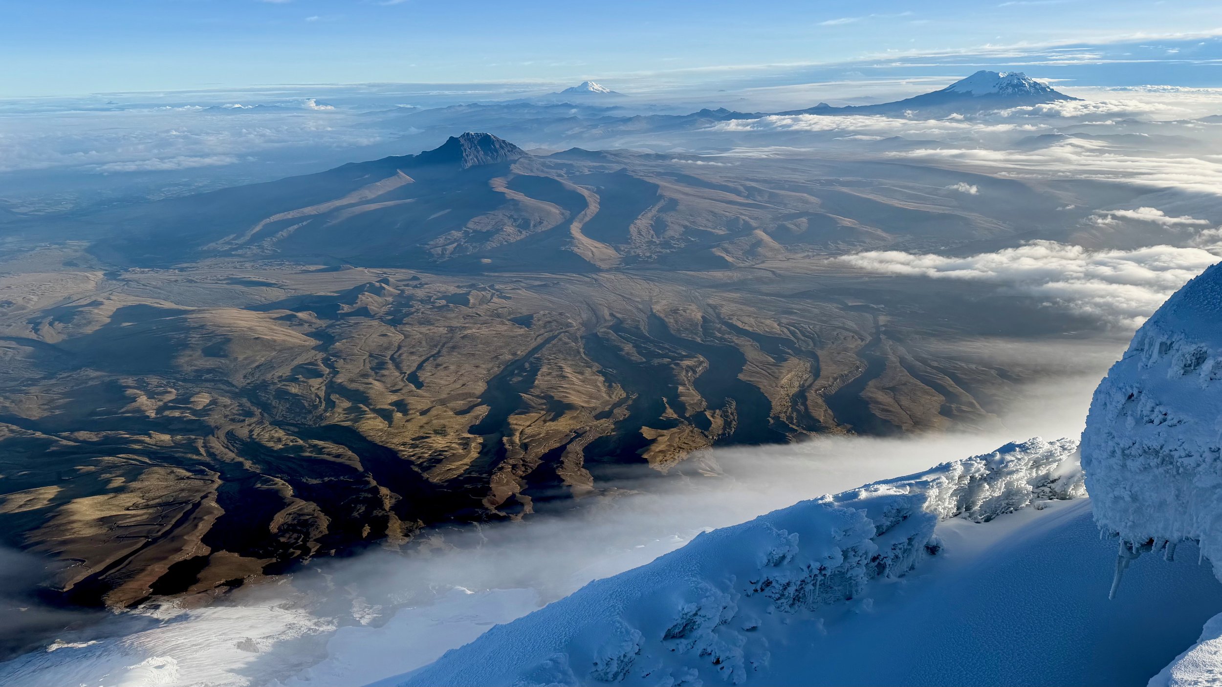
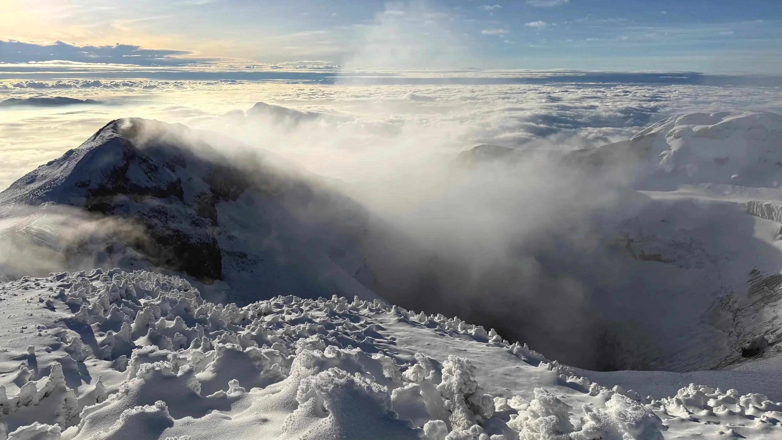
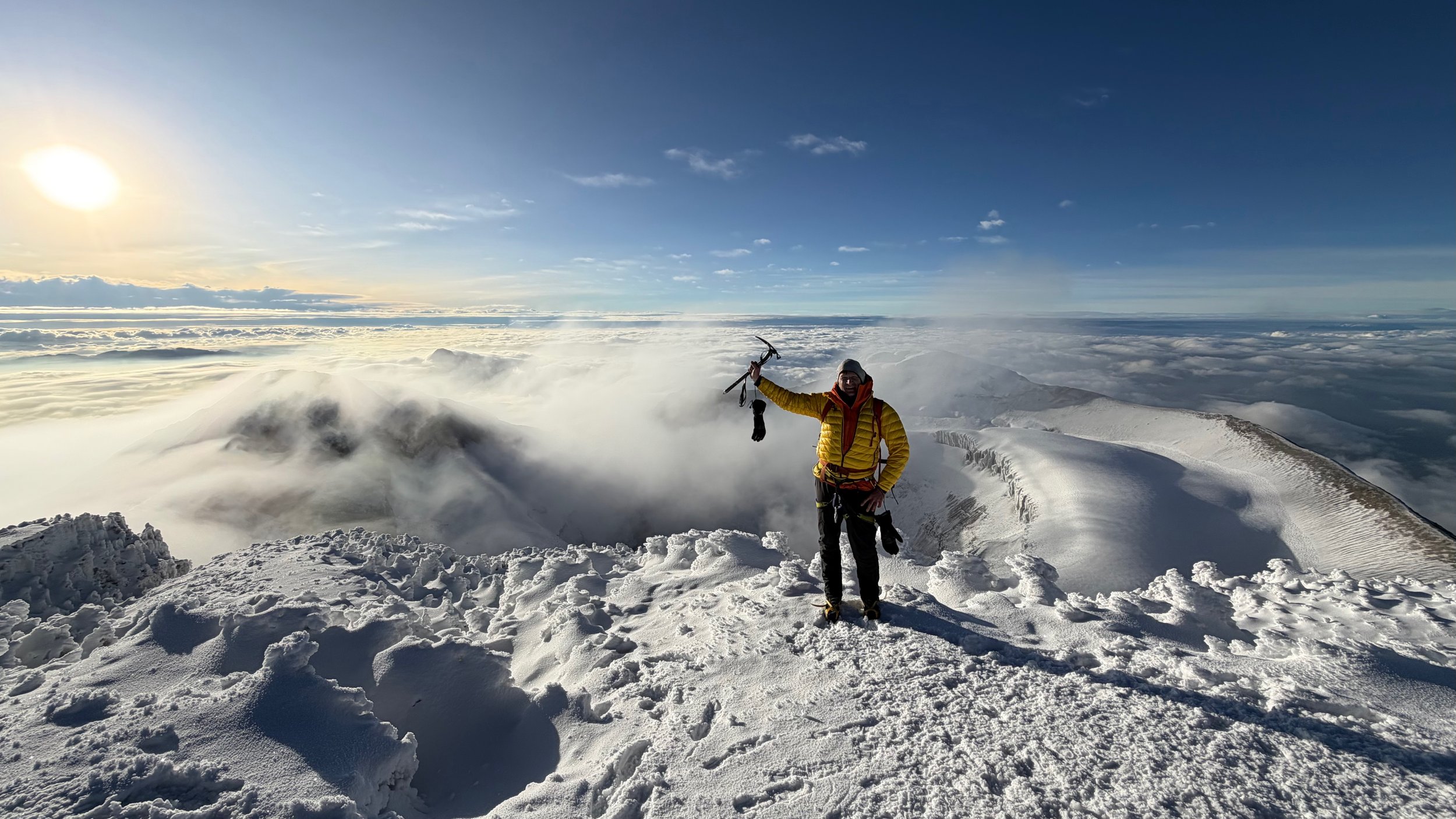
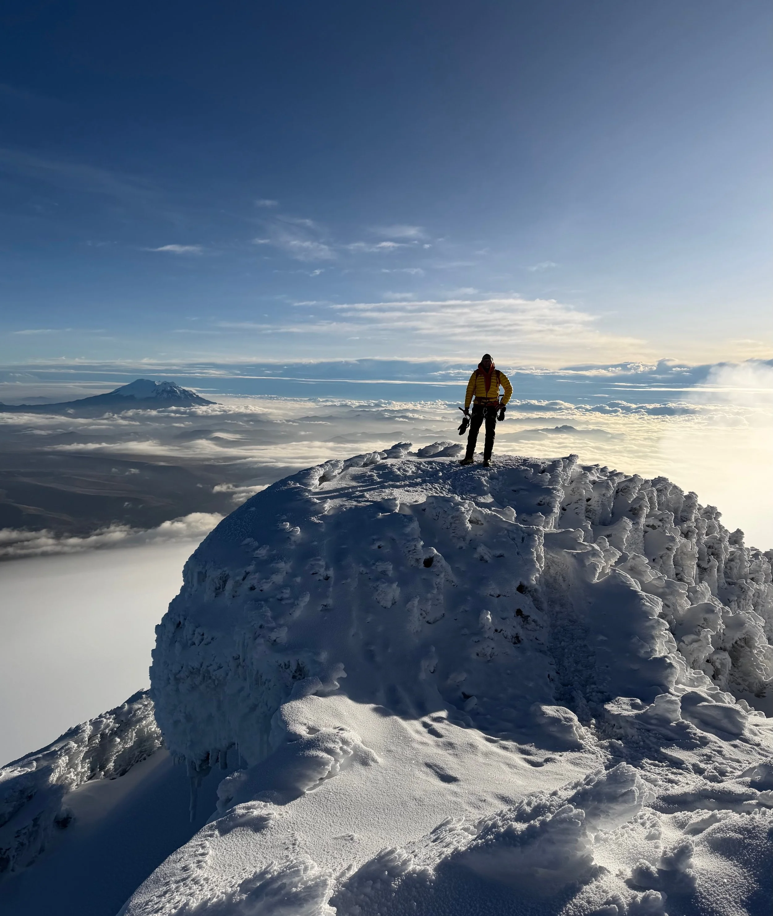
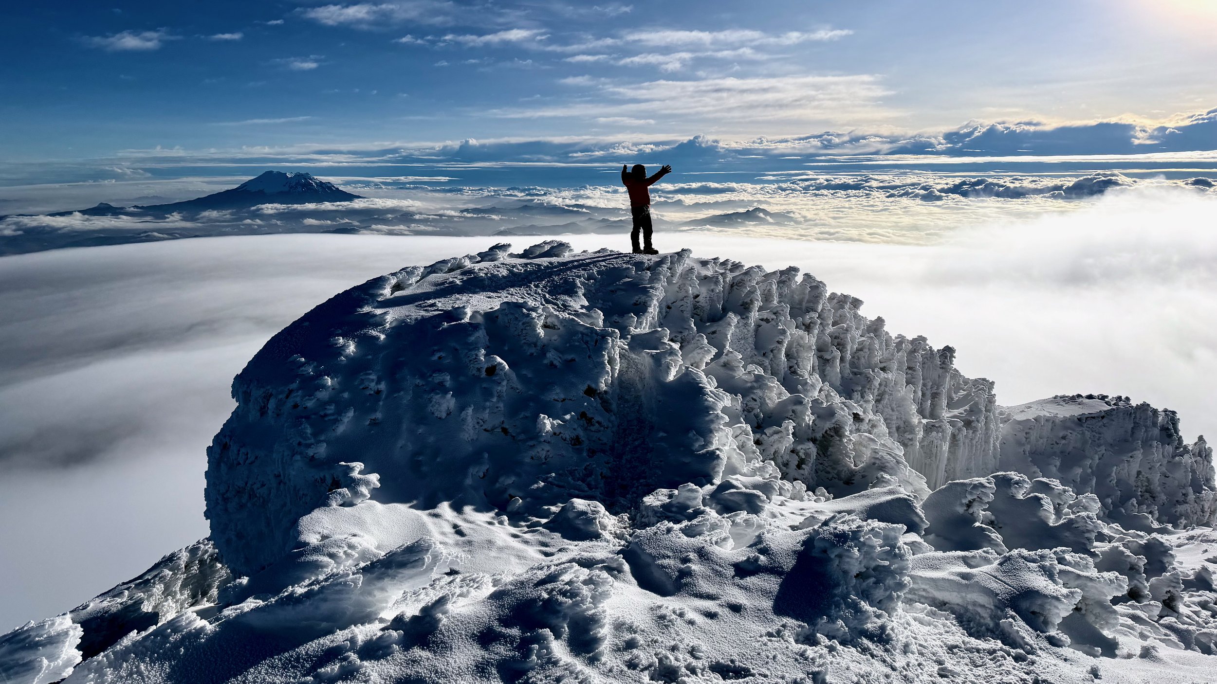
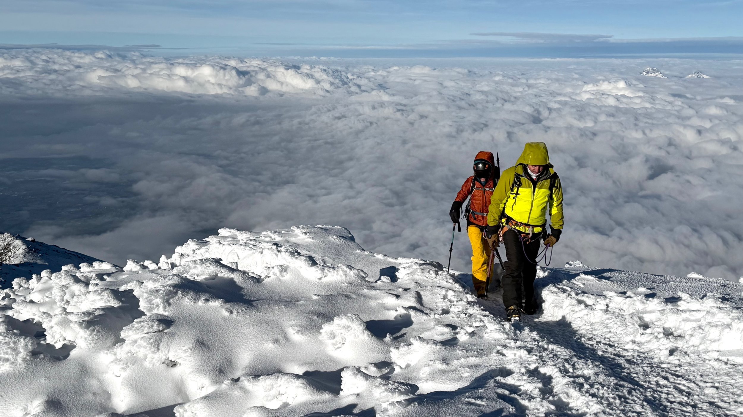
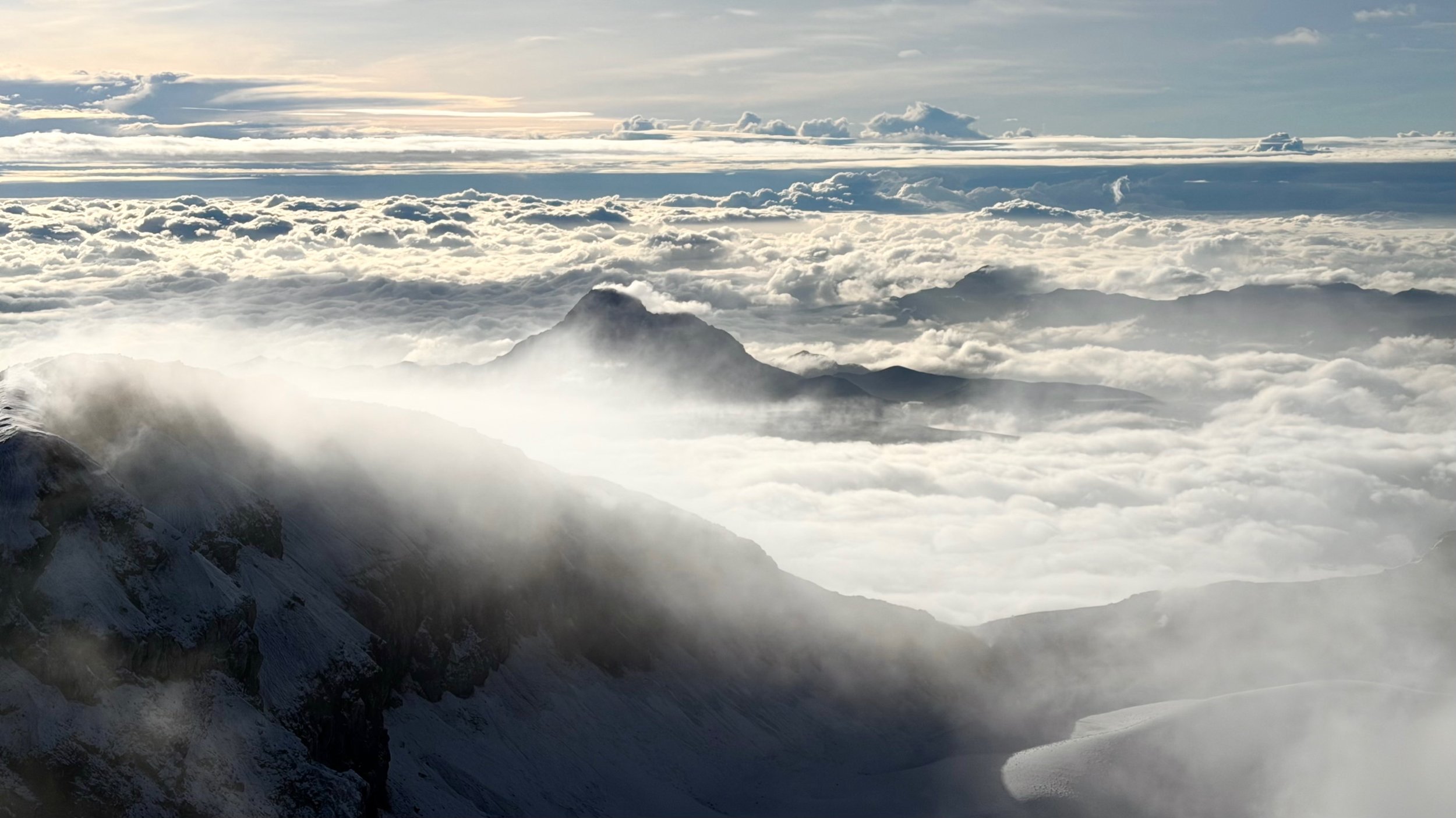
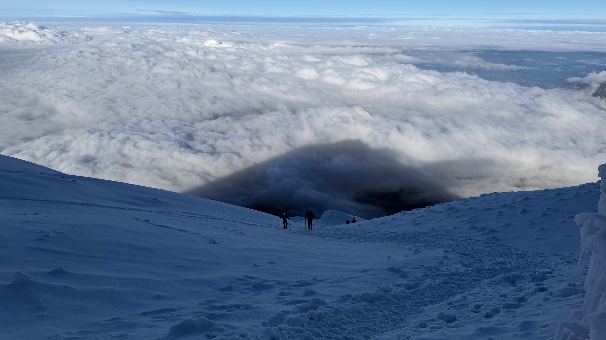
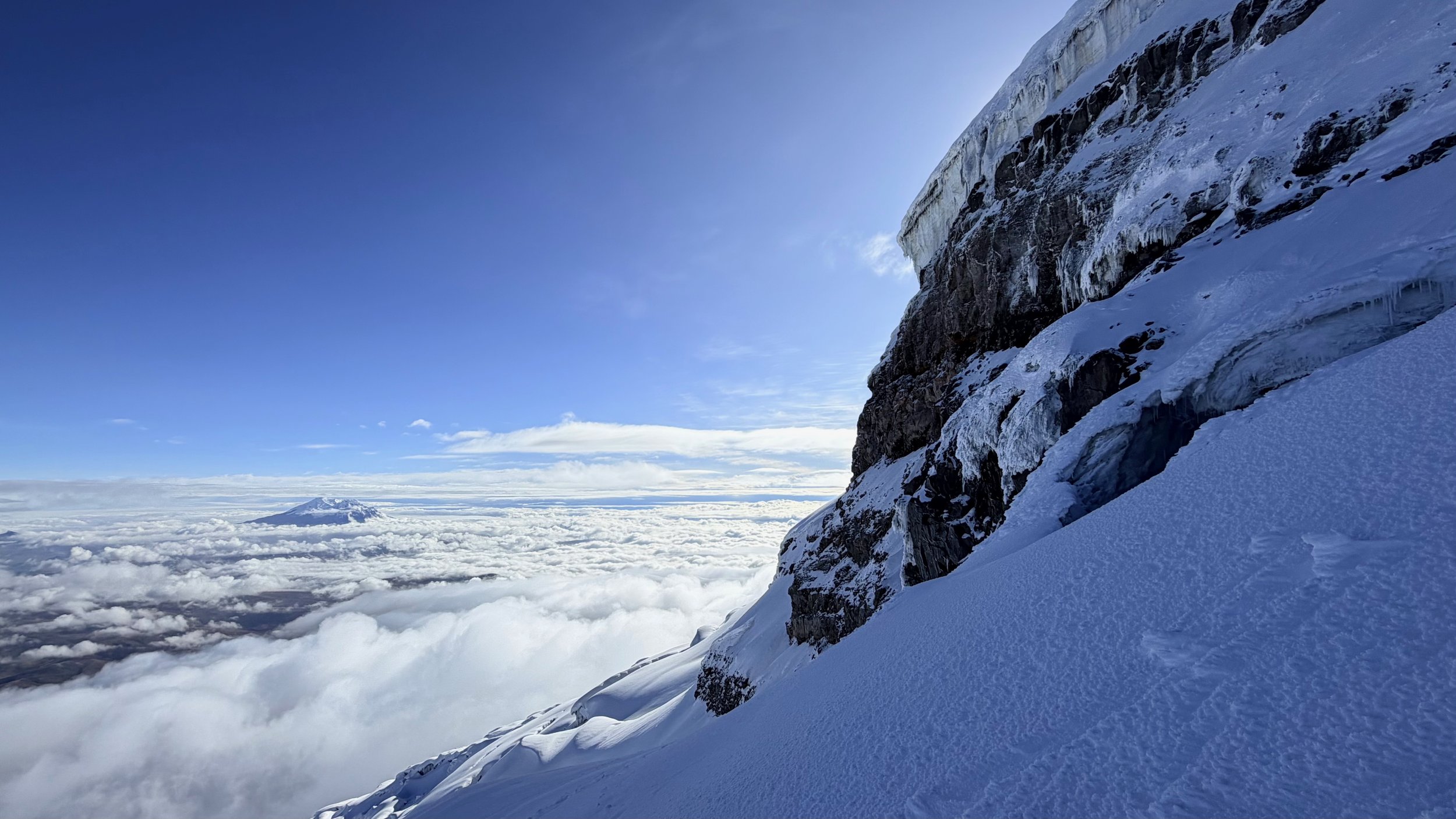
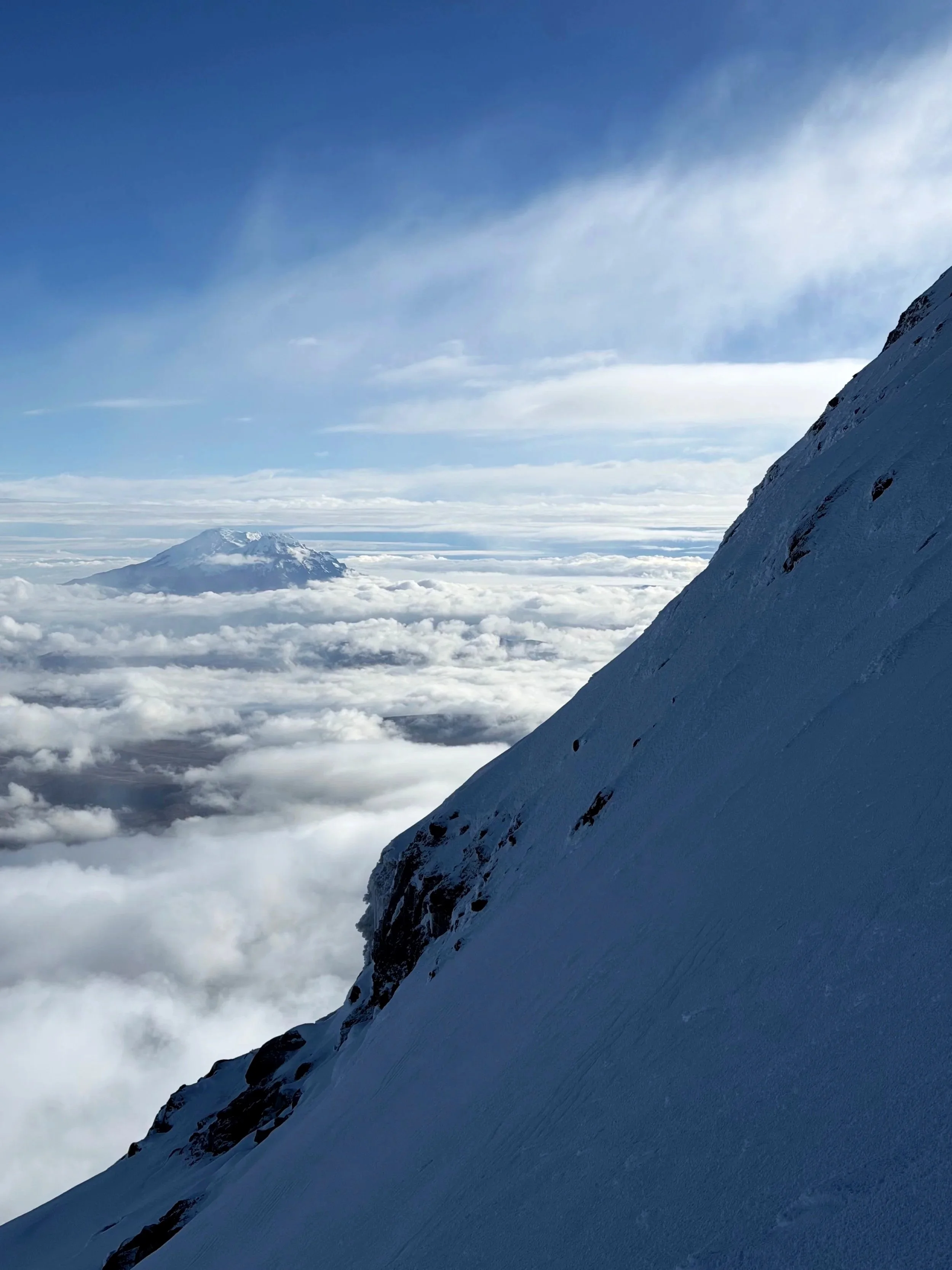
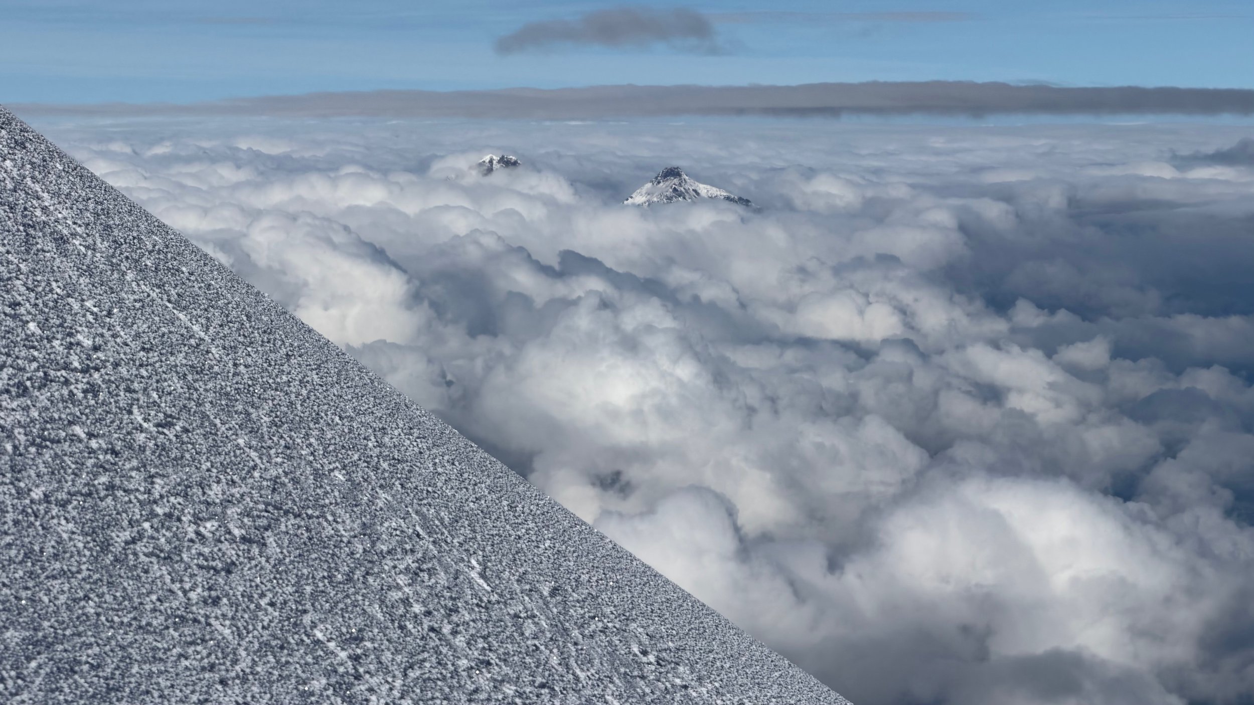
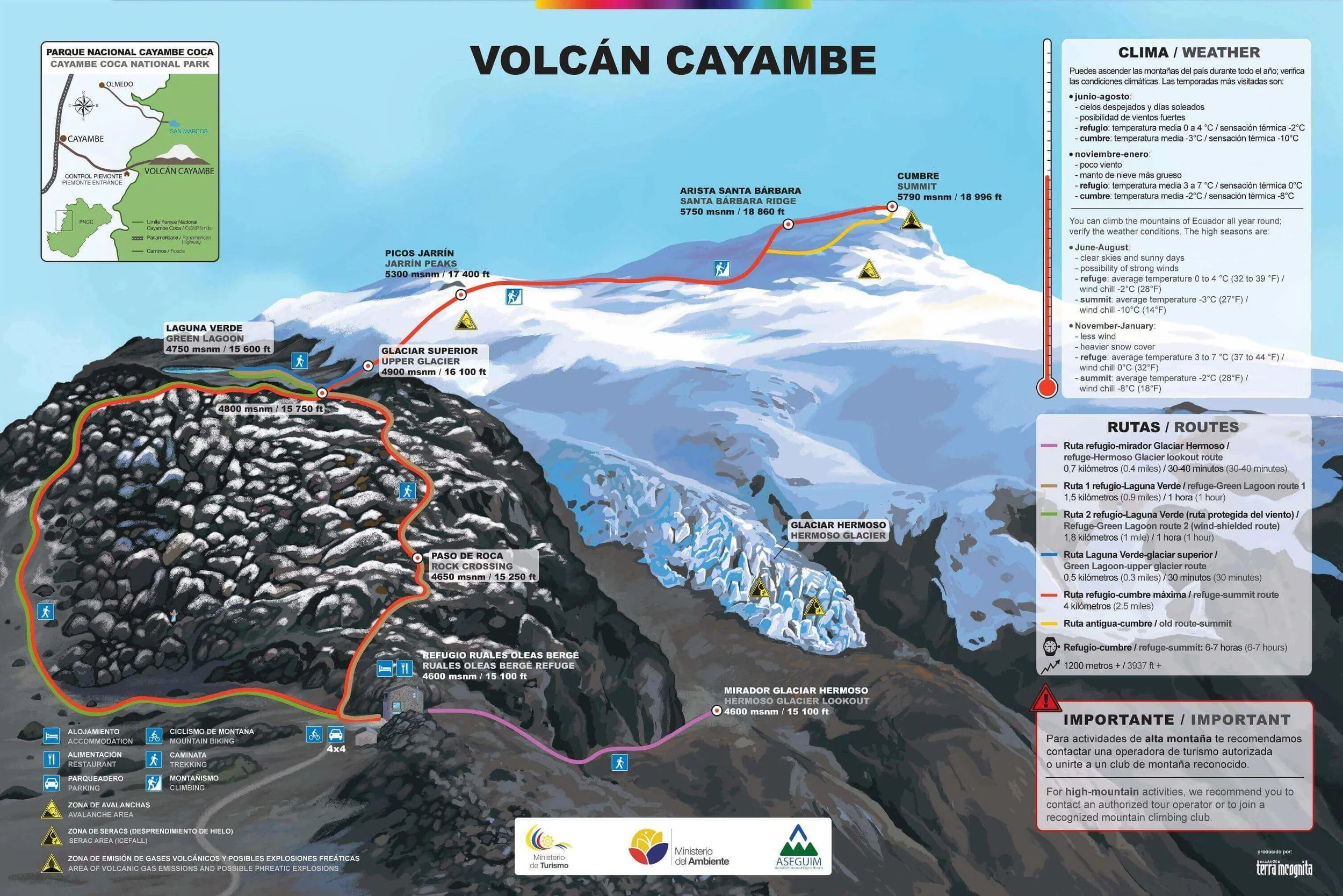
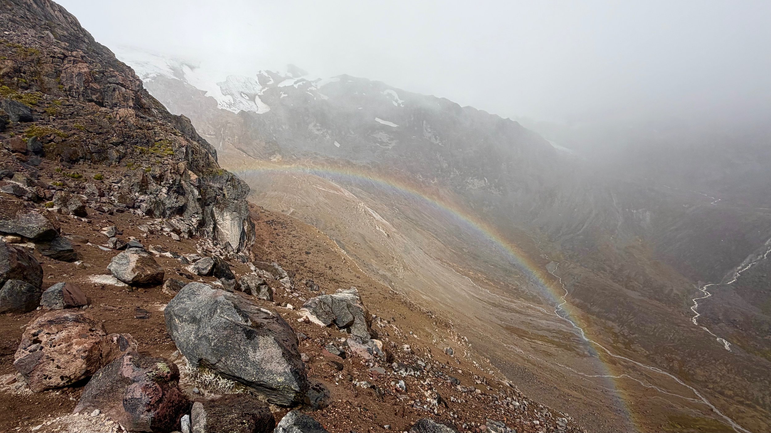
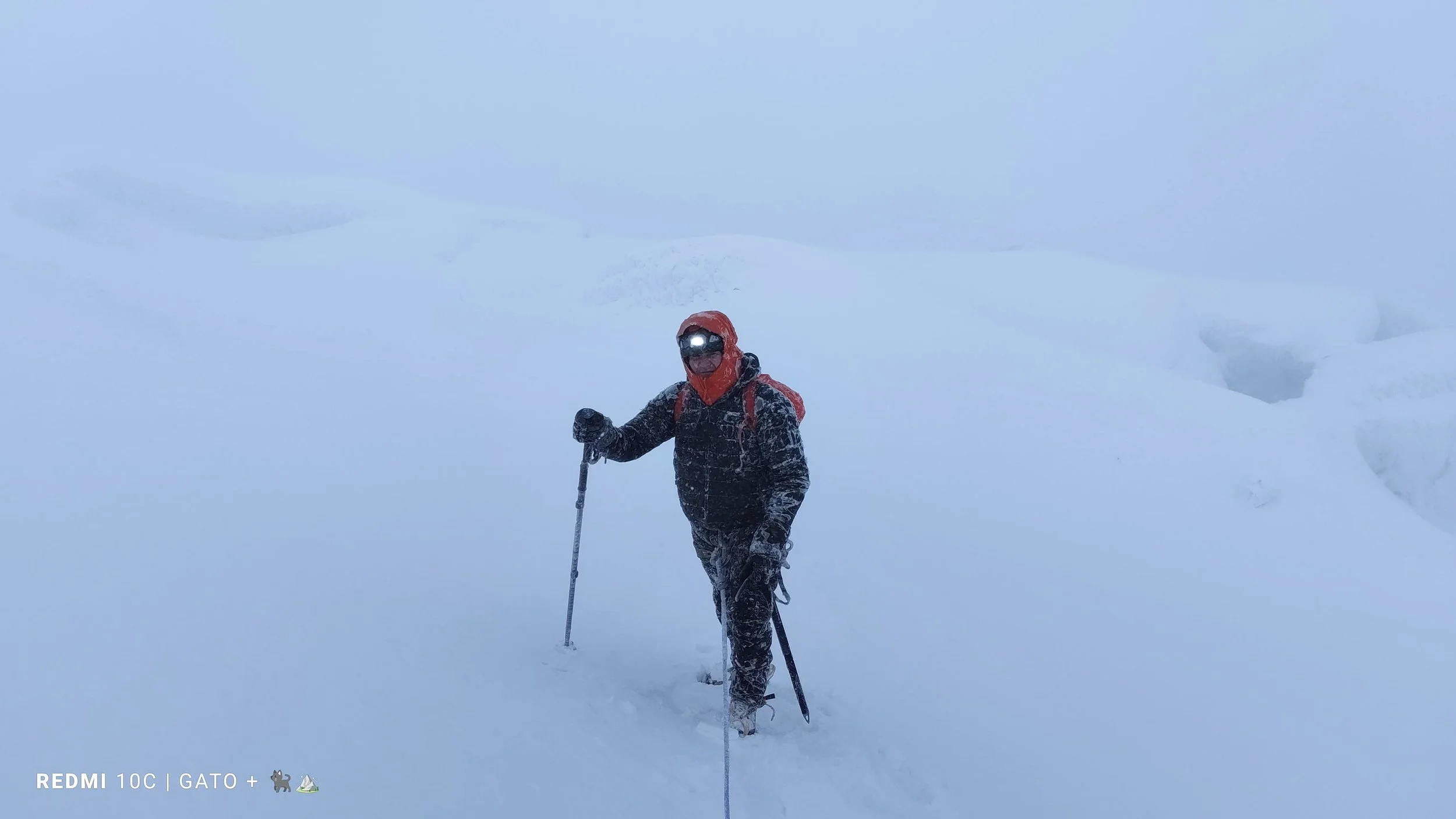
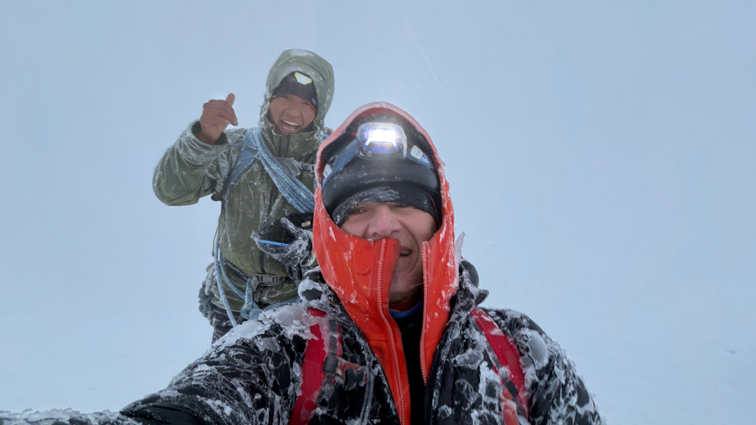
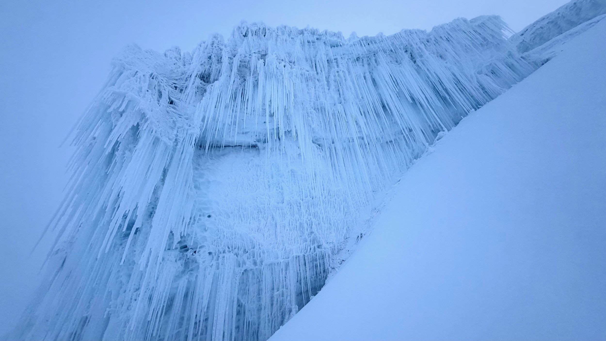
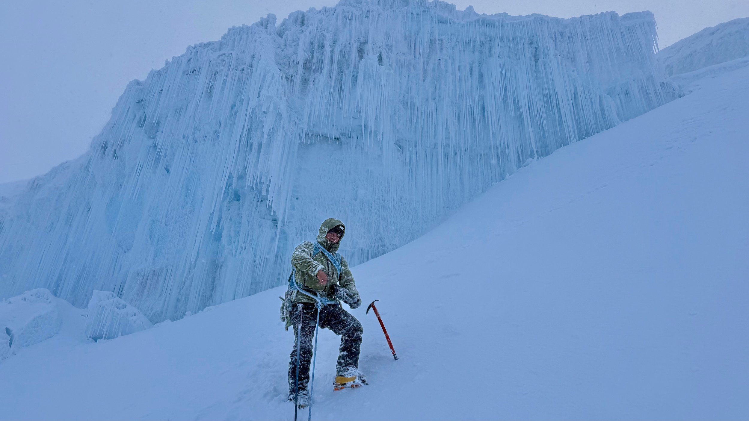
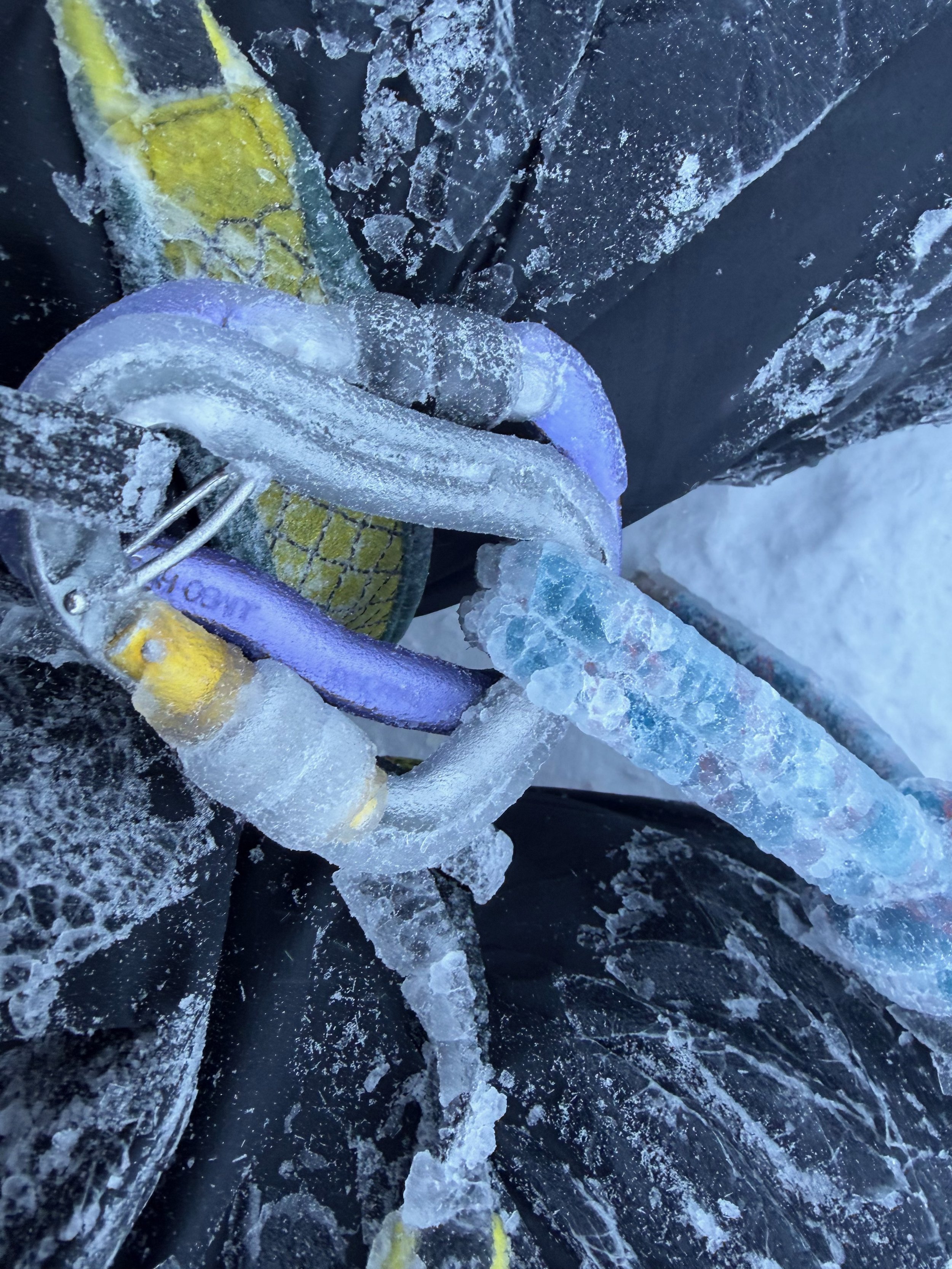
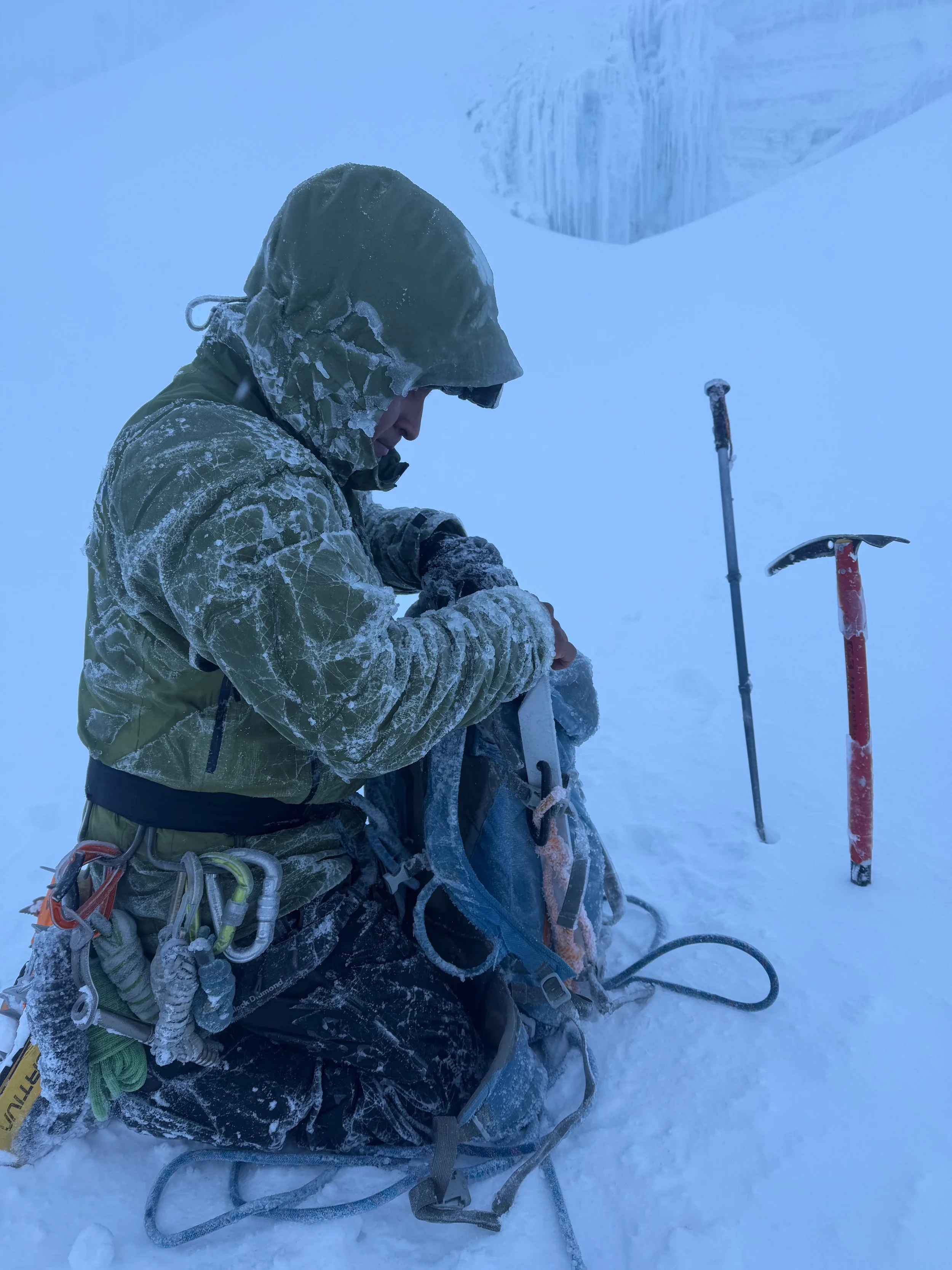
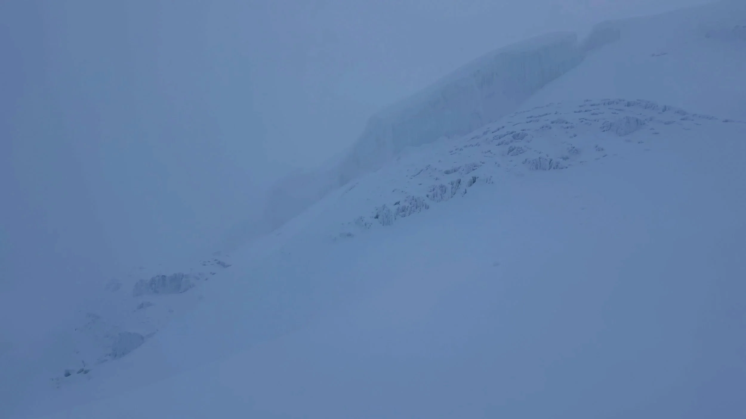
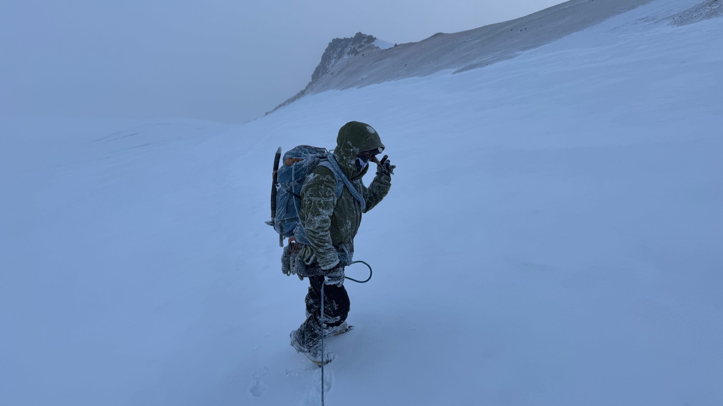
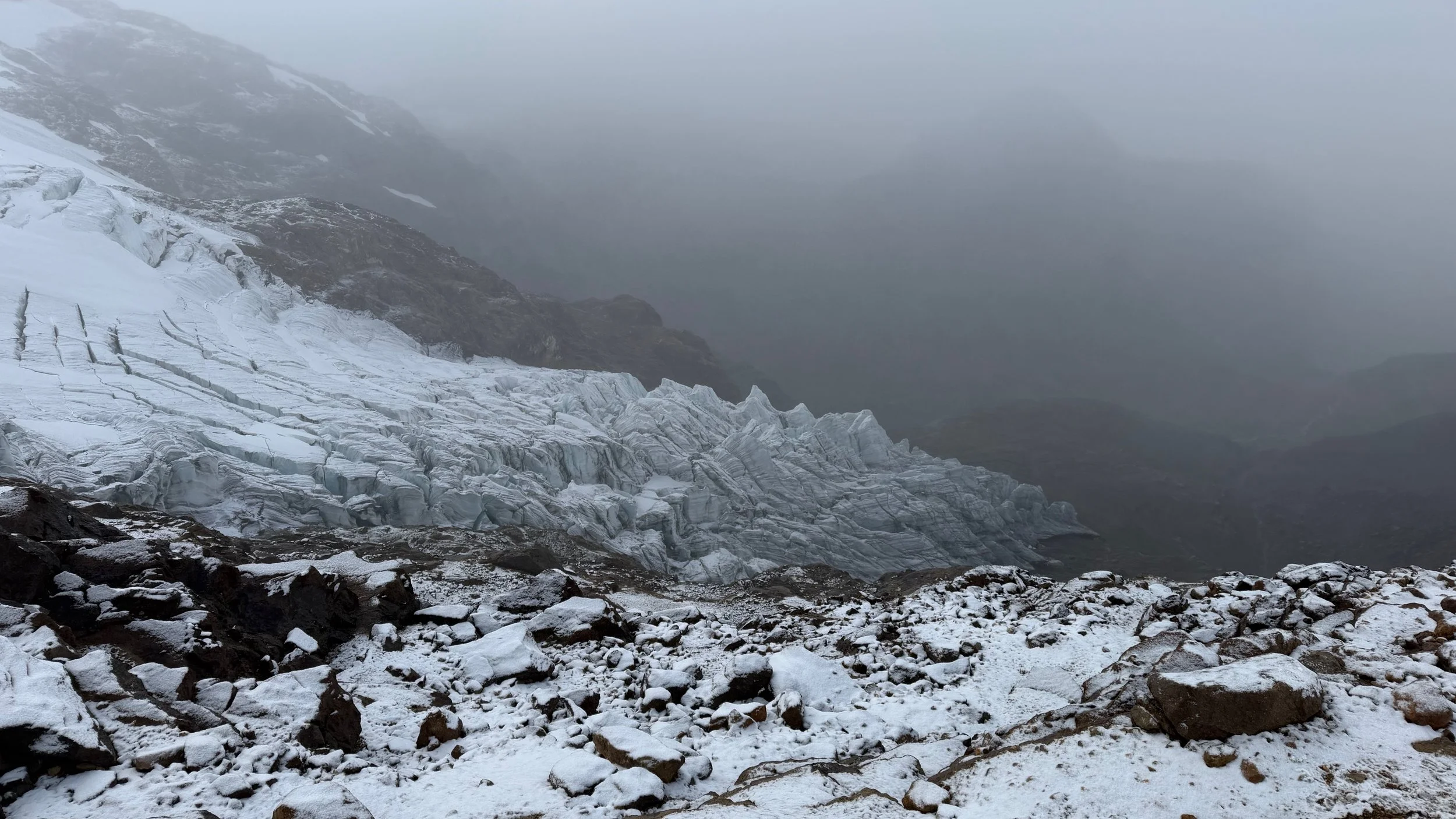
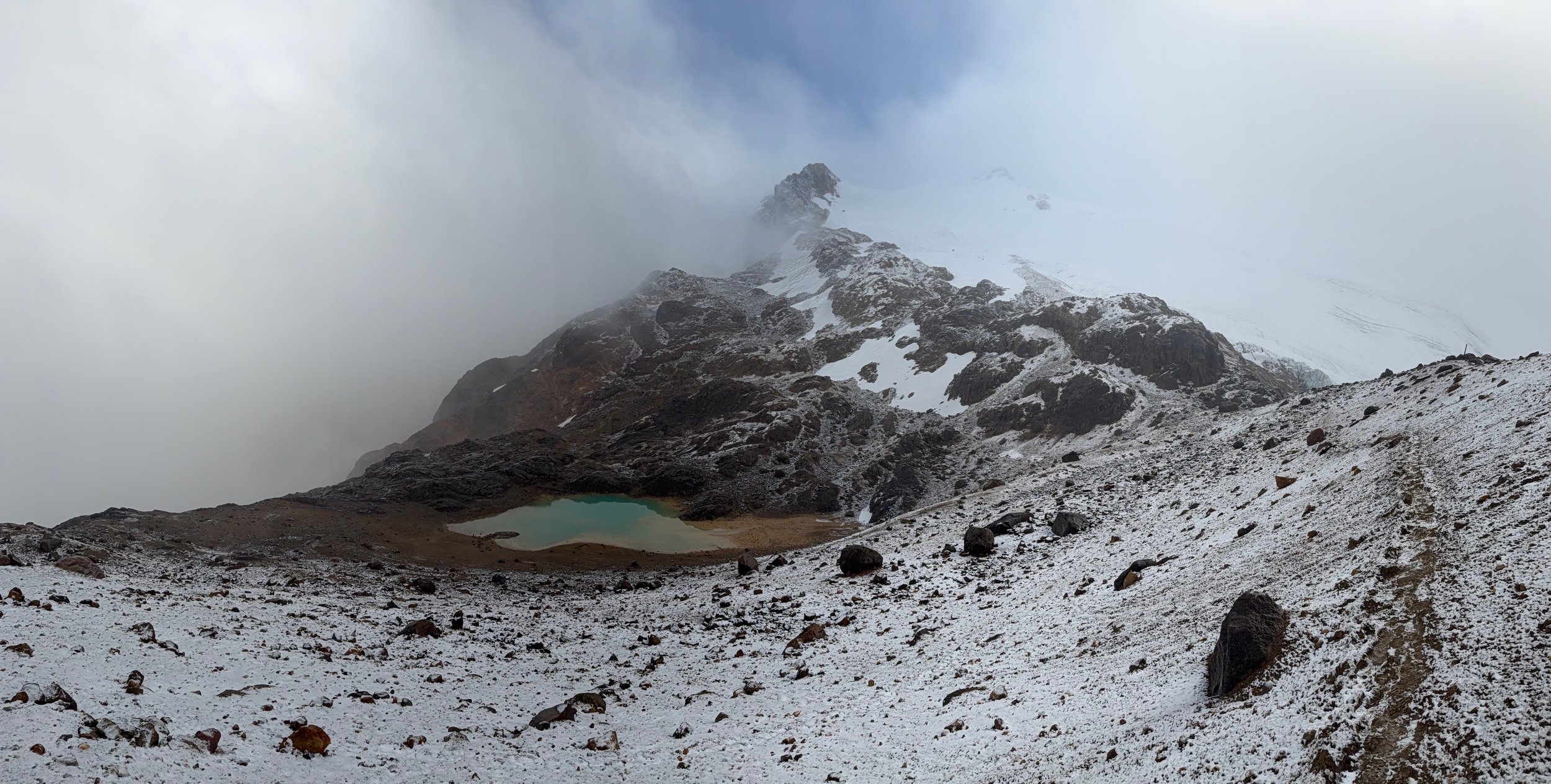
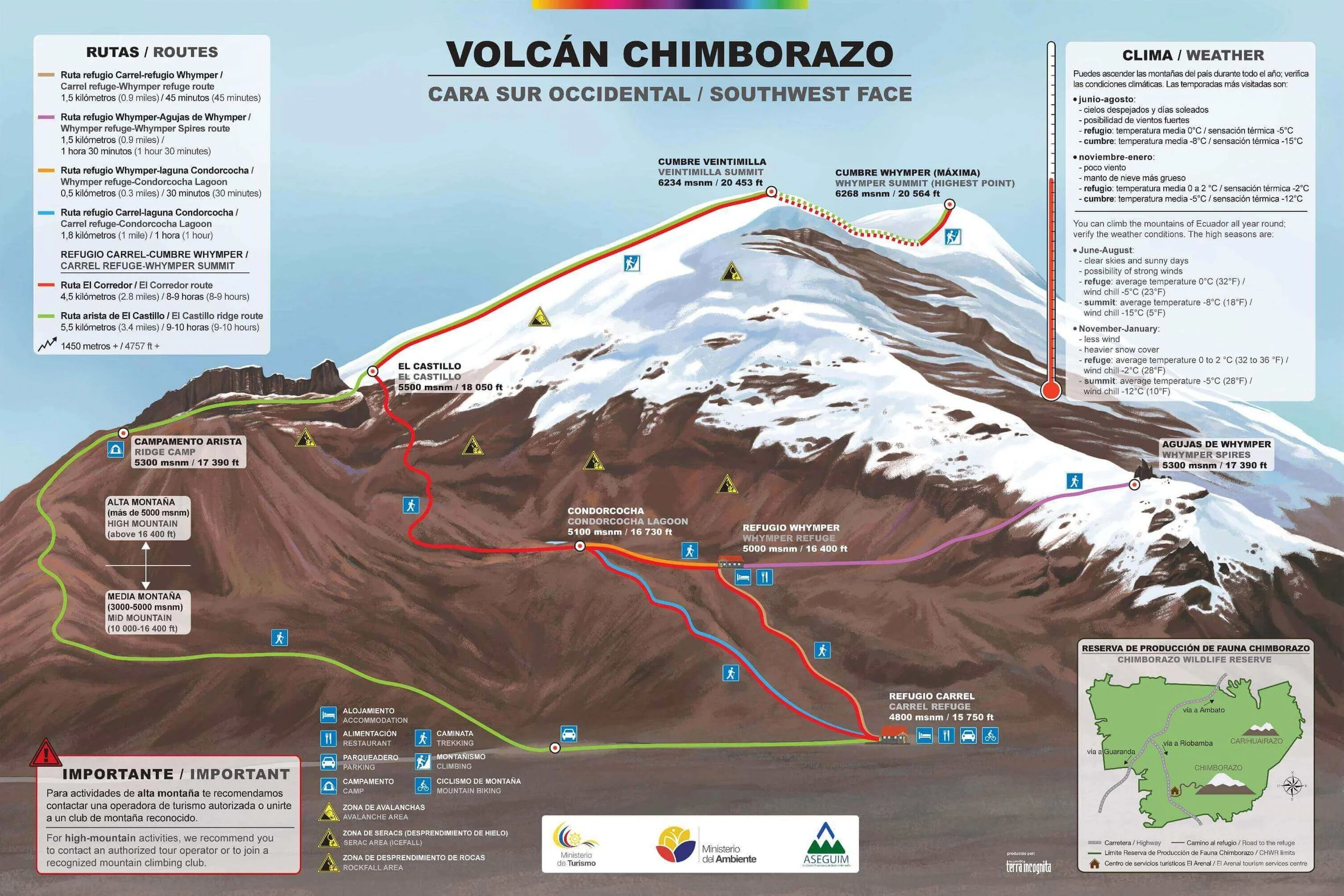
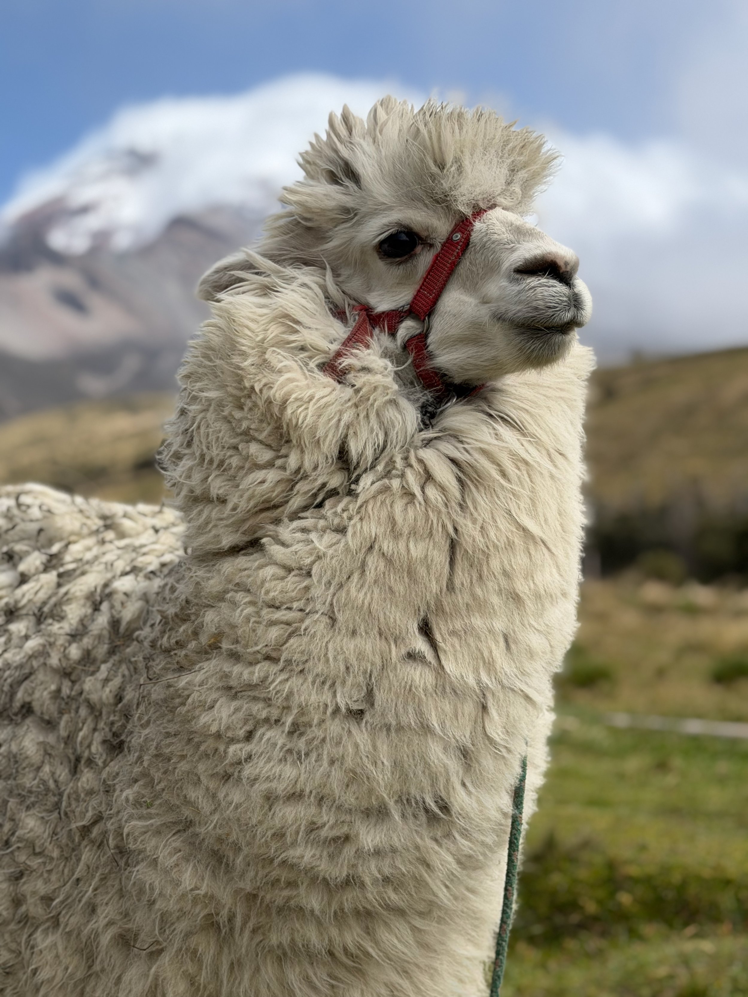
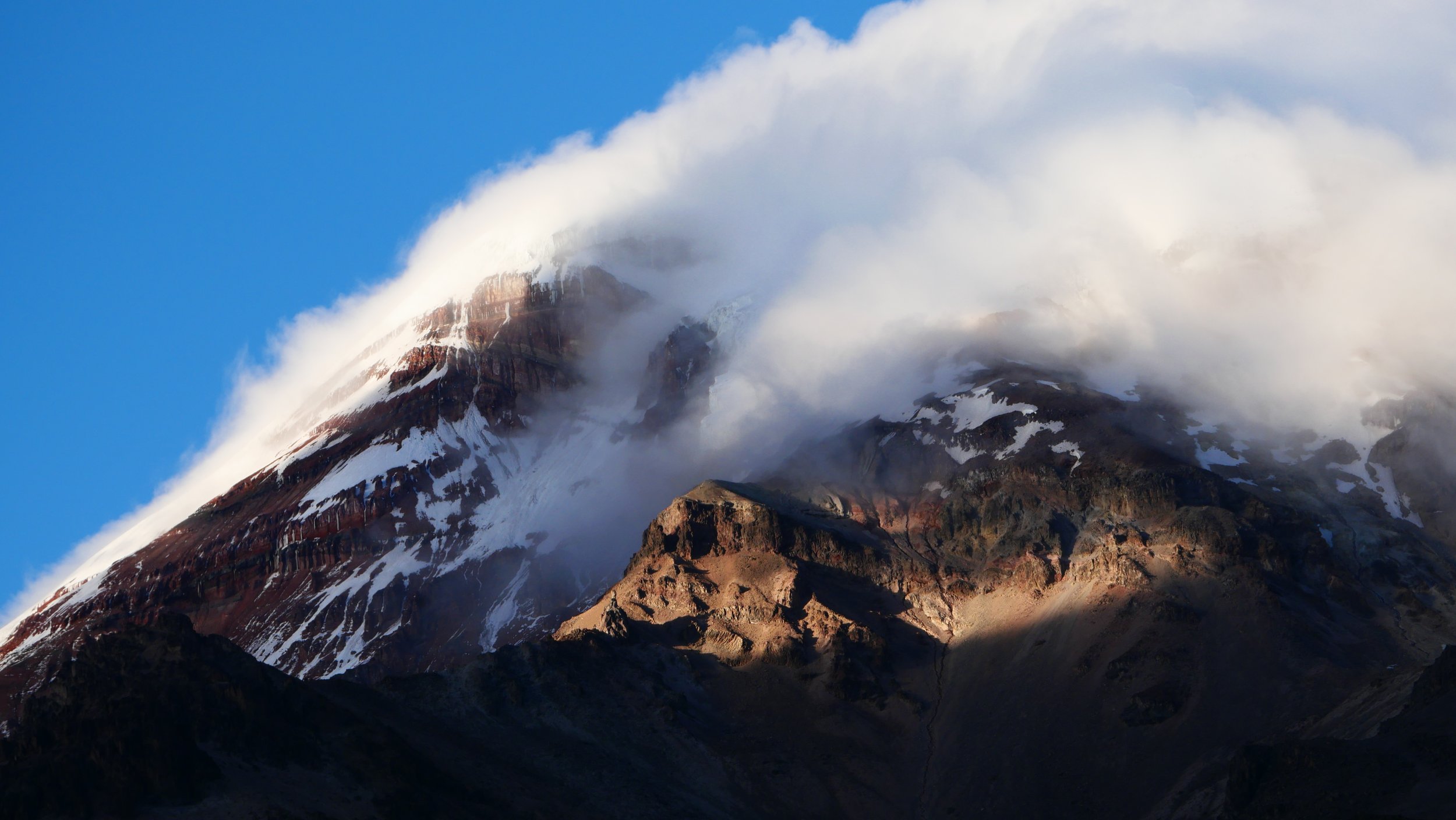
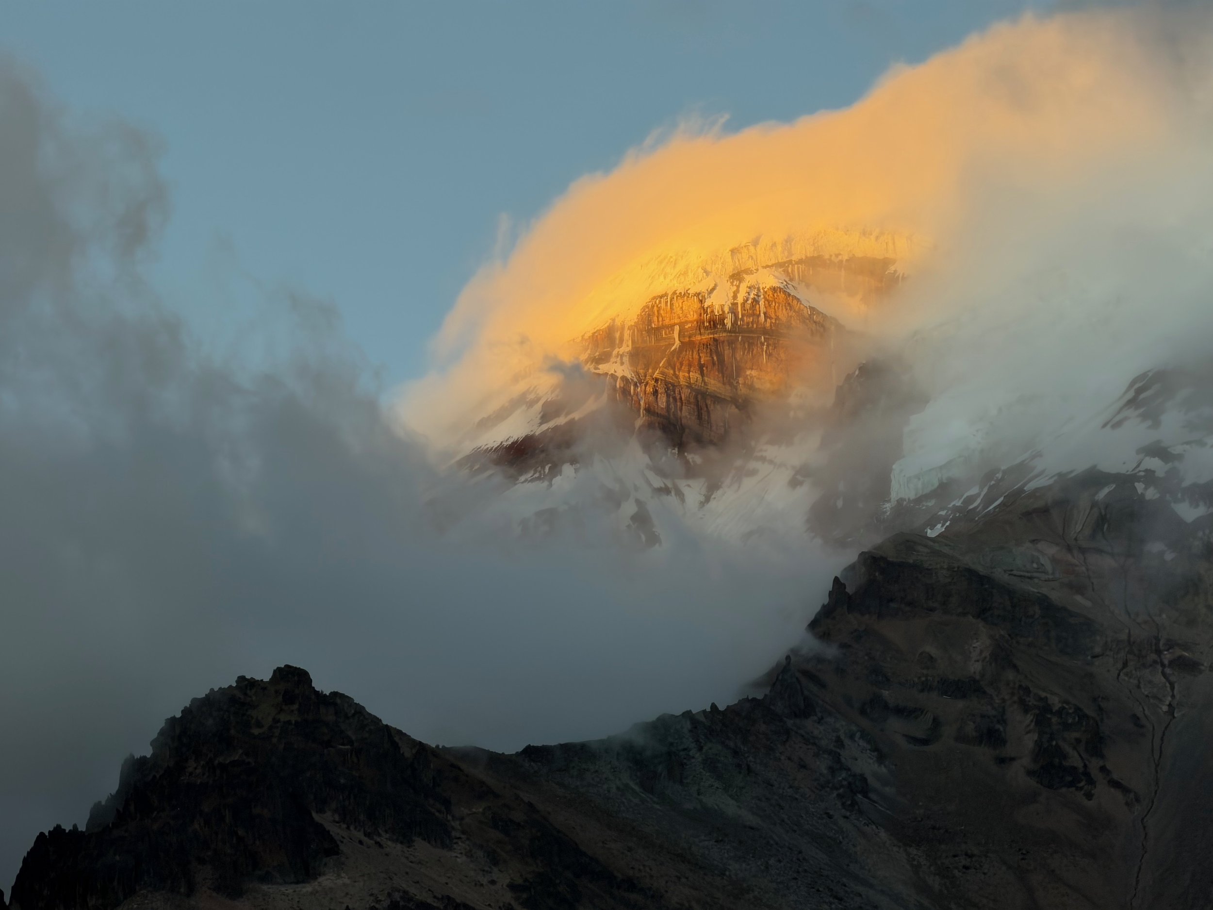
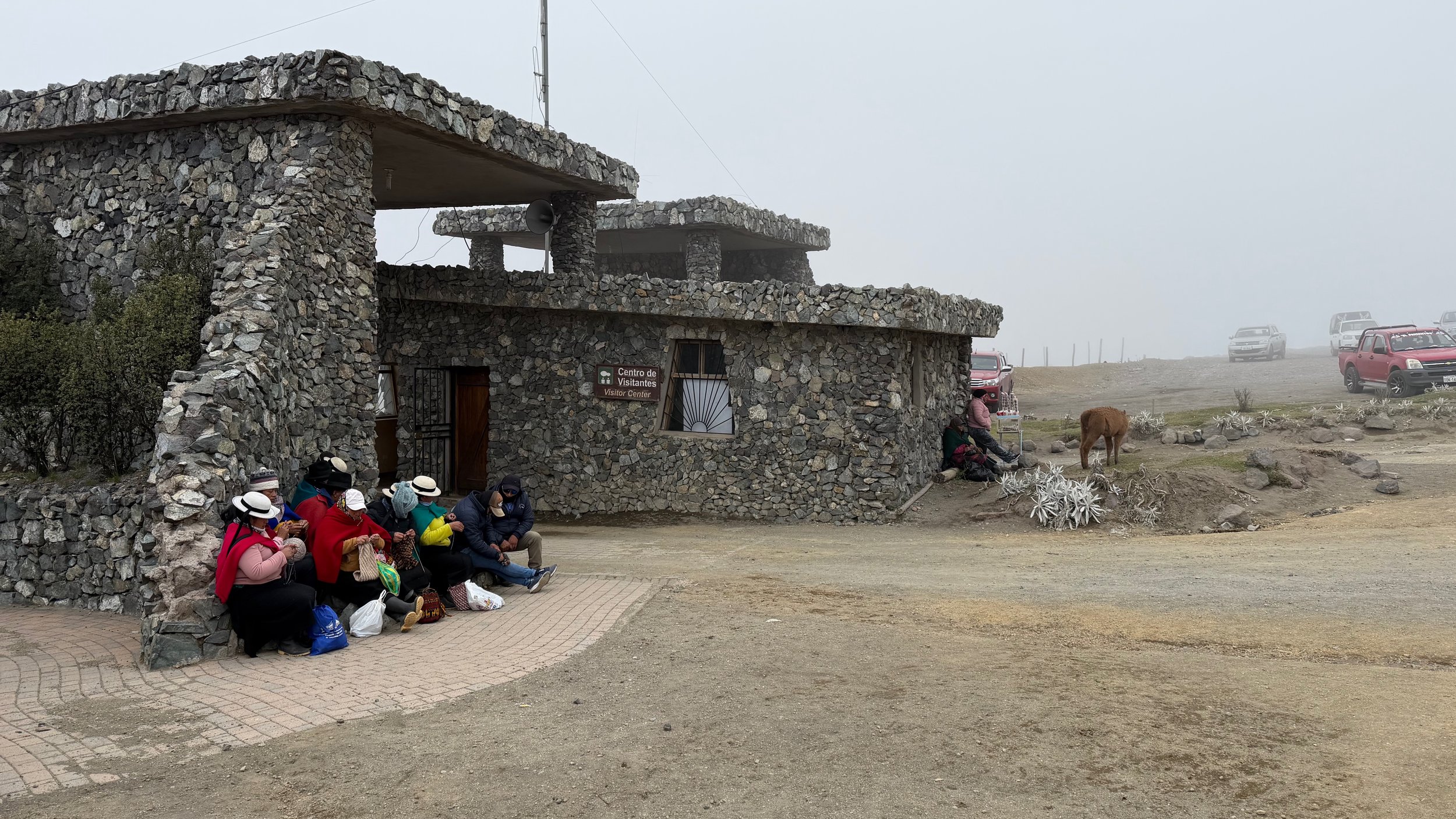
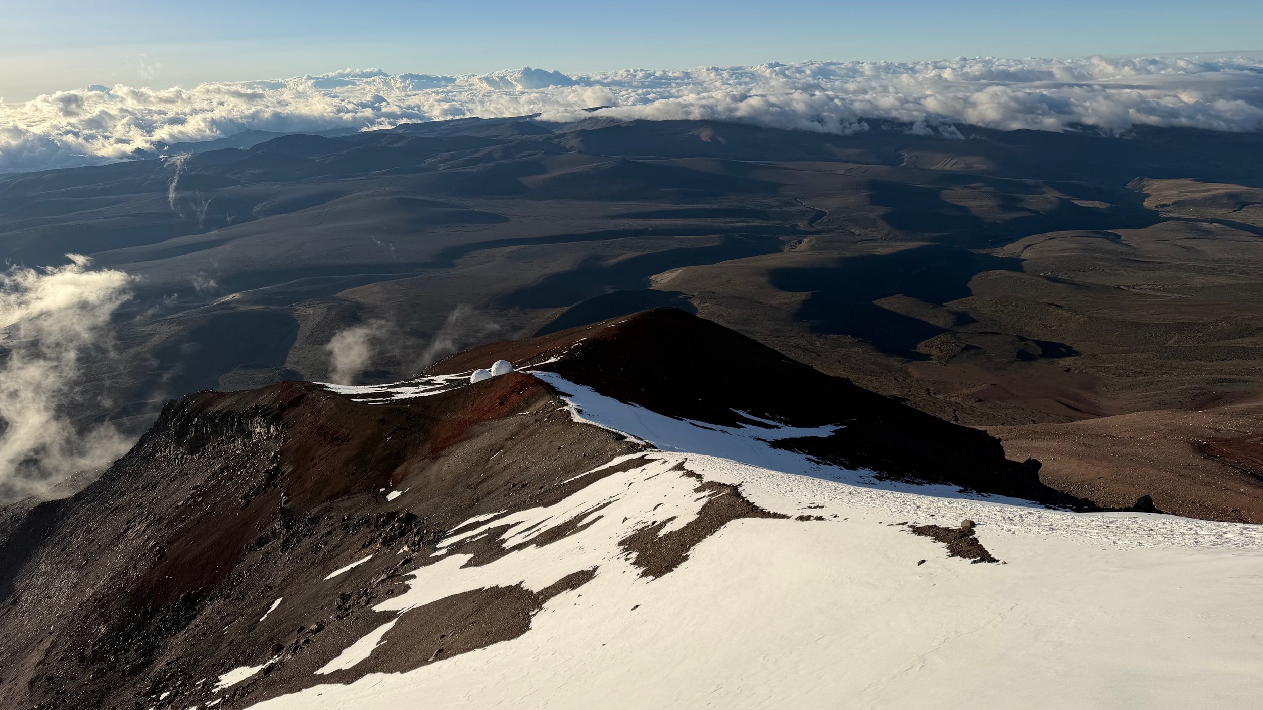
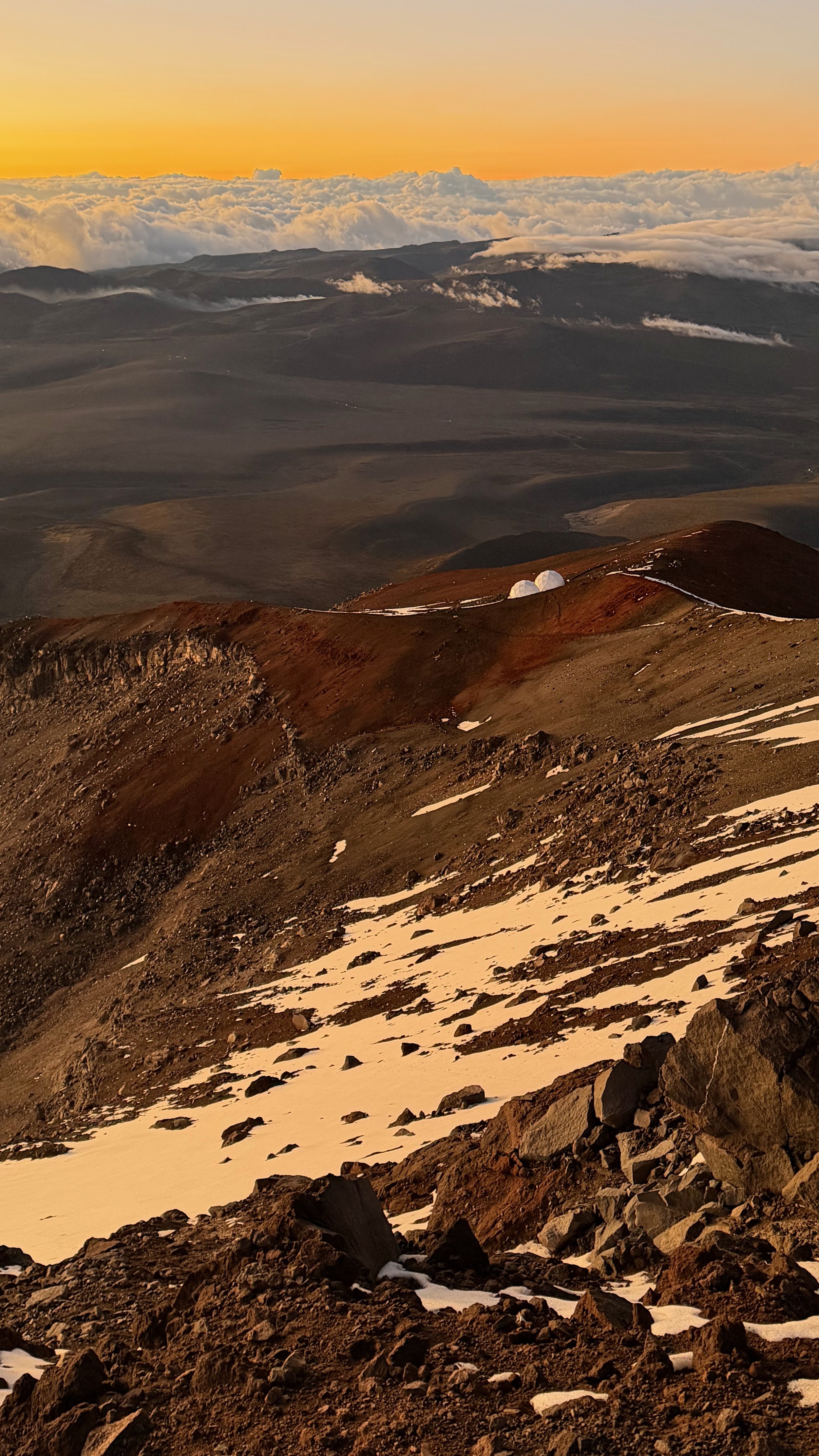
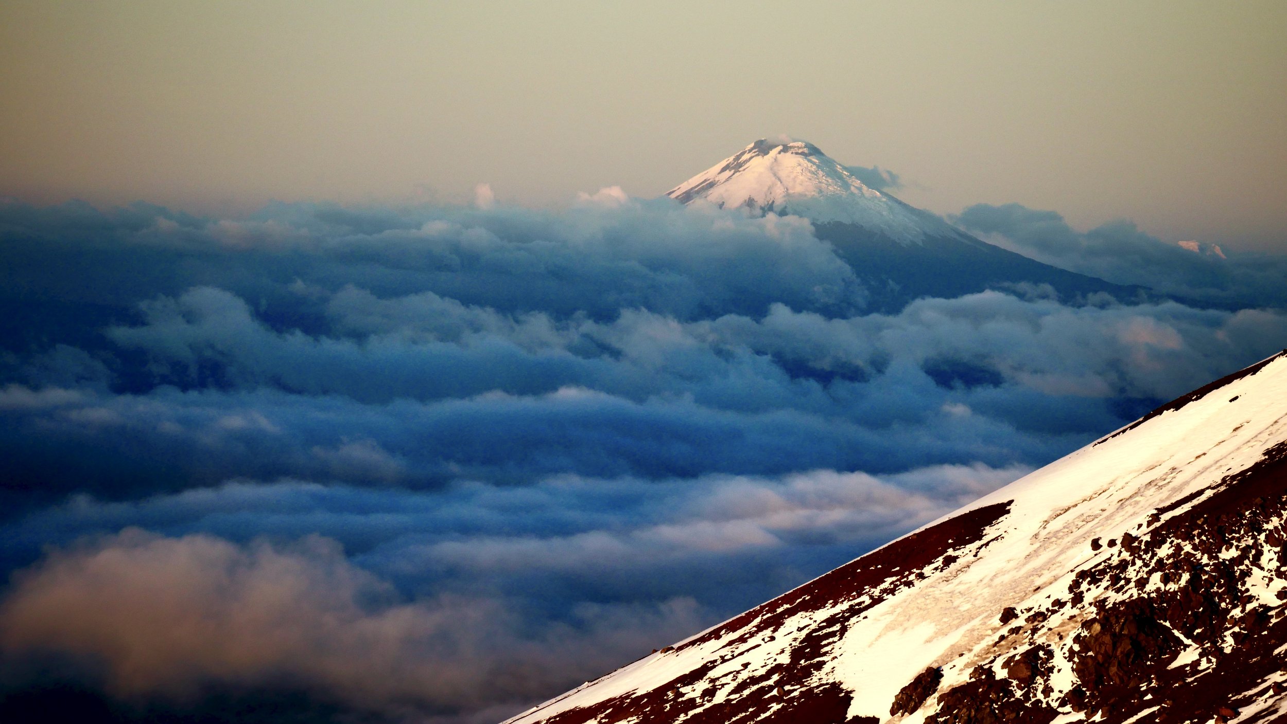
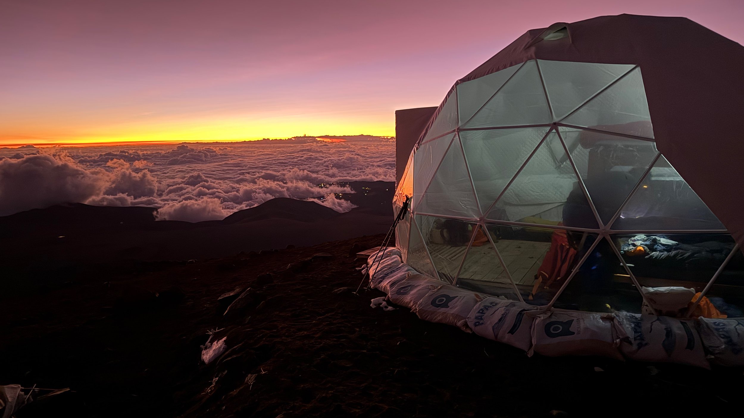
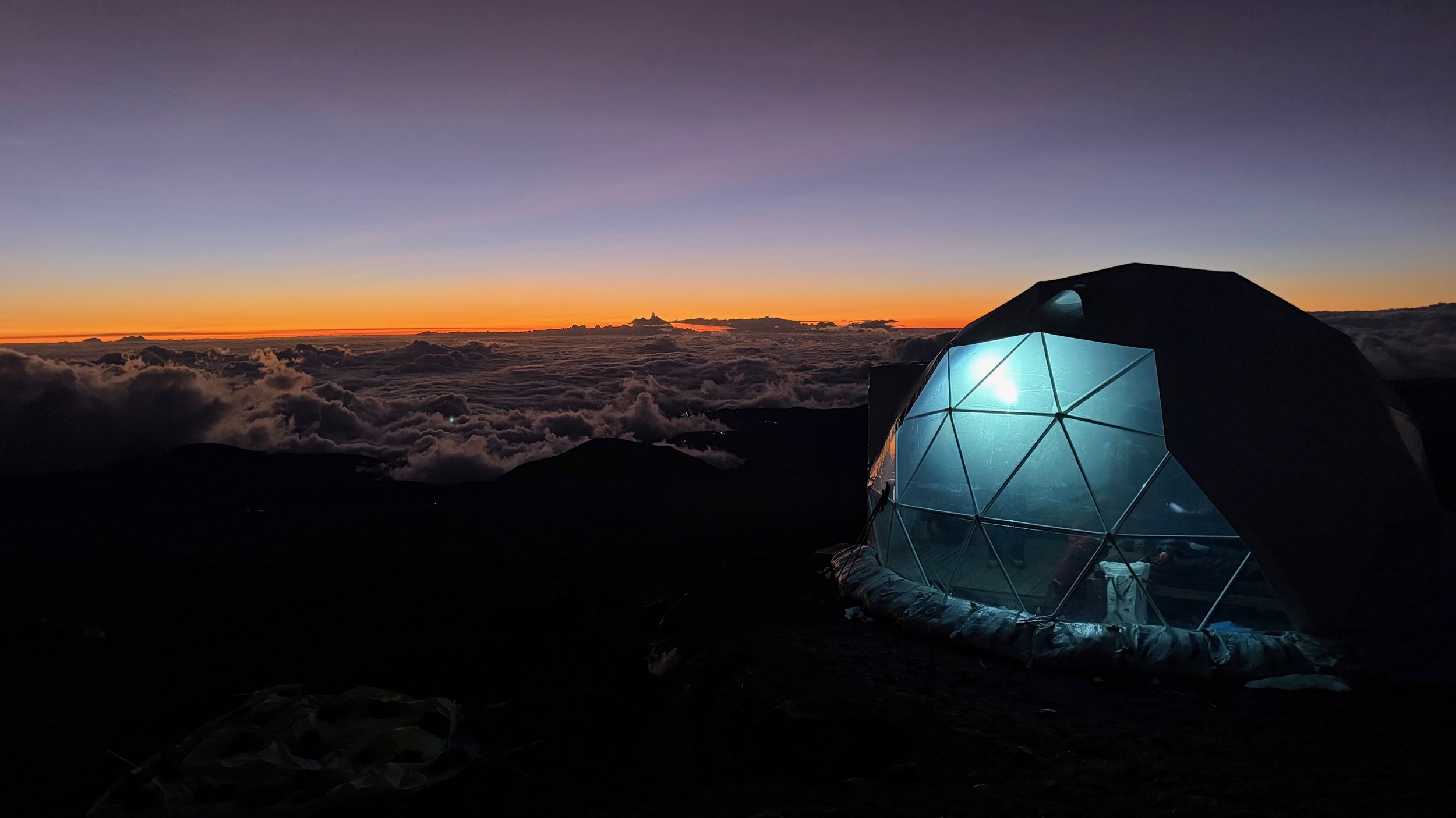
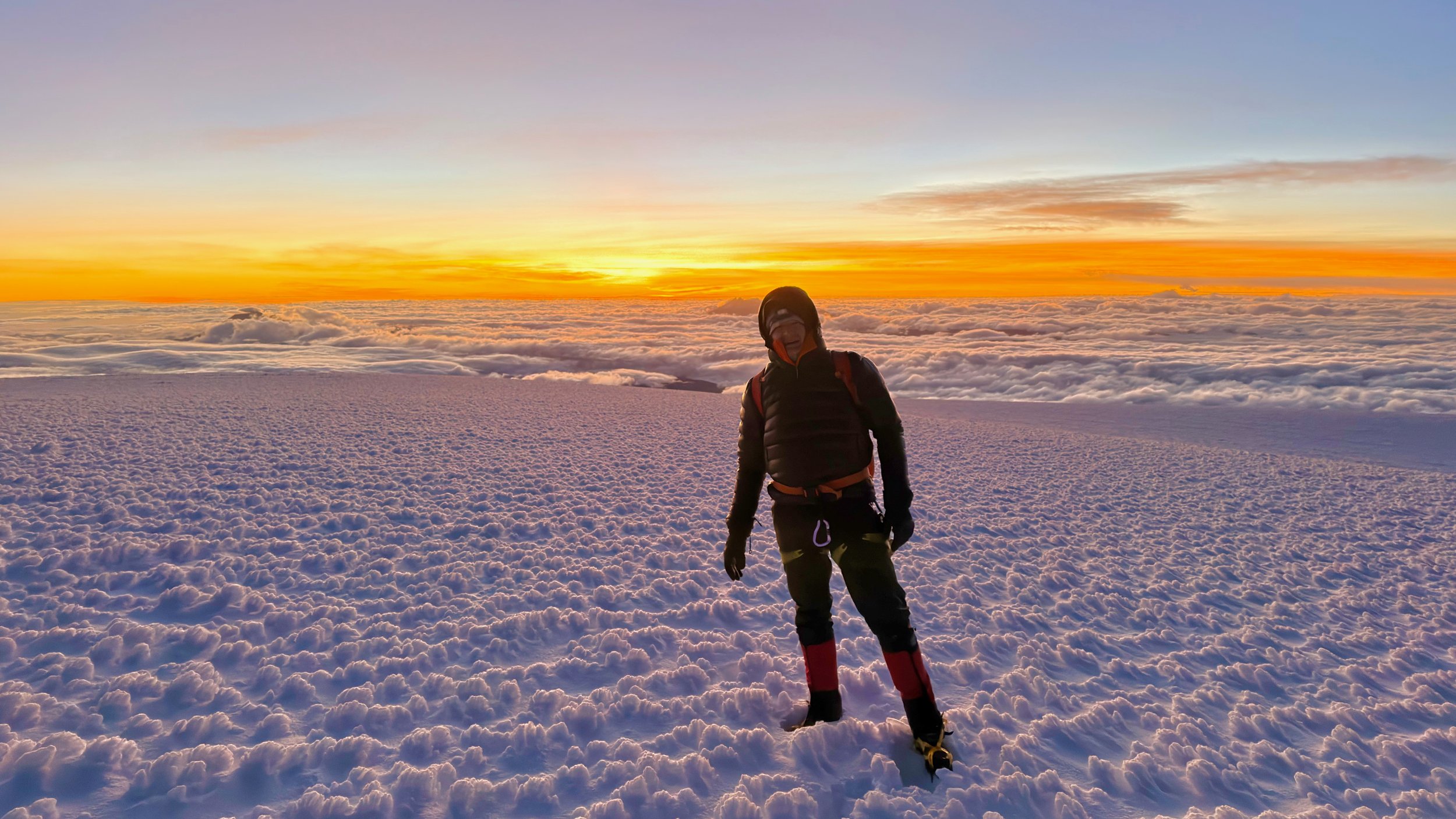
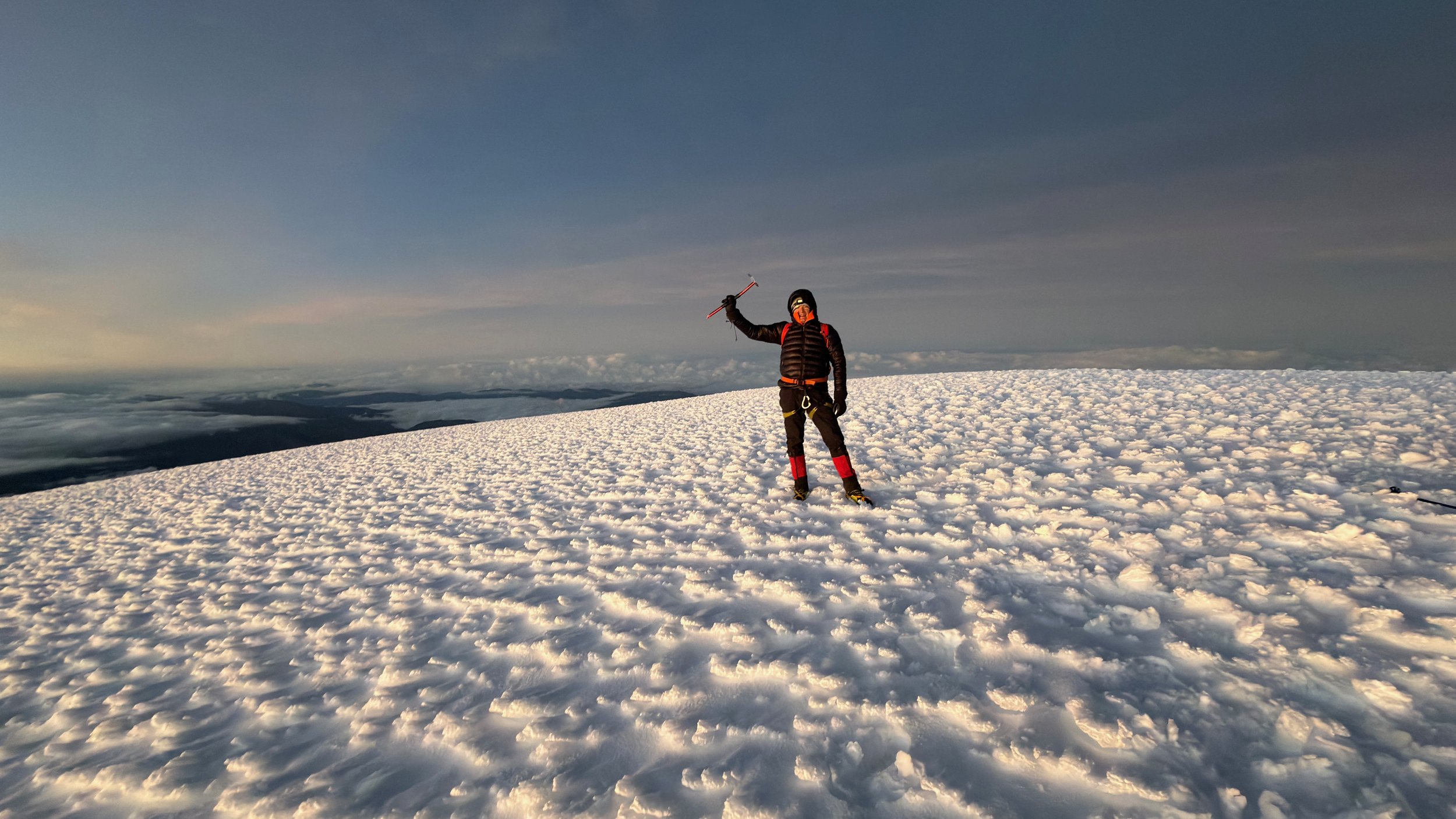
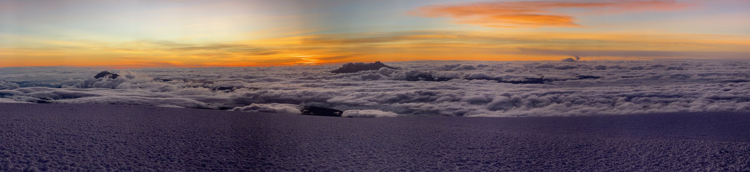
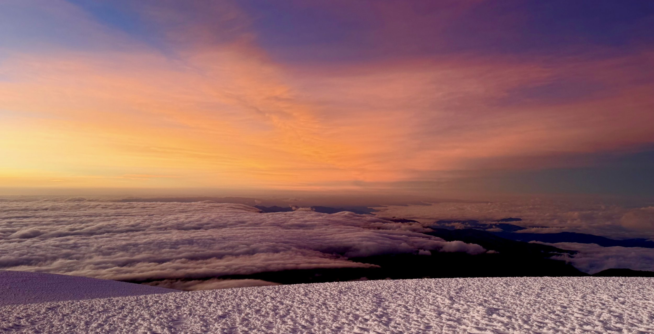
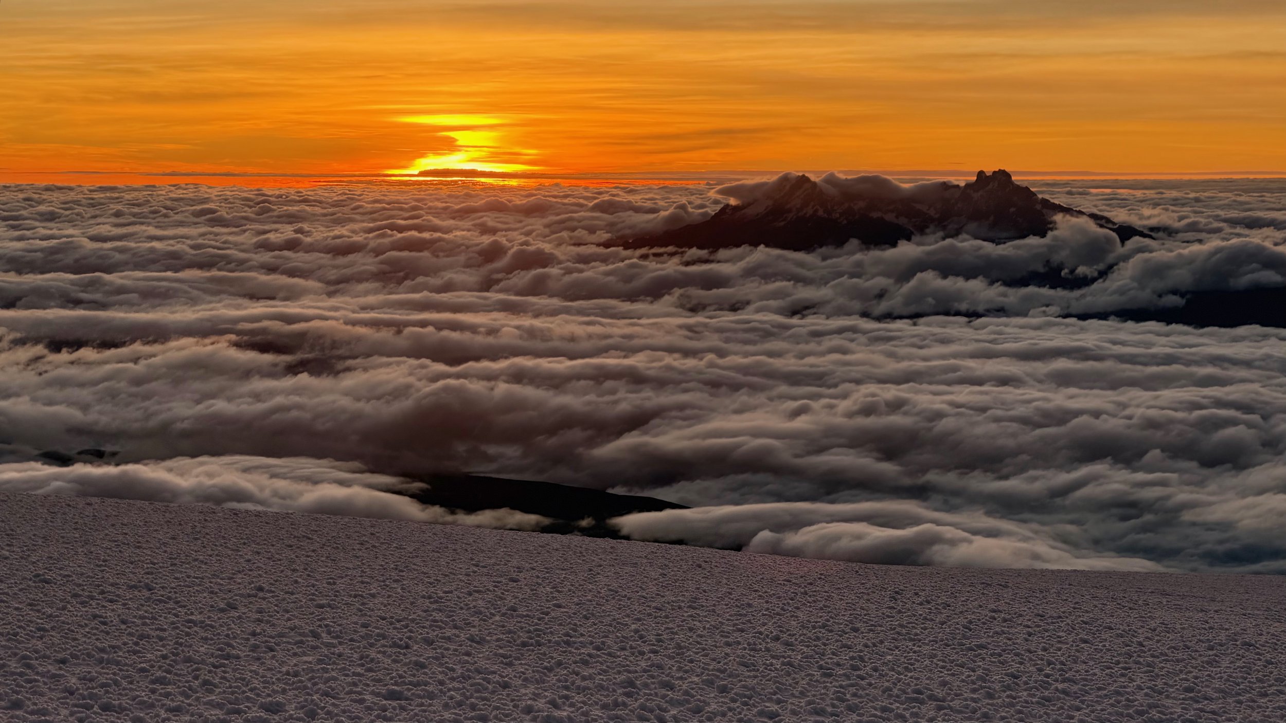
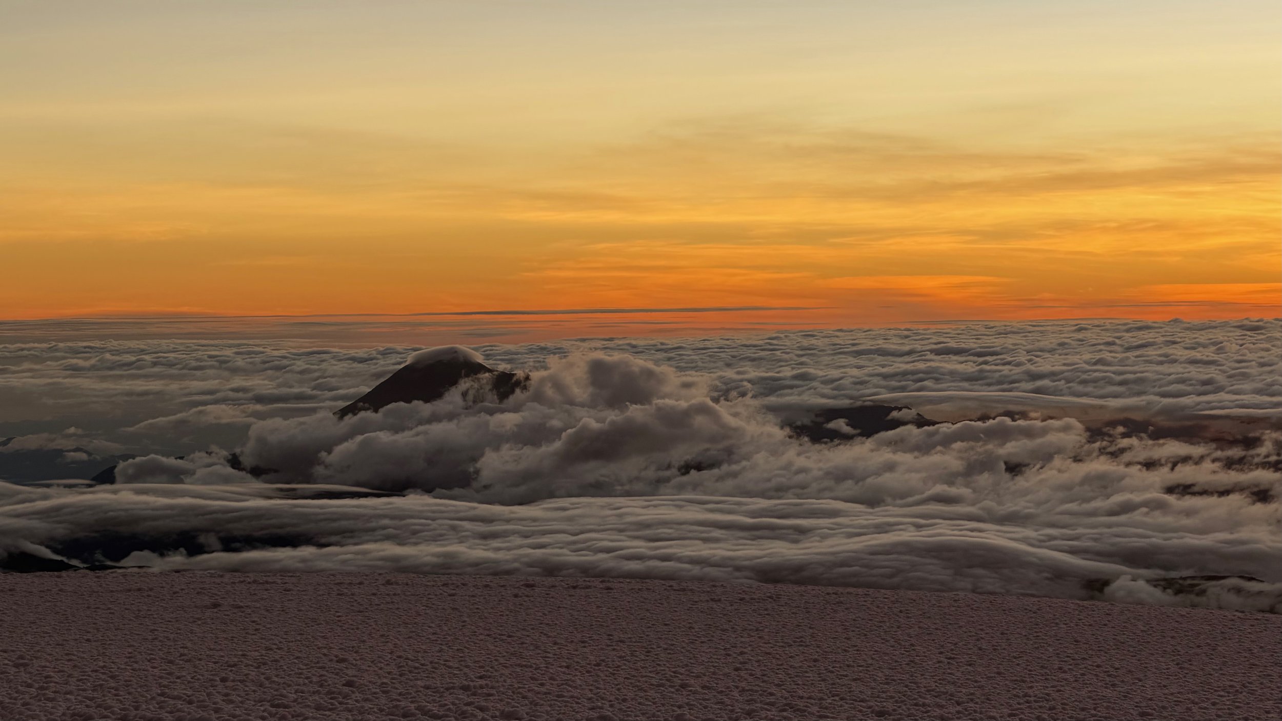
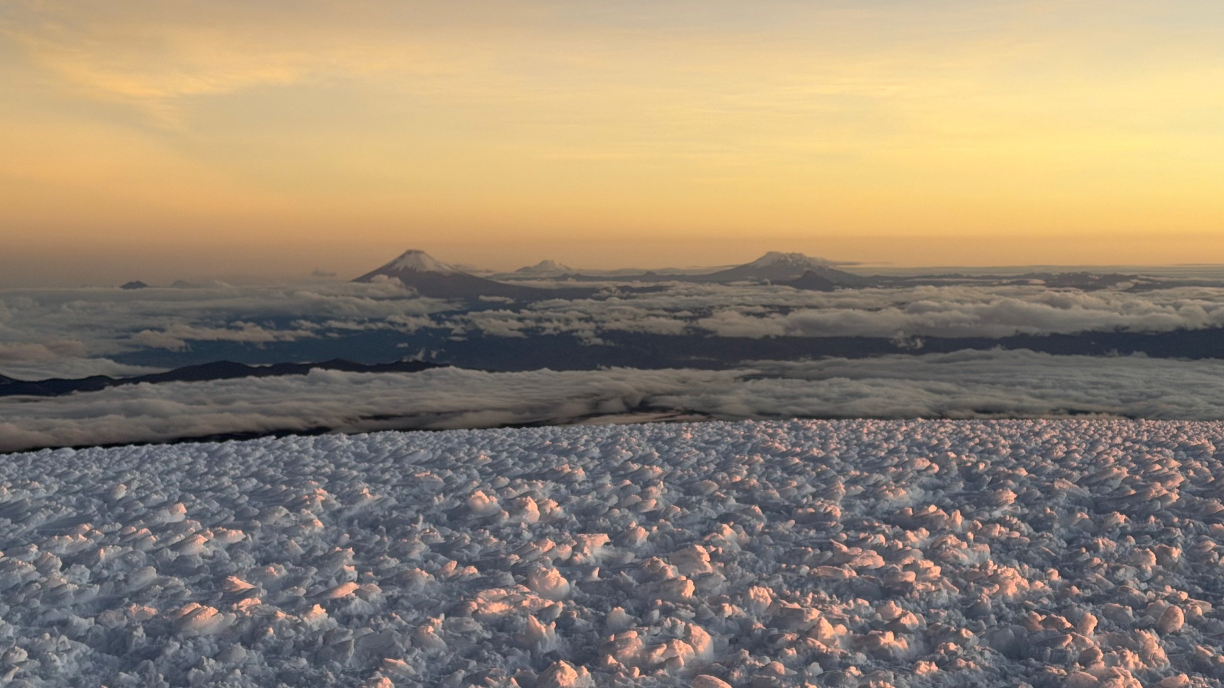
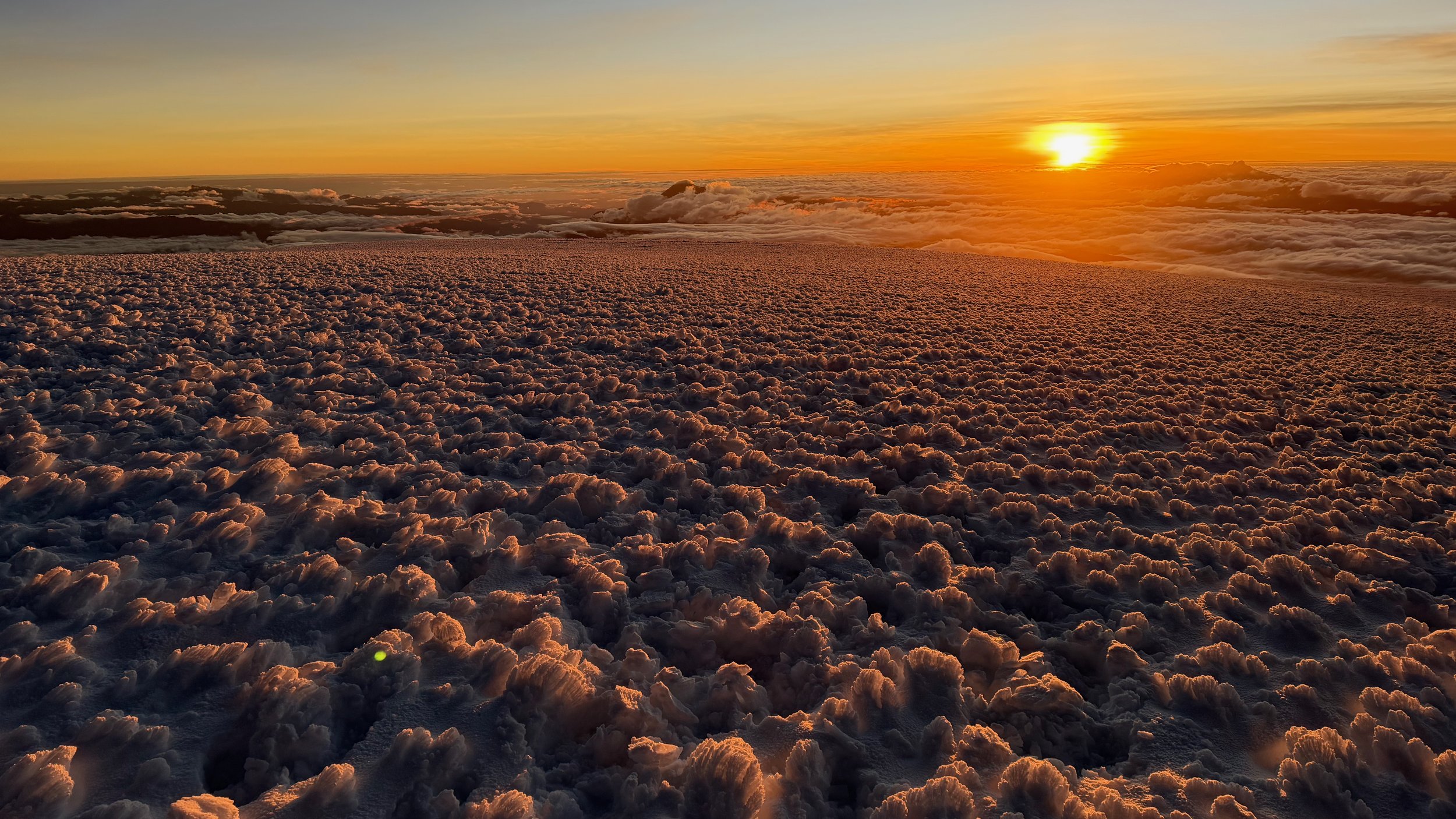
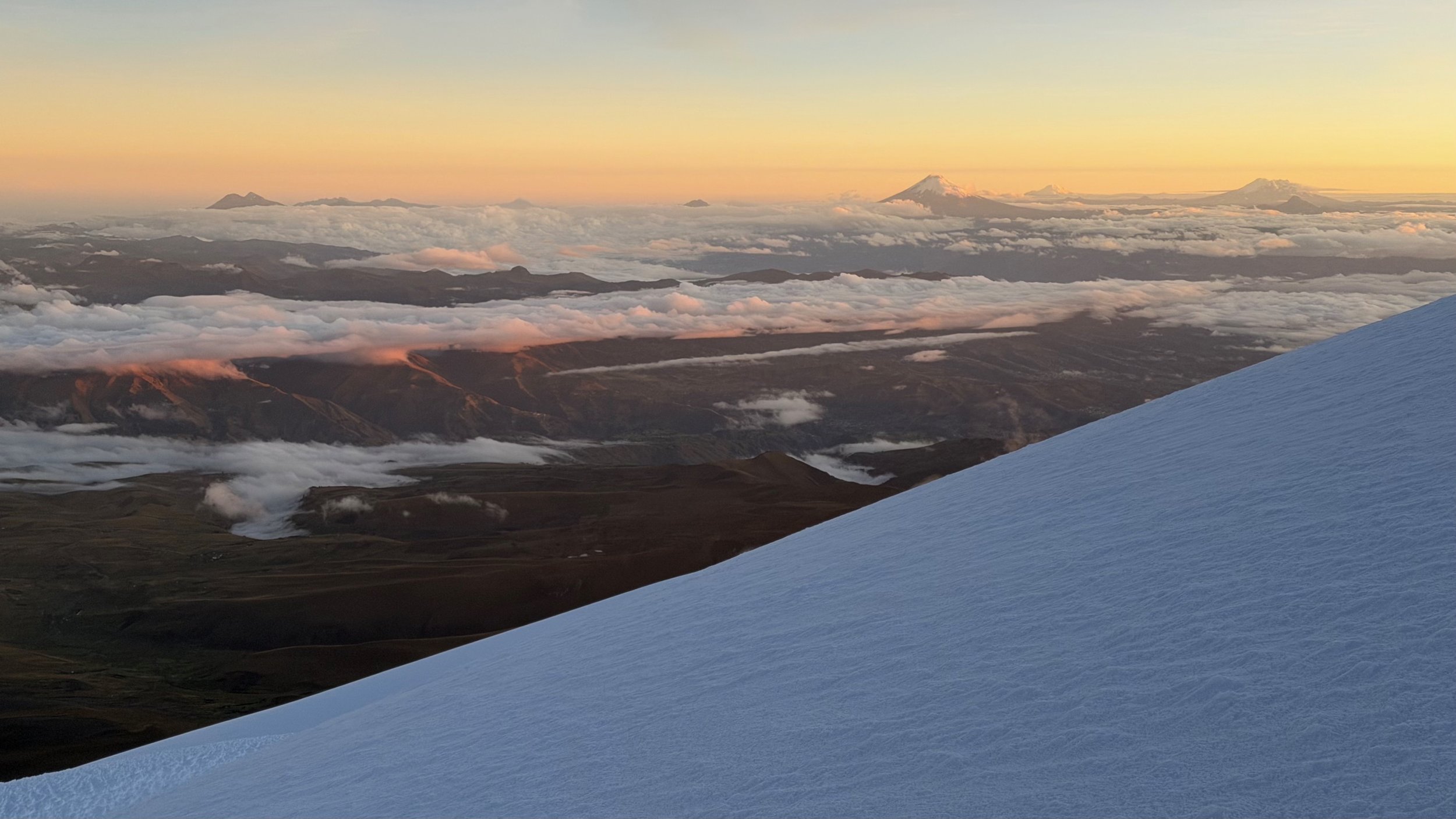
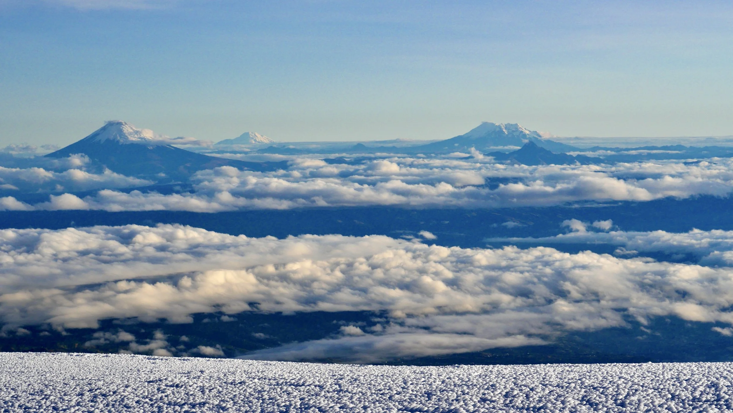
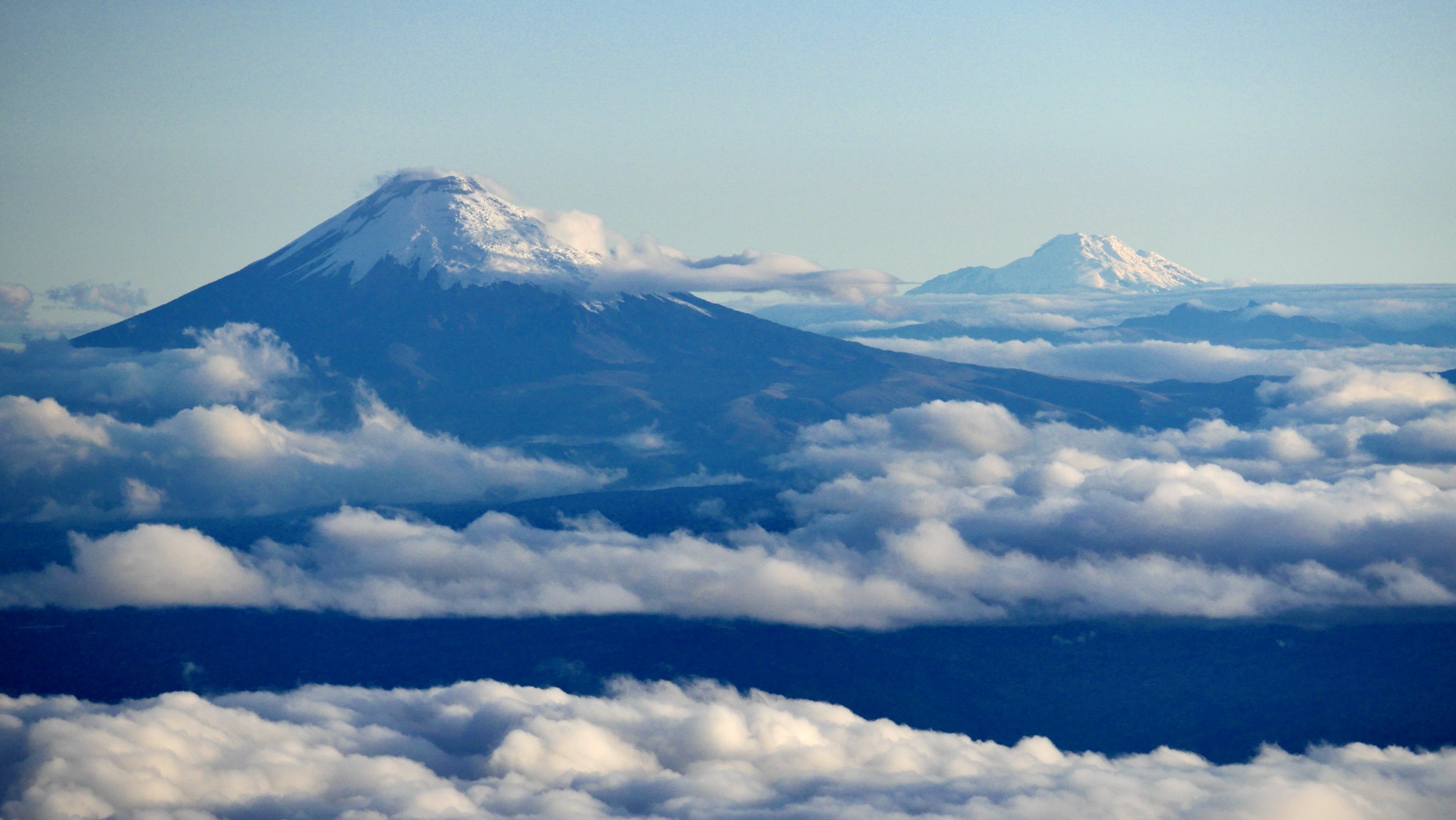
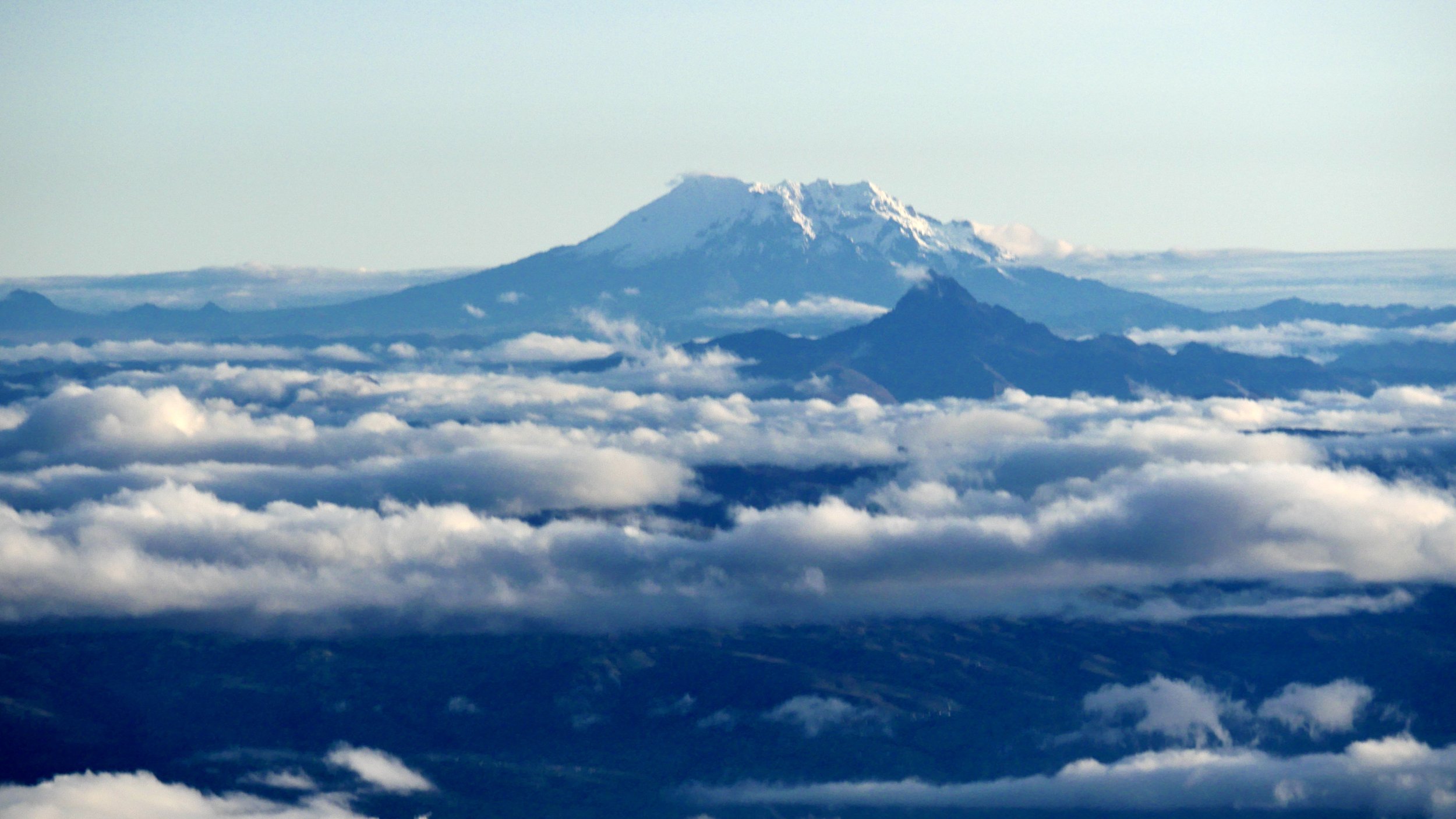
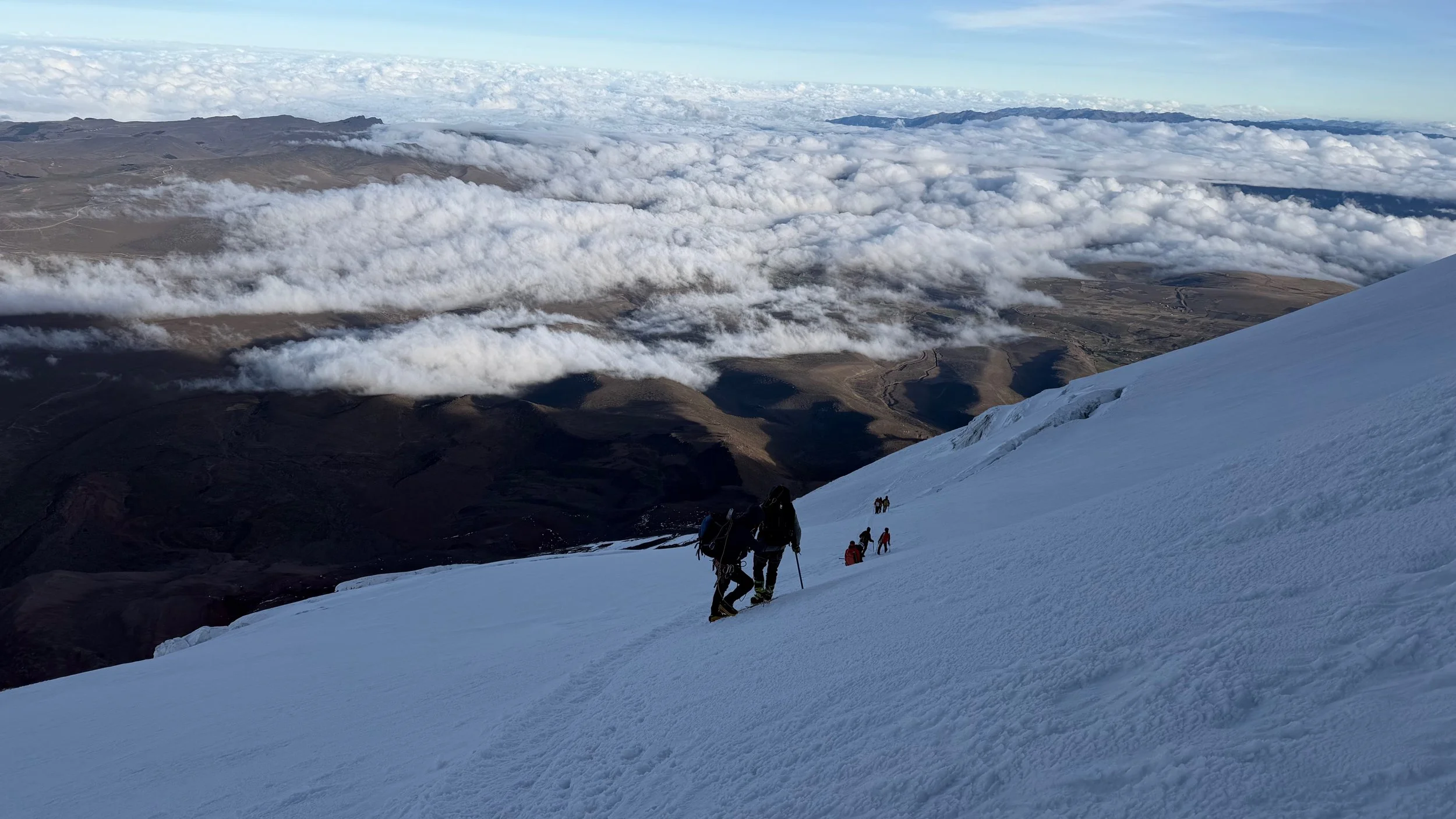
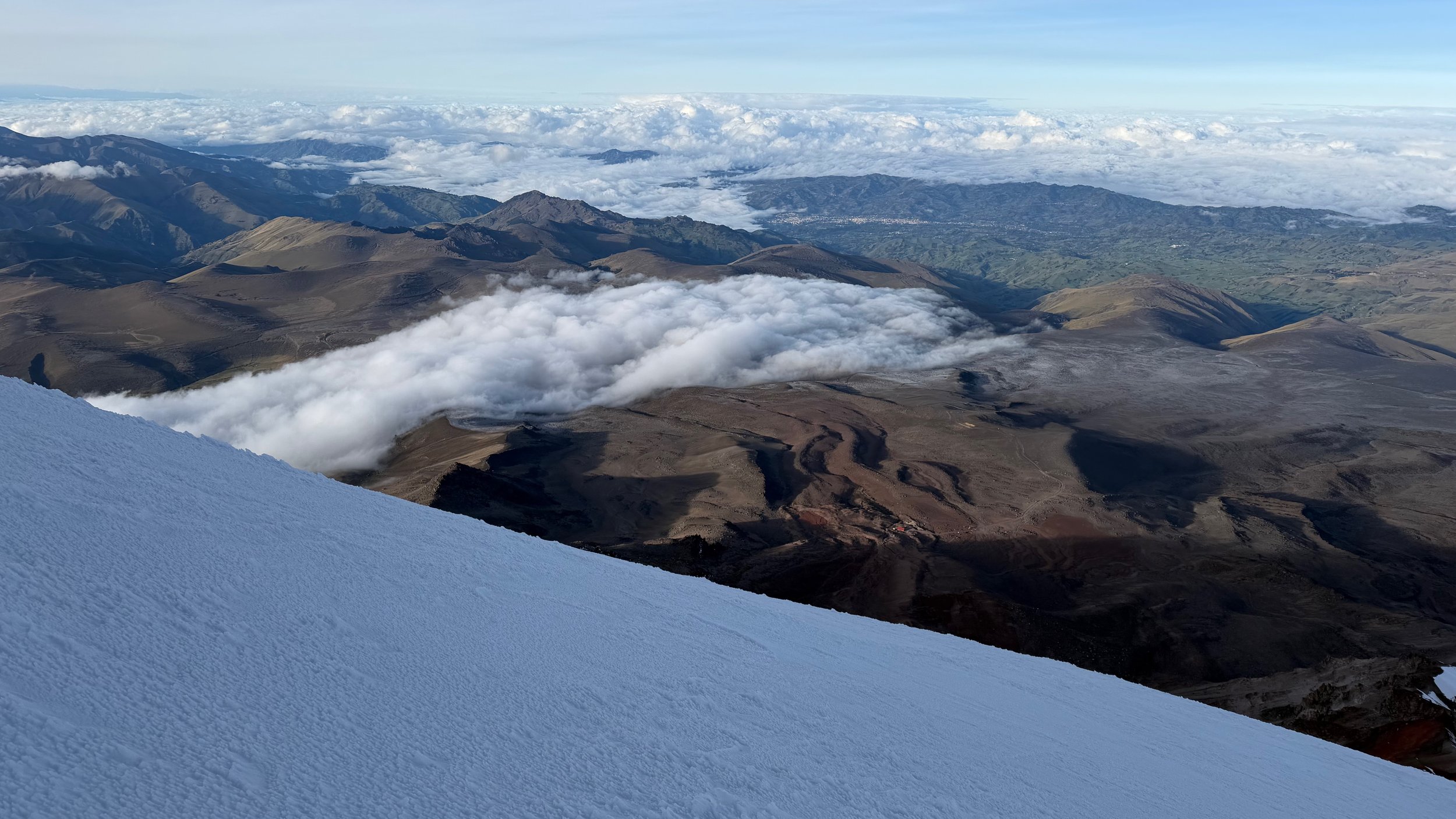
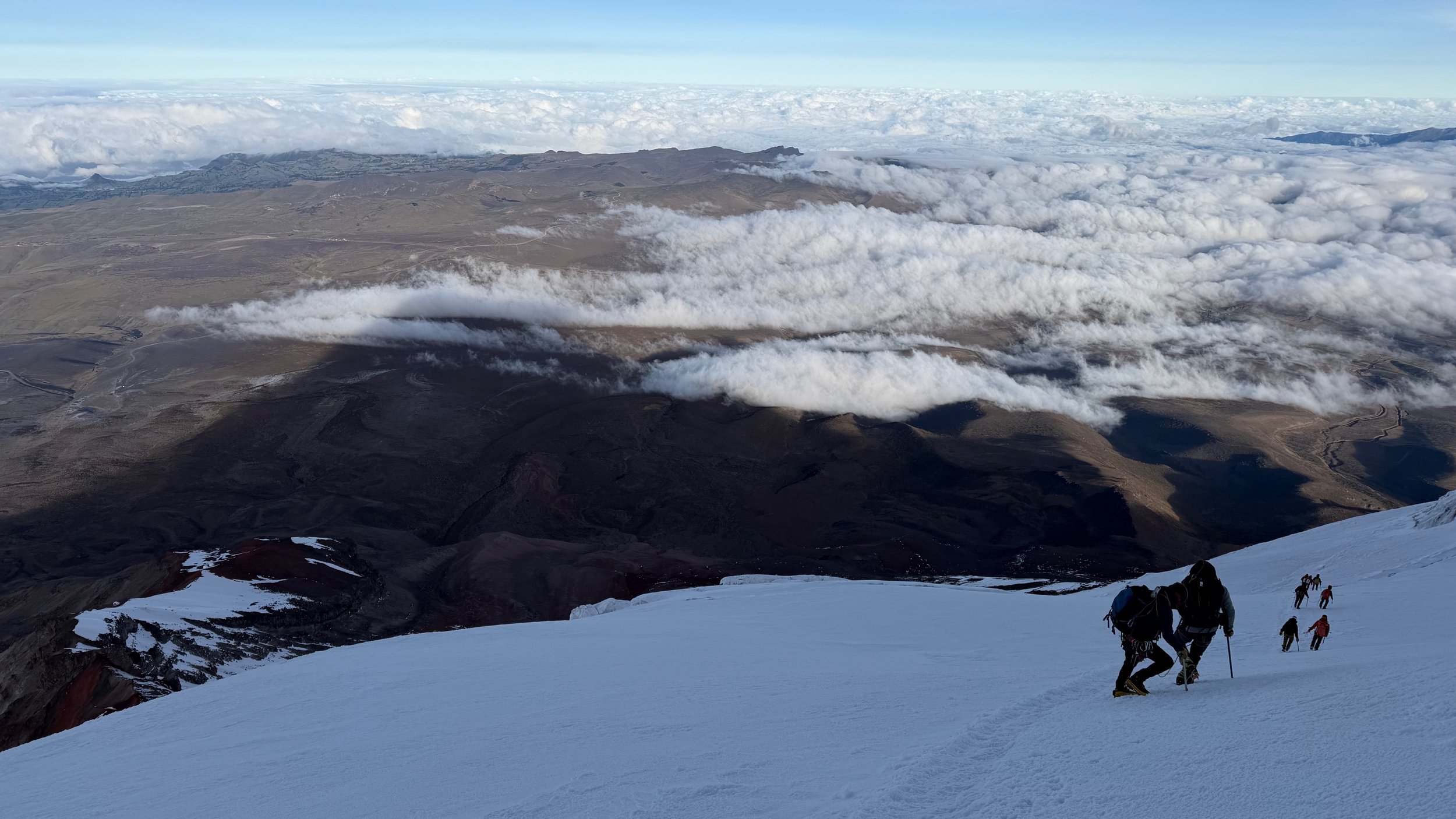
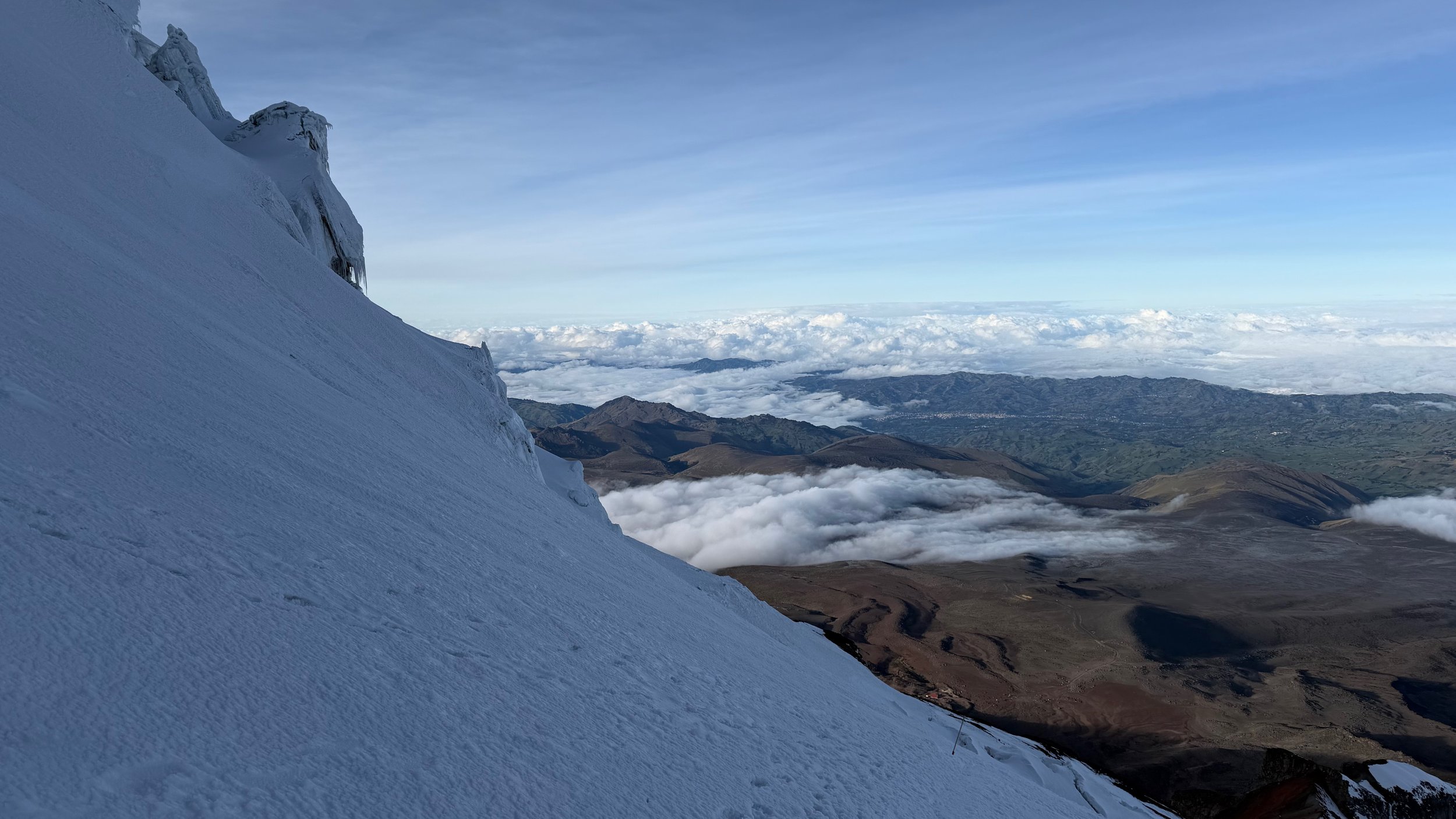
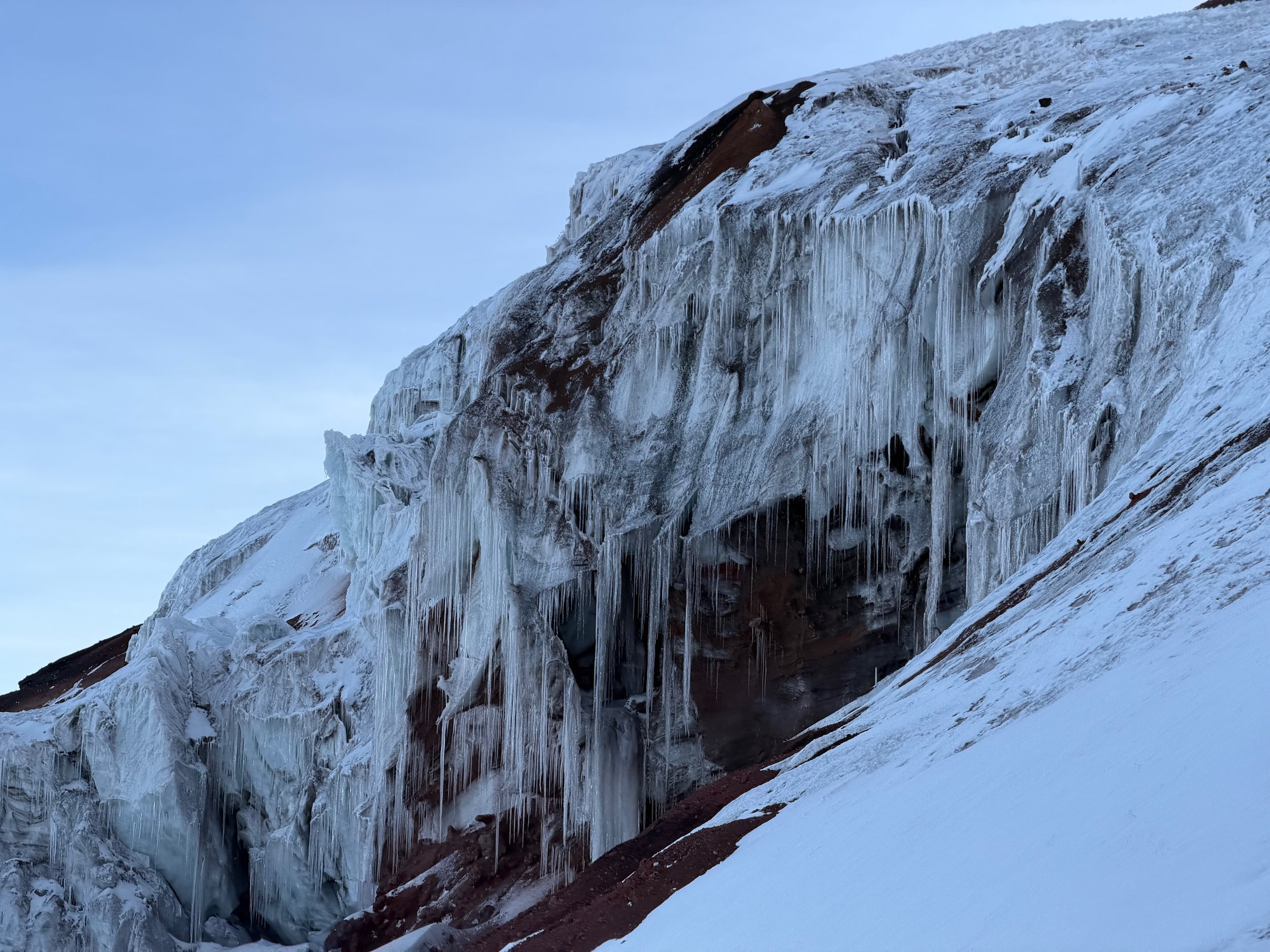
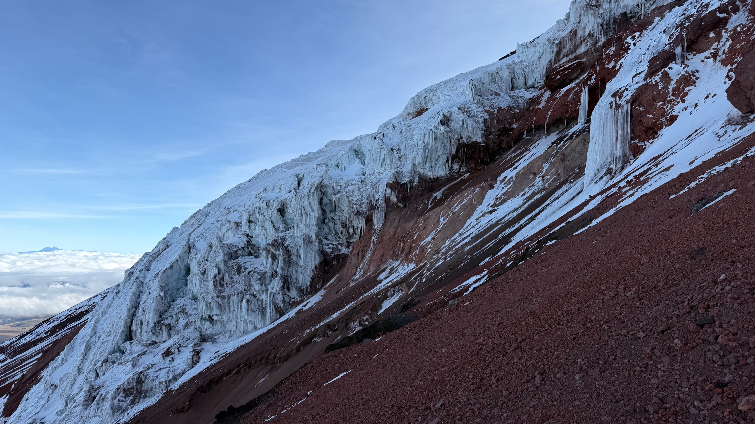
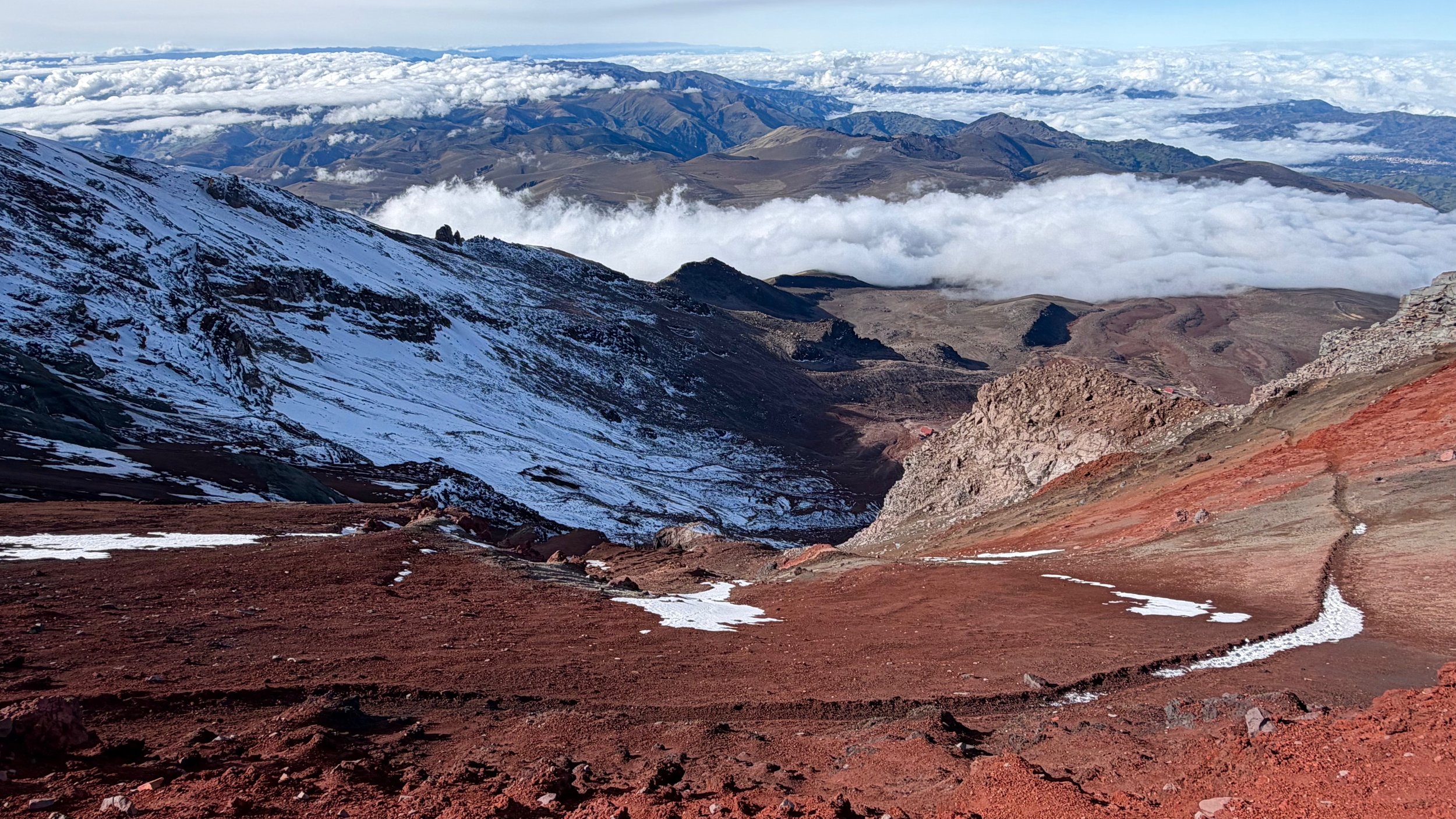
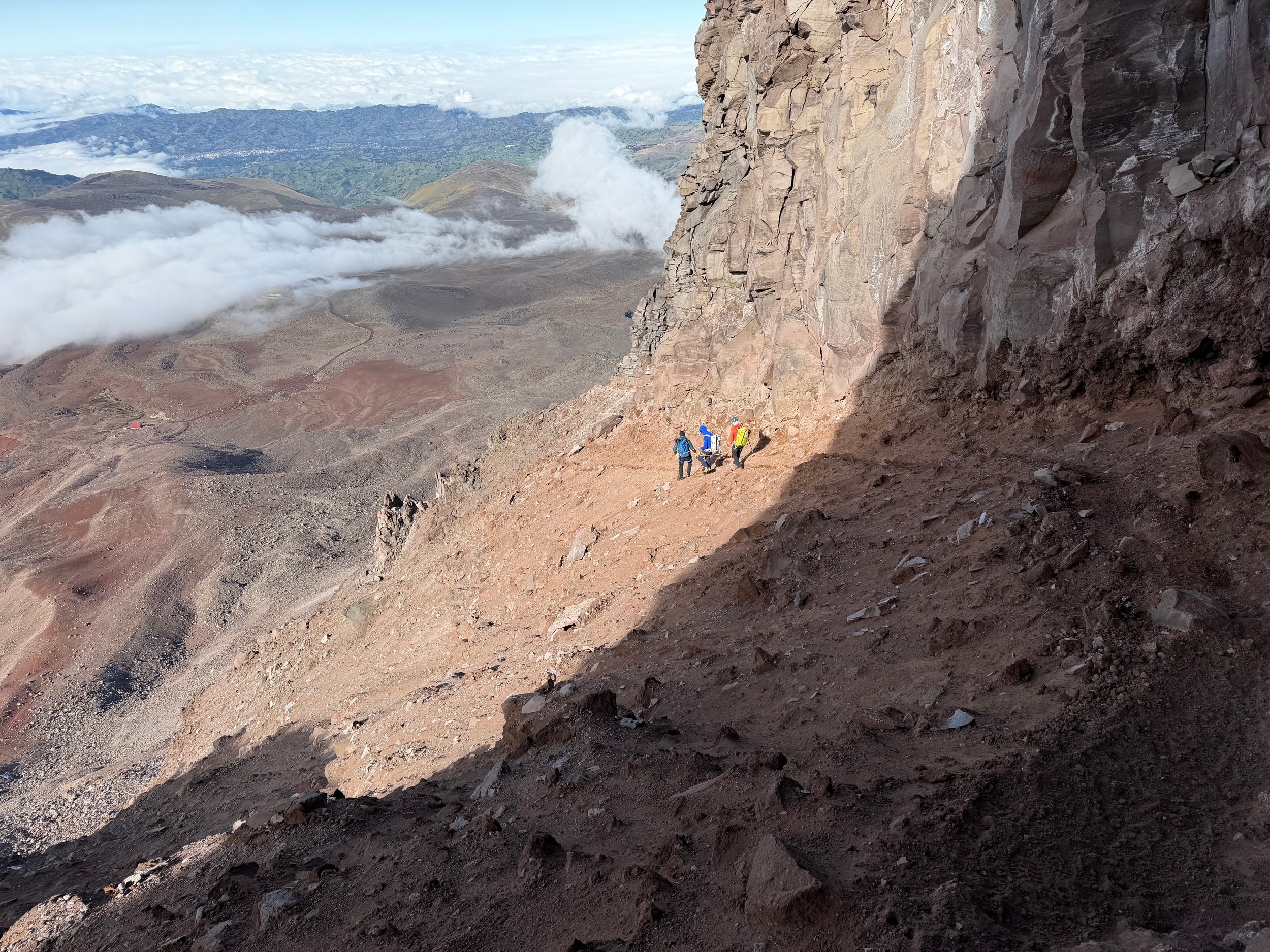
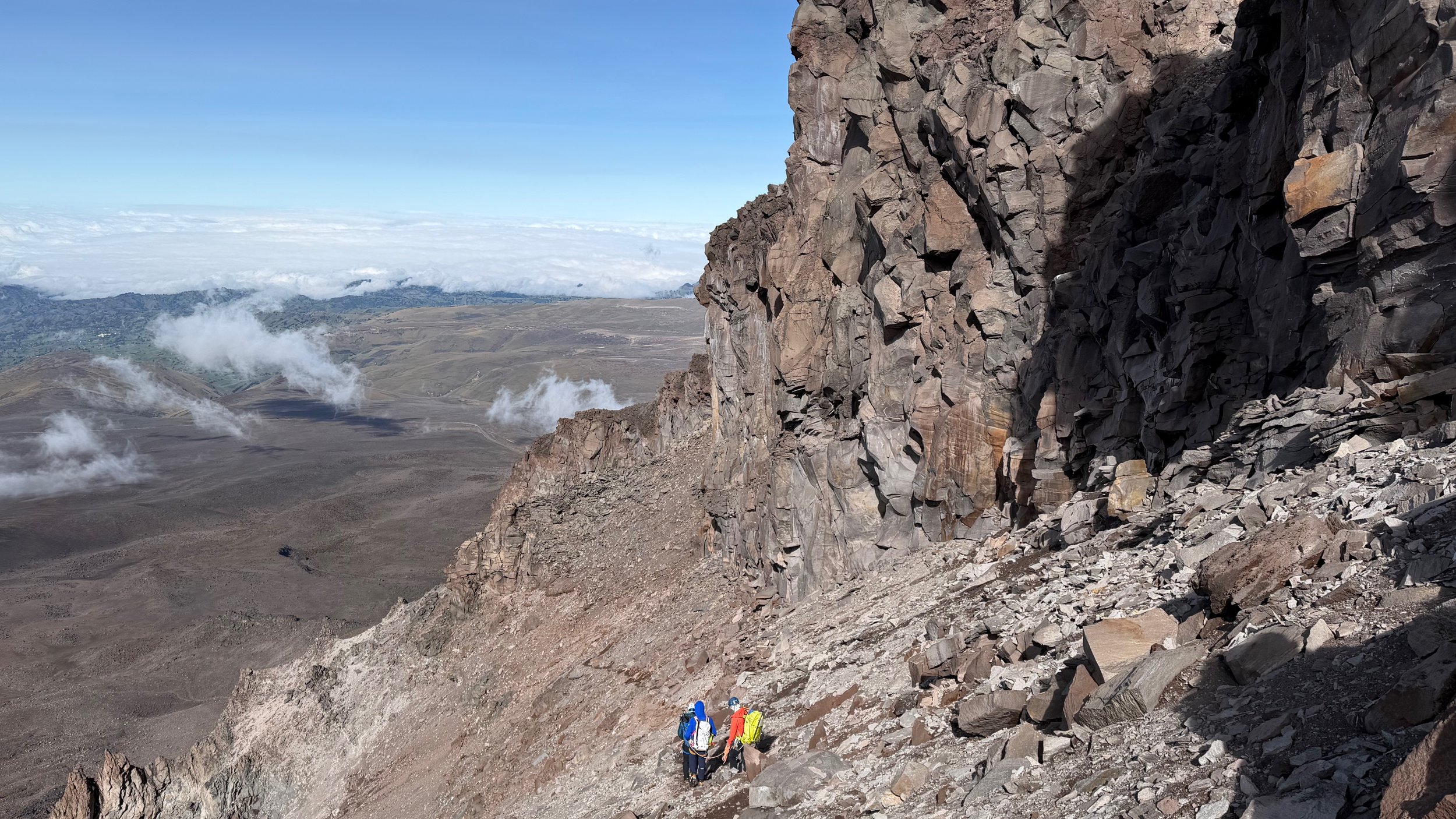
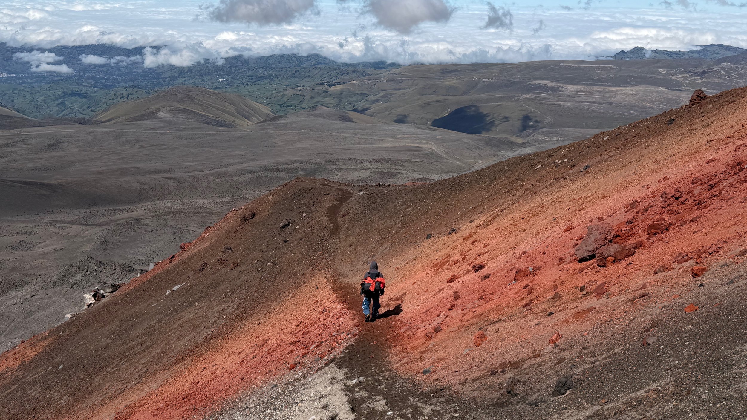
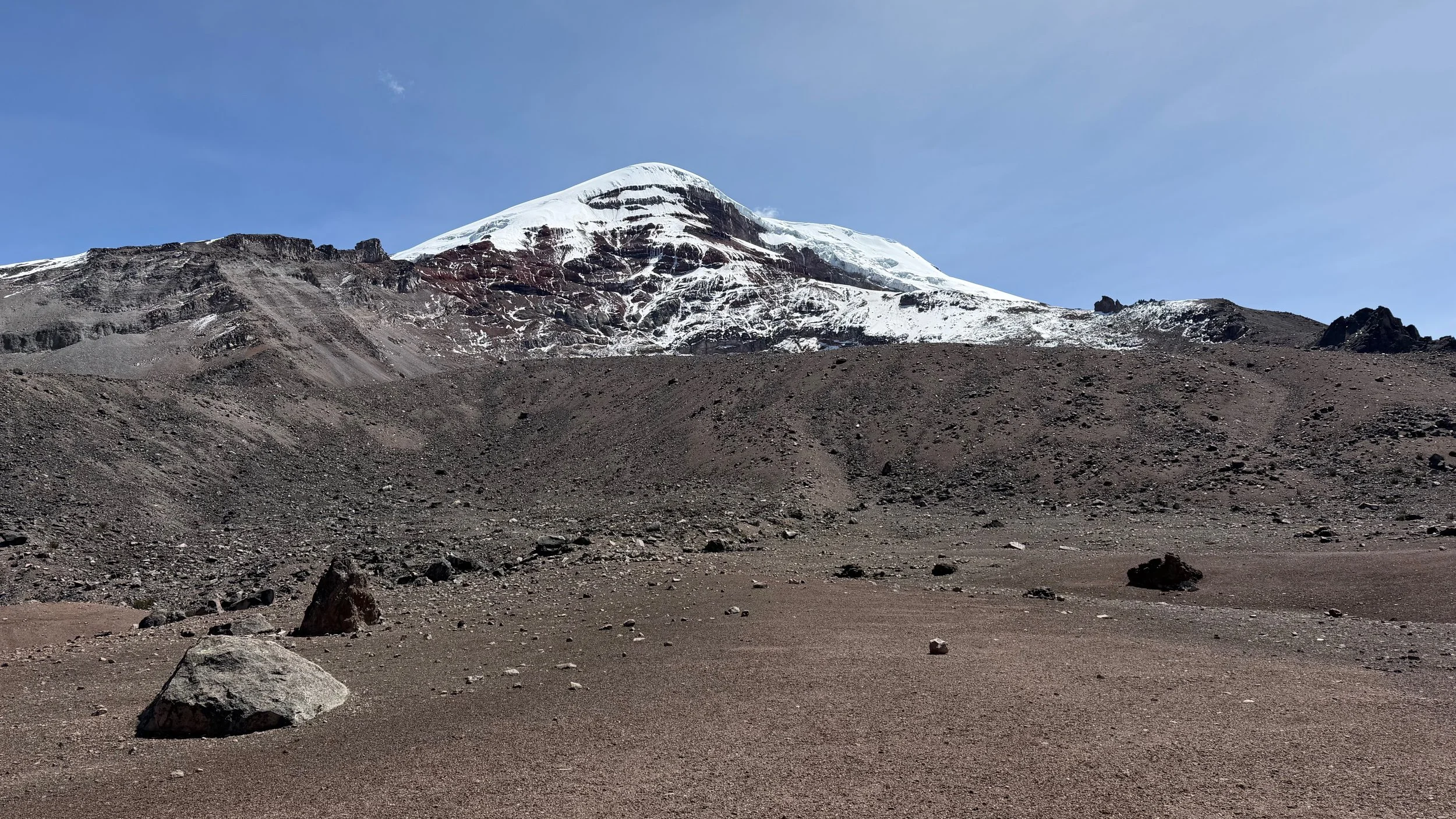
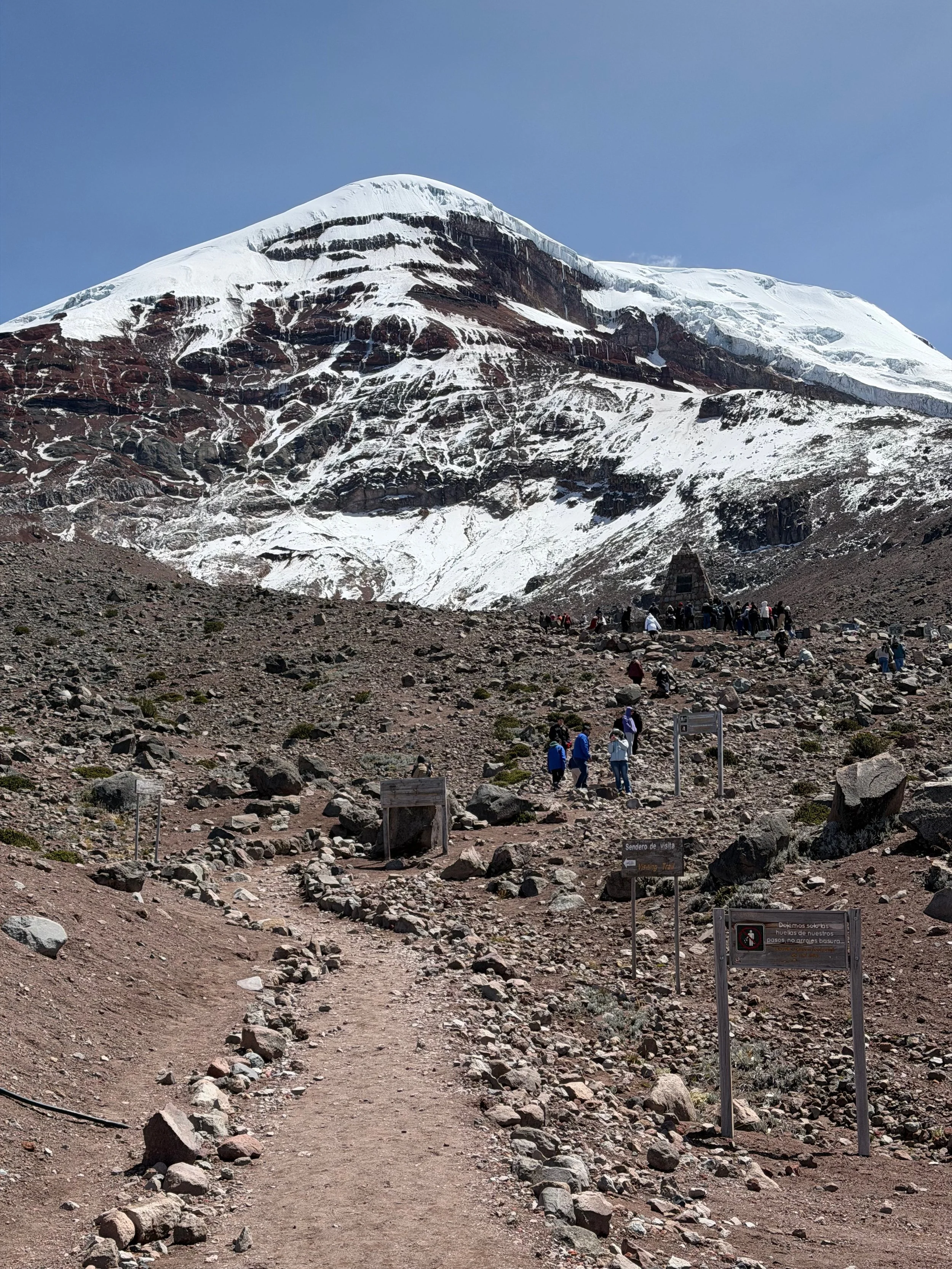
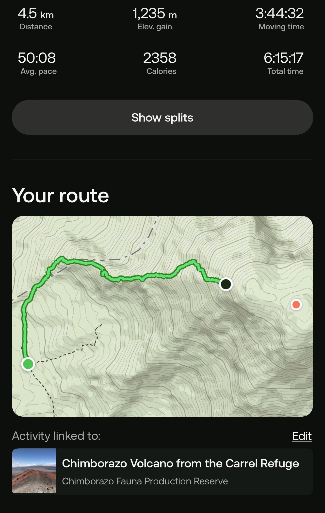
Oh Ecuador - what a lovely country! Great people! Awesome food! And…wild weather with unpredictable patterns and useless forecasts. For mountain climbing, my reason to be here, the weather plays a major part. So, it took me a while to accept the reality of being on the equator and just surrender to the weather patterns and not expect anything.

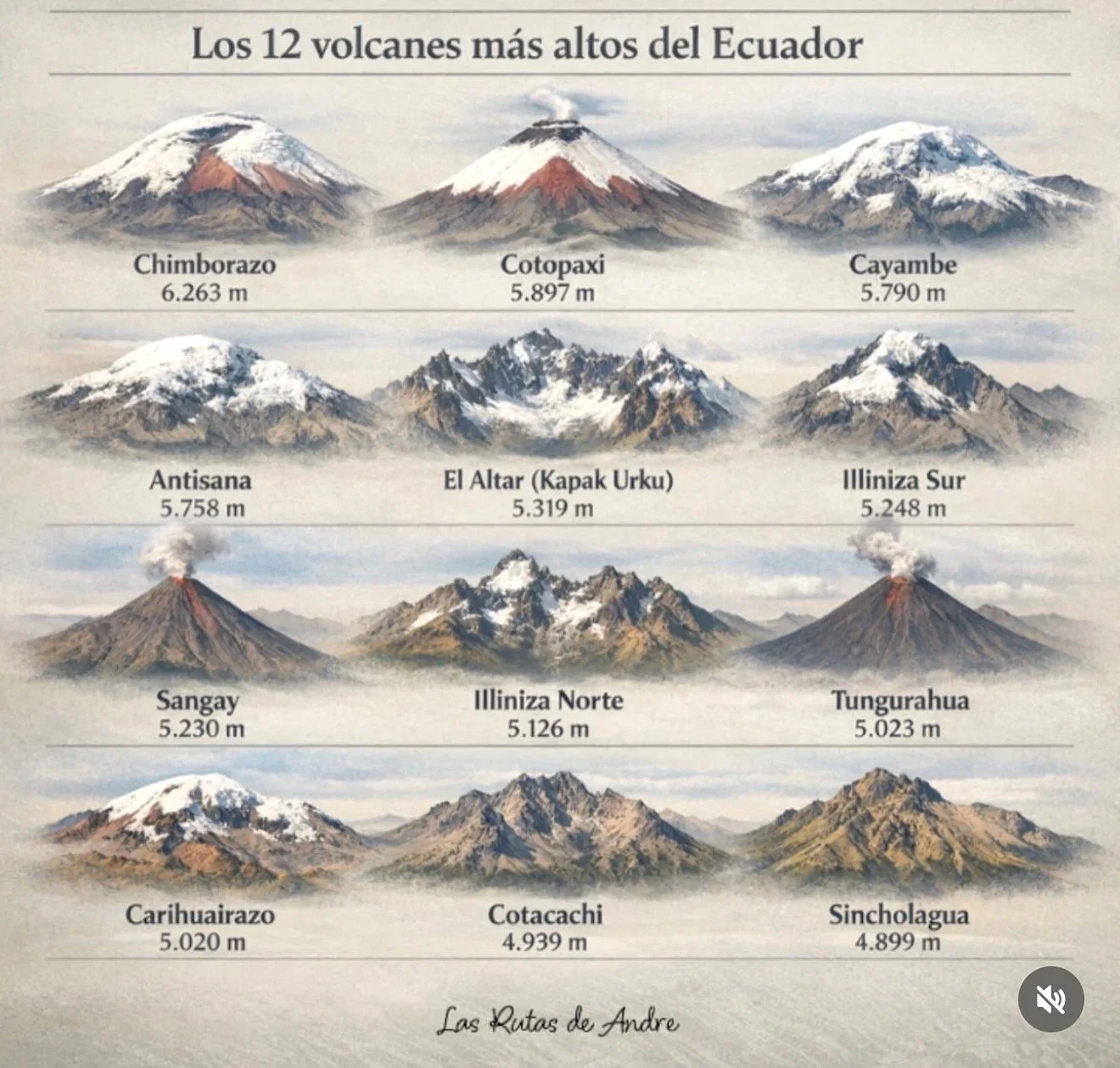
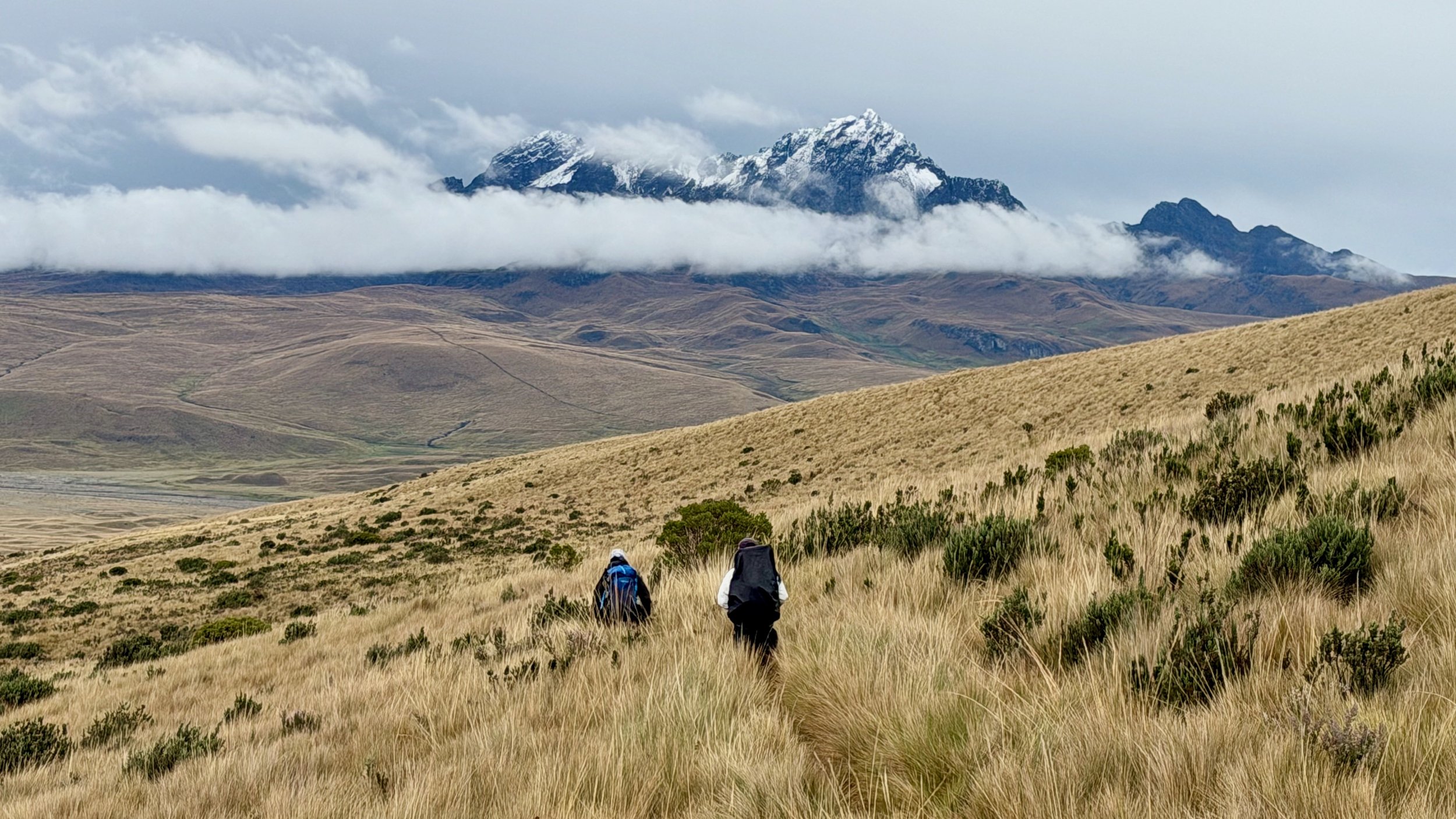
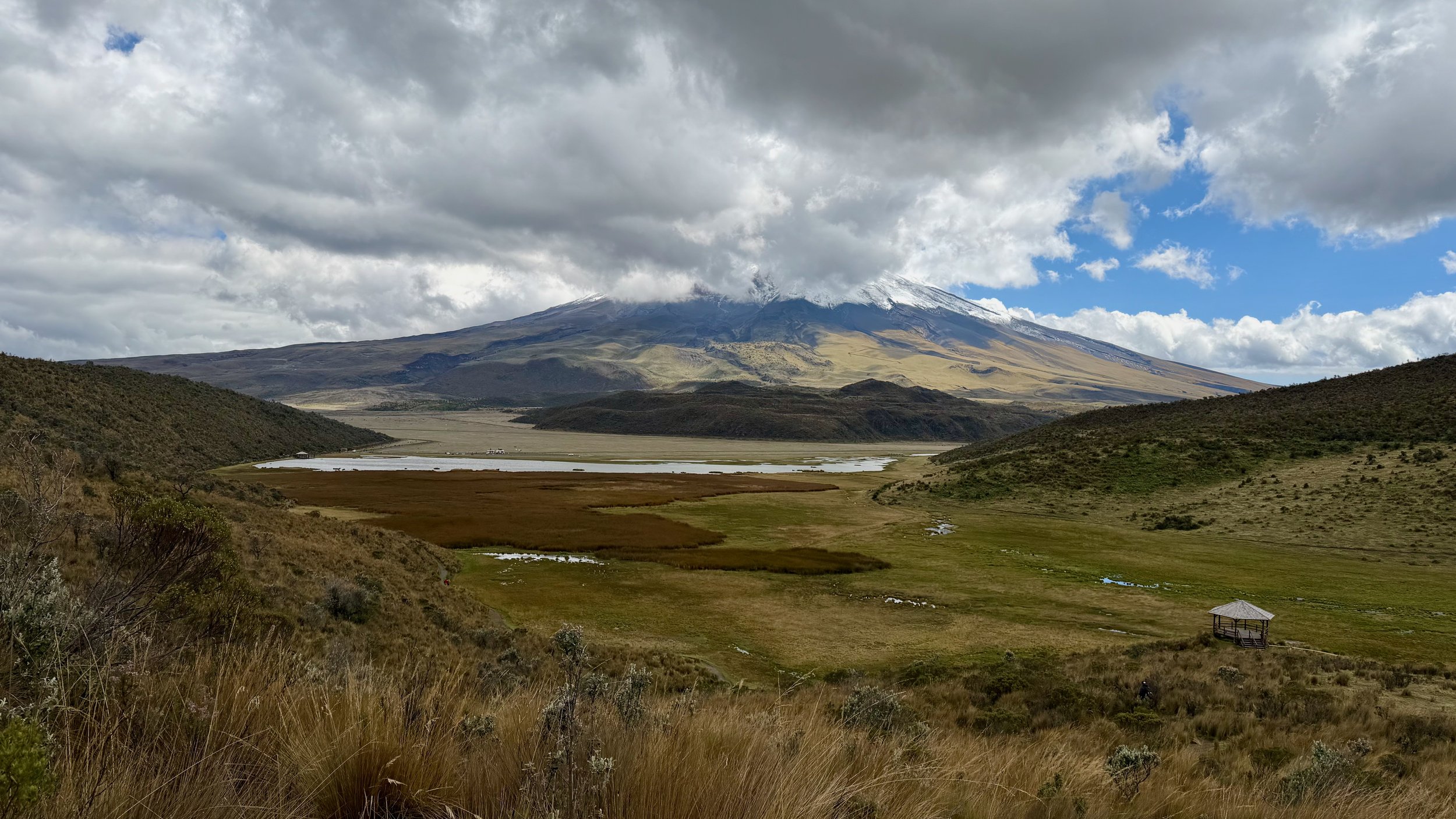
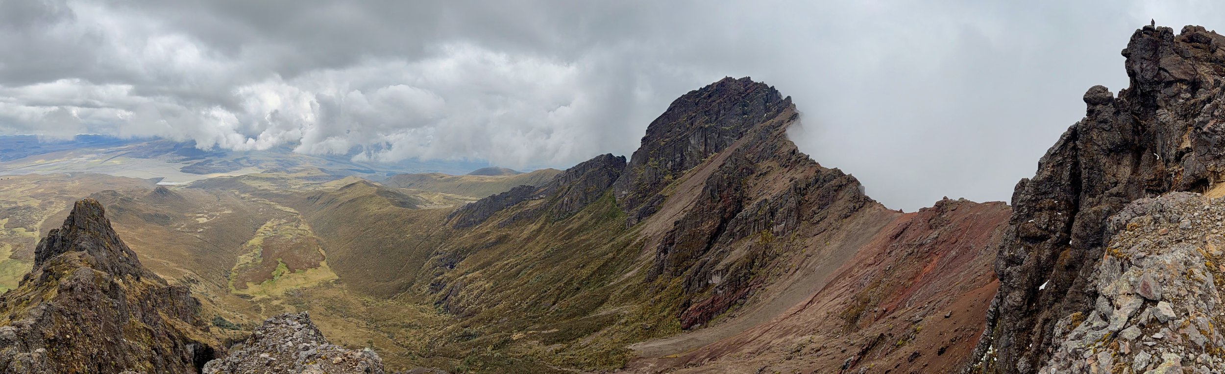
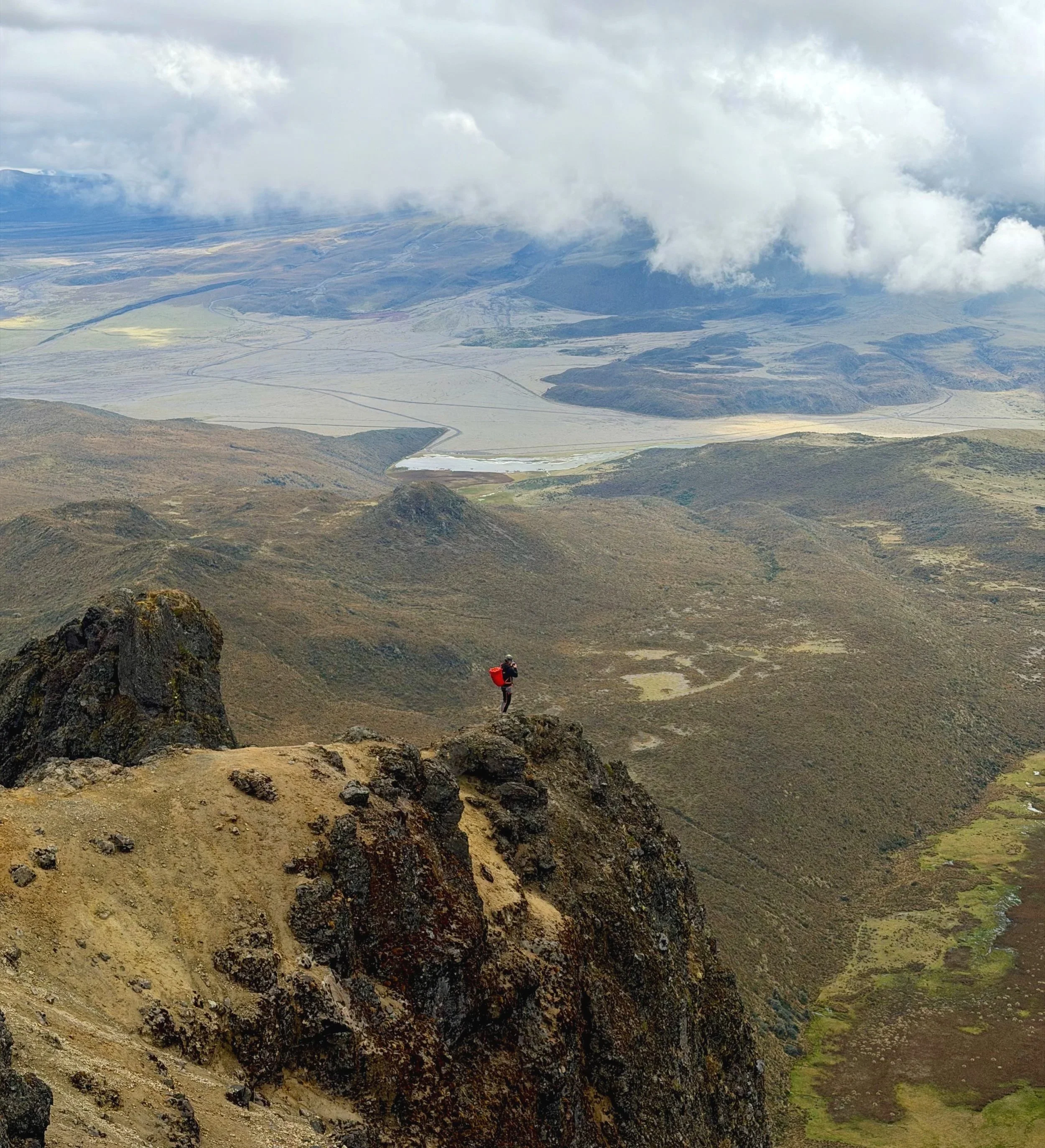
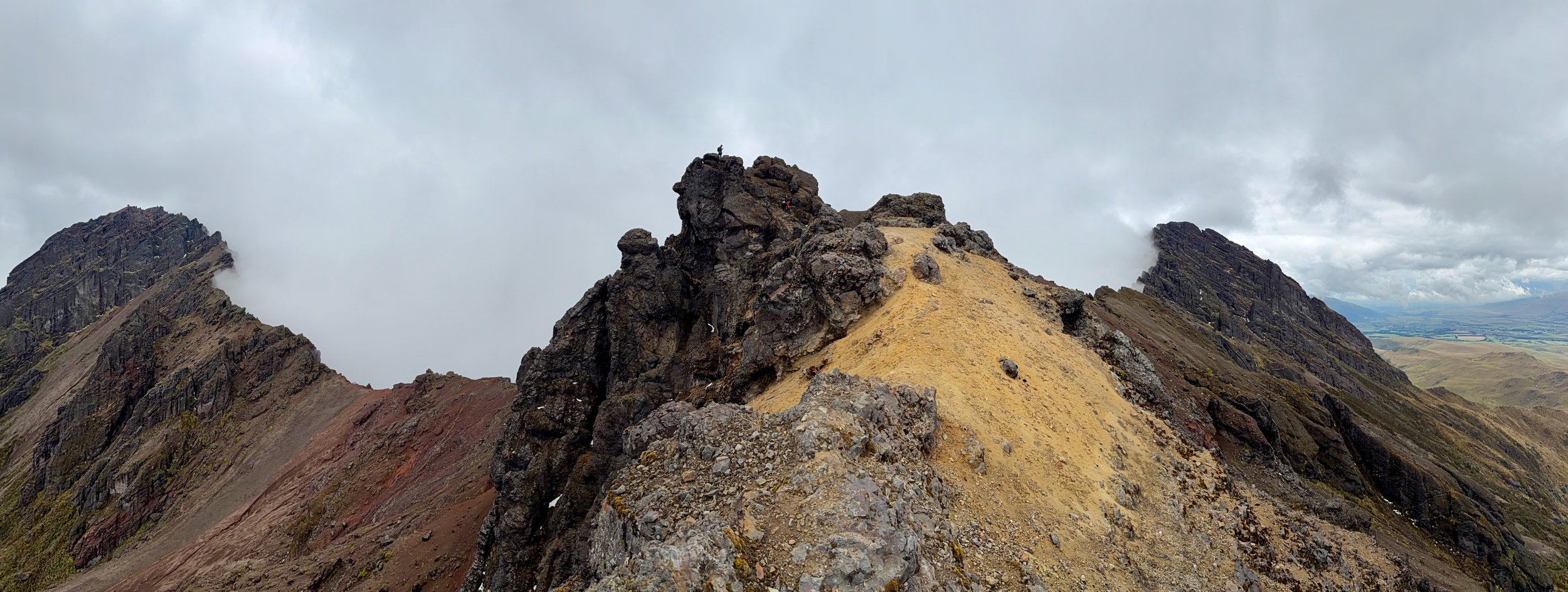
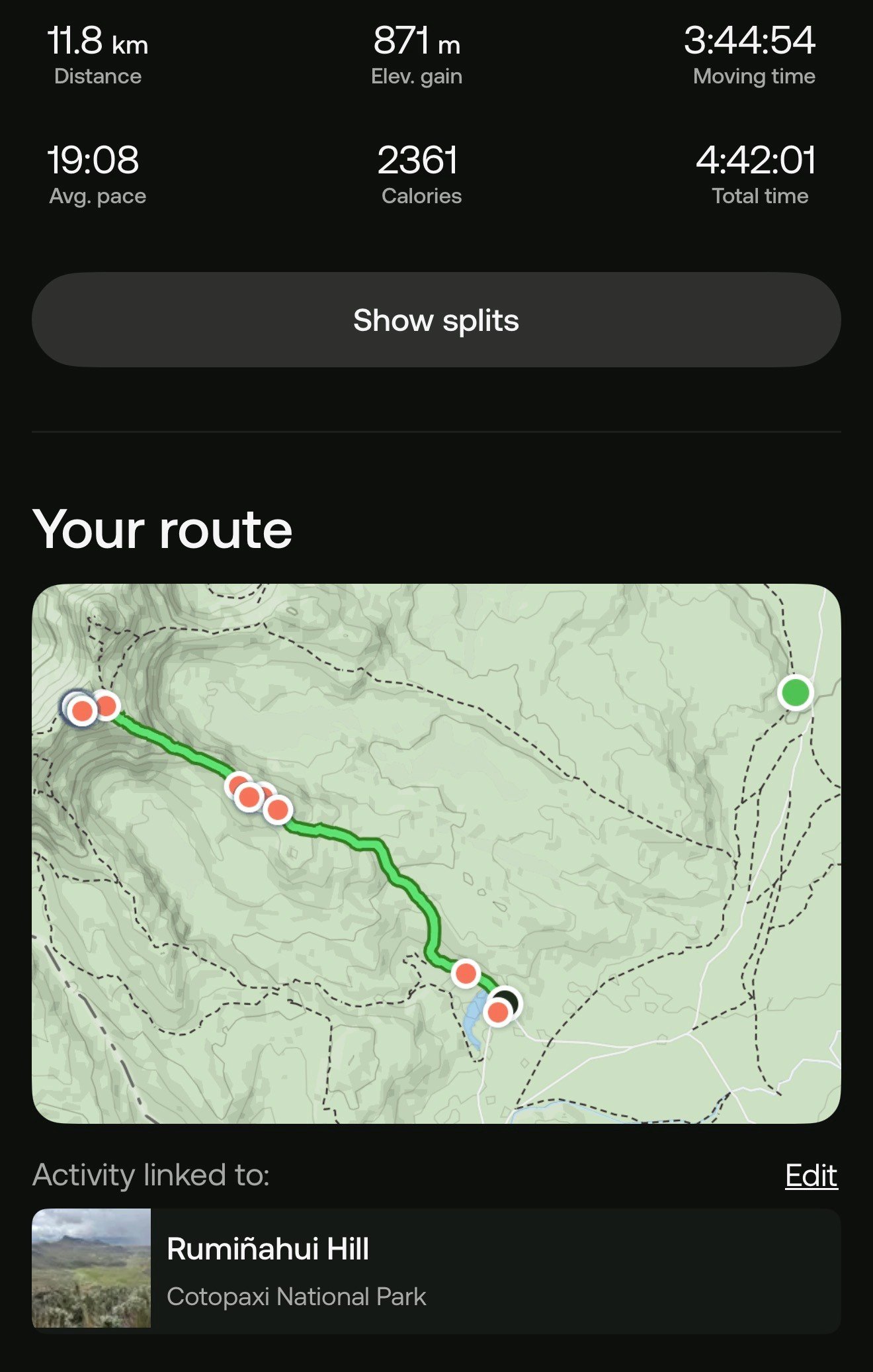
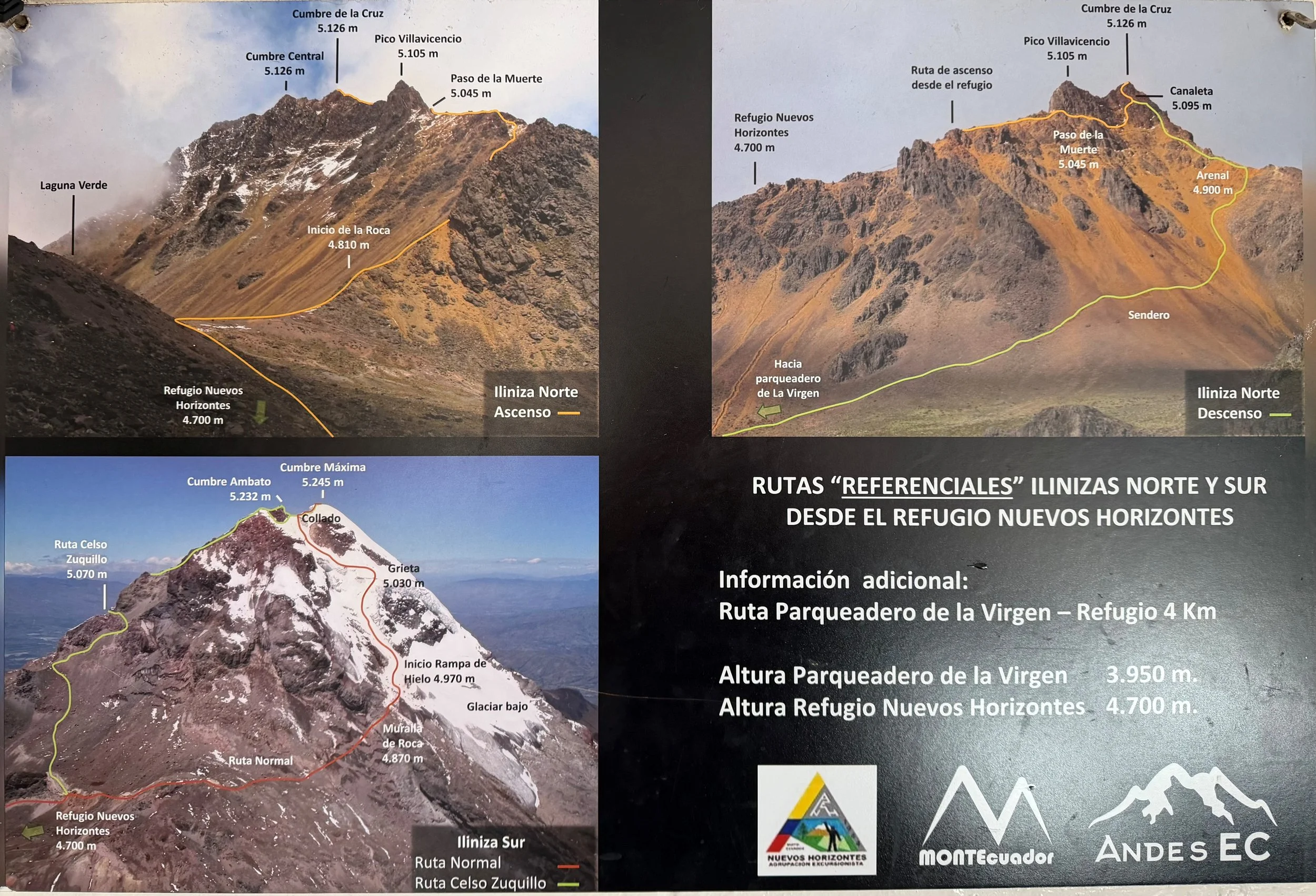
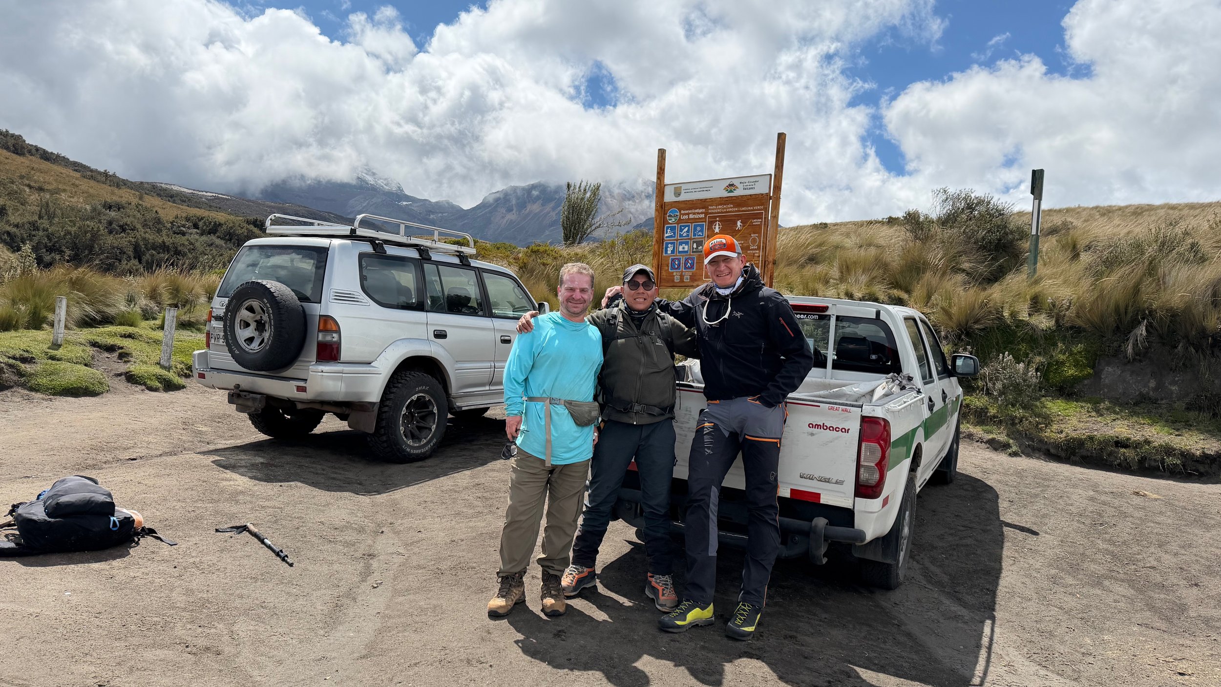
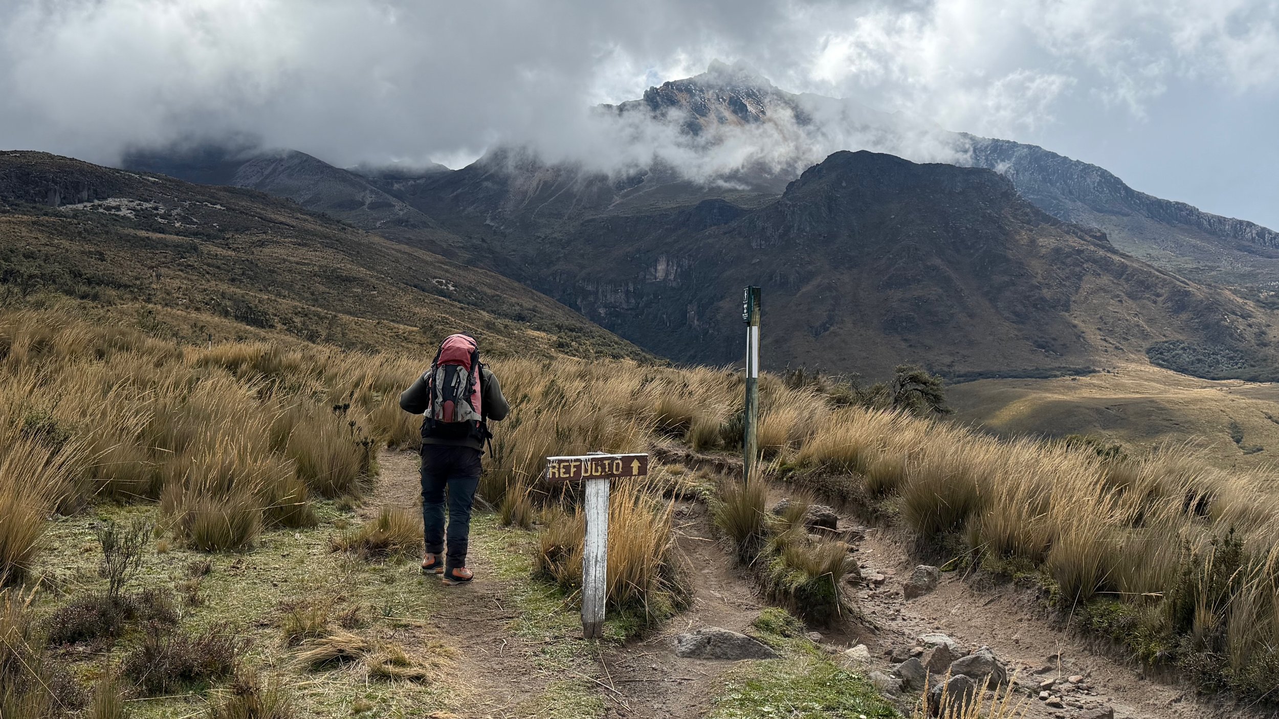
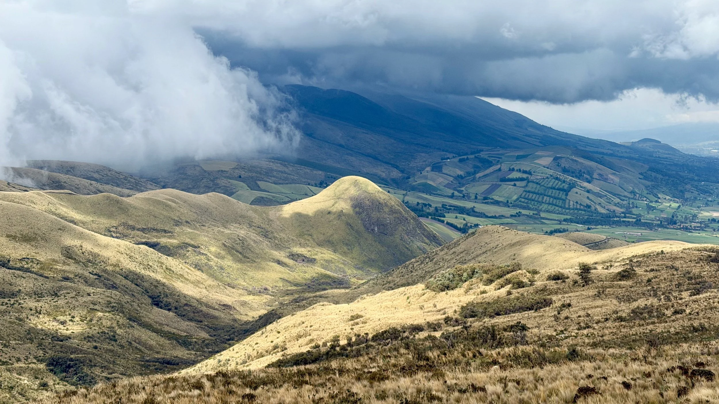
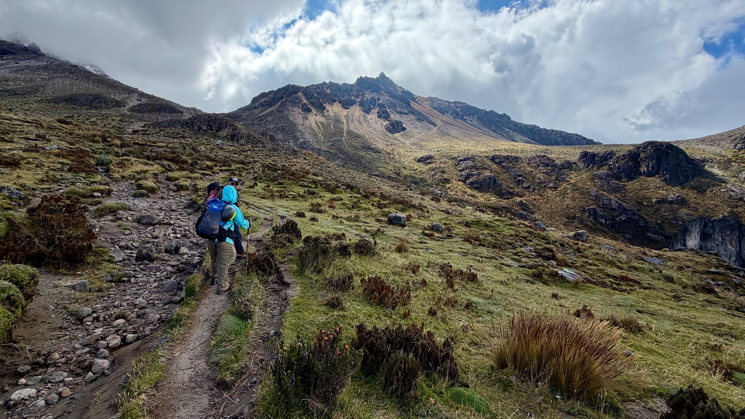
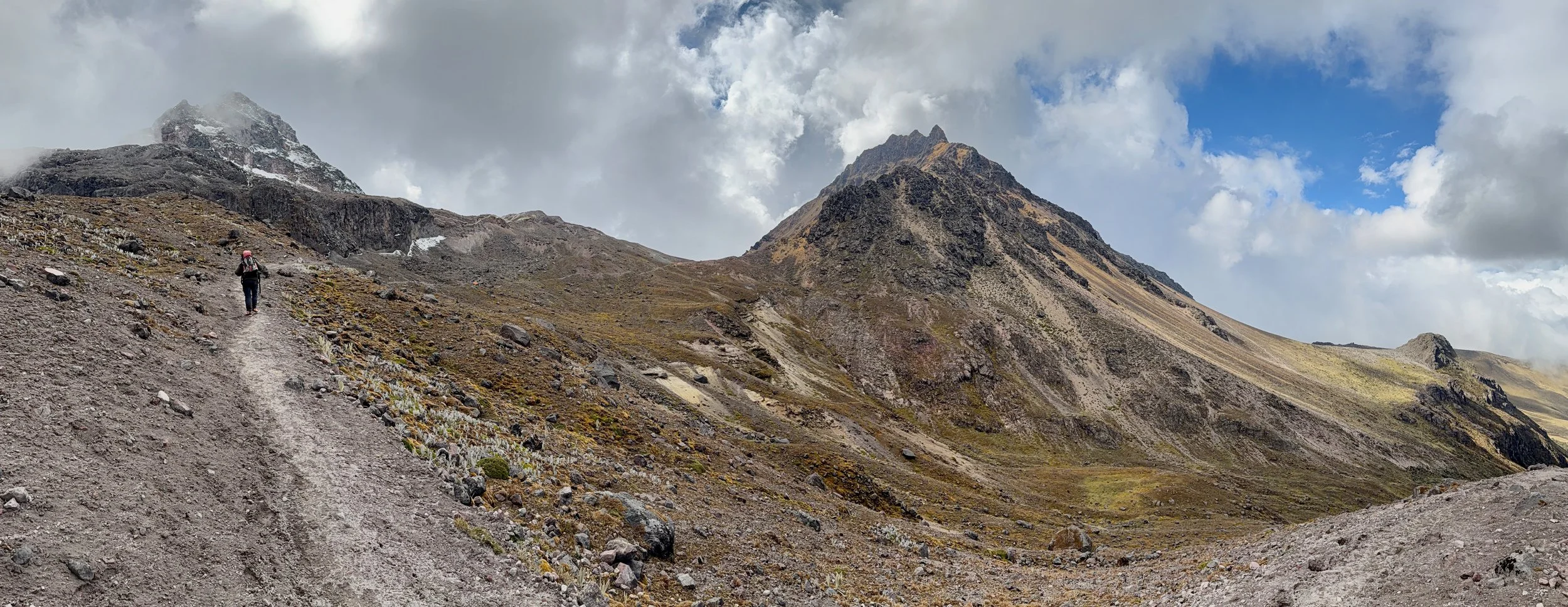
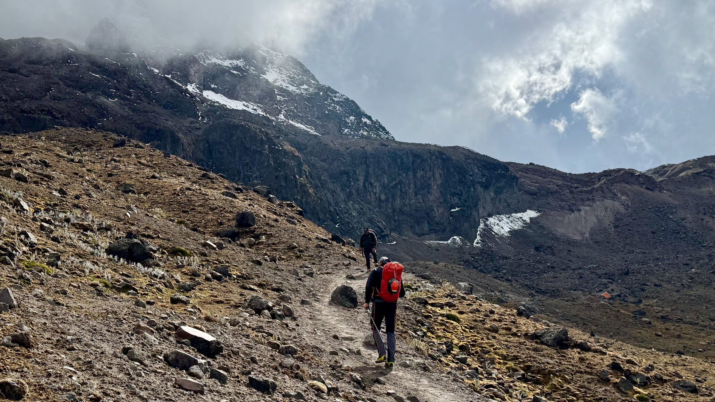
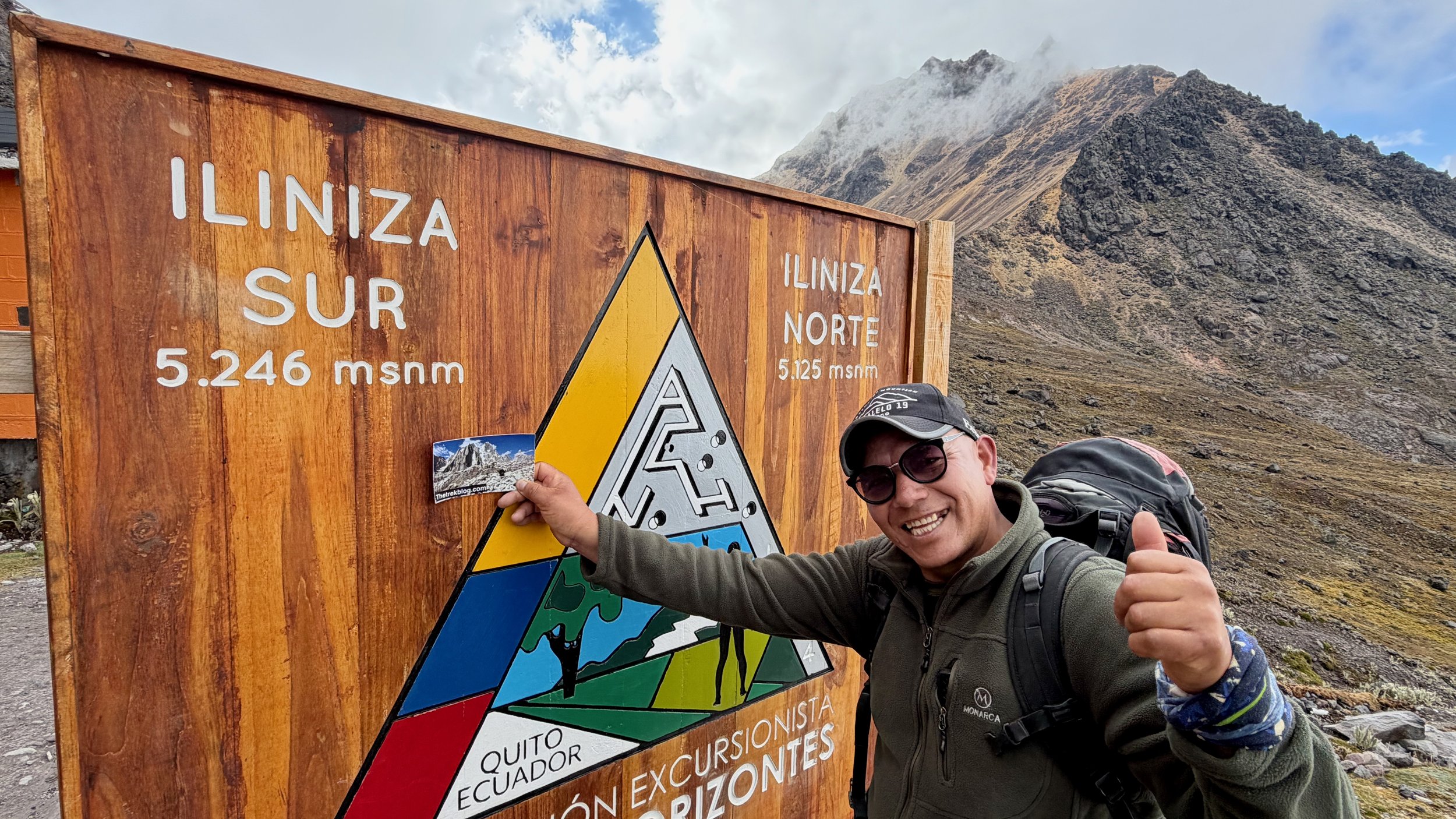
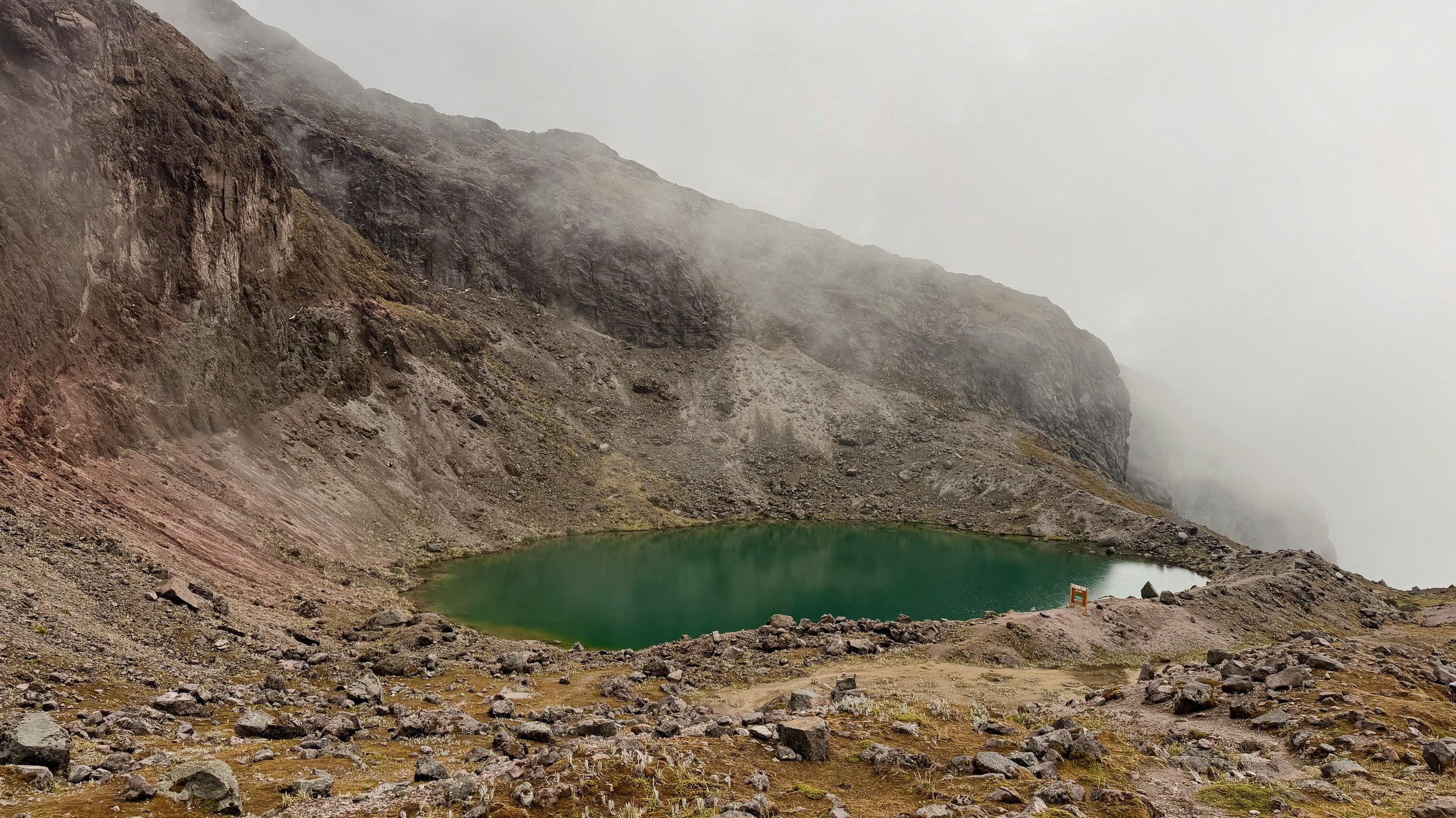
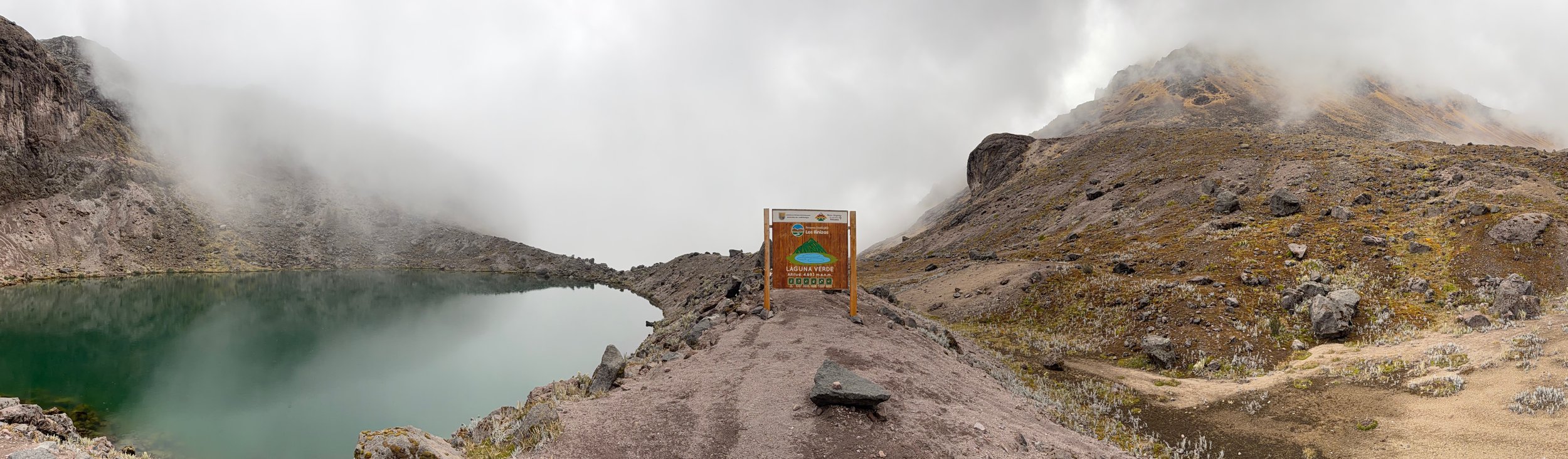
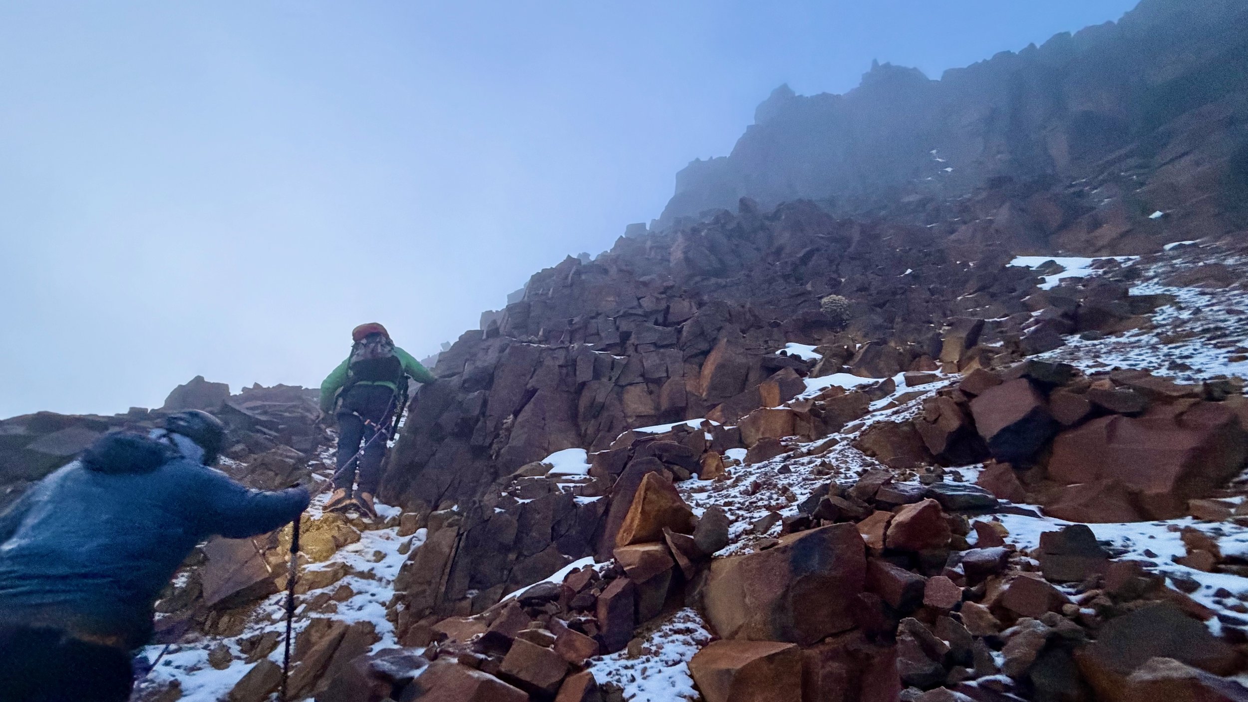
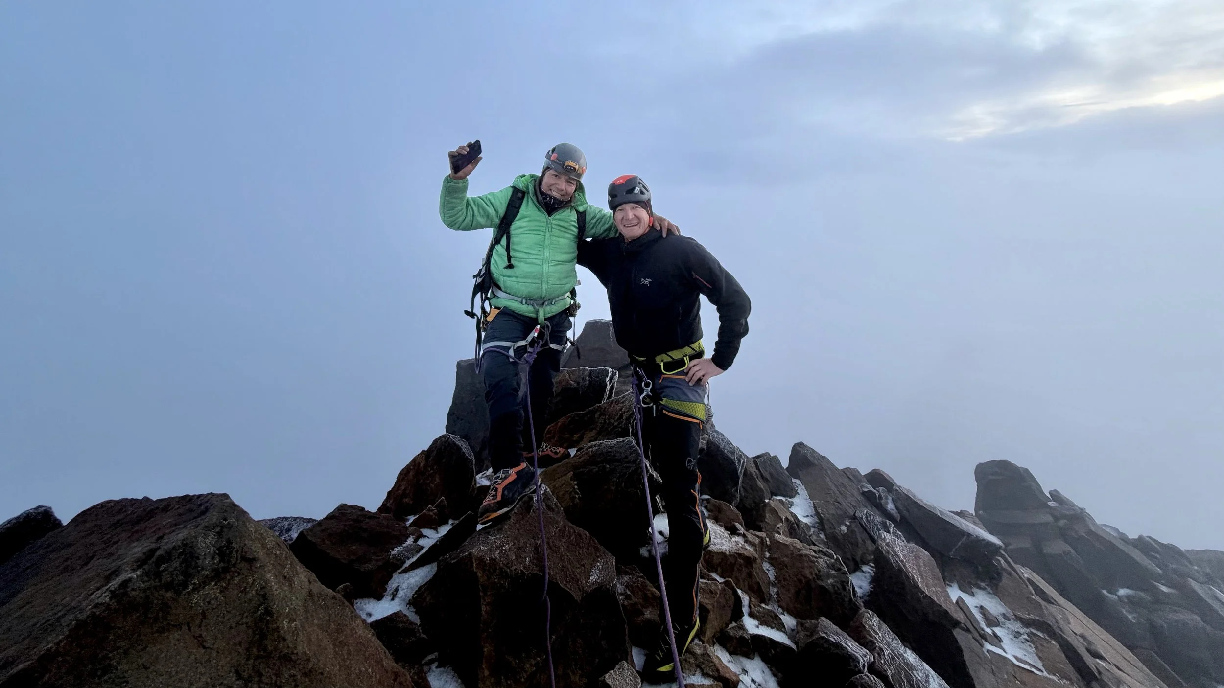
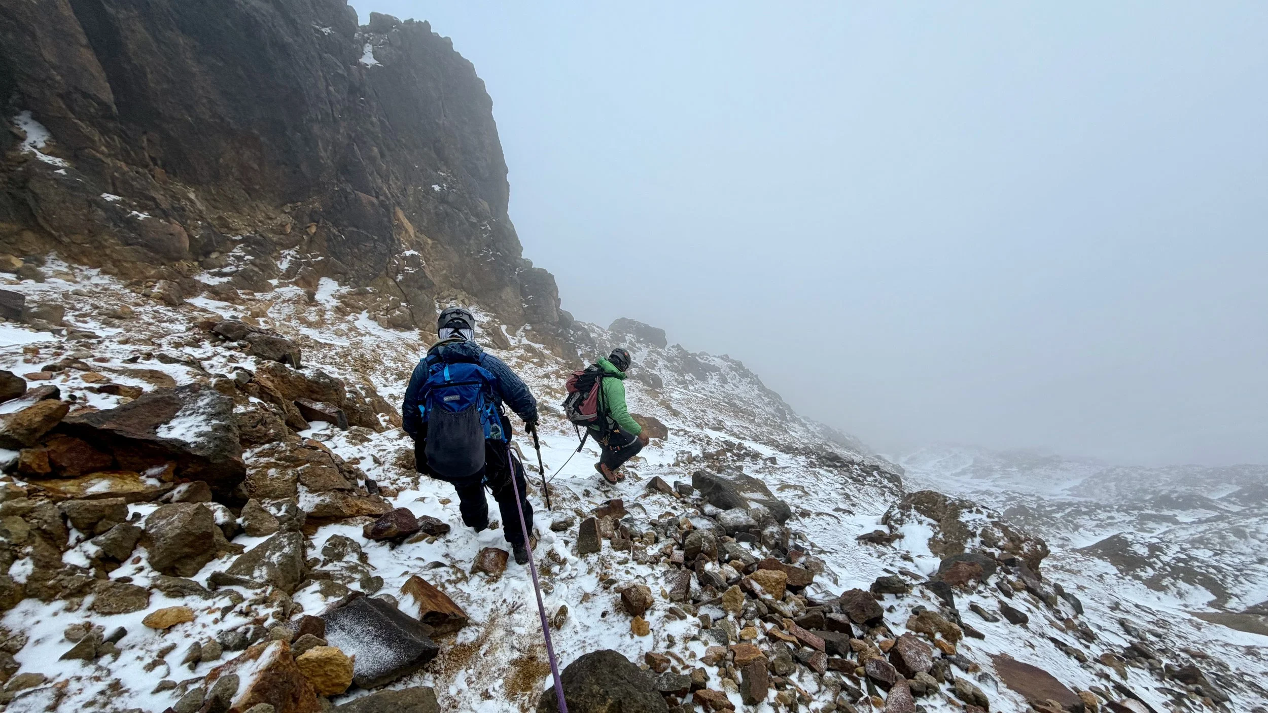
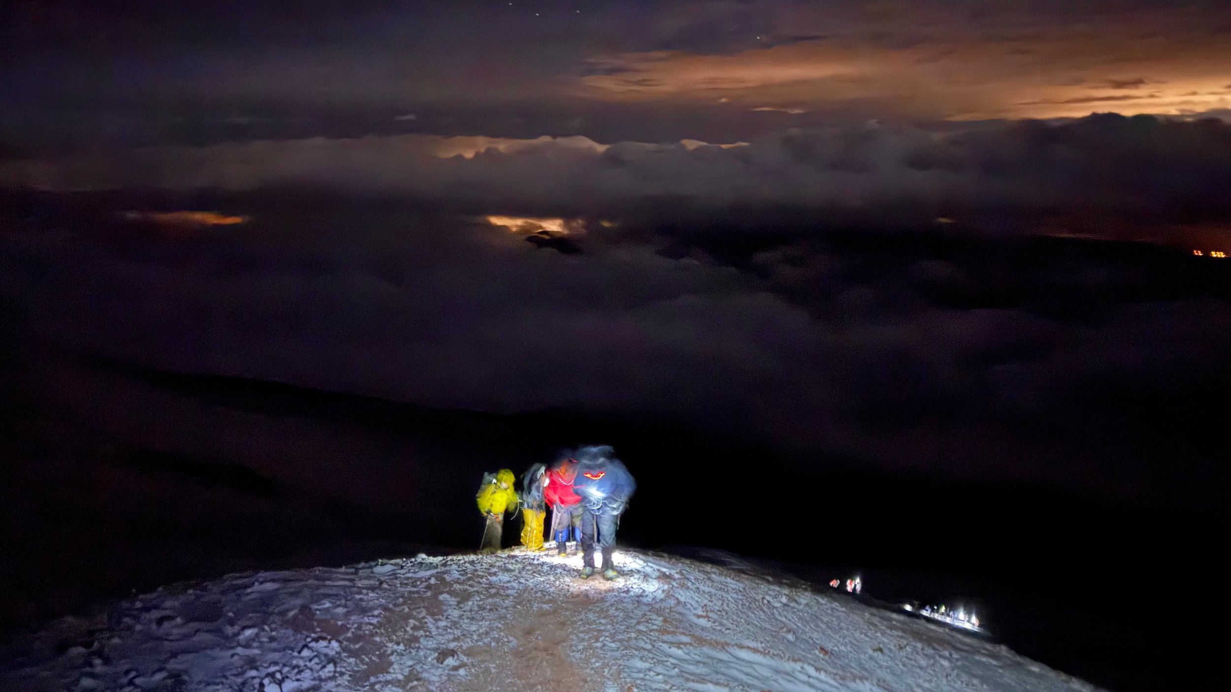
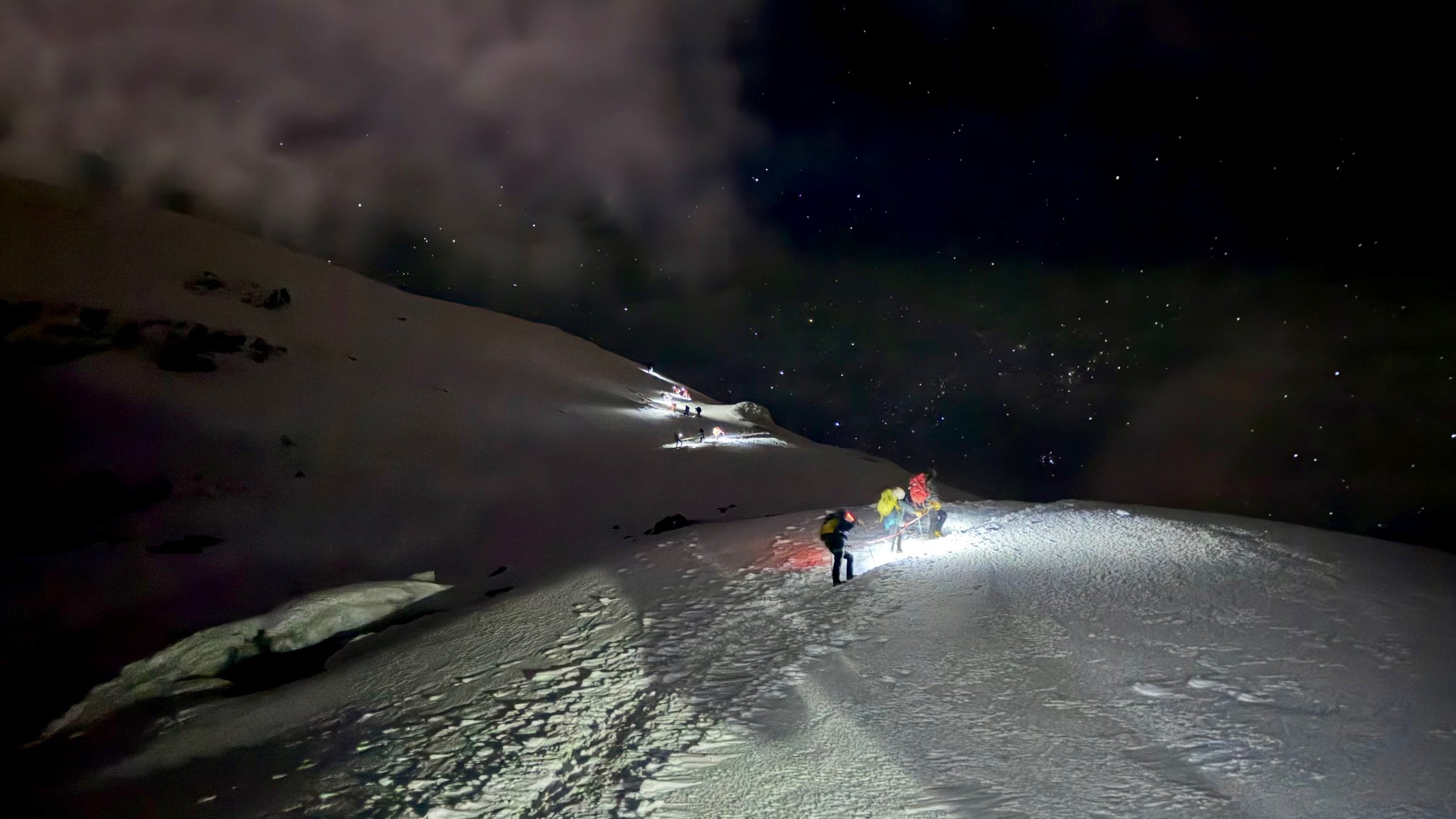
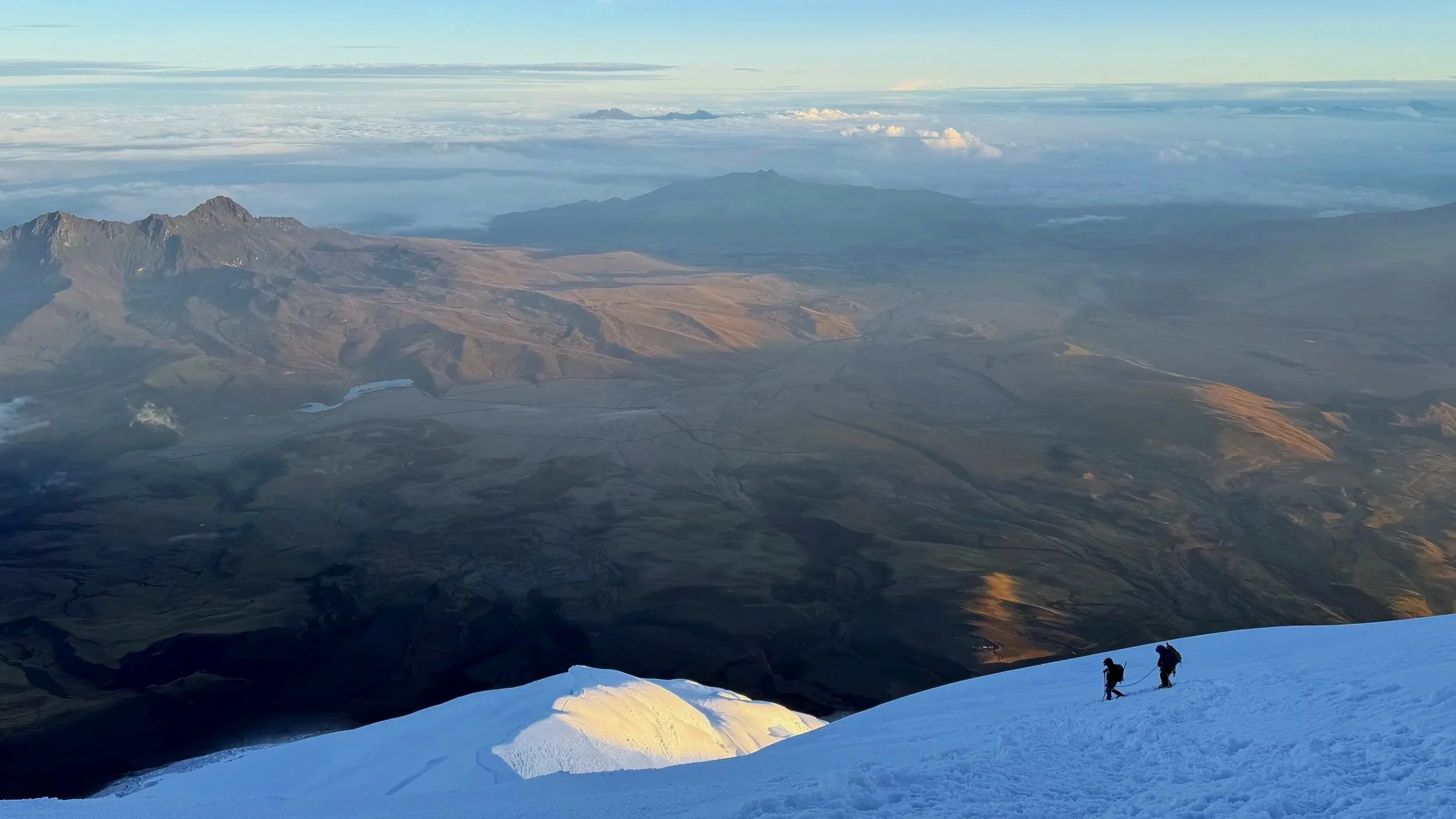
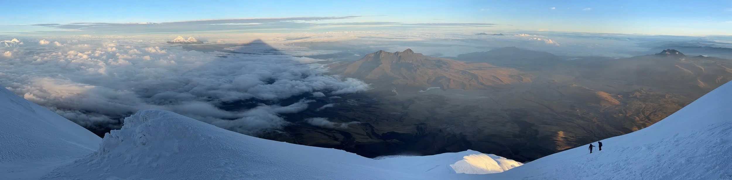
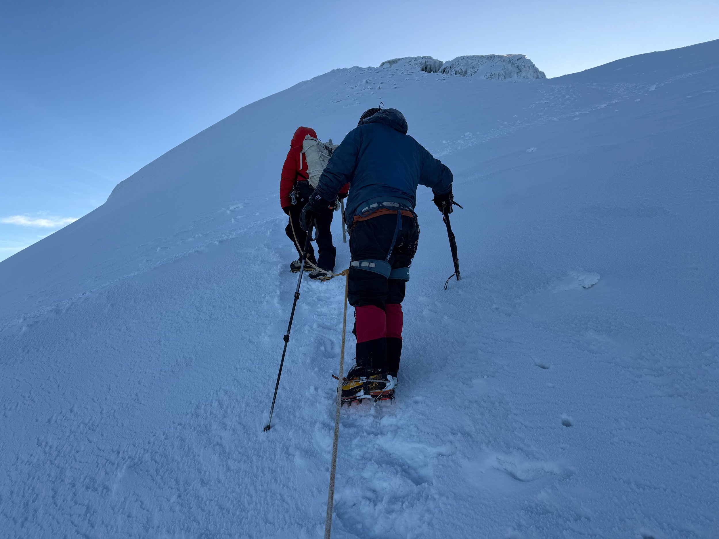
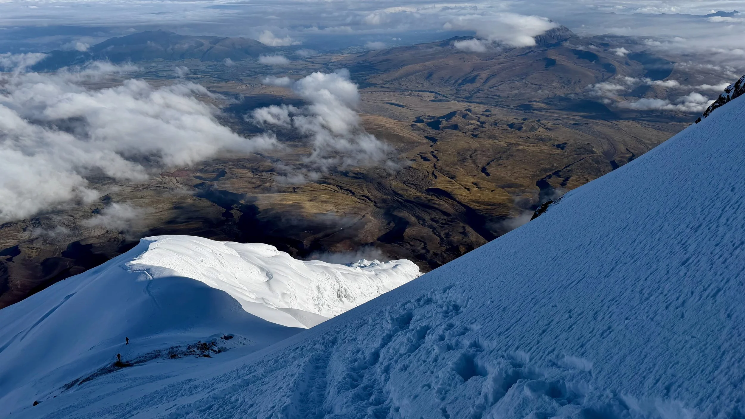
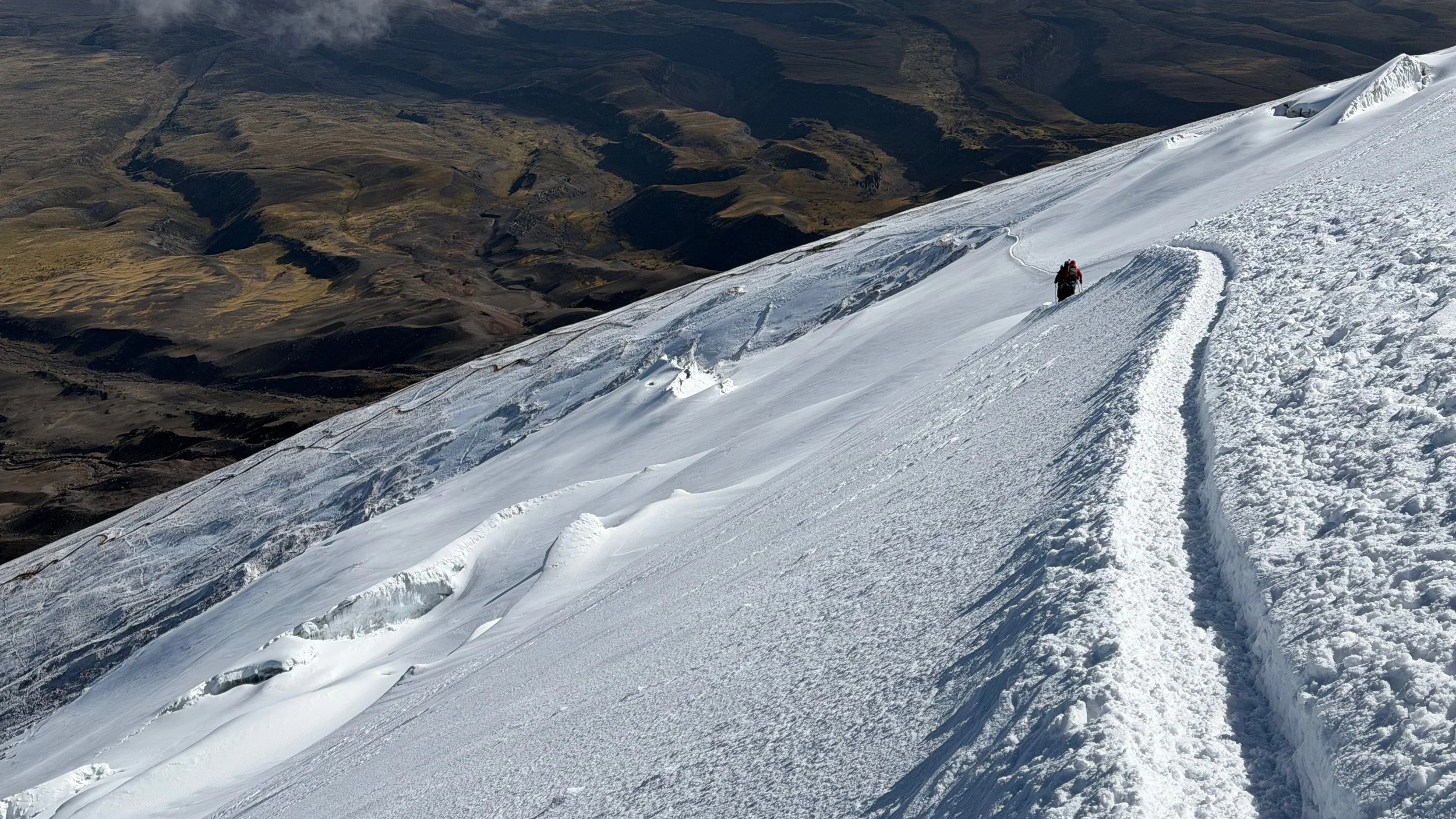
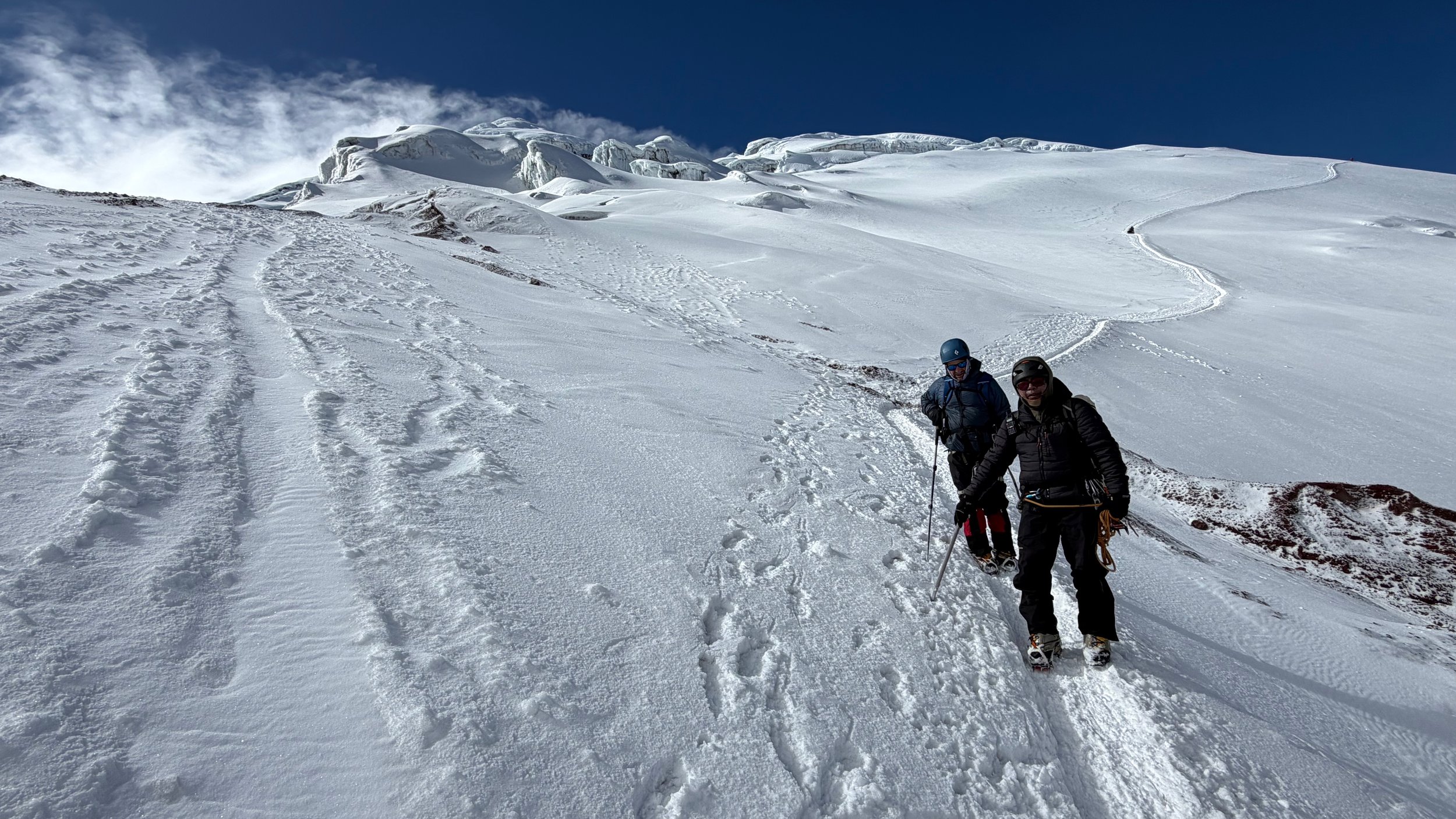
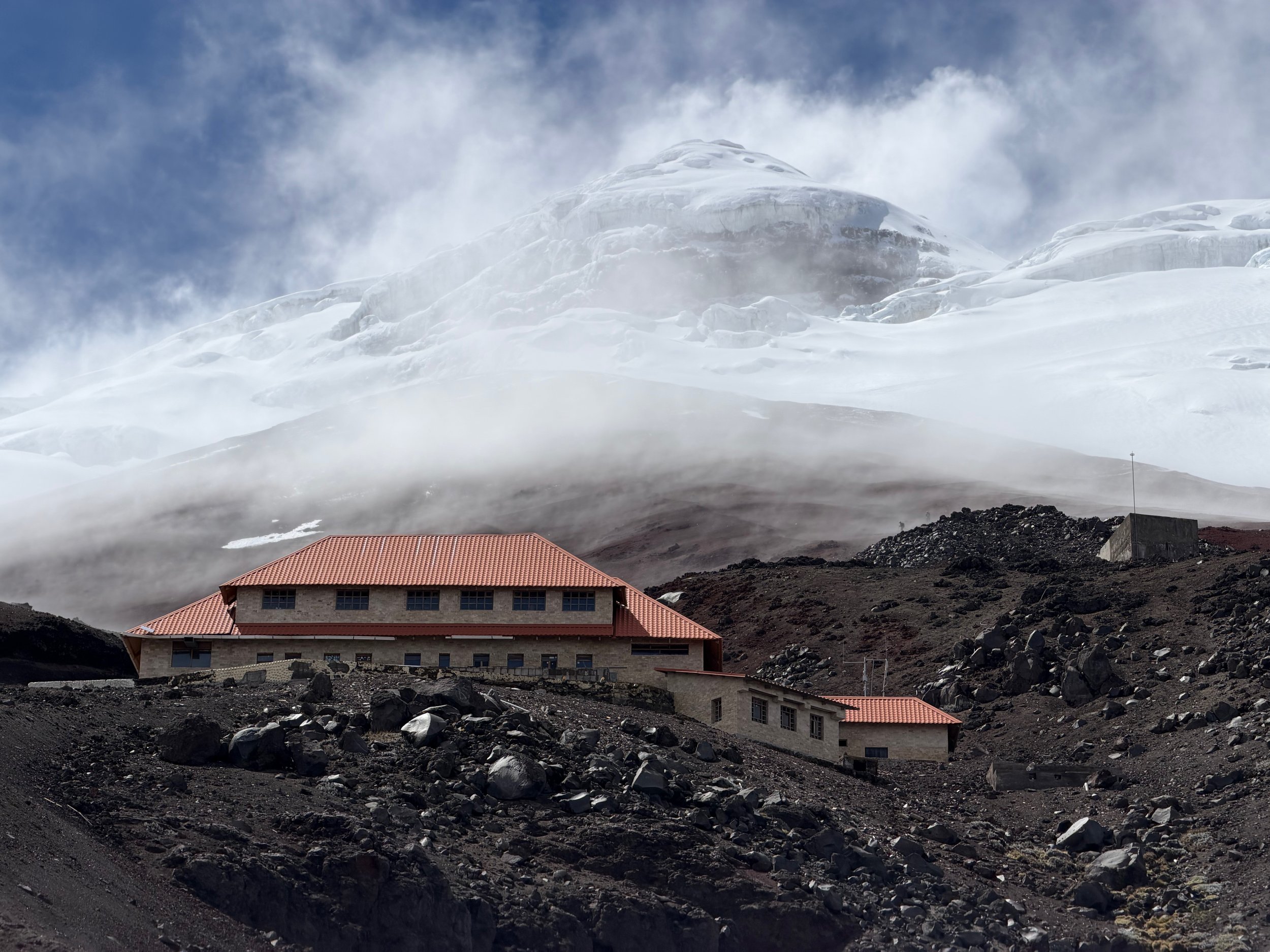
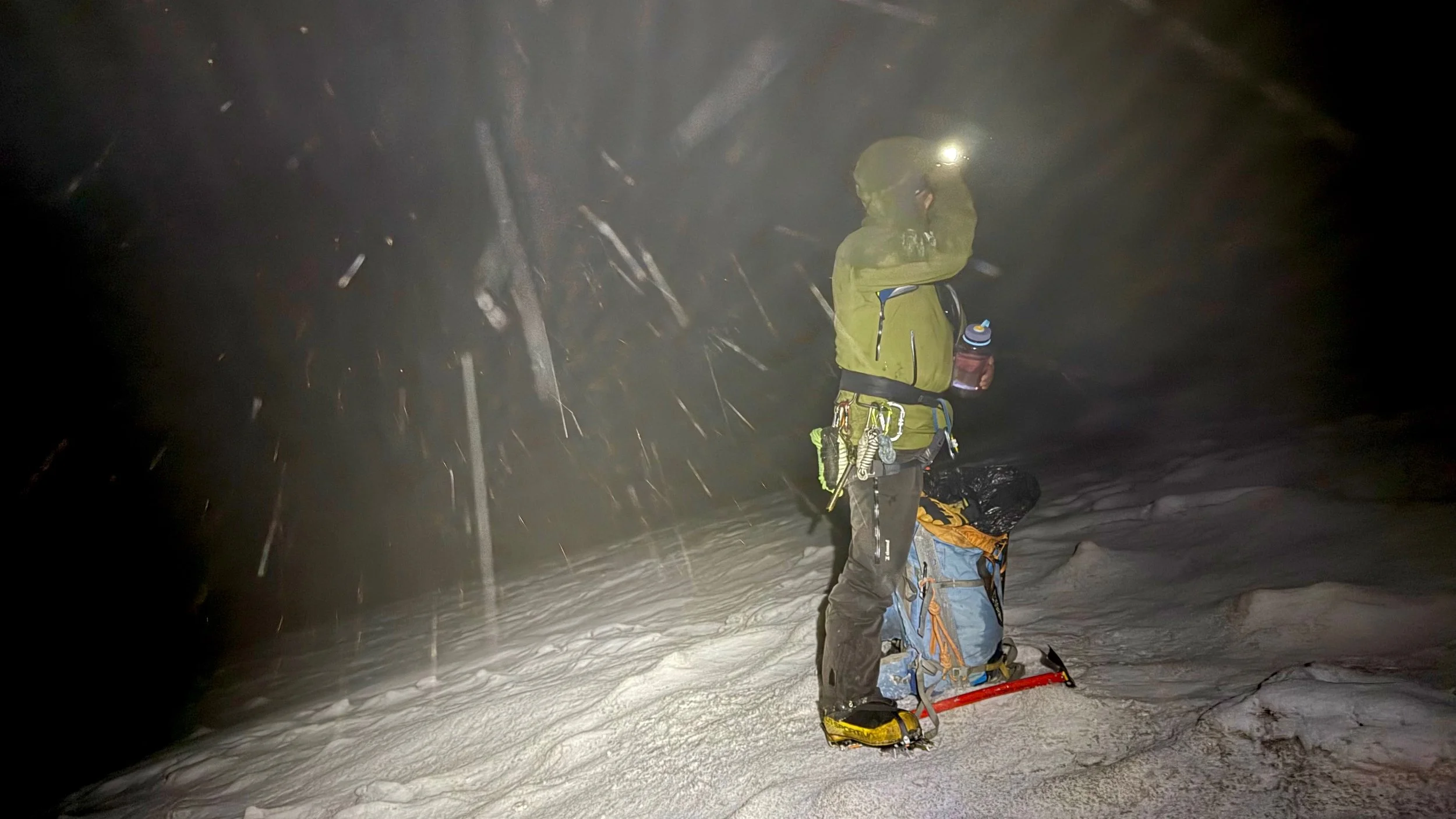
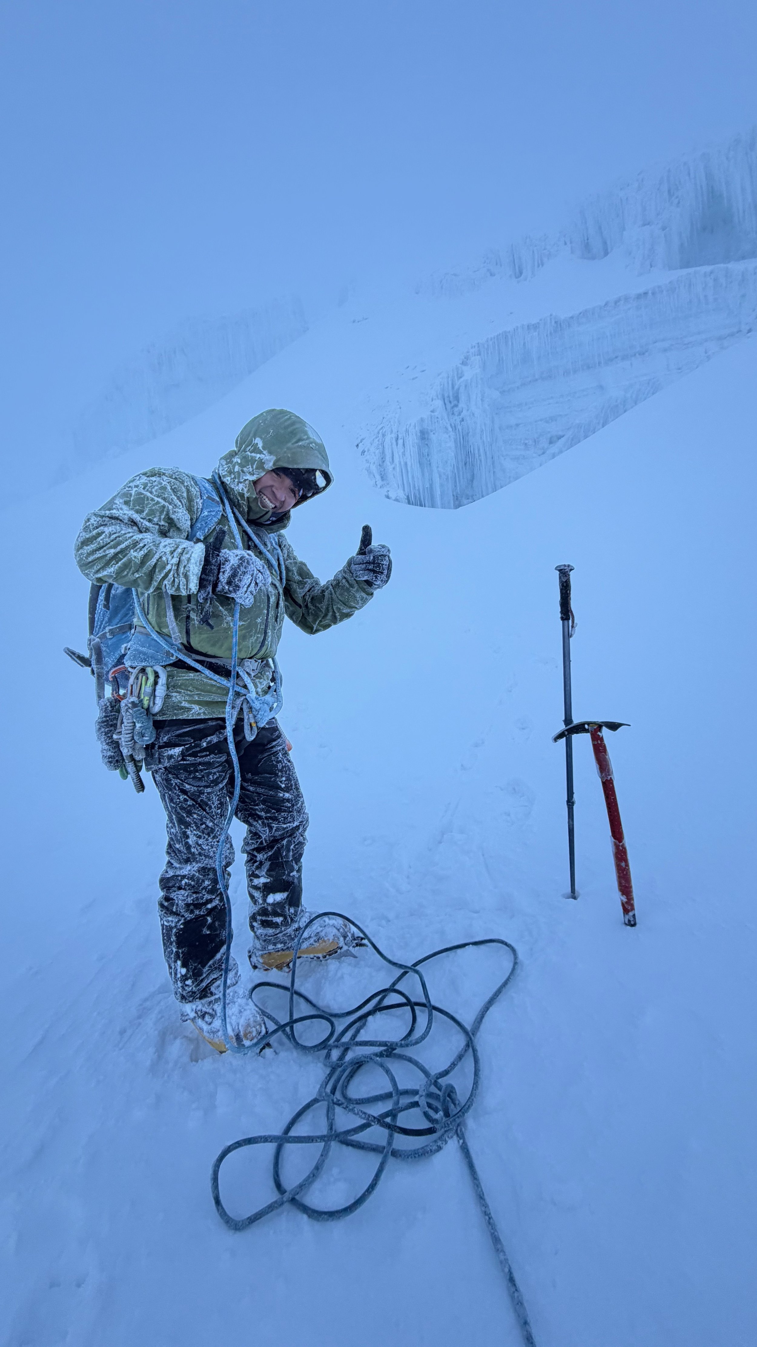
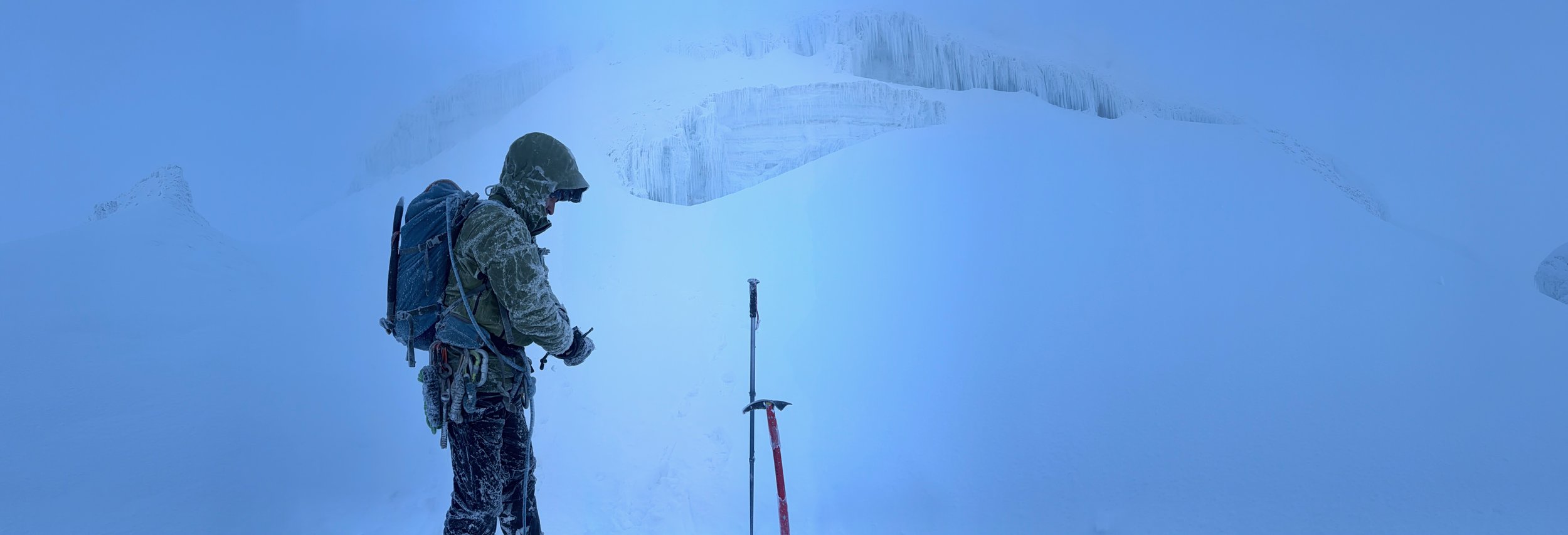
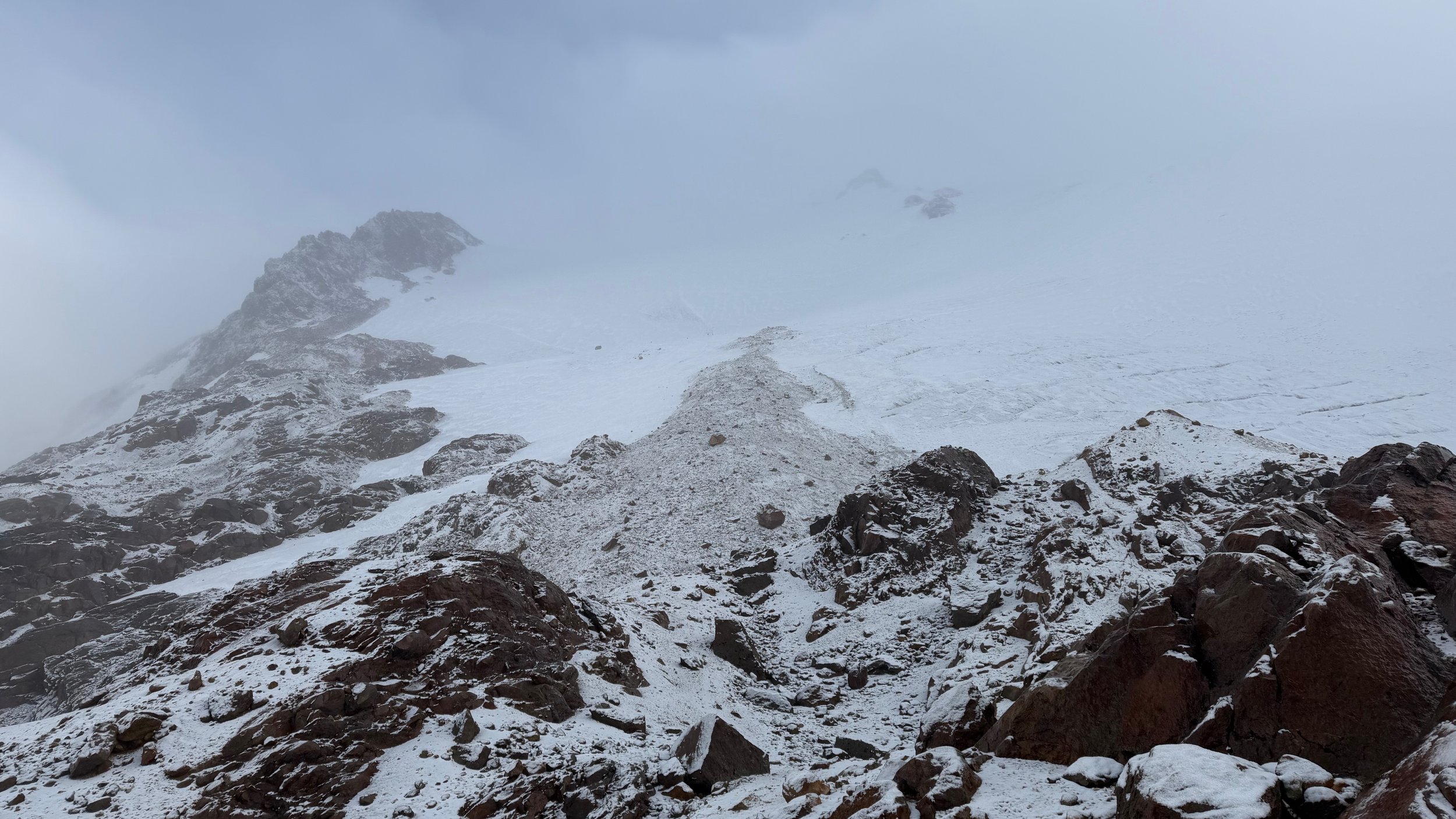
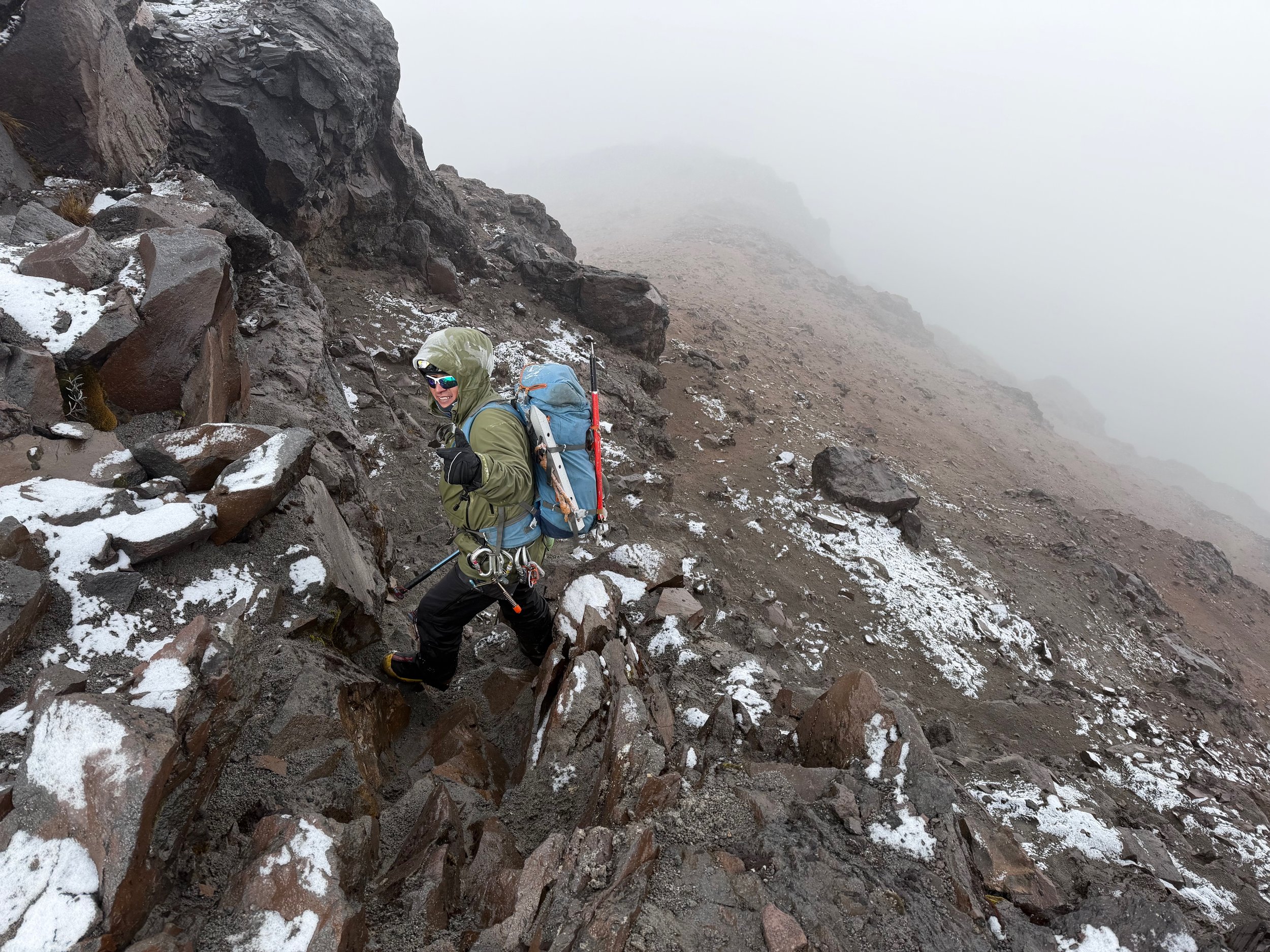
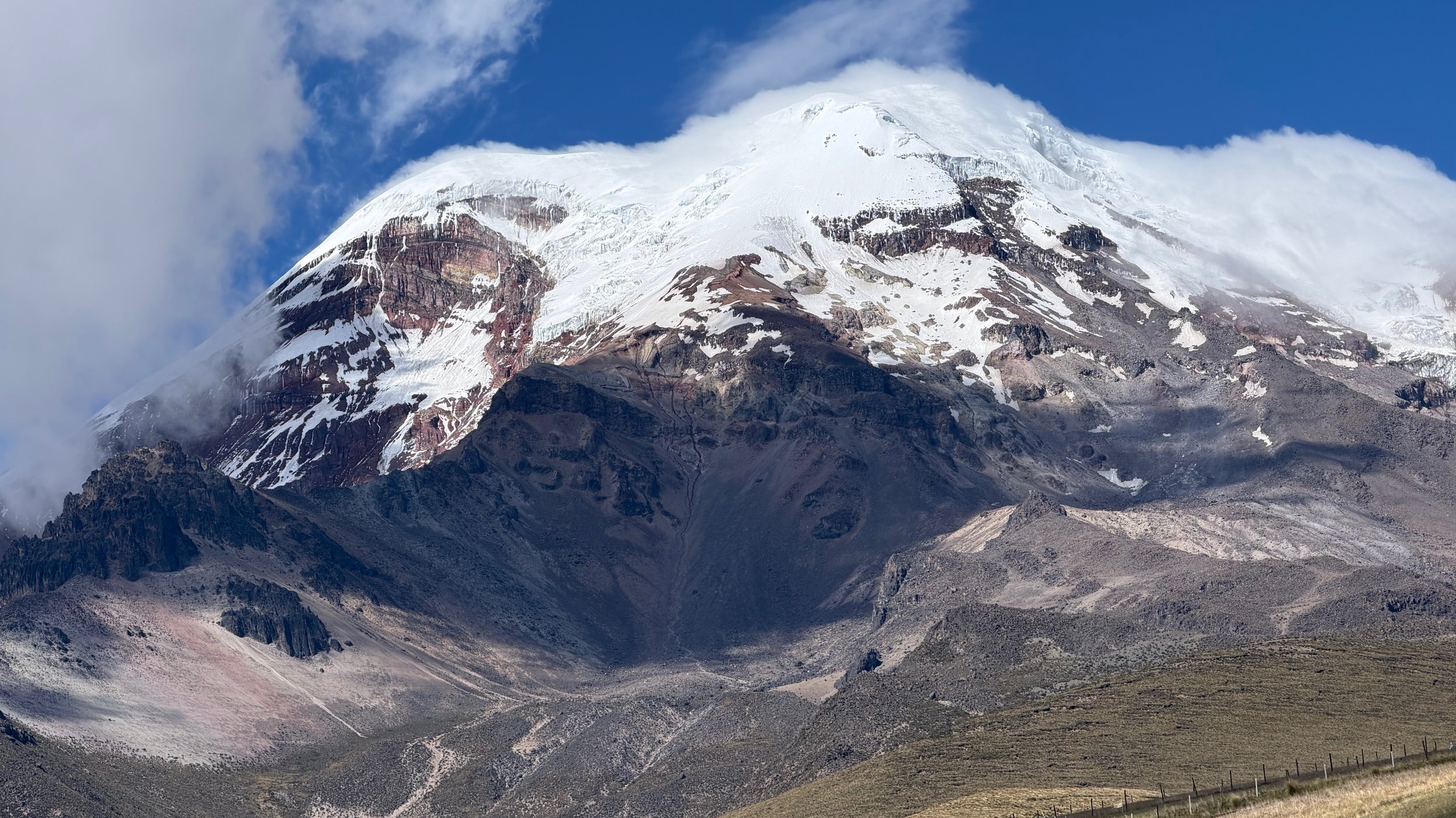
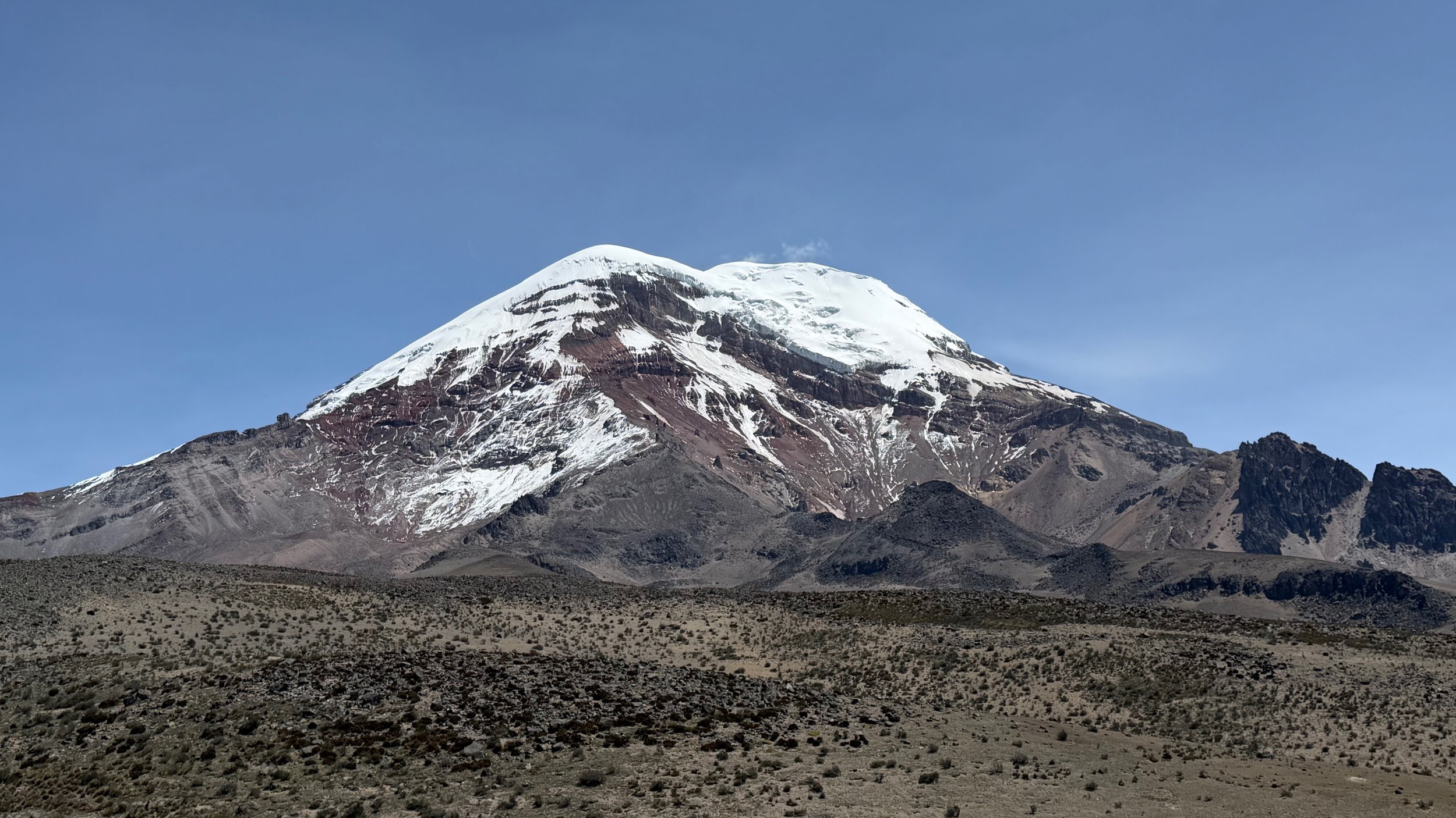
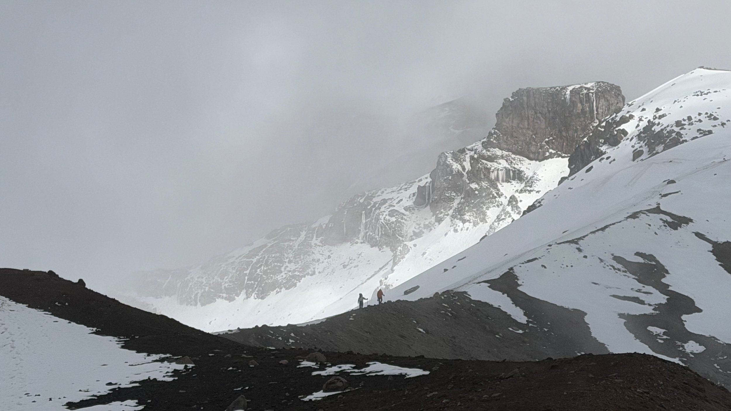
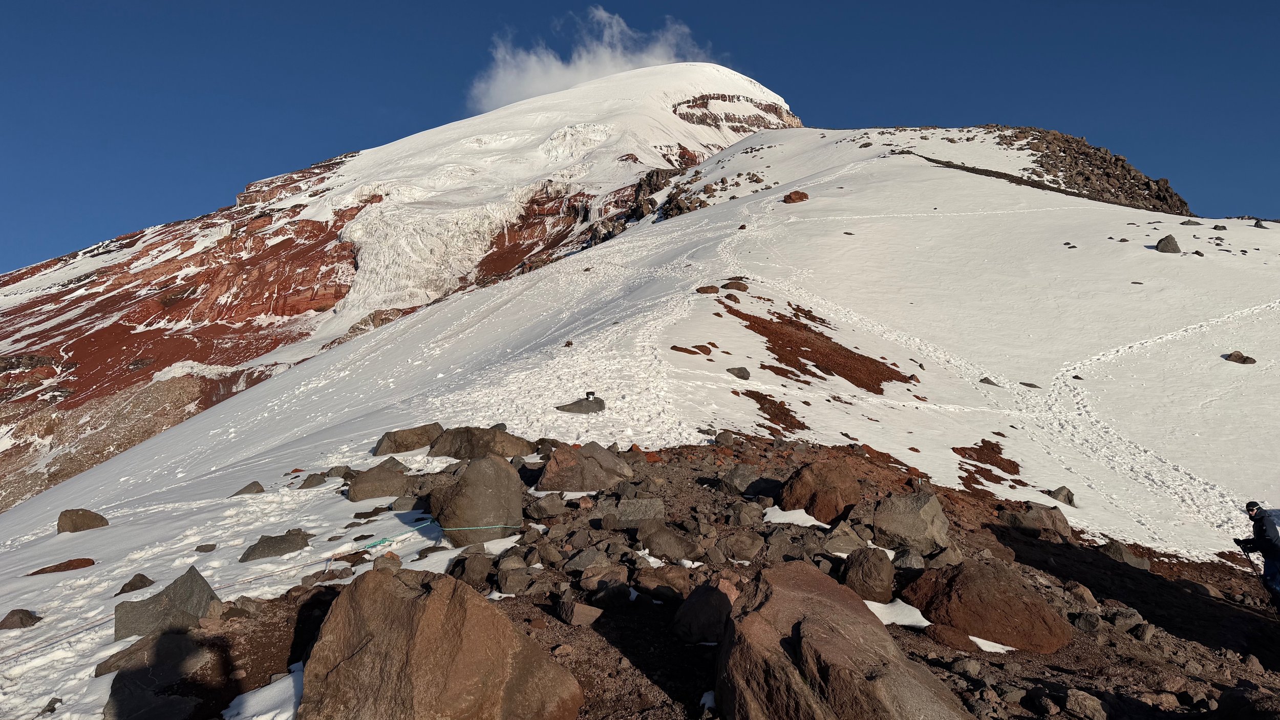
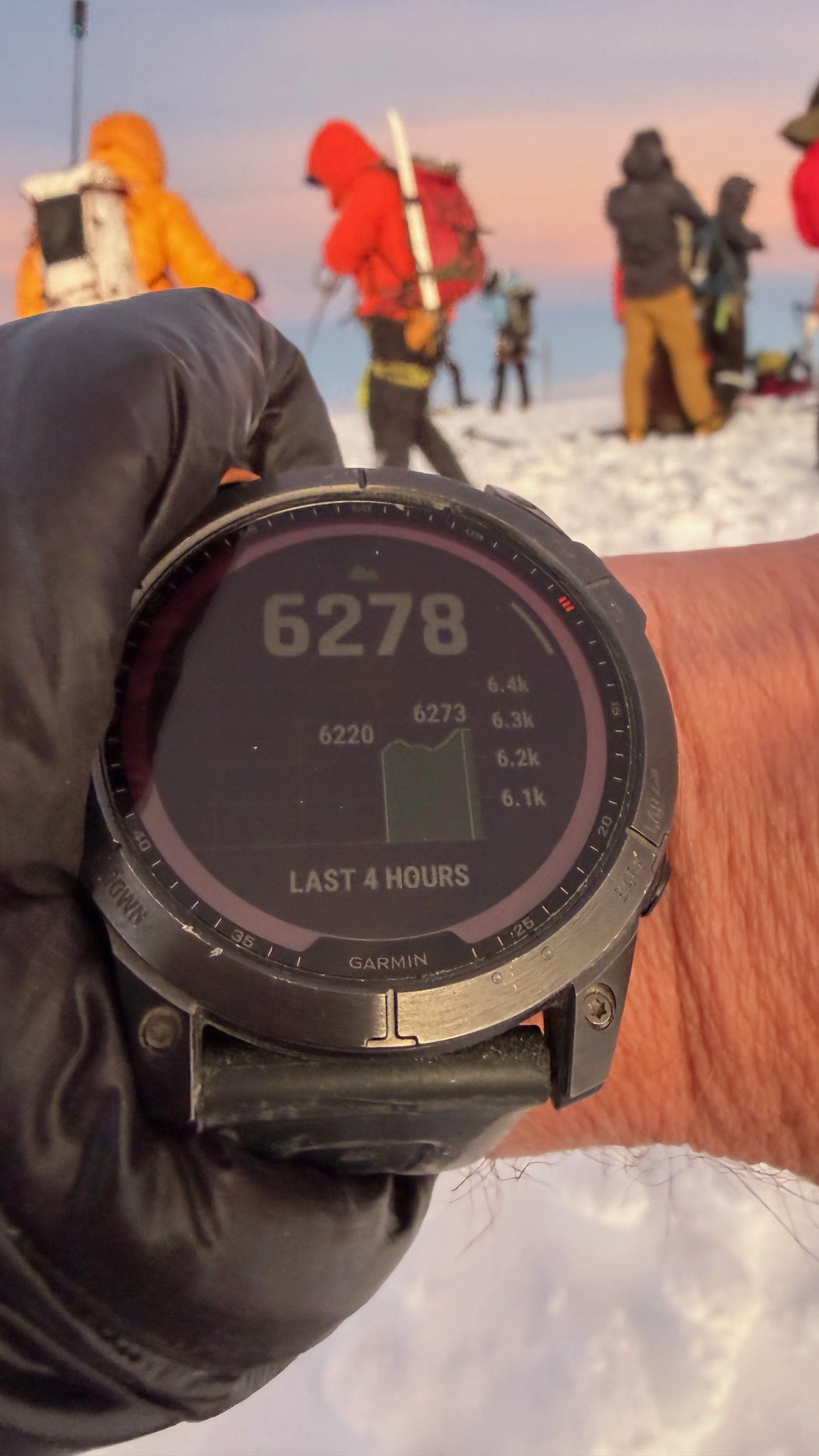
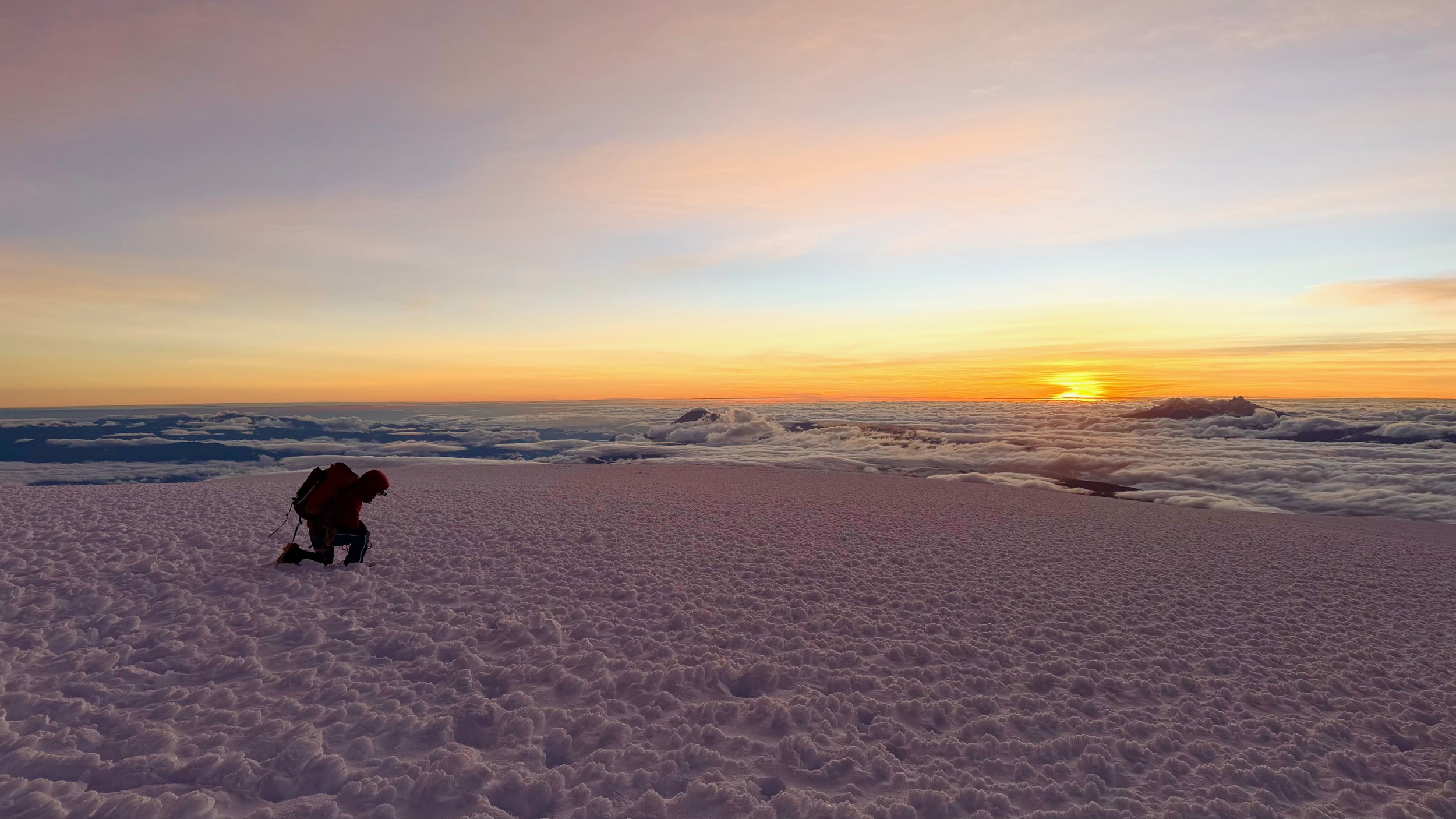
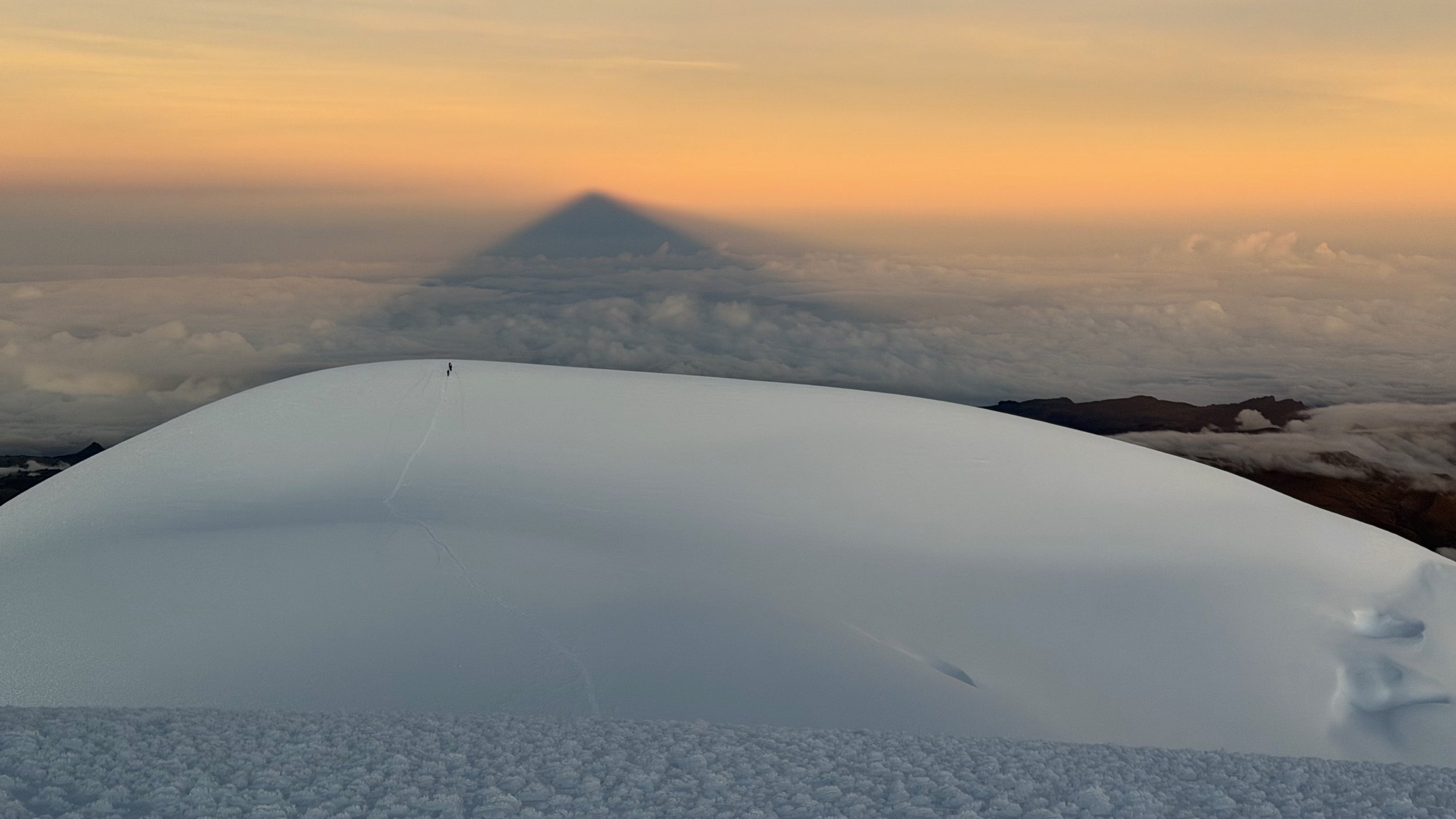
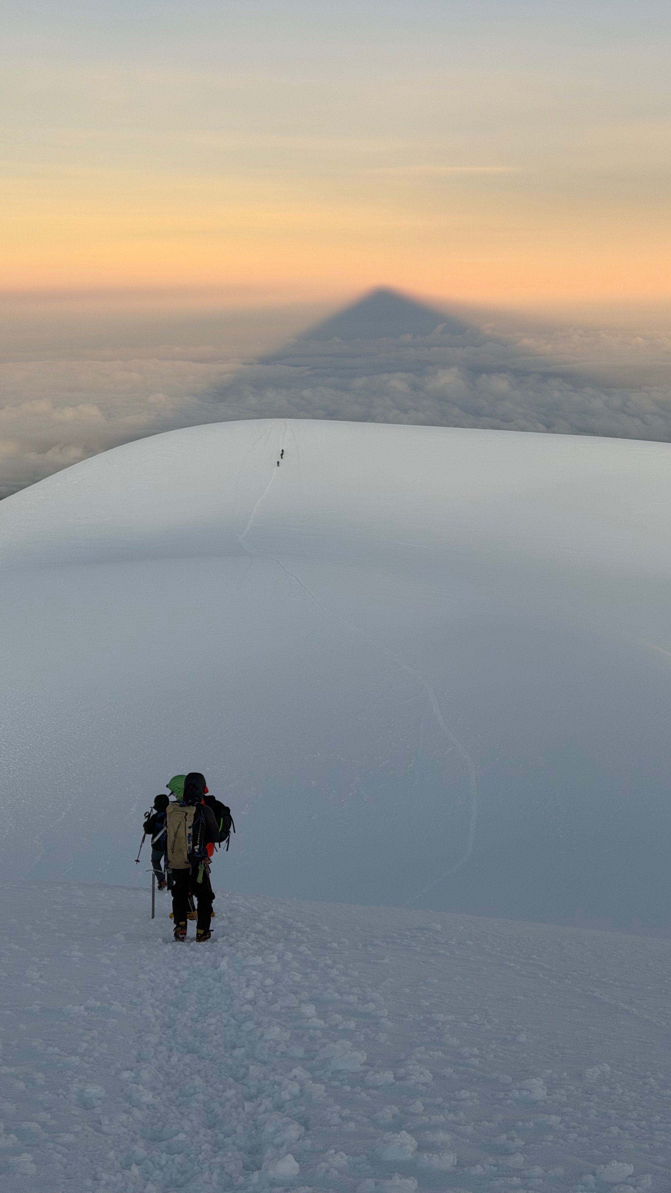
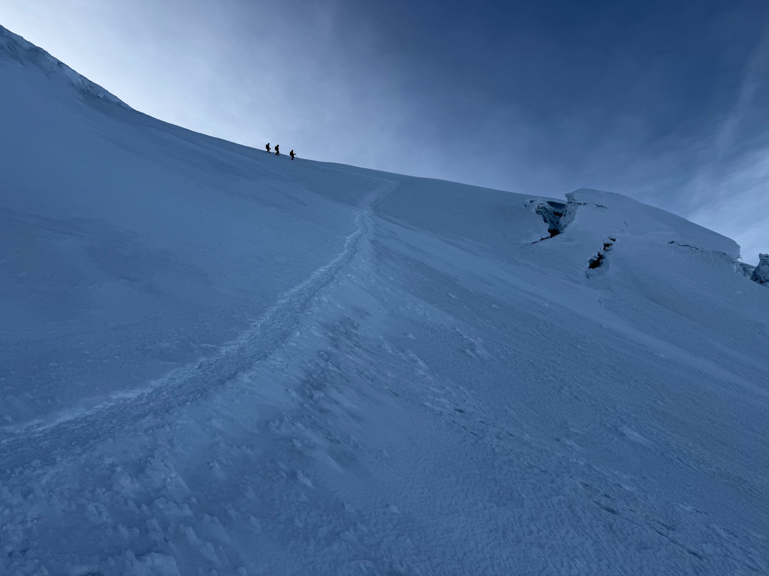
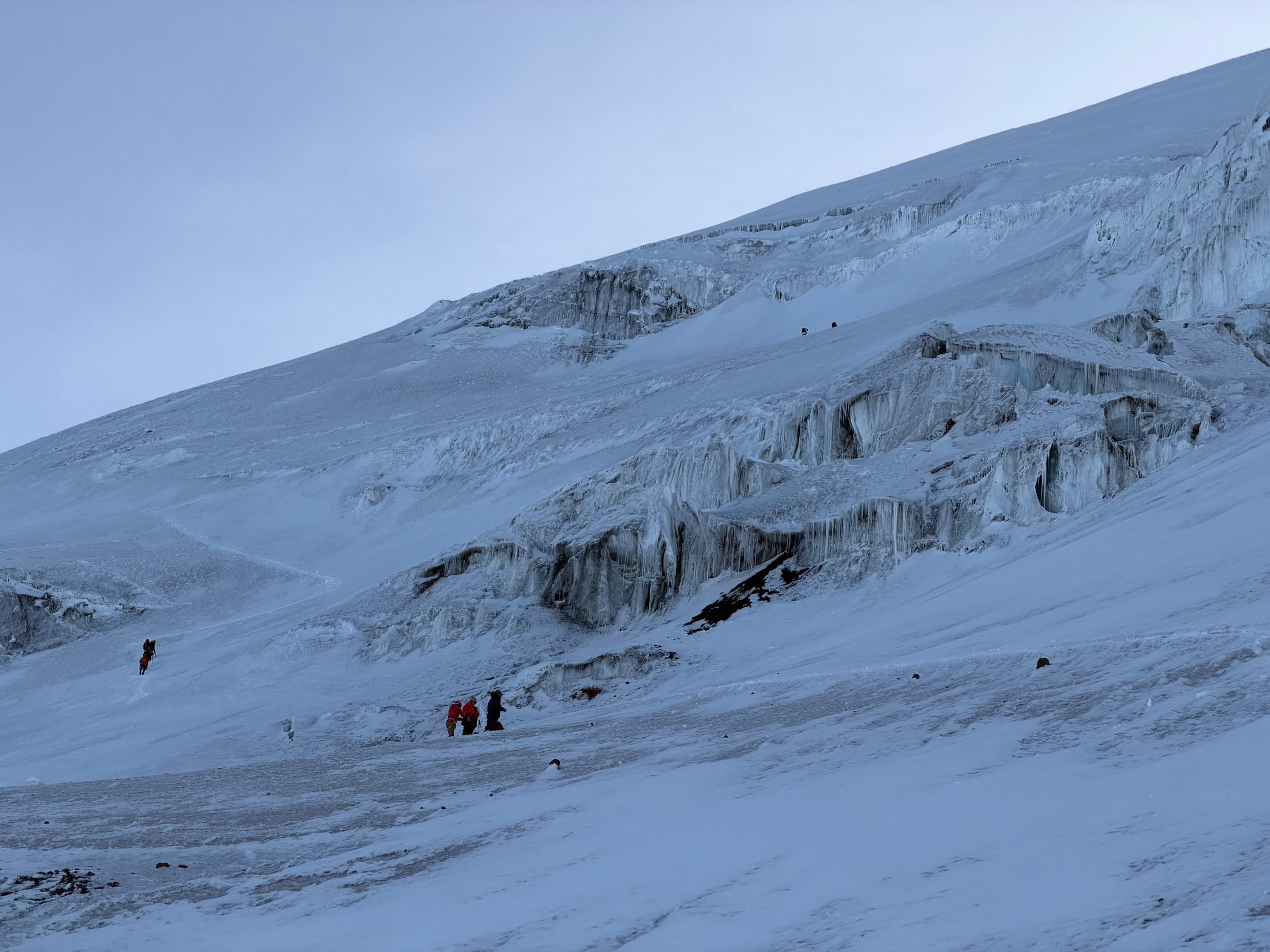
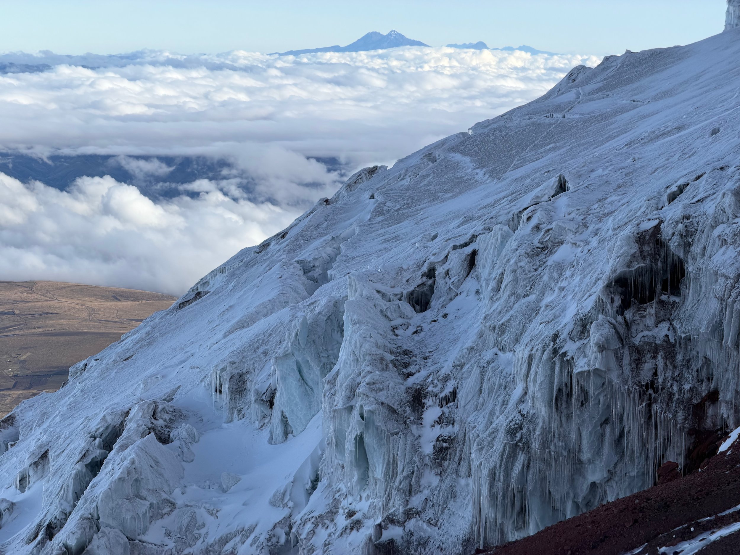
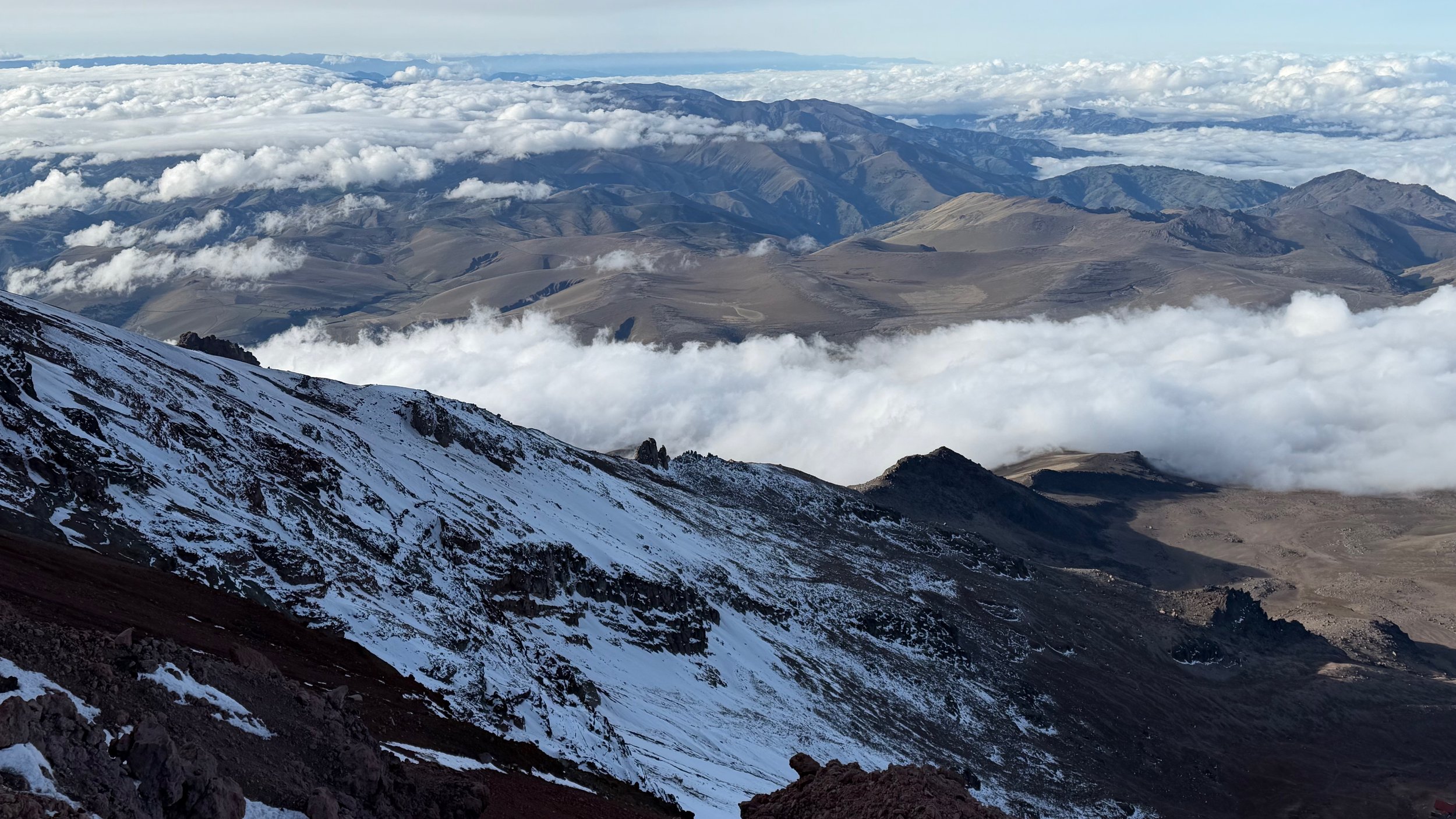
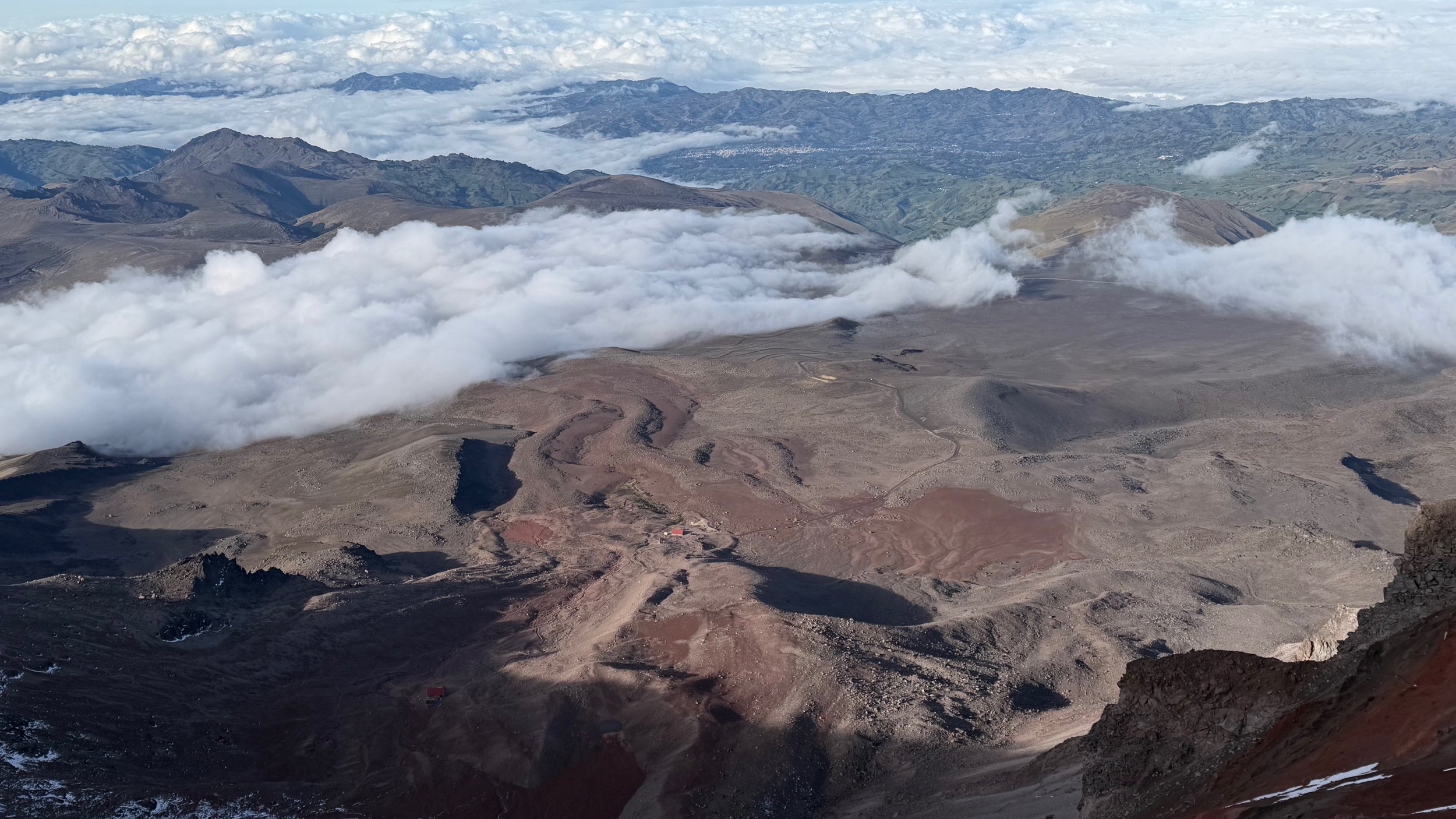
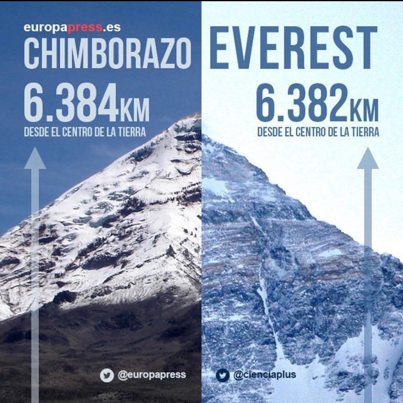
In order to prepare for Chimborazo, I started with the Condor trek (basically Cotopaxi to Antisana). During the first night on the trek, at 4000m of altitude, the cook developed severe altitude sickness and we had to abandon our plan. We returned to Cotopaxi and evacuated the cook to the local hospital. This change of our plan led to the Ruminahui and Iliniza Norte climbs. Also fantastic for acclimatization. Of course, the weather was less than ideal on both. No views. I pressed on as these were just acclimatization outings.

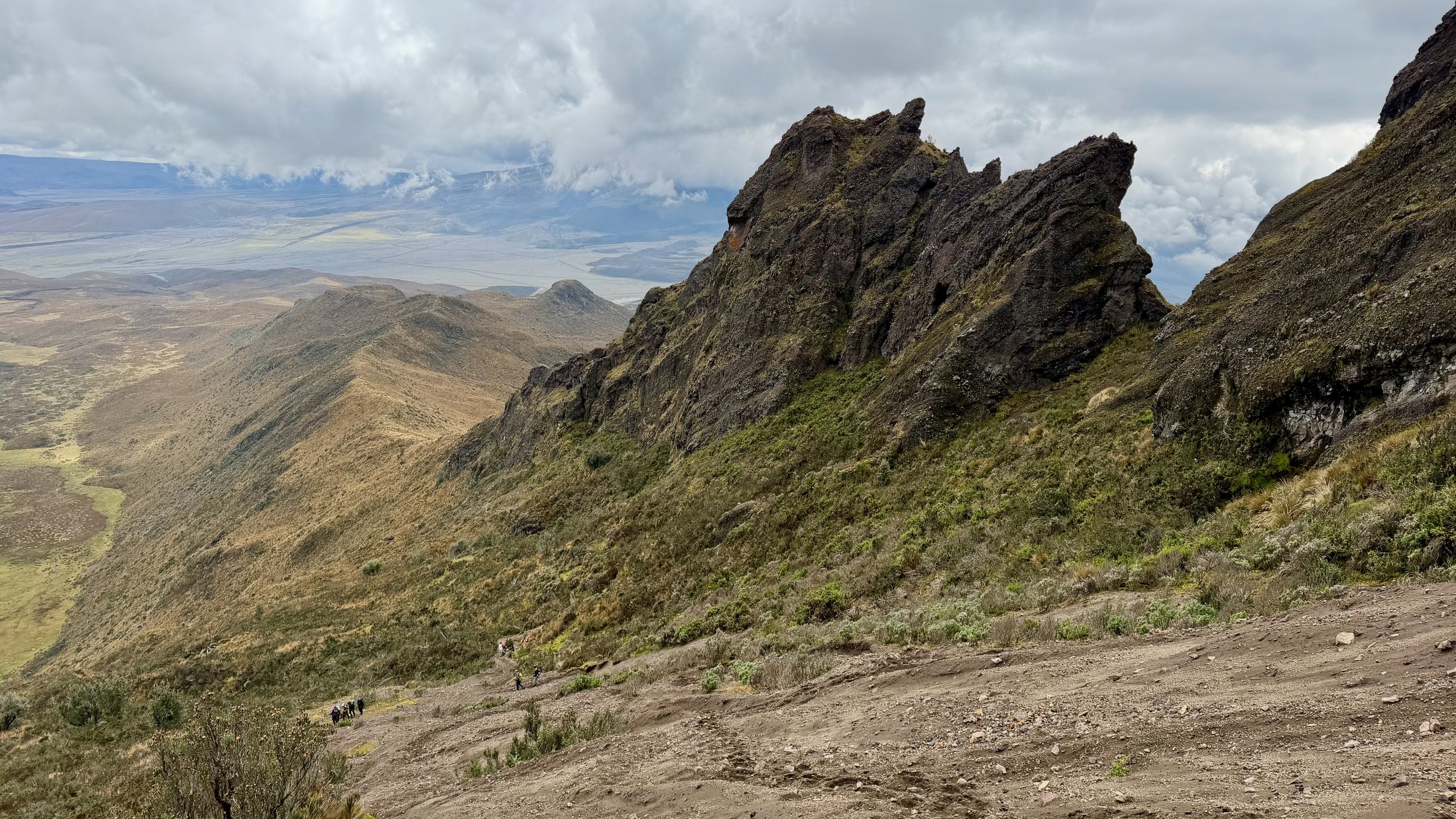
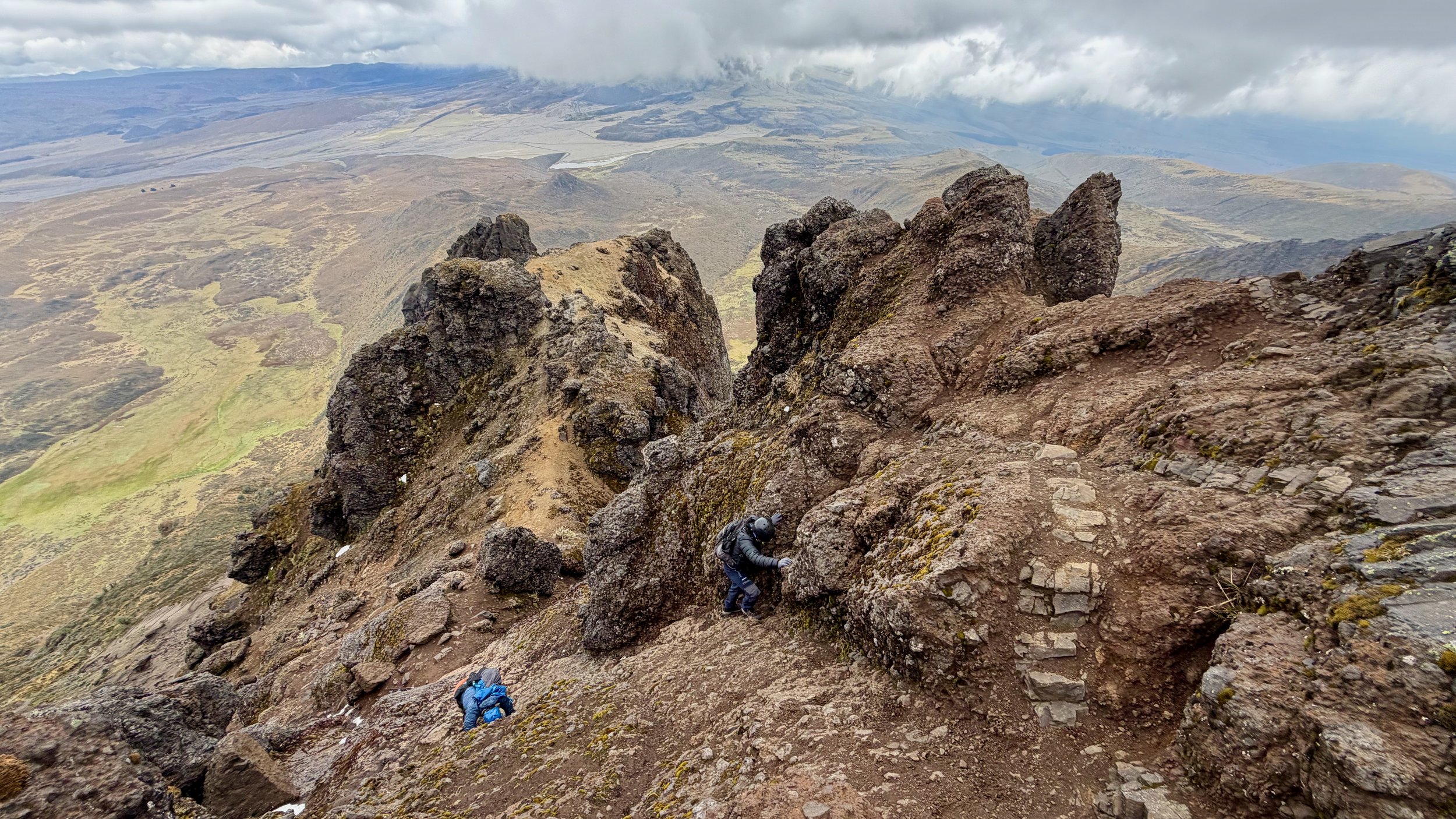
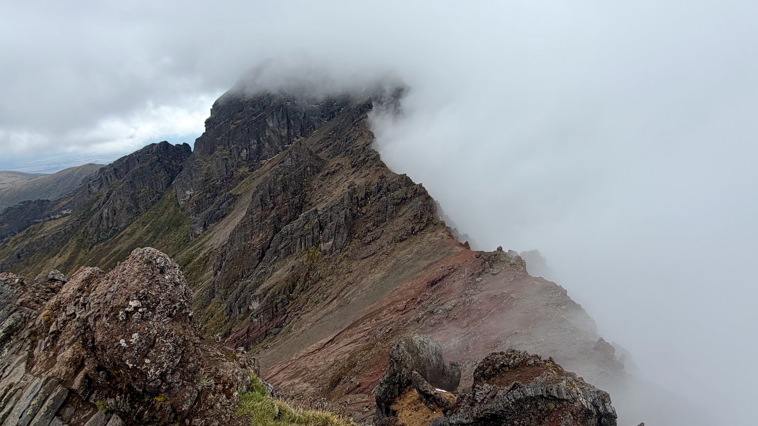
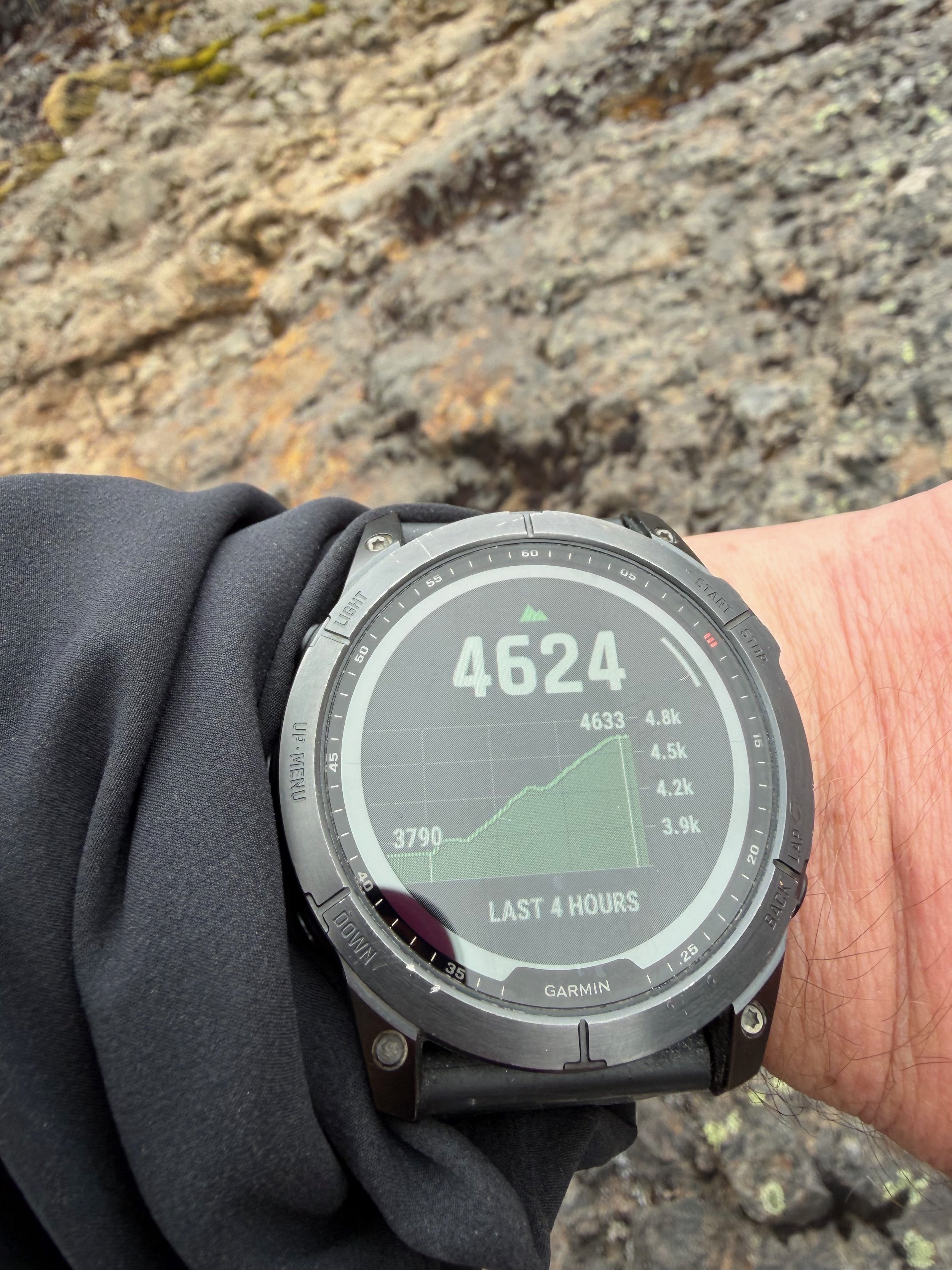
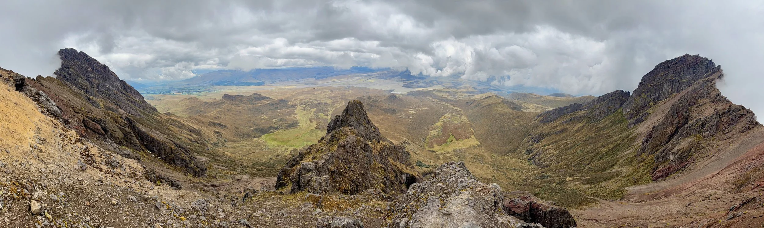
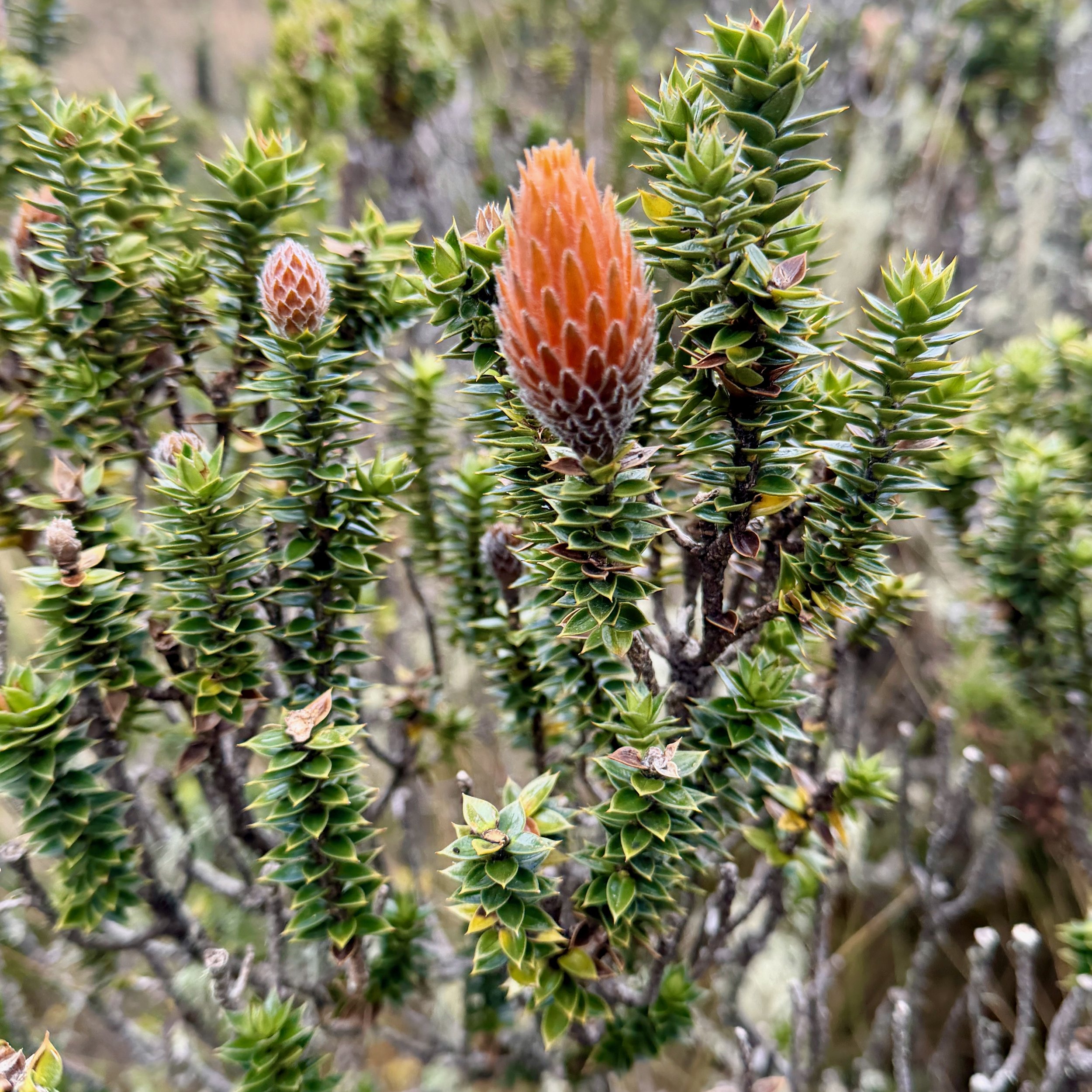
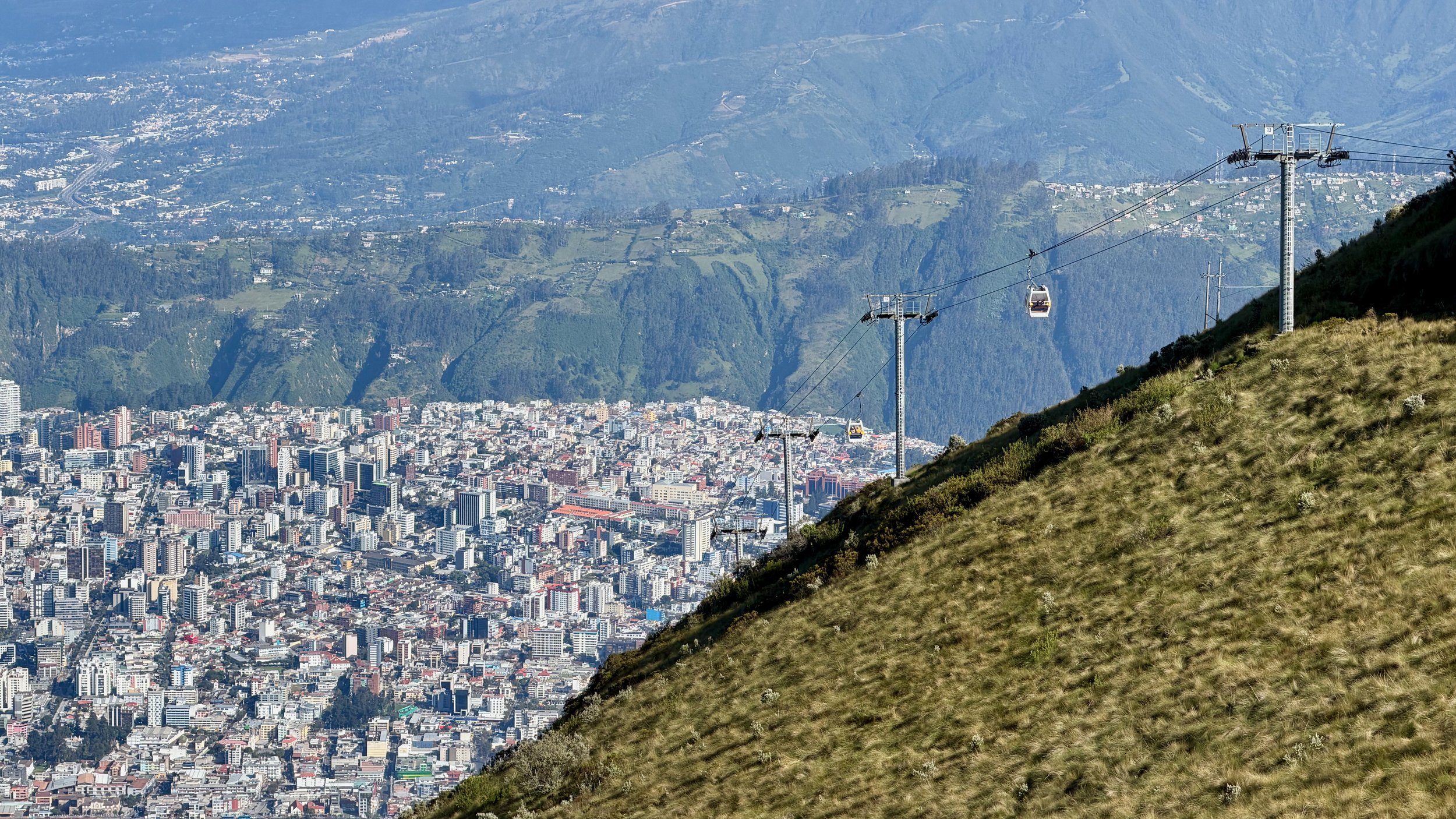
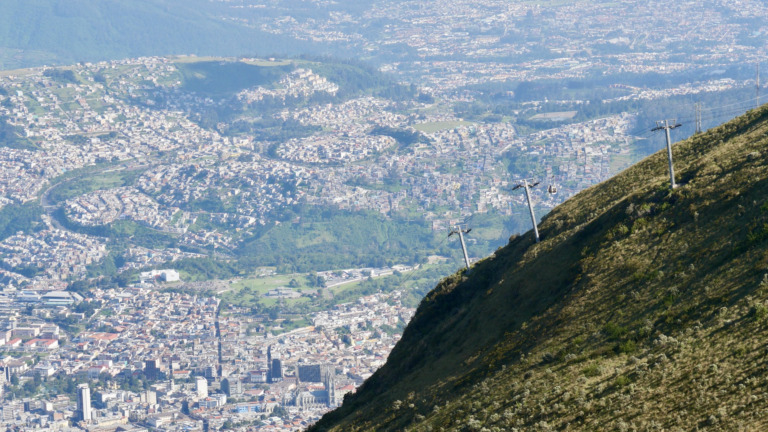
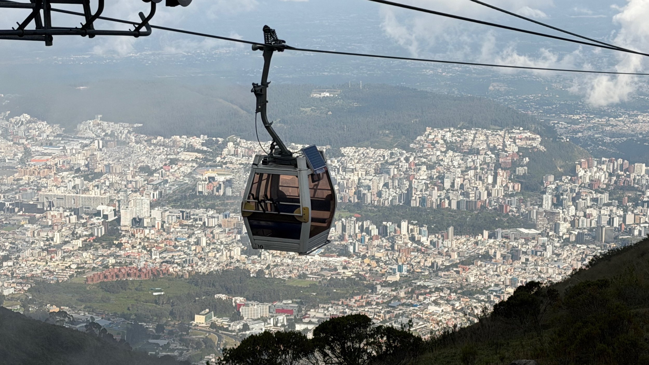
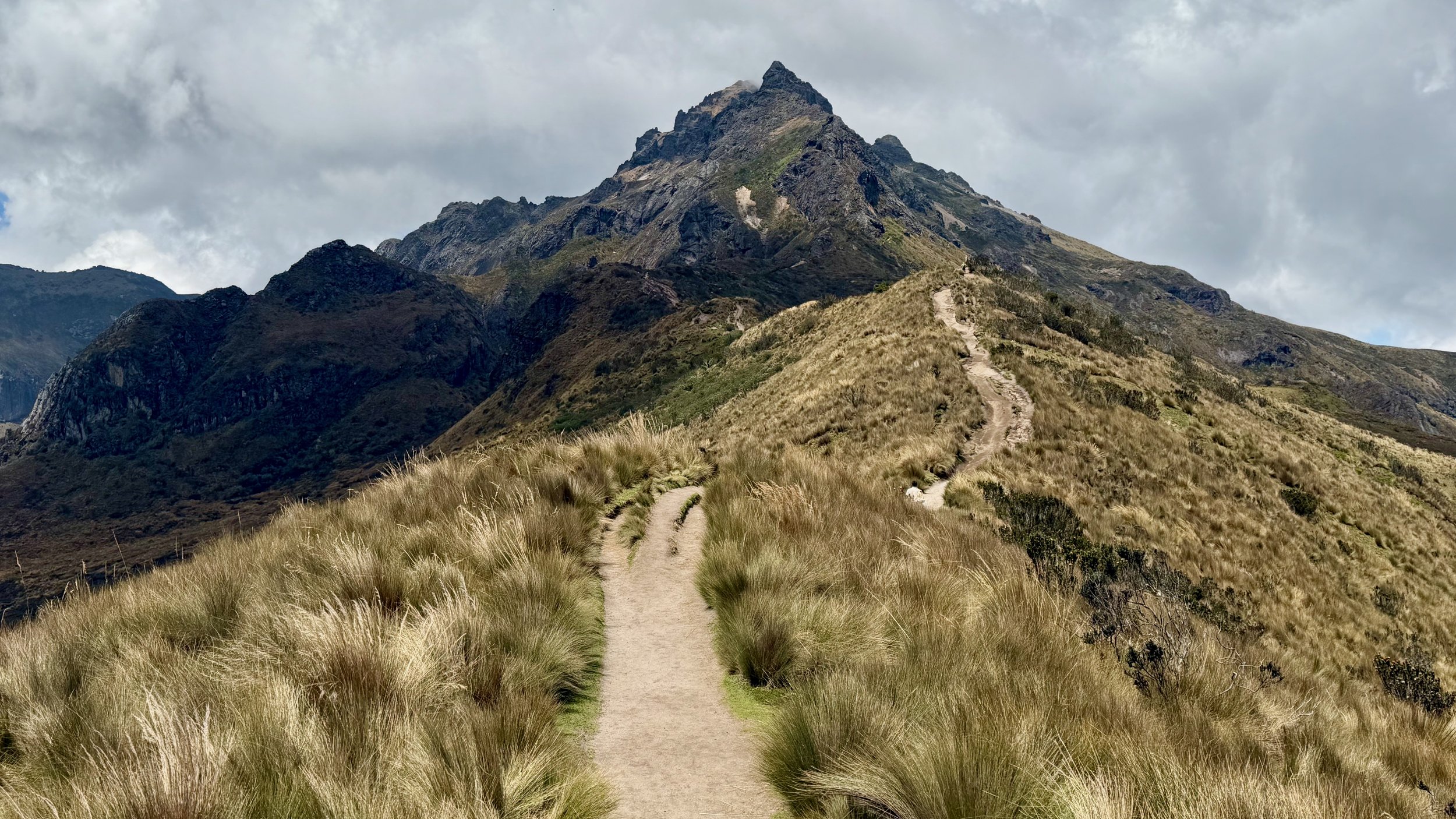
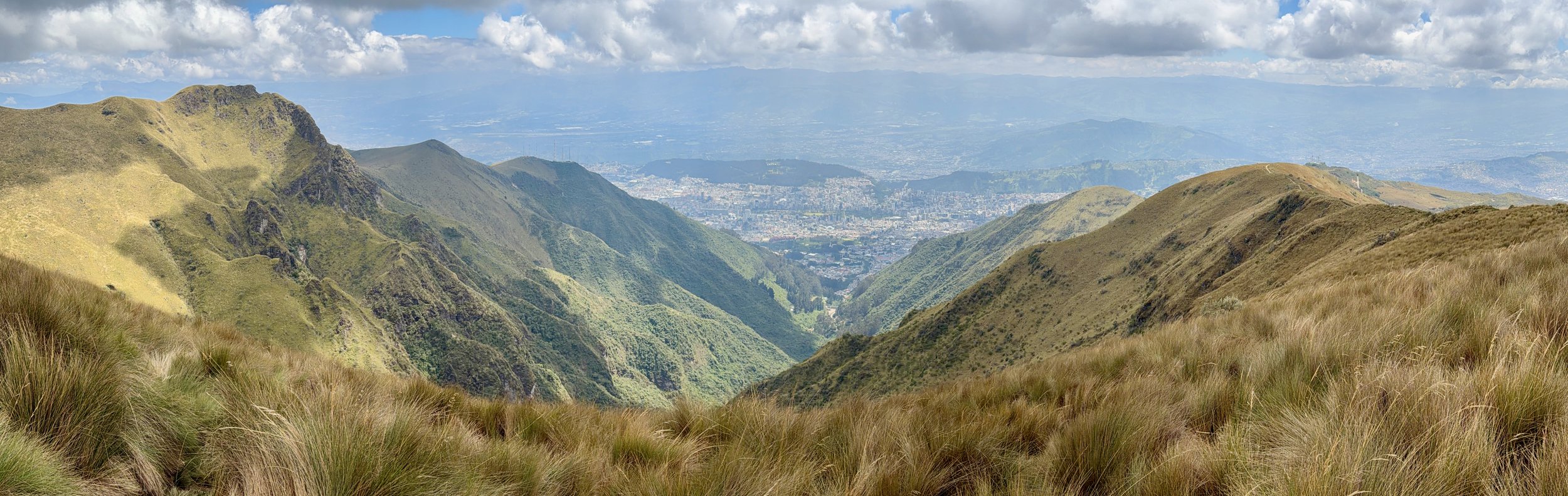
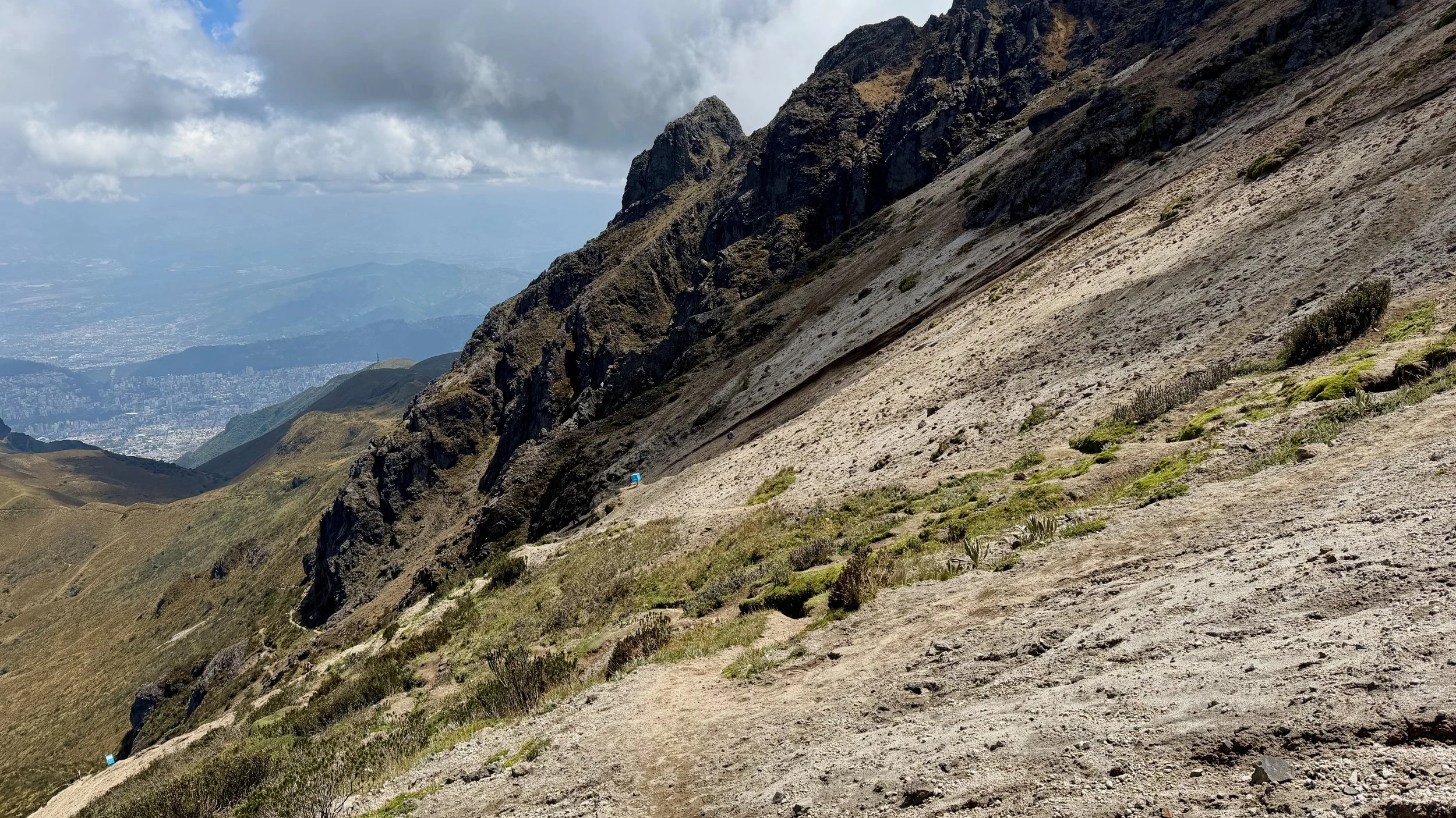
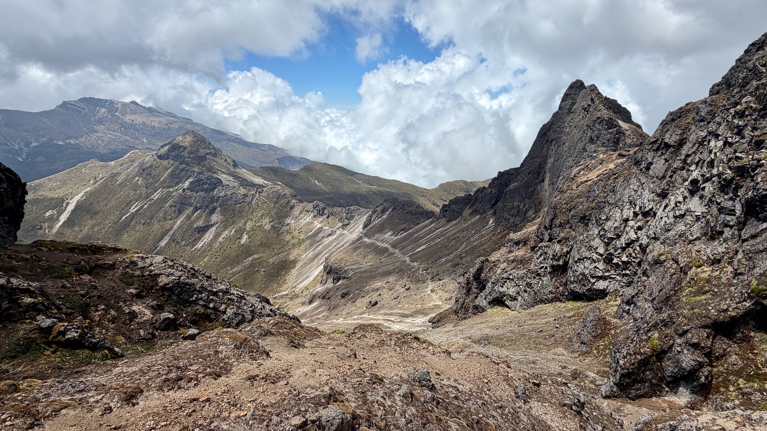
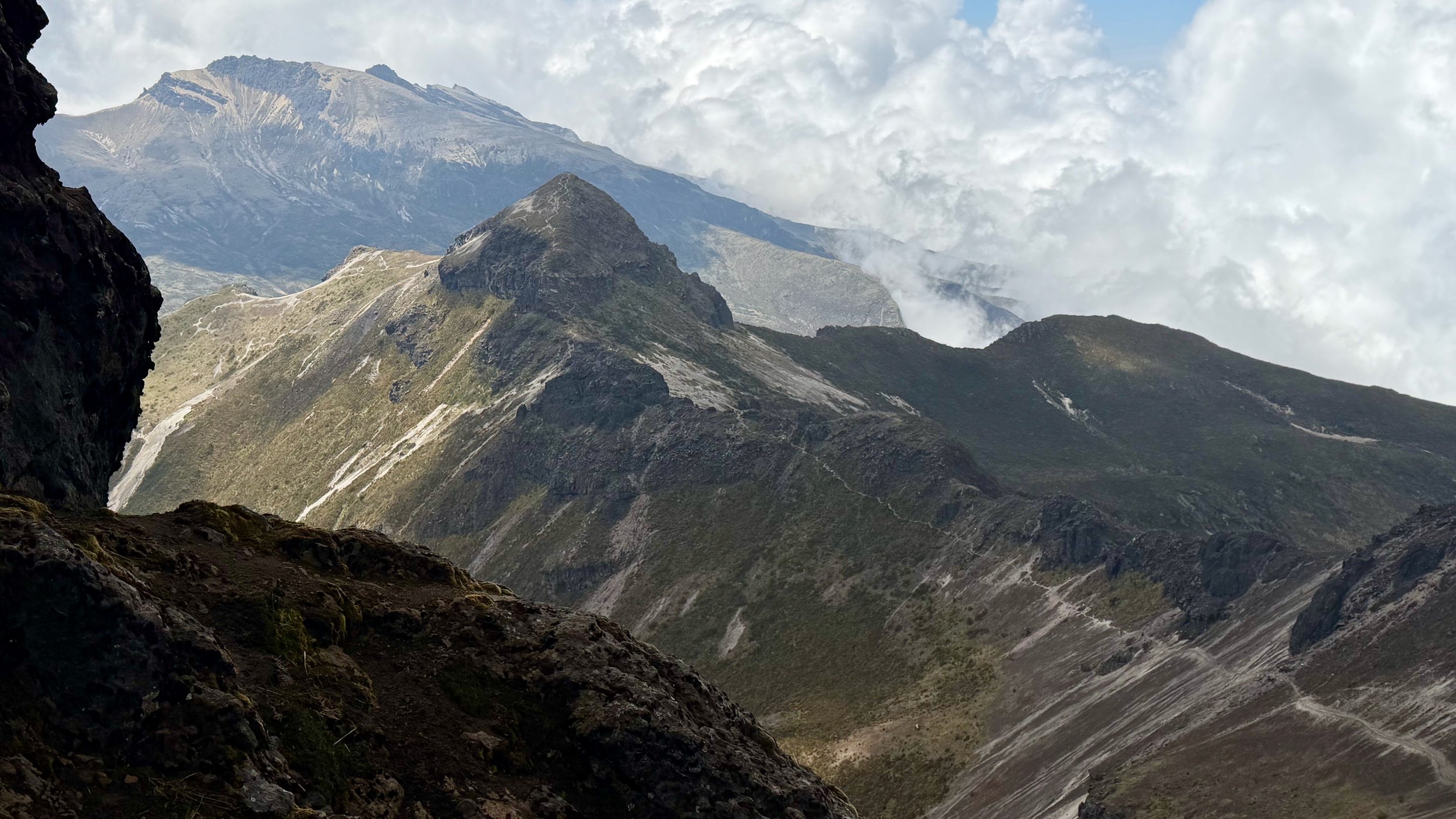
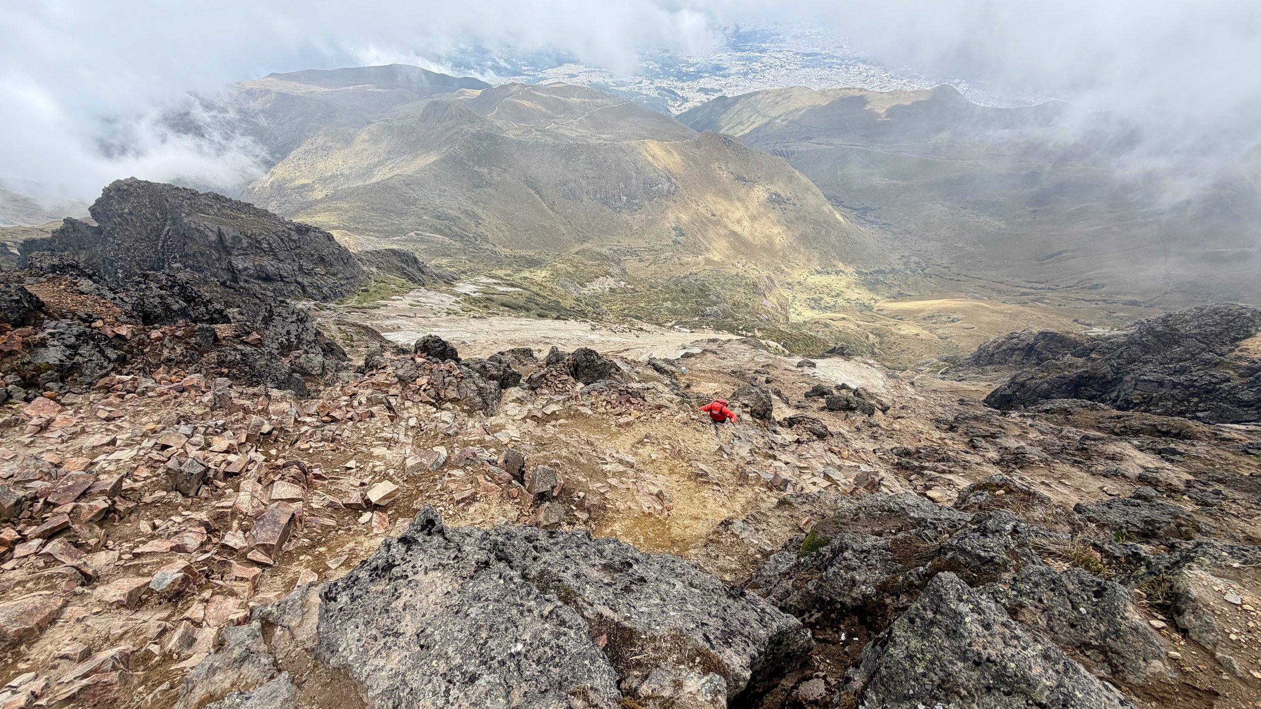
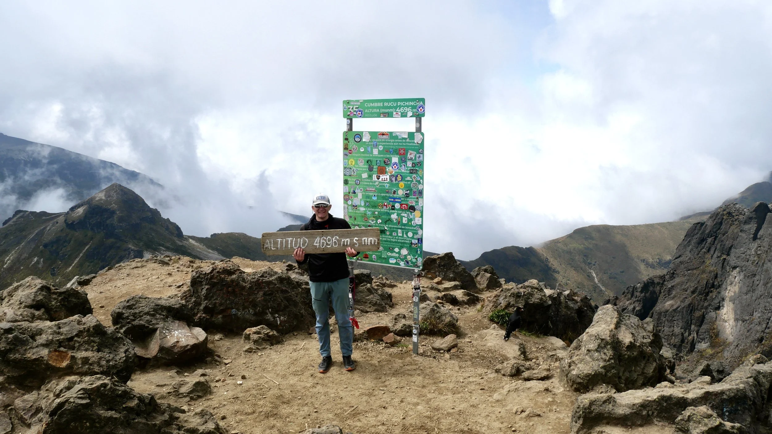
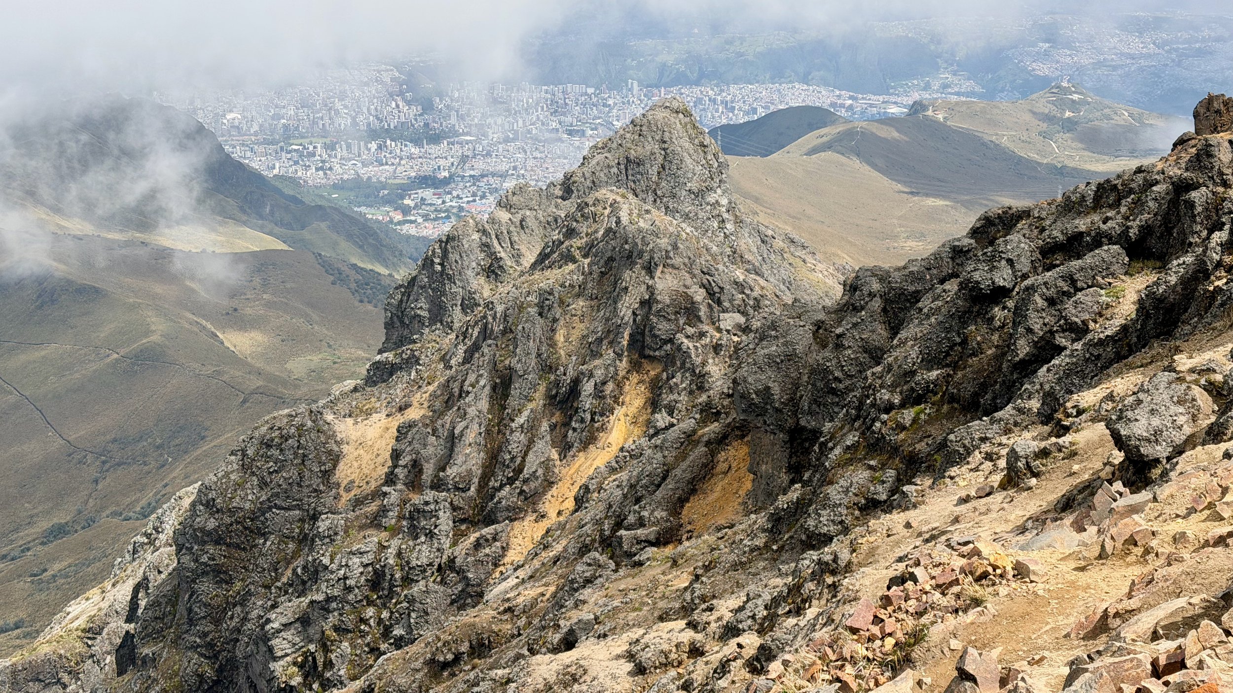
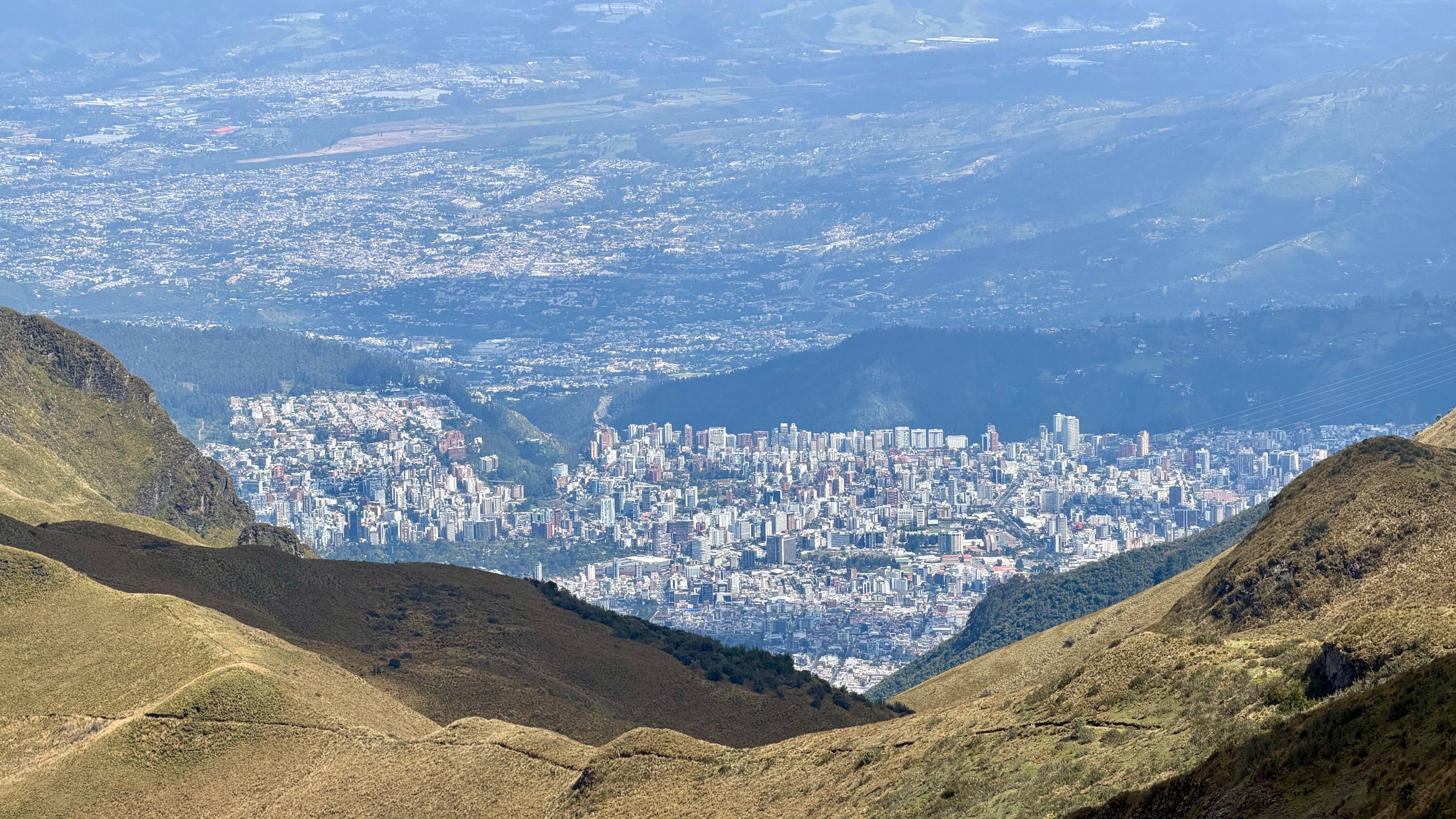
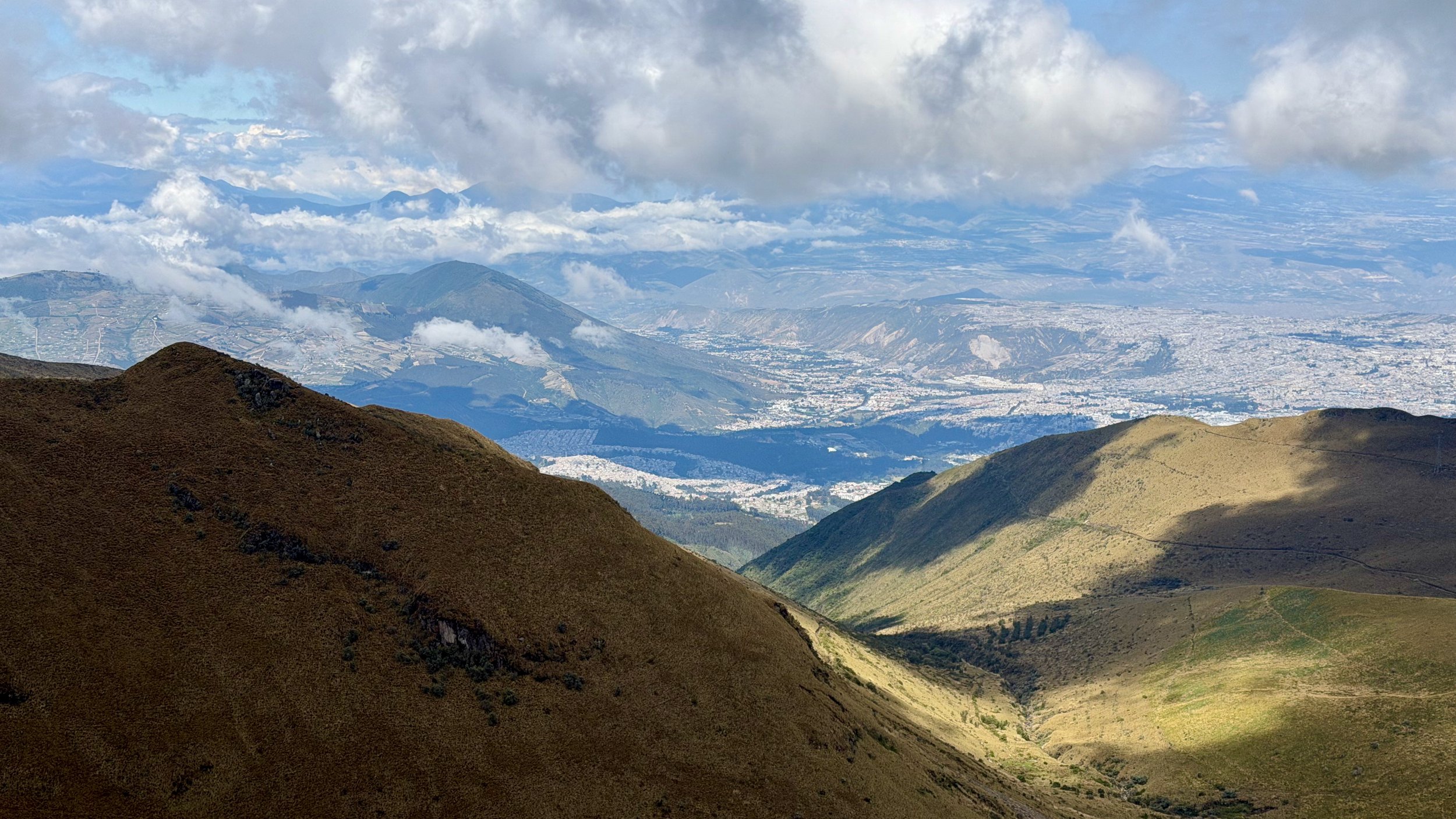
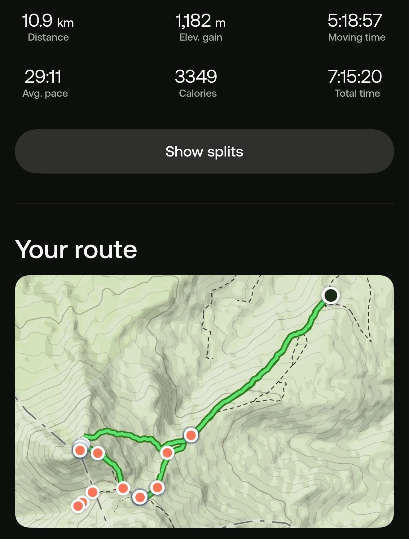
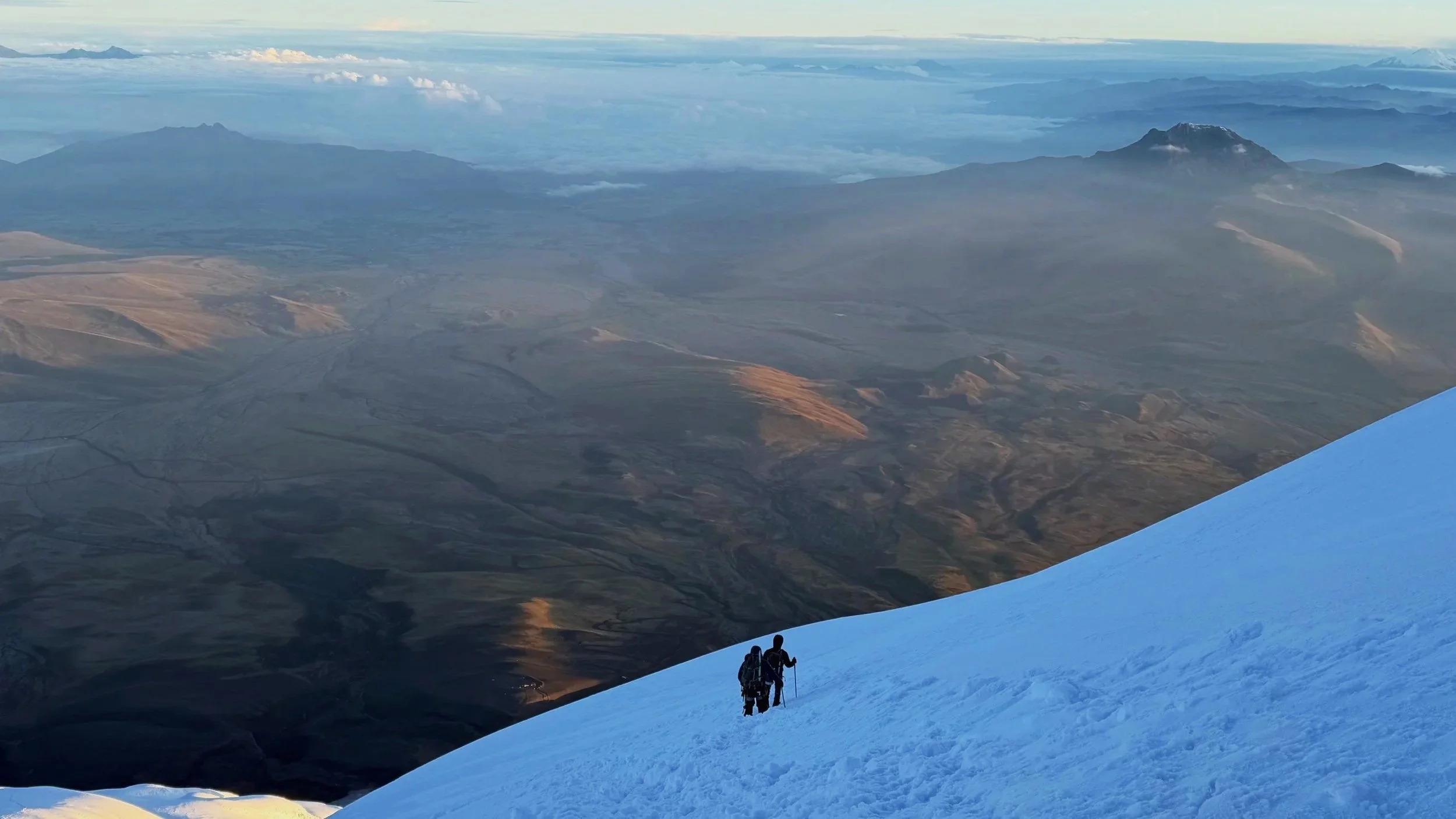
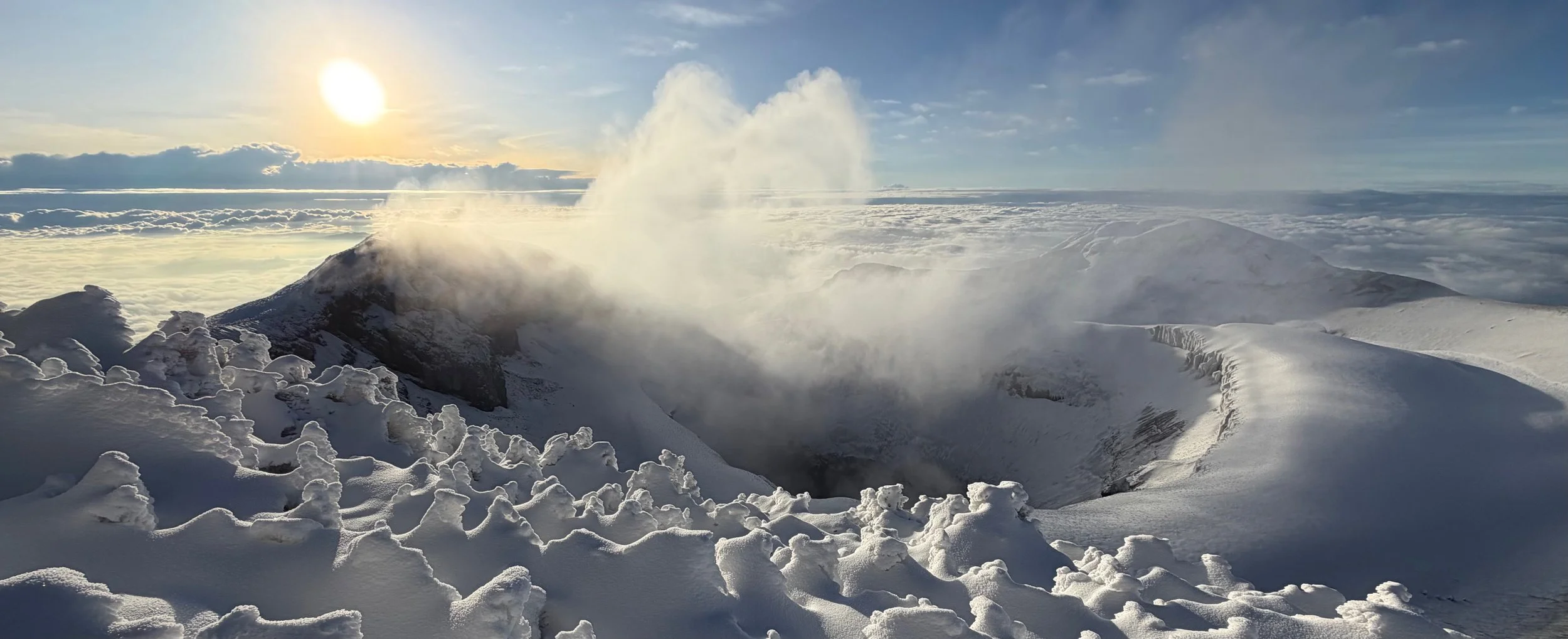
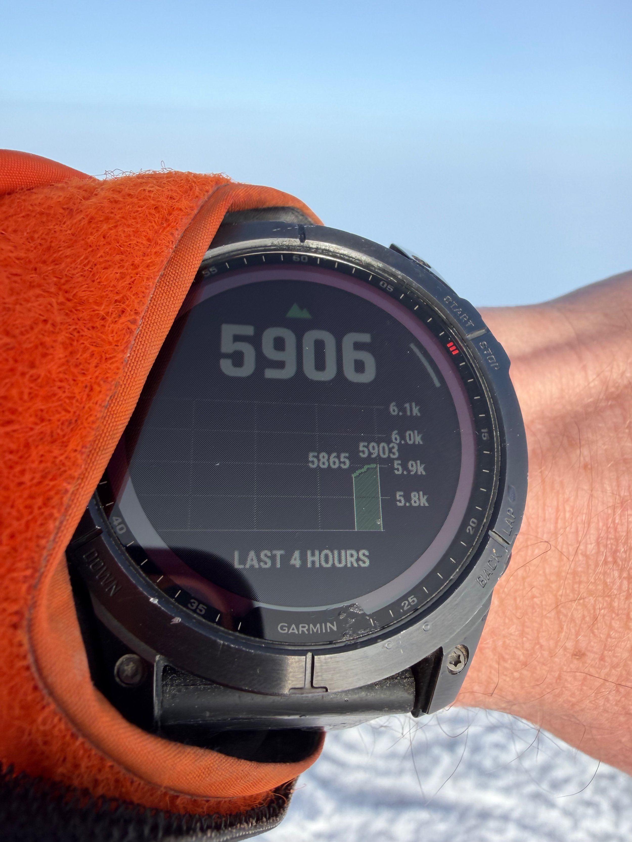
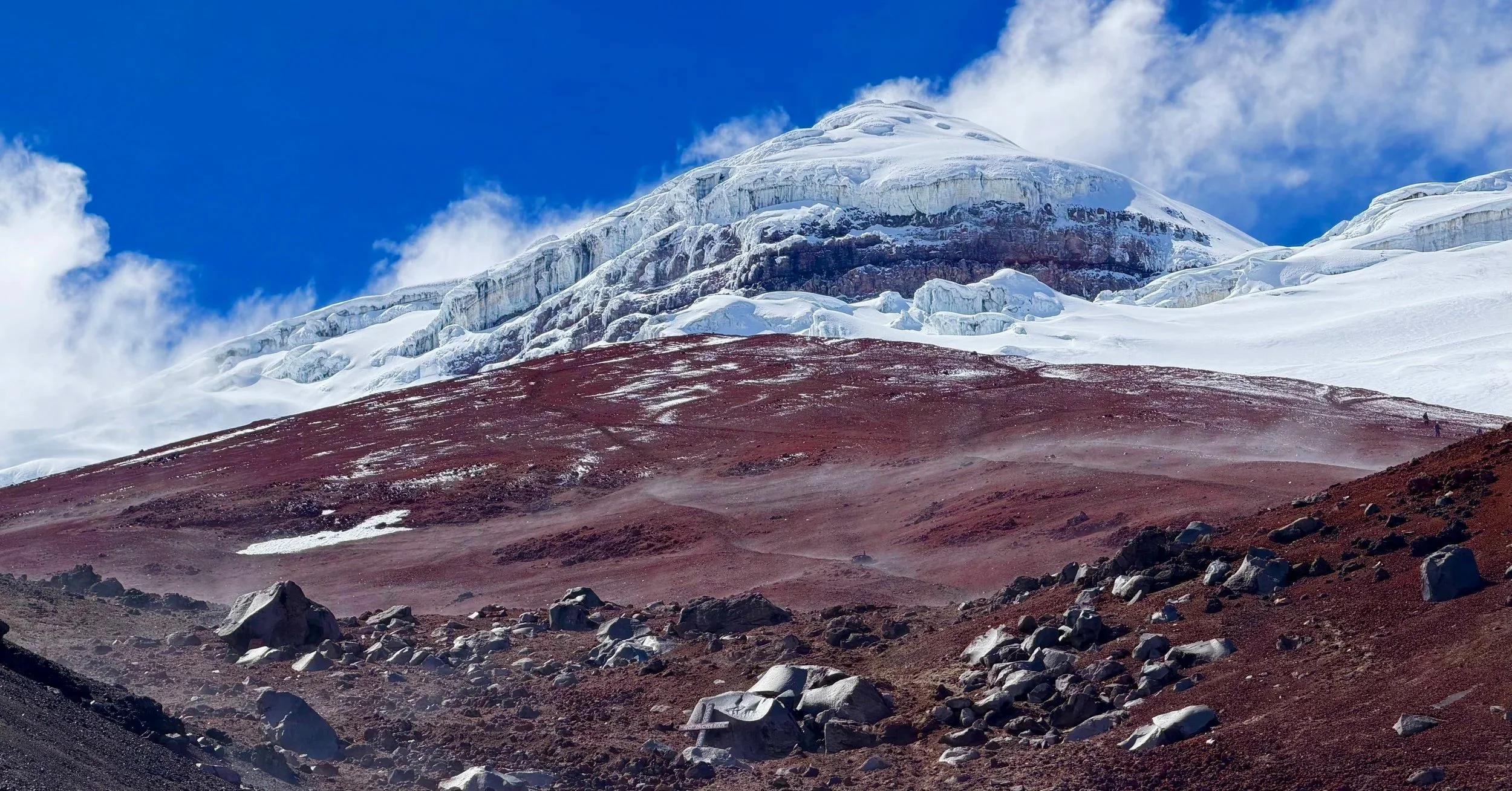
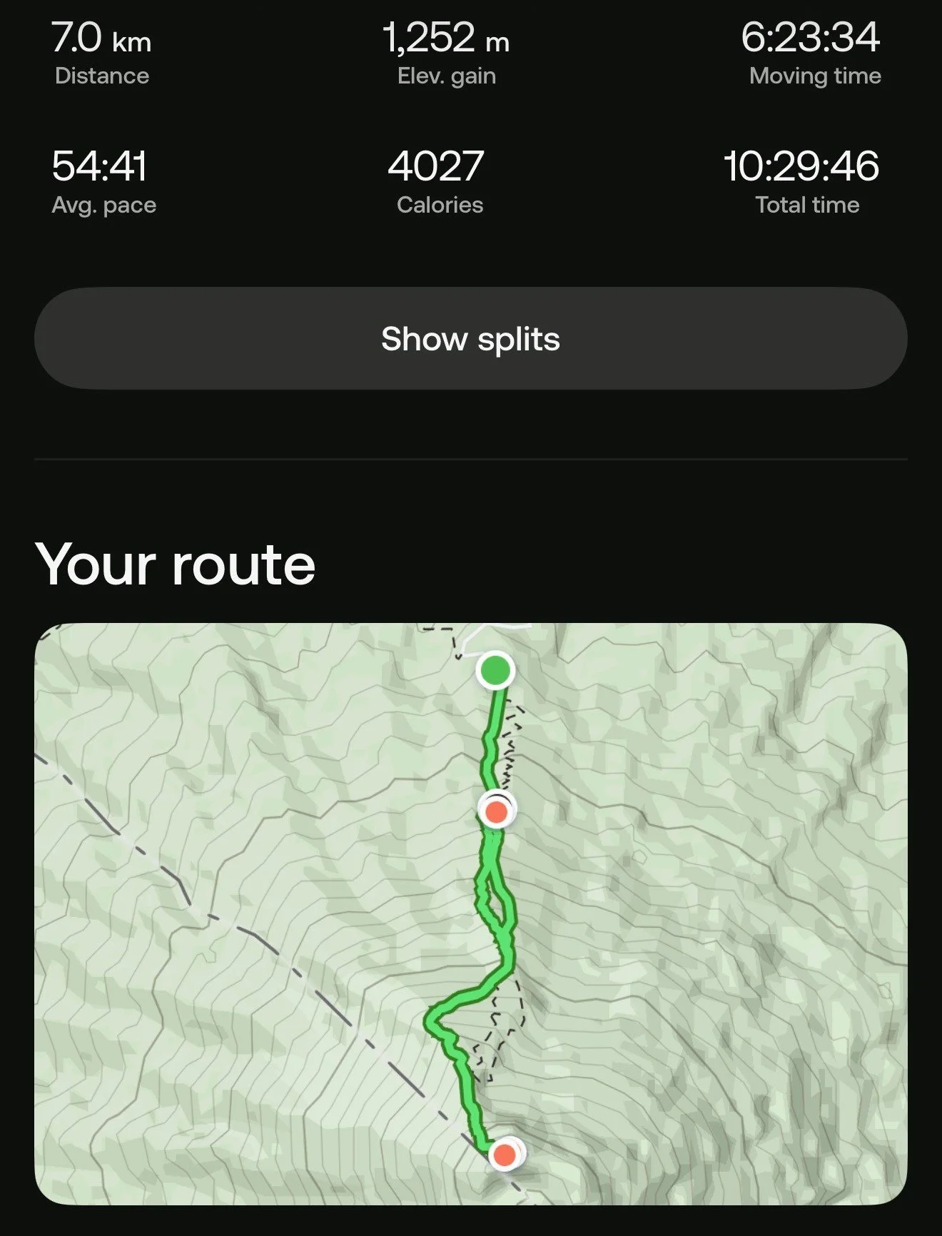
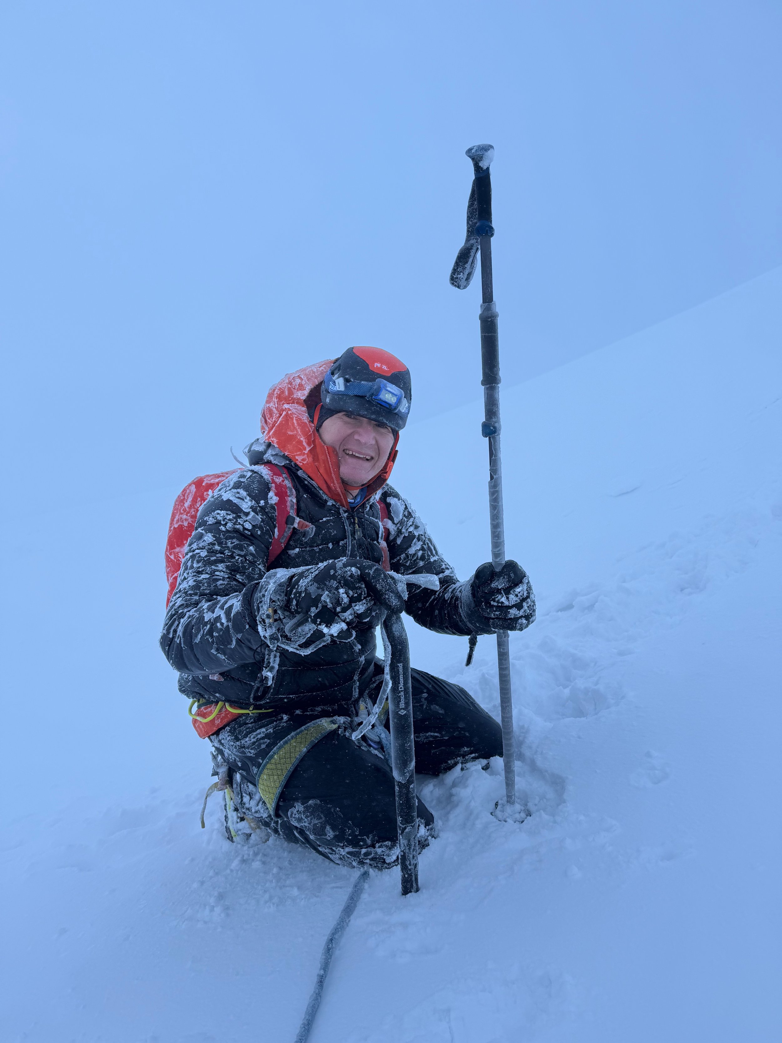
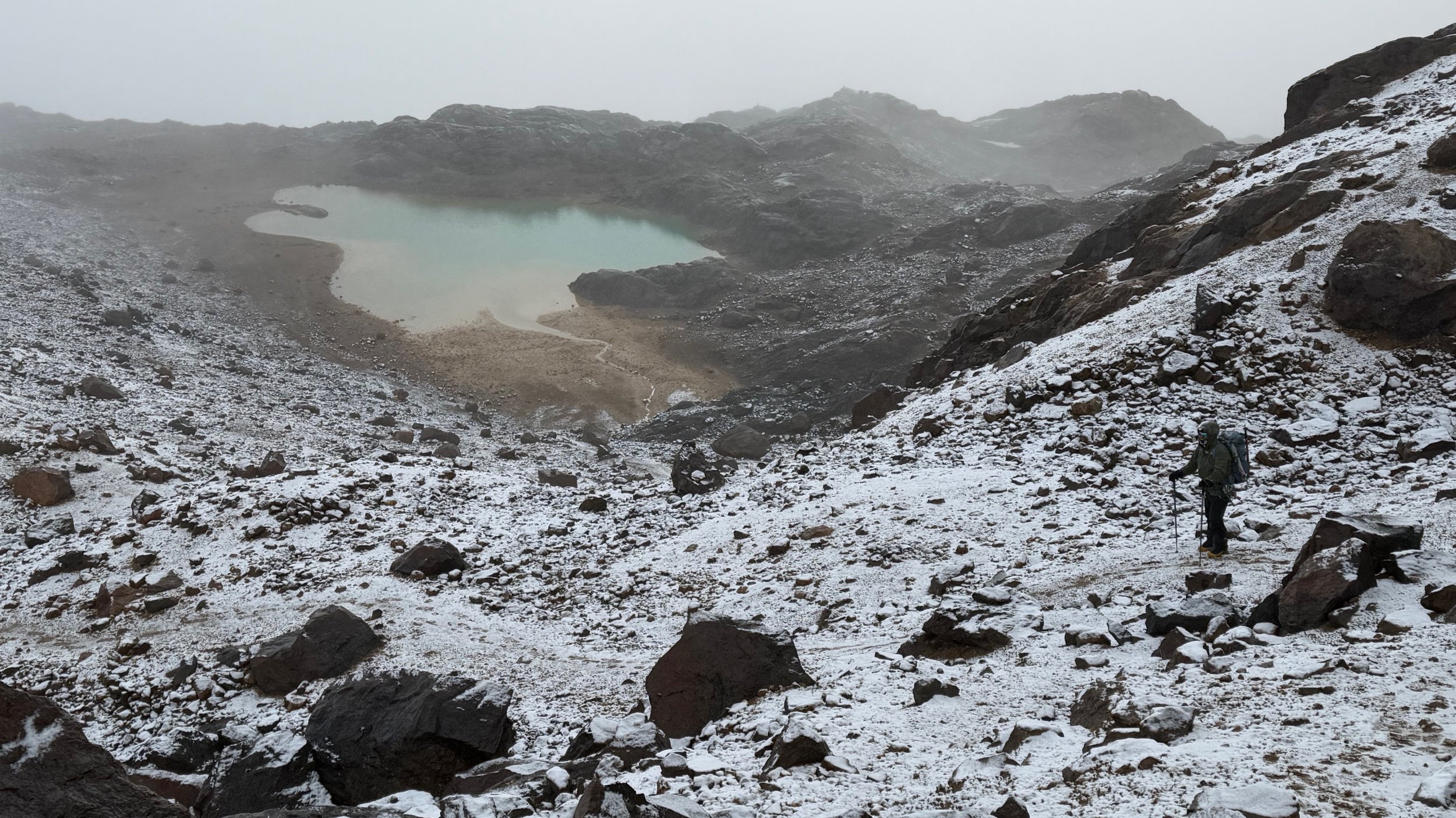
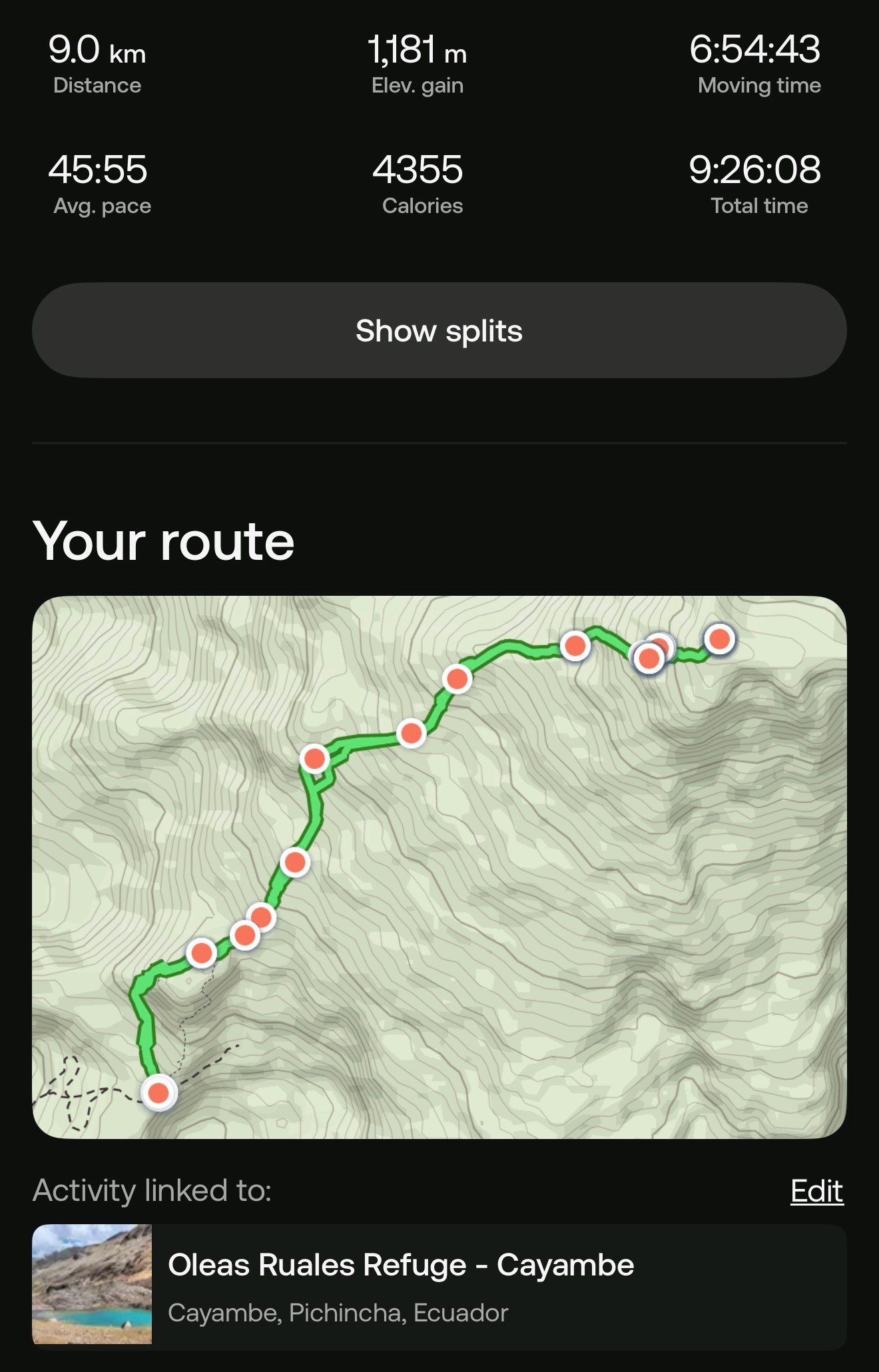
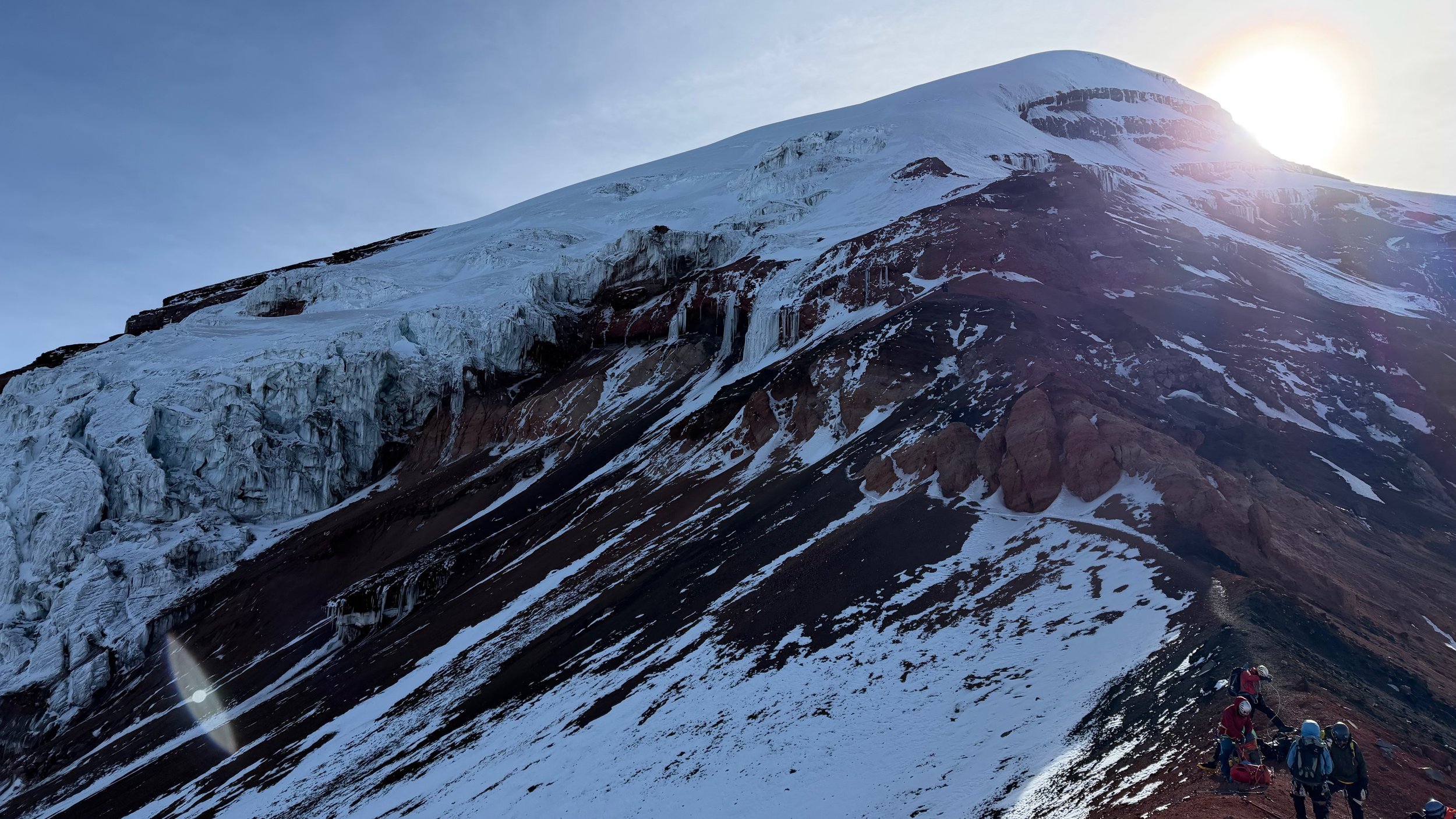
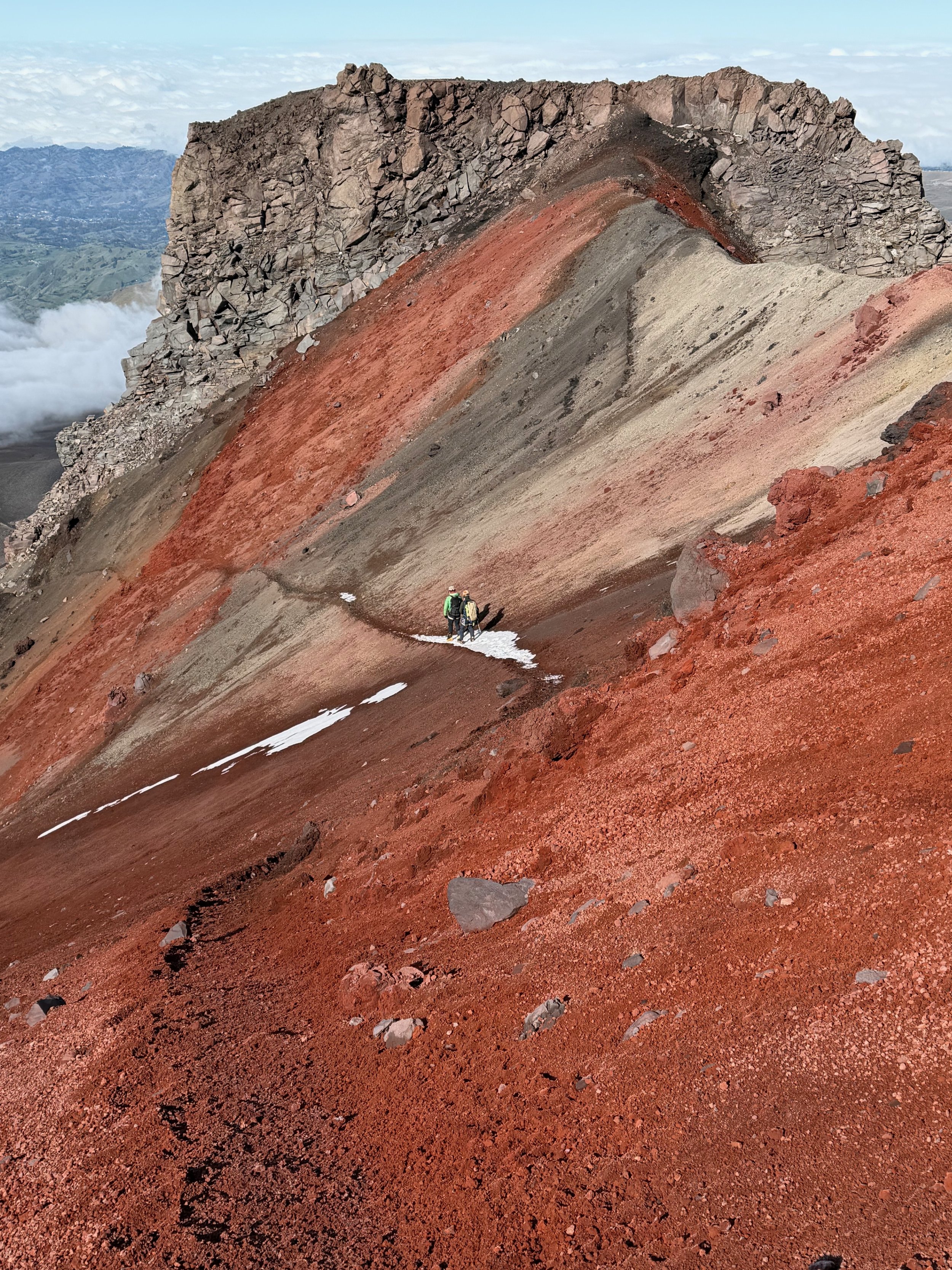
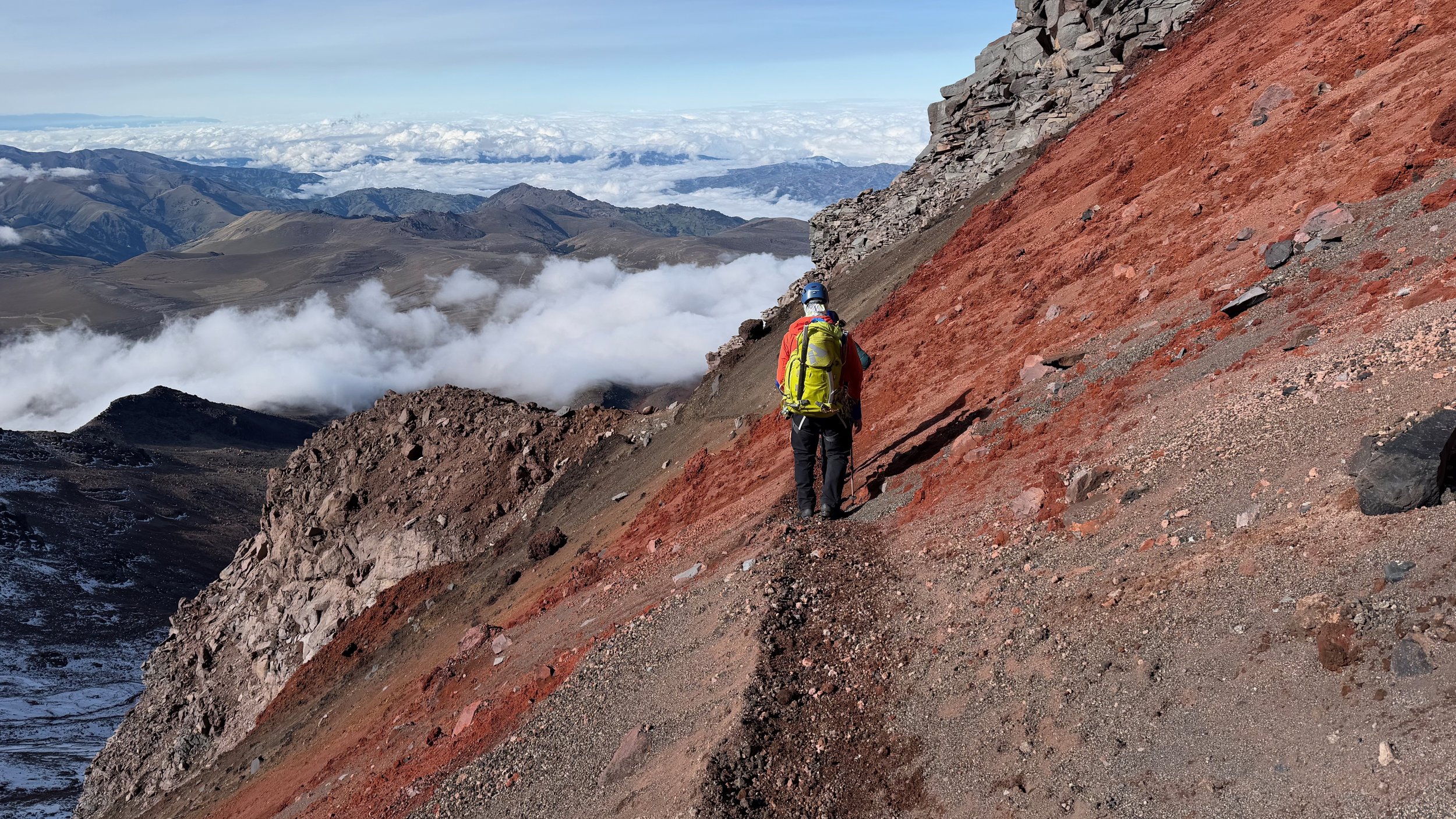
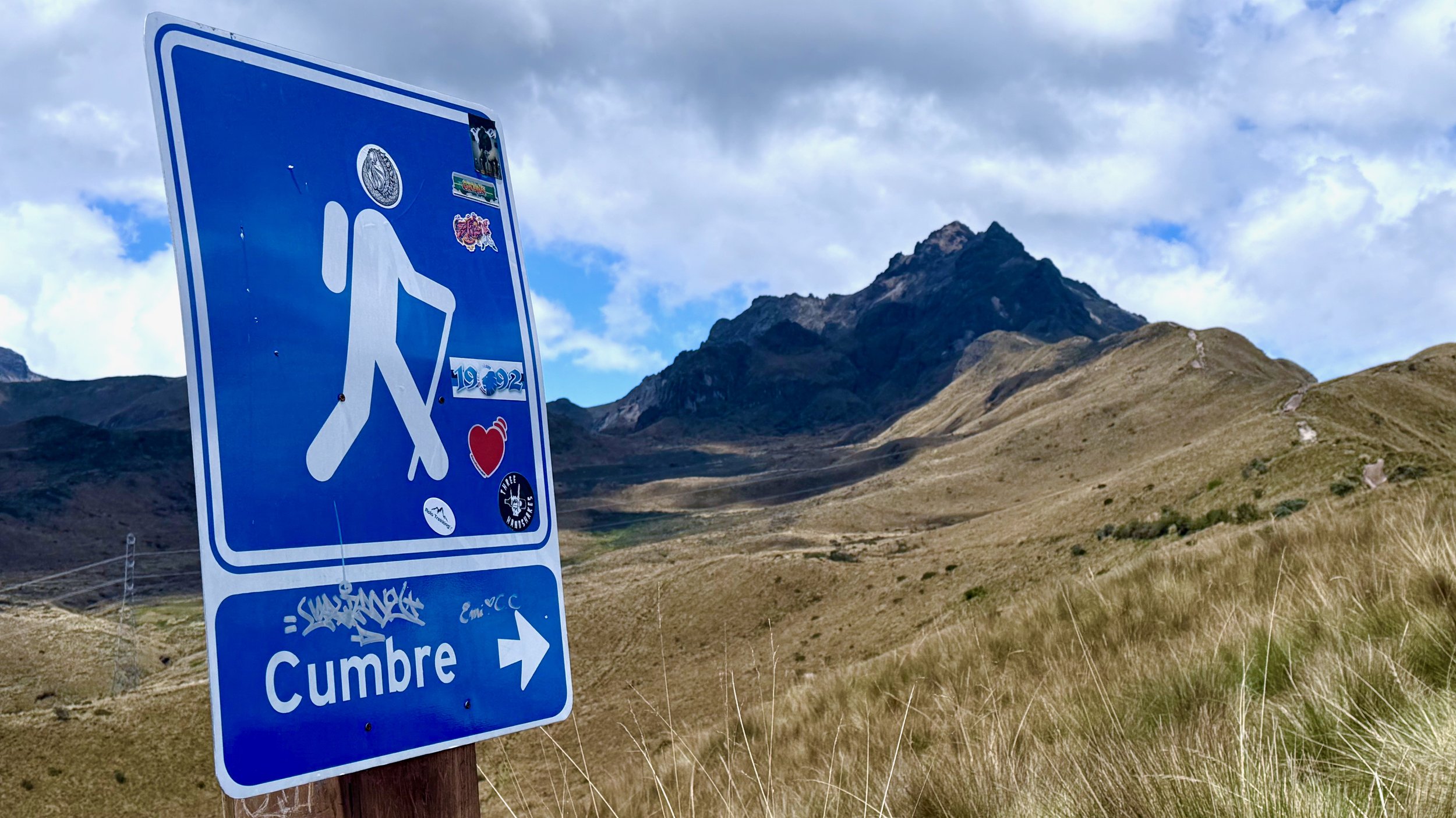
I went up Rucu Pichancha after climbing Chimborazo as a windup hike. I really enjoyed it! I spent the entire day in that area. By that stage, I was so well acclimatized that I could do the entire hike in 2 hrs return.

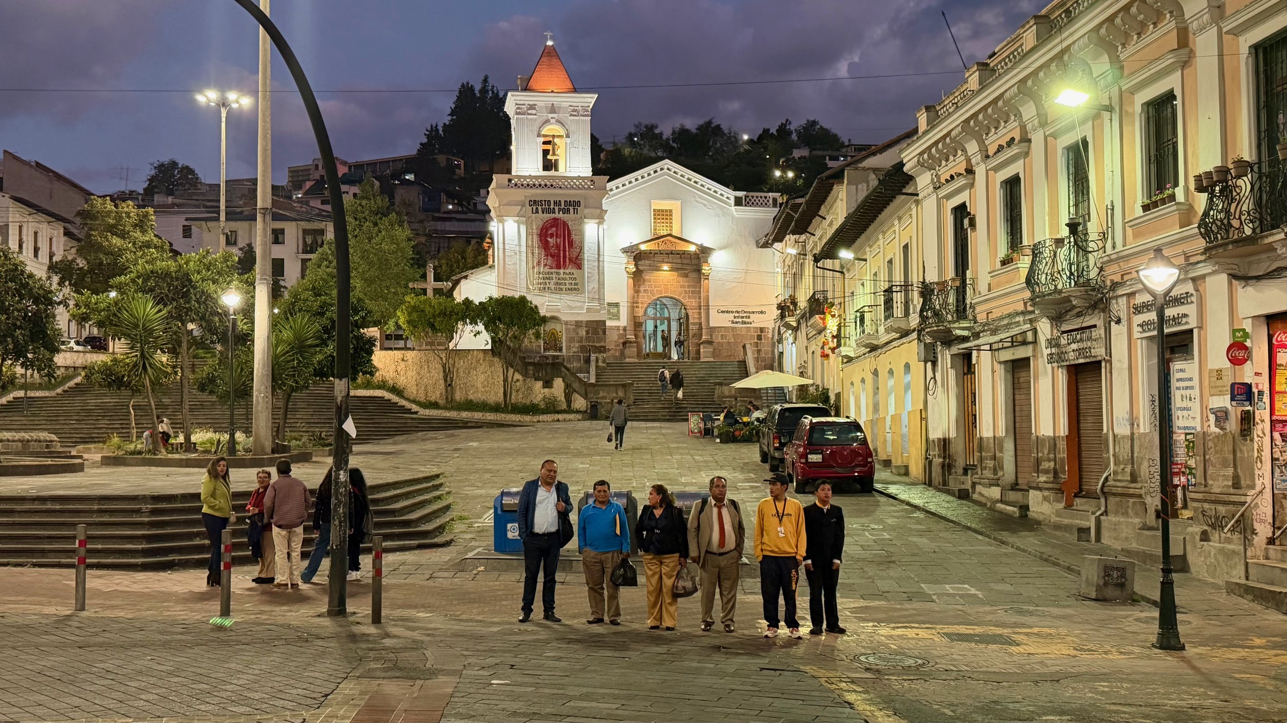
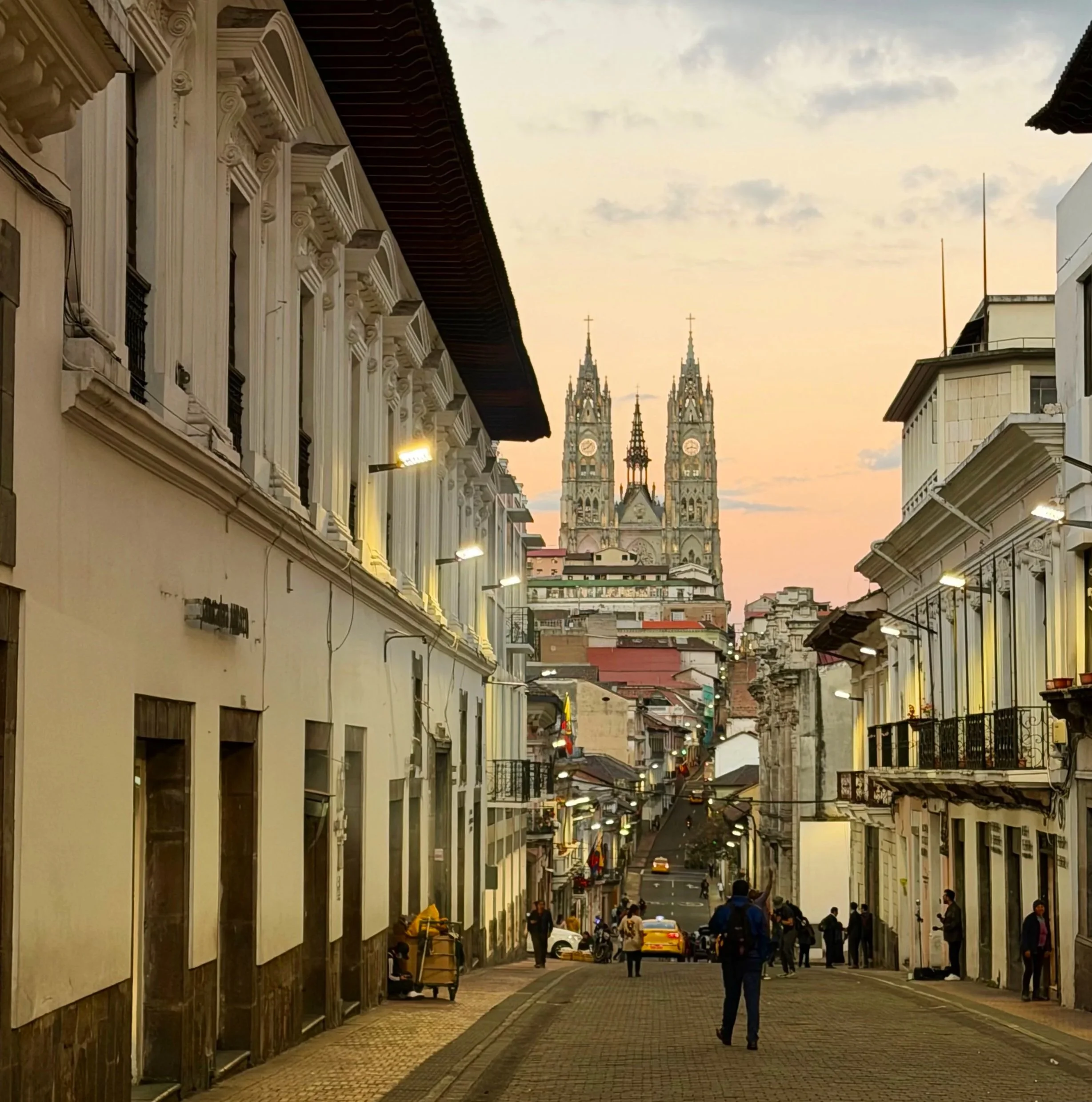
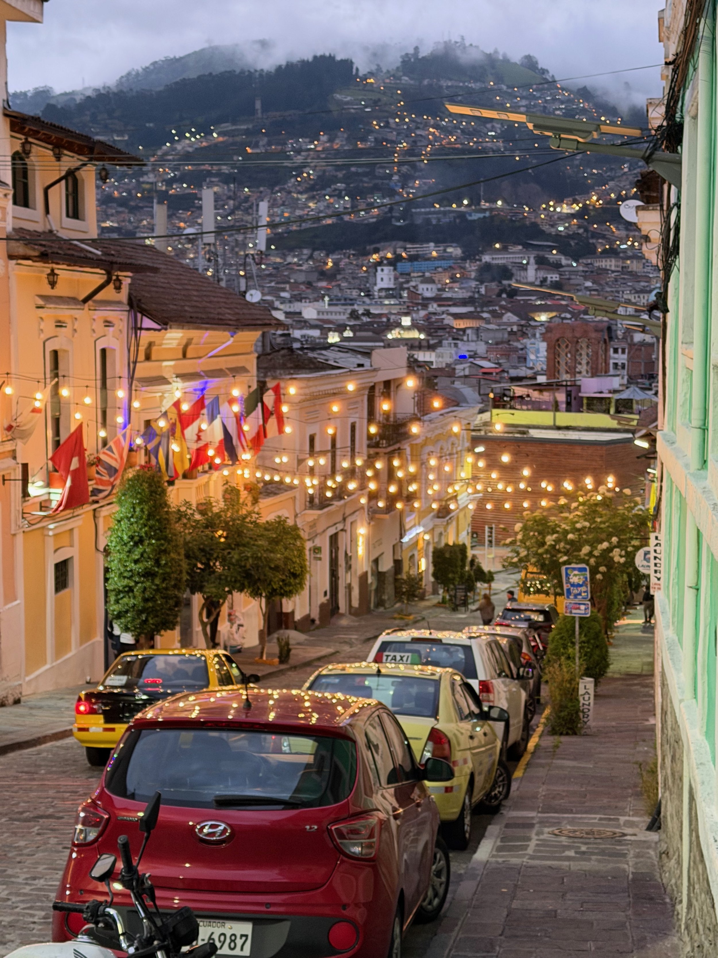
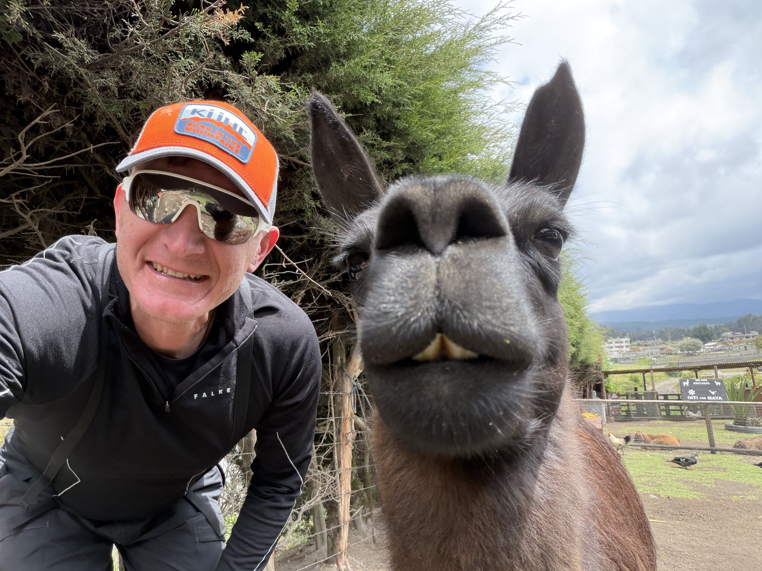
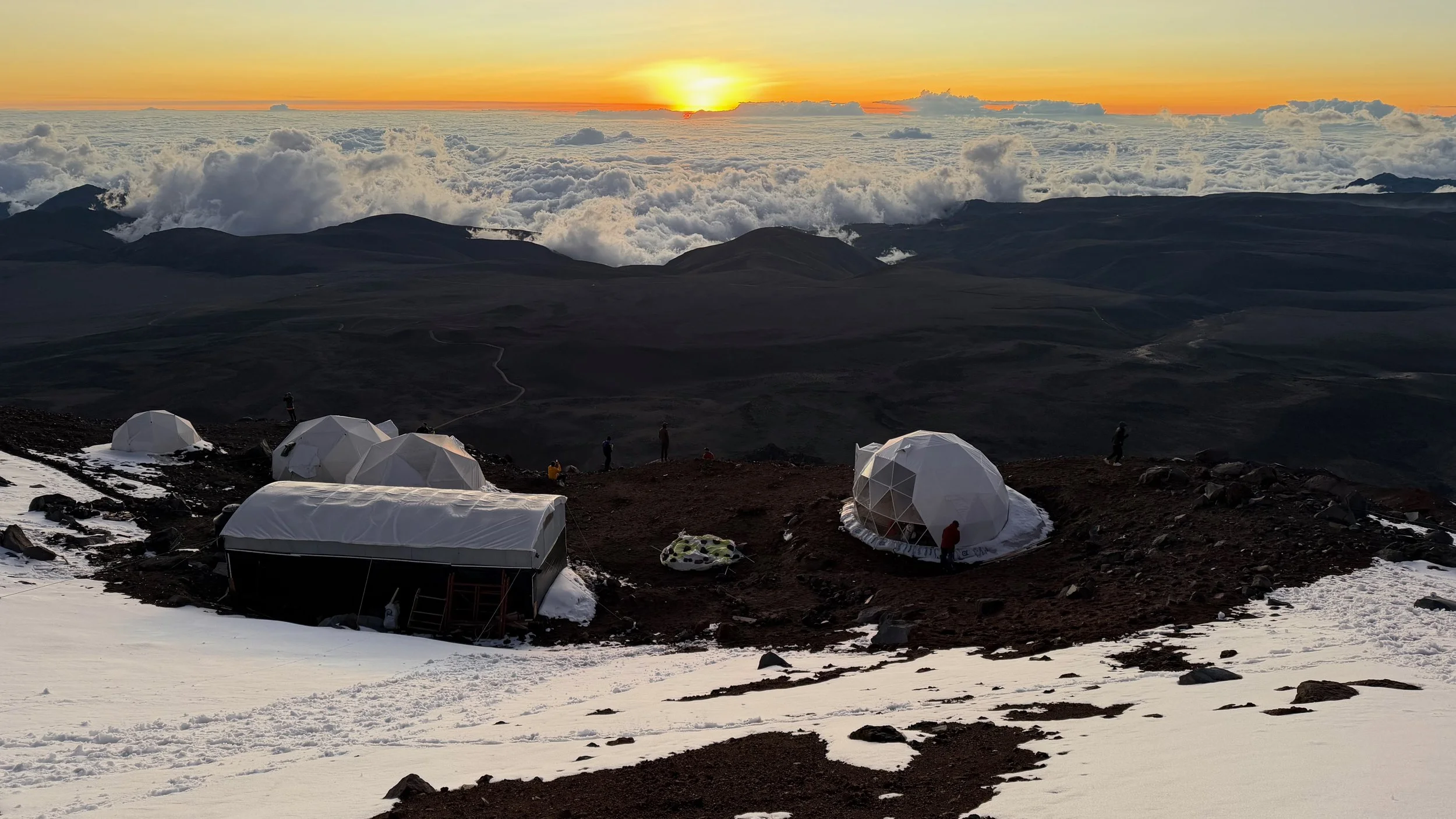
What I loved about Ecuador climbing was the ability to return to Quito after each climb, eat great food, drink plenty of fresh juices and sleep at low altitude. This helped my energy levels immensely and made the recovery fast and effective. Definitely a lux experience!

The start of the Condor trek at 4000m

The first and last camp of the Condor trek

We had to evacuate the cook lady due to severe altitude issues.

Walking back with Ruminahui int he distance.

View of Cotopaxi from the trailhead for Runiahui.

The ridge leads to the summit of Ruminahui. A fun scramble in beautiful surroundings,

The trail gets steeper near the summit. It was quite easy though.

The middle summit offers nice view of the other two volcanic summits. It is a collapsed caldera. It is located across from Cotopaxi so too bad for the clouds.

Nice view of the Andean highlands from the summit.

The Andean plant that is characteristic of Ecuador Andes.

The teleferico takes you from Quito to 4000m, the starting point for Rucu Pichincha hike. The ride is 18 minutes long with fantastic views of the city.

It is truly a wild city - dense, spread out and beautiful.

My destination - Rucu Pichincha. Since I was already done with the high mountains, this was just a fun hike with minimal effort. I did Chimborazo the day before so this felt easy - 2000m lower!

The city was far below. I was hoping to see some distant volcanoes but the clouds blocked the views.

Near the summit of Rucu Pichincha.

At the very end, there is a little bit of easy scrambling.

The Caracara - the resident of the summit of Rucu Pichincha.

Rucu Pichincha with Quito below.

Nice views towards Cayambe.

After Ruminahui we went to Iliniza Norte. Also an easy scramble in dry conditions. Unfortunately we had snow and ice which made some sections quite tricky (paso de la muerte).

The normal routes on Iliniza North and South

The weather was nice but windy. It all changed during the night. The total ascent was 1,300m.

The hike from the parking lot to the hut is 2-3 hrs with an elevation gain of 800m.

Iliniza Norte in the distance. The summit is the pointy rock.

Iliniza Sur and Norte. The hut is in the saddle between the two mountains.

The ascent route on the Iliniza Norte is along the ridge in the forefront up to the pointy summit.

The cozy hut for Iliniza Norte

From the hut we did a short hike to Laguna Verde. The volcanic colours of Iliniza Norte in the sunny weather.

Iliniza Norte

Laguna Verde

A local fox

The hike to the top started at 6 am. The weather was misty with overnight snow and ice.

The icy conditions made the steep sections tricky. We had to traverse this slope.

After the traverse, it was a steep hike to the top with some scrambling.

The summit!

Finally the top but unfortunately no views…. I was a little disappointed.

The steep descend on icy rocks.

Ecuador Andes - Chimborazo, Cotopaxi and Cayambe

After my acclimatization hikes and one day of rest, it was time to step up the game. I had 3 big mountains to climb in 6 days. First Cotopaxi (January 12), then Cayambe (January 15) and lastly Chimborazo (January 18). I decided to take one mountain at a time and promised myself to turn around or abandon the next one if I did not feel up to it. Somehow it all worked out. I never pushed too hard and kept in mind that I had all 3 to climb and not just one.

I have to admit that this one is the prettiest and offers best views of all 3 high ones.

Cotopaxi on a painting in Quito

We started from the parking lot at 4,500m. The summit is at 5,900m so the elevation gain was 1,400m. We started at 12.30am and topped out at 6.30am going at a recreational pace.

The clear night sky was a good omen for the possible views from he summit!

At dawn we were nearing the summit.

The Ilinizas are now so far below. The huge shadow of Cotopaxi is projected on the clouds below.

The Ilinizas where we were just two days before.

In the distance is Cayambe, the next objective in two days time.

The top is now clearly in sight!

When you pop up over the summit ridge, this is the view! Just Wow!

Wild snow and ice formations due to steam from the active crater. You can smell the sulphur.

Great views to the Highlands from the summit.

The Avenue of the Volcanoes and the Andean Highlands. Antisana is on the right and Cayambe is in the distance.

The Carter and the view south.

I was very happy for the clear weather!

Top of Cotopaxi!

Cayambe and Antisana

Free like the wind! Libre como el viento!

Looking towards Chimborazo - it was in the clouds.

It was time to come down. The steepest part was at the very top. Maybe 45 degrees but with a good trail.

Antisana and Cotopaxi’s summit rock formations.

The steep incline of the Cotopaxi’s summit section.

Looking back to the steep section at the summit.

The incline of the slope at the upper section of Cotopaxi. The summits of Iliniza’s peeking above the clouds.

The good trail down.

Looking back at Cotopaxi from near the hut. I liked the contrast between the snow and the red volcanic rock.

The large and luxurious mountain hut for Cotopaxi. We did not stay there, just stopped for tea.

Cayambe kicked my ass in a big way. I have never seen the mountain while I was there, yet I climbed it. We were engulfed in a snow/ice storm with winds of 40-50km/hr. I could not look up as the ice crystals would hit my eyes and cause unpleasant painful sensation. It was a wet, cold, icy slog to the top, in the dark and then in a fog. The wind on the summit was very strong and it was freezing. By the time we got high up we were both encased in ice. All of our gear was covered in a sheet of ice. The hood of my wind breaker was so ice stiff that it felt like a second helmet. We did not have any views from the top, the visibility was only a few meters.

Yet, it was a great adventure! It was a struggle mentally to press on but I felt good satisfaction afterwards. A character building experience! The same storm affected Cotopaxi and no one got far above the hut on that mountain. Maybe one day I will go back and see the mountain that I climbed! Apparently it is quite beautiful :-)!

The entrance to the National park. Coca is in the Amazon only 60km down below Cayambe. The moisture from the Amazon affects the precipitation on the mountain. Cayambe is located exactly on the equator which also adds to the unpredictability of the weather forecasts.

Misty approach to the hut at Cayambe.

The Cayambe mountain hut.

Very clean and cozy hut. You get a good meal and a clean bed in a dorm.

The lower sections of Cayambe Volcano.

We started at midnight and topped out at 6am. The climb was 1,200m.

Navigating the crevasses in the fog and encased in ice.

The summit, although we could be anywhere!

We are at the top of Cayambe!

Wild ice formations on the way down.

Frozen but happy!

Navigating crevasses in a fog.

Everything was coated in ice!

Ice covered!

Awesome views!

Ice man

The glacier is quite long and in the fog it felt even longer.

Glaciar Hermoso on the lower section of Cayambe.

This is the best view of Cayambe I got…

Cayambe

Lower section of Cayambe.

Back to Quito to dry off…

Pretty Quito

After fighting the weather on Cayambe and dealing with wet clothing, I was not sure if I had it in me to tackle the biggest mountain of all: Chimborazo. But I decided to go to the basecamp and see how I felt. Surprisingly, as everything dried off, my mood returned. I actually got excited about going up this mountain. It looked huge from the basecamp.

The route of ascent is from the parking lot at 4800m to camp 1 at 5300m. Then from camp 1 to the summit at 6,264m. Total elevation gain is 1,564m. All the meters above 6000m are hard. Once you top off on the Cumbre Veittimilla, there is still quite a long distance to the main summit. The hike across the vast snow plateau in the cold wind involves a descent and a climb back up. At this elevation, and at the end of the climb it is actually hard work!.

The basecamp hotel with Chimborazo towering 3000m above!

The hotel security guard.

The massive imposing bulk of Chimborazo from the basecamp. Looking at the cloud formations, it was clear that the winds were quite strong.

Chimborazo from the entrance to the National Park.

Sunset on Chimborazo with high winds. The weather is a wildcard here. The group which tried to climb the day before me returned without summiting due to very high winds.

The entrance to the National Park.

Hiking up to the high camp 5,300m.

The high camp is like a moon base. The views are fantastic, the food is good and the beds are cozy!

Looking at the ascent route to camp 1.

Looking at the ascent route. It is actually quite steep - the steepest of all high volcanoes. The majority of the ascent is 45-50 degrees. A slip would not end well…

Beautiful sunset

Fantastic sunset

Cotopaxi from the high camp at sunset.

The summit! We had to pace our speed to arrive at the top at sunrise. If you arrive early, you have to wait for the sun in a very exposed place with high winds and cold (-15 -20C). It is better to go slow and take breaks on the way up as moving keeps you warm.

Summit of Chimborazo

I was happy to be here!

Cotopaxi, Antisana and Chimborazo

My guide is saying a prayer for safe ascent and descend.

The volcanoes near Chimborazo

Ilinizas, Cotopaxi, Cayambe and Antisana from the summit of Chimborazo.

The lower summit of Chimborazo and the large snow filed separating both summits.

Ilinizas, Cotopaxi, Cayambe (all 3 i have climbed) and Antisana.

Cotopaxi, Cayambe and Antisana

A closeup of Cotopaxi and Cayambe

Antisana

A careful descent

A steep descent from the summit.

A slip here would result in a long ride down!

A steep angle of descent.

Wild ice and glacial formations on the way down. We could now see what we missed during the night.

The Ilinizas in the distance and the glaciers formations on Chimborazo.

You can see the basecamp far below. It is really a big mountain!

Looking back to our route.

Once off the glacier, the wild volcanic colours come into view.

Back at the high camp for a quick drink and re-group.

The route back to the car lot.

The lapidary for the persons who perished on Chimborazo. I did not realize that so many people died here!

This an interesting fact about Chimborazo. I was happy to be done with this massive mountain and the project of climbing the 3 highest mountains in Ecuador. The total ascent on all 6 mountains during this trip was close to 7000m in 12 days.

The following day I did a very enjoyable windup hike to the top of Rucu Pichincha. This is a very beautiful area very close to Quito. It is usually used for acclimatization but somehow I left this one for last.