Quttinirpaaq National Park is a Canadian national park. Located on the northeastern corner of Ellesmere Island in the Qikiqtaaluk Region of Nunavut, the most northerly extent of Canada, it is the second most northerly park on Earth after Northeast Greenland National Park. In Inuktitut, Quttinirpaaq means "top of the world". In order to get there, one must fly to Resolute and from there, one must take a Twin Otter plane on a four hour flight further north. The flight requires a refueling stop at the Eureka Military Base half way up the Ellesmere Island. The plane is equipped with large balloon tyres to enable it to land on a grassy tundra. During the summer, there is 24 hour daylight. The starting point of the trek is Lake Hazen, located at the latitude of 81 degrees north and approximately 1,000km south of the North Pole. Lake Hazen is located to the north of the Earth's magnetic pole making compass navigation impossible.

The location of Ellesmere Island.

The 100km long trekking route from Lake Hazen (in the middle of the map) to Tanquary Fjord (on the lower left part of the map) traverses the Quttinirpaaq National Park.


Lake Hazen

Lake Hazen

Lake Hazen

Lake Hazen

Lake Hazen

Lake Hazen

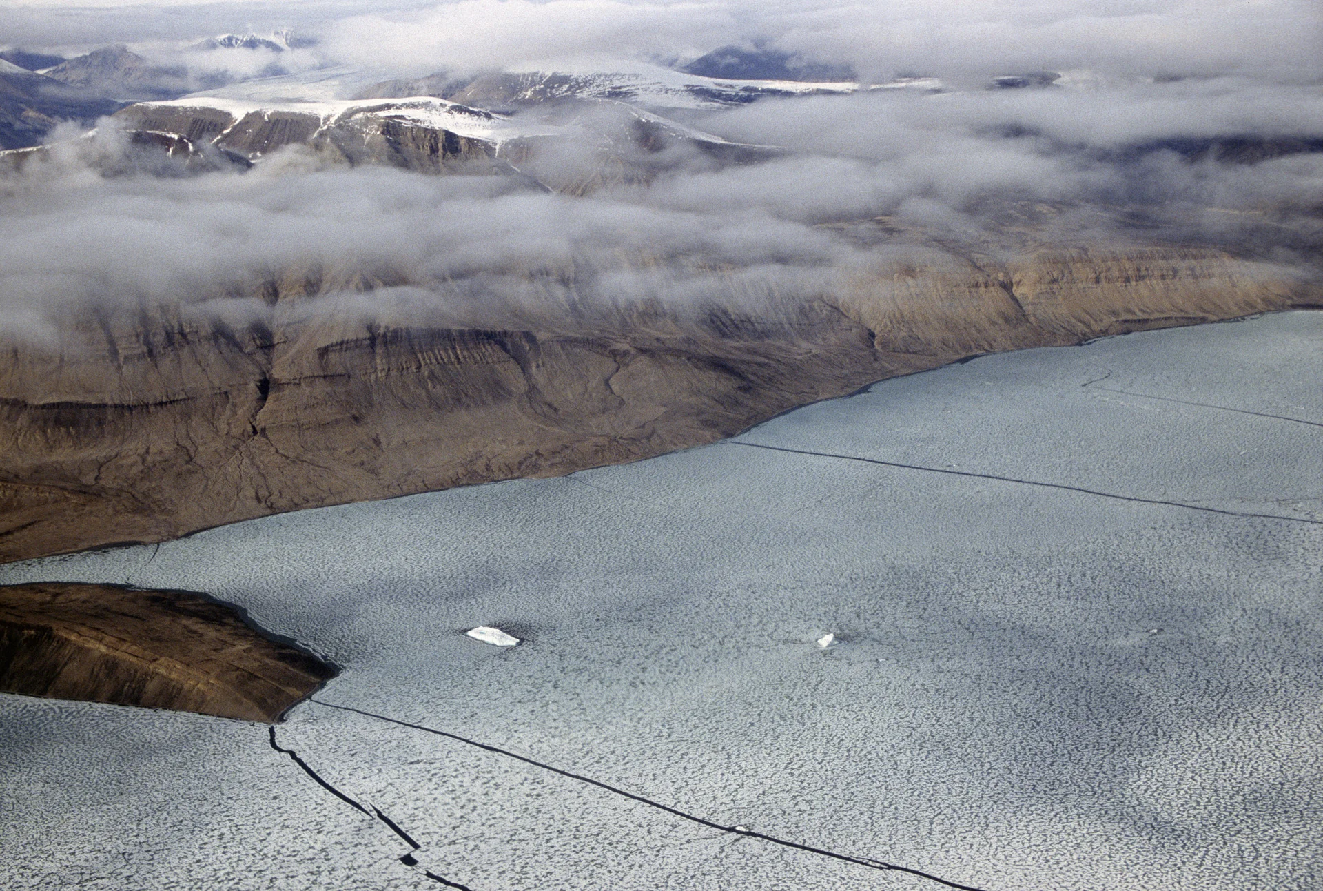
The Henrietta Nesmith Glacier


Henrietta Nesmith Glacier


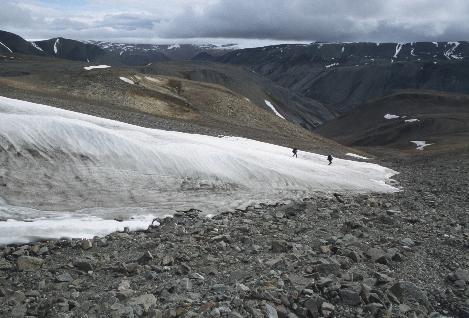
Turnstone Glacier

Turnstone Glacier

Turnstone Glacier


Adams Glacier
Adams Glacier

Tanquary Fjord and mummified Muskoxen

Adams Glacier

Adams Glacier


Lewis Lake

Garfield Range

Garfield Range


Lewis Lake


Lewis Lake


Camping by Adams Glacier

Lewis River, we were aiming for the hills on the left on the horizon

Part of the Ad Astra Icecap


Lewis LAke
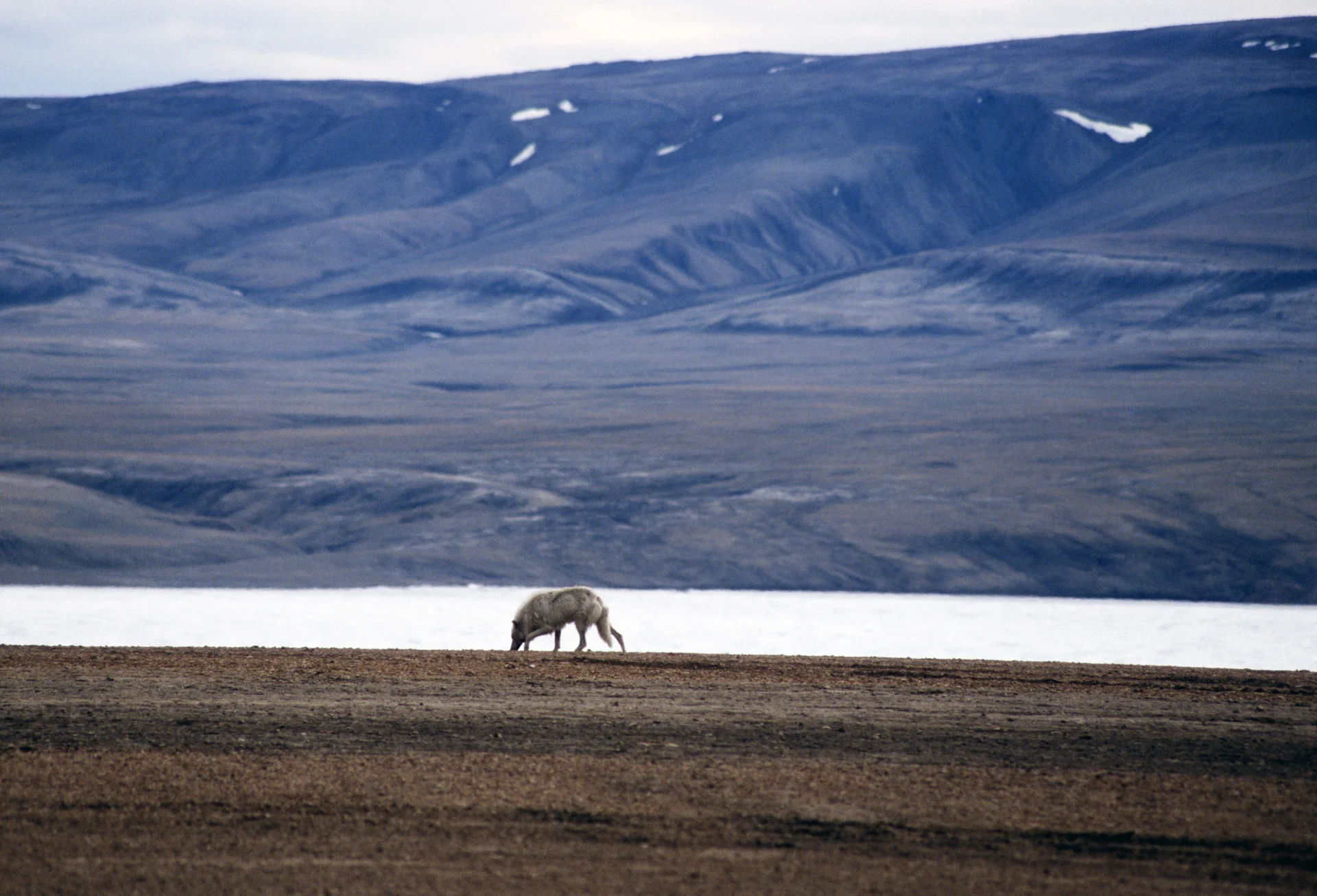
Arctic wolf

Parks Canada station at Tanquary Fjord

Tanquary Fjord


Old supplies in the Parks Canada Station at Tanquary Fjord

An antique Bombardier snow machine at the Parks Canada camp