The Mazeno La trek has been on my radar for a while, but I could not find an efficient way to do it. The region is not popular for trekking due to the incident in 2013, when 11 climbers were shot in the Diamir basecamp by local members of the Taliban. This trek has a reputation for crossing unfriendly territory. The locals in the Diamir Valley do not welcome guides or porters from the outside and definitely do not welcome solo trekkers.
The Mountain Company (the UK outfit that organized this trek), needed 3 years to find 6 people who would be interested in signing up for this trip. It finally managed to pull it off in 2025. I was very happy for this opportunity!
I had no expectations about this trek. It was part of the longer trip for me consisting of the Mazeno La, Jamal Pass and Sim La over one month time frame. I treated the Mazeno Pass as a warmup and acclimatization for the Karakoram part of the trip.
As it turned out, I was very pleasantly surprised. The Rupal and Diamir sides of Nanga Parbat were very different and each had a unique feel to it. The Mazeno Pass was very interesting with a right dose of challange. Also, we were lucky with the weather.
2025 was unusually hot and hiking uphill in the heat was sometimes an intense experience: “The region endured a severe heatwave in June, affecting Northern India and Pakistan. Gilgit-Baltistan recorded extreme temperatures, with Chilas district hitting 48.5°C on July 5, breaking a 28-year record. June’s dry conditions prompted heat warnings in Delhi, Punjab, Rajasthan, Uttar Pradesh, and Haryana. Hospitals in Pakistan’s Punjab province reported an influx of heatstroke cases.” What caused problems lower down, worked in our favour.
Unfortunately, the 2025 season ended with few deaths among foreign climbers from rockfalls and severe flooding all over Gilgit Baltistan.
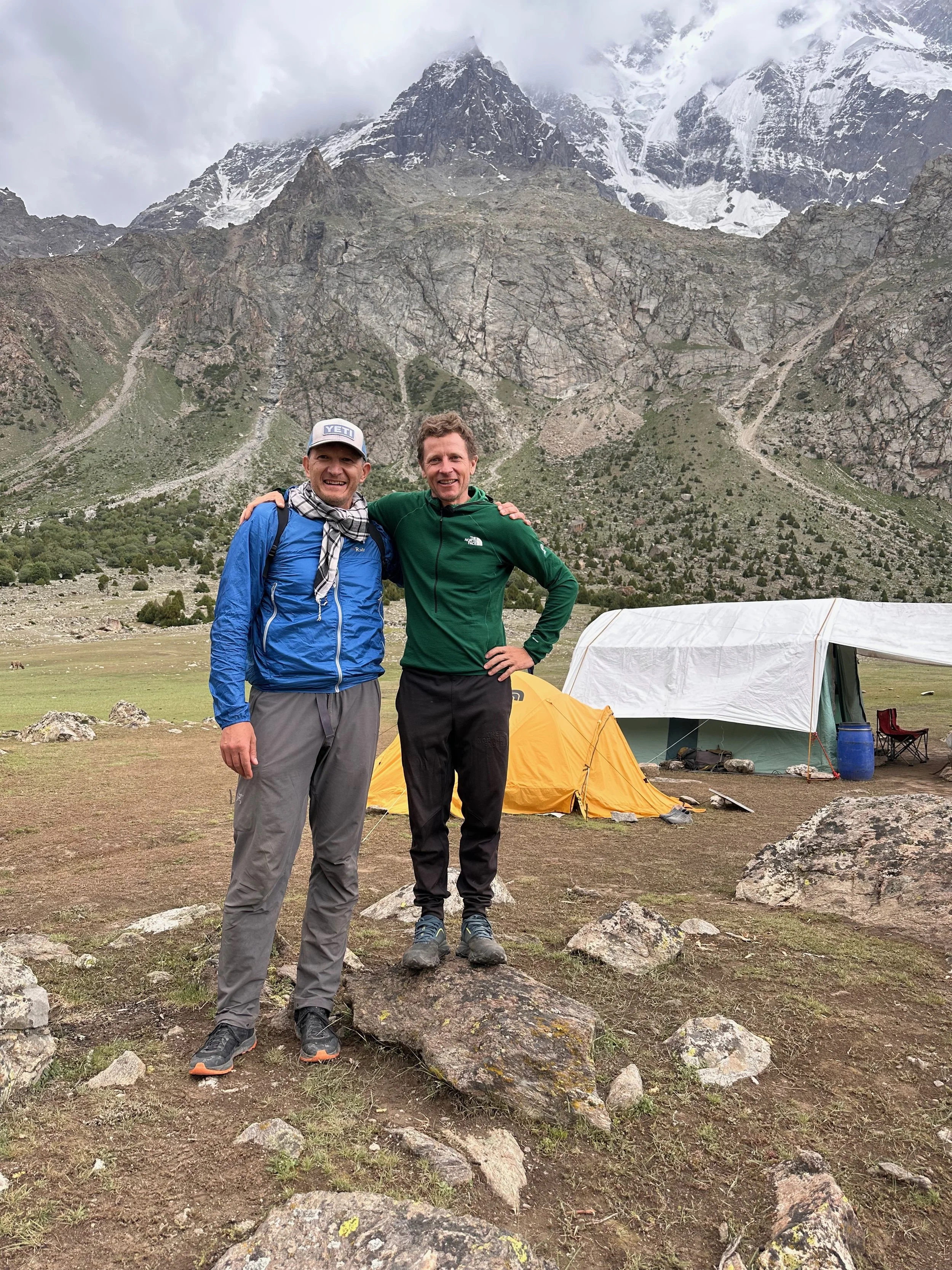
Thanks to Faquir, Ghani and Aid for being good guides and companions.
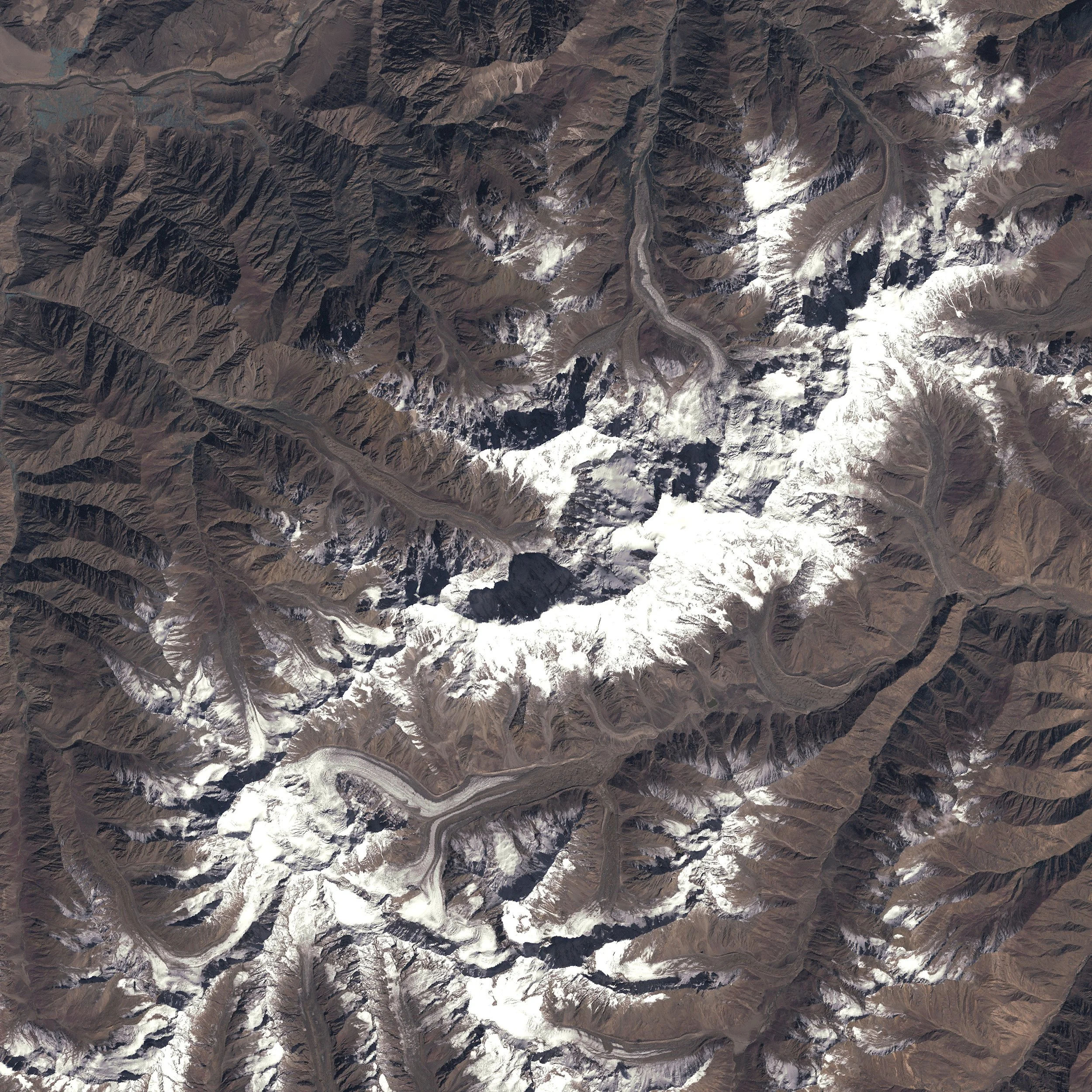
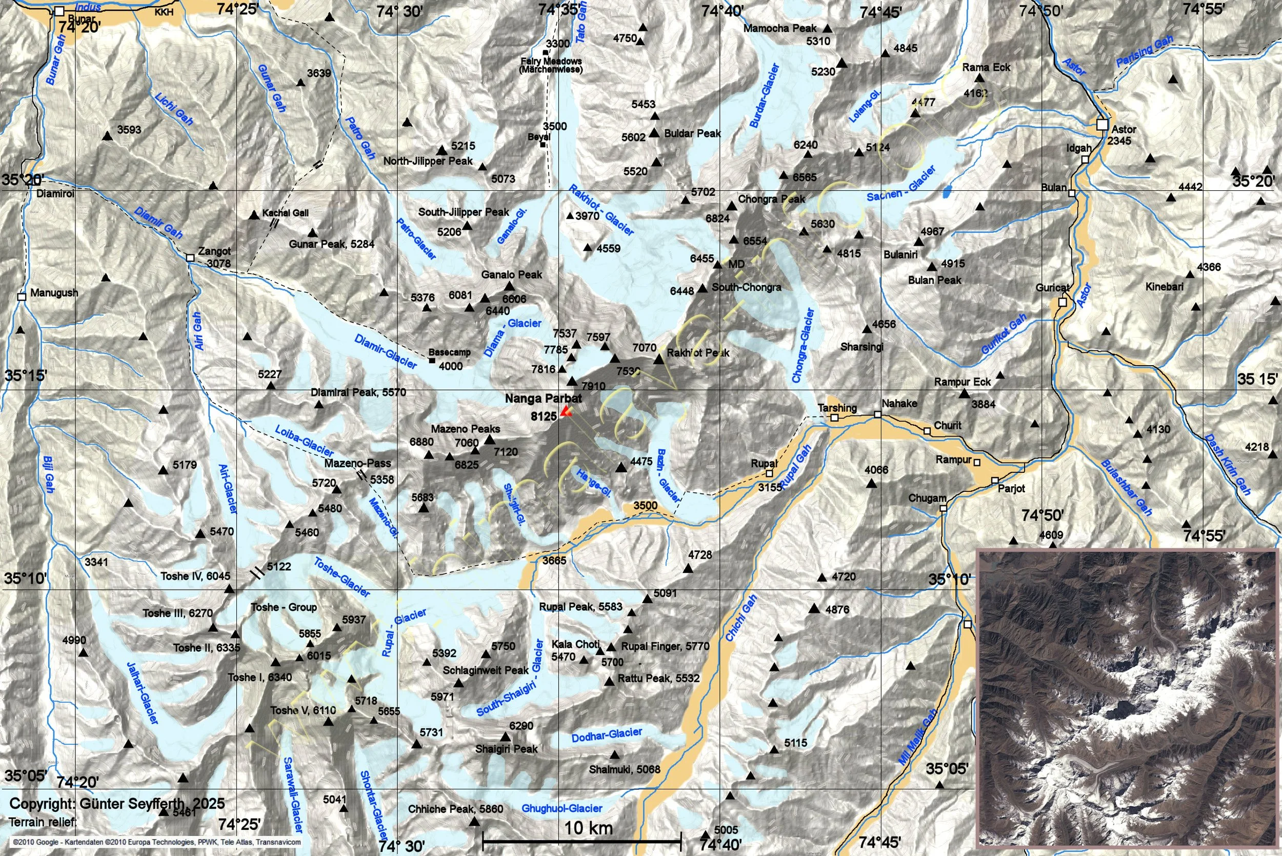
Nanga Parbat from space. Our journey started on the right side of the above photo, proceeded along the Rupal Valley, crossed the Mazeno Pass at 5,400m (left lower part of the photo), and proceeded to the Diamir Valley (centre of the photo). The total distance covered was roughly 140-150km.

The mass of our trek courtesy of Mat from our group.
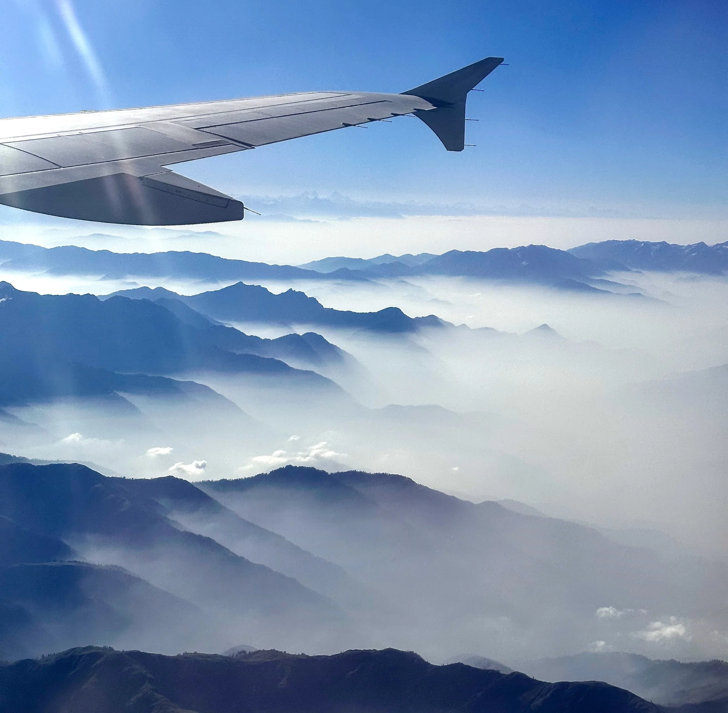
In all the years of coming to the Karakorum, this is the first time that I managed to fly to Skardu from Islamabad. a 50min flight vs 2 day drive.
Kashmir
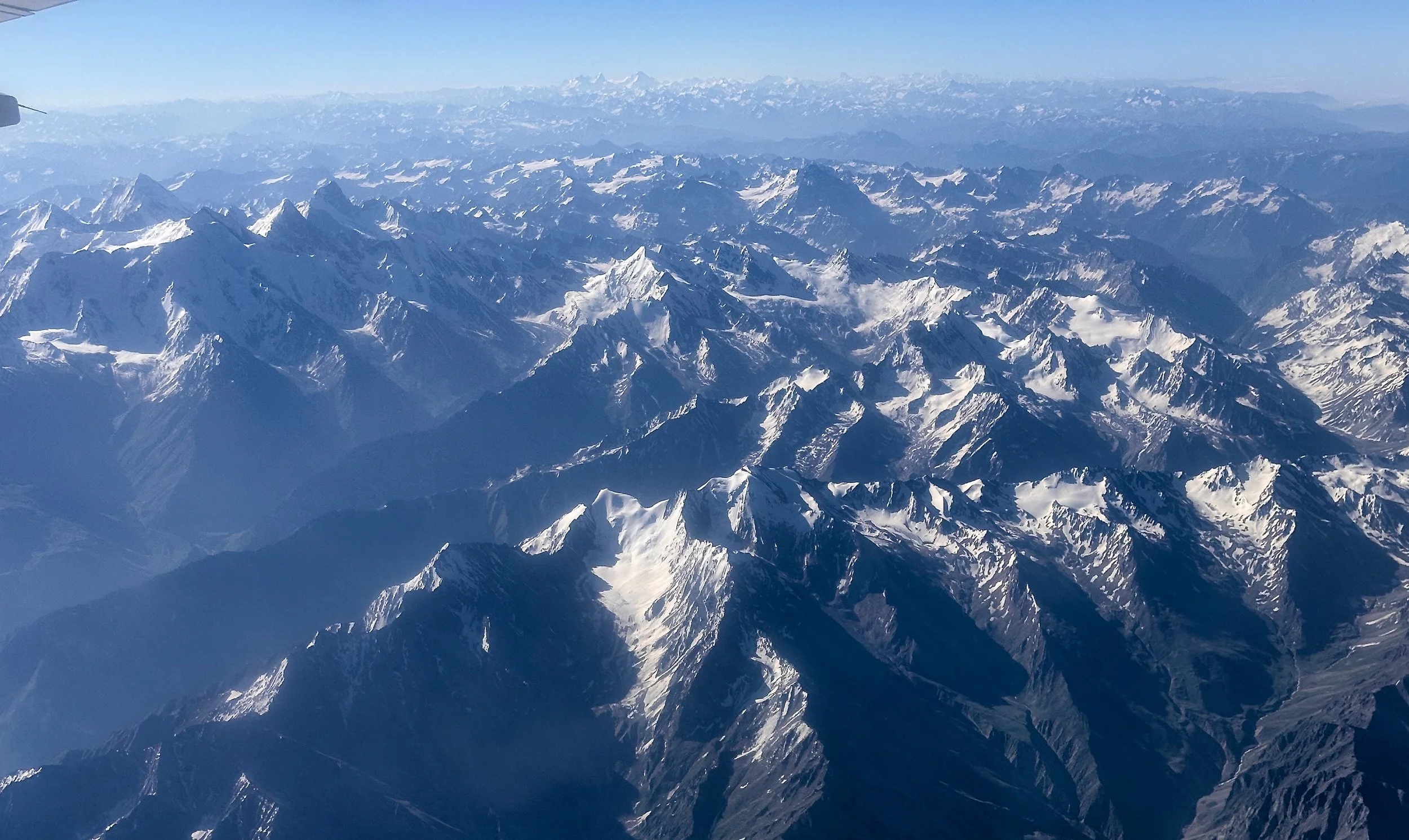
The Himalaya in the vicinity of Nanga Parbat.
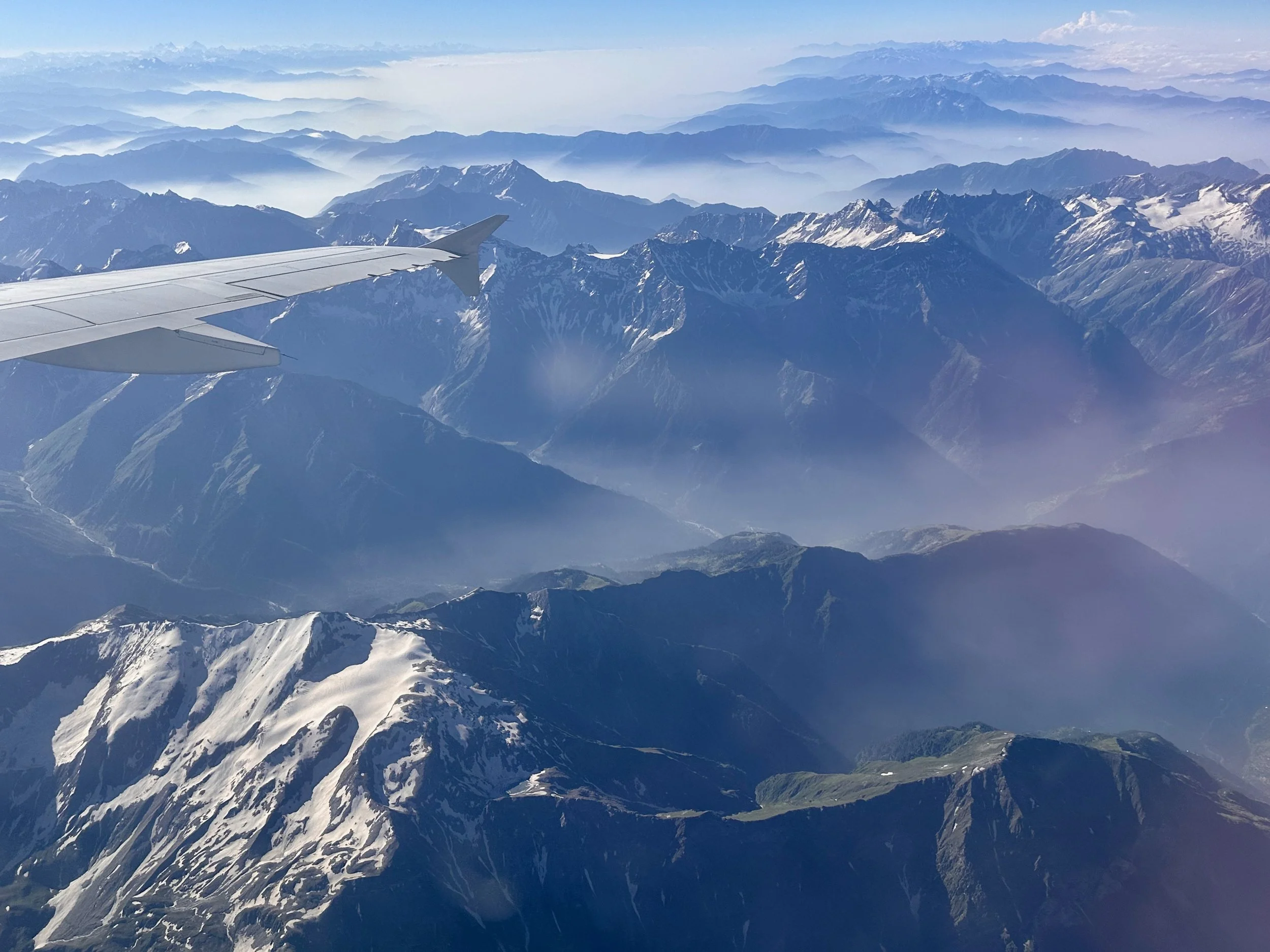
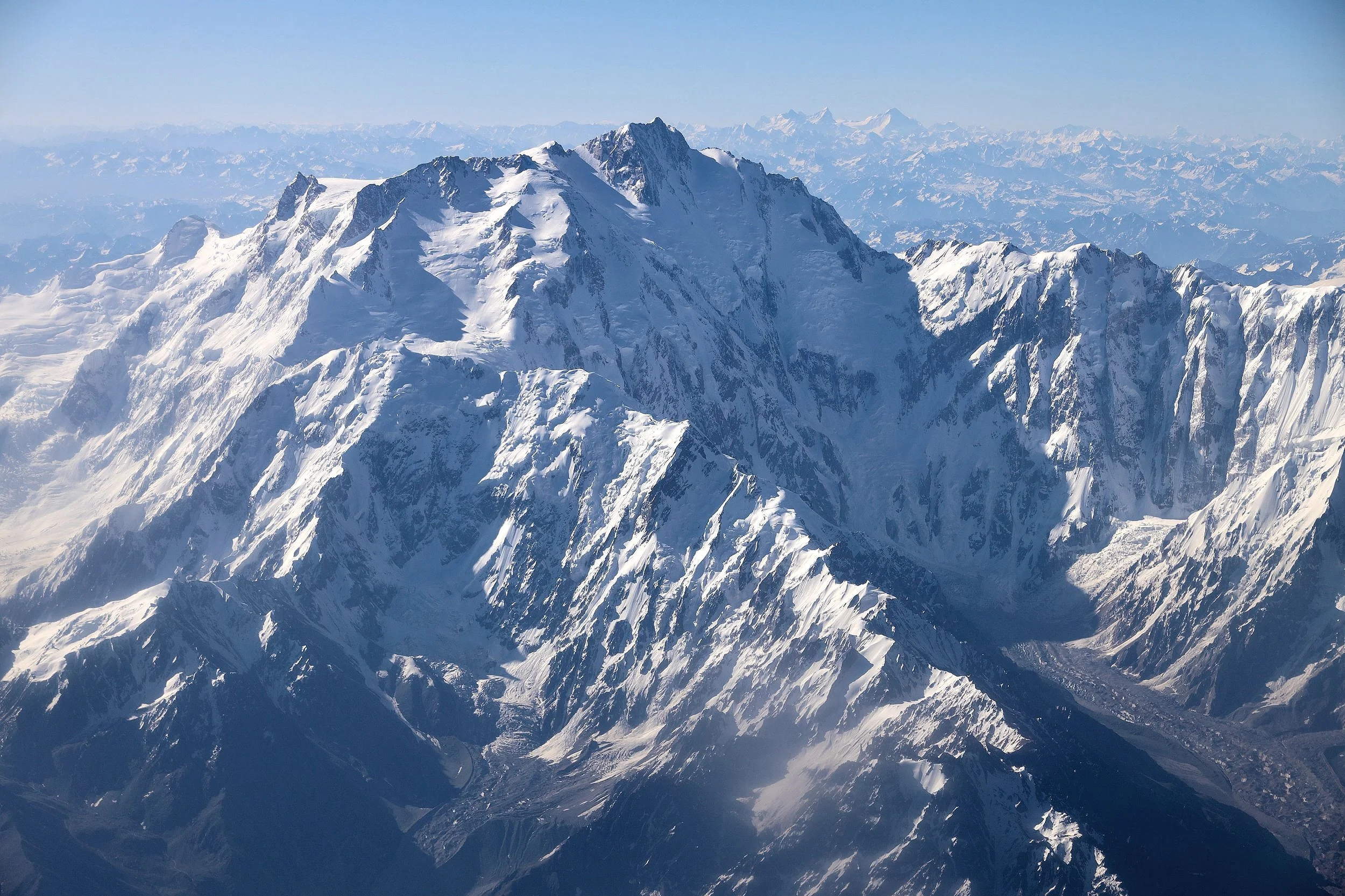
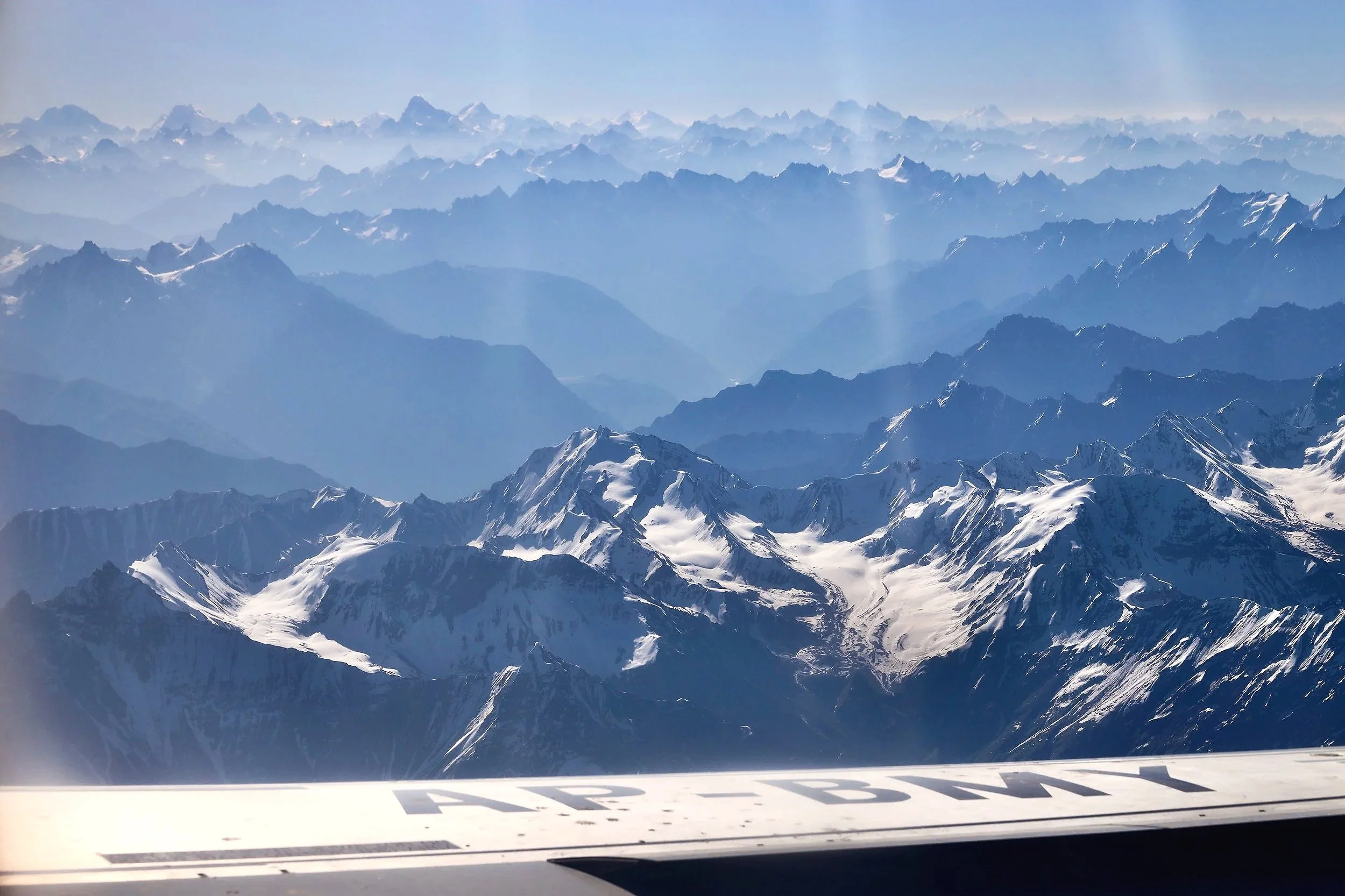
The spectacular Nanga Parbat massif from the ISL-Skardu flight.
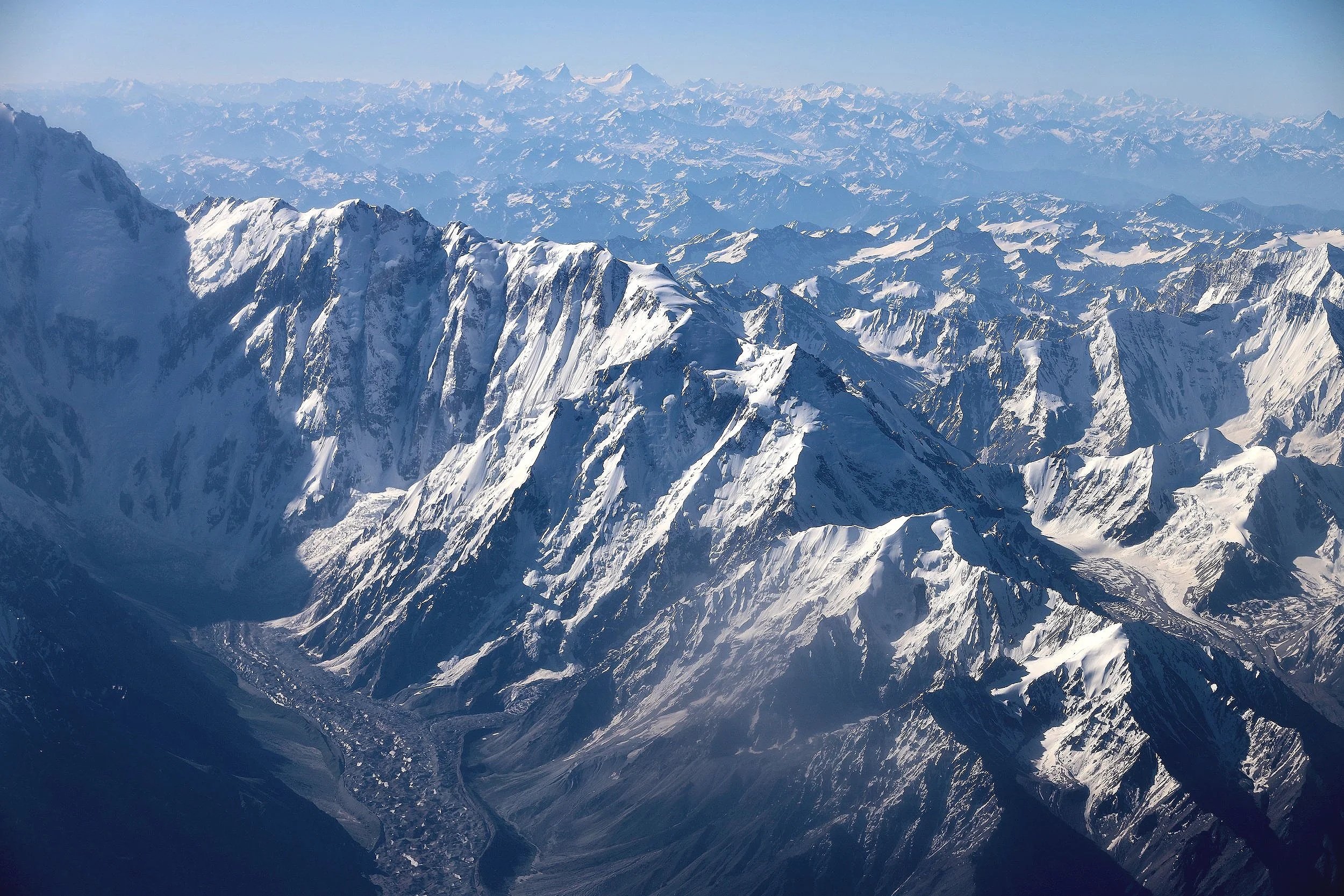
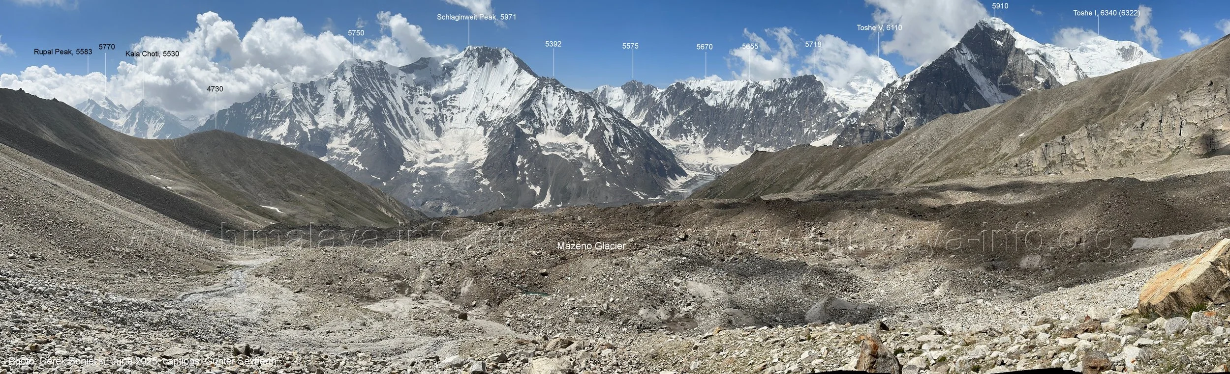
The Mazeno Pass is visible on the left side of the photo. Although it is 5,400m high, it is dwarfed by the enormity of the surrounding mountains.
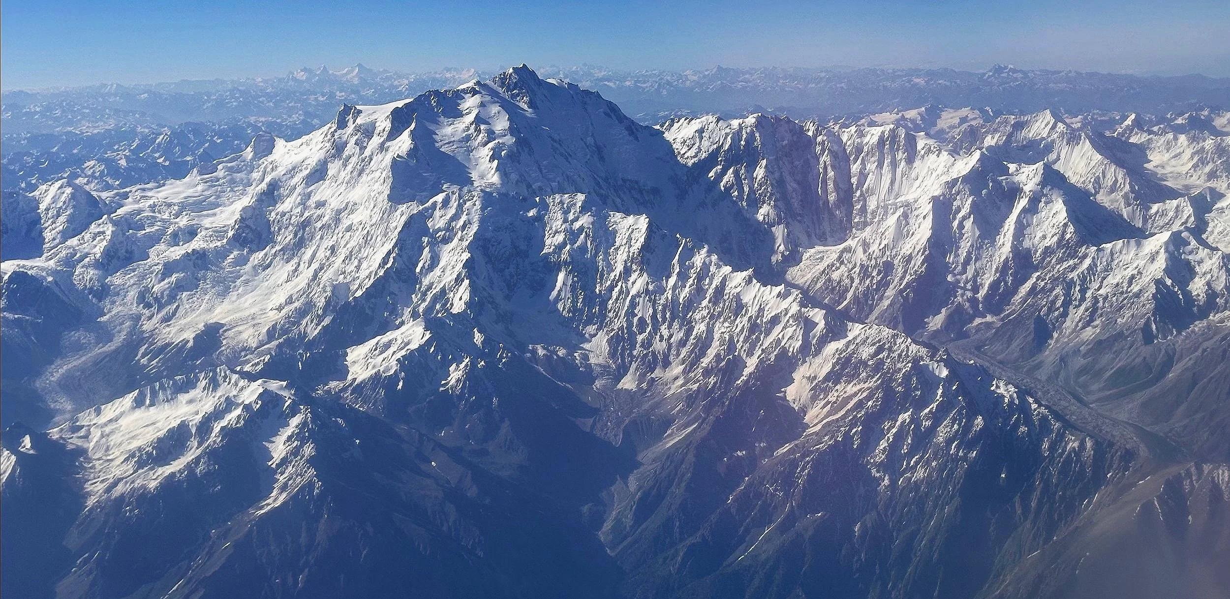
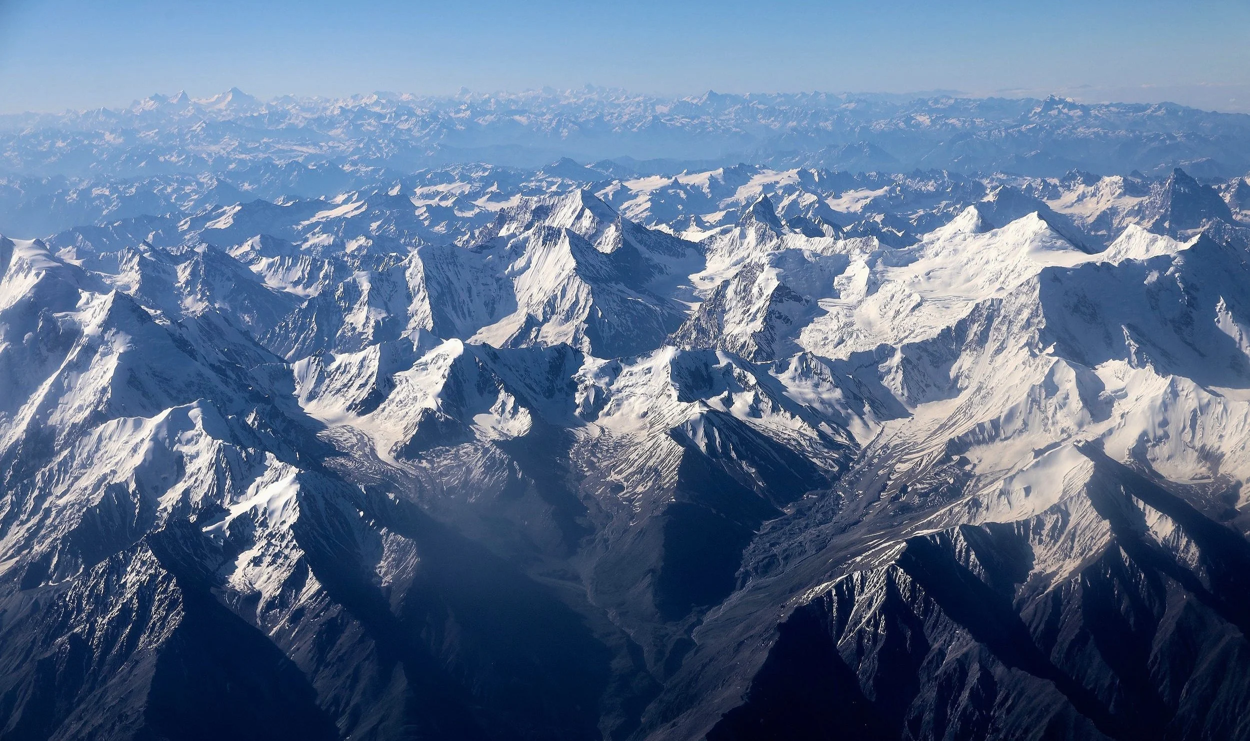
The entire Mazeno Ridge is visible here. The Mazeno Gap (a cleft between the Mazeno Ridge and the Upper Nanga Parbat) is on the left. The 5,400m high Mazeno Pass is dwarfed by the enormity of the terrain. It is on the centre-right side of the photo. The view from the Islamabad - Skardu flight.
The Diamir side of Nanga Parbat.

The Raikot side of Nanga Parbat. This is the side of the first ascend.

In the right lower part the of the photo you can see the Indus River and the beginning of the Astor Valley. The Astor Valley (leading to the Rupal side of NP) is also visible.

The Fairy Meadows side of the mountain. This is the side visible from the Skardu - Jaglot road.

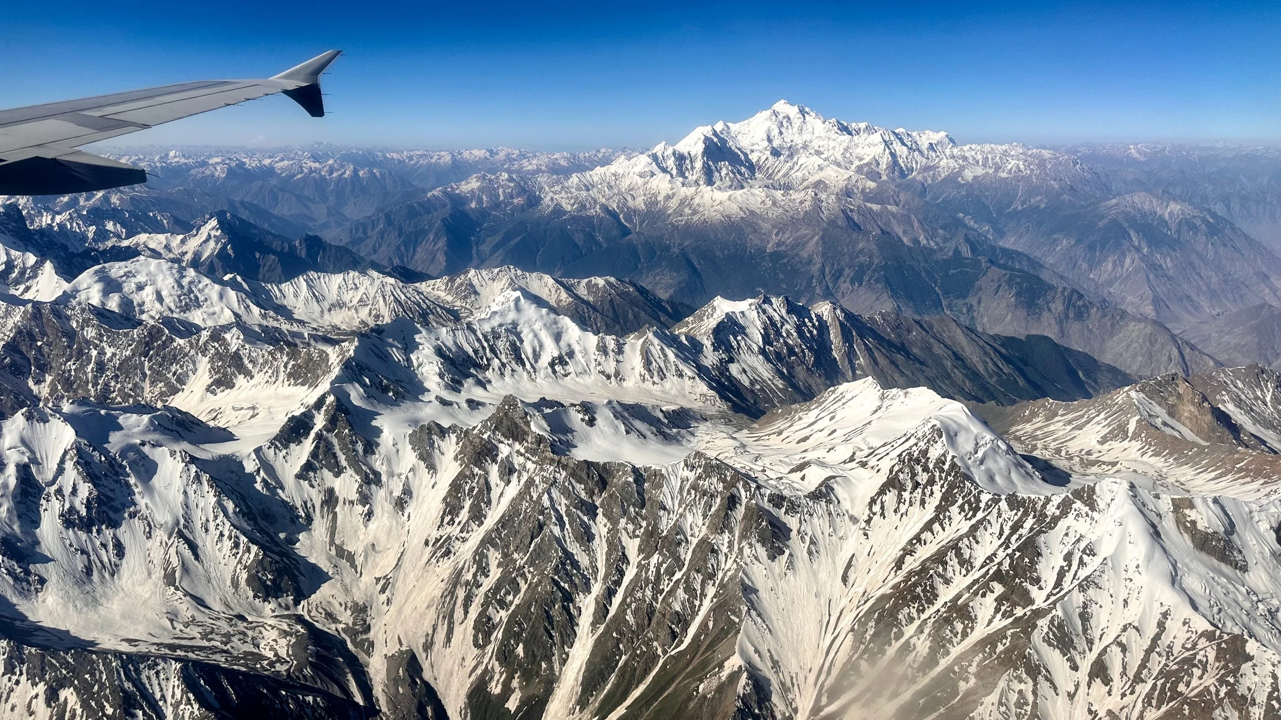
This is Dofana Mountain 5,880m. It is a prominent peak visible from the Jamal Pass. It also serves as a marker for the pilots to turn into the Indus Valley towards Skardu.
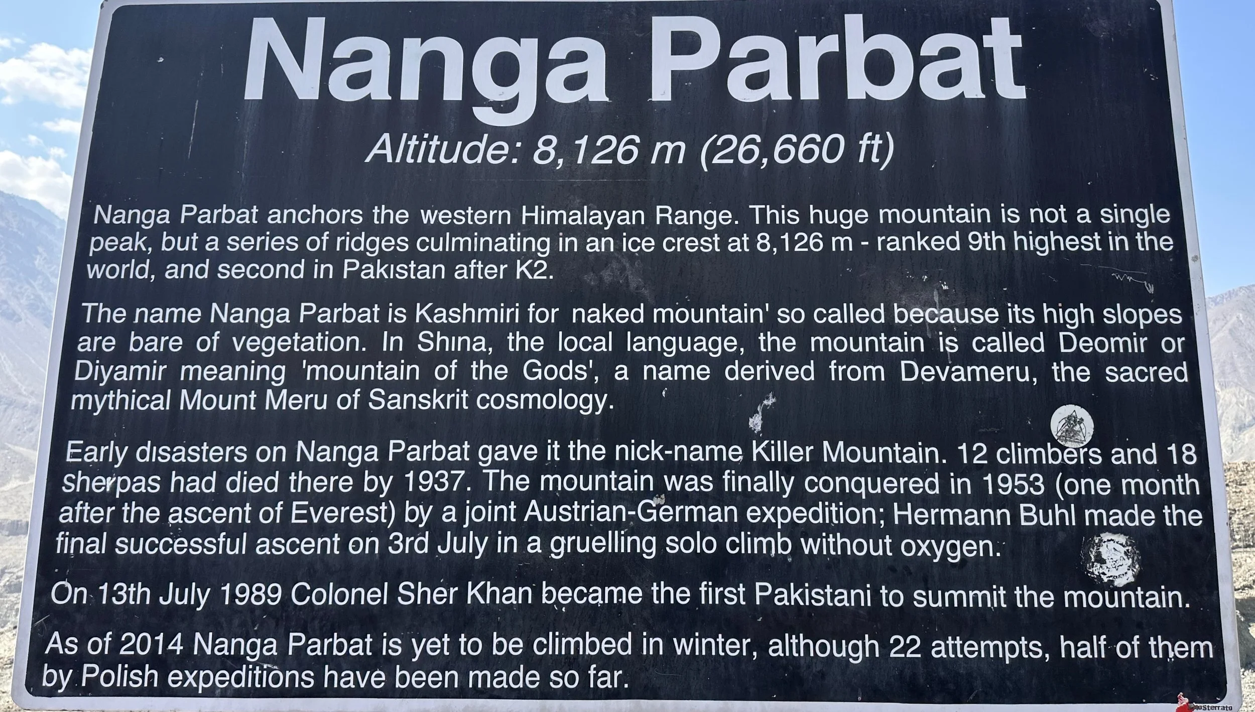
Nanga Parbat
Skardu is somewhere in these valleys…Broad Peak is visible on the horizon on the left.
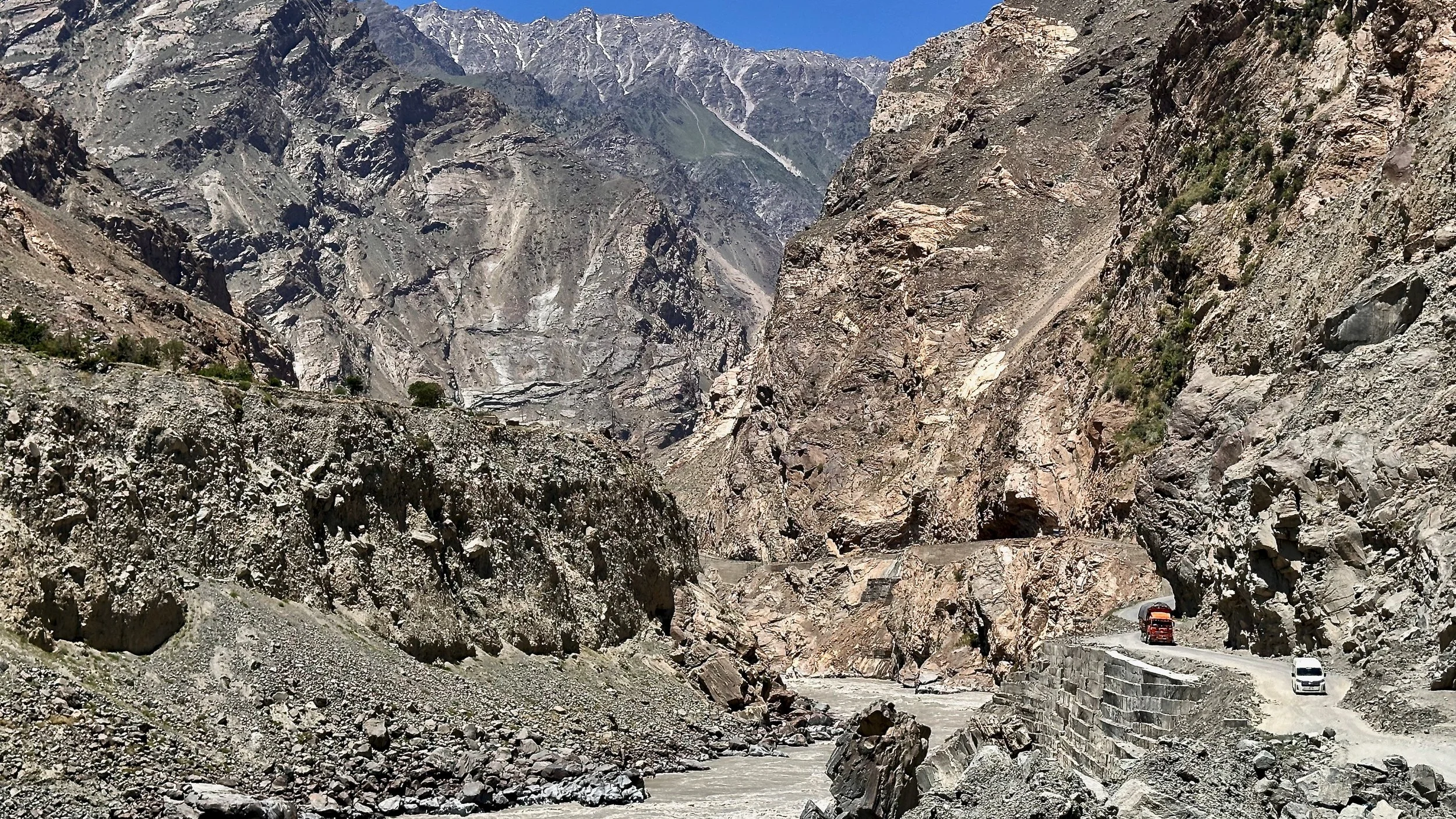
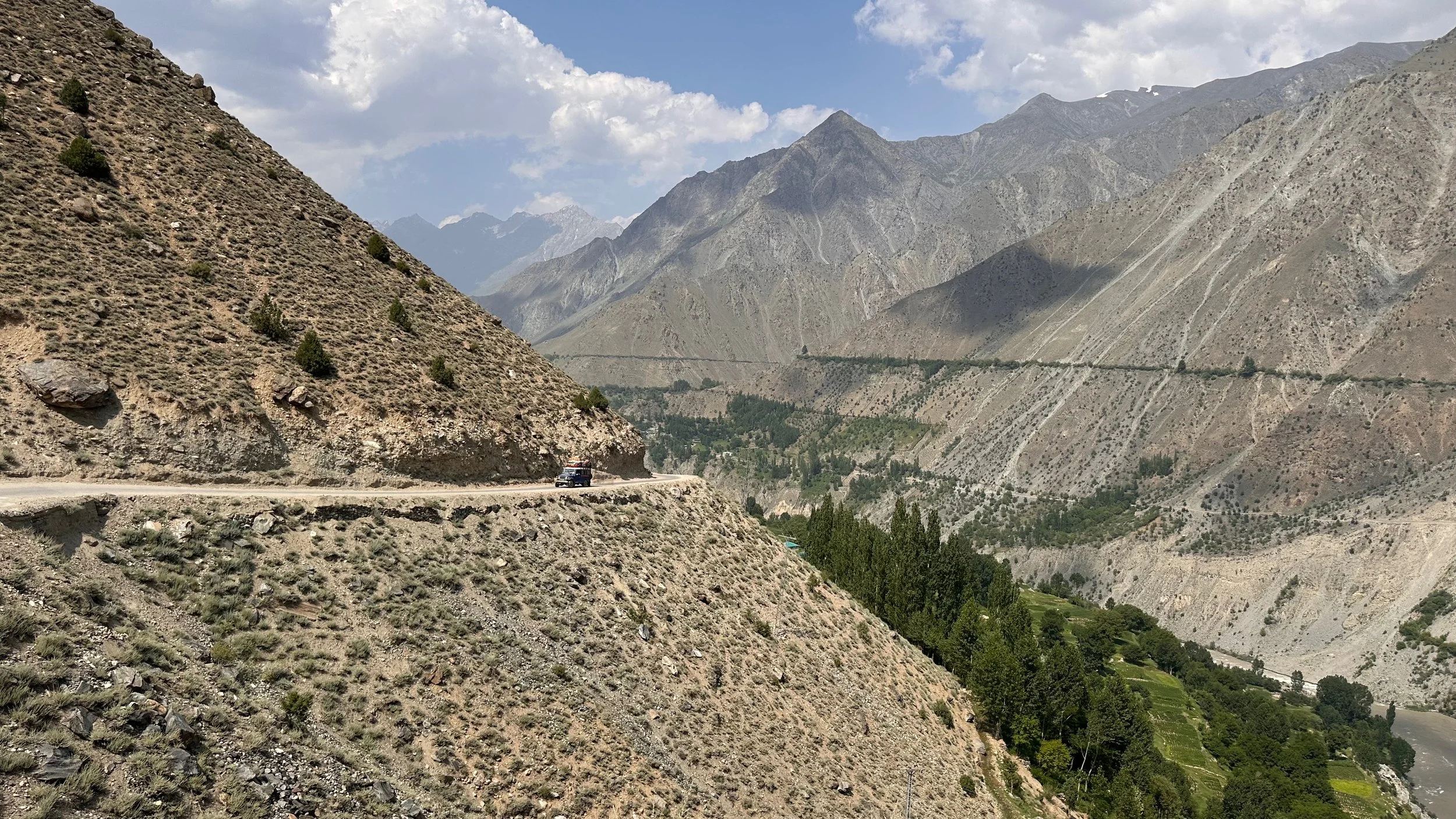
Driving from Skardu to Gilgit, our starting point for Nanga Parbat
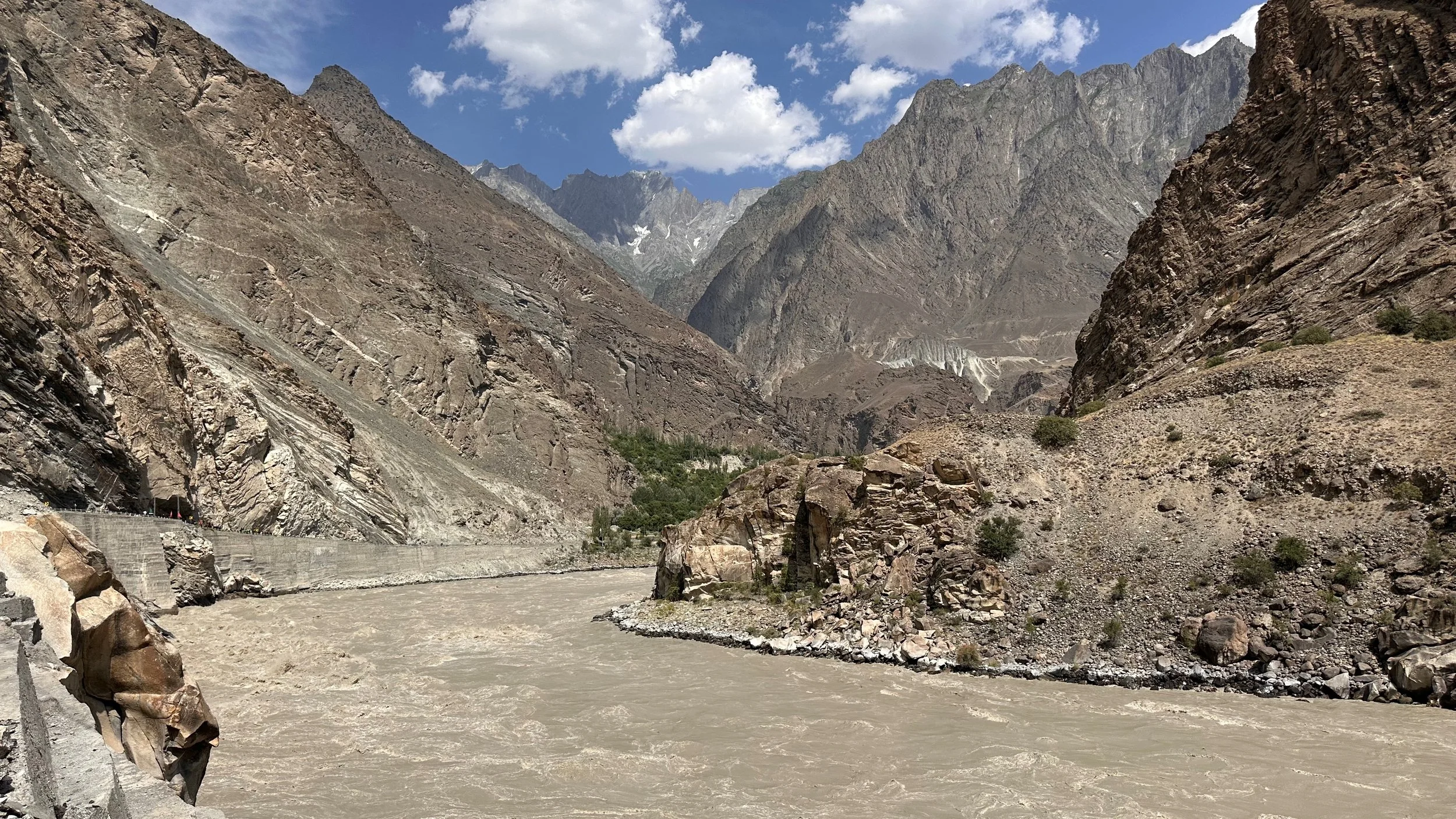
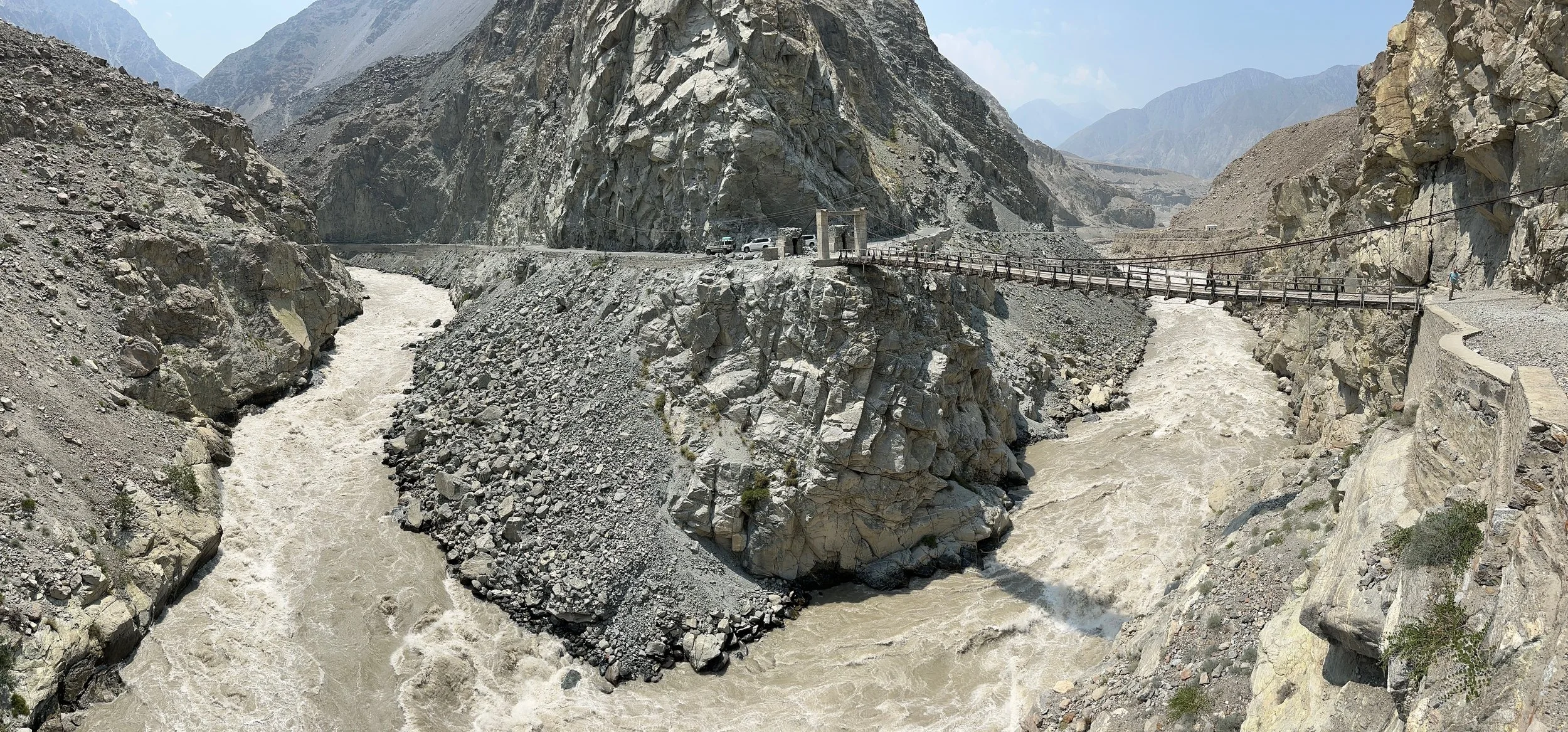
The Indus River along the Skardu-Gilgit road
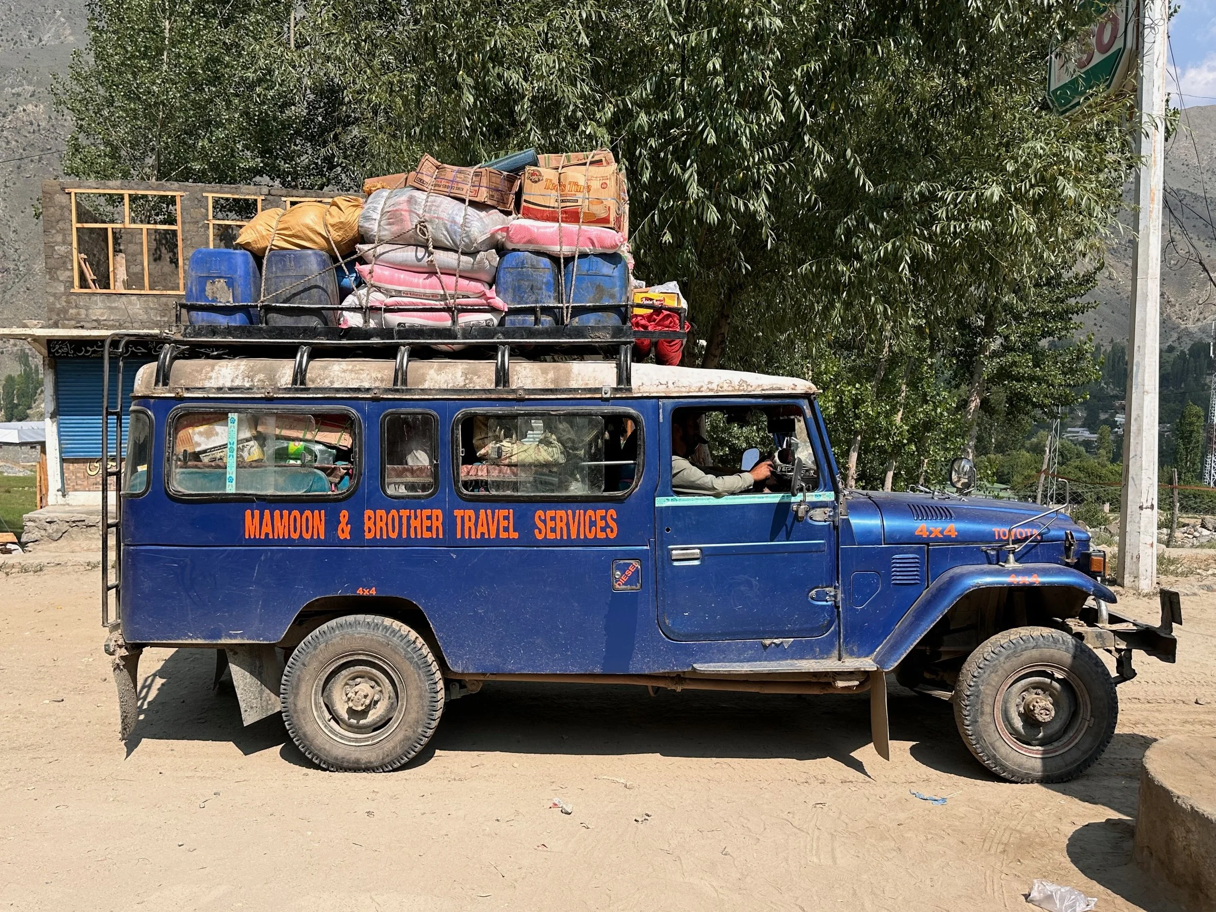
A fully loaded truck on the way to Tarashing in the Rupal Valley.
The Astore River and the valley leading to Tarashing. The starting point of our adventure around Nanga Parbat.
The Astore Valley

The Astore Valley. Nanga Parbat is hidden in the clouds.

Our first view of Nanga Parbat.
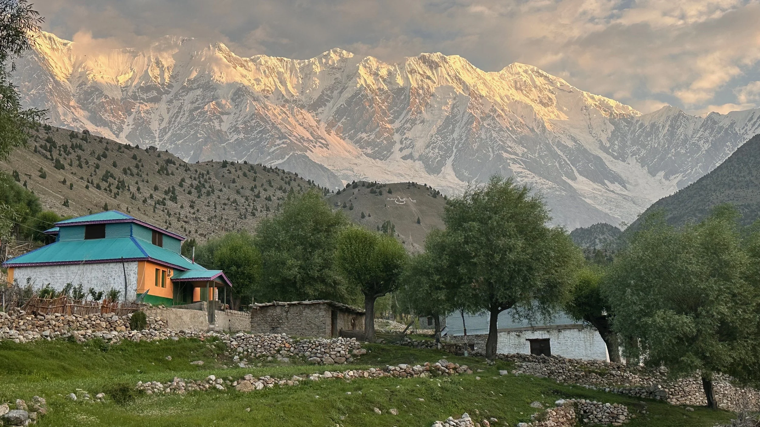
Tarashing Village
My retirement Plan B in Tarashing.
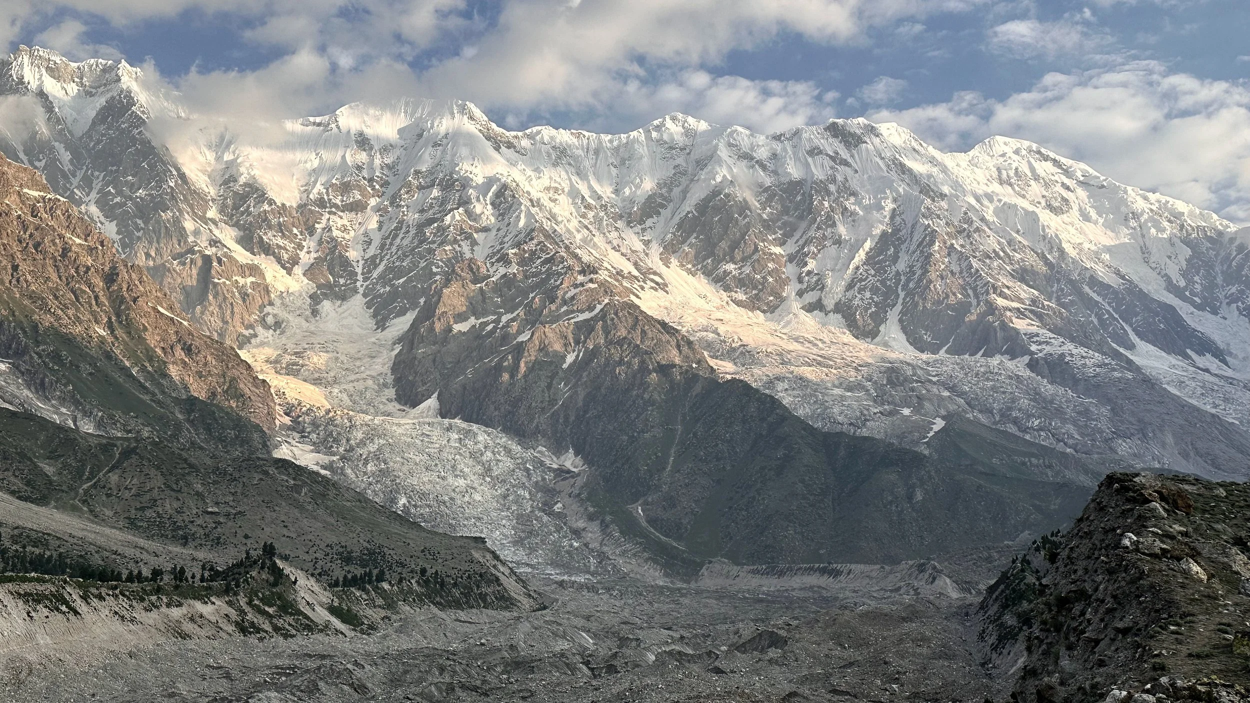
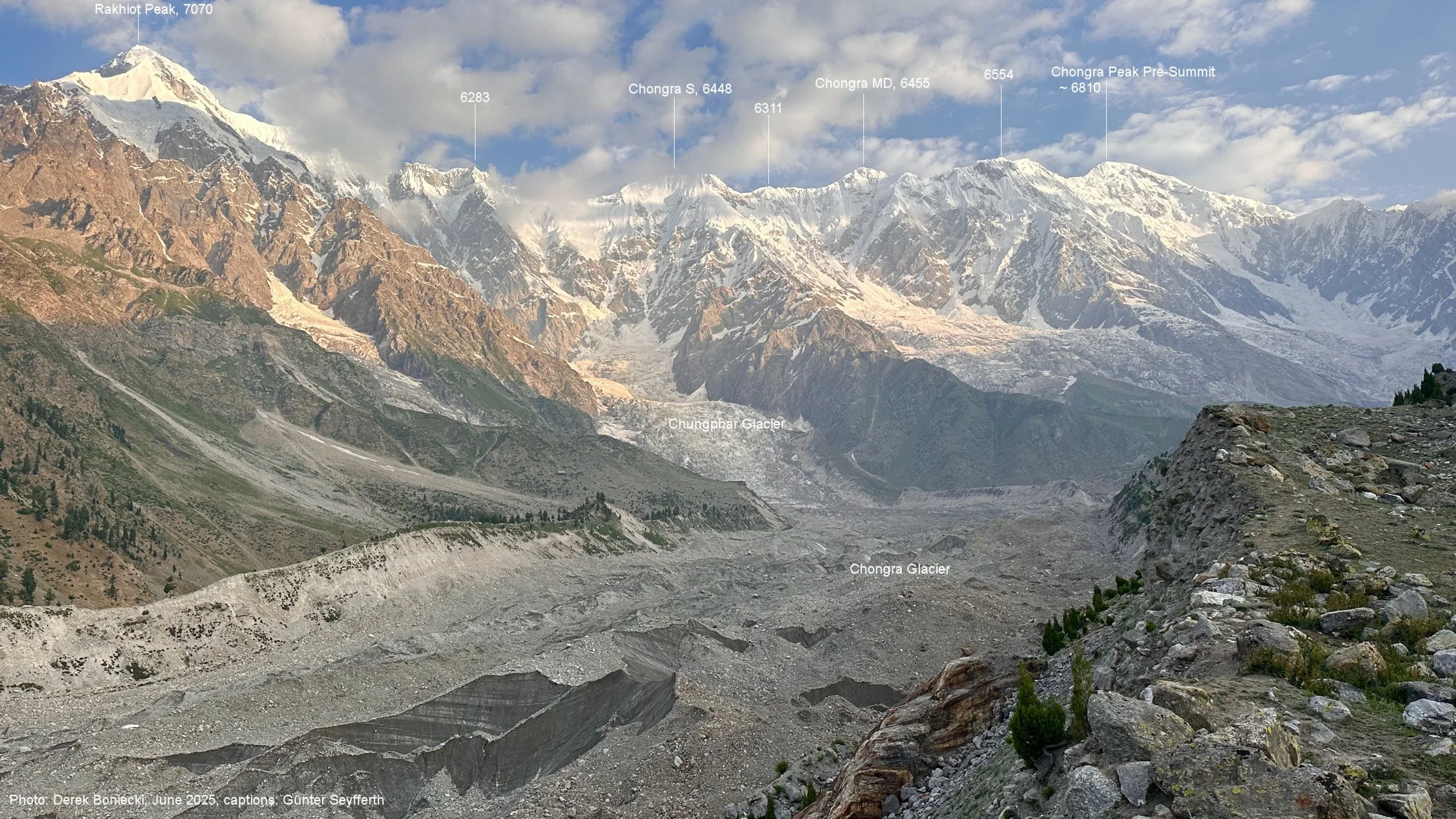
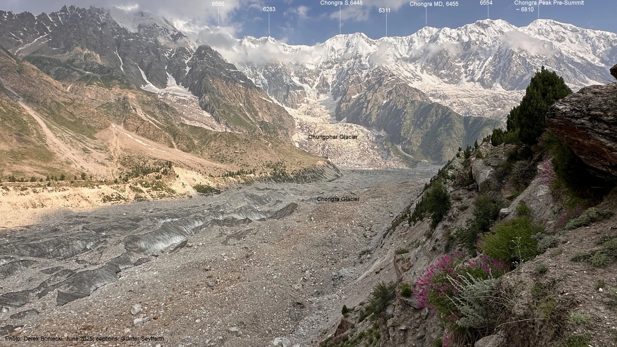
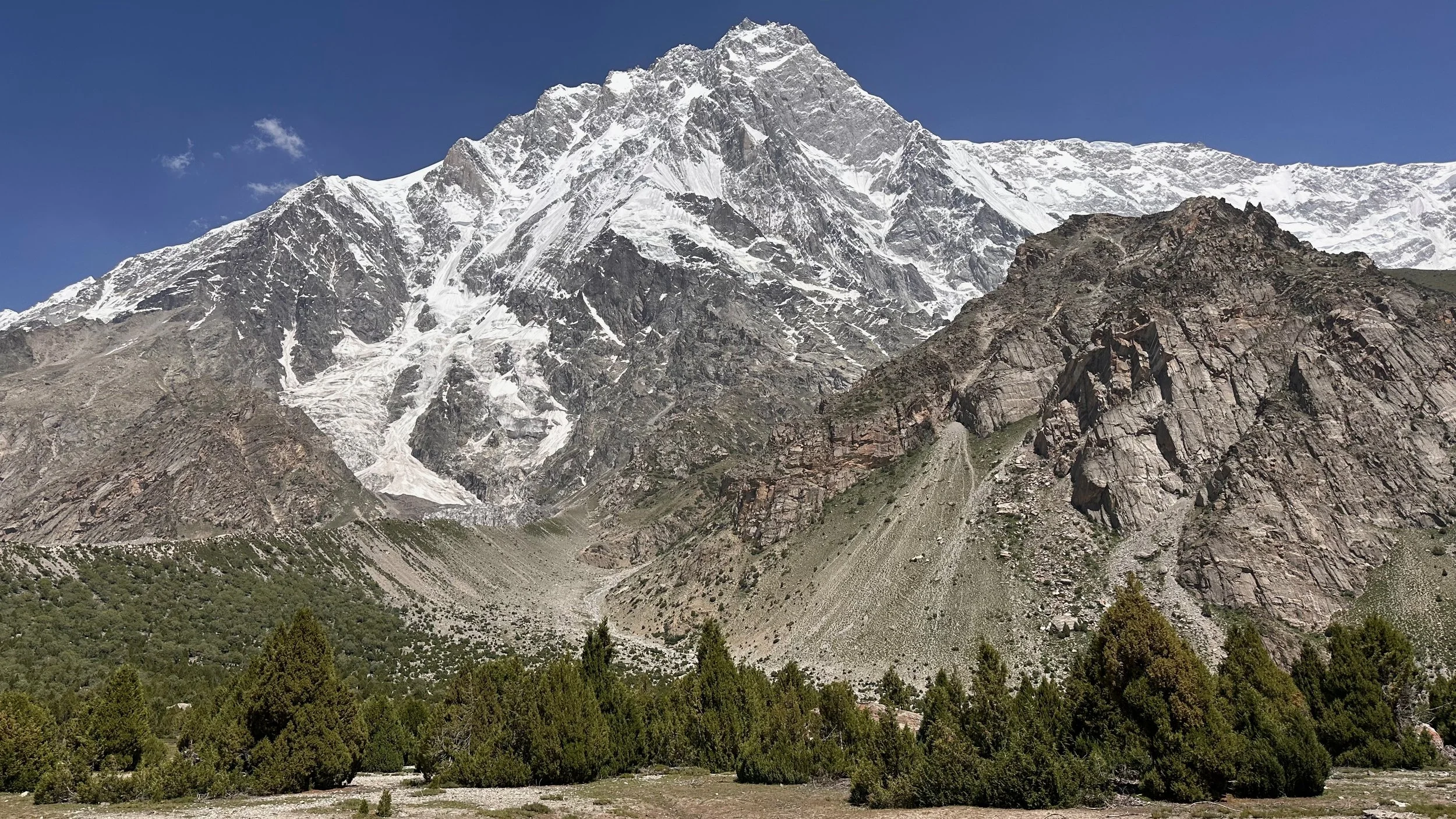
Chongra Peaks. At the far end is Chongra Central 6,830m. On the left is South Chongra 6,448m and West Chongra 6,455m. This ridge is an extension of the Nanga Parbat main mountain. In reality it is just one enormous mountain.
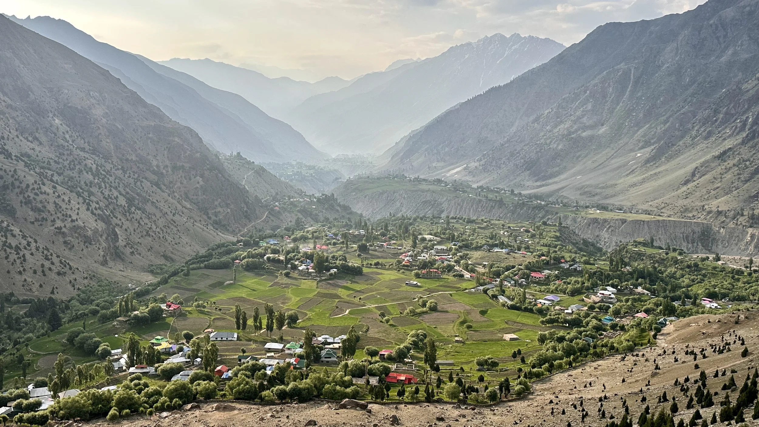
Tarashing Village and the Asotre Valley.

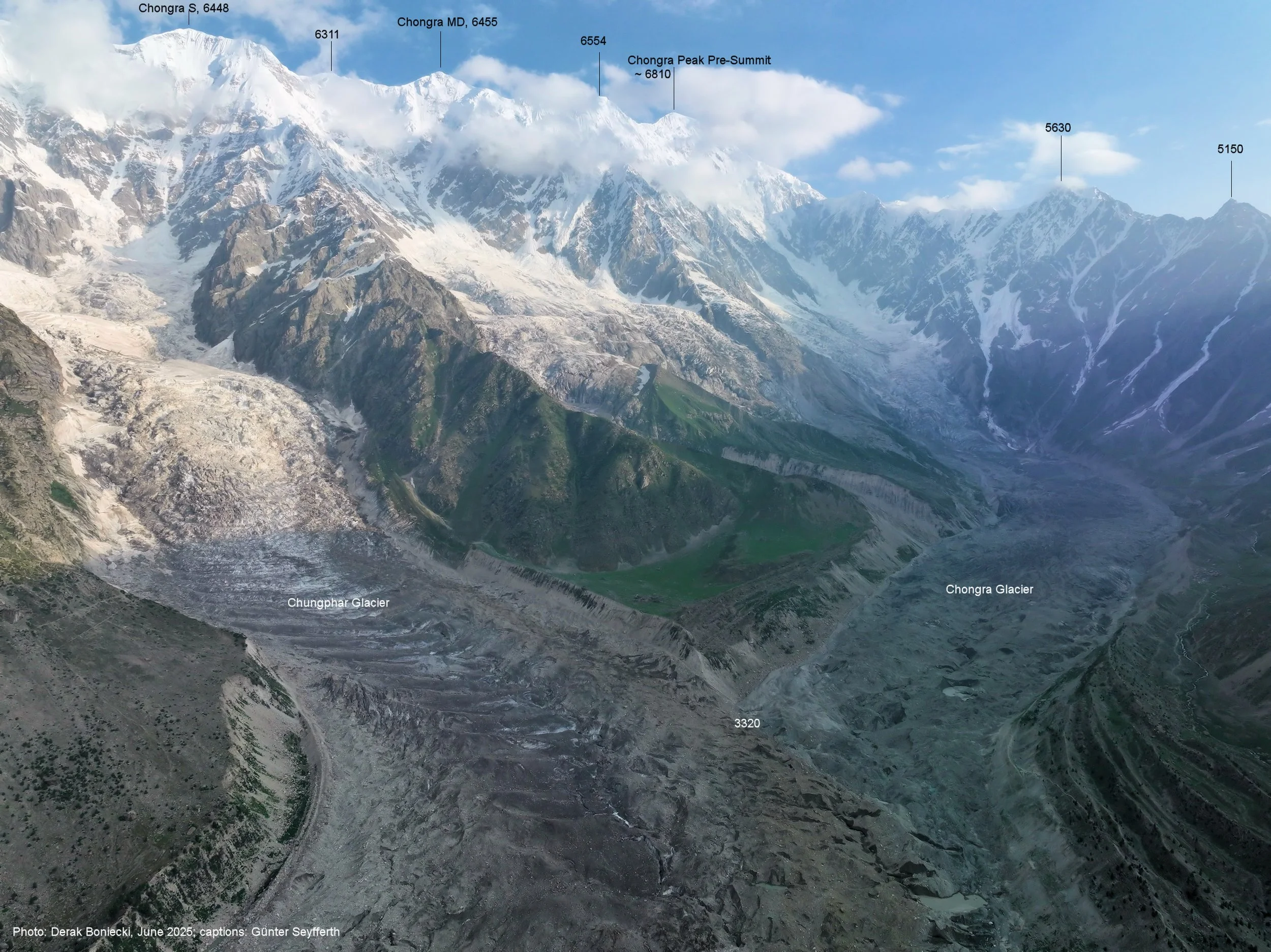

Chongra Glacier
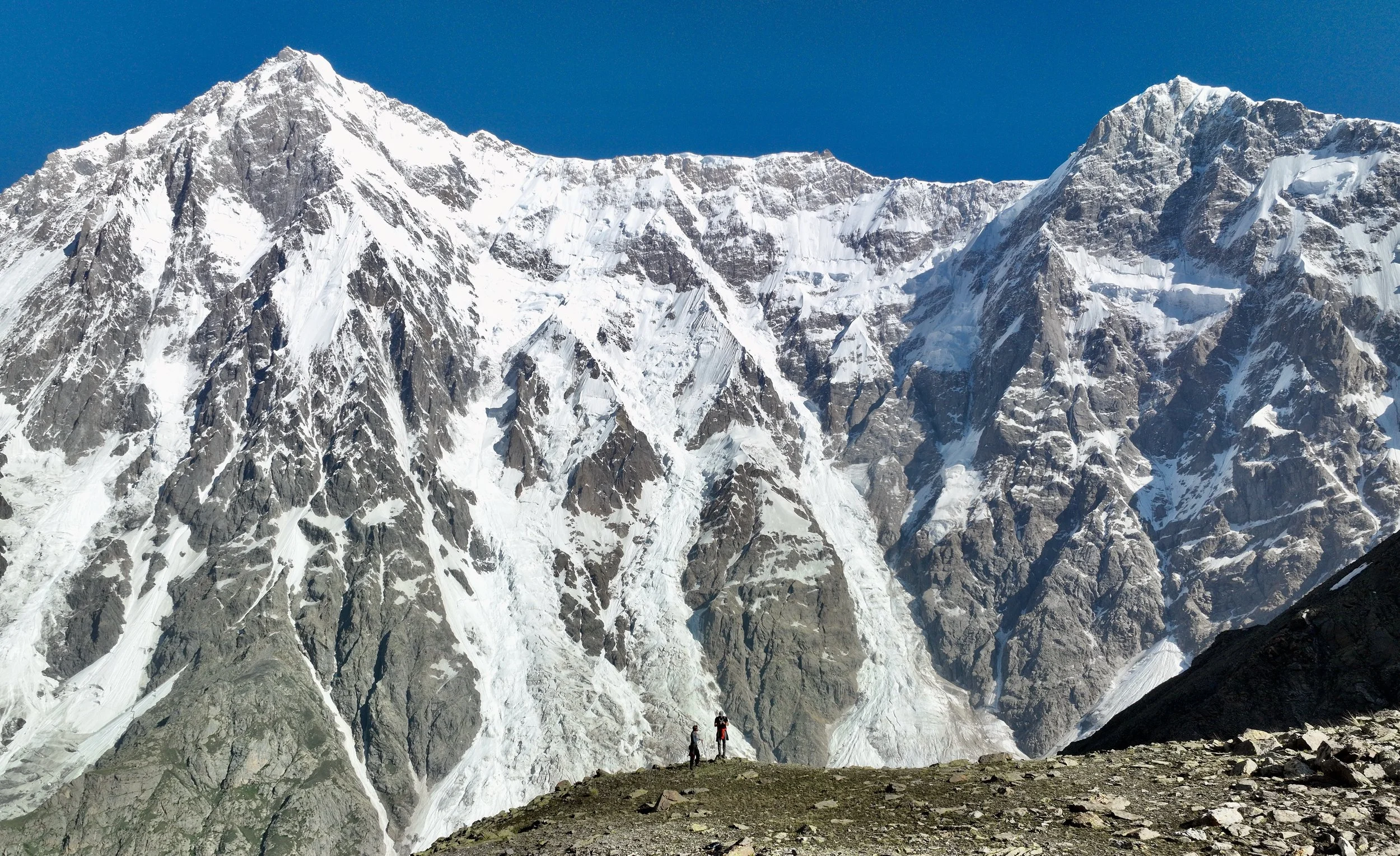
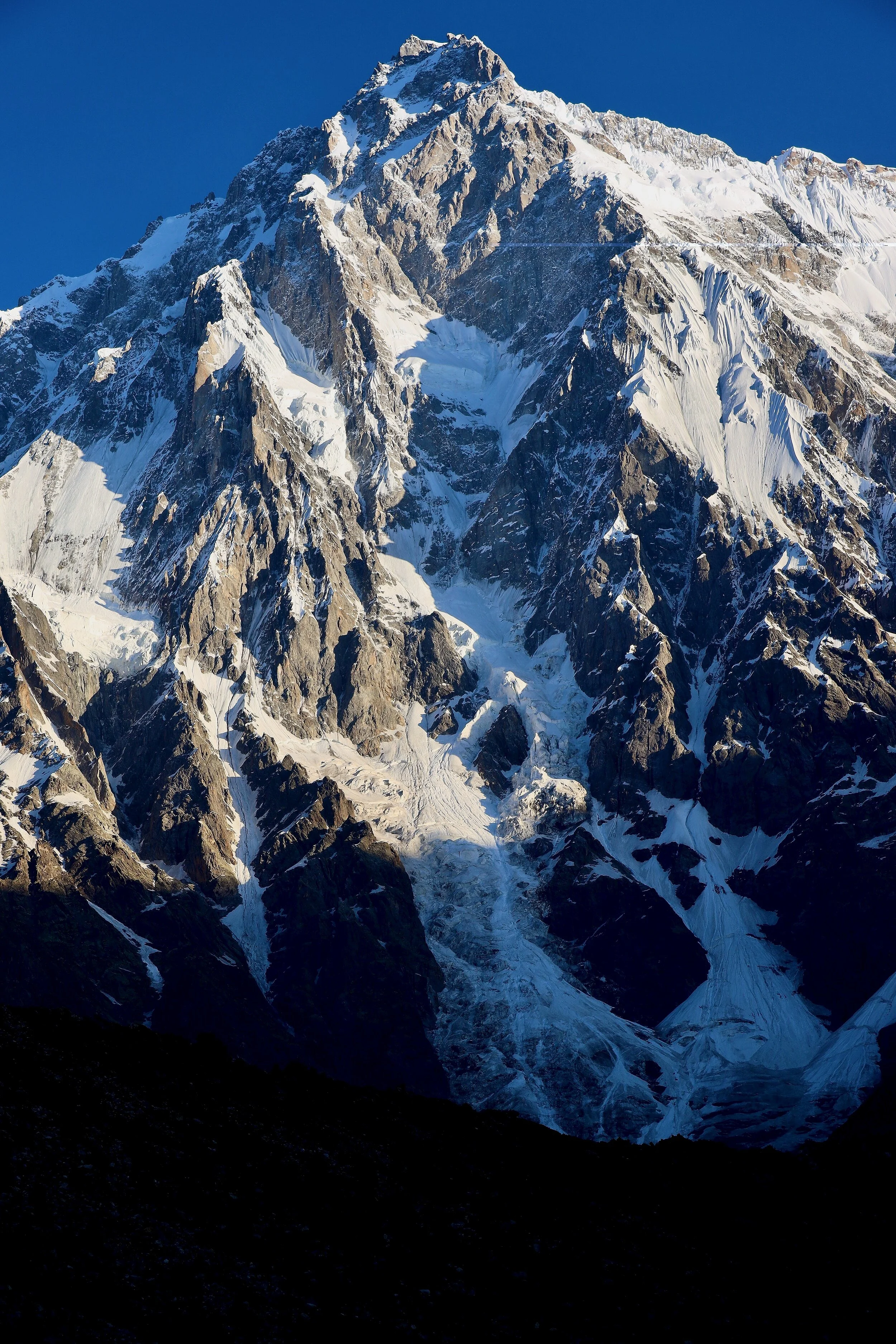
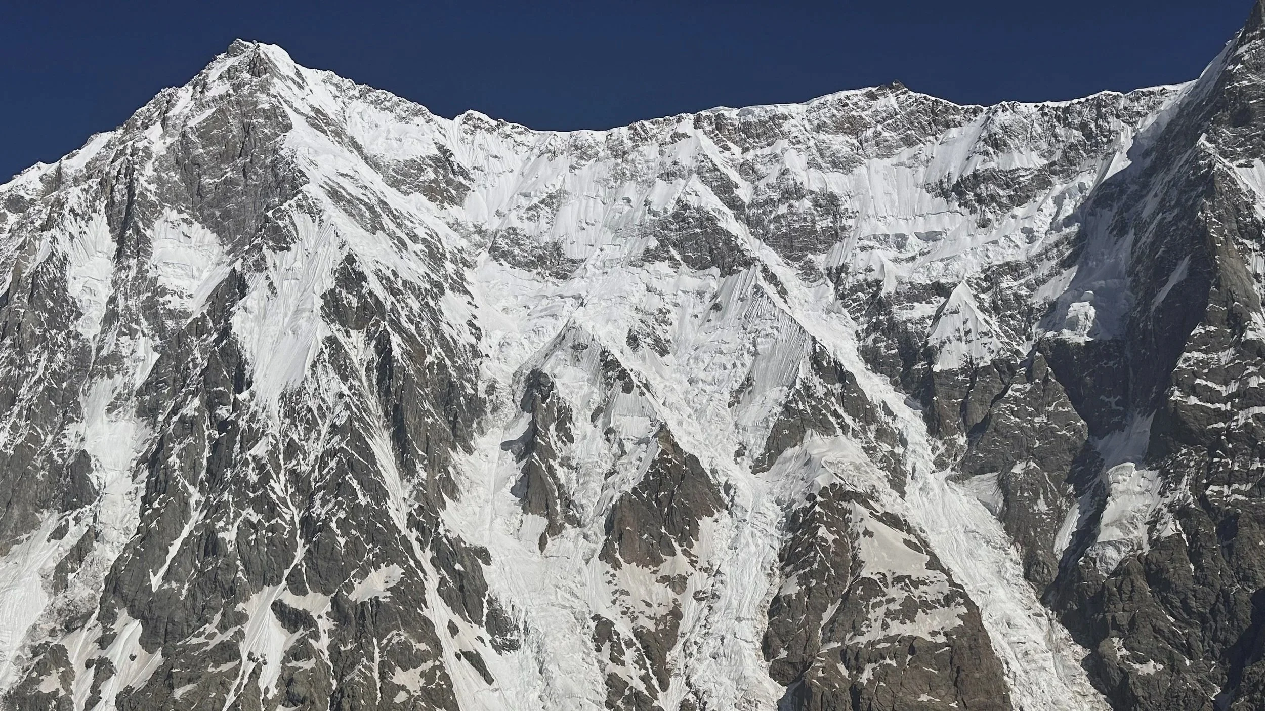
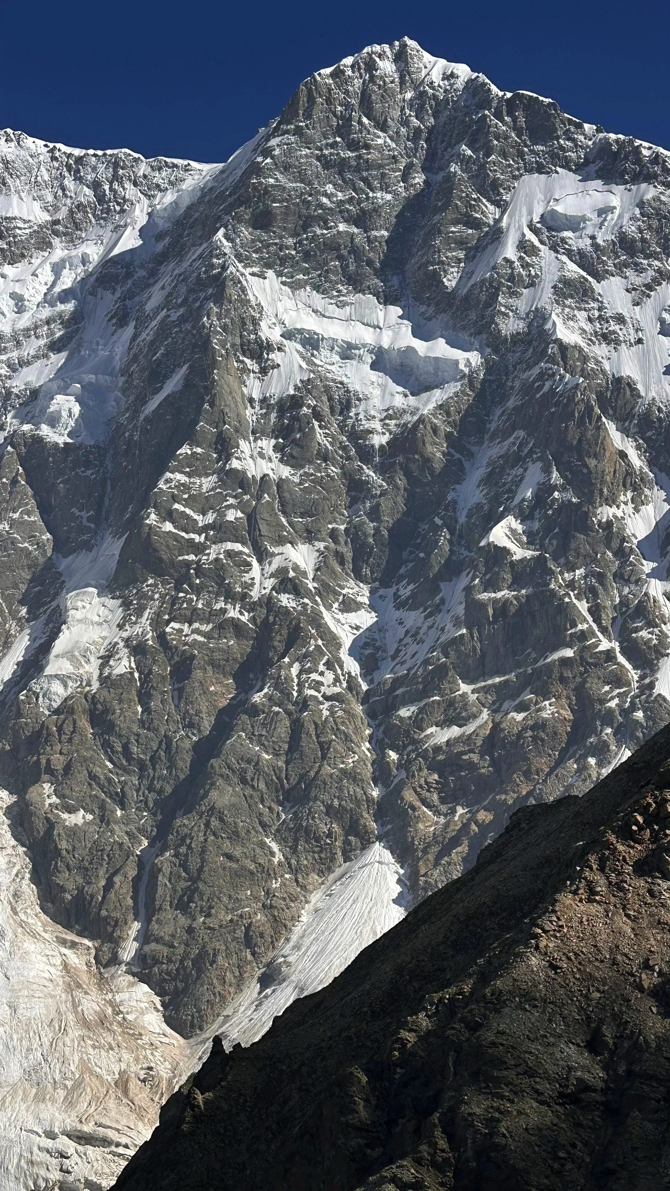
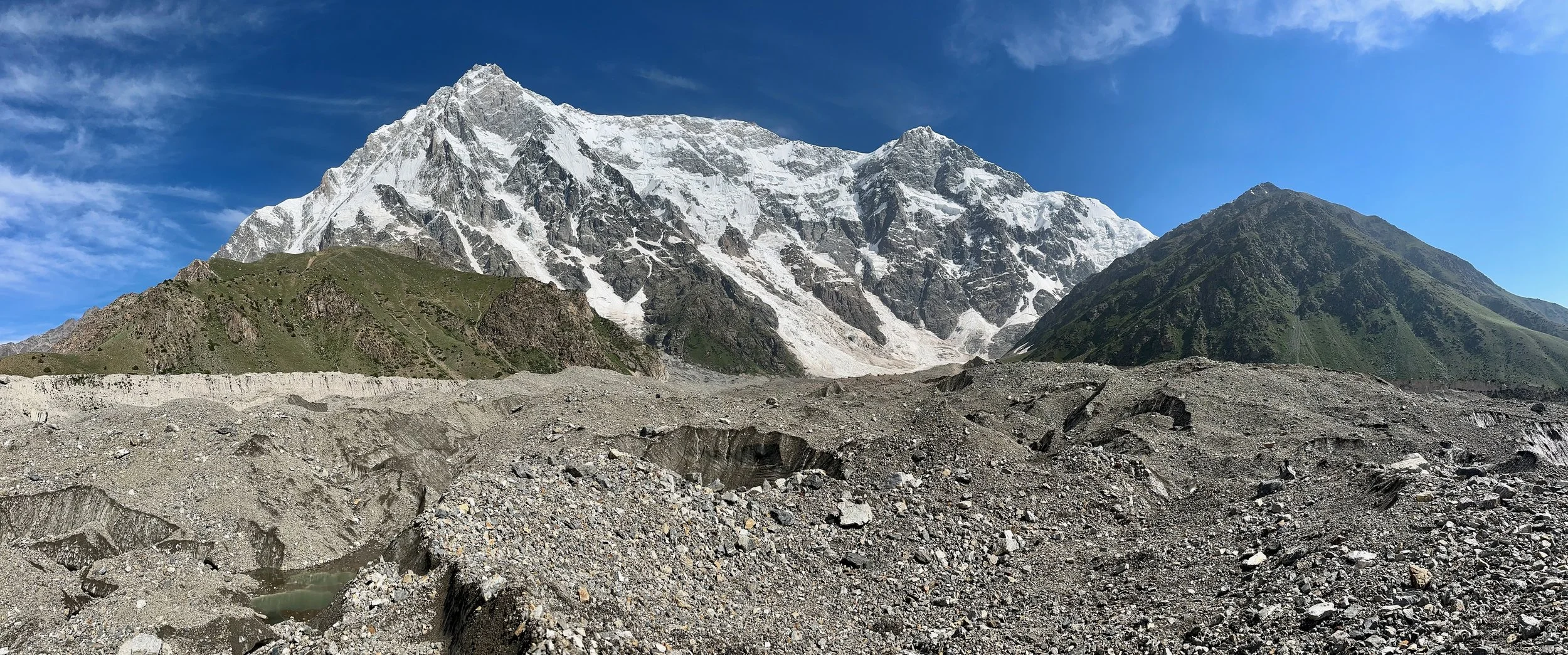
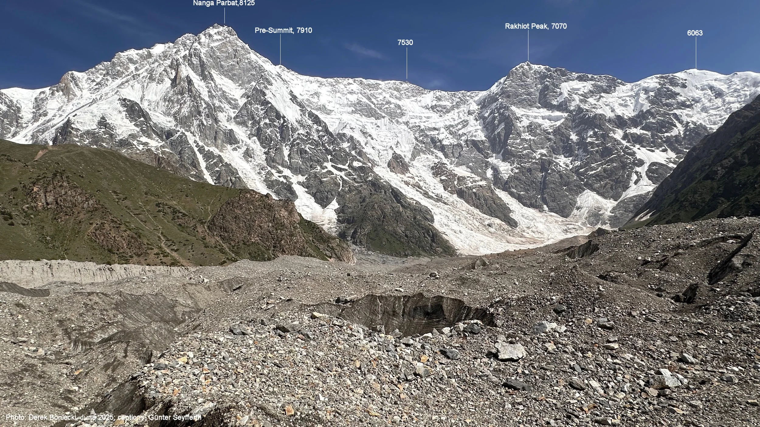
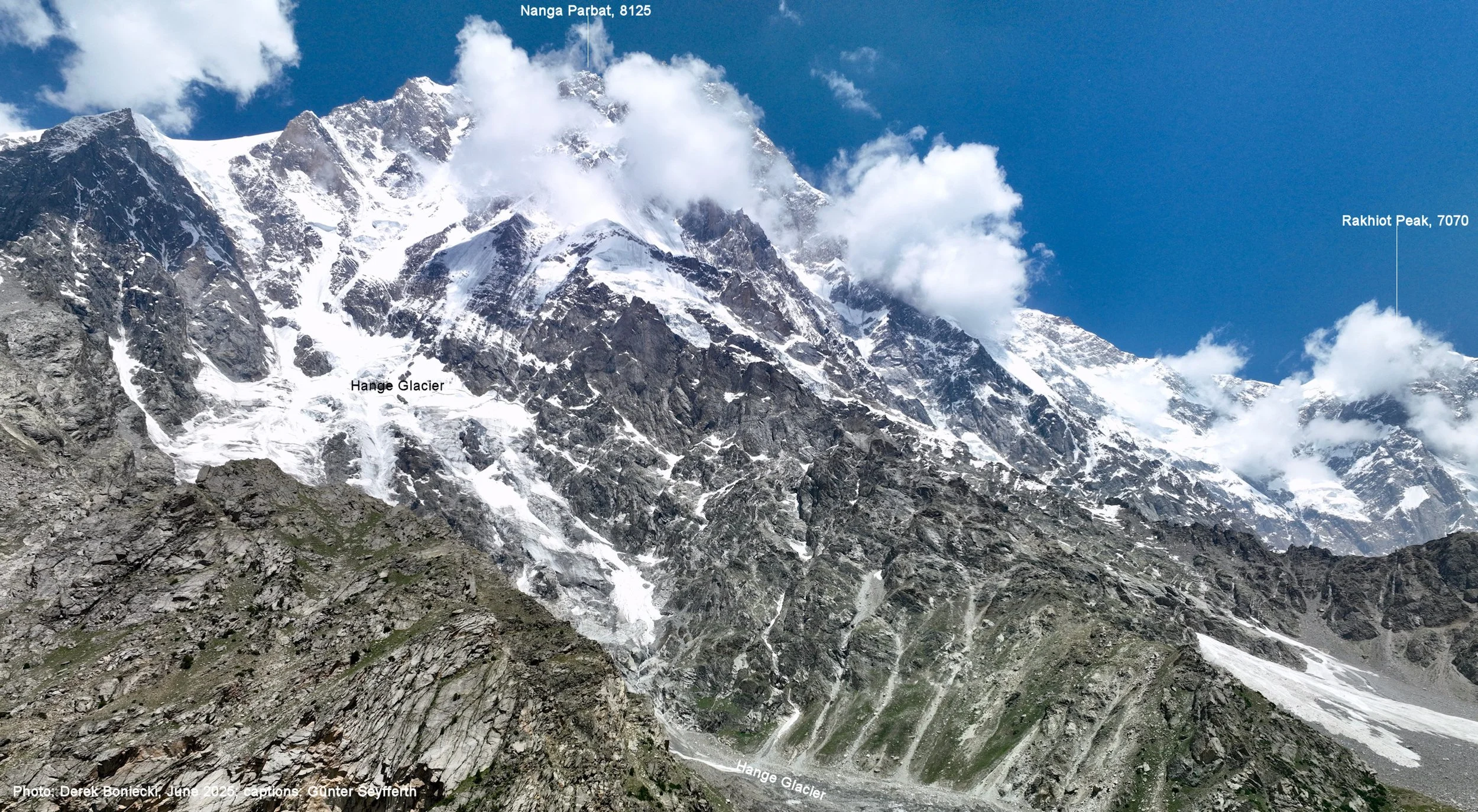
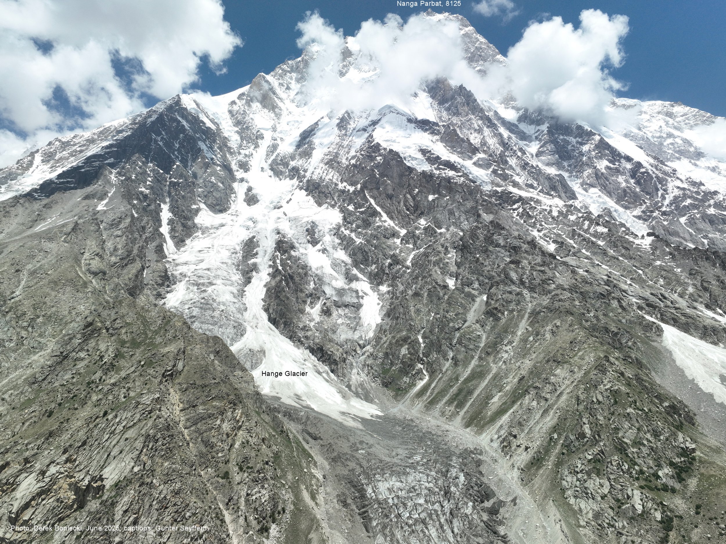
The Rupal face of Nanga Parbat 8,126m. On the right is Rakhiot Peak 7,074m.
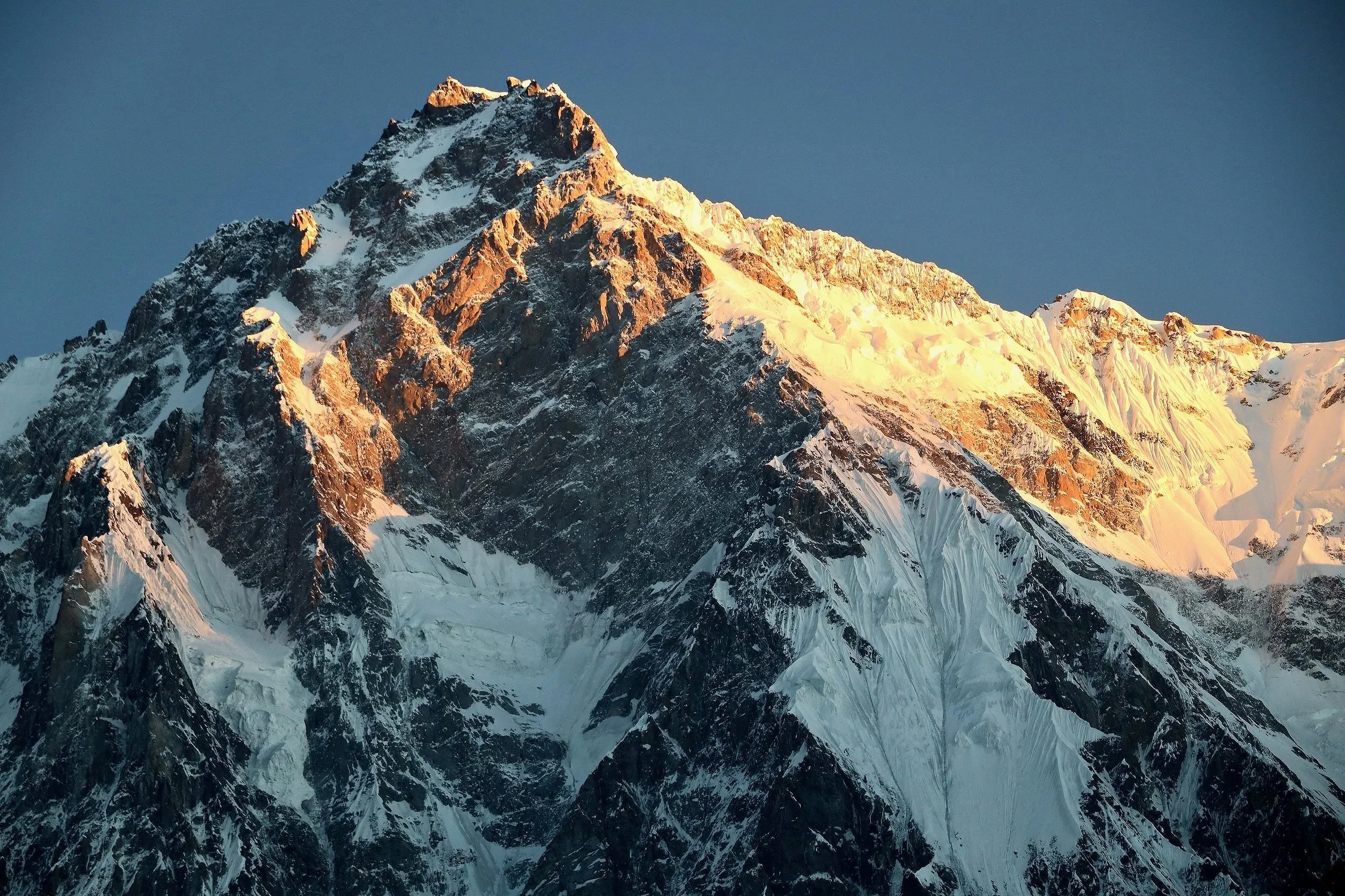
Nanga Parbat’s Rupal face. This is were Thomas Humar was rescued from by the Pak Army after being stuck around 6,500m in a snow cave. He climbed to a point from where he could not descend or continue up.

Nanga Parbat’s Rupal face. The highest rock face in the world. We are at 3,559m. The summit is 8,126m.
Rupal Face
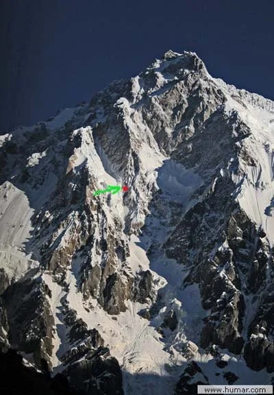
The location from where Tomasz Humar got rescued on the the Rupal Face of NP
Rupal Face
Rakhiot Peak 7070m

Rupal Face
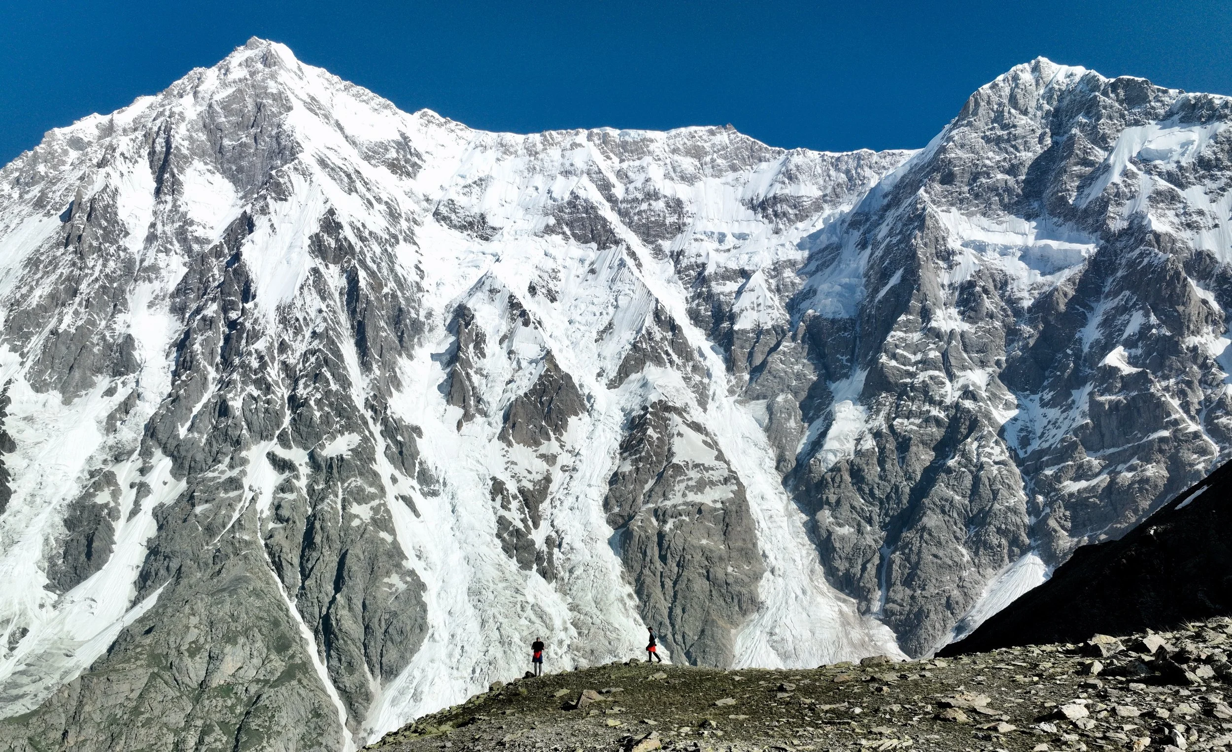
I did a quick acclimatization hike to 4,500m. This is the view of the Rupal Face. It just got bigger as I went higher!
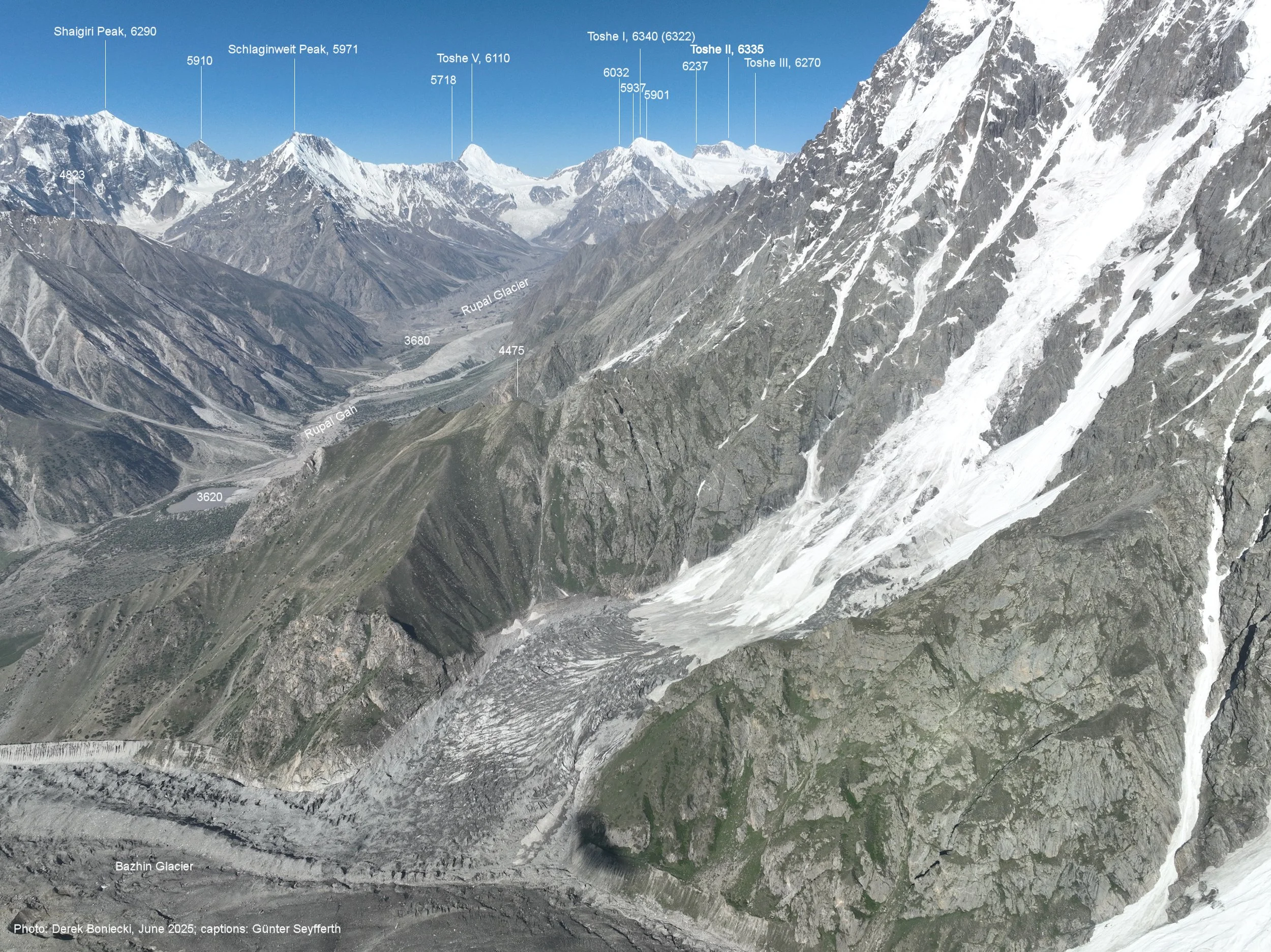
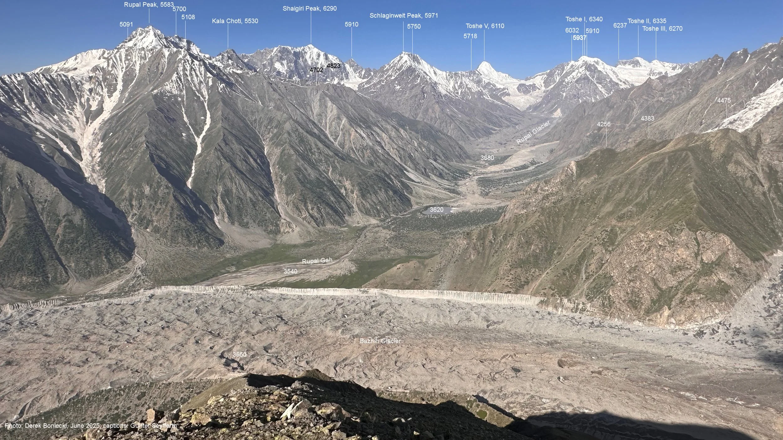
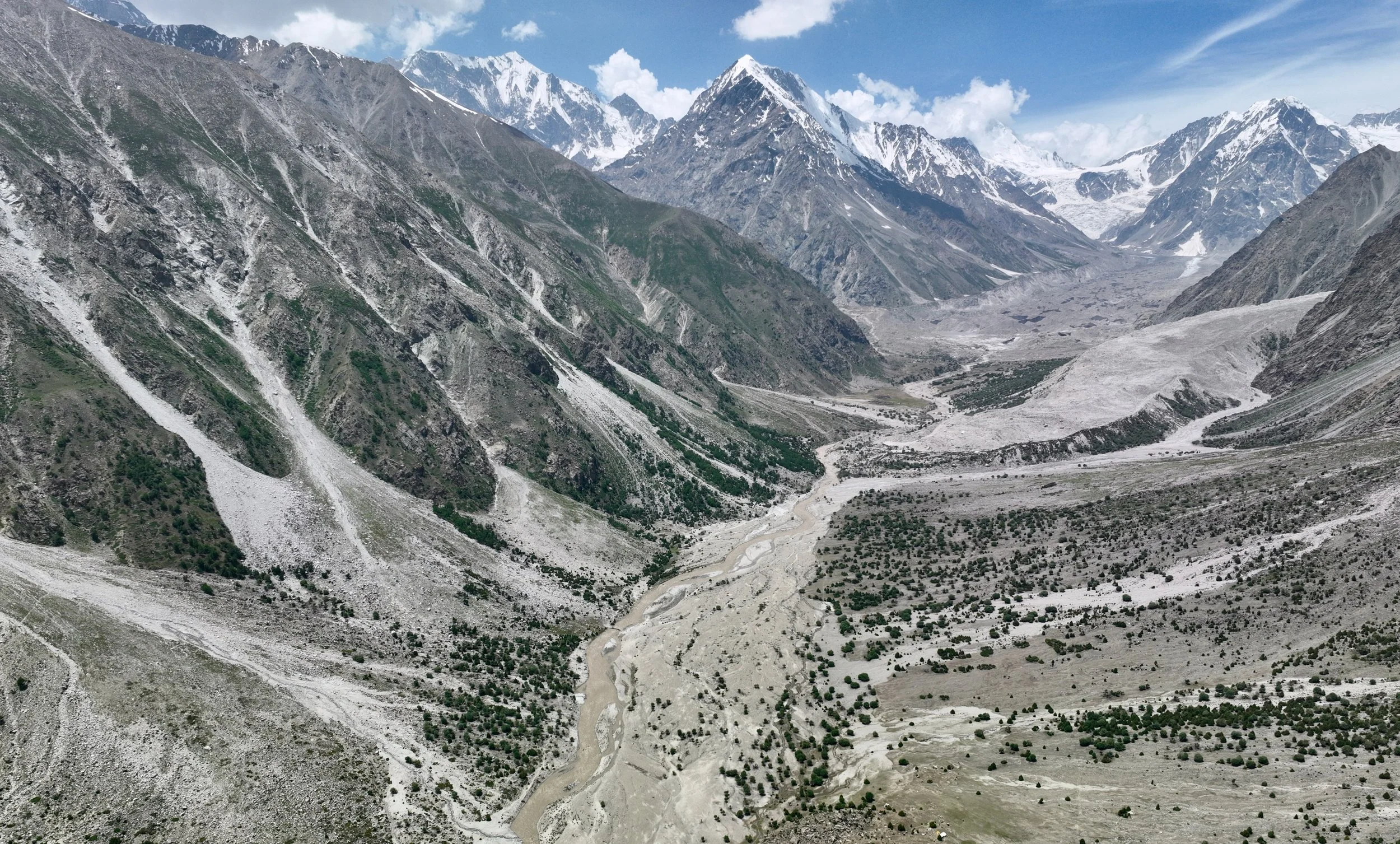
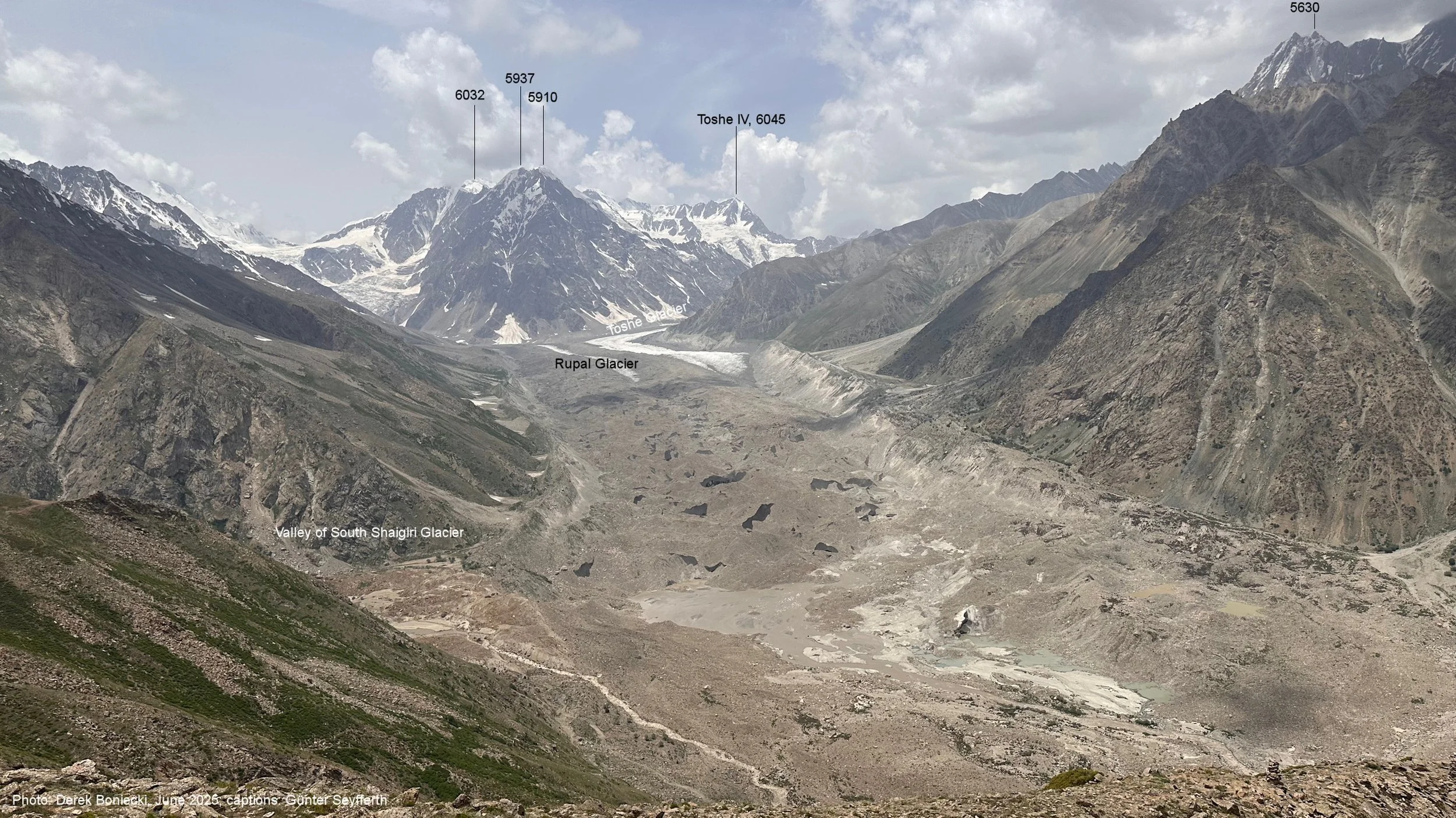
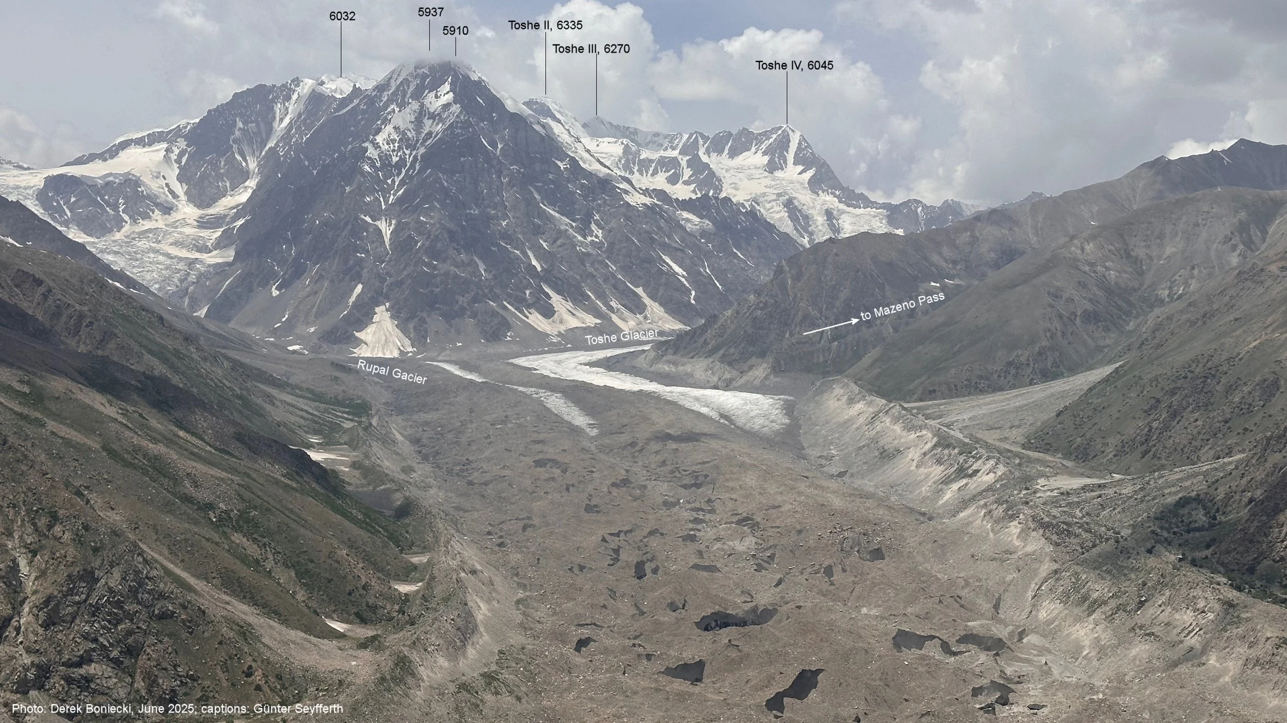
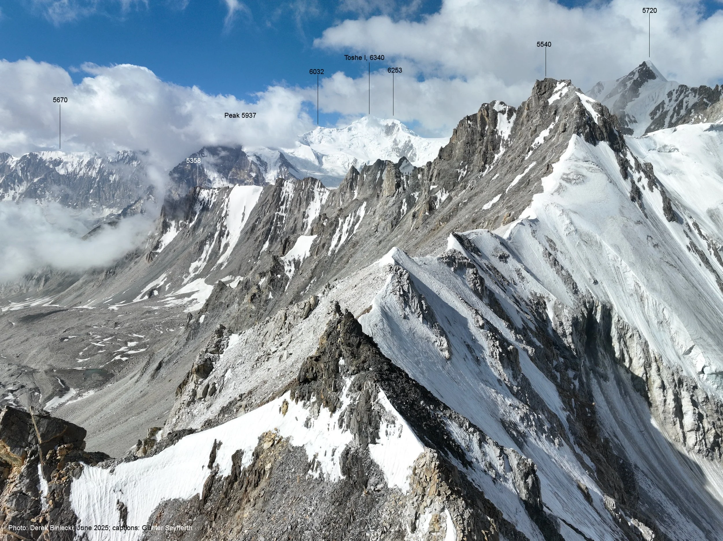
The view up the Rupal Valley from the acclimatization hike. The camp can be seen far below. At the end of the valley you can see the Toshe Peaks (Toshe 1 is 6,424m). Also Schlagintweit Peak (climbed by Messner for acclimatization) is visible. The mountain directly in front of (left) is Rupal 5,512m.
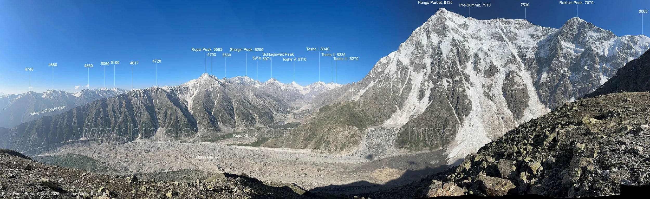

Rakhiot Peak 7,074m. Really just an extension of the Nanga Parbat ridge.

Crossing the Rupal Glacier with the Rakhiot Peak in front.
Rupal Glacier and Rupal face of NP
The Rupal side of NP
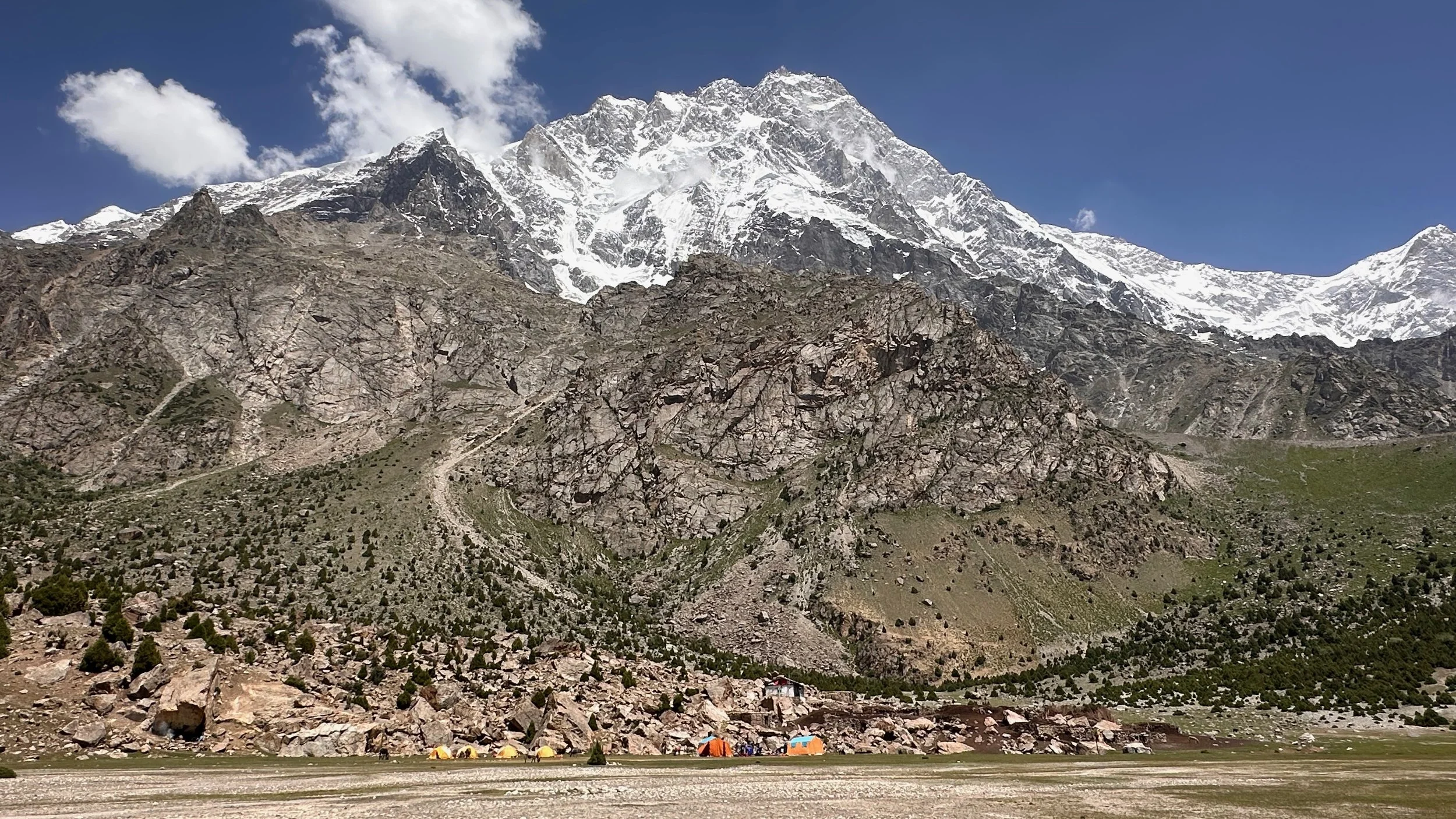
Latbo Pasture, the Schell Route base camp.
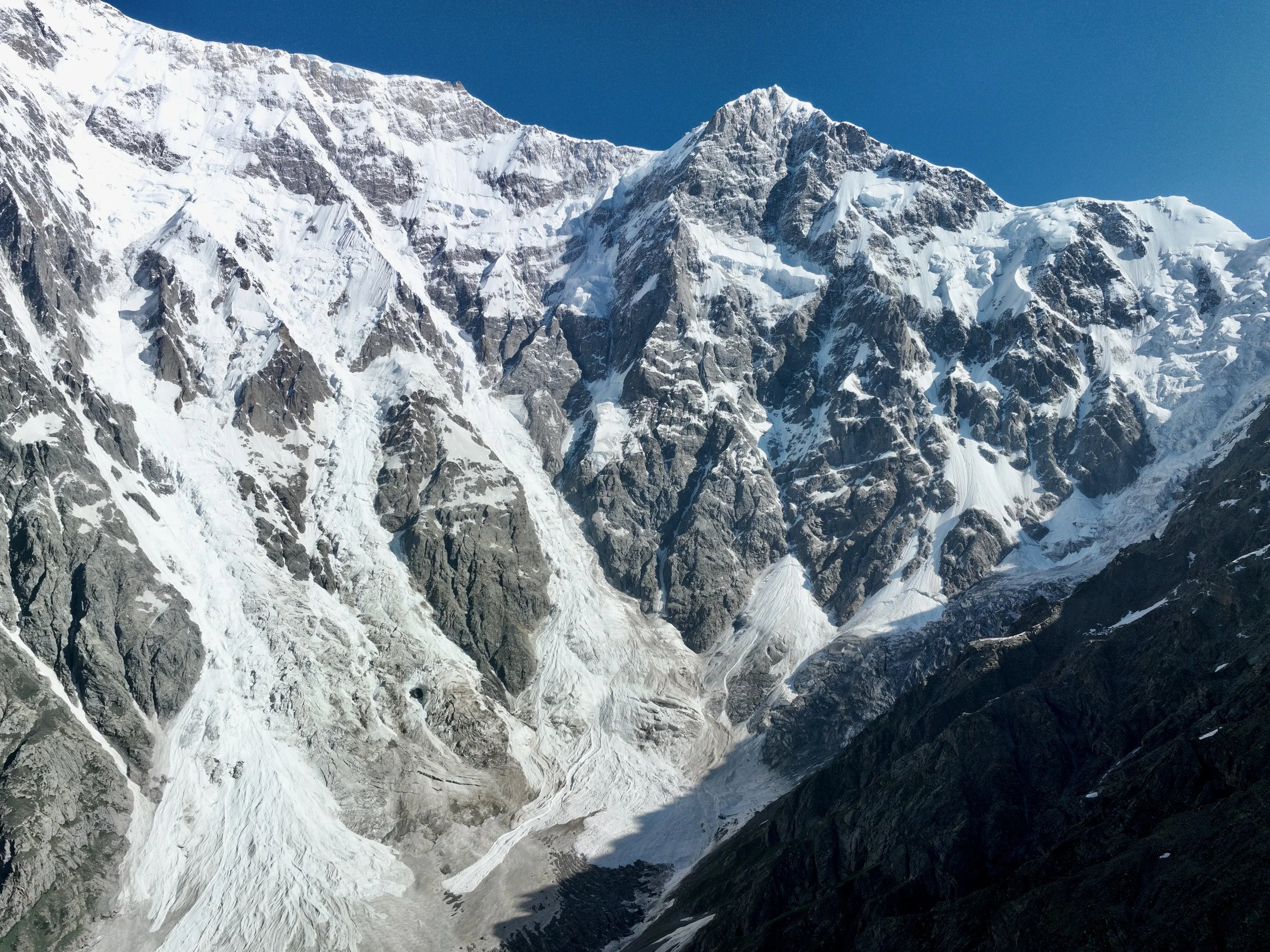
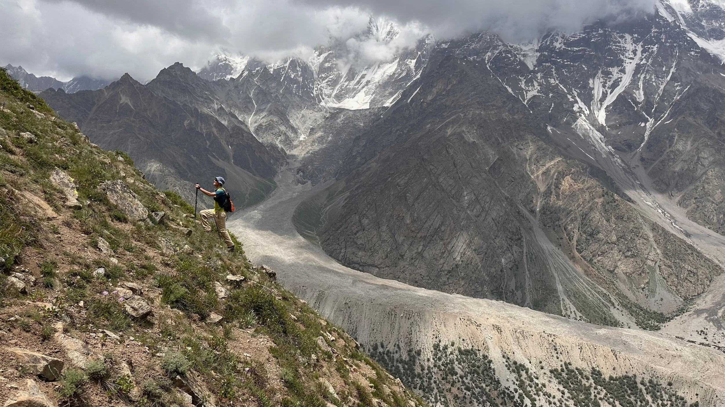
I followed this glacier to the point where real climbing started. This is the beginning of the Messner Route.
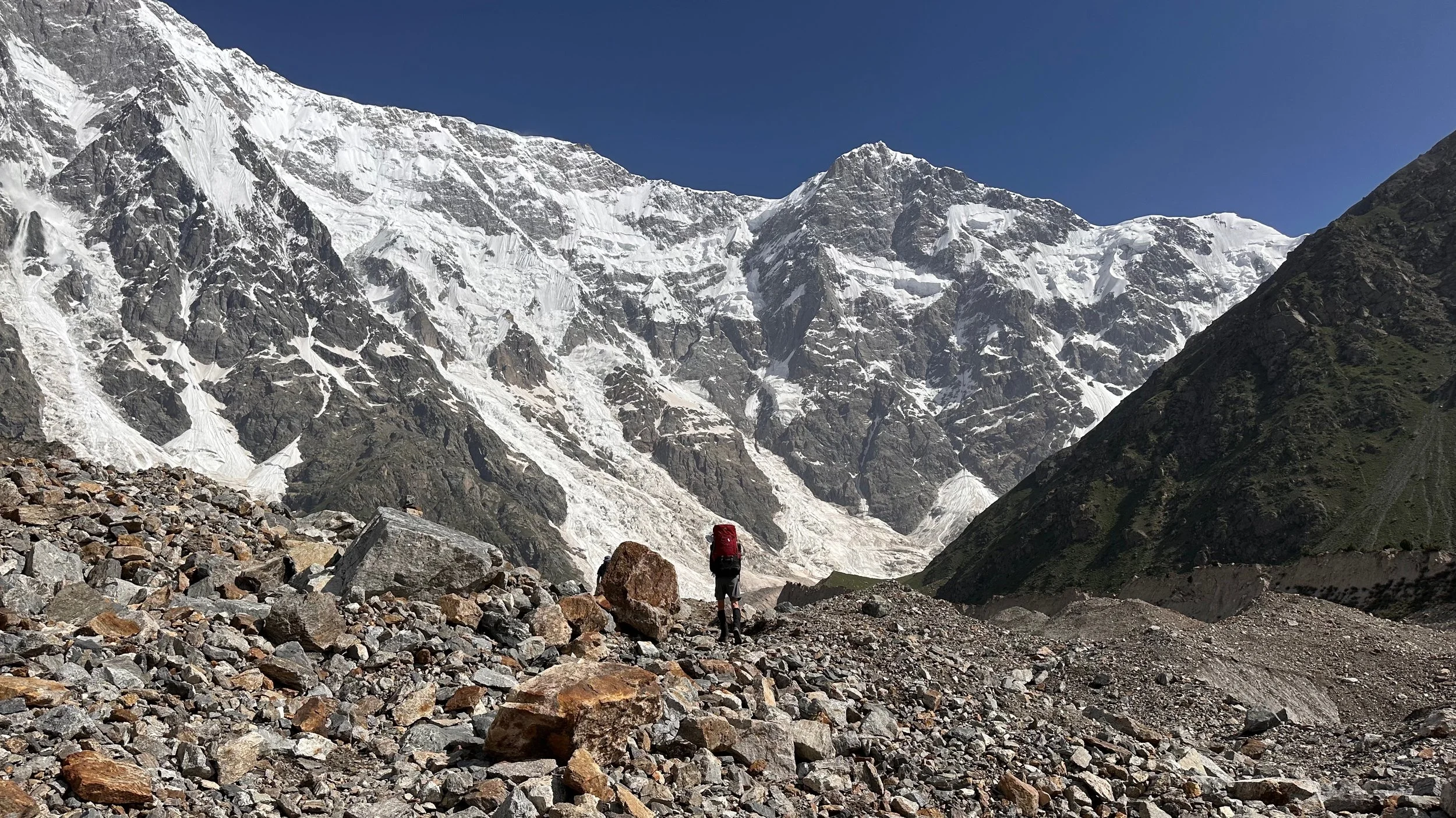
Soon the hiking ends and the proper climbing starts.

Standing right under the enormous Rupal Face.

Nanga Parbat Shell Route
Gani, the best friend of Tomek Mackiewicz in Pakistan. We spent a lot of time together and I enjoyed his stories about Tomek. Tomek died on NP in the winter of 2018 high above camp 4 on the Diamir side. The dramatic story of the climb and rescue of Elizabeth Revol was subject of the book “To Live”.
David Goettler from Germany in front of the Schel Route on NP. He just climbed NP Rupal Face Shel Route and descended with a parachute in 30 min! It was his 5th attempt on the summit of NP. He is a highly accomplished Himalaya climber.
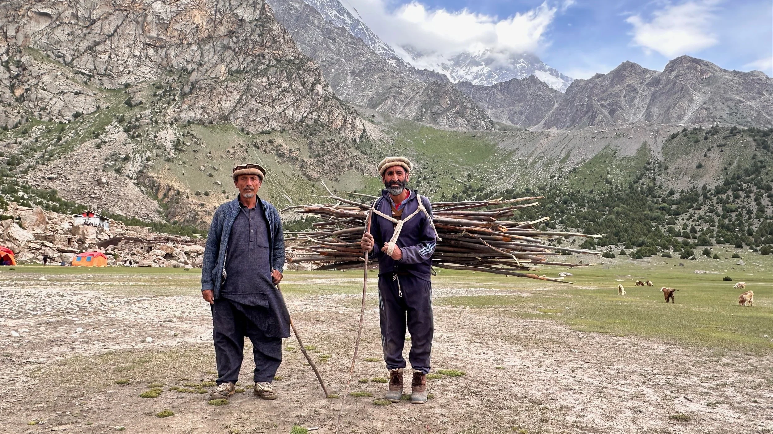
Local herders at the Latbo camp.

Latbo basecamp of Nanga Parbat.
Mountain happiness.
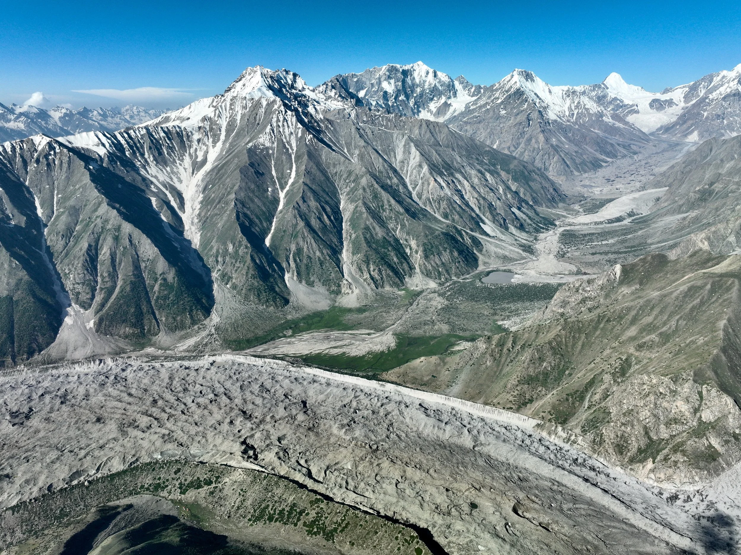
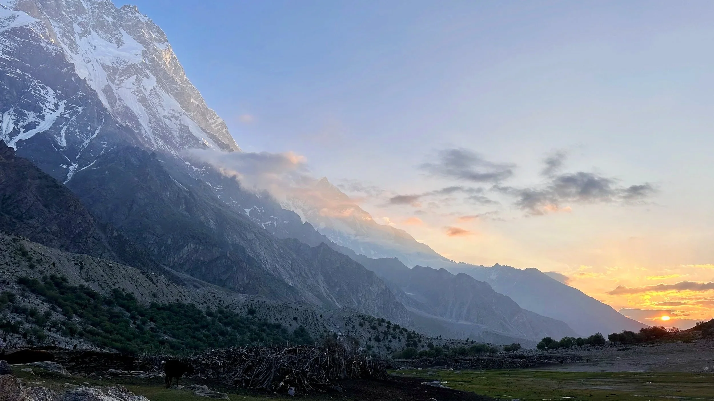
Rupal Valley

Rupal Valley
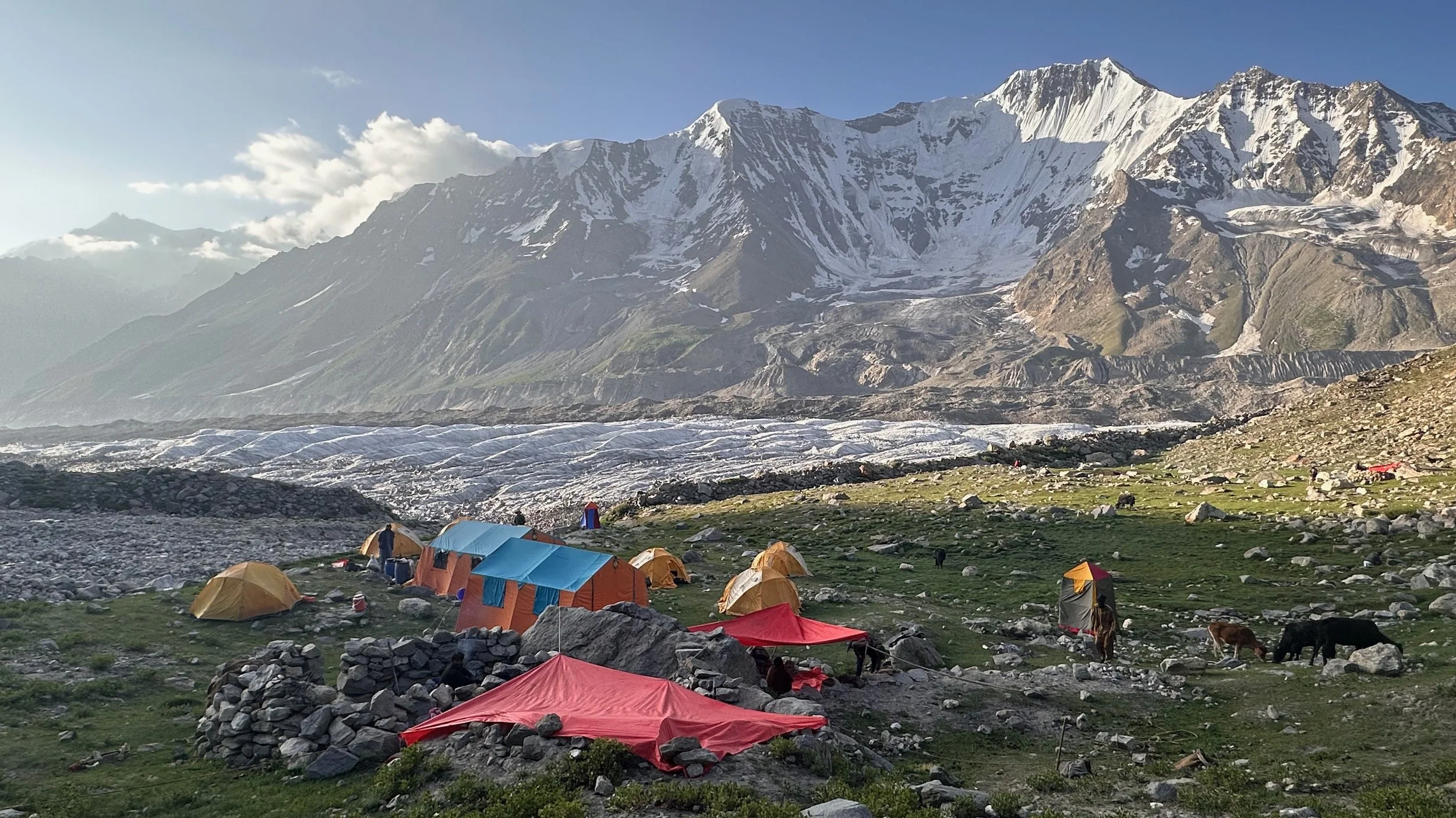
Another hike from the Latbo camp. We had a lot of free days which was fantastic for exploring the surroundings and for good acclimatization.
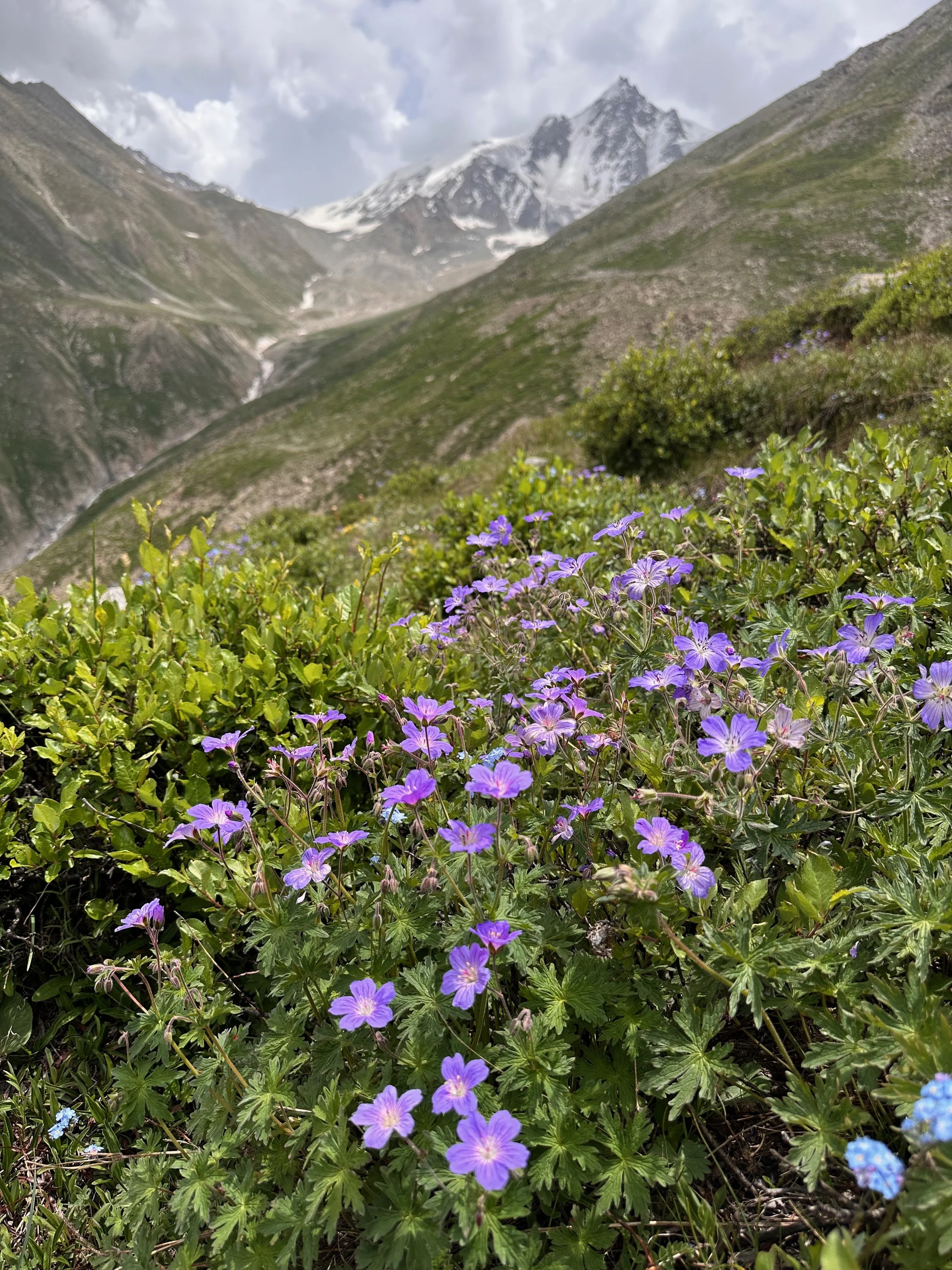
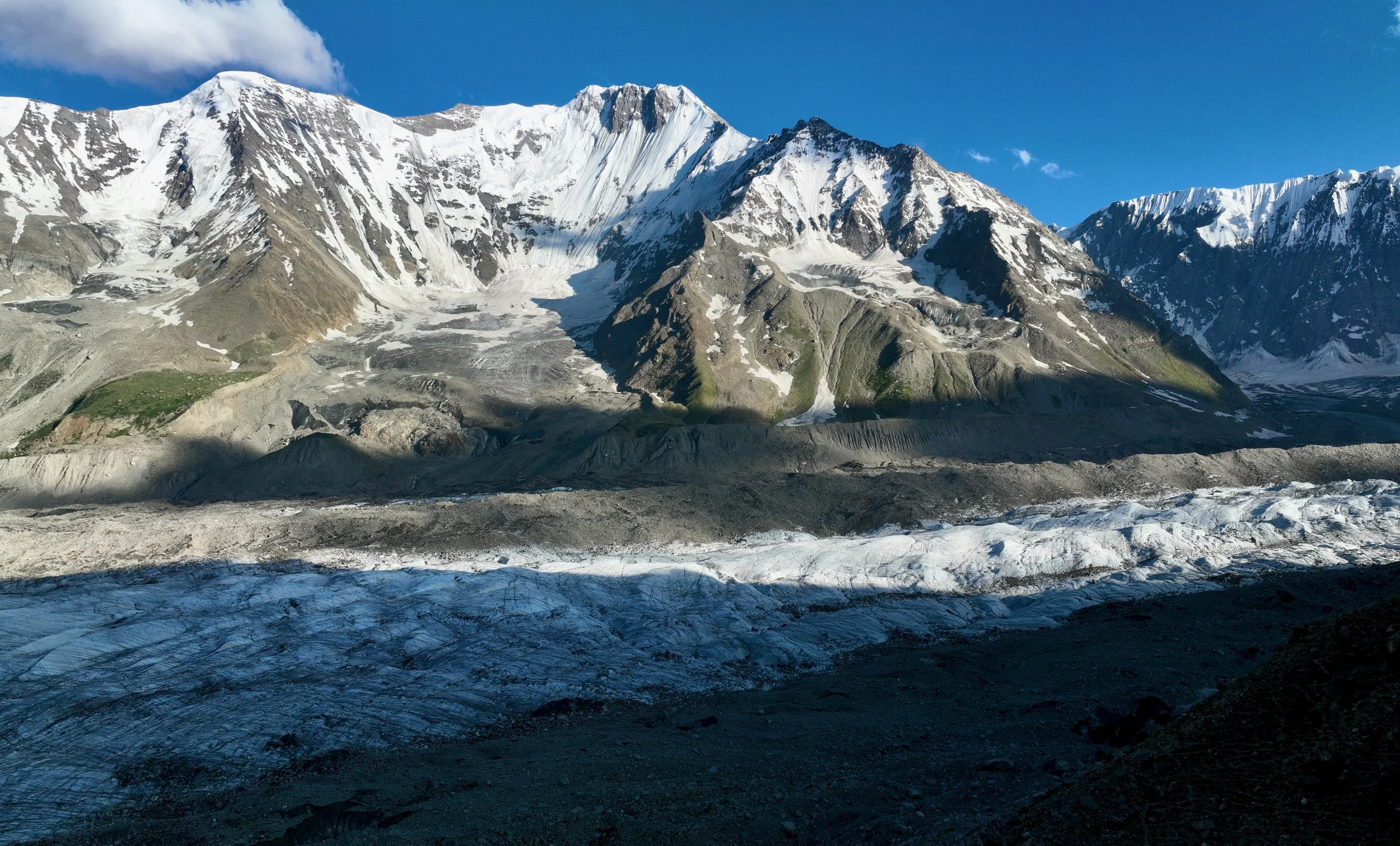
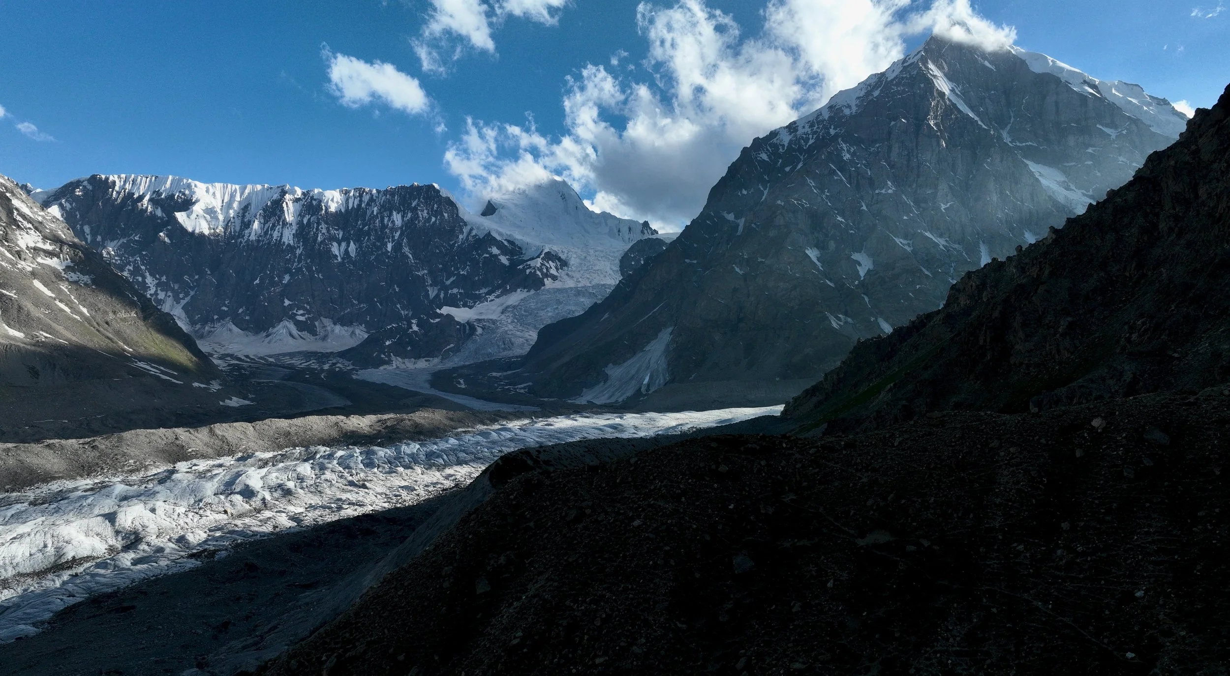
The Mazeno Ridge is coming into view (left). NP summit is on the right.

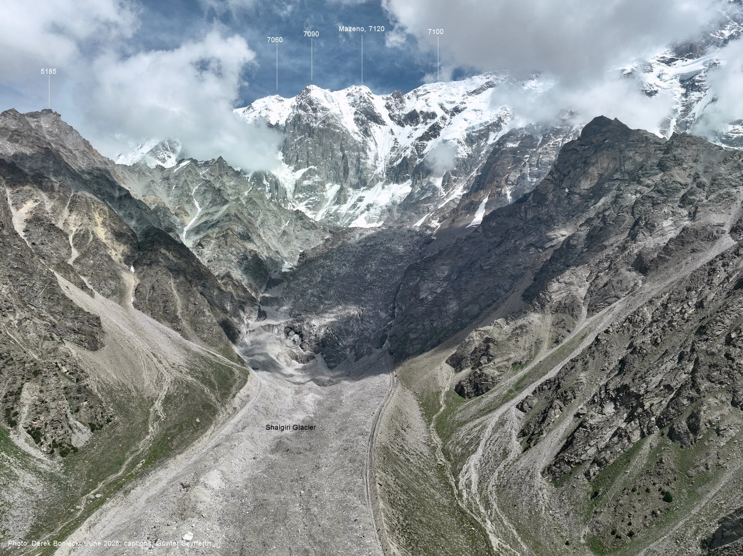
Mazeno Ridge
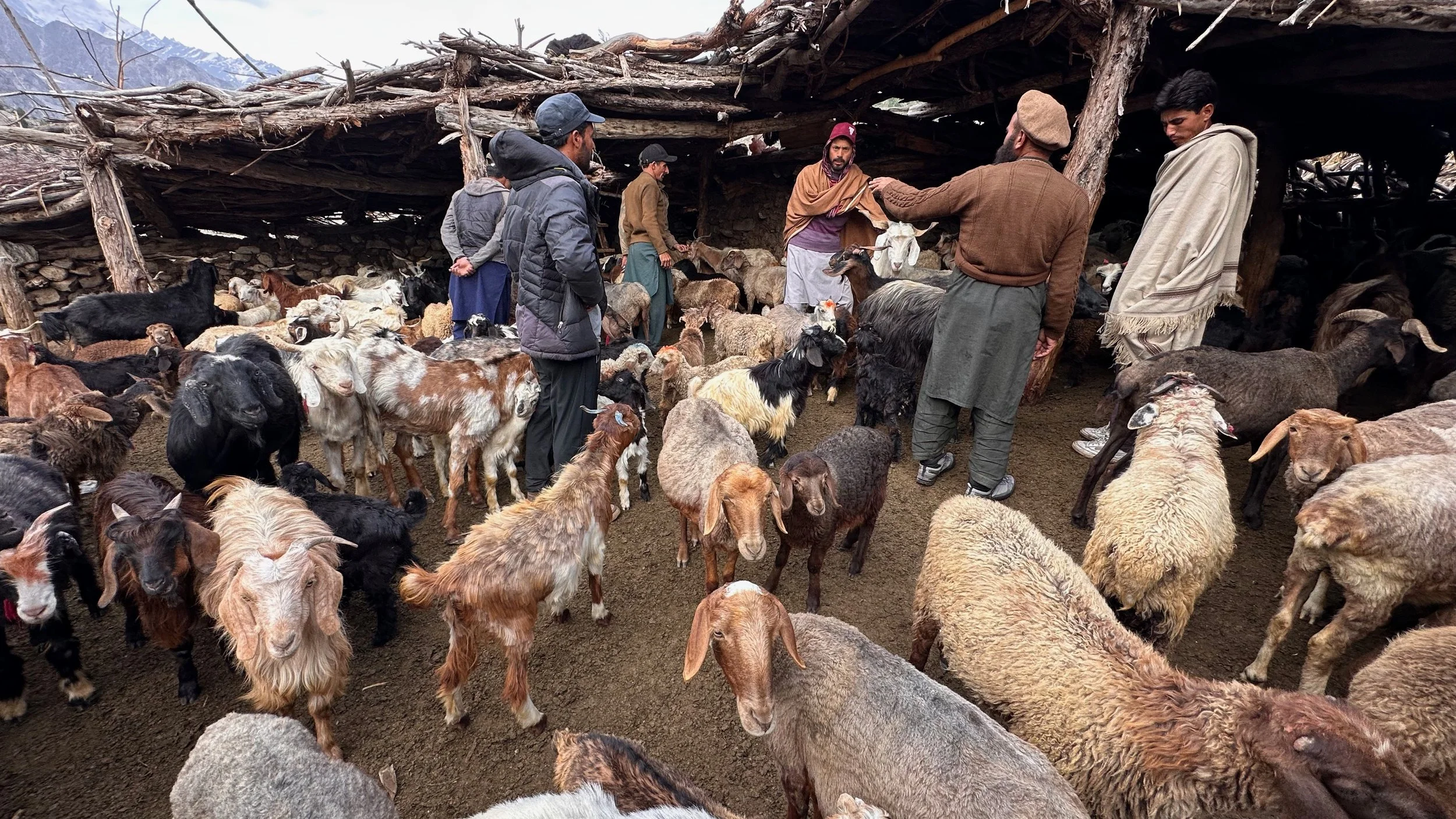
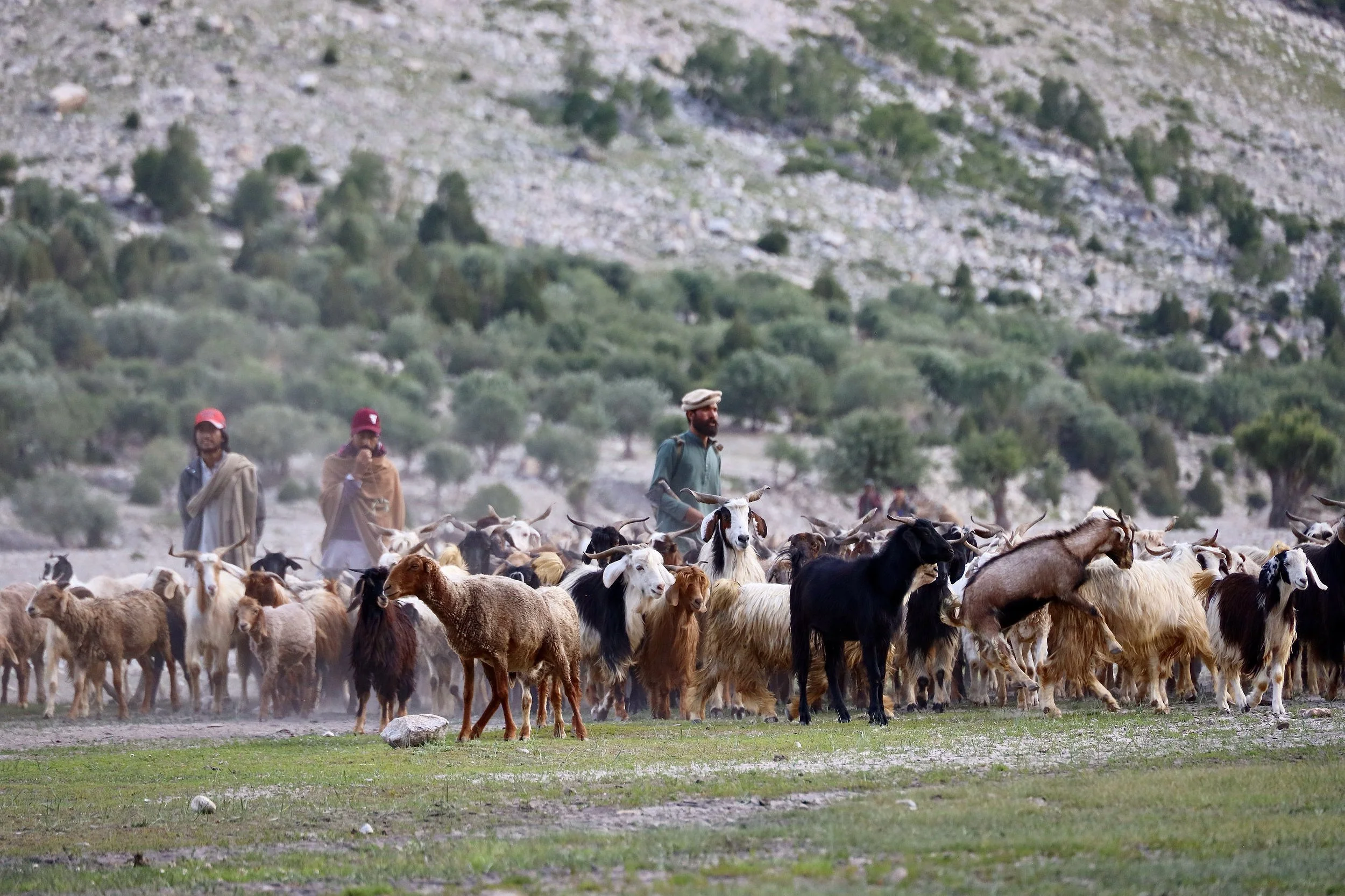
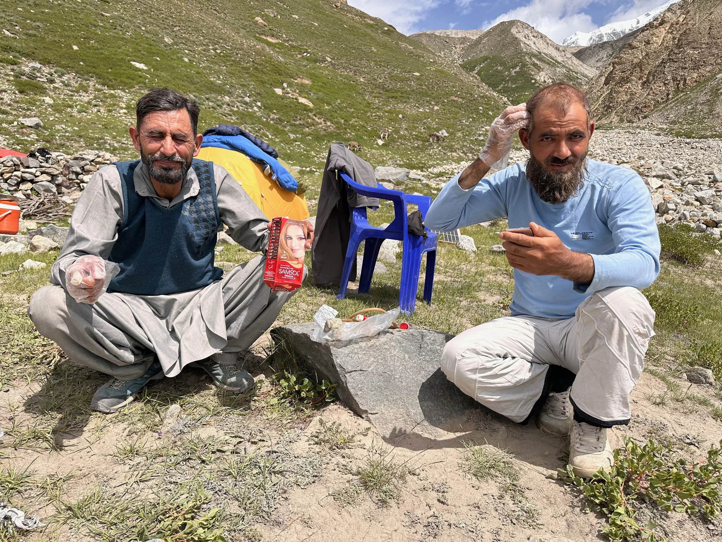
Buying a goat is an involved process…
Goat business
Sunrise on NP
Almost at the end of the Rupal Valley.
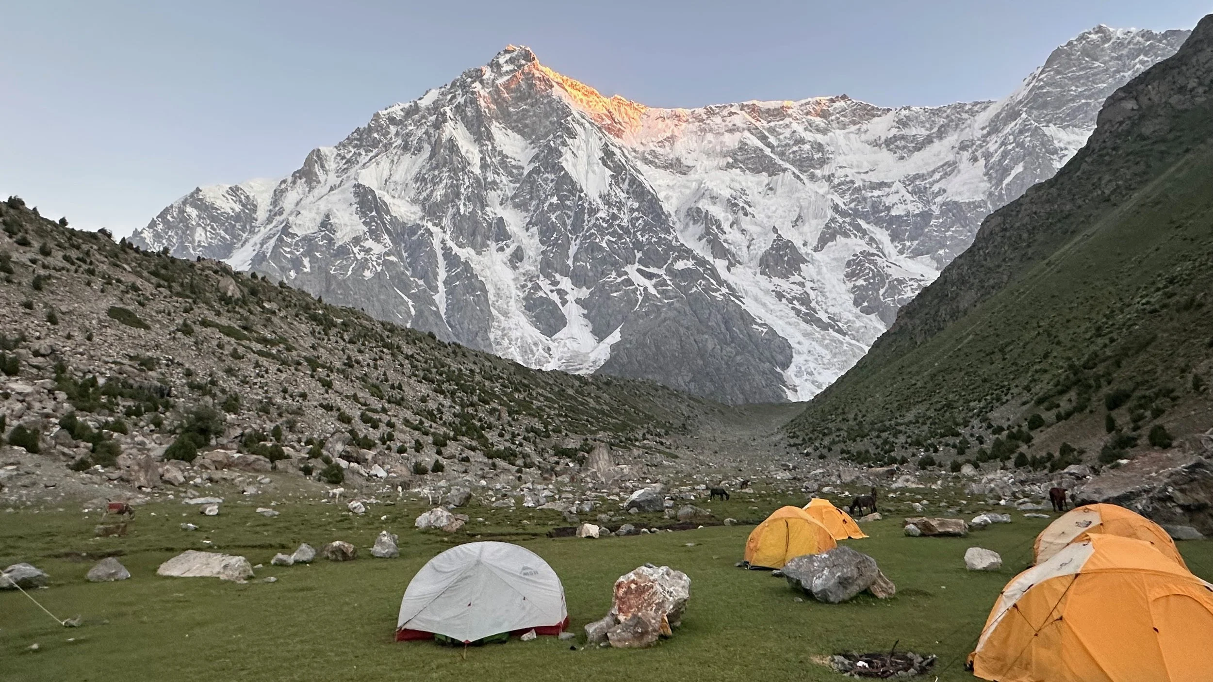
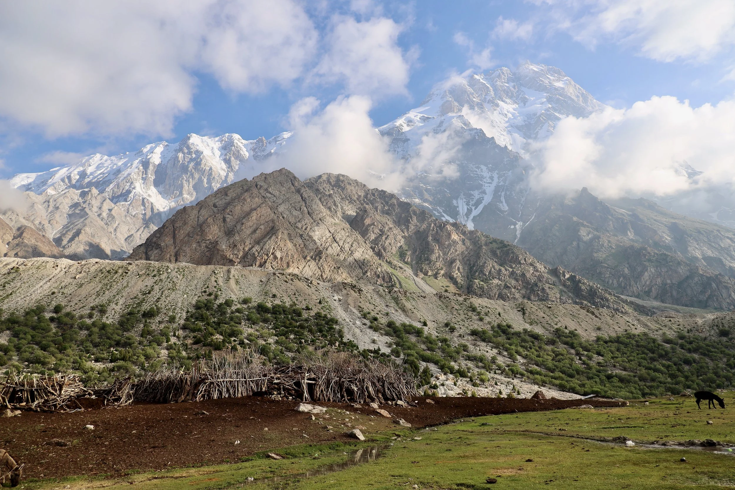
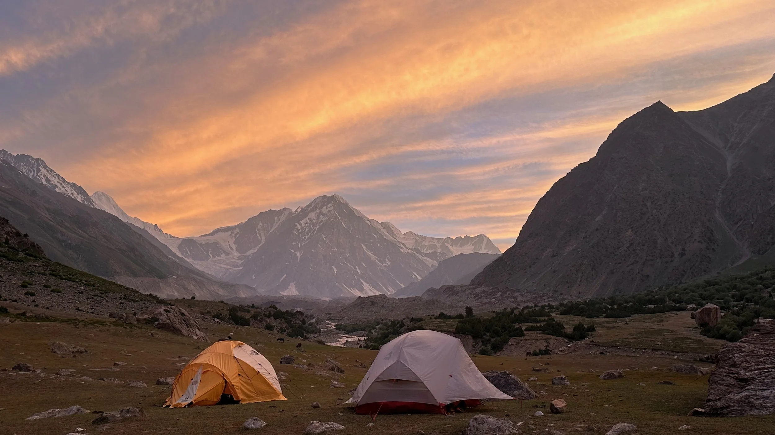
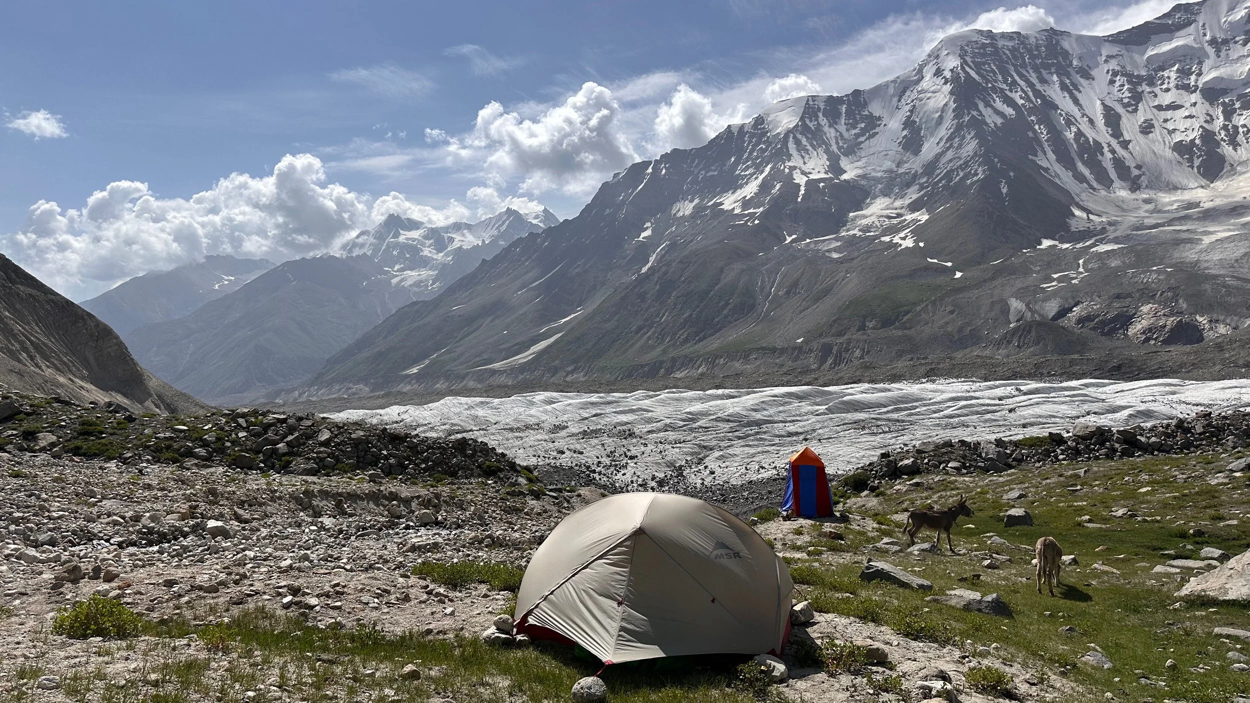
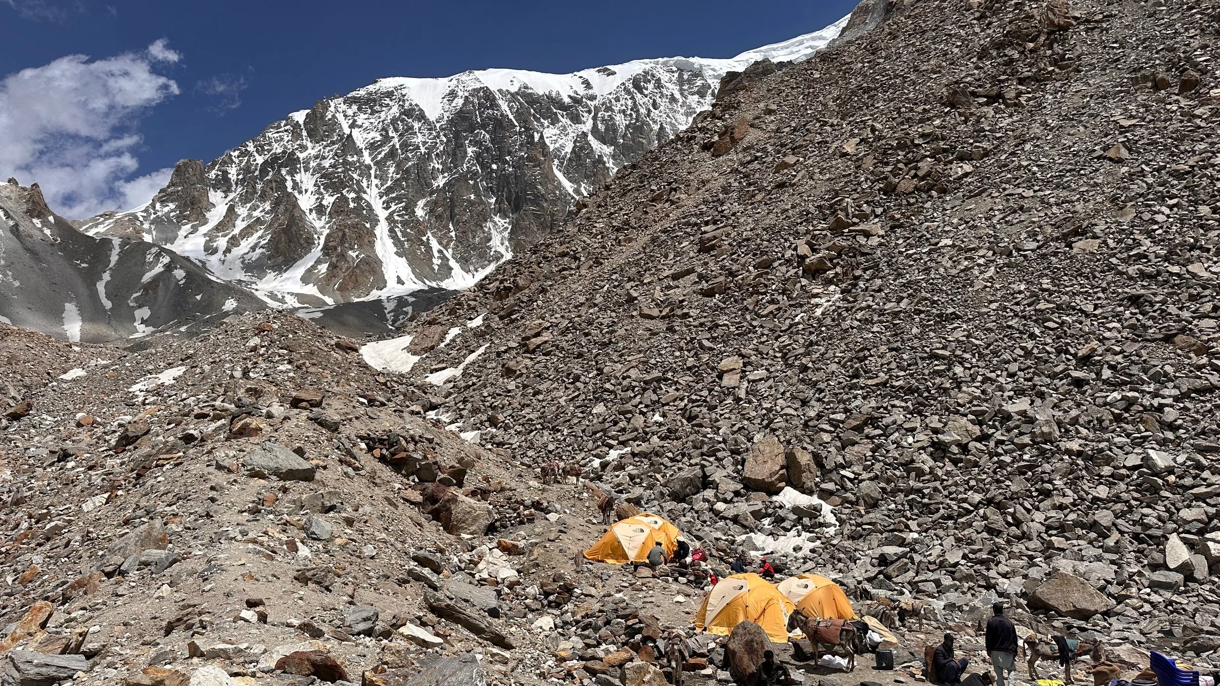
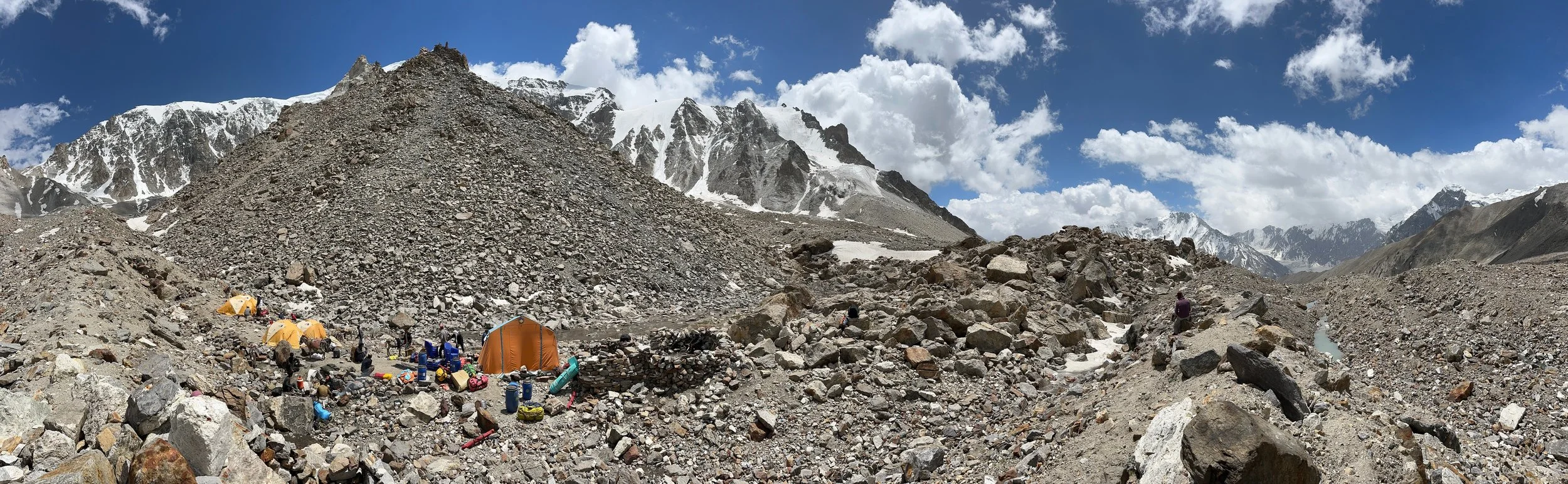
The Mazeno La basecamp at 4,400m
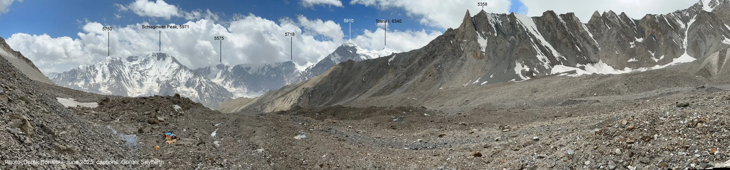
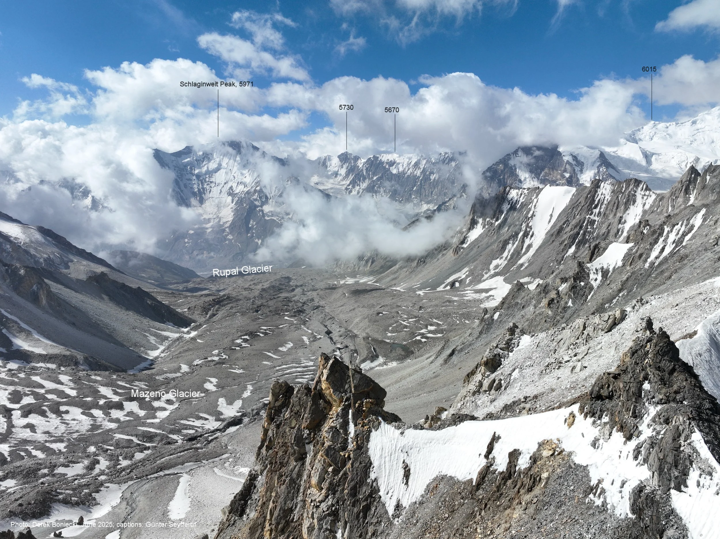
Schlagintweit Peak 5,971m.

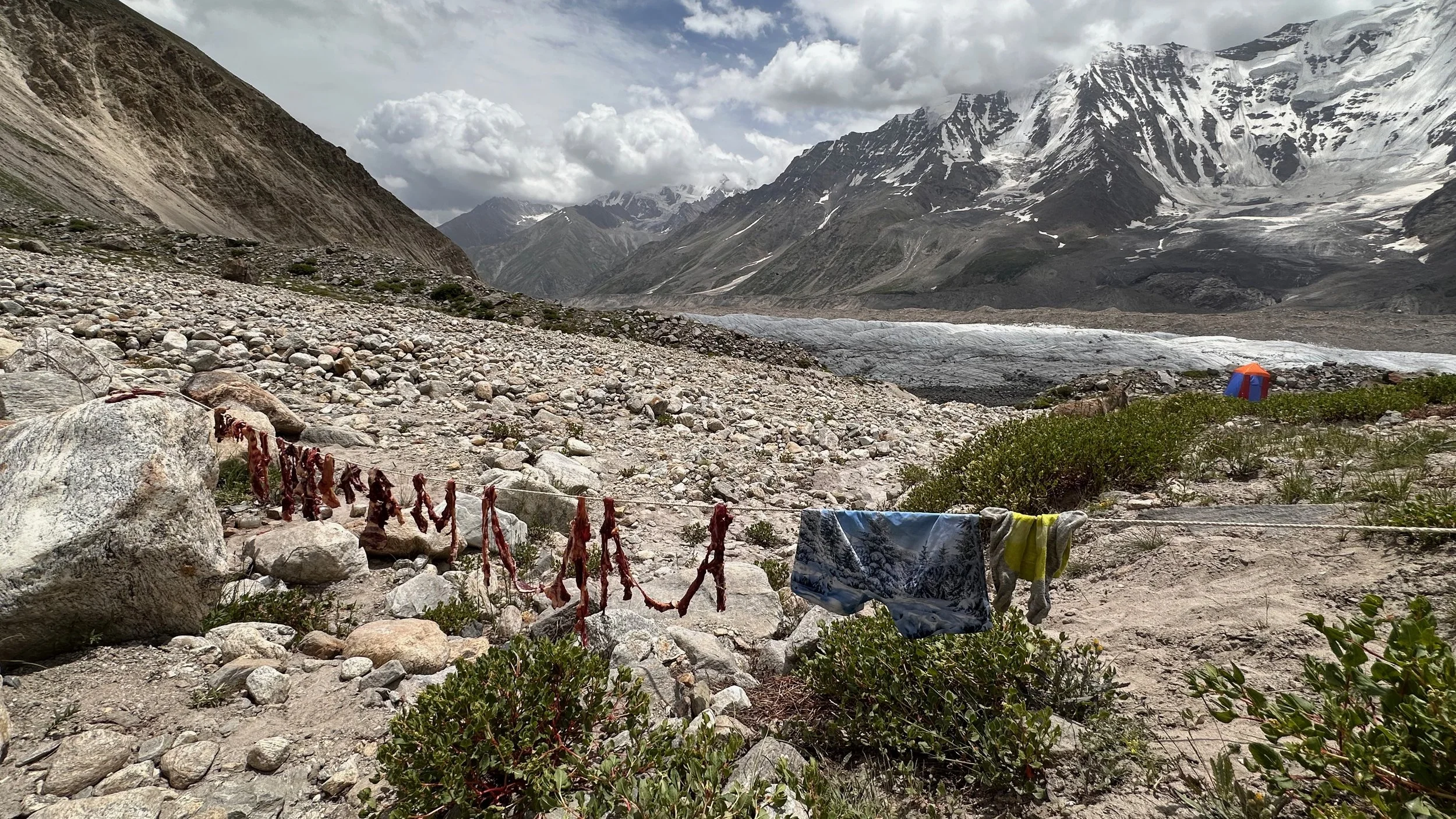
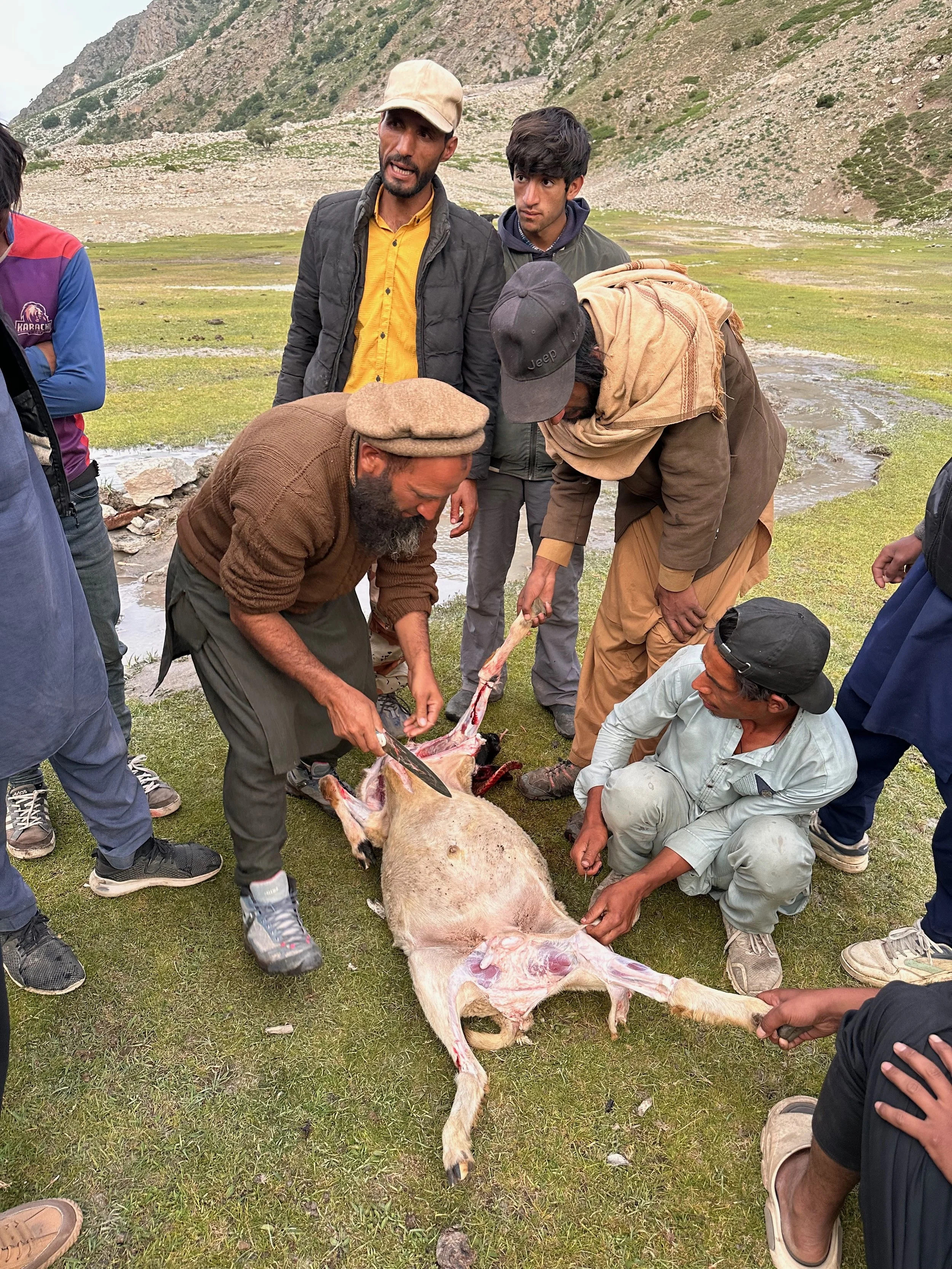
With no refrigeration, sun drying of goat meat is the only alternative. We were eating this meat for the next 8 days!
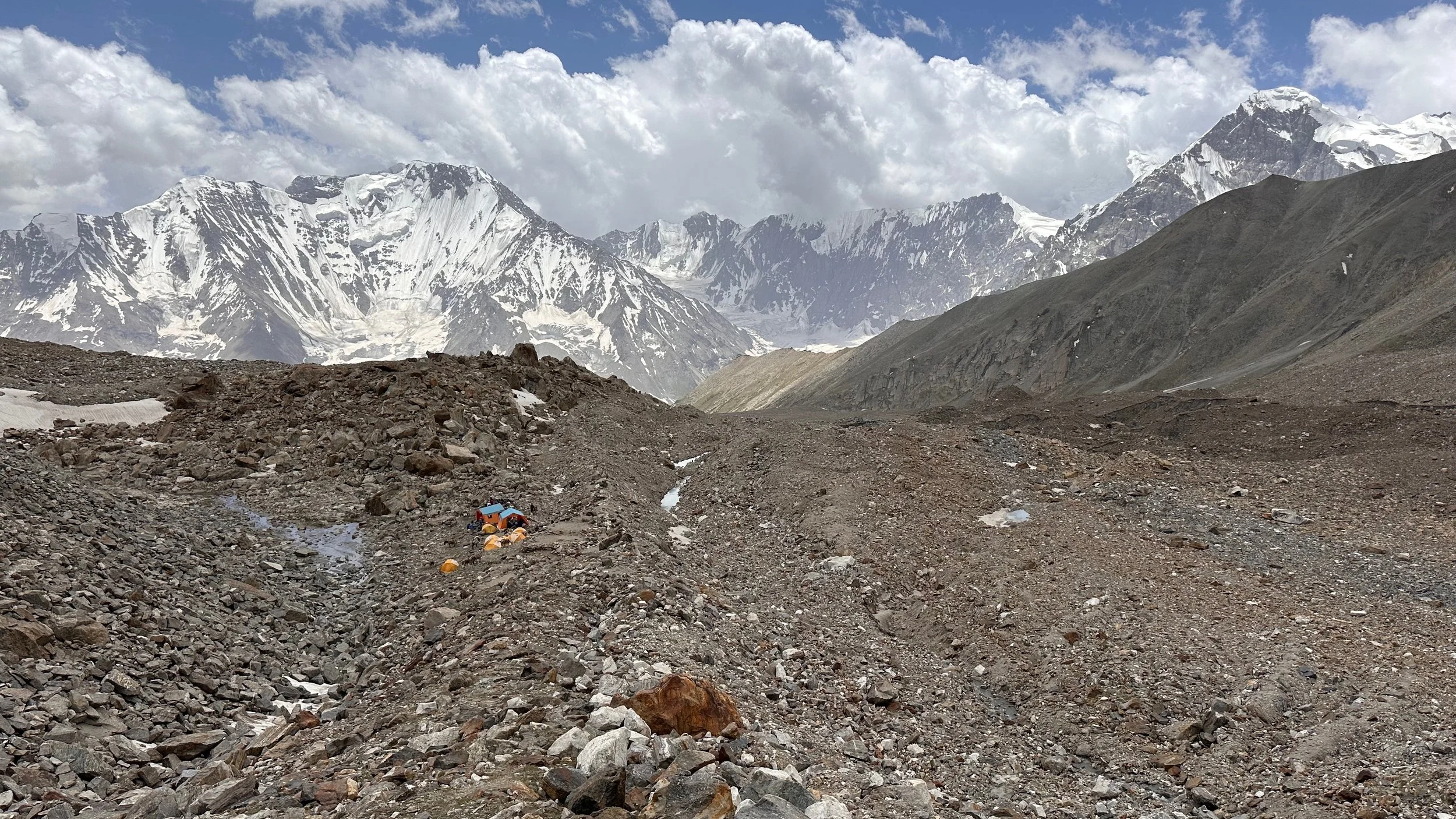
The Mazeno Pass basecamp at 4,400m
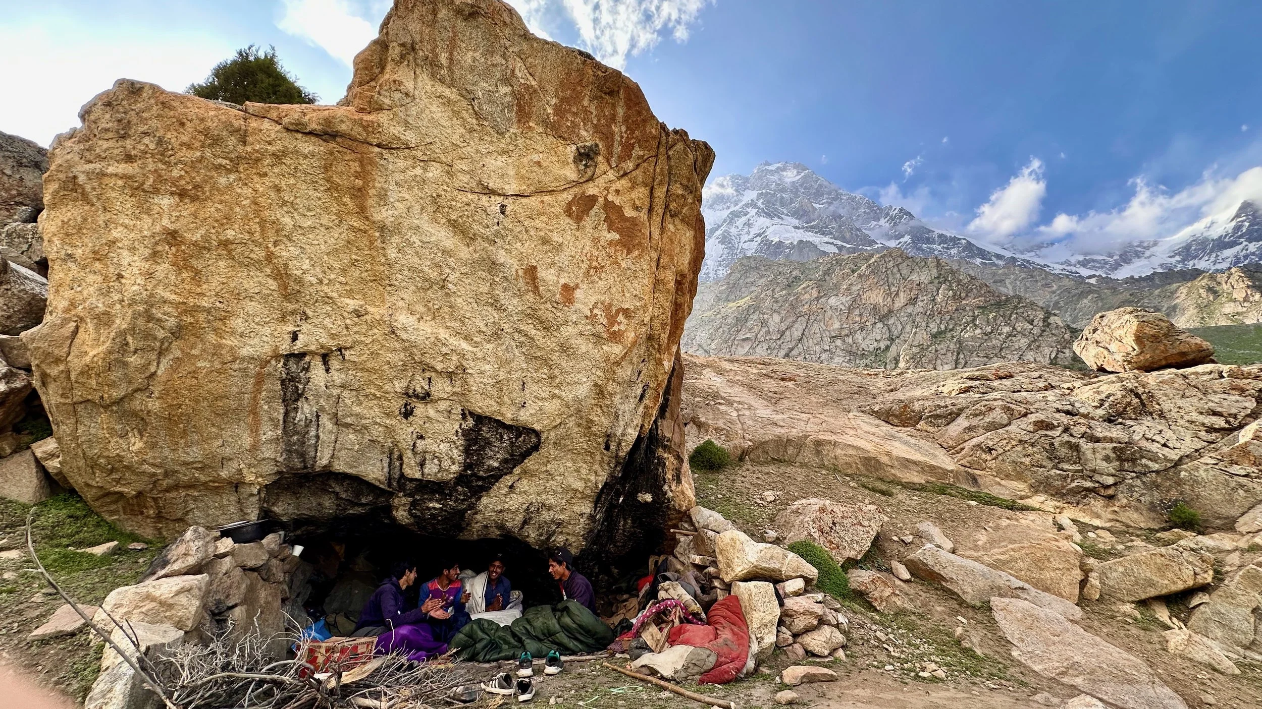
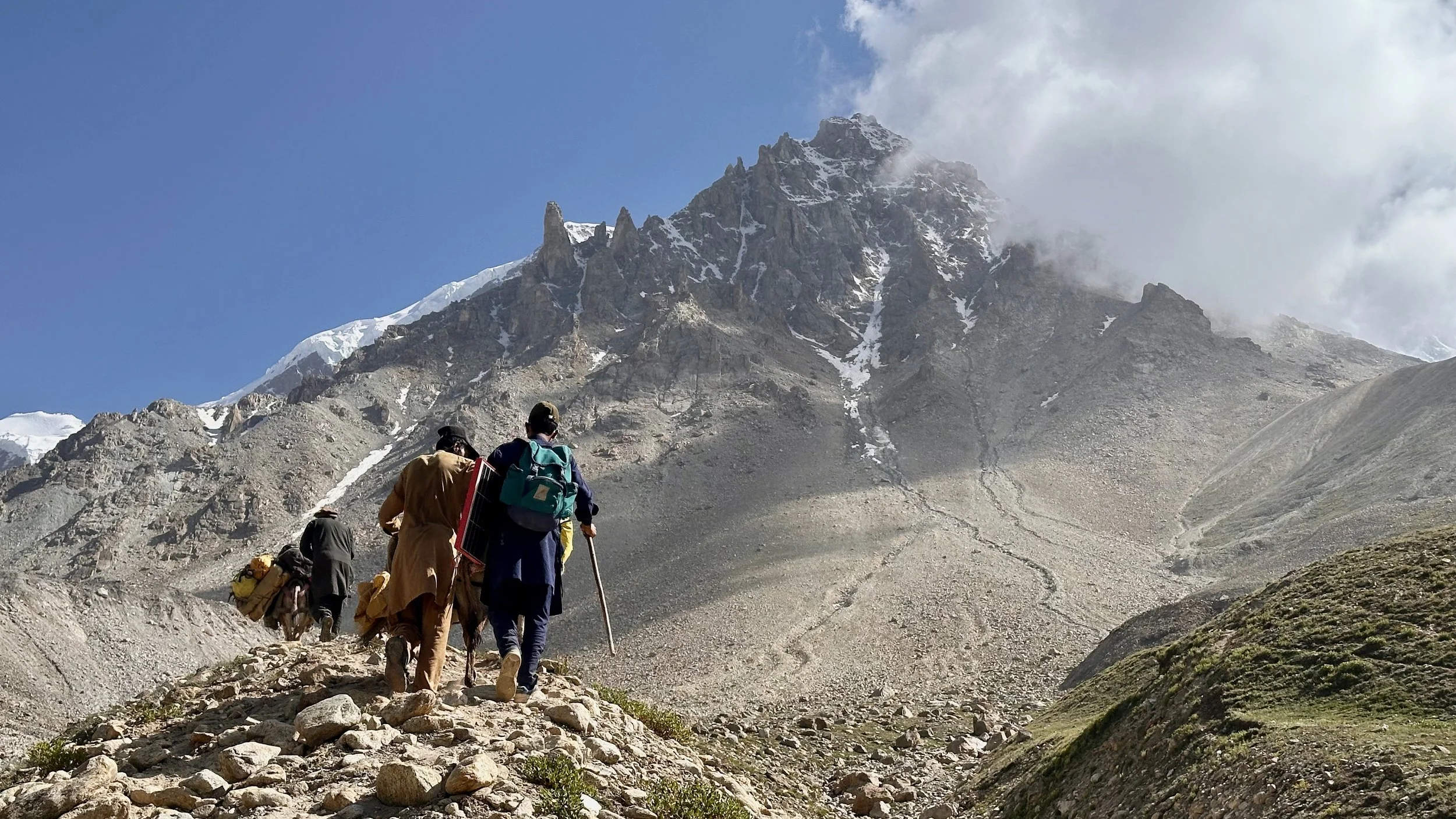
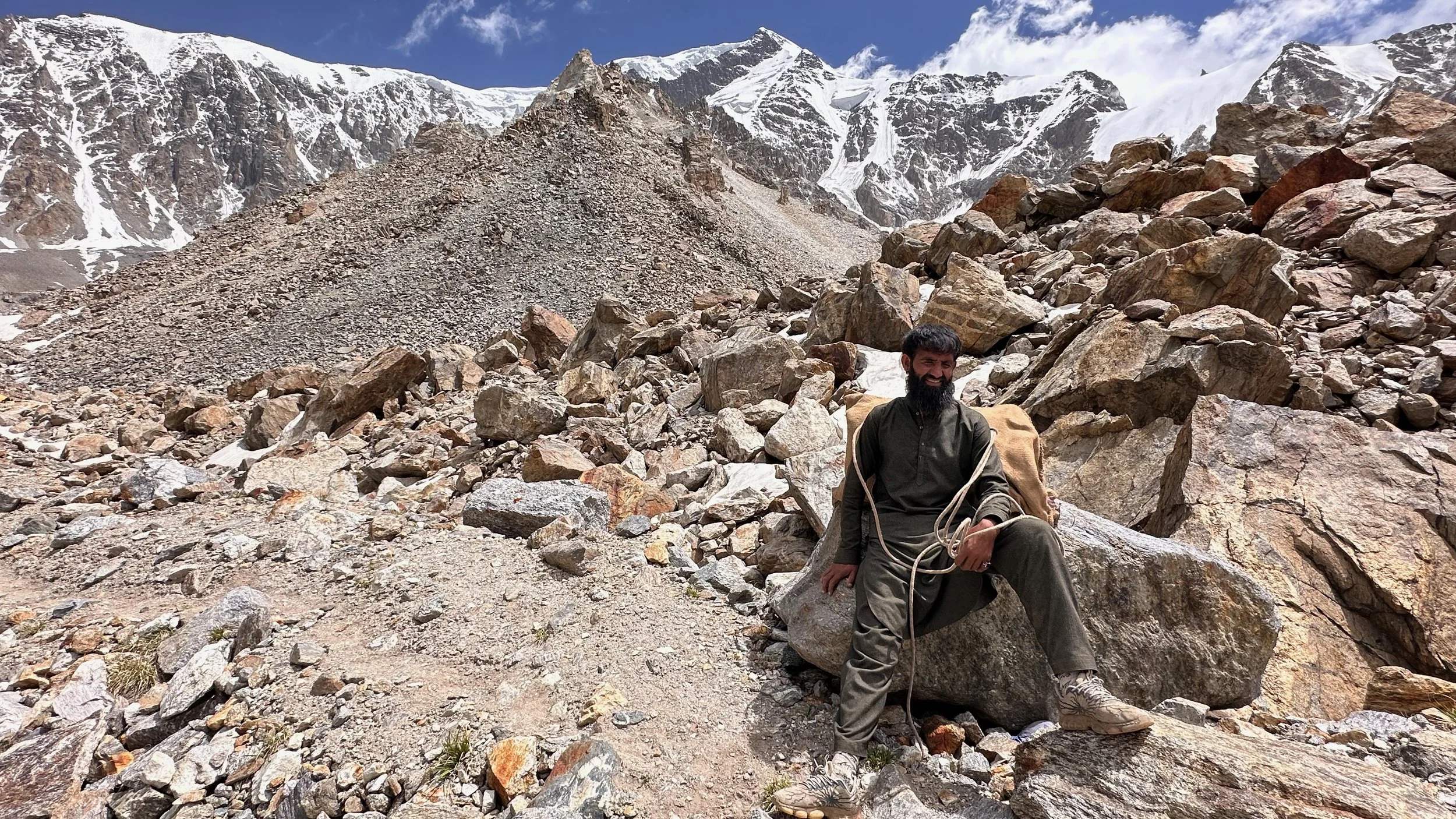
One of our porters
Beauty before adventure - you have to look good for Mazeno Pass
Moving up to the Mazeno Pass high camp at 4,800m.

We will part with the donkeys in a few days and change the porters from the Rupal Valley to the porters from the Diamir Valley.

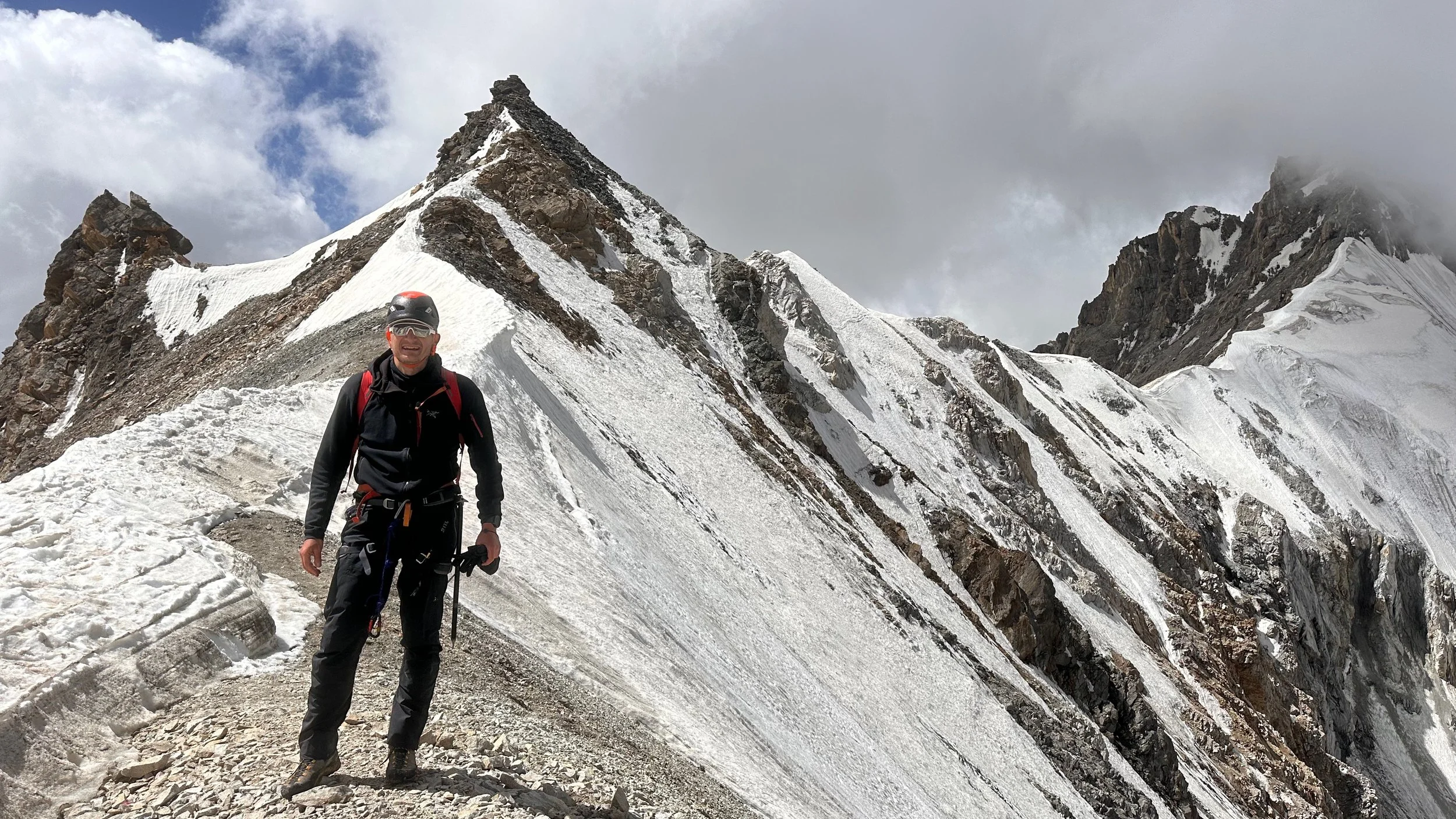
Taking a break with the Mazeno Ridge behind.
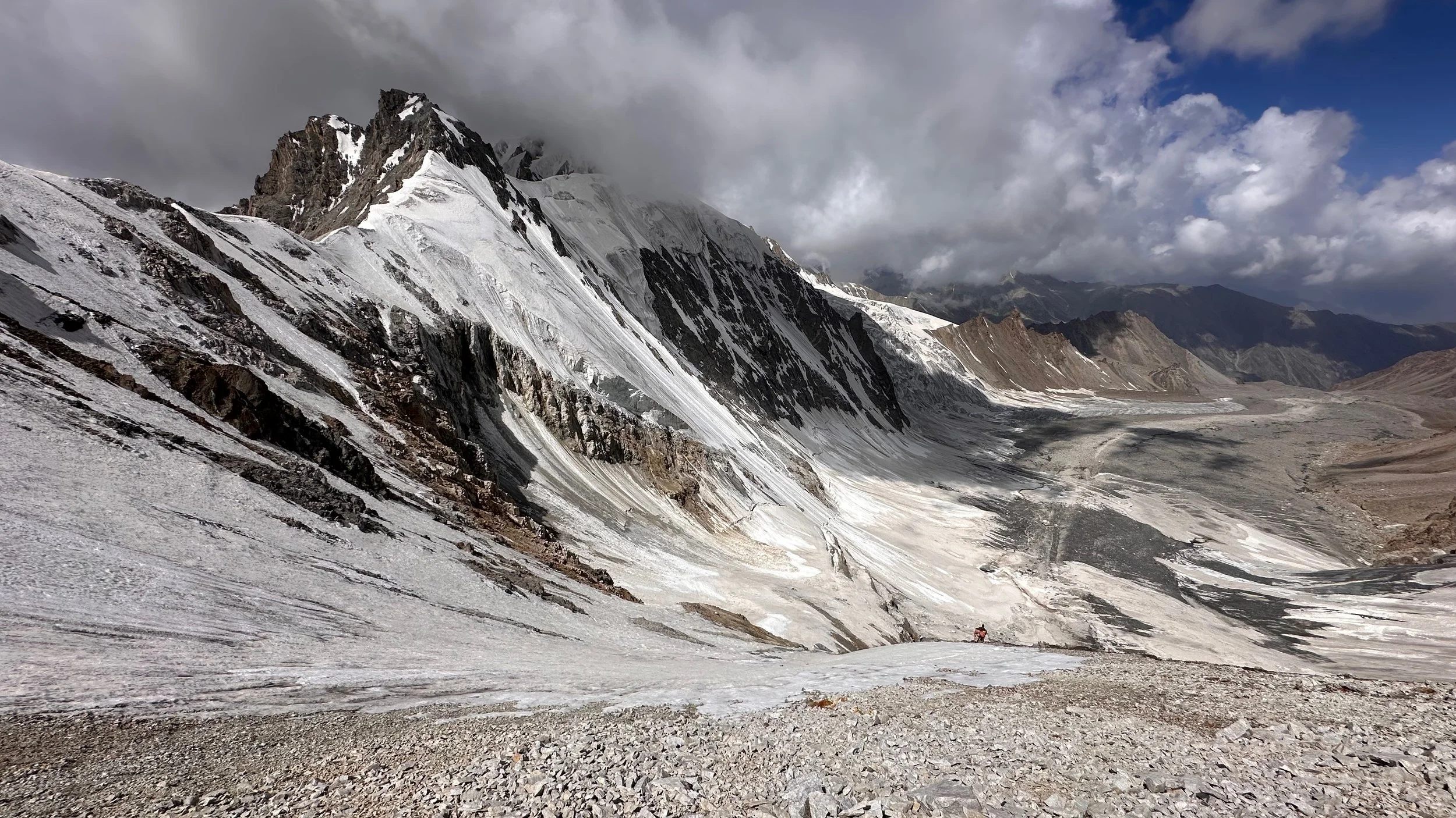
The Mazeno Pass high camp at 4,800m. The Mazeno Pass is on the left side of the photo at the end of the Mazeno Ridge.

The Mazeno Pass is visible on the left of the photo.
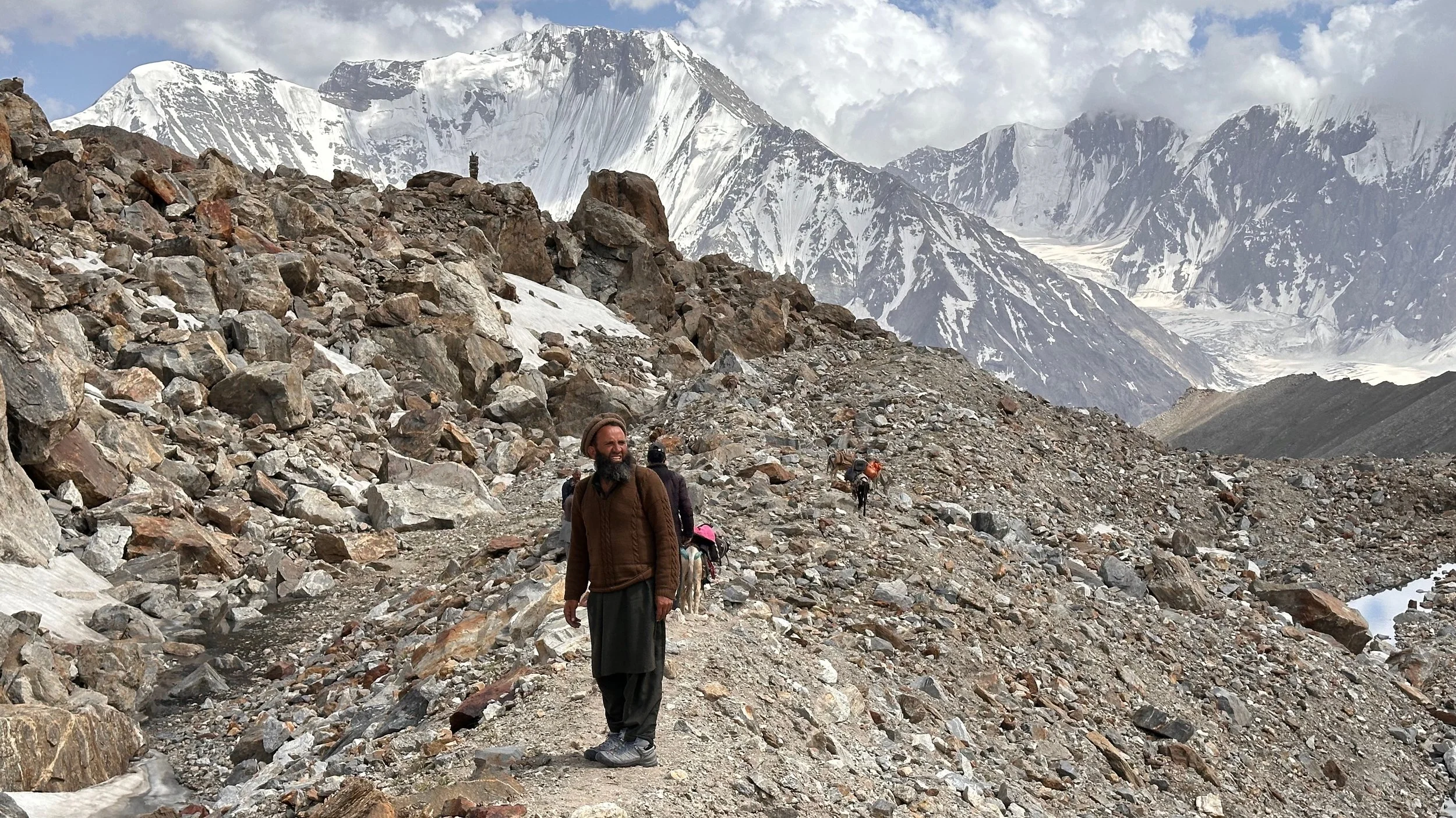
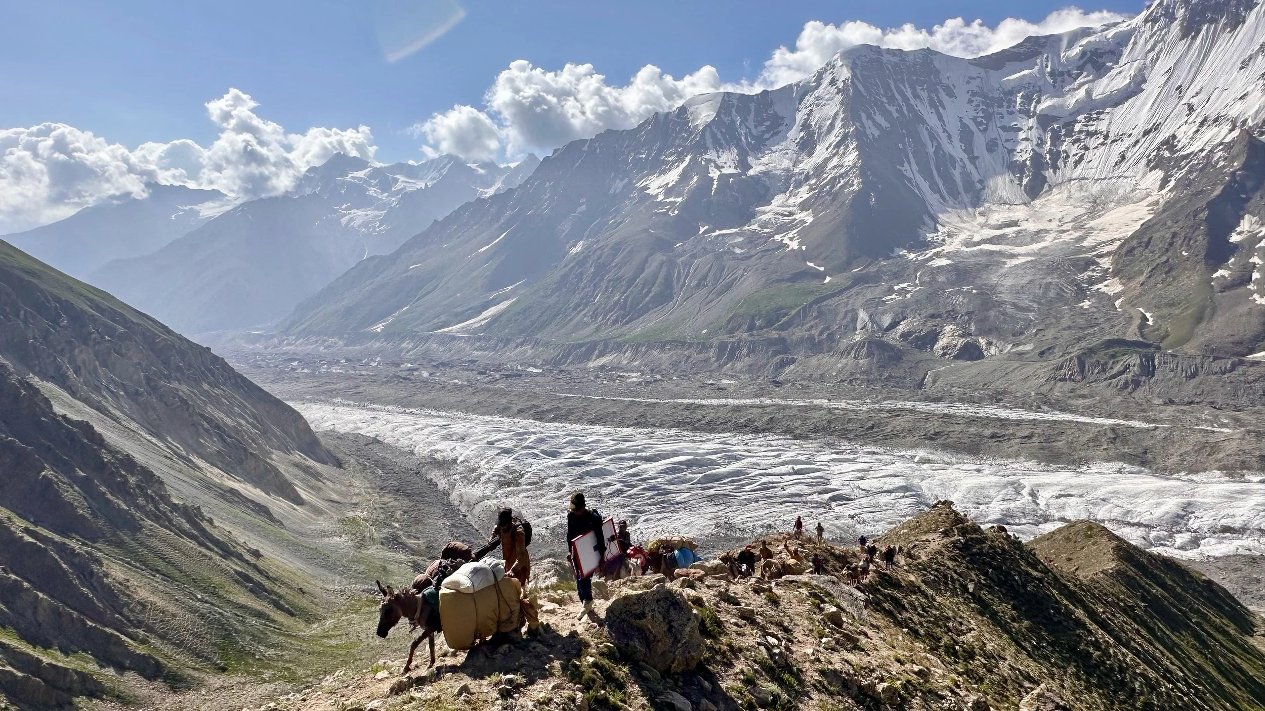
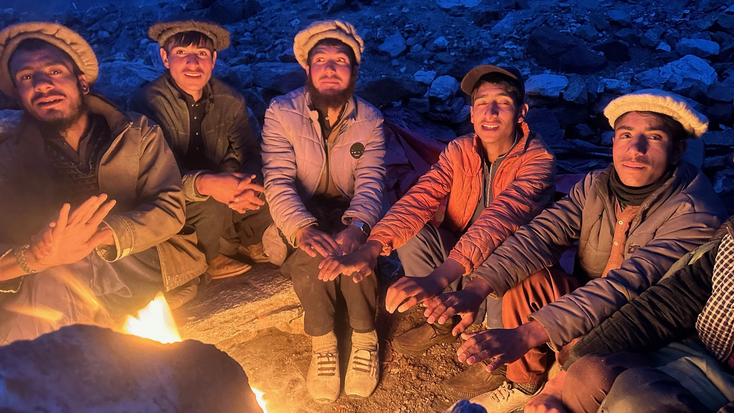
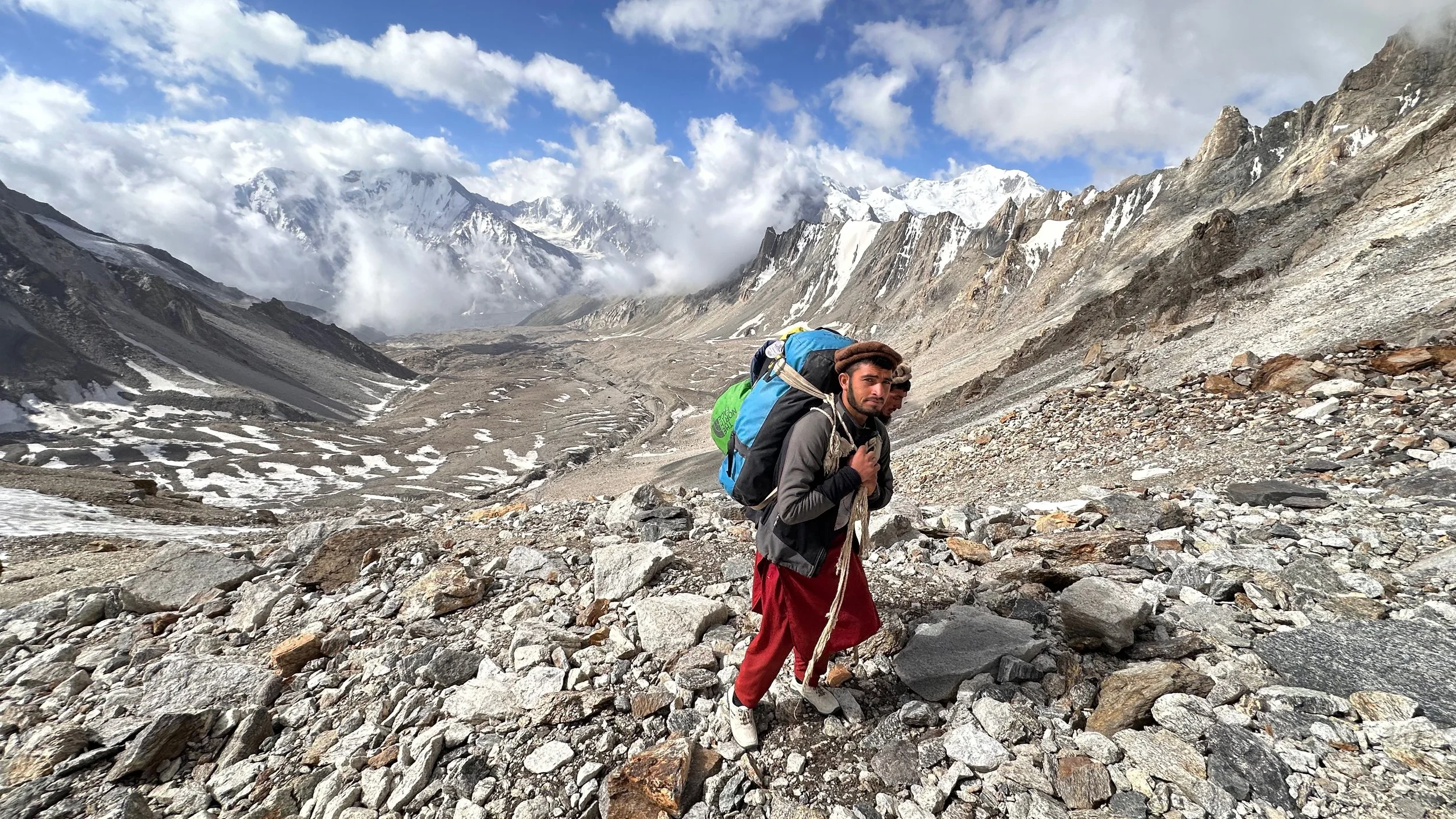
The porters from the Rupal side of NP left from the Mazeno High camp. We were then met by the new group of porters from the Diamir Valley. They walked from the Dimir Valley, across the Mazeno Pass to the high camp in 2 days! Five of them barely walked due to altitude sickness and severe dehydration. The kitchen tent was like an infirmary that evening.
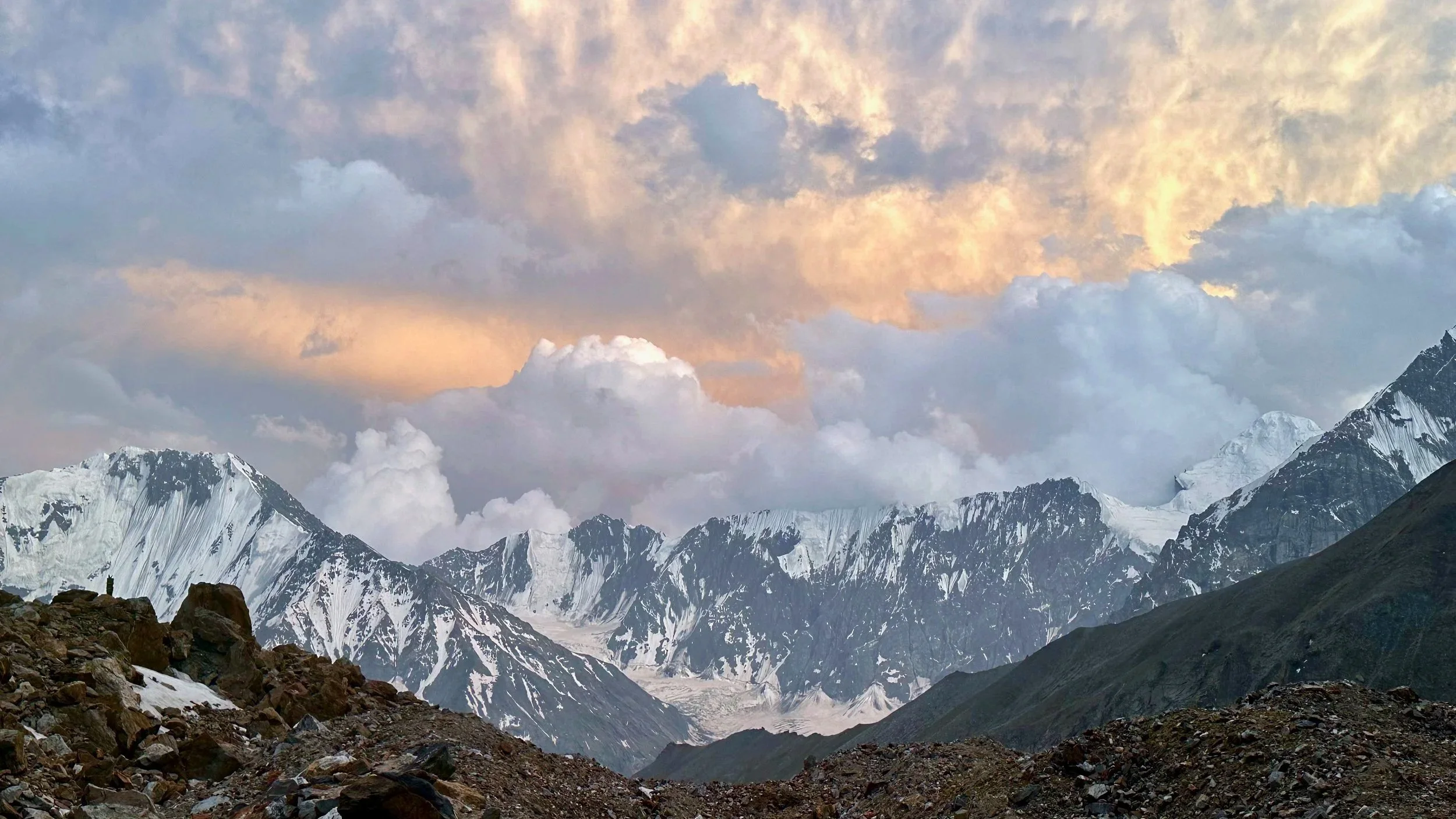
Spectacular sunset from the high camp.
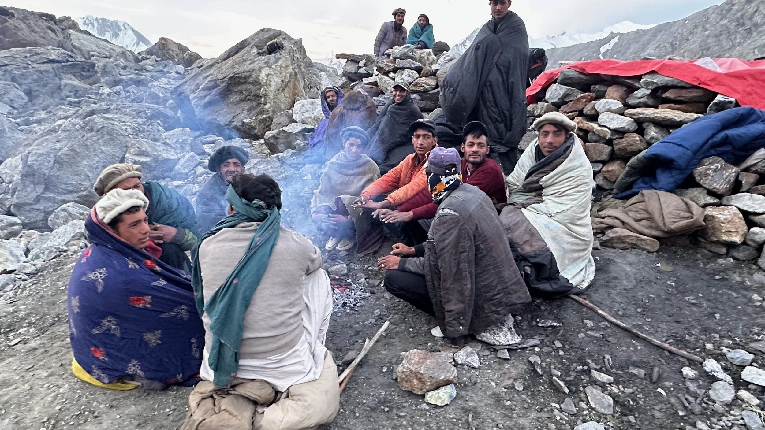
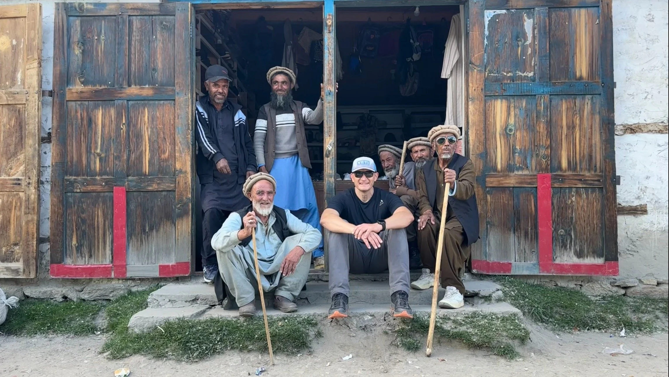
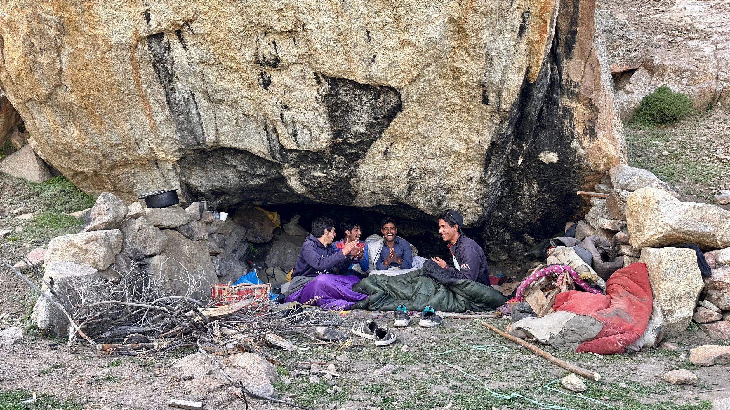
Our new porters from the Diamir Valley. A motley crew of nice guys.
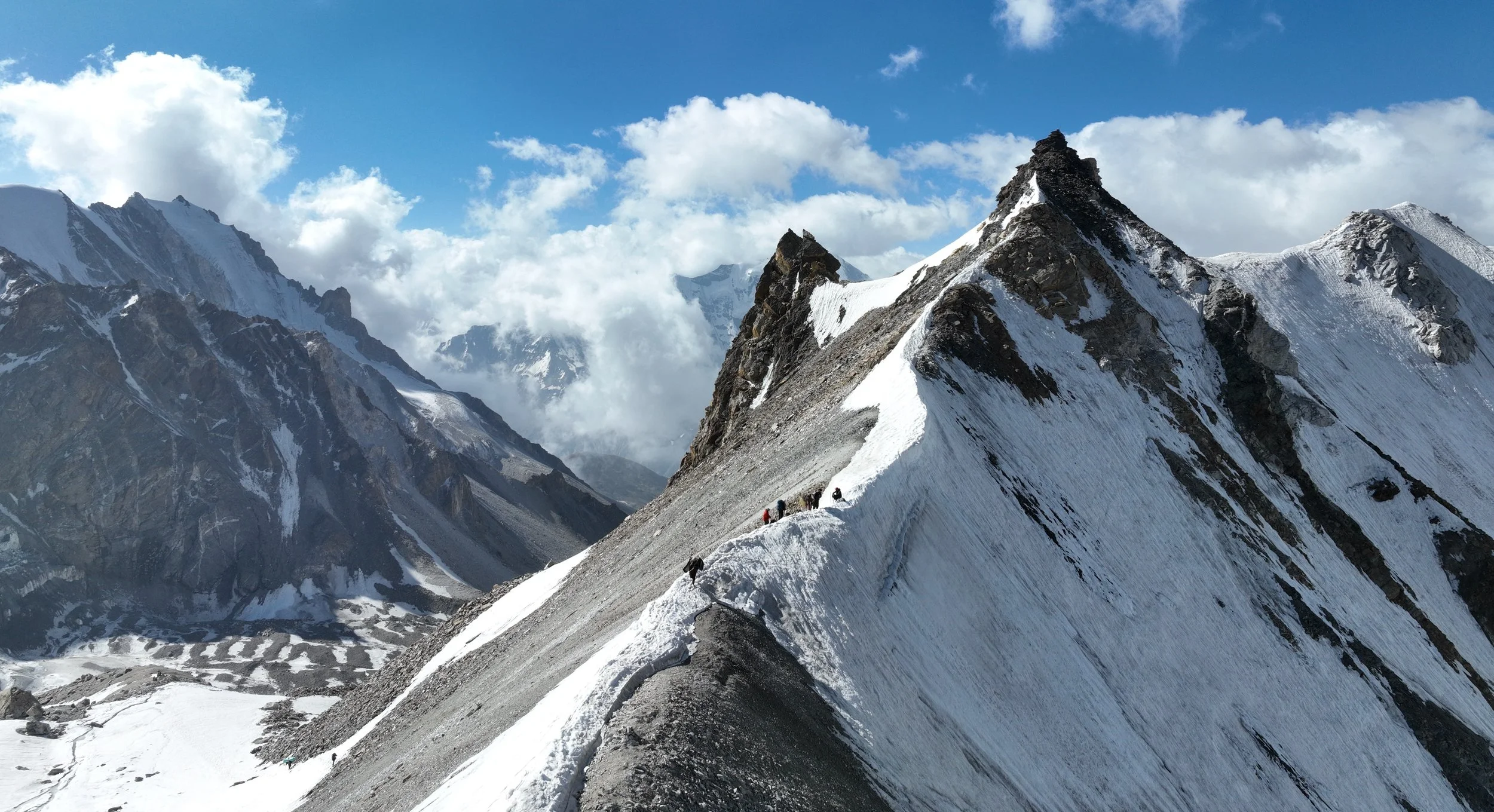
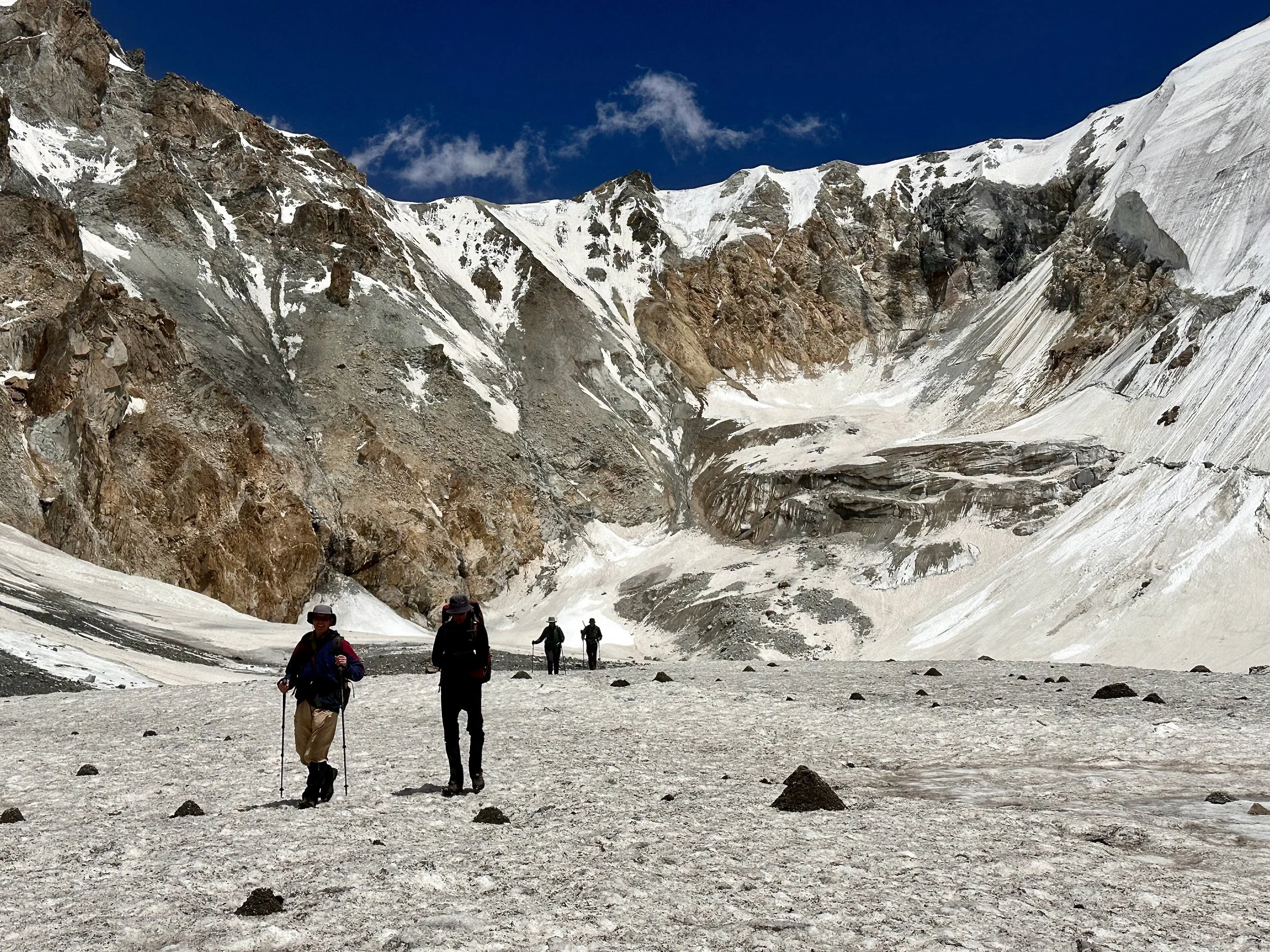
Ascending to the Mazeno Pass. The 2 hour ascend is quite straight forward but the descend is a little more involved.
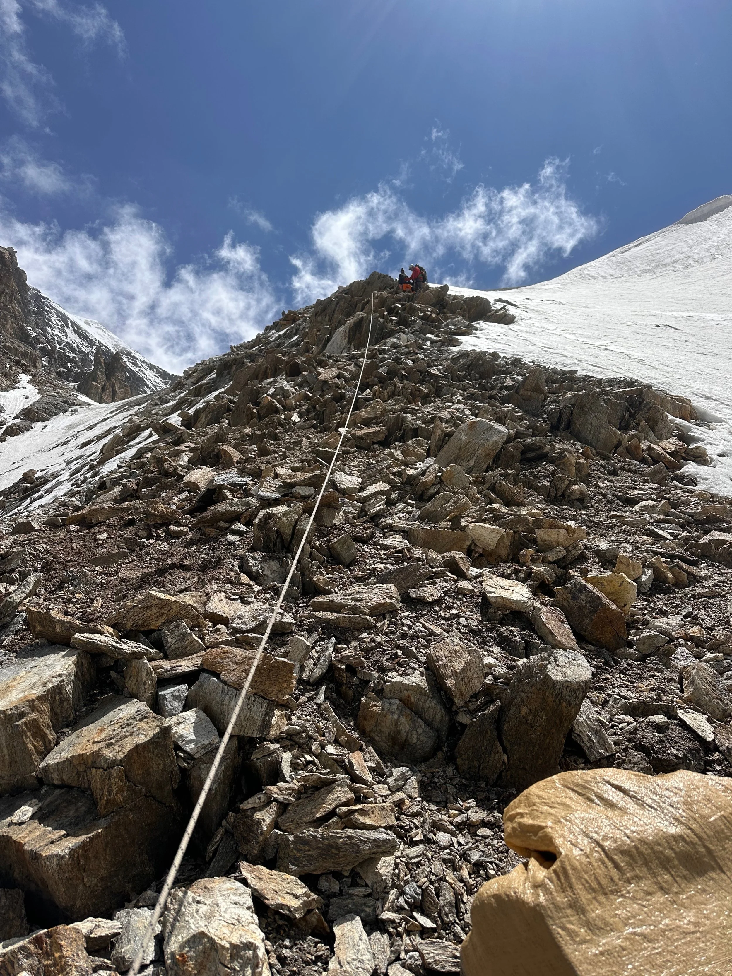
Climbing up to the Mazeno Pass. A 500-600m ascend.
Almost at the pass.
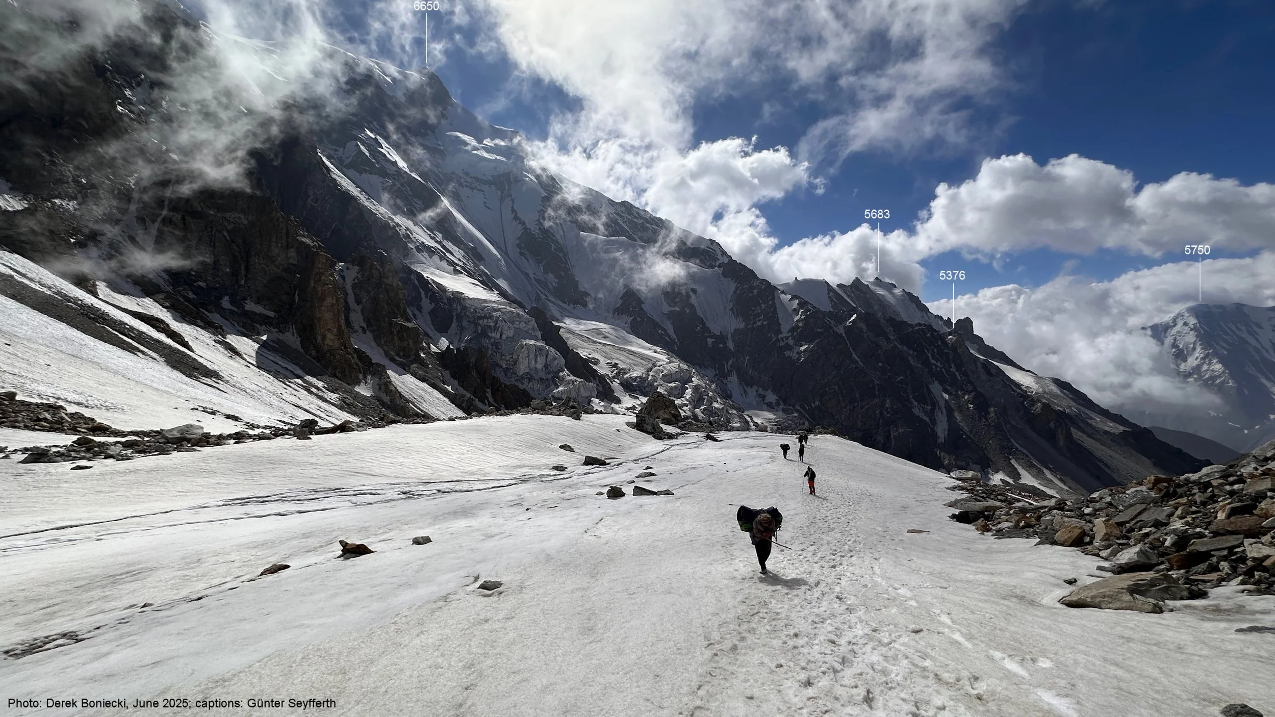
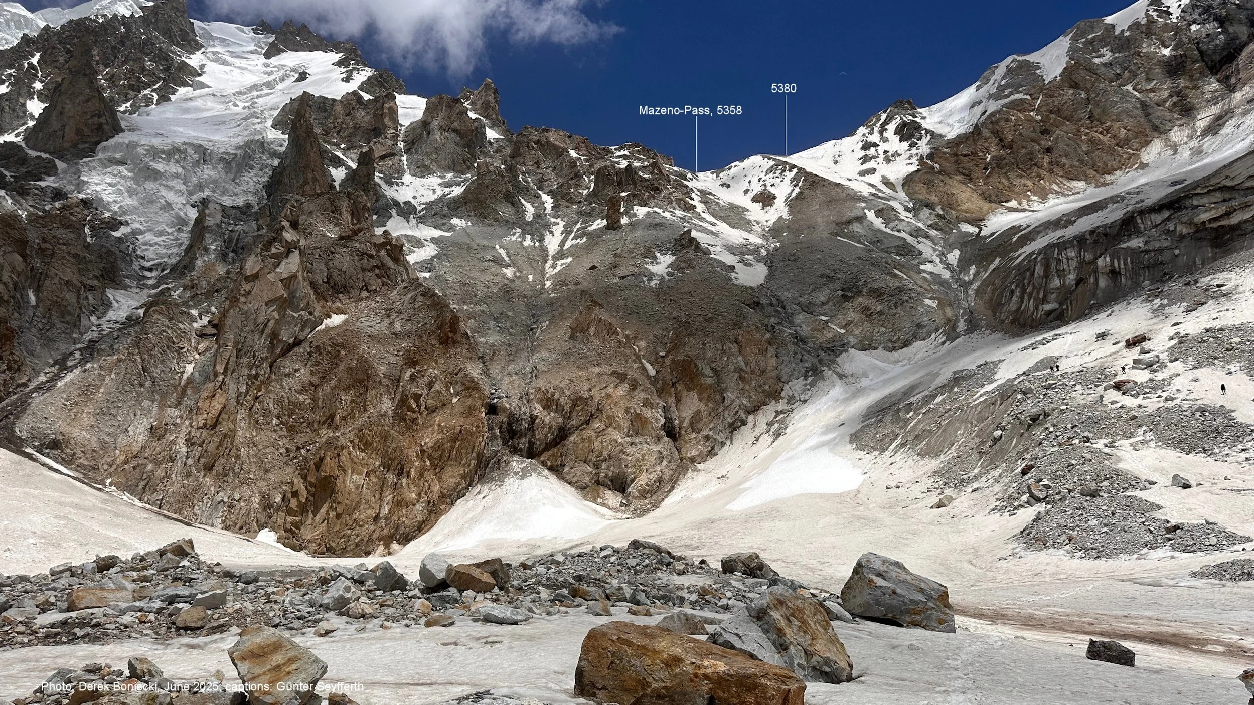
The final slope to the Mazeno Pass. The pass is quite narrow with a steep descend on the other side.
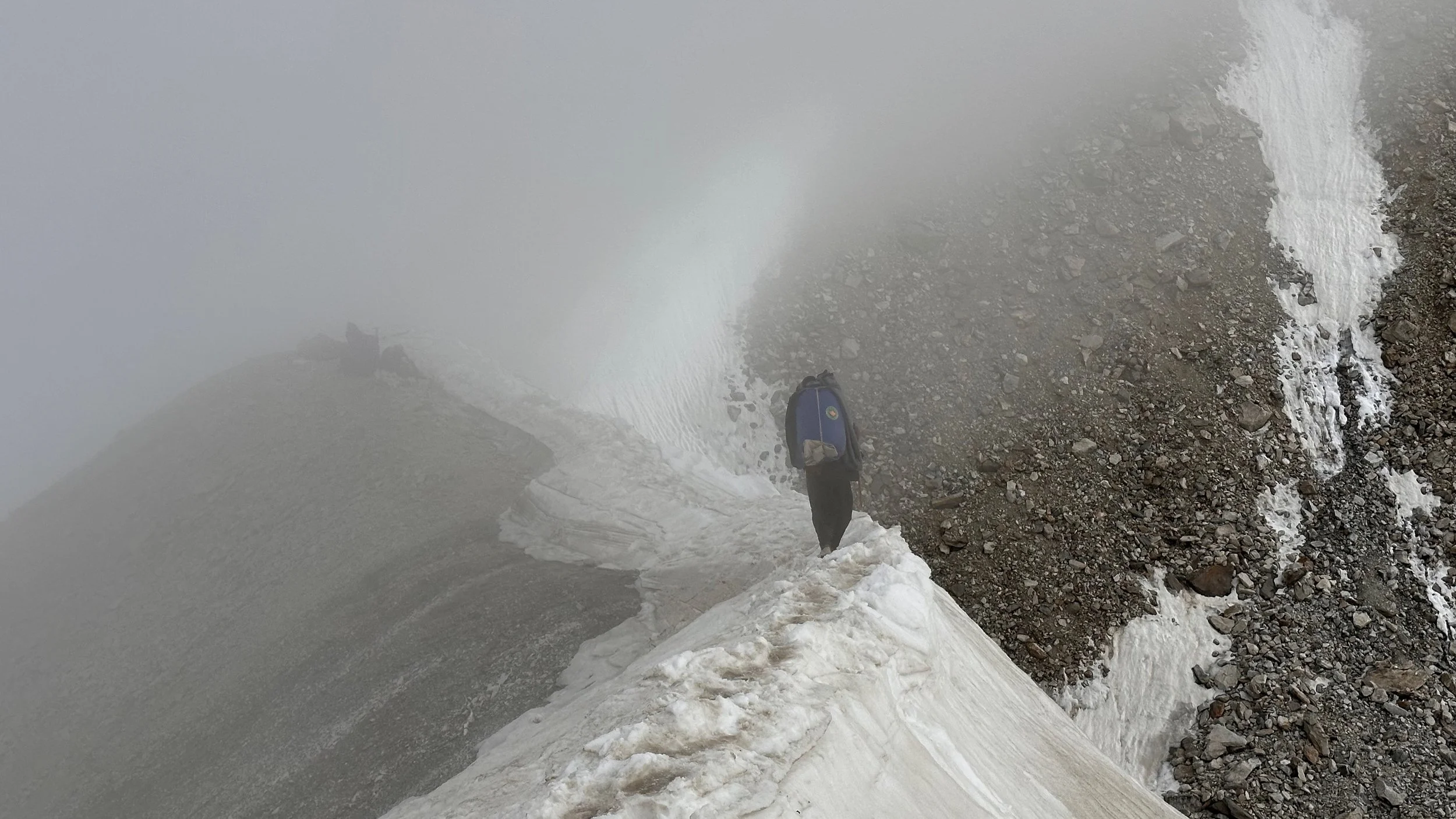
Mazeno Pass
The narrow Mazeno La
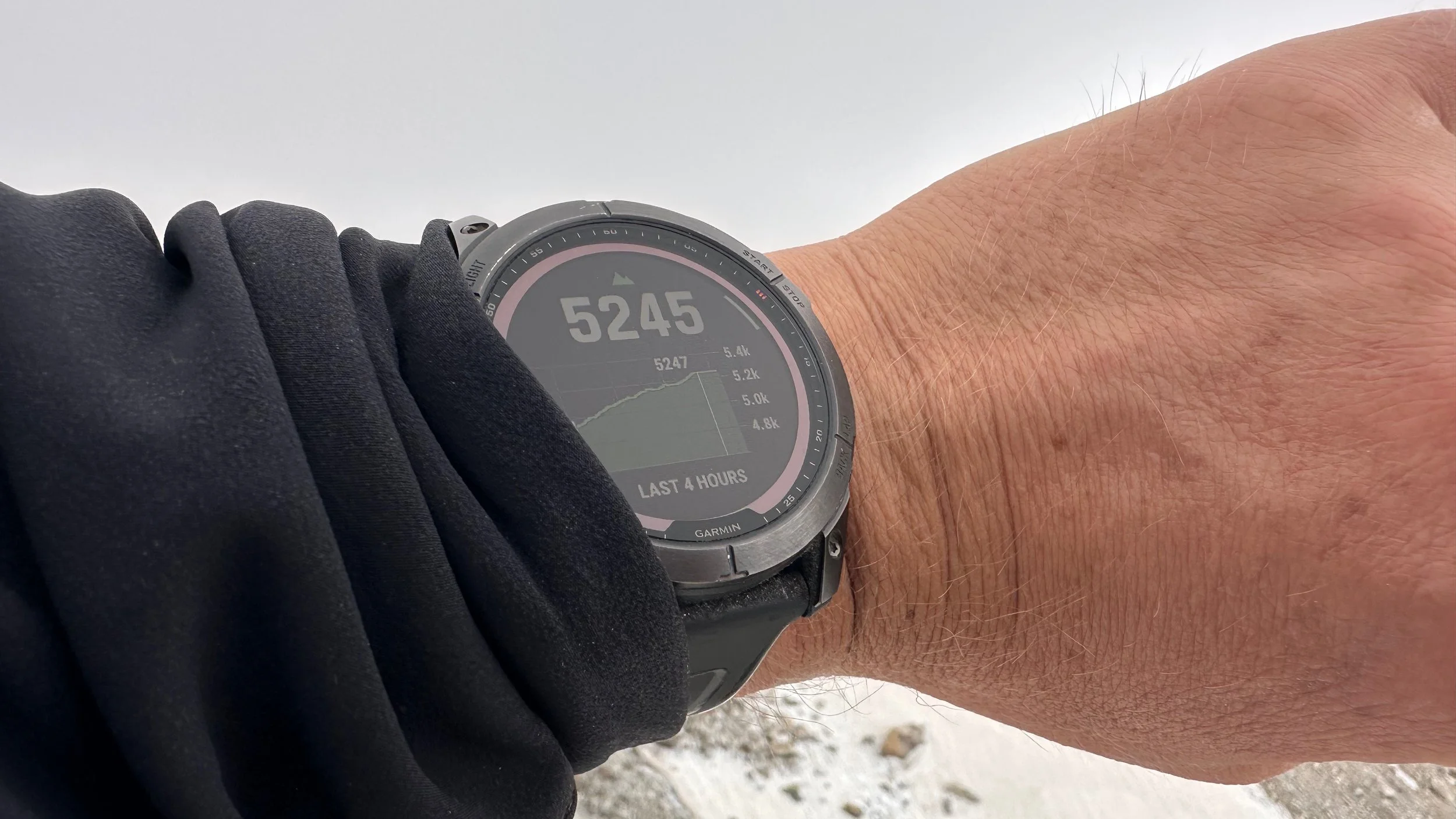
The real elevation is 5,358m
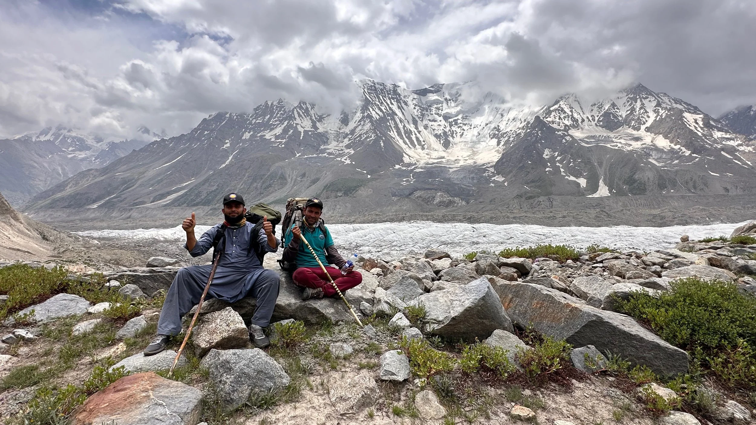
On the Mazeno Pass
The Mazeno Pass
The Mazeno Pass

Mazeno La
The Mazeno Pass
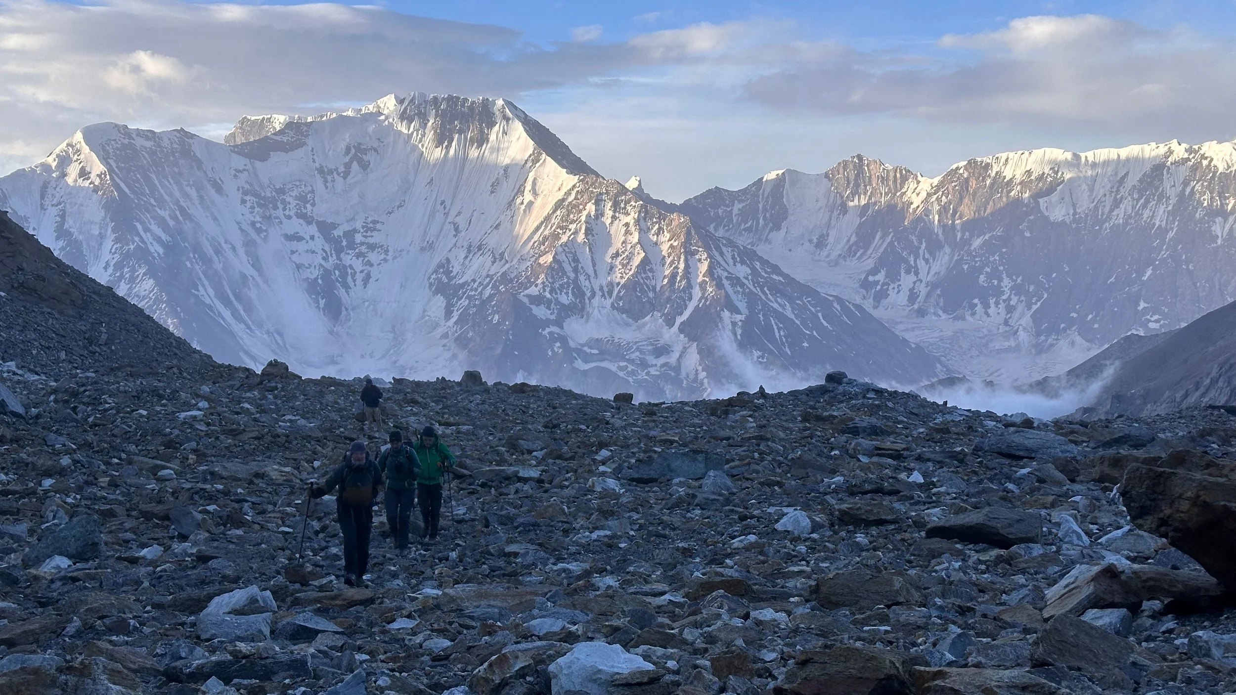
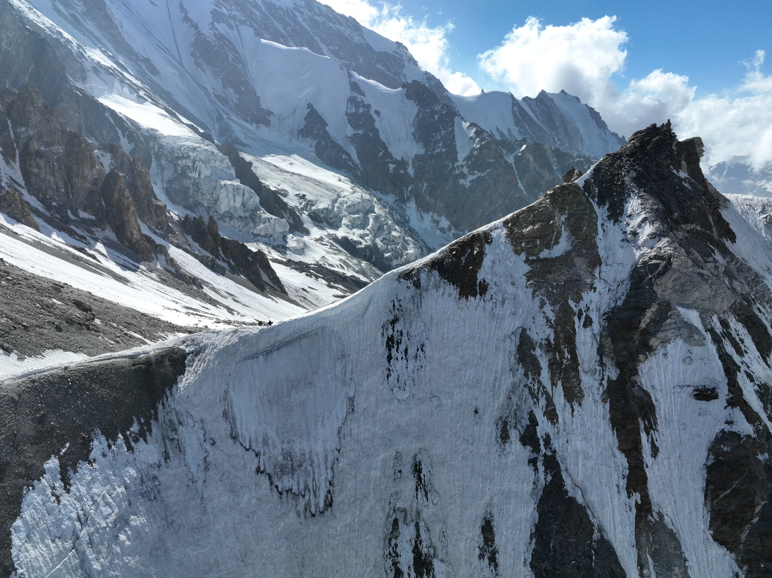
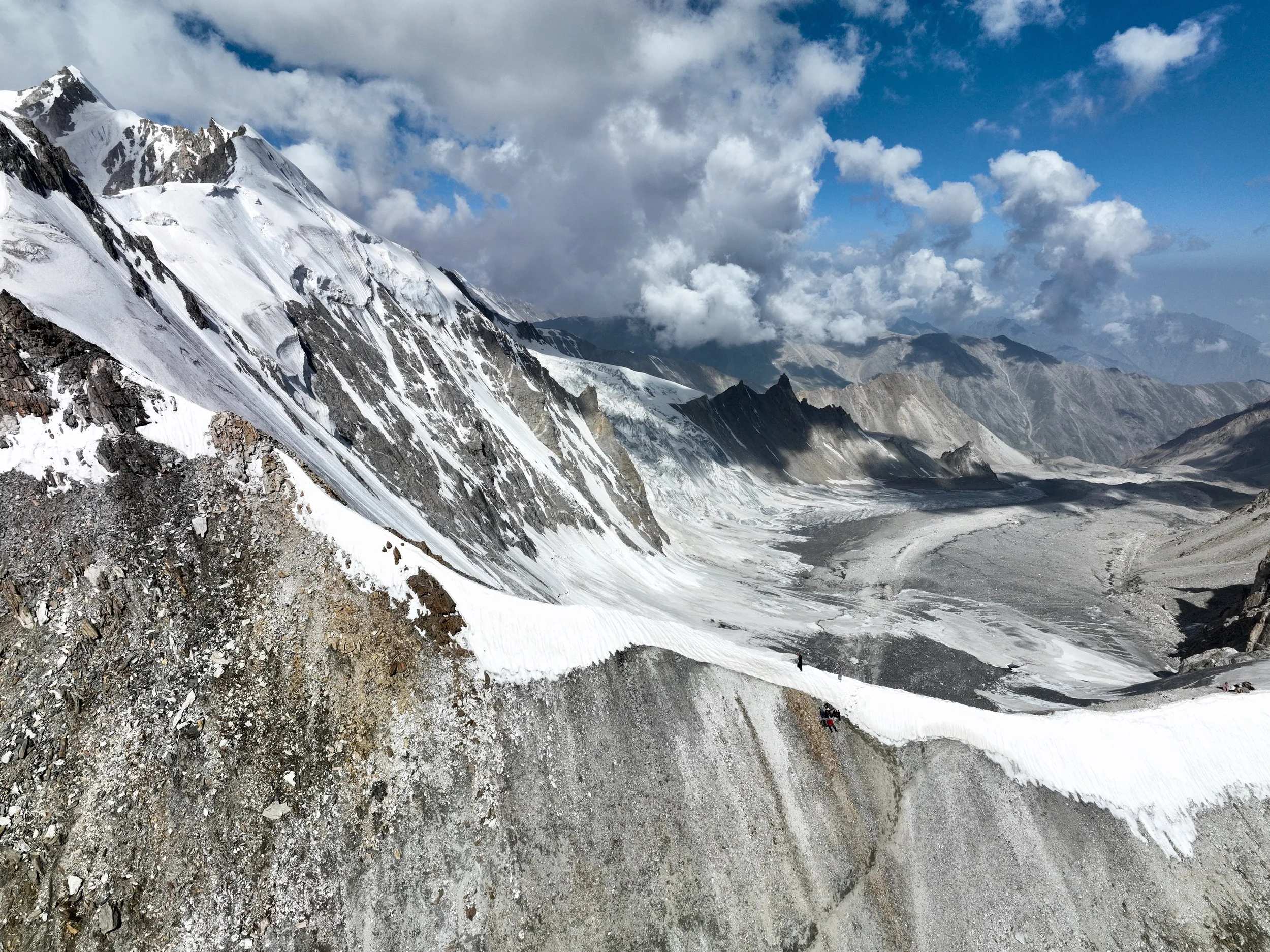
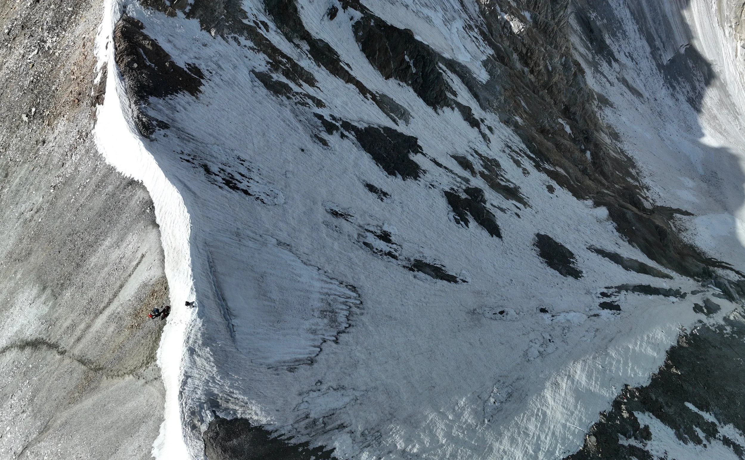
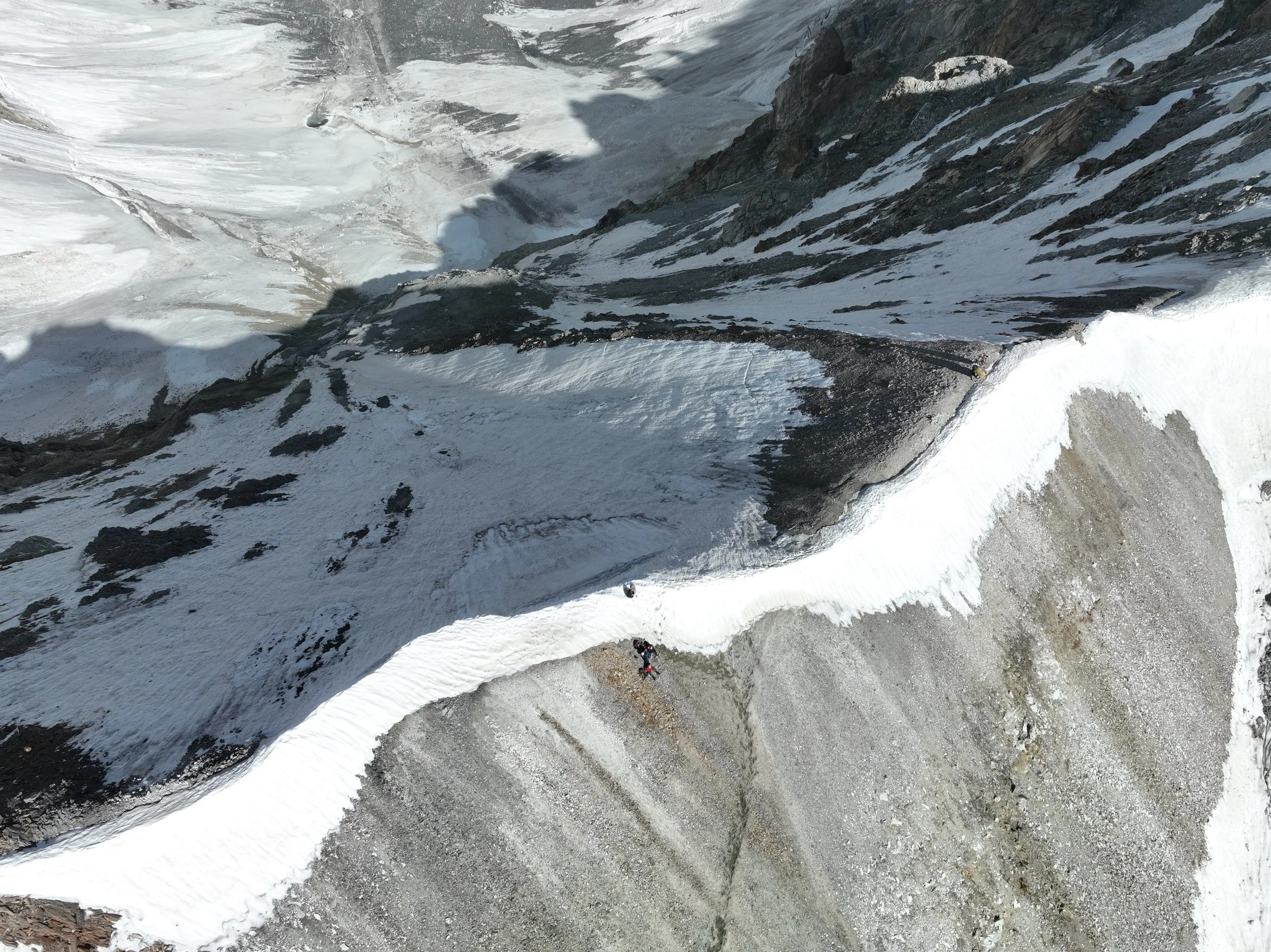
The view from Mazeno Pass. Notice the two descending porters.

The descend slope from Mazeno La. It is definitely easier with the snow.

Mazeno La and the steep descend.
Mazeno La
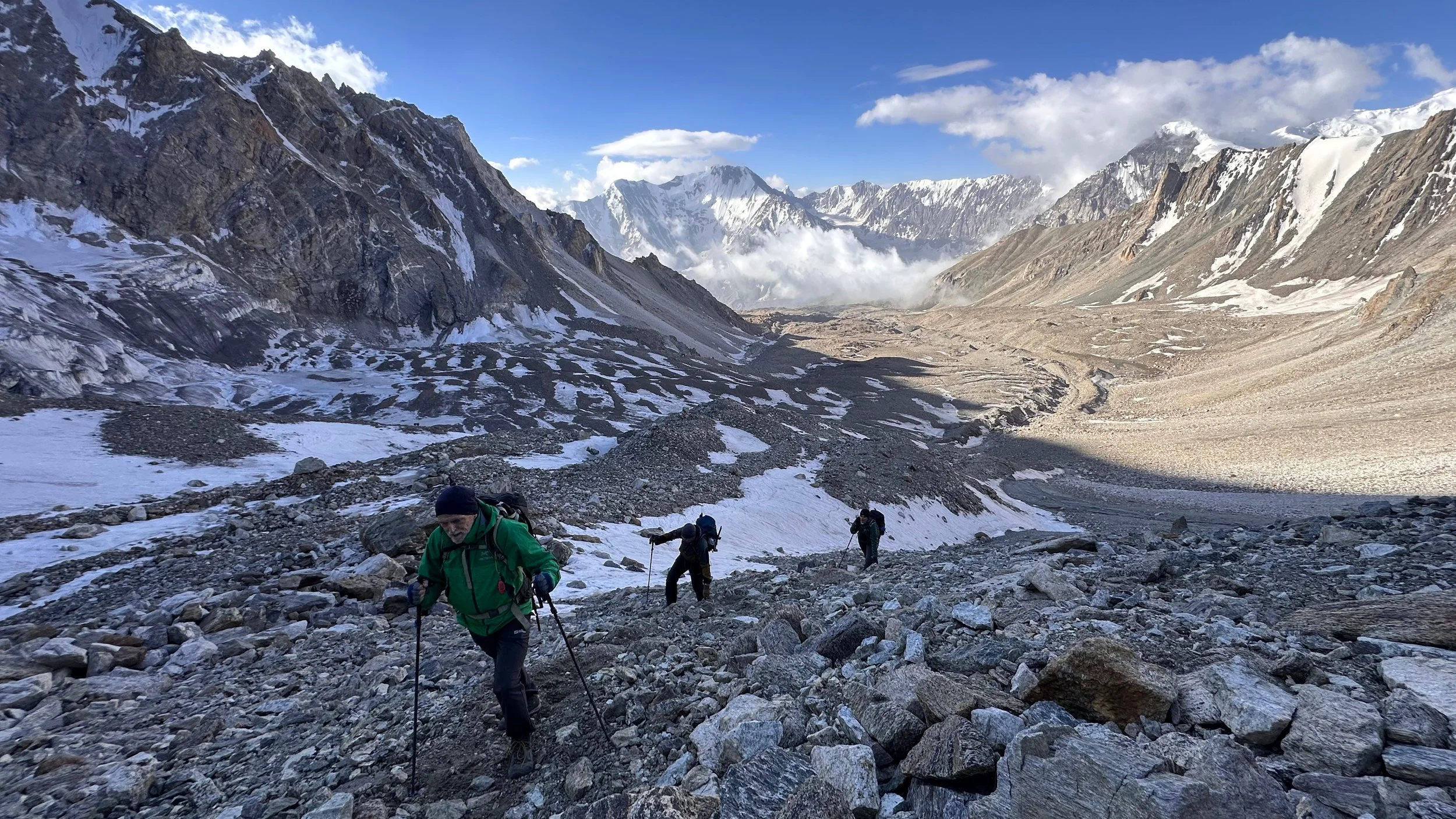
Descending from the Mazeno Pass.
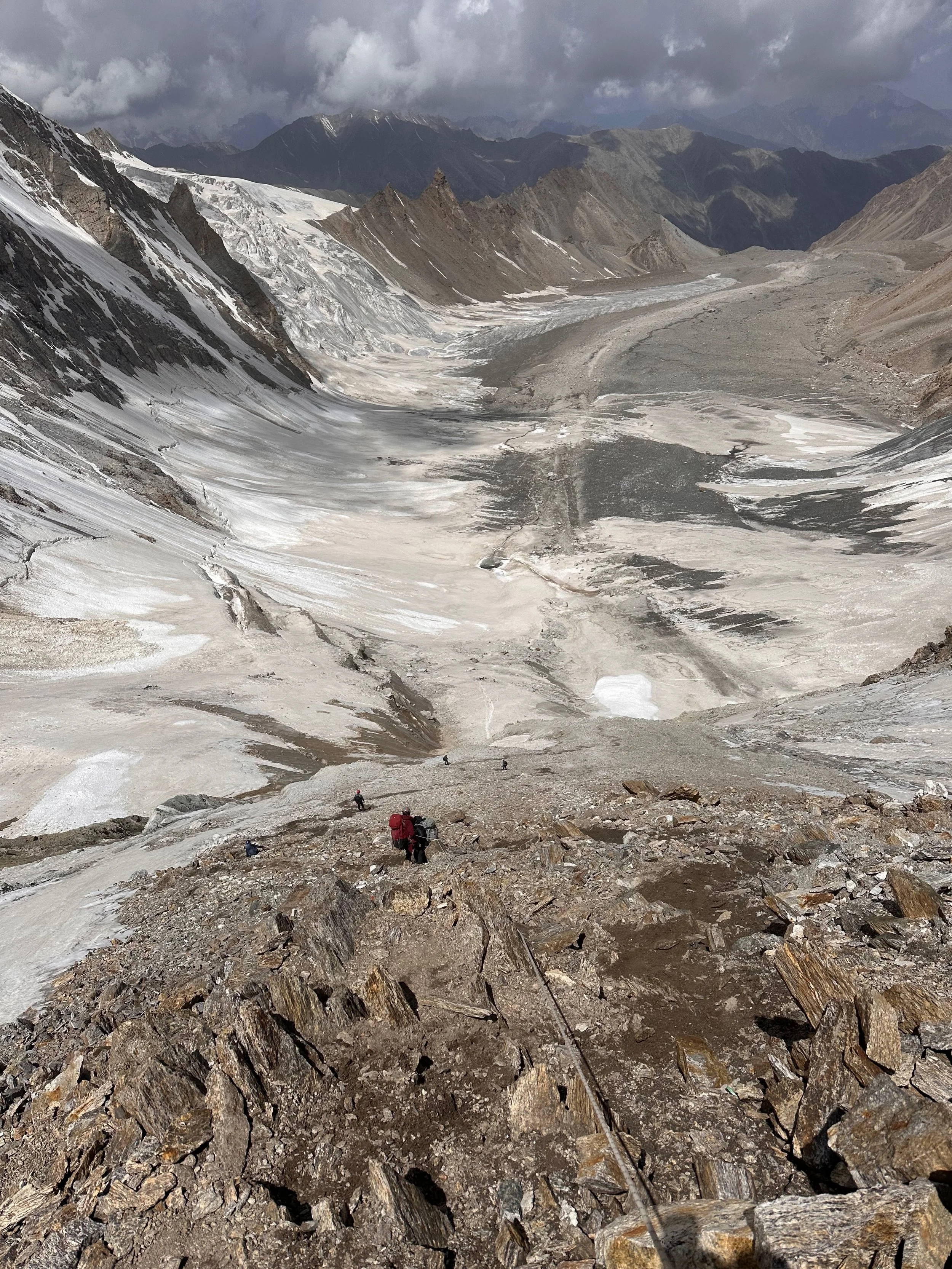
Descending Mazeno La.
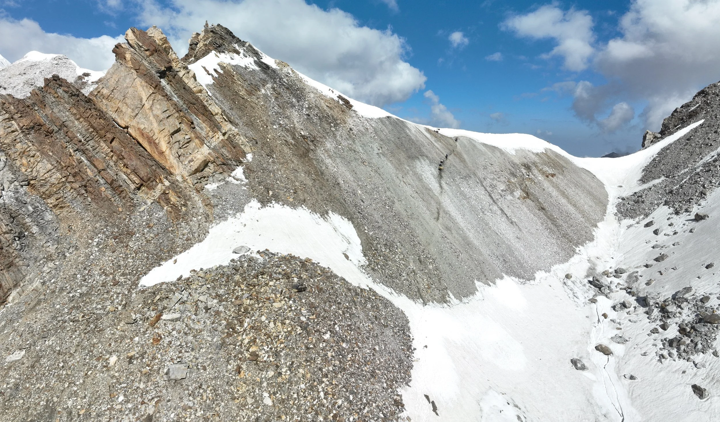
A lot of loose rocks. Easy to knock it down with the rope.
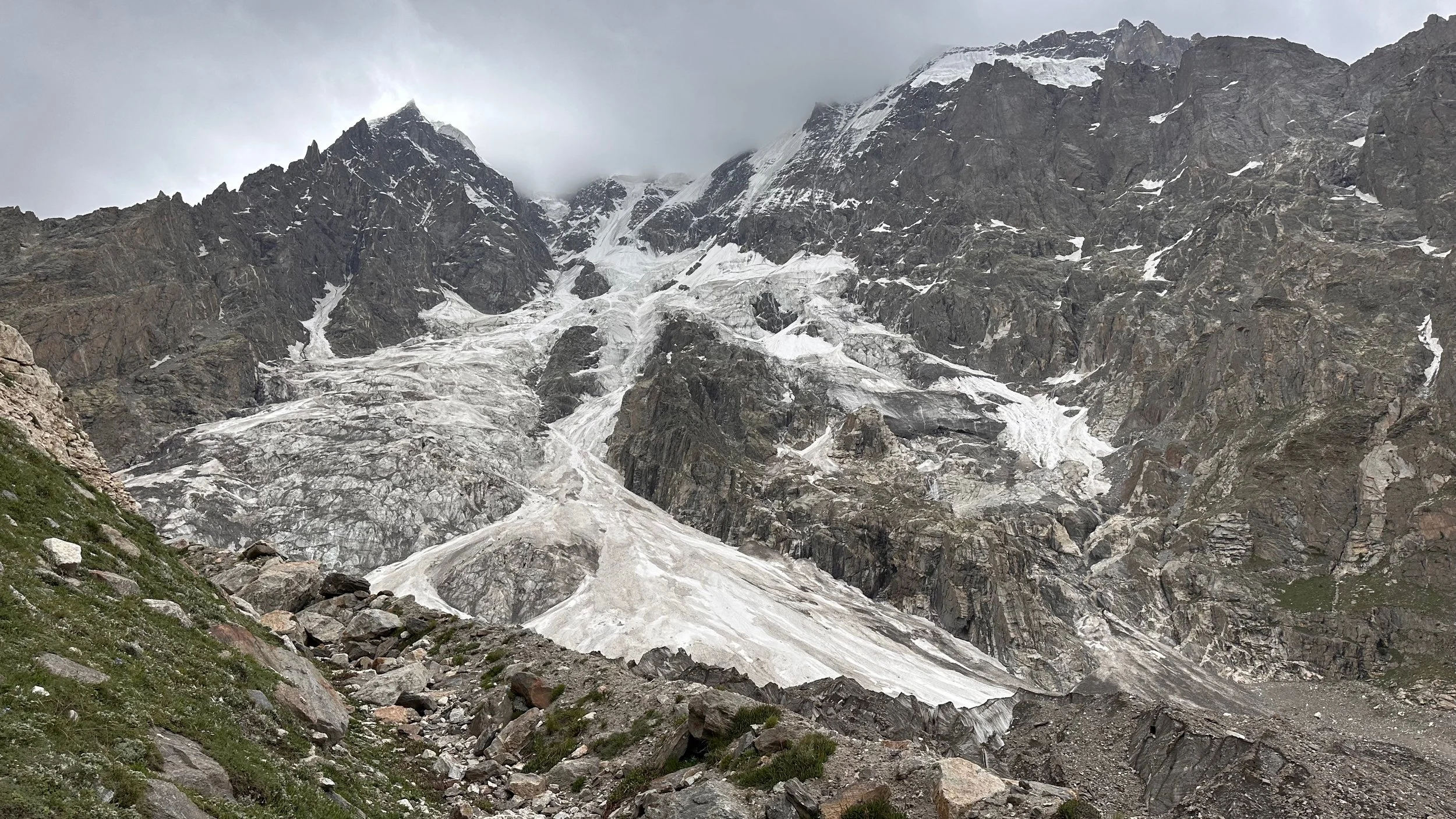
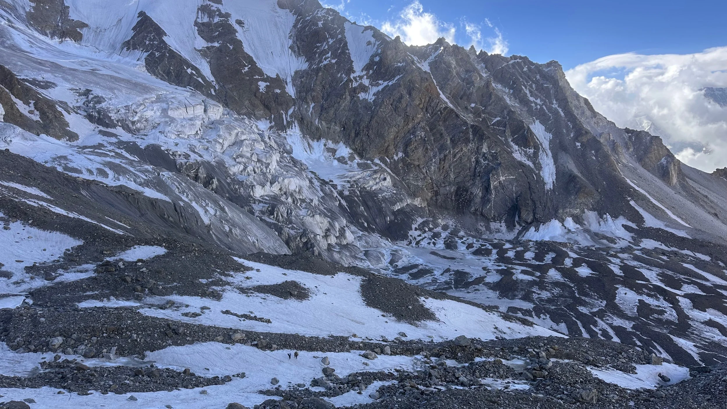
This side of Mazeno Pass is prone to rockfall and possible avalanches.
The Mazeno La
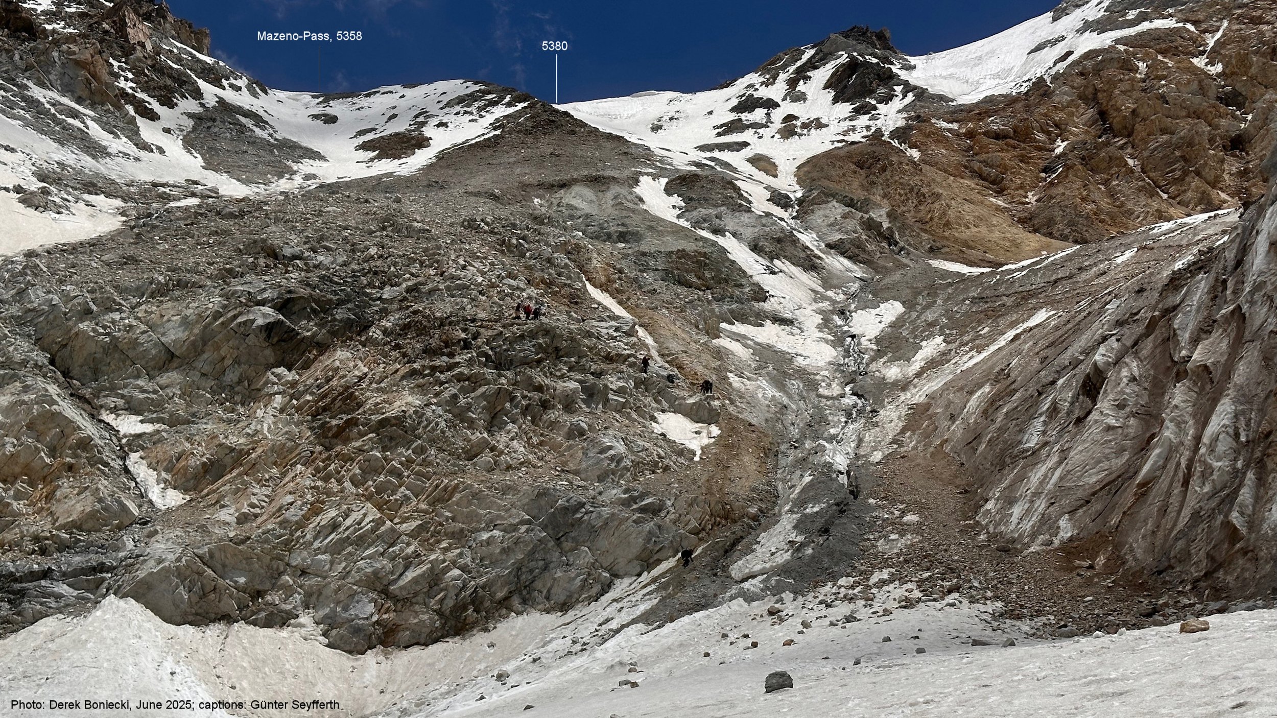
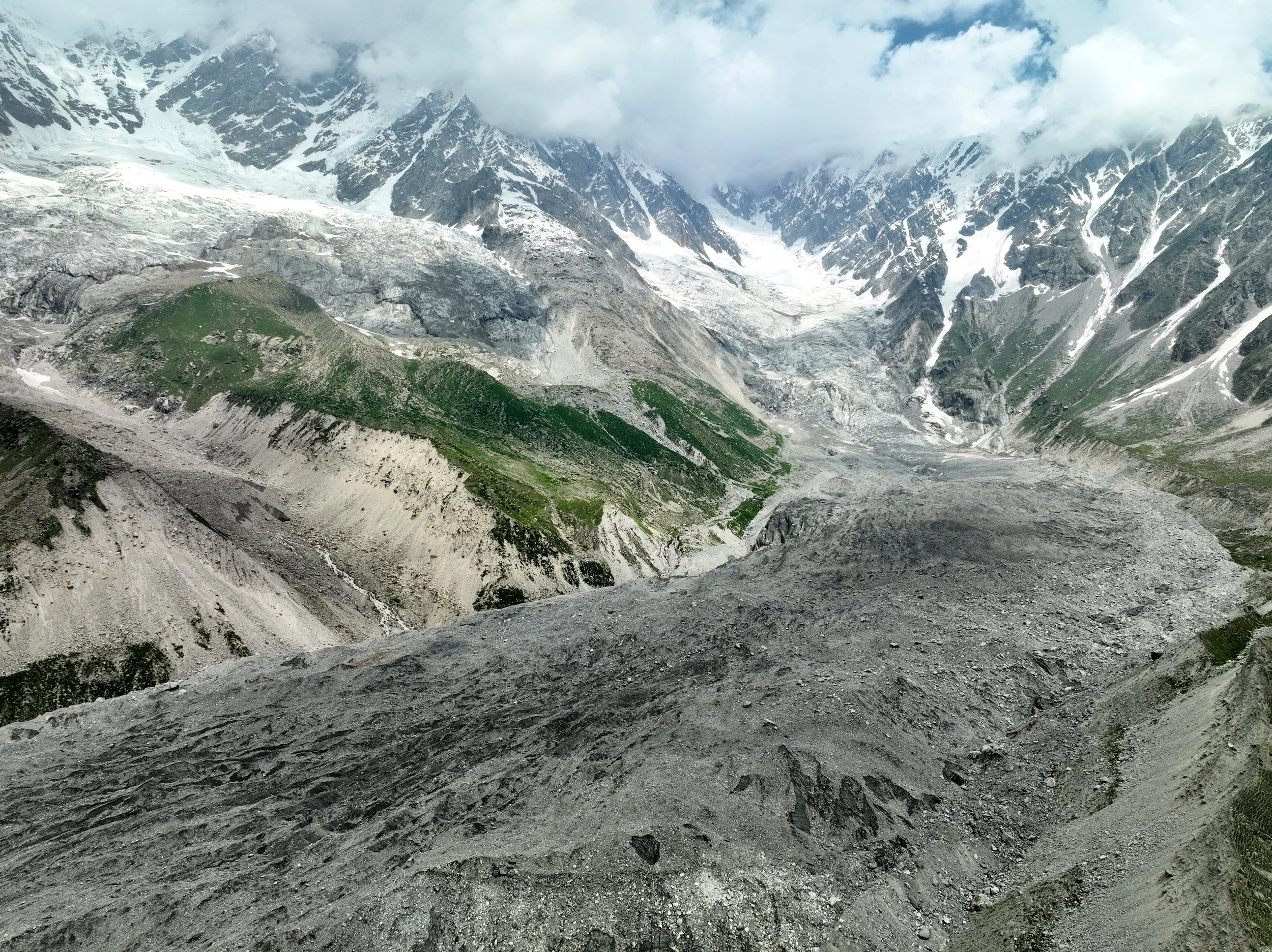
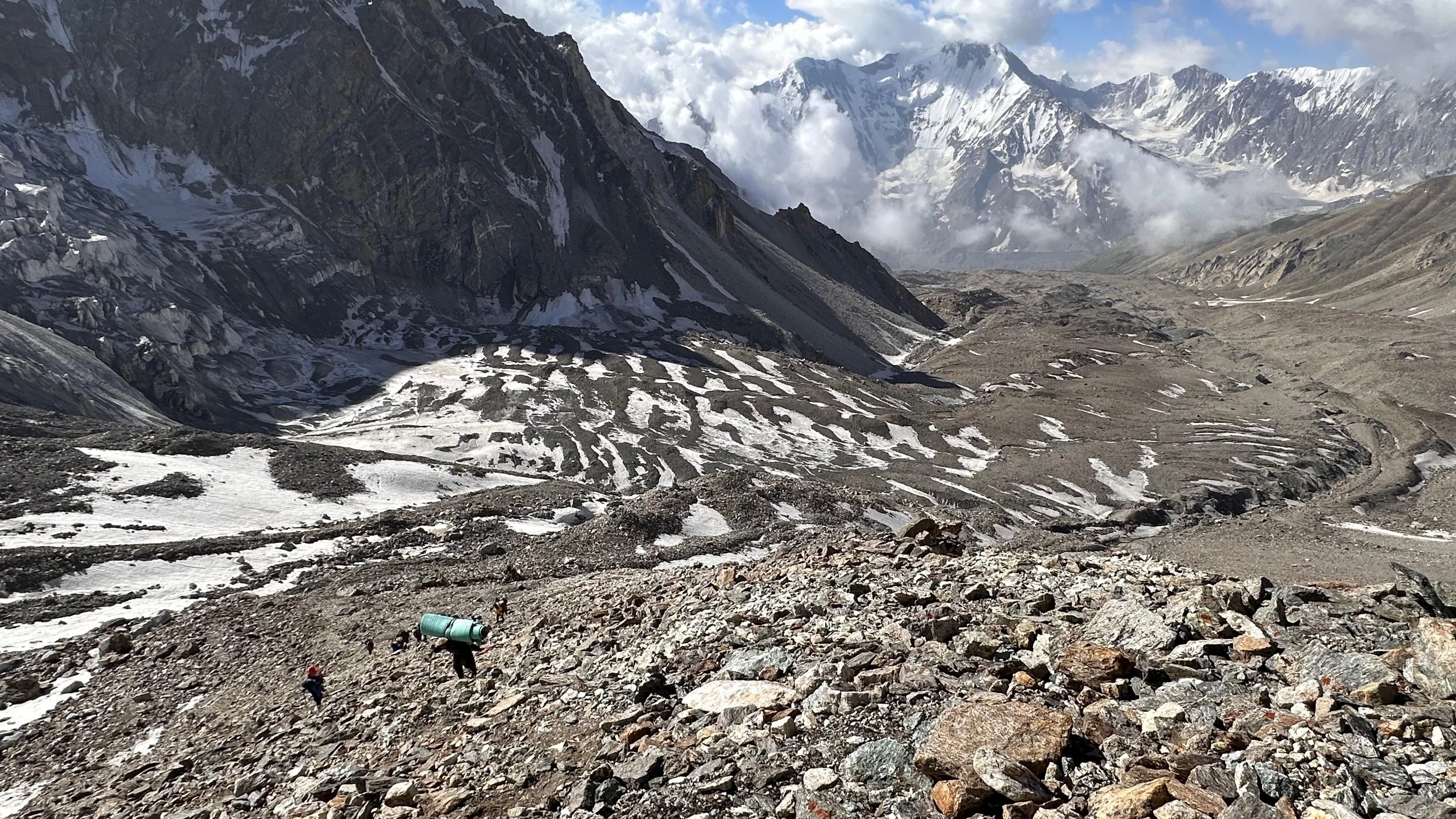
Descending the pass was not very straight forward. The rockfall was the biggest issue, especially at the bottom. The falling rocks were coming at us from all directions.
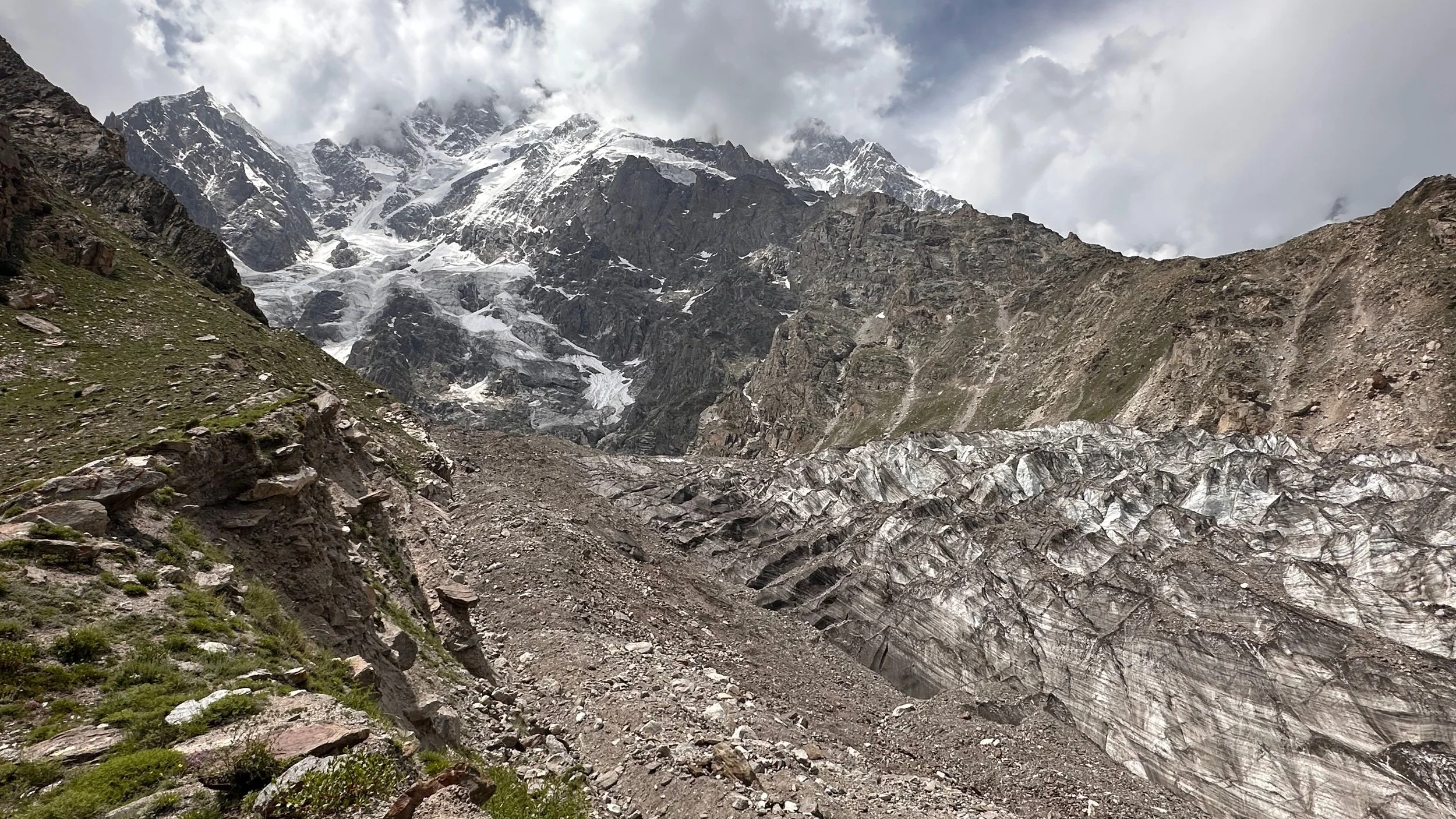
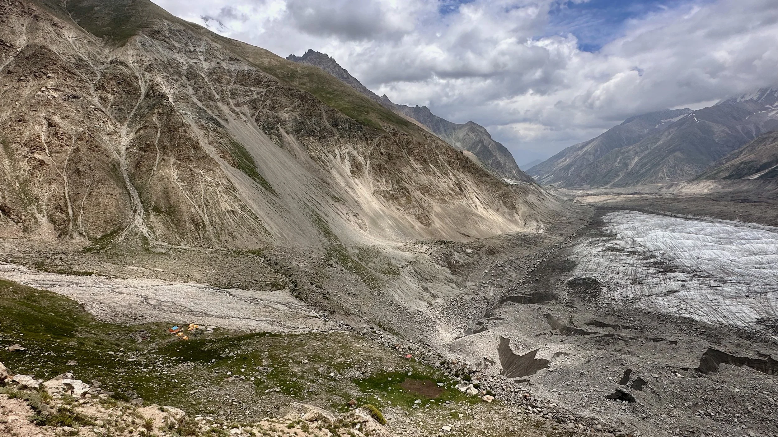
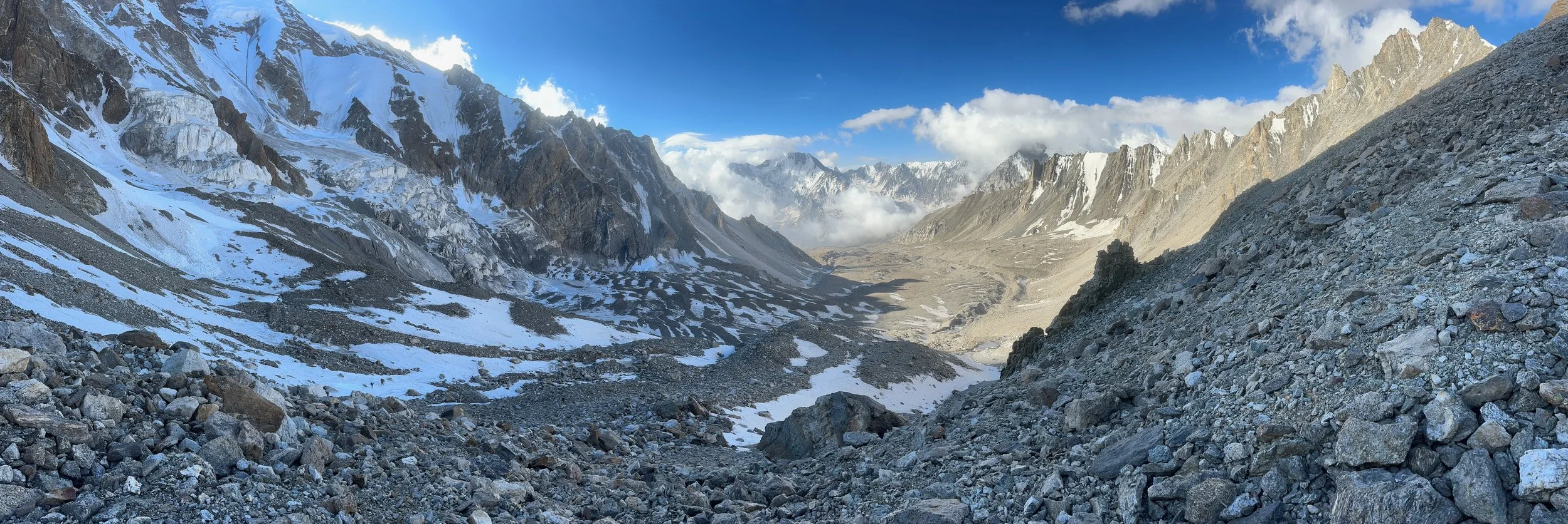
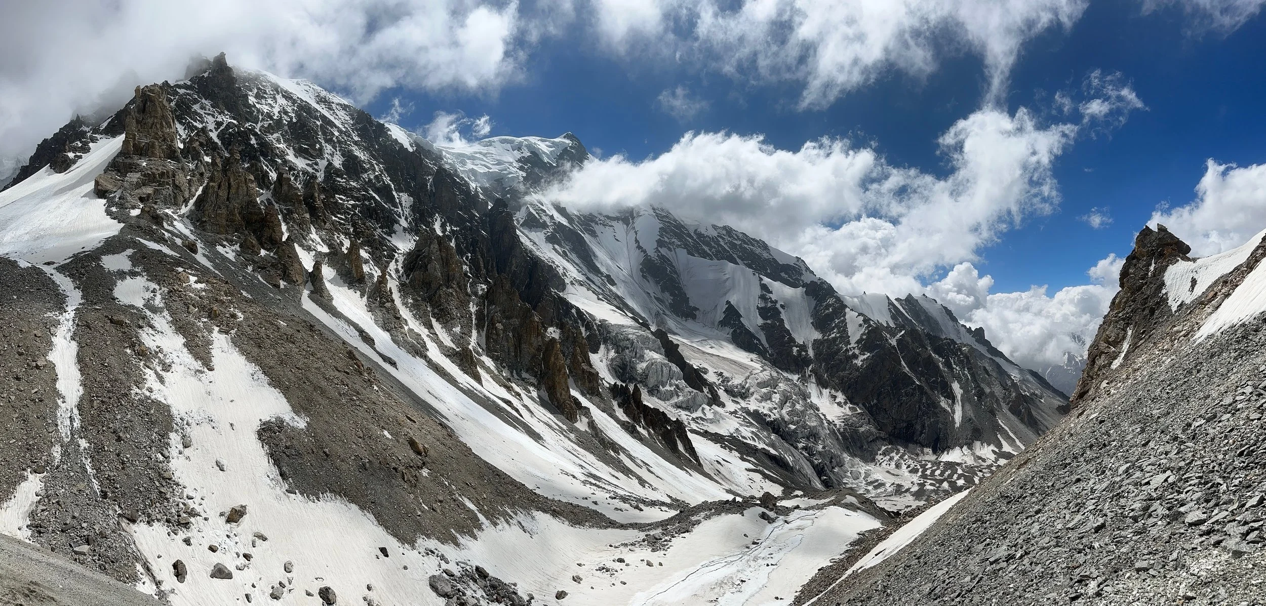
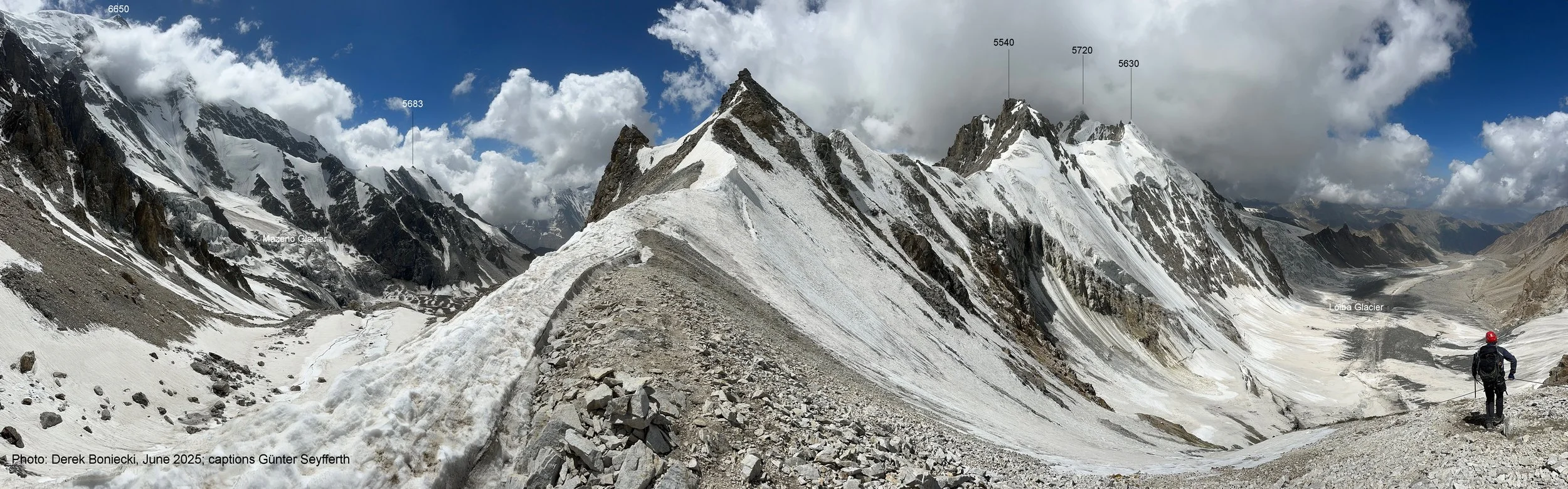
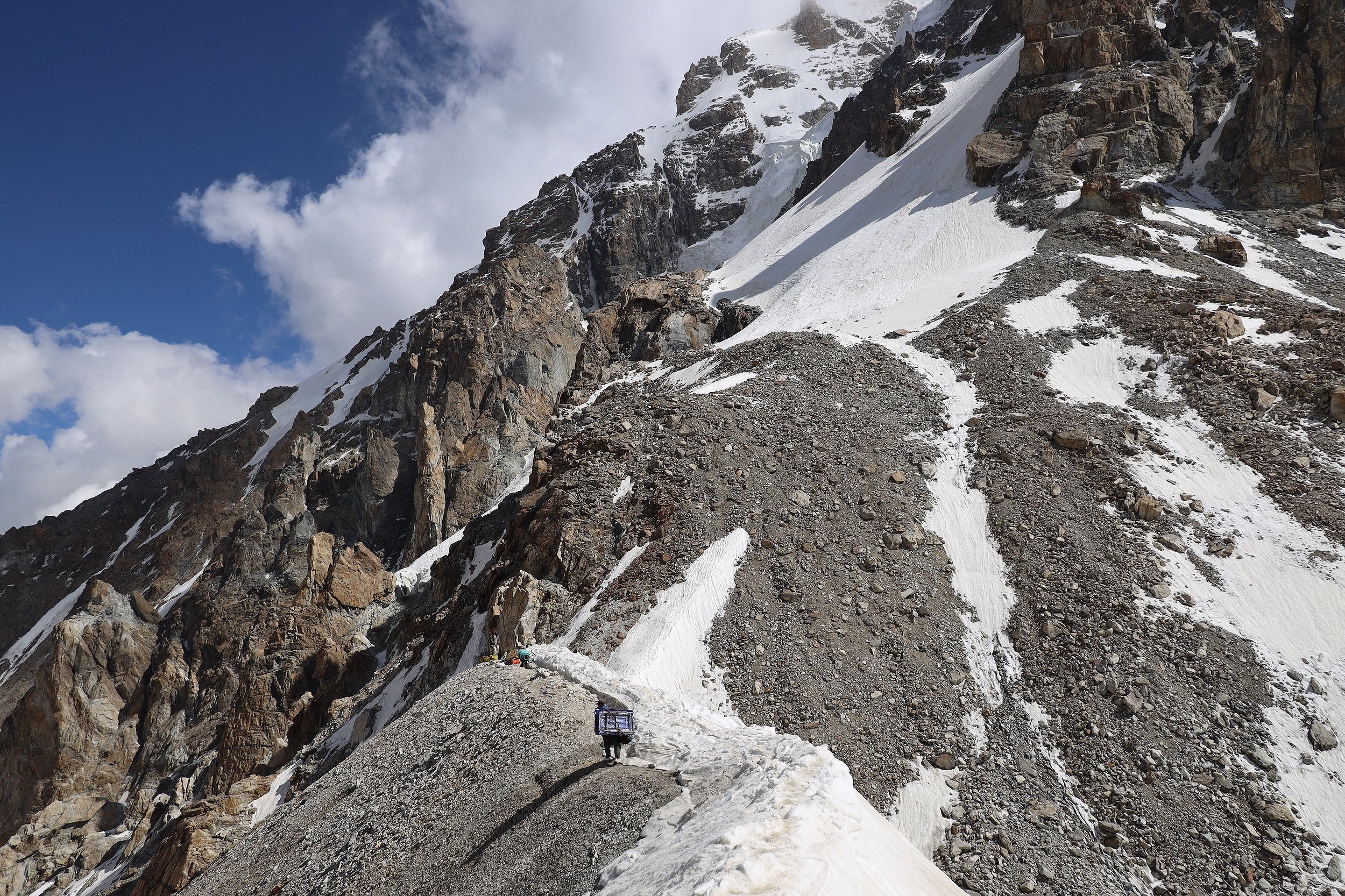
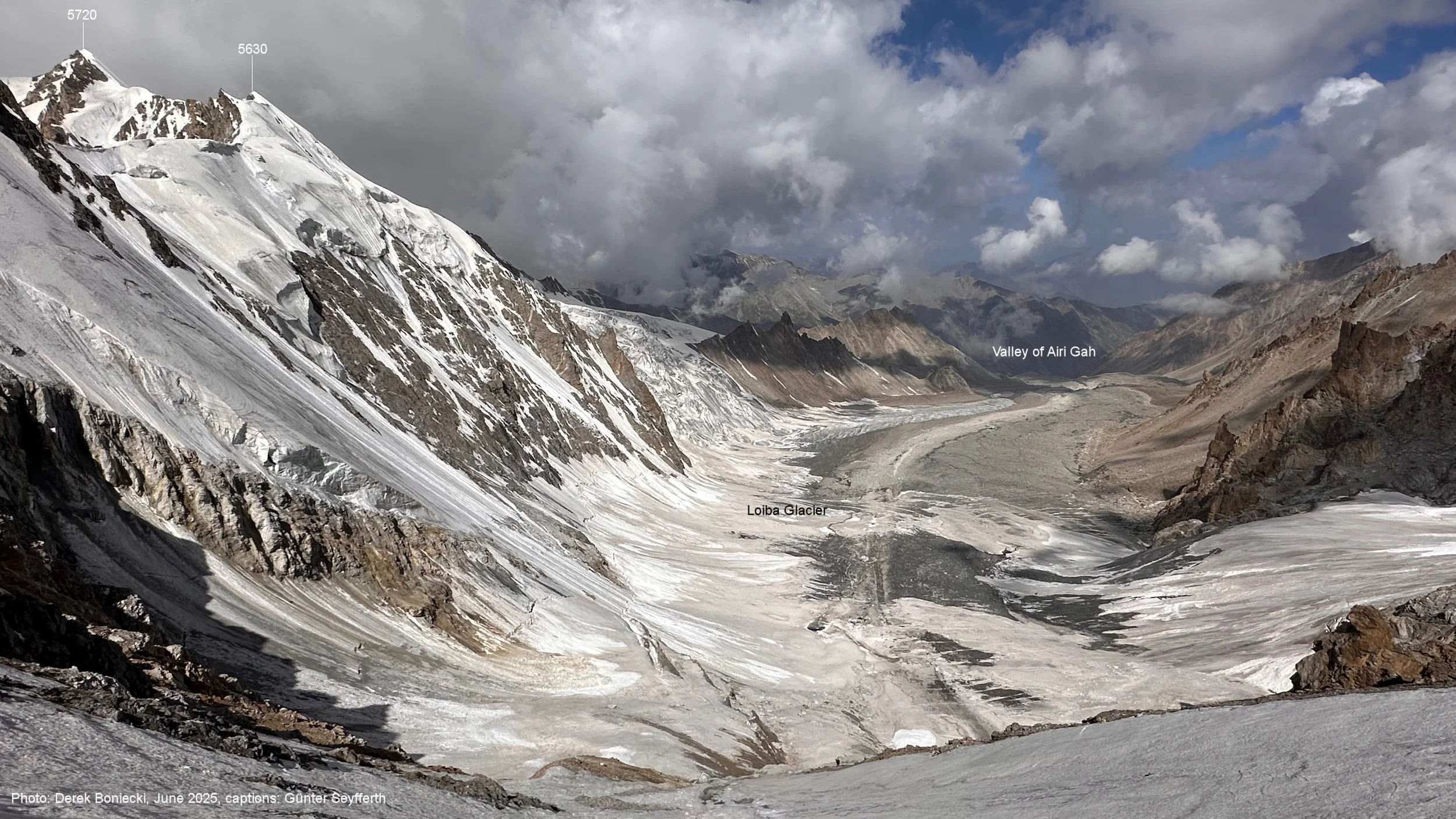
Mazeno La on the left.
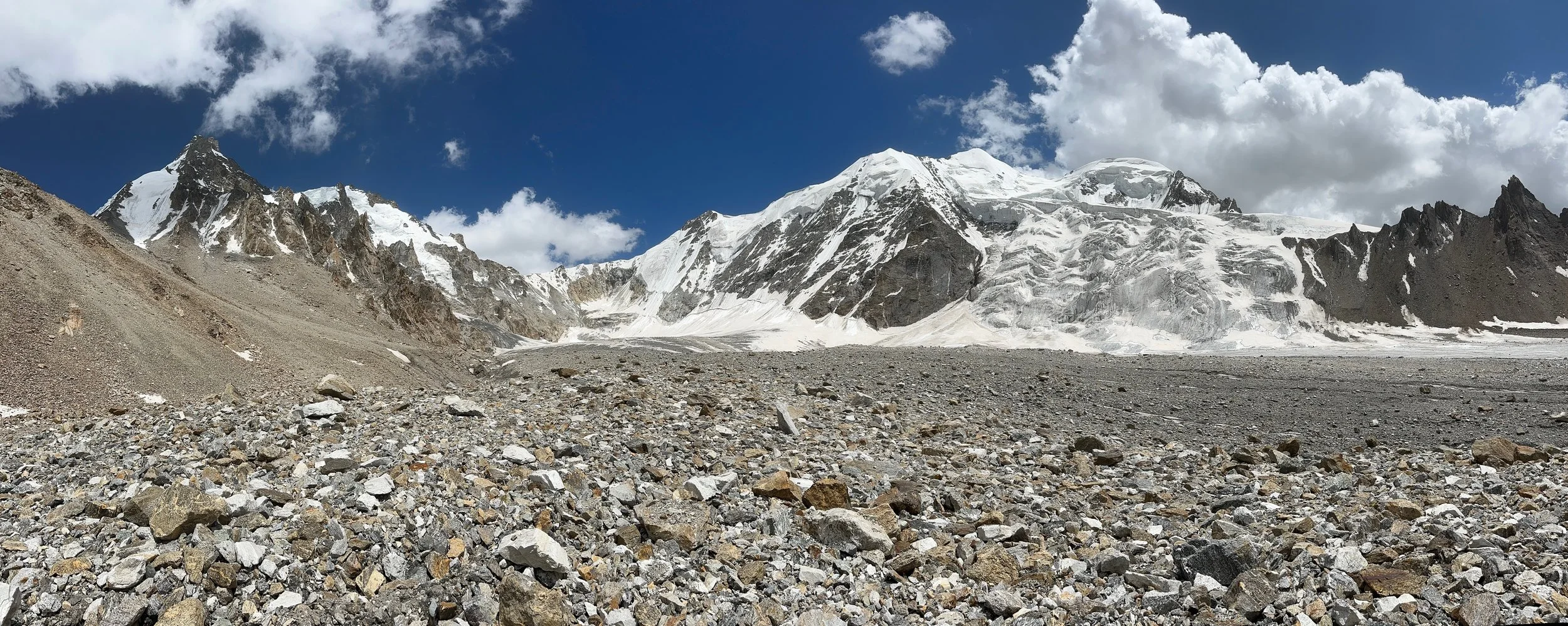
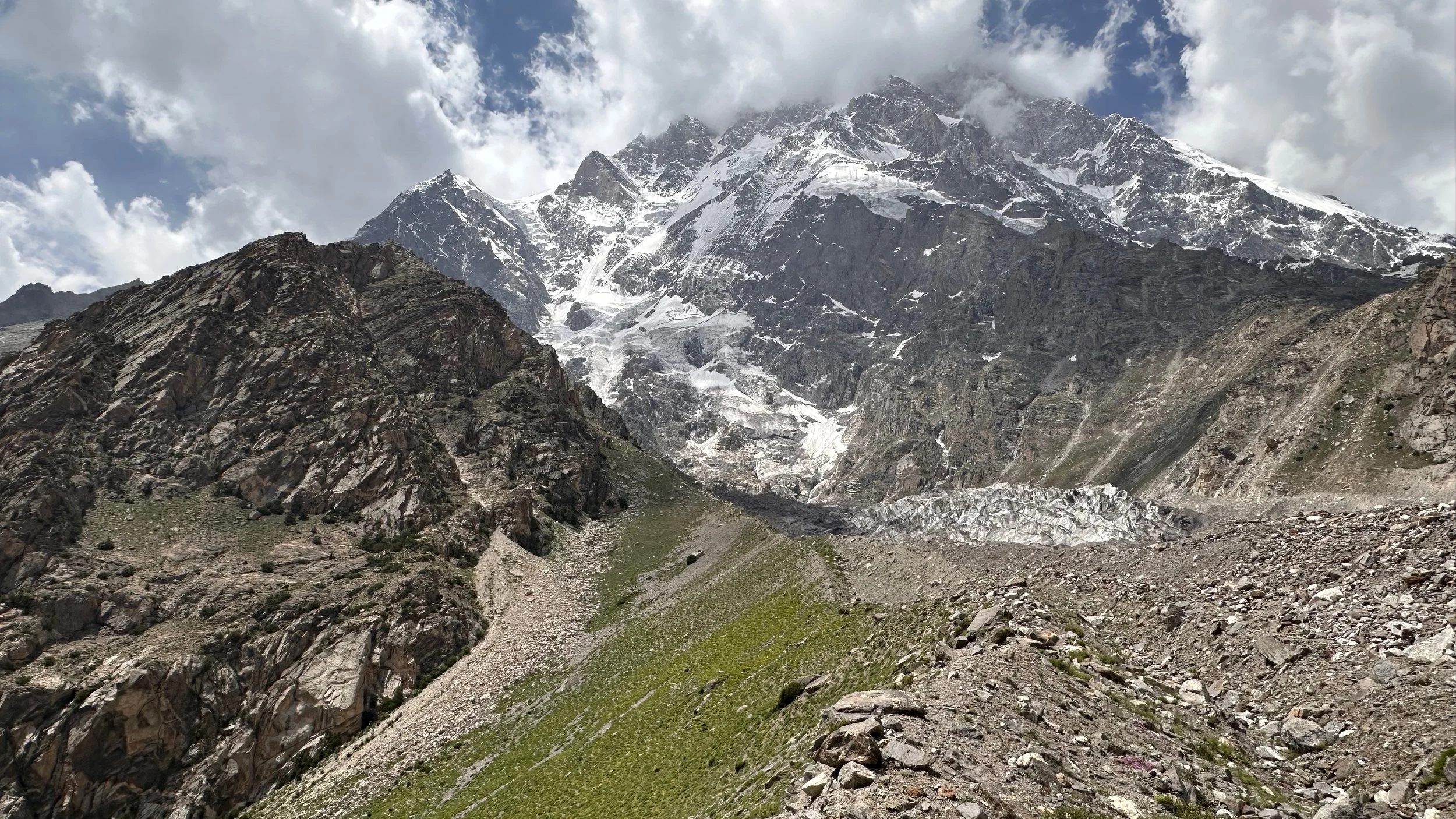
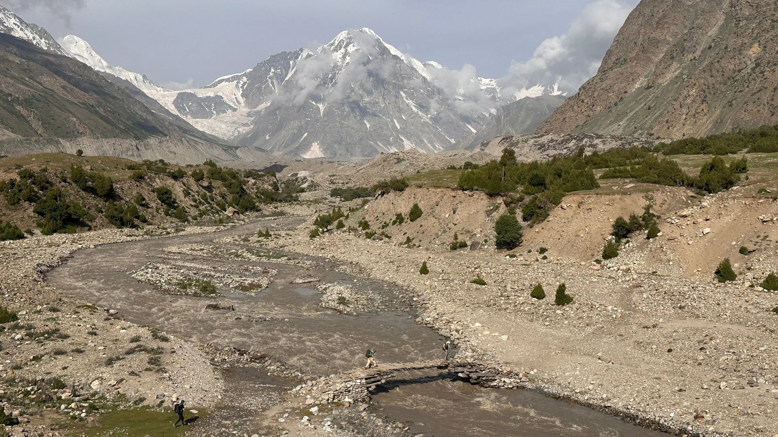
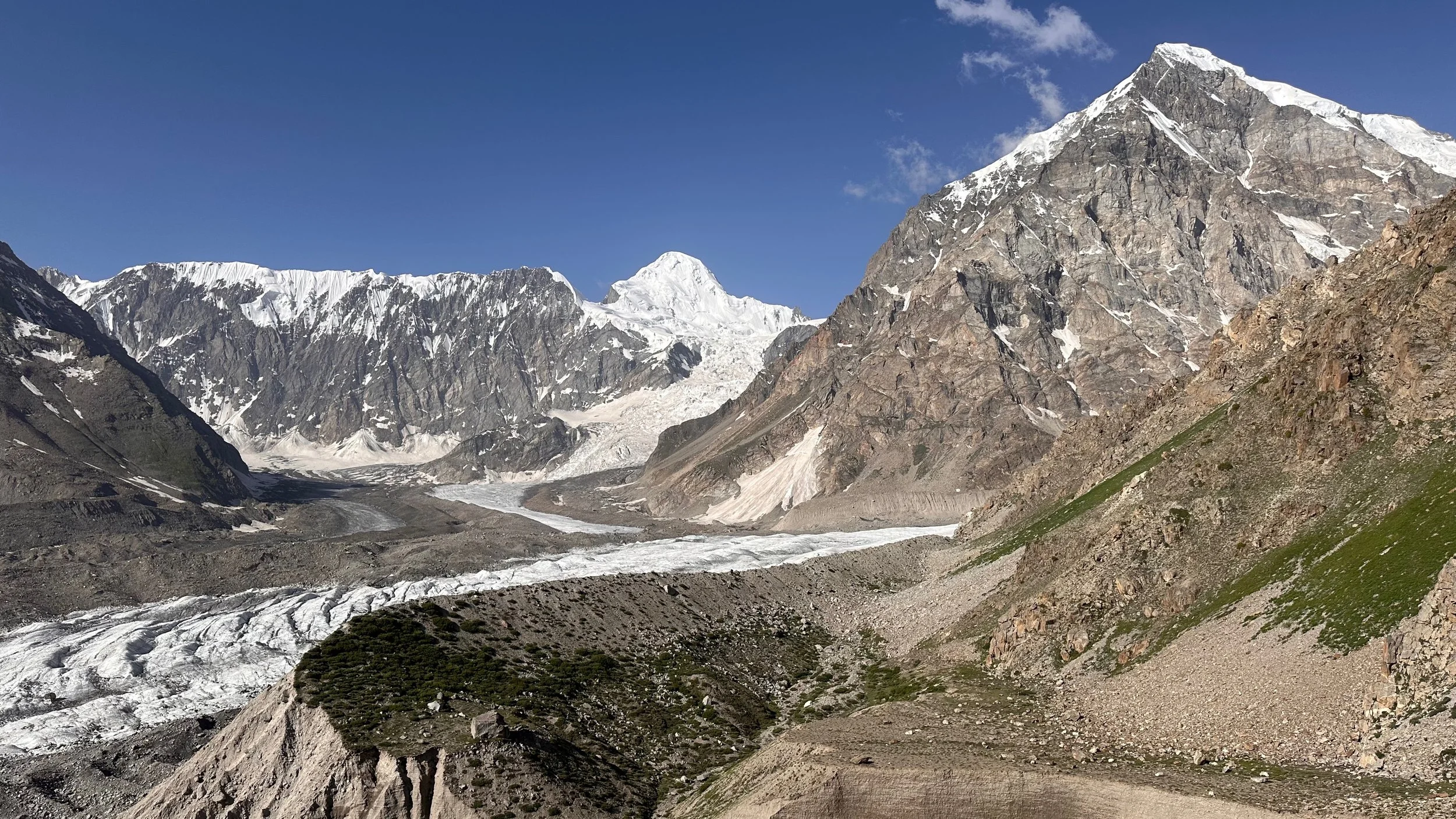
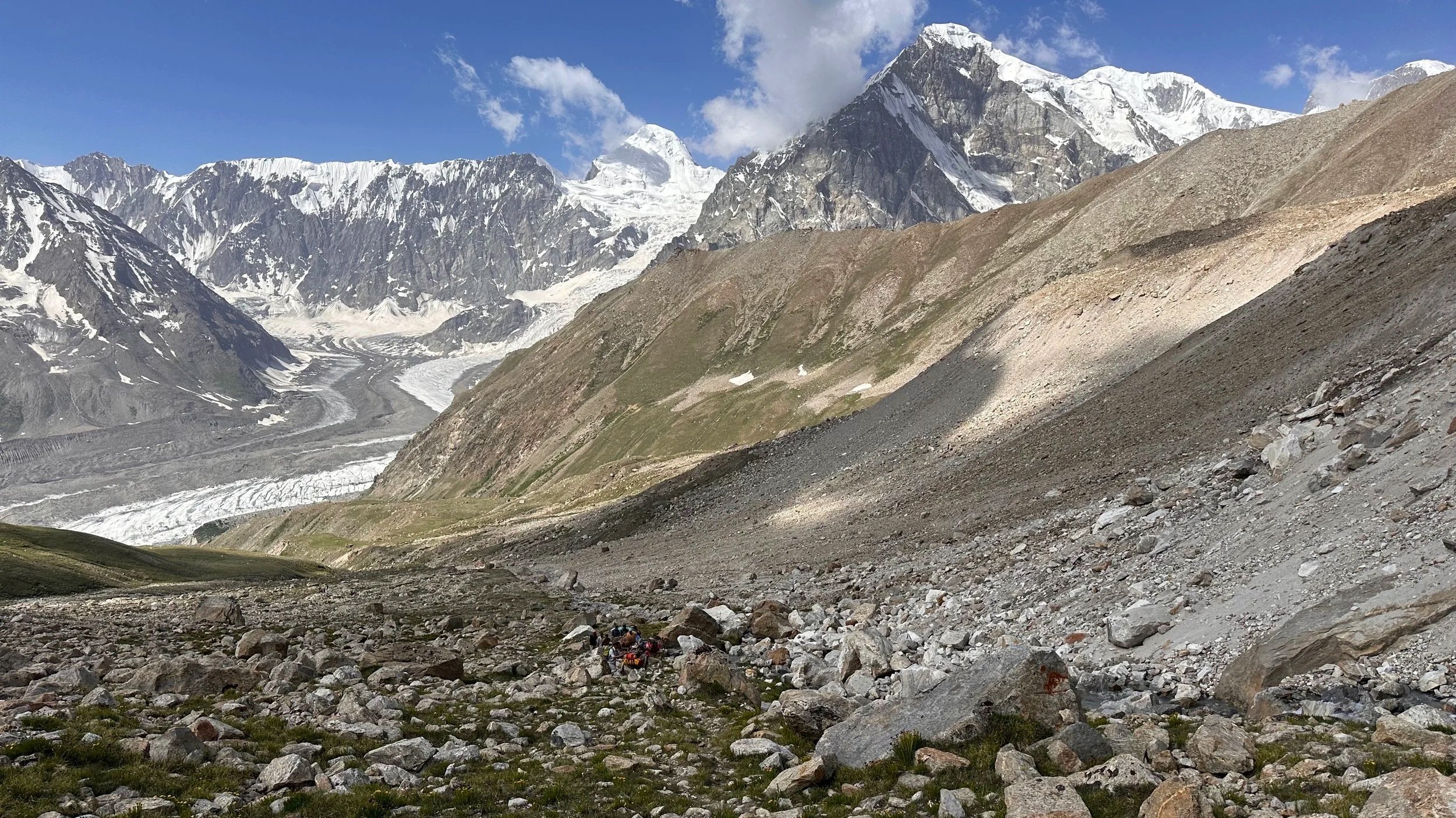
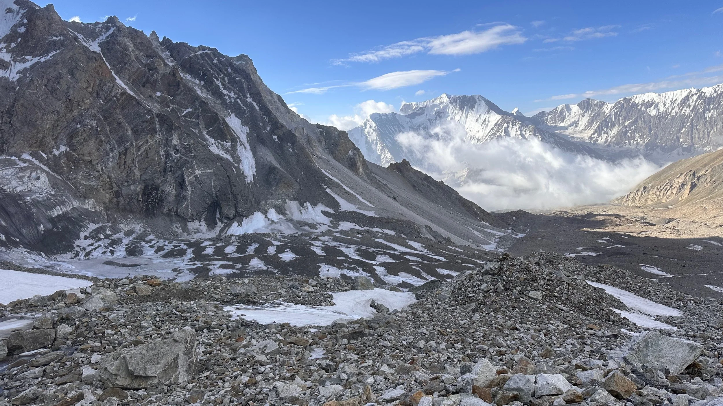
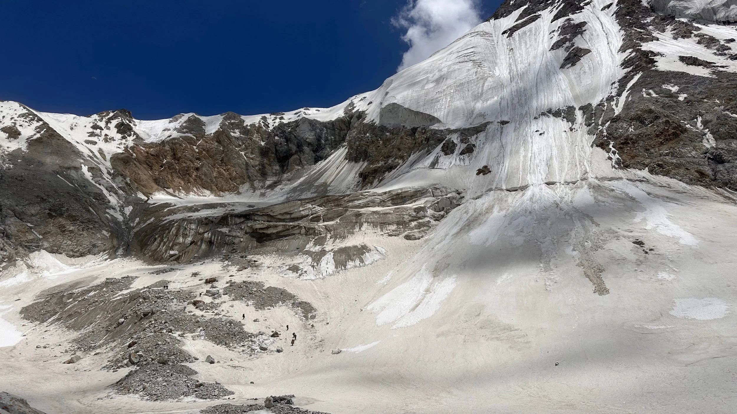
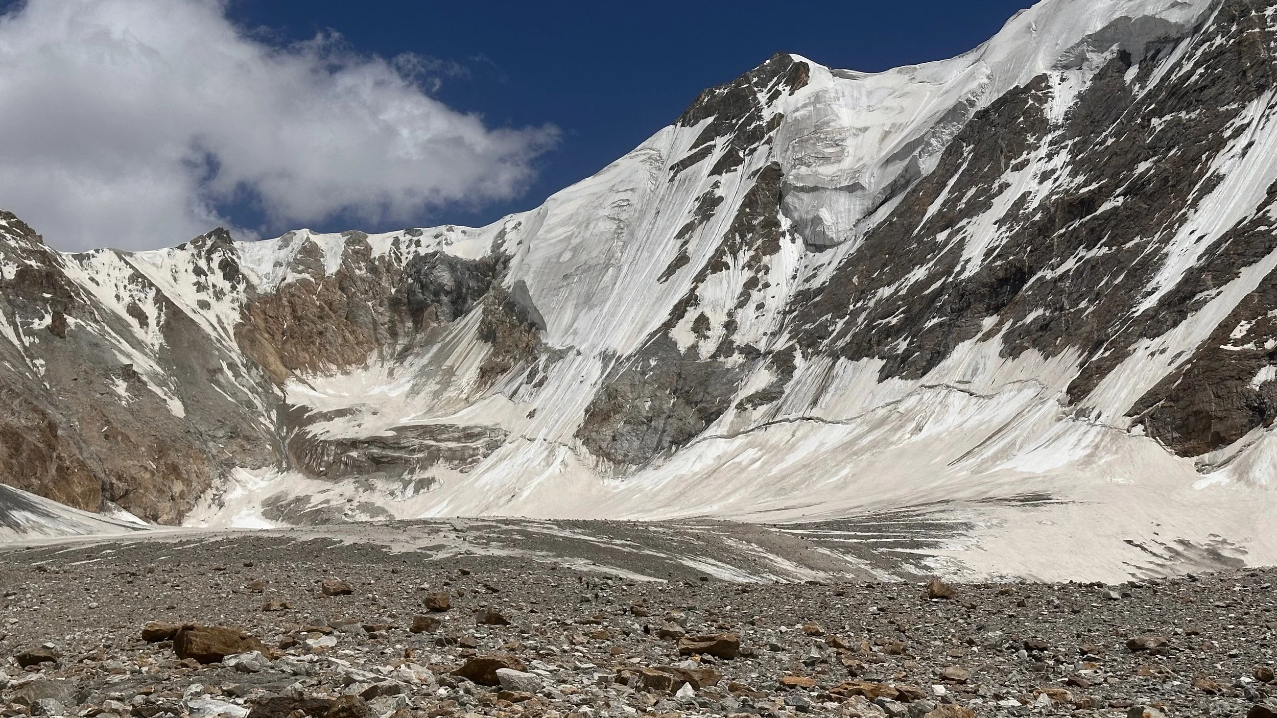
The Mazeno La is far in the distance at the end of the glacier.
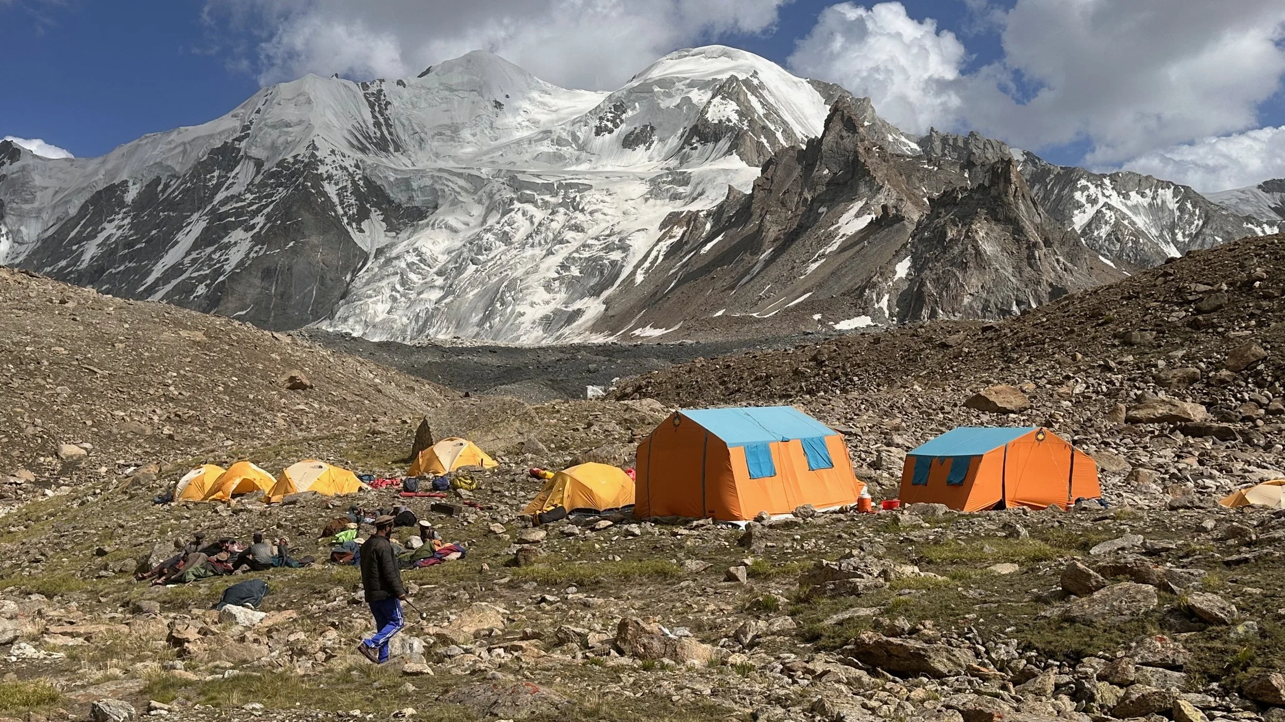
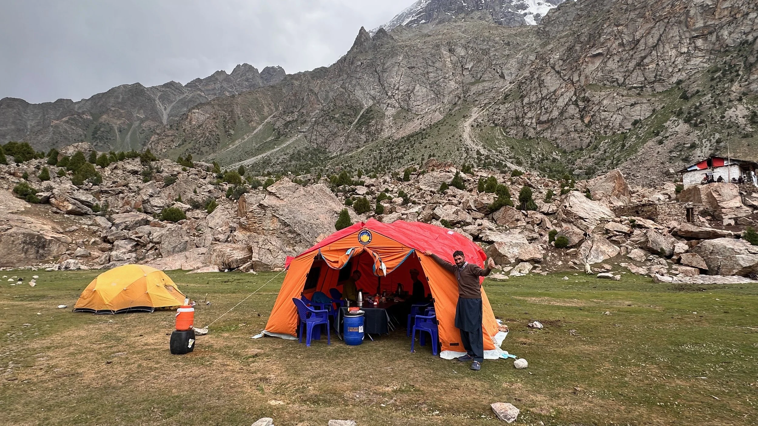
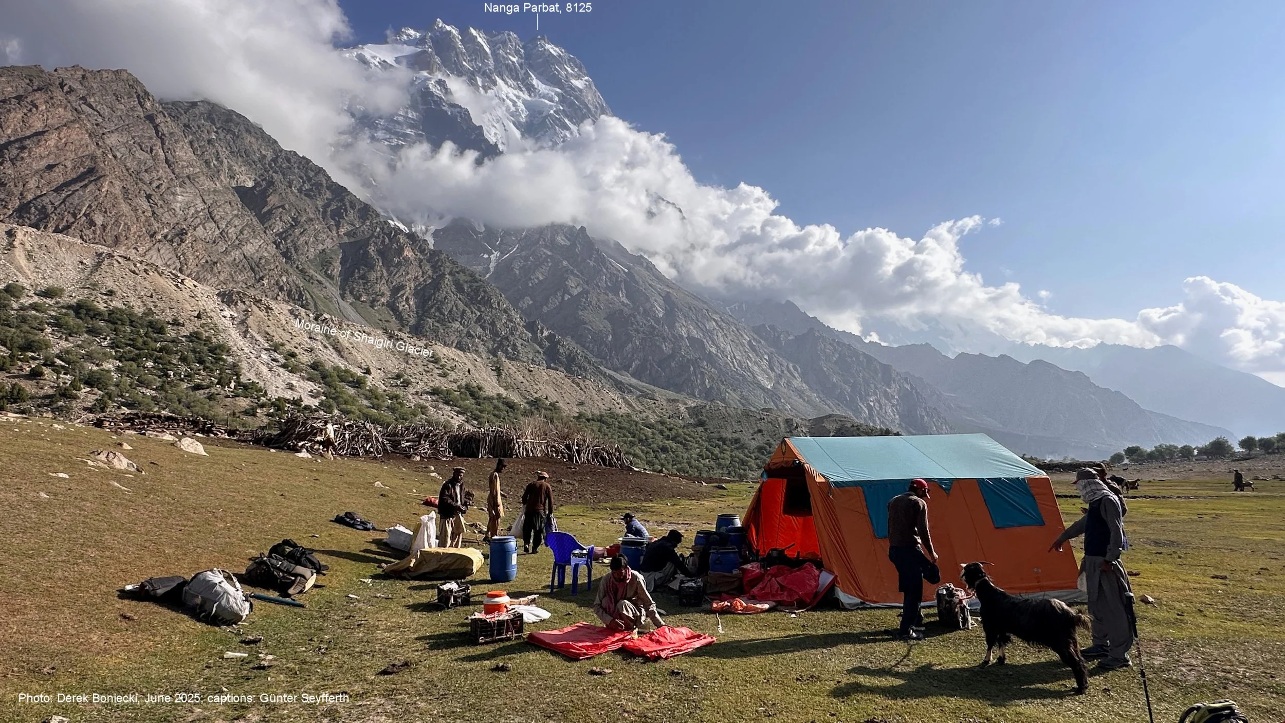
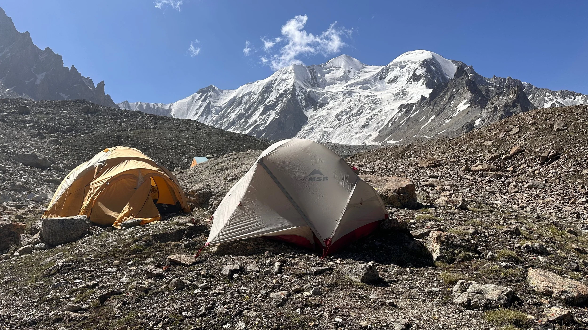
Mazeno La campsite on the Diamir side.
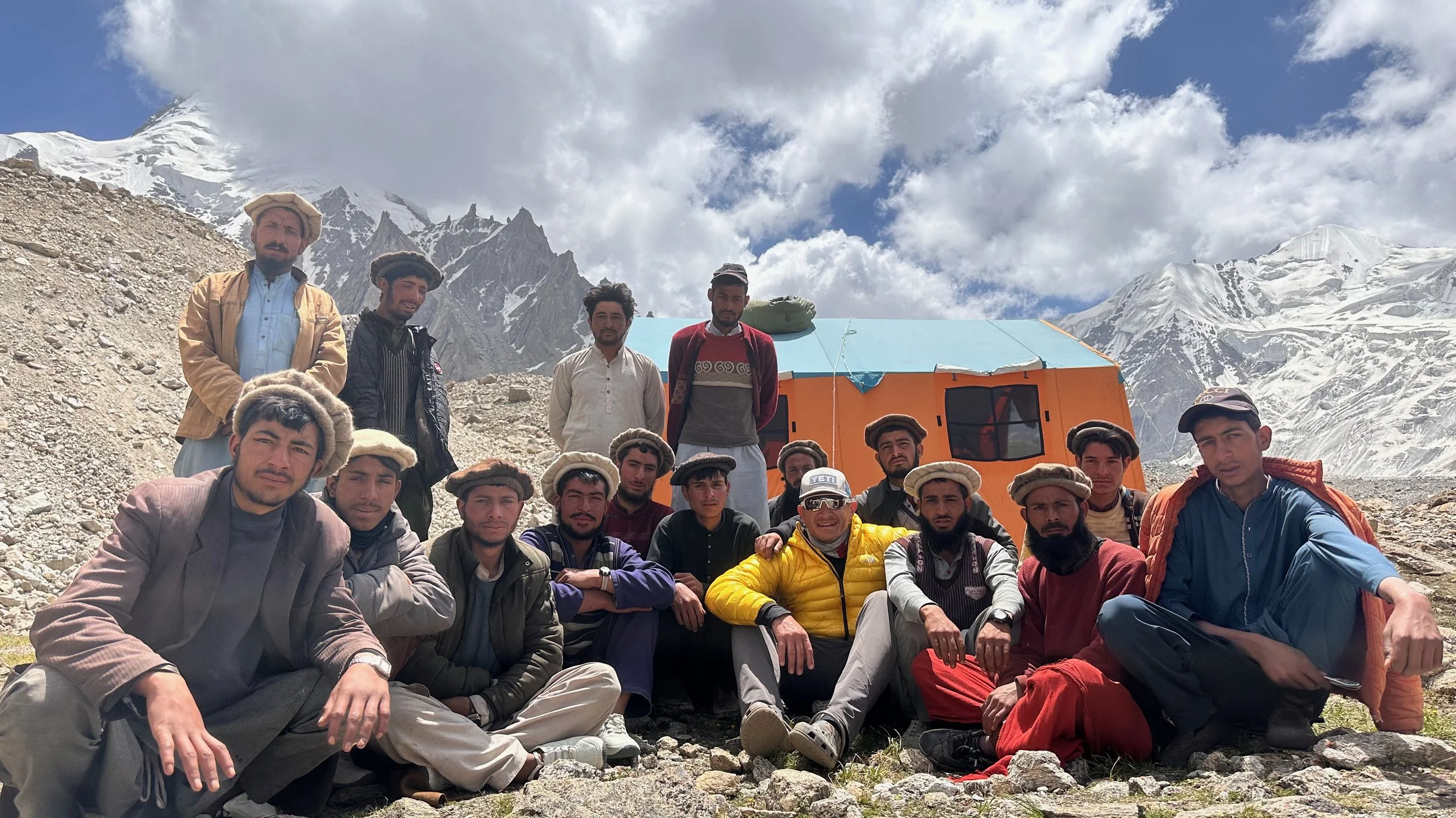
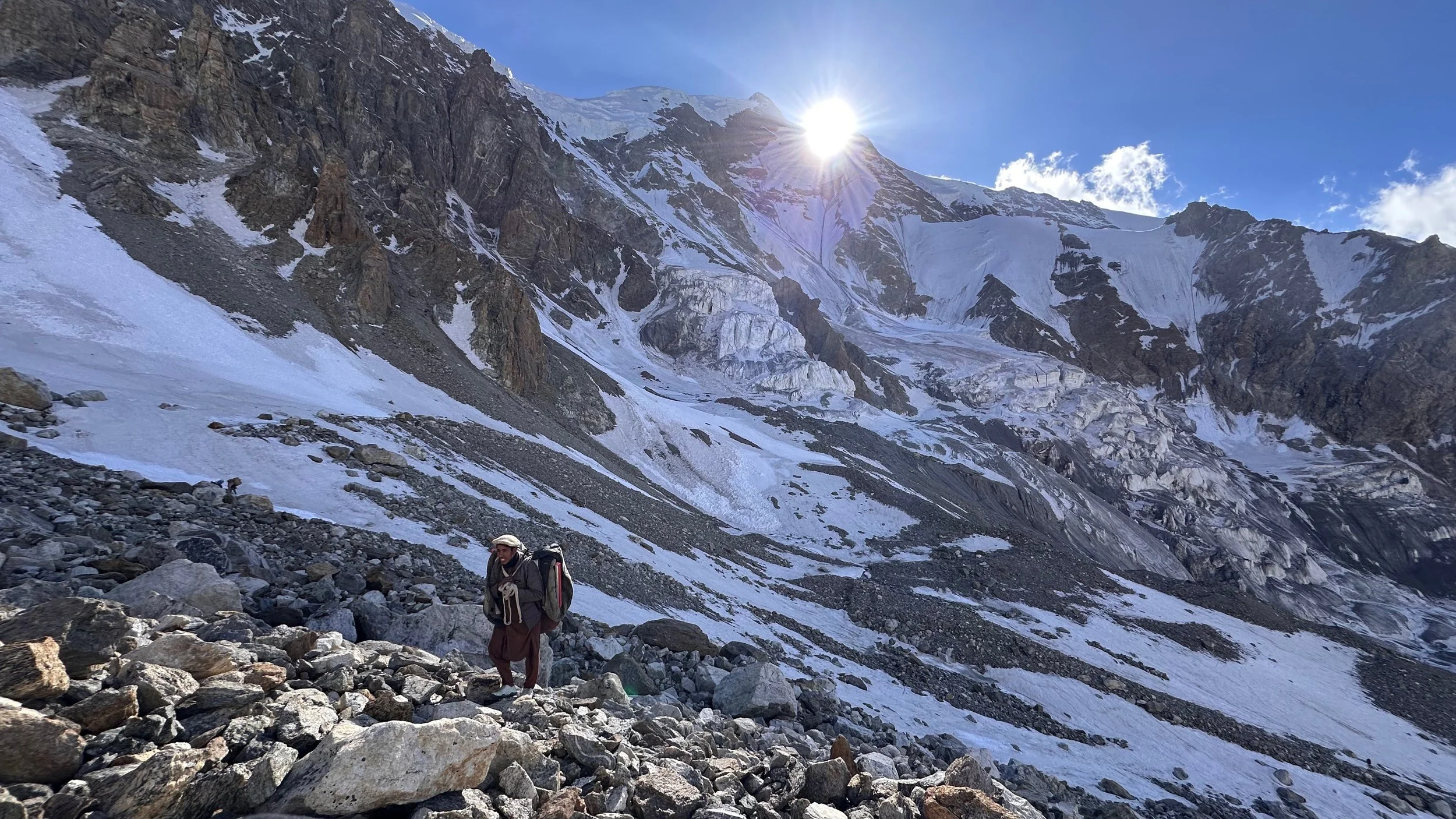
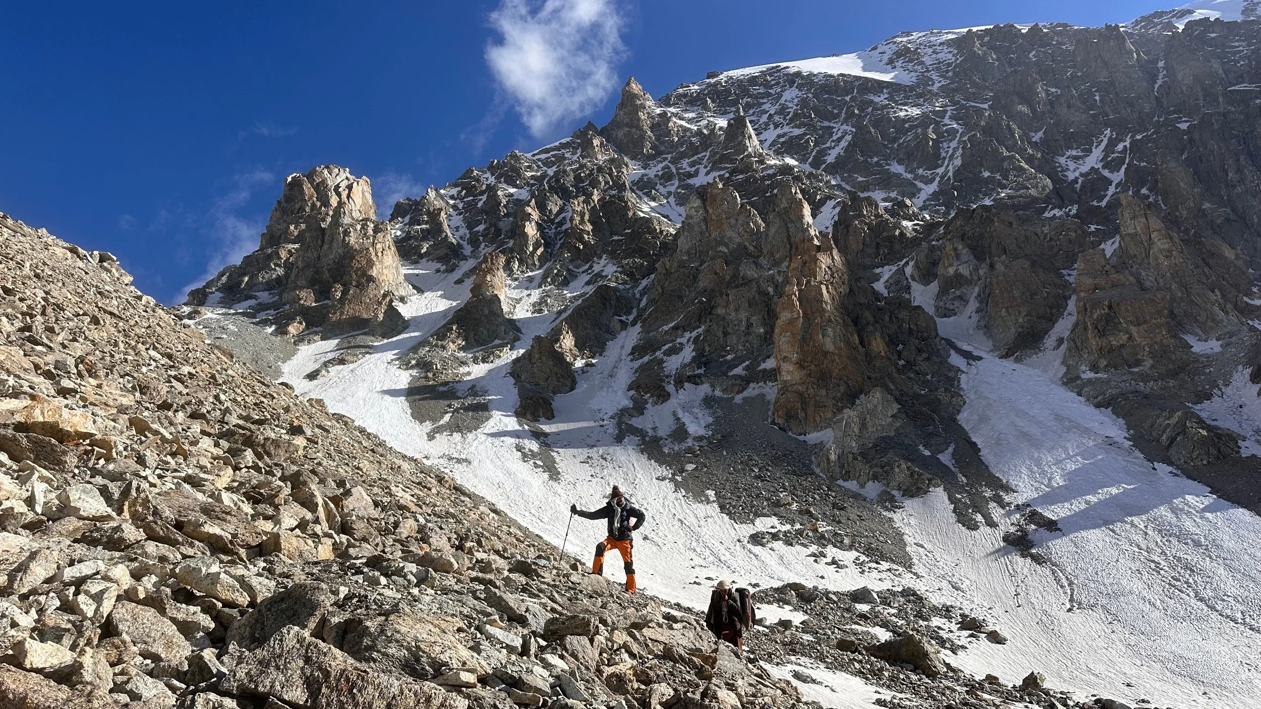
Our porters from Diamir Valley.