New Delhi

New Nehli - Old Fort

Old Fort of New Delhi

Personal space - non existent at the New Delhi fort


New Delhi

New Delhi

New Dehli

New Dehli

New Delhi

New Delhi main railway station - a fascinating cross road of Indian cultures and people


New Delhi

The stylist and his assistant

Dr Vimla to the rescue!

New Delhi

Back streets of Old New Delhi


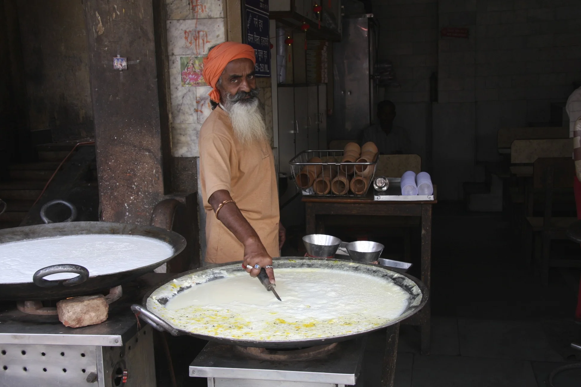
Shave time!

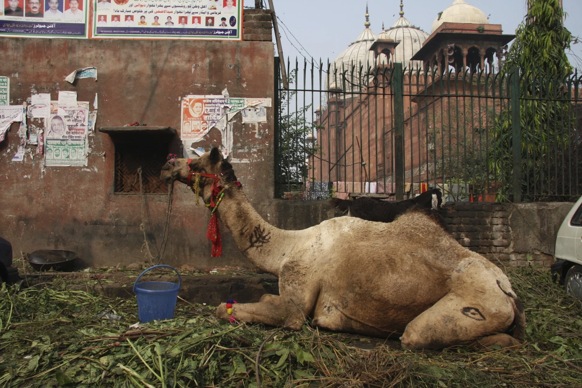
Camel parking in New Delhi


At the market in New Delhi


At the market in New Delhi

This kid had amazing European features with blue eyes

At the animal market in New Delhi - very easy going people


New Delhi

Agra

Agra

Agra


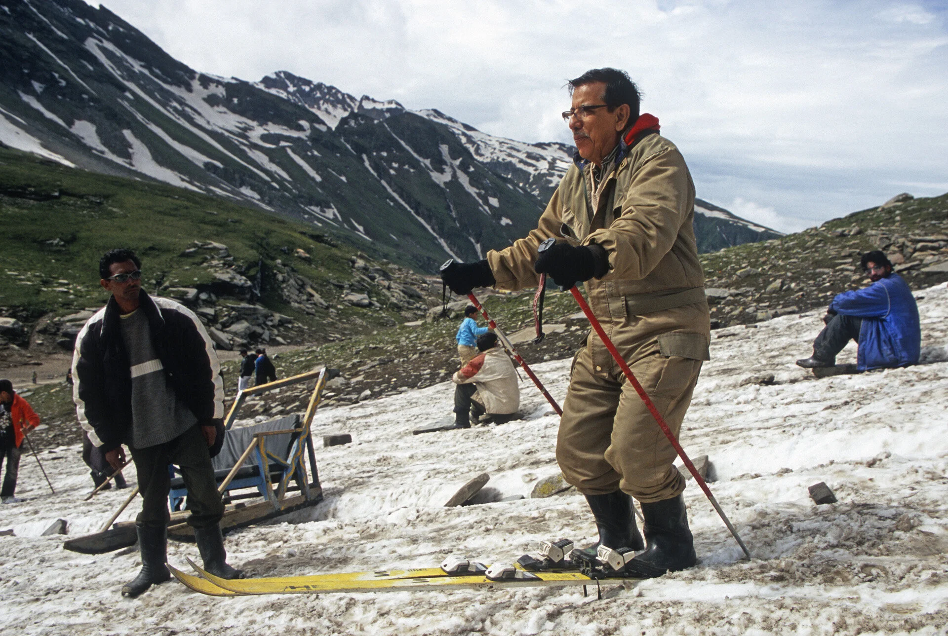
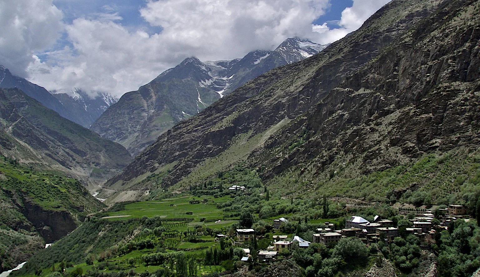
On the road in India


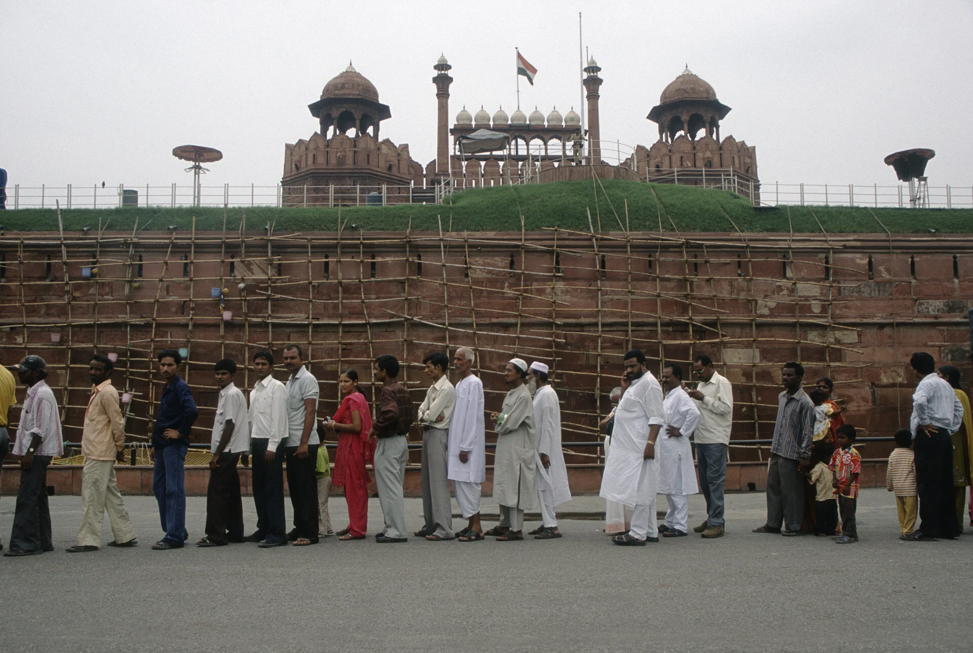
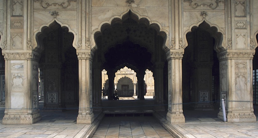
Main mosque in New Delhi

Main Mosque in New Delhi


Main mosque in New Delhi

Main Mosque in New Delhi

Old Mosque in New Dehli

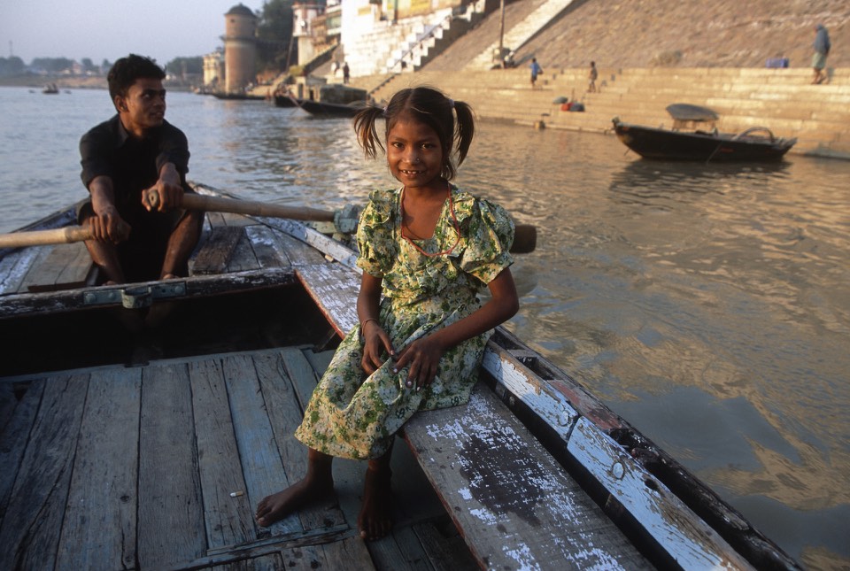
Varanasi

Varanasi

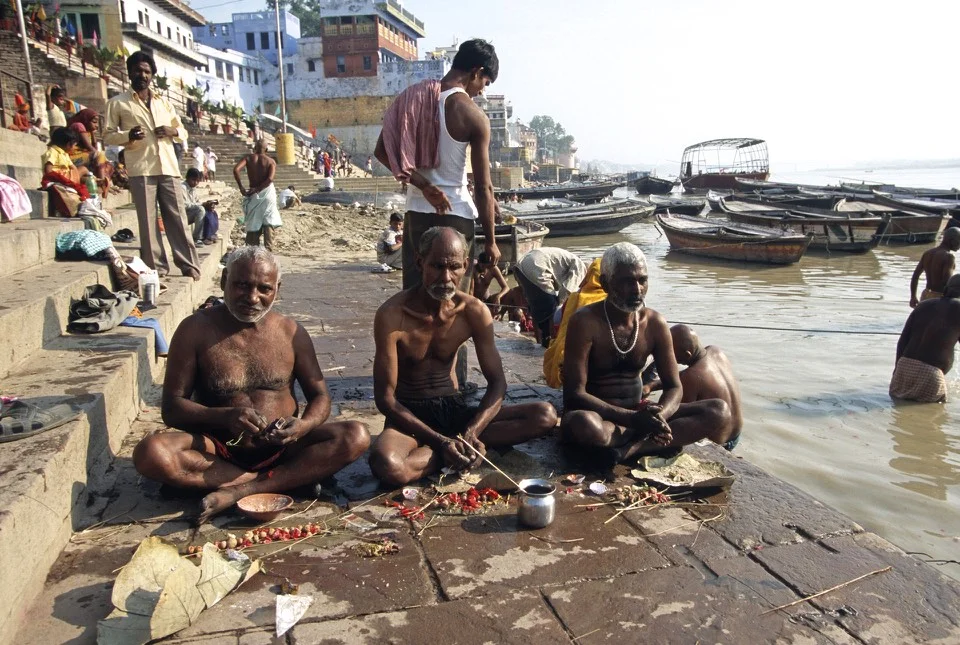
Ghats of Varanasi

Holy Ganga in Varanasi

Varanasi


Waiting for cremation in Varanasi


Ganga

Ganga in Varanasi


Preparing for cremation in Varanasi.


Varanasi

Varanasi


Varanasi


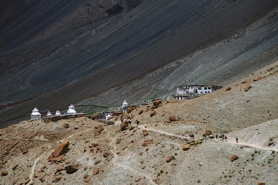
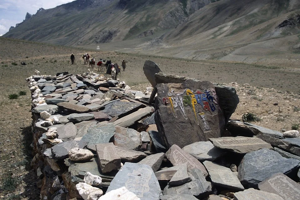
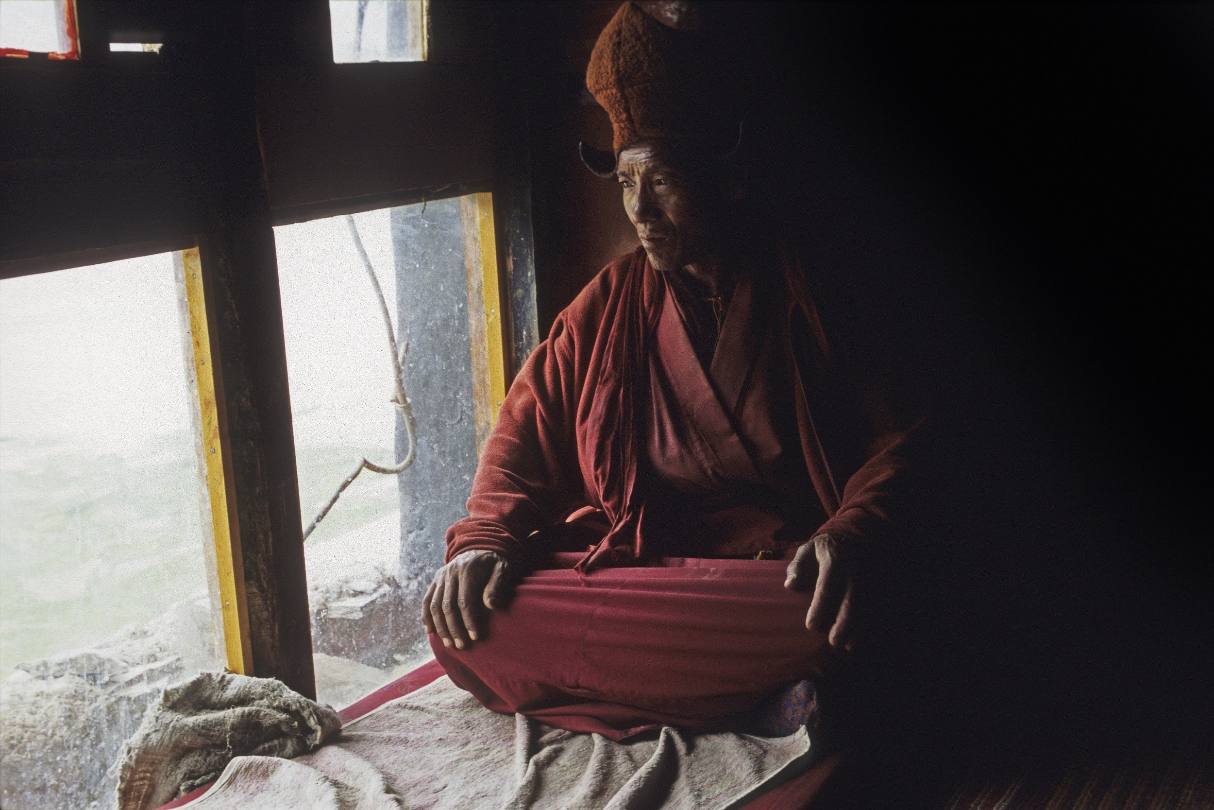
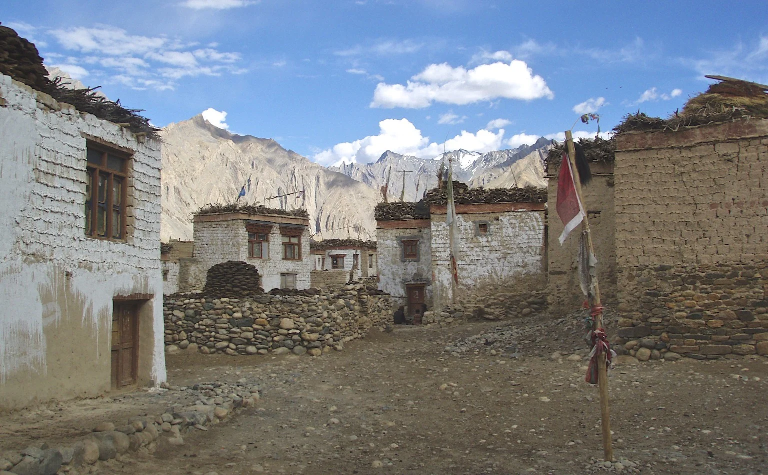
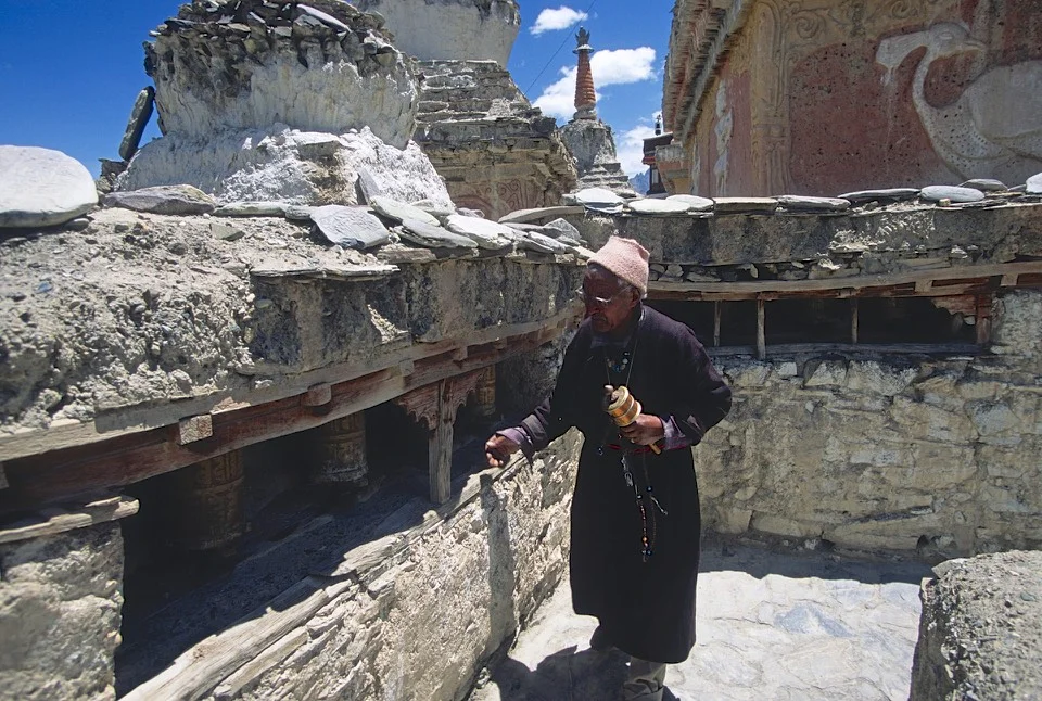
Ladakh - traditional outfits

Traditional outfits of Ladakh


Matura, the birth place of Lord Krishna

Matura is full of fascinating people - pilgrims and wanderers

Hard life - this can not be good for you…

Matura - keeping up with the scriptures

Tea vendor in Matura

He was trying to hypnotize me :-)

Lord Krishna rules Matura

Matura

The birthplace of ShriKrishna

Krishna fashions

Matura

Matura

Matura, selling tika

Street food in Matura, not the healthiest but very cheap

Matura