This trek is a little unconventional. It requires good acclimatization and good weather for crossing two high and remote passes. It traverses the remote Hoh Valley, crosses a 5,300m steep Jamal Pass and then continues on via Biafo to the Sim Gang Glacier which is part of the Snow Lake. It then crosses Sim La at 5,400m and ends up on the spectacular Choktoi Glacier, covering its entire length. It is really a dream route of the Karakorum Range. There are almost no other people along this route.
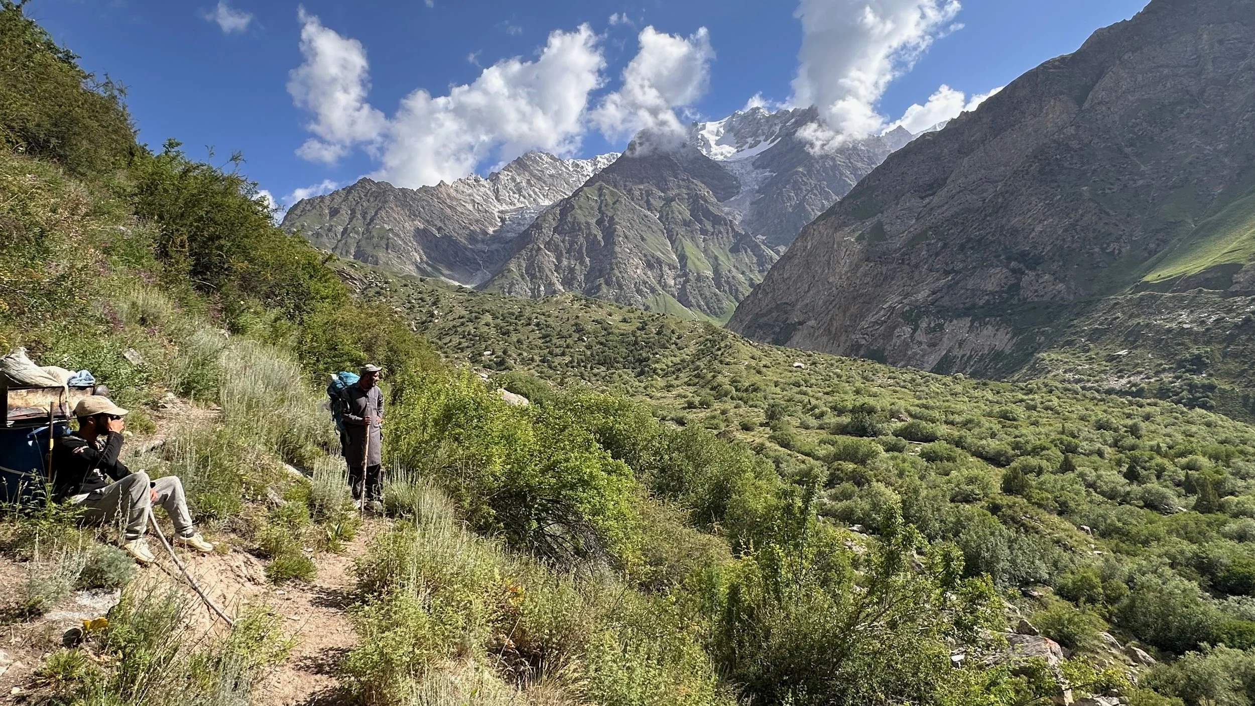
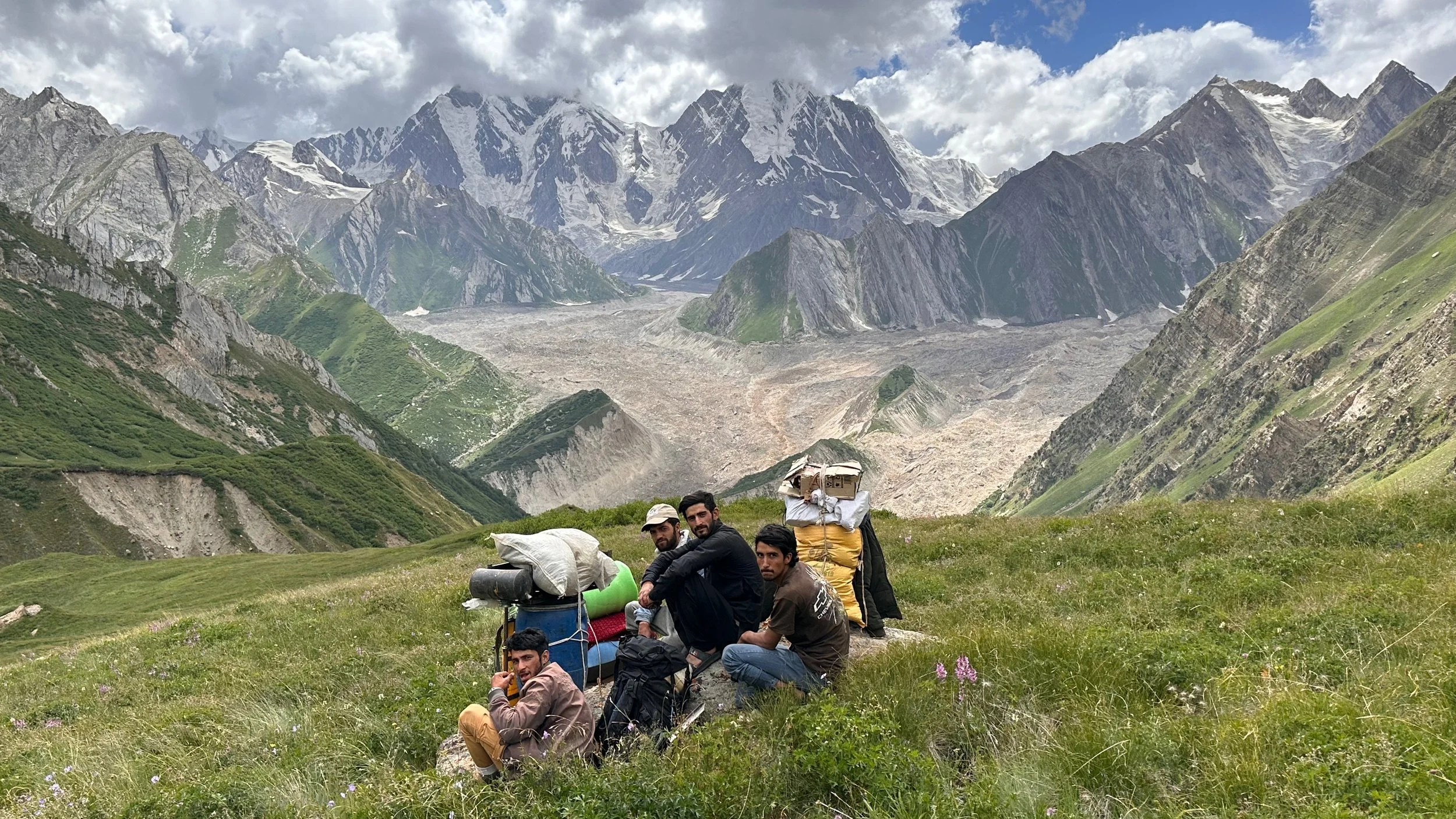
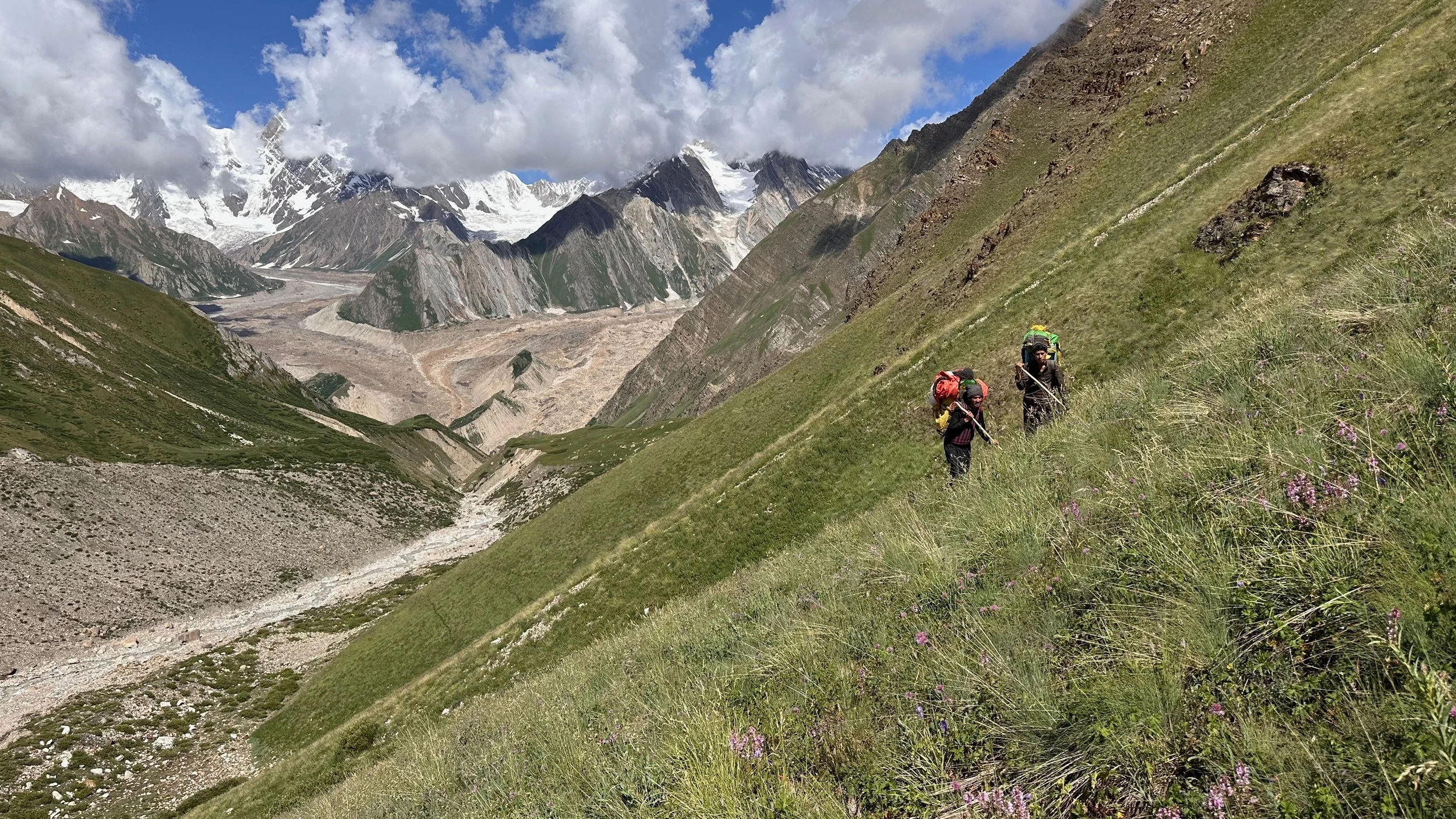
All I needed to make my dream a reality, was 10 crazy locals to assist me. I was lucky to find them. I had 10 Baltis with me on this route, some of who probably did not realize what they were up for. We covered around 200km and climbed a lot. We had to dodge falling rocks, avoid crevasses, stay clear of avalanches (with rocks), labour through snowfields of soft crusty snow, cross crazy rivers and try to simile all the way to the end. This was by far an EPIC experience that is unmatched in the Himalaya for me. I crossed this pass as part of one long trip involving crossing of Mazeno La, Jamal Pass and Sim La in one month. Again and again, Pakistan is THE BEST place for adventure and spectacular experiences. Unfortunately it has a poor reputation, but for those with an adventurous spirit, it delivers big time.
I divided this part of the trip report into four parts: The Jamal Pass, the Sim Gang/Sim La and the two posts from each side of the Nanga Parbat massif.
The total for Jamal and Sim La took 2 weeks (not including the jeep rides), but I was very well acclimatized from the Mazeno La trek. There were days when we were stuck in the tents due to rain and then, on other days we walked 30 - 40km.
Thanks to Ehsan Ali from Tissar in the Shigar Valley for leading the charge and being a good leader, and to Adventure Karakoram Pakistan for the logistical support.
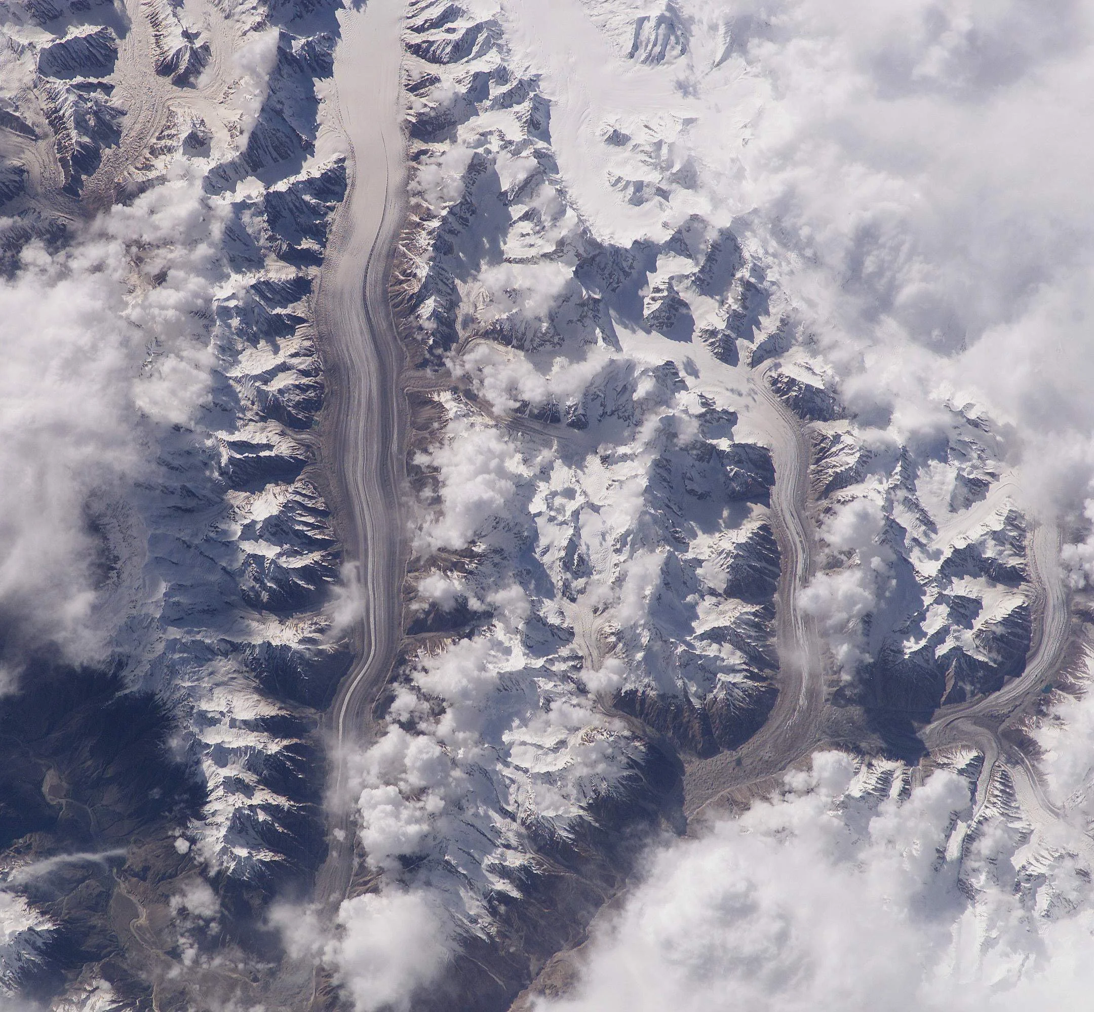
A satellite photo of the Biafo Glacier. The Jamal Pass is on the left half way up the photo. After crossing the Jamal Pass we circumnavigated the large white island of mountains in the center of the photo.
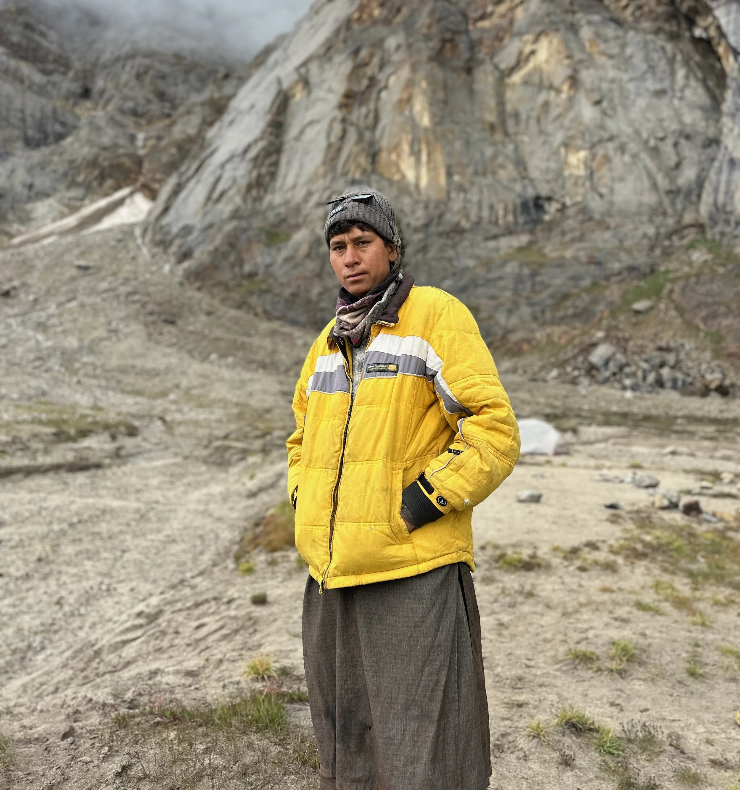
Big Thank You to Talib from Ho Village who was critical to the success of the Jamal Pass adventure. Without him, the entire enterprise would be finished before it even started. Sometimes meeting the right person makes all the difference.
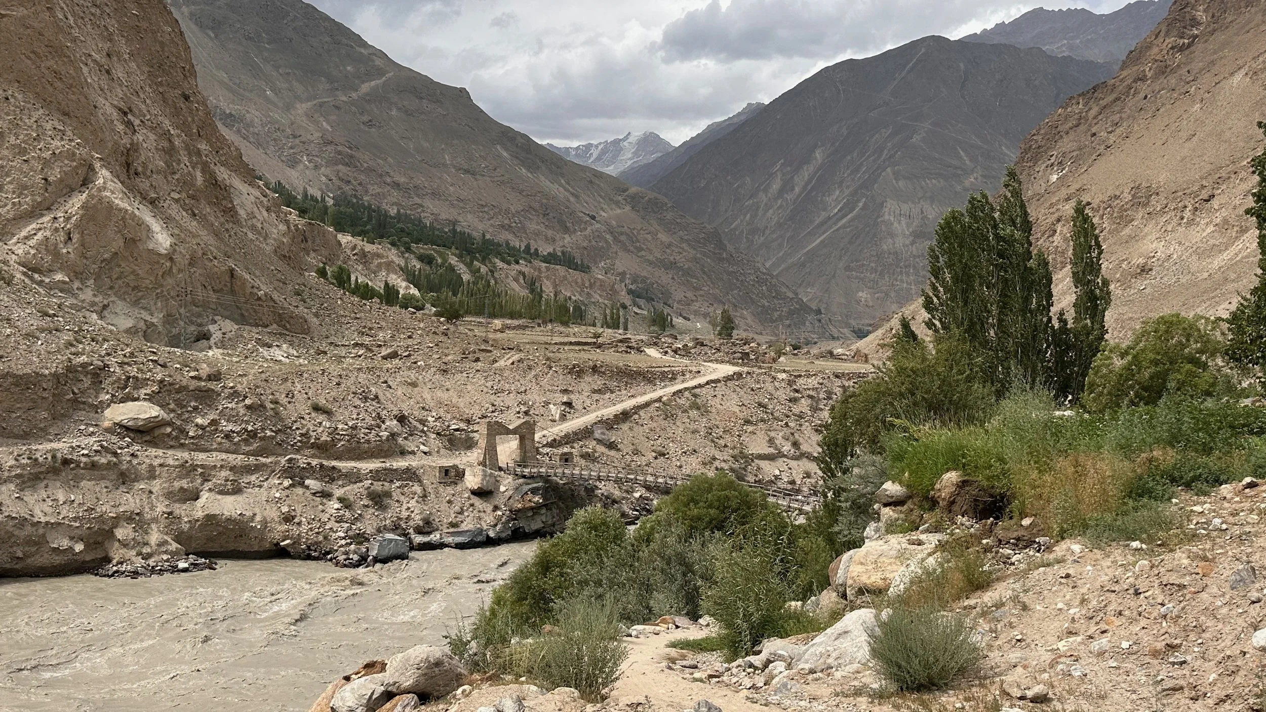
The bridge to Hoh Village and the Hoh Valley. This bridge is half way between Dasso and Askole.
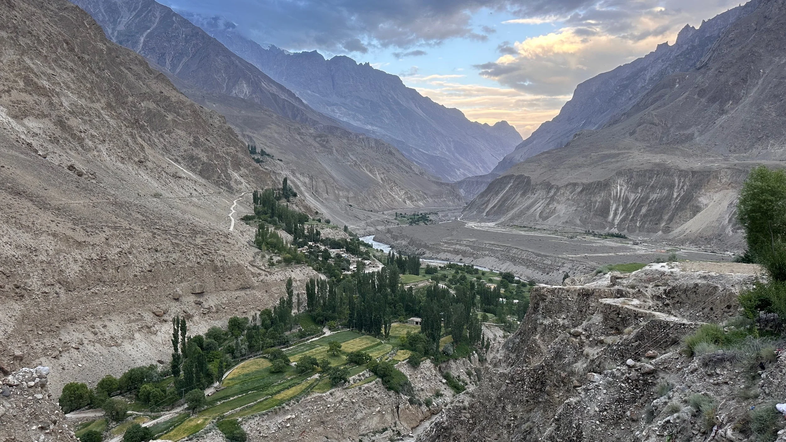
Looking down at the road to Askole from Hoh Village.
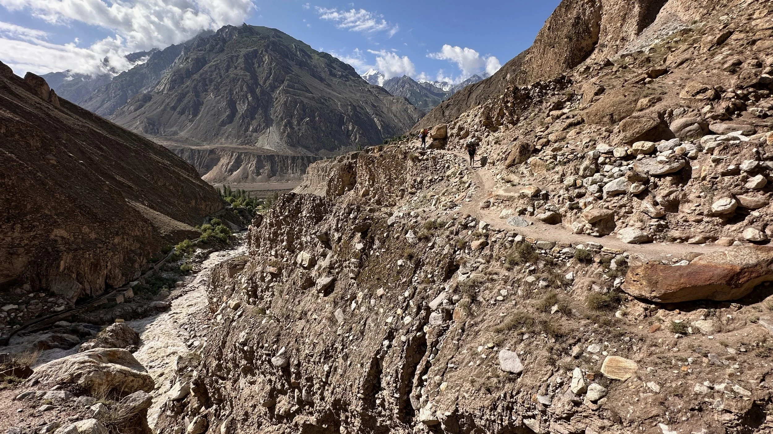
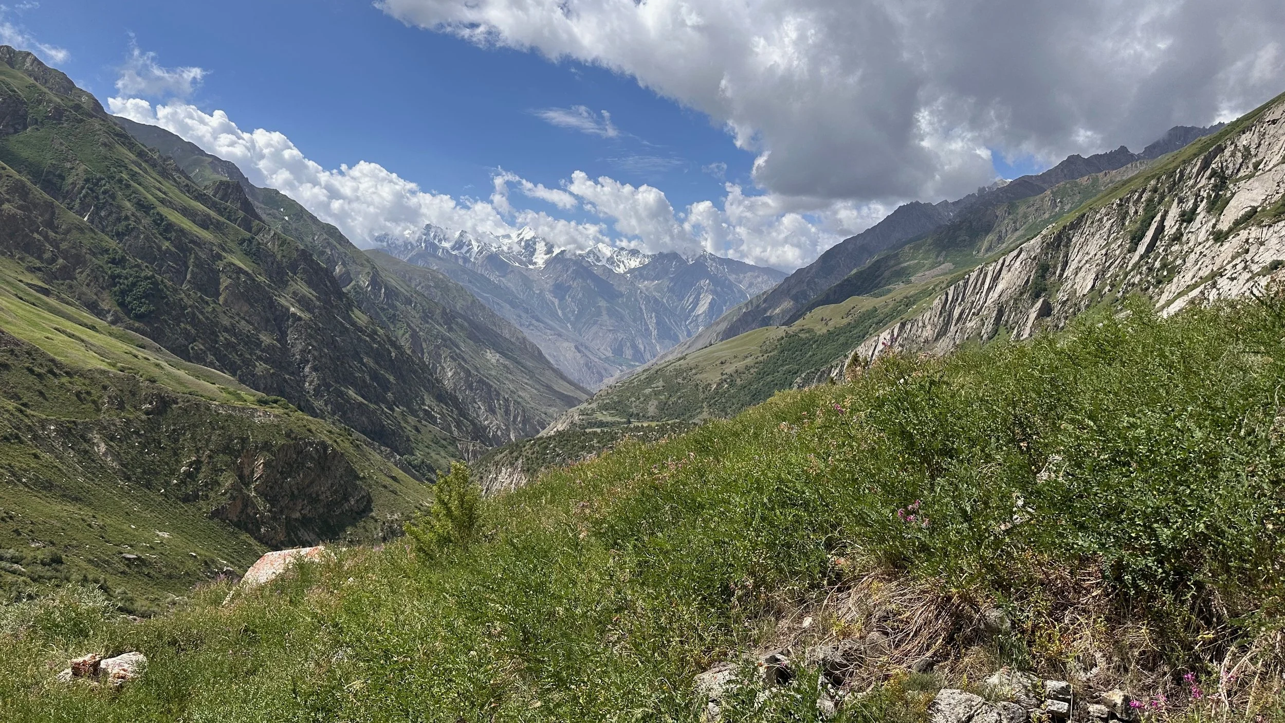
The trail from Hoh Village along the Hoh River. For the first day we followed a nice trail as the local use the upper valley for pastures.
Looking back at the Hoh Valley.
Making our way to the upper Hoh Valley. We will soon turn to the right. There is a large valley and glaciers in there although invisible from where we are standing.
Looking back at the Hoh Valley.
Koser Gunge 6,400m

Koser Gunge 6,400m
Ghur Mountain from Hoh Valley
Ghur Mountain
Once the trail ended we were off piste. We had to cross some small glaciers before ascending the hanging valley ahead.
Glacier crossing - this glacier is the source of the Hoh River
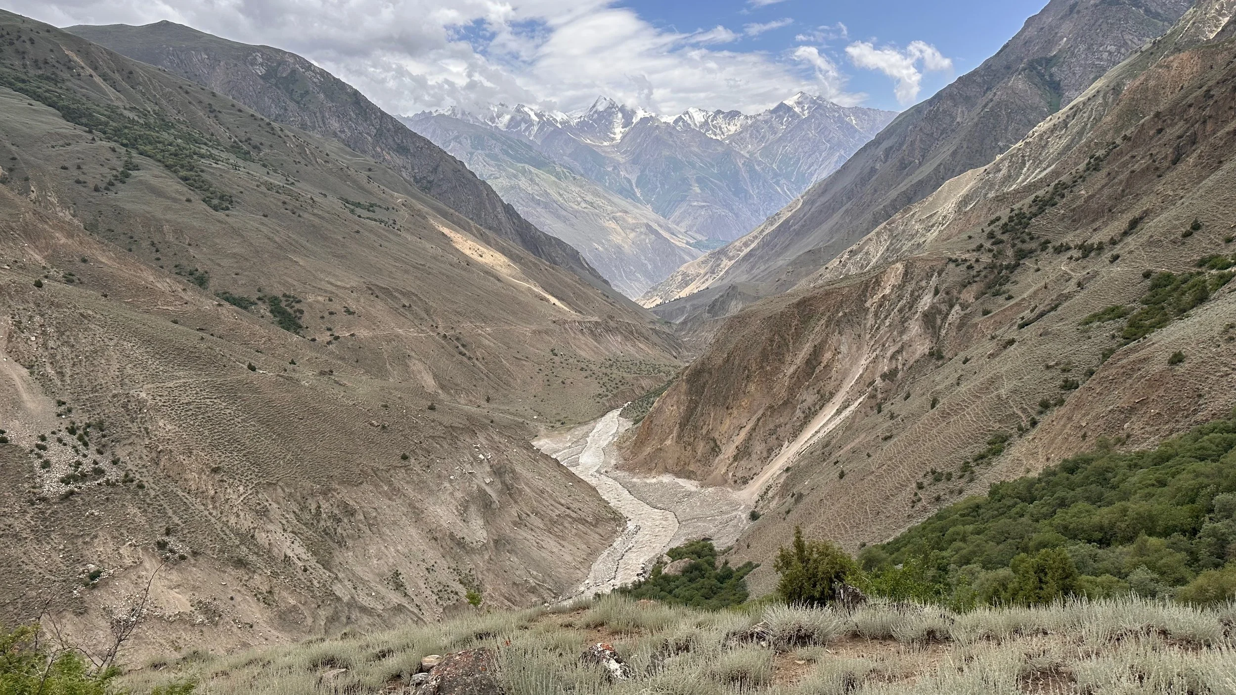
Getting higher. The 6,000m mountains on the horizon separate the Hoh/Sosbun Glaciers from the Arando side.

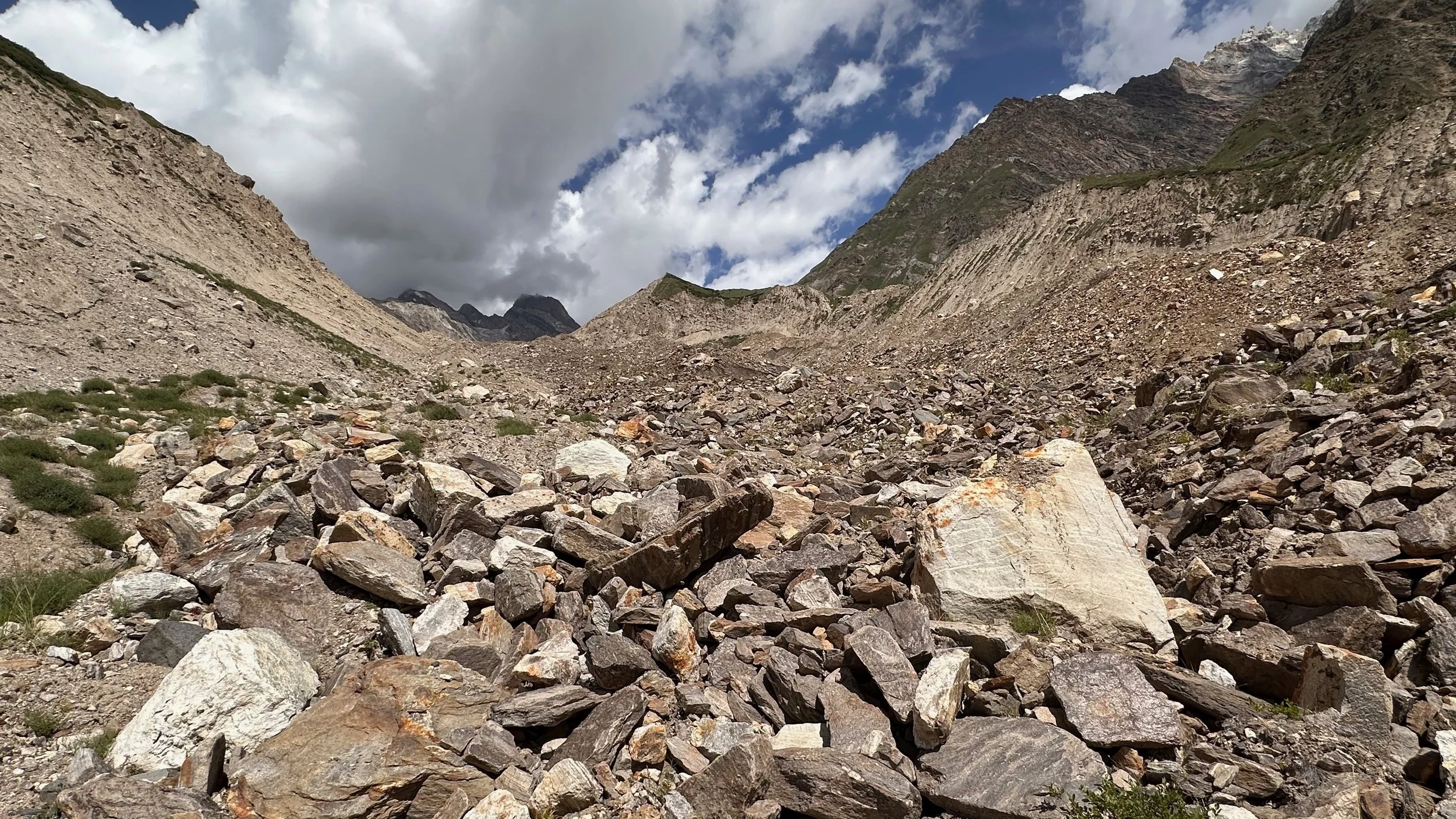
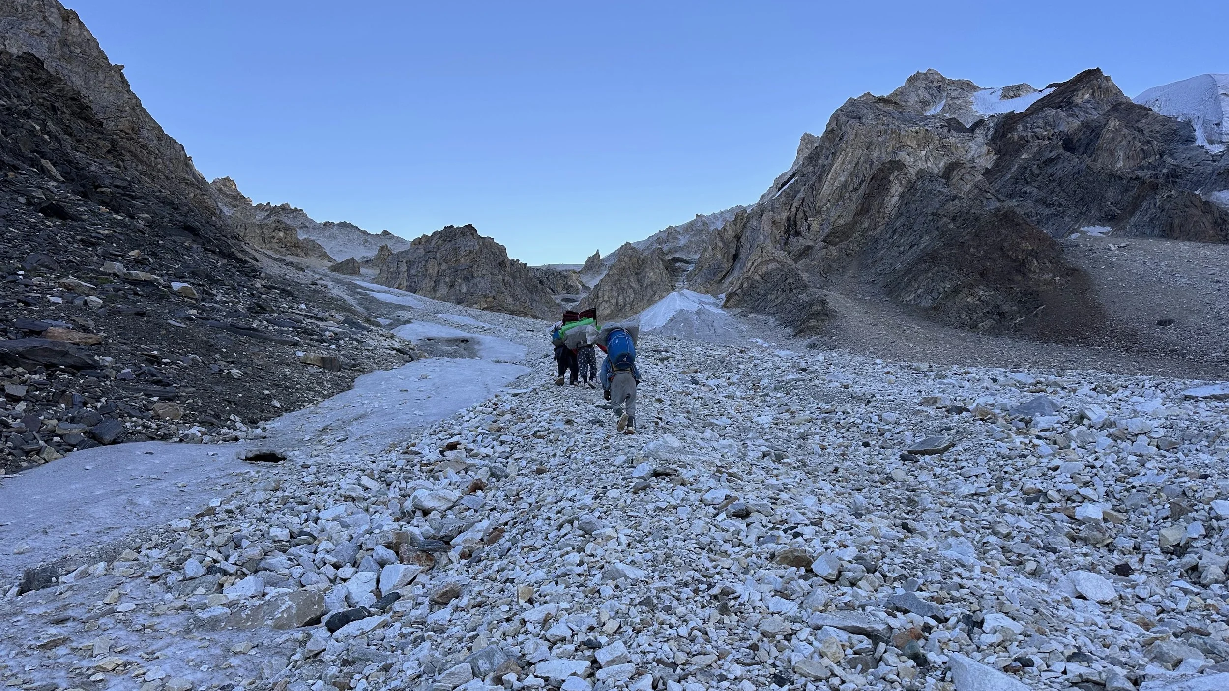
Now the terrain is totally wild. There are no trails. This is a very seldom visited area. The pass was crossed maybe 3 or 4 times before.
No trails…

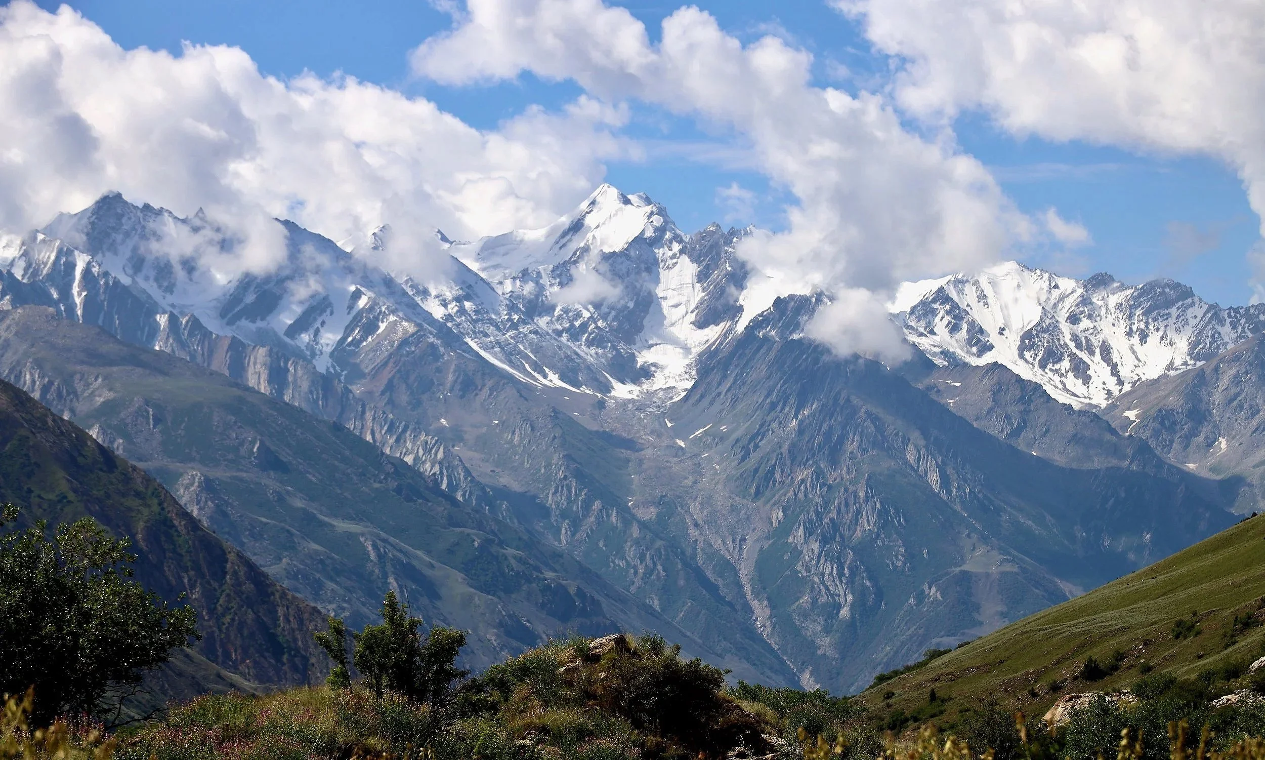
Ganchen 6,461m

Ganchen 6,461m
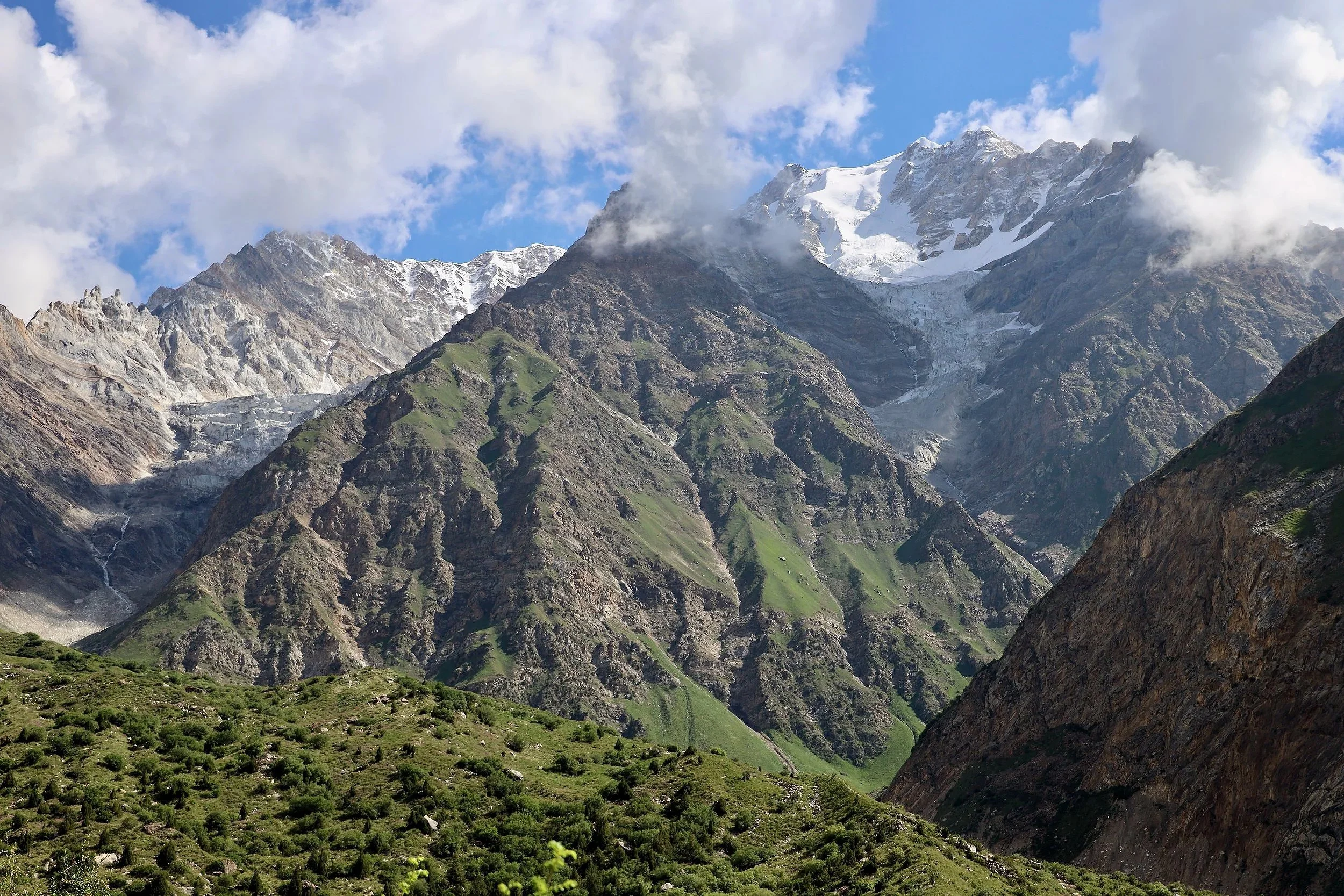
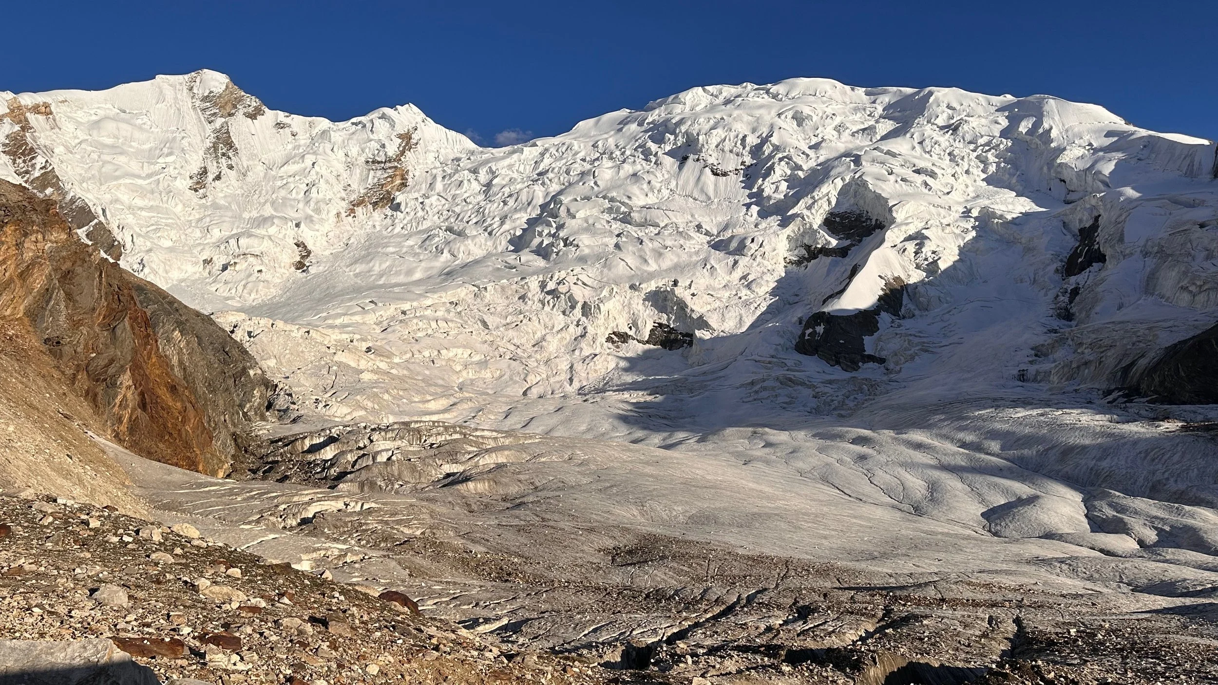
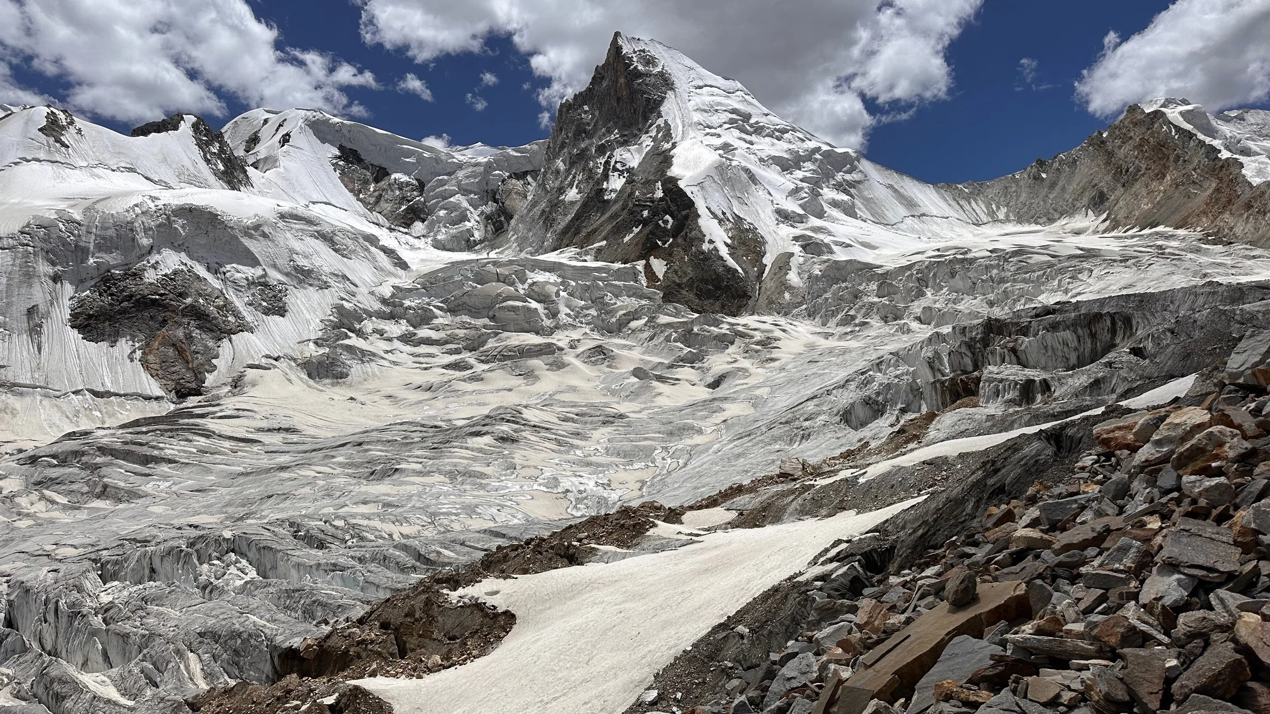
The Tongo Glacier. The white Tongo Mountain is 5,904m high. The Jamal Pass is hidden next to the pointy mountain on the left.
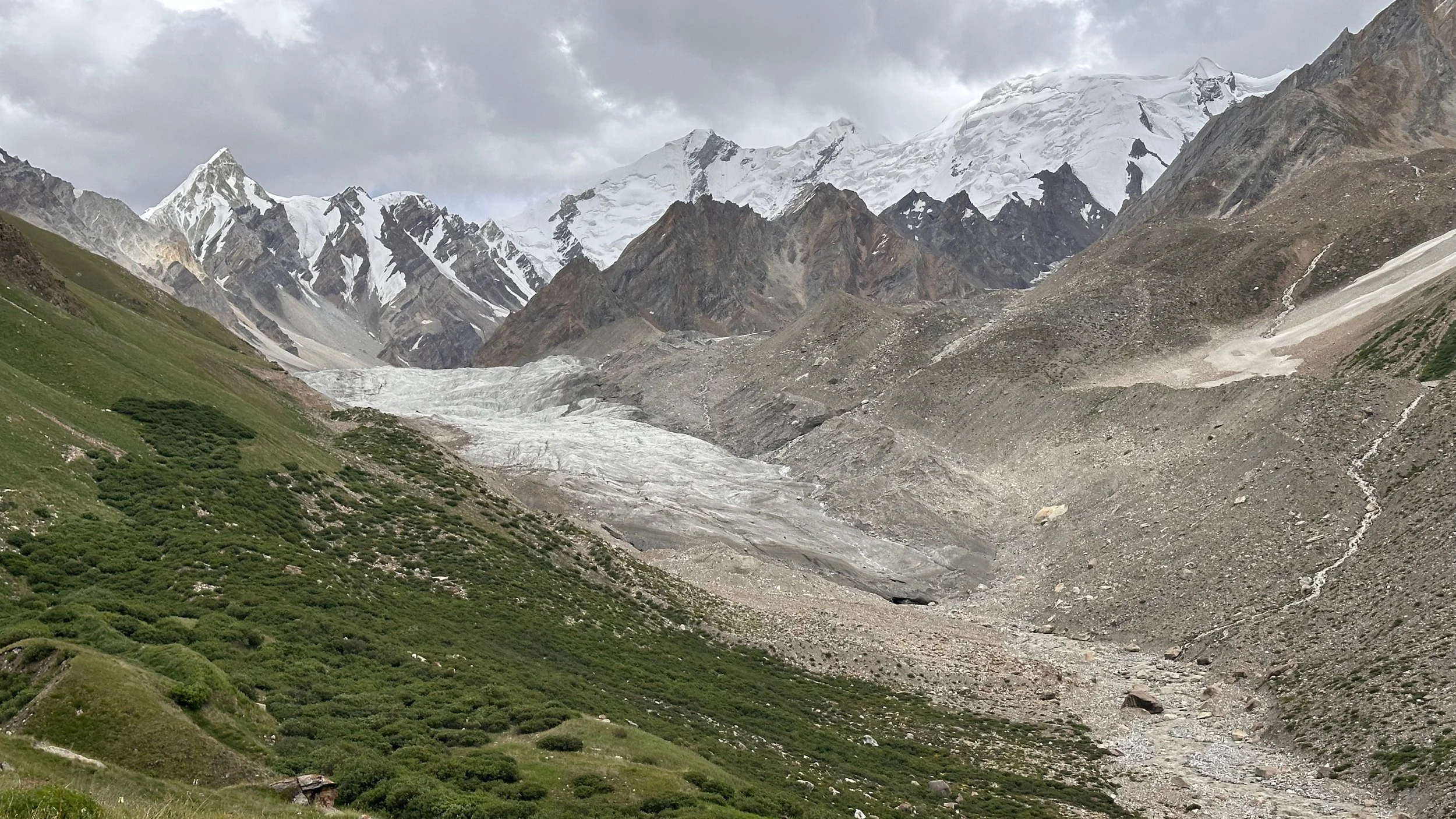
Tongo Glacier. Jamal Pass is on the left (well hidden). You can’t see the pass until you are directly under it.
Tongo Glacier
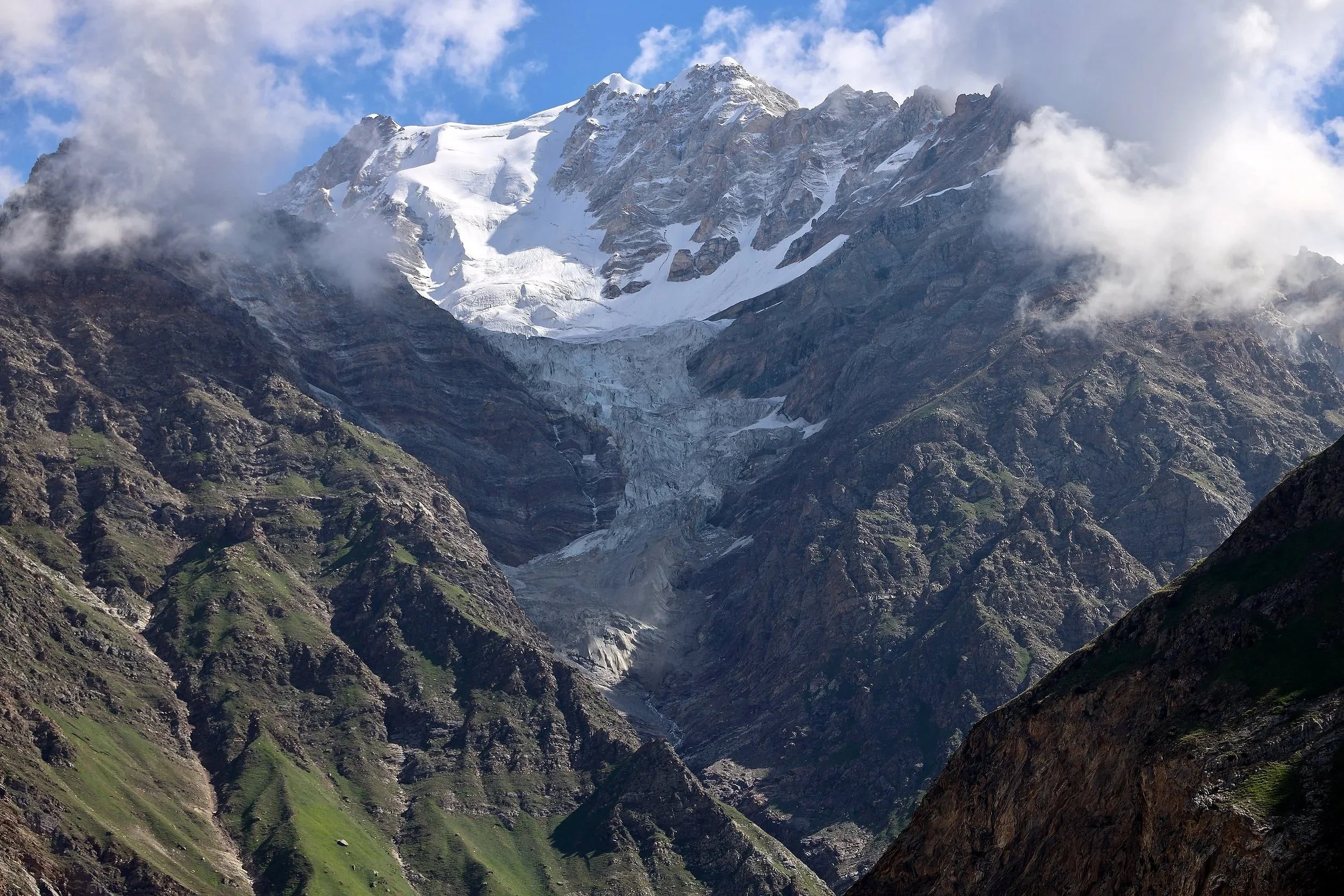
Tongo Mountain 5,904m and Tongo Glacier.

Tongo Mountain
Tongo Mountain 5,904m

The high camp for the Jamal Pass 4,500m
The high camp was at the altitude of 4,500m

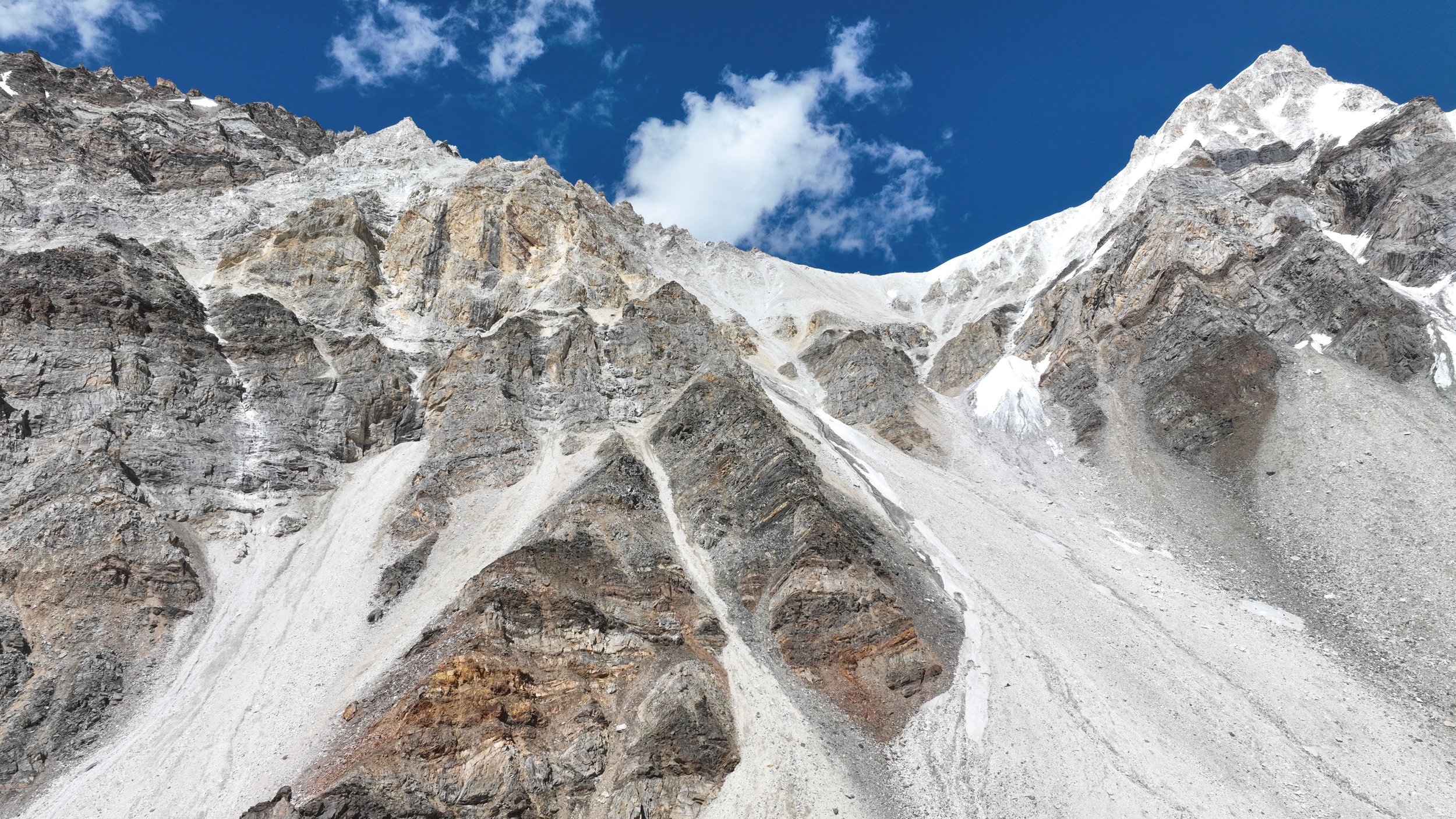
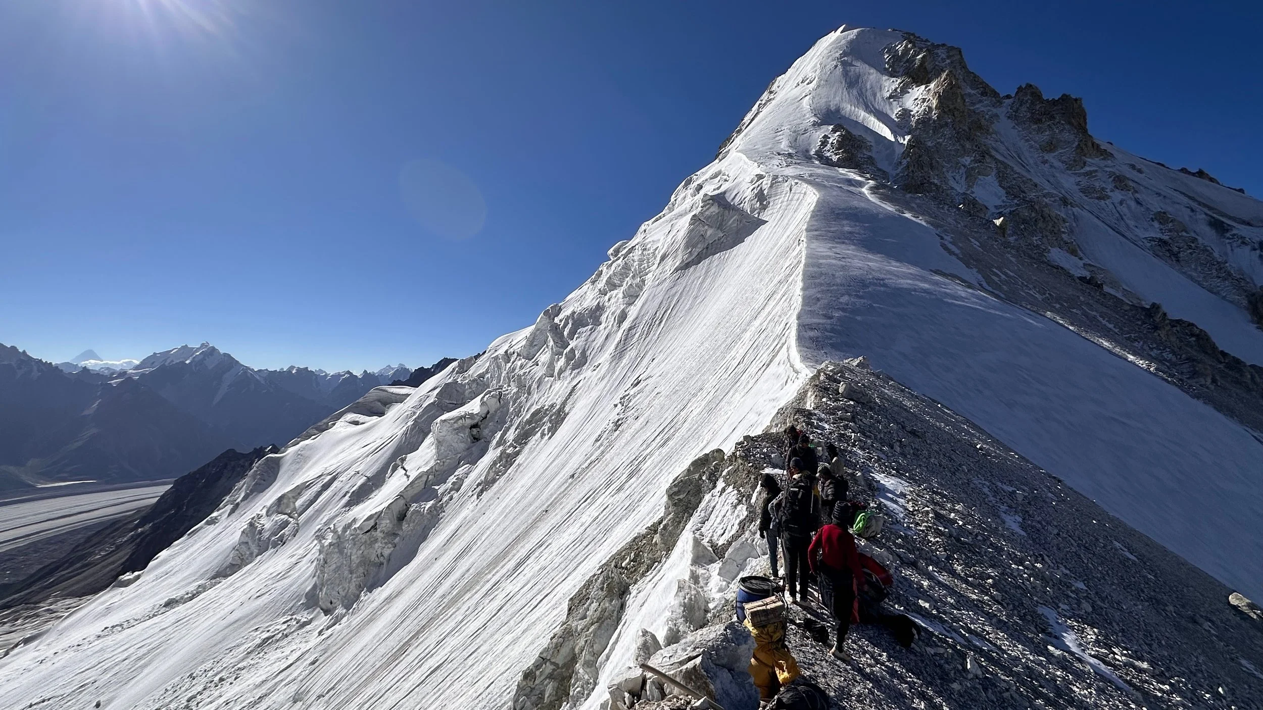
This is the Jamal Pass (left), it is a sustained climb on loose rocks with 800m elevation gain.
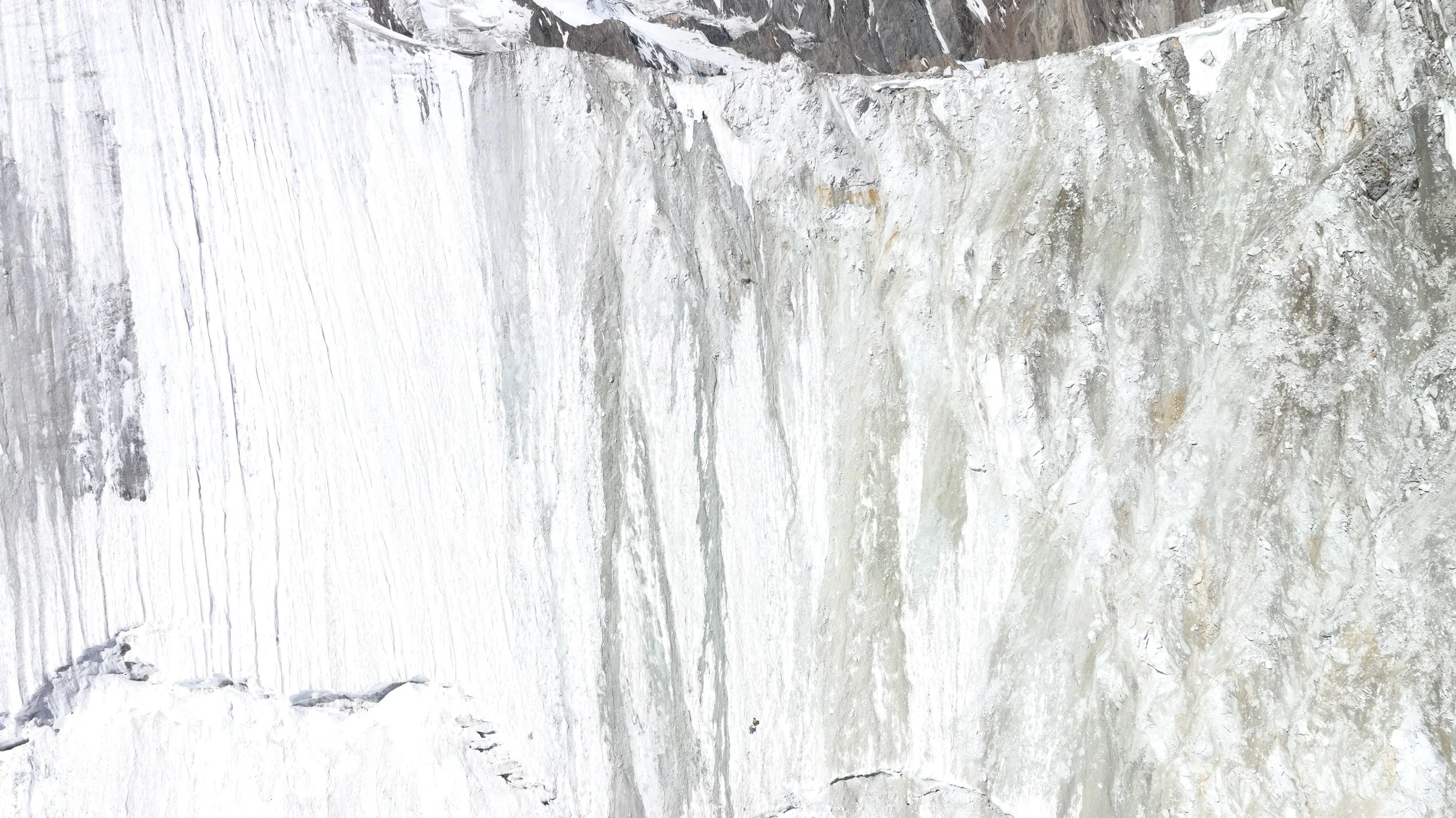
The Jamal Pass. Falling rocks was the only danger.
The pass connects the Tongo Glacier to the Biafo Glacier. We will continue up the Biafo and around The Ogre and the Latok Peaks on the horizon. The pass is directly across the Bentha campsite on the Biafo.
The Jamal Pass and the glacier we will have to descend.

Tongo Mountain on the right and the Jamal Pass is on the left.
Tongo Mountain 5,904m

Tongo Glacier

Looking south/southwest from the Jamal Pass
Looking back at the Hoh Valley. The mountain on the left is Ganchen 6,461m. Arando is on the other side.
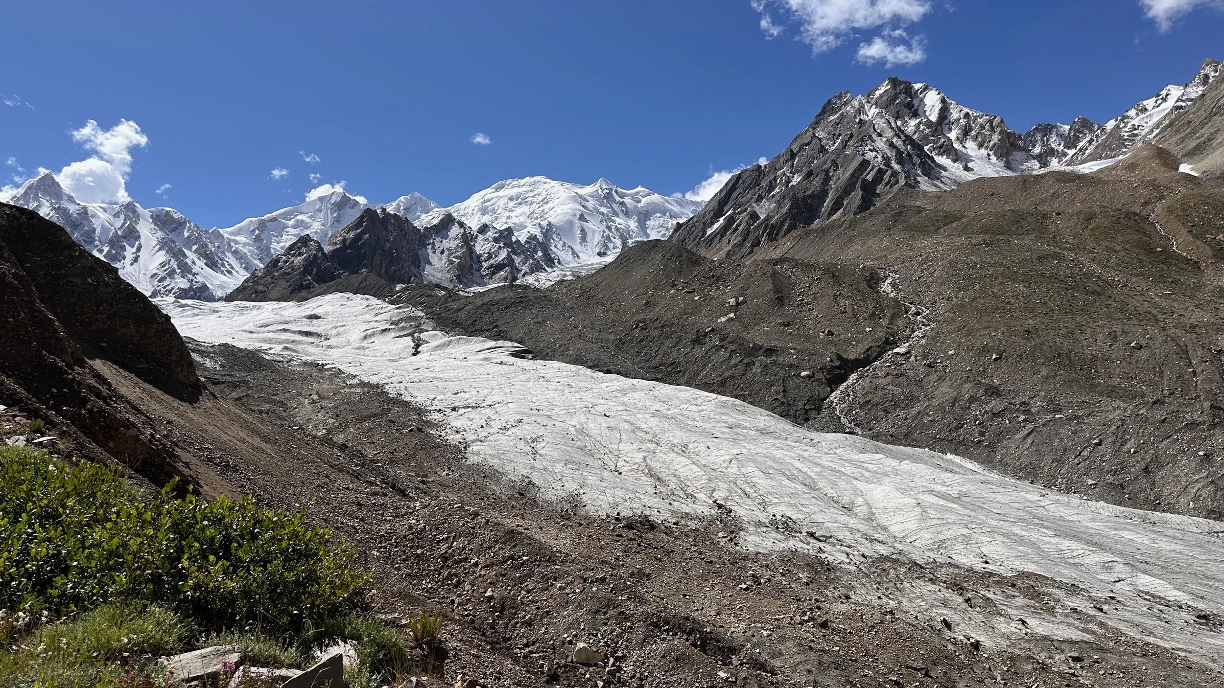
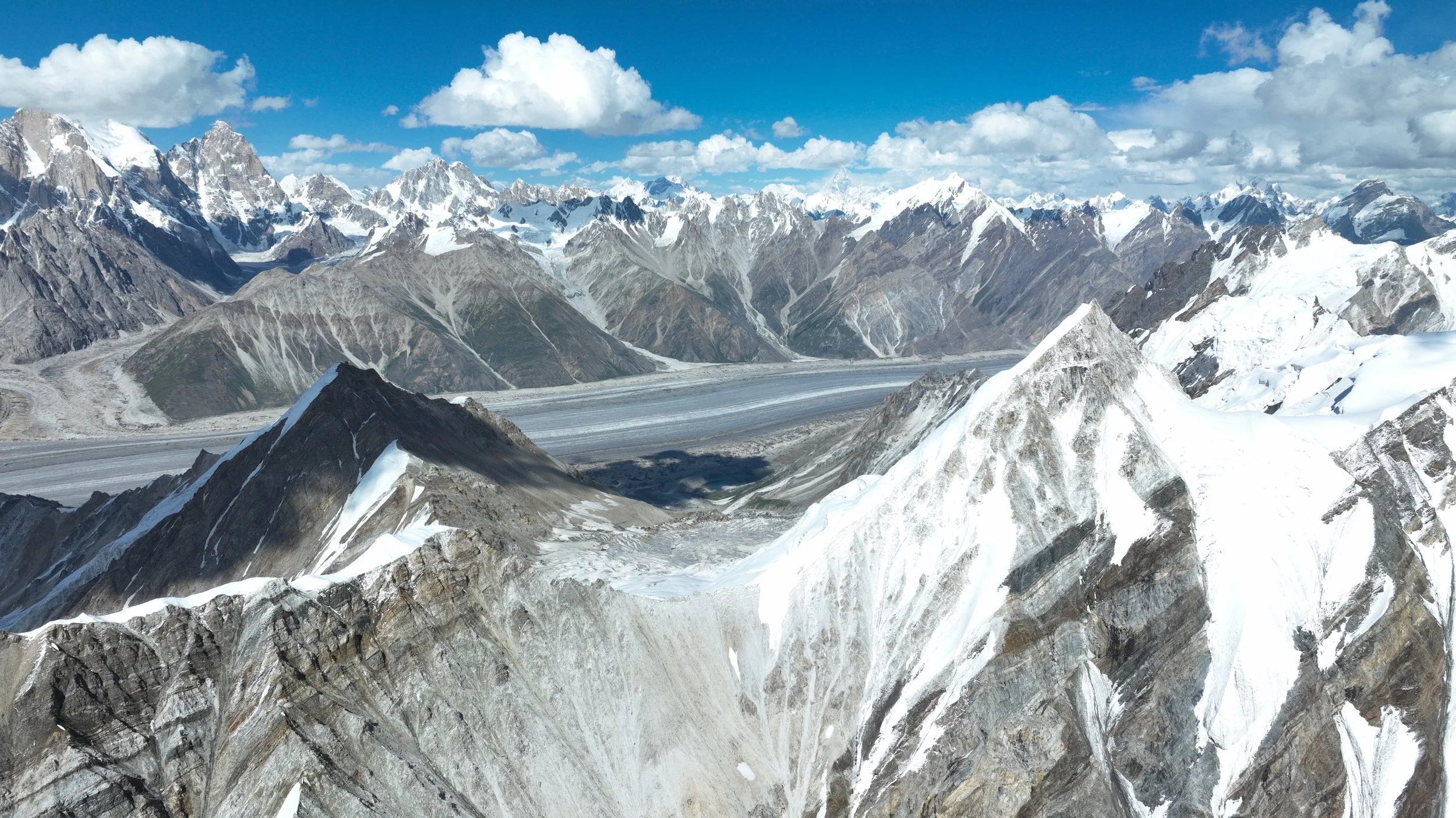
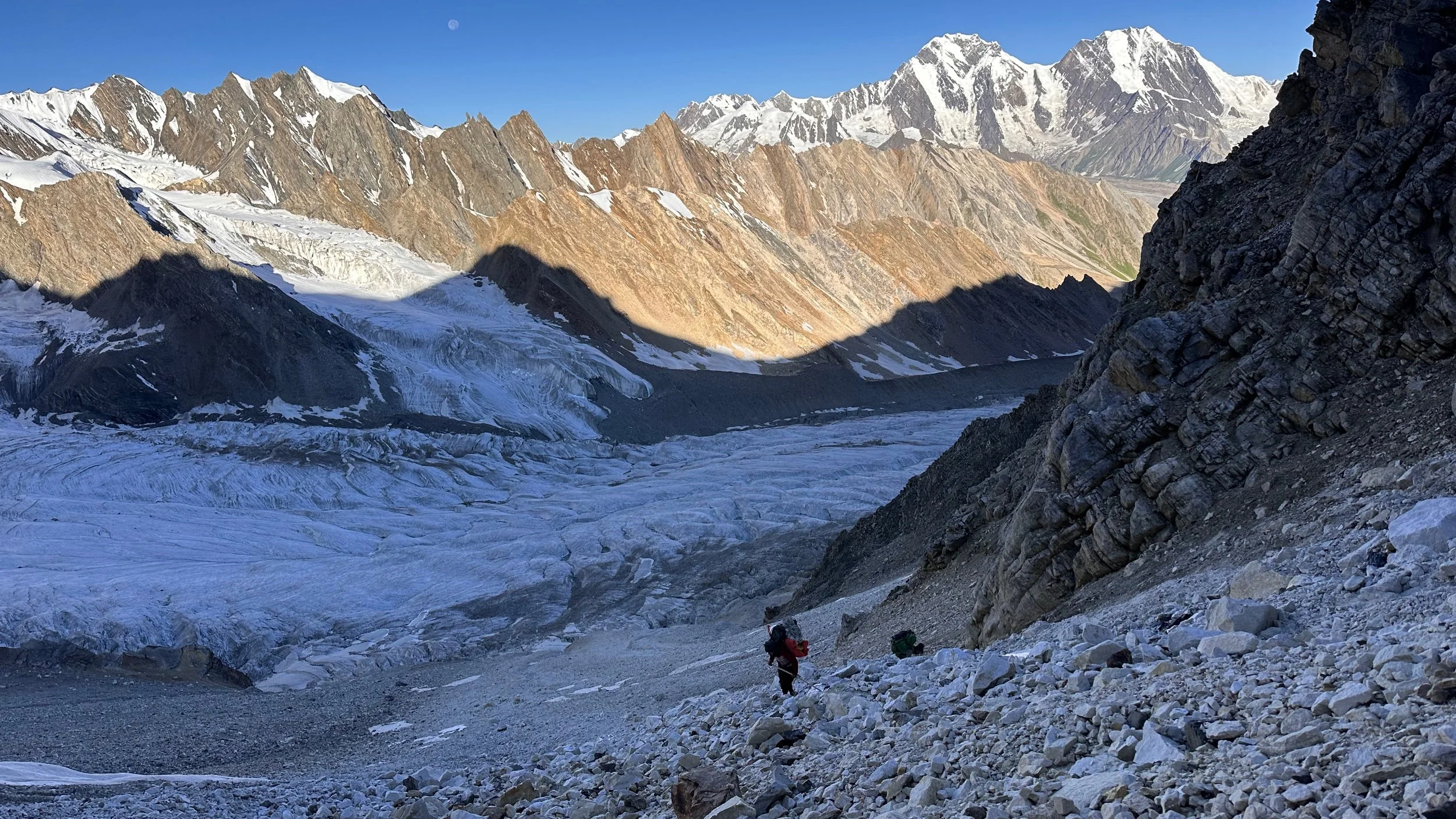
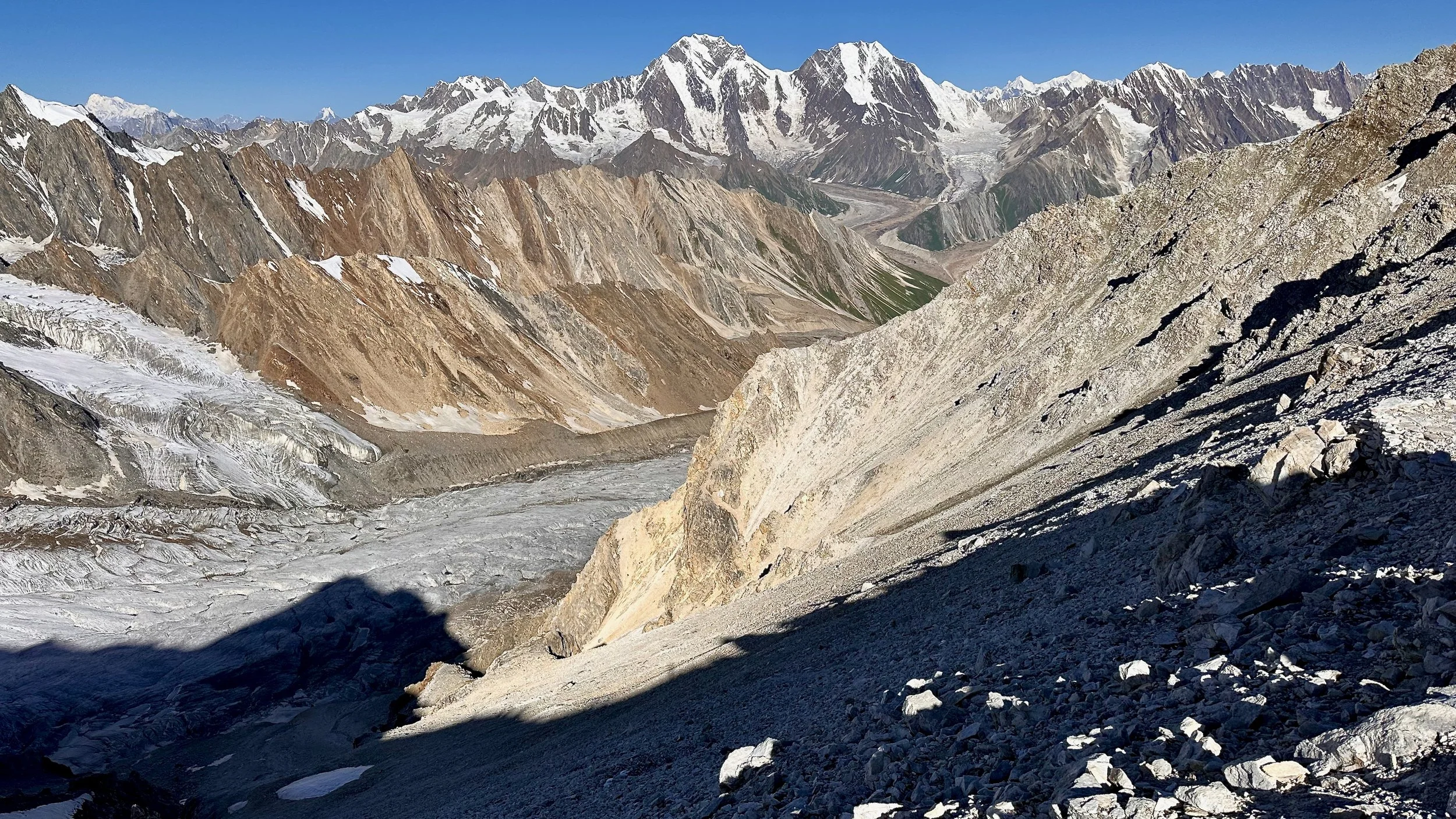
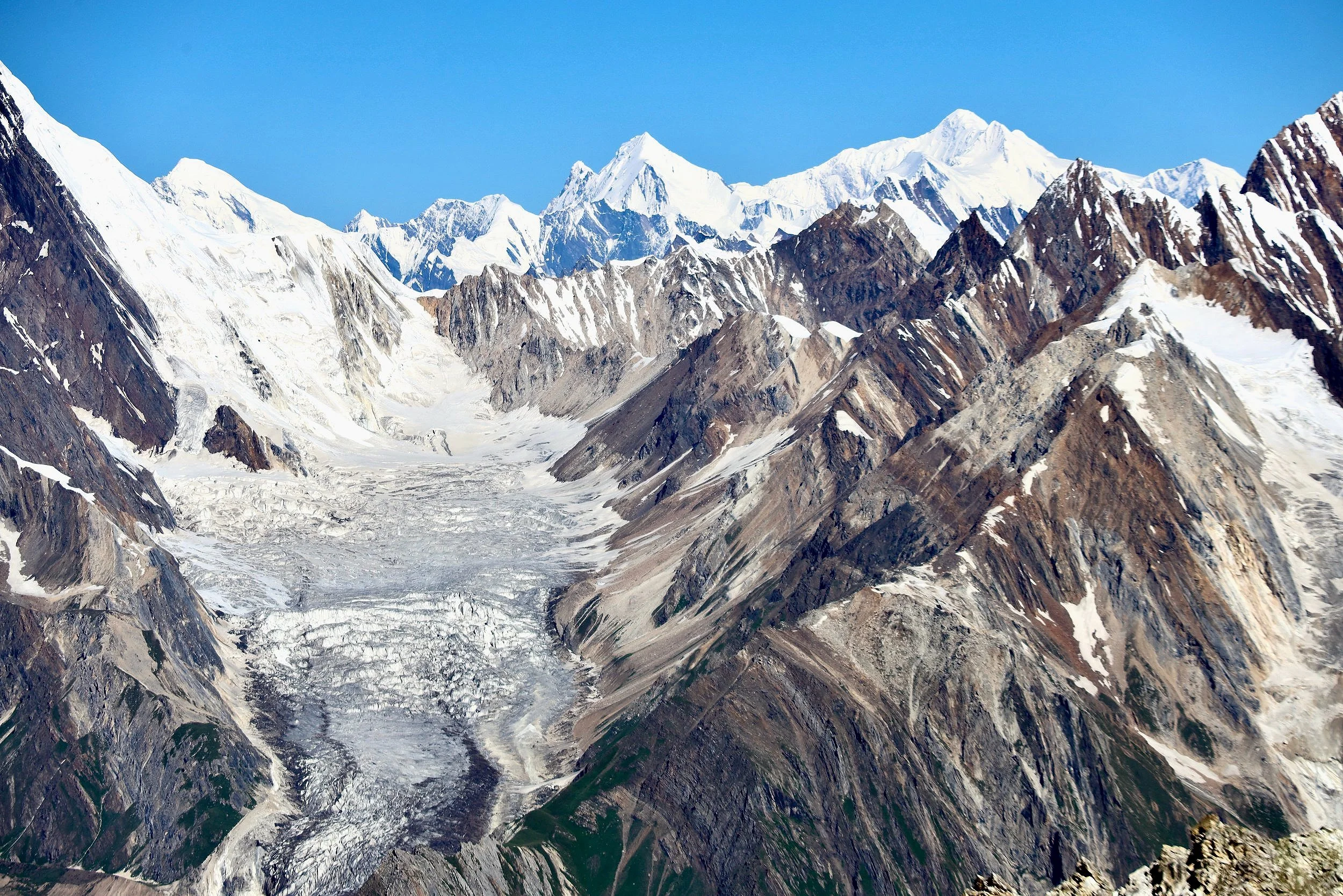
Looking down the Tongo Glacier that we came up on. Ganchen 6,461m is on the left. Sosbun Glacier Valley is on the right. These are very seldom visited parts of the Karakorum, yet totally spectacular!

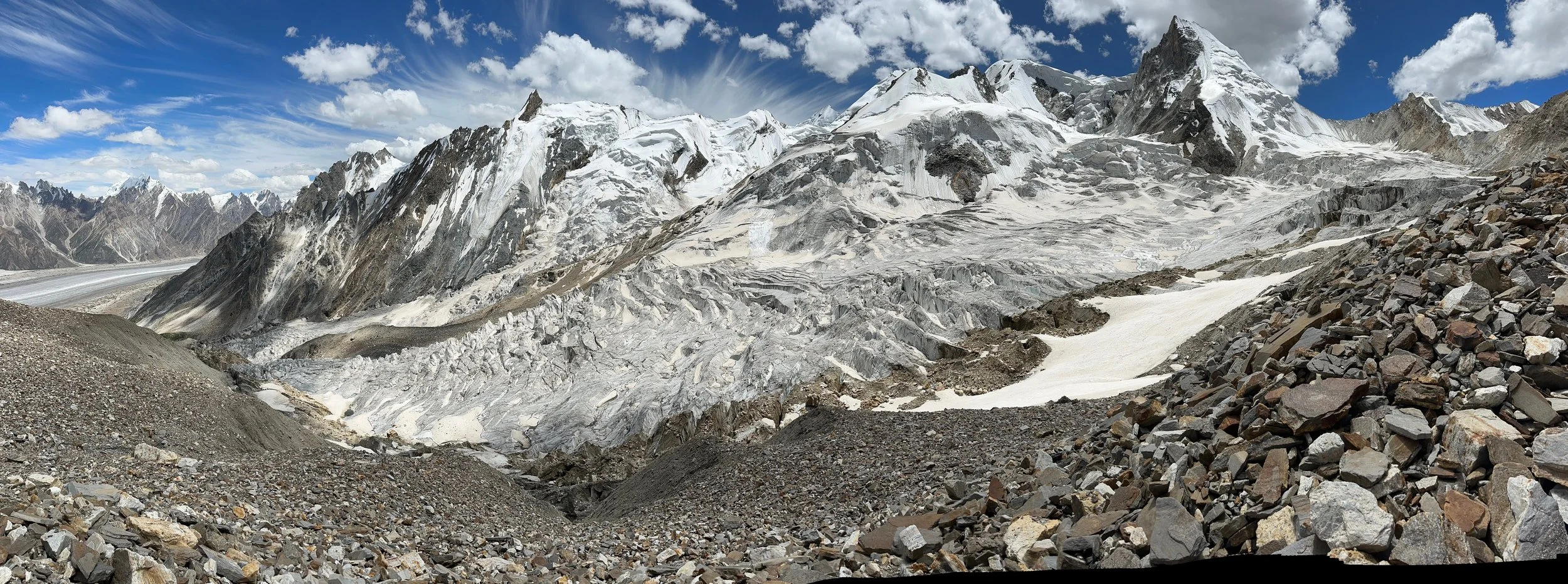
The Susbun Brakk is on the left horizon. The Biafo is on the right.
The Biafo, Uzun Brakk Mountain and The Ogre (in the cloud). The large peak on the left on the horizon is Kajut Sar.

Looking down on the Jamal Pass. It is steep on the way up and down.
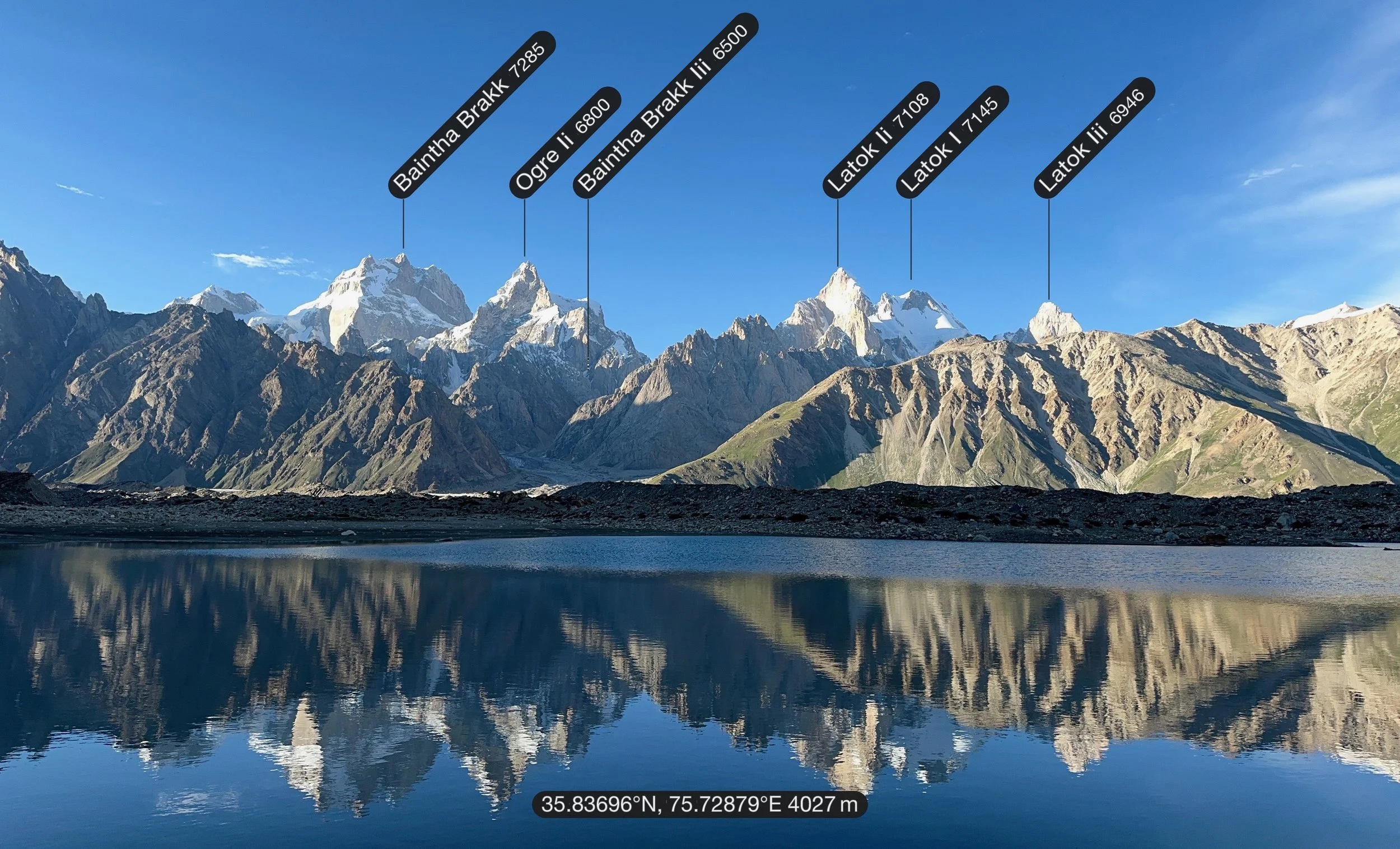
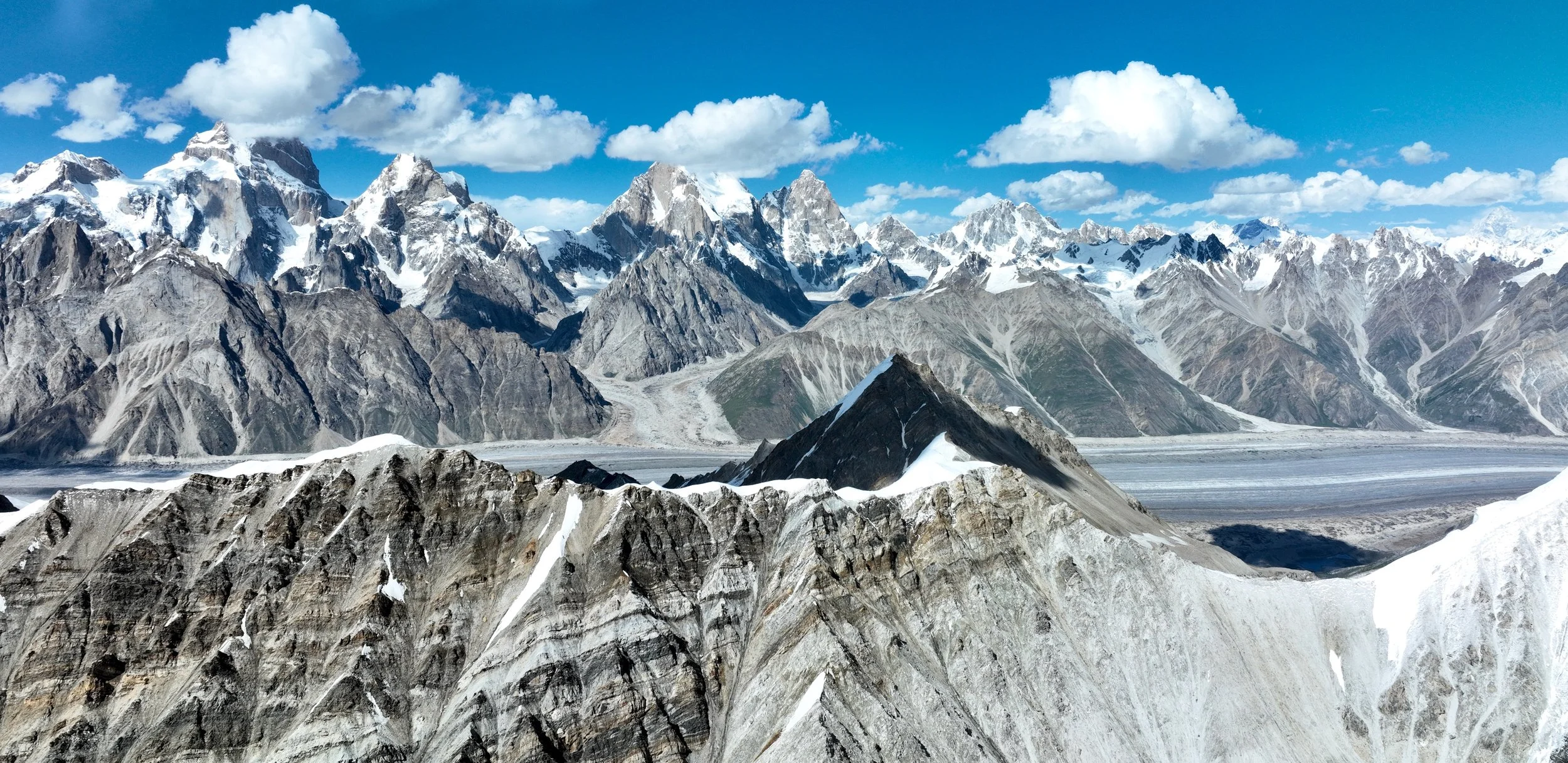
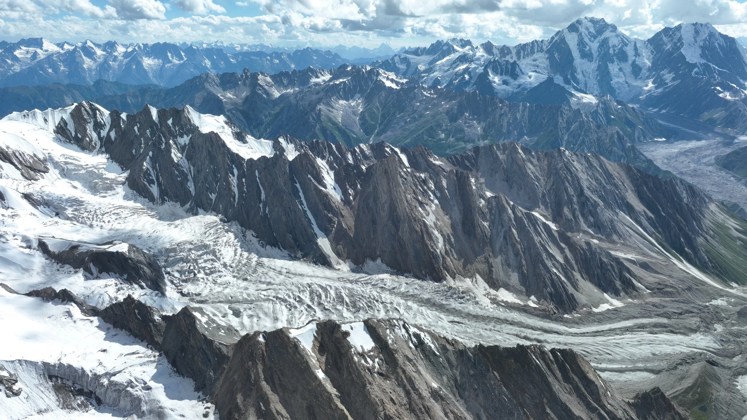
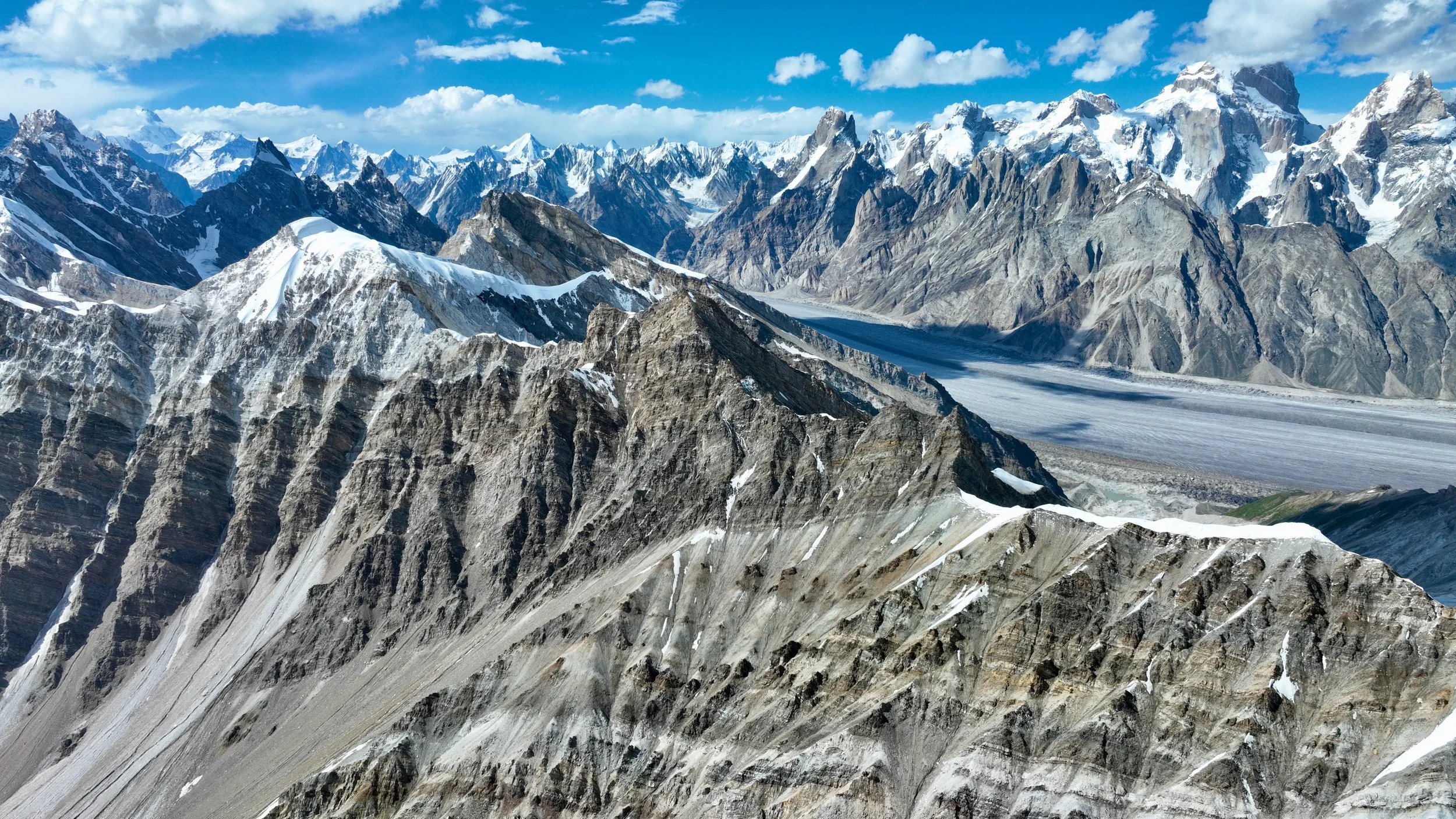
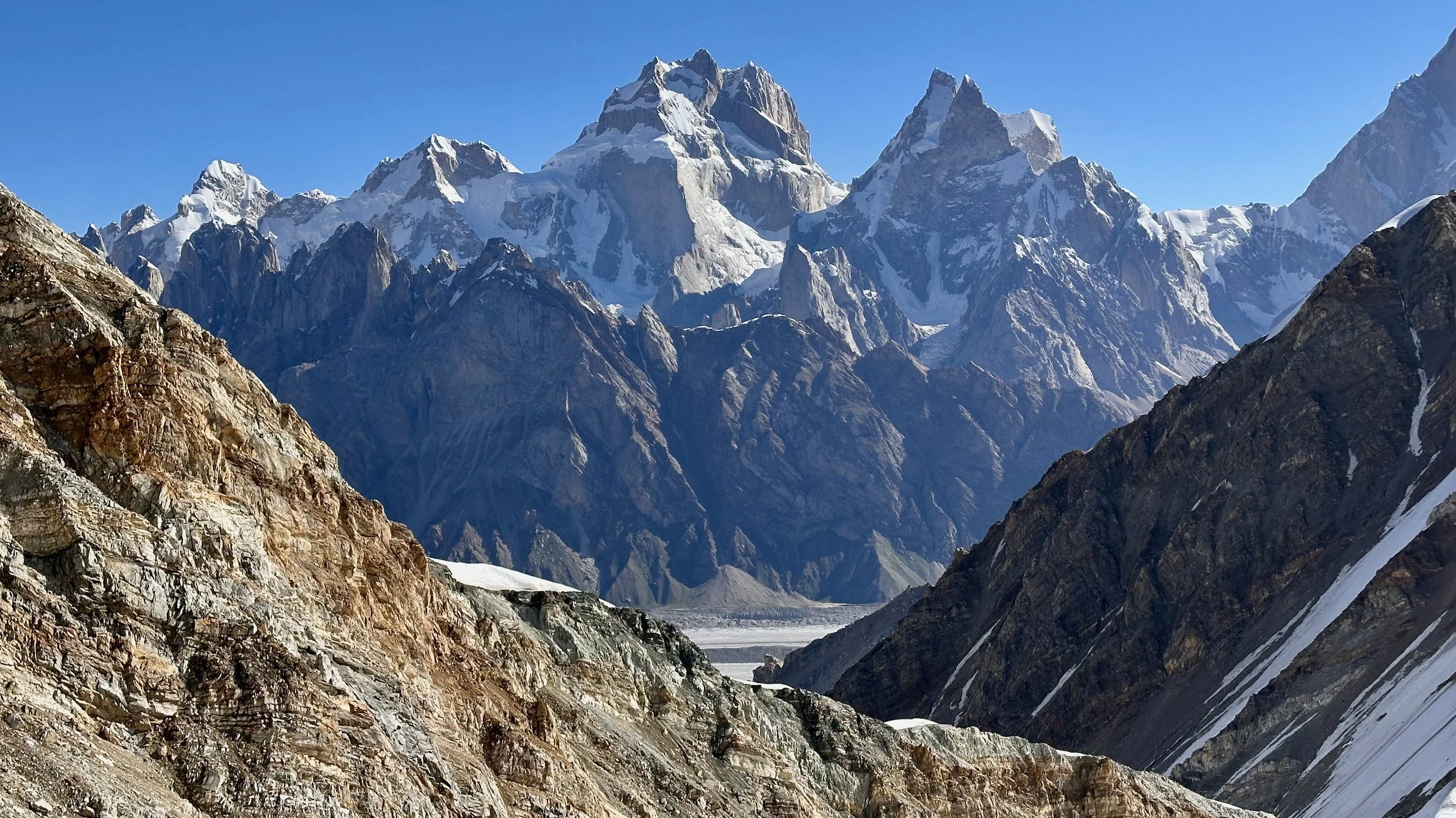
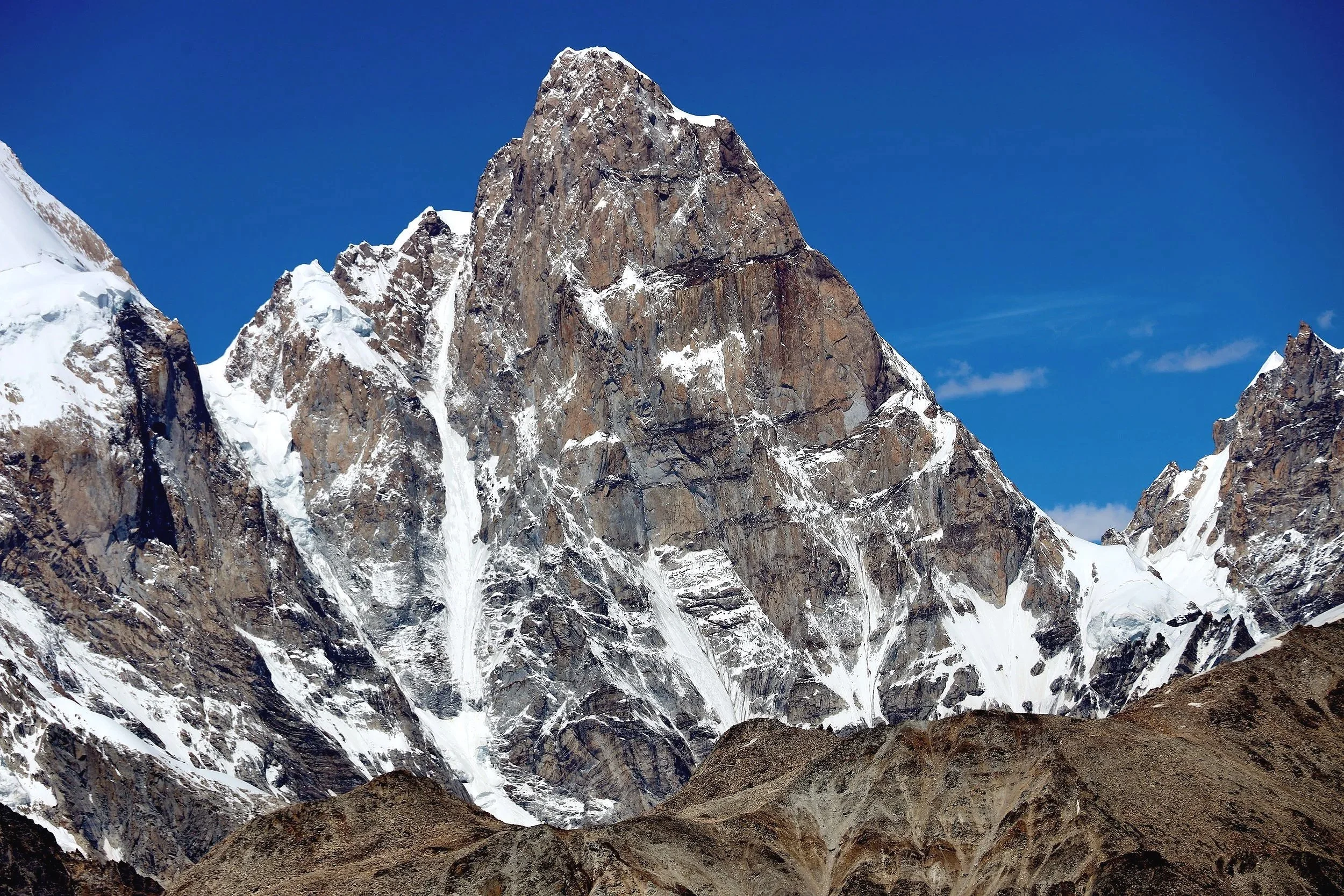
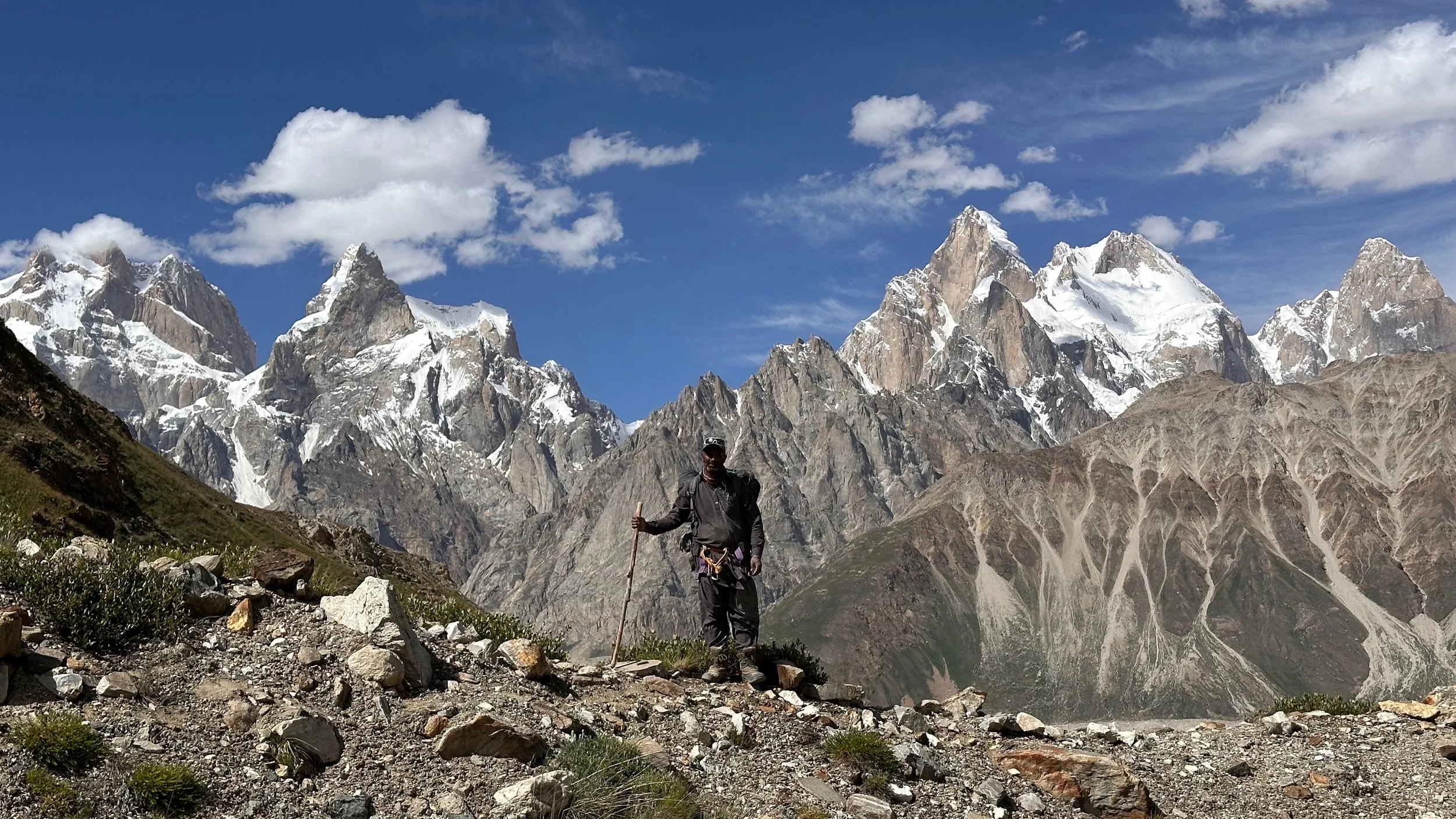
The Biafo, The Ogre 1, 2 and 3 and the Latok1 and 2. One of the best panoramas in the Karakorum.
The Ogre and The Latok Mountains.

The Biafo and the Karakoram panorama: the Latoks, K2, Gashebrum 4, Masherbrum and countless other mountains.
The Biafo Glacier, The Ogre and Latok mountains.
Tongo Mountain from our high camp.
Early morning climb to the Jamal Pass. The 800m ascent took 2 hrs.
Ascend of the Jamal Pass. Hikmul 6,245m and Ganchen 6,440m are on the horizon.
The view from the Jamal Pass 5,300m
The narrow Jamal Pass. We needed to fix 500 ft of rope for the descent.
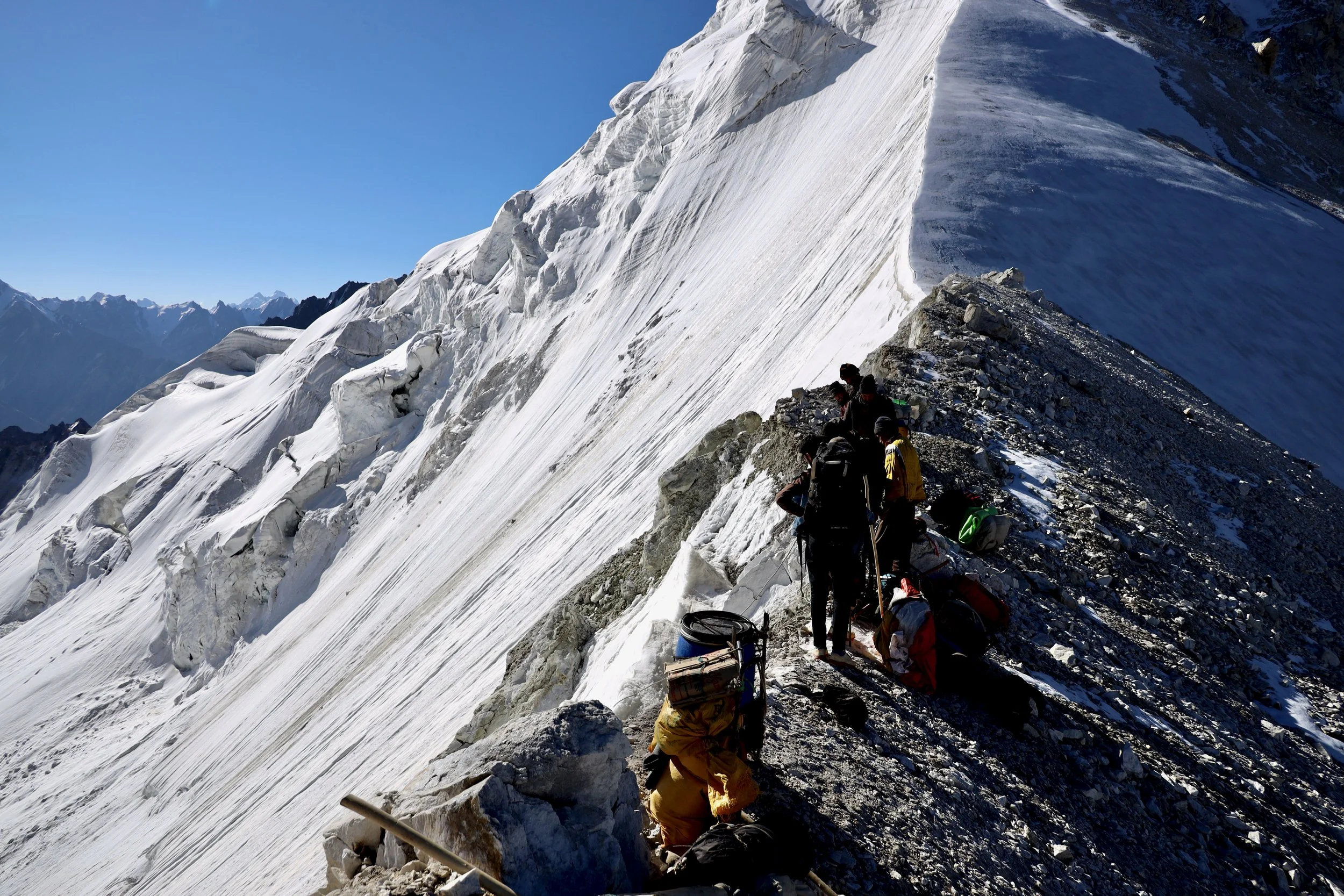
The loose falling rocks were a real problem on this pass. The entire slope is exposed to the sun from early morning.
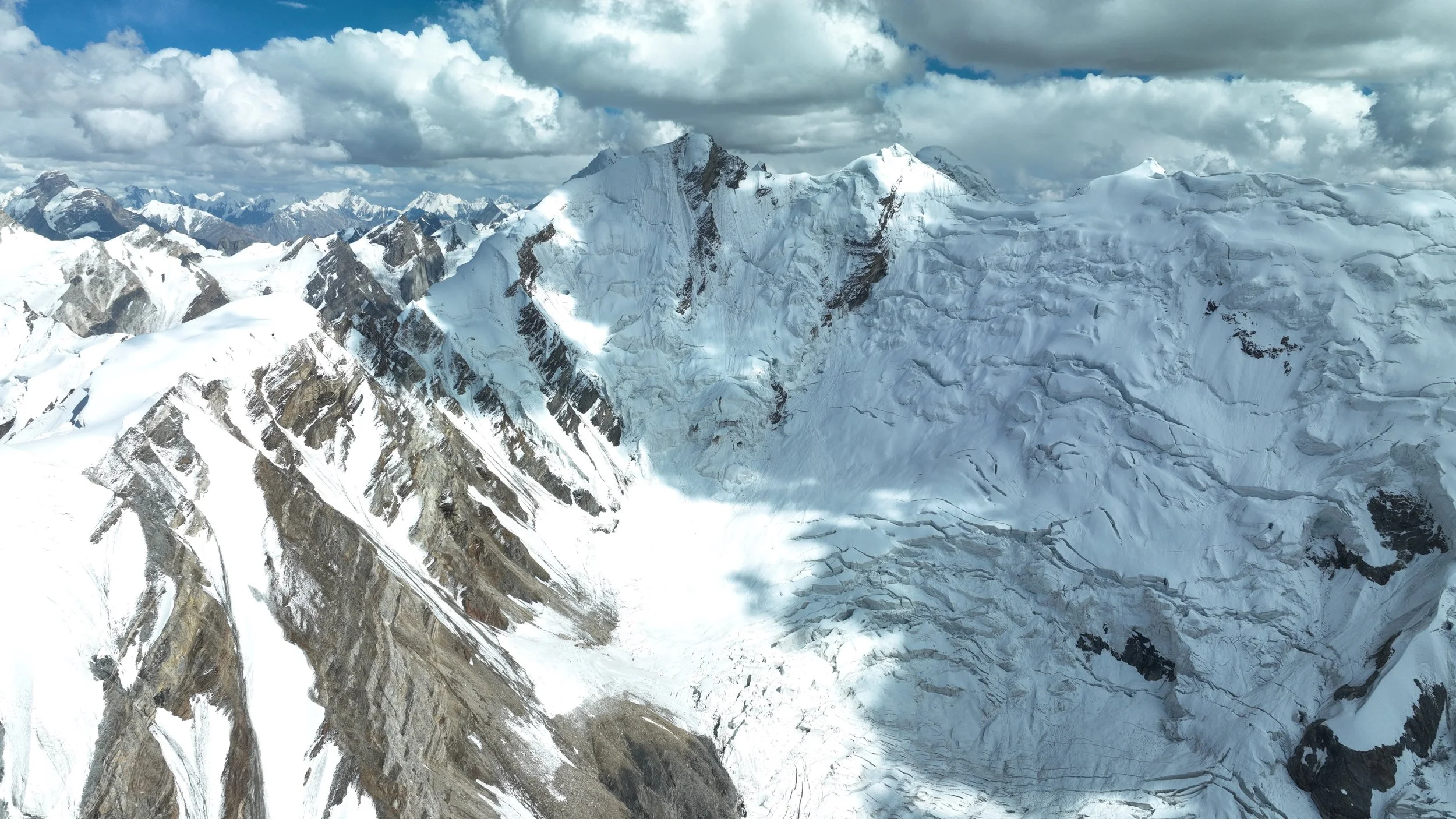
The Ogre 1, 2 and 3 from the Jamal Pass.

Ogre 1

From the left: Latok 2, 7,108m, Latok 1, 7,145m, and Latok 3, 6,949m
Latok 3 6,949m

The view from the pass. K2 is visible on the horizon. The mountain on the left is Latok 4, 6,456m.
From Jamal Pass you can see Spantik 7,027, Leila 6,995m and Malubiting 7,458m. These mountains are at the head of the Chogolugma Glacier where I was in 2023. See the Haramosh La post.

Jamal Pass

The summit directly above Jamal Pass.
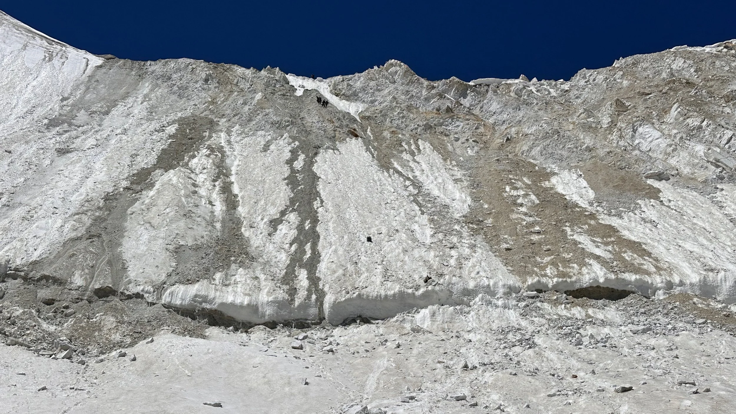
The way up and down the Jamal Pass

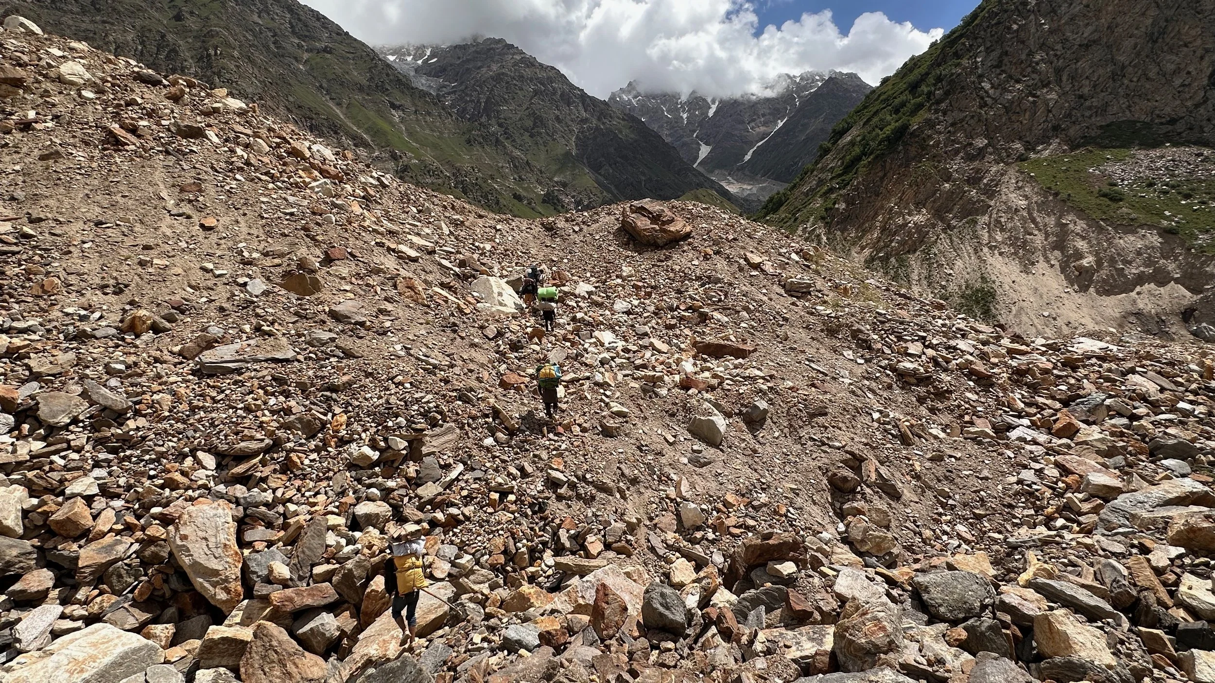
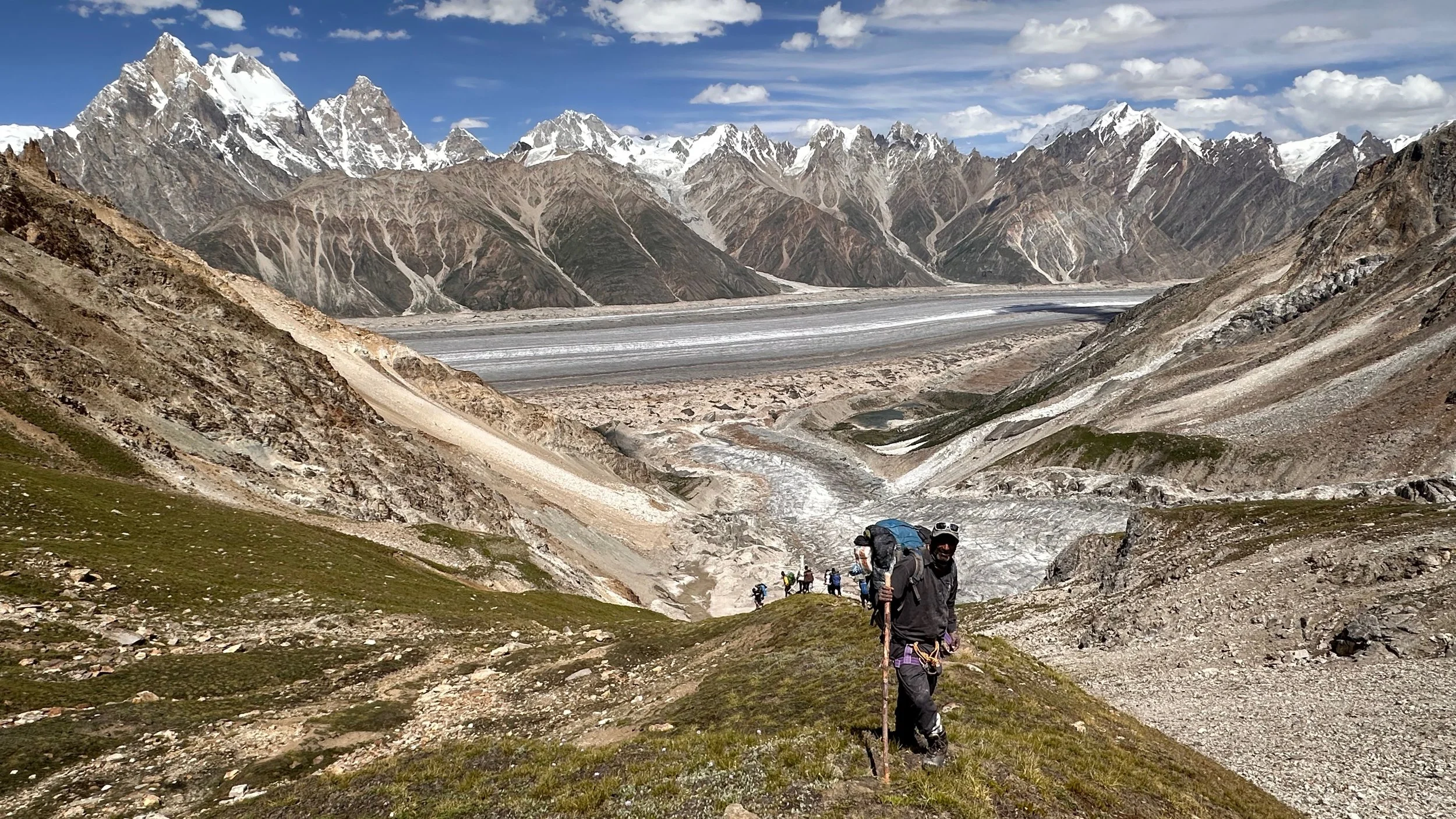
The descent from the Jamal Pass. You can see the people descending in the center of the photo.


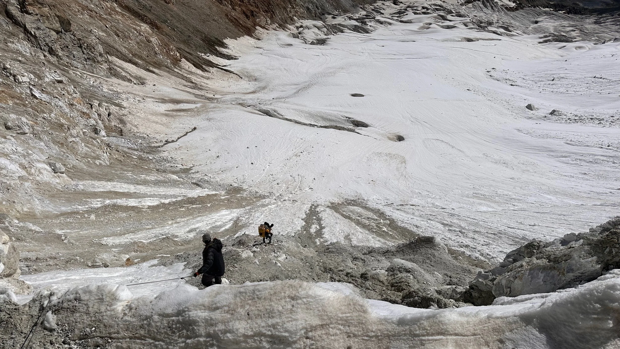
Descending from Jamal Pass.
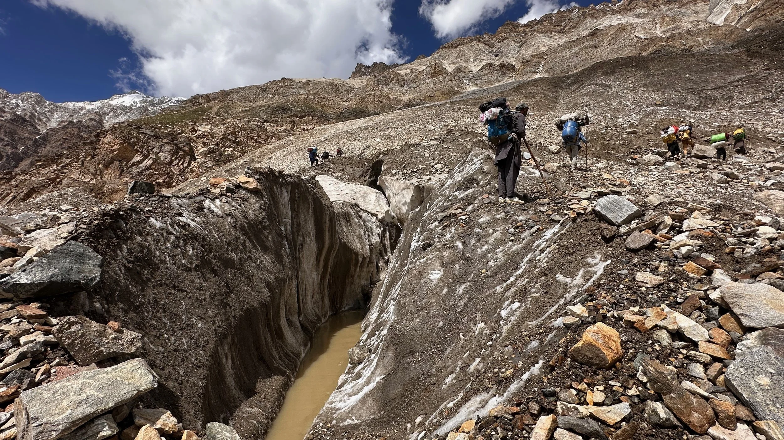
We had to be very careful of the falling rocks. The descend took more time than expected. As the temperature rose, the rockfall increased and became dangerous.
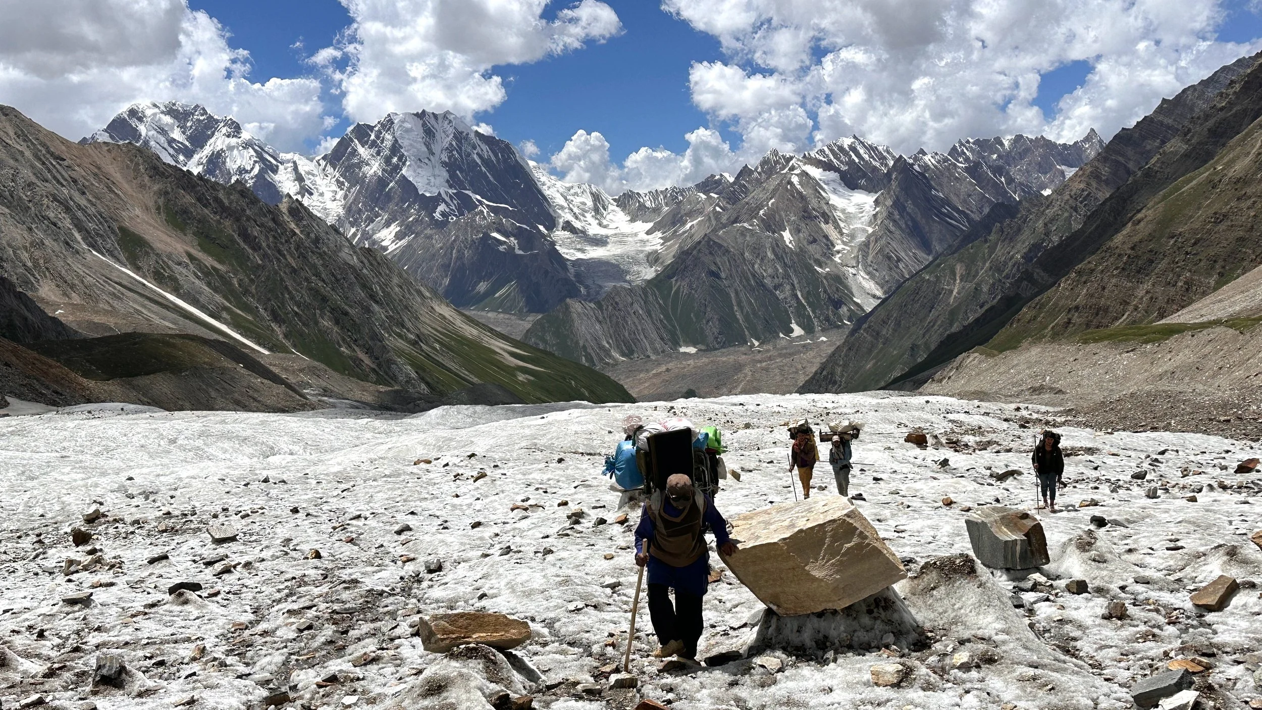
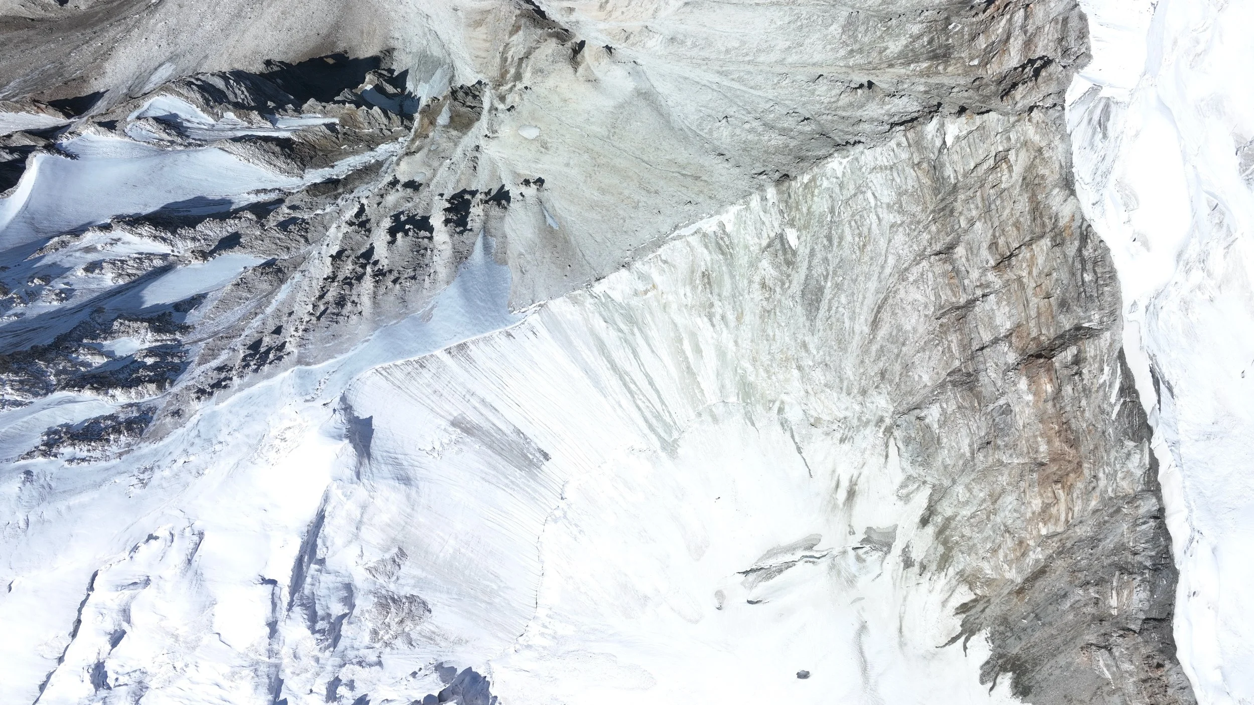
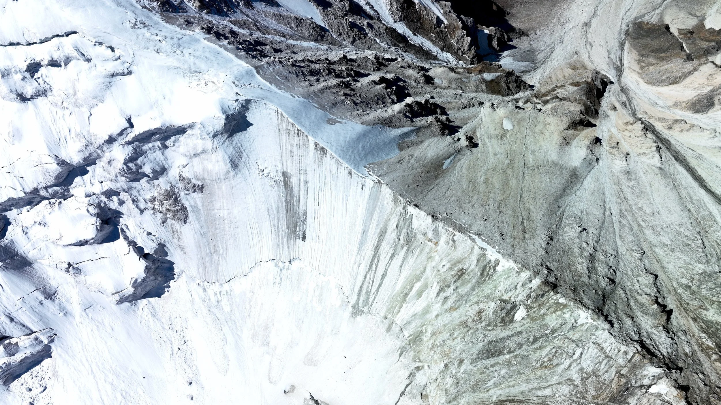
Finally down safely and ready to descend the soft snow on the glacier. The soft snow presented its own challanges. All in all it was a 12+ hr day.

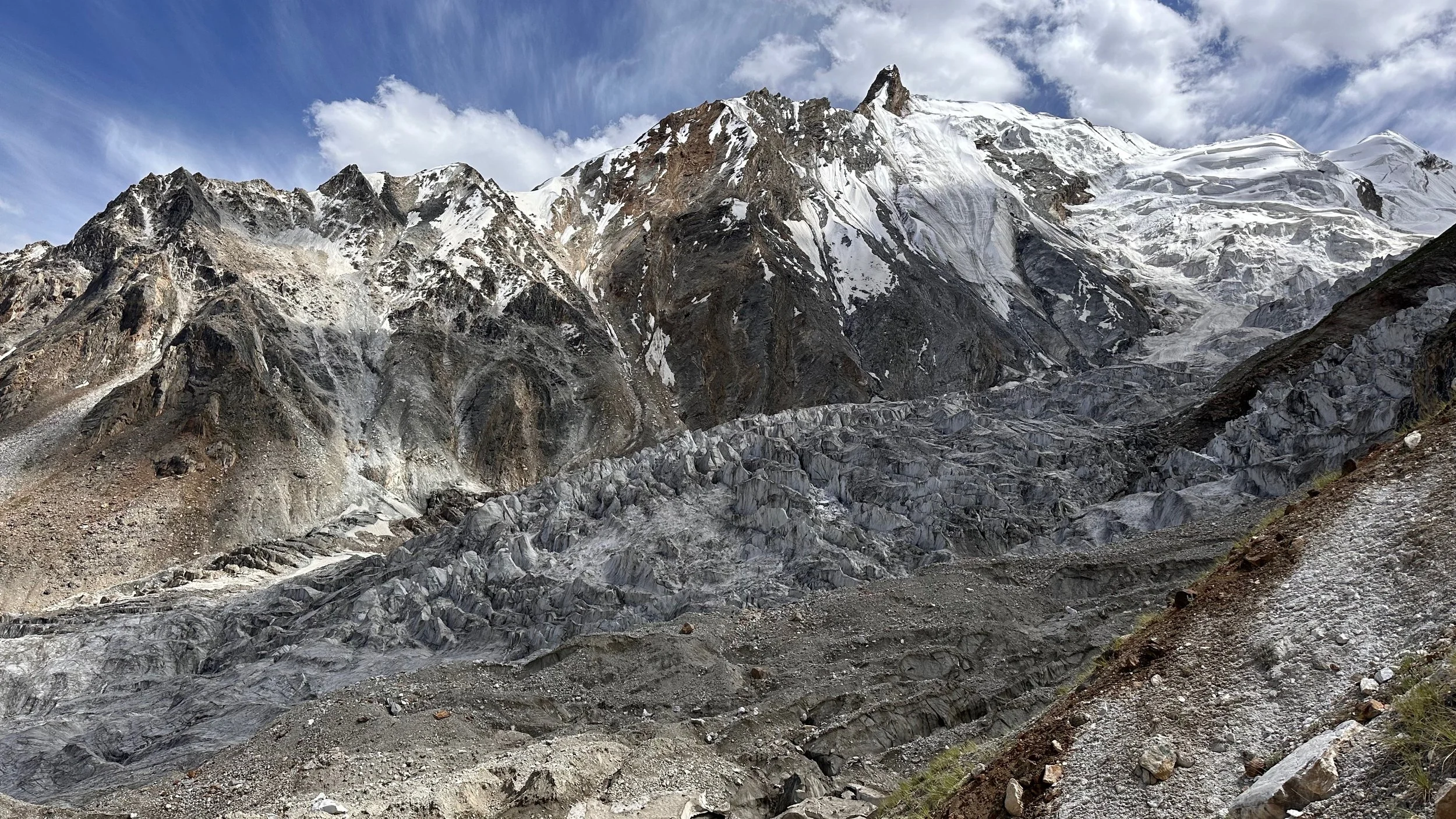
The upper glacier and the Jamal Pass.
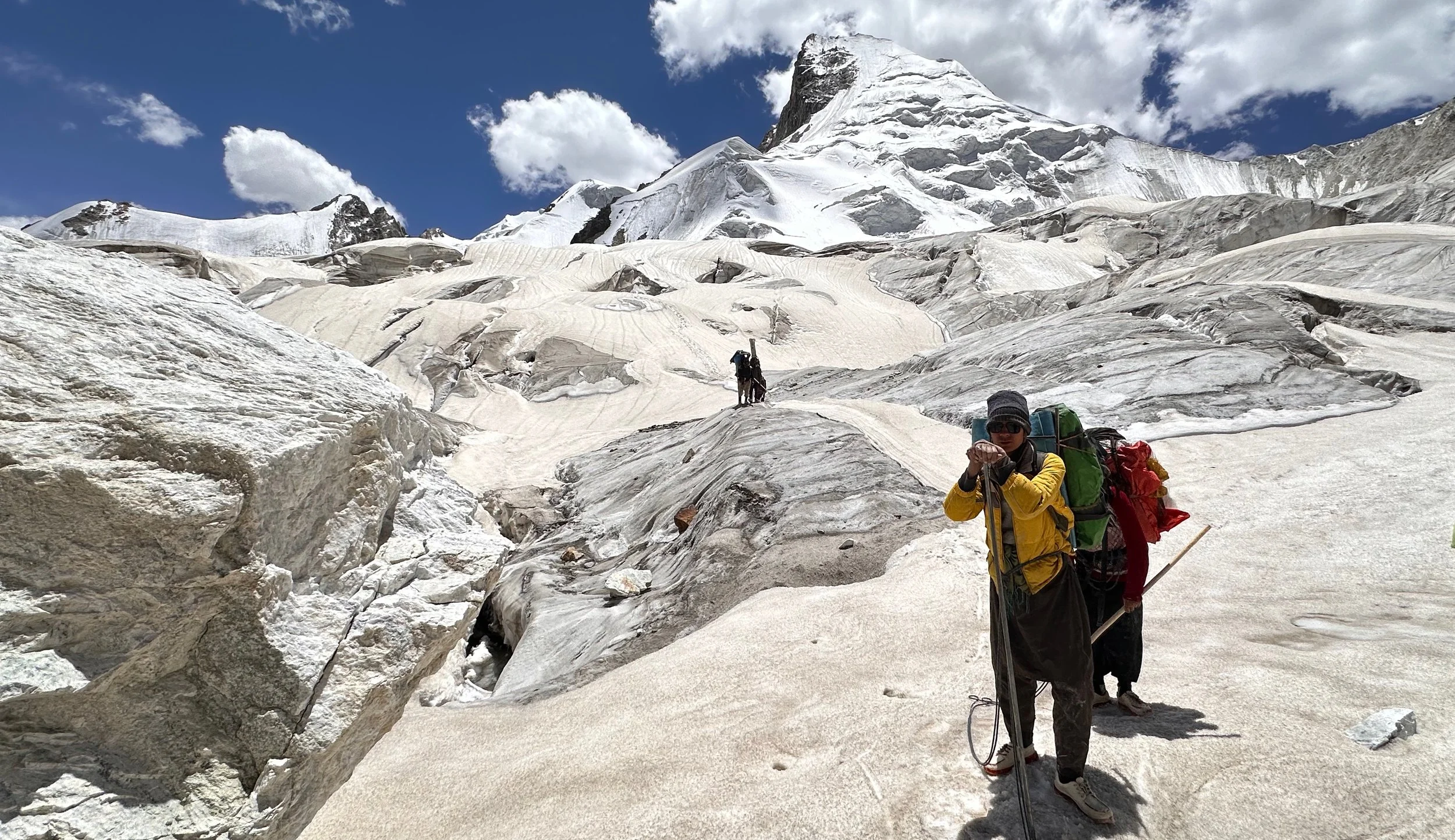
We had to be mindful of the hidden crevasses. The Jamal Pass is on the right.
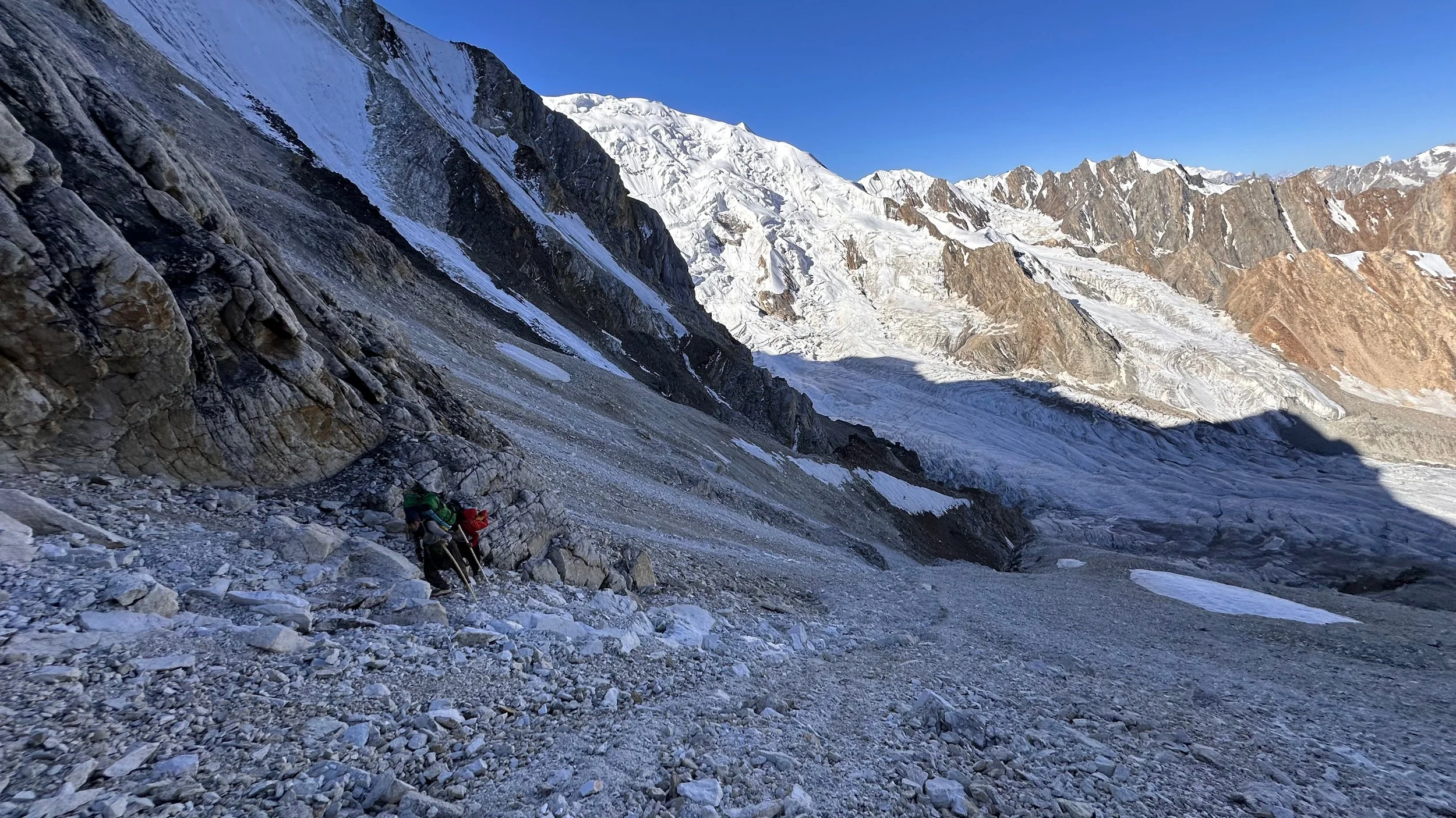
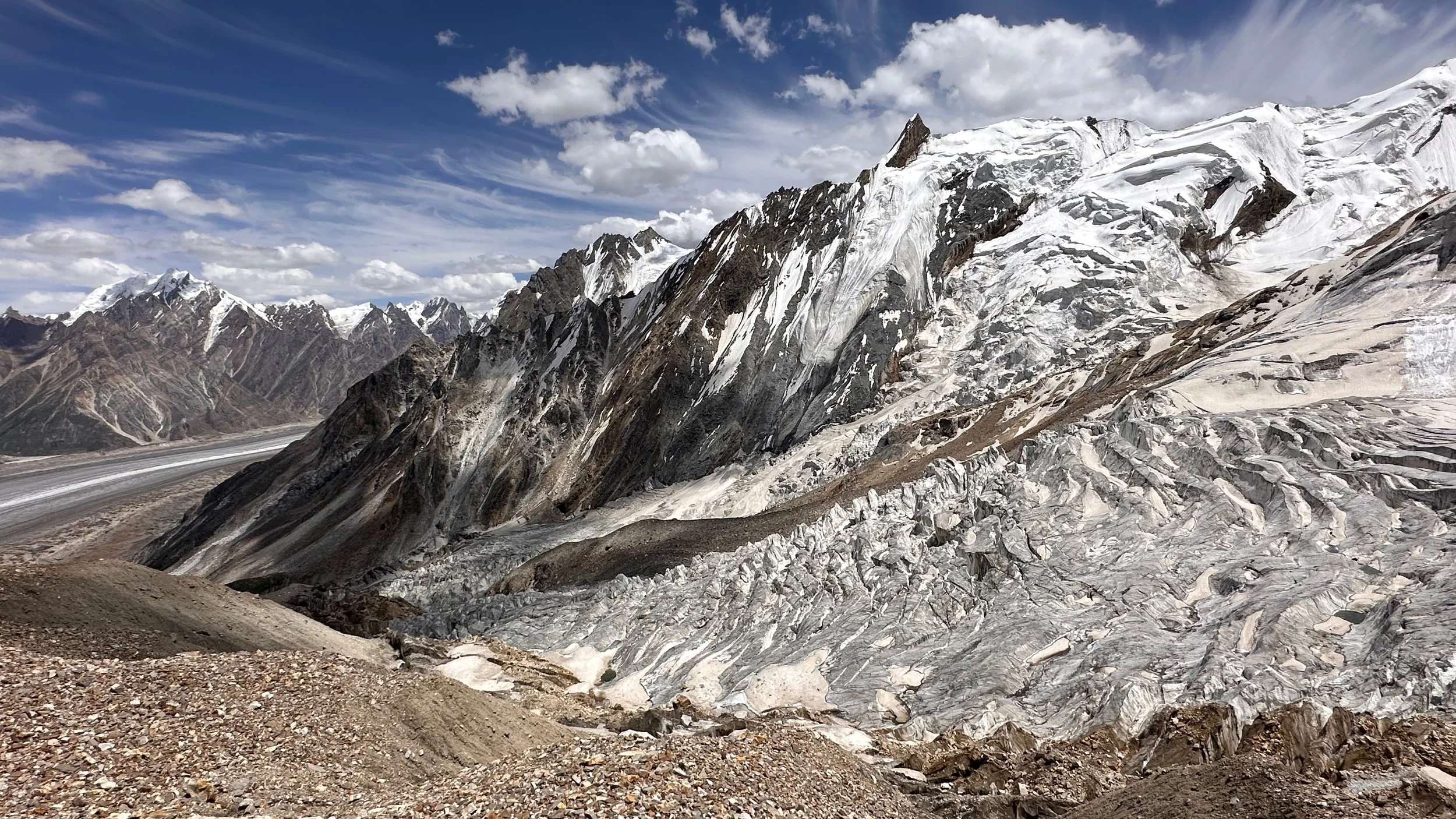
Big Glacier on the way down from Jamal Pass.
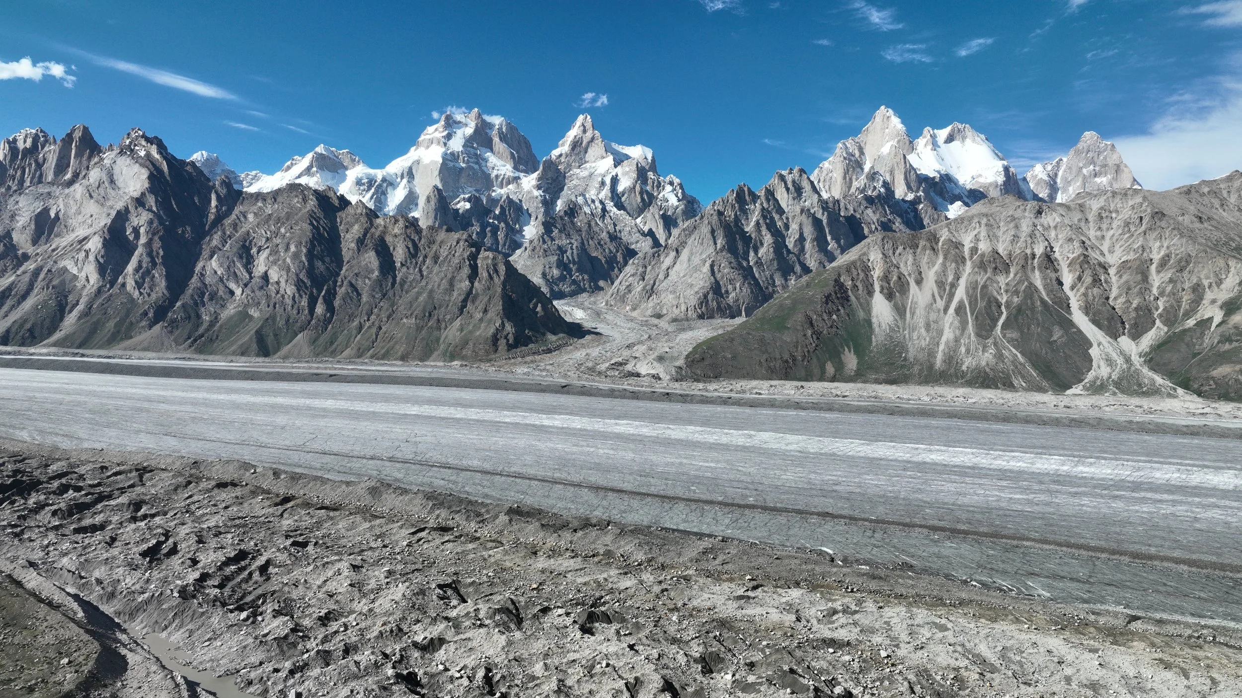
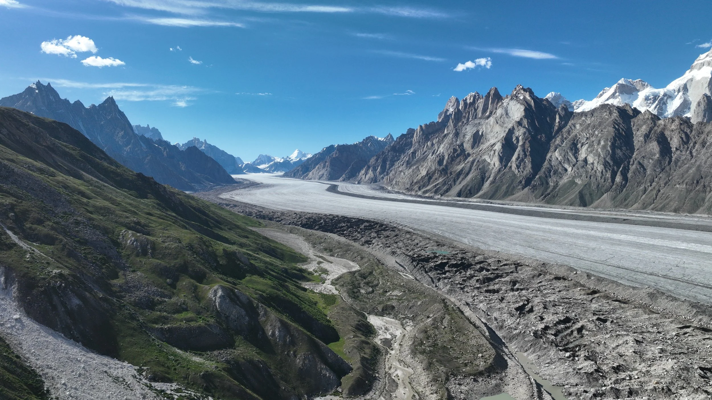
The Biafo looks close but it is a few hours away. Everything is far in these huge mountains.
The Ogre and the Latoks from near our campsite after descending from the Jamal Pass.

The Ogre 1, 2 and 3.

Latok 2 (center), and Latok 1 (right with snow field)
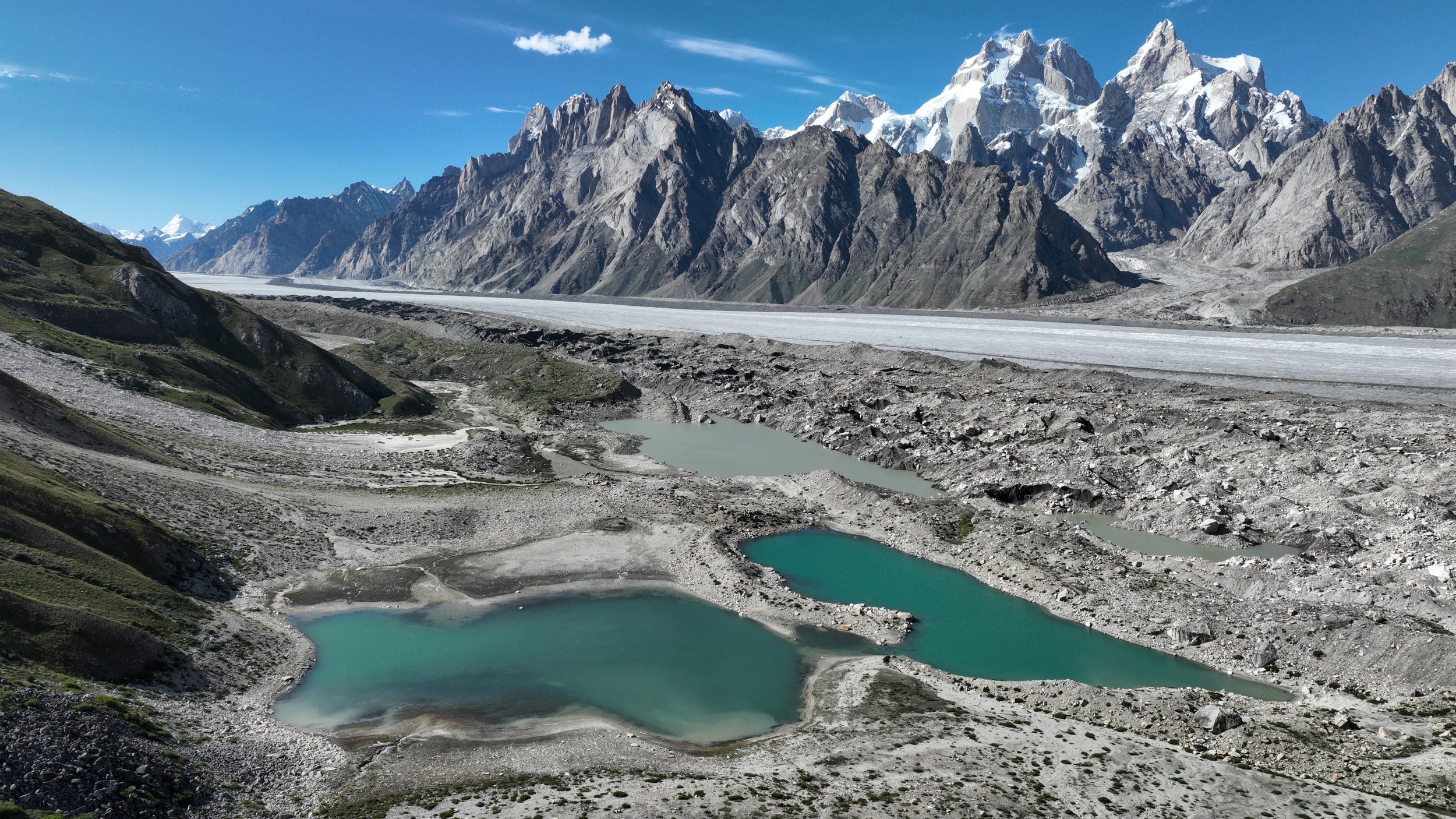
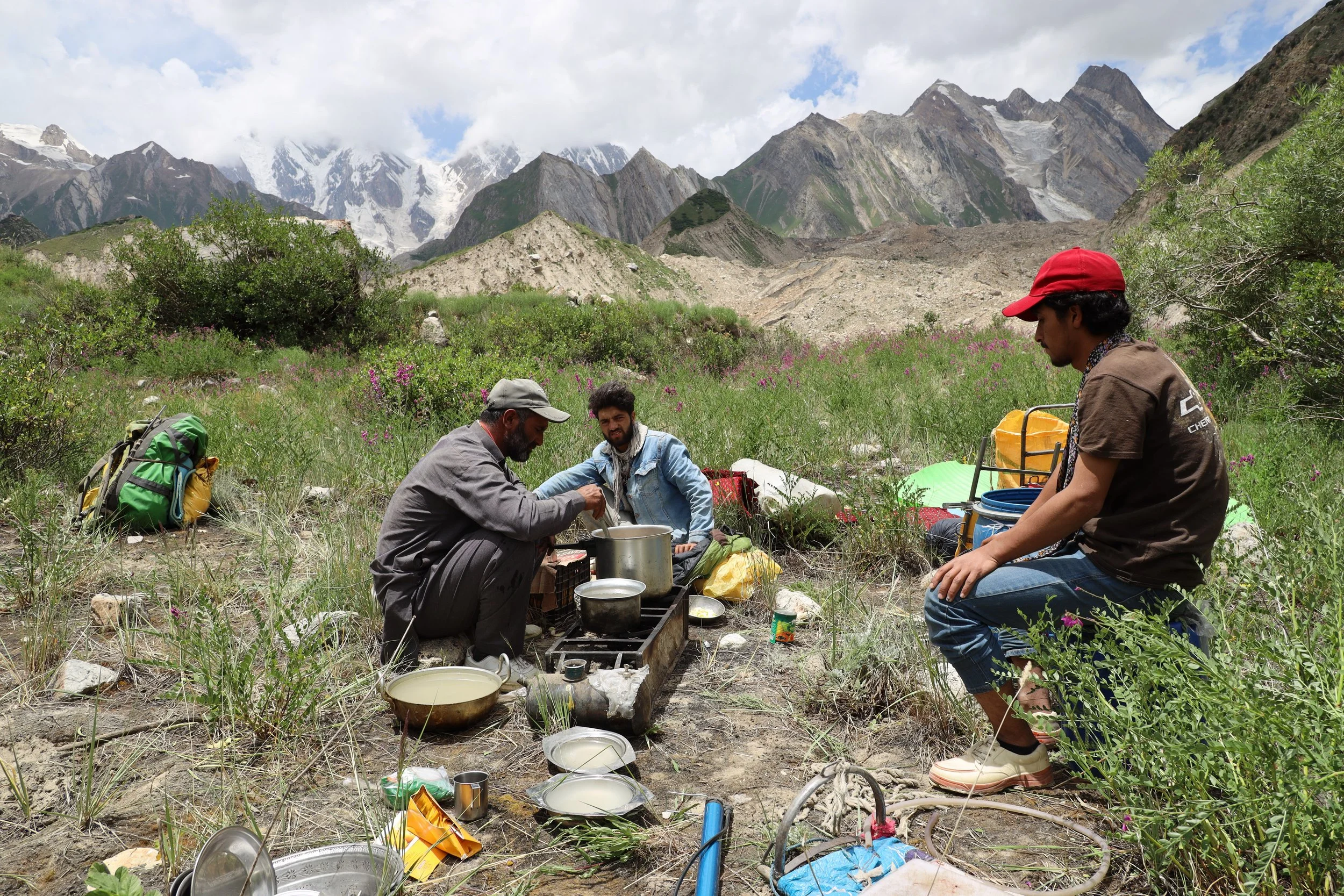
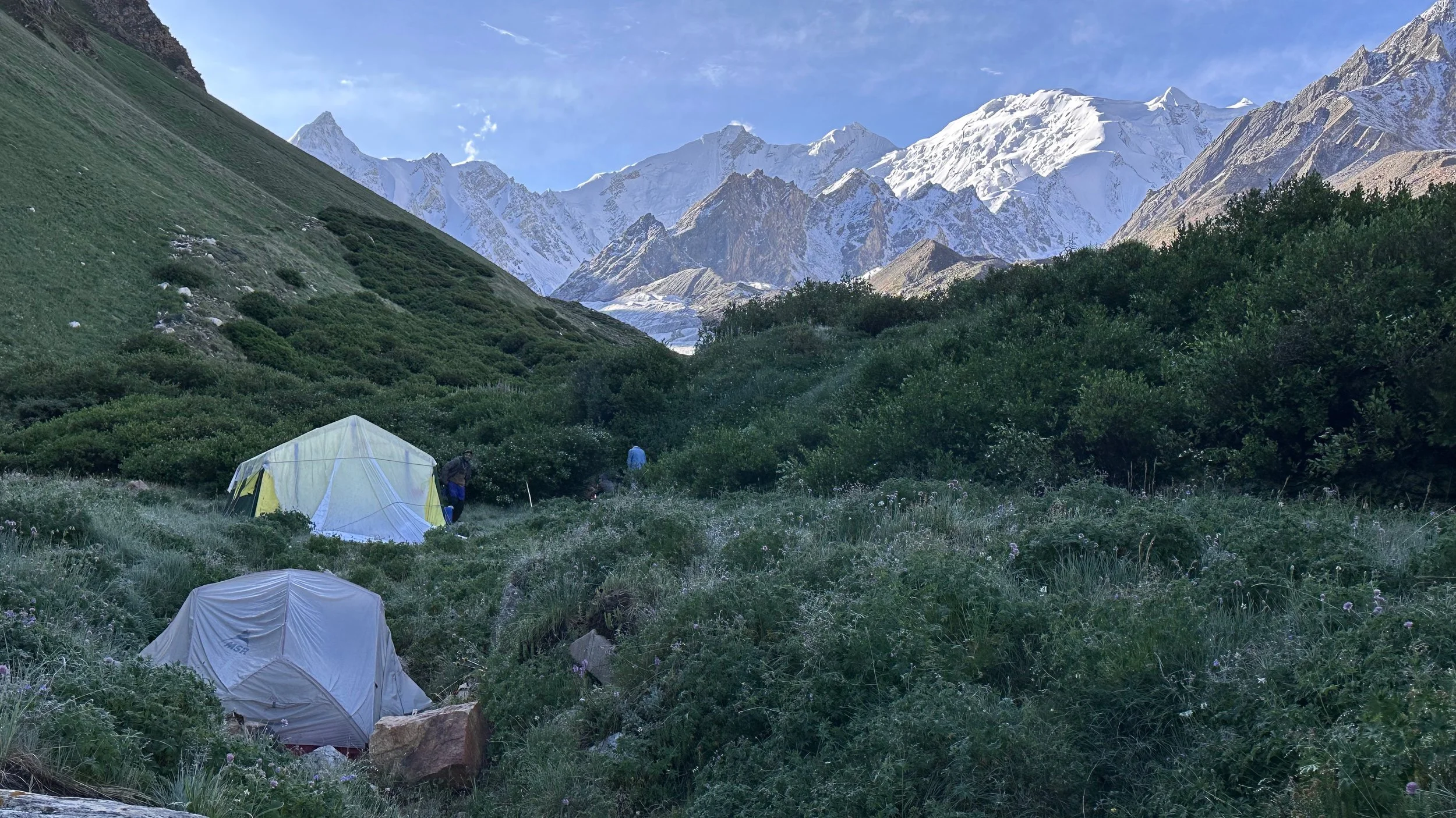
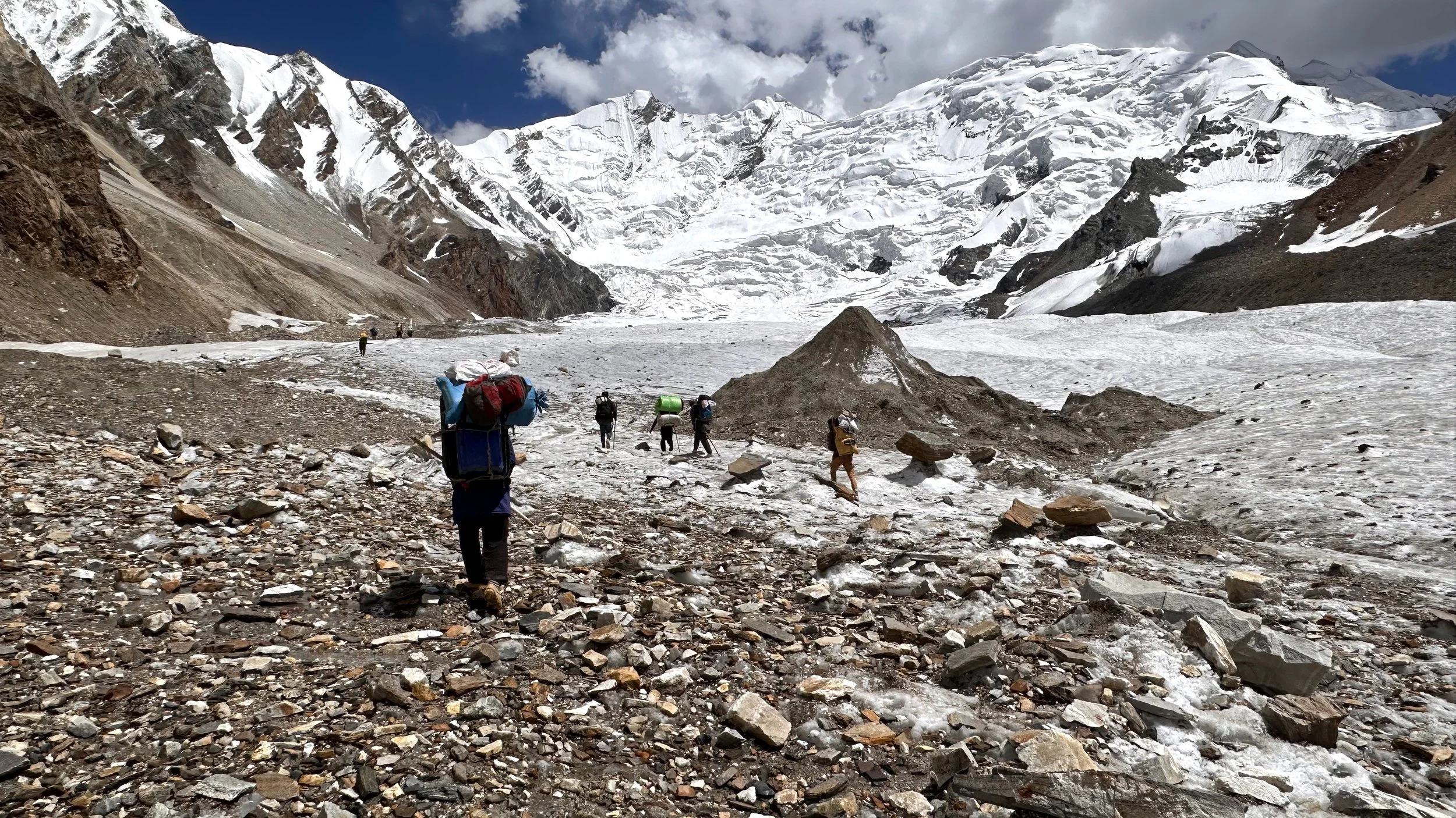
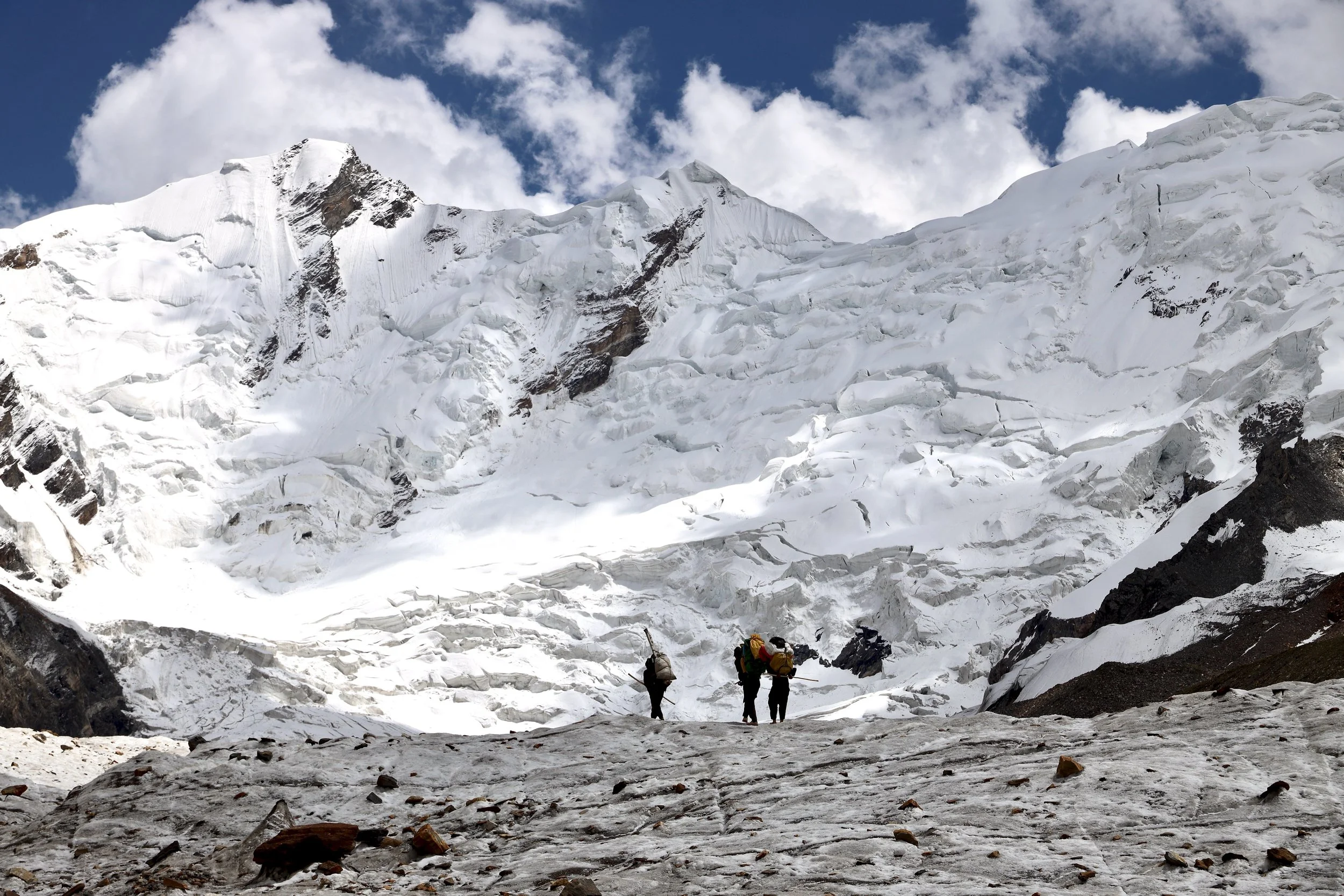
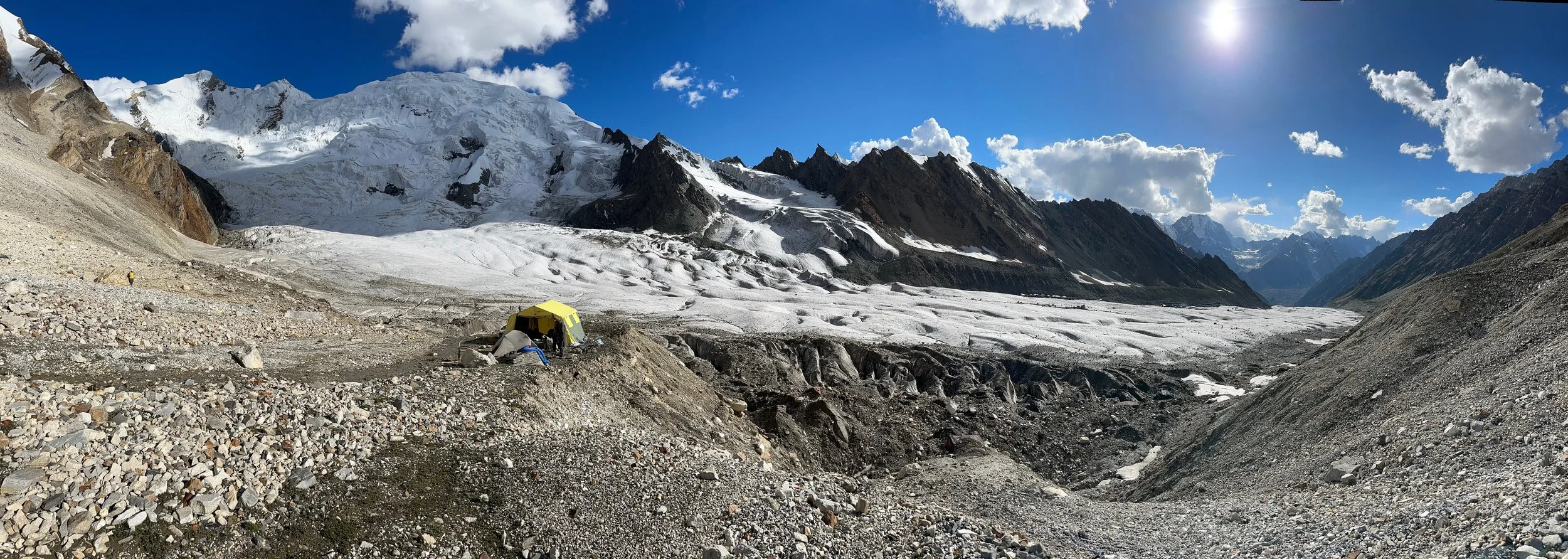
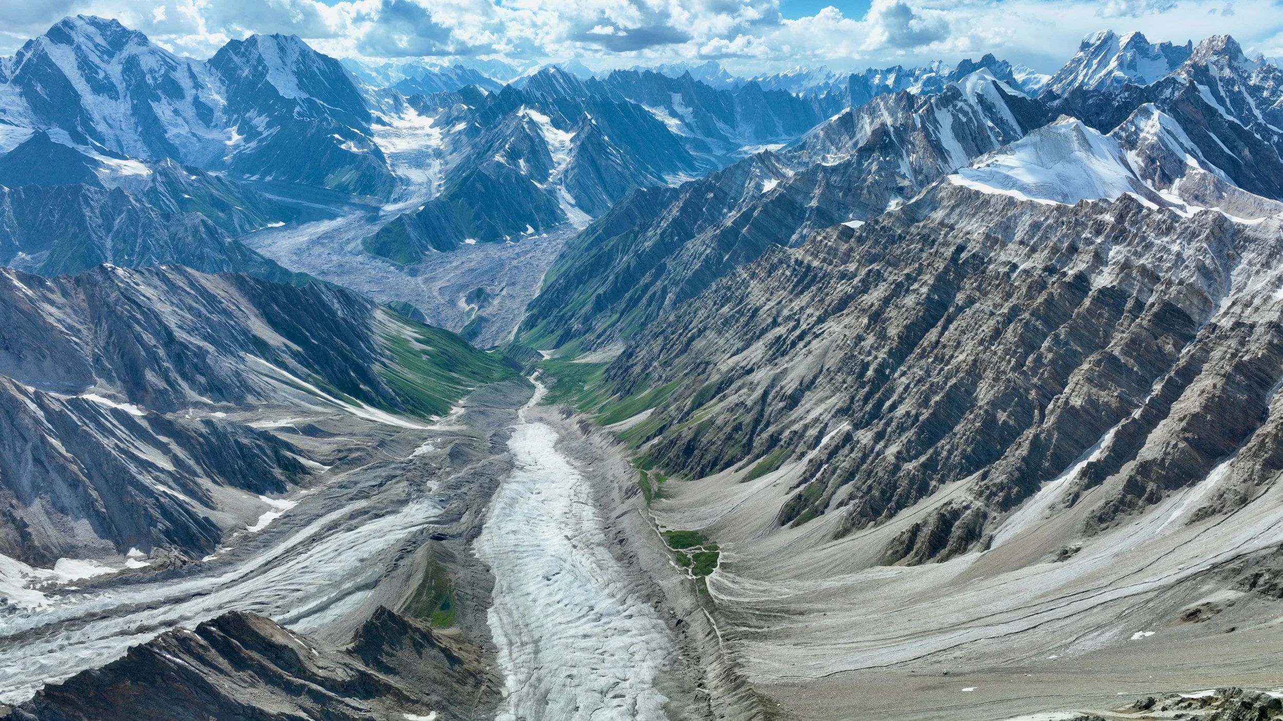
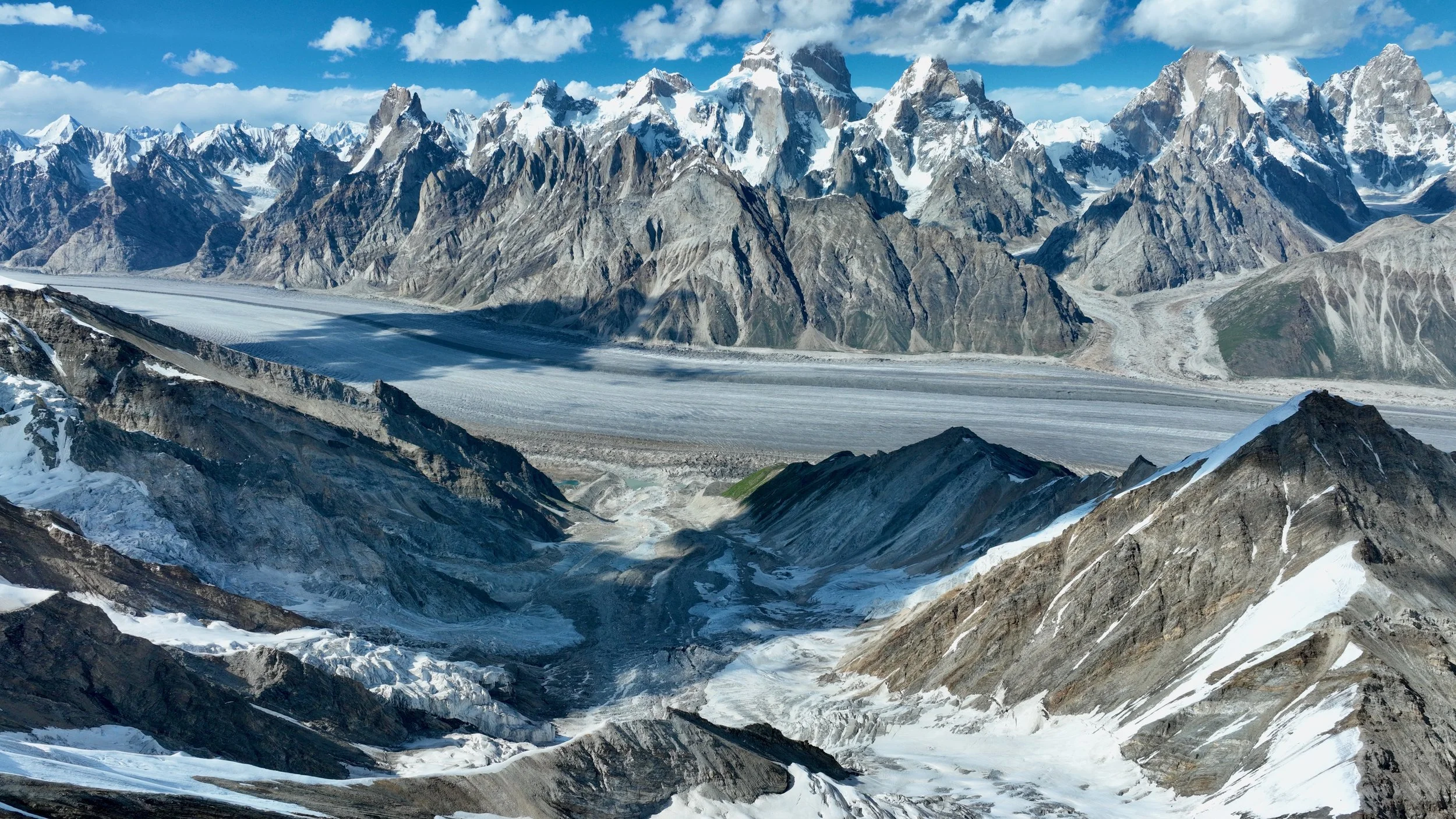
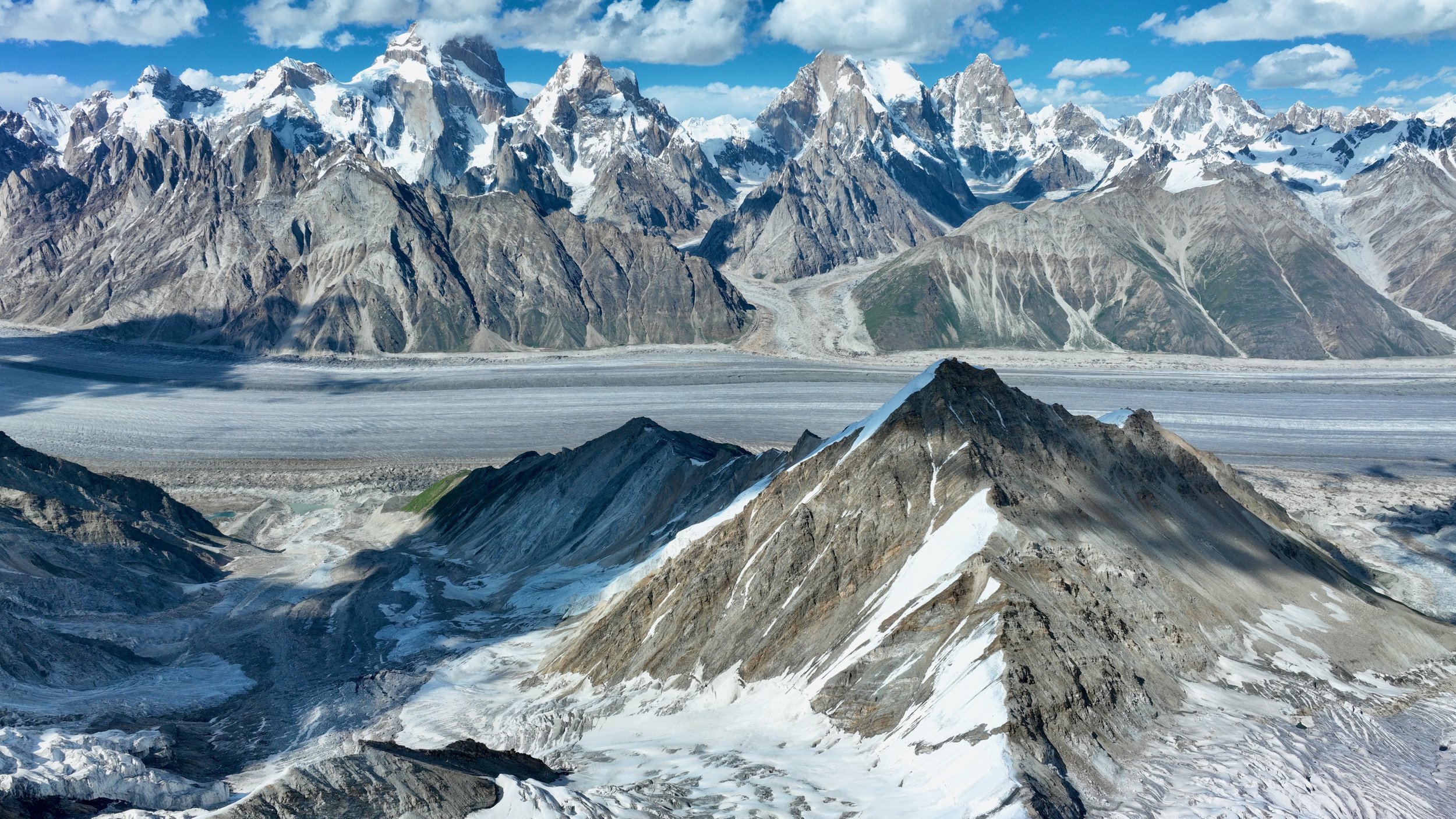
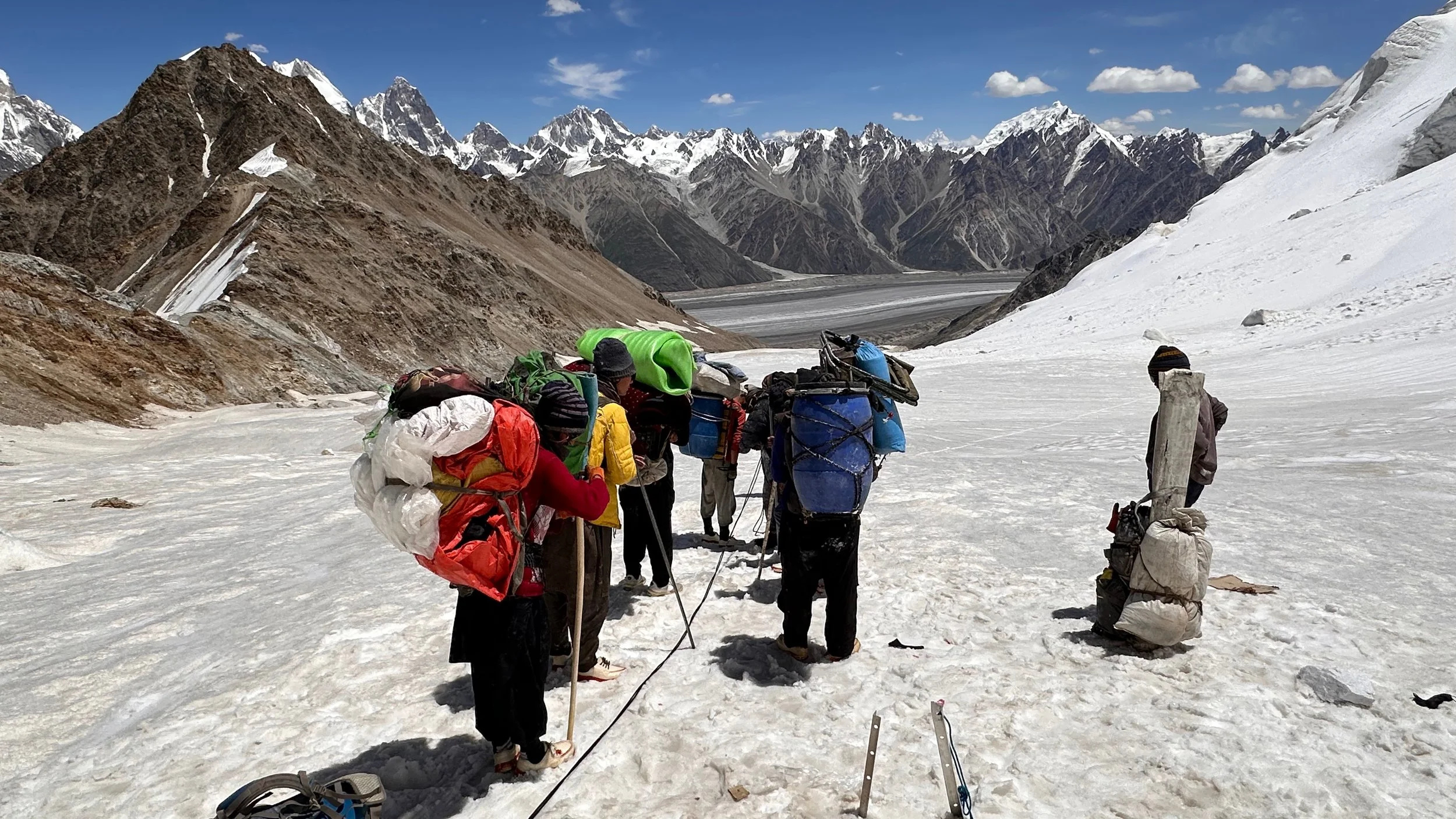
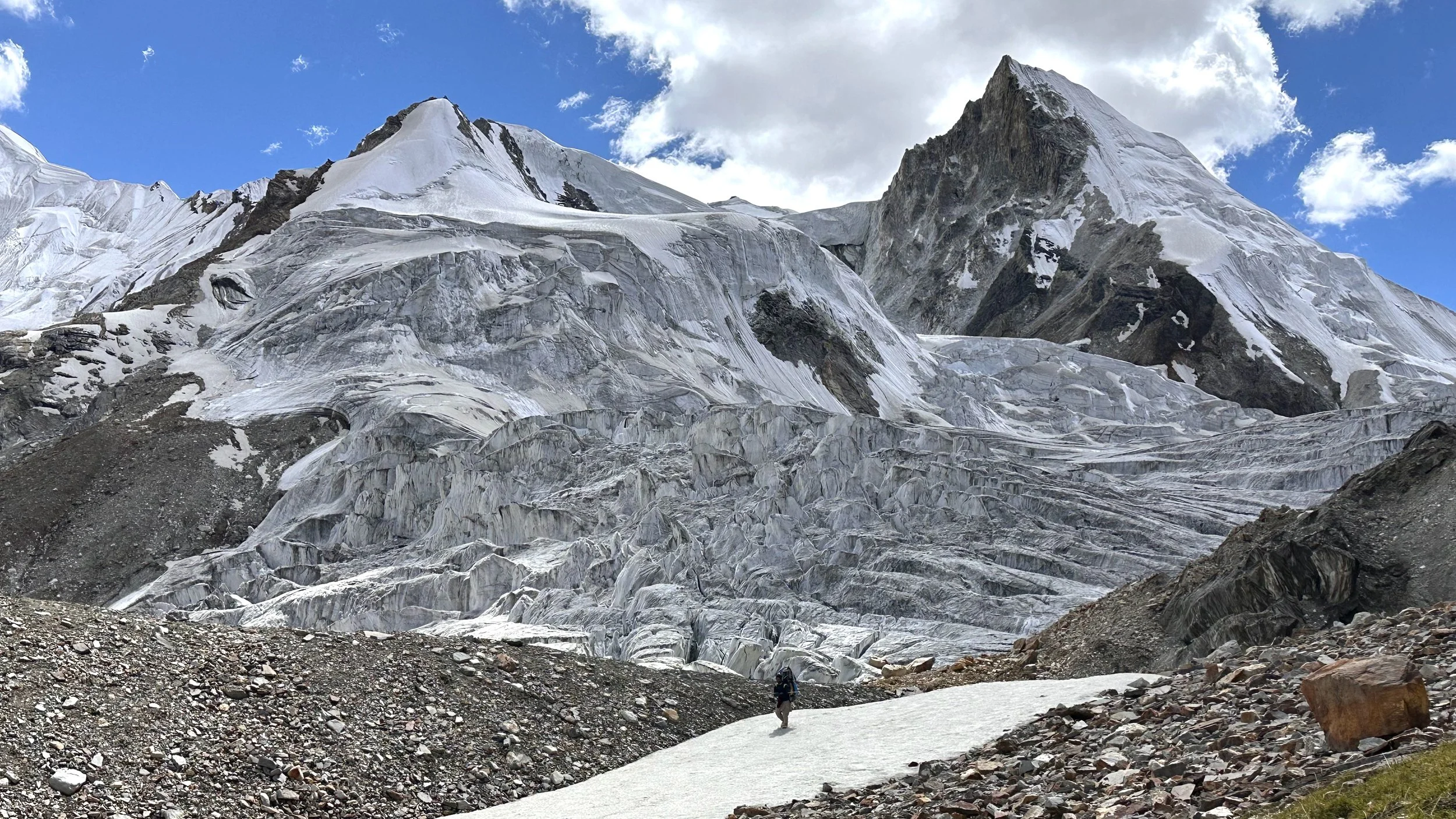
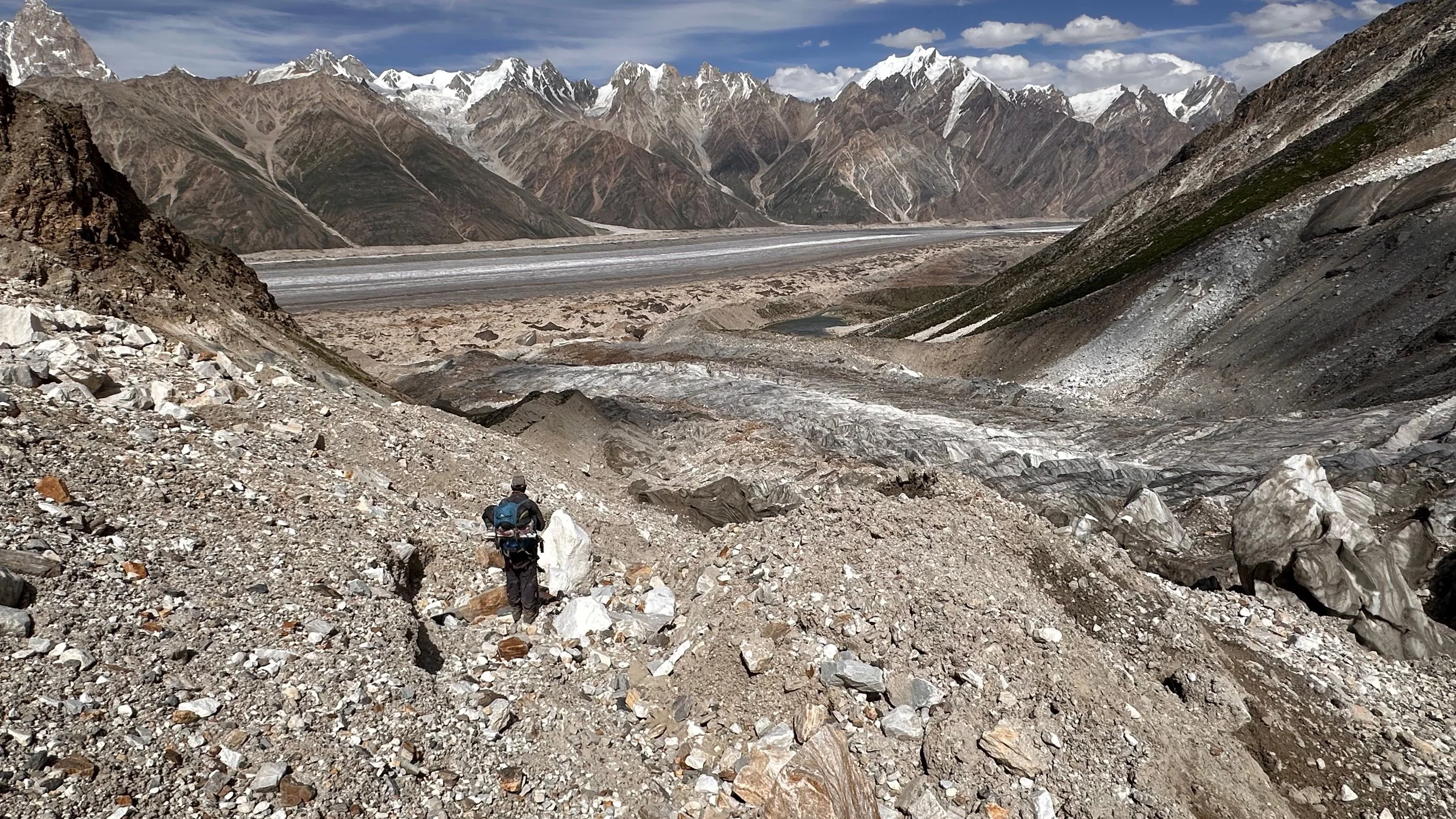
The Biafo and our beautiful campsite next to the Biafo Glacier.
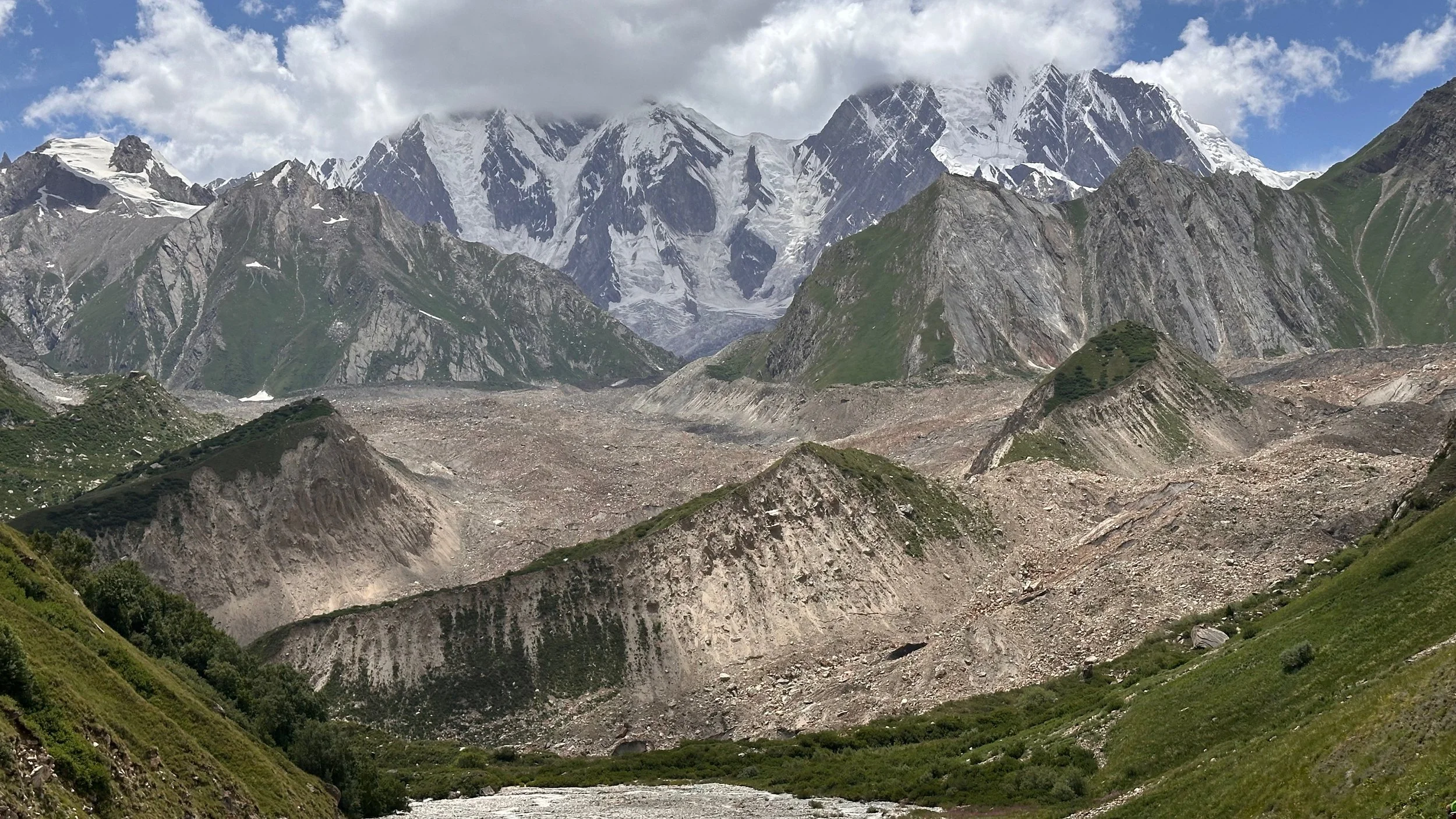
The Biafo Glacier and the Snow Lake far away.

Our pretty campsite. Everyone was quite tired…
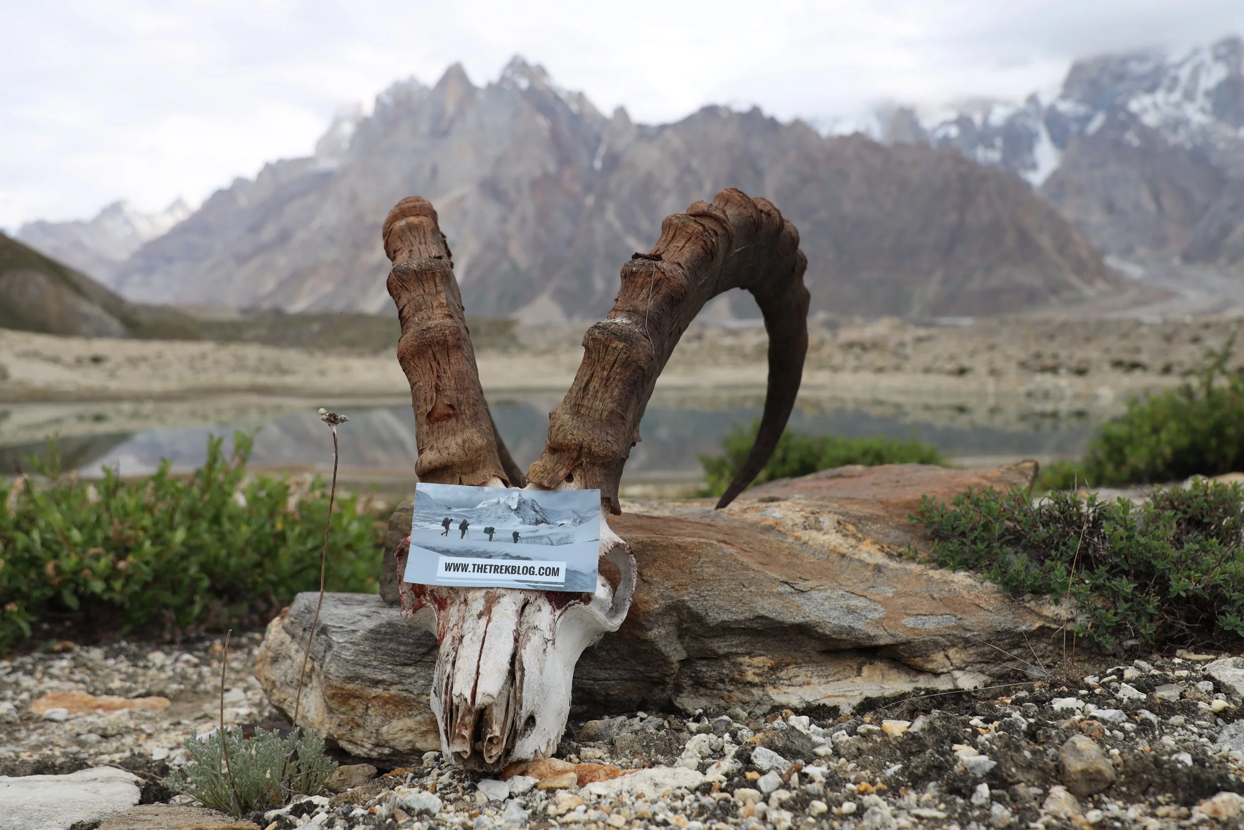
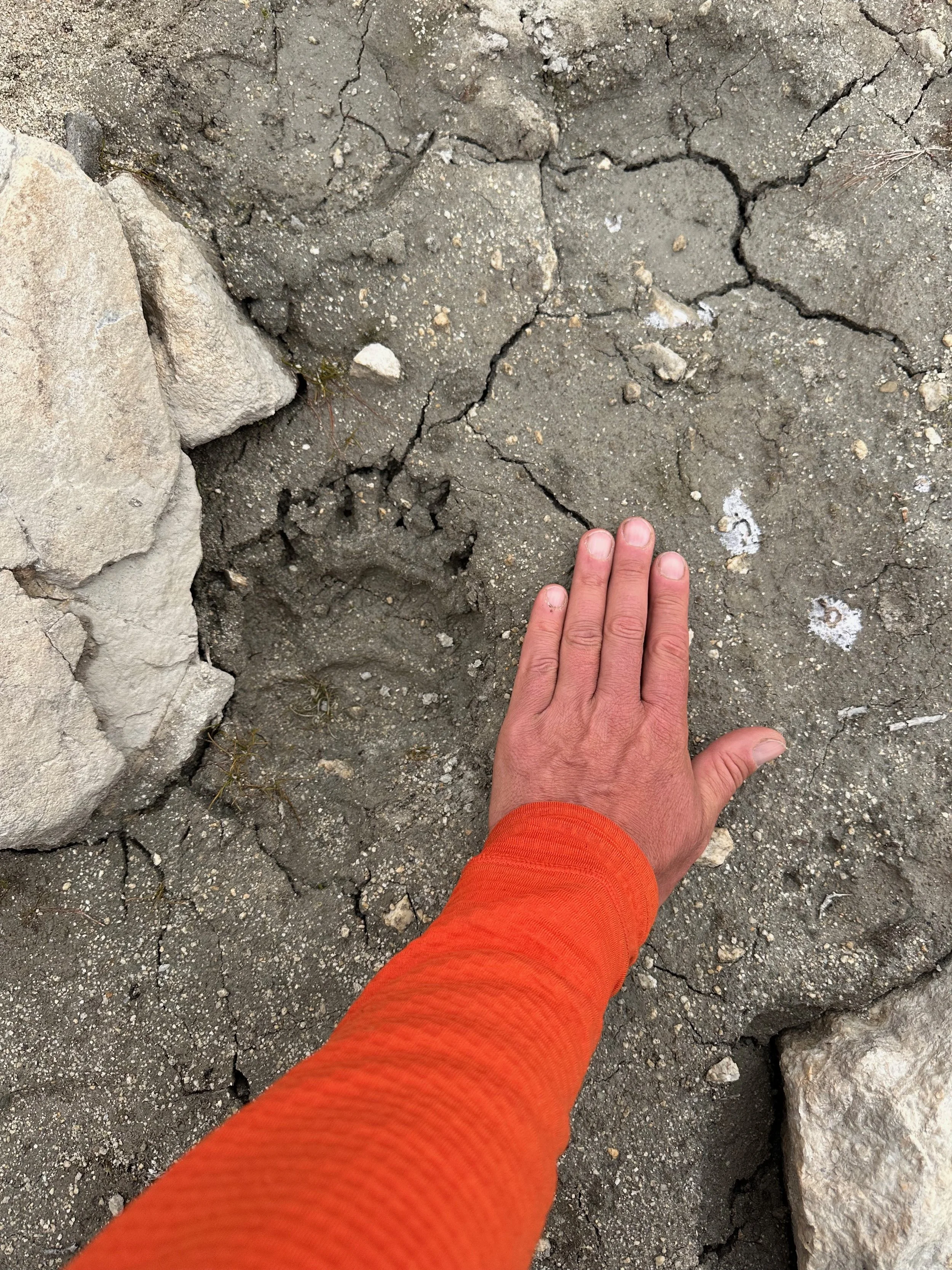
A Himalayan bear tracks
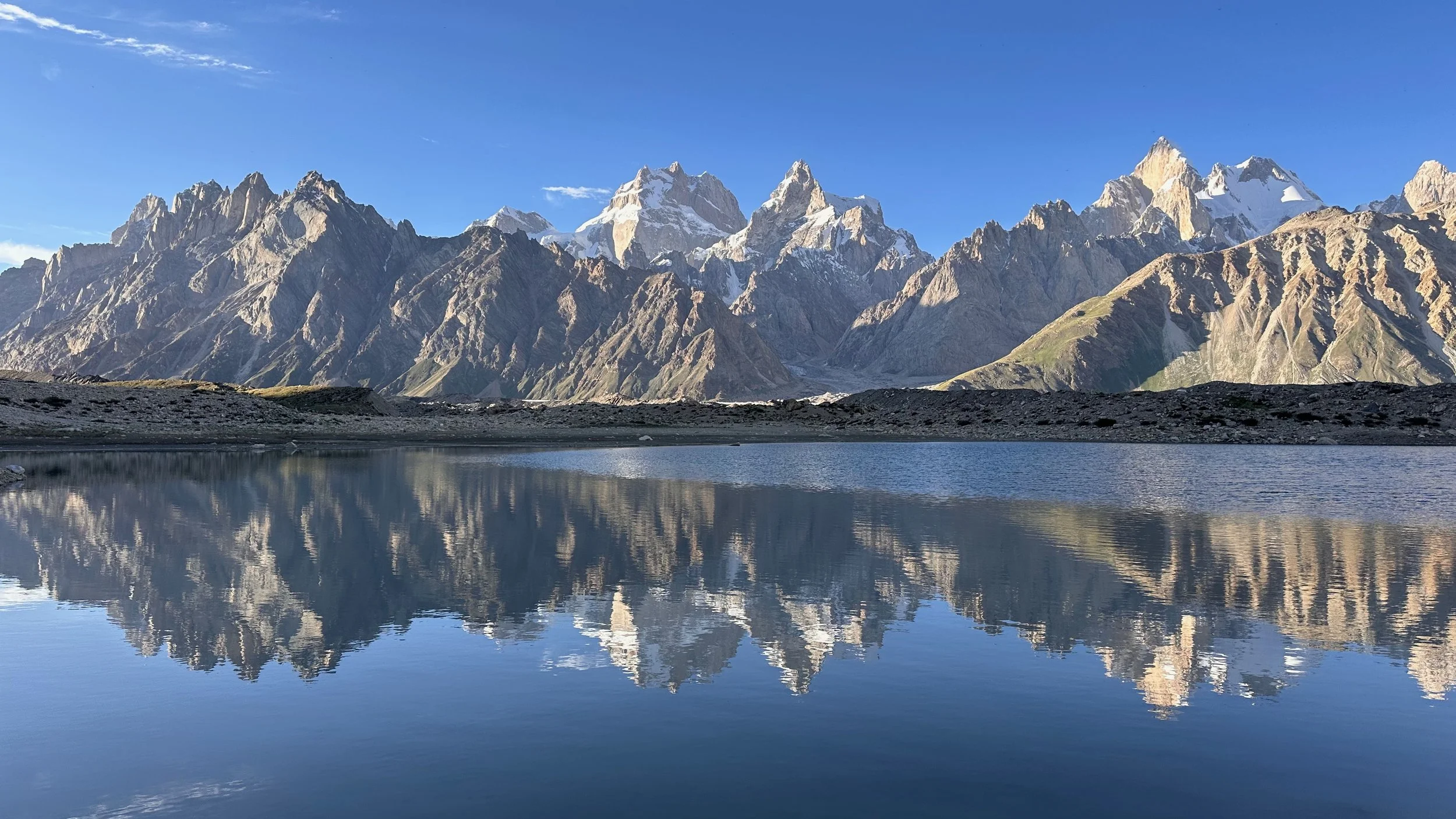
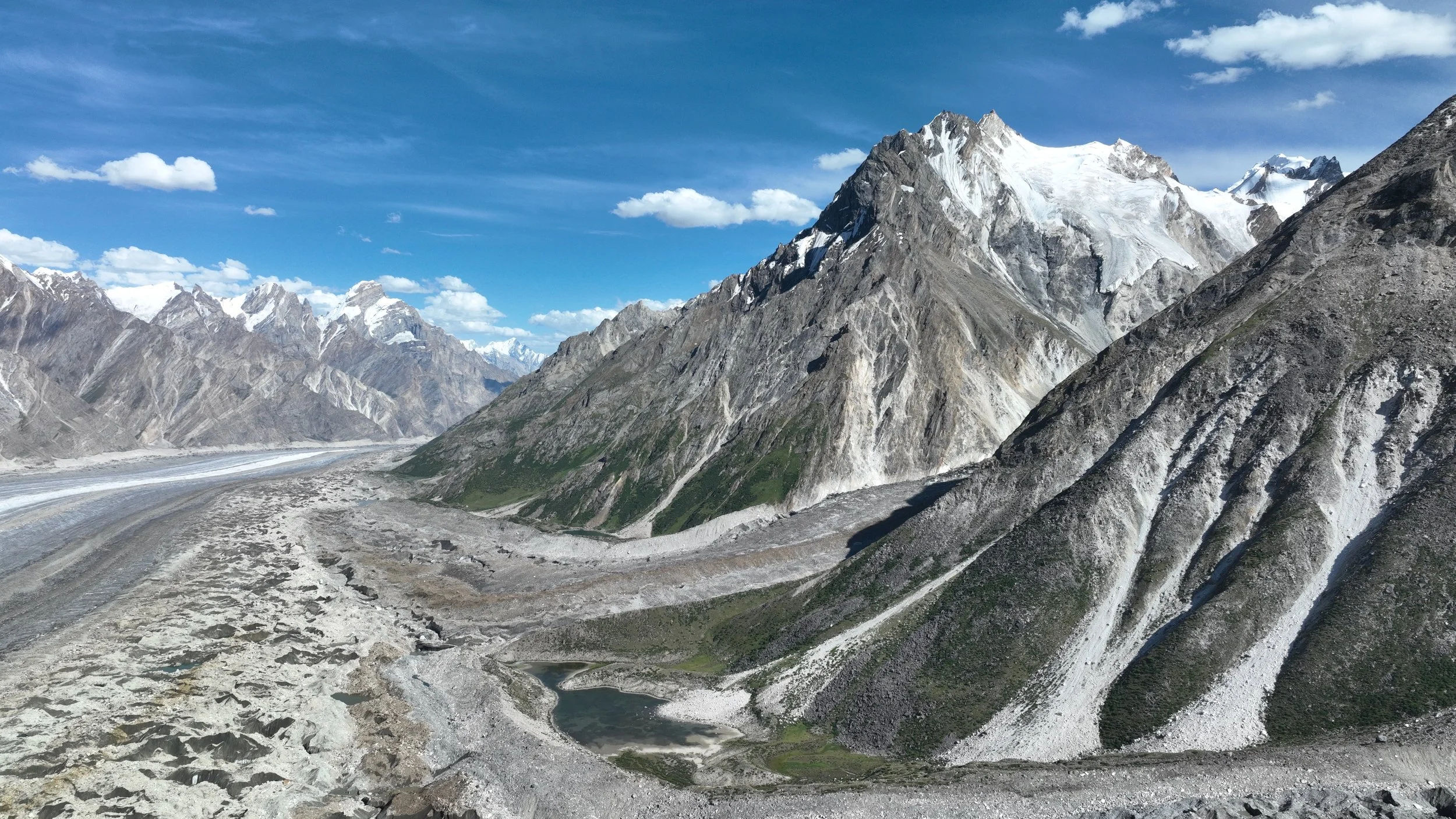
The incredible panorama from our campsite. Directly across is the Bentha campsite on the Biafo-Hispar trek.