

The Langtang National Park. Our route followed the Langtang Khola with the trek up the Yala Peak 5,520m.

We came up from Kathmandu via Ghost, Gosainkuda Lakes, Syabru, Bamboo, Langtang Village, to Langshisa Kharka. We then hiked up to the Langtang Glacier but lack of time did not allow for further exploration. The trek was around 170km in total distance covered (excluding the Yala Peak portion).

Langshisa Ri 6,733m
See photos of the Yala Peak climb


Hiking up to Ghopte

Kamsing at the Gosainkunda Lakes at Laurebina Pass, 4,664m

Gosainkunda Lake is one of the holiest places in Nepal with large pilgrimages arriving in August.

Gosainkunda Lakes


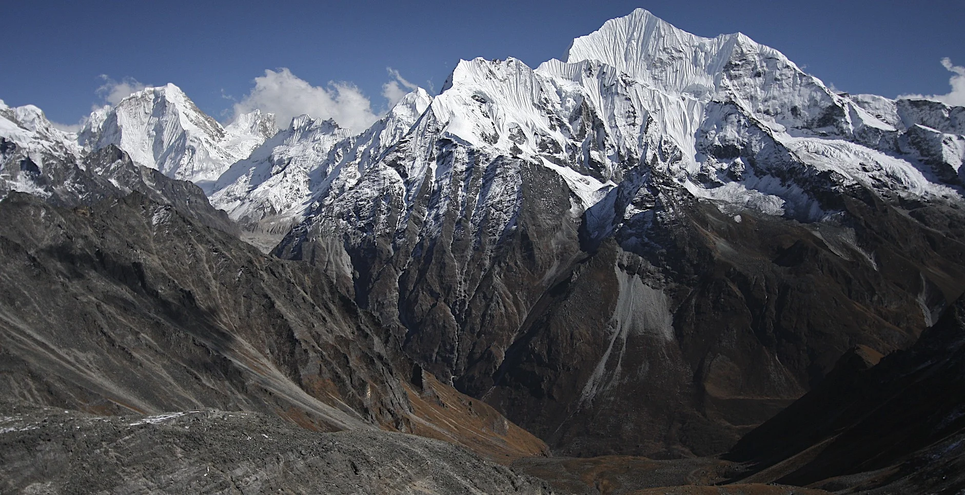
Langtang II 6,596m (left) and Langtang Lirung 7,227m (right)

The portion of the Langtang Himmal in this photo is in Tibet (China).

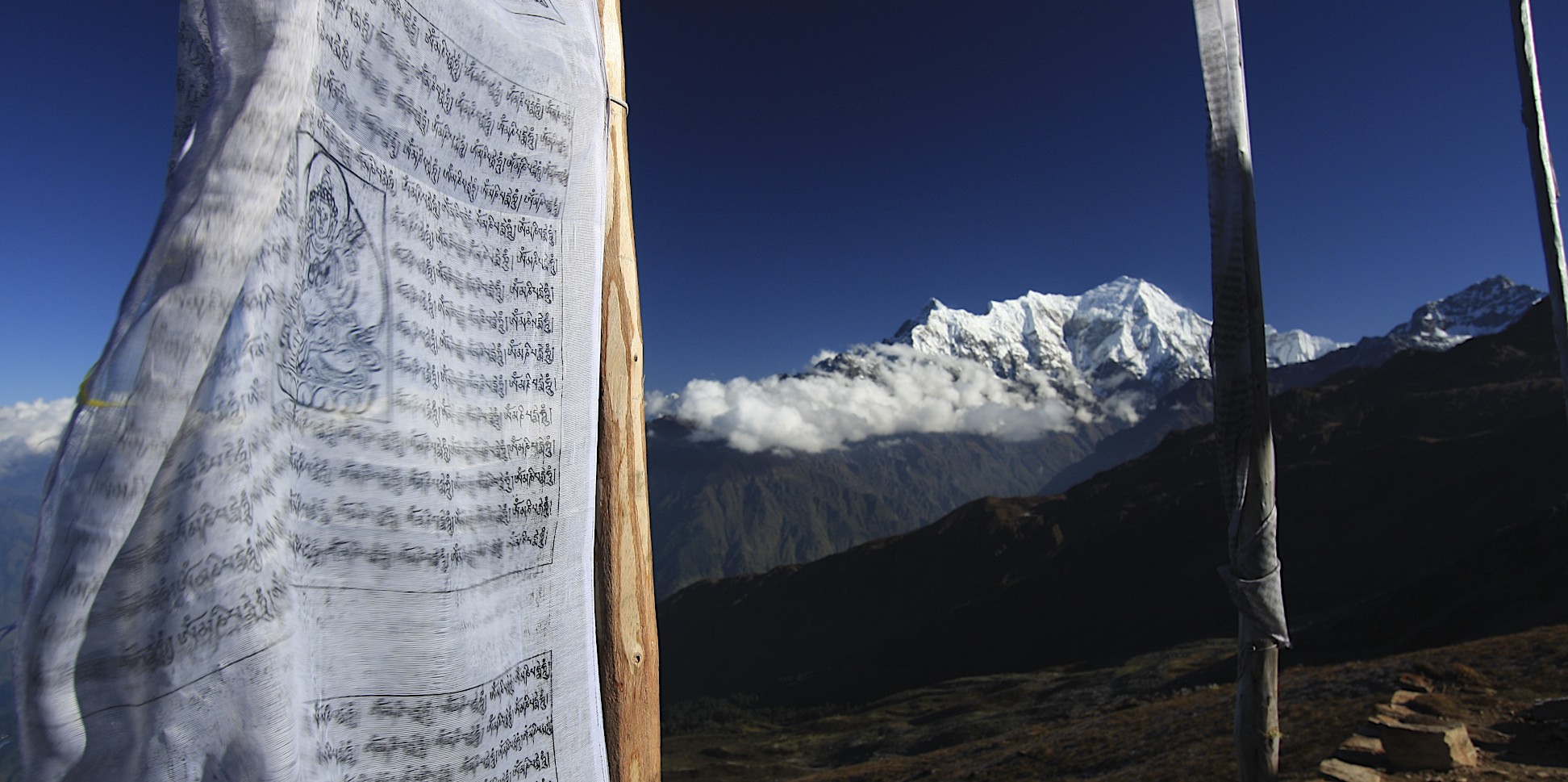
Ganesh Himal

Ganesh Himal


Langtang Lirung


Water powered prayer wheel.


Langtang Village buried by the earthquake of 2014 by the avalanche from the glacier visible above the rocky cliffs.

The final stretch of the trail to Kyanjing Gompa.


Kyanjing Gompa


Hiking above Kyanjing Gompa

Langtang Lirung Glacier and basecamp. The tent of late Tomasz Humar is visible by the moraine in the centre. He died a few days after this photo was taken on the rocky slopes of Langtang Lirung above the BC on the ridge visible on the left side of the photo.

Langtang Lirung

Langtang Lirung

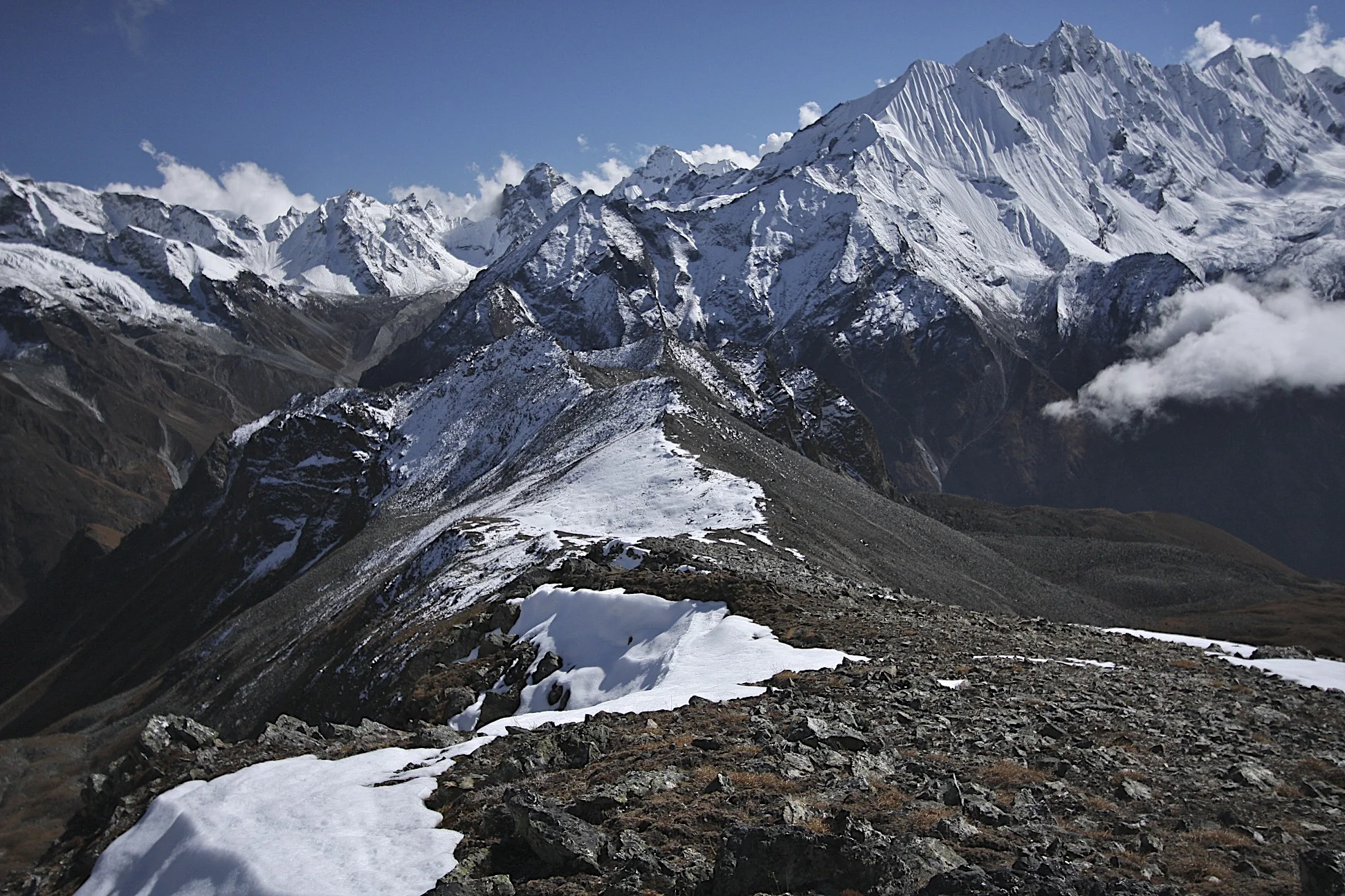
Langtang Range

Mani Wall in Kyanjing Gomba

Approach to Yala Peak

Ganchempo 6,387m


Ganchempo in beautiful sunset light from Yala Peak BC.


Yala Peak

Yala Peak

Yala Peak

Yala Peak


The view from Yala Peak to Langtang Lirung

Yala ridge


David, me and Kamsing


The view towards Tillman Pass and Langshisa Glacier

Closeup of Langshisa Glacier. The Tilman Pass is on the right (not visible).


Descending from Yala Peak. The Langtang Valley below.

Langtang River and Langshisa Ri on the horizon

Langshisa Ri Mountain

Langtang Glacier and Langshisa Ri Mountain.

Langtang Glacier and Pemthang Karpo Ri Mountain.

The Langtang Valley

The Langtang Valley

Going back to Kathmandu after hiking down the Langtang Valley.

Local transport on the Langtang to Kathmandu road