After the quick tour of the bazar, we went to the Kabul Restaurant in Islamabad for some good skewers and Afghani bread. The restaurant has delicious food but because of the jetlag and my cold I could not really enjoy it fully either. After the supper, I was very tired and went straight to bed. We had a long, two-day drive to Skardu ahead of us!
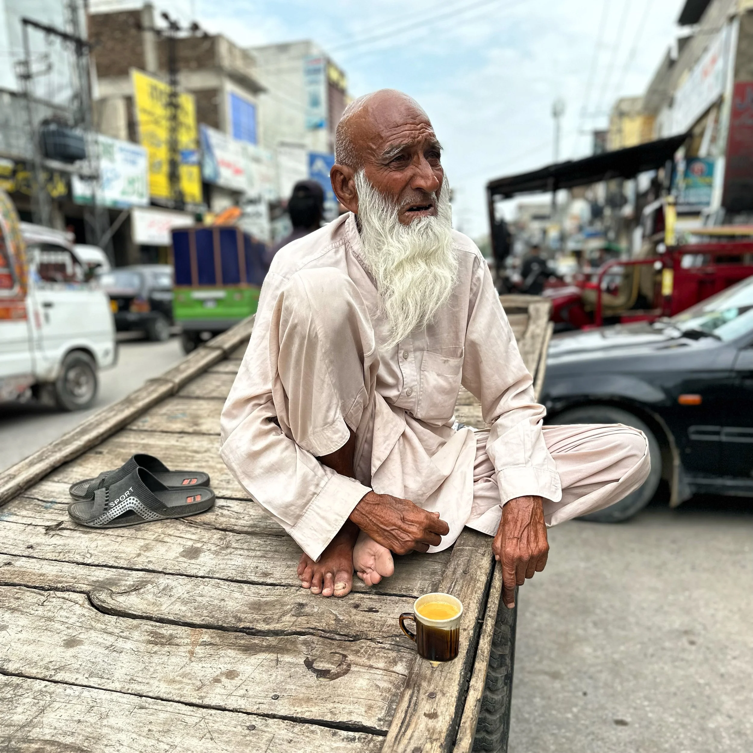
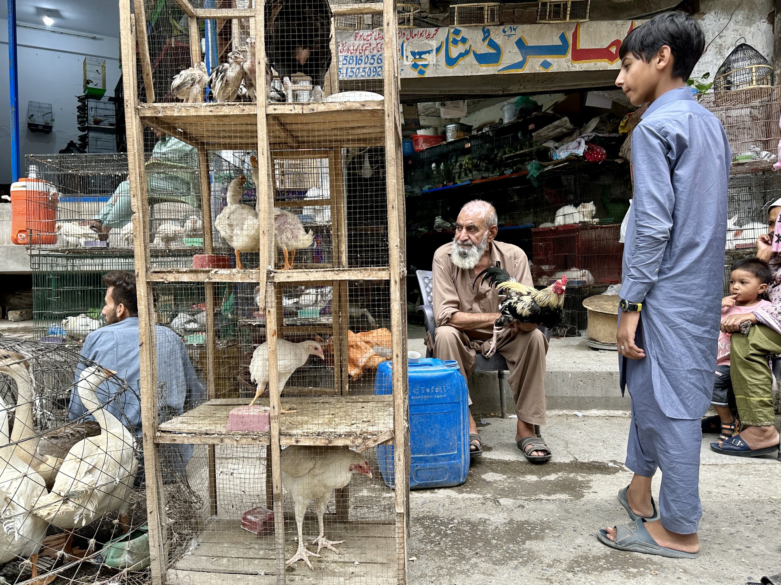
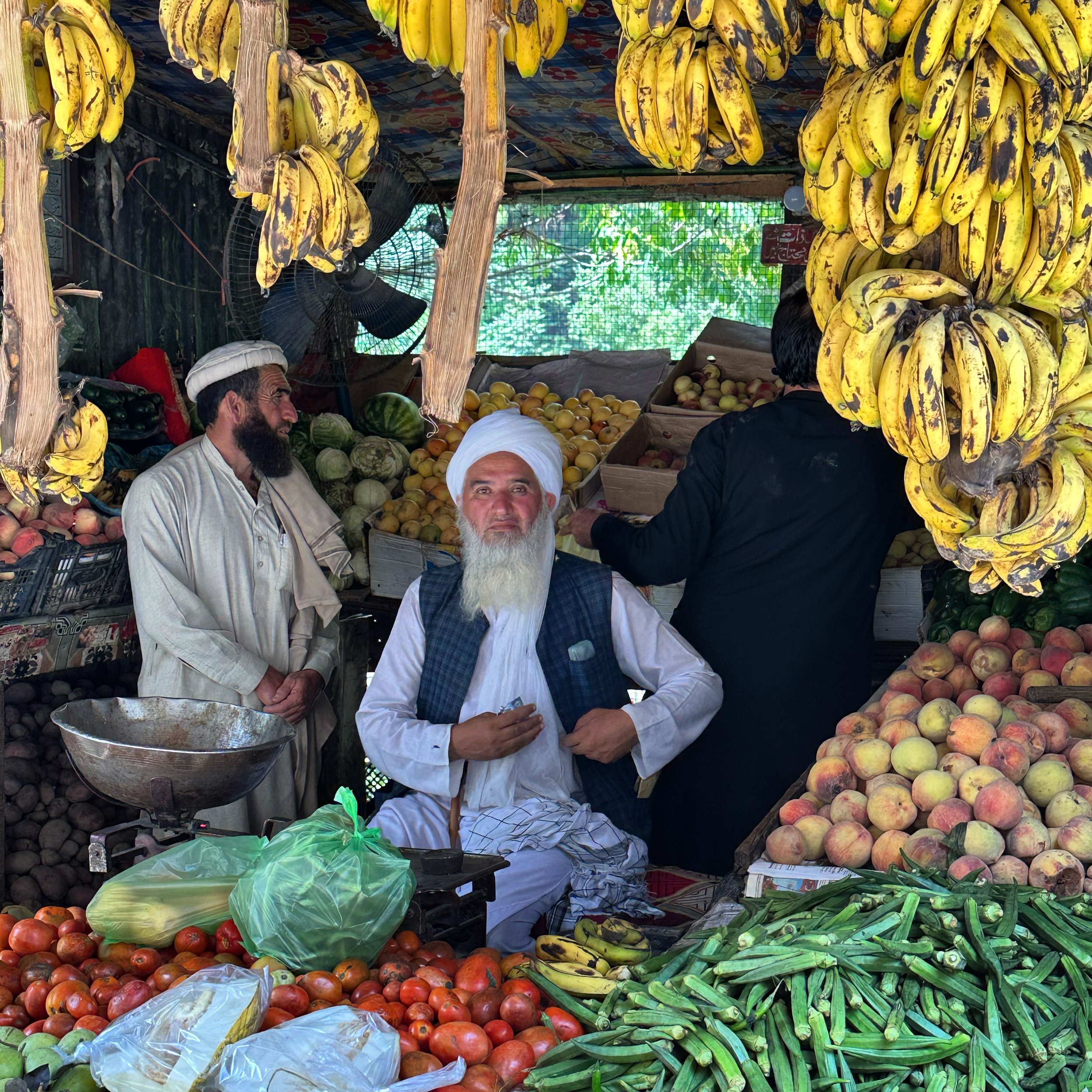
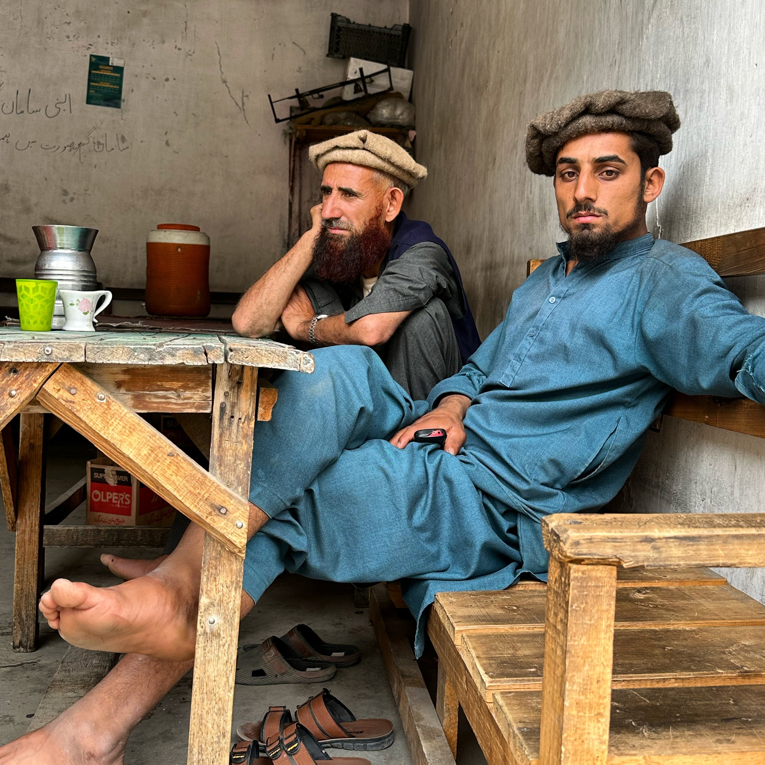
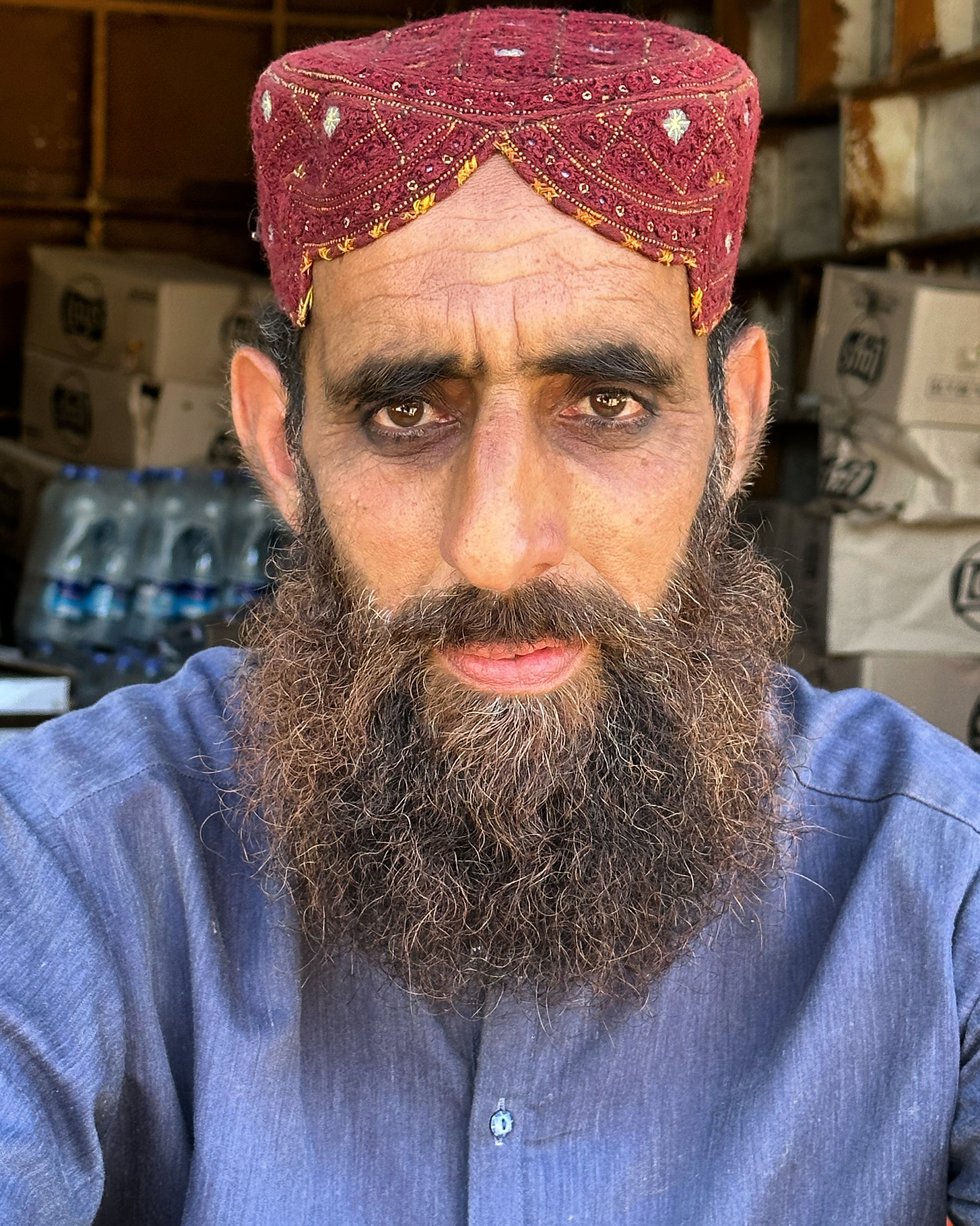
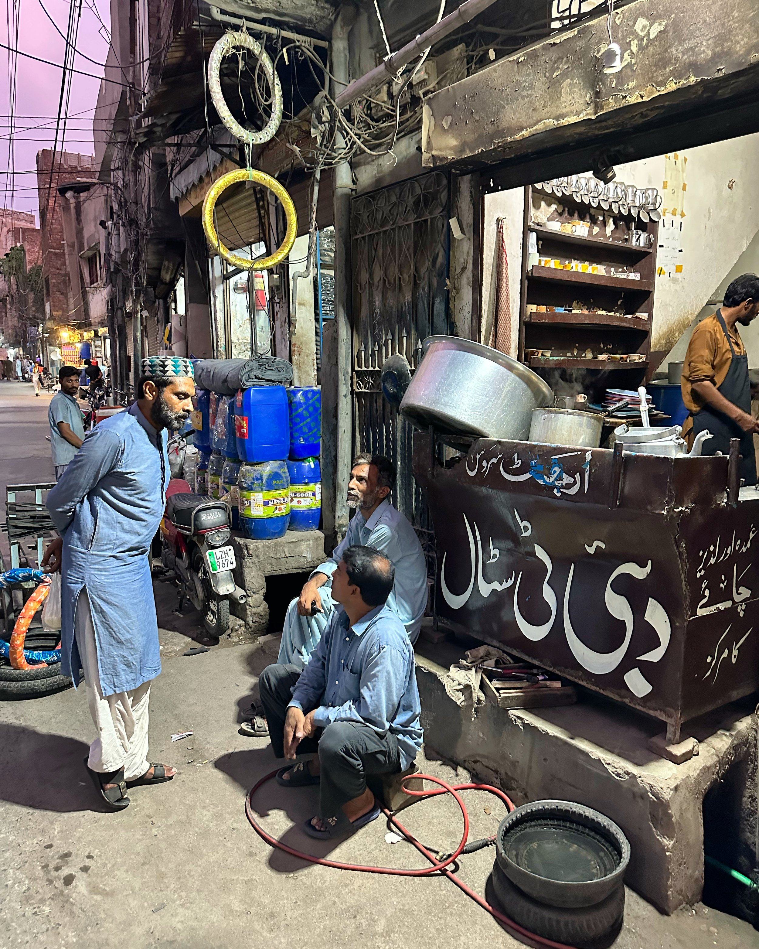
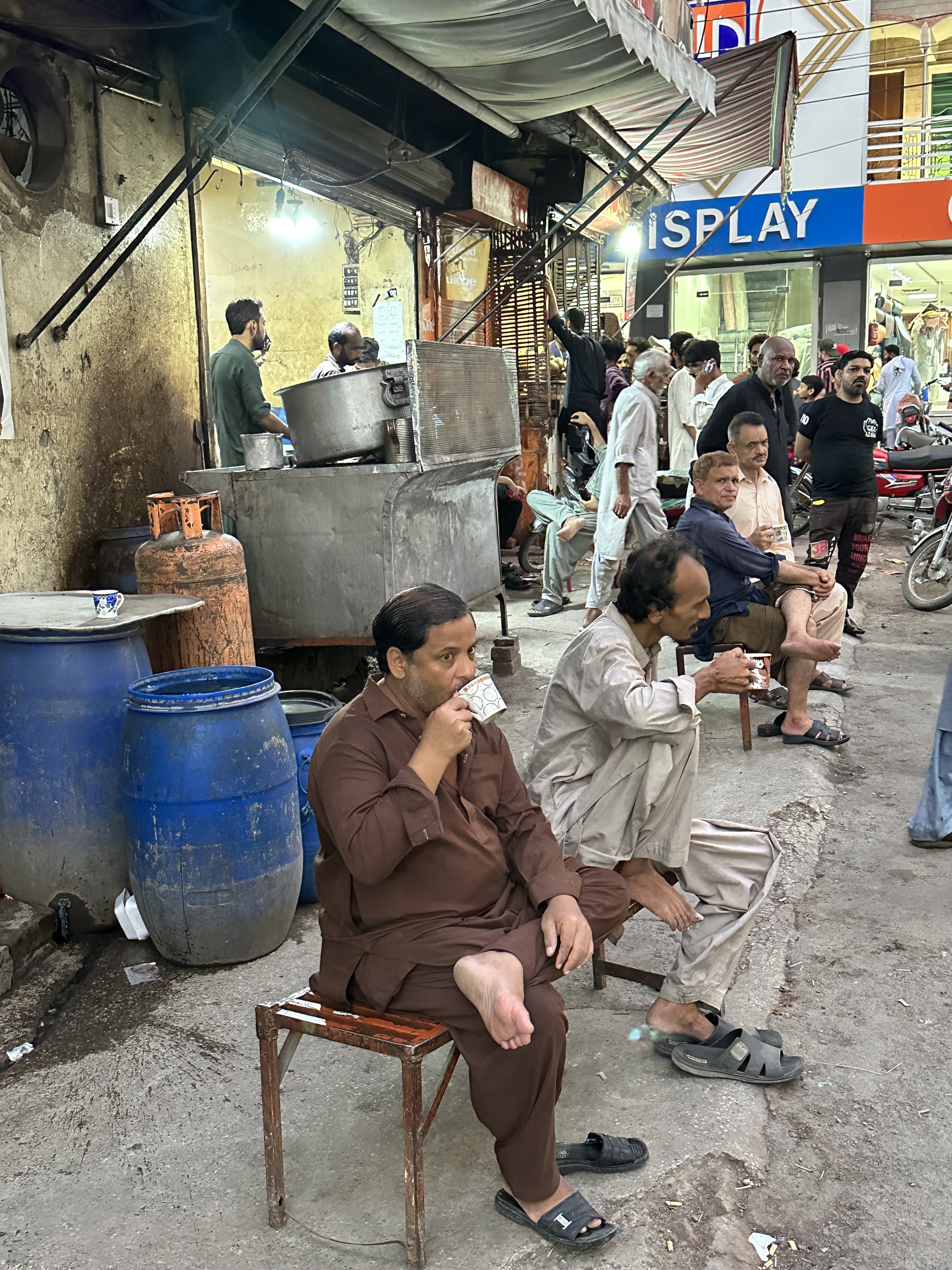
In the morning I felt much better. Amazing what a good night sleep can do! Ghulam hired a private car. We left Islamabad on a modern highway and drove in the direction of Peshawar. What a difference from the old Great Trunk Road from 2005! I must admit that the old road was more charming. After Abbottabad we joined the Naran/Babusar Pass road. It was busy as many domestic tourists were going to the Naran Valley (Pakistan’s chic mountain resort). On the way, we took a detour to buy big bags of onions and tomatoes. Apparently Skardu has some transportation problems affecting the availability of onions. Ghulam and the driver bought enough onions and tomatoes to last them for a year! The detour provided me with an opportunity to take interesting photos of the local men.
The Naran road was all new to me. In 2005 this valley was considered too dangerous for tourists, and everyone took the Karakorum Highway instead. Now, Naran has been built up and serves as the closest mountain retreat from the heat of the low-lying Punjab mega cities.
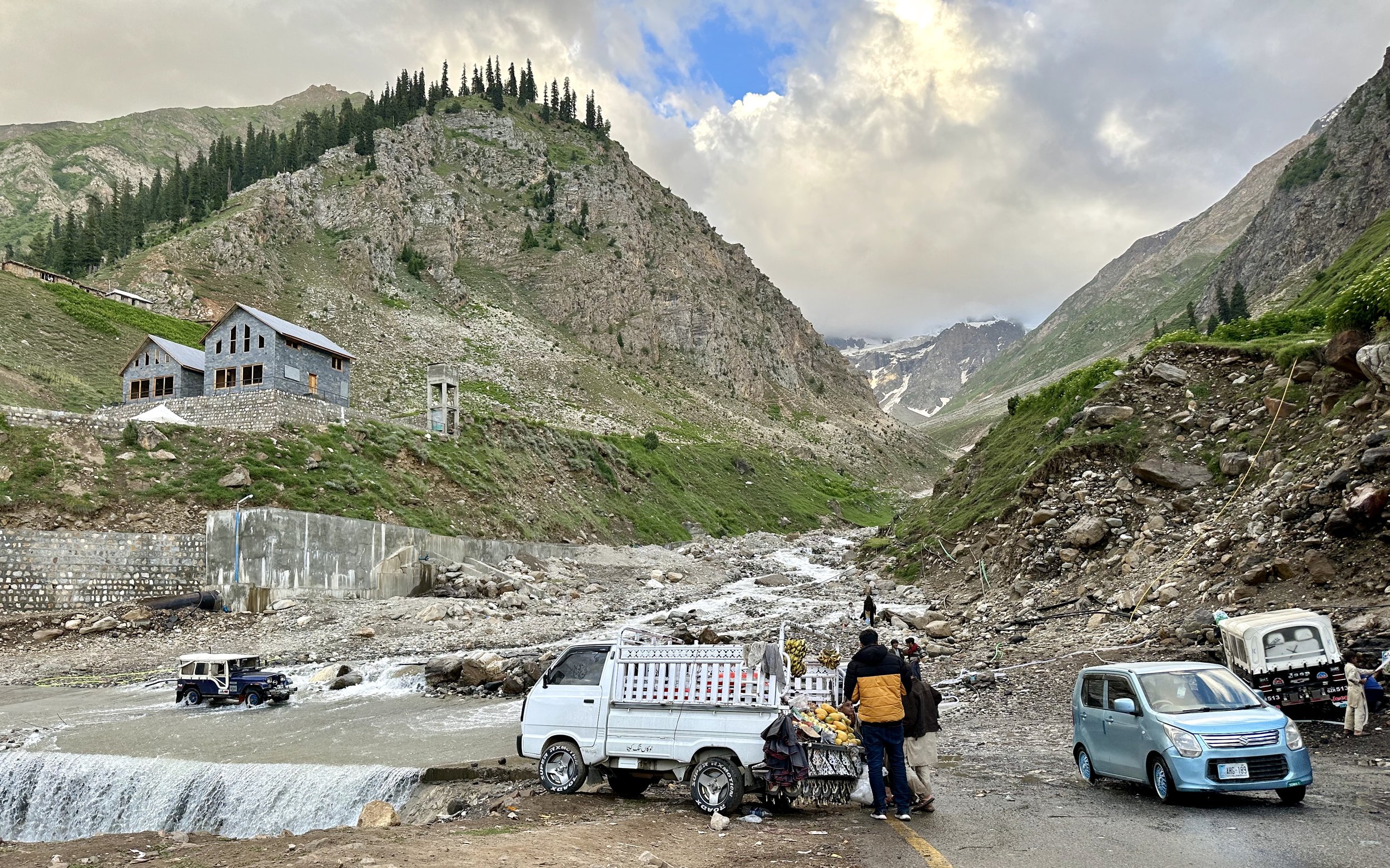
The Pakistani middle class must be quite numerous judging from the number of cars and people heading to Naran. Our driver was like a Formula 1 driver: speeding whenever he could, overusing his horn and not following the rules of the road. At one spot, mid-way up the Naran Valley, we were slowed down at a Chinese Dam construction site. The road around the construction site was in a state of chaos. The traffic was being diverted to a temporary road to bypass the construction resulting in a big delay.
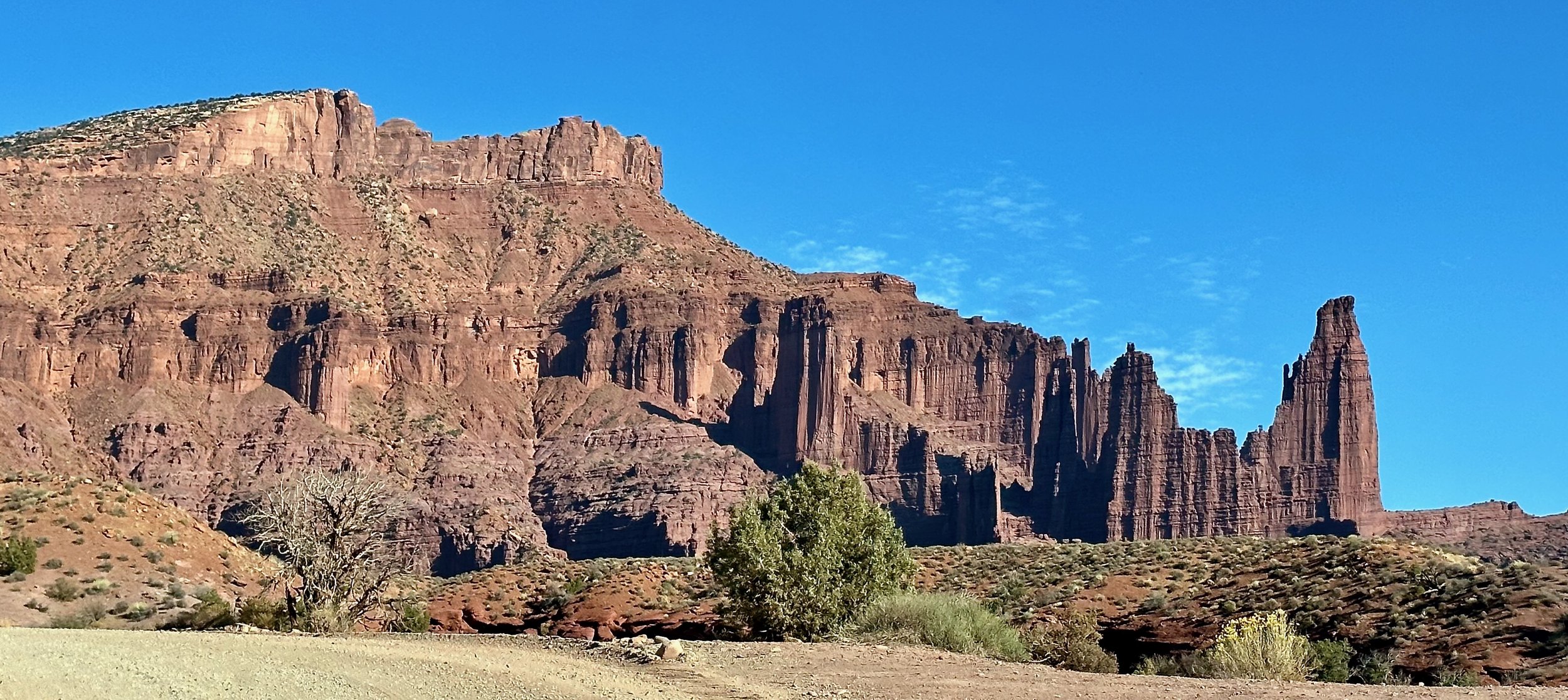
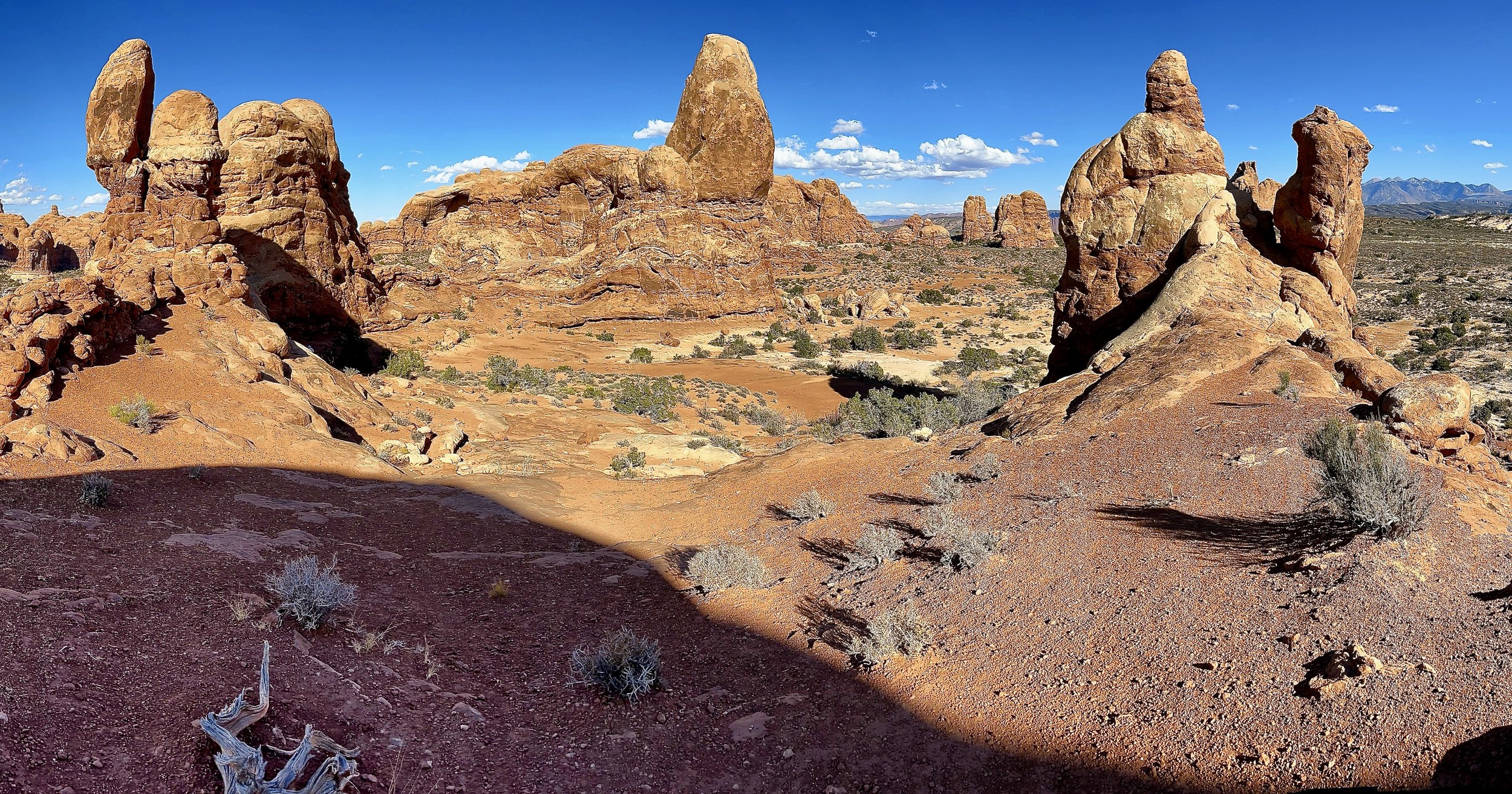
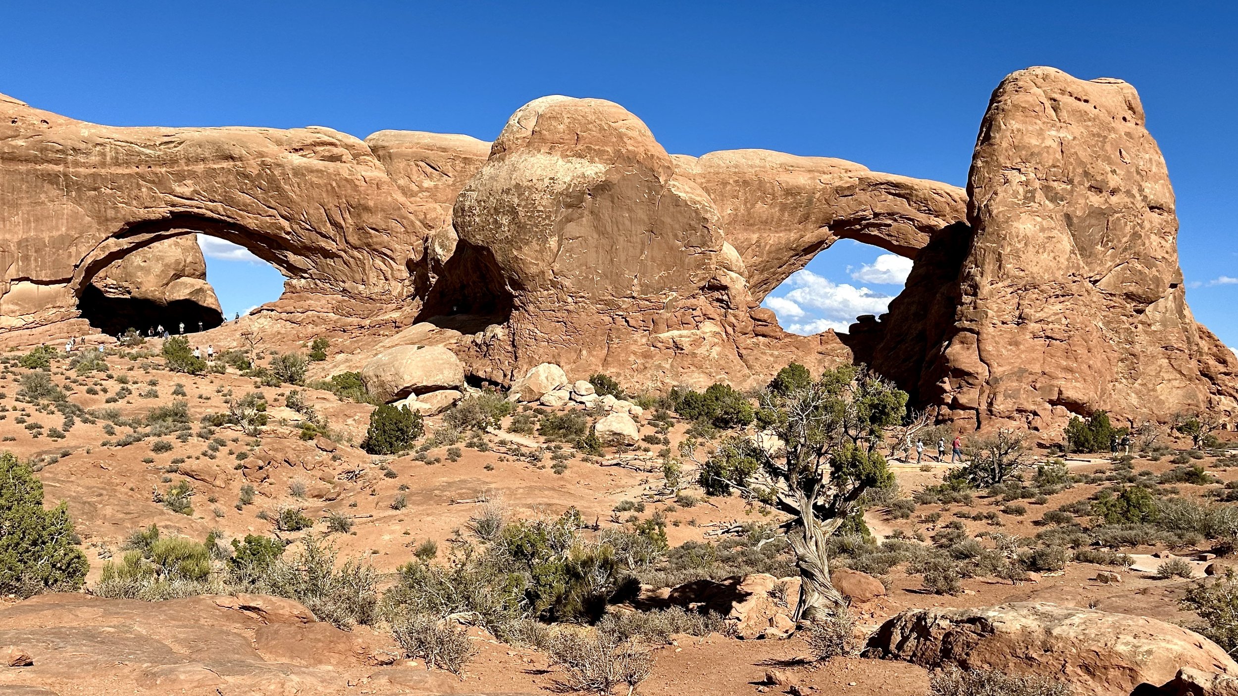
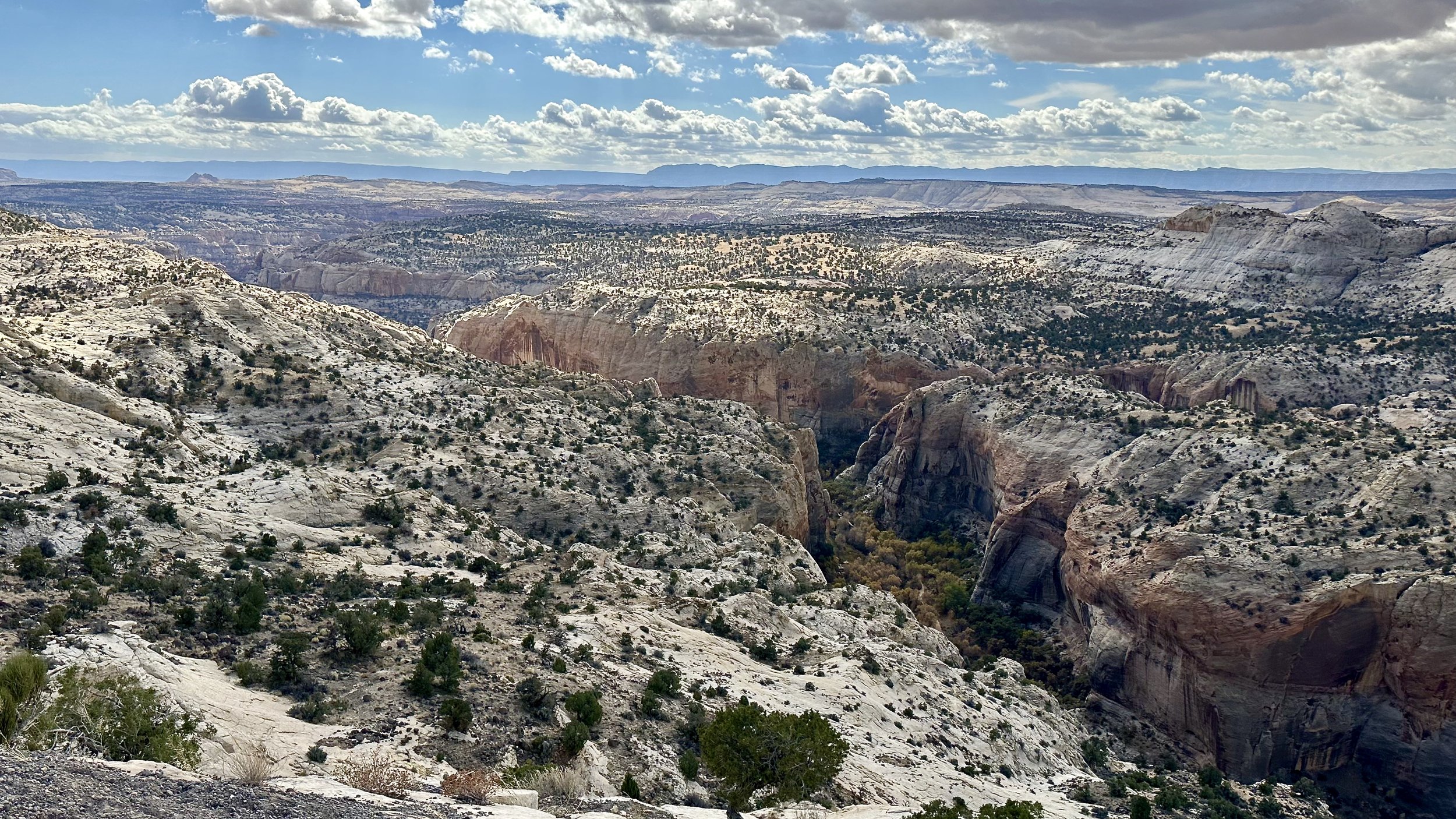
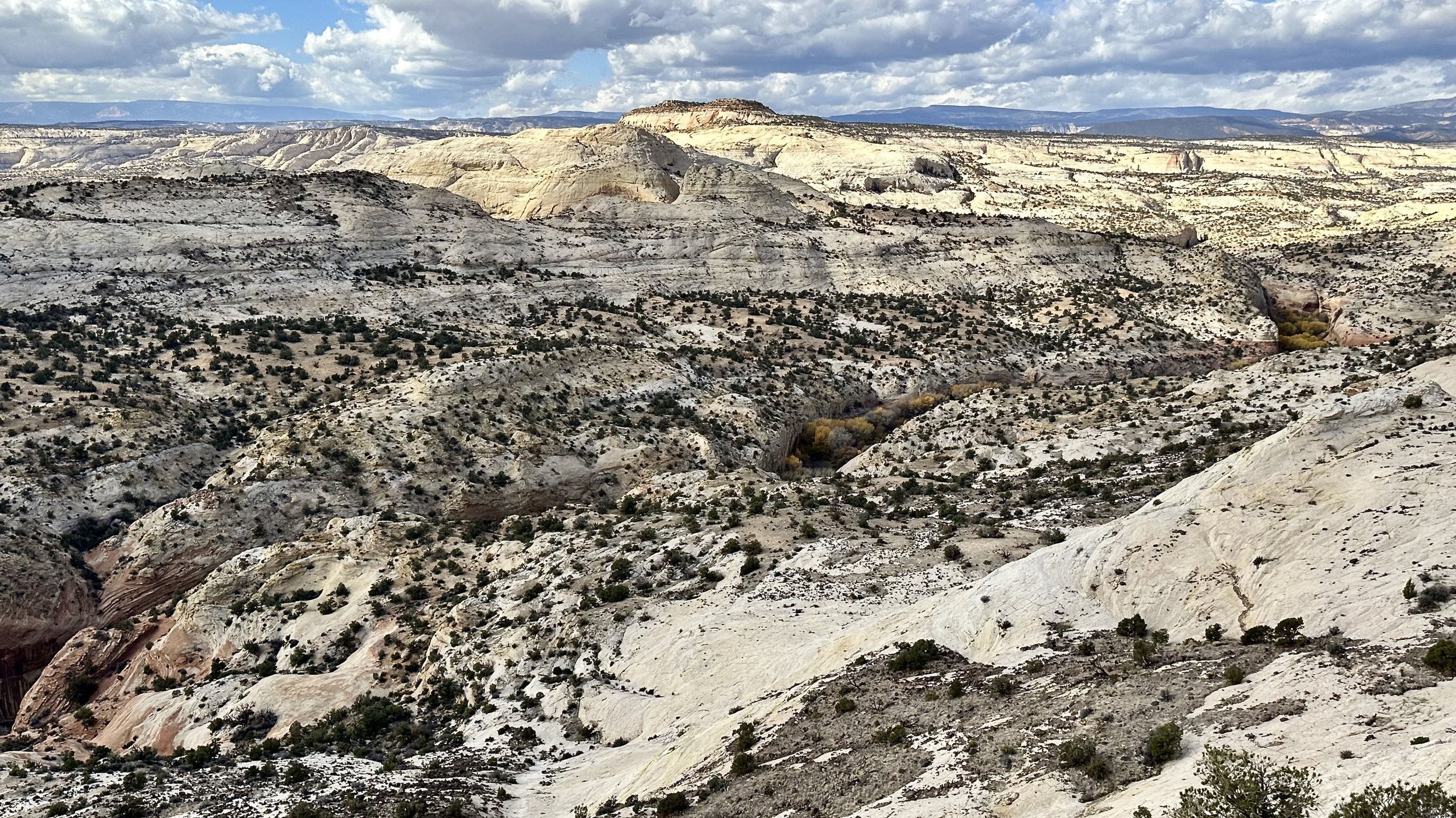
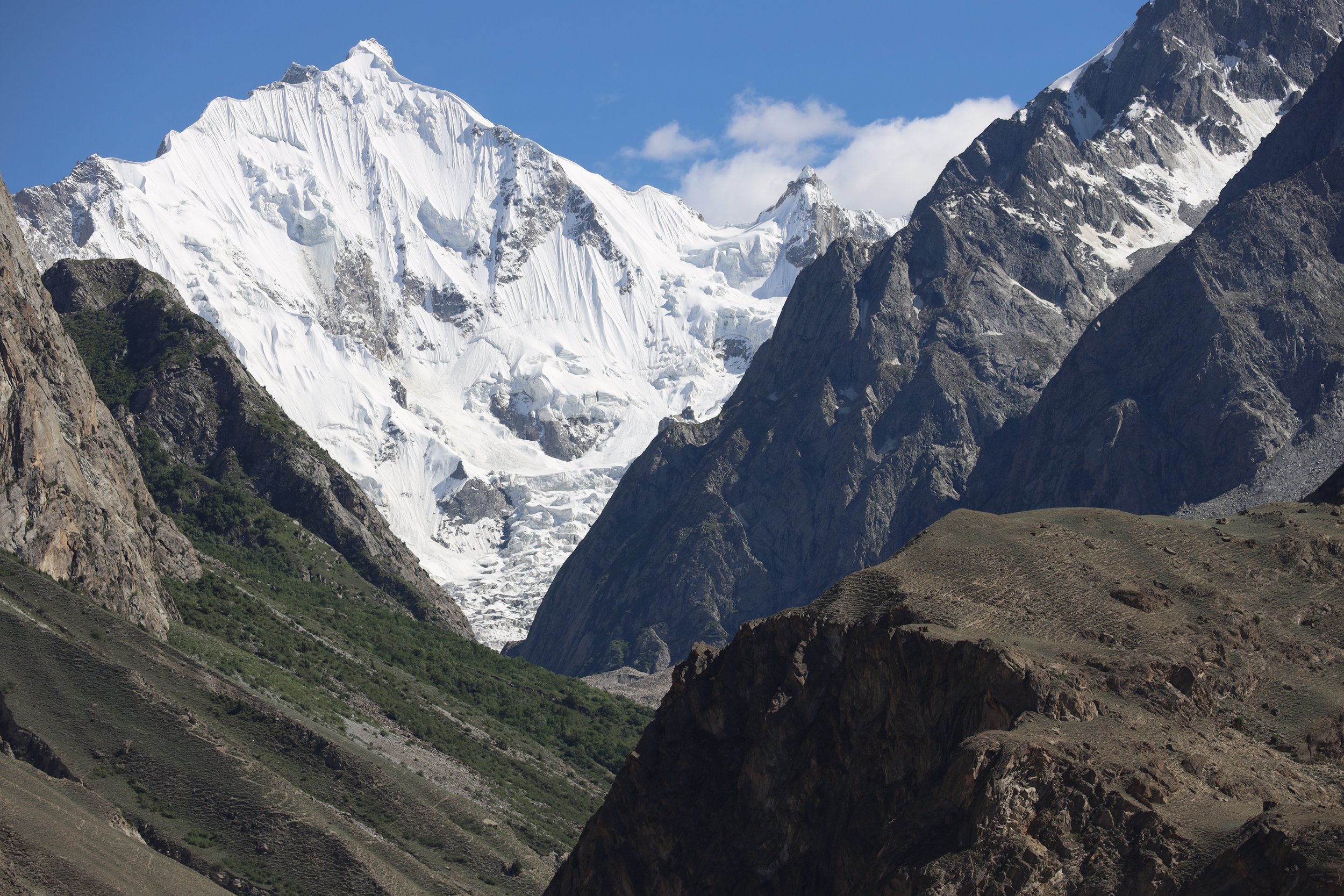
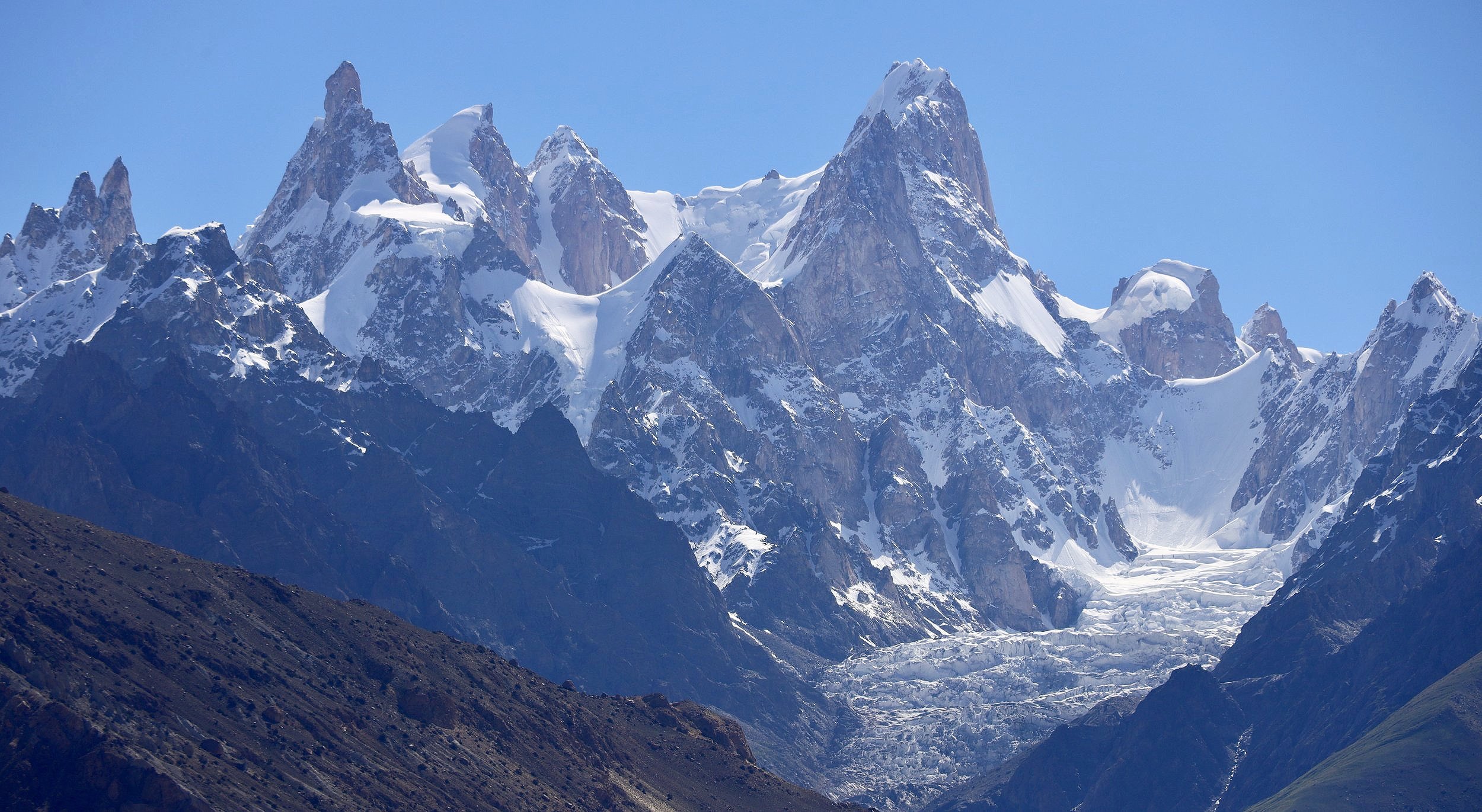
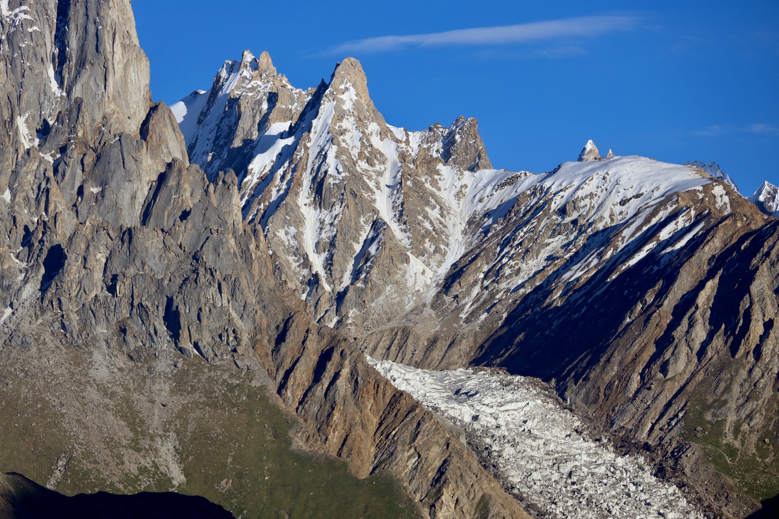
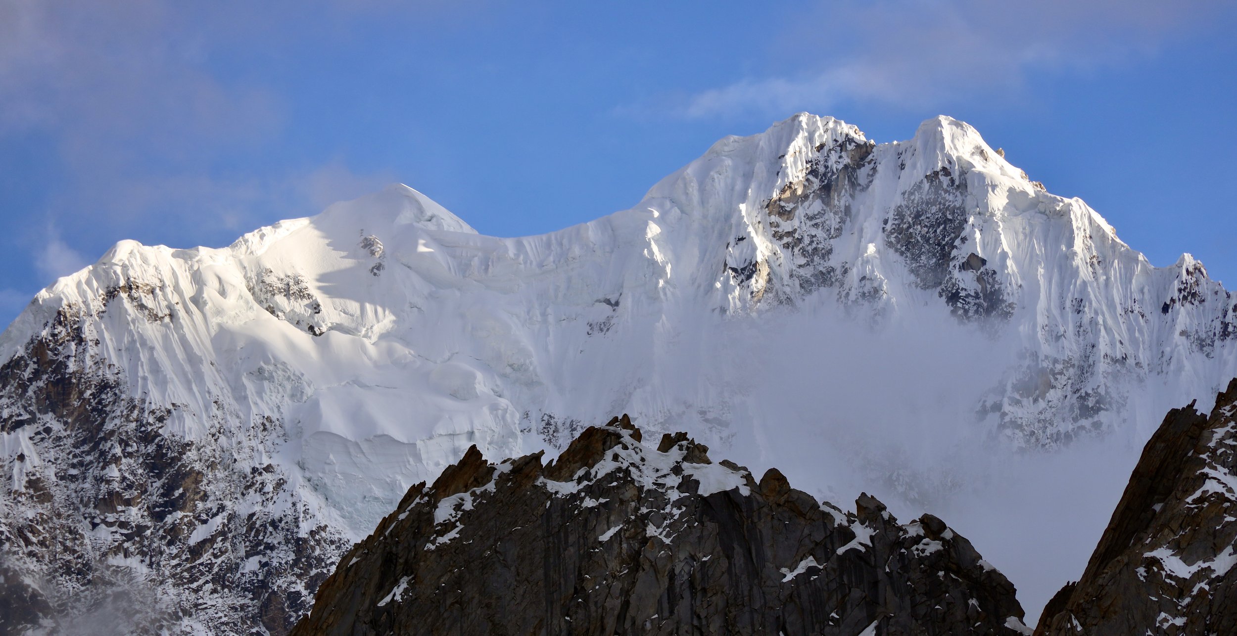
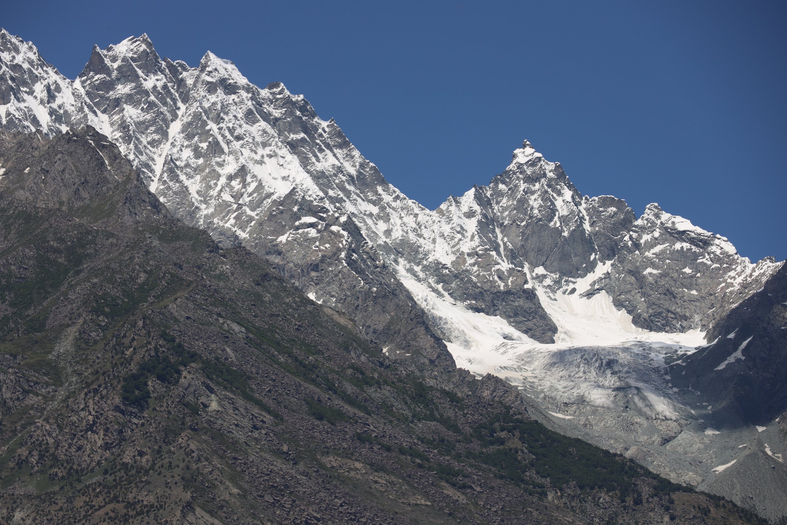
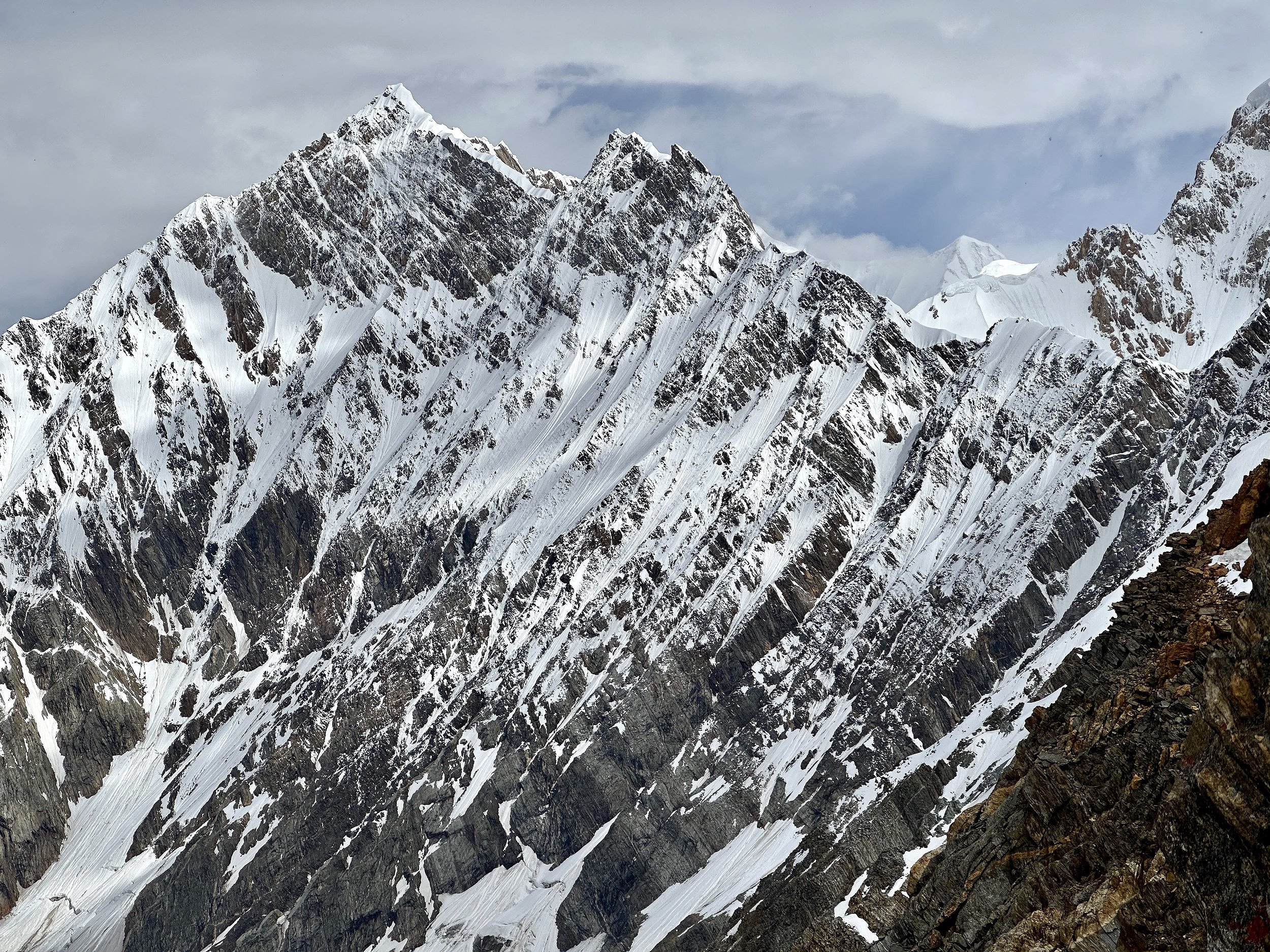
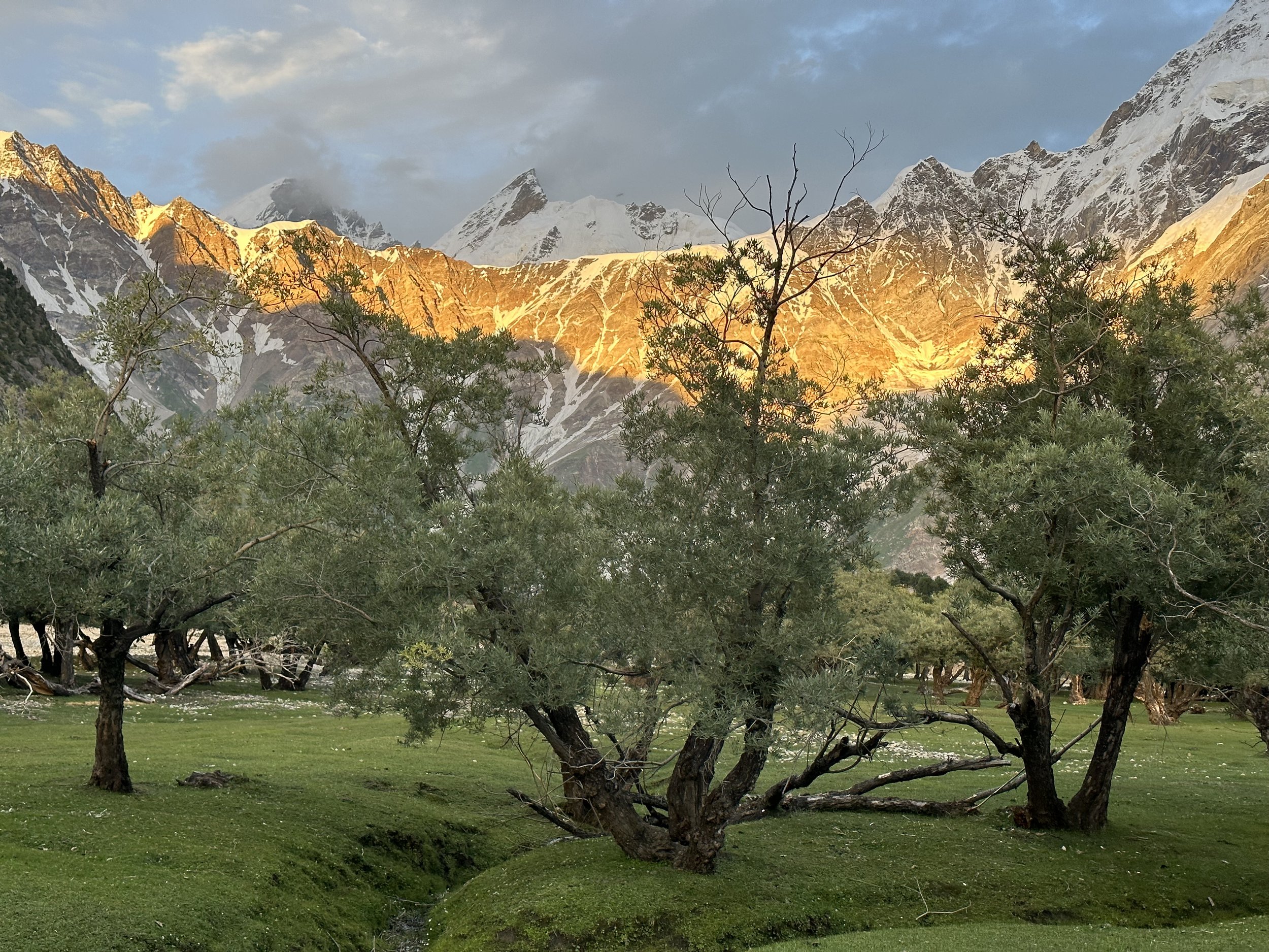
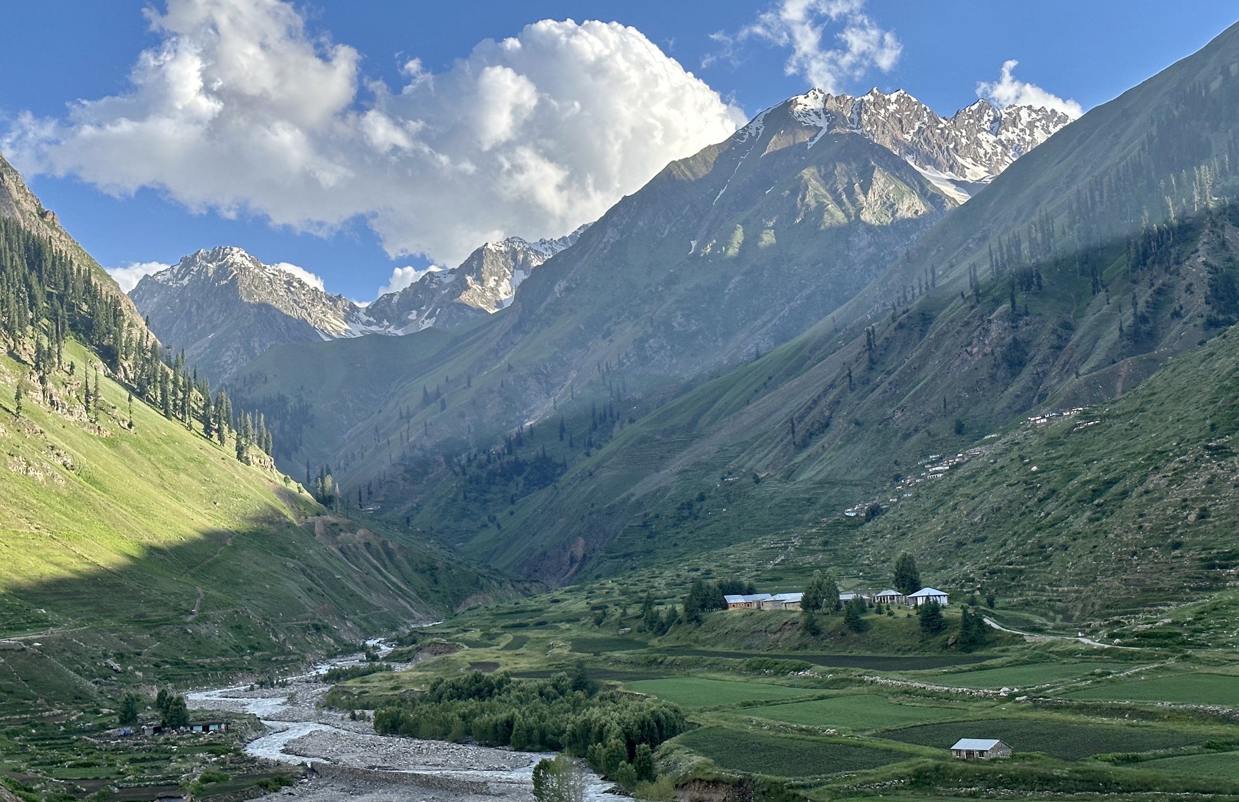
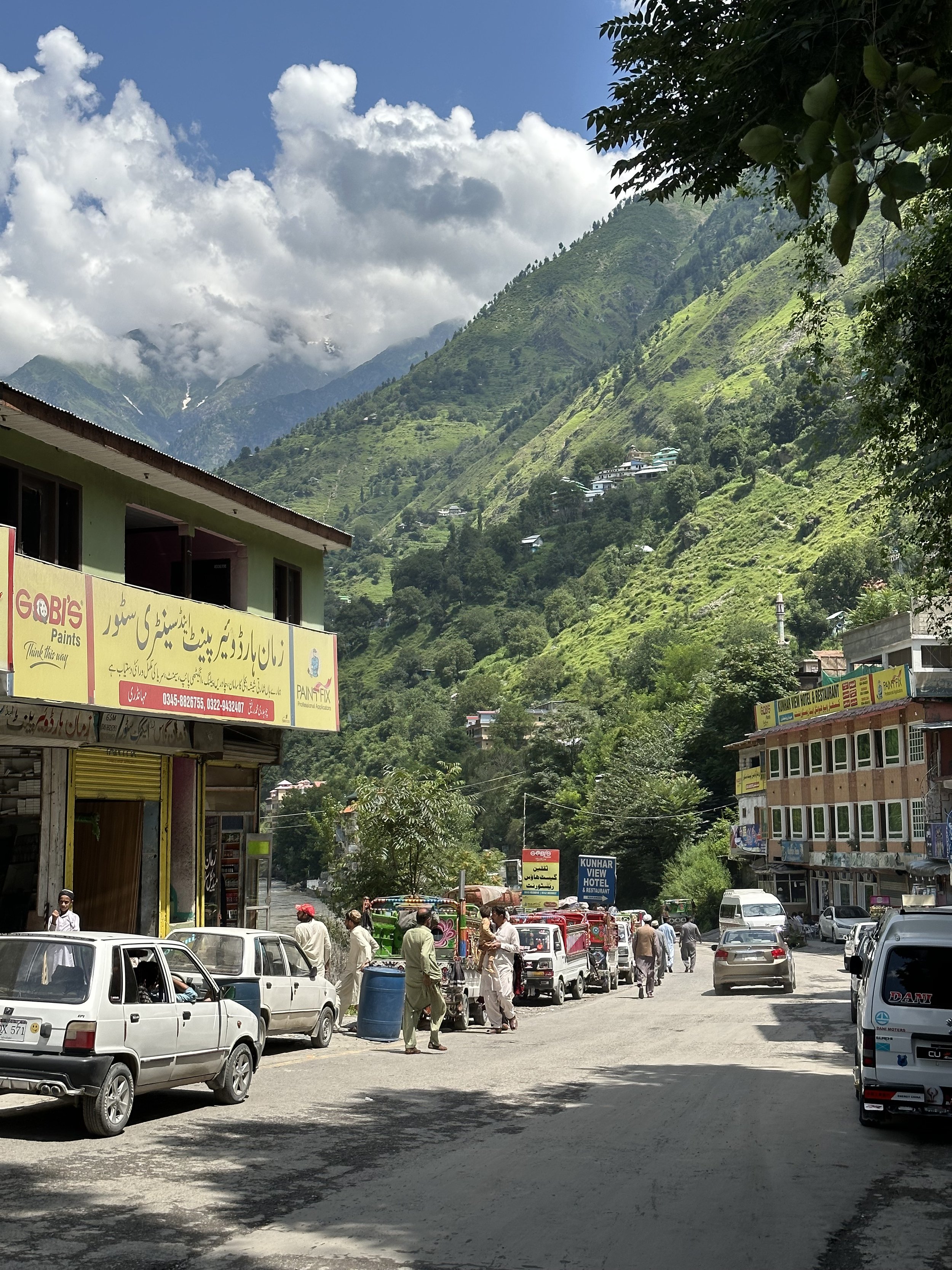
As we progressed along the Naran Valley, the scenery became grander and increasingly mountainous. We could see snow-capped mountains on the horizon far away. These peaks form part of the Himalayan Range. We were now surrounded by 4000m hills covered in lush pine forests and a lot of development! As we approached the town of Naran, there were more and more hotels, resorts and restaurants. There were a lot of tourists, and the traffic was bad. It was hardly a spot to relax.
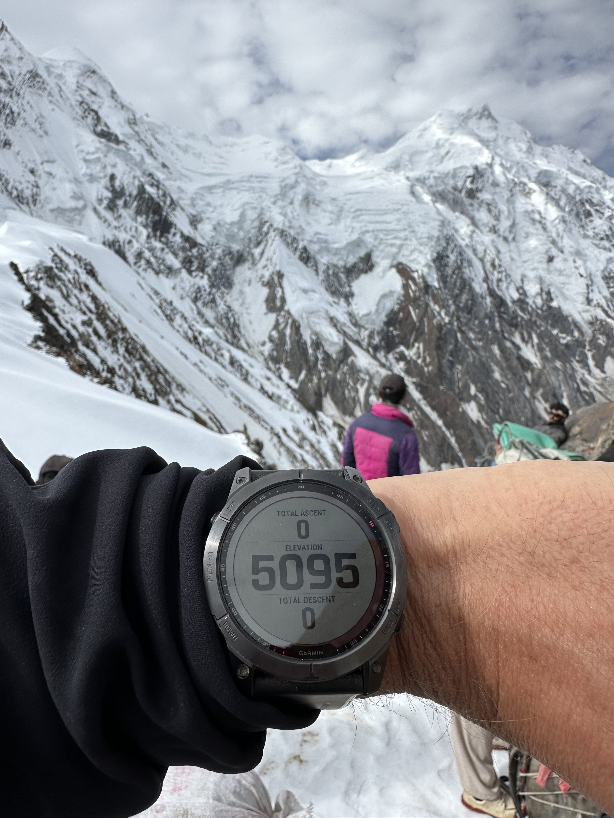
We arrived in Naran around 5pm and had a dinner for which I had no appetite, in one of the large hotels. We tried to find a place to overnight, but everything was booked up. We continued to Babusar Pass at 4000m. Despite speeding, we arrived at the pass in the dark which was unfortunate as the scenery from the Pass would be interesting to see. There were still large patches of snow on the pass, and it was much colder which gives an idea of the amount of snowfall in this area during the winter and spring.
From the pass we descended endless switchbacks to the Kagan Valley and stayed in the old PTDC Guesthouse where we were the only guests. The rooms were nice, cold but comfortable. In the morning we continued to Chilas through a scenic Kagan Valley with old villages clinging to the steep valley. This is a Pashtun area, and the people look different. Their villages look medieval. I would have liked to stop for some photos, but our driver was racing at full speed. By the time I saw something interesting, we were already 5 km ahead.
On exiting the Kagan Valley, we stopped at a police checkpoint where a curious policeman was quite inquisitive about my trip.
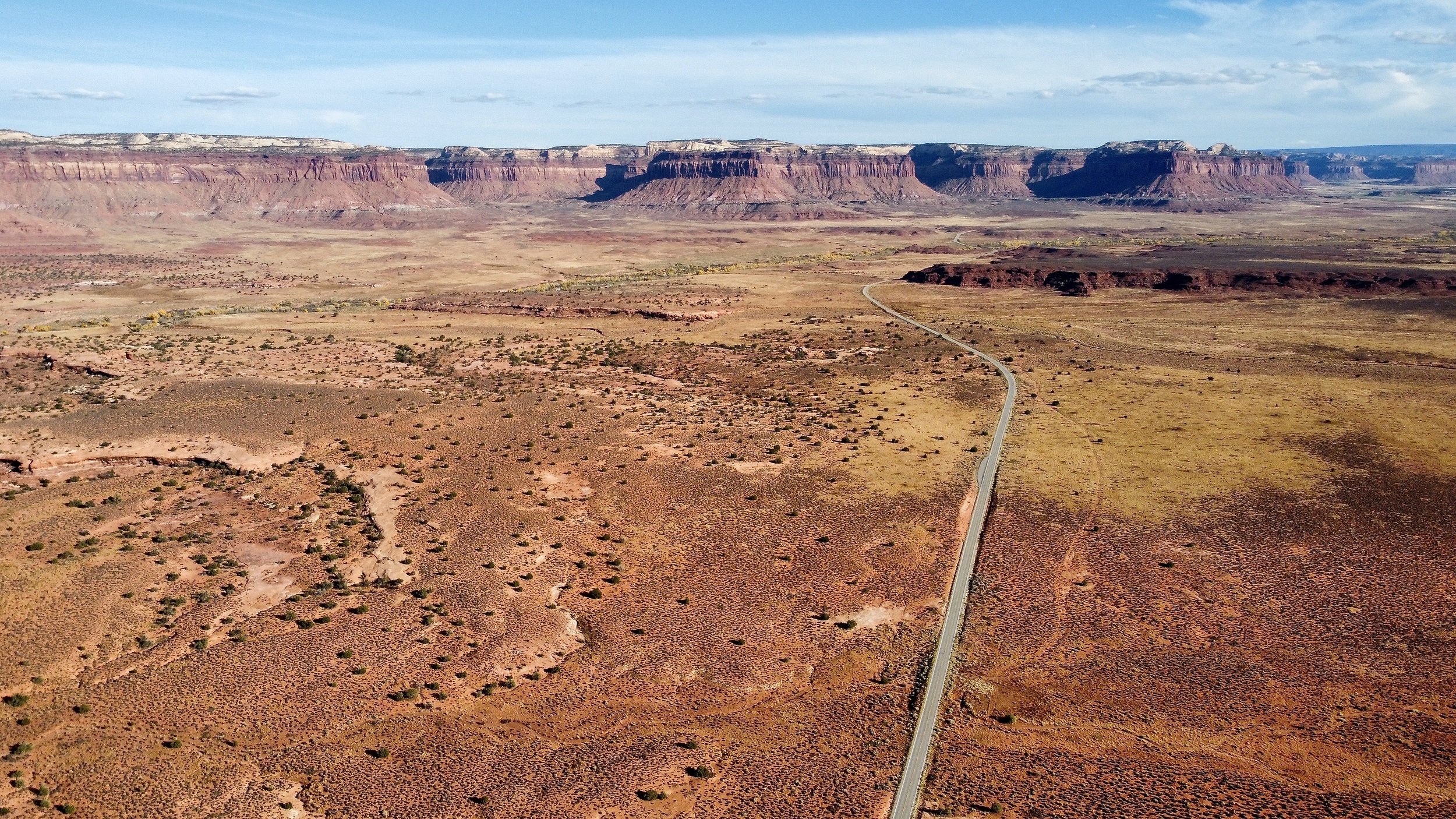
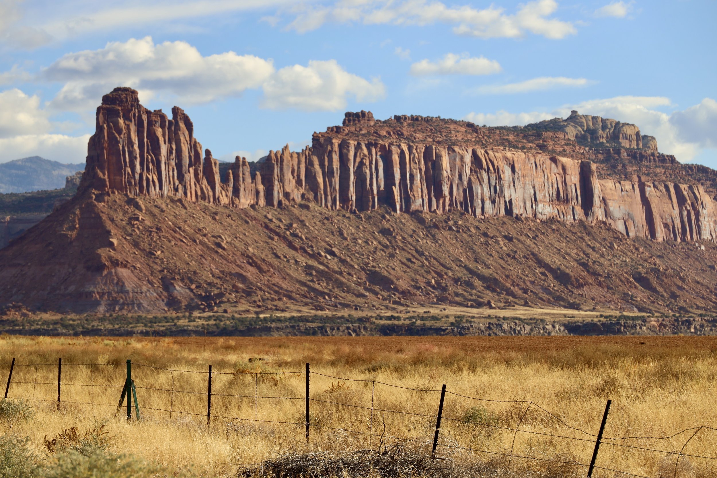
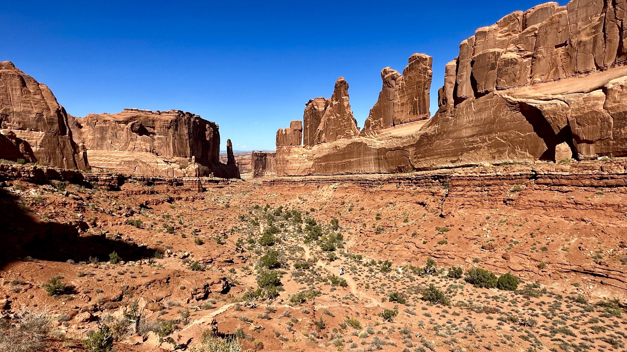
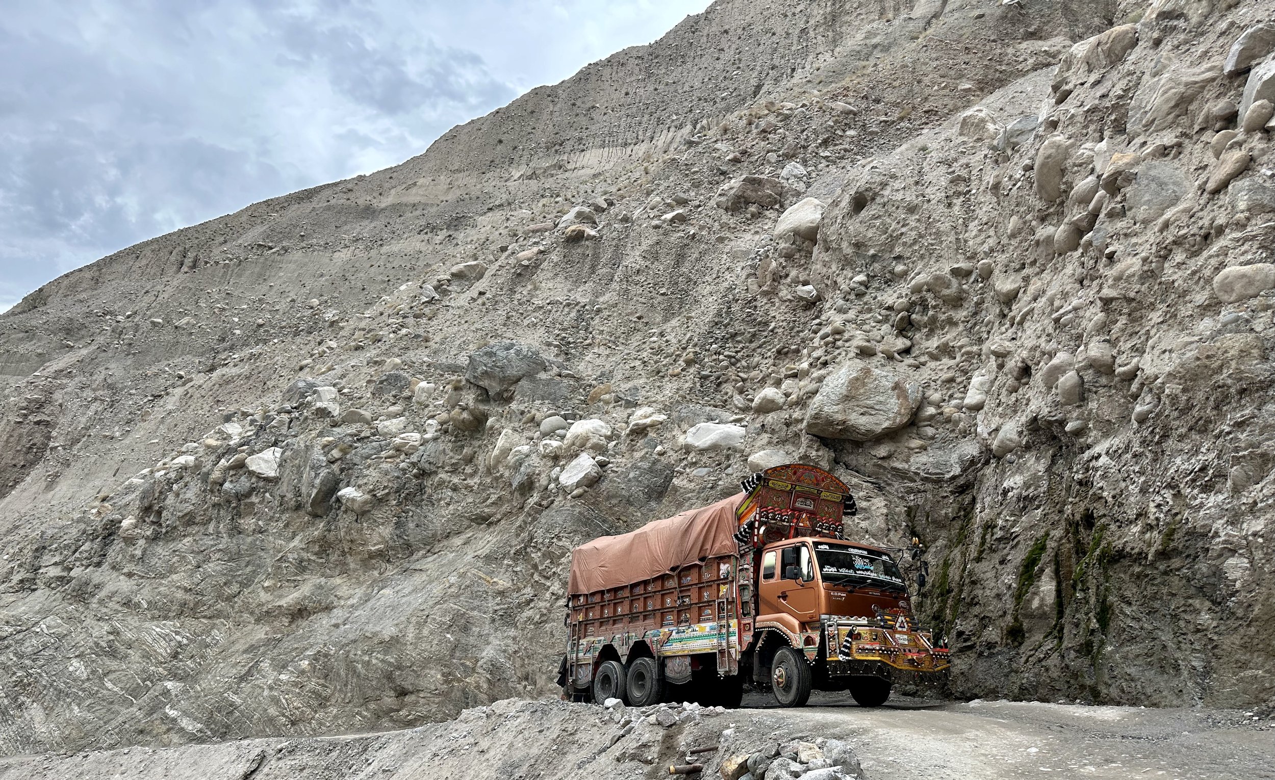
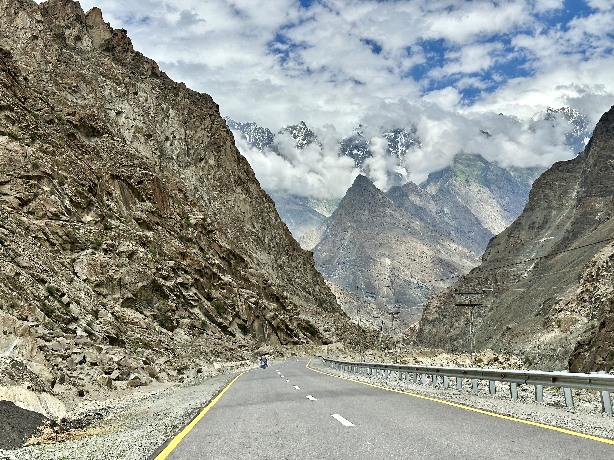
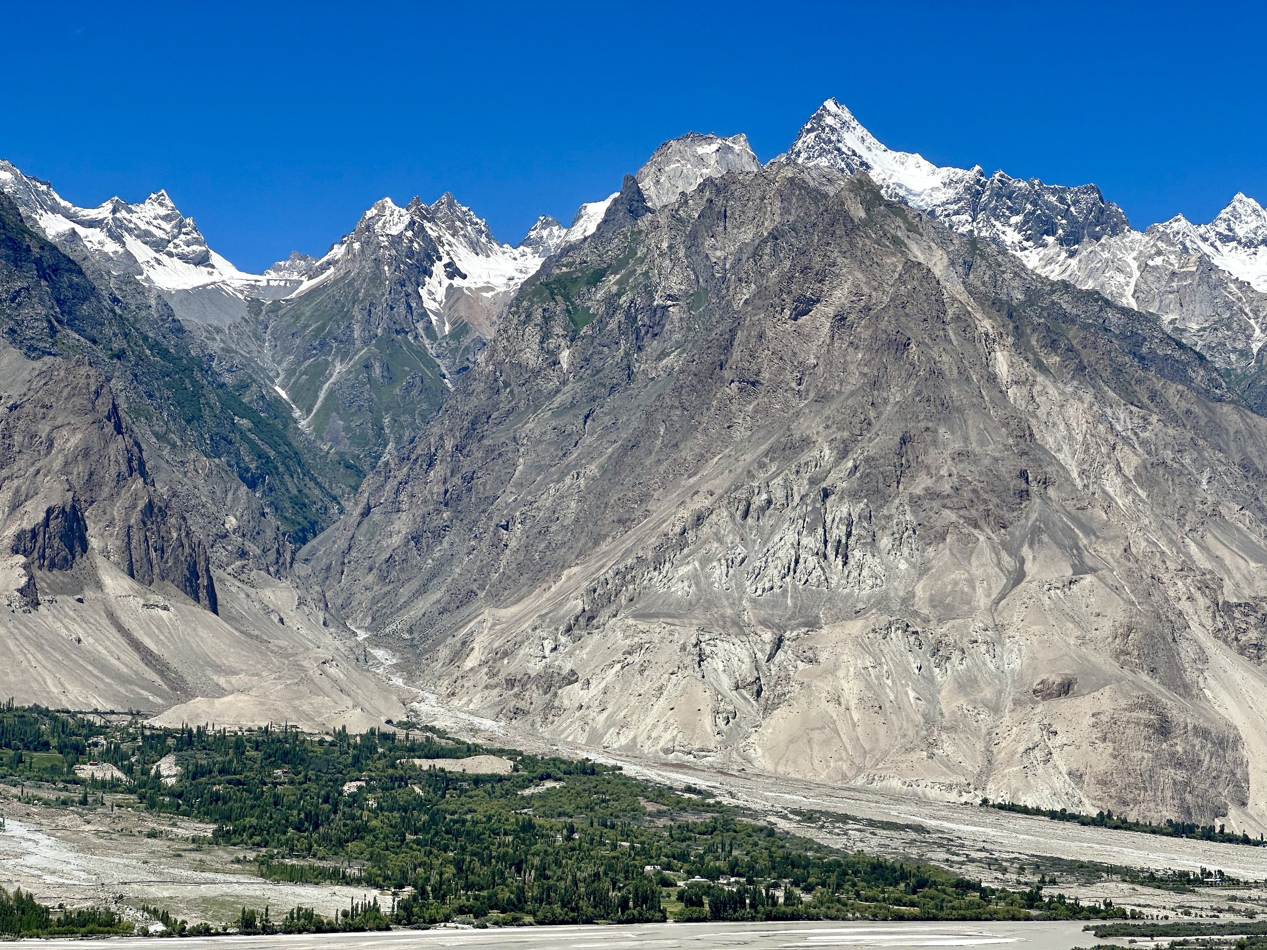
In Chilas we rejoined the old Karakoram Highway and it started to feel somewhat familiar. I really like this drive and I think it is much more interesting than flying. It gives you time to transition from the city to the mountains. It passes though some interesting villages and towns and the scenery is spectacular. I felt happy to be back on the KKH and in Northern Pakistan. The road has been vastly improved and our driver took good advantage of it by speeding up to 120km/h (this would be impossible in 2005).
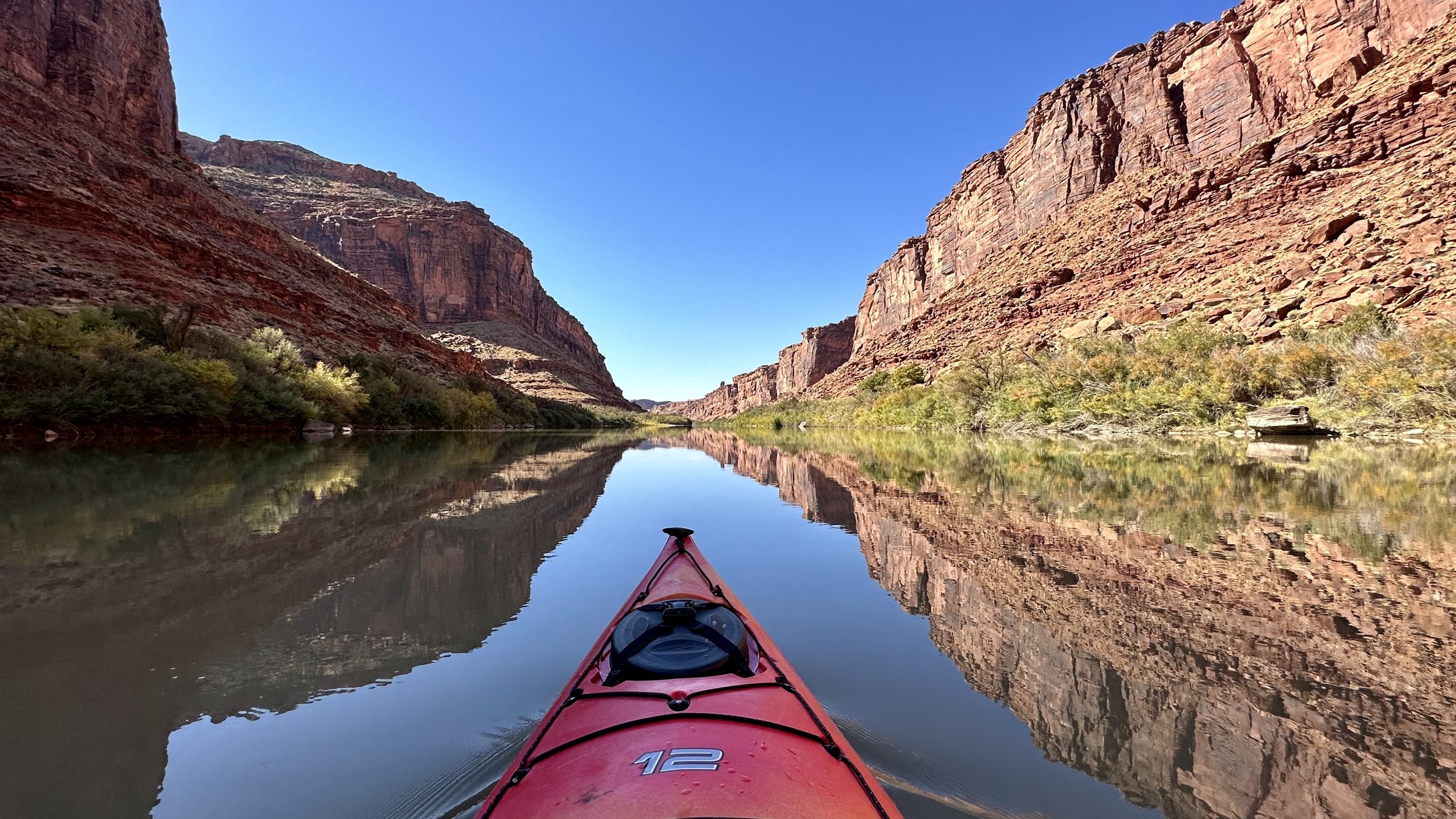
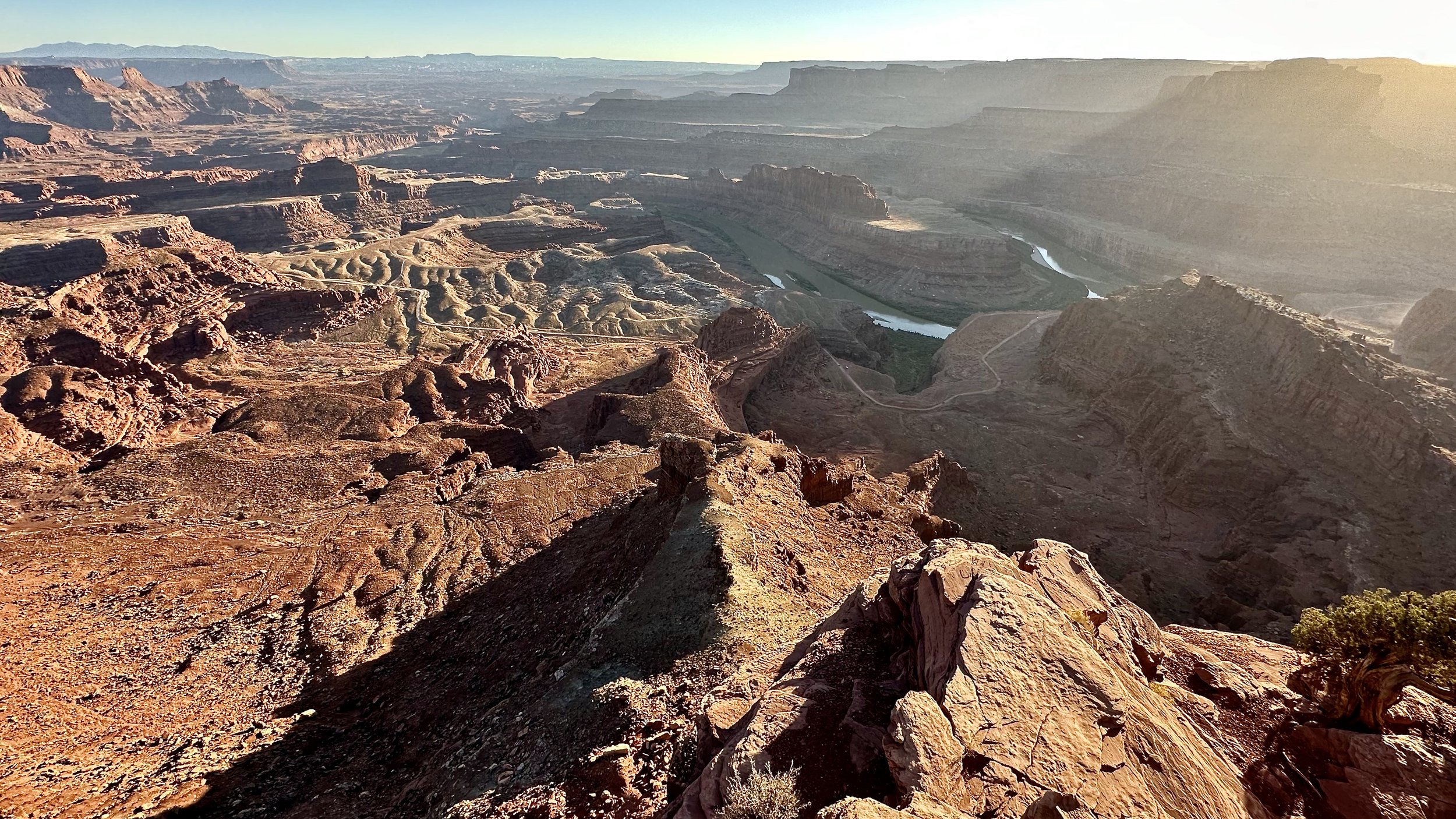
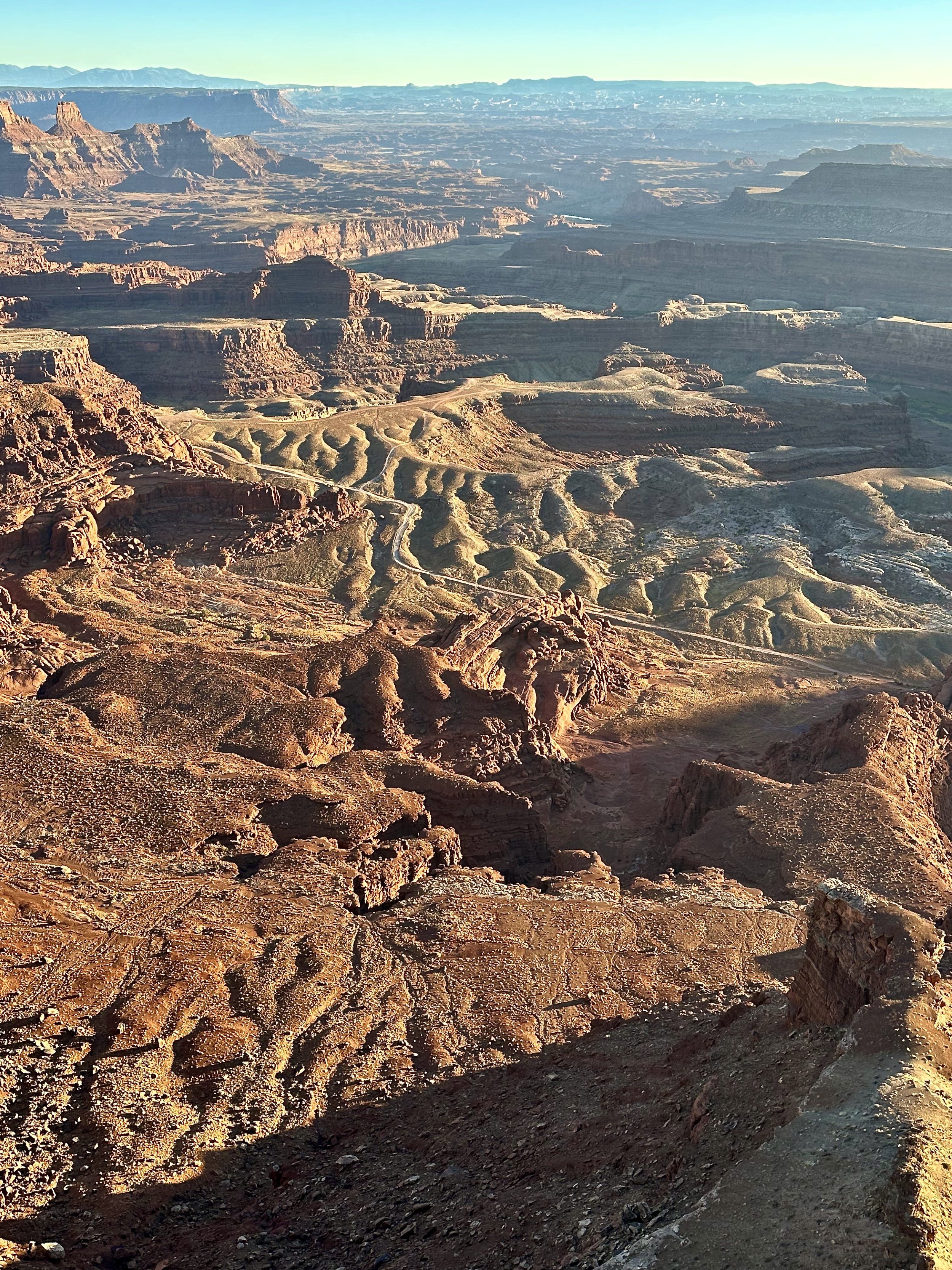
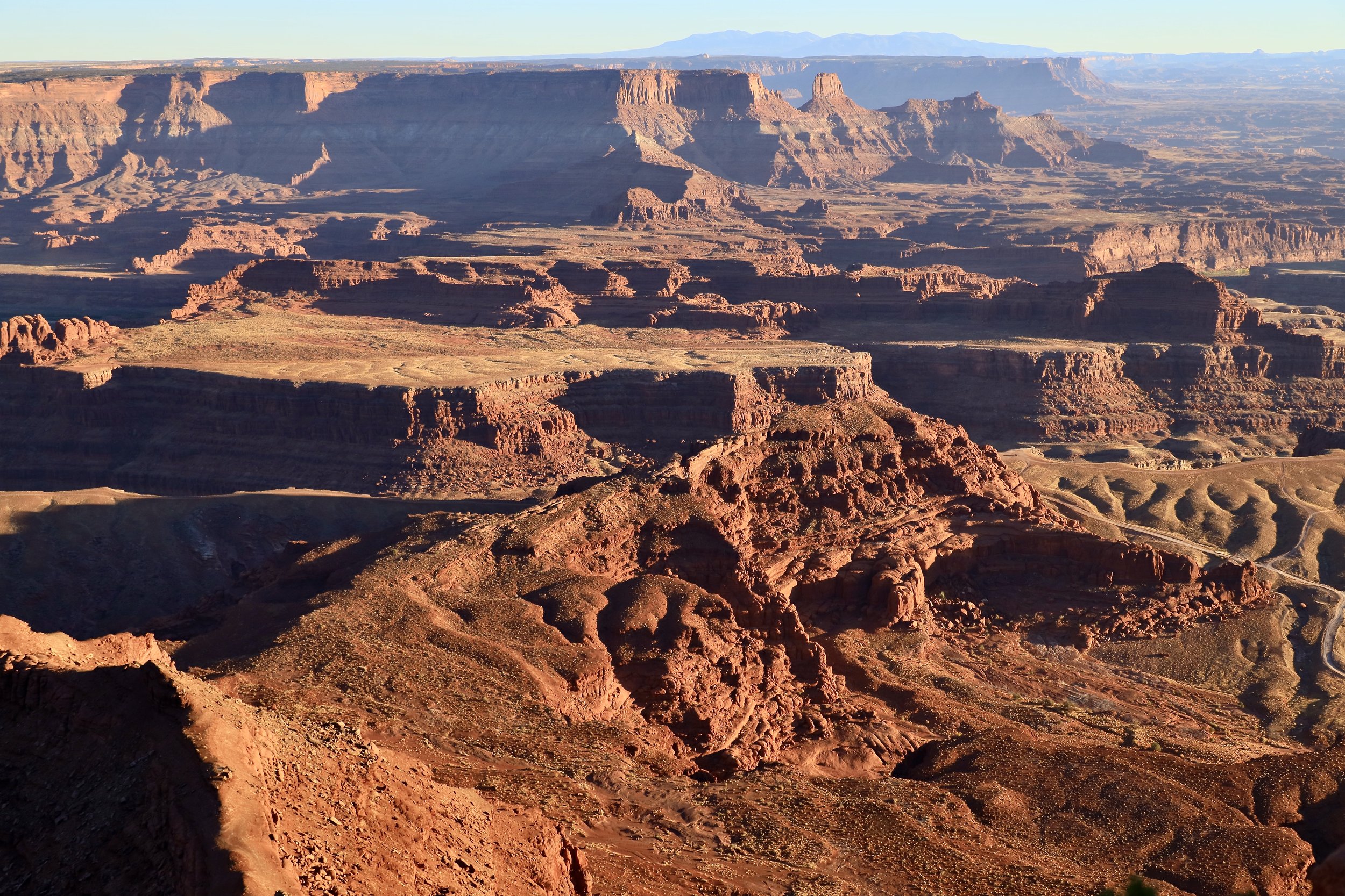
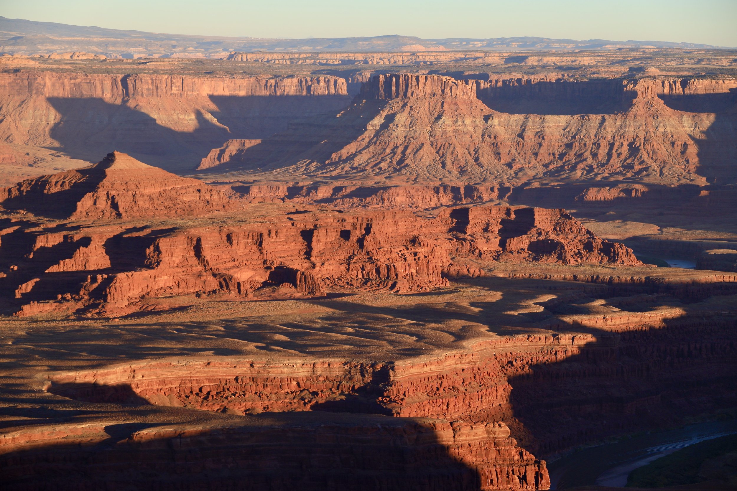
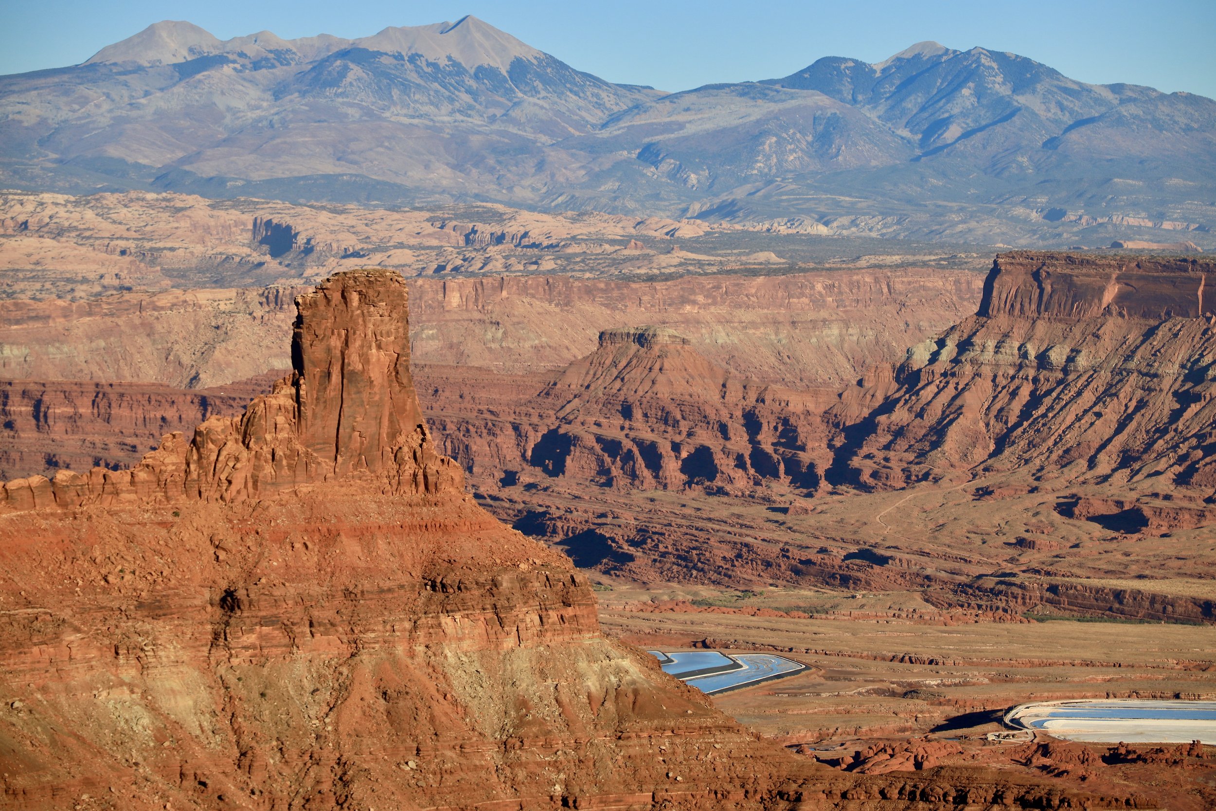
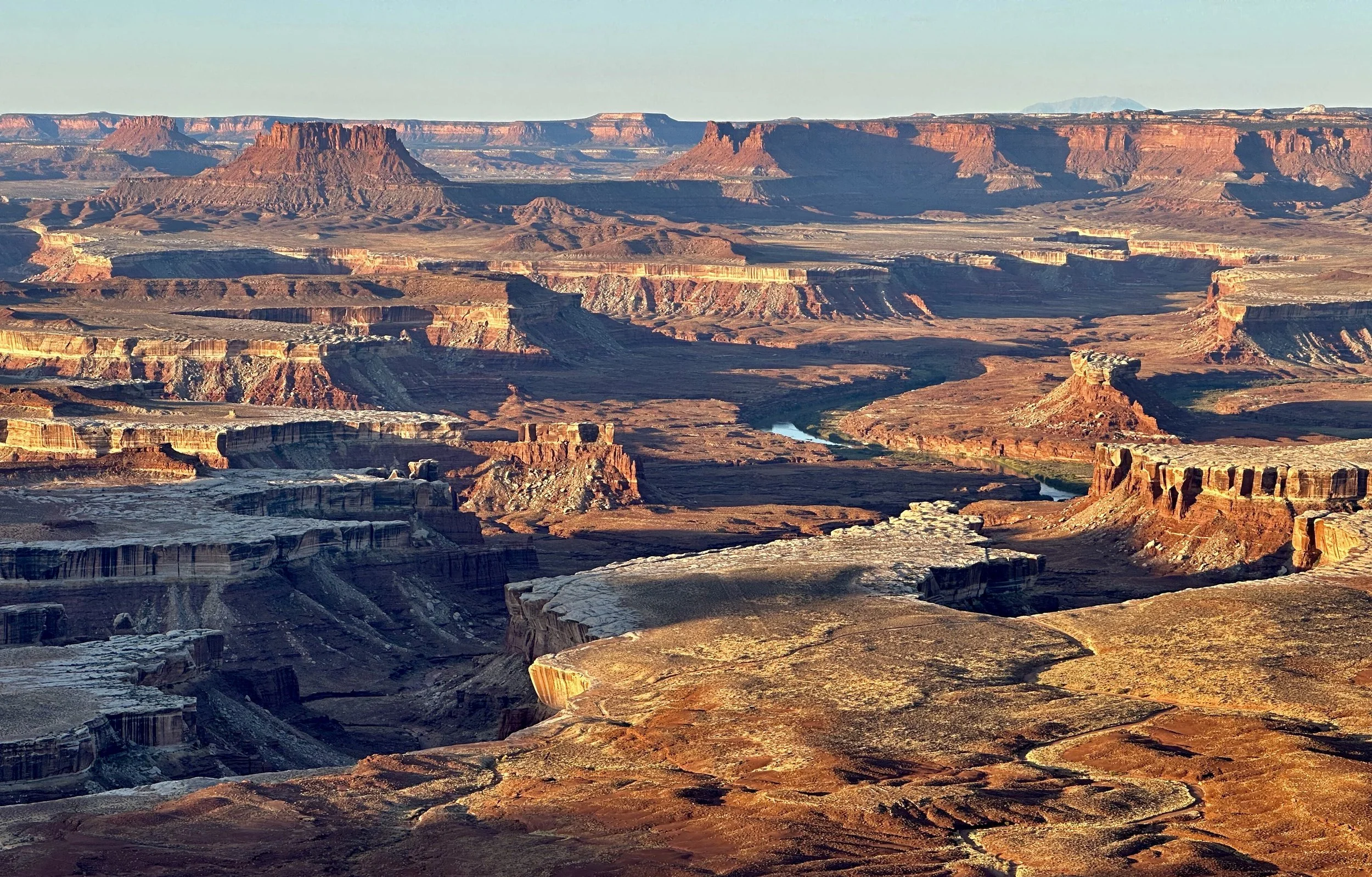
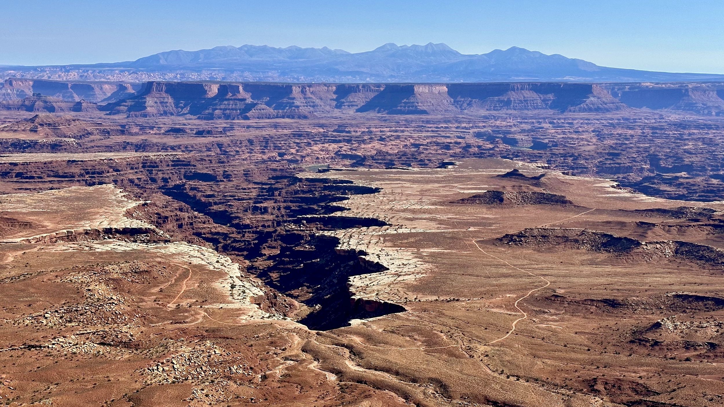
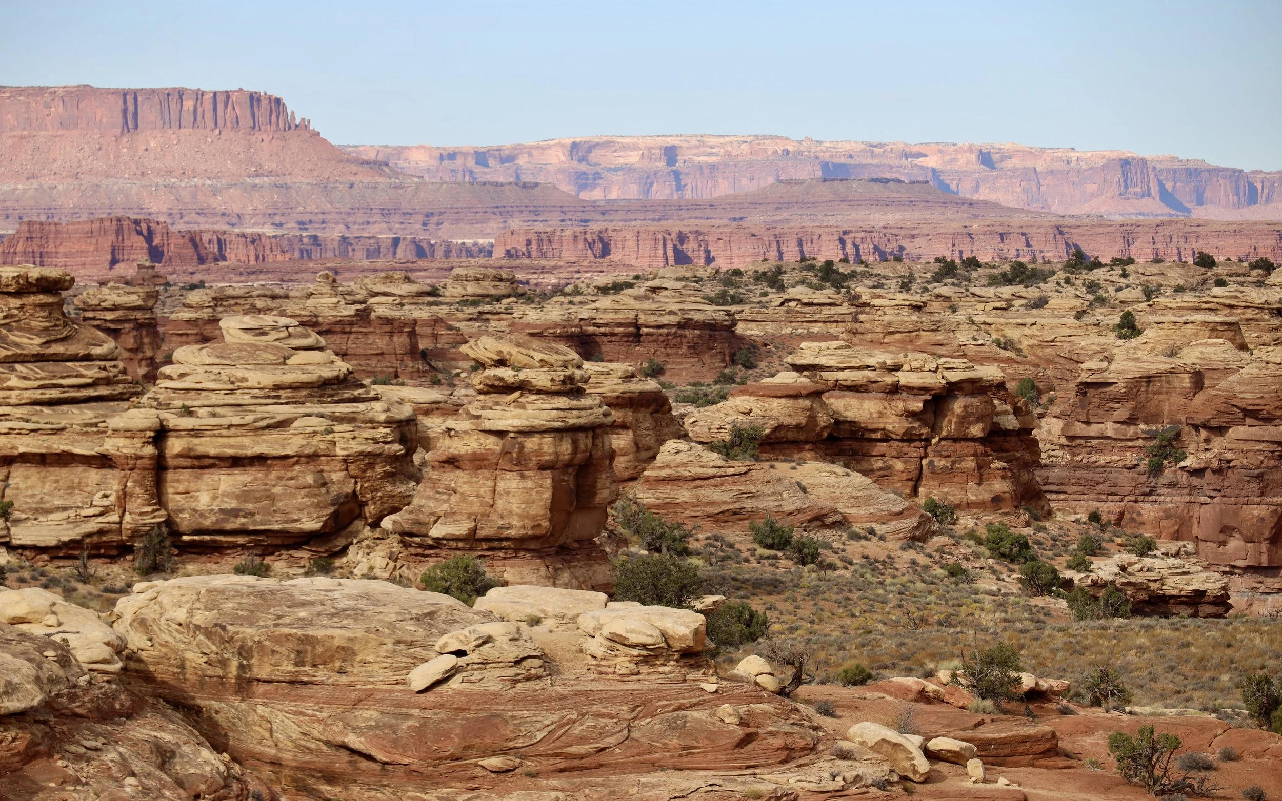
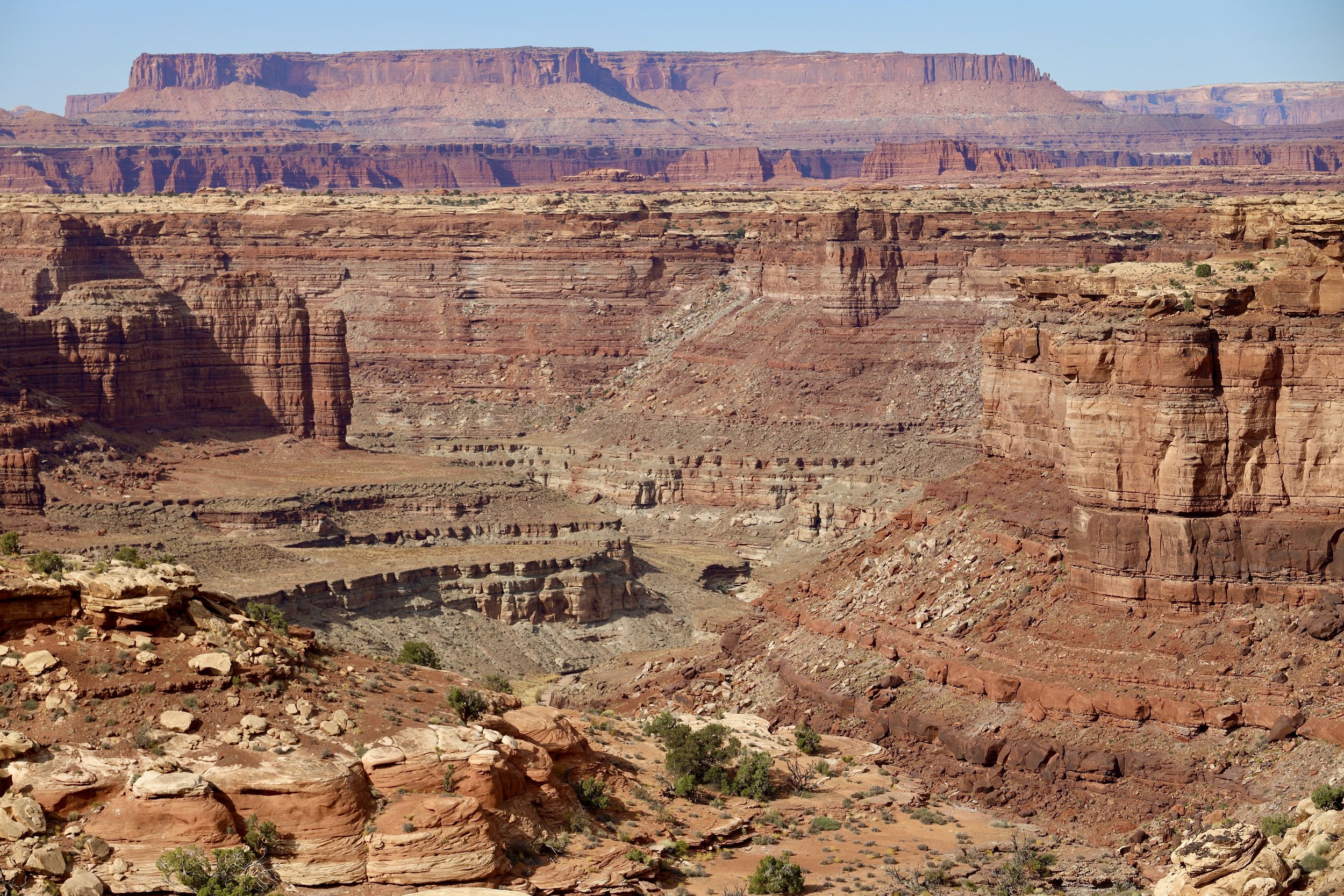
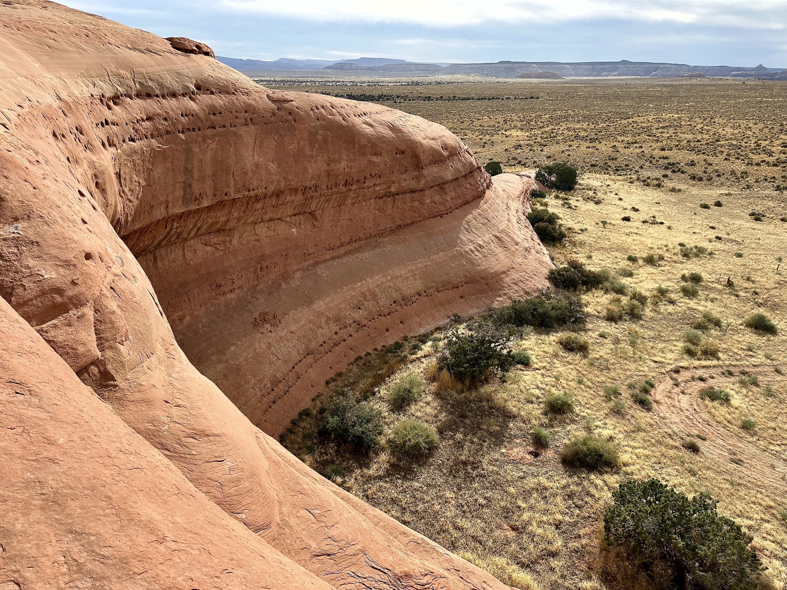
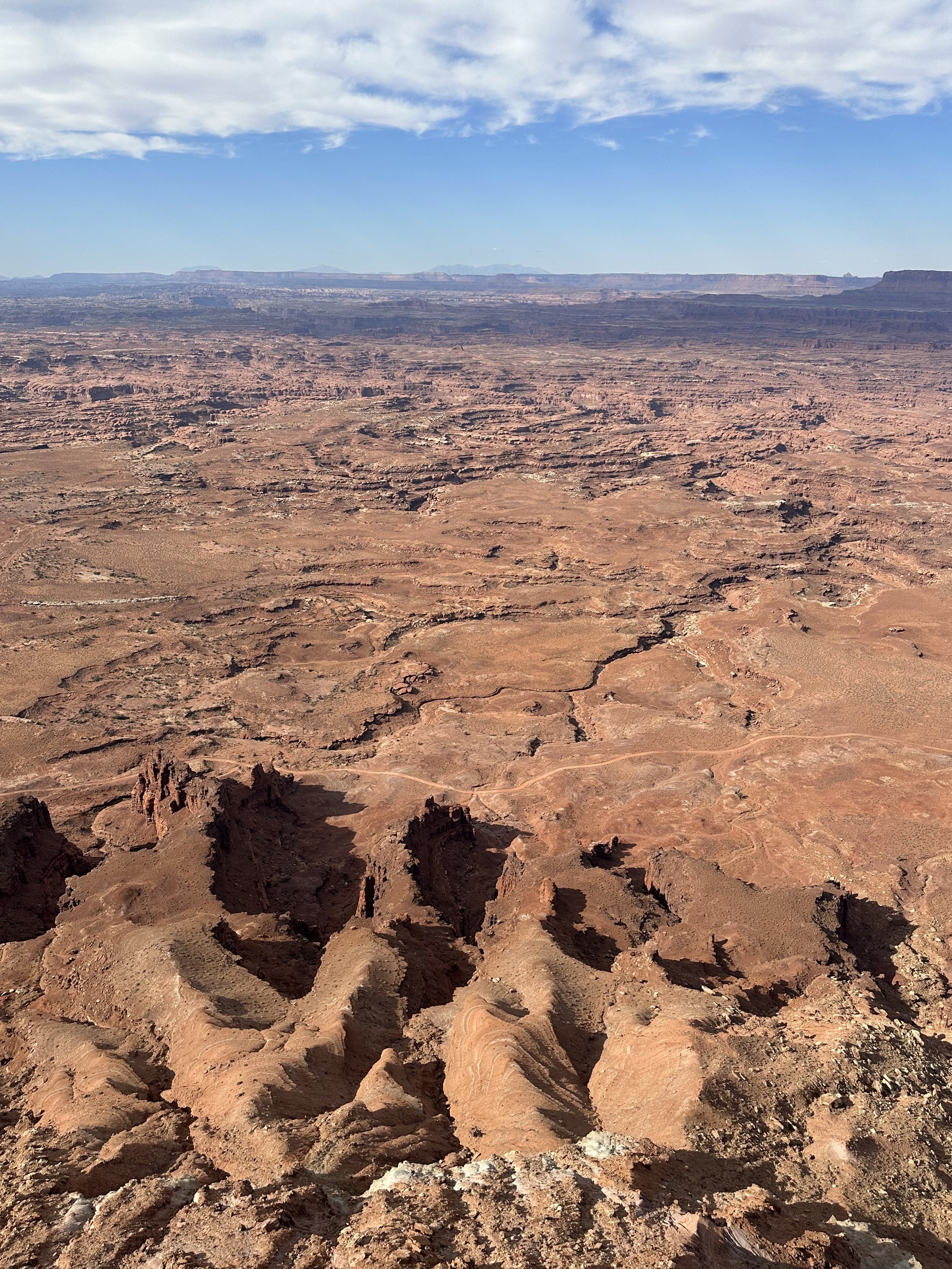
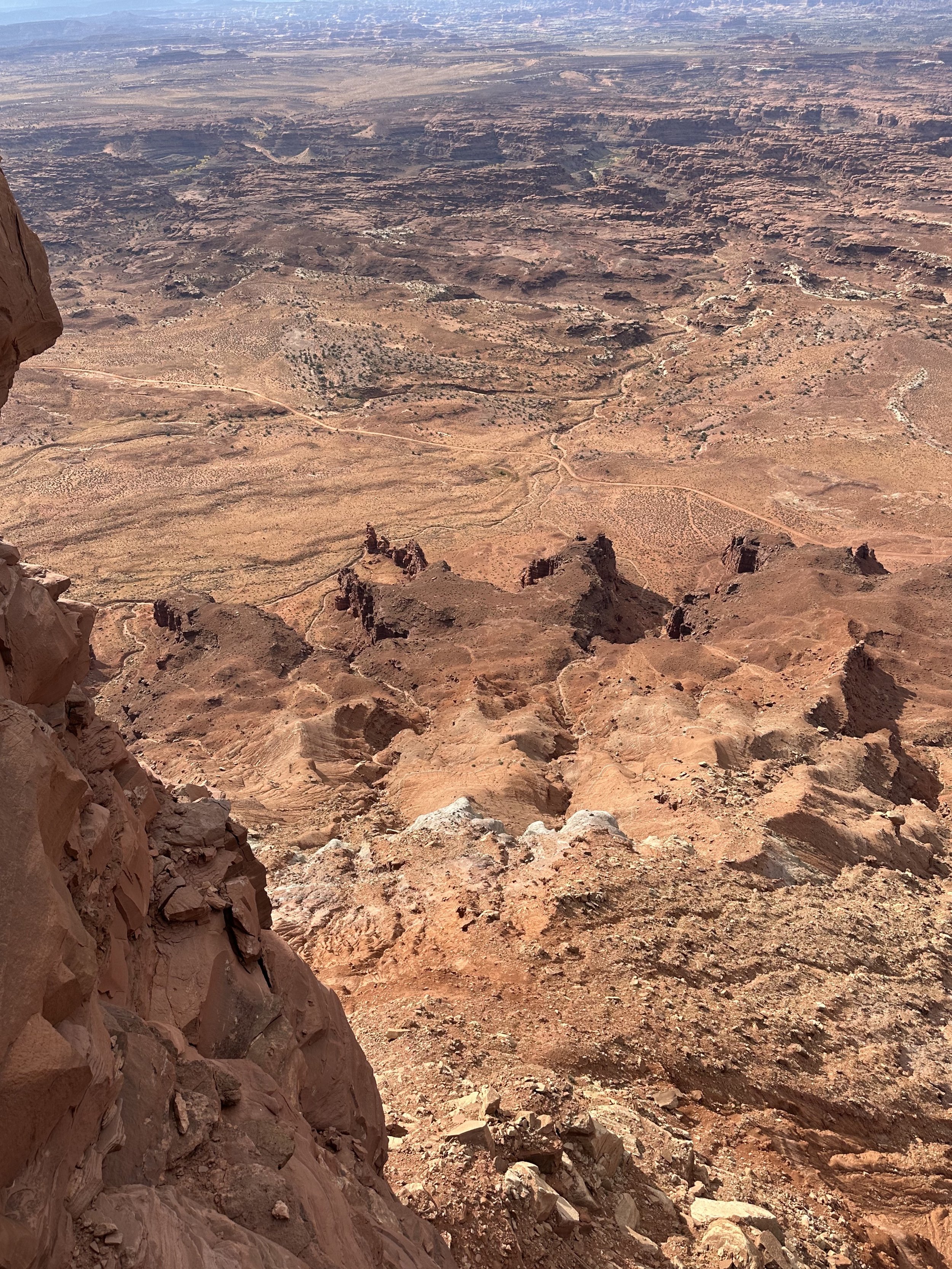
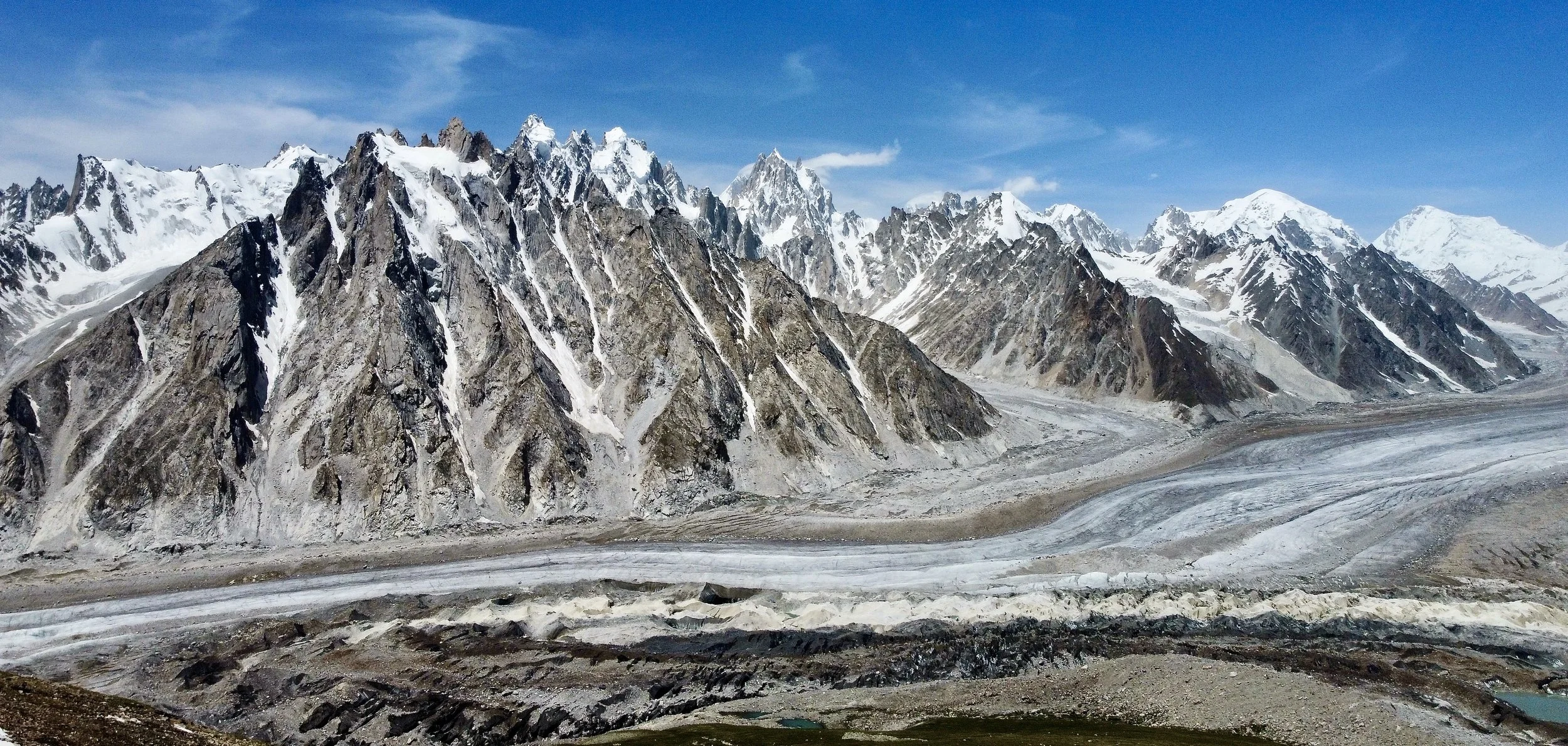
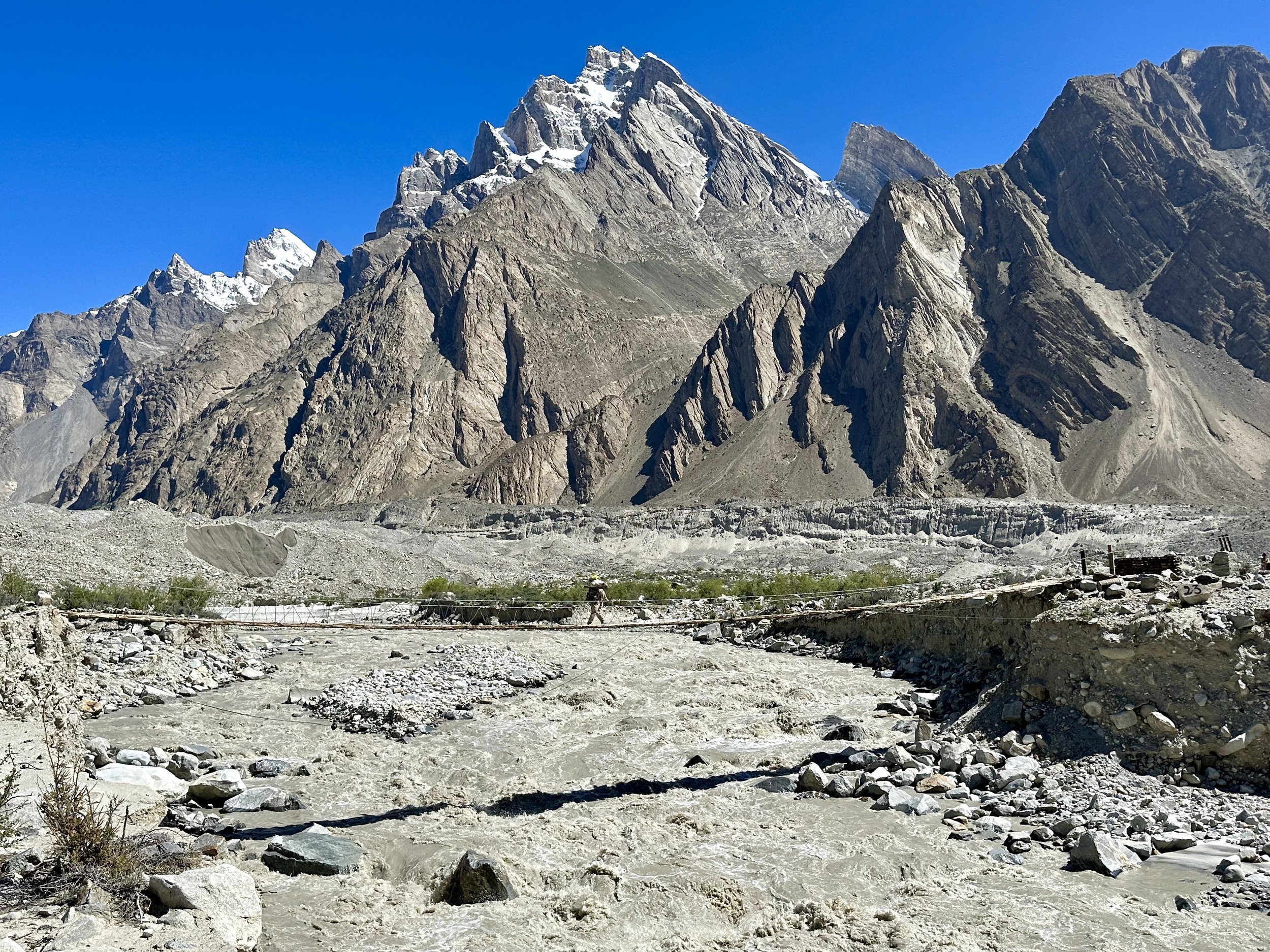
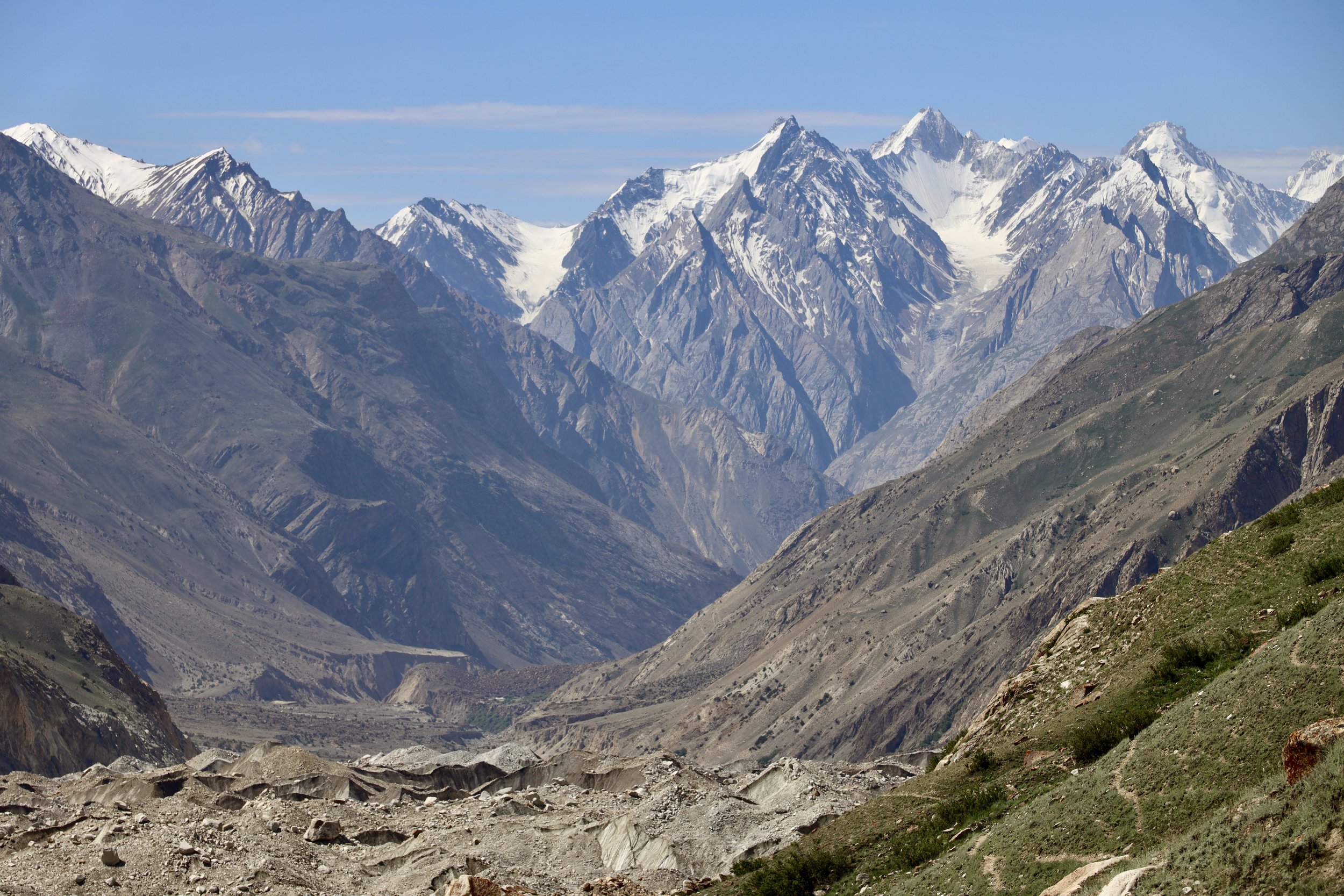
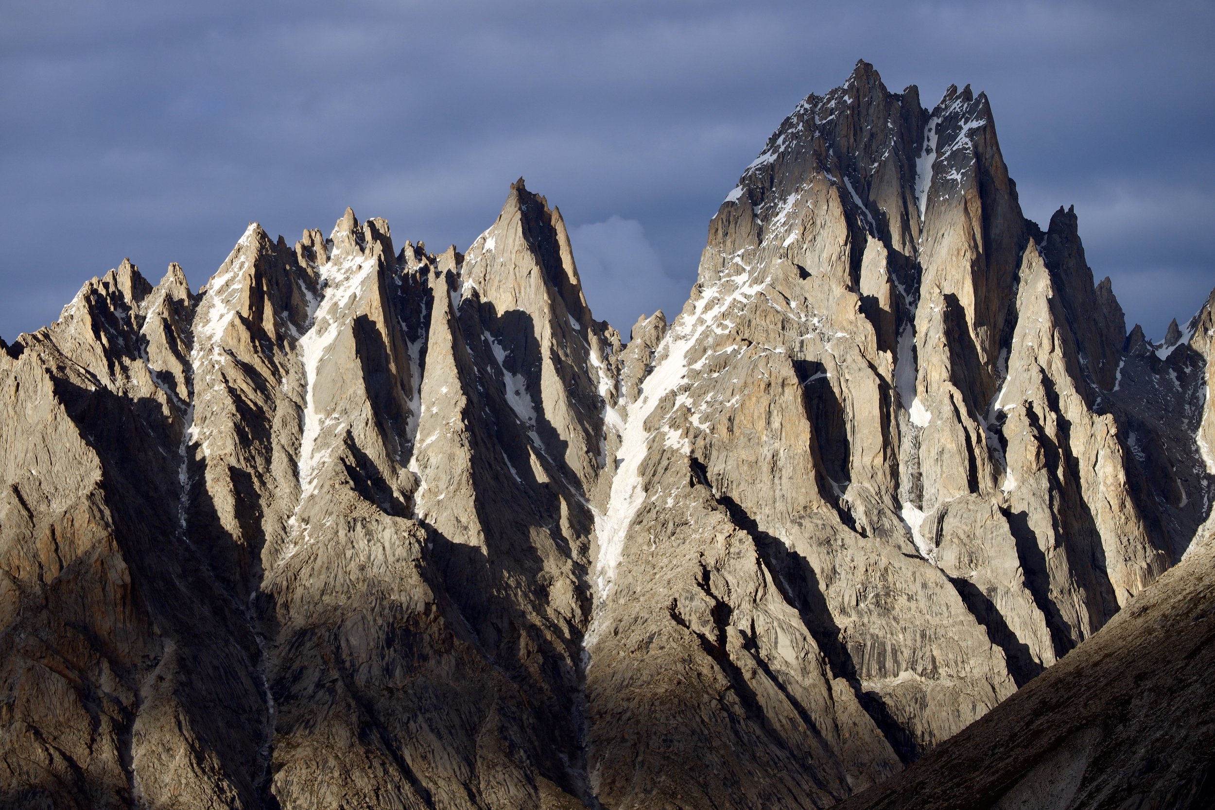
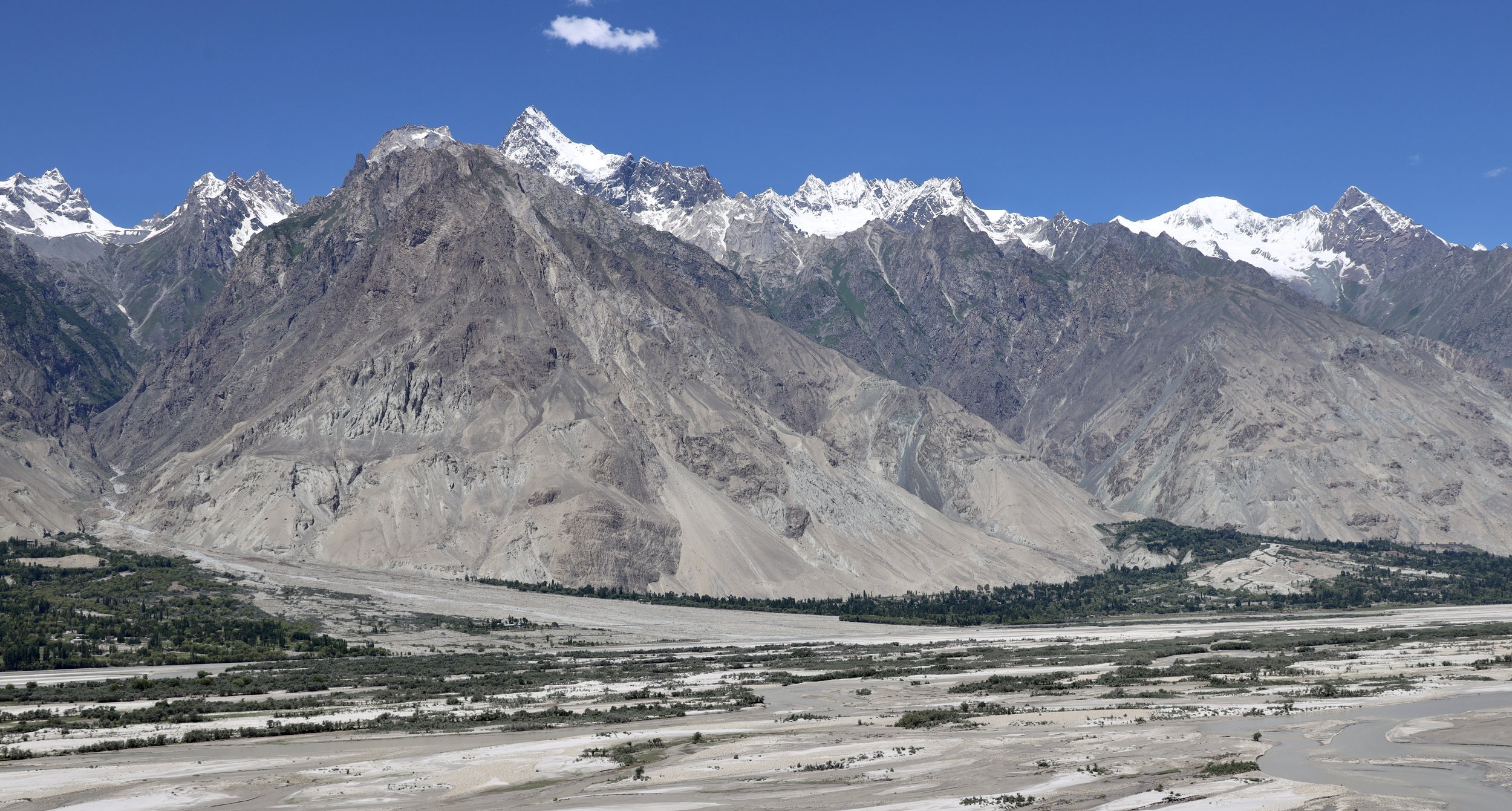
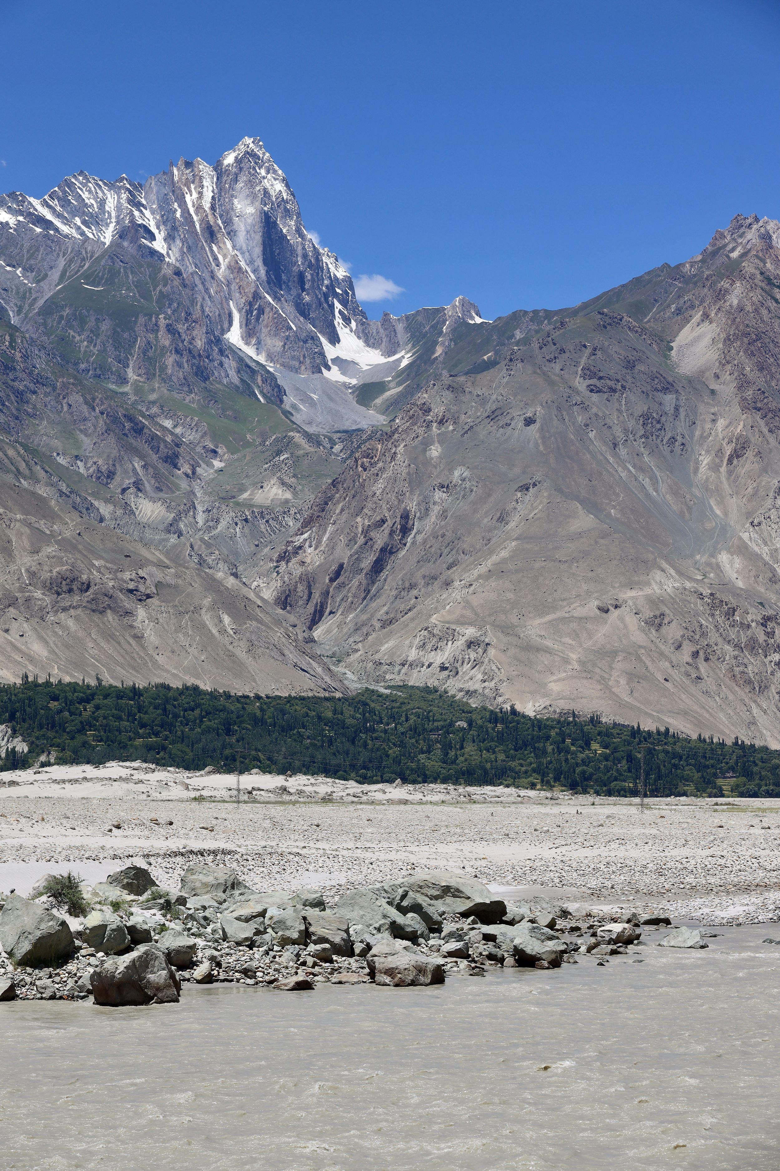
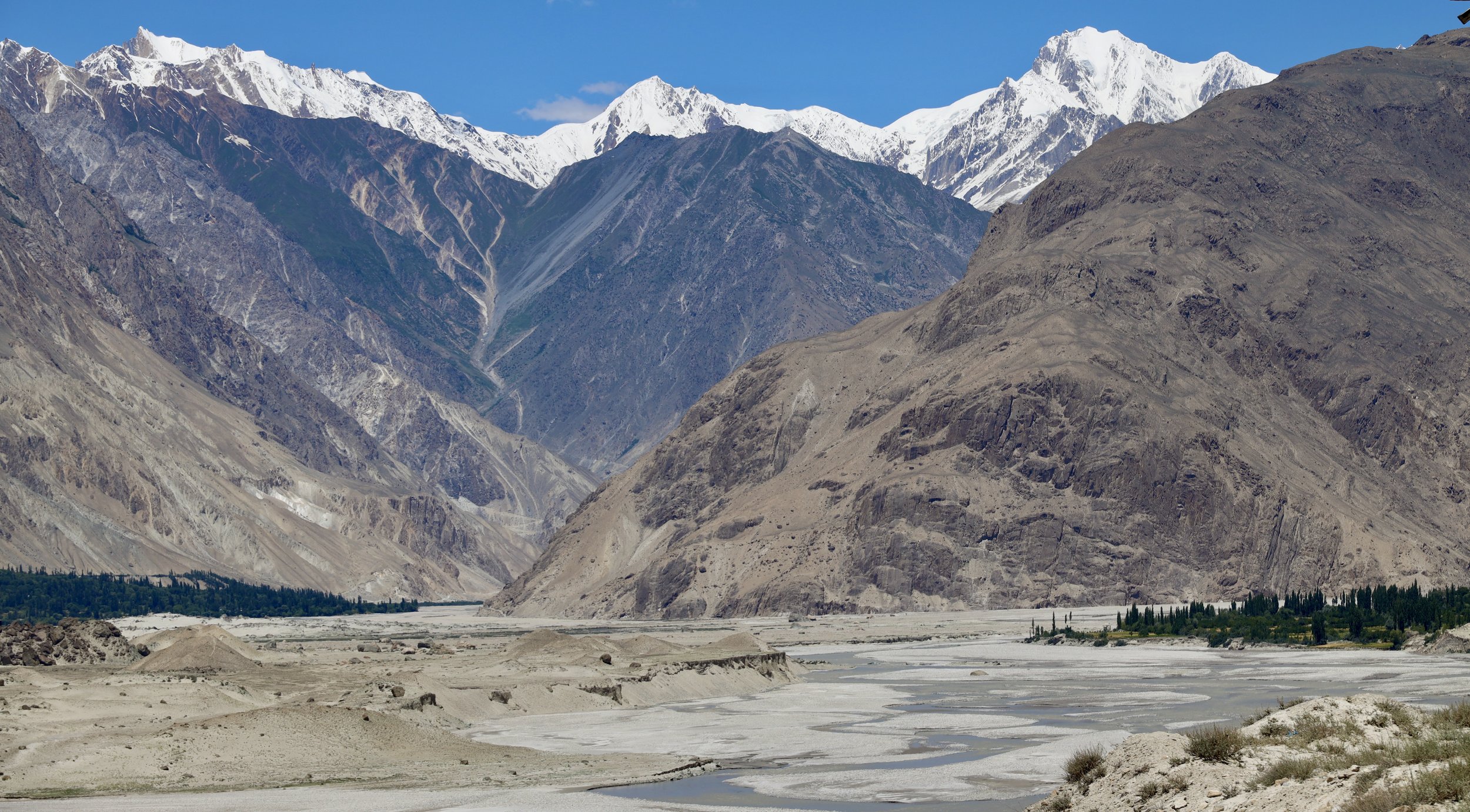
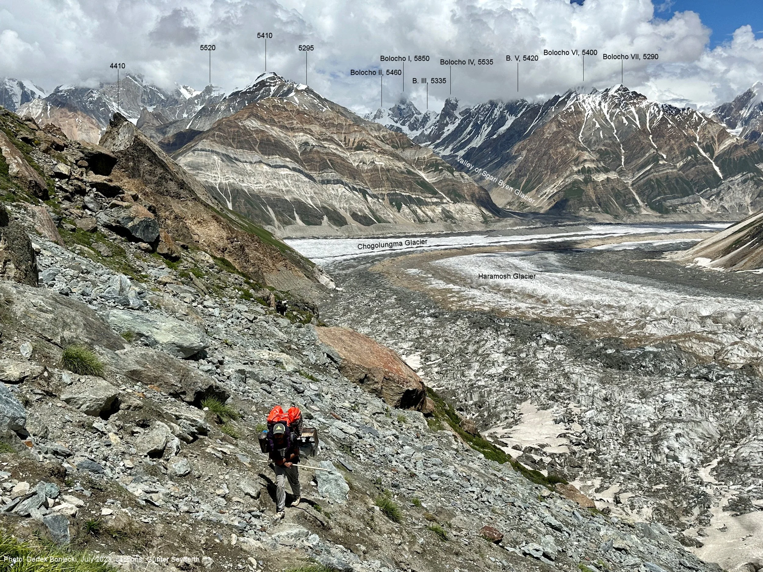
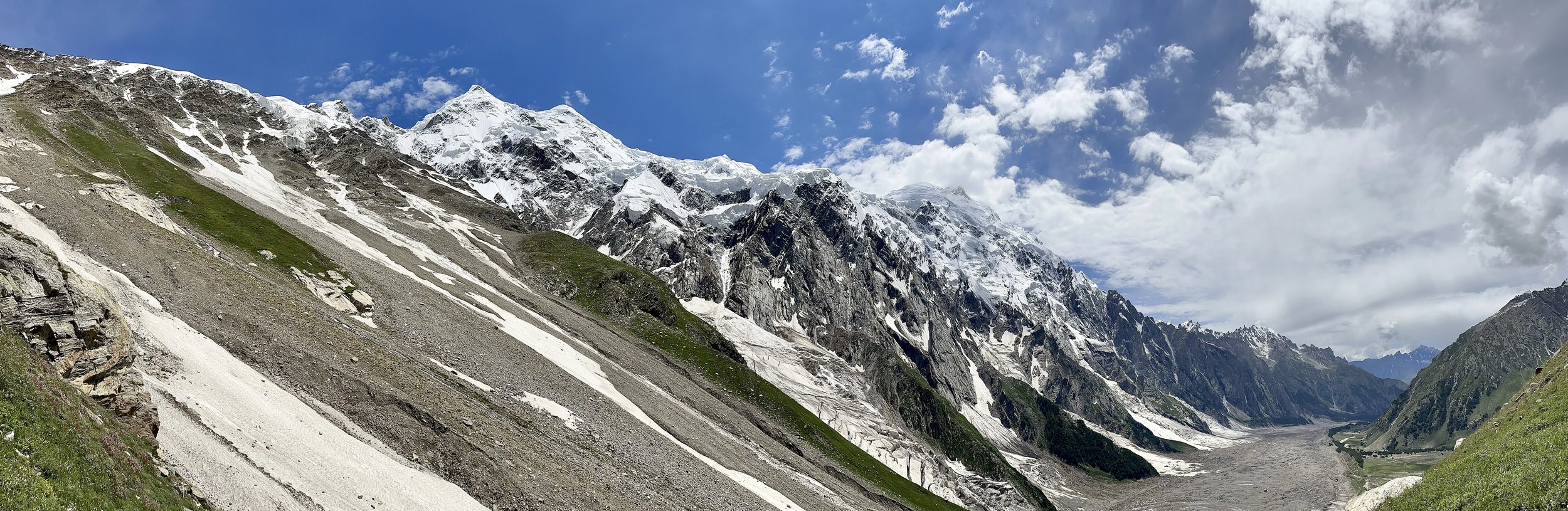
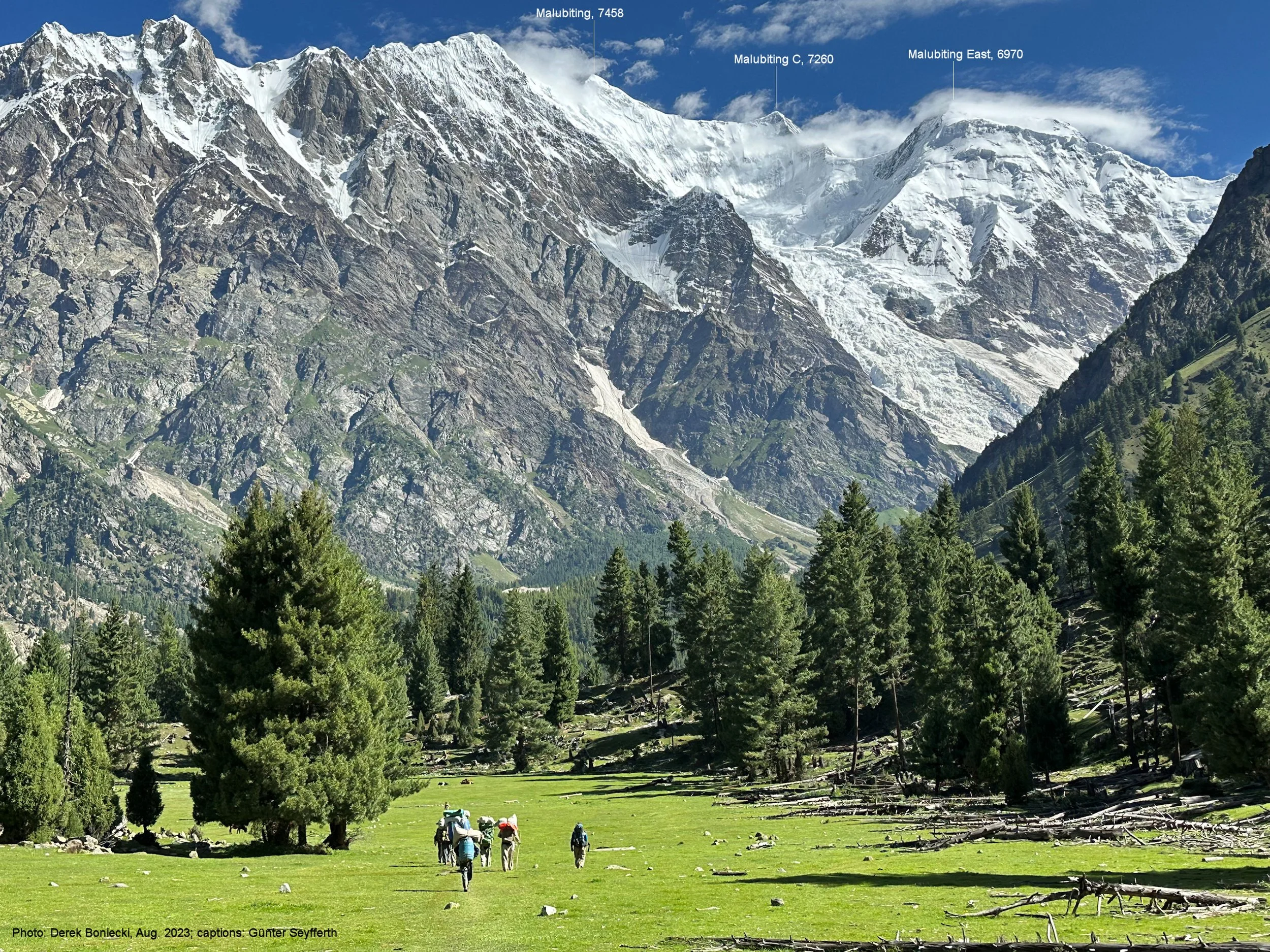
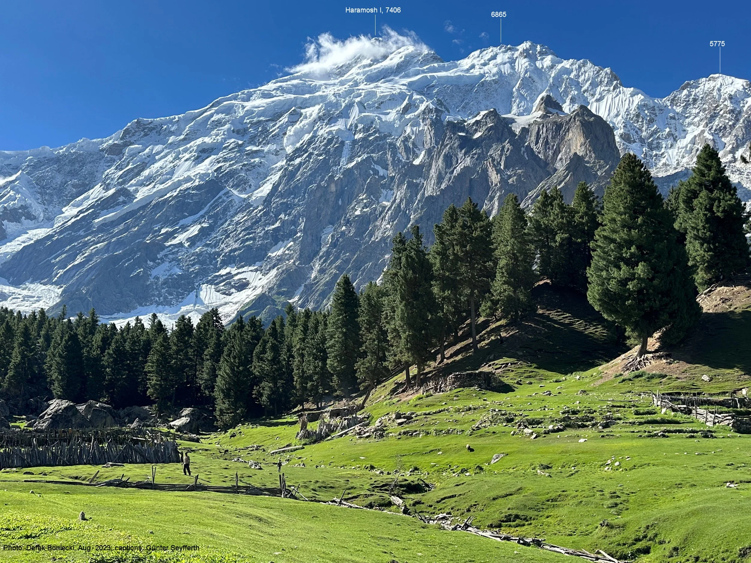
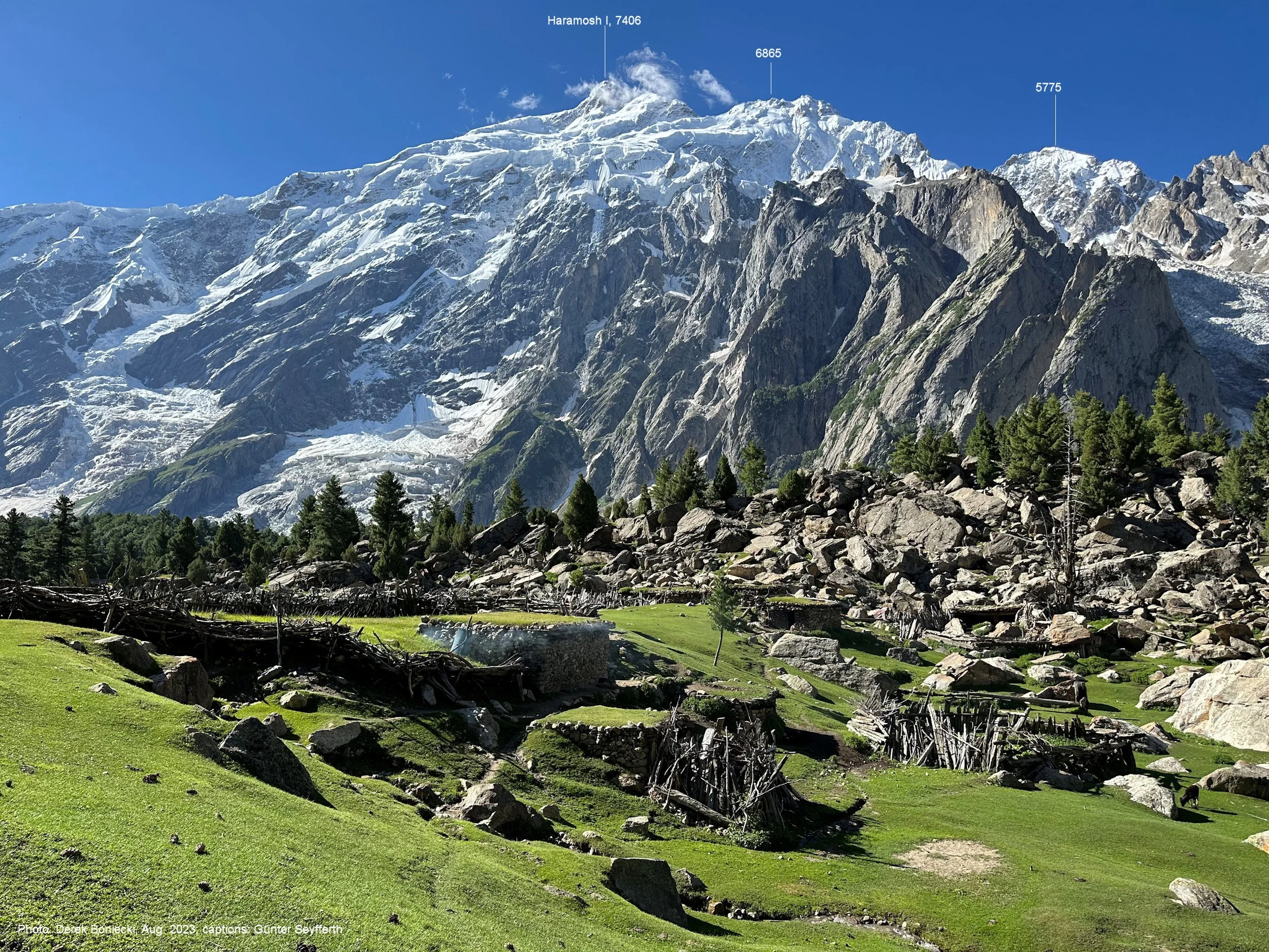
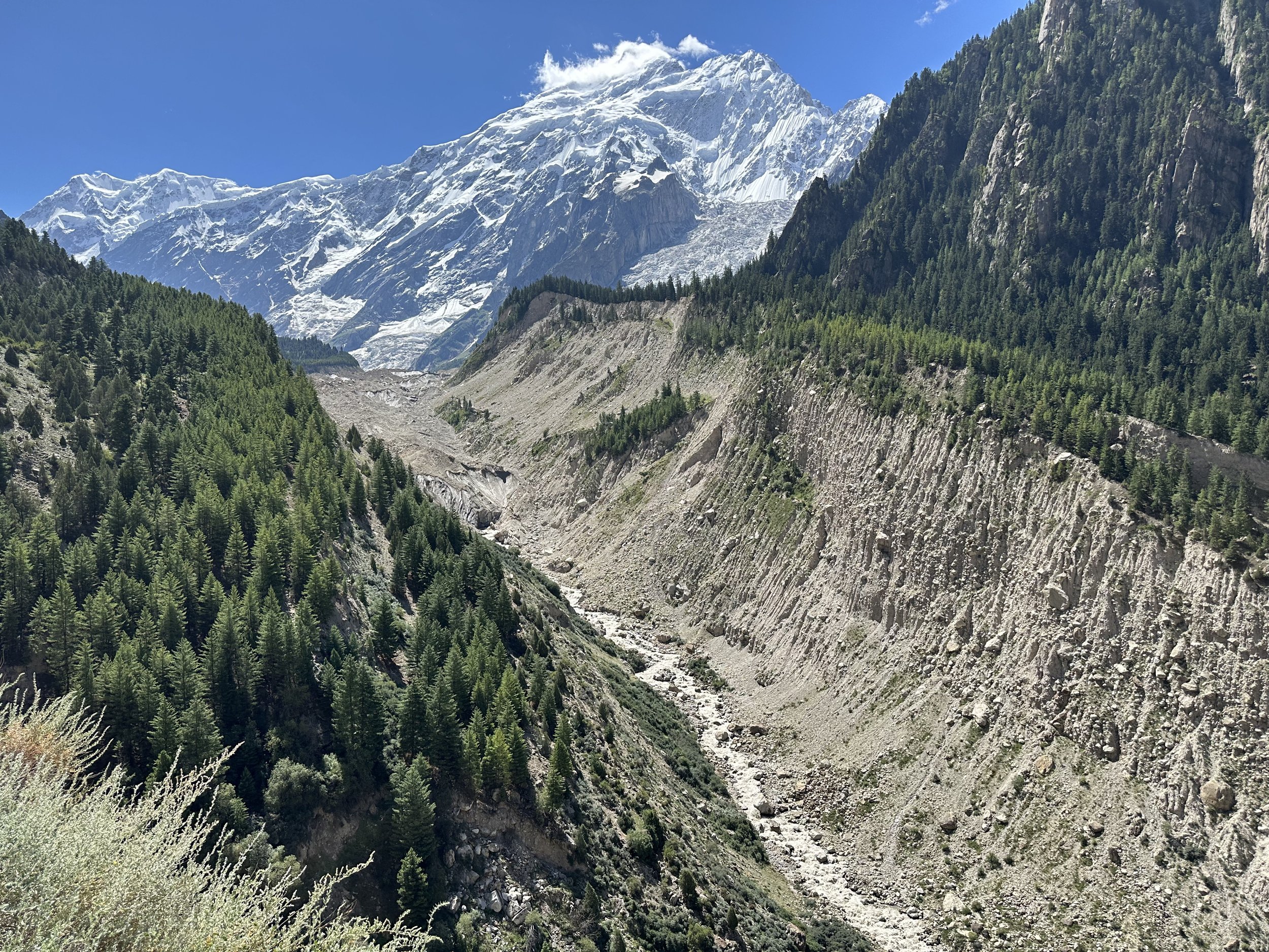
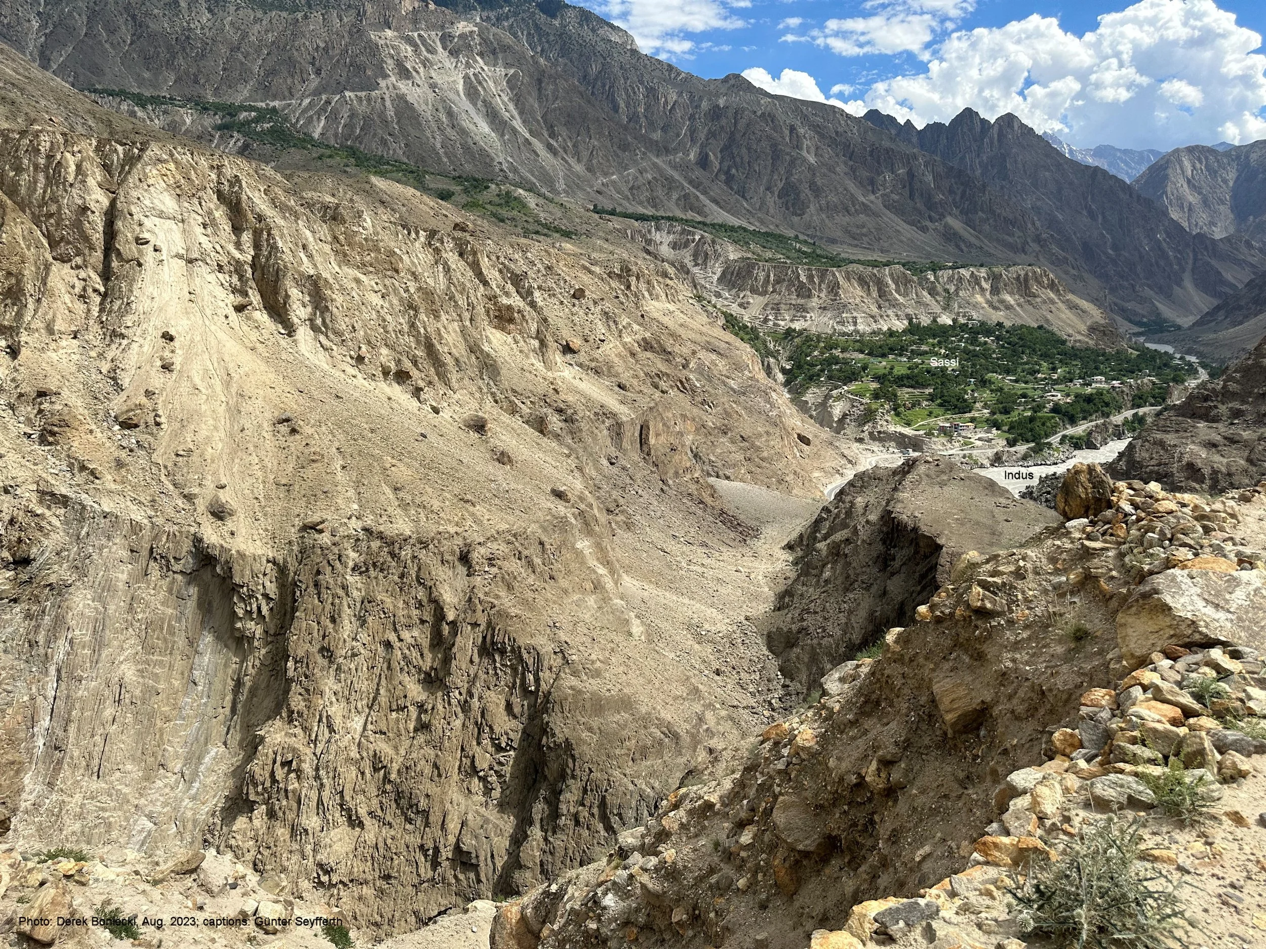
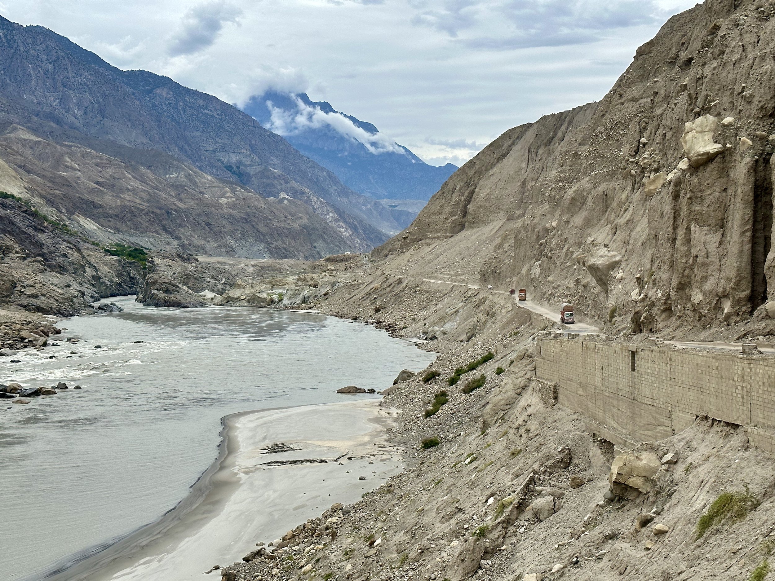
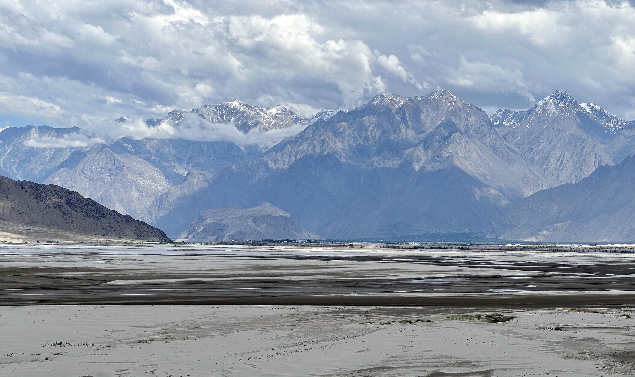
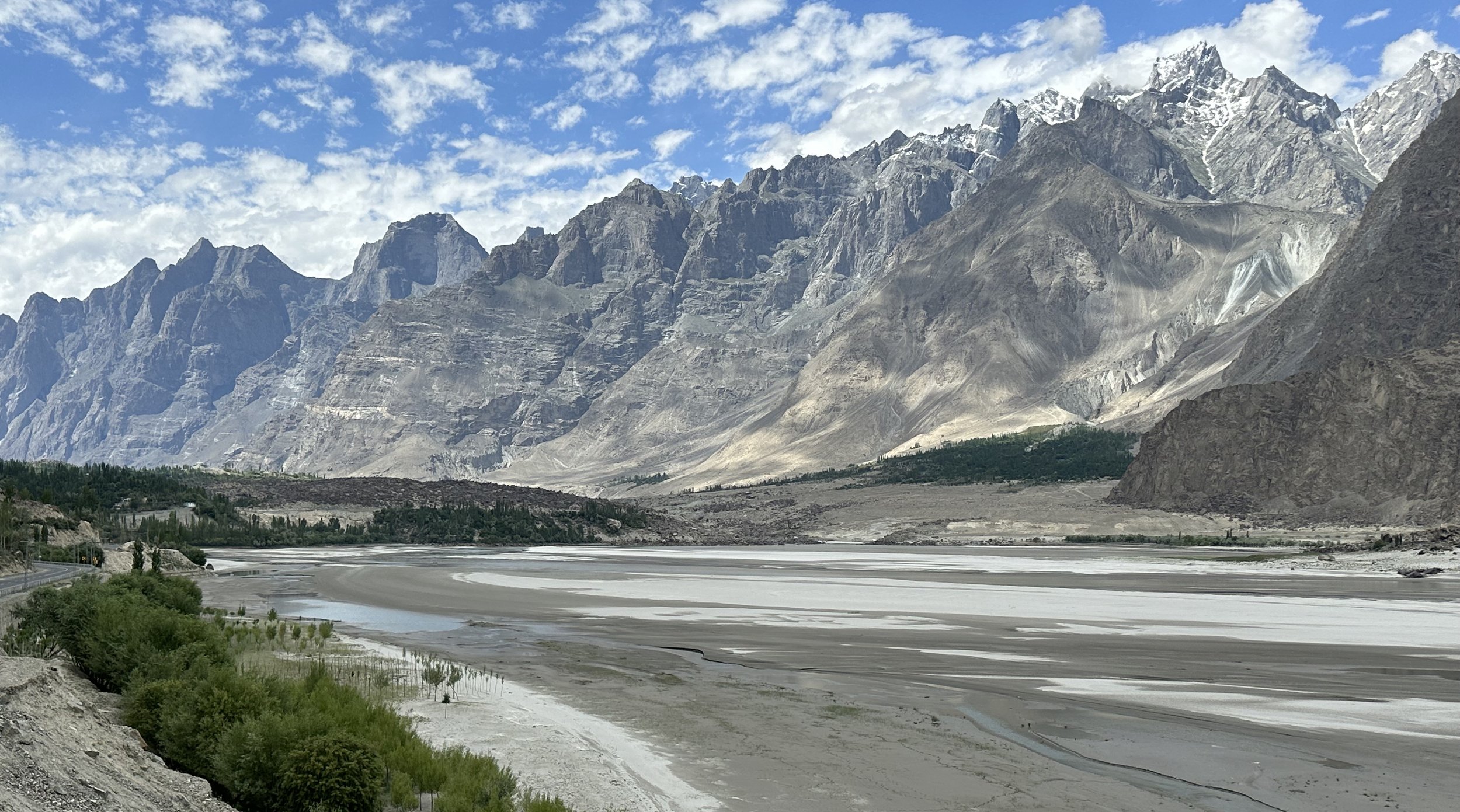
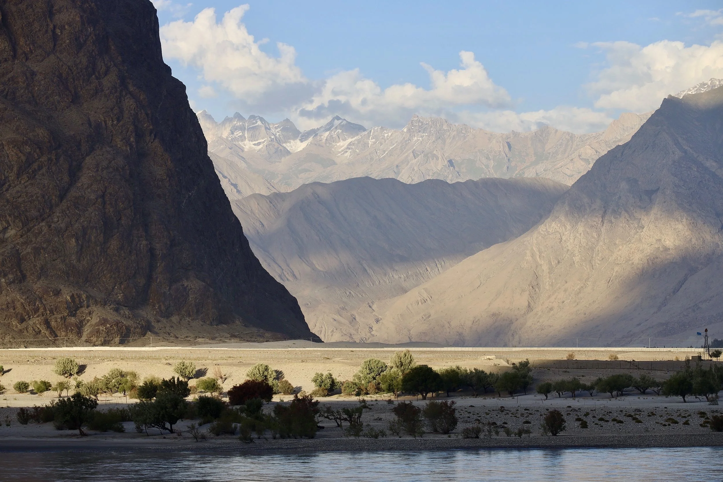
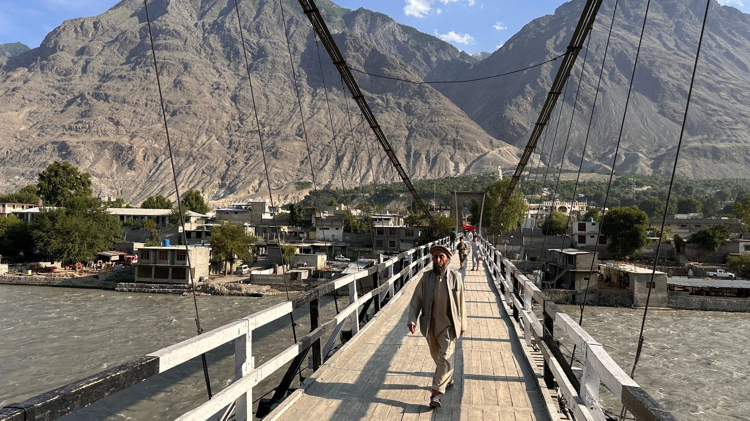
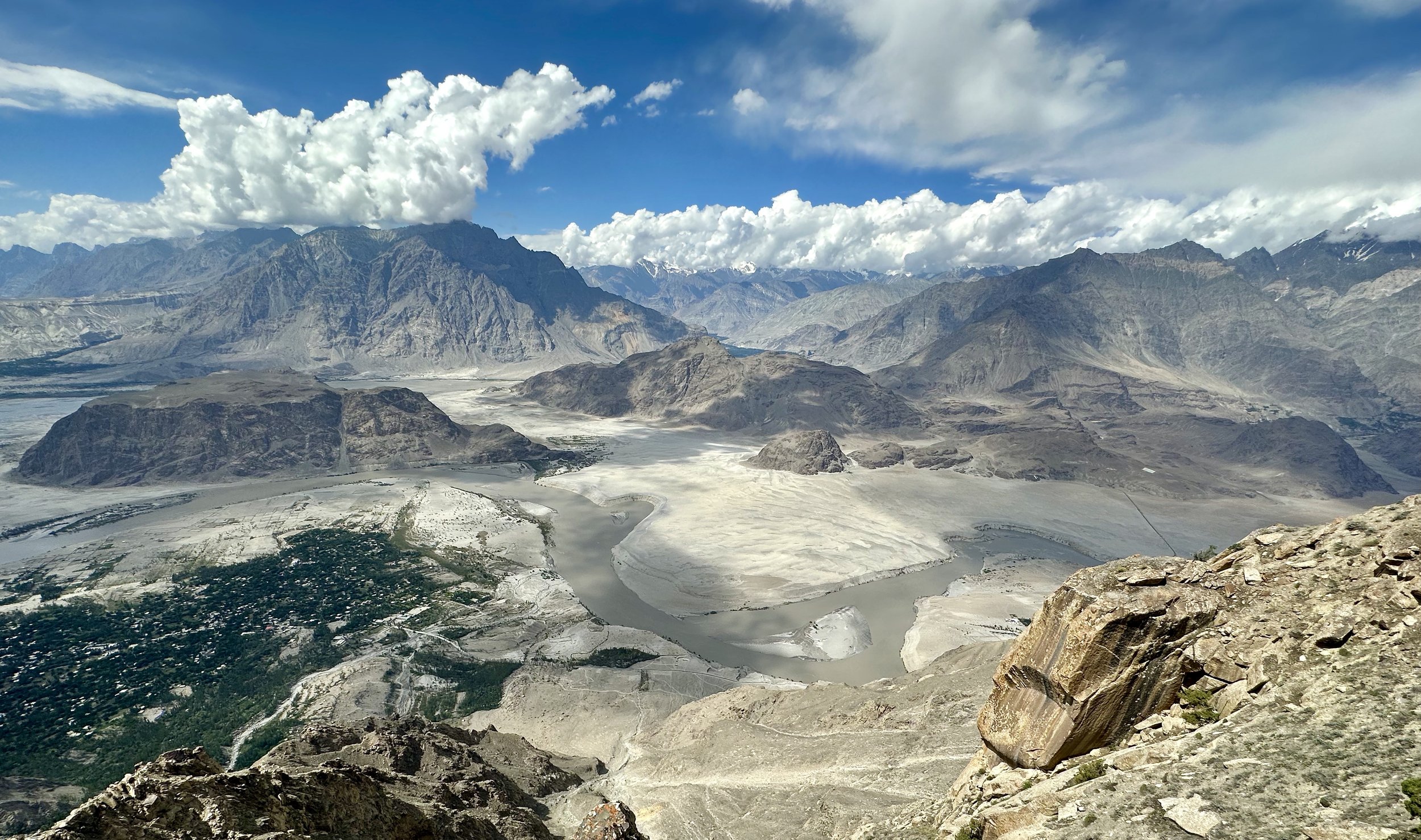
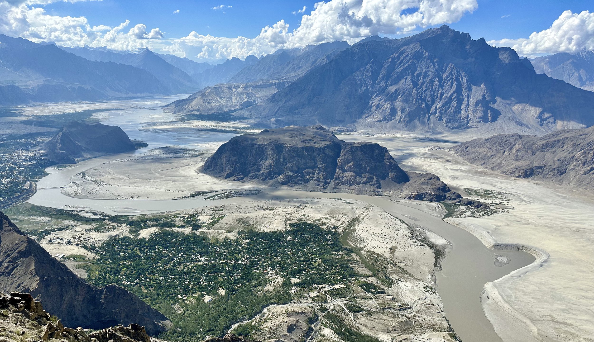
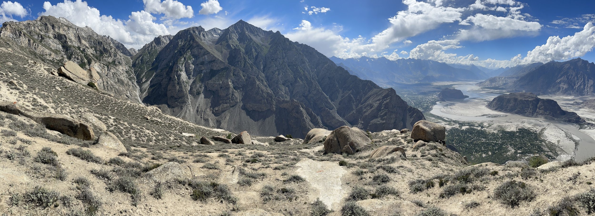
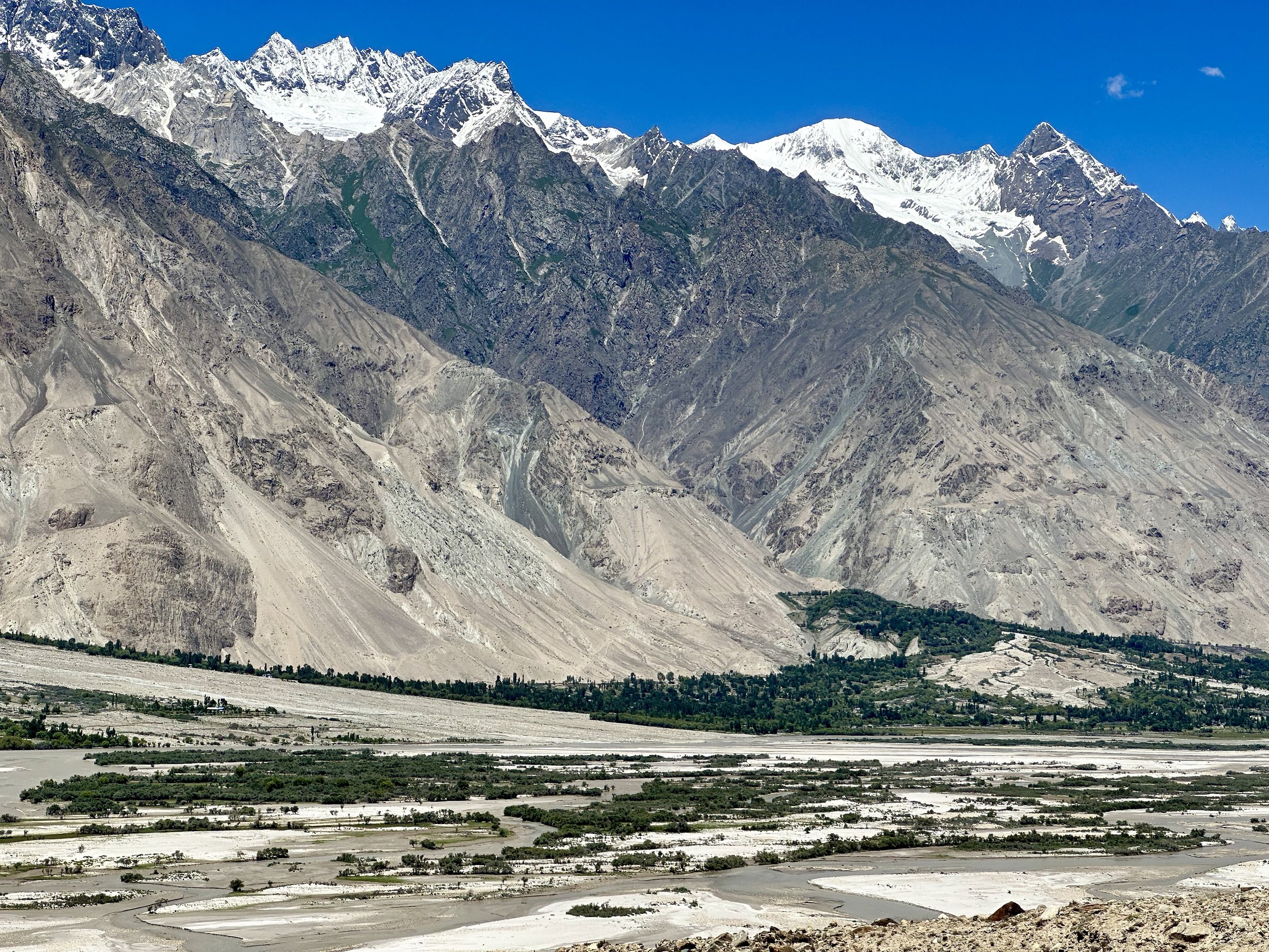
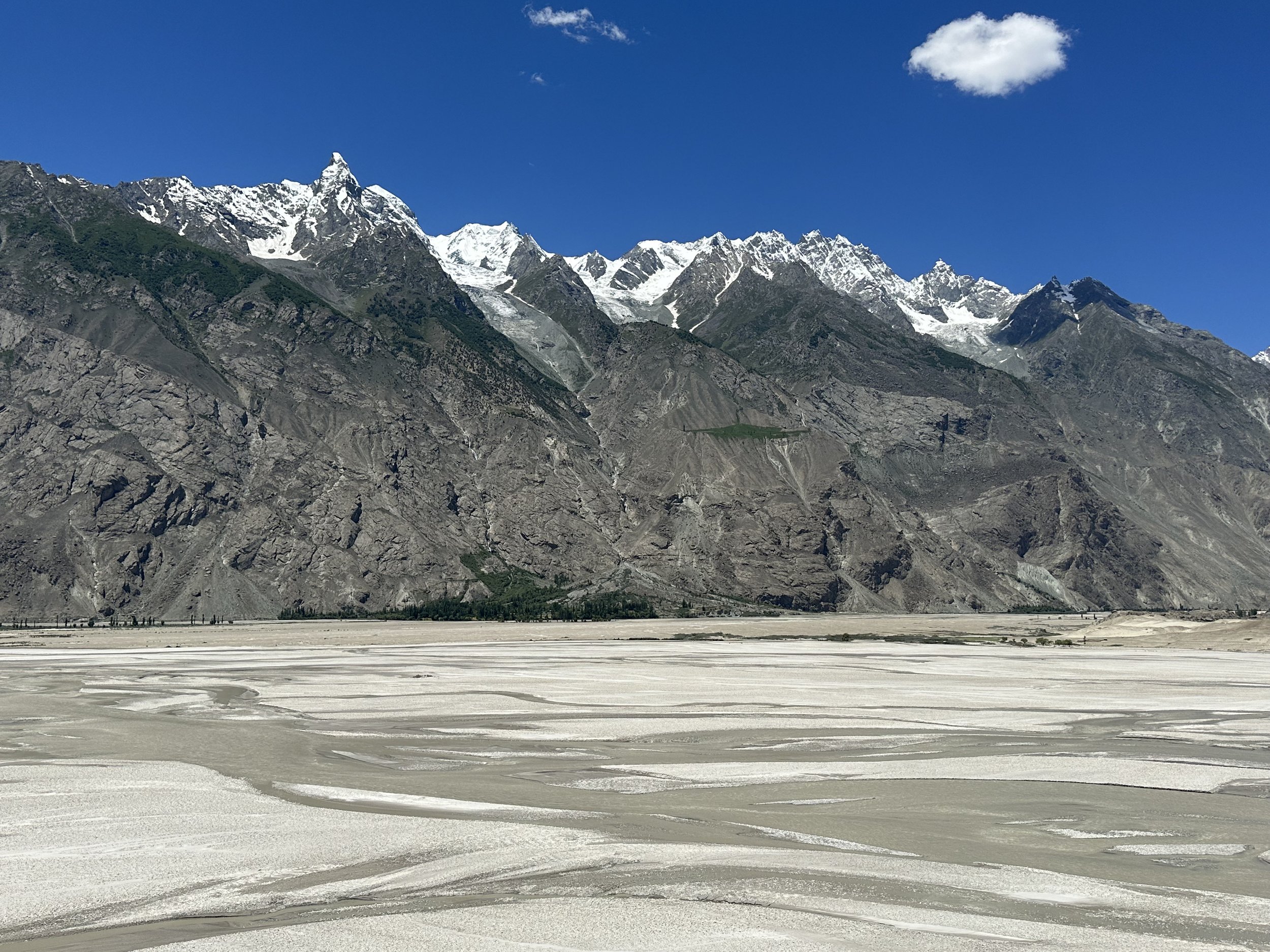
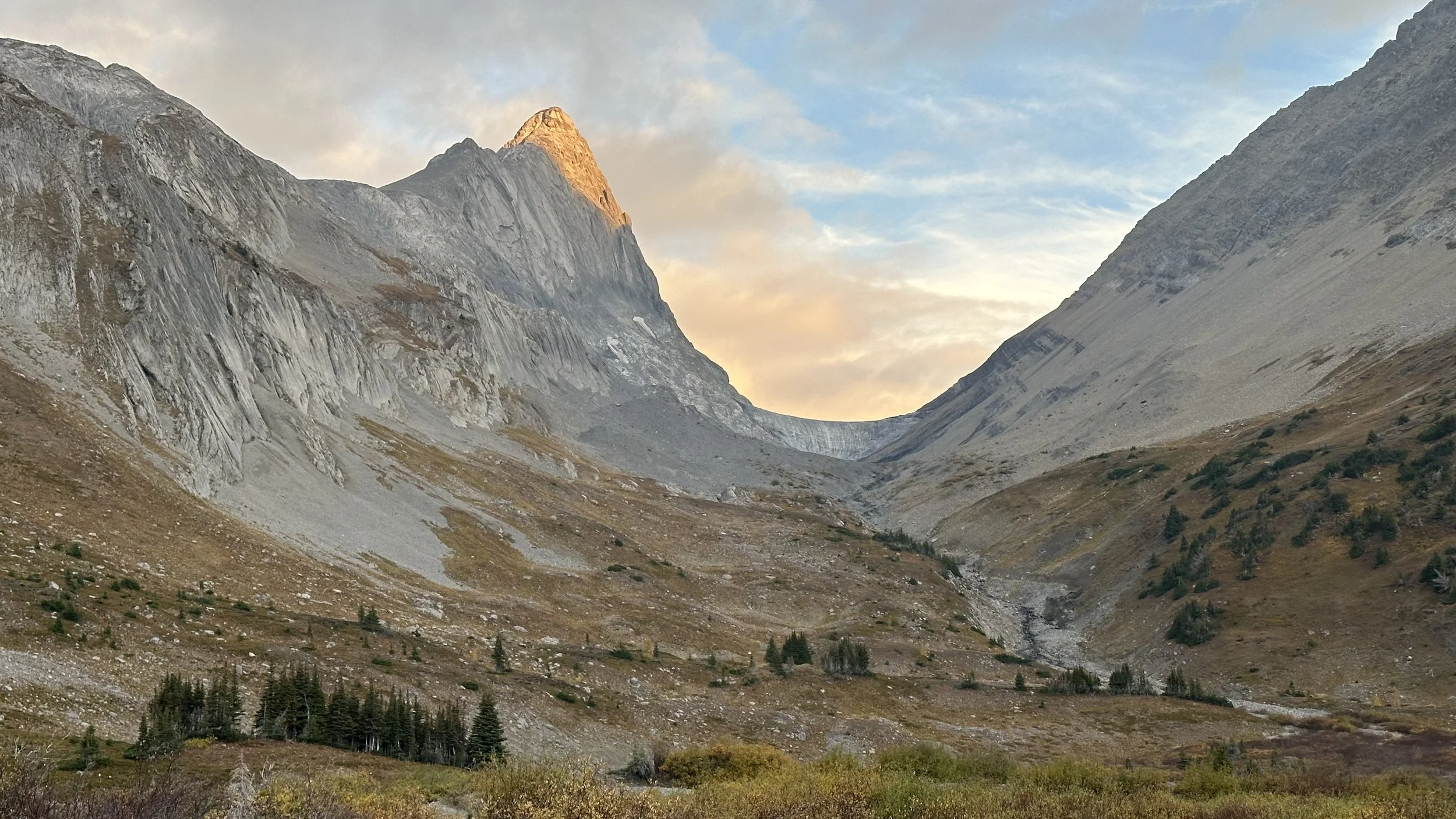
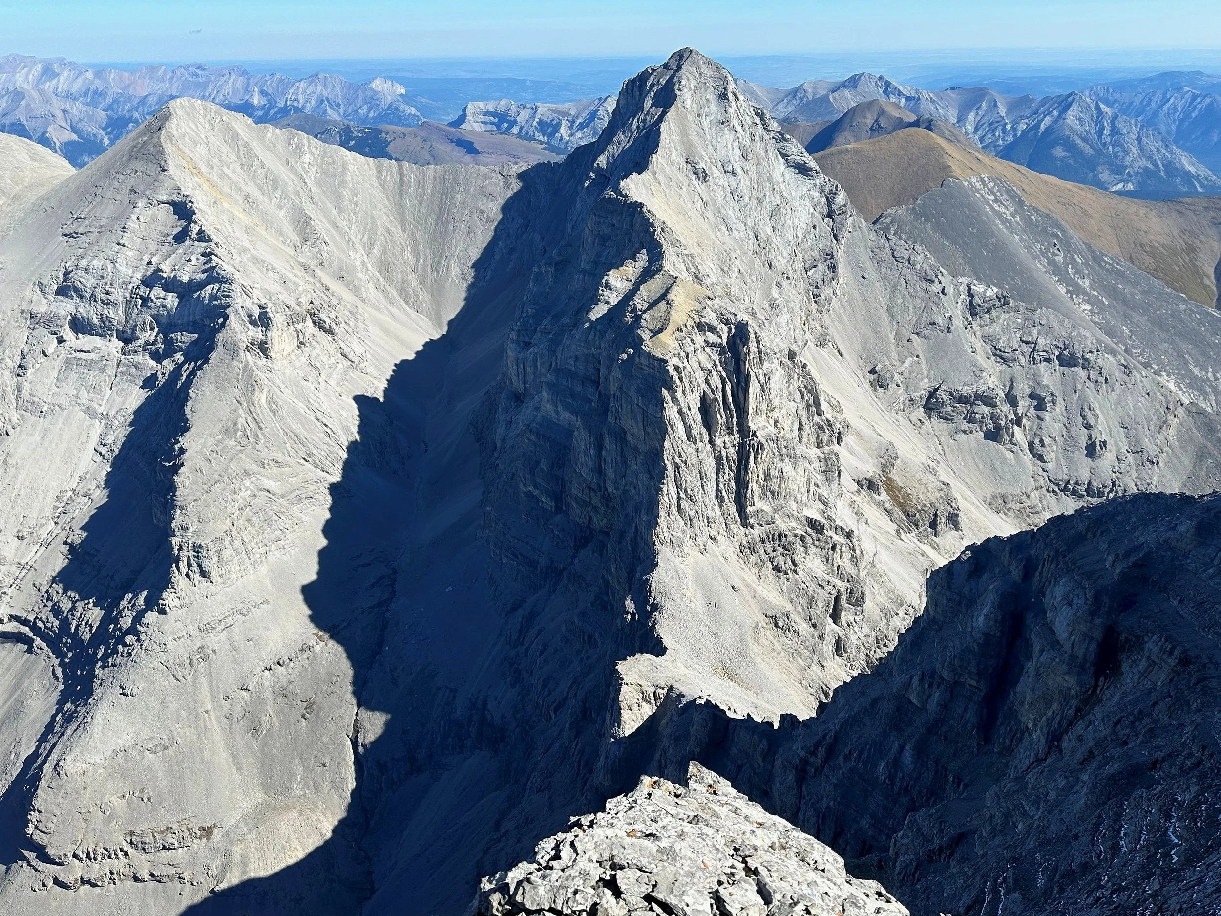
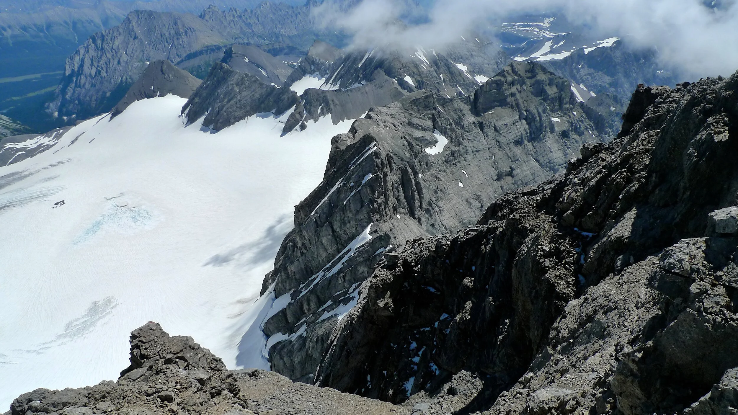
The Jaglot – Skardu section is 160km long and follows the Indus River gorge. The new road is better for driving but worst for scenery and lacks the dramatic tight corners and overhanging rocky outcrops. There are also very few spots to pull over for photos. Although the scenery is spectacular, it is hard to capture it on film. The road is lined with vertical cliffs with snow covered mountains towering above. We passed Sasso, the exit point from the Haramosh Pass where we would end up in a few weeks. The driver was going way too fast to enjoy the scenery and take any good photos. By 2 pm we were in Skardu. Total driving time was 11 hrs yesterday and 6 hrs today.
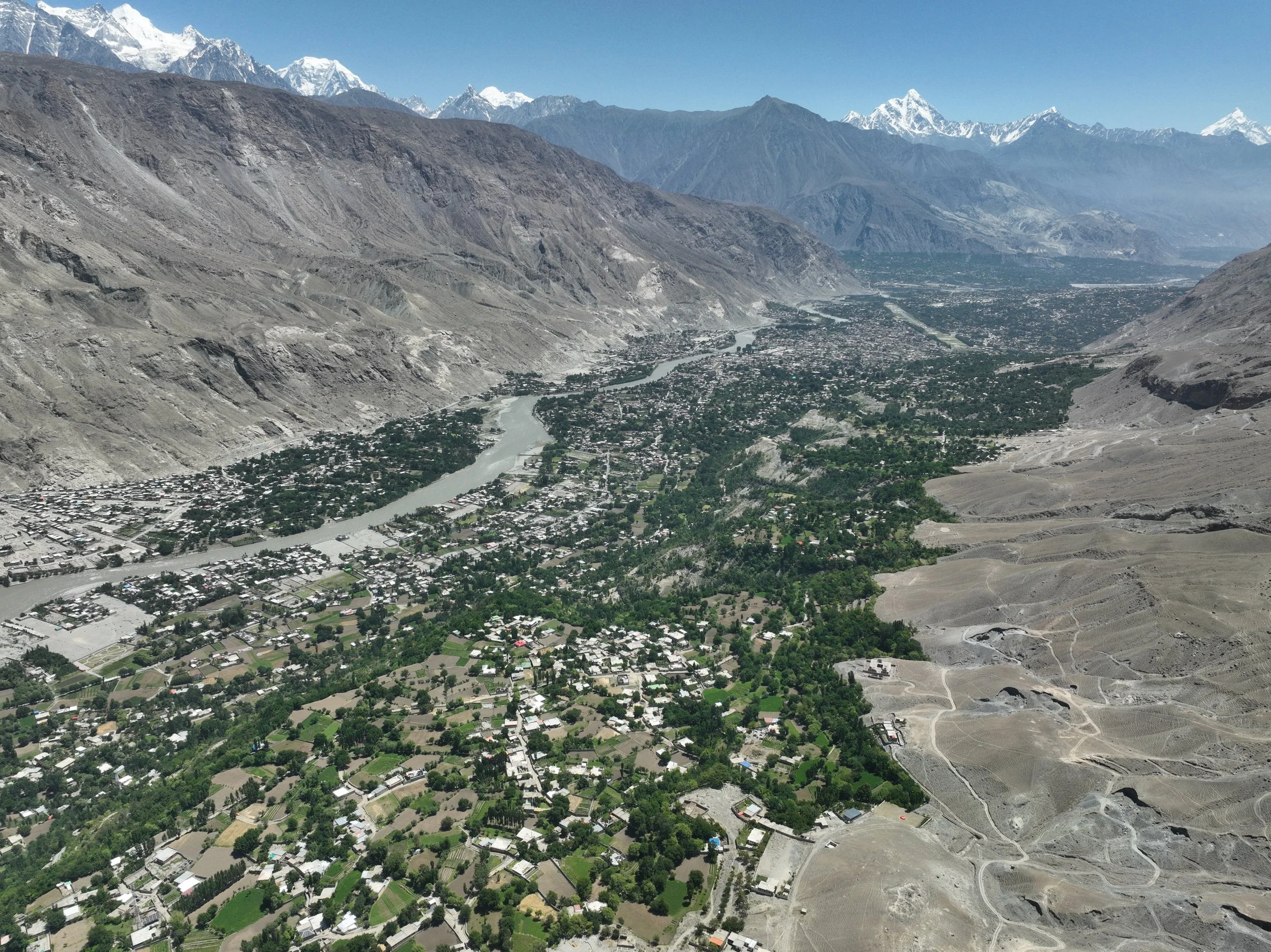
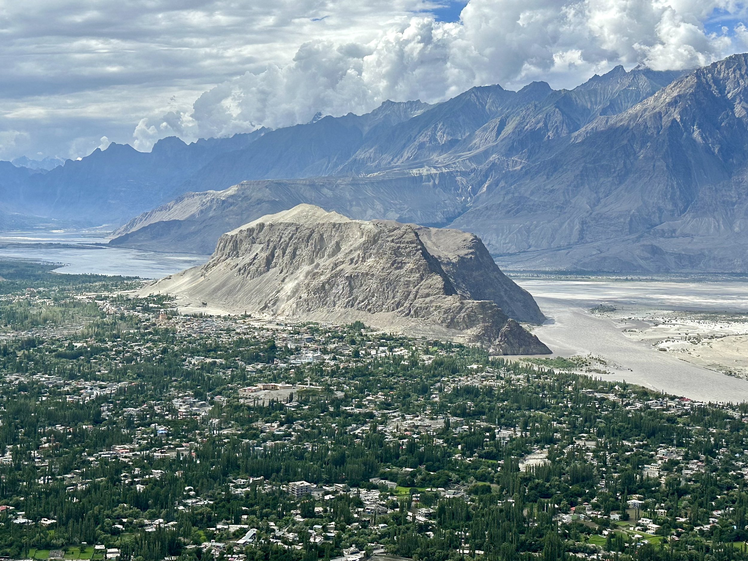
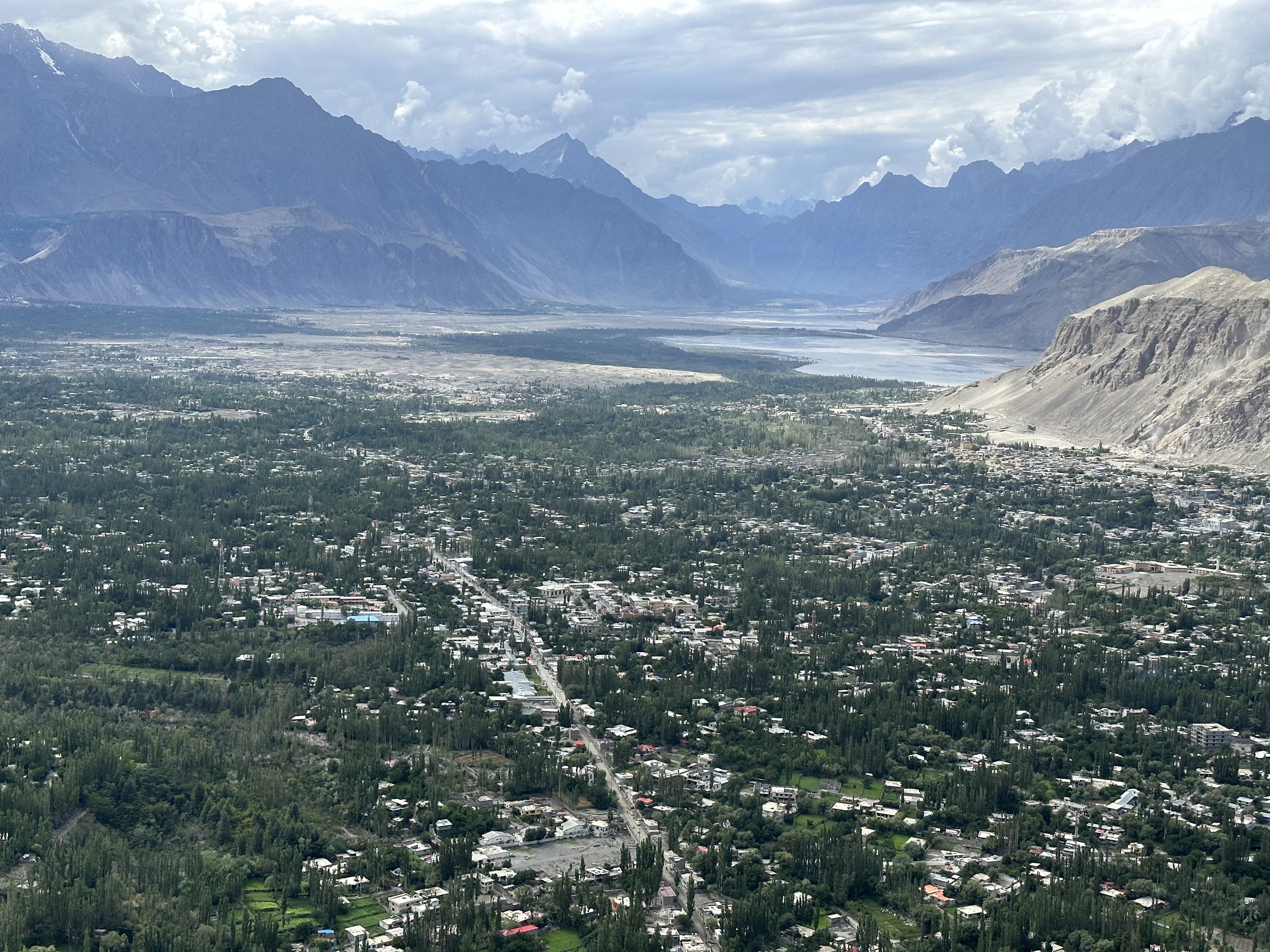
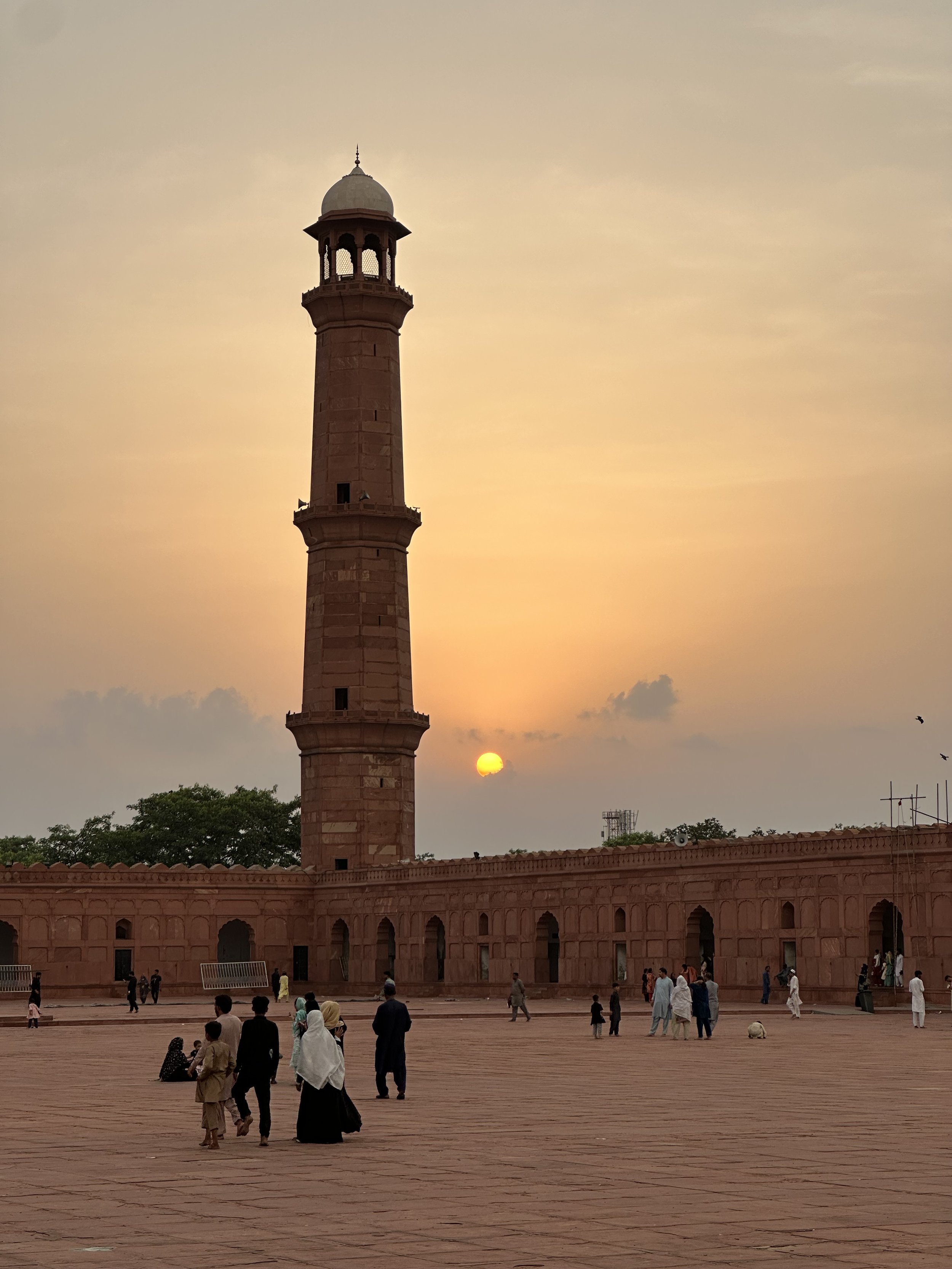
My first impression of Skardu after such a long time was that it has grown a lot! I did not recognize it. It felt very dusty, crowded and chaotic with many concrete buildings in various stages of completion. It was not very inviting to walk around, and I have not ventured out on my own at all. It was tiring just to look at it. We stopped for lunch at a hotel run by Ghulam’s friend. Ghulam called ahead and asked for a meal with as little grease as possible to which they obliged with good results. After lunch it was a quick drive to Ghulam’s beautiful house. The house fronts as a guest house and has a palatial feel to it. The compound is surrounded by a lush garden and high walls separating it from the chaos of the outside world.
July 11, 2023 Skardu
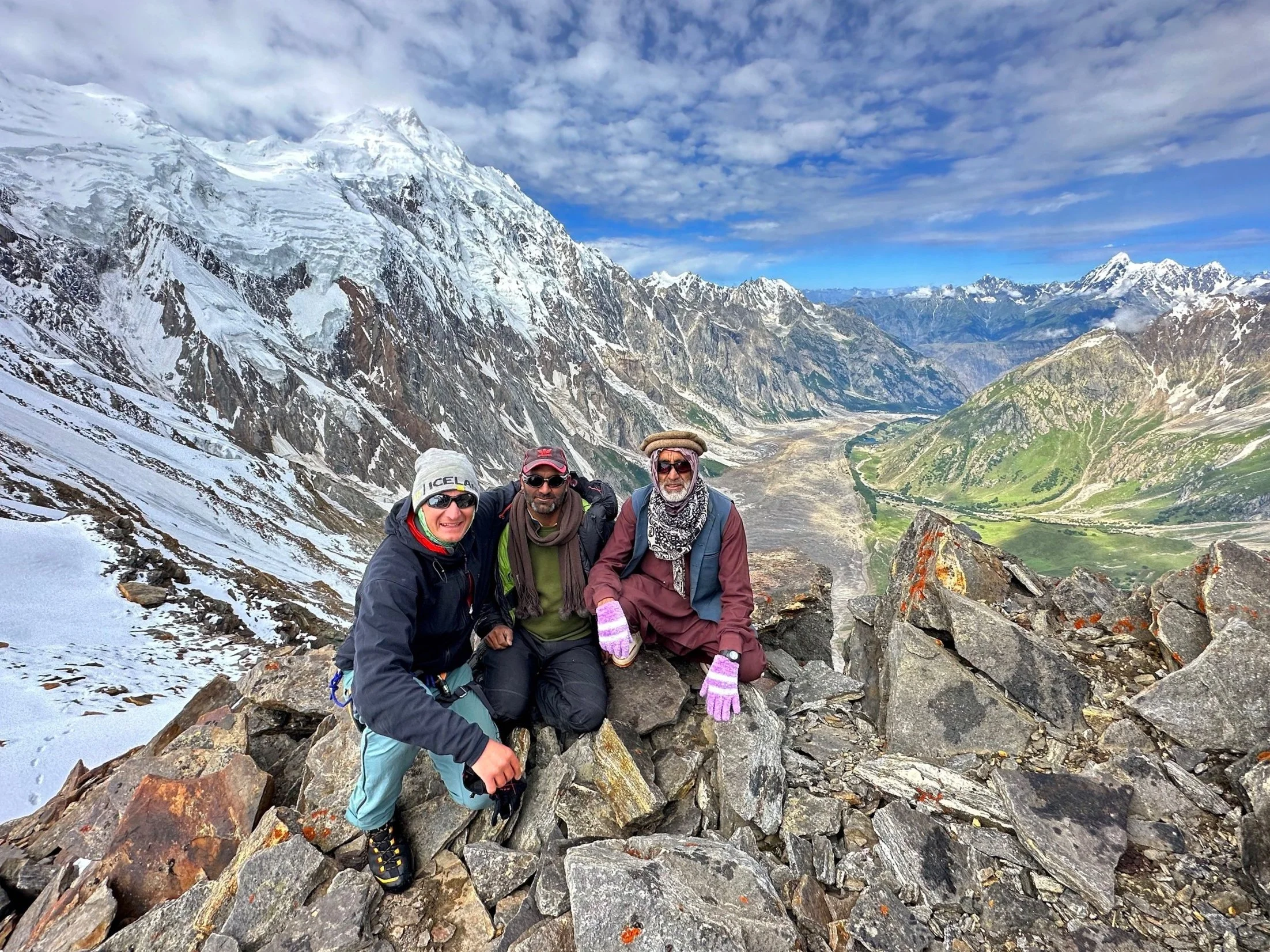
In the morning I met Essan, my guide for both treks of this trip. Essan is from Shigar Valley and has experience in all aspects of mountain work. He worked as a cook, high altitude porter and a trekking guide. He worked with Artur Hajzer and Marcin Kaczkan during the tragic expedition to G2 during which Hajzer lost his life. He told me some interesting stories about that experience. He assured me that he visited all the areas that we were going to visit and was familiar with the routes and the terrain. Essan was entrusted with organizing all the permits and logistics. In the early afternoon we had to go to the Ministry of Tourism office to finalize the permits and sign some papers. According to the permits, I was both the Tour Leader and the only Tour member. As a tour leader I had to sign the promise that all tour members would obey all the rules and in case of non-compliance, I would be held responsible as the tour leader. In order to complete the permit process, I had to get photos taken and return them to the office. In addition to the requirements of the Tourism Office, we had to send a multitude of documents to the Military Command for more permits as we were travelling in the Pak-China border zone. I received all the permits by 10pm and we were supposed to leave the next day at 7 am.
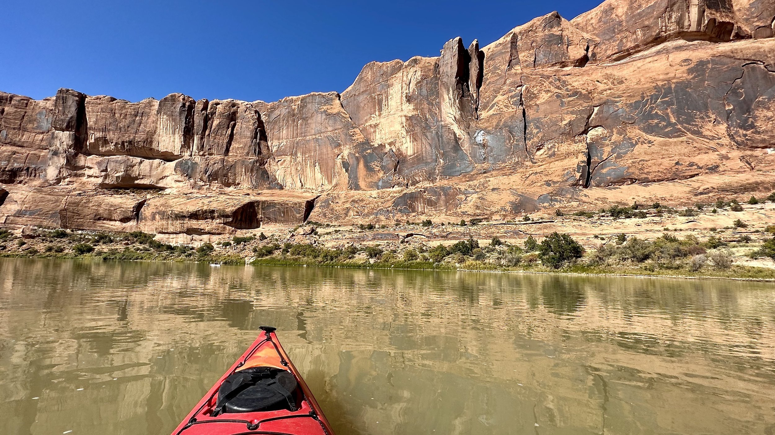
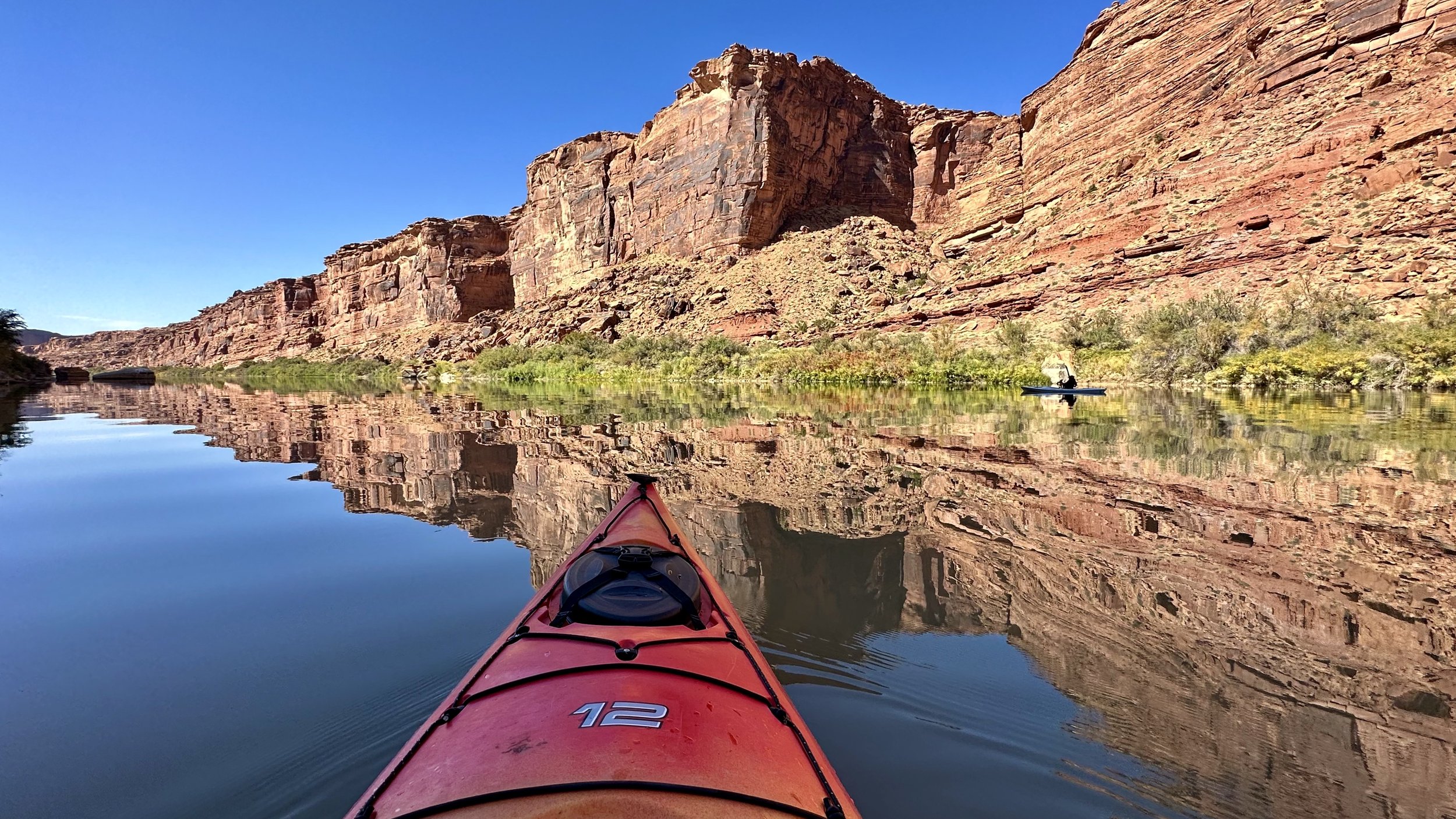
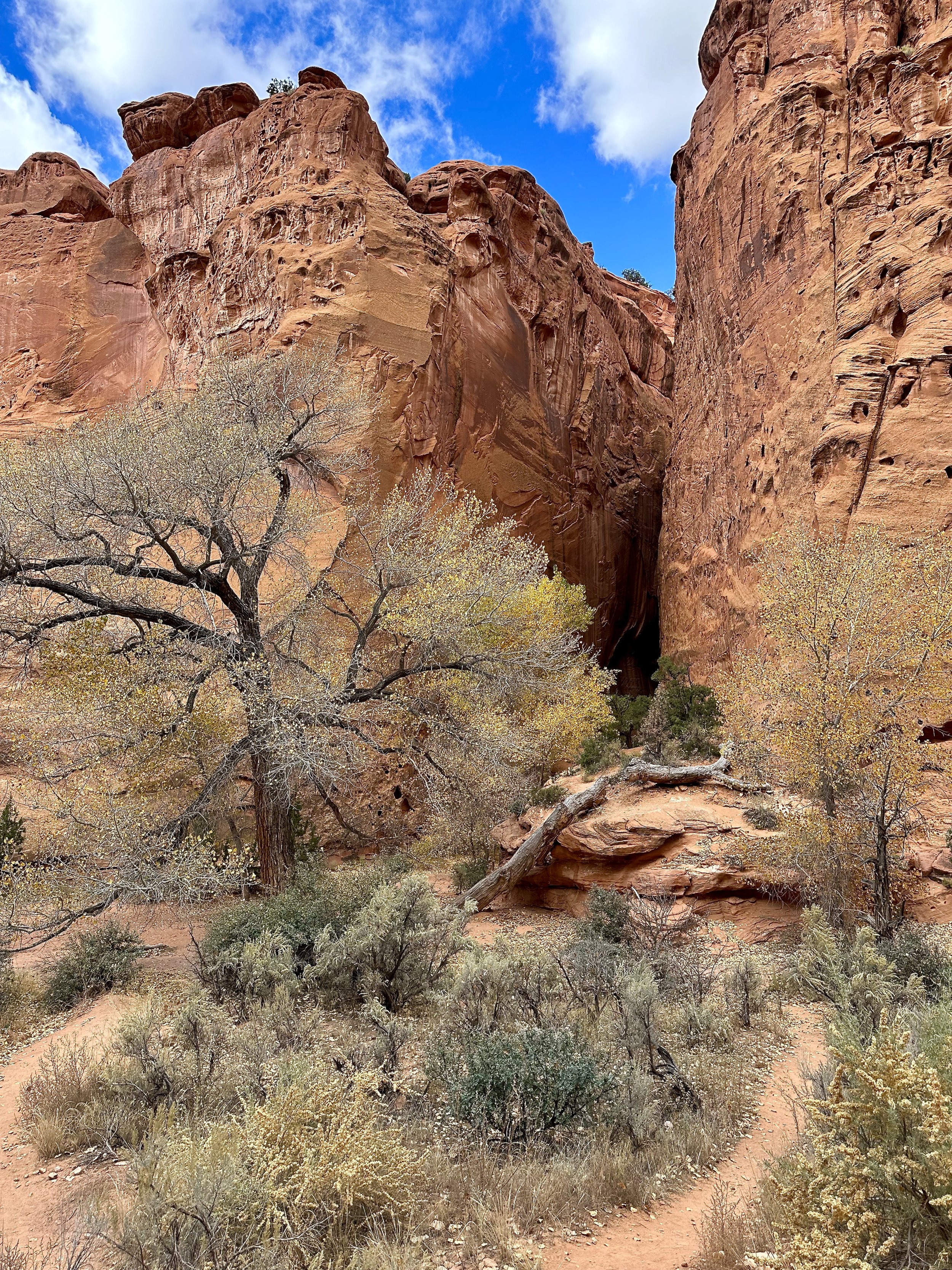
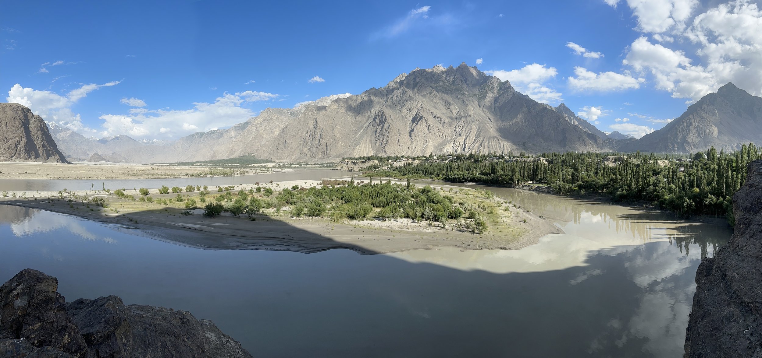
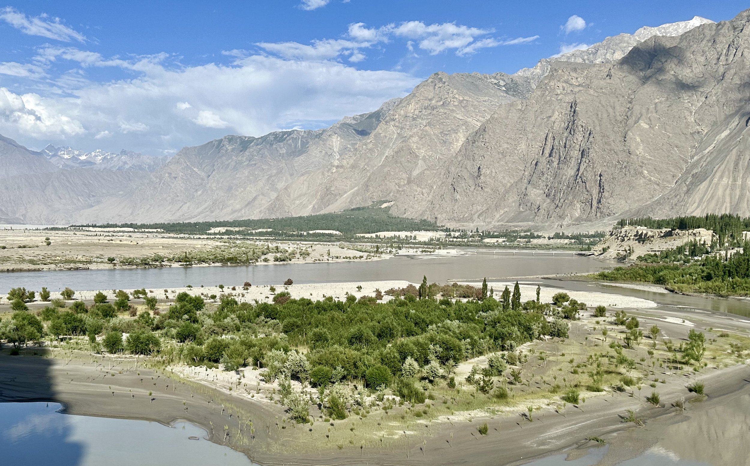
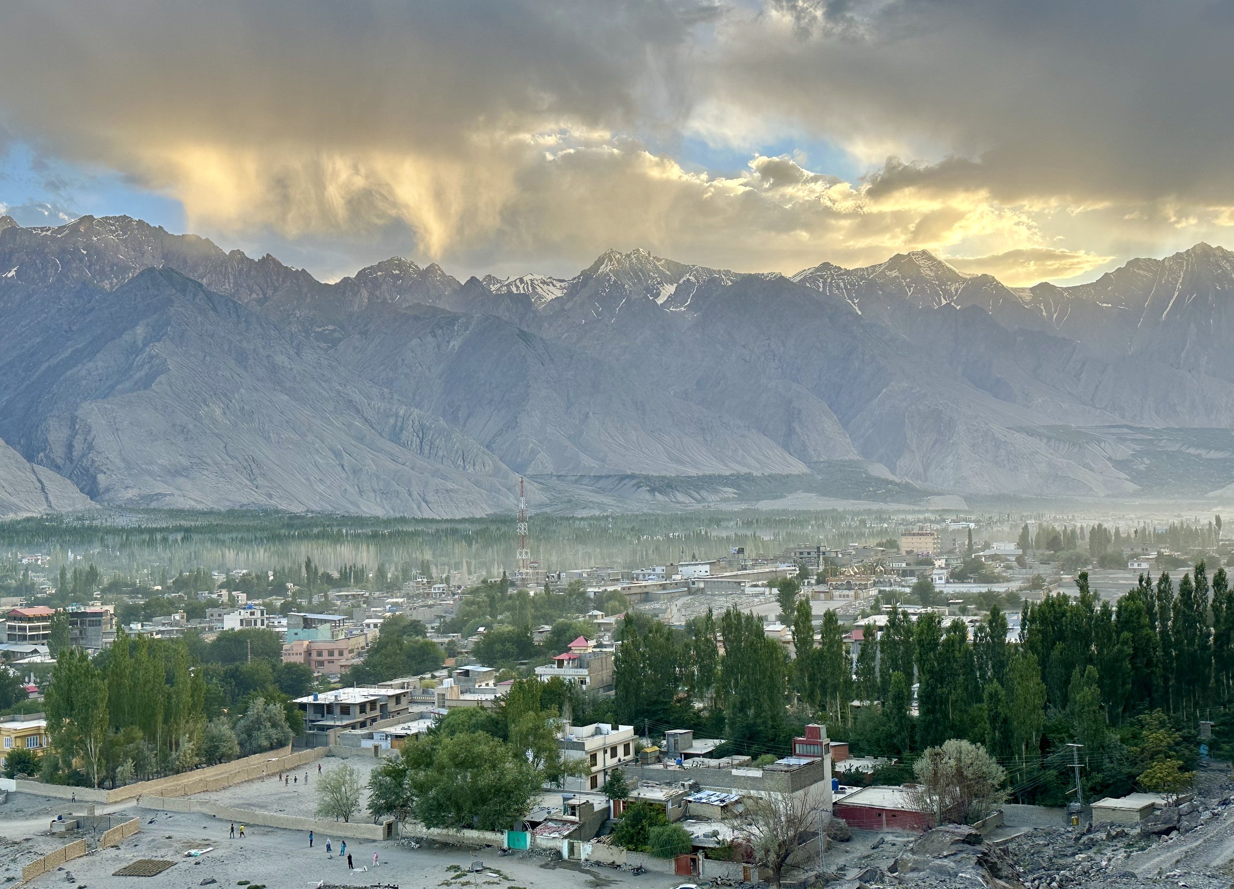
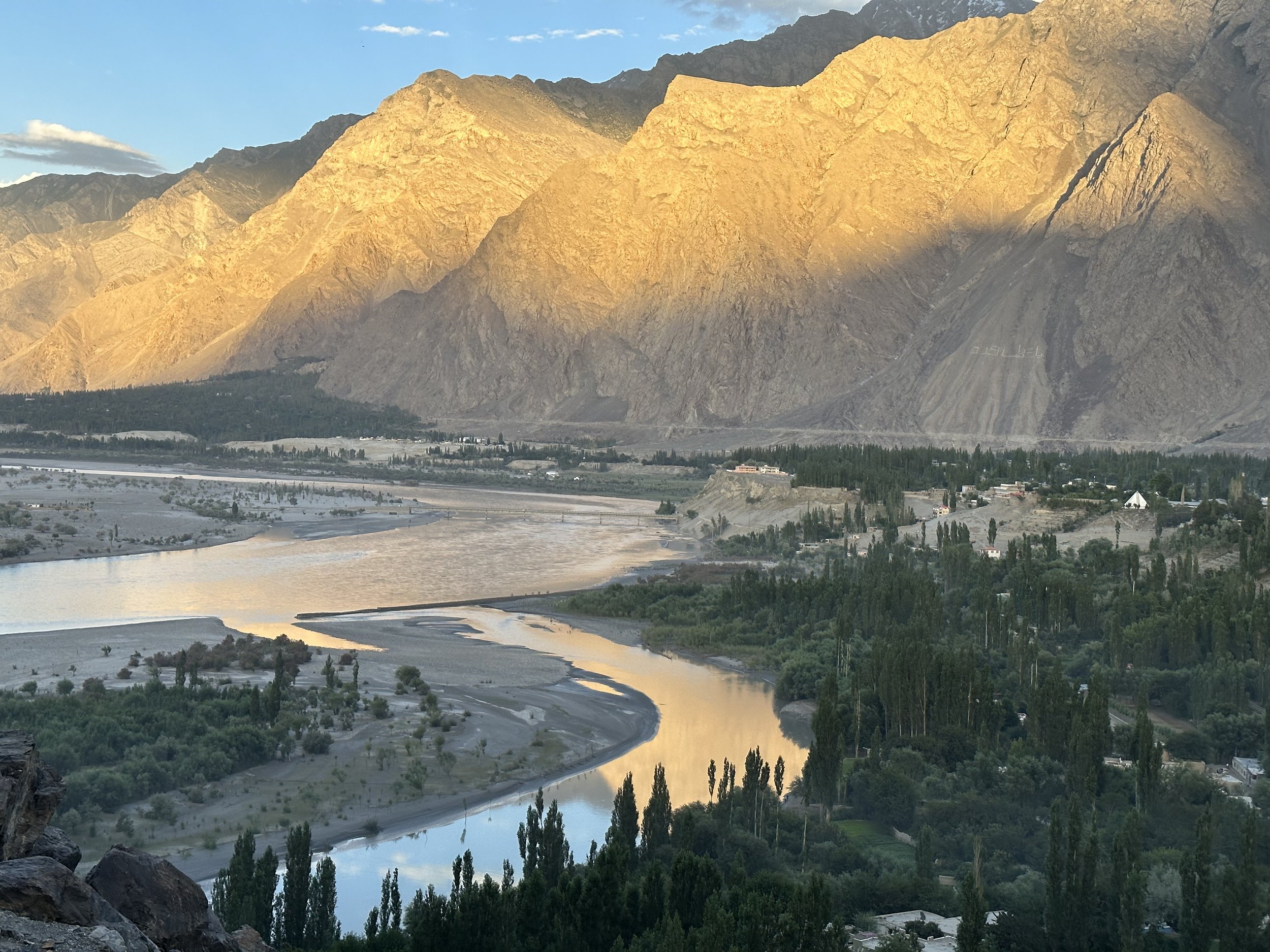
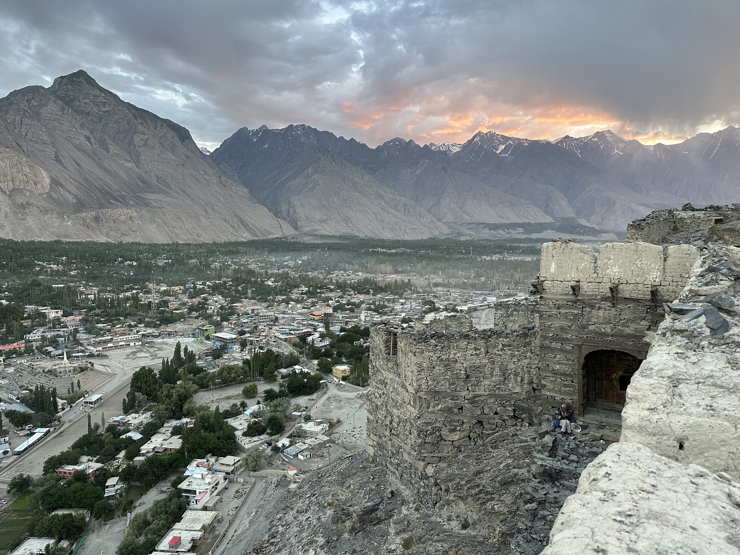
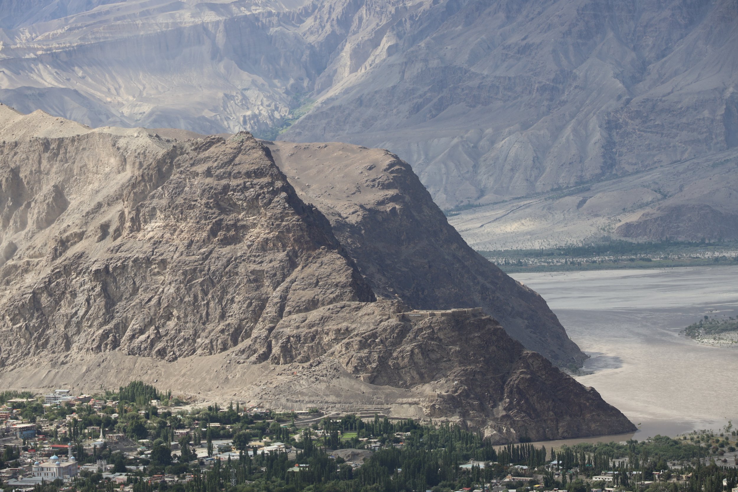
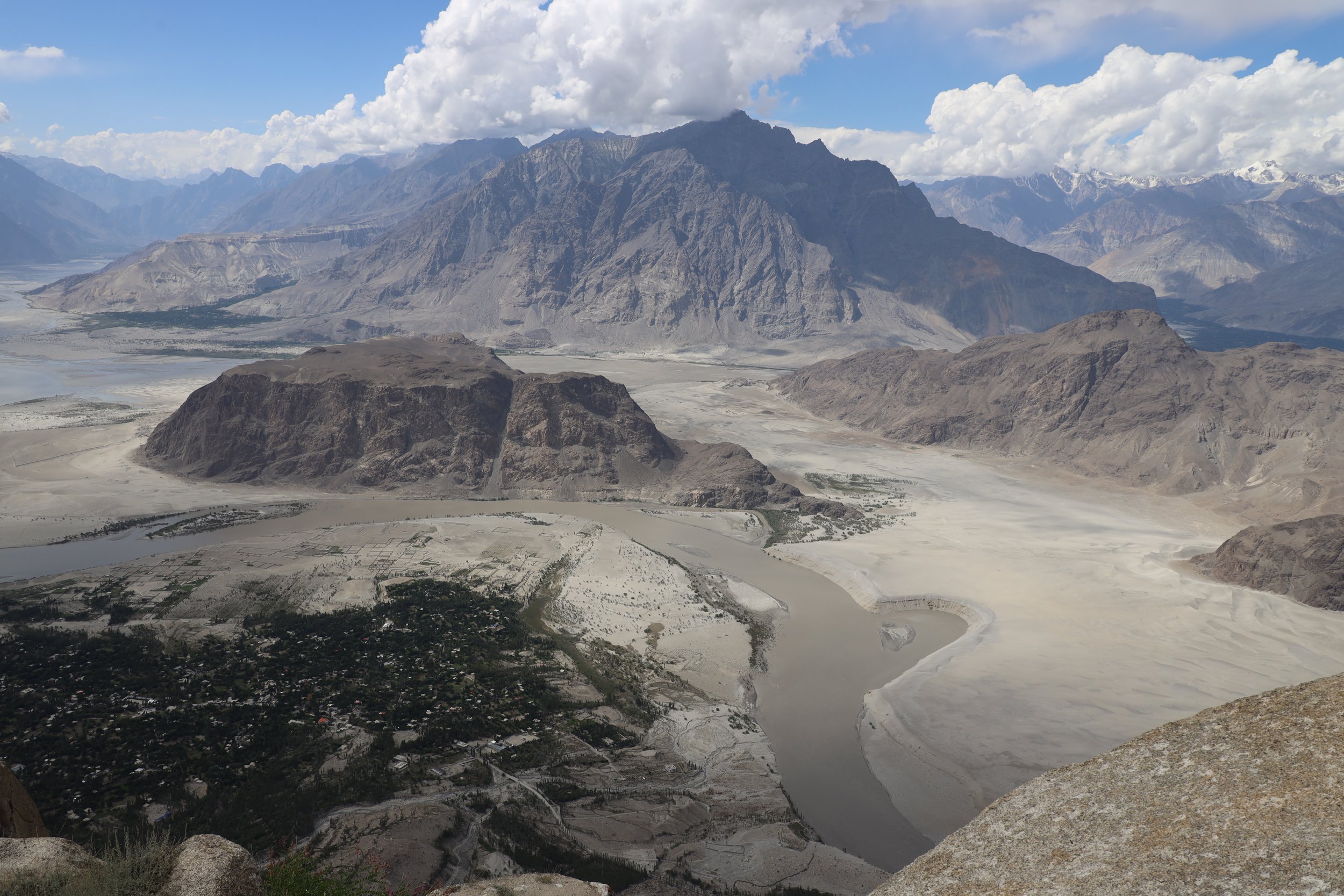
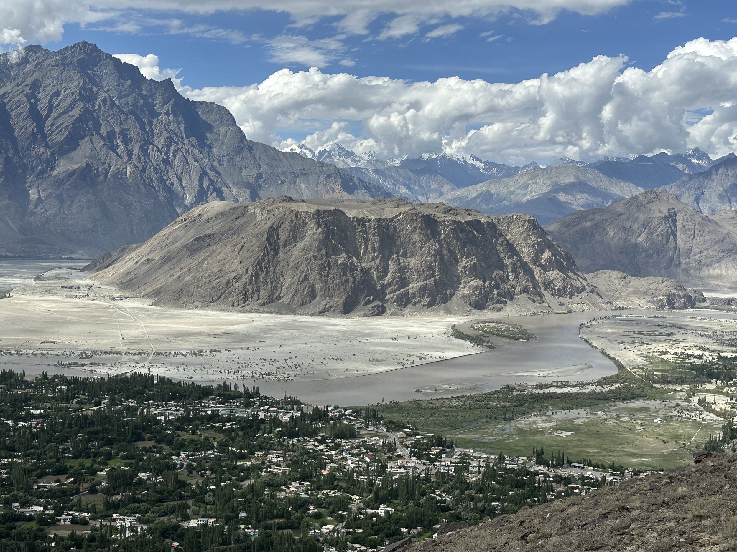
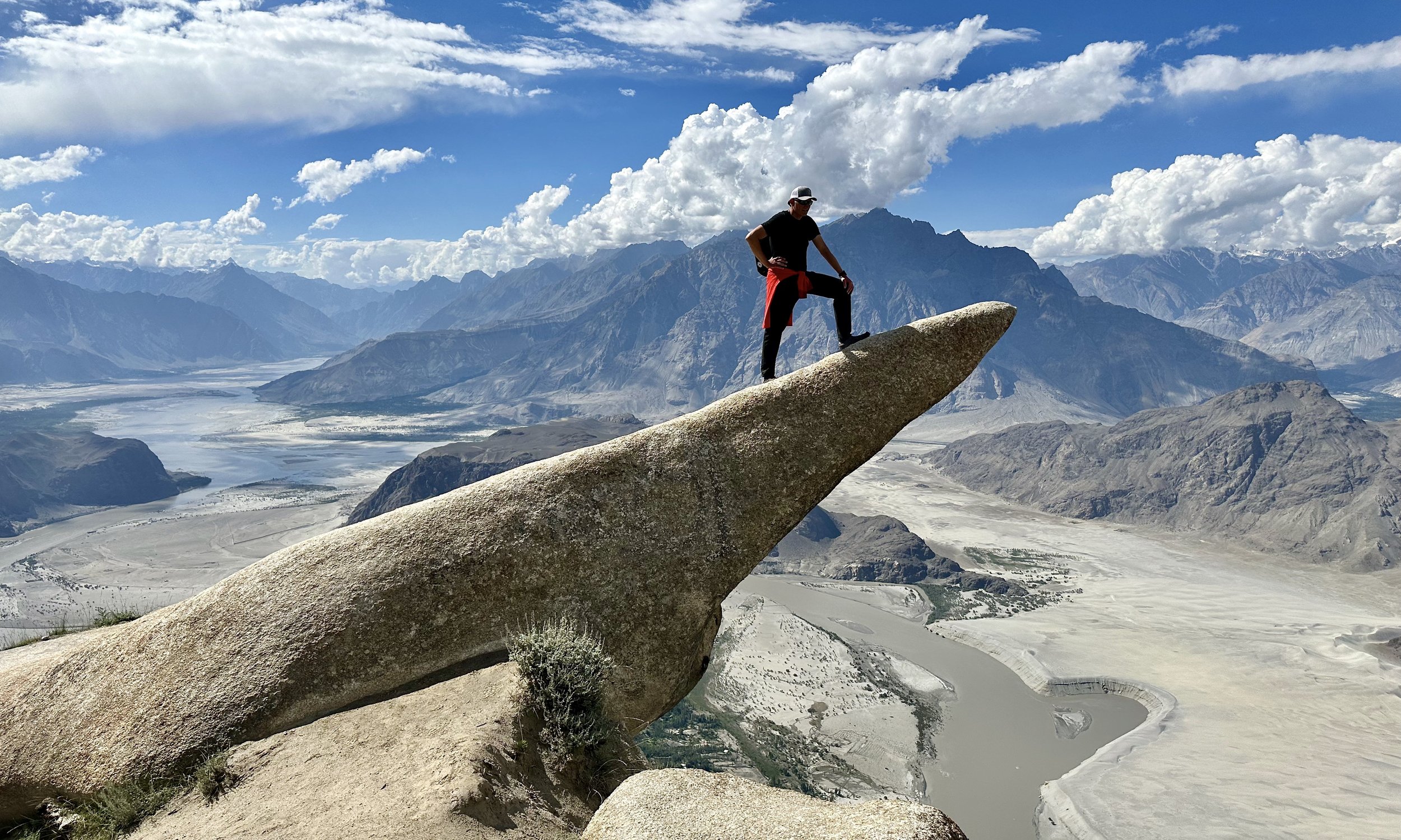
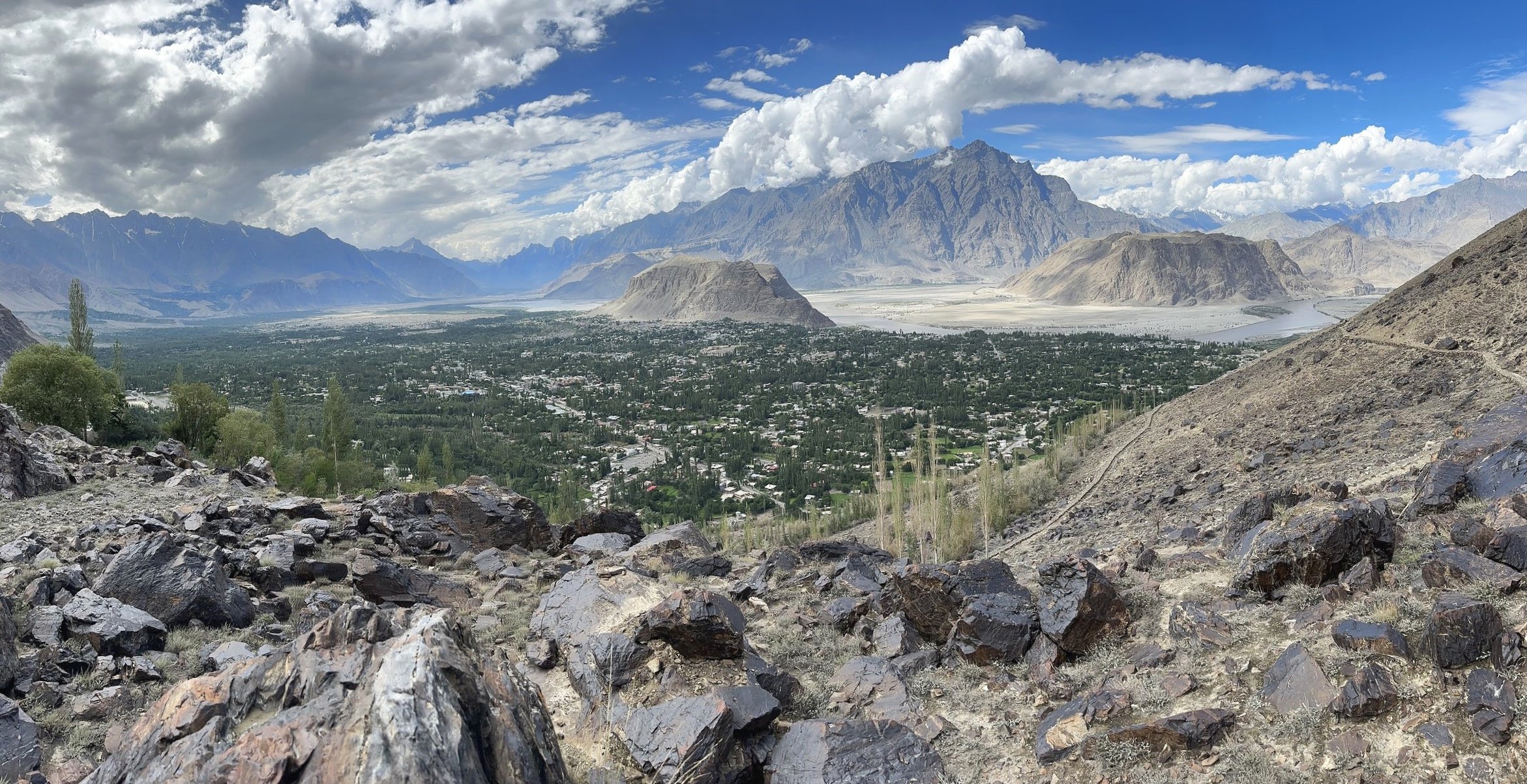
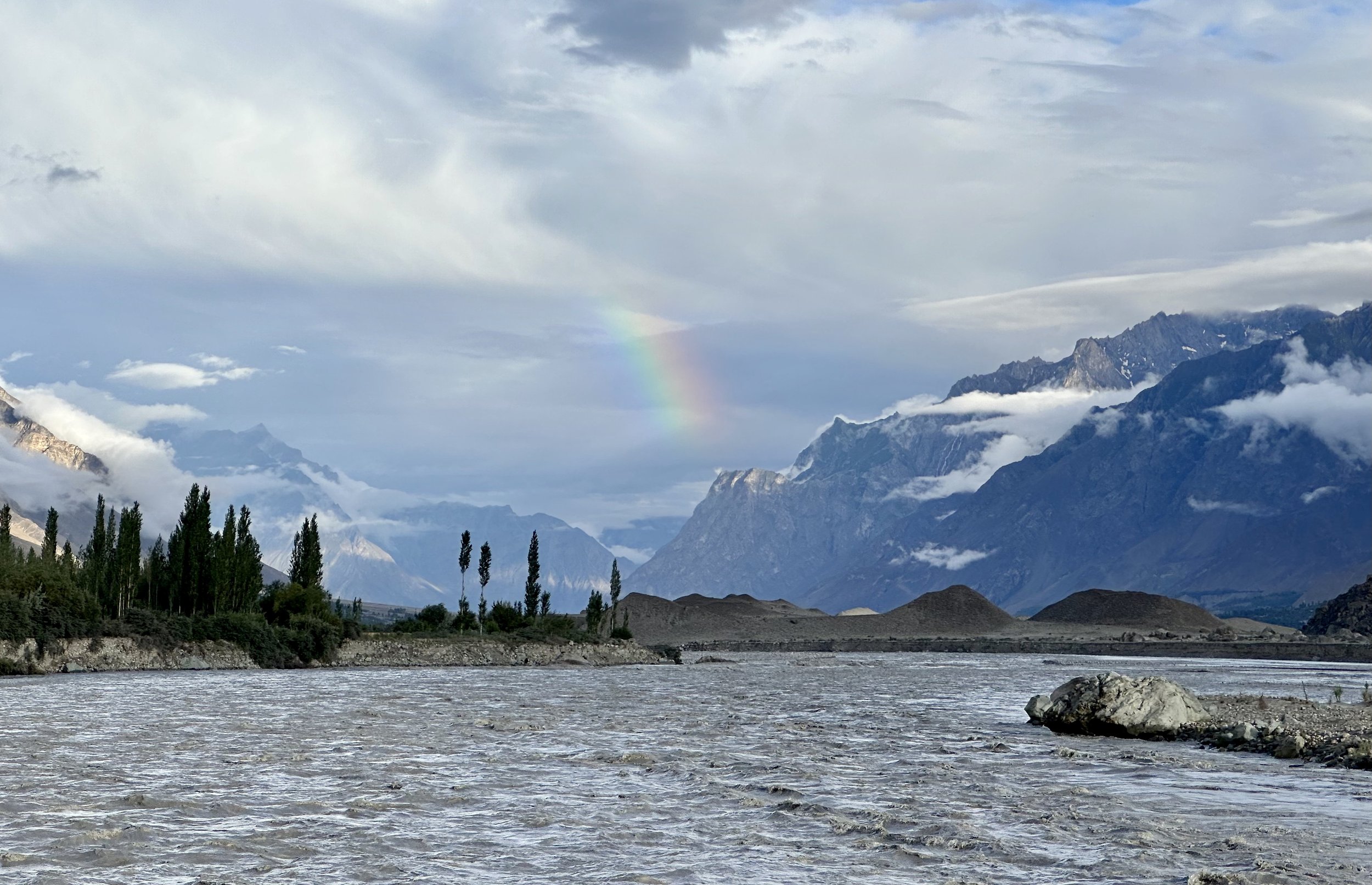
While all the offices were working their permit magic, Ghulam’s son and I went to the Skardu Fort and a place called Organic Village which is situated behind the Fort on the banks of the Indus River. It is a nice walk with a different views of the Indus River and the surrounding mountains. I took some great photos of the Indus River Valley in the late afternoon sun. We had some fresh mangoes on the bank of the Indus and enjoyed the beautiful afternoon. On the way back we climbed to the Fort for a good view of Skardu in the sunset accompanied by the cacophony of the evening prayer calls coming simultaneously from dozen mosques below. The multitude of calls made them indistinguishable and resulted in one big noise.
On the way to the fort, I met a teacher from the Gilgit Military School who was a very kind man. He paid for my ticket to the fort, and we took some photos and videos together. On the way up I also met many Pakistanis that were very interested in talking to me and wanted to take photos. I guess there are not too many tourists here. After the trip to the Fort, I had a good, although late dinner with Ghulam and got ready for the 7 am start the next day. I repacked and left some things behind.
July 12, 2023 Skardu – Askole
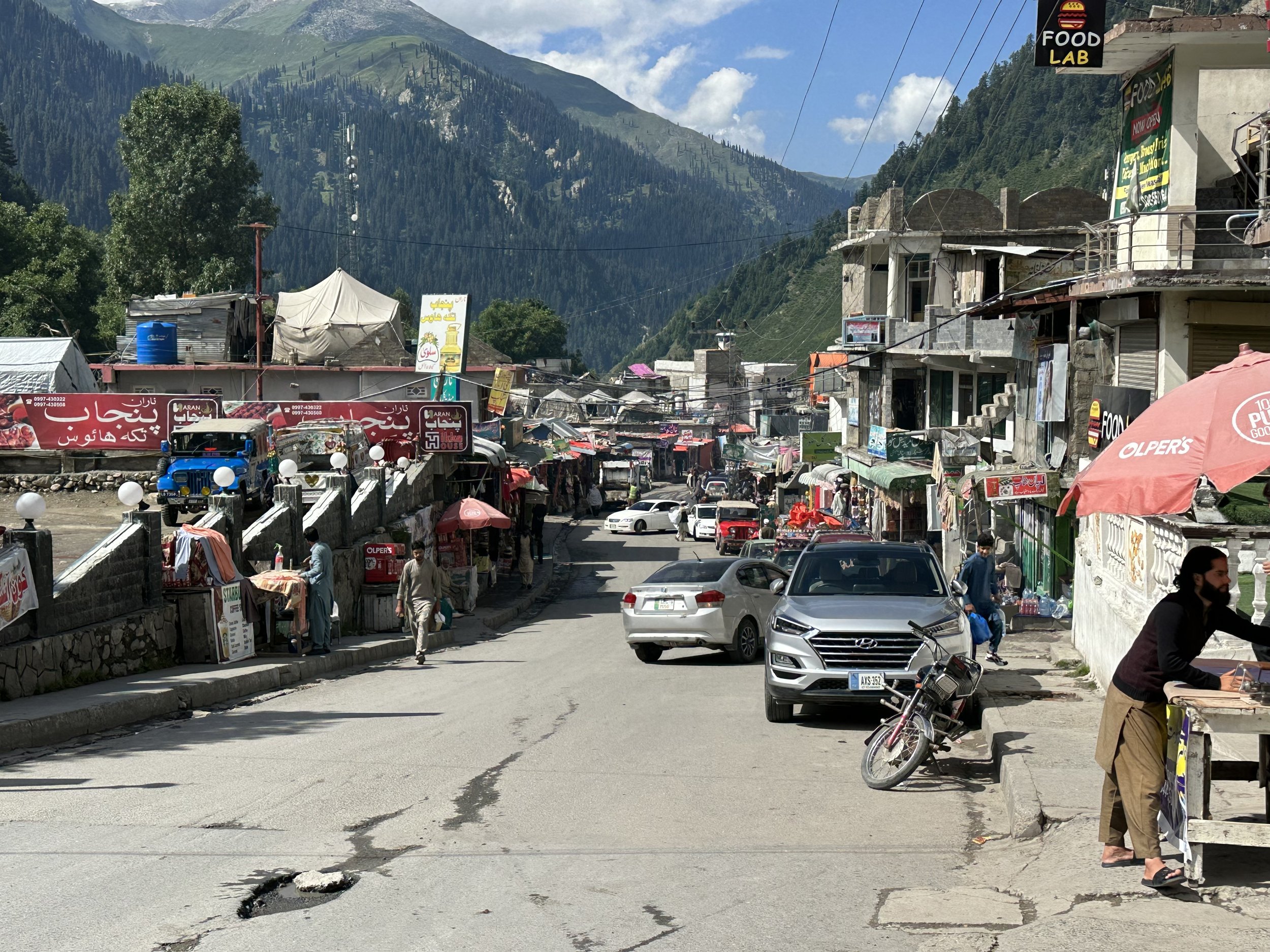
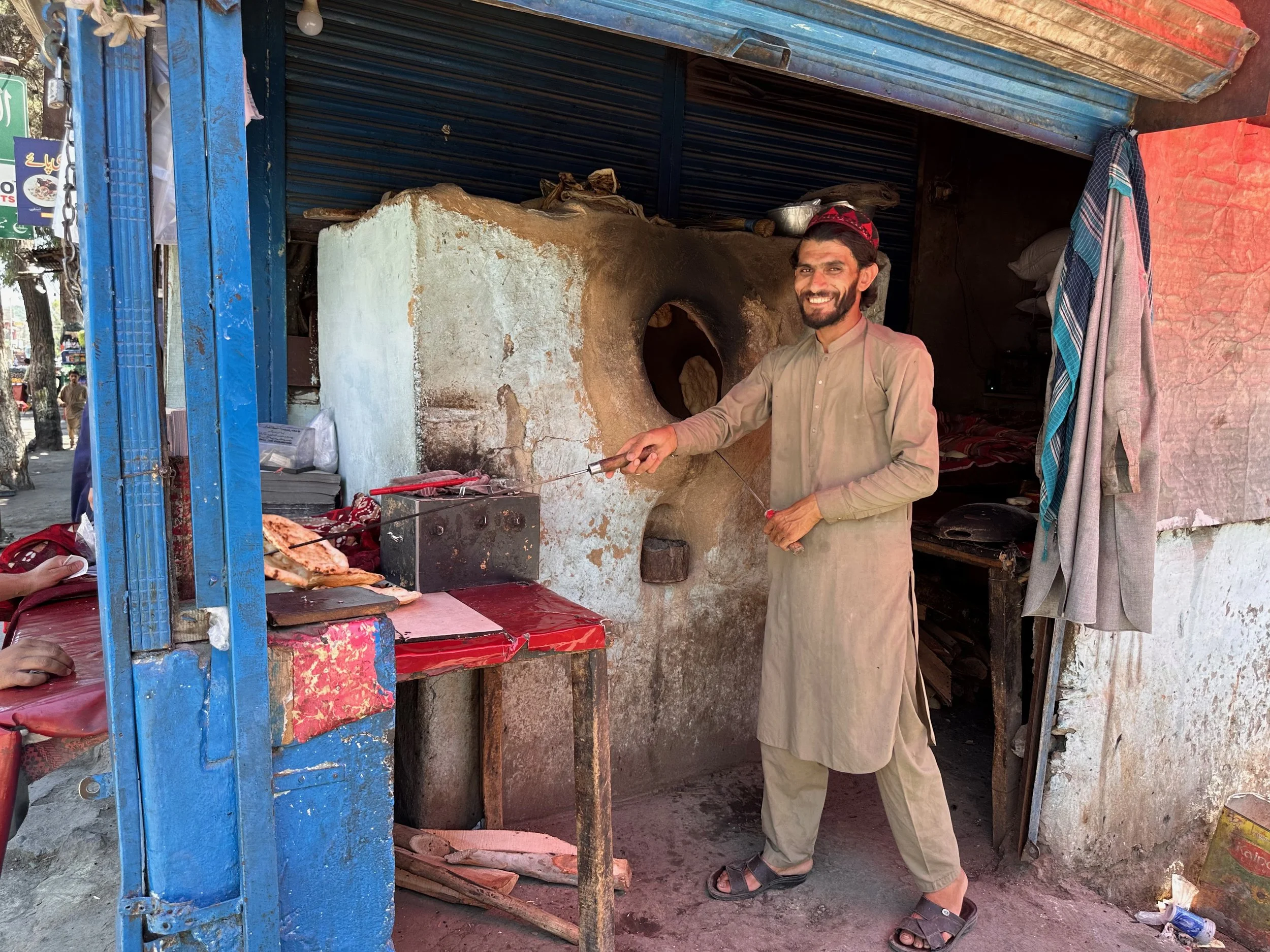
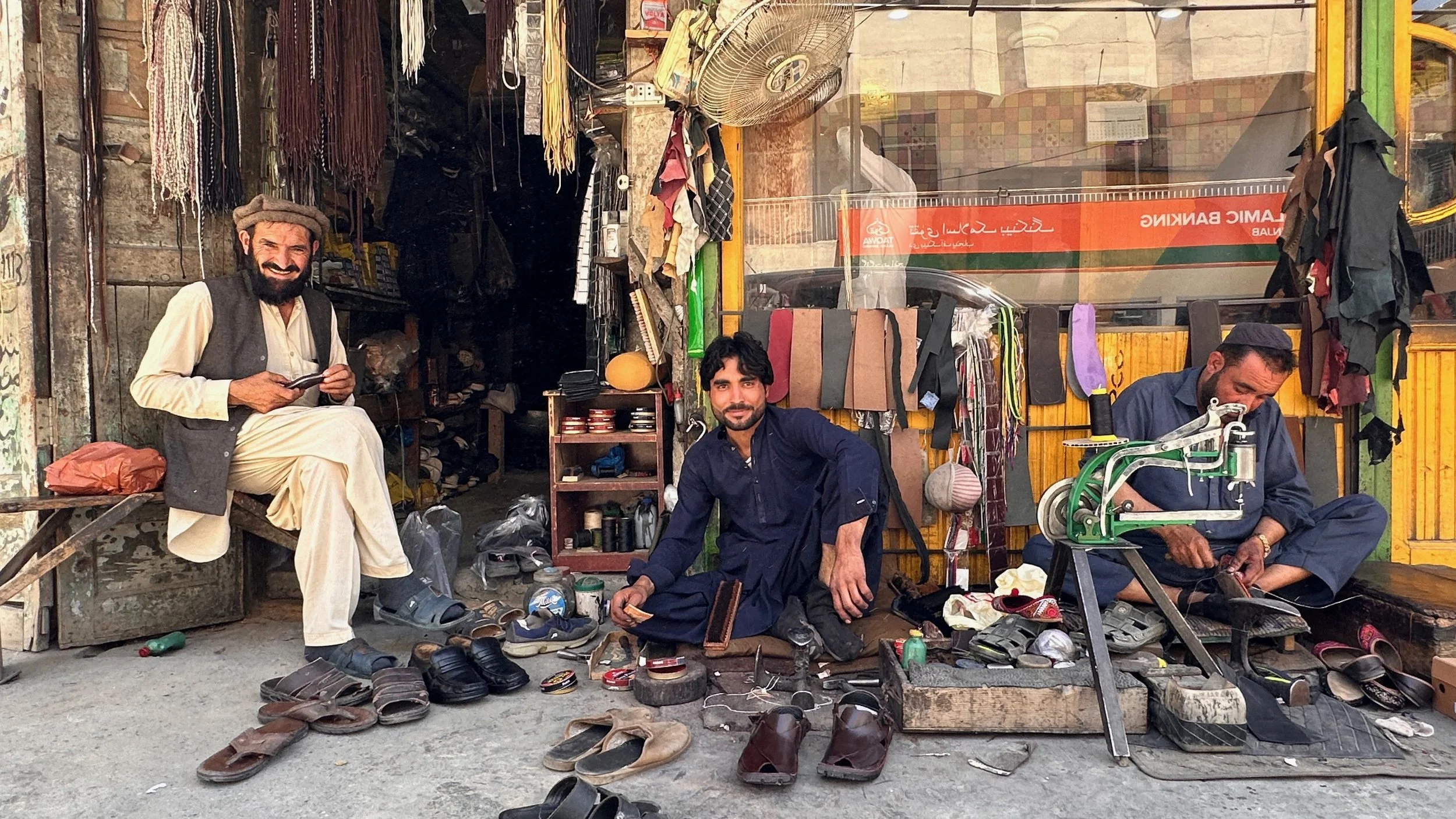
Our trip to Askole started at 8.40 am. We picked up Essan in Skardu and purchased additional supplies along the way. Skardu was hot, busy and dusty and it felt good to leave it behind. Skardu has expanded a lot, it is a medium size city now. The infrastructure can’t cope with the pace of the development and water and electricity shortages are common.
The drive to Askole takes now only 7 hours as the road has been improved. It is now paved all the way to Shigar and after that it is still much better than it was before. The road was paved to enable numerous visitors access to the valley. The Shigar Fort has been converted into a luxury hotel and the amenities have improved along with the development in the area.
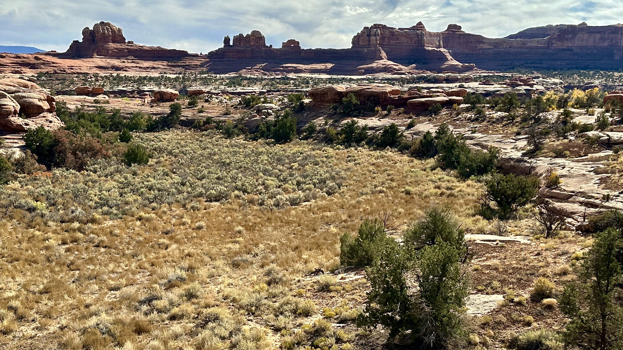
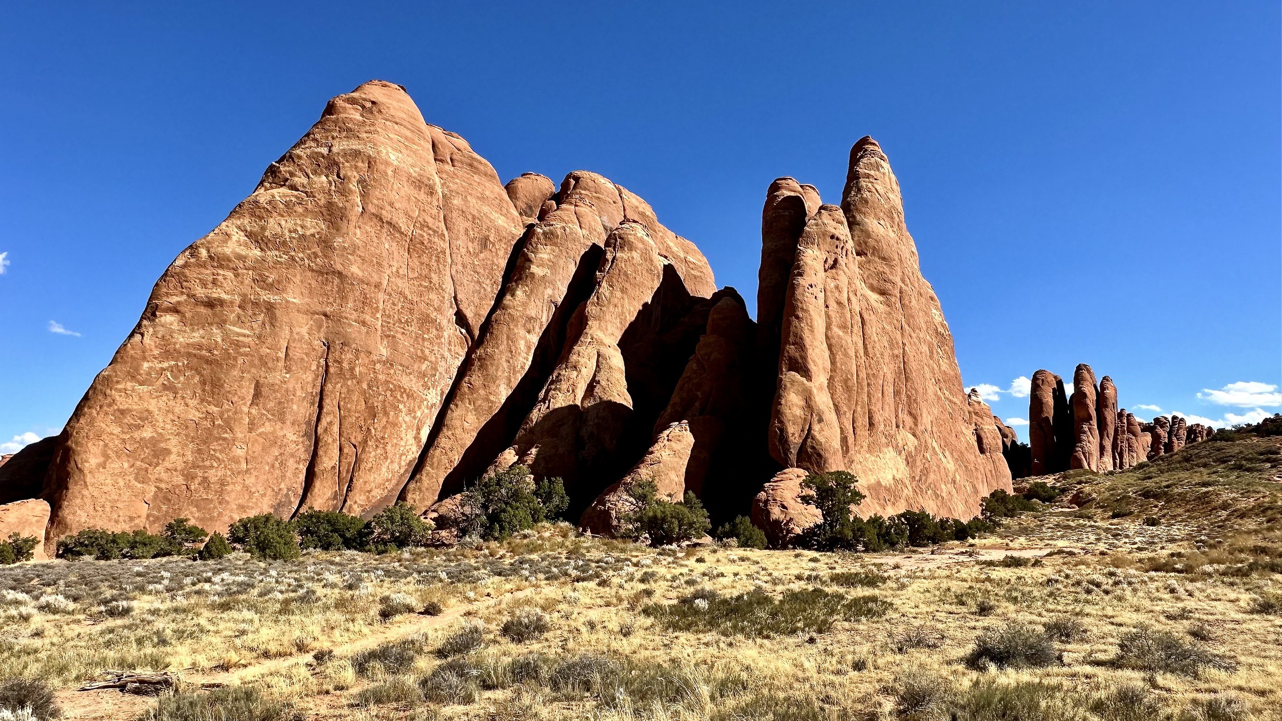
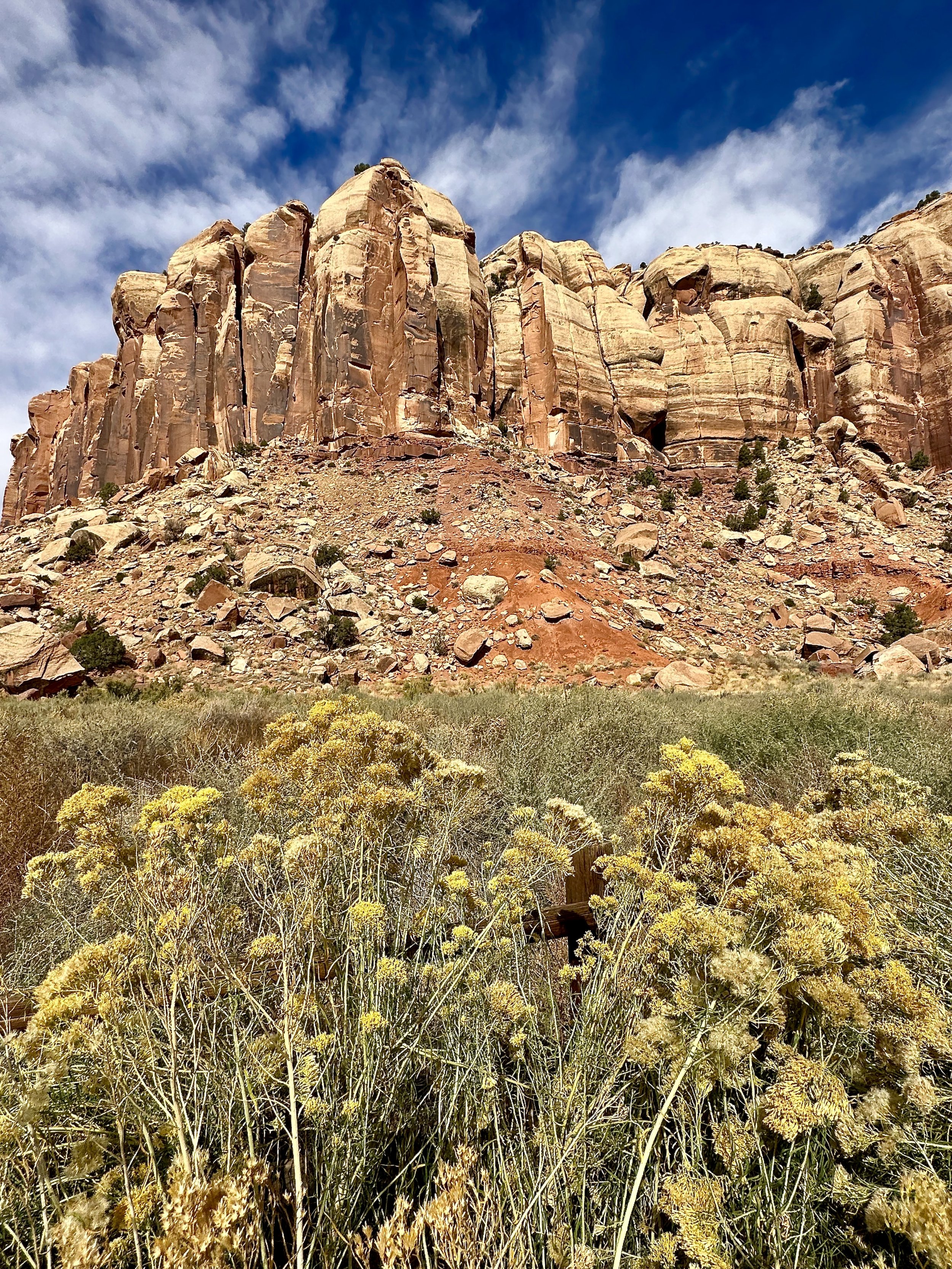
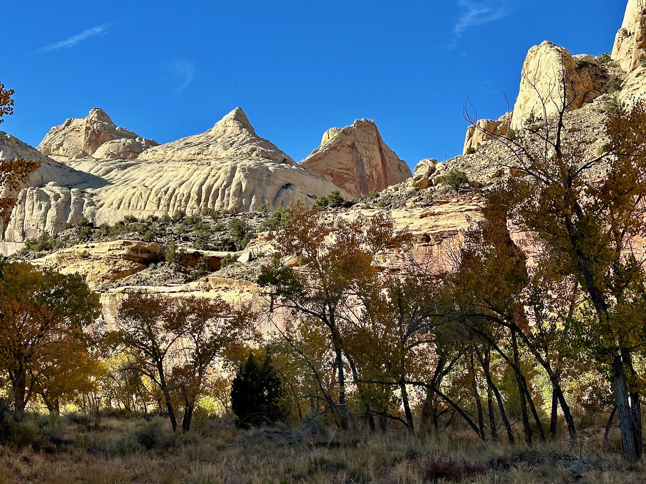
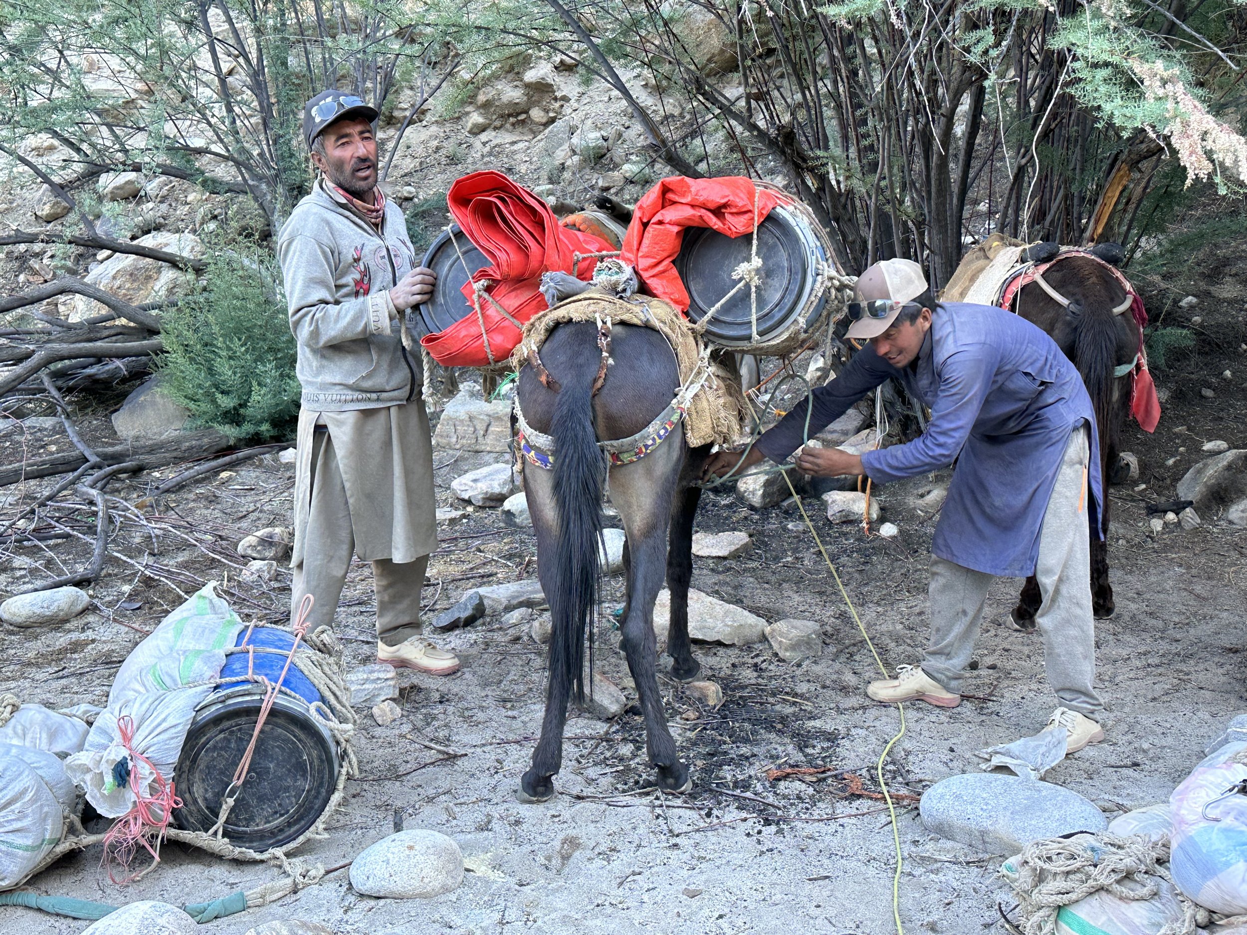
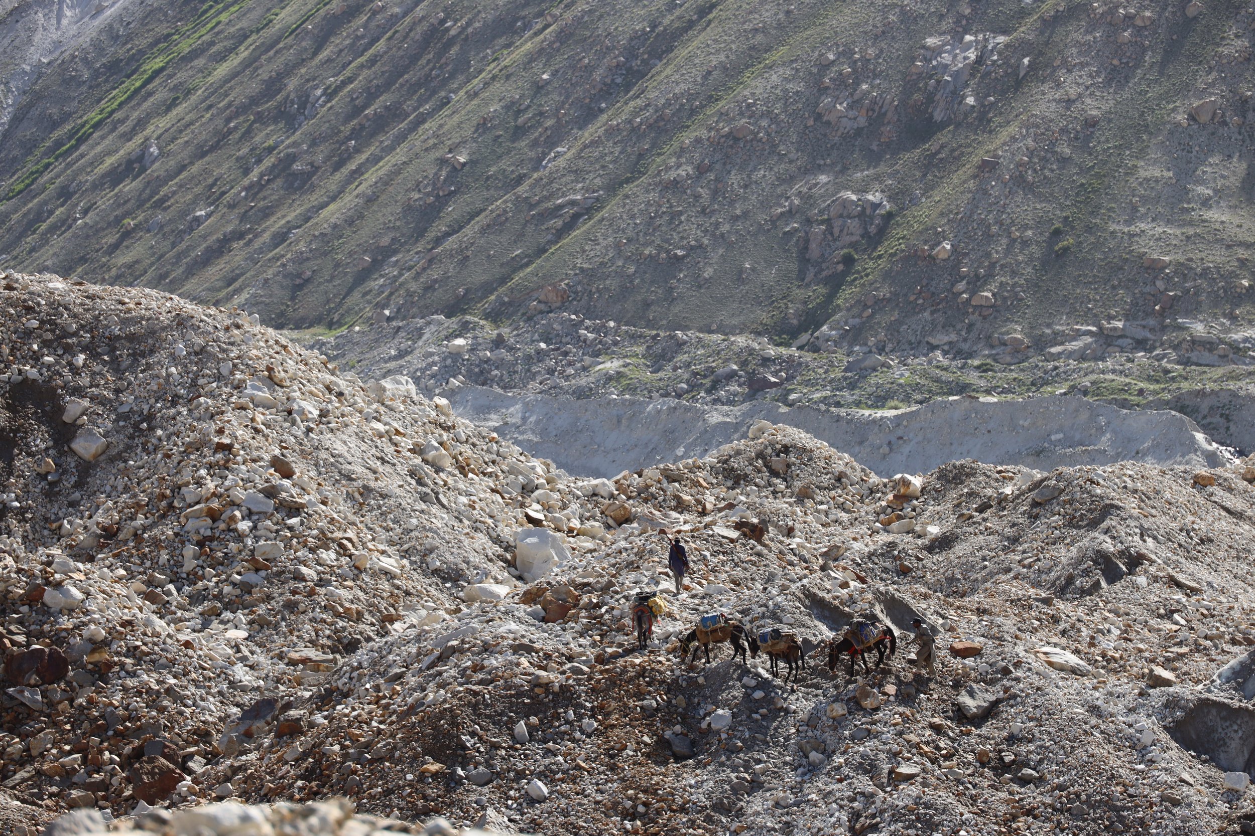
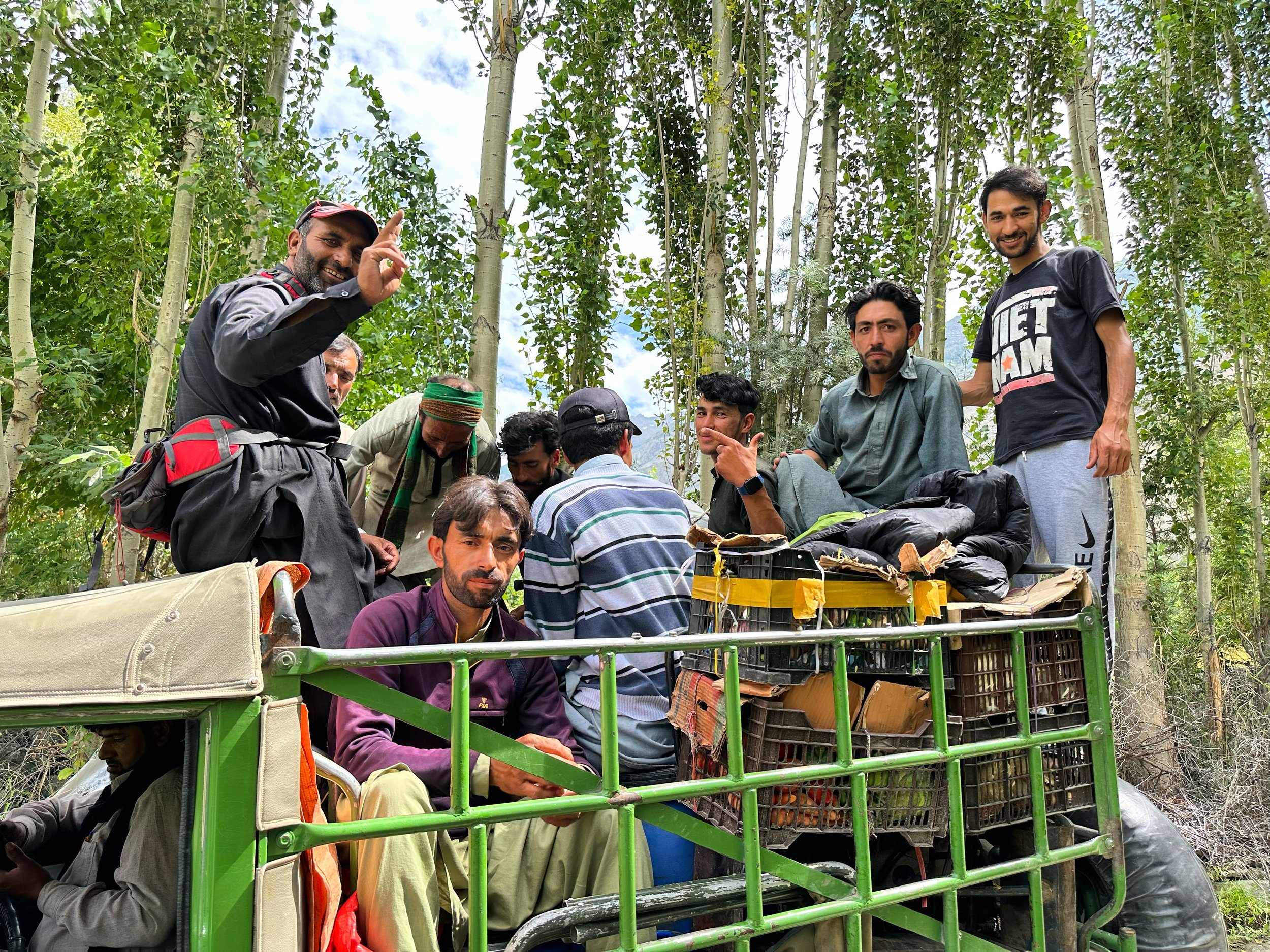
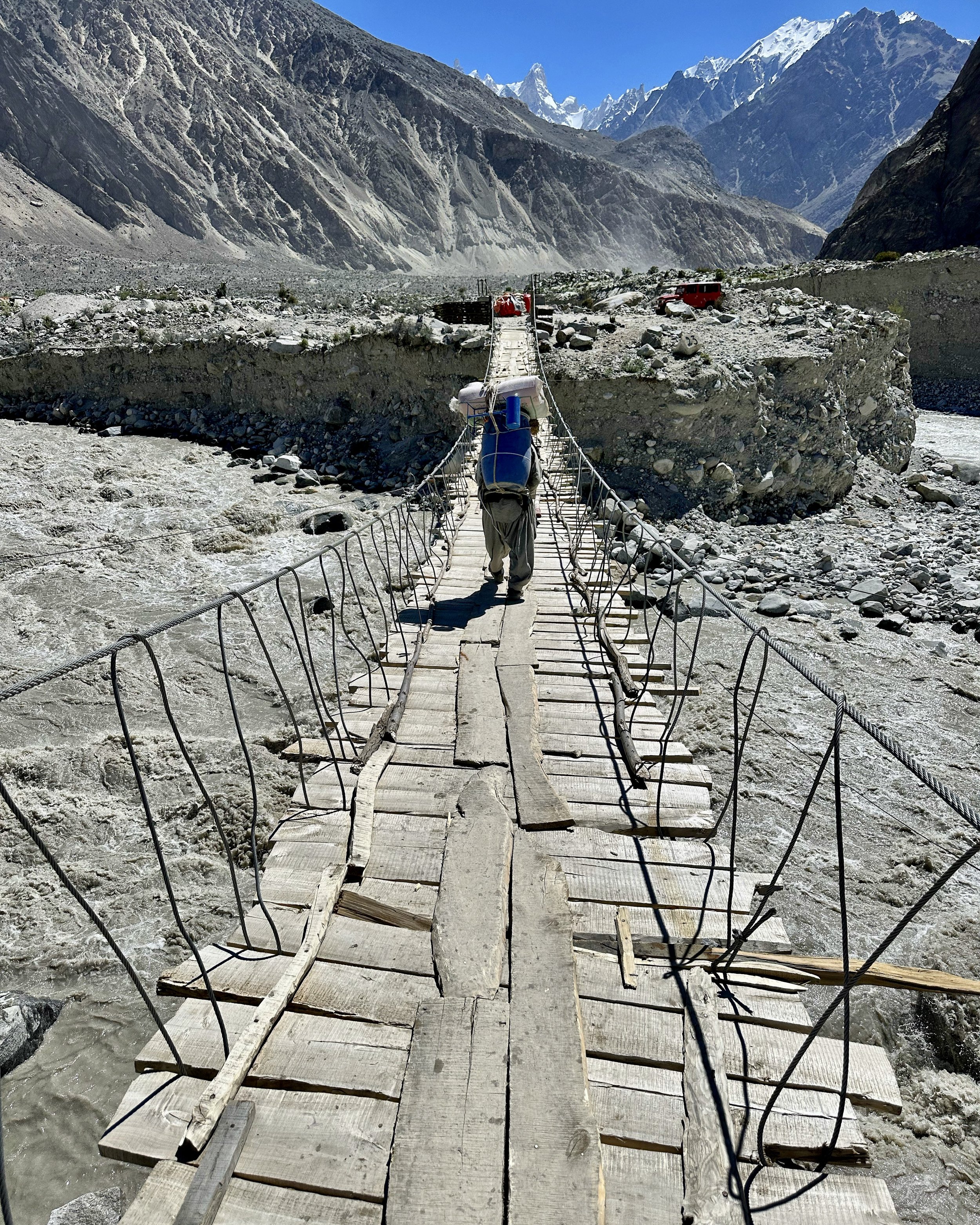
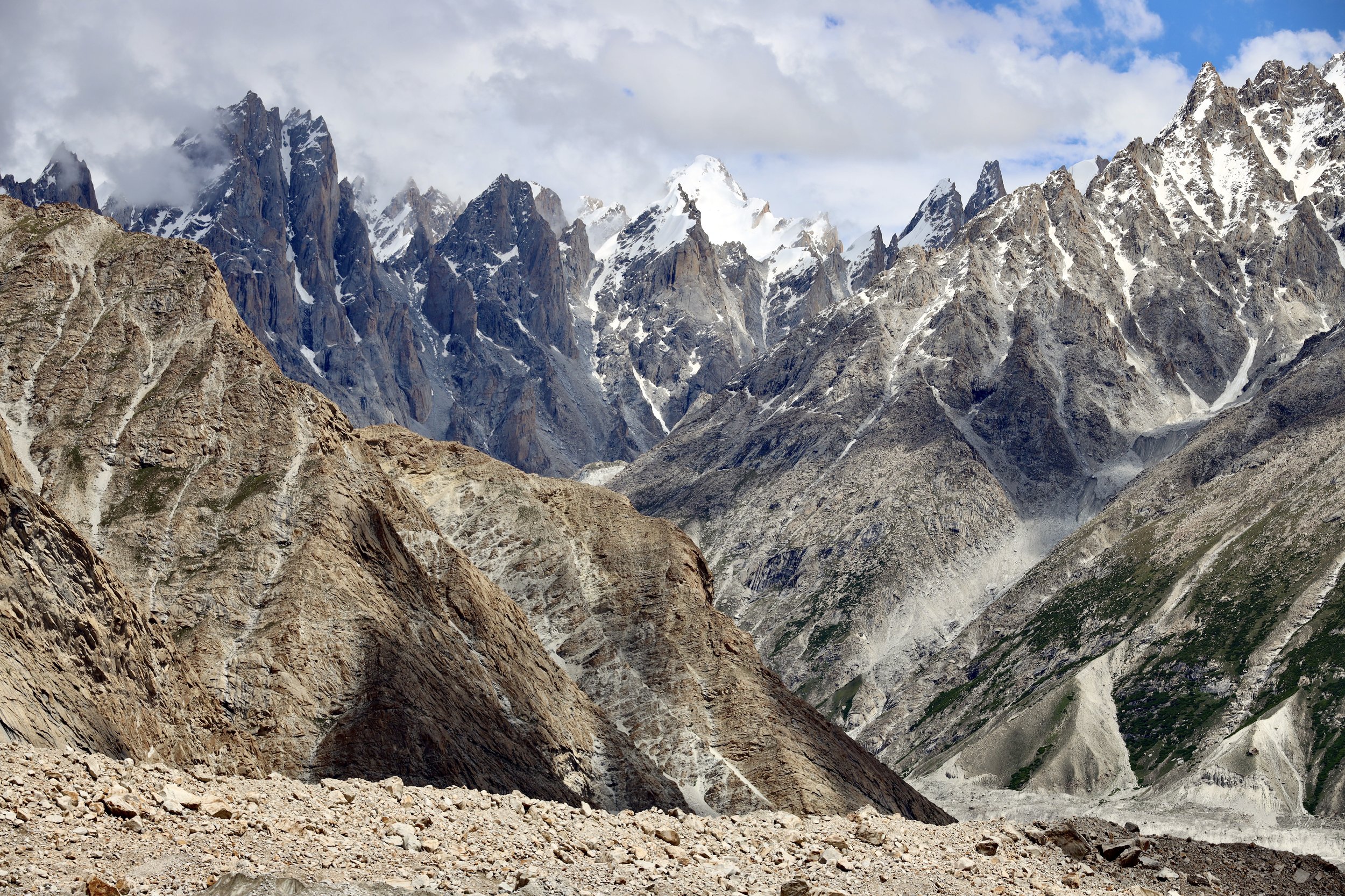
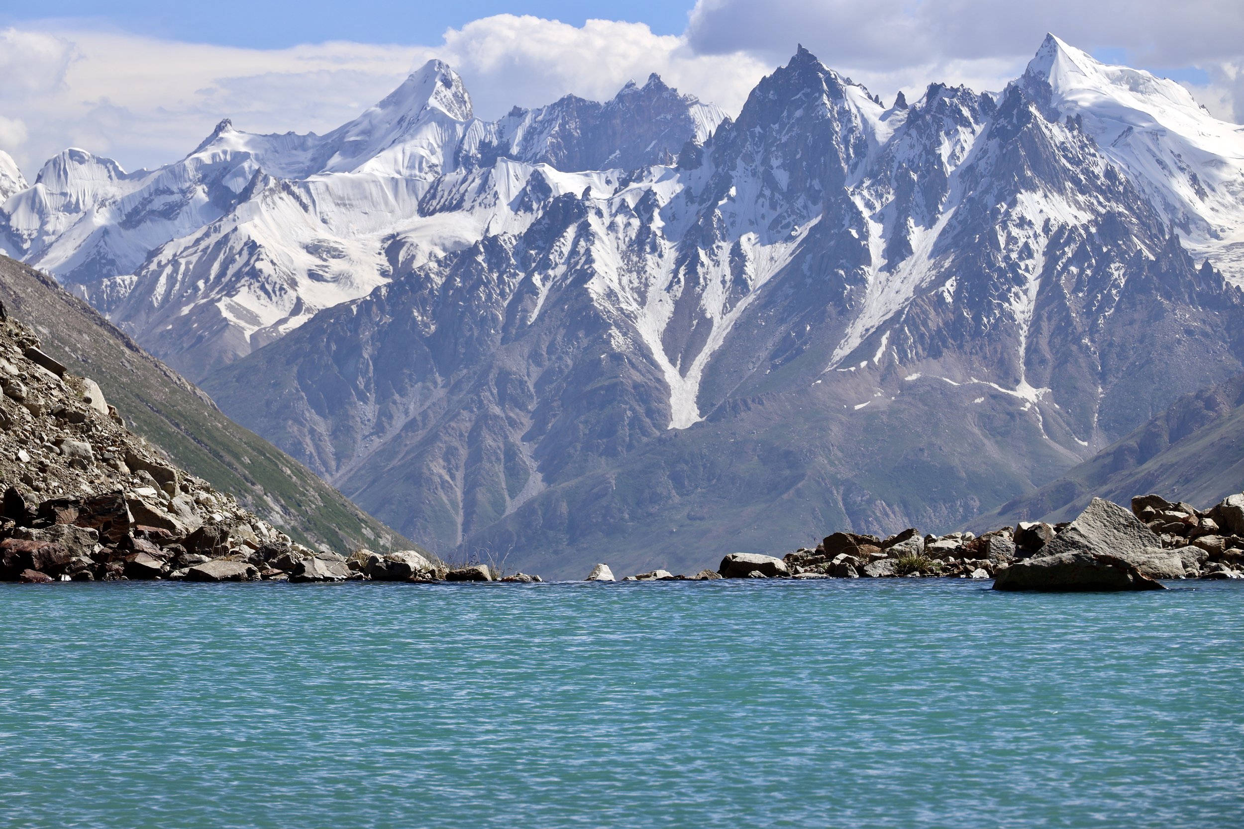
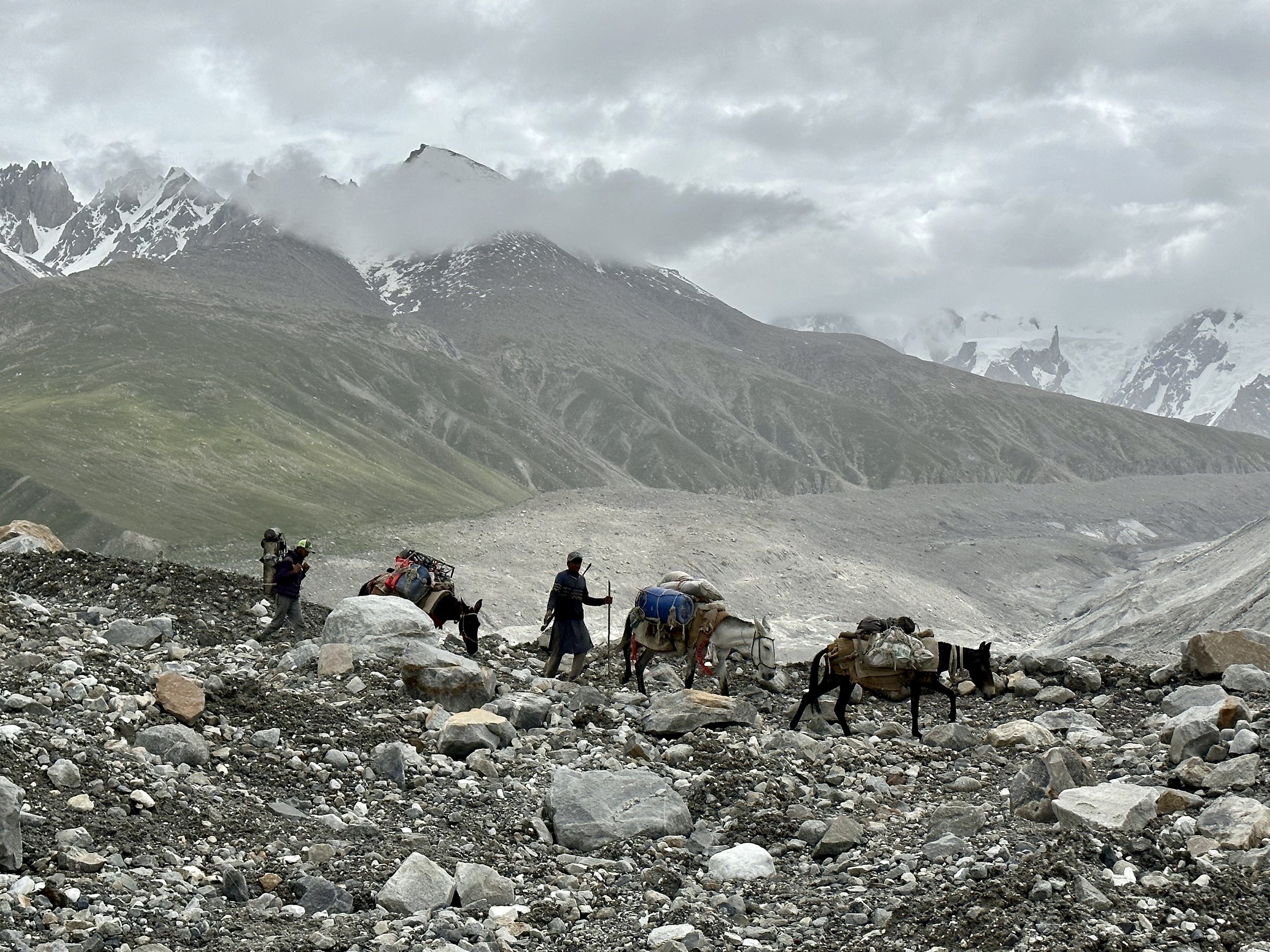
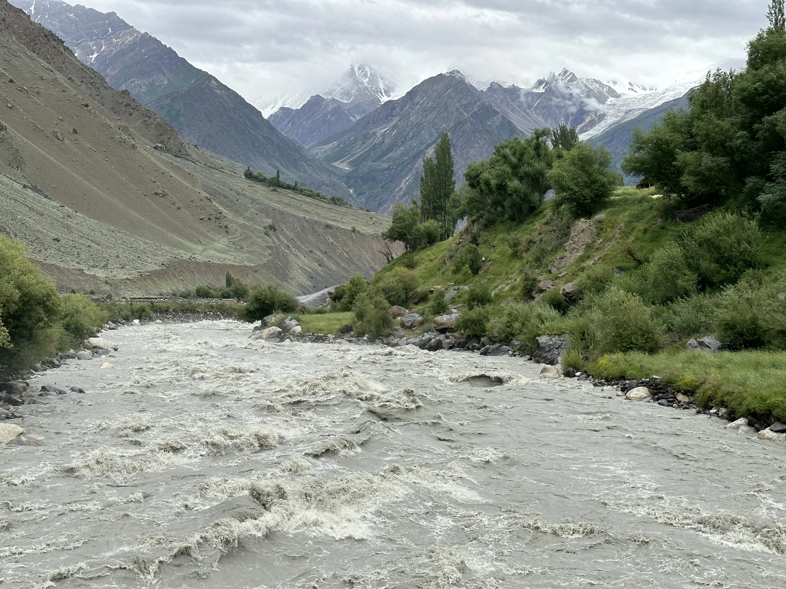
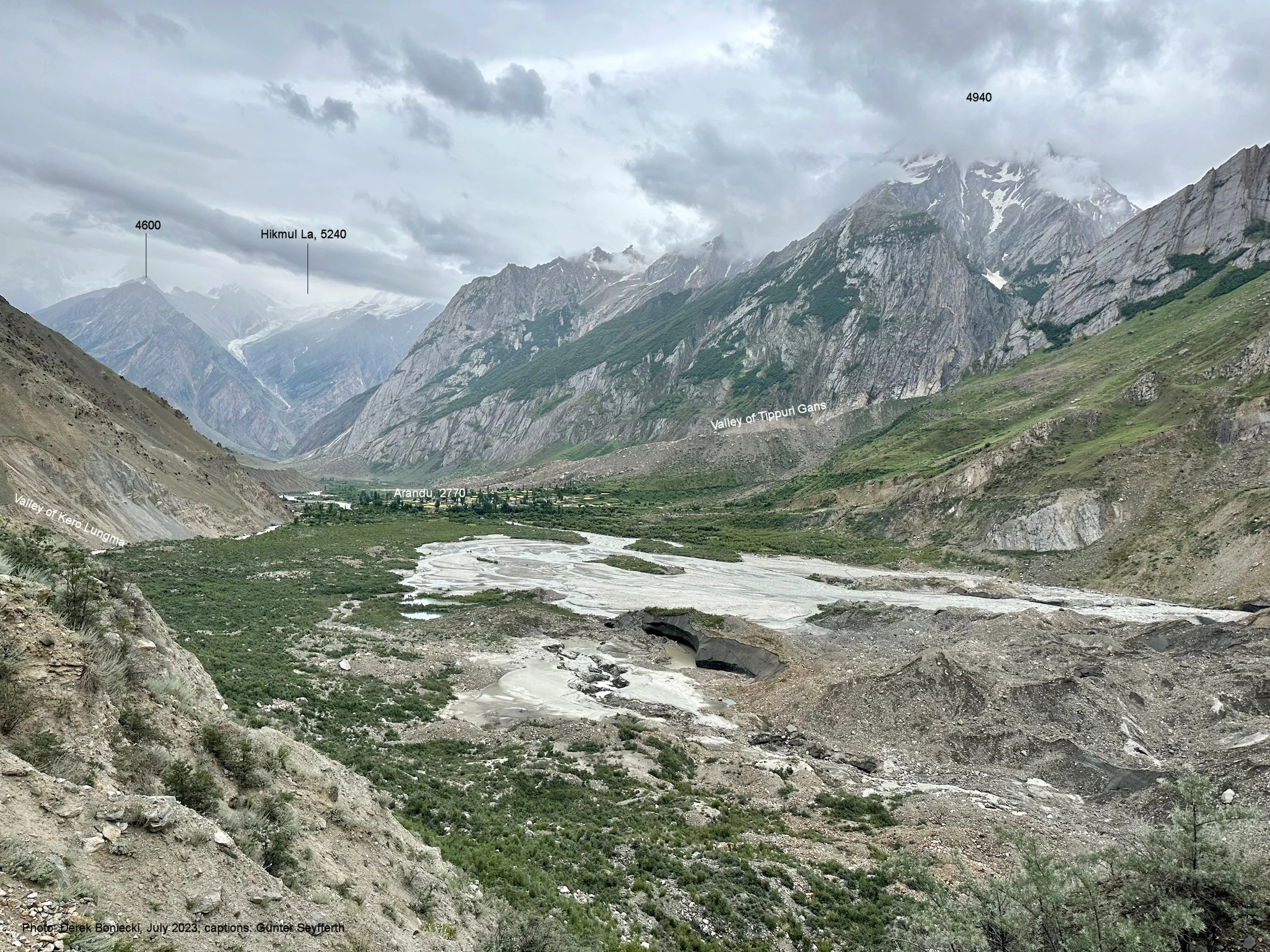
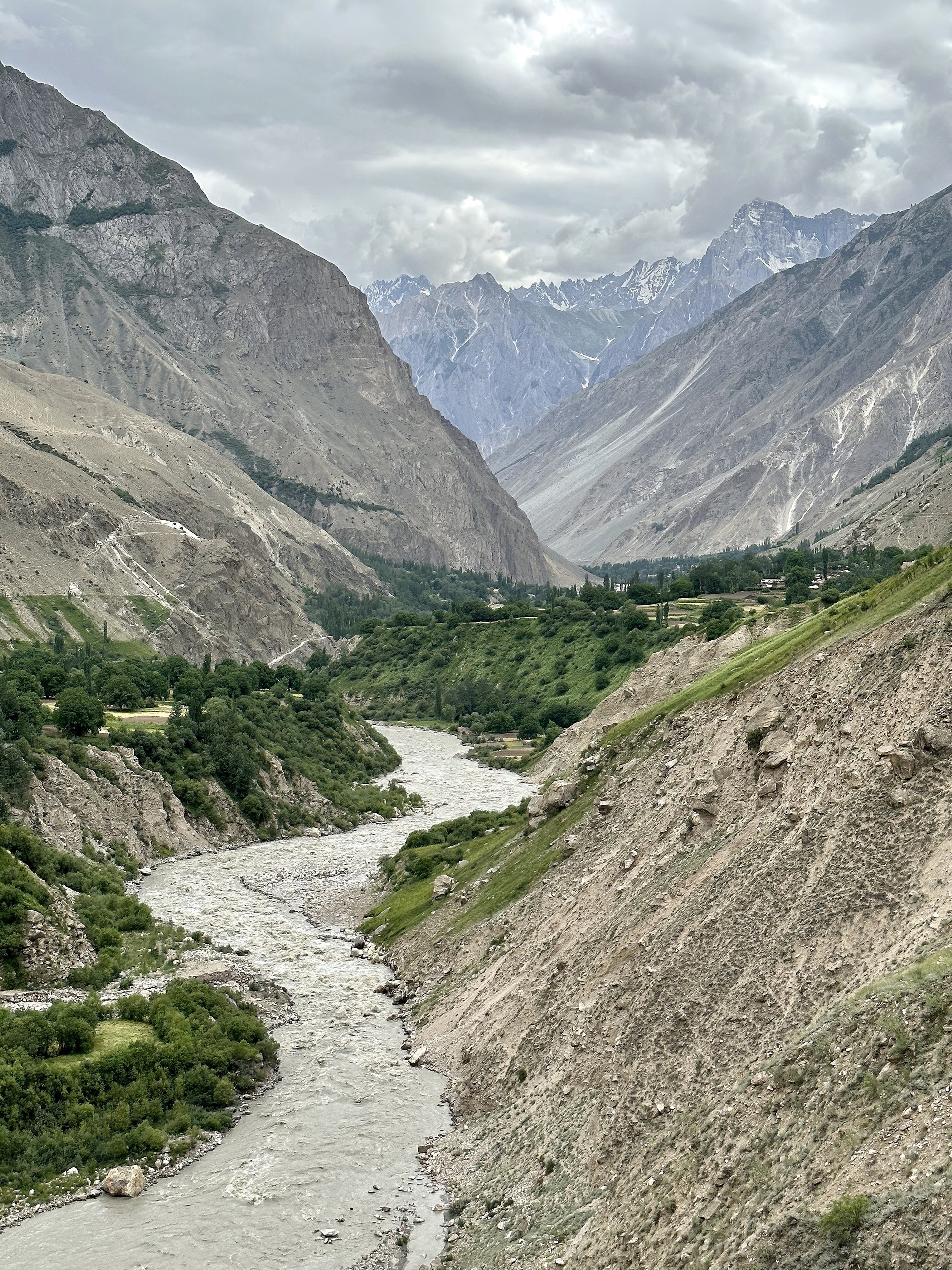
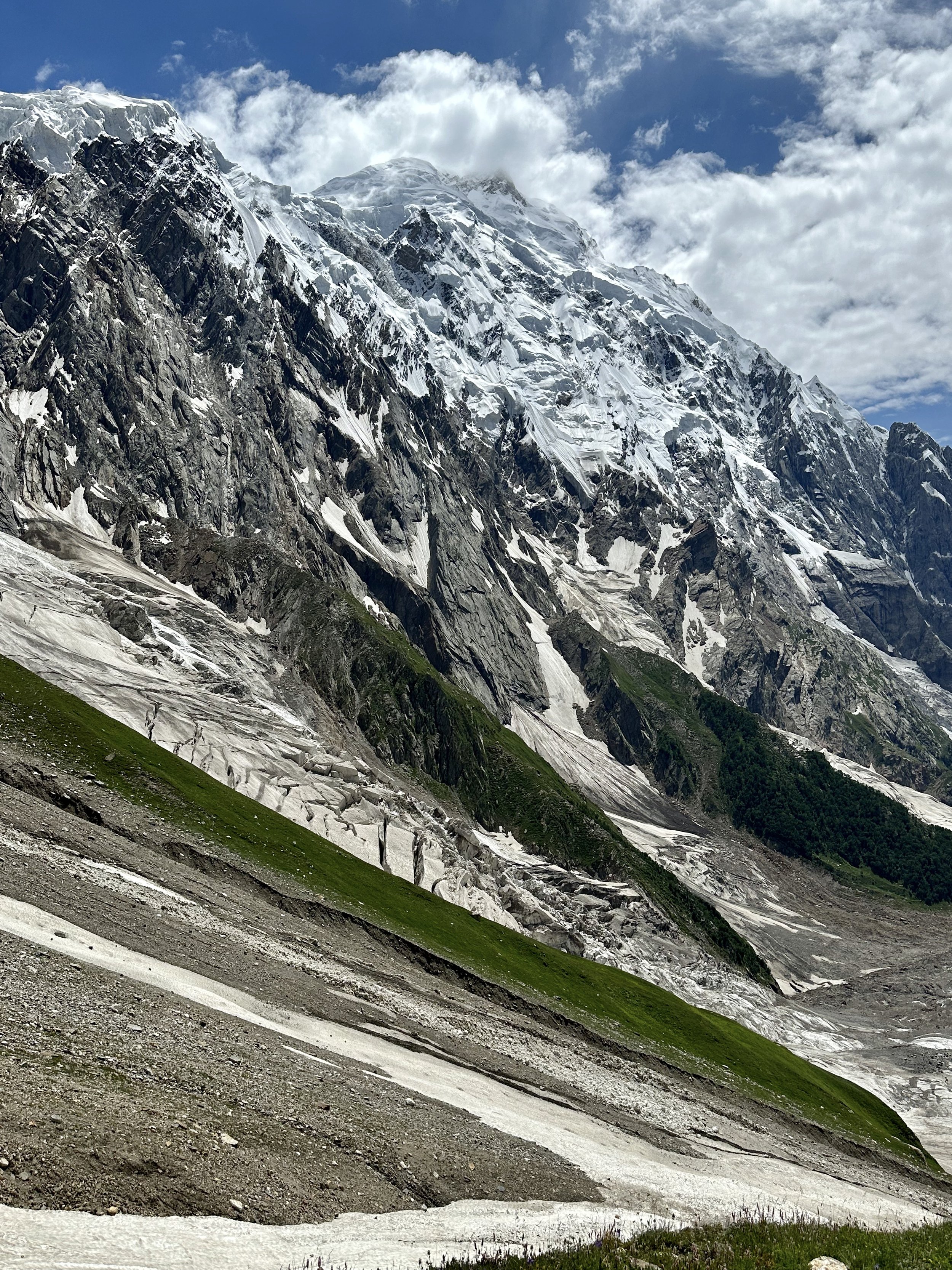
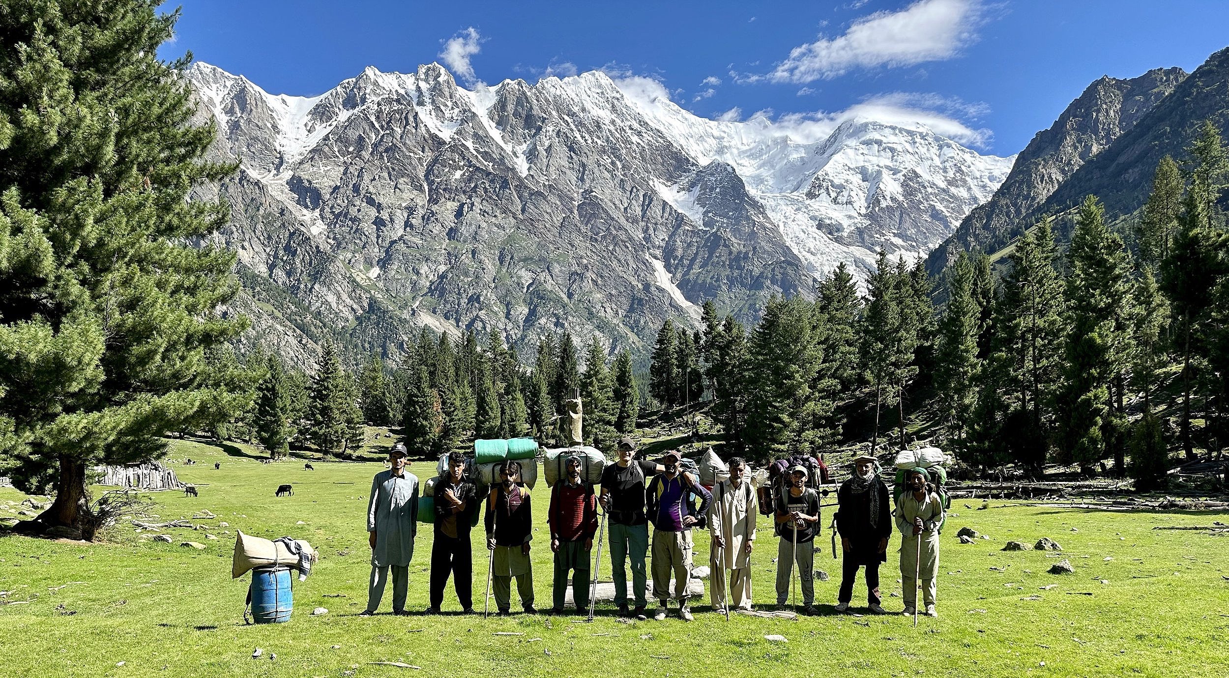
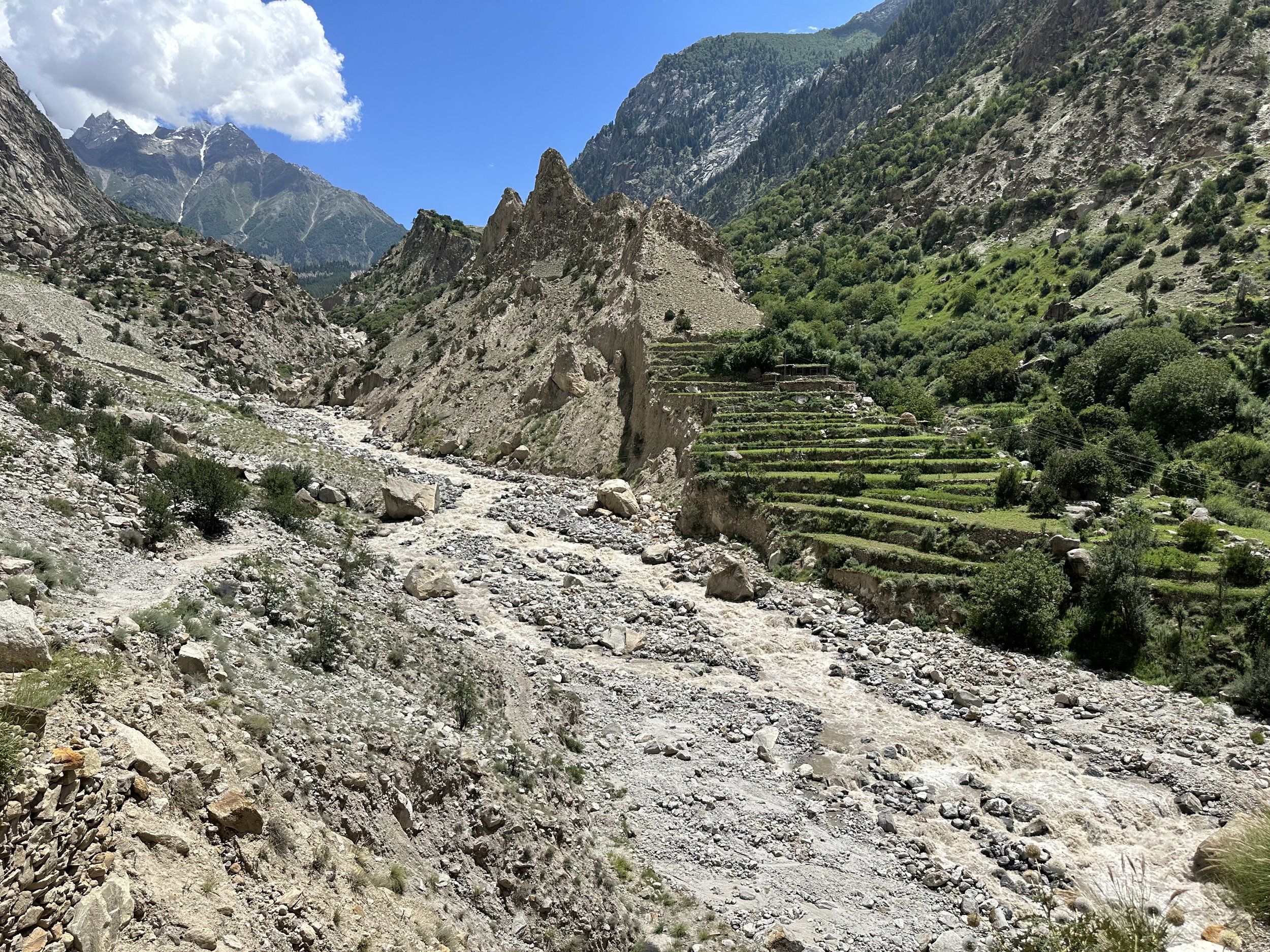
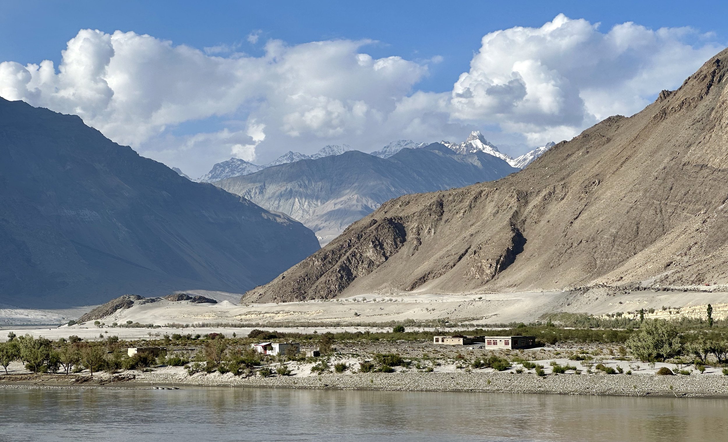
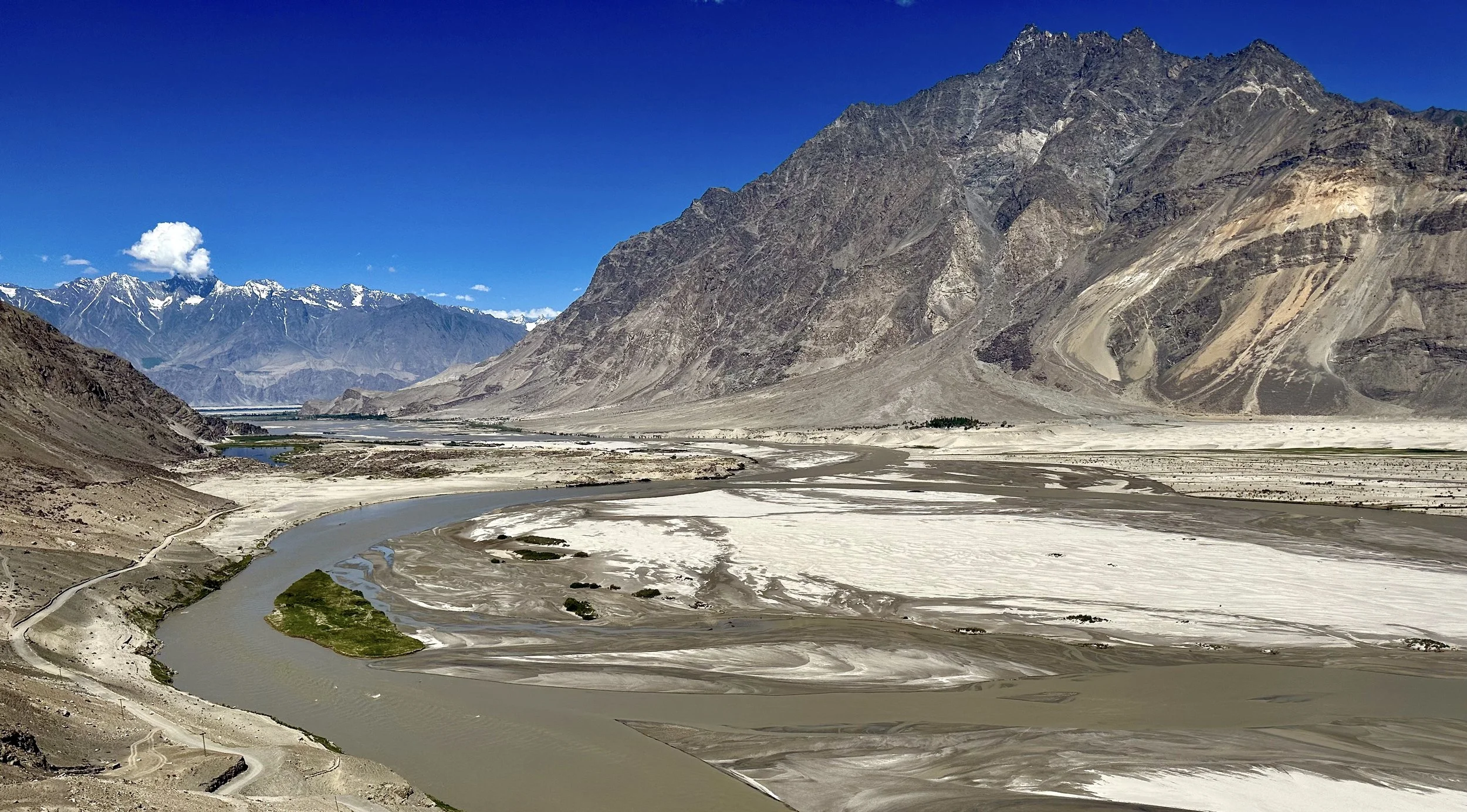
Shigar Valley is very beautiful. It is full of green fields with snow-capped mountains above the many villages on the Shigar River. We stopped in Shigar to check out the 150-year-old mosque. Its appearance is quite reminiscent of the Central Asian mosques that I saw in Xinjiang. In Dasso we picked up additional porters. Most of them came from Tissar village on the opposite side of the Shigar River. I crossed this river on the way to Arando on the second leg of the journey two weeks later.
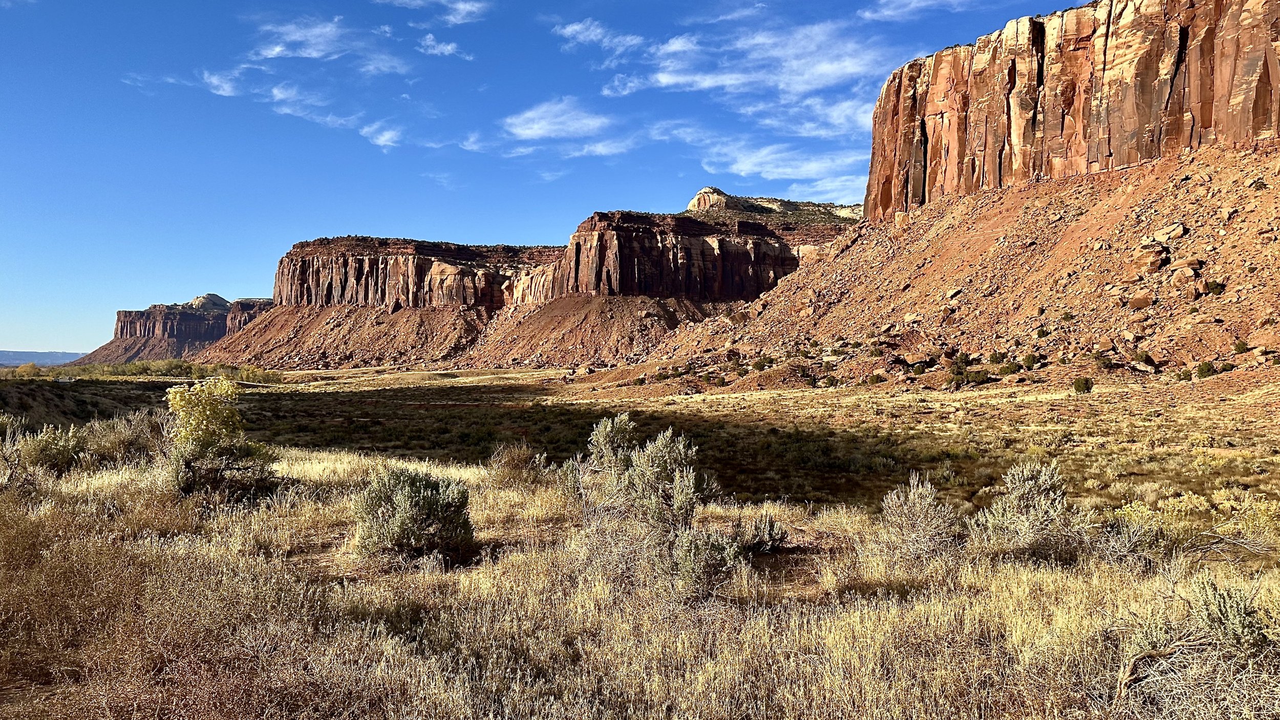
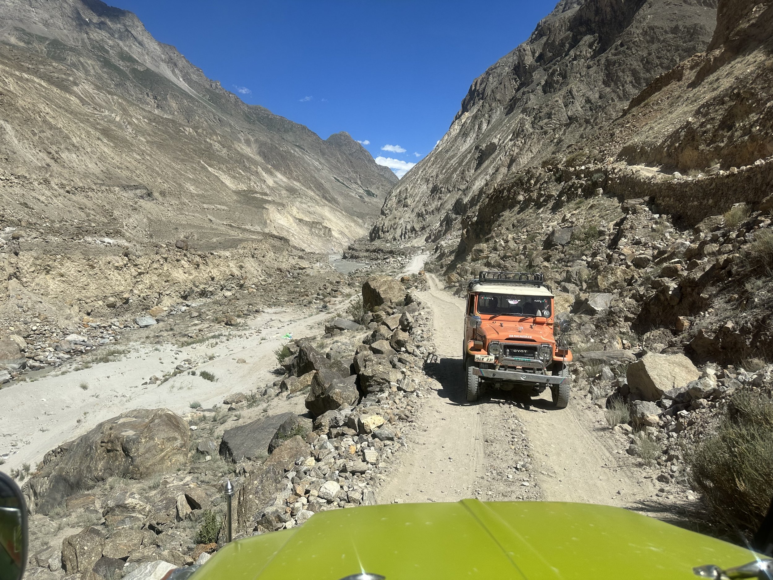
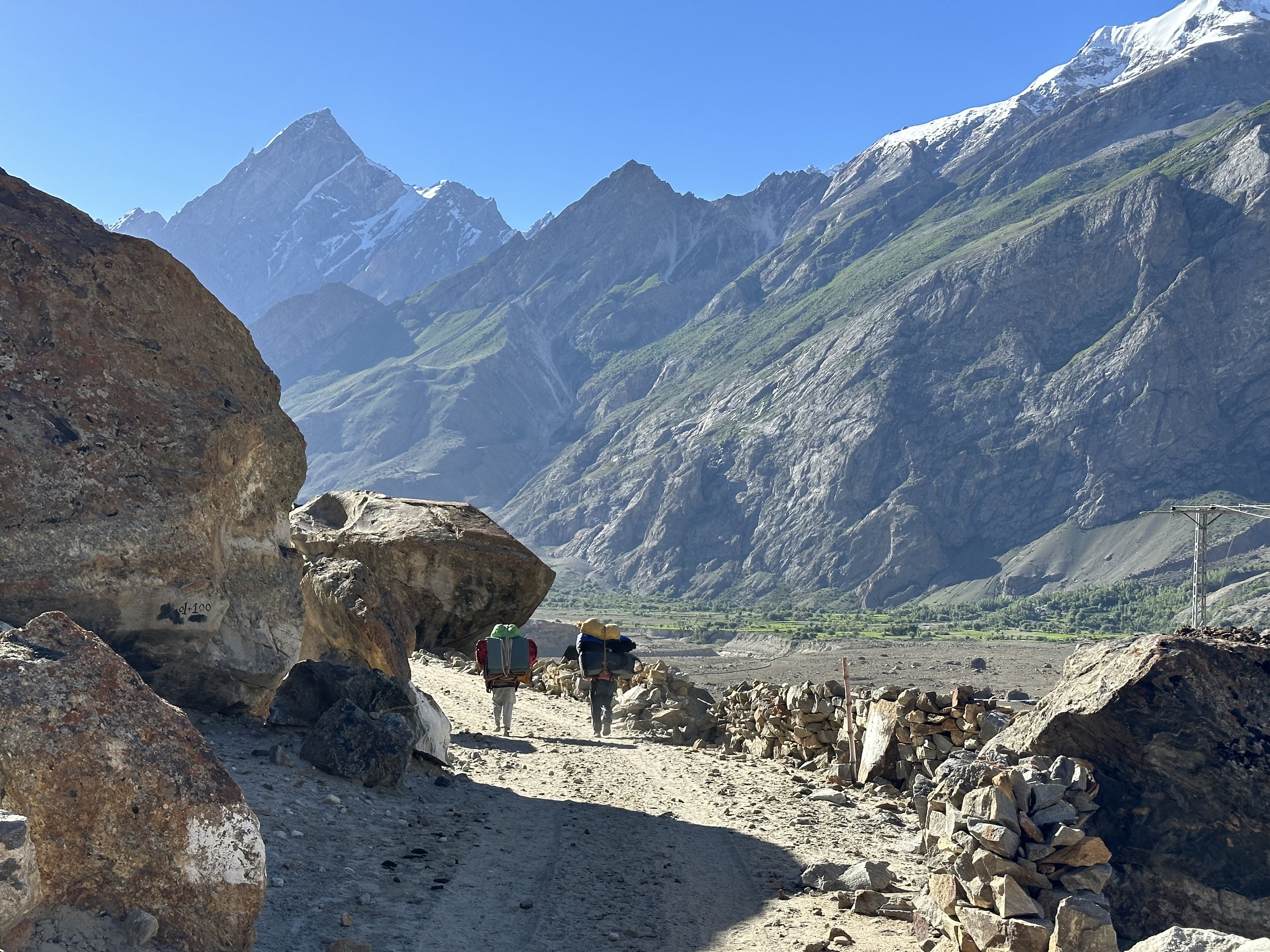
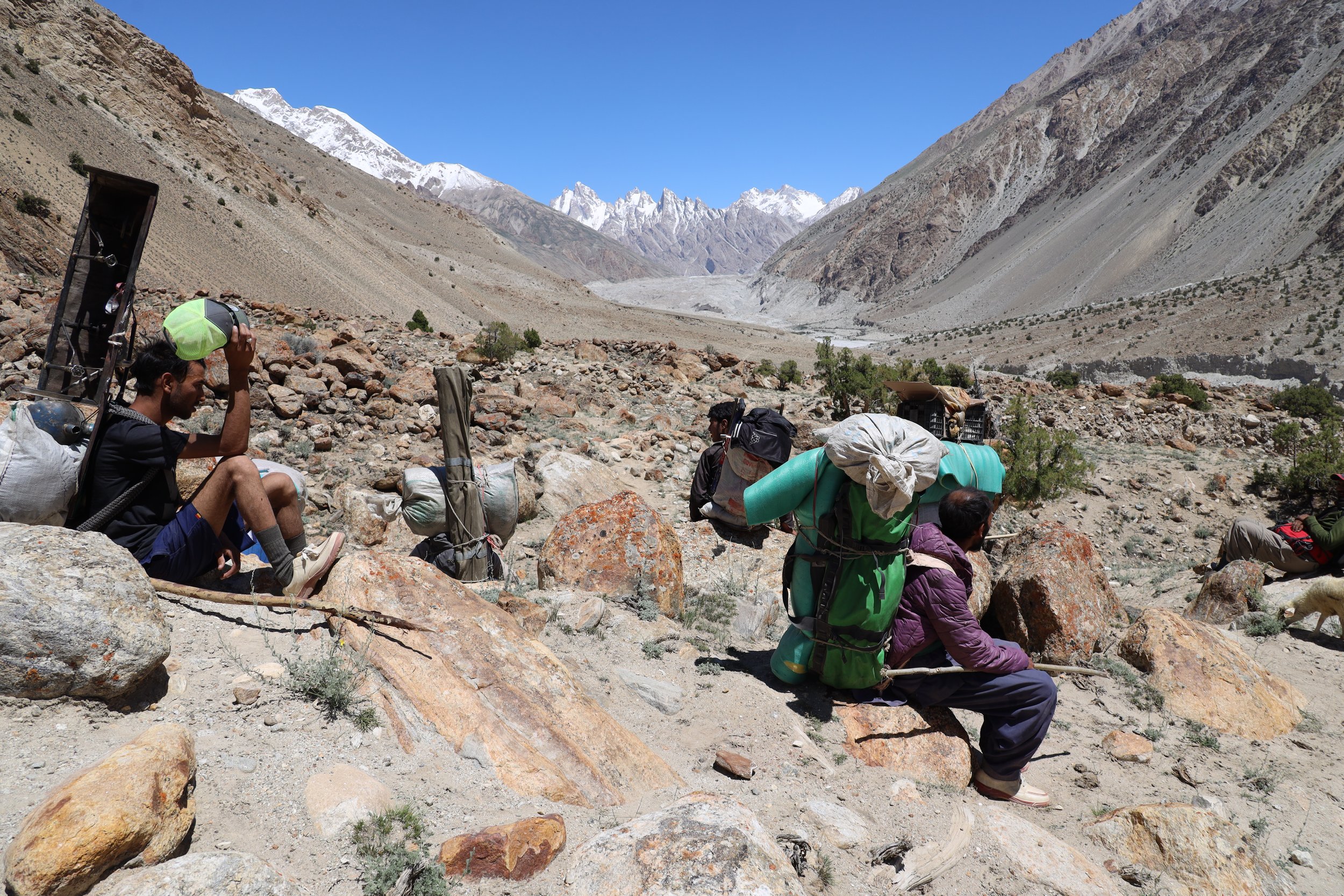
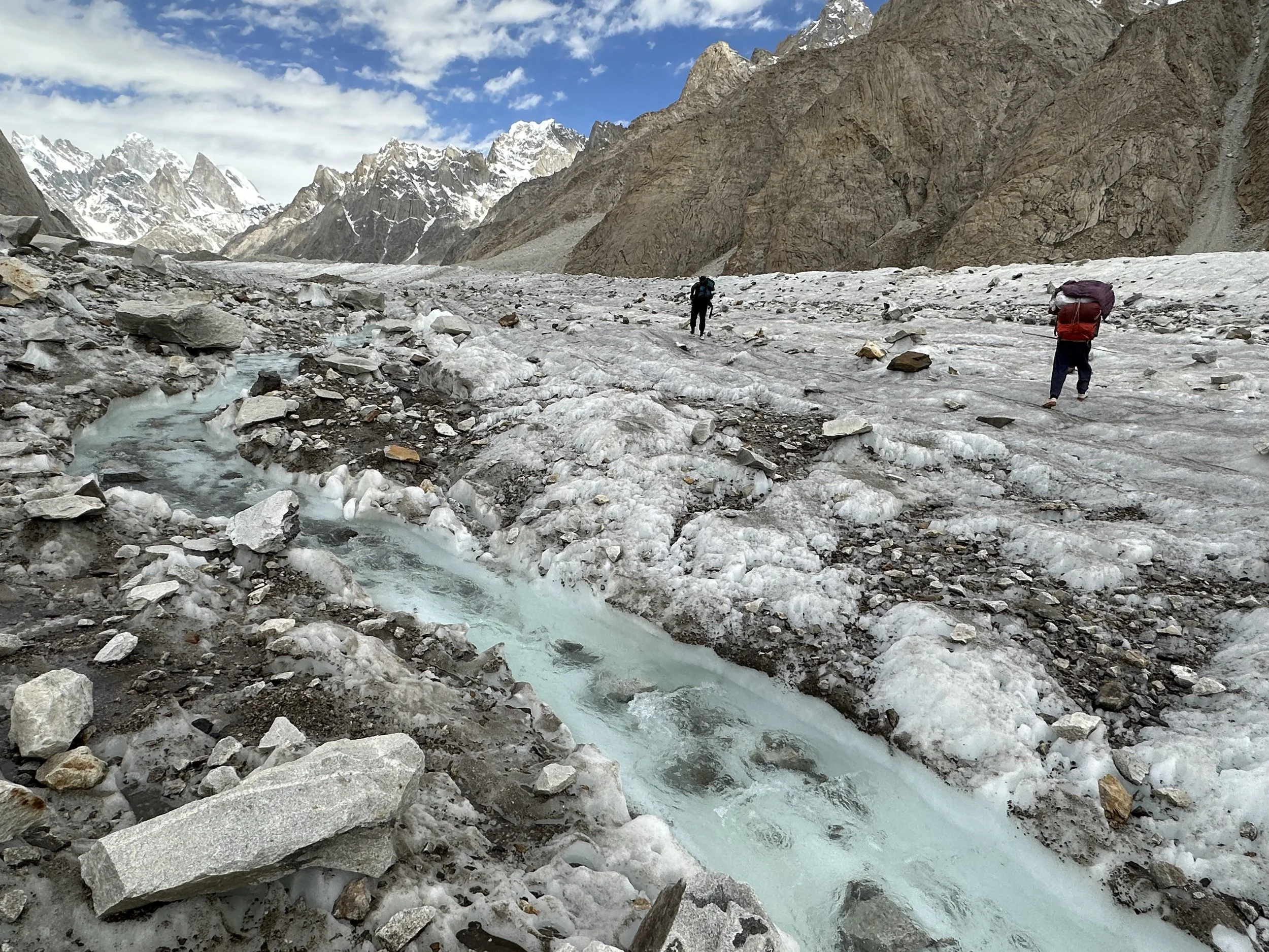
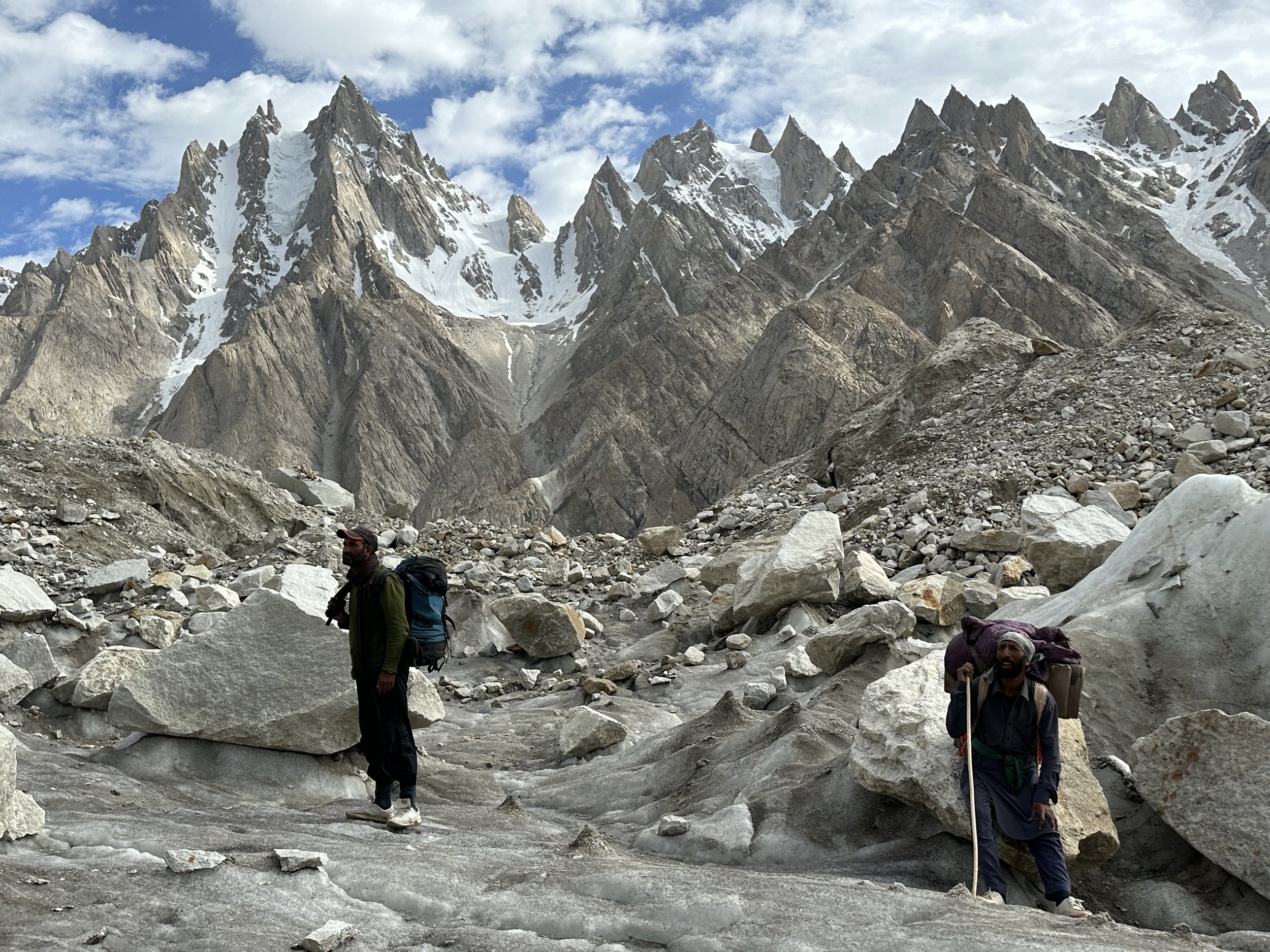
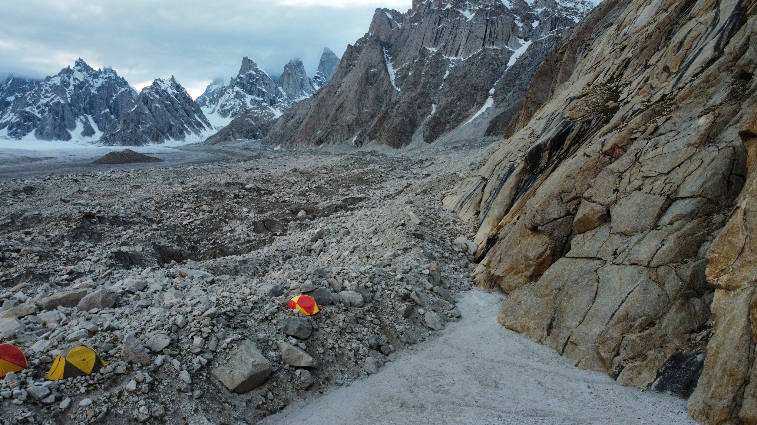
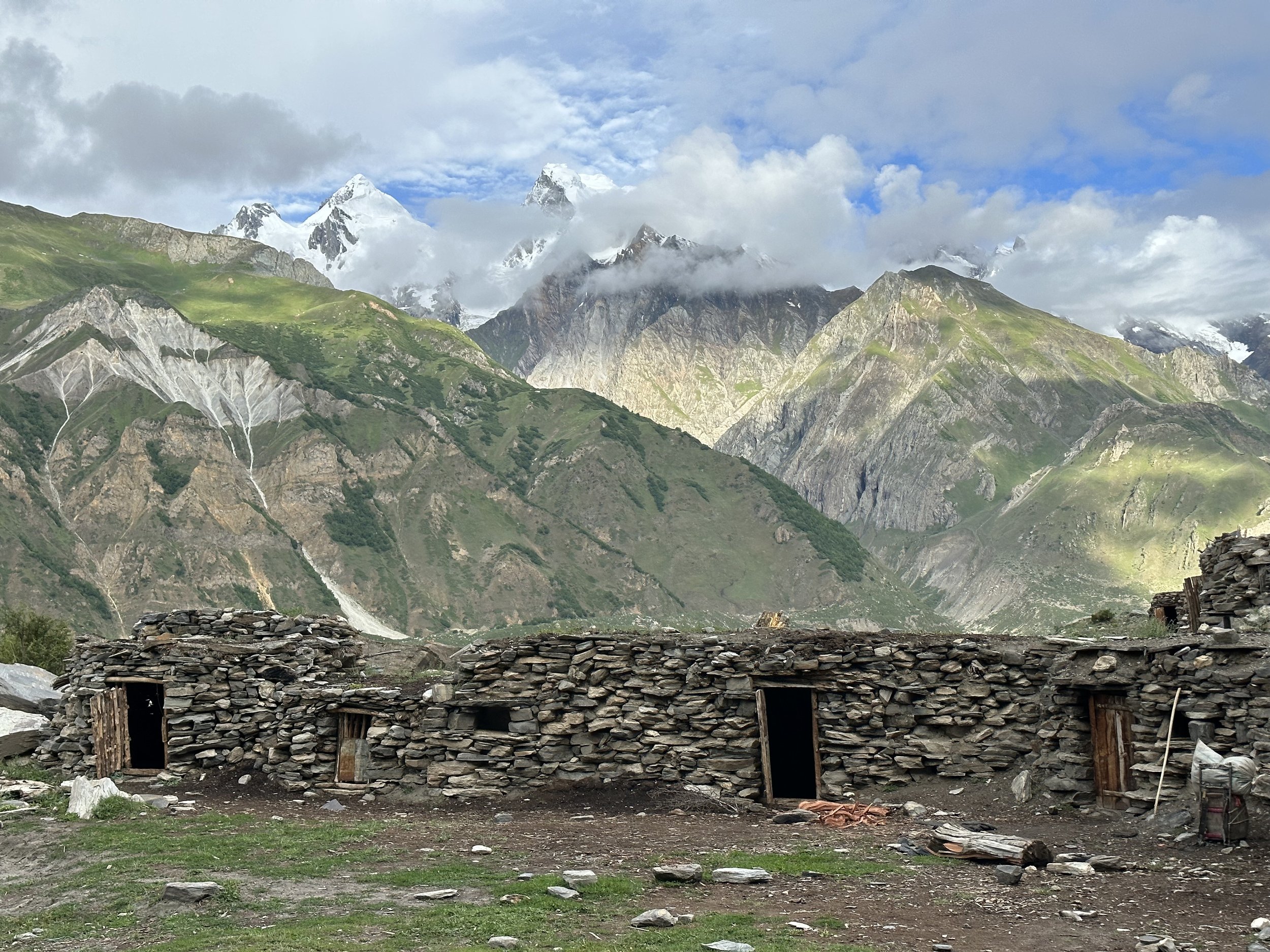
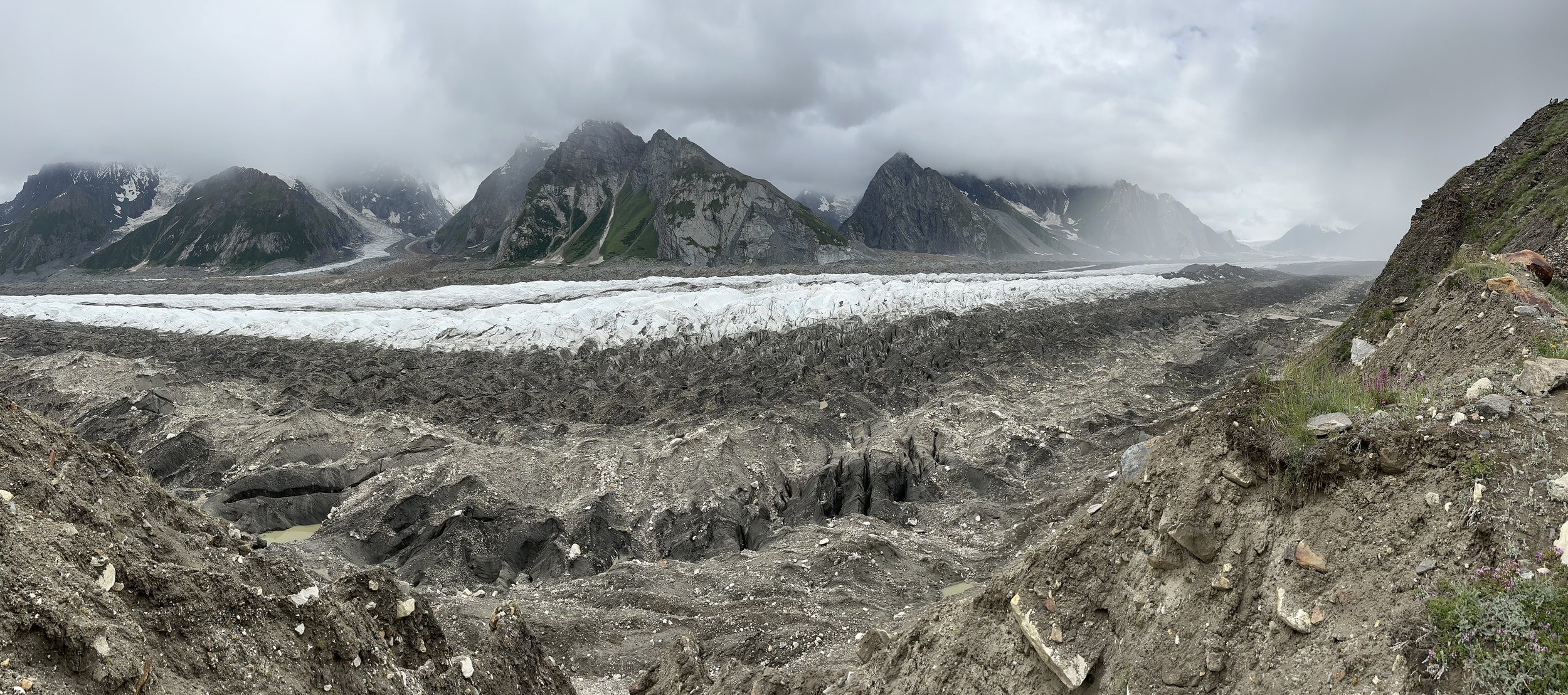
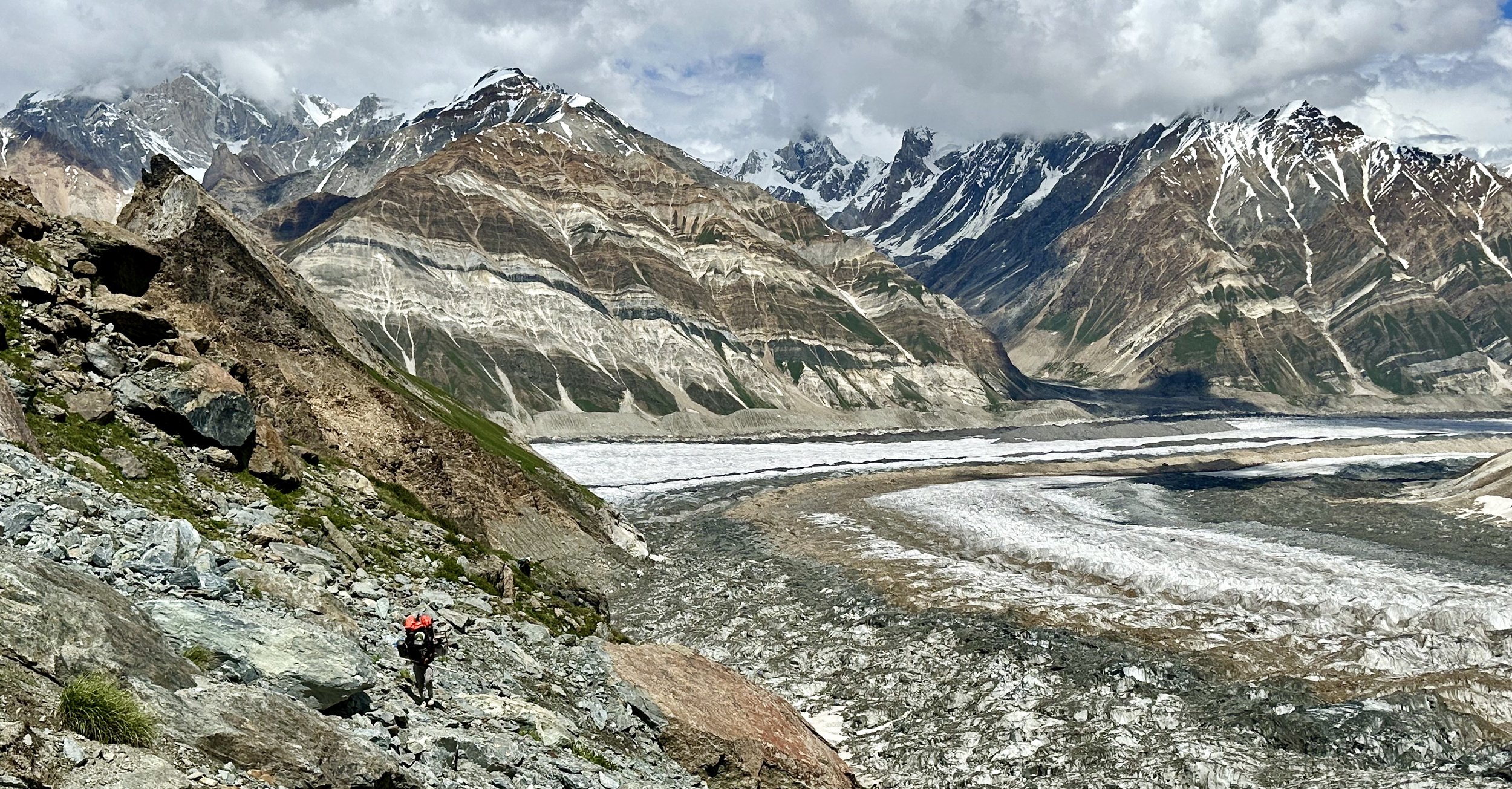
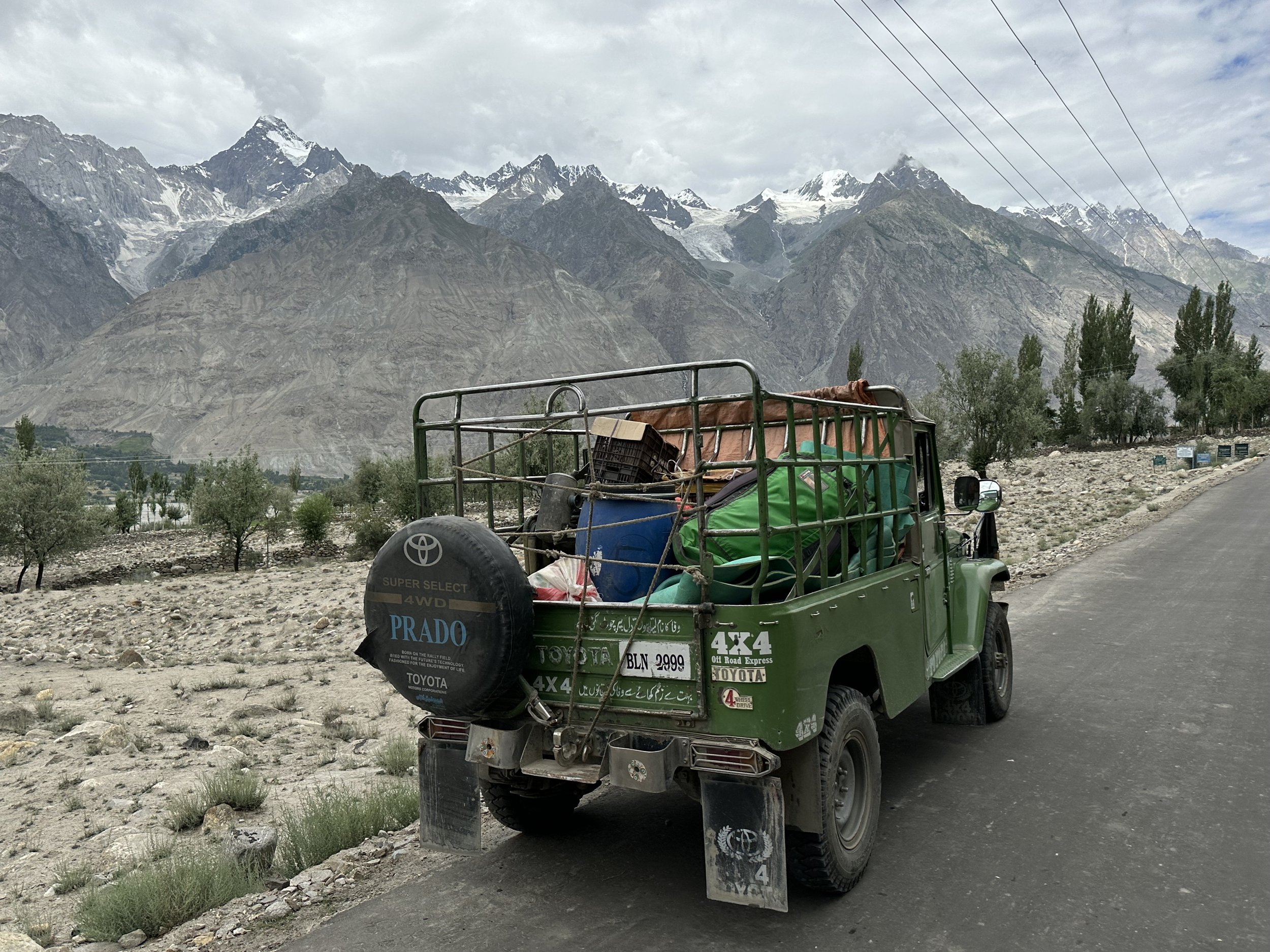
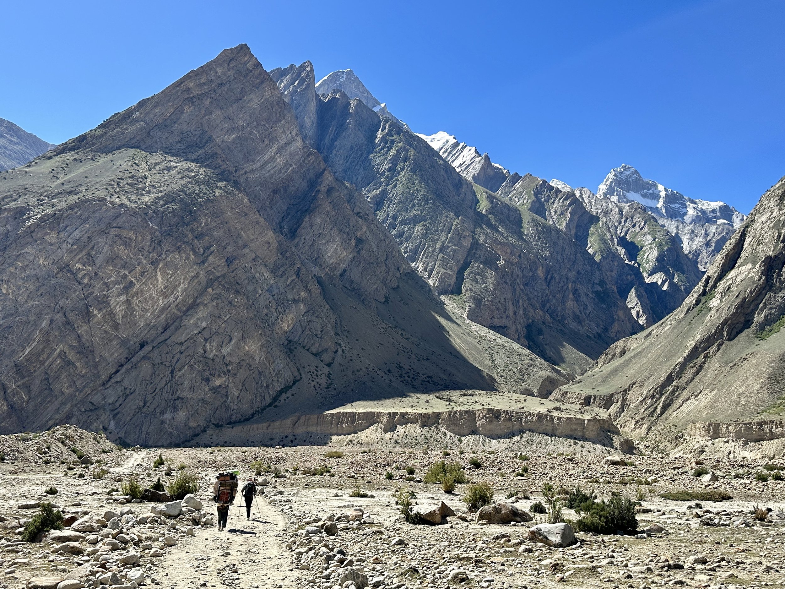
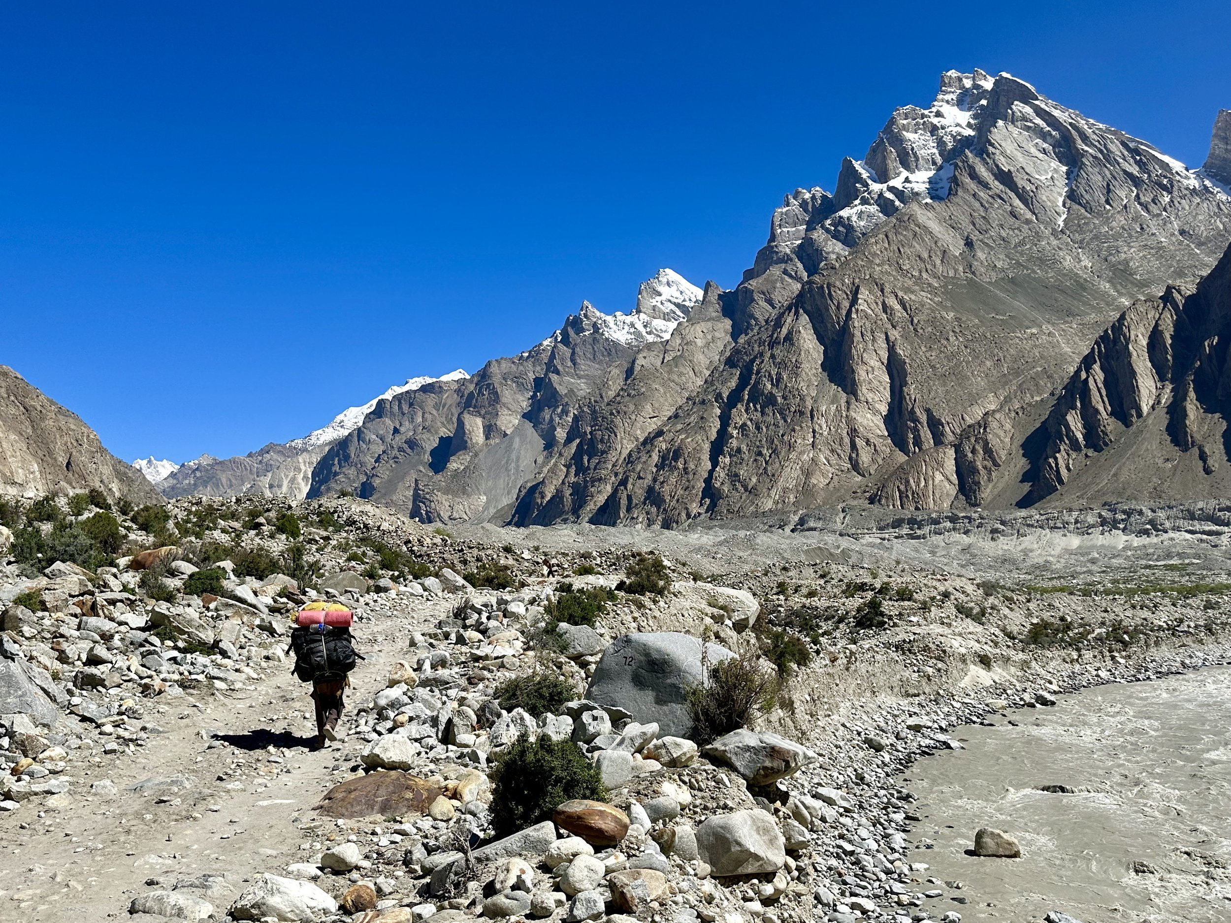
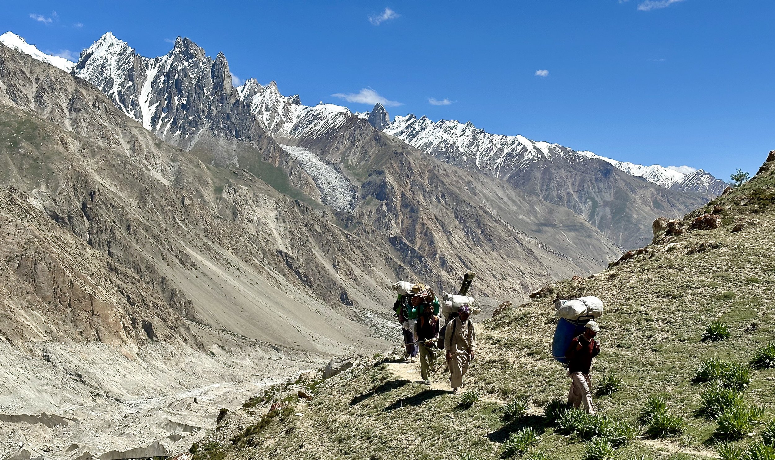
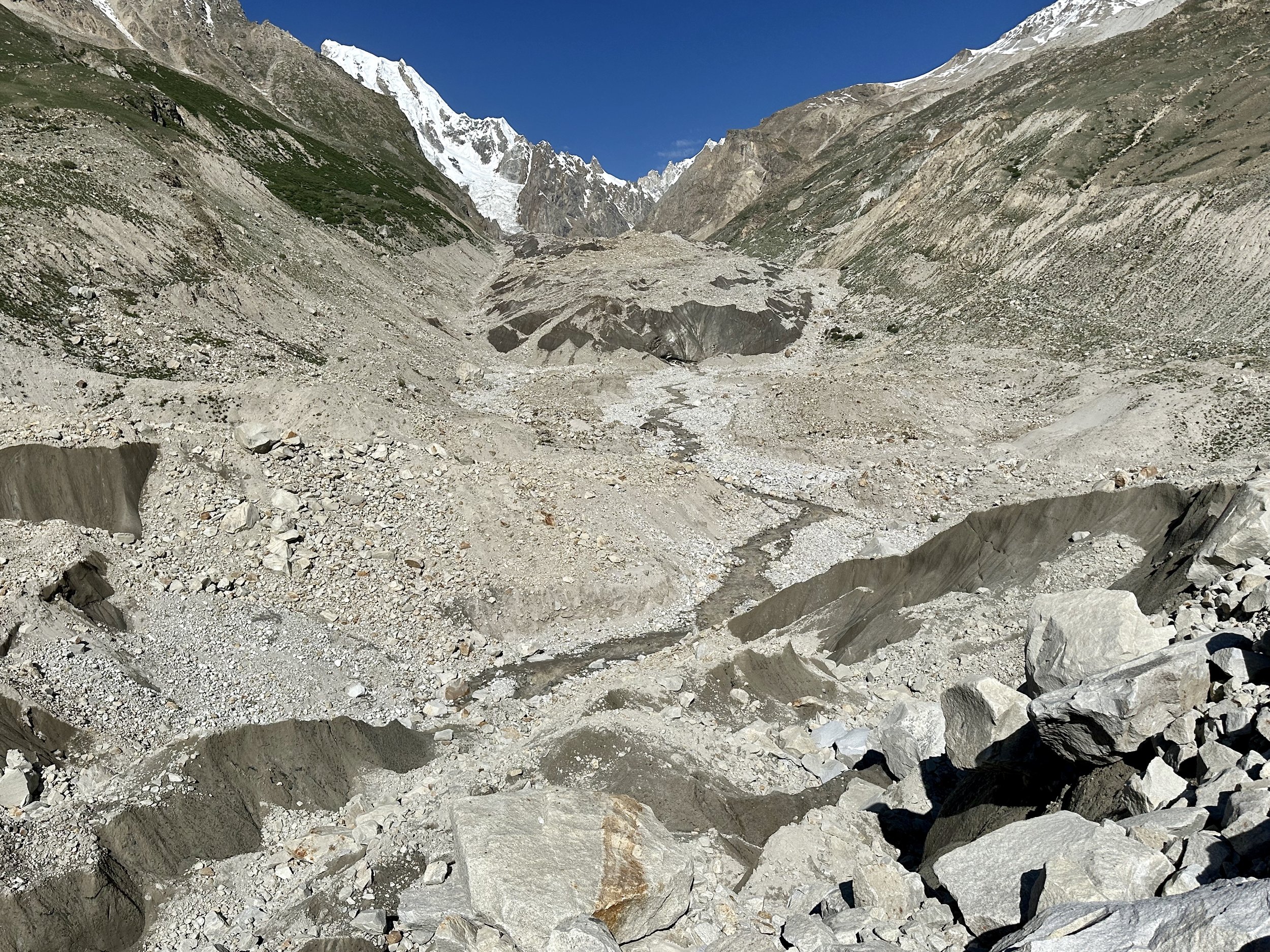
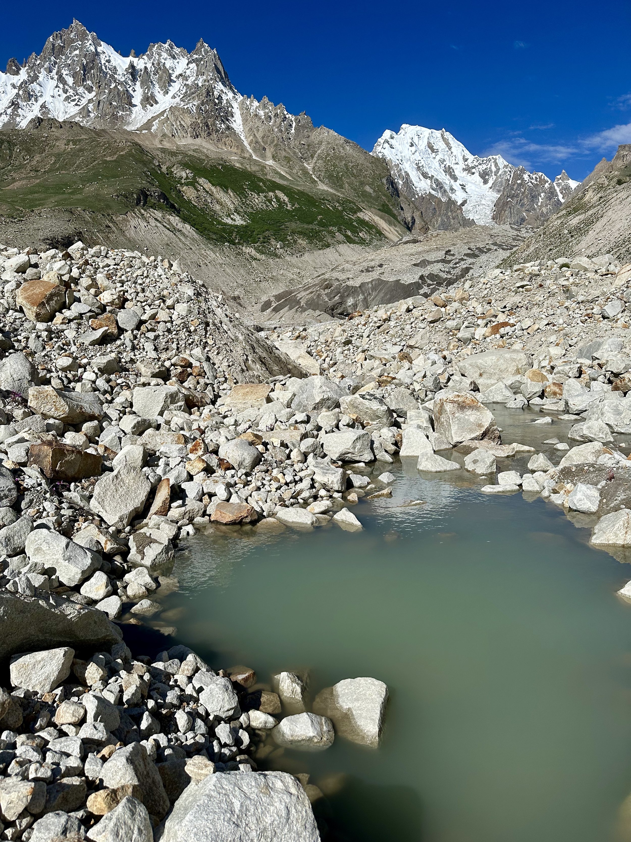
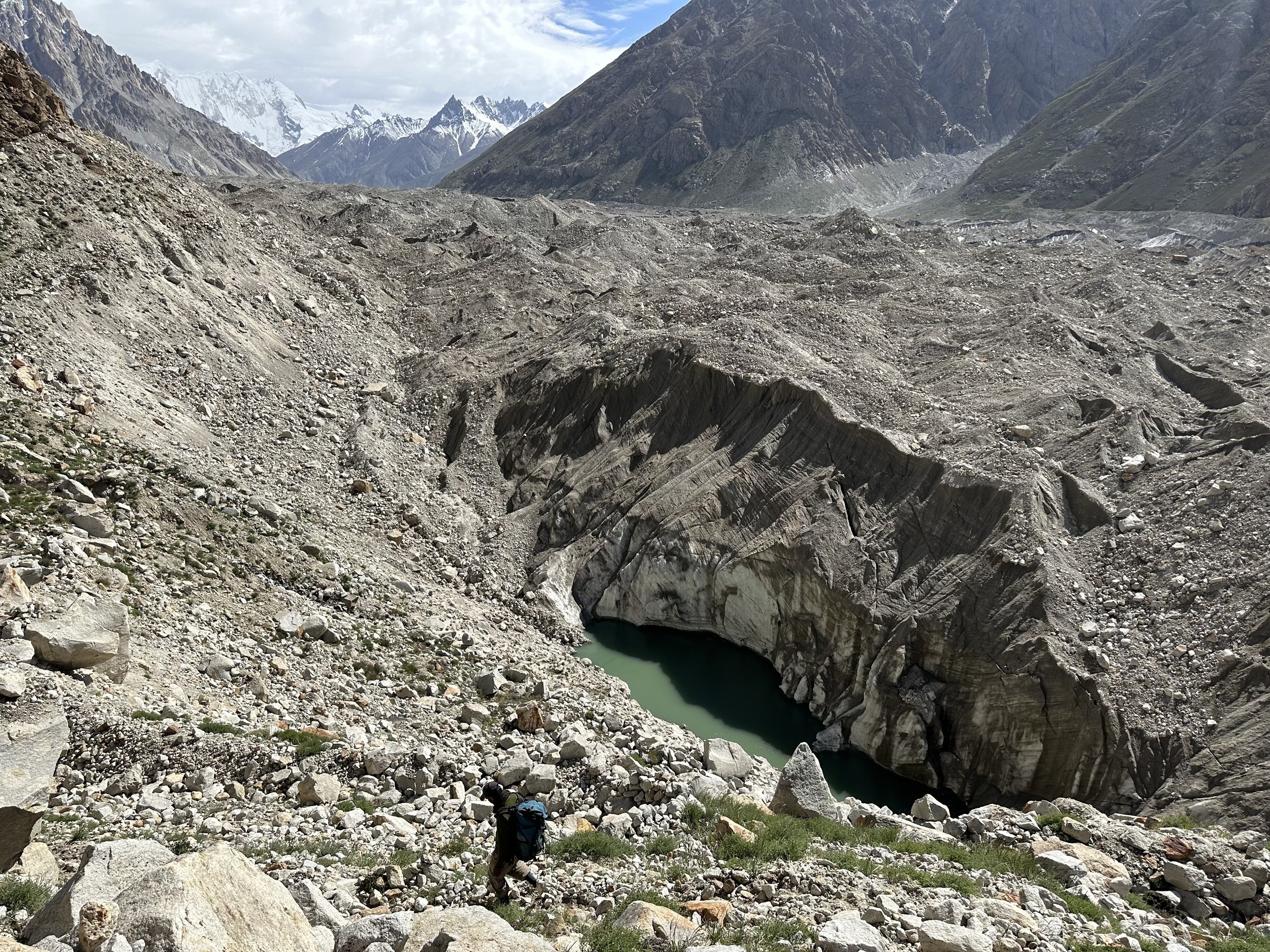
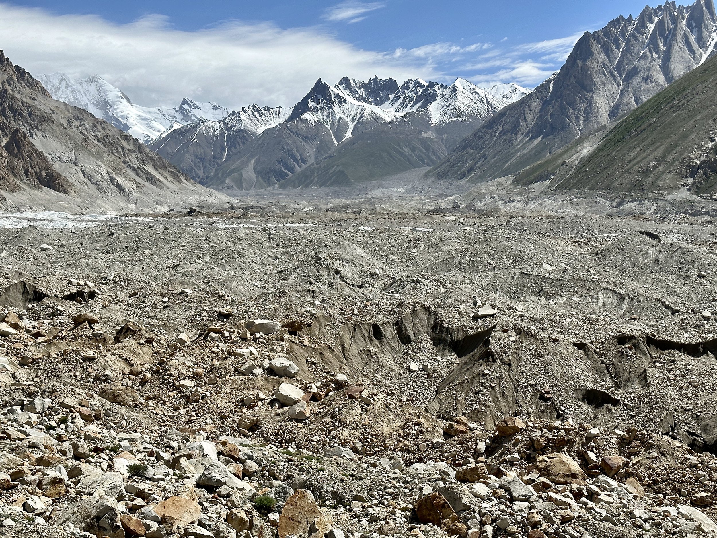
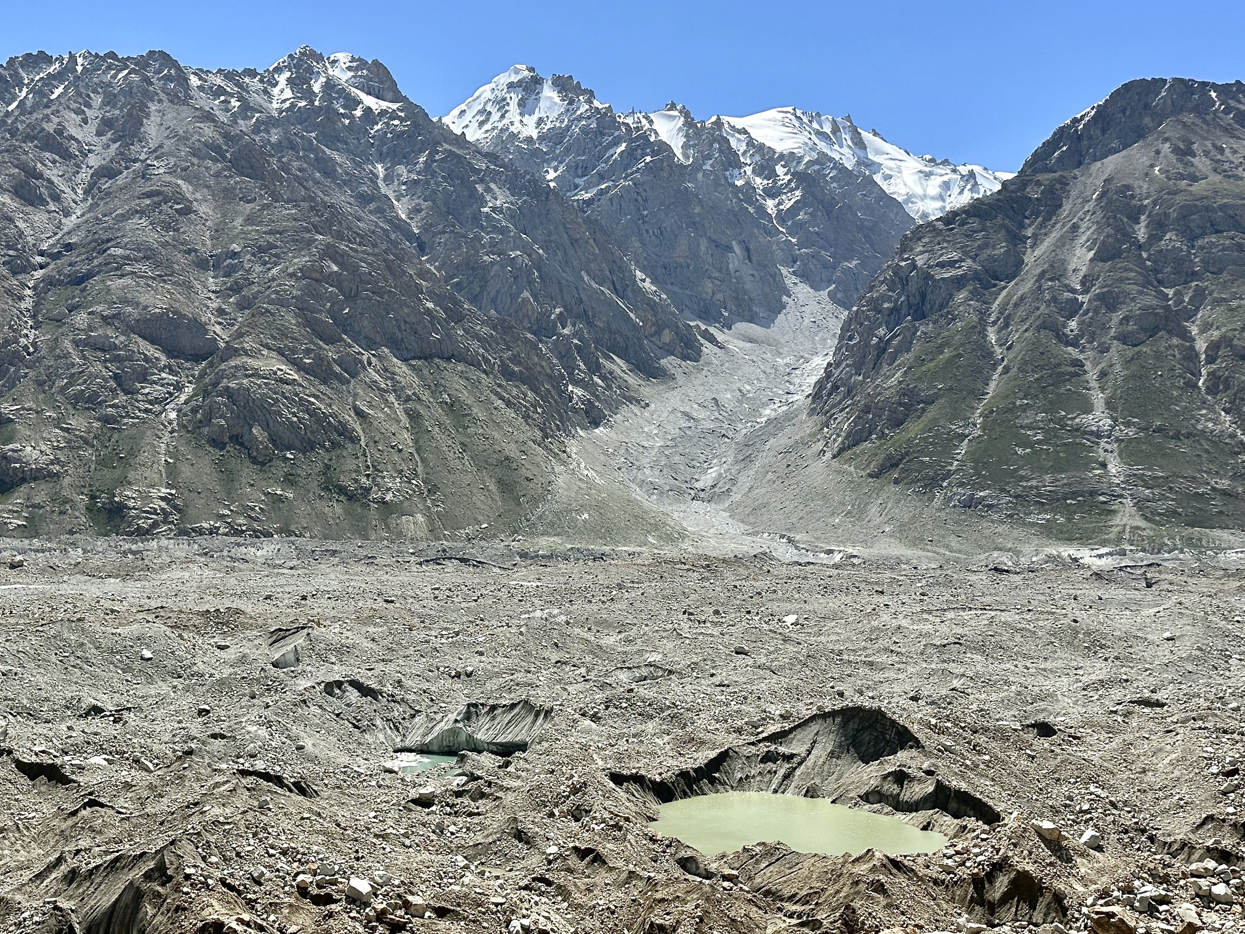
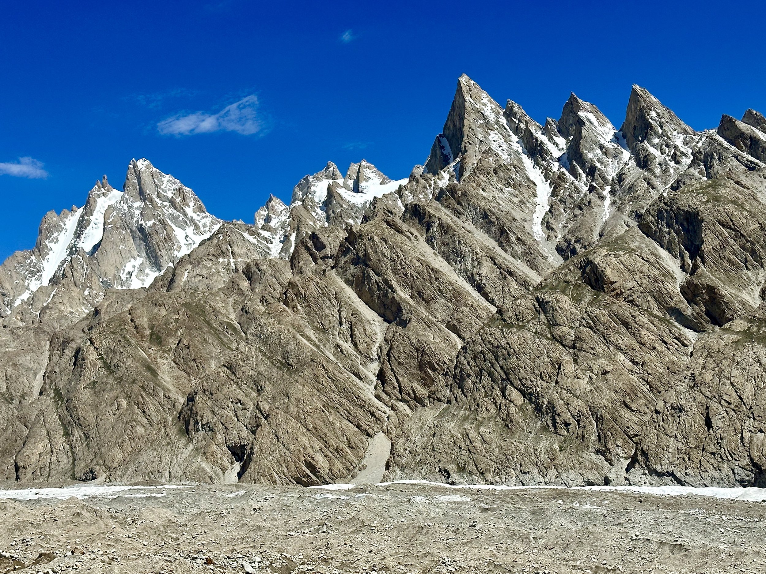
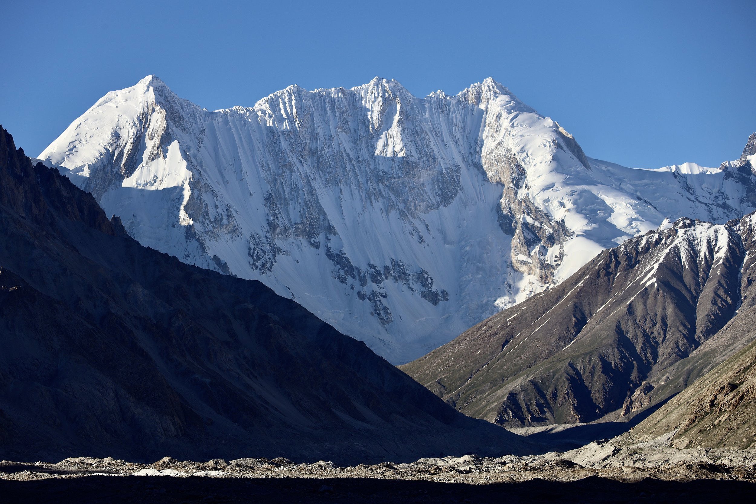
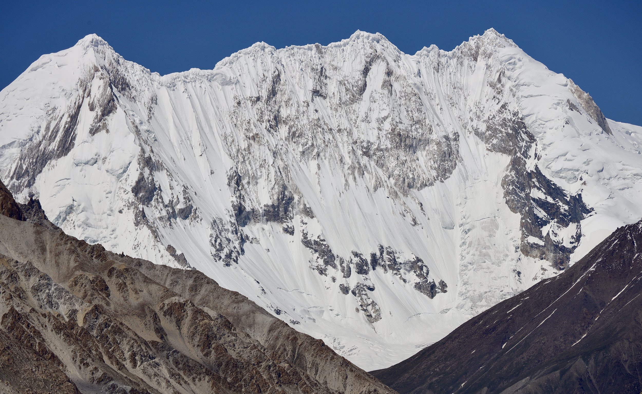
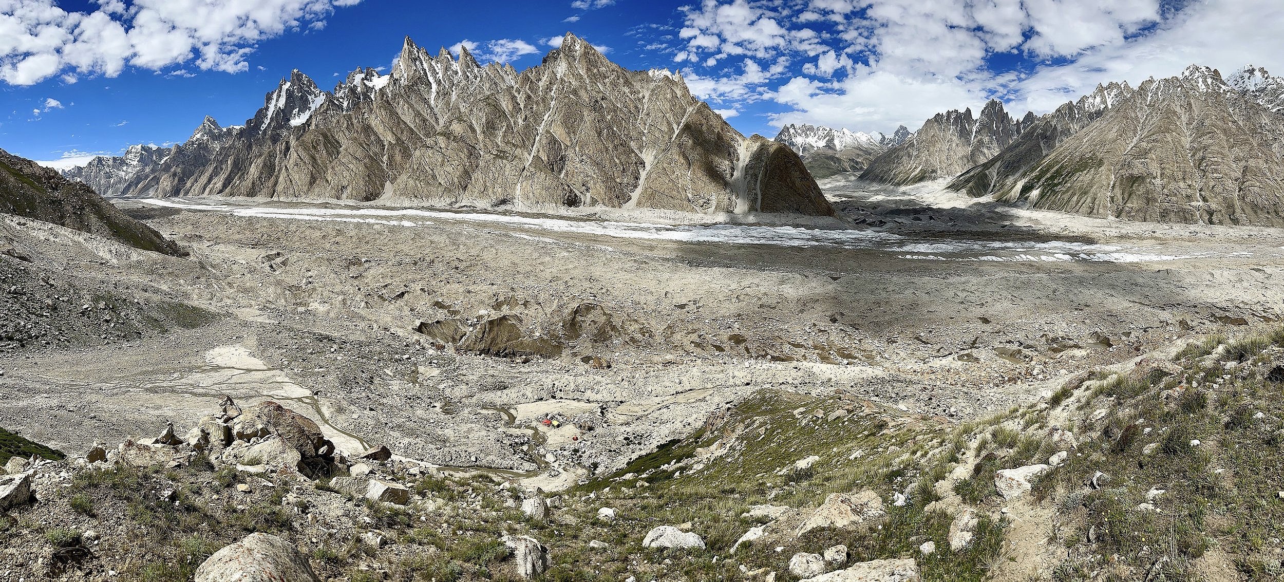
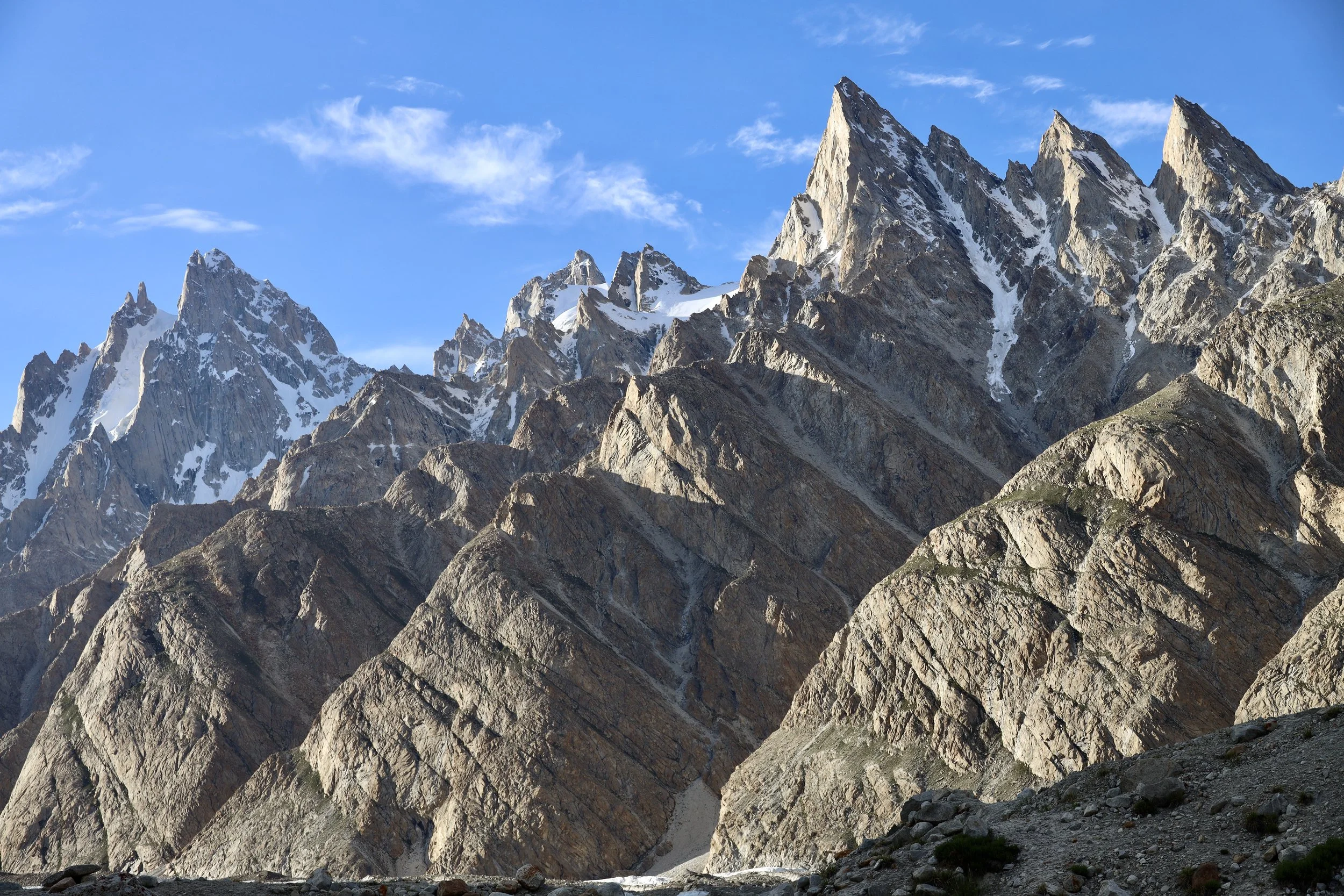
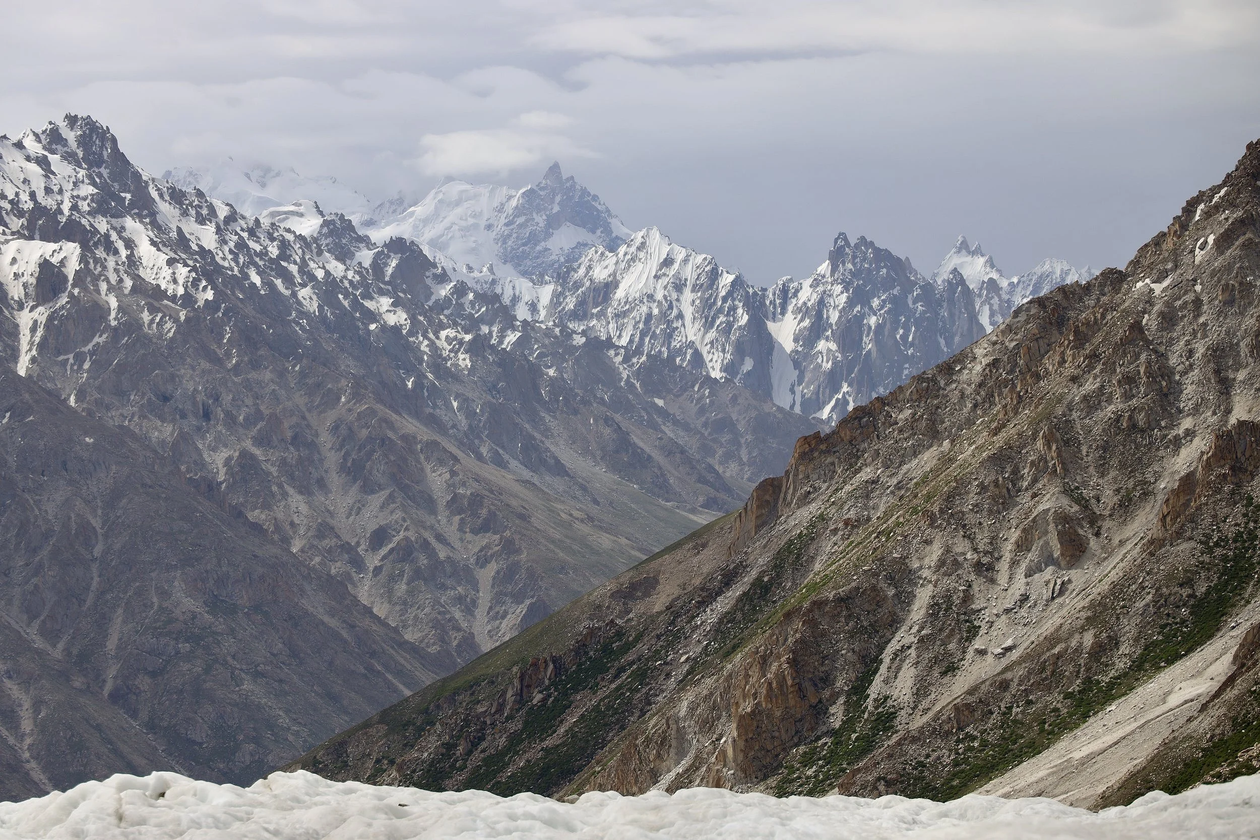
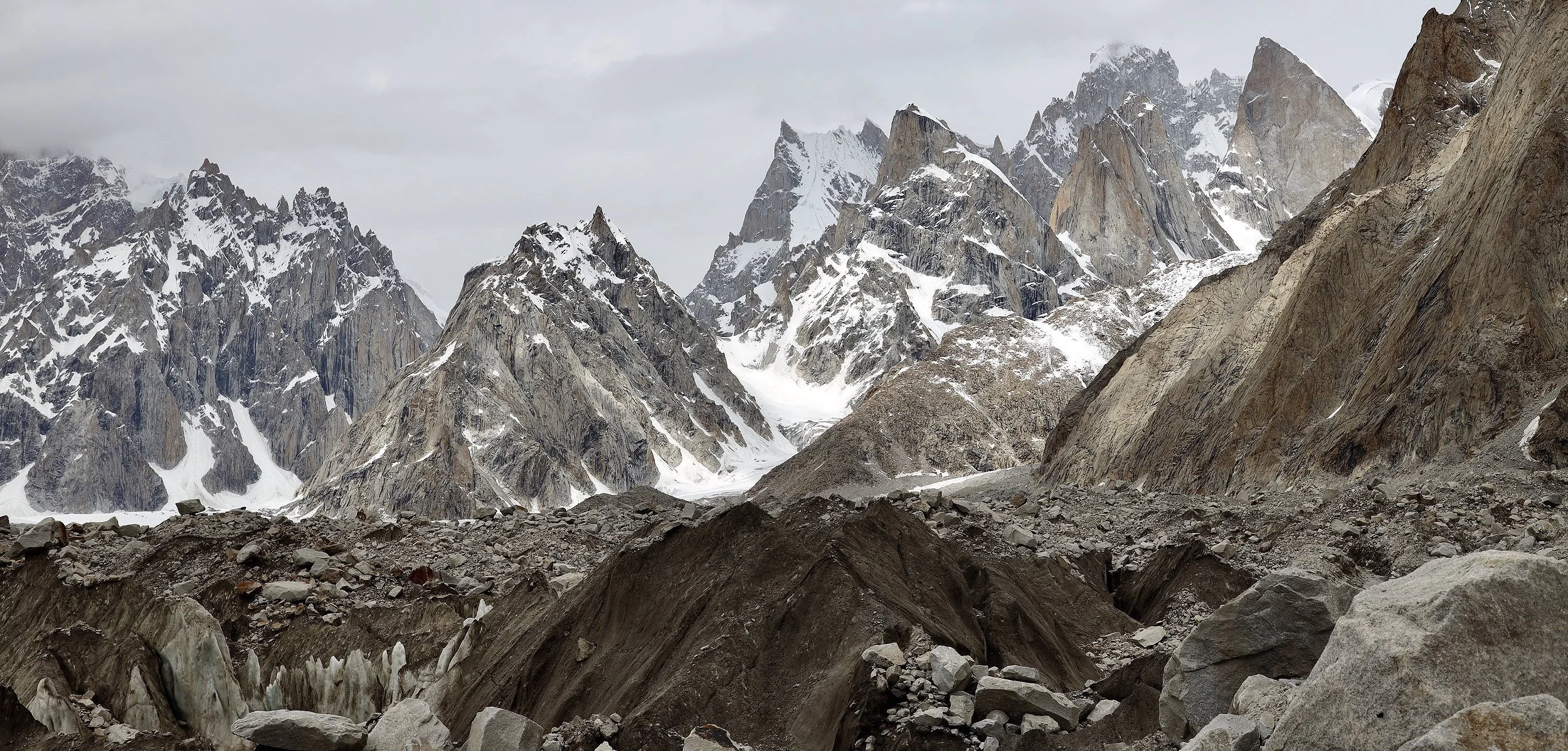
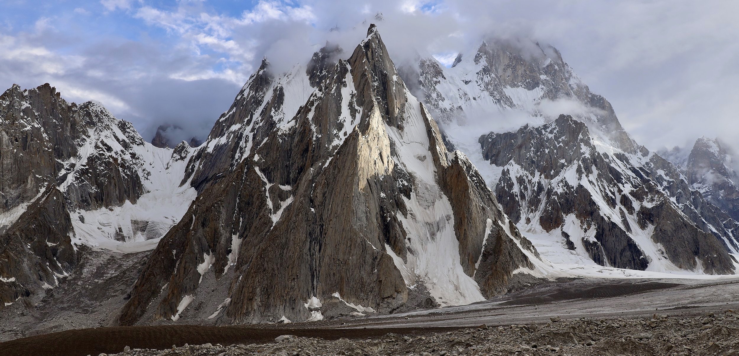
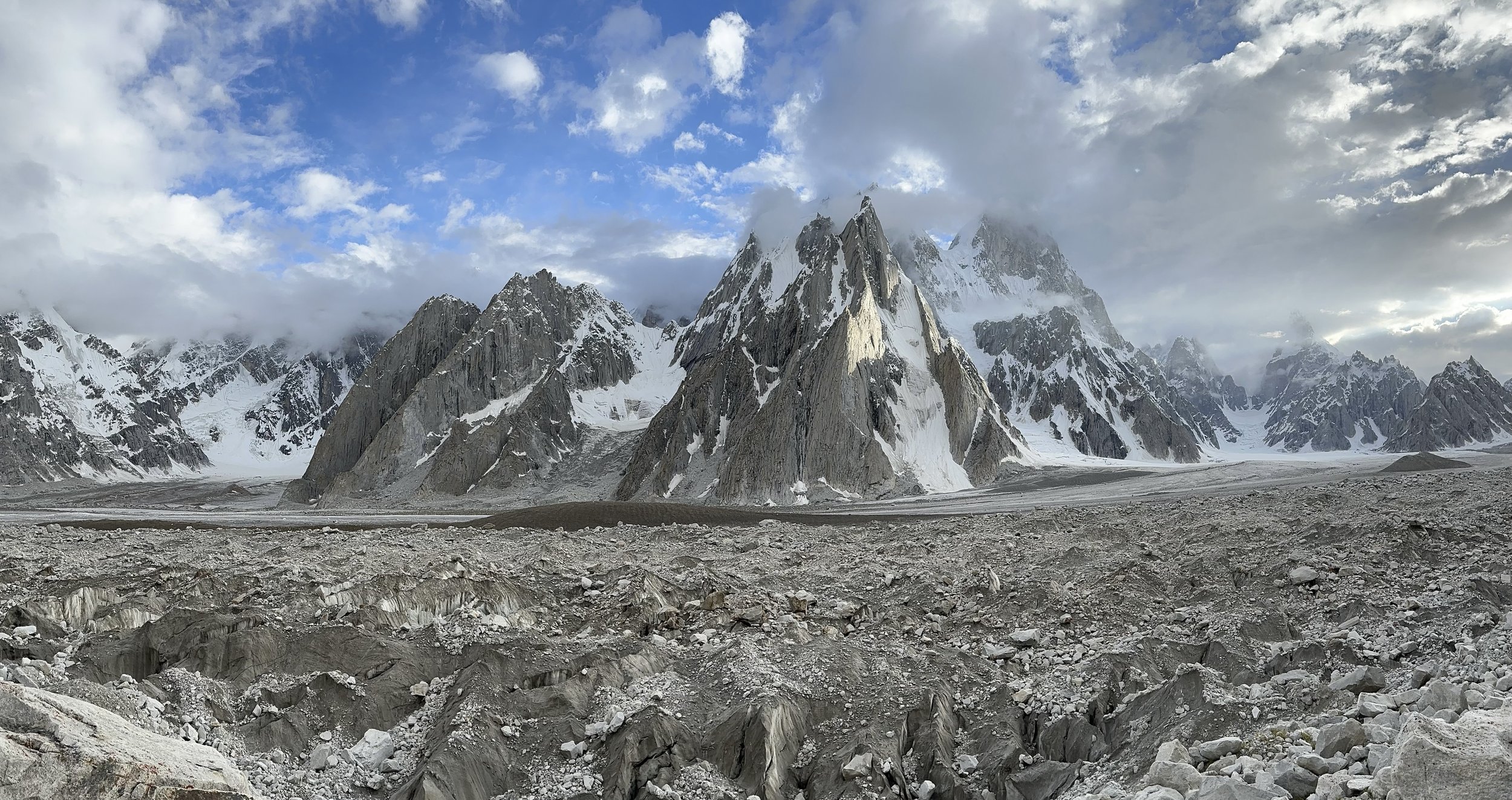
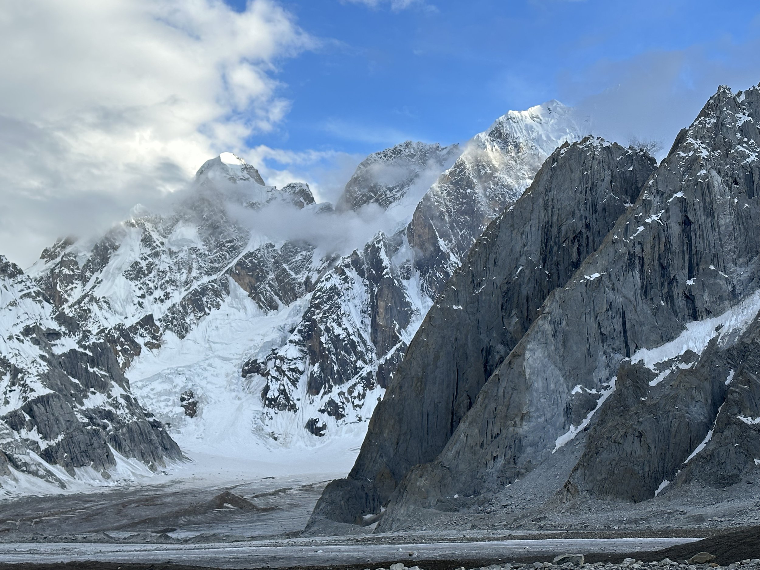
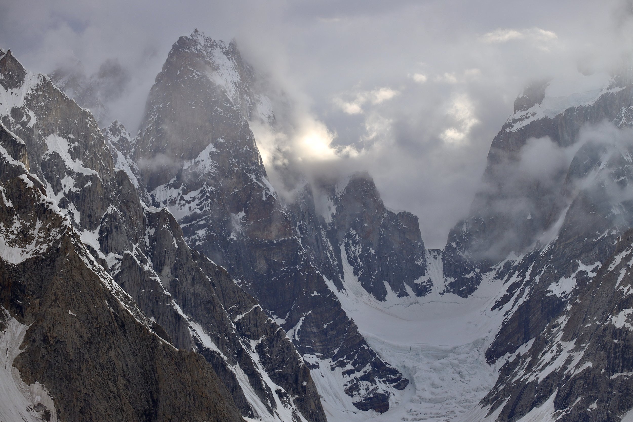
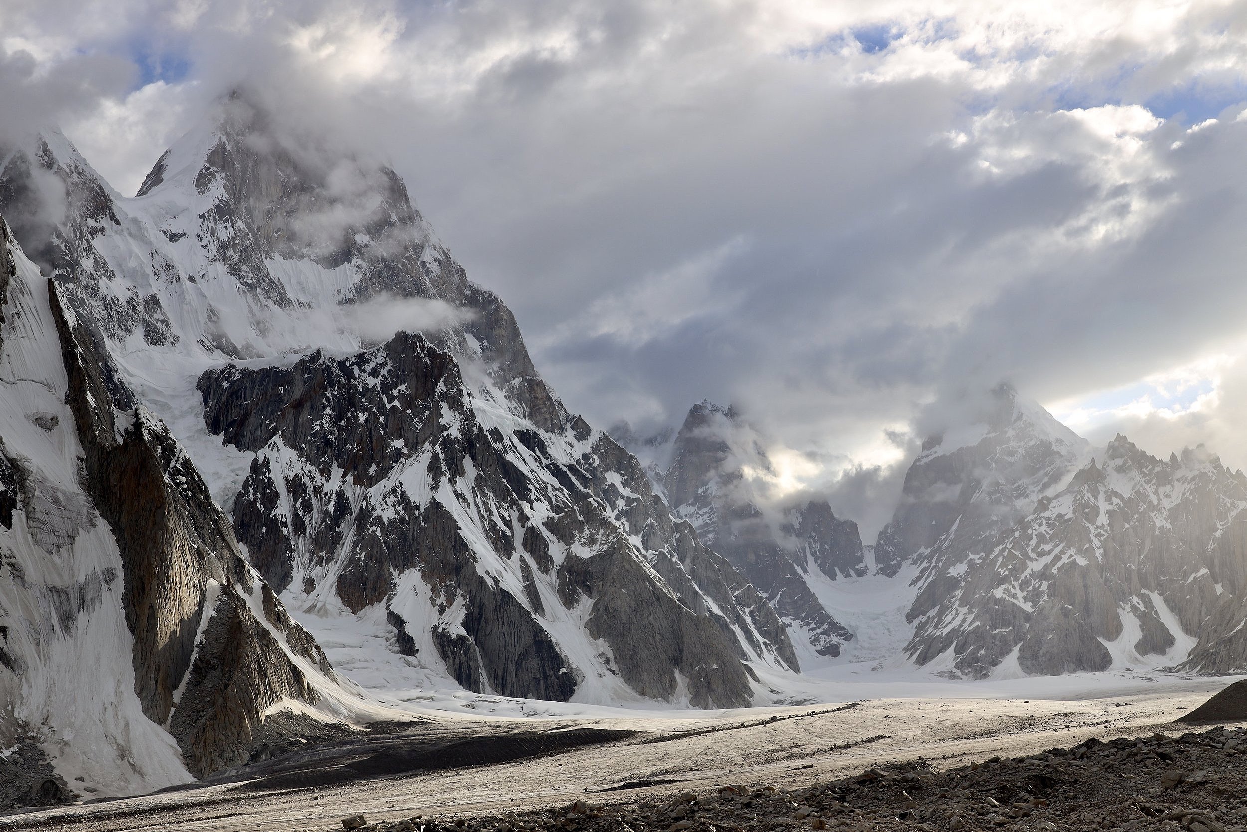
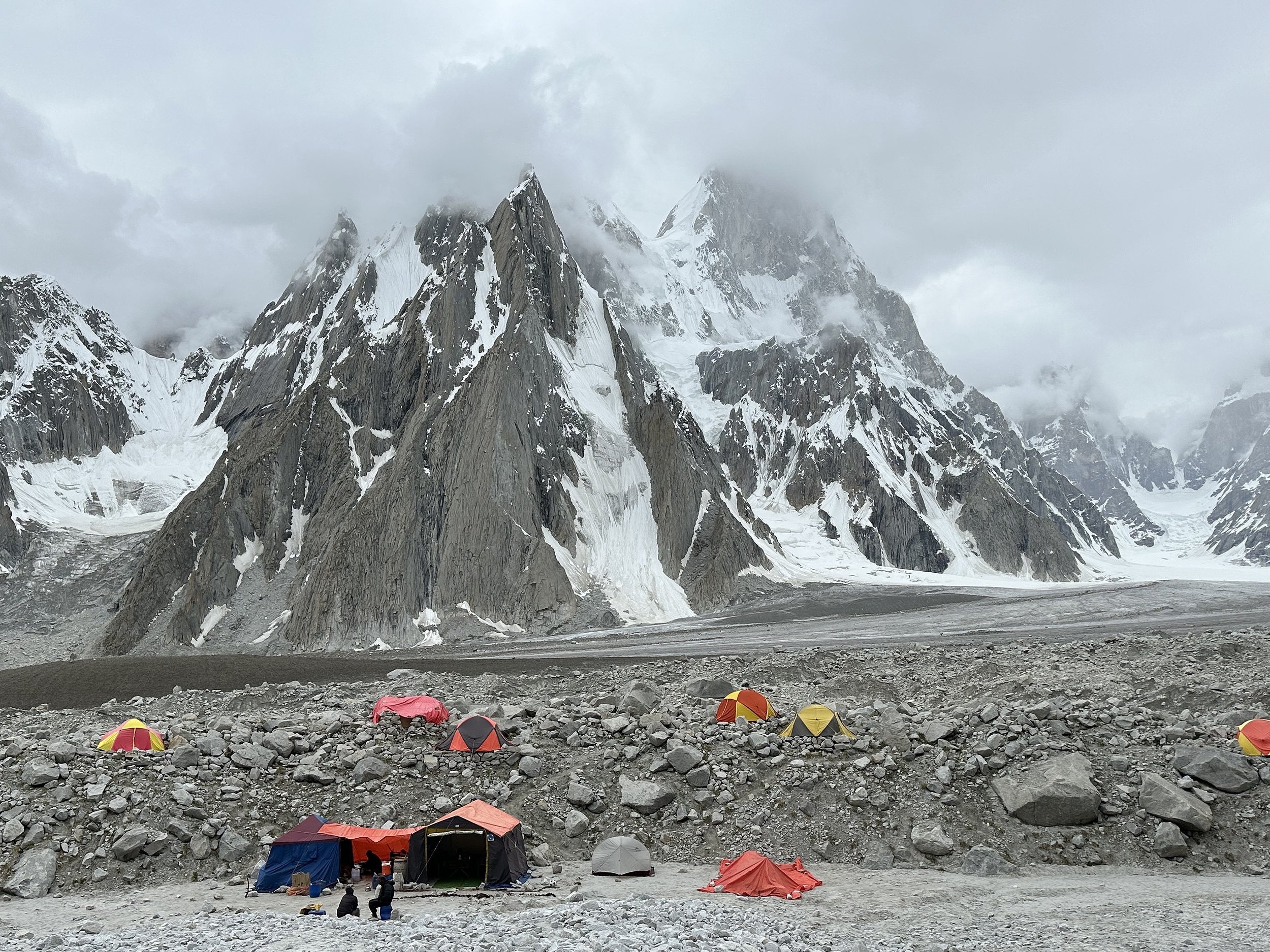
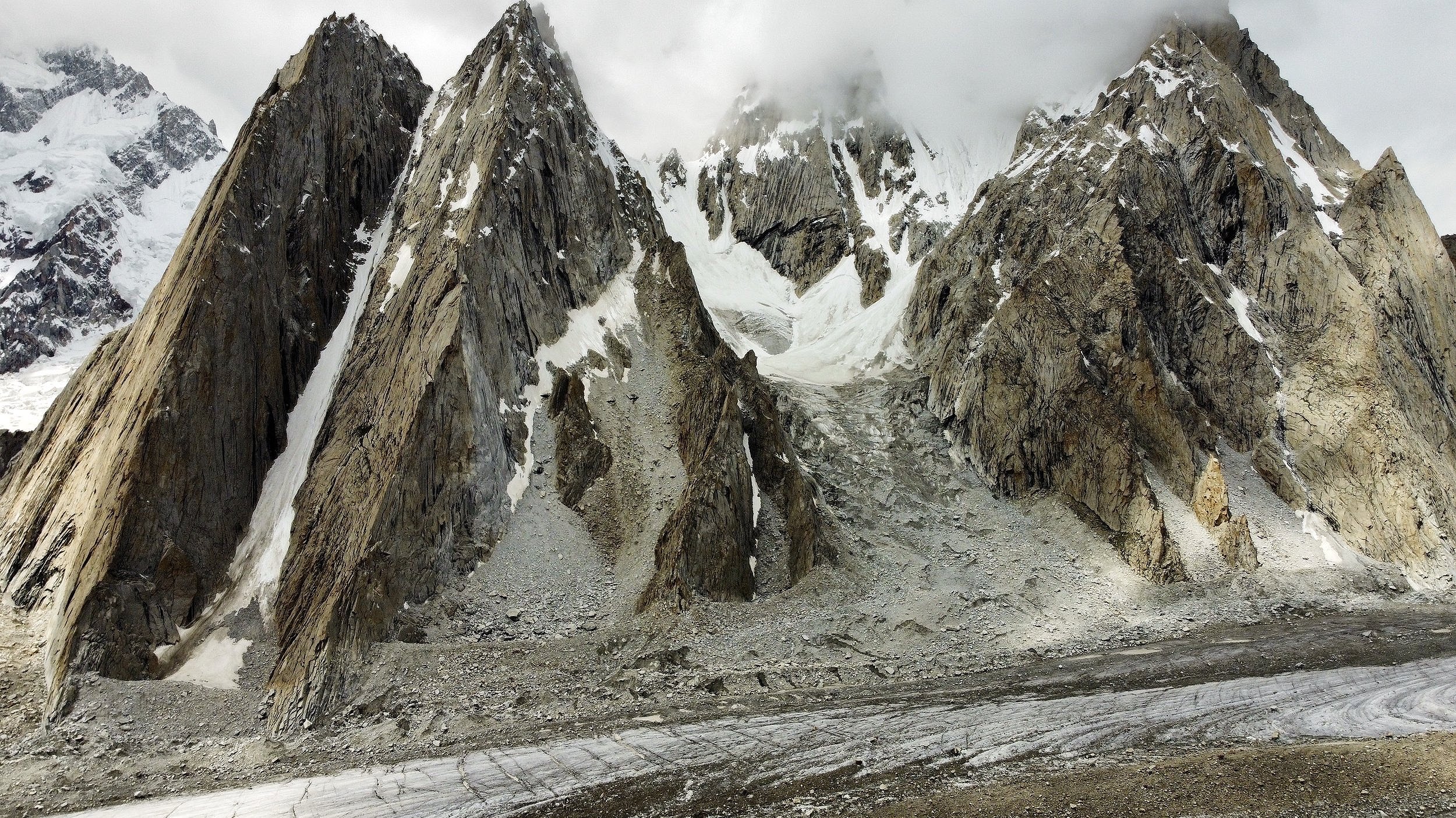
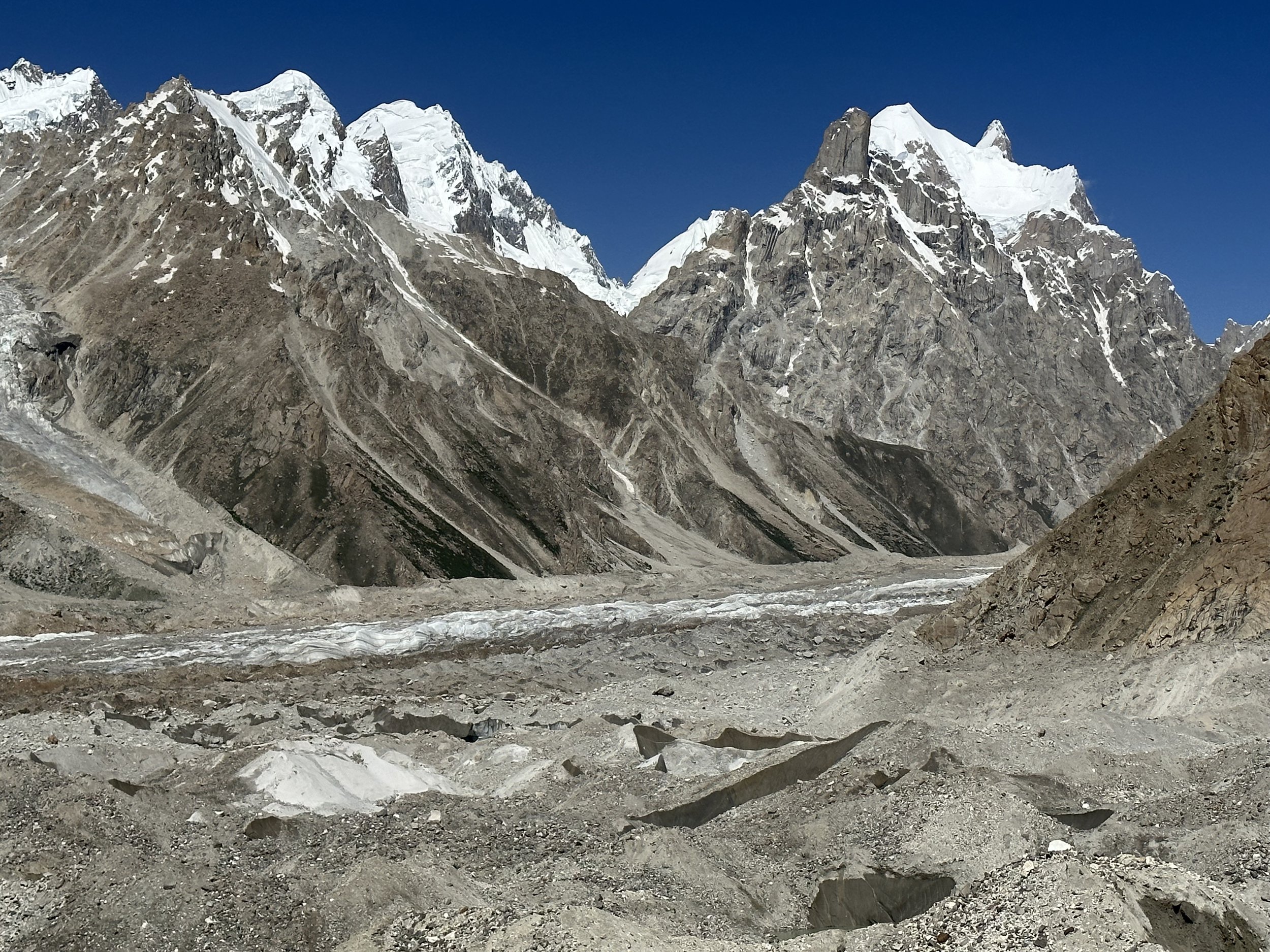
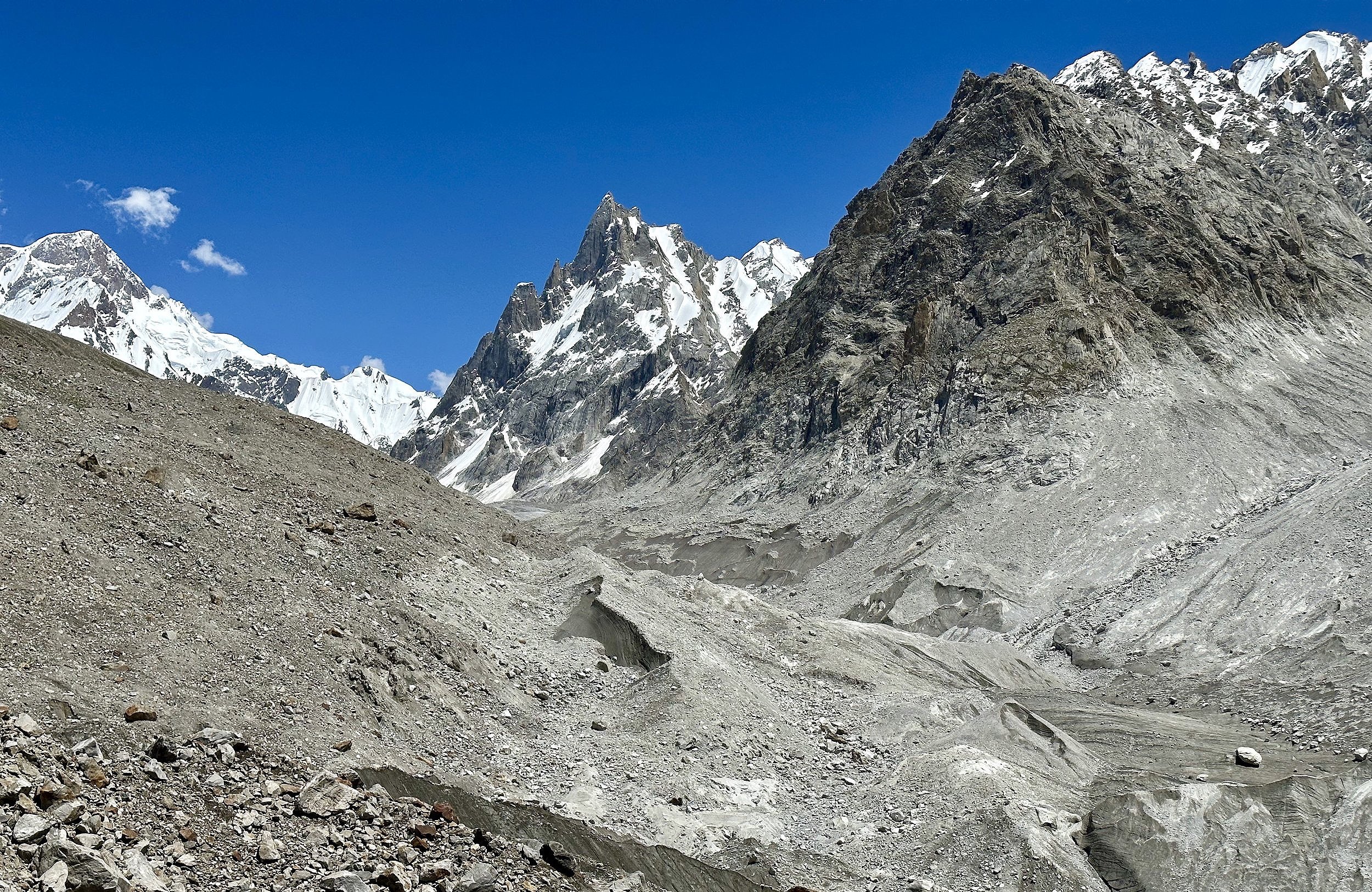
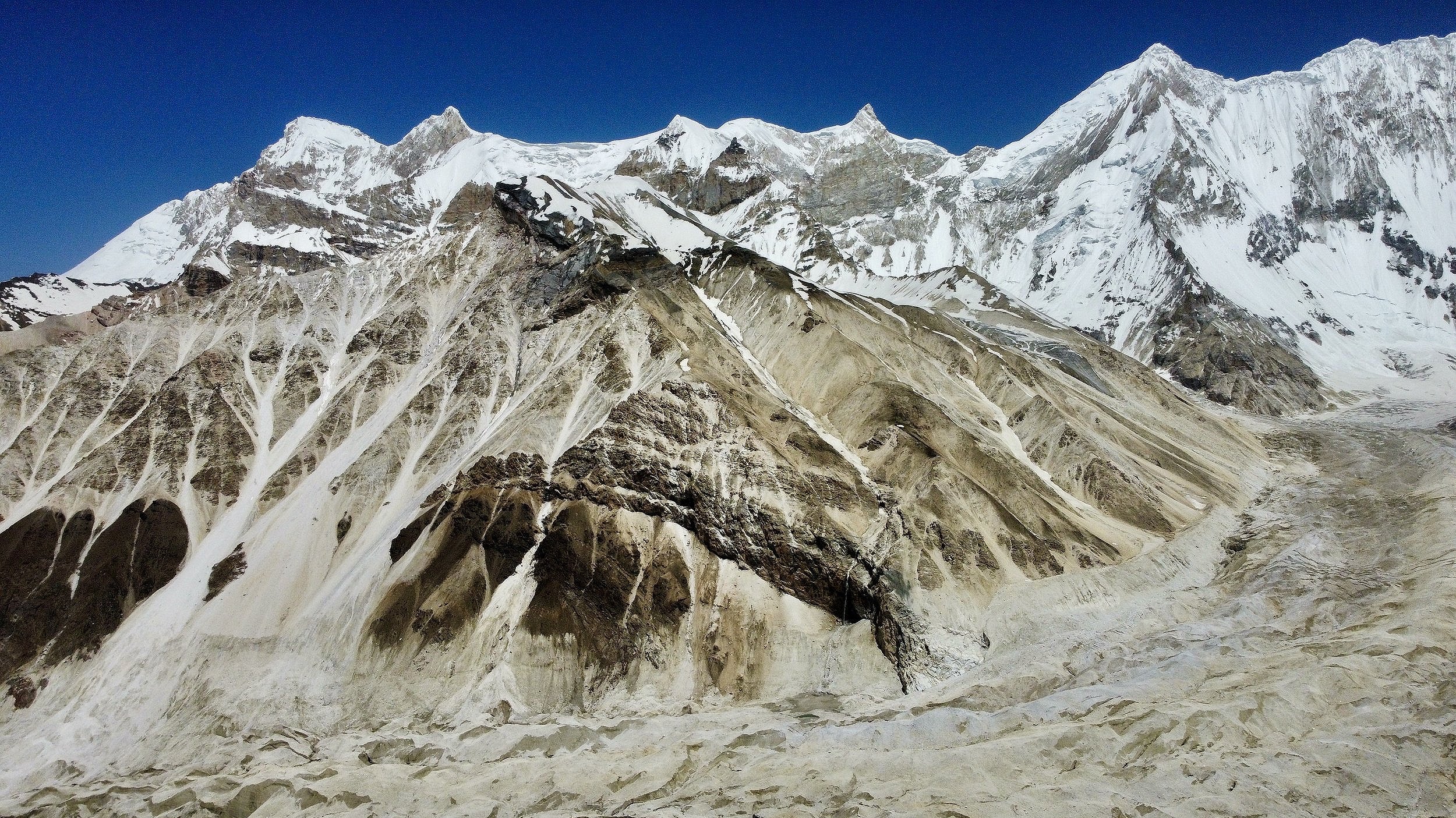
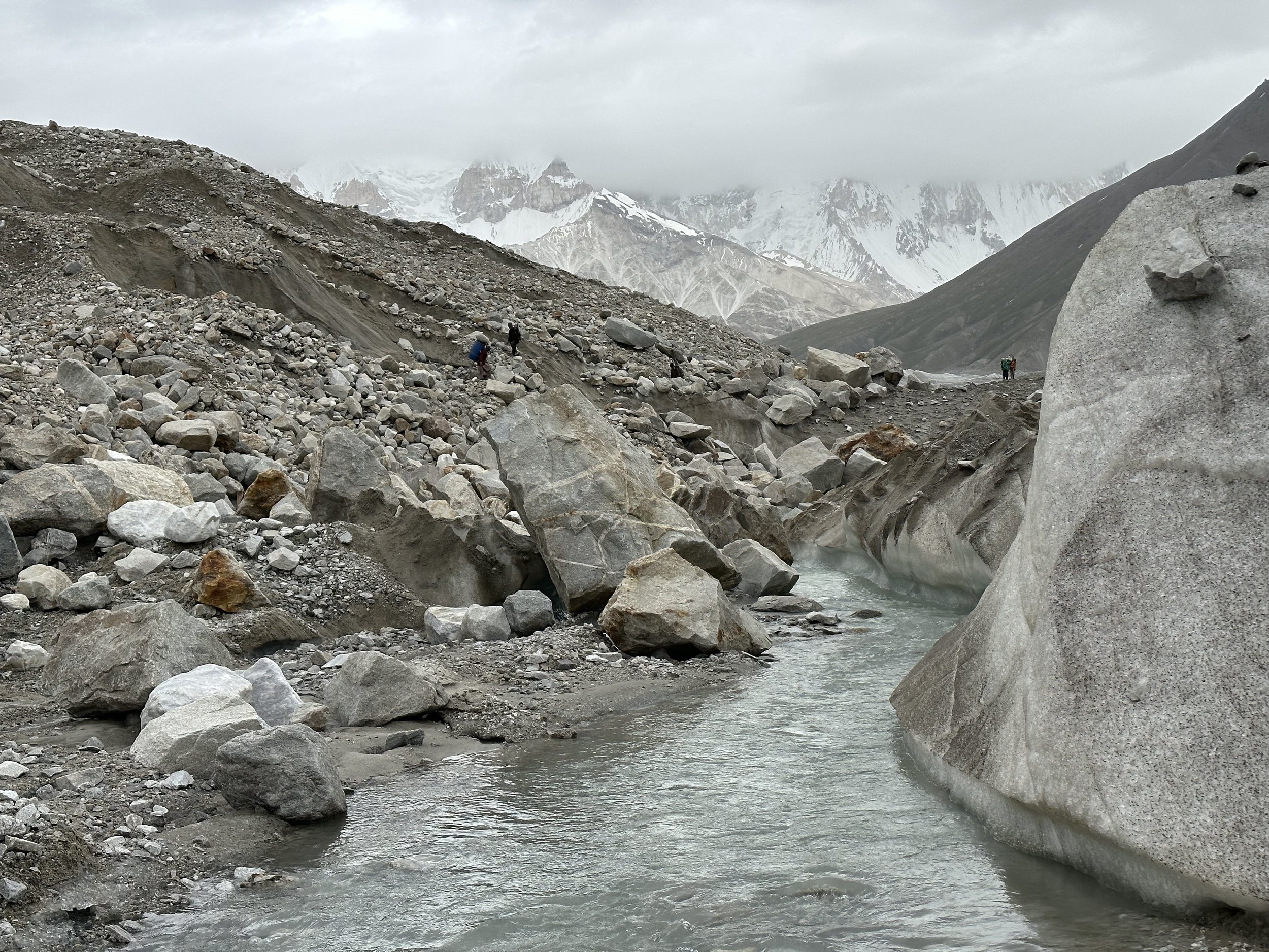
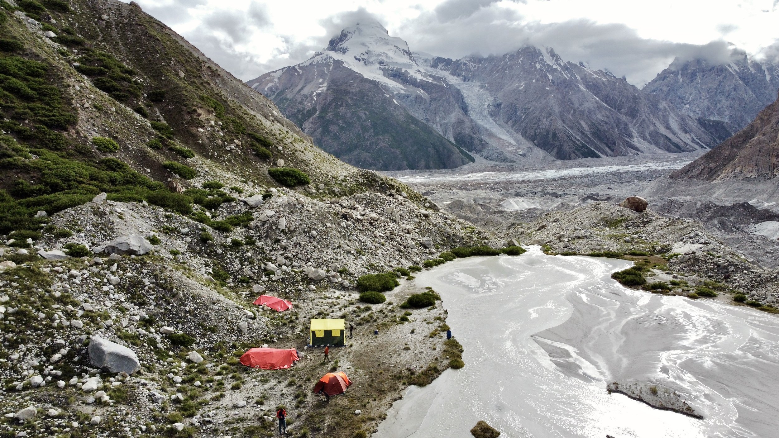
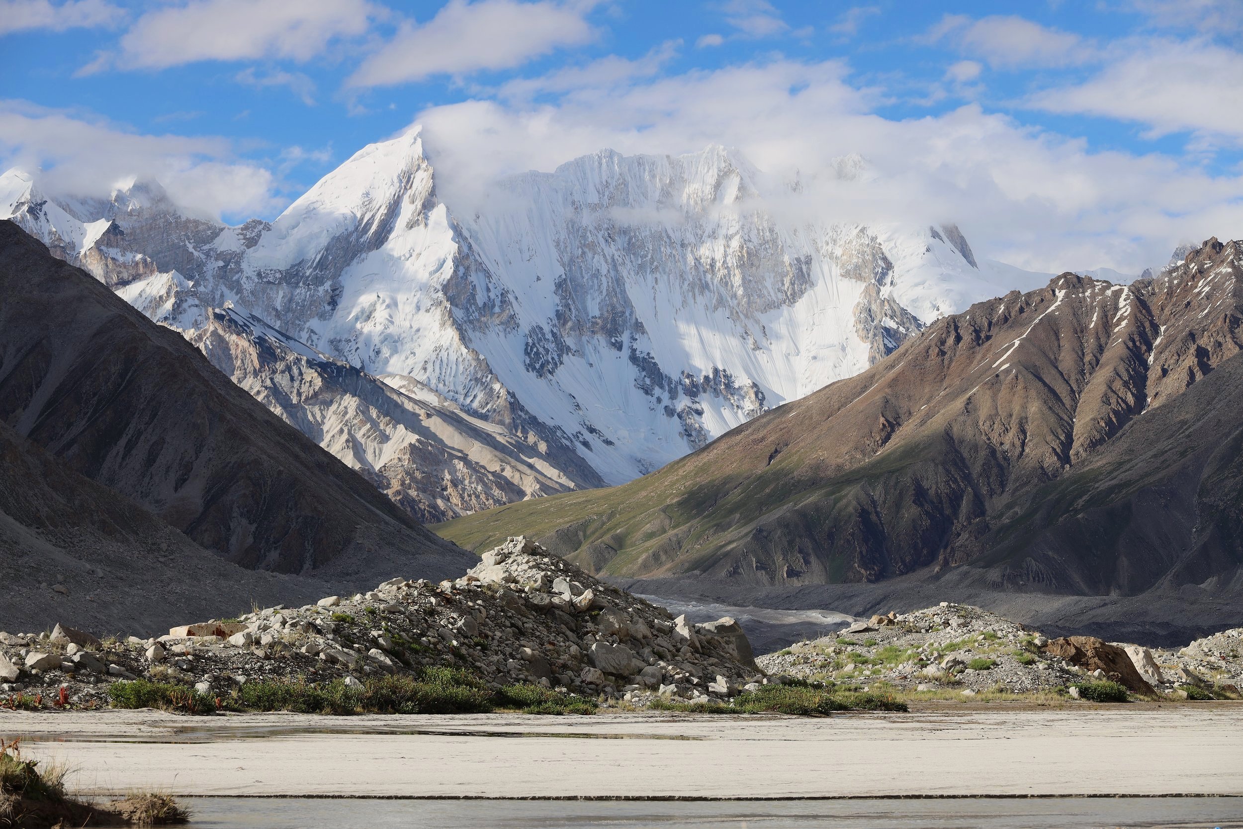
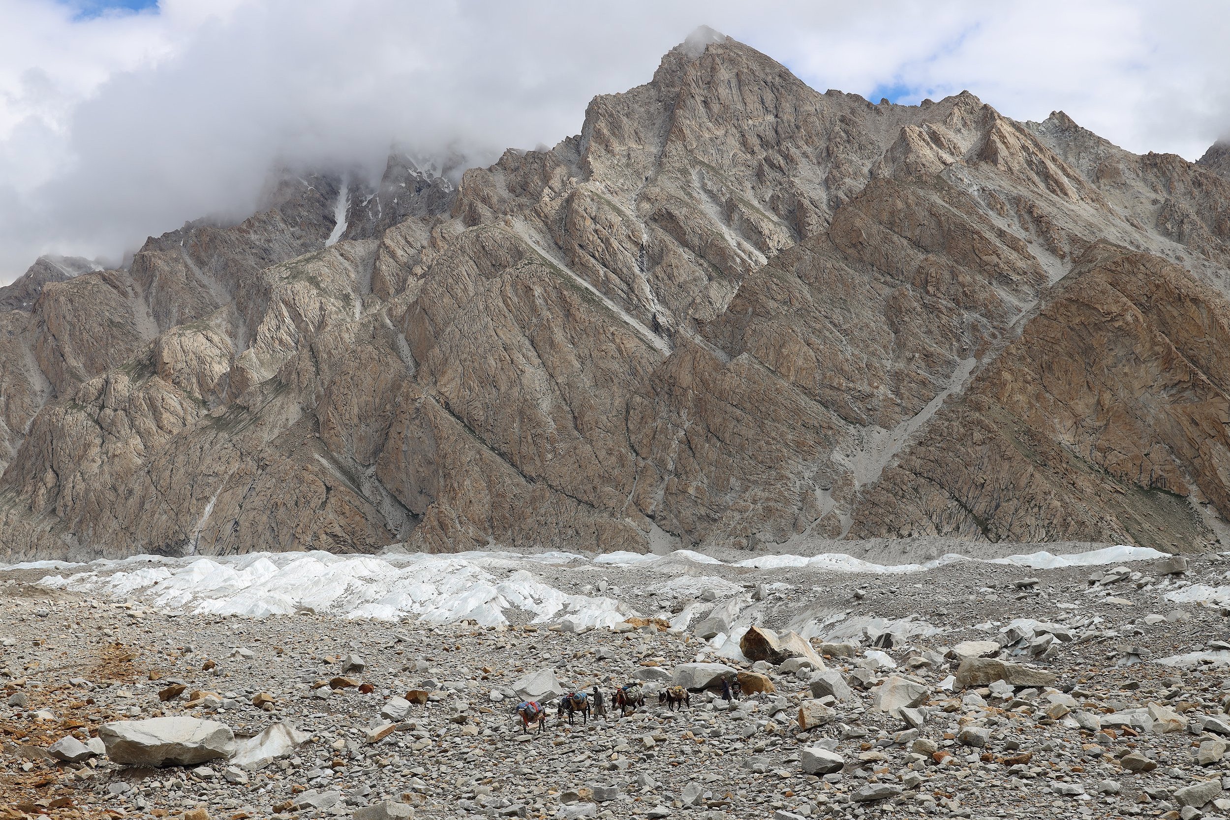
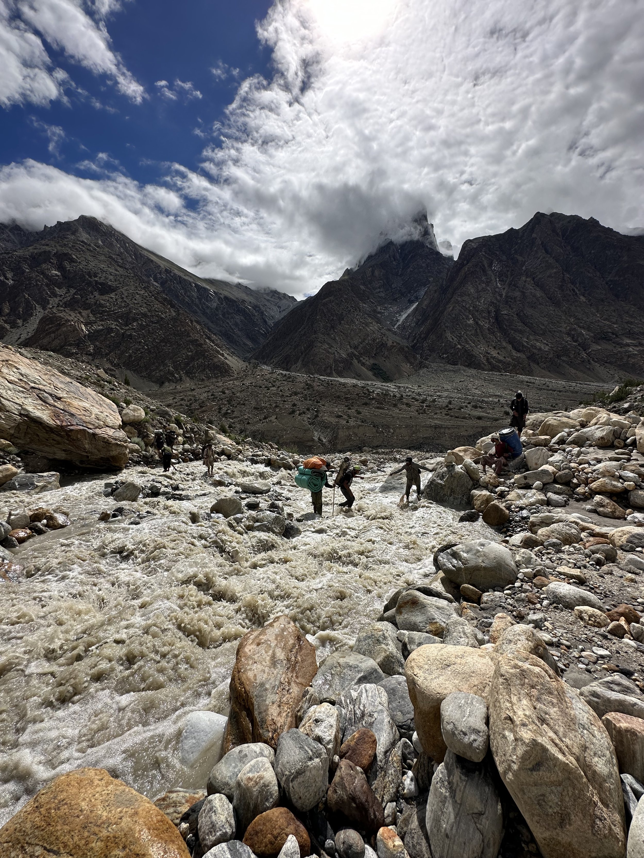
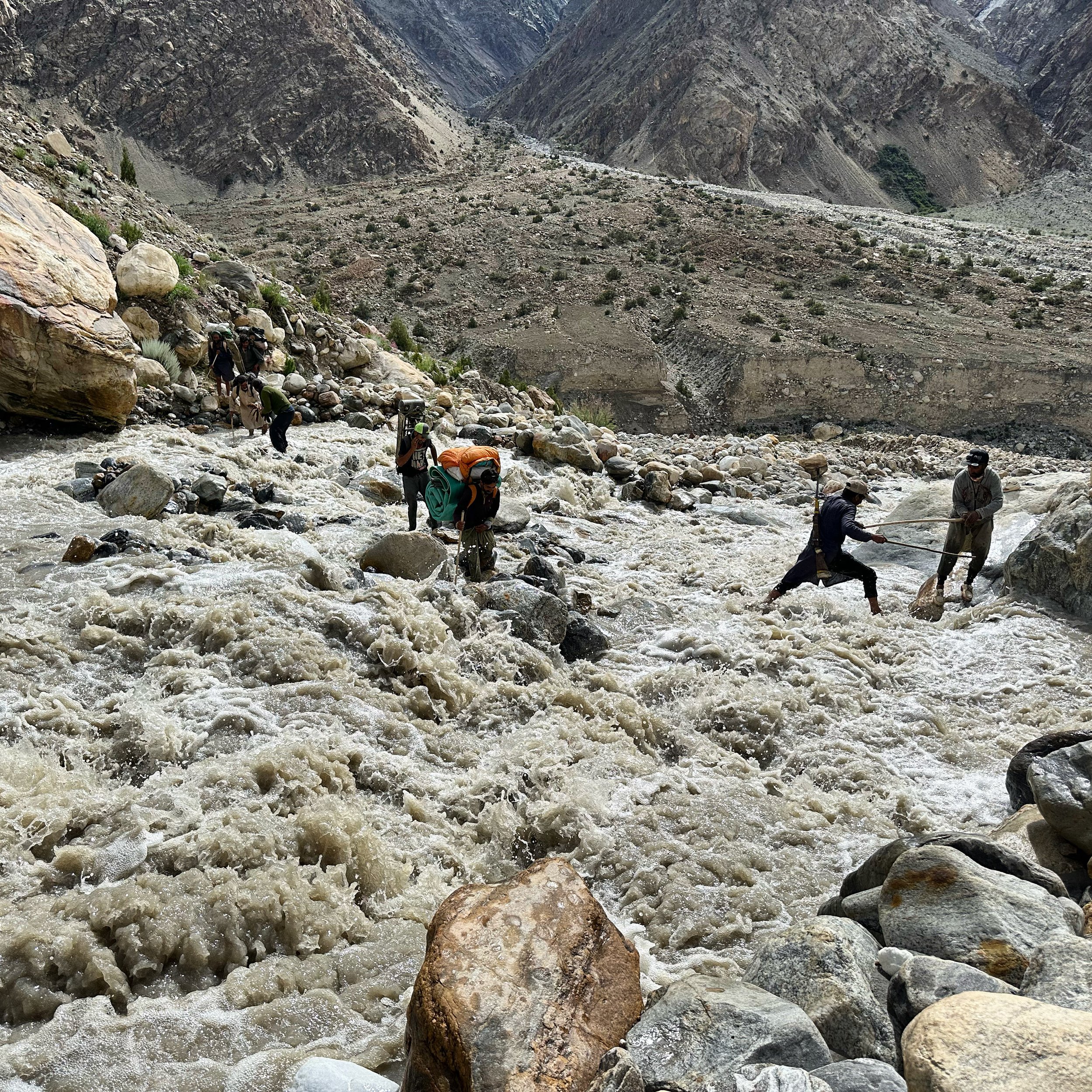
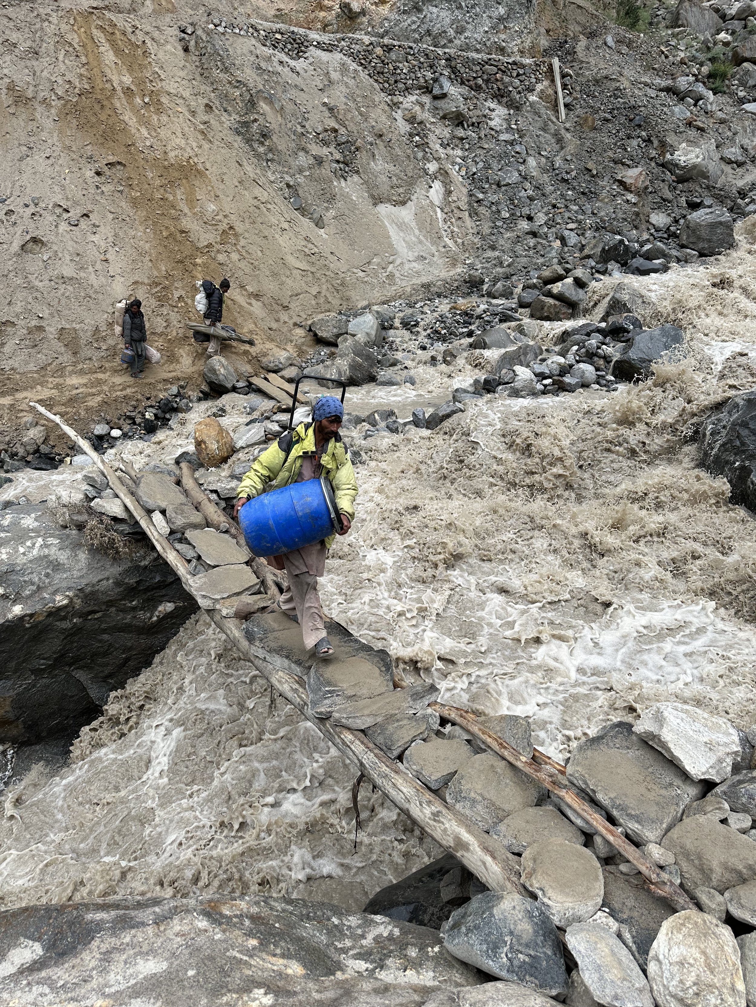
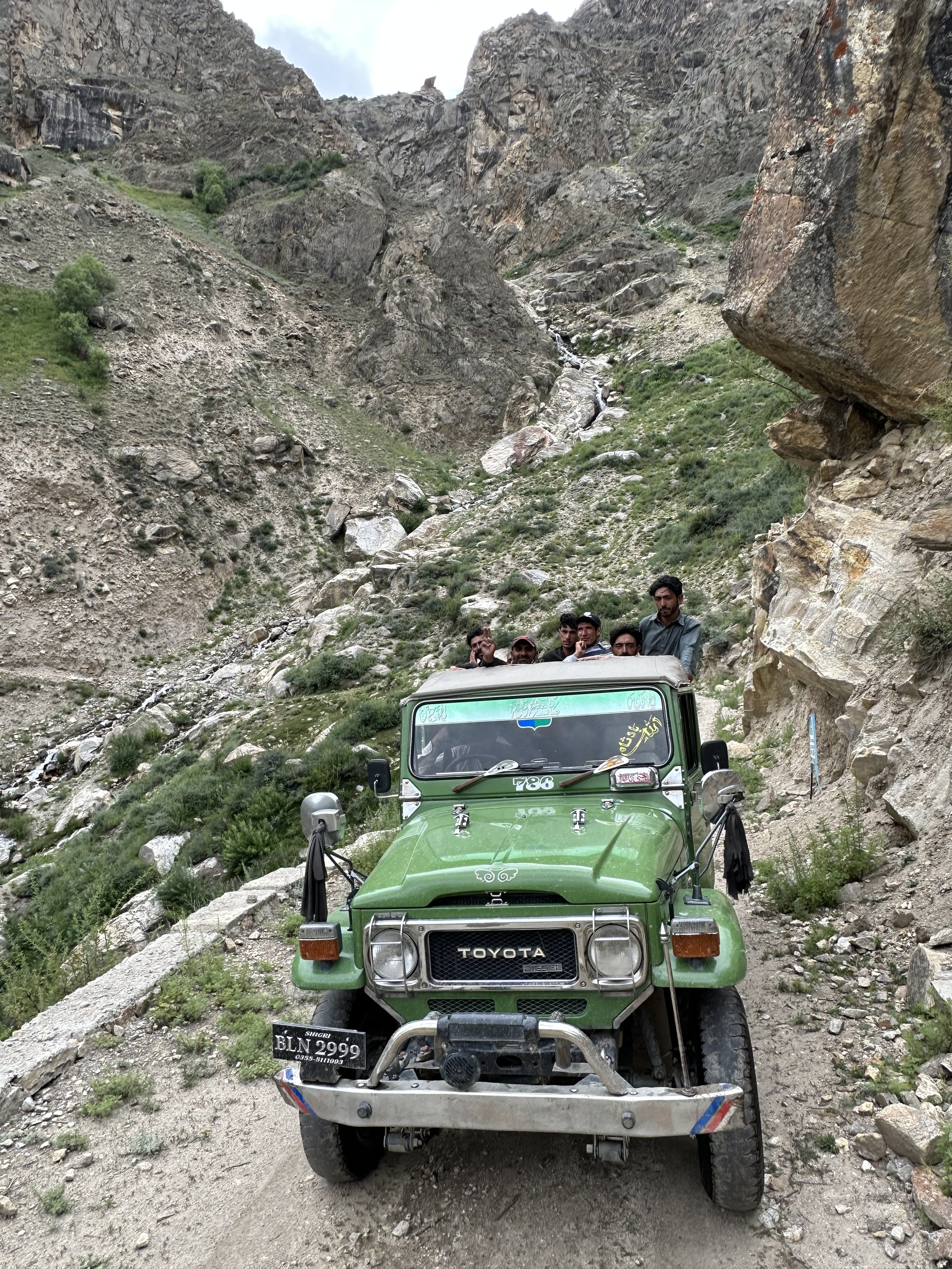
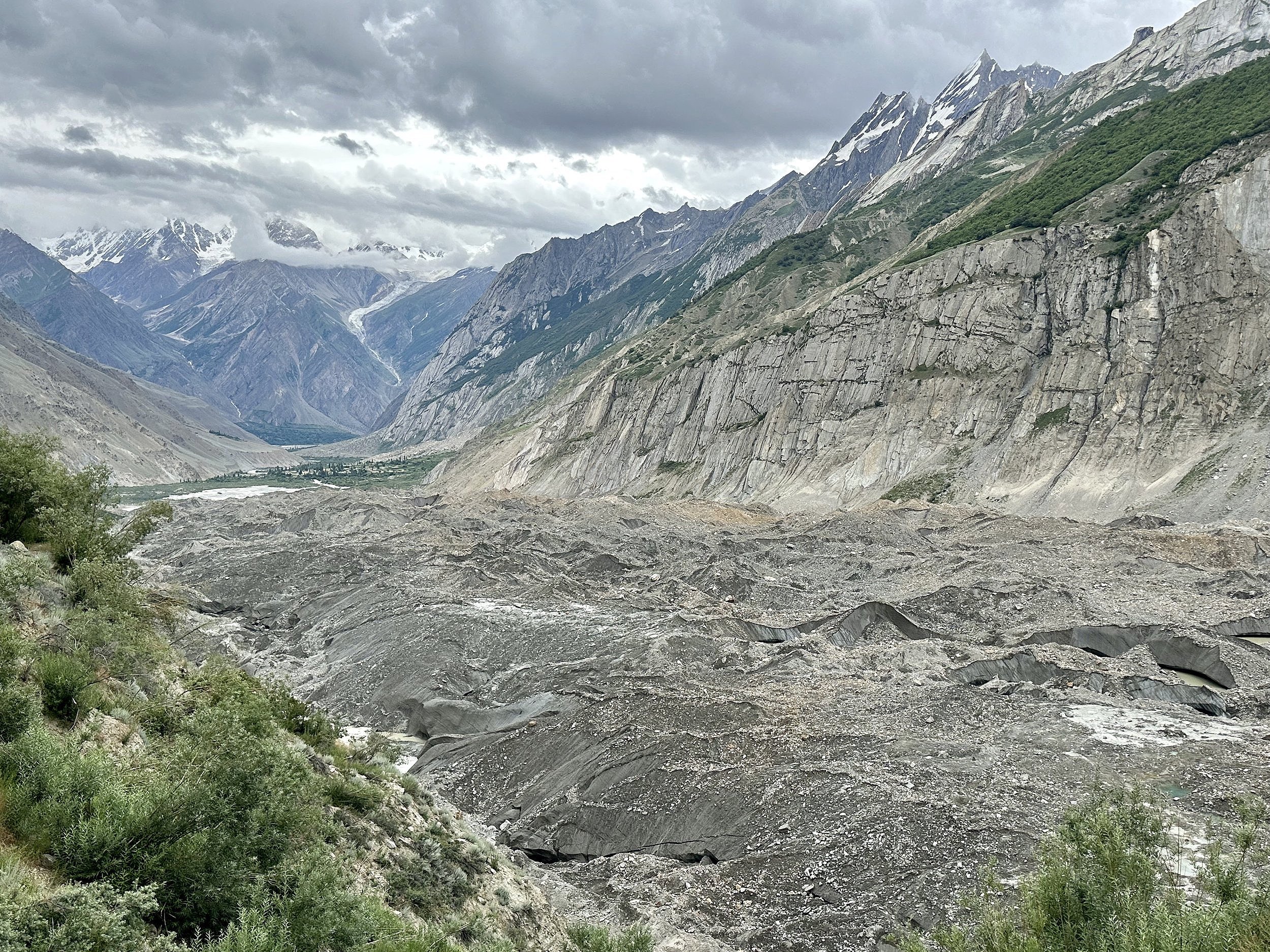
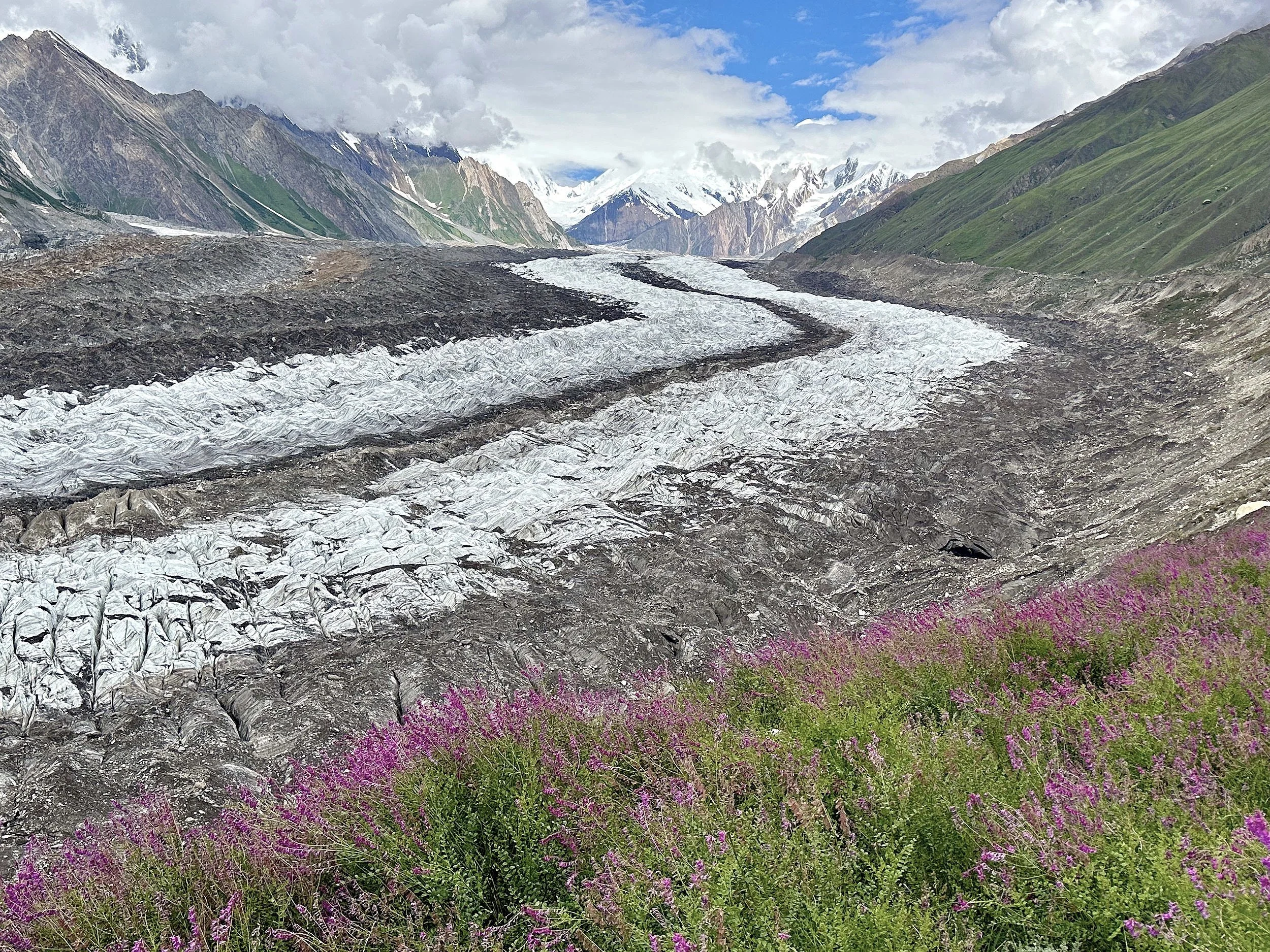
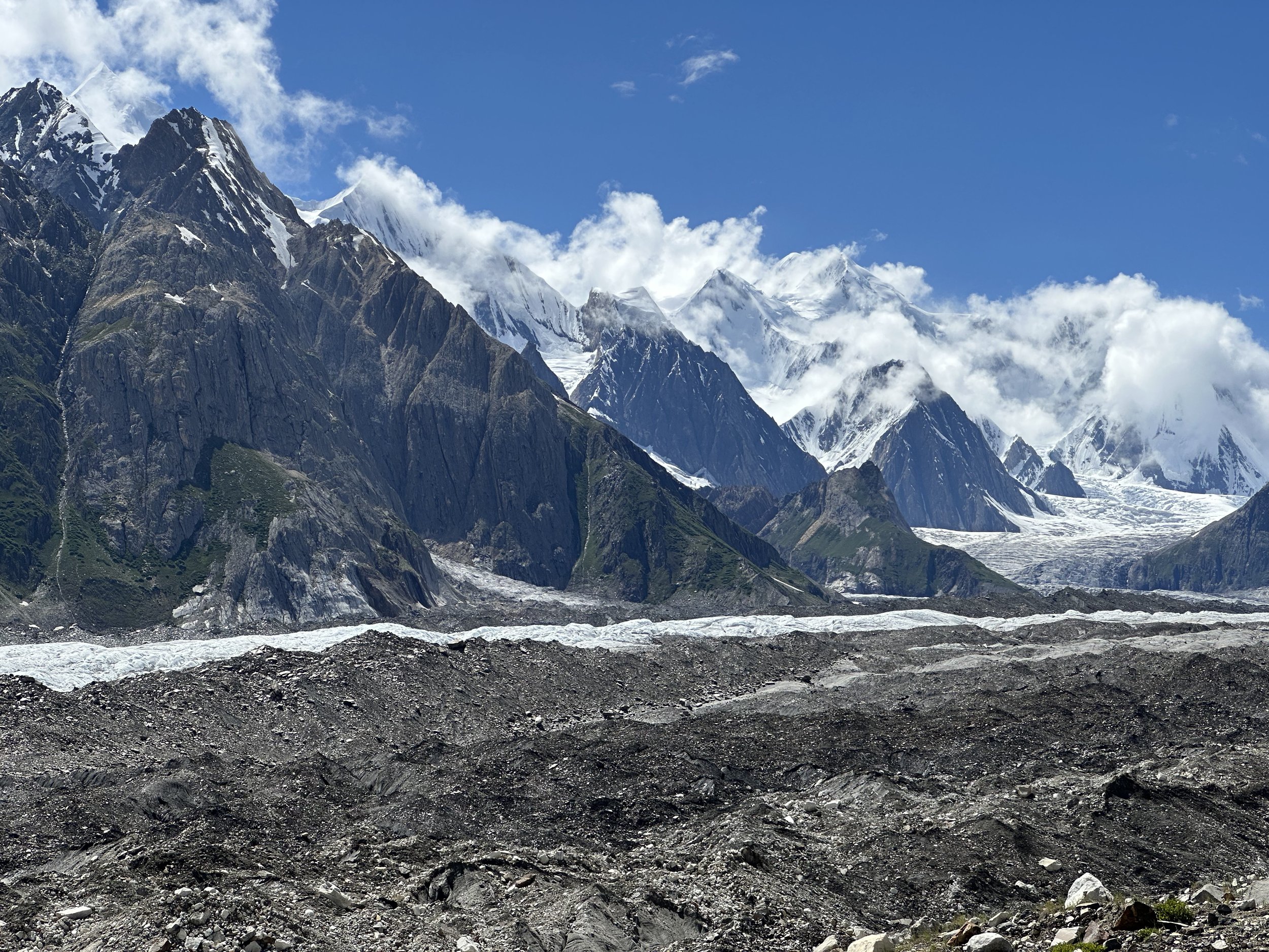
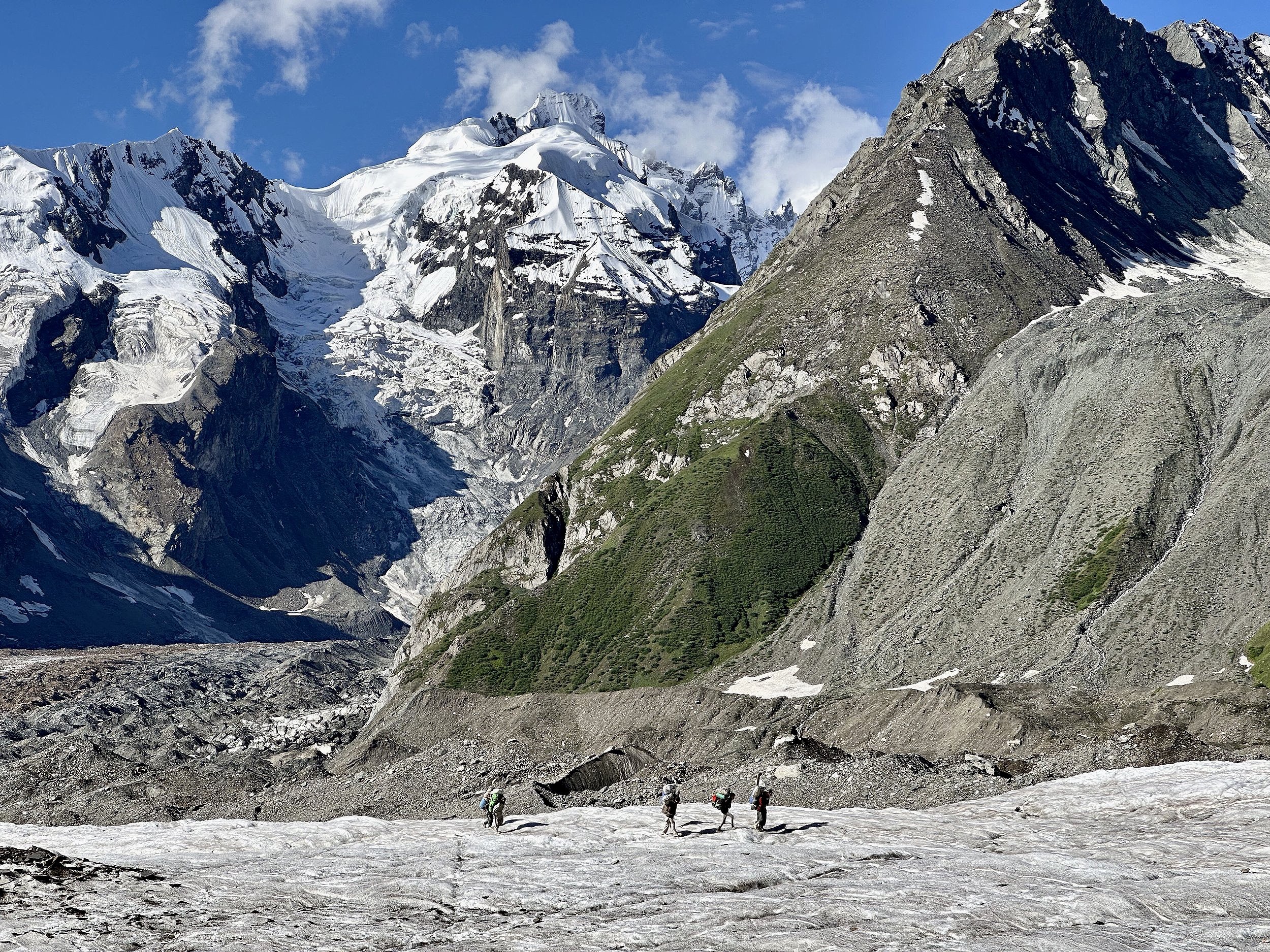
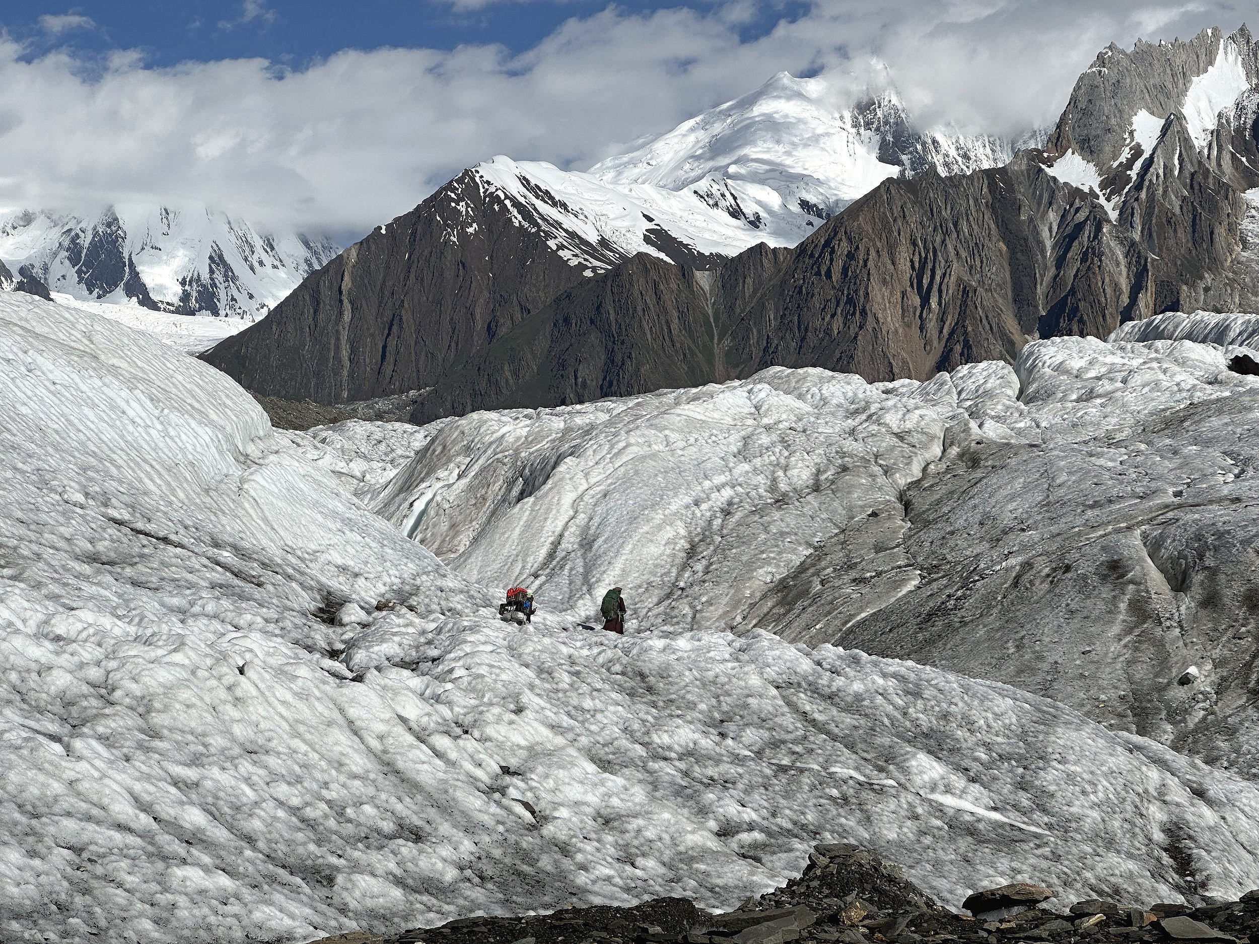
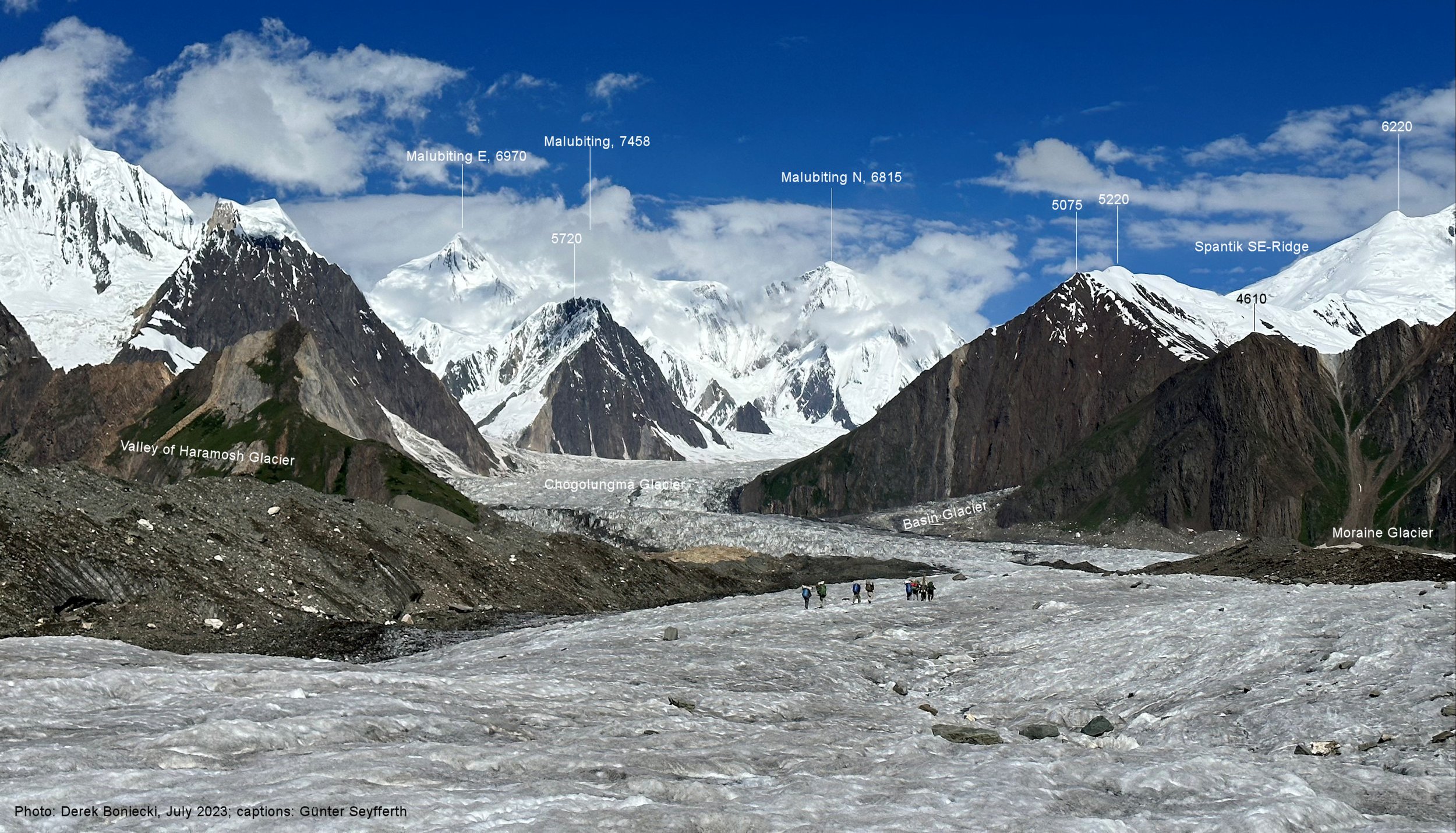
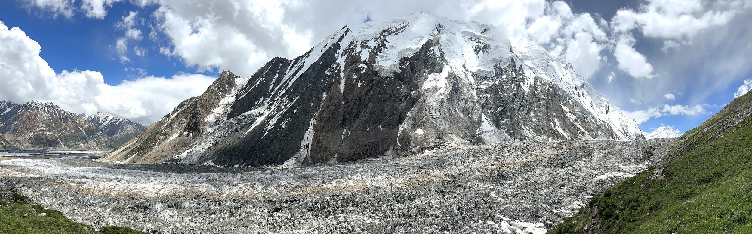
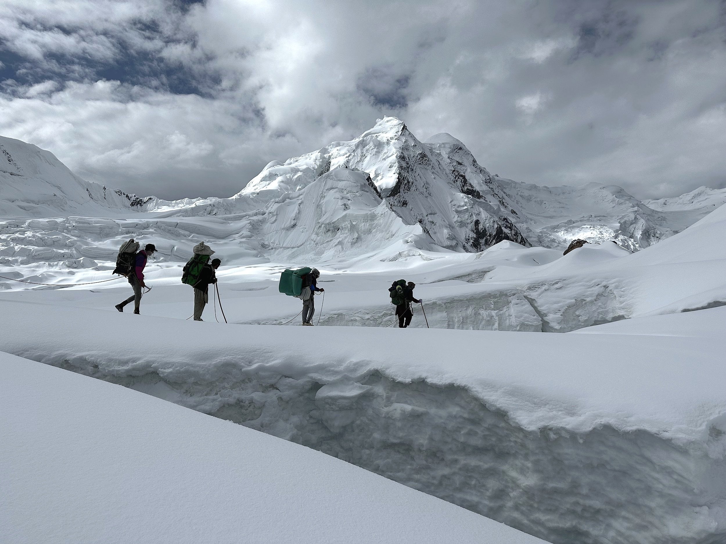
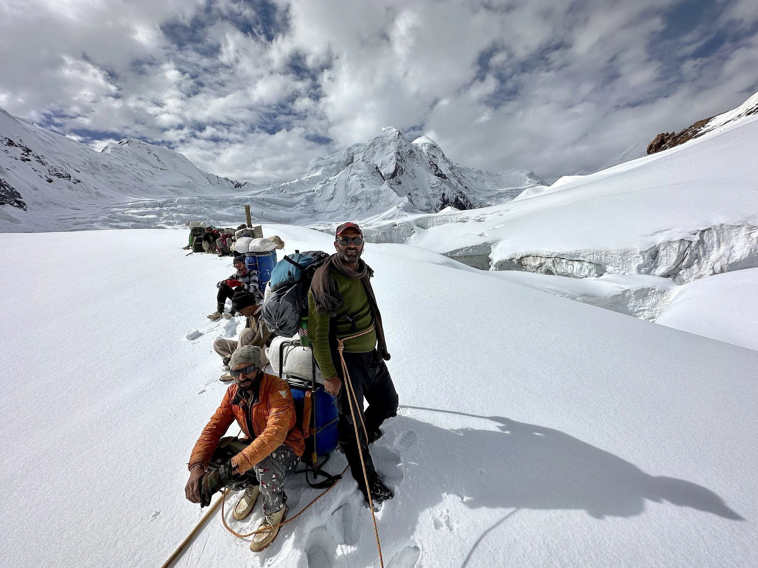
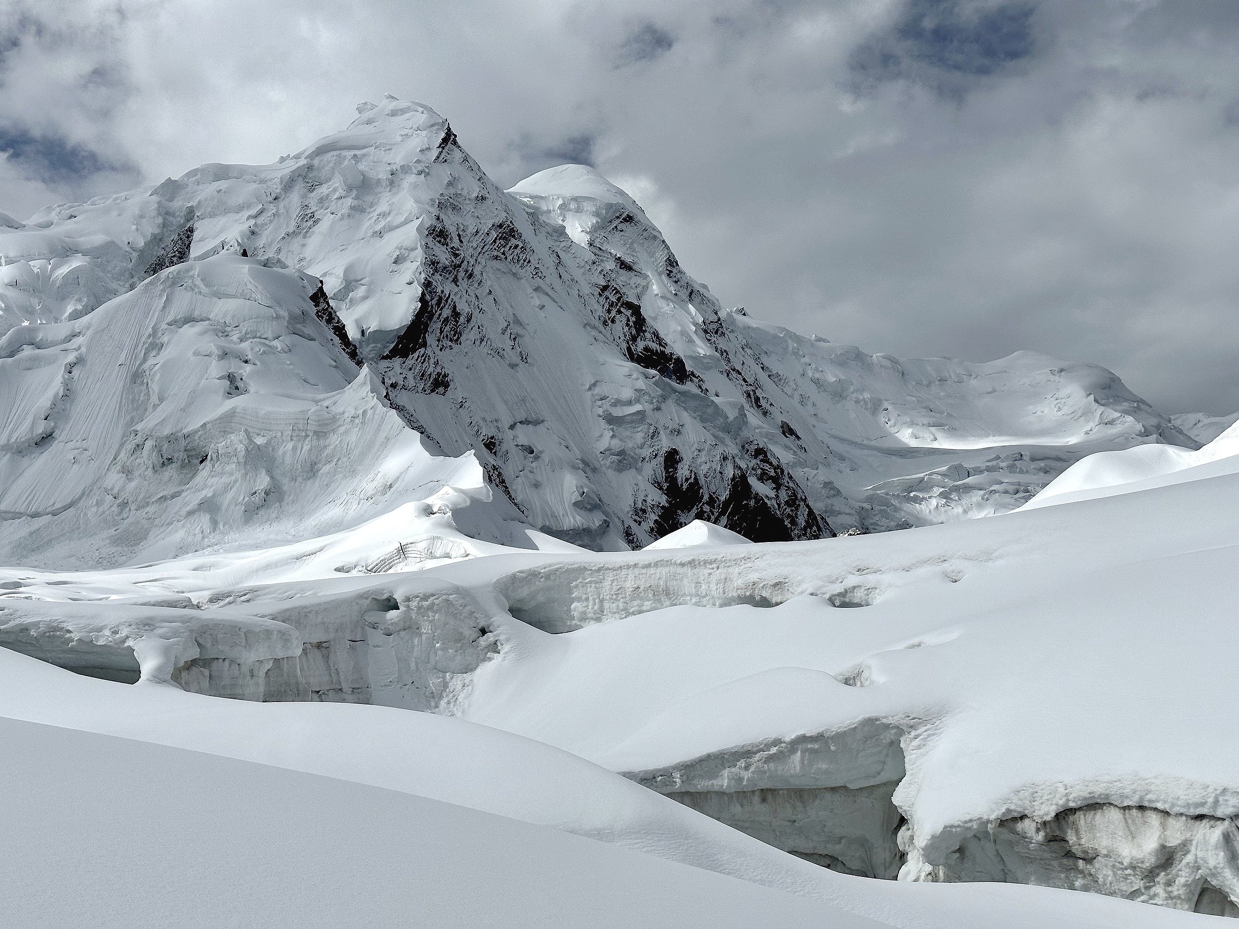
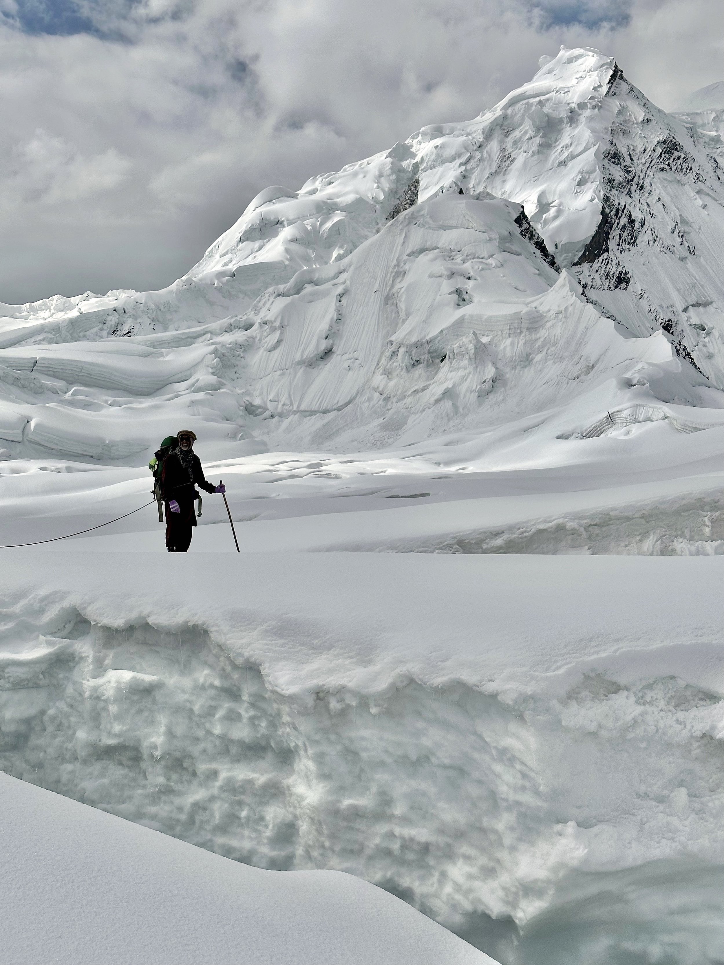
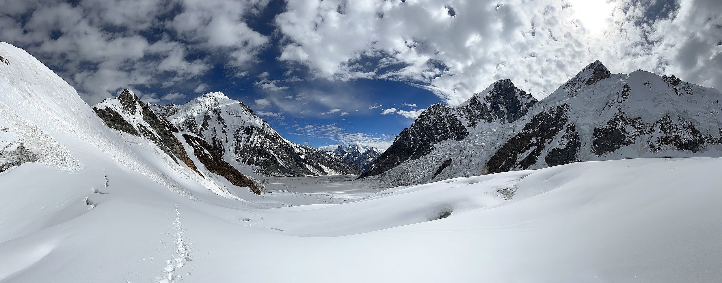
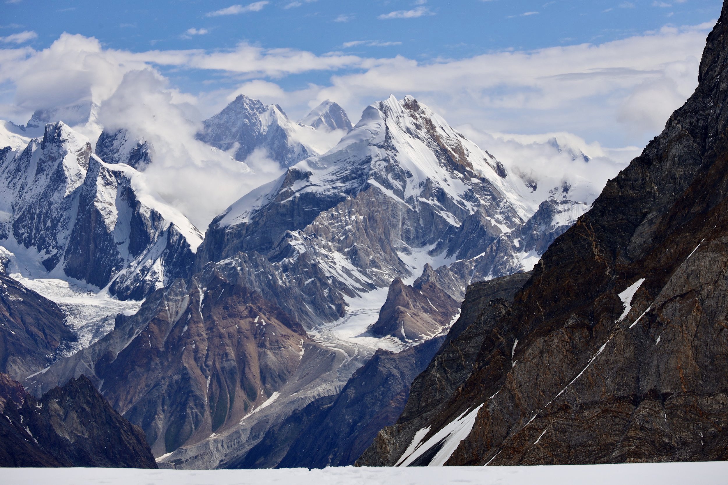
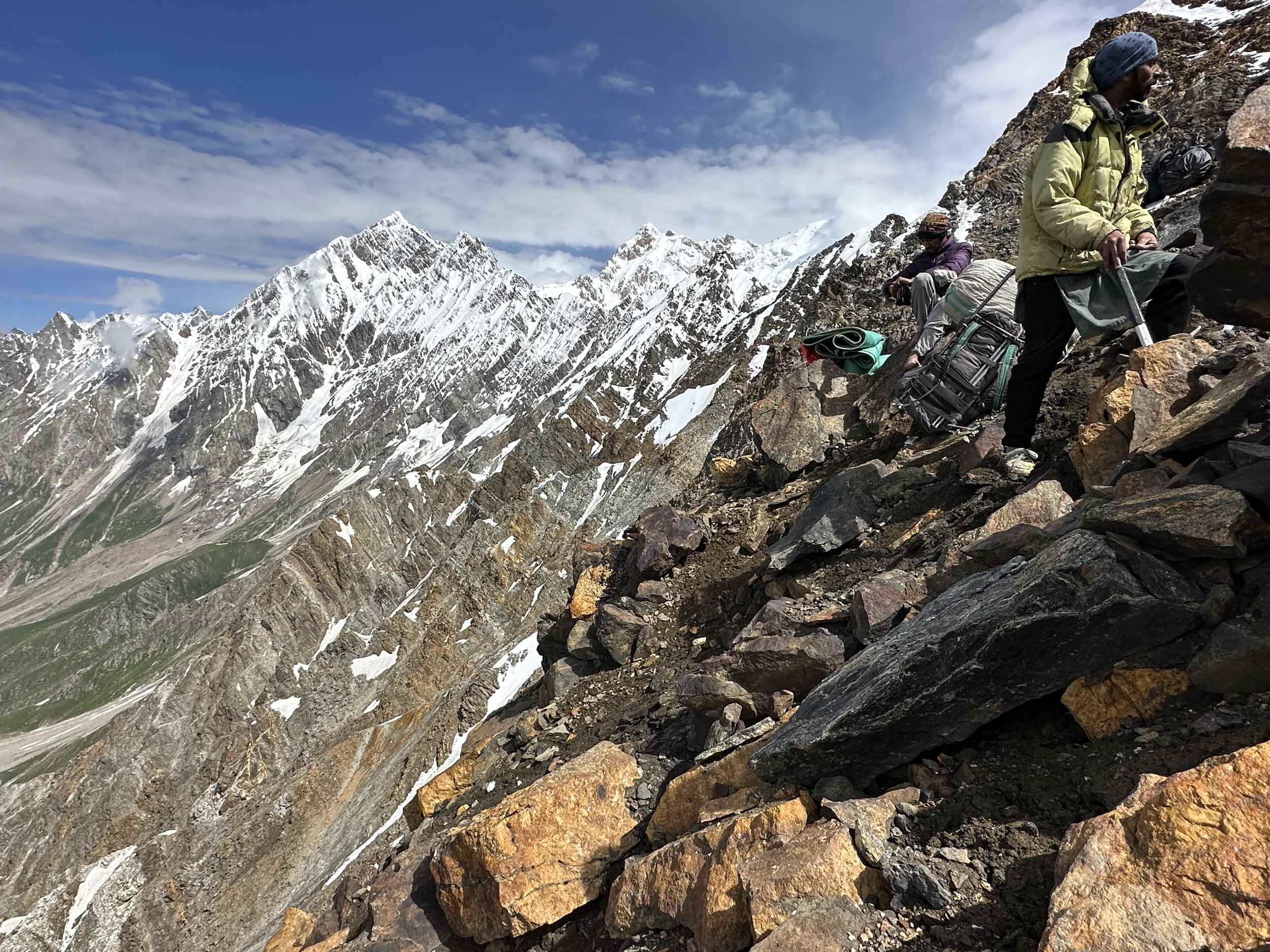
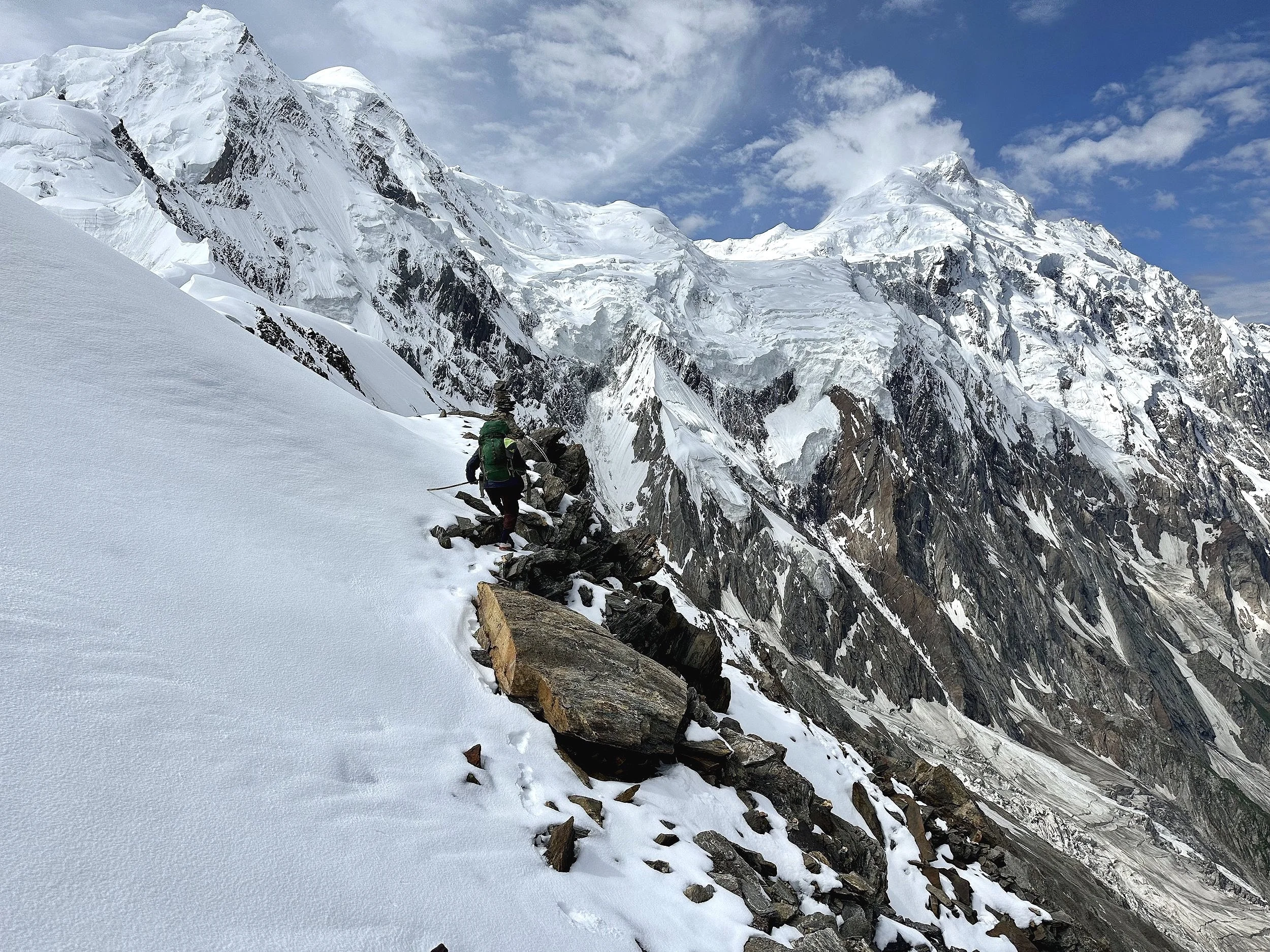
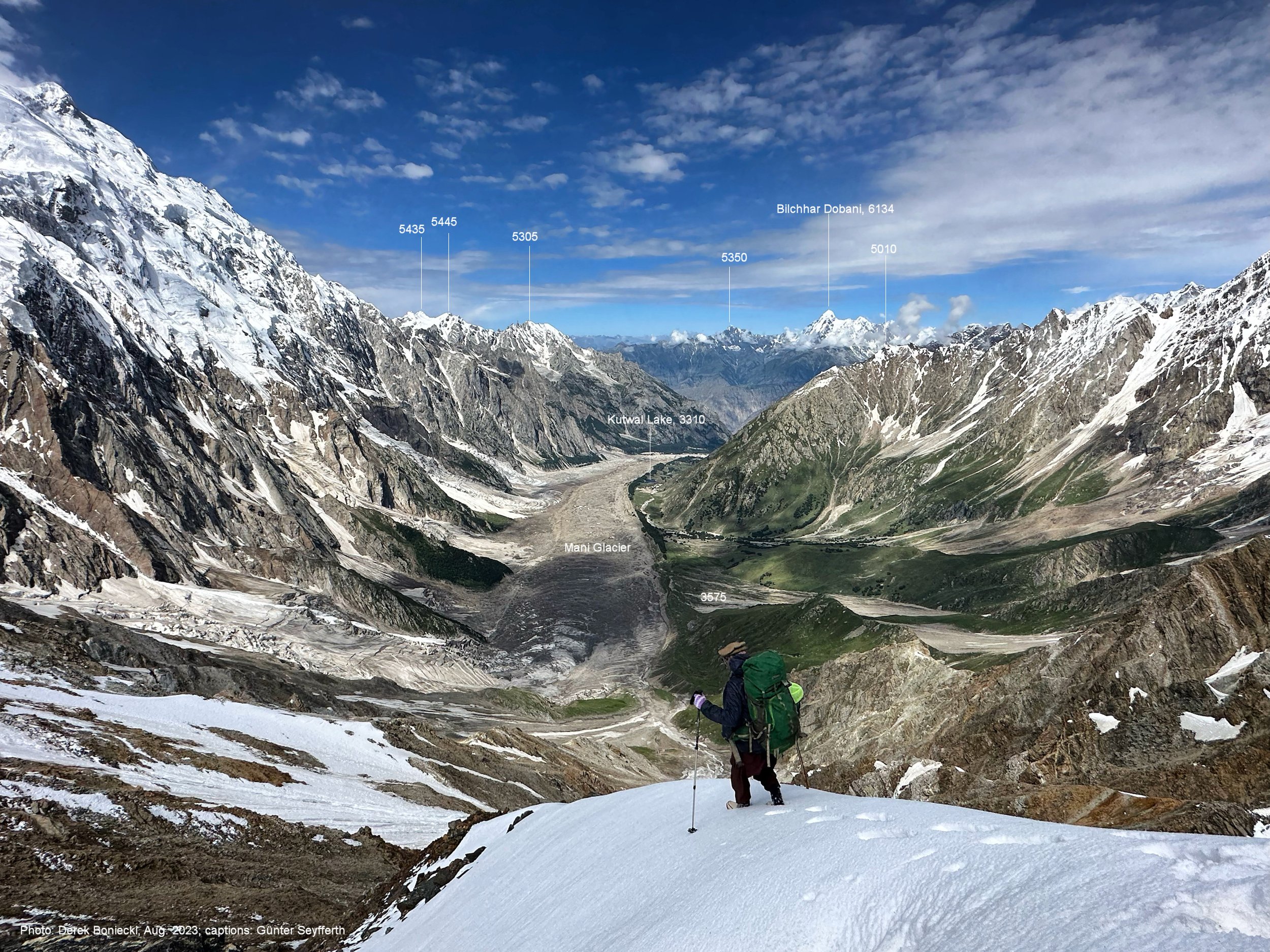
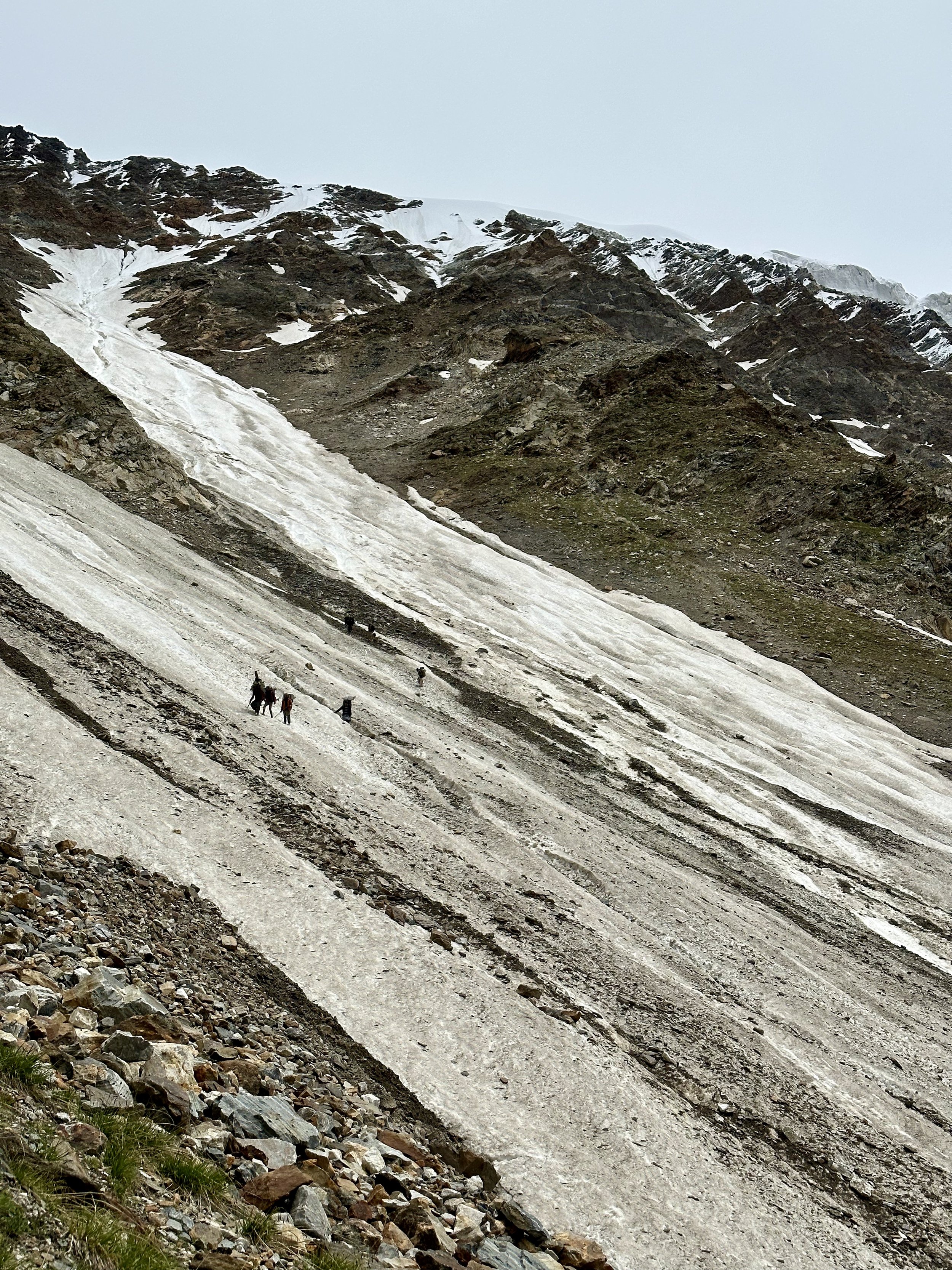
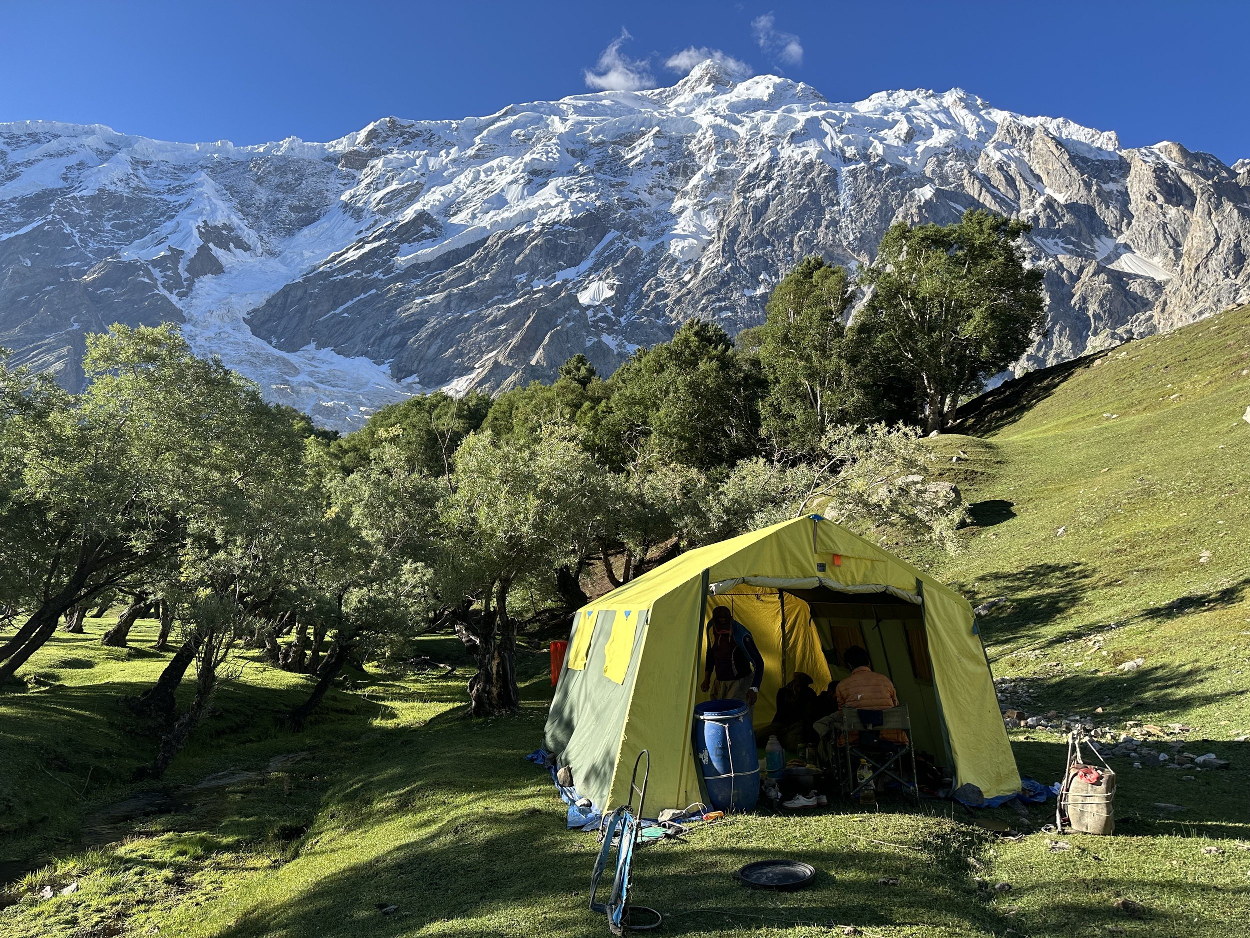
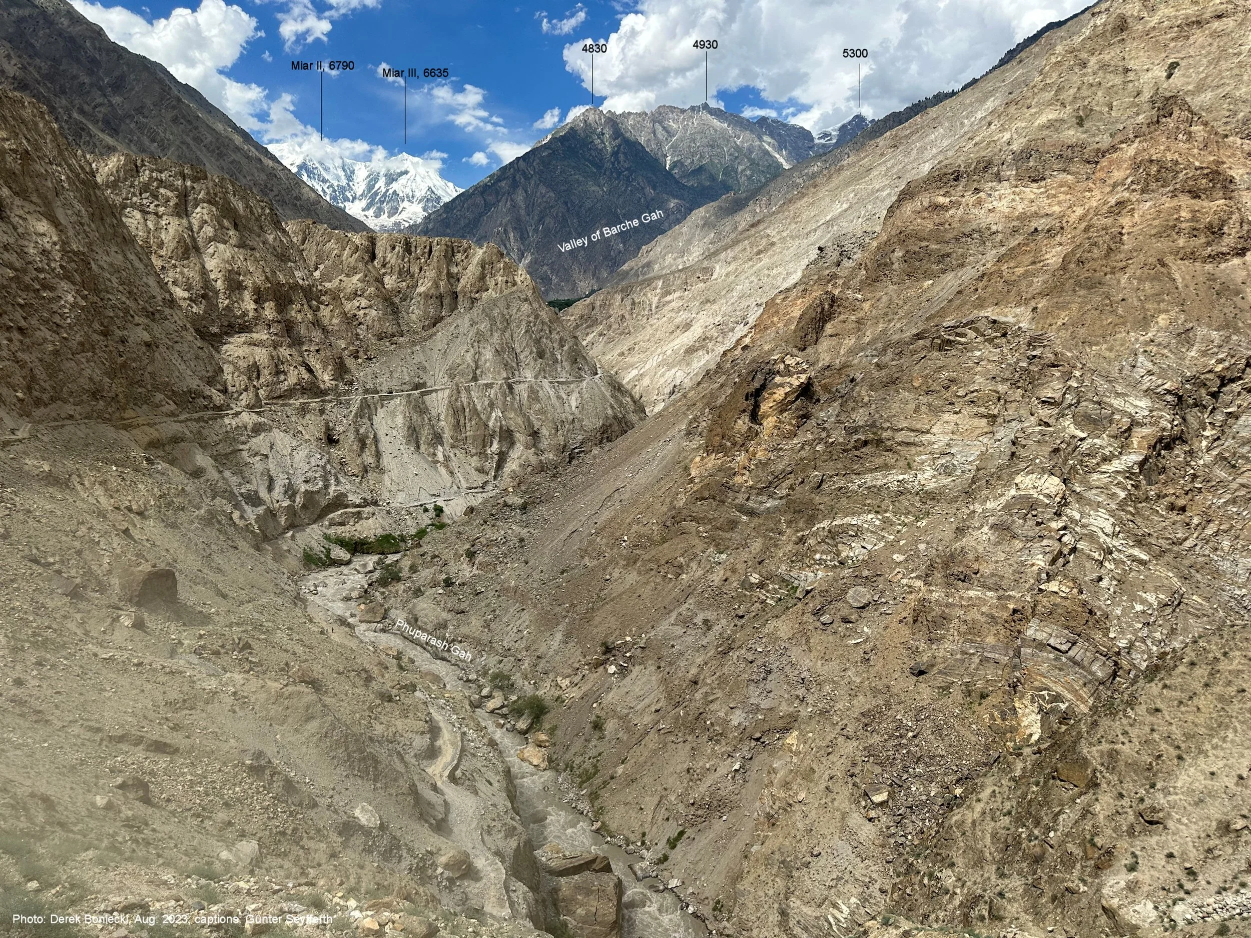
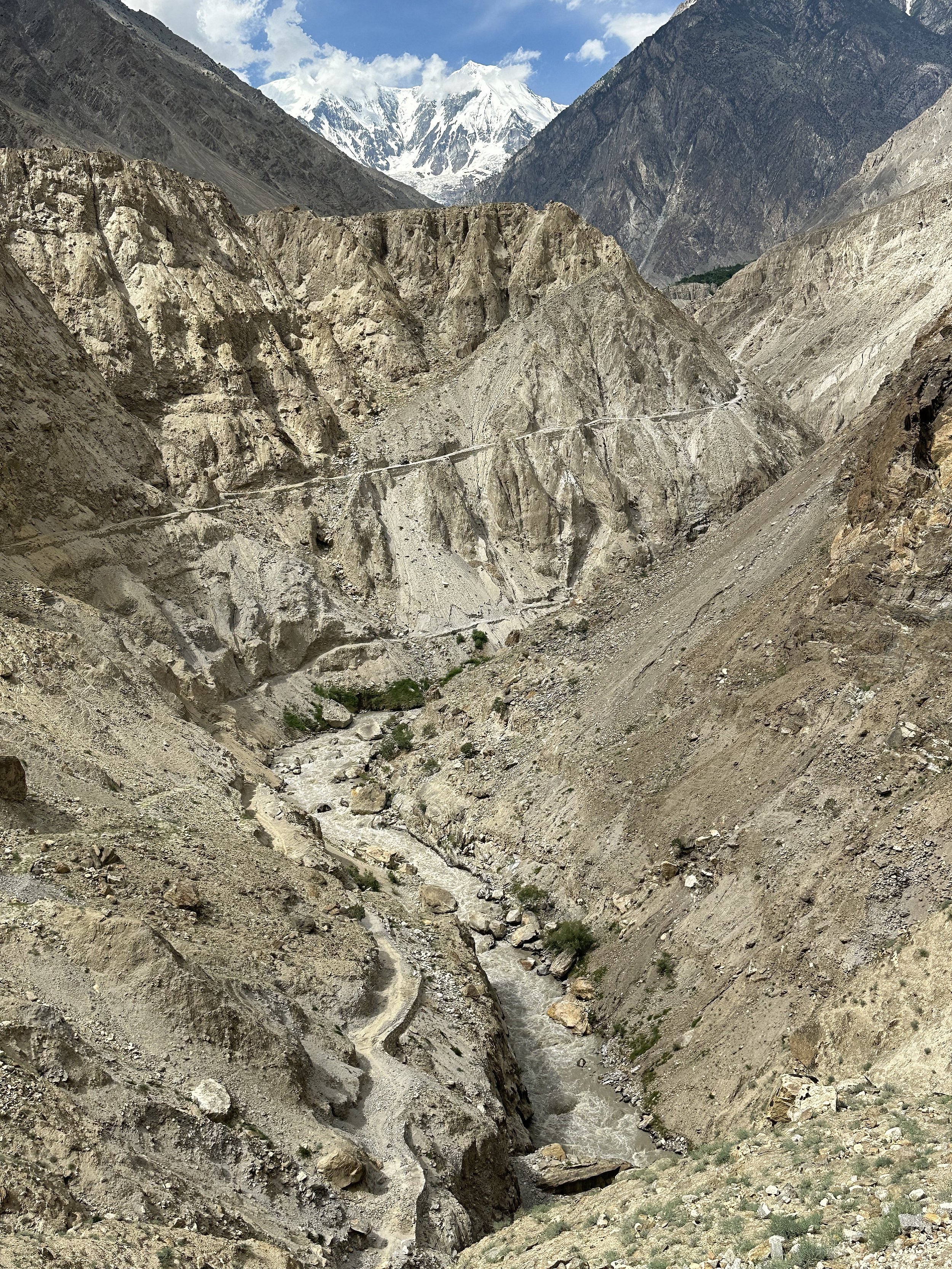
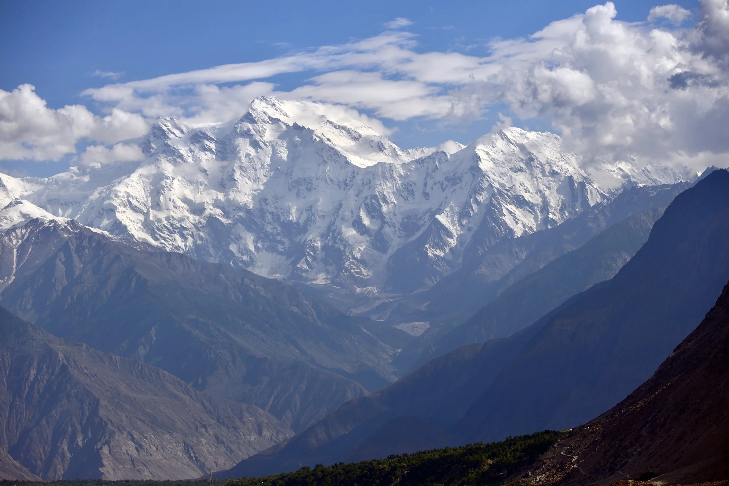
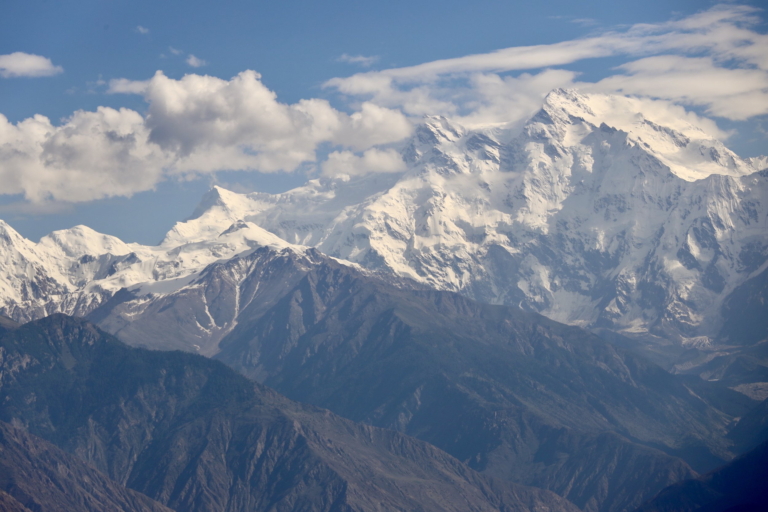
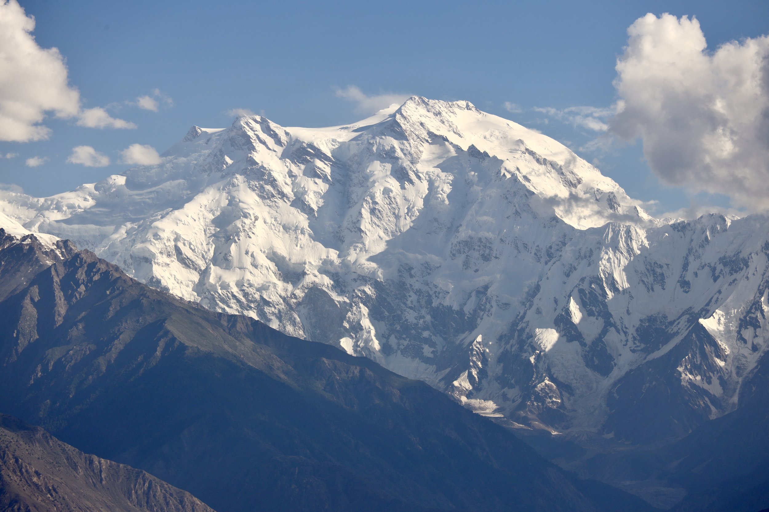
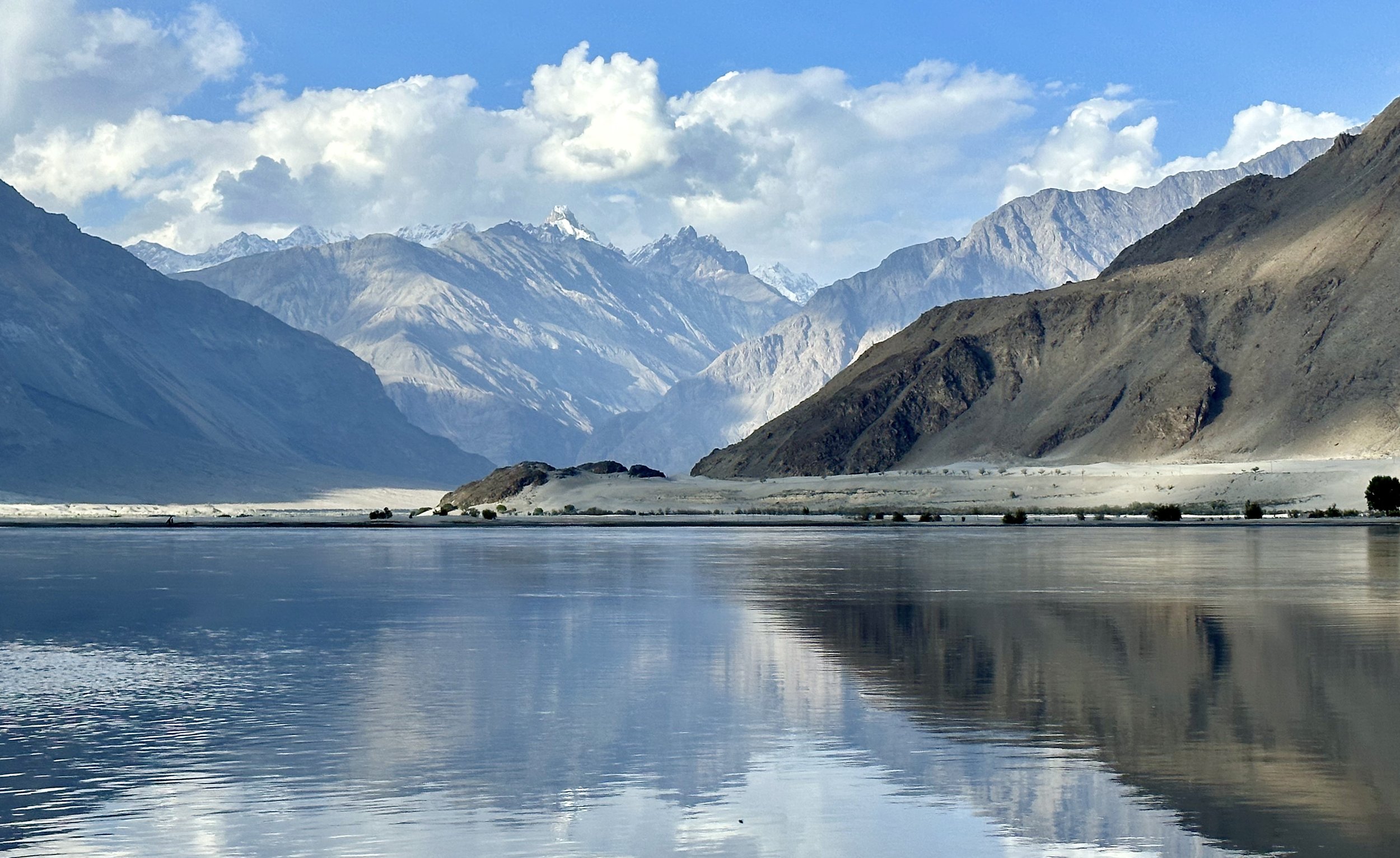
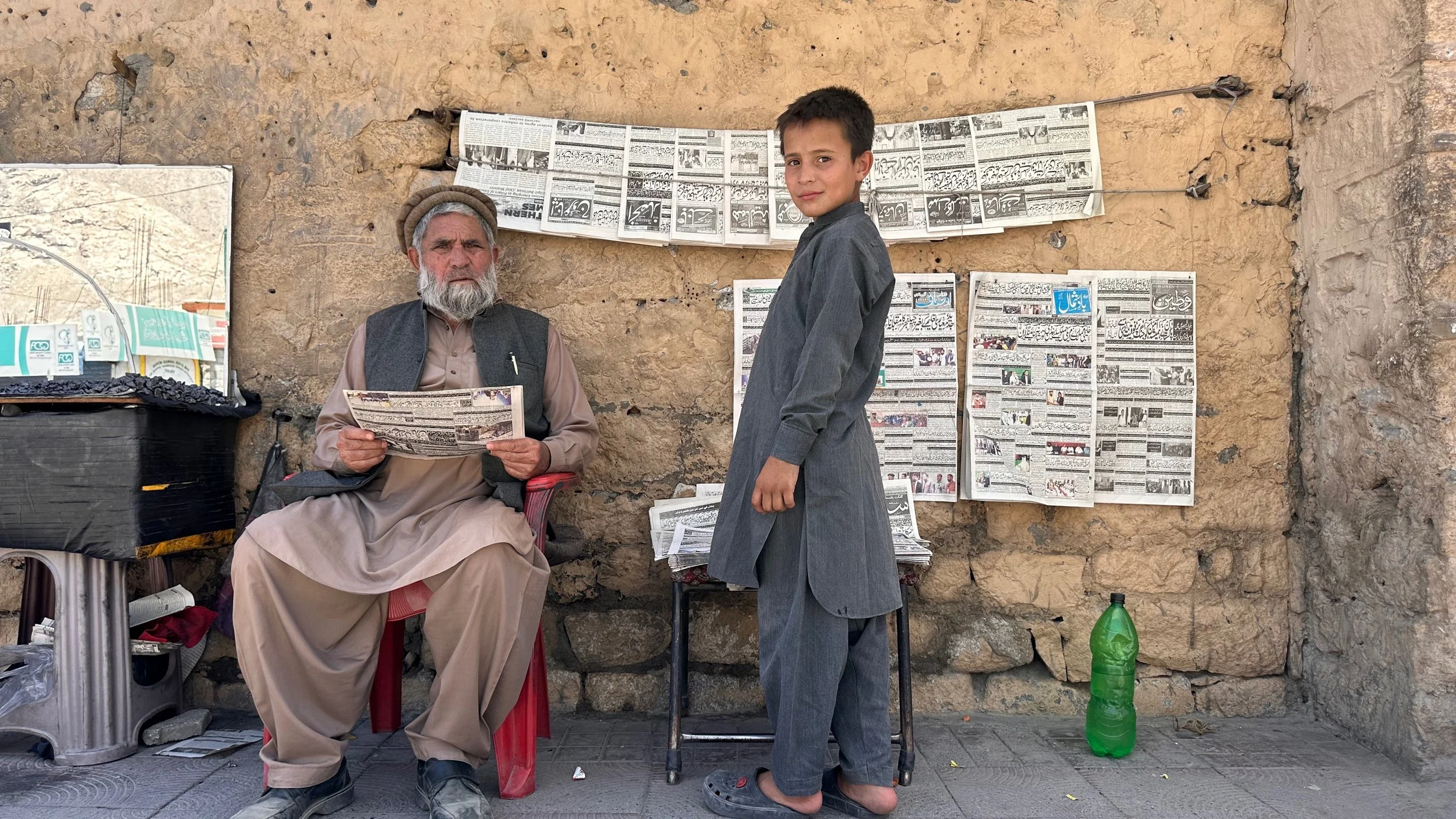
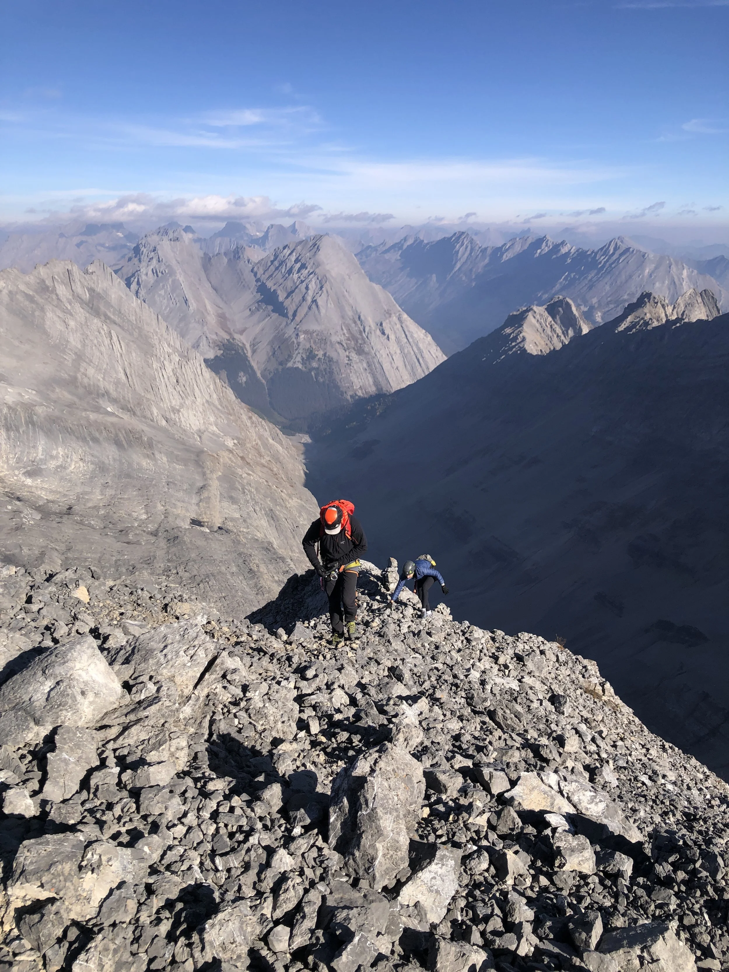
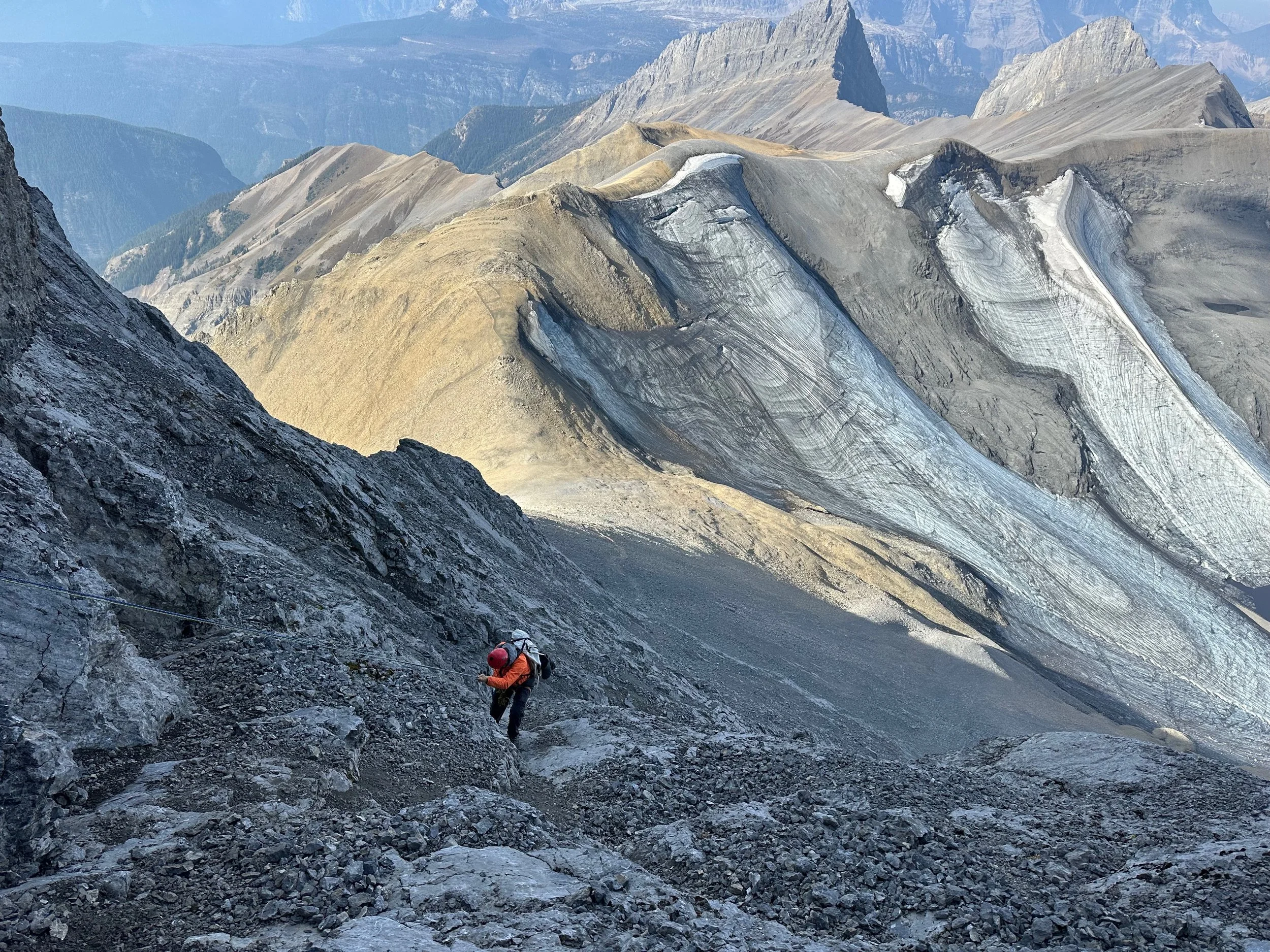
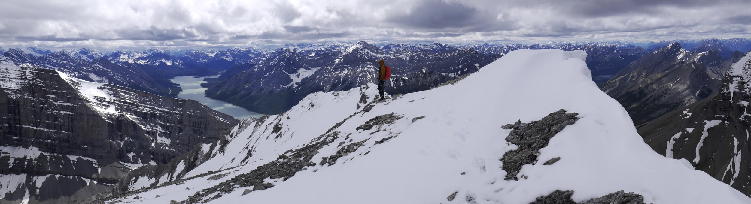
The road we were on is very dramatic. It follows the Braldu River gorge. The Braldu River is the main drainage of the massive glacier system of the Central Karakorum Range. There were 10 of us in the jeep – Iqbal, porters, Essan and me. The weather was perfect and the scenery beautiful all the way to Askole. The grandeur of the Karakorum was on full display. The drive seemed much faster than in 2005 and we did not have to stop to cross any rivers or streams. We arrived in Askole at 4 pm at a tidy new campsite located at the edge of the village. The campsite is run by the village association, and it has toilets, water source, garbage cans and a shelter for porters. We pitched our tents and sorted the gear. Ghulam ‘s new tent was the size of a Tajma Hall! It is very comfortable for one person. Askole also changed a lot. It has concrete buildings, a few shops, a hotel and a couple of real streets. It also has a museum displaying some local culture. I also saw many women this time, which was unheard of in 2001 or 2005. People look much better, wearing clean clothing and looking healthier.
We spent the afternoon in Askole, walked around, took photos with local men and visited the museum. Some large trekking groups arrived after us. One of them was Polish. They were all going to K2 which apparently became quite a popular trek by the Karakorum standards. Later I met them again and learned that they had not been able to cross the Ghondogoro La pass due to bad conditions.
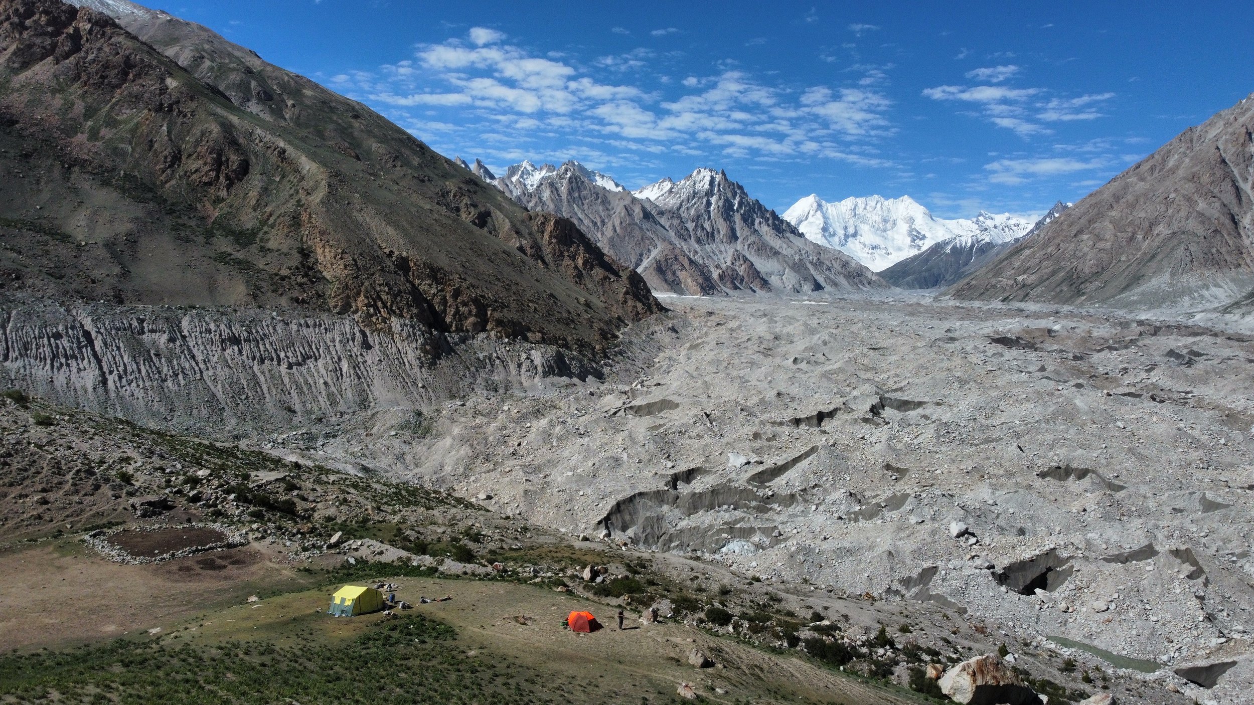
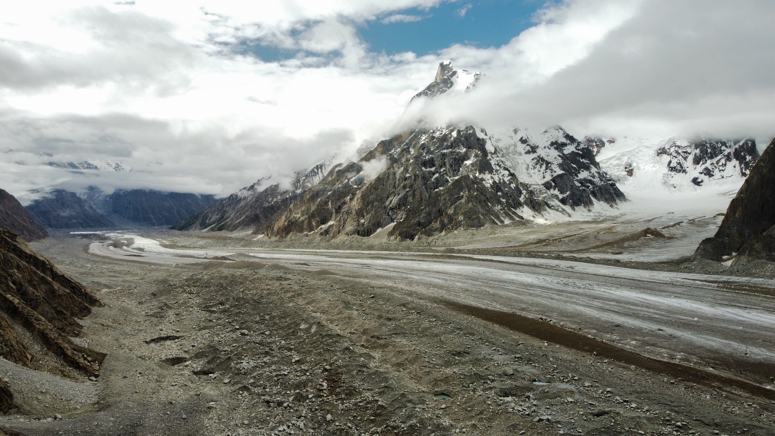
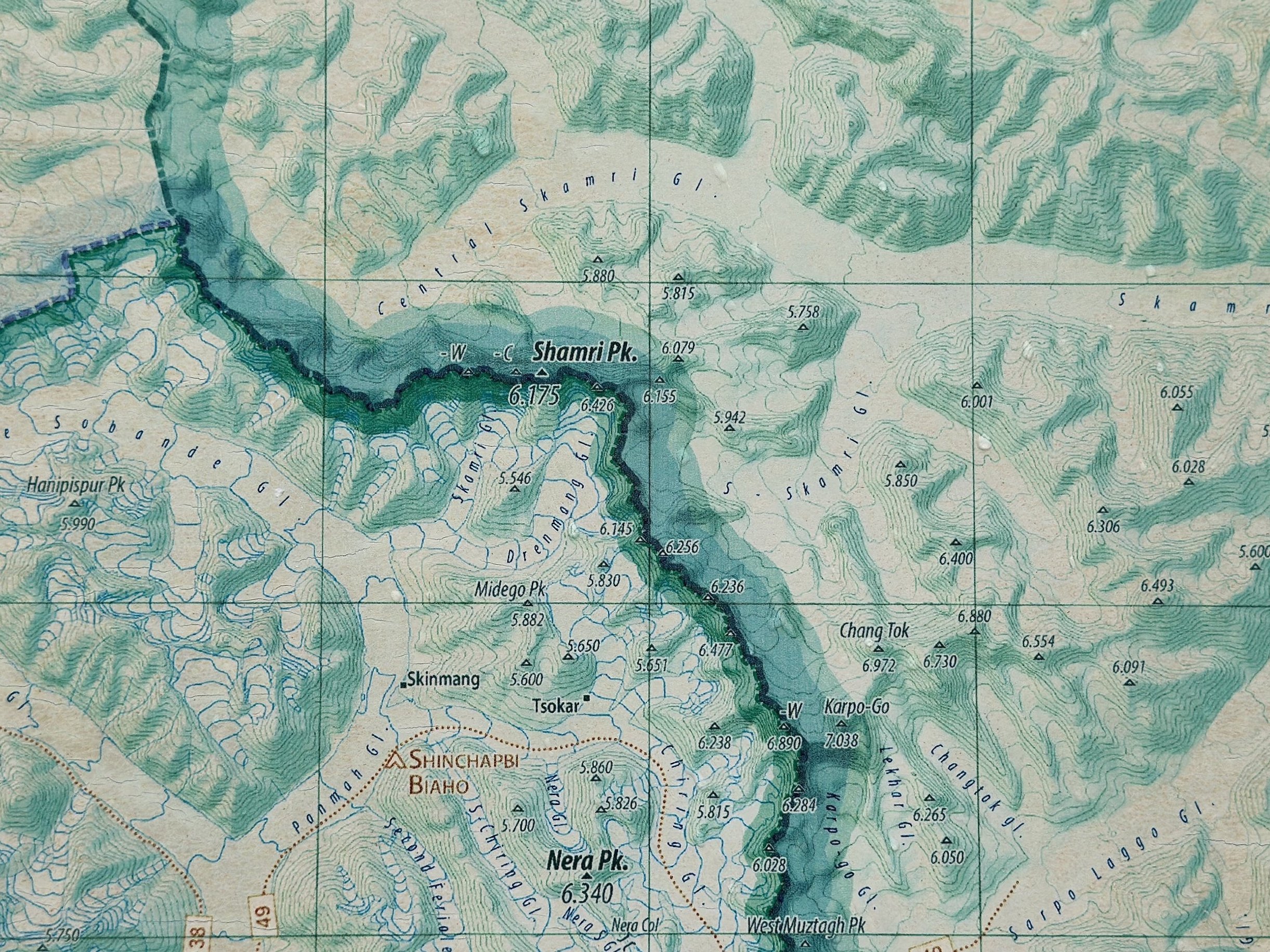
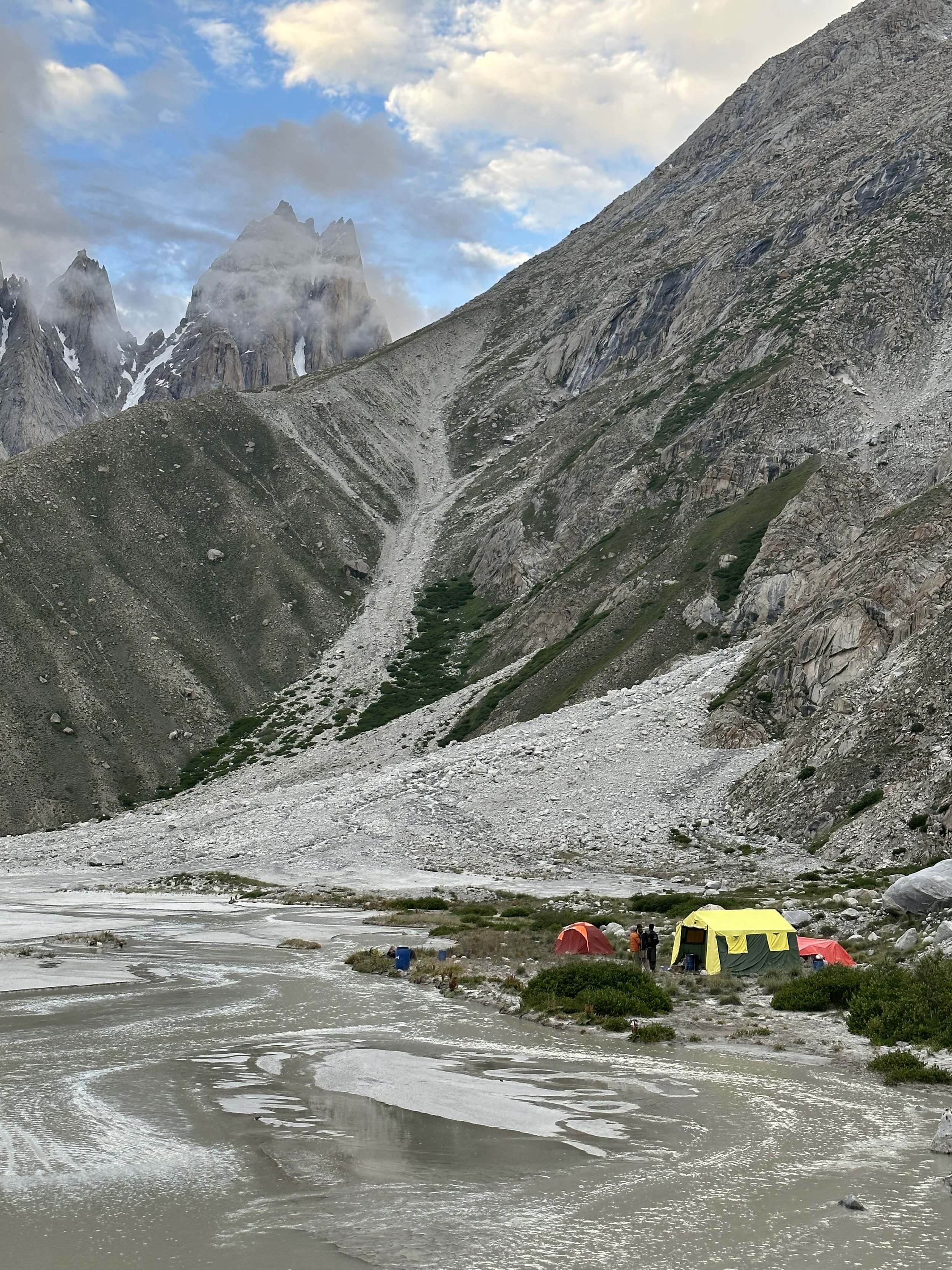
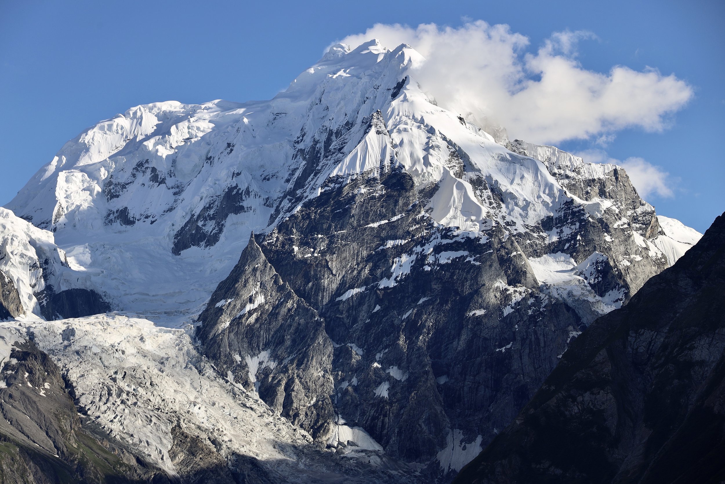
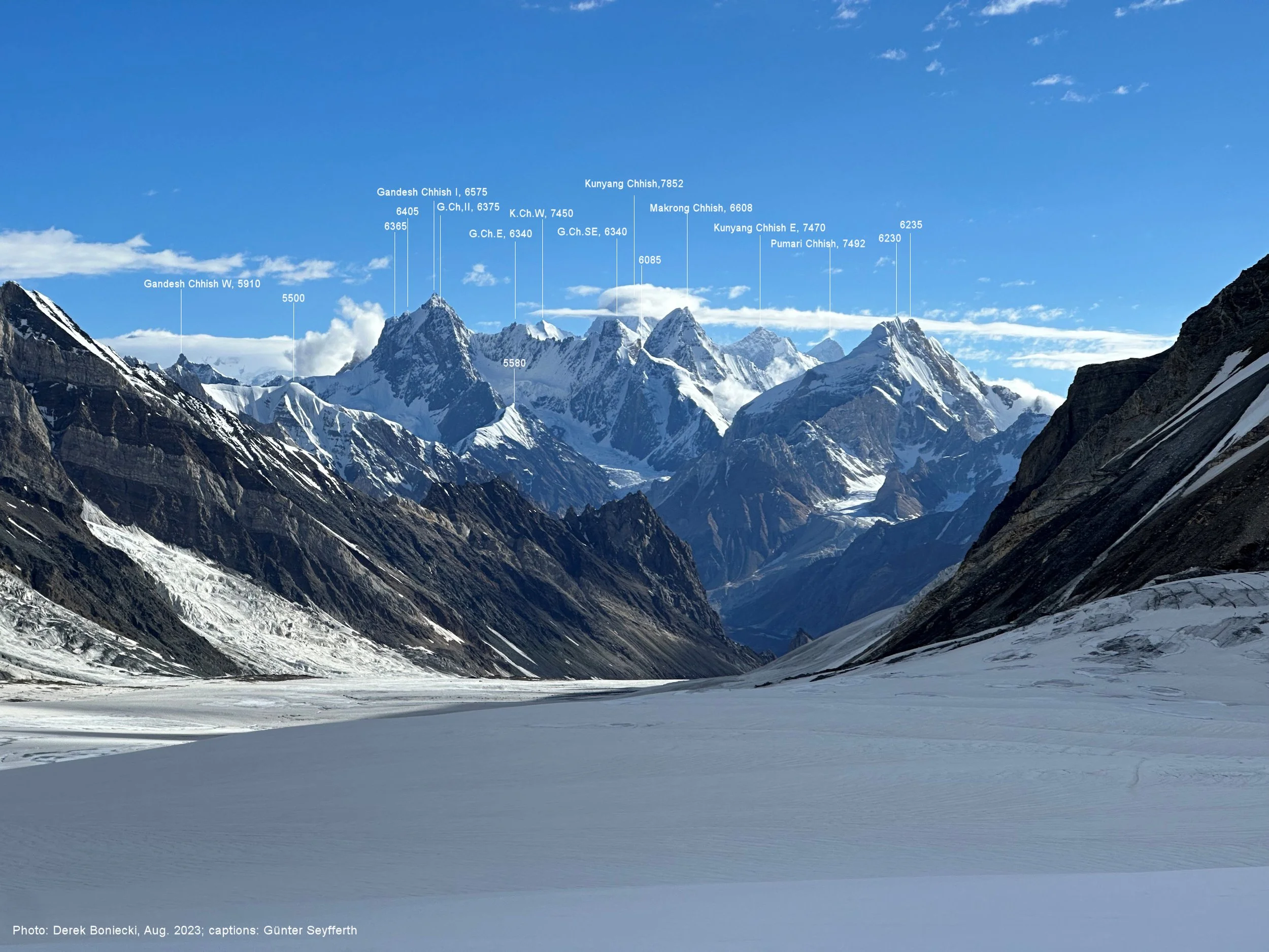
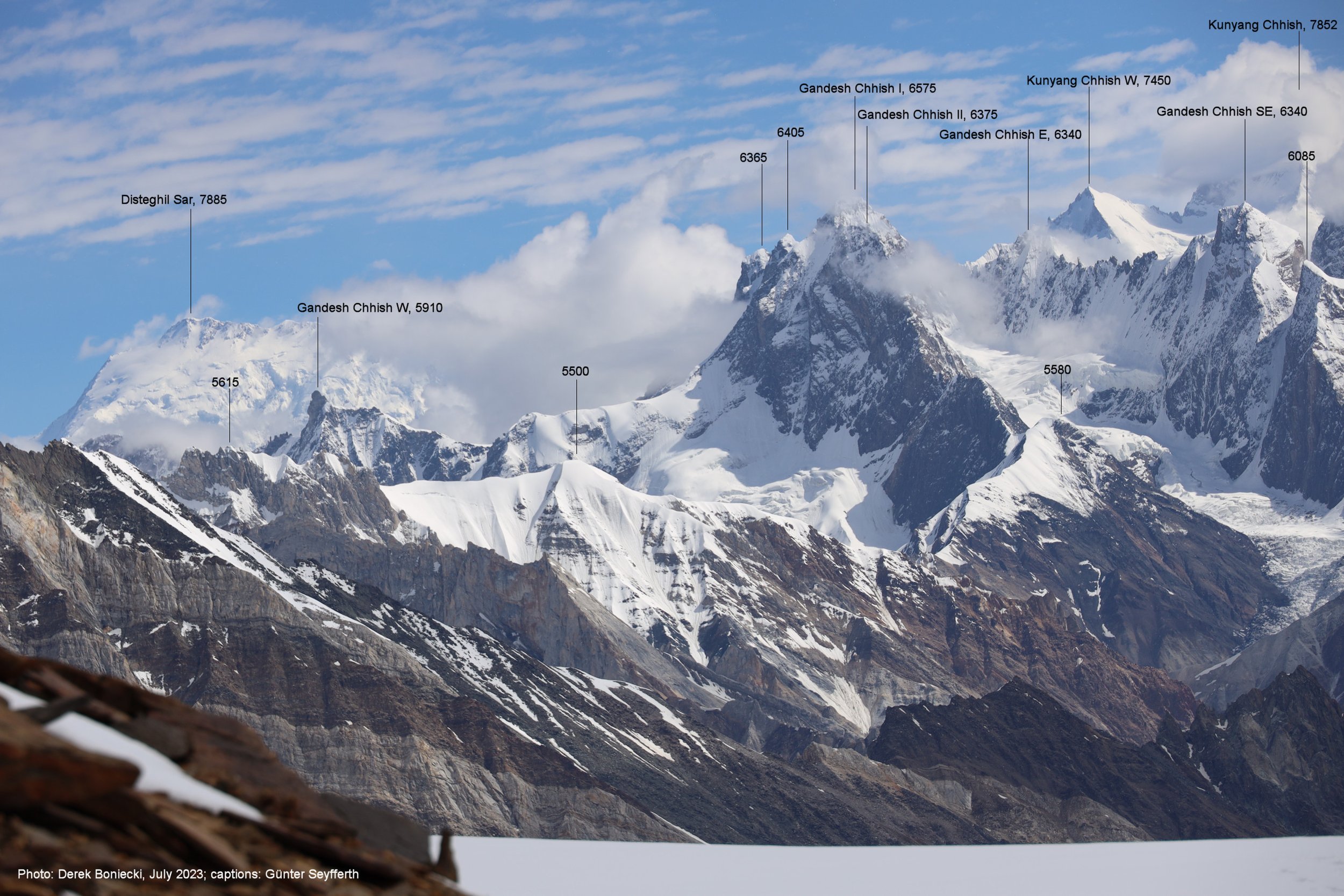
In the evening, the Askole chief came to visit us. He knows Iqbal (Iqbal worked in Askole for a while for an NGO). The Chief heard that we were going to the Choktoi Glacier and the Latok 1 basecamp. He showed us some books (in a state of total disintegration) of the Latok Peaks published and given to him by the Huber brothers. The Panamagh and Choktoi drainage is popular with the locals for ibex hunting. People venture there even in winter when the ibex come down to the valley. We had a delicious dinner and a good chat into the late hours of the evening.