Great Himalaya Trail - Summary of Completed Sections

Great_Himalaya_Trail_Stylised_Map_Poster.jpg

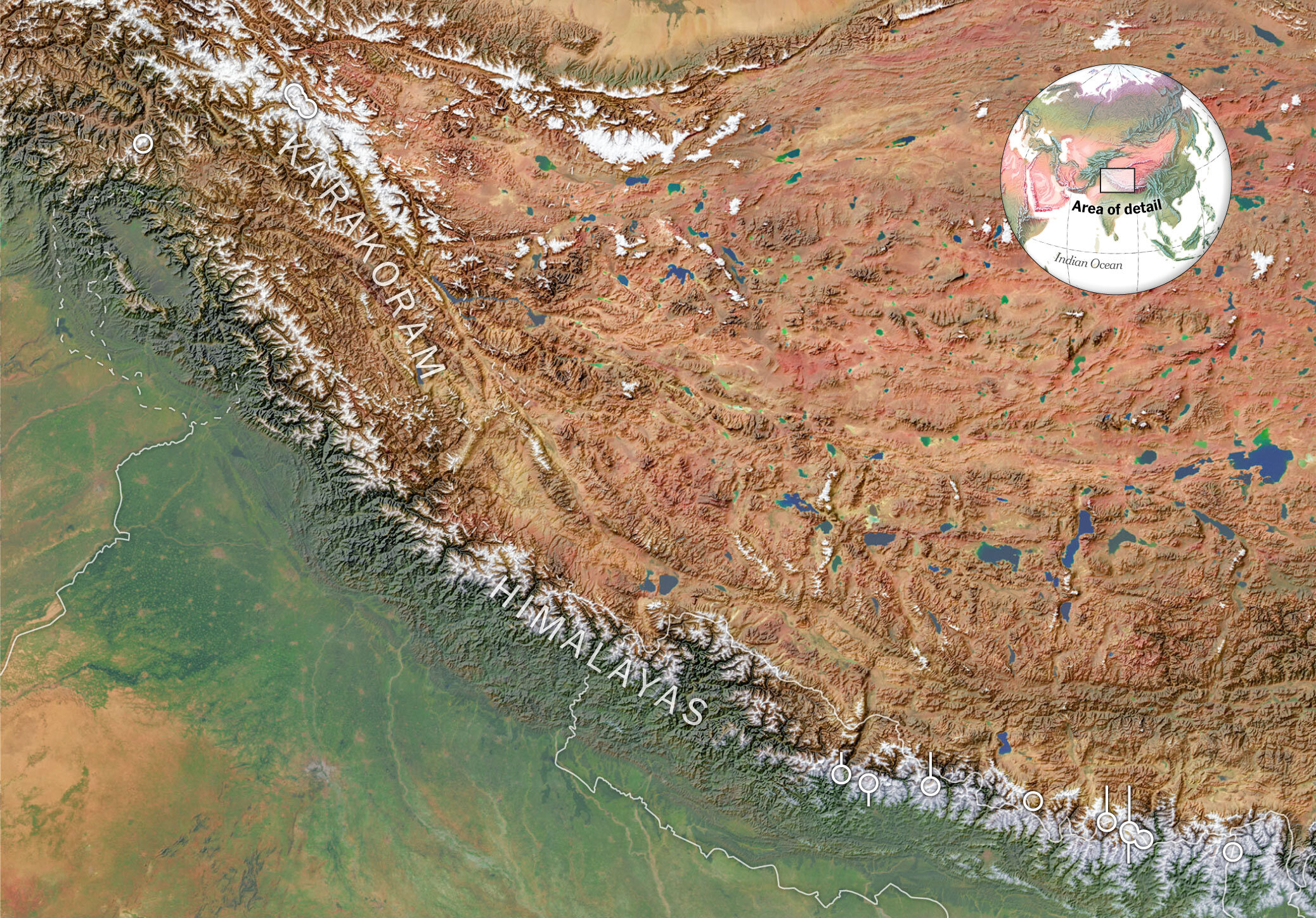
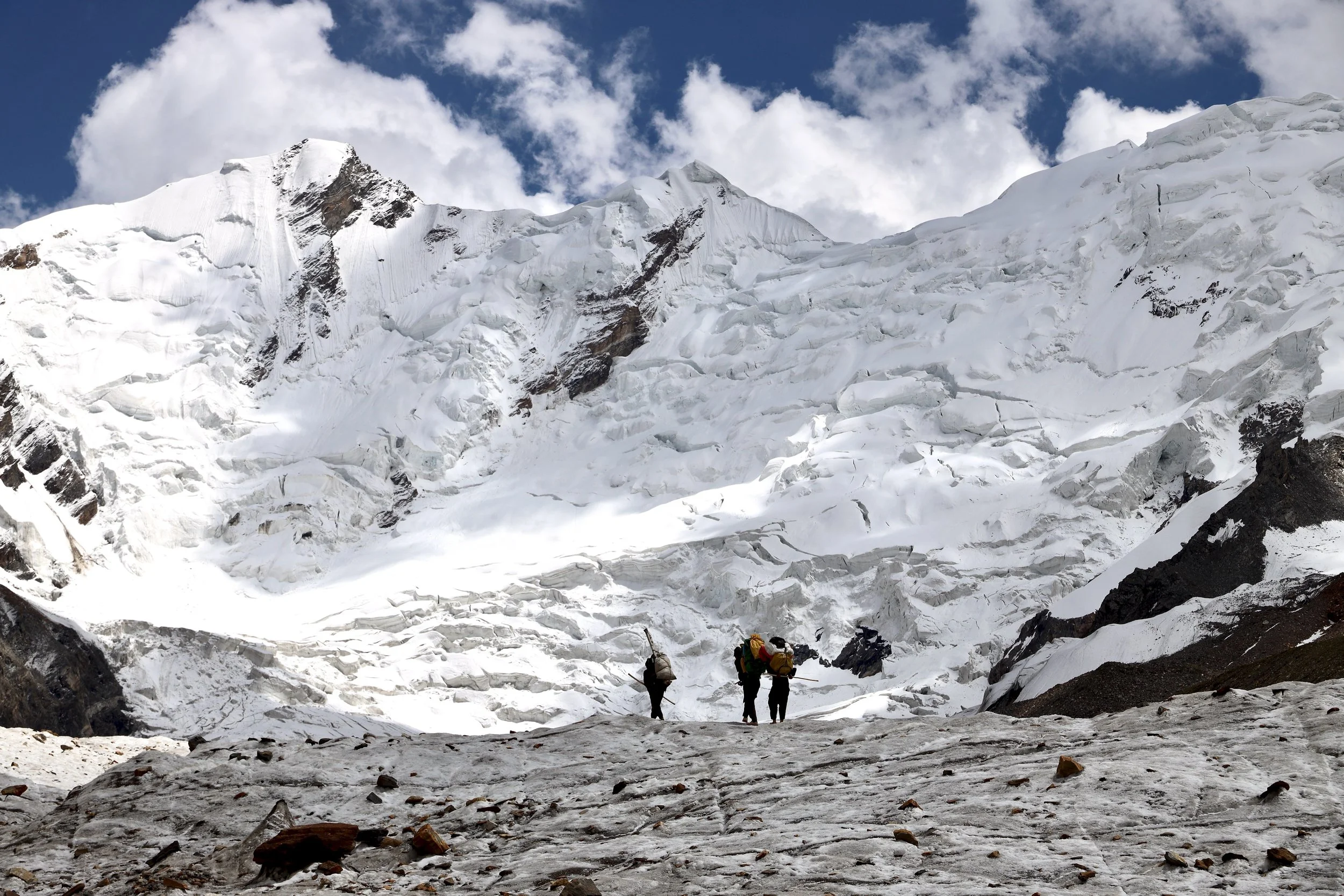
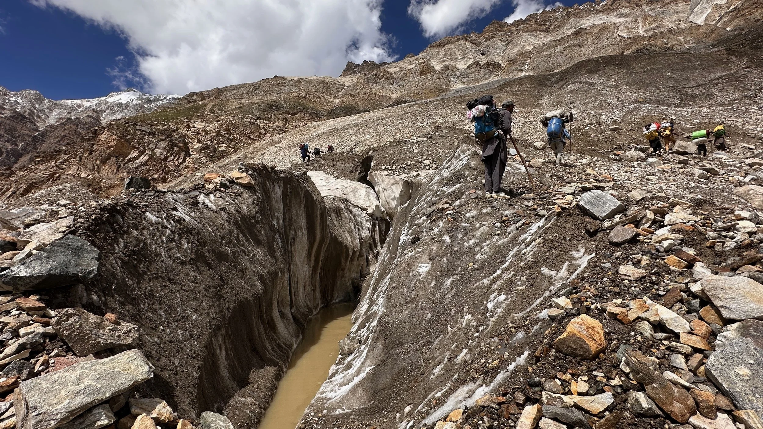
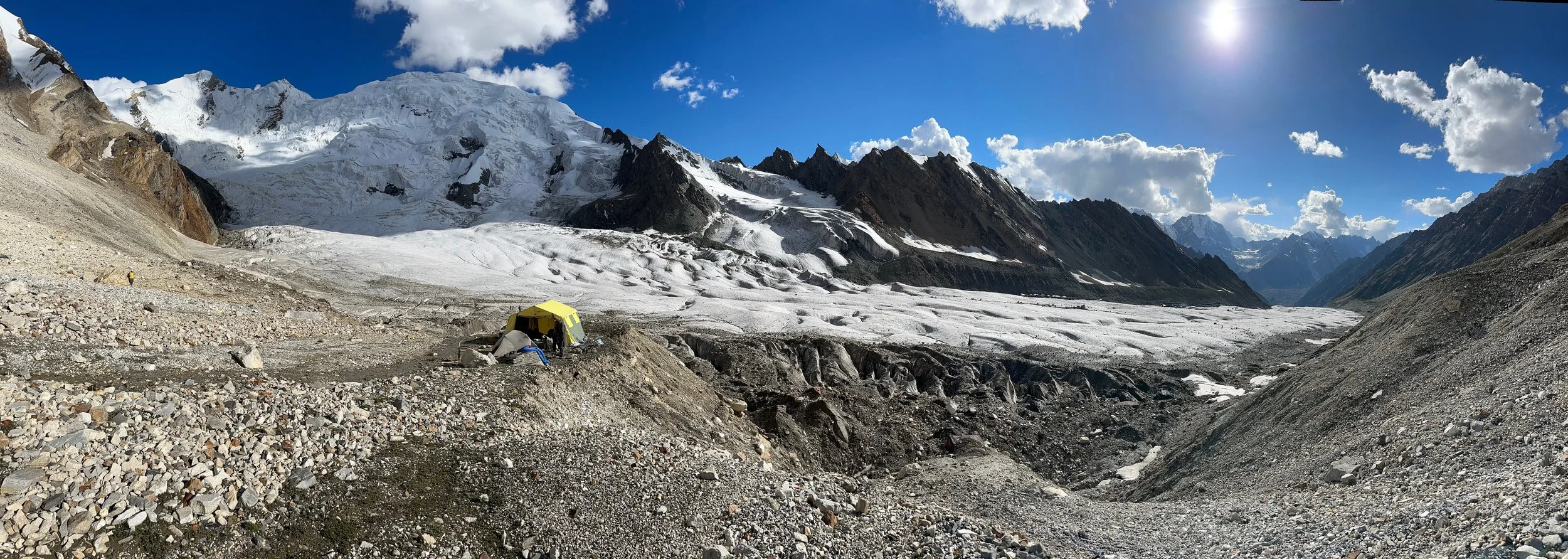
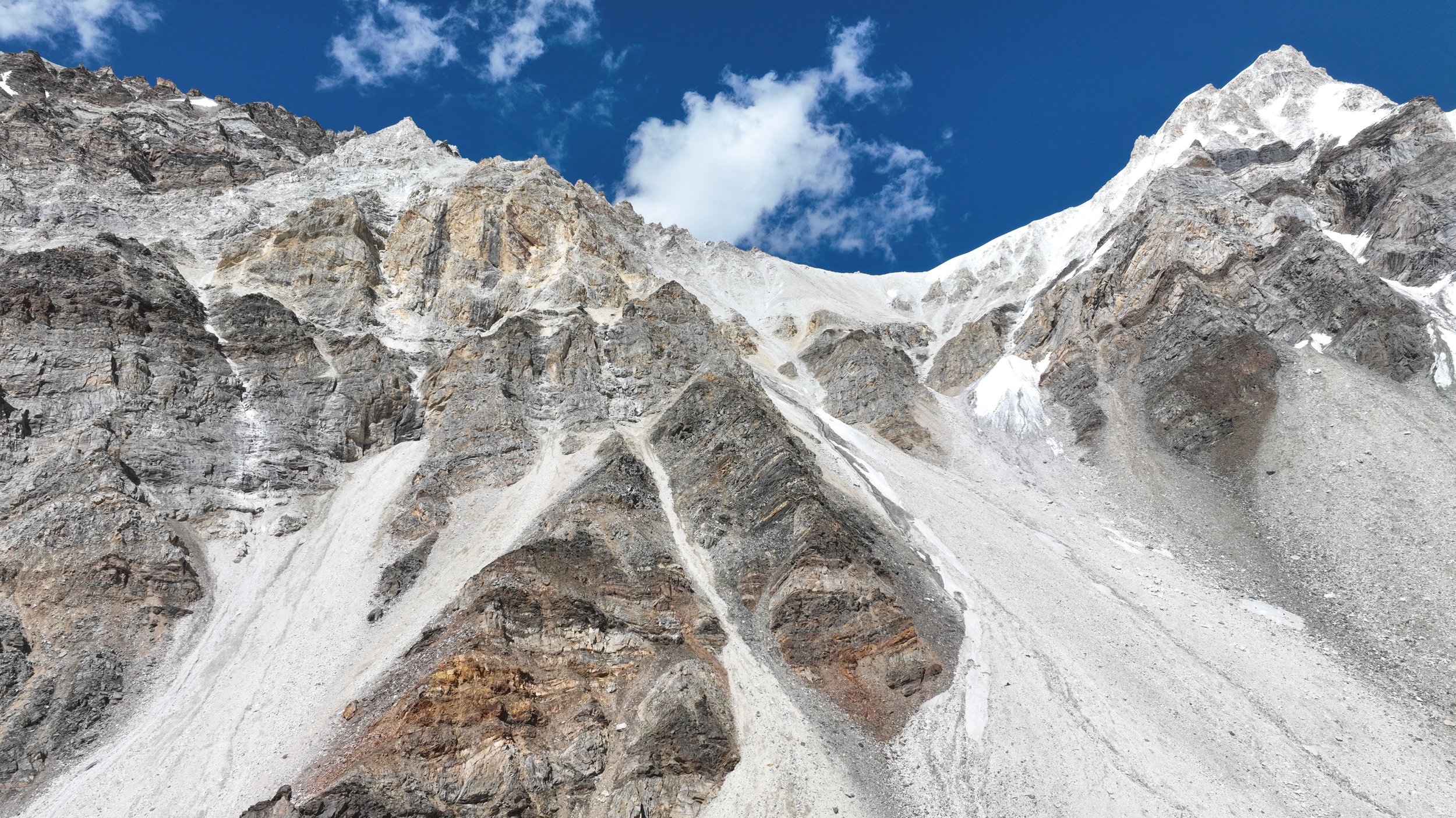
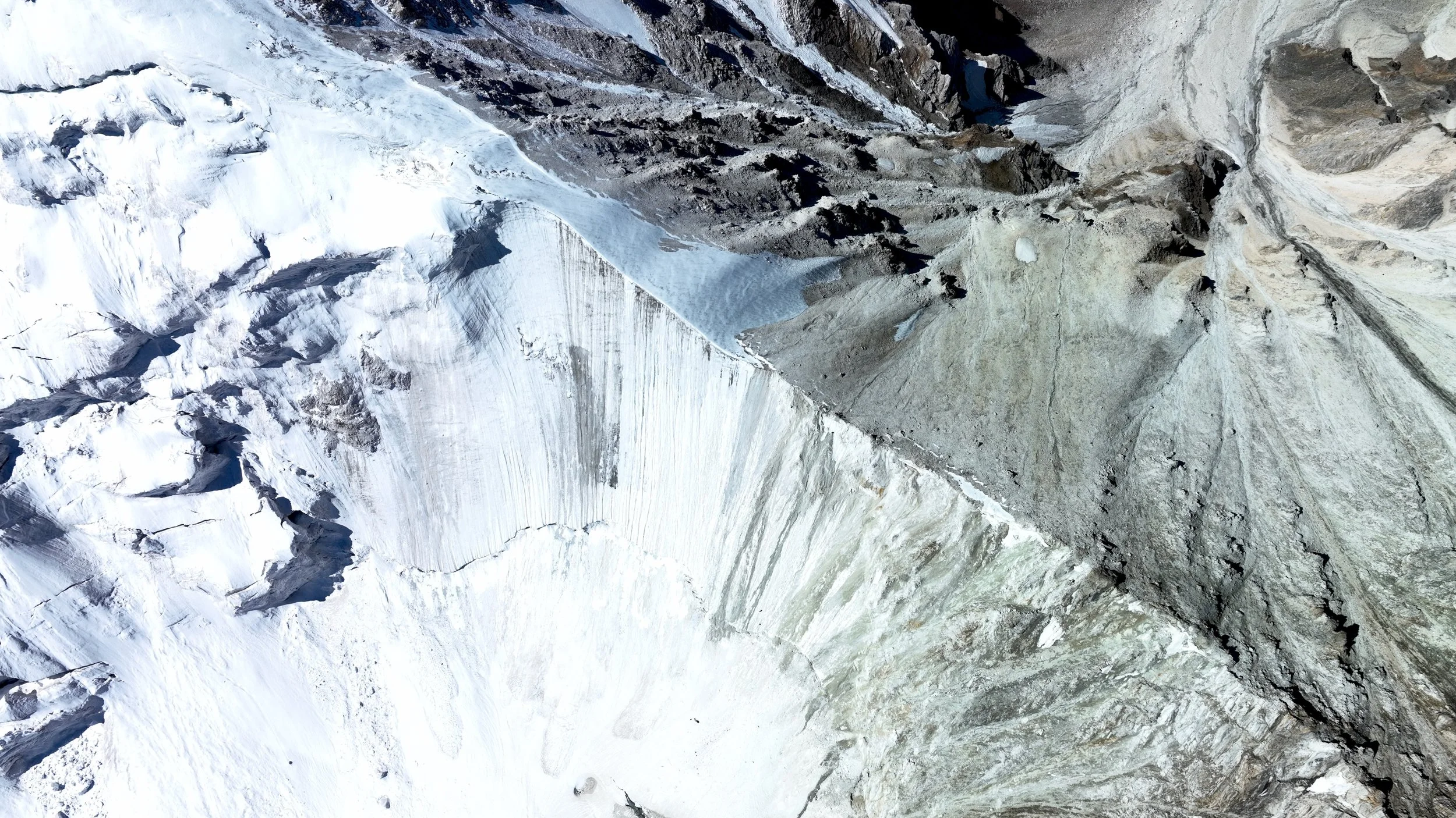
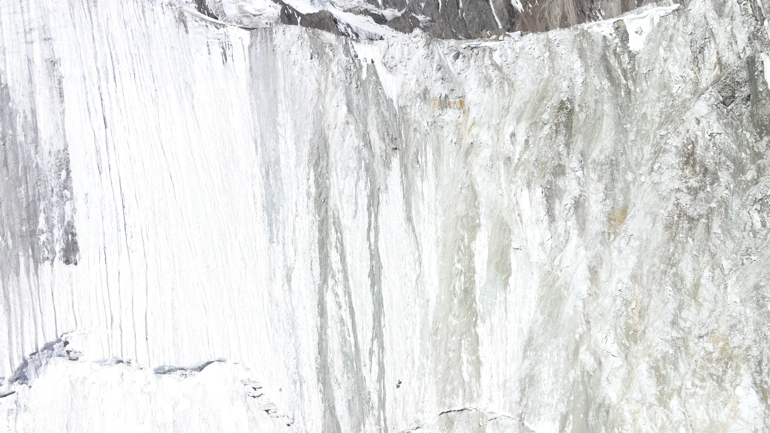
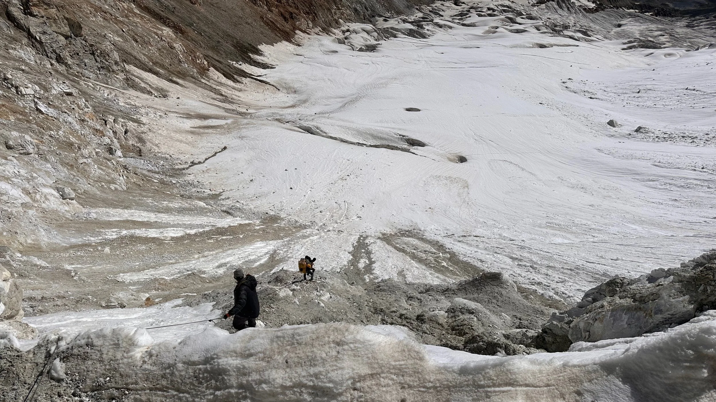
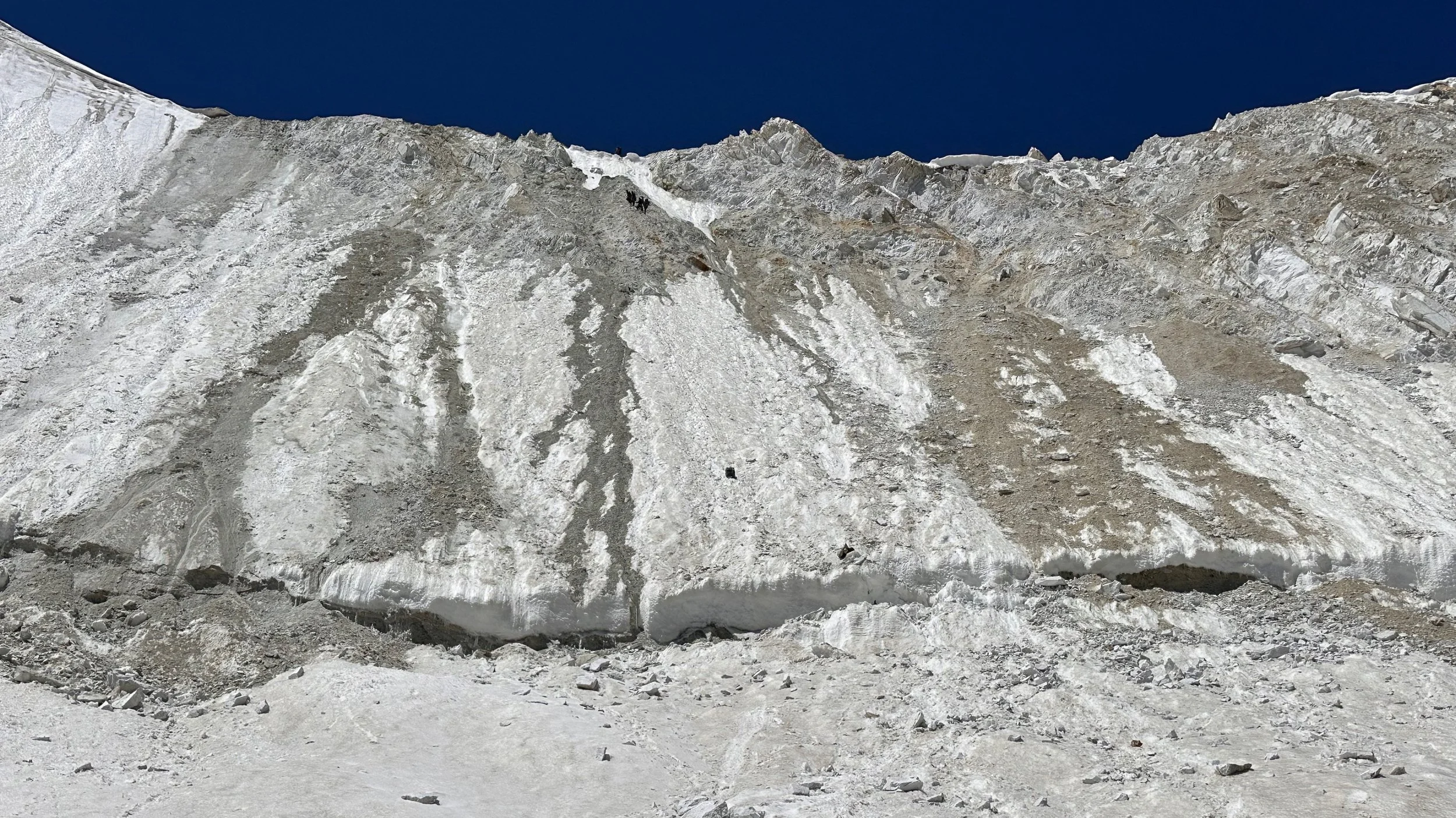
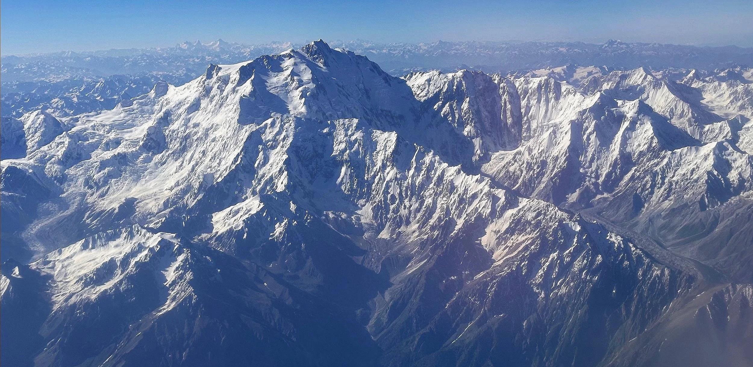
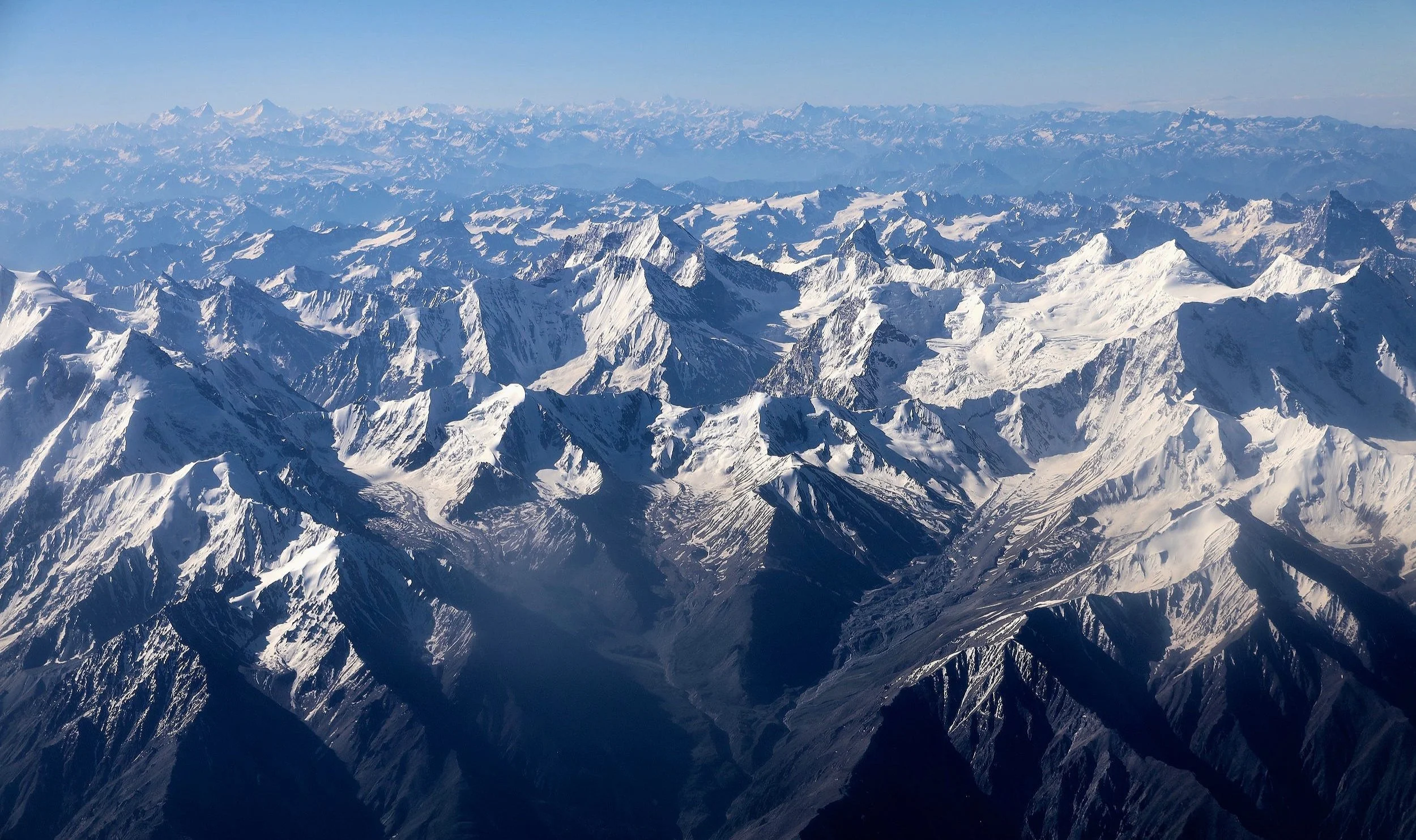
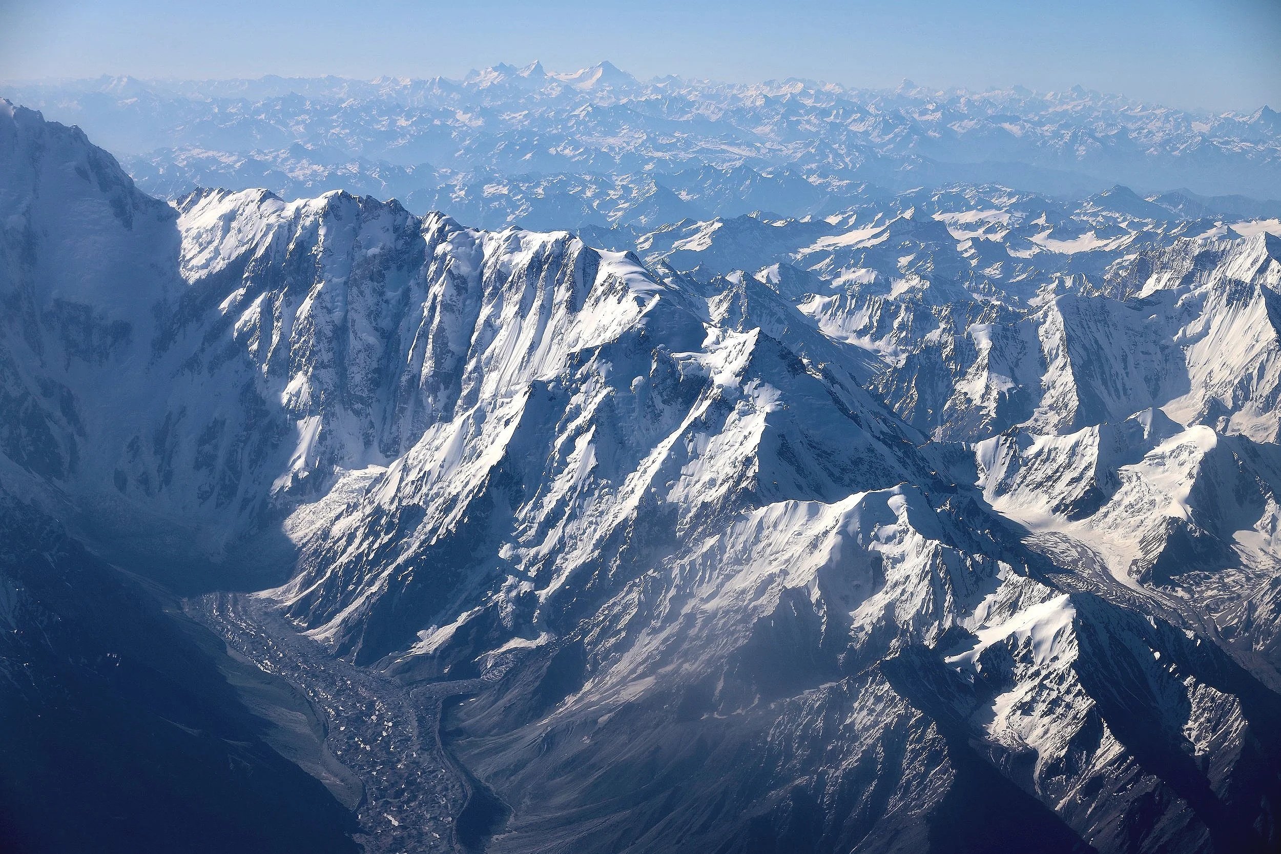
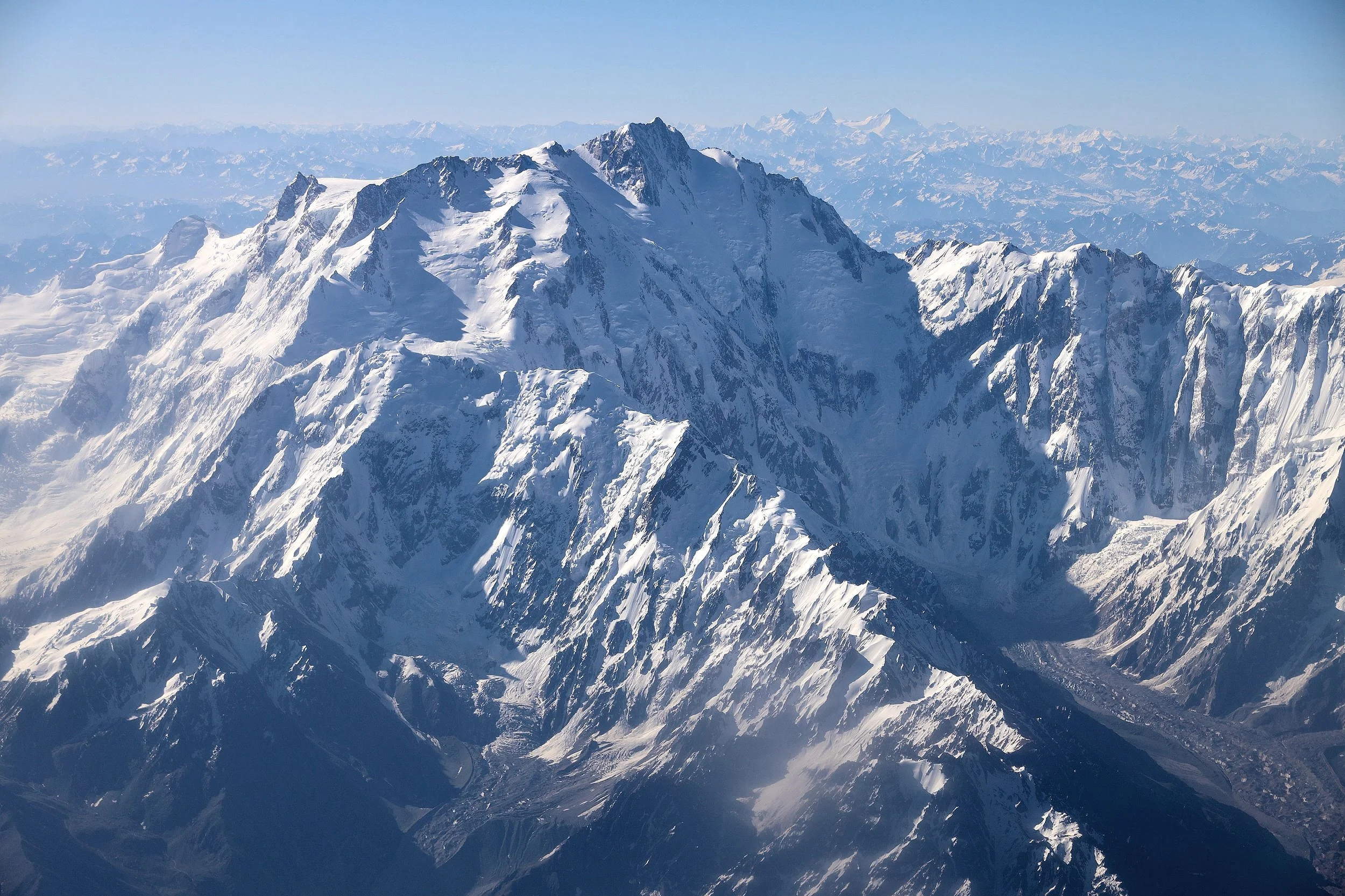
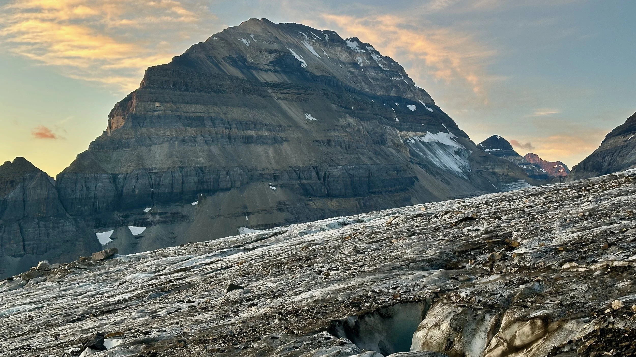
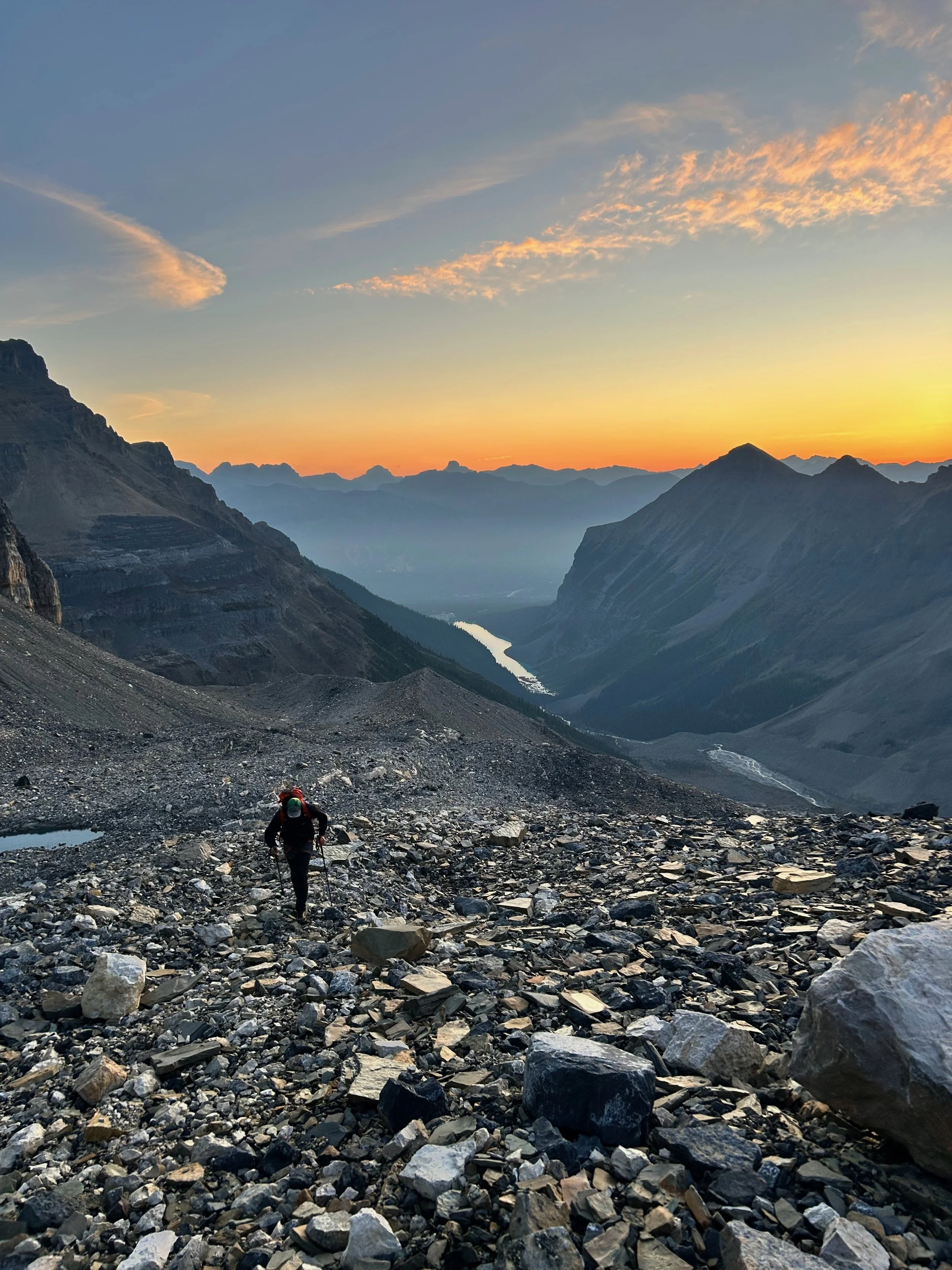
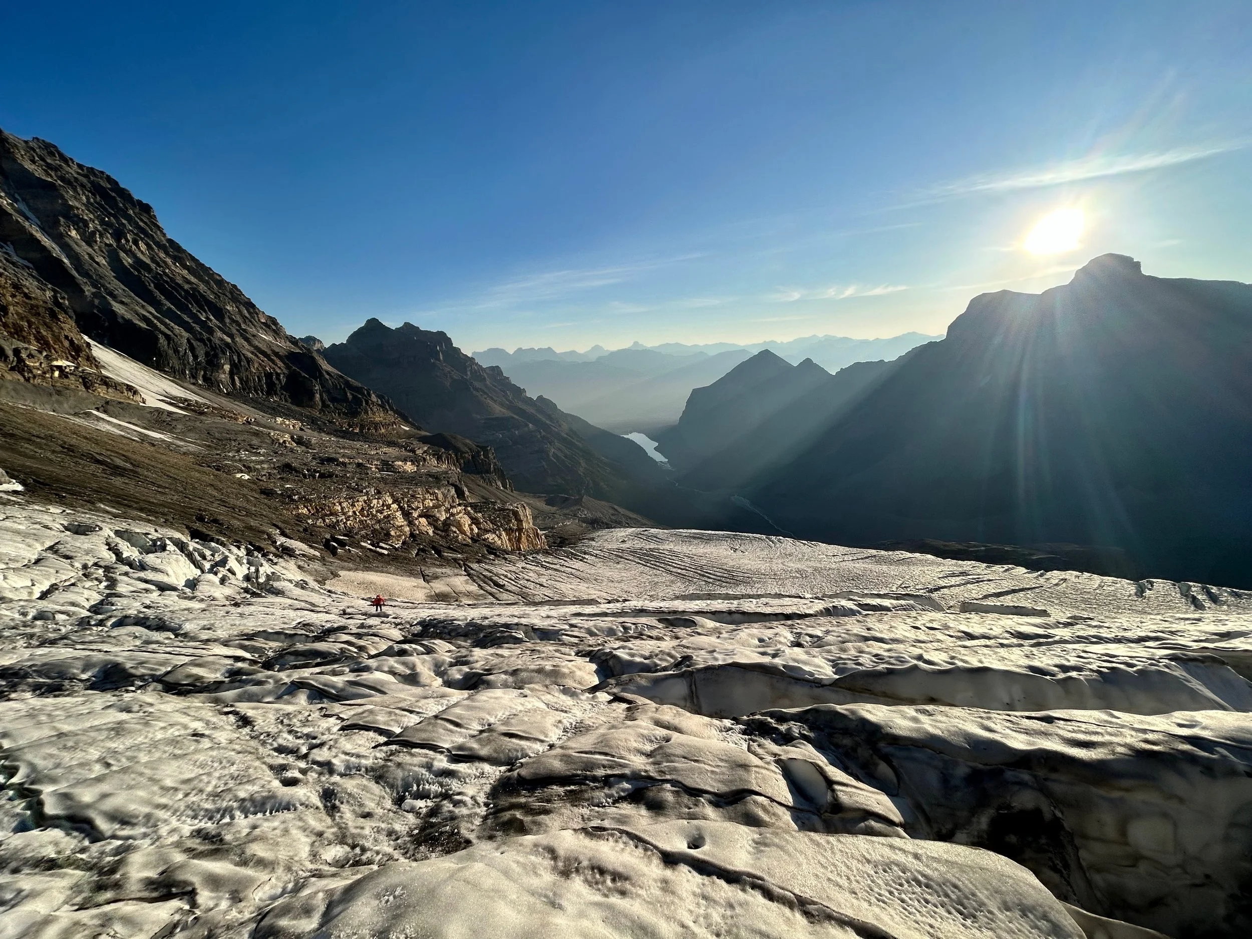
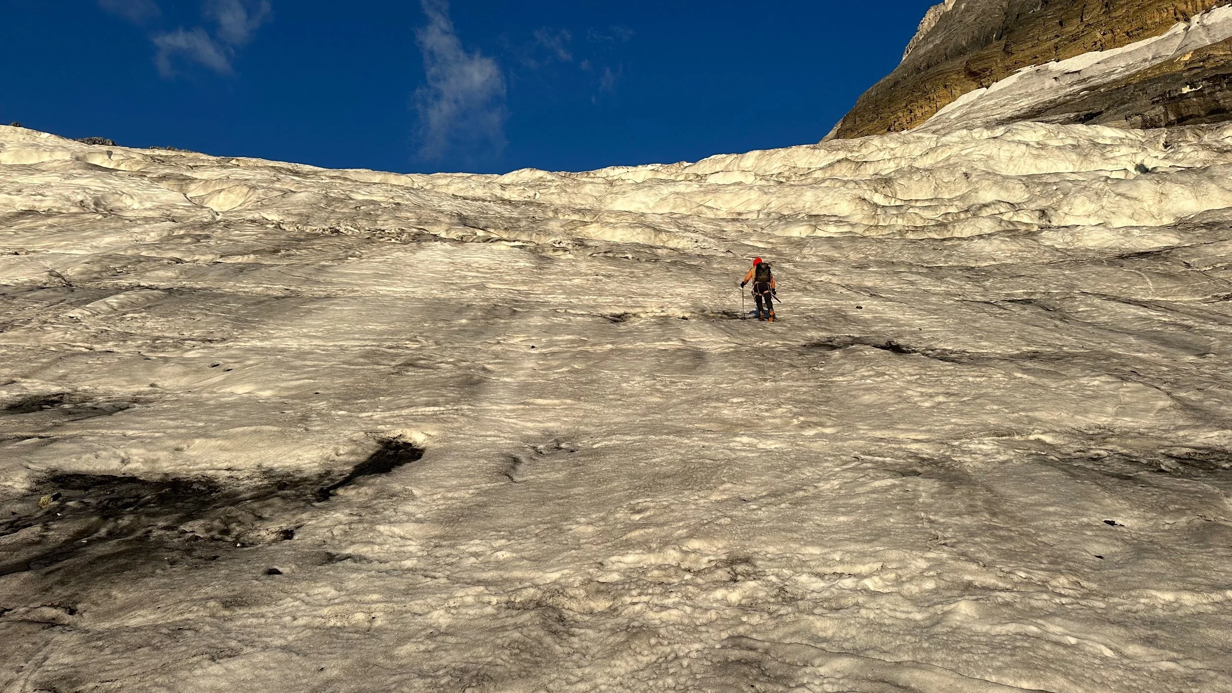
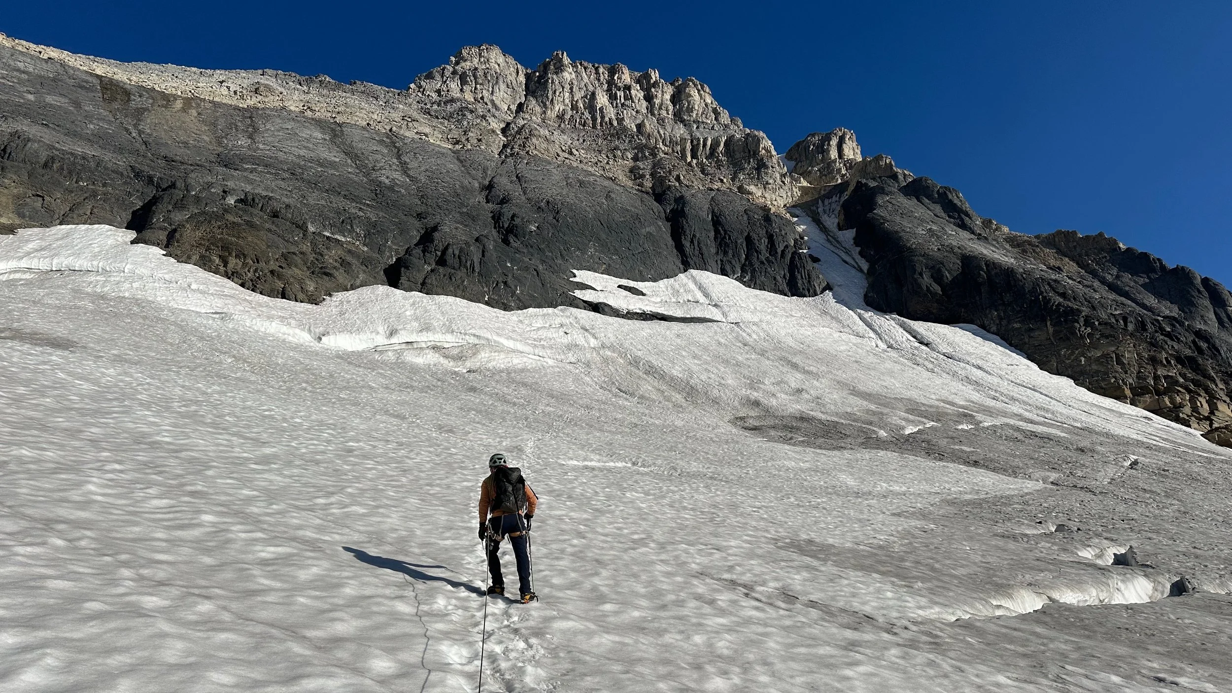
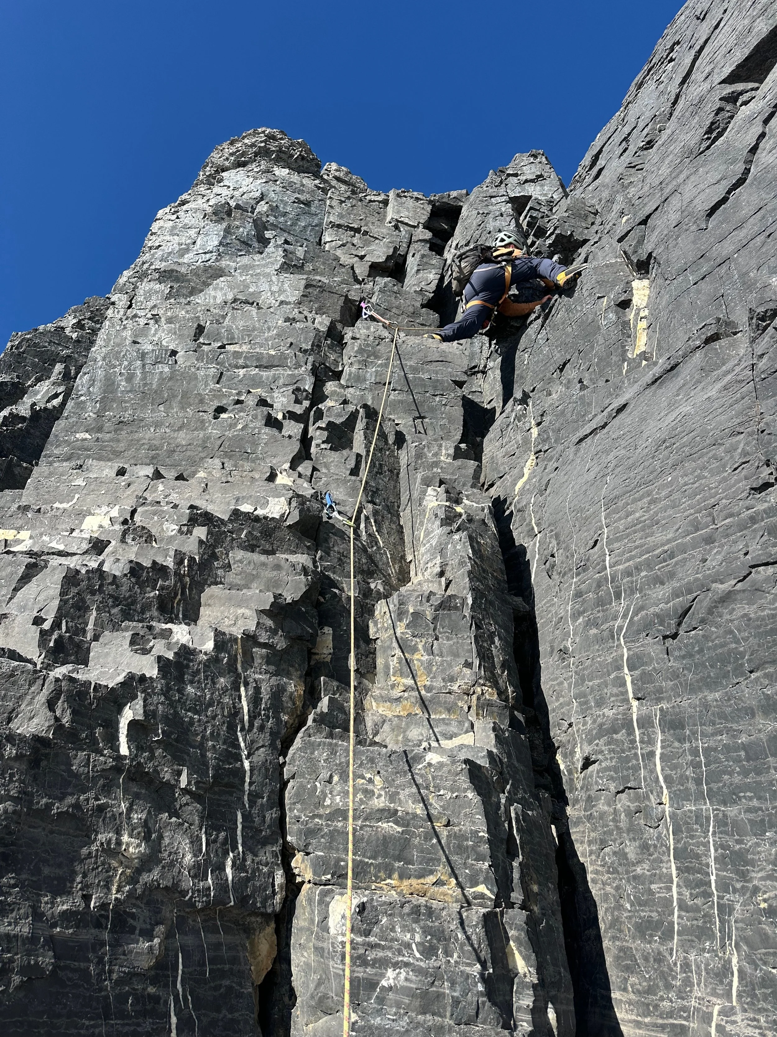
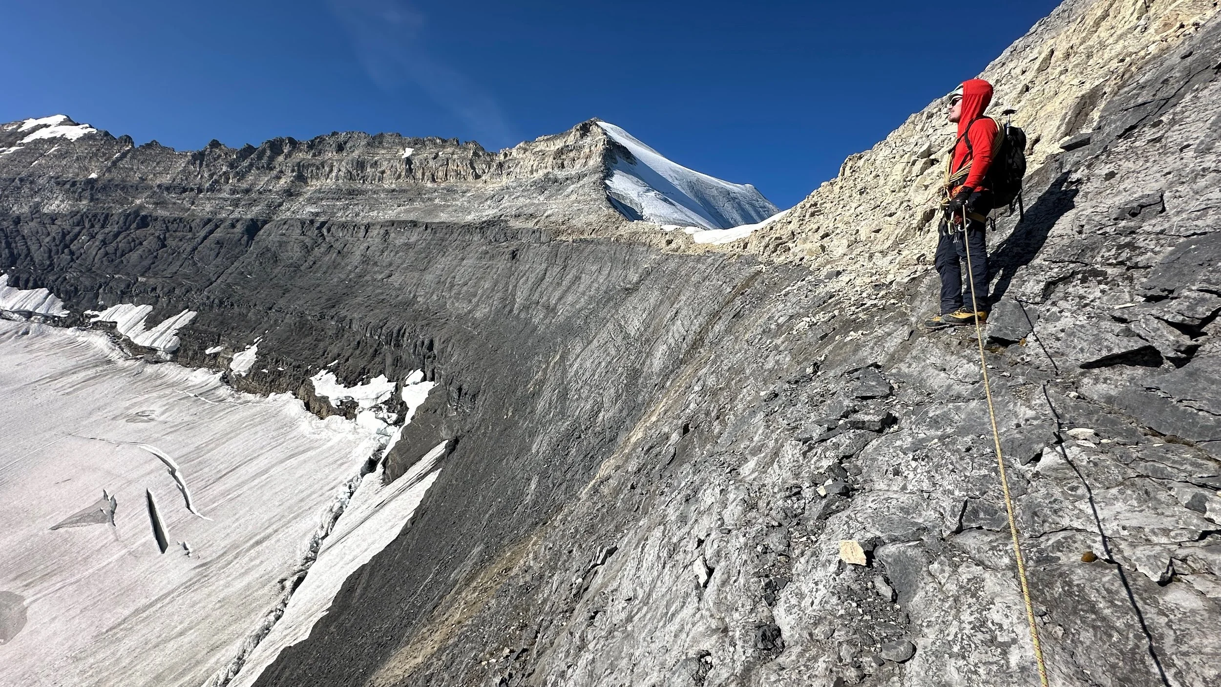
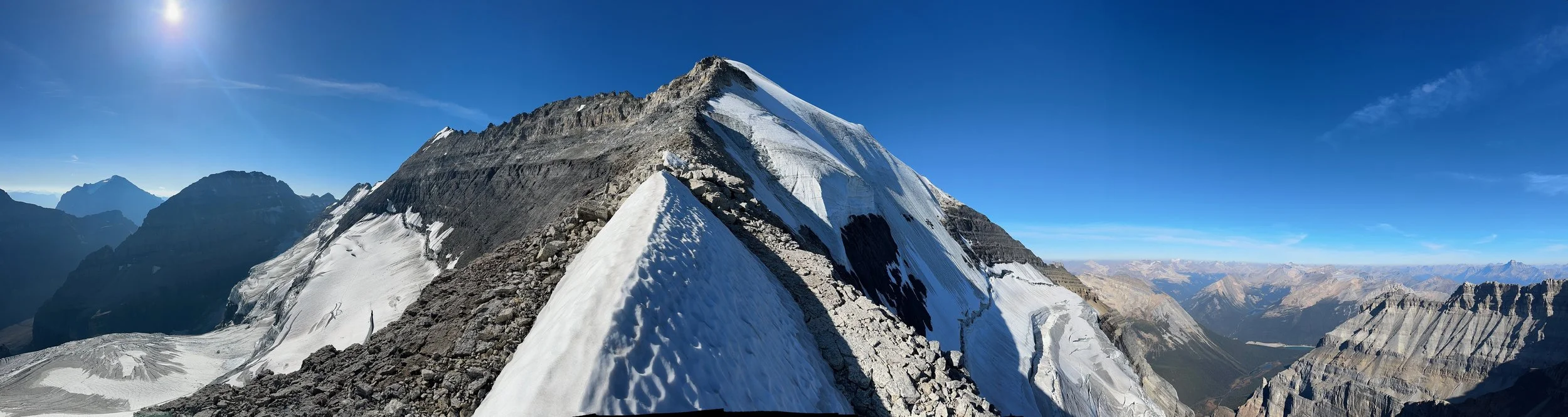
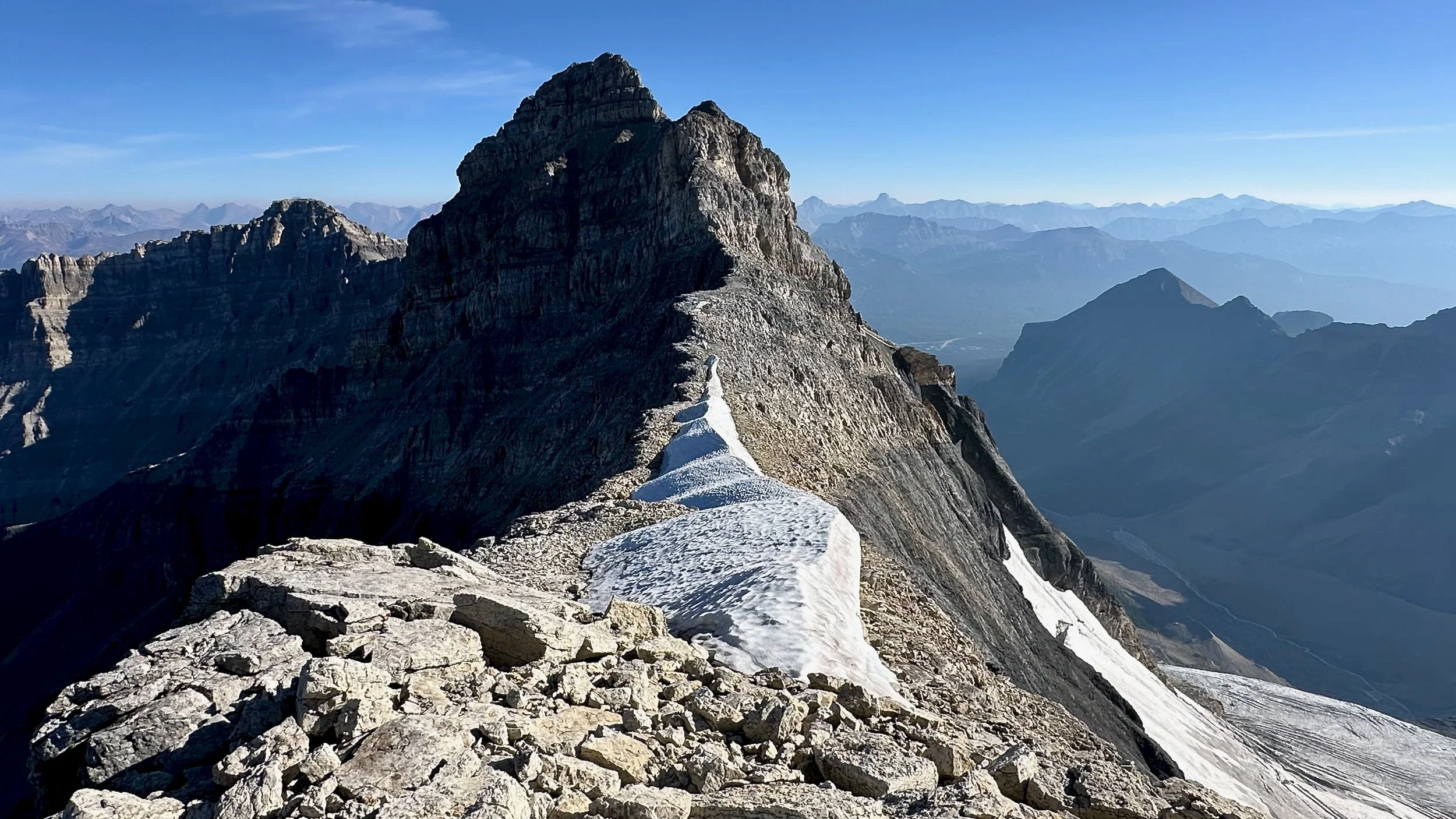
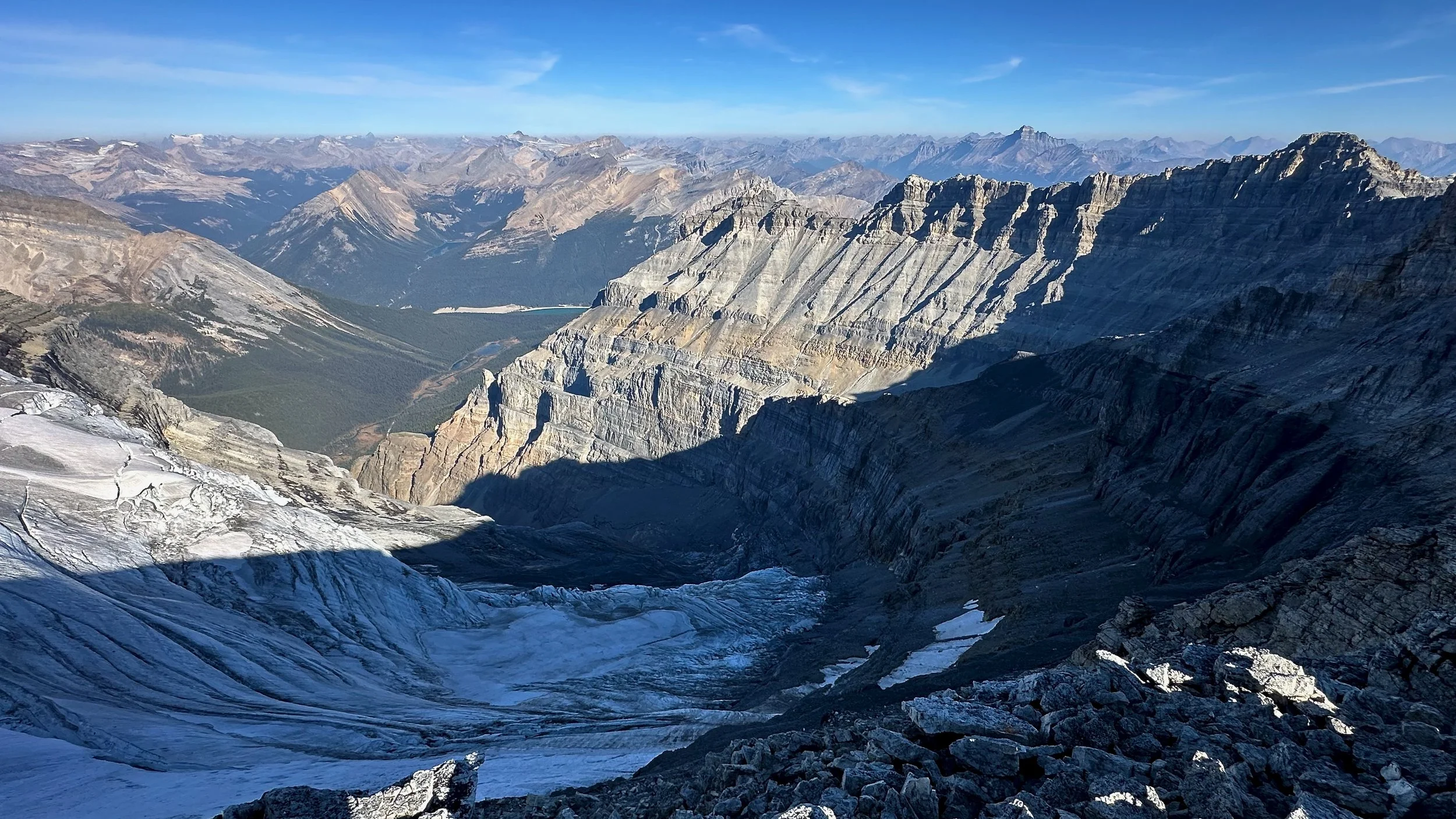
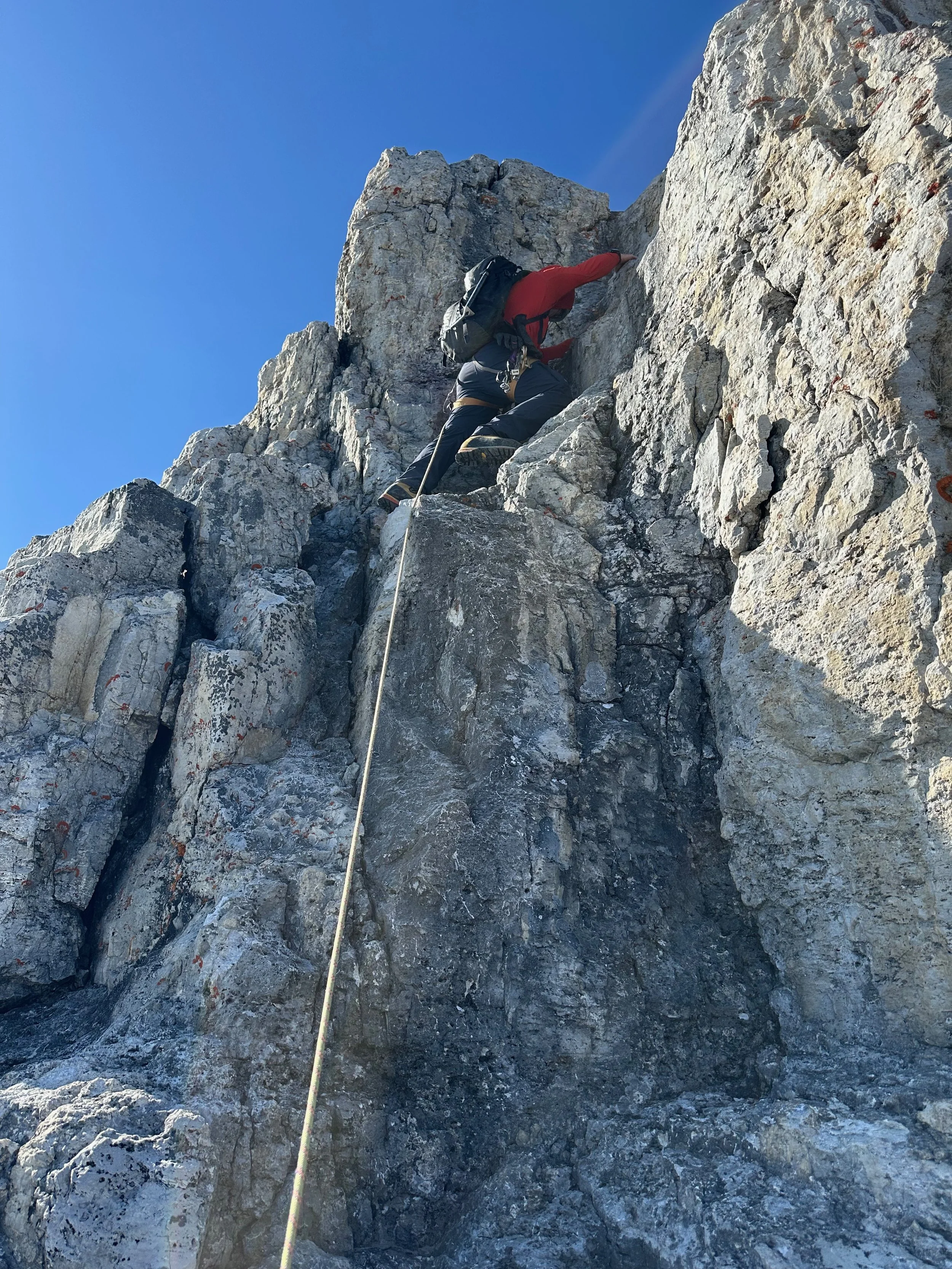
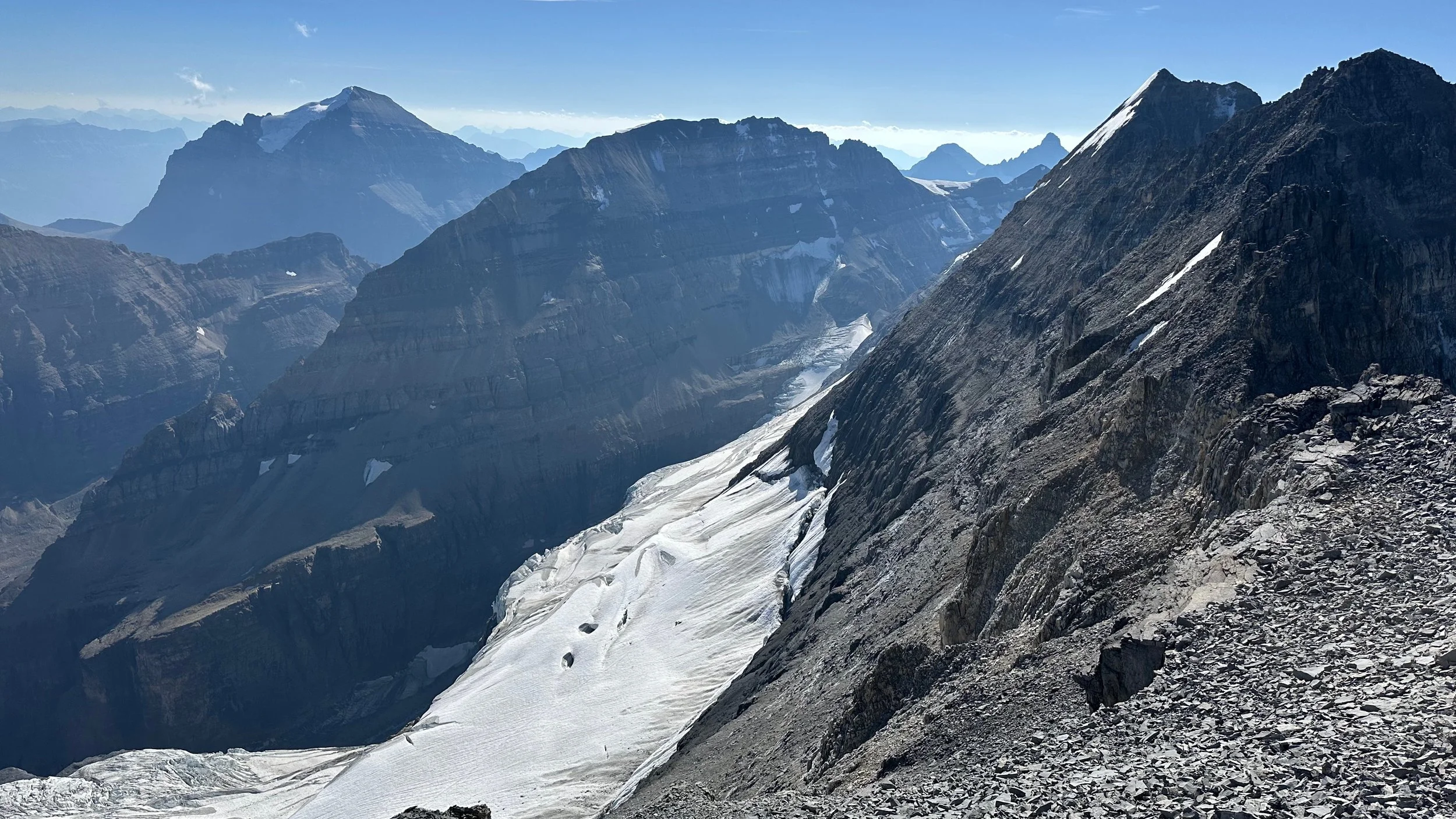
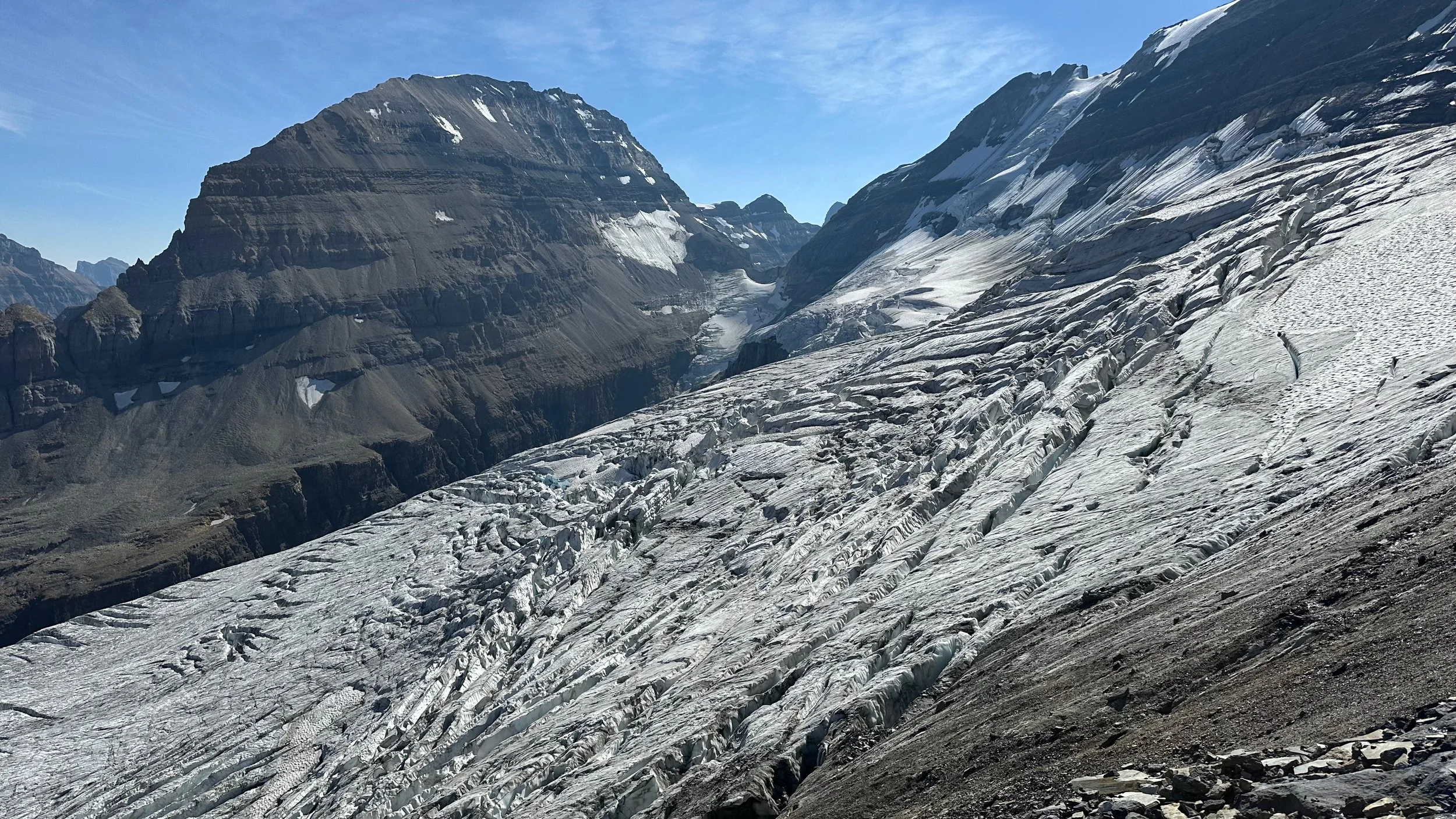
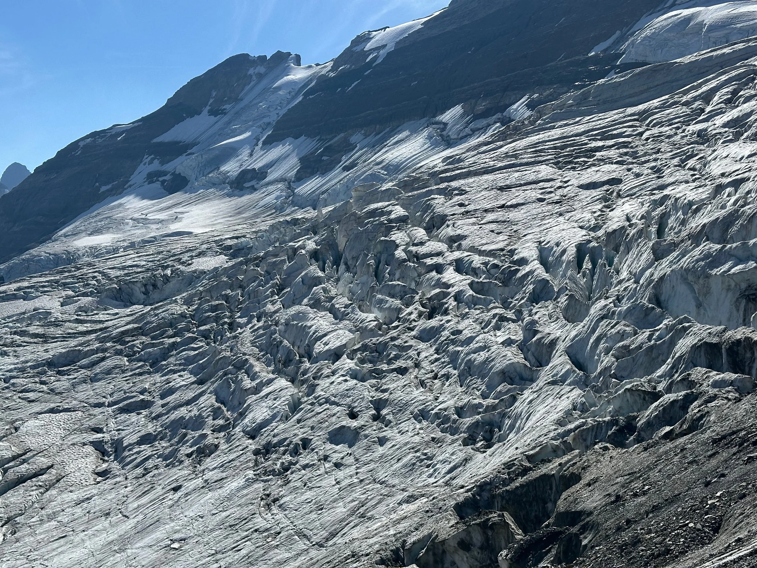
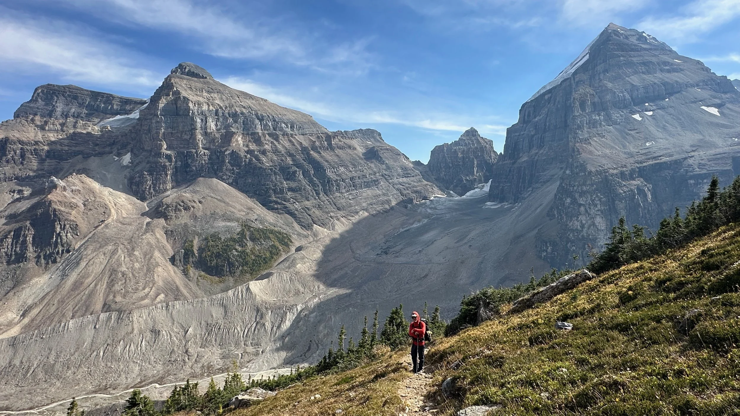
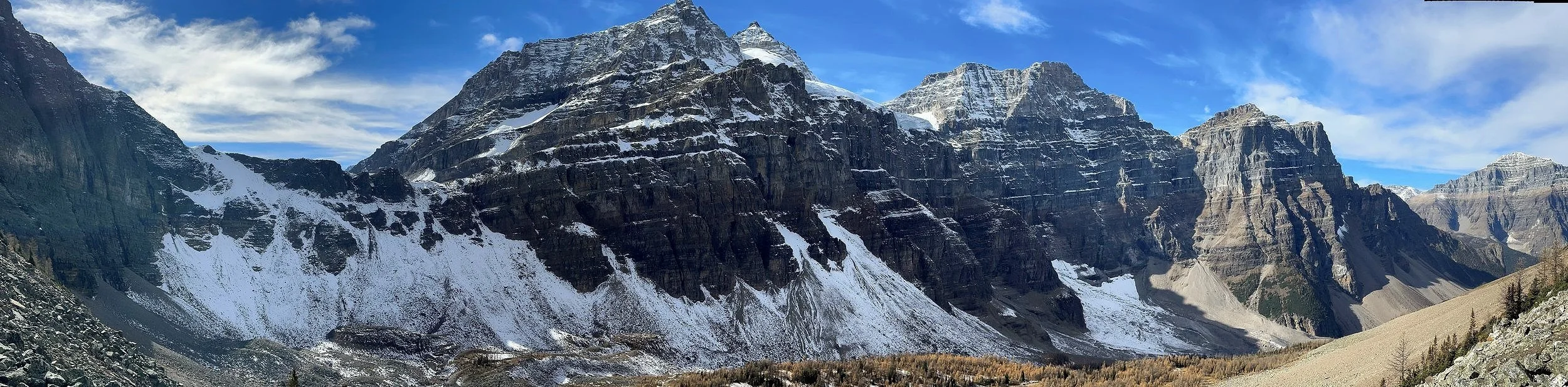
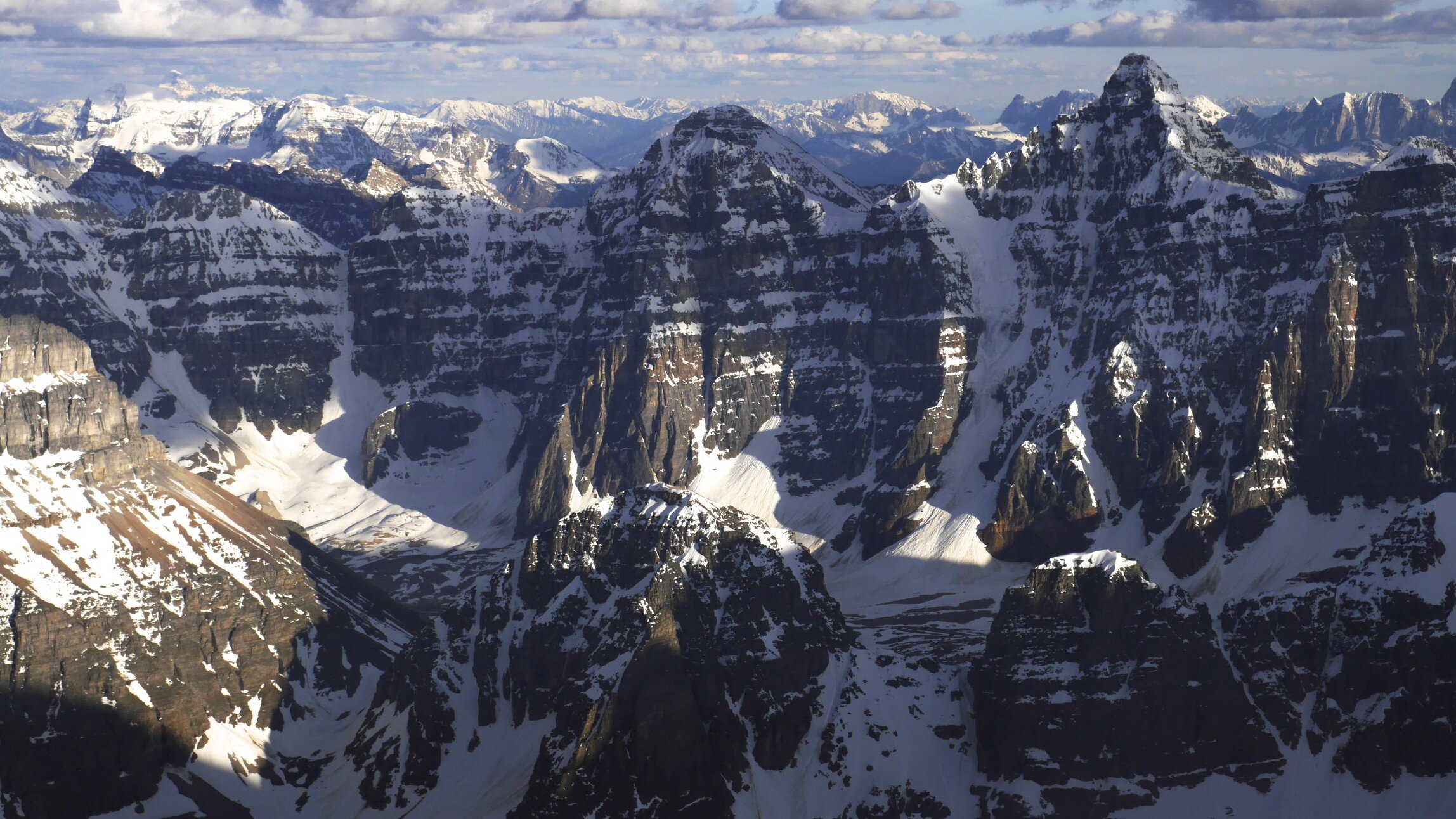
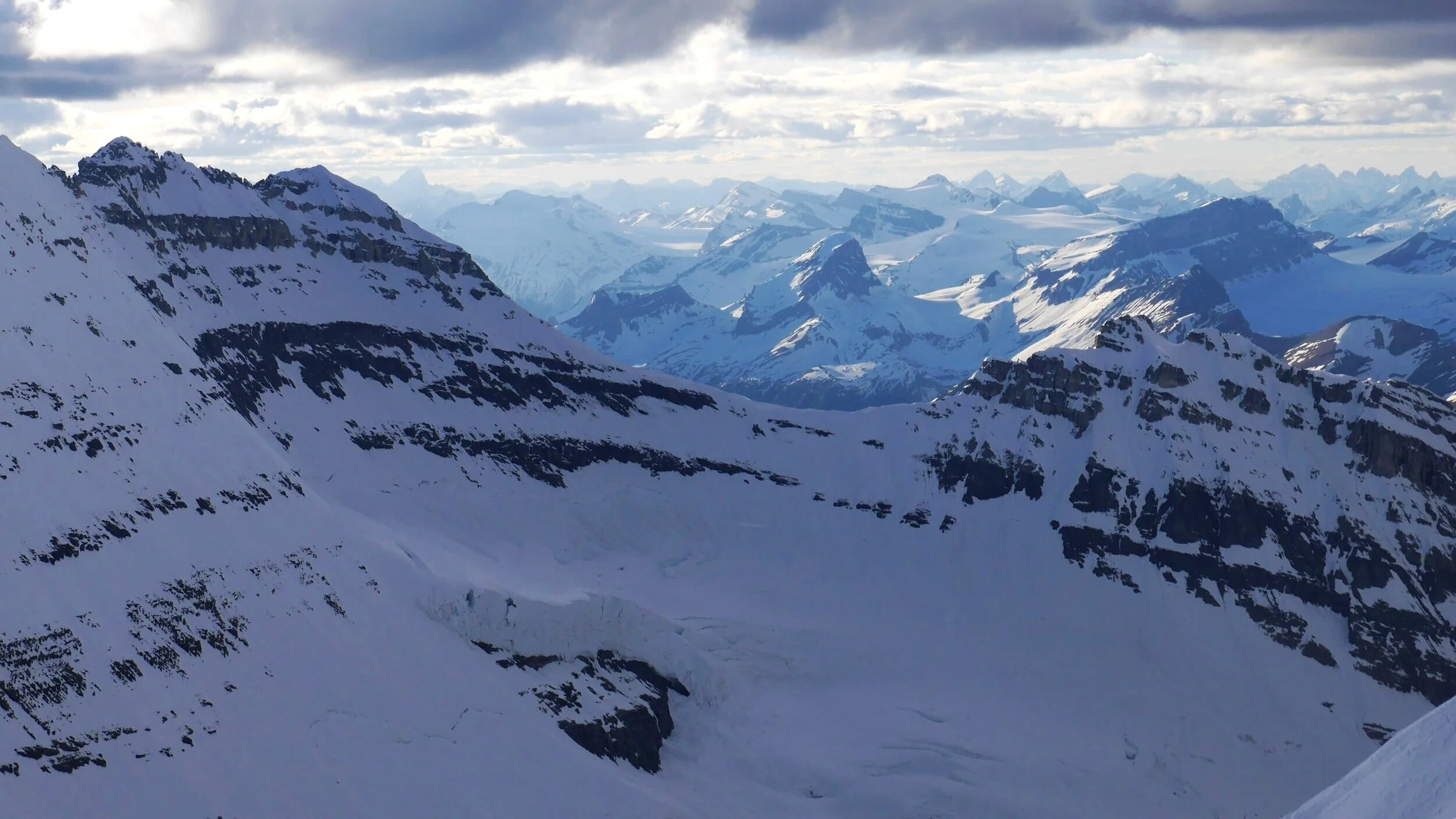
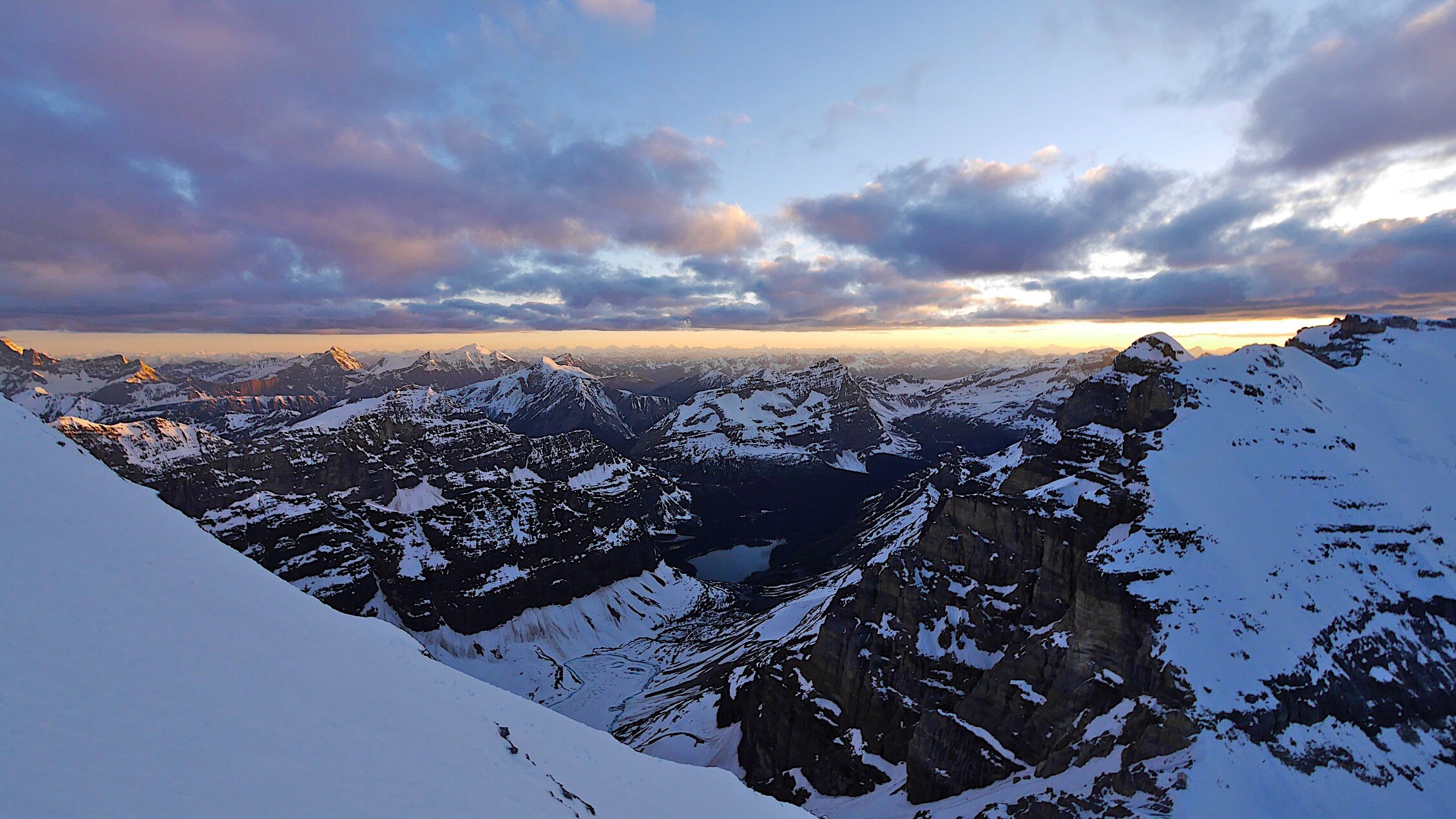
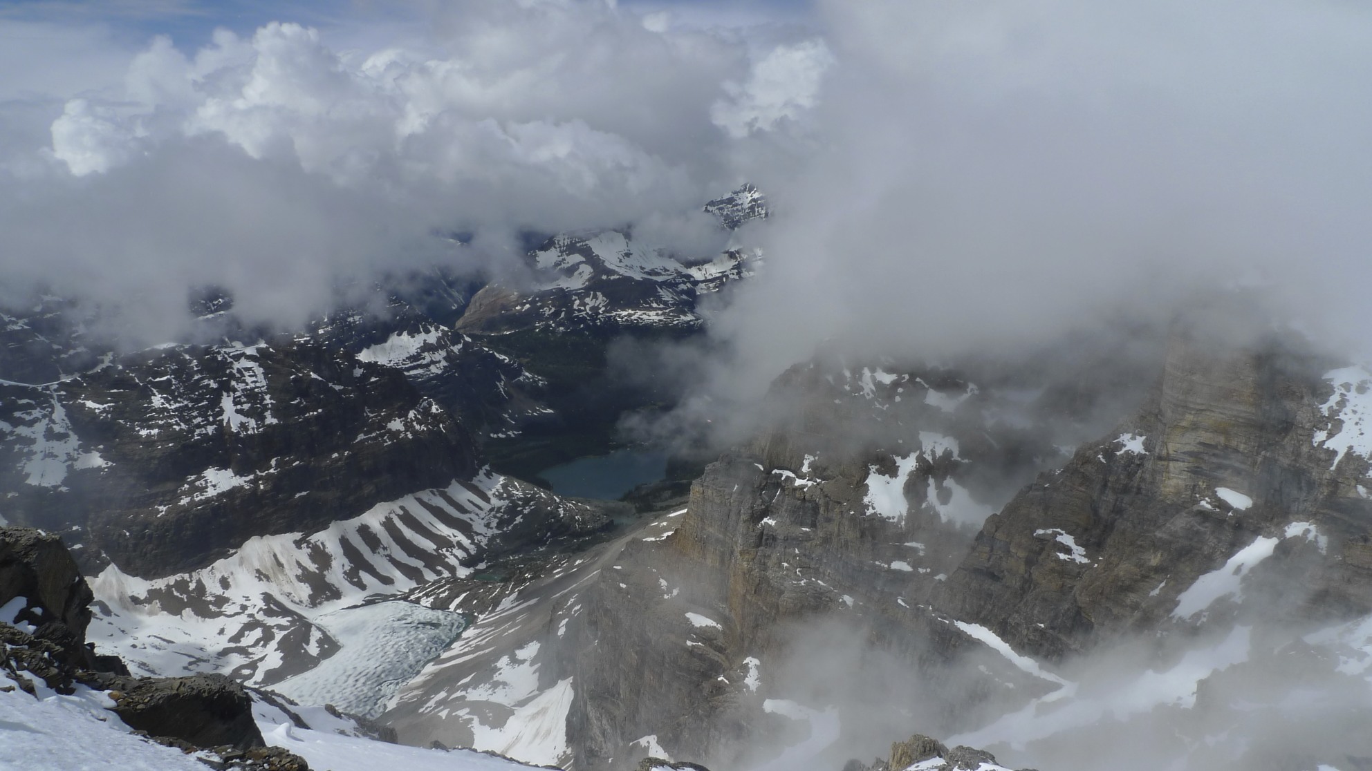
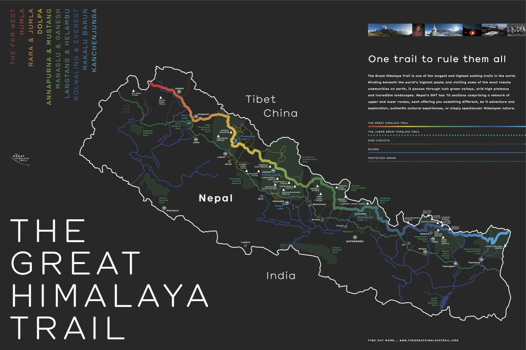
This is an ongoing project for me and it gives me a good reason to return to one of my favourite regions in the world. I have been trekking in the Himalaya since 2001. So far, I have completed the following sections and crossed the following high passes of the Karakoram, the Zanskar and the Himalaya Ranges (The Great Himalaya Trail, situated in Nepal, is only a subset of this larger and longer journey). Click on each link for the trip report and photos:

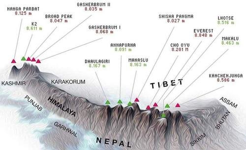
Nepal Himalaya Treks (2,100km) and main passes:

1.     2013 Kangchendzonga Himal 250km, Selele Pass 4,290m

2.     Makalu Himal 80km, Shiphton Pass 4,000m, Sherpani Col 6,180m and West Col 6,135m

3.     2011 Khumbu Himal – East 60 km, Amphu Labtsa Pass 5,845m

4. 2022 Khumbu Himal Central - ChoLa Pass 5,400m and Lobuche Peak 6,000m

5. 2022 Khumbu Himal West - Sunder Peak 5,000m and Sumna Pass 5,480m

6.     2010 Kumbu Himal  - West 100km, Gokyo Ri 5,400m and RenjoLa 5,360m

7.     Rowaling Himal 100km, Teshi Labtsa Pass 5,800m, YalungLa 5,300m

8.     2017 Langtang Himal 200km via Ganjala Pass 5,130m and Tilman Pass 5,300m

9. 2009 Ganesh Himal/Langtang and Yala Peak 170km, LaurebinaLa 4,610m

10.   2011 Manaslu Himal 140km, Larkya Pass 5,125m

11. 2019 Annapurna Himal North - Thorongla Pass 5,436 m

12.   2011 Annapurna Himal – North 140km, Mesocanto Pass 5,230m

13.   2016 Annapurna Himal - South 65km

14. 2019 Mustang/Damodar Himal Terilla Pass/Naar Kangla Pass 380km via TeriLa 5,600m, KangLa 5,325m, 380km

15.  2016 Dhaulagiri Himal 110km, French Pass 5,150m and Dhampus Pass 5,150m

16.  Far West Nepal Simikot to Mt. Kailash and Tibet 100km, NaraLa Pass 4,507m

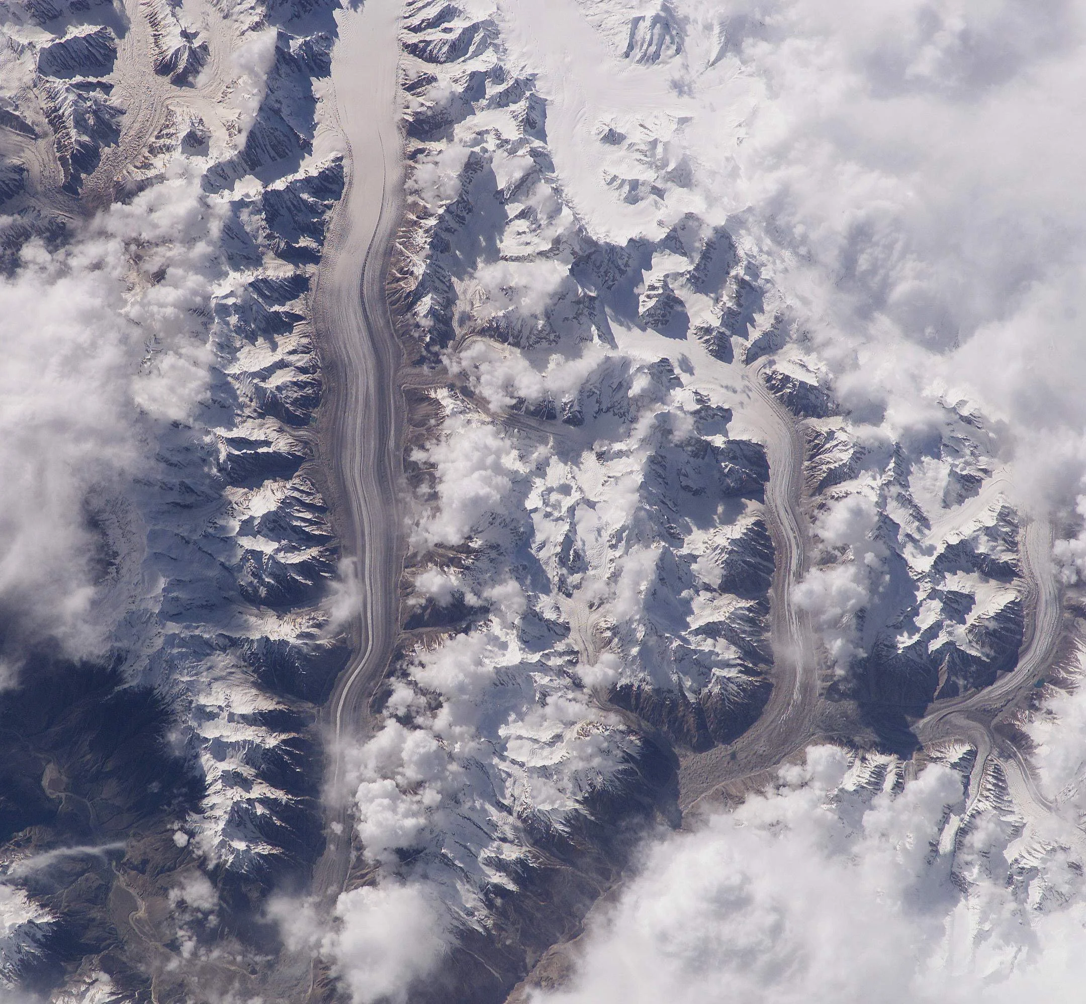
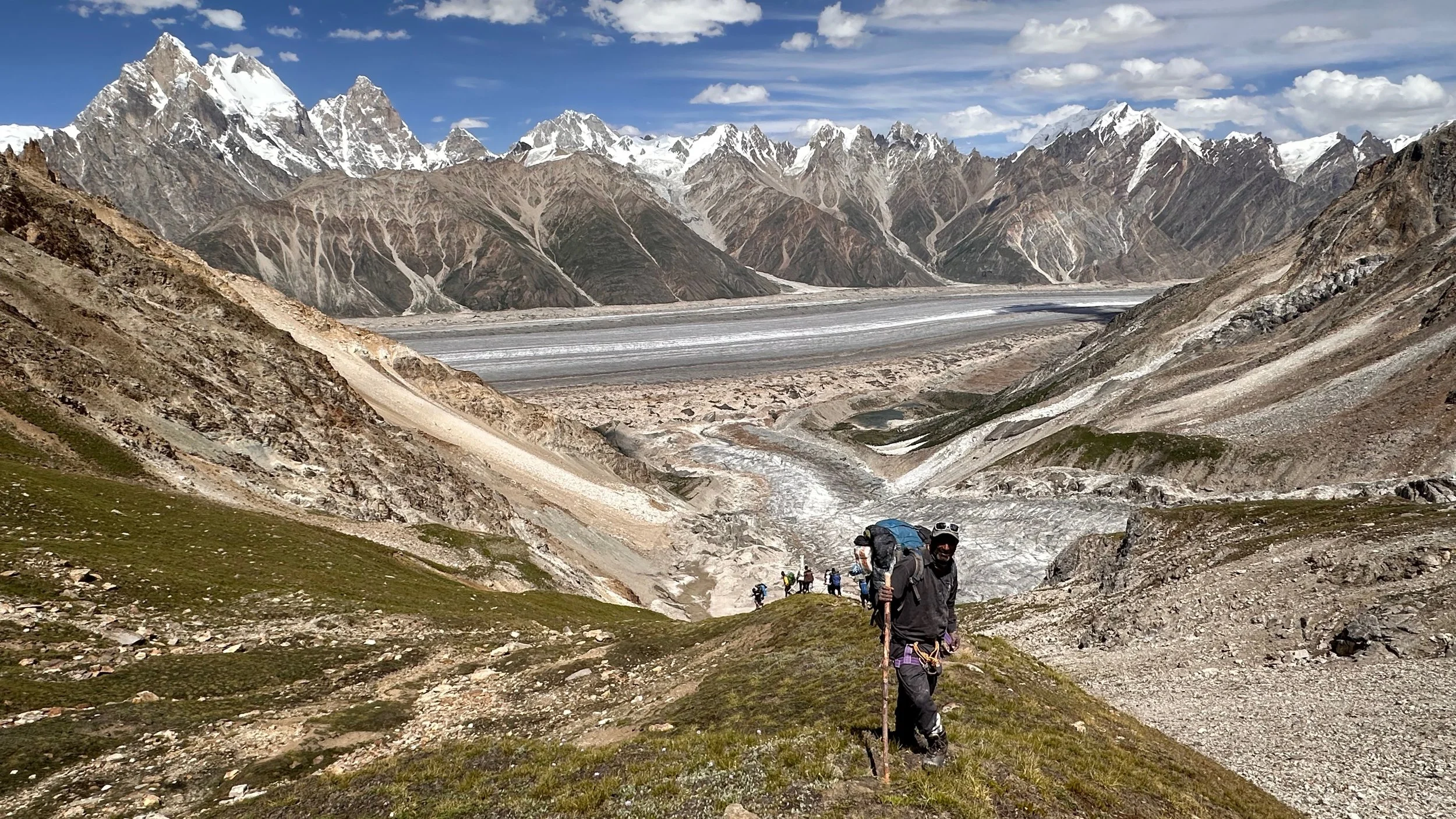
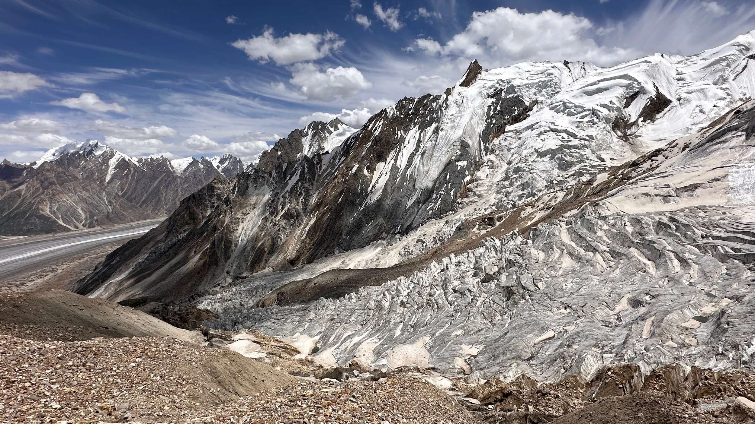
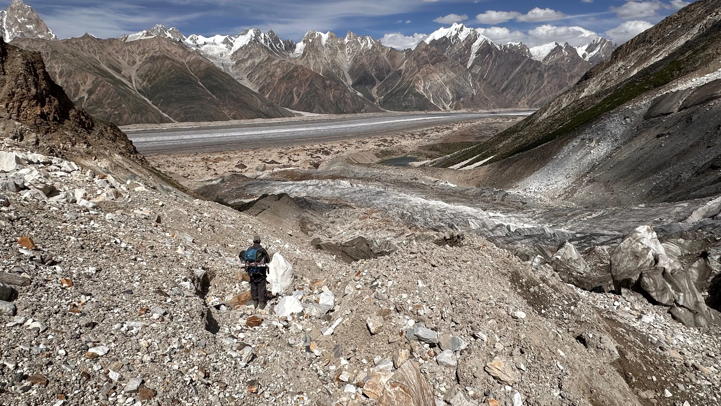
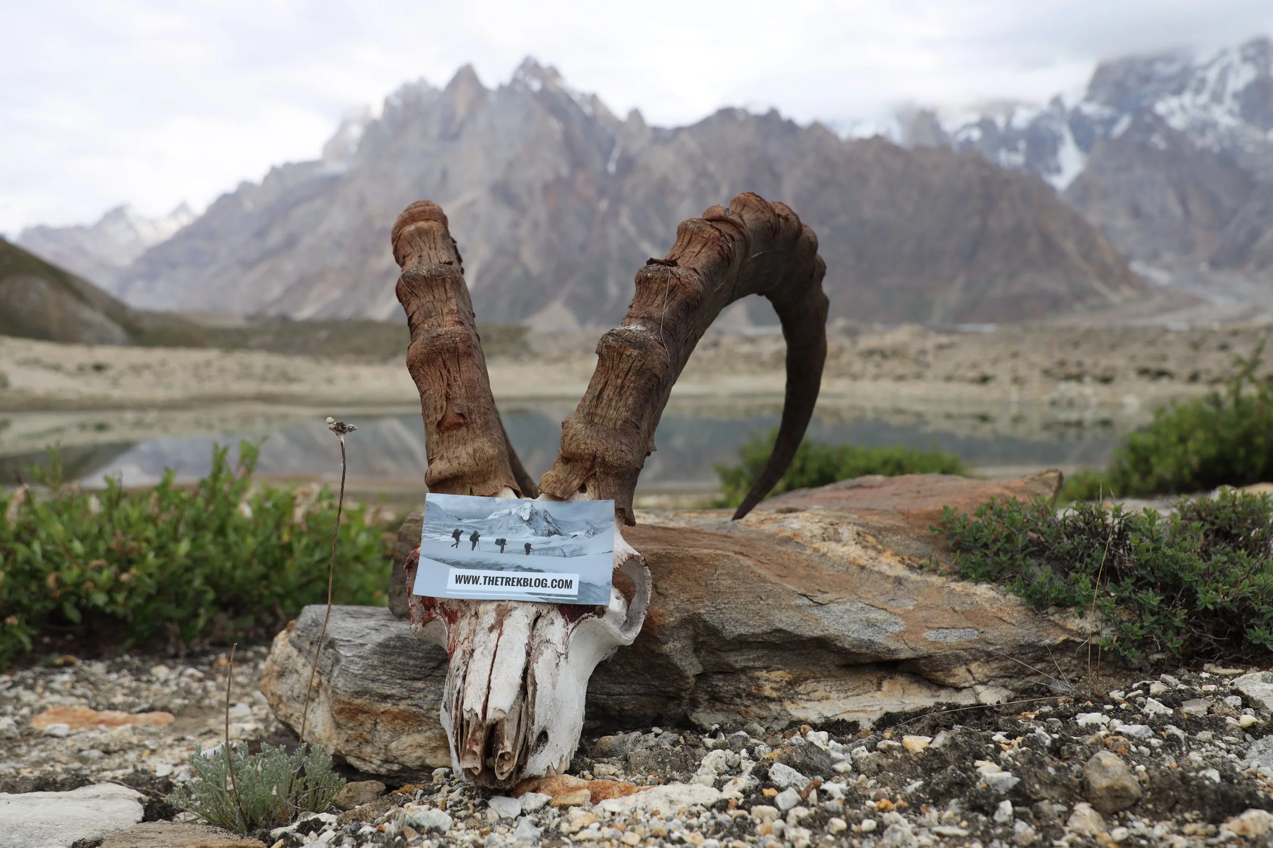
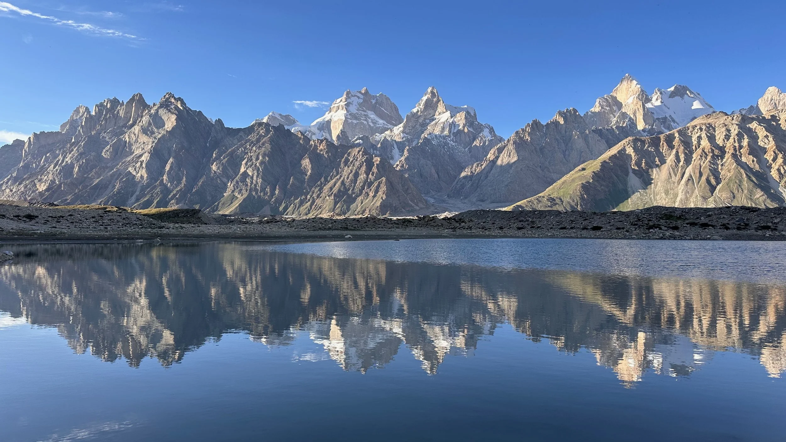
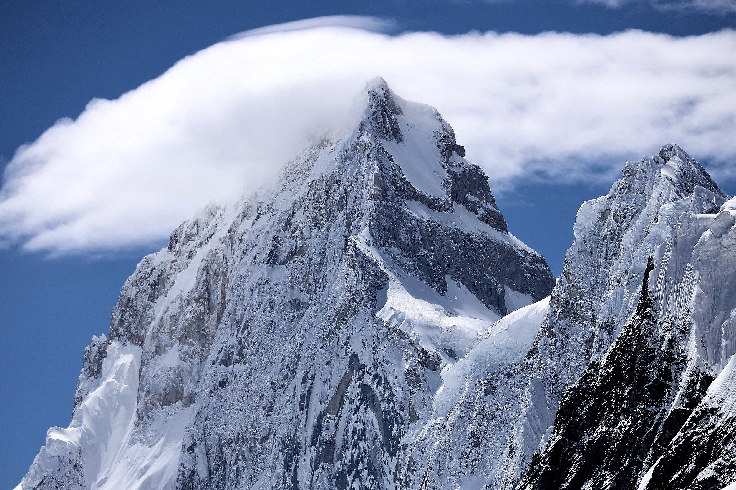
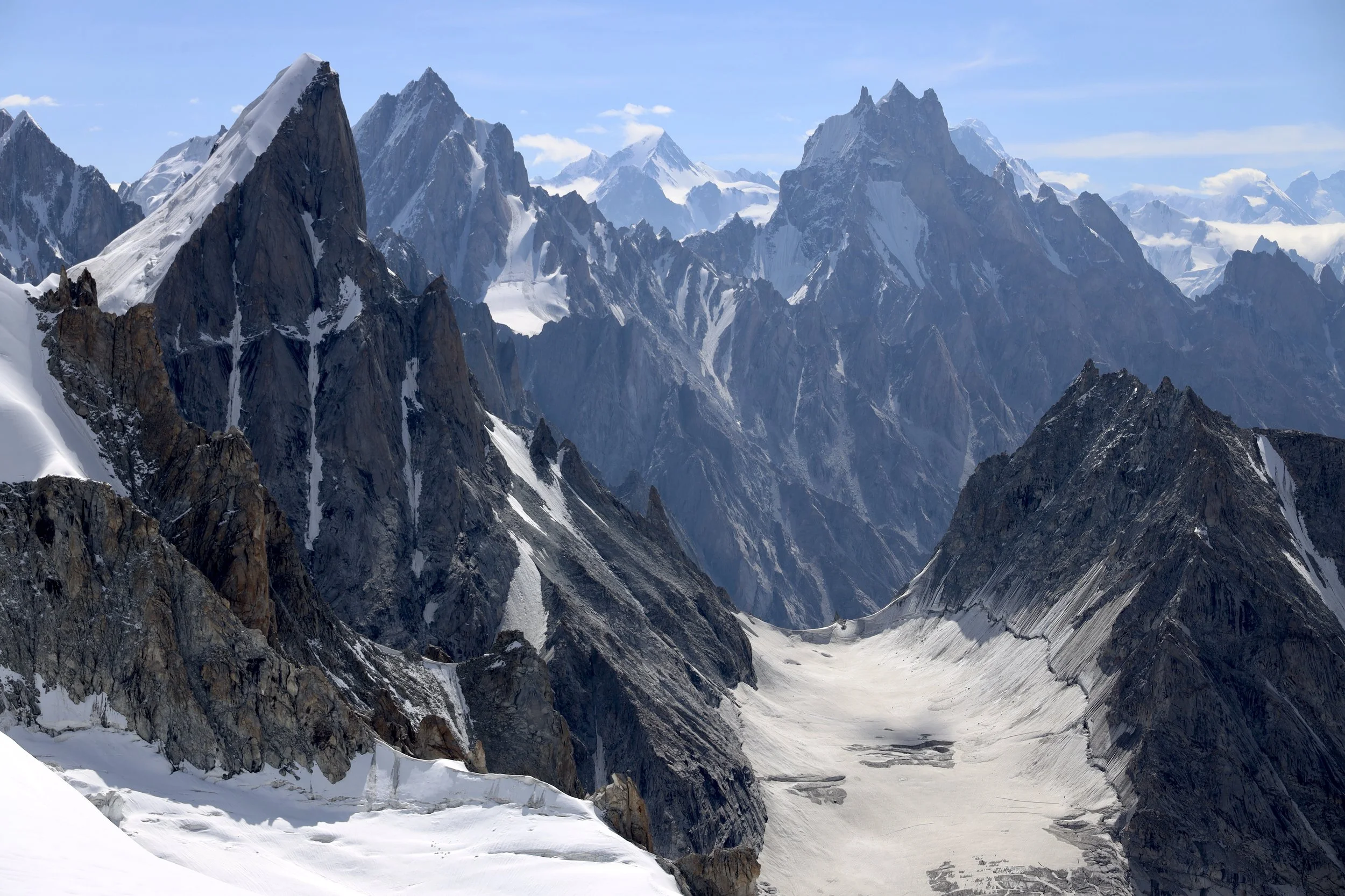
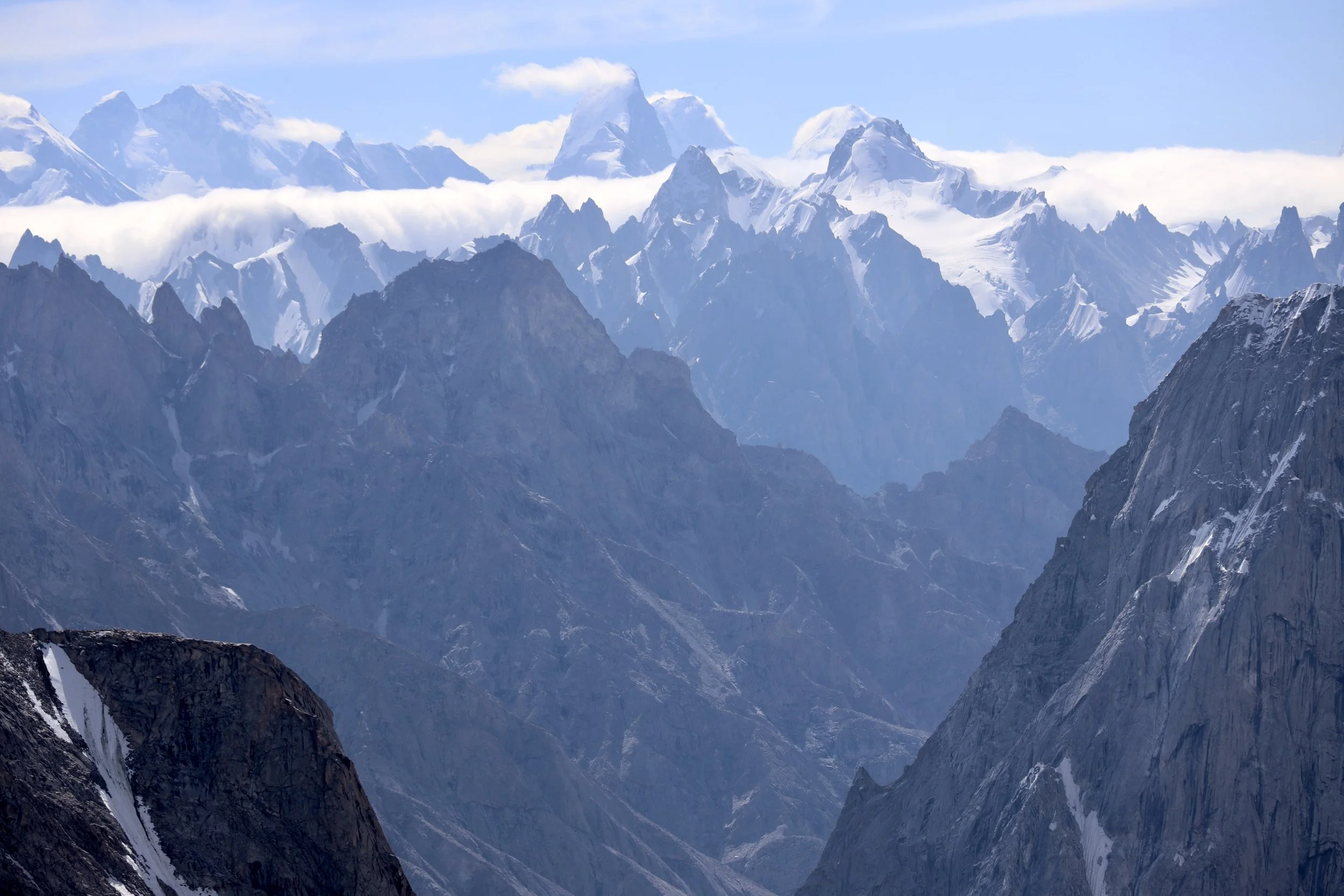
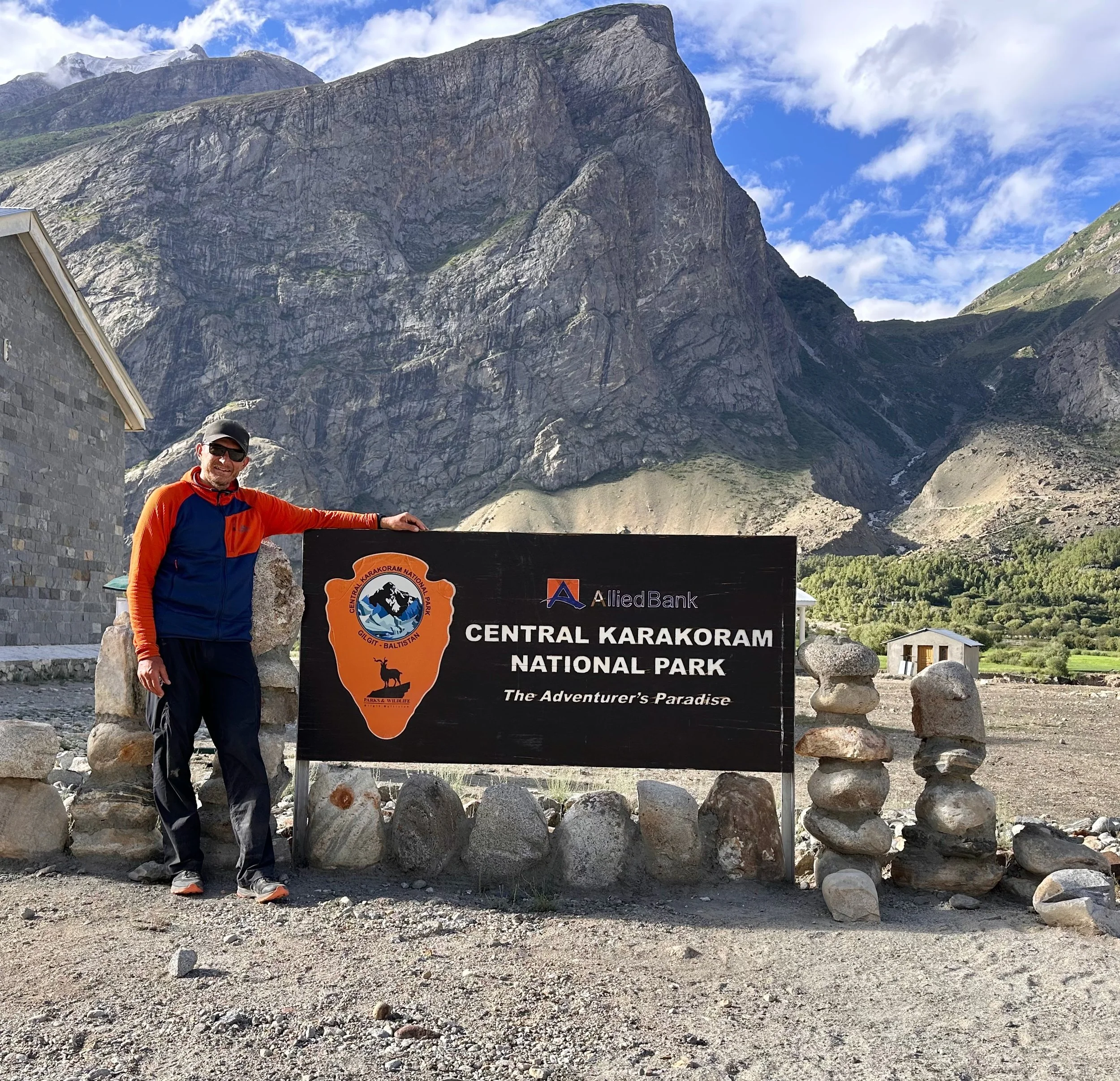
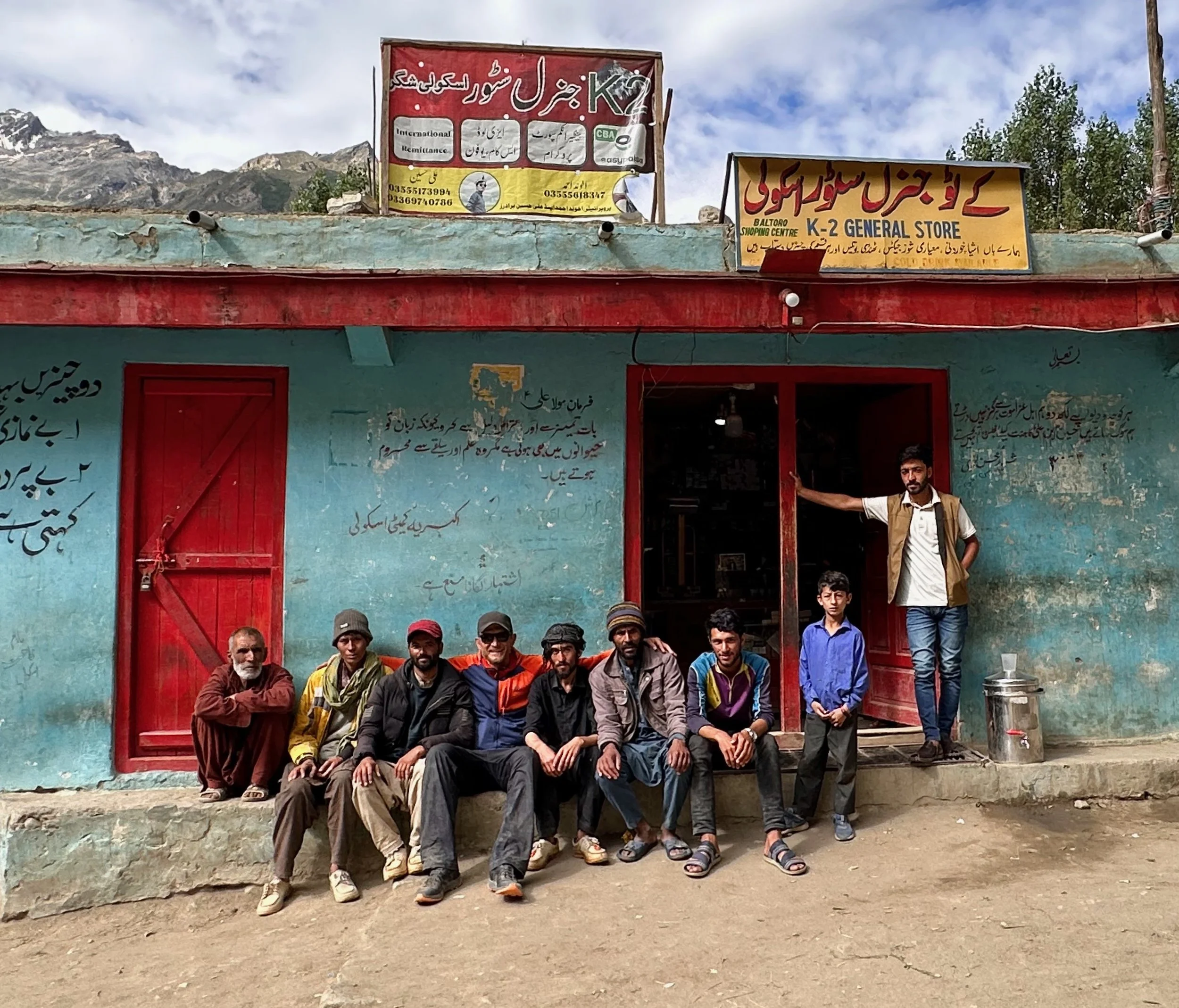
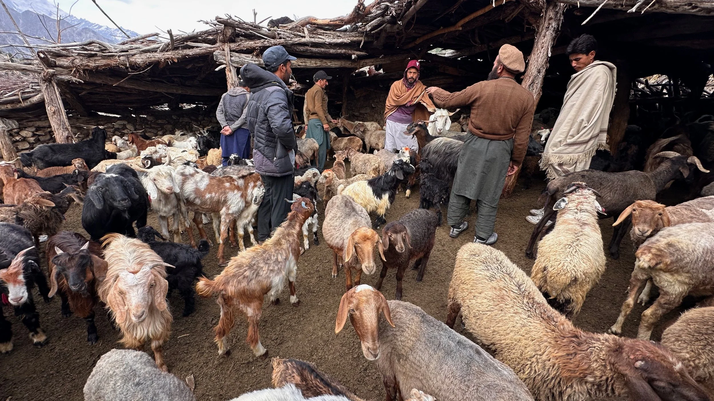
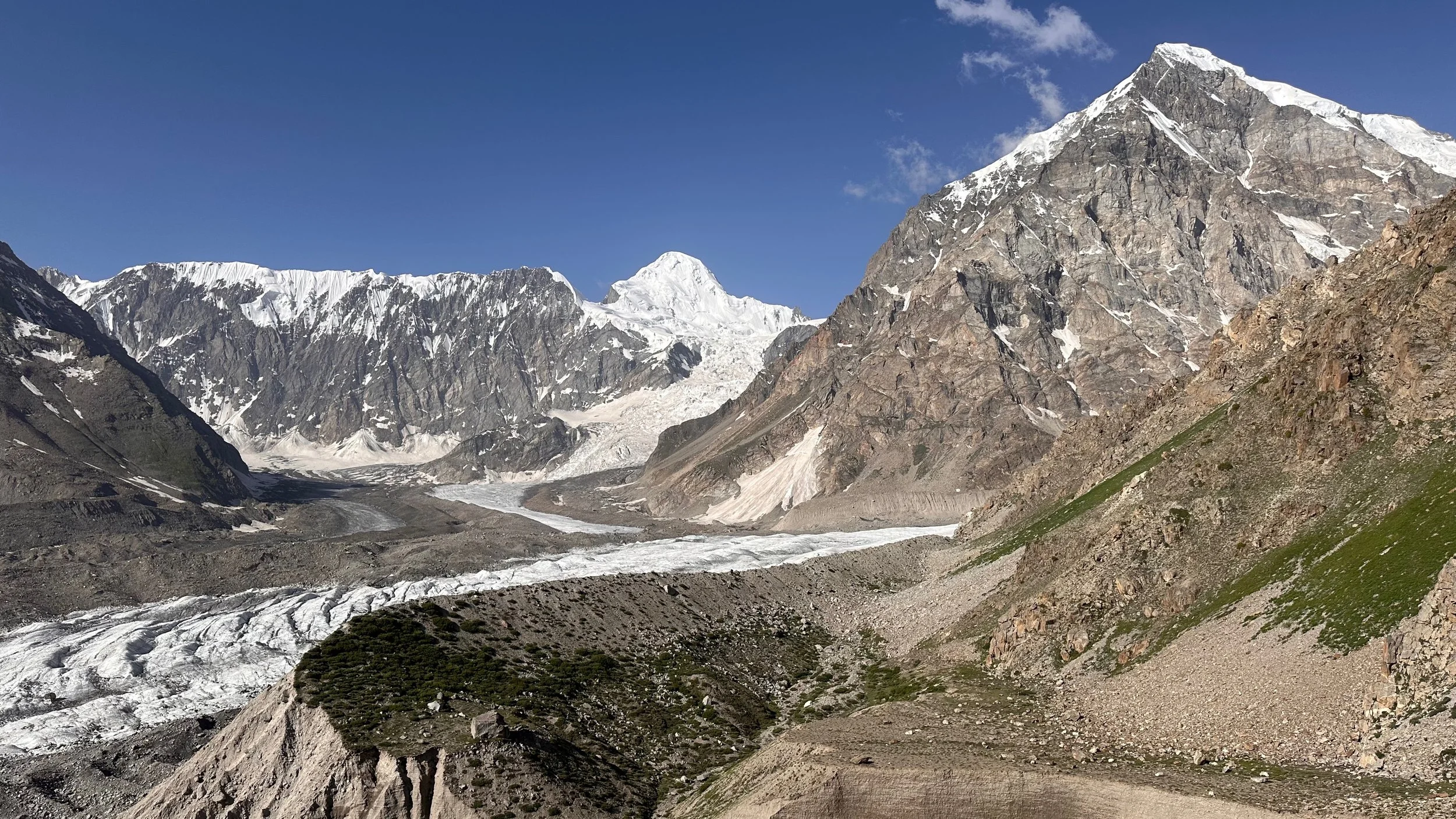
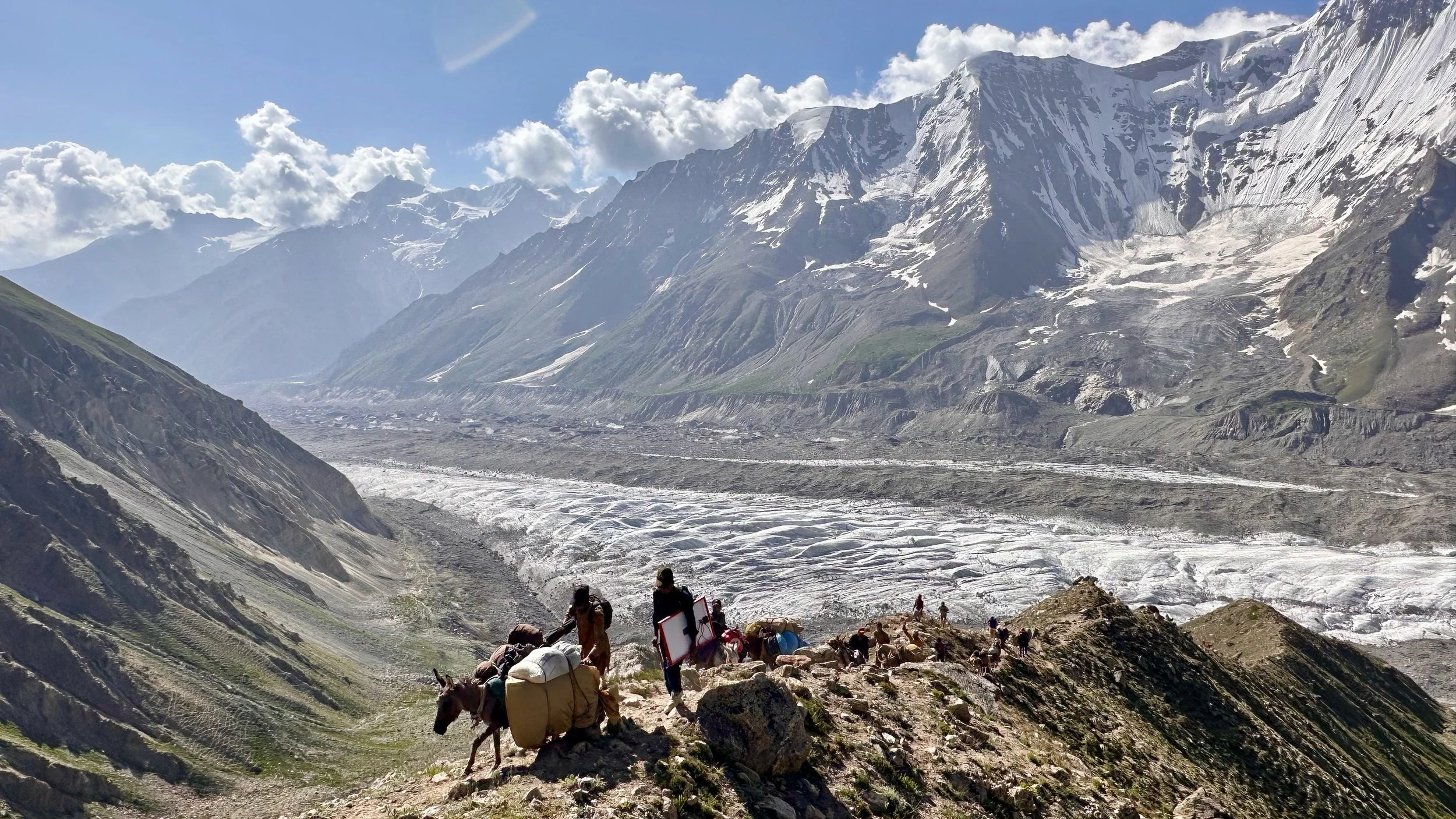
Karakoram treks and passes in Pakistan and China (1,165km):

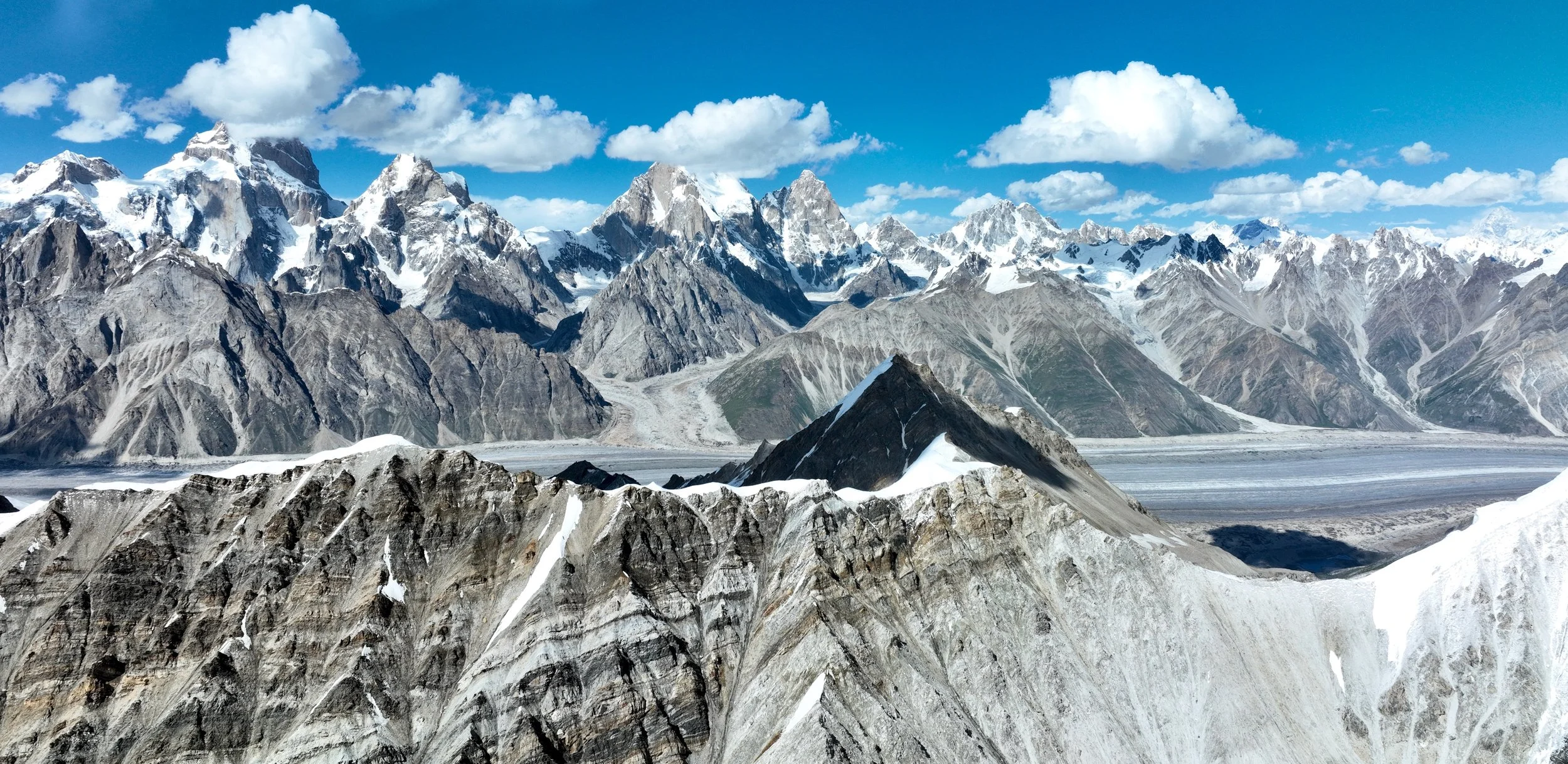
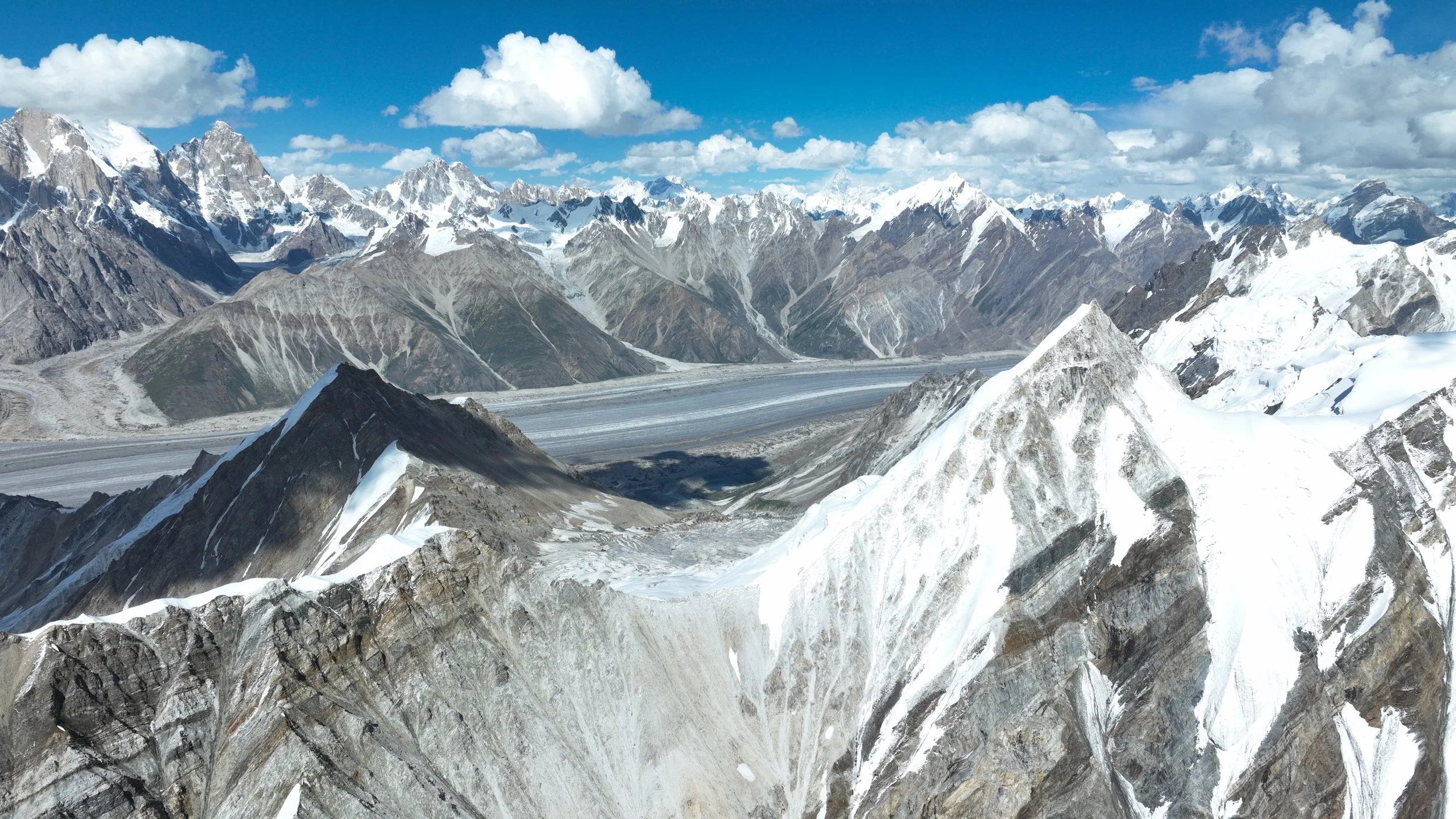
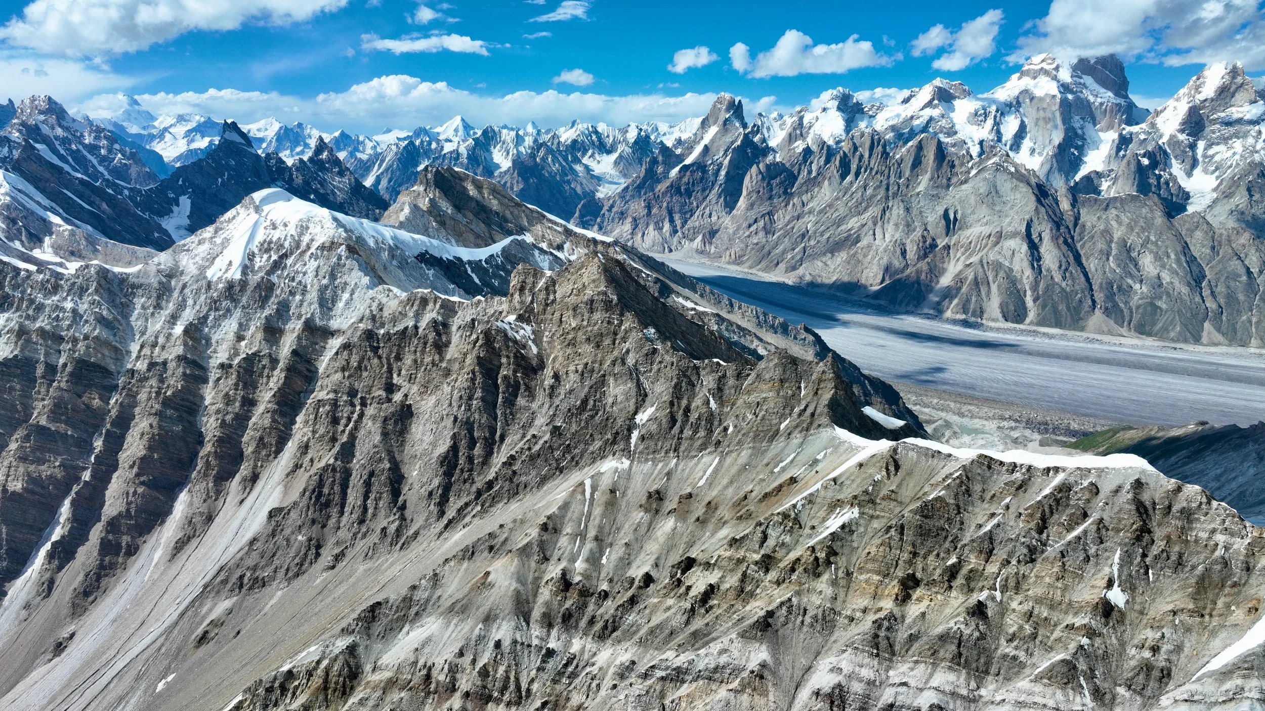
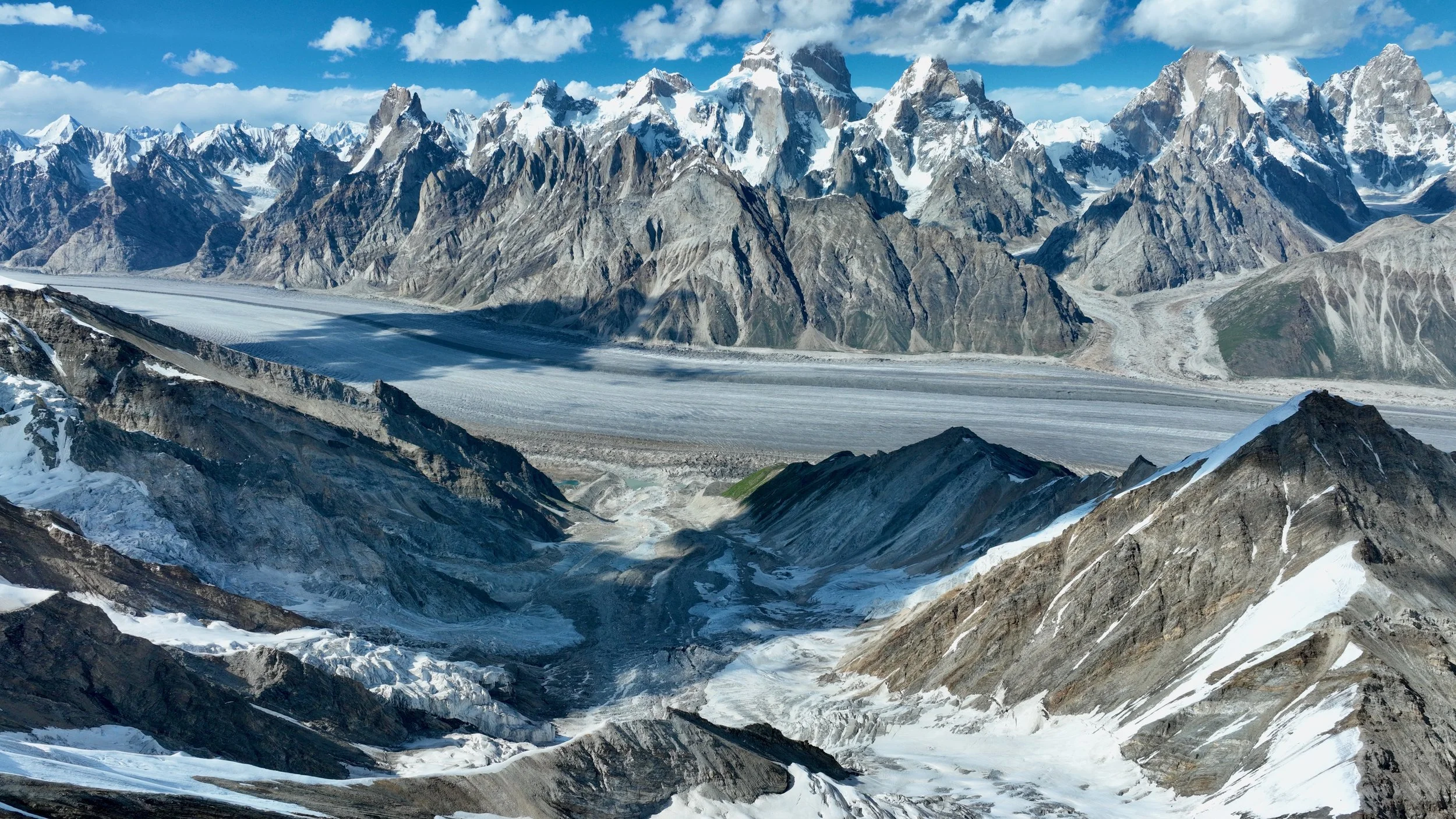
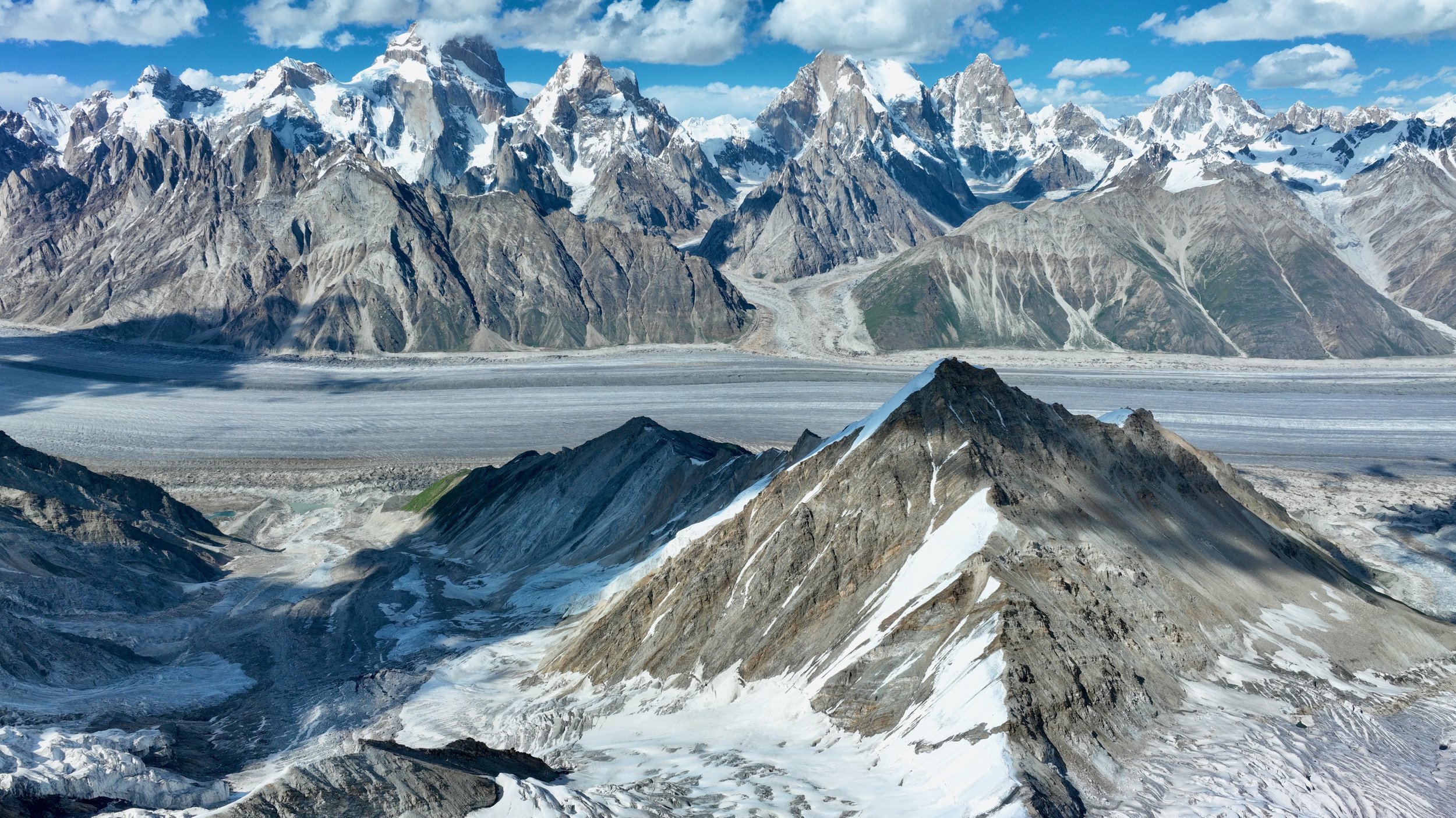
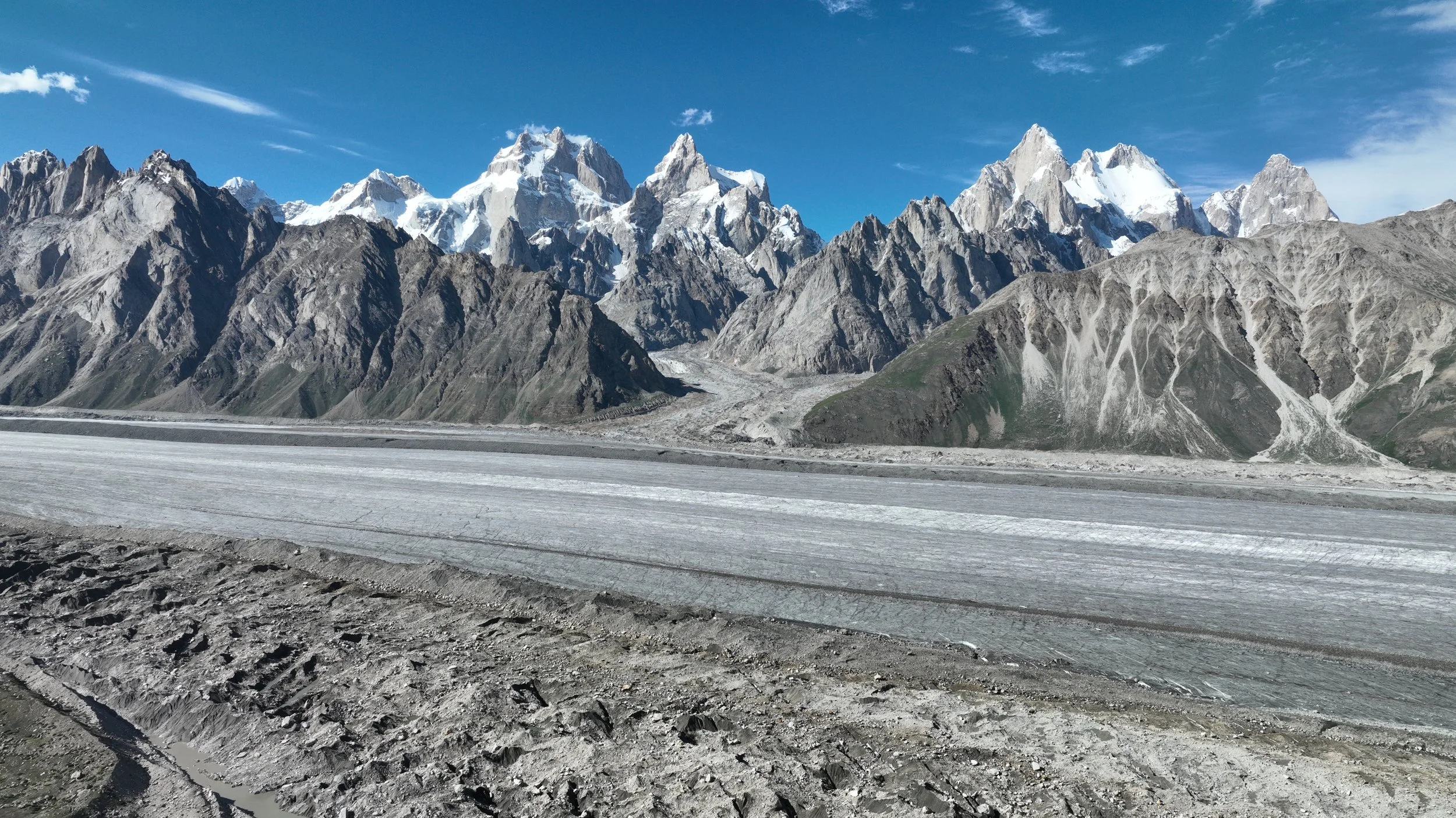
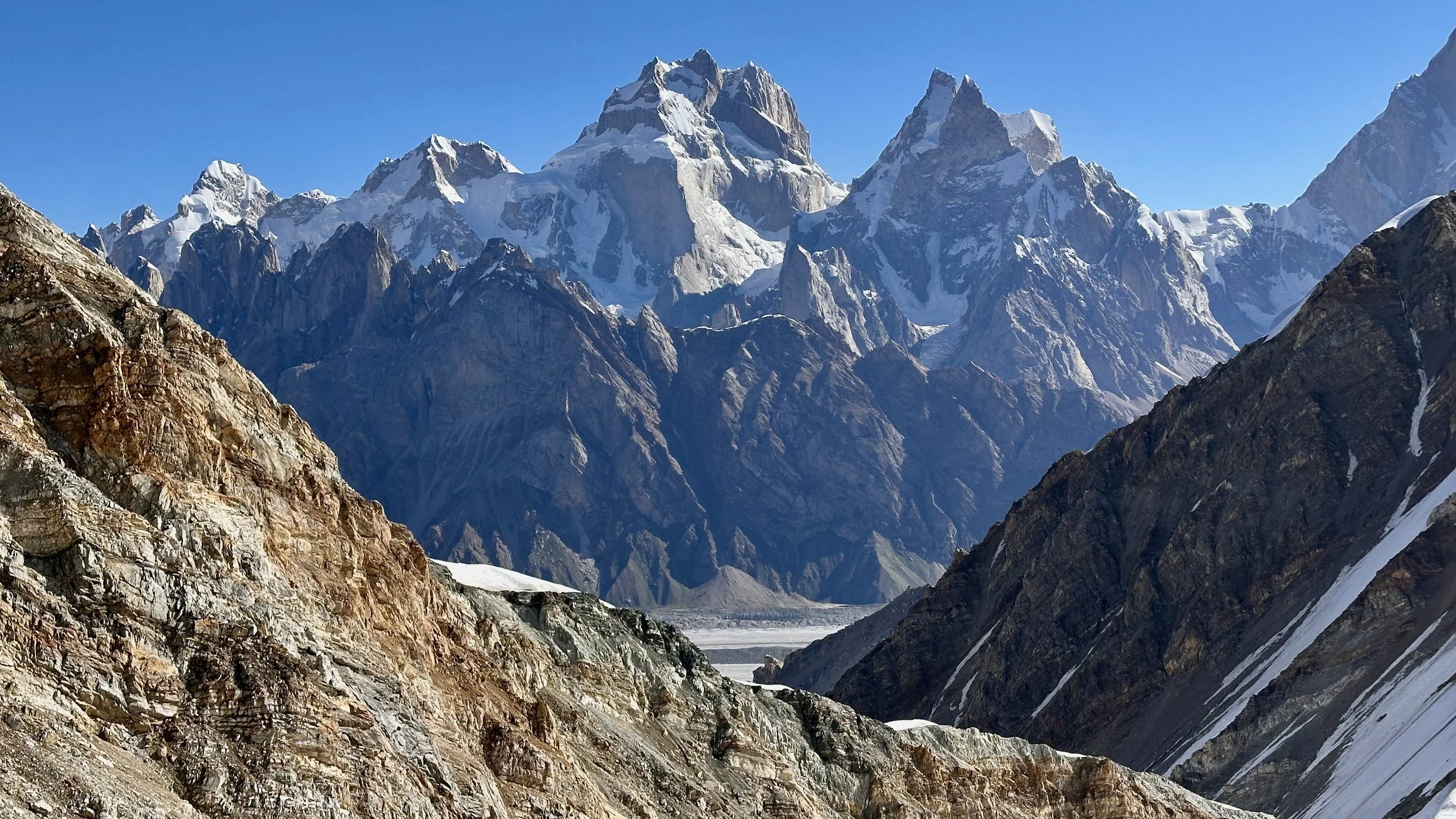
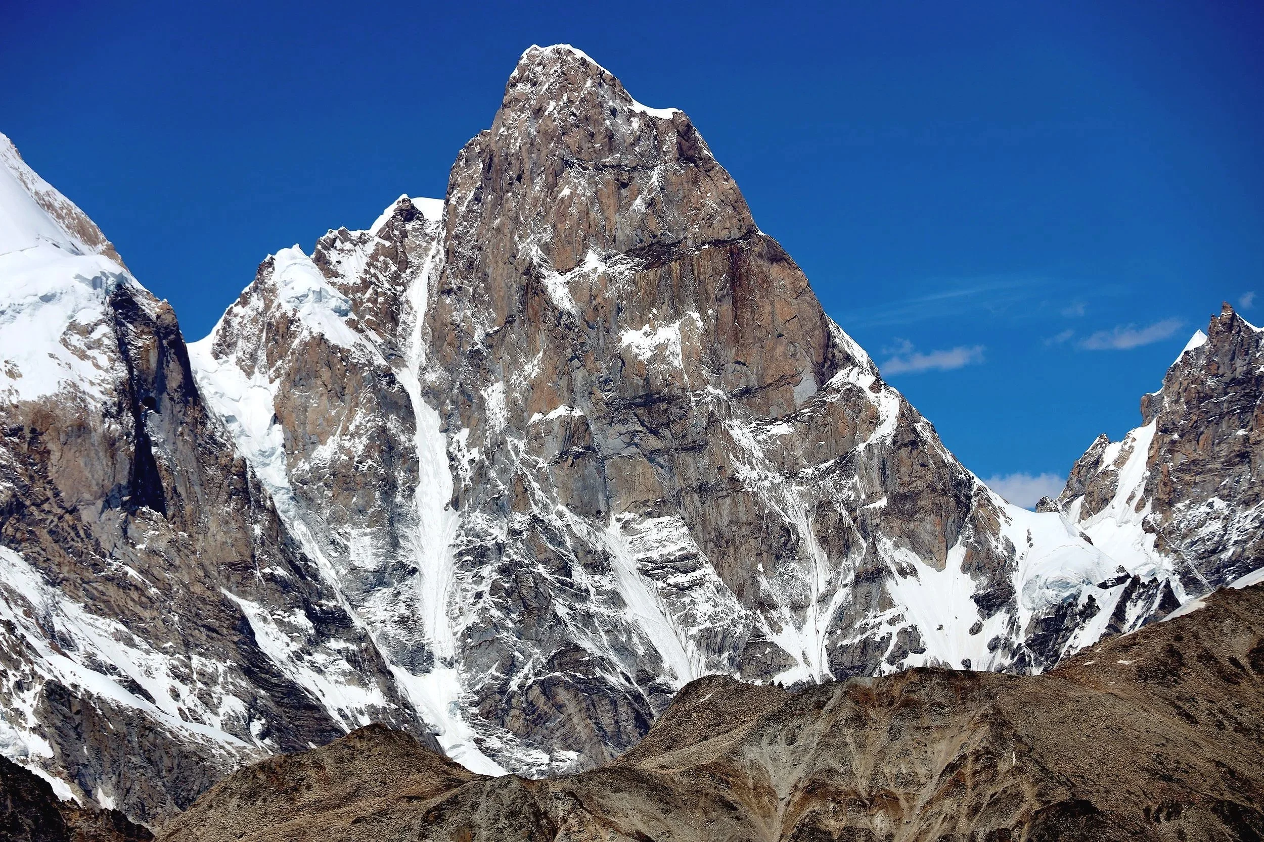
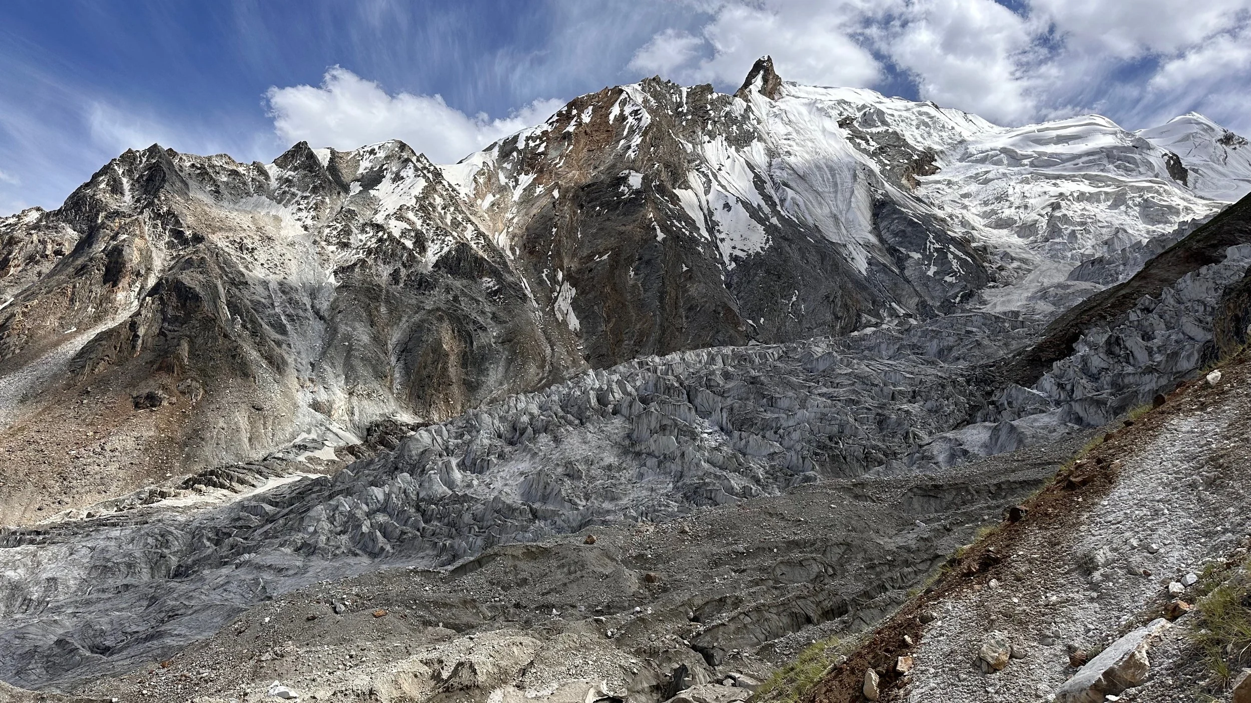
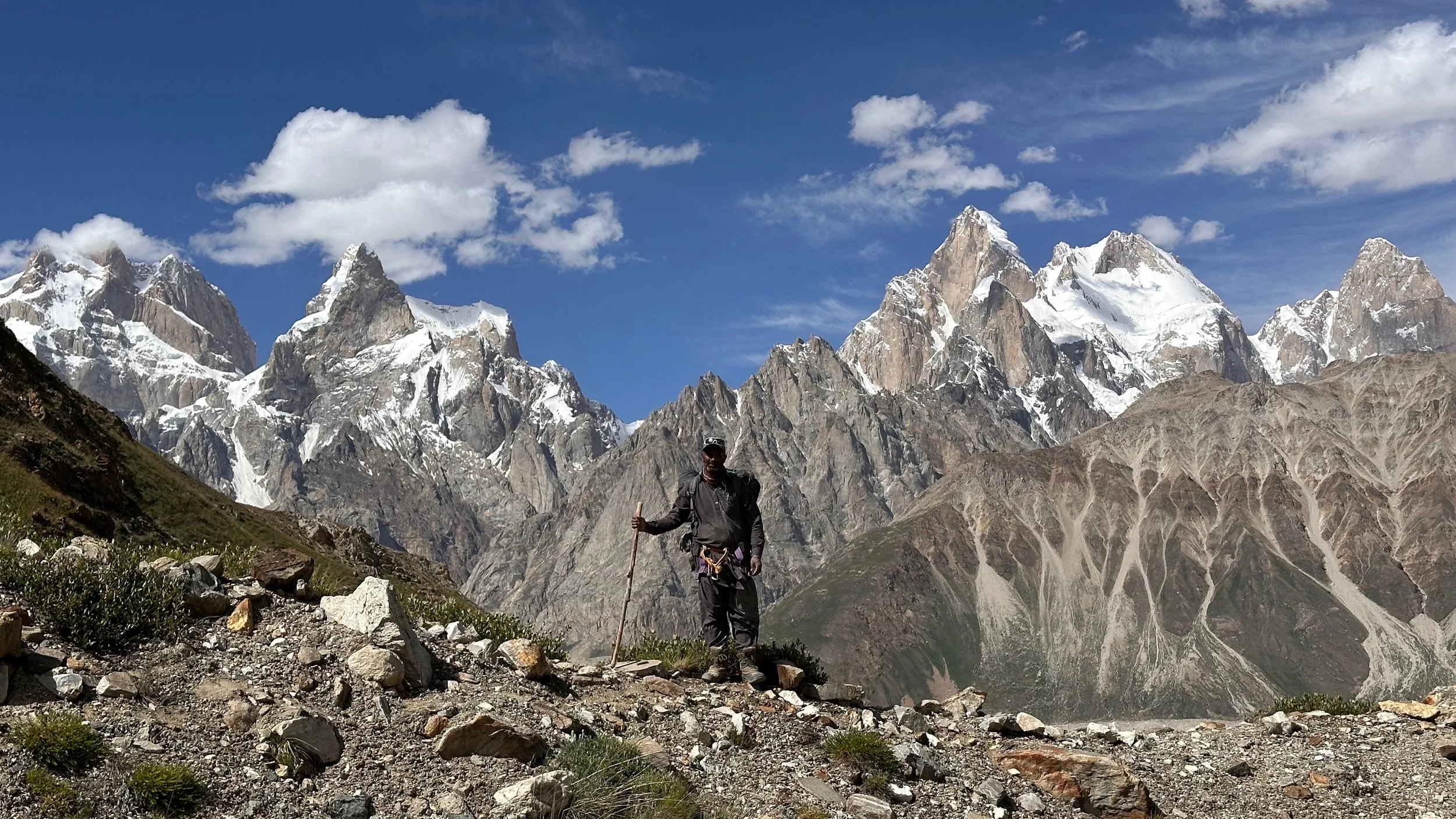
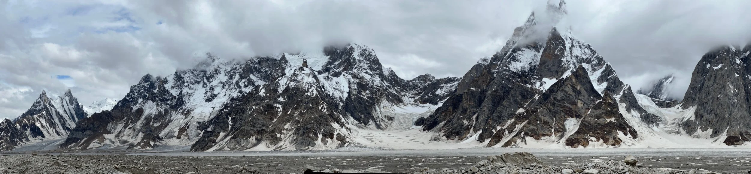
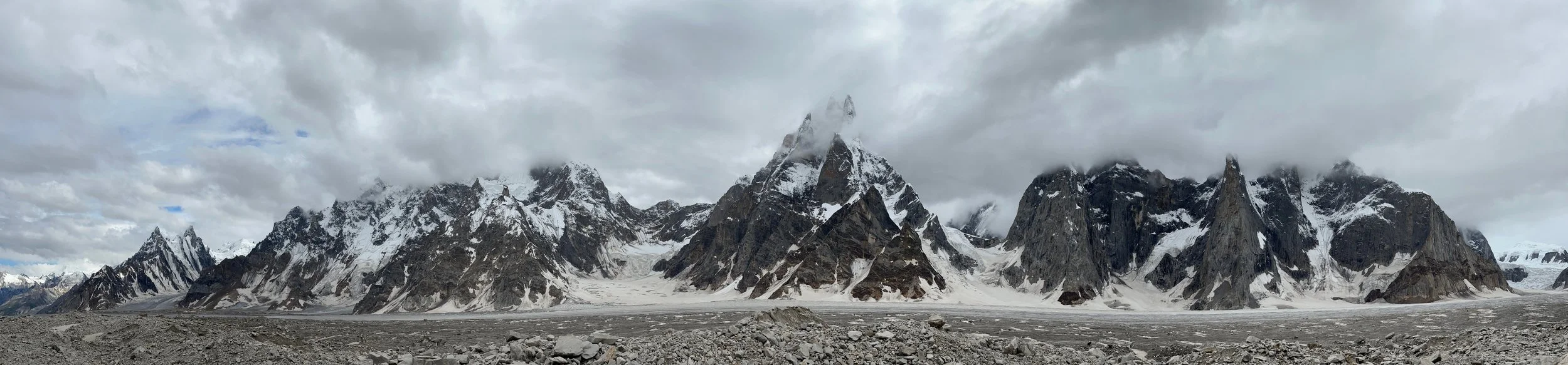
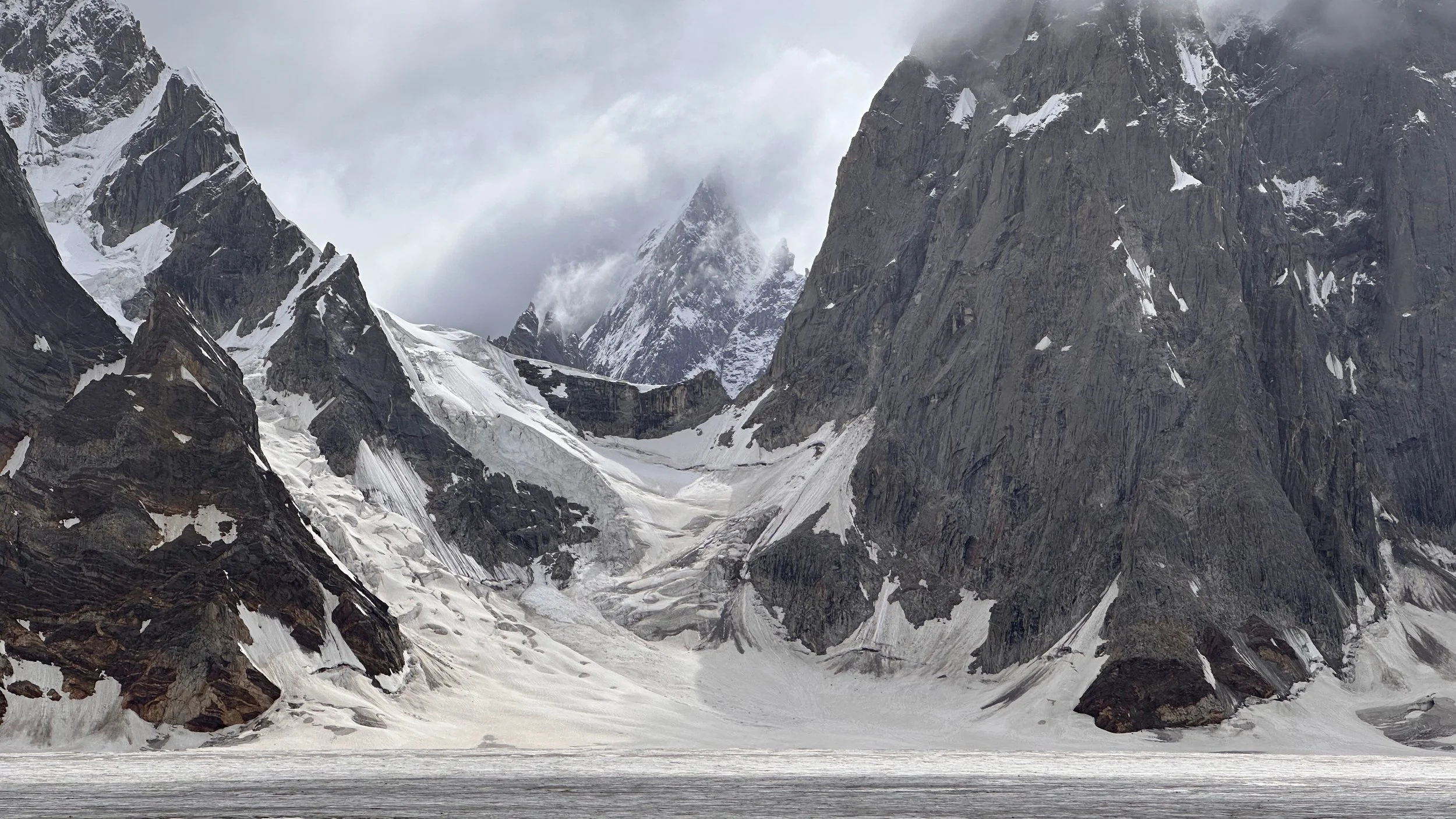
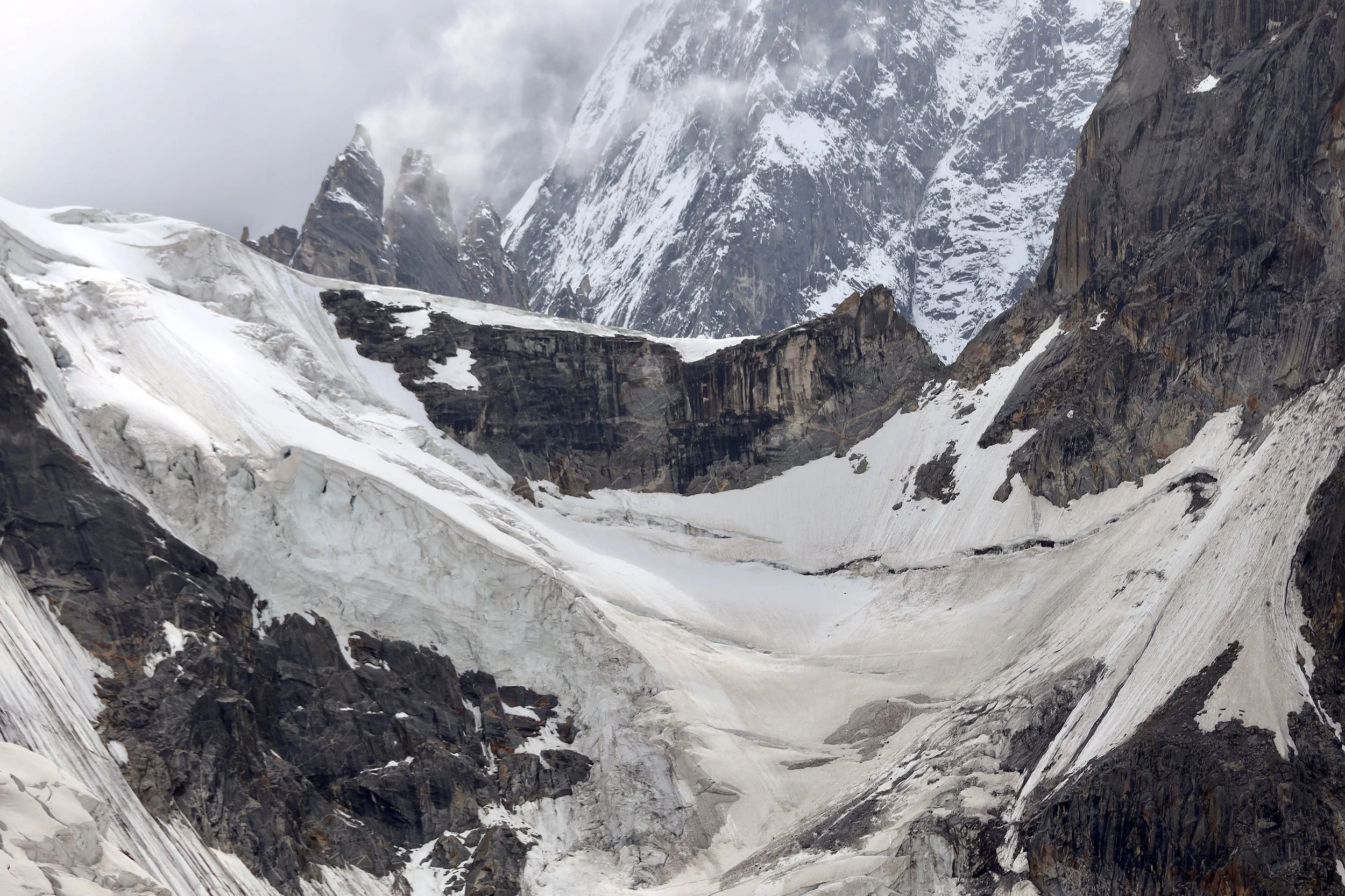
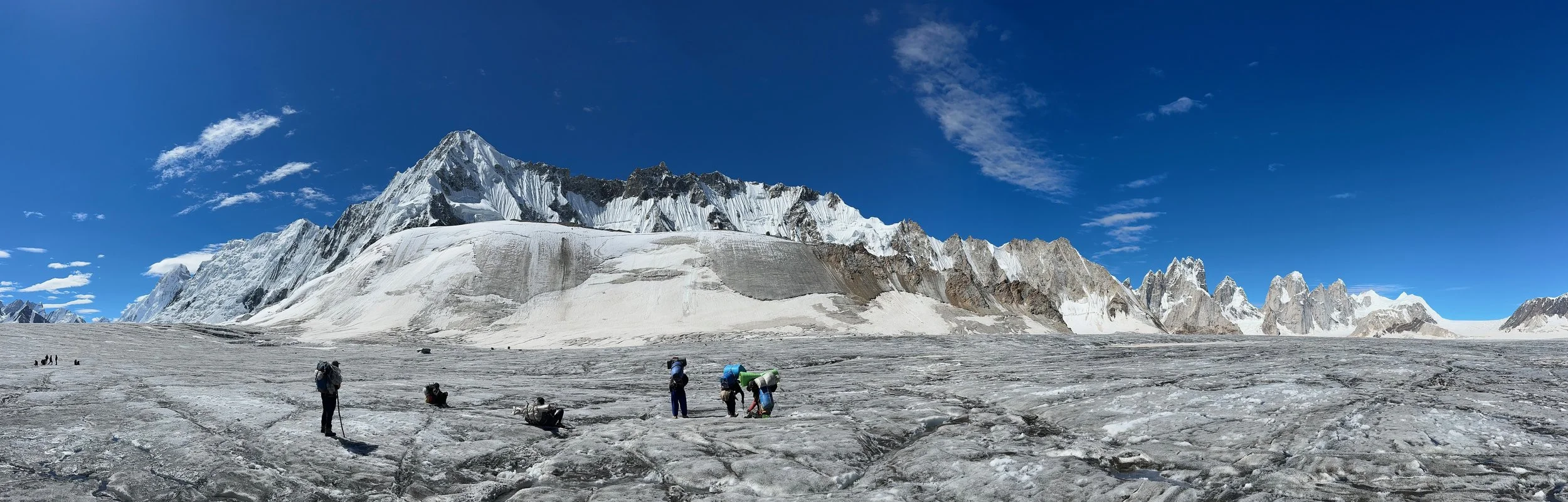
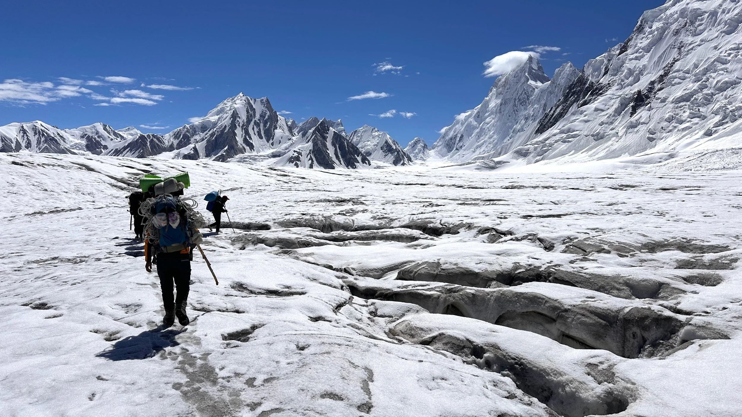
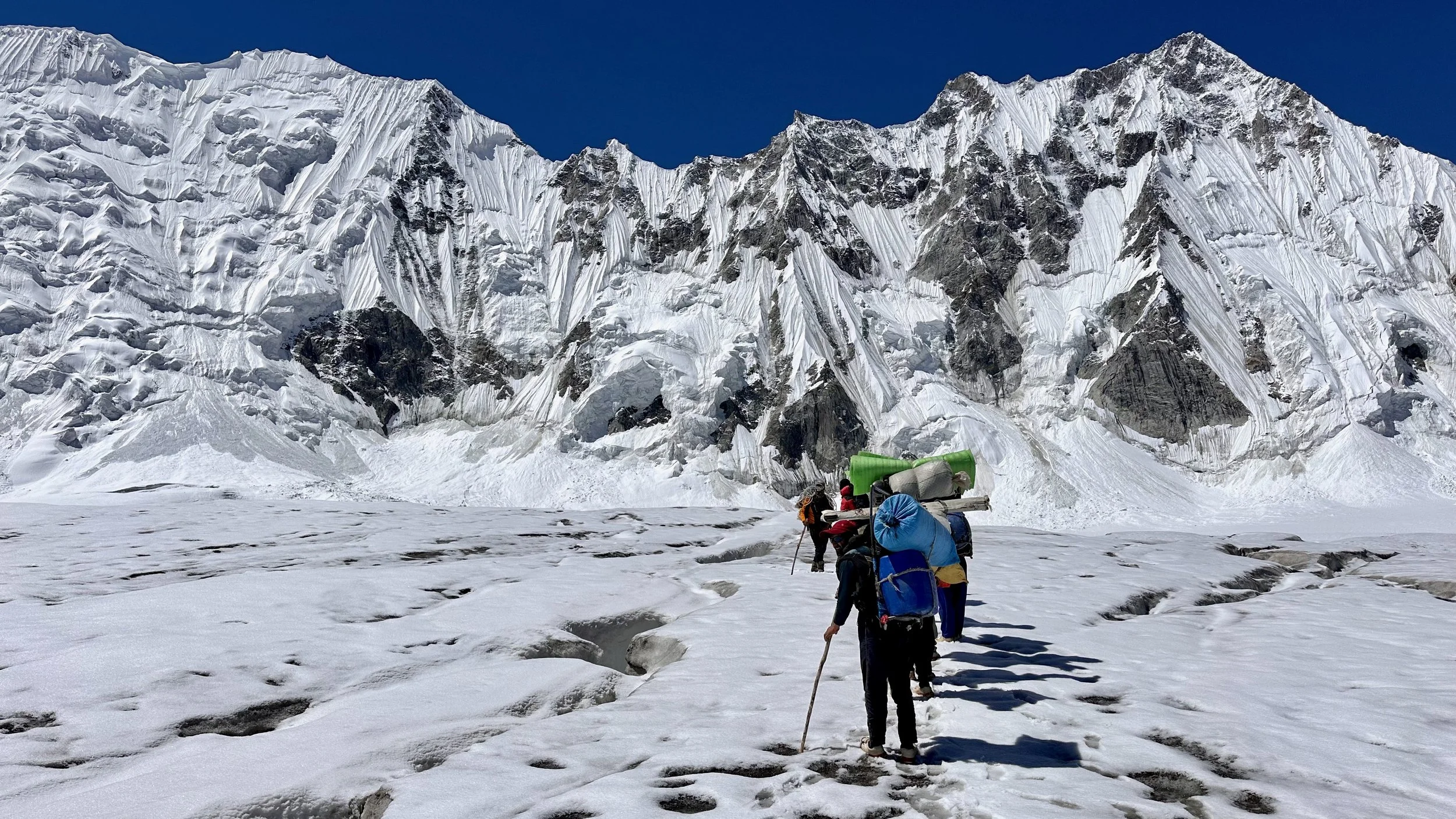
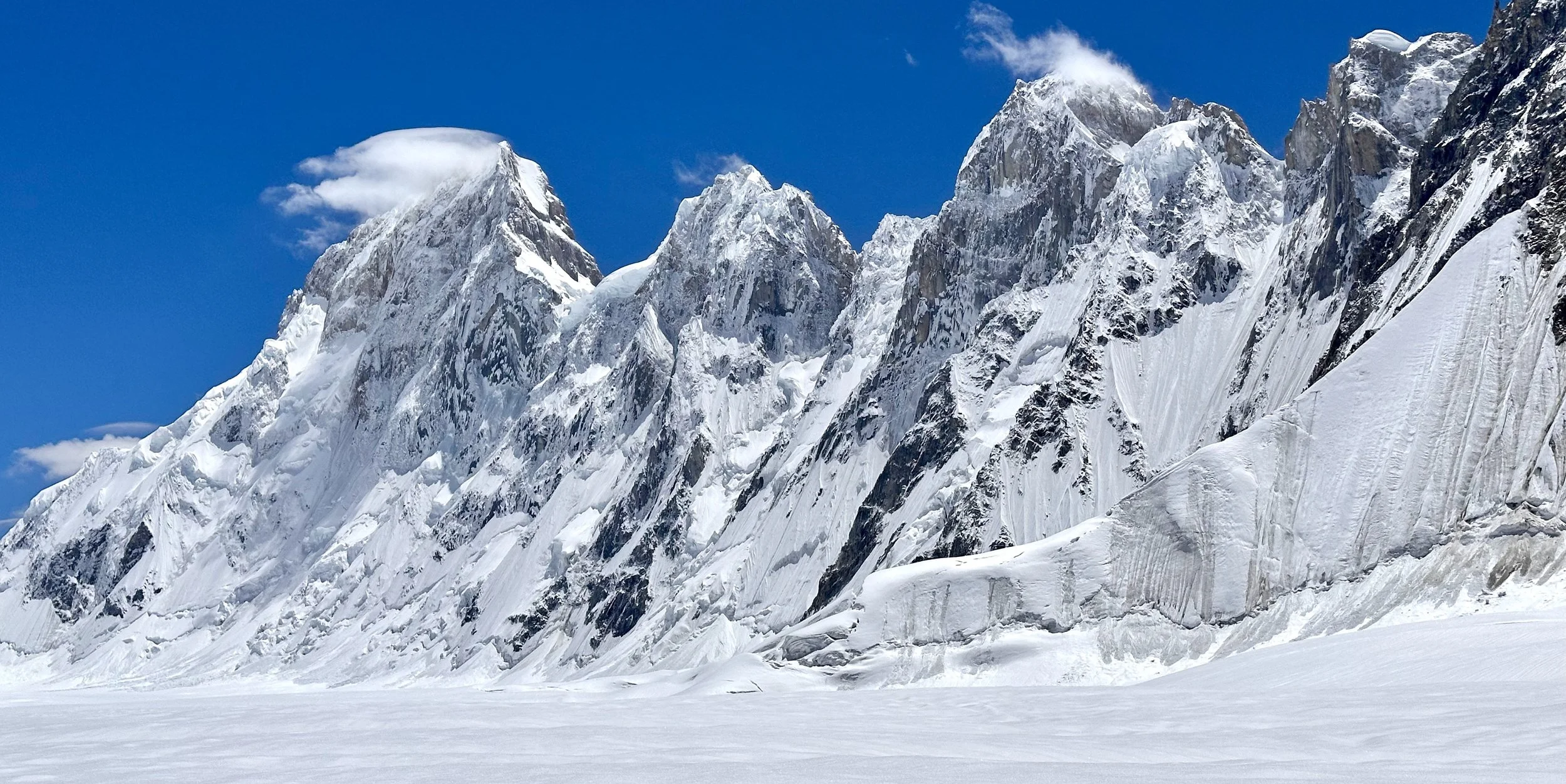
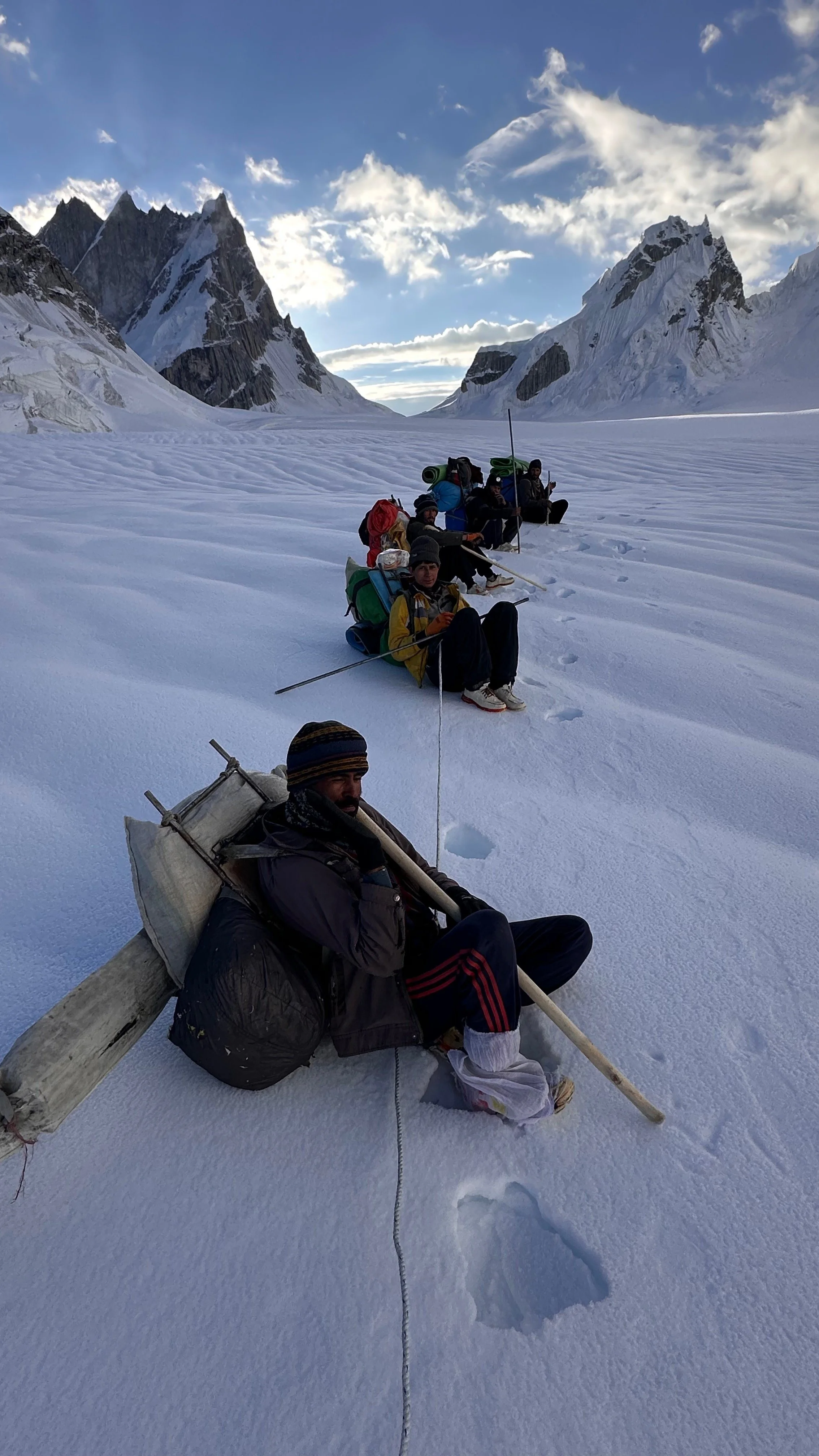
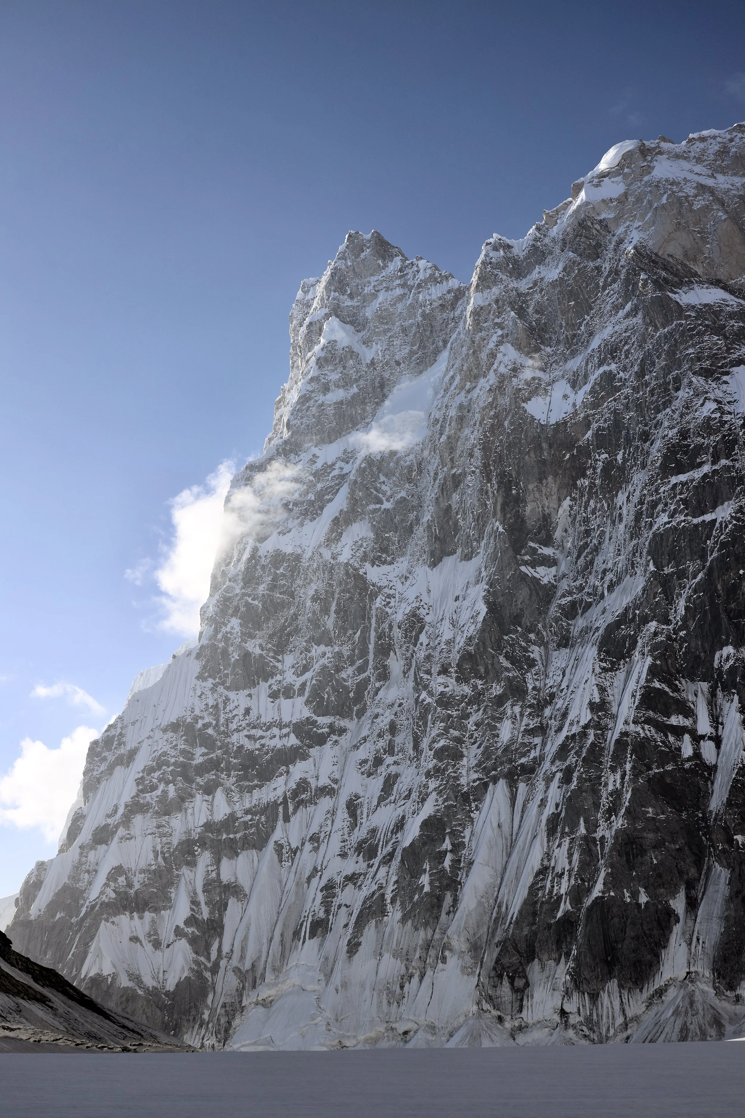
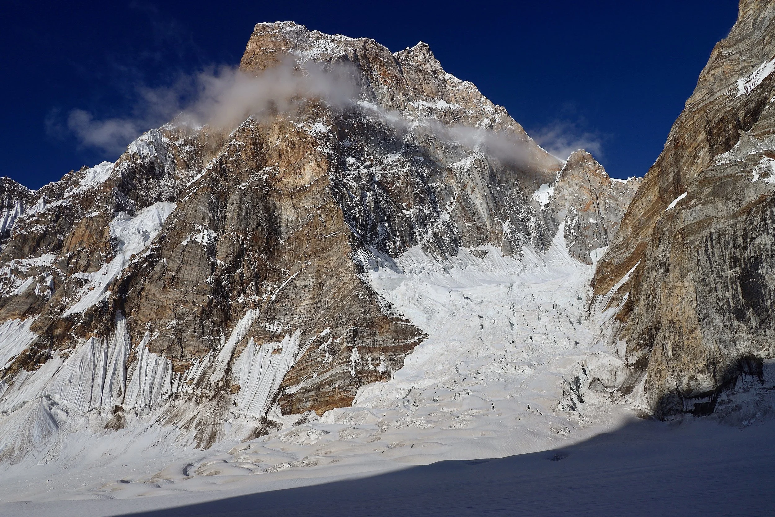
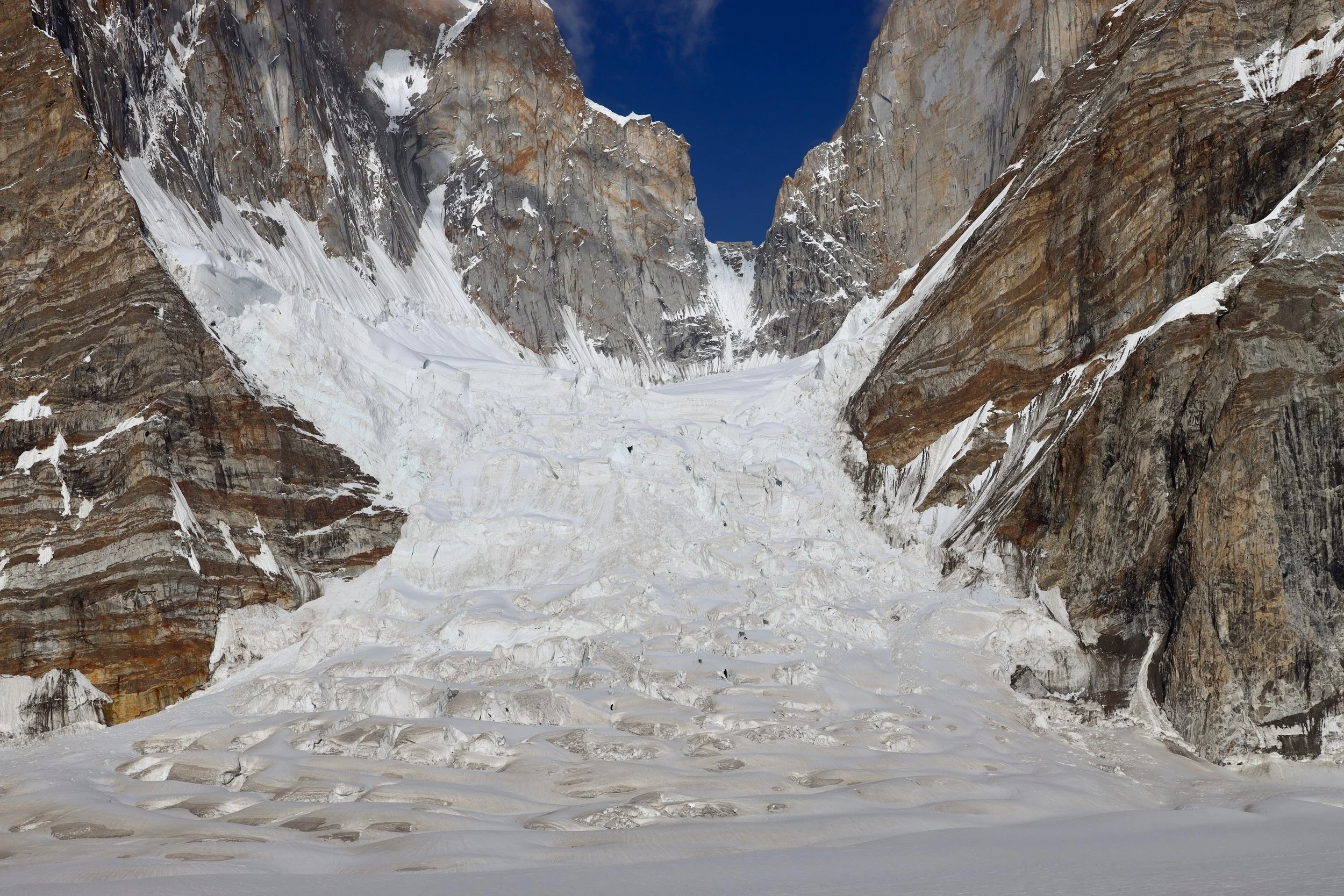
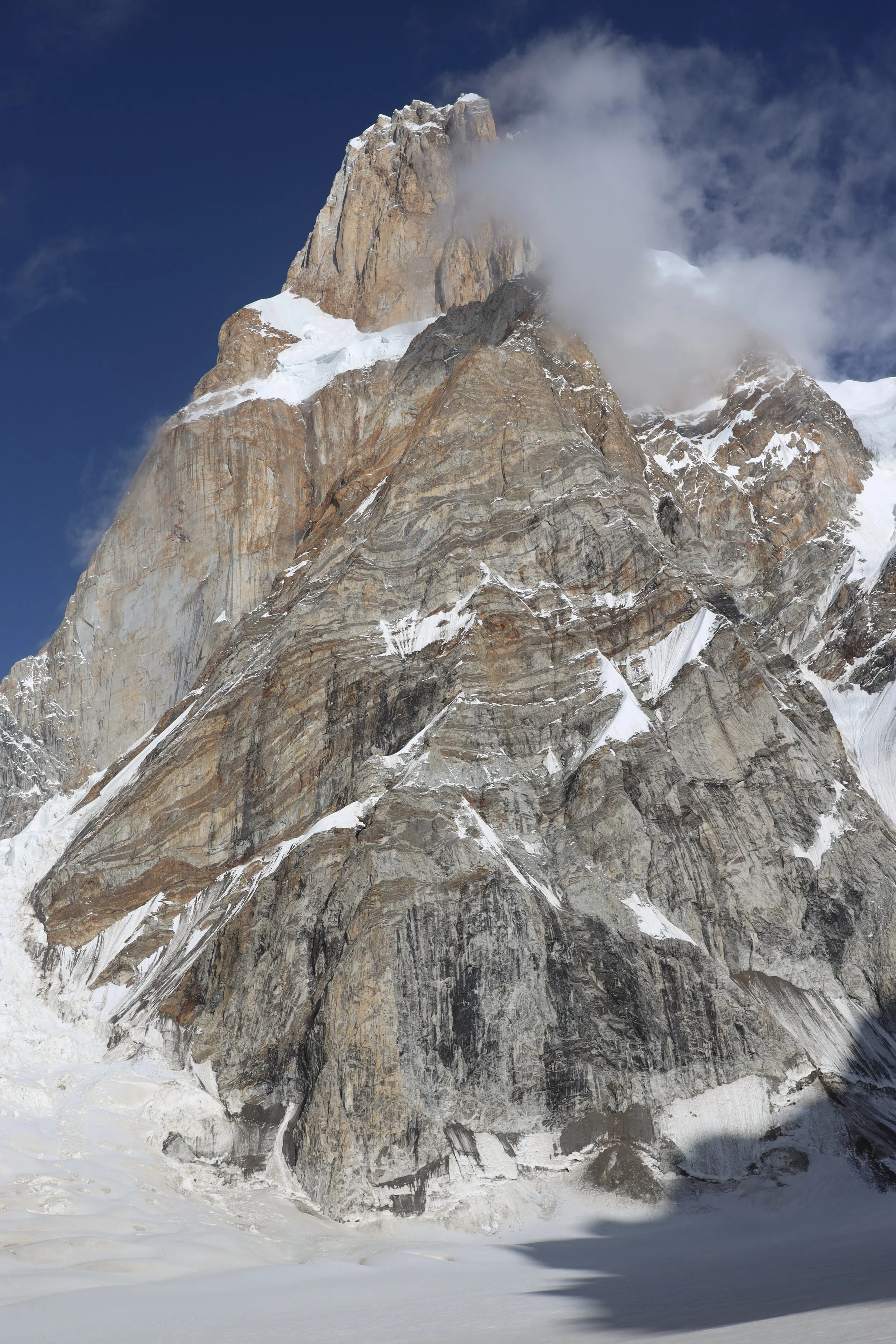
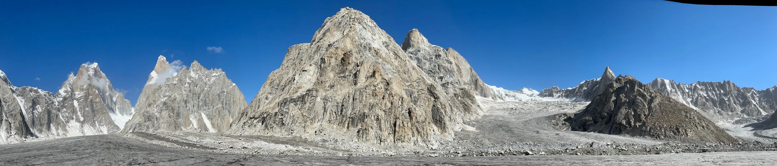
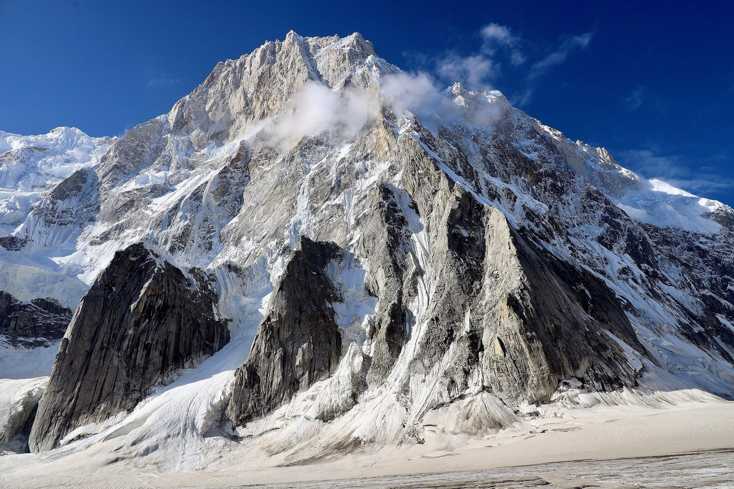
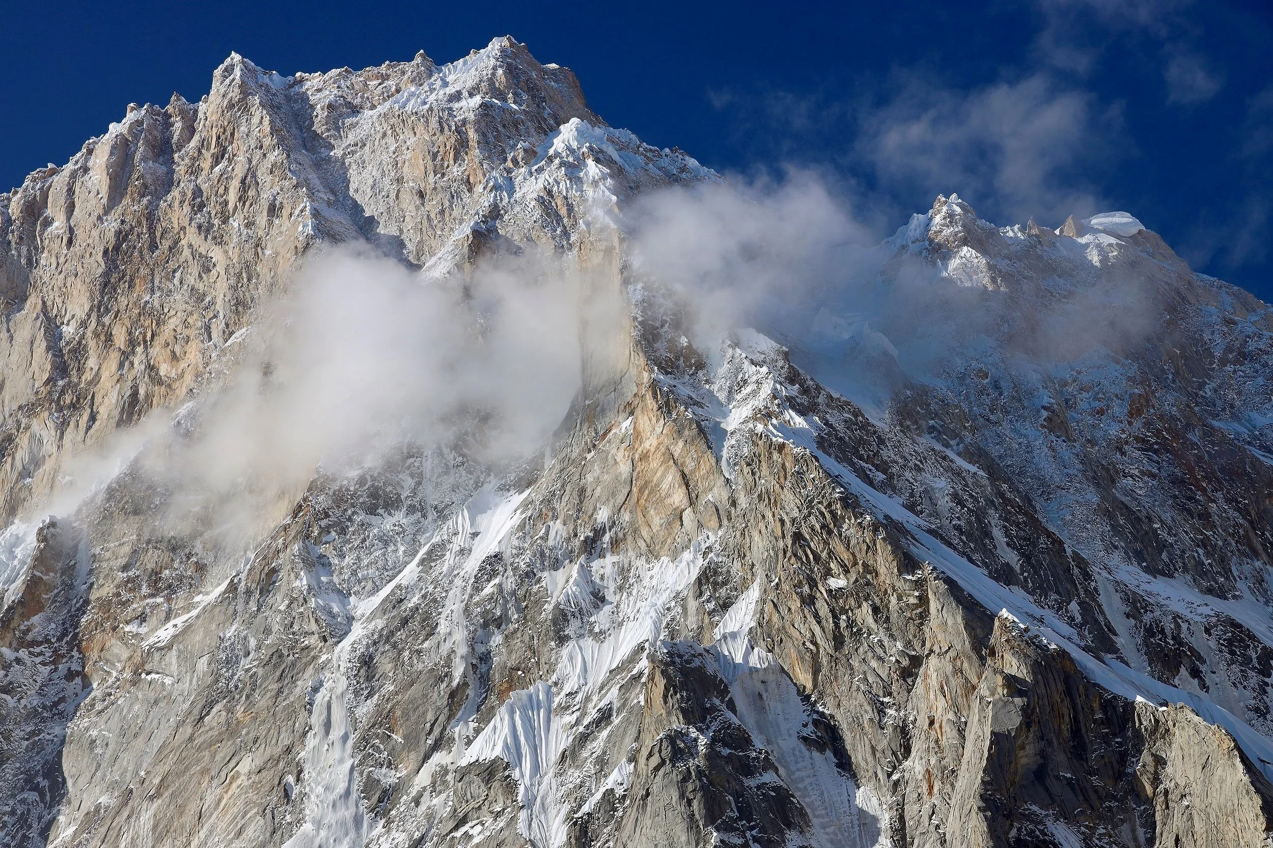
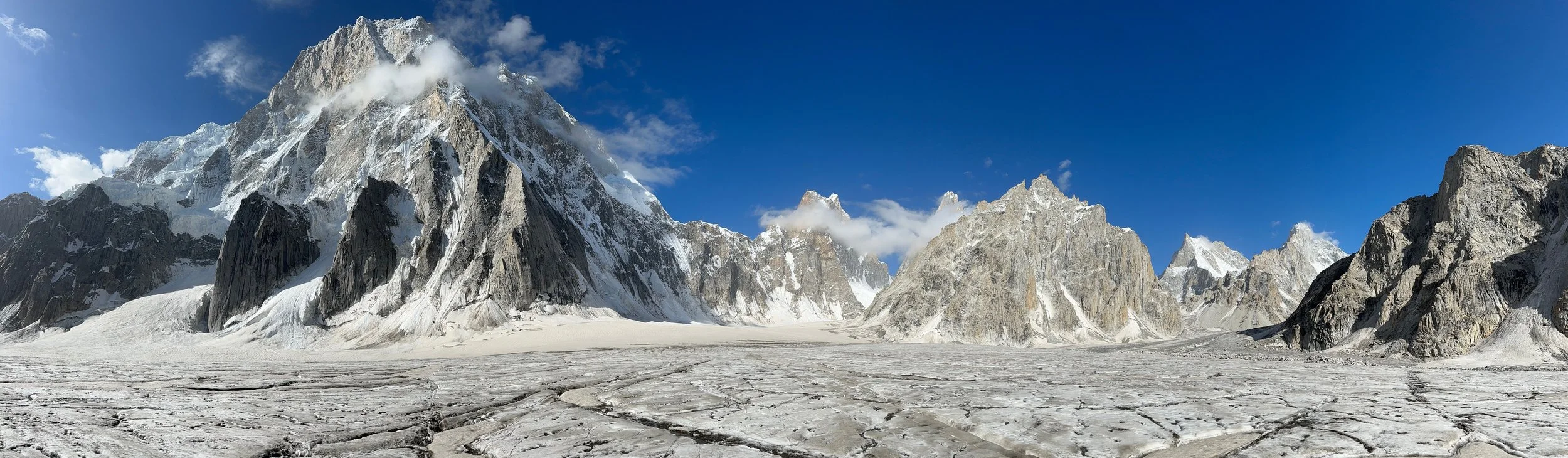
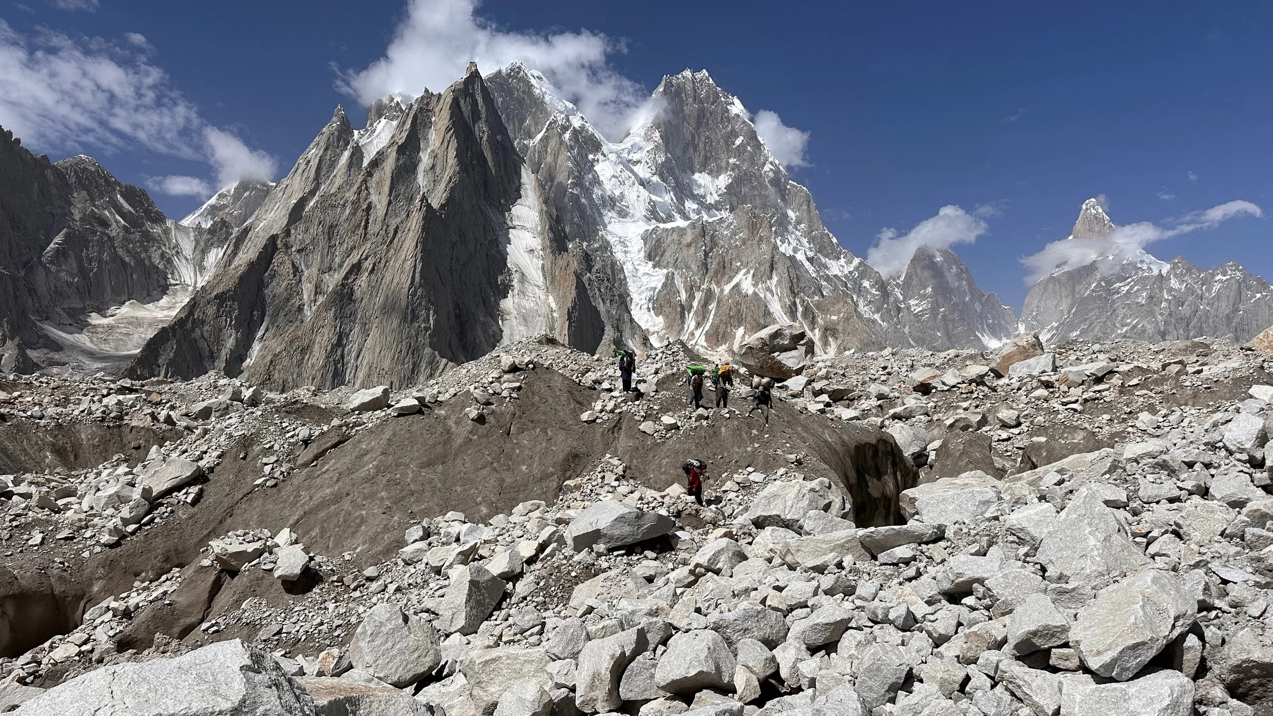
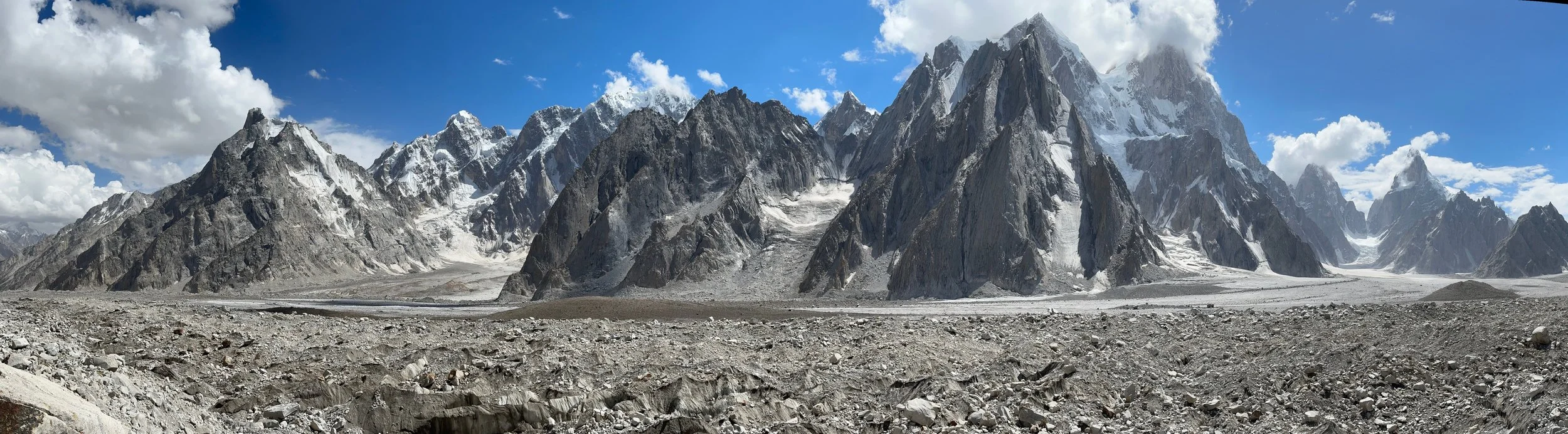
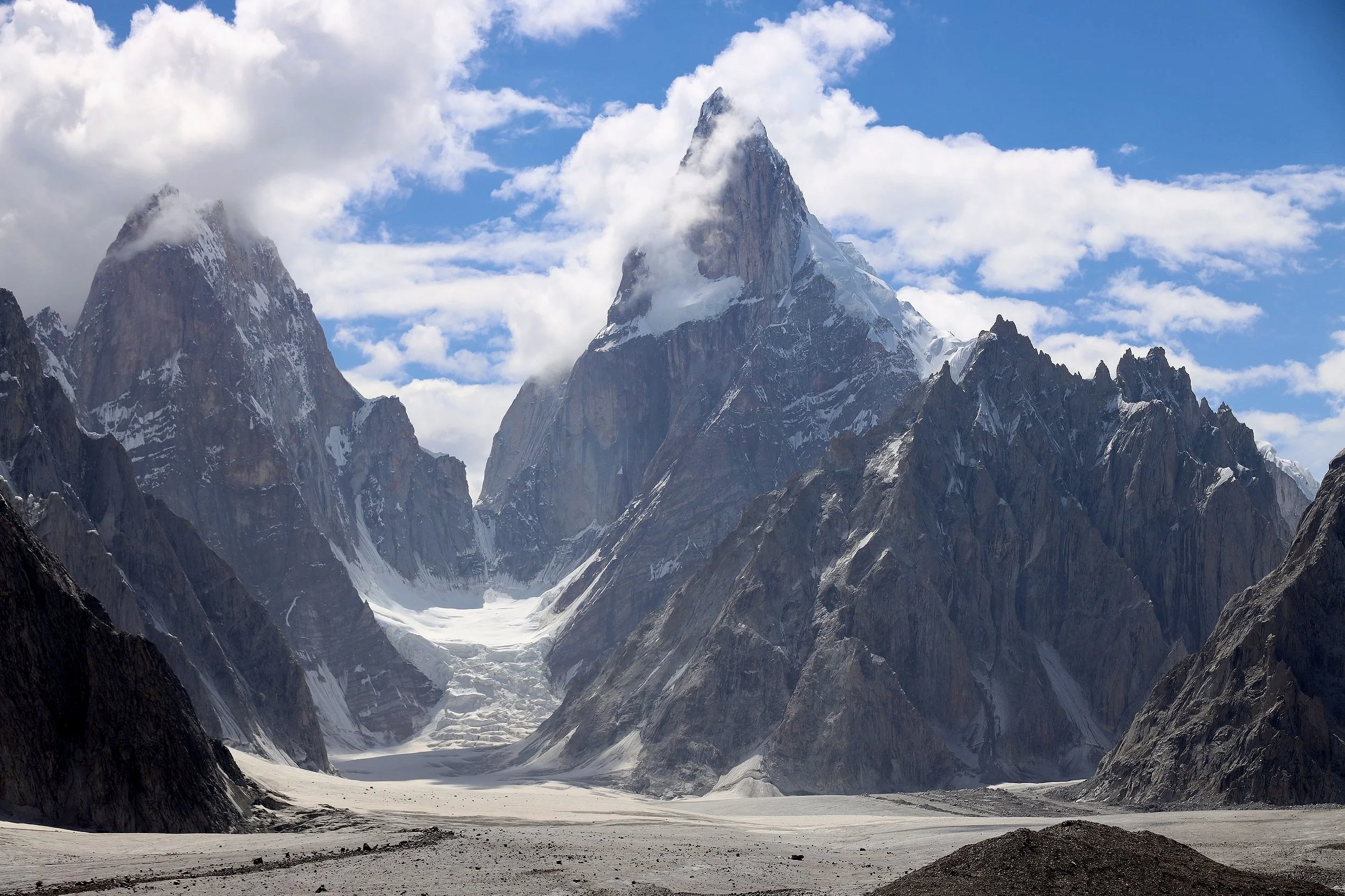
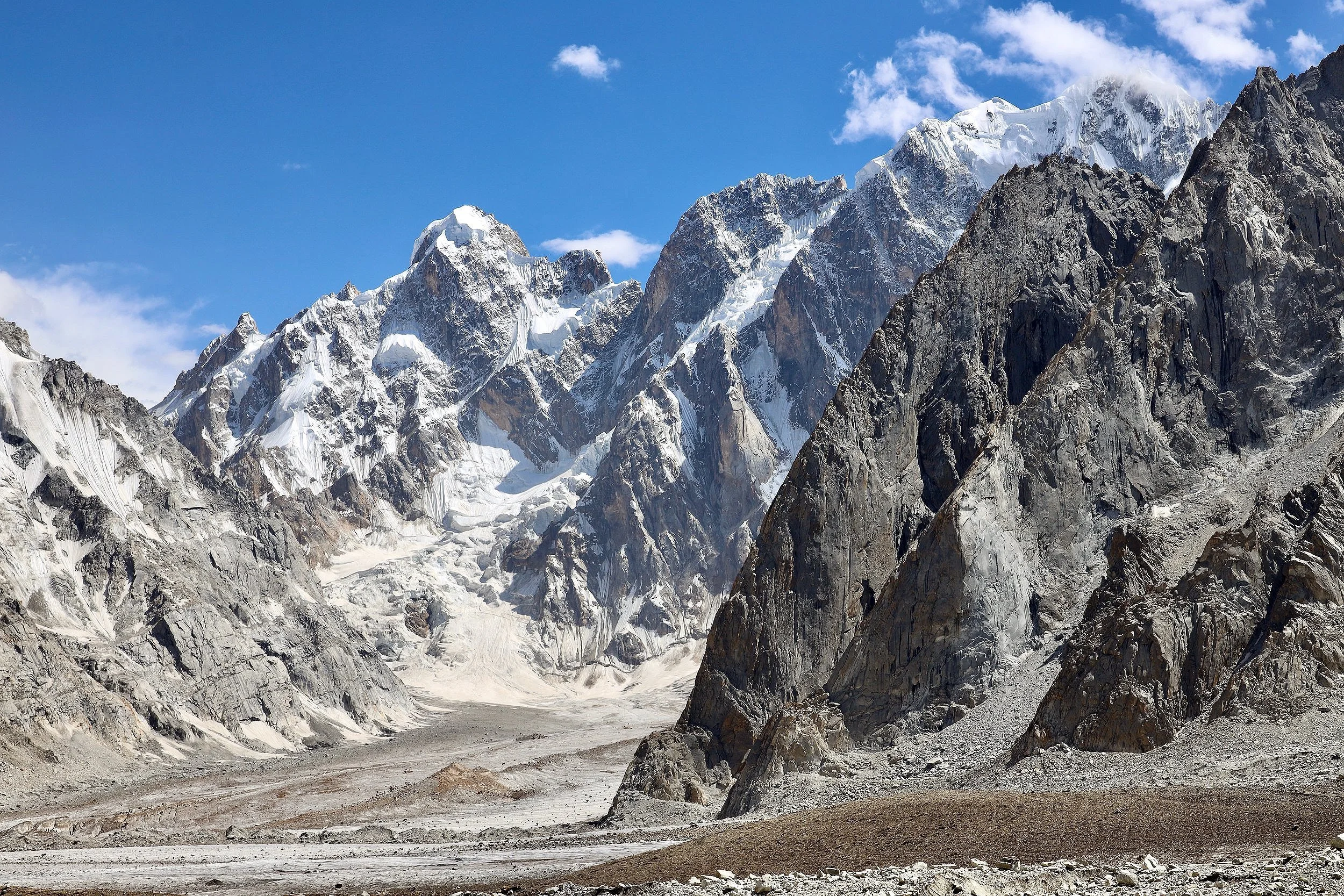
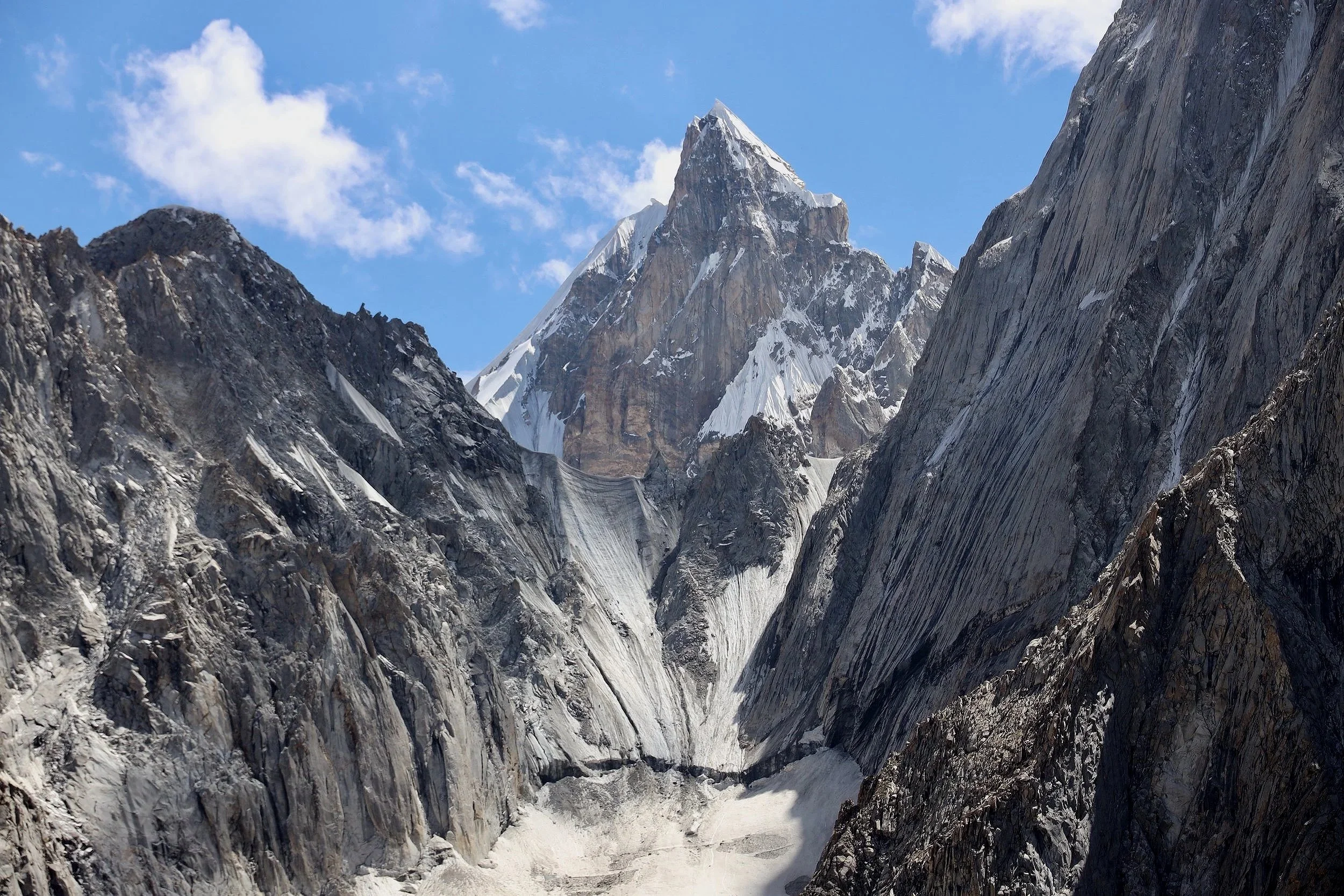
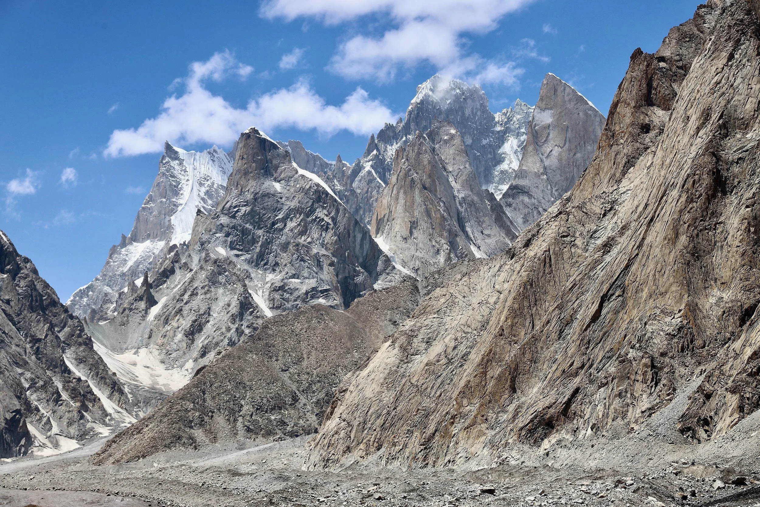
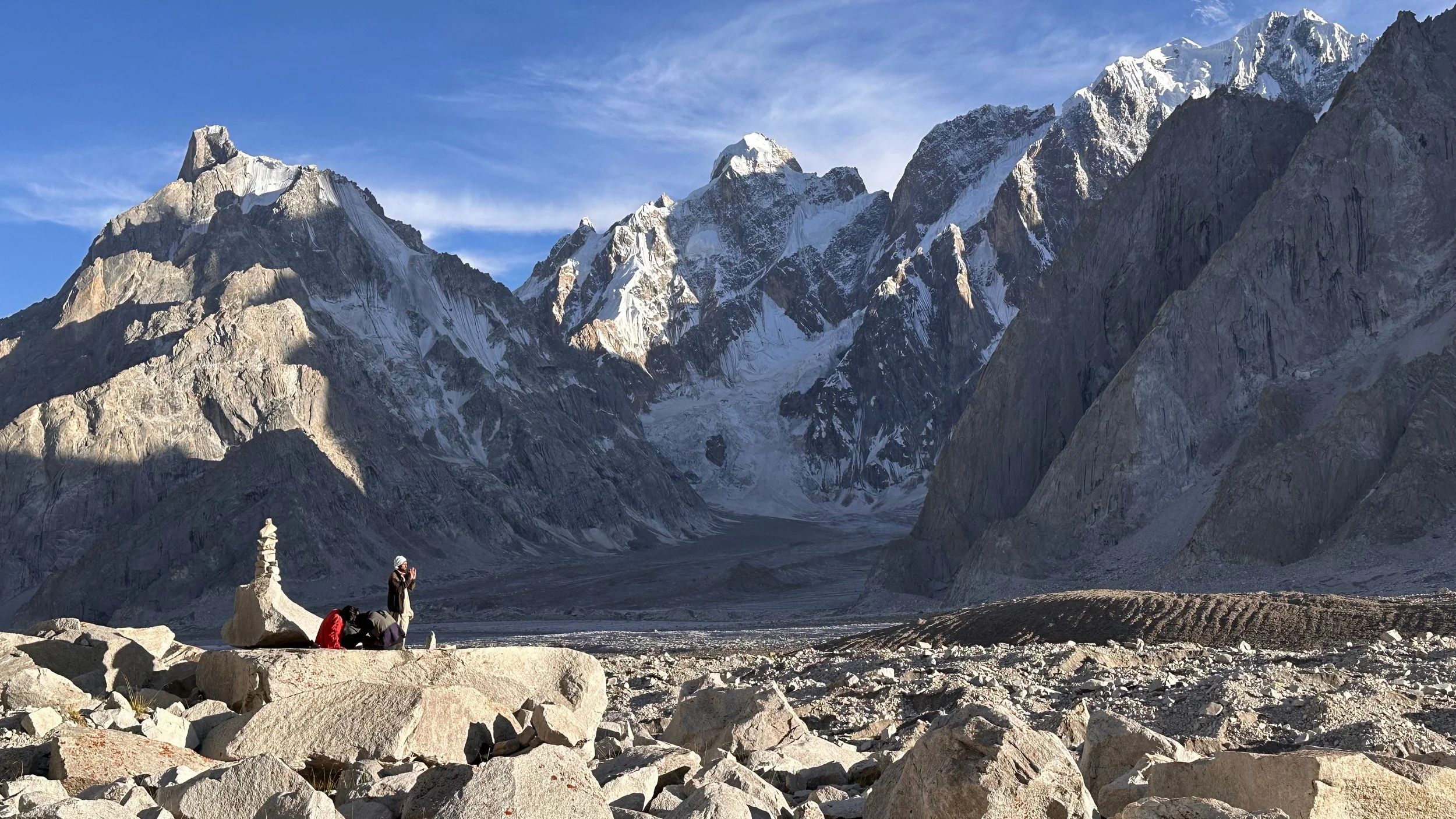
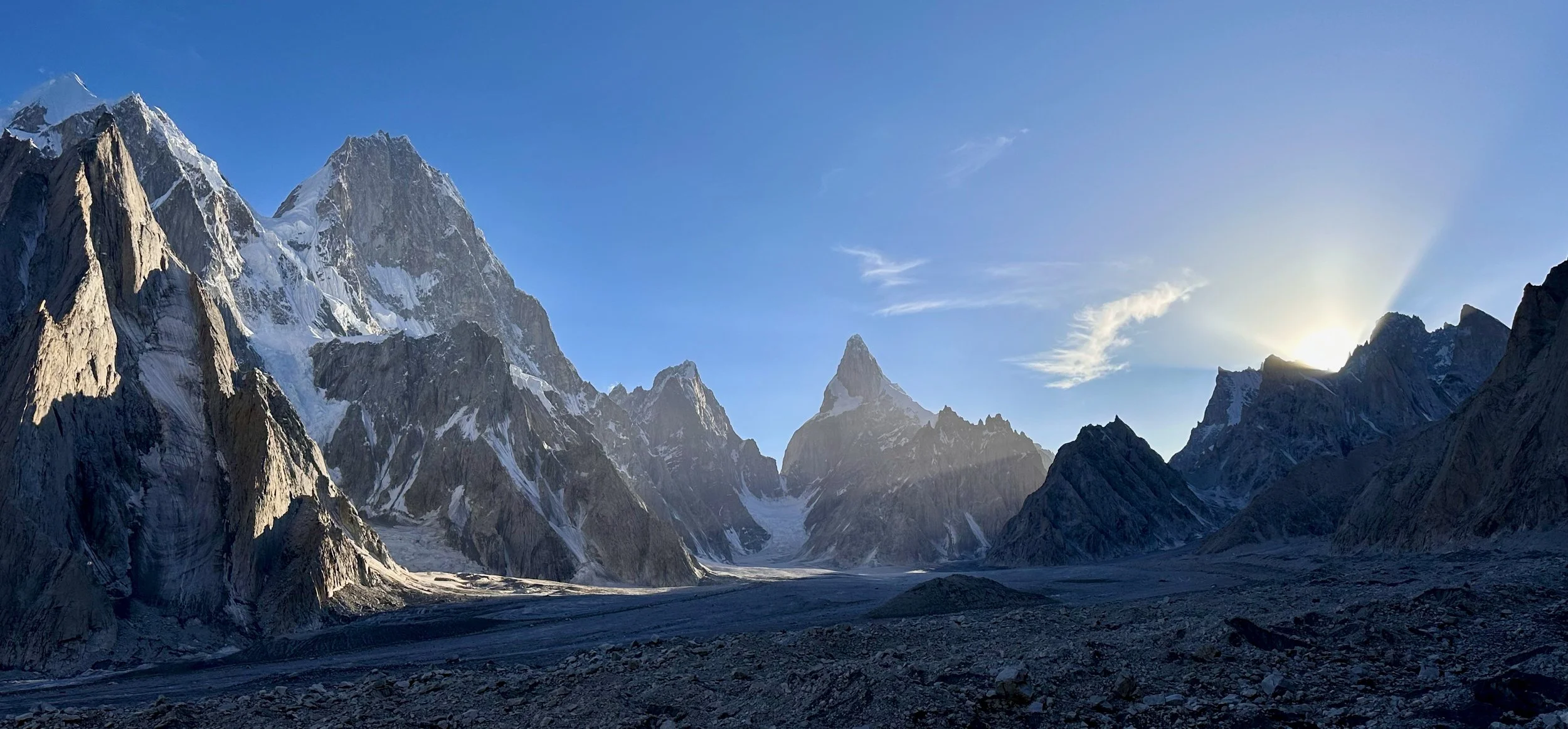
1.    2001 K2 BC South from Pakistan Baltoro Glacier 115km, Ghondogoro La 5,640m

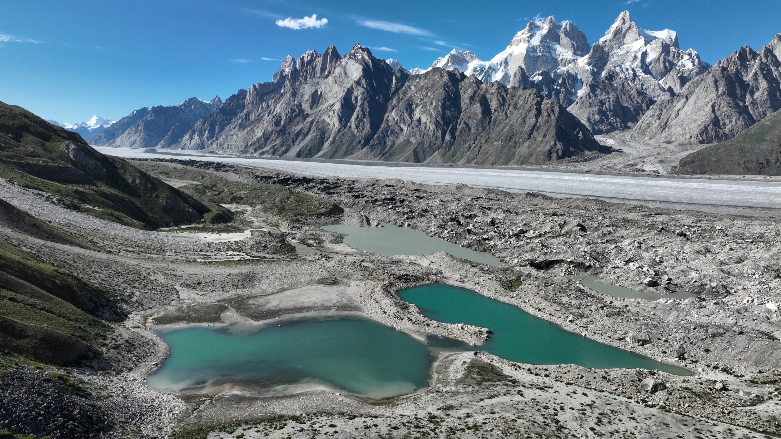
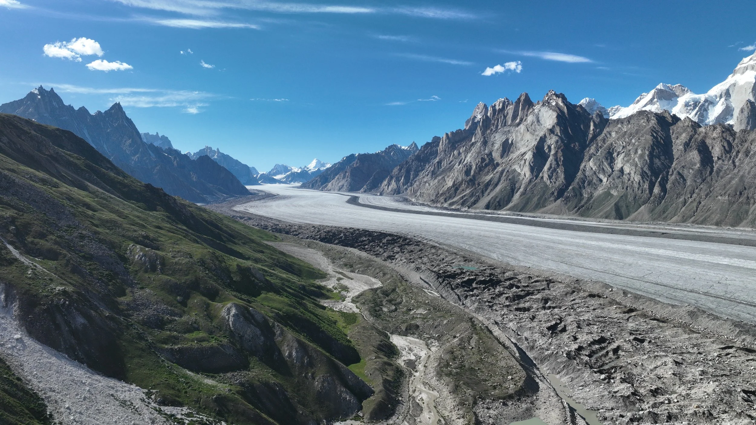
2.    2005 Biafo and Hispar Glaciers 132km, Hispar Pass 5,151m

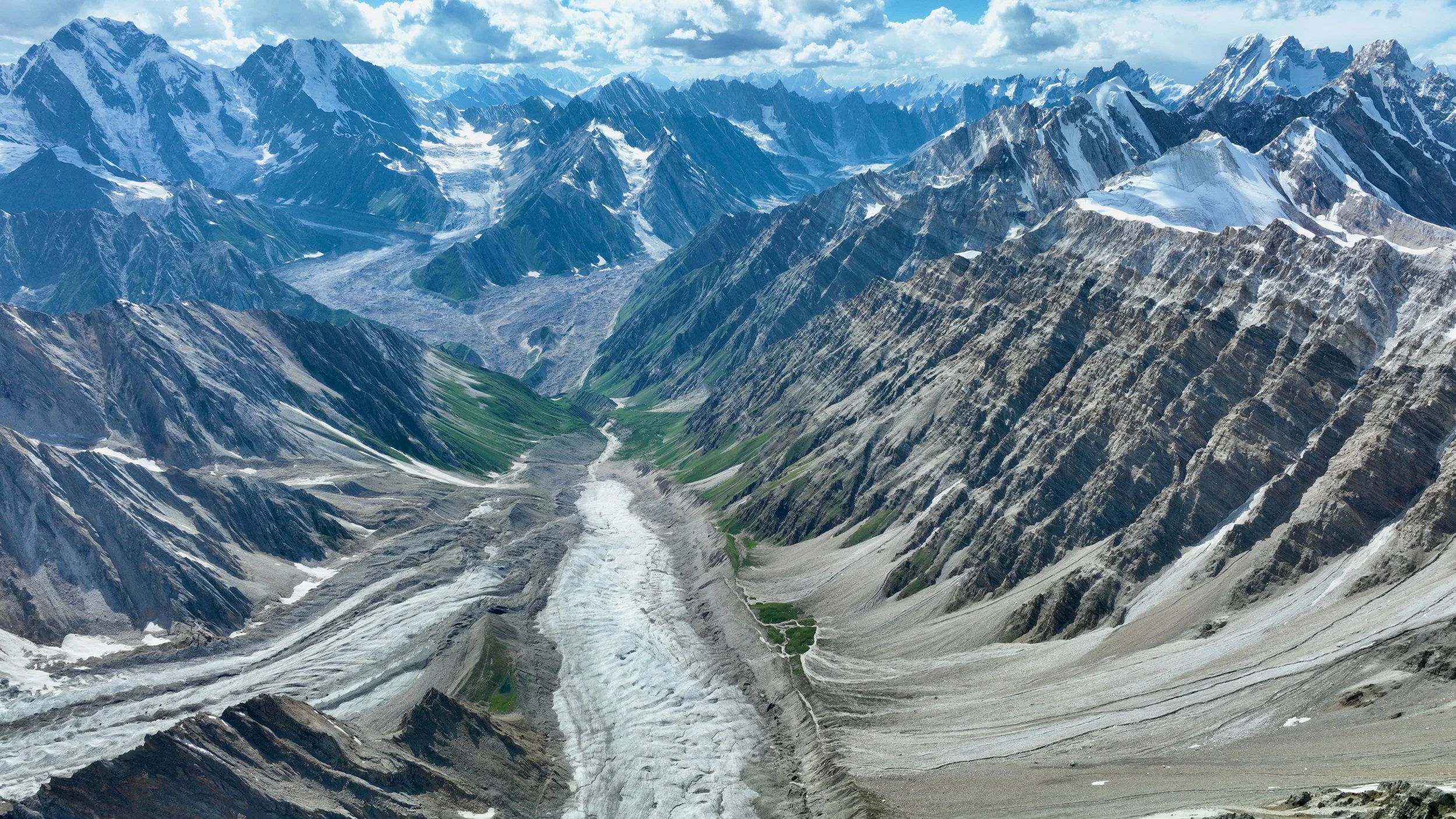
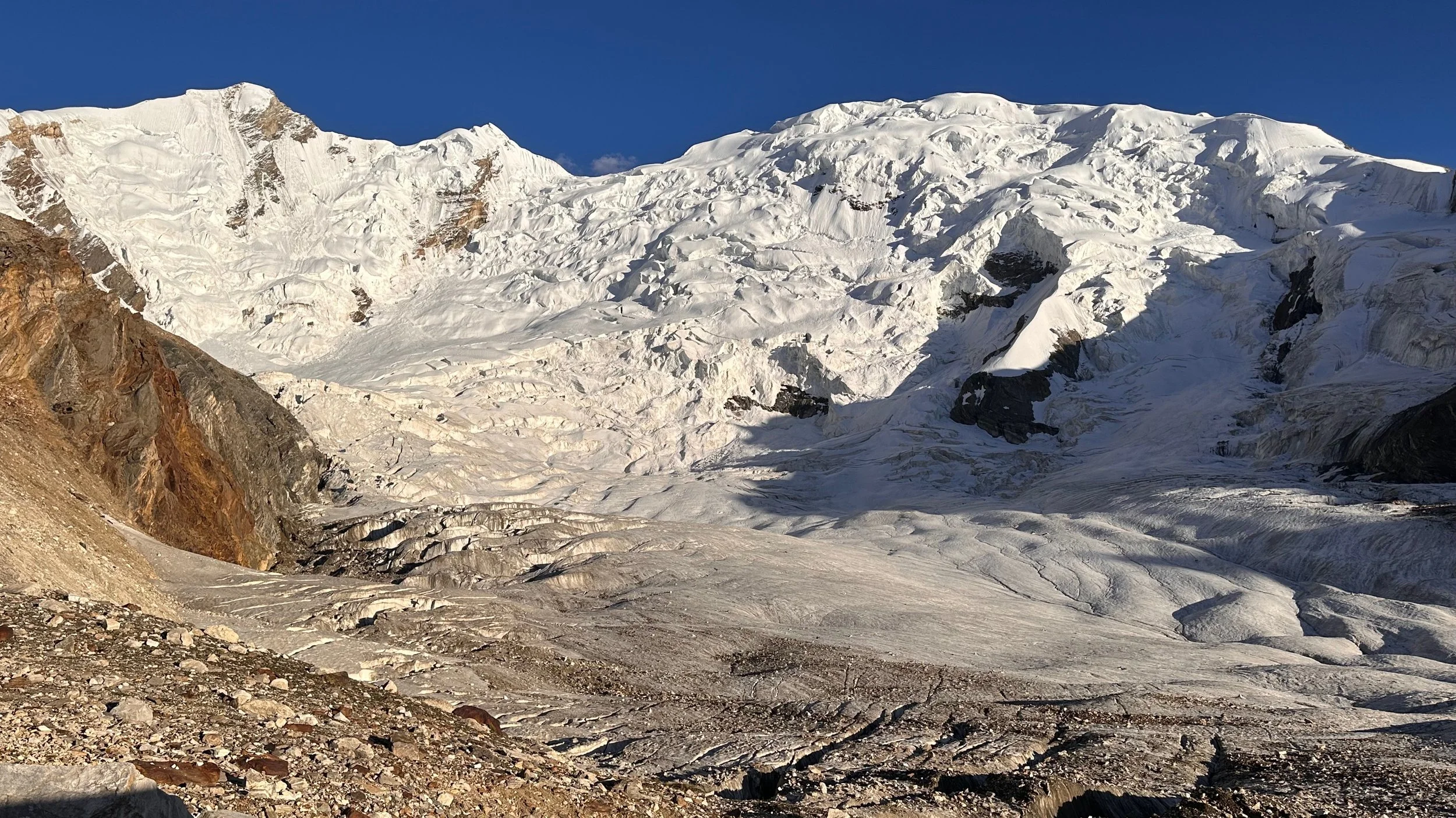
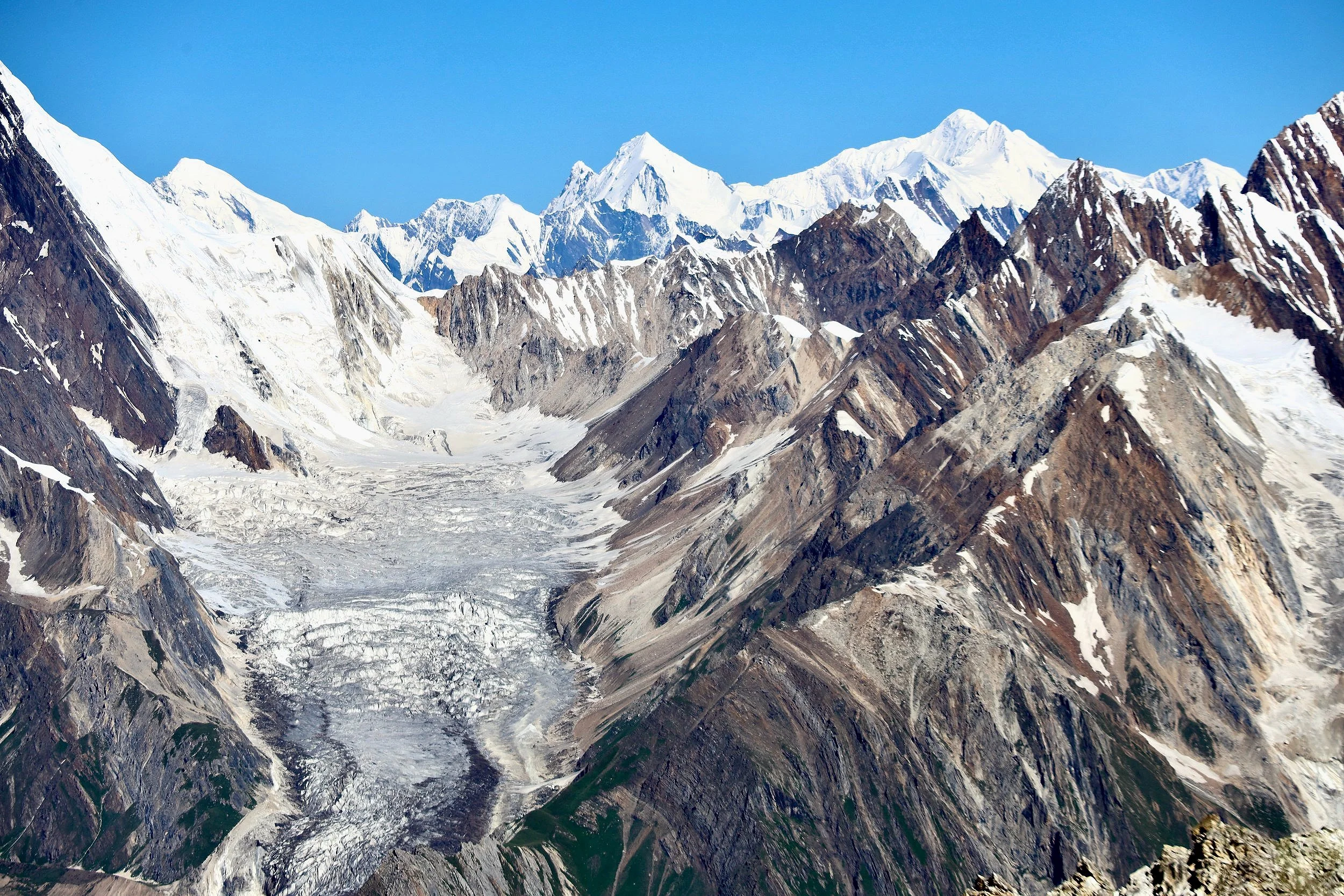
3.    2016 K2 BC North from China Shakskam Valley and K2 Glacier 278km, Aghil Pass 4,805m

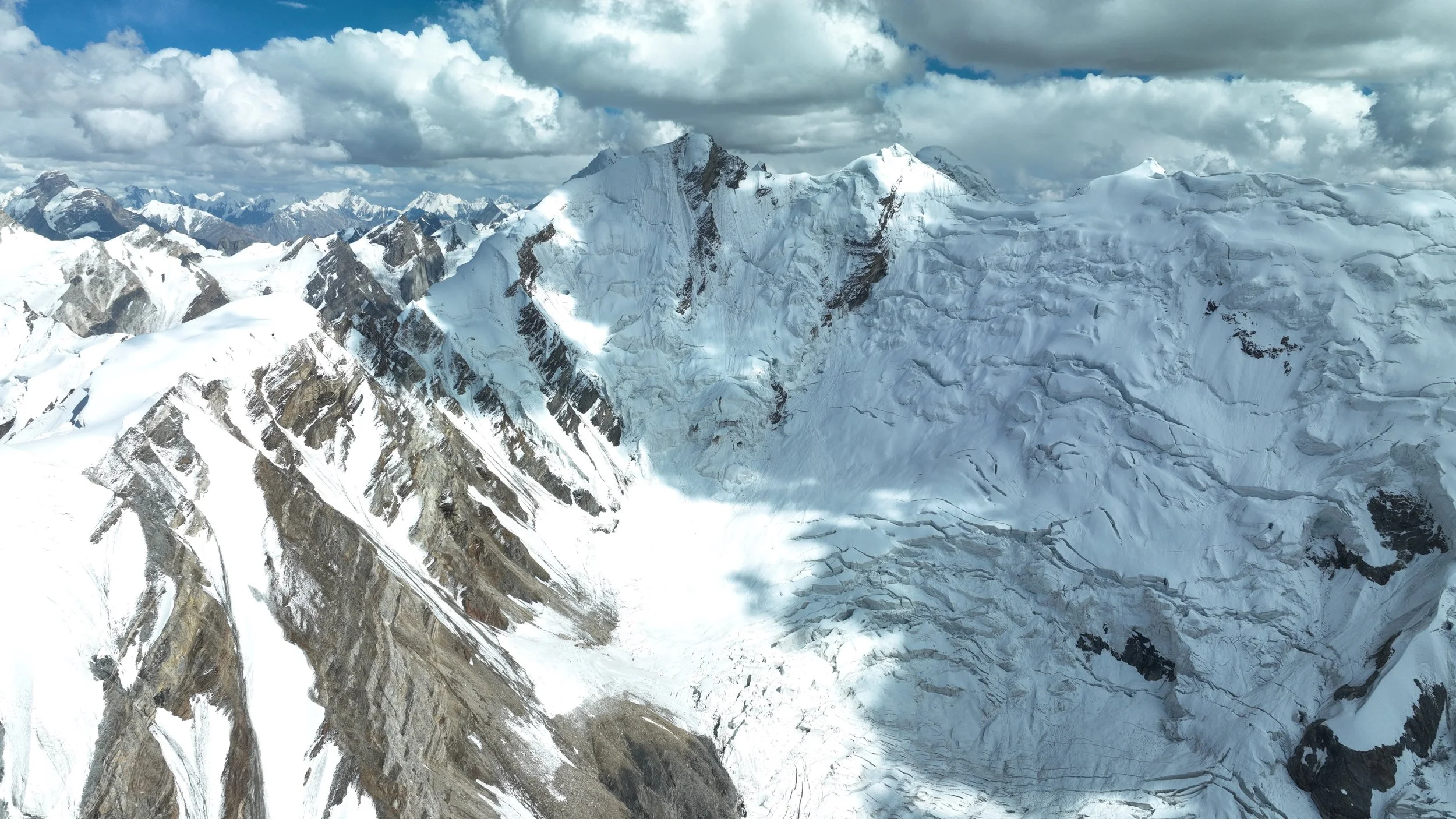
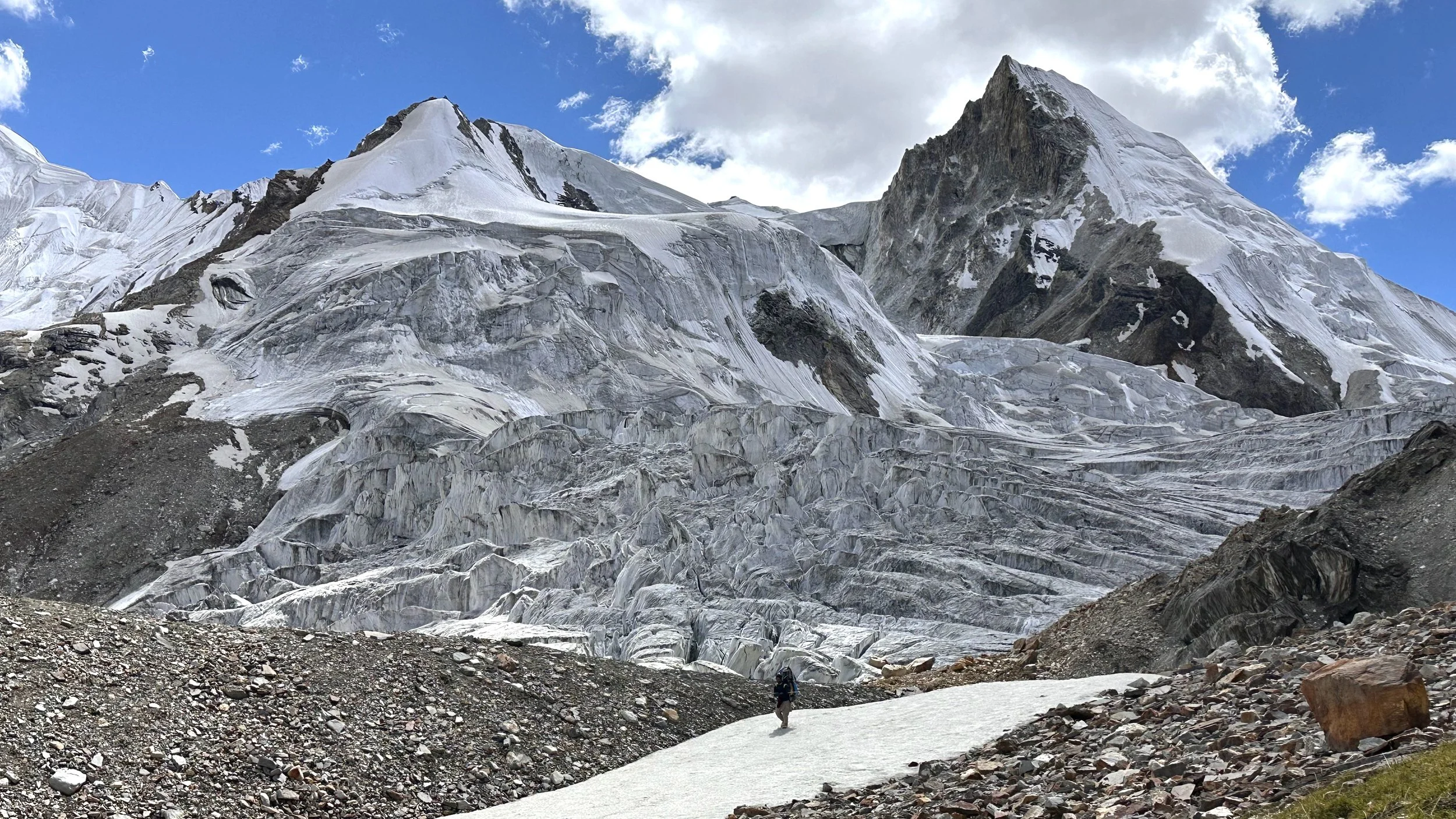
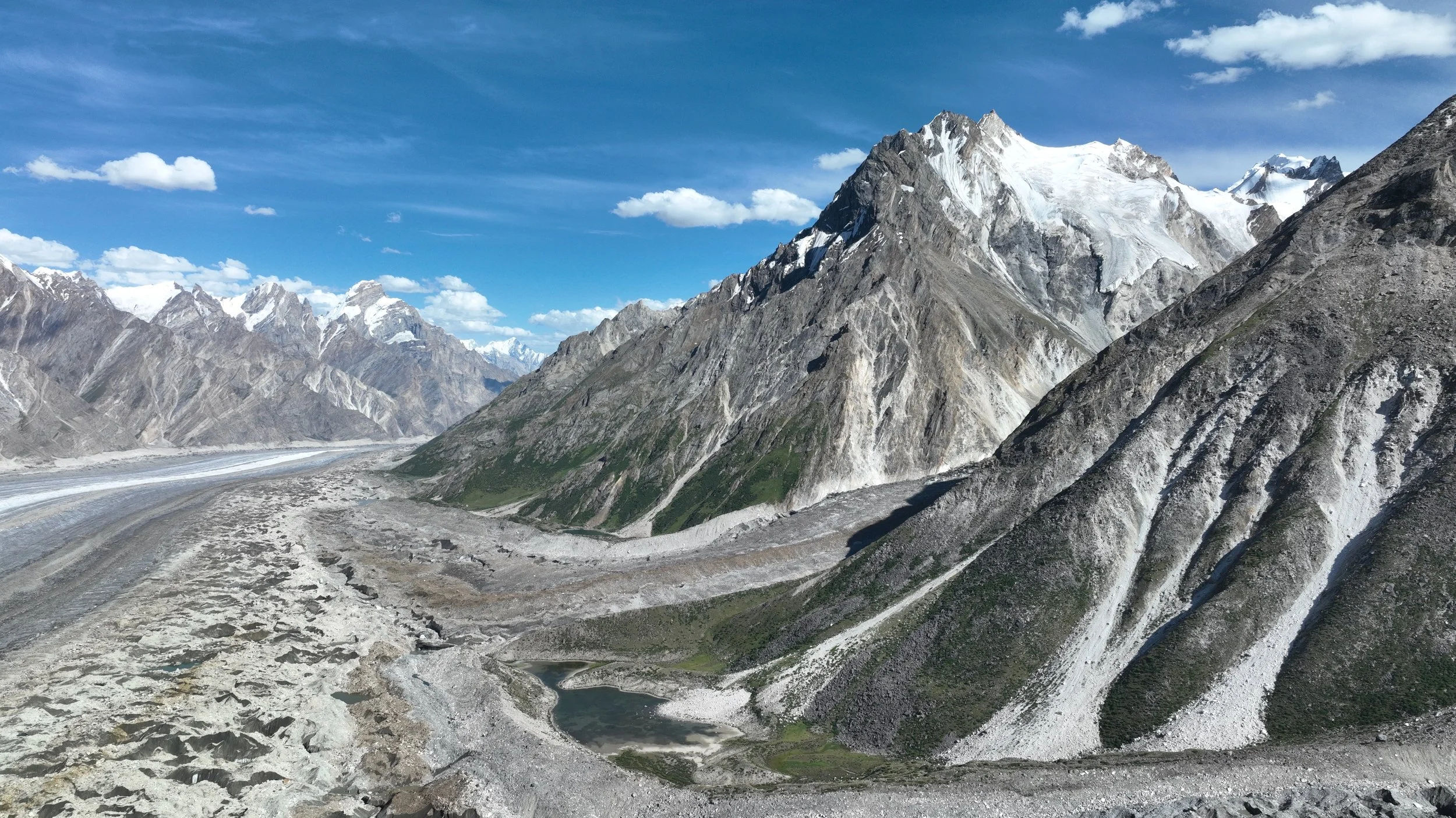
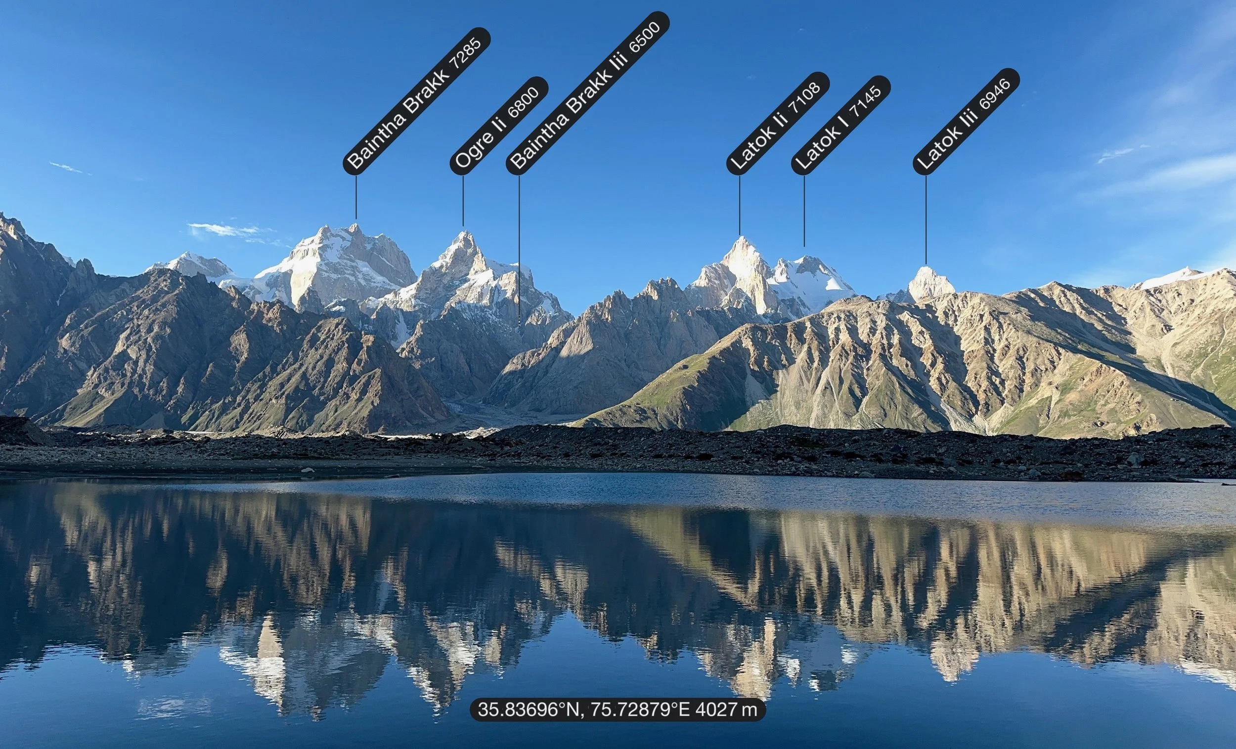
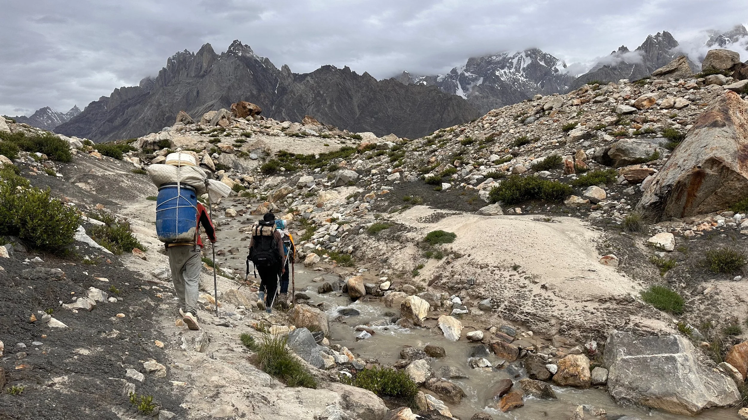
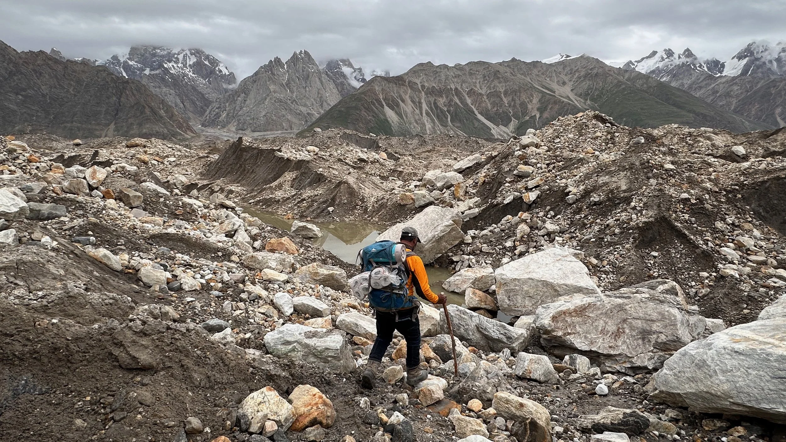
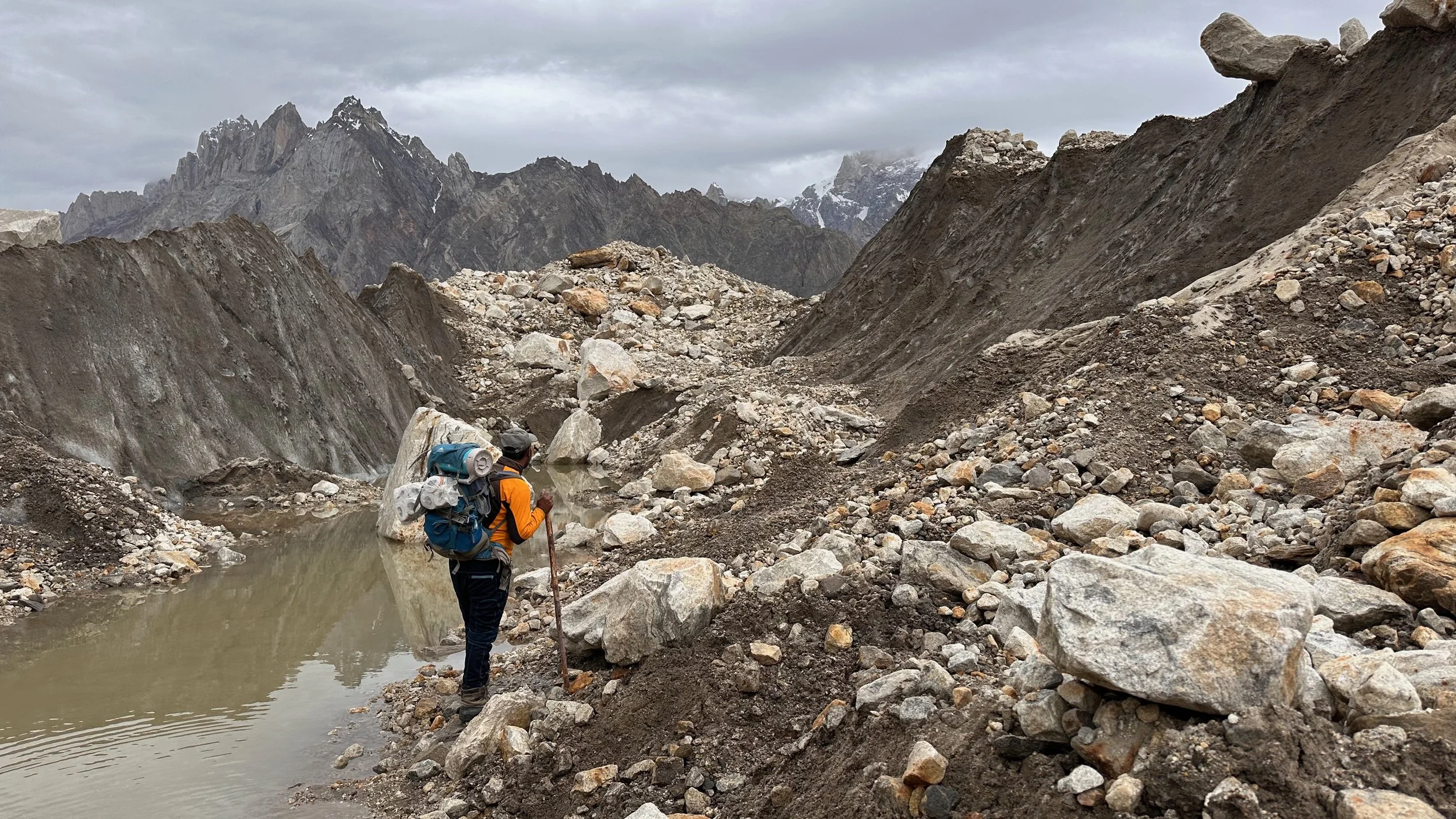
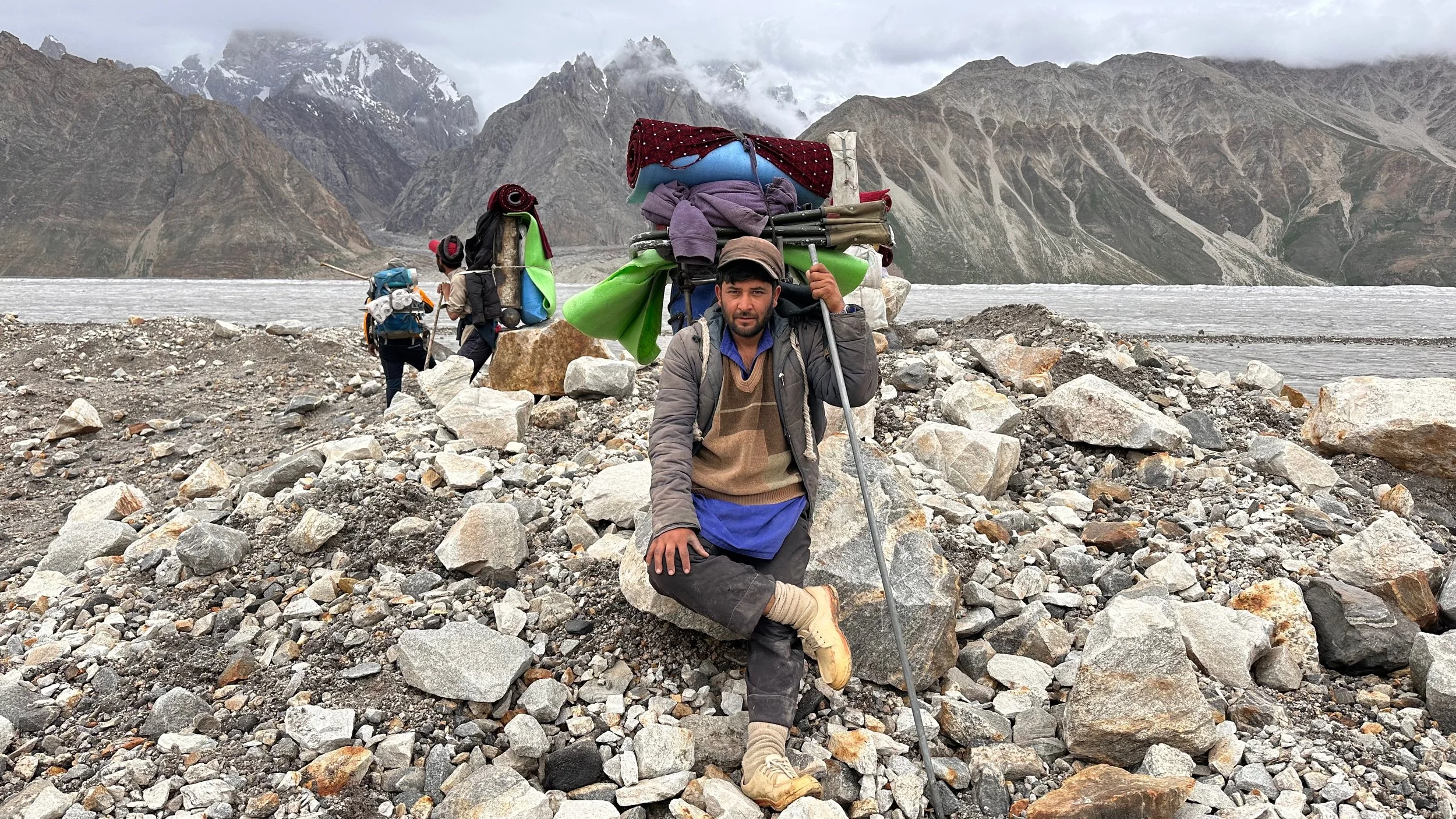
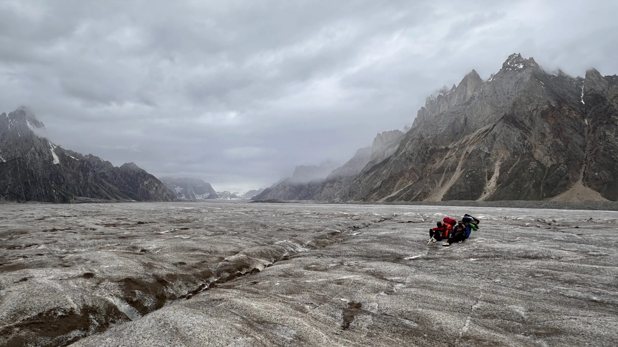
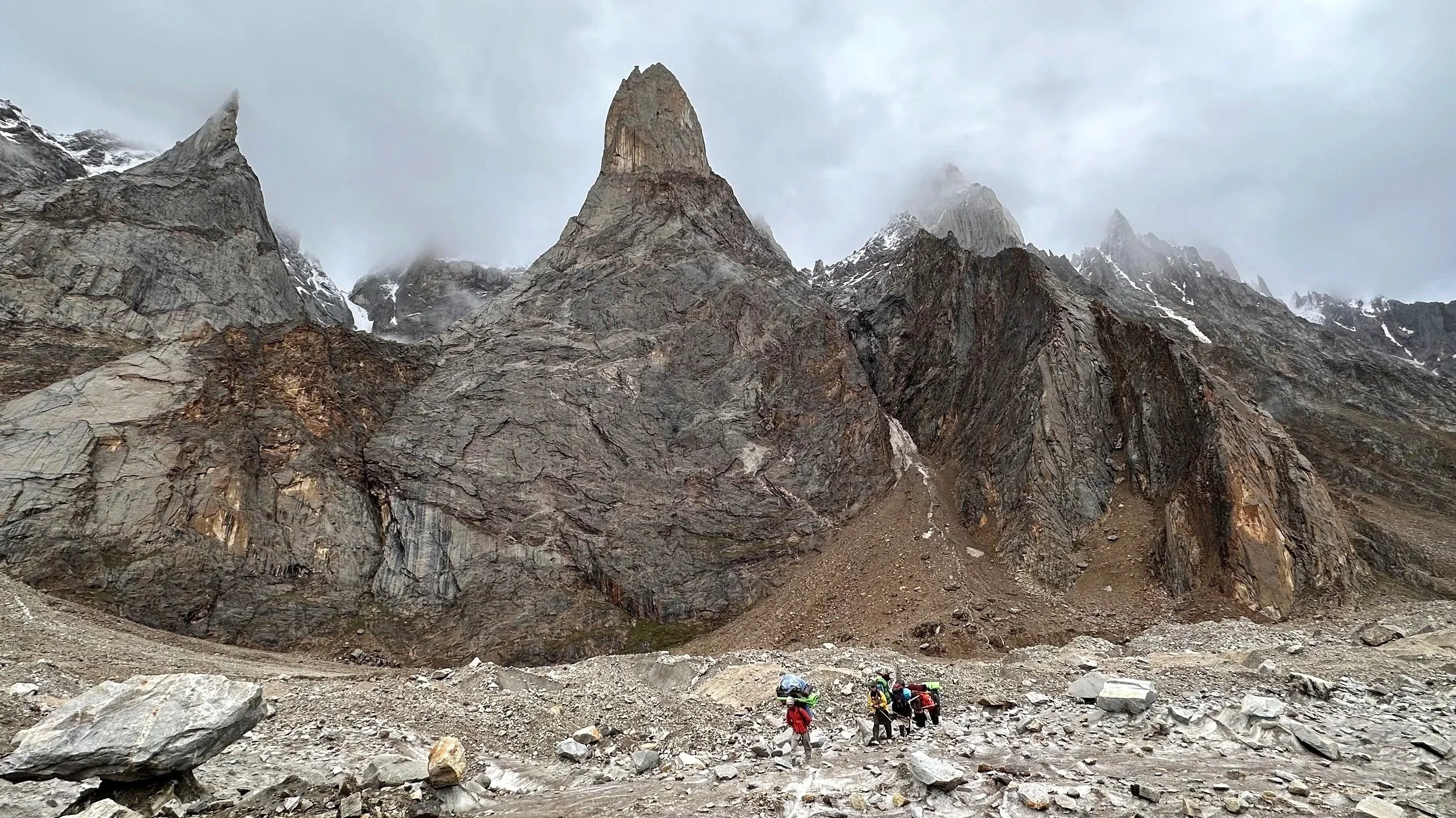
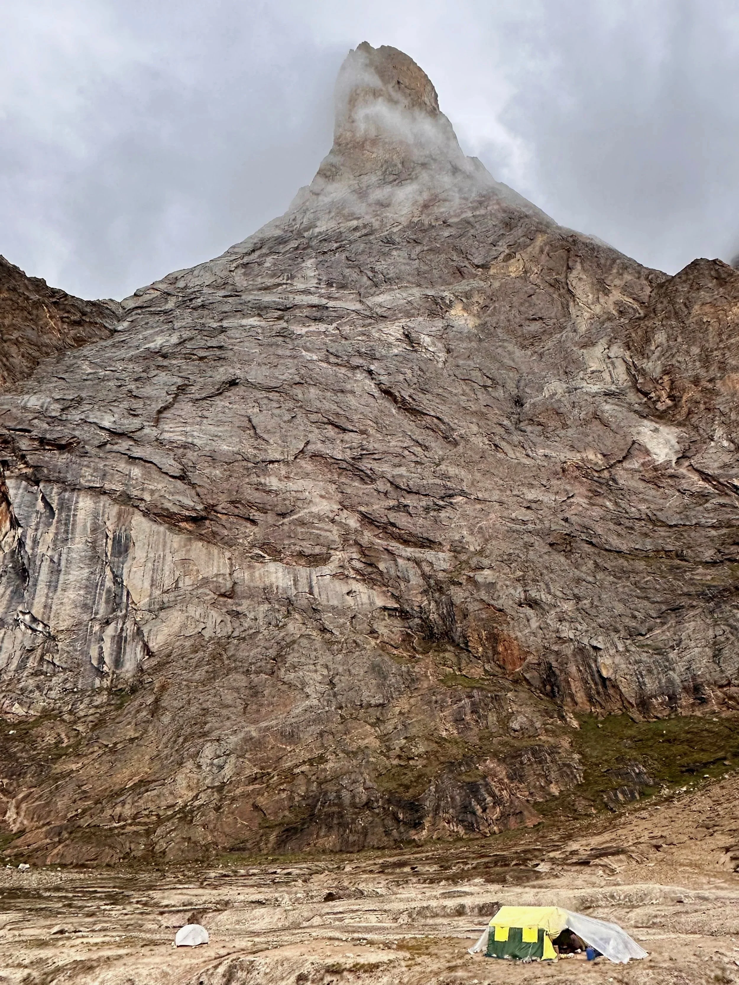
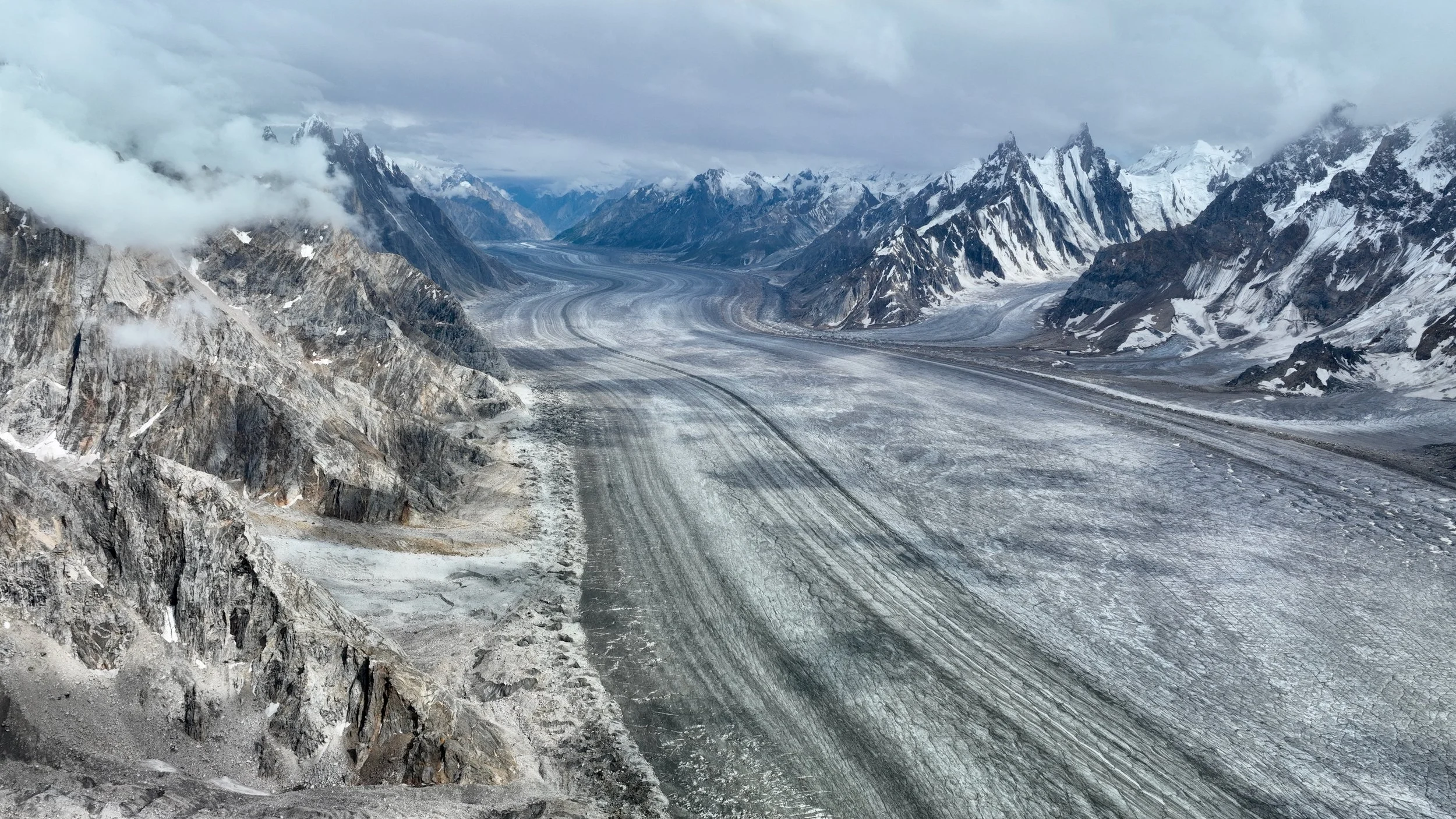
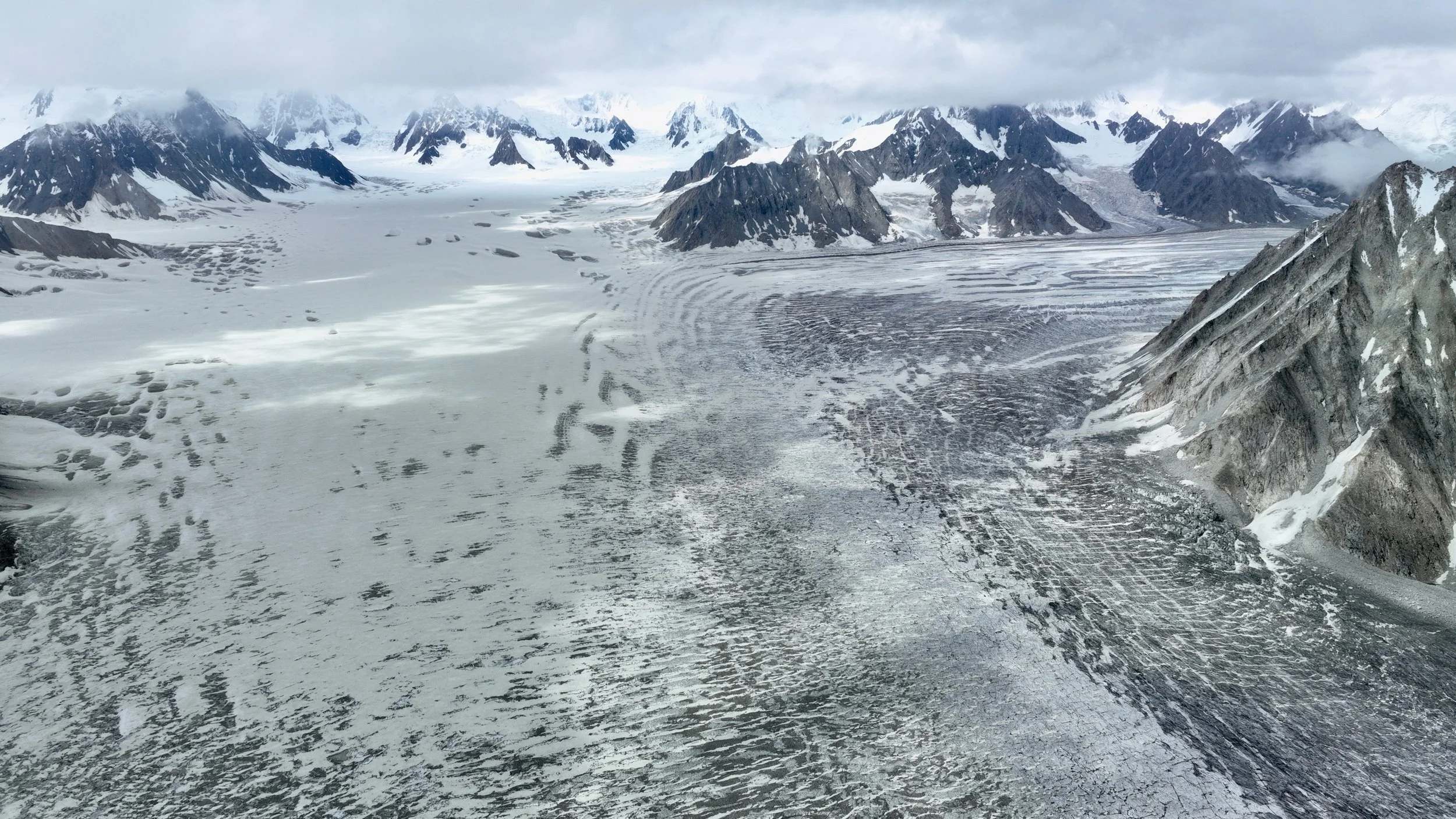
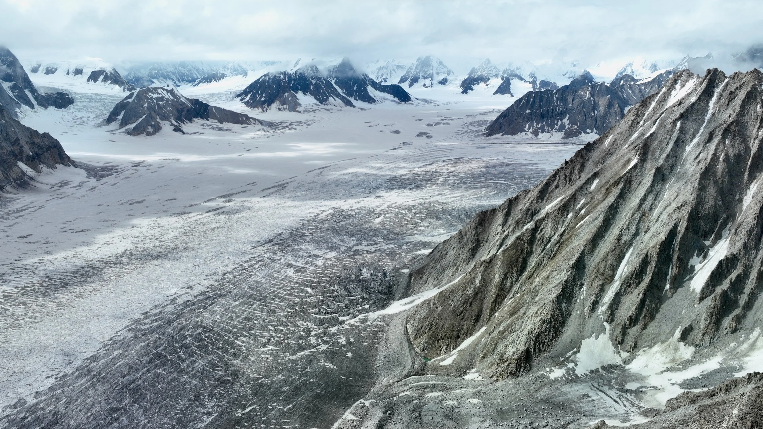
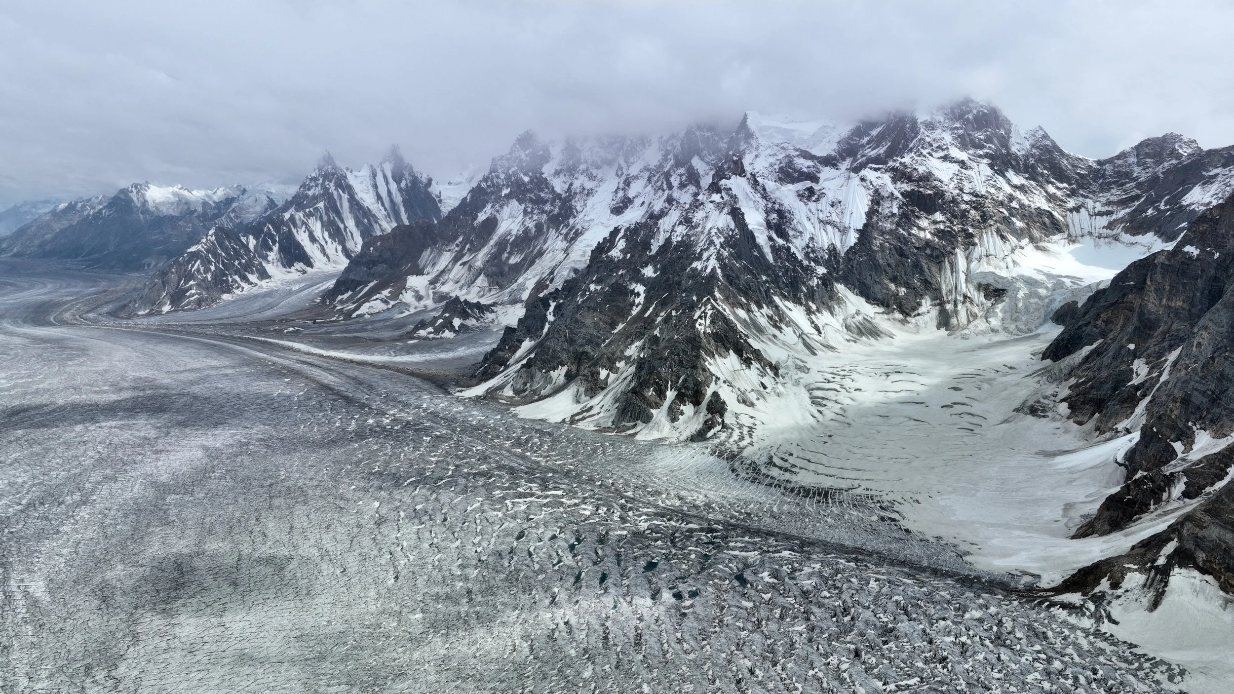
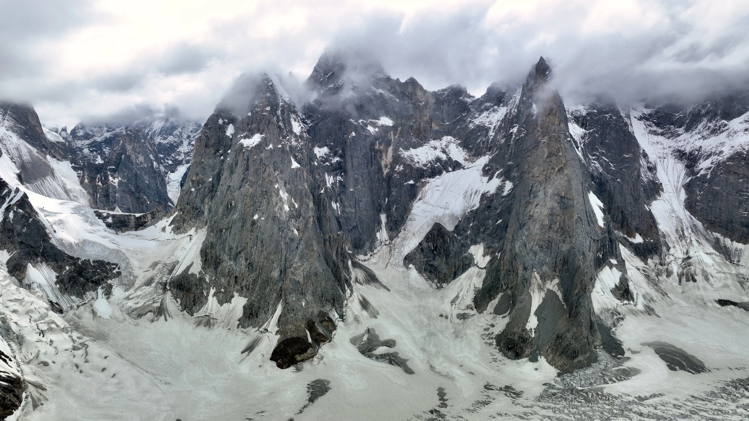
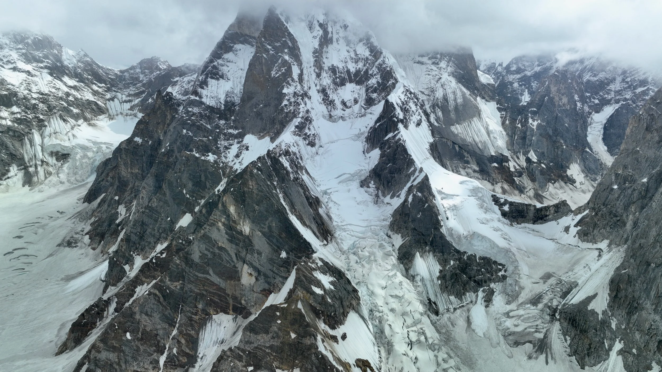
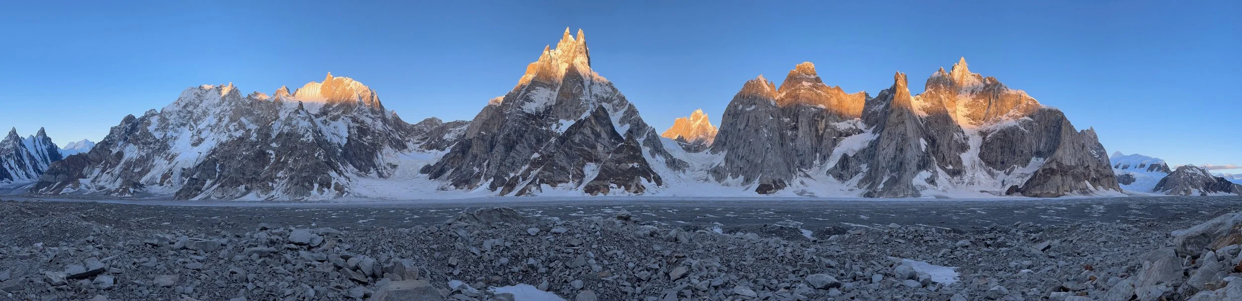
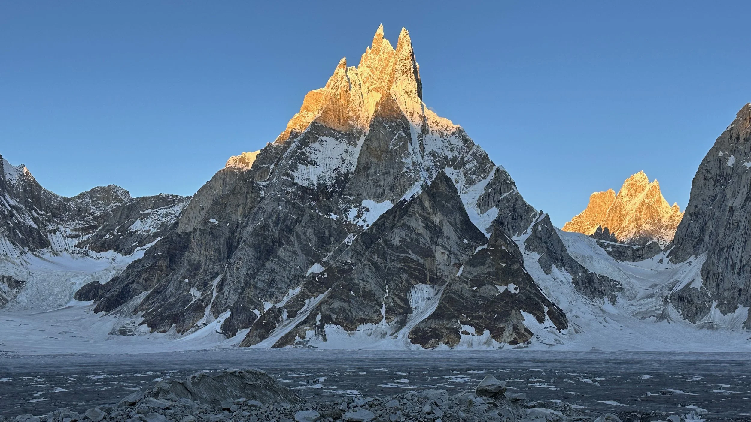
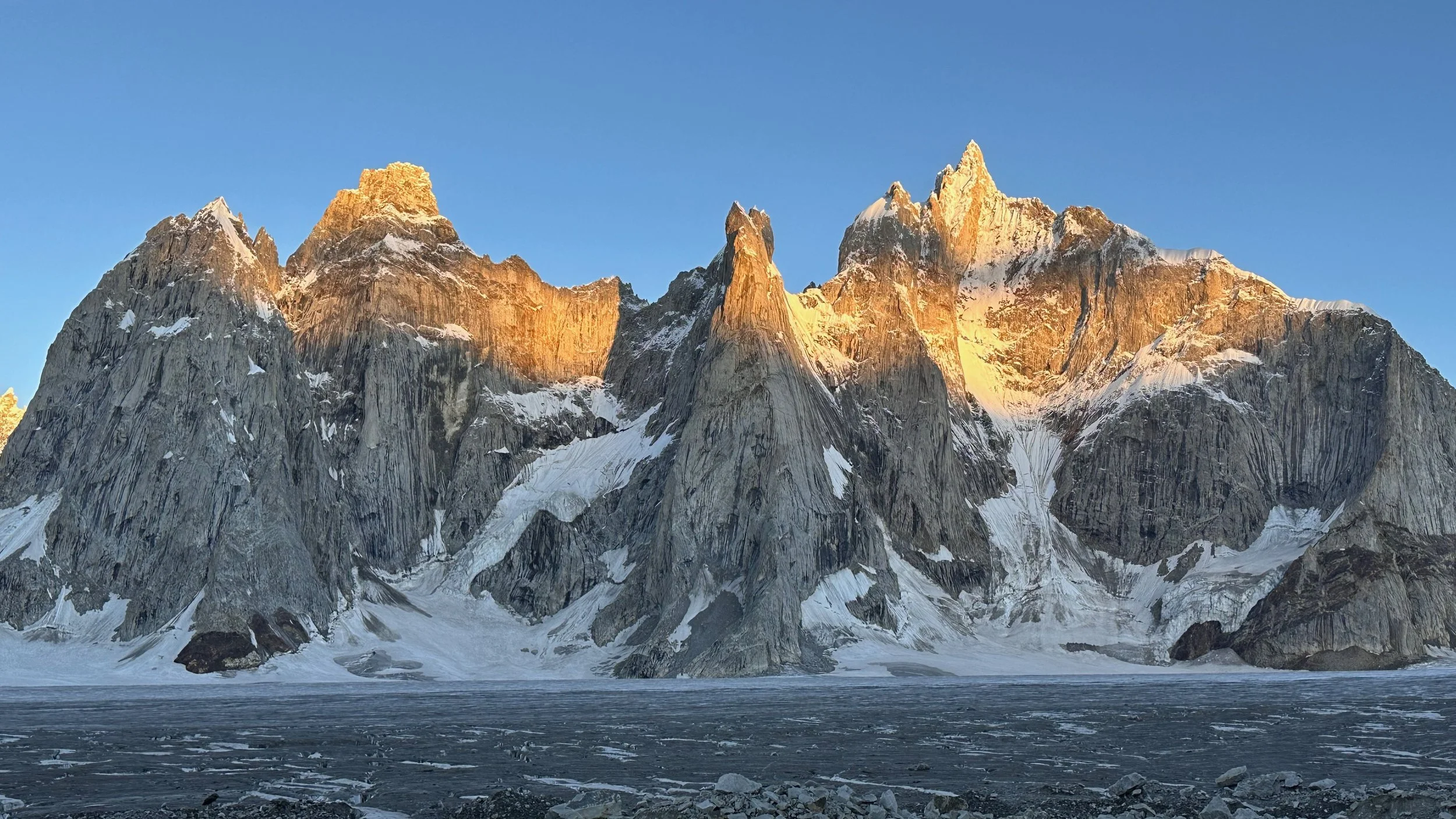
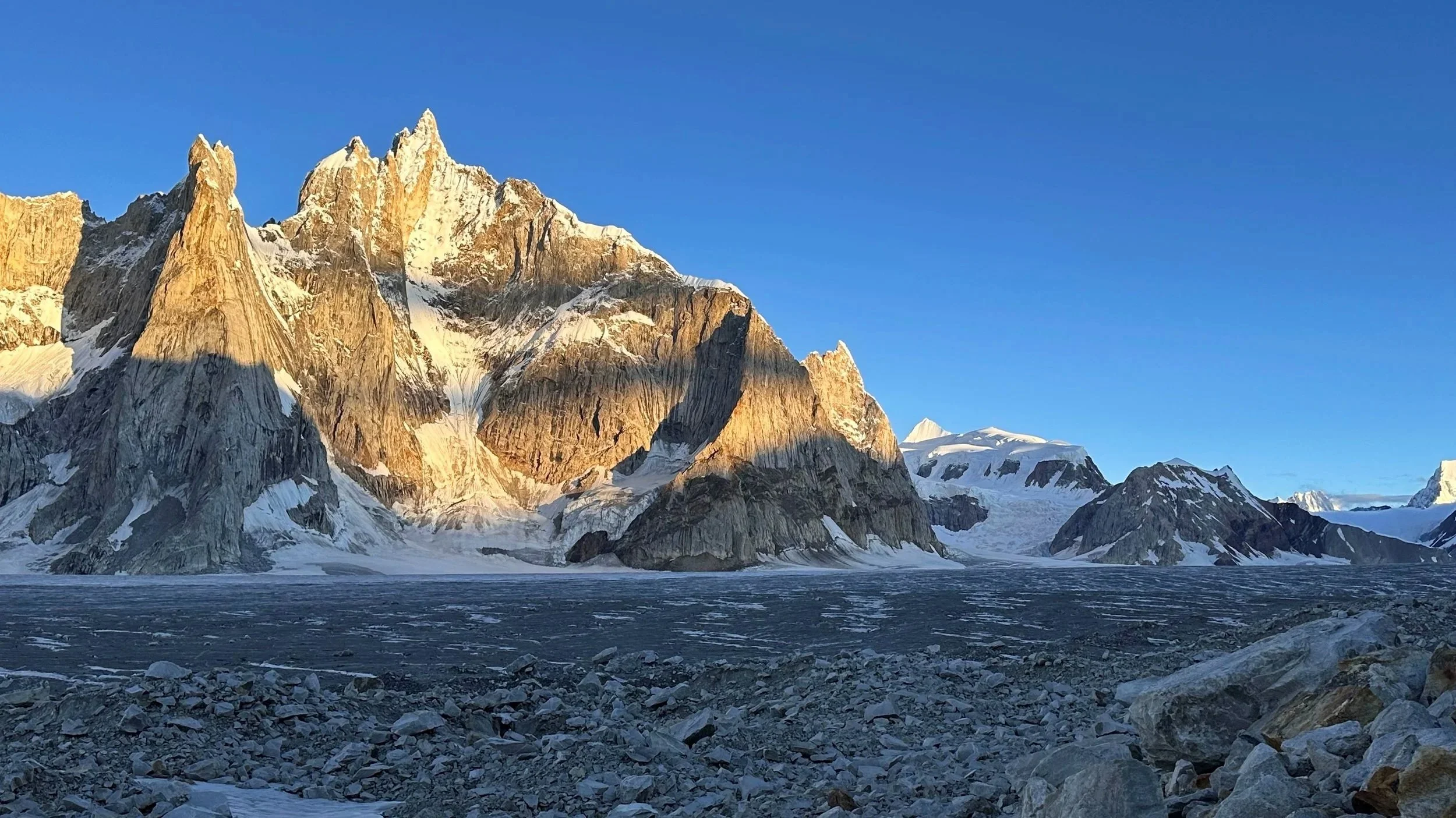
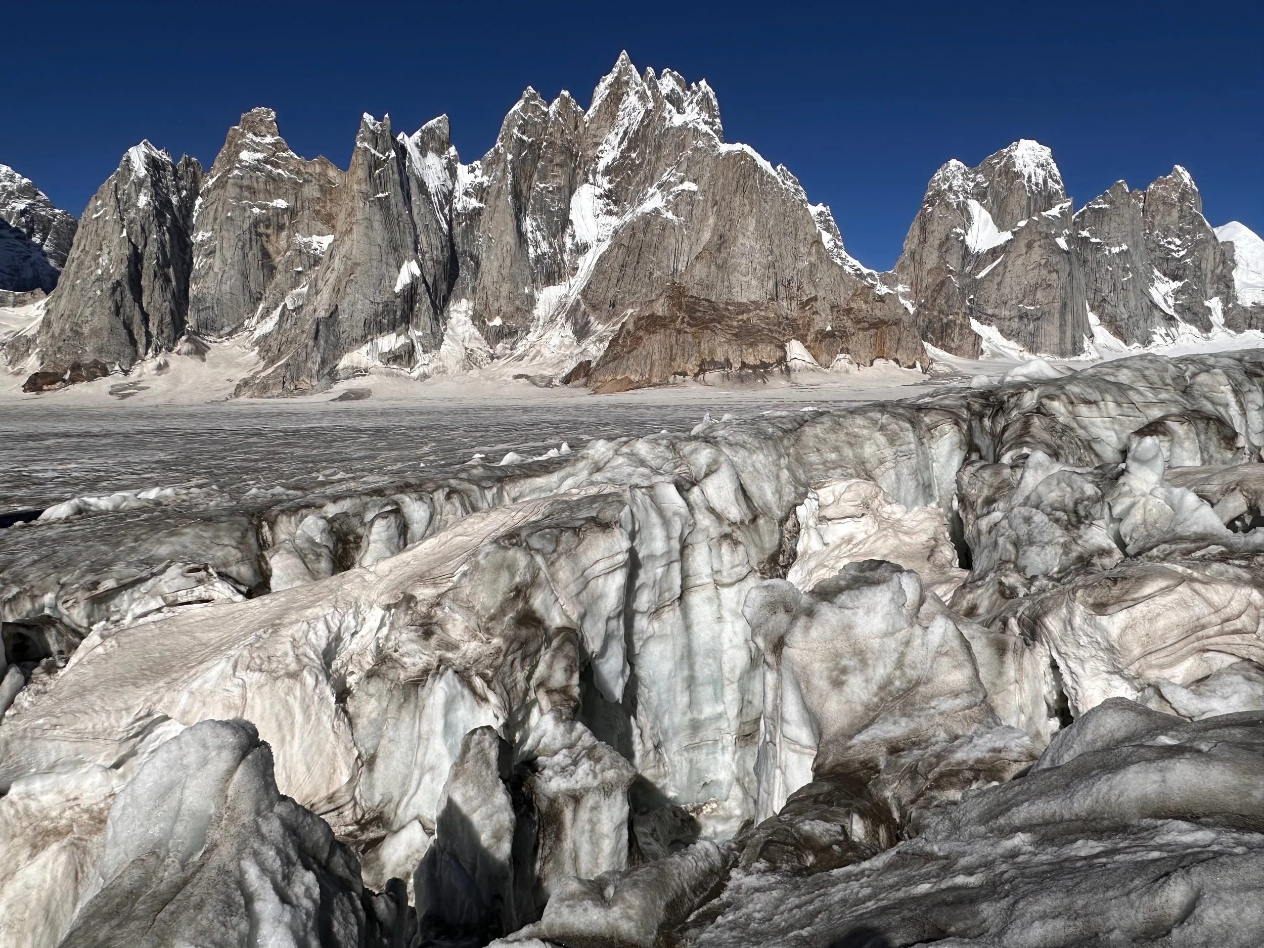
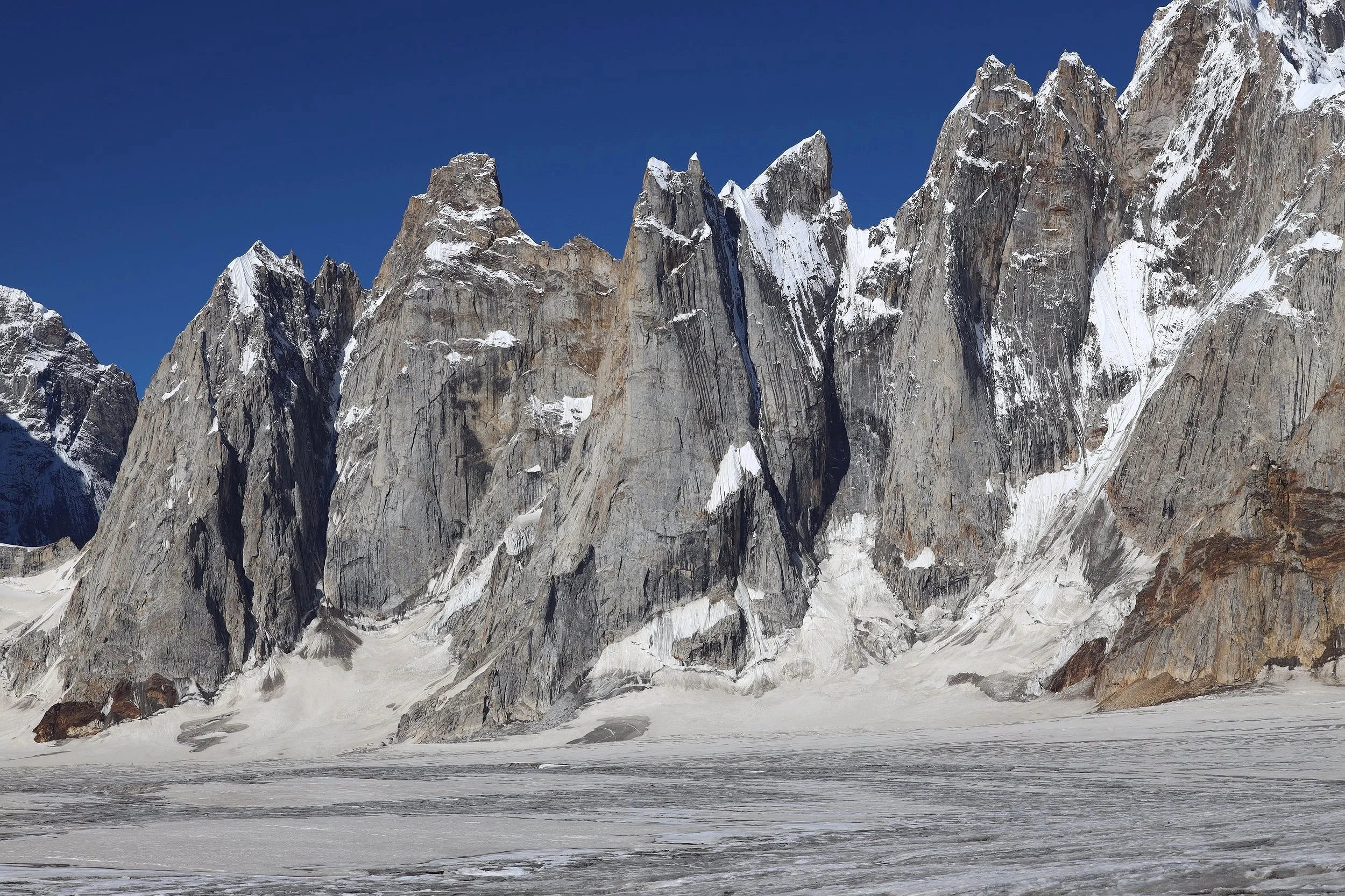
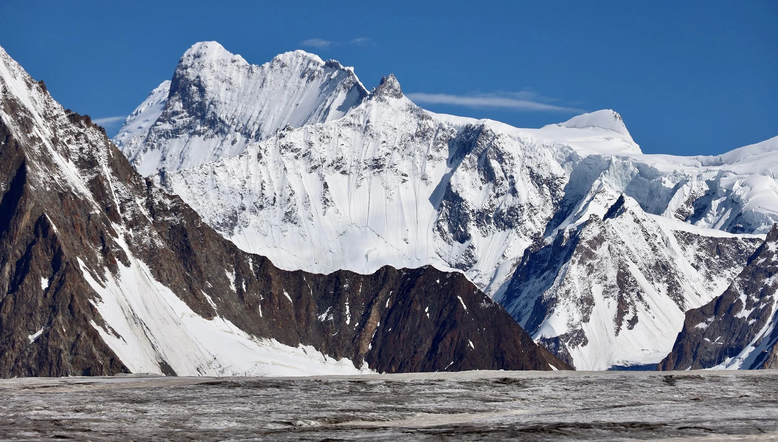
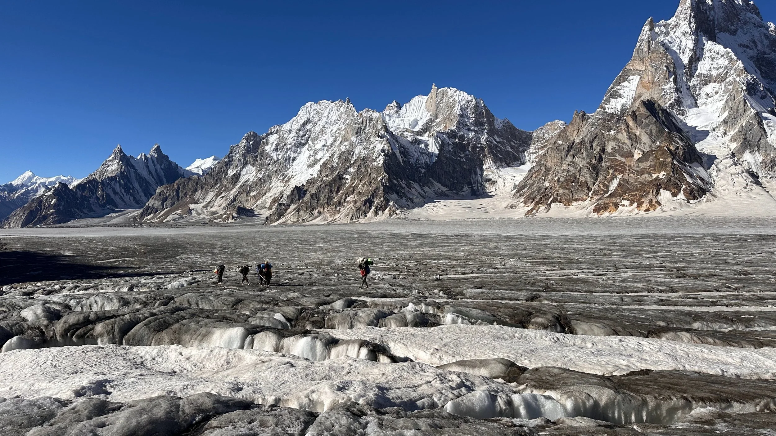
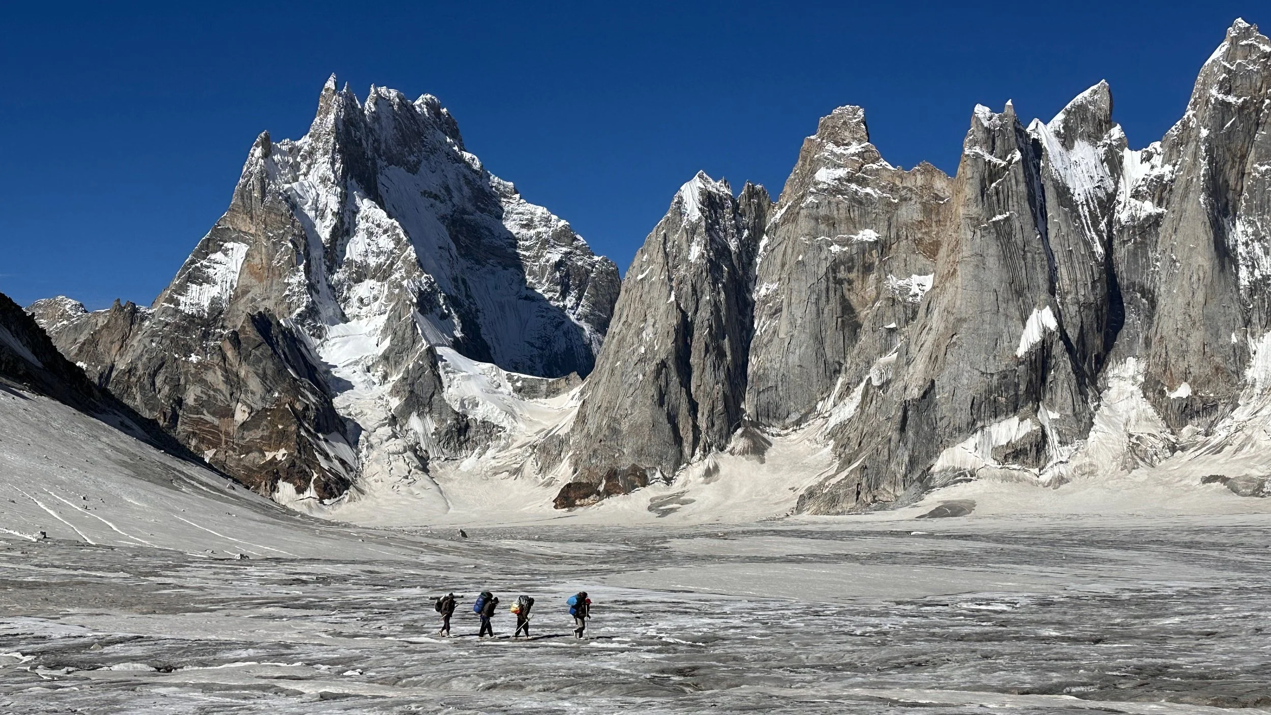
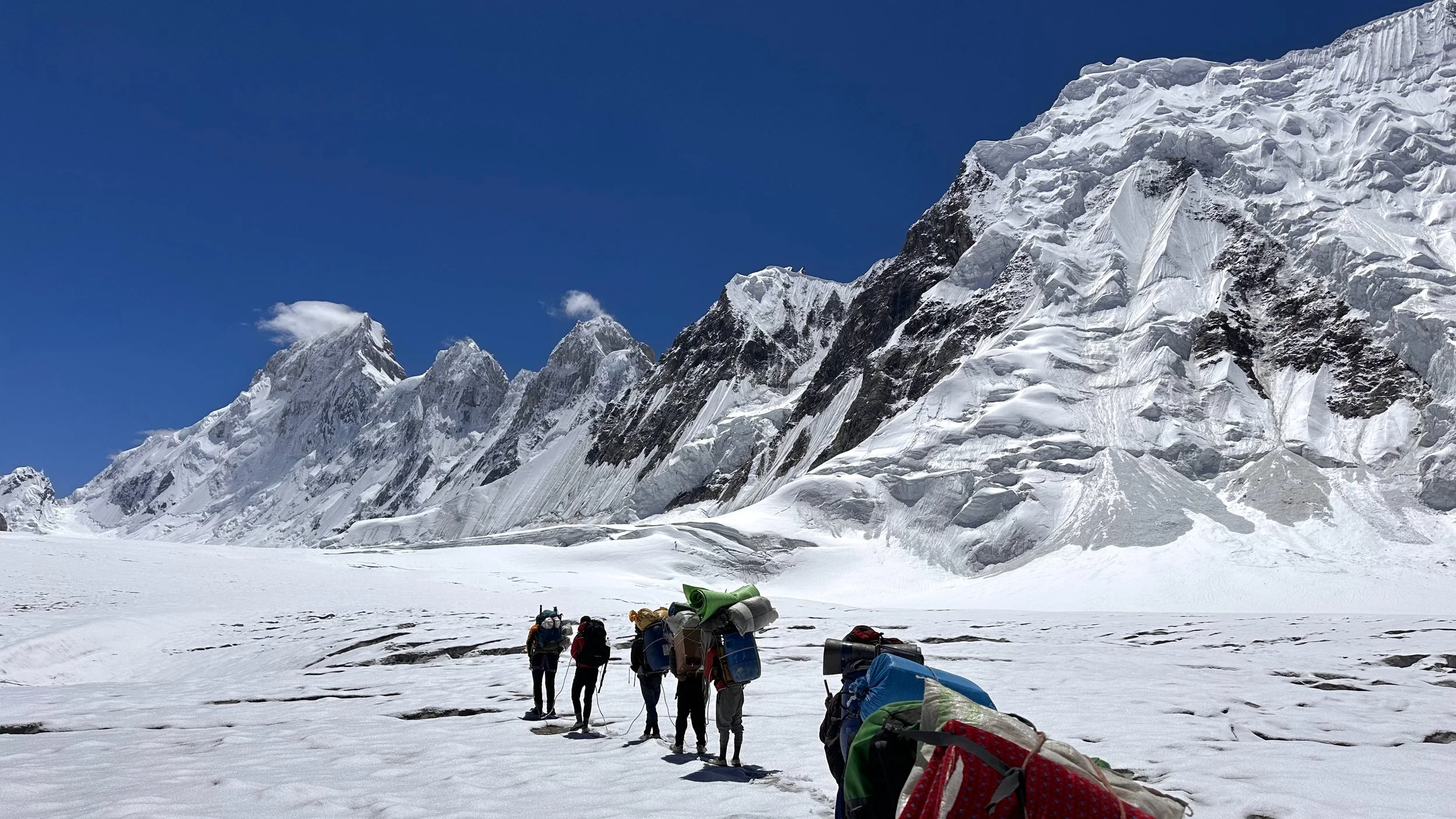
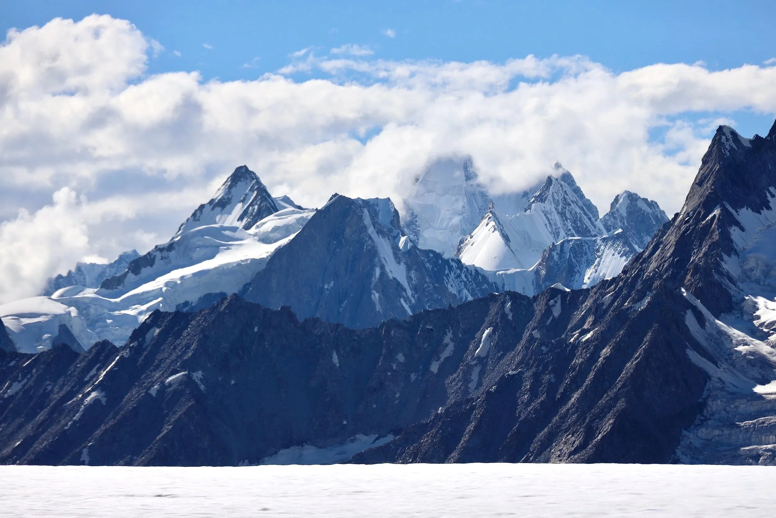
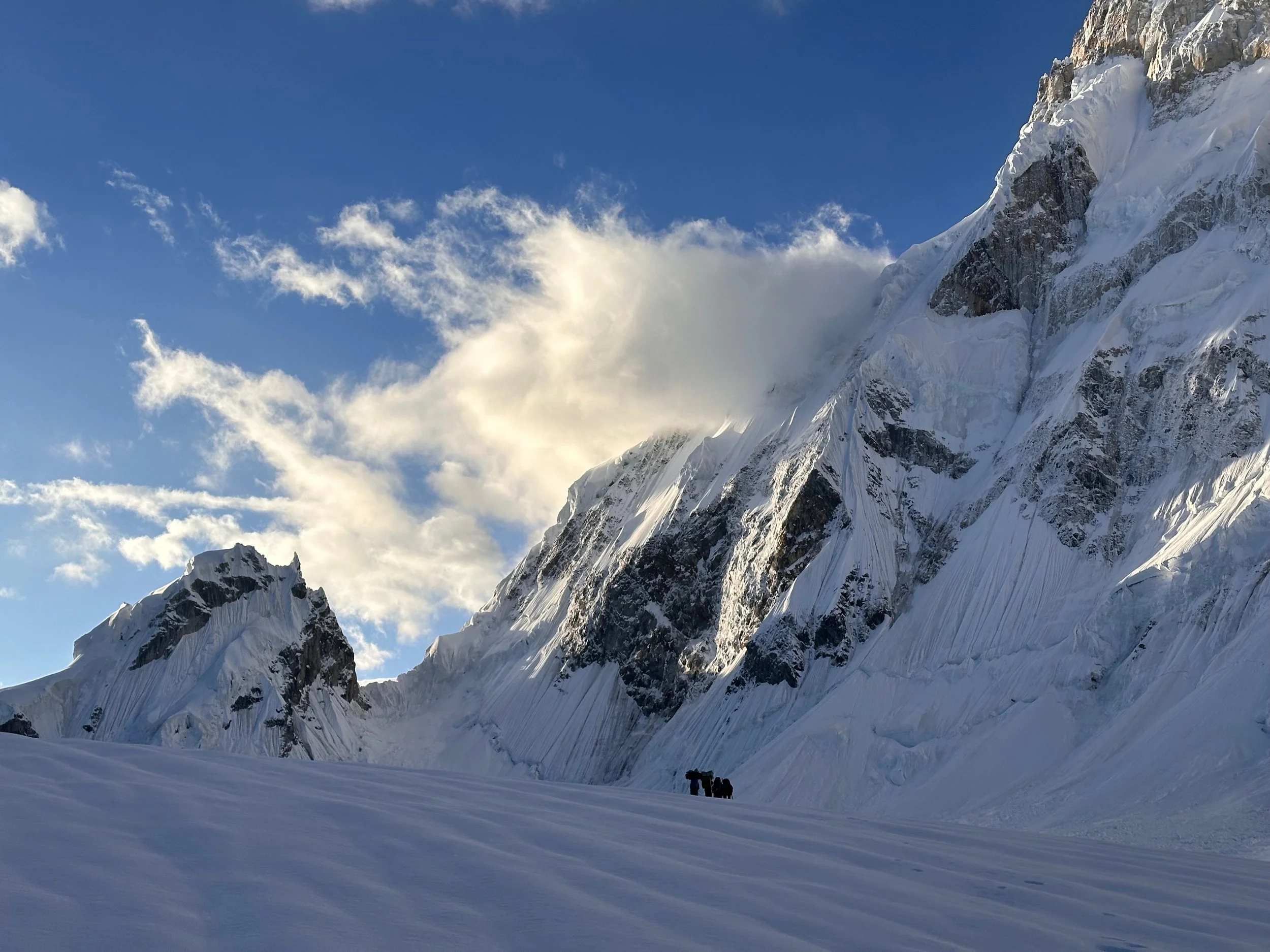
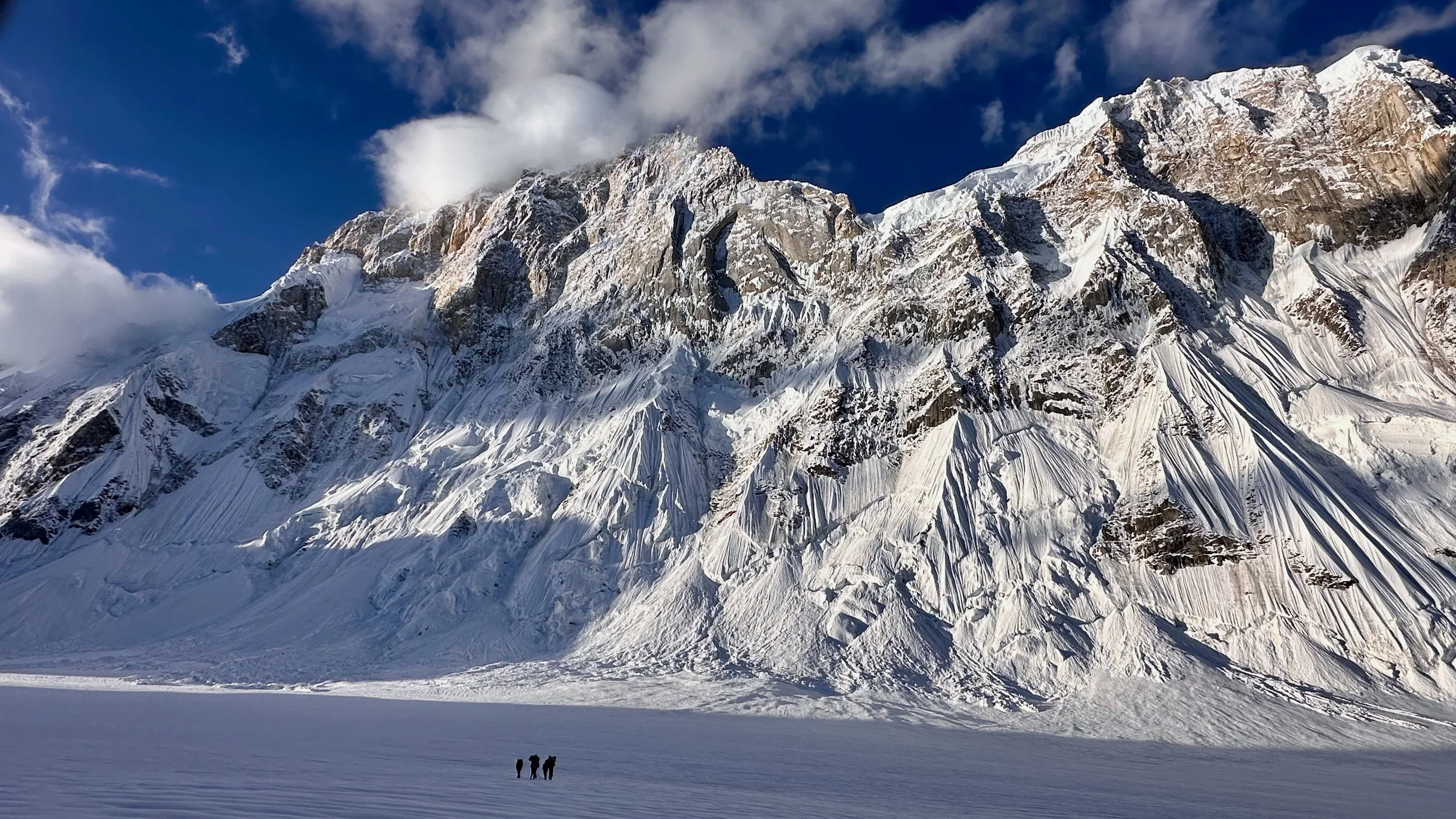
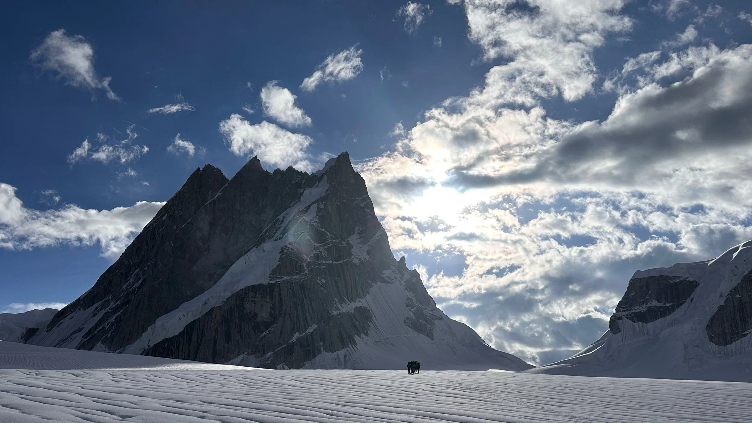
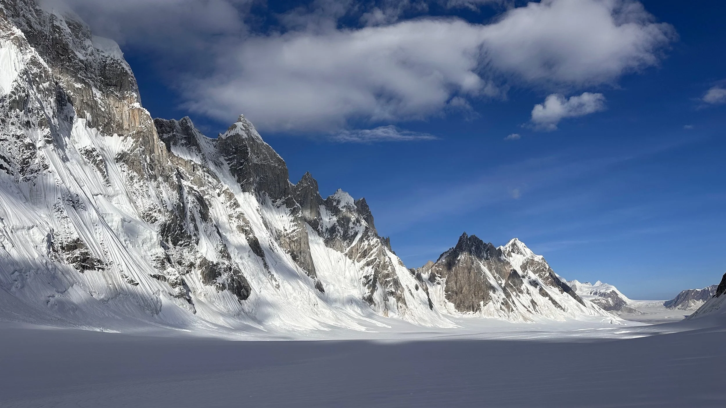
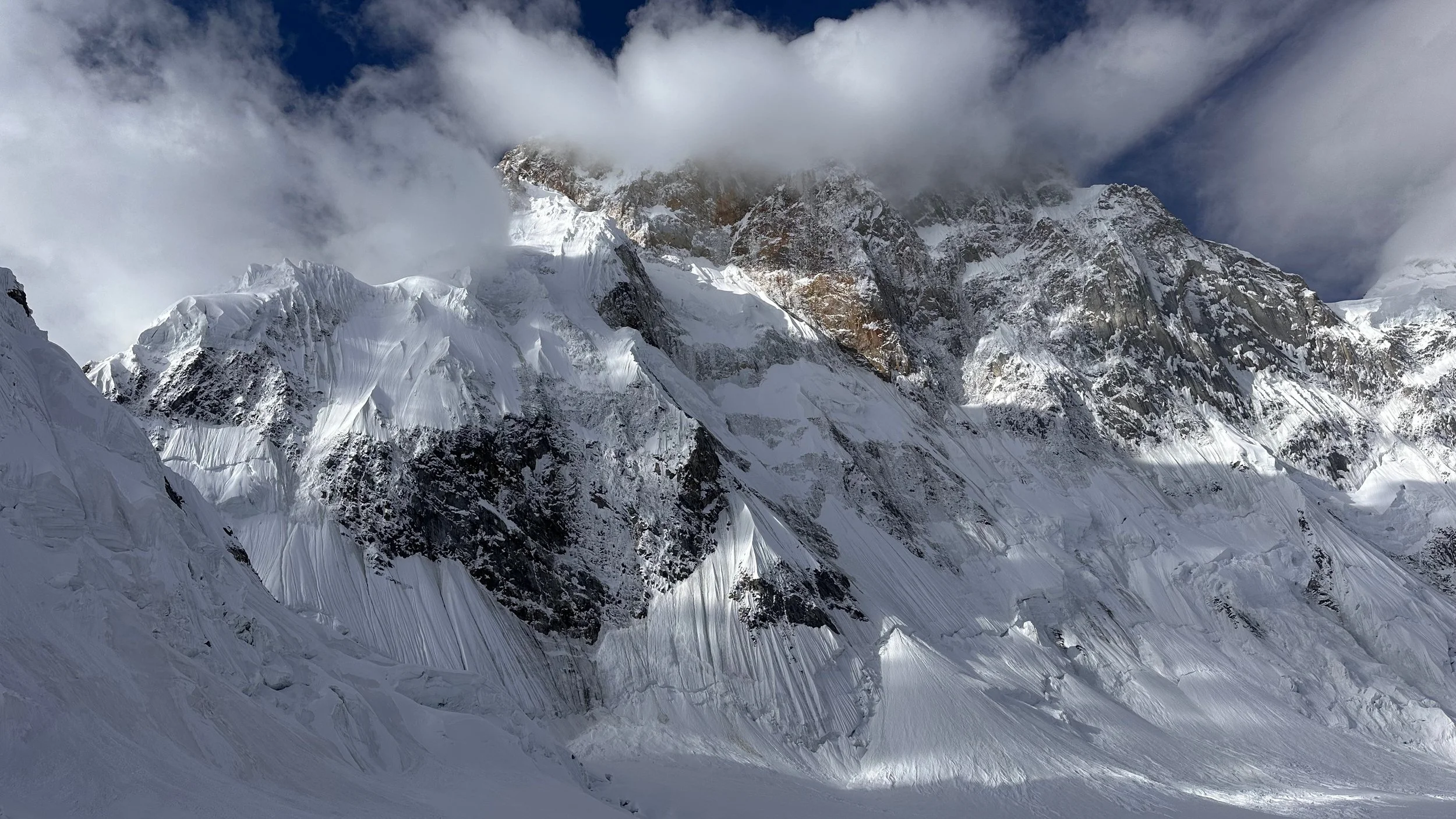
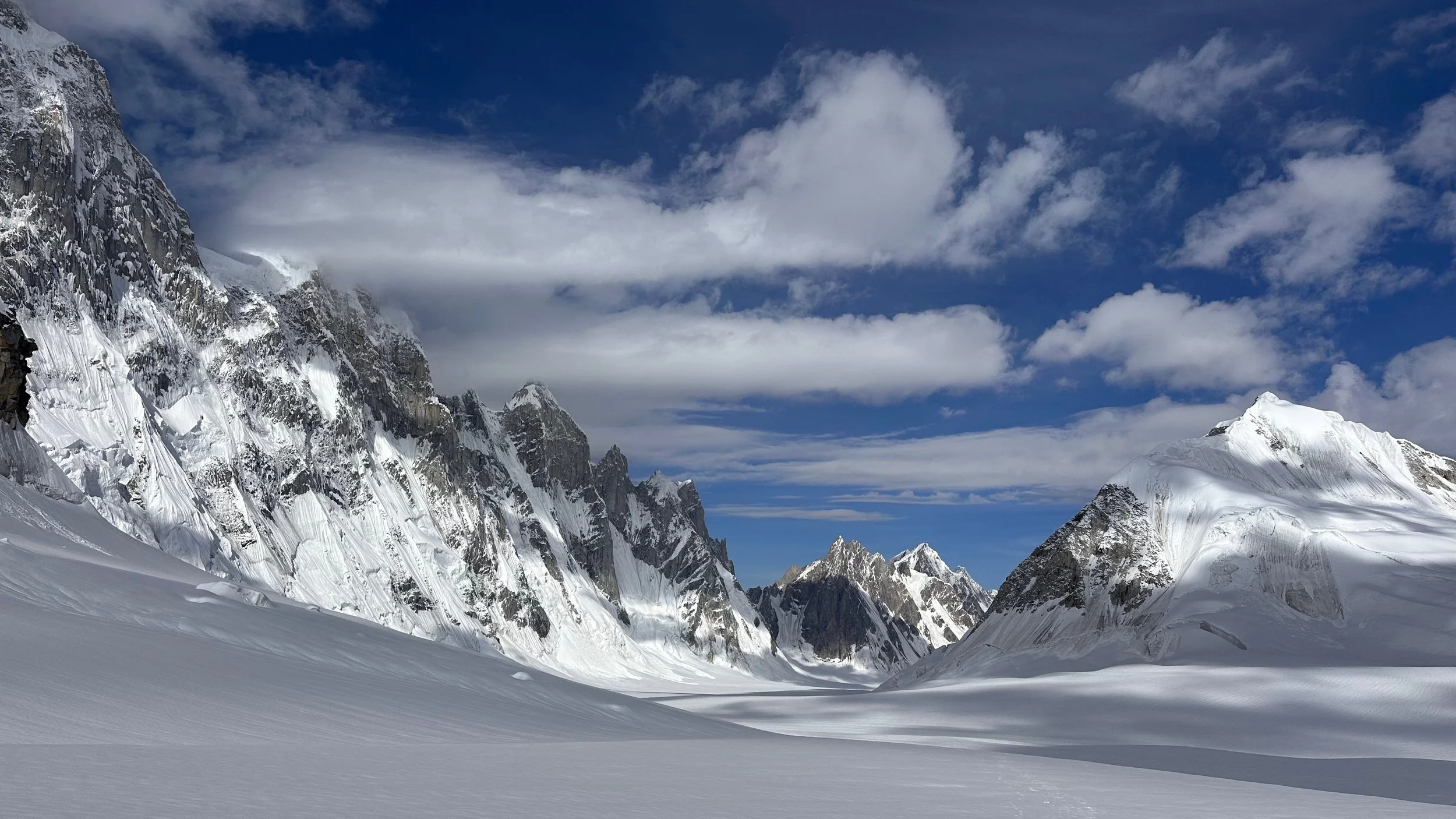
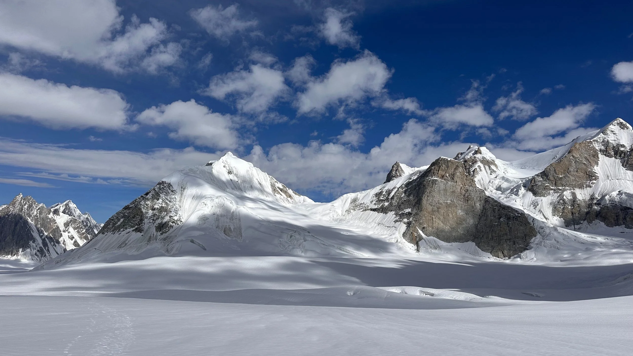
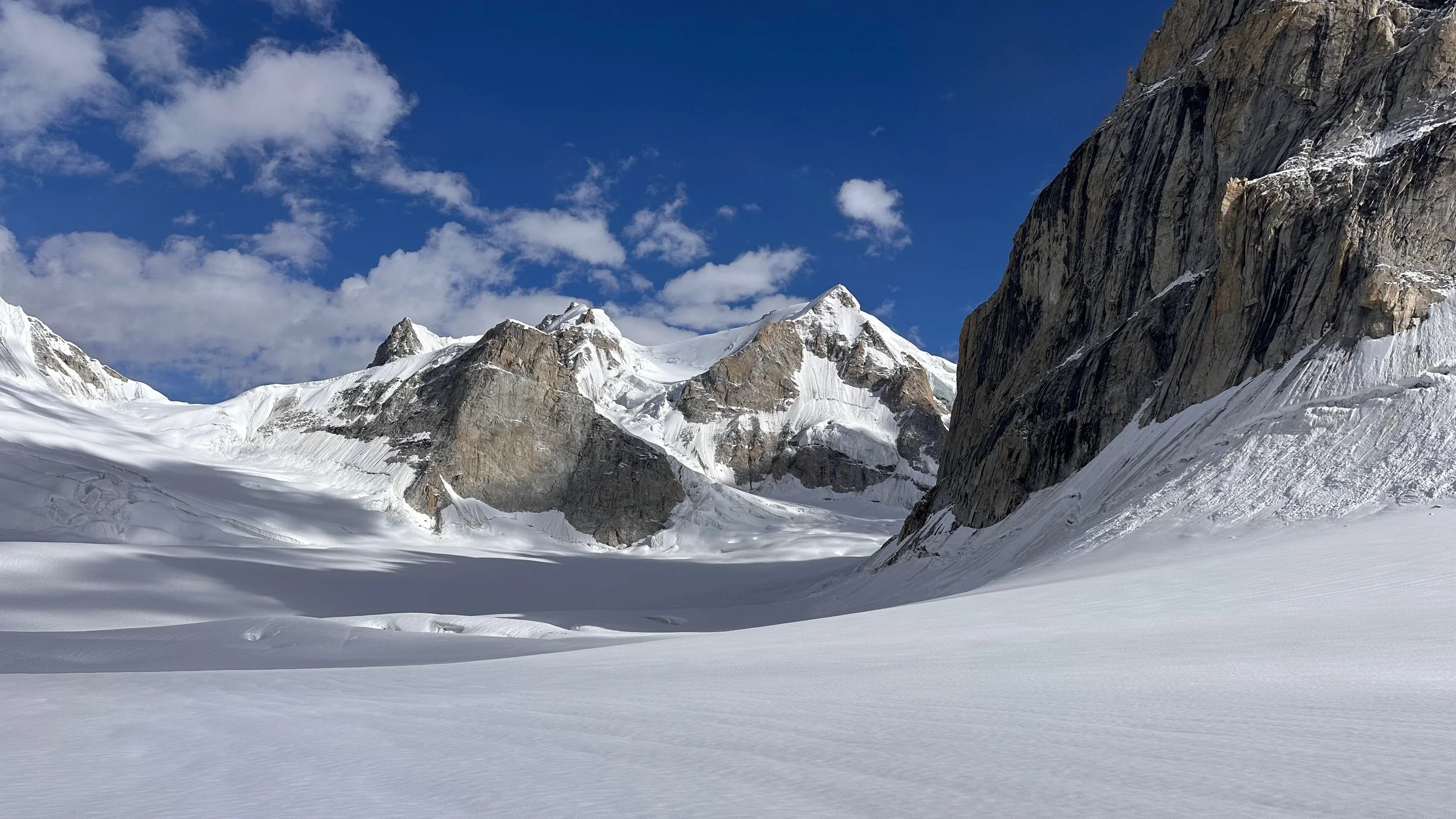
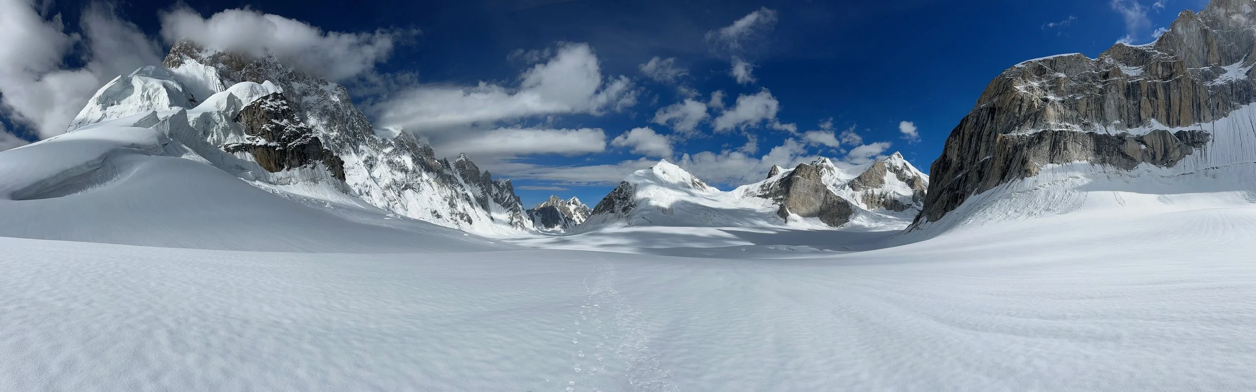
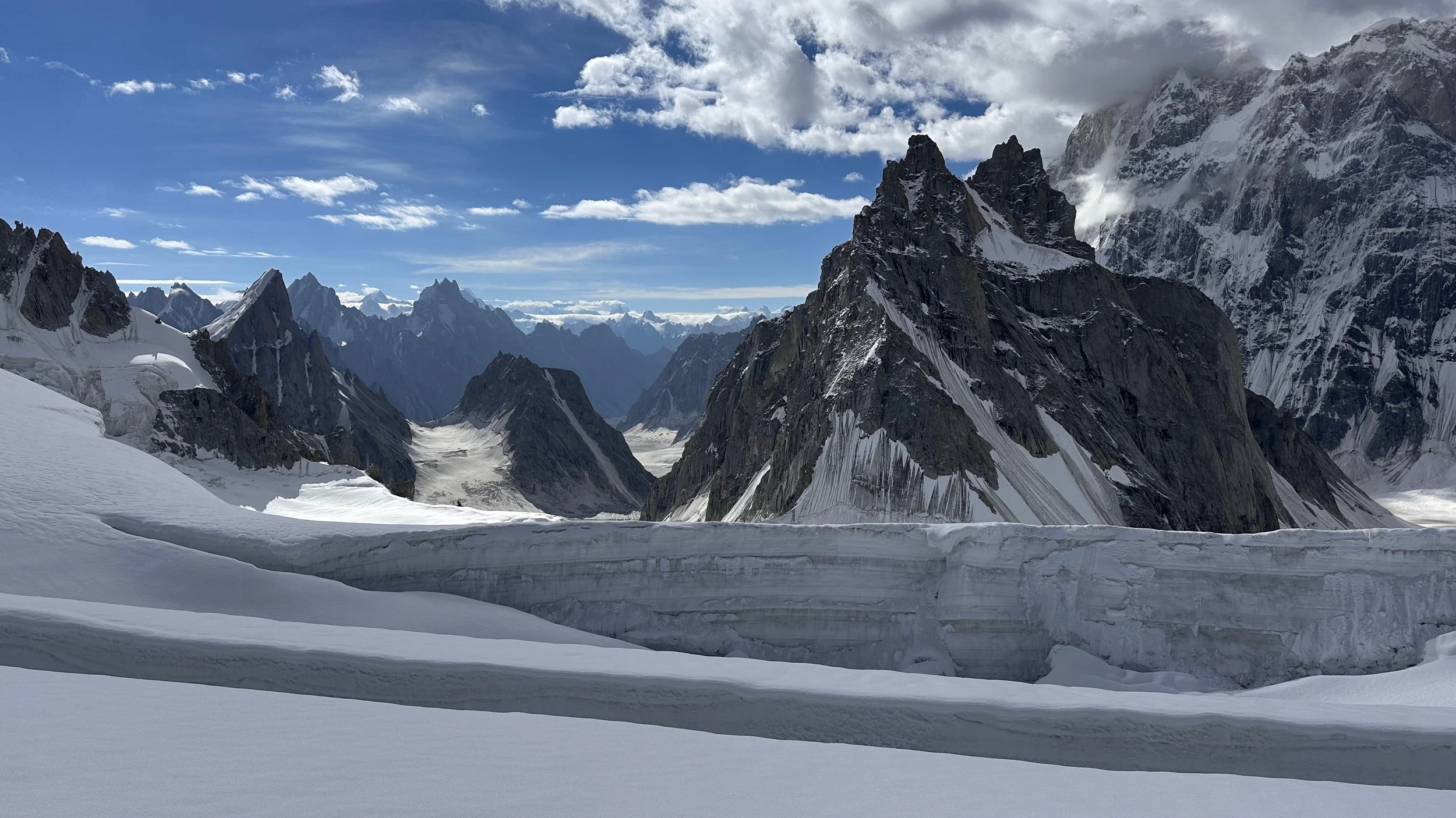
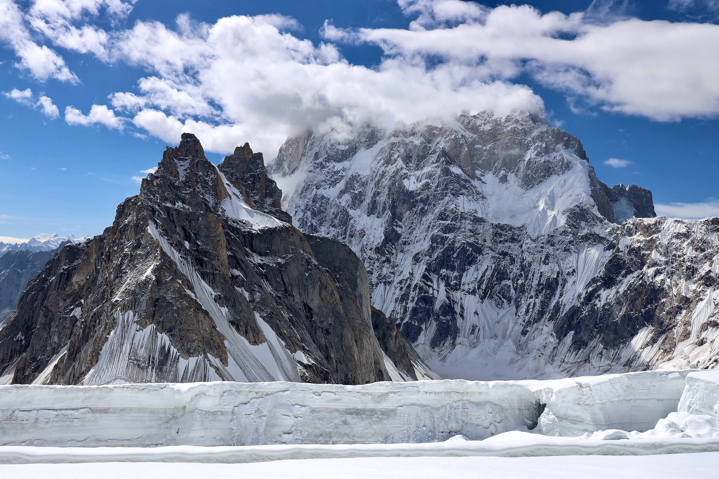
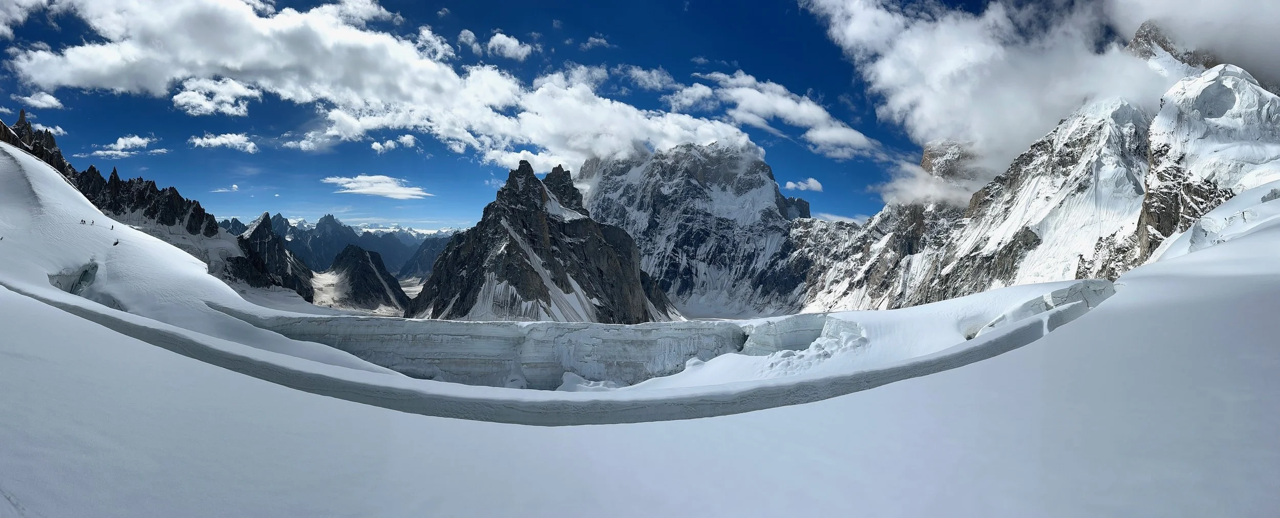
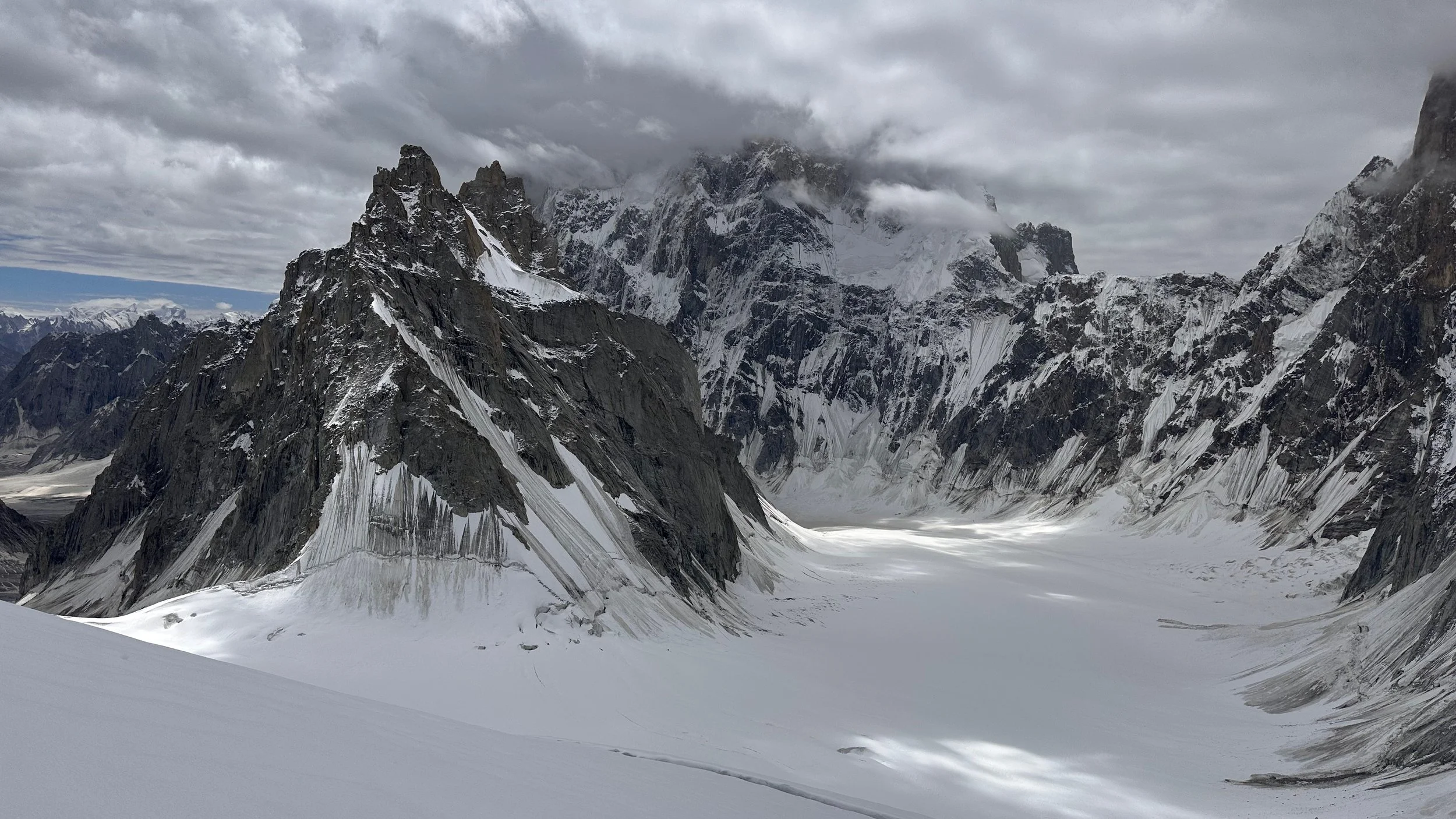
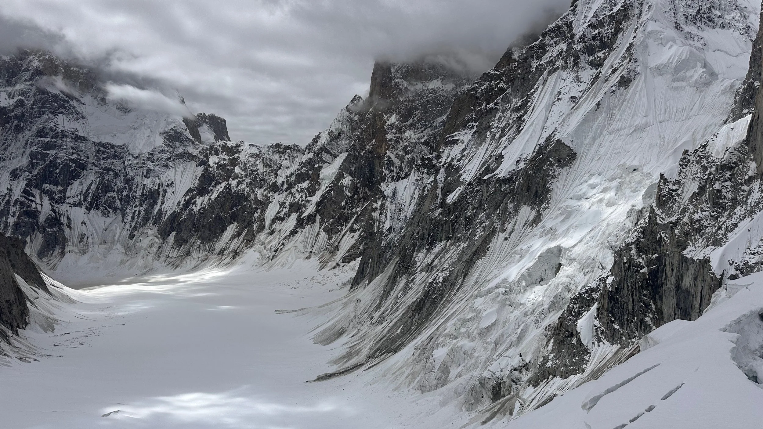
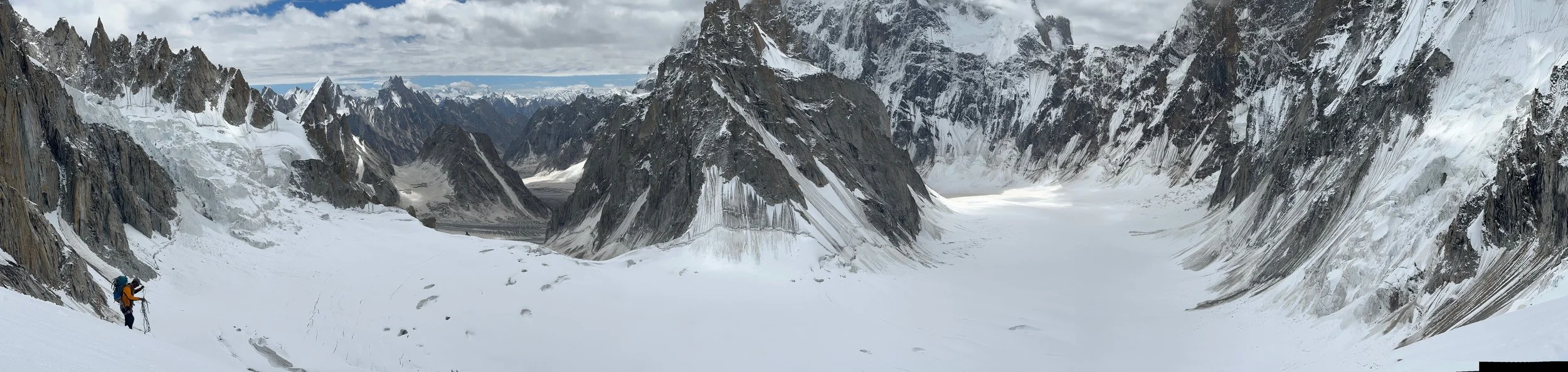
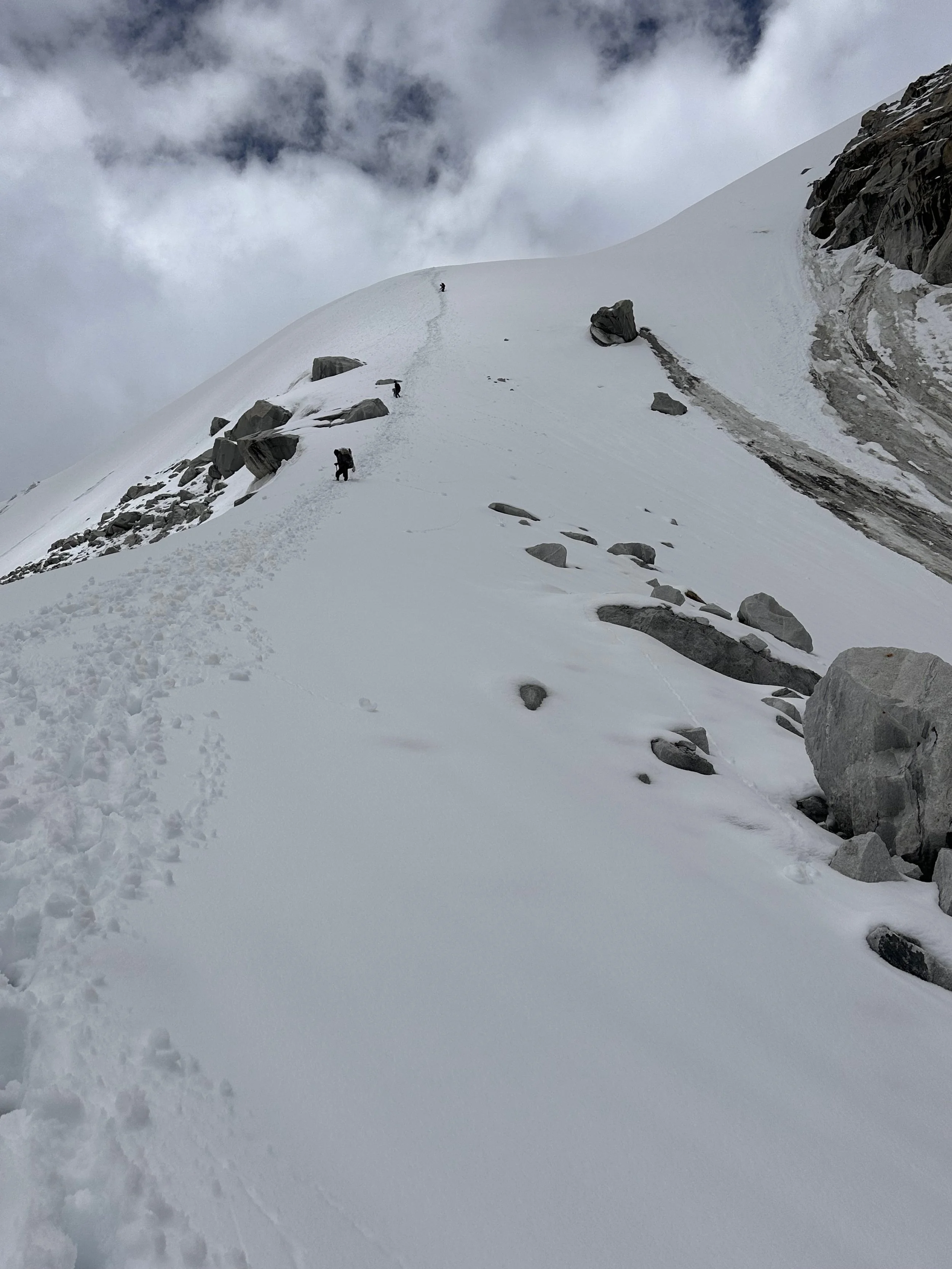
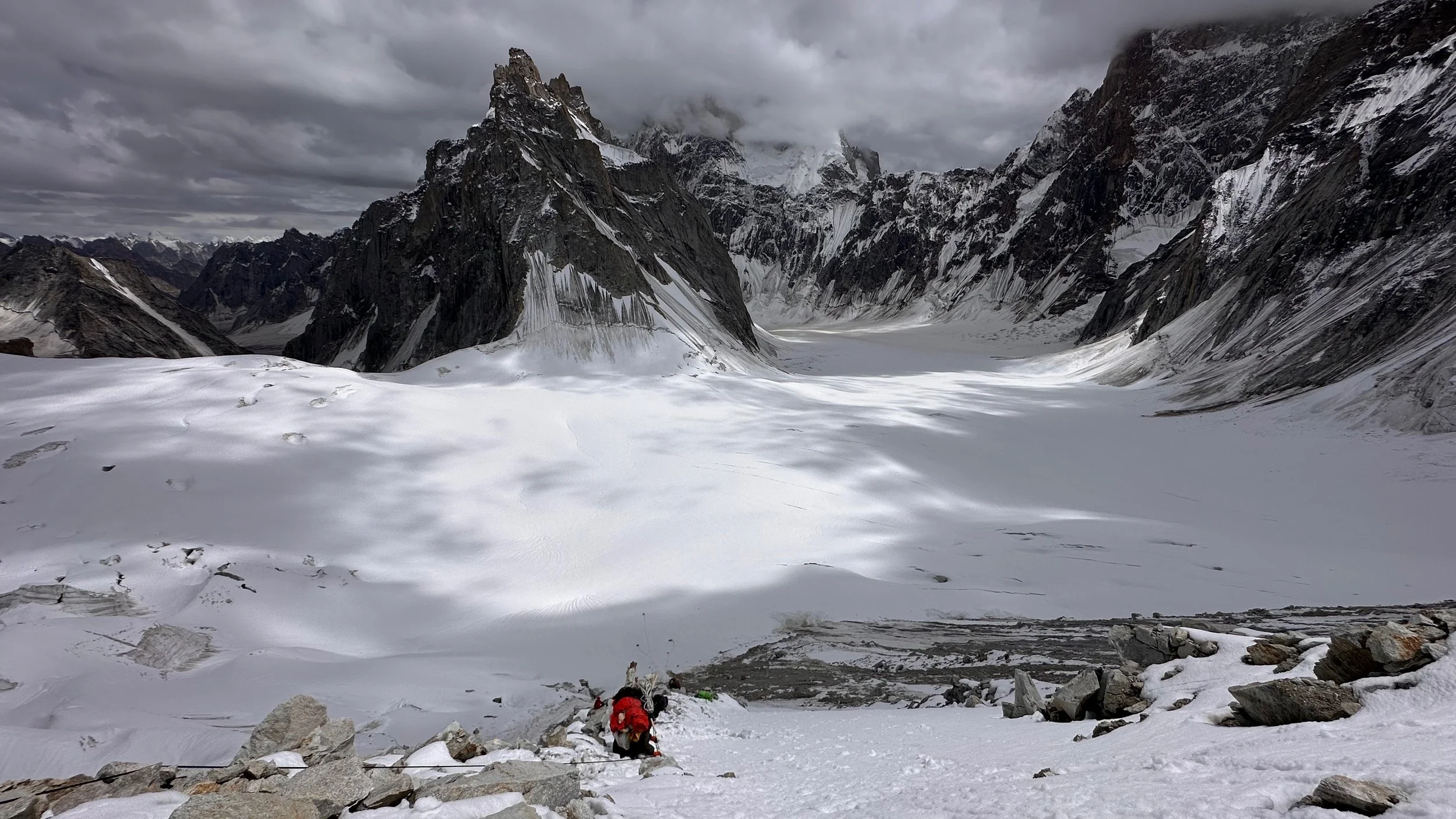
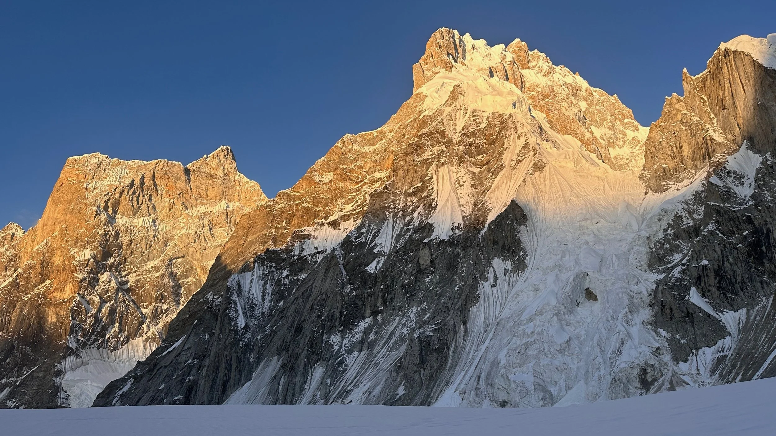
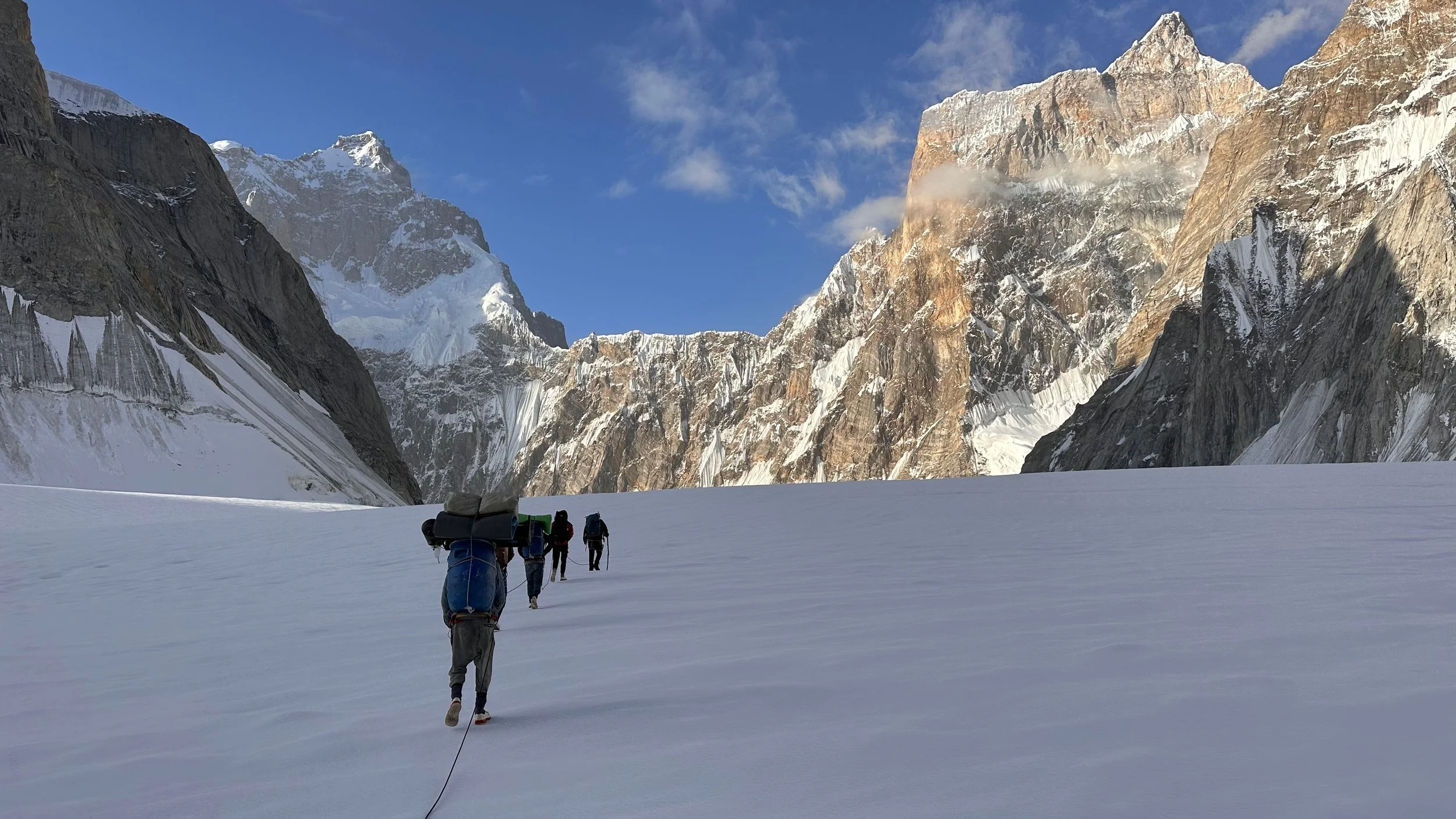
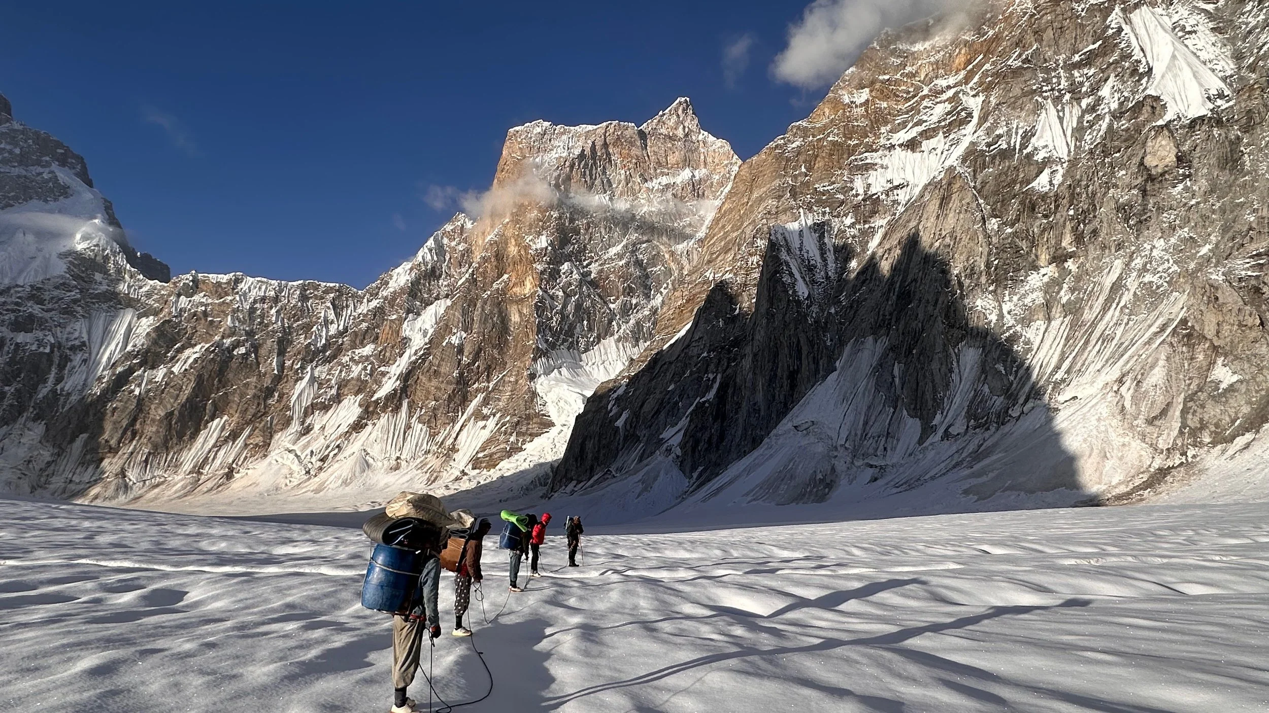
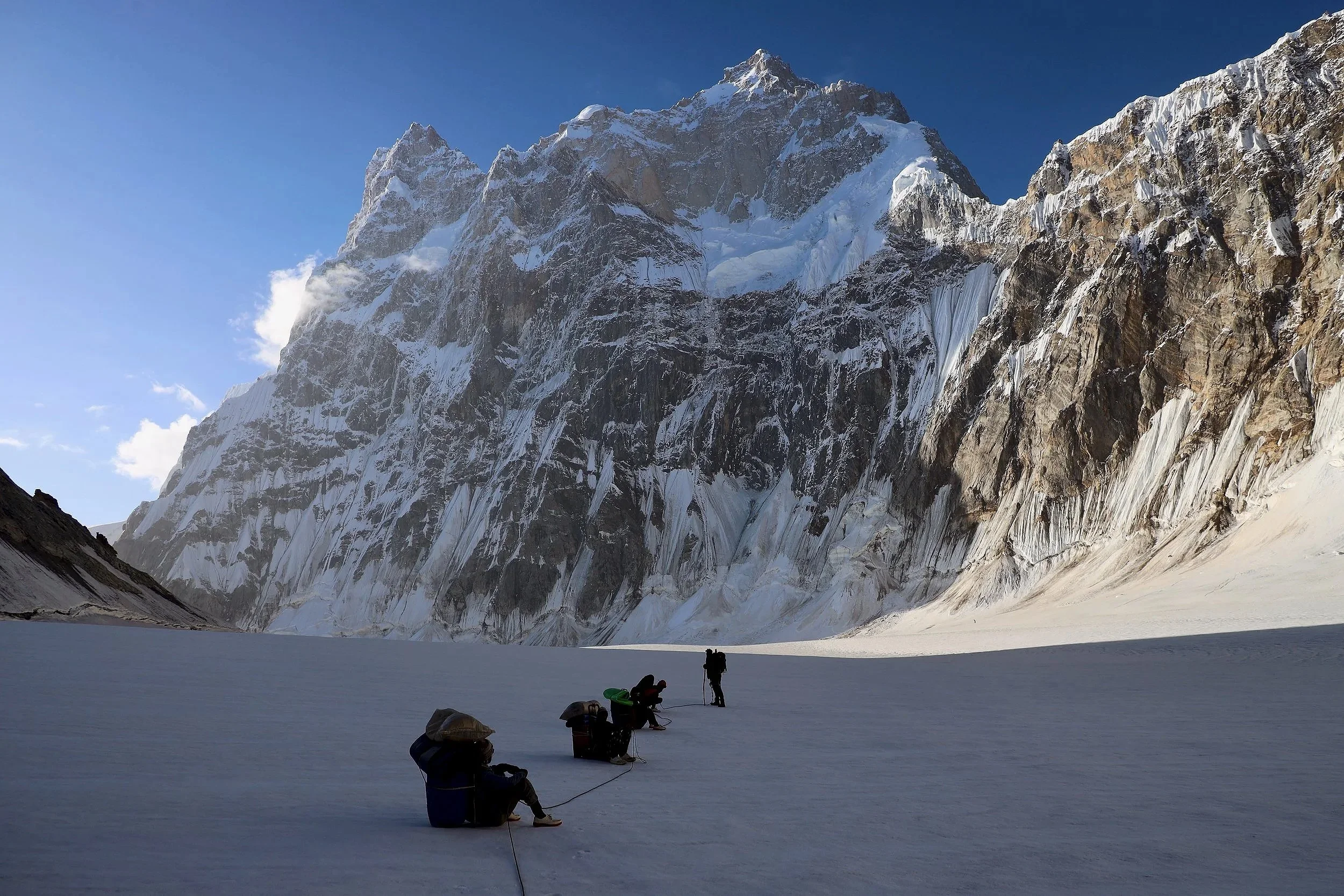
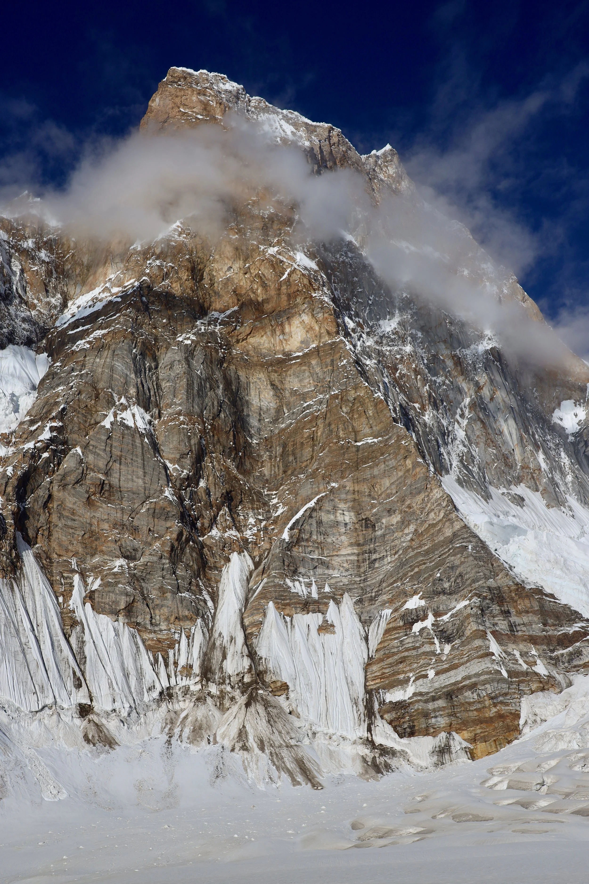
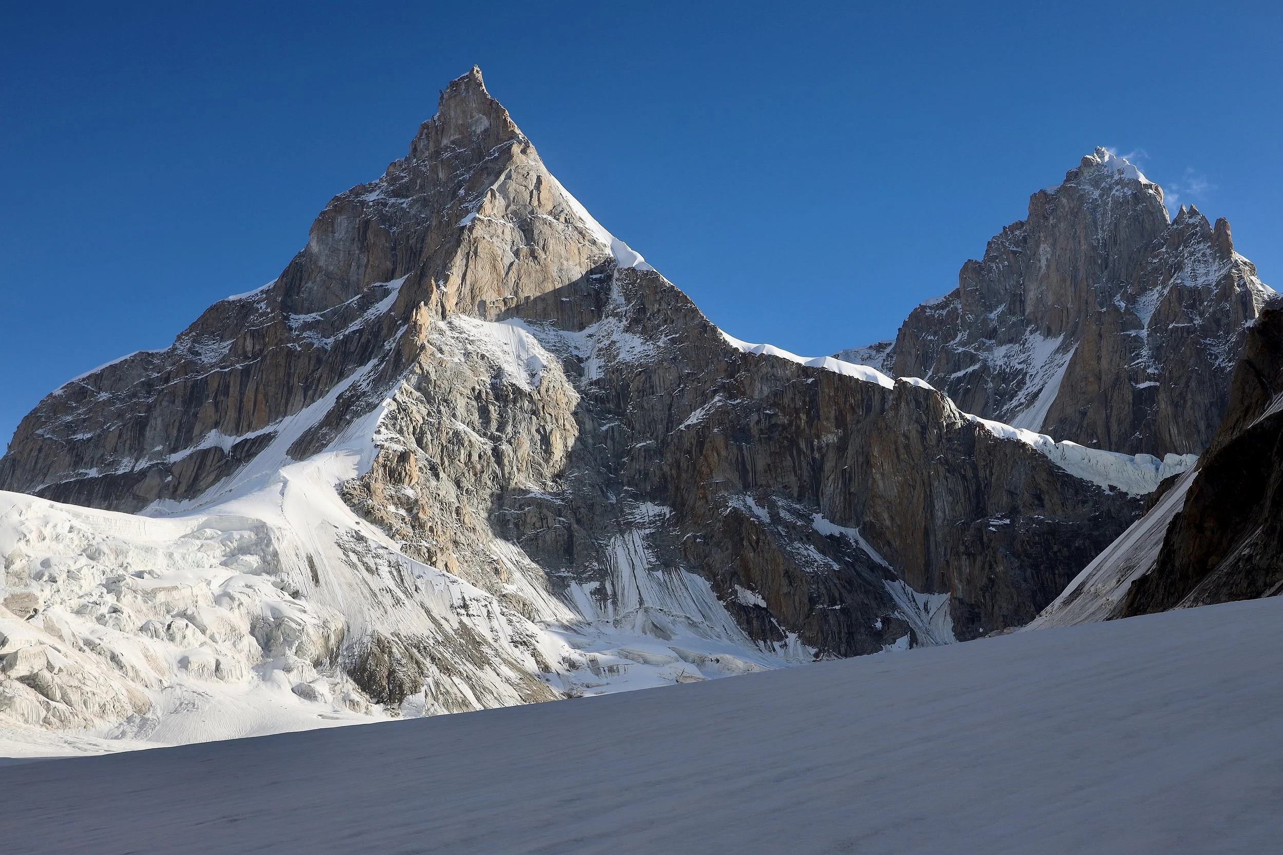
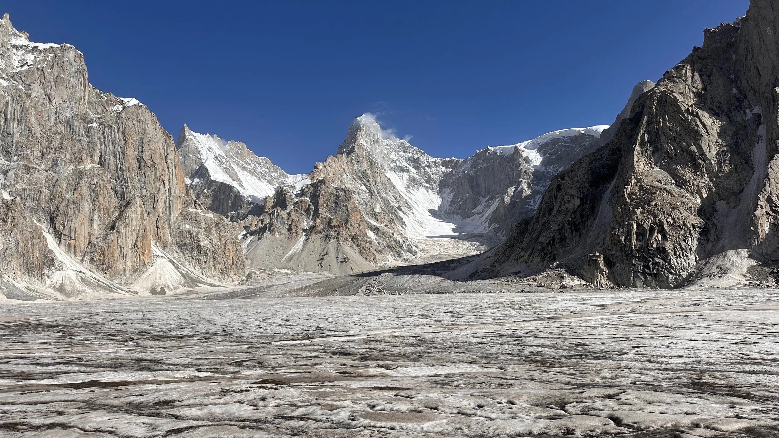
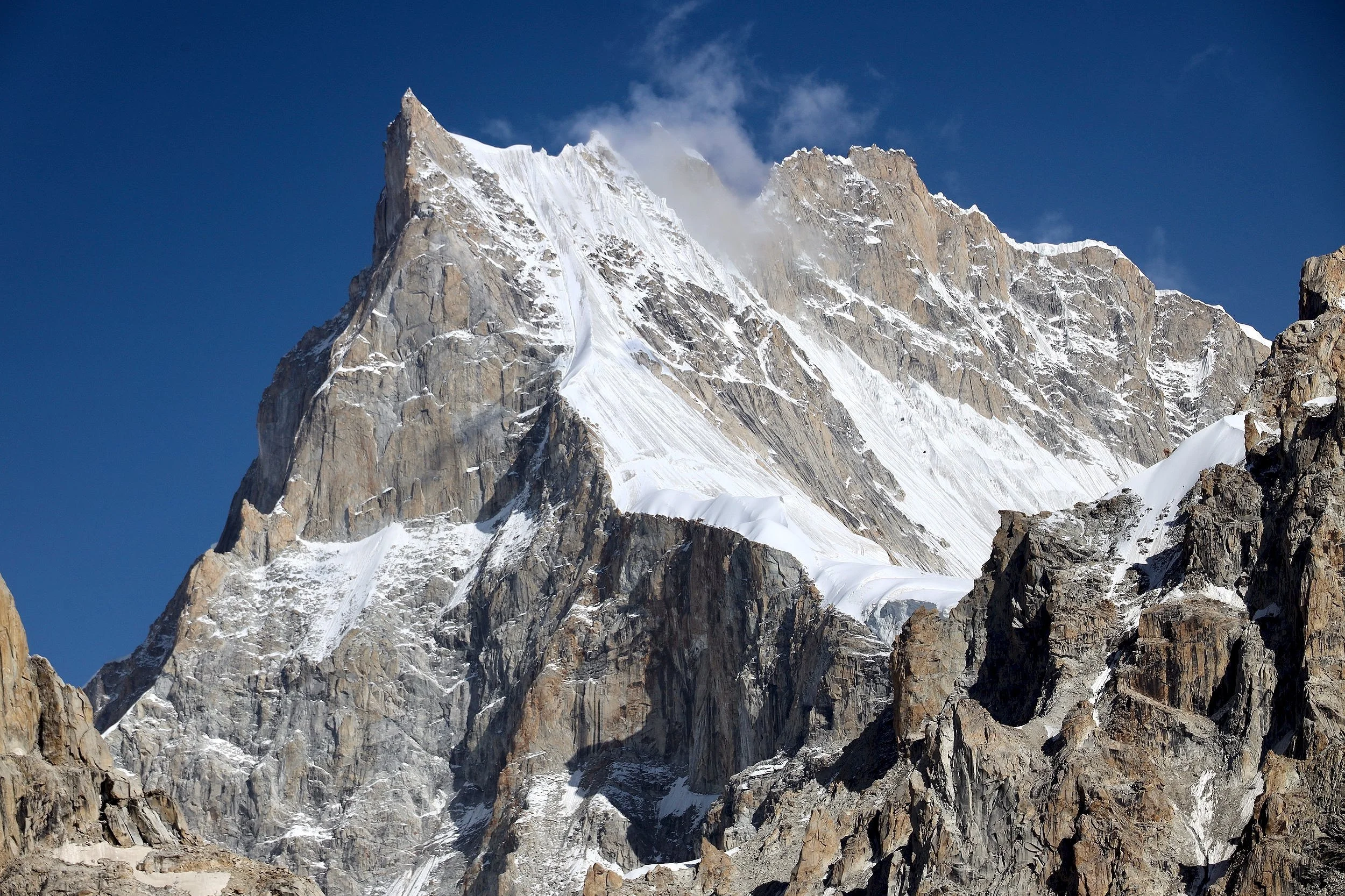
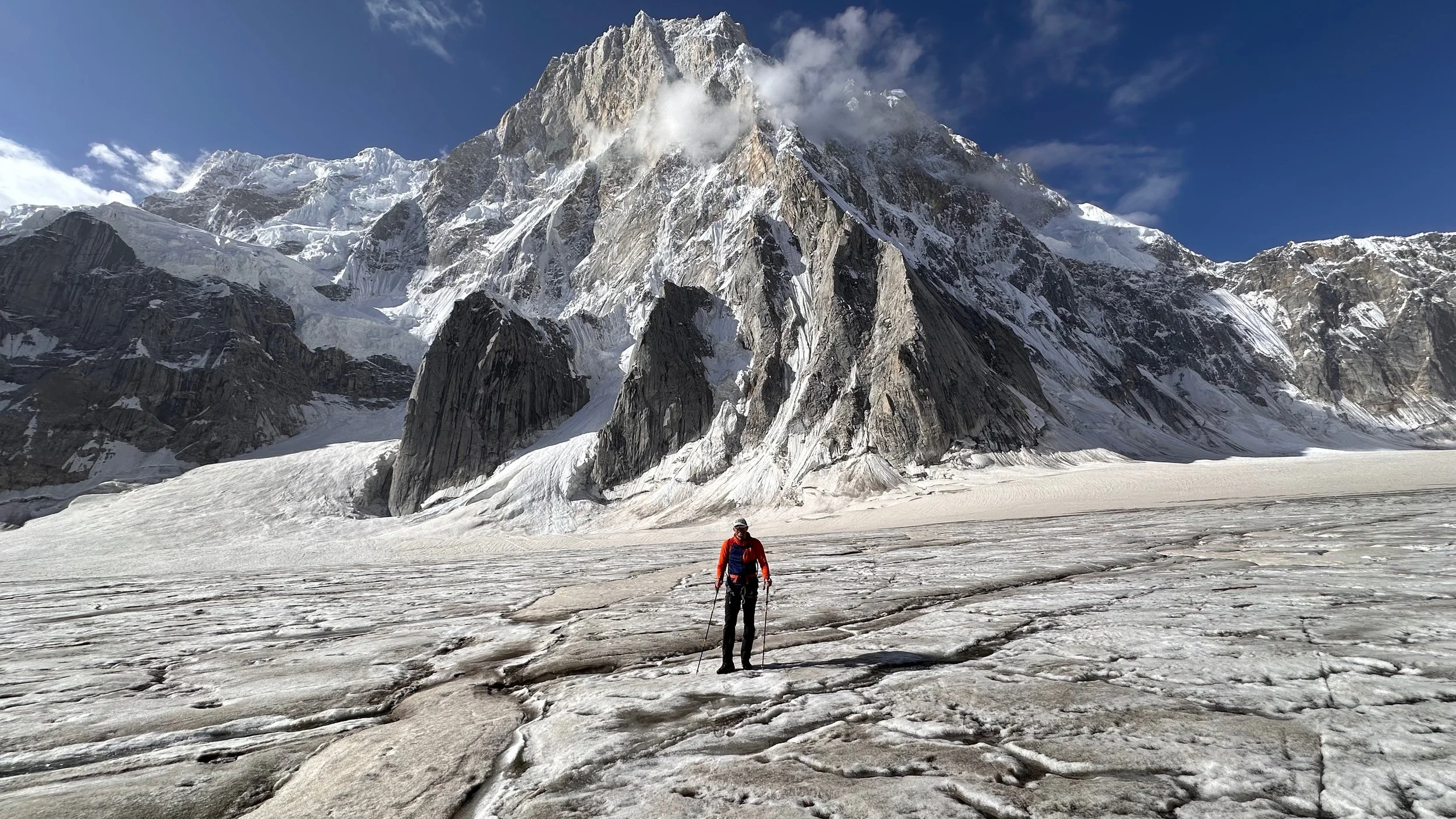
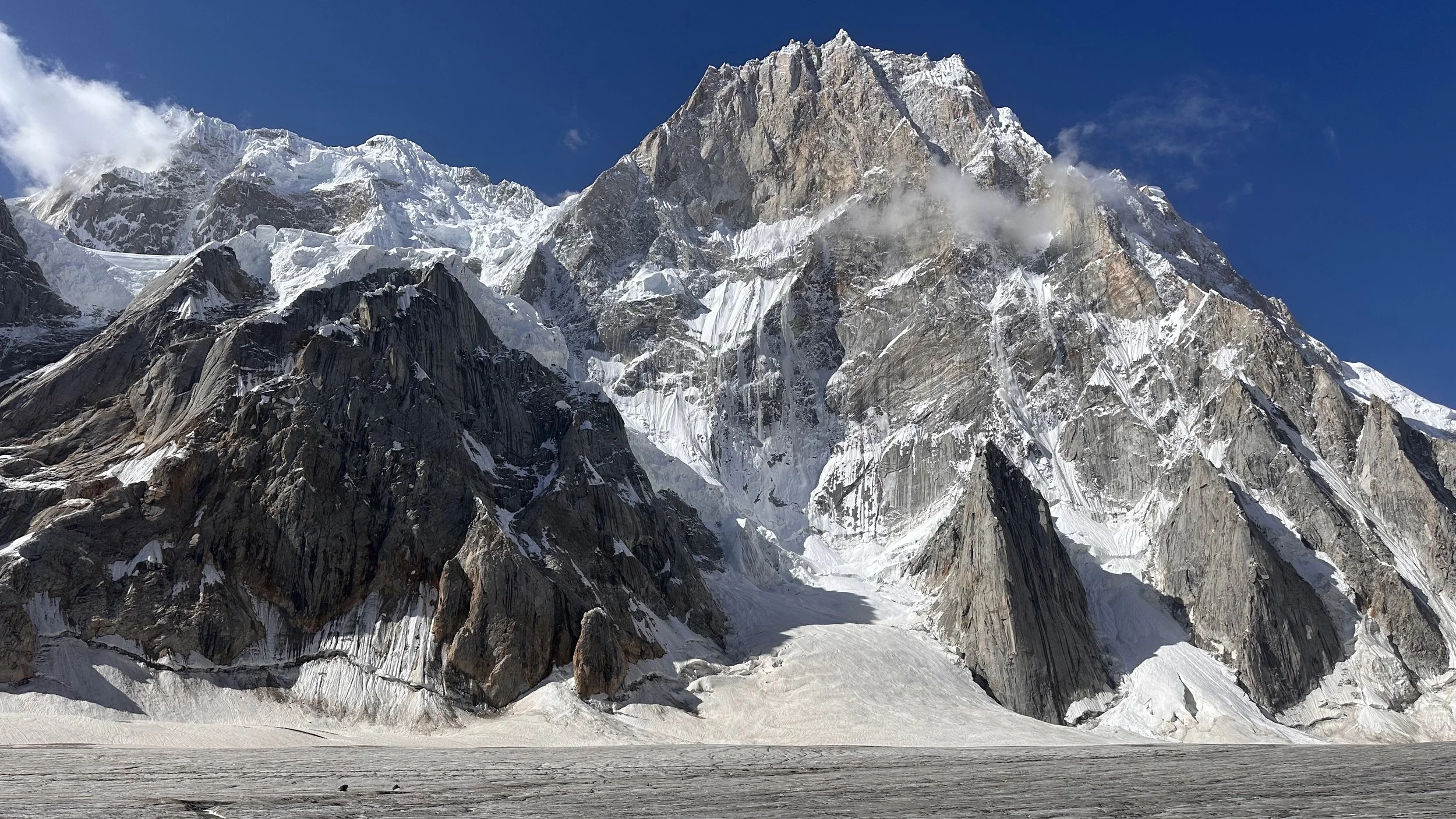
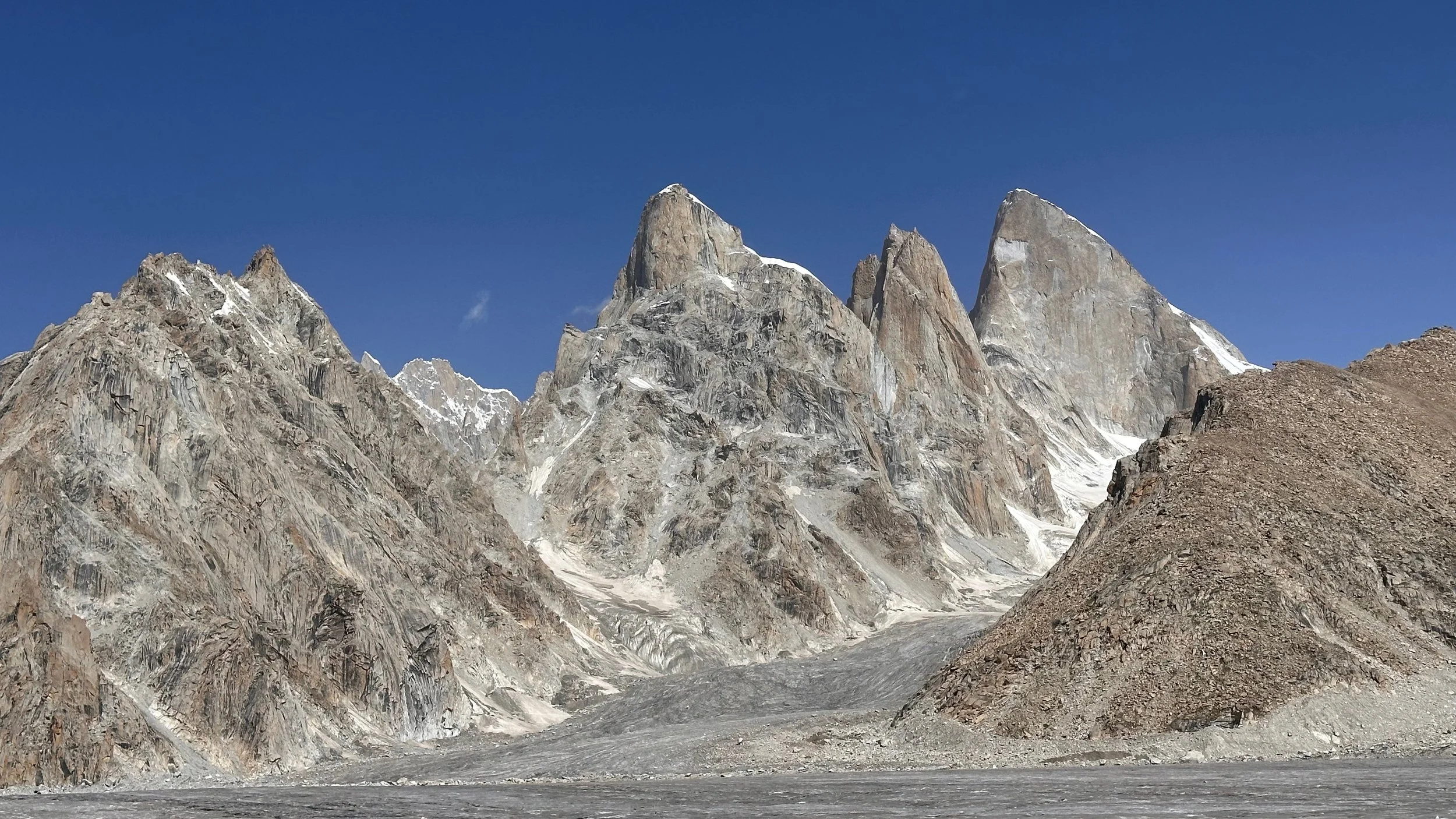
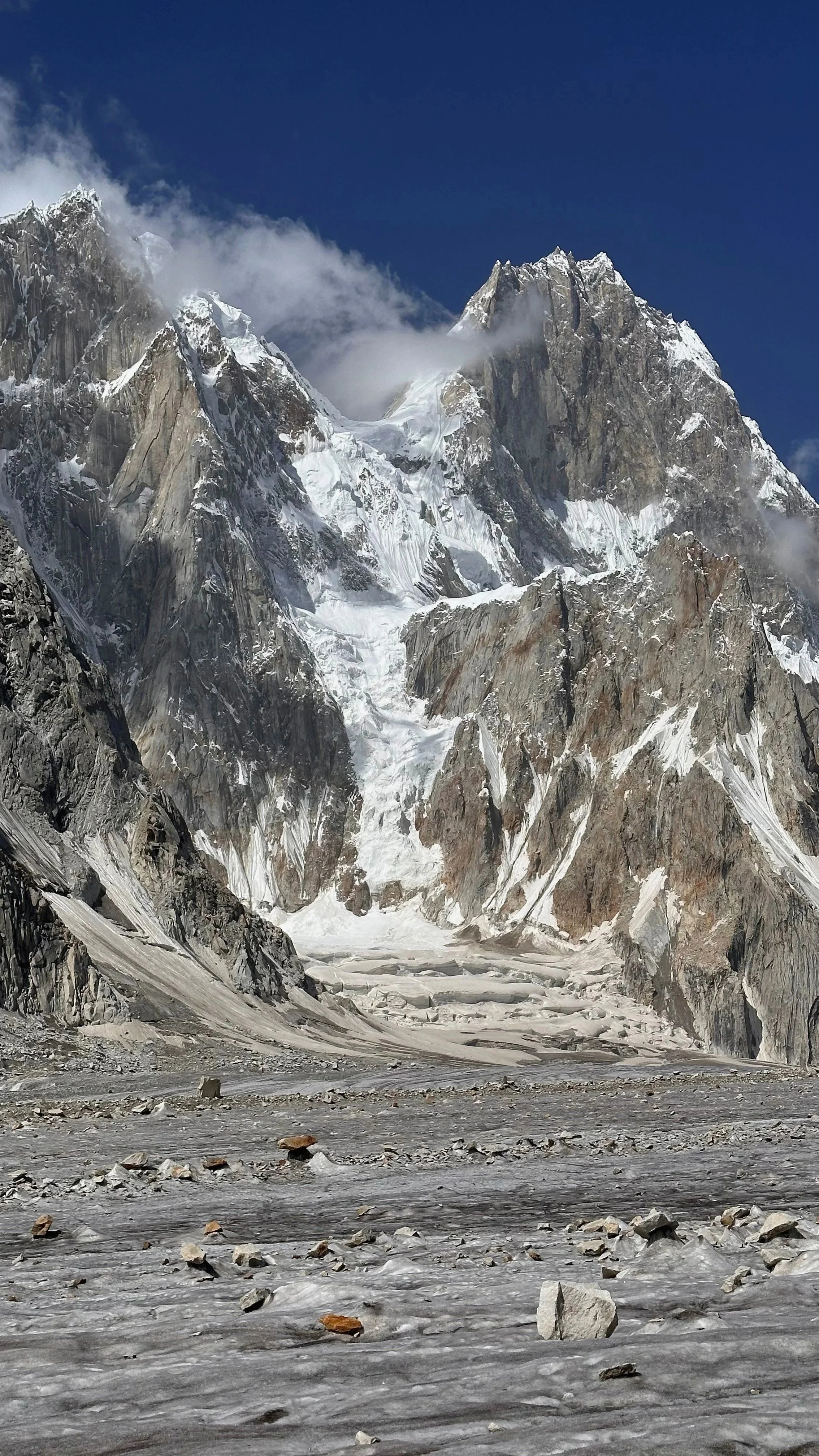
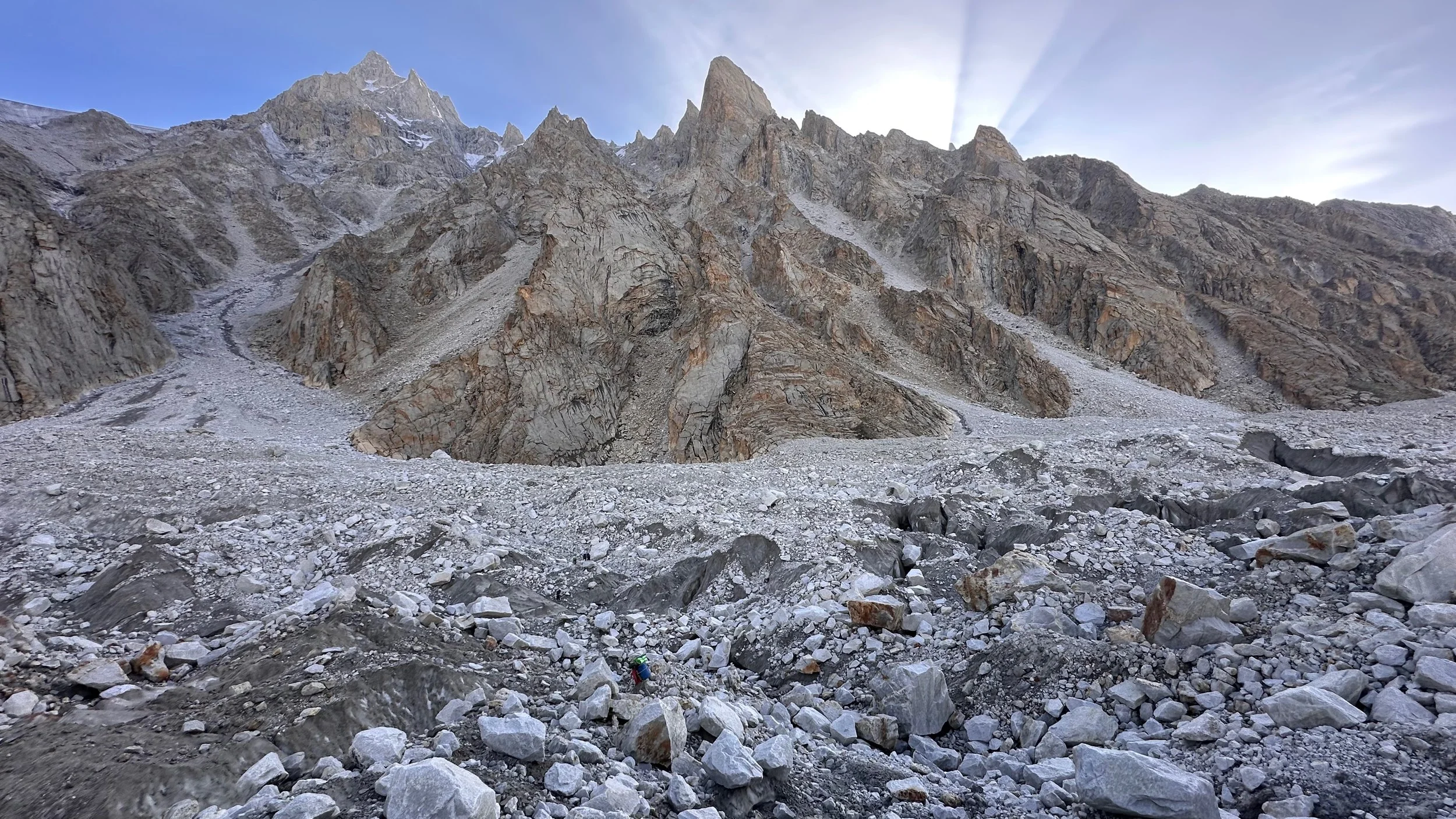
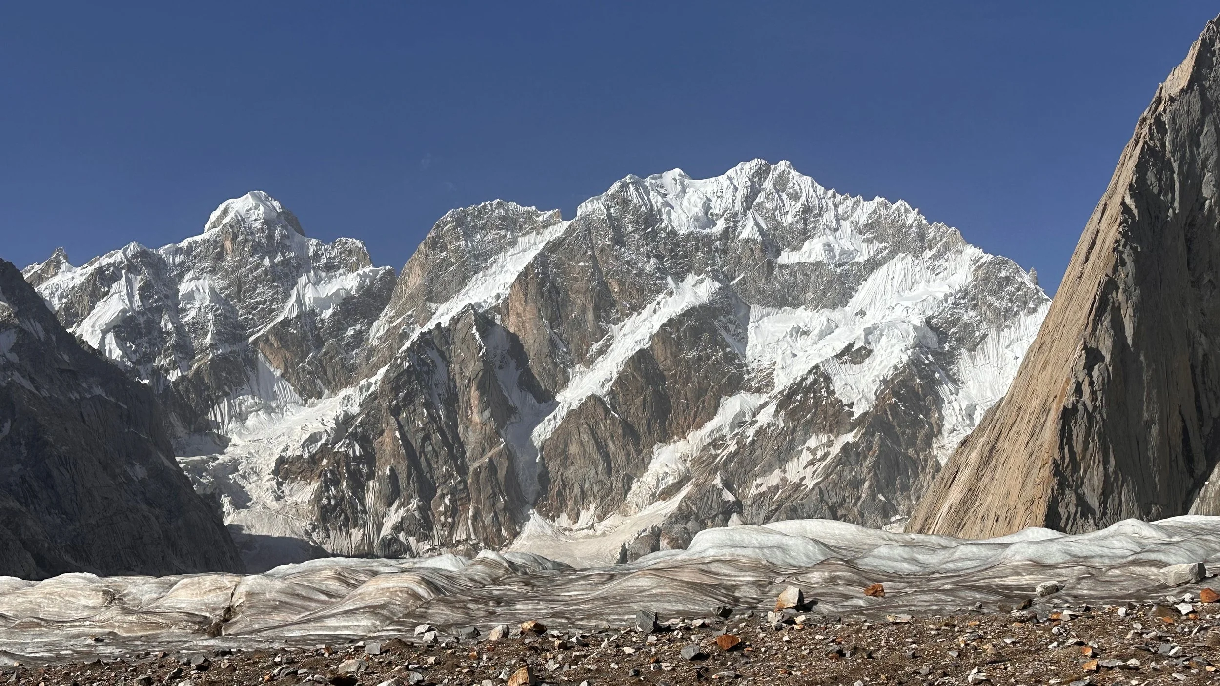
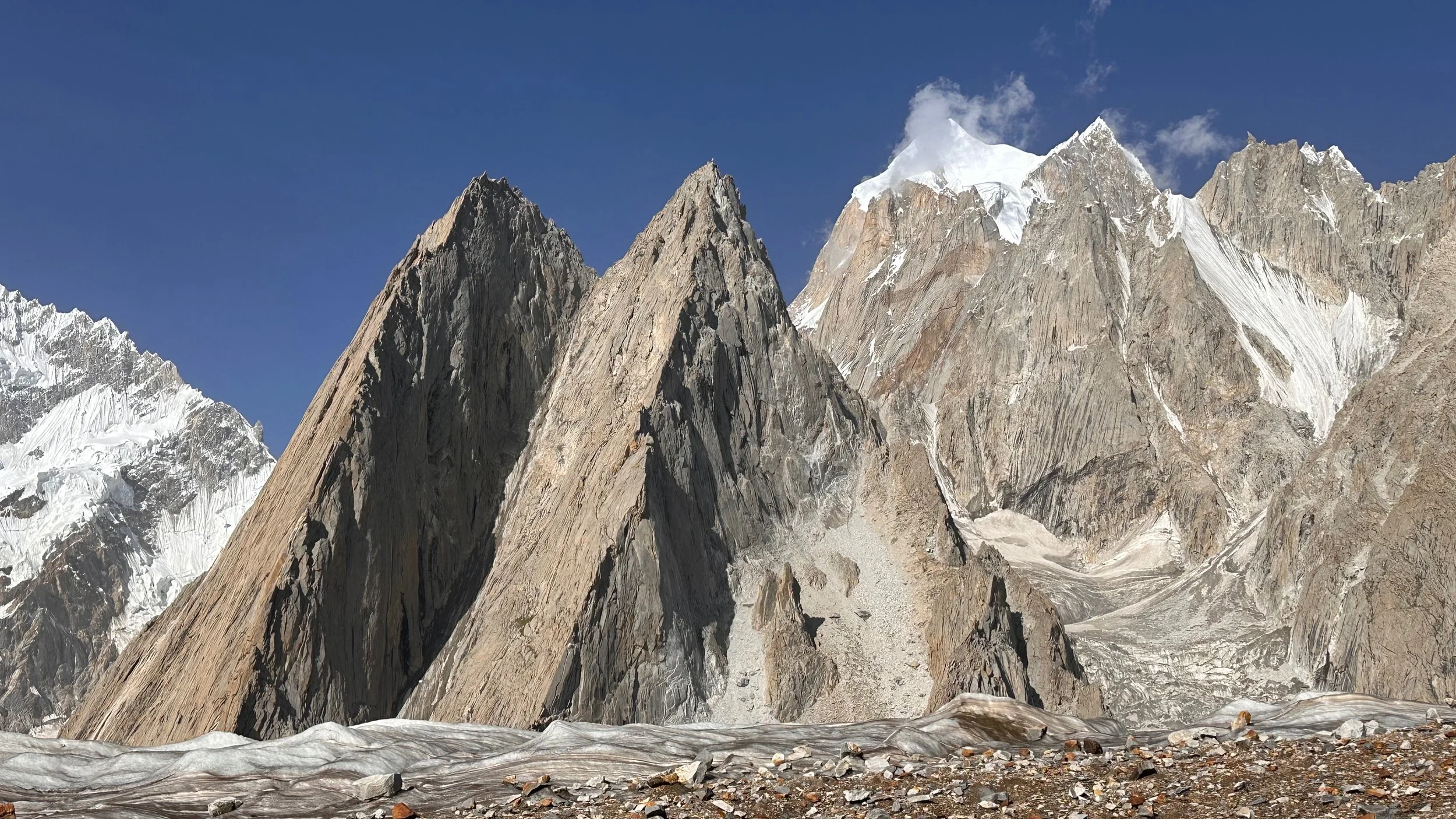
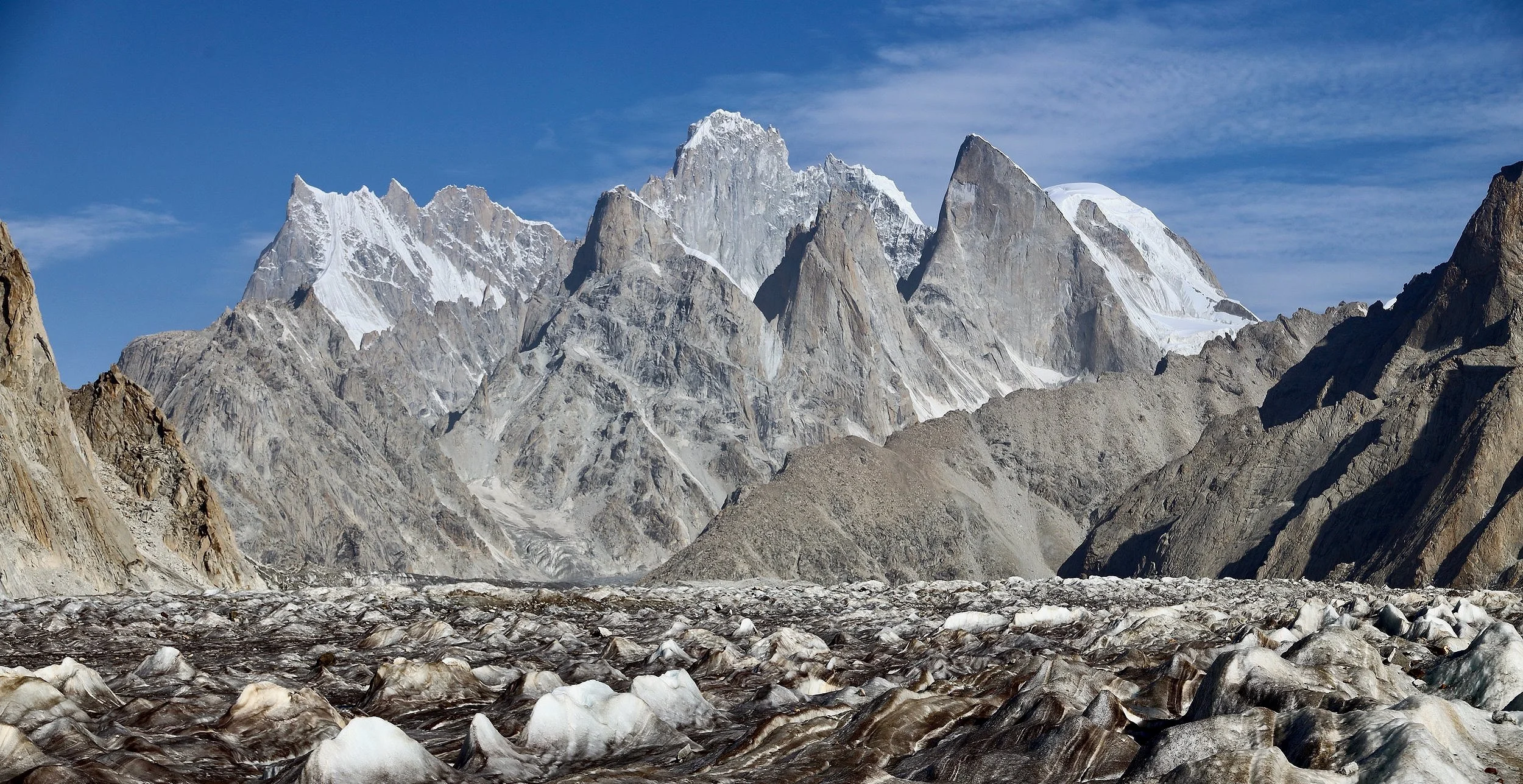
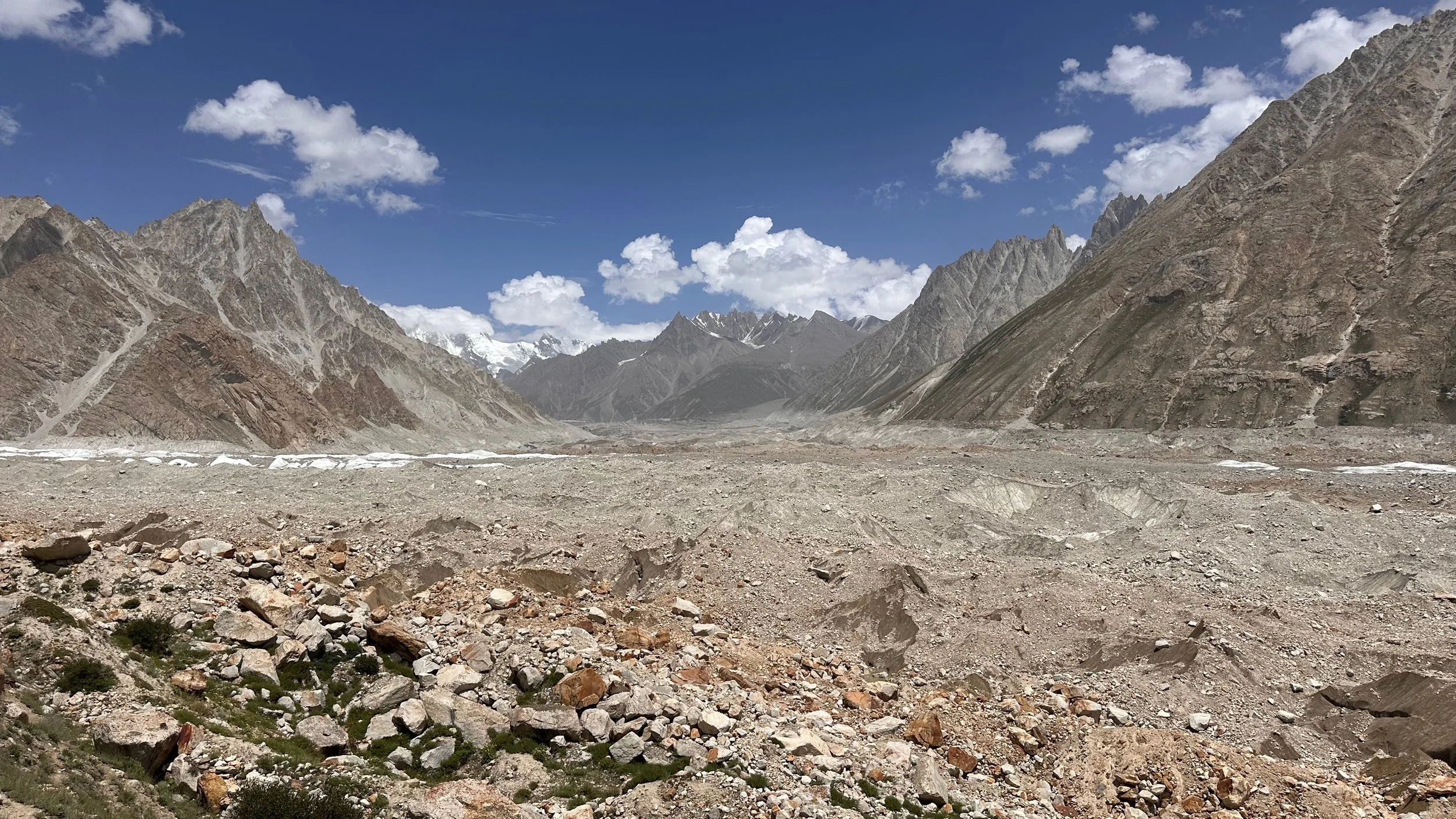
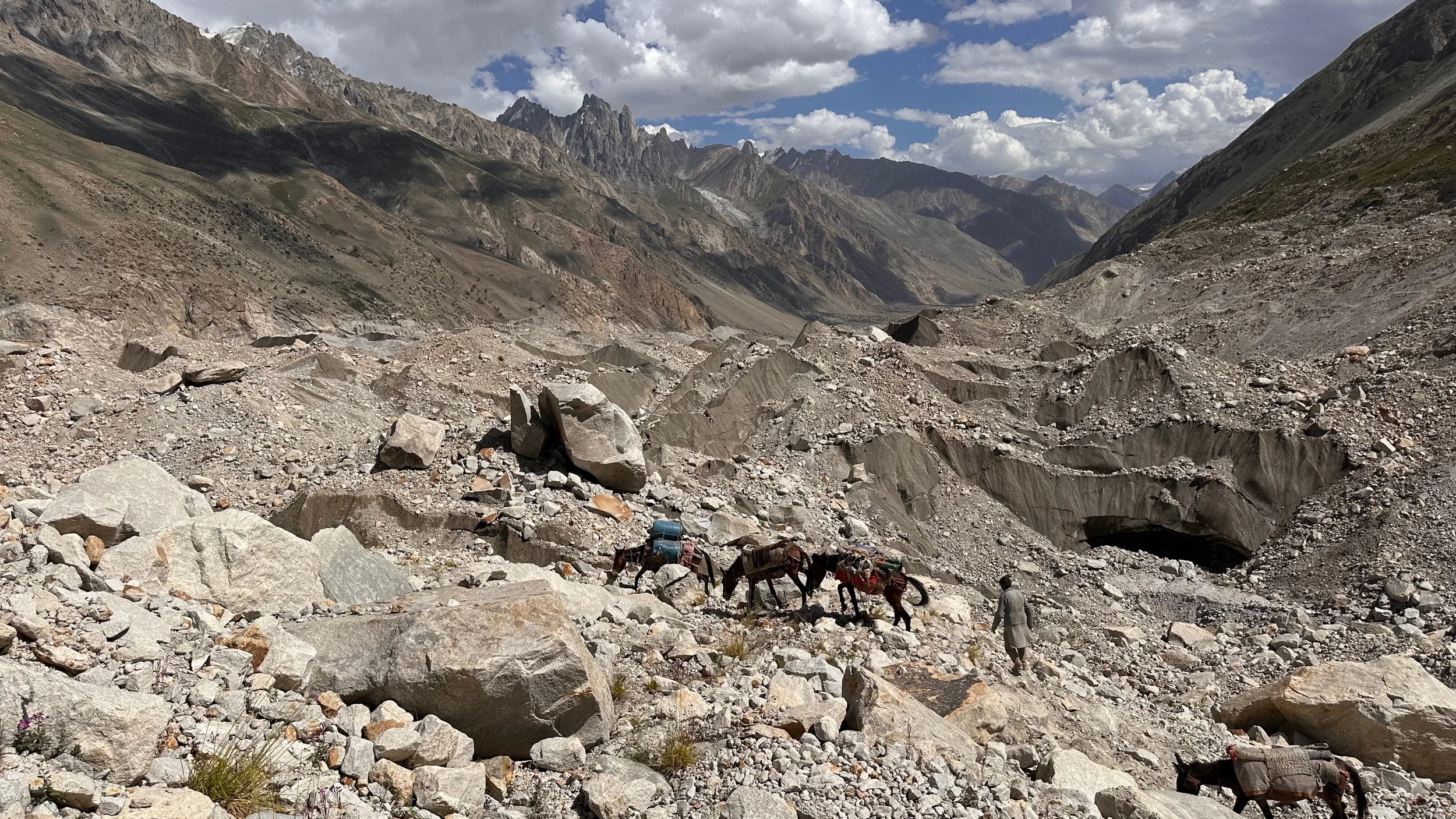
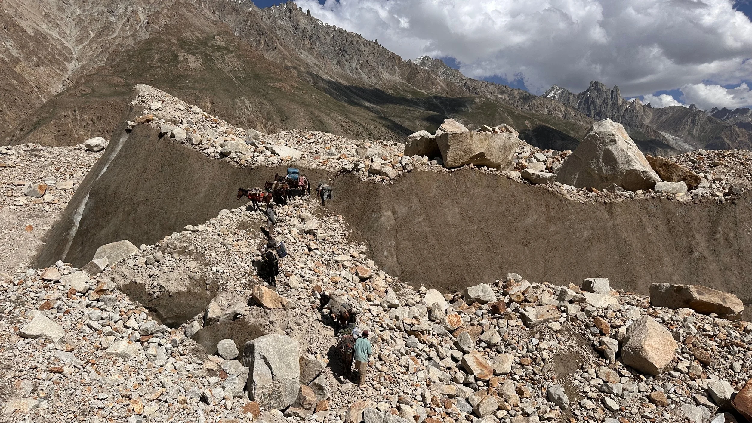
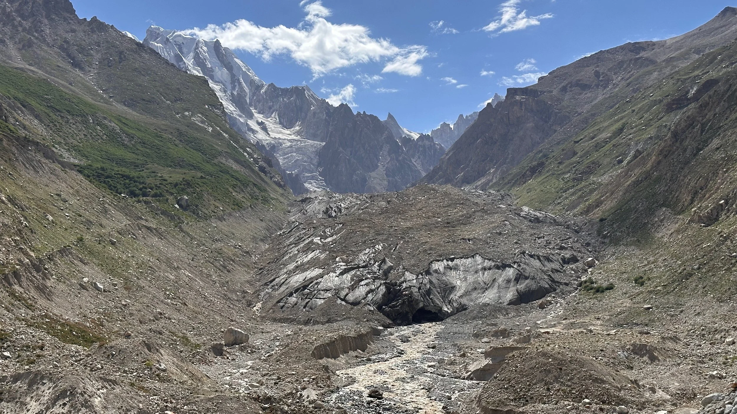
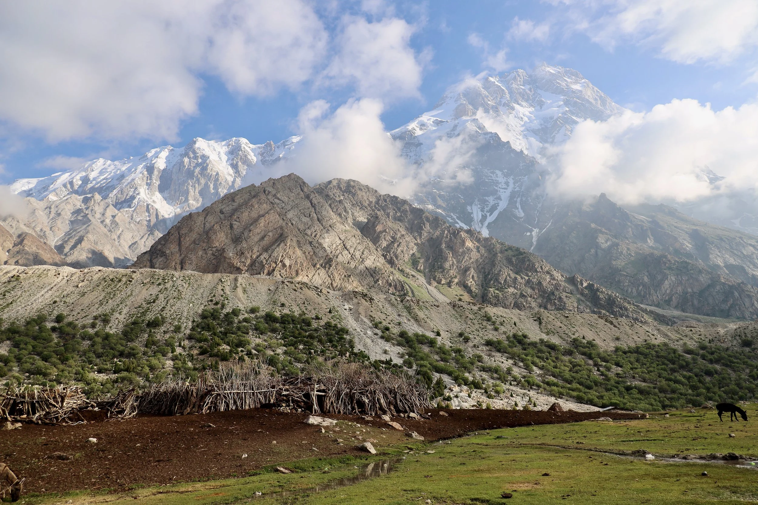
4. 2023 Pahamagh, Nobande Sobande Choktoi Glaciers 155km

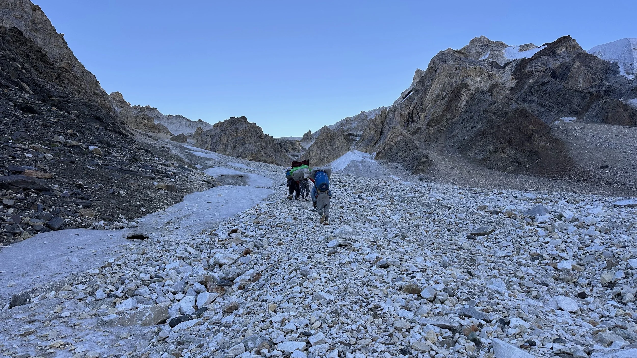
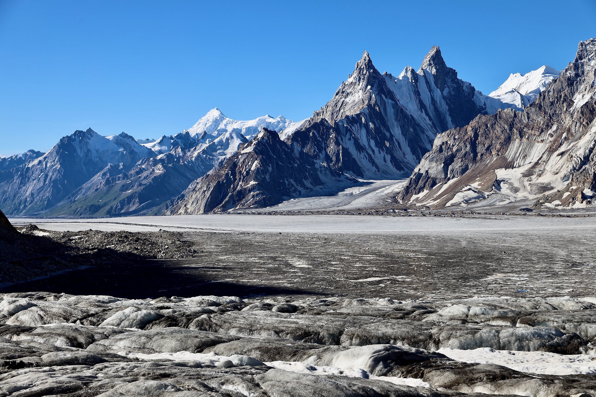
5. 2023 Haramosh La 5,200m and Chomolungma Glacier 85km

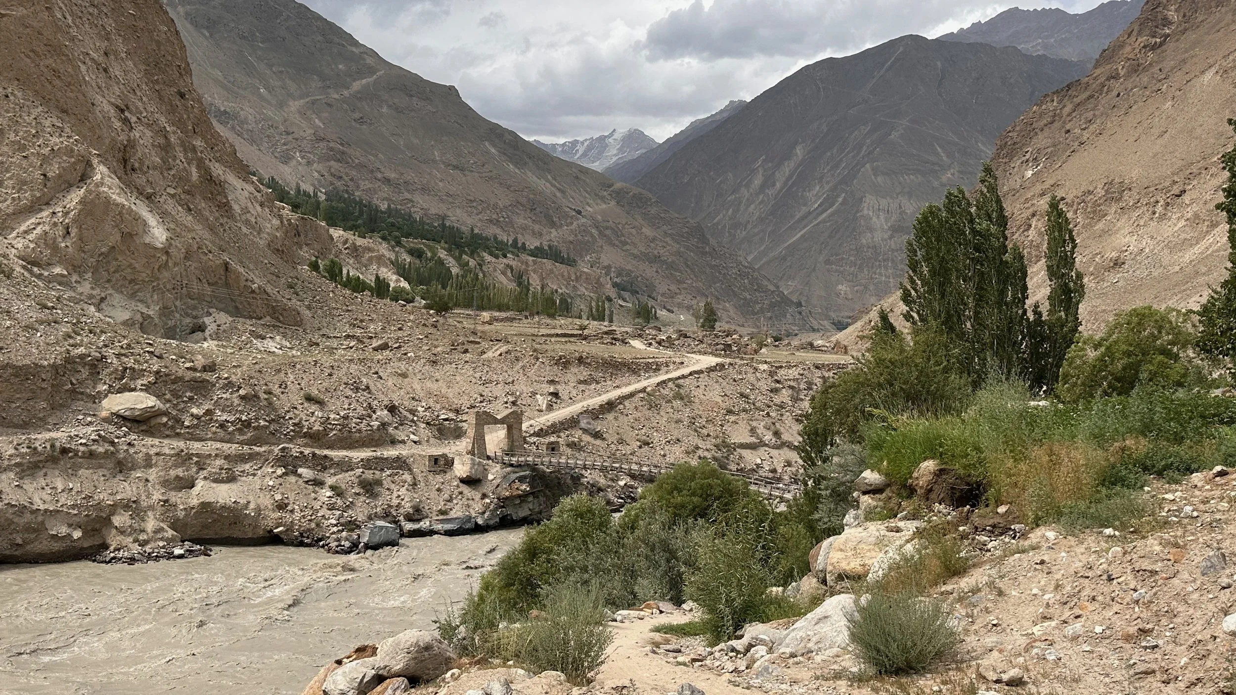
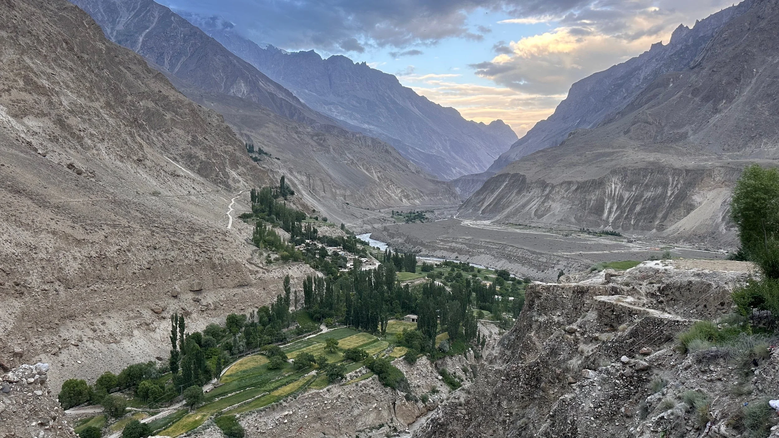
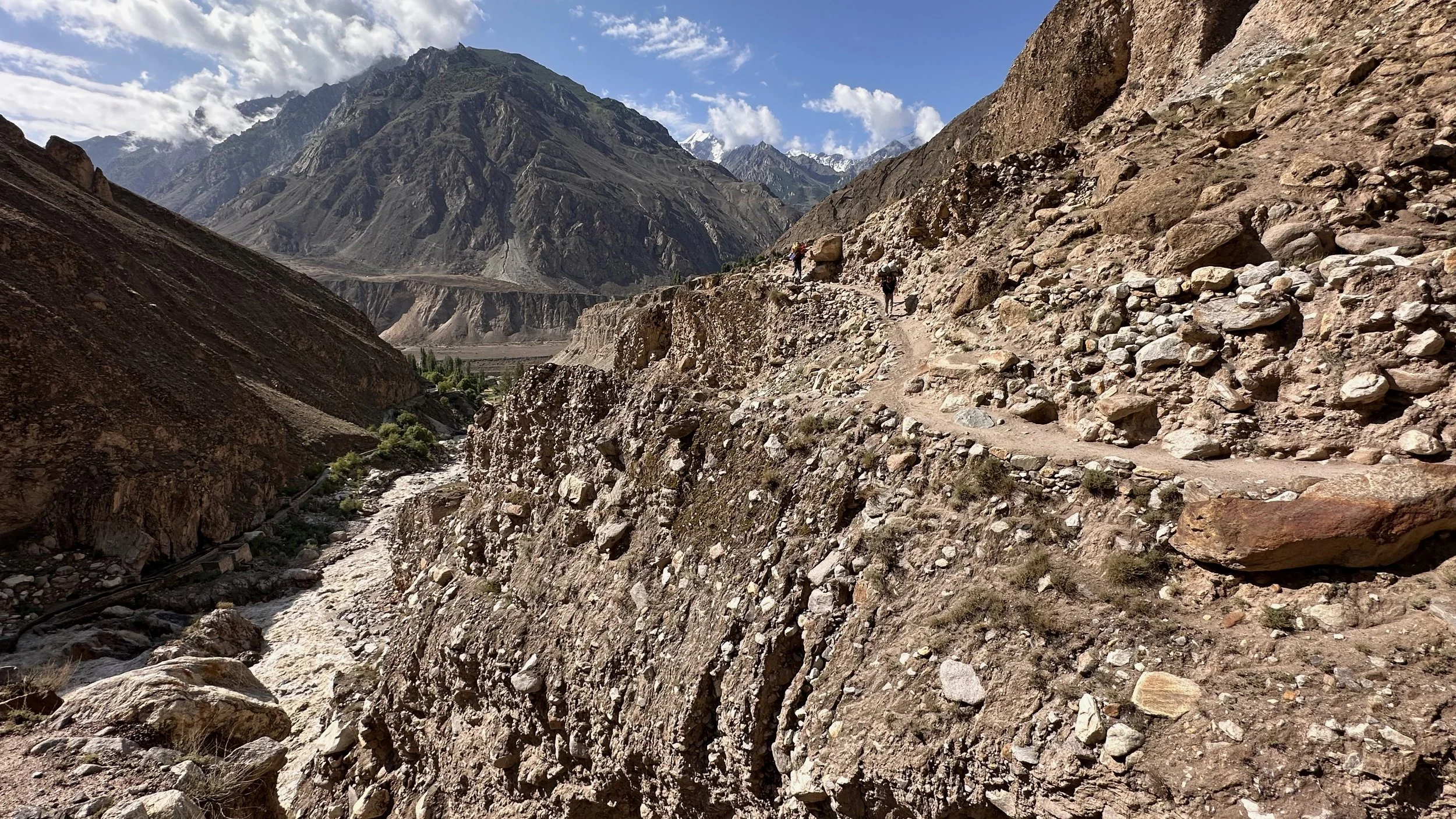
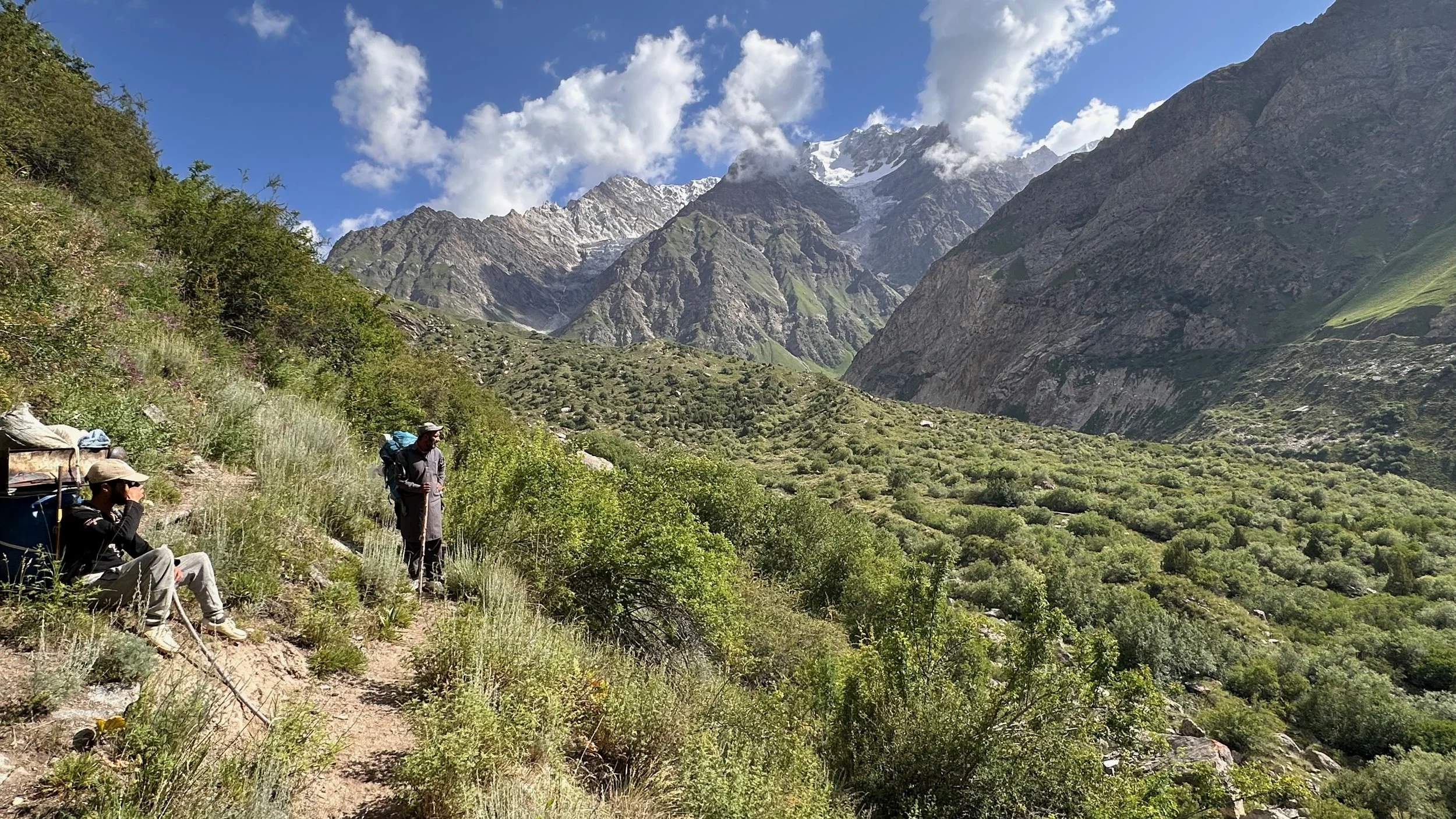
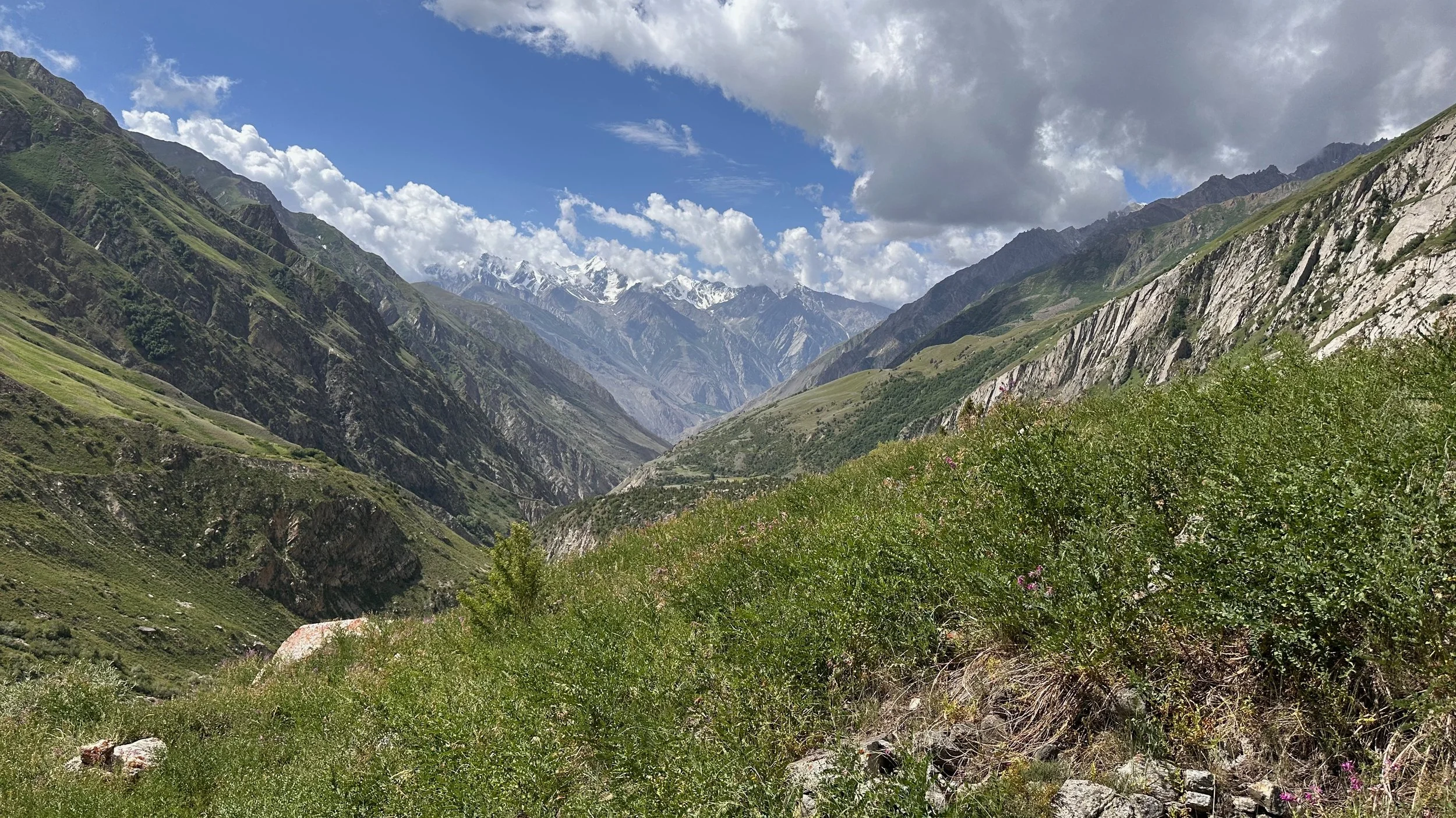
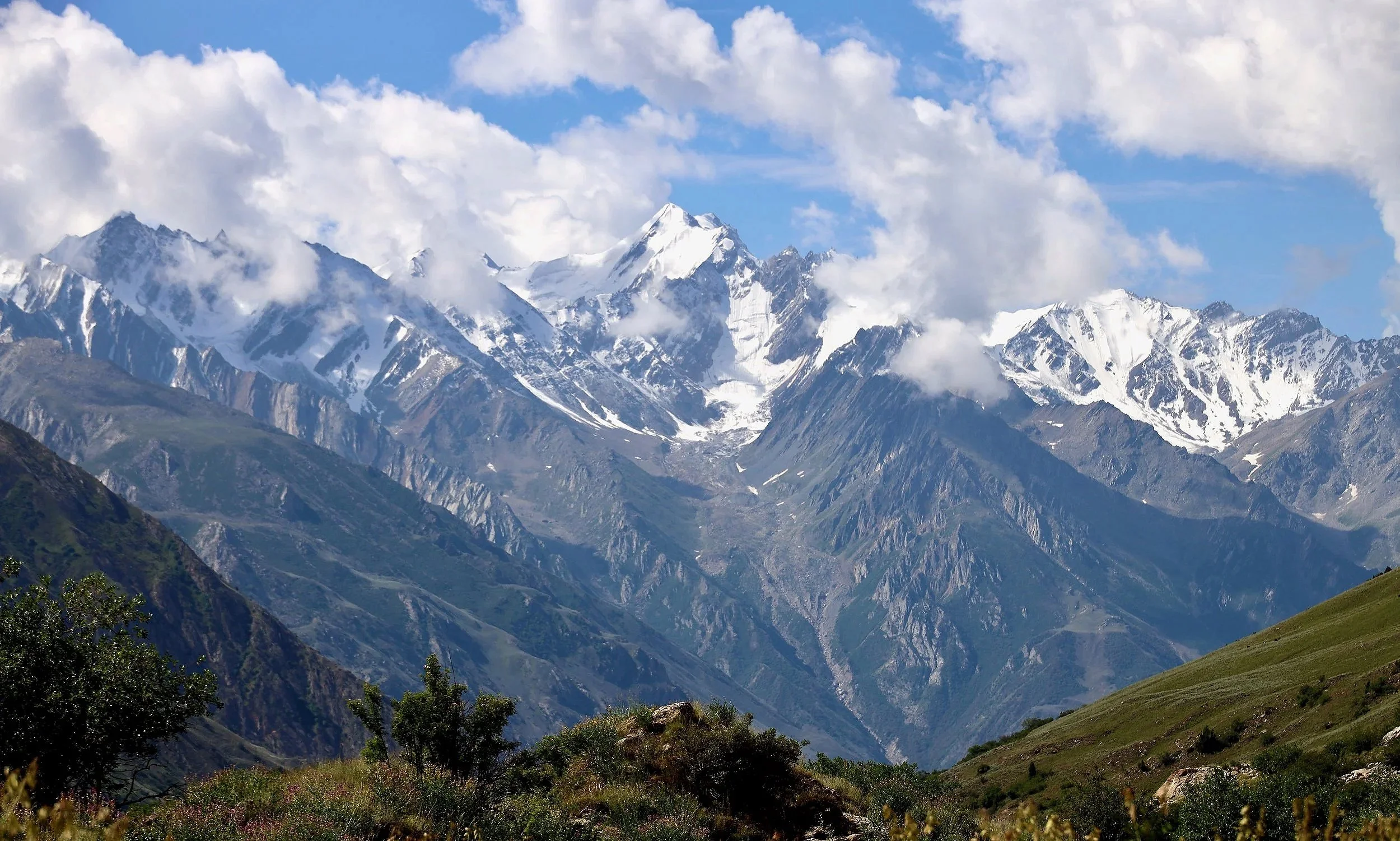
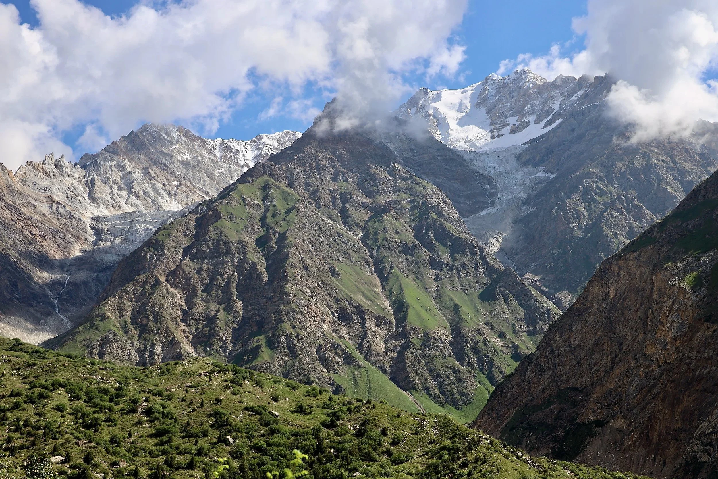
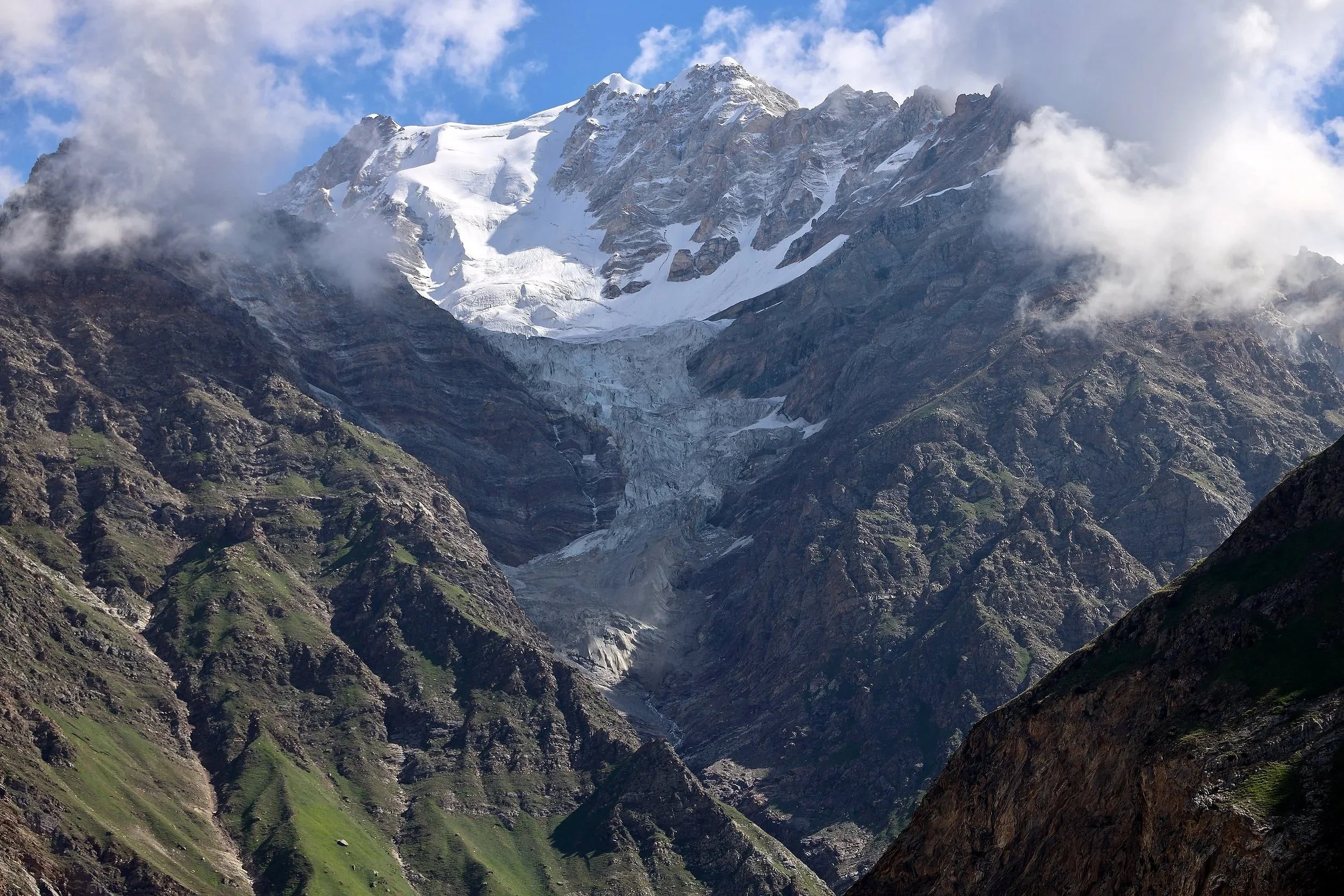
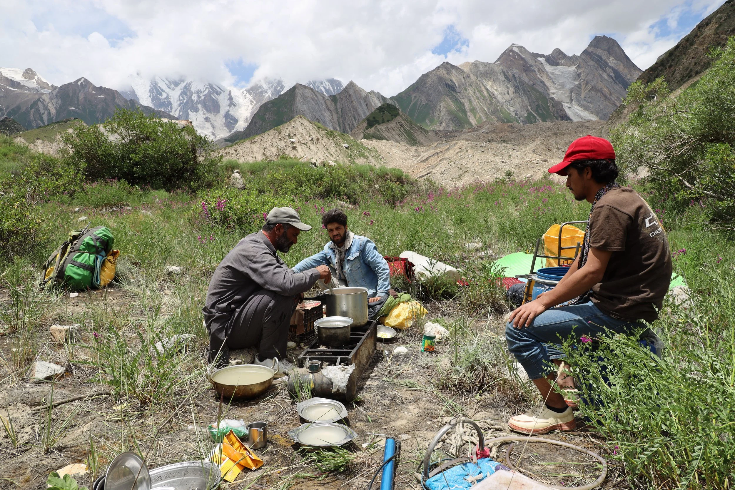
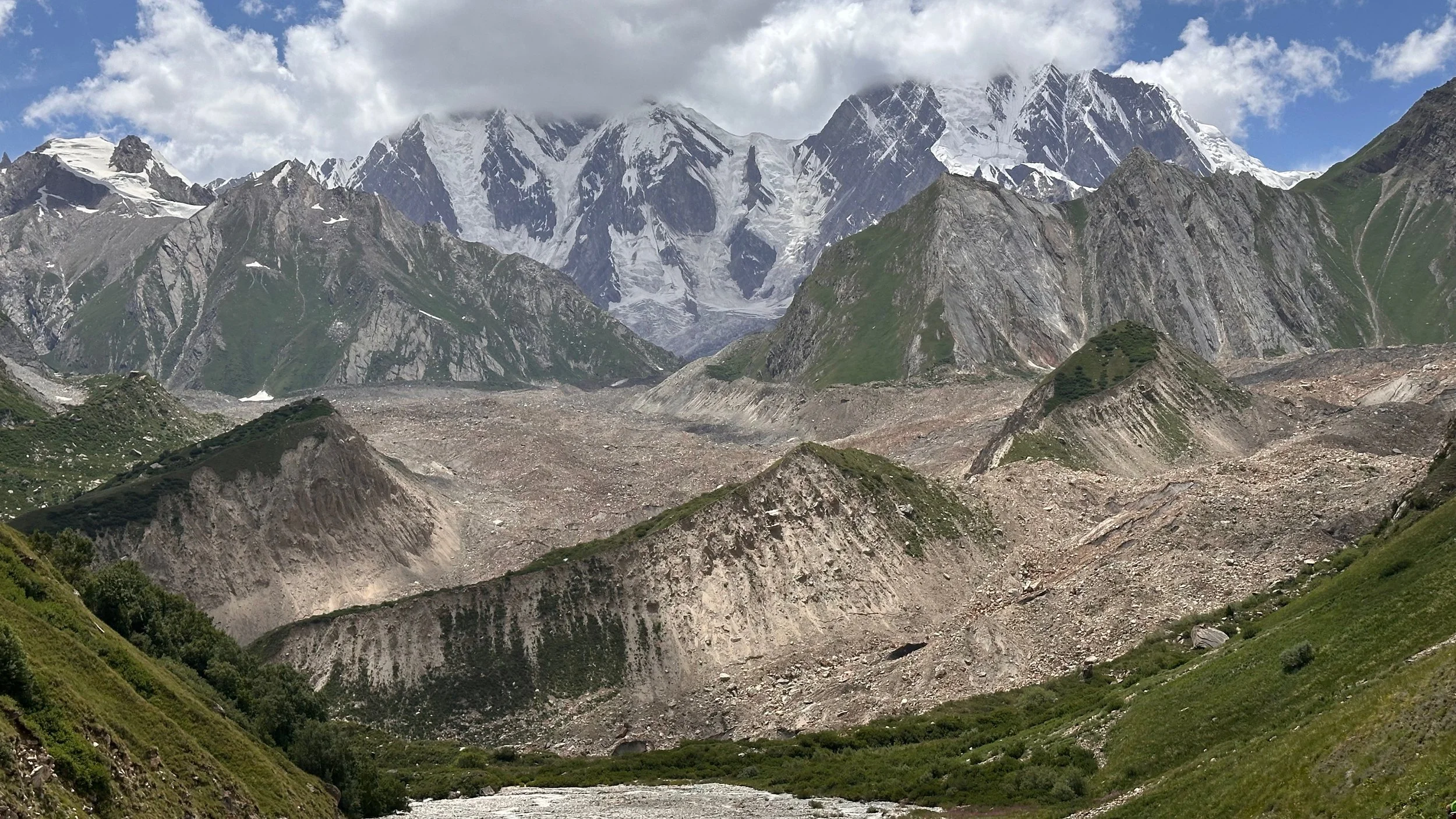
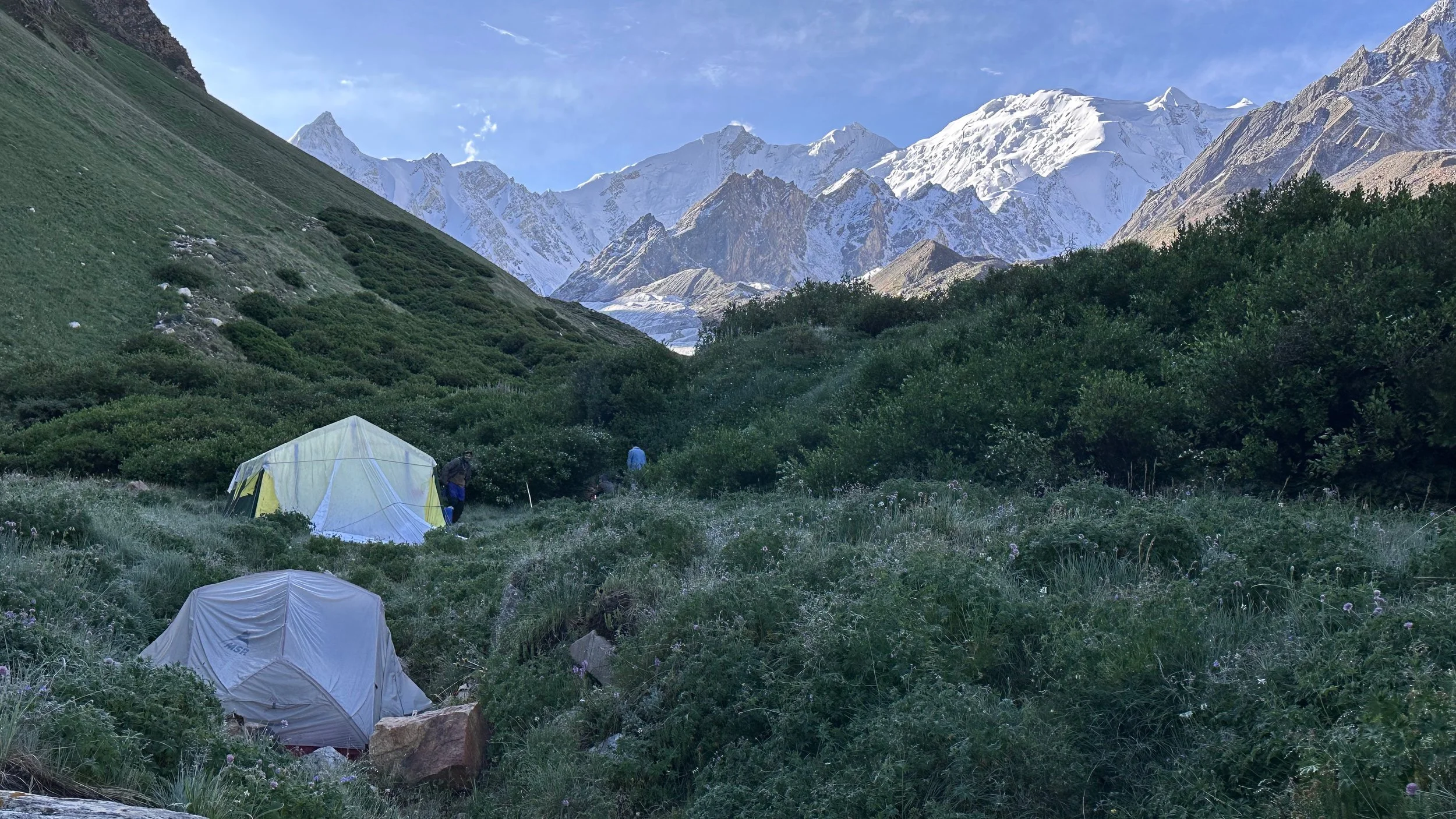
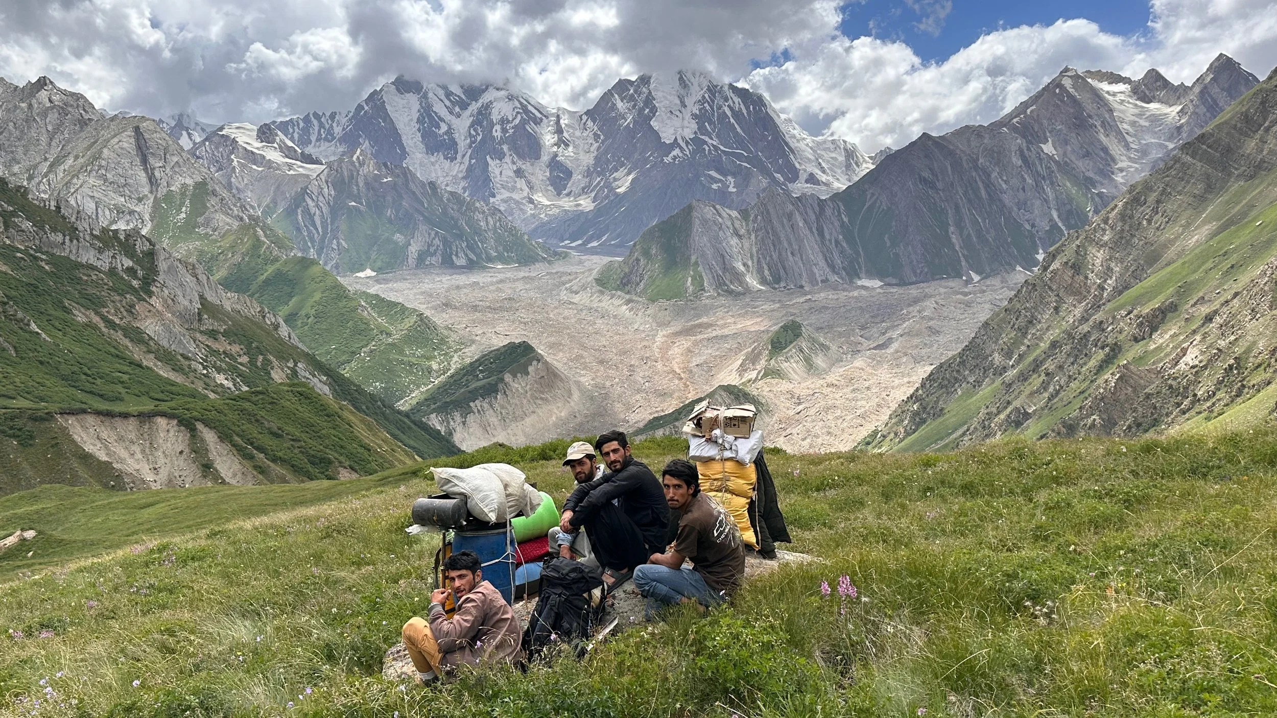
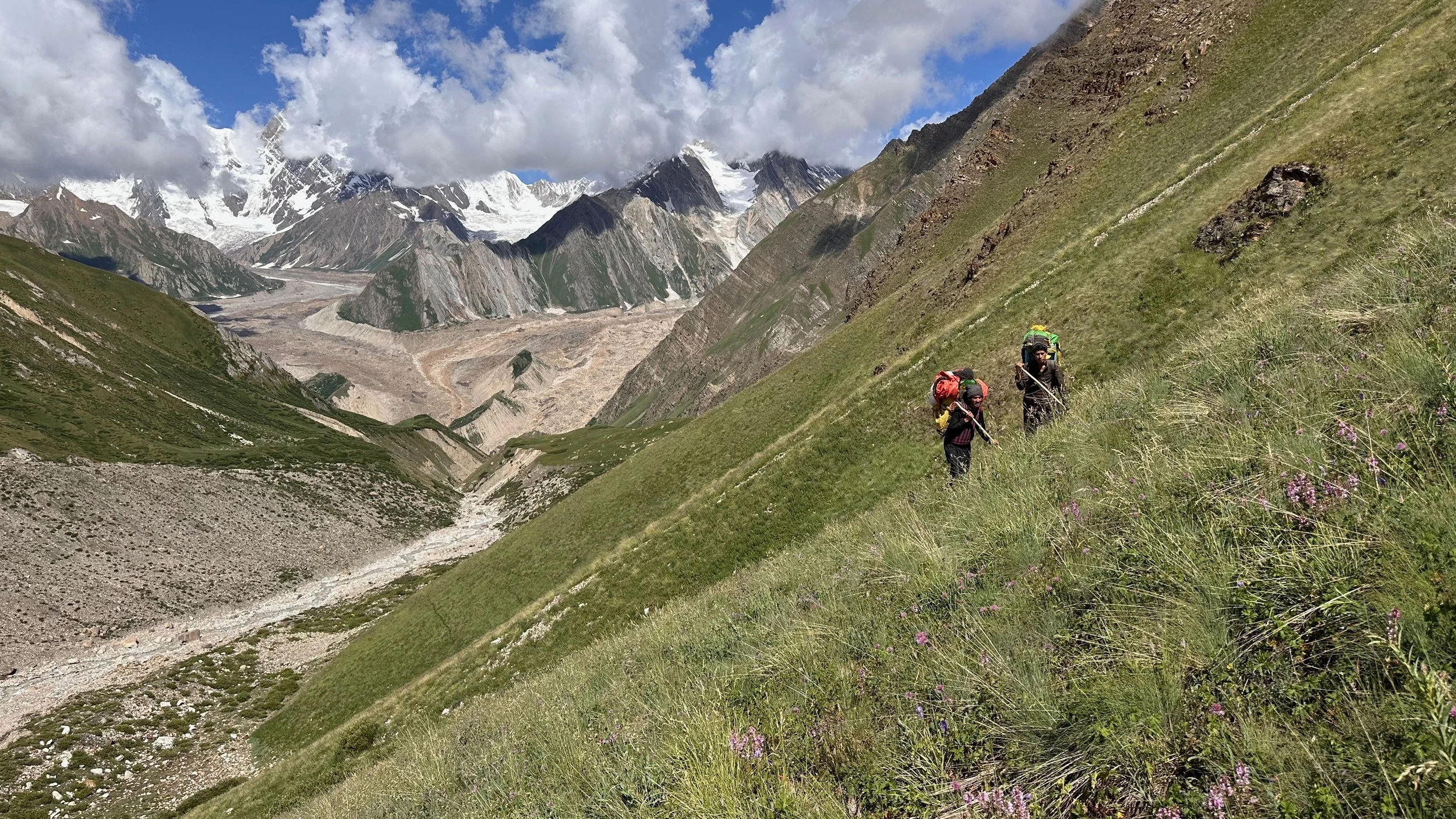
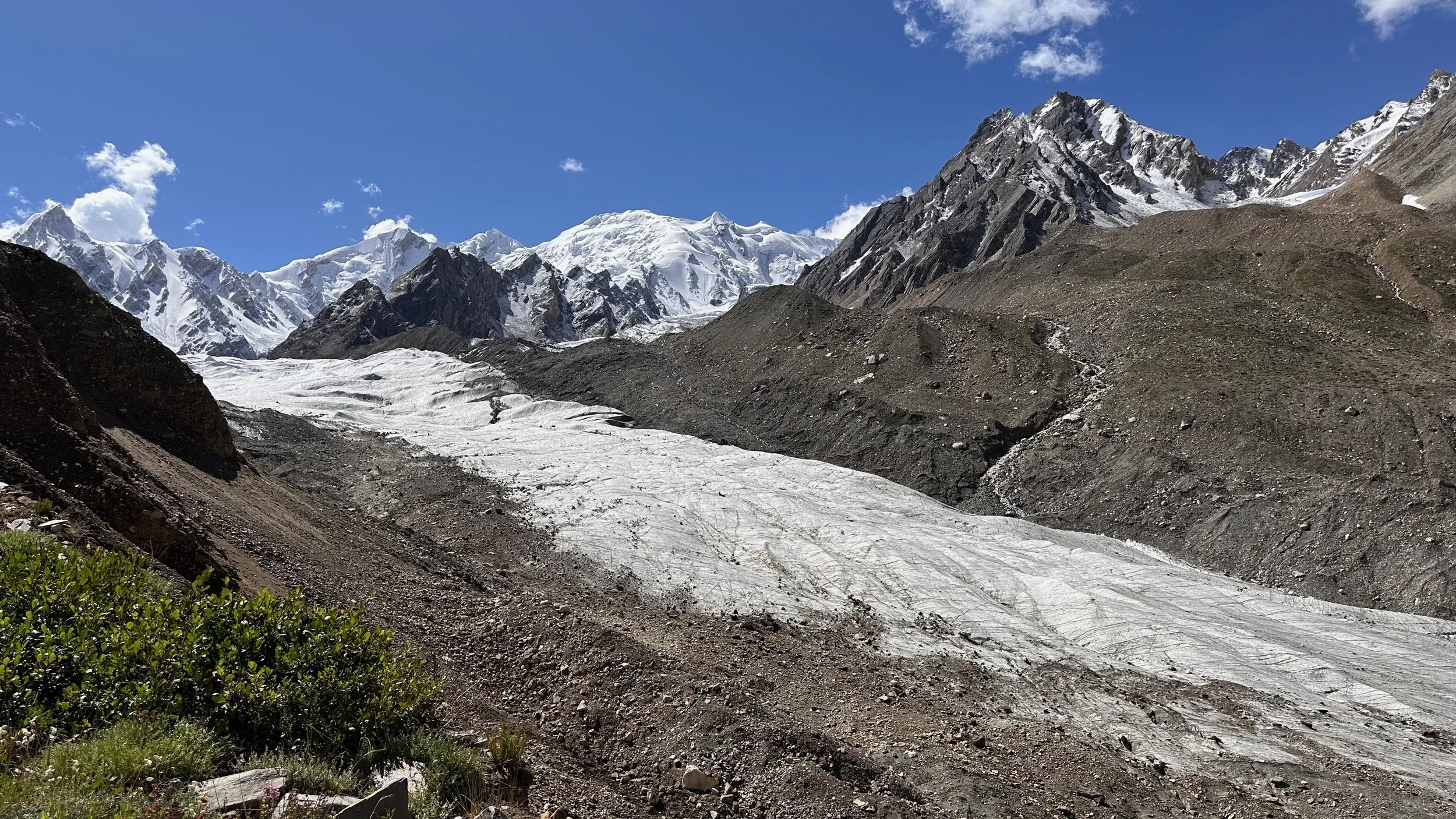
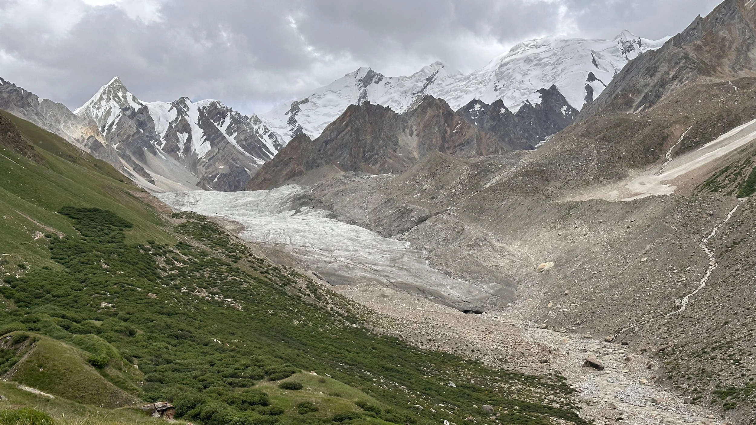
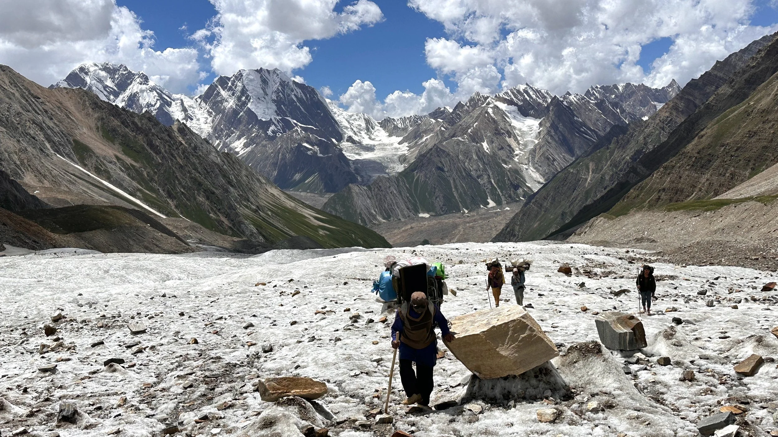
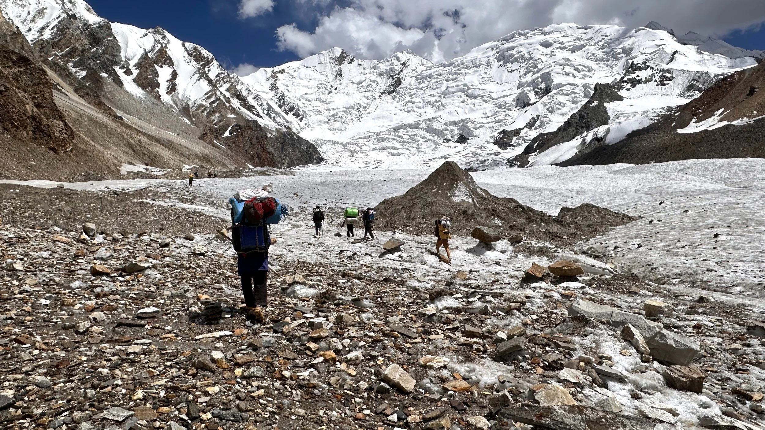
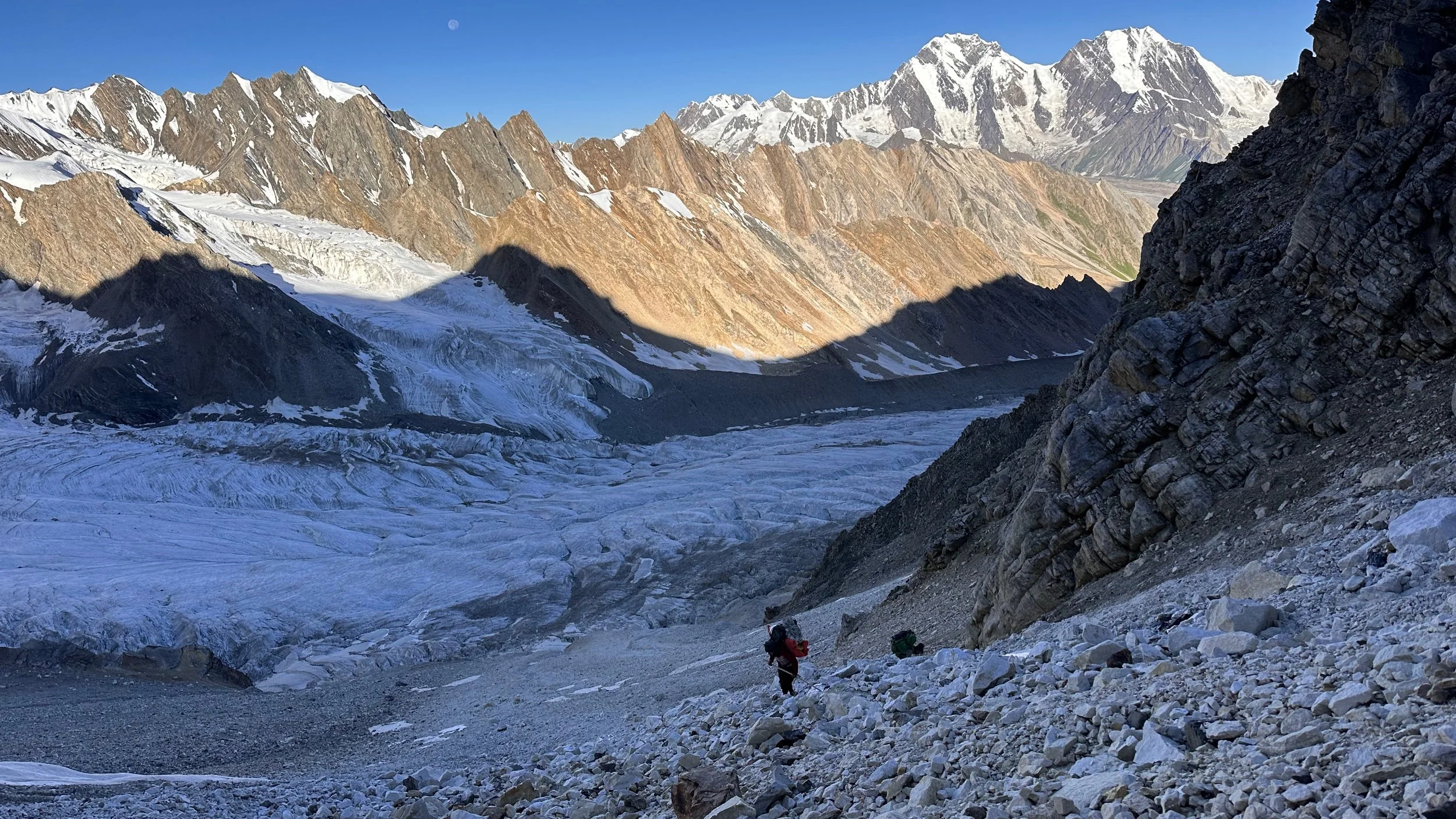
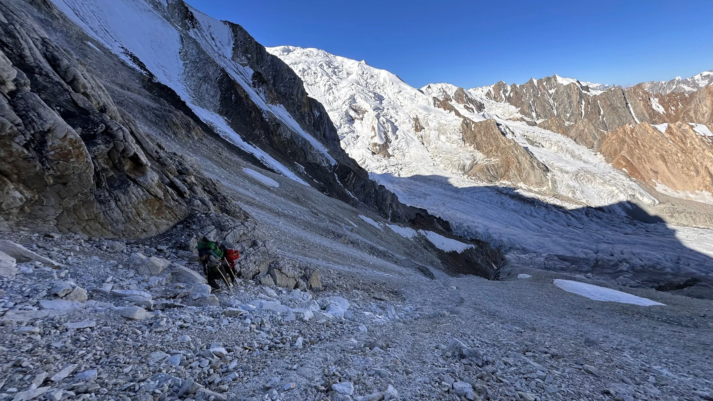
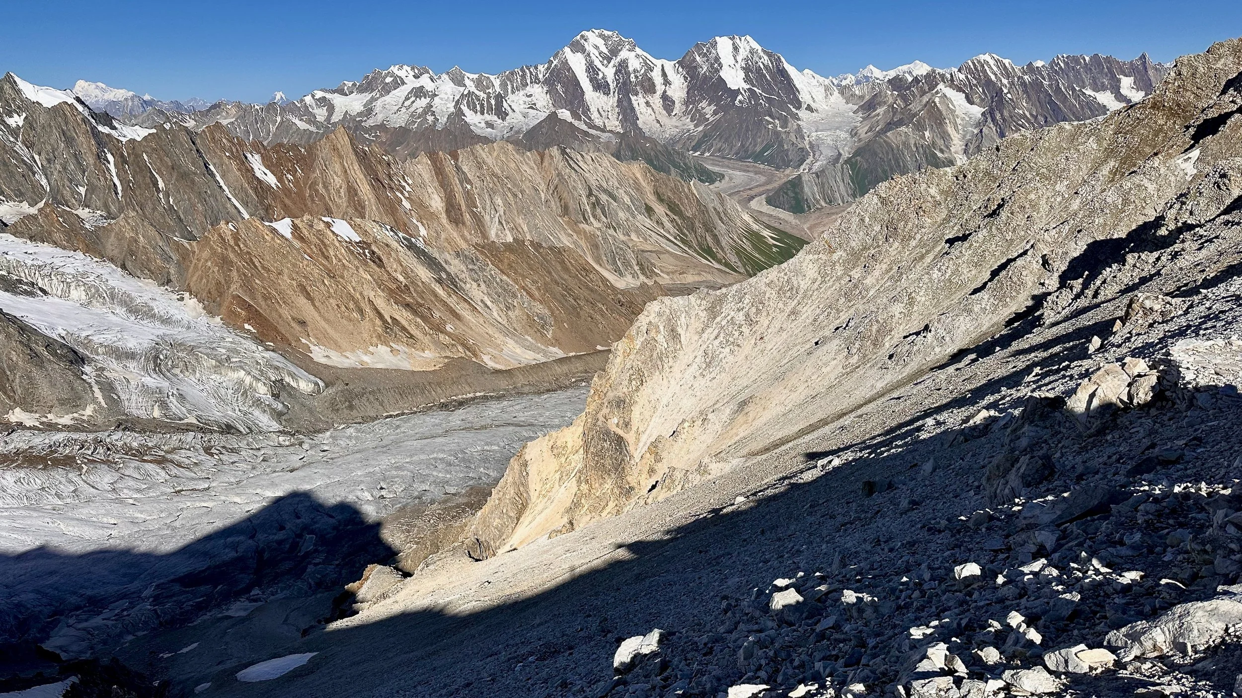
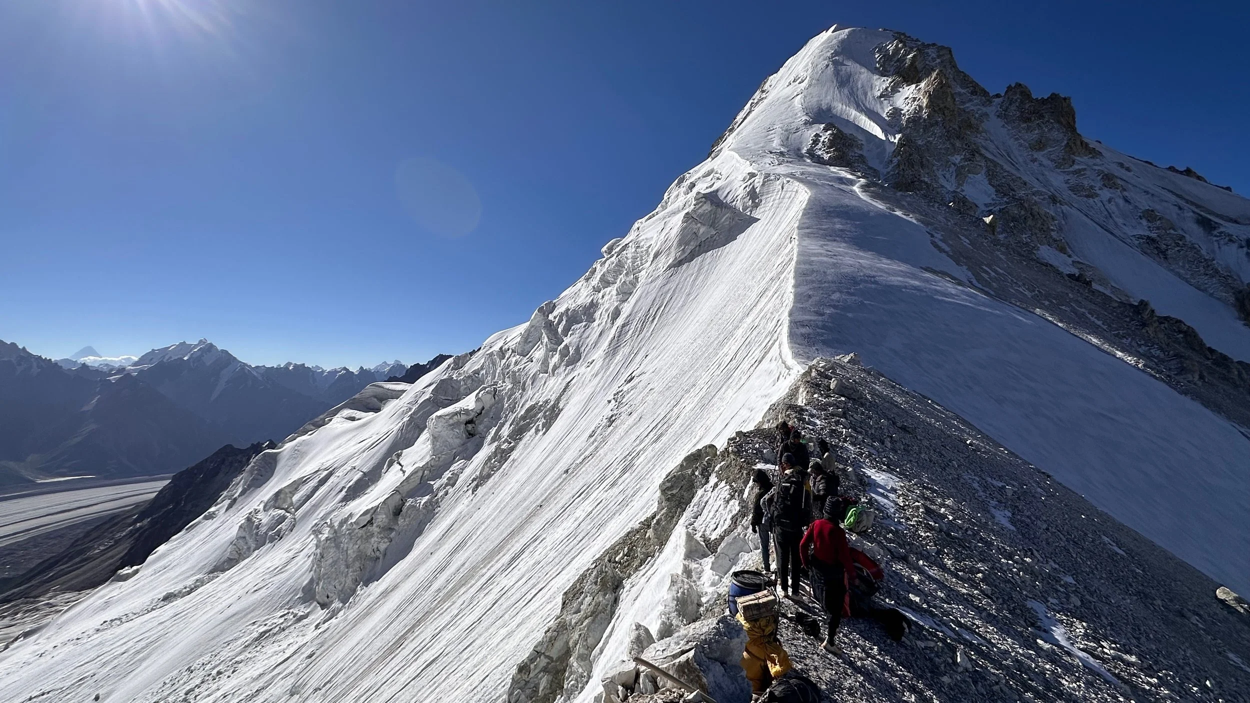
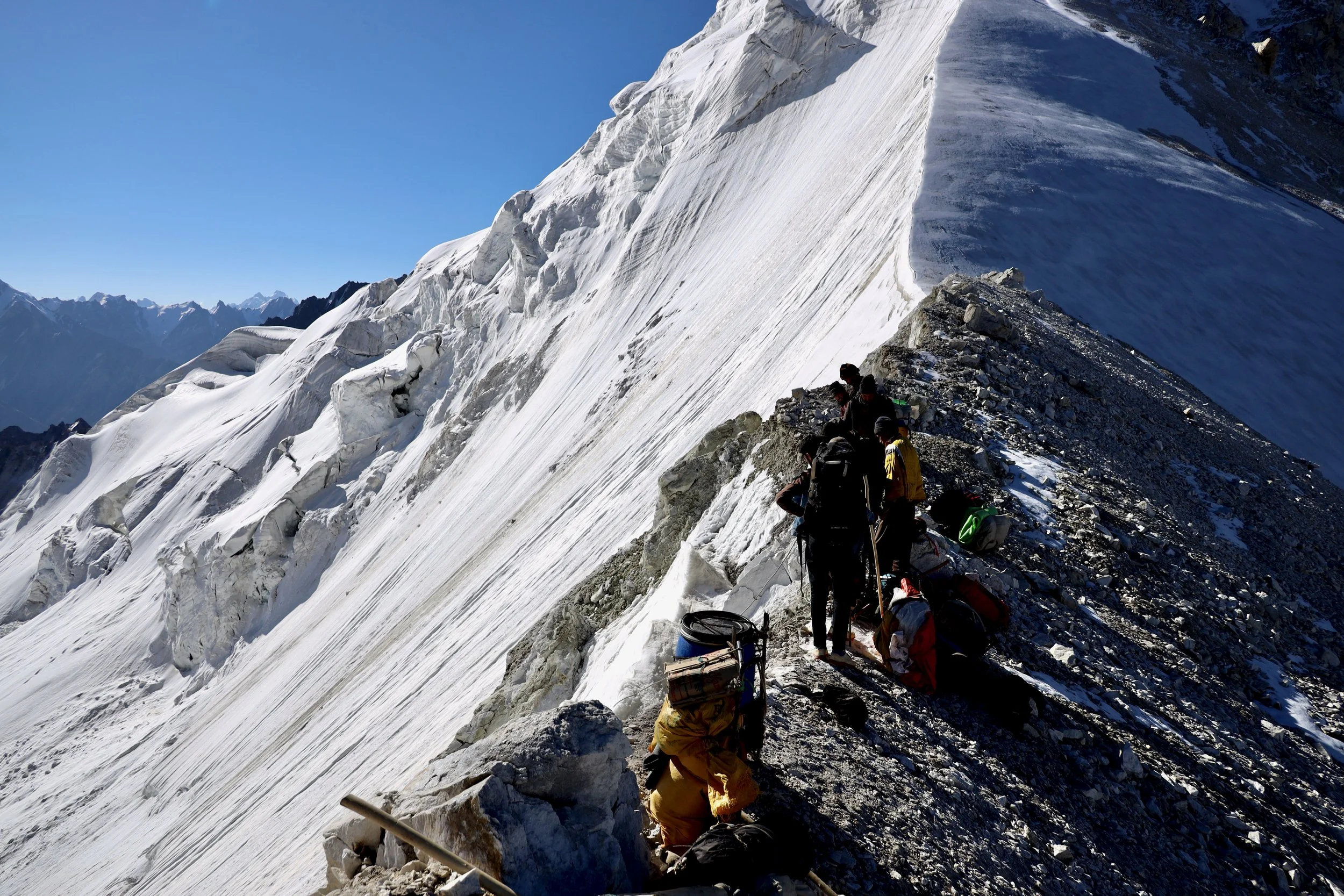
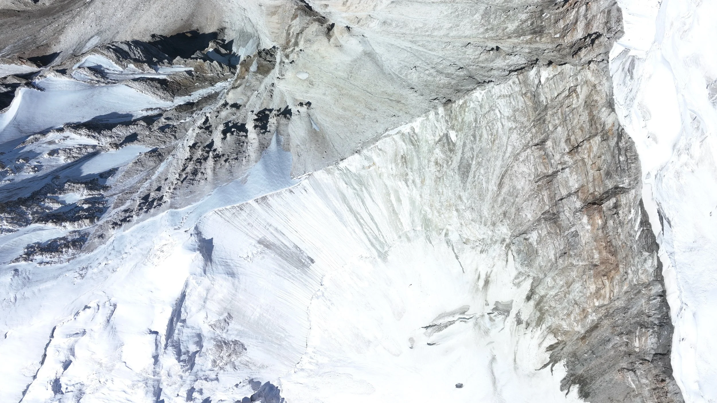
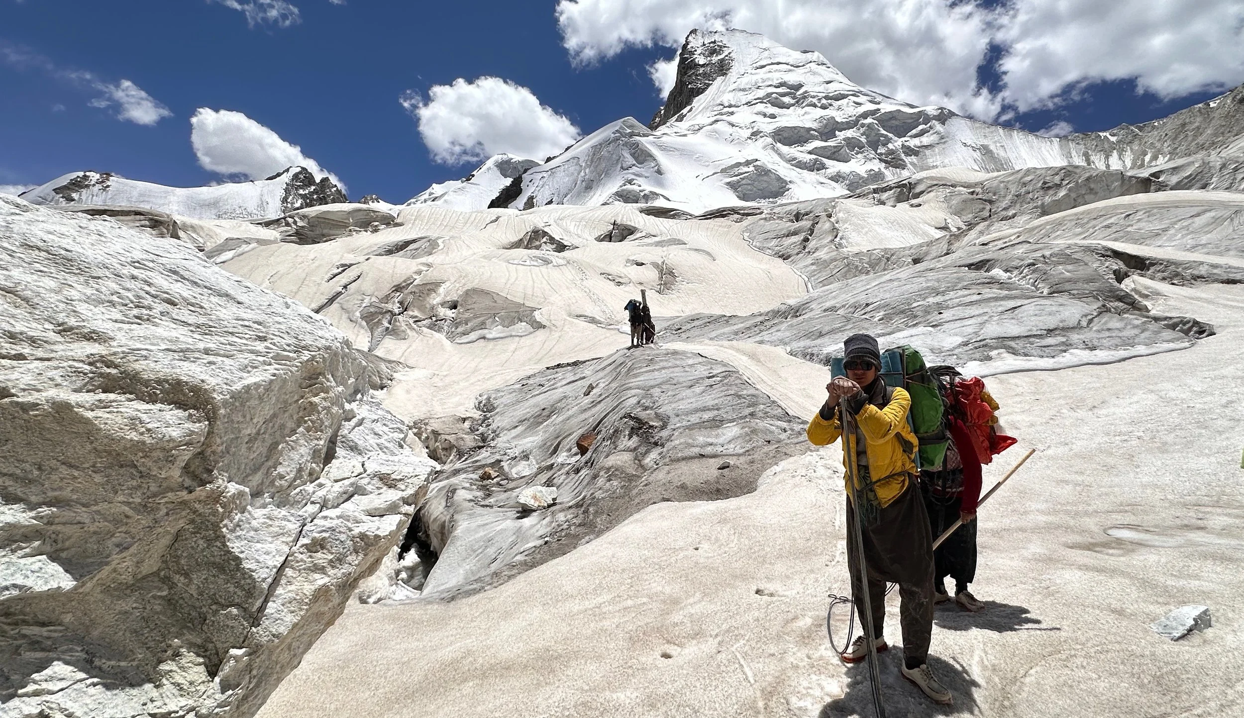
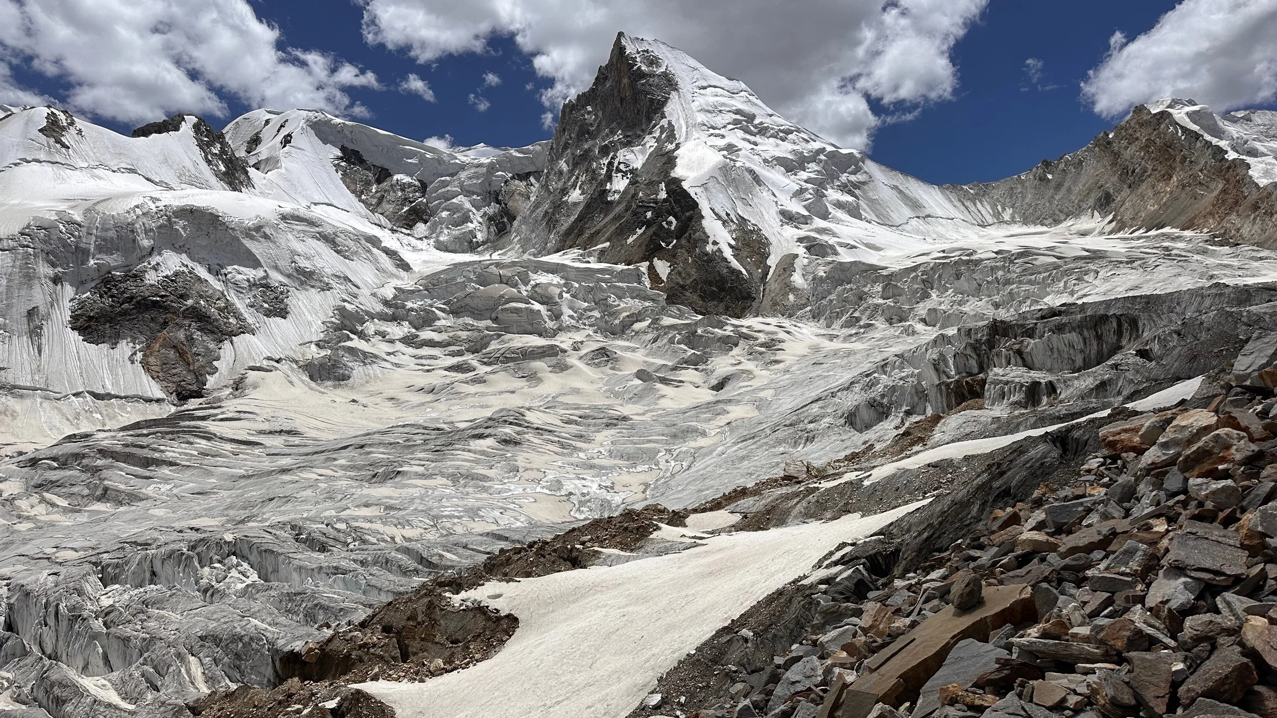
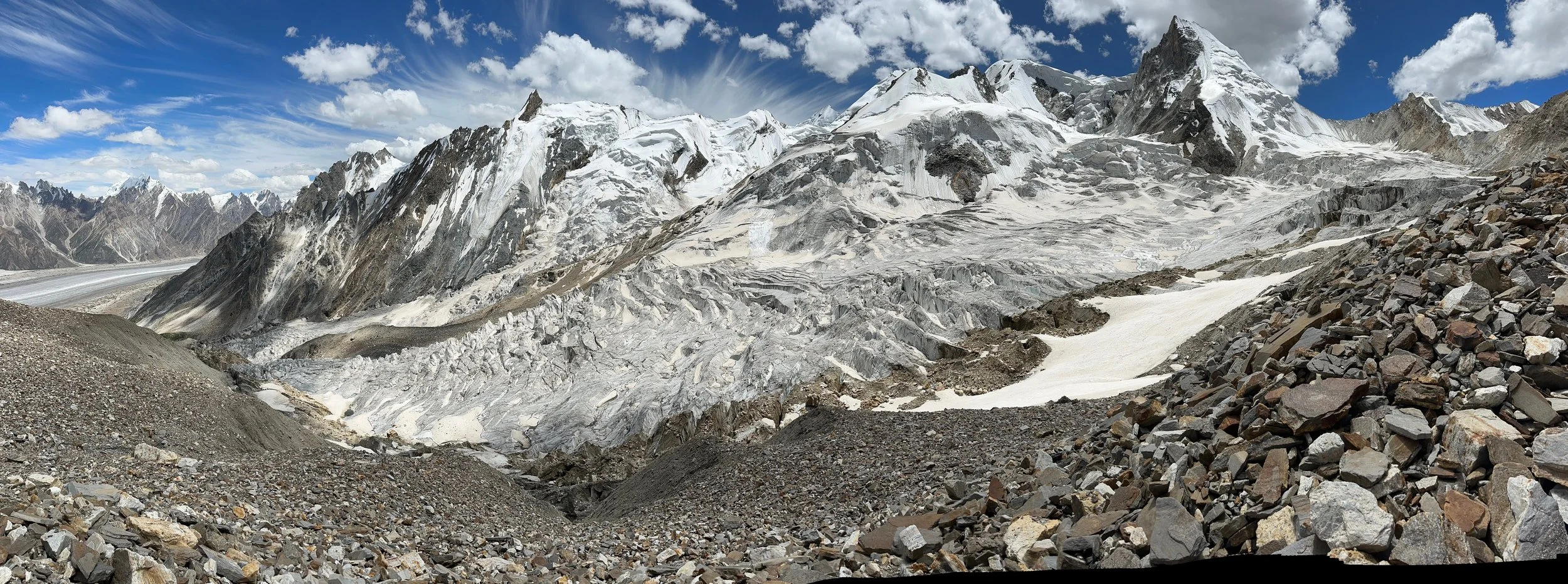
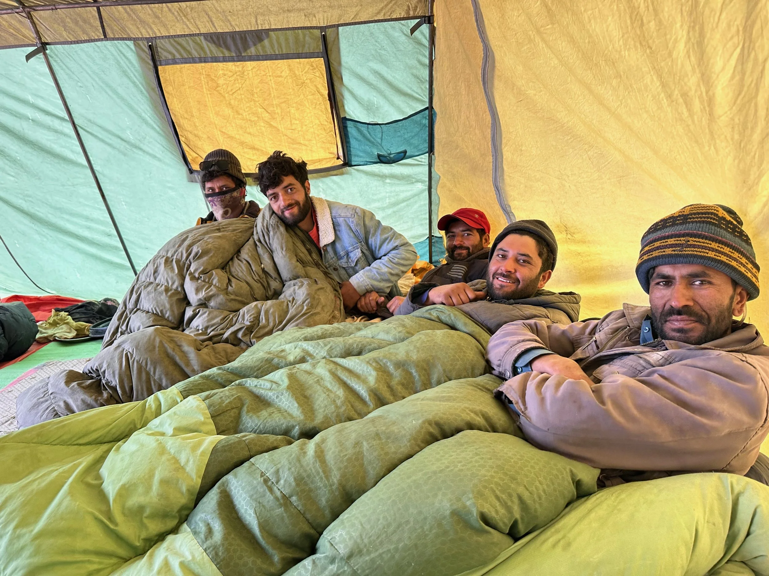
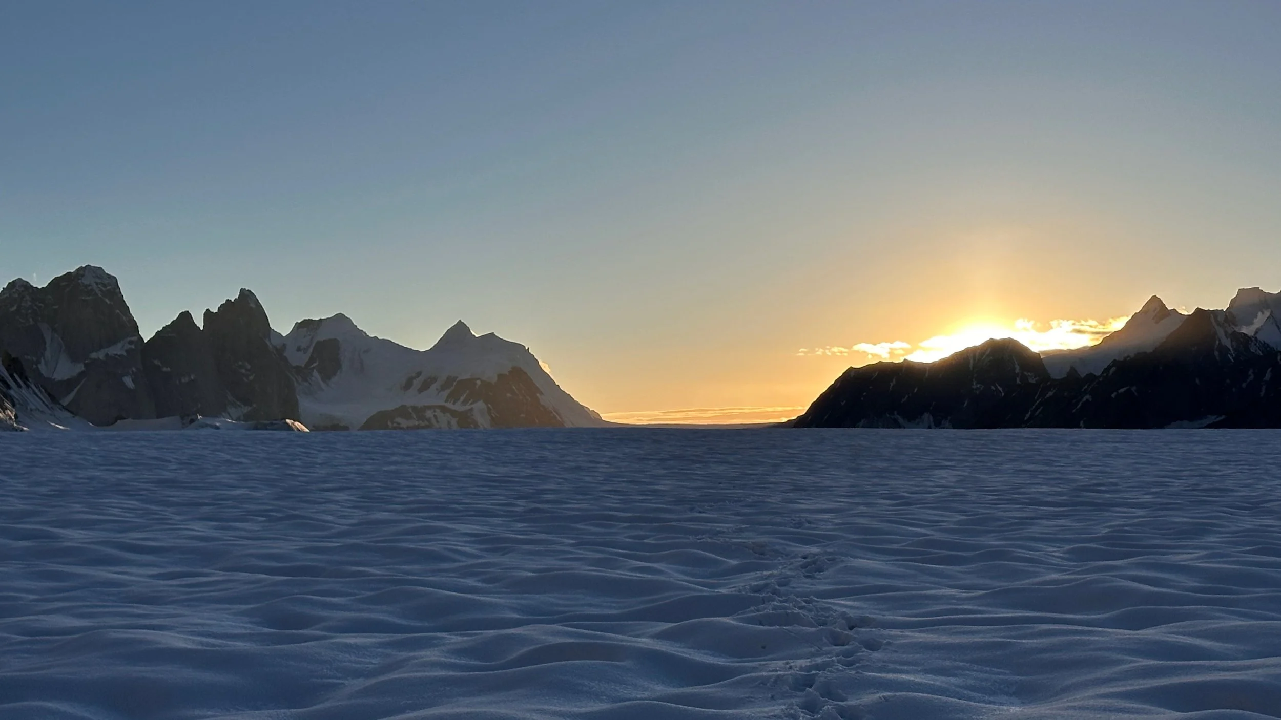
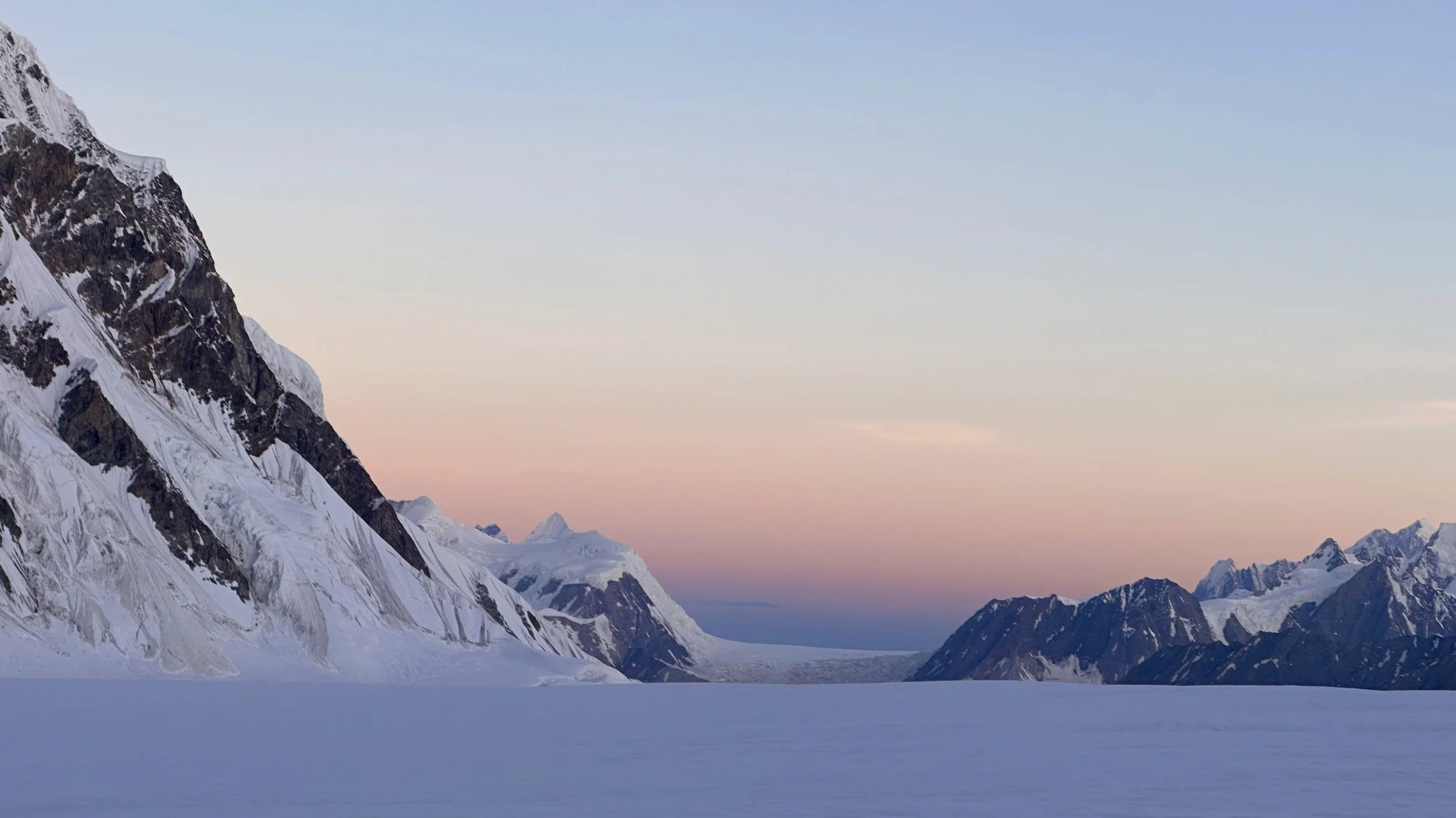
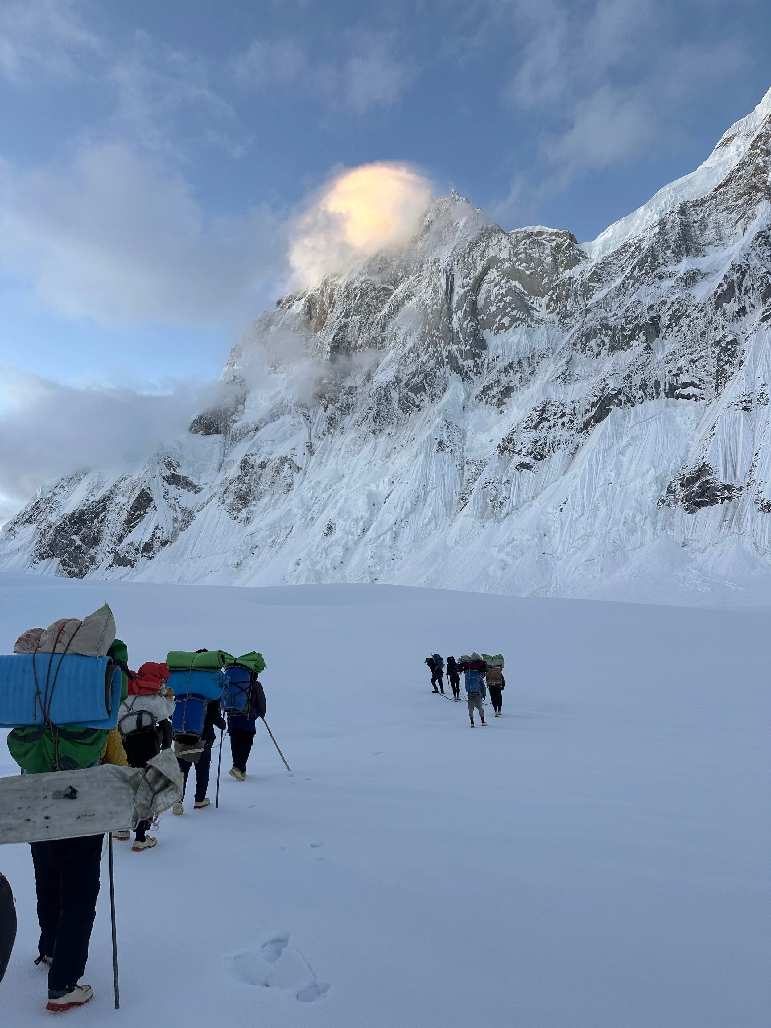
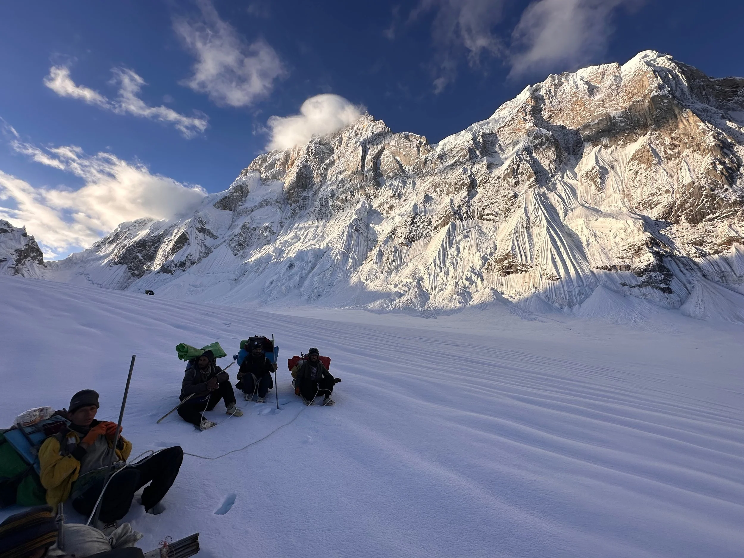
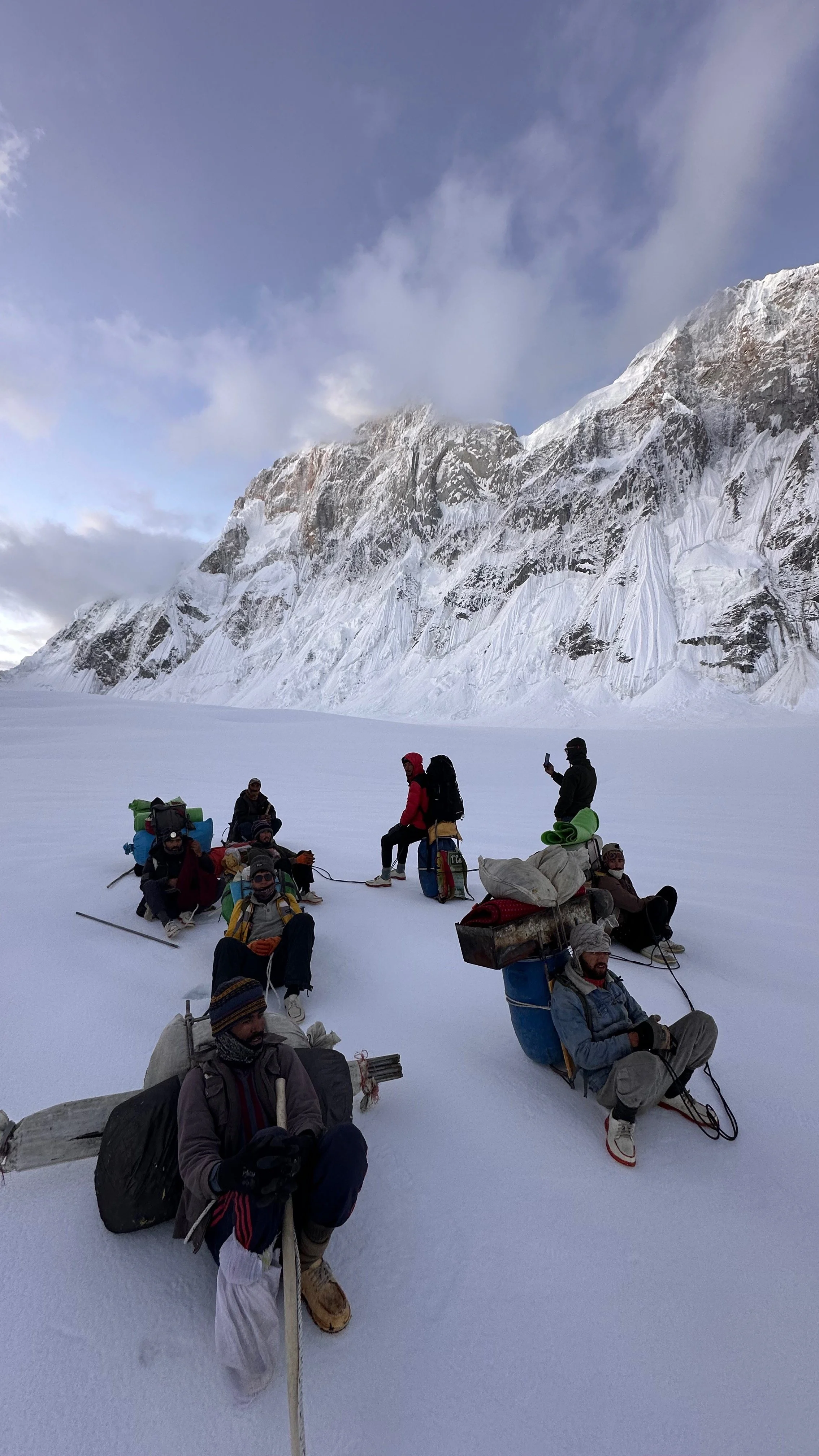
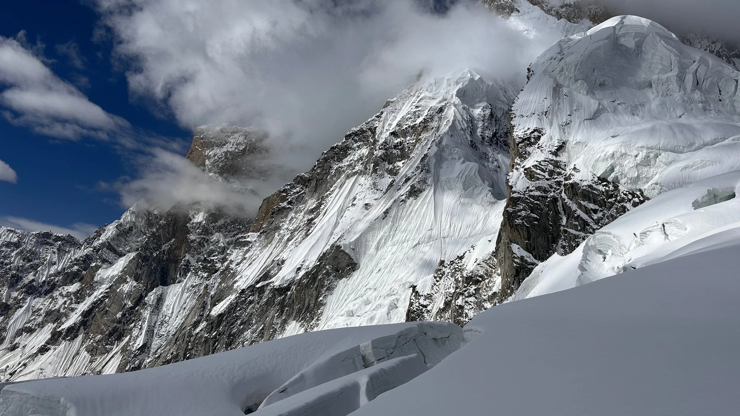
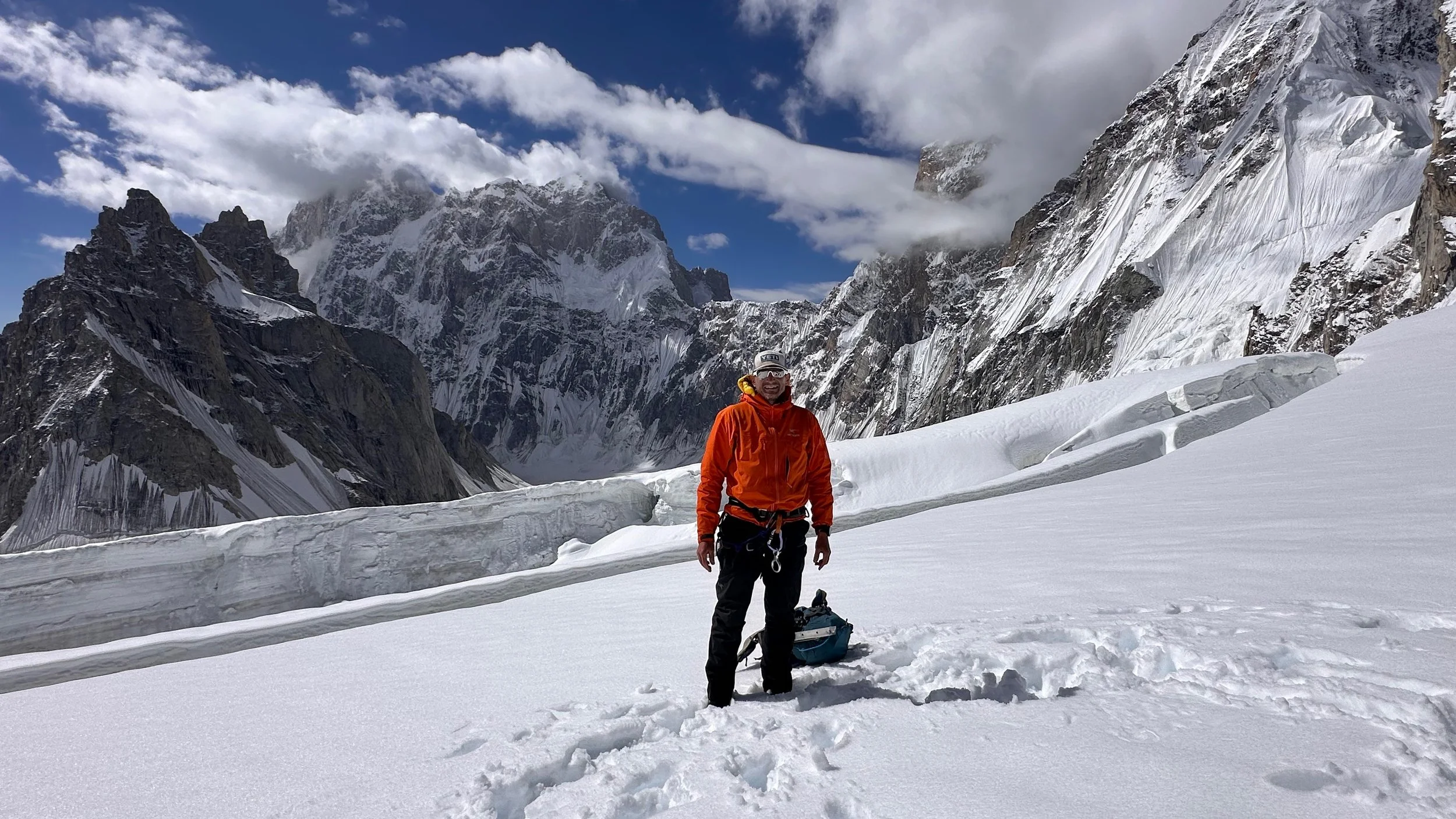
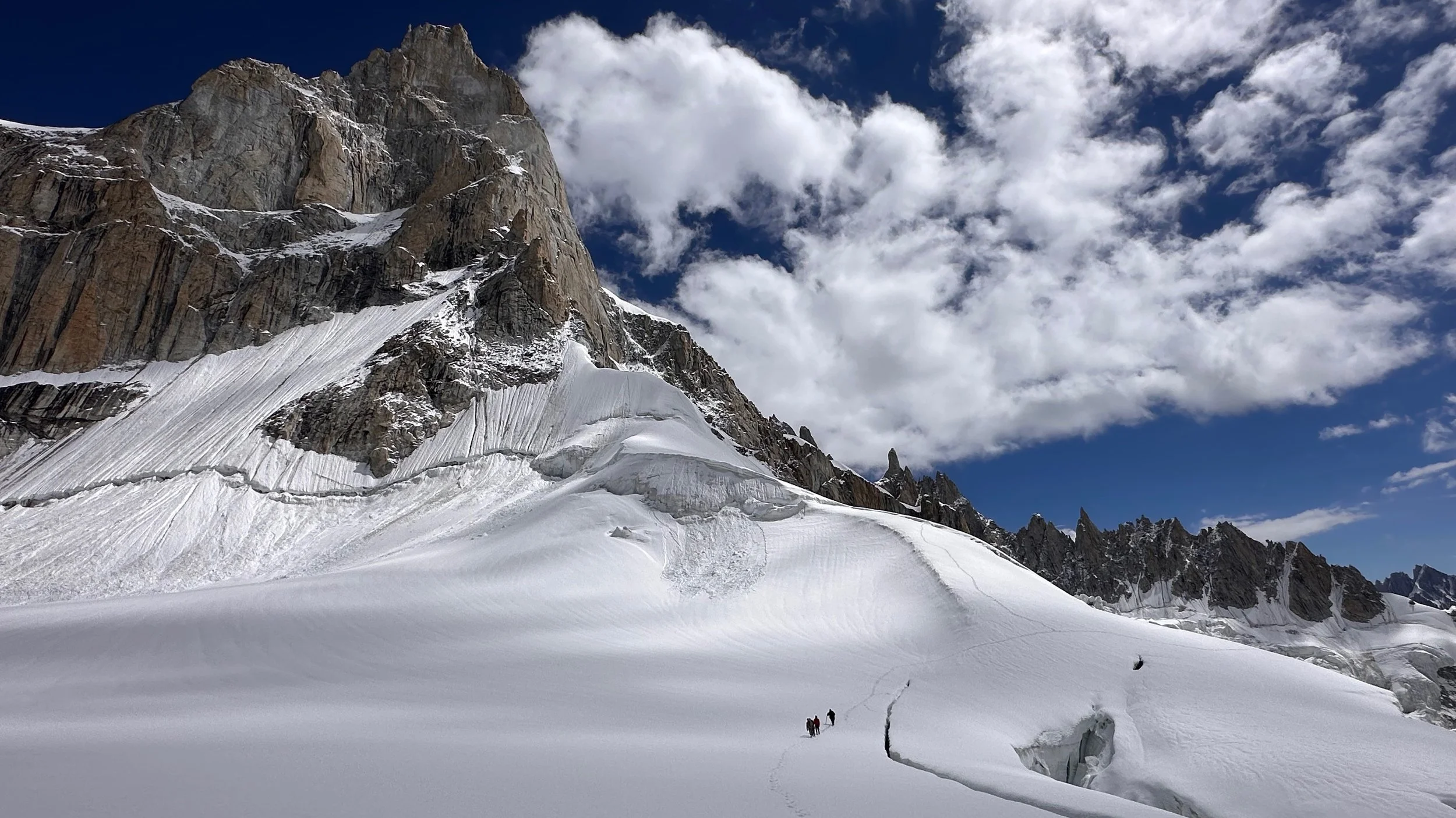
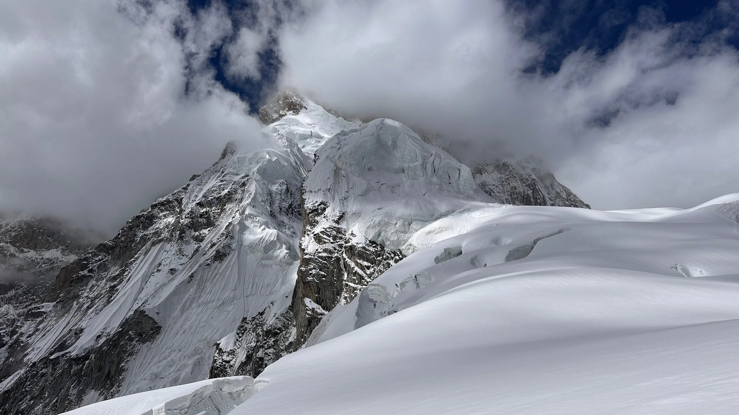
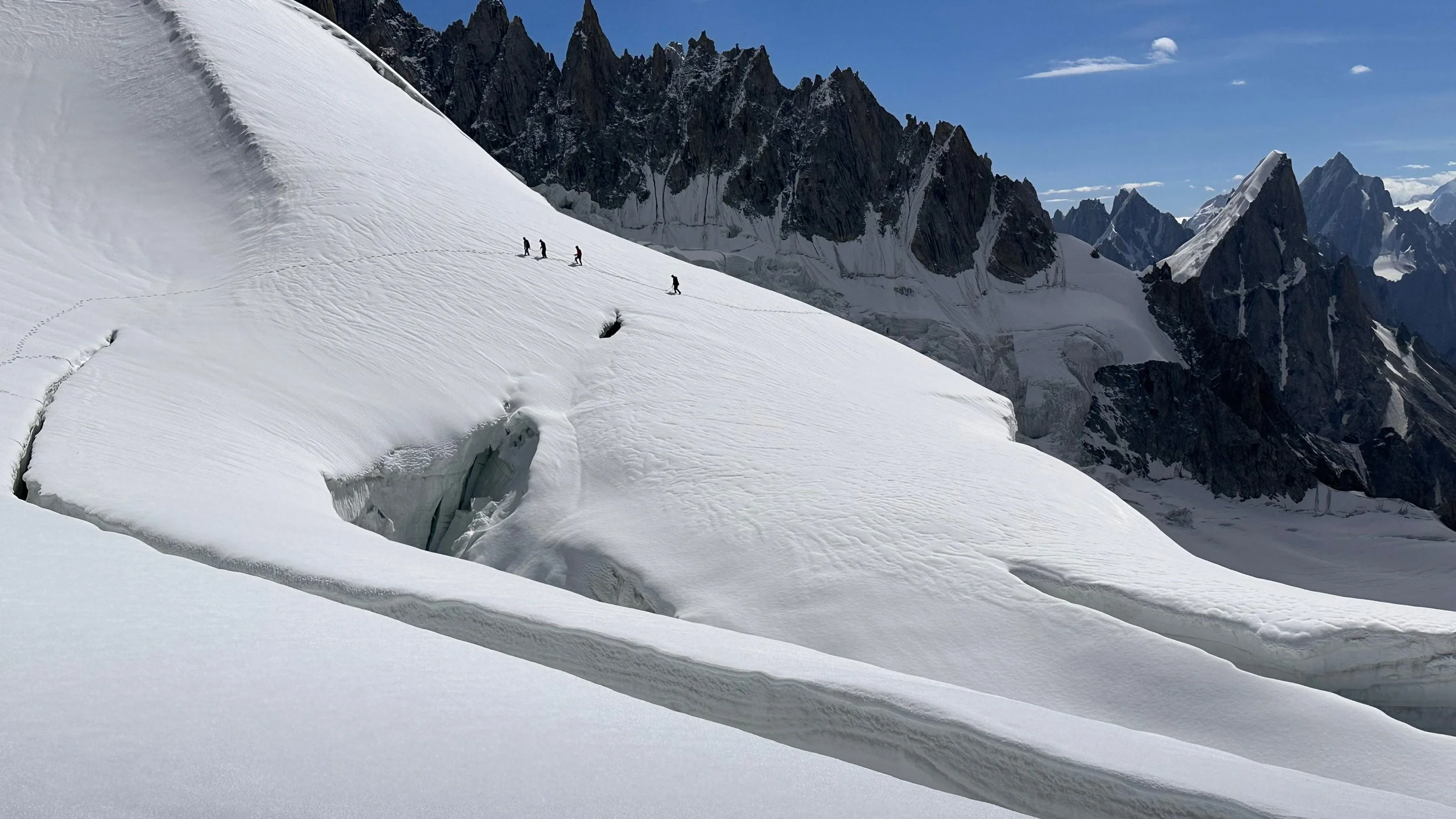
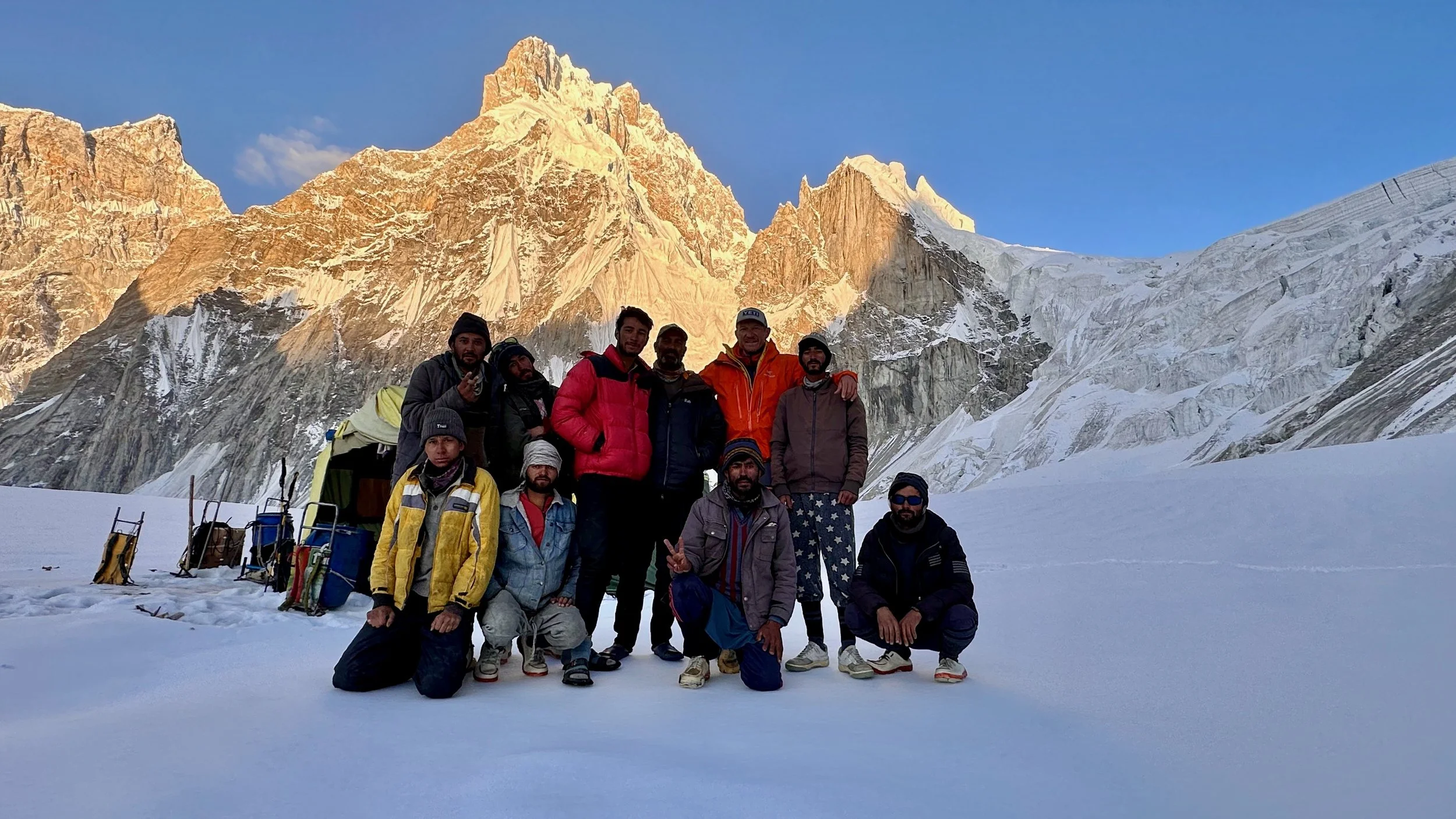
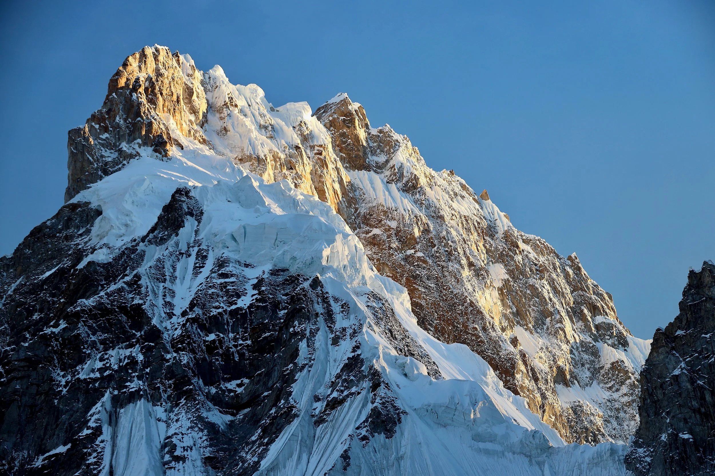
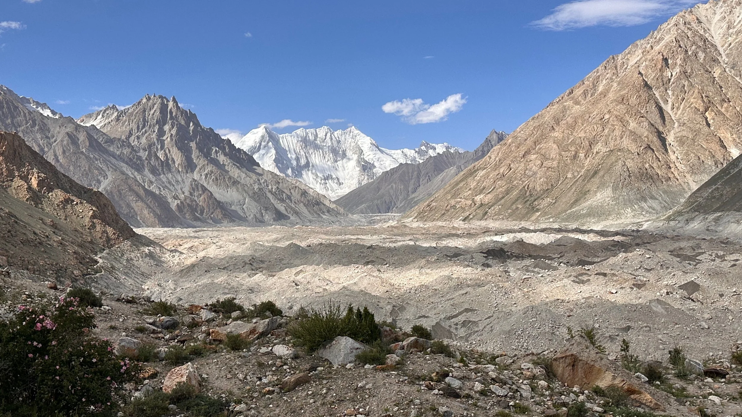
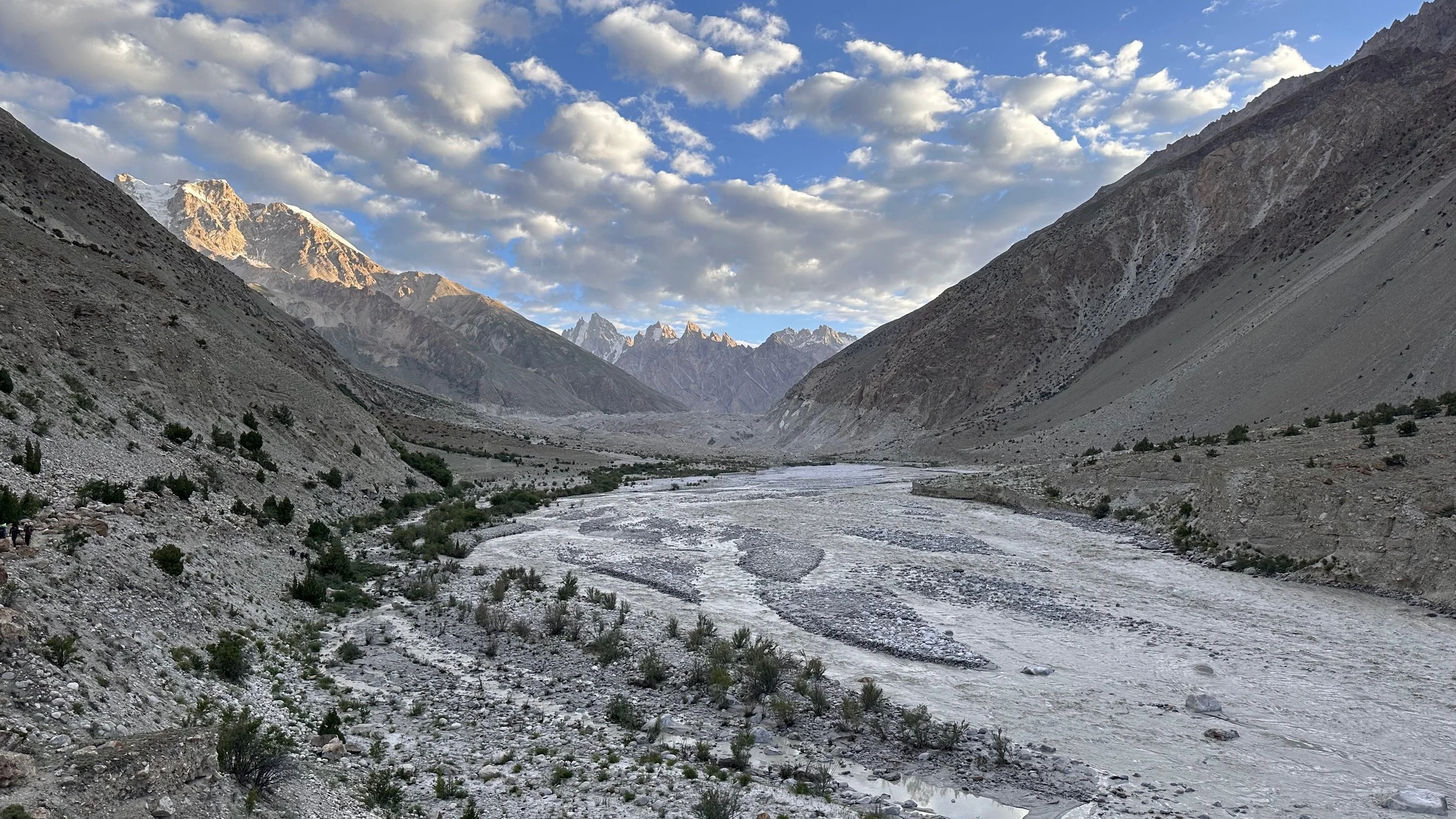
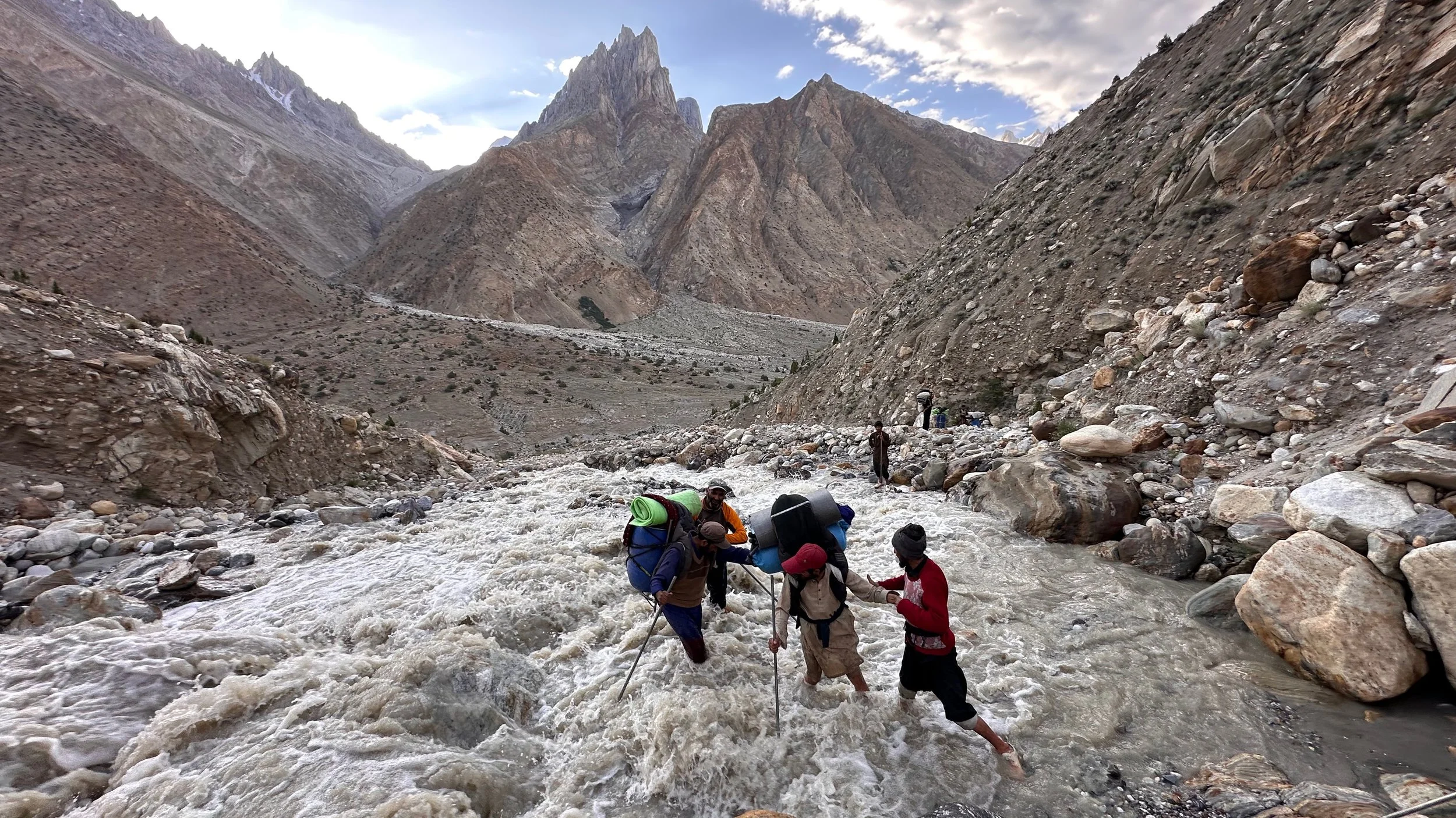
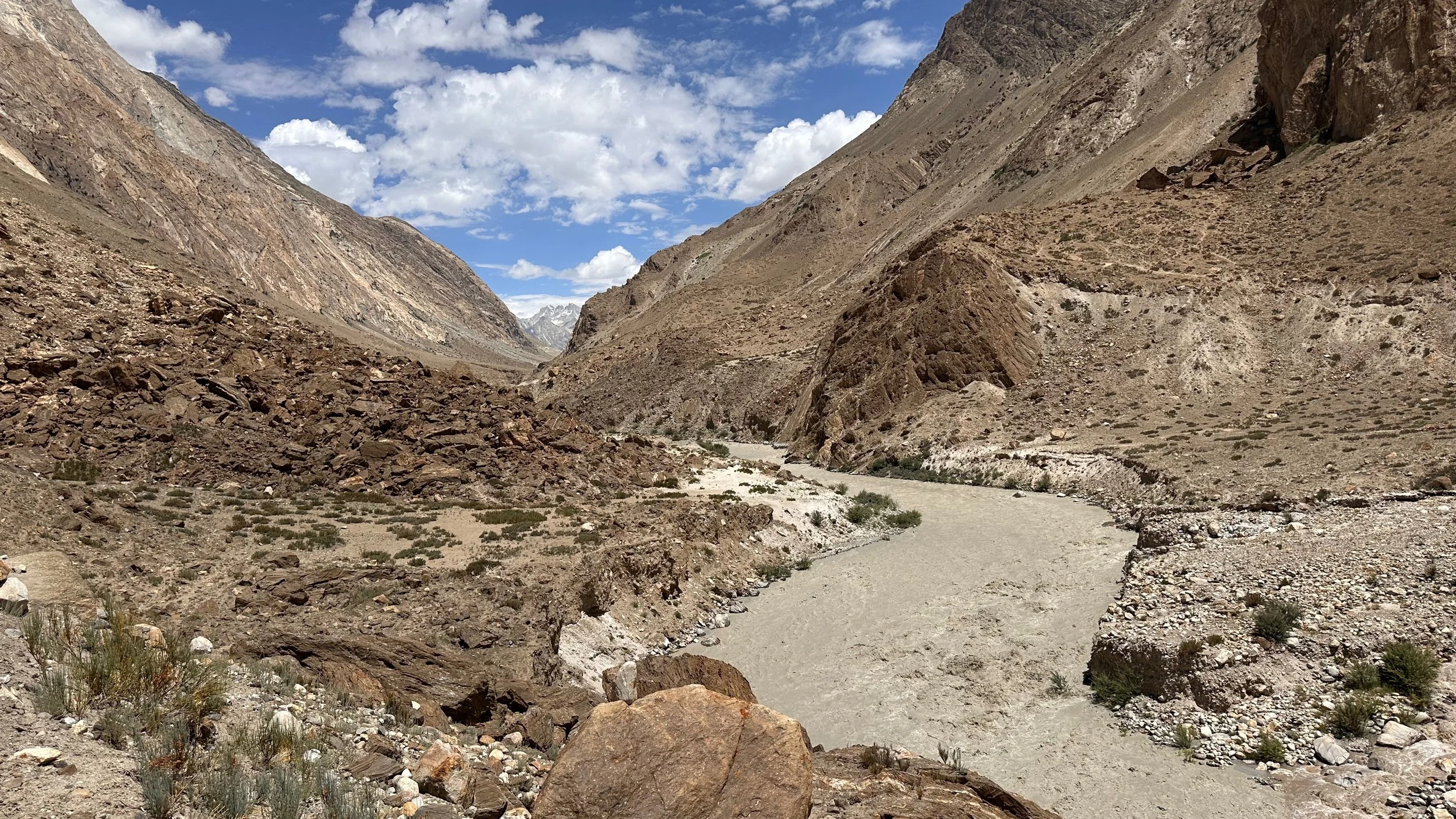
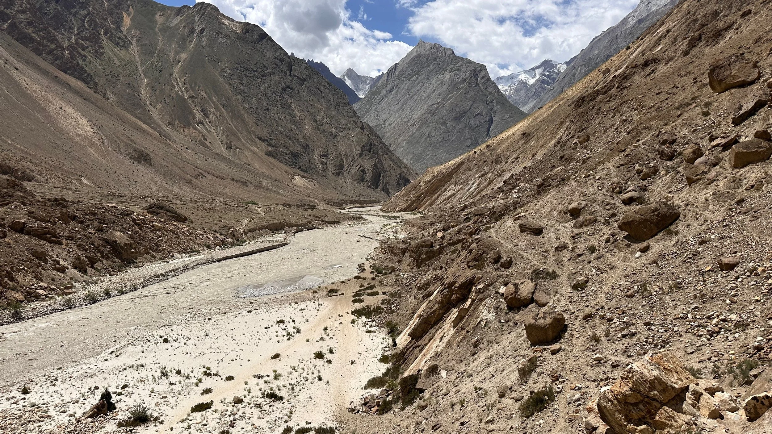
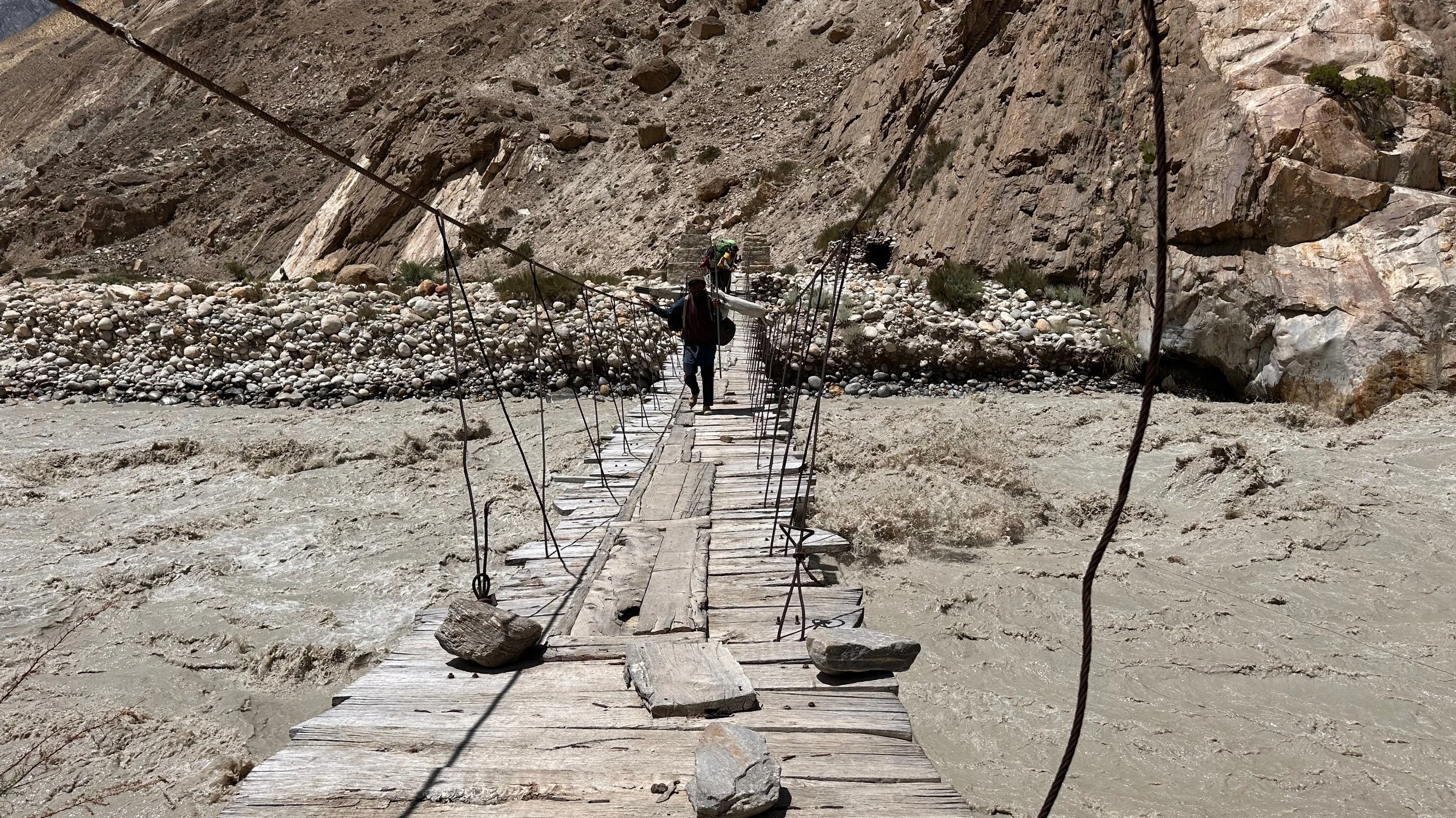
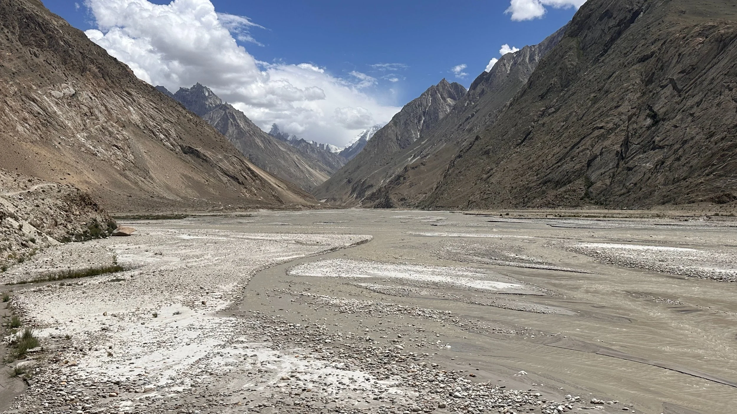
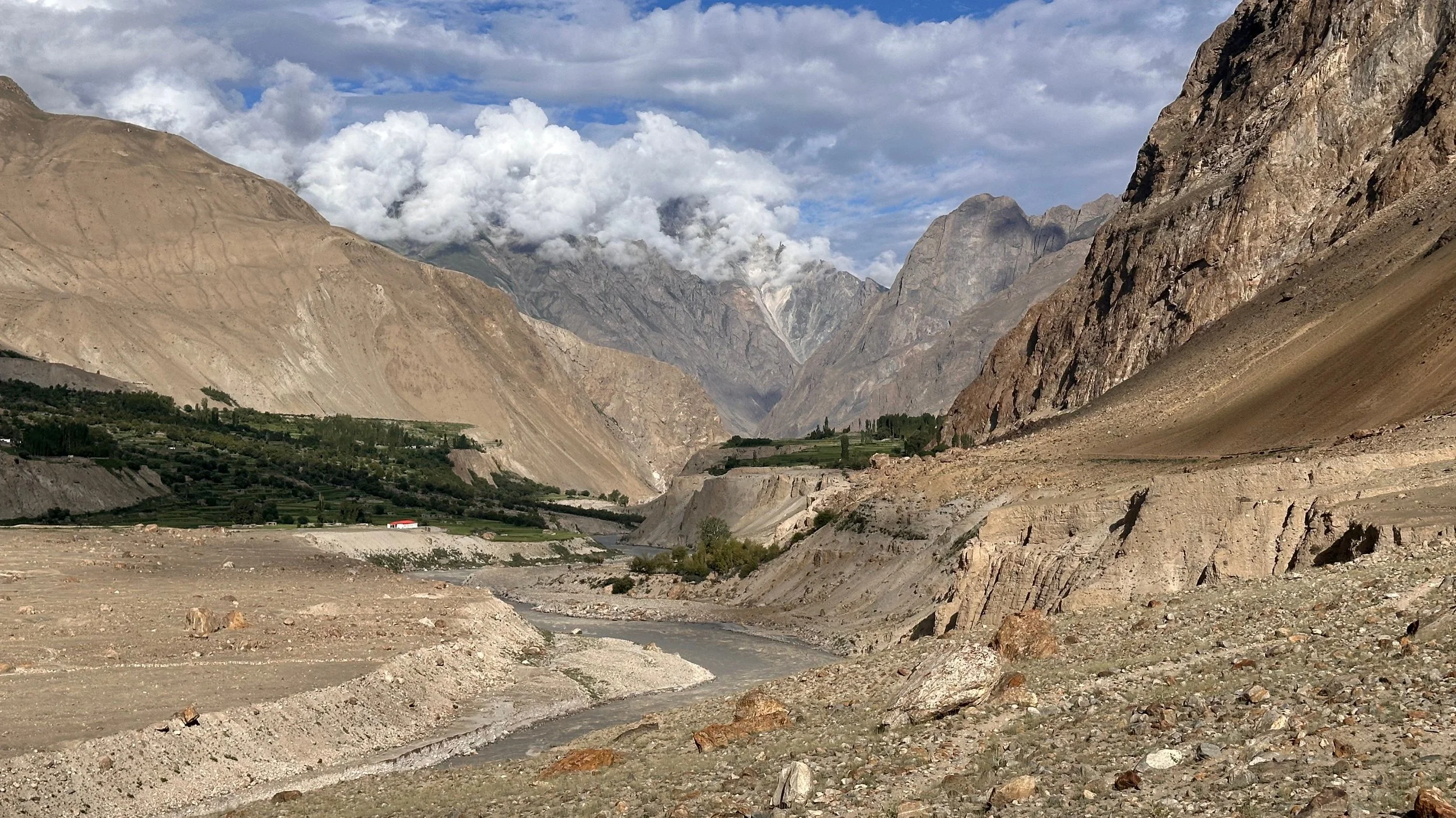
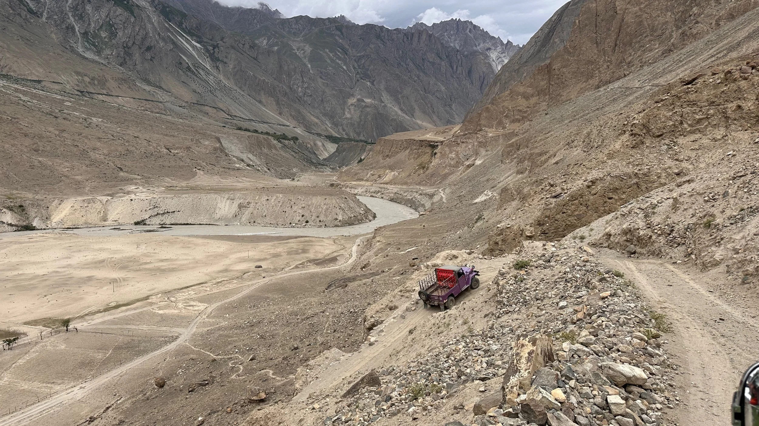
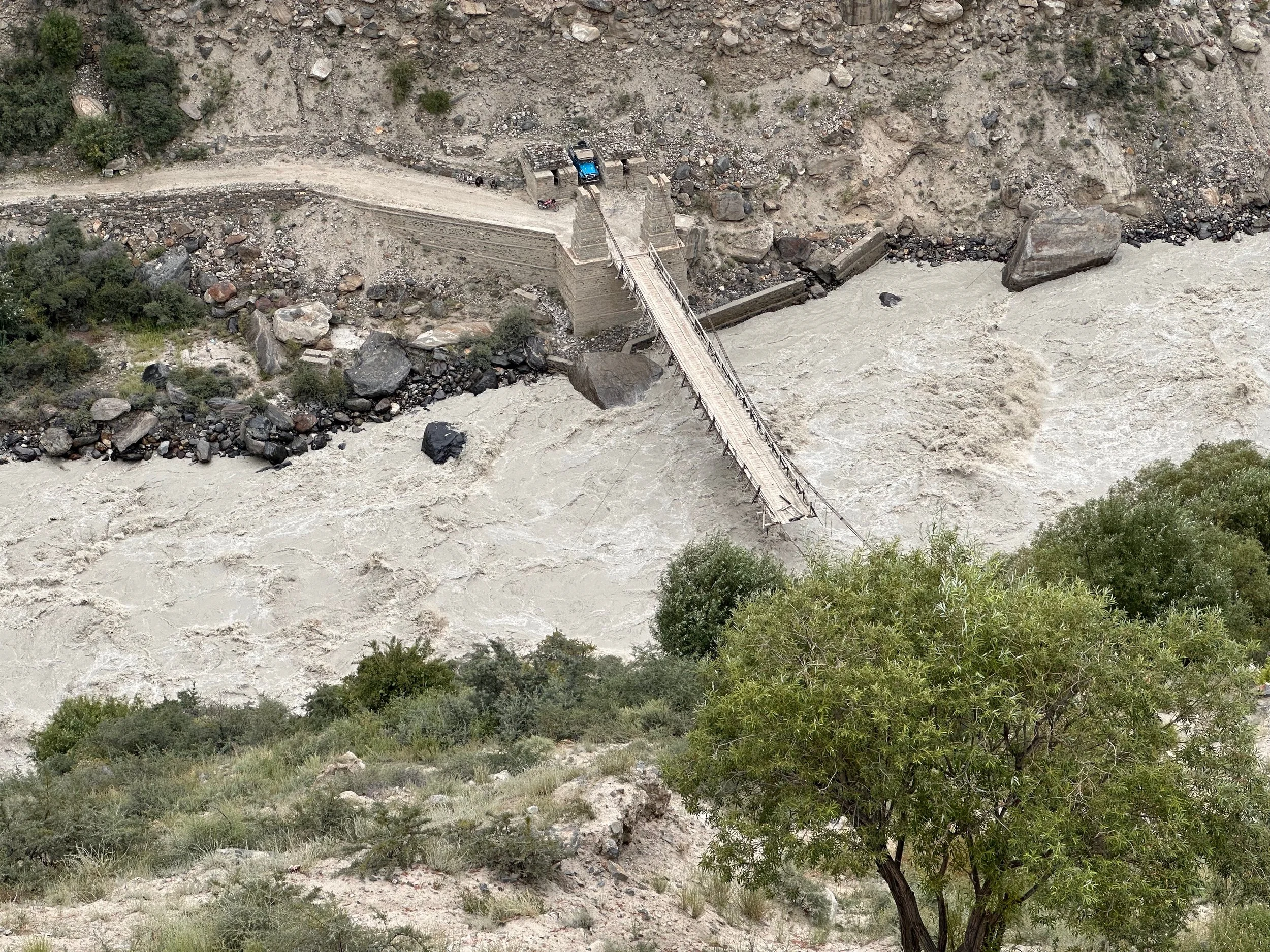
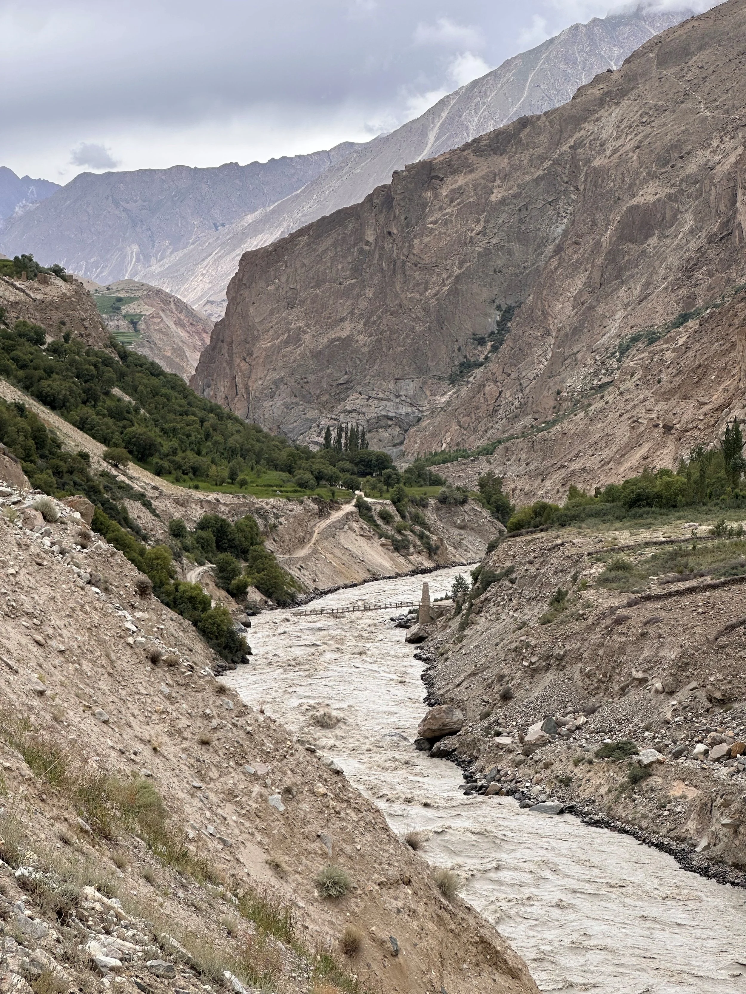
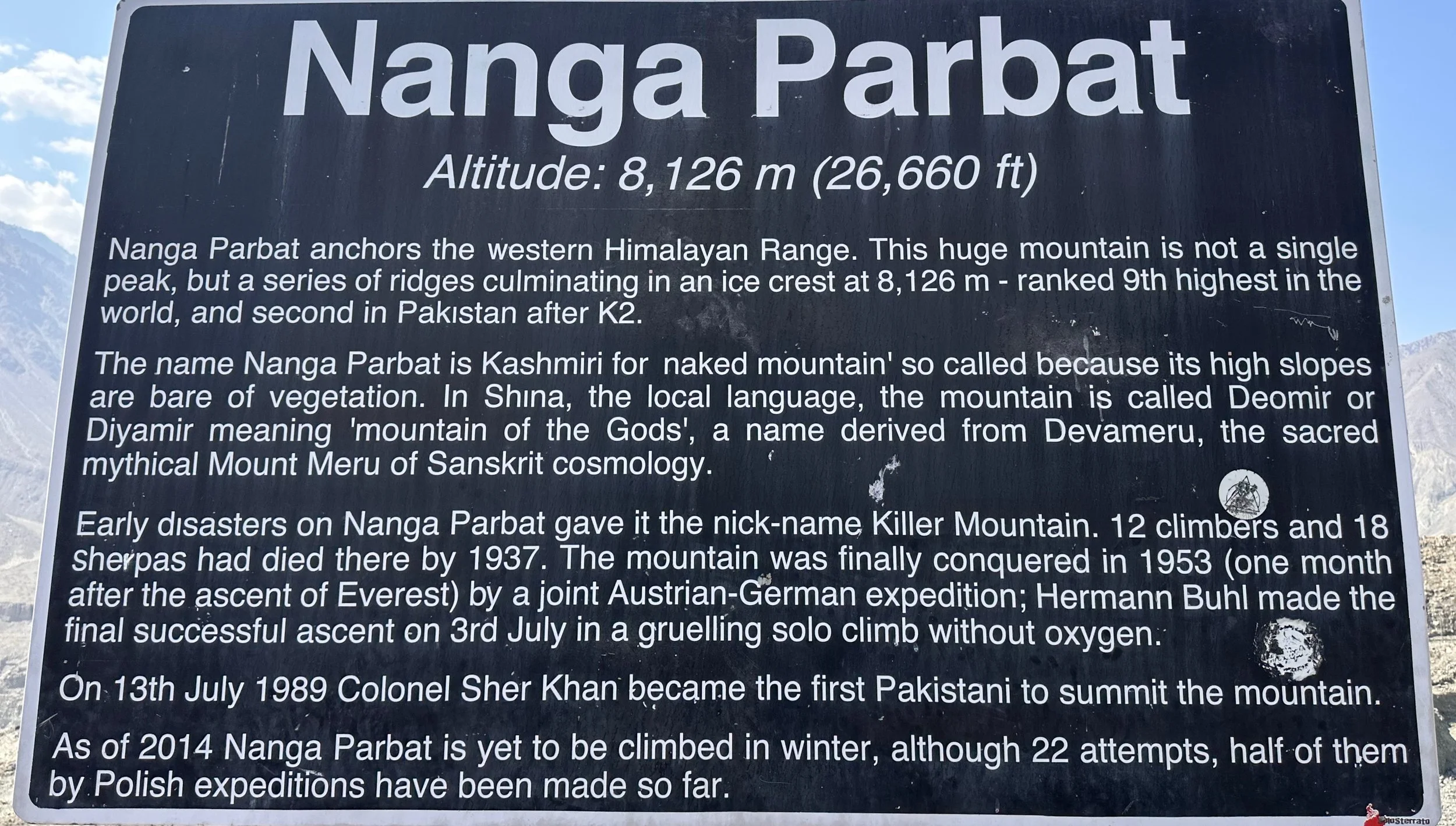
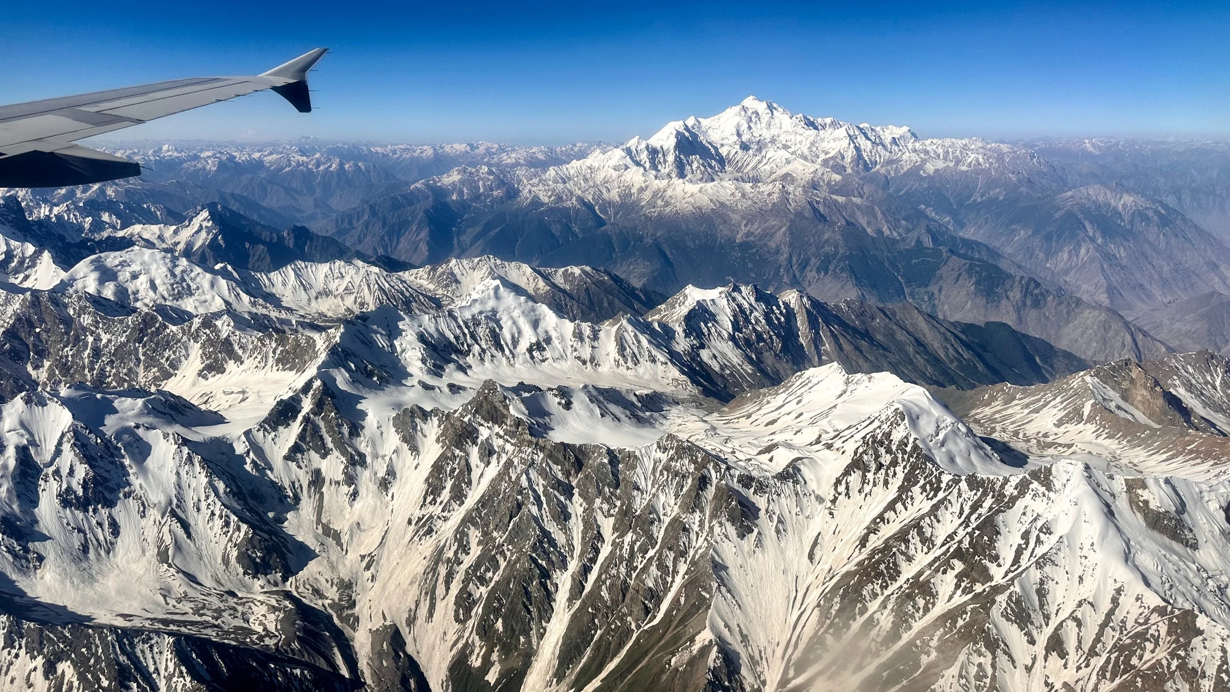
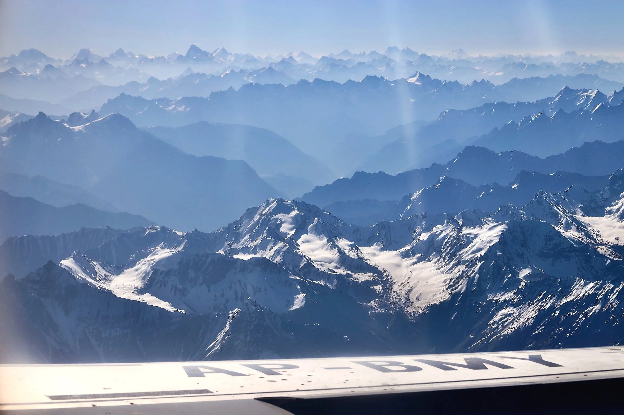
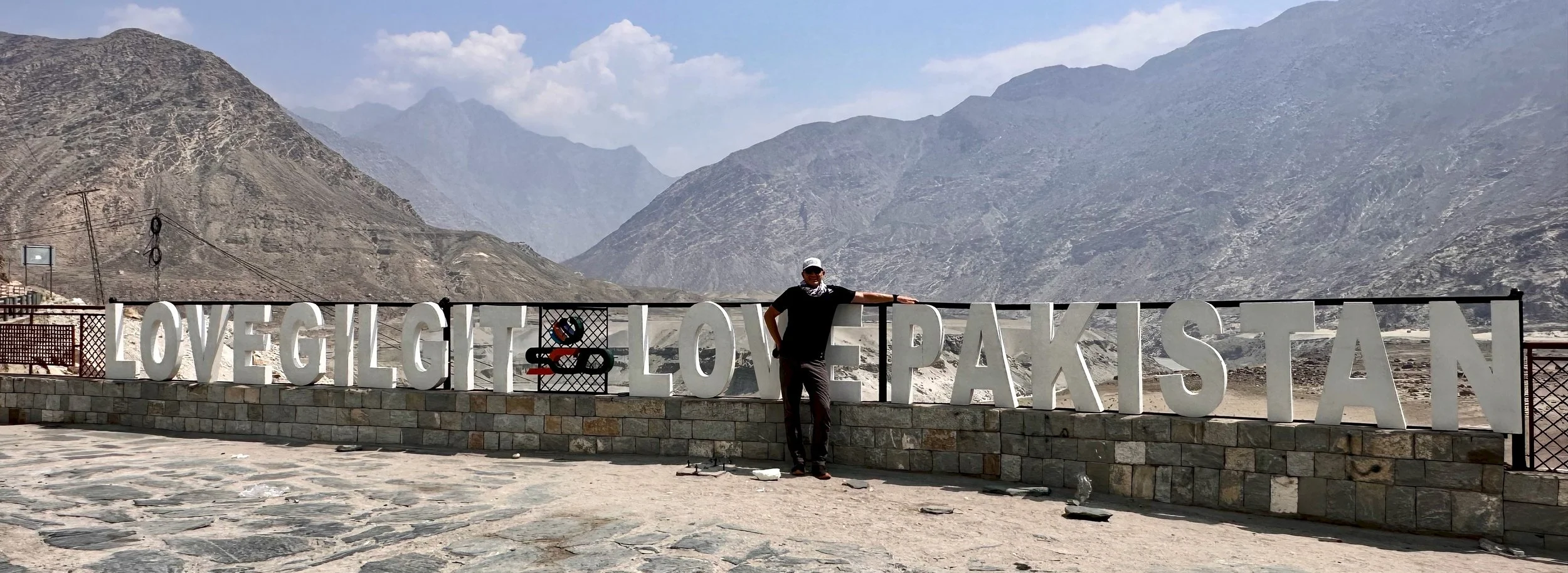
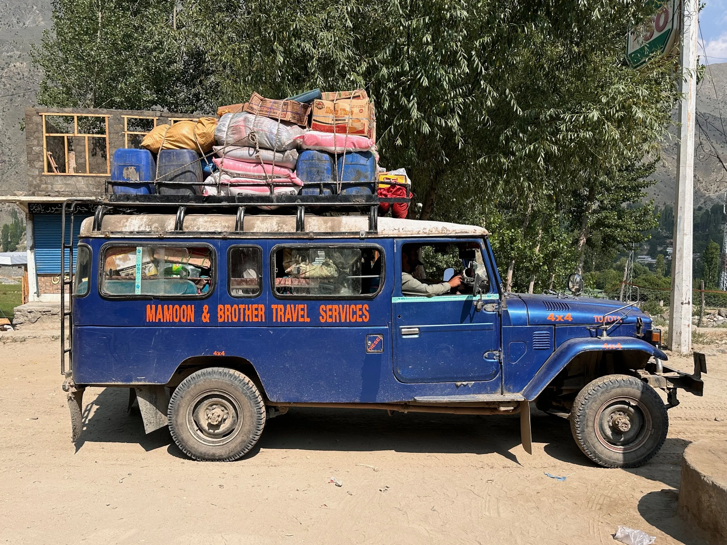
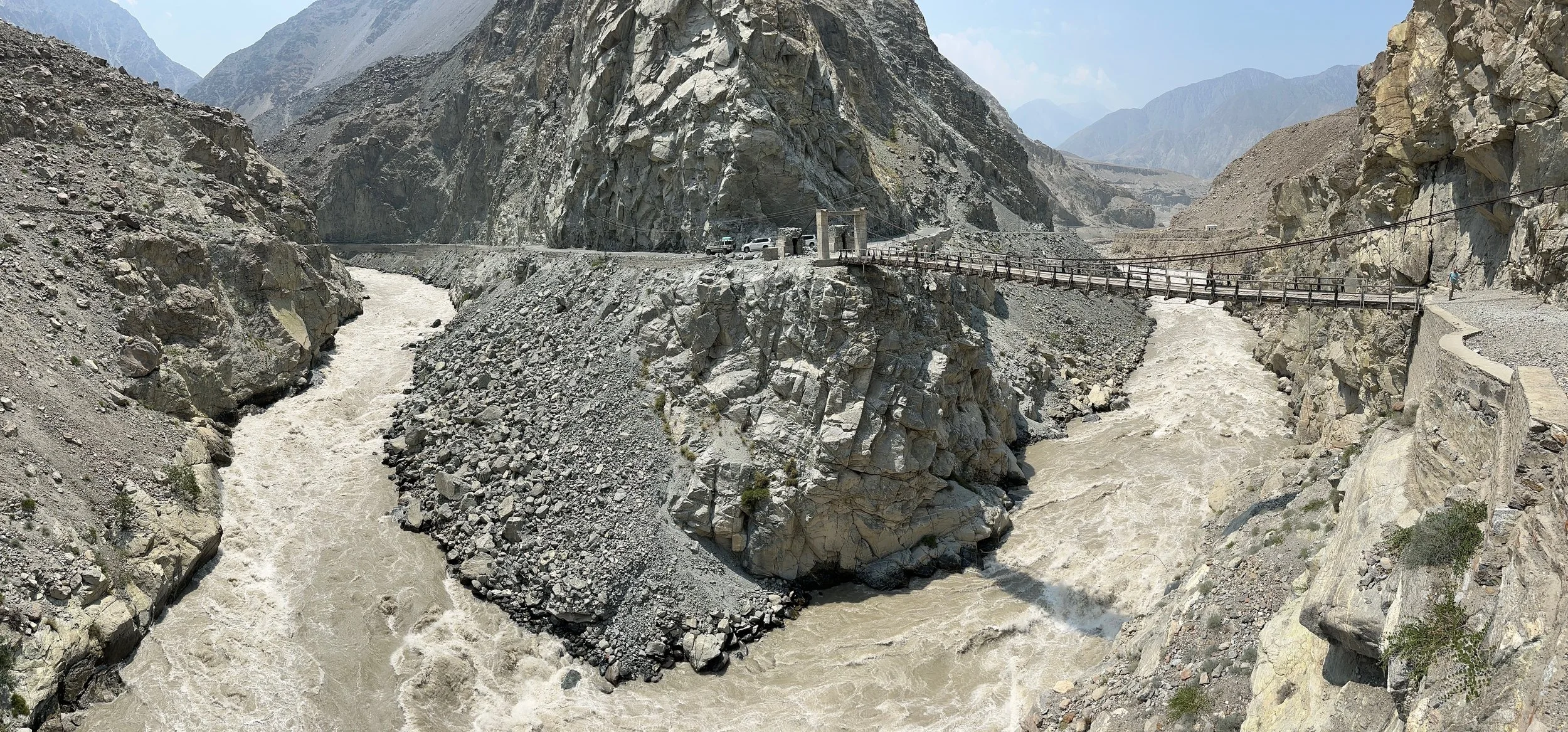
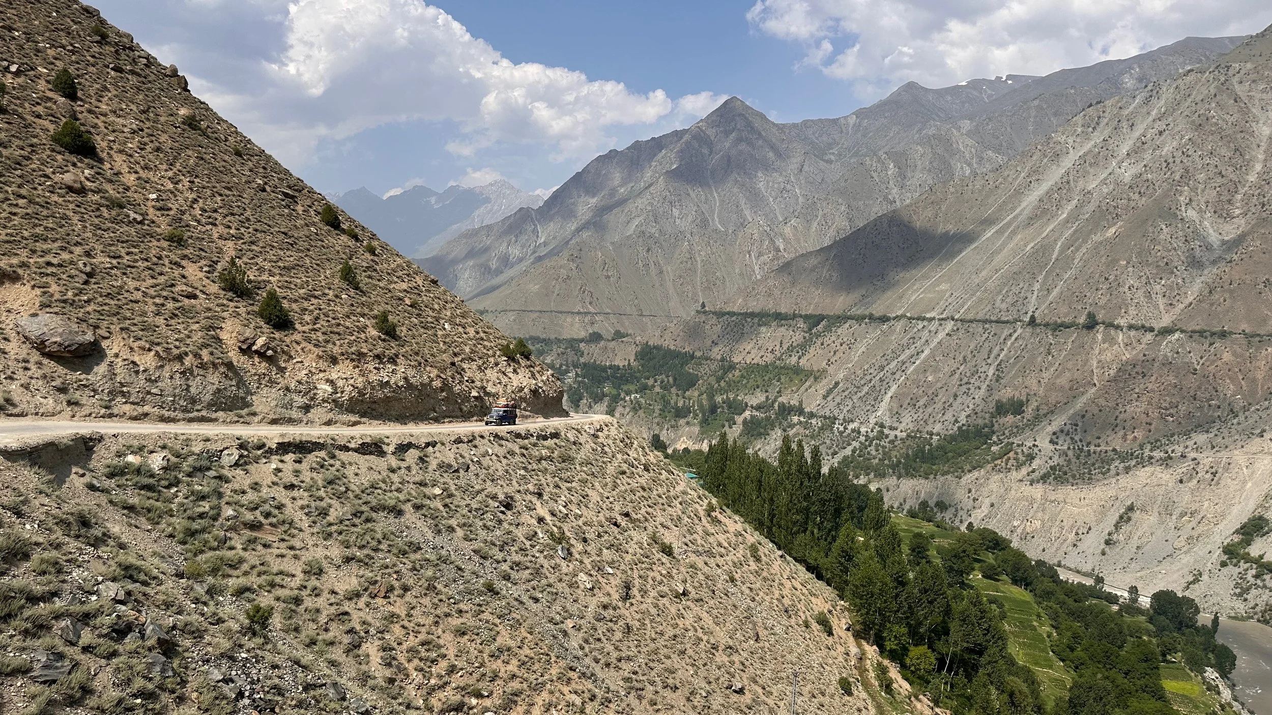
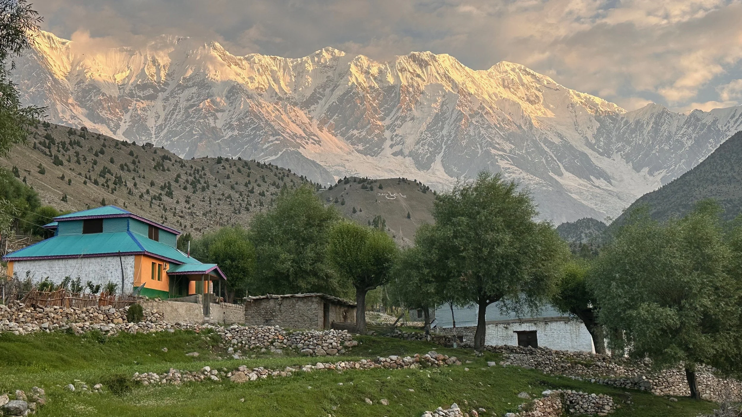
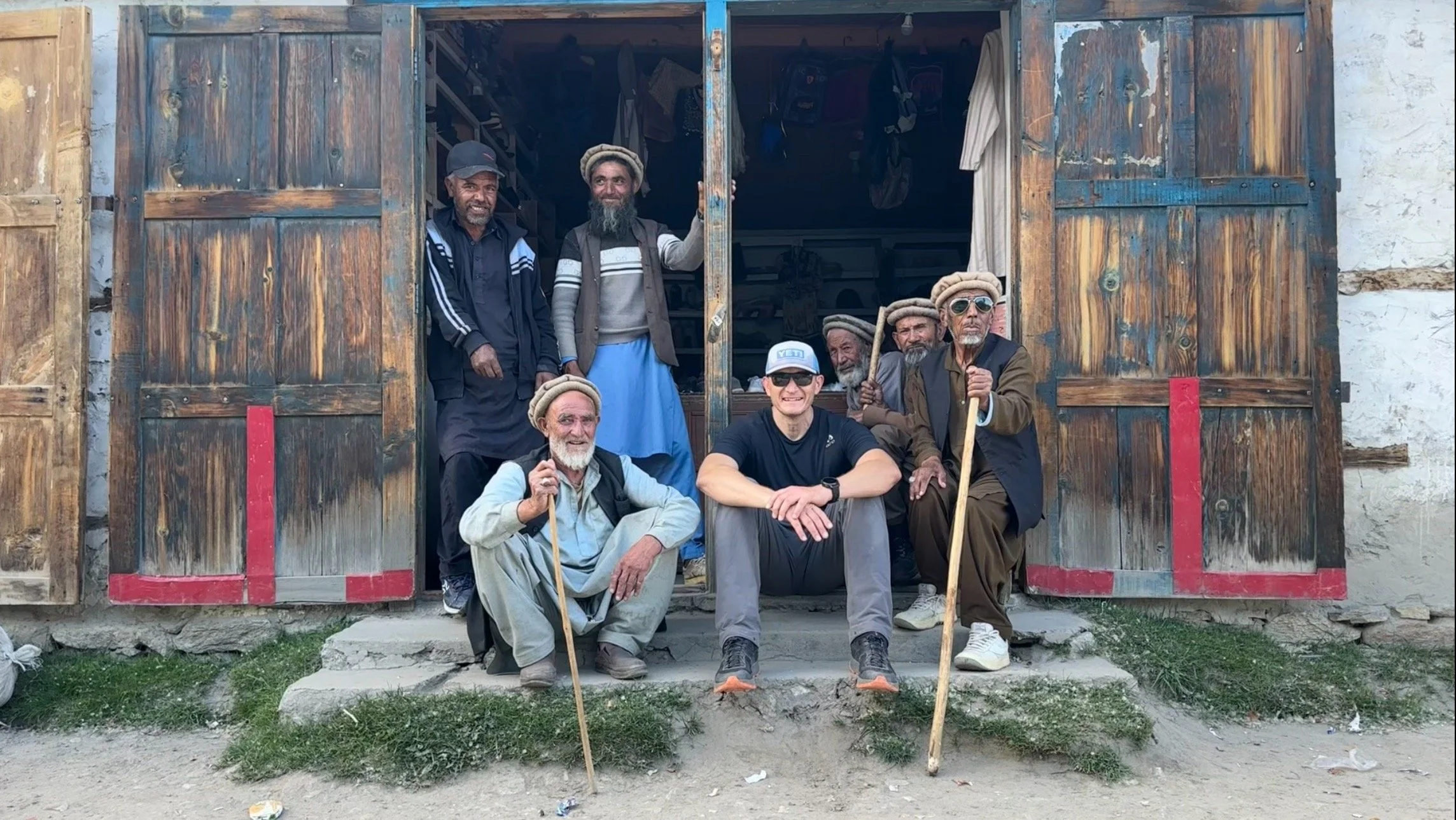
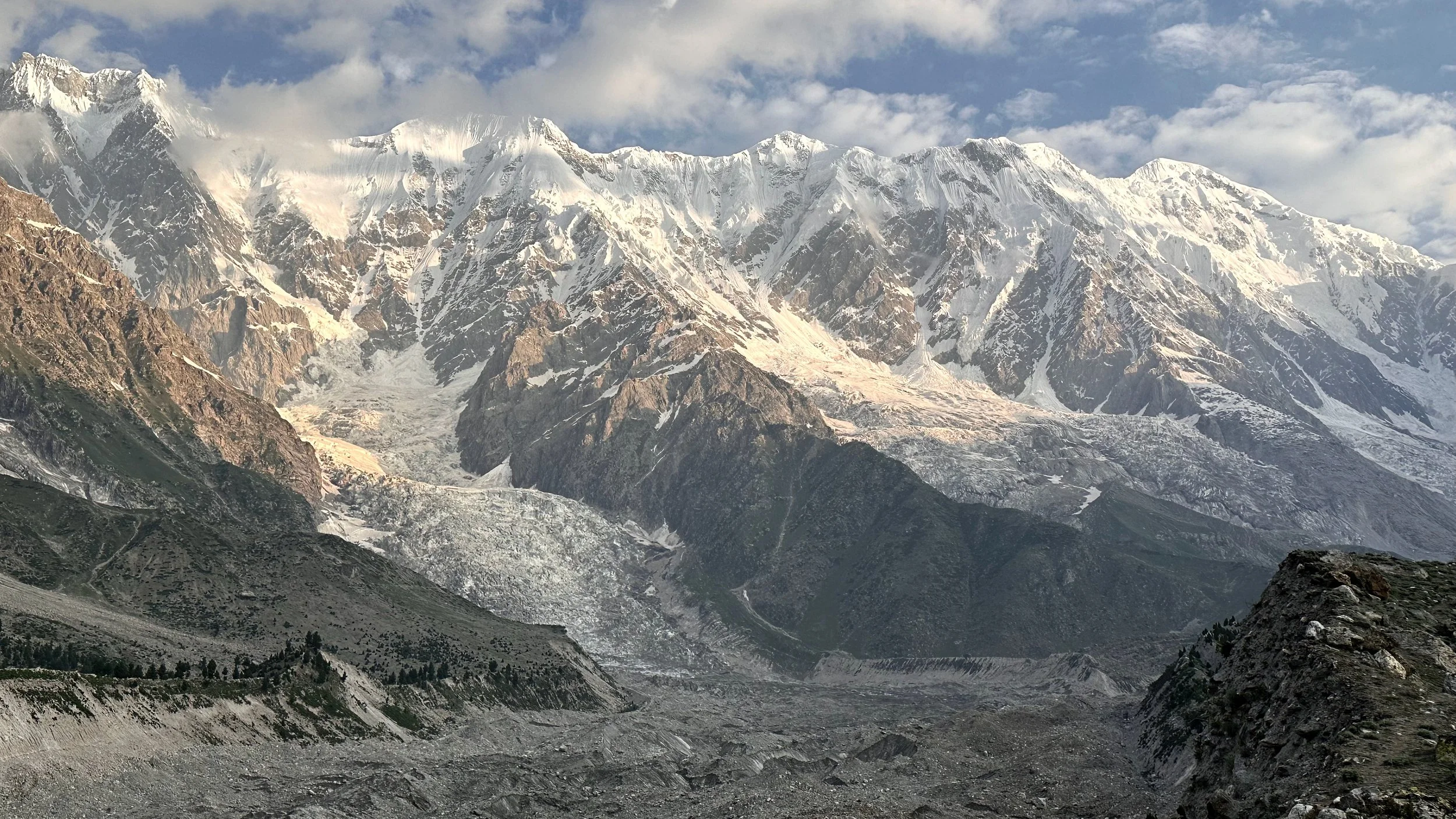
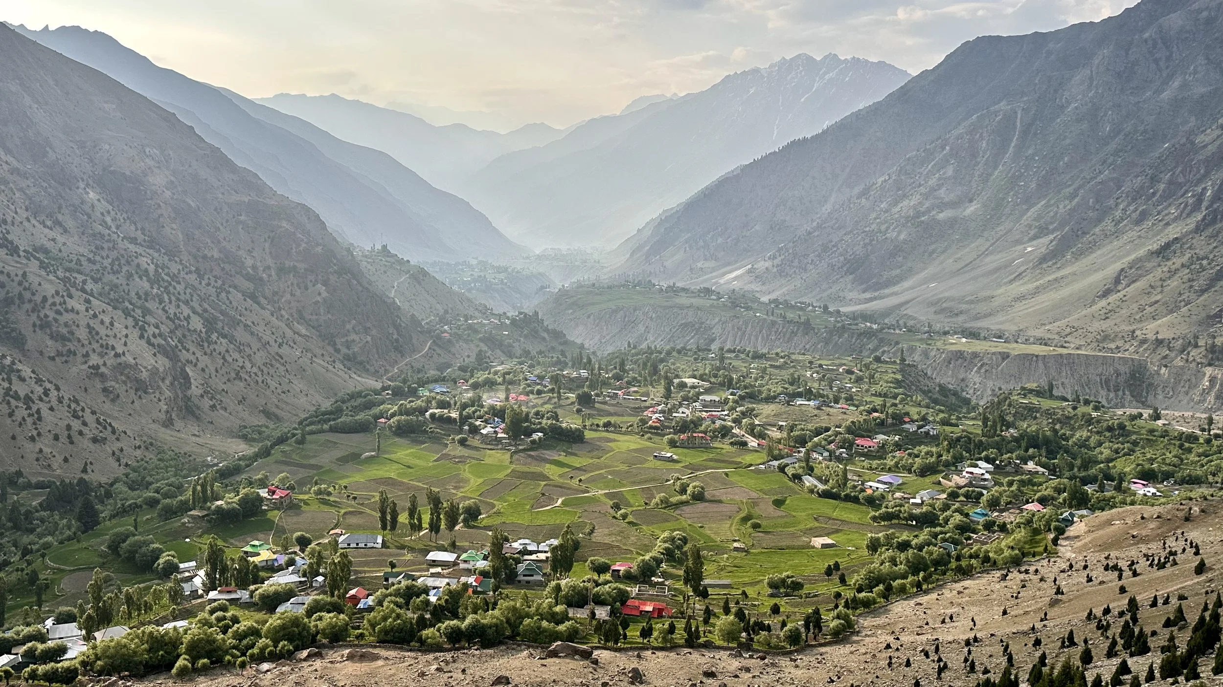
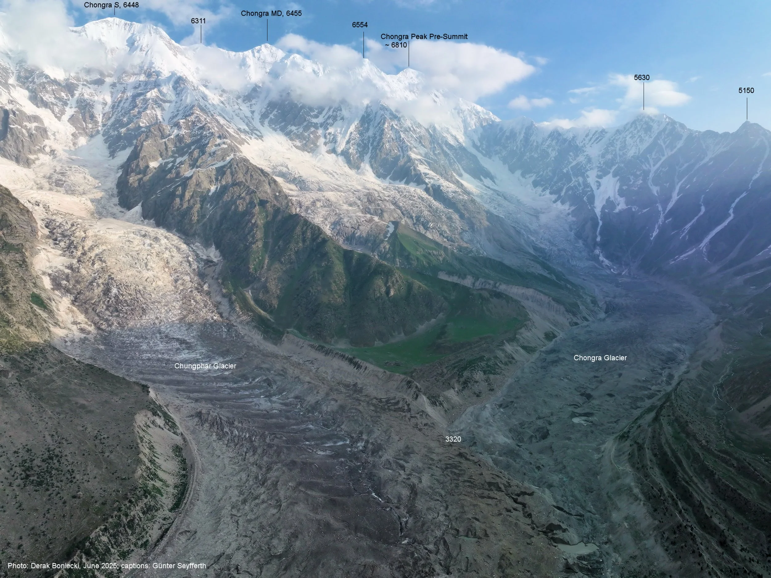
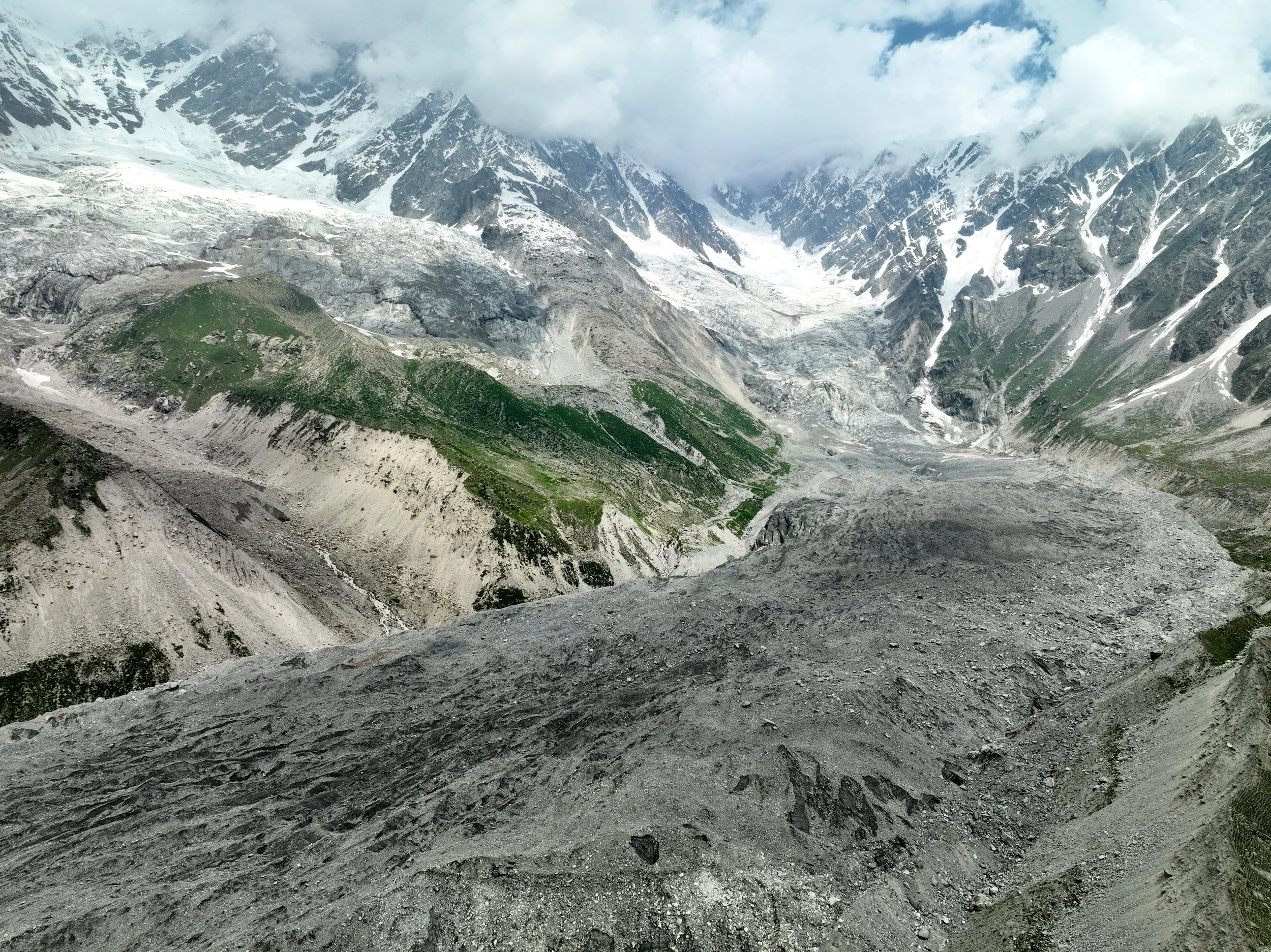
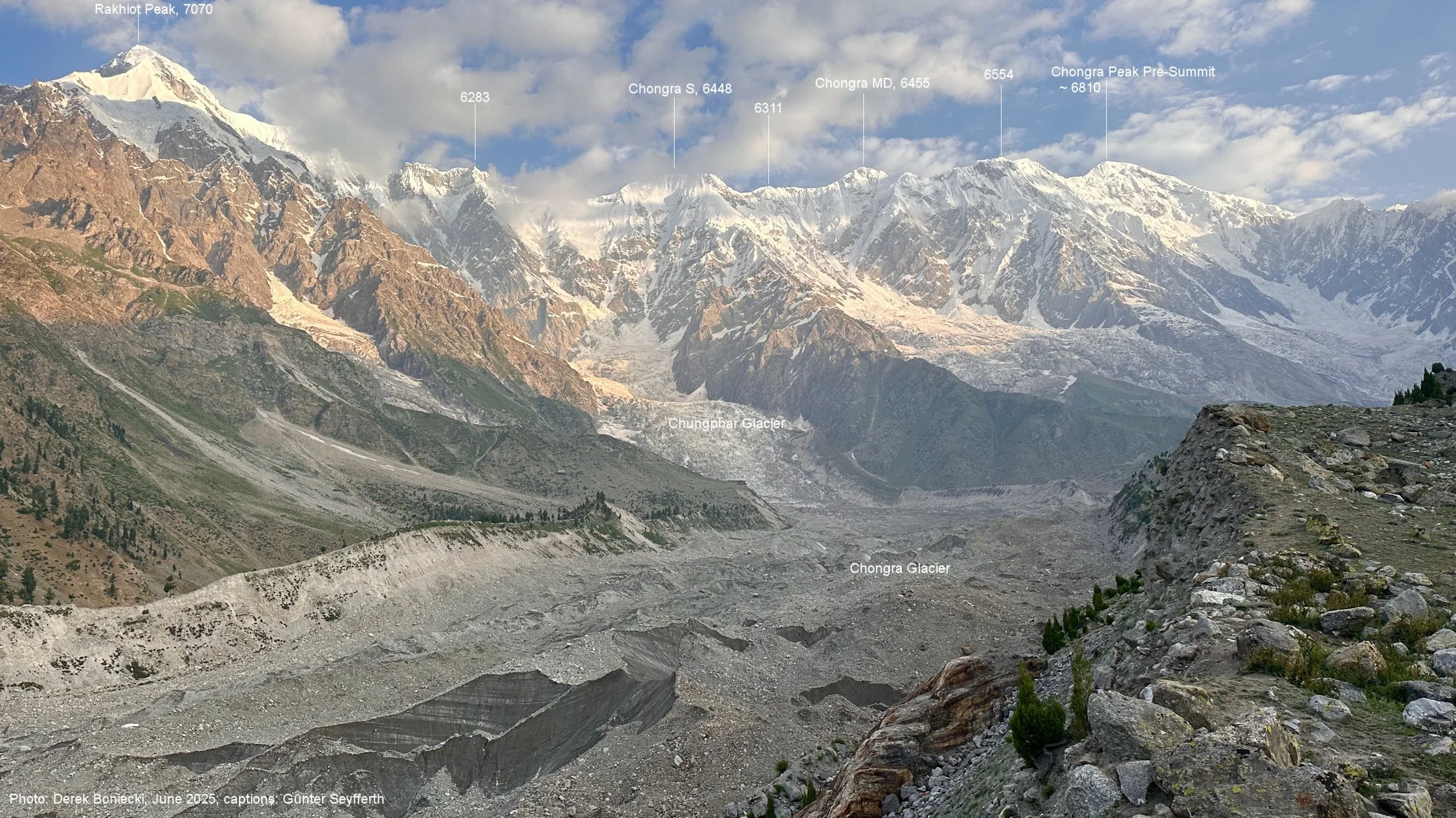
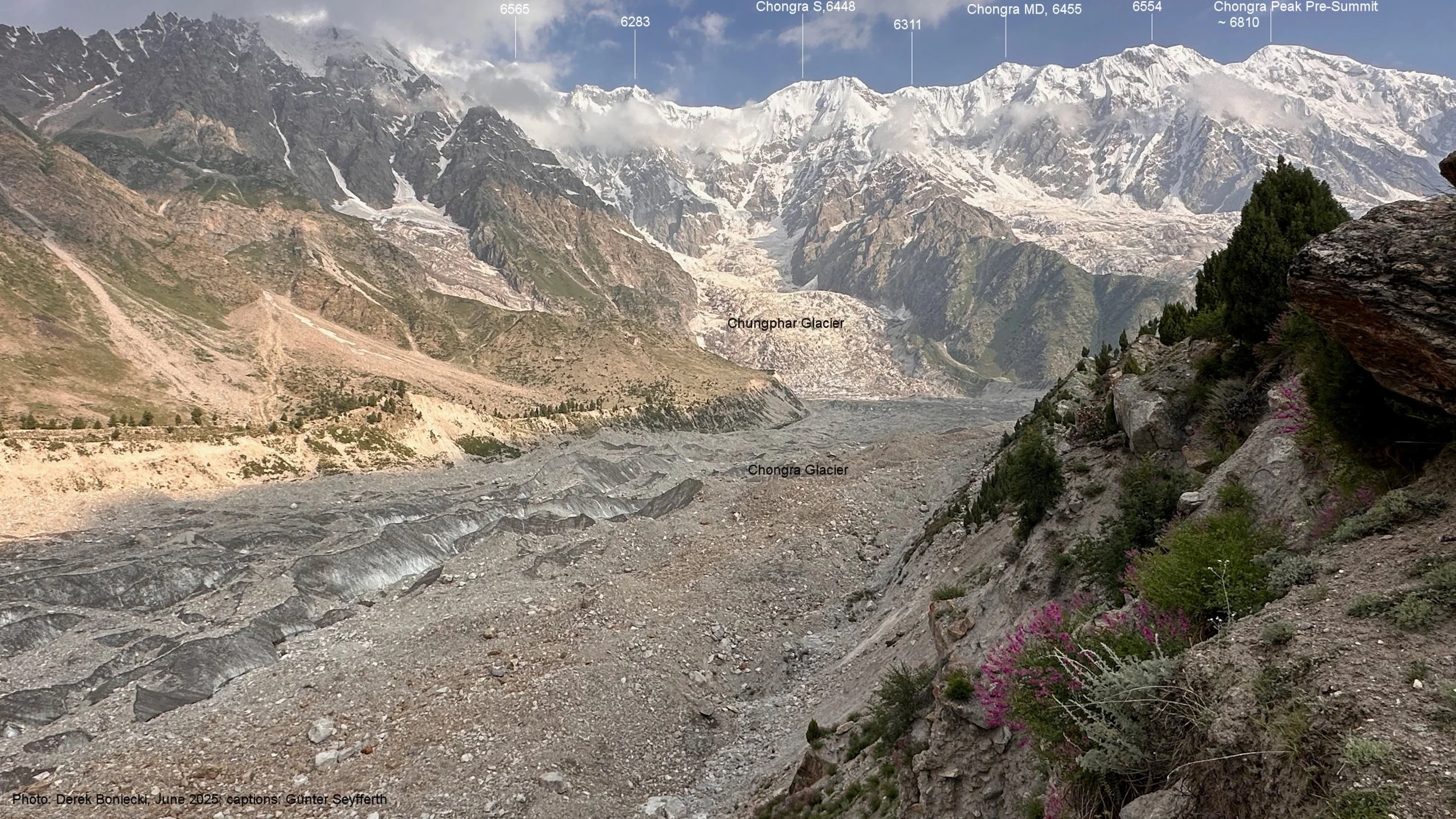
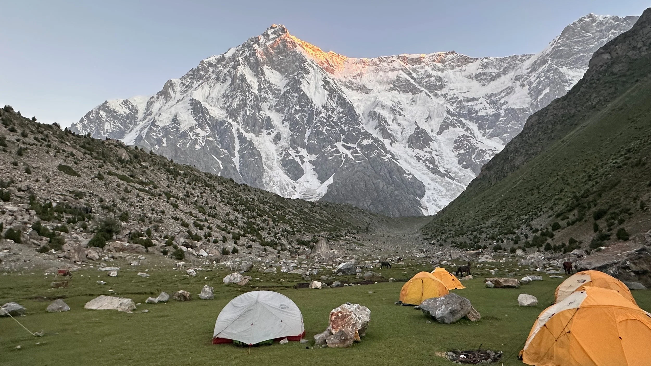
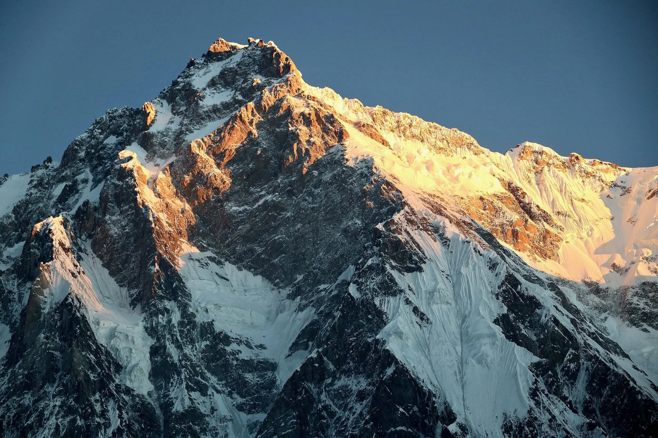
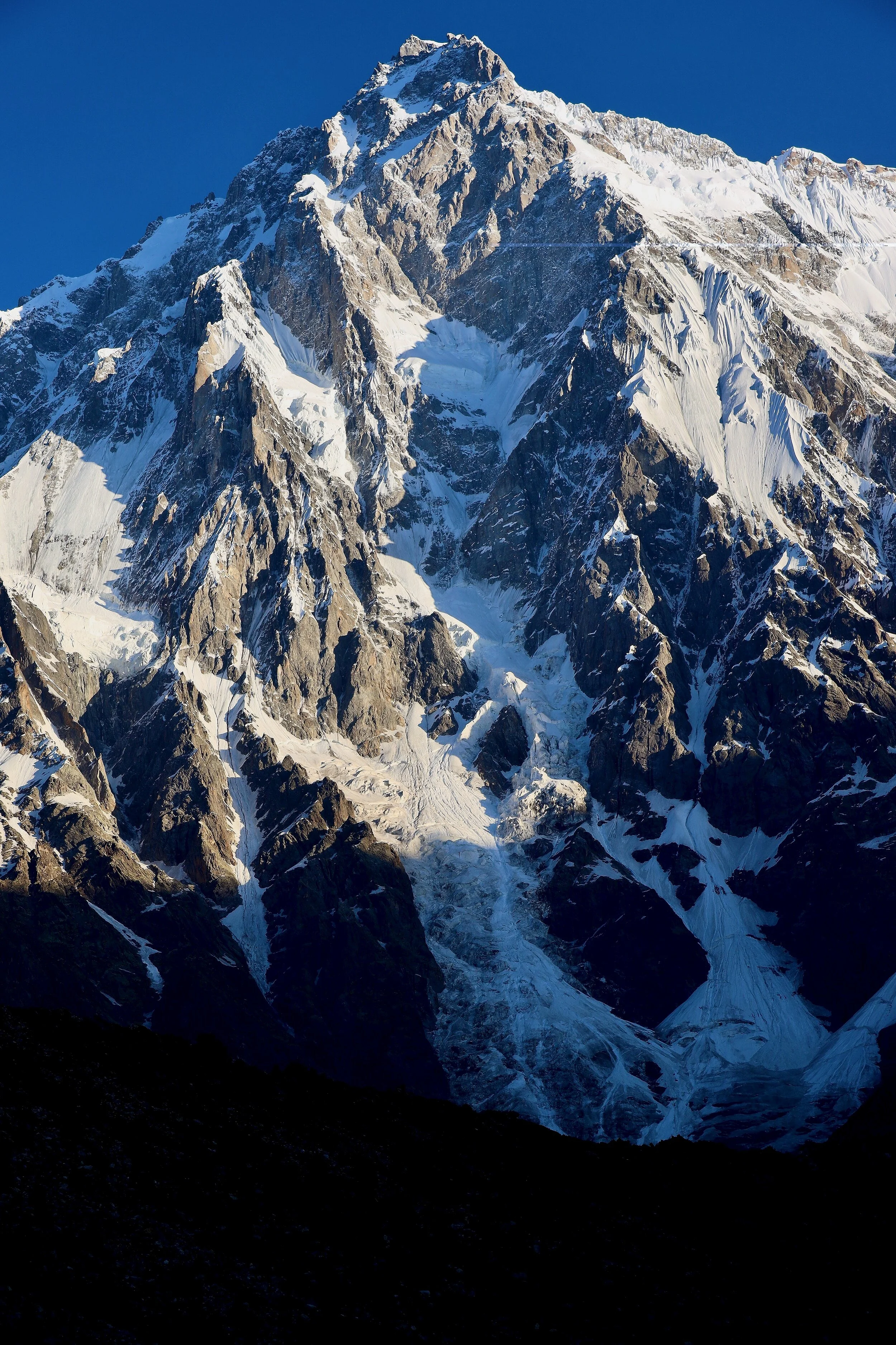
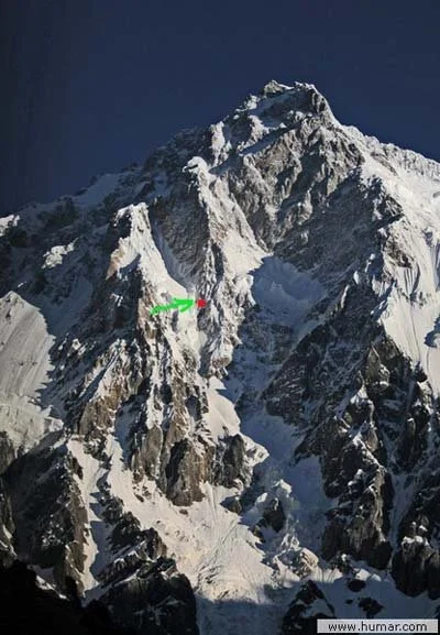
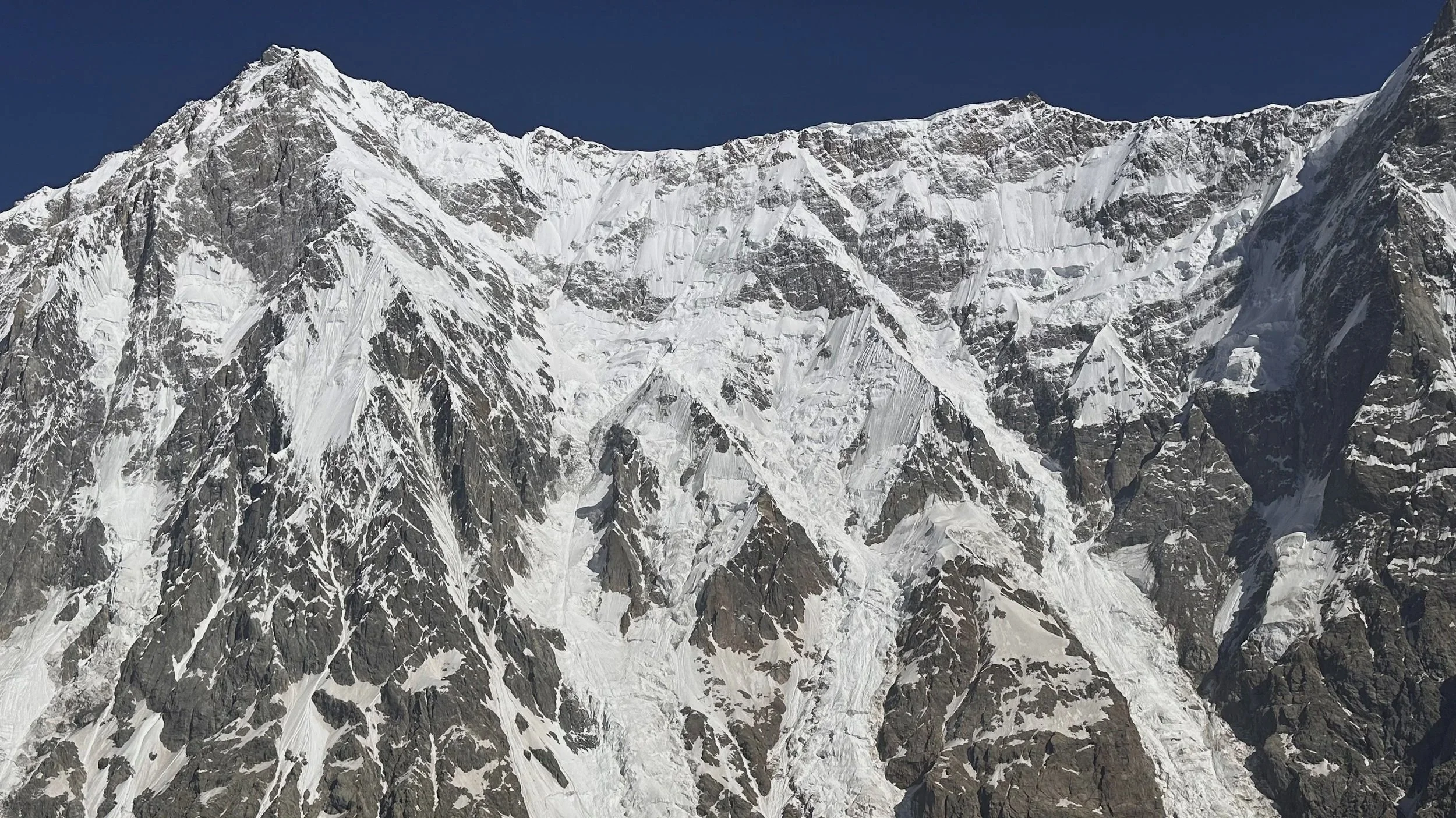
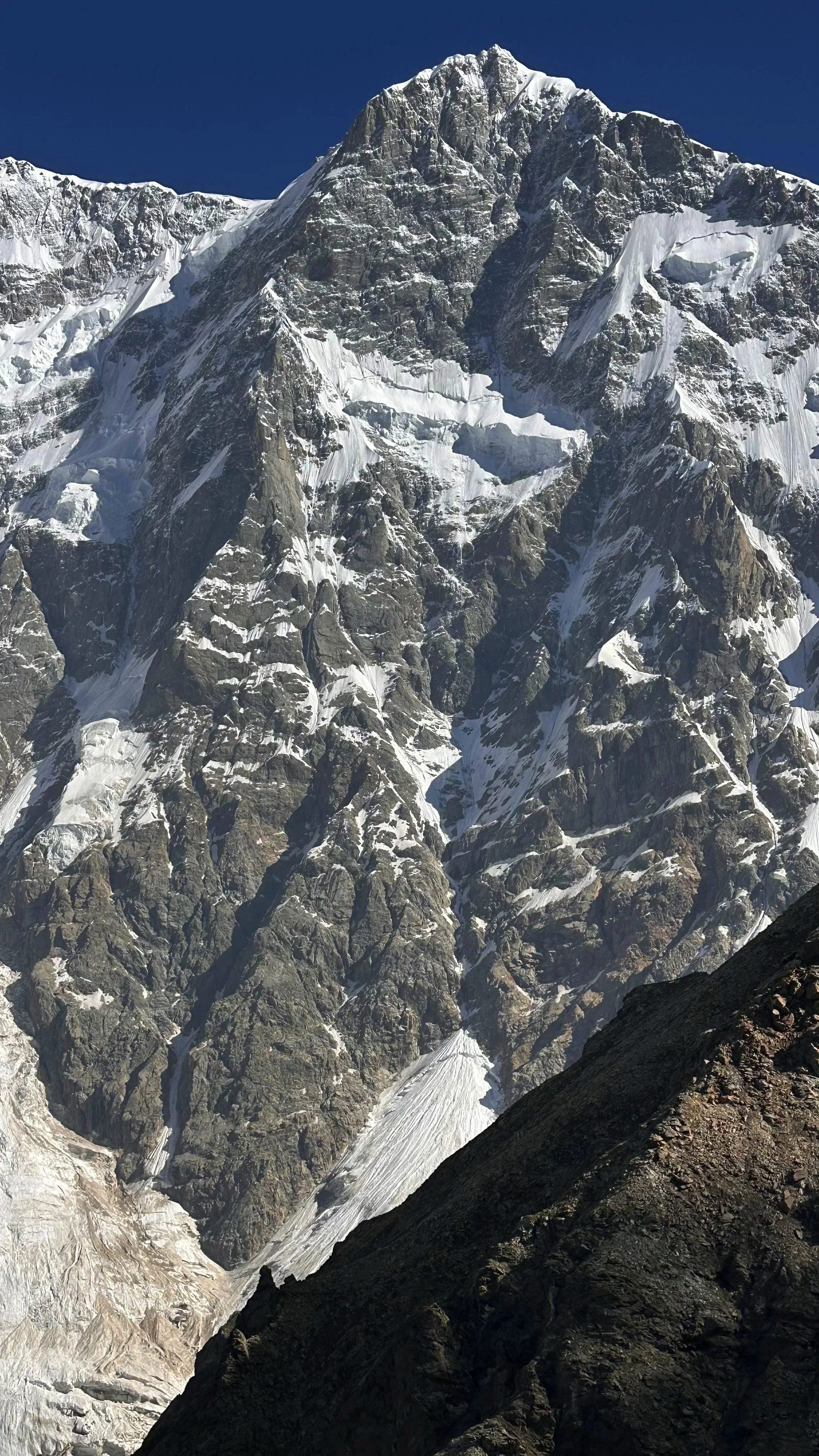
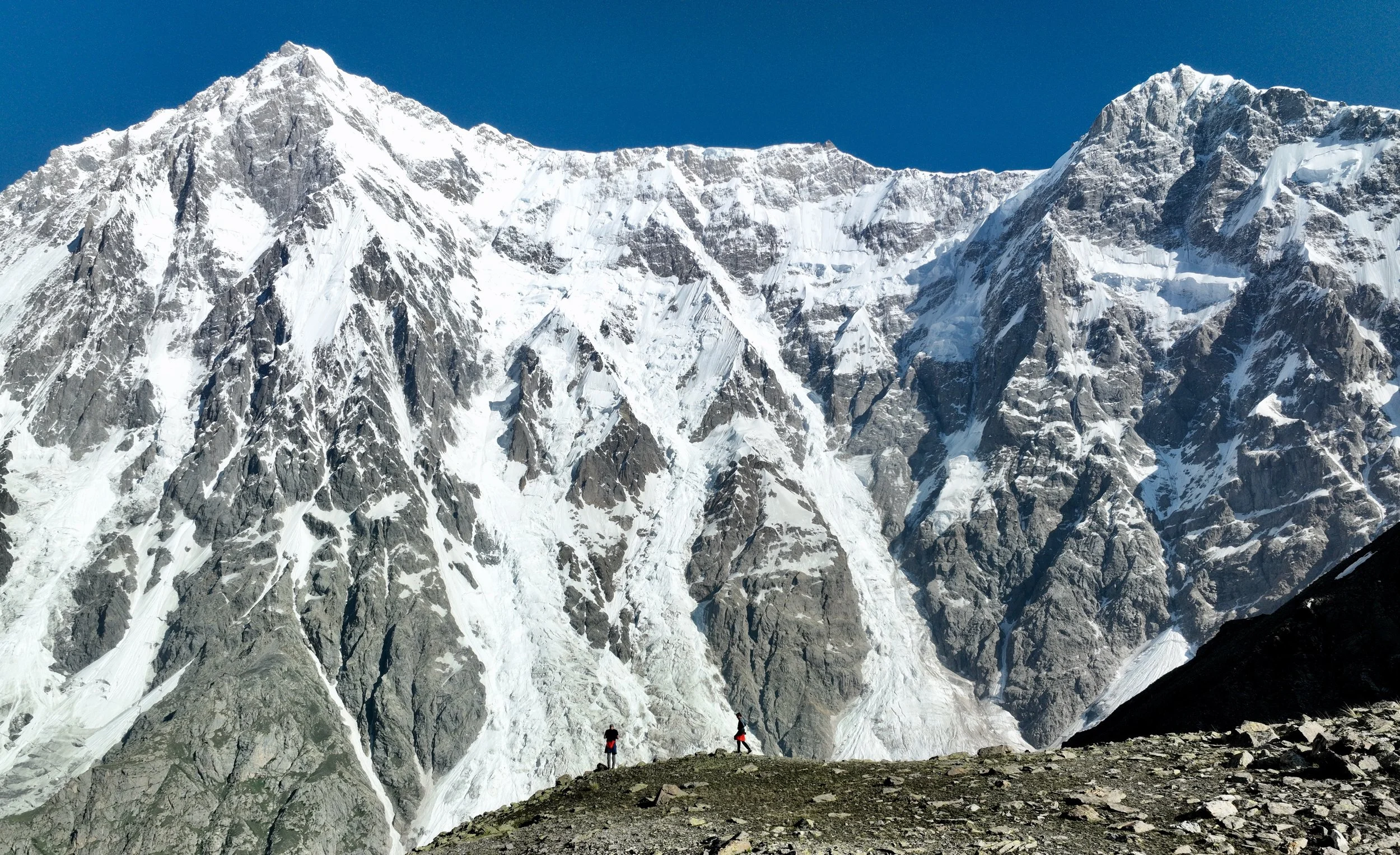
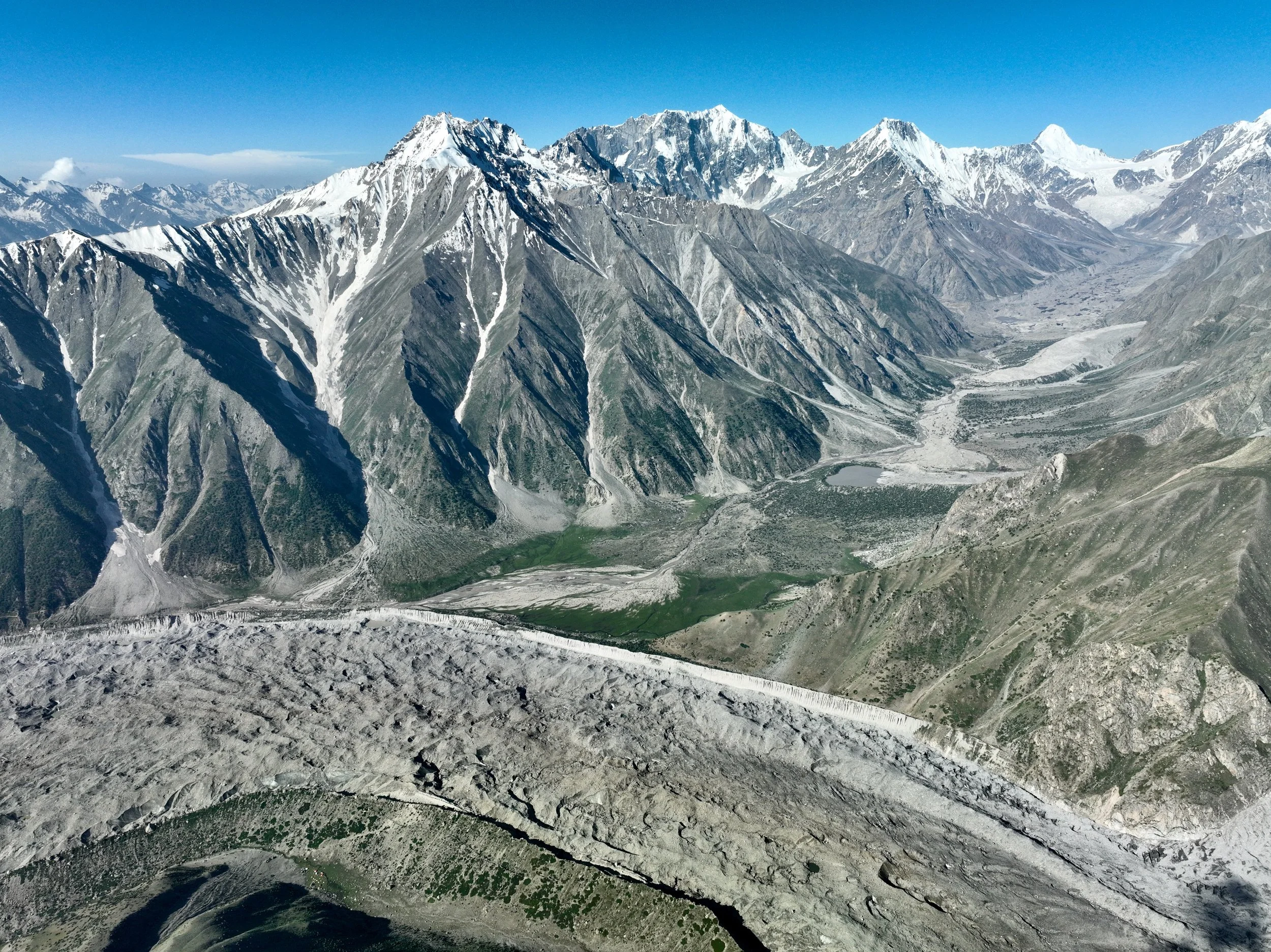
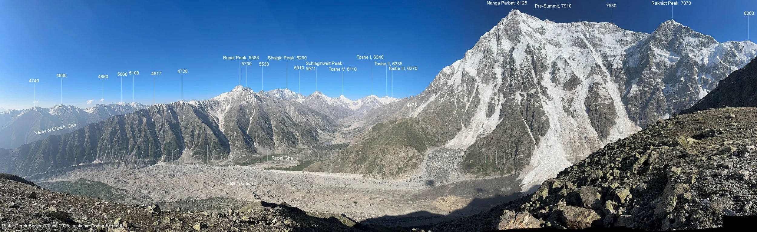
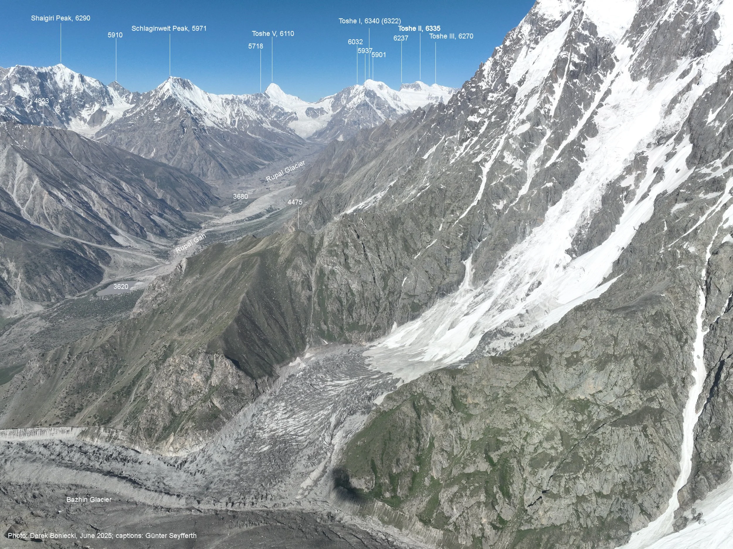
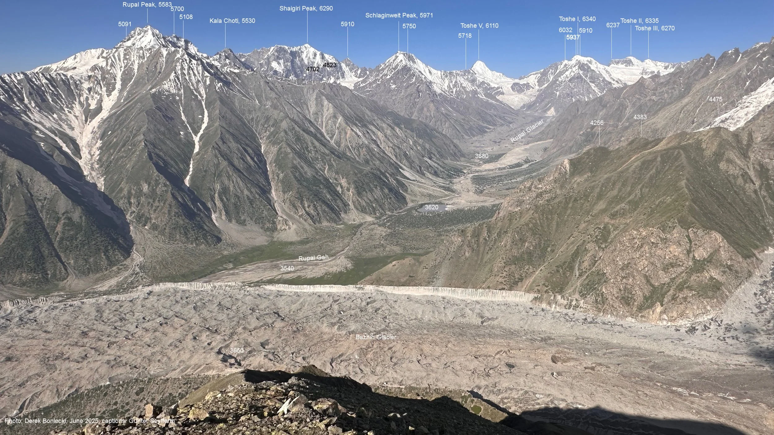
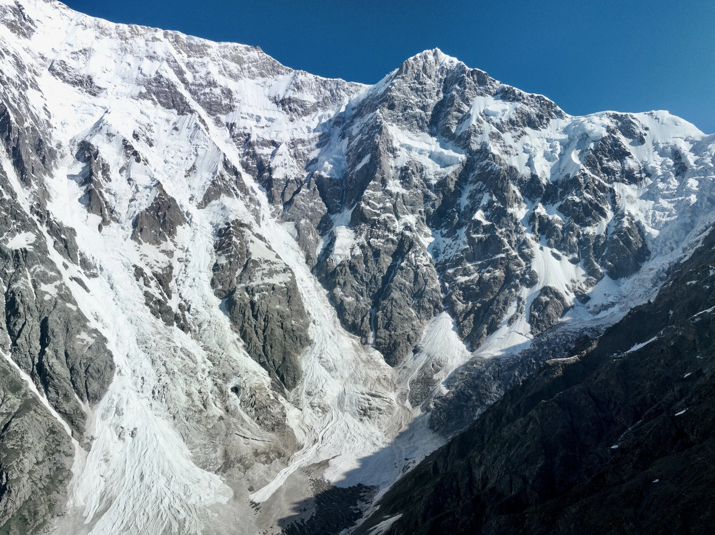
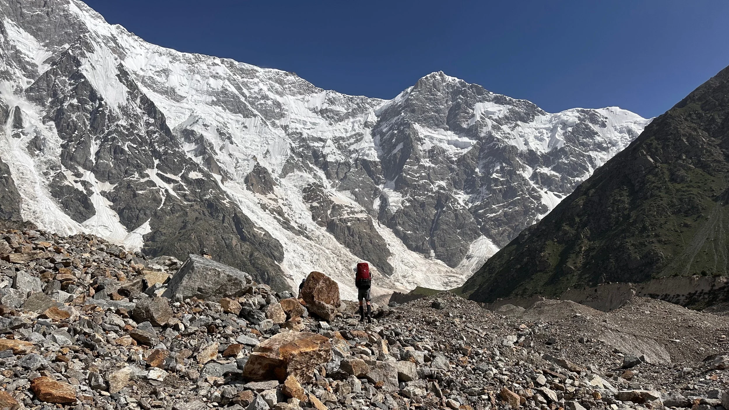
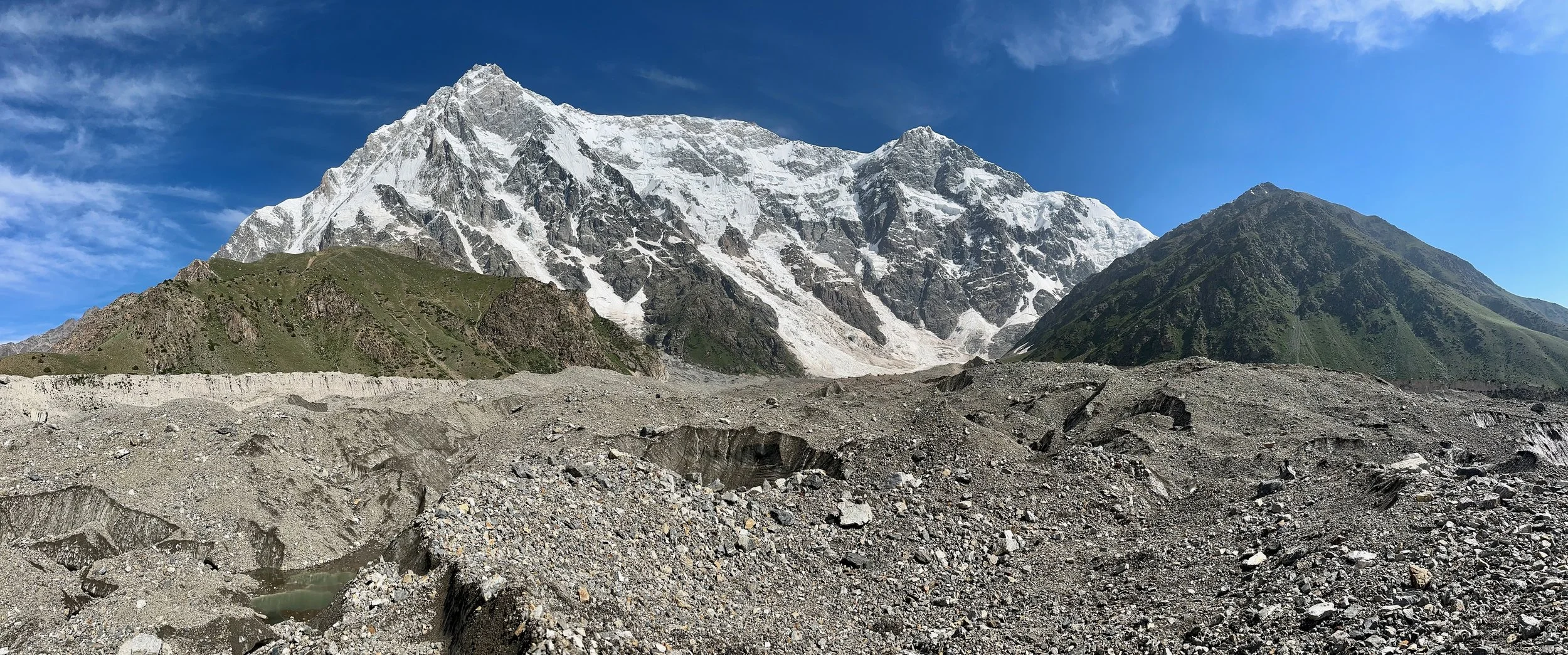
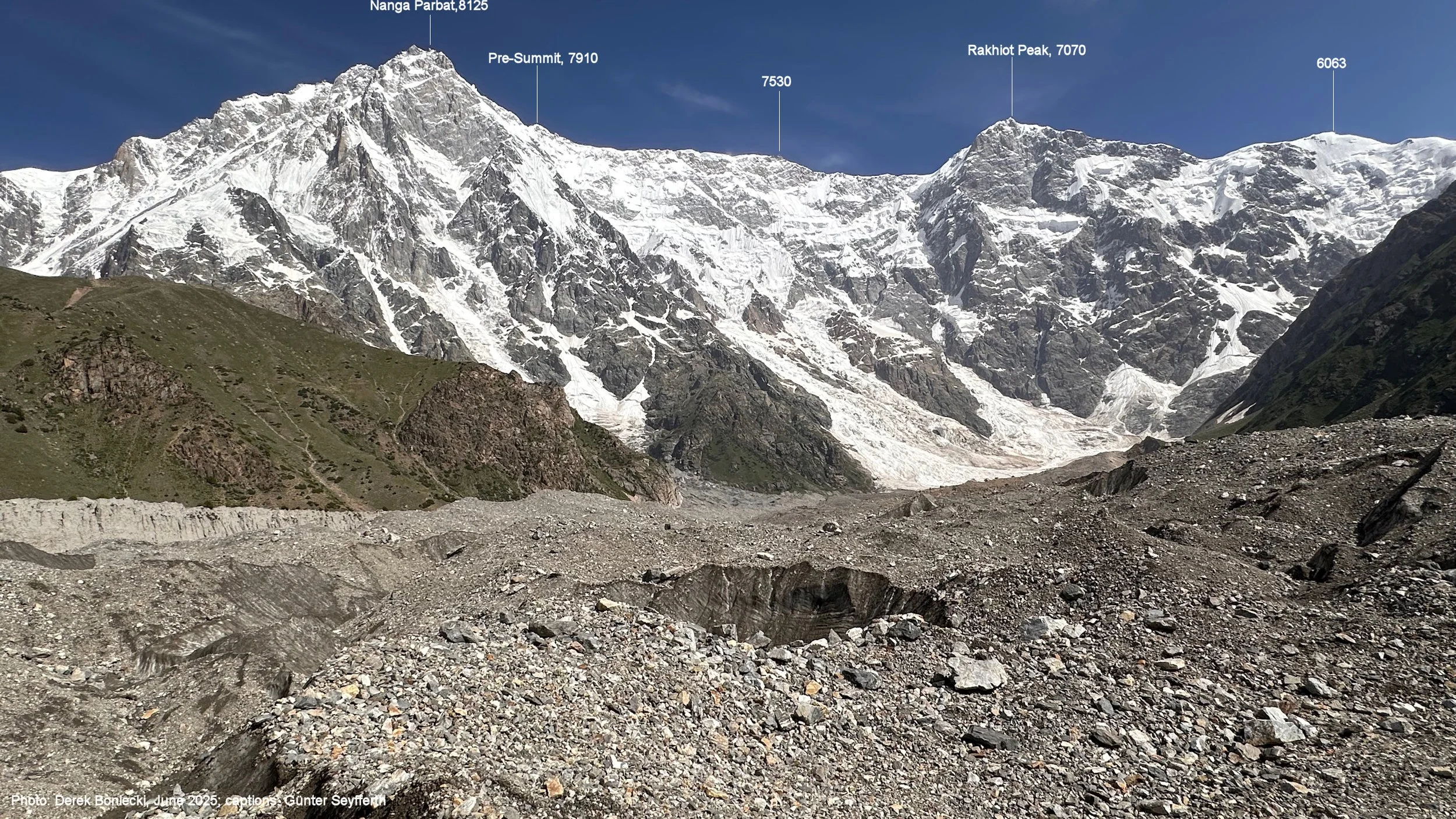
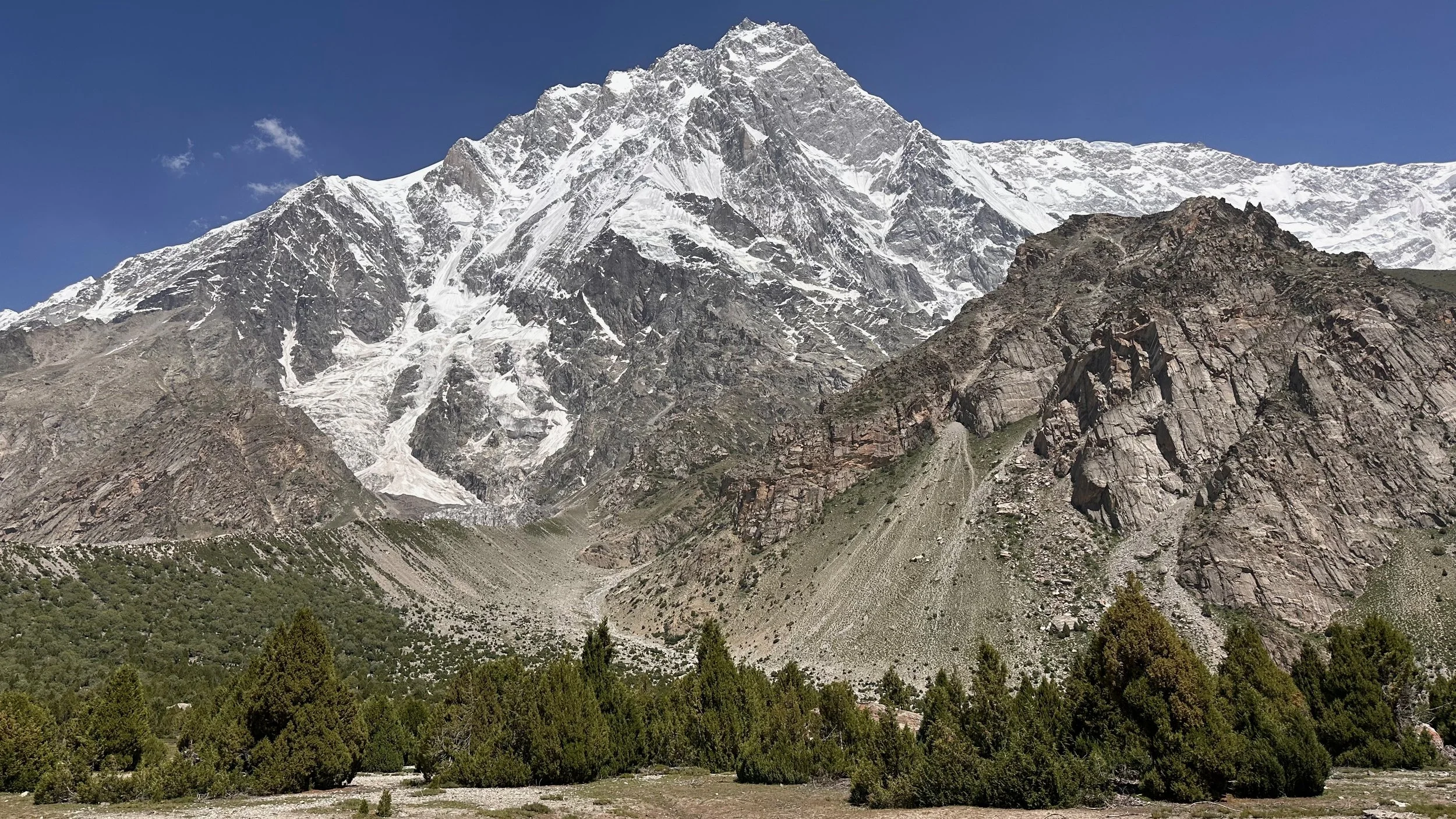
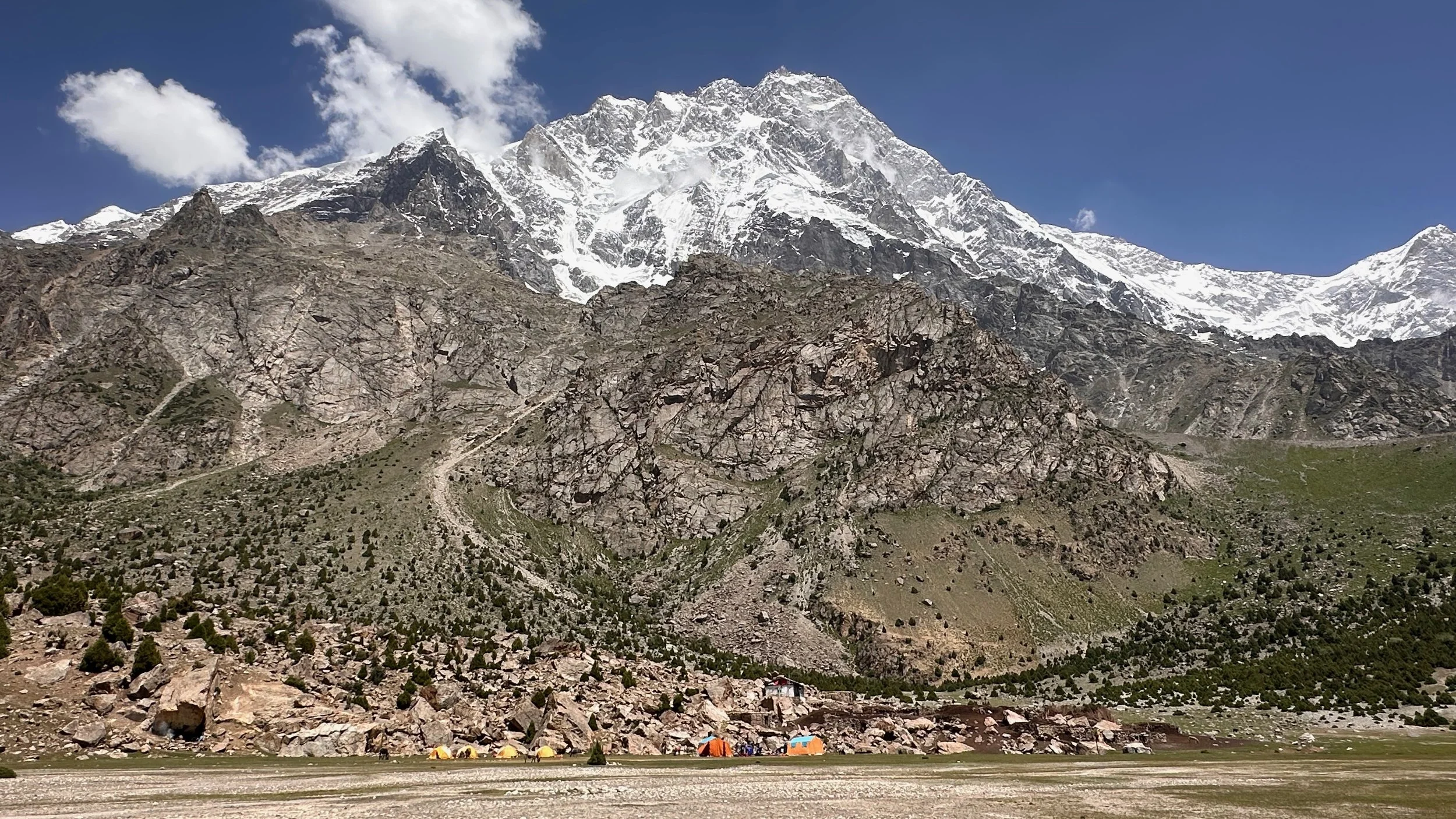
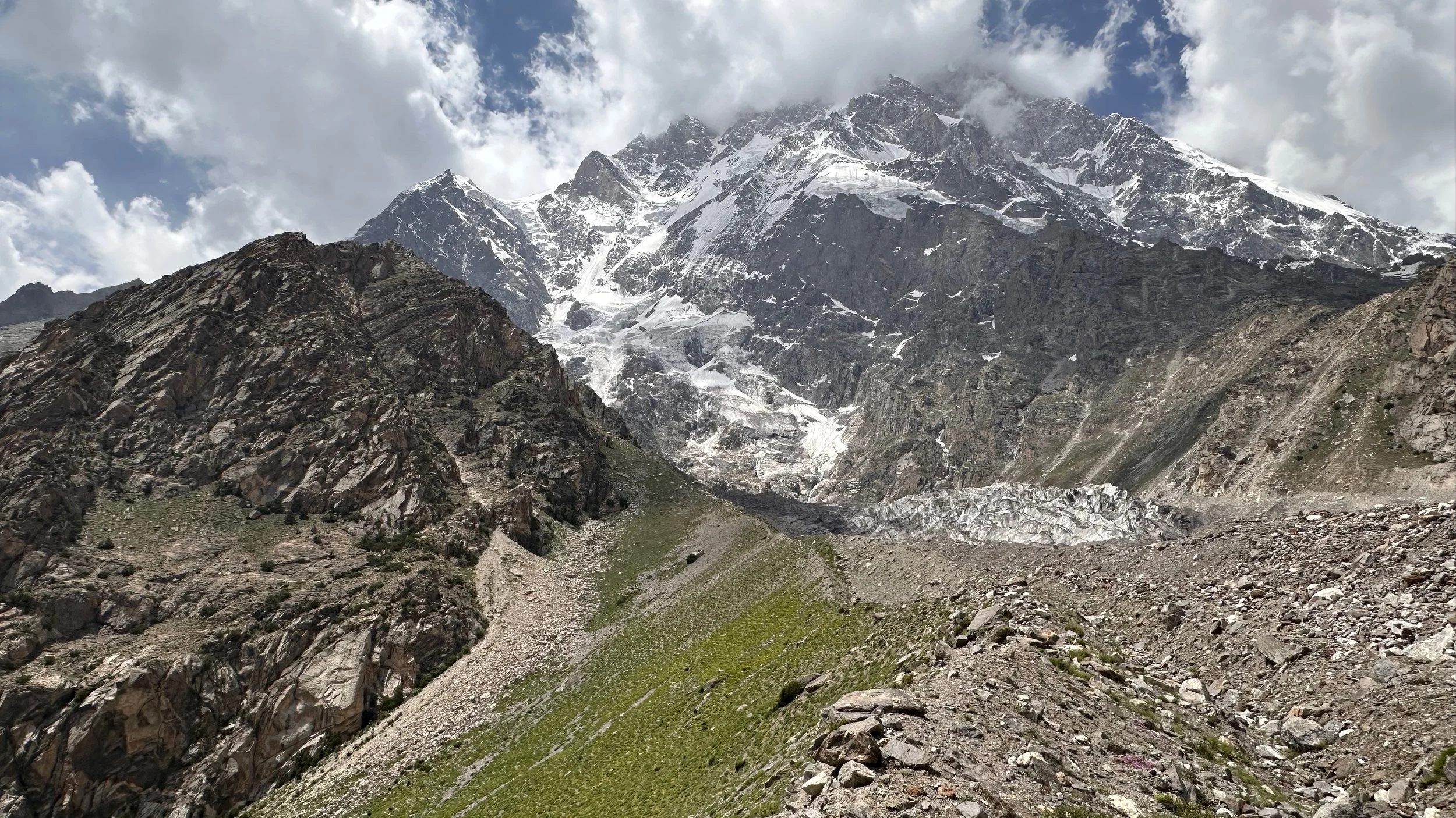
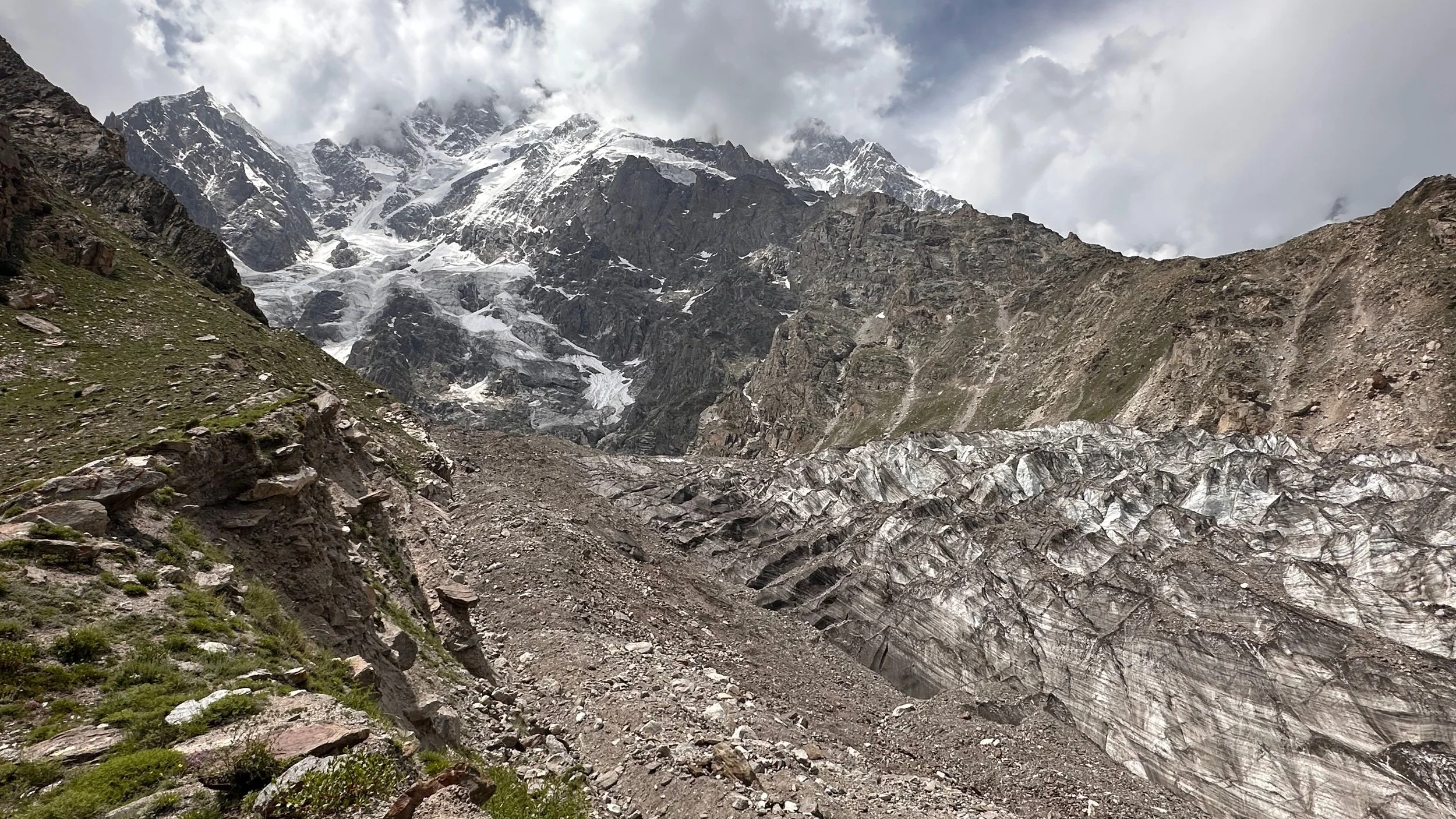
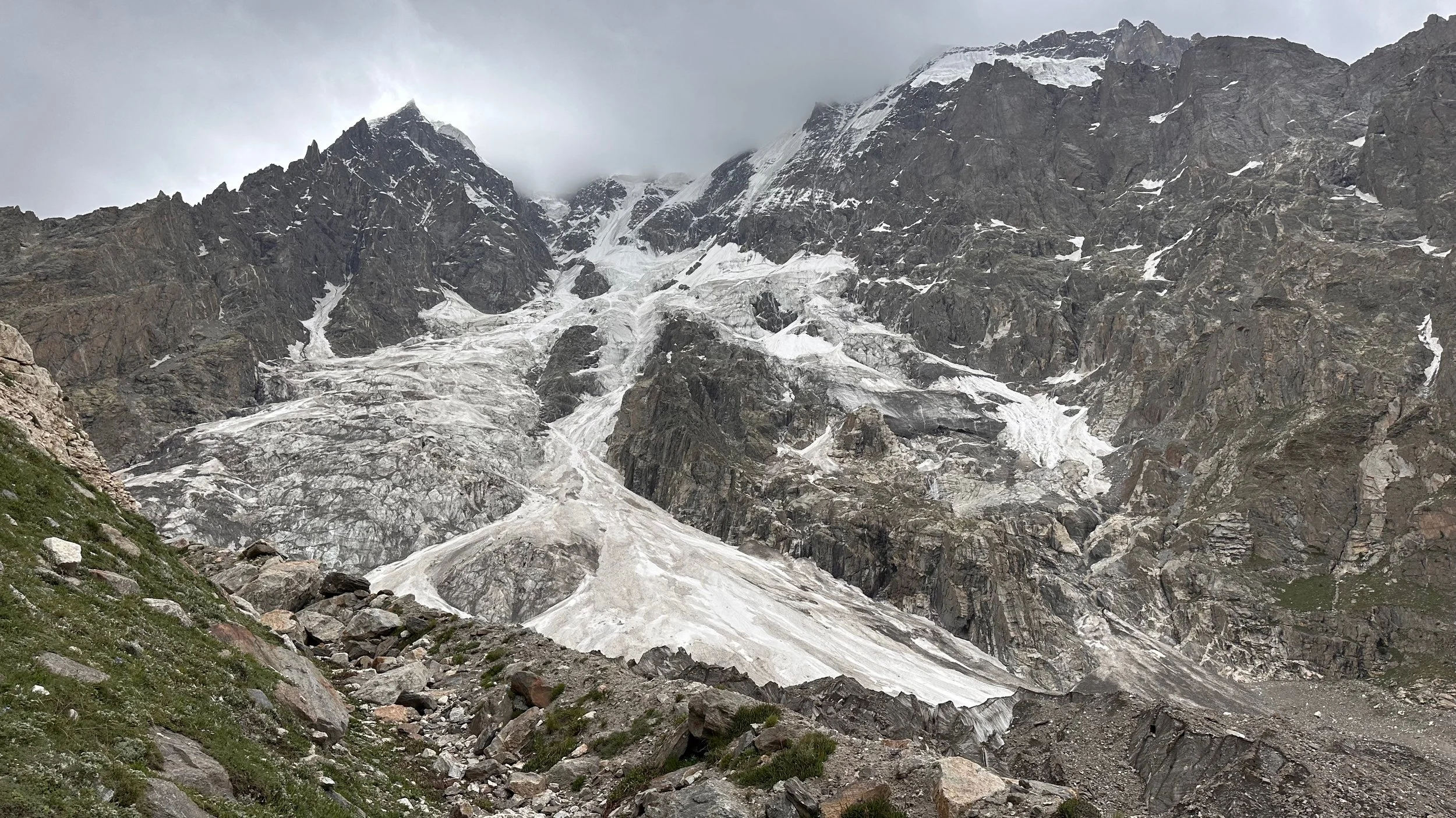
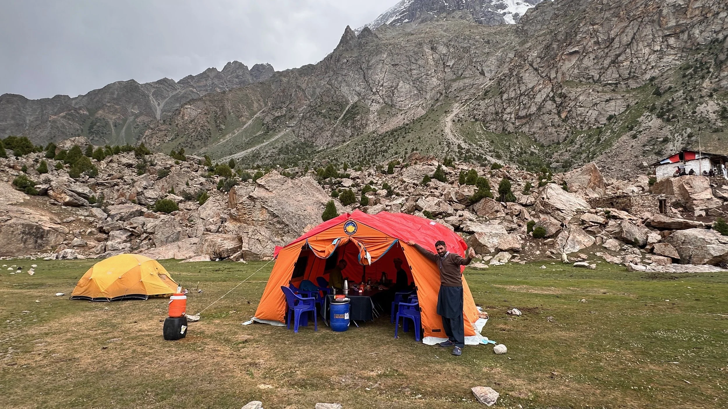
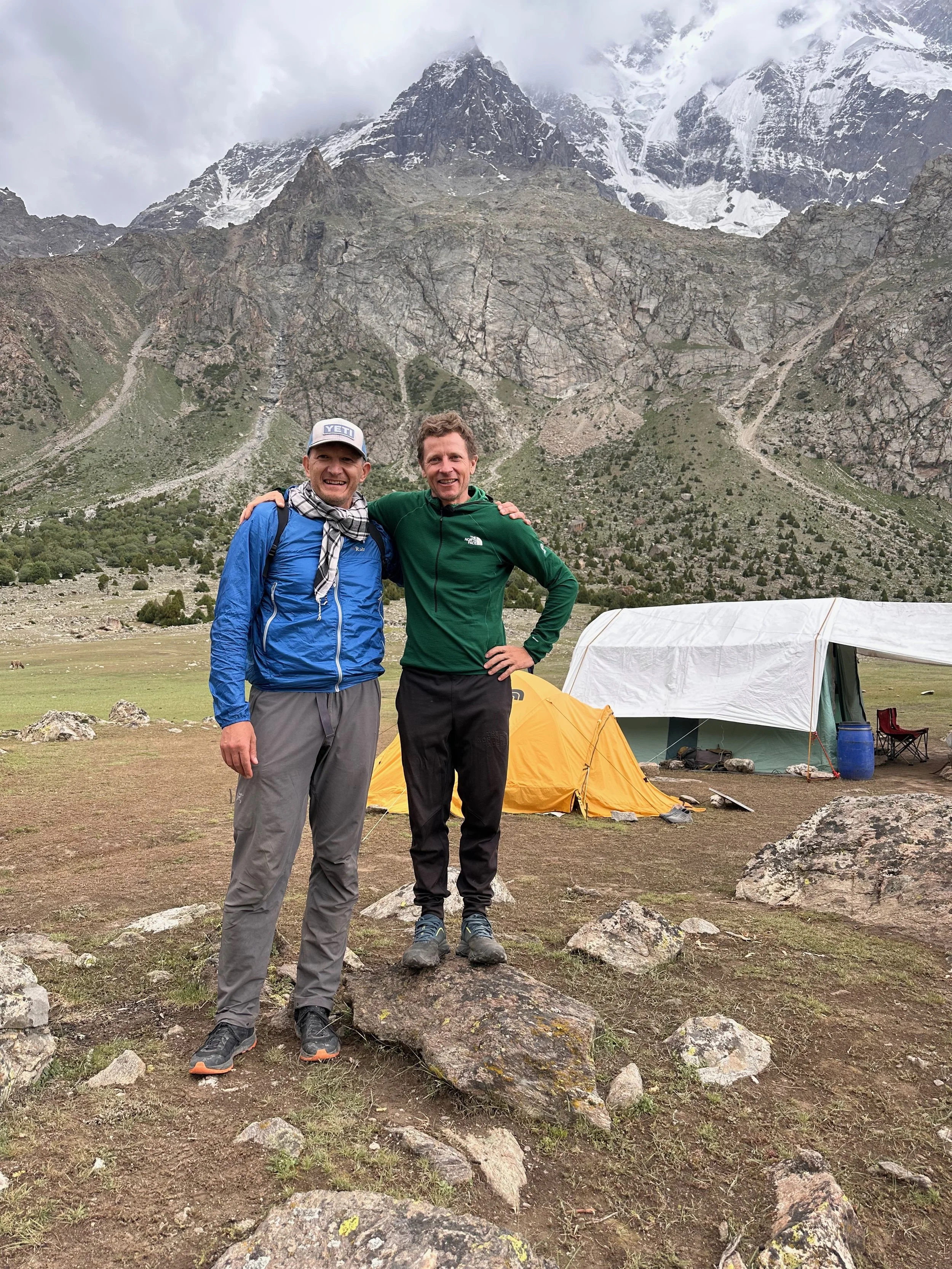
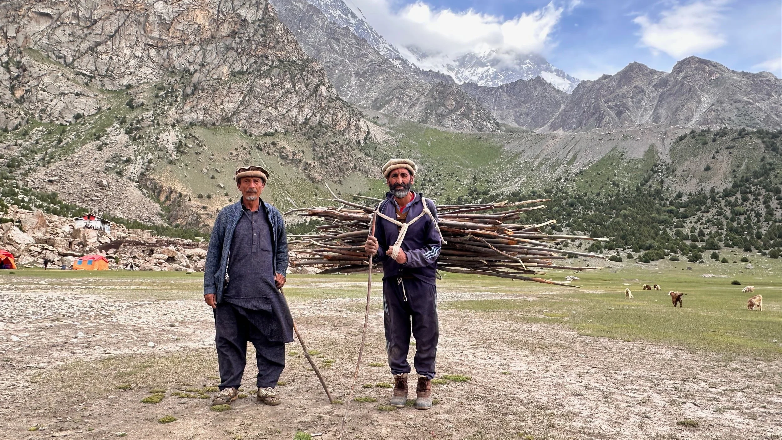
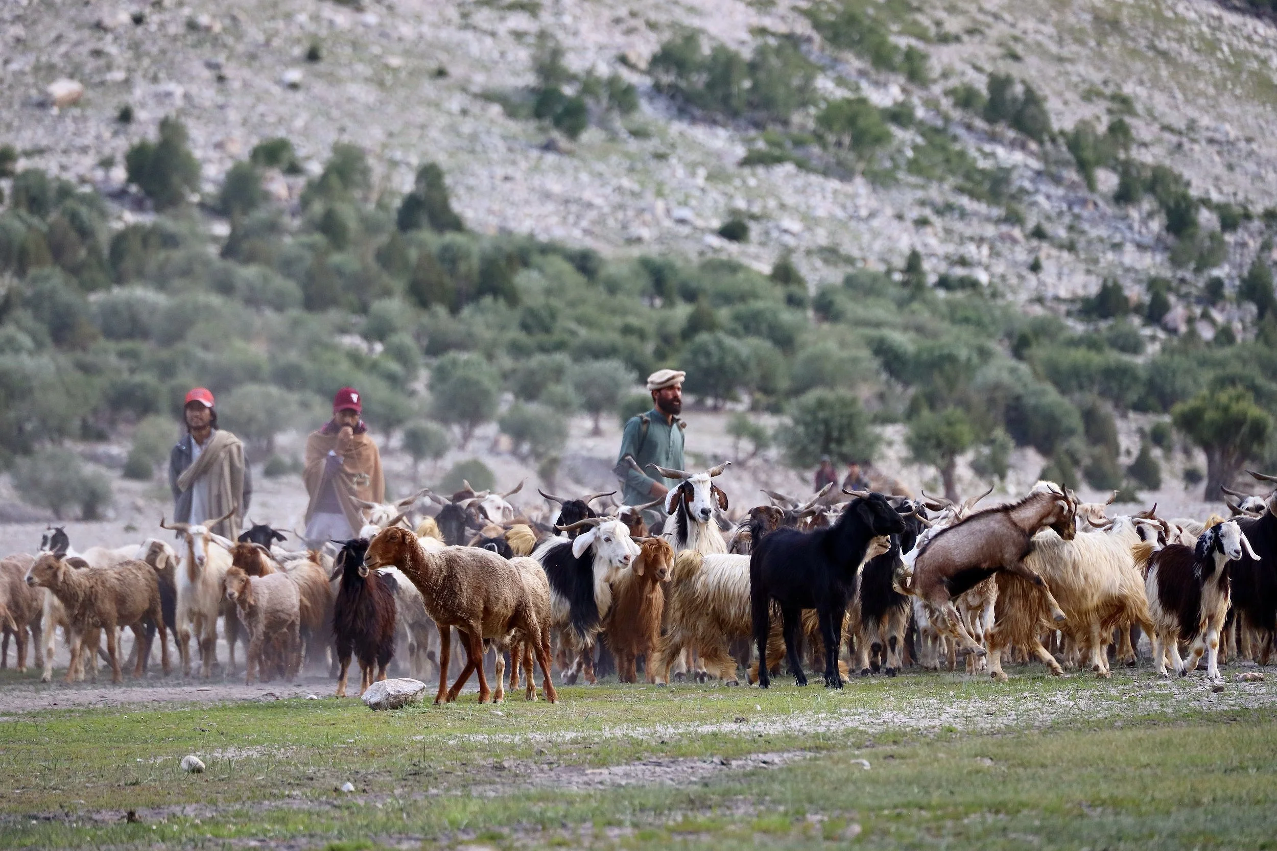
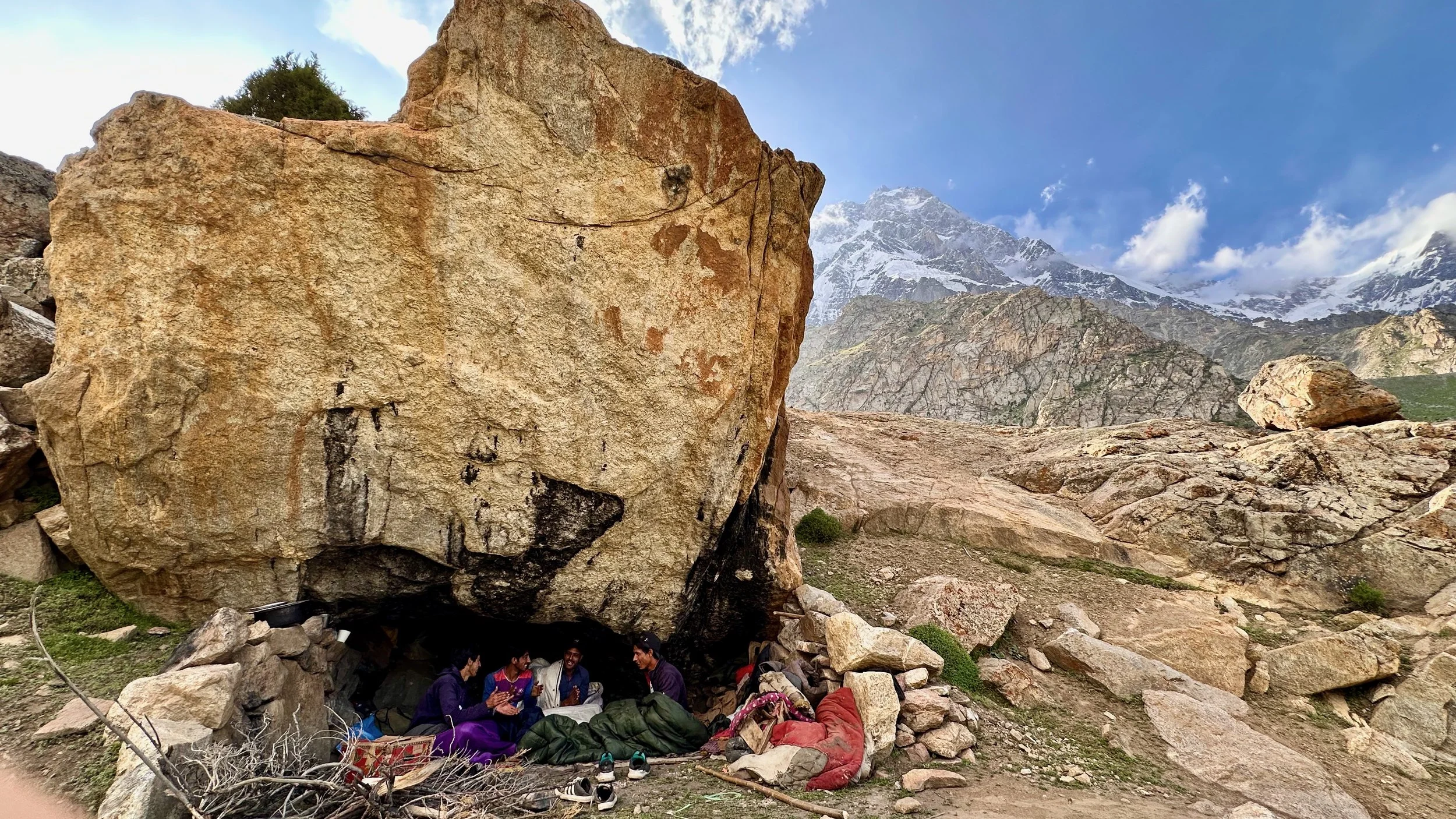
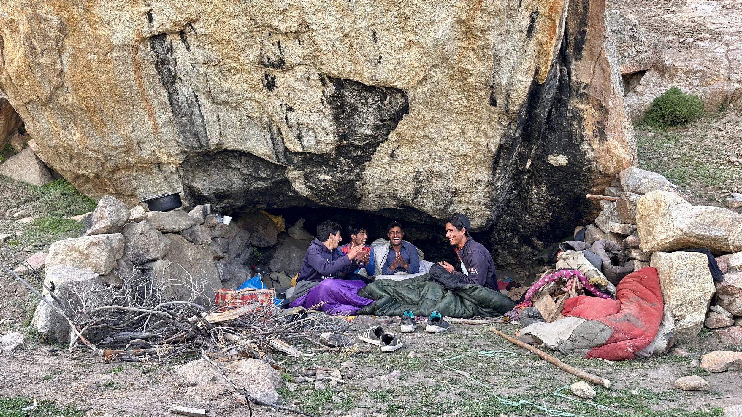
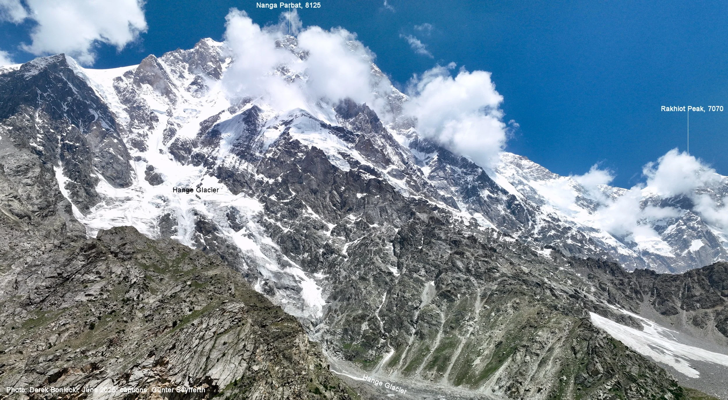
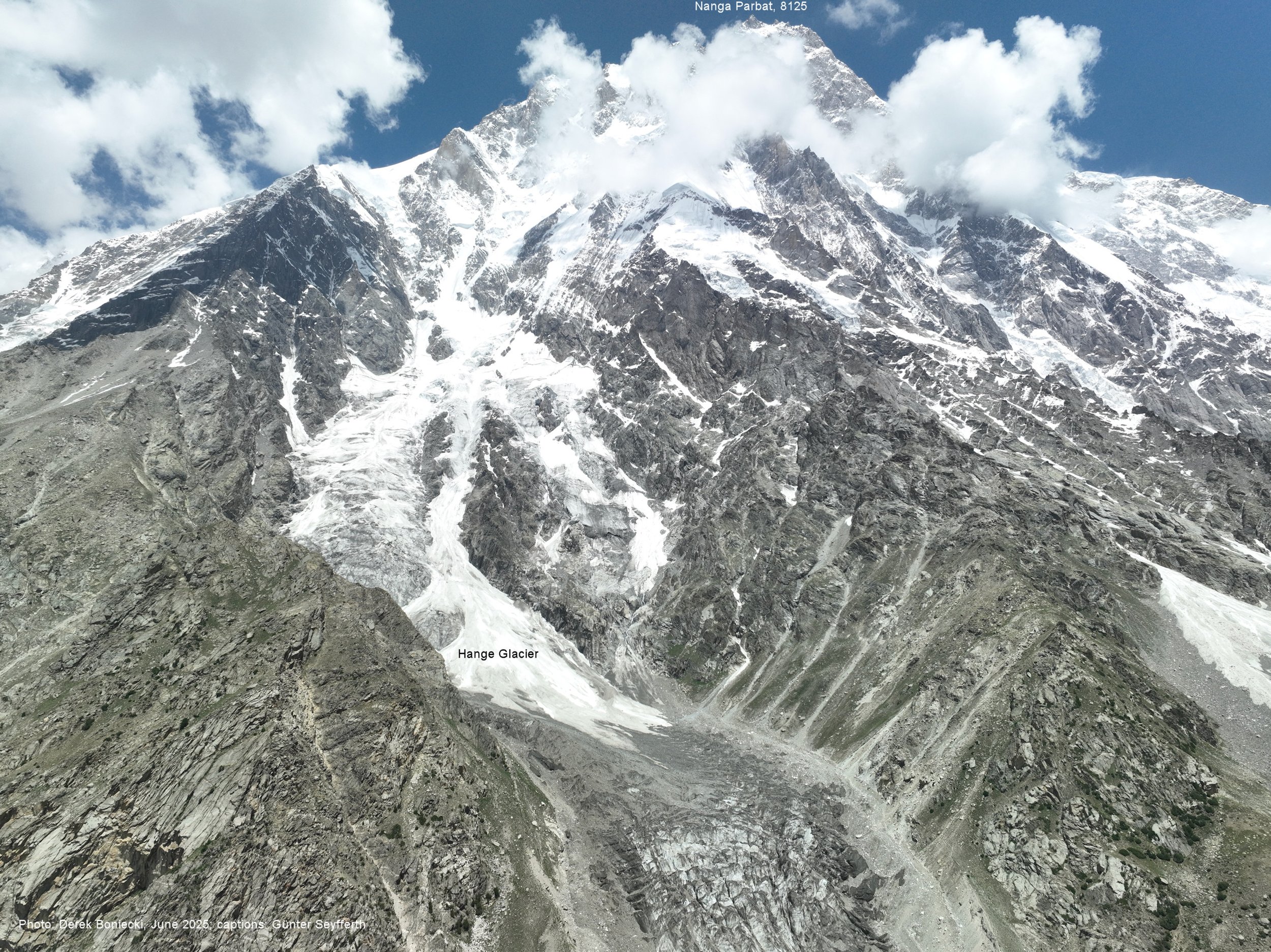
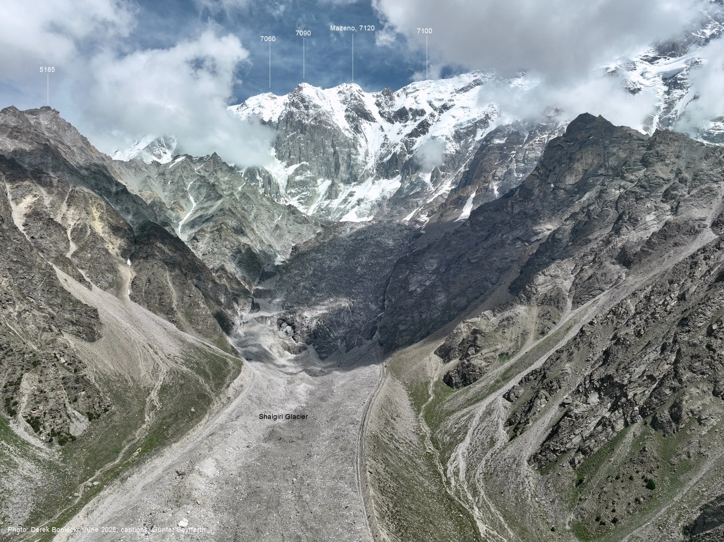
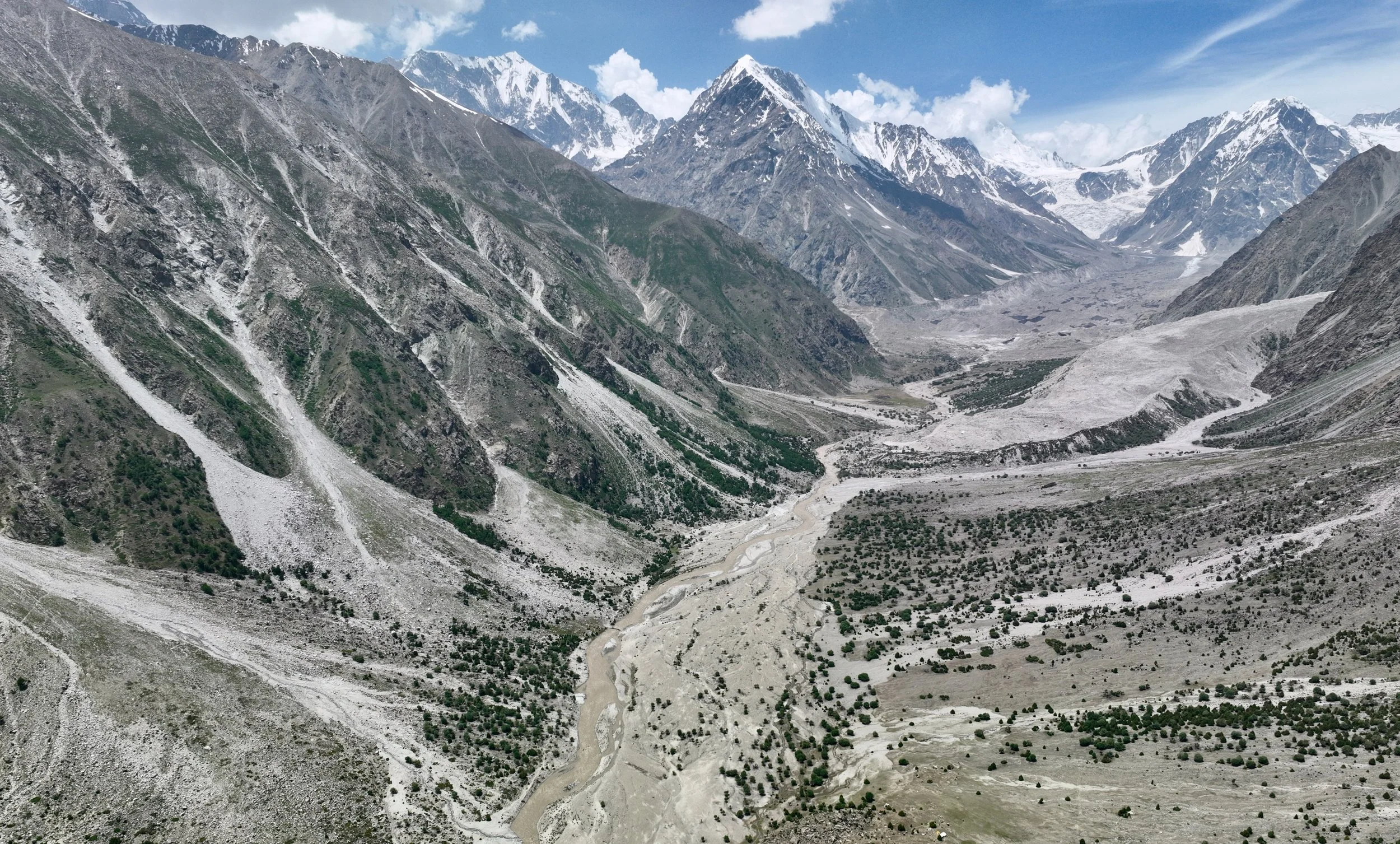
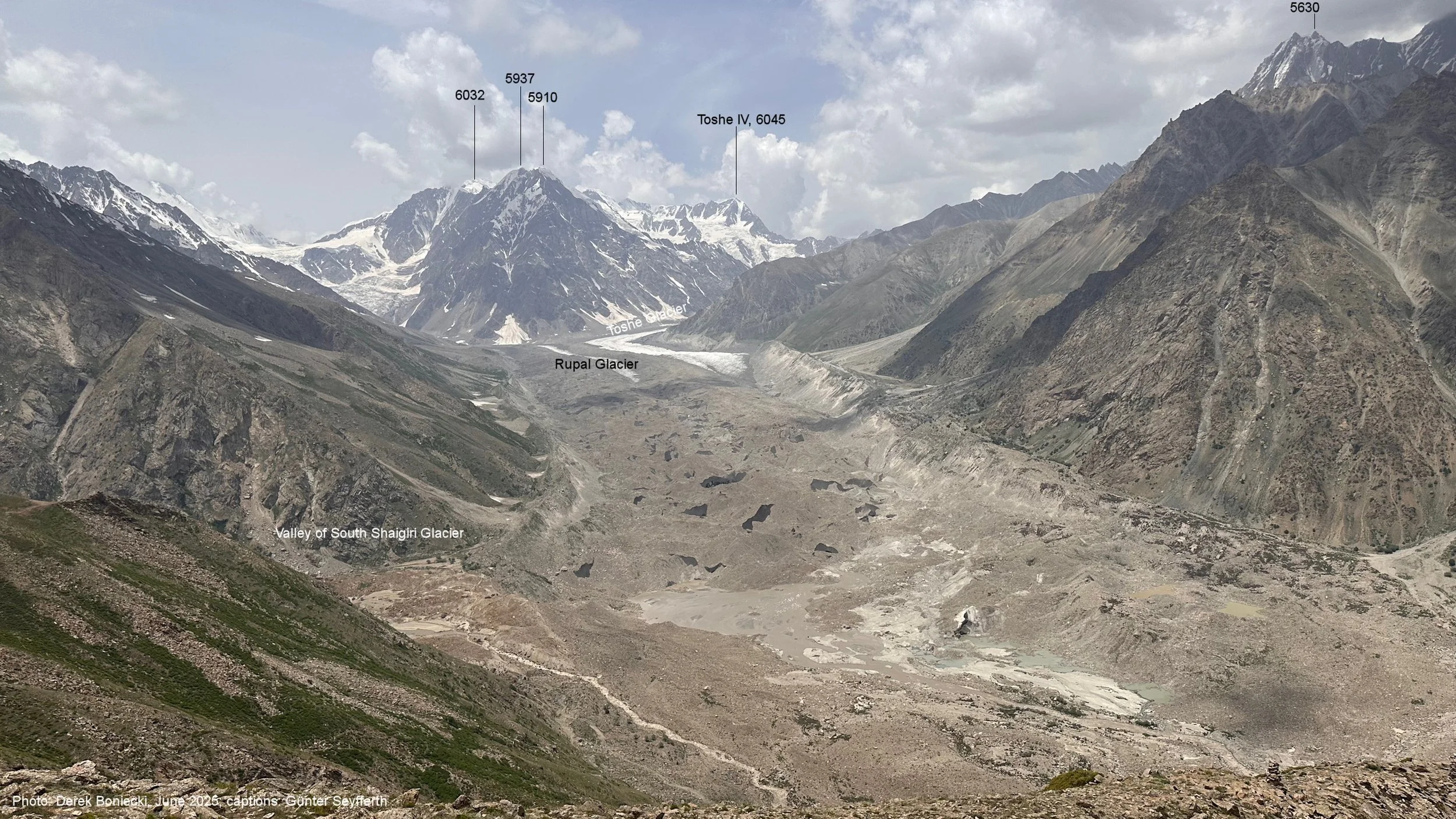
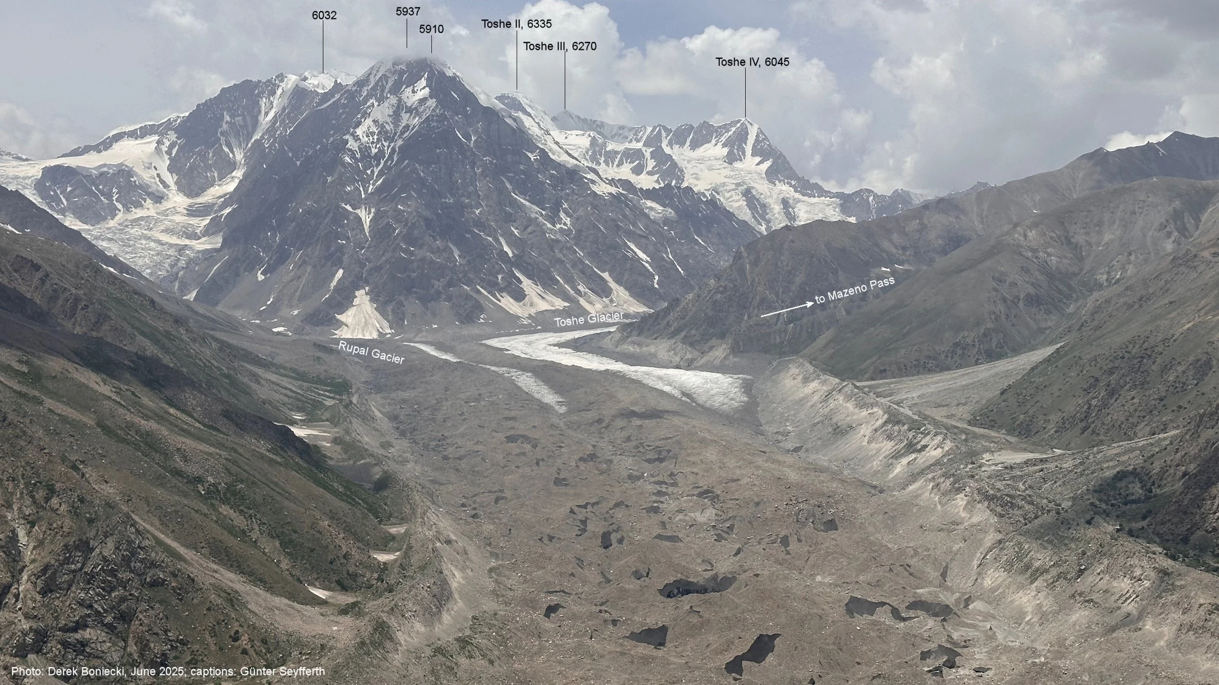
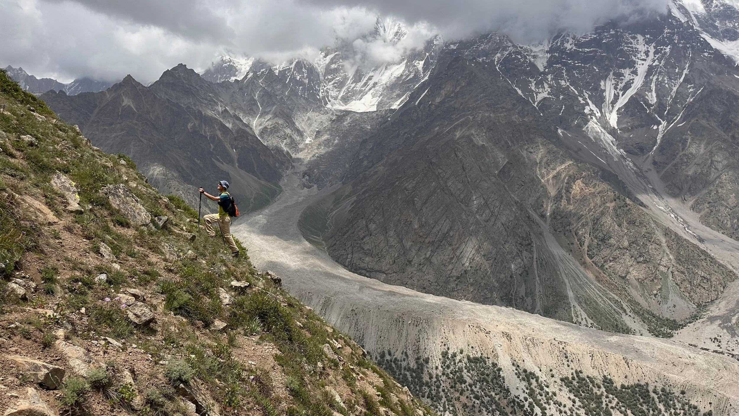
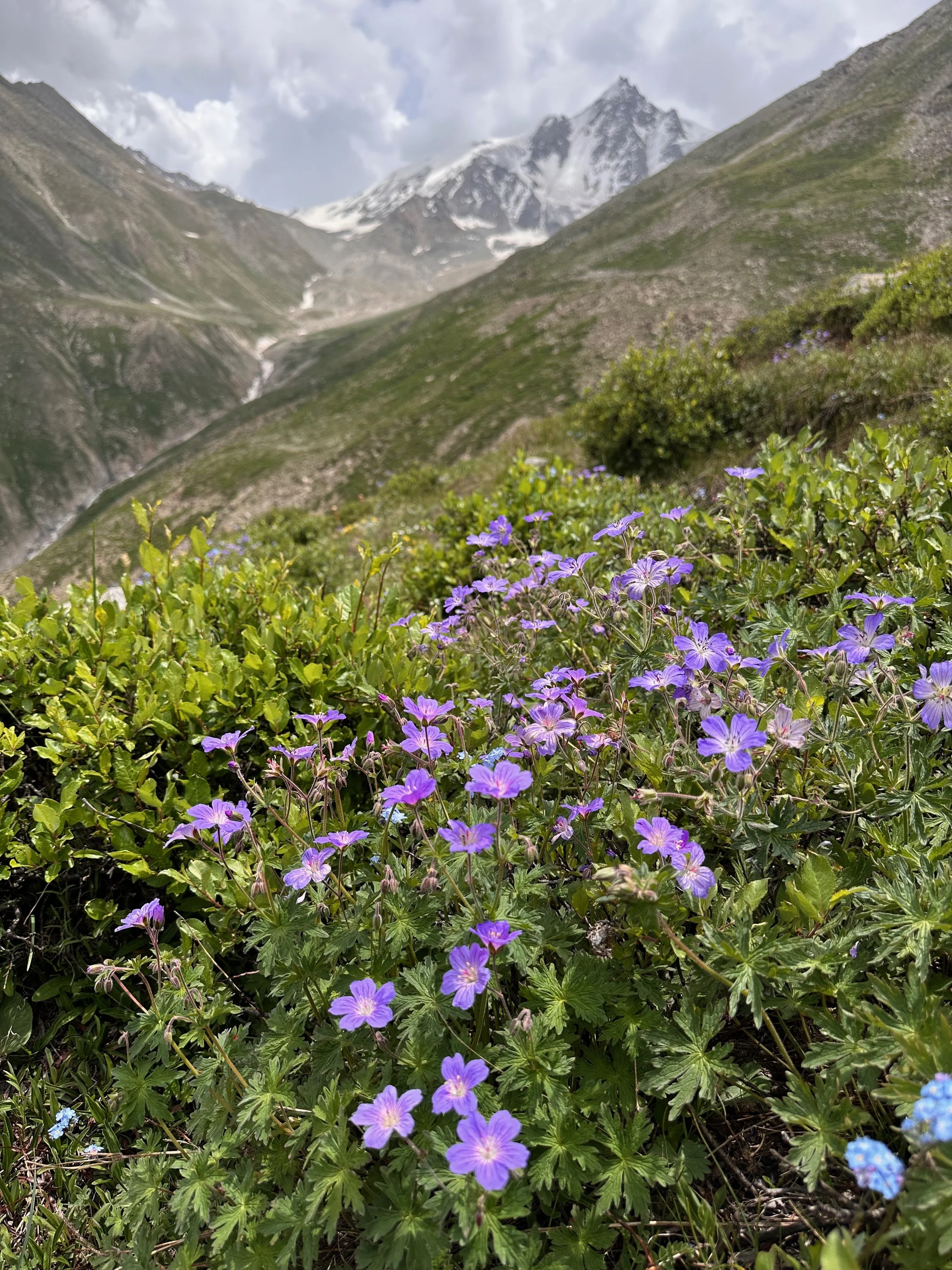
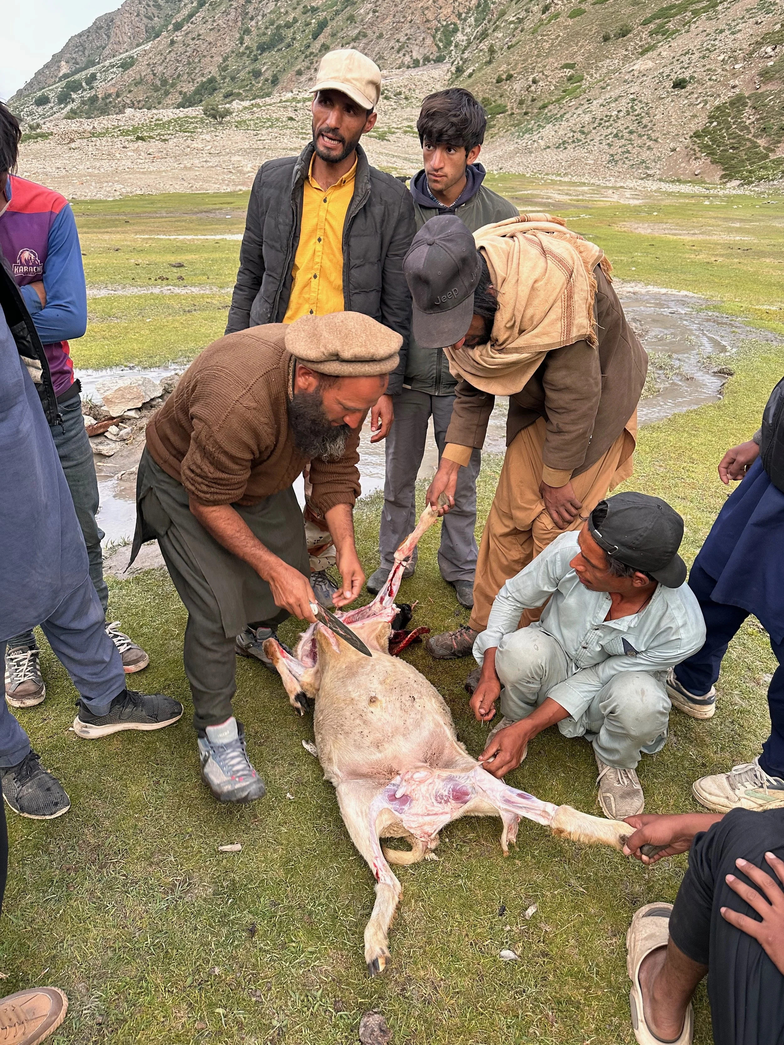
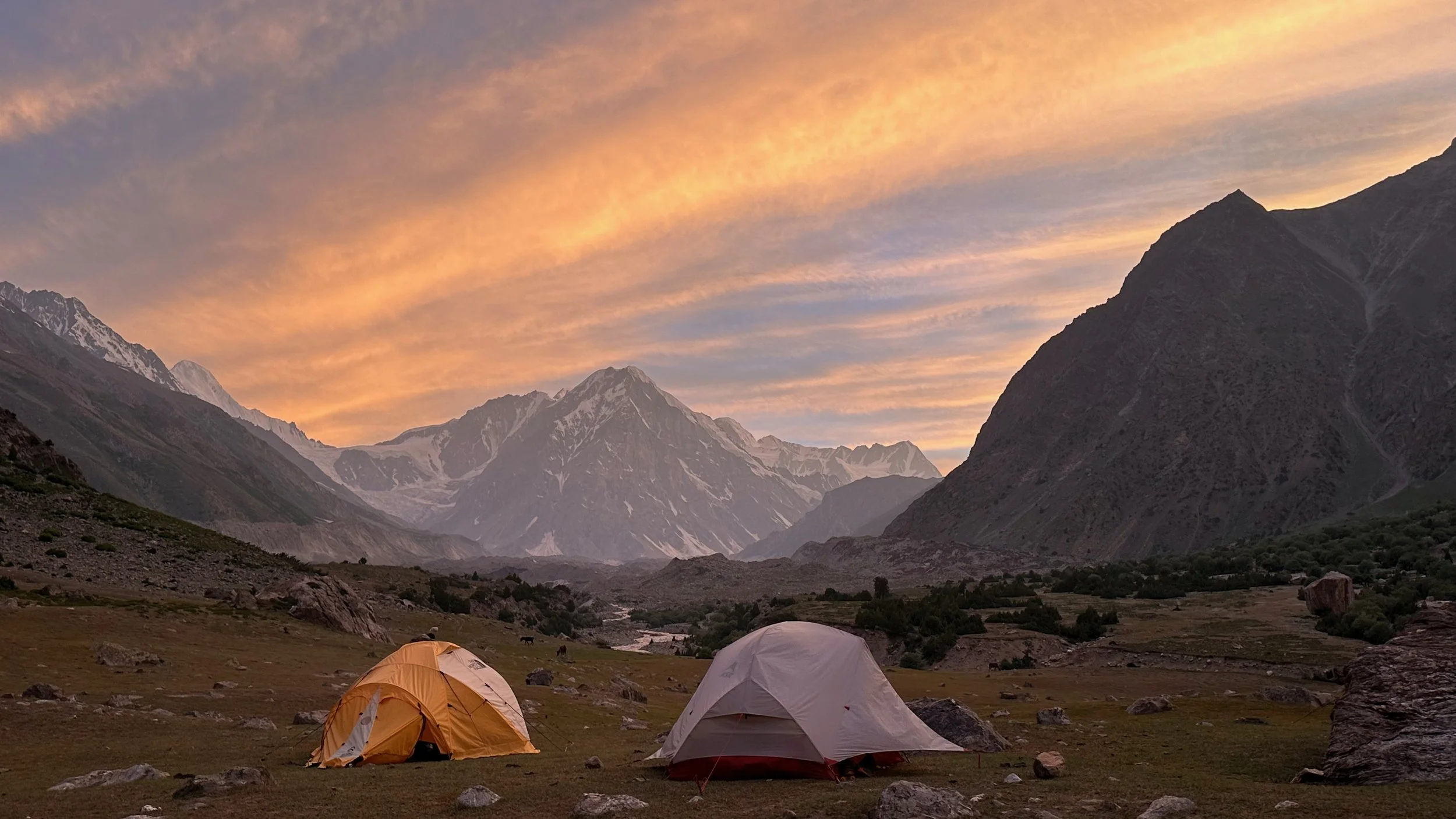
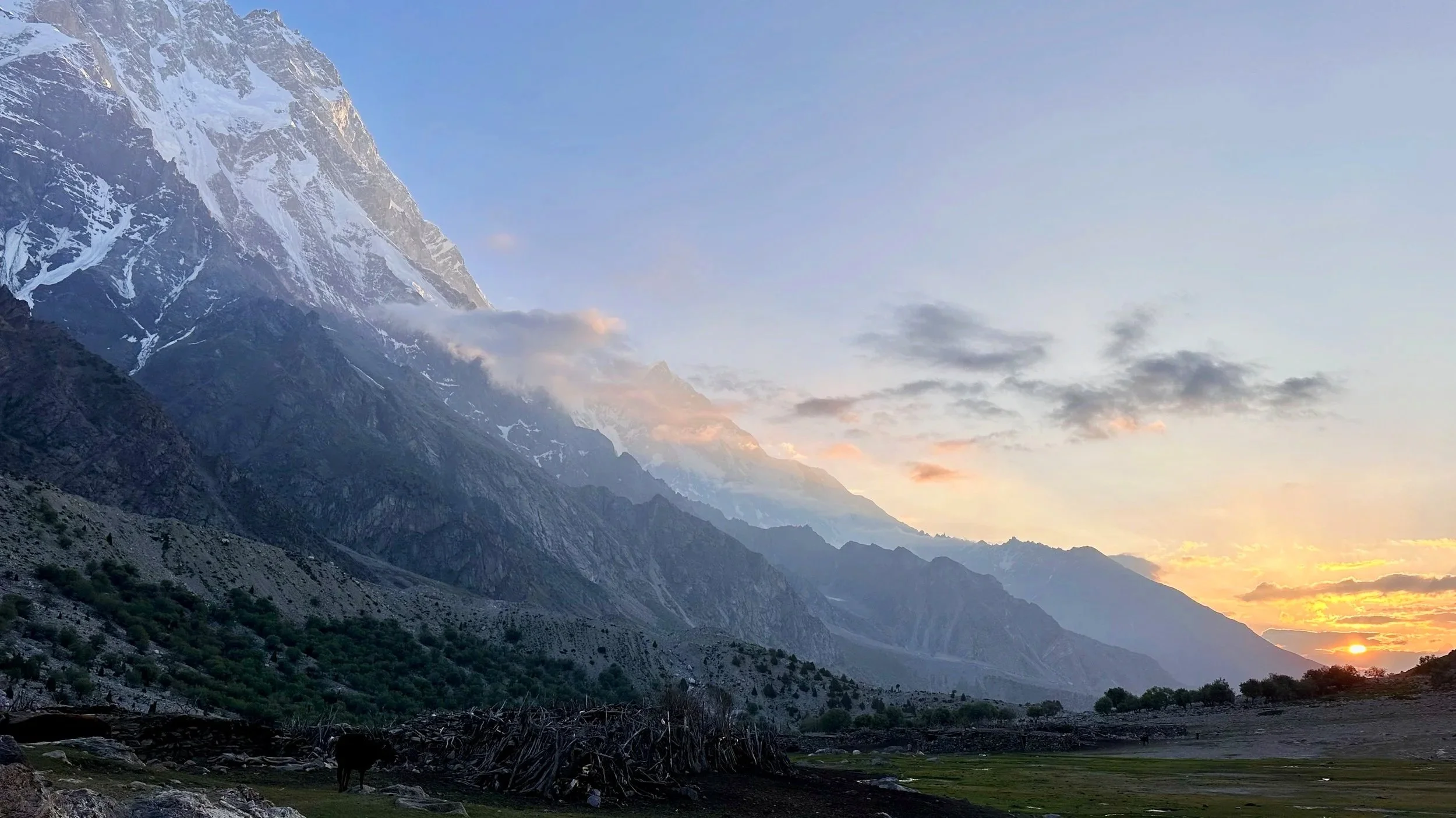
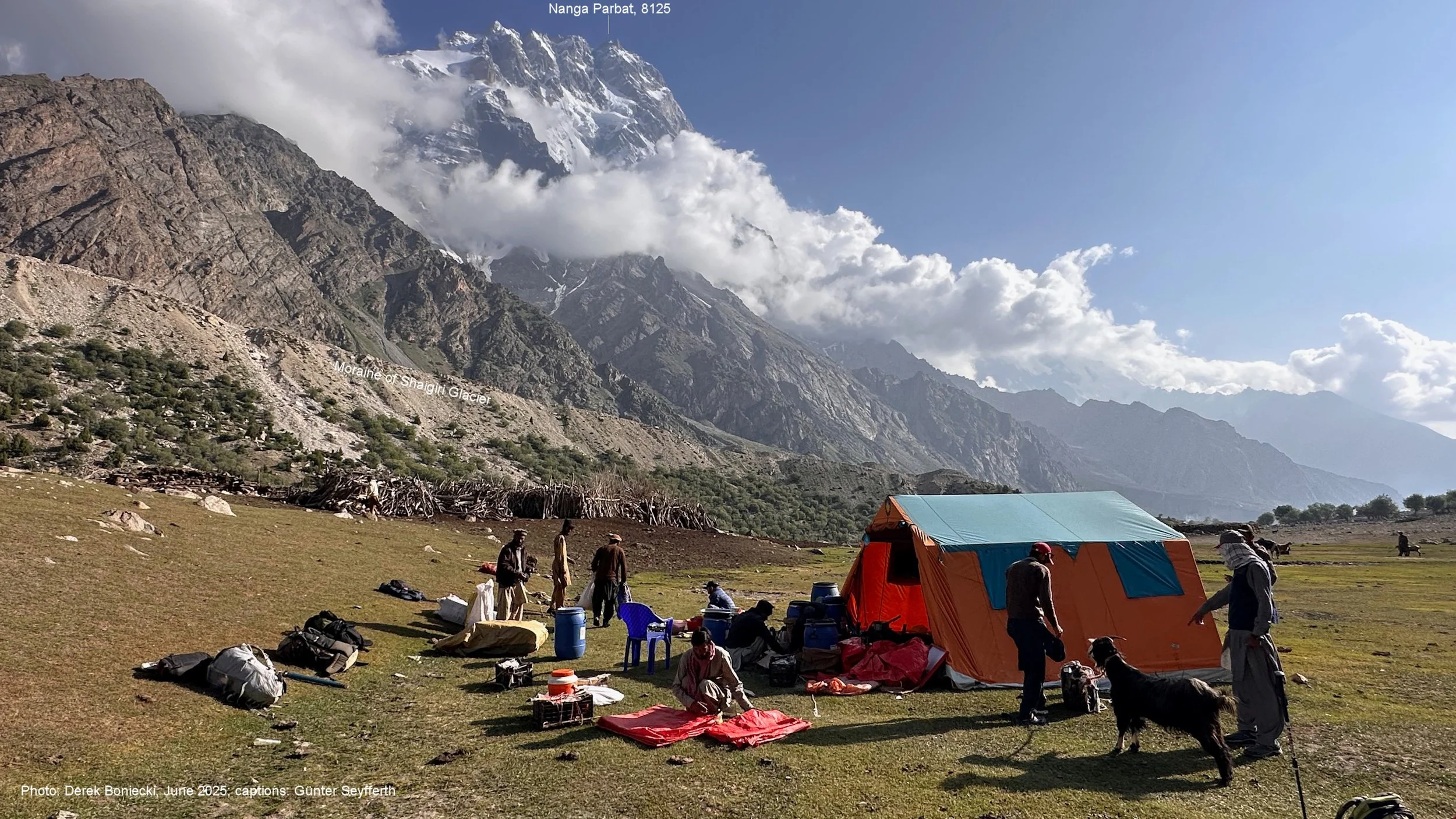
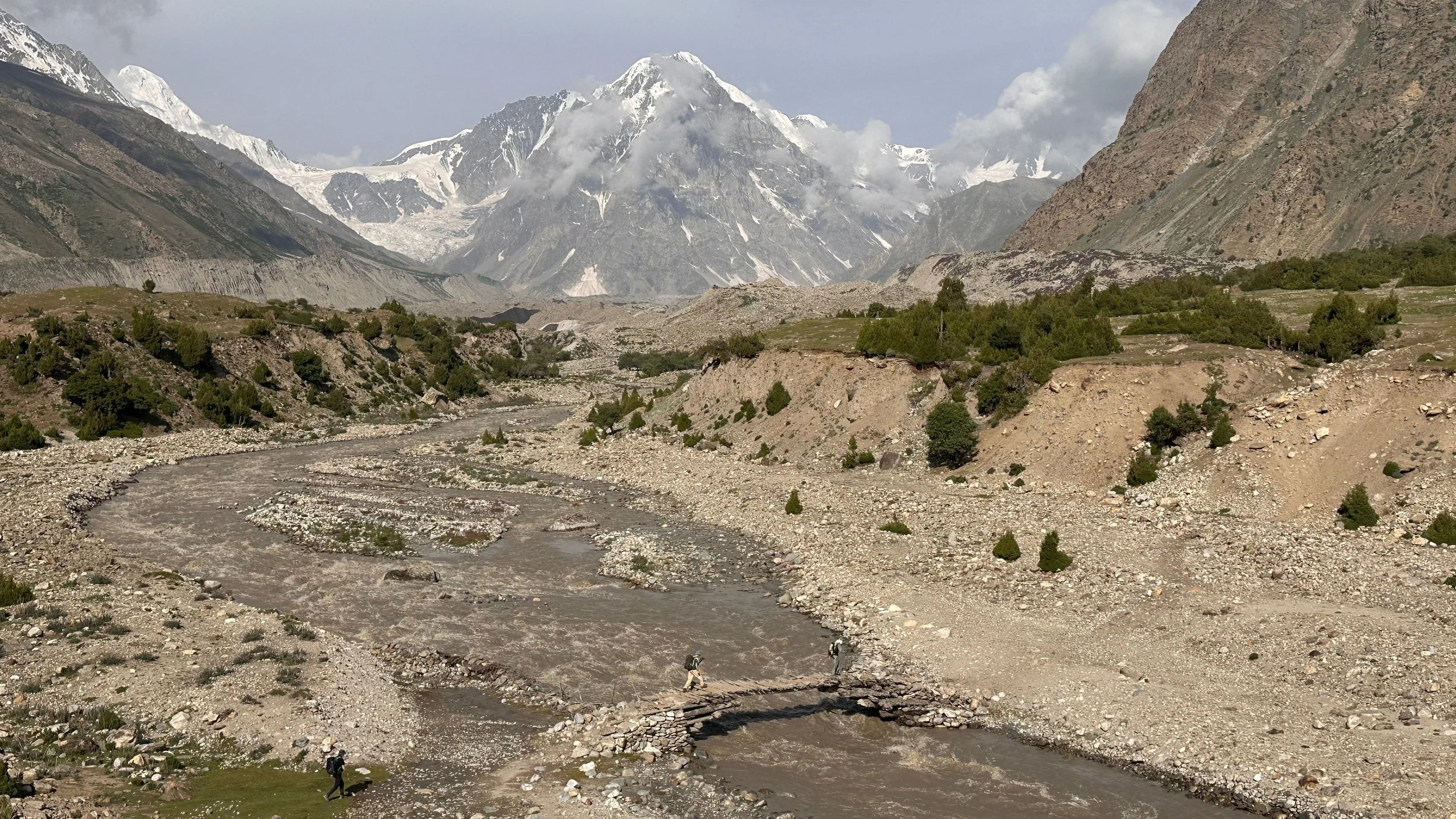
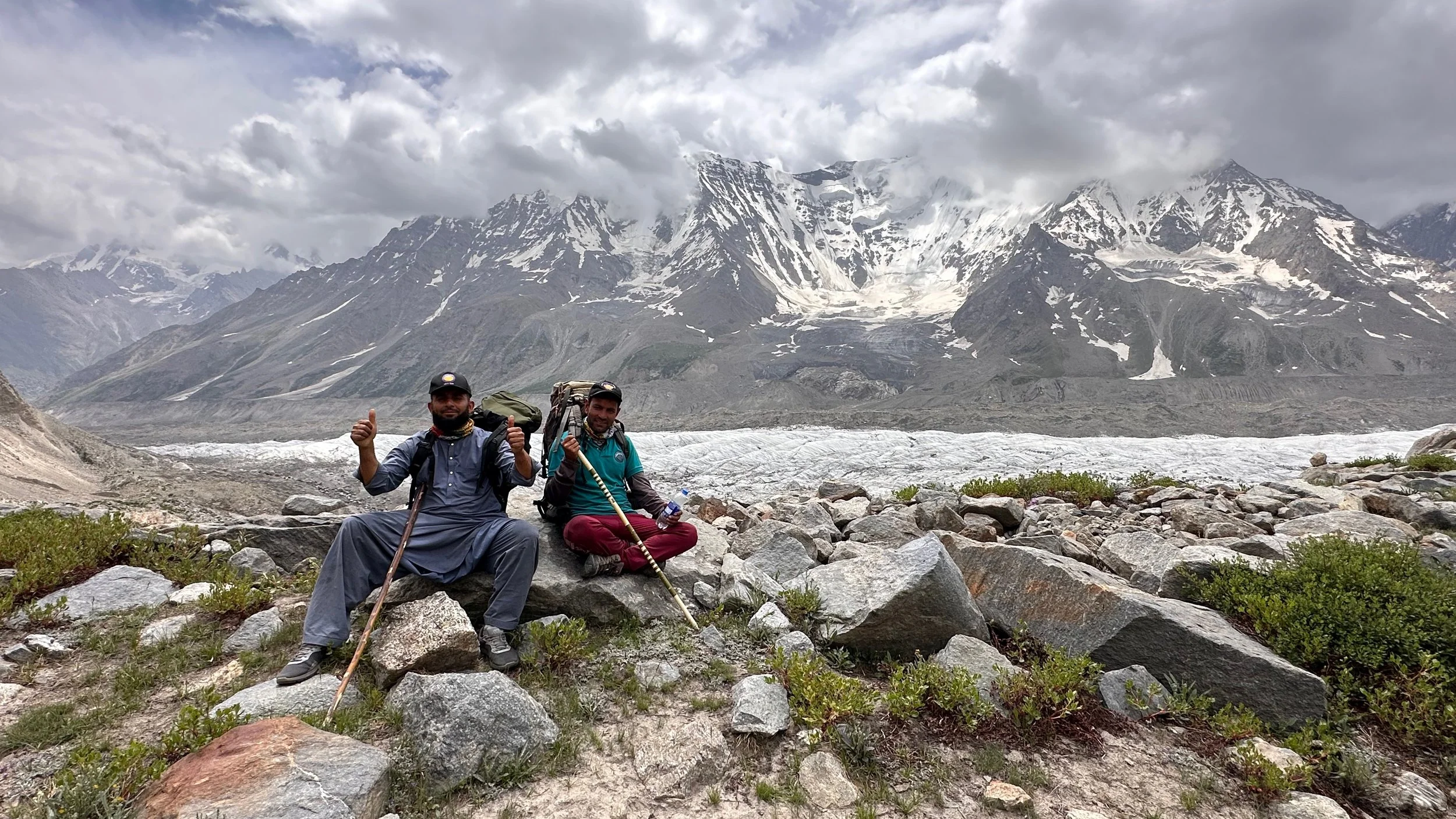
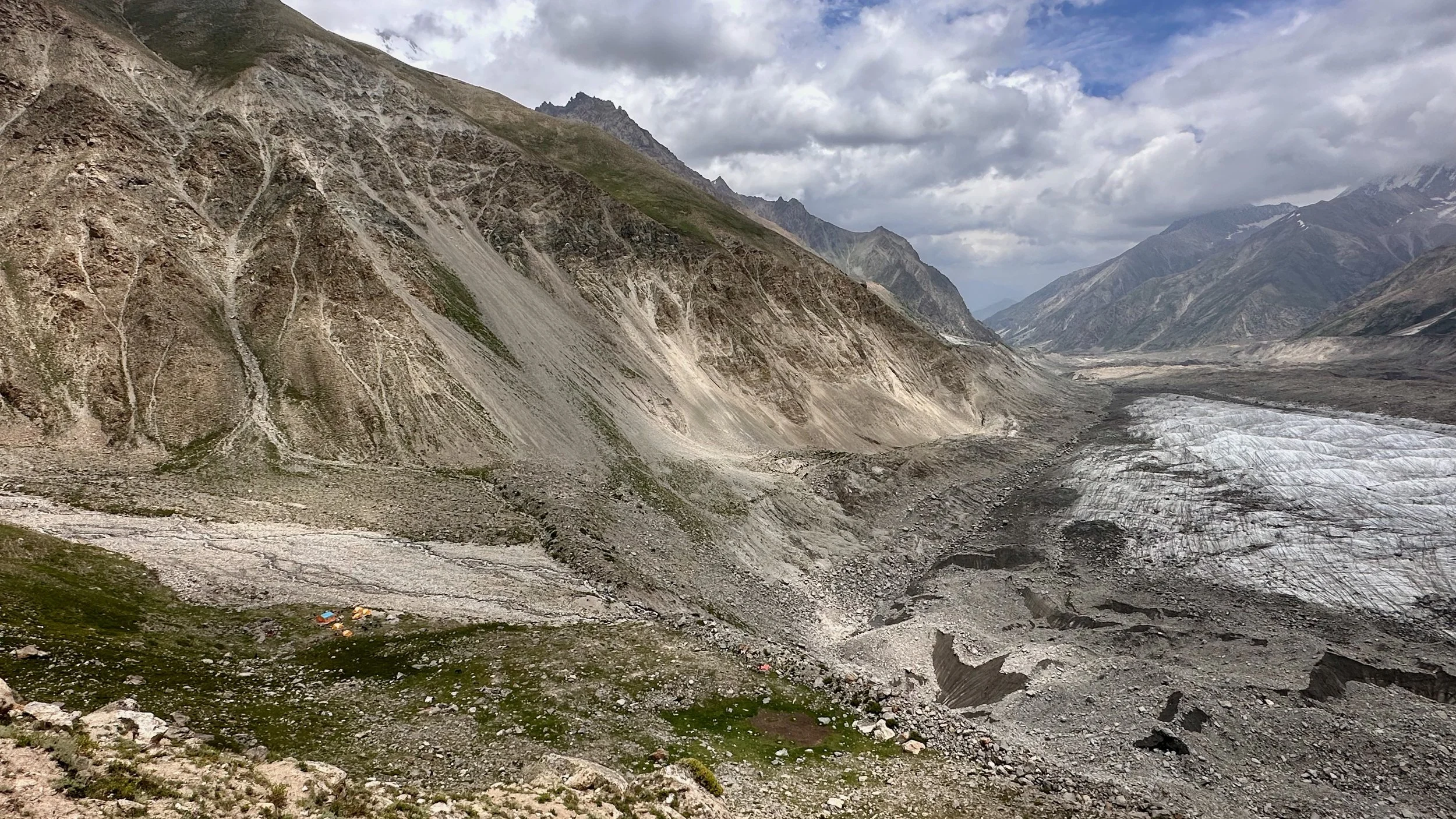
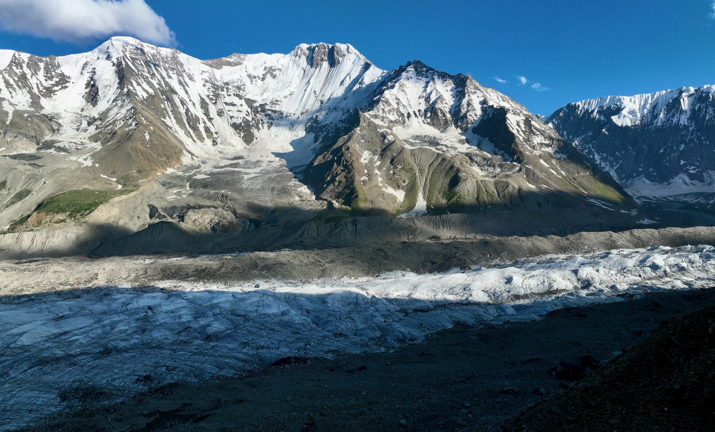
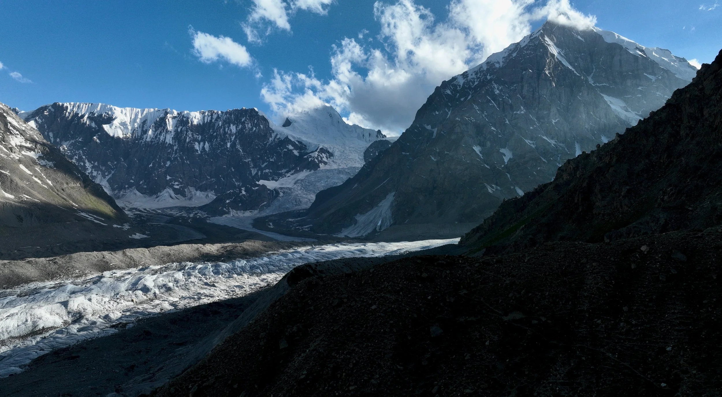
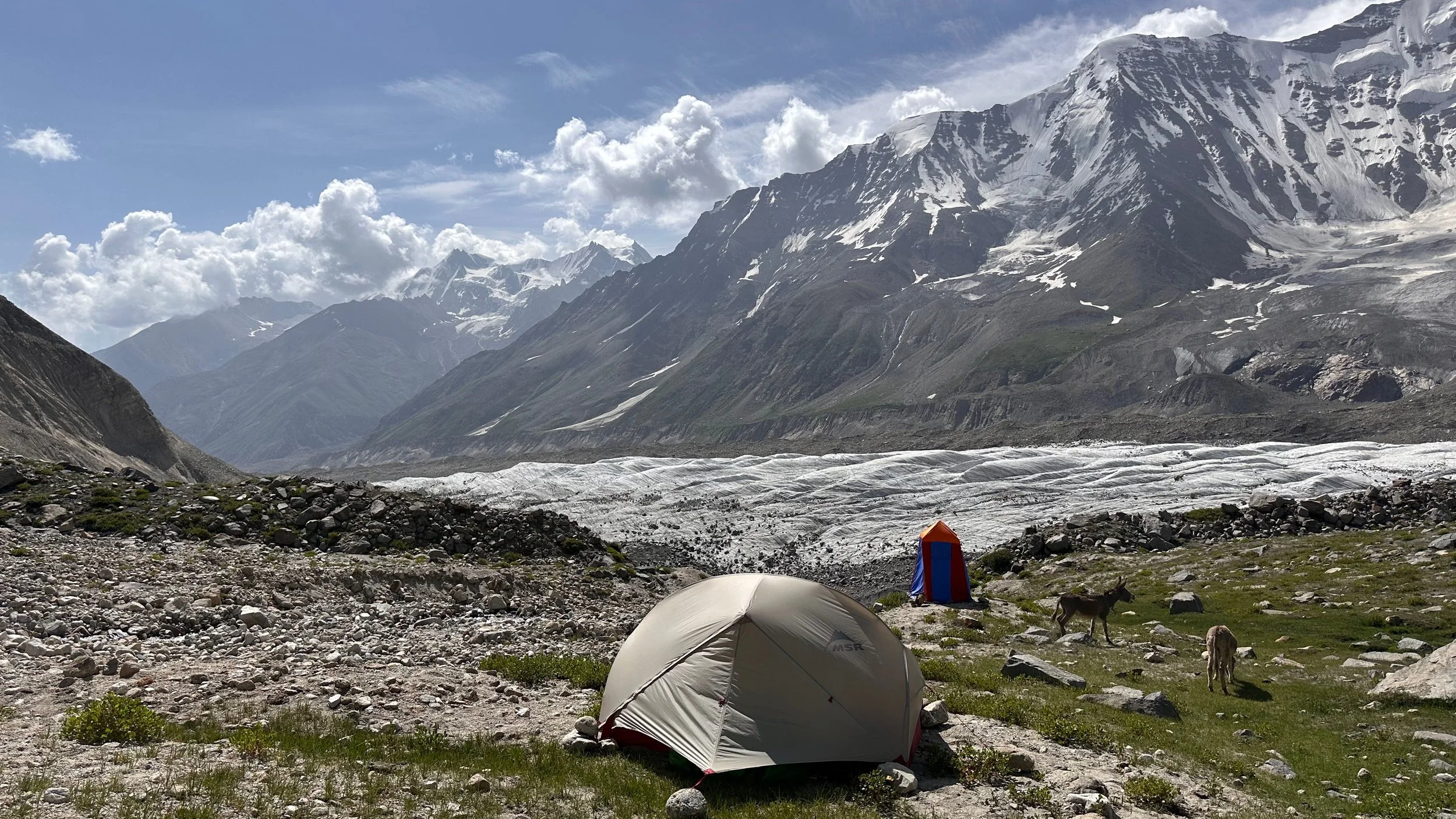
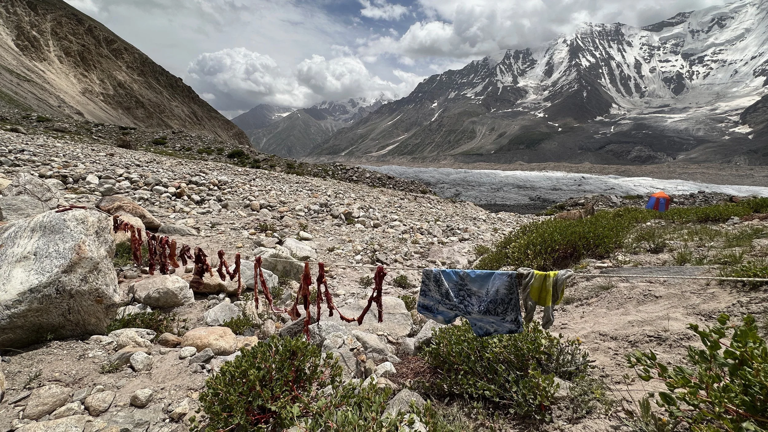
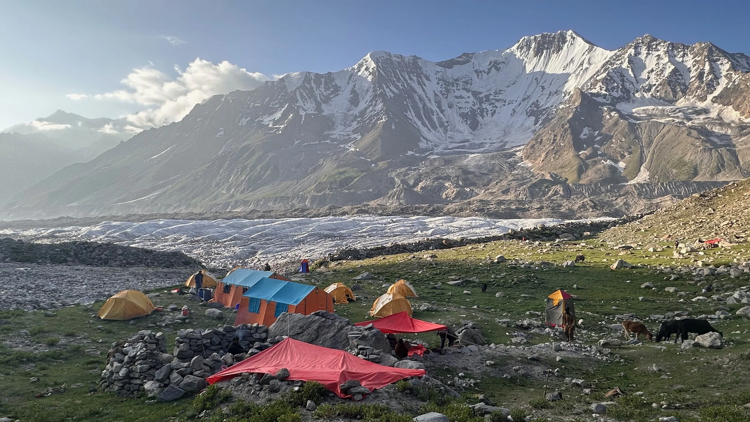
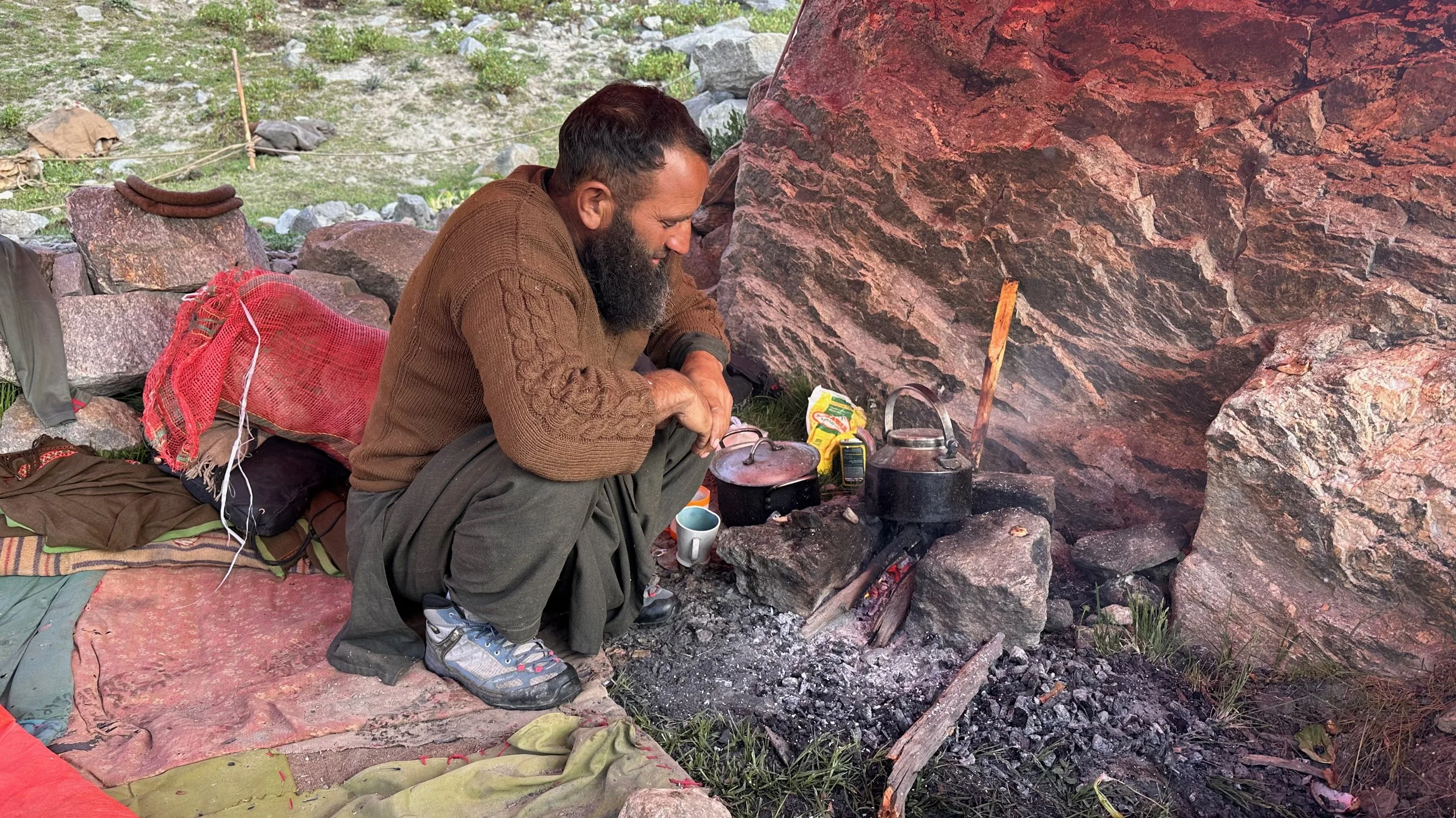
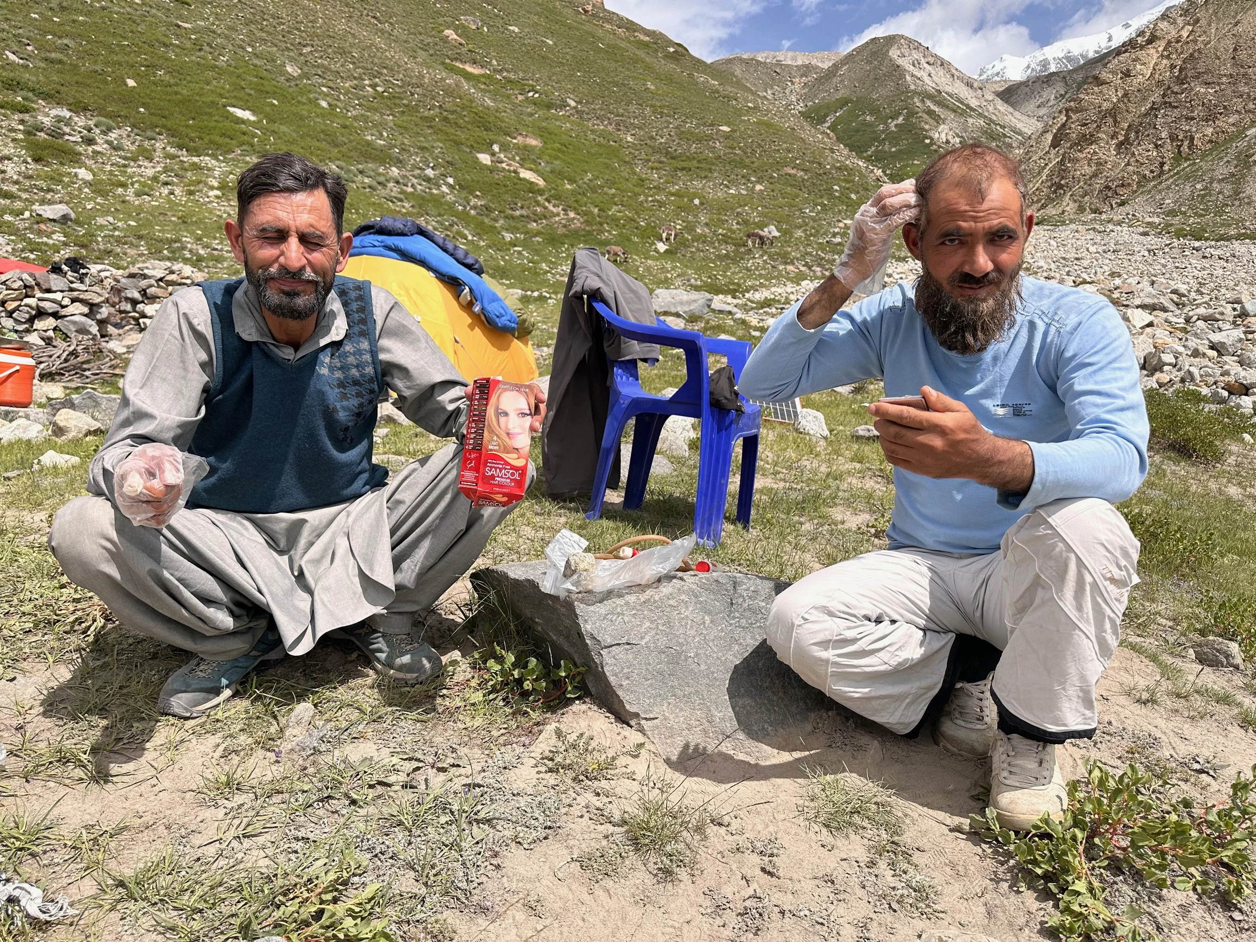
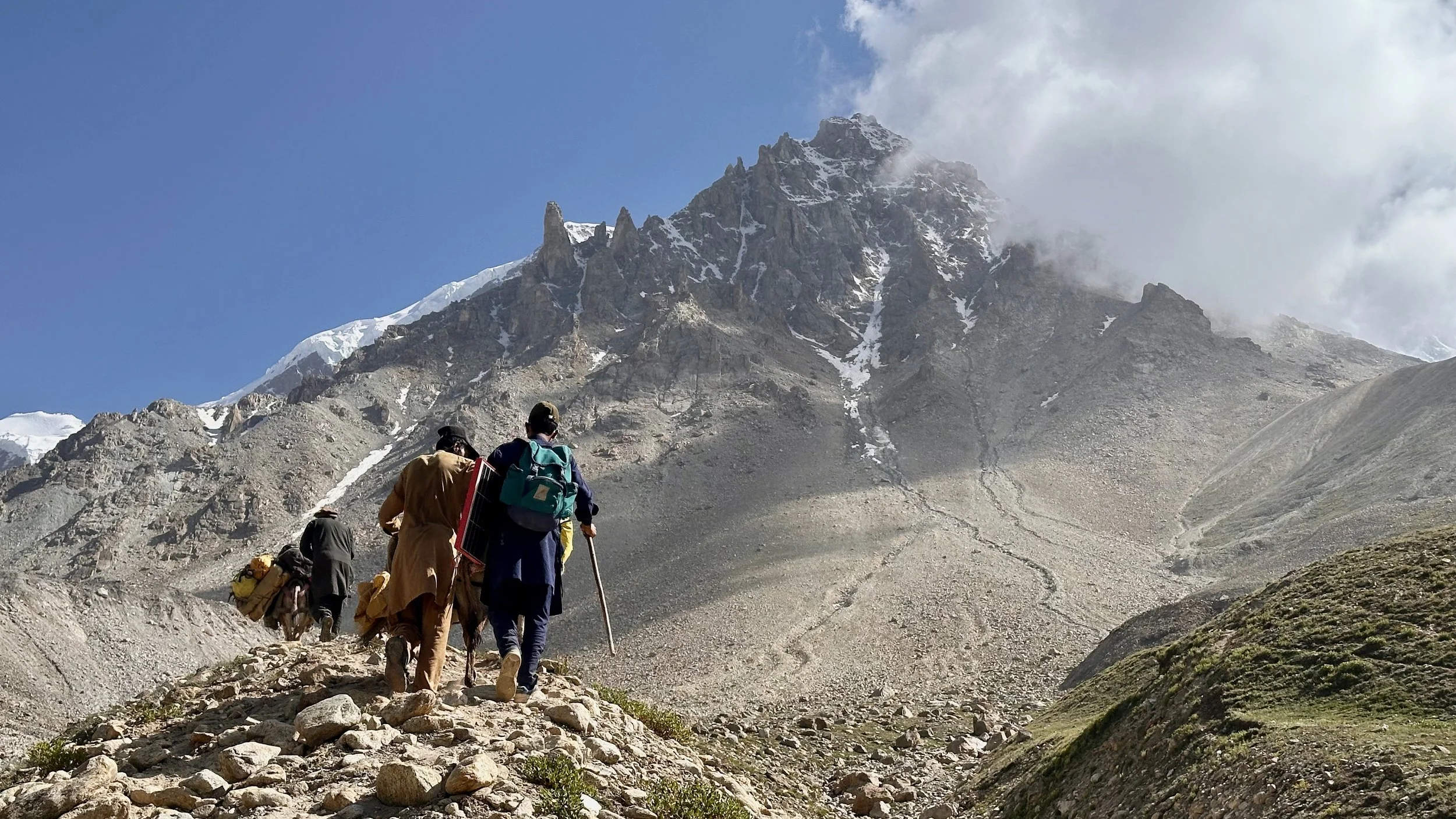
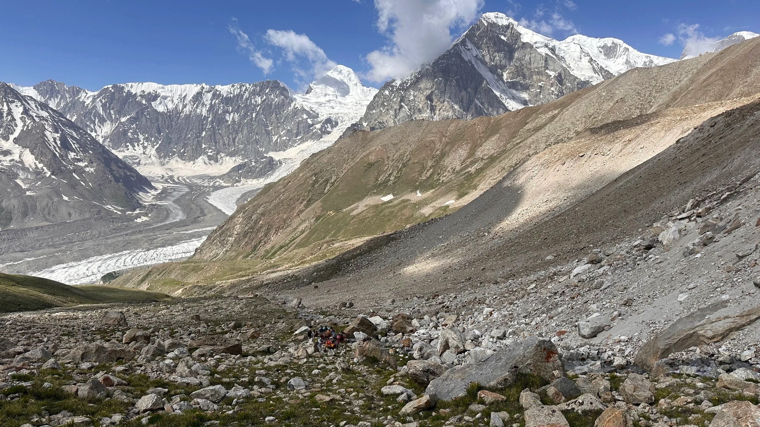
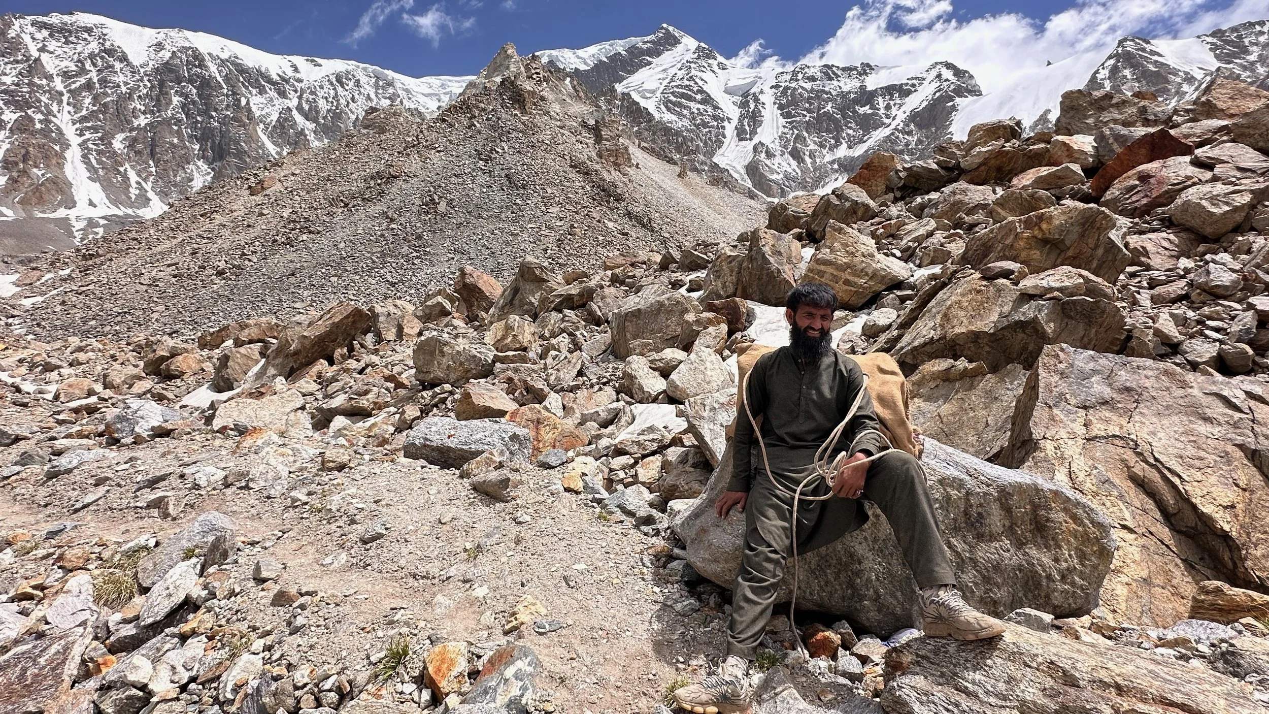
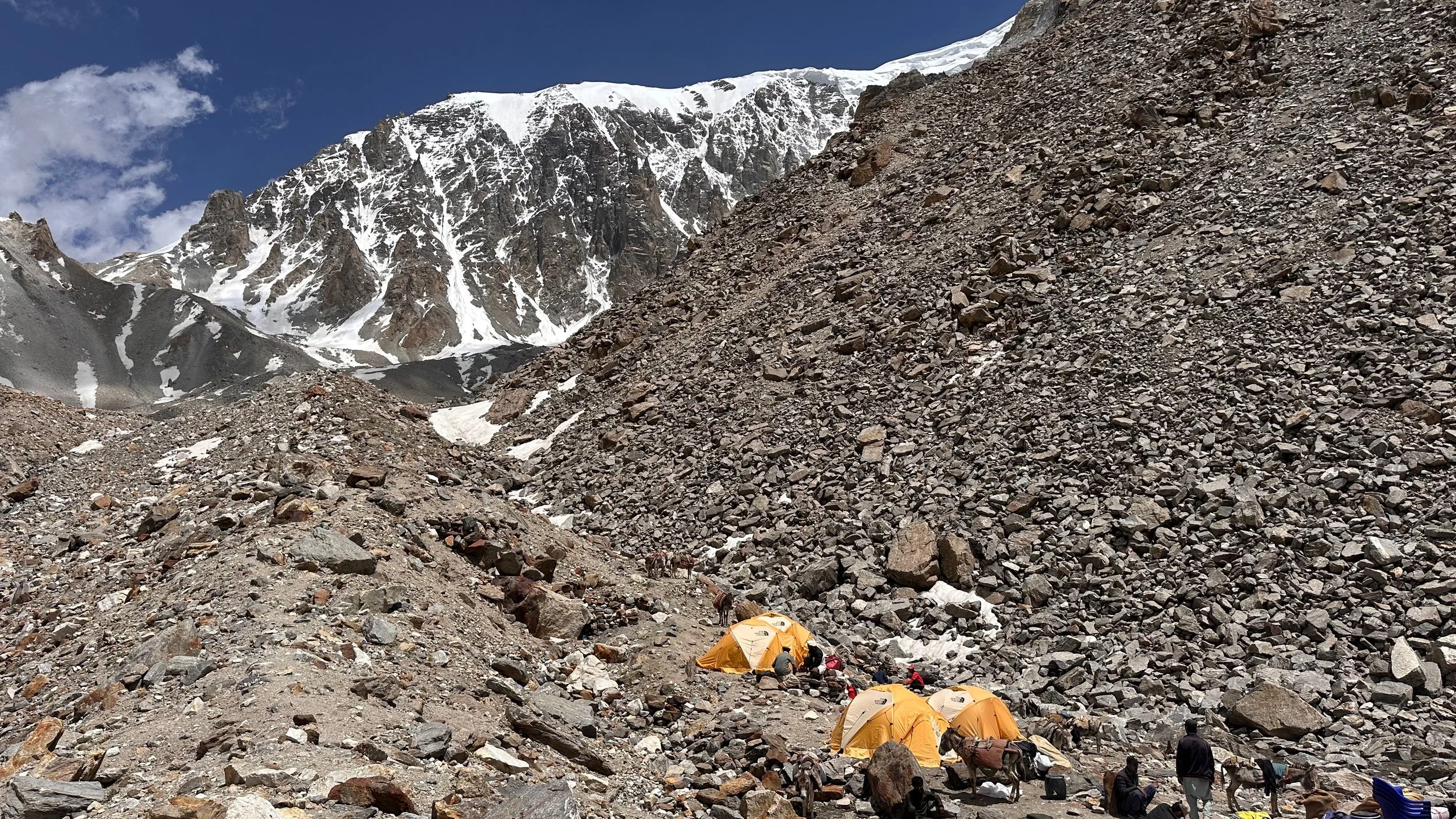
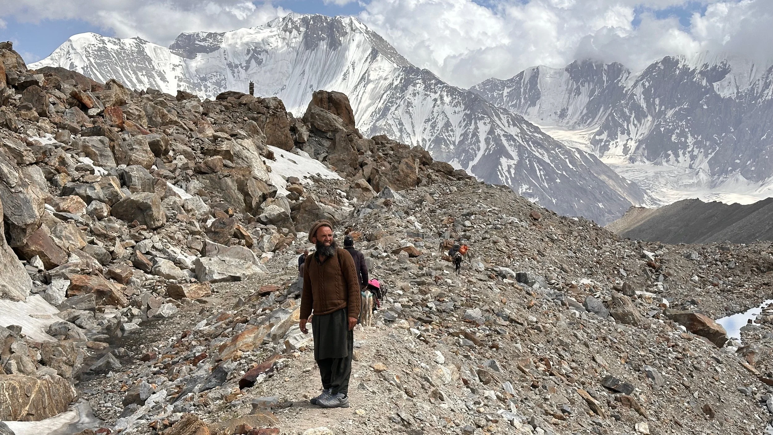
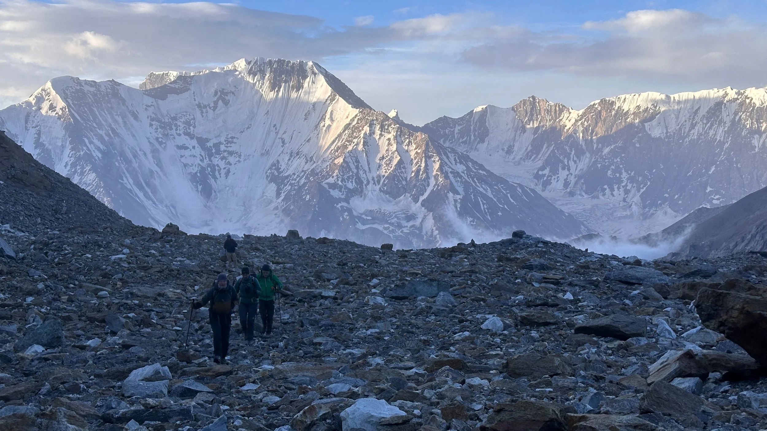
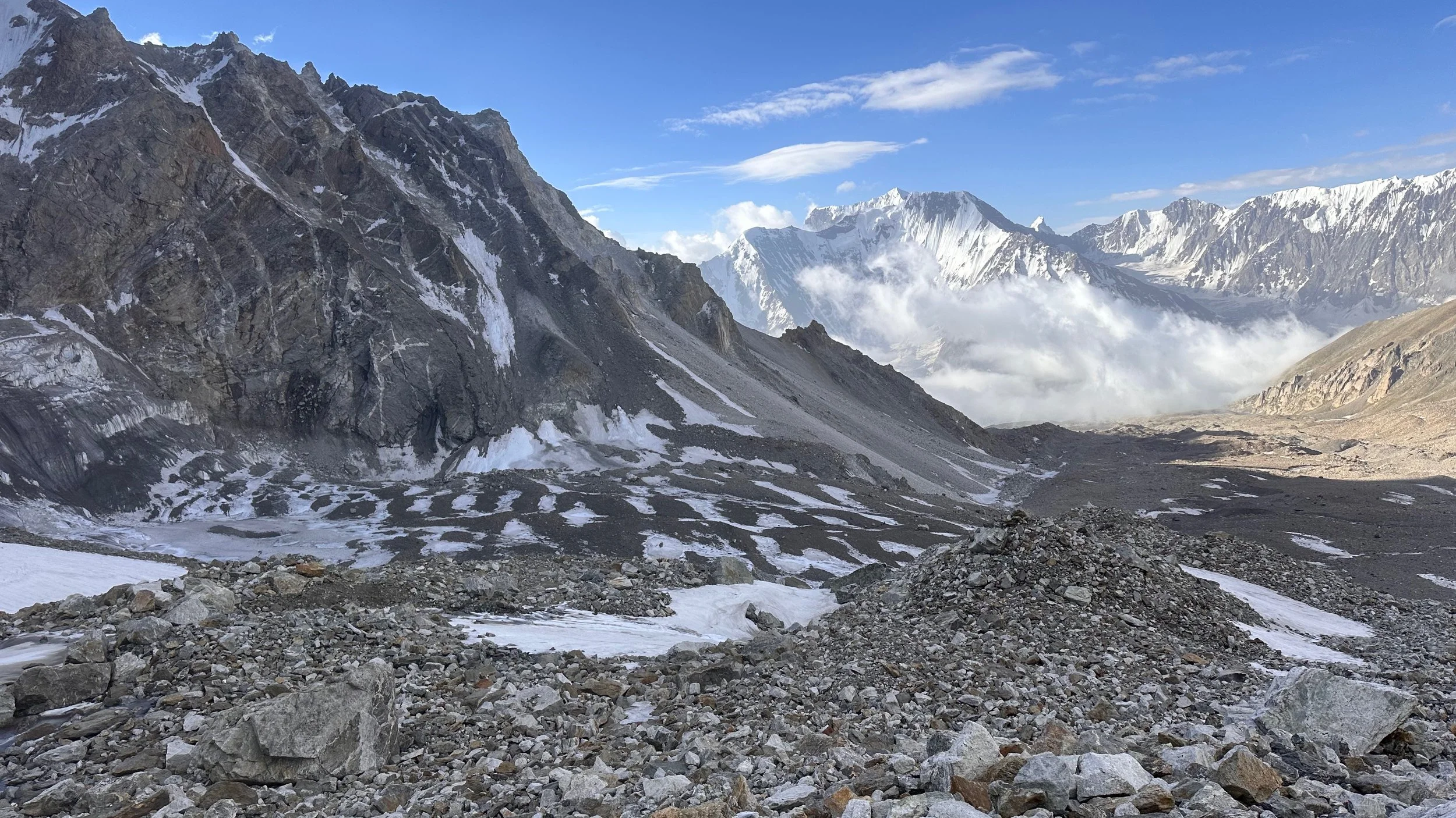
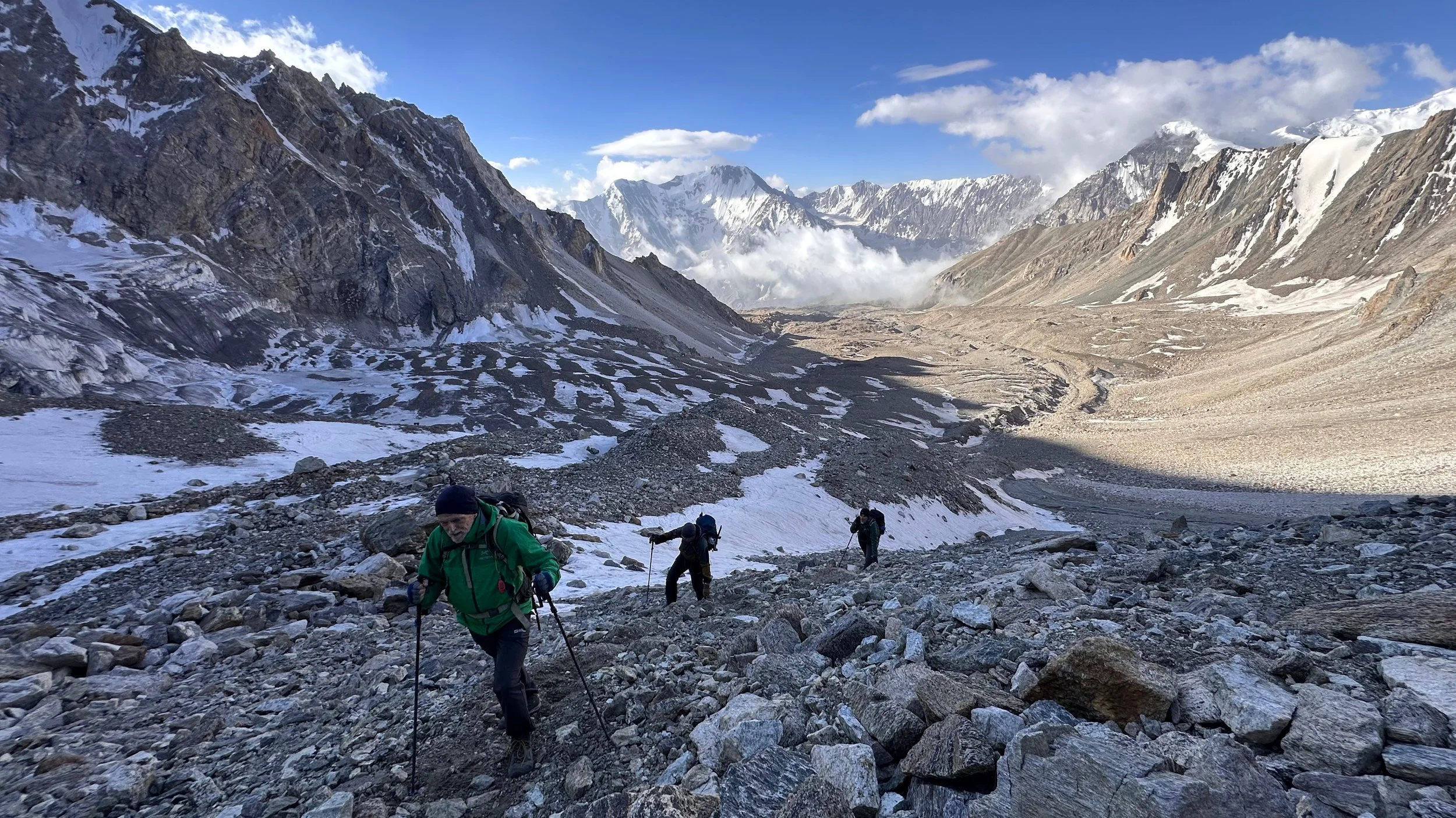
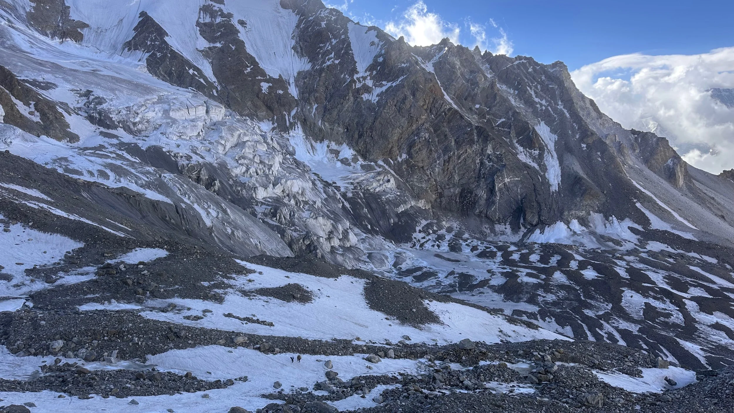
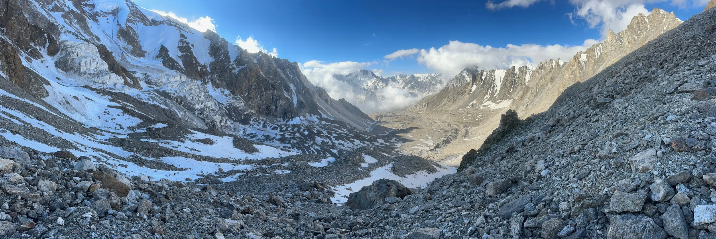
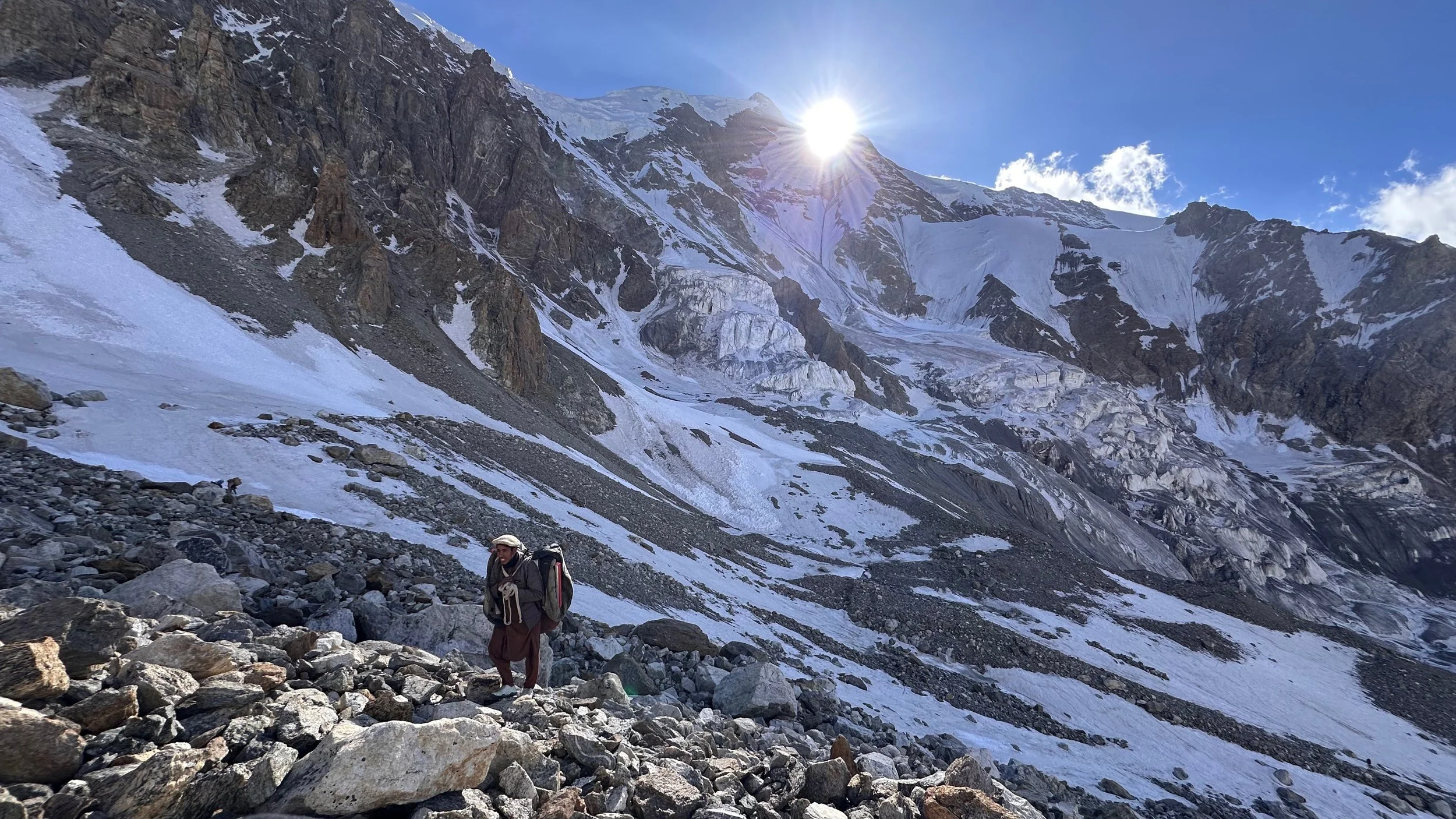
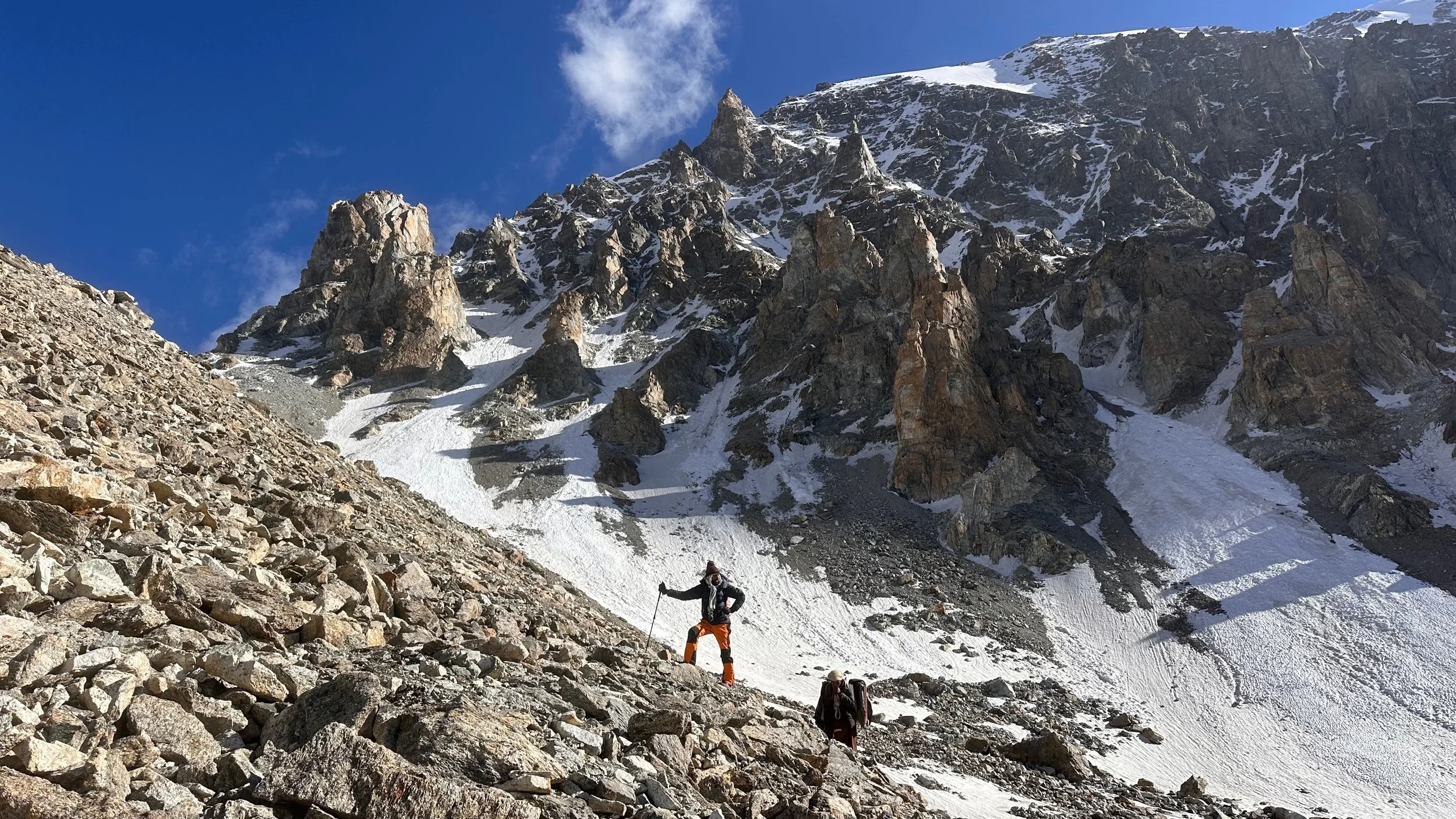
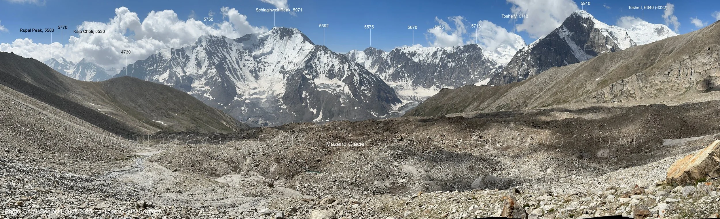
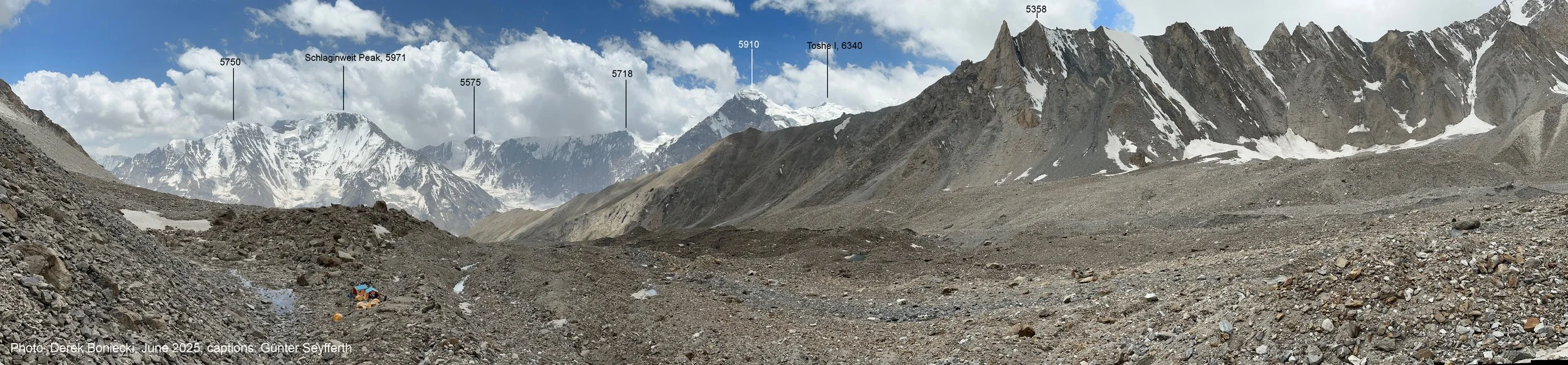
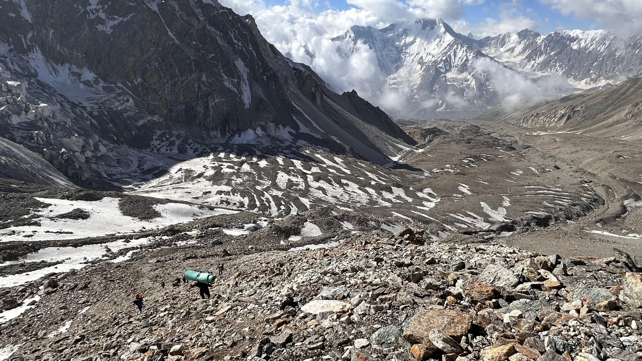
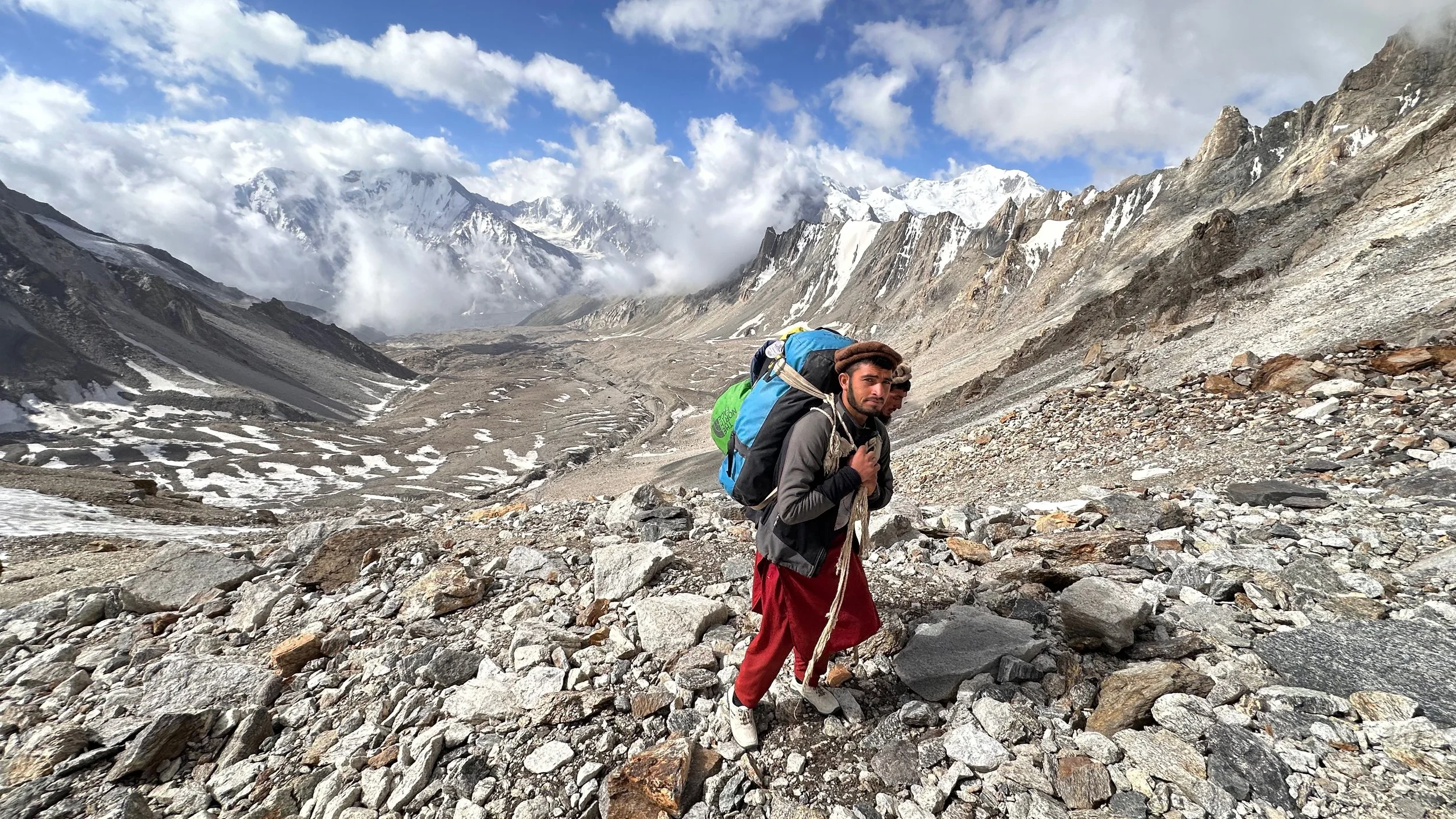
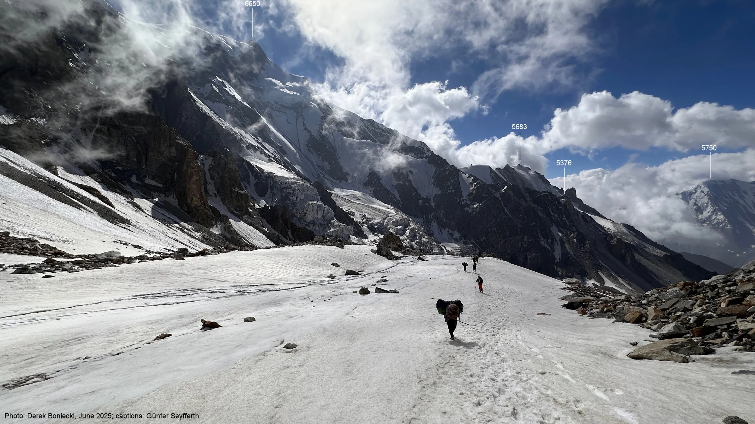
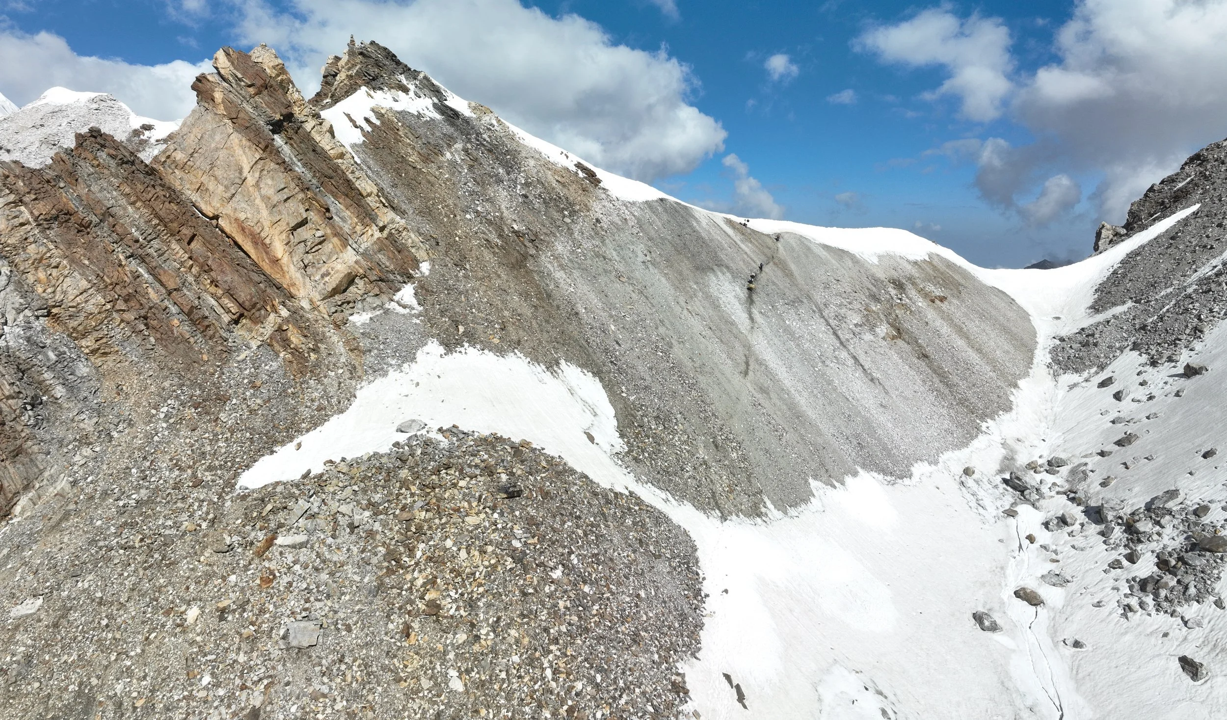
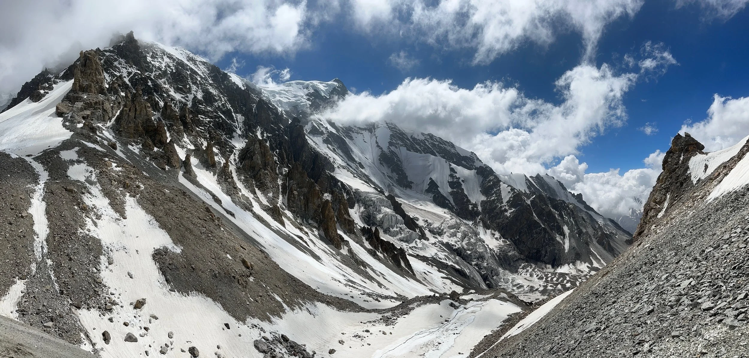
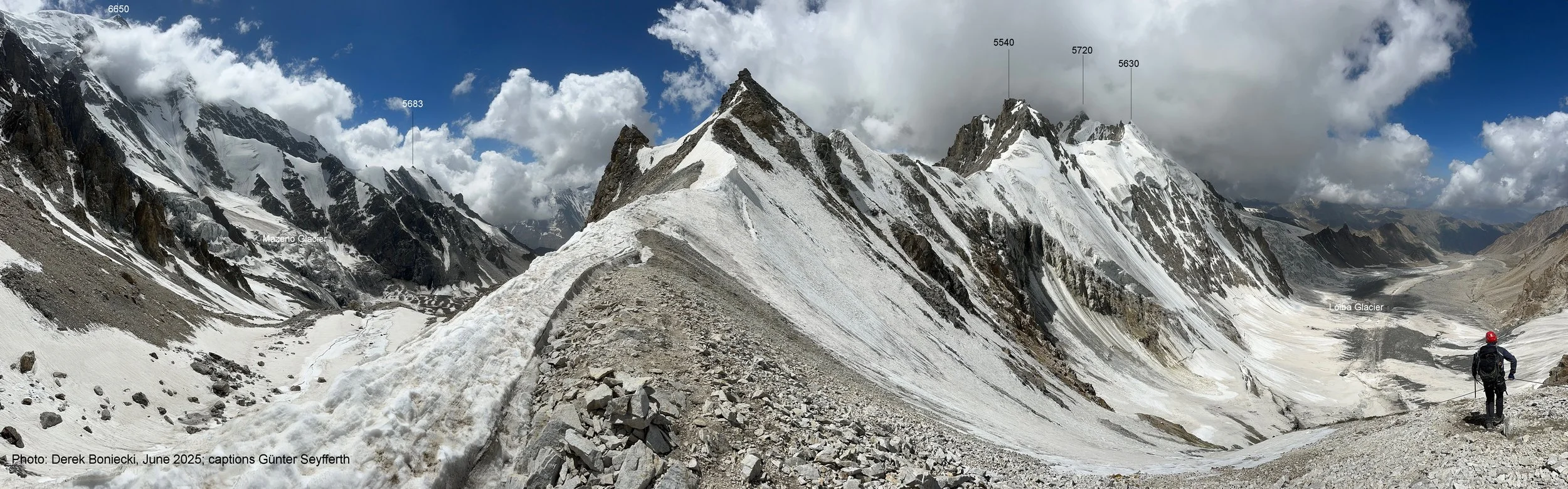
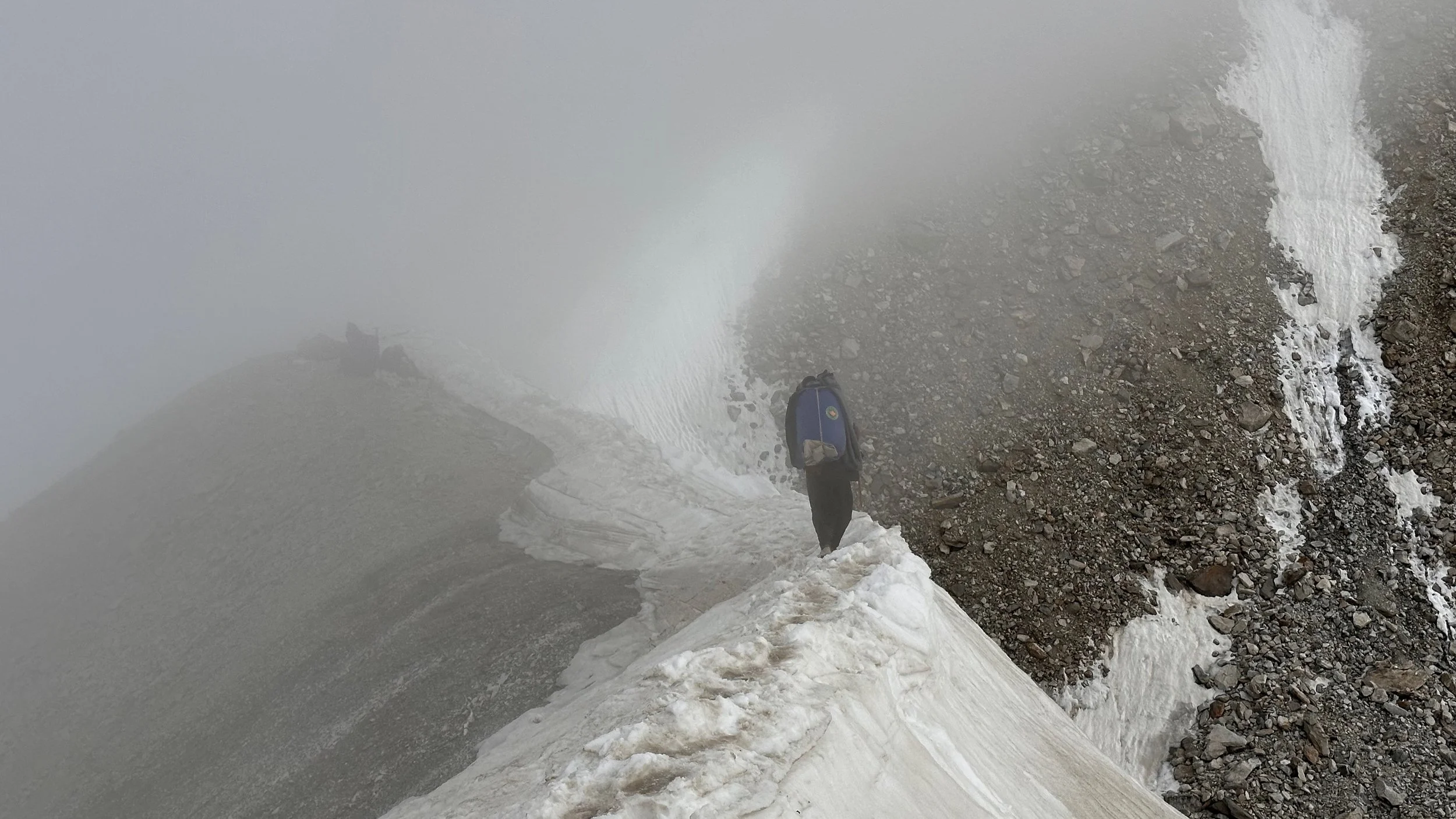
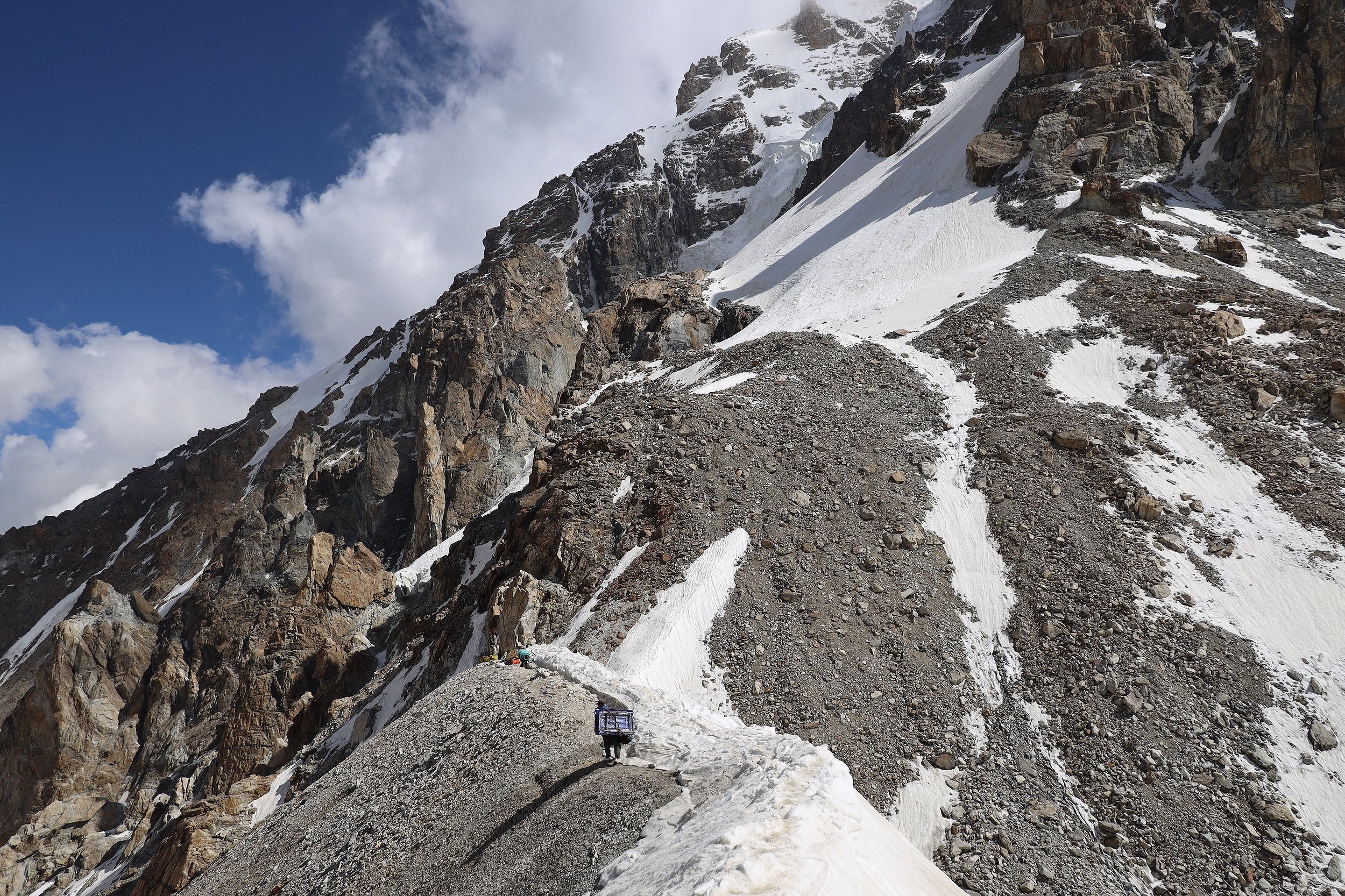
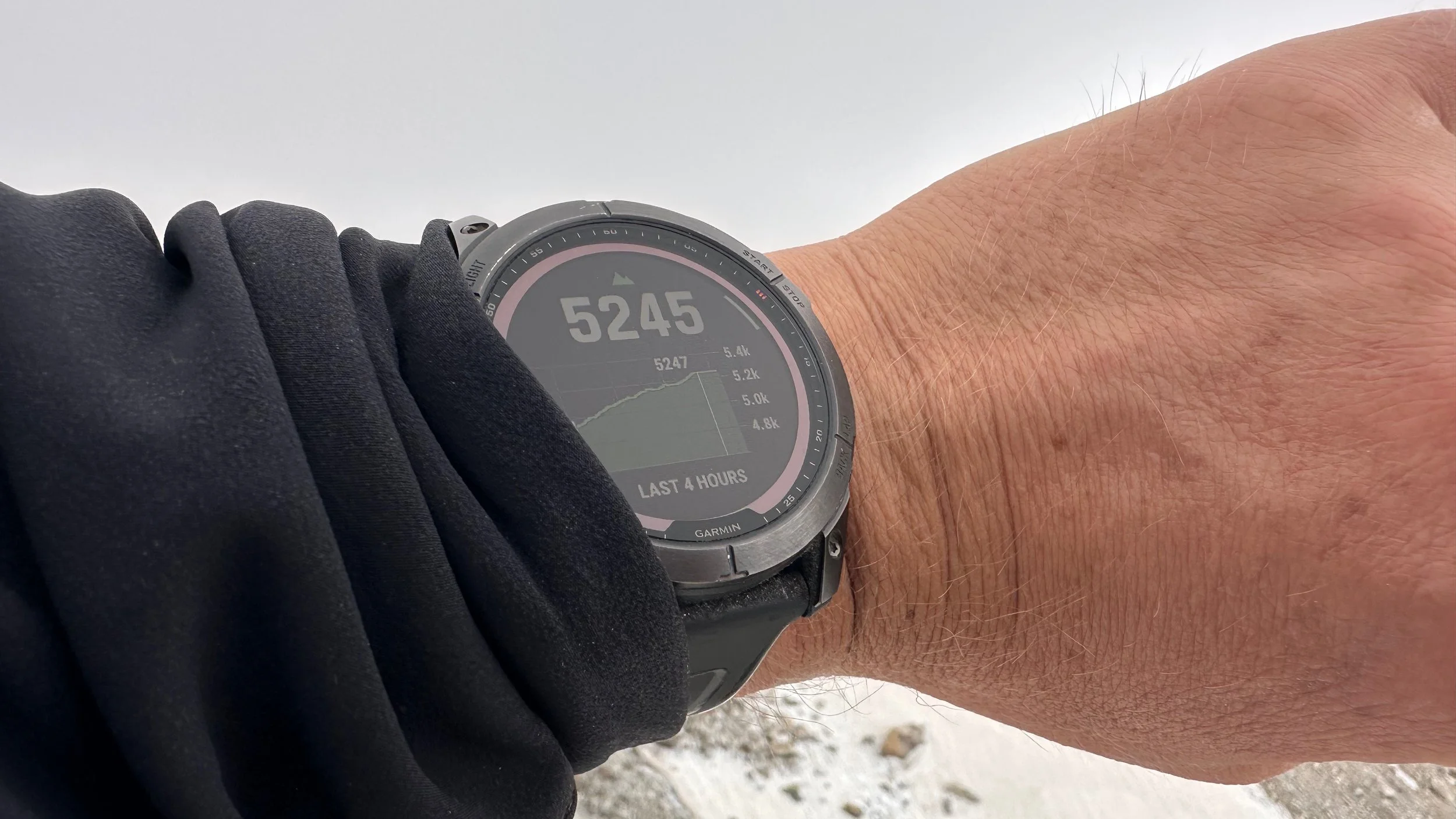
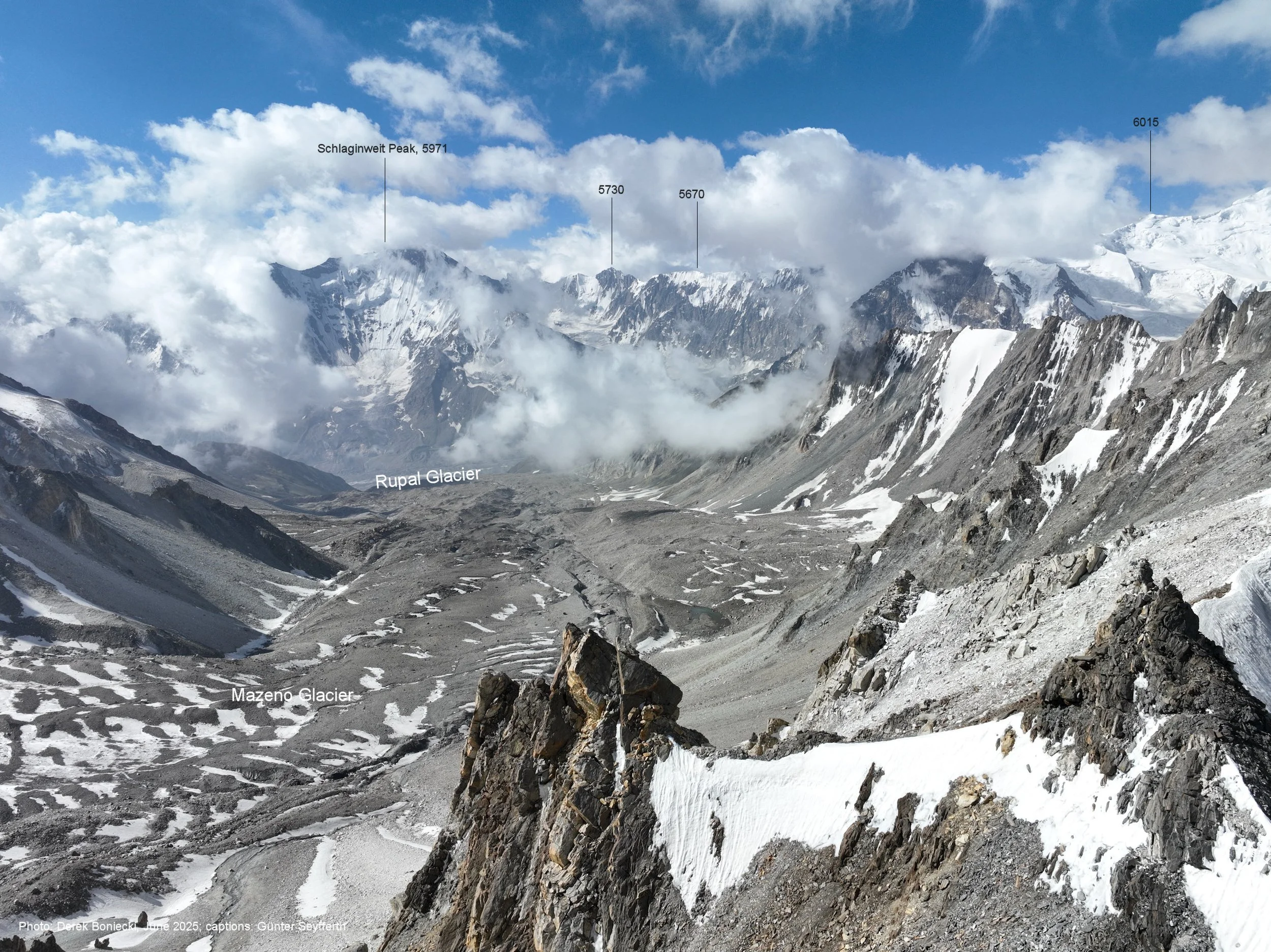
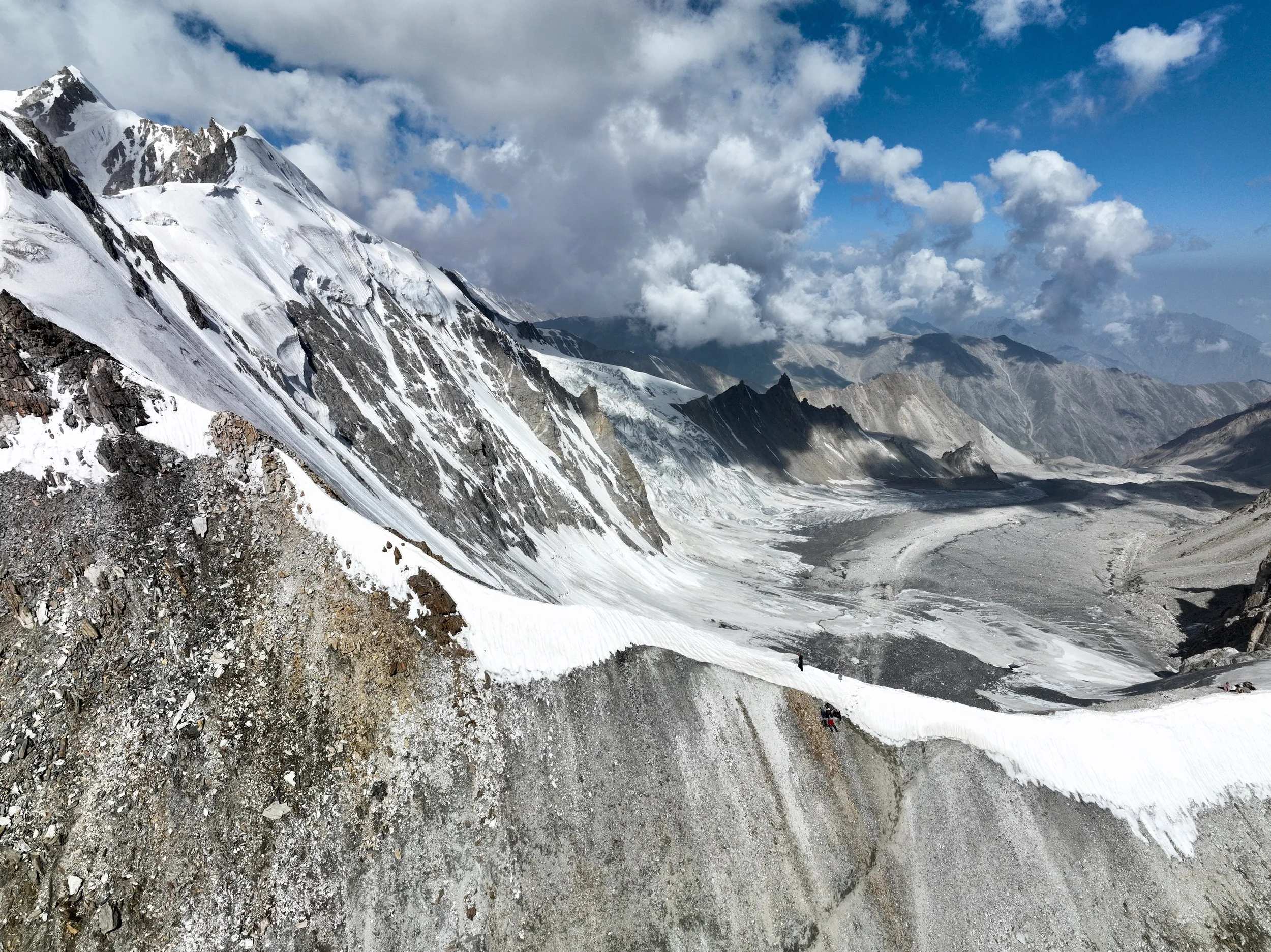
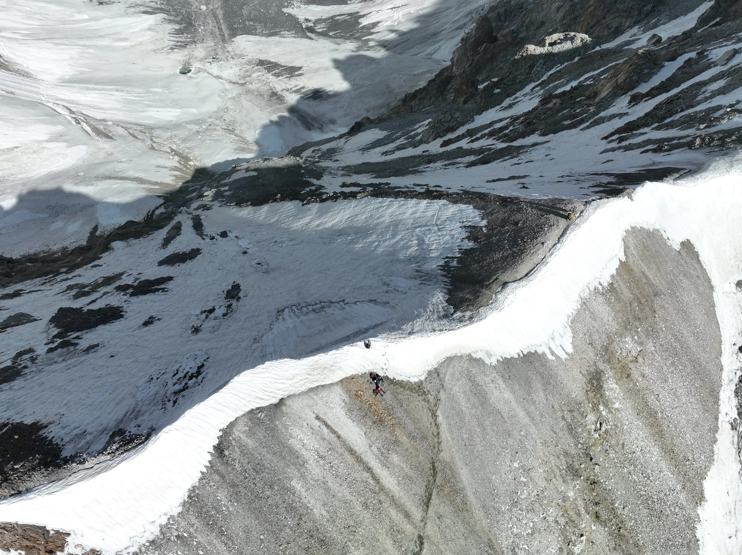
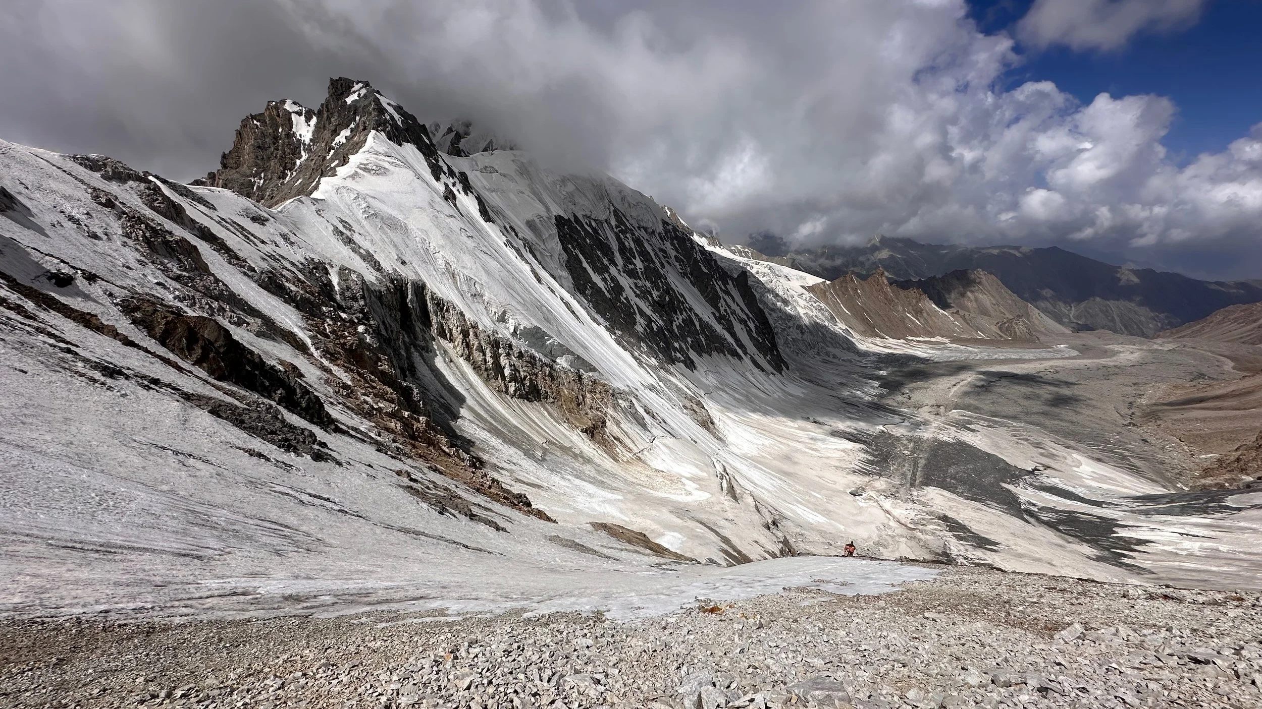
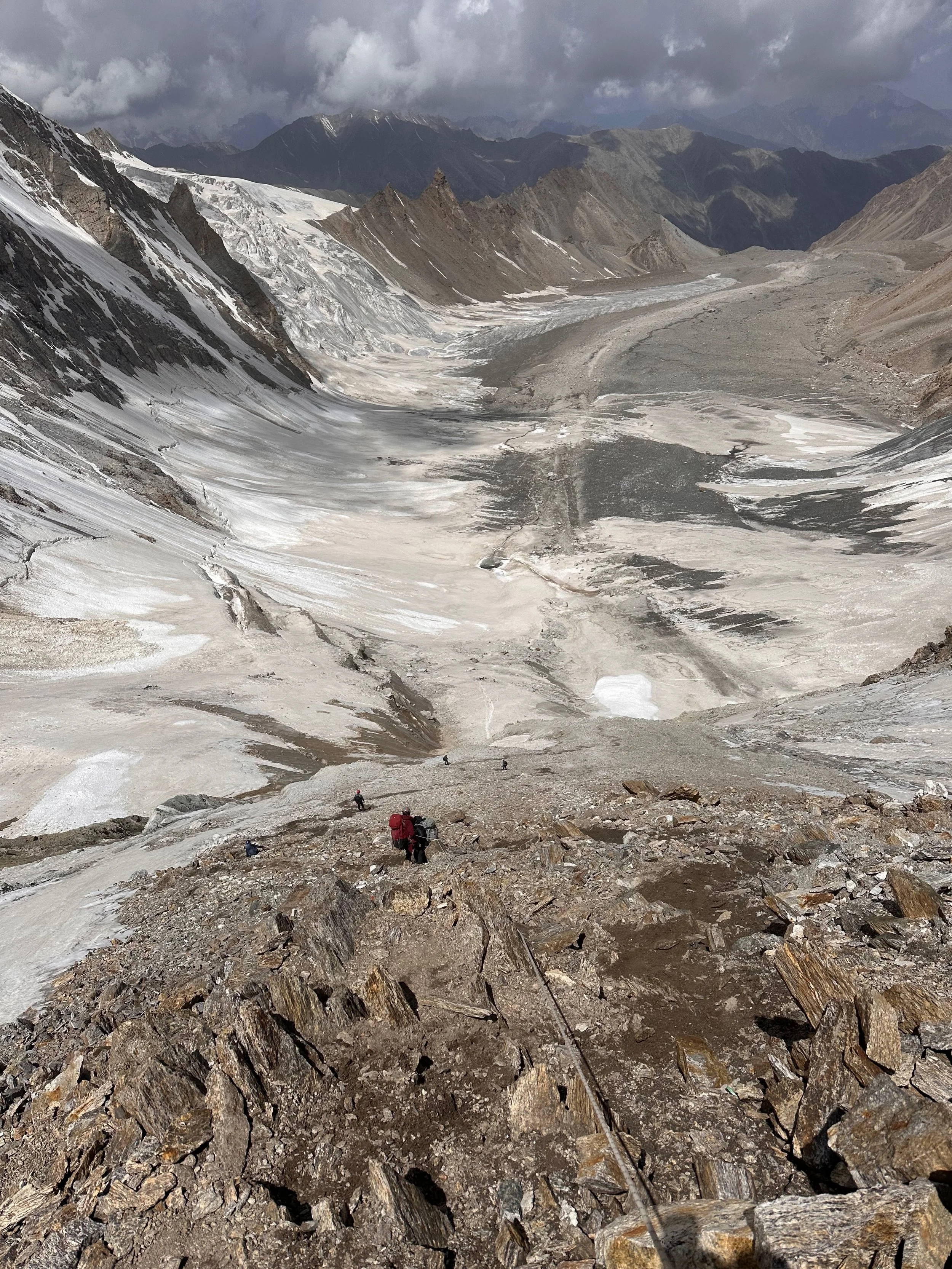
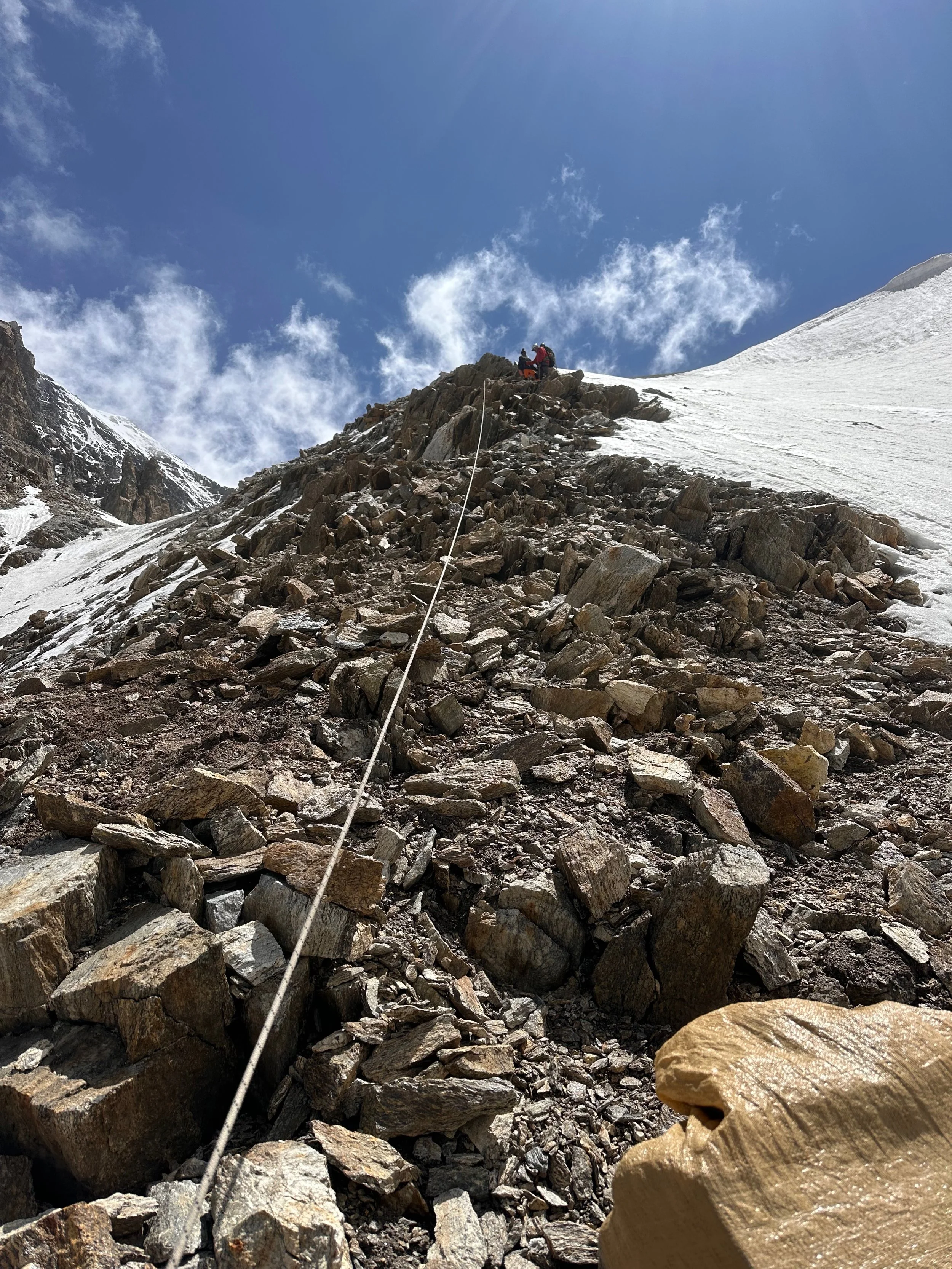
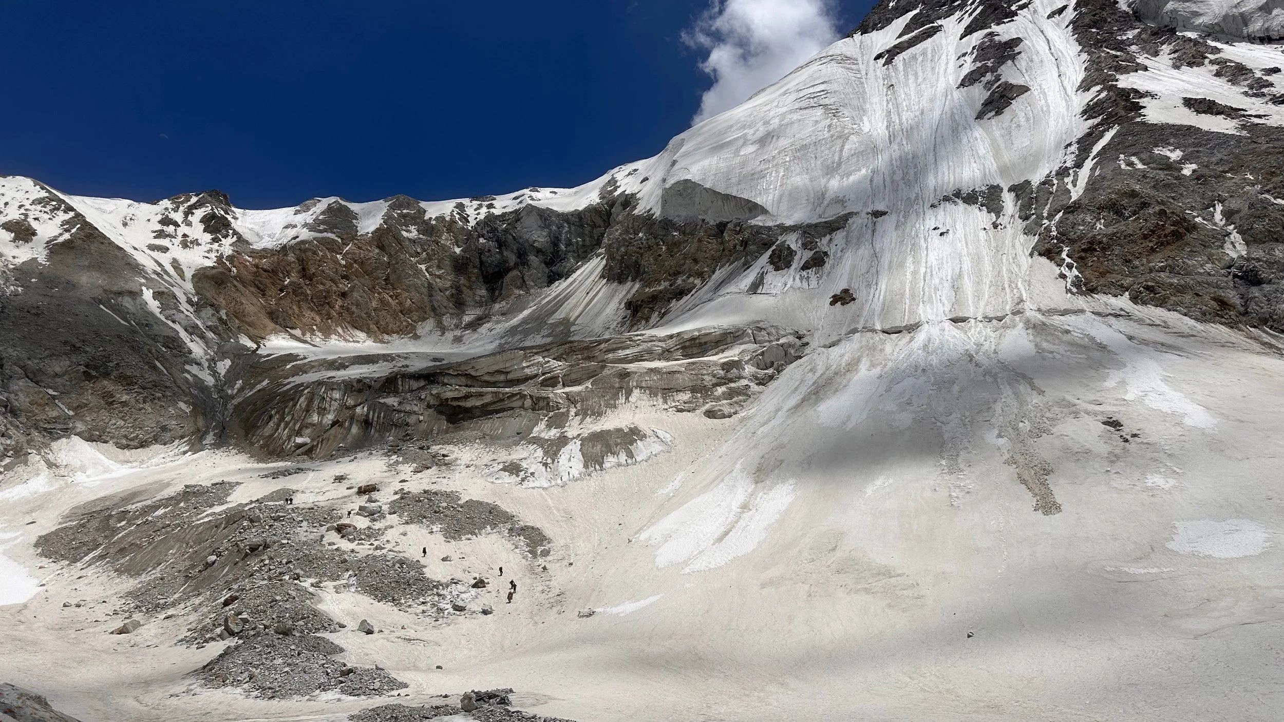
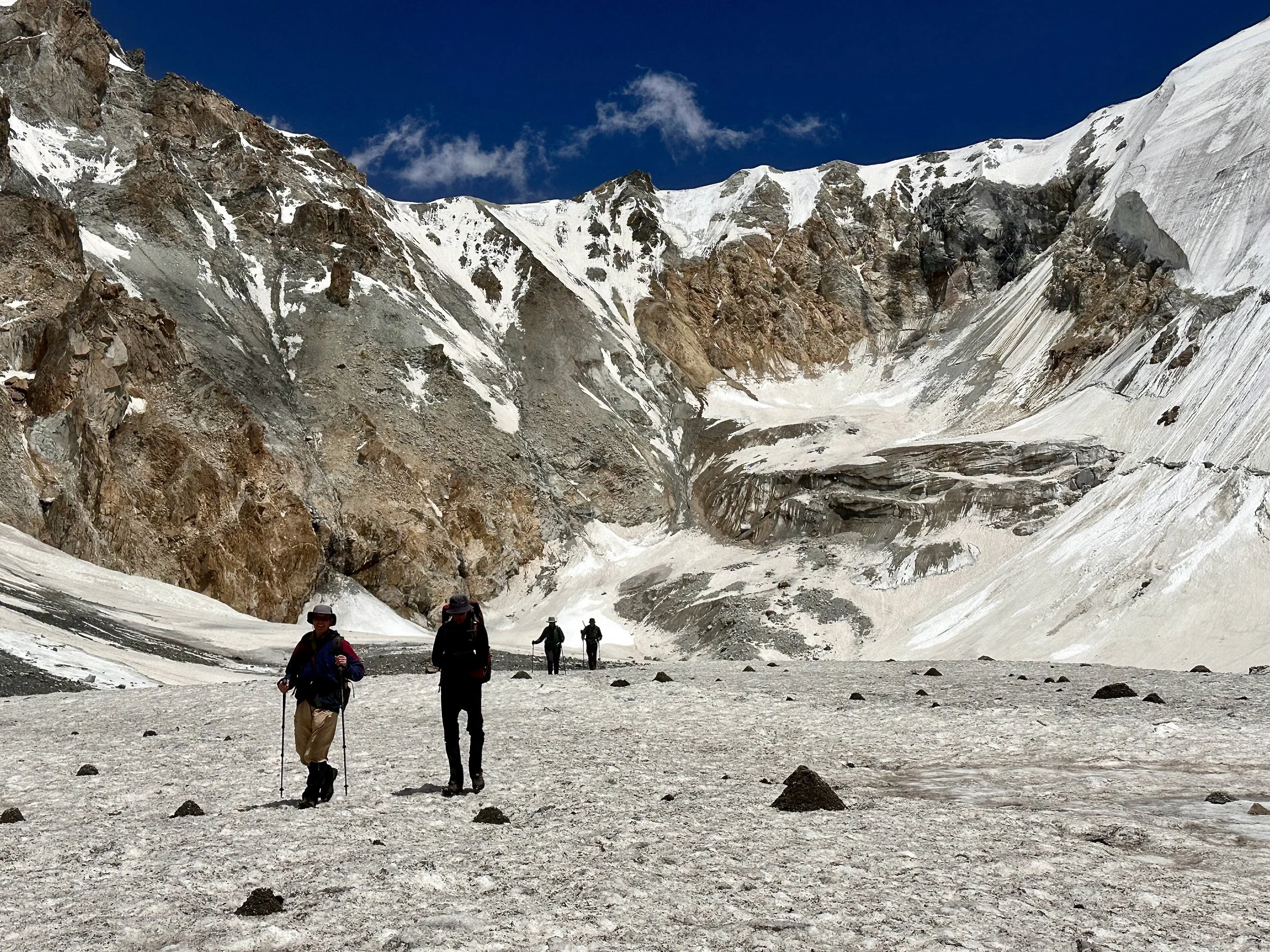
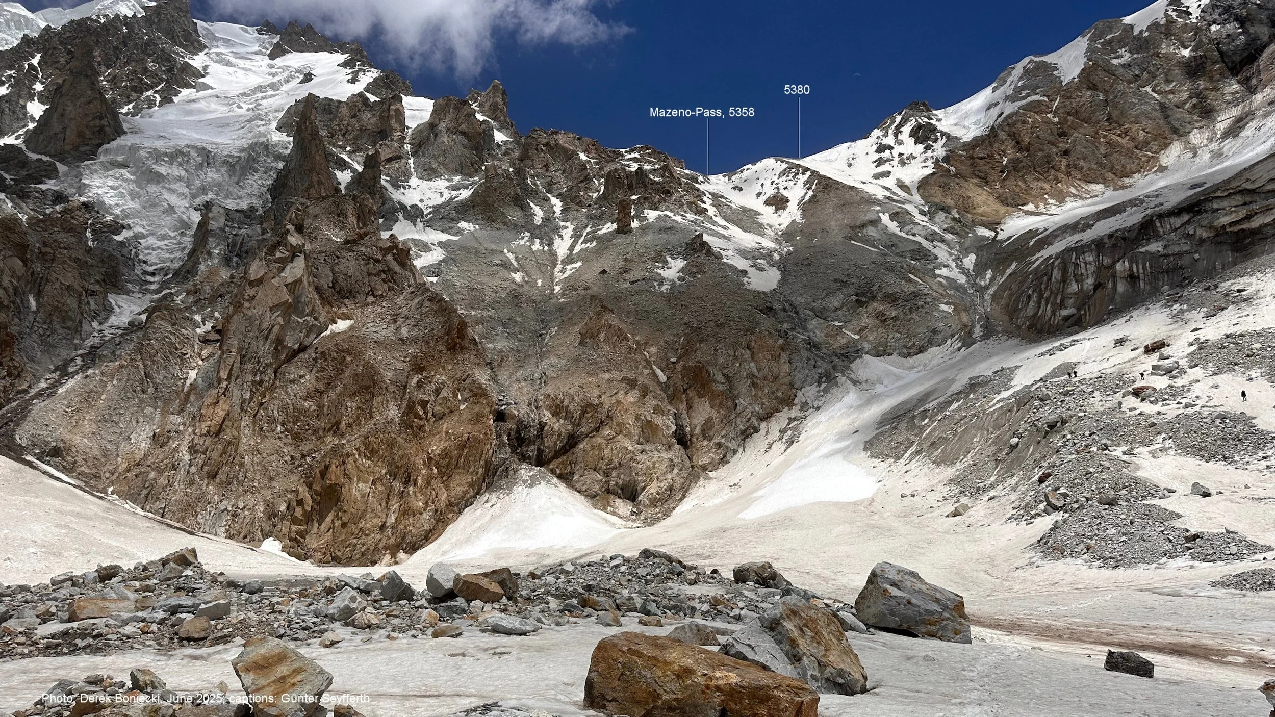
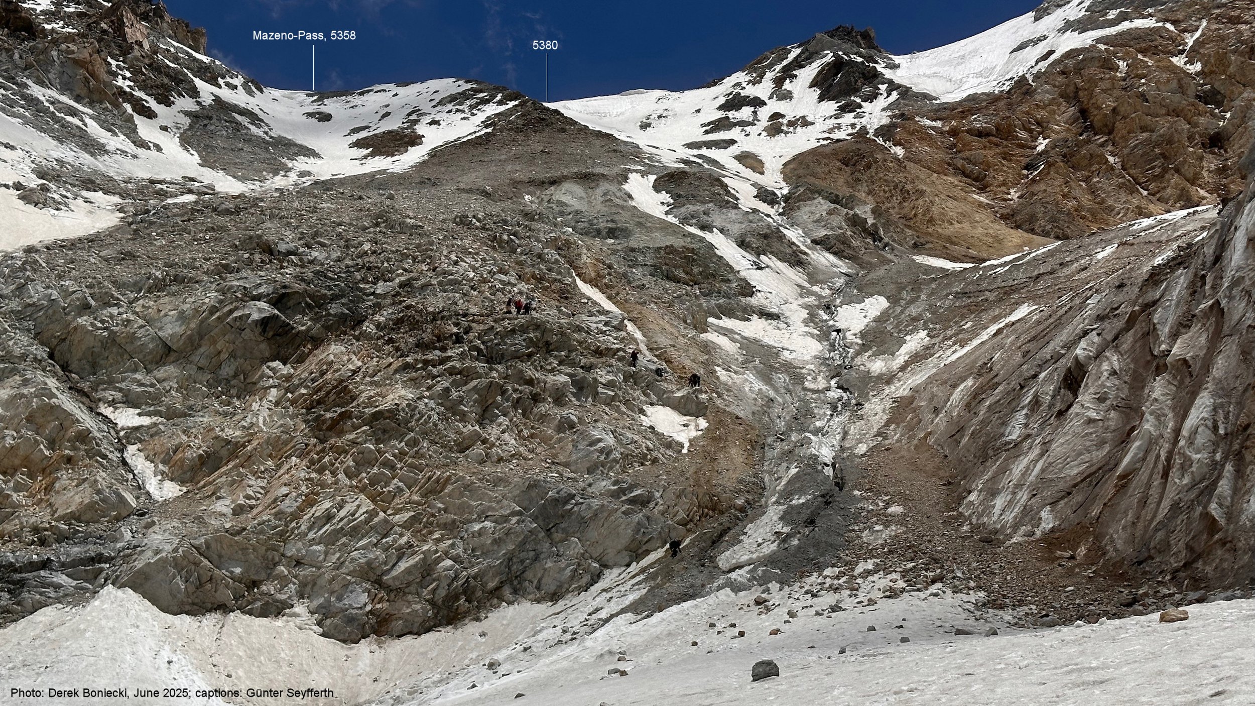
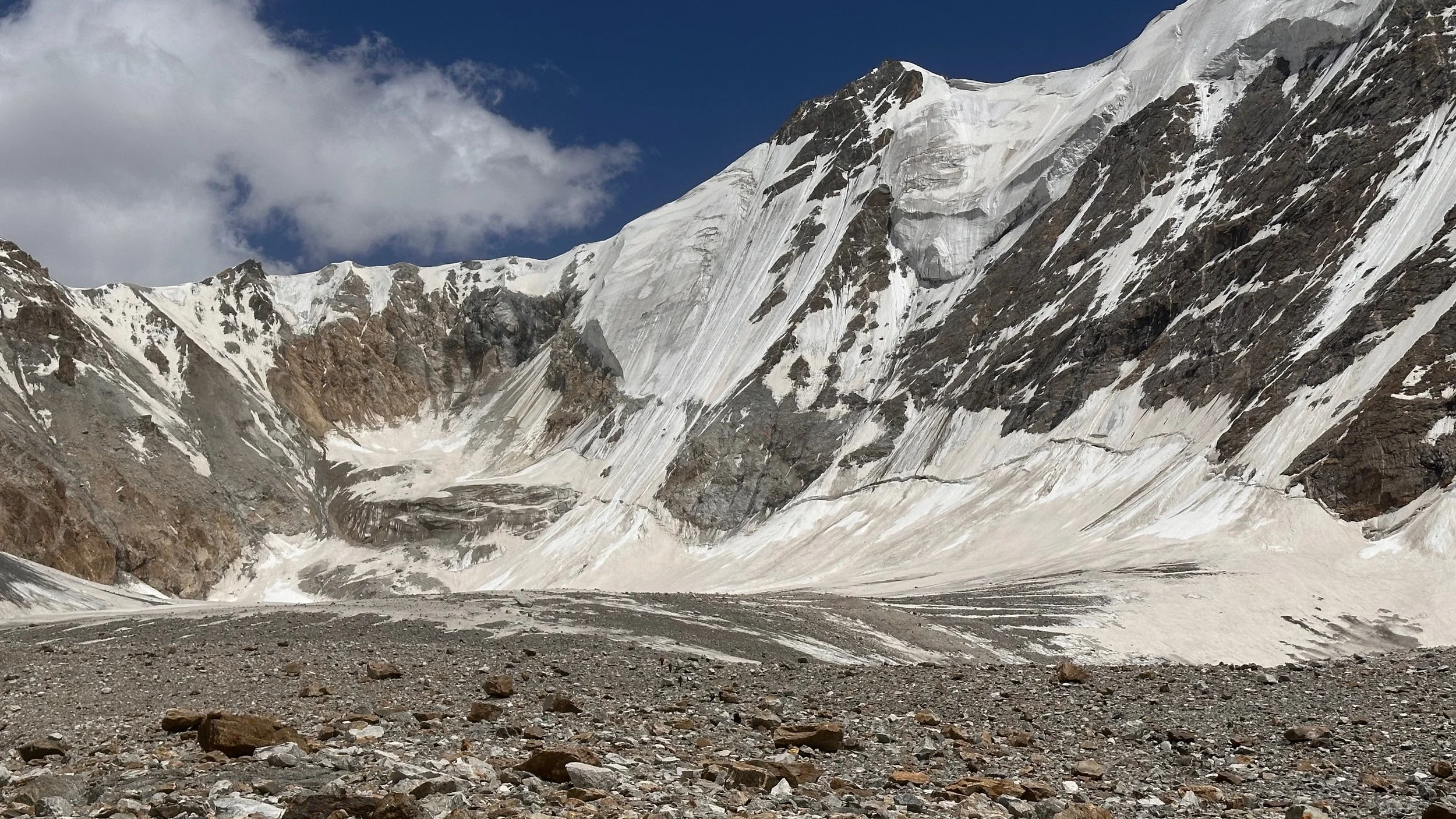
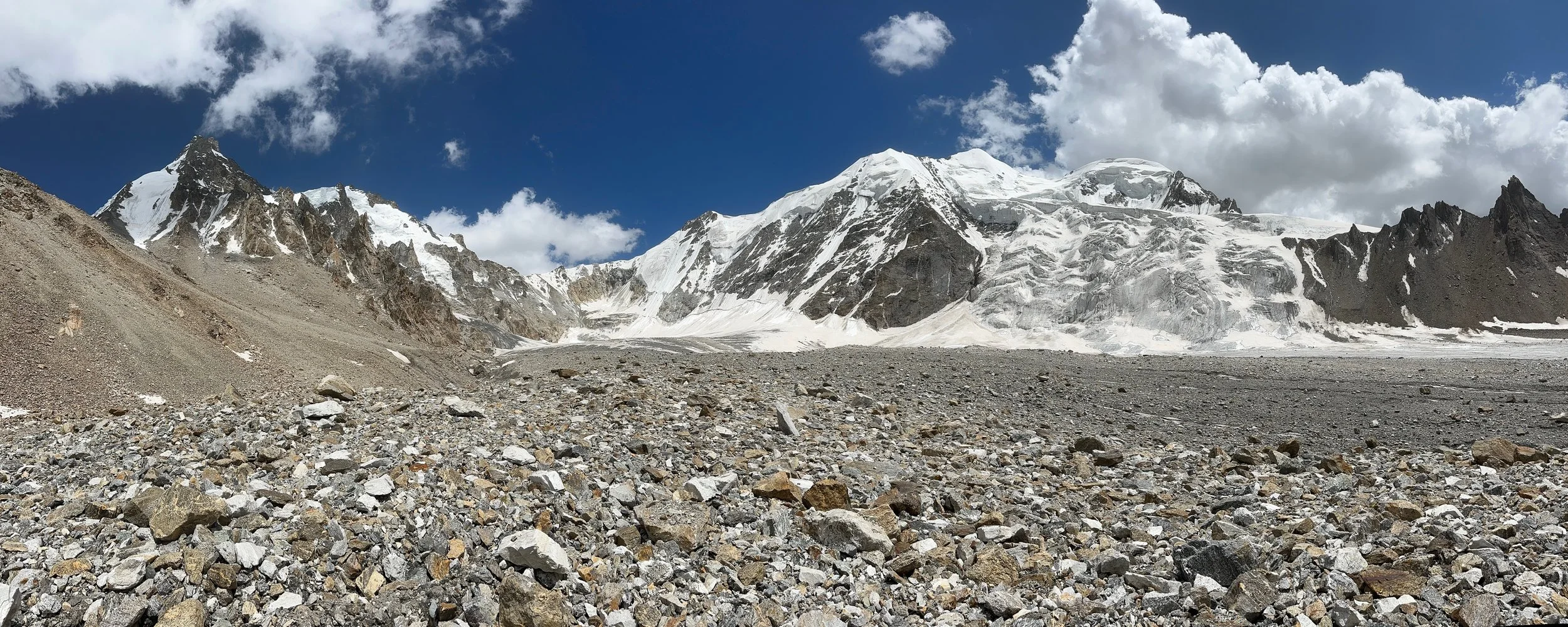
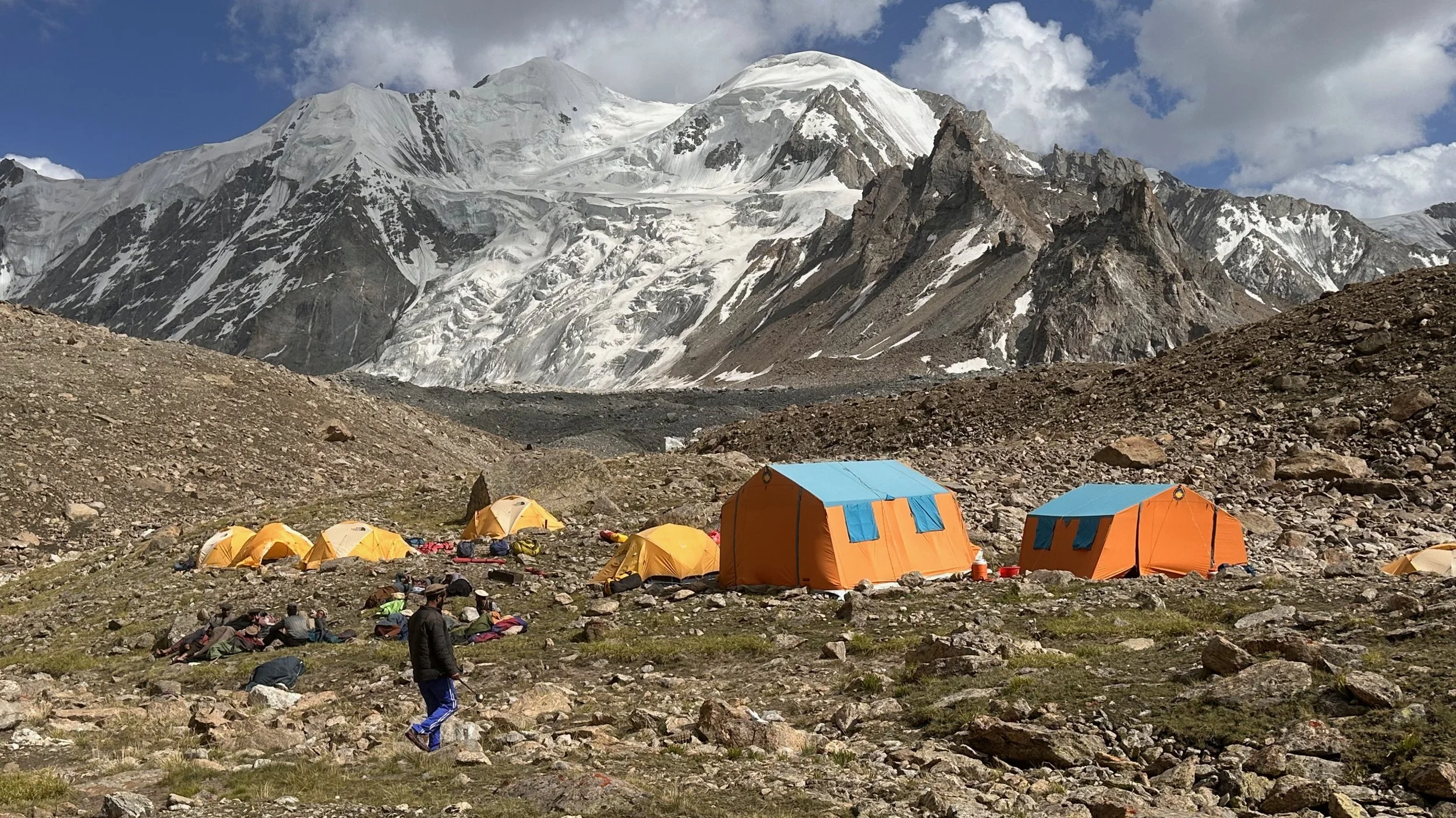
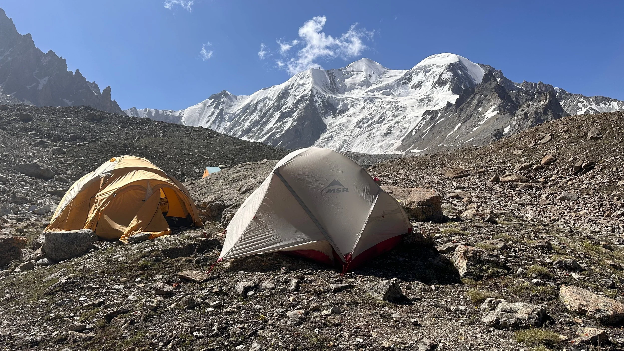
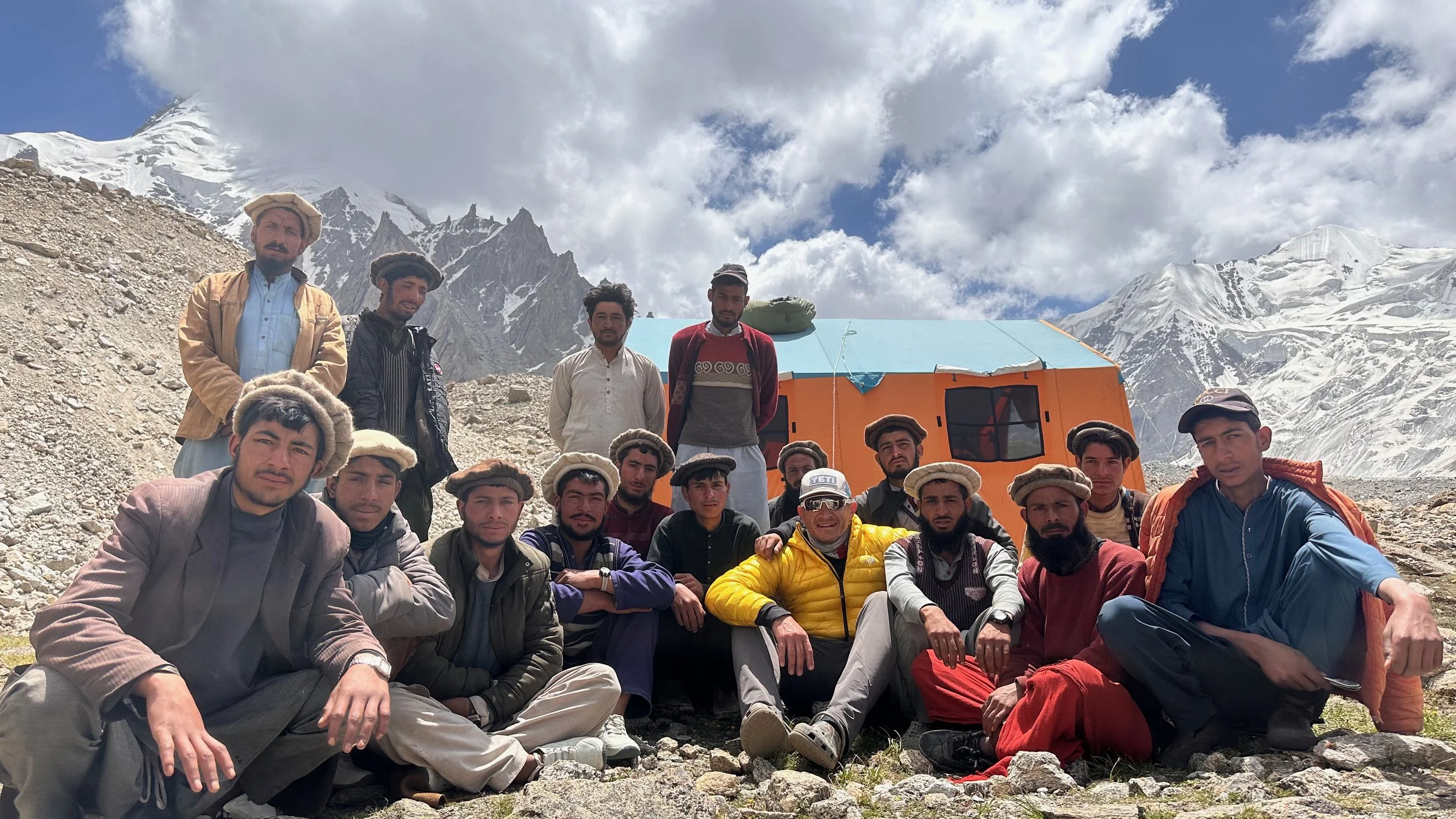
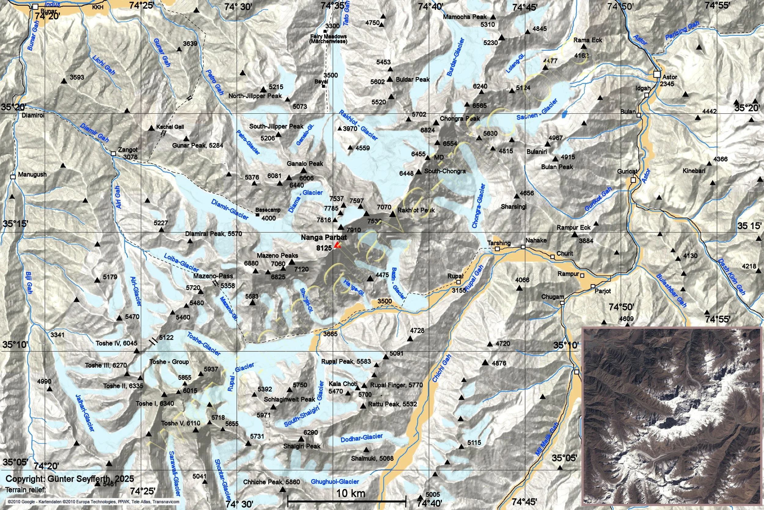
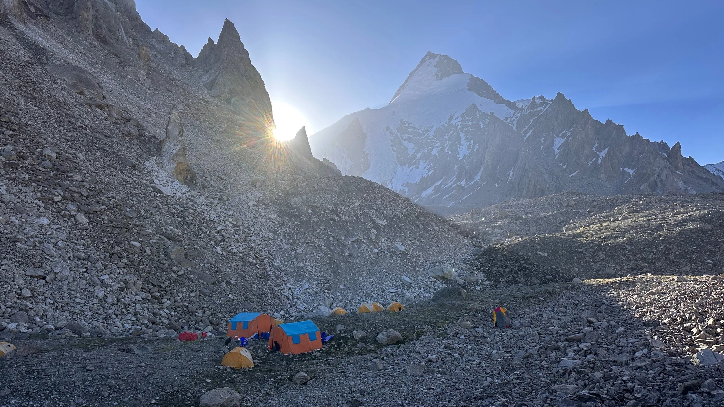
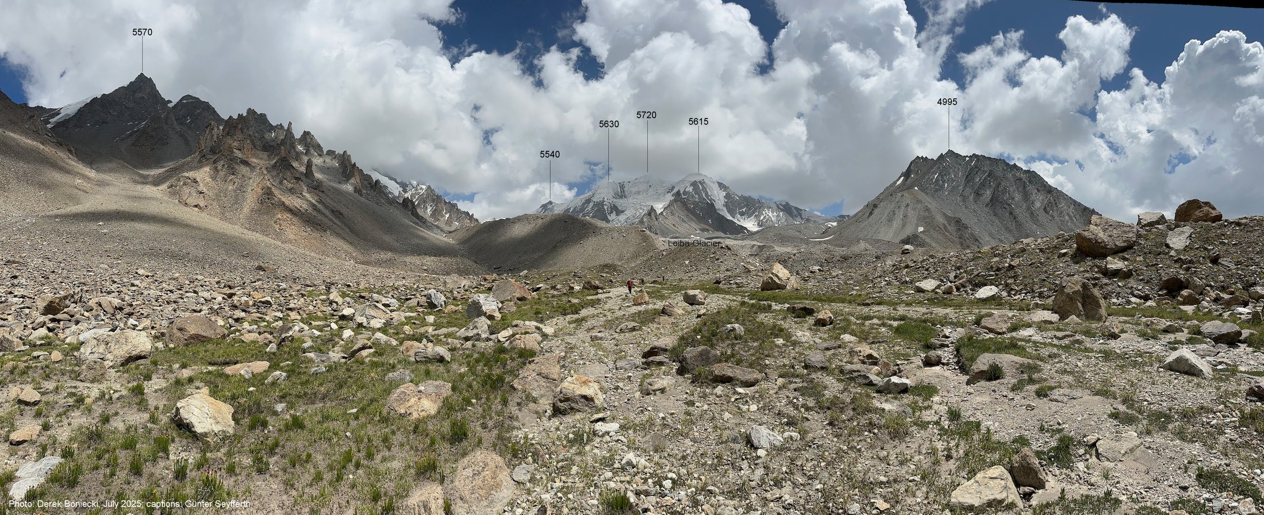
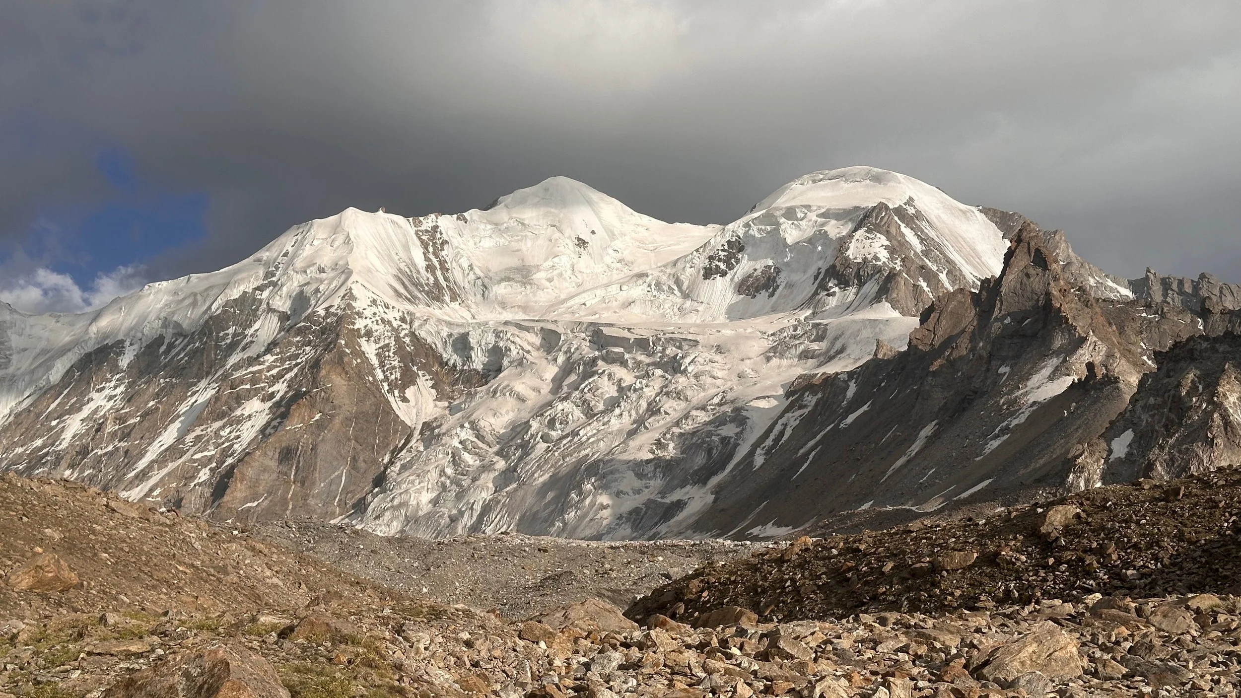
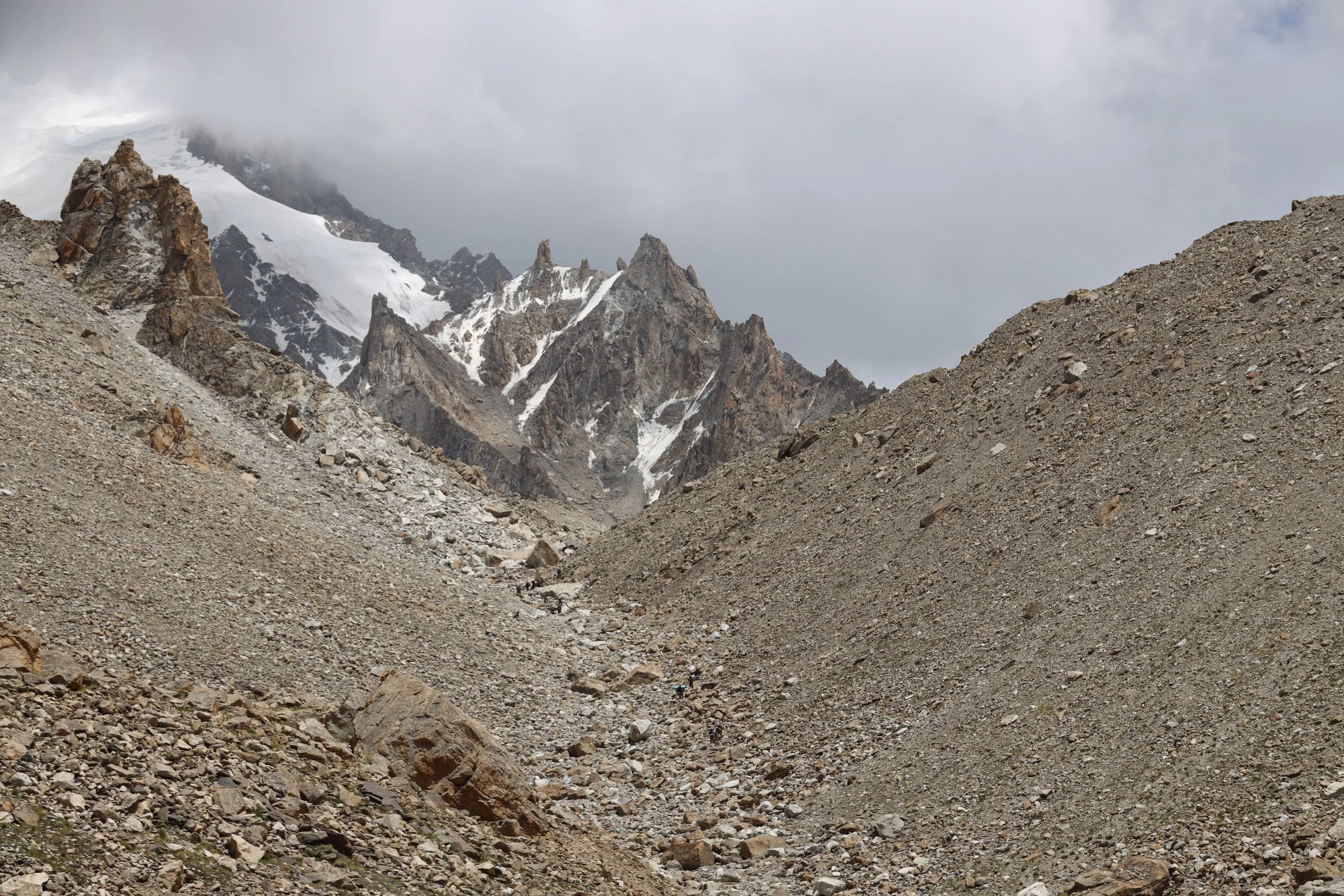
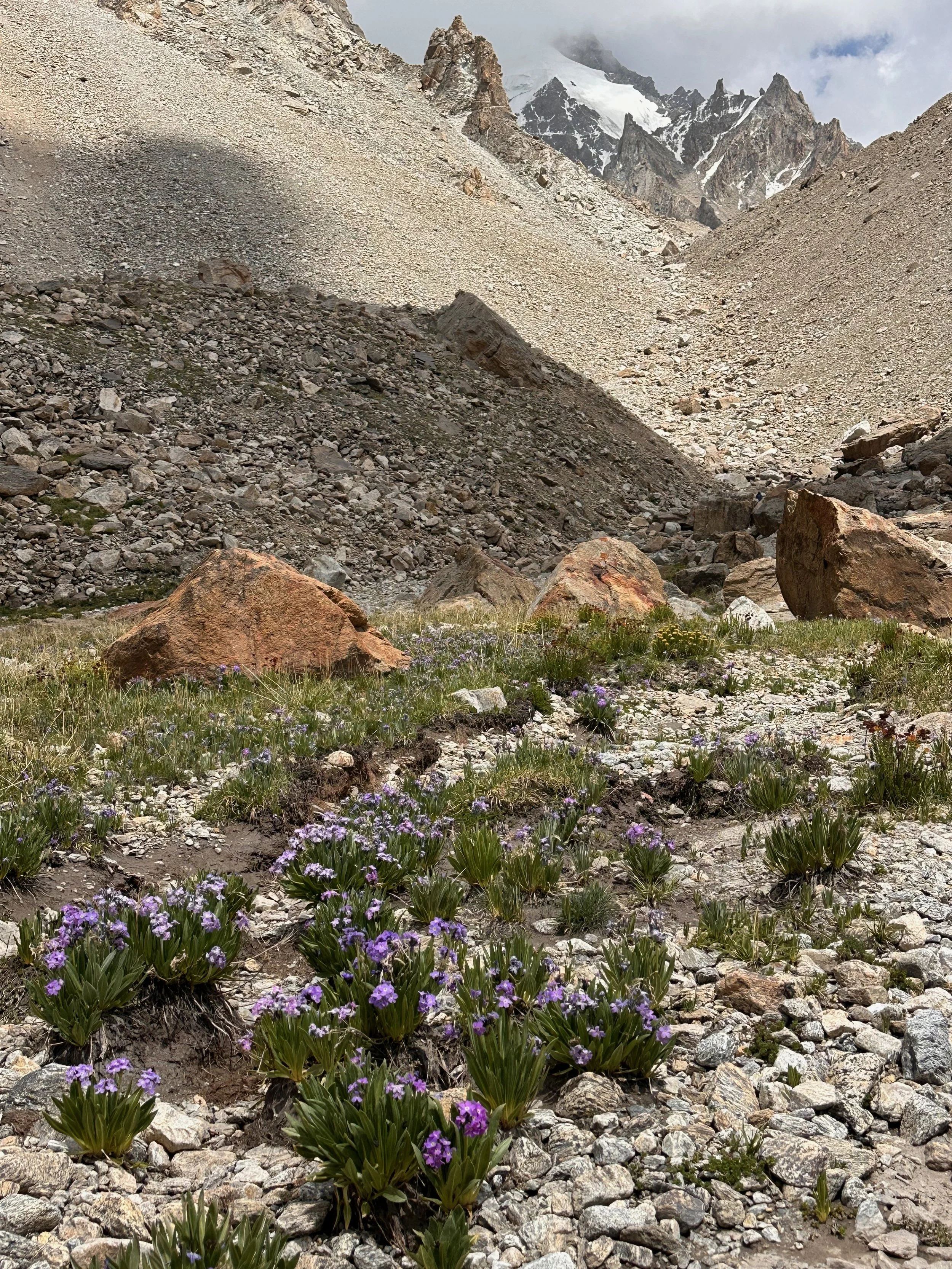
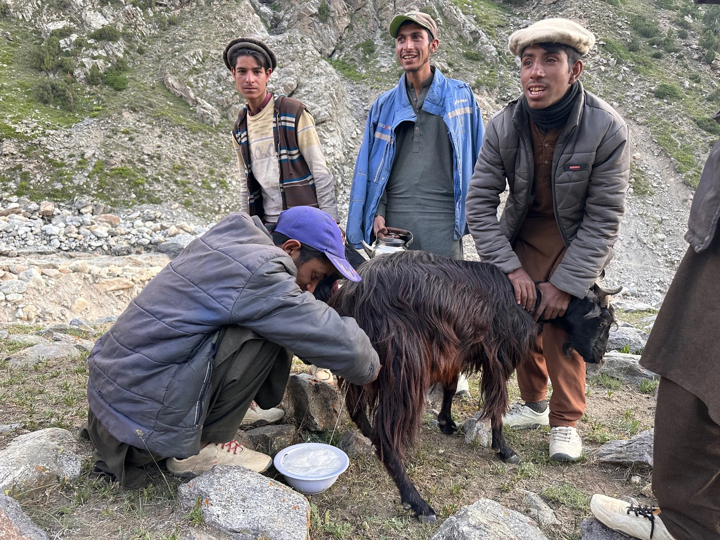
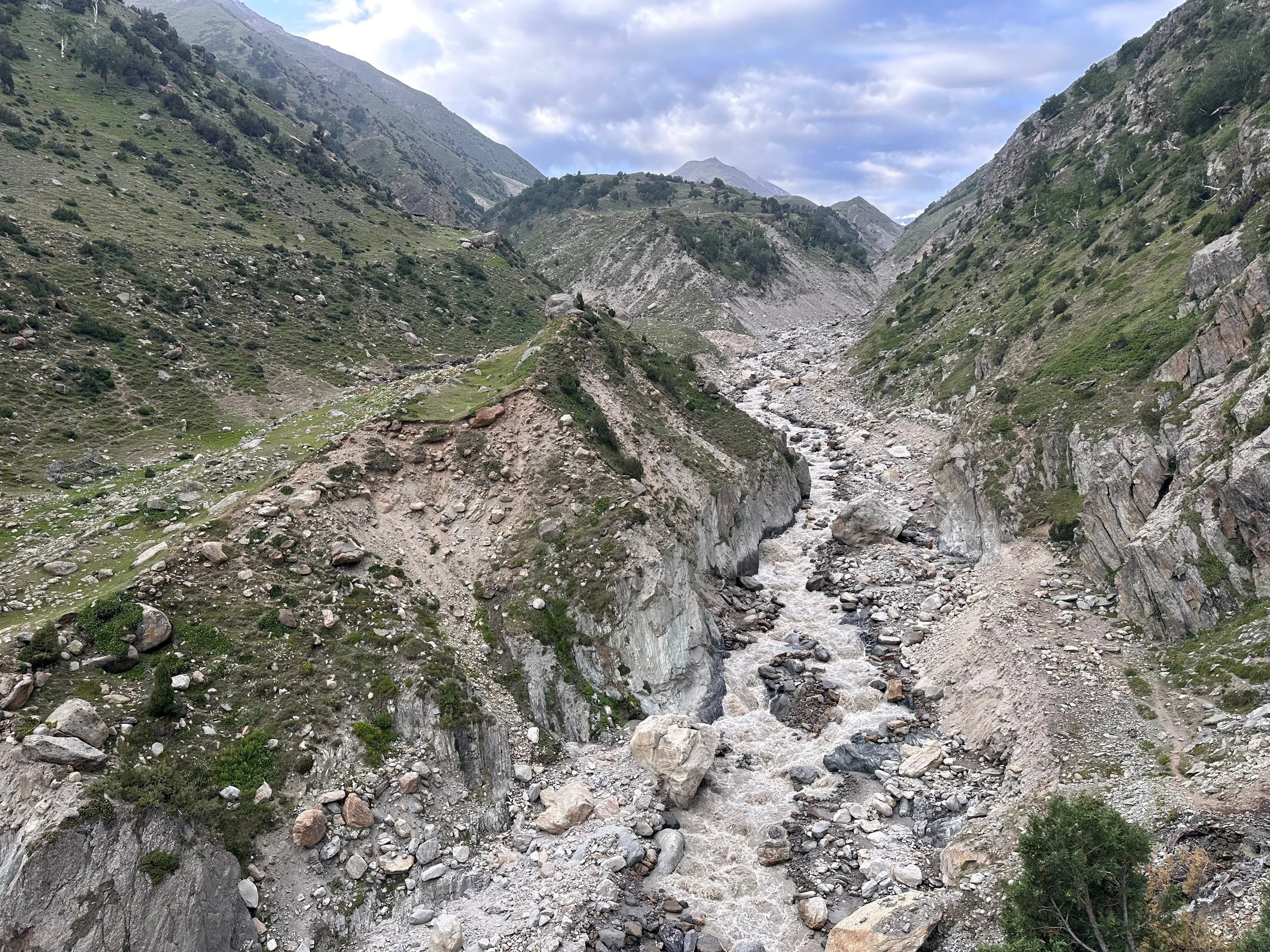
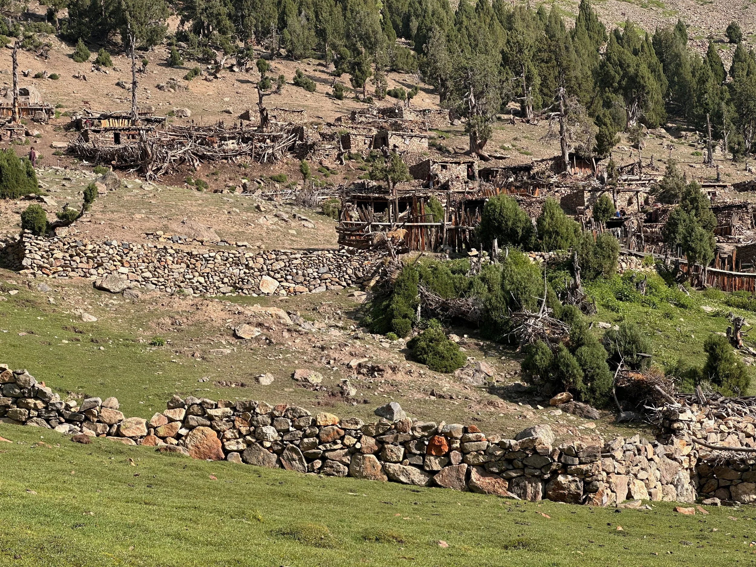
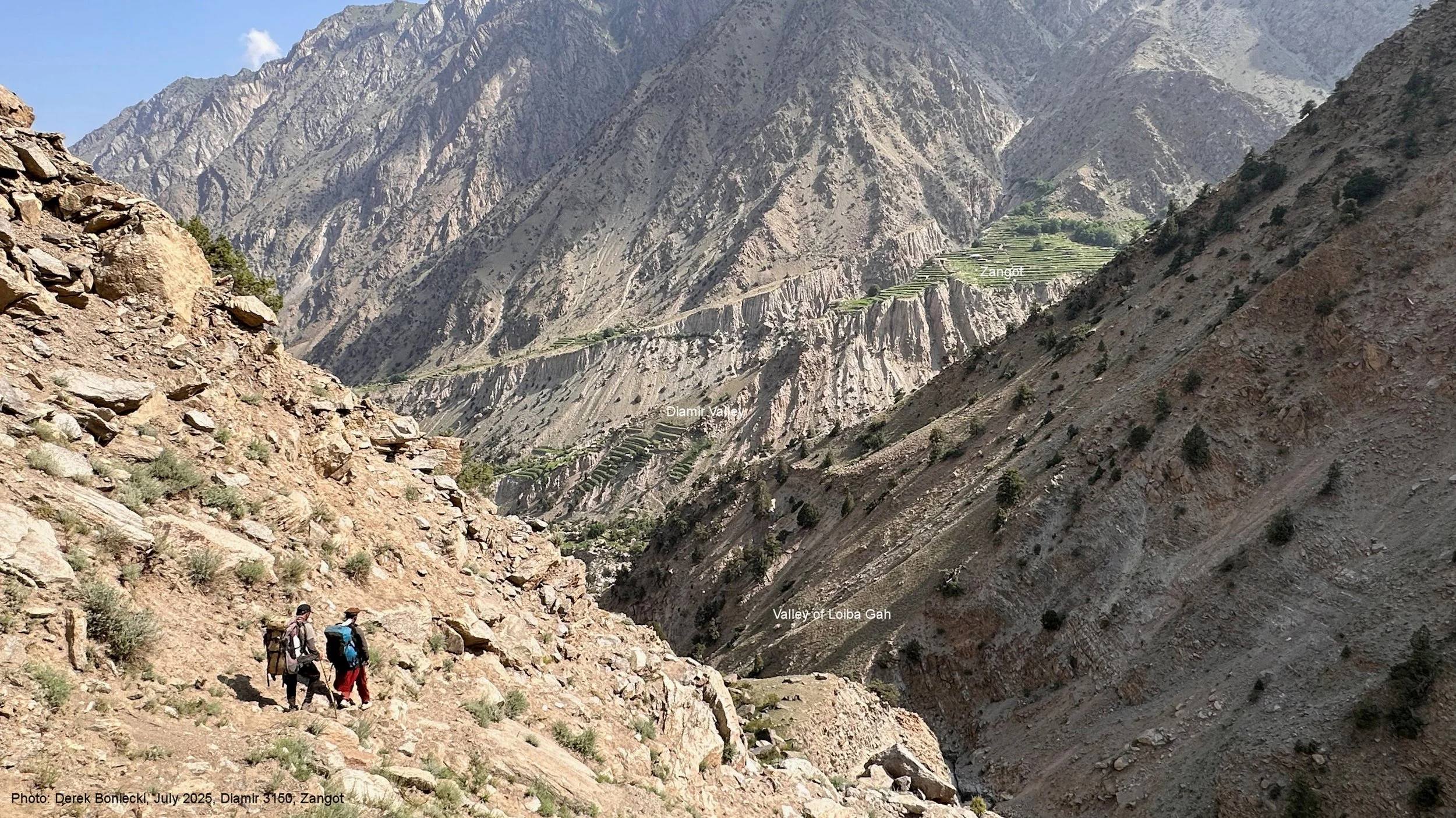
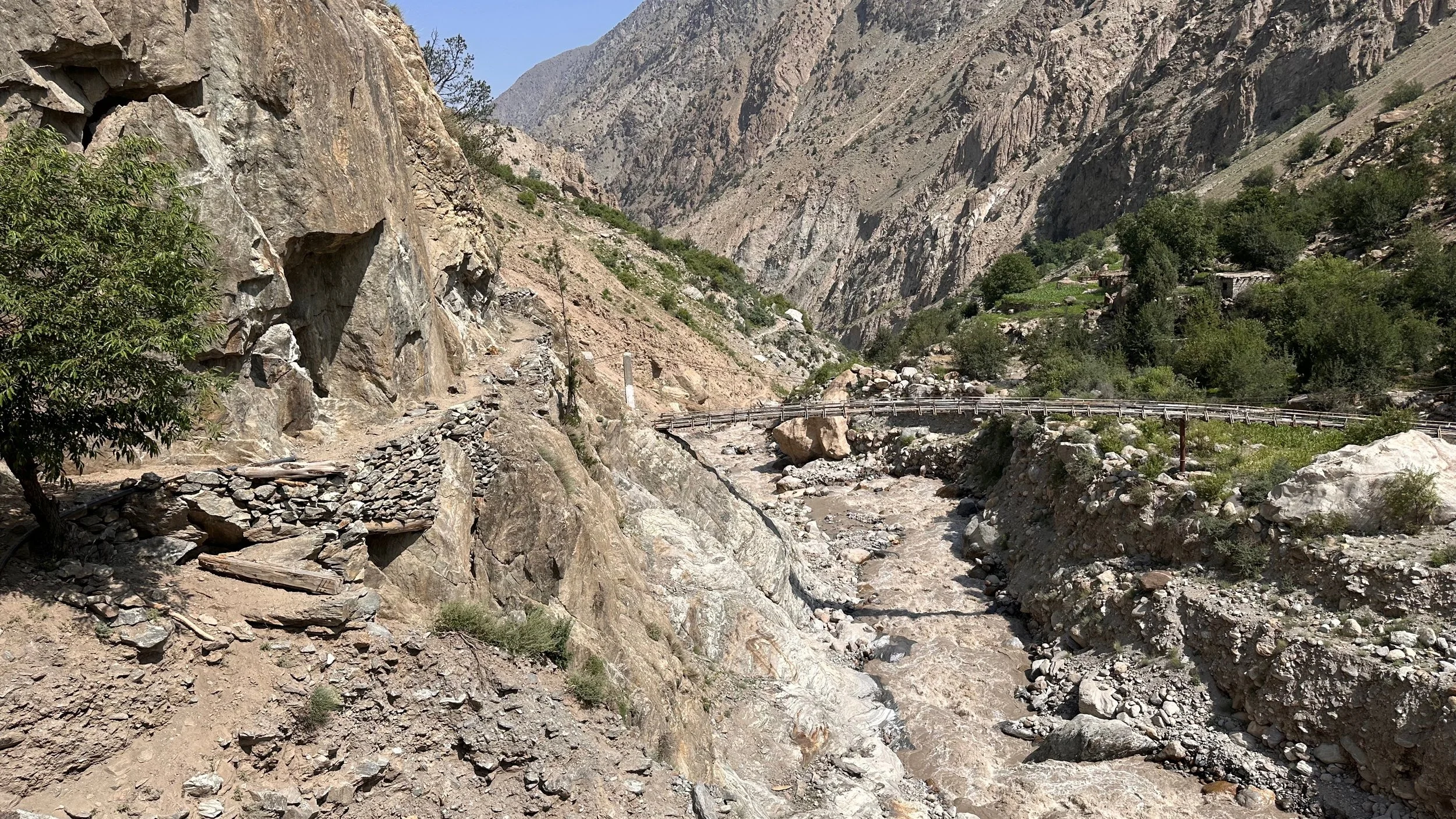
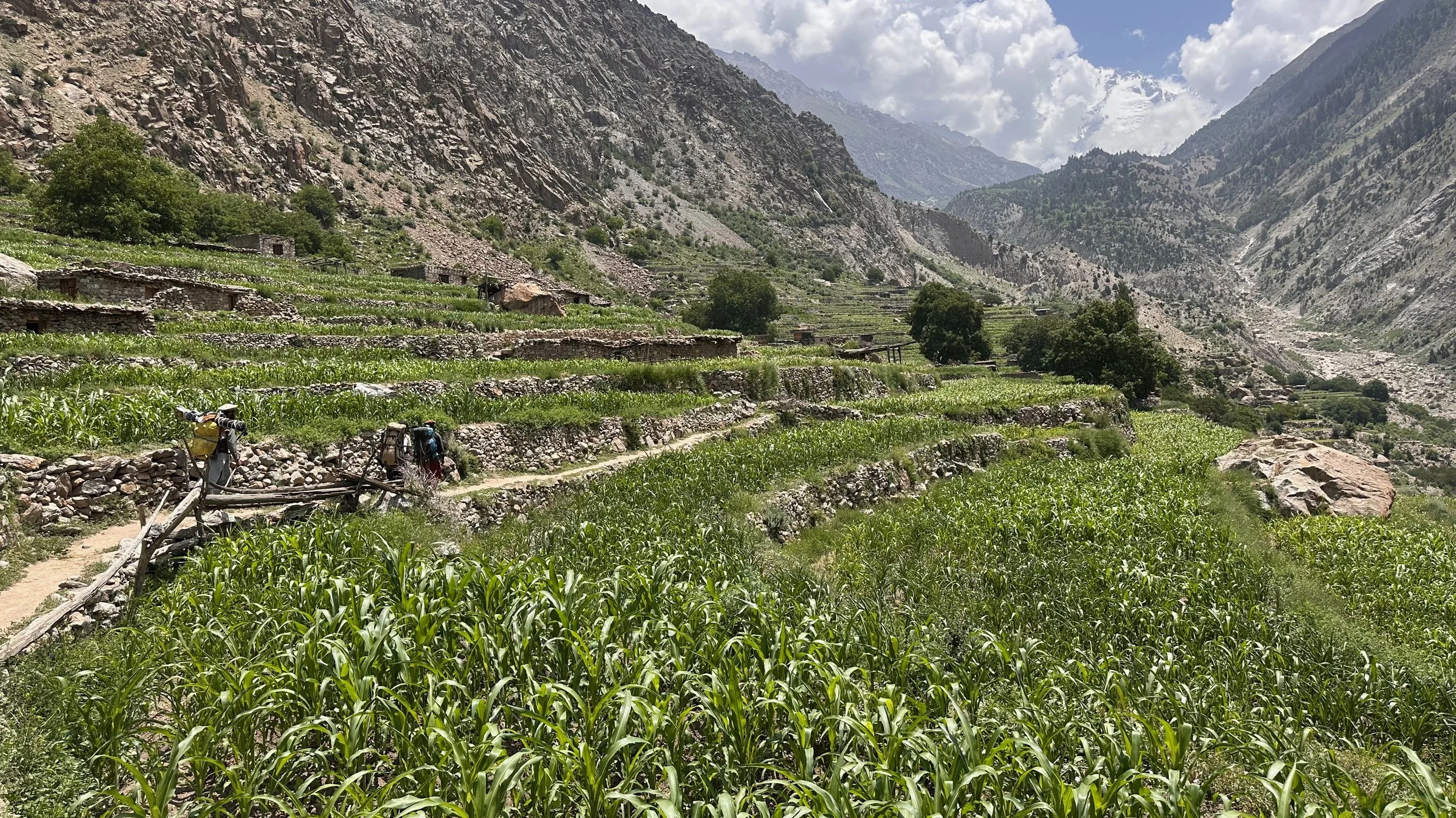
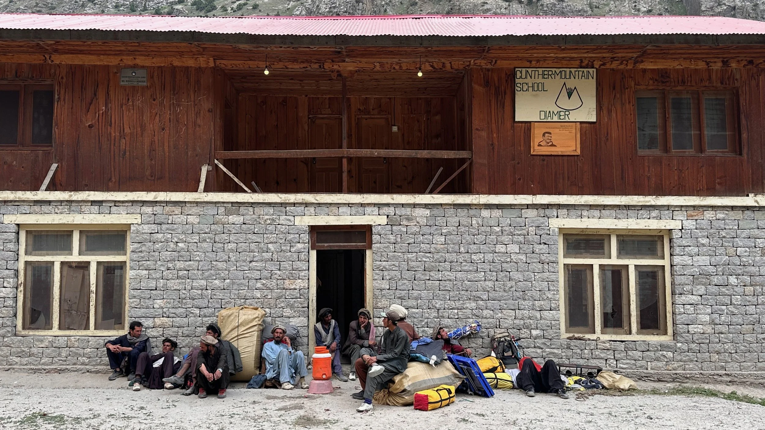
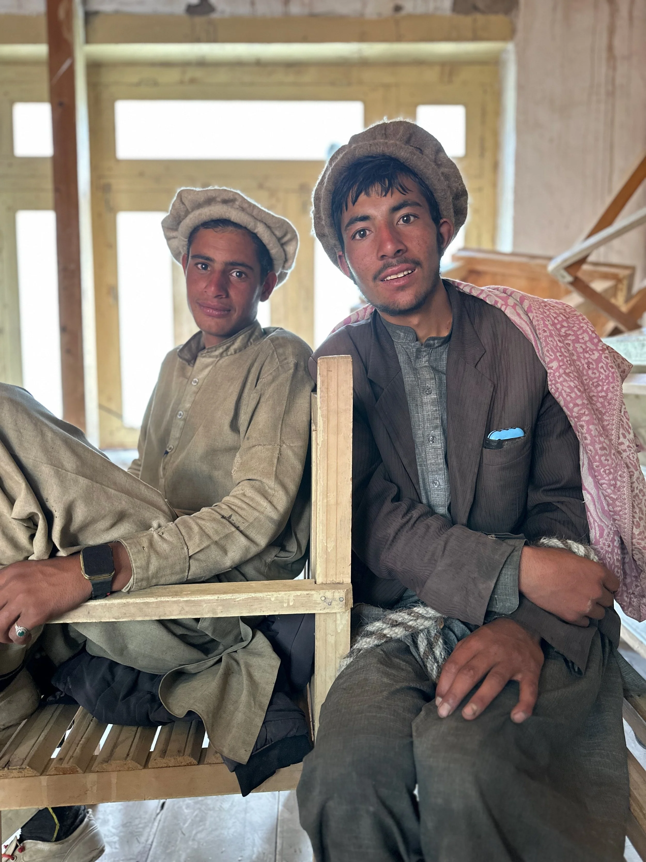
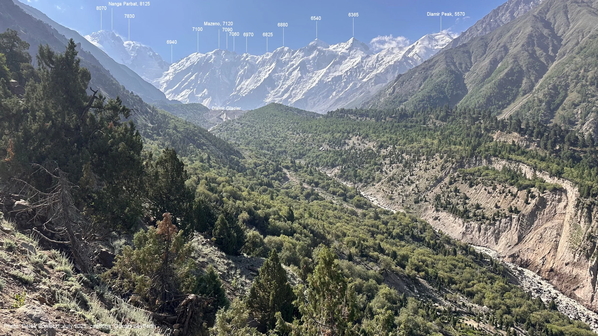
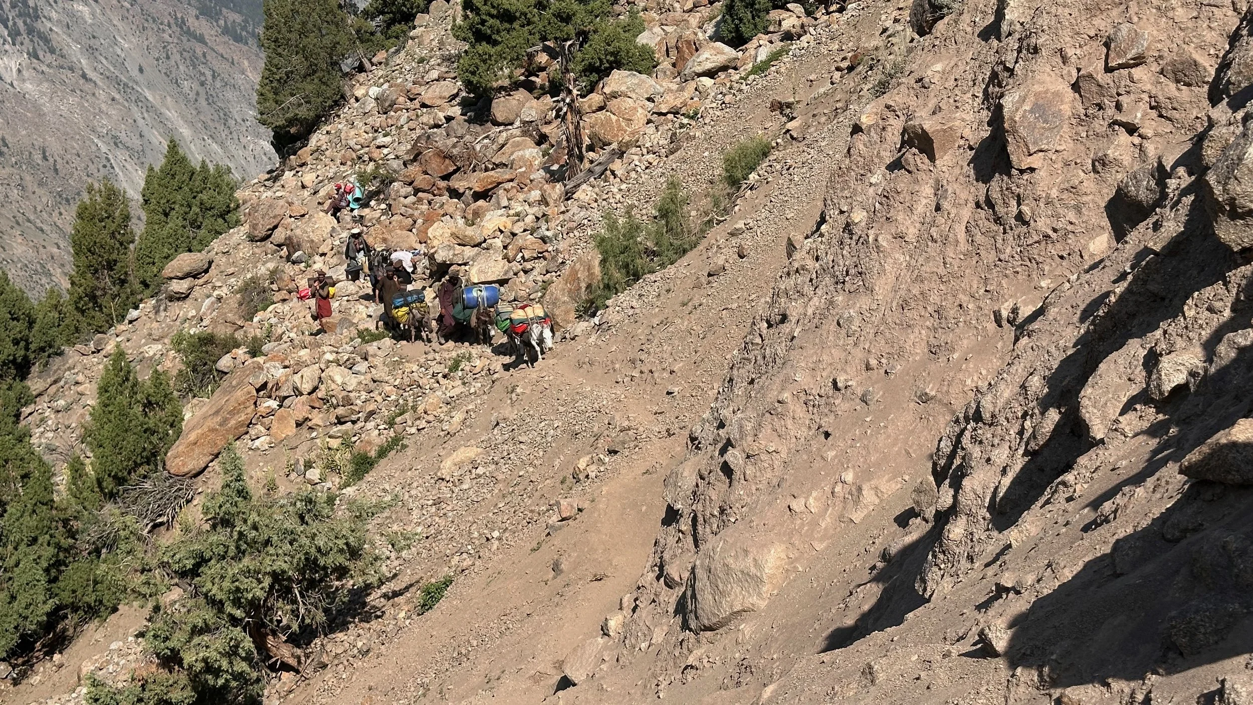
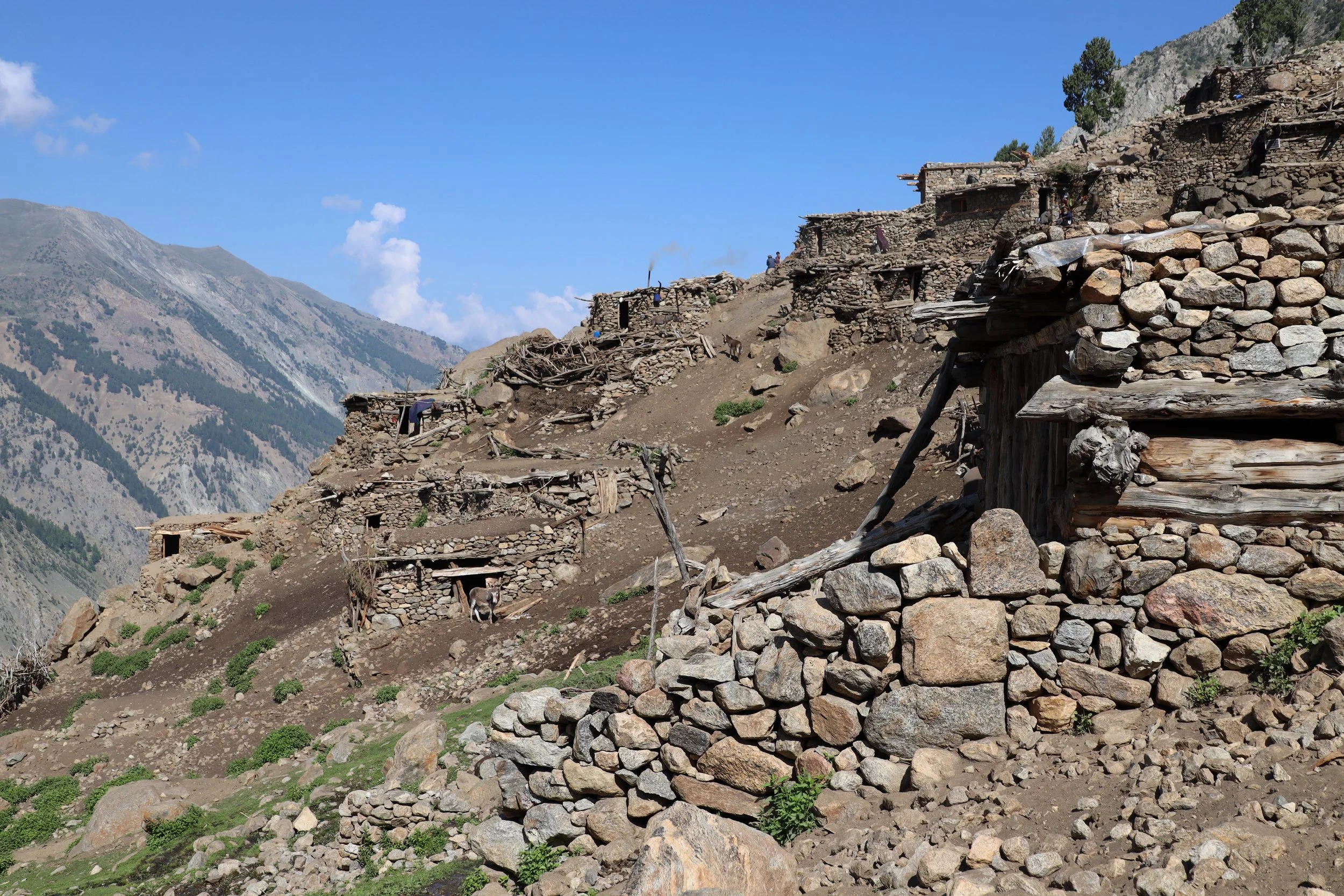
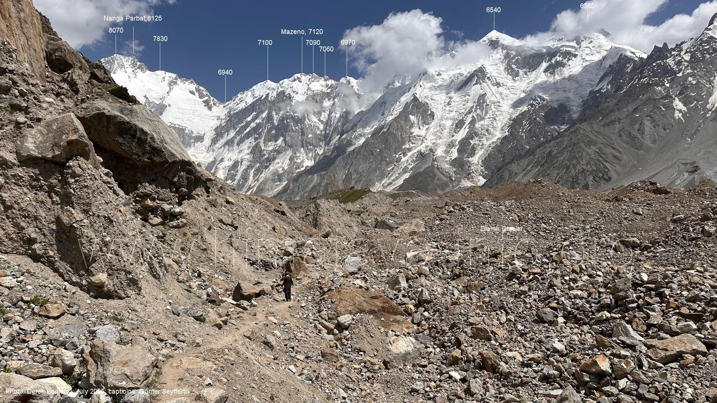
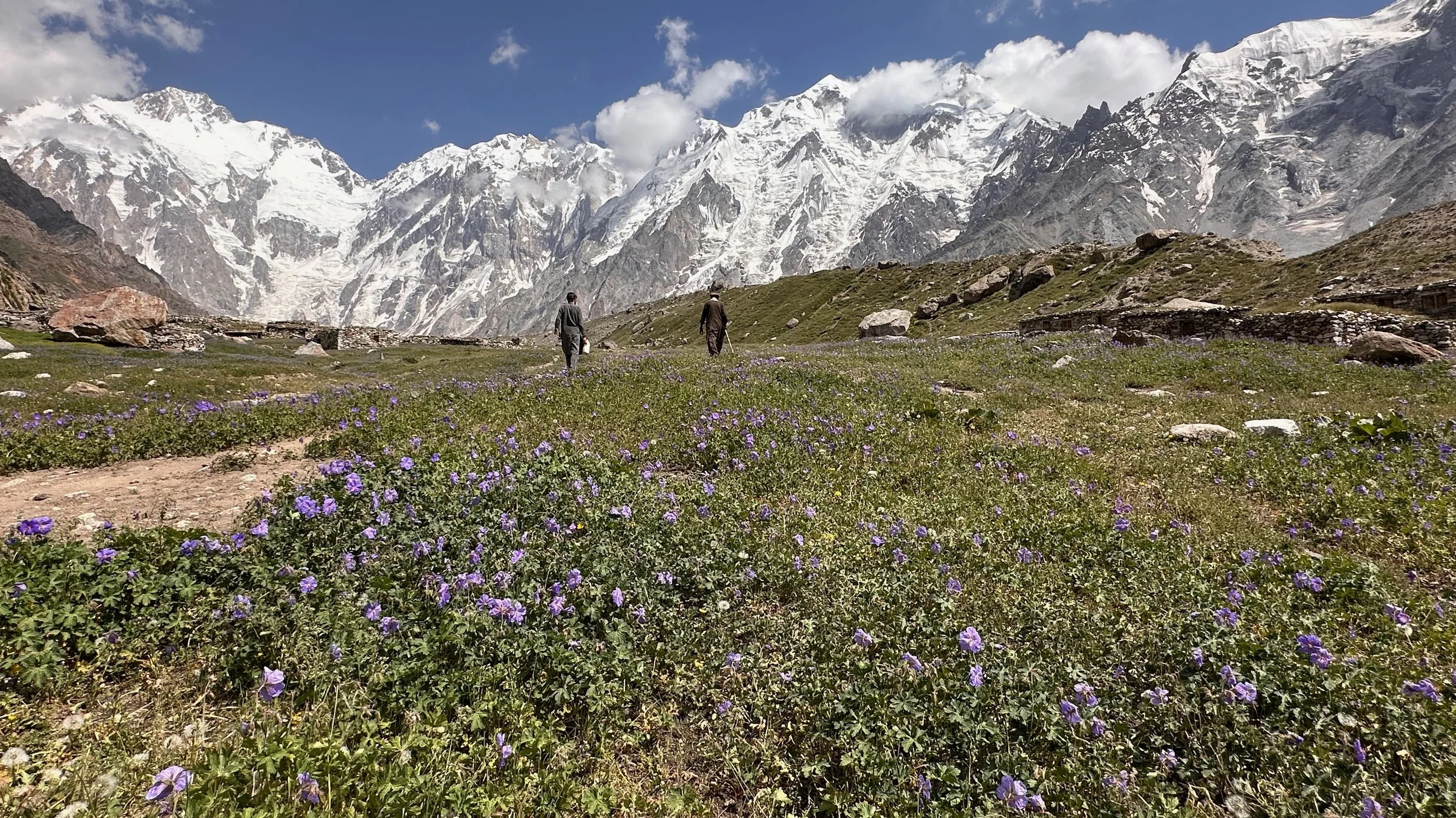
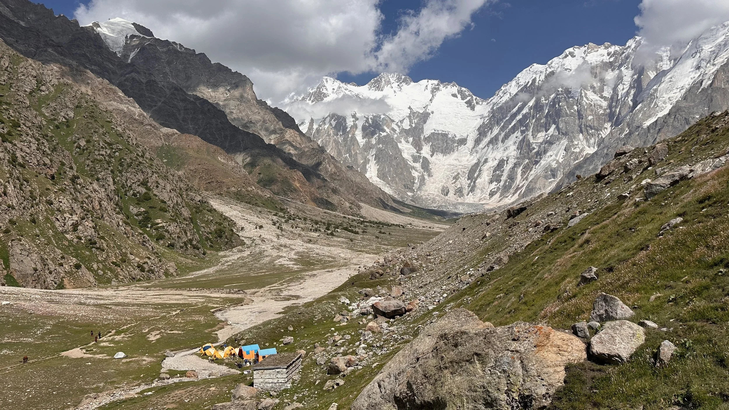
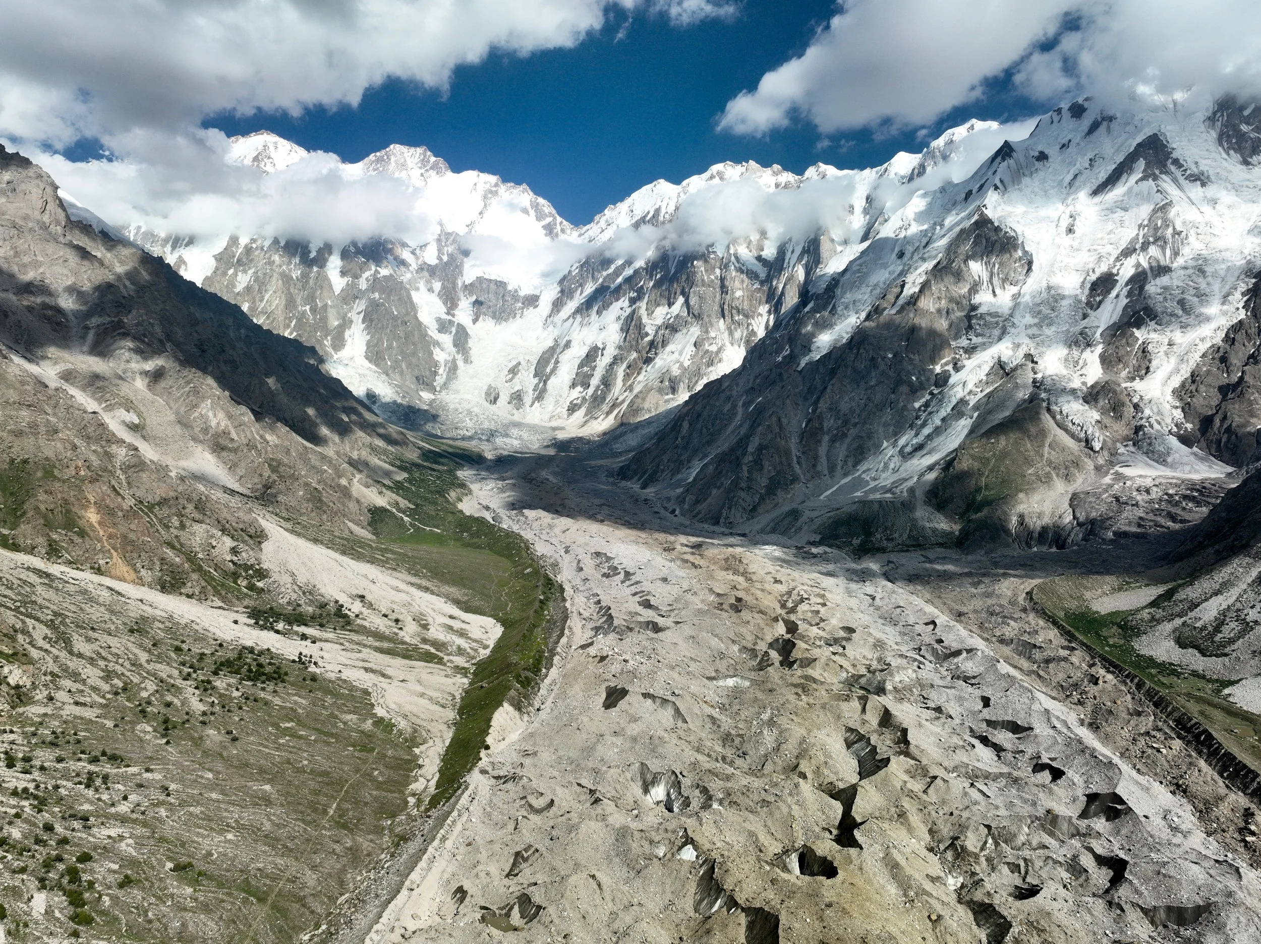
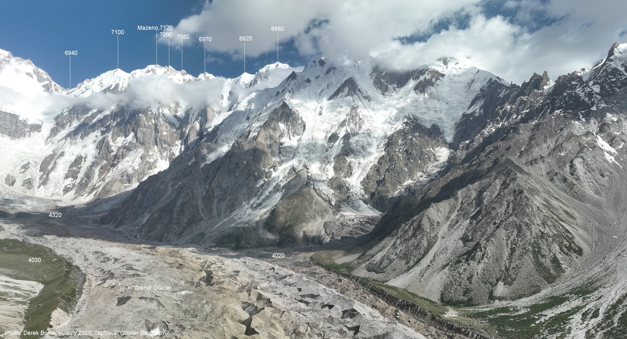
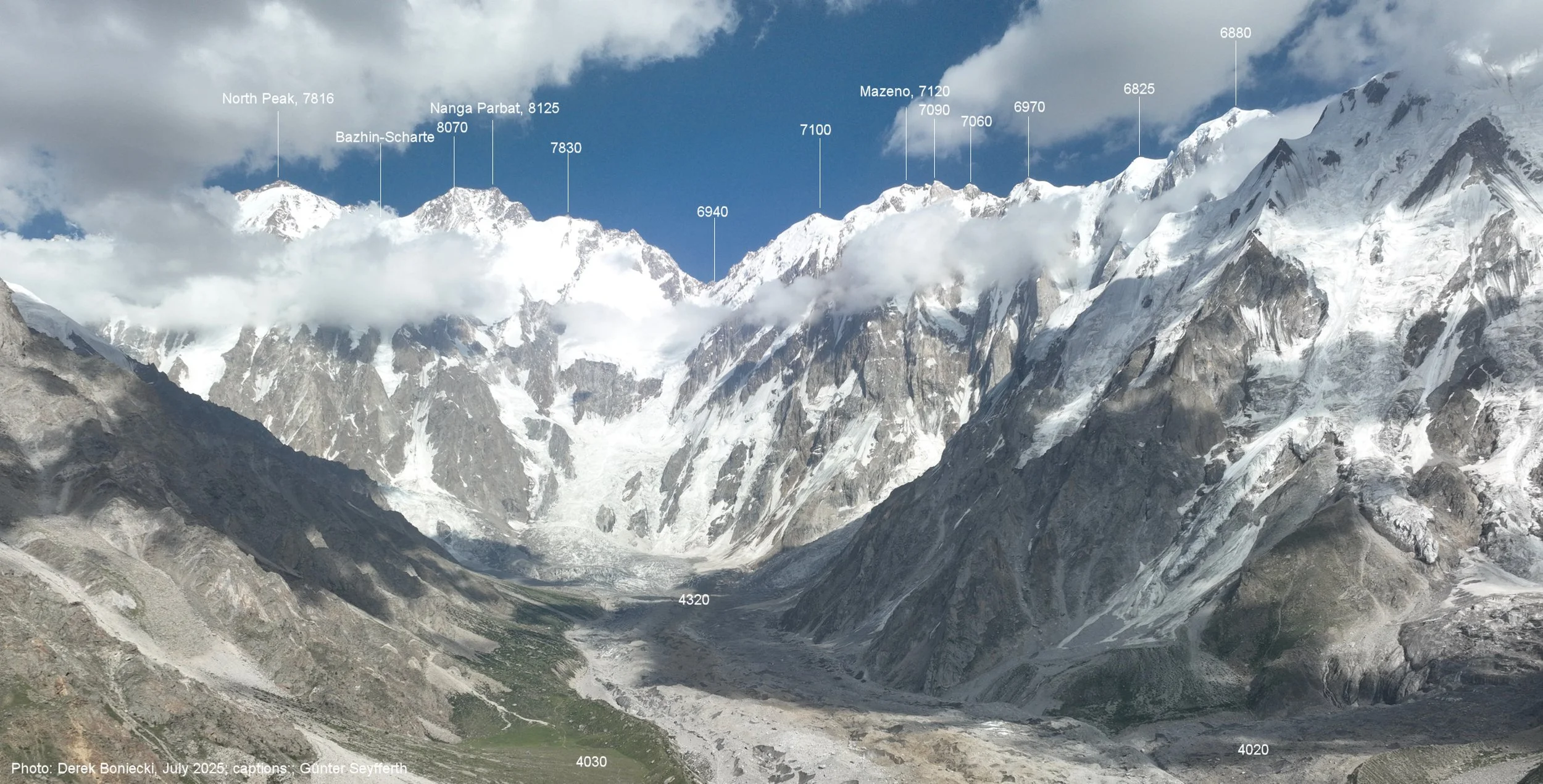
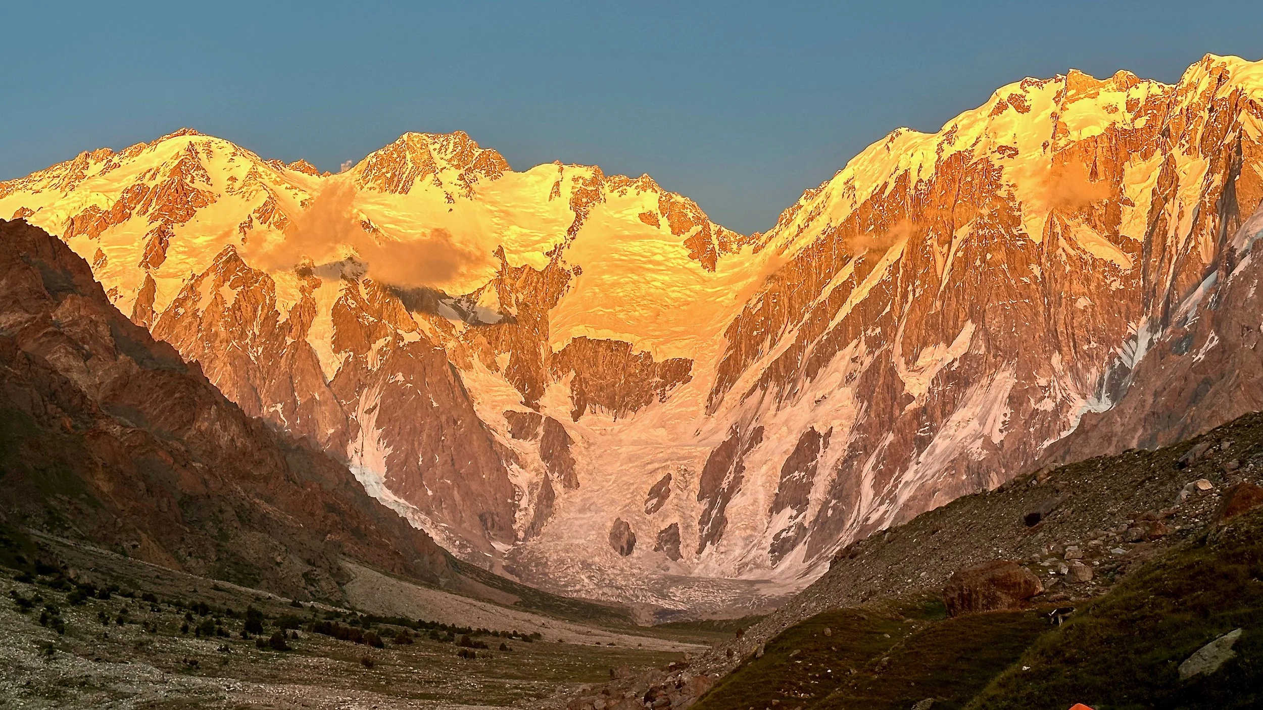
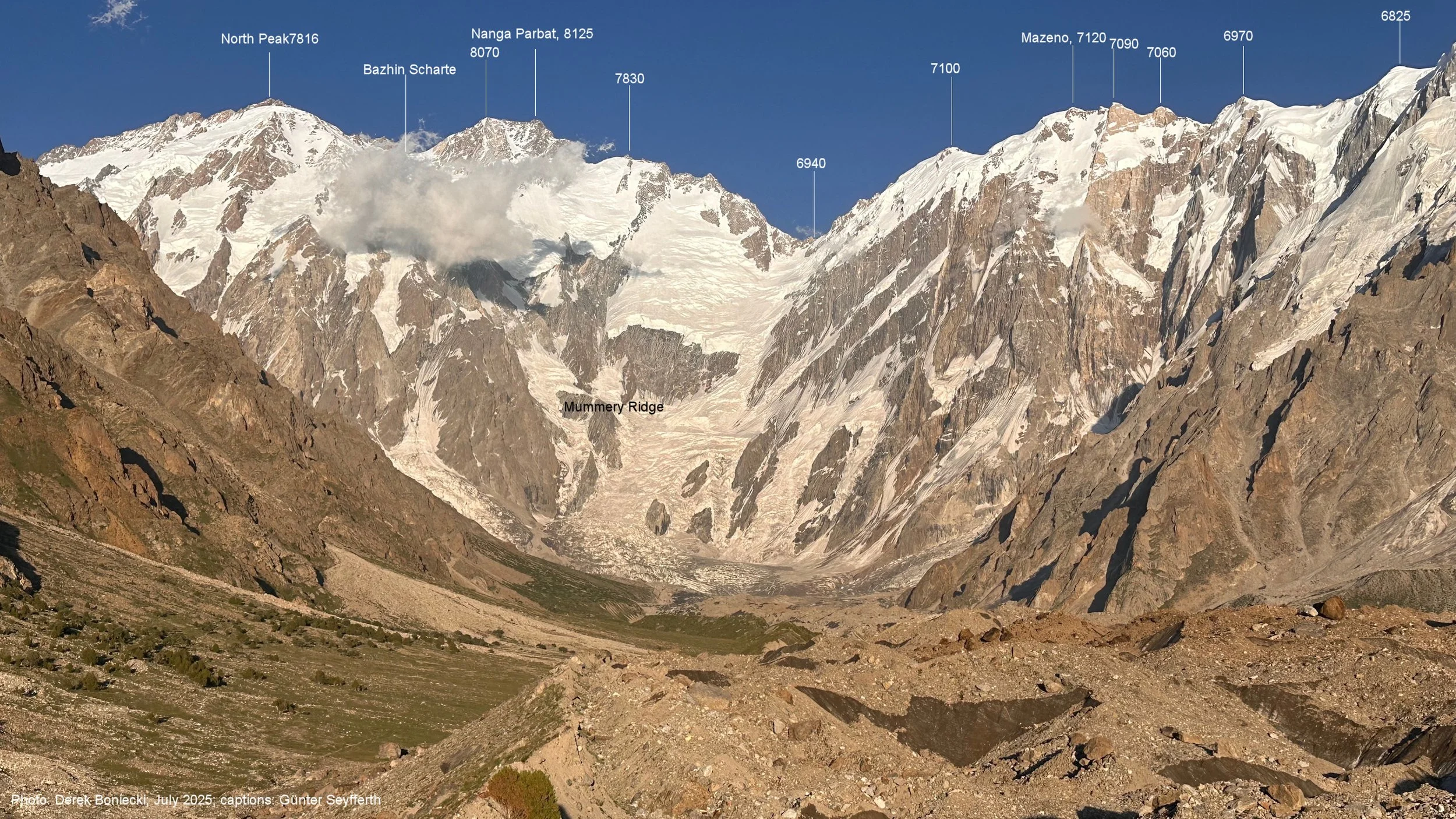
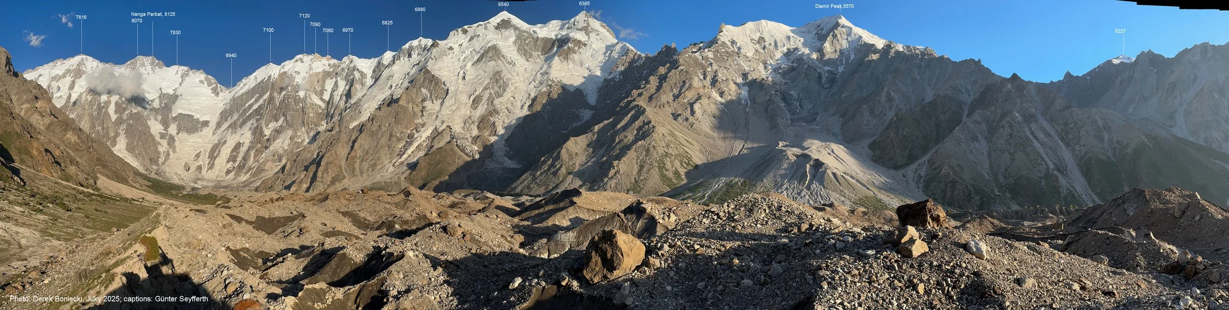
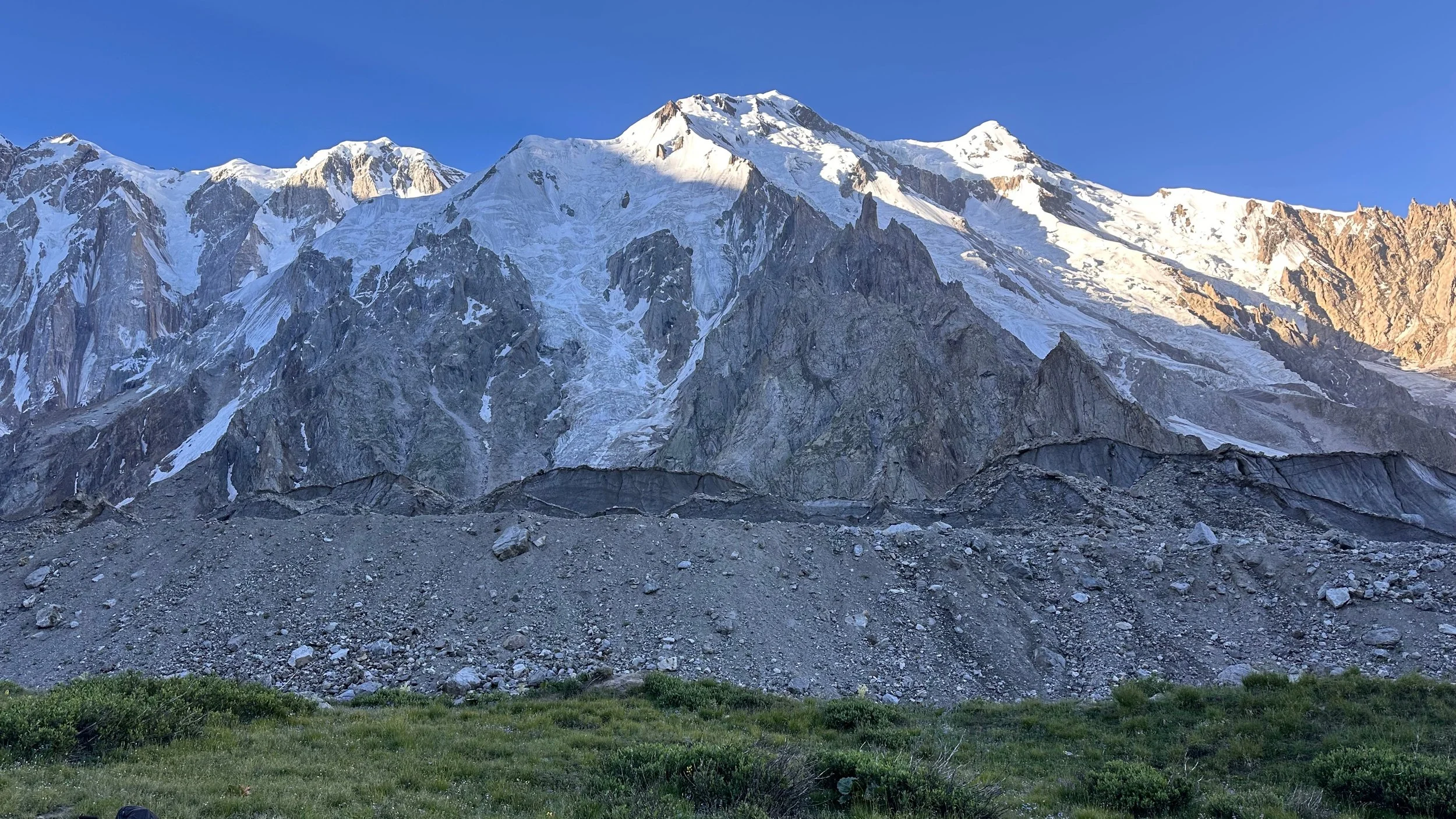
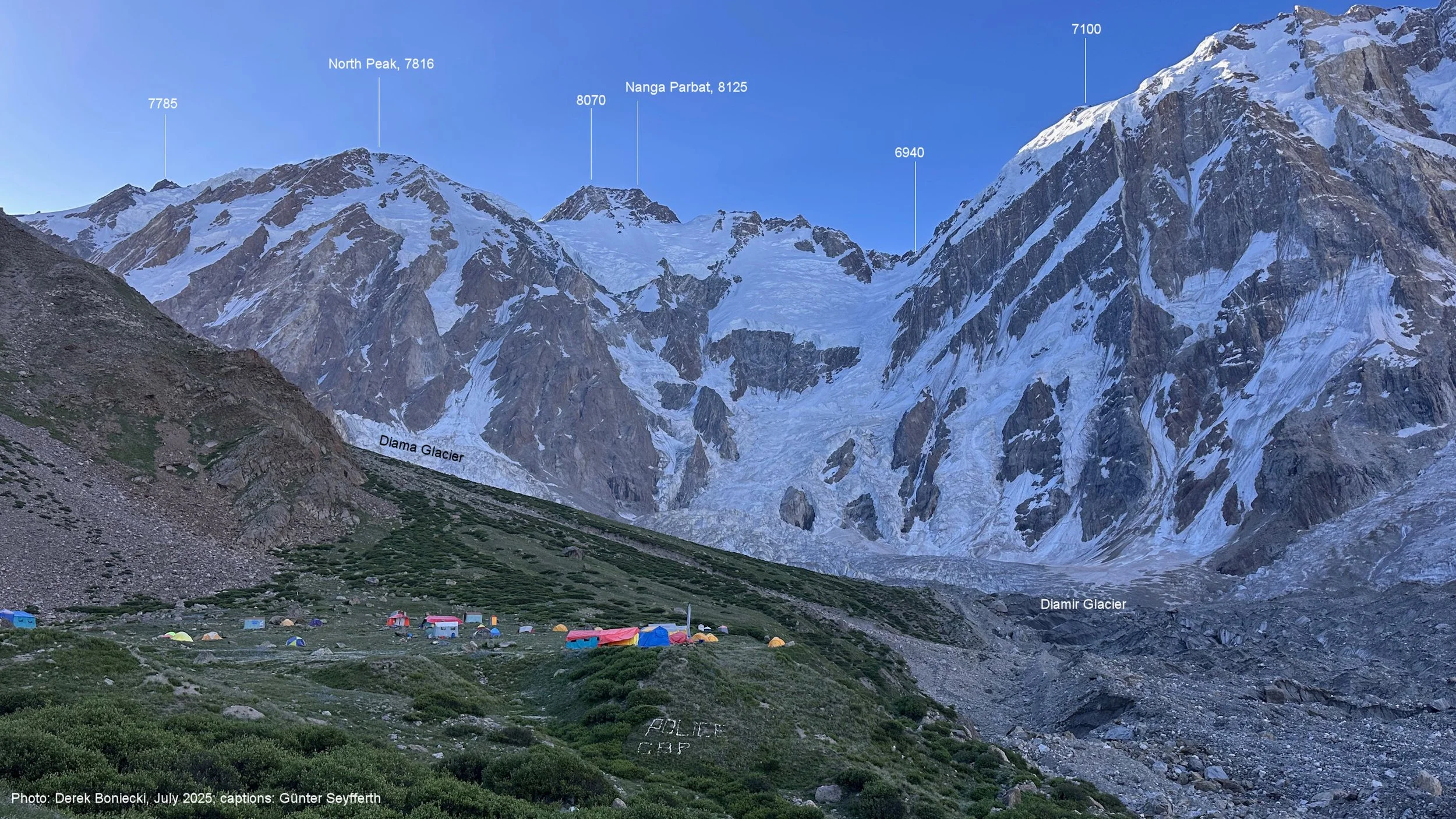
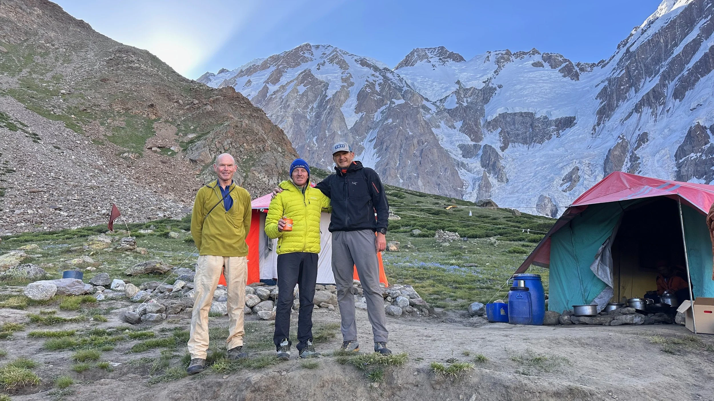
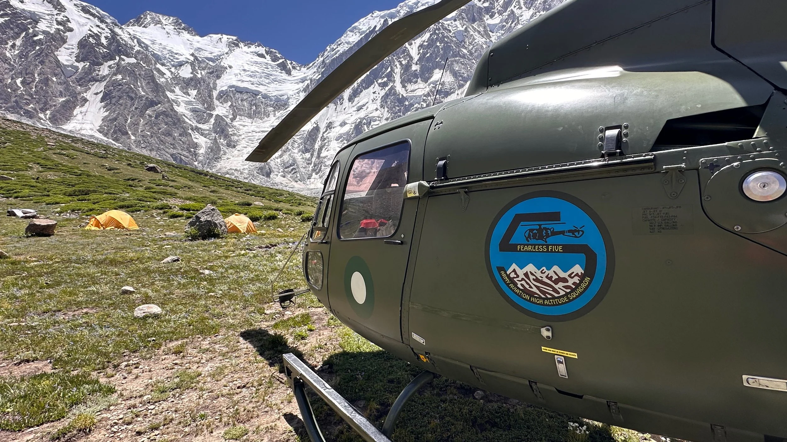
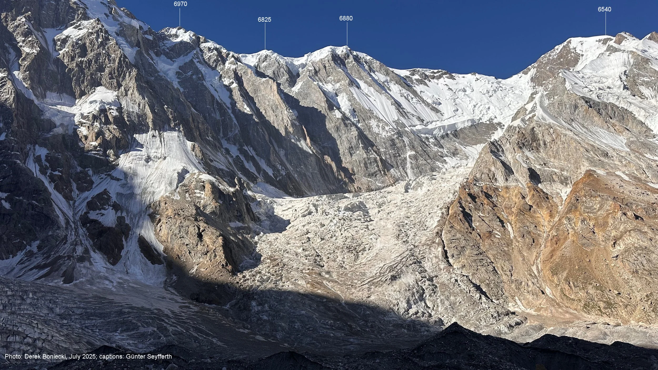
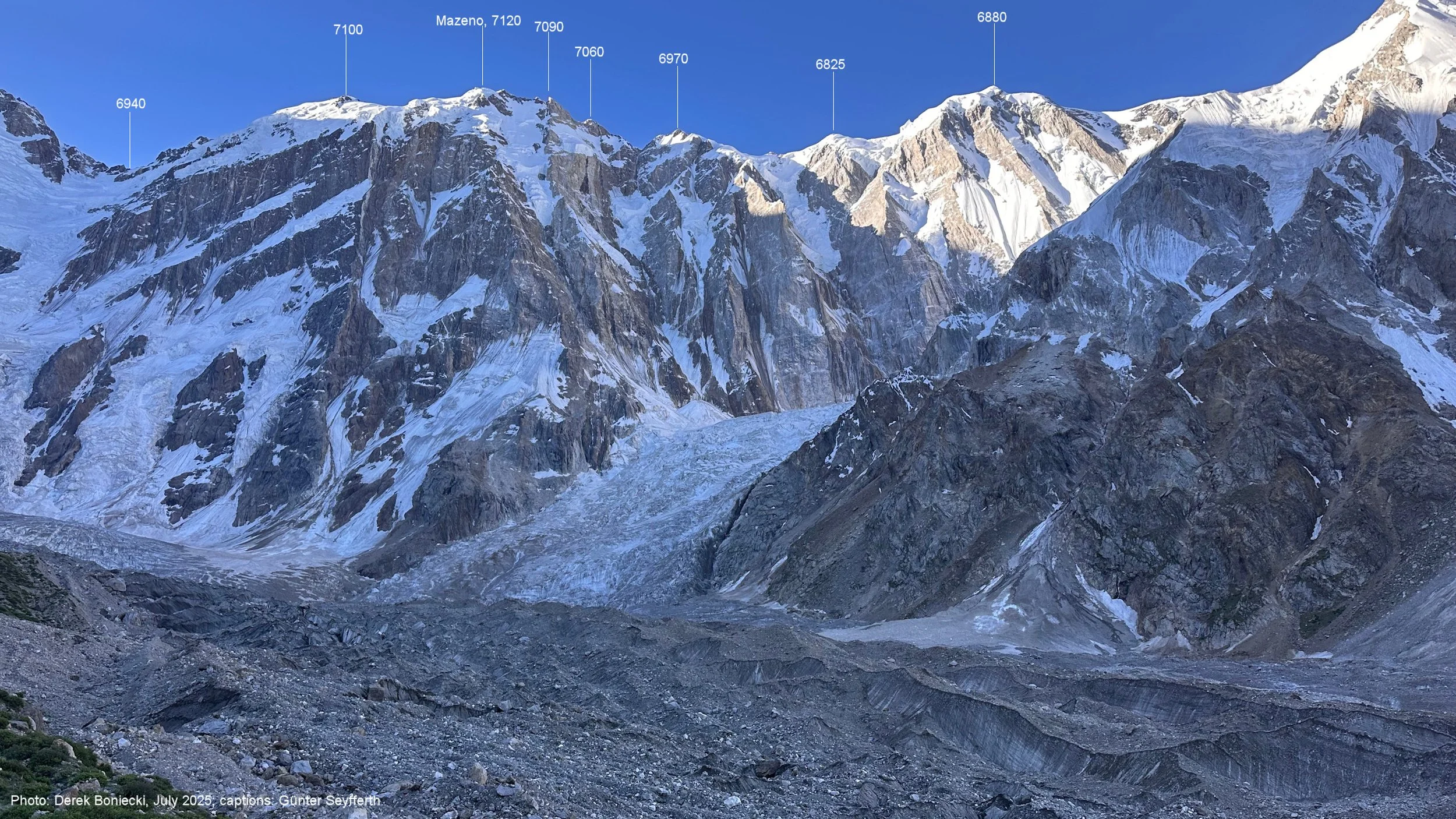
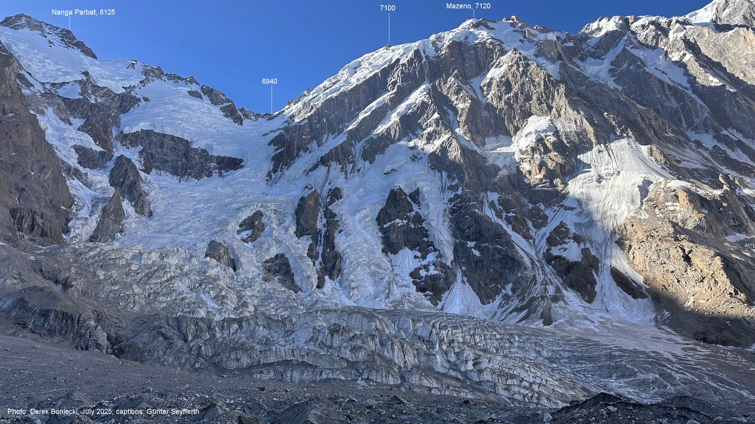
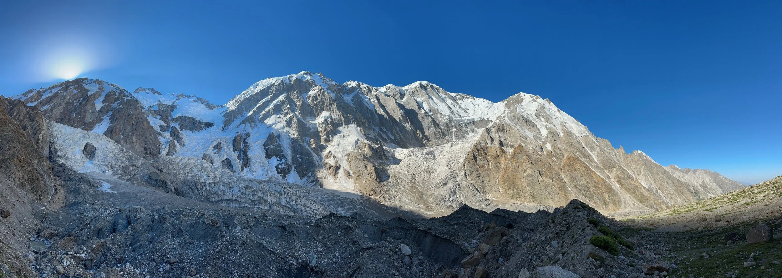
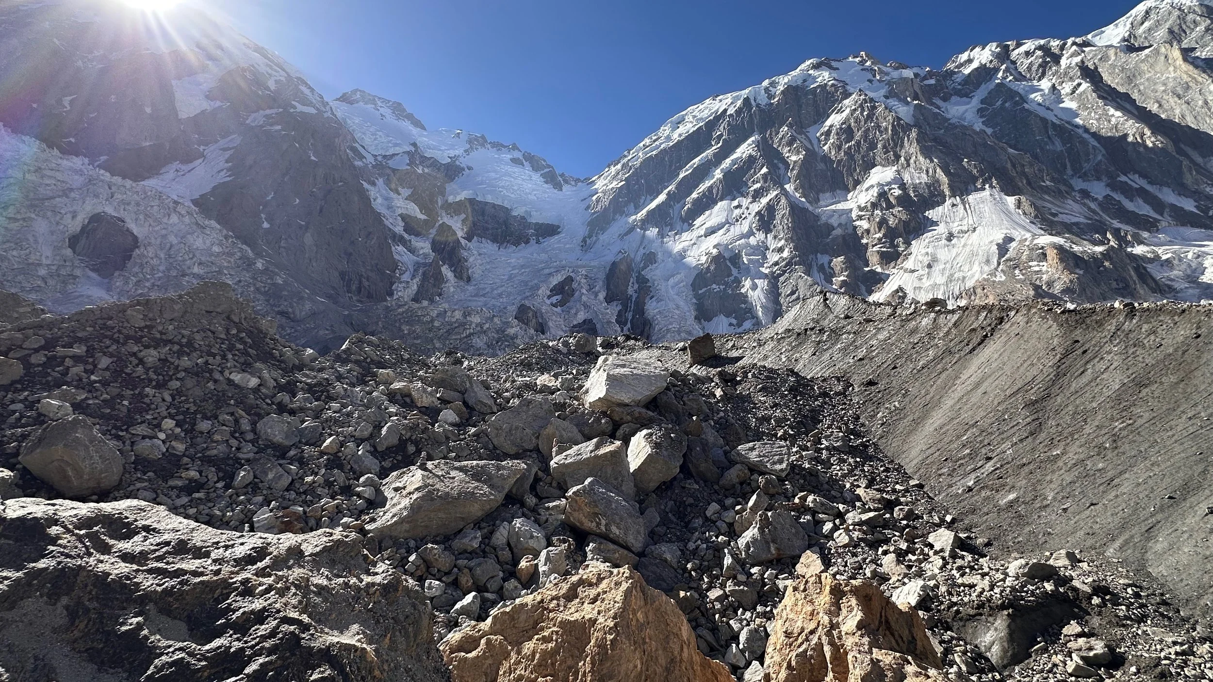
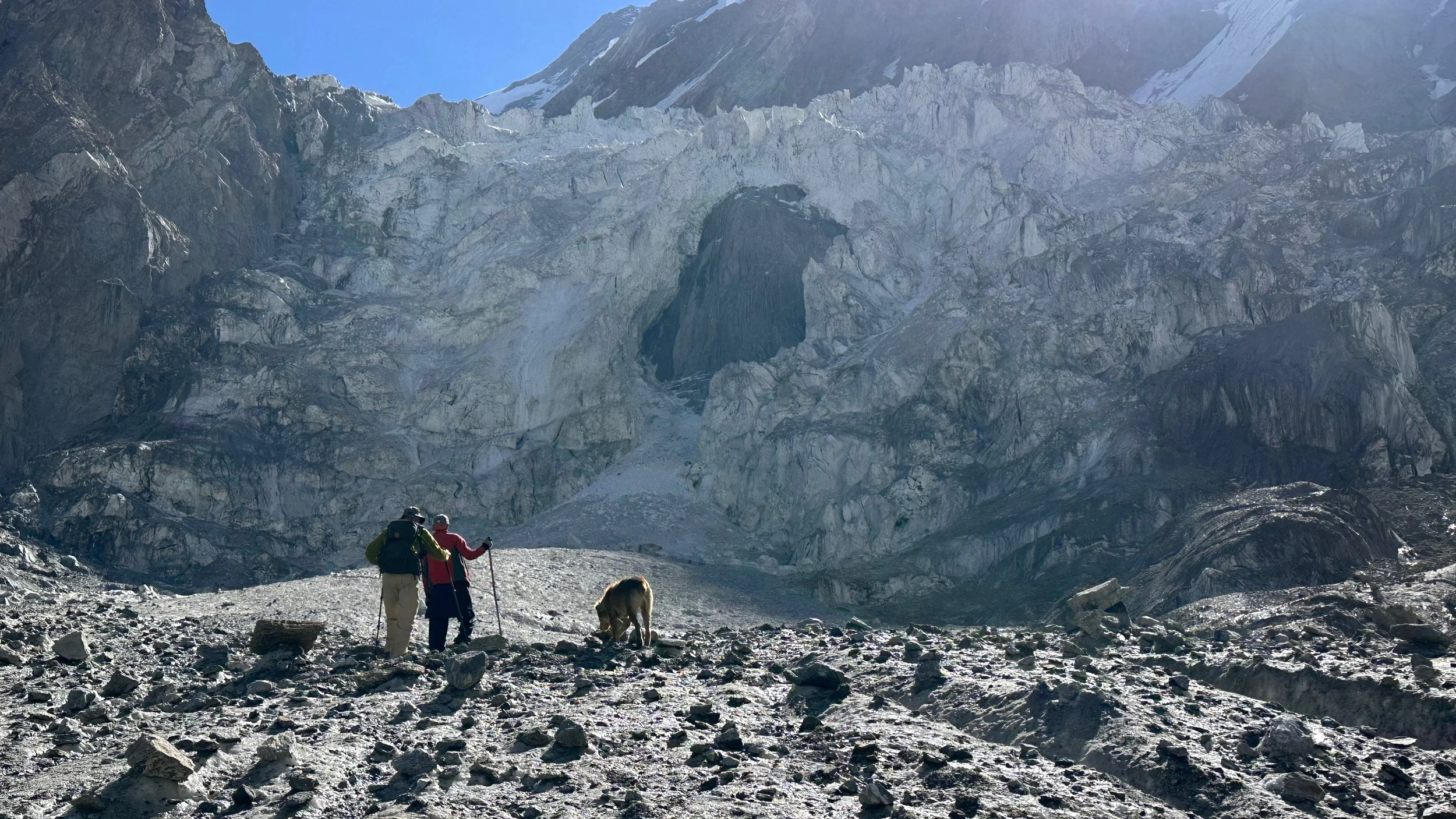
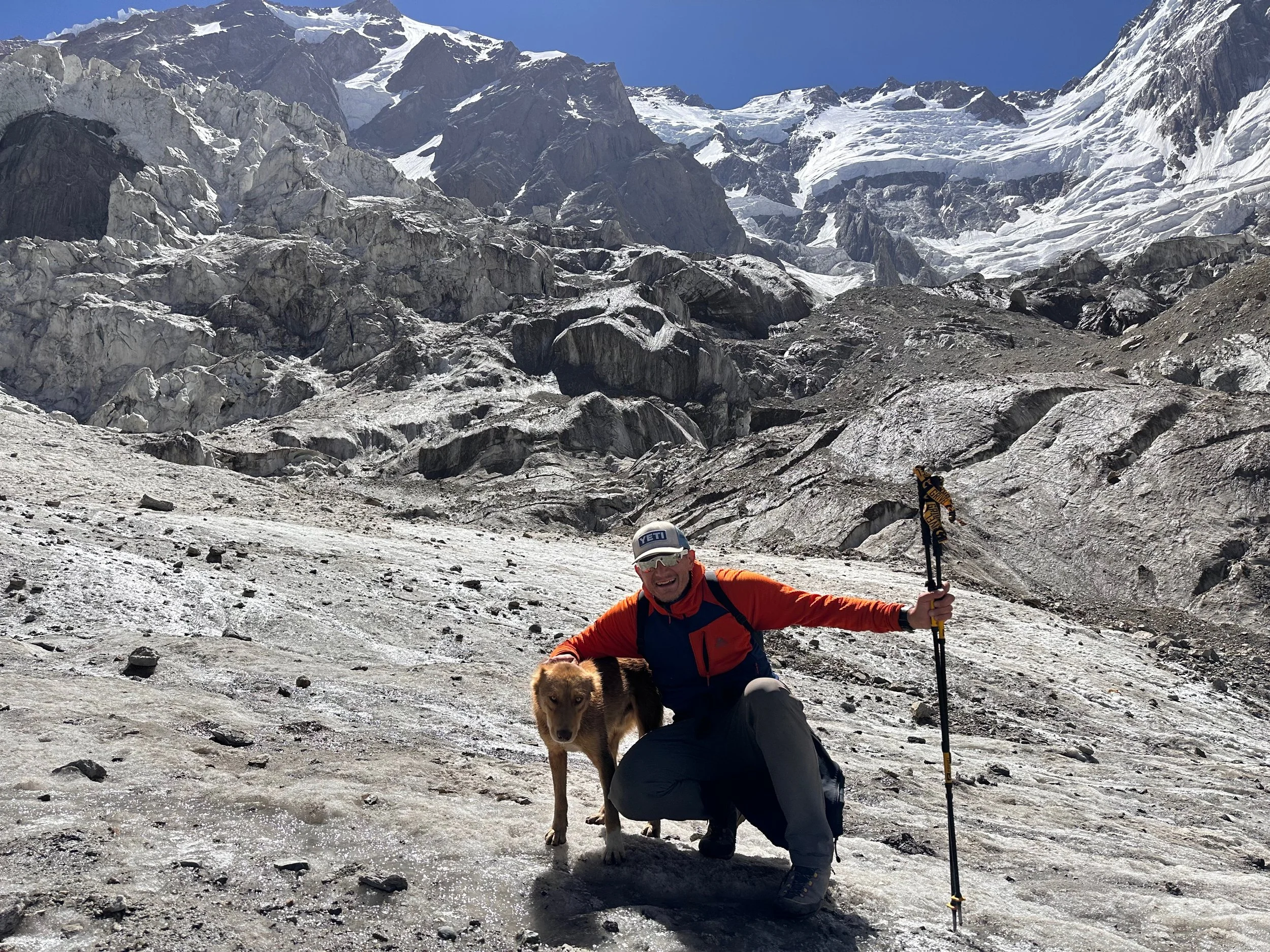
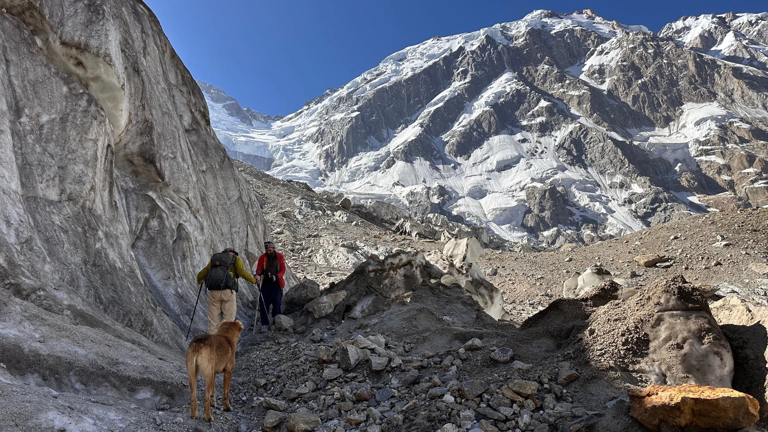
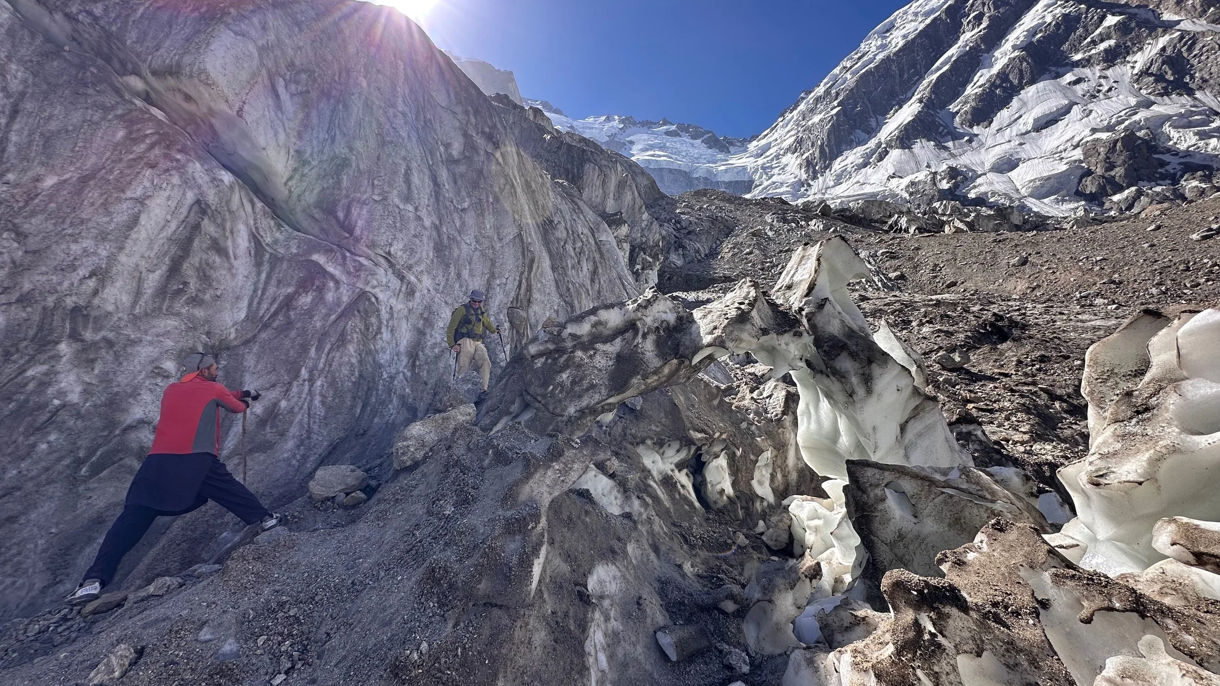
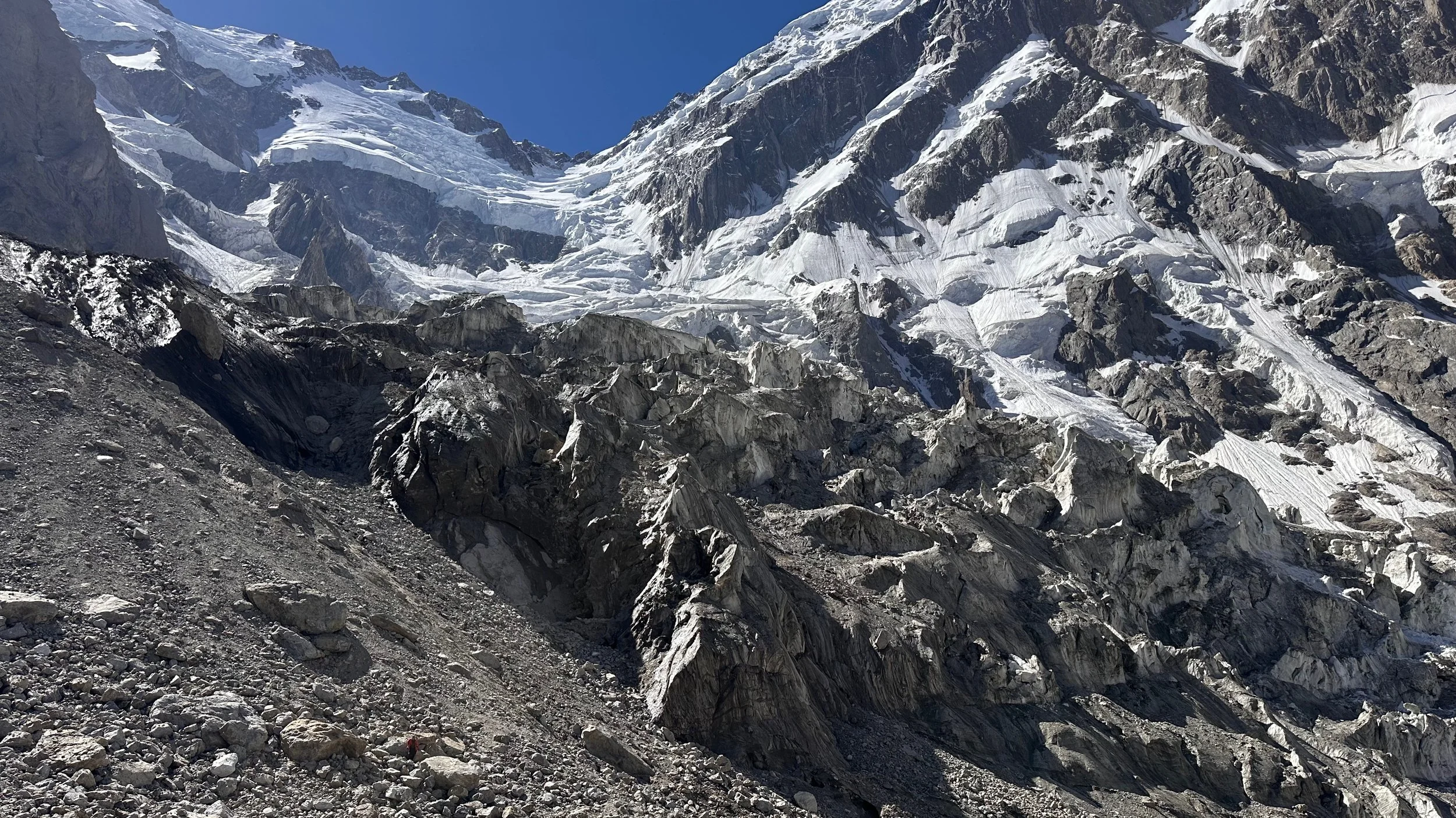
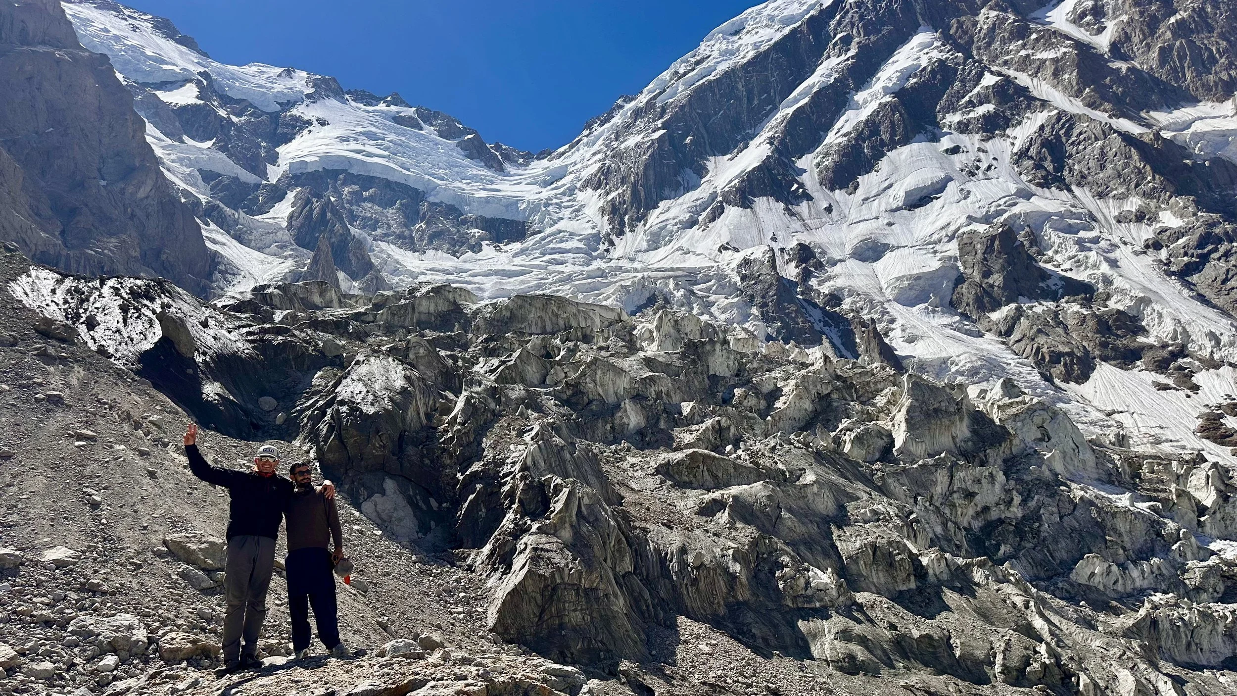
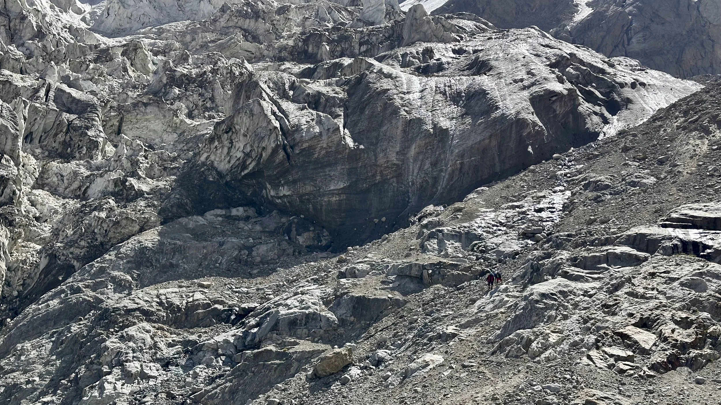
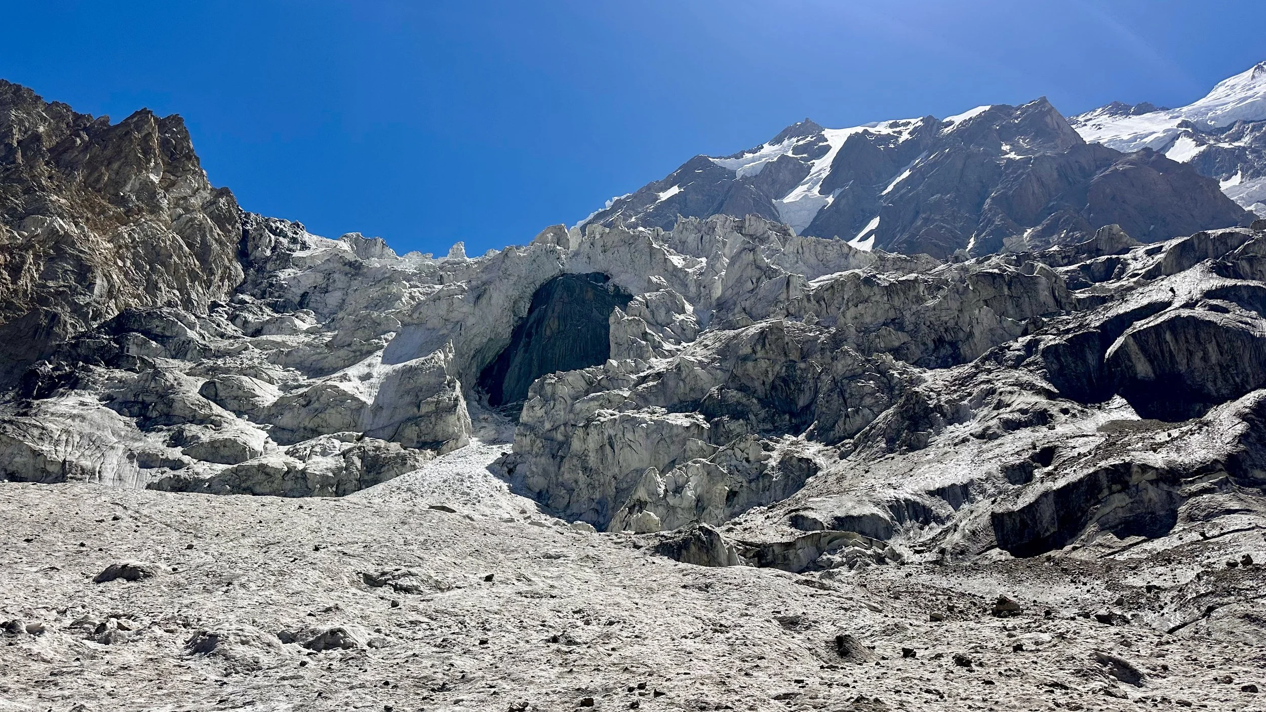
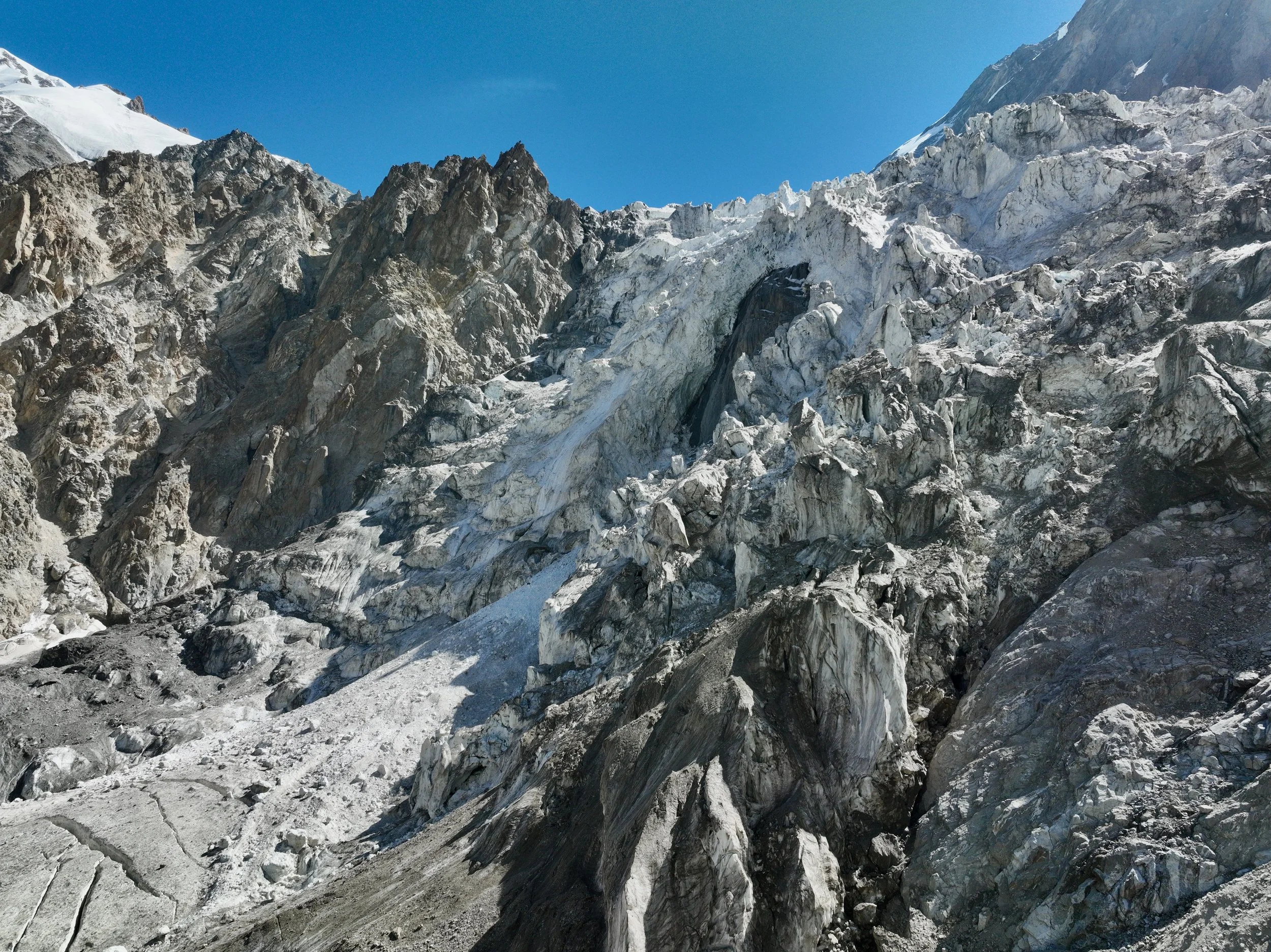
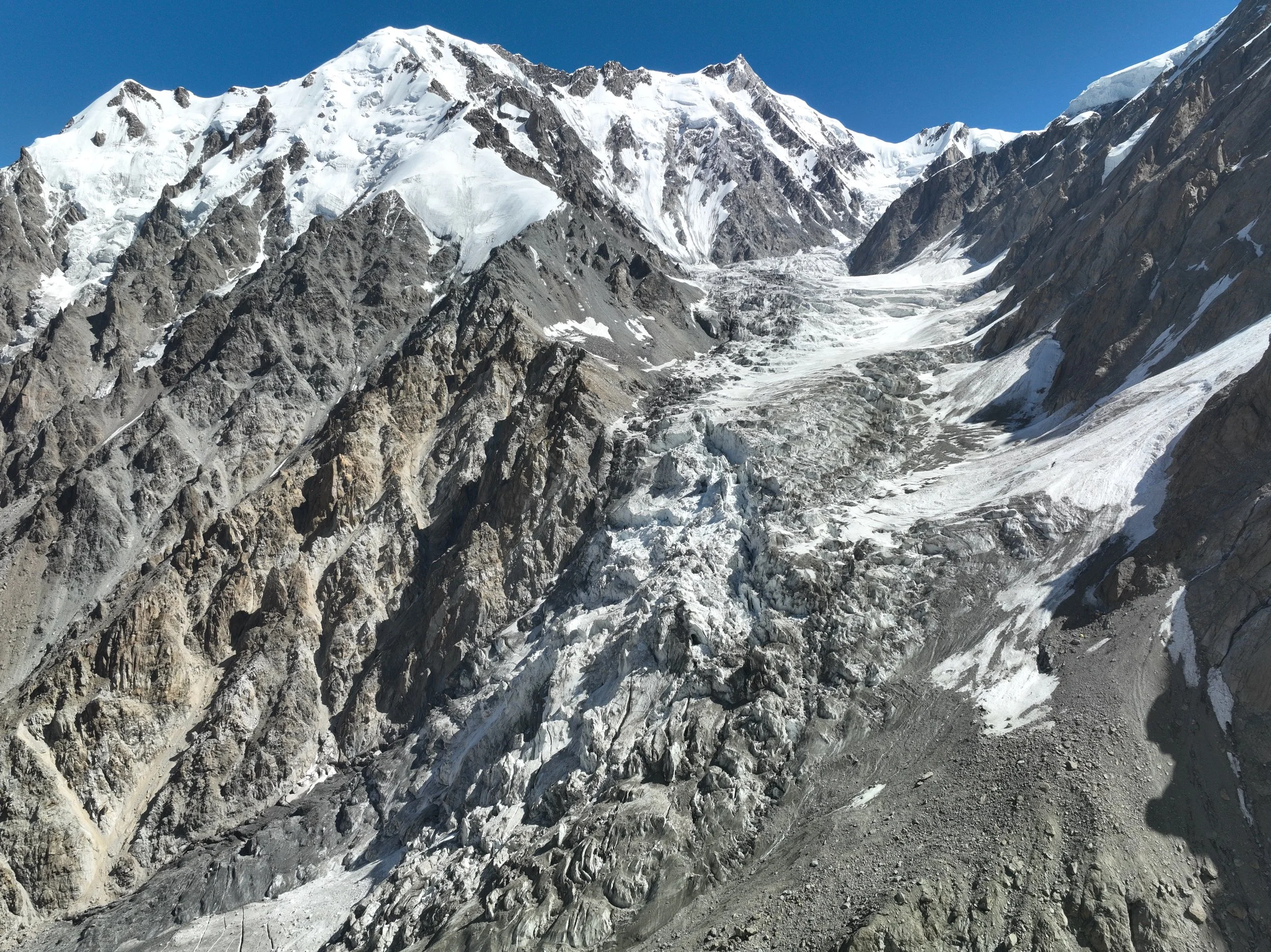
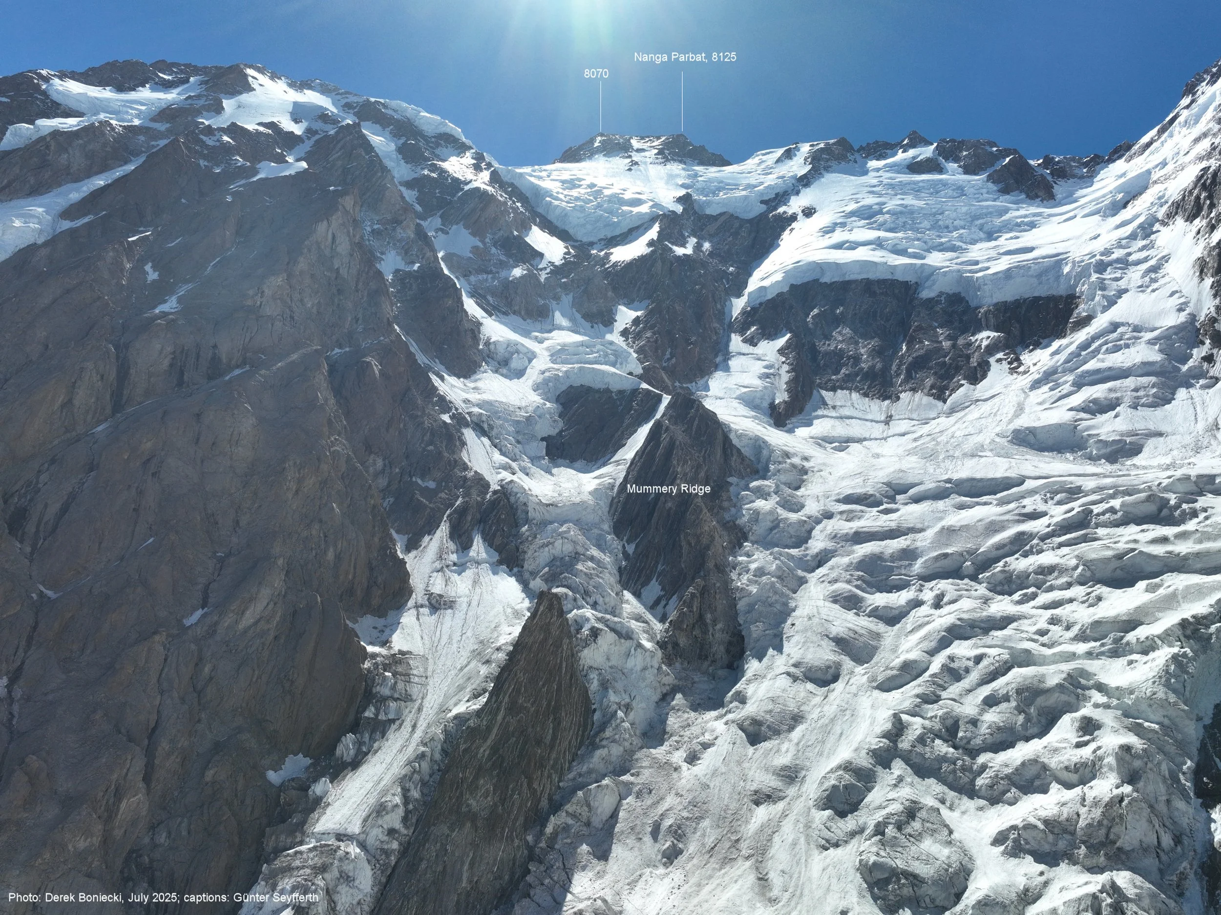
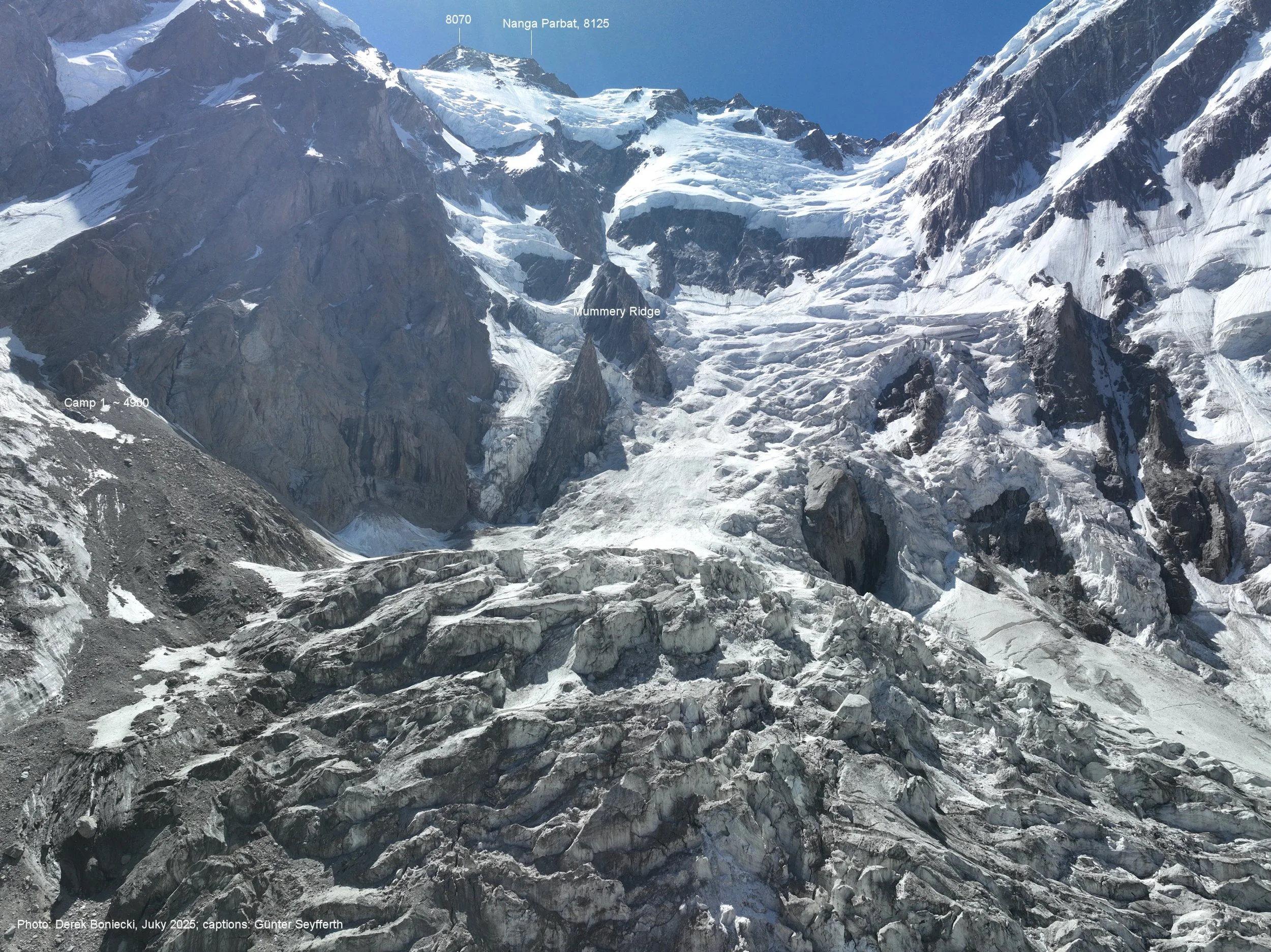
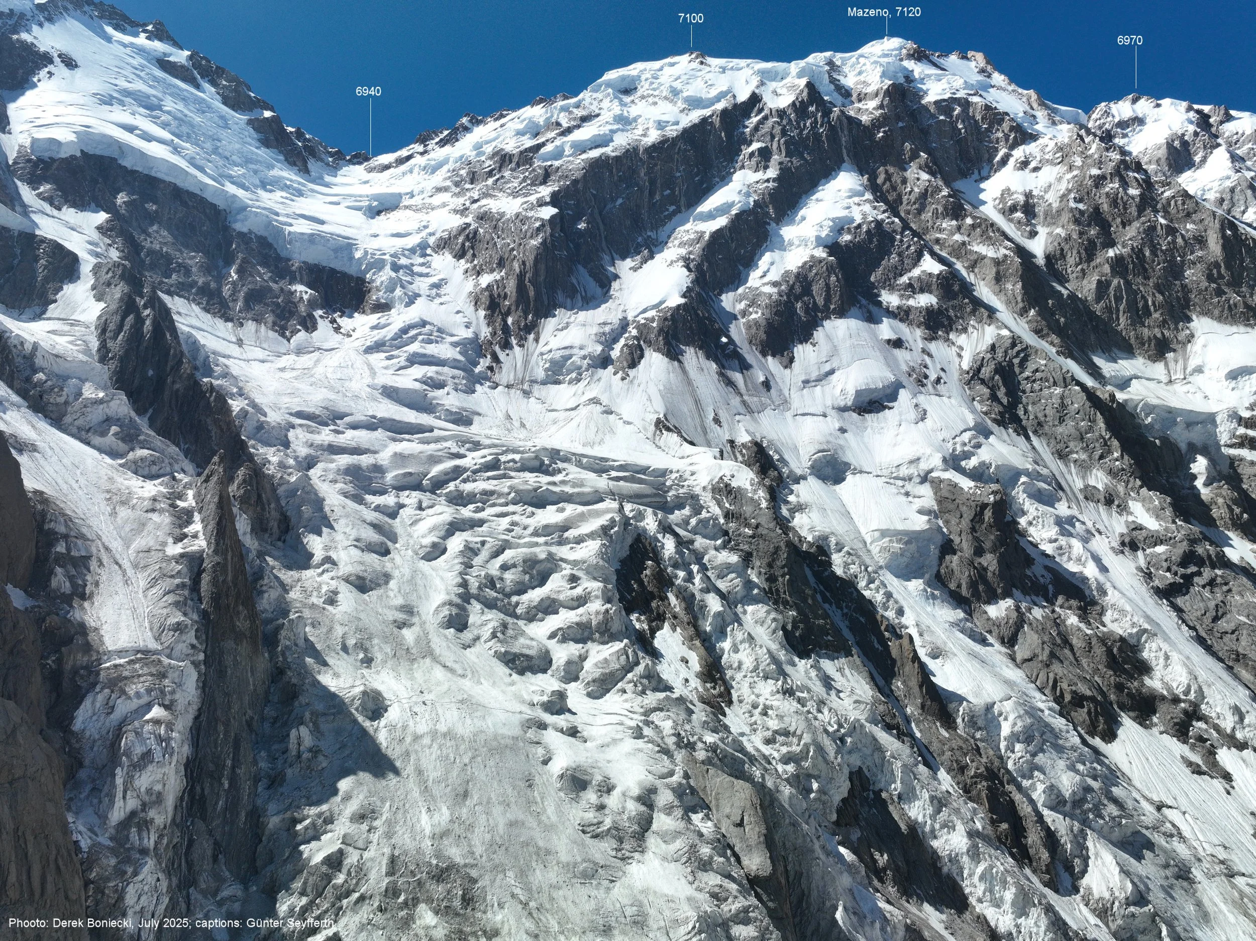
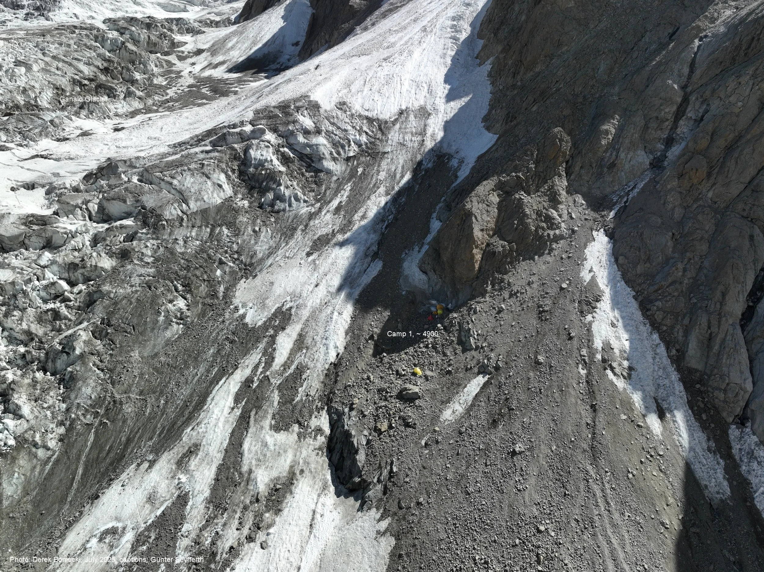
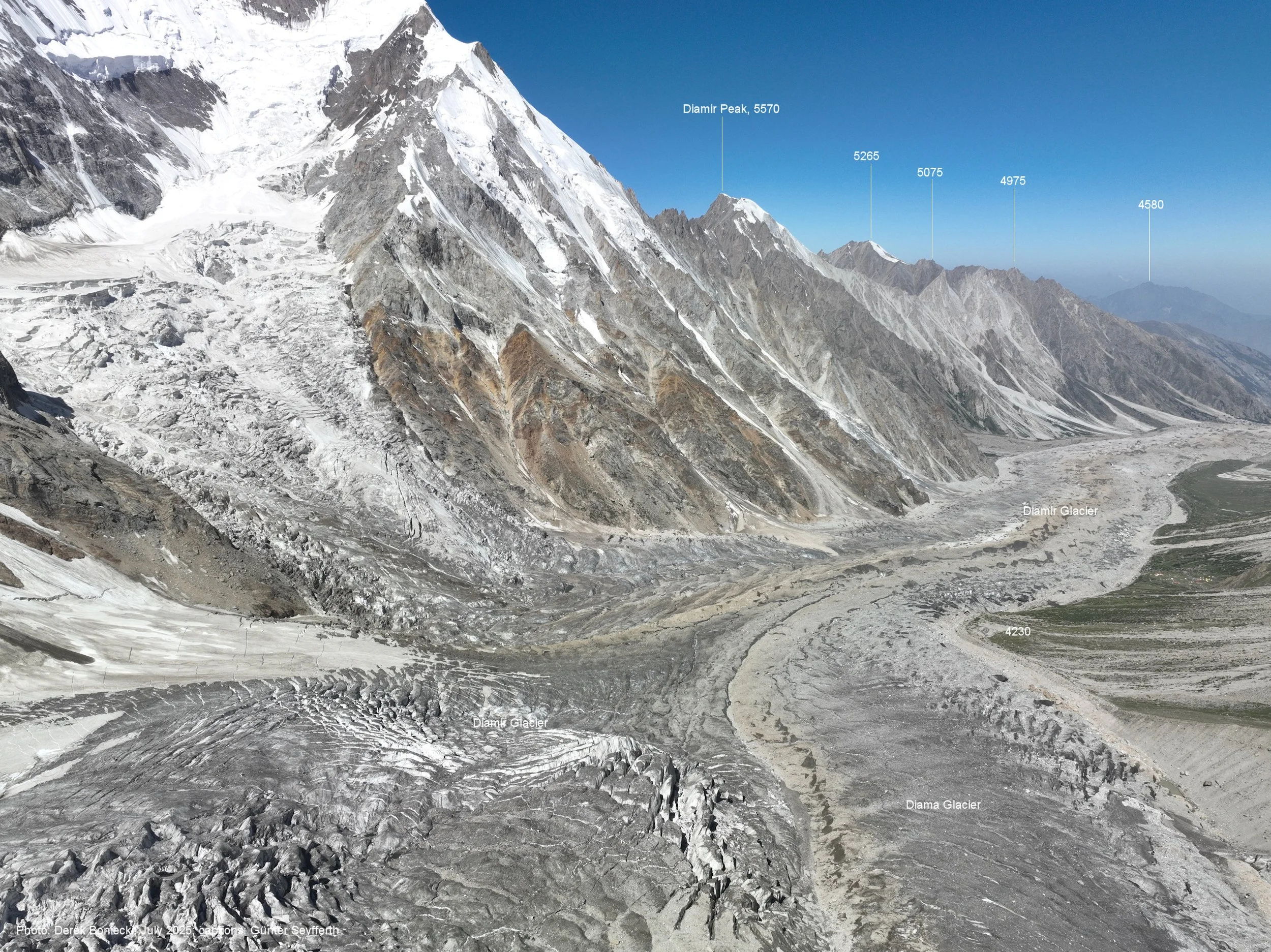
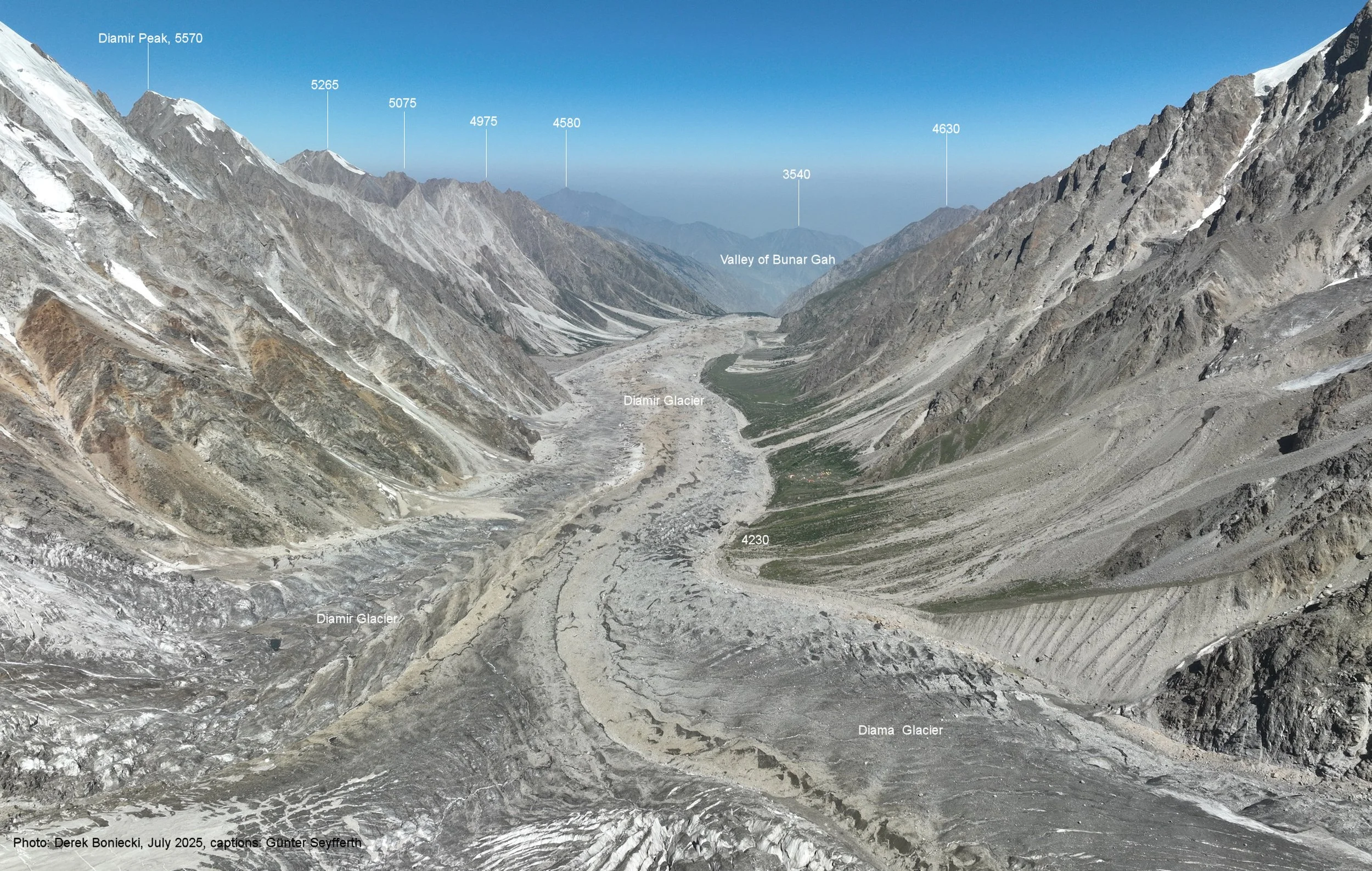
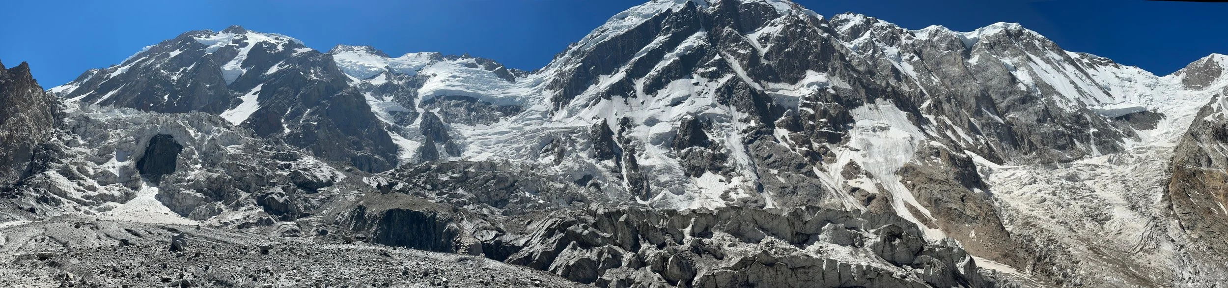
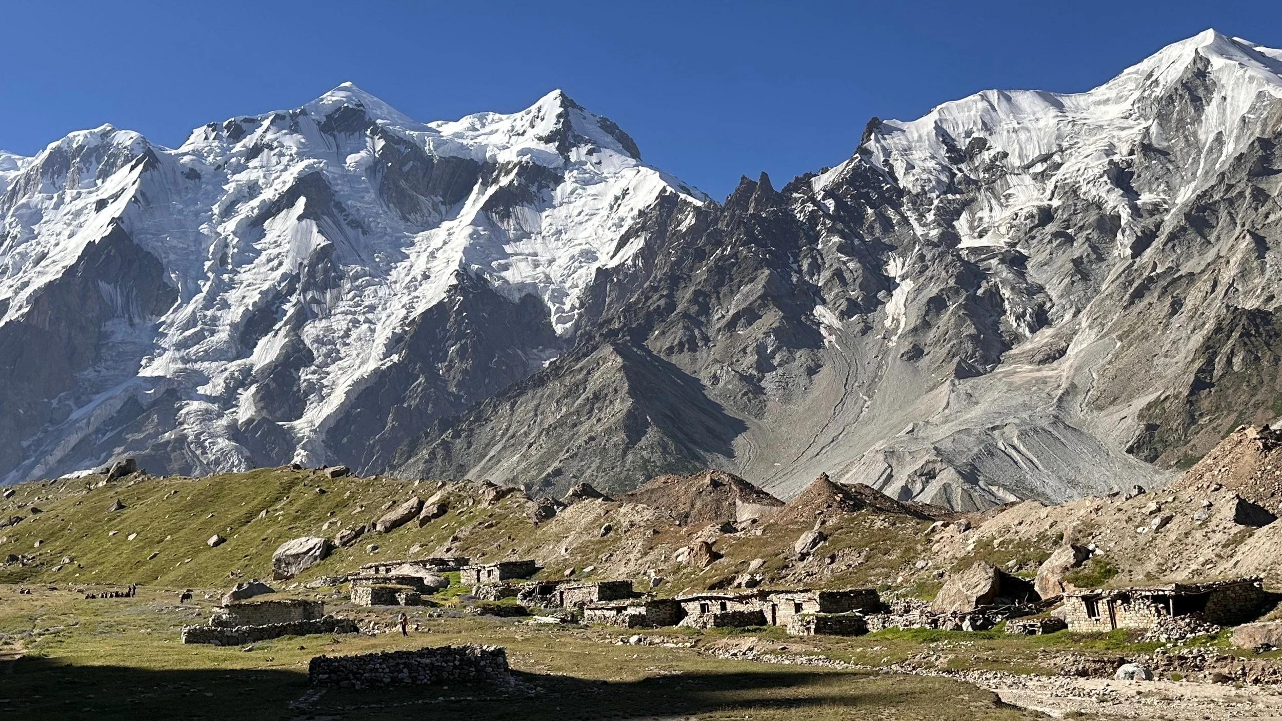
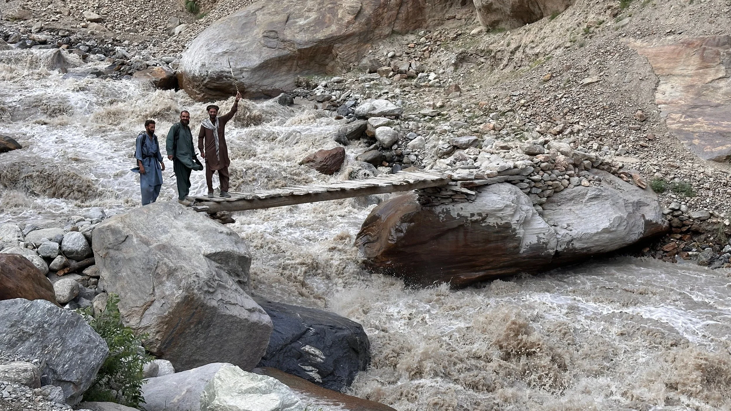
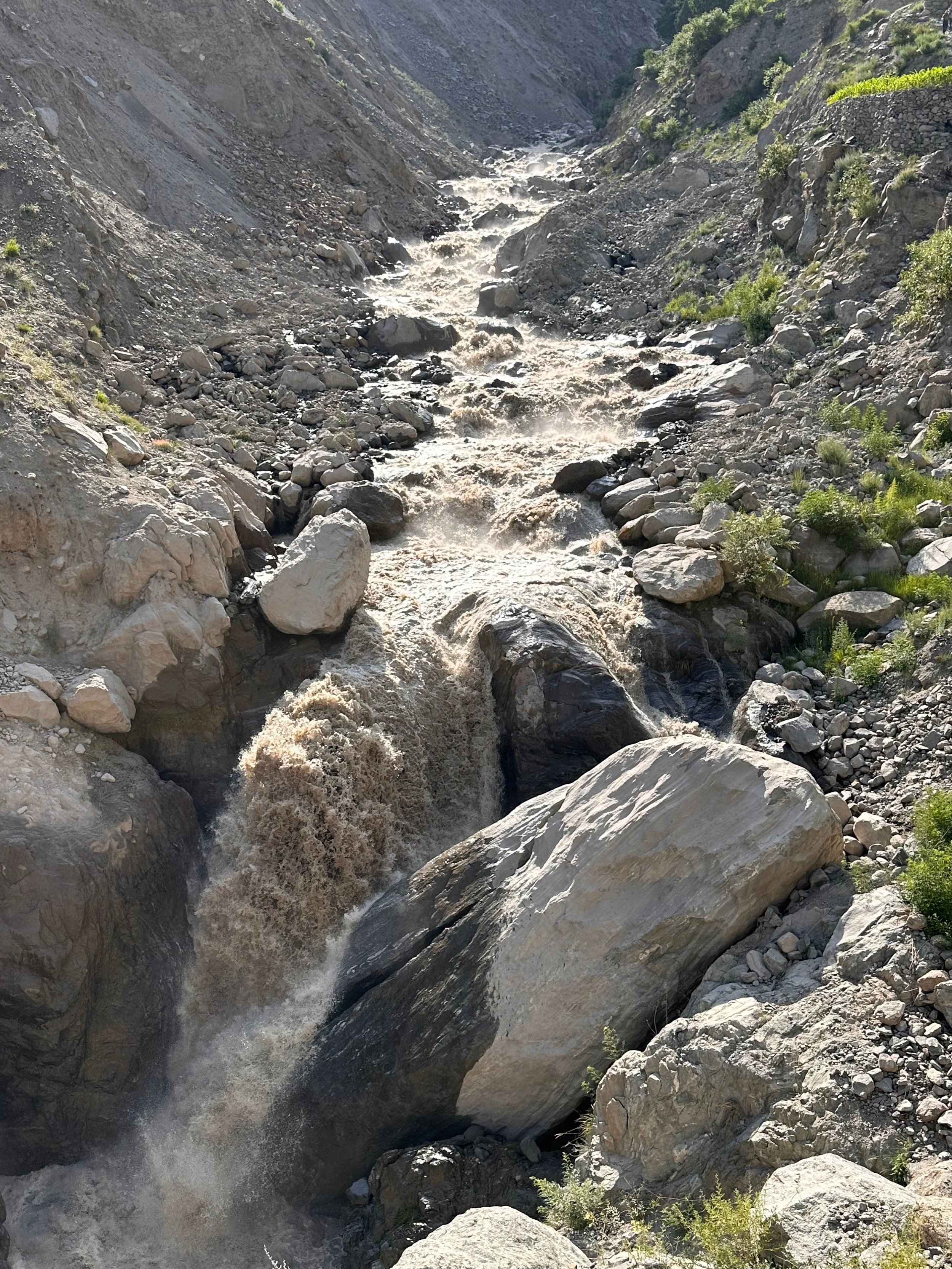
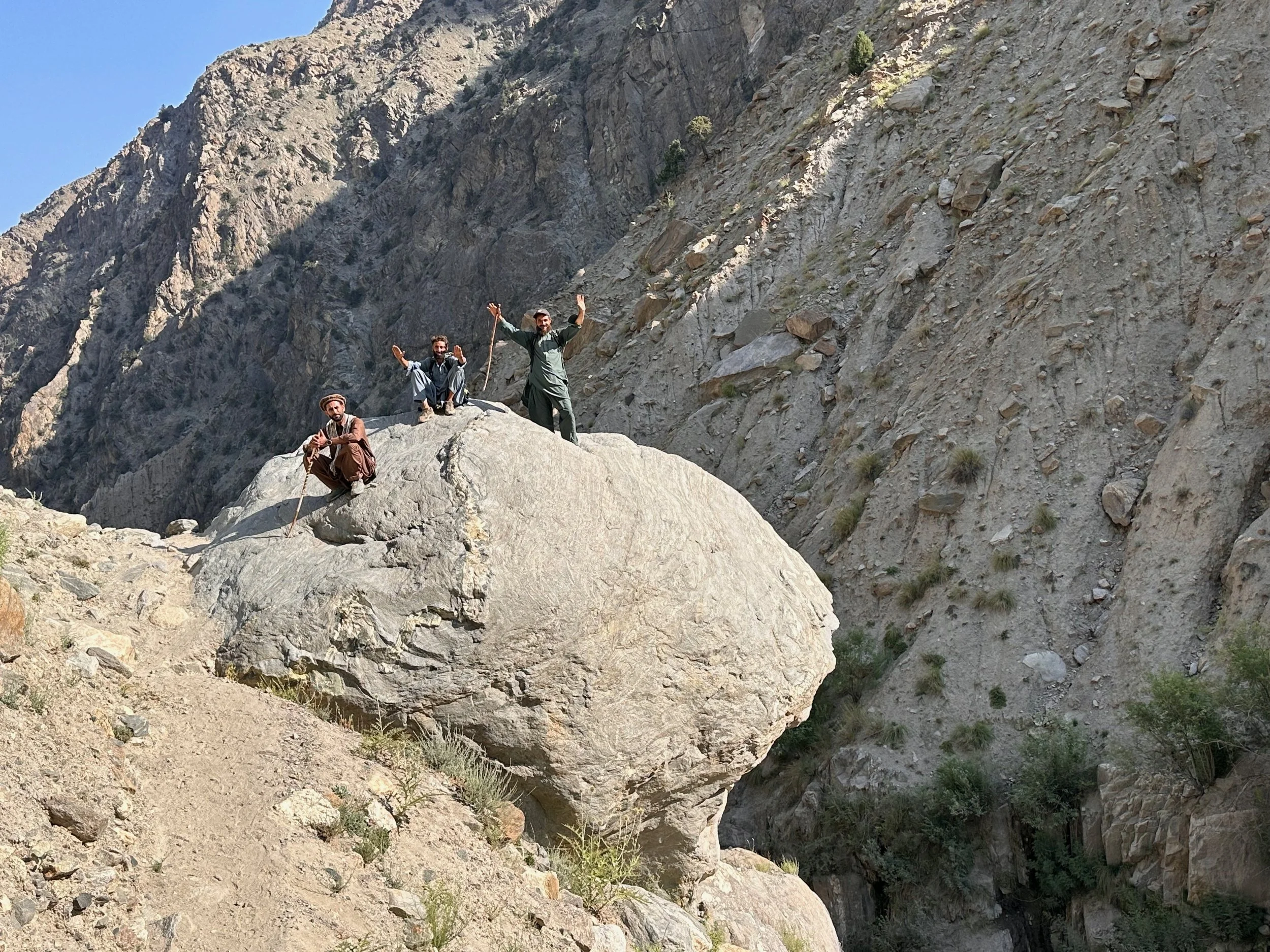
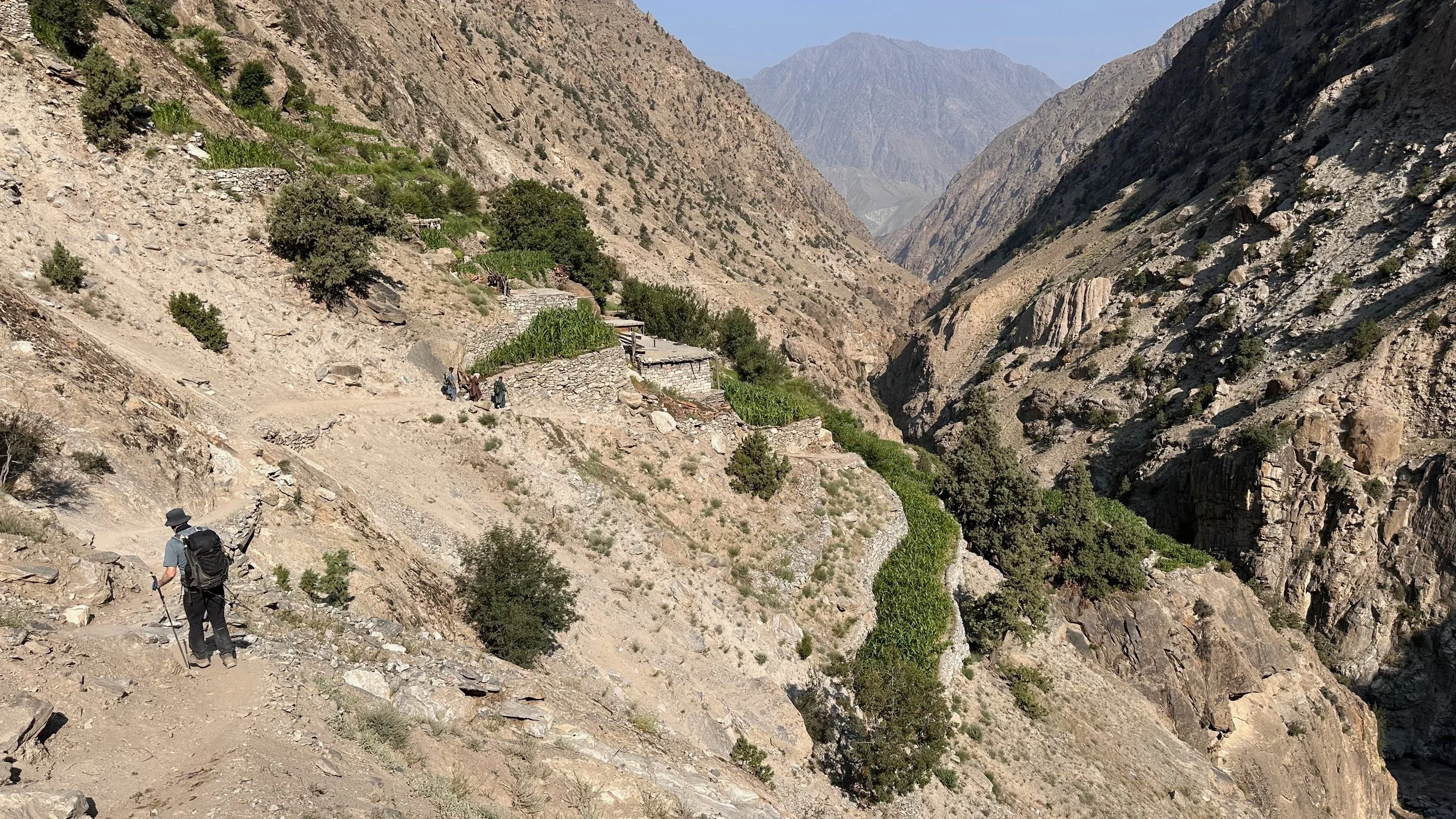
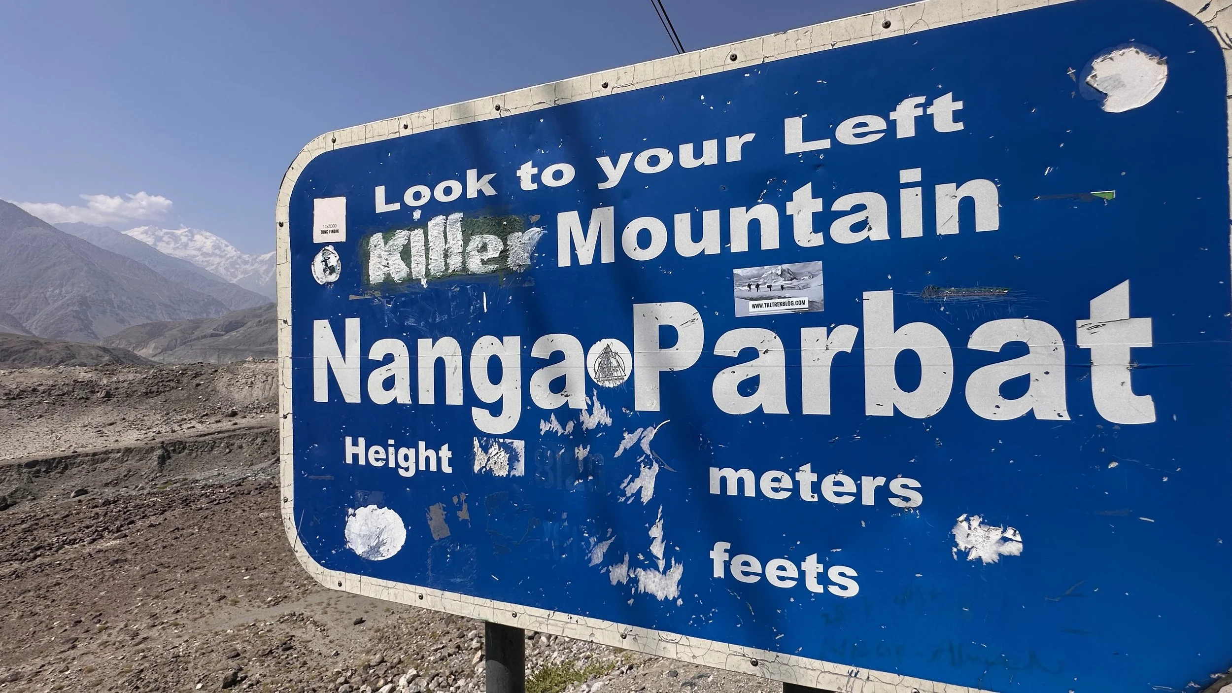
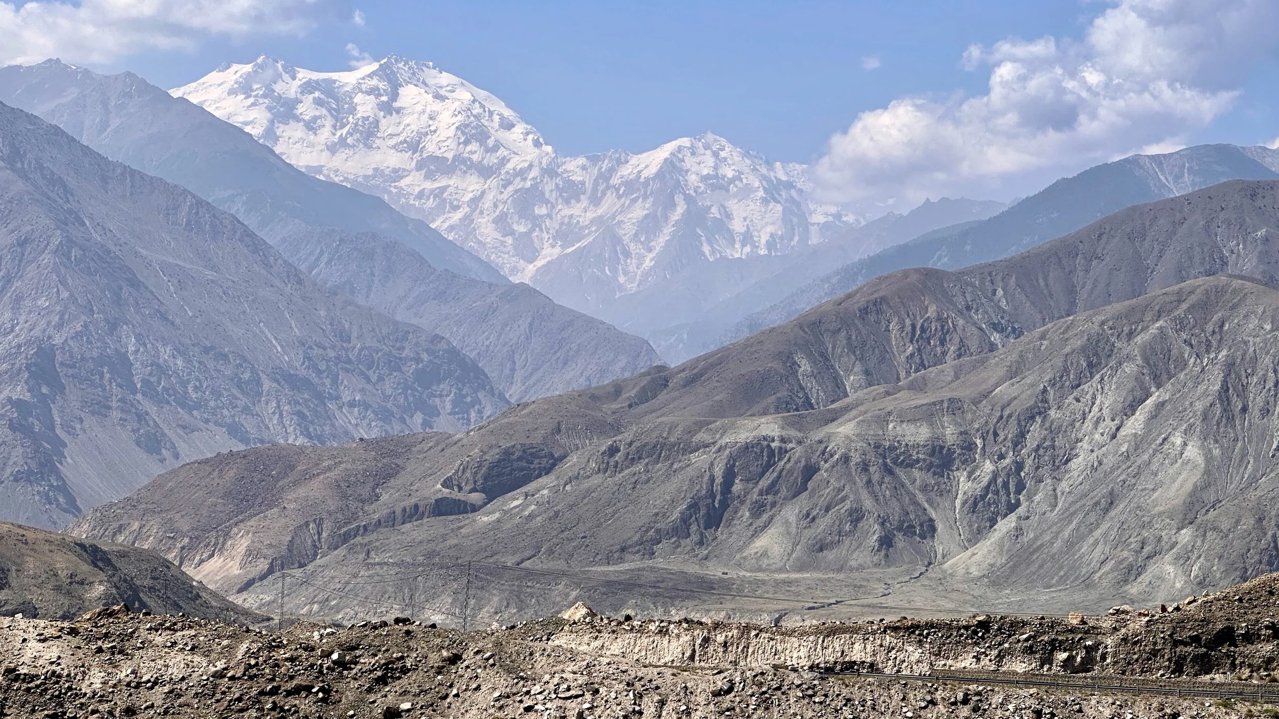
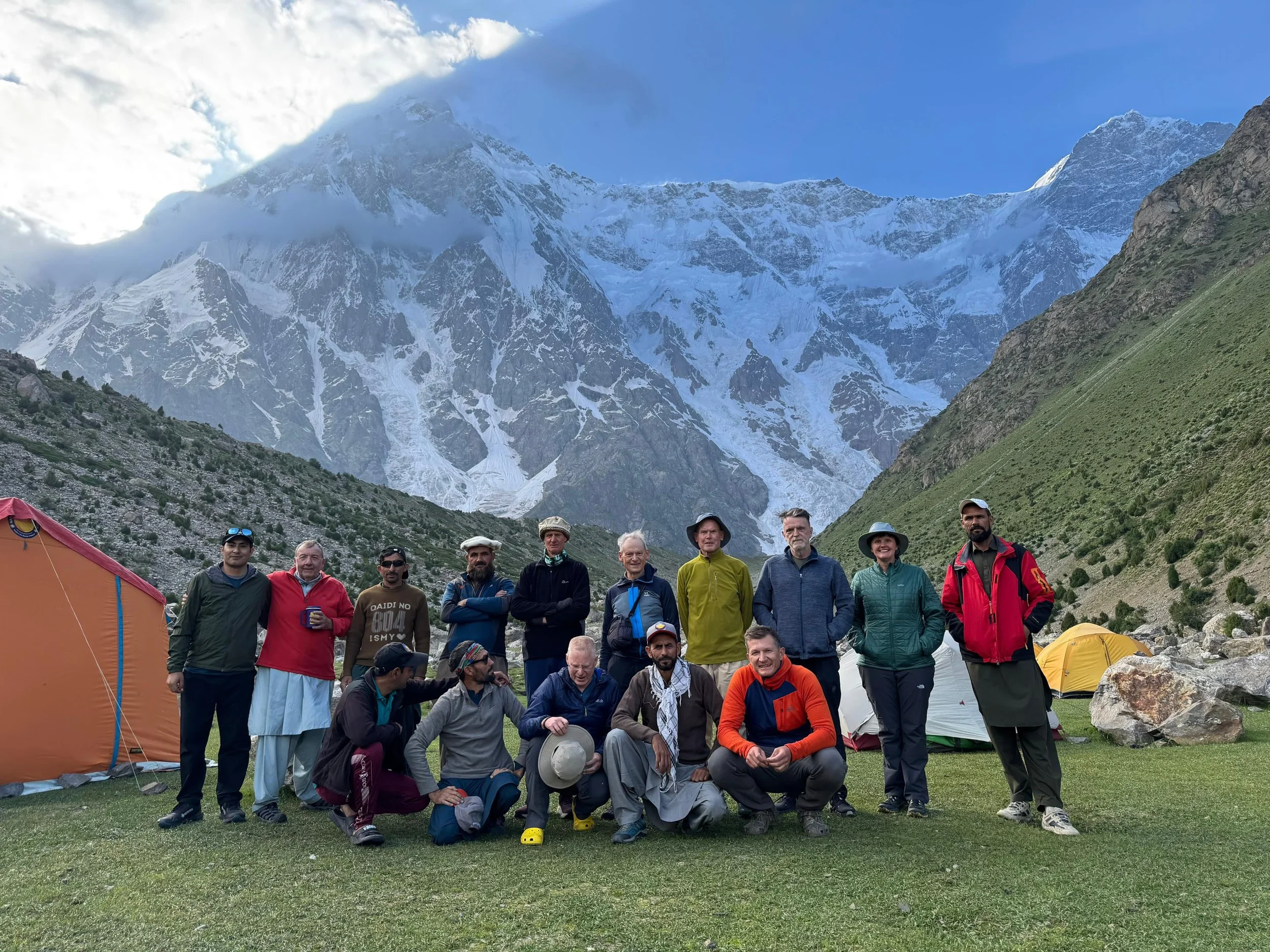
6. 2025 Nanga Parbat Rupal, Mazeno La 5,300m and Diamir 180km

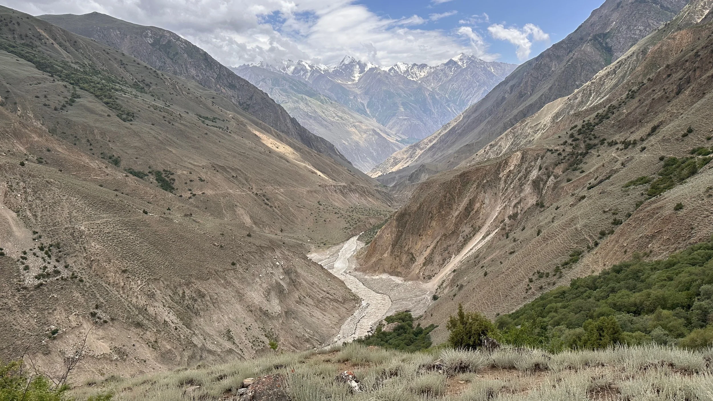
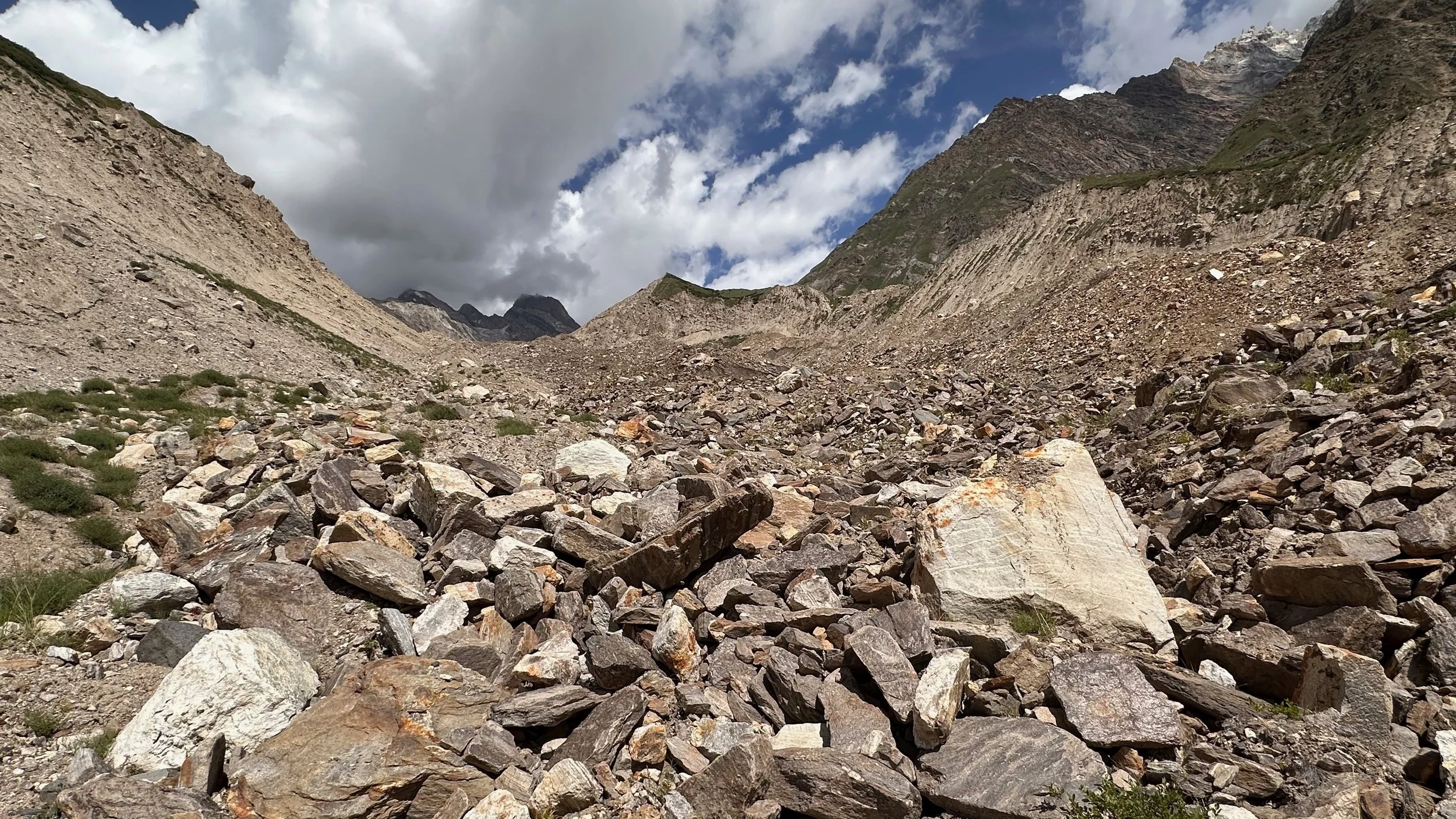
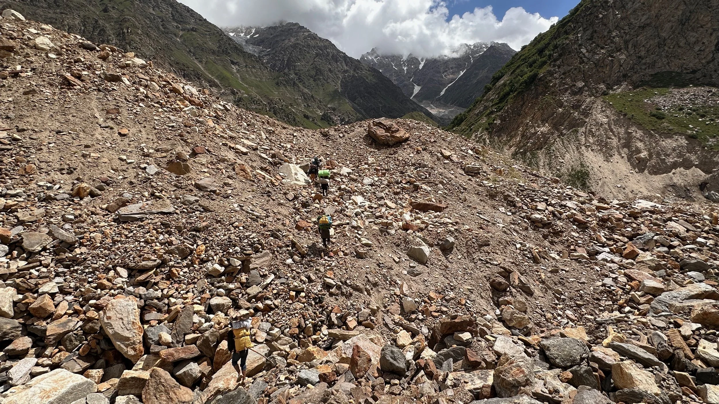
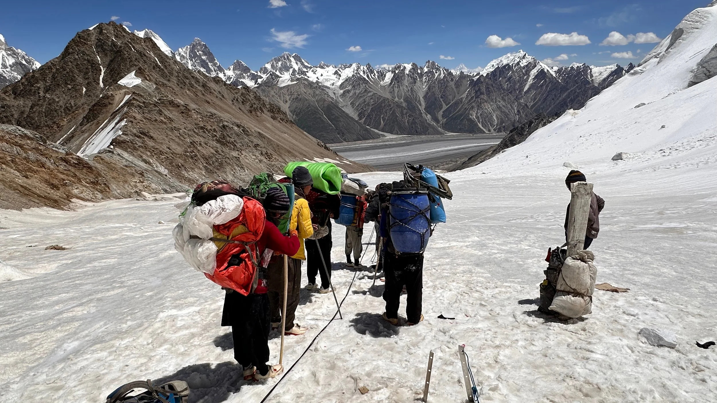
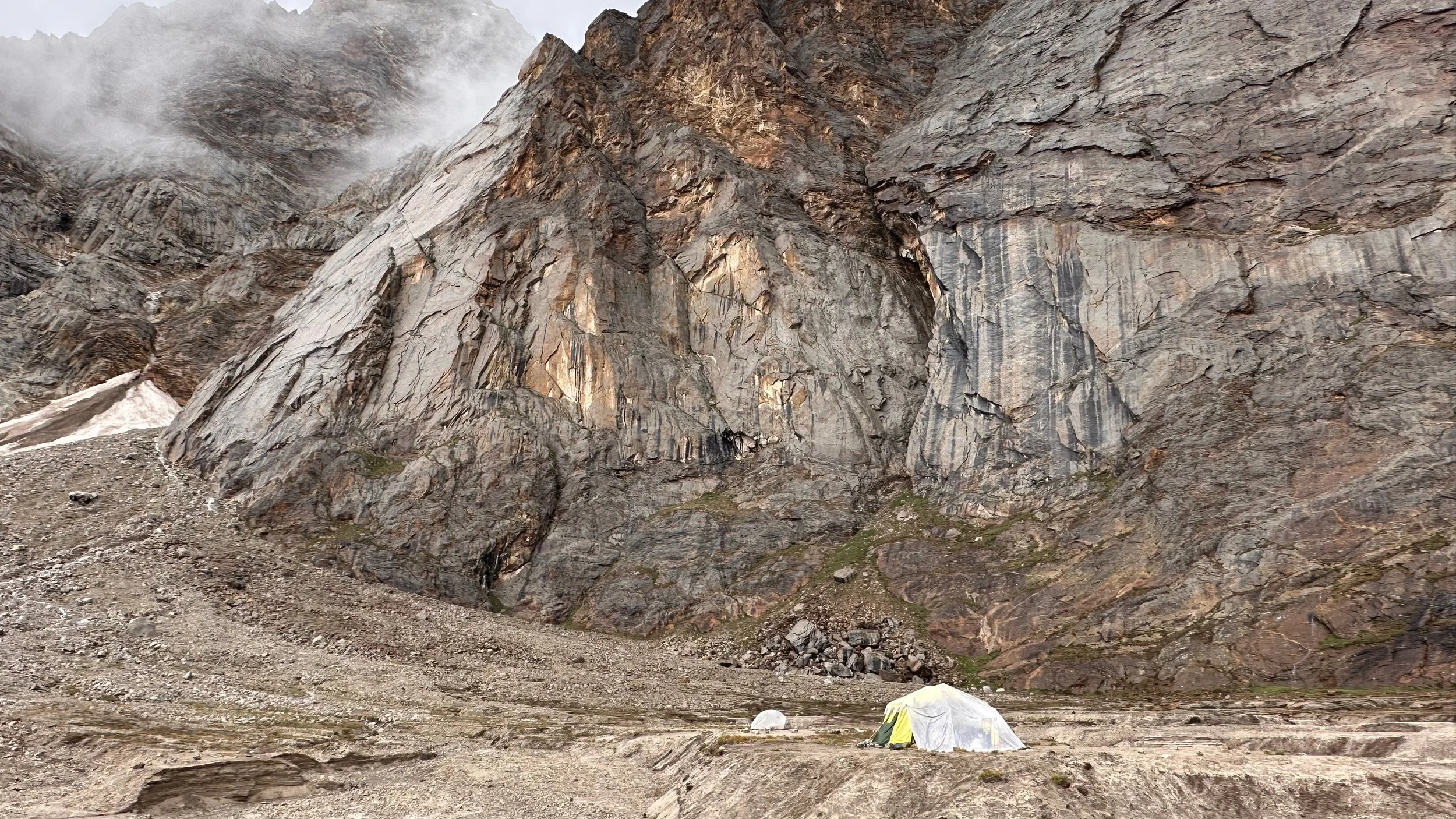
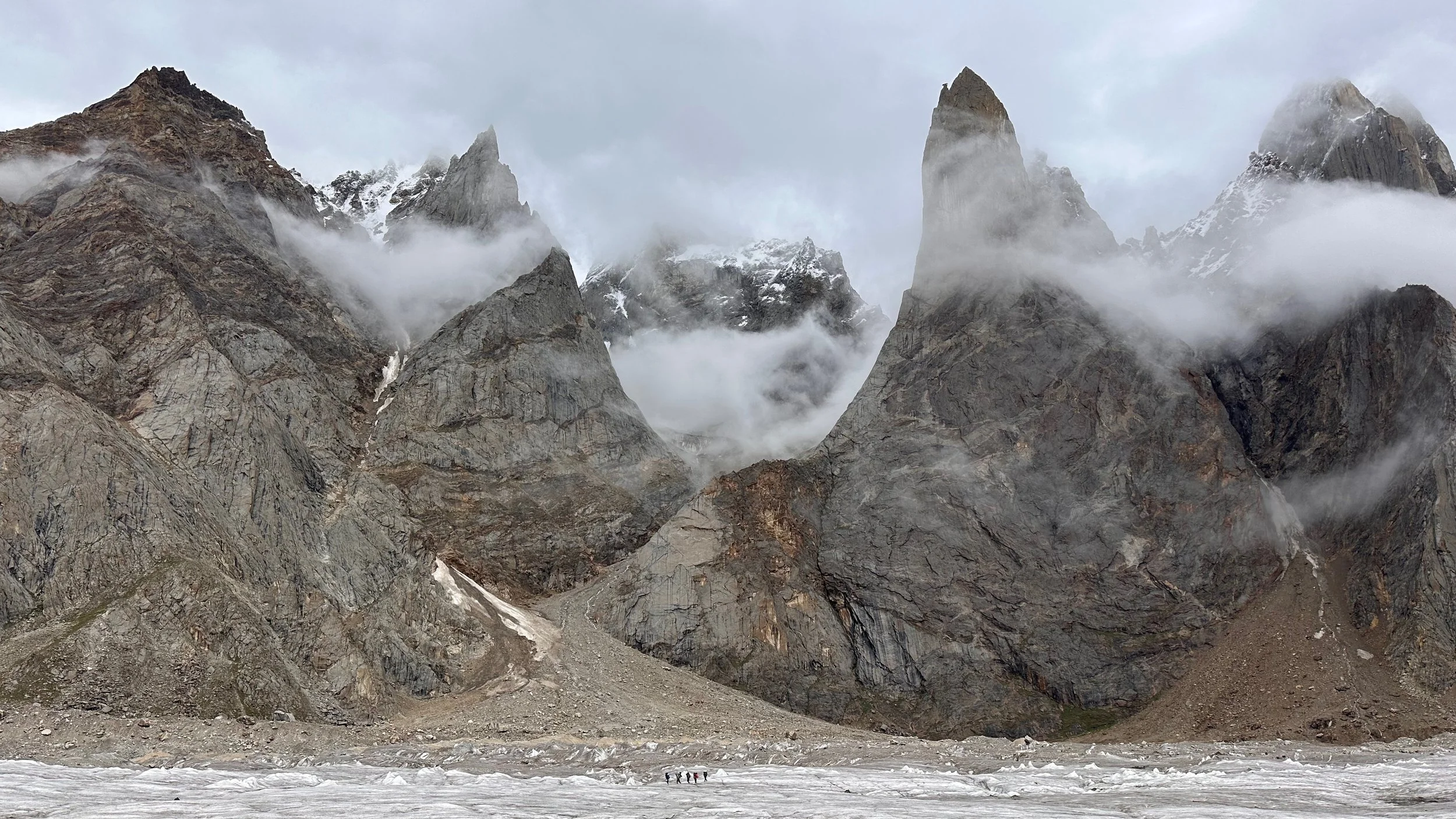
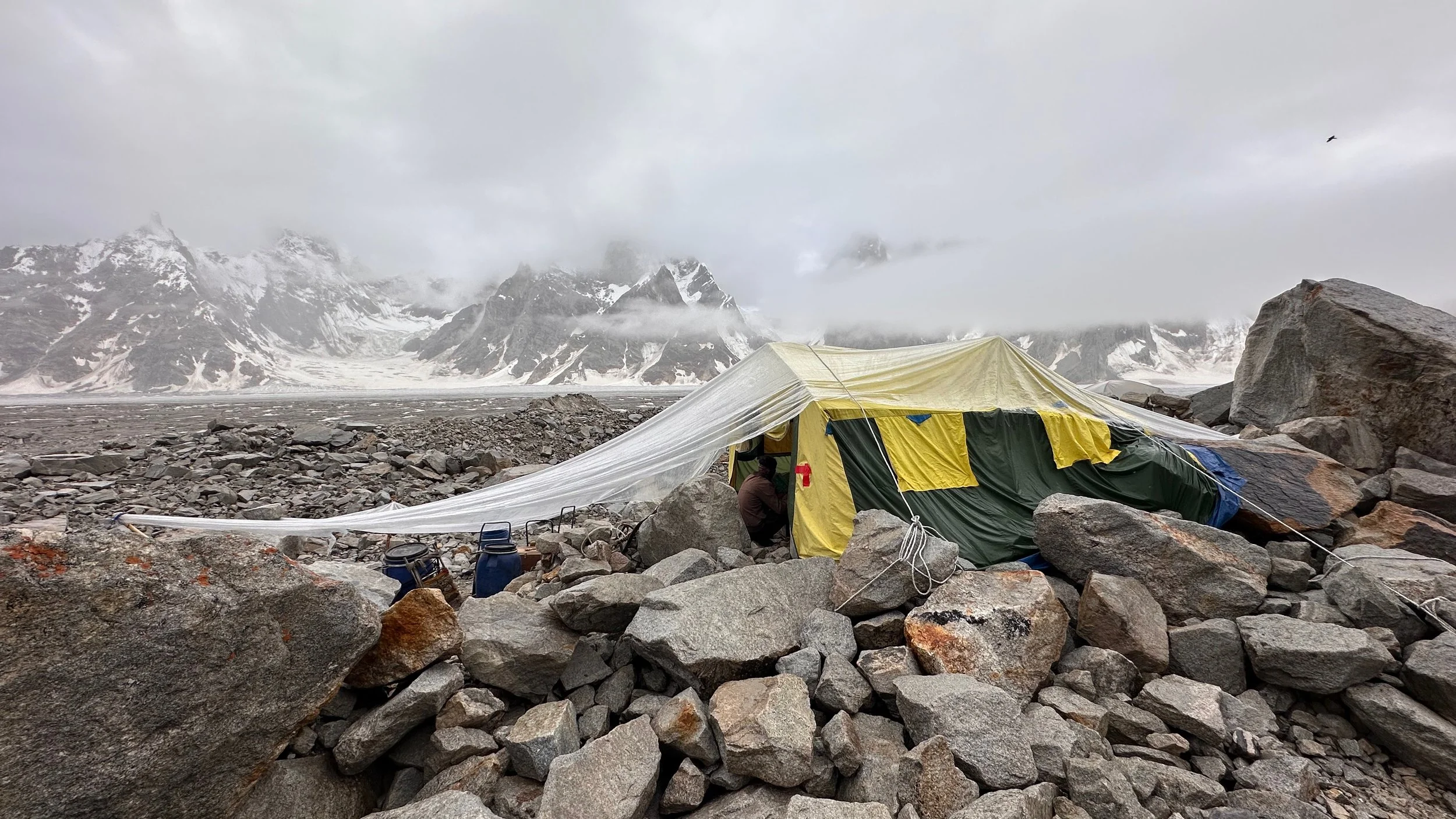
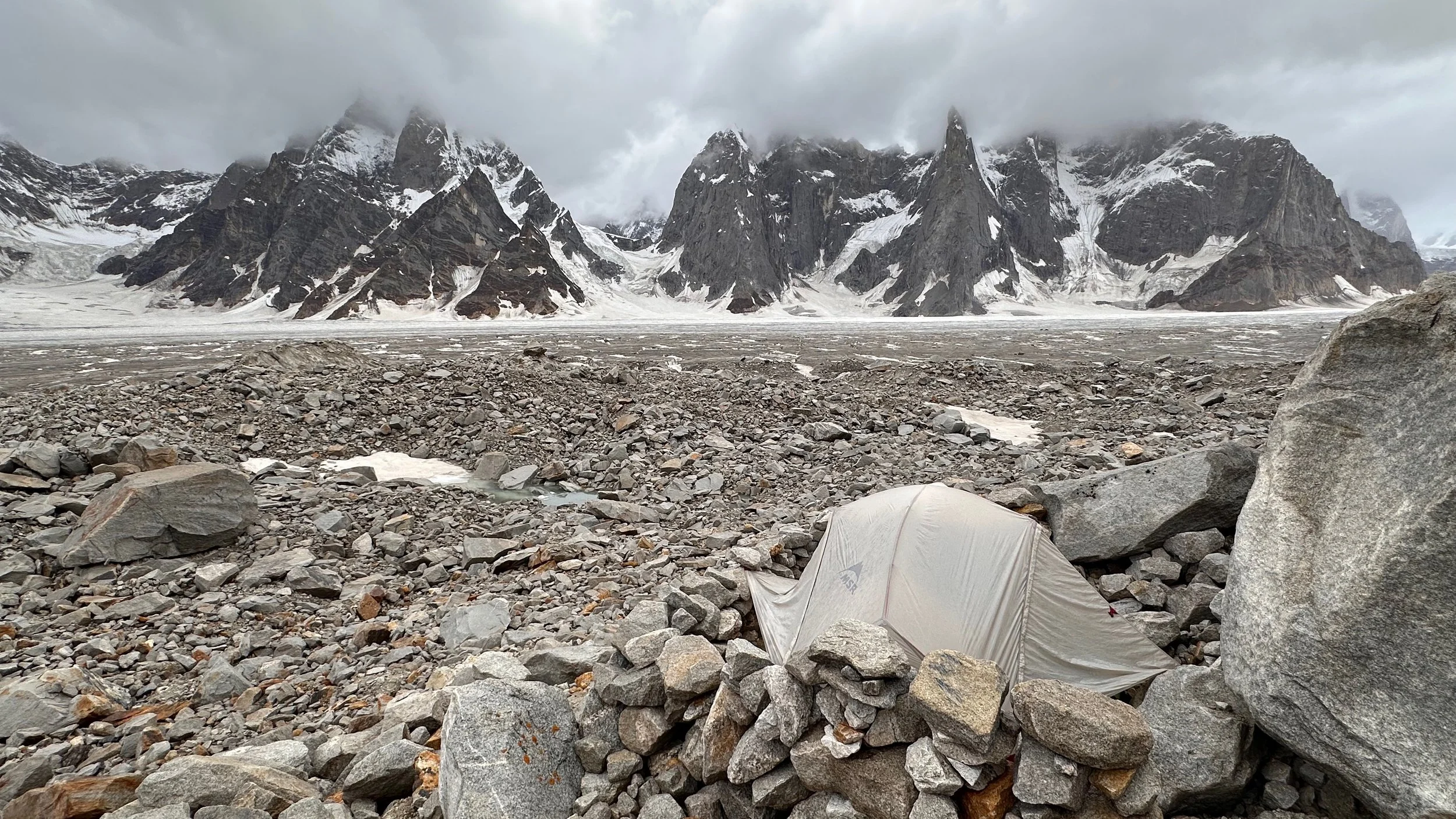
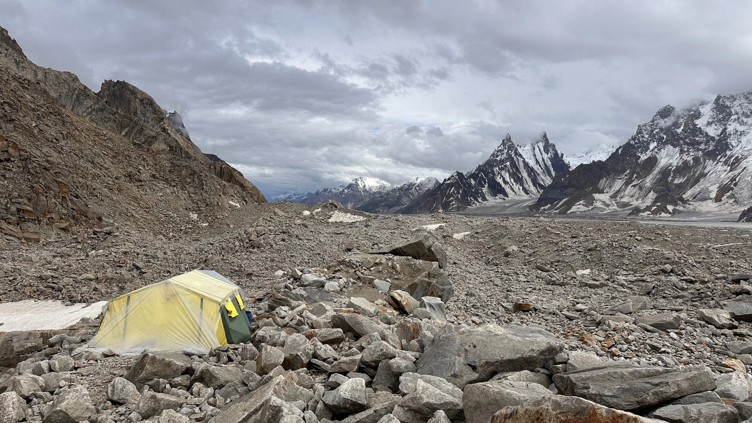
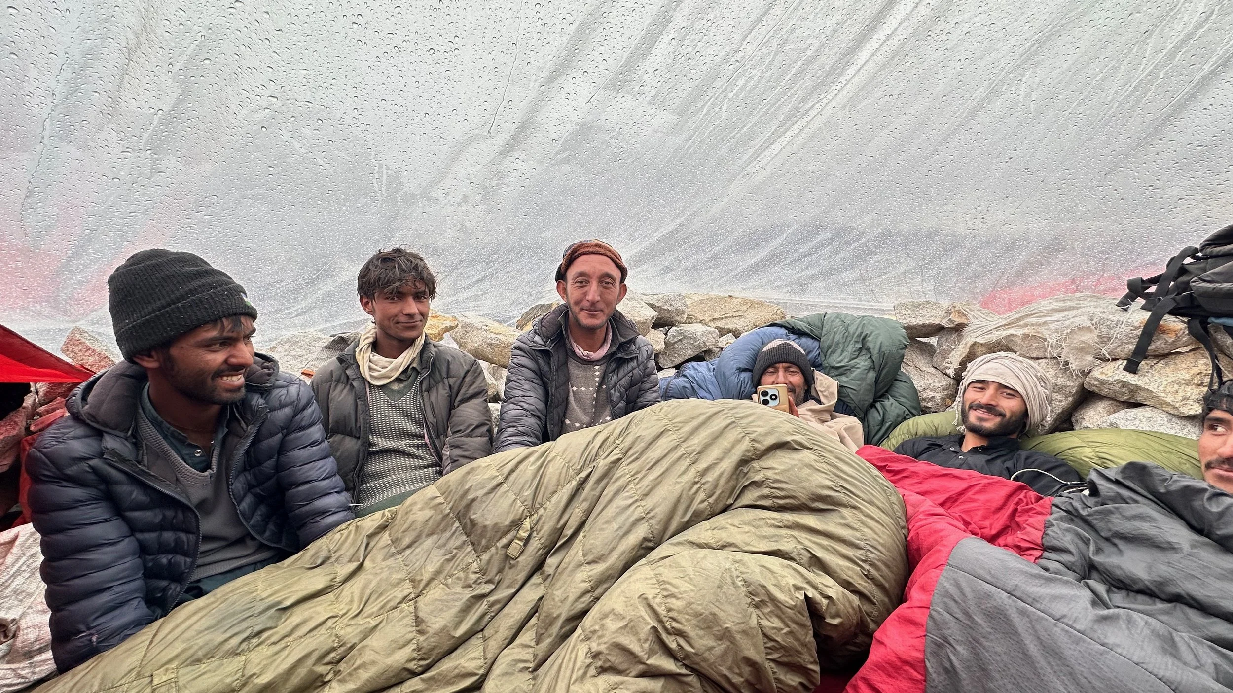
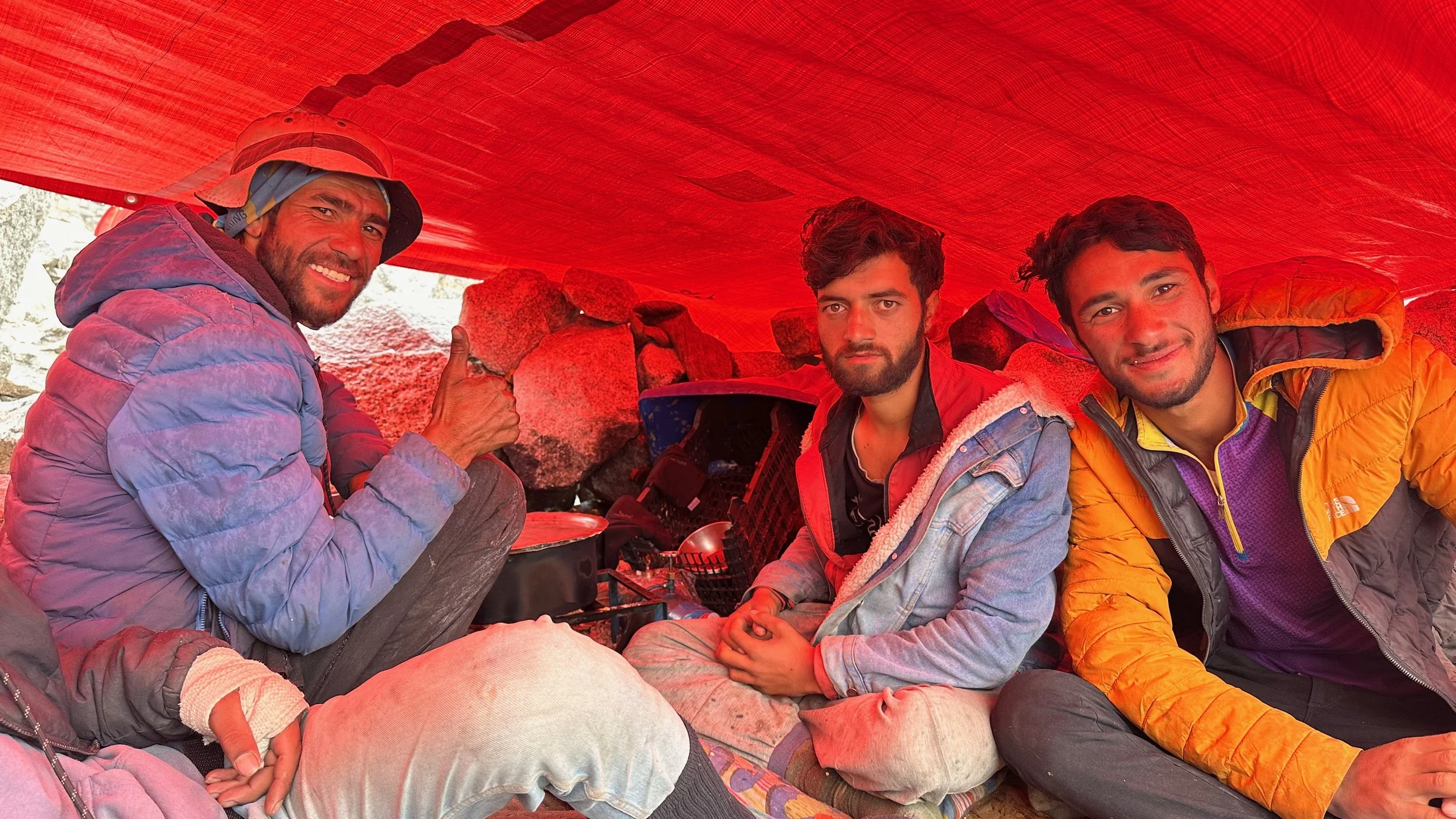
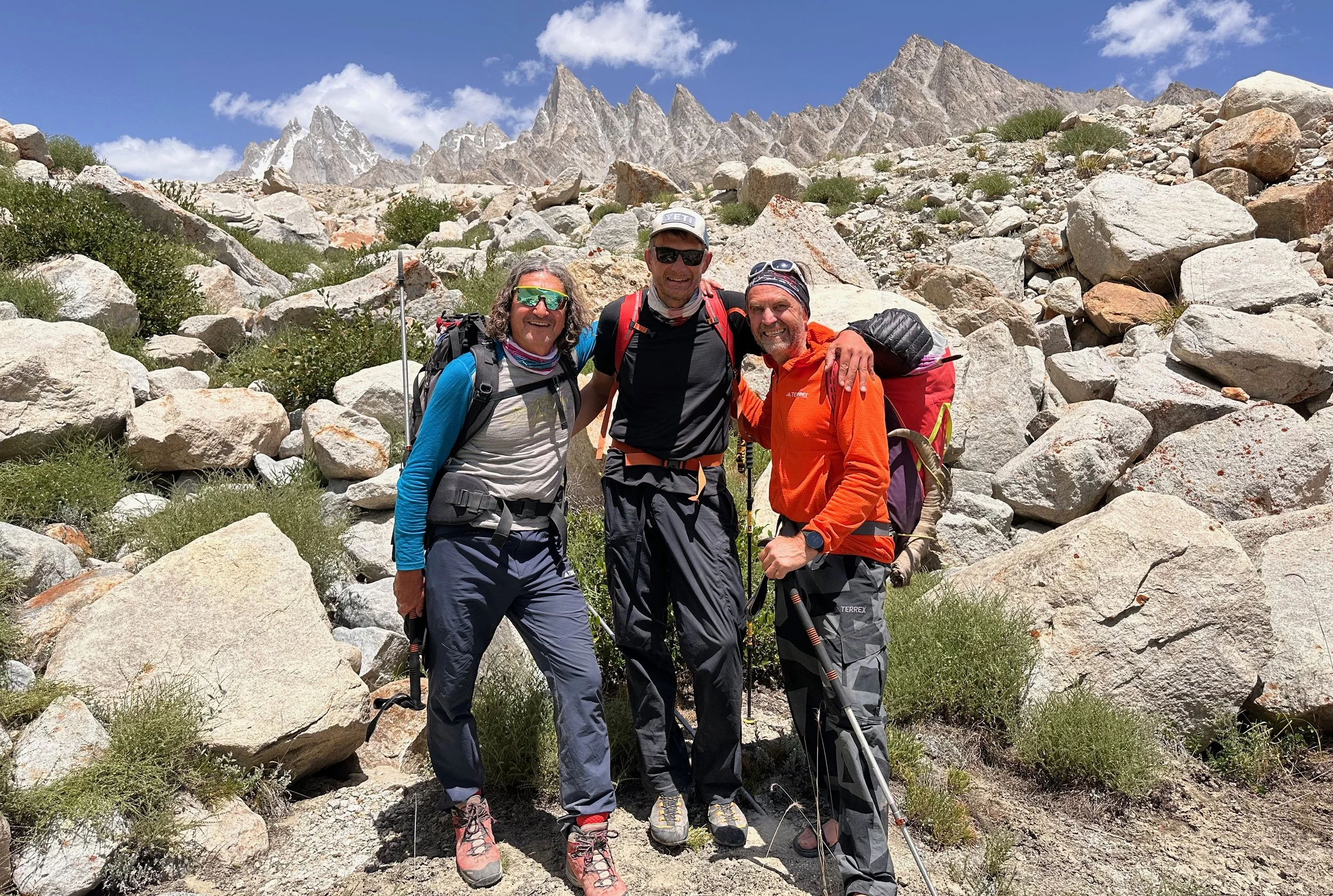
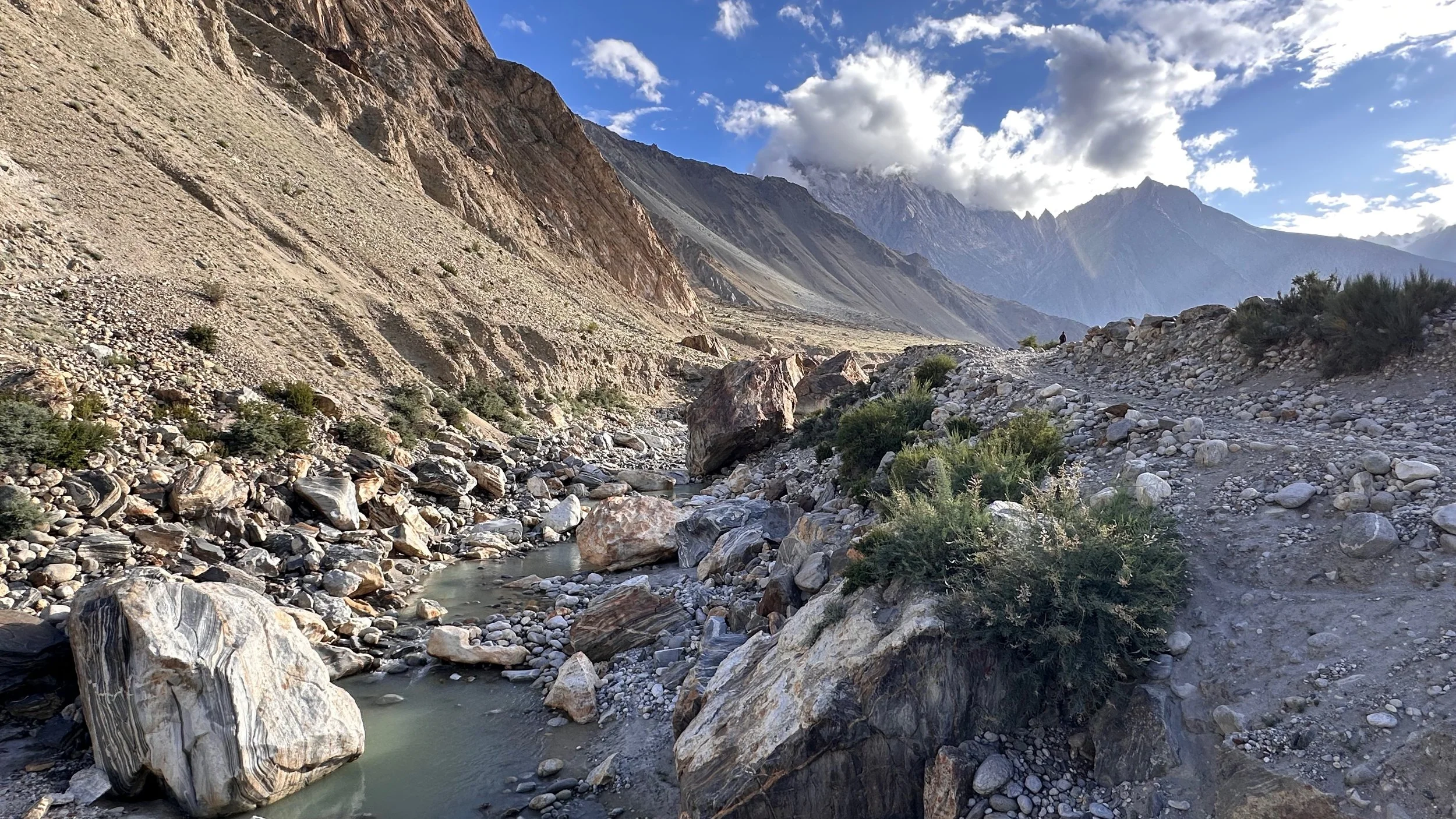
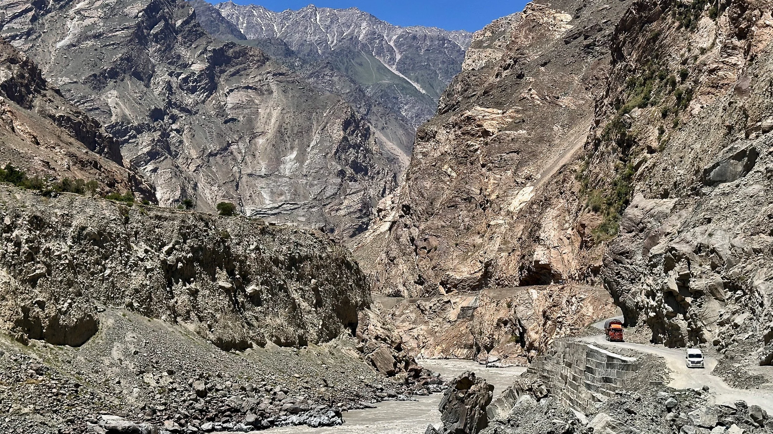
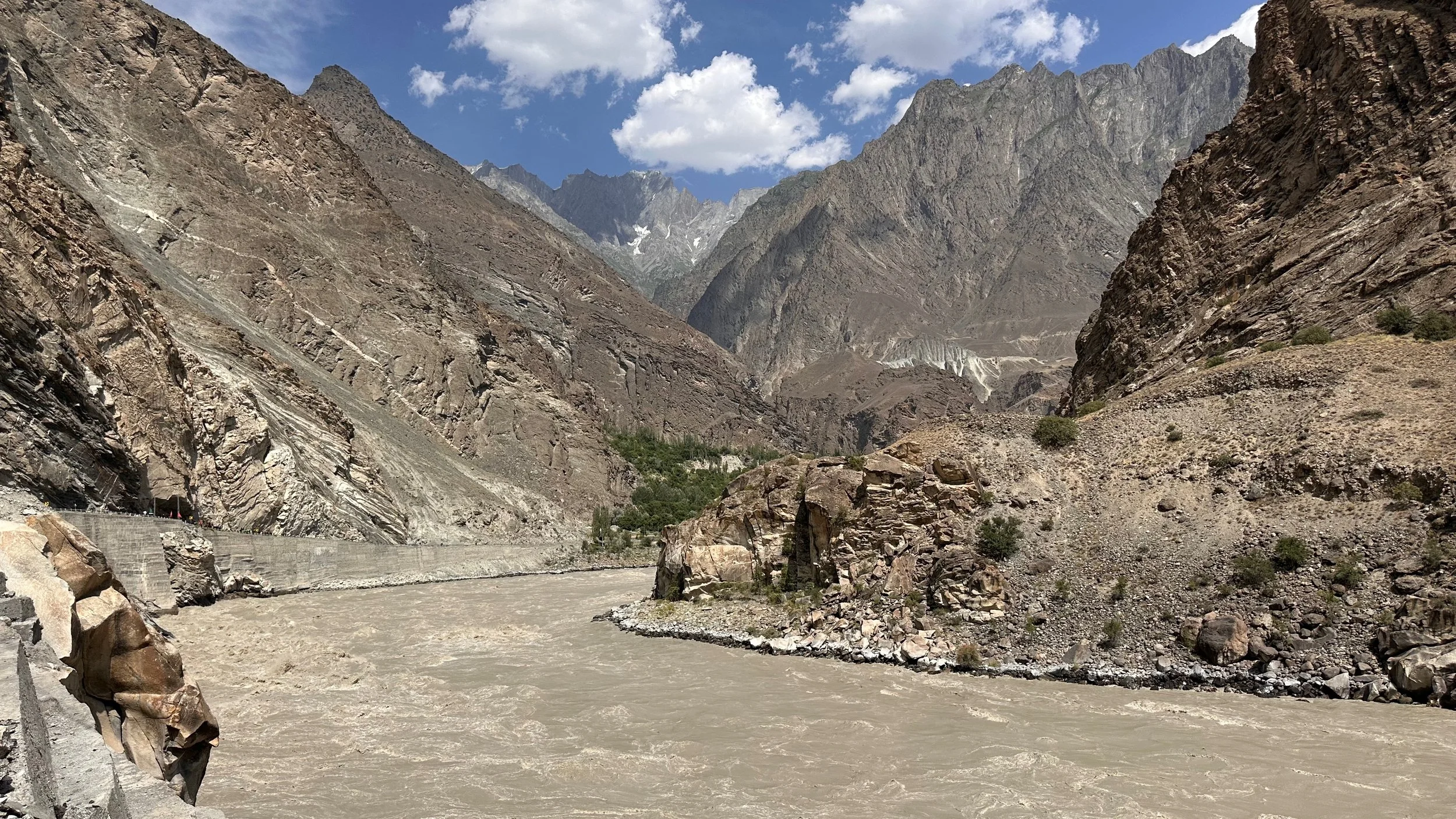
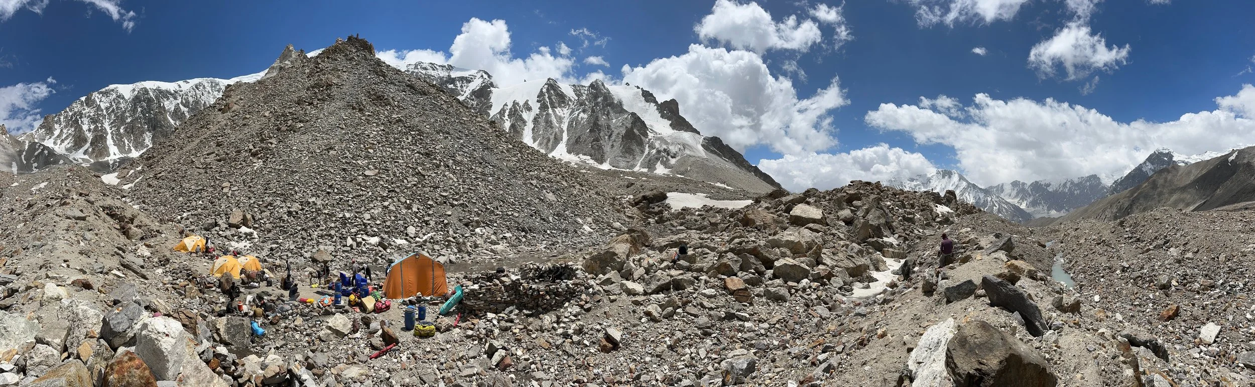
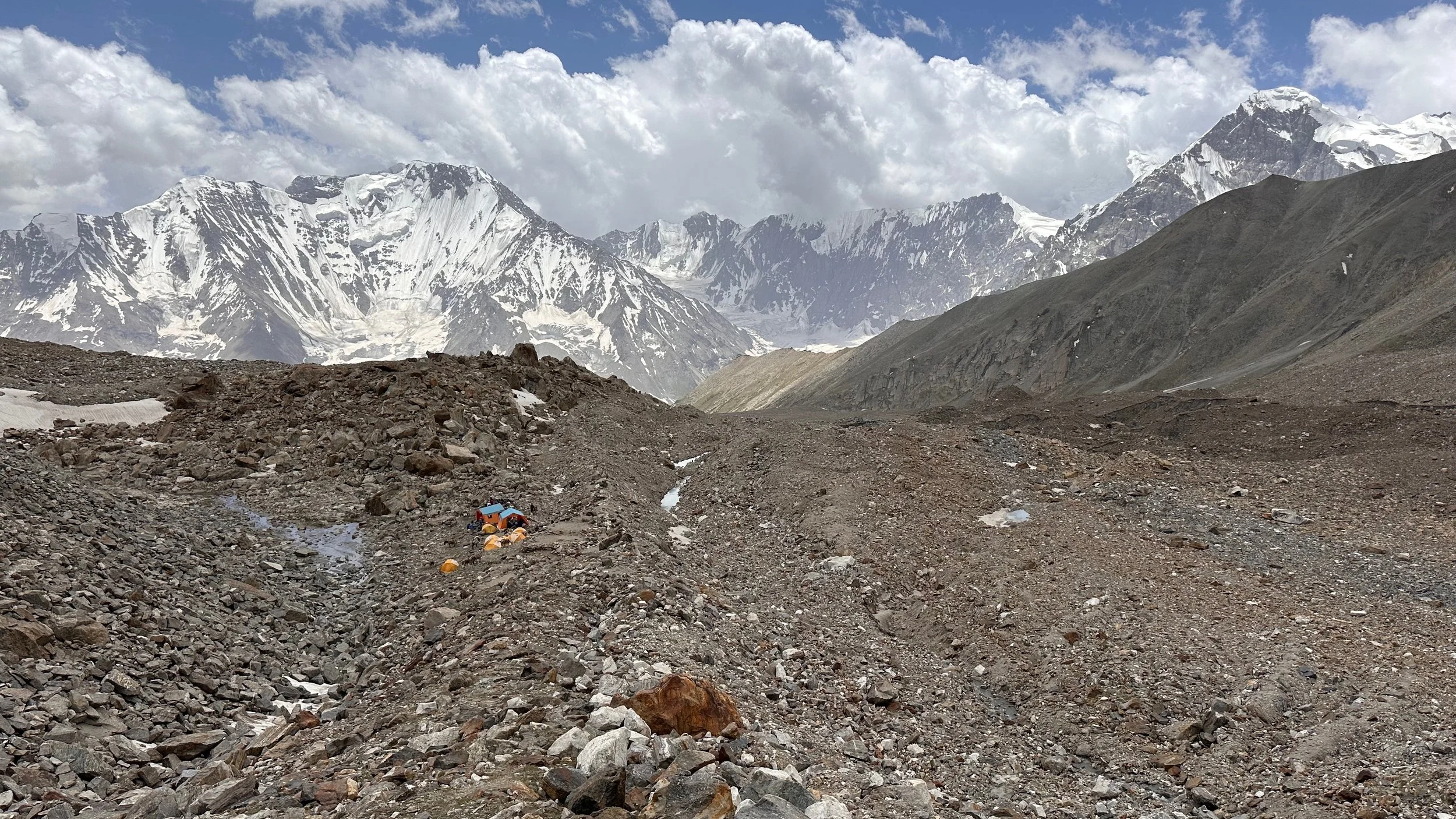
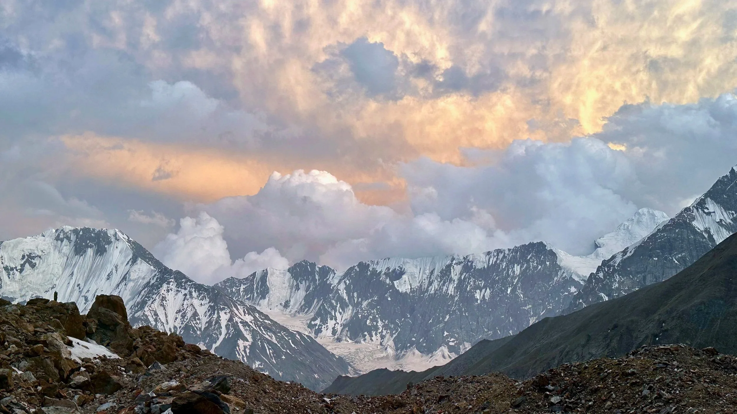
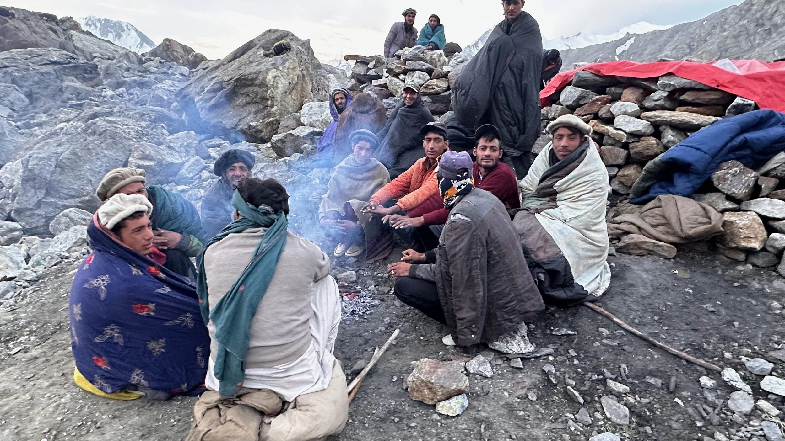
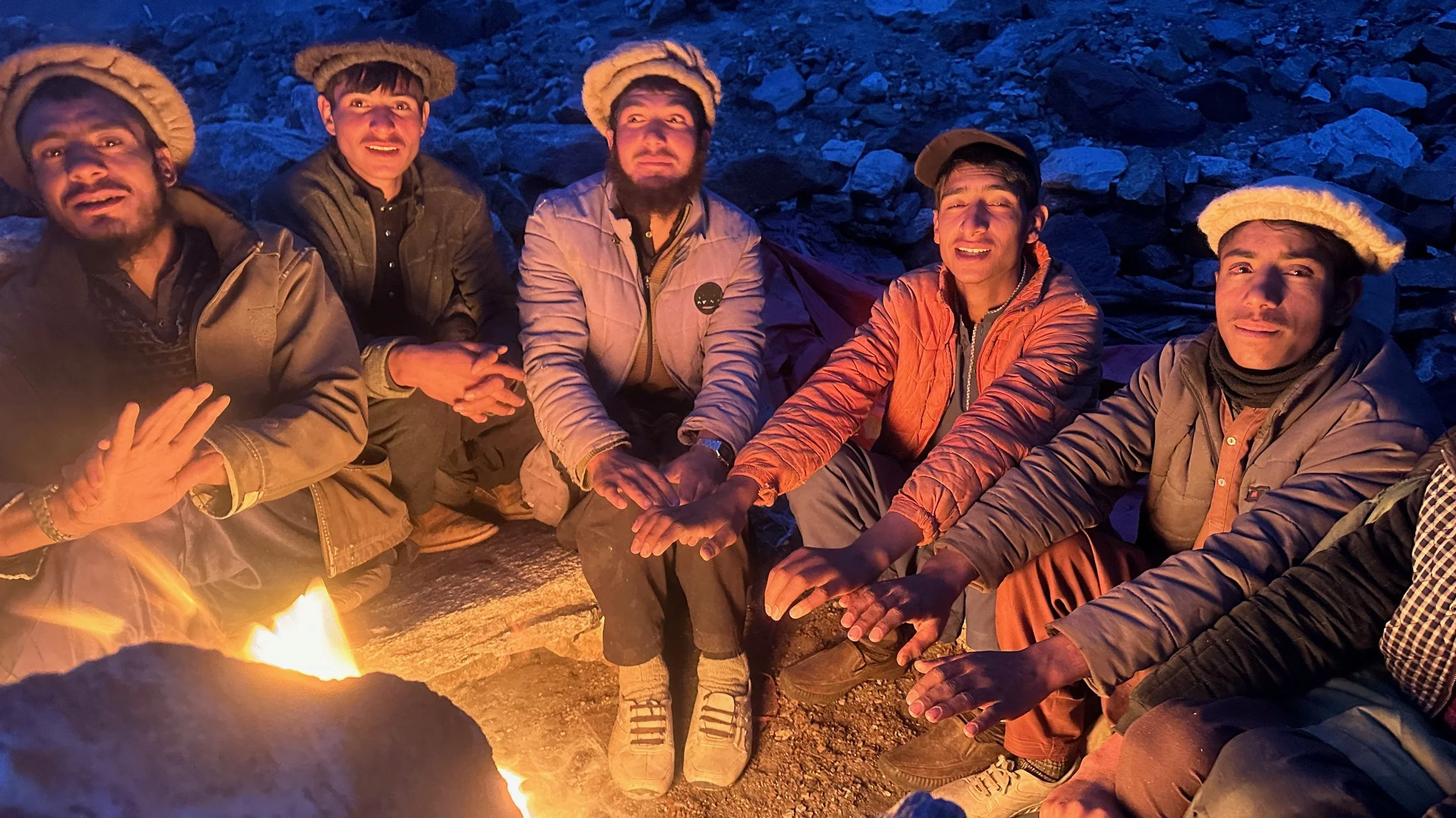
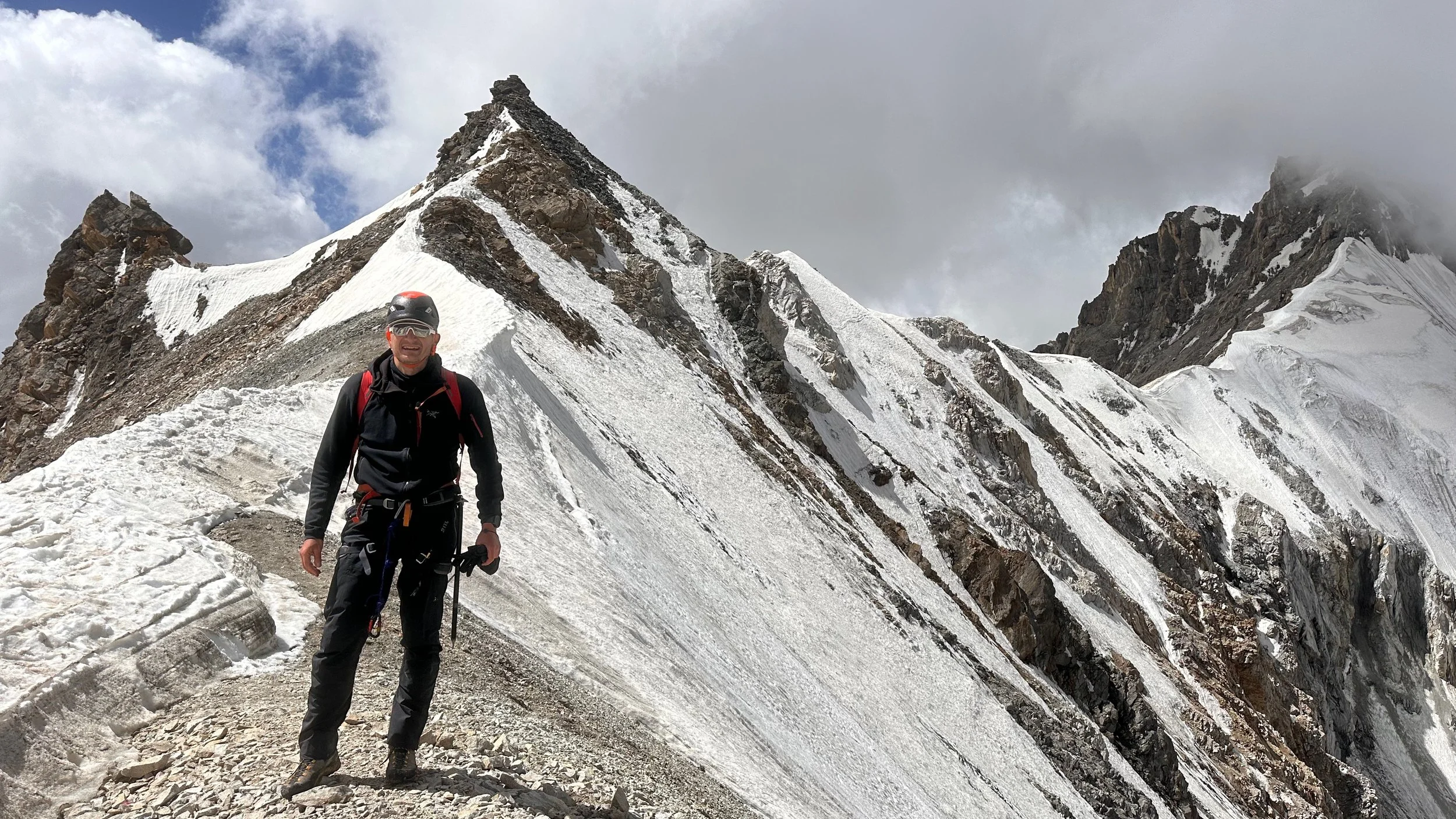
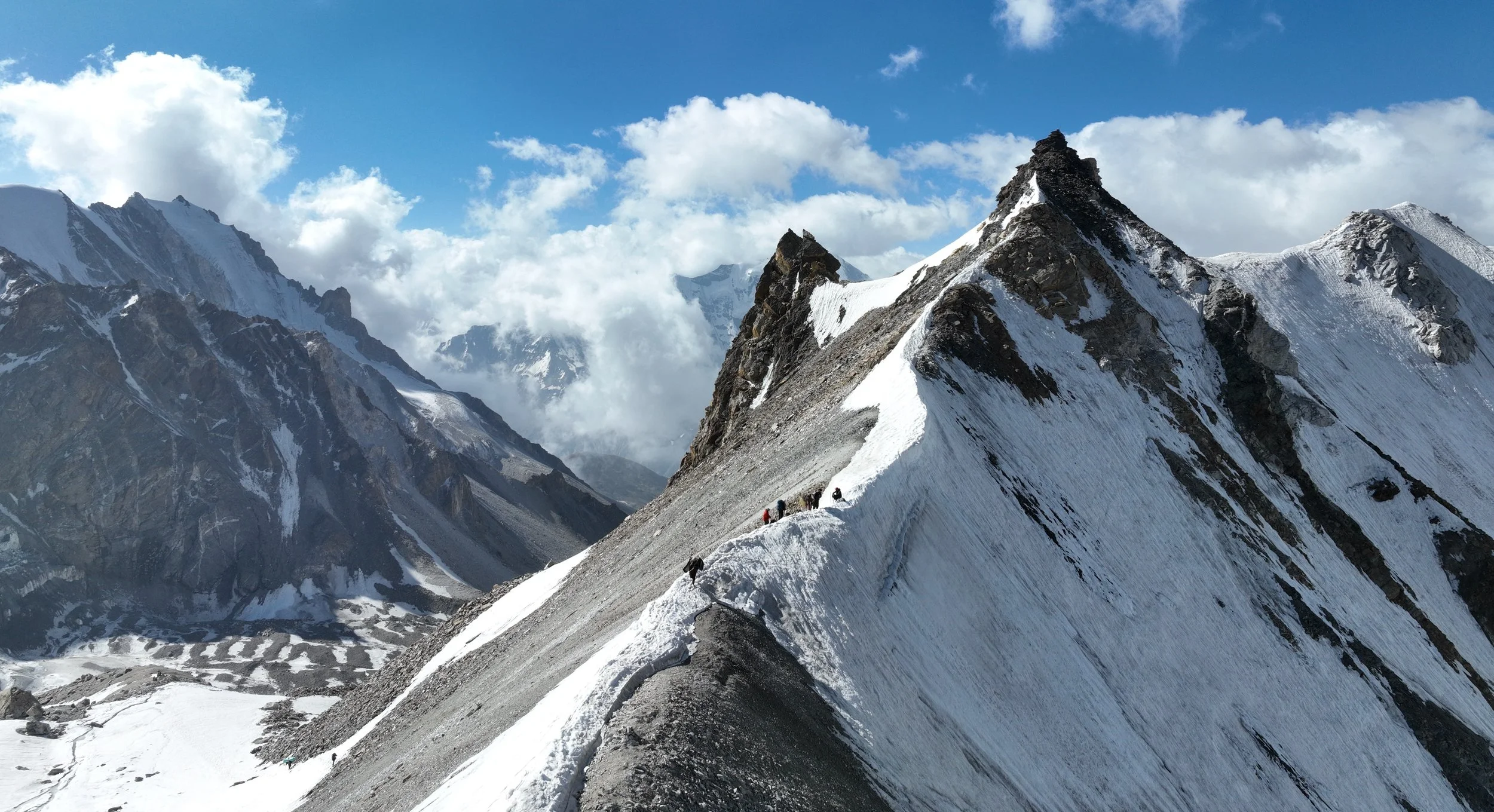
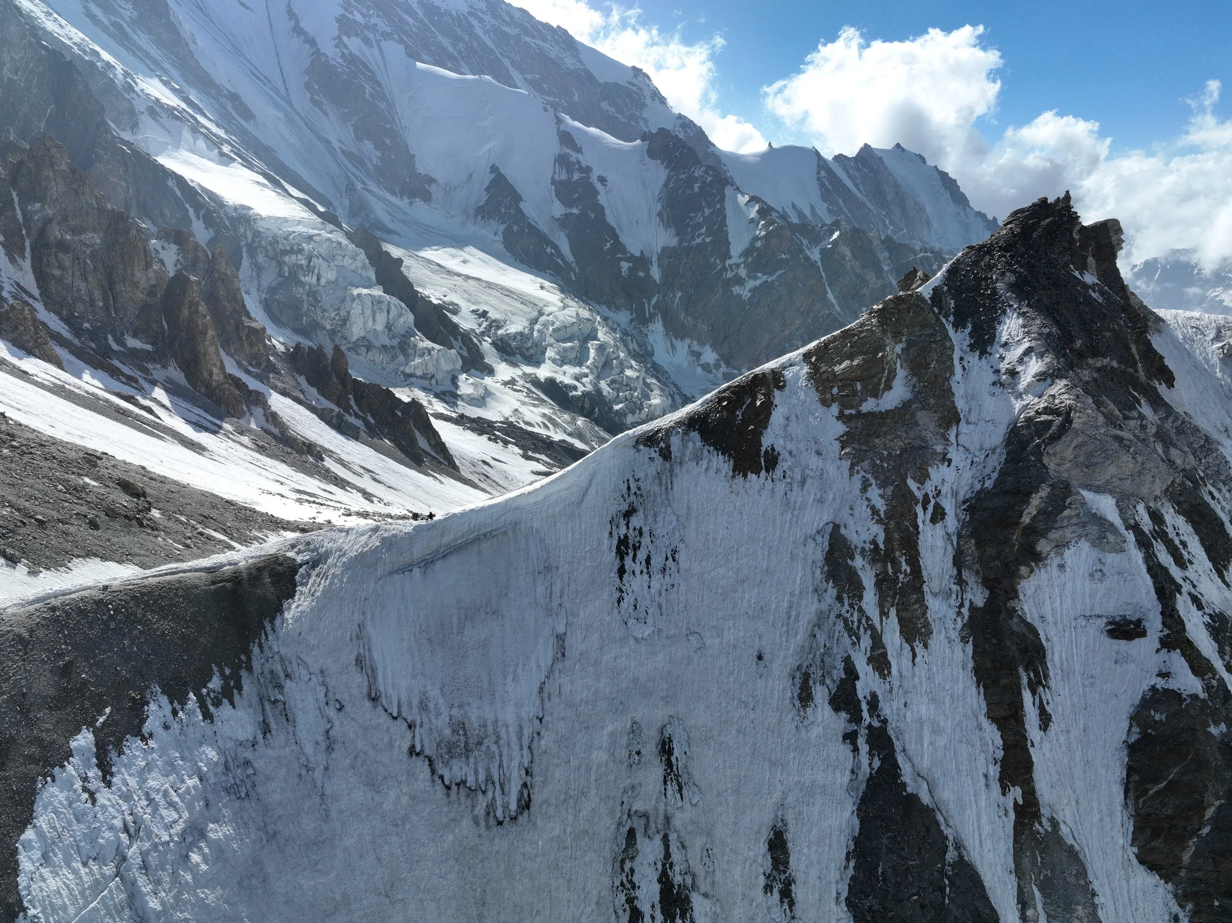
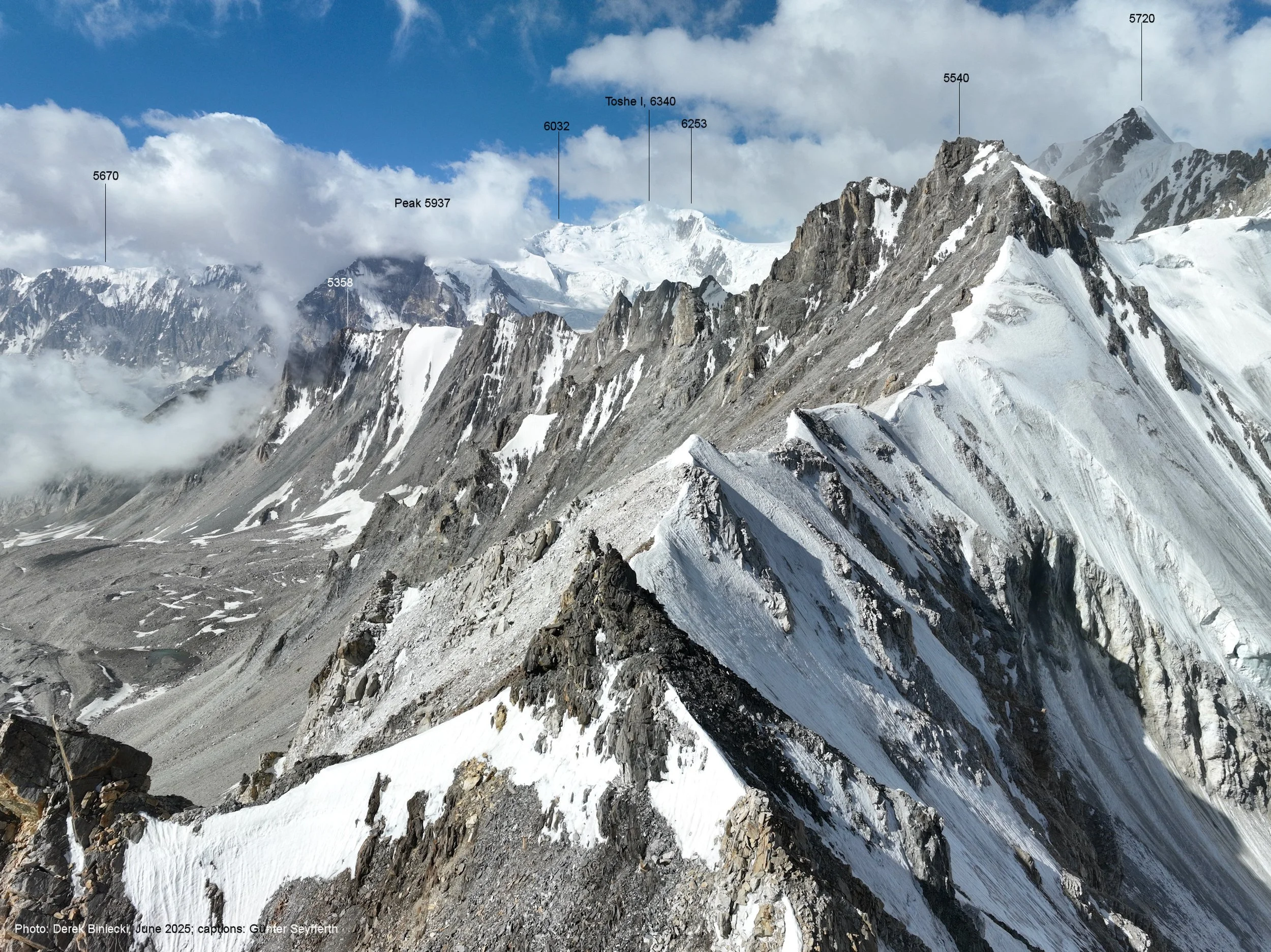
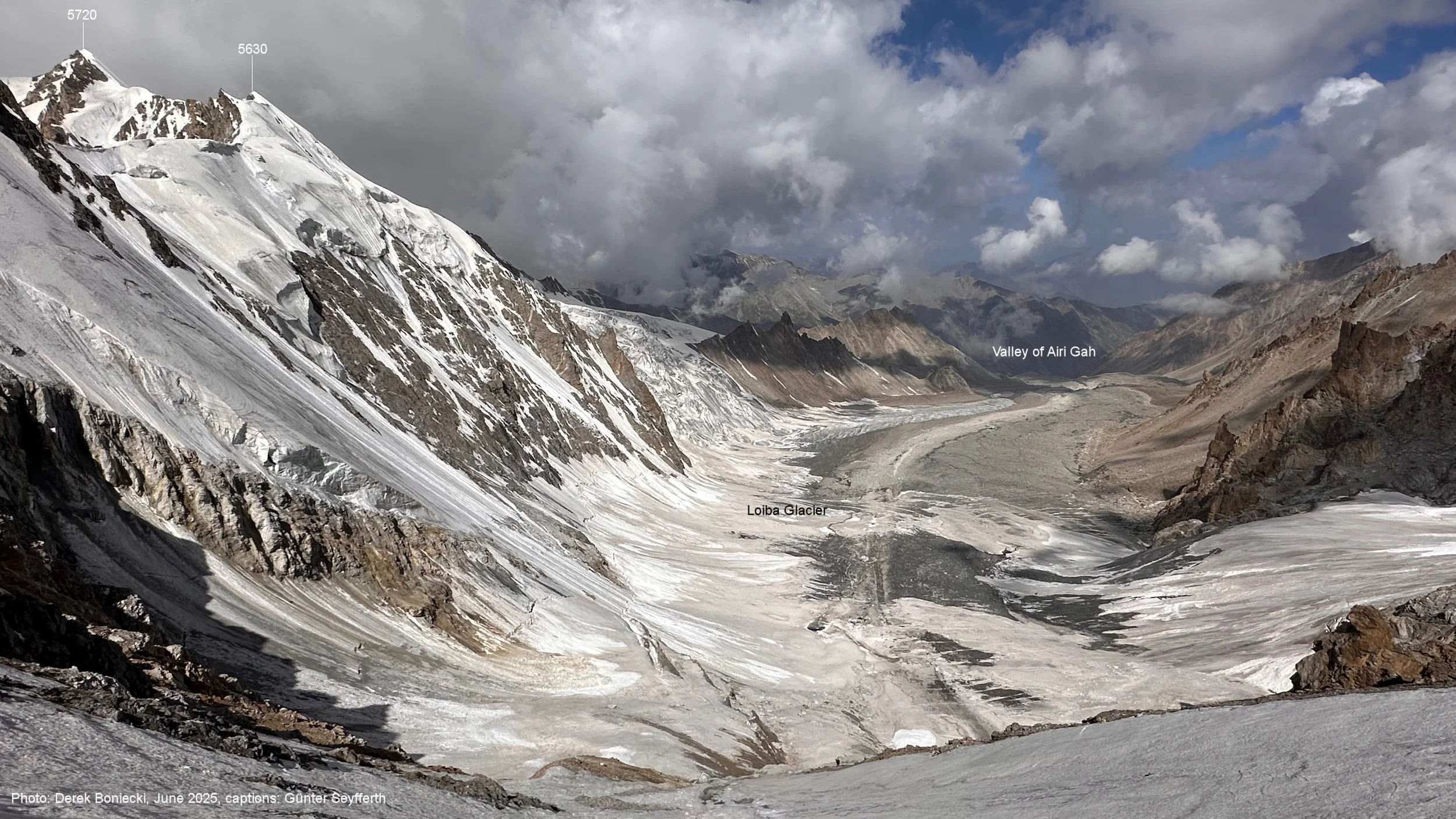
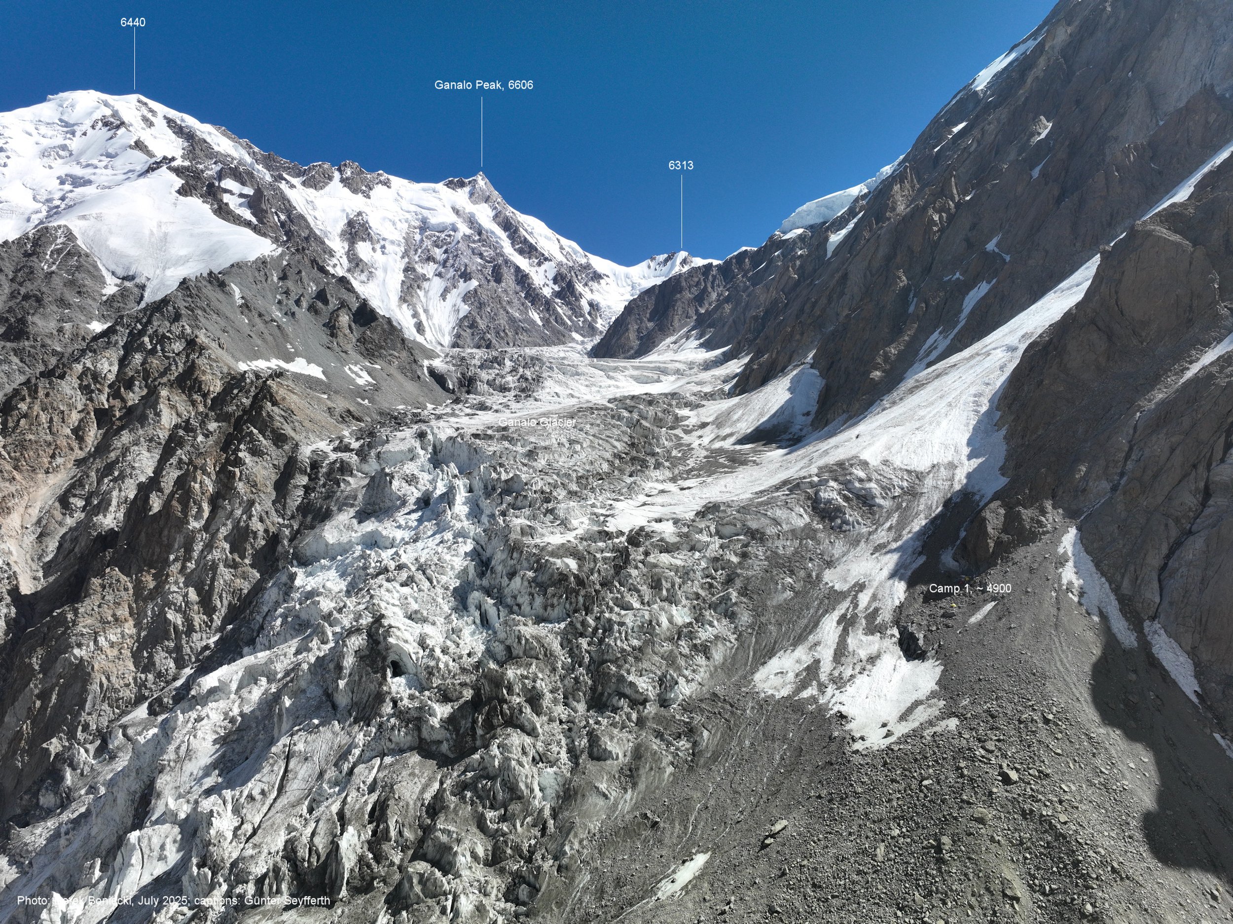
7, 2025 Jamal Pass 5,300m and Sim La Pass 5,400m 220km

India treks and passes (291km):

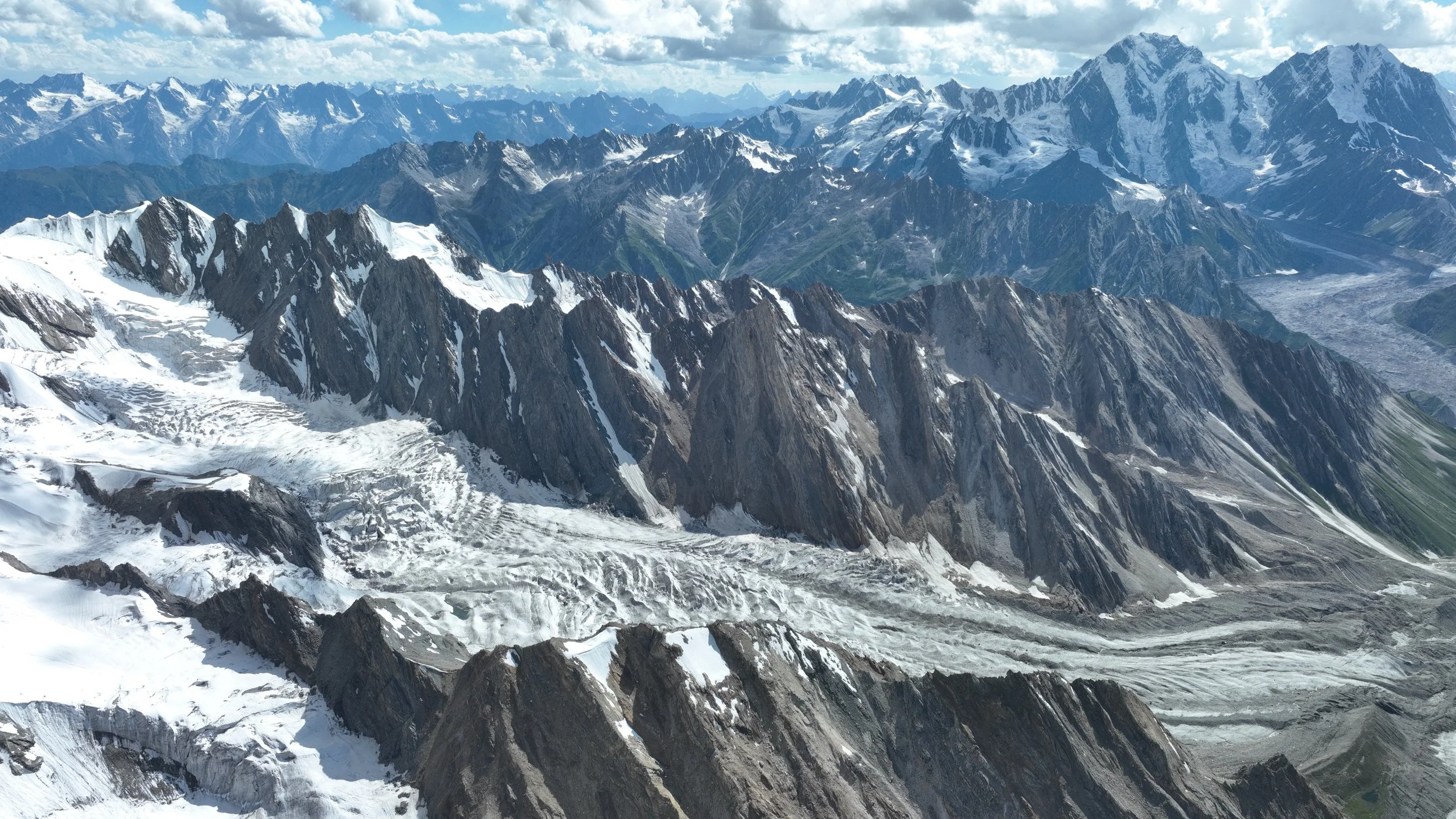
1.    2007 Grand Zanskar Traverse (Darcha to Lamayuru) 291km, Shingo La 5,090m, Murgum La 4,000m, Singe La 5,000, Sirsi La 4,900m

BHUTAN HIMALAYA (350KM):

1. 2024 The Snowman Trek (11 Passes over 4500m to 5300m) Part 1, Part 2, Part 3

region-map-1050.jpg
5EBE7775-AA8B-4EE9-AEC8-9D838F707EEC.JPG


Pakistan - Part 1 - Jamal Pass

This trek is a little unconventional. It requires good acclimatization and good weather for crossing two high and remote passes. It traverses the remote Hoh Valley, crosses a 5,300m steep Jamal Pass and then continues on via Biafo to the Sim Gang Glacier which is part of the Snow Lake. It then crosses Sim La at 5,400m and ends up on the spectacular Choktoi Glacier, covering its entire length. It is really a dream route of the Karakorum Range. There are almost no other people along this route.

All I needed to make my dream a reality, was 10 crazy locals to assist me. I was lucky to find them. I had 10 Baltis with me on this route, some of who probably did not realize what they were up for. We covered around 200km and climbed a lot. We had to dodge falling rocks, avoid crevasses, stay clear of avalanches (with rocks), labour through snowfields of soft crusty snow, cross crazy rivers and try to simile all the way to the end. This was by far an EPIC experience that is unmatched in the Himalaya for me. Again and again, Pakistan is THE BEST place for adventure and spectacular experiences. Unfortunately it has a poor reputation, but for those with an adventurous spirit, it delivers big time.

I divided this trip report into two parts: The Jamal Pass and the Sim Gang/Sim La. The total took 2 weeks (not including the jeep rides), but I was very well acclimatized from the Mazeno La trek. There were days when we were stuck in the tents due to rain and then, on other days we walked 30 - 40km.

Thanks to Ehsan Ali from Tissar in the Shigar Valley for leading the charge and being a good leader, and to Adventure Karakoram Pakistan for the logistical support.

A satellite photo of the Biafo Glacier. The Jamal Pass is on the left half way up the photo. After crossing the Jamal Pass we circumnavigated the large white island of mountains in the center of the photo.

Big Thank You to Talib from Ho Village who was critical to the success of the Jamal Pass adventure. Without him, the entire enterprise would be finished before it even started. Sometimes meeting the right person makes all the difference.

The bridge to Hoh Village and the Hoh Valley. This bridge is half way between Dasso and Askole.

Looking down at the road to Askole from Hoh Village.

The trail from Hoh Village along the Hoh River. For the first day we followed a nice trail as the local use the upper valley for pastures.

Looking back at the Hoh Valley.

Making our way to the upper Hoh Valley. We will soon turn to the right. There is a large valley and glaciers in there although invisible from where we are standing.

Looking back at the Hoh Valley.

Koser Gunge 6,400m

Koser Gunge 6,400m

Ghur Mountain from Hoh Valley

Ghur Mountain

Once the trail ended we were off piste. We had to cross some small glaciers before ascending the hanging valley ahead.

Glacier crossing - this glacier is the source of the Hoh River

Getting higher. The 6,000m mountains on the horizon separate the Hoh/Sosbun Glaciers from the Arando side.

Now the terrain is totally wild. There are no trails. This is a very seldom visited area. The pass was crossed maybe 3 or 4 times before.

No trails…

Ganchen 6,461m

Ganchen 6,461m

The Tongo Glacier. The white Tongo Mountain is 5,904m high. The Jamal Pass is hidden next to the pointy mountain on the left.

Tongo Glacier. Jamal Pass is on the left (well hidden). You can’t see the pass until you are directly under it.

Tongo Glacier

Tongo Mountain 5,904m and Tongo Glacier.

Tongo Mountain

Tongo Mountain 5,904m

The high camp for the Jamal Pass 4,500m

The high camp was at the altitude of 4,500m

This is the Jamal Pass (left), it is a sustained climb on loose rocks with 800m elevation gain.

The Jamal Pass. Falling rocks was the only danger.

The pass connects the Tongo Glacier to the Biafo Glacier. We will continue up the Biafo and around The Ogre and the Latok Peaks on the horizon. The pass is directly across the Bentha campsite on the Biafo.

The Jamal Pass and the glacier we will have to descend.

Tongo Mountain on the right and the Jamal Pass is on the left.

Tongo Mountain 5,904m

Tongo Glacier

Looking south/southwest from the Jamal Pass

Looking back at the Hoh Valley. The mountain on the left is Ganchen 6,461m. Arando is on the other side.

Looking down the Tongo Glacier that we came up on. Ganchen 6,461m is on the left. Sosbun Glacier Valley is on the right. These are very seldom visited parts of the Karakorum, yet totally spectacular!

The Susbun Brakk is on the left horizon. The Biafo is on the right.

The Biafo, Uzun Brakk Mountain and The Ogre (in the cloud). The large peak on the left on the horizon is Kajut Sar.

Looking down on the Jamal Pass. It is steep on the way up and down.

The Biafo, The Ogre 1, 2 and 3 and the Latok1 and 2. One of the best panoramas in the Karakorum.

The Ogre and The Latok Mountains.

The Biafo and the Karakoram panorama: the Latoks, K2, Gashebrum 4, Masherbrum and countless other mountains.

The Biafo Glacier, The Ogre and Latok mountains.

Tongo Mountain from our high camp.

Early morning climb to the Jamal Pass. The 800m ascent took 2 hrs.

Ascend of the Jamal Pass. Hikmul 6,245m and Ganchen 6,440m are on the horizon.

The view from the Jamal Pass 5,300m

The narrow Jamal Pass. We needed to fix 500 ft of rope for the descent.

The loose falling rocks were a real problem on this pass. The entire slope is exposed to the sun from early morning.

The Ogre 1, 2 and 3 from the Jamal Pass.

Ogre 1

From the left: Latok 2, 7,108m, Latok 1, 7,145m, and Latok 3, 6,949m

Latok 3 6,949m

The view from the pass. K2 is visible on the horizon. The mountain on the left is Latok 4, 6,456m.

From Jamal Pass you can see Spantik 7,027, Leila 6,995m and Malubiting 7,458m. These mountains are at the head of the Chogolugma Glacier where I was in 2023. See the Haramosh La post.

Jamal Pass

The summit directly above Jamal Pass.

The way up and down the Jamal Pass

The descent from the Jamal Pass. You can see the people descending in the center of the photo.

Views from above the Jamal Pass. Masherbrum can be seen in the distance on the left.

Tongo Mt.

Nanga Parbat is on the horizon on the left.

Looking north towards Snow Lake. This is where we are heading next. The we take a sharp right turn at the rocky outcrop at the head of the Biafo Glacier.

Descending from Jamal Pass.

We had to be very careful of the falling rocks. The descend took more time than expected. As the temperature rose, the rockfall increased and became dangerous.

Finally down safely and ready to descend the soft snow on the glacier. The soft snow presented its own challanges. All in all it was a 12+ hr day.

The upper glacier and the Jamal Pass.

We had to be mindful of the hidden crevasses. The Jamal Pass is on the right.

Big Glacier on the way down from Jamal Pass.

The Biafo looks close but it is a few hours away. Everything is far in these huge mountains.

The Ogre and the Latoks from near our campsite after descending from the Jamal Pass.

The Ogre 1, 2 and 3.

Latok 2 (center), and Latok 1 (right with snow field)

The Biafo and our beautiful campsite next to the Biafo Glacier.

The Biafo Glacier and the Snow Lake far away.

Our pretty campsite. Everyone was quite tired…

A Himalayan bear tracks

The incredible panorama from our campsite. Directly across is the Bentha campsite on the Biafo-Hispar trek.

Pakistan - Part 2 - Biafo, Sim Gang Glacier, Sim La and Choktoi Glacier

This is Part 2 of the EPIC journey. See Part 1 for more info…

The route of the Part 2 of this journey is all in the satellite photo.

Leaving our cozy and beautiful camp by the Biafo Glacier.

After descending from the Jamal Pass, we had to gain the white highway of the Biafo. This required us to cross the side glacier which is quite broken up.

Working our way through the side of the Biafo glacier.

The Biafo Glacier is huge - a few kilometers across. The walking is tedious and rather boring. A gradual ascent on a glacial highway.

Dwarfed by the spires of the Biafo - our small camp in the rain. It rained continuously for 3 days.

What do you do in the rain? Keep warm!

We decided to move on to the Karaphong camp. We all go soaking wet after walking in the rain for 3 hours.

Wet and rather uncomfortable campsite.

A wet tent with a spectacular view. Directly across Sosbun Brakk.

Looking down the Biafo Glacier.

Keeping warm

Making tea in the porter’s shelter. Warm and dry wins the day!

Spectacular Susbun Brakk.

Wild mountain spires of the upper Biafo Glacier.

Skoha La Pass connecting Arando to the Biafo. This is the only pass linking Arando directly to the Biafo.

A closeup of Skoha La

The Biafo Glacier

The Biafo Glacier

Biafo Glacier highway. Our camp is on the left at the bottom of the photo.

Looking at the Snow Lake. The glacier on the right is Sim Gang Glacier. We will need to follow it all the way to the end to cross the Sim La Pass.

The upper Biafo and Sim Gang Glaciers. The Hispar La Pass is on the left.

The valley that we came down from Jamal Pass is the far valley on the left side of the photo.

Skoha La and the Biafo Glacier. The mountain cluster to the right of the Skoha La is the Broad Tower 6,195m and Solu Tower 6,075m.

Sosbun Brakk 6,395m

Skoha La (left) and the wild spires of the upper Biafo Glacier. Broad Tower and Solu Tower.

Skoha La

Sosbun Brakk

Sosbun Brakk and Skoha La

The following day it all cleared up. We were treated to a spectacular sunrise.

Sosbun Brakk

Navigating through these monster crevasses took time! It was like walking through a maze.

Spectacular Sosbun Brakk

The mountains along the Snow Lake

Moving up the Biafo Glacier.

We are now on the Sim Gang Glacier. As the day wore on, the snow became progressively softer. It was difficult and dangerous to walk. We decided to set up camp and continue on during the night.

The Ogre definitely dominates the skyline!

Spectacular scenery but hard walking in the soft snow and the heat!

The Sim La Pass is hidden between the black rocky outcrop and the glaciated small peak. It is still quite far (hours)!

The mighty Ogre

The summit part of the Ogre

Sim Gang Glacier

An overview of the Sim Gang Glacier and the Ogre. Even Broad Peak is visible on the horizon.

The Biafo Glacier. You can see the Jamal Pass far in the distance (in the centre). Uzun Brakk is visible on the left.

Snow Lake mountains.

Sim Gang Glacier and Snow Lake Mountains. Lukpe La is on the upper right. It connects the snow Lake to the Shimshal Valley.

Peaks on the Snow Lake

Sunset on the Hispr La from the Sim Gang Glacier.

Hispar La in the distance.

Laboring our way through the crusty snow. We started in the night hoping for a solid freeze. Unfortunately, only the very upper crust froze. It cracked under each step making the progress very tiring. I would sink up to my knees with each step. At 5000+ m it was hard work for hours. I was definitely happy to arrive on the Sim La Pass. I was definitely happy to be well acclimatized to the altitude.

The Ogre and the gradual incline to the pass.

The fix for the leaky shoes - a bag. The Baltis are super tough and resilient. Never complain and always deliver 110%.

Close to the pass yet far away!

The Ogre

The snow was terrible. Under a thin layer of frozen crust, there was soft snow. We kept sinking into it with every step. At 5,000+ it was hard work.

We are so close and the pass is still hidden from us.

Looking back from where we came from. The Hispar La is now very far away.

The Ogre

Looking back from the upper reaches of the Sim Gang Glacier.

The snow fields near the Sim La.

Endless snowfields and the soft crusty snow.

Finally the pass and a huge surprise - a massive crevasse is blocking the way.

Latok 1 and Latok 2

The massive crevasse at the top of Sim La. For scale, see people on the left. I think that the crevasse will expand further making the Sim La impassible.

Spectacular Biarcheldi Tower (left) and the Choktoi Peak (right). The Biarcheldi Tower is on the Nobande Sobande Glacier.

The view from Sim La to the Choktoi Glacier far below.

The view from Sim La. You can see Broad Peak (left), Muztagh Tower (centre) and Gasherbrum 4 (behind Muztagh Tower).

Choktoi Pk from Sim La.

Ogre 2 (left) and Ogre 1 tower over Sim La.

The massive wall of Latok 1 and Latok 2 from Sim La.

Happy to be here! My third pass of the trip: Sim La 5,400m.

Looking for a way across the pass with Baintha Kabatha 6.270m towering above.

Crevassed Sim La and the Ogre

Looking for a safe passage across Sim La. It is not as easy as it appeared. The crevasse will cut off the safe passage soon. There is a massive icefall on the other side of the crevasses in the photo.

The way across involved a small climb to the icy ridge. The glacier is full of crevasses. It will not take much movement in the glacier to make this pass impossible to cross. Only a small ice bridge allows the passage across a crevasse.

The upper Choktoi Glacier from the Sim La. It is a glacial cirque surrounded by Latok1, Latok2, Ogre 2, Ogre 1 and Baintha Kabata. It is hard to imagine a more spectacular setting!

We finally found a way across, much safer than the icefall but prone to rockfall. There is no easy way across this pass!

Descending Sim La

Descending steep Sim La. There are hidden crevasses under this snow! This is a glacier covered in a layer of snow.

Descending Sim La - it took a long time! We descended on a rocky ridge with numerous avalanches and rock falls right next to us. It would be more prudent to cross this pass in the night. But this would necessitate us to camp at the top of the pass. We were the only people in 2025 to cross this pass.

Talib is a little shaken after the rock avalanche. We were subject to serious rock bombardment with some very close calls.

After a 15 hour day of Sim La Pass, we were too tired to move on and camped at the foot of the pass.

Drying off after a 15 hour day of the Sim La Pass. We were wet, tired but happy to be on the Choktoi Glacier.

Making Balti tea

Our brave team after crossing the Sim La in front of the Ogre and Sim La.

The Ogre

The summit of Ogre 2

The summit of Latok 2

On the Choktoi Glacier with Ogre 2 in front.

The impossible west ridge of Latok 1

Ogre 2

Ogre 2 (left) and 1 (right).

The mouse trap col between Ogre 1 and 2.

Ogre 1

Ogre 2

Baintha Kabata 6,270m and Baintha Areta 6,370m with the Sim La 5,400m on the left.

Baintha Kabata and Baitha Areta

Baintha Kabata 6,270m

Latok 1

Latok 1, 7,120m

Latok 1

Latok 3, 6,915m

Ogre 2, 6.885m

Latok 1

Ogre 2 and Ogre 1 (behind Ogre 2, you can see Ogre 3)

Biarcheldi Towers

The incredible Latok 1 and Latok 3.

Final cross of the Choktoi before the Latok bc.

View from Latok bc

Ogre 1 from Latok bc

Ogre 2 and Ogre 1

Latok 4 from Latok bc

Latok 3 and Latok 1

Latok 5

We came from behind these mountains. The Sim La is on the left hidden behind the rocky ridge on the left.

Looking down the Choktoi Glacier.

Latok 4

Latok 4

Looking back to the fantastic mountains that we traversed. A dream come true!

Latok 3

Latok 3

The massive Panmagh Glacier. In 2023 it took us 7 hours to cross it!

The tedious crossing of the Panmagh Glacier.

Meeting Thomas Huber was an unexpected and great surprise. He inspired me to explore the Choktoi. According to Thomas, this is the most beautiful mountain scenery in the world.

The cow camp. Unfortunately there is no water there and we have to press on to Panmagh camp.

The Panmagh Glacier with Skamri Peaks on the horizon. I went there is 2023.

The view of the Panmagh camp at the snout of the glacier.

We are now on the K2 highway

Before Askole

The swollen Baltoro River

Almost in Aksole

The end of the trek!

In Askole

The road from Askole to Skardu was blocked. The raging river took out one of the major bridges.

The Braldu River and the destroyed bridge.

Pakistan - Nanga Parbat - Mazeno La

The Mazeno La trek has been on my radar for a while, but I could not find an efficient way to do it. The region is not popular for trekking due to the incident in 2013, when 11 climbers were shot in the Diamir basecamp by local members of the Taliban. This trek has a reputation for crossing unfriendly territory. The locals in the Diamir Valley do not welcome guides or porters from the outside and definitely do not welcome solo trekkers.

The Mountain Company (the UK outfit that organized this trek), needed 3 years to find 6 people who would be interested in signing up for this trip. It finally managed to pull it off in 2025. I was very happy for this opportunity!

I had no expectations about this trek. As it turned out, I was very pleasantly surprised. The Rupal and Diamir sides of Nanga Parbat were very different and each had a unique feel to it. The Mazeno Pass was very interesting with a right dose of challange. Also, we were lucky with the weather.

2025 was unusually hot and hiking uphill in the heat was sometimes an intense experience: “The region endured a severe heatwave in June, affecting Northern India and Pakistan. Gilgit-Baltistan recorded extreme temperatures, with Chilas district hitting 48.5°C on July 5, breaking a 28-year record. June’s dry conditions prompted heat warnings in Delhi, Punjab, Rajasthan, Uttar Pradesh, and Haryana. Hospitals in Pakistan’s Punjab province reported an influx of heatstroke cases.” What caused problems lower down, worked in our favour.

Unfortunately, the 2025 season ended with few deaths among foreign climbers from rockfalls and severe flooding all over Gilgit Baltistan.

Thanks to Faquir, Ghani and Aid for being good guides and companions.

Nanga Parbat from space. Our journey started on the right side of the above photo, proceeded along the Rupal Valley, crossed the Mazeno Pass at 5,400m (left lower part of the photo), and proceeded to the Diamir Valley (centre of the photo). The total distance covered was roughly 140-150km.

The mass of our trek courtesy of Mat from our group.

In all the years of coming to the Karakorum, this is the first time that I managed to fly to Skardu from Islamabad. a 50min flight vs 2 day drive.

Kashmir

The Himalaya in the vicinity of Nanga Parbat.

The spectacular Nanga Parbat massif from the ISL-Skardu flight.

The Mazeno Pass is visible on the left side of the photo. Although it is 5,400m high, it is dwarfed by the enormity of the surrounding mountains.

The entire Mazeno Ridge is visible here. The Mazeno Gap (a cleft between the Mazeno Ridge and the Upper Nanga Parbat) is on the left. The 5,400m high Mazeno Pass is dwarfed by the enormity of the terrain. It is on the centre-right side of the photo. The view from the Islamabad - Skardu flight.

The Diamir side of Nanga Parbat.

The Raikot side of Nanga Parbat. This is the side of the first ascend.

In the right lower part the of the photo you can see the Indus River and the beginning of the Astor Valley. The Astor Valley (leading to the Rupal side of NP) is also visible.

The Fairy Meadows side of the mountain. This is the side visible from the Skardu - Jaglot road.

This is Dofana Mountain 5,880m. It is a prominent peak visible from the Jamal Pass. It also serves as a marker for the pilots to turn into the Indus Valley towards Skardu.

Nanga Parbat

Skardu is somewhere in these valleys…Broad Peak is visible on the horizon on the left.

Driving from Skardu to Gilgit, our starting point for Nanga Parbat

The Indus River along the Skardu-Gilgit road

A fully loaded truck on the way to Tarashing in the Rupal Valley.

The Astore River and the valley leading to Tarashing. The starting point of our adventure around Nanga Parbat.

The Astore Valley

The Astore Valley. Nanga Parbat is hidden in the clouds.

Our first view of Nanga Parbat.

Tarashing Village

My retirement Plan B in Tarashing.

Chongra Peaks. At the far end is Chongra Central 6,830m. On the left is South Chongra 6,448m and West Chongra 6,455m. This ridge is an extension of the Nanga Parbat main mountain. In reality it is just one enormous mountain.

Tarashing Village and the Asotre Valley.

South Chongra 6,448m

Chongra Mountains

Chongra Mountains

Chongra Glacier

The Rupal face of Nanga Parbat 8,126m. On the right is Rakhiot Peak 7,074m.

Nanga Parbat’s Rupal face. This is were Thomas Humar was rescued from by the Pak Army after being stuck around 6,500m in a snow cave. He climbed to a point from where he could not descend or continue up.

Nanga Parbat’s Rupal face. The highest rock face in the world. We are at 3,559m. The summit is 8,126m.

Rupal Face

I did a quick acclimatization hike to 4,500m. This is the view of the Rupal Face. It just got bigger as I went higher!

The view up the Rupal Valley from the acclimatization hike. The camp can be seen far below. At the end of the valley you can see the Toshe Peaks (Toshe 1 is 6,424m). Also Schlagintweit Peak (climbed by Messner for acclimatization) is visible. The mountain directly in front of (left) is Rupal 5,512m.

Rakhiot Peak 7,074m. Really just an extension of the Nanga Parbat ridge.

Rupal Glacier

A panoramic view of the Rupal Glacier and Nanga Parbat.

Crossing the Rupal Glacier with the Rakhiot Peak in front.

Rupal Glacier and Rupal face of NP

The Rupal side of NP

Latbo Pasture, the Schell Route base camp.

I followed this glacier to the point where real climbing started. This is the beginning of the Messner Route.

Soon the hiking ends and the proper climbing starts.

Standing right under the enormous Rupal Face.

Gani, the best friend of Tomek Mackiewicz in Pakistan. We spent a lot of time together and I enjoyed his stories about Tomek. Tomek died on NP in the winter of 2018 high above camp 4 on the Diamir side. The dramatic story of the climb and rescue of Elizabeth Revol was subject of the book “To Live”.

David Goettler from Germany in front of the Schel Route on NP. He just climbed NP Rupal Face Shel Route and descended with a parachute in 30 min! It was his 5th attempt on the summit of NP. He is a highly accomplished Himalaya climber.

Local herders at the Latbo camp.

Latbo basecamp of Nanga Parbat.

Mountain happiness.

Nanga Parbat Shell route on the Rupal side.

Rupal Valley

Rupal Valley

Another hike from the Latbo camp. We had a lot of free days which was fantastic for exploring the surroundings and for good acclimatization.

To access the Mazeno Pass, we are moving up the valley and then turning right.

The Mazeno Ridge is coming into view (left). NP summit is on the right.

Mazeno Ridge

Buying a goat is an involved process…

Goat business

Sunrise on NP

Almost at the end of the Rupal Valley.

The Mazeno La basecamp at 4,400m

Schlagintweit Peak 5,971m.

Schlagintweit Peak 5,971m.

With no refrigeration, sun drying of goat meat is the only alternative. We were eating this meet for the next 8 days!

The Mazeno Pass basecamp at 4,400m

One of our porters

Beauty before adventure - you have to look good for Mazeno Pass

Moving up to the Mazeno Pass high camp at 4,800m.

We will part with the donkeys in a few days and change the porters from the Rupal Valley to the porters from the Diamir Valley.

Taking a break with the Mazeno Ridge behind.

The Mazeno Pass high camp at 4,800m. The Mazeno Pass is on the left side of the photo at the end of the Mazeno Ridge.

The Mazeno Pass is visible on the left of the photo.

The porters from the Rupal side of NP left from the Mazeno High camp. We were then met by the new group of porters from the Diamir Valley. They walked from the Dimir Valley, across the Mazeno Pass to the high camp in 2 days! Five of them barely walked due to altitude sickness and severe dehydration. The kitchen tent was like an infirmary that evening.

Spectacular sunset from the high camp.

Our new porters from the Diamir Valley. A motley crew of nice guys.

Ascending to the Mazeno Pass. The 2 hour ascend is quite straight forward but the descend is a little more involved.

Climbing up to the Mazeno Pass. A 500-600m ascend.

Almost at the pass.

The final slope to the Mazeno Pass. The pass is quite narrow with a steep descend on the other side.

Mazeno Pass

The narrow Mazeno La

The real elevation is 5,358m

On the Mazeno Pass

The view from Mazeno Pass. Notice the two descending porters.

The Mazeno Pass

The Mazeno Pass

Mazeno La

View of the mountains surrounding the Mazeno Pass

The Mazeno Pass

The descend slope from Mazeno La. It is definitely easier with the snow.

Mazeno La and the steep descend.

Mazeno La

Descending from the Mazeno Pass.

Descending Mazeno La.

A lot of loose rocks. Easy to knock it down with the rope.

Descending the pass was not very straight forward. The rockfall was the biggest issue, especially at the bottom. The falling rocks were coming at us from all directions.

This side of Mazeno Pass is prone to rockfall and possible avalanches.

The Mazeno La

Mazeno La on the left.

The Mazeno La is far in the distance at the end of the glacier.

Mazeno La campsite on the Diamir side.

Our porters from Diamir Valley.

Pakistan Nanga Parbat - Diamir

The Diamir Valley is very different in character from the Rupal side. The Diamir is wilder, narrower and drier. The people, although friendly if you are accompanied by a local (and local is LOCAL), do not welcome outsiders and definitely non guided trekkers. The Diamir side of NP is the site of the 2013 massacre where 11 climbers were killed in their tents at basecamp. All memorials have been removed from the basecamp. The massacre has not been fully solved to this day and nobody seems to know anything.

Having said that, the valley is also very beautiful. The Diamir side is the main climbing side of the mountain. It is where Tomek Markiewicz died and Elizabeth Revol was rescued by Dennis Urubko and Adam Bielecki who were climbing K2 in winter at the same time. It is definitely an interesting and adventurous place to visit.

This map is courtesy of Mat, one of my companions.

Diamir high camp for Mazeno Pass.

Descending into the Diamir Valley. Still two days away.

The Diamir porters have a lot of character!

Wild and remote

The villages on the Diamir side are simpler and wilder than on the Rupal side.

Diamir Valley is now down below us. We have to descend all the way to Diamir river and then climb back up. The heat was pretty intense! 40C and dry!

Diamir River. The brown glacial melt water was undrinkable and there was a shortage of clean water sources.

Irrigated fields in Diamir Valley.

Local School built with the financial assistance of the Reinhold Messner Foundation to commemorate his brother Gunther who died on Nanga Parbat.

People from Diamir Valley.

Working our way up the Diamir Valley

Narrow and wild trails

The Diamir Glacier

Kutgali, the highest summer pasture of the Diamir Valley. It is 2 hr away from the basecamp proper.

Our camp at Kutgali.

The Diamir Valley and Nanga Parbat.

Nanga Parbat Diamir face and the Diamir Glacier.

Diamir Glacier

Looking at remote mountains to the north east.

Early in the morning we hiked up to Camp 1 on Nanga Parbat.

Nanga Parbat basecamp proper.

Metting Dennis Urubko who was climbing a new route on the mountain was definitely interesting. He was instrumental in rescuing Elizabeth Revol on this face in the winter of 2018.

Pakistan Army helicopter looking for a missing climber who fell between camp 1 and 2 during the previous night while descending.

Hiking to Camp 1 on Nanga Parbat.

Nanga Parbat Icefall

On the Diamir Glacier

Massive Icefall right before camp 1.

This dog followed us from basecamp. It run on the glacier, over boulders, jumped across crevasses and ice outcrops. A perfect outdoor dog!

The dog waiting his turn to get across a large crevasse.

We had to put some effort to get across crevasses and the dog just jumped effortlessly!

Nanga Parbat icefall

Nanga Parbat

Two climbers coming all the way down from Camp 4.

Vicinity of camp 1.

This is the Kinshofer route on Nanga Parbat. When we arrived, everyone complained that it had significant rockfall risk and that it could be climbed only in the night.

Camp 1 and the Kinshofer Wall

Ganalo Peak 6,608m and Diama Glacier.

The steep Nanga Parbat with the summit directly above.

Looking up to the Mazeno Gap and the Mazeno Ridge on the right.

Diamir Glacier. The basecamp is on the right, on the green patch next to the to the glacier.

Nanga Parbat, Mazeno Gap and the Mazeno Ridge.

Kutgali

Diamir River

The turbulent Diamir River

Diamir Valley - dry and hot!

The village of Diamirol - the end of the Diamir Valley and the end of the Nanga Parbat trek for me.

The view of the Raikot face from the KKH.

The group and the local crew that I joined to do this fantastic trek.

The Balkans - Slovenia, Croatia, Bosnia

Lake Bled Slovenia

Lake Bled Slovenia

Julian Alps Slovenia

Julian Alps Italy

Julian Alps Italy

Julian Alps Italy

Julian Alps Slovenia

Julian Alps Slovenia

Julian Alps Slovenia

Julian Alps Slovenia

Julian Alps Slovenia

Julian Alps Slovenia

Julian Alps Slovenia

Julian Alps Slovenia

Adriatic coast Slovenia

Bosnia

Bosnia

Bosnia

Bosnia

Adriatic Coast near Split

Adriatic Coast near Split

Adriatic Coast near Split

Omis Croatia

Omis Croatia

Omis Croatia

Abandoned Places of the Canadian Prairies

The Canadian Prairies (stretching from Manitoba to Alberta) is a vast, ocean-like expanse where the big sky and land merge into oneness. The history of this region has been shared between the Indigenous People of the Great Plains and the settlors of mainly European origin. The settlors came into harsh conditions with very limited resources. They had to make do with what little they had. As their material situation improved through hard work and sacrifice, they moved to bigger cities and abandoned their original settlements.

These abandoned places are dotted throughout the region and are like a time capsule of a bygone era. Left to decay, they serve as a memento of a time and place that will not be repeated. Their geographical names and locations are almost irrelevant. They exist in time and space of their own.