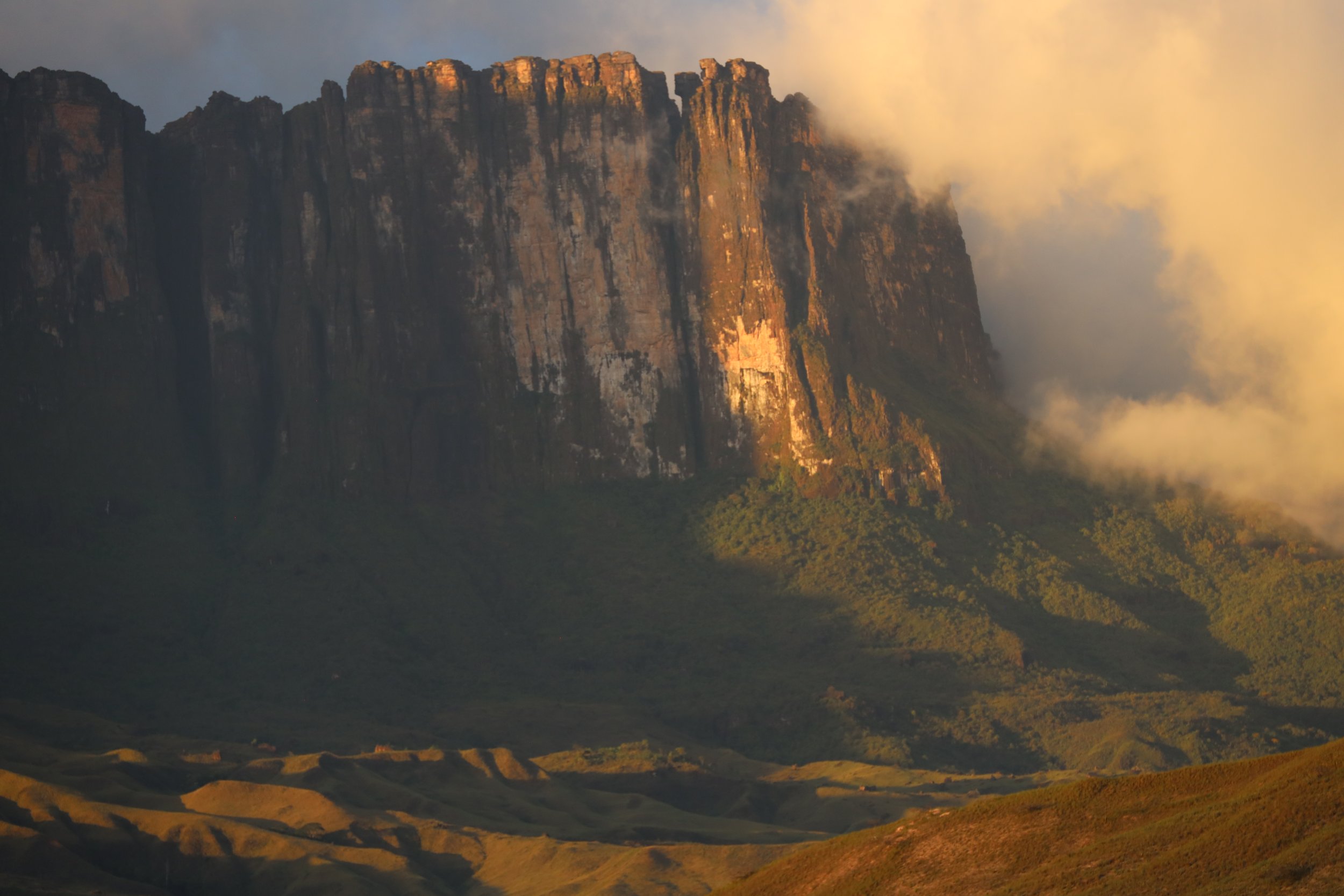
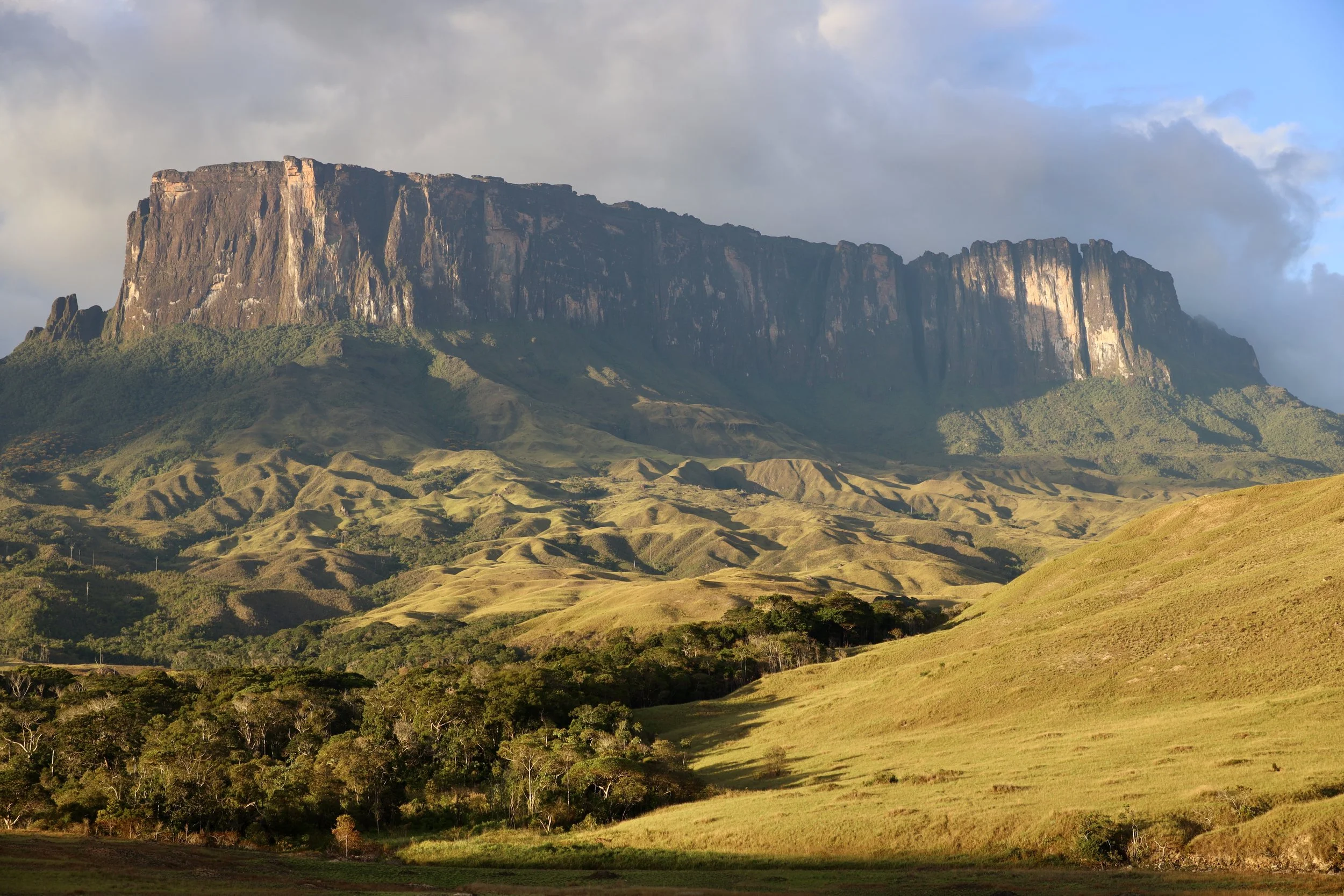
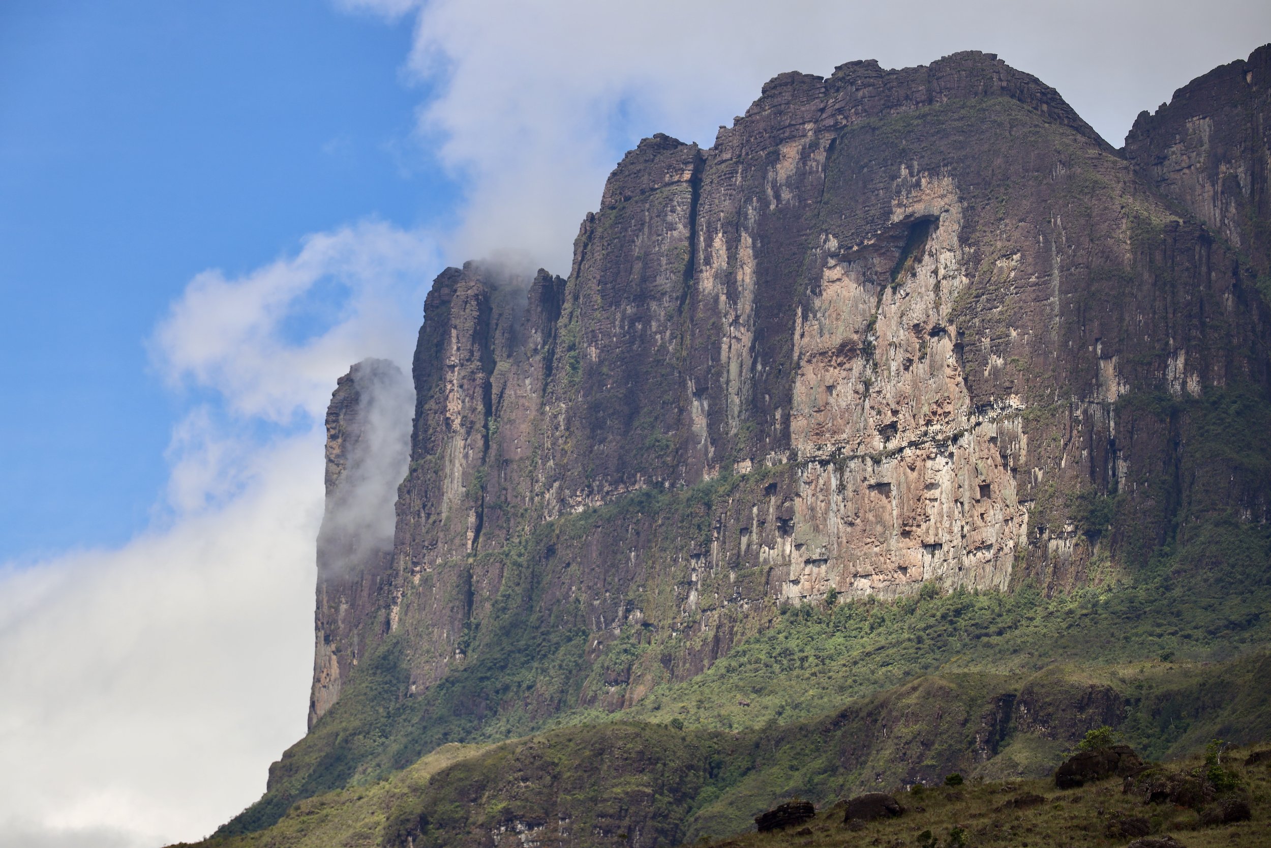
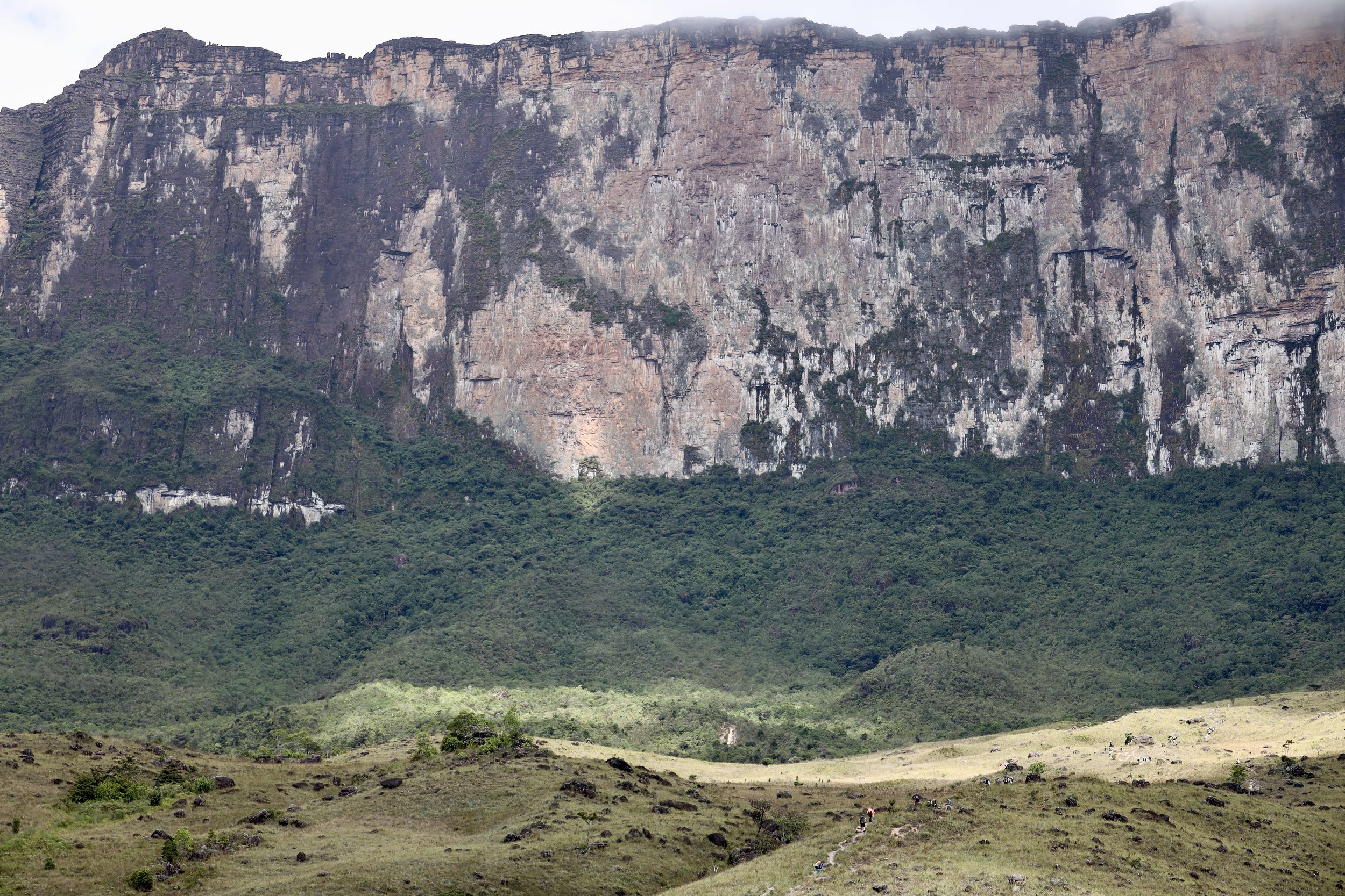
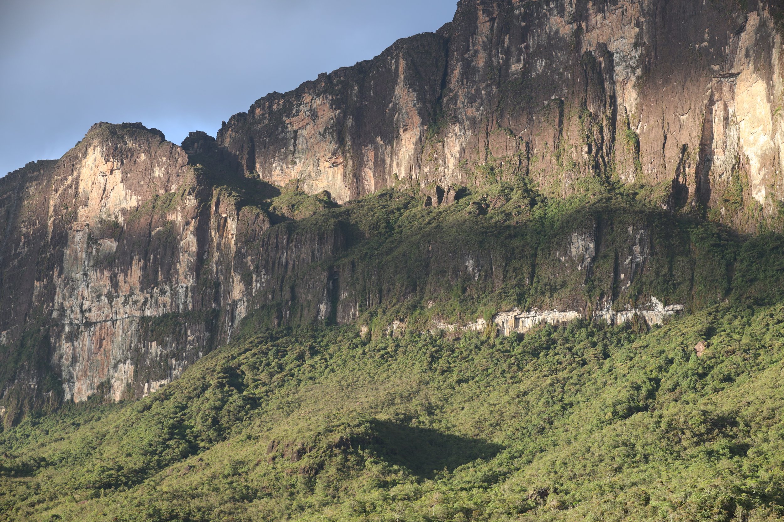
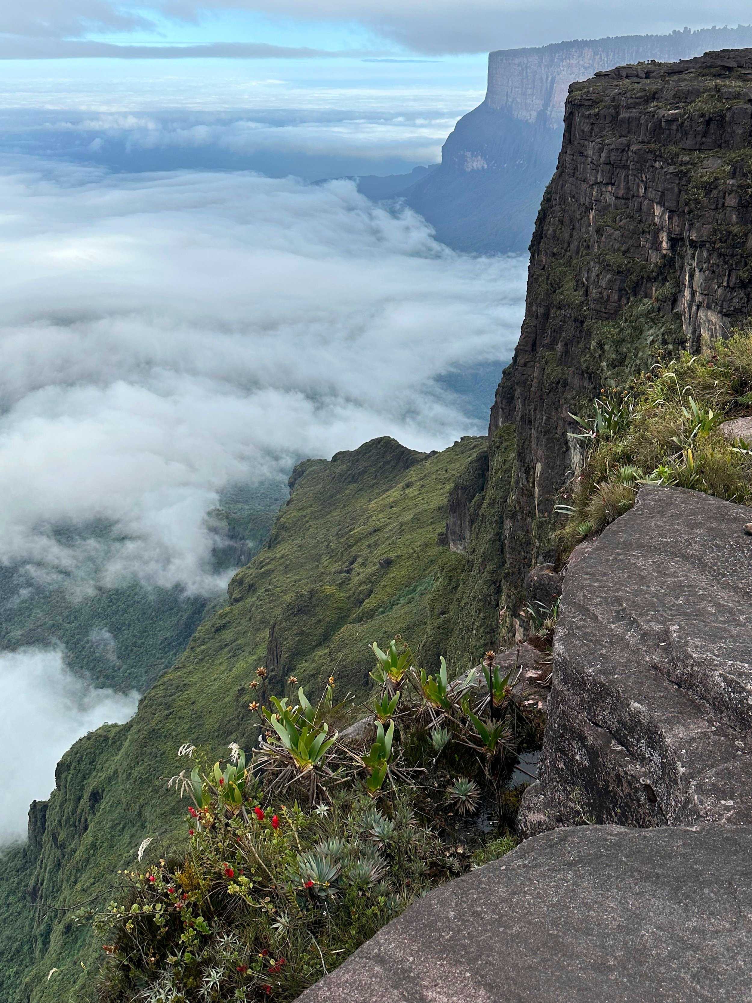
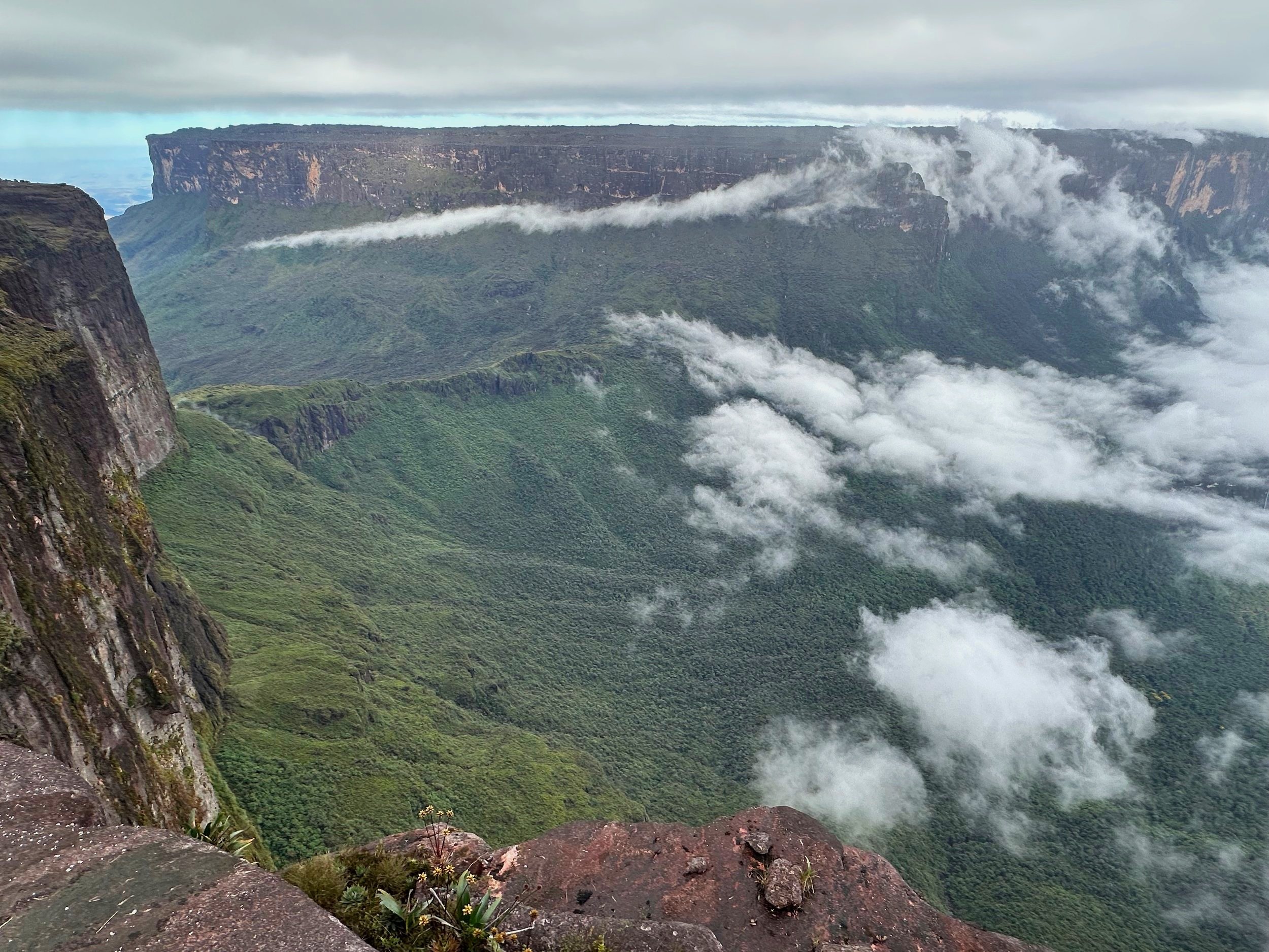
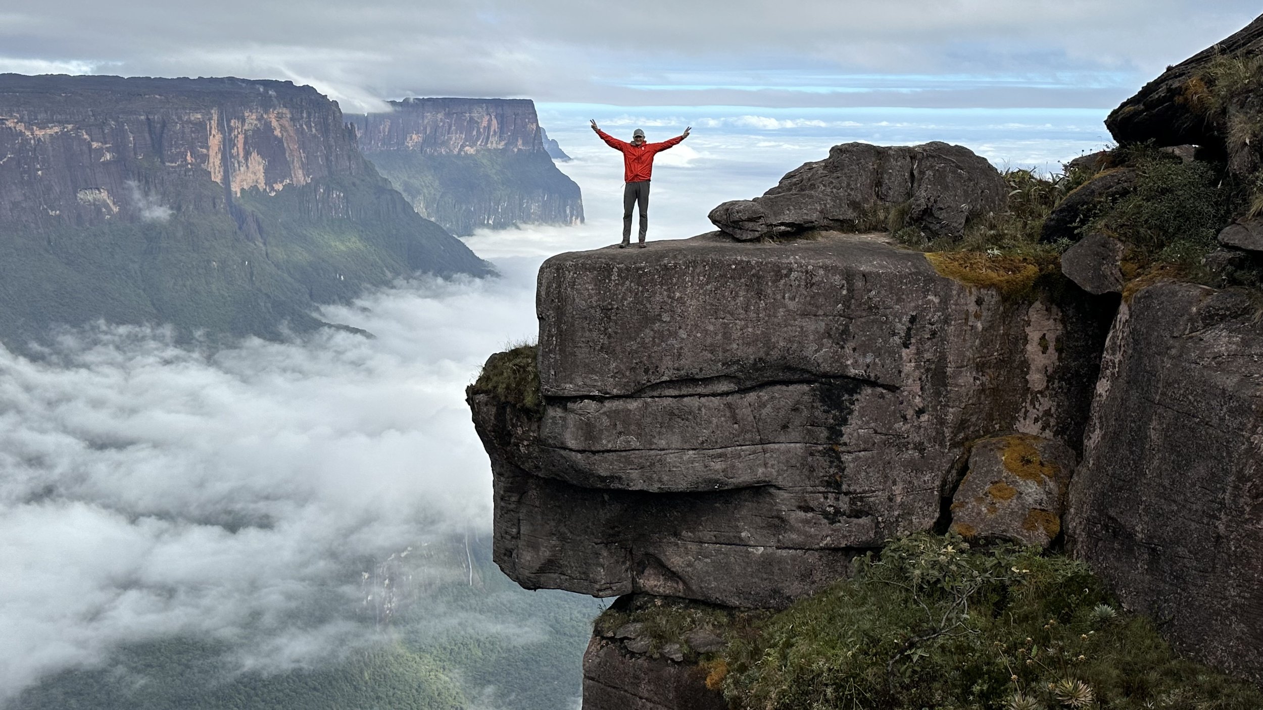
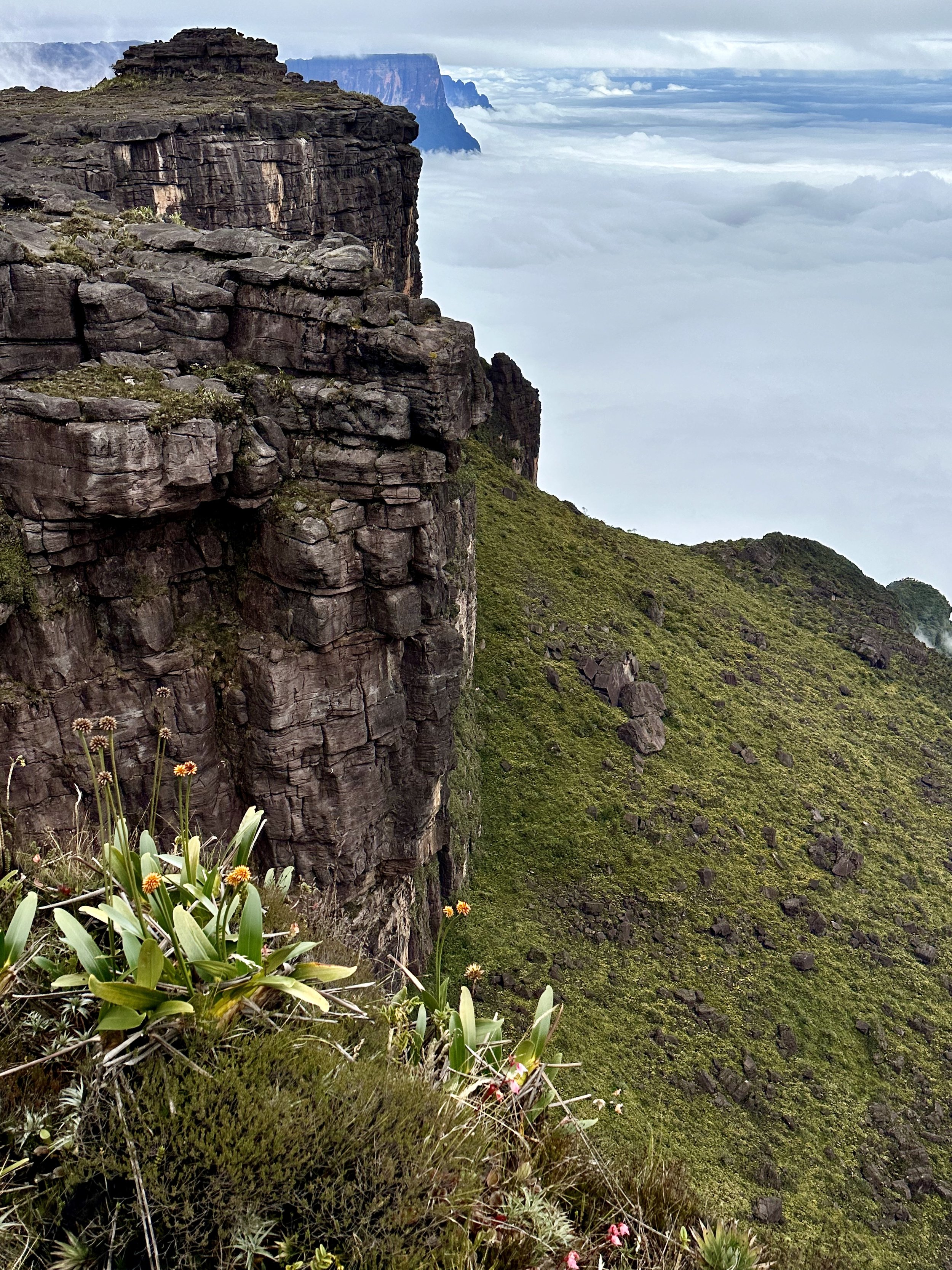
Mount Roraima, also known as Roraima Tepui or simply Roraima, is a magnificent tabletop mountain located in South America, specifically at the tripoint between Venezuela, Brazil, and Guyana. It is part of the larger Pakaraima Mountain range and is one of the most famous natural landmarks in the region. It stands at an elevation of approximately 2,810 meters (9,219 feet) and covers an area of around 31 square kilometers (12 square miles). The mountain features sheer vertical cliffs on all sides, giving it a striking and unique appearance. The summit of Mount Roraima is an otherworldly landscape characterized by unique flora and fauna. It is home to numerous endemic species, including carnivorous plants, orchids, and several rare bird species. The tabletop summit creates a distinct ecosystem that has been isolated for centuries. The surrounding region is known as the Gran Sabana, or the Great Savanna. The Gran Sabana is also home to indigenous communities, primarily the Pemon people, who have inhabited the region for centuries.
Here is a great documentary from 1974 about an expedition to Roraima:
The trip to the top of Roraima is an easy multi day hike. It was on my radar for a very long time but given the situation in Venezuela the timing had to be right. Thanks to Ben from Osprey Expeditions, the trip was a great success.
What makes Roraima interesting is the remote location of the mountain and its geographical characteristics. The weather is highly changeable and the scenery is spectacular in sunshine or rain. The top of the mountain is like another world. It feels like sleeping on the roof of a really high building with million stars overhead. The Tepuis are very different from any other mountains in the world and the entire experience is definitely worth time and effort. I was looking for dinosaurs on the top but I only found tarantulas and meat eating plants!
We were lucky to have a few days of good weather so that we could enjoy the beautiful views along the way and from the top. Given the highly changeable weather, it is a little of a gamble to come all this way and end up hiking in thick mist. Just something to keep in mind…
Mount Roraima, along with other 220 tepuis in the region, is a result of unique geological processes that occurred over millions of years.
Tepui Formation: Tepuis are ancient table-top mountains characterized by steep vertical walls and flat, plateau-like summits. They are part of the larger Guiana Shield, a geological formation that covers parts of Venezuela, Brazil, Guyana, and Suriname. The Guiana Shield is composed of Precambrian rocks, which are some of the oldest rocks on Earth.
Erosion and Uplift: The formation of Mount Roraima began around two billion years ago. Erosion and weathering processes gradually wore away the surrounding rocks, leaving behind isolated sandstone plateaus. Over time, tectonic uplift events caused these plateaus to rise, resulting in the formation of the tepuis.
The road from Puerto Ordaz to Roraima
It took us the entire day to drive south to Roraima from Puerto Ordaz.
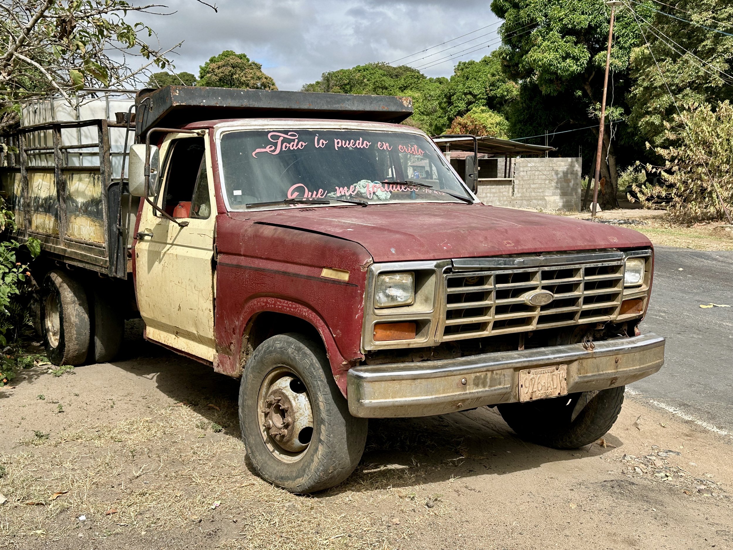
Driving from Puerto Ordaz to Roraima we passed through many mining settlements. Each settlement was like the “Wild West” of Venezuela’s gold and diamond mining region.
Entering the highlands of southern Venezuela
Affter many hours of driving south, we arrived at the famous bridge over the Cuyuni River was designed by Gustave Eiffel. It was impounded by Venezuela as a payment for mooring fees of a stranded ship off the coast of the Atlantic. The bridge was destined for another location and ended up in Venezuela by accident. The jungle is slowly reclaiming it.
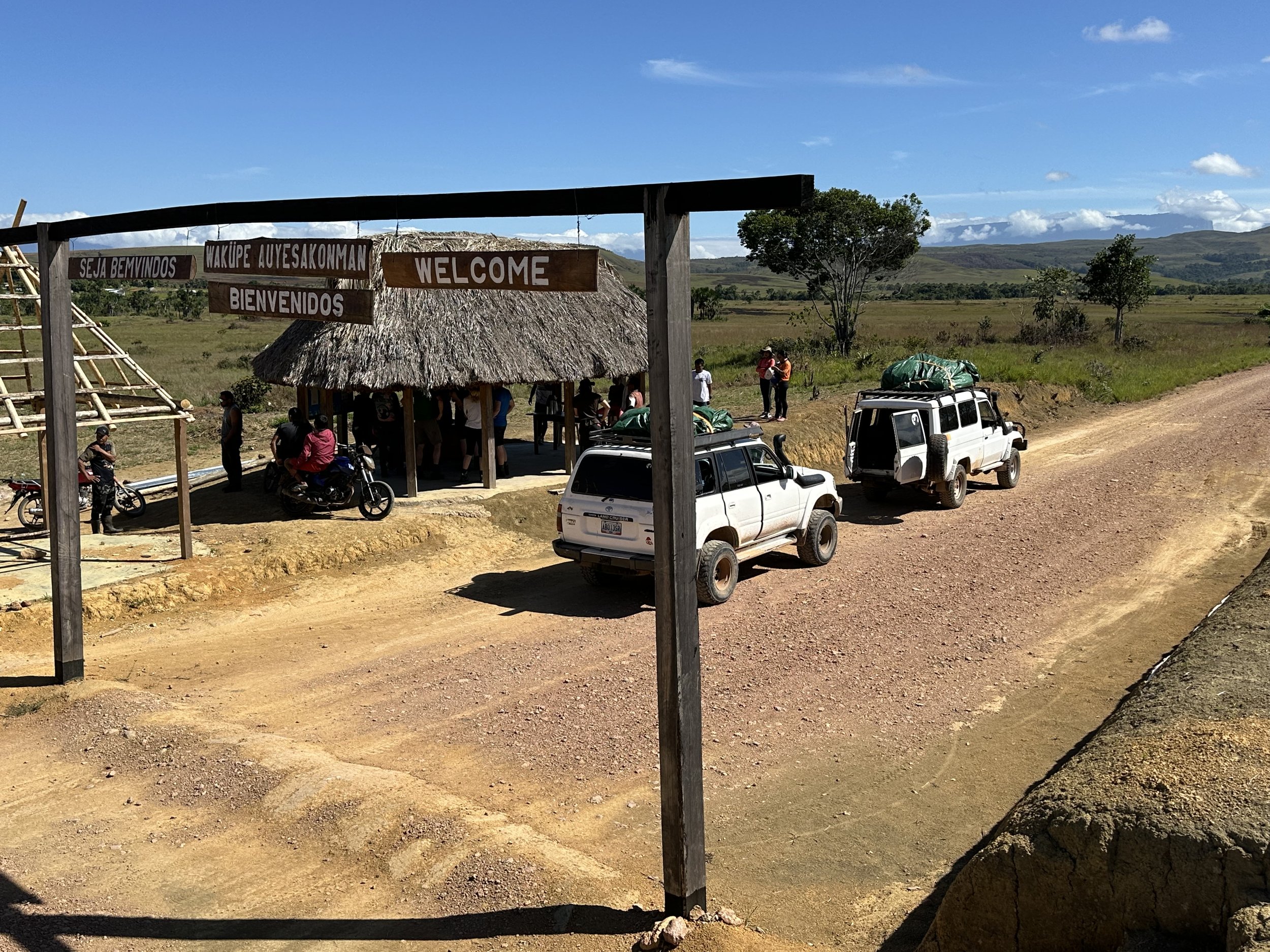
The small and sleepy village of Yuruani, staging point for the Roraima trek
The Pemon checklist for Roraima. We needed to fill out some registers and pay a small fee to the community.
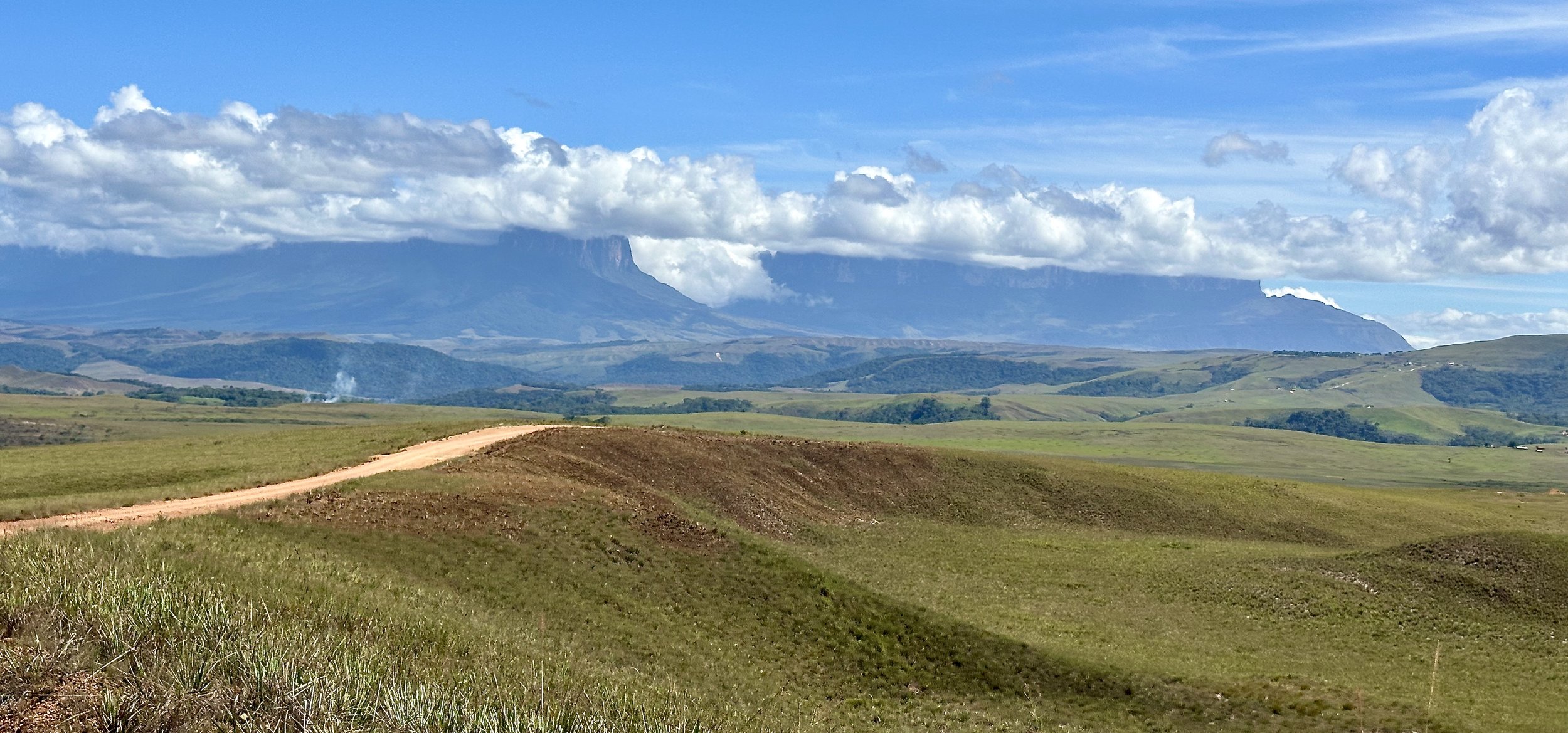
The Gran Sabana and the Tepuis from the road to Paraitepui
The starting point of the trek - the Pemon village of Paraitepui. The Tepui (“flat mountain” in the Pemon langauage) on the left is Kukenan Tepui. Mount Roraima is on the right. It seems that clouds crown the summits of the tepuis permanently.
Kukenan Tepui 2650m and Roraima 2810m. Roraima is 35 km away. The climb up the Kukenan Tepui is very different from Roraima. It is more technical as there are no easy access points from any side.
First day’s walk is 14km. It feels longer due to the intense sun and nasty bugs. The puri puri bugs are the worst. The Deet spray does not seem to deter them and they attack all exposed skin. Thankfully, there are some water sources along the way and we could drink straight from the streams without filtering or purifying the water first.
Kukenan Tepui and the pass between it and Roraima. Beyond the pass are hundreds of miles of tropical mountain forest and jungle, producing steam and moisture that “flow” into the Gran Sabana.
The beautiful Kukenan Tepui. There are 8 Tepuis in a line that can be seen from this viewpoint. The range is called Eastern Tepuis and contains the highest table mountains in the Canaima National Park, Guyana and Brazil. Roraima is also the second highest peak in Brazil after Pico Neblina (3000m) deep in the Amazon on the border with Colombia.
From left to right: Ilu i Tramen Tepui (2700m), the pointy Karaurin Tepui (2500m), Yuruani Tepui (2400m), Kukenan Tepui (2650m), Roraima (2810m) and the one on the right is in Brasil: Mei Assipi Tepui (2500m).
Kukenan Tepui in the evening mist. The second highest waterfall in the world (610m) forms on this mountain during the rainy season.
The views of the Kukenan Tepui from our first camp. The Kukenan Tepui was first climbed in 1963. It was climbed from the pass between Kukenan and Roraima. The top of the Tepui is similar to Roraima and contains similar flora and fauna.
This is a fantastic camp with a cold beer stall and great views.
Kukenan Tepui means “brown waters” in the Pemon language.
The top of Kukenan Tepui is full of strange rock formations creating an elaborate labyrinth of passages. It is easy to get lost and disoriented especially after the mist descends onto the mountain.
The views of Kukenan Tepui from camp 1.
A wonderful cold waterfall on the Kukenan River provides an escape from the heat.
Mount Roraima is in the background.
The misty Mount Roraima
The grasses of the Gran Sabana.
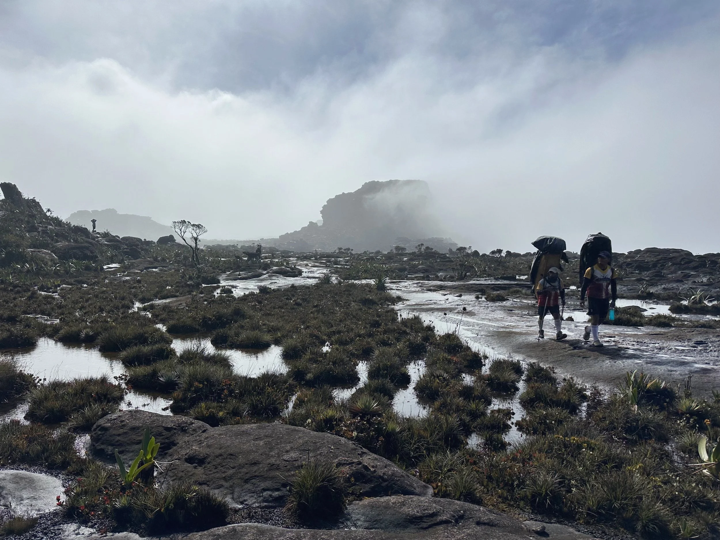
Local Pemon people are working as porters and guides. They use interesting baskets for transporting the goods for the treks. It is impossible to hike up Roraima without their assistance or permission.
Beautiful views from Camp 2. The climate is influenced by the trade winds from the Atlantic carrying moisture and the equatorial winds that are more dry. The summits of the tepuis experience extreme temperatures, very hot during the day with intense solar radiation and almost freezing at night.
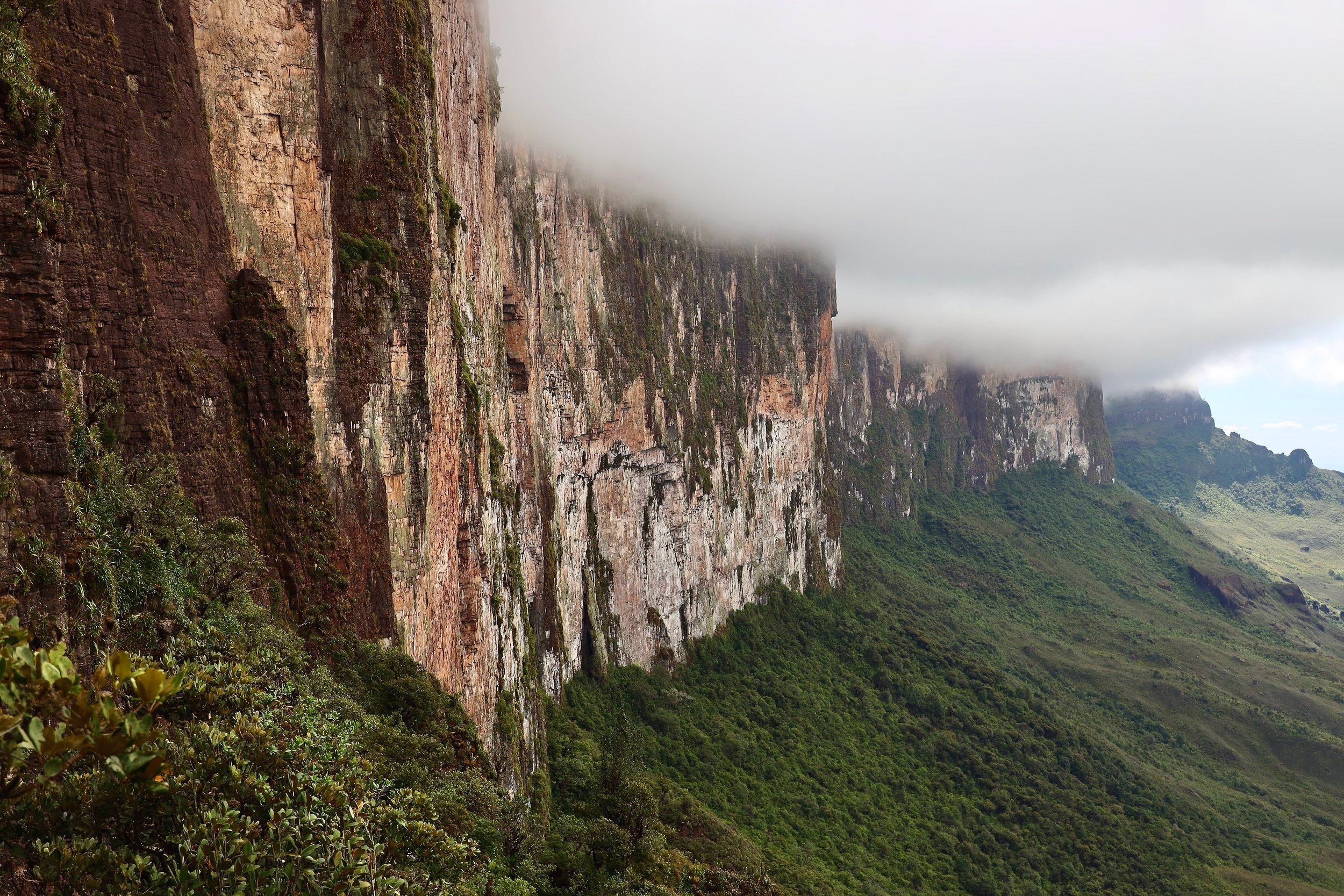
Roraima’s vertical wall
The hikers are dwarfed by the sheer walls of Roraima.
The Ramp used to ascend the mountain.
The closeup of the Ramp and the Pass of Tears (Paso de las lagrimas).
Our small team. 5 very adventurous Danes and me. From left to right: Janick, Marianne, Jan, me, Fleming and Michel.
Camp 2 and the de facto basecamp for Roraima.
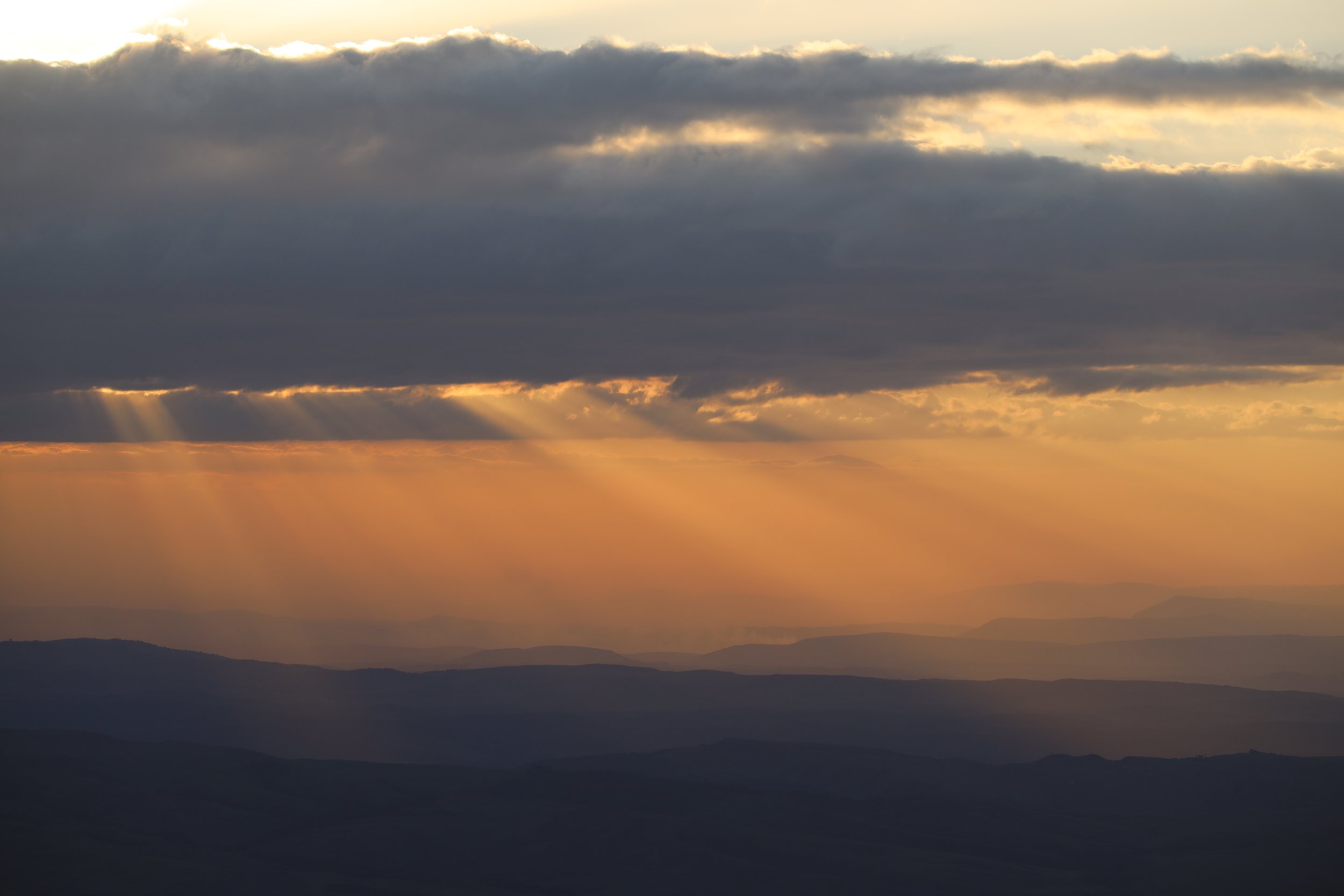
Beautiful sunset over the Gran Sabana.
Ascending Roraima with the imposing wall ahead. The initial ascend to gain the ramp is quite steep. Once at the wall, one needs to ask the mountain for permission for safe passage - a Pemon custom.
Once on the Ramp, the angle eases considerably.
Walking on the Ramp along the vertical walls of Roraima.
The view of the Kukenan Tepui from the Pass of Tears. I think it was named for numerous waterfalls which form after the rains.
The final section of the Ramp leading to the entrance to the summit plateau.
The Ramp, on the way down it became a river bed fed by numerous waterfalls from the top of Roraima.
The narrow section of the Ramp. It was full of waterfalls on the way down.
Finally at the top of the Ramp although not at the top of the mountain. We were very lucky with the weather!
The cliffs of Roraima from the top of the Ramp.
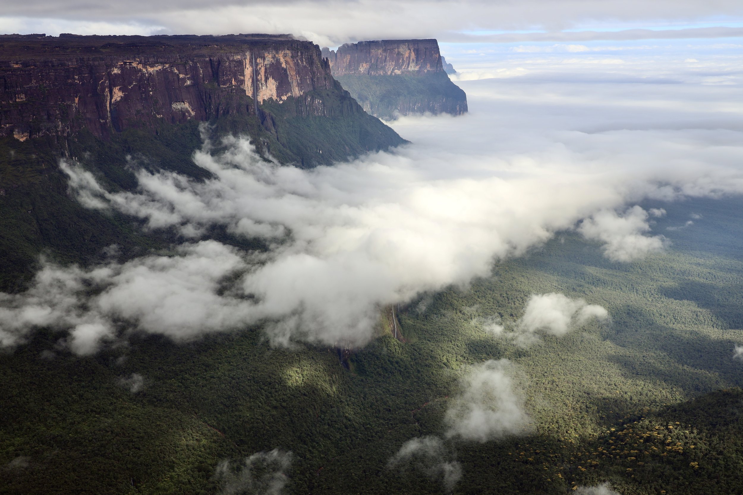
The towering cliffs of Roraima. See the people below for scale!
Exiting the Ramp onto the summit plateau.
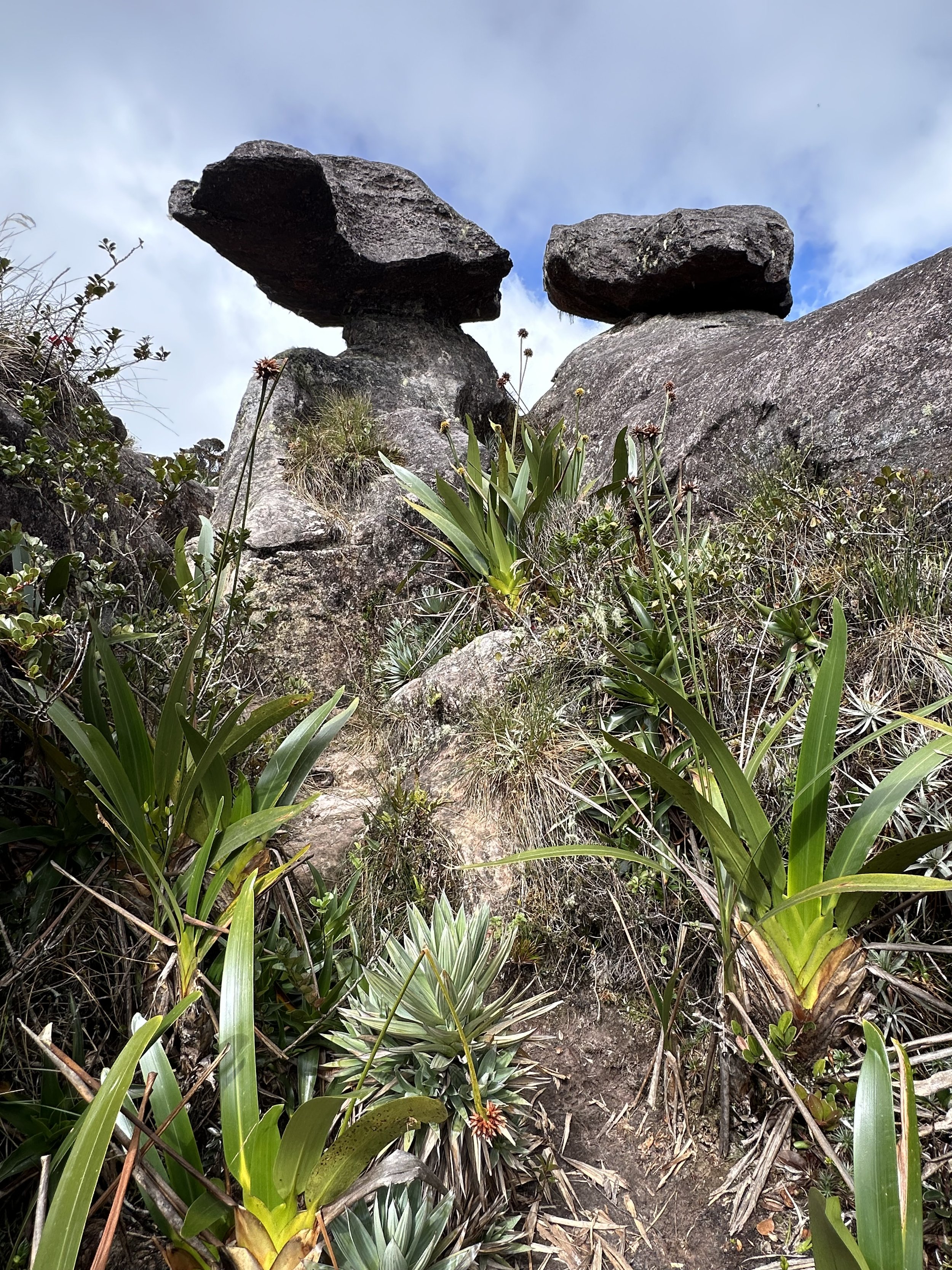
Strange rock formations at the entrance to the summit plateau.
The plants on the summit of Roraima cling to life in crevices to escape being washed away by heavy rains. Almost all of the plants are unique to the tepuis and over half are known only on Roraima.
This plant is only known from the Highlands of Guyana.
The top of Roraima, it is another world!
Now we are on top of the Roraima plateau. The weather changes very fast and rain/drizzle/fog are common.
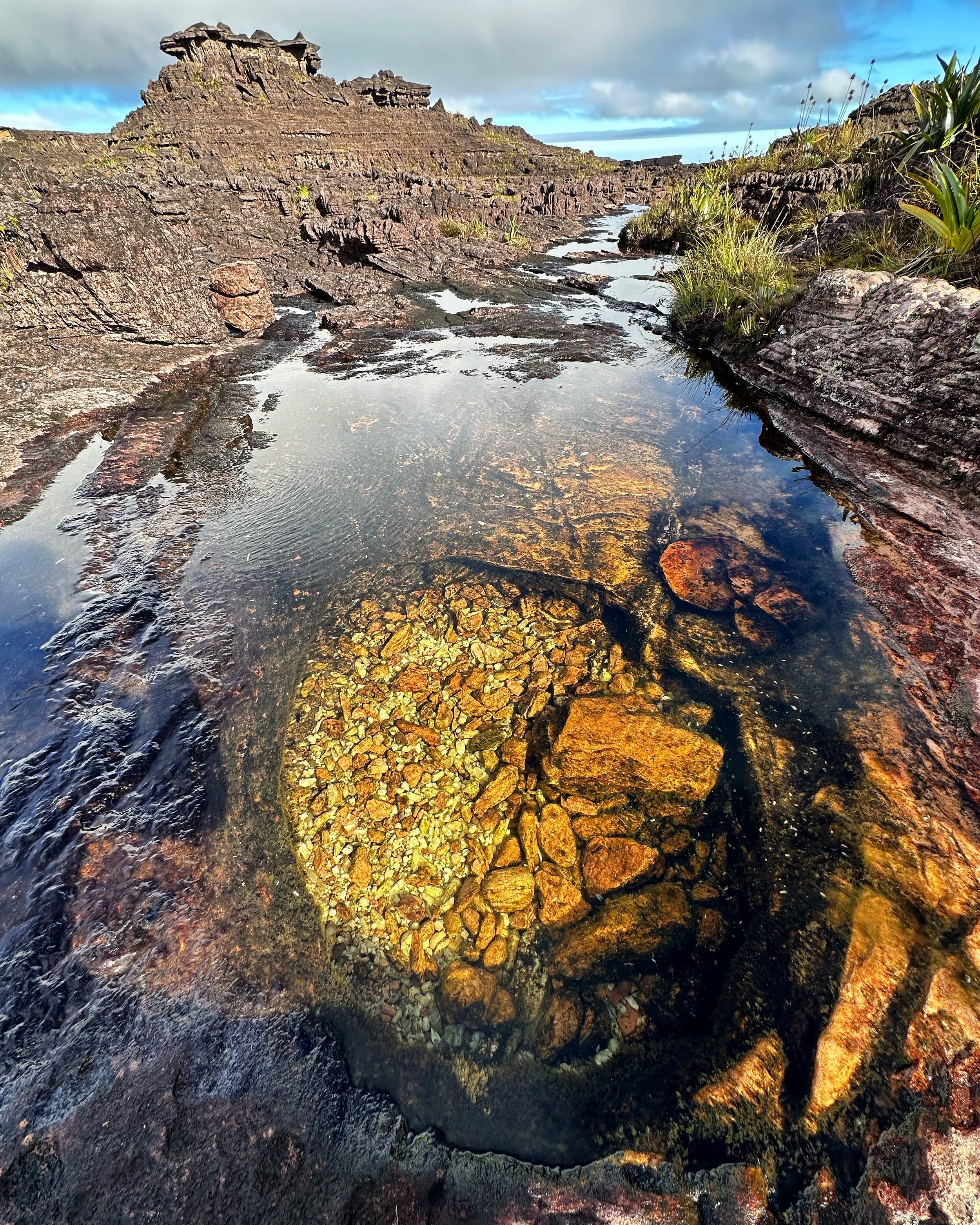
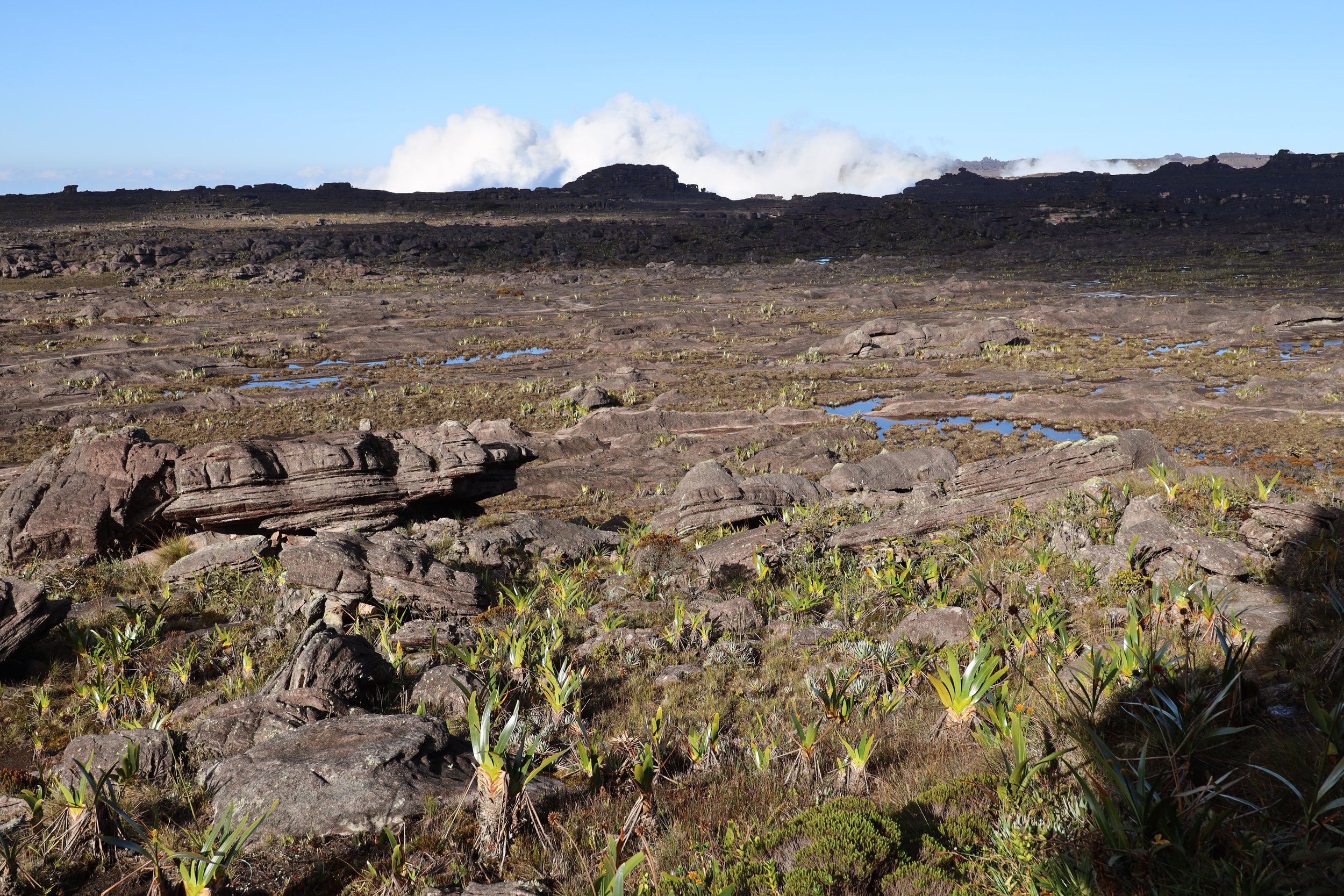
Strange world of Roraima. Whatever water does not flow away, it pools in the crevices on the summit.
The top of Roraima. It looks flat but the terrain is full of fissures and rocky crevices. It is actually a lot of effort to get through this maze and it is very easy to get lost, especially in the fog which is very common.
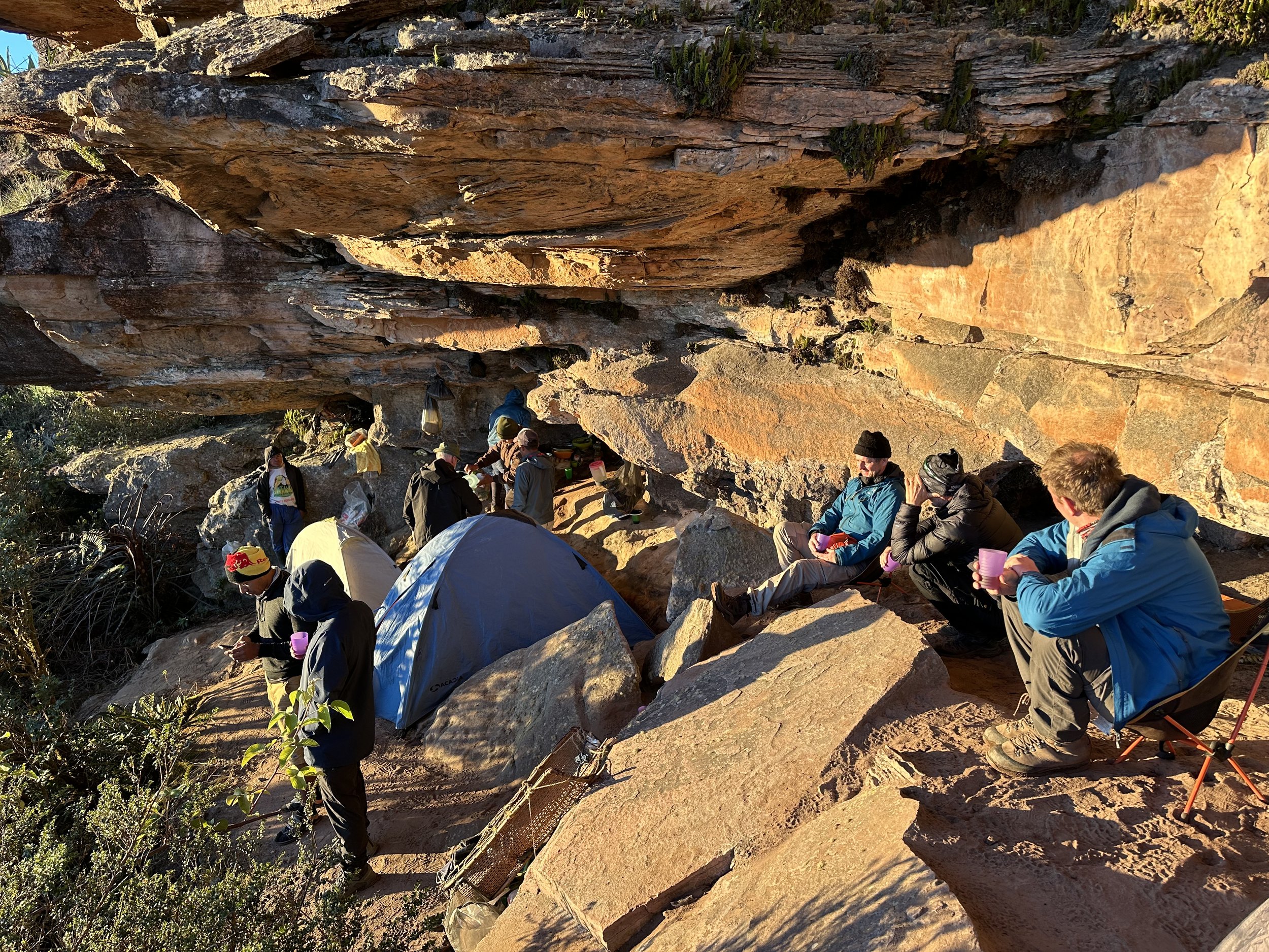
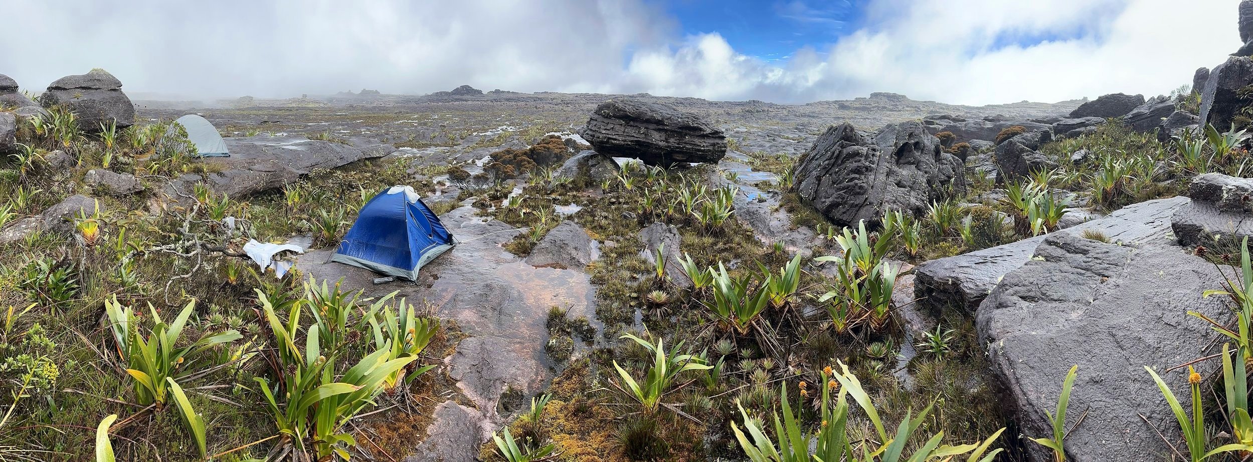
Our camp for the 3 nights we spent on the summit of Roraima.
Beautiful sunrise on top of Roraima
The cave kitchen
Our camp
Our camping spot. The rock overhang provides a good shelter from continuous rain.
Strange rock formations. No fossils were ever found on the summit indicating the connection to the ancient continent of Gondwana.
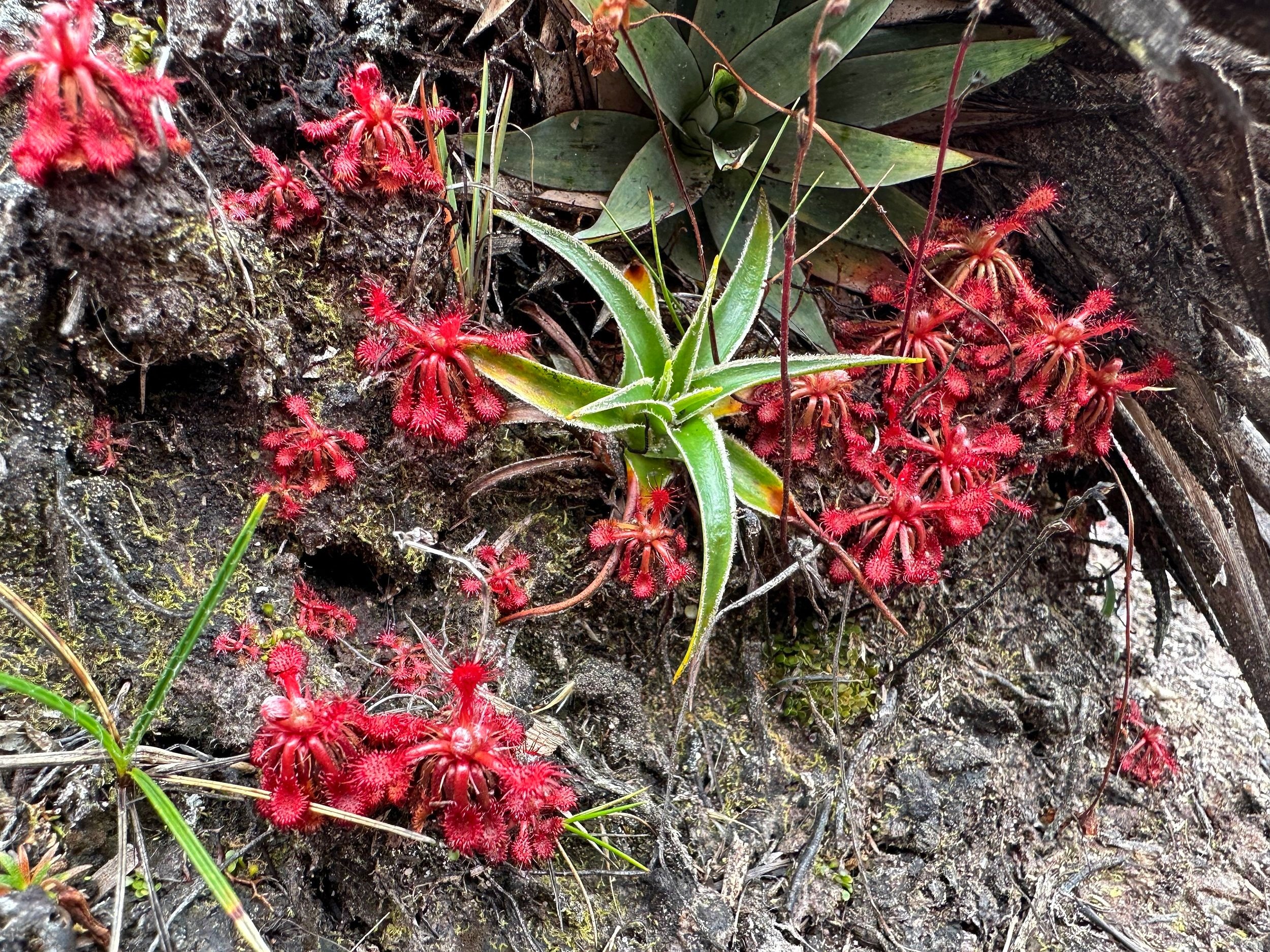
The carnivorous Sundew. The leaves have sticky tentacles that trap small insects. This is one of the plants known only from the Tepuis.
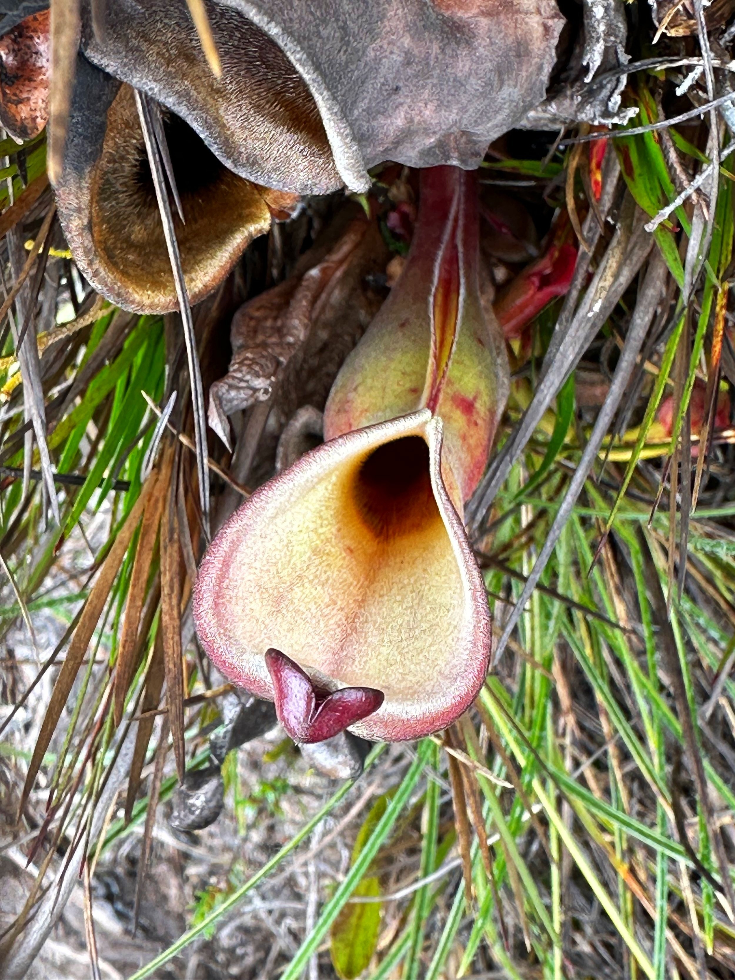
Carnivorous terrestrial Pitcher Plant only known from the Tepuis. Red veined pitcher leaves are buckets that collect rain water and trap insects which eventually drown.
The freezing cold Jacuzzies on top of Roraima.
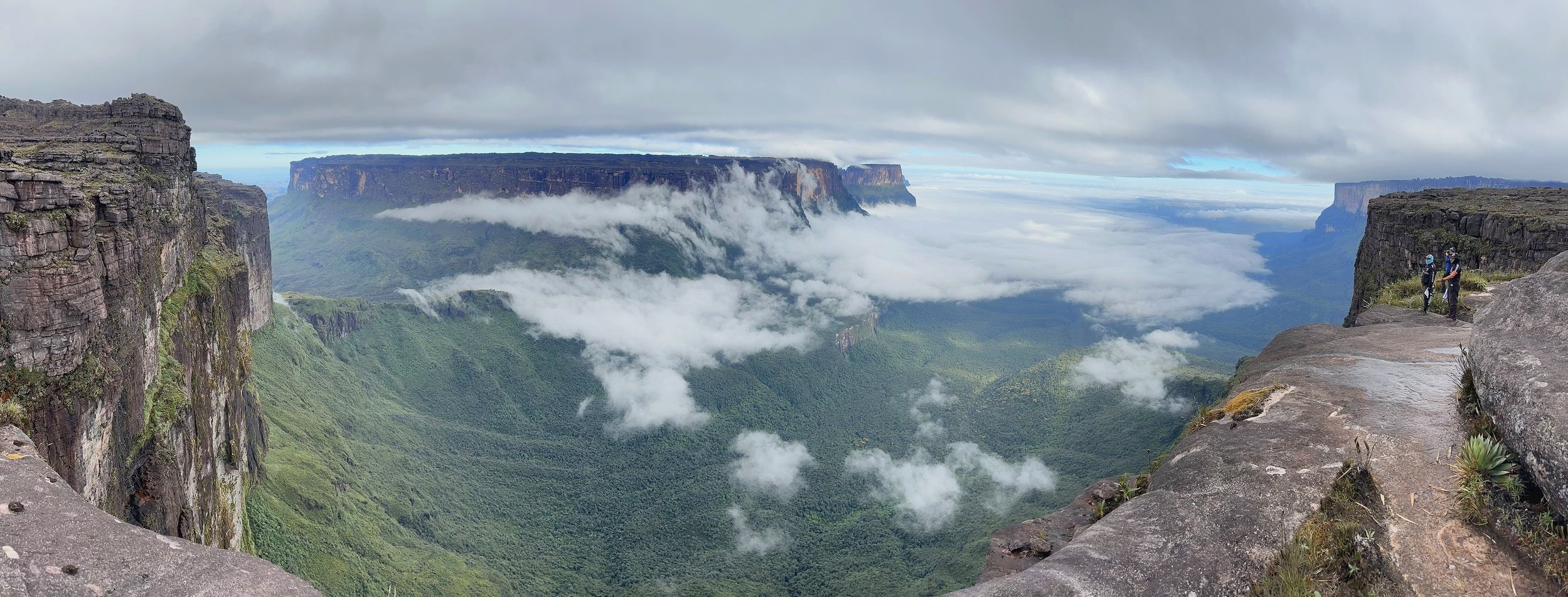
The beautiful vista from the Window lookout. There is nothing but thick jungle all the way to Guyana.
Timelapse video of the pass between Roraima and Kukenan Tepuis
The Window lookout
Waterfalls on the Kukenan Tepui.
The pass between Kukenan Tepui and Roraima.
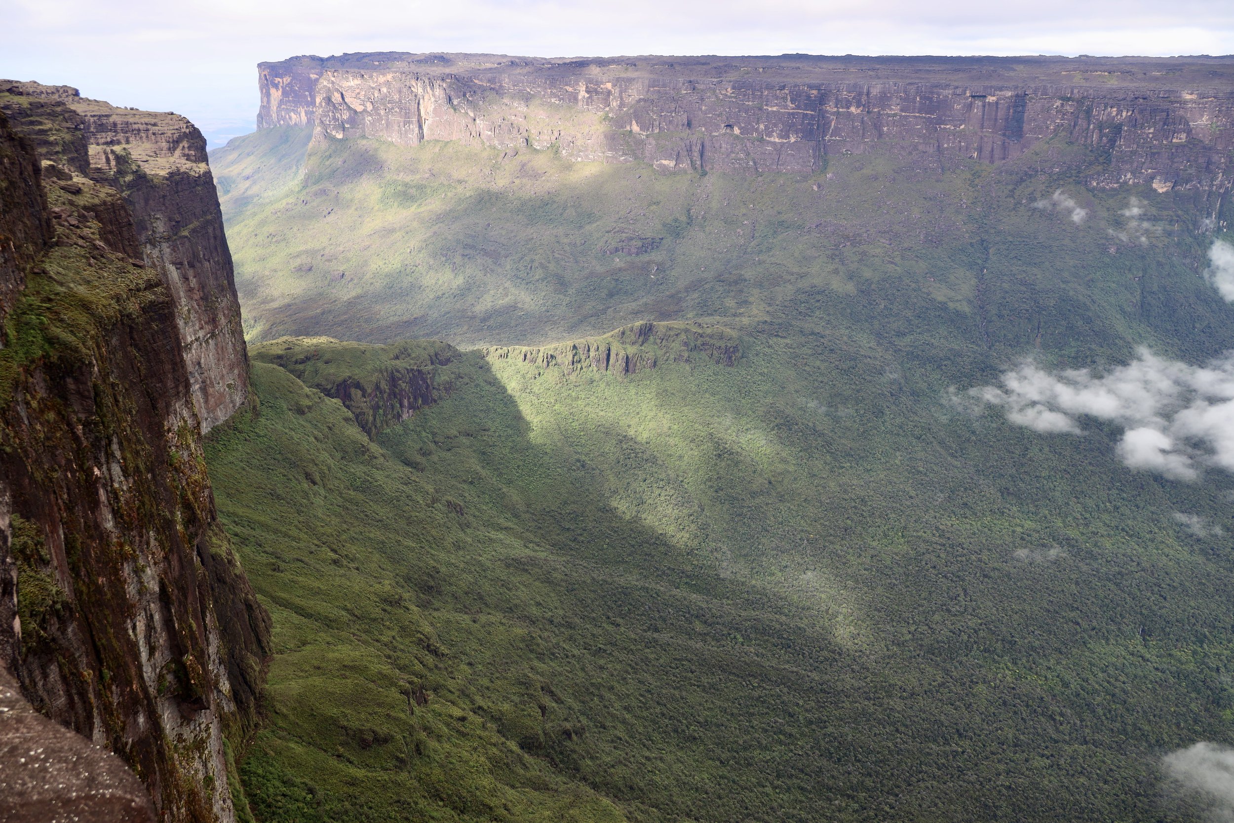
Kukenan Tepui from Roraima.
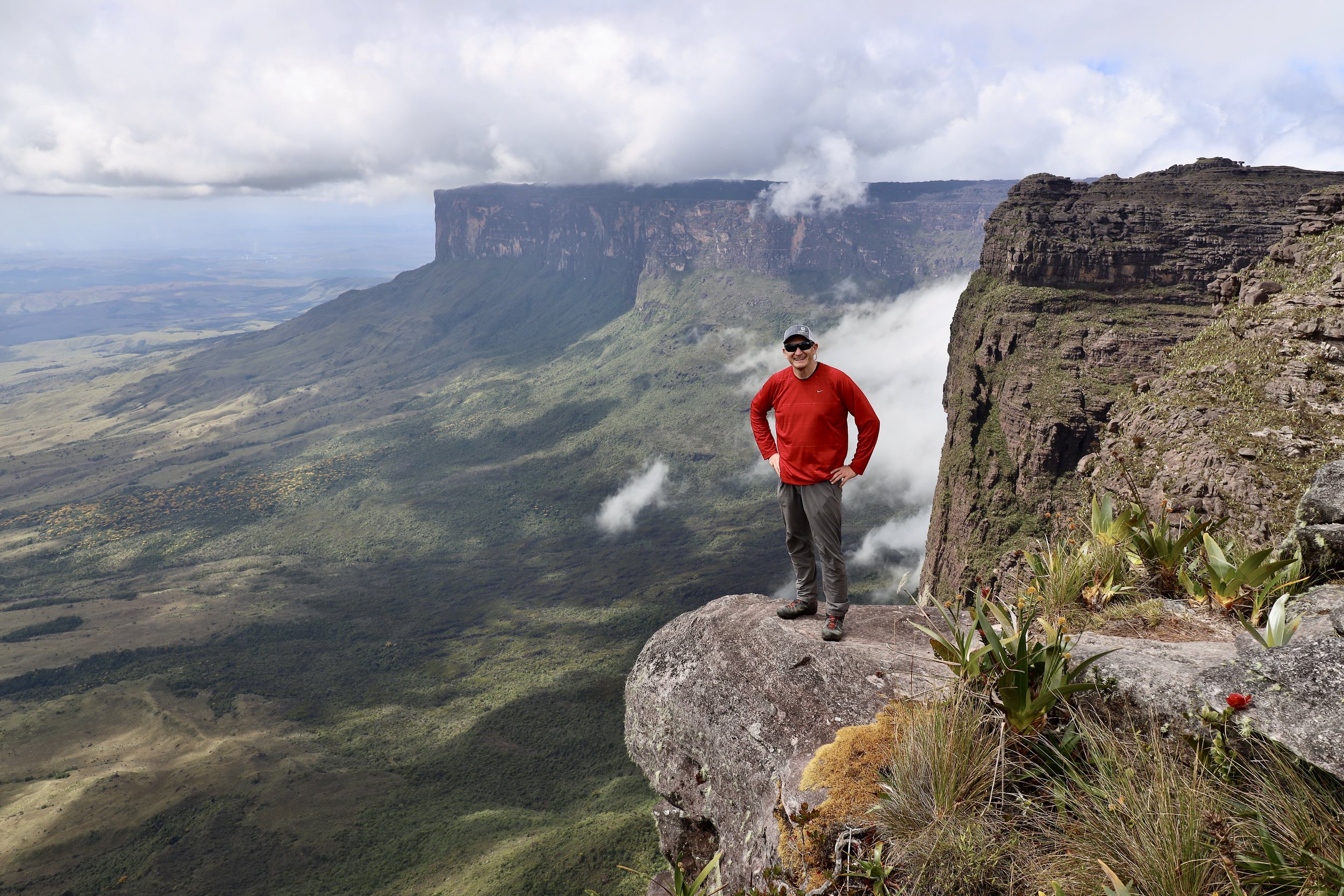
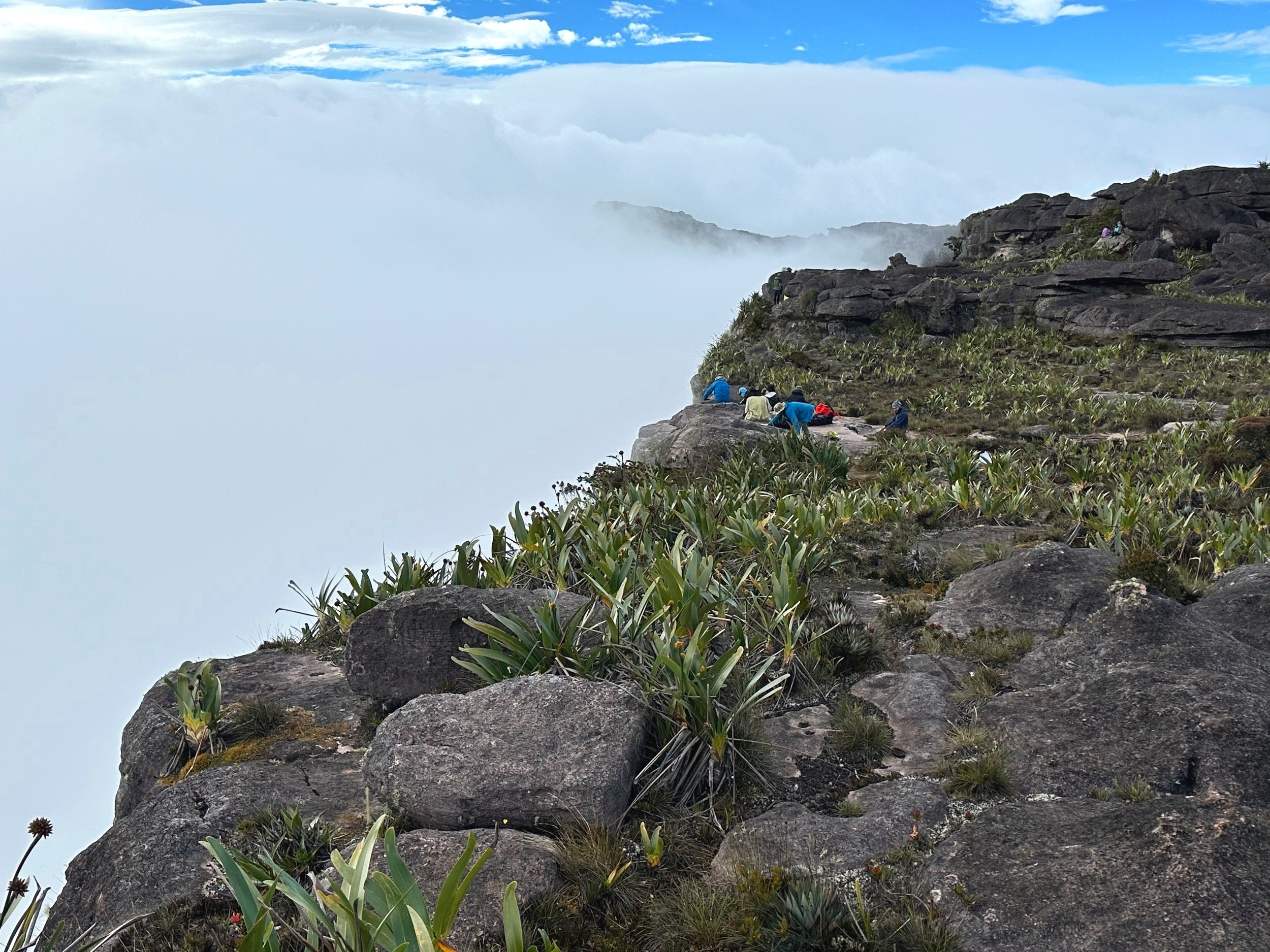
Looking down from the edge of Roraima’s plateau.
Looking down the cliff from the Window lookout on Roraima.
The Window lookout
The Maverick Point 2810 - the true summit of Roraima.
The edge of Roraima with the sea of clouds below. The tepuis generate their own local weather patterns: thermal flows of air resulting from intense radiation heating of sunlit cliff faces suck up moist air from forests below to condense on the summit. Therefore, the Tepuis are so often capped by a crown of clouds.
Top of Roraima
The barren top of Roraima is like another planet.
On a clear day, the night sky is spectacular. There is no light pollution for hundreds of miles.
The stars were amazing.
Strange rock formations on top of Roraima.
After 24 hours of continuous rain everything was saturated but we could also look forward to the spectacular waterfalls on the way down the mountain. The clouds were rolling in from the forests below and dumping misty rain all day and all night long. It was also quite windy. The temperature dropped to 2C and we were all quite cold in the thin sleeping bags. It was quite a contrast from 30C on the way up! The misty and rainy weather prevented us from walking to the triple border point (an 8 hour hike there and back from our camp).
The flying turtle
Misty Roraima
The exit from the summit plateau of the Roraima Tepui to the Ramp.
Descending into the mist with the sound of waterfalls that we soon had to cross.
We experienced both faces of Roraima: the sunny and the misty. They were both beautiful and very different.
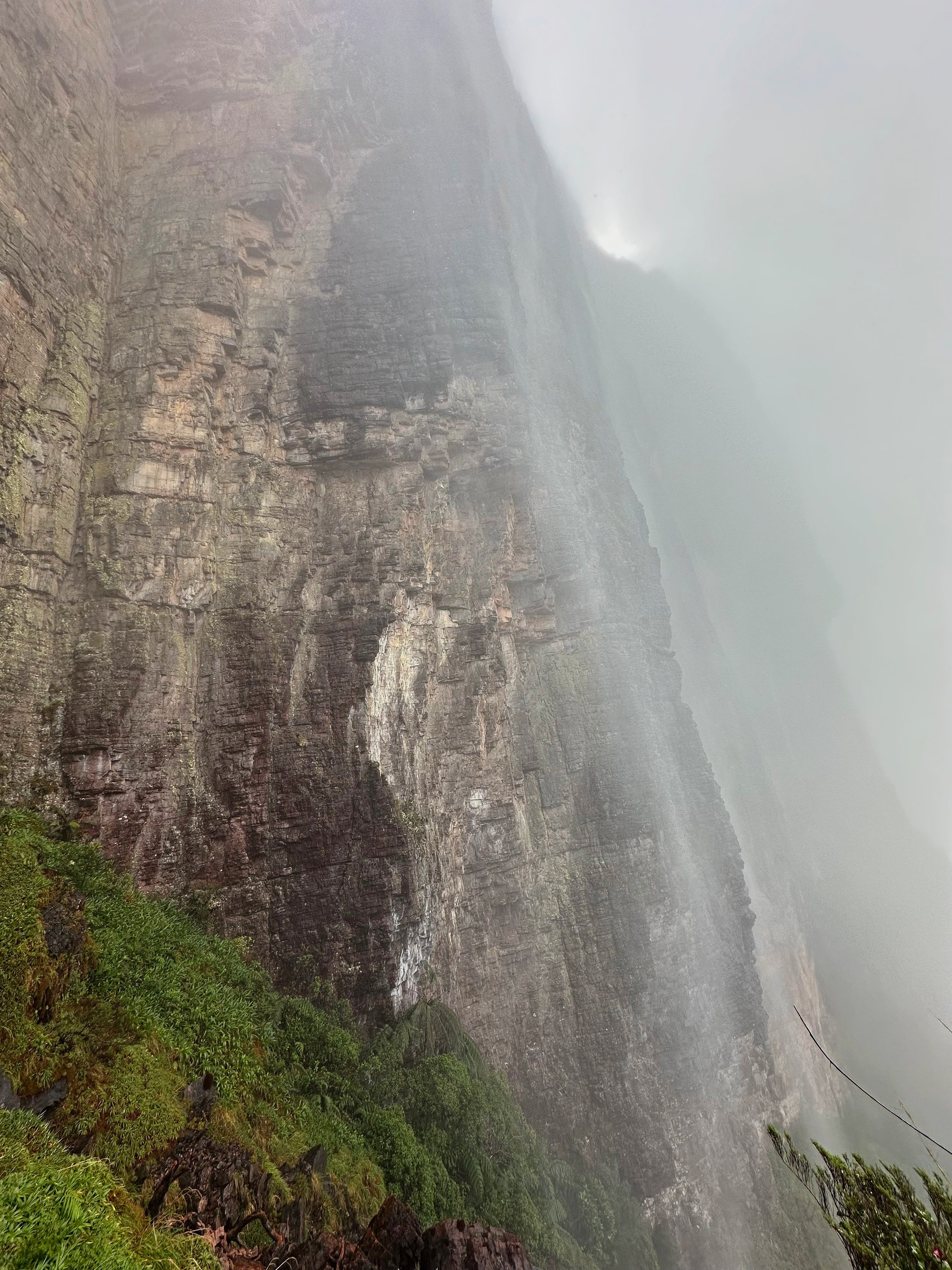
Large waterfalls formed after the heavy rains.
We all got thoroughly soaked walking under waterfalls. It was warm though so no issues and everything dried pretty fast.
The Ramp in the mist.
Mount Roraima after heavy rains
The misty Roraima
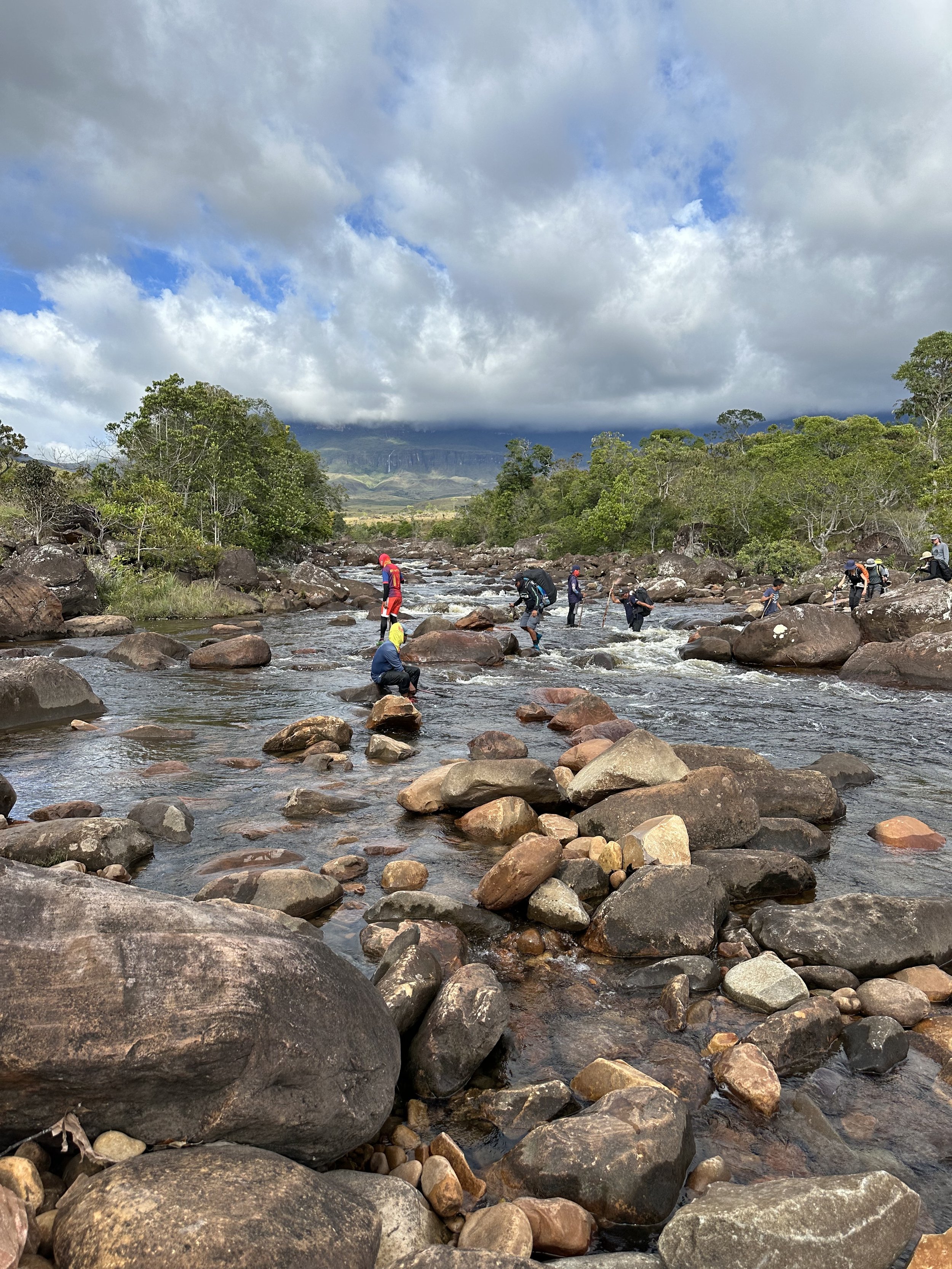
Crossing the Kekunan River. The river rose by one foot after the rains.
The Gran Sabana
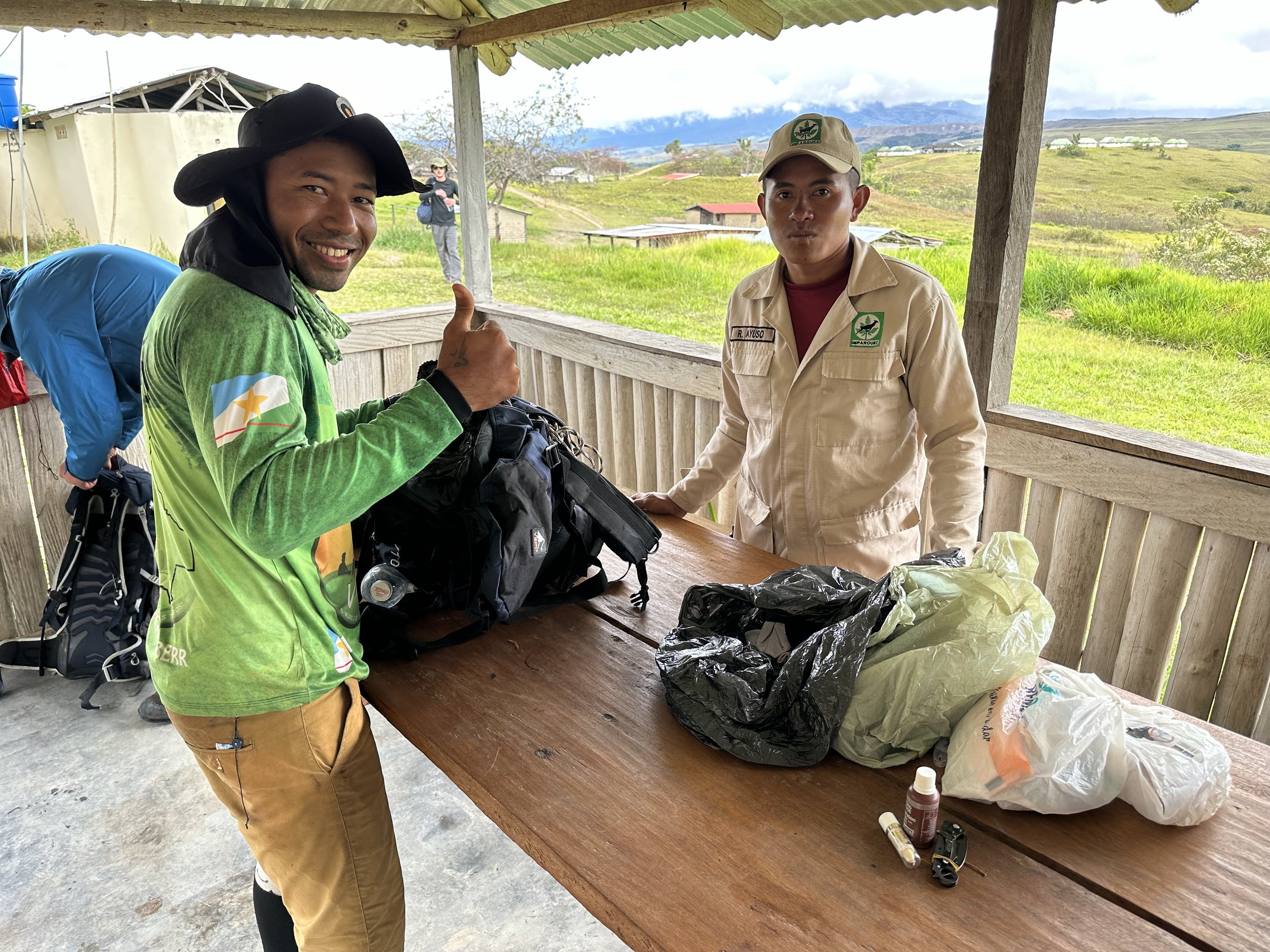
At the end of the trek, the park’s staff searches everyone’s bags for rocks, crystals and plants. You are not allowed to take anything out.
Our group at the end of the trek.
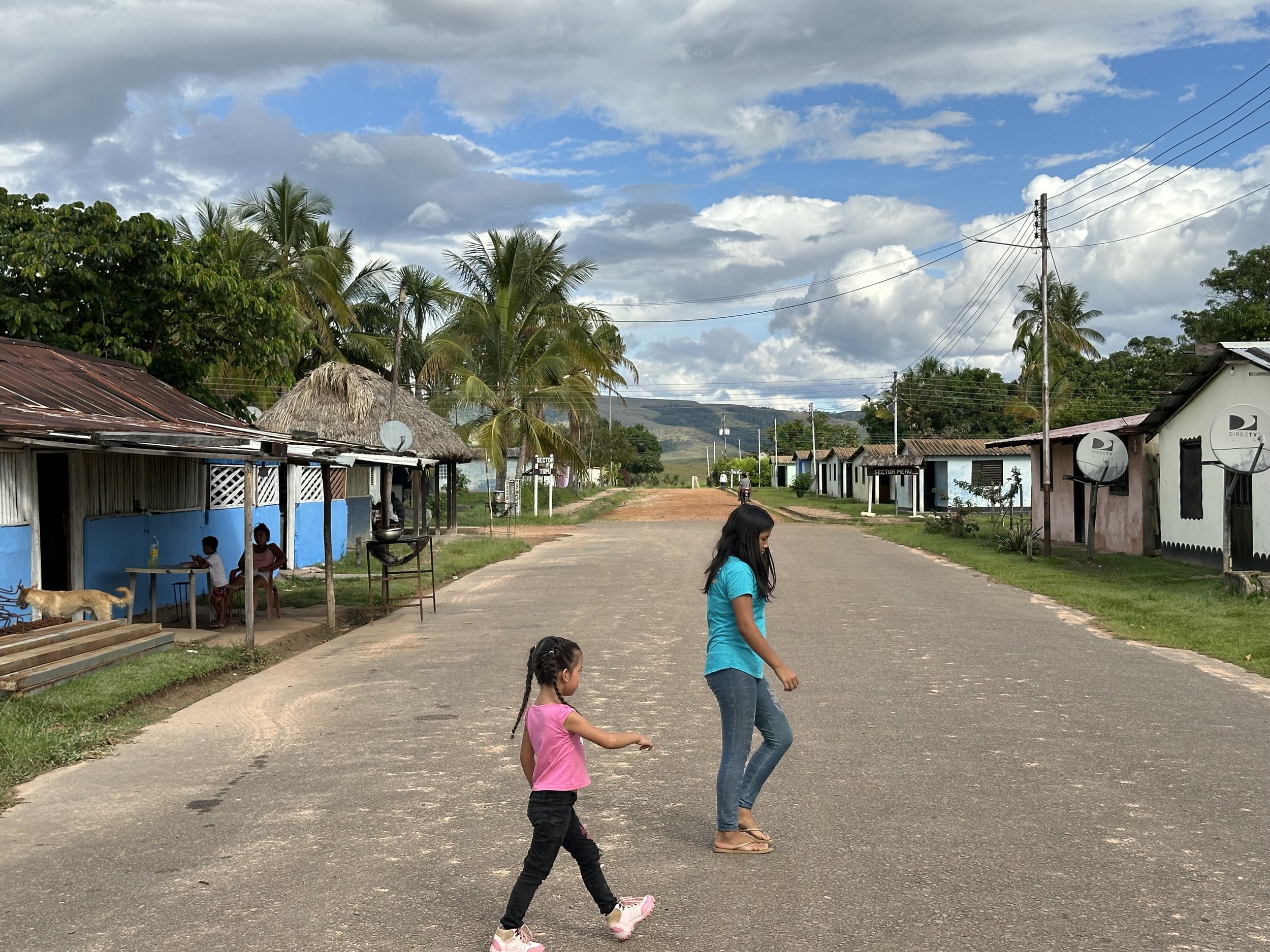
The village of Yuruani, just a road stop on the way from Brazil (60km away) to Puerto Ordaz in Venezuela (580kms away). From the border of Brazil, it is another 3 hours to Bella Vista and another 10 hours to Manaus. Roraima is really in the middle of nowhere.
Kama Falls, Gran Sabana
Yuruani Falls, Gran Sabana


