This is Part 2 of the EPIC journey. See Part 1 for more info…
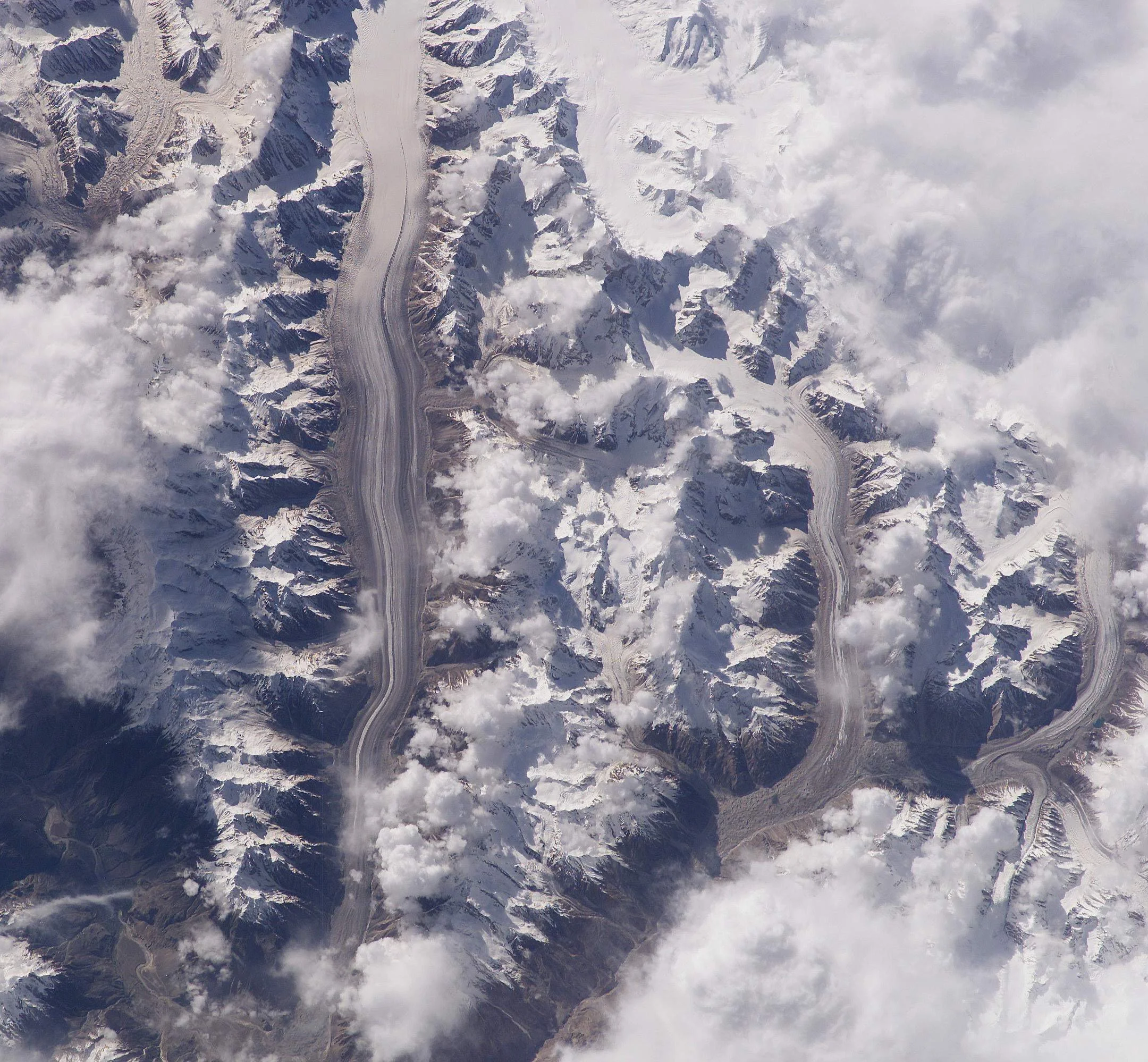
The route of the Part 2 of this journey is all in the satellite photo.
Leaving our cozy and beautiful camp by the Biafo Glacier.
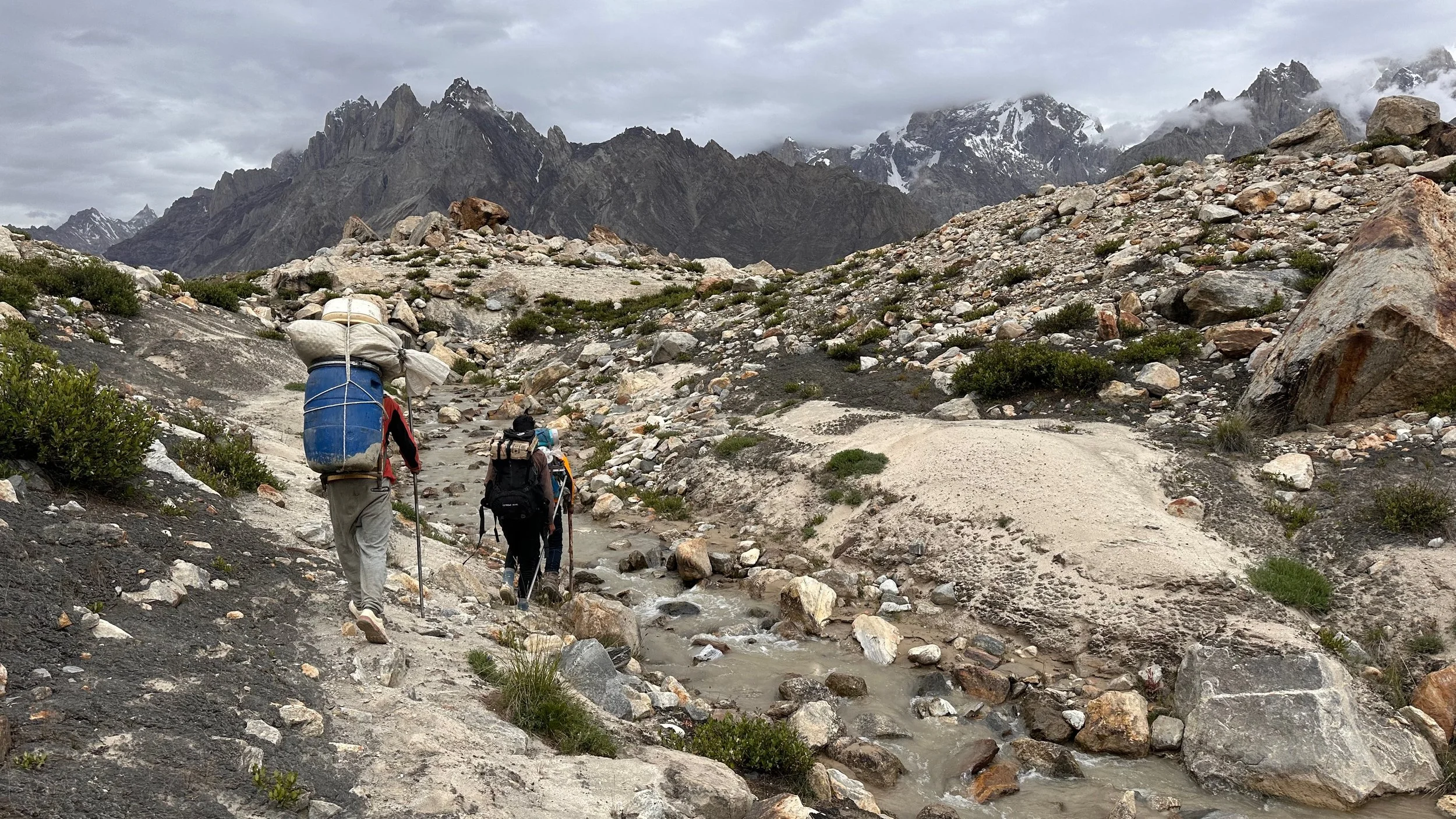
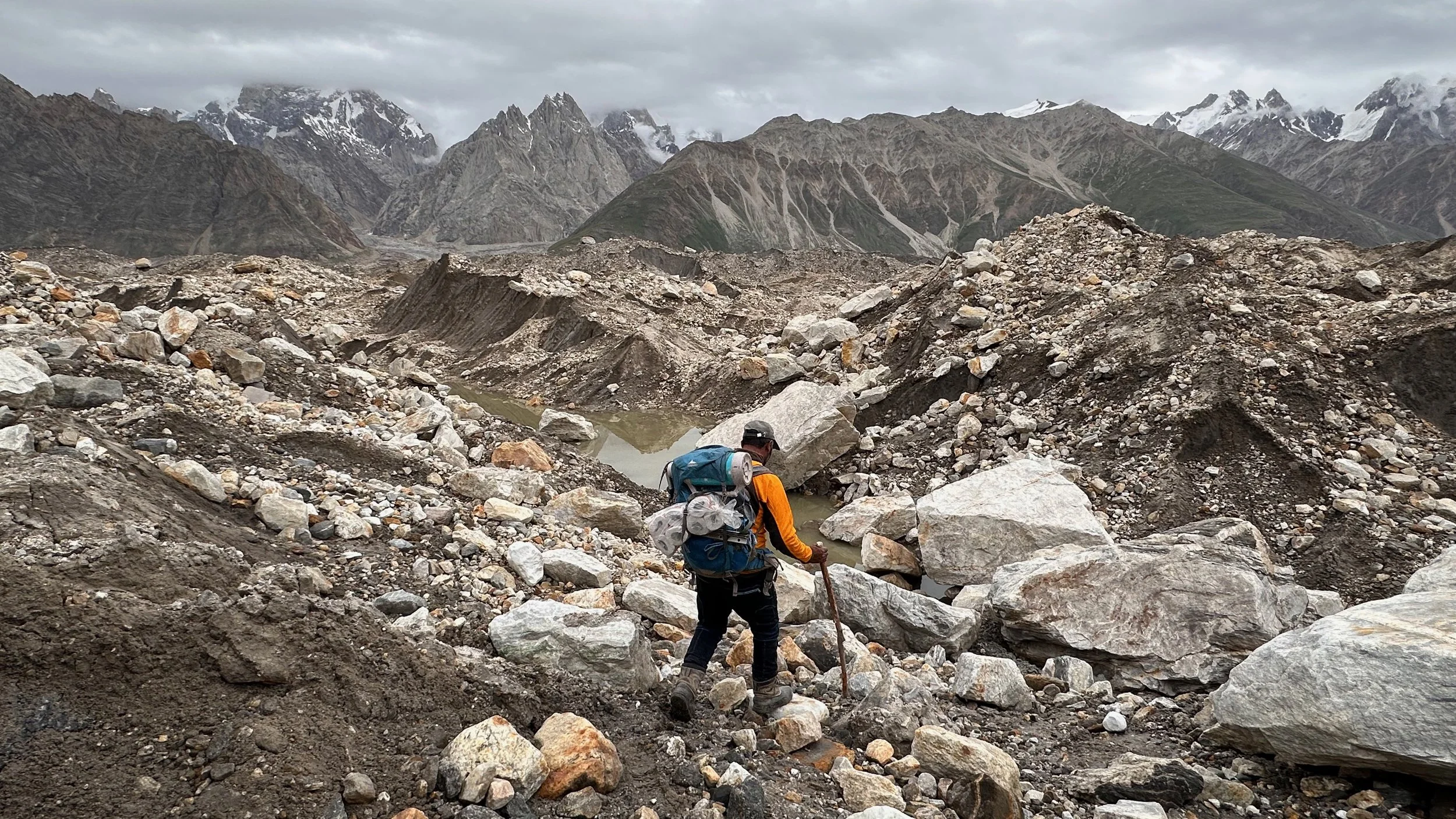
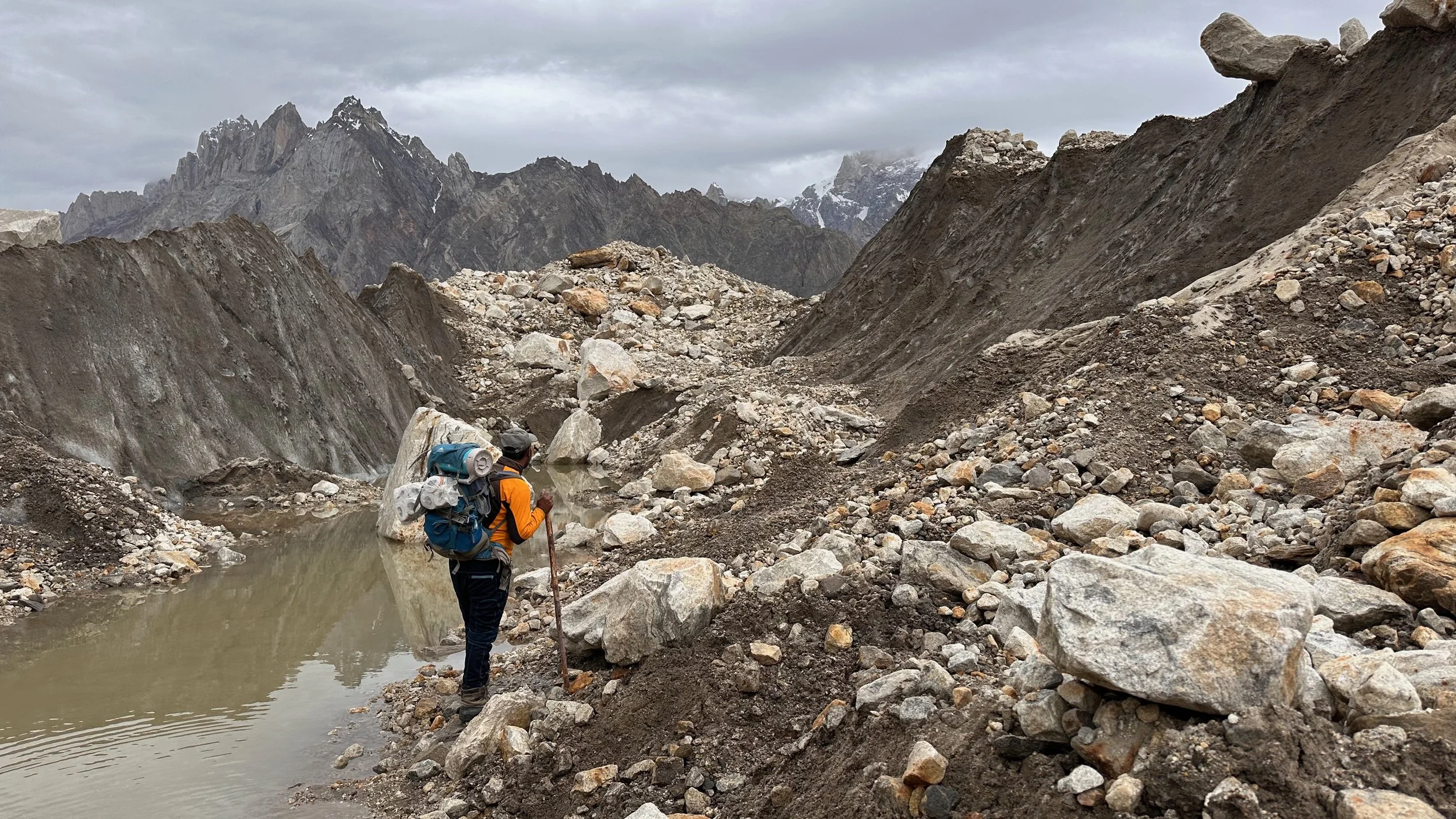
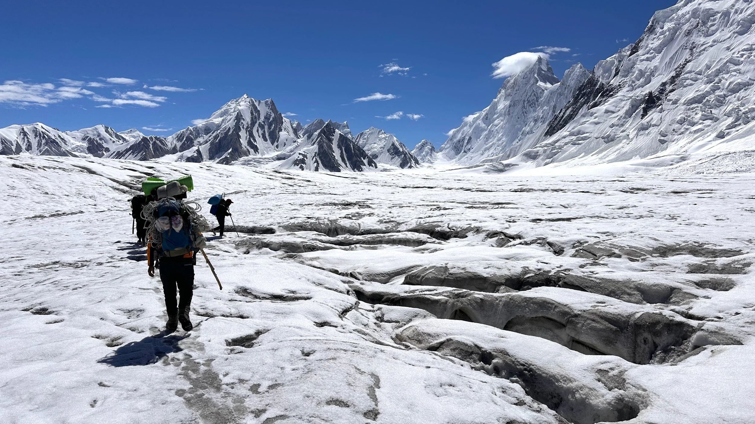
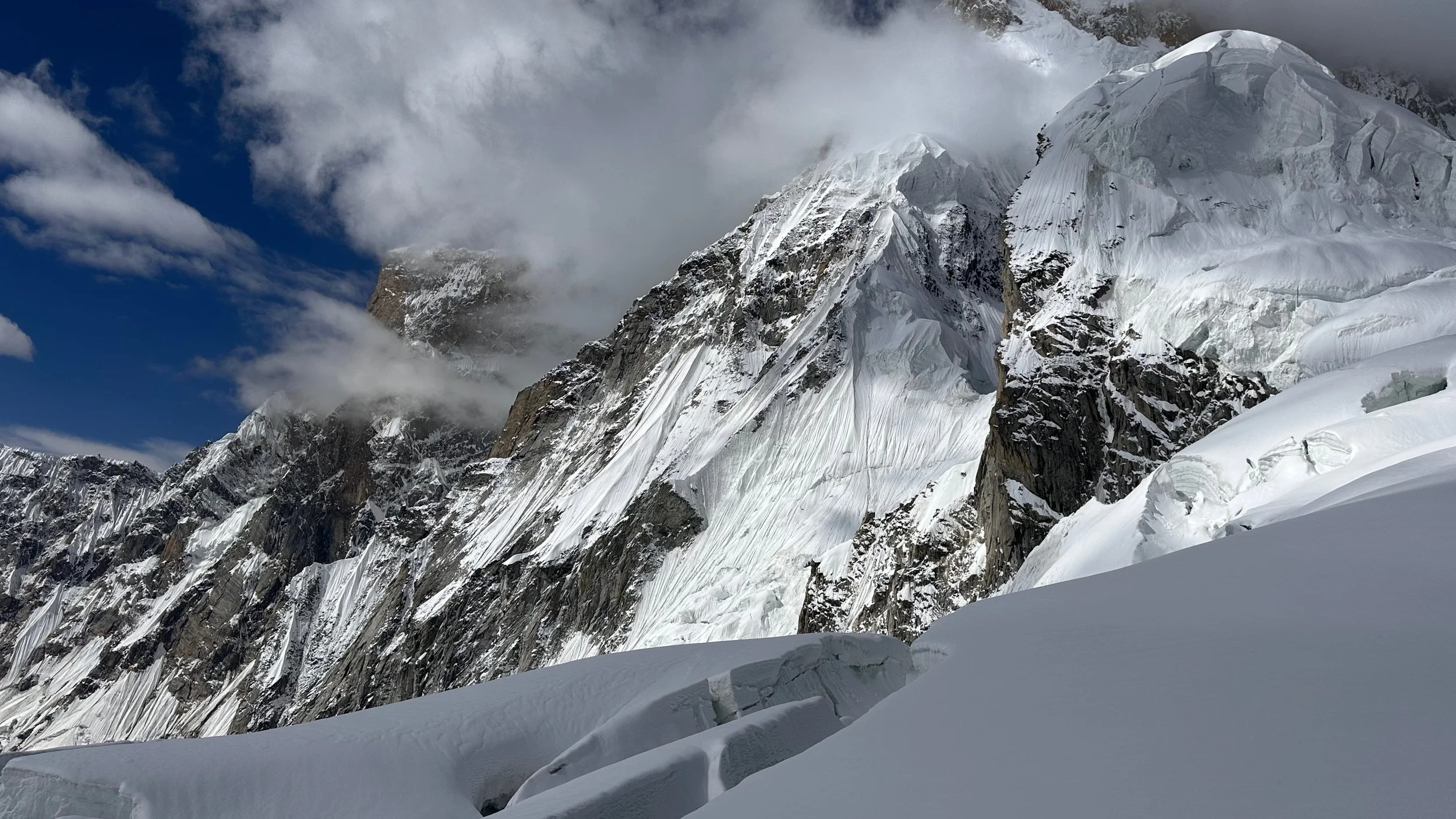
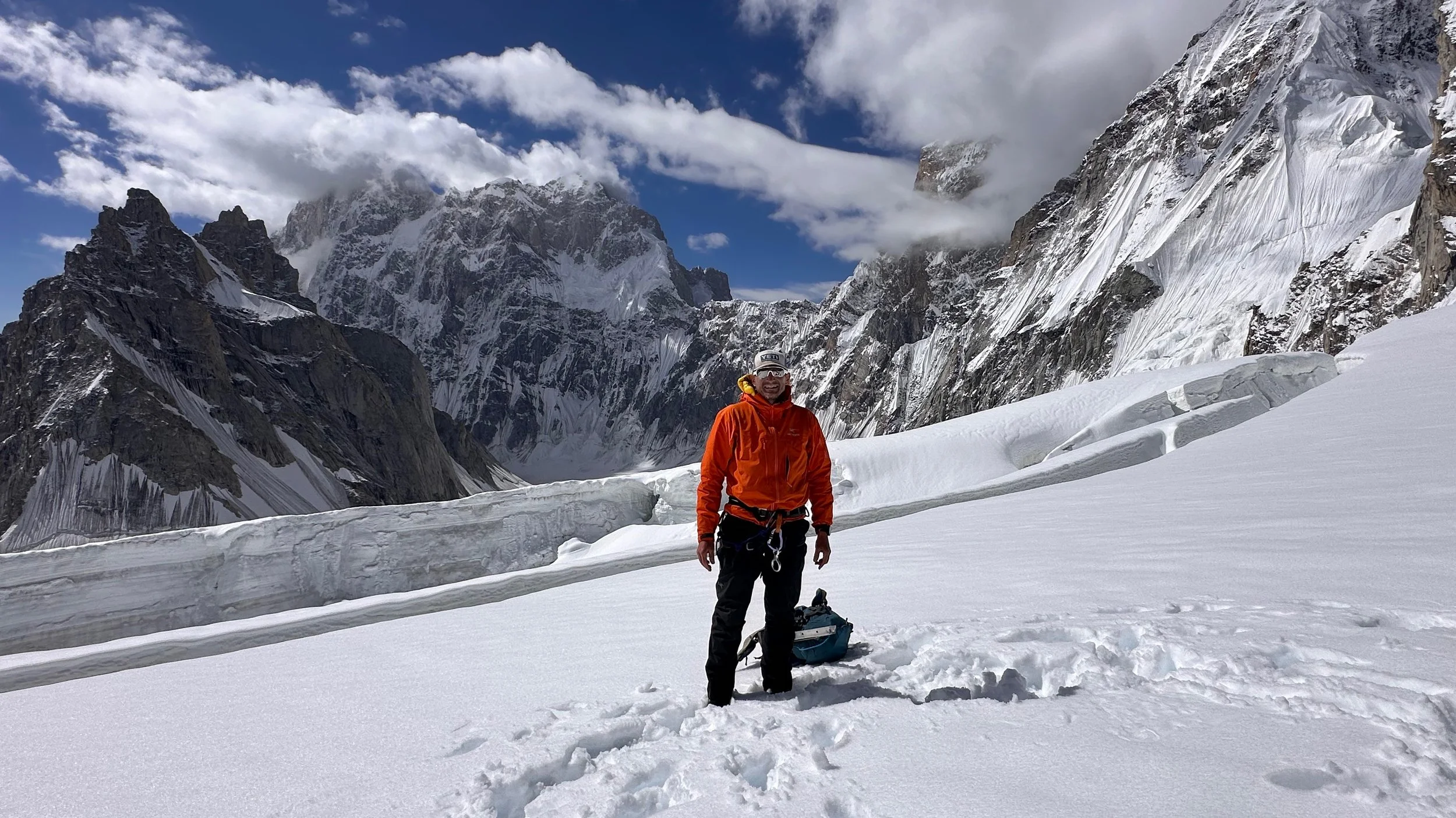
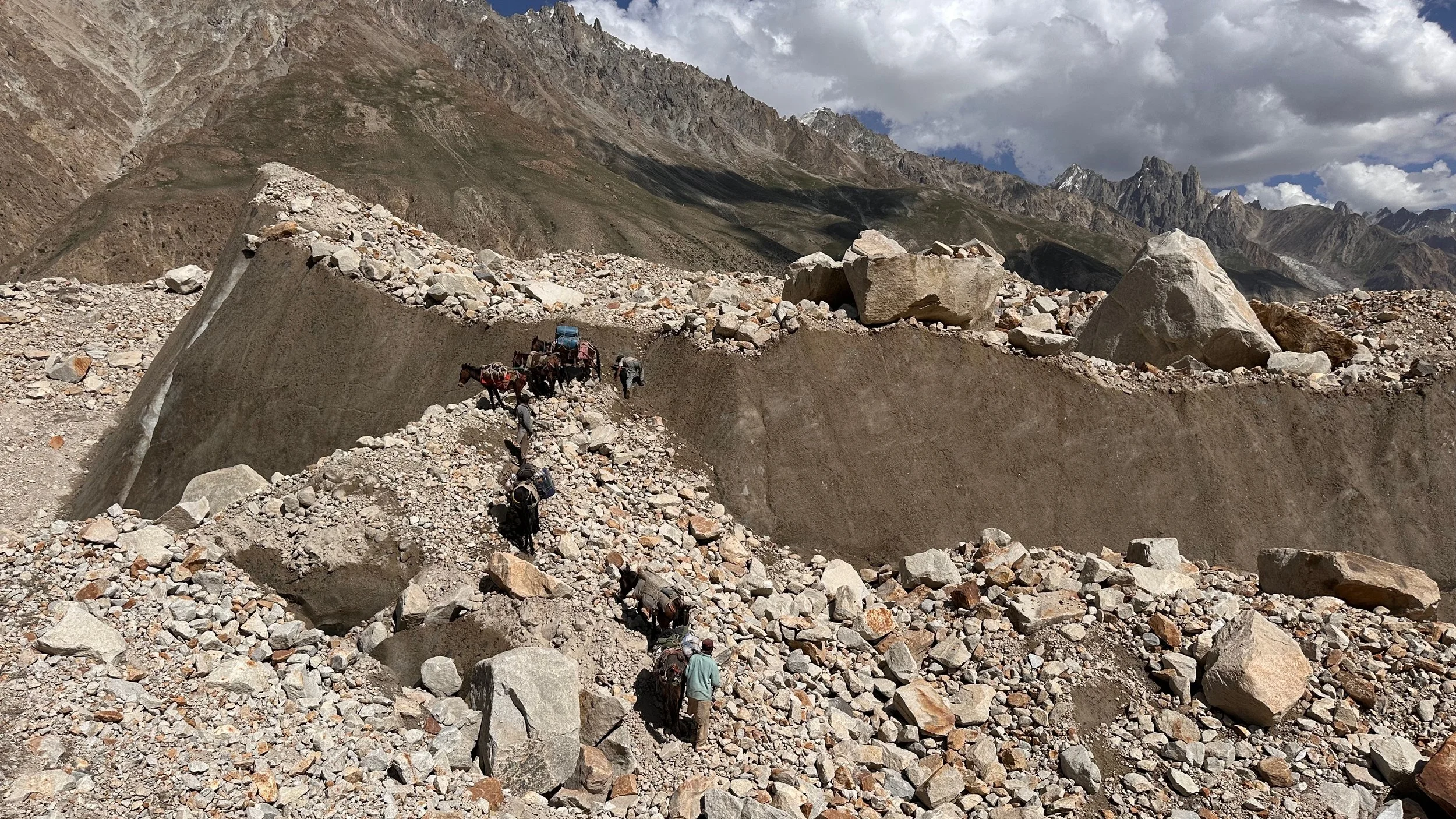
After descending from the Jamal Pass, we had to gain the white highway of the Biafo. This required us to cross the side glacier which is quite broken up.
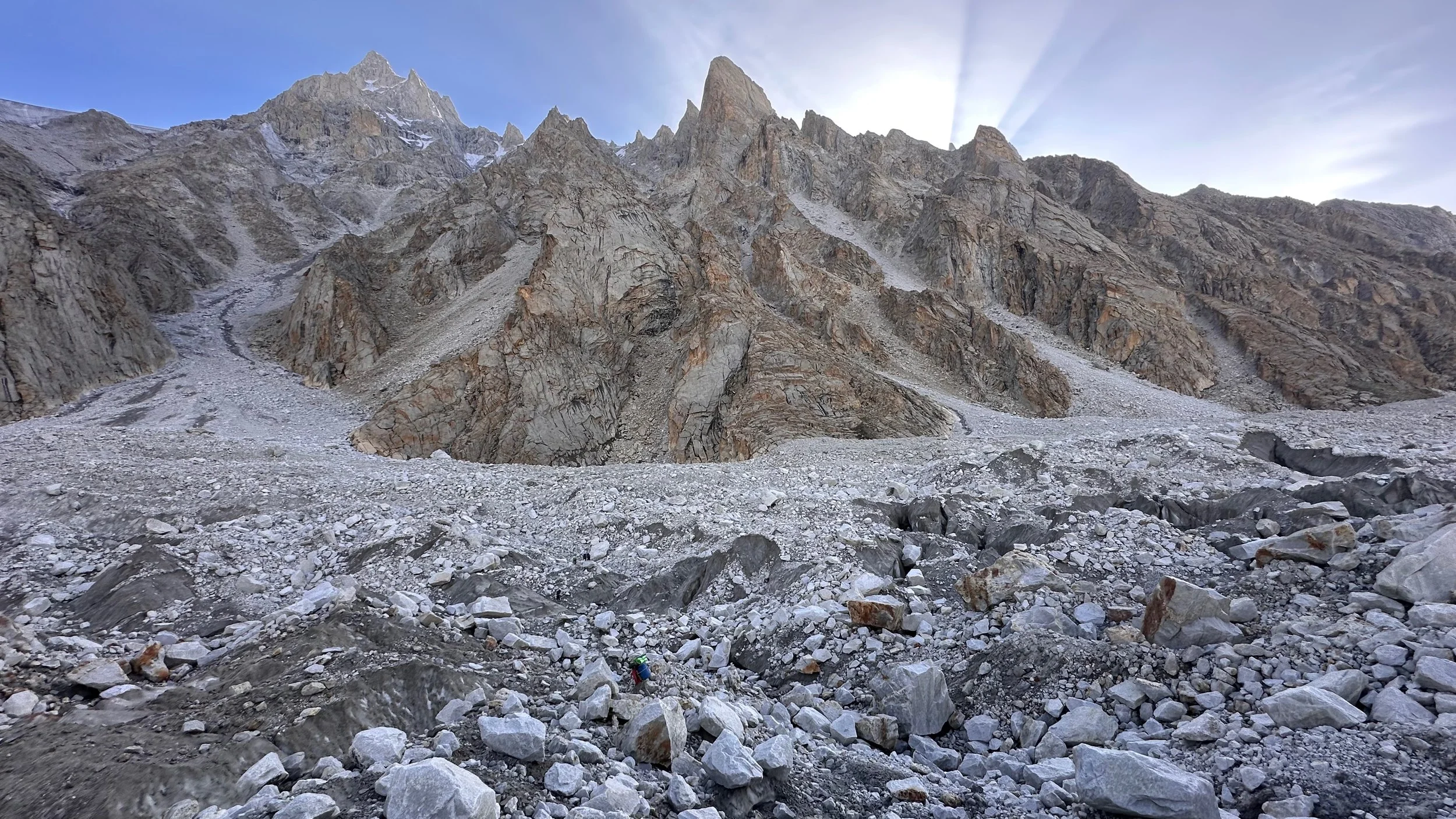
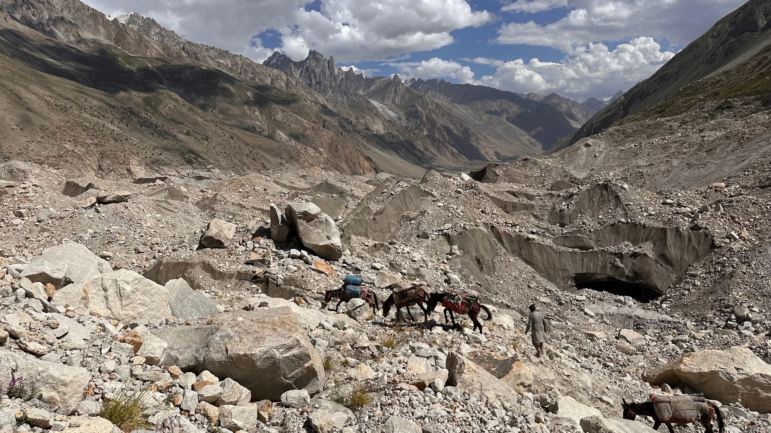
Working our way through the side of the Biafo glacier.
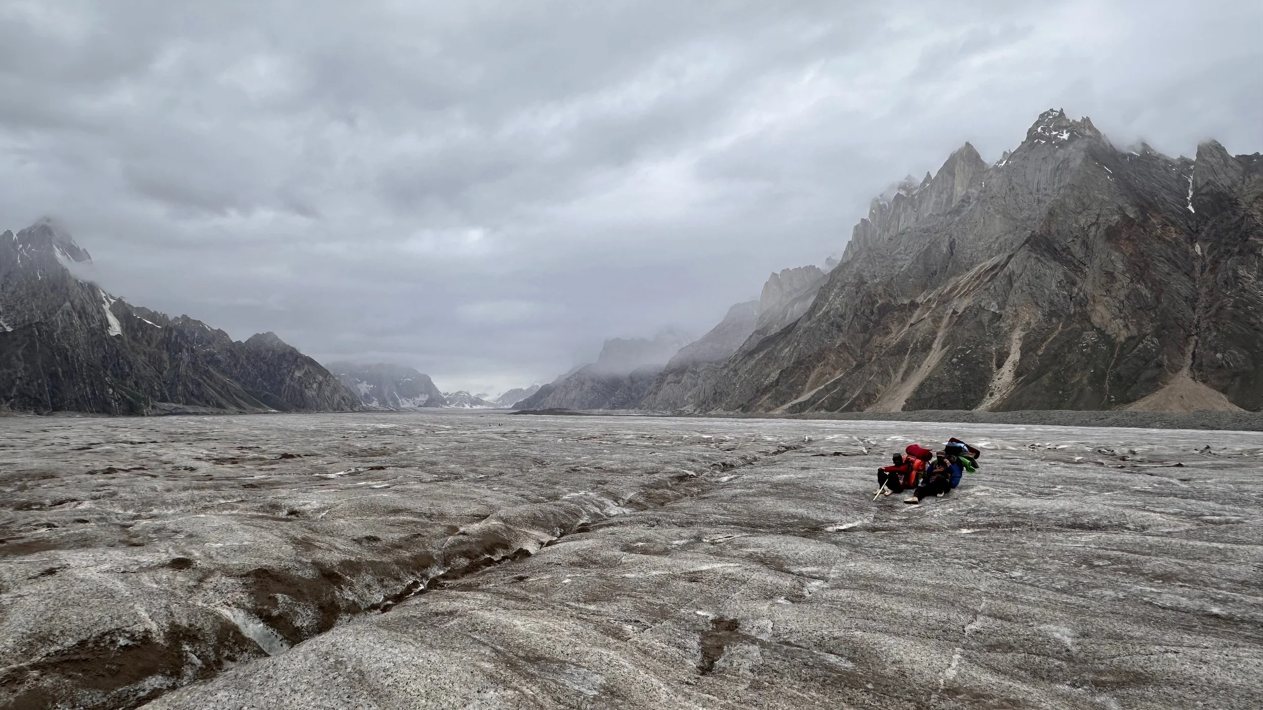
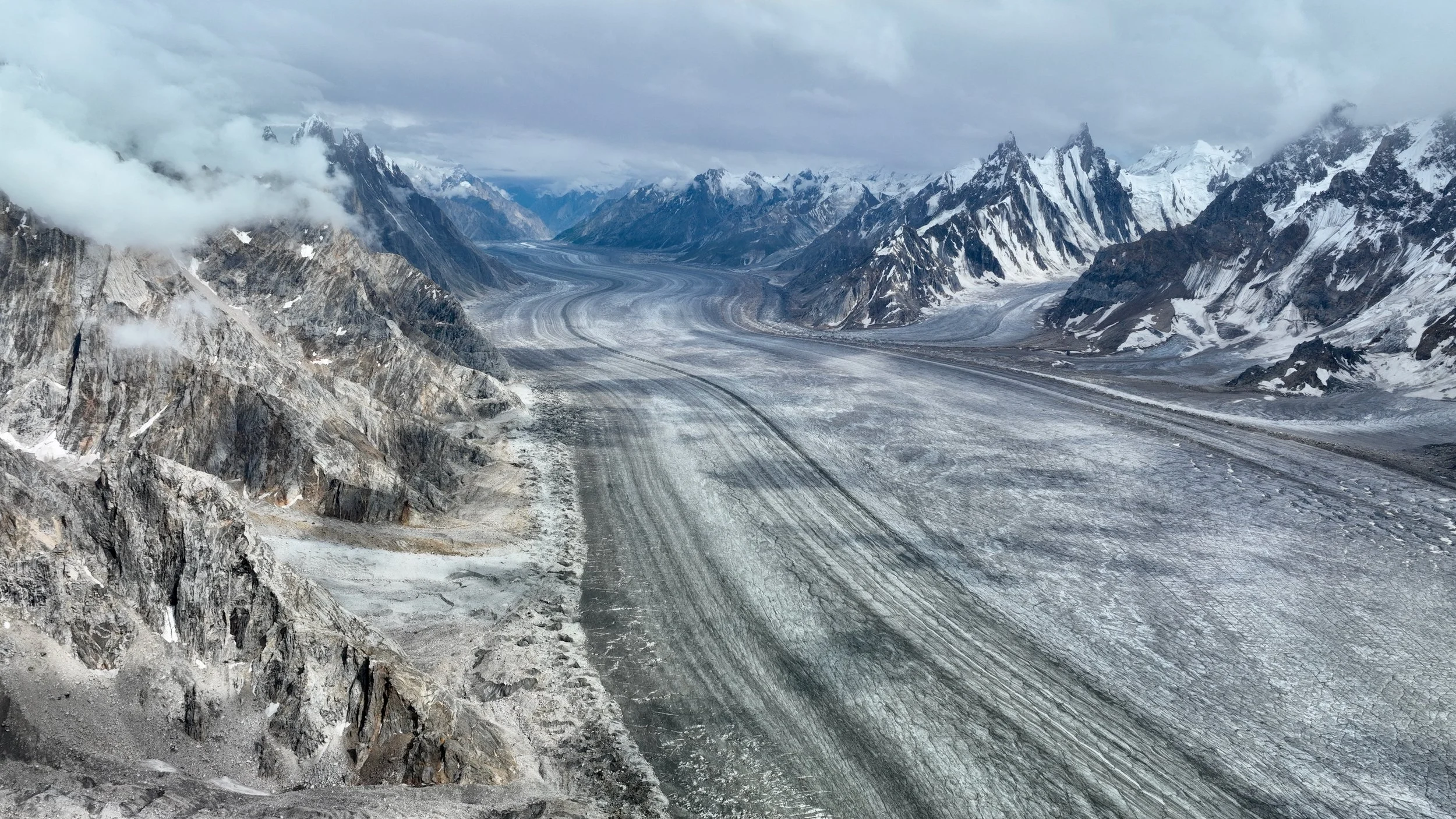
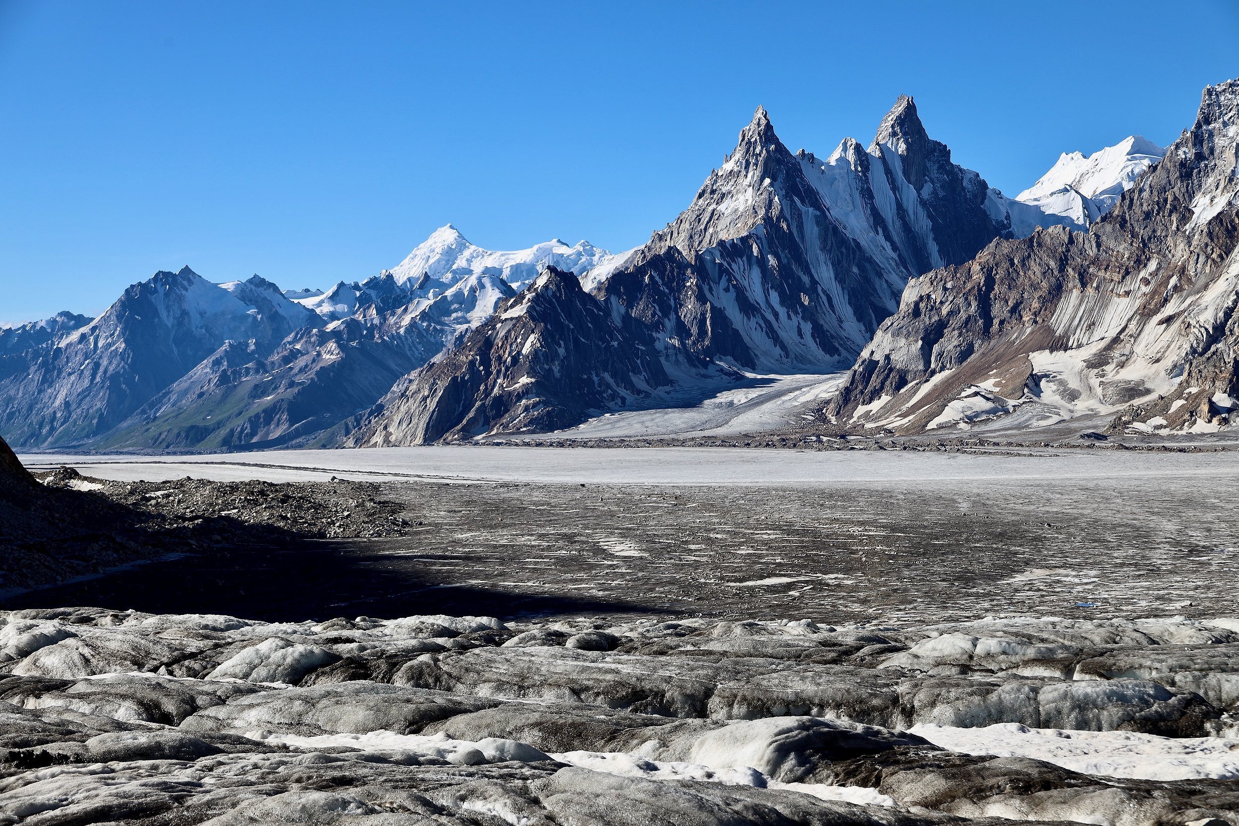
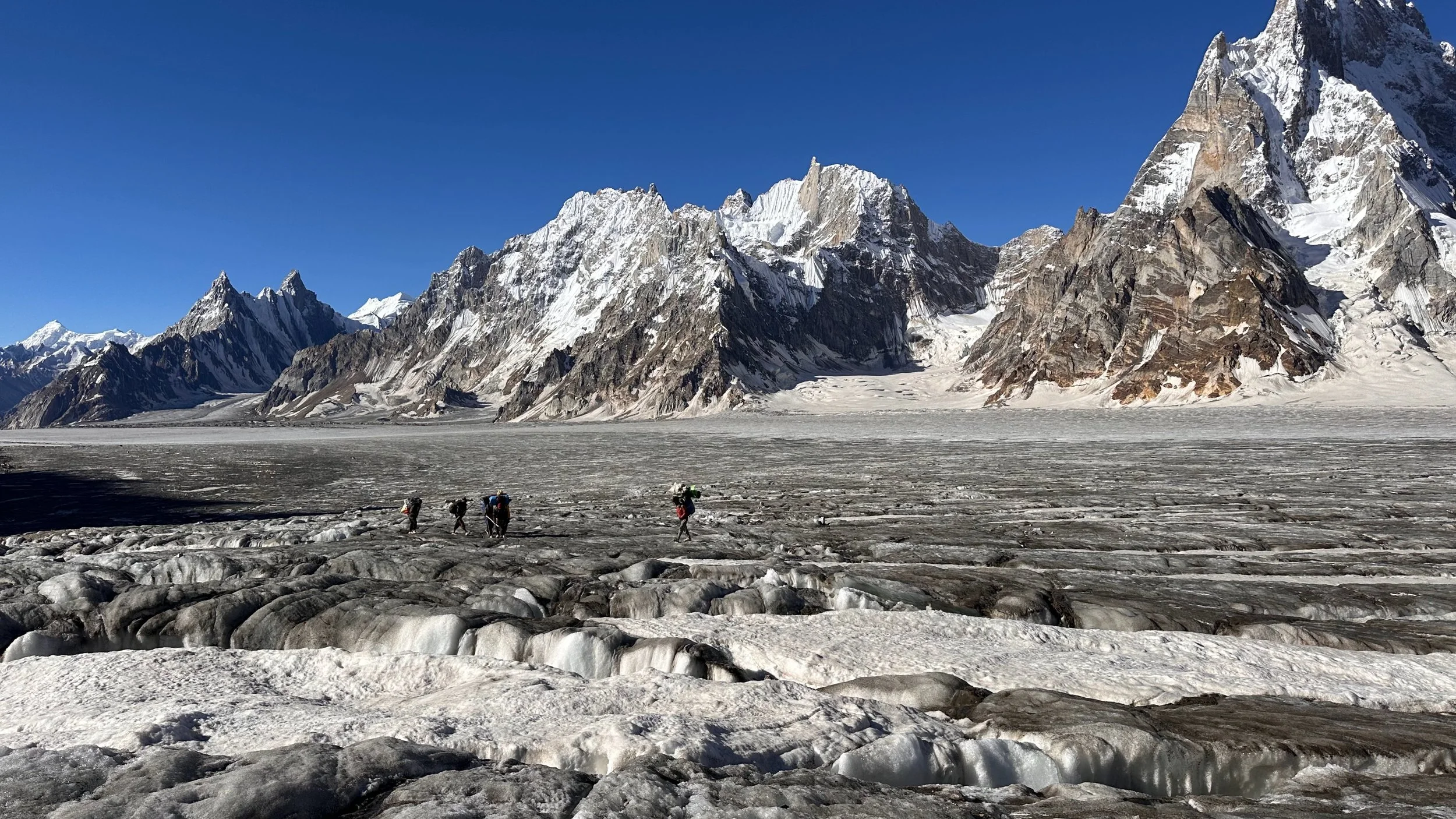
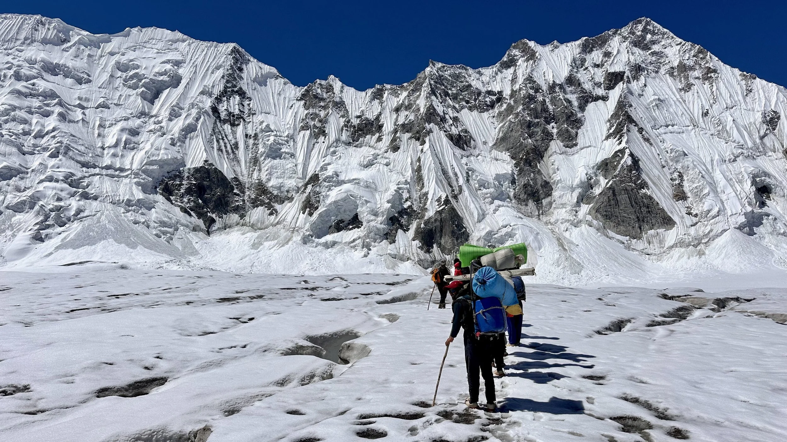
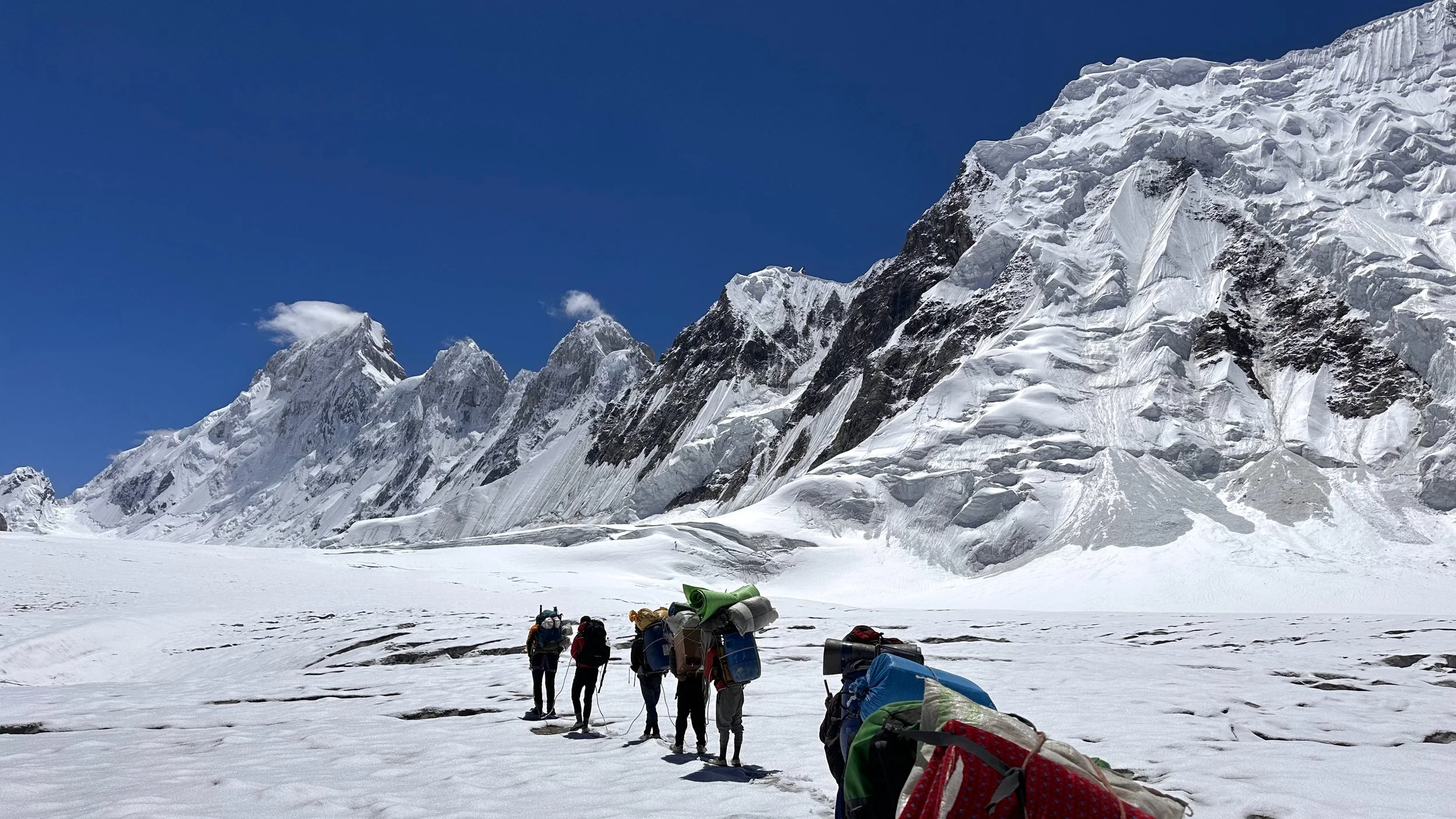
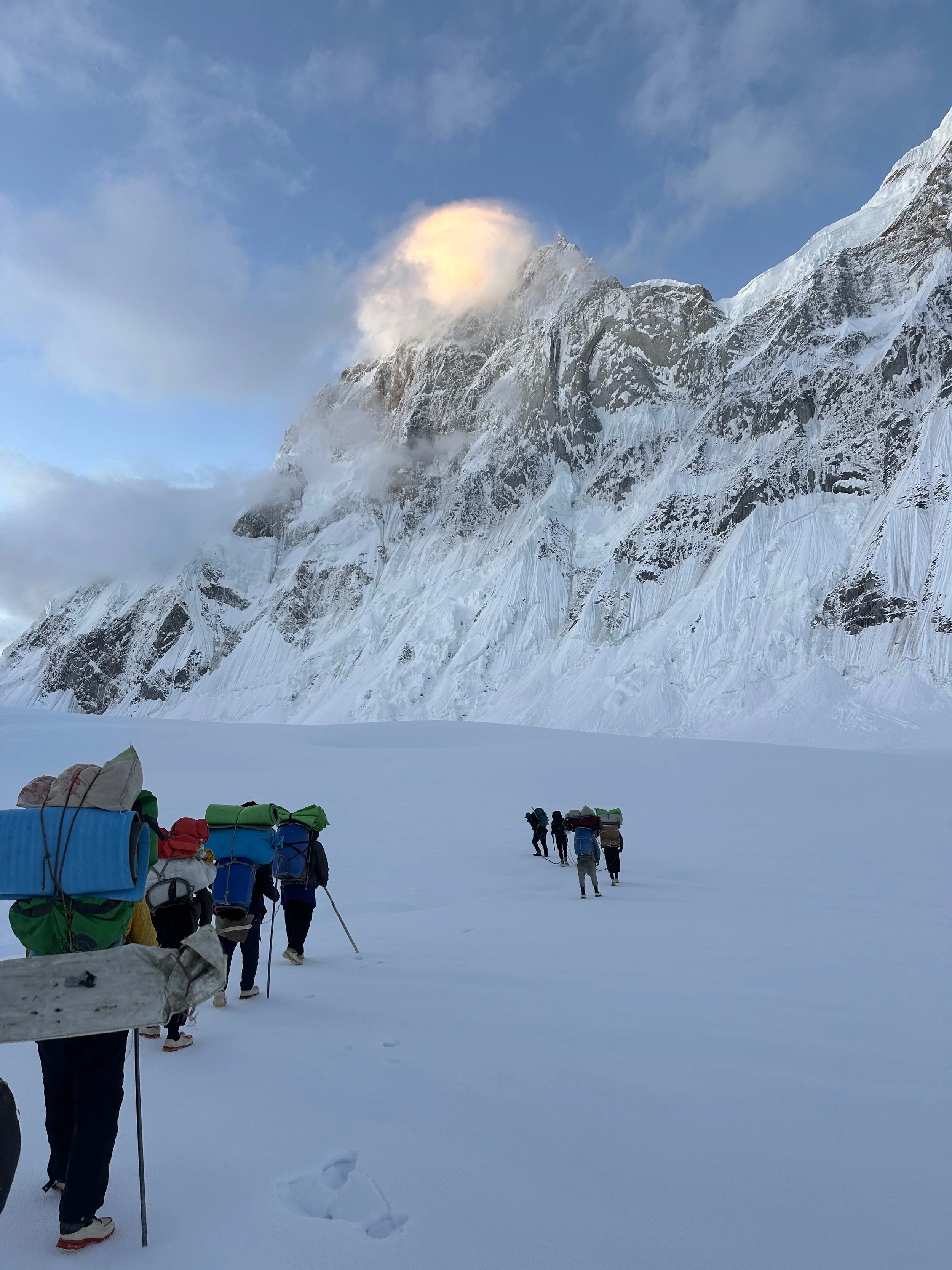
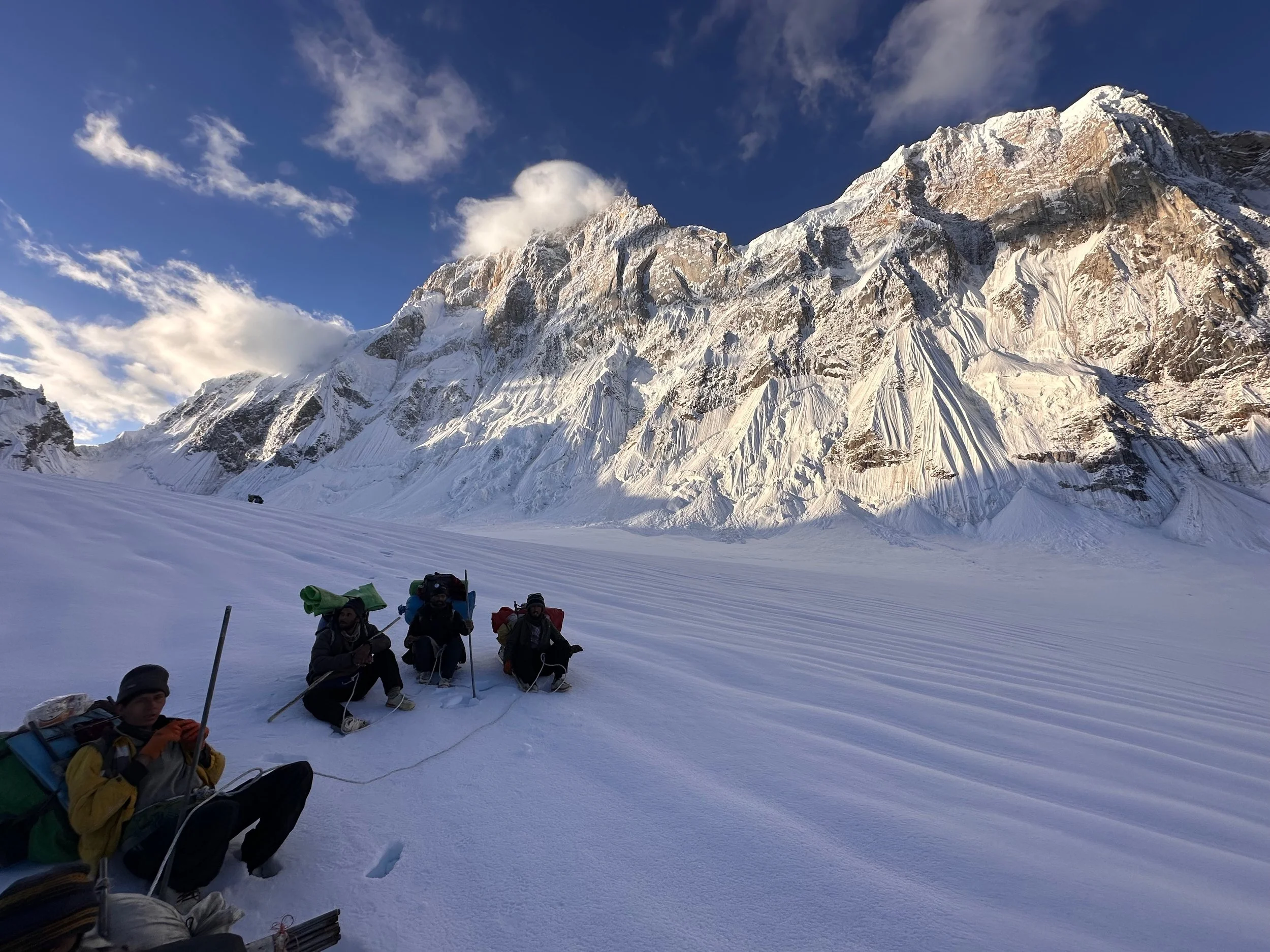
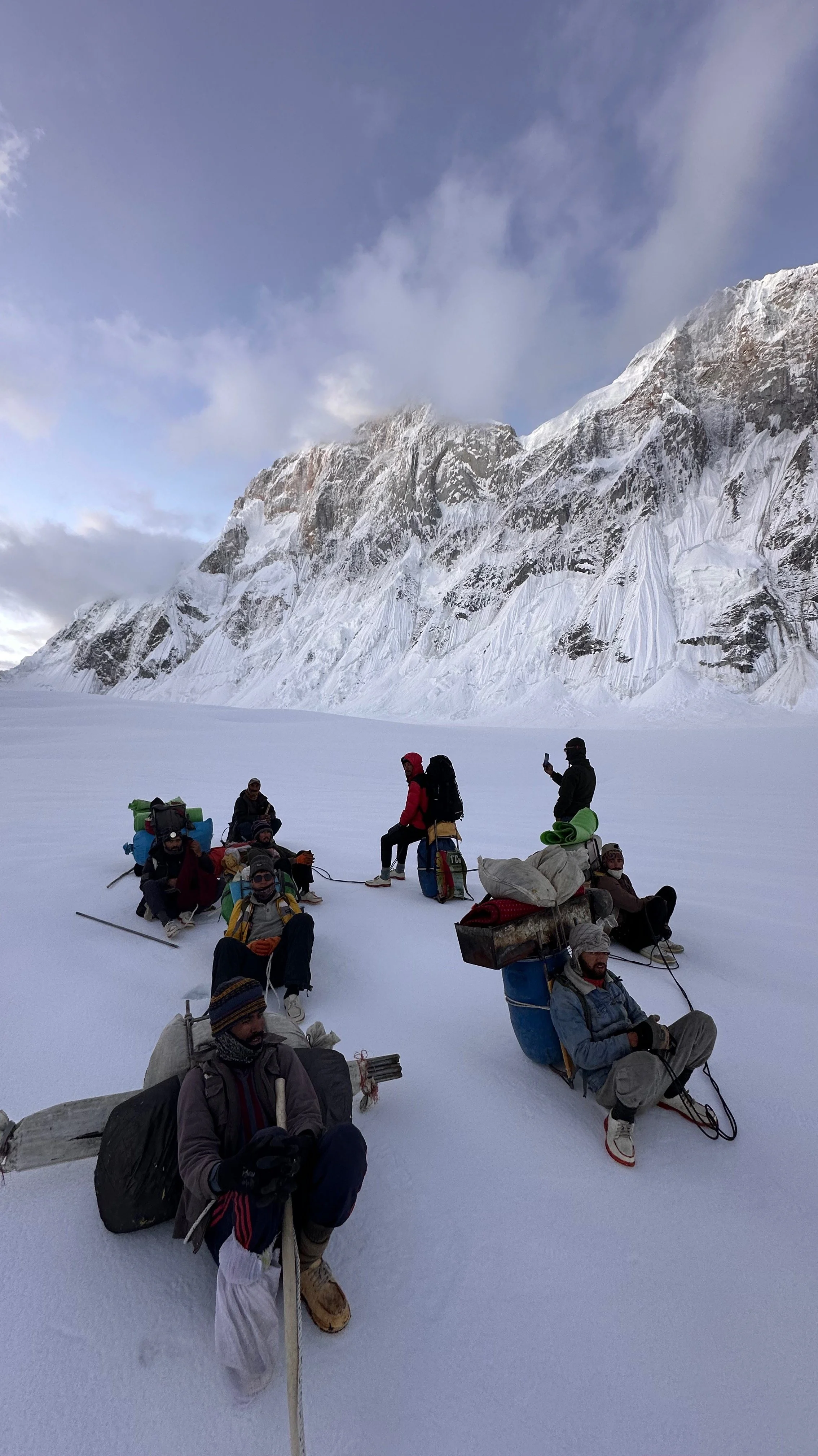
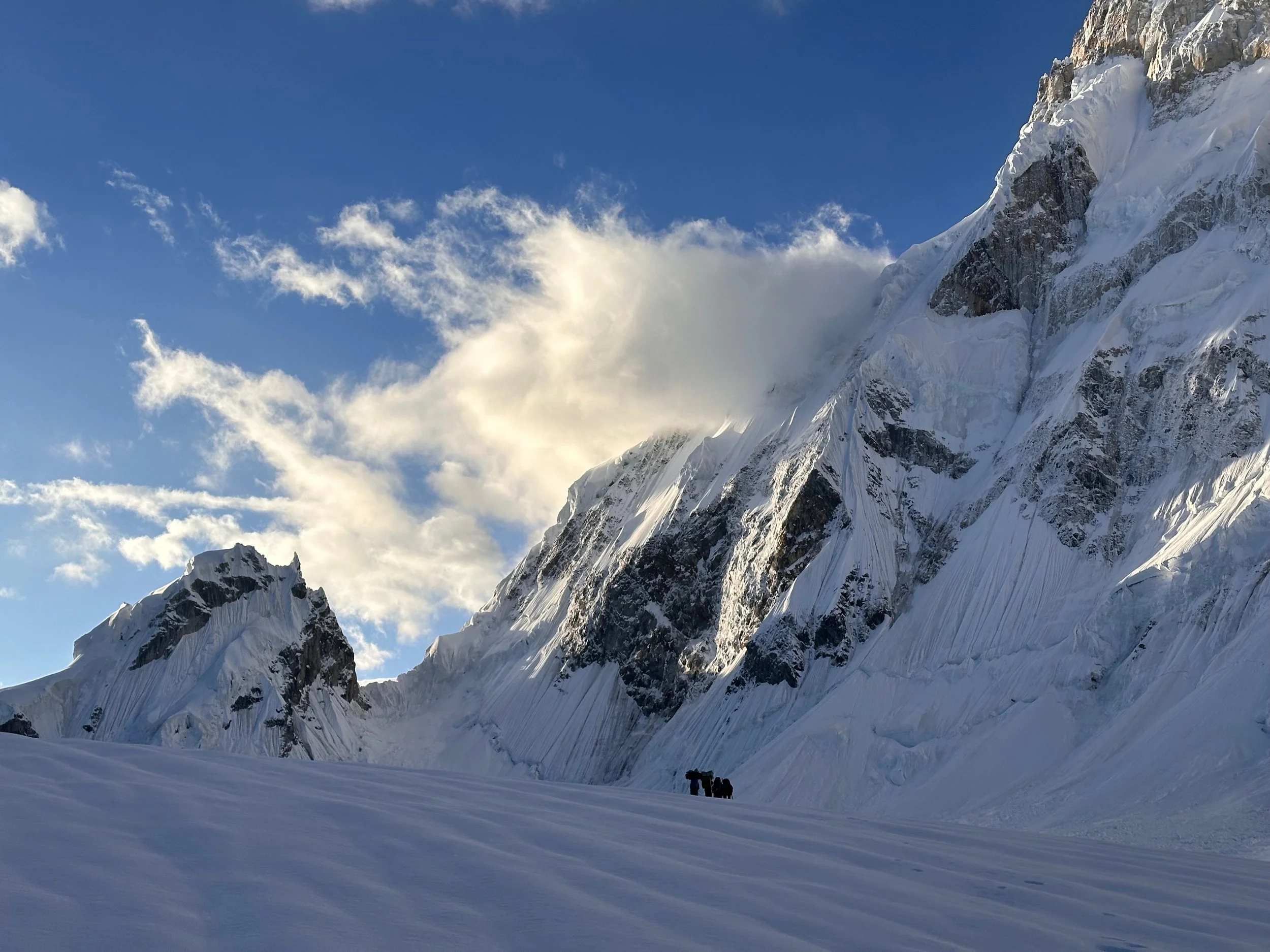
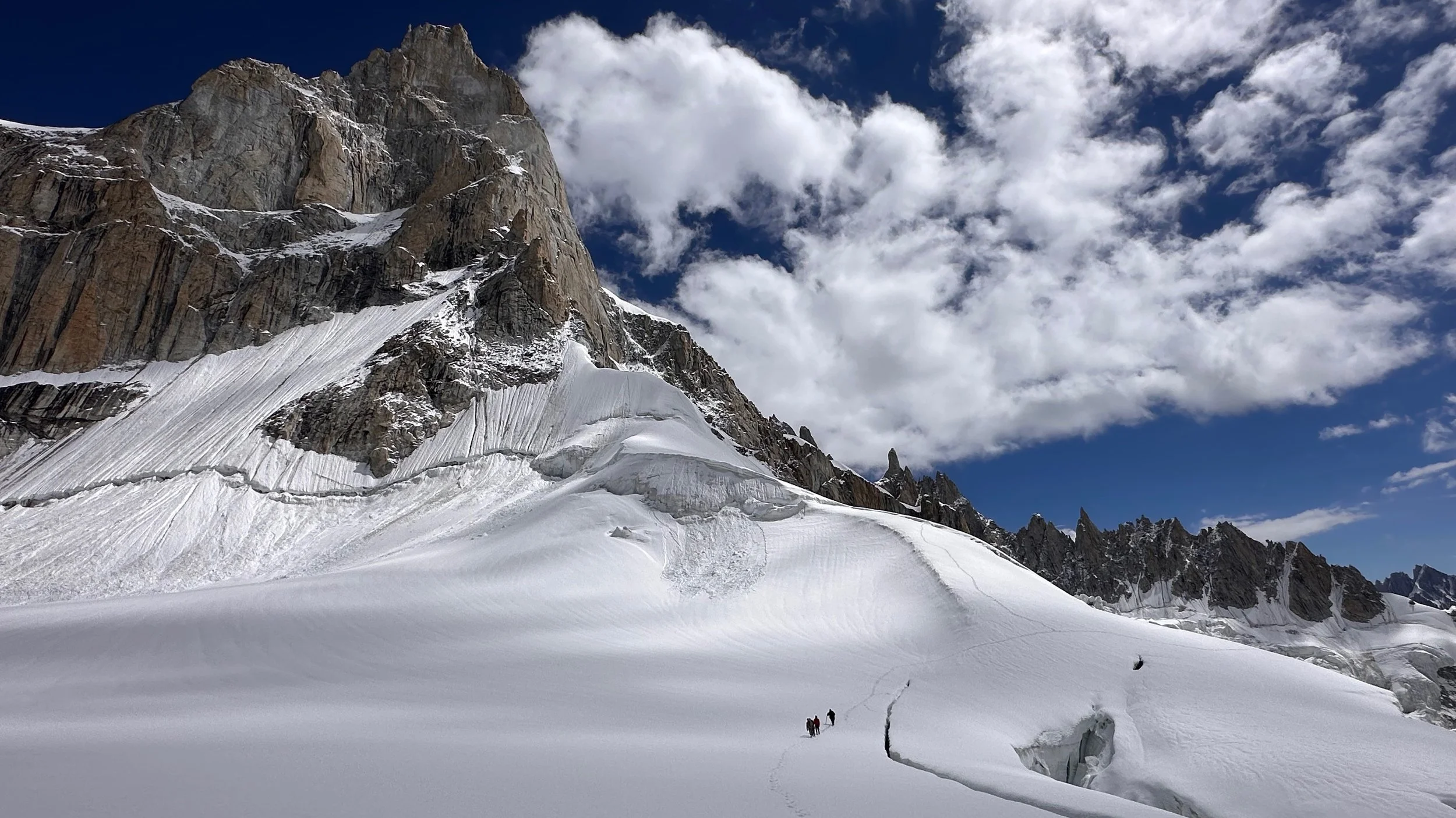
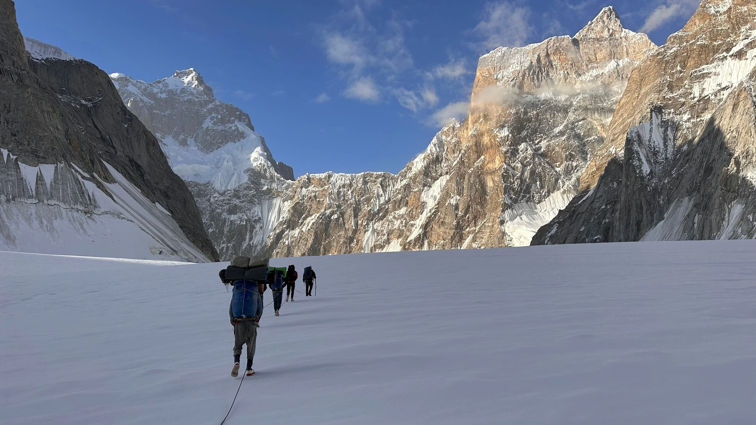
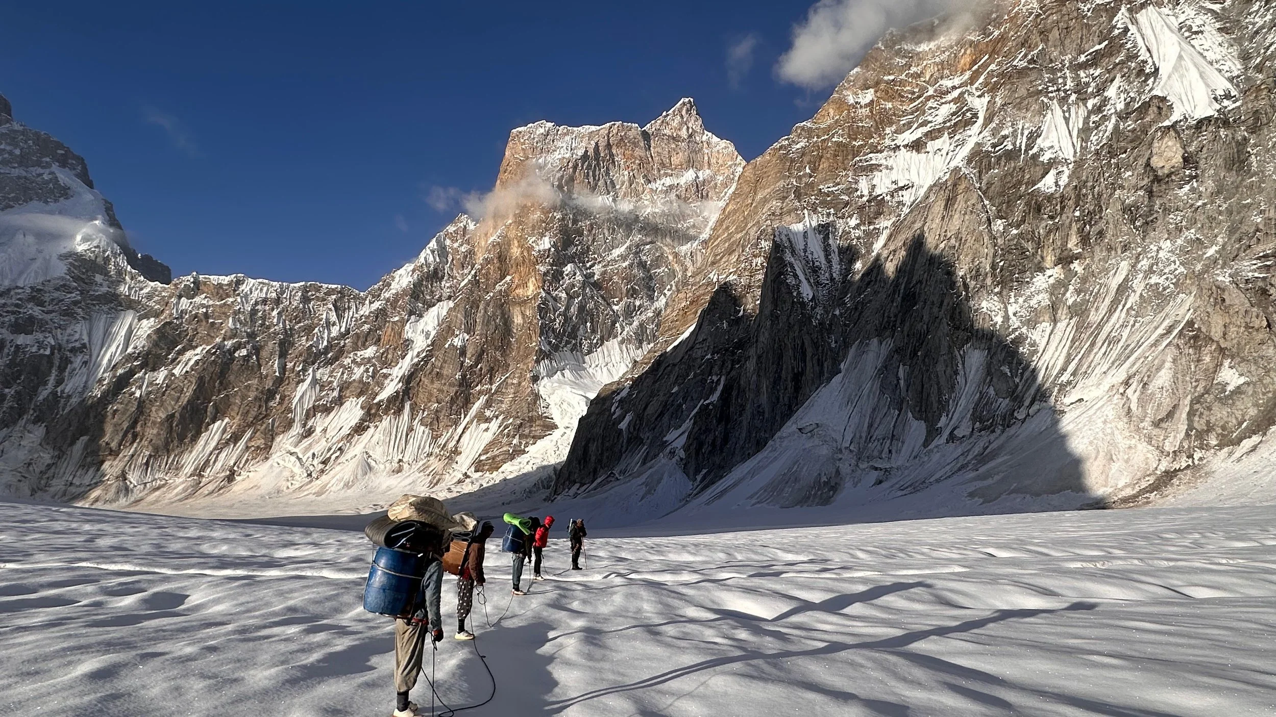
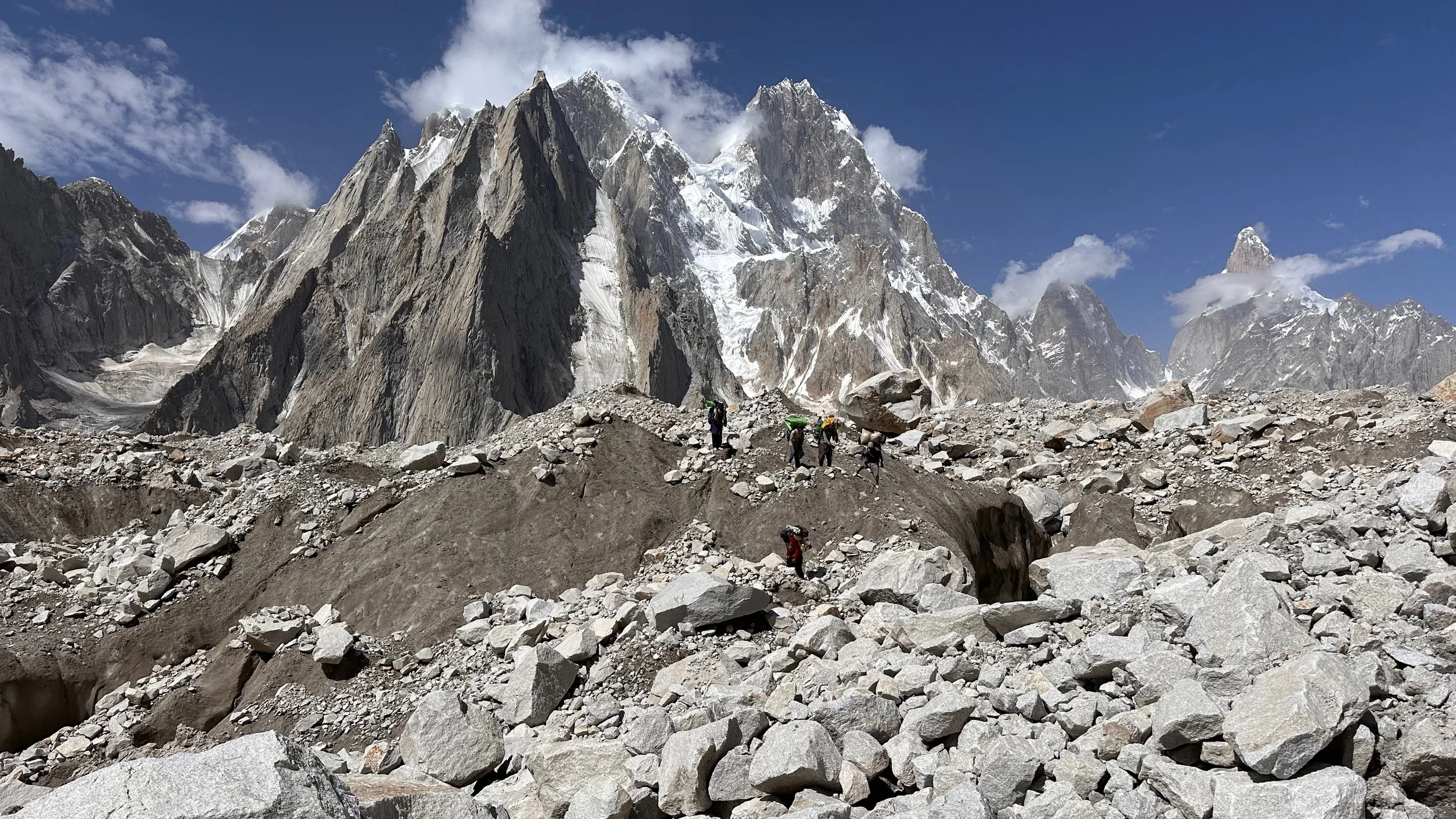
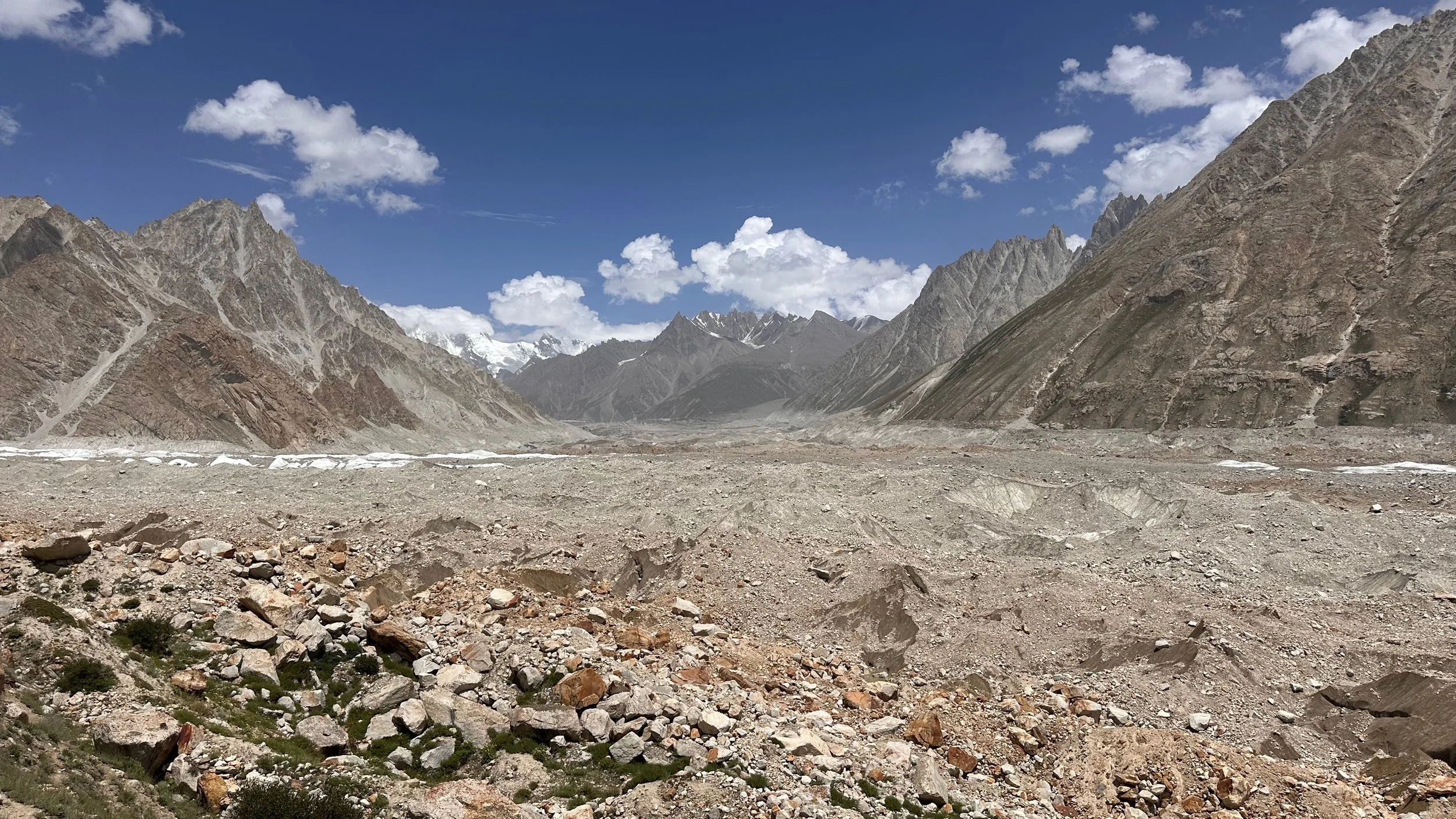
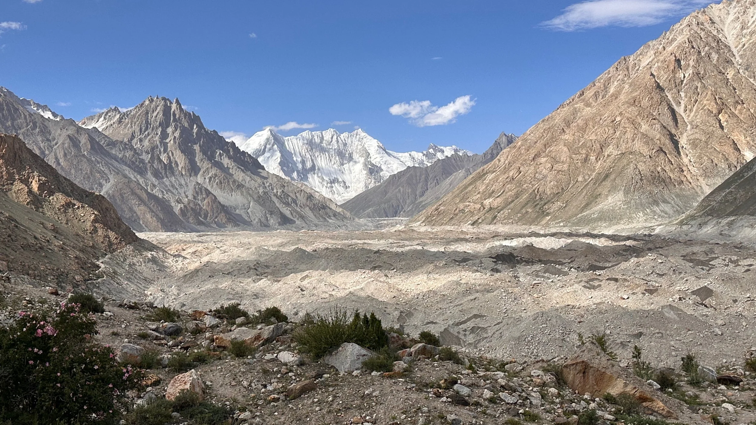
The Biafo Glacier is huge - a few kilometers across. The walking is tedious and rather boring. A gradual ascent on a glacial highway.
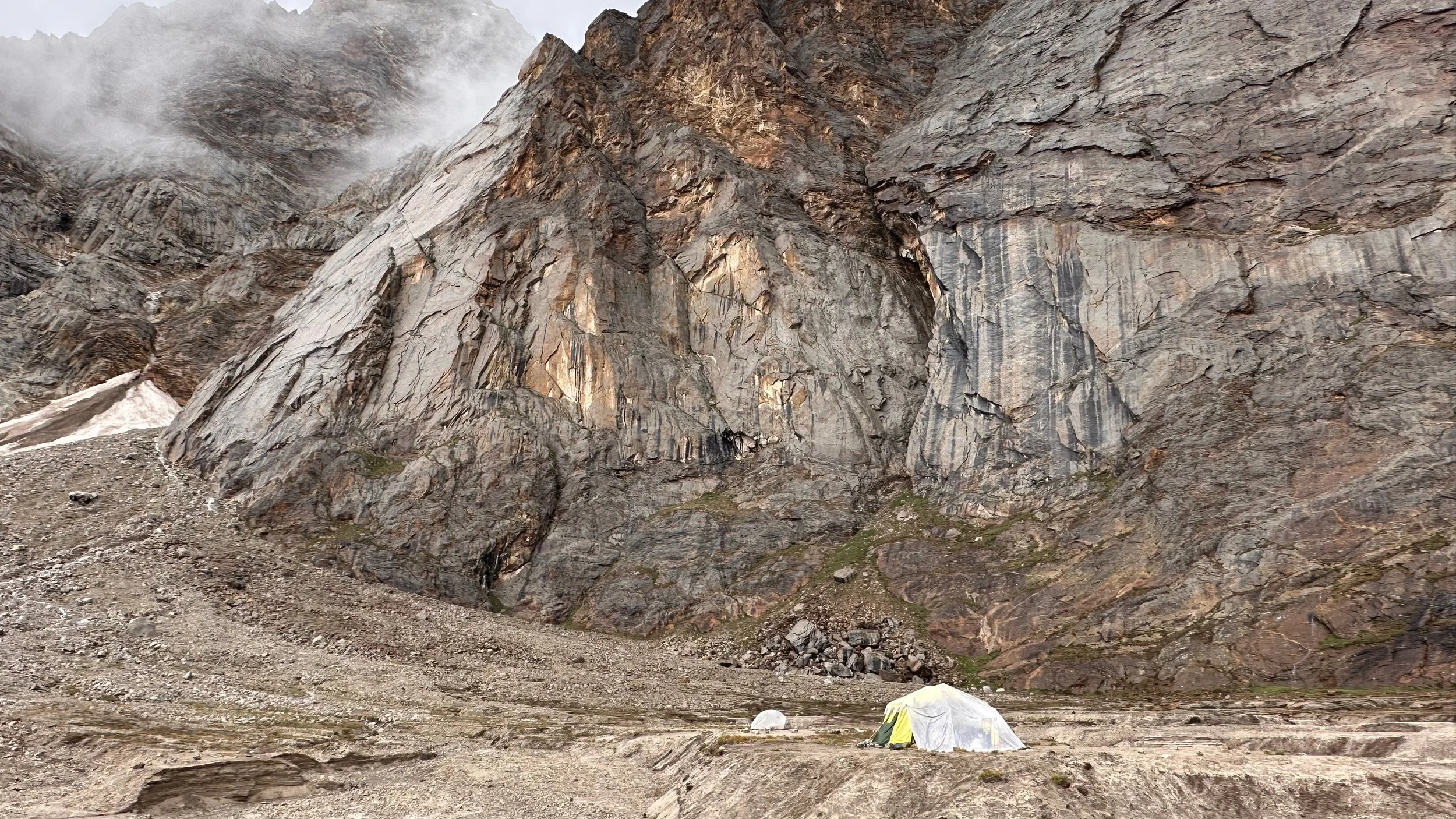
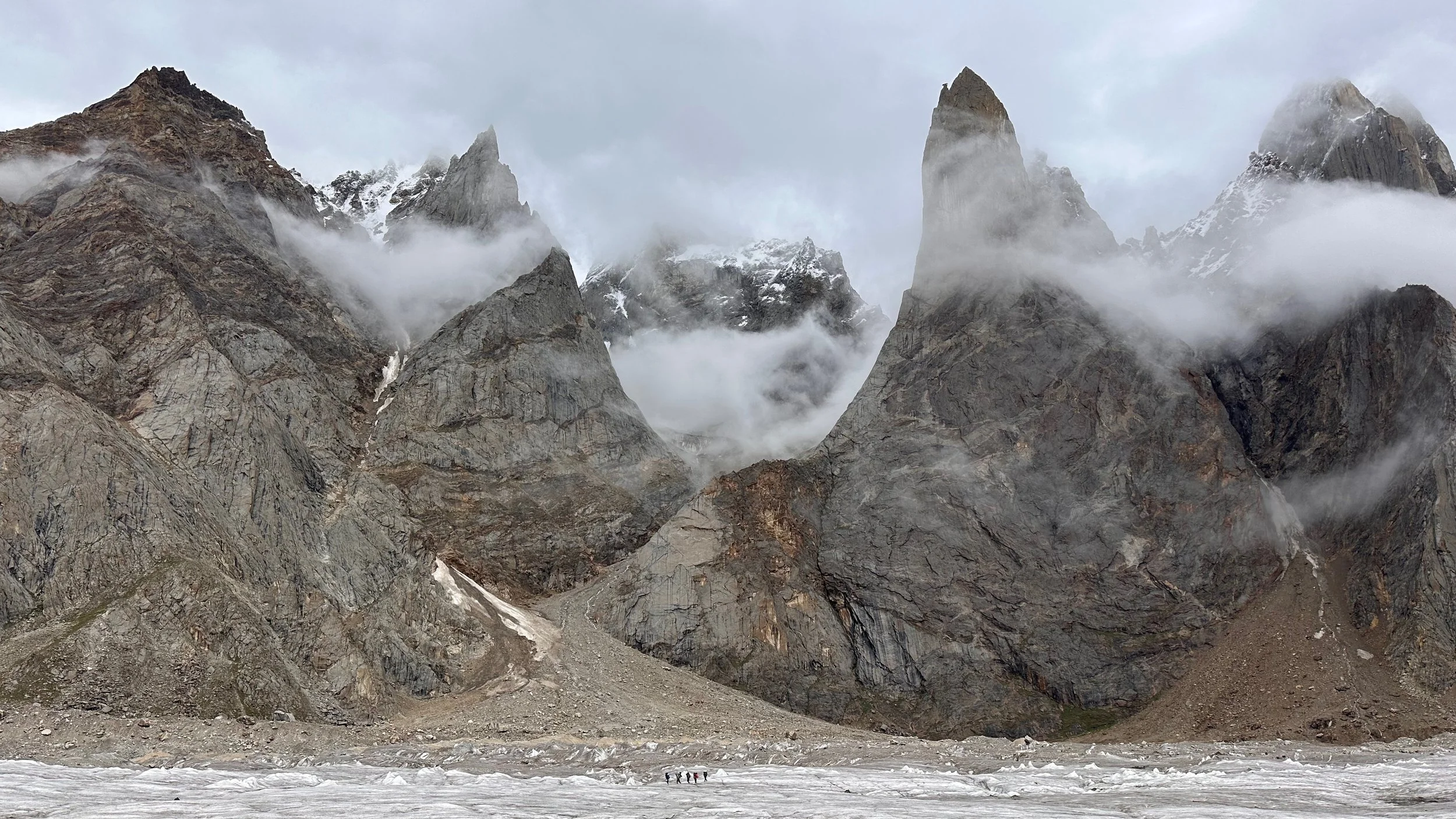
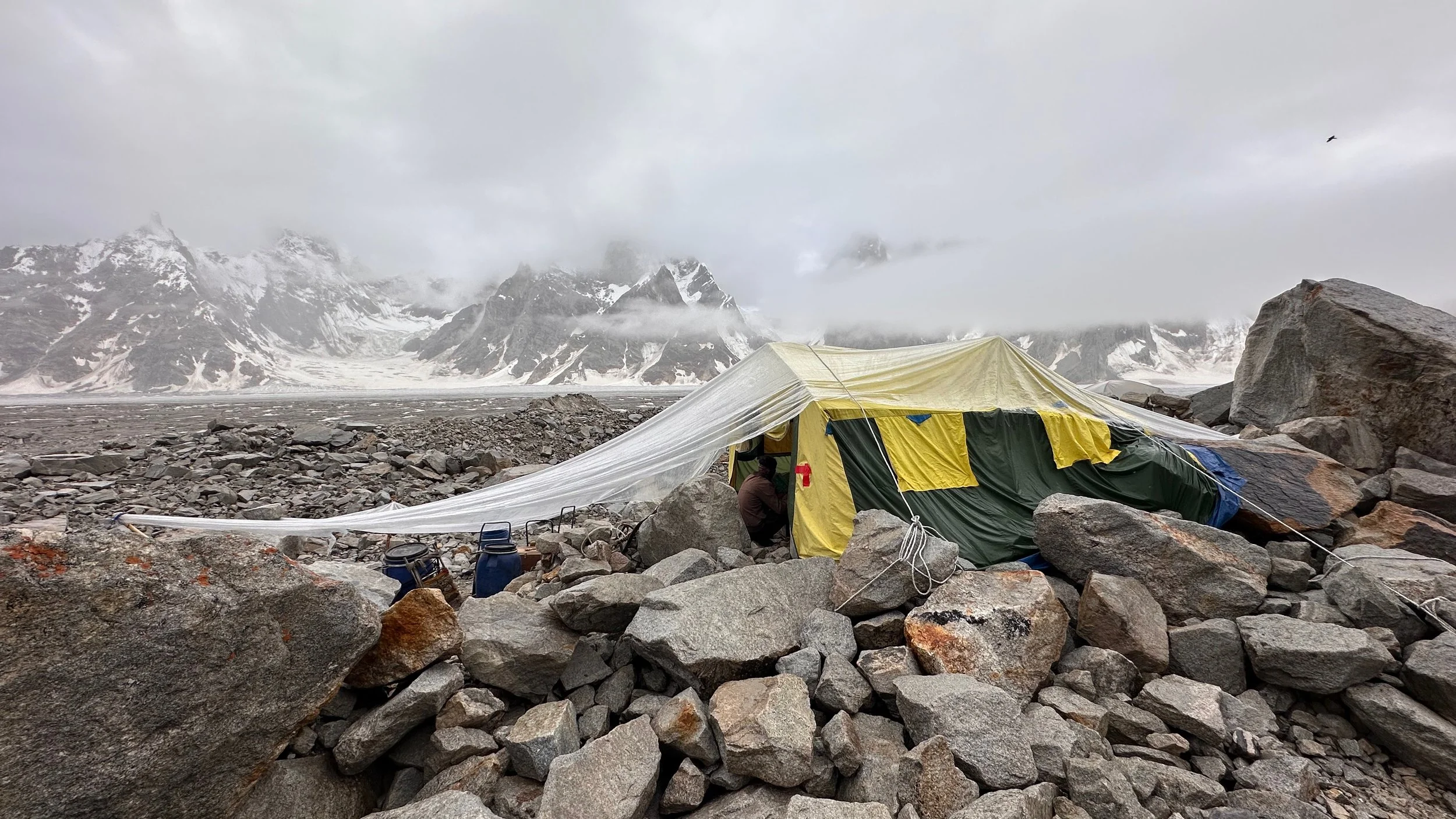
Dwarfed by the spires of the Biafo - our small camp in the rain. It rained continuously for 3 days.
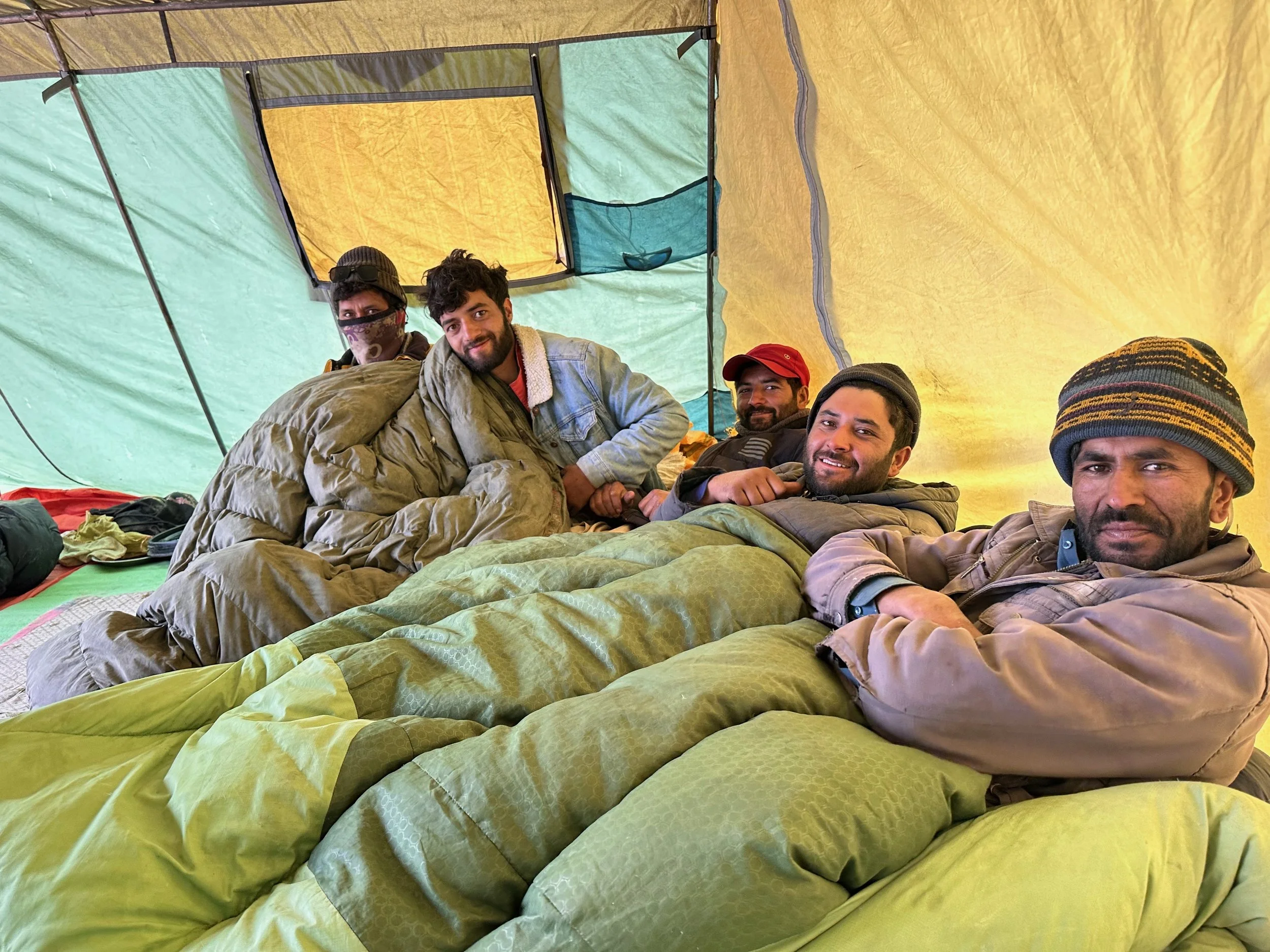
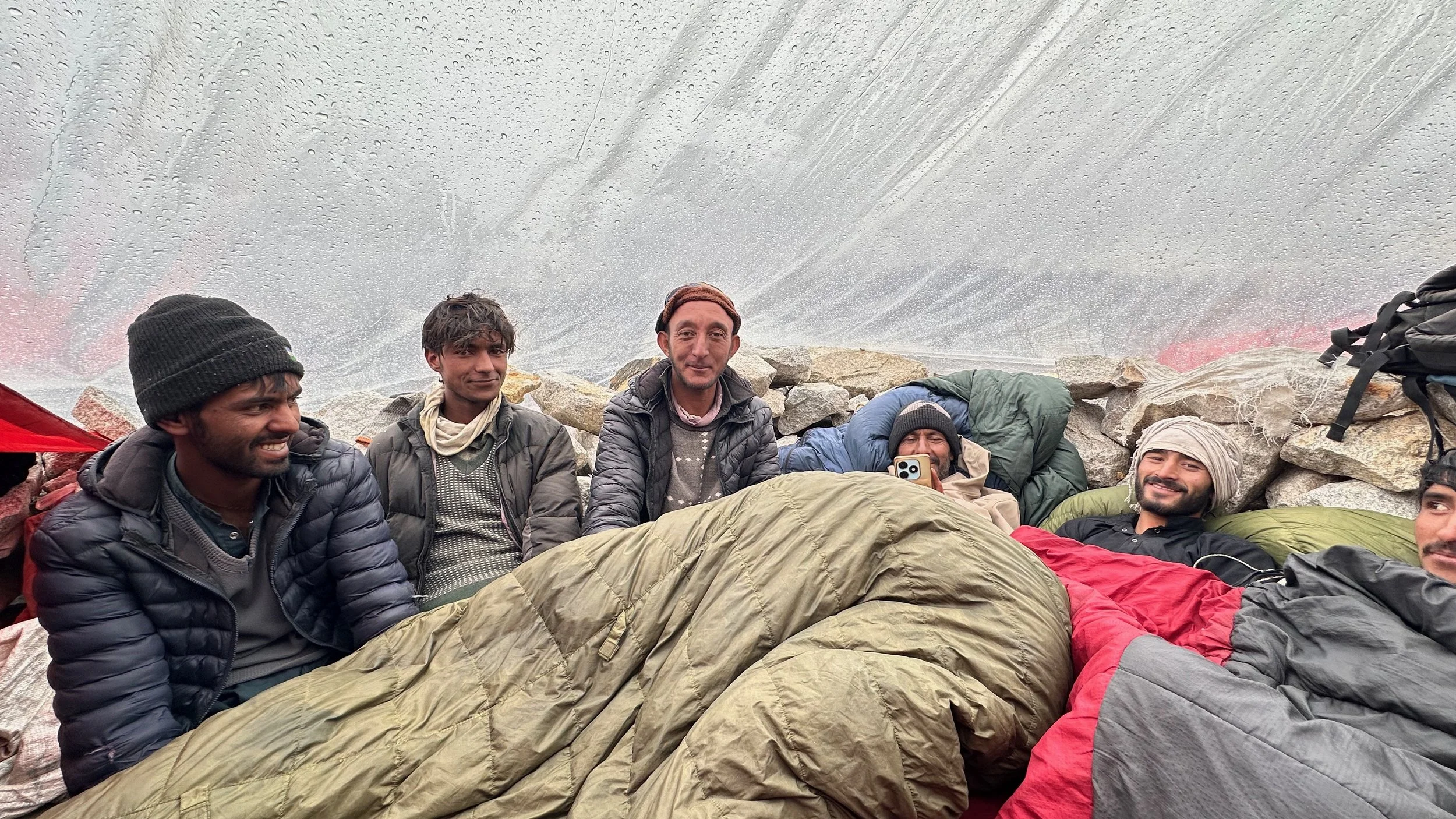
What do you do in the rain? Keep warm!
We decided to move on to the Karaphong camp. We all go soaking wet after walking in the rain for 3 hours.
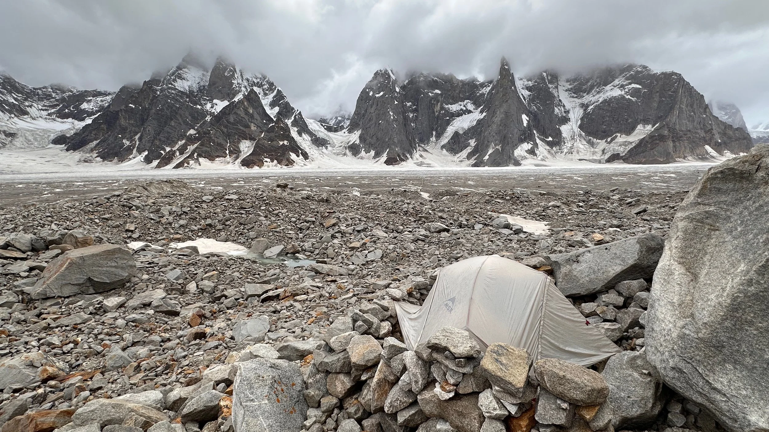
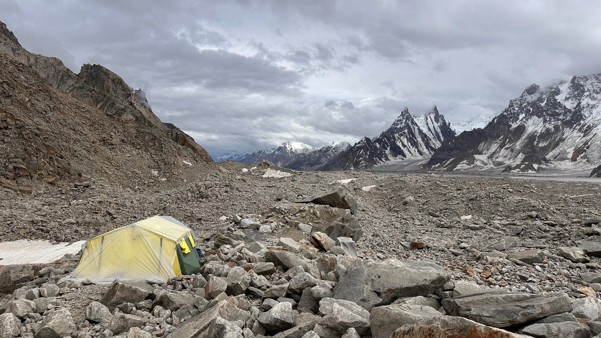
Wet and rather uncomfortable campsite.
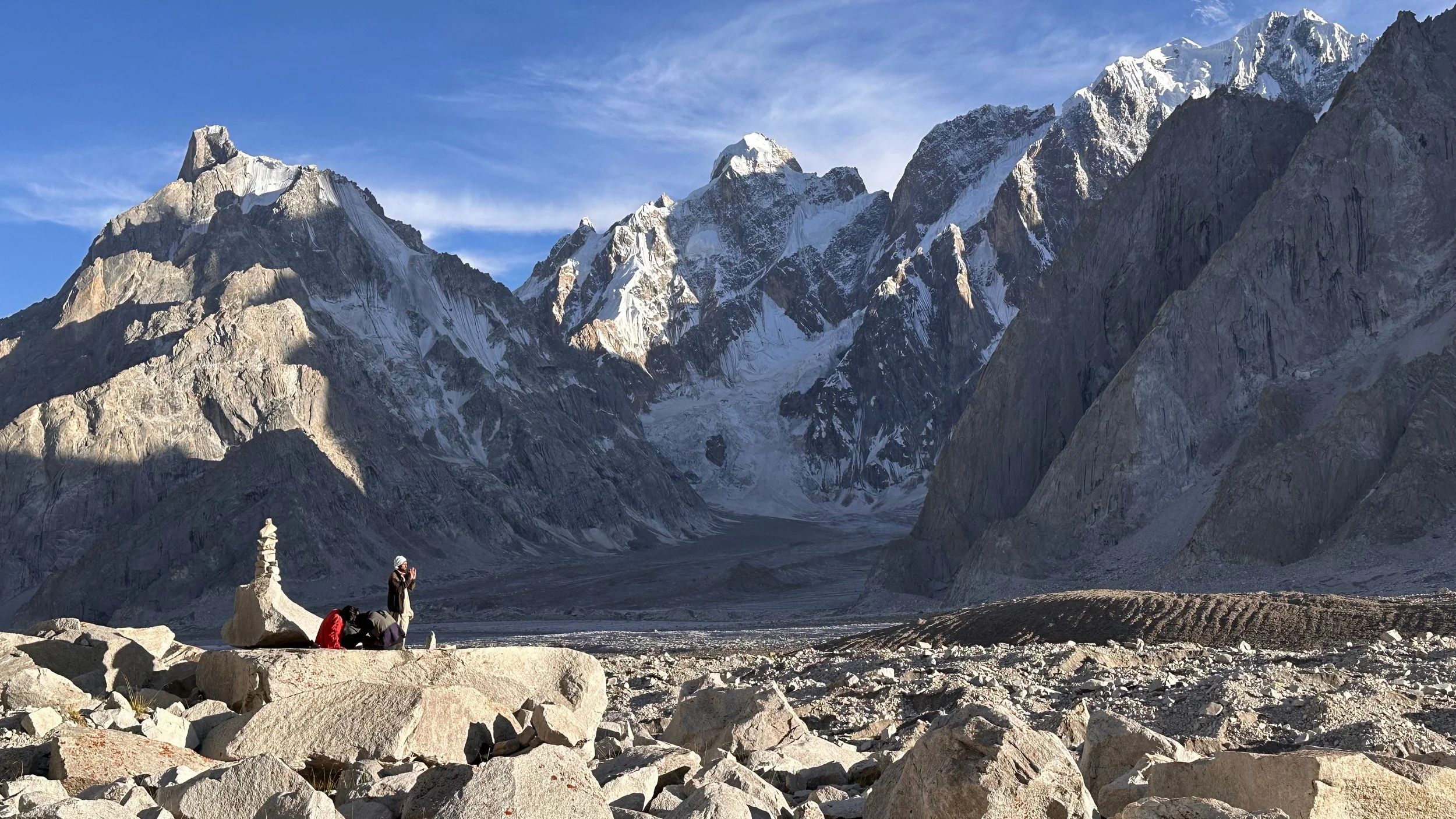
A wet tent with a spectacular view. Directly across Sosbun Brakk.
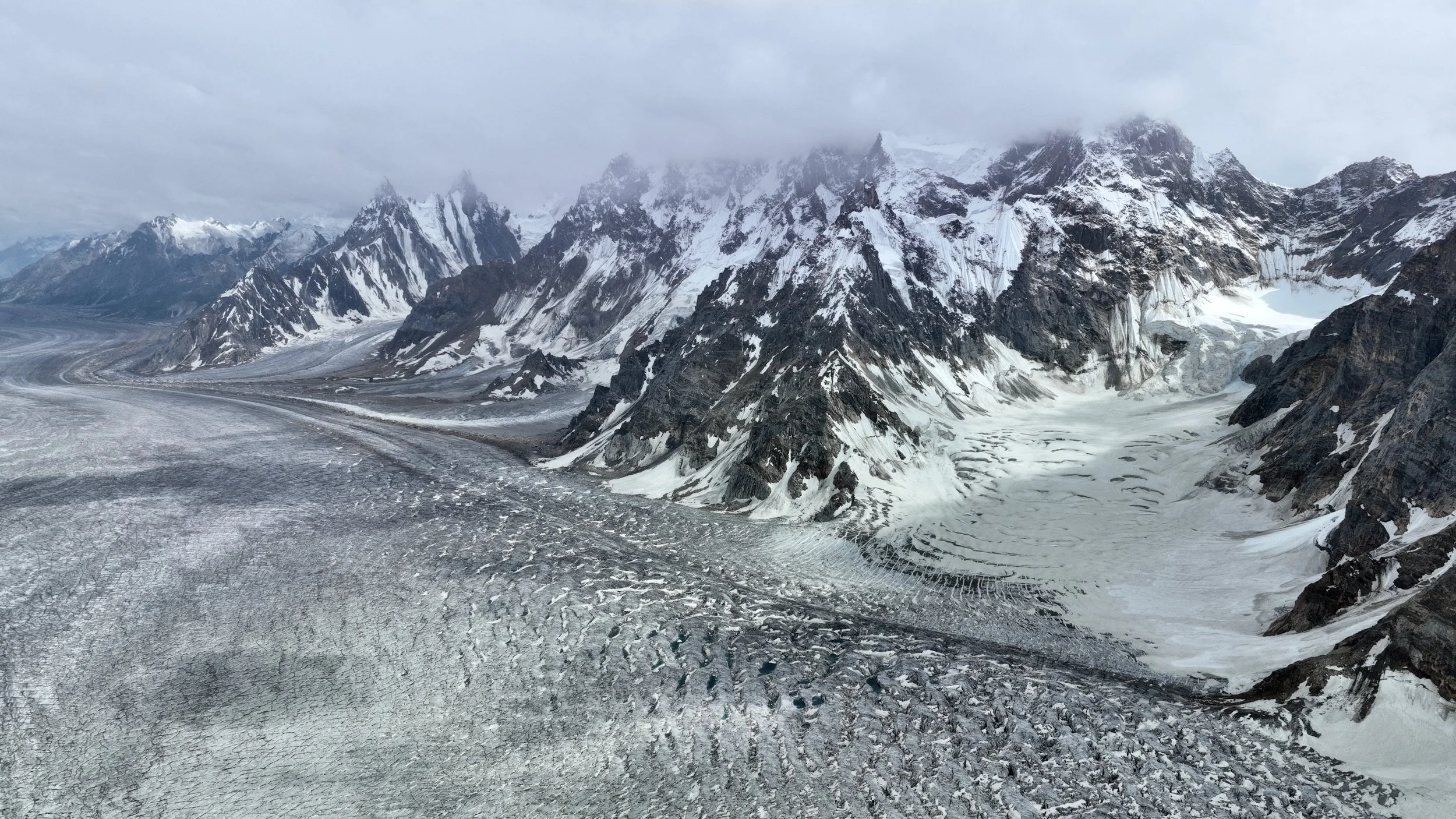
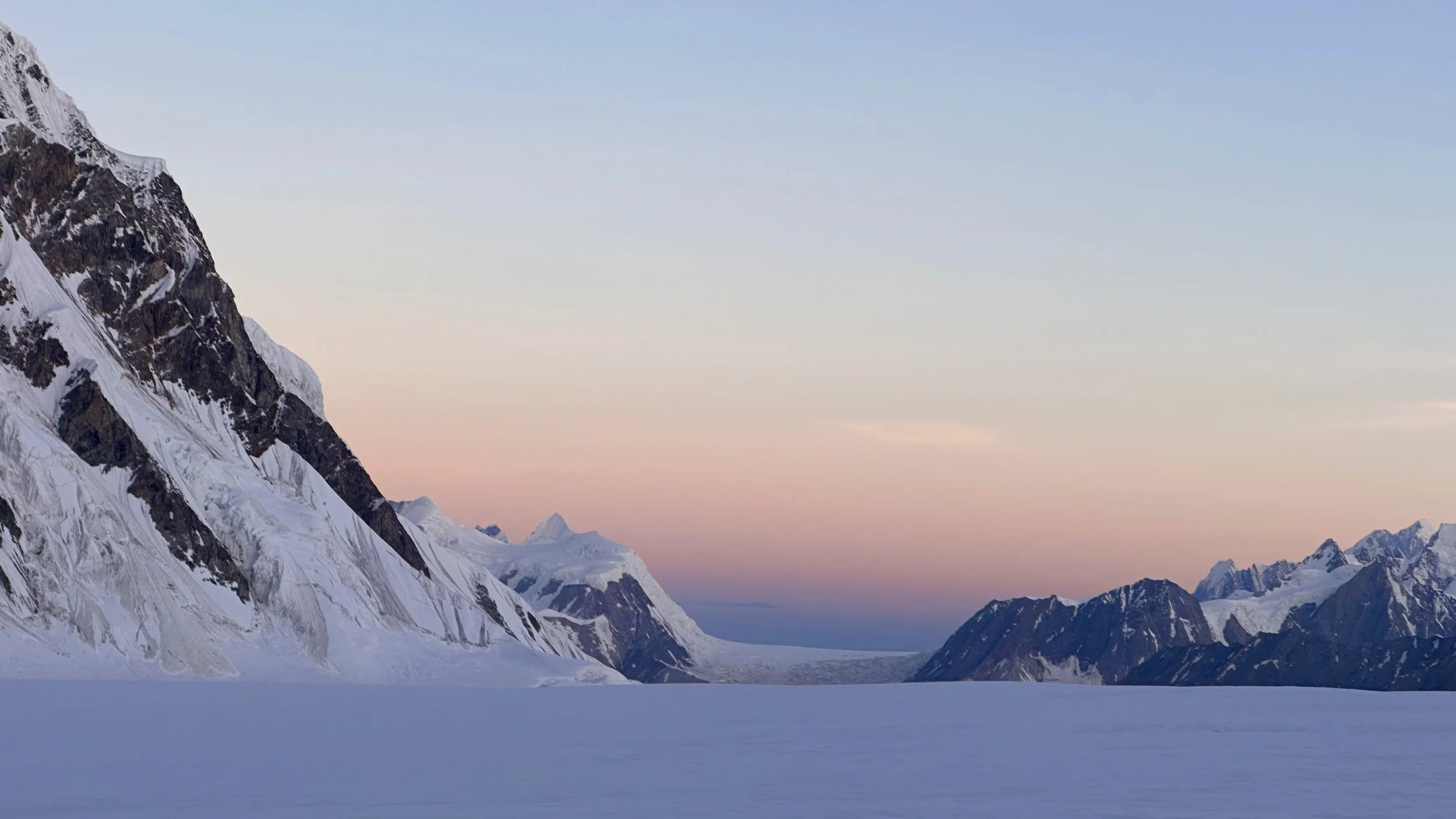
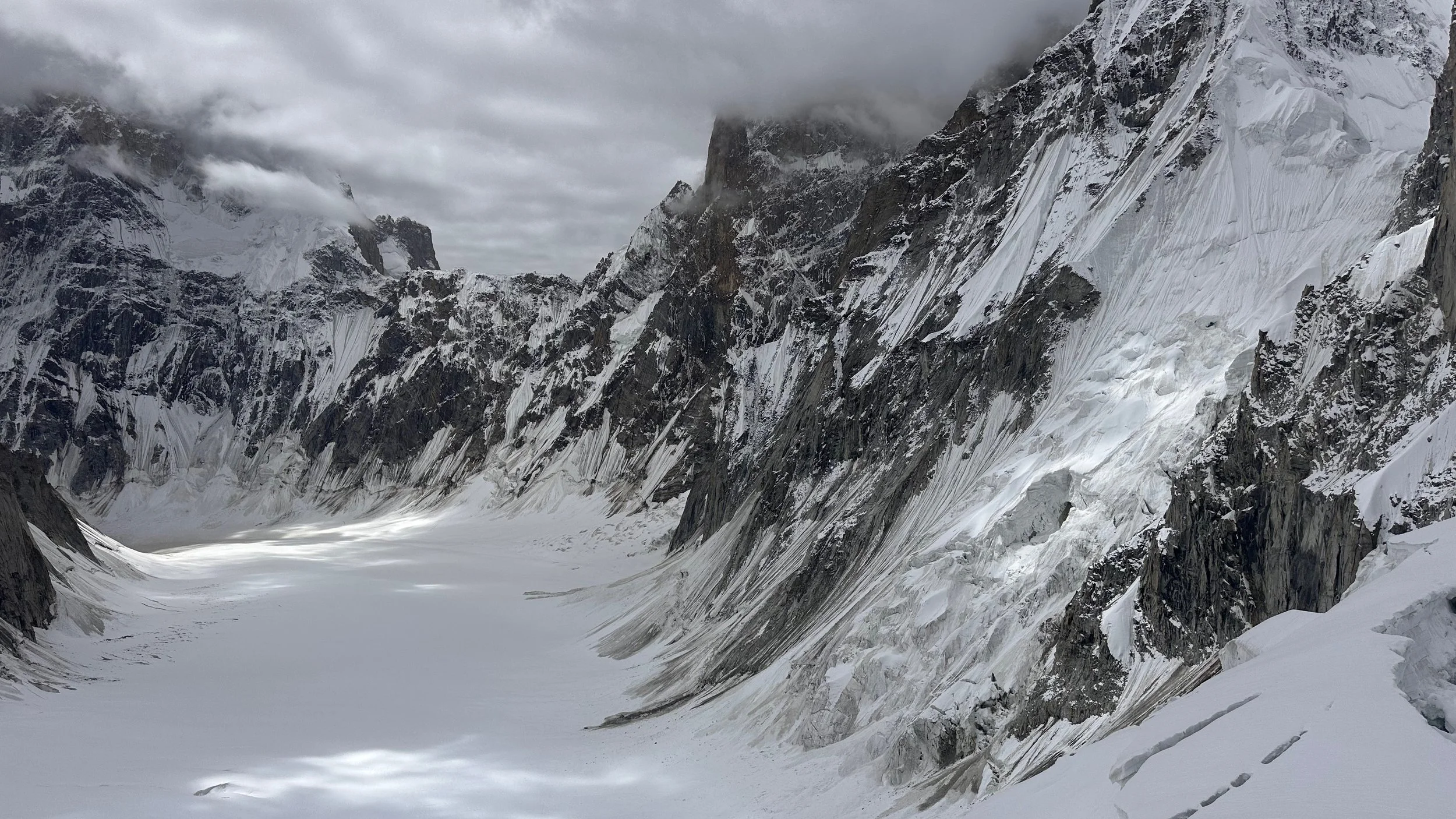
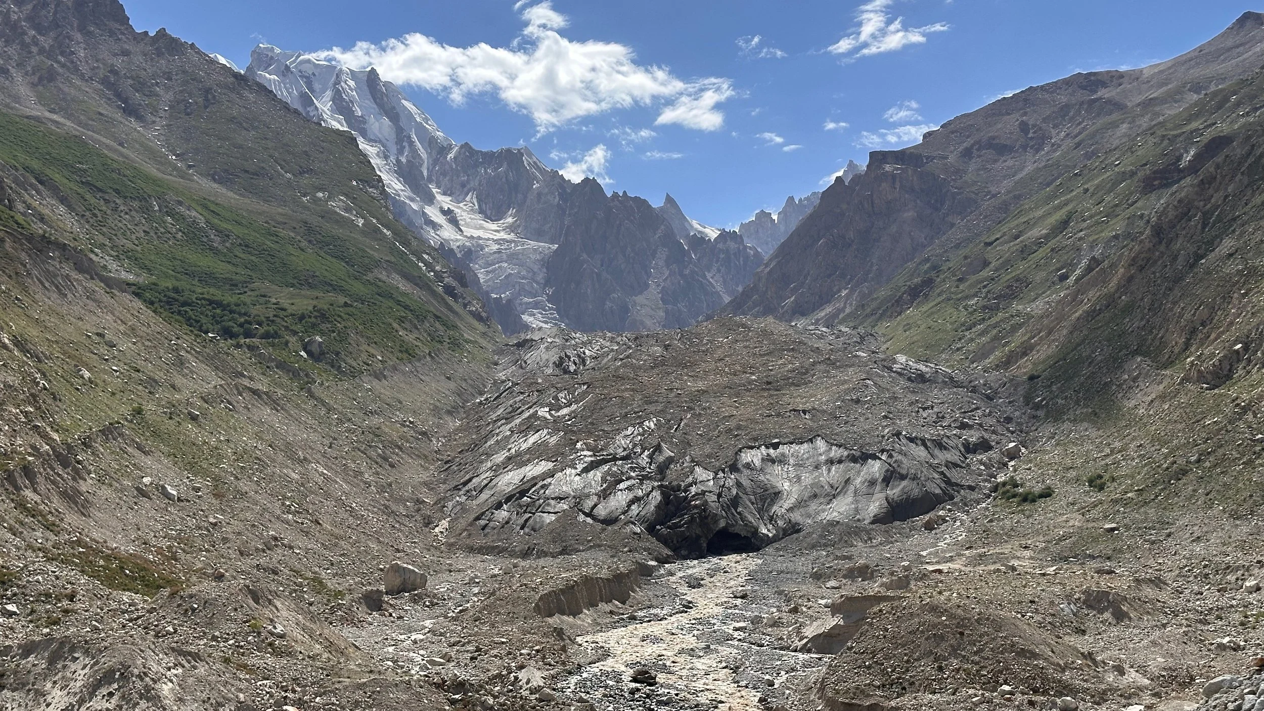
Looking down the Biafo Glacier.
Keeping warm
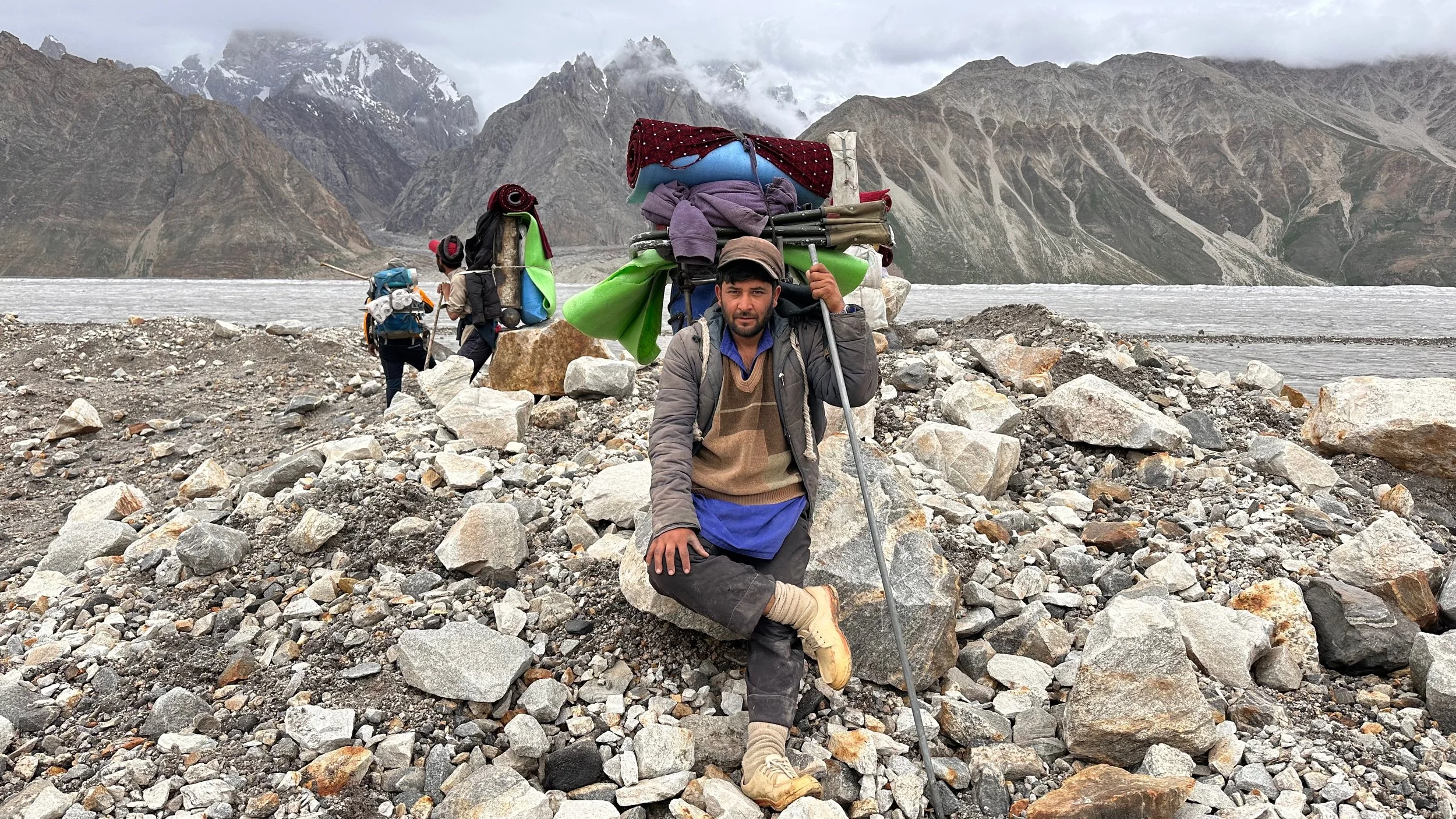
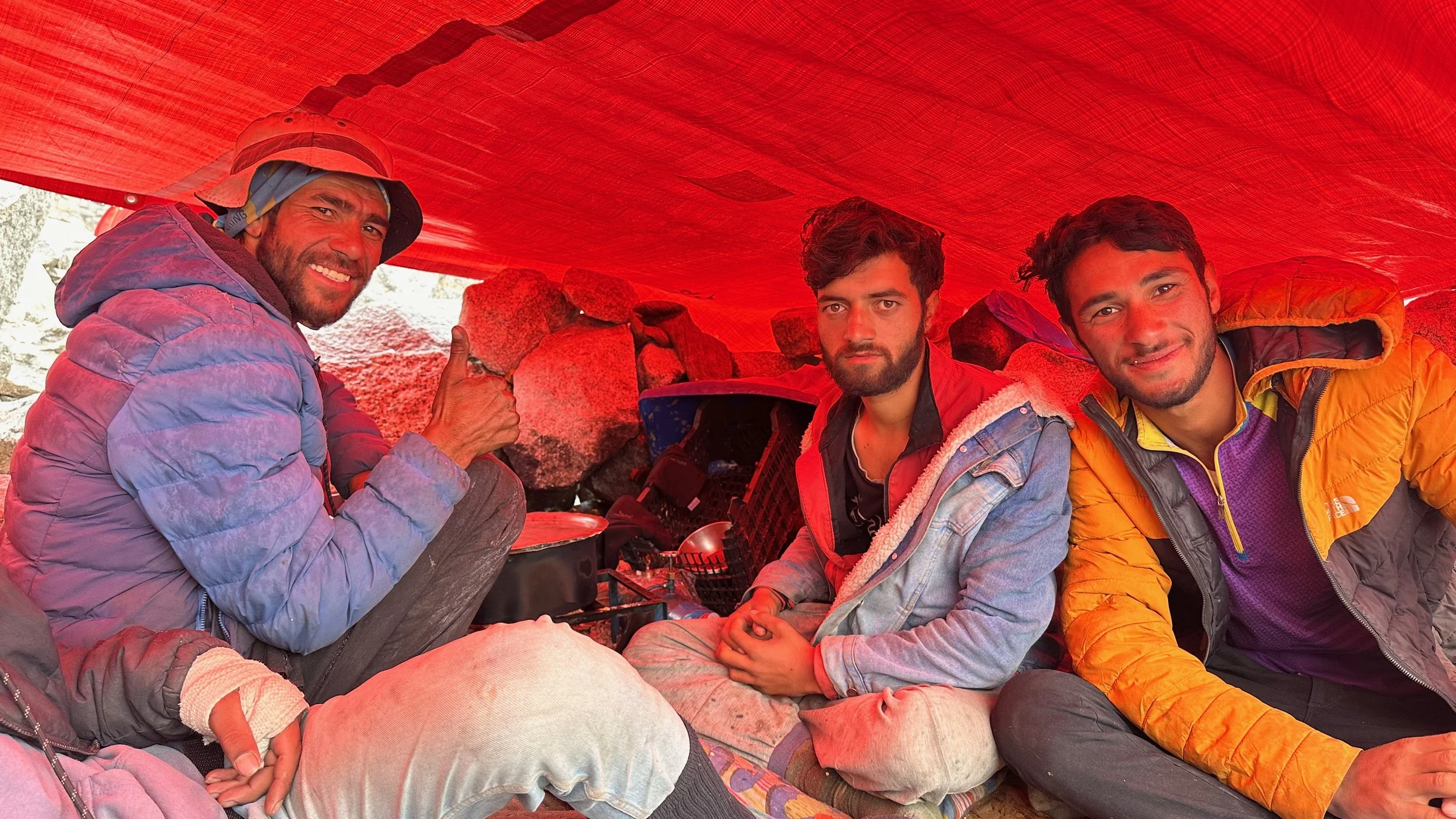
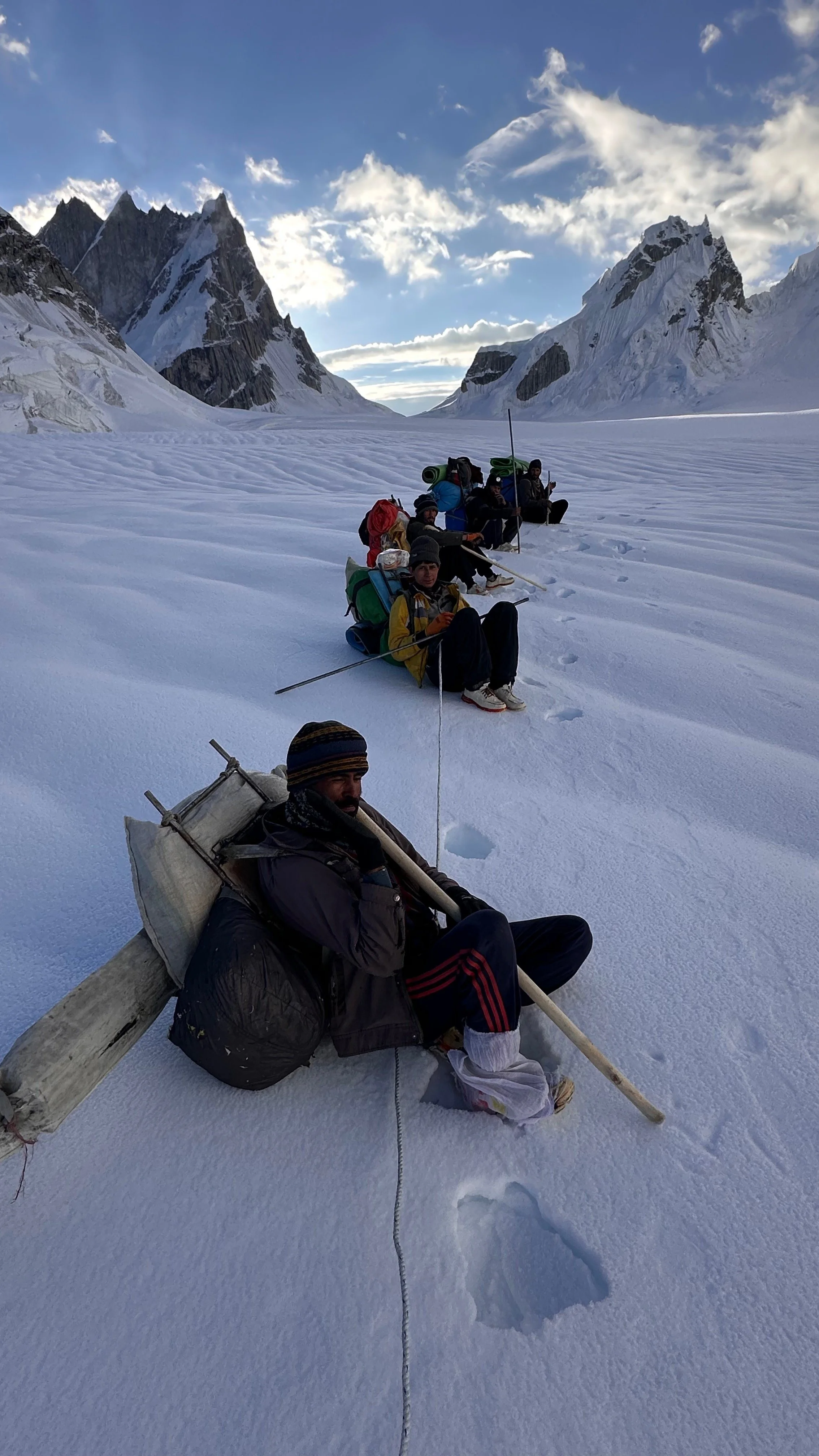
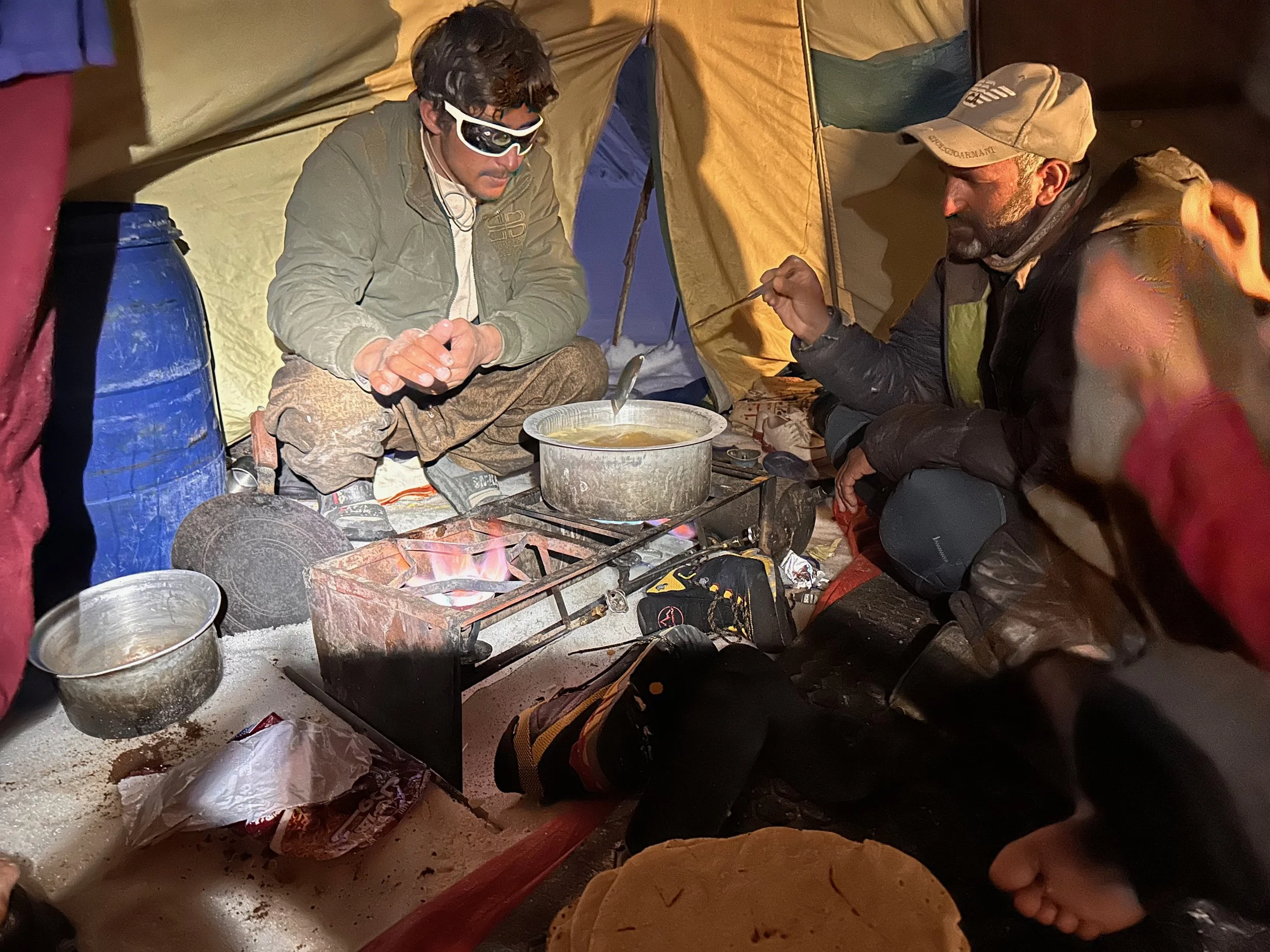
Making tea in the porter’s shelter. Warm and dry wins the day!
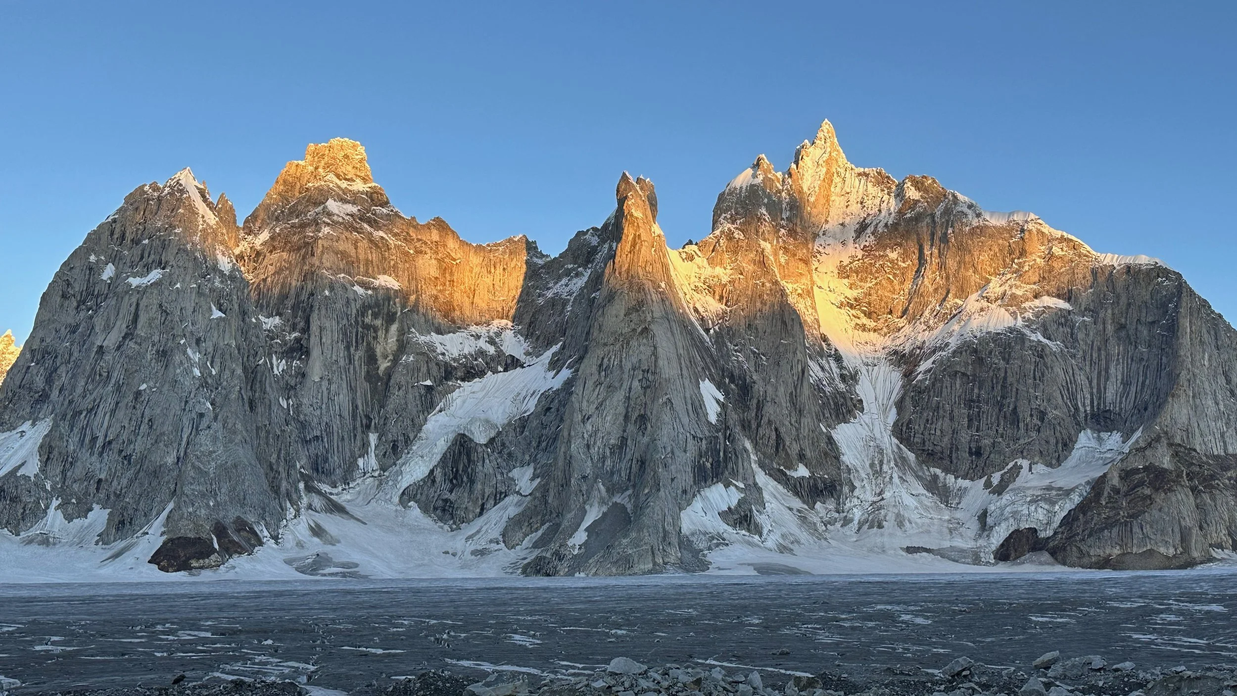
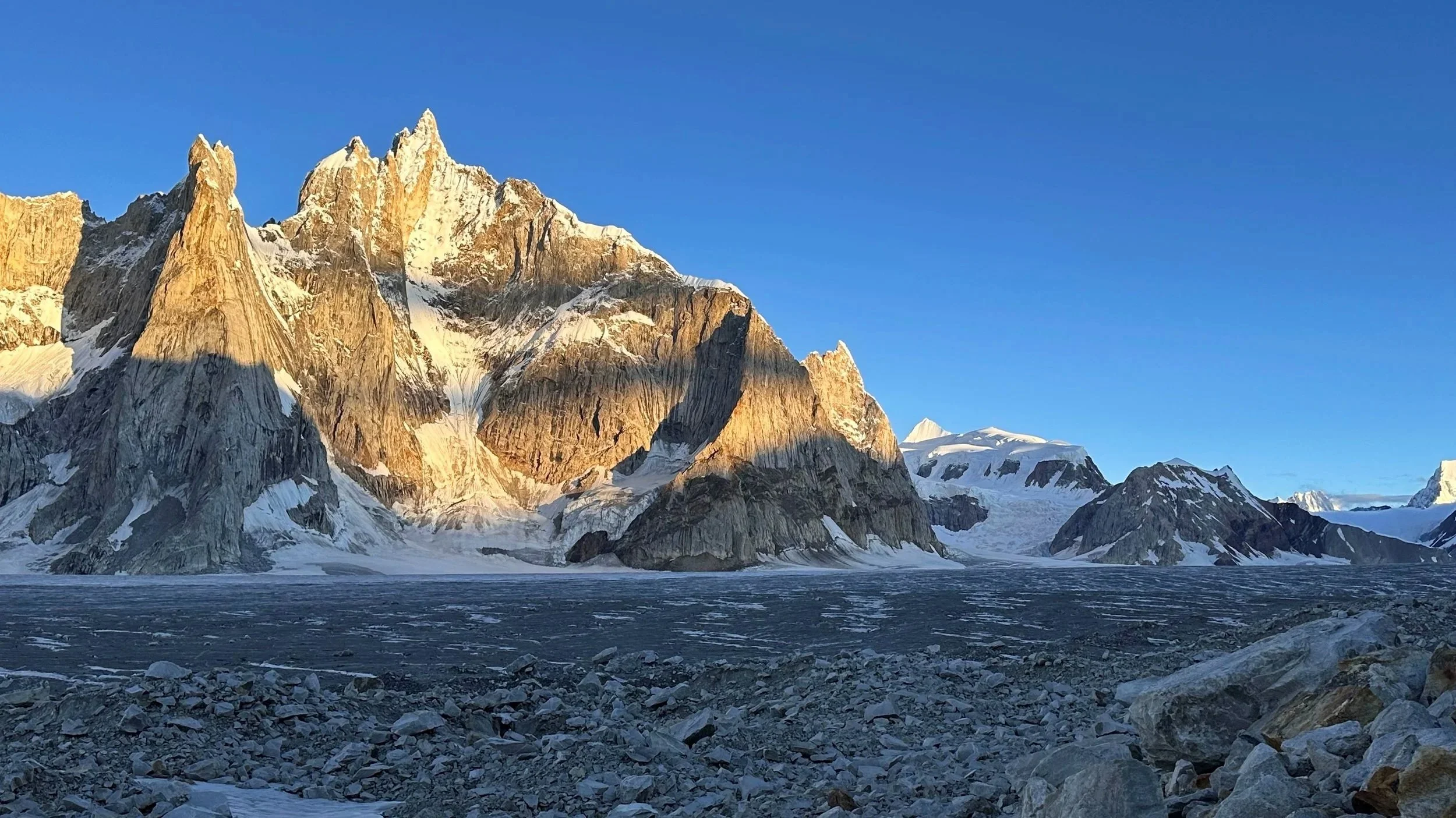
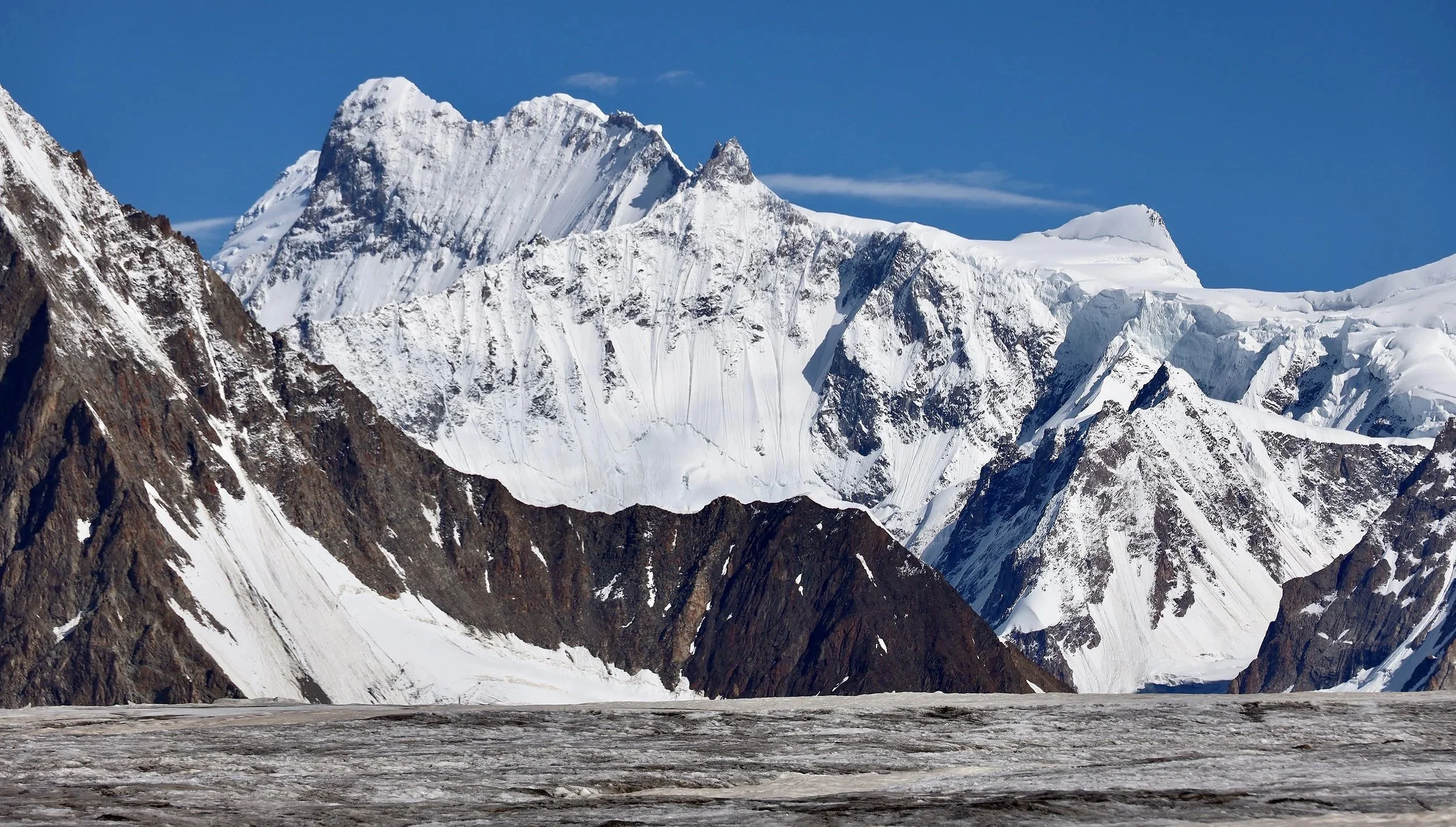
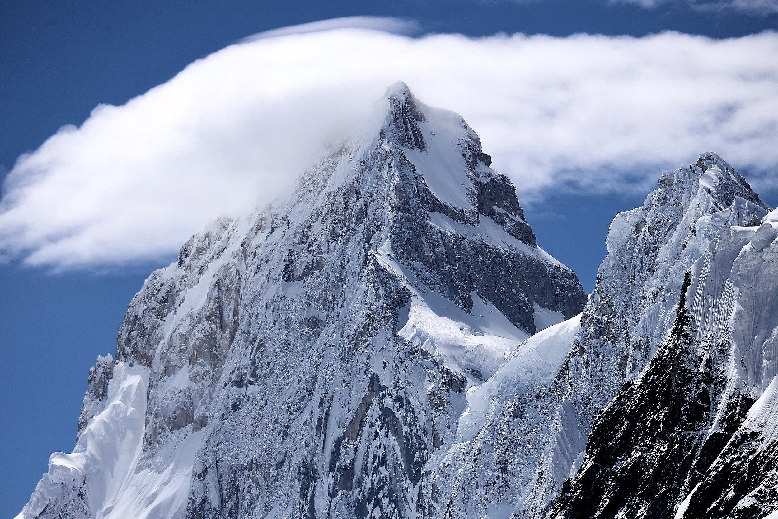
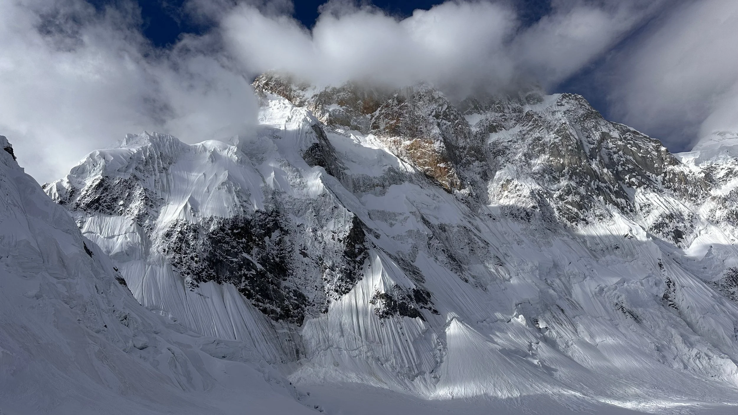
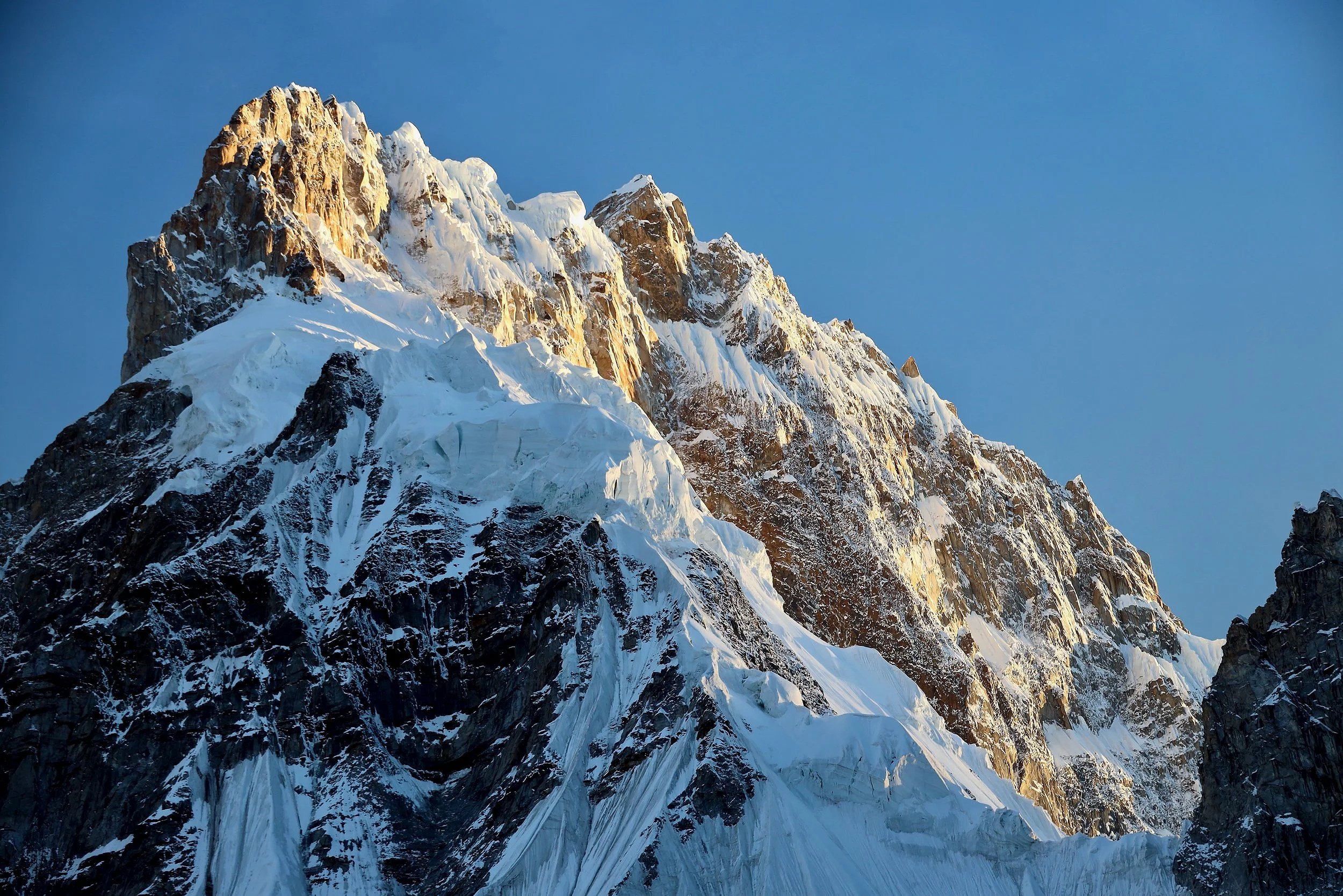
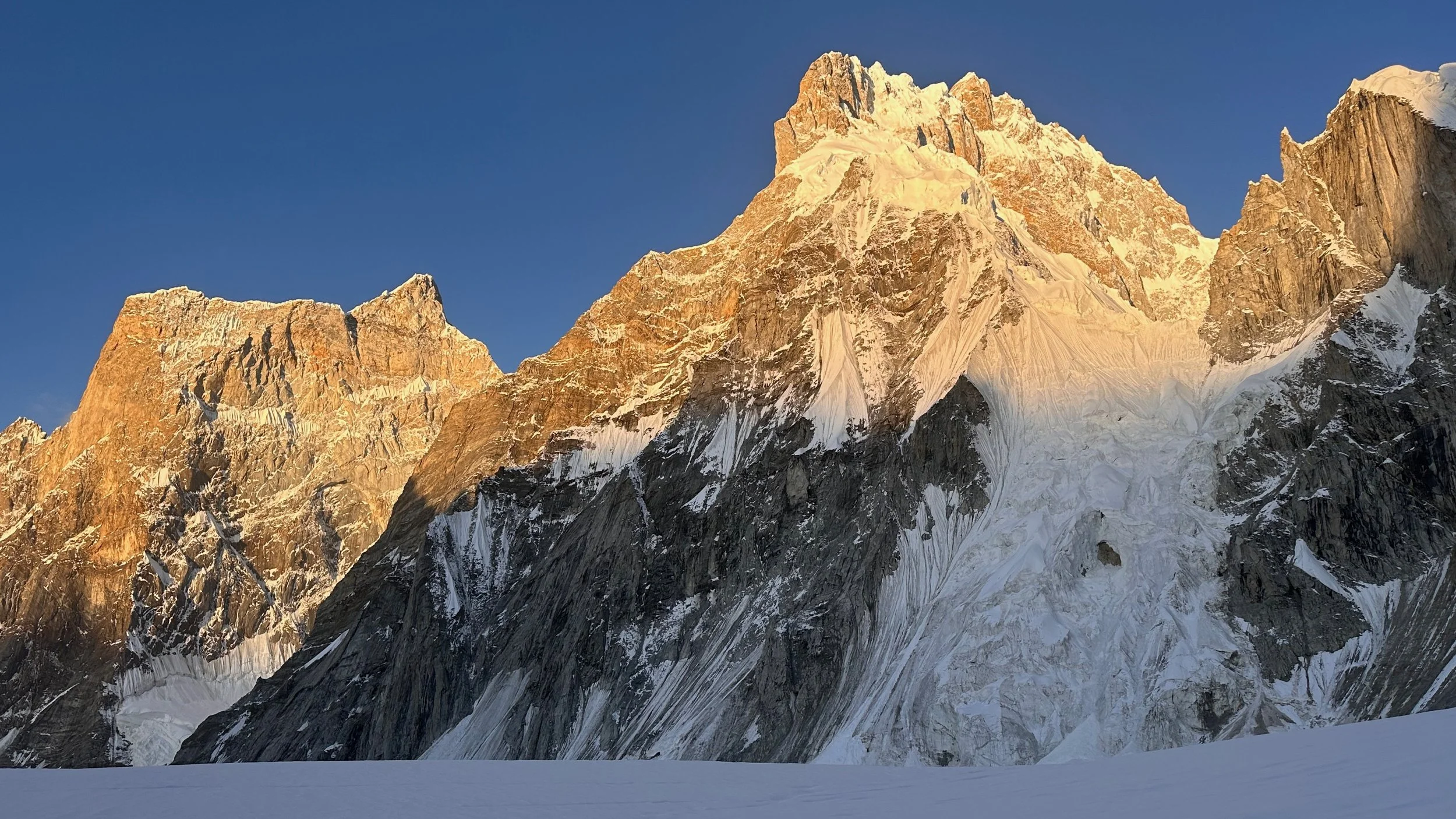
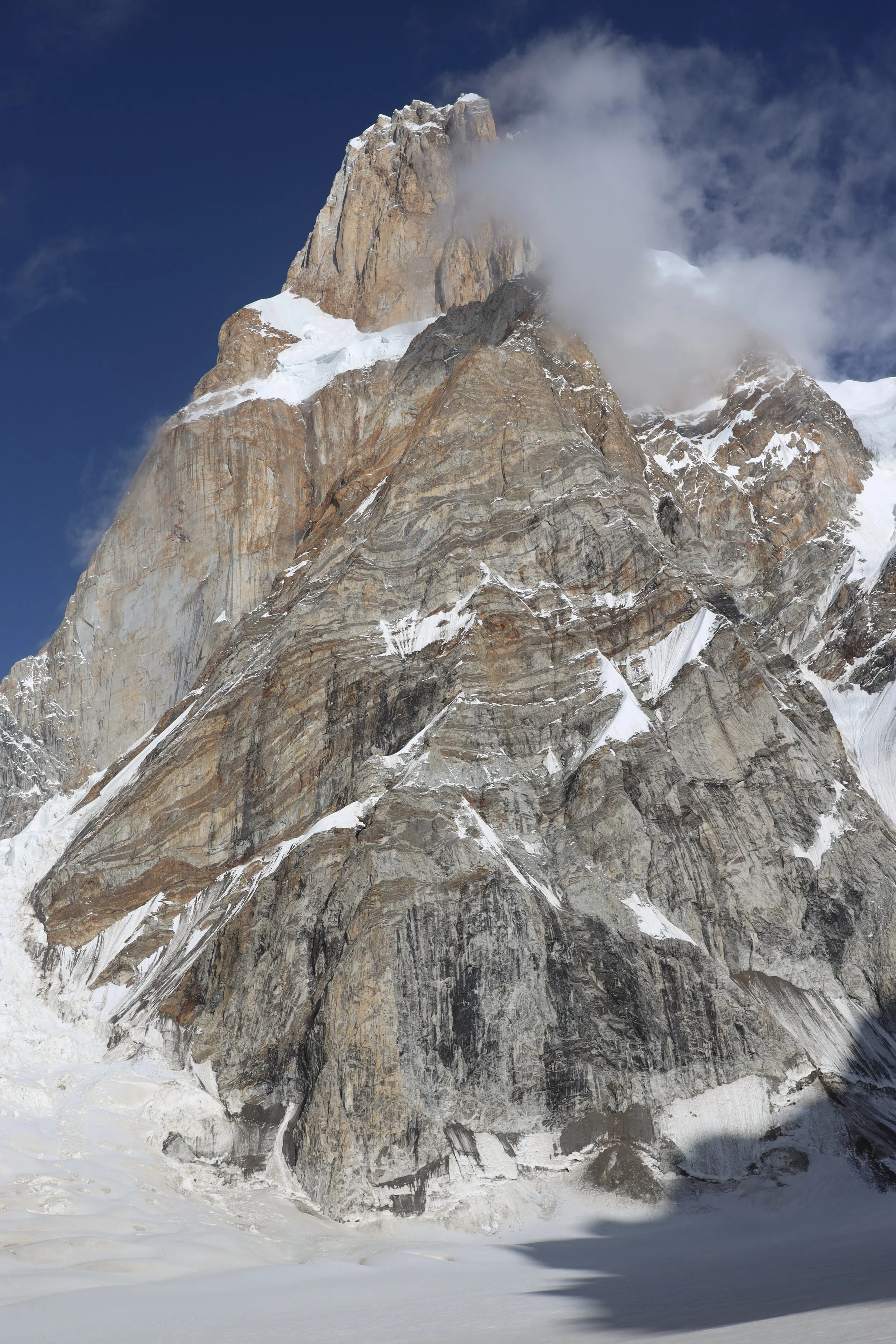
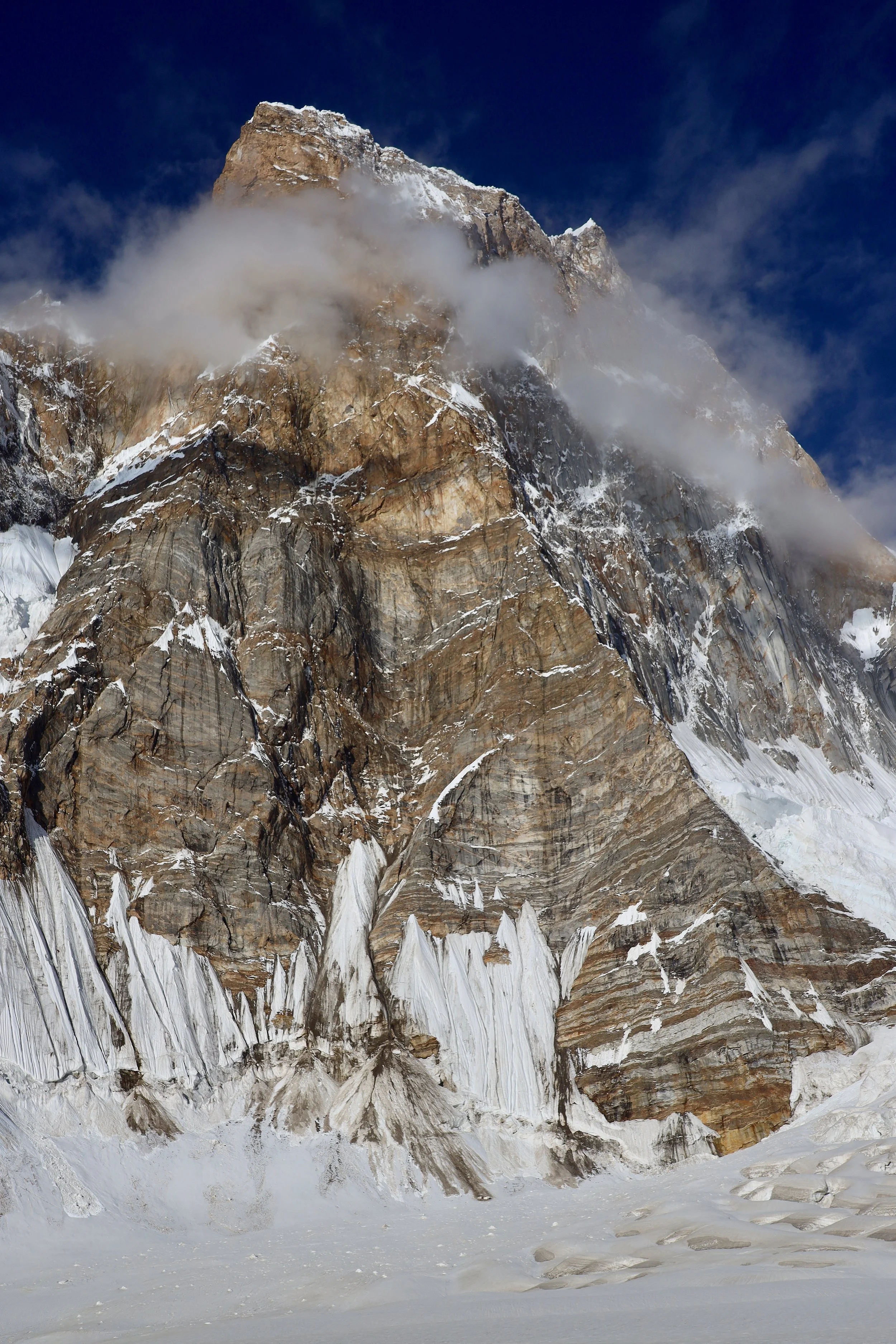
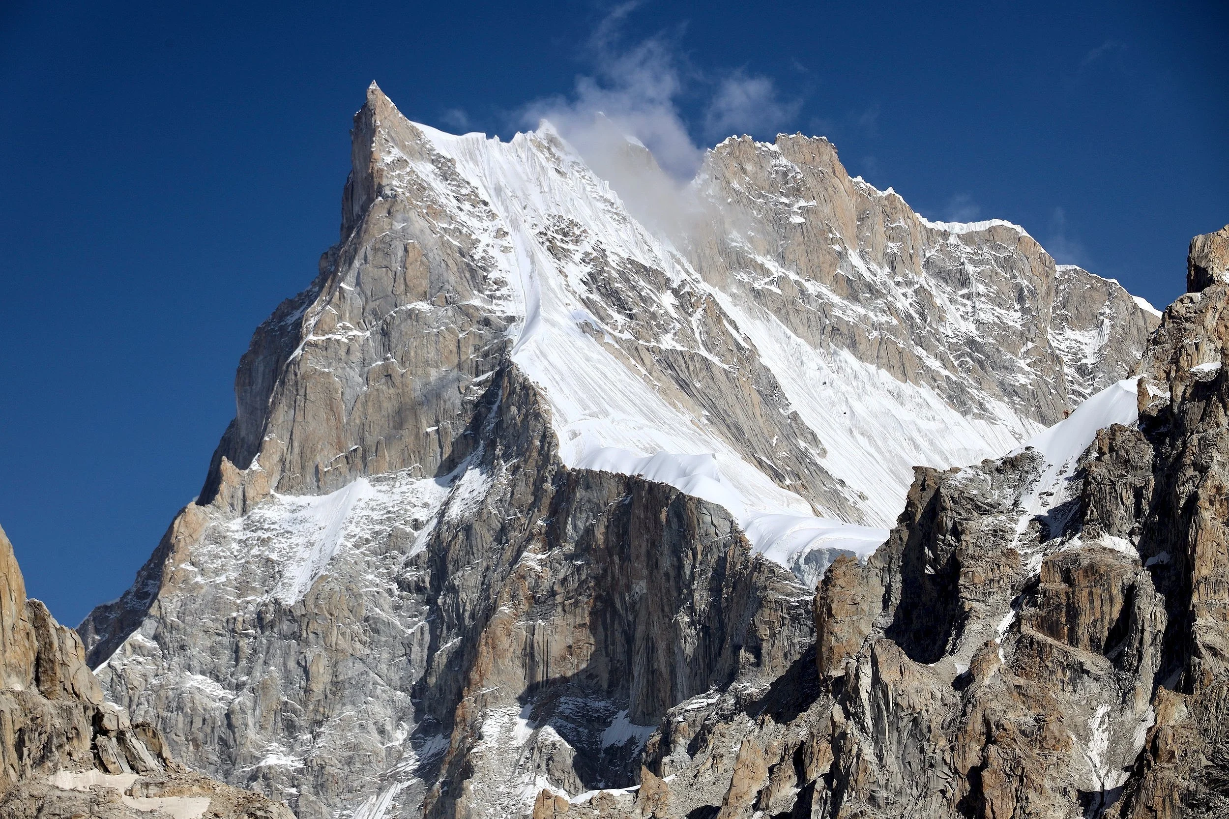
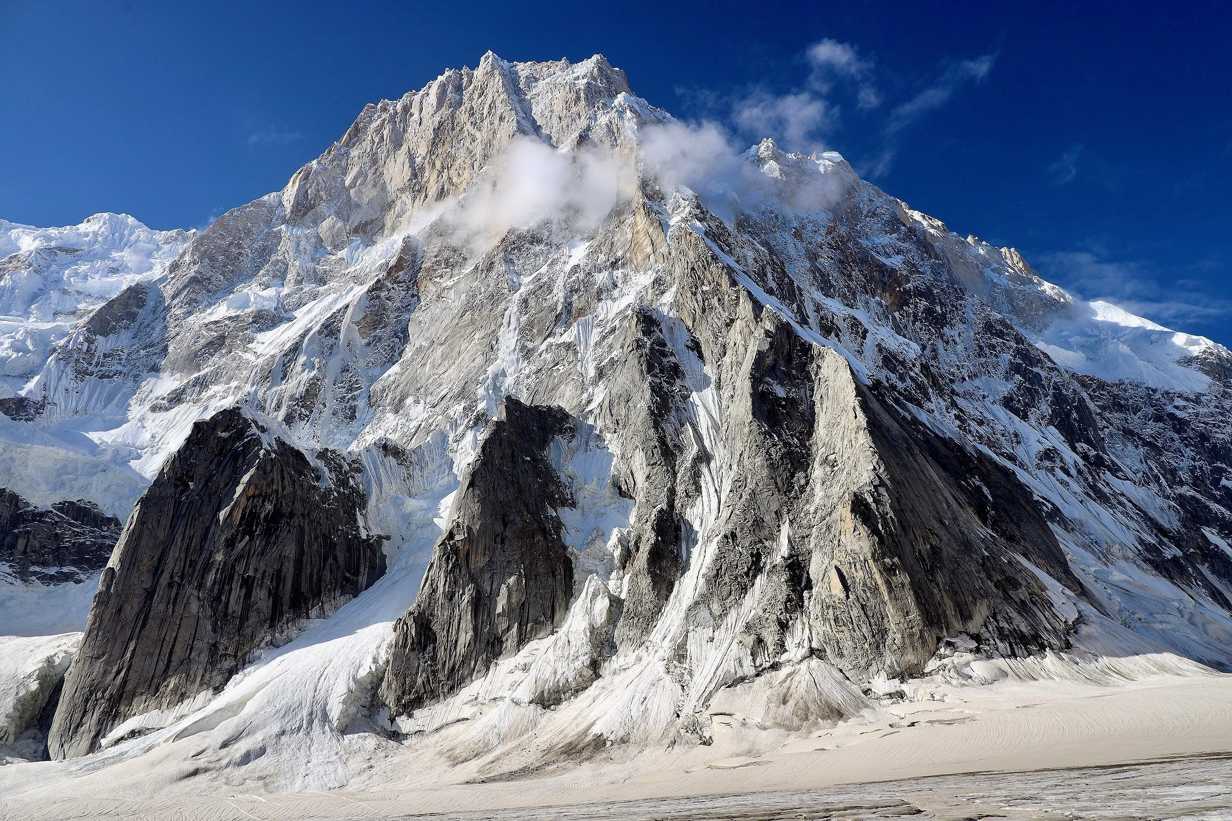
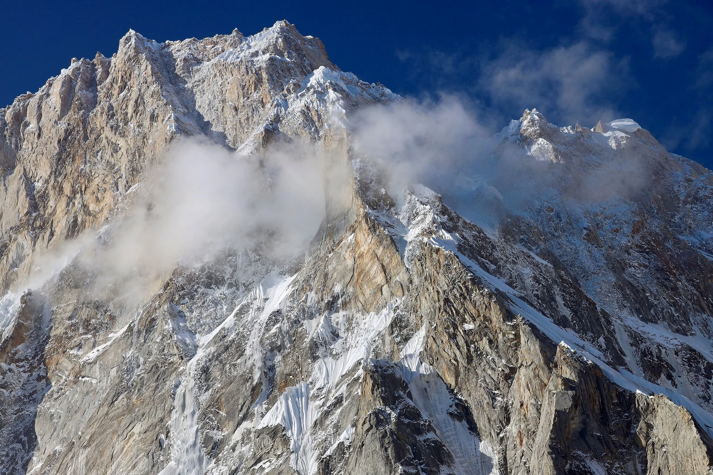
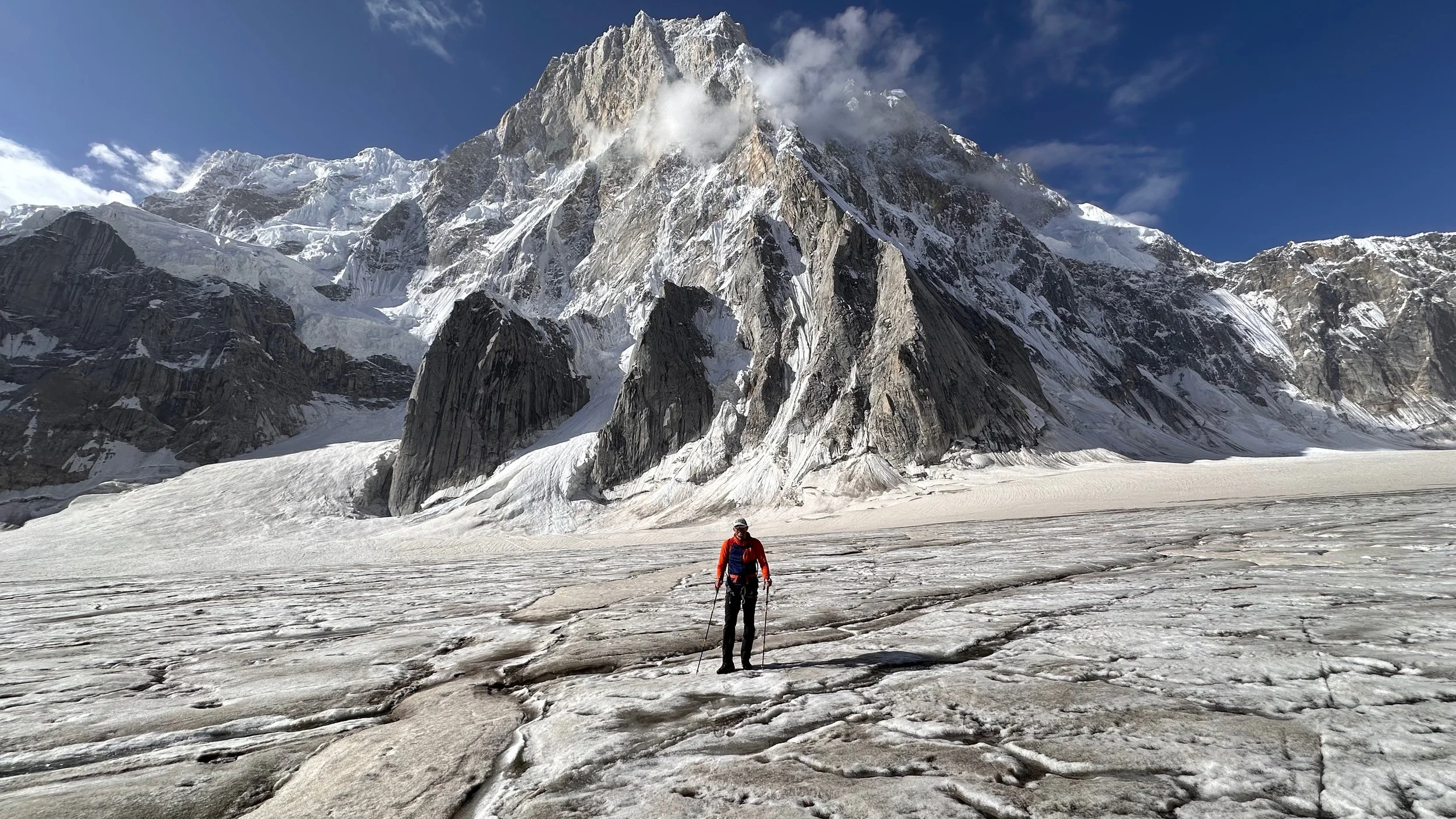
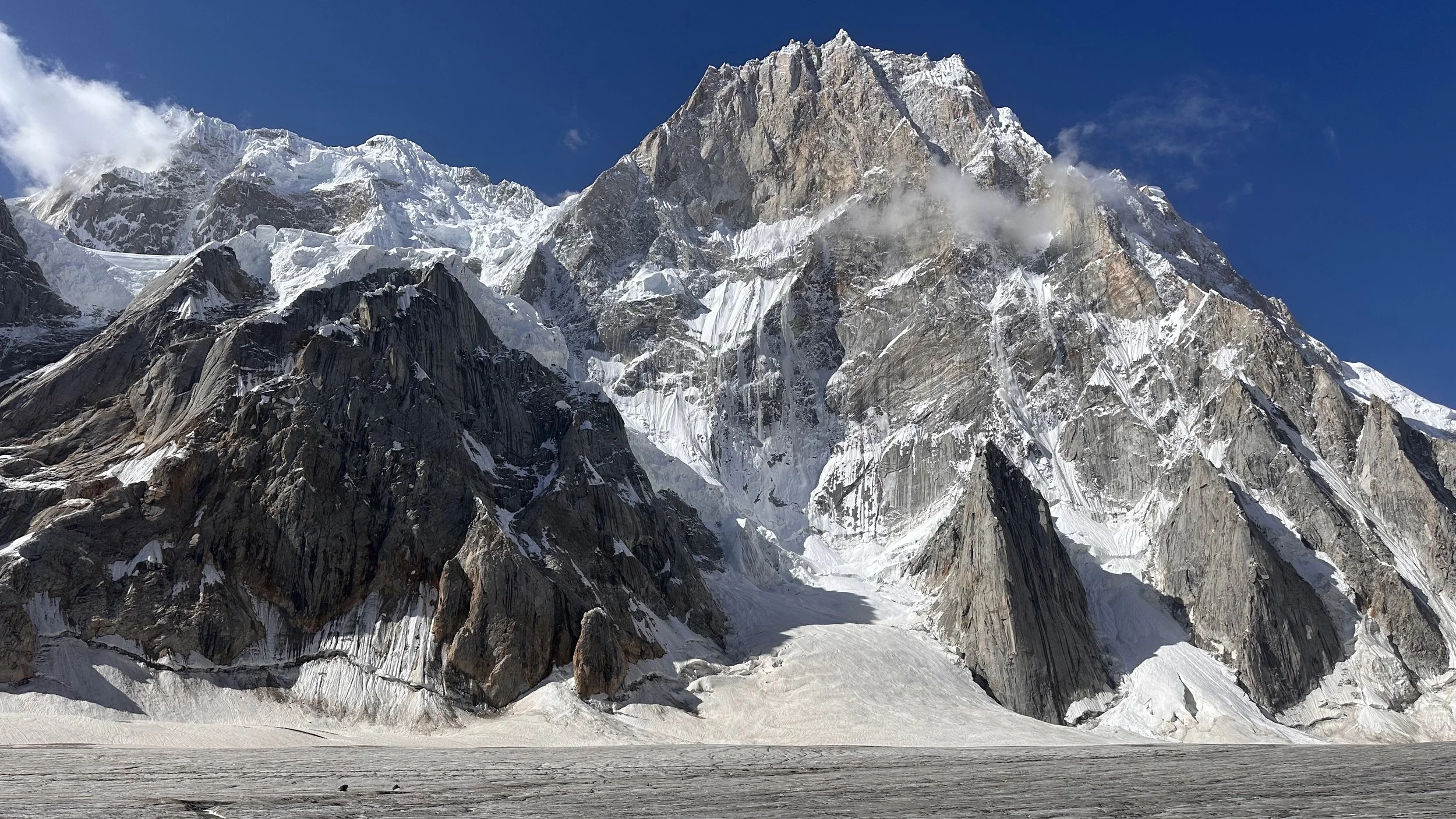
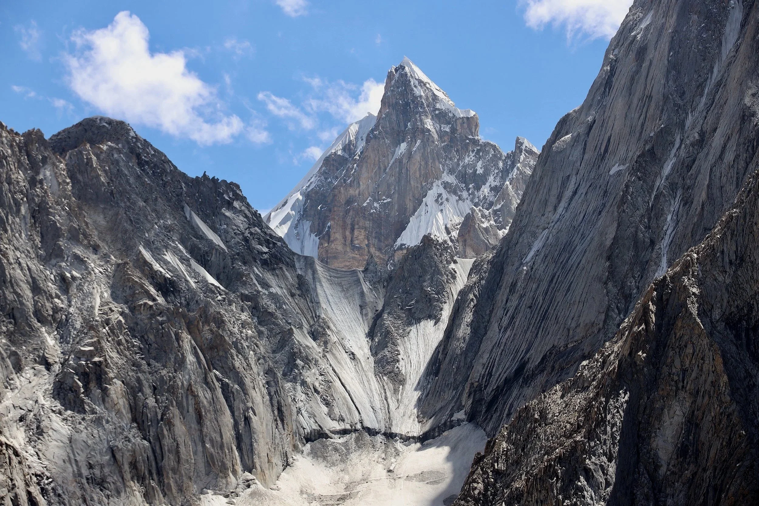
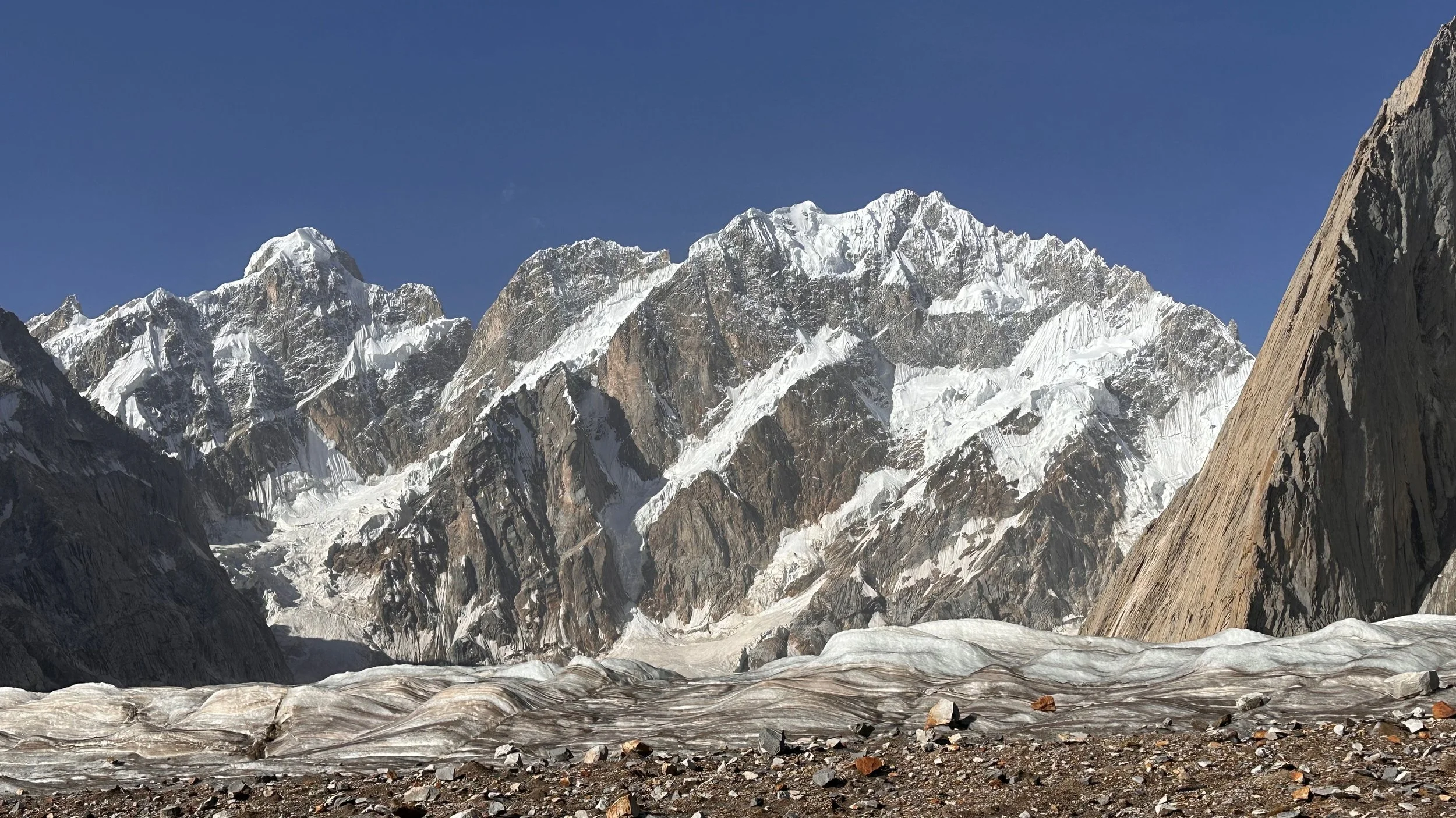
Spectacular Susbun Brakk.
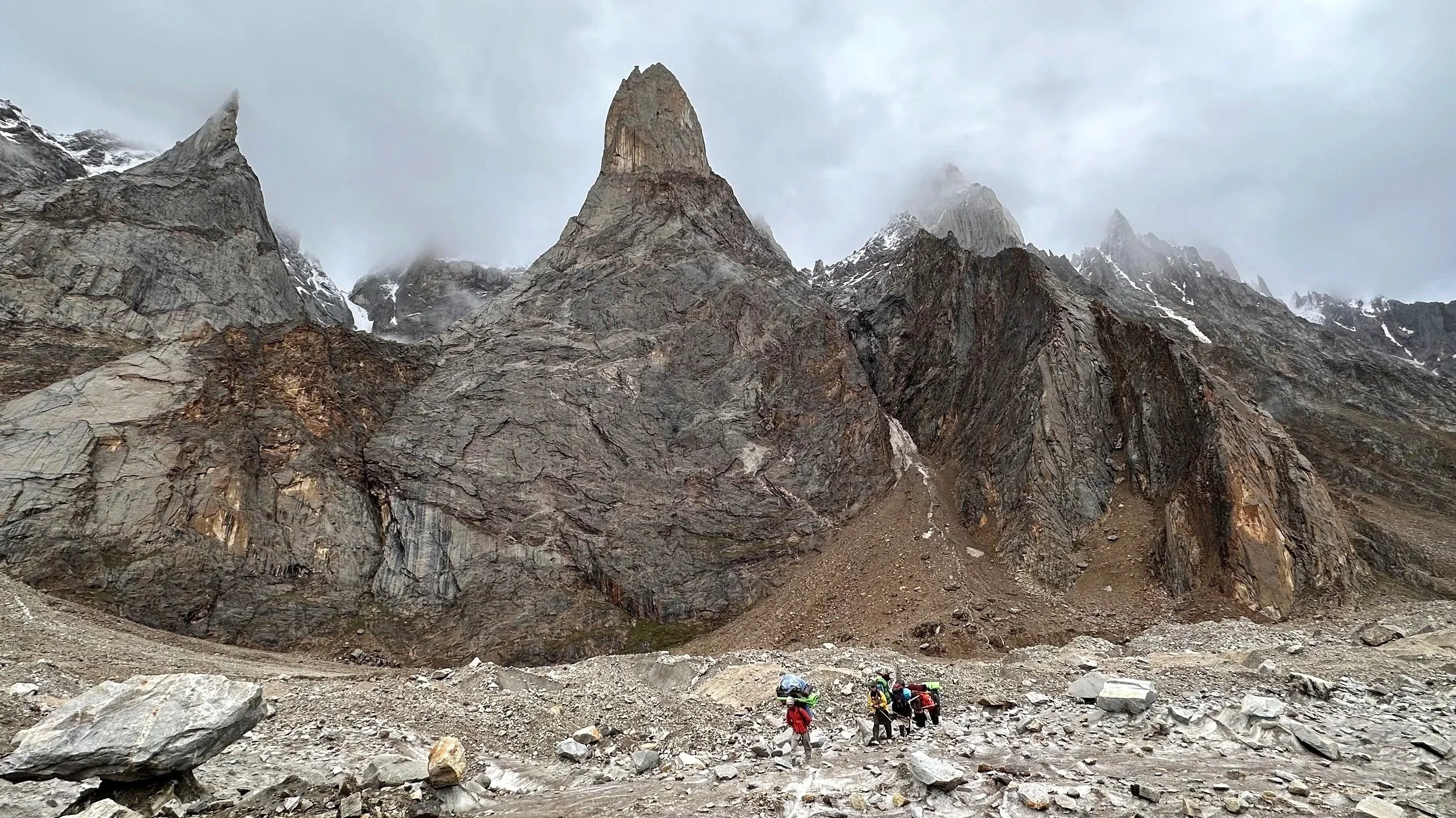
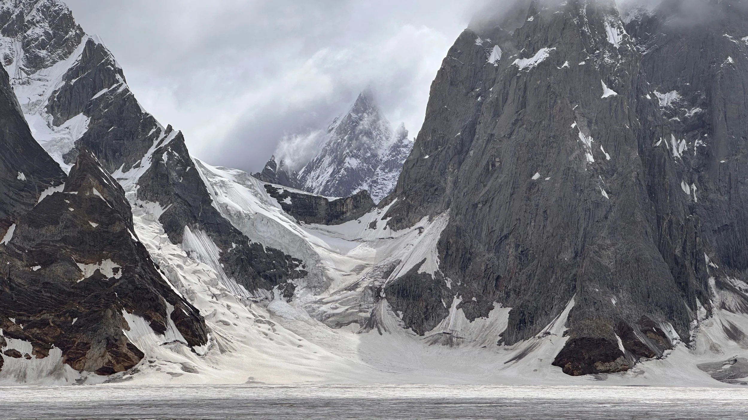
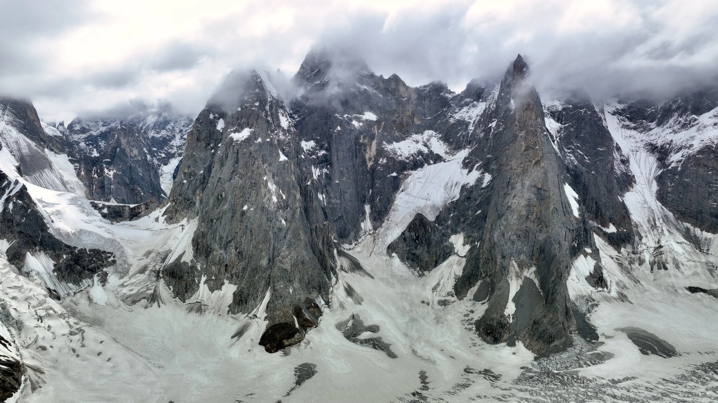
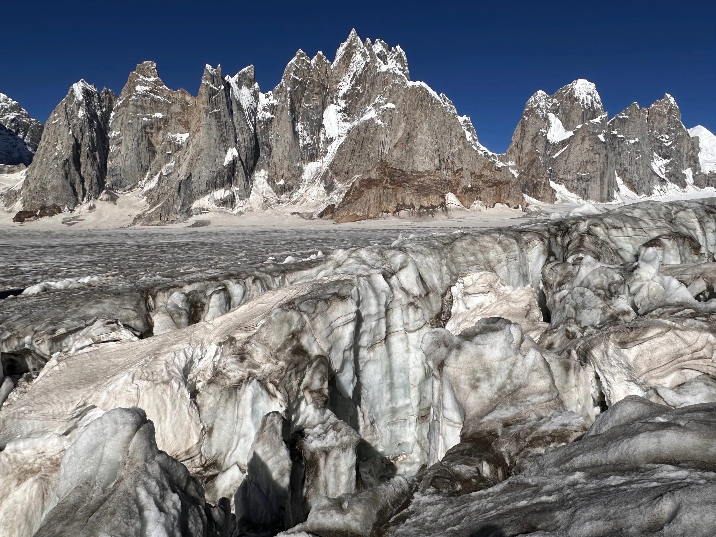
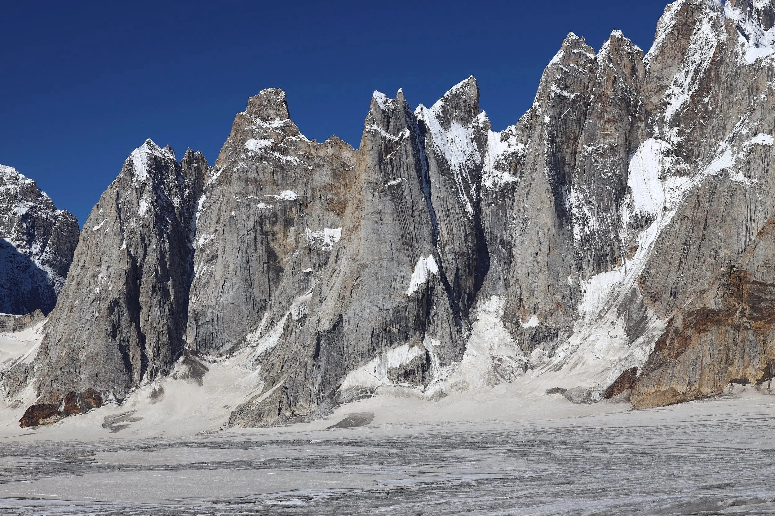
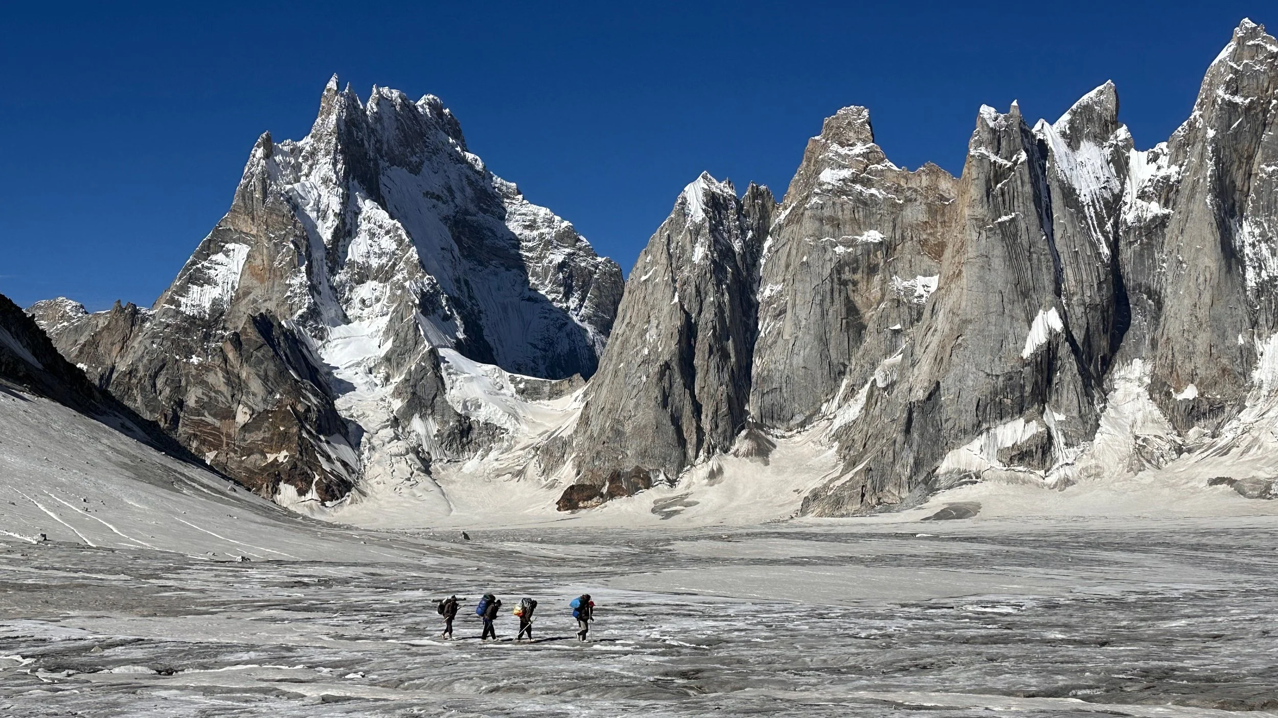
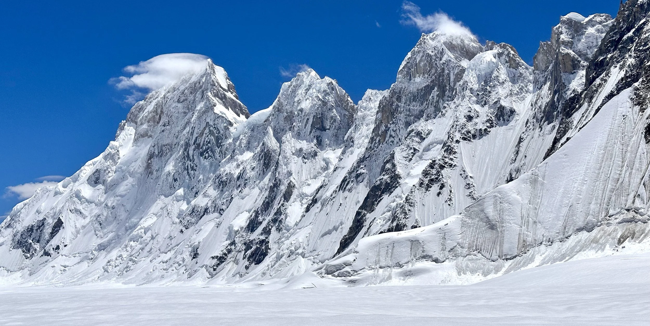
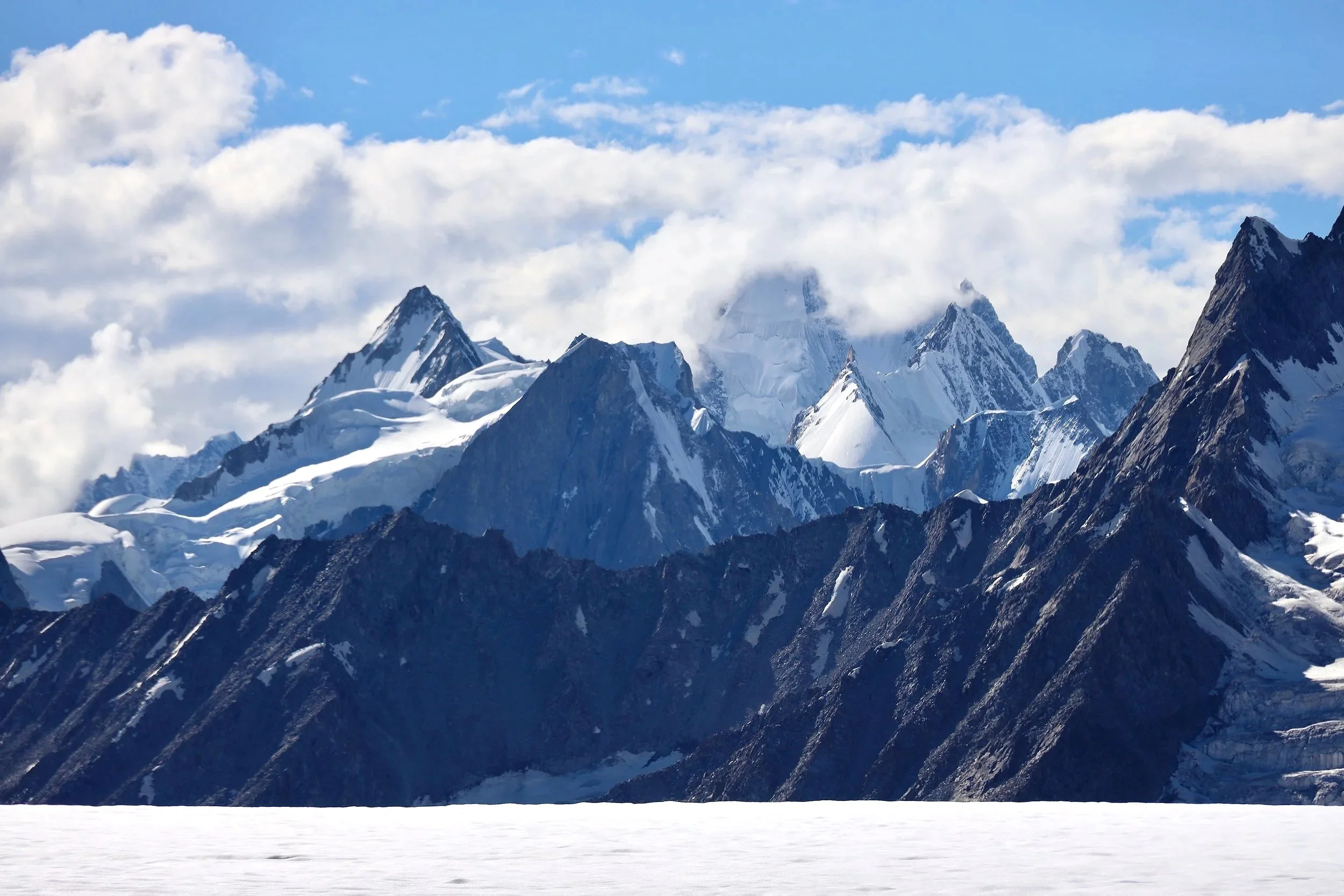
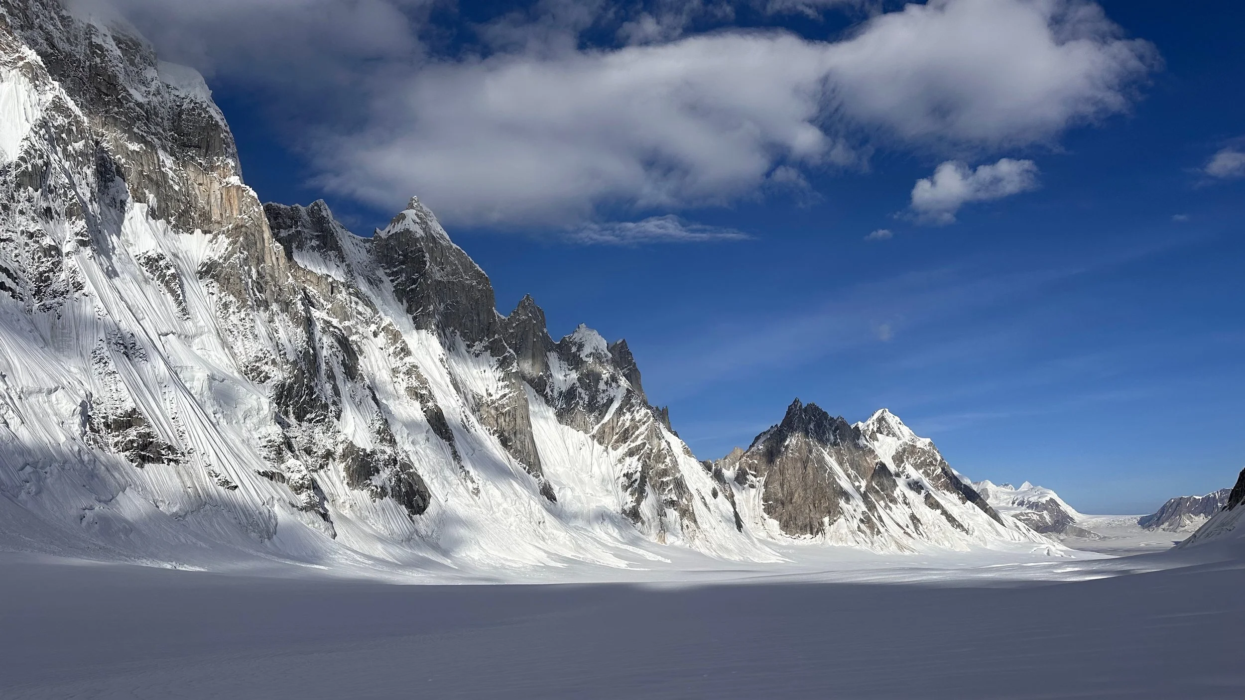
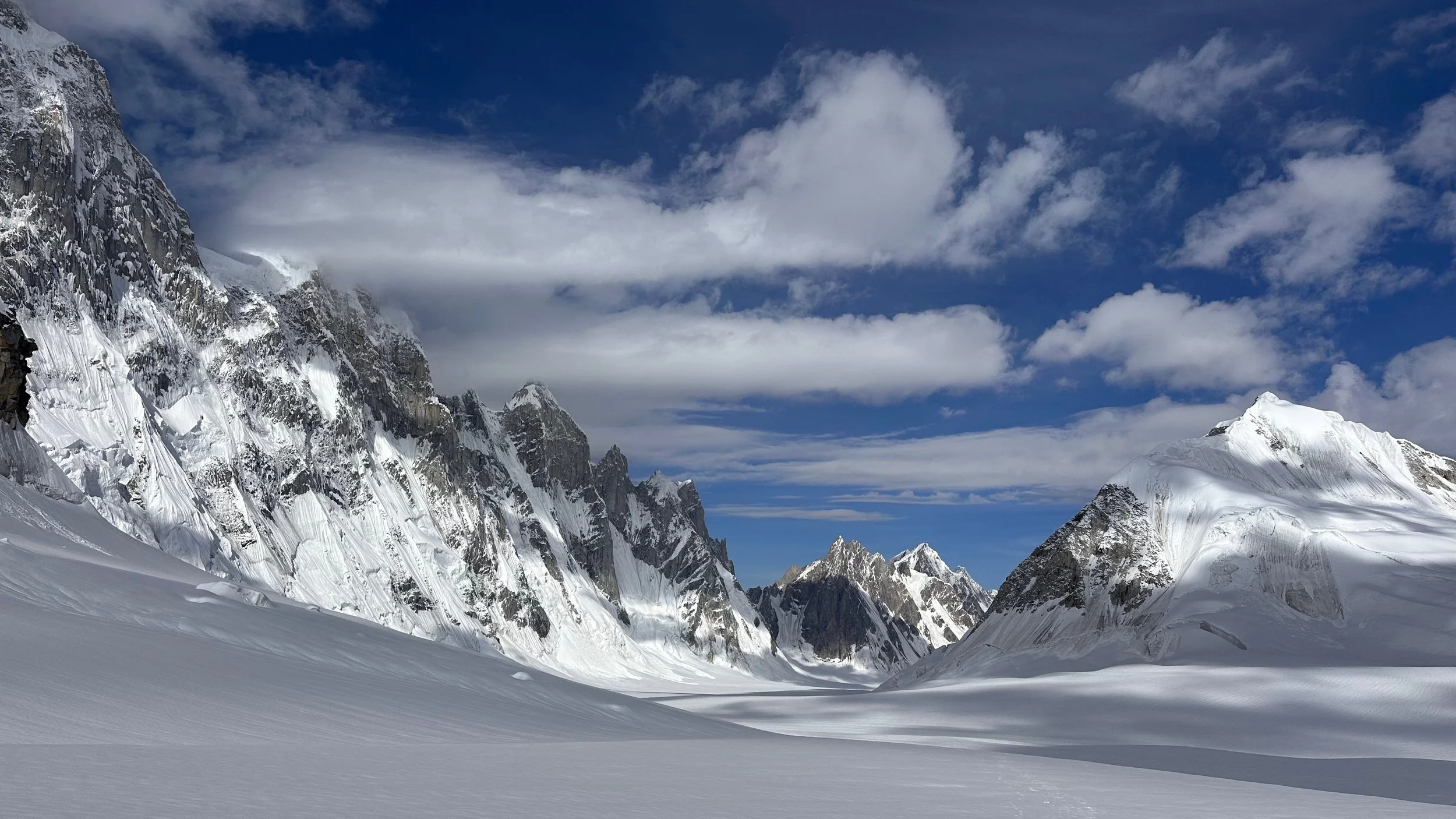
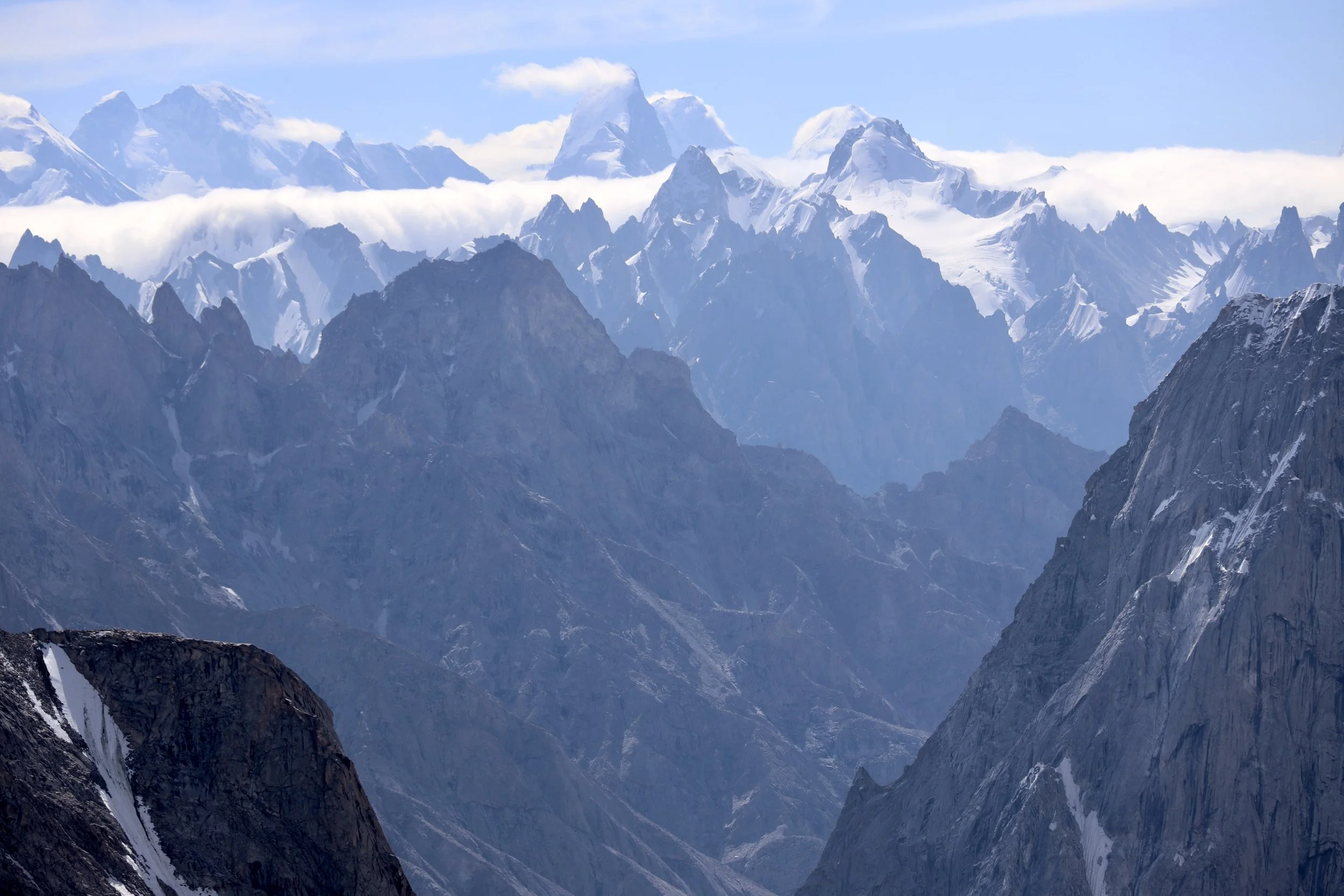
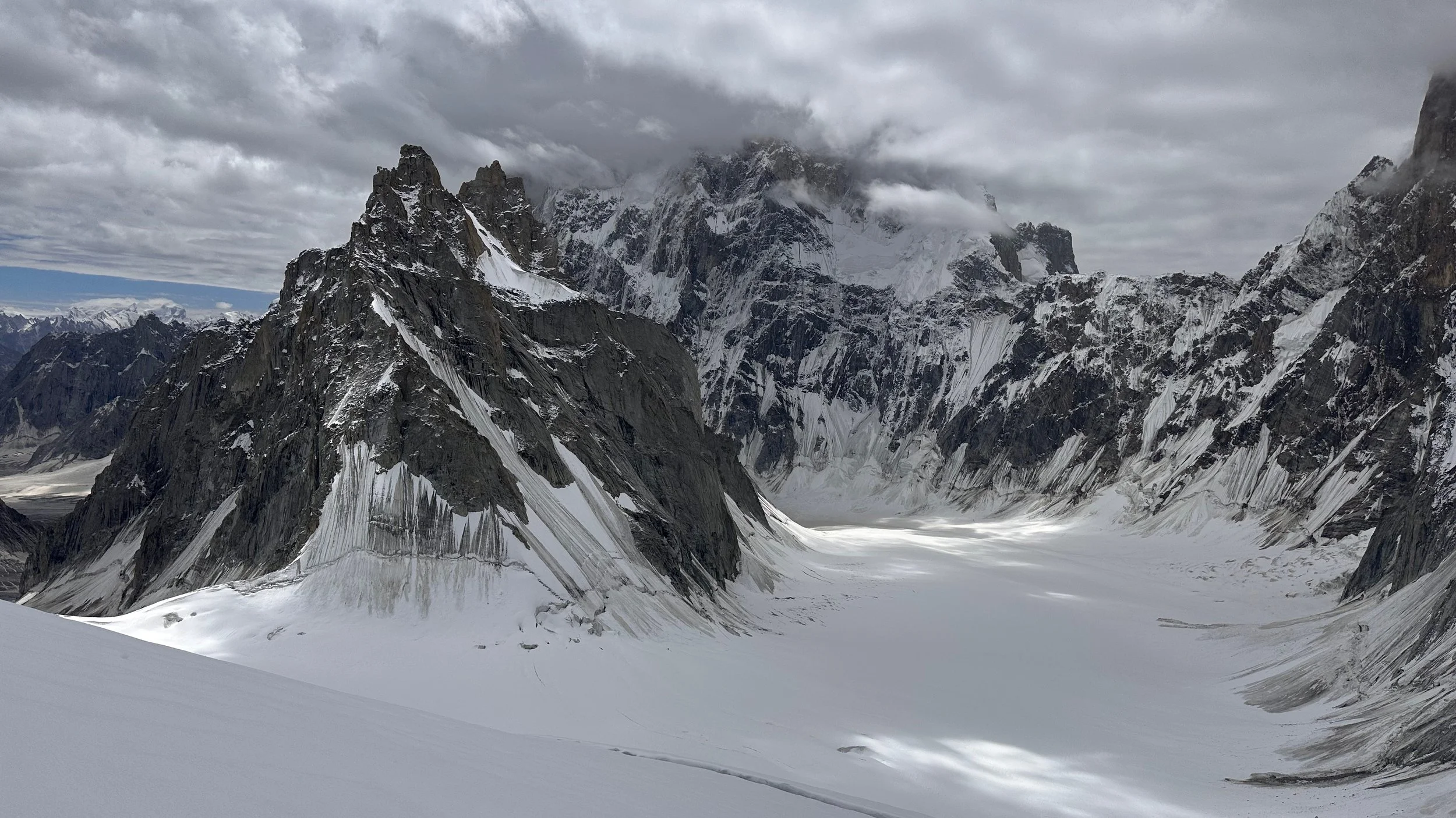
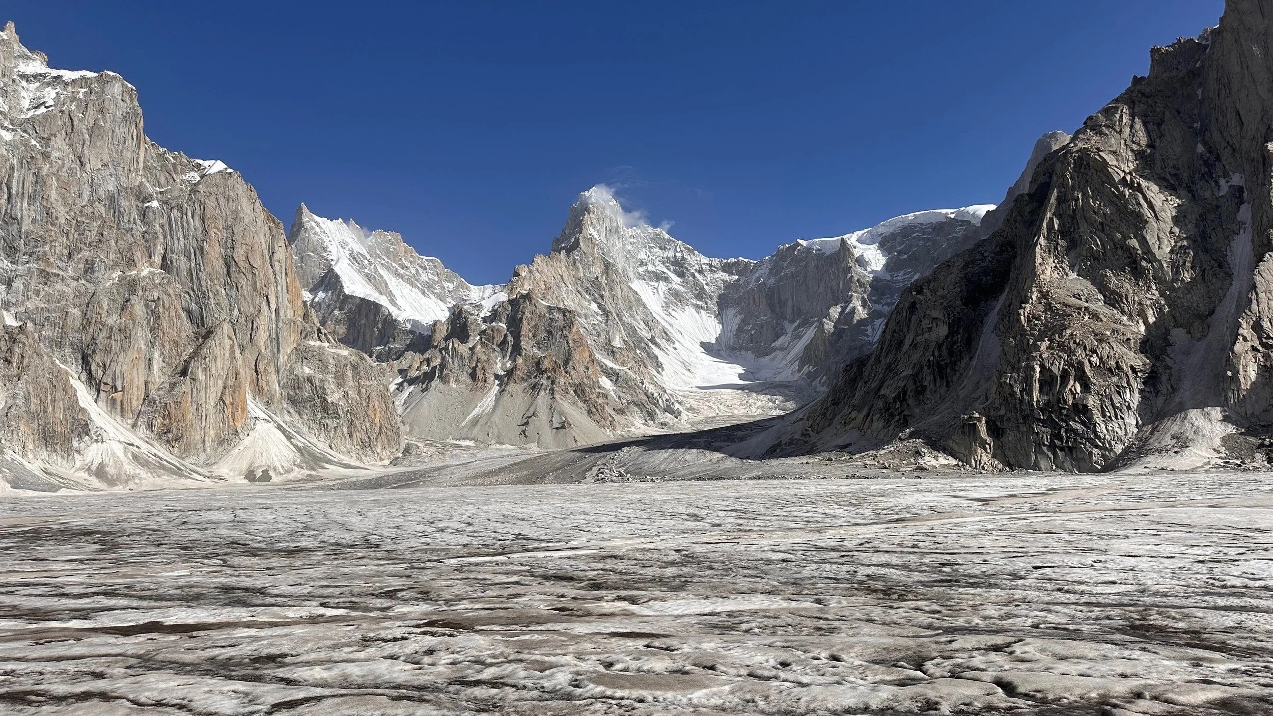
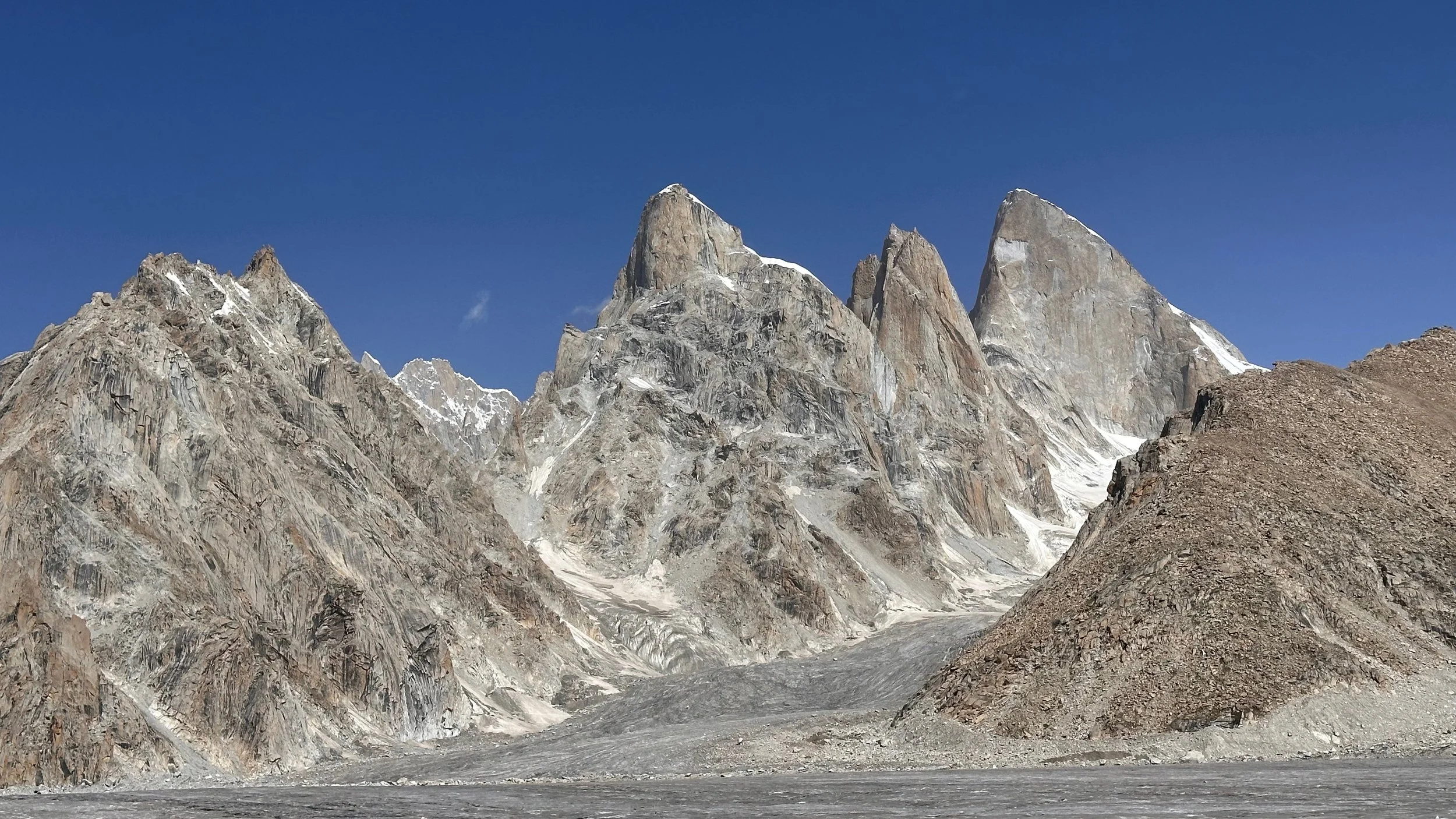
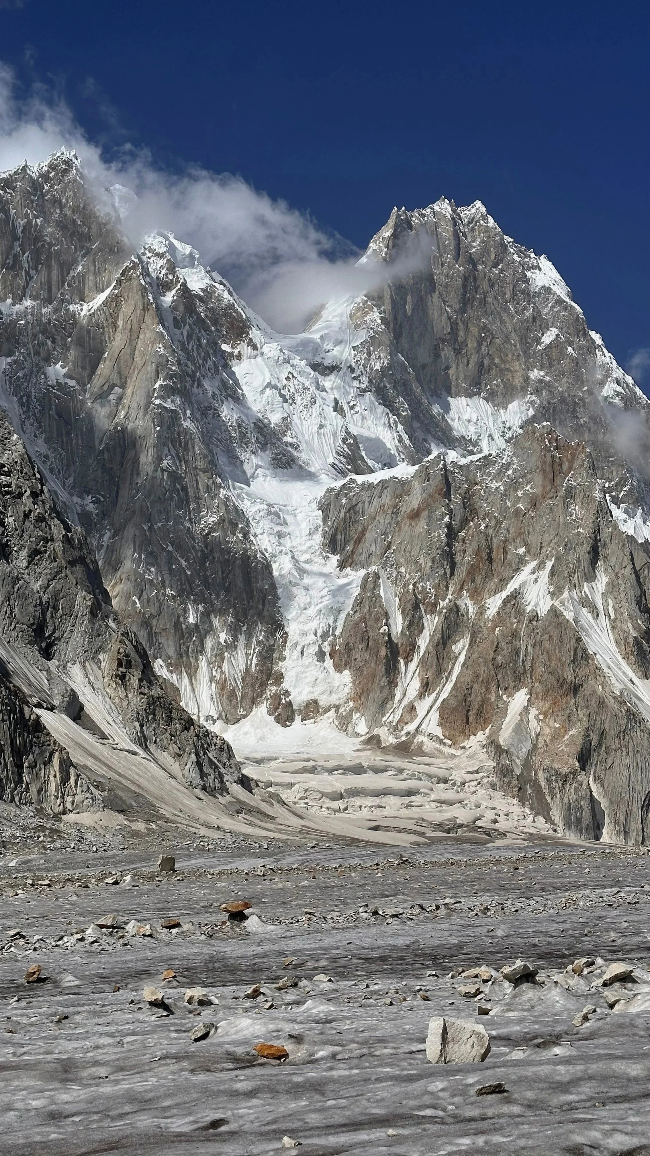
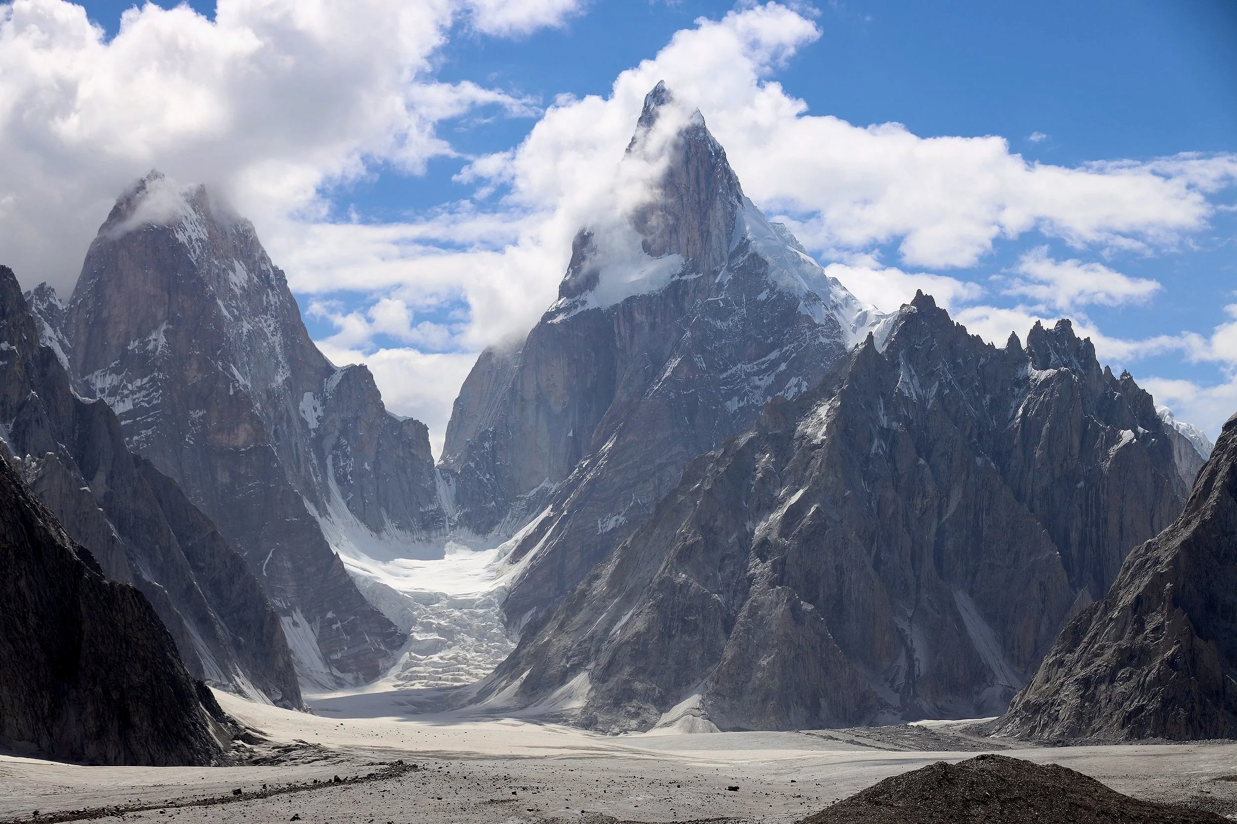
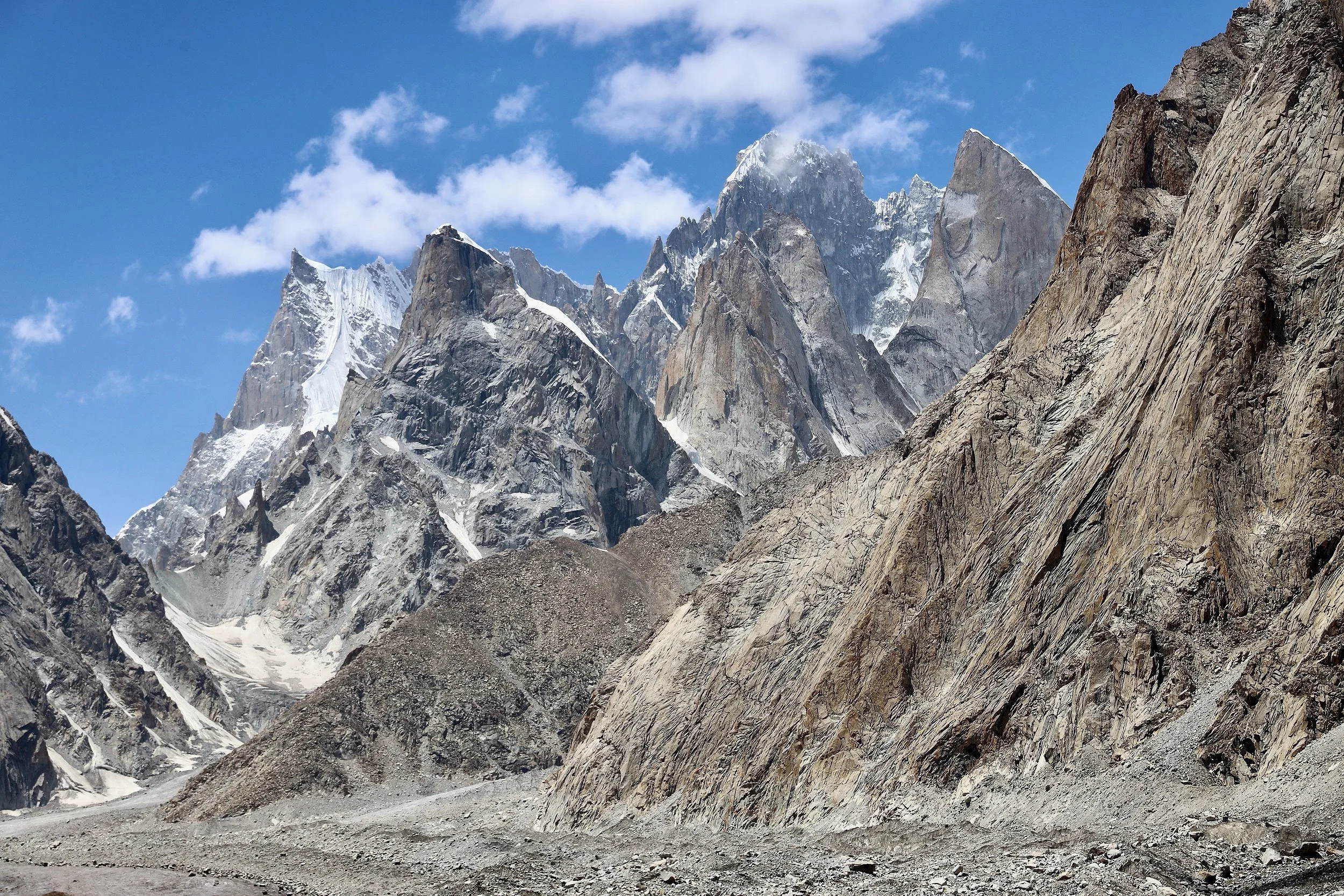
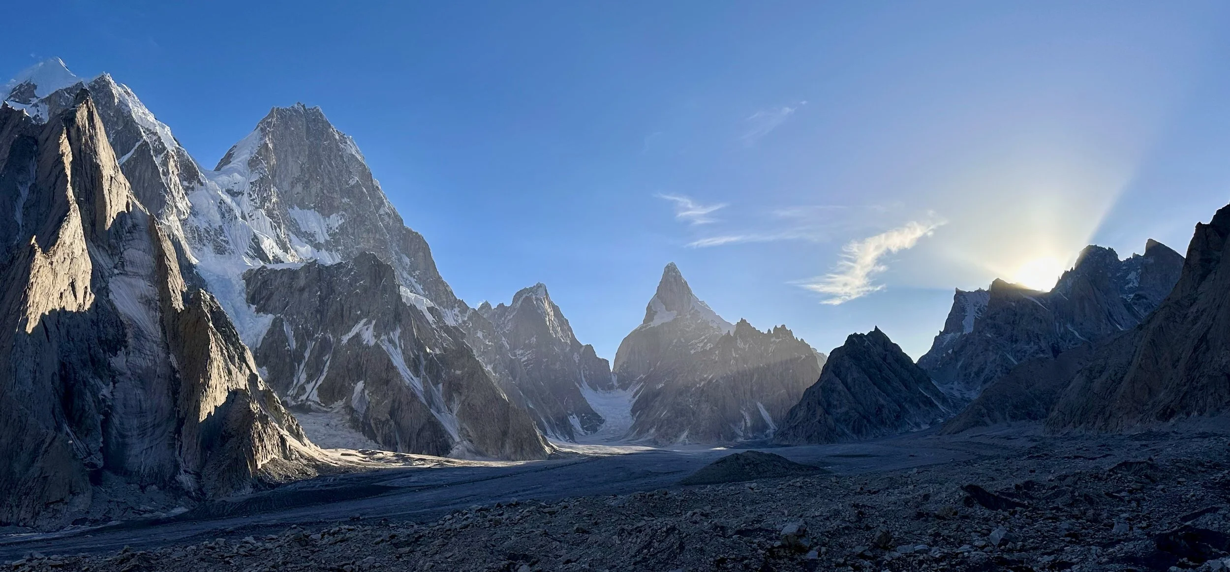
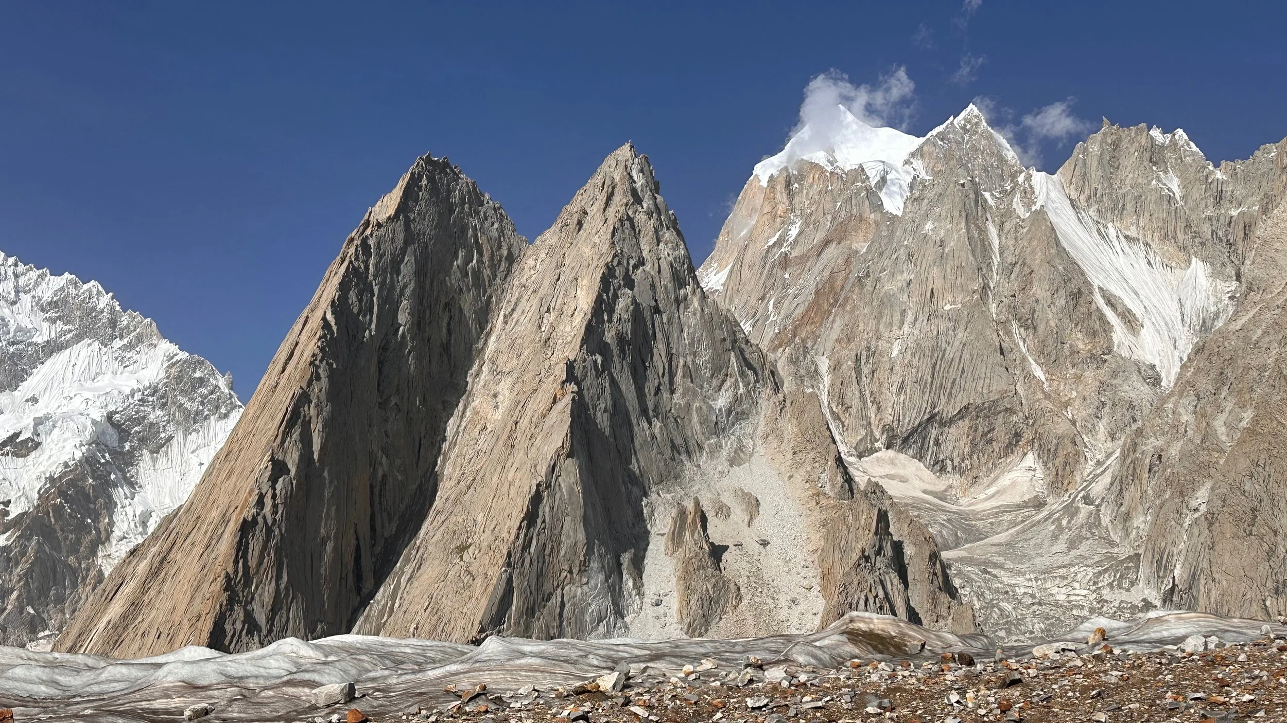
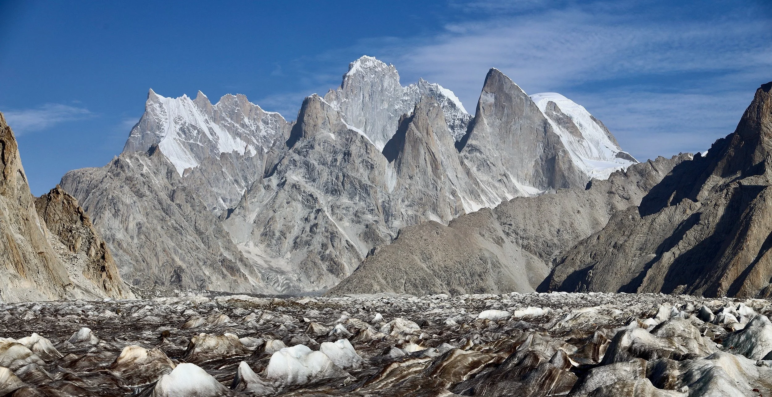
Wild mountain spires of the upper Biafo Glacier.
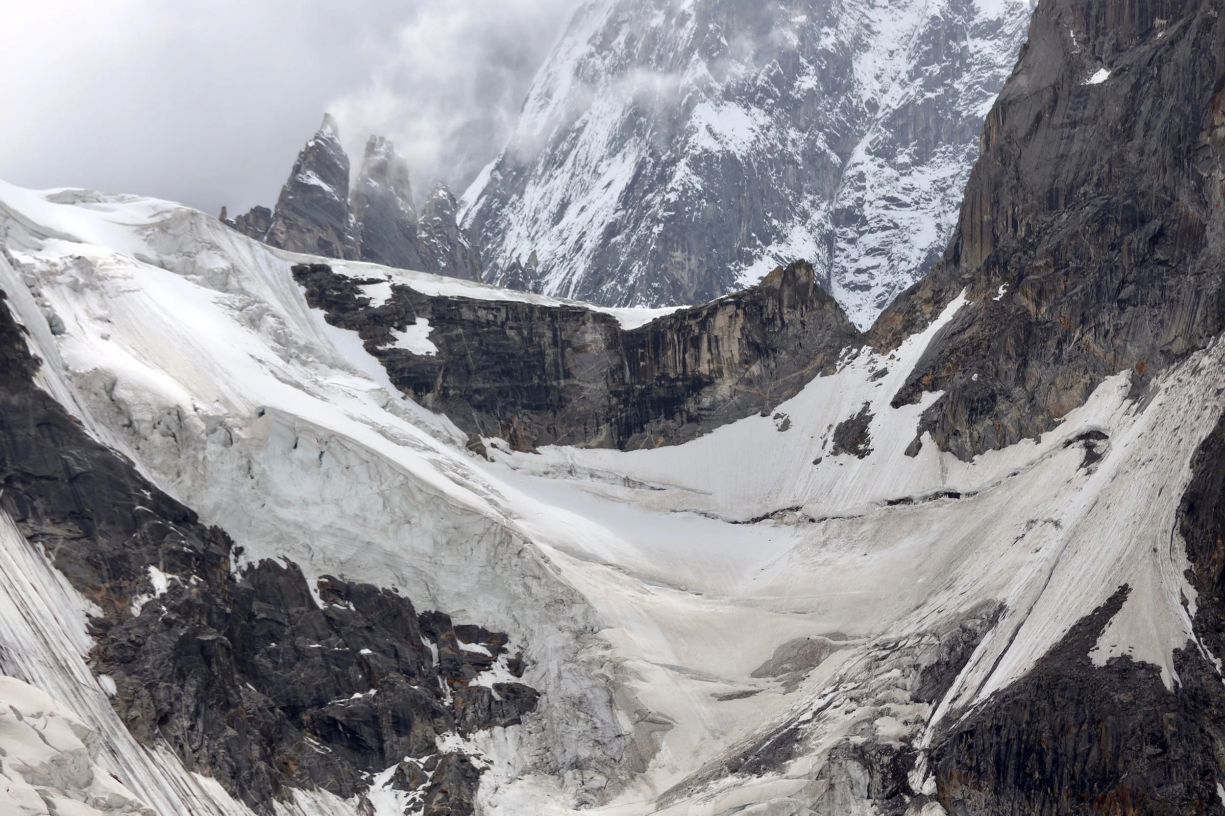
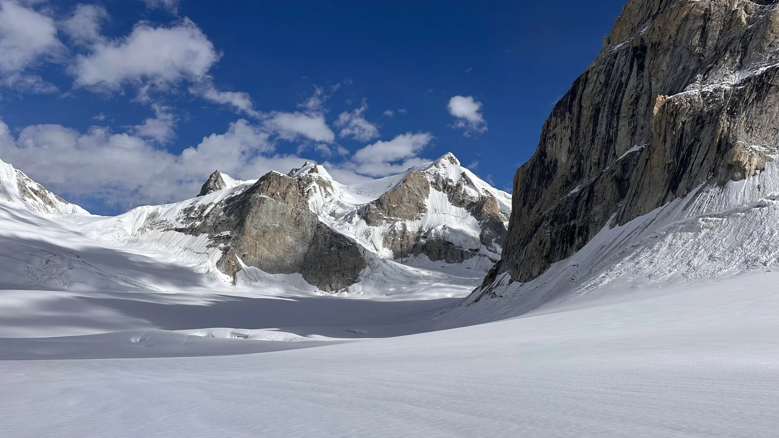
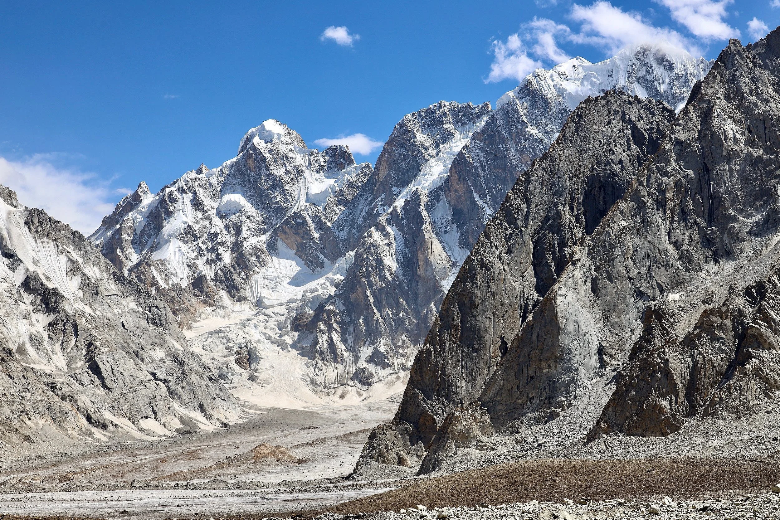
Skoha La Pass connecting Arando to the Biafo. This is the only pass linking Arando directly to the Biafo.
A closeup of Skoha La
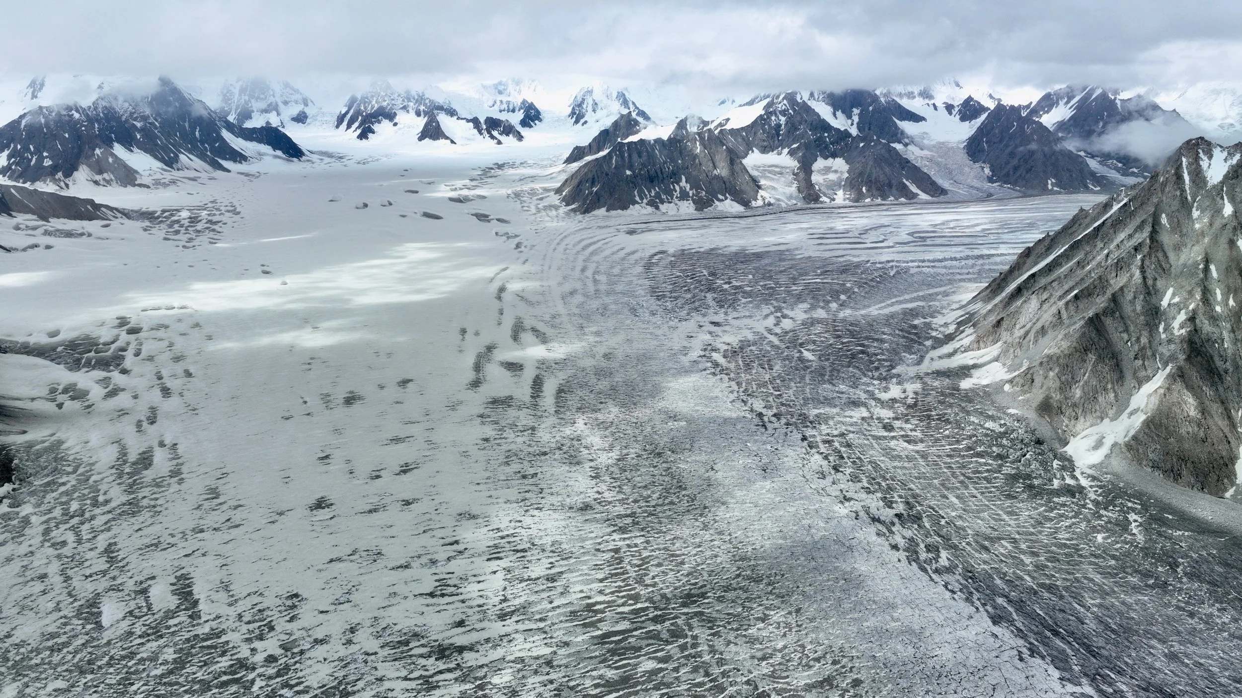
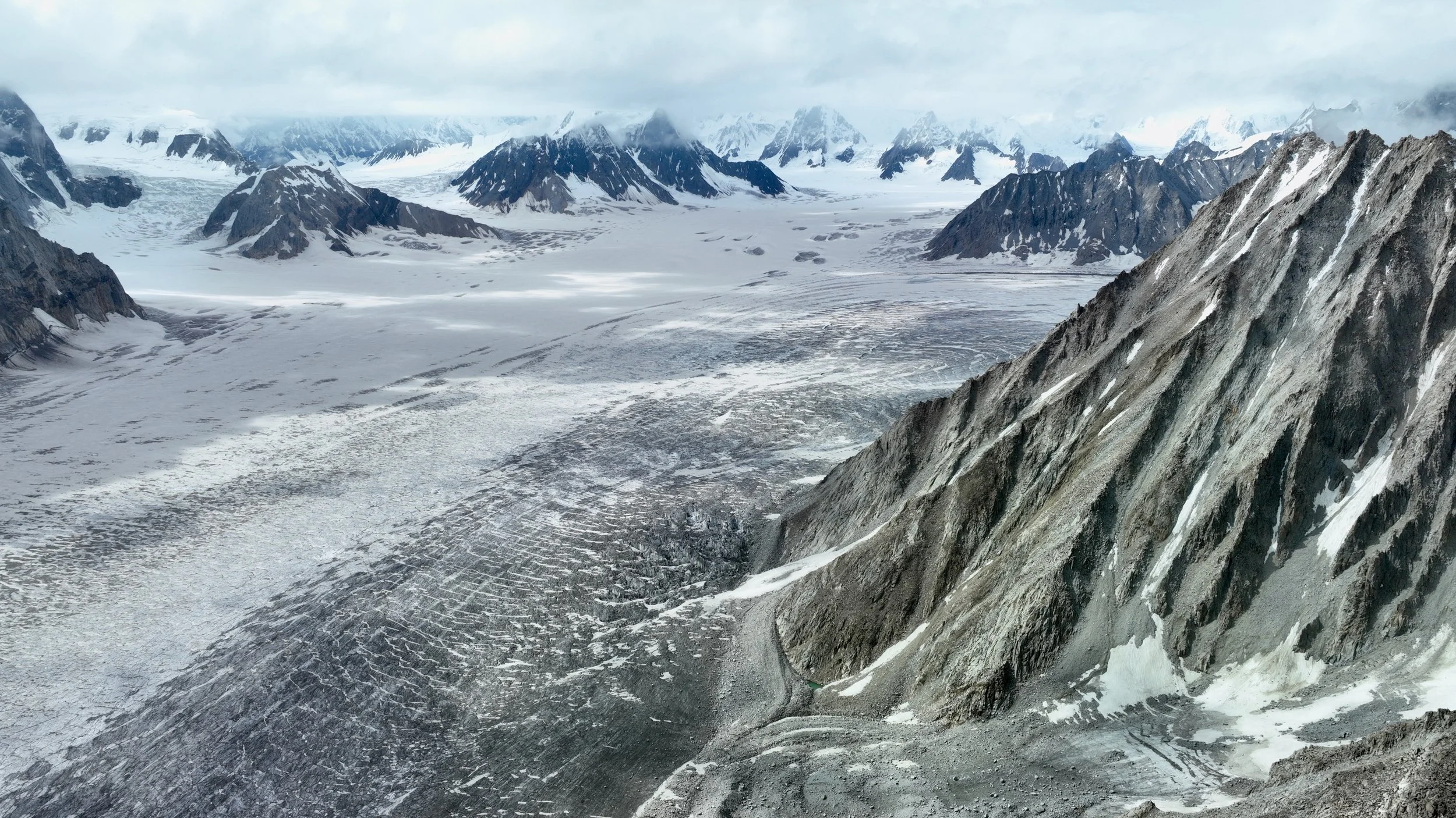
The Biafo Glacier
The Biafo Glacier
Biafo Glacier highway. Our camp is on the left at the bottom of the photo.
Looking at the Snow Lake. The glacier on the right is Sim Gang Glacier. We will need to follow it all the way to the end to cross the Sim La Pass.
The upper Biafo and Sim Gang Glaciers. The Hispar La Pass is on the left.
The valley that we came down from Jamal Pass is the far valley on the left side of the photo.
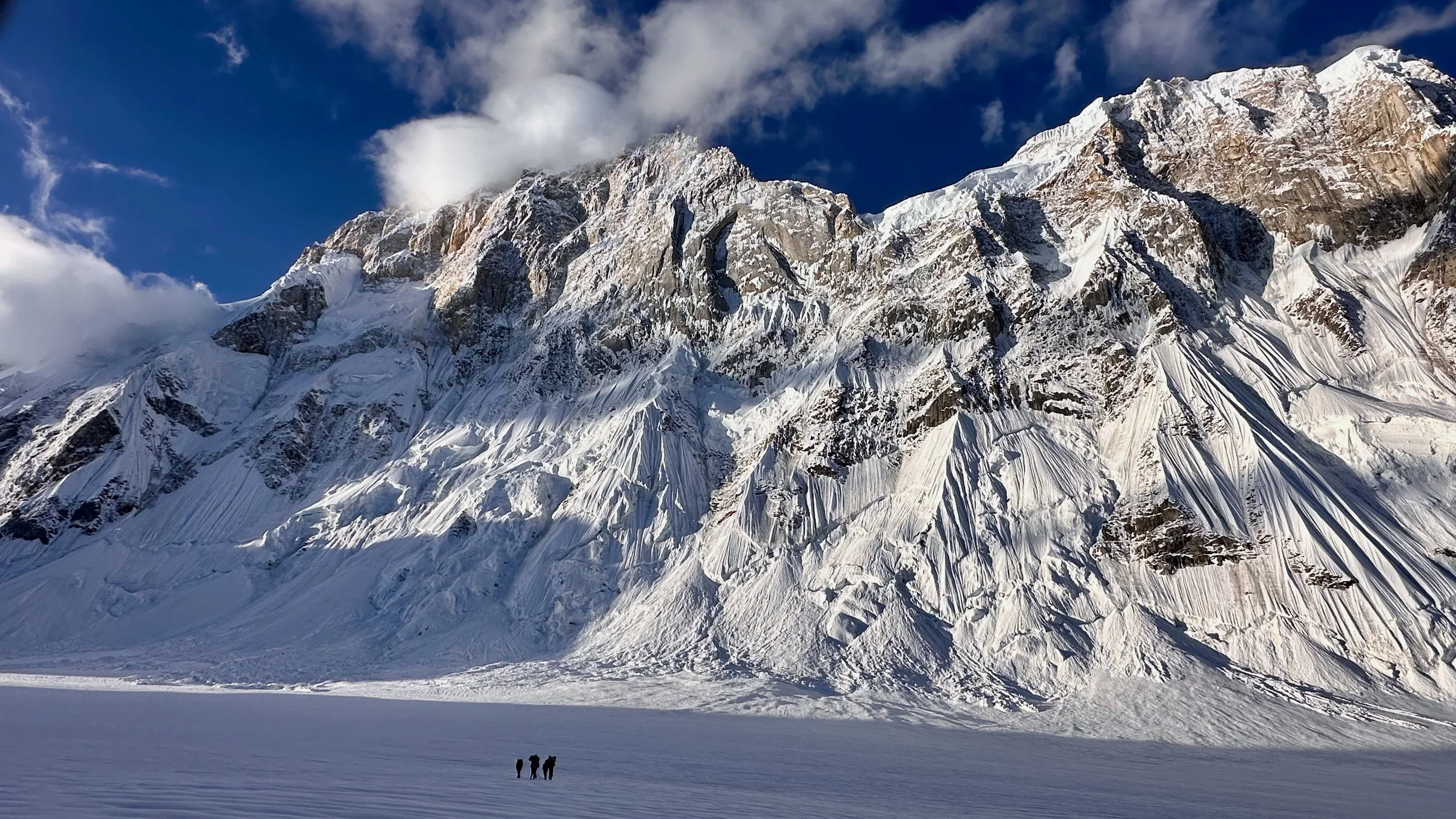
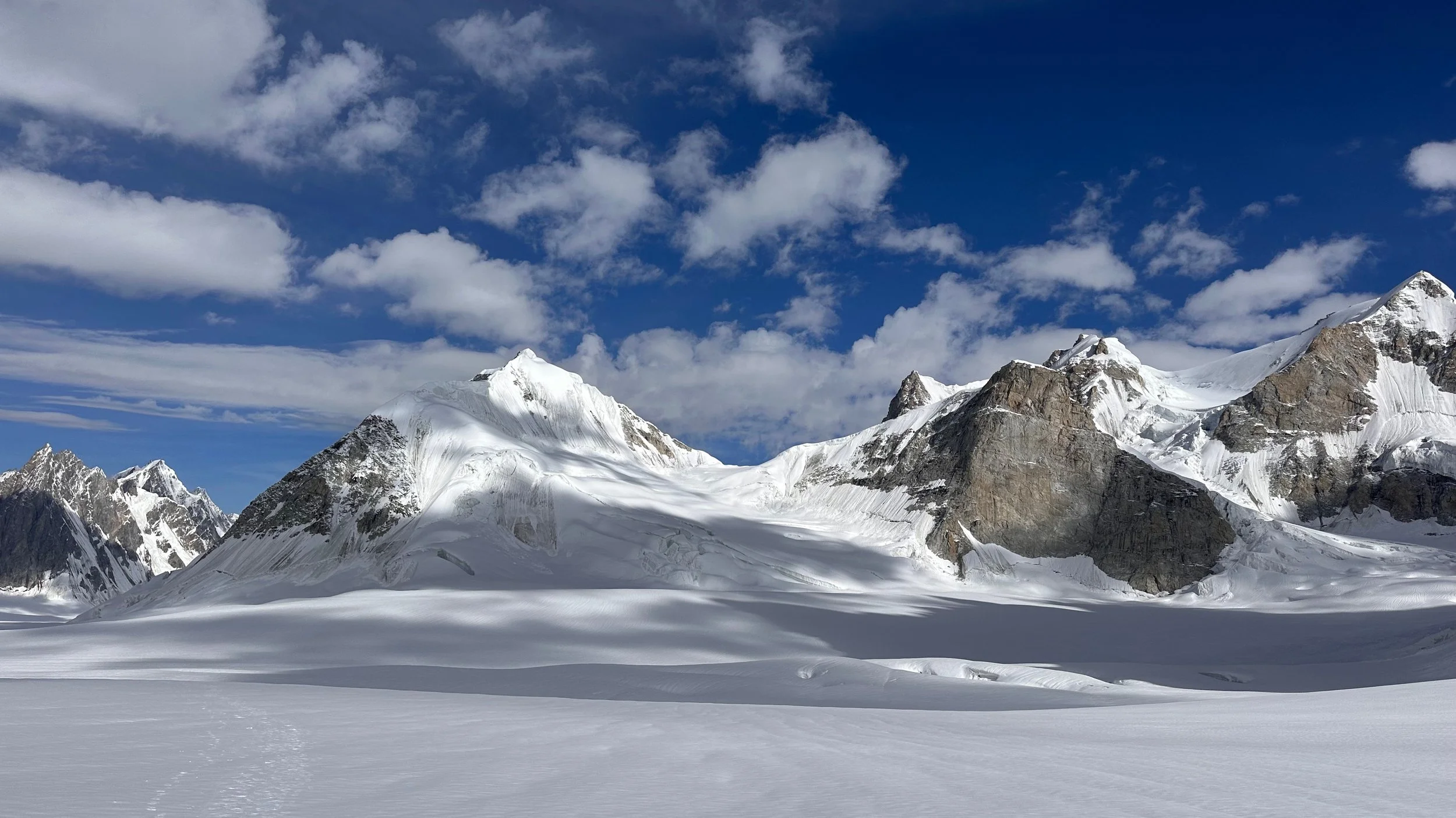
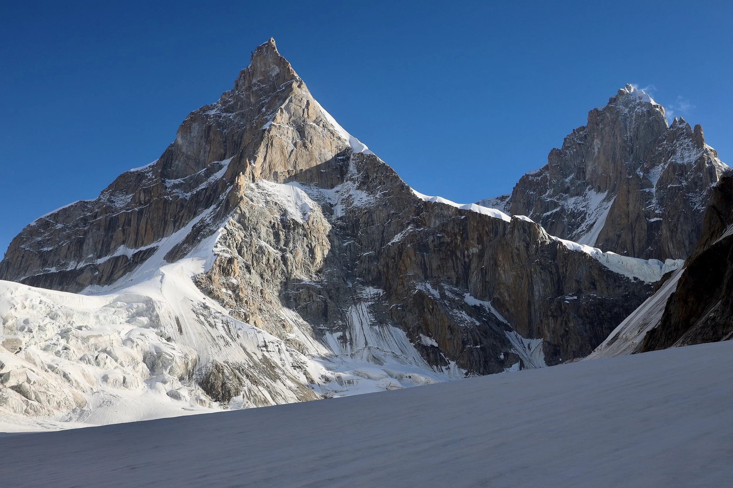
Skoha La and the Biafo Glacier. The mountain cluster to the right of the Skoha La is the Broad Tower 6,195m and Solu Tower 6,075m.
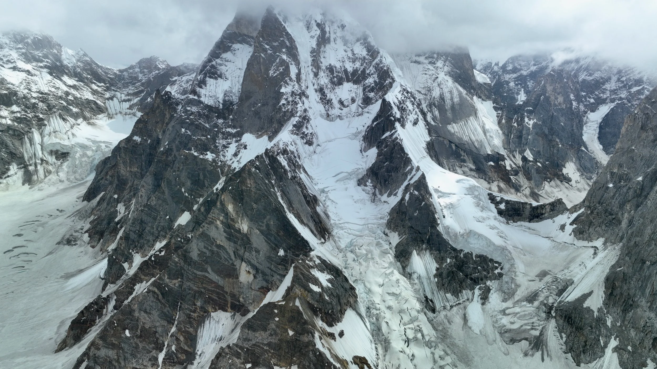
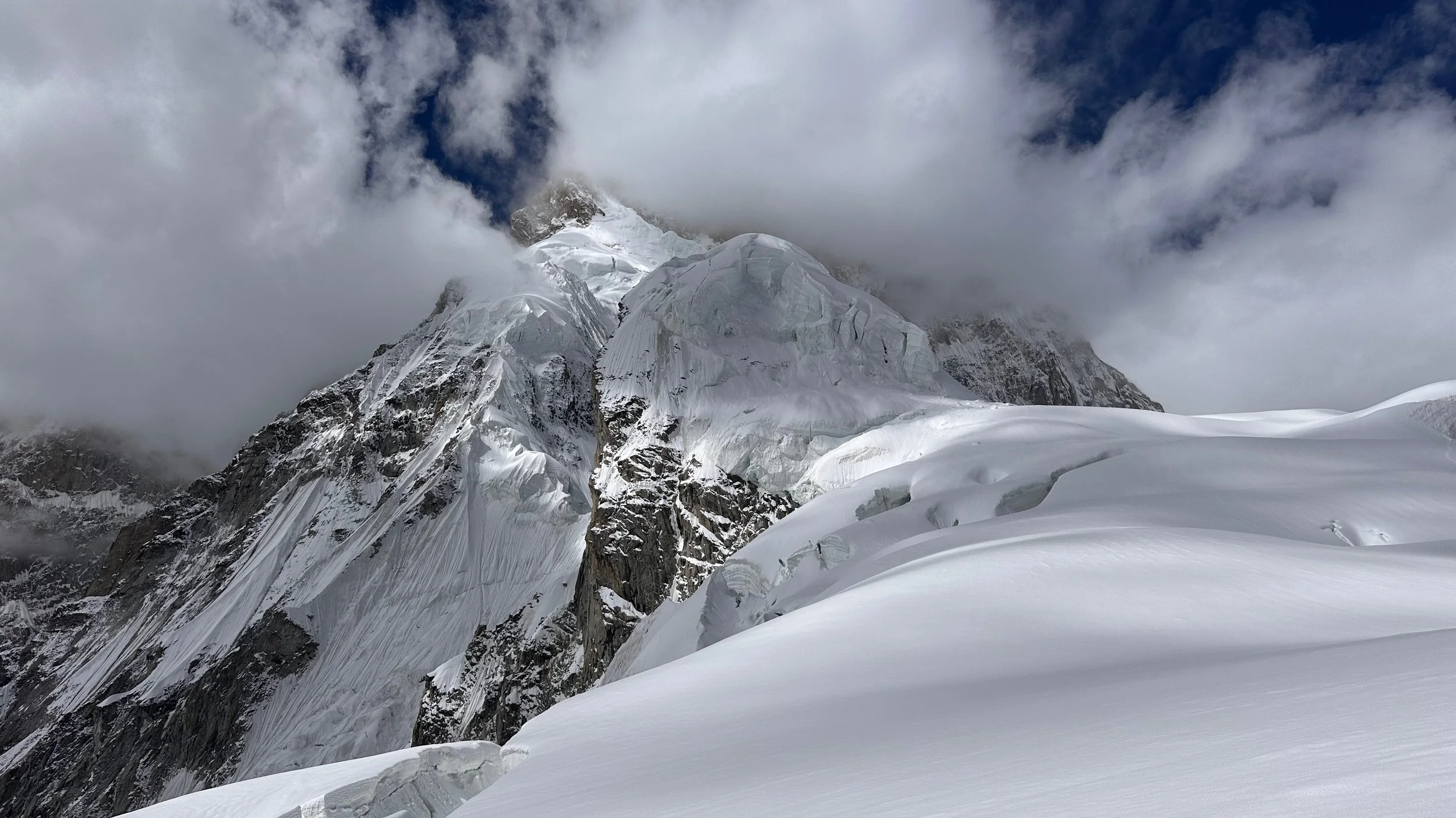
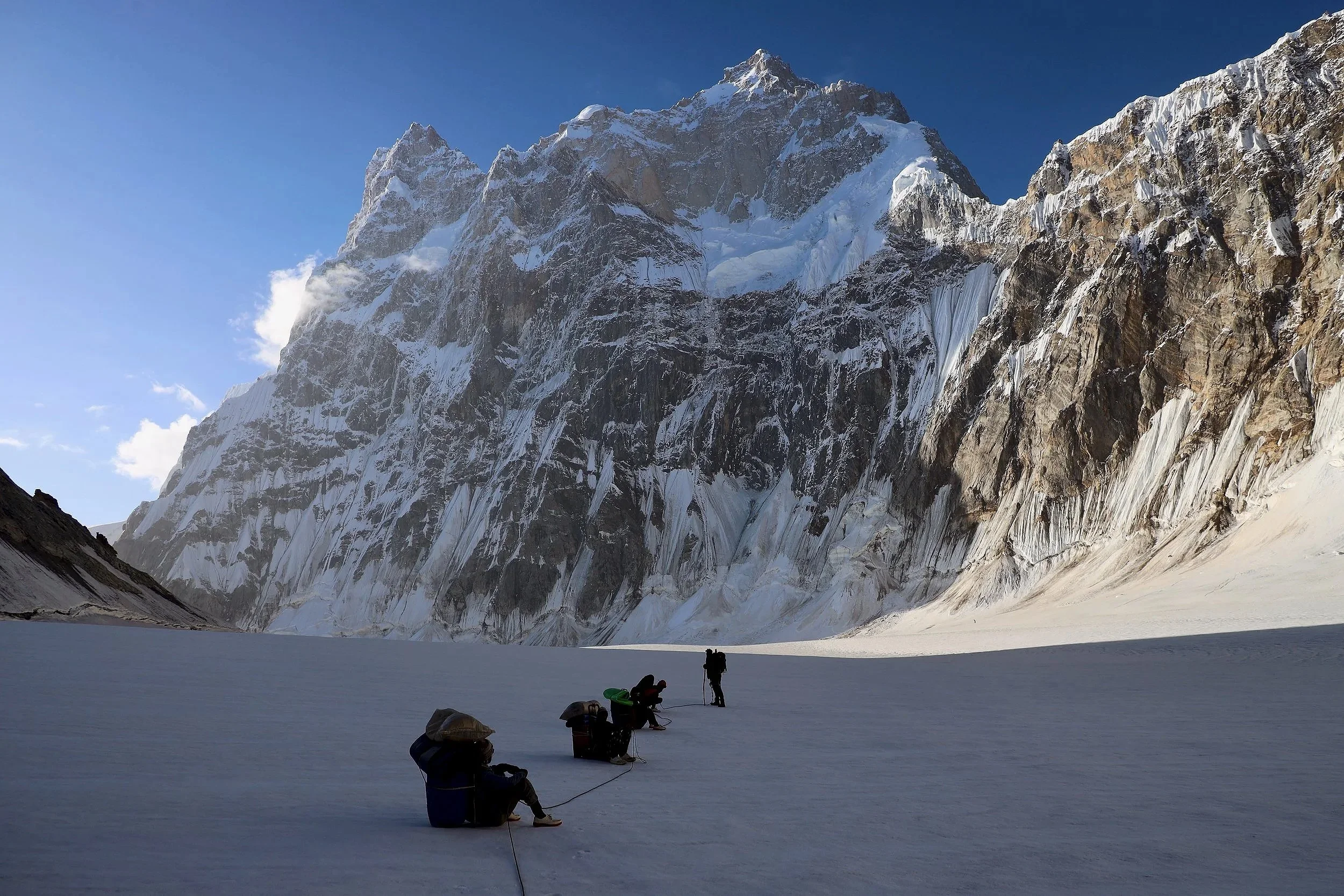
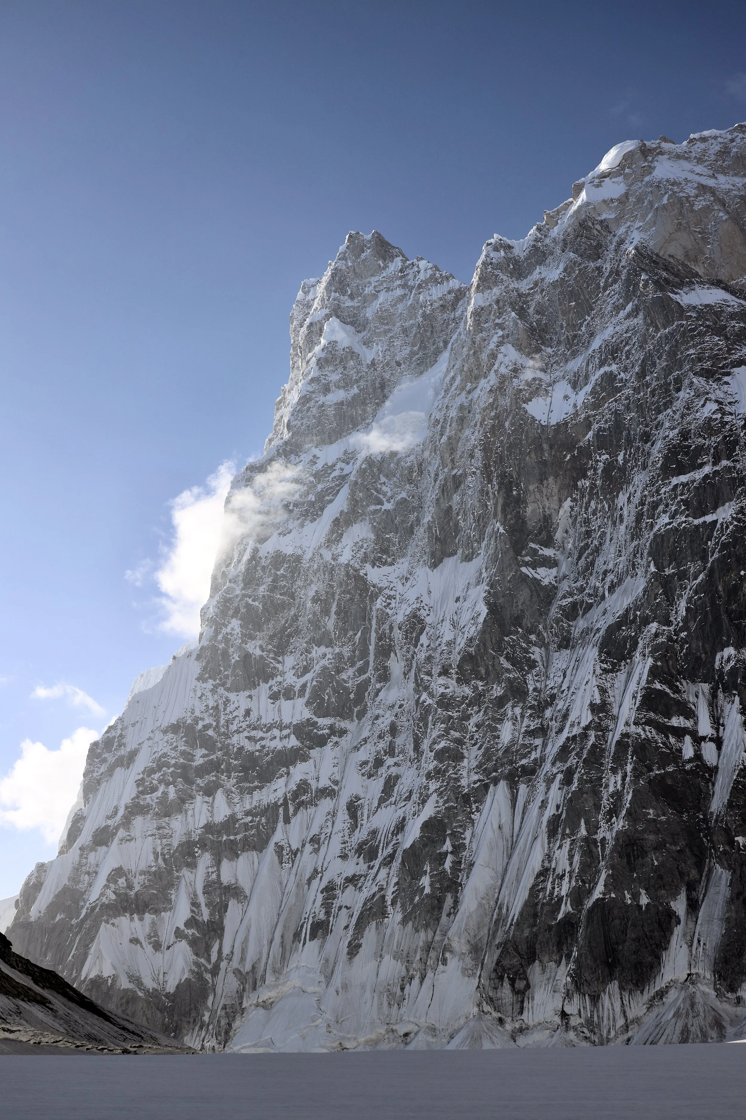
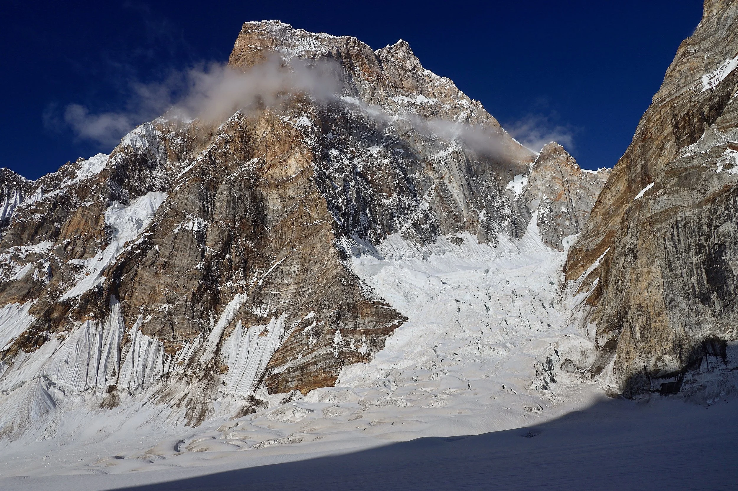
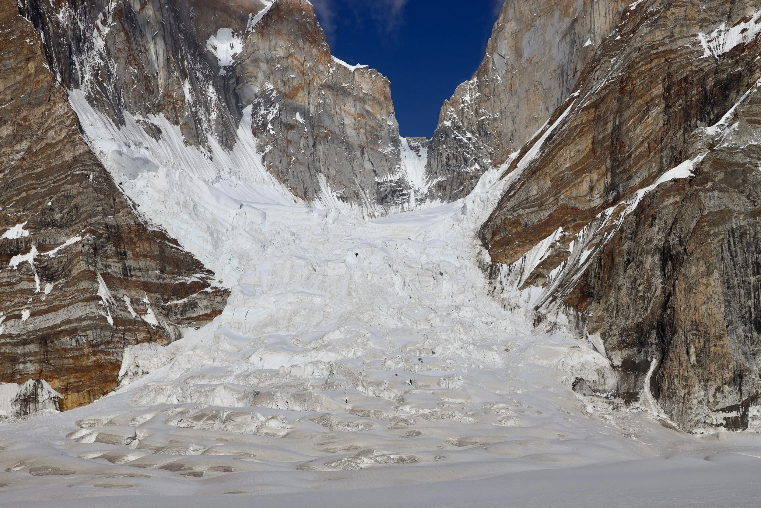
Sosbun Brakk 6,395m
Skoha La (left) and the wild spires of the upper Biafo Glacier. Broad Tower and Solu Tower.
Skoha La
Sosbun Brakk
Sosbun Brakk and Skoha La
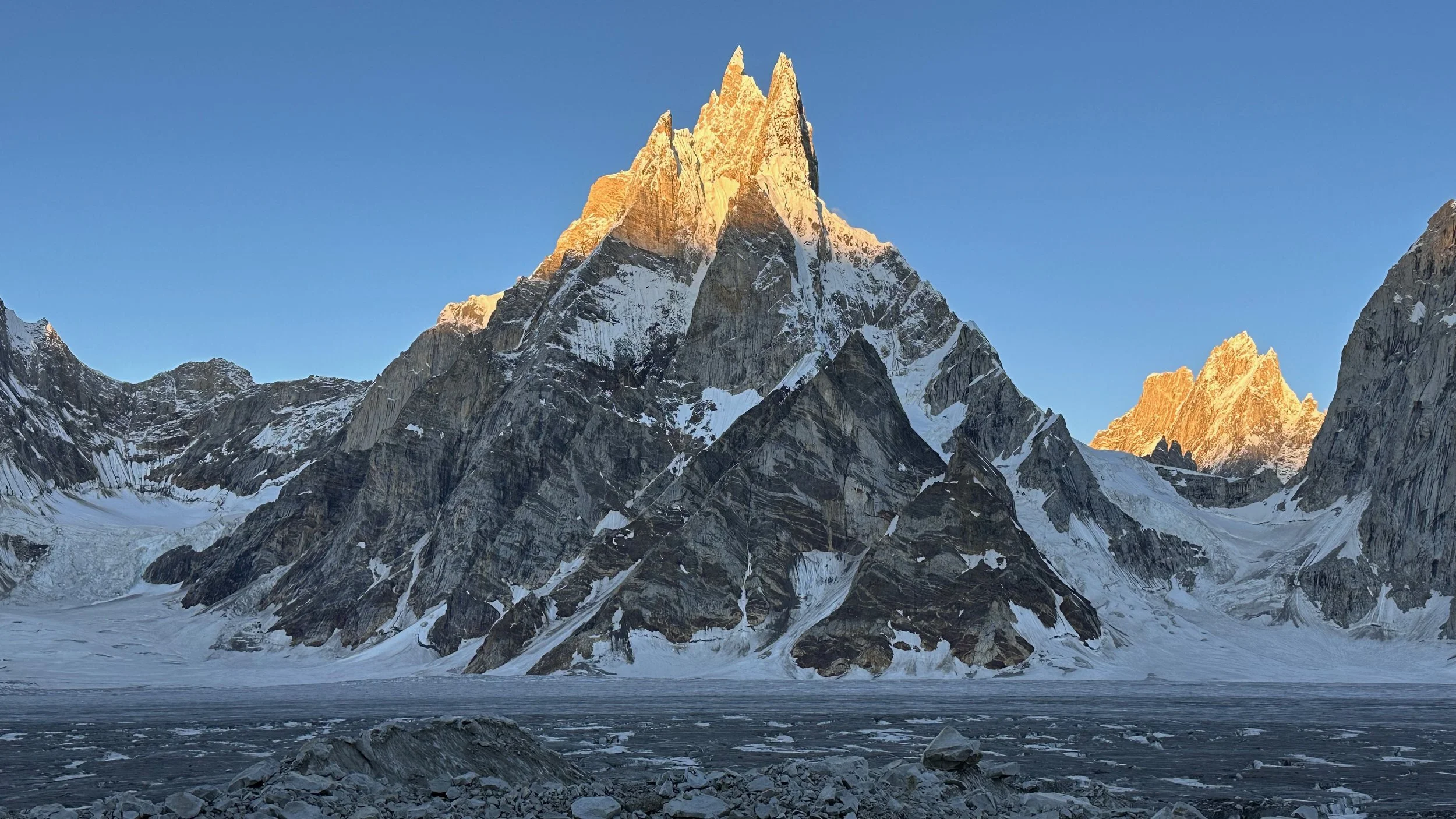
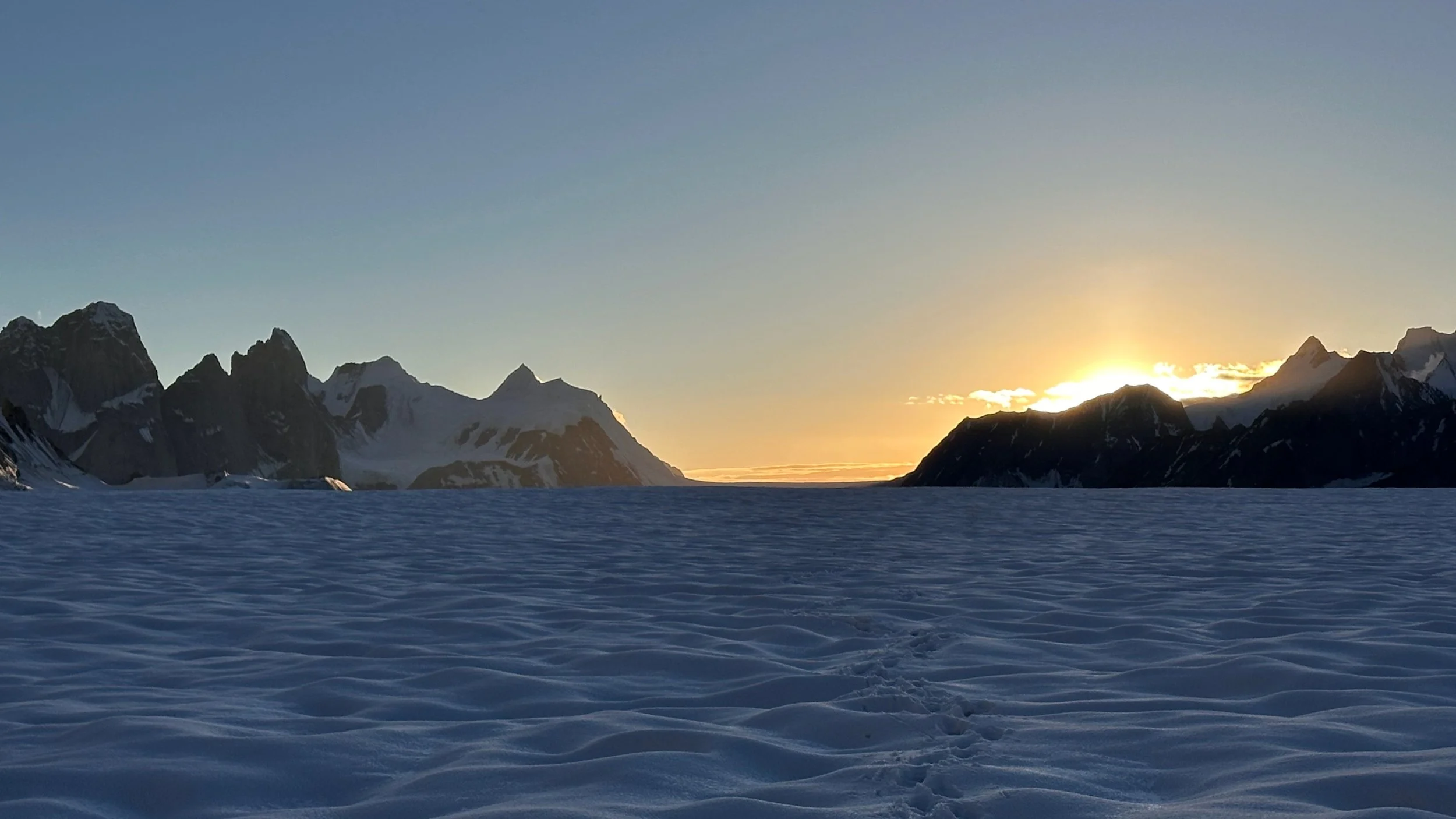
The following day it all cleared up. We were treated to a spectacular sunrise.
Sosbun Brakk
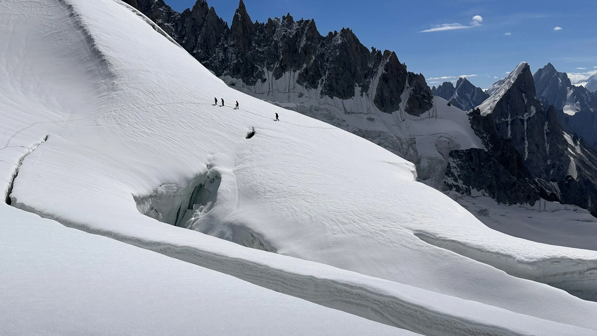
Navigating through these monster crevasses took time! It was like walking through a maze.
Spectacular Sosbun Brakk
The mountains along the Snow Lake
Moving up the Biafo Glacier.
We are now on the Sim Gang Glacier. As the day wore on, the snow became progressively softer. It was difficult and dangerous to walk. We decided to set up camp and continue on during the night.
The Ogre definitely dominates the skyline!
Spectacular scenery but hard walking in the soft snow and the heat!
The Sim La Pass is hidden between the black rocky outcrop and the glaciated small peak. It is still quite far (hours)!
The mighty Ogre
The summit part of the Ogre
An overview of the Sim Gang Glacier and the Ogre. Even Broad Peak is visible on the horizon.
Looking up the Sim Gang Glacier towards the Hispar Pass
The Ogre group from the Sim Gang Glacier
Our camp on the Sim Gang Glacier
Peaks on the Snow Lake
Sunset on the Hispr La from the Sim Gang Glacier.
Hispar La in the distance.
Laboring our way through the crusty snow. We started in the night hoping for a solid freeze. Unfortunately, only the very upper crust froze. It cracked under each step making the progress very tiring. I would sink up to my knees with each step. At 5000+ m it was hard work for hours. I was definitely happy to arrive on the Sim La Pass. I was definitely happy to be well acclimatized to the altitude.
The Ogre and the gradual incline to the pass.
The fix for the leaky shoes - a bag. The Baltis are super tough and resilient. Never complain and always deliver 110%.
Close to the pass yet far away!
The Ogre
The snow was terrible. Under a thin layer of frozen crust, there was soft snow. We kept sinking into it with every step. At 5,000+ it was hard work. Sometimes I would sink up to my knees and walking like that took a lot of energy. While the porters seemed to glide across the snow effortlessly, I kept sinking in and cursing all the way to the pass.
We are so close and the pass is still hidden from us.
Looking back from where we came from. The Hispar La is now very far away.
The Ogre
Looking back from the upper reaches of the Sim Gang Glacier.
The snow fields near the Sim La.
Endless snowfields and the soft crusty snow.
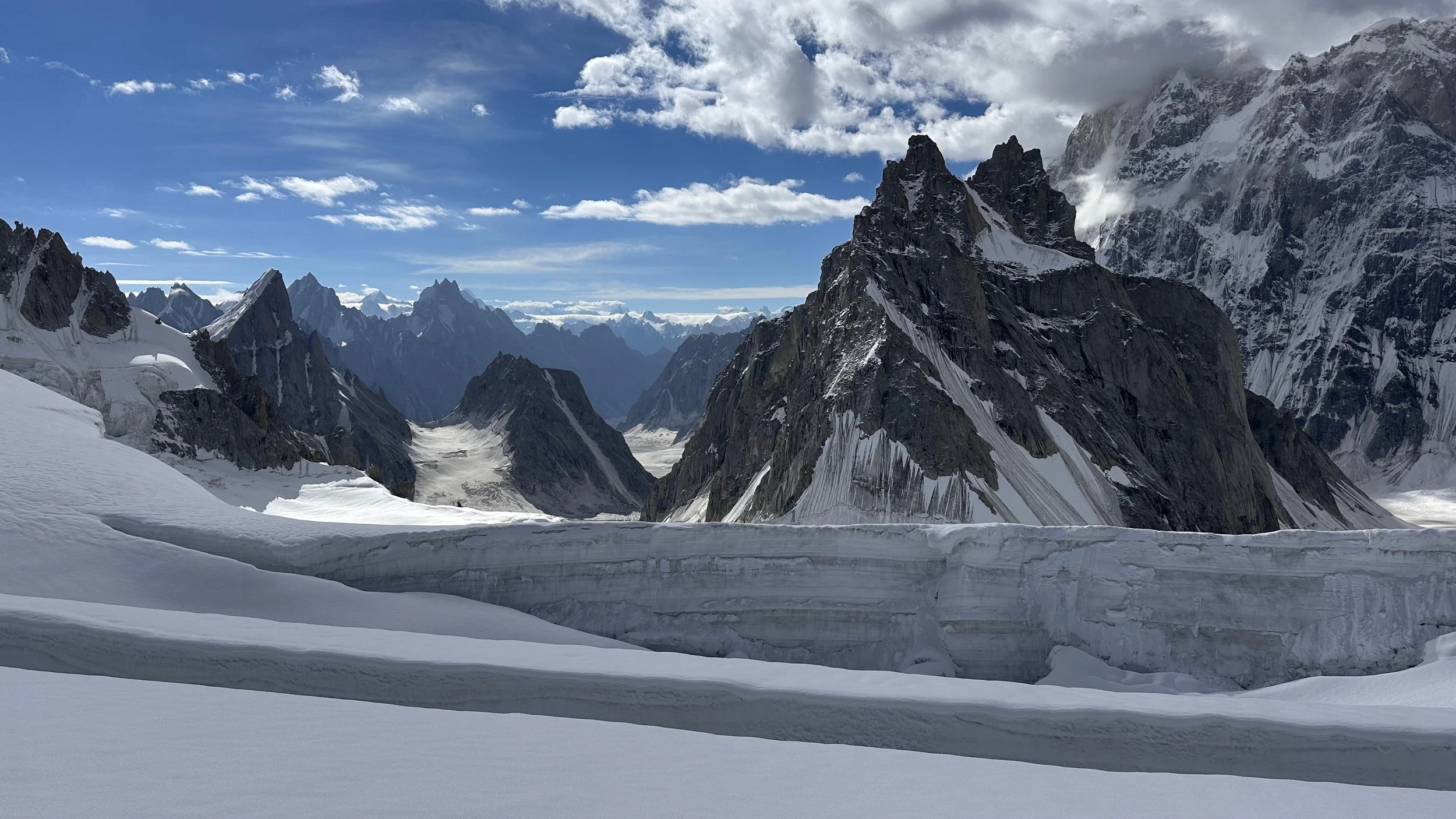
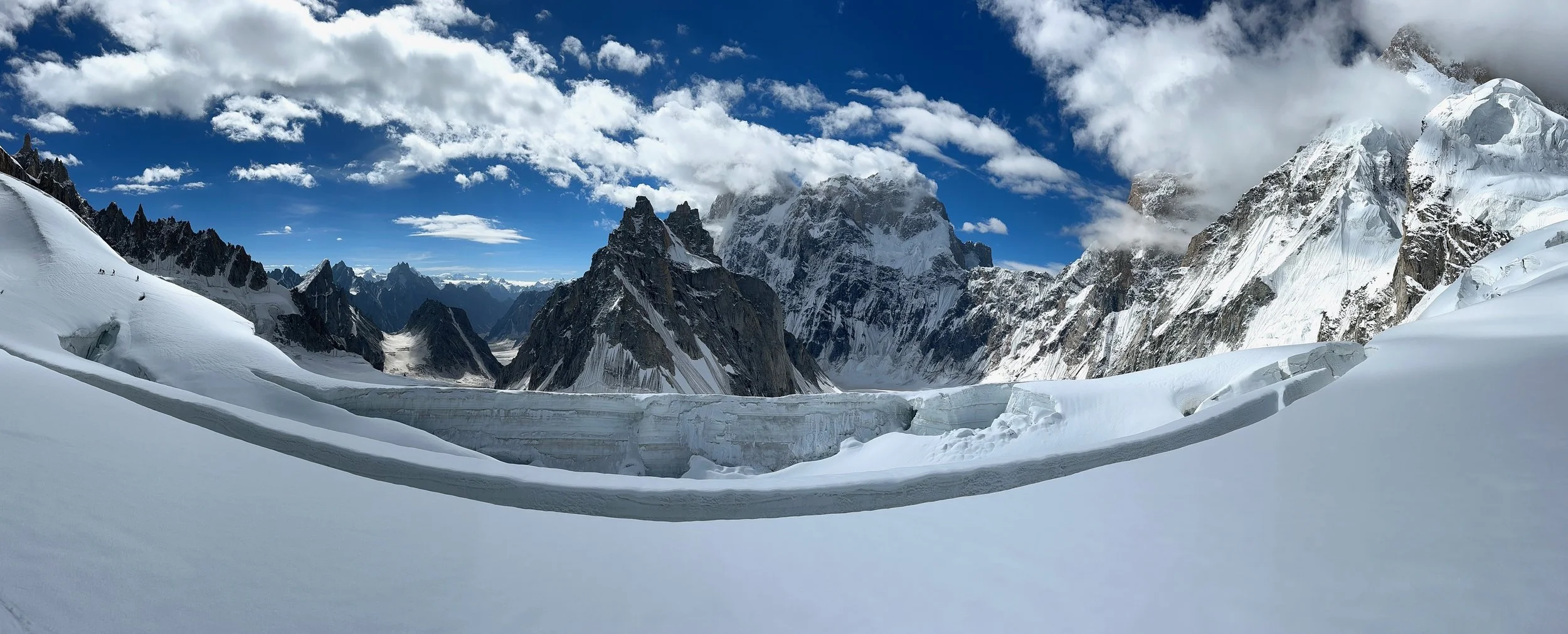
Finally the pass and a huge surprise - a massive crevasse is blocking the way.
Latok 1 and Latok 2
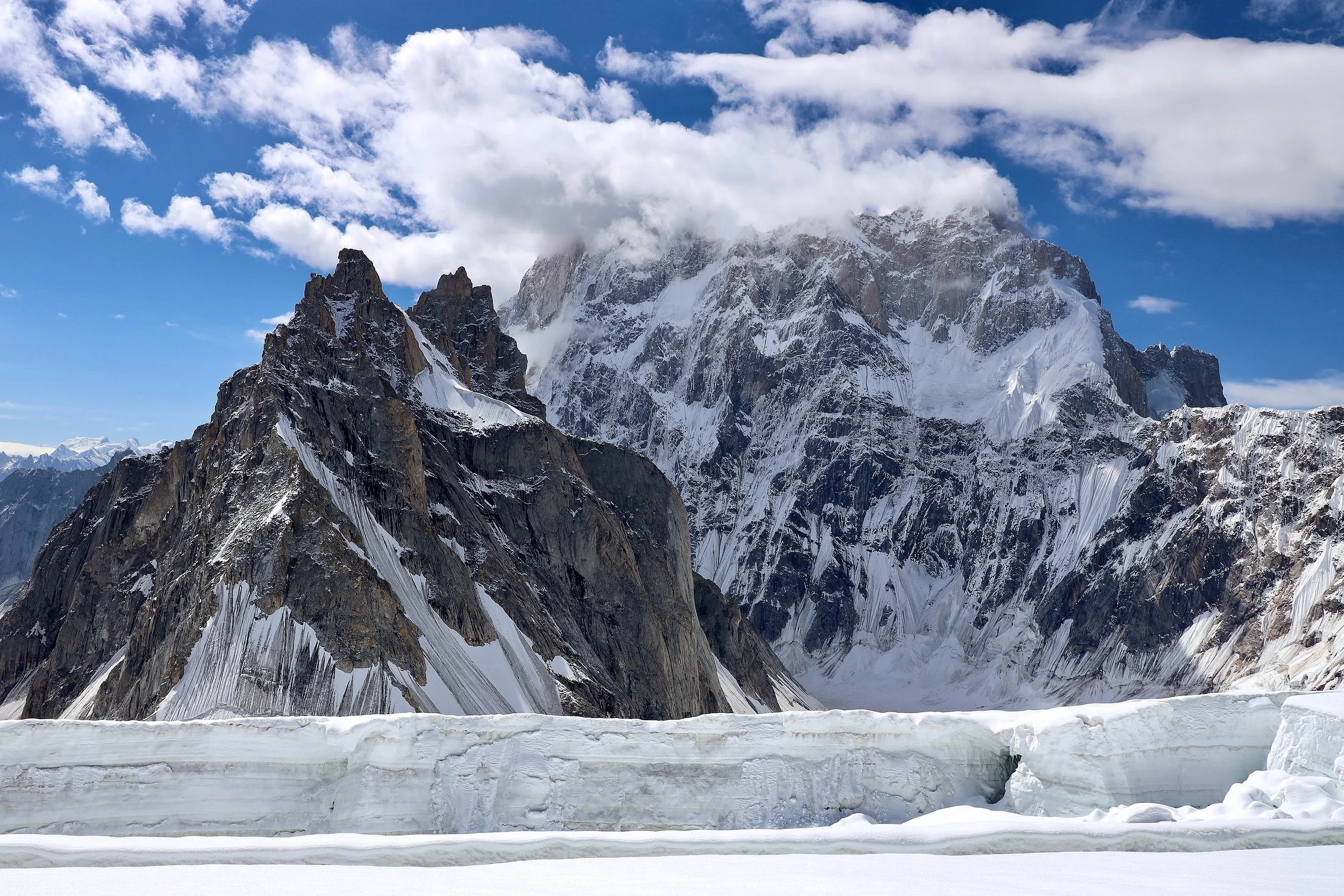
The massive crevasse at the top of Sim La. For scale, see people on the left. I think that the crevasse will expand further making the Sim La impassible.
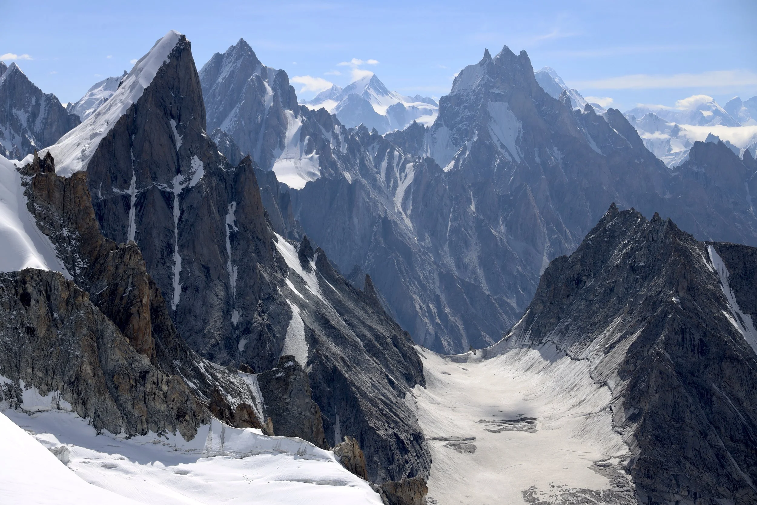
Spectacular Biarcheldi Tower (left) and the Choktoi Peak (right). The Biarcheldi Tower is on the Nobande Sobande Glacier.
The view from Sim La to the Choktoi Glacier far below.
The view from Sim La. You can see Broad Peak (left), Muztagh Tower (centre) and Gasherbrum 4 (behind Muztagh Tower).
Choktoi Pk from Sim La.
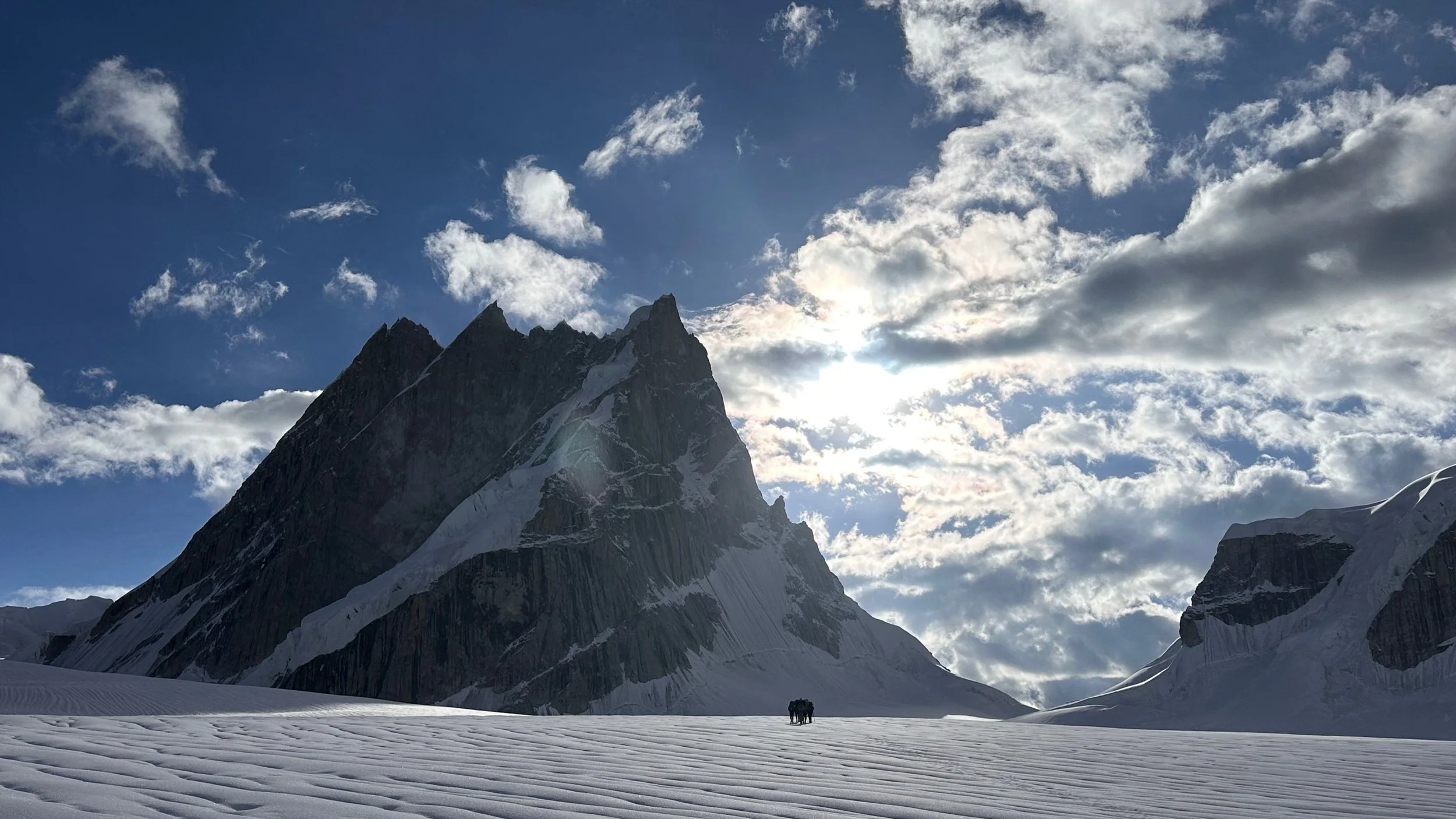
Ogre 2 (left) and Ogre 1 tower over Sim La.
The massive wall of Latok 1 and Latok 2 from Sim La.
Happy to be here! My third pass of the trip: Sim La 5,400m.
A drone photo of Sim La - courtesy of the www.himalaya-info.org
A drone photo of Sim La - courtesy of the www.himalaya-info.org
A drone photo of Sim La - courtesy of the www.himalaya-info.org
Looking for a way across the pass with Baintha Kabatha 6.270m towering above.
Crevassed Sim La and the Ogre
Looking for a safe passage across Sim La. It is not as easy as it appeared. The crevasse will cut off the safe passage soon. There is a massive icefall on the other side of the crevasses in the photo.
The way across involved a small climb to the icy ridge. The glacier is full of crevasses. It will not take much movement in the glacier to make this pass impossible to cross. Only a small ice bridge allows the passage across a crevasse.
The upper Choktoi Glacier from the Sim La. It is a glacial cirque surrounded by Latok1, Latok2, Ogre 2, Ogre 1 and Baintha Kabata. It is hard to imagine a more spectacular setting!
We finally found a way across, much safer than the icefall but prone to rockfall. There is no easy way across this pass!
Descending Sim La
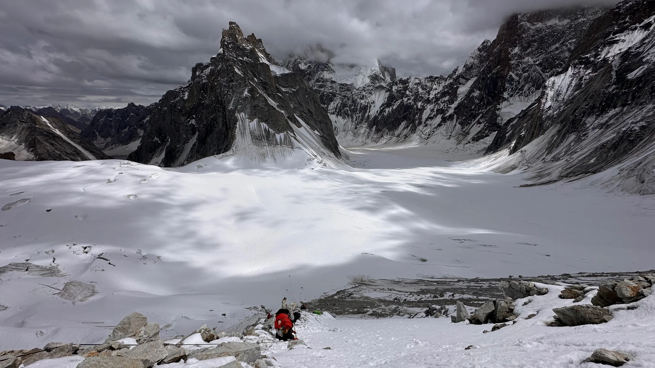
Descending steep Sim La. There are hidden crevasses under this snow! This is a glacier covered in a layer of snow. During my repel down this slope on the steep section close to the top, I punched through the snow straight into a crevasse with my feet forward. The fall flipped me upside down and the heavy pack pulled me downward. Ehsan gave me the helping hand end flipped me back up. I was able to extract myself from this awkward situation. It was hard work at this altitude with the adrenaline running high!
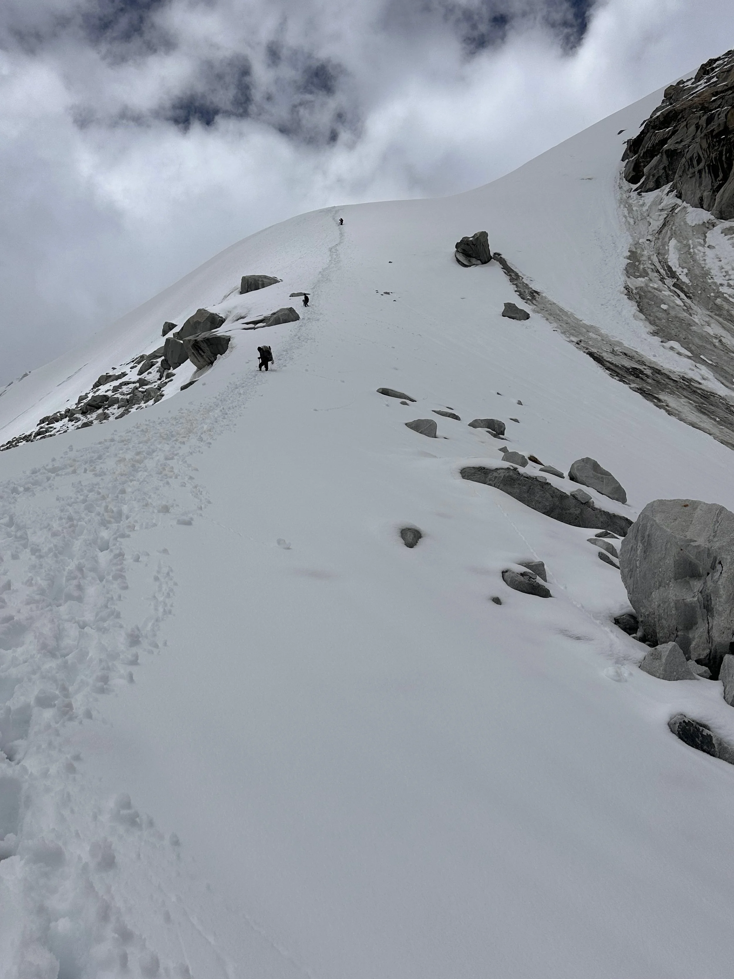
Descending Sim La - it took a long time! We descended on a rocky ridge with numerous avalanches and rock falls right next to us. It would be more prudent to cross this pass in the night. But this would necessitate us to camp at the top of the pass. We were the only people in 2025 to cross this pass.
Talib is a little shaken after the rock avalanche. We were subject to serious rock bombardment with some very close calls.
After a 15 hour day of Sim La Pass, we were too tired to move on and camped at the foot of the pass.
Drying off after a 15 hour day of the Sim La Pass. We were wet, tired but happy to be on the Choktoi Glacier.
Making Balti tea
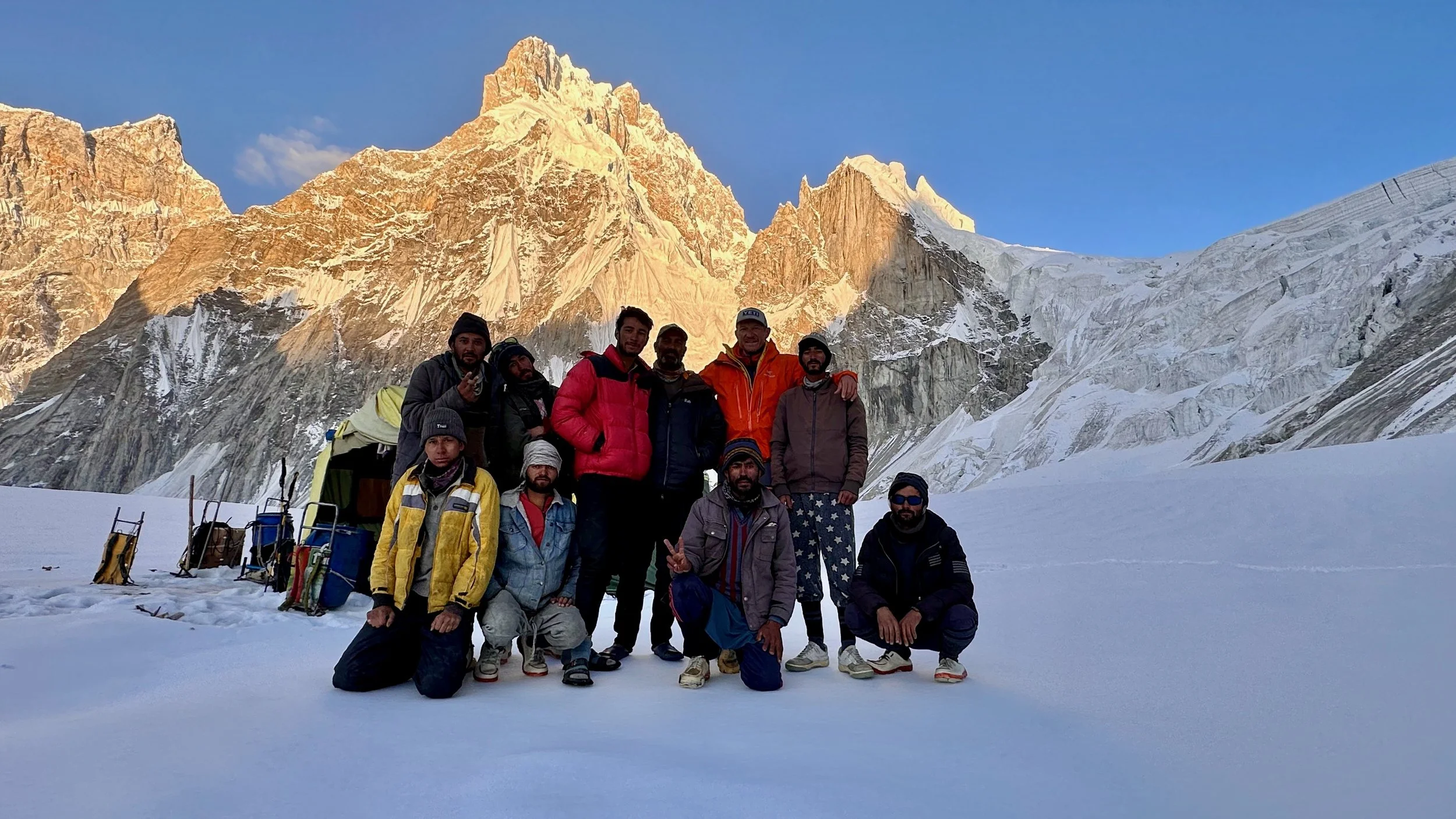
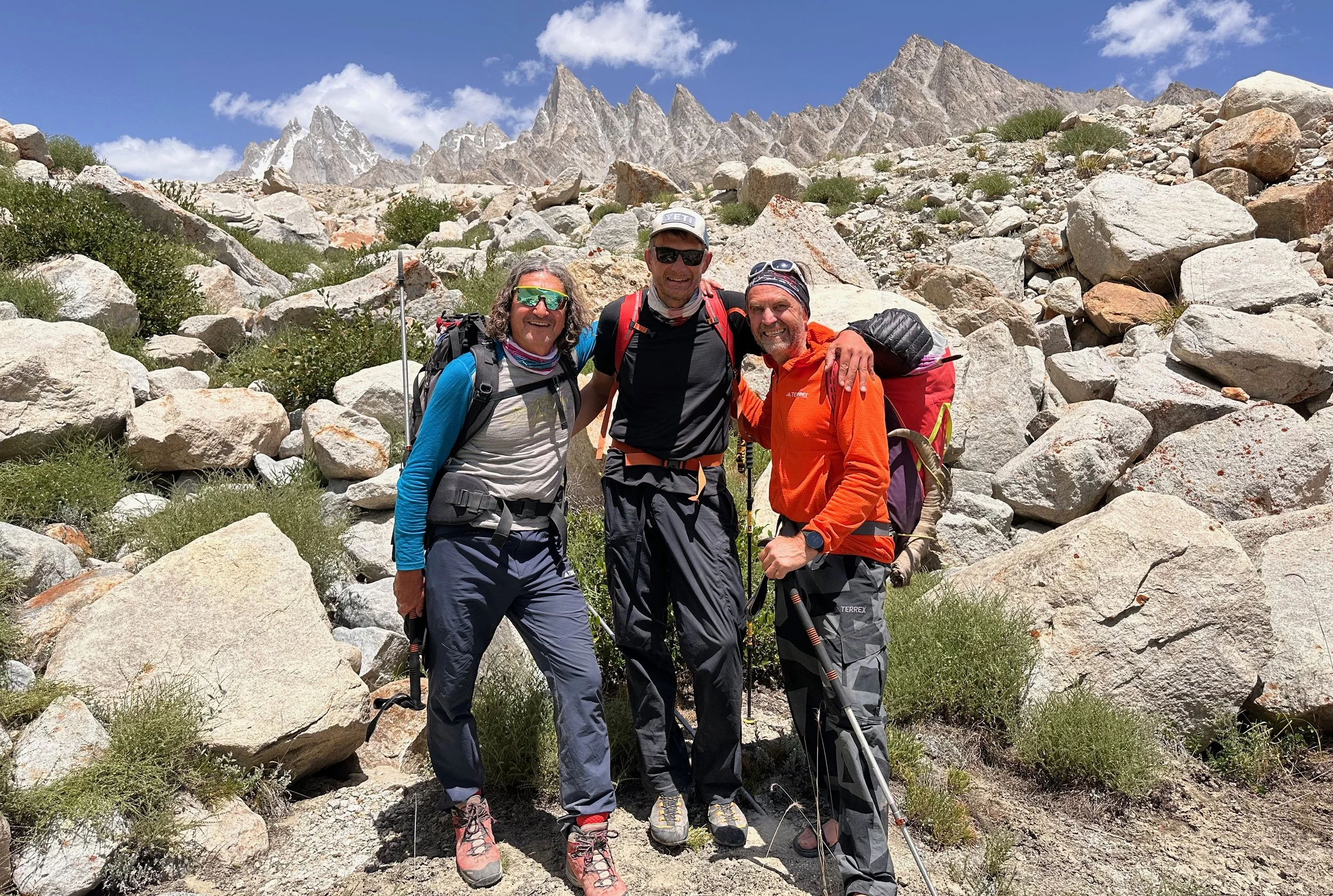
Our brave team after crossing the Sim La in front of the Ogre and Sim La.
The Ogre
The summit of Ogre 2
The summit of Latok 2
On the Choktoi Glacier with Ogre 2 in front.
The impossible west ridge of Latok 1
Ogre 2
Ogre 2 (left) and 1 (right).
The mouse trap col between Ogre 1 and 2.
Ogre 1
Ogre 2
Baintha Kabata 6,270m and Baintha Areta 6,370m with the Sim La 5,400m on the left.
Baintha Kabata and Baitha Areta
Baintha Kabata 6,270m
Latok 1
Latok 1, 7,120m
Latok 1
Latok 3, 6,915m
Ogre 2, 6.885m
Latok 1
Ogre 2 and Ogre 1 (behind Ogre 2, you can see Ogre 3)
Biarcheldi Towers
The incredible Latok 1 and Latok 3.
Latok 1
Final cross of the Choktoi before the Latok bc.
View from Latok bc
Ogre 1 from Latok bc
Ogre 2 and Ogre 1
Latok 4 from Latok bc
Latok 3 and Latok 1
Latok 5
We came from behind these mountains. The Sim La is on the left hidden behind the rocky ridge on the left.
Looking down the Choktoi Glacier.
Latok 4
Latok 4
Looking back to the fantastic mountains that we traversed. A dream come true!
Latok 3
Latok 3
The massive Panmagh Glacier. In 2023 it took us 7 hours to cross it!
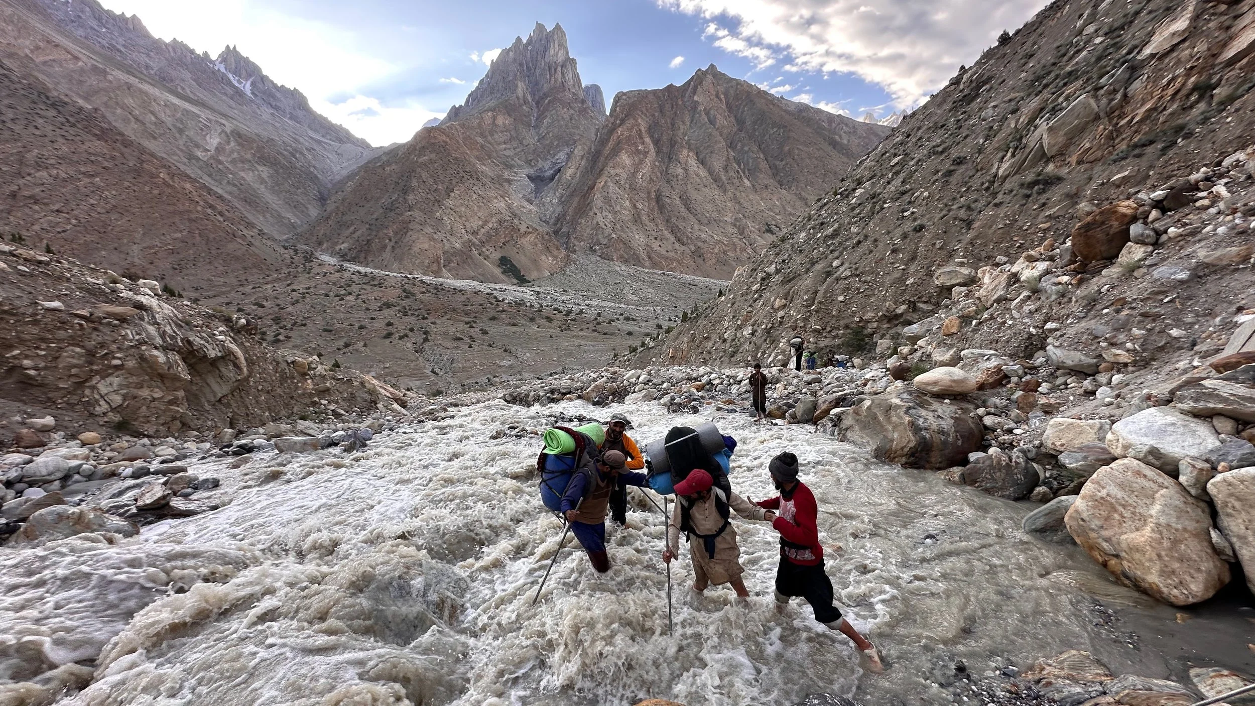
The tedious crossing of the Panmagh Glacier.
Meeting Thomas Huber was an unexpected and great surprise. He inspired me to explore the Choktoi. According to Thomas, this is the most beautiful mountain scenery in the world.
The cow camp. Unfortunately there is no water there and we have to press on to Panmagh camp.
The Panmagh Glacier with Skamri Peaks on the horizon. I went there is 2023.
The view of the Panmagh camp at the snout of the glacier.
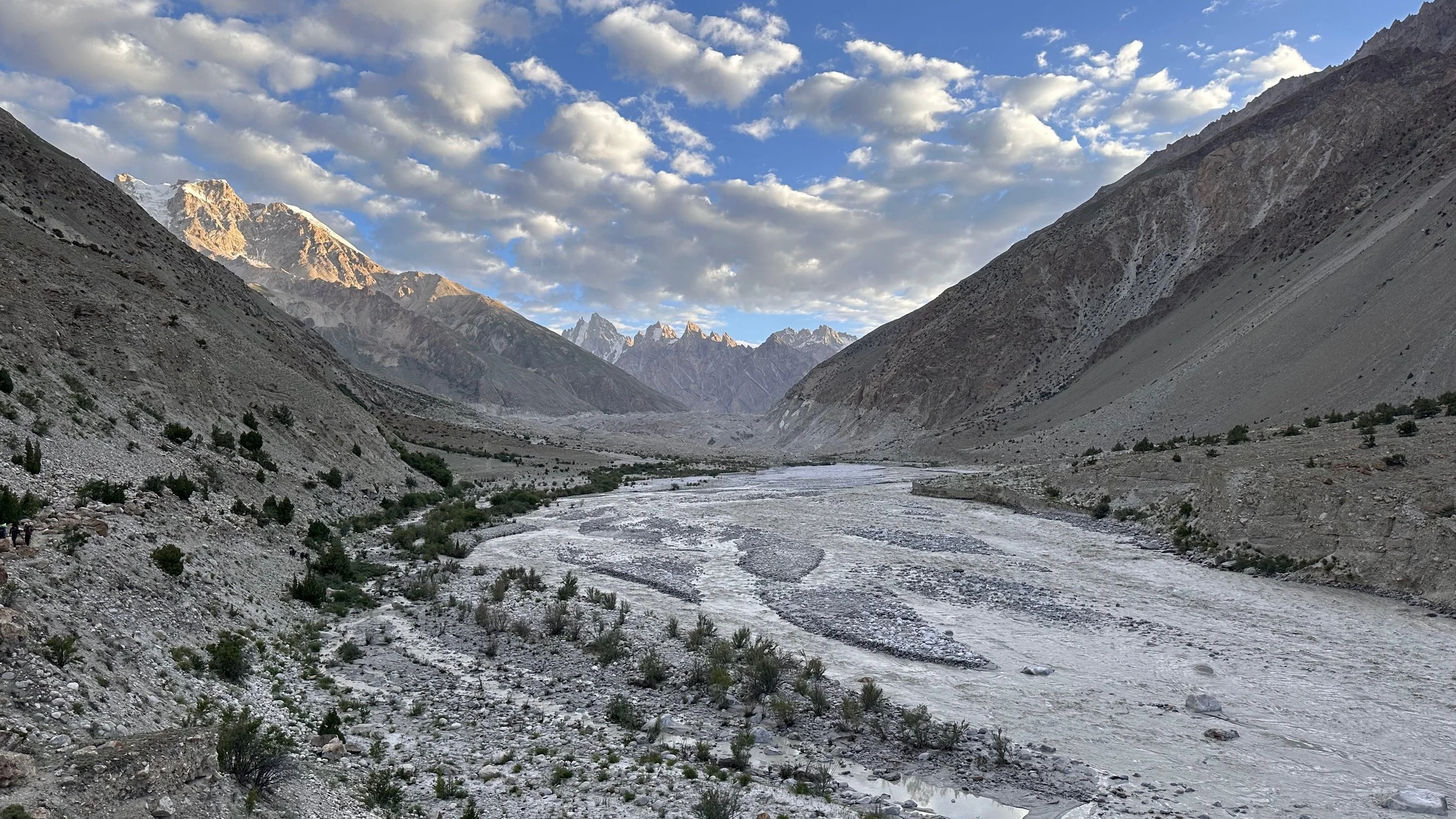
We are now on the K2 highway
Before Askole
The swollen Baltoro River
Almost in Aksole
The end of the trek!
In Askole
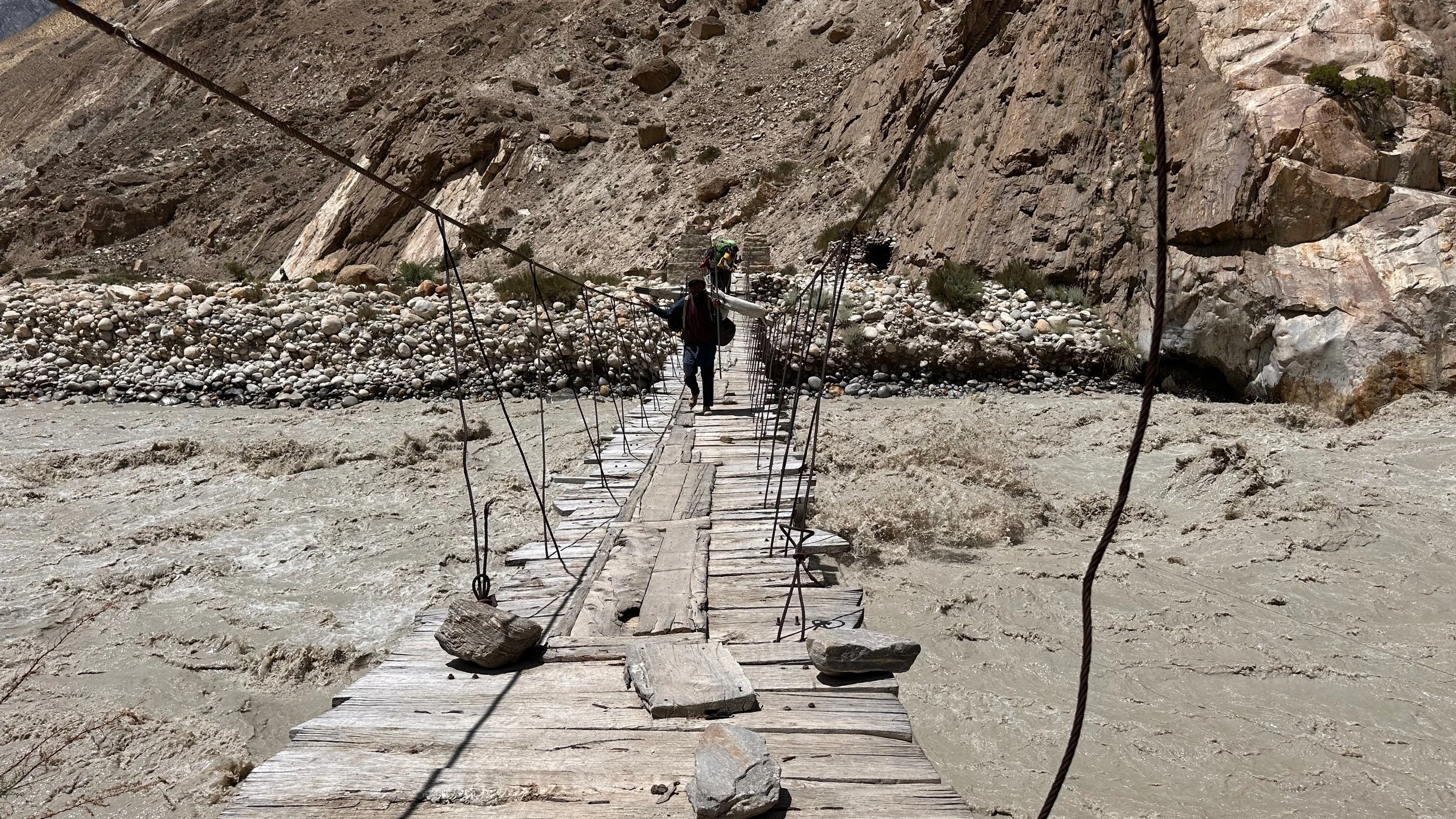
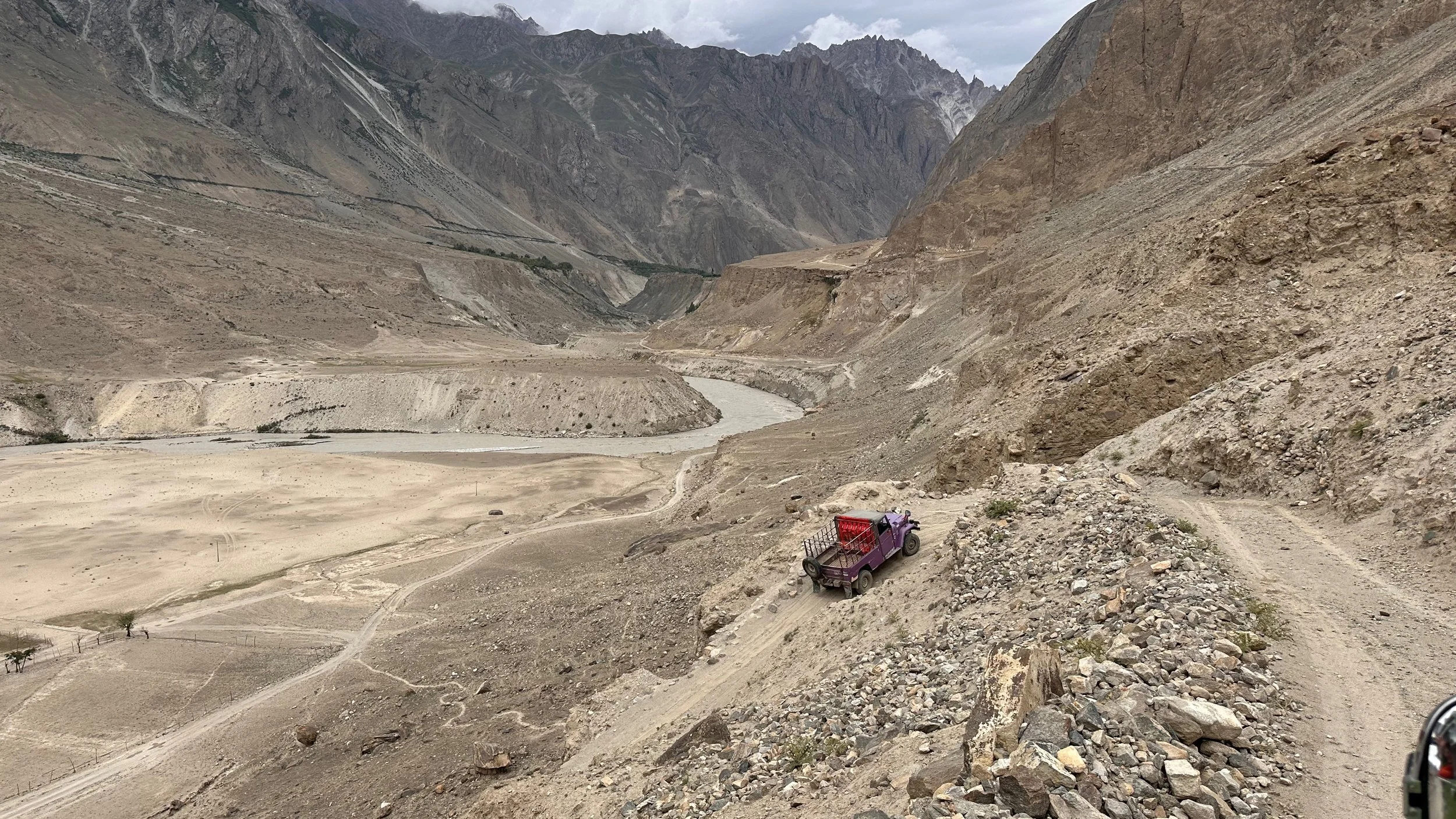
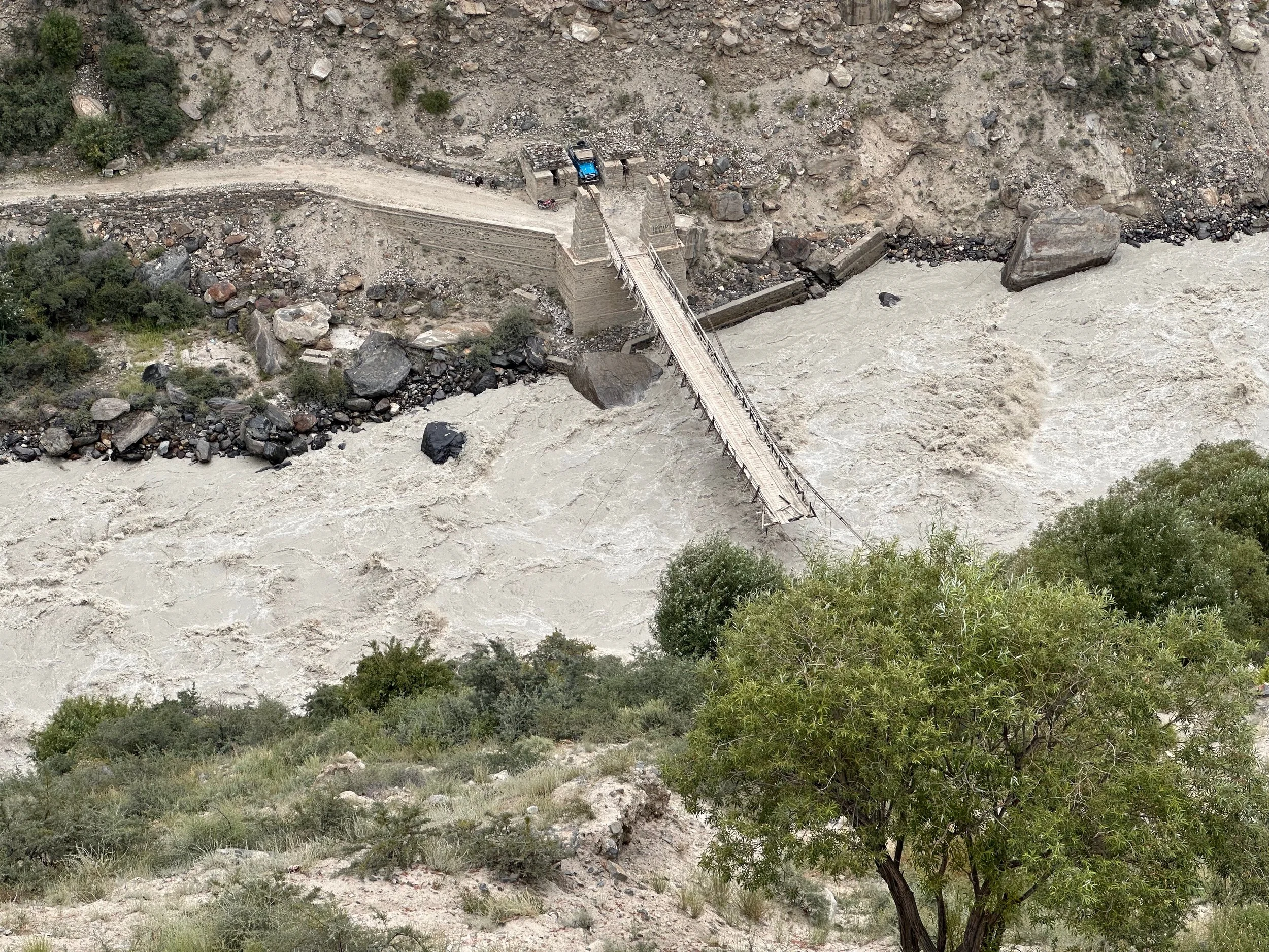
The road from Askole to Skardu was blocked. The raging river took out one of the major bridges.
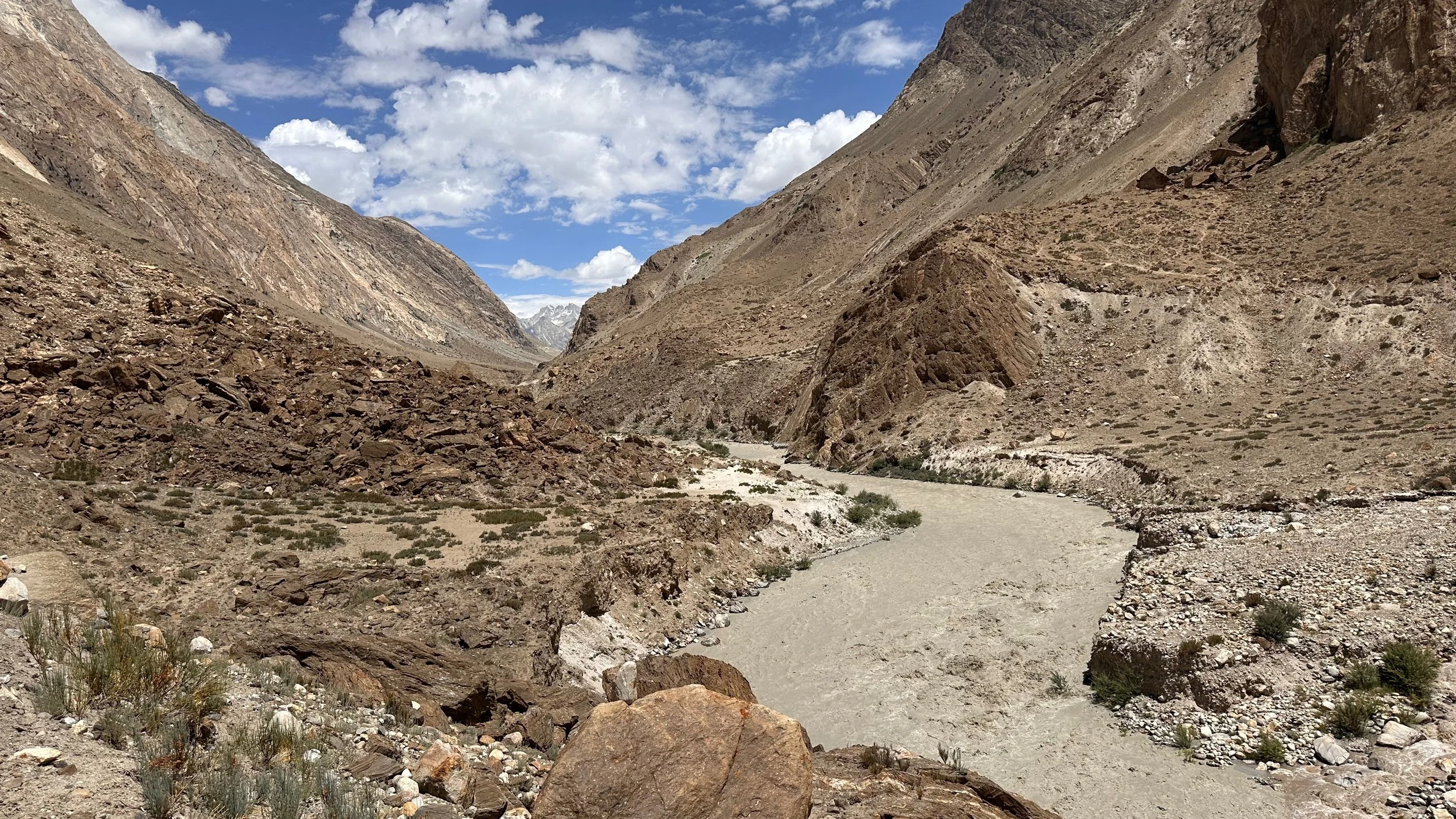
The Braldu River and the destroyed bridge.
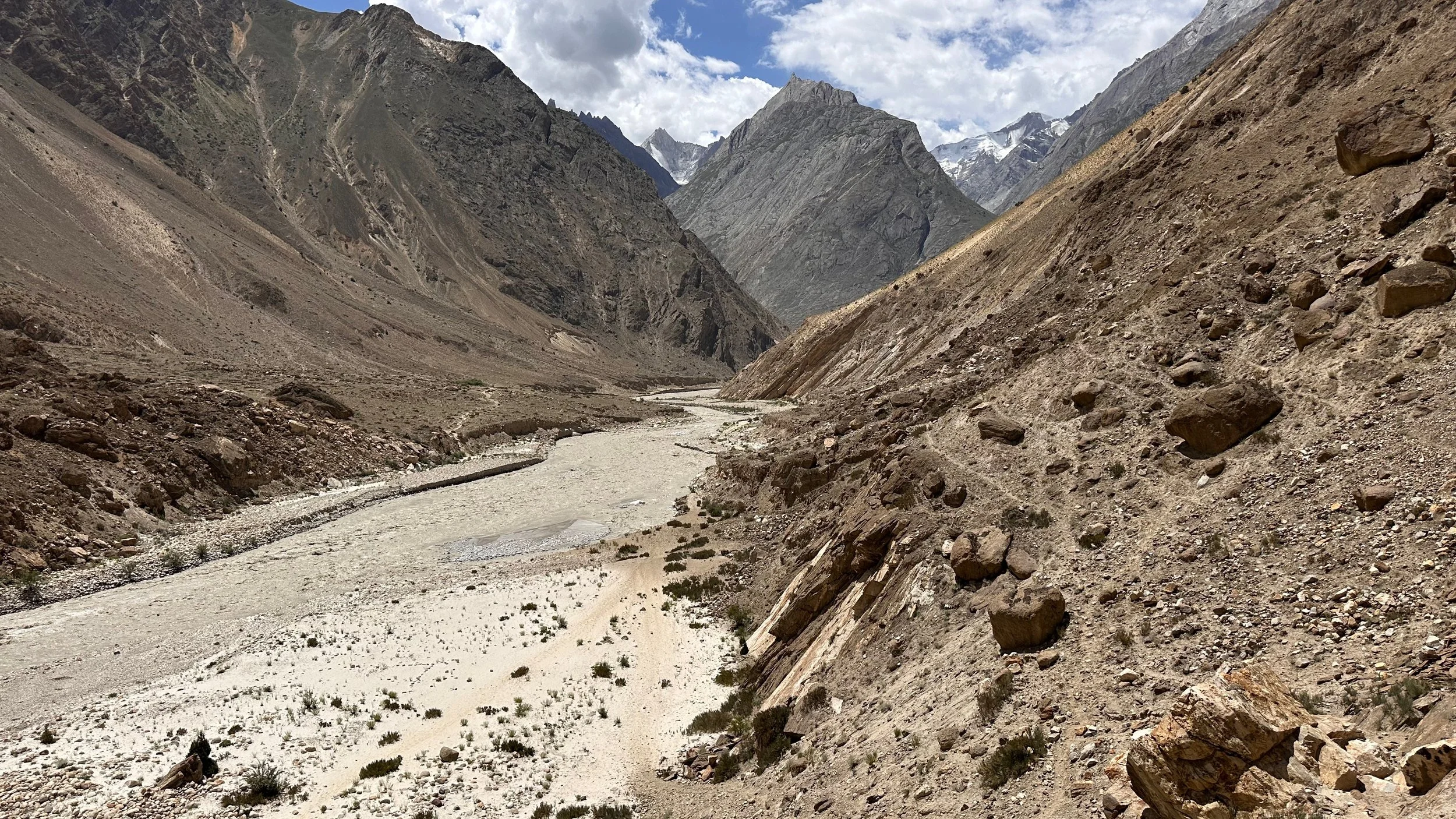
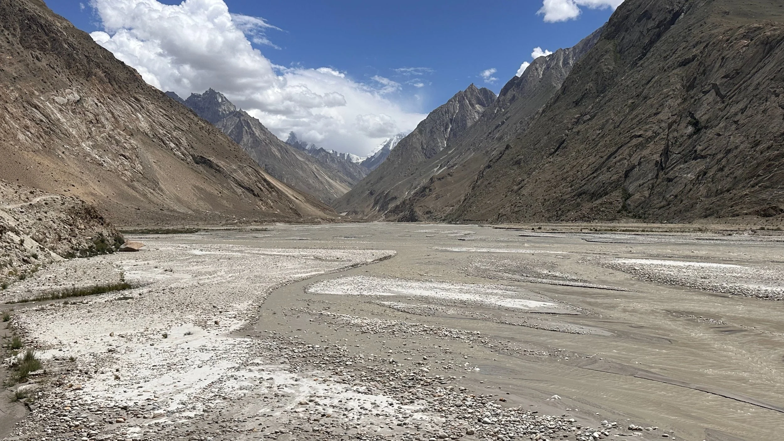
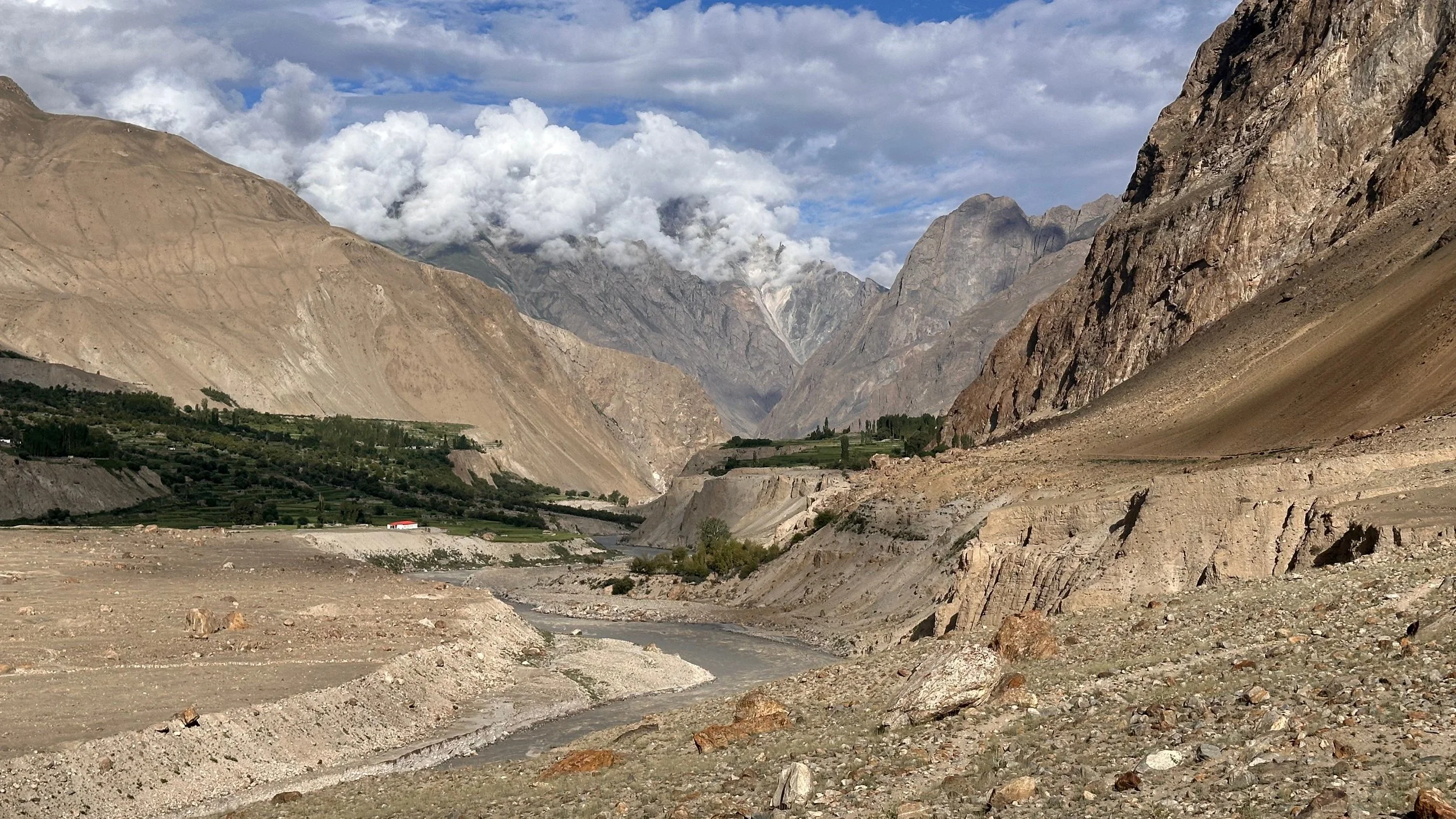
Braldu River Valley, you can see the broken bridge
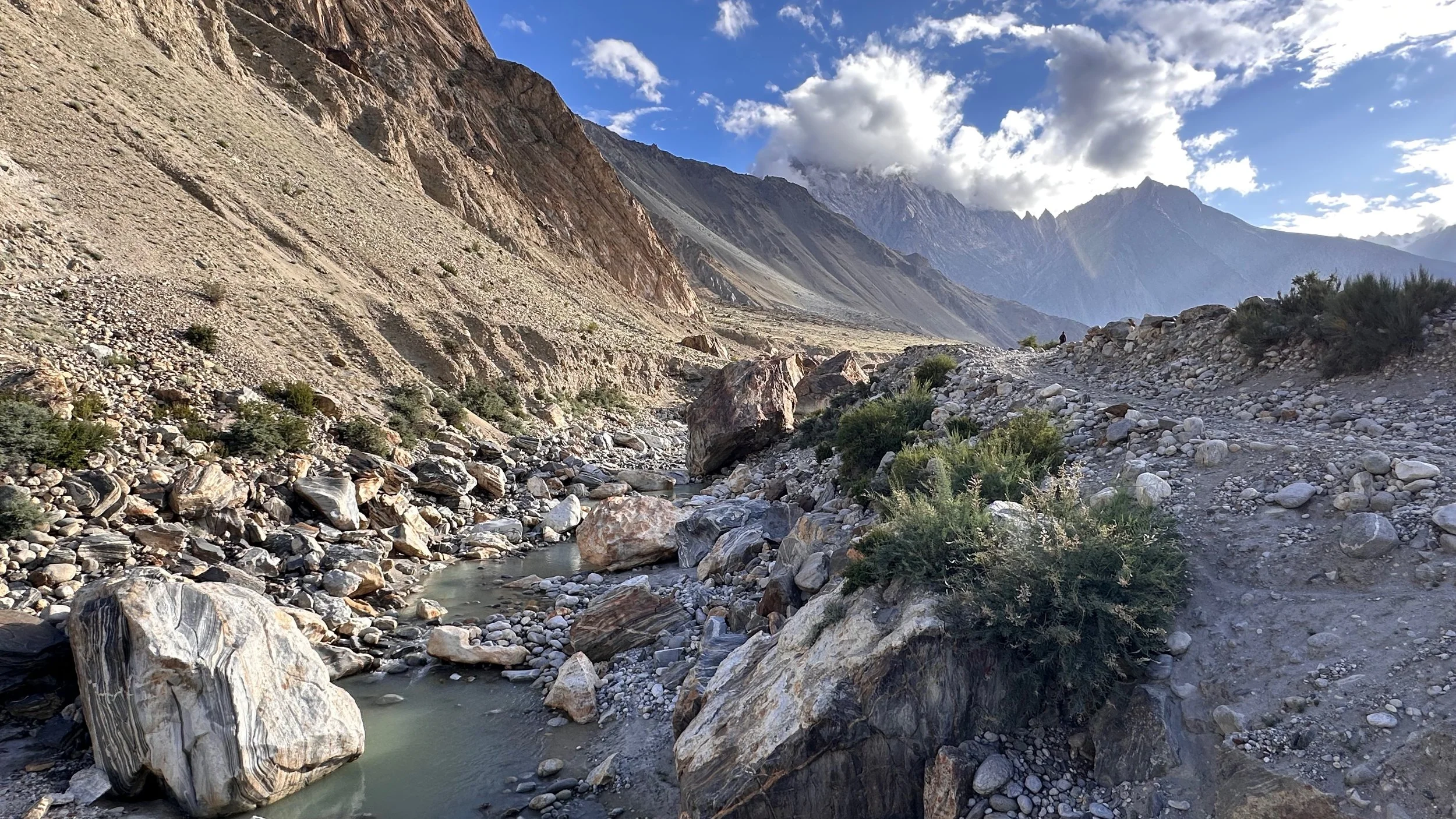
The confluence of the Braldu River Valley and the Hoh Valley (leading to Jamal Pass)

