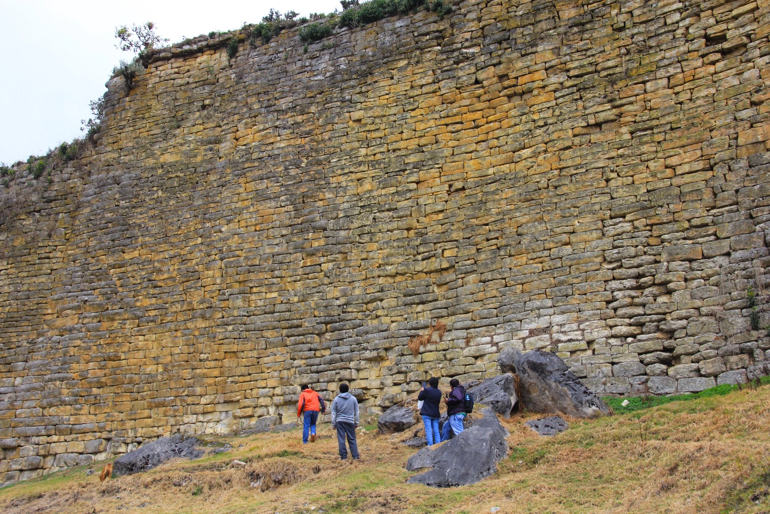
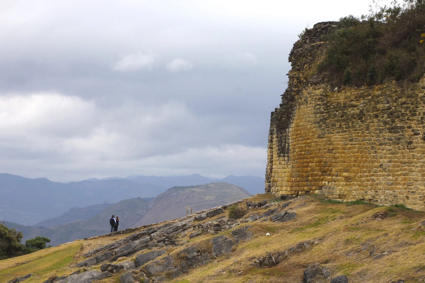
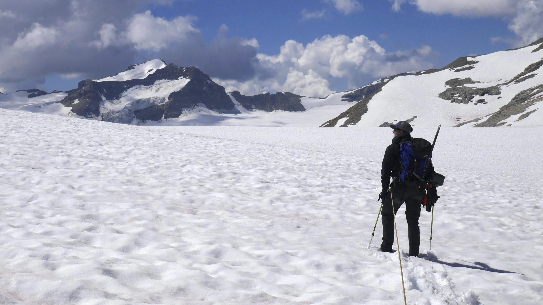
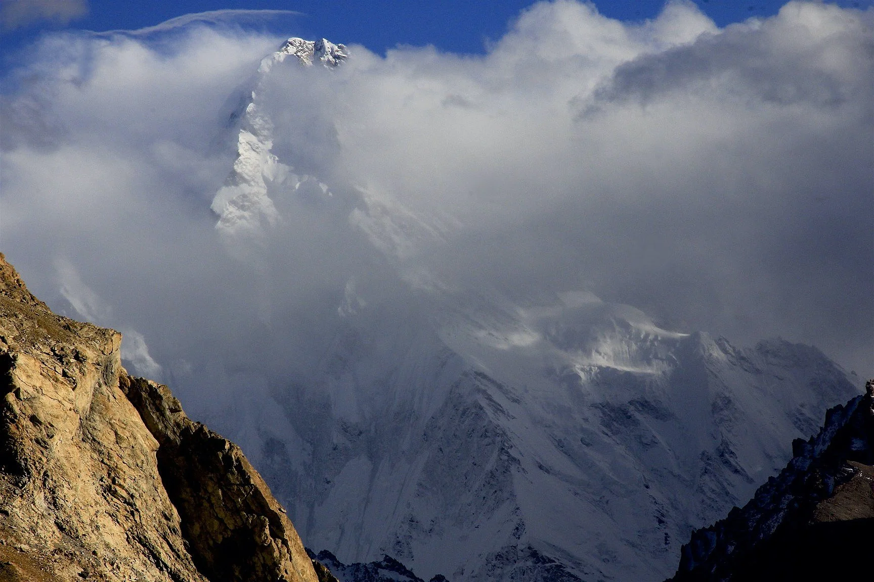
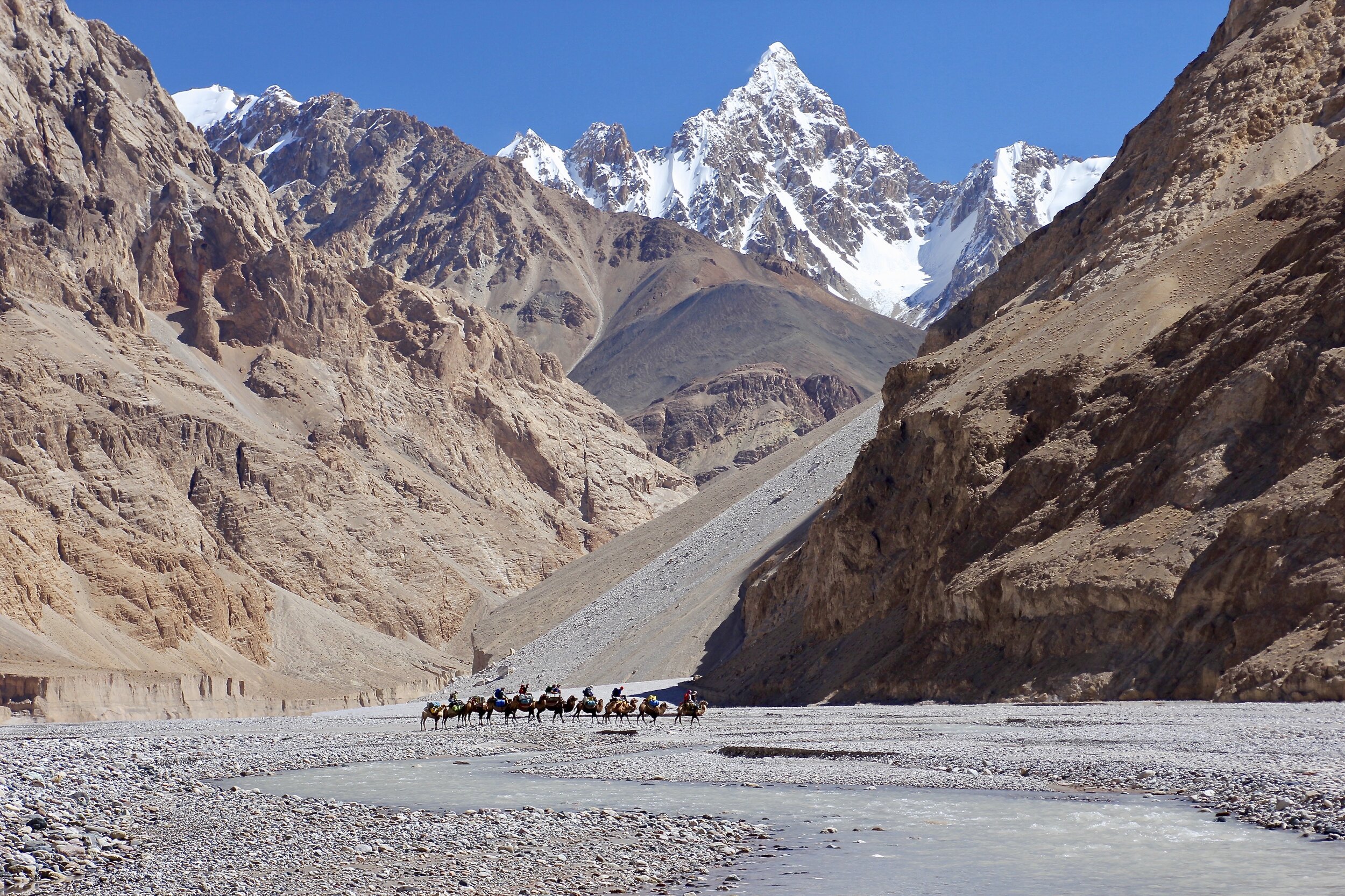
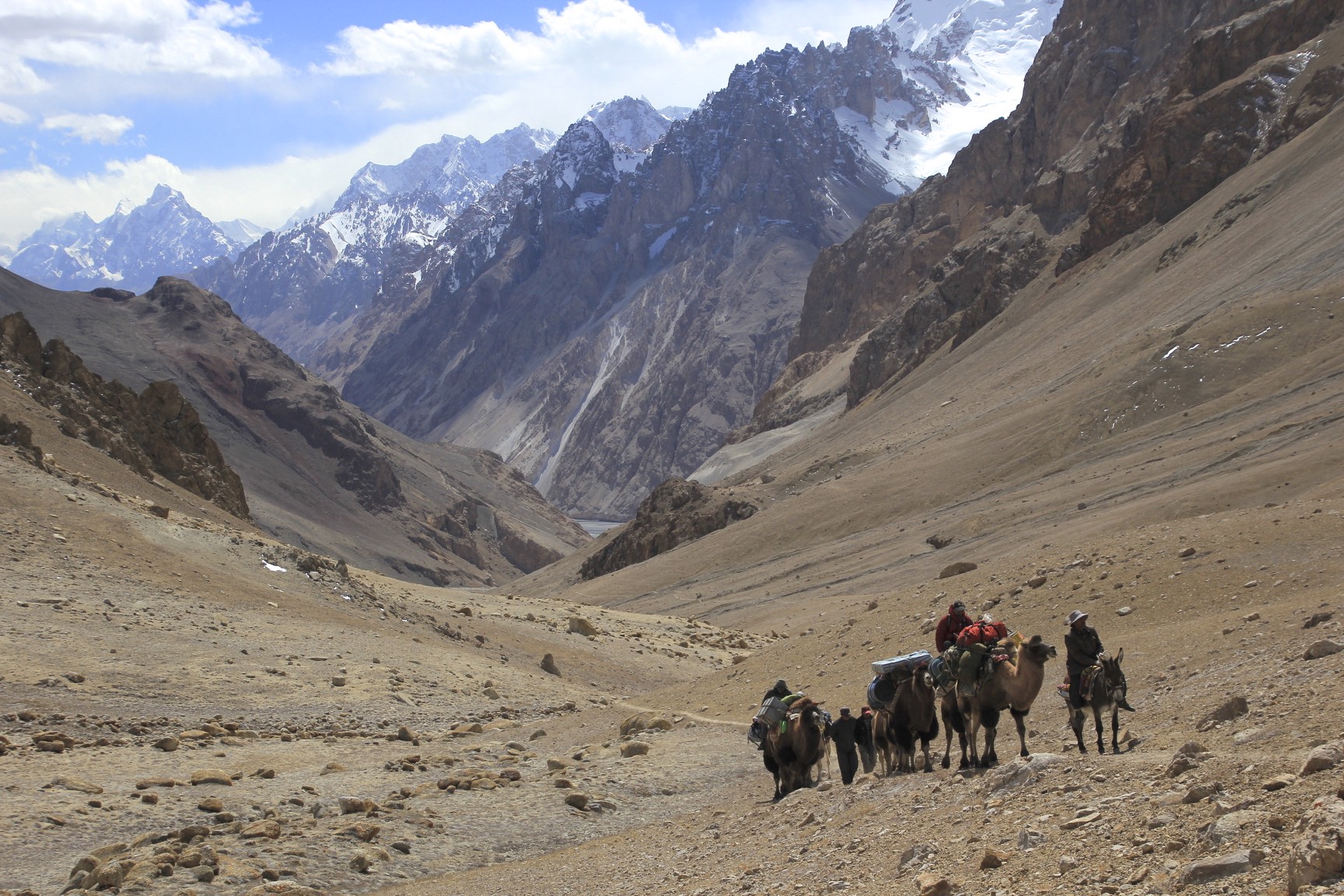
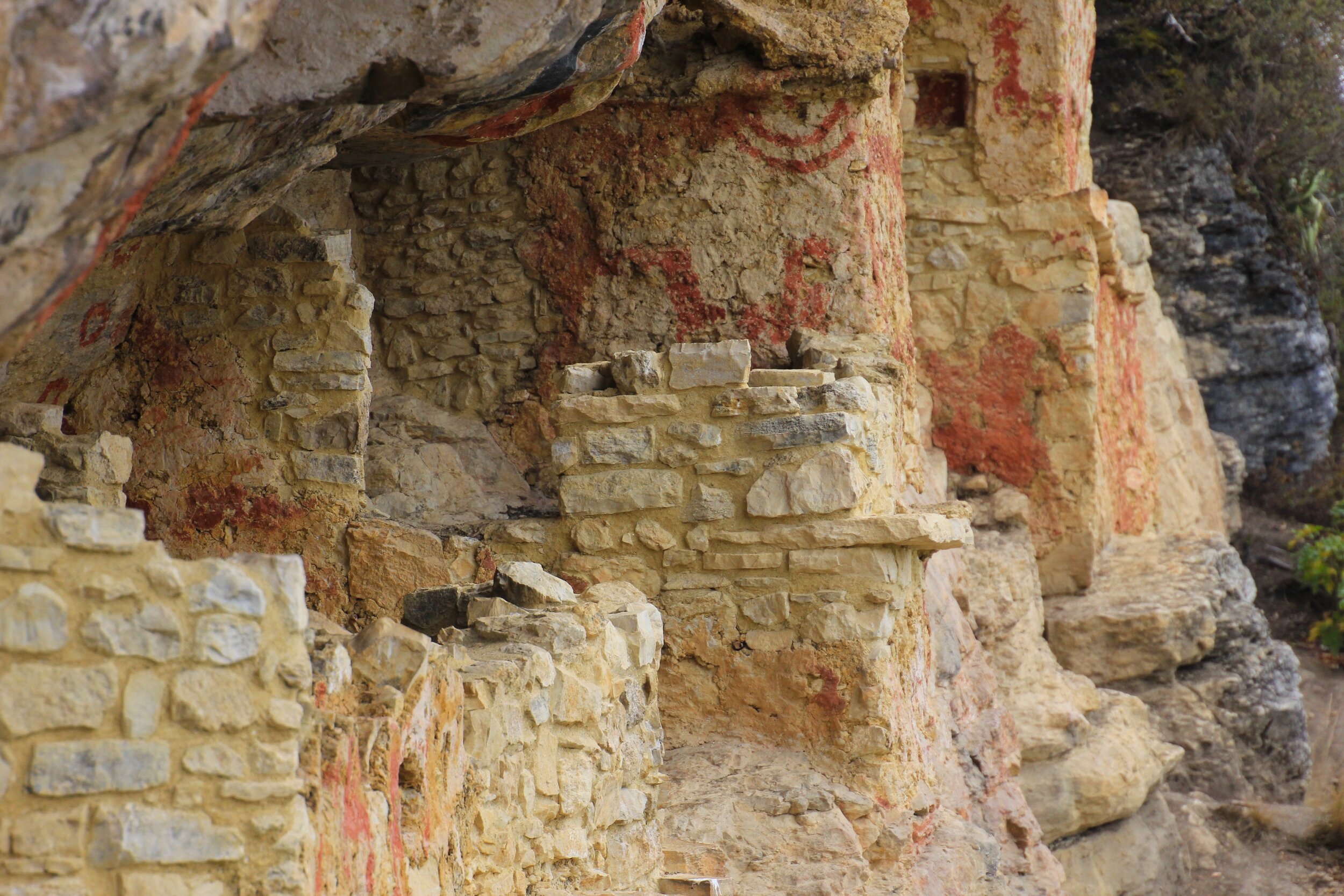
We drove on to another high viewpoint even more spectacular. The view extended over the entire region from this high point. We could see various villages that we passed on our way to see many archeological points of interest during our stay here. In the distance we could even see the Gocta Waterfall. All these high ridges (some are 4000m high) are criss crossed by a network of old tracks that the ancients and the contemporary inhabitants used to get around. The weather was not the best for photography but it was an incredible place to see and admire. We passed through some overgrown and unexcavated ruins waiting for future excavation.
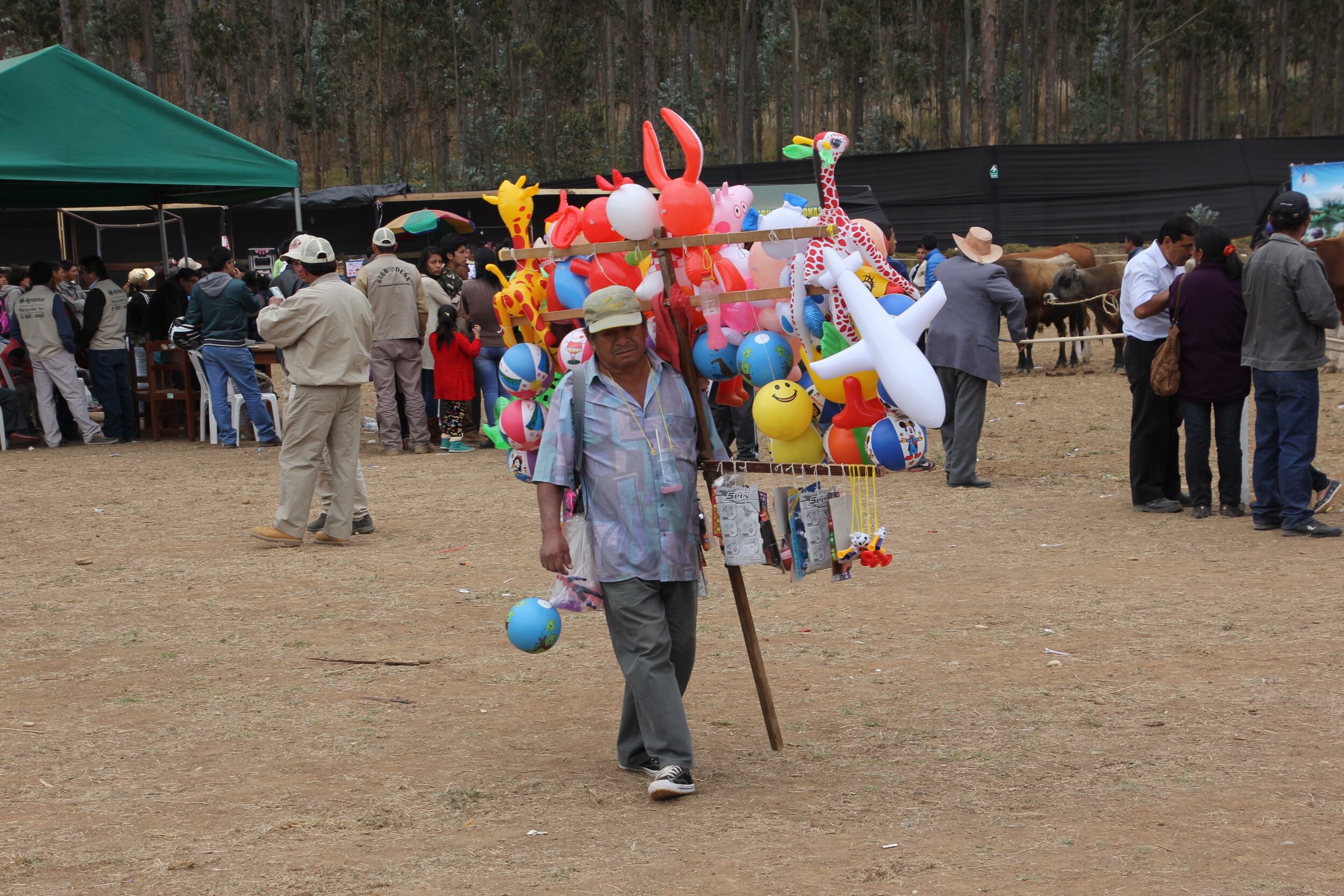
After the tour of the various viewpoints we stopped at a local fair with numerous stalls selling local products such as chocolate, coffee and vine. The air also had performances by local dancer and musicians. We then returned to Chachapoyas for the overnight 10-hour ride back to Chicklayo.
August 8, 2016 Chicklayo – Sipan
We had some time in Chicklayo before our flight to Lima so we hired a car and a guide to take us to the nearby Huaca Rajada, famous for the tombs of the Lord of Sipan. The flat desert plain of coastal Peru was home to the Moche culture (among many others). The tomb of the Lord of Sipan was discovered in 1987 and I remember reading about it in the National Geographic magazine. The find contained the most amount of gold ever found in the Americas and only second to the tomb of Tutankhamen in the quantity of gold found in the world.
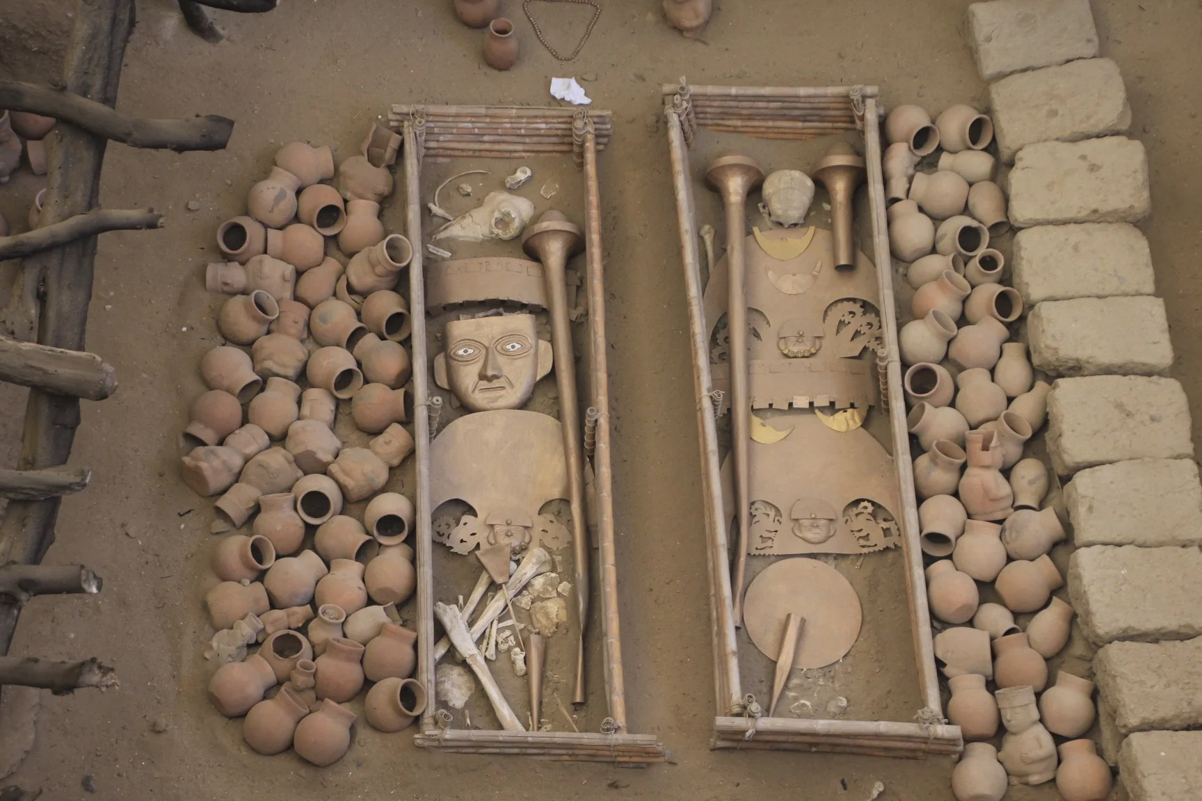
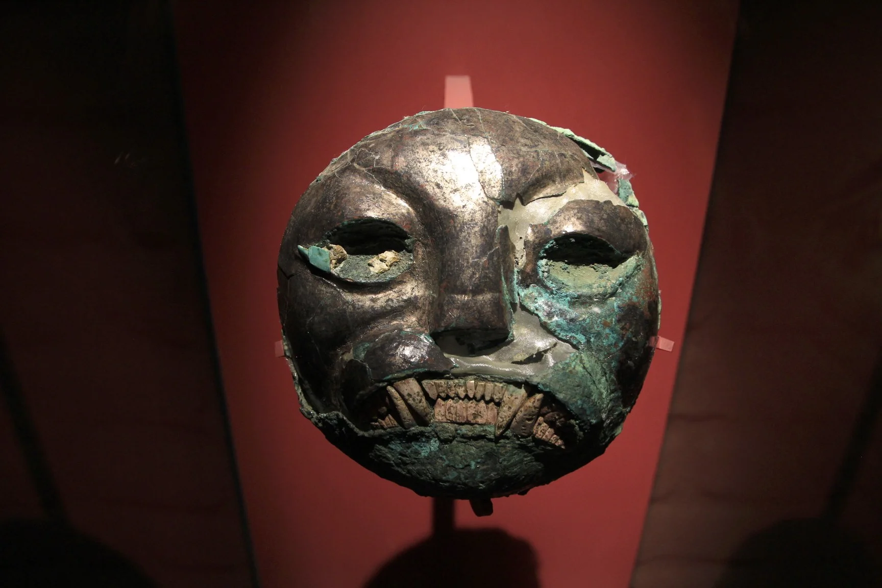
“Scientific analysis of the skeleton of the Lord of Sipán show that he was approximately 1.63 meters tall and was about 35–45 years old at the time of his death. His jewellery and ornaments, which included headdresses, a face mask, a pectoral, (the pectoral was gold and had the head of a man and the body of an octopus) necklaces, nose rings, ear rings and other items, indicate he was of the highest rank. Most of the ornaments were made of gold, silver, copper and semi-precious stones.
The Lord of Sipán was wearing two necklaces with beads of gold and silver in the shape of maní (peanuts), which represent the tierra (earth). The peanuts symbolized that men came from the land, and that when they die, they return to the earth. Peanuts were used because they were an important food crop for the Moche. The necklaces had ten kernels on the right side made of gold, signifying masculinity and the sun god, and ten kernels on the left side made of silver, to represent femininity and the moon god.
Buried with the Lord of Sipán were six other people: three young women (possibly wives or concubines who had apparently died some time earlier), two males (probably warriors), and a child of about nine or ten years of age. The remains of a third male (possibly also a warrior) was found on the roof of the burial chamber sitting in a niche overlooking the chamber. There was also a dog, which was probably the Lord of Sipan's favourite pet. The warriors who were buried with the Lord of Sipán had amputated feet, as if to prevent them from leaving the tomb. The women were dressed in ceremonial clothes. In addition to the people, archaeologists found in the tomb a total of 451 ceremonial items and offerings, and the remains of several animals, including a dog and two llamas.”
The site is 70km from Chicklayo on a dusty desert plain. It is vary hot here! The villages that we passed on the way to Huaca Rajada (the site of the tombs) were very poor. The tom was discovered by one of the peasants from the nearby village who was looking for gold. The existence of old burial sites was known to the locals and they were actively looking for them. After the villagers discovered the tomb, the local police raided the house of the man who found it, killed him and sold the gold to a private collector.
The site consists of 14 gravesites. The gold and artifacts were removed and placed in the nearby museum. The bodies and the artifacts were replaced with replicas to show the exact state and condition they were found in. The replicas show all the gold, position of the bodies of the kings and the people that were buried with them. Each gravesite has a display describing in great detail the contents and composition of each site. Among the gravesites are two adobe pyramids that were used as a burial platform by the Moche people.


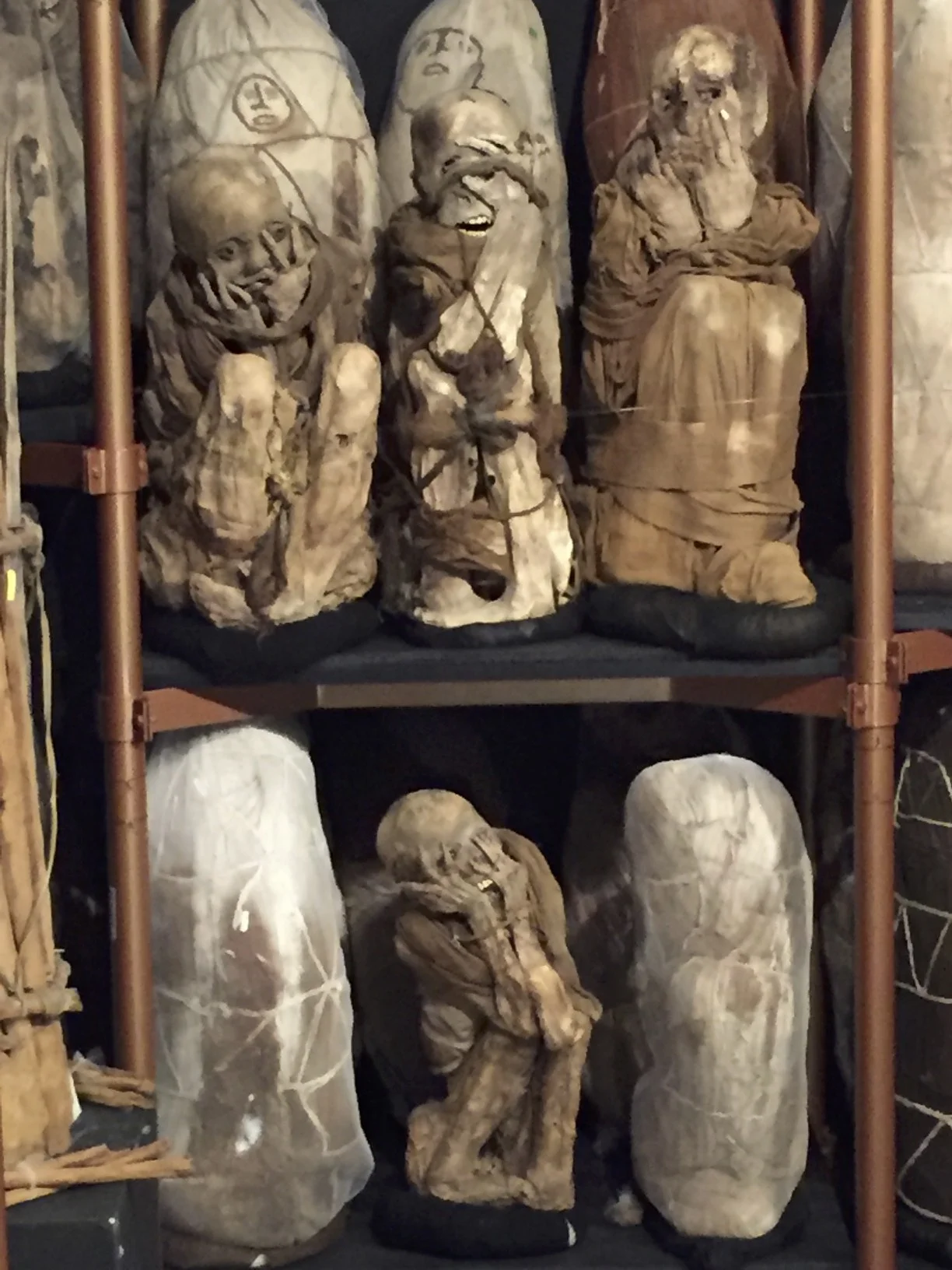


![When the Incas conquered this area, they replaced the funerary pattern. They emptied the mausoleums [of the pre-Inca Chachapoya dead] and conquered their spirit by conquering their sacred places".](https://images.squarespace-cdn.com/content/v1/5a95e83d372b96dbac073ec8/1521597838807-FO7FQP2KE1HJXYYY1BXQ/IMG_5222.jpg)