
Thanks to Rajendra from www.mountainsunvalley.com for making this grand adventure a reality! It was the toughest trek in Nepal. It went without any problems and we finished it in less time than we planned.


The Barun Valley from space. Makalu bc is in the lower centre of the photo.

Photo of the Khumbu from space. Sherpani Co, West Col are in the lower right of the photo. Amphu Labtsa Pass is int he centre.
Makalu and Chamlang

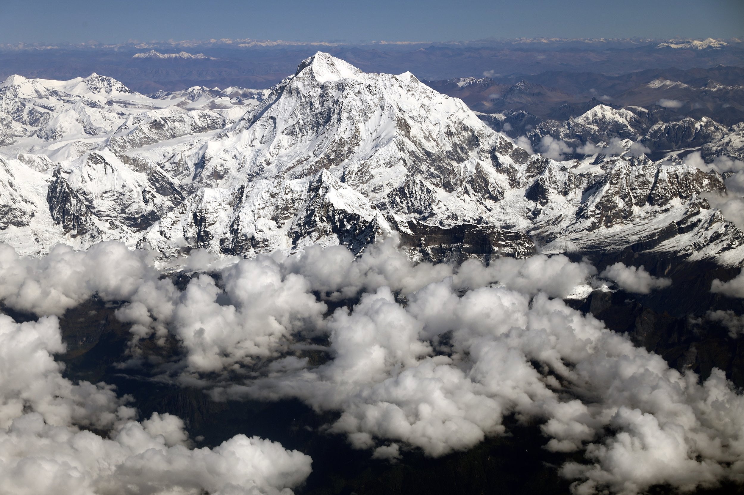
Makalu


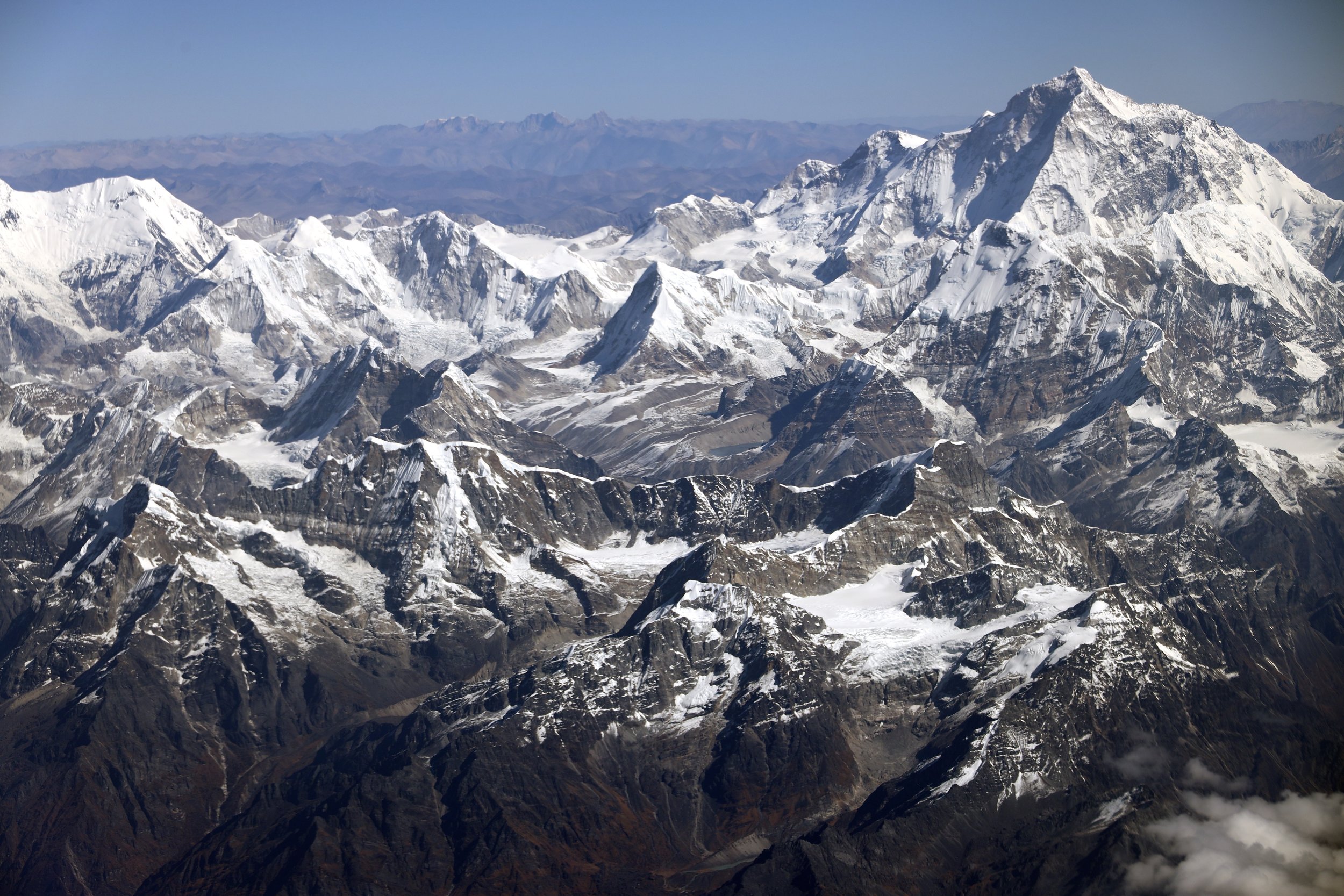
Everest and Ama Dablam

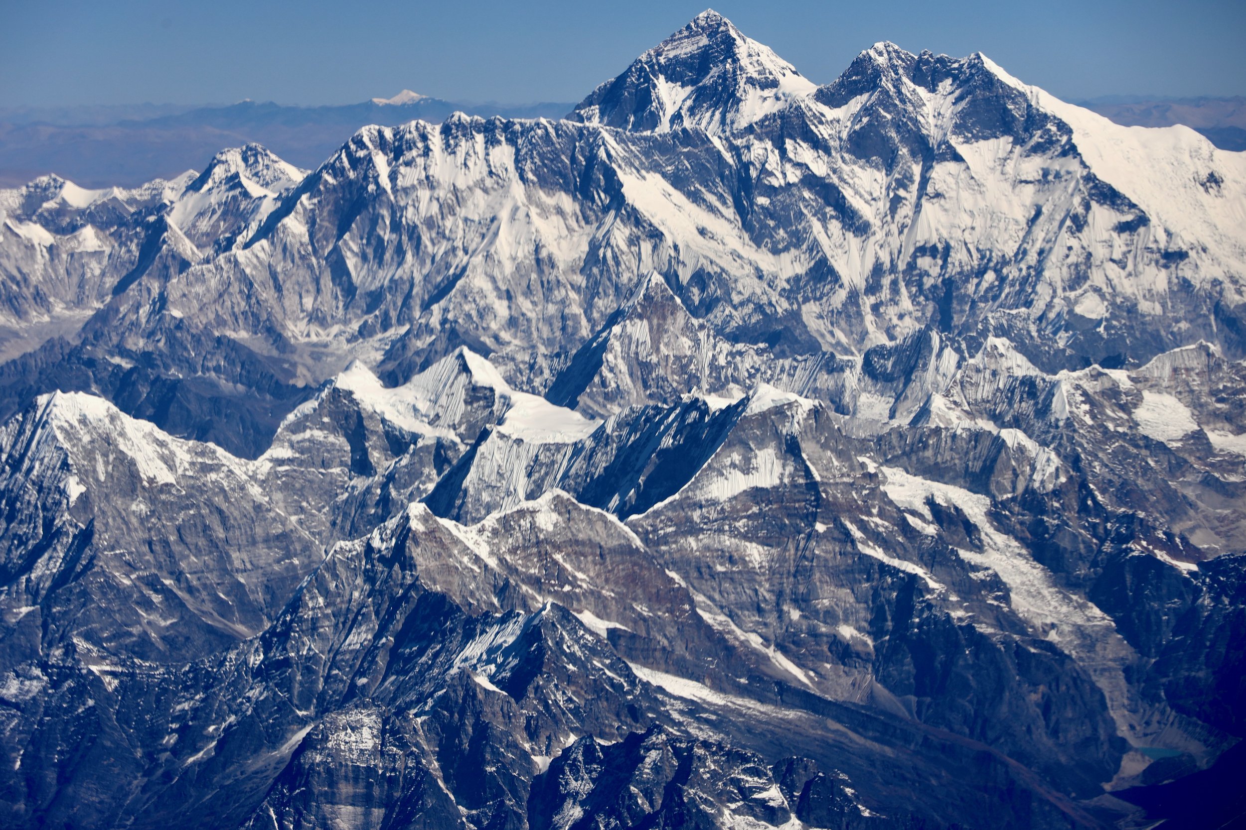
Everest, Amphu Labtsa Pass

The West Col area, Hinku Valley
Sherpani Col, Baruntse, Makalu


The end of the road, we walk from here

Arun River


Sunrise over Kangchendzonga


Shiphton Pass that we have to cross. The Barun Valley is on the other side of the rocky ridge on the horizon.

The peaks signing up the Barun Valley. The valley is referred to as the Yosemite of Nepal because of its steep granite rock walls.

Shipton Pass and our first view of Makalu

Chamlang

To of Shipton Pass

High pass (over 4,000m) in very cold wind and snow just before the Barun River Valley


In the Barun Valley in Yangre Kharka


Barun River

Brun River Valley

The husband and his wife in this photo were looking after a small herd of goats. They lived alone at 4,500m and a four day walk from nearest village. They were both in their 80s. Amazingly, their daughter lives in Boston, USA. They called her from my satellite phone while we were there.
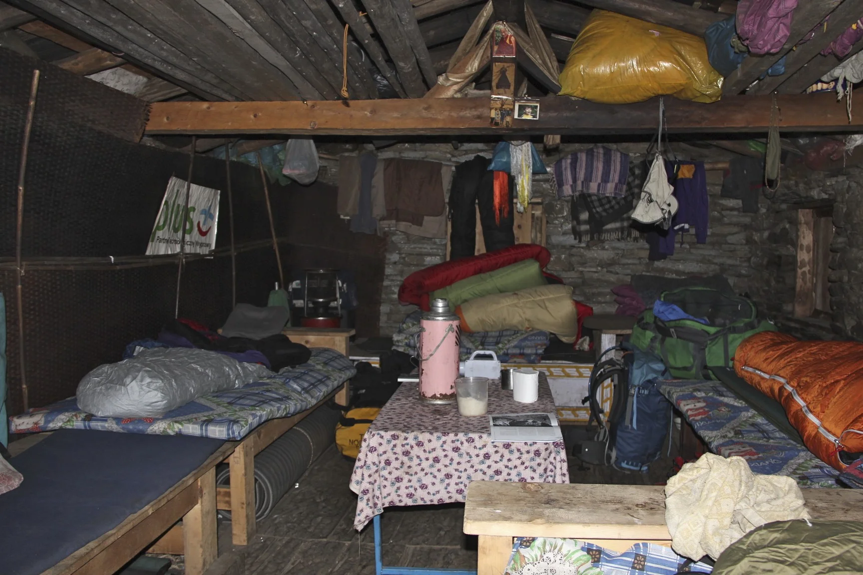
Staying at the friendly farmer’s house.

Approaching Makalu BC, Chamlang


Mt. Chamlang and Lower Barun Glacier

Chamlang and satellite peak of Baruntse on the right
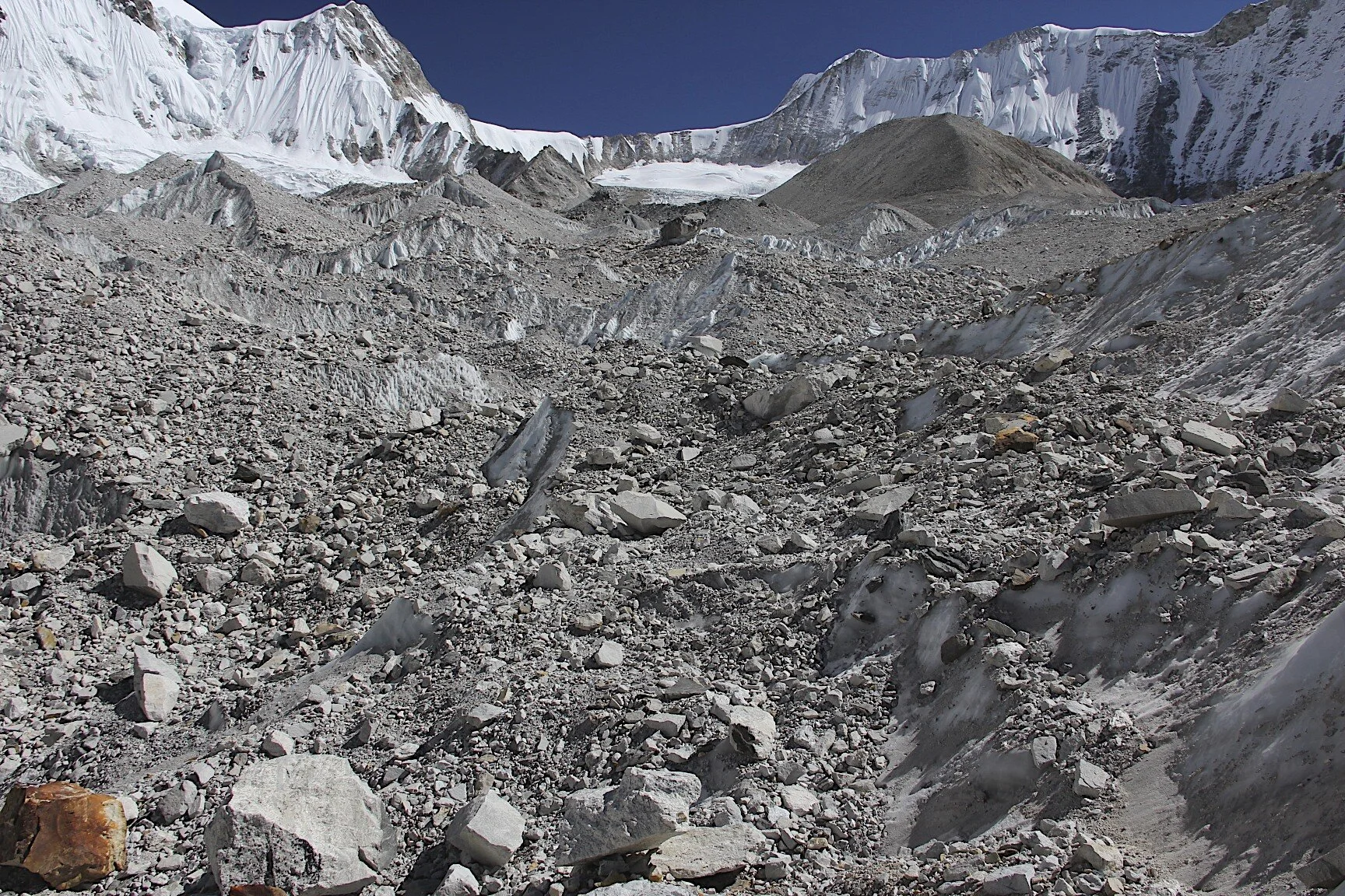
Lower Barun Glacier Icefall

Lower Barun Glacier

Chamlang


Makalu

Chamlang

Makalu

Makalu BC, the proper BC is further up the glacier

Makalu BC

Makalu

Makalu


Makalu

Makalu

Makalu

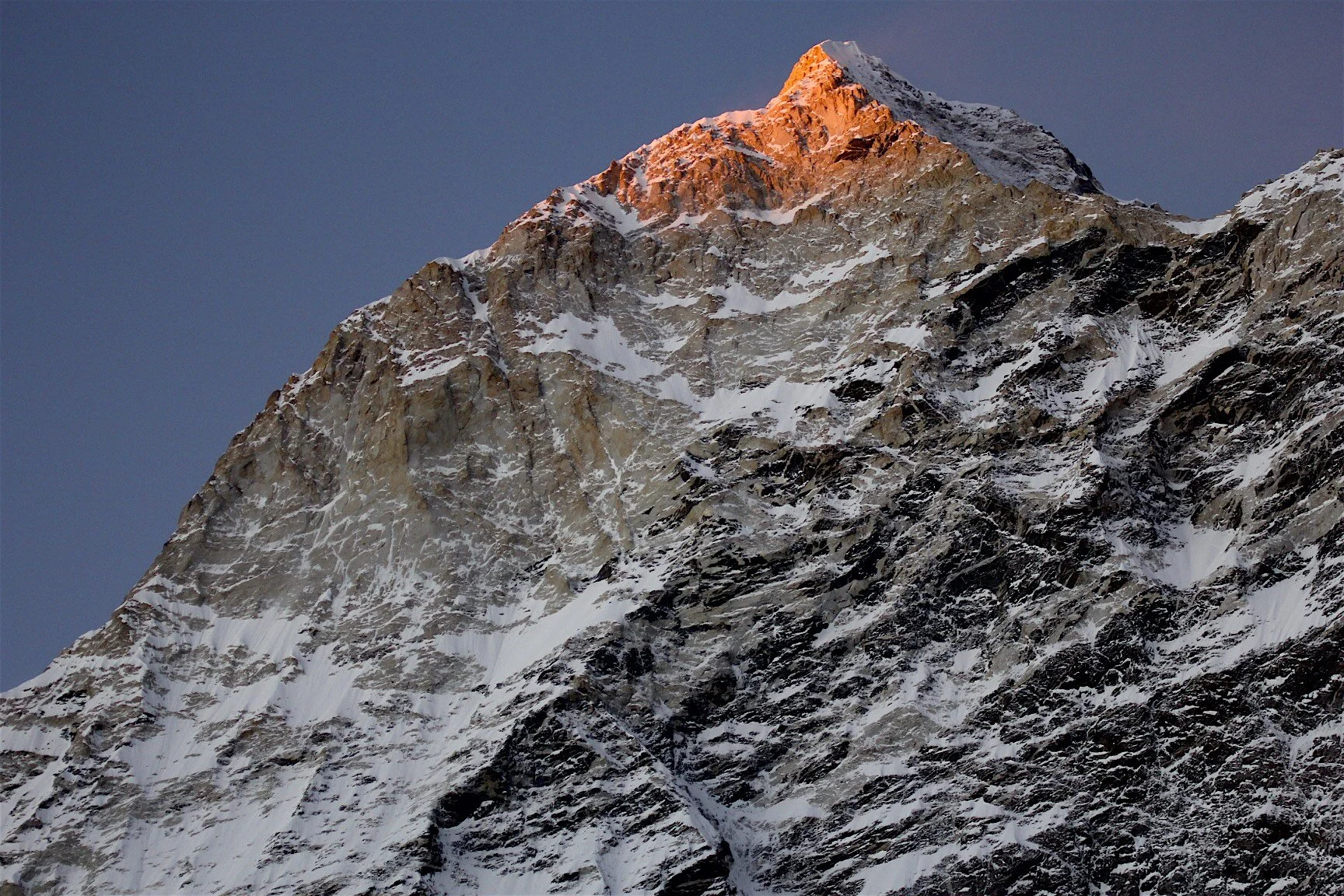
Sunset on Makalu


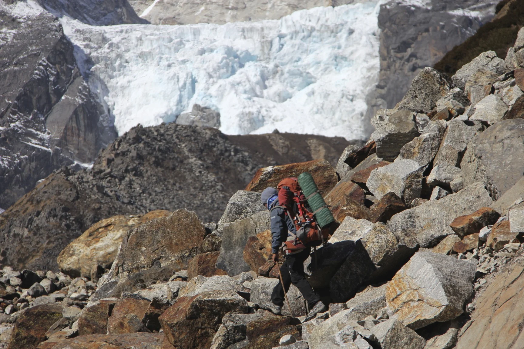
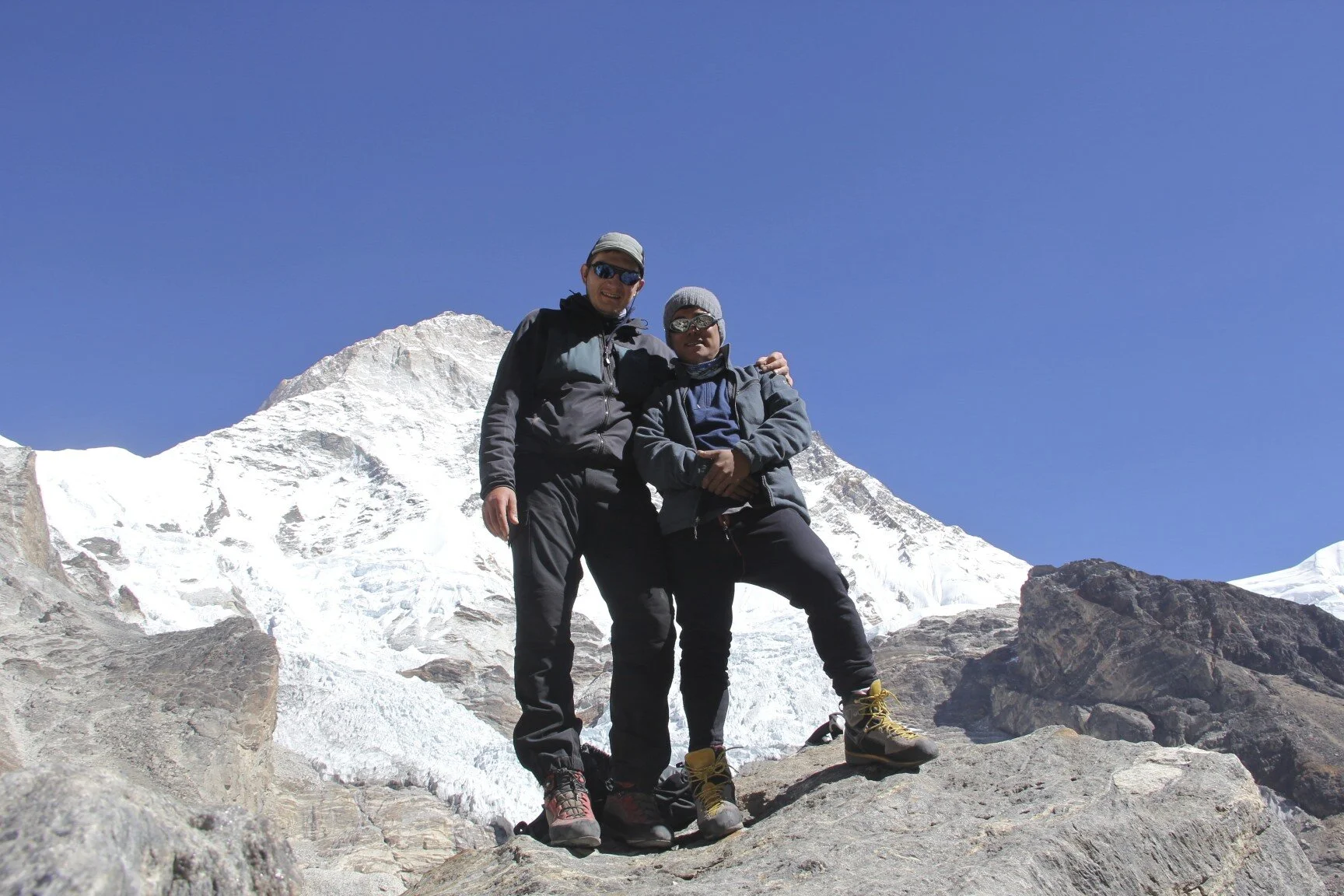
Juan going home from Makalu BC

Makalu BC

The Barun Glacier, at the head of the glacier is Lhotse Shar and the Lhotse/Everest massif. The top of Baruntse is visible on the left.


Lhotse, Everest and Barun Glacier

Lhotse Shar and Lhotse

From left to right: Lhotse, Lhotse Shar, Everest


Sandy camp en route to Sherpani Col

Sandy camp

Lhotse/Everest massif from the Sandy camp


Makalu and the Barun glacier on the way from Sandy Camp to Sherpani Col BC

Everest


Sherpani Col BC

Sherpani Col camp and Makalu The prominent West Rib is in the centre


Sherpani Col BC

Sherpani Col BC and the snout of the glacier that we need to ascend to get to the pass.

Approaching Sherpani Col.

Sherpani Col ahead. At 6,000m

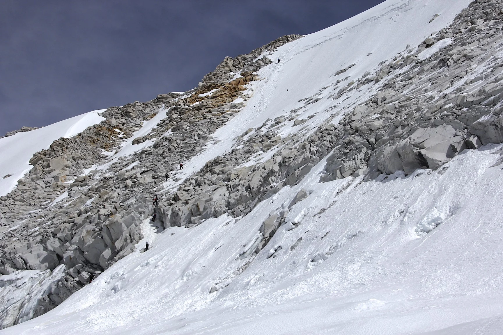
Sherpani Col - a small rock climb at 6,100m

Climb to Sherpani Col

The narrow rib of Sherpani Col early in the morning.

The actual elevation is 100m higher.

On the Sherpani Col.

The narrow Sherpani Col and Baruntse.


West Col from the Sherpani Col. The snow/ice plateau is at 6,000m.

Camp 2 for the Baruntse Climb

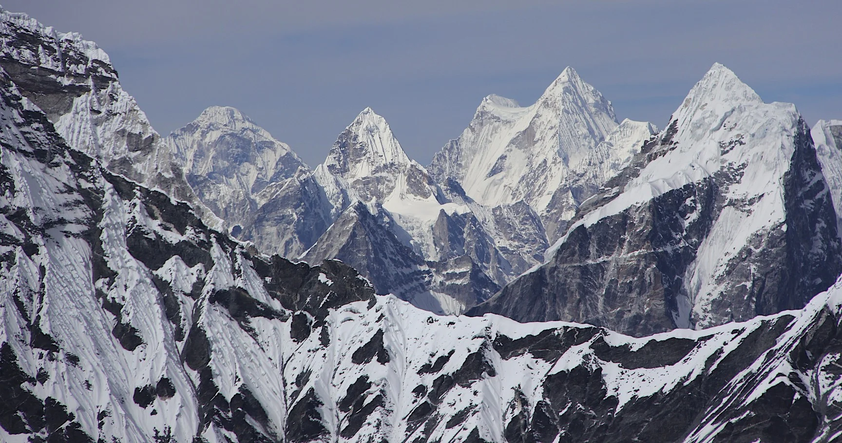
Peaks of the Khumbu from the Sherpani Col

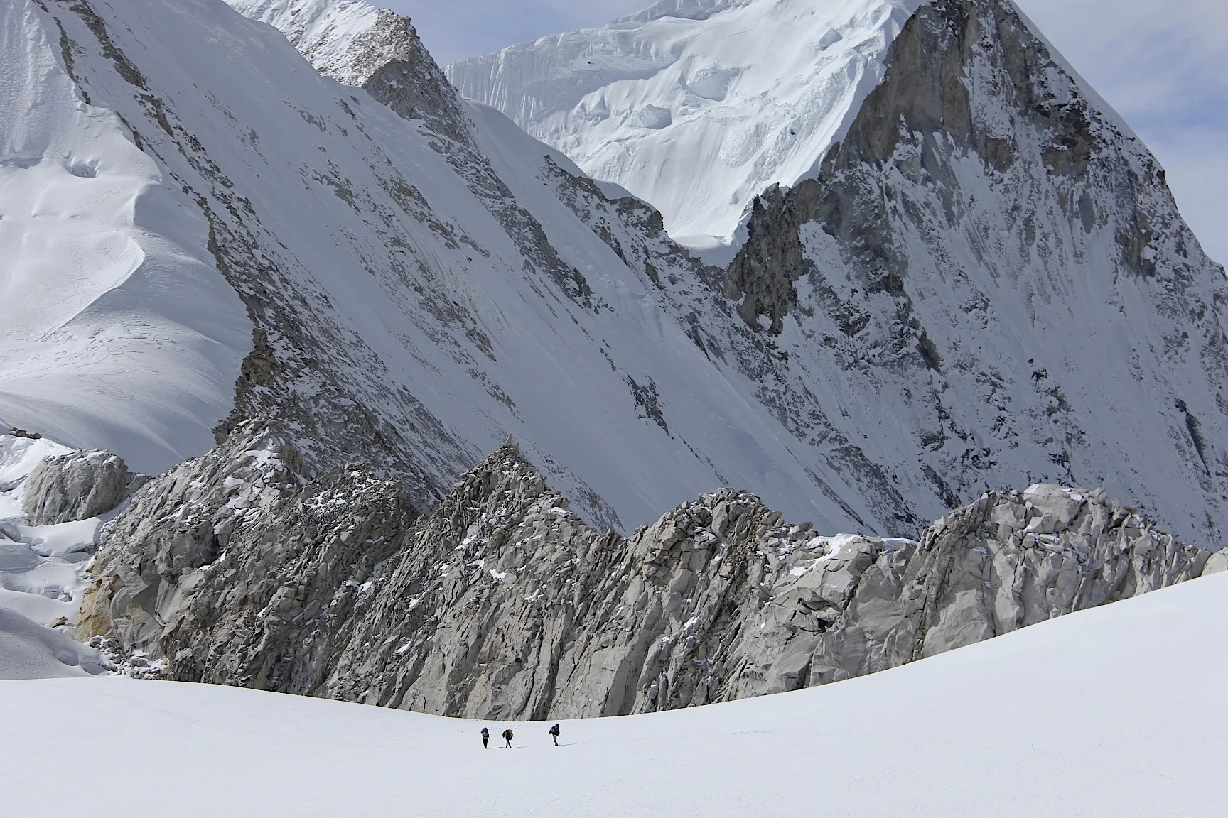
The snow/ice plateau between Sherpani Col and West Col at 6,000m that we need to cross.

Descent from Sherpani Col


On the ice plateau between Sherpani Col and West Col


Climbing Baruntse
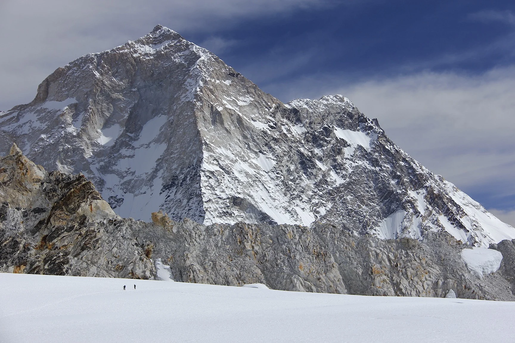
The west rib of Makalu. We are at 6,000m and Makalu is still huge!


Baruntse

The icefall of Barnutse.

Baruntse and the trail to the top - it seems so close (it is not!)
Approaching West Col

Baruntse Camp 2 is now far away.

Baruntse camp 2 at 6,100m


Hinku Valley - Ama Dablam is in the centre.

The massif of Baruntse

The peaks of the Khumbu.
Mt. Menlungtse (looks like a saddle) in Tibet from the West Col.


Looking down from the West Col Pass at 6,150m. Descending from the West Col with a spectacular panorama of high Himalaya. You can even see Shishapagma on the extreme right in the far distance.

Descent from West Col at 6,150m.

The peaks of the Khumbu.

Looking back at Makalu from the West Col.


Descending from the West Col on fixed ropes.

Descending from the West Col. Hinku Valley is below.

The west wall of Mt. Baruntse

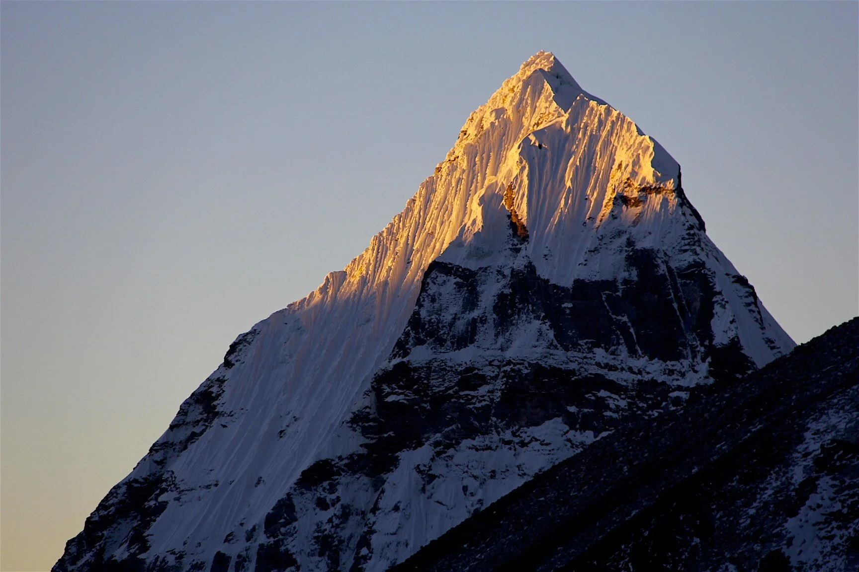
Ama Dablam
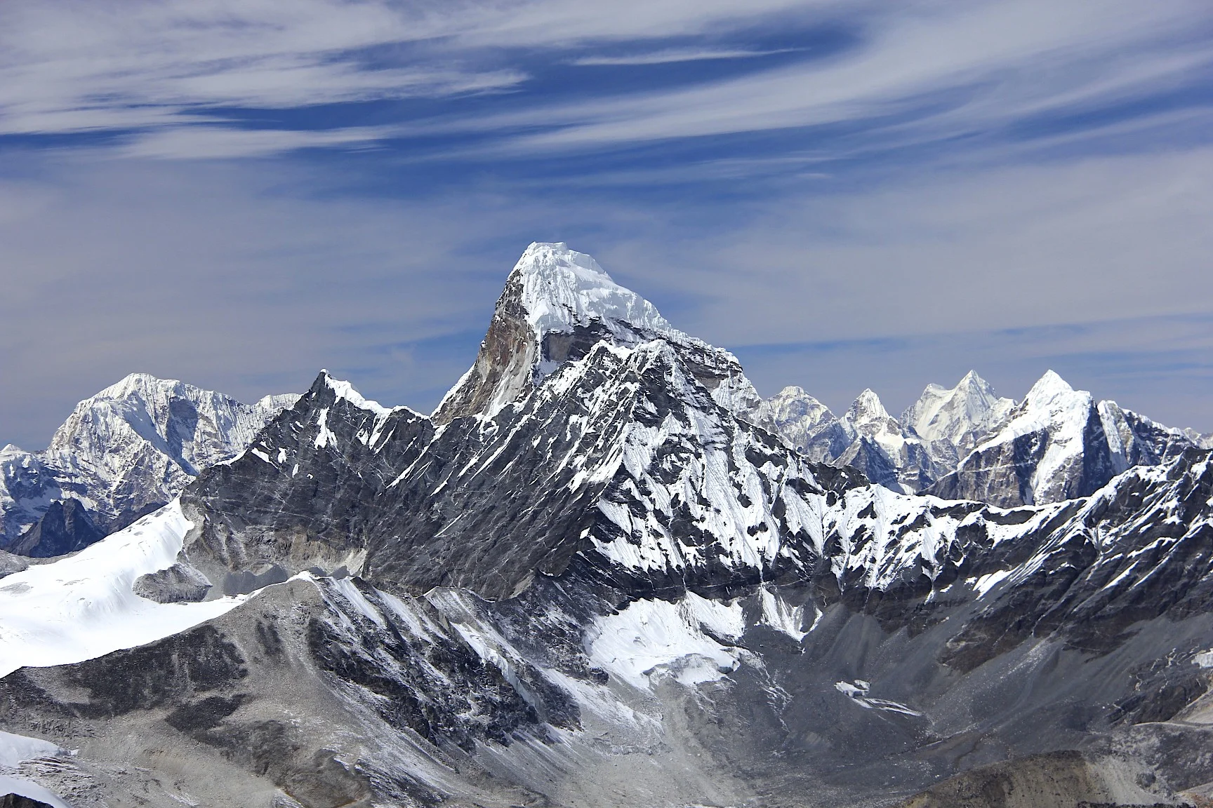
Ama Dablam

My altimeter recorded the height of the West Col. It is in fact a little bit higher. It took us around 4 hours to get from Sherpani Col to the West Col.


The rocky descent from the West Col from 6,150m to 5,900m


Looking back at the descent slope from the West Col.

Hiking to the Hinku Valley and the Baruntse BC.


Looking back at West Col


Baruntse basecamp at around 5,400m. The West Col is now far in the distance.


Mt. Baruntse from the Baruntse BC


Baruntse


Baruntse

En route from Baruntse BC to Amphu Labtsa Pass camp. The wall of Mt. Baruntse.


Mt. Baruntse


Mt. Chamlang

Chamlang on the left and Hinku valley in the centre.


Ascending to Amphu Labtsa pass


Ascending to Amphu Labtsa Pass


The south face of Lhotse with Mt. Everest peaking from behind the ridge.


Looking back at Chamlang and the Hinku Valley from Amphu Labtsa Pass.


On Amphu Labtsa Pass. The massive south face of Lhotse looms behind us.


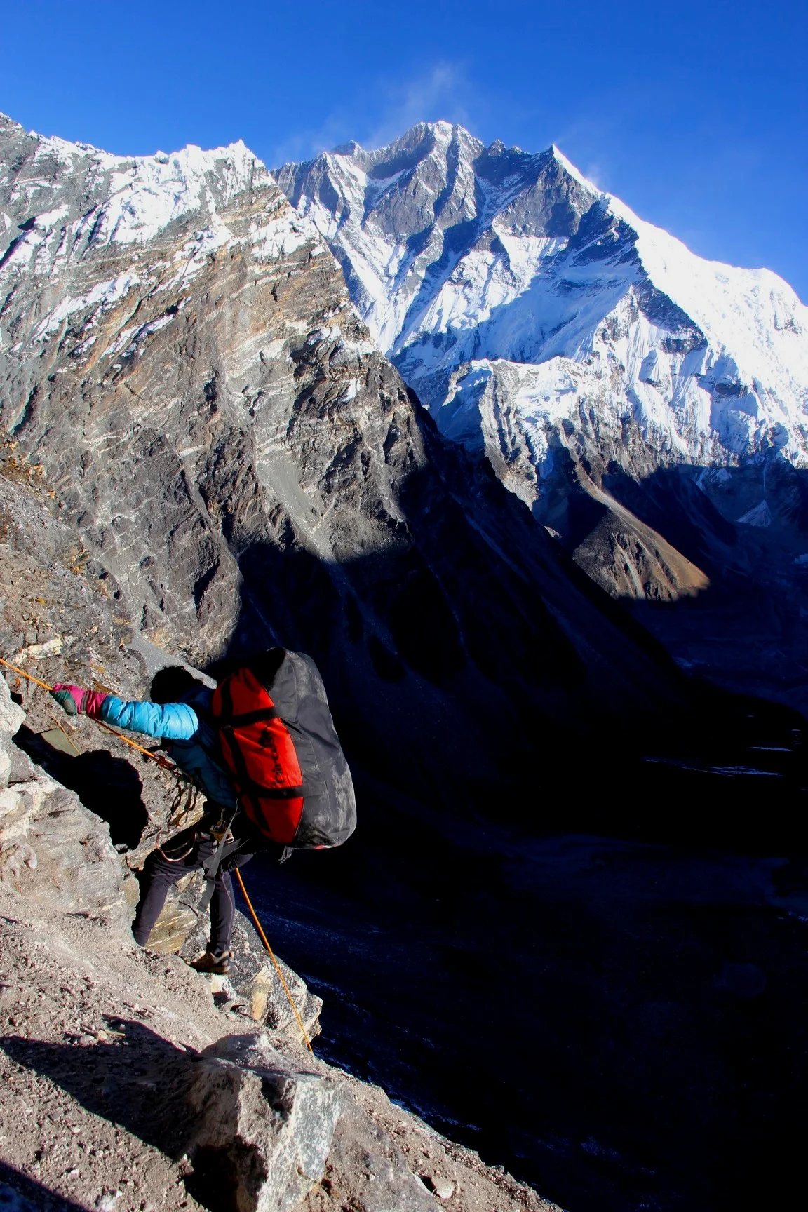
Very steep descent from Amphu Labtsa Pass with Lhotse South wall dominating the skyline.


Very steep descent from Amphu Labtsa Pass 5,900m. It was quite unnerving looking down, almost vertical wall, all the way to the glacier below.

Looking down from Amphu Labtsa Pass, 5,900m.


Photo by Ryszard Pawlowski showing the route between West Col and Amphu Labtsa

Amphu Labtsa from the north


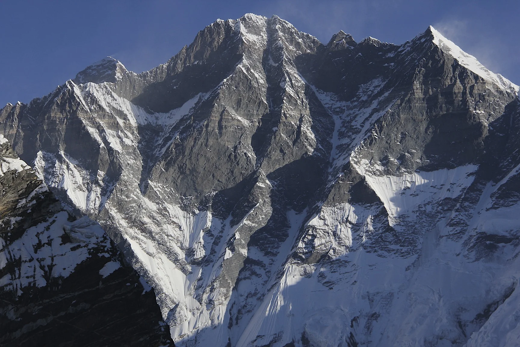
Lhotse and Island Peak

Lhotse and Island Peak


Baruntse from the West

Mt. Cholatse

Mt. Cholatese, Mt. Cho Oyu (in the distance right of centre) and Lhotse massif on the right.

Summit of Lhotse with some wicked wind.


South side of Lhotse


The memorial to the Polish climbers who died on Lhotse in the 1980s.

Pheriche village and Mt. Cholatse.

Ama Dablam from Pheriche

Ama Dablam

En route to Namche Bazar with Ama Dablam behind.

Nuptse, Lhotse and Mt. Everest from Tangboche Monastery


Nuptse, Mount Everest (behind the ridge) and Lhotse (on the right). Notice the strong wind blowing across Mt,. Everest’s summit.

Namche Bazar and the valley leading to Renjo La Pass and Rowaling

Quick way home! An old Soviet Mi 8 cargo helicopter. The pilots make extra cash by taking people to the road head from the Khumbu.

