Lobuche East Peak is strategically located at the confluence of 3 valleys. It provides panoramic view of the Everest Basecamp, the Khumbu Glacier Valley and the valley leading to the Cho La Pass. If properly acclimatized, the climb of Lobuche is not long or difficult. Majority of problems arise due to poor acclimatization. The peak is just over 20,000 feet high. The Sherpas run an efficient operation at the high camp. I just showed up, rented the tent, paid for food and for the guide and that was all. A guide is necessary as the climb starts in the middle of the night and it would be difficult to find the way in the dark. We were super lucky to have full moon and no wind (although it was quite cold).
Thanks to Rajendra and Tek from Mountain Sun Valley Treks and Expeditions for organizing this for me. I could not have done it without their help (as always!).


Everest Glacier and Lhotse from space. Lobuche Peak is on the left centre (see the green lake).
Lobuche East is on the right. At the end of the clip you can see the climbers.

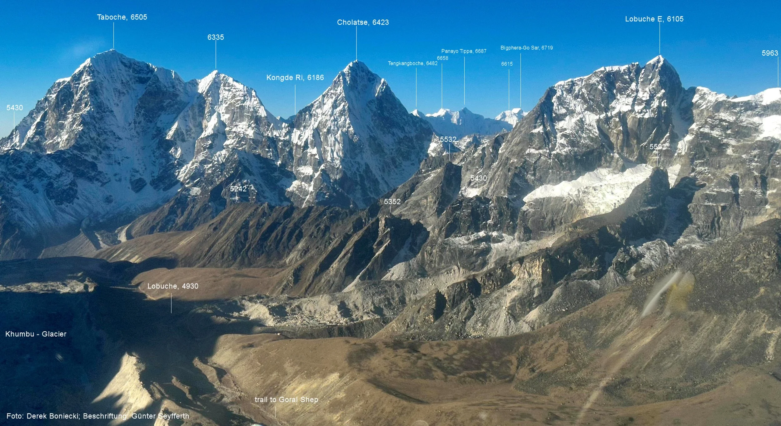
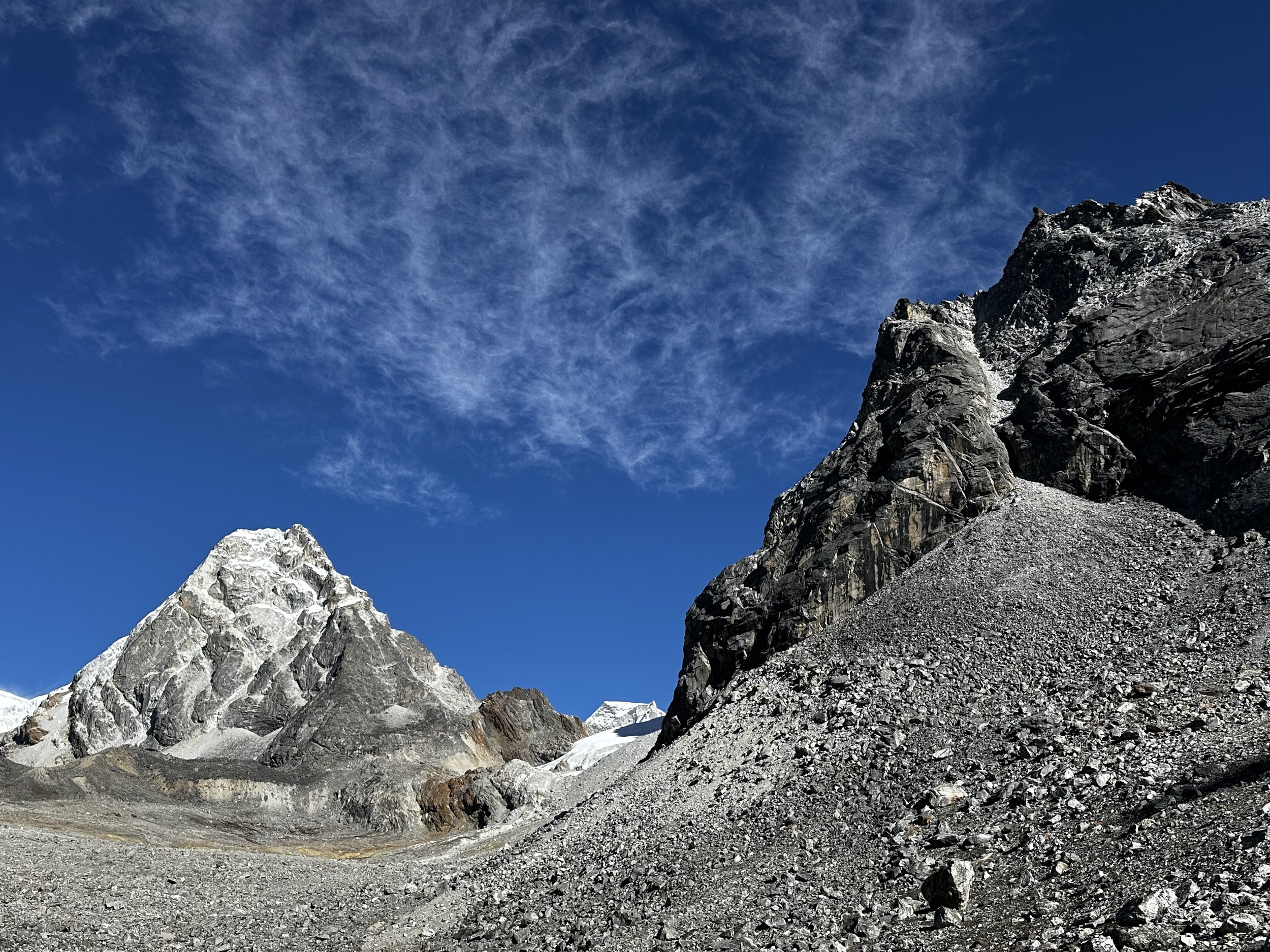
Lobuche East and Lobuche Glacier on the right. The pointy mountain in the centre is Cholatse.

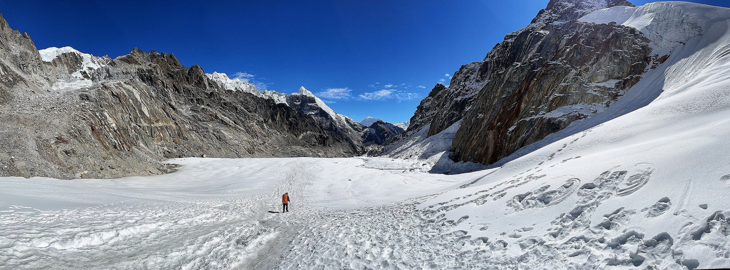
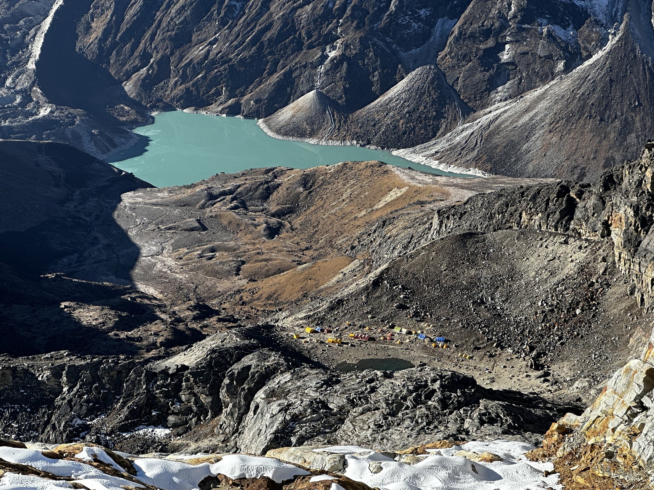
Crossing Ngzumba Glacier from Gokyo to Cho La Pass

Ngzumba Glacier


Ngzumba Glacier


Looking back at Ngzumba Glacier

Cho La Pass in the distance. It is the saddle in the middle of the photo.

Walking up to Cho La Pass from Ngzumba Glacier
Kangchung Peaks
Kangchung Peak
Final climb to Cho La Pass

Cho La Pass 5450m

Chola Pass from heli. You can also see RnjoLa Pass and Sumna Pass (log snow slope on the right)

The rocky spires above the Chola Pass from heli

Tobuche and Cholatse and the trail down from Cho la Pass

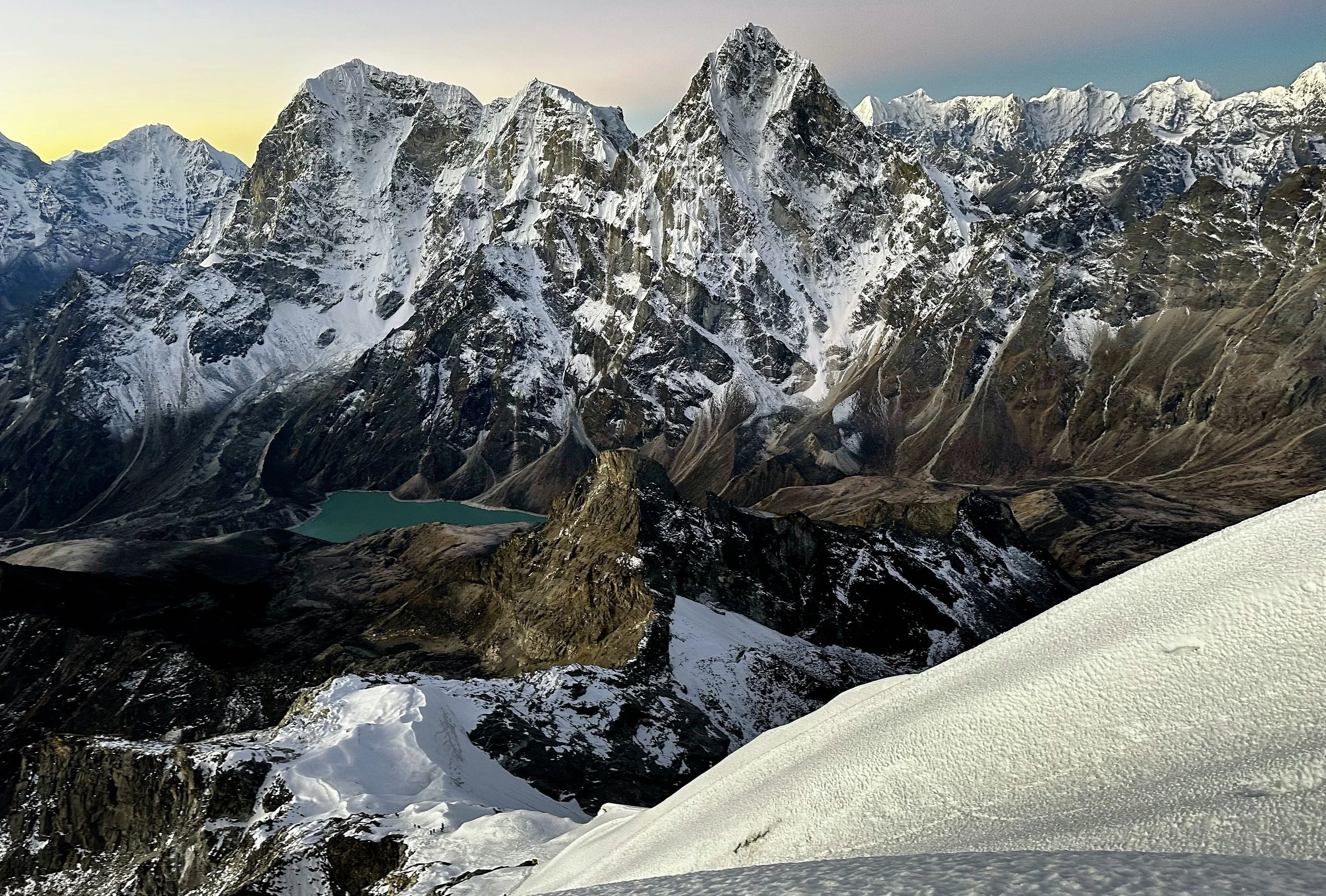
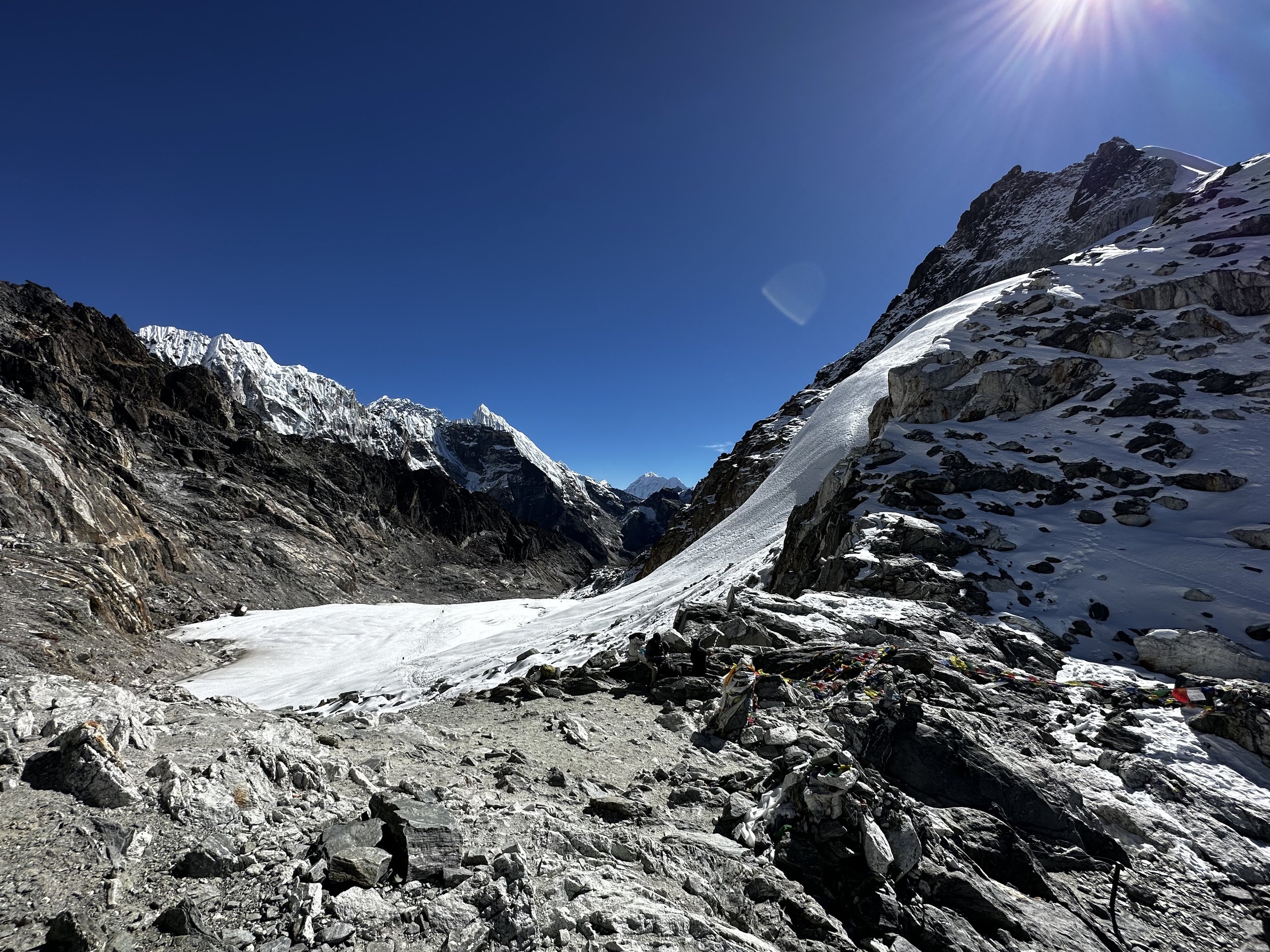
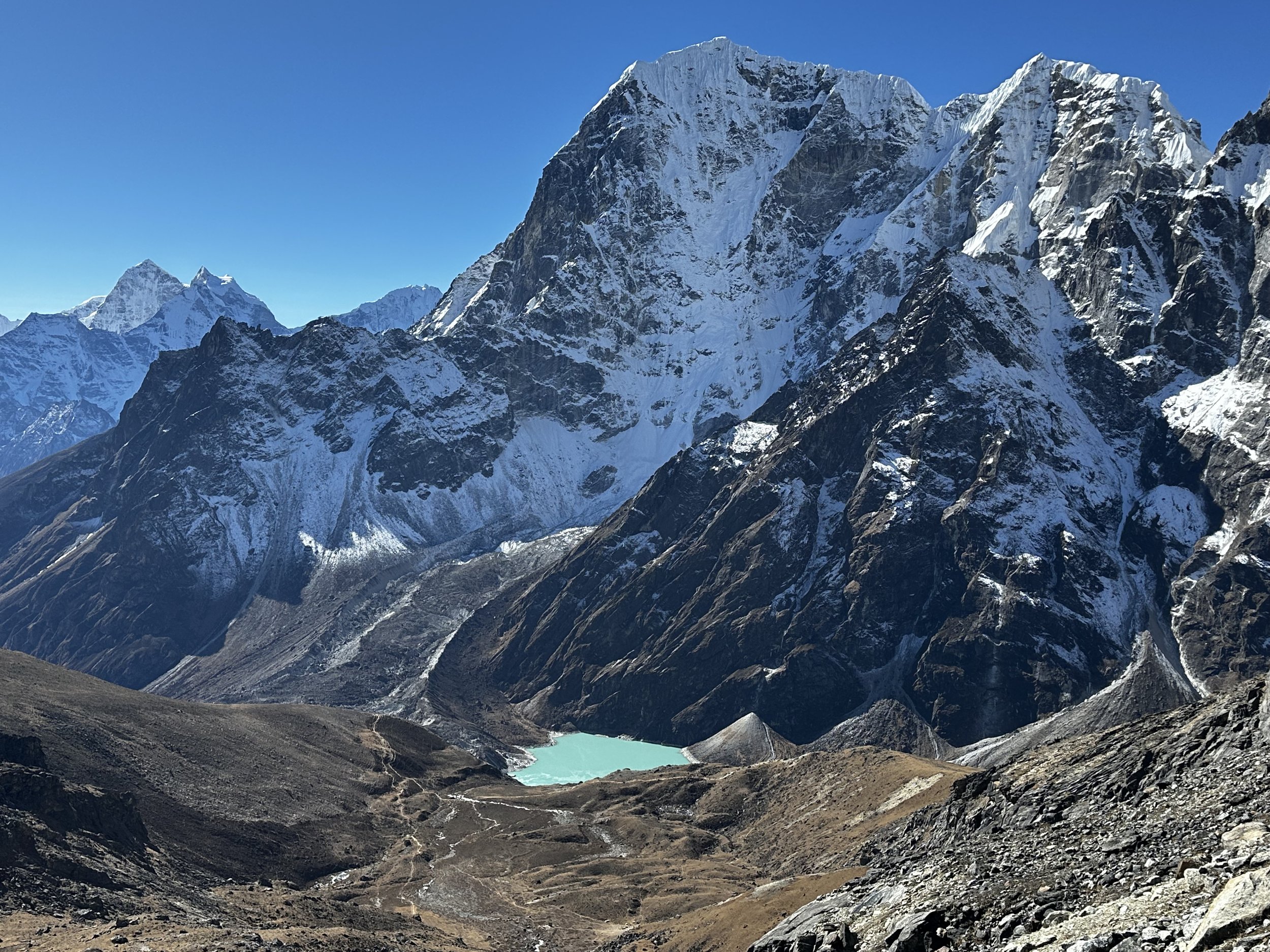
Cho La Pass Glacier. Lobuche Peak is the pointy mountain on the left.

ChoLa Pass Glacier and Lobuche Peak

The true elevation is 5450m

View west from the Cho La Pass to the West (direction of RenjoLa Pass)
Cho La Pass 5450m

Cho La Pass Glacier

Cho La Pass glacier - no crampons required
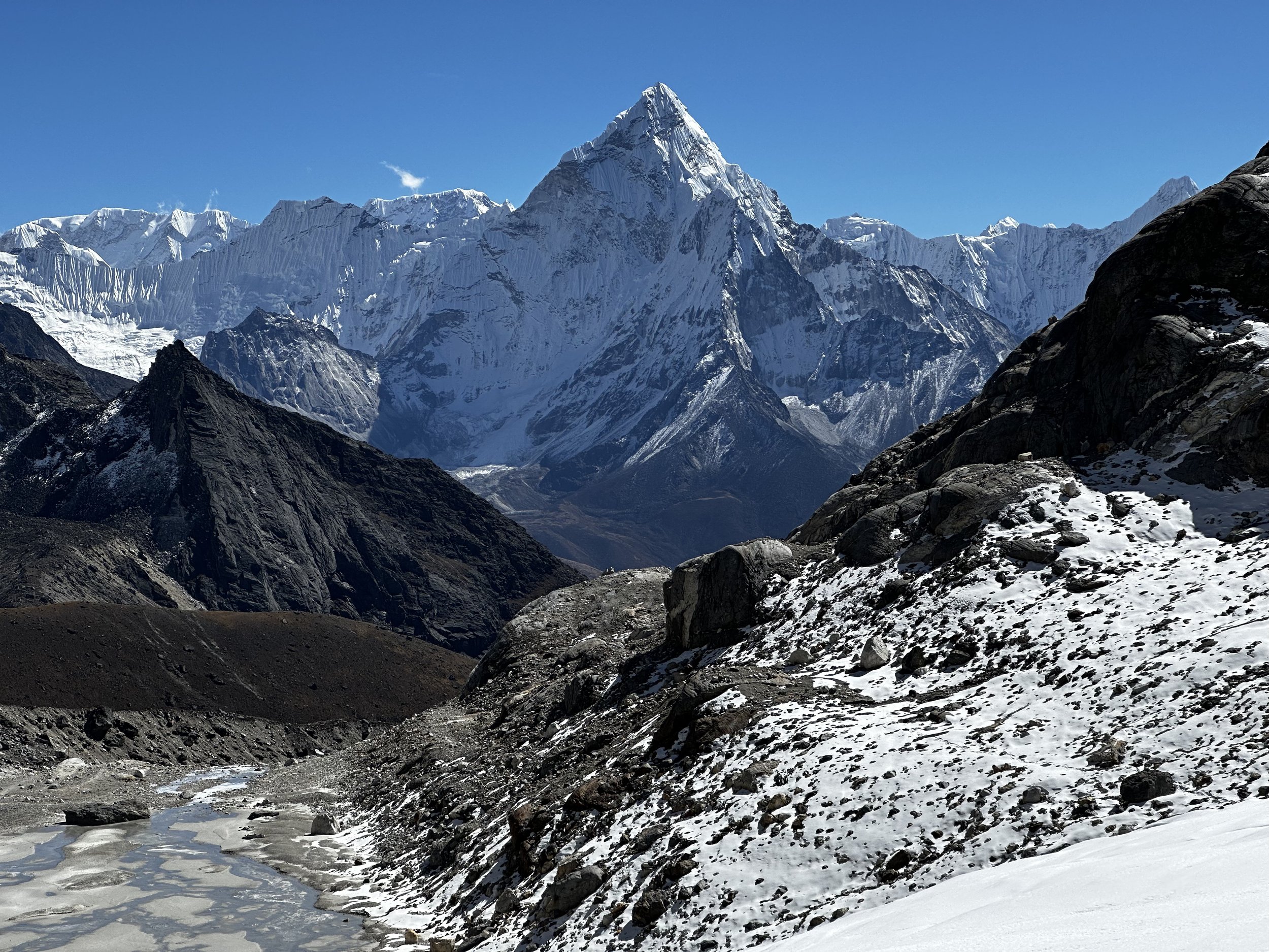
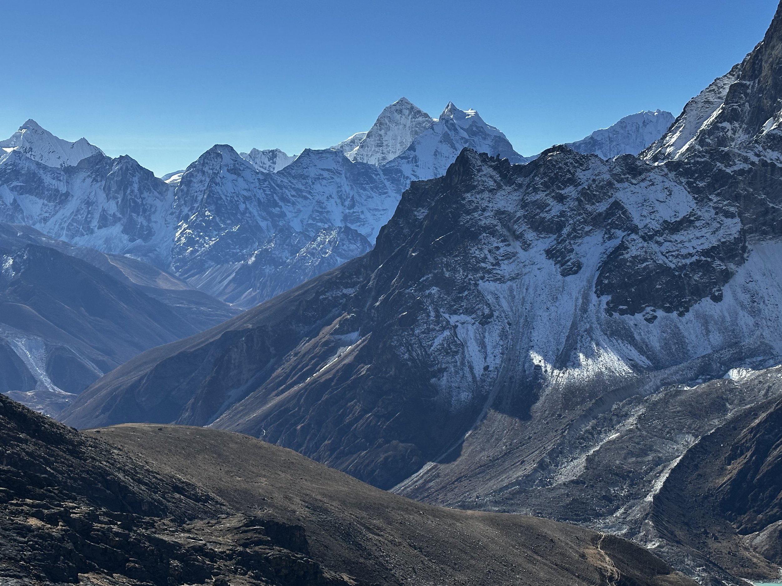
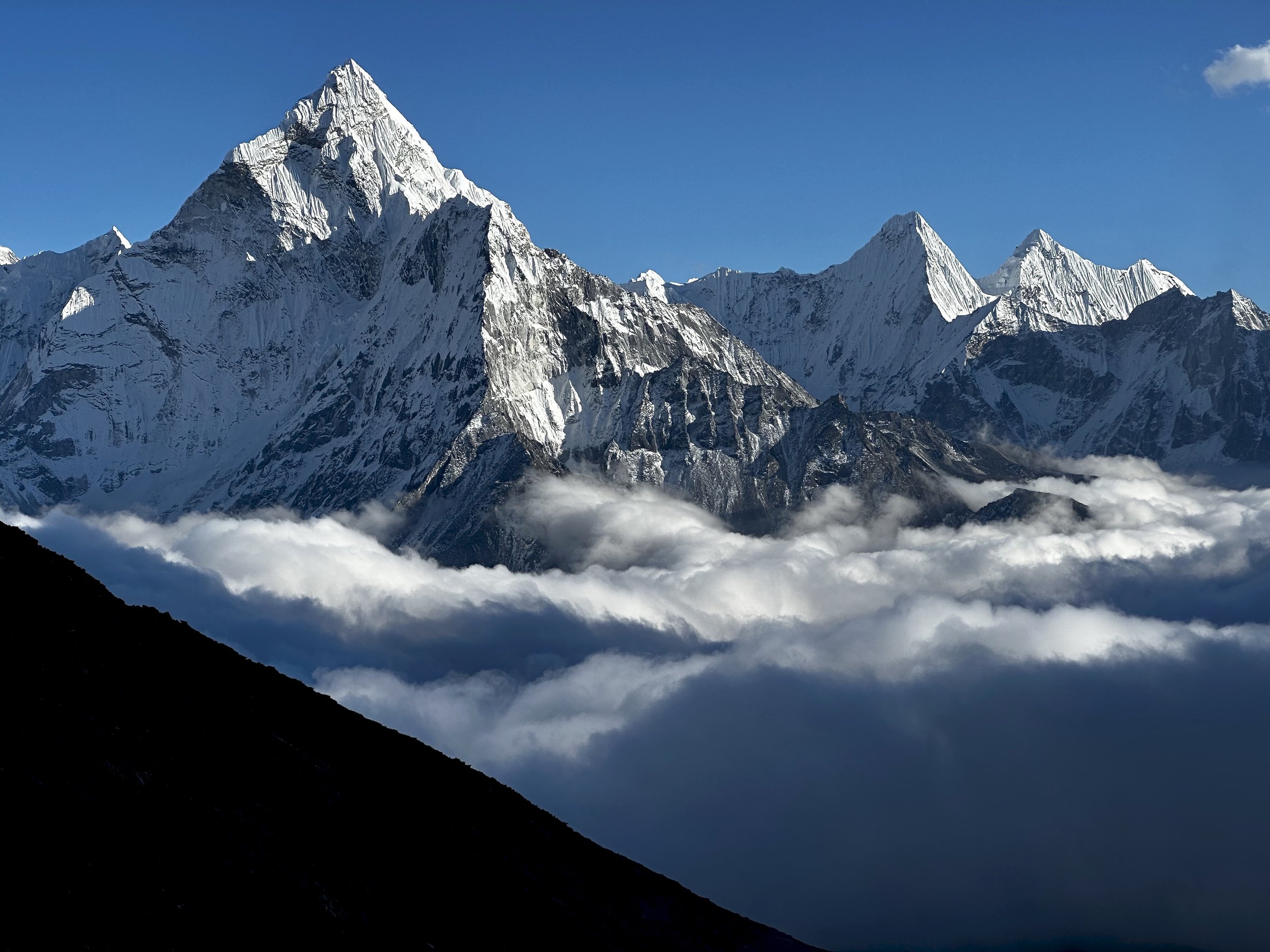
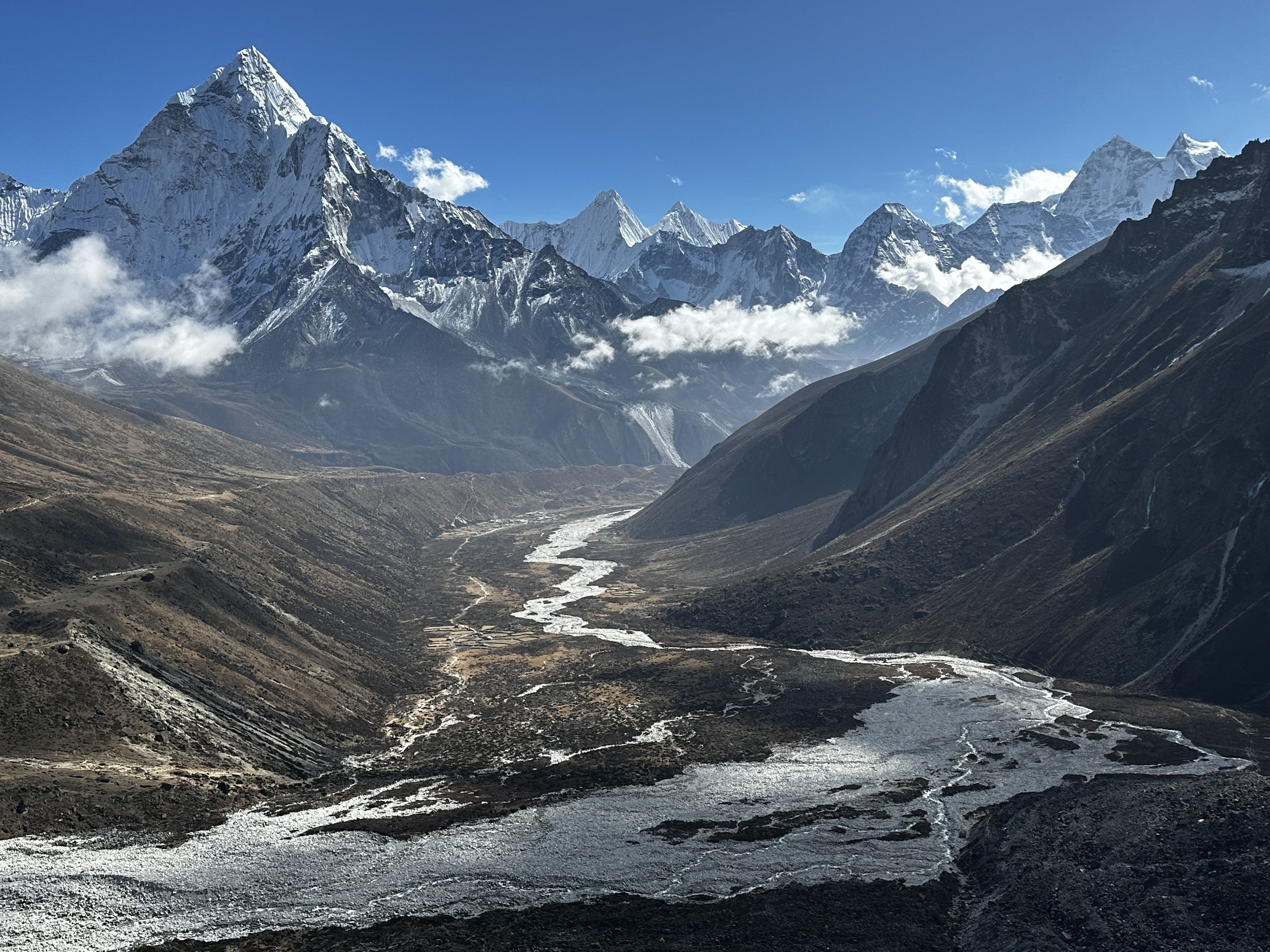
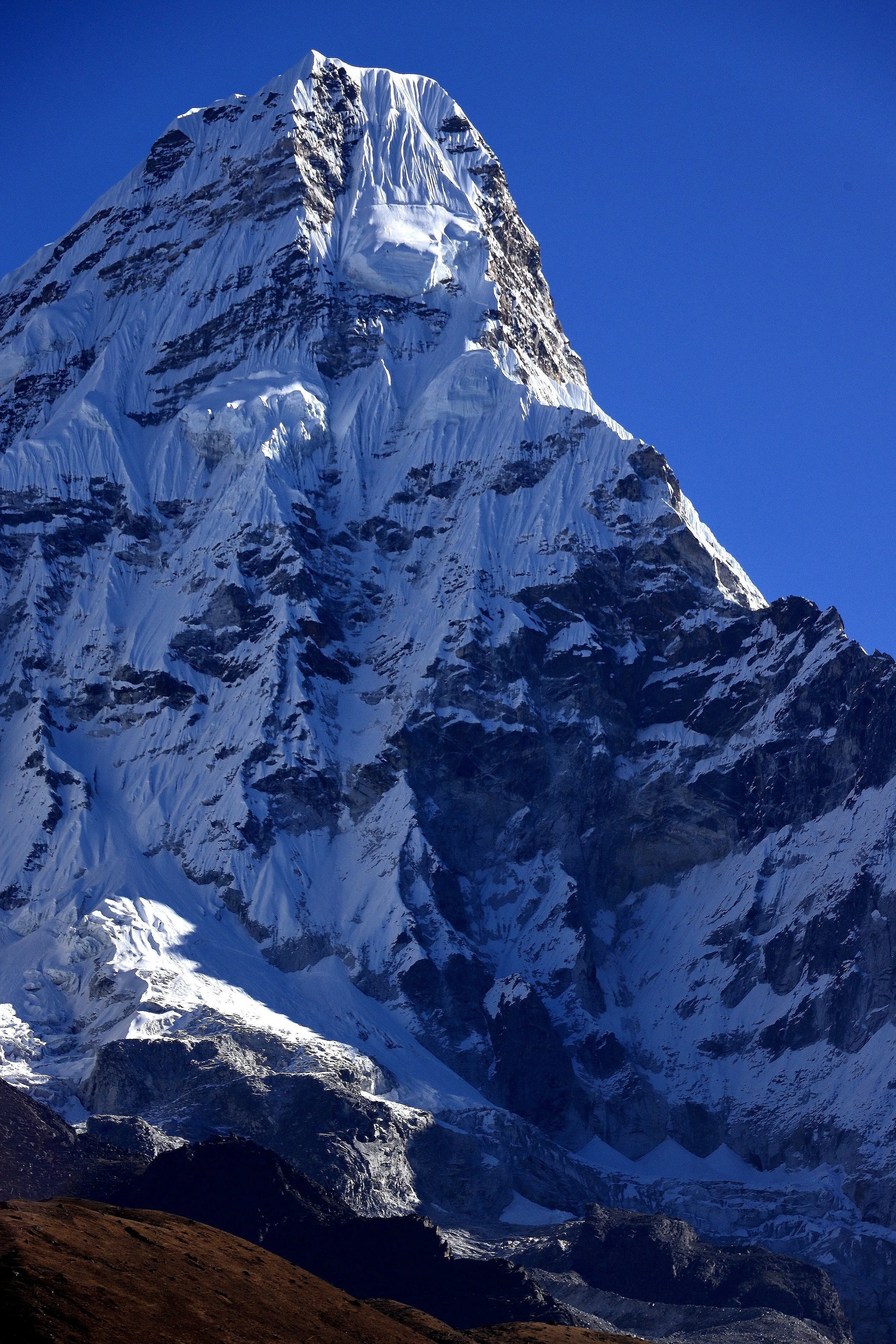
Ama Dablam
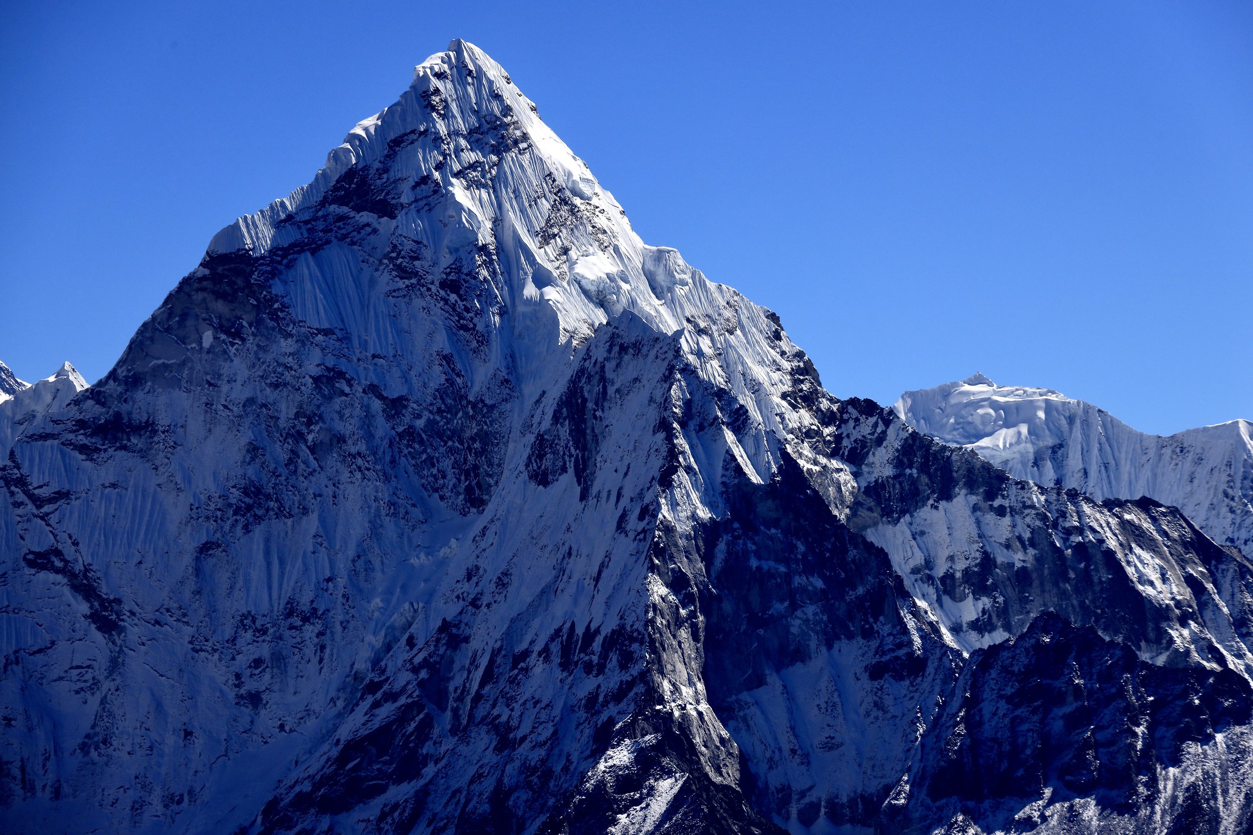
Ama Dablam

Ama Dablam

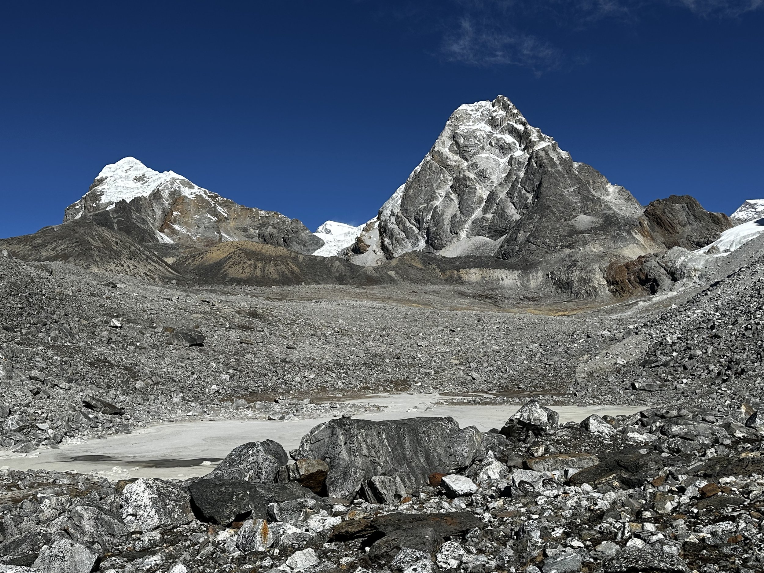
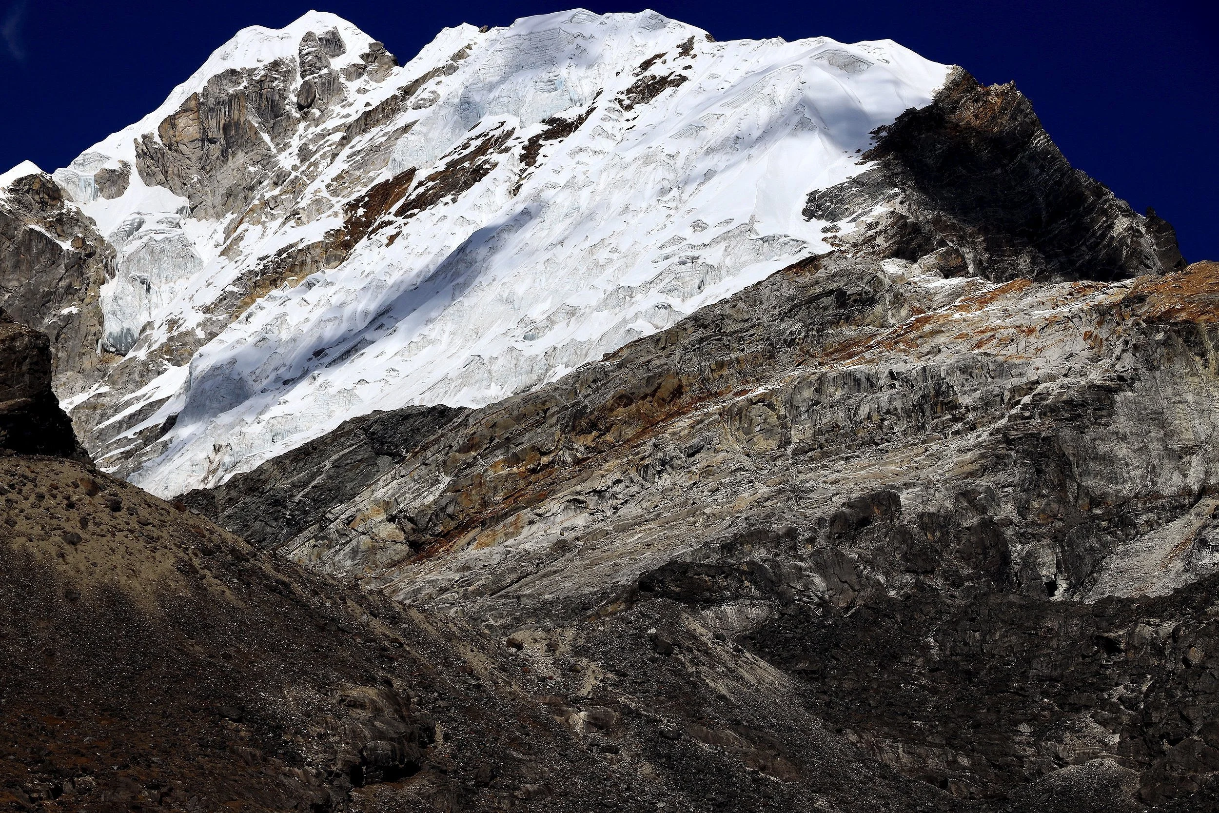
Lobuche East
Lobuche West and East

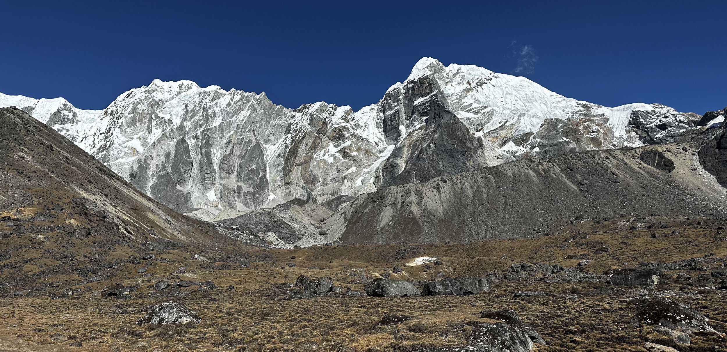
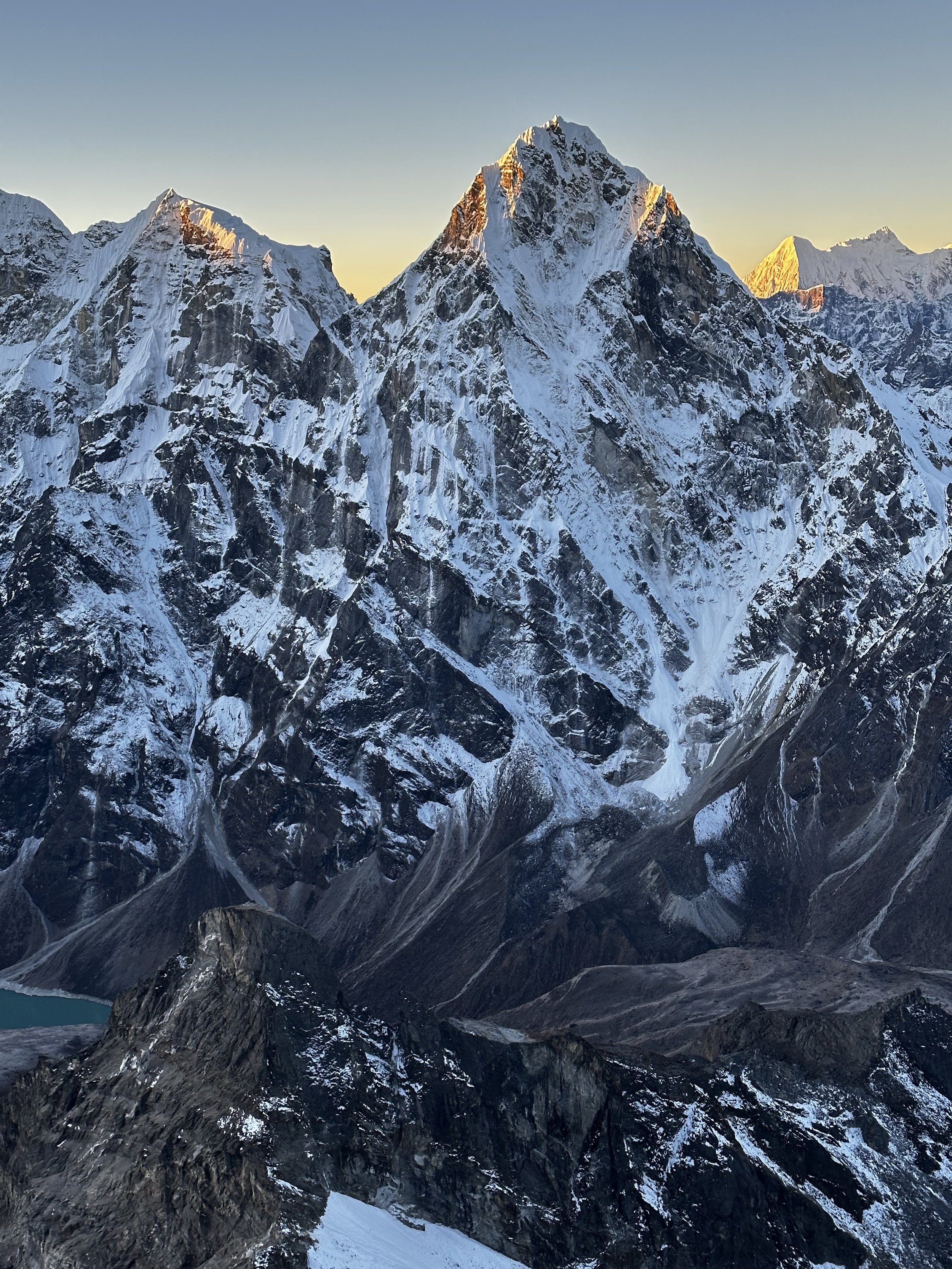
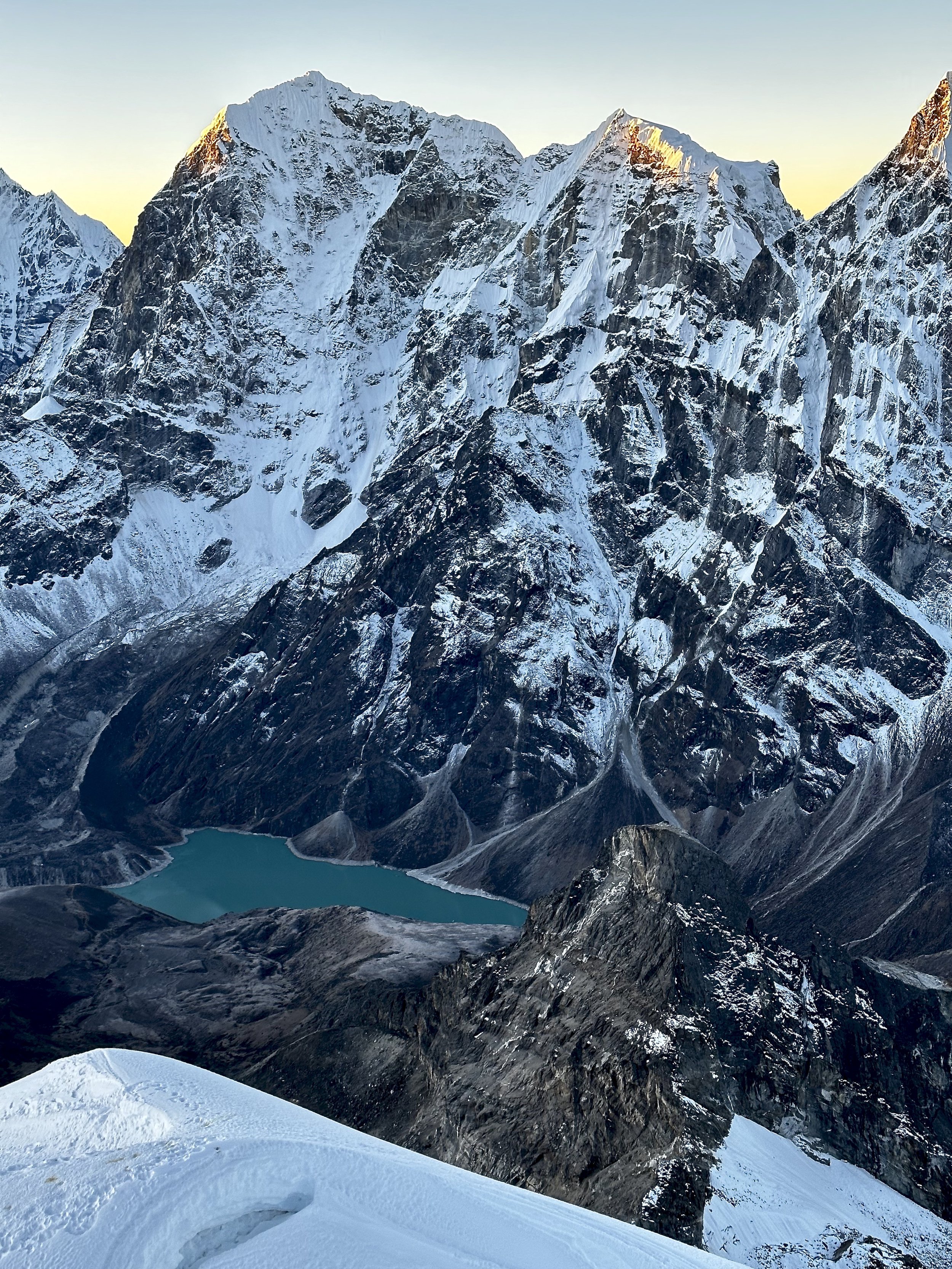
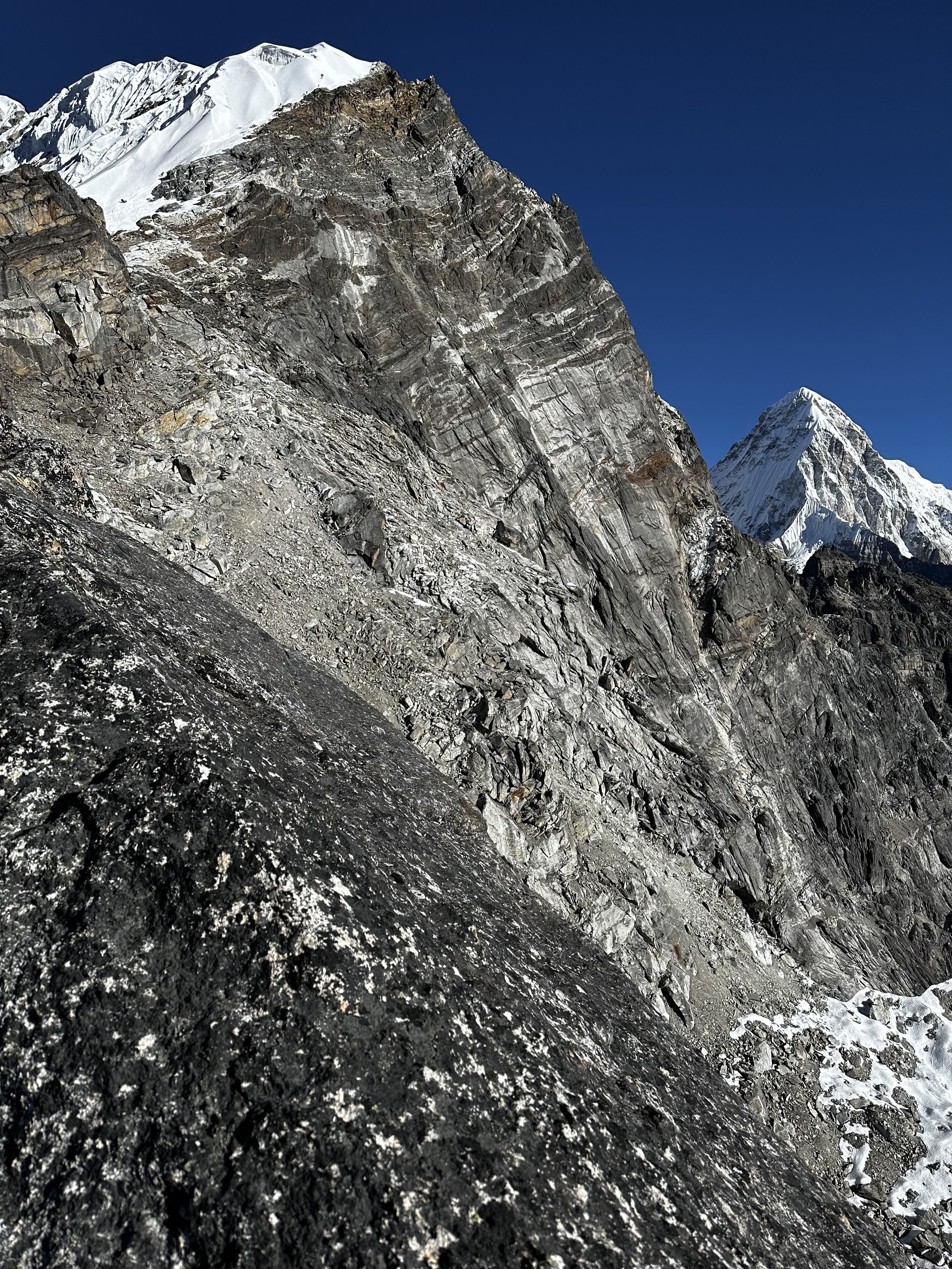
Cholatse

Cholatse at sunrise

Cholatse

Cholatse
En route to Lobuche high camp. Tobuche Peak and Chola Tso Lake.
View from high camp

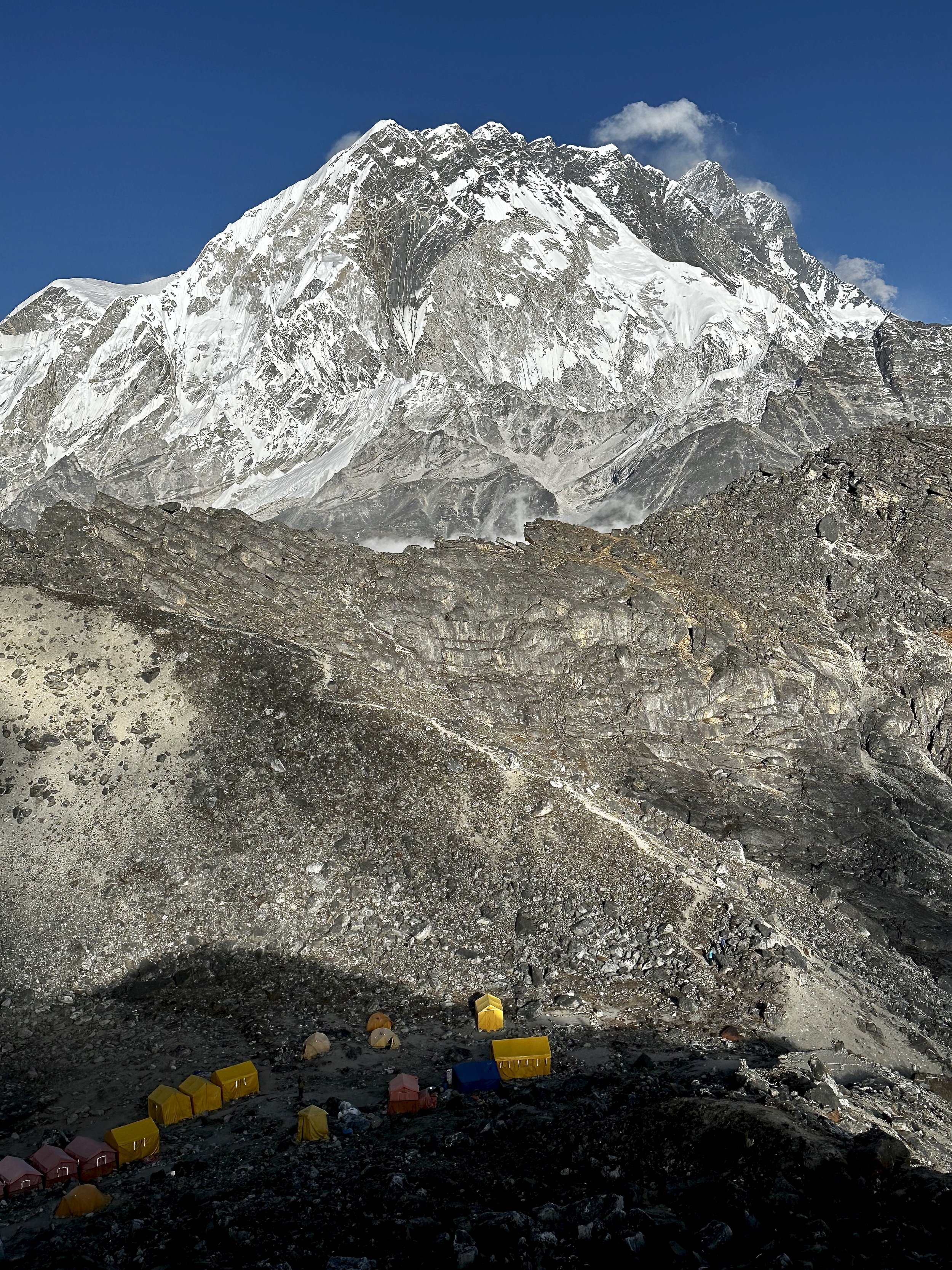
High Camp at 5200m

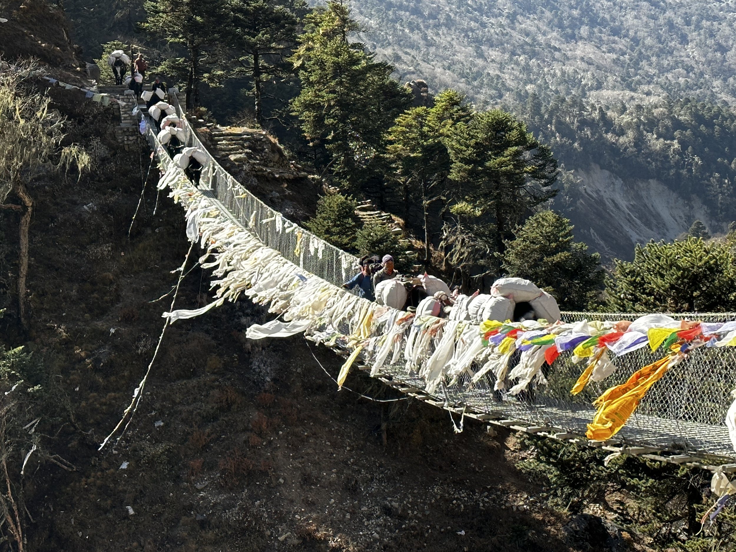
High camp, it’s all set up - you can just show up. The Sherpas will give you a tent, food and provide guiding services. It is all very efficient.

Lobuche East, the way up is along the right ridge.
Nuptse and Lhotse above the Lobuche East high camp.
Evening view of Ama Dablam from the high camp.

Tobuche and Cholatse from 5600m

Putting on crampons for the upper part of the mountain
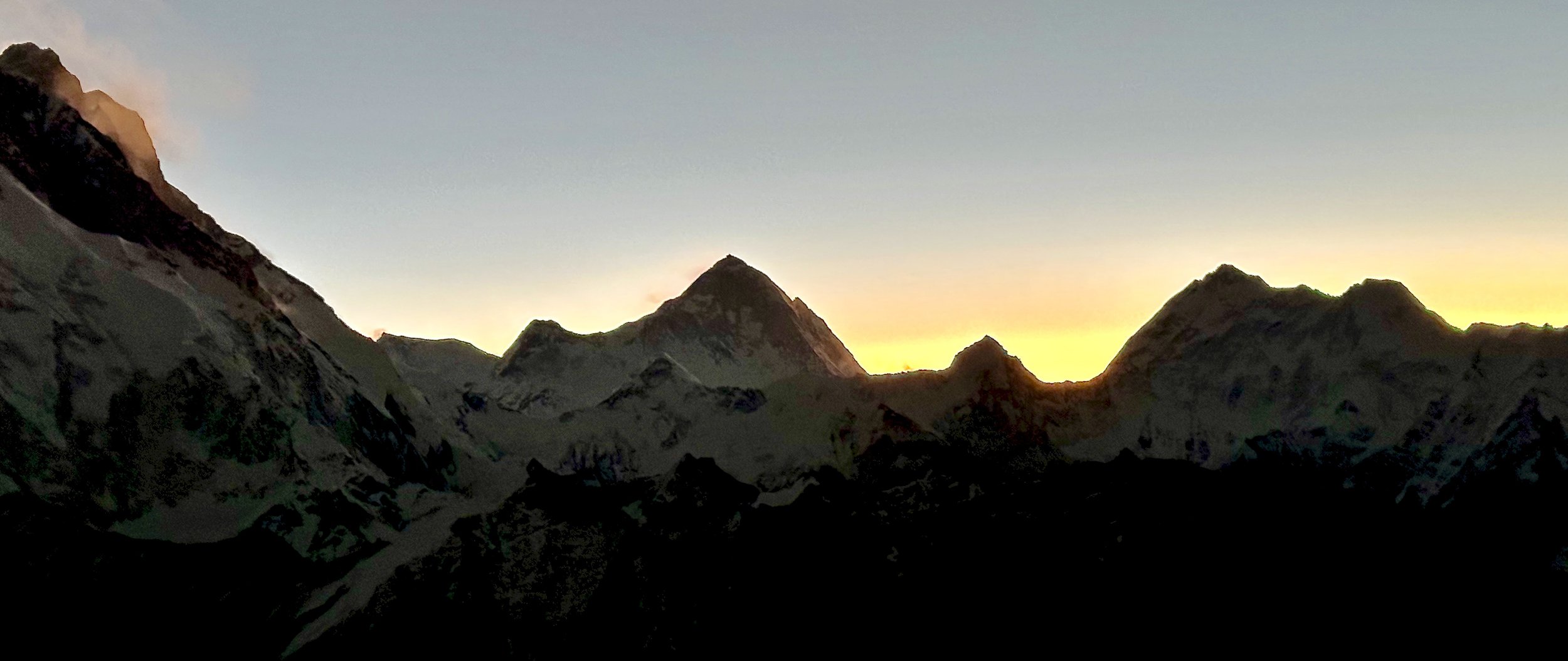

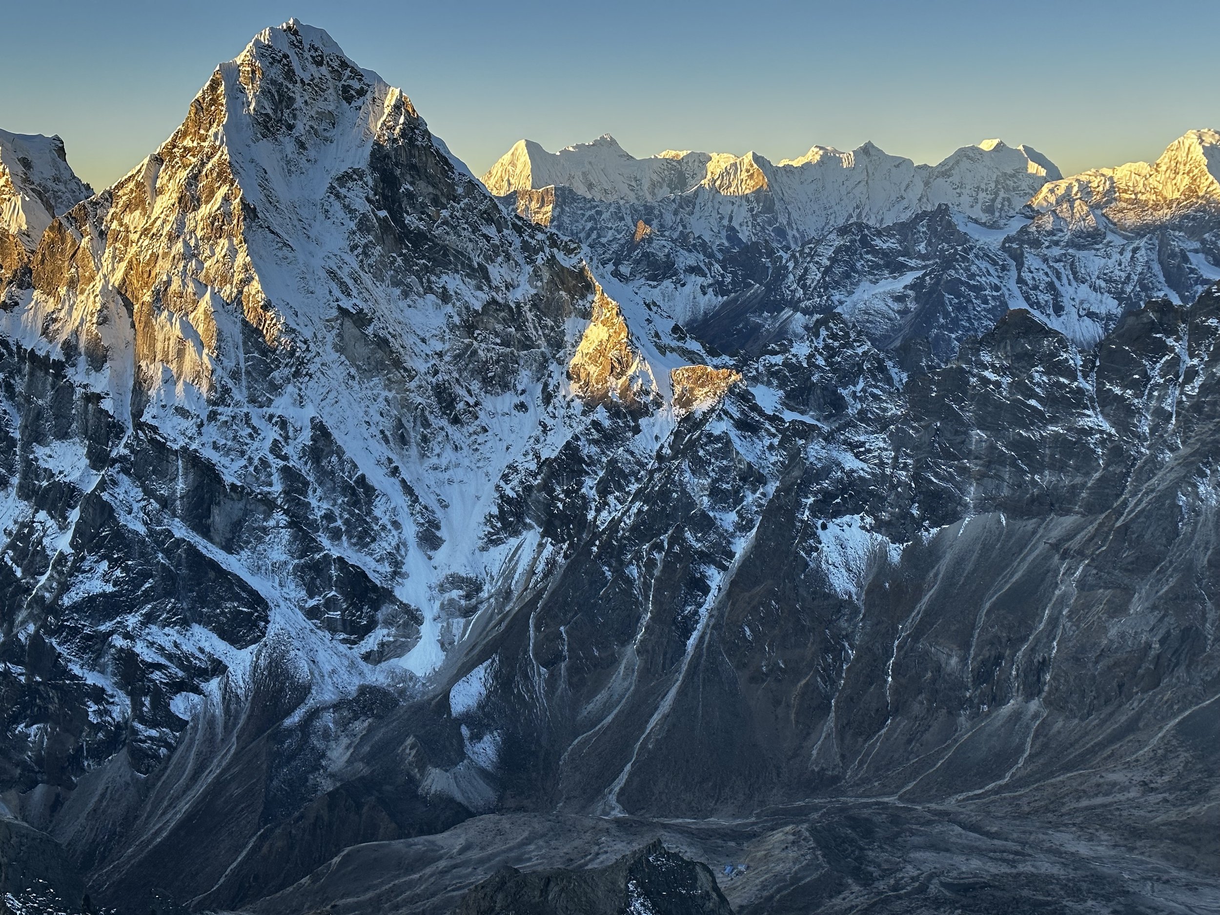
First light on Lhotse

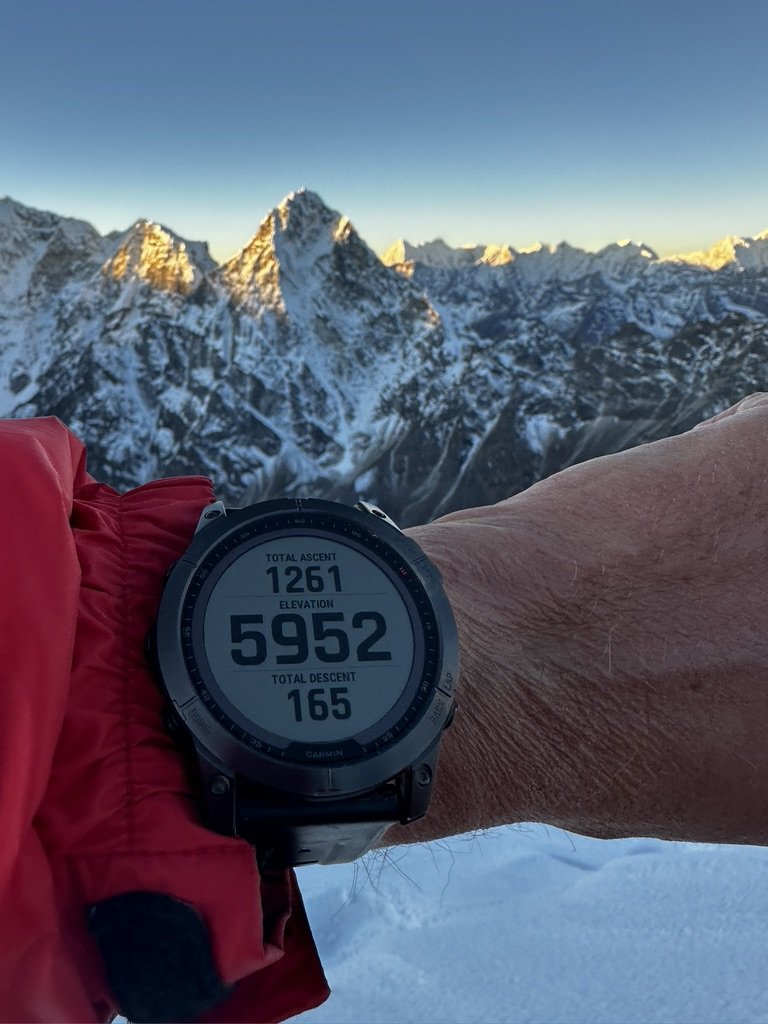
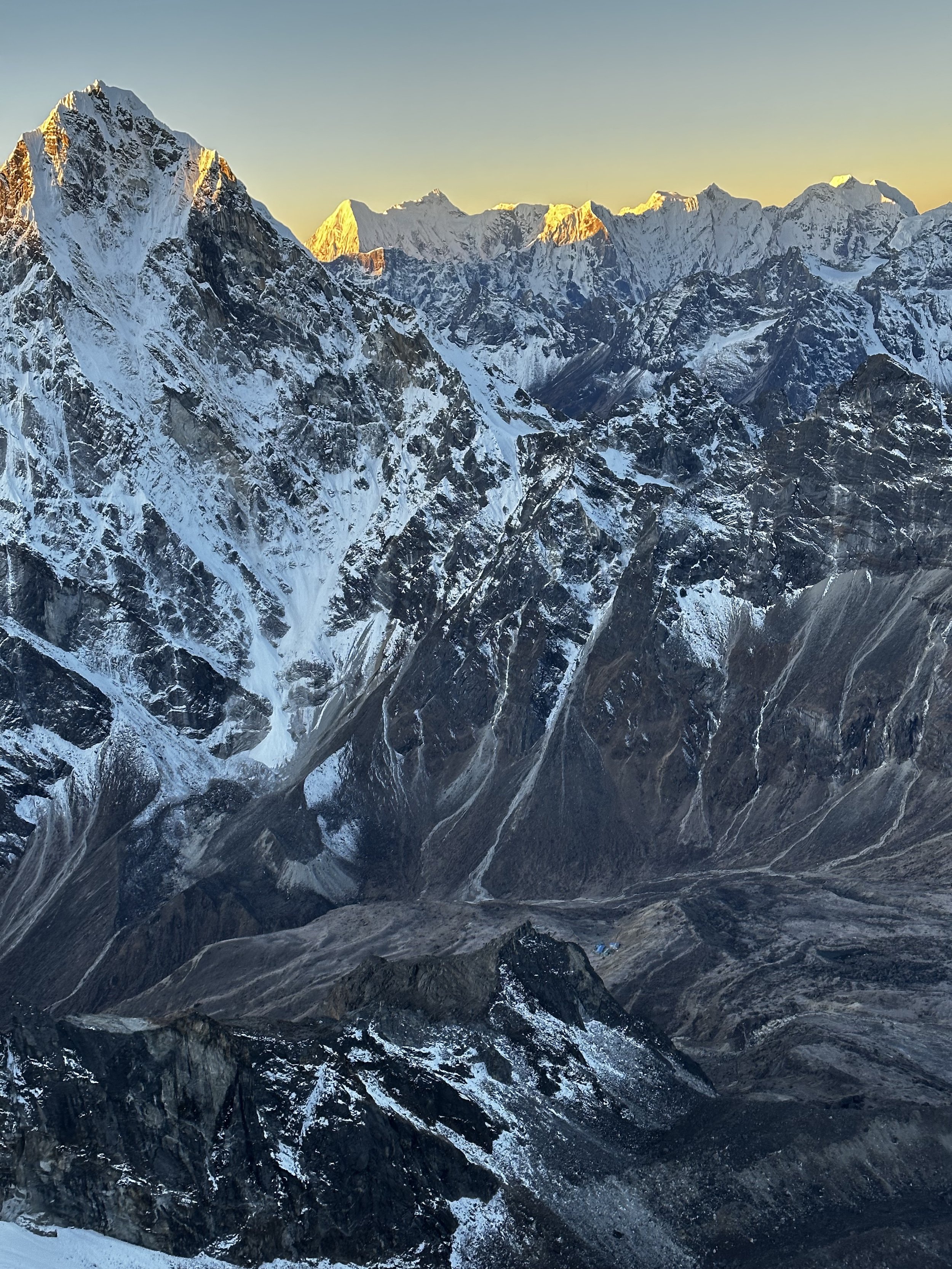
When it became light we were already quite high - looking south-west

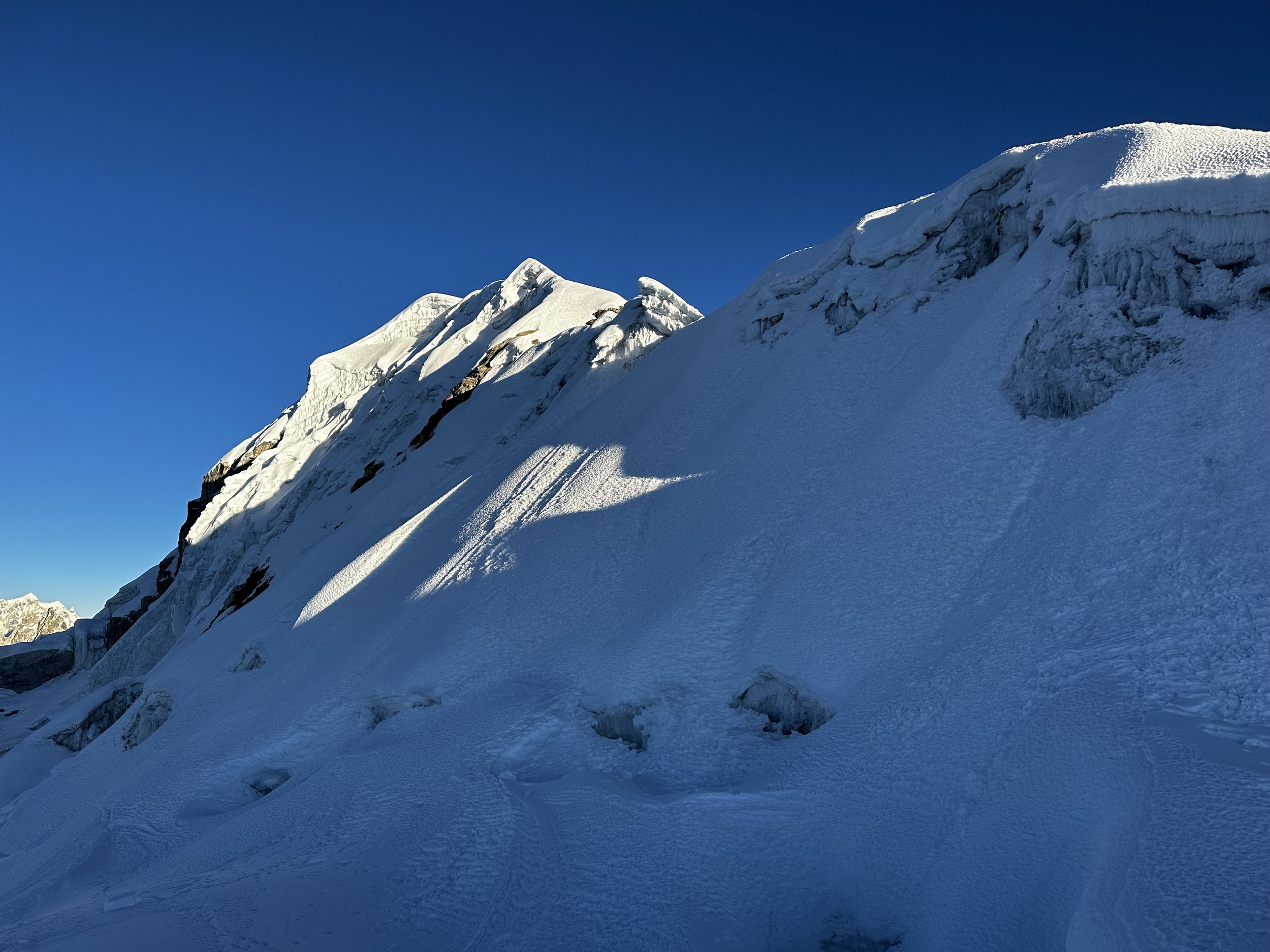
Steeper upper sections of the mountain
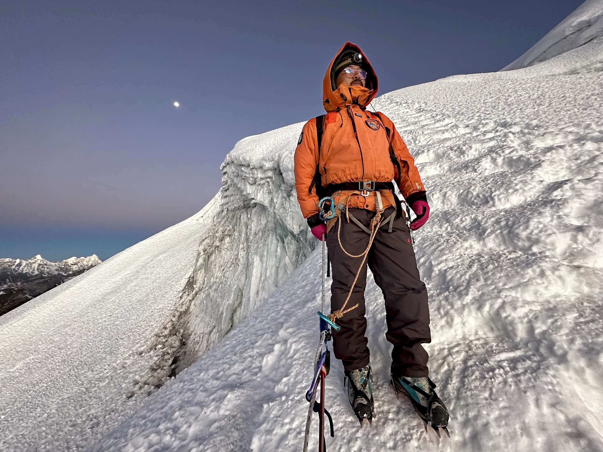
My young Sherpa guide
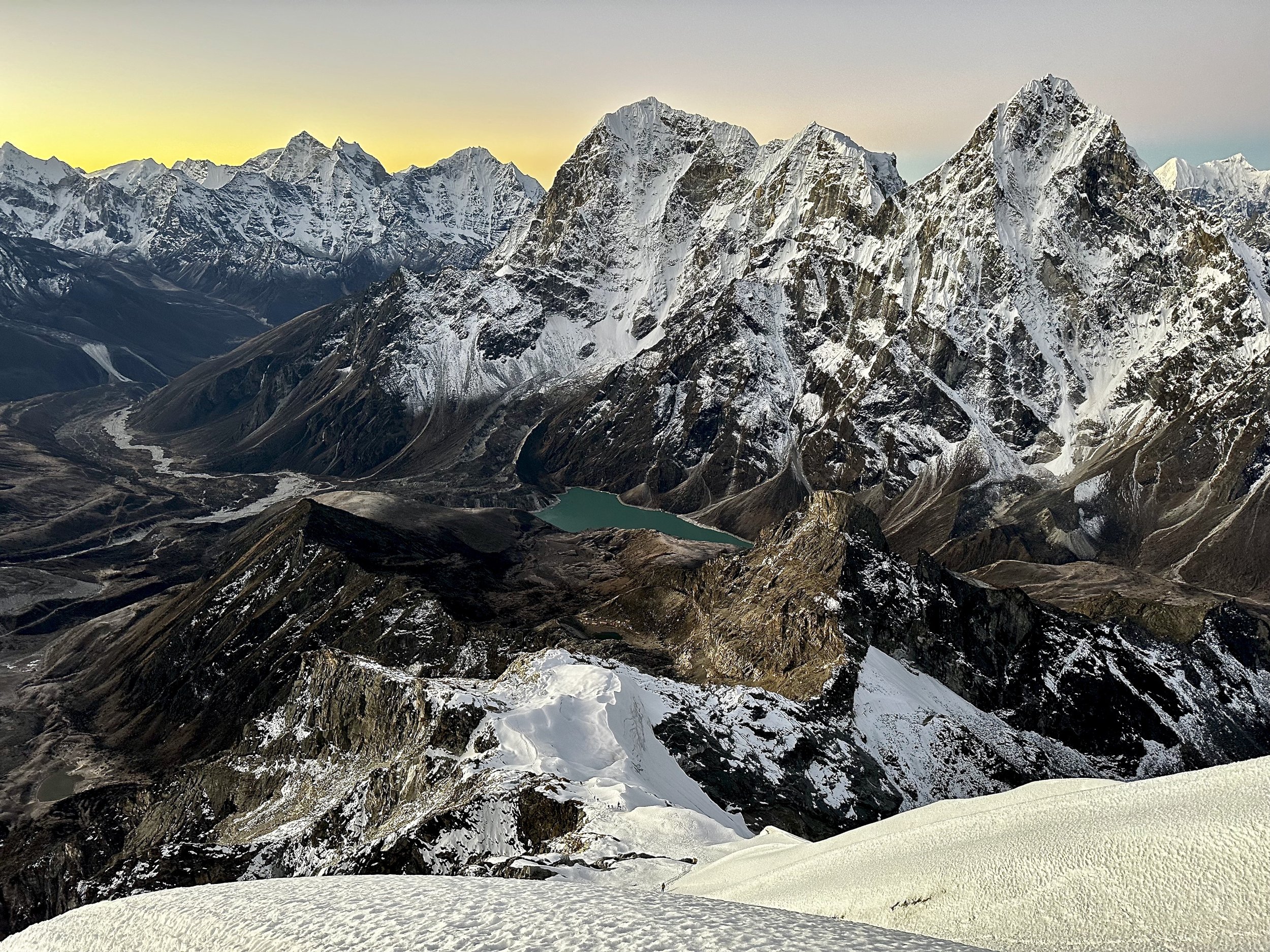
Tobuche and Cholatse from near 6000m.


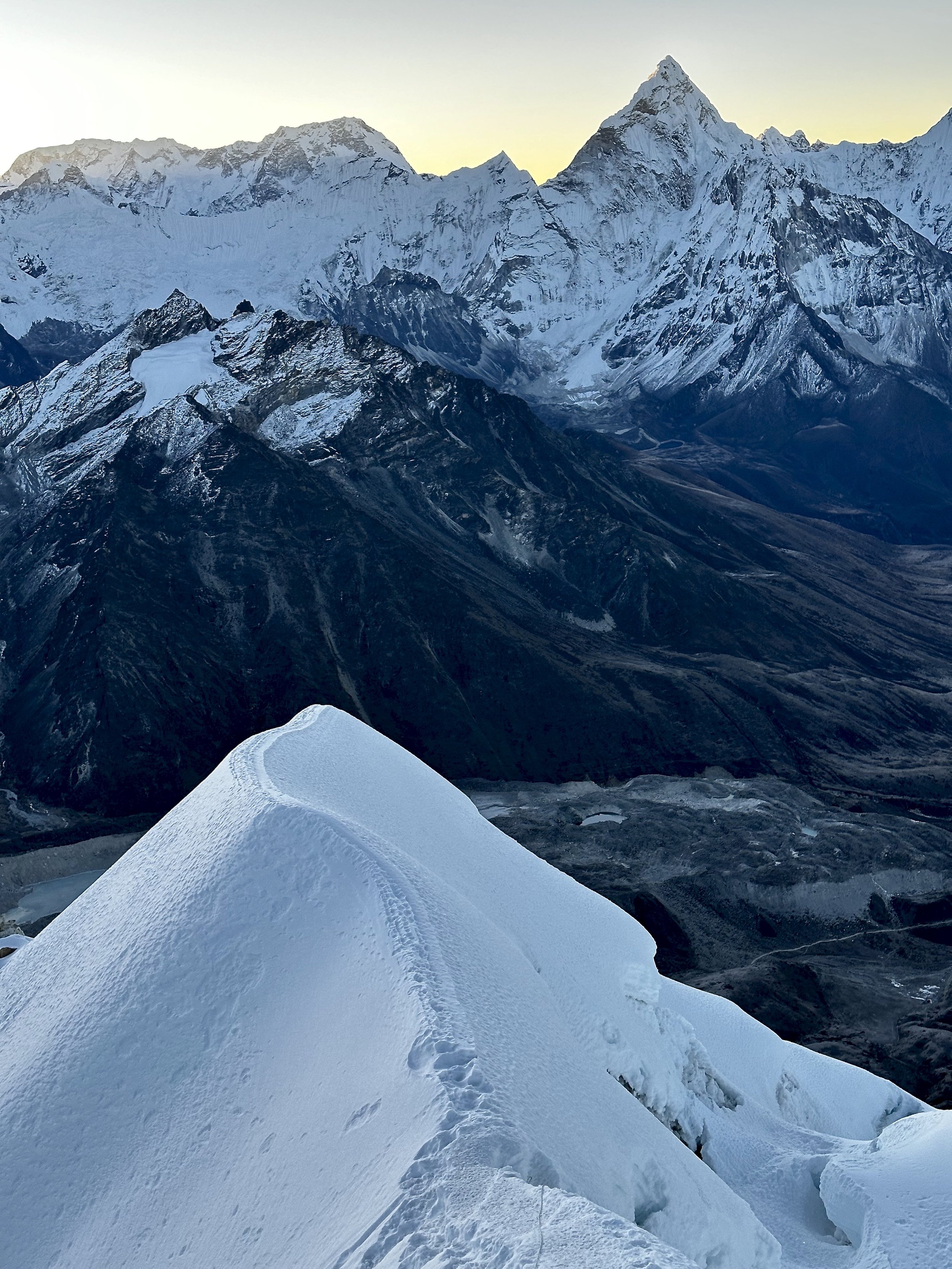
The slope steepens significantly near the top.

The Khumbu Valley and pointy Ama Dablam. Thamaserku is in the distance.

Mount Everest, Nuptse and Lhotse

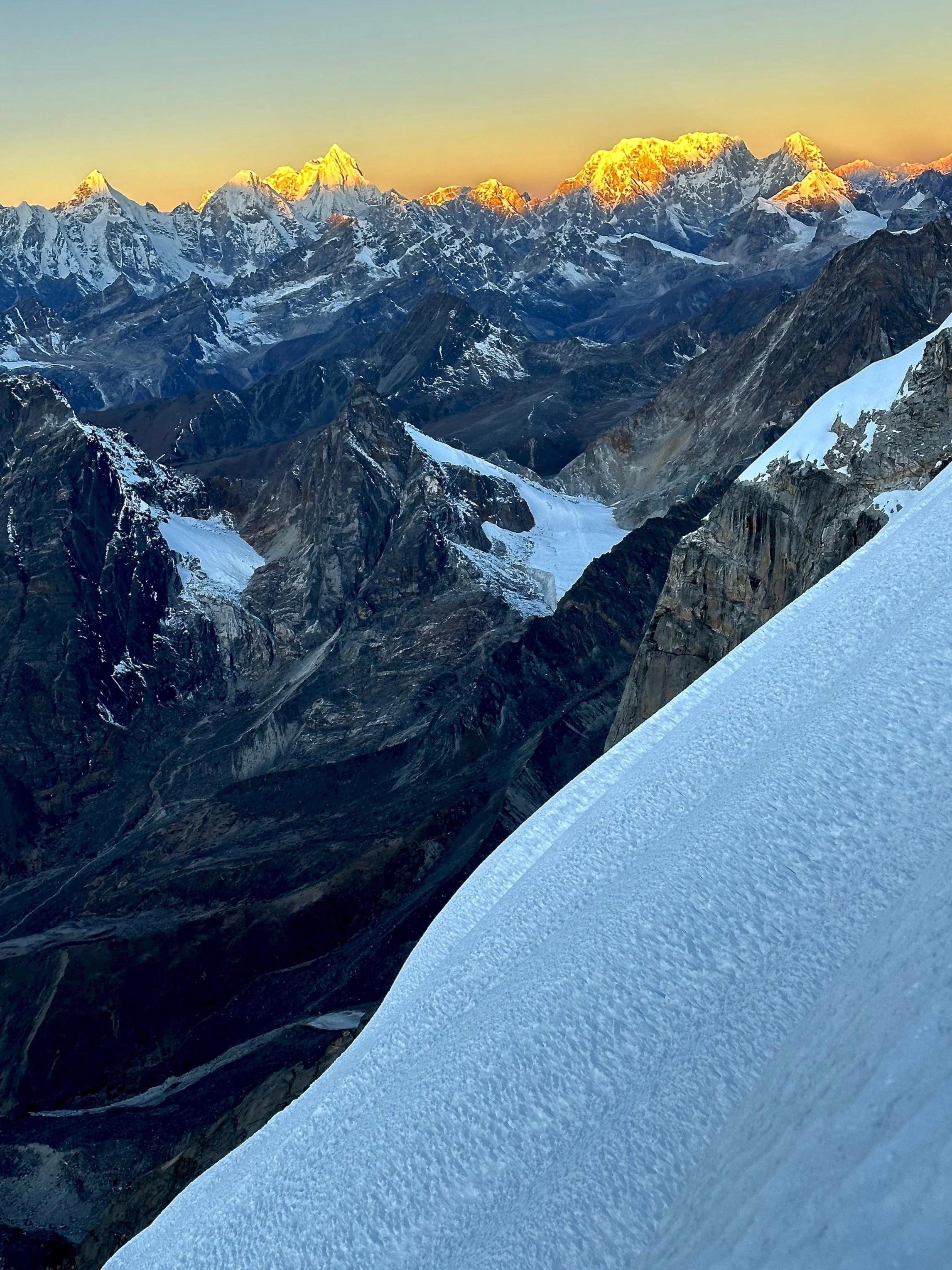
Summit Ridge. The first rays of sun emerging from behind Makalu (left). From left to right: Baruntse, Chamlang, Ama Dablam.


Summit Ridge. The distant peak with sun on it to the right of the summit is Cho Oyu.
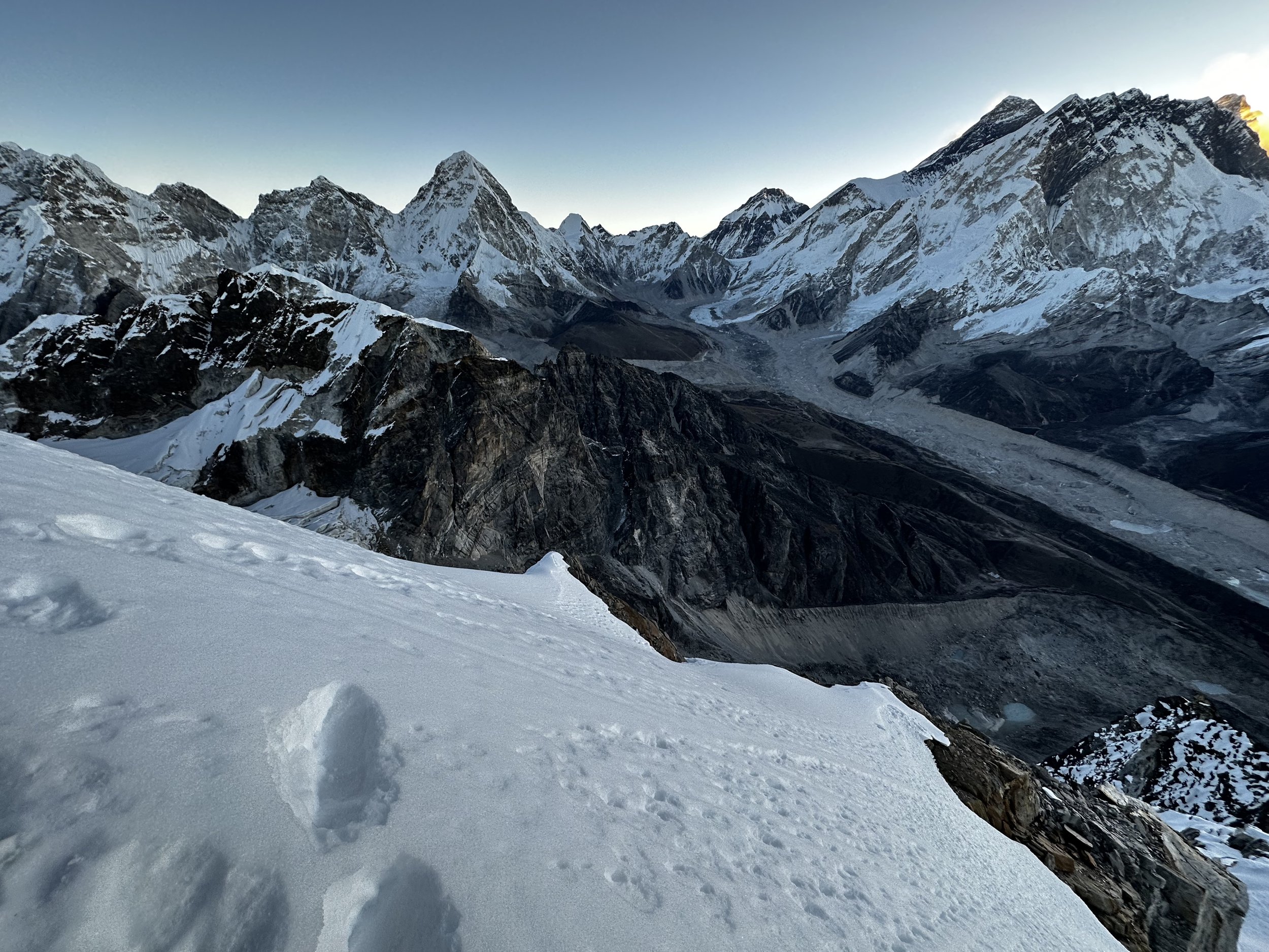
View to Mt. Everest BC and Pumori.

The pointy Mt. Pumori


Mt. Cholatse

Views west from near the summit. Lunag can be seen in the distance.

View south from near the summit. Tengi Ragi Tau glows in the light of the rising sun,

Menlungtse is on the right on the horizon.
Menlungtse and Jobo Rinjang low in the sunrise.

On the horizon are the peaks above the valley leading to the Teshi Labtsa Pass.

Kangtega, Tamaserku and Kusum Kangri
Chamlang and Ama Dablam
The teahouse of Dzongla is way down in the valley (blue roof is visible).

Lobuche Glacier and sunrise on Mt. Cho Oyu.

Mount Pumori

Closeup of Pumori

Sunrise on the summit ridge at 6.30 am. Everest, Nuptse and Lhotse and to the left of the rising sun.

Pumori, Kala Patar and Everest BC. This is the closest I got to the actual BC.

Closeup of the upper Khumbu Glacier


My Sherpa guide - Nimal Sherpa

Sunrise on Cholatse


The summit Ridge of the mountain
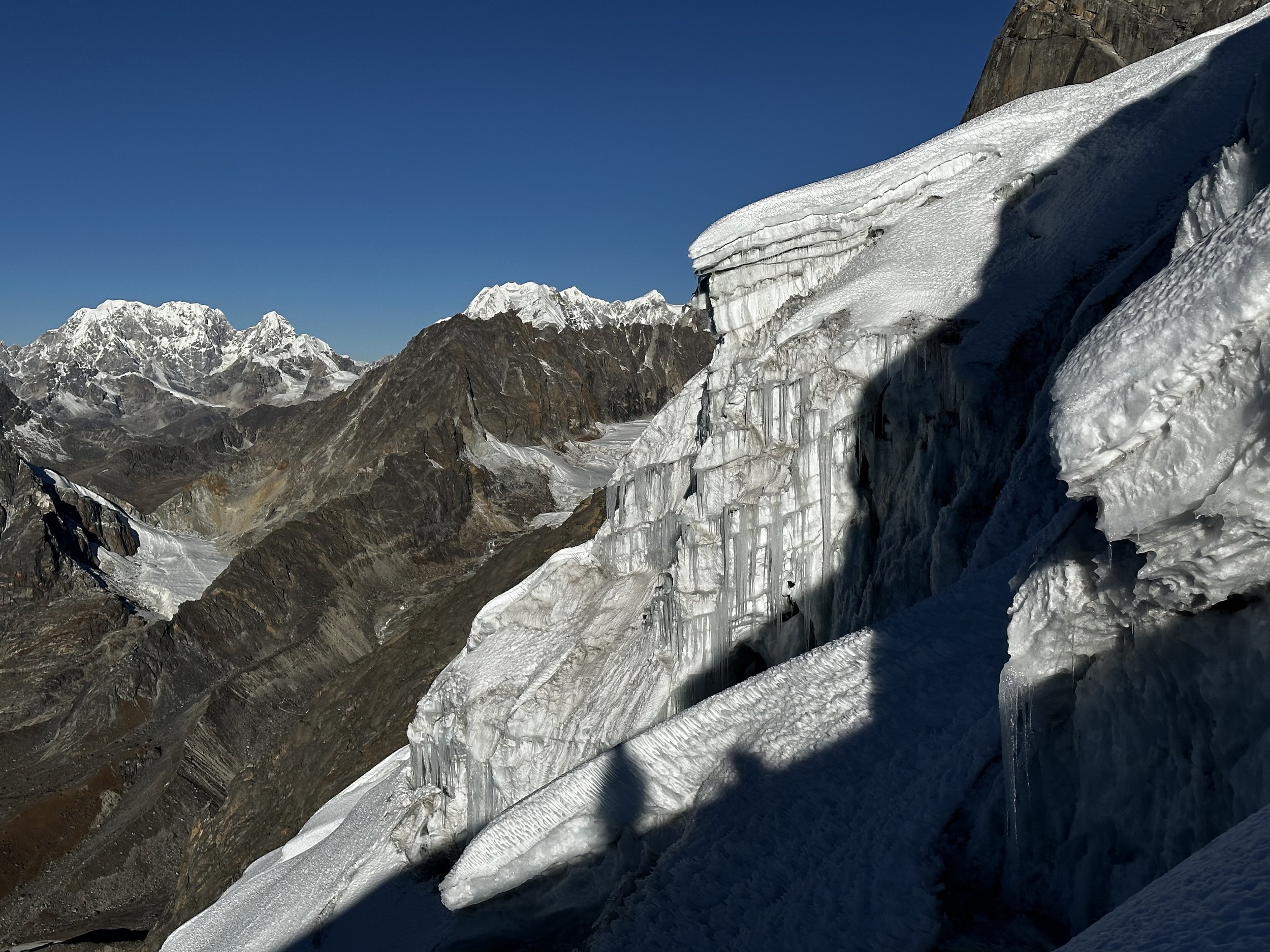
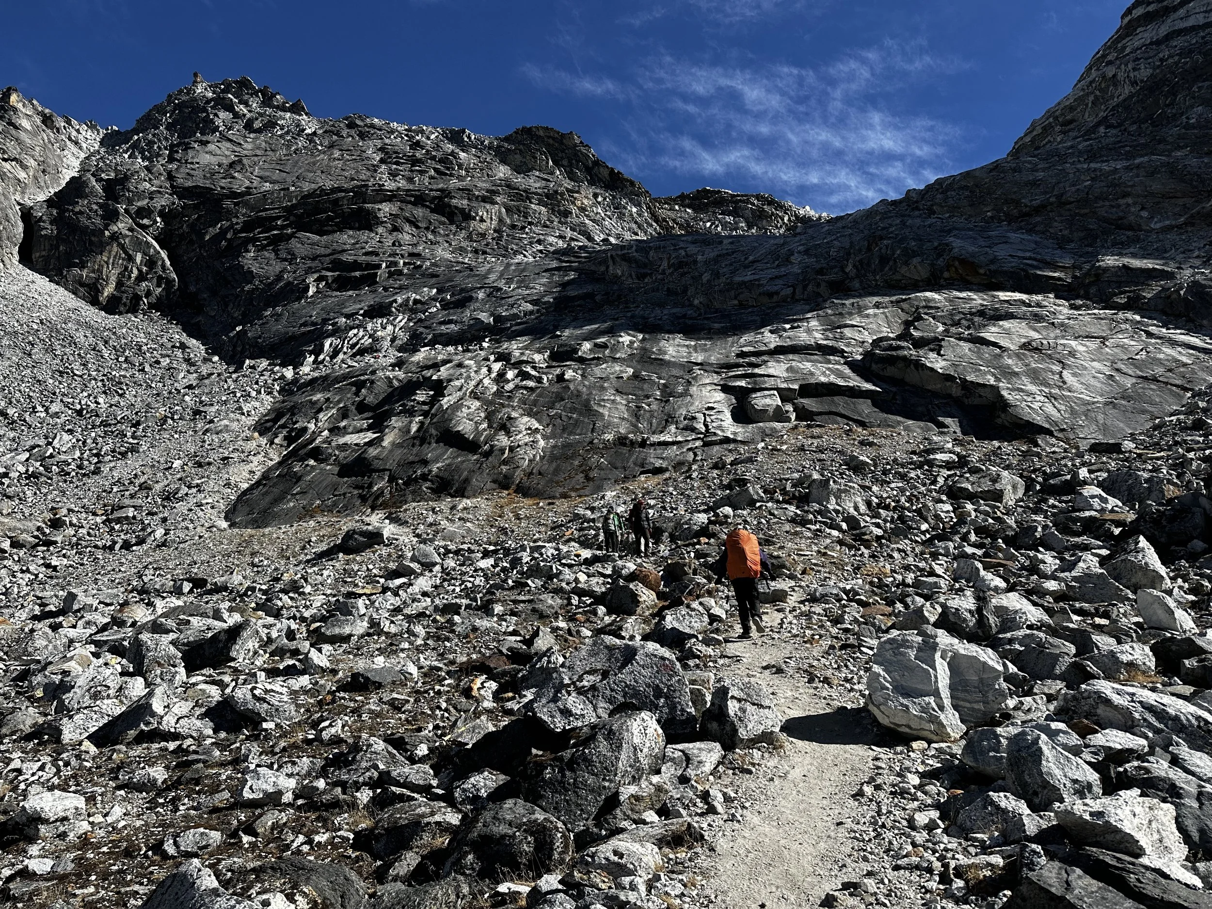
Typical glacier formations for this region of the Himalaya. Cho La Pass is on the left.


Views West. Cho La Pass is visible below.

This is the view from helicopter at roughly the same altitude
View West towards Rowaling and Manlungtse
Menlungtse


Views south down the Khumbu Valley. Pheriche is visible in the valley below.

The view of the Khumbu Glacier from the helicopter

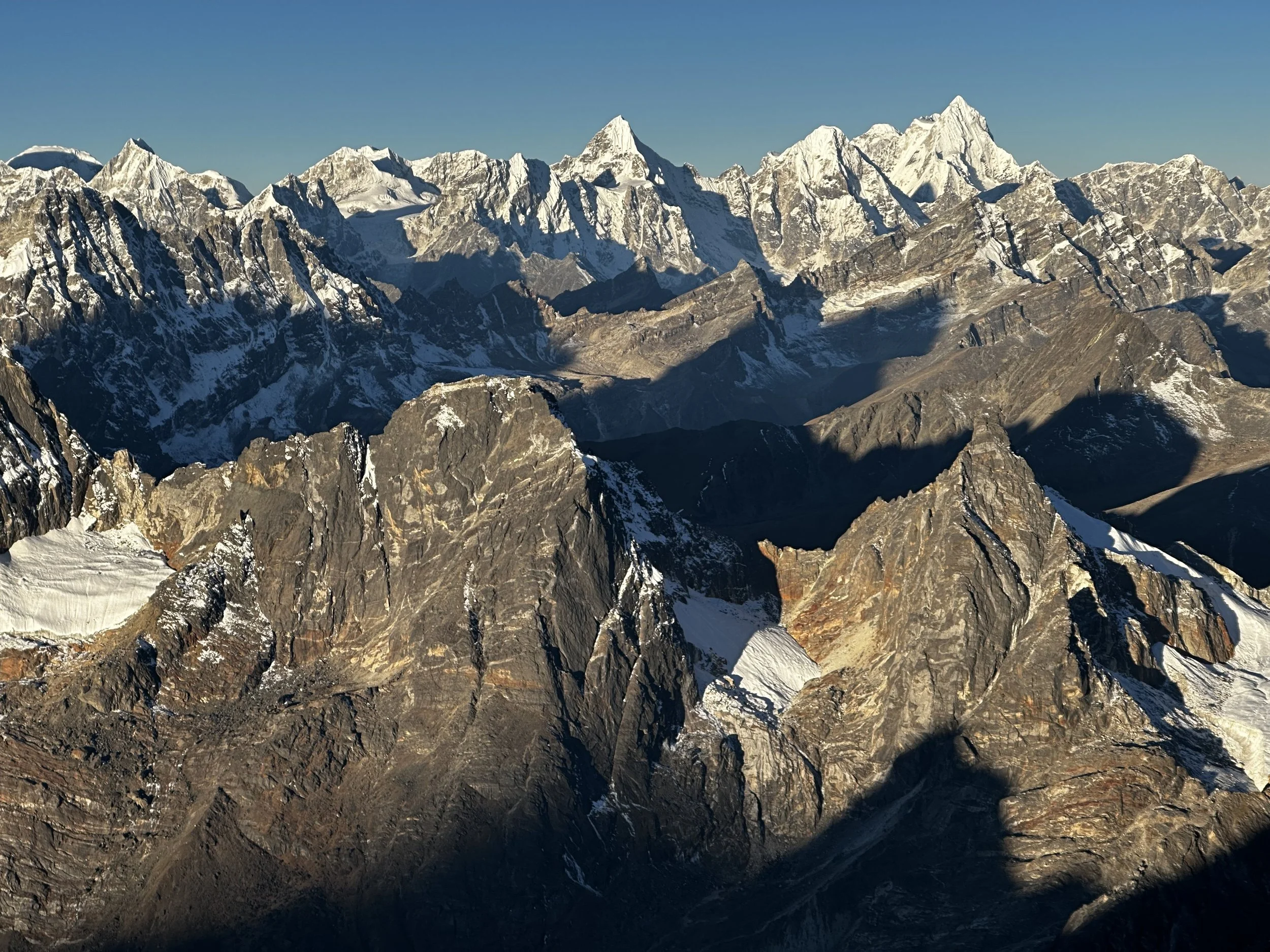
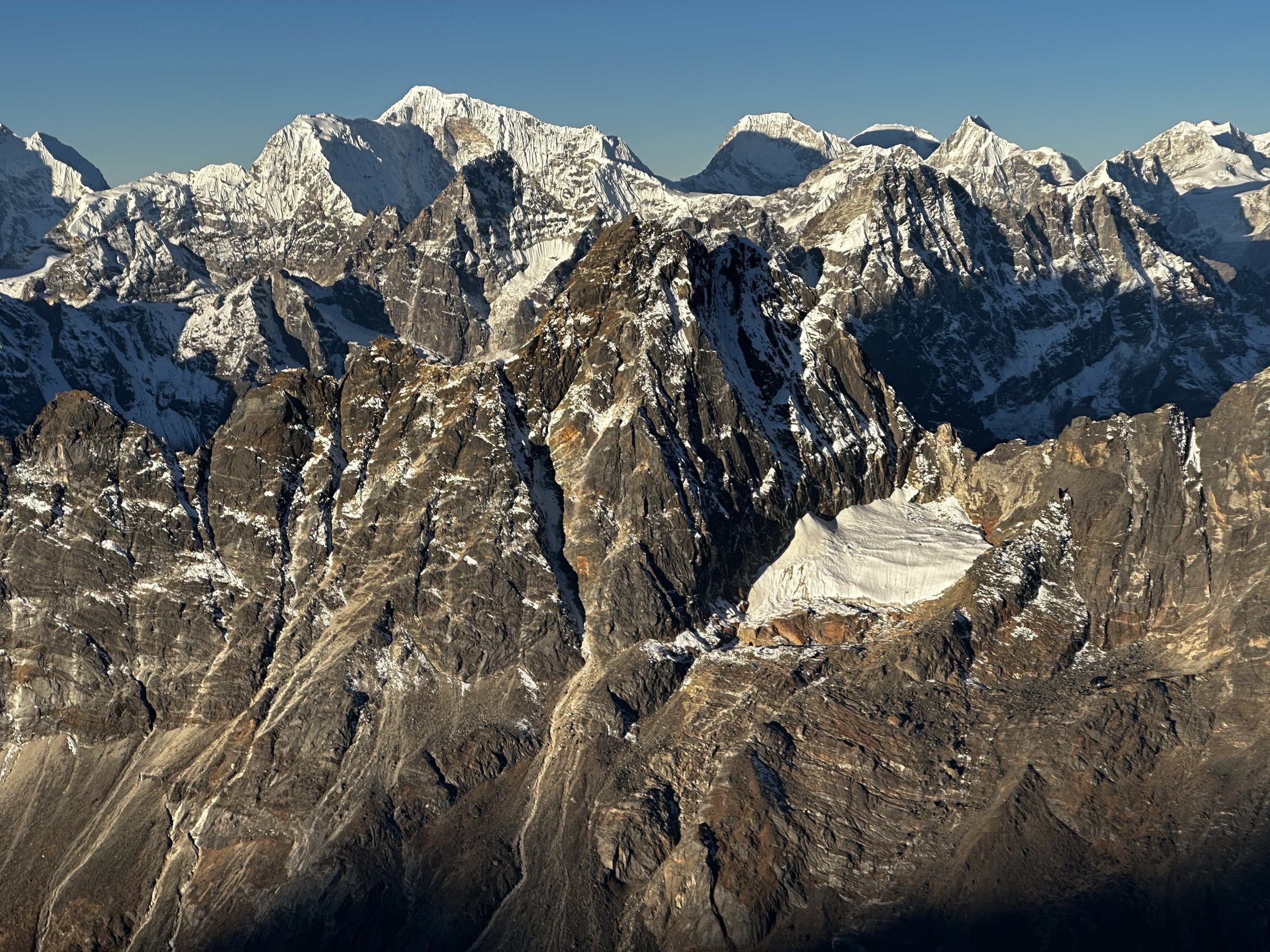
Mount Everest, Nuptse and Lhotse

Mount Makalu in the distance

Upper part of the mountain
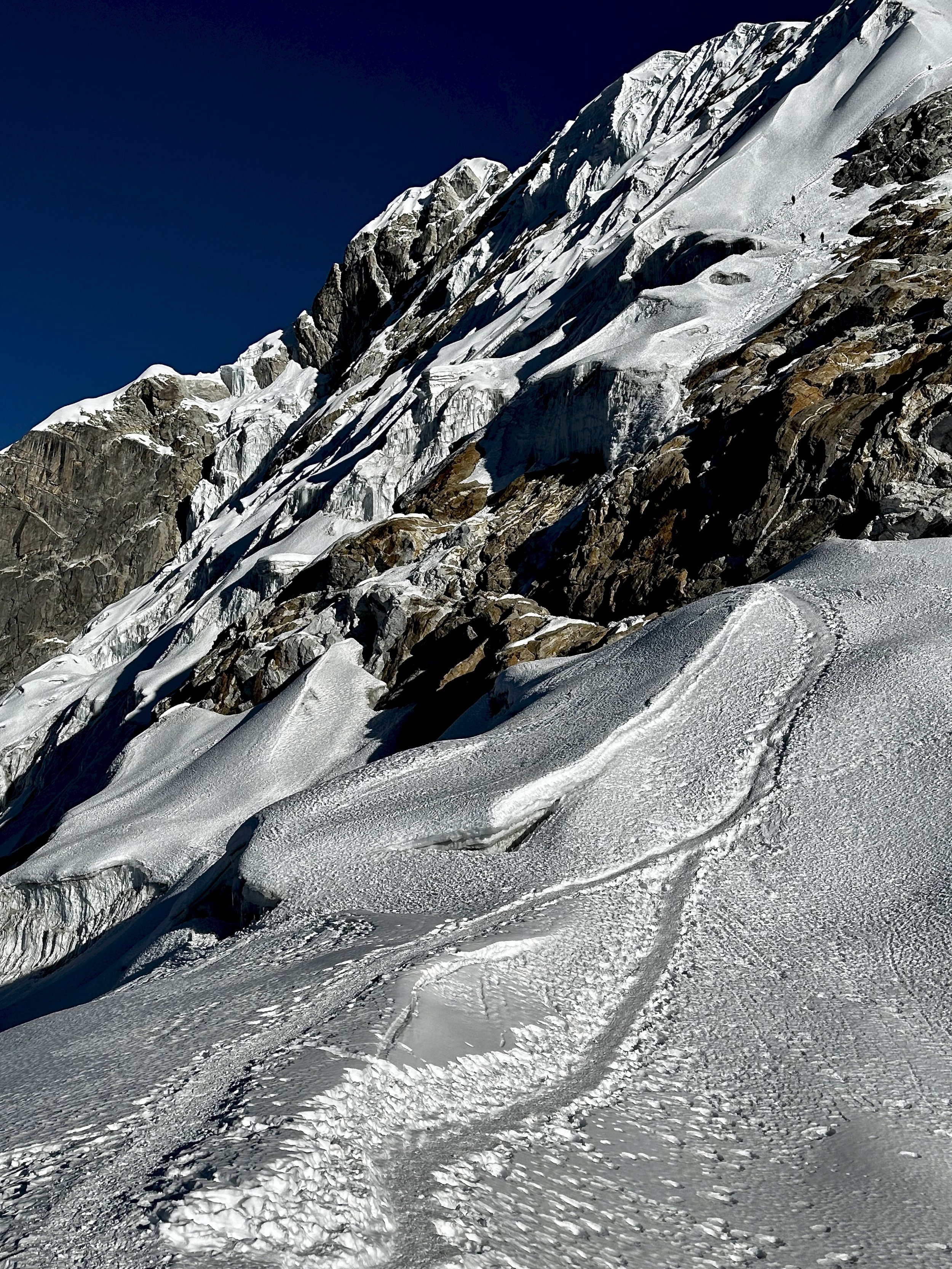
Upper part of the moutain. Give you the idea of steepness.
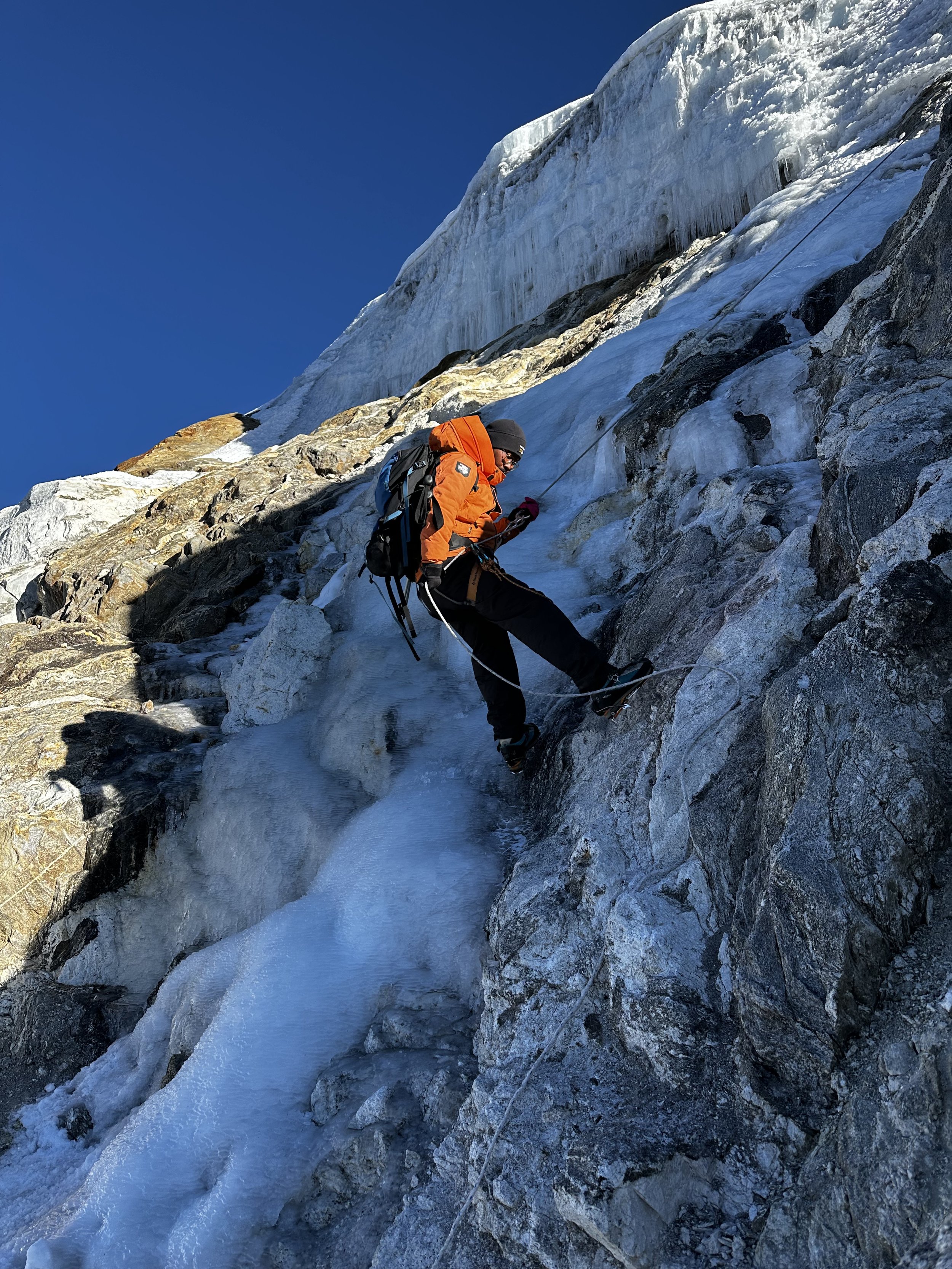
One of the more technical sections of the mountain


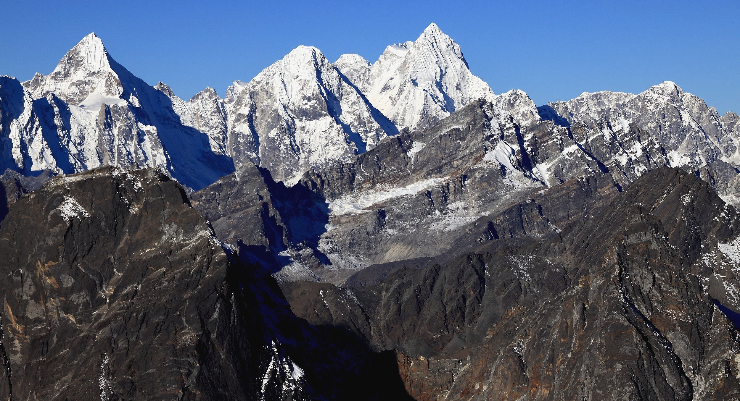
Everest, Nuptse and Lhotse


Steep wall of Lobuche and Pumori
High camp on Lubuche at 5200m

The high camp


Lobuche from Pheriche village

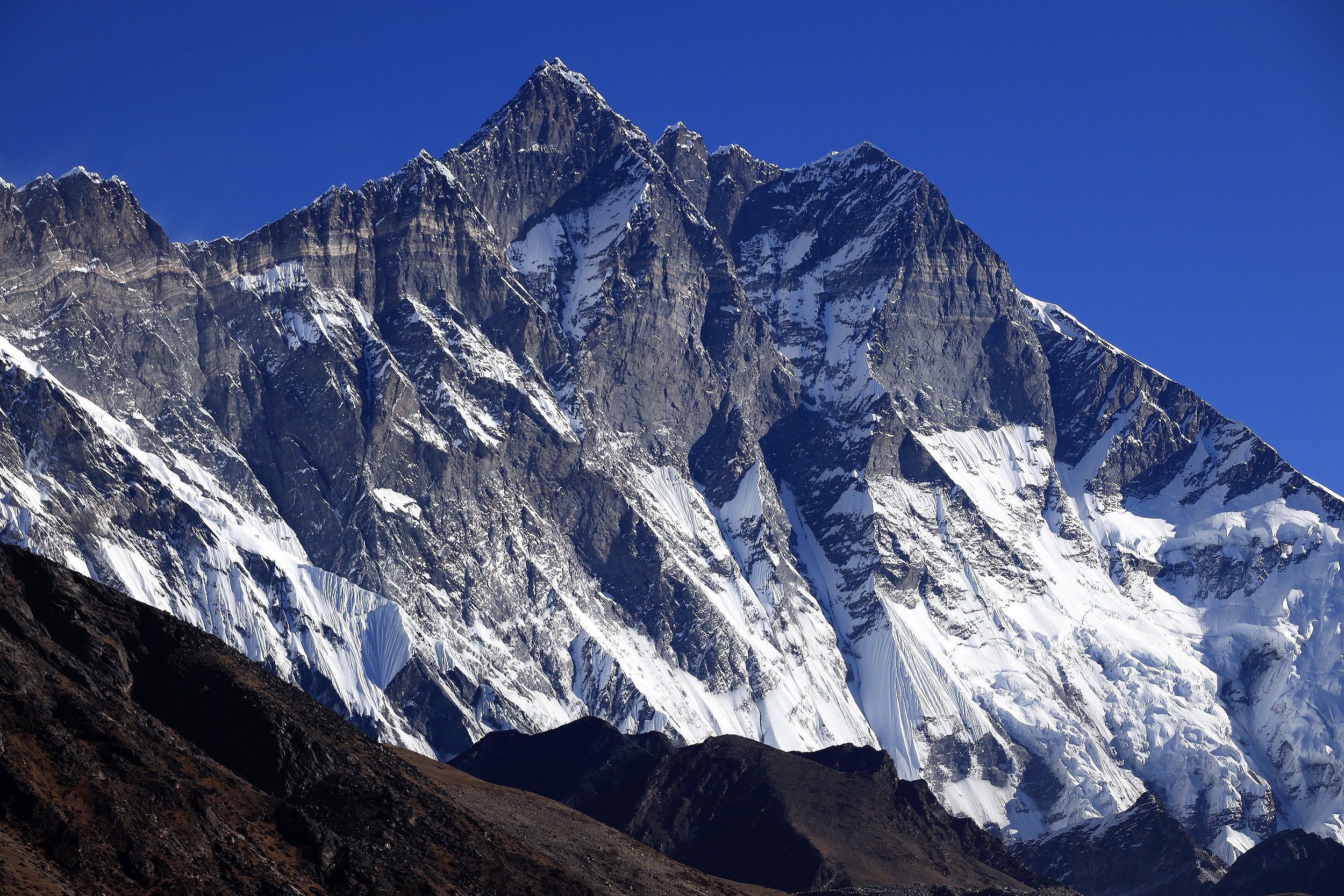
Lhotse Shar

Lhotse Shar
Ama Dablam