
Sermilik National Park is located at the northern end of the Baffin Island and on the Bylot Island amid an expansive landscape of glaciers and mountains rising from iceberg-dotted waters of the Arctic Ocean. Sermilik means the ‘place of glaciers’ in Inuktitut. Vast glaciers flow from an ice cap located in the middle of Bylot Island into nearby Eclipse Sound. Our goal was to climb Mt. Thule and some other unclimbed peaks along the Simirlik Glacier and to explore the Bylot Island's vast glacier system. Our group consisted of David Holberton, David Reed and me. We hired Shaty, and Inuk from Pond Inlet, to take us across the Eclipse Sound.


The map is from the ACC Journal. This is not our ski expedition but we trekked in the same area between the Sermilik Glacier/Mount Thulie and Koperoqtwlik Glacier.

Pond Inlet on the north side of the Baffin Island


Pond Inlet with the Bylot Island in the distance - our destination


Pond Inlet


Leaving Pond Inlet for our Bylot Island exploration


Landing on Bylot Island


Sorting our food for the next two weeks

We decided to follow the Sermilik Glacier and climb the highest unnamed mountain on the horizon. We were probably the first people that climbed it.


This is an areal view of the glacier and the mountain we climbed. The peak is the highest one in the background on the center-right. As far as we knew no one has climbed it before us. Since I was the first on the top, I named it using my Chinese name Fugoy Fang. (photo credit unknown)


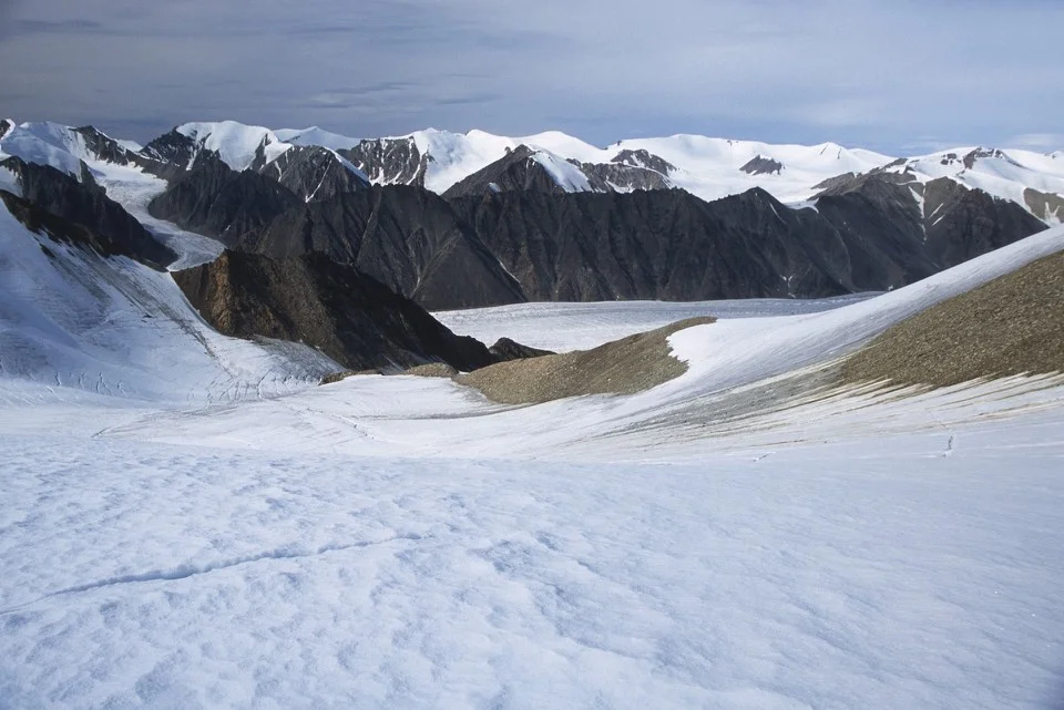
Massive glaciers and unclimbed peaks
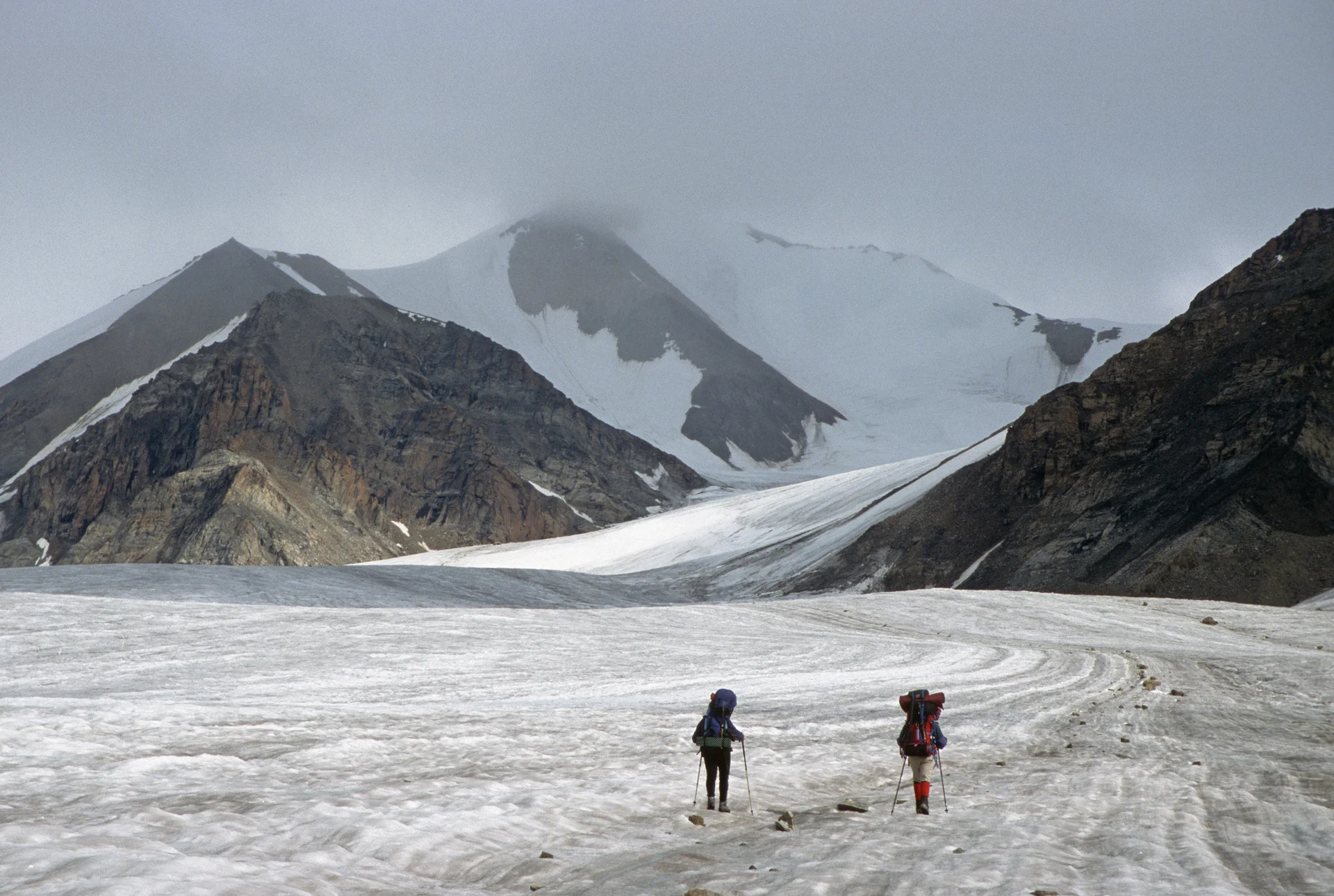
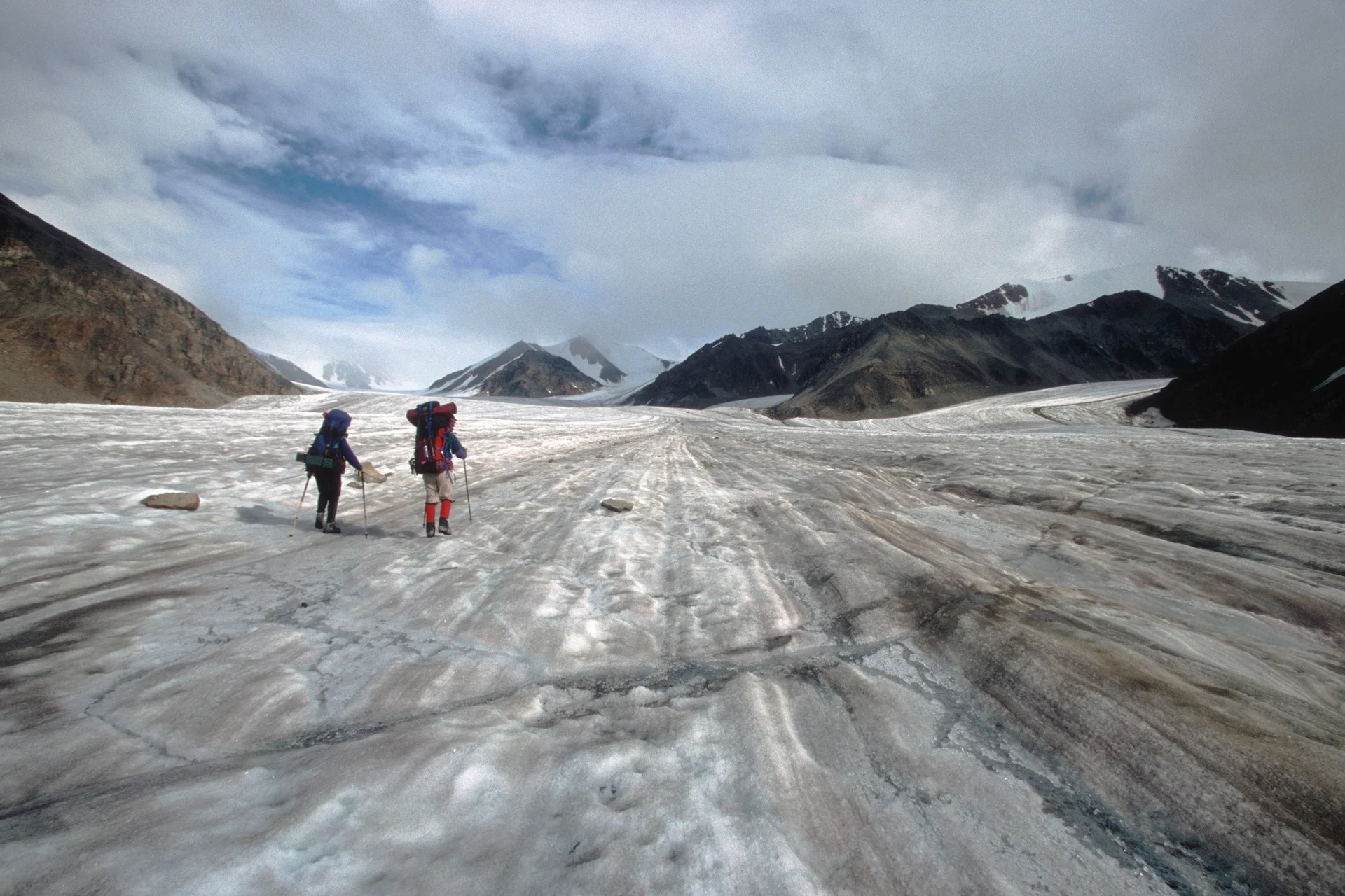
Our objective is now directly ahead hidden in the clouds.


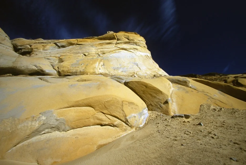
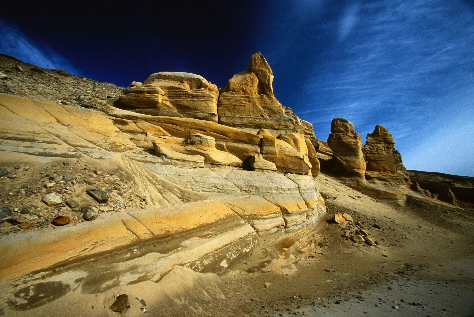
The scale of the terrain is very grand. It is deceptive since there are no reference points.


Photo by David Holberton


We crossed an unnamed mountain pass to access a large glacier system


Glacier rivers

Glacier rivers- deadly if you fall in


Massive Sermilik Glacier flowing from the centre of the island
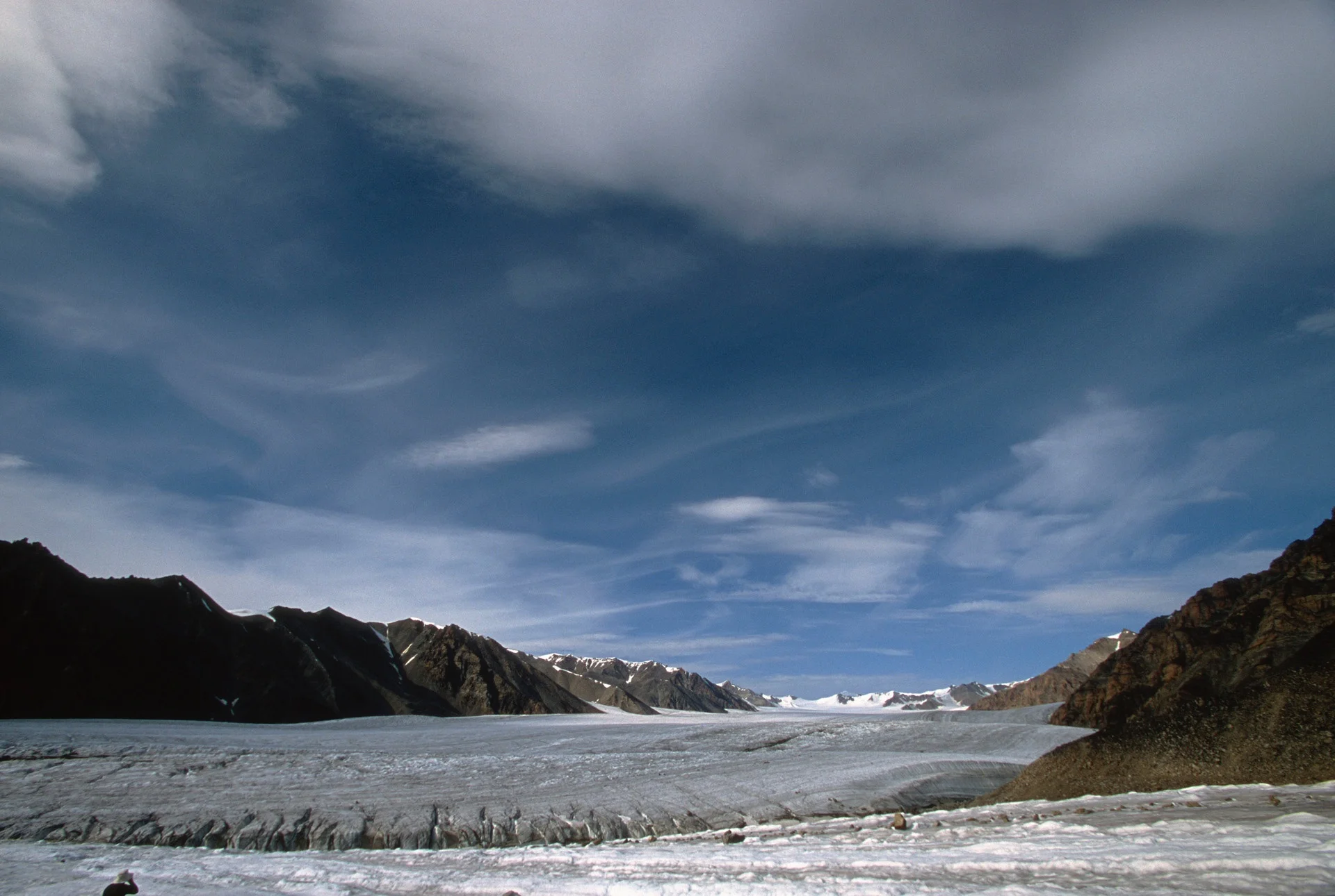

Sermilik Glacier


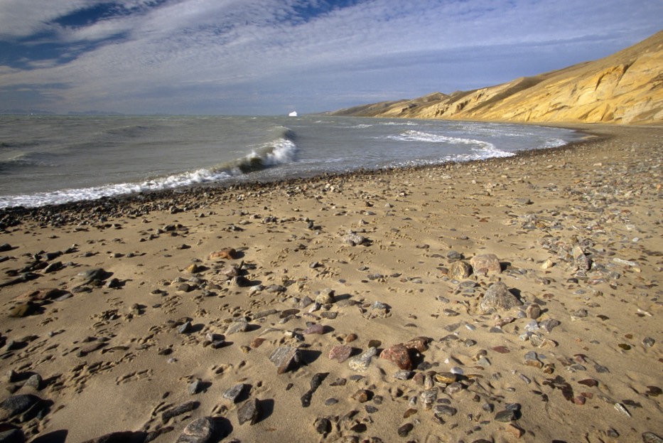
A large river flowing into the Arctic Ocean from the massive Sermilik glacier


Preparing to ford a river


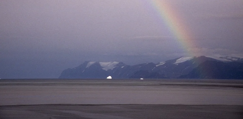
Eclipse Sound


Pond Inlet


Canadian Army in the North in Pond Inlet. They get a cool looking t-shirt and maybe a gun.