Oh Ecuador - what a lovely country! Great people! Awesome food! And…wild weather with unpredictable patterns and useless forecasts. For mountain climbing, my reason to be here, the weather plays a major part. So, it took me a while to accept the reality of being on the equator and just surrender to the weather patterns and not expect anything.
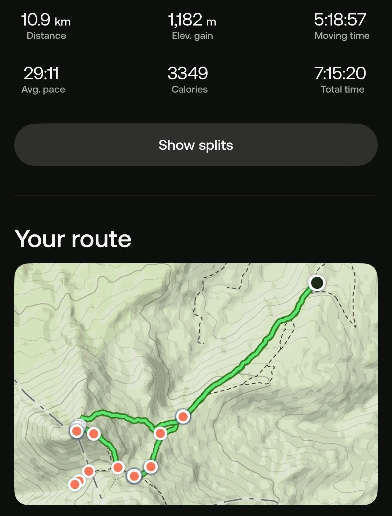
In order to prepare for Chimborazo, I started with the Condor trek (basically Cotopaxi to Antisana). During the first night on the trek, at 4000m of altitude, the cook developed severe altitude sickness and we had to abandon our plan. We returned to Cotopaxi and evacuated the cook to the local hospital. This change of our plan led to the Ruminahui and Iliniza Norte climbs. Also fantastic for acclimatization. Of course, the weather was less than ideal on both. No views. I pressed on as these were just acclimatization outings.
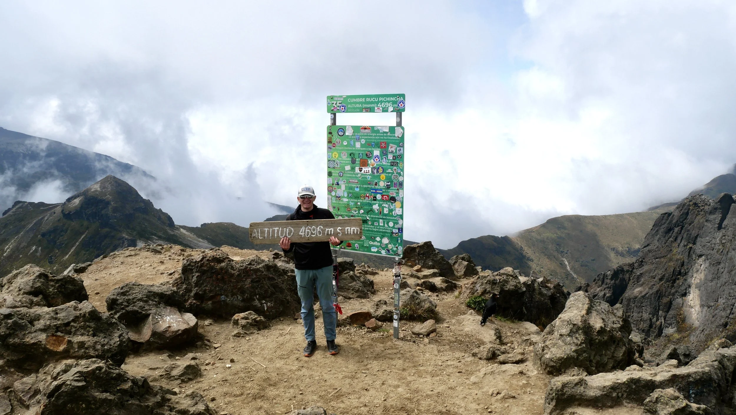
I went up Rucu Pichancha after climbing Chimborazo as a windup hike. I really enjoyed it! I spent the entire day in that area. By that stage, I was so well acclimatized that I could do the entire hike in 2 hrs return.
What I loved about Ecuador climbing was the ability to return to Quito after each climb, eat great food, drink plenty of fresh juices and sleep at low altitude. This helped my energy levels immensely and made the recovery fast and effective. Definitely a lux experience!

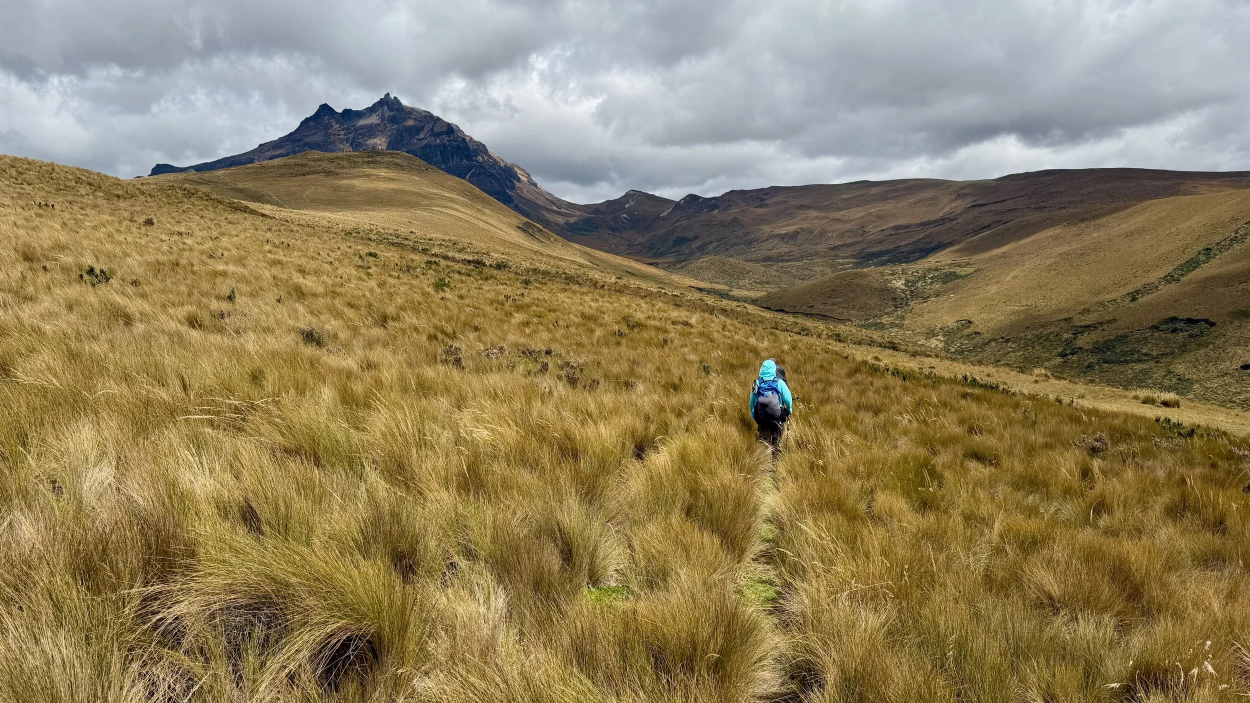
The start of the Condor trek at 4000m
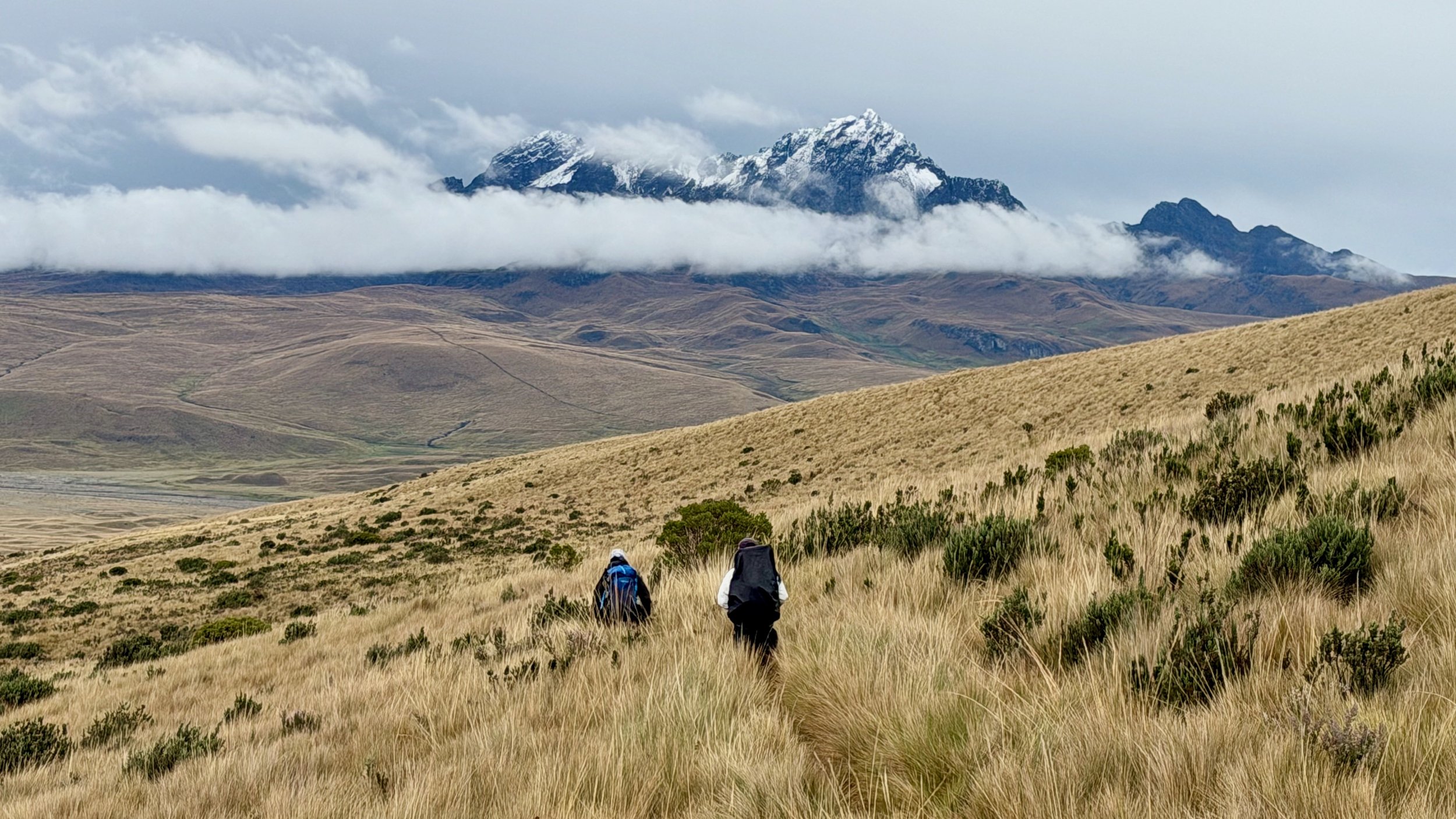
The first and last camp of the Condor trek
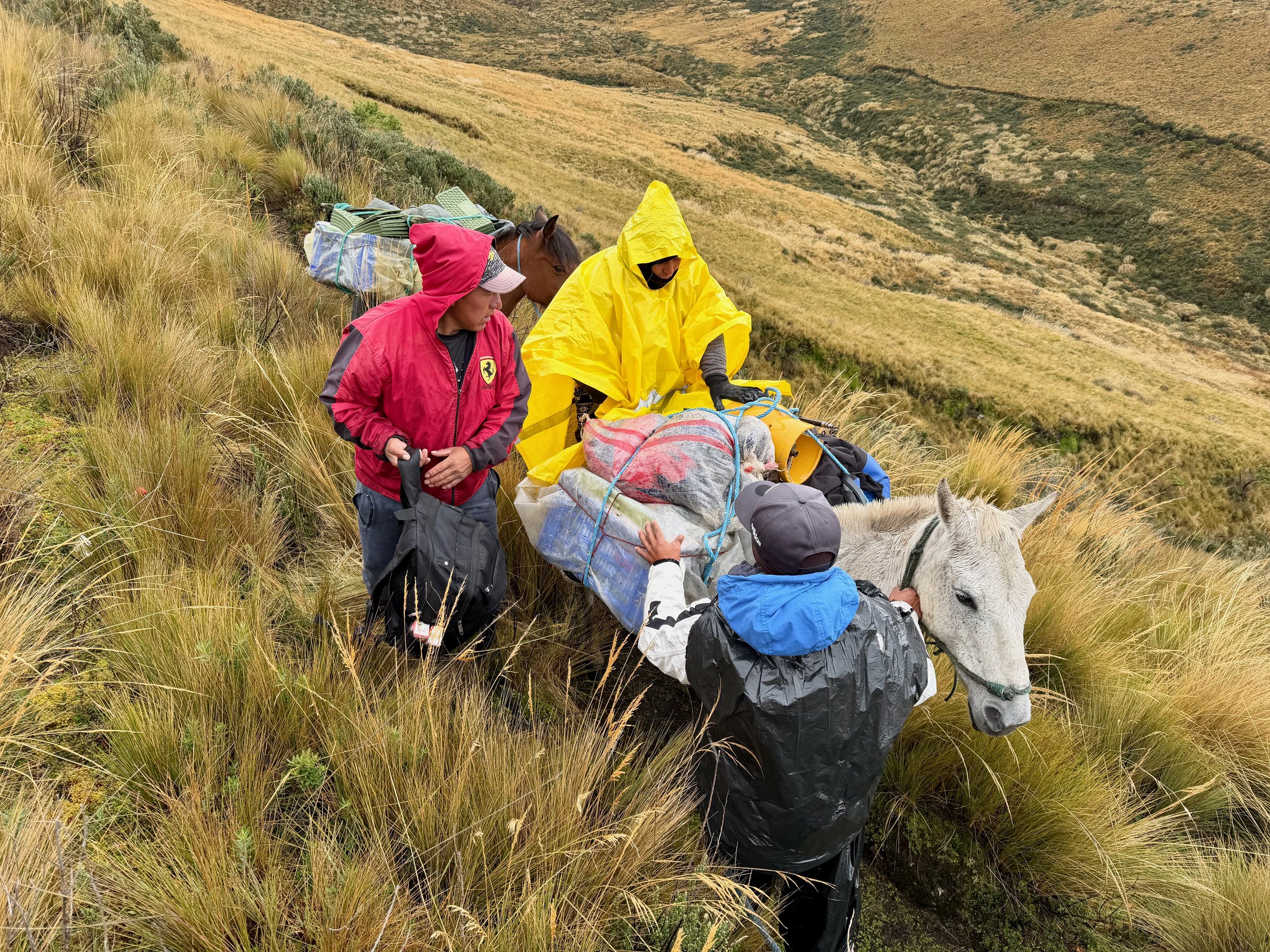
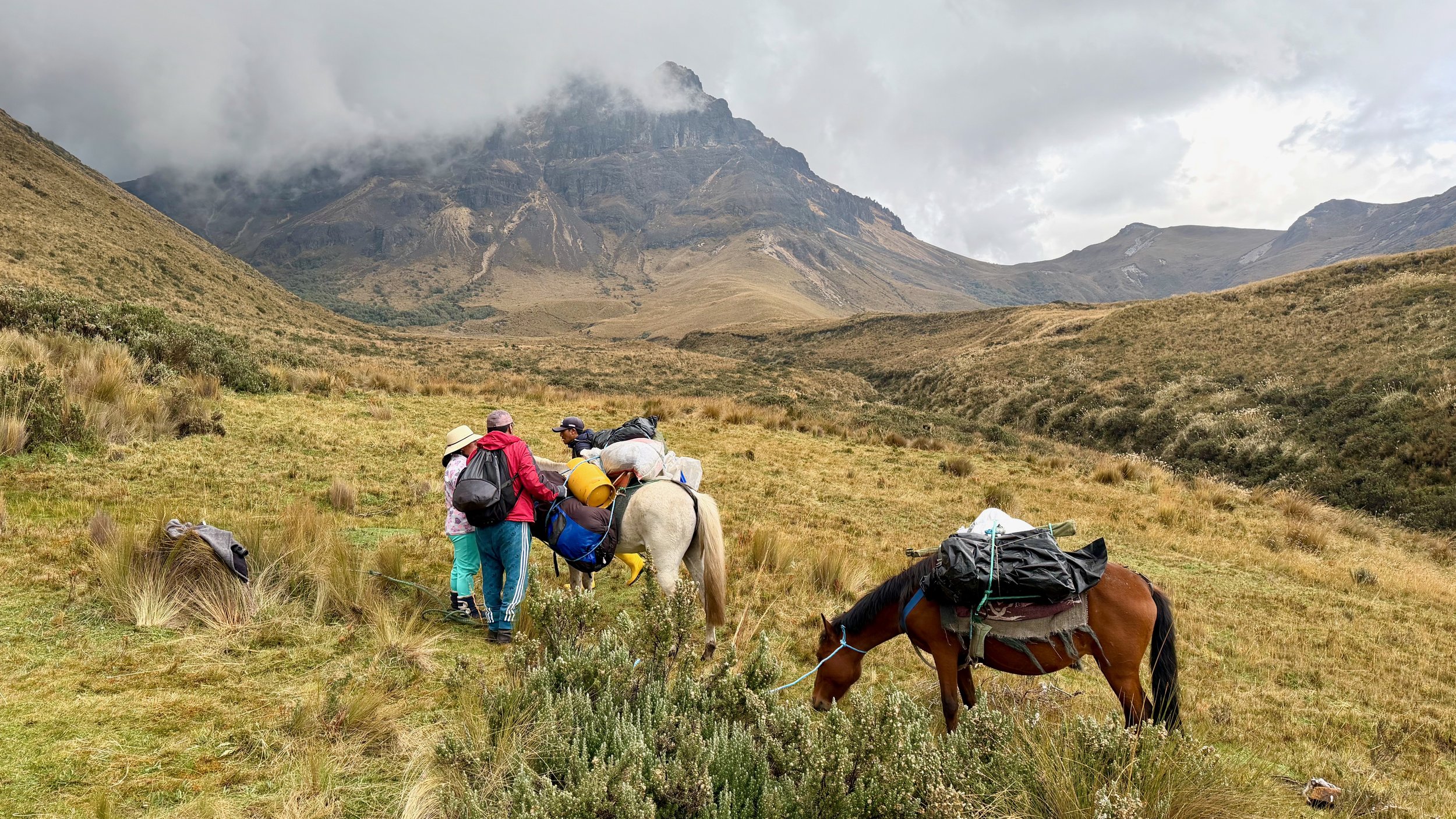
We had to evacuate the cook lady due to severe altitude issues.
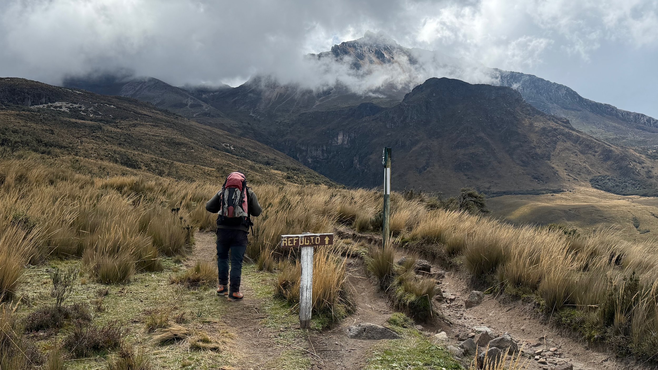
Walking back with Ruminahui int he distance.
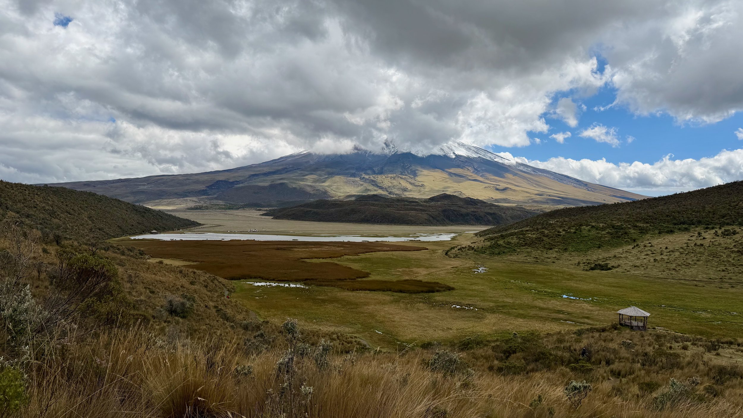
View of Cotopaxi from the trailhead for Runiahui.
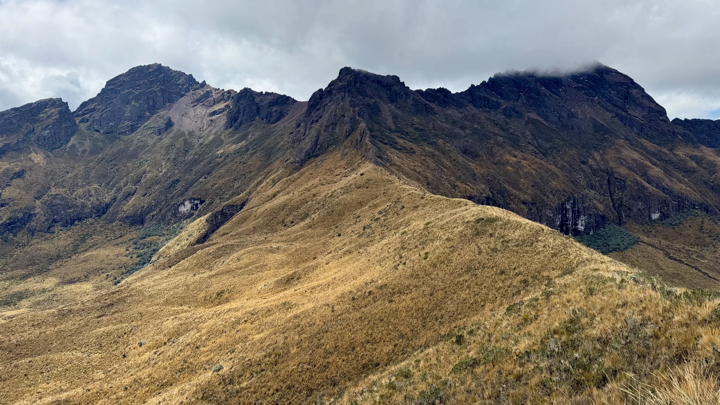
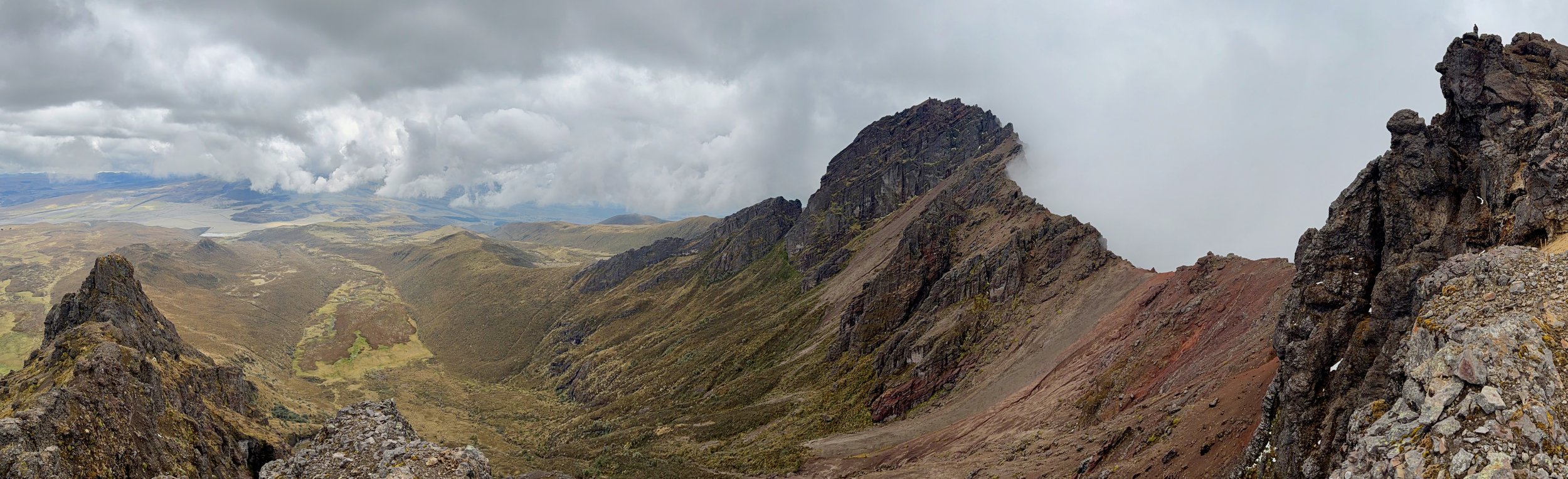
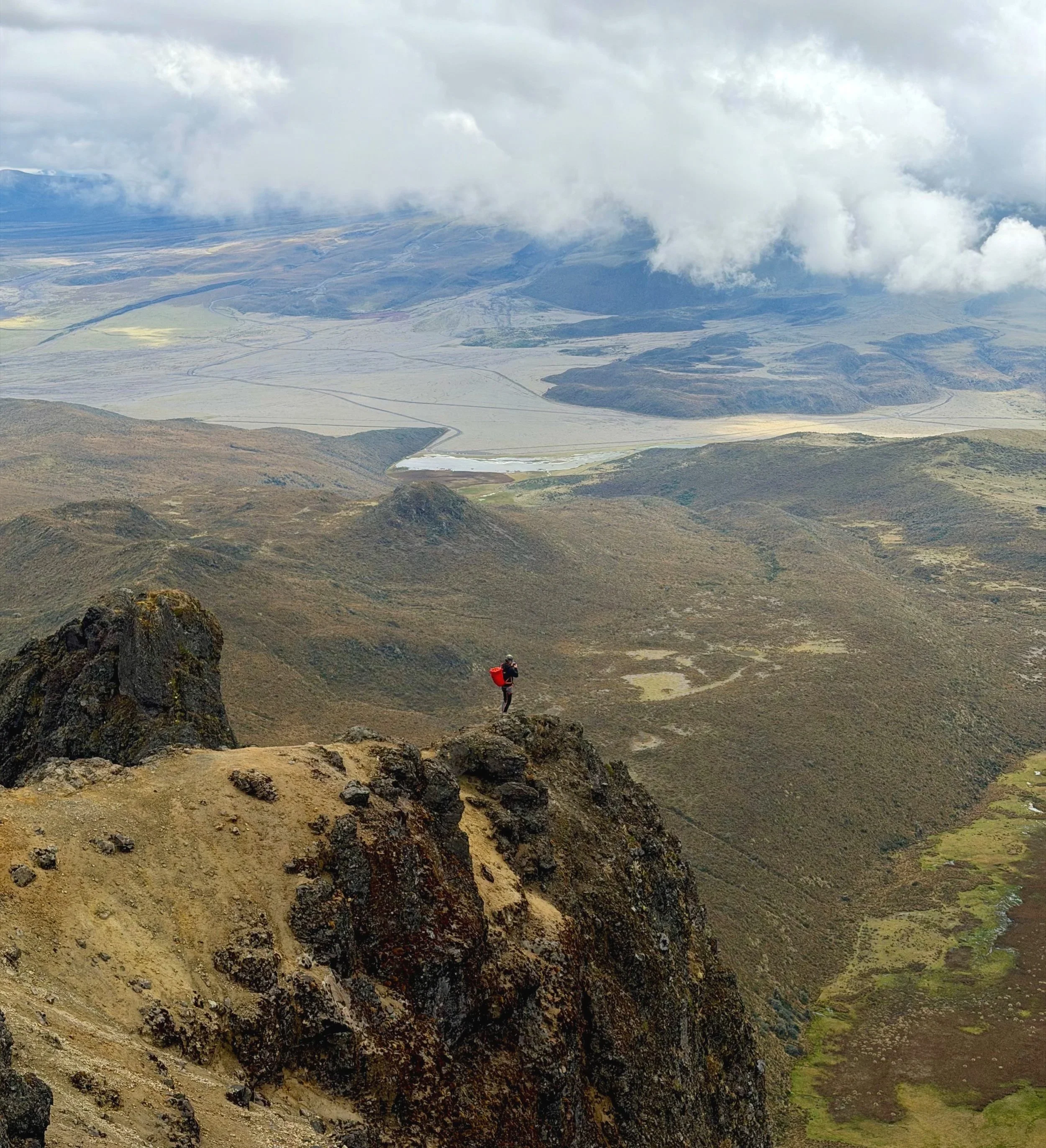
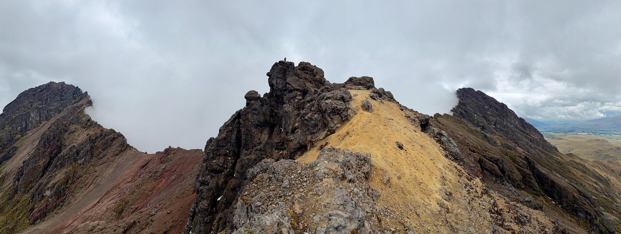
The ridge leads to the summit of Ruminahui. A fun scramble in beautiful surroundings,
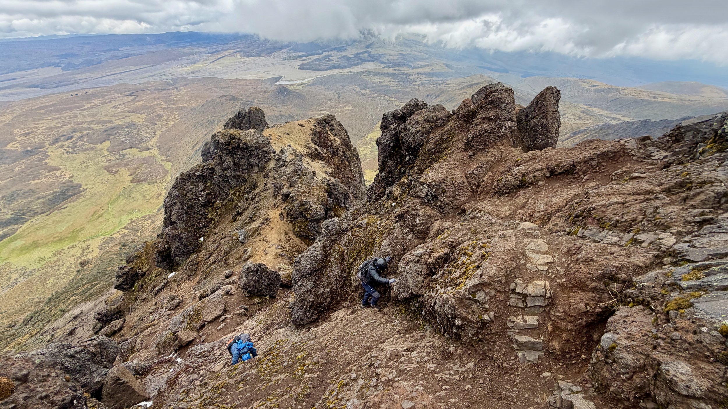
The trail gets steeper near the summit. It was quite easy though.
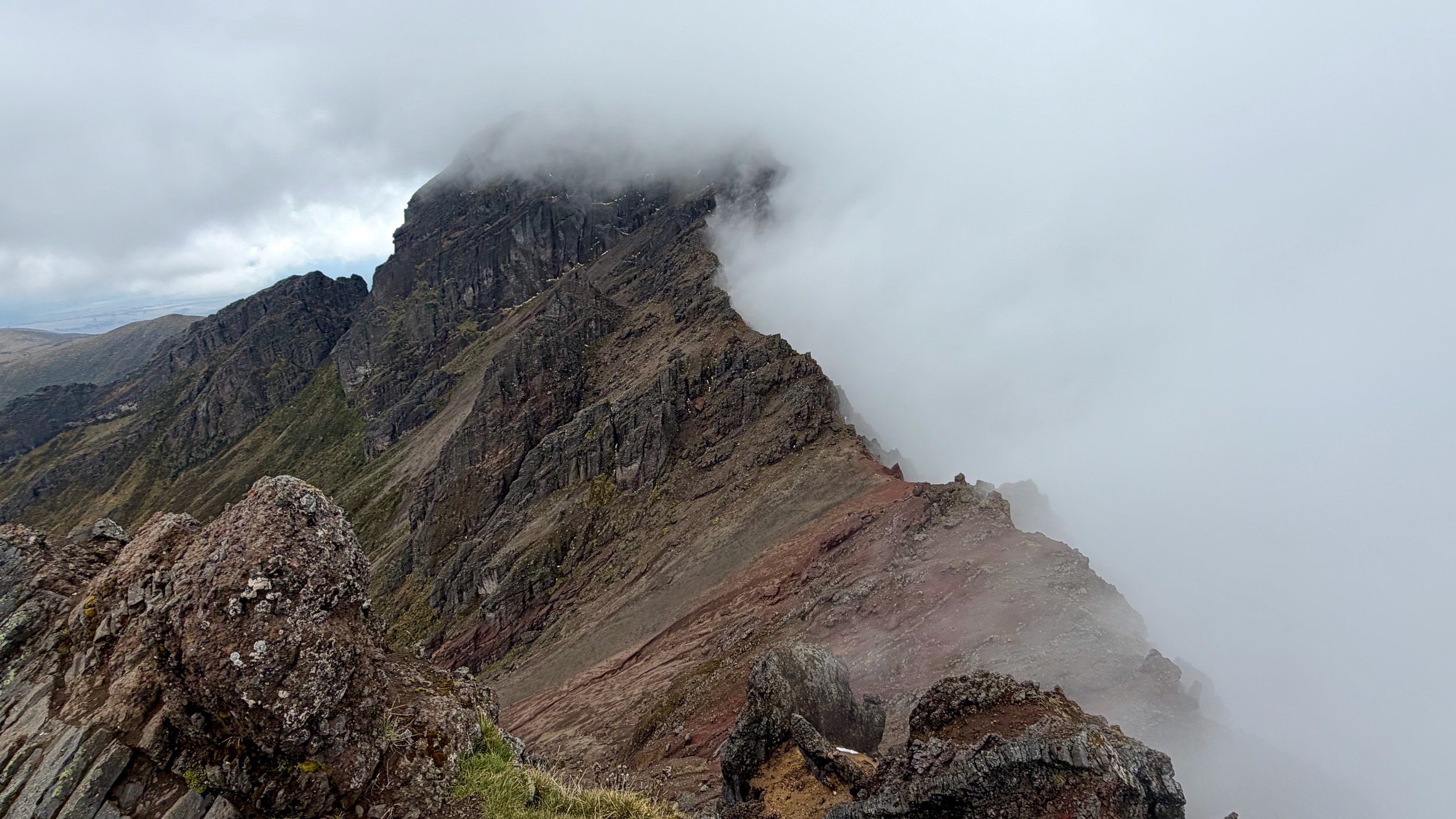
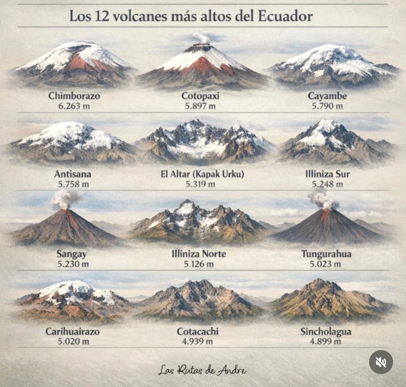
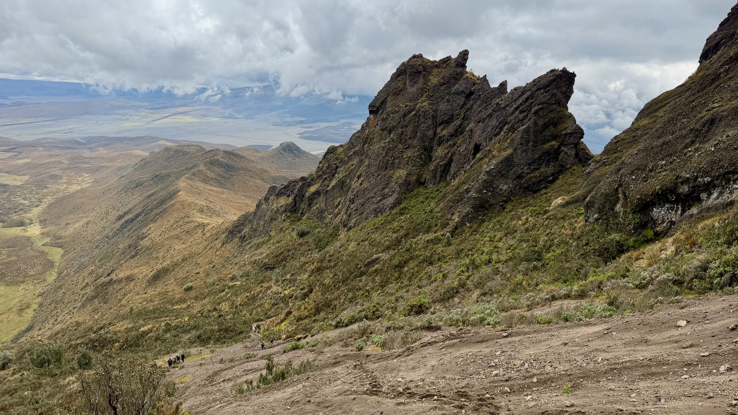
The middle summit offers nice view of the other two volcanic summits. It is a collapsed caldera. It is located across from Cotopaxi so too bad for the clouds.
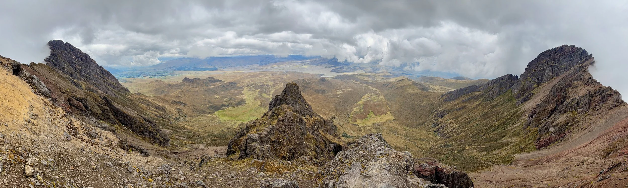
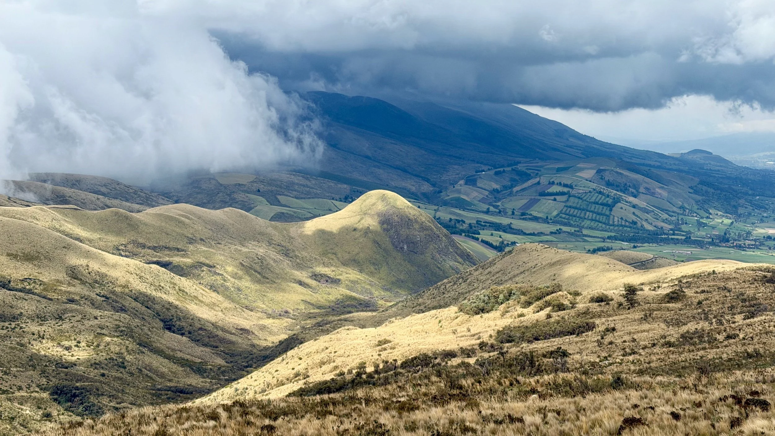
Nice view of the Andean highlands from the summit.
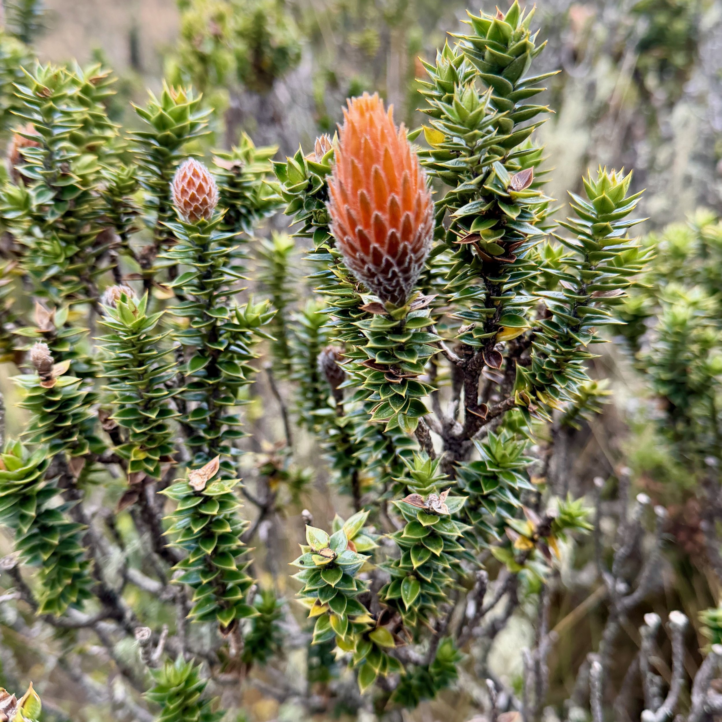
The Andean plant that is characteristic of Ecuador Andes.
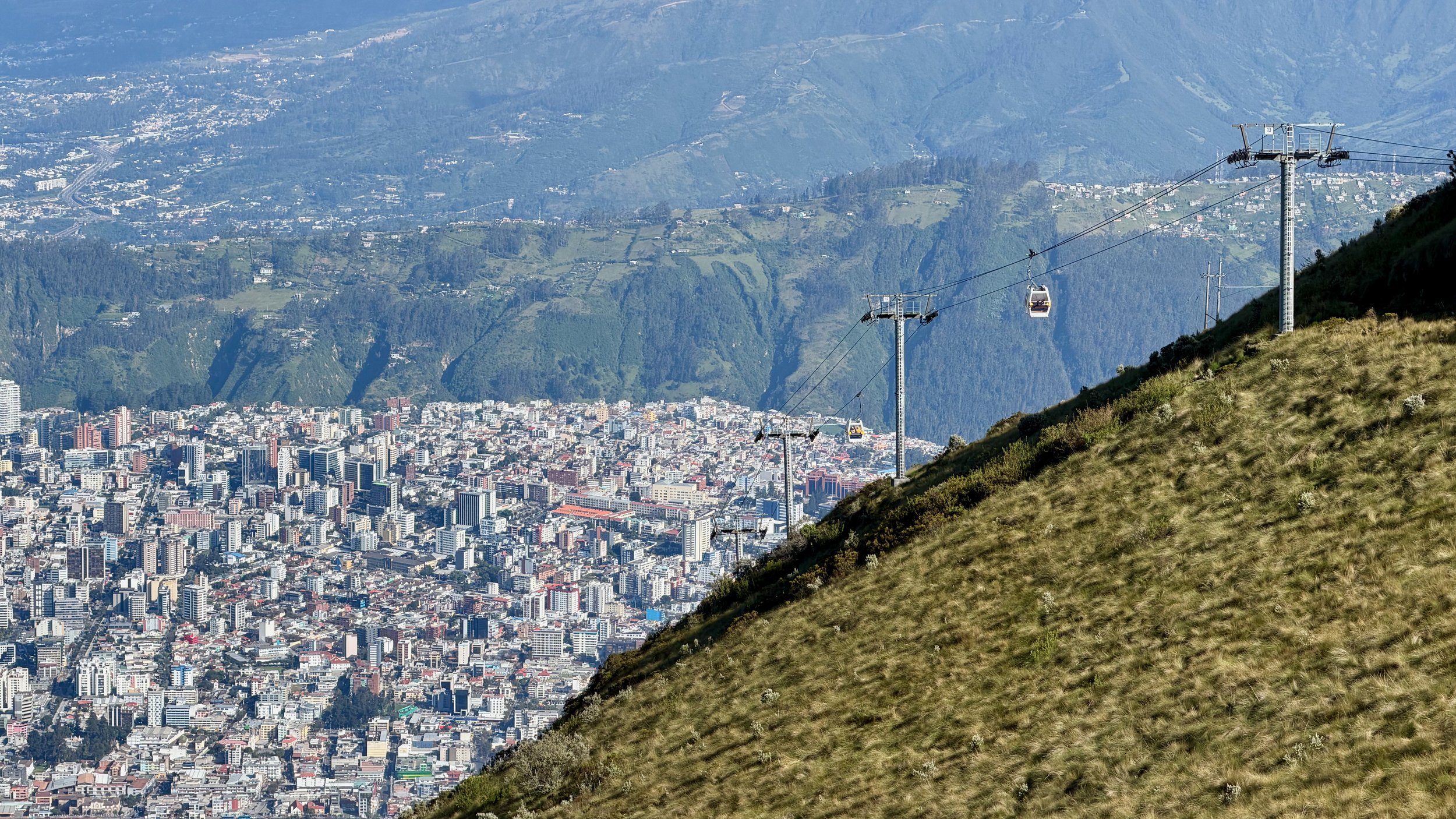
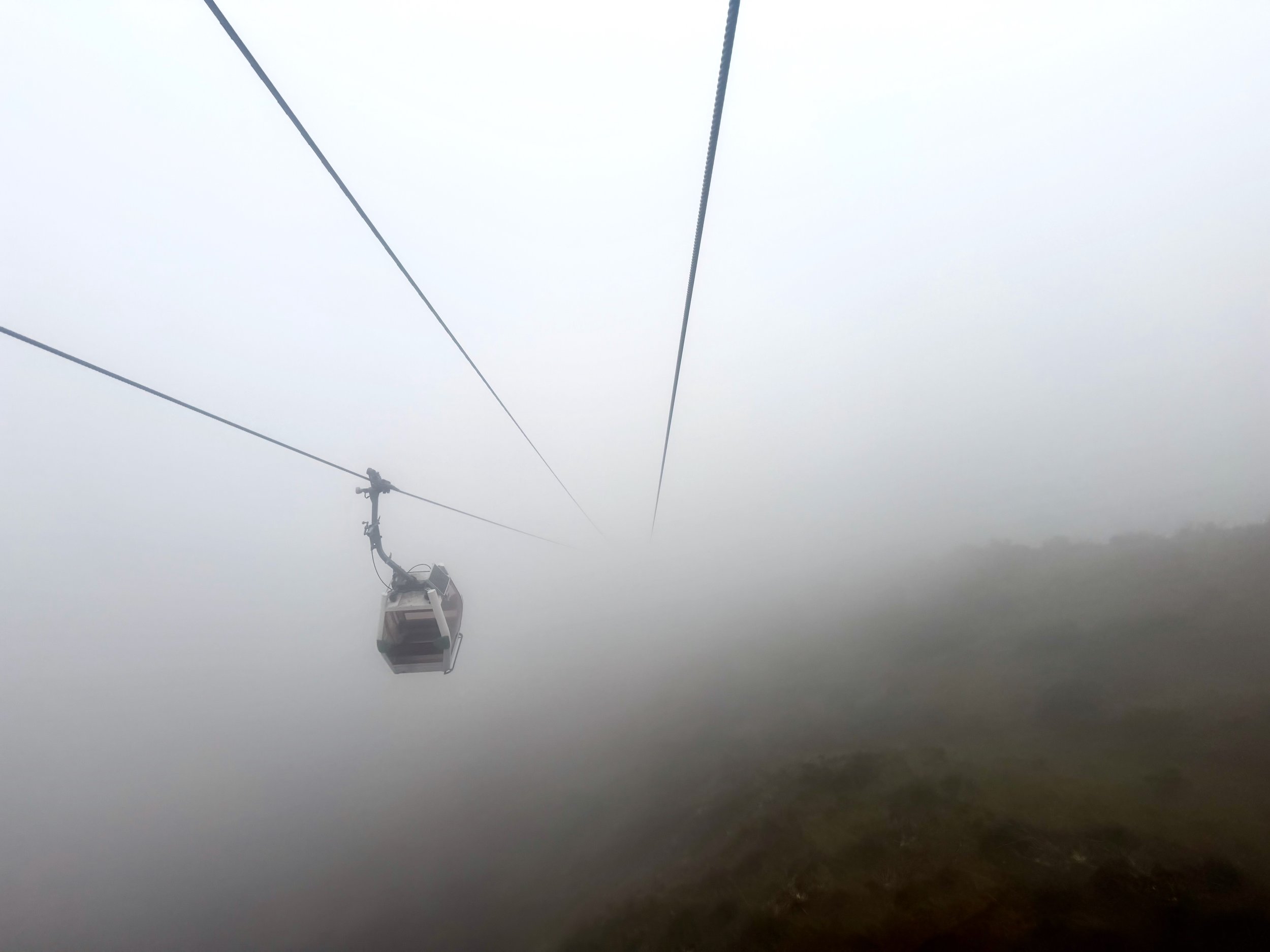
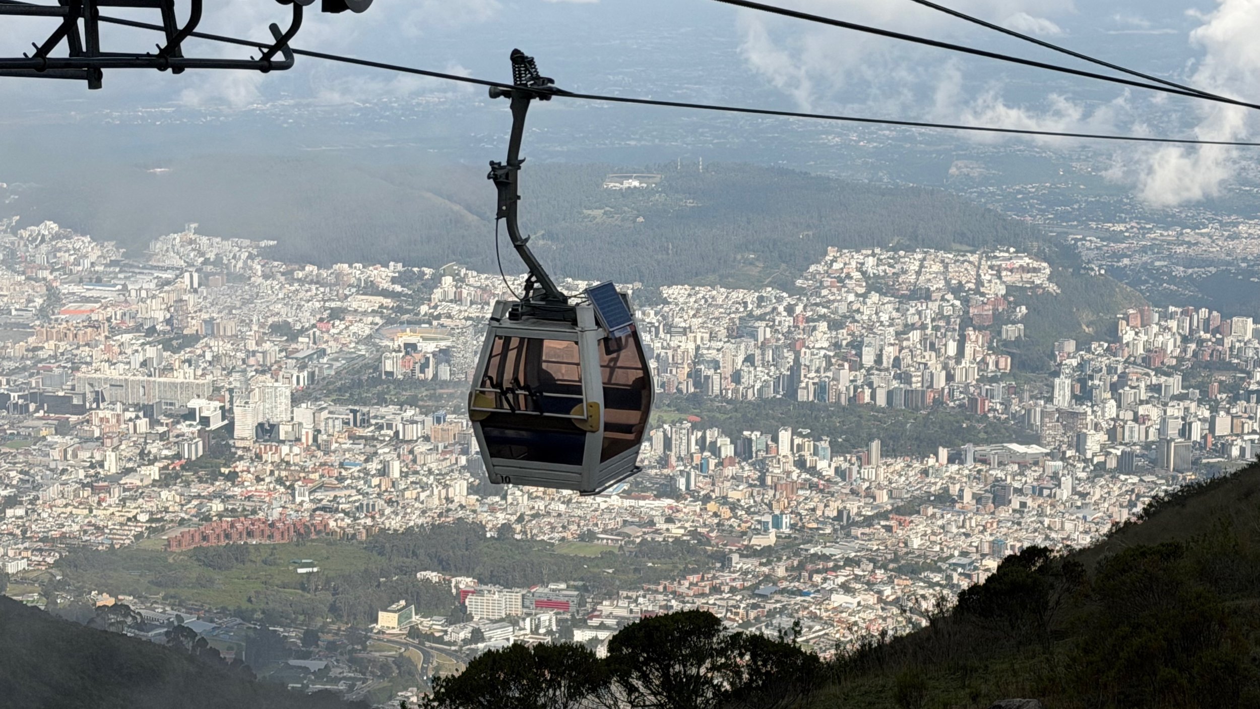
The teleferico takes you from Quito to 4000m, the starting point for Rucu Pichincha hike. The ride is 18 minutes long with fantastic views of the city.
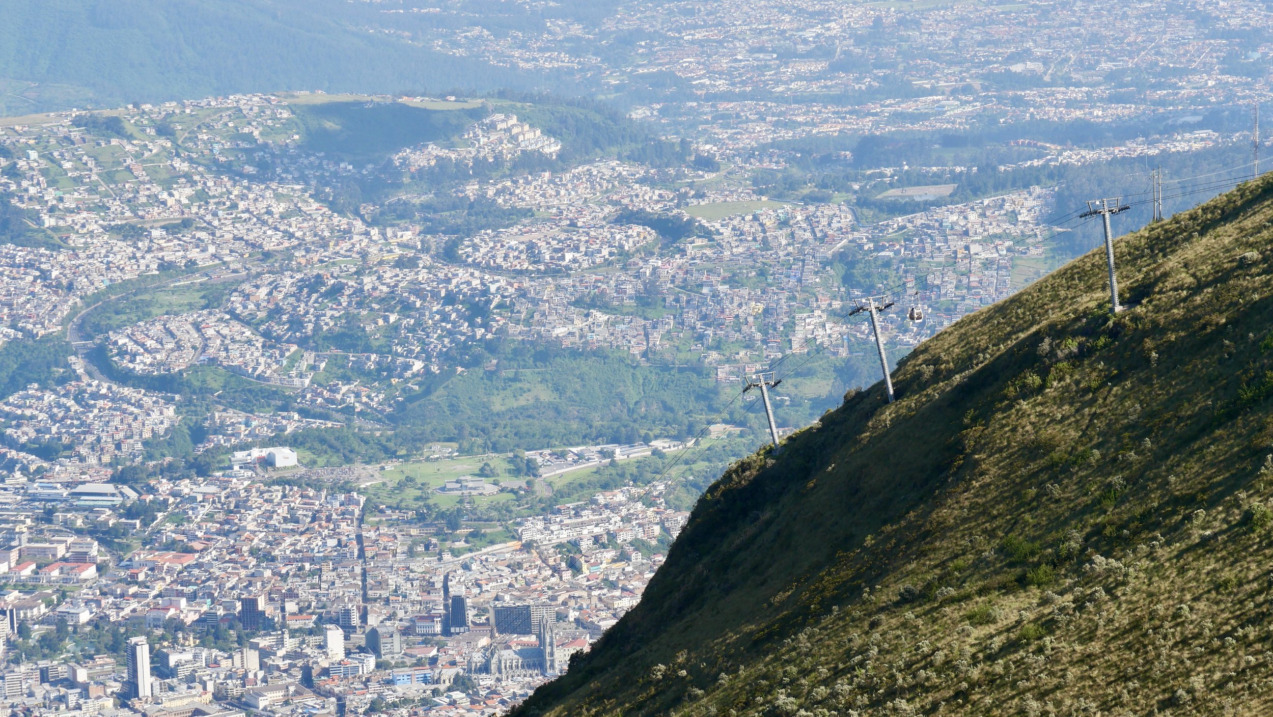
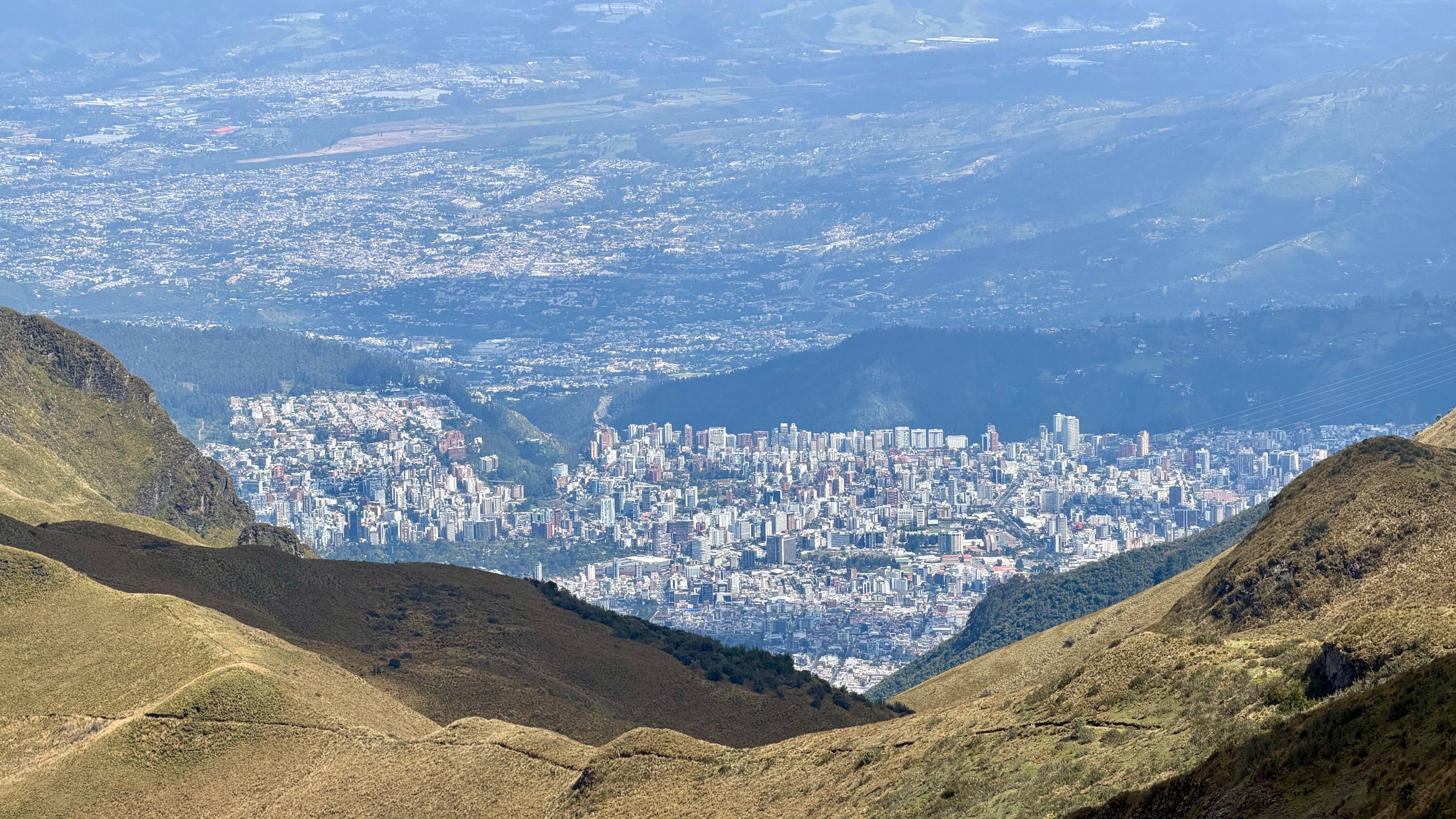
It is truly a wild city - dense, spread out and beautiful.
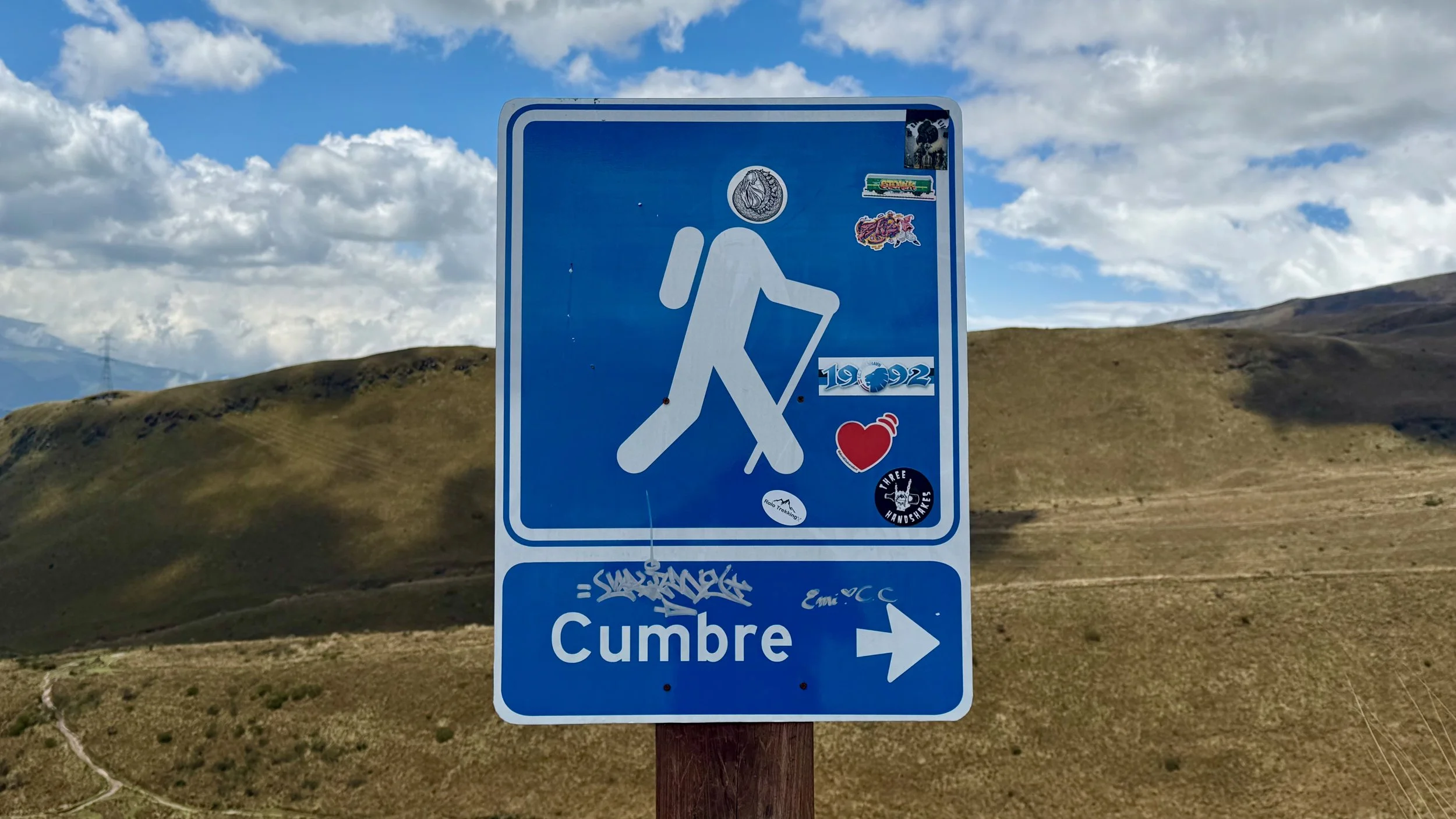
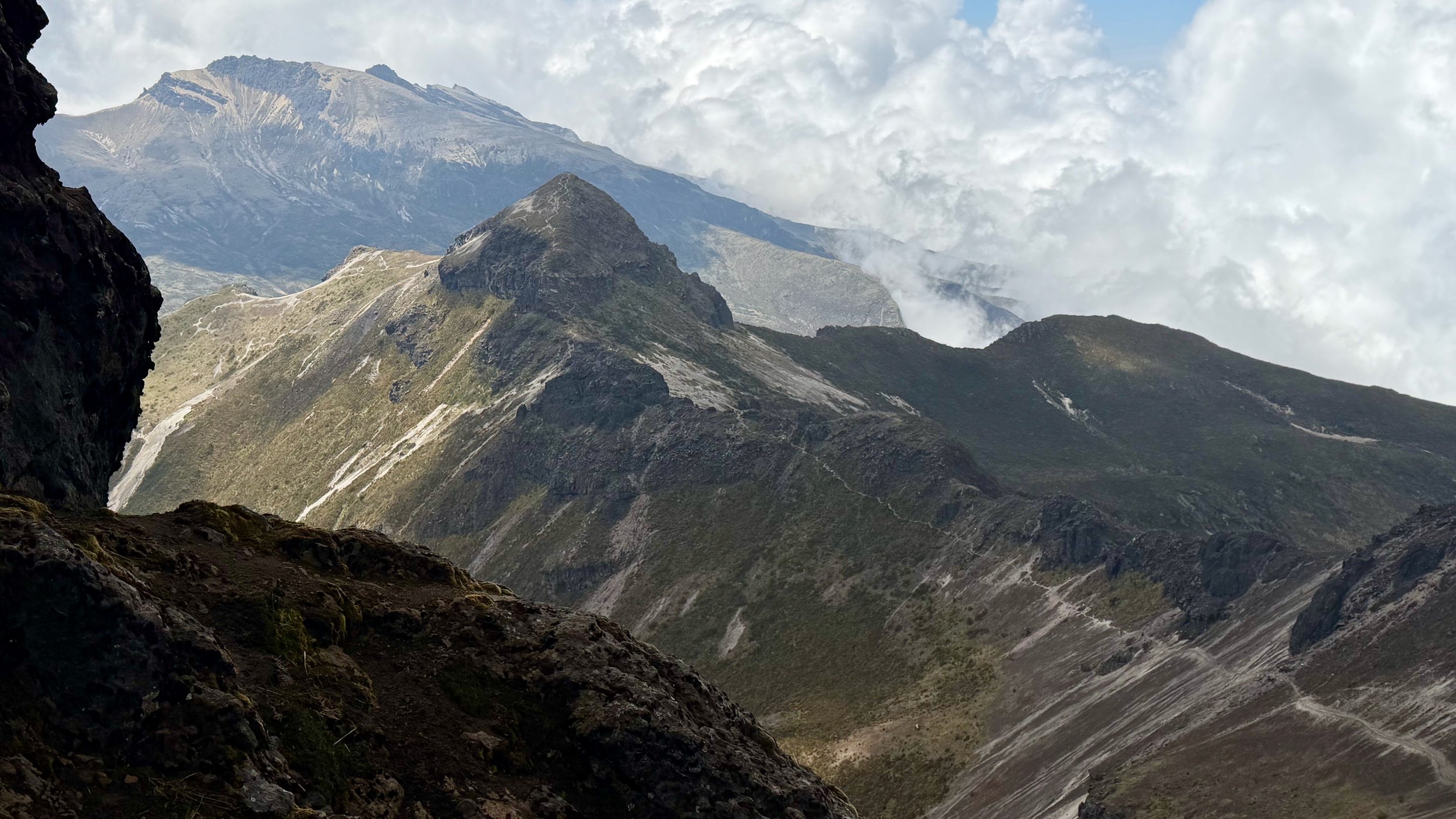
My destination - Rucu Pichincha. Since I was already done with the high mountains, this was just a fun hike with minimal effort. I did Chimborazo the day before so this felt easy - 2000m lower!
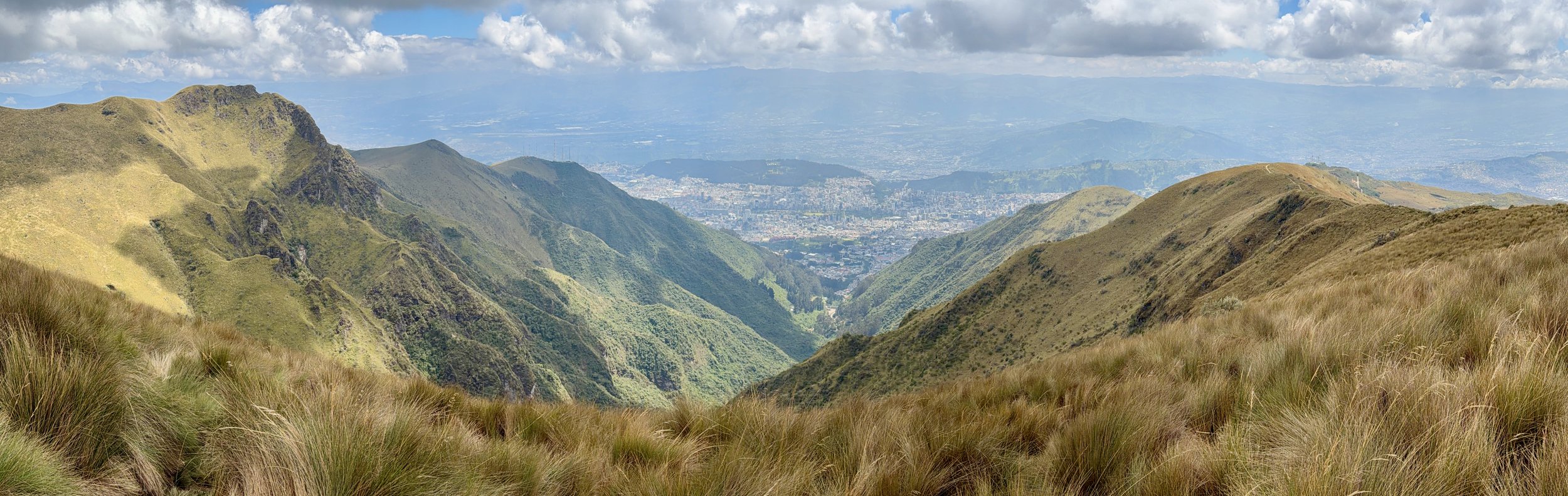
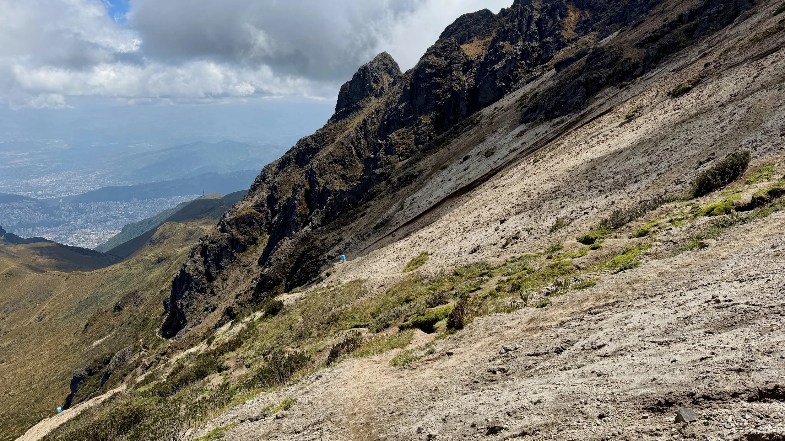
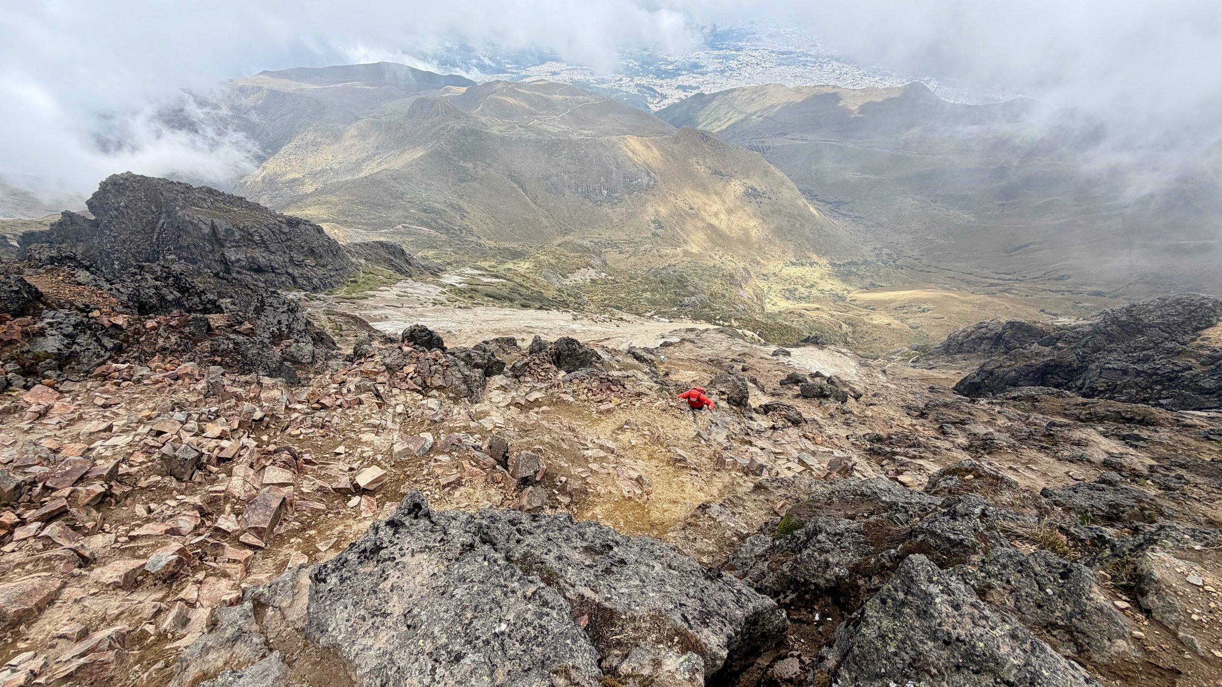
The city was far below. I was hoping to see some distant volcanoes but the clouds blocked the views.
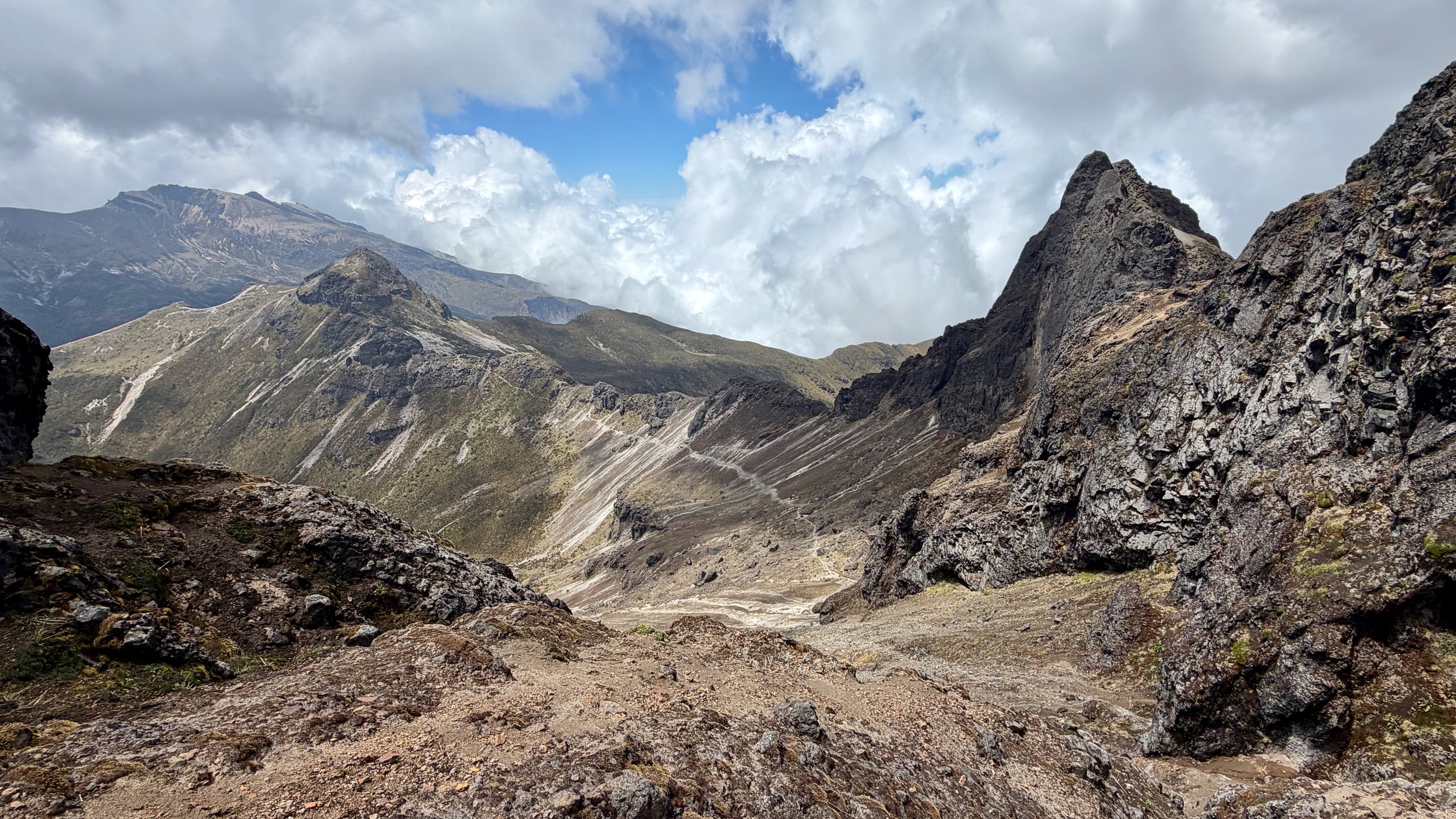
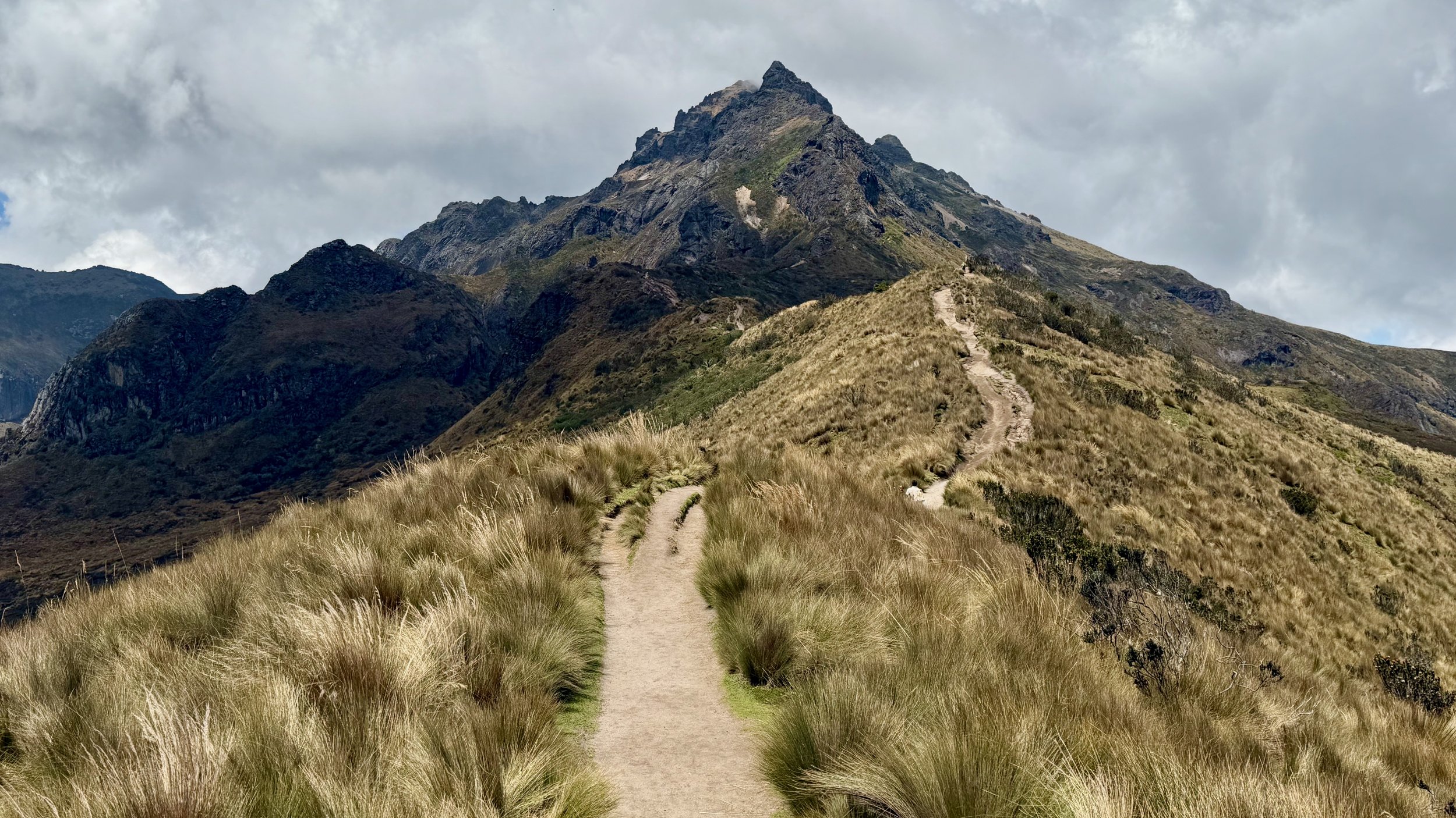
Near the summit of Rucu Pichincha.
At the very end, there is a little bit of easy scrambling.
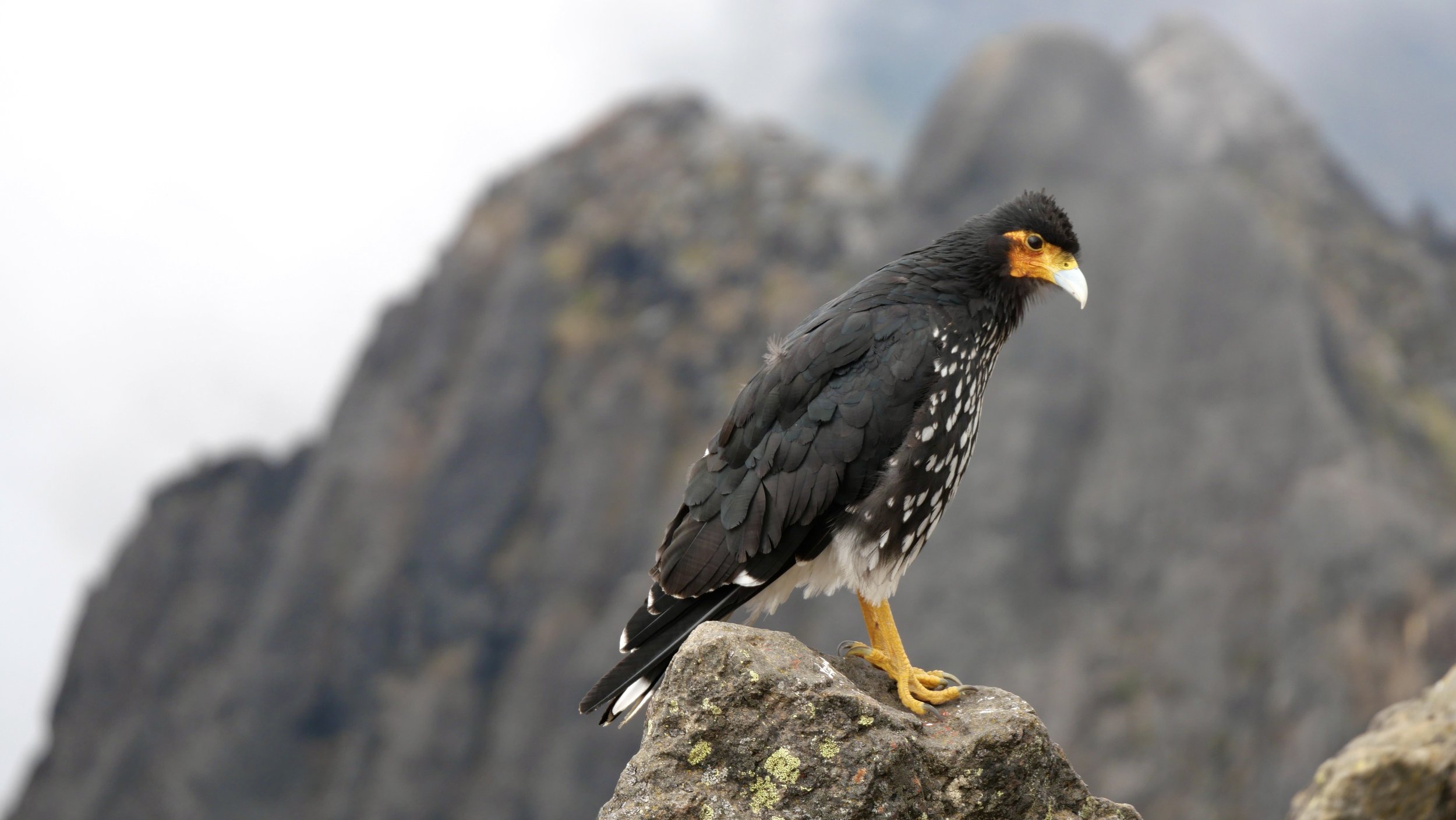
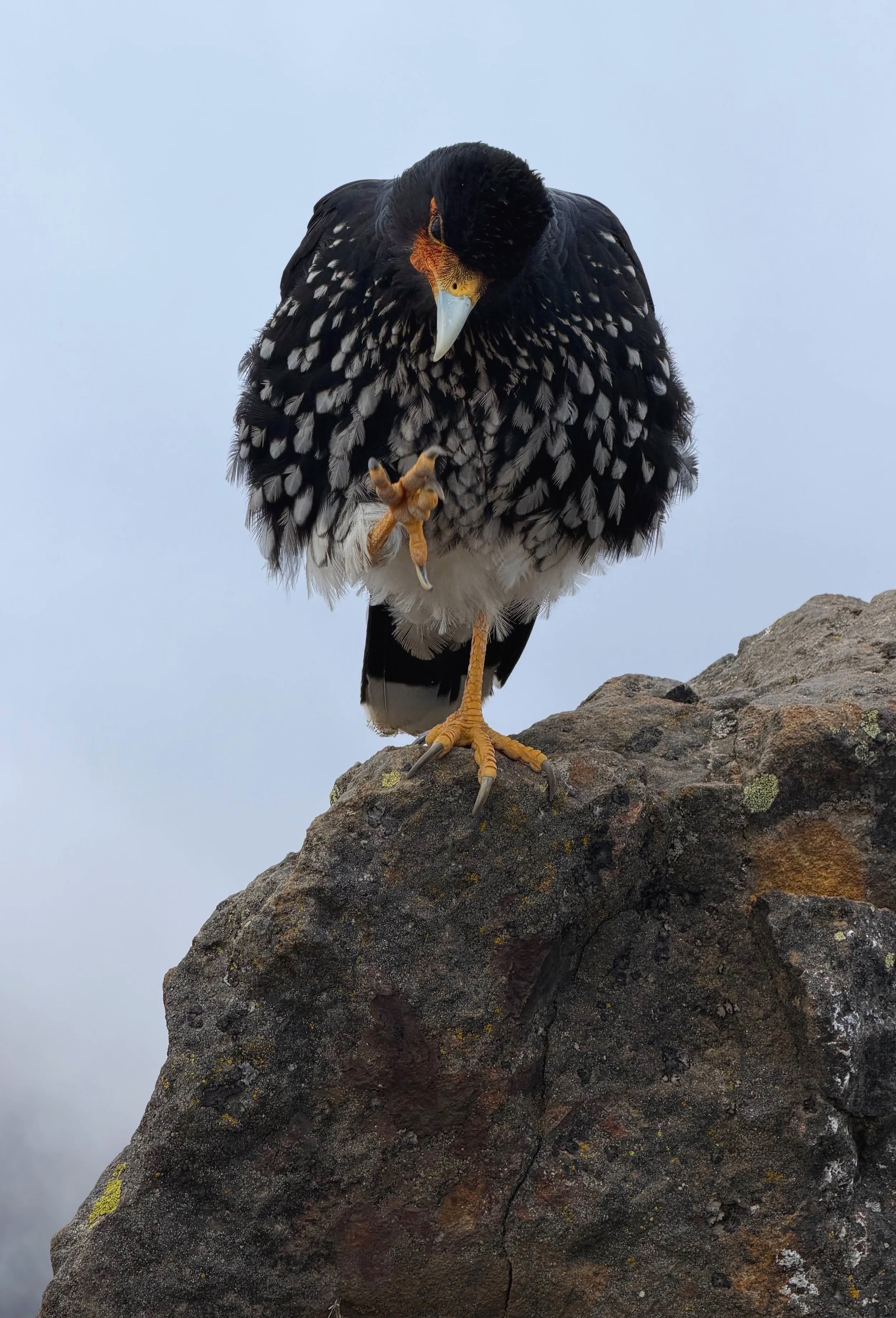
The Caracara - the resident of the summit of Rucu Pichincha.
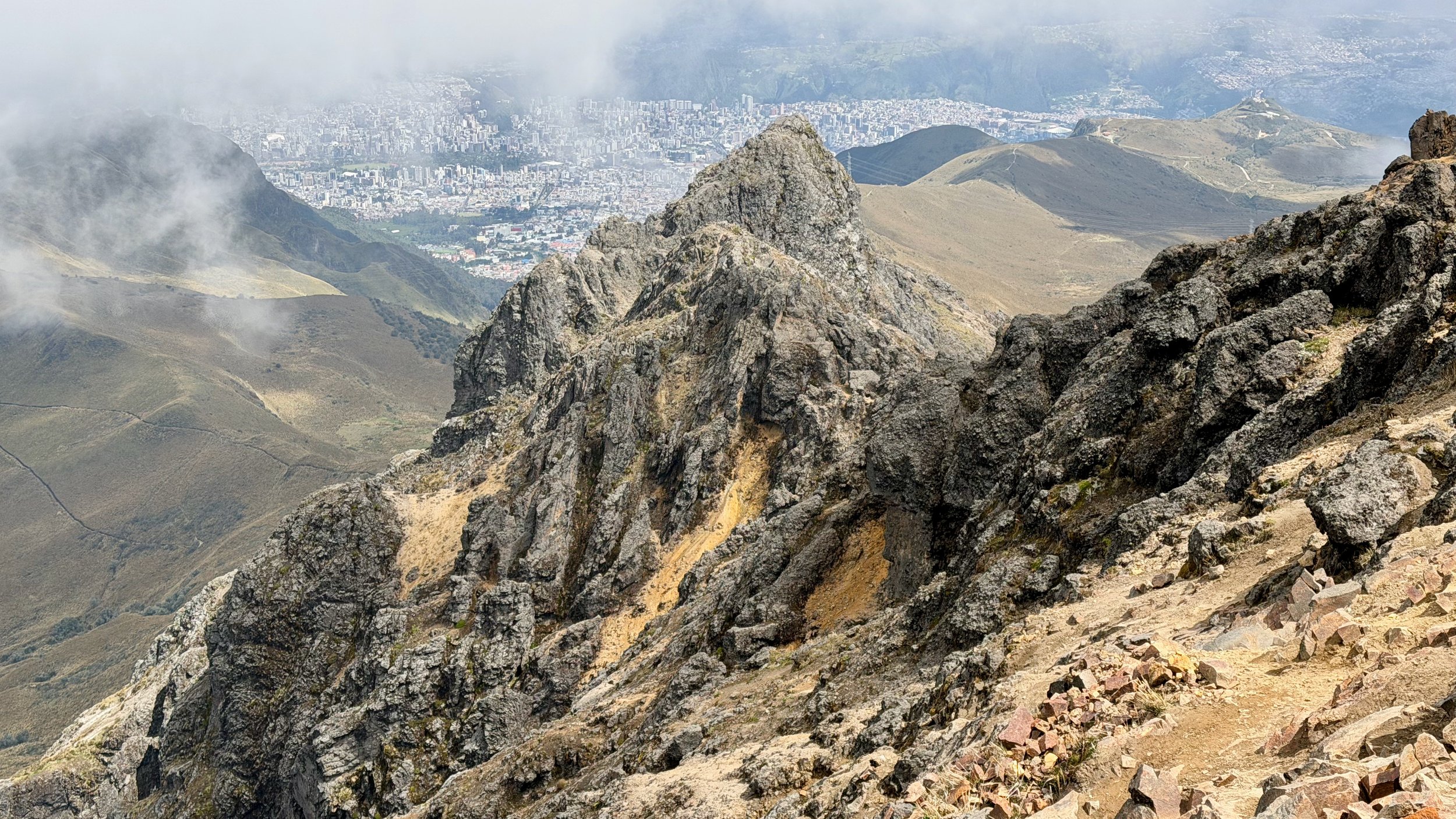
Rucu Pichincha with Quito below.
Nice views towards Cayambe.
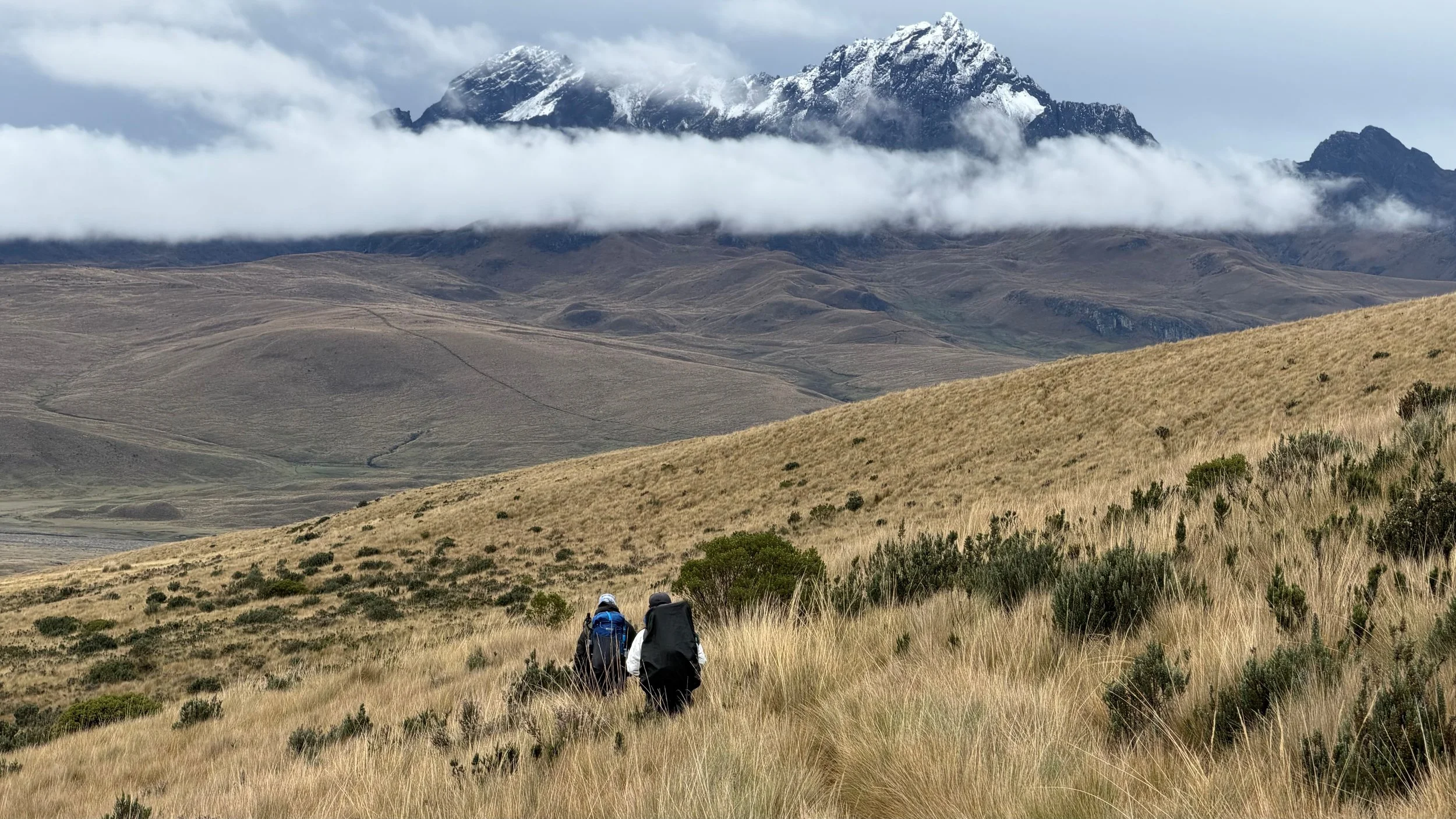
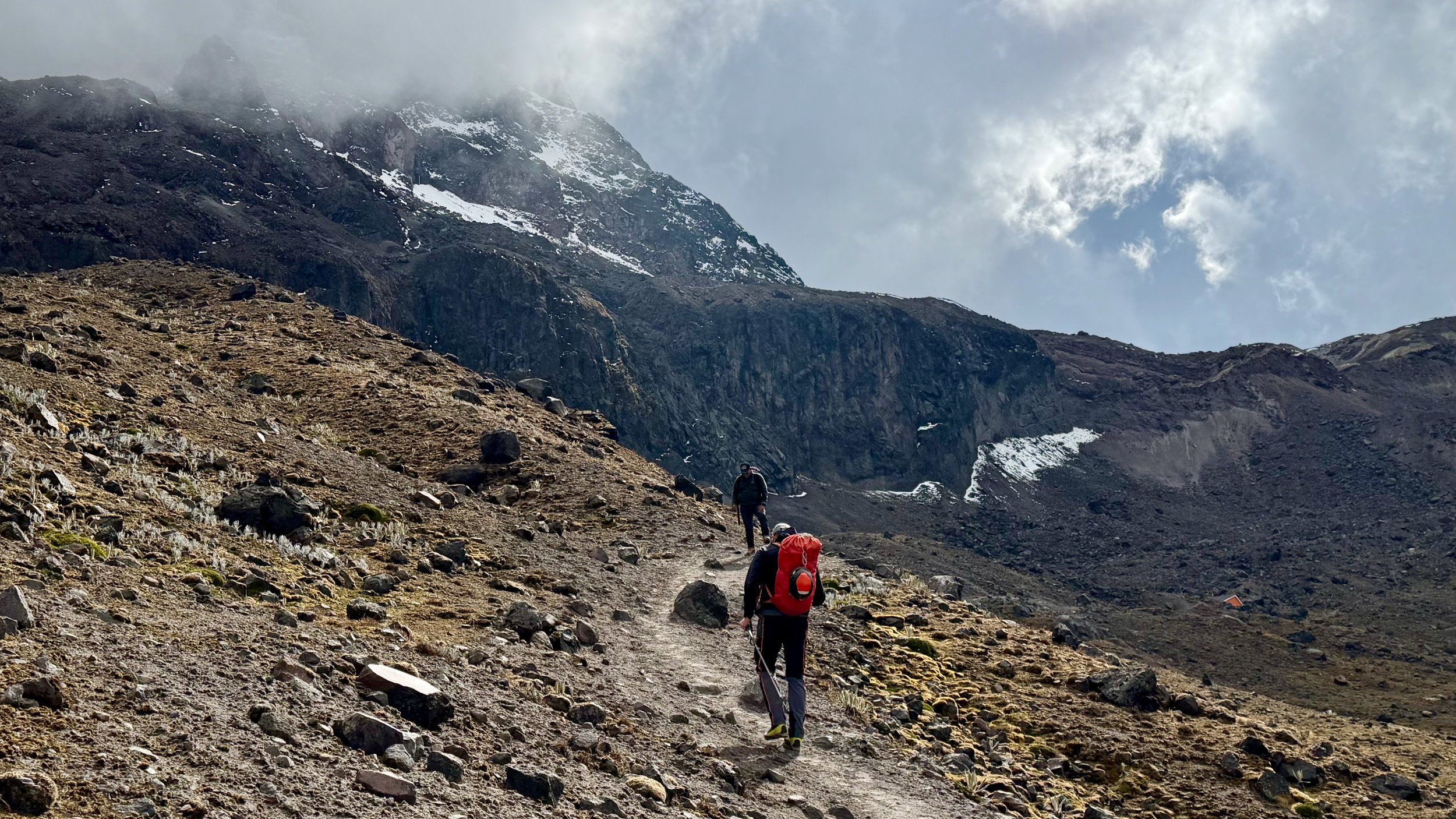
After Ruminahui we went to Iliniza Norte. Also an easy scramble in dry conditions. Unfortunately we had snow and ice which made some sections quite tricky (paso de la muerte).
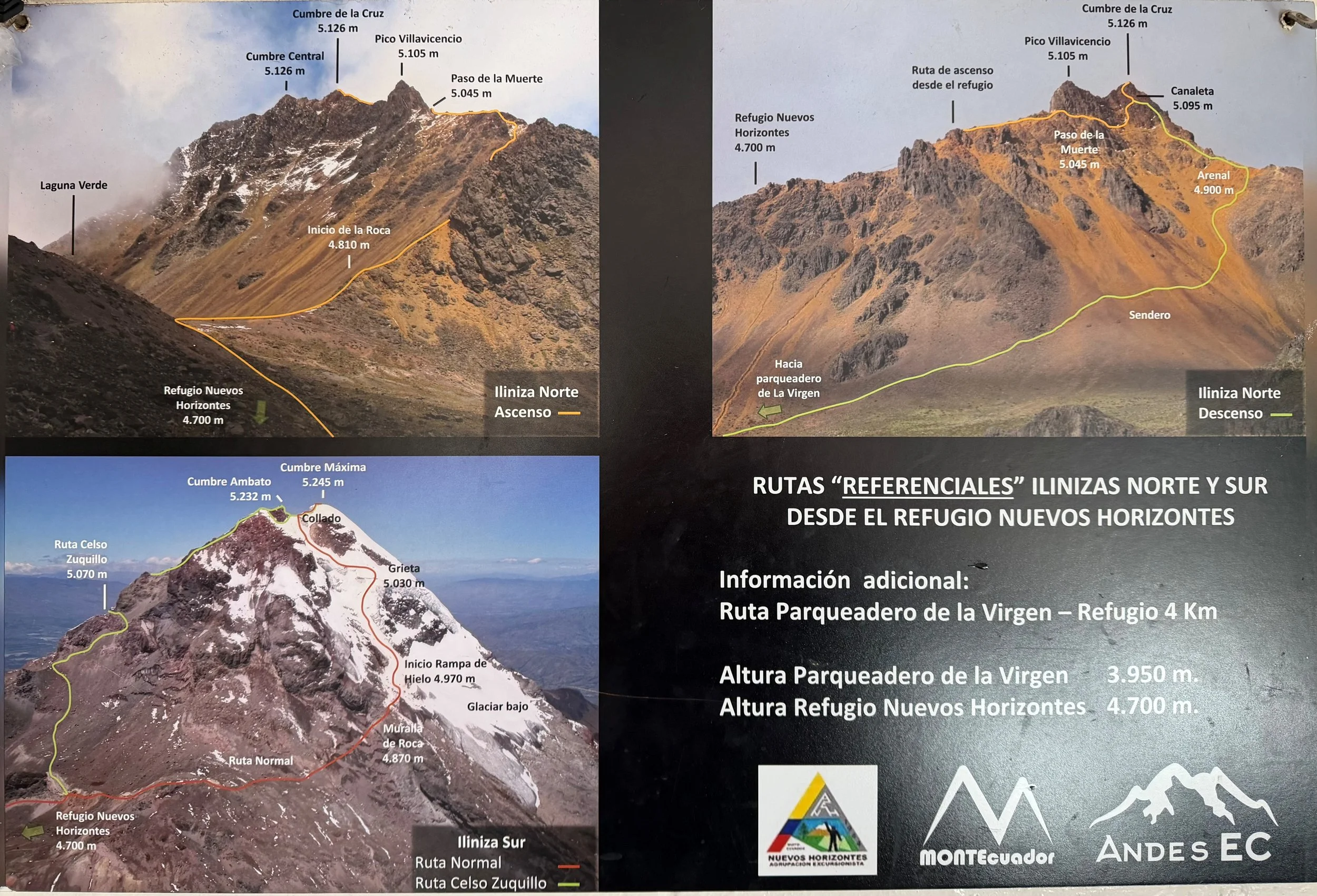
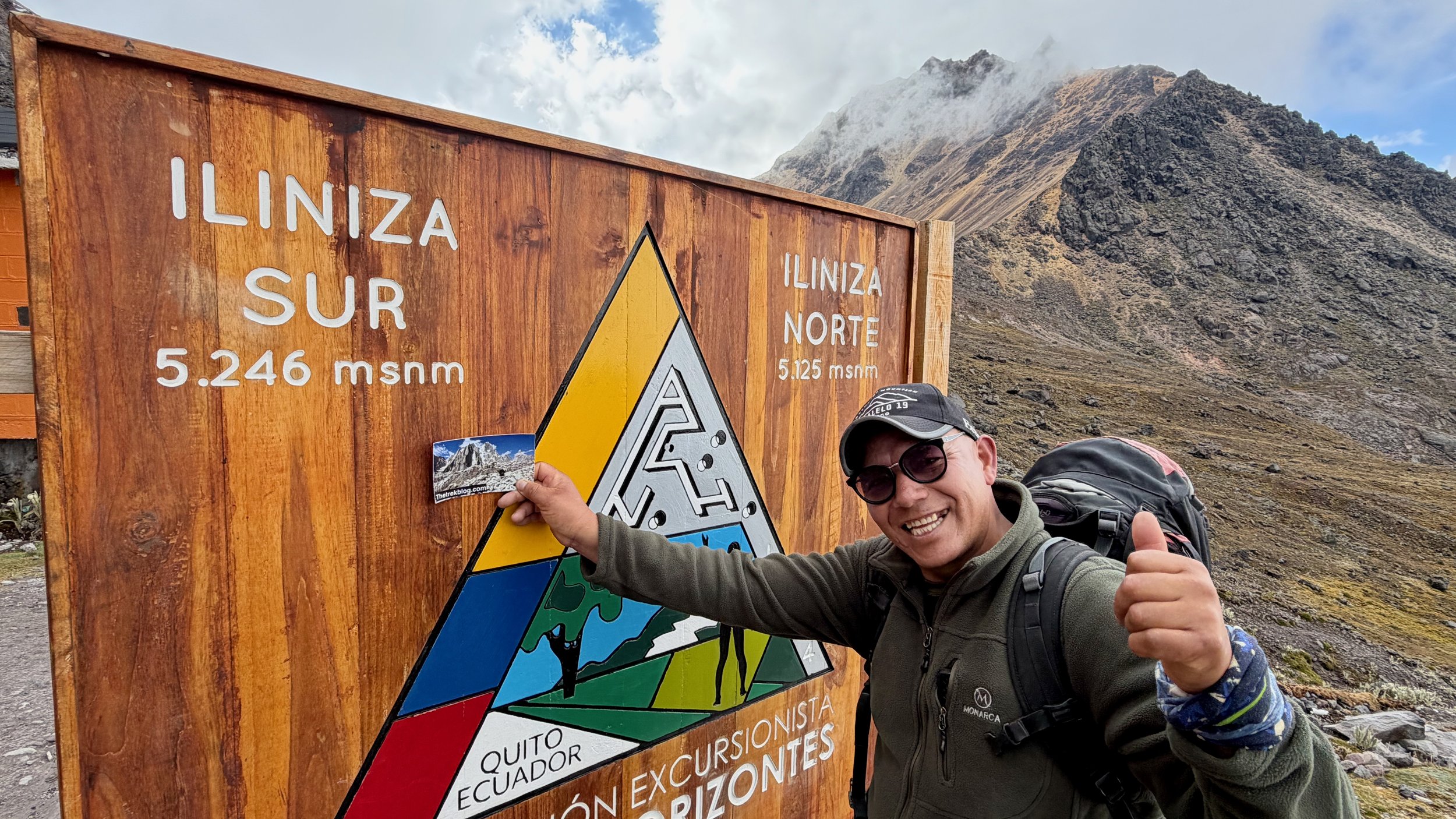
The normal routes on Iliniza North and South
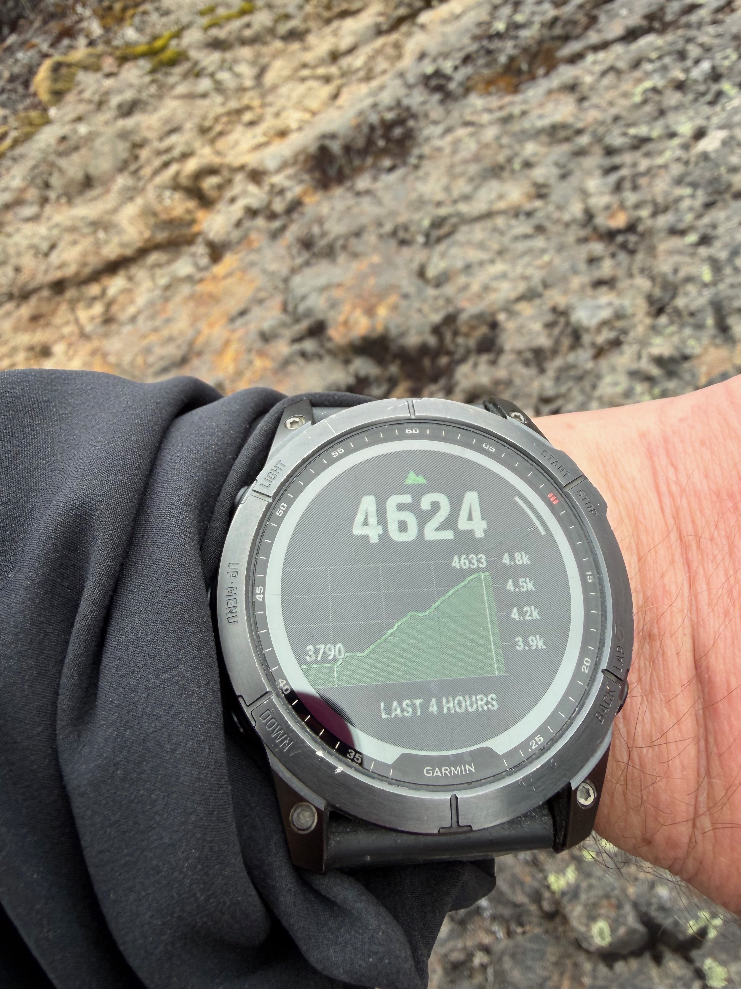
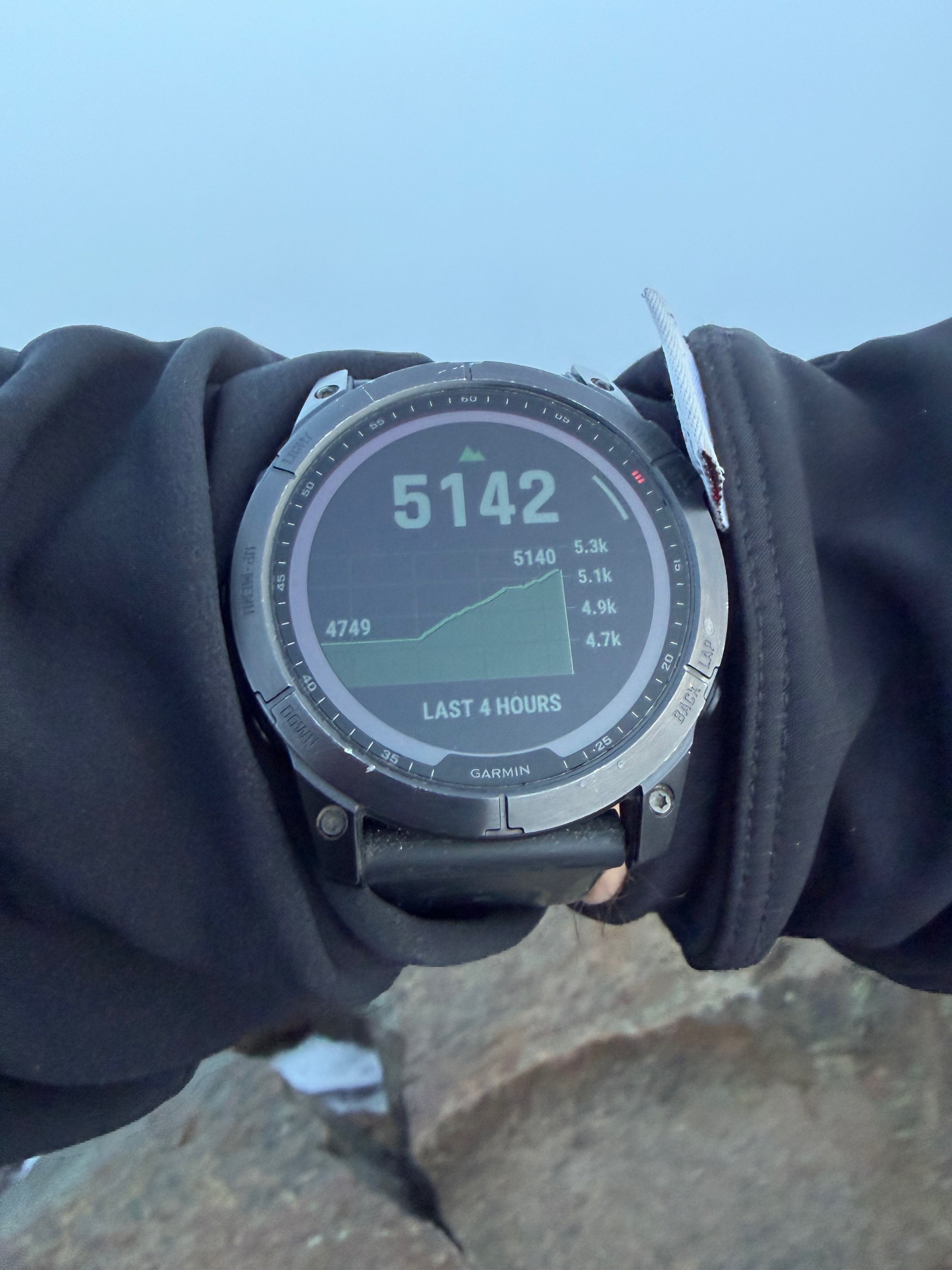
The weather was nice but windy. It all changed during the night. The total ascent was 1,300m.
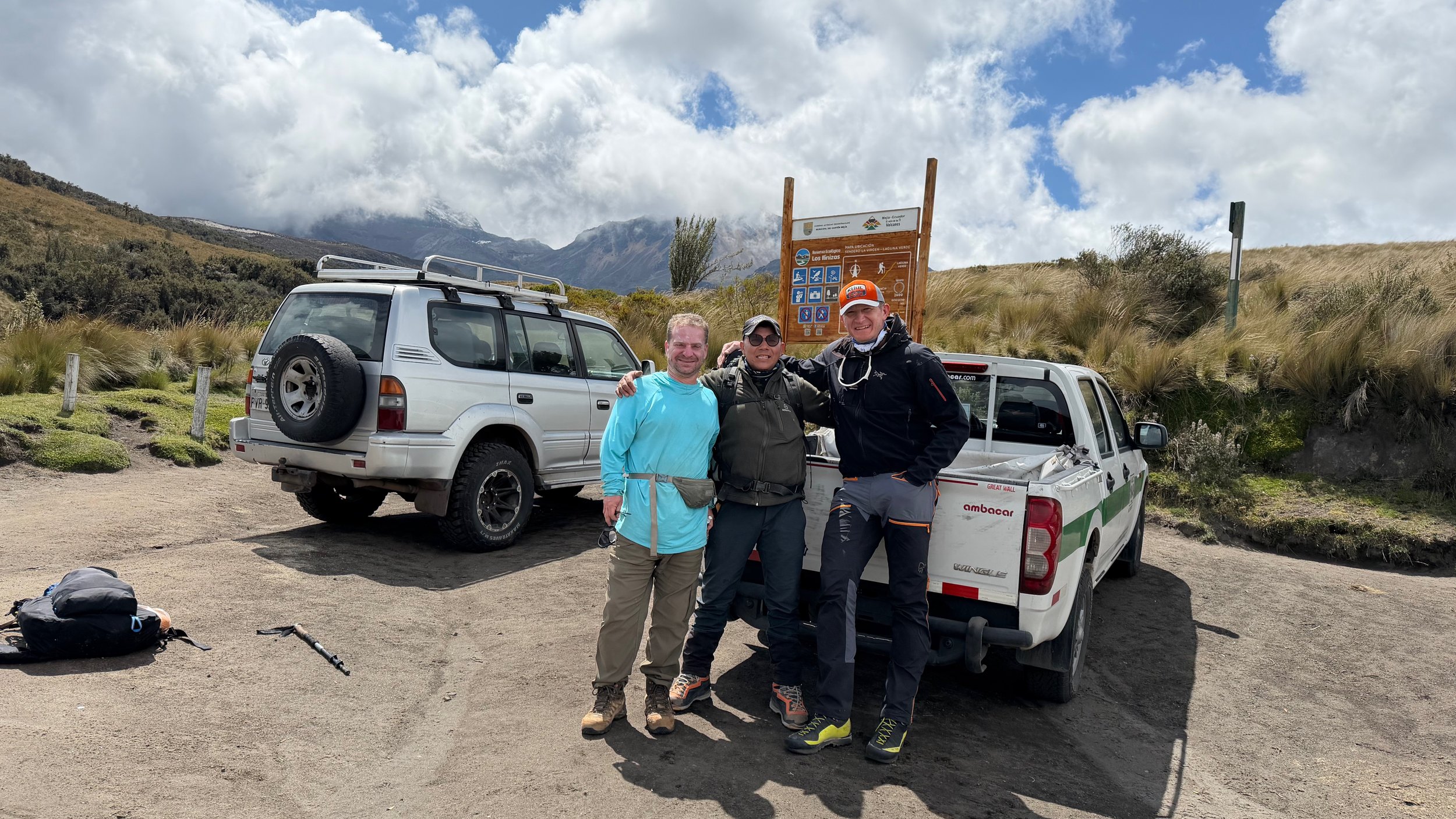
The hike from the parking lot to the hut is 2-3 hrs with an elevation gain of 800m.
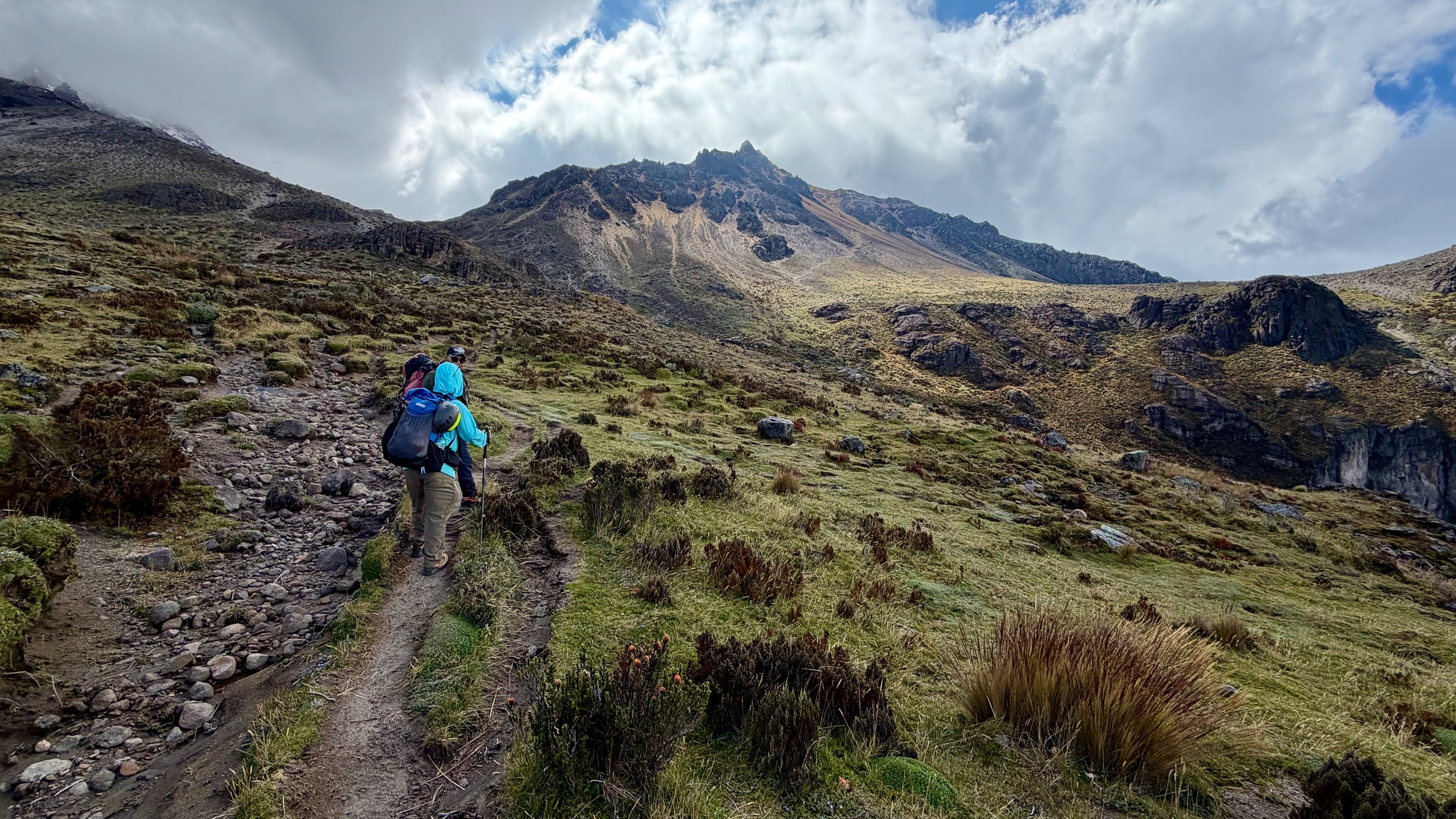
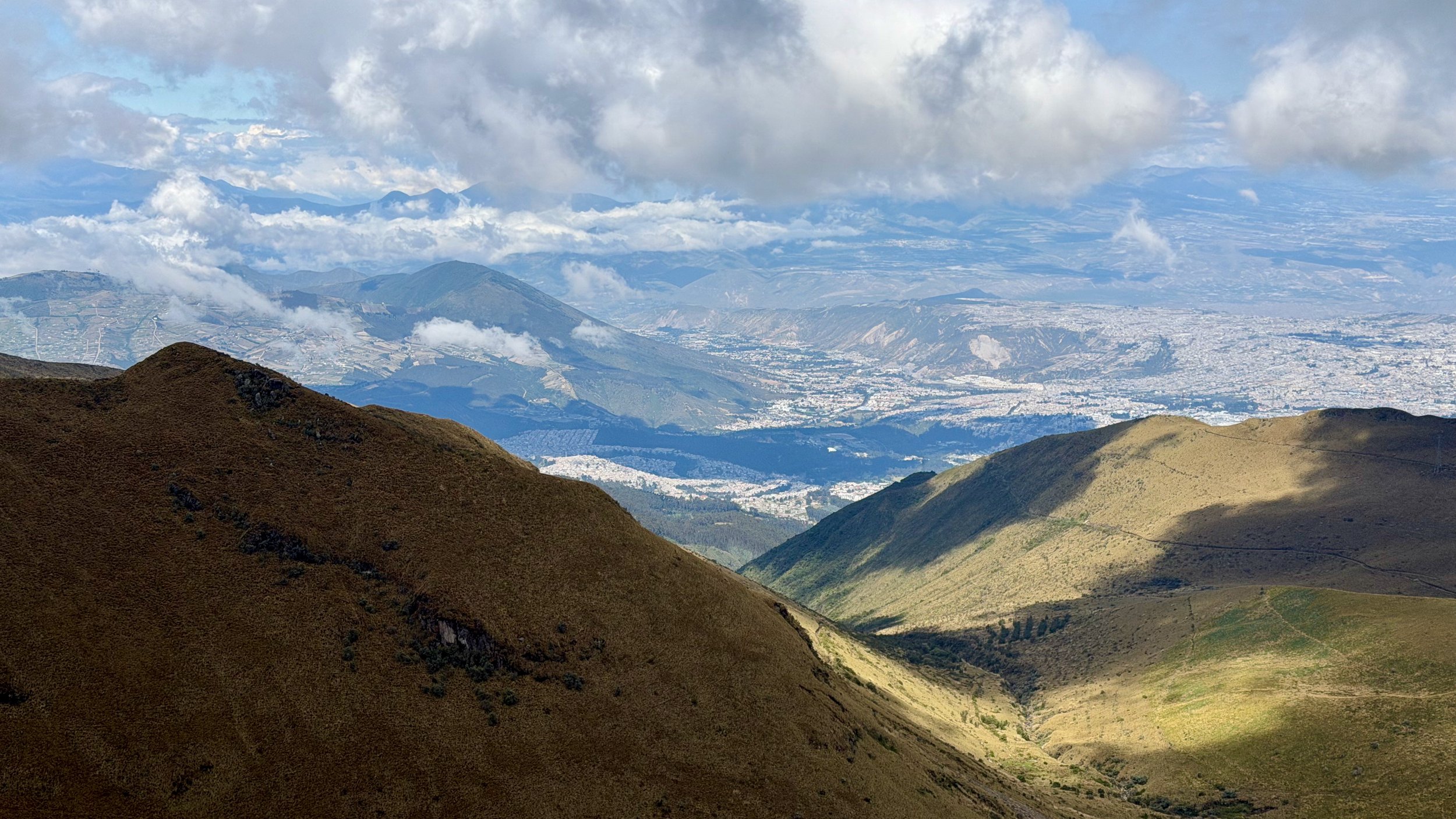
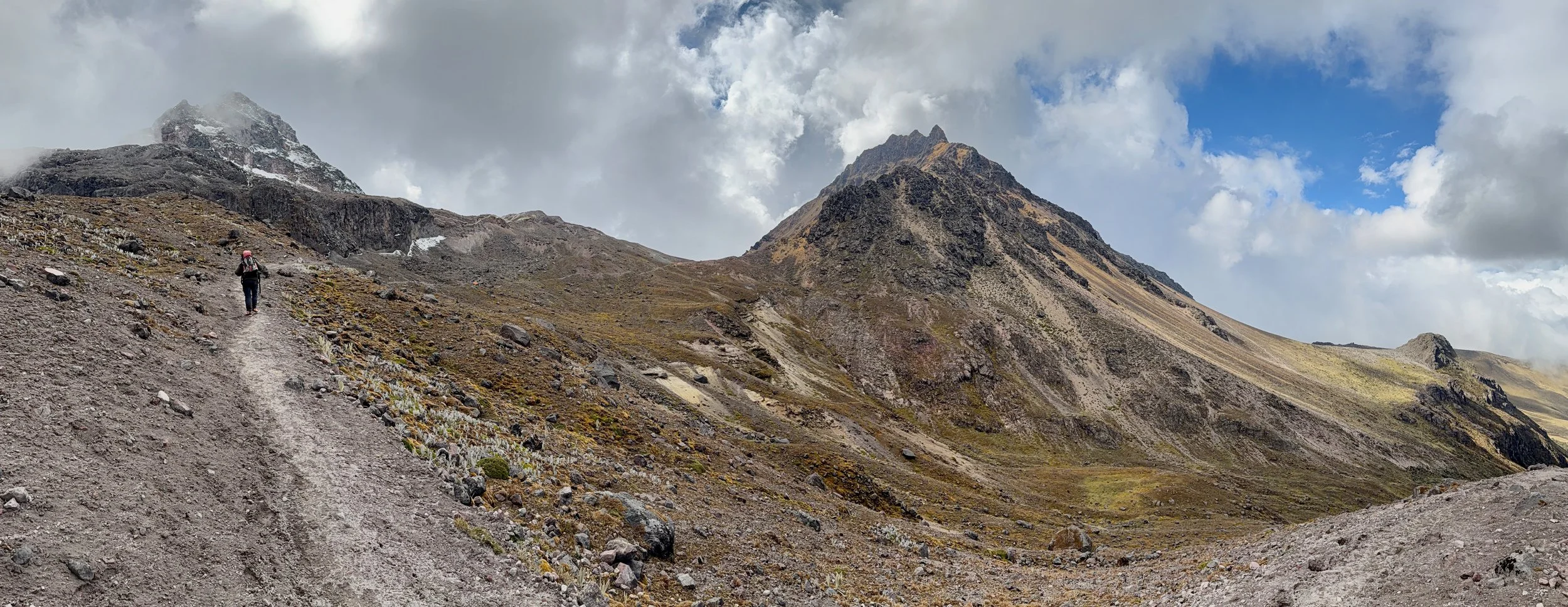
Iliniza Norte in the distance. The summit is the pointy rock.
Iliniza Sur and Norte. The hut is in the saddle between the two mountains.
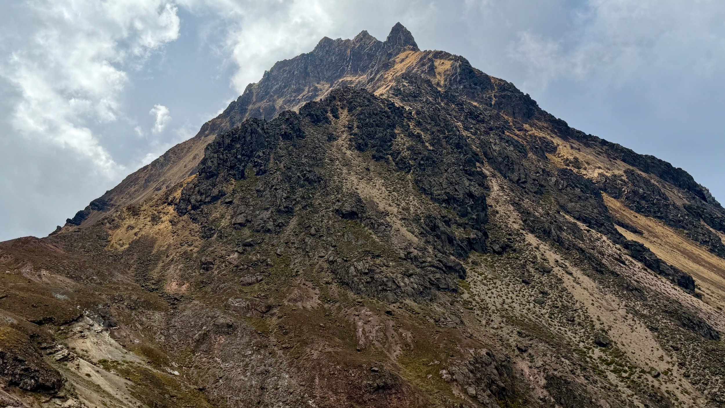
The ascent route on the Iliniza Norte is along the ridge in the forefront up to the pointy summit.
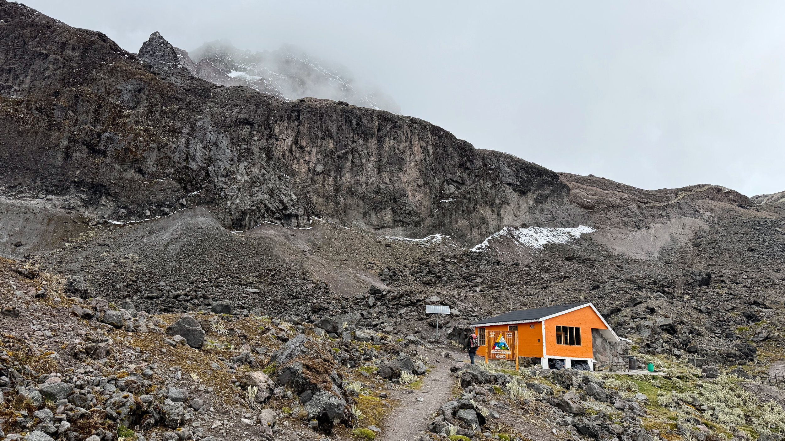
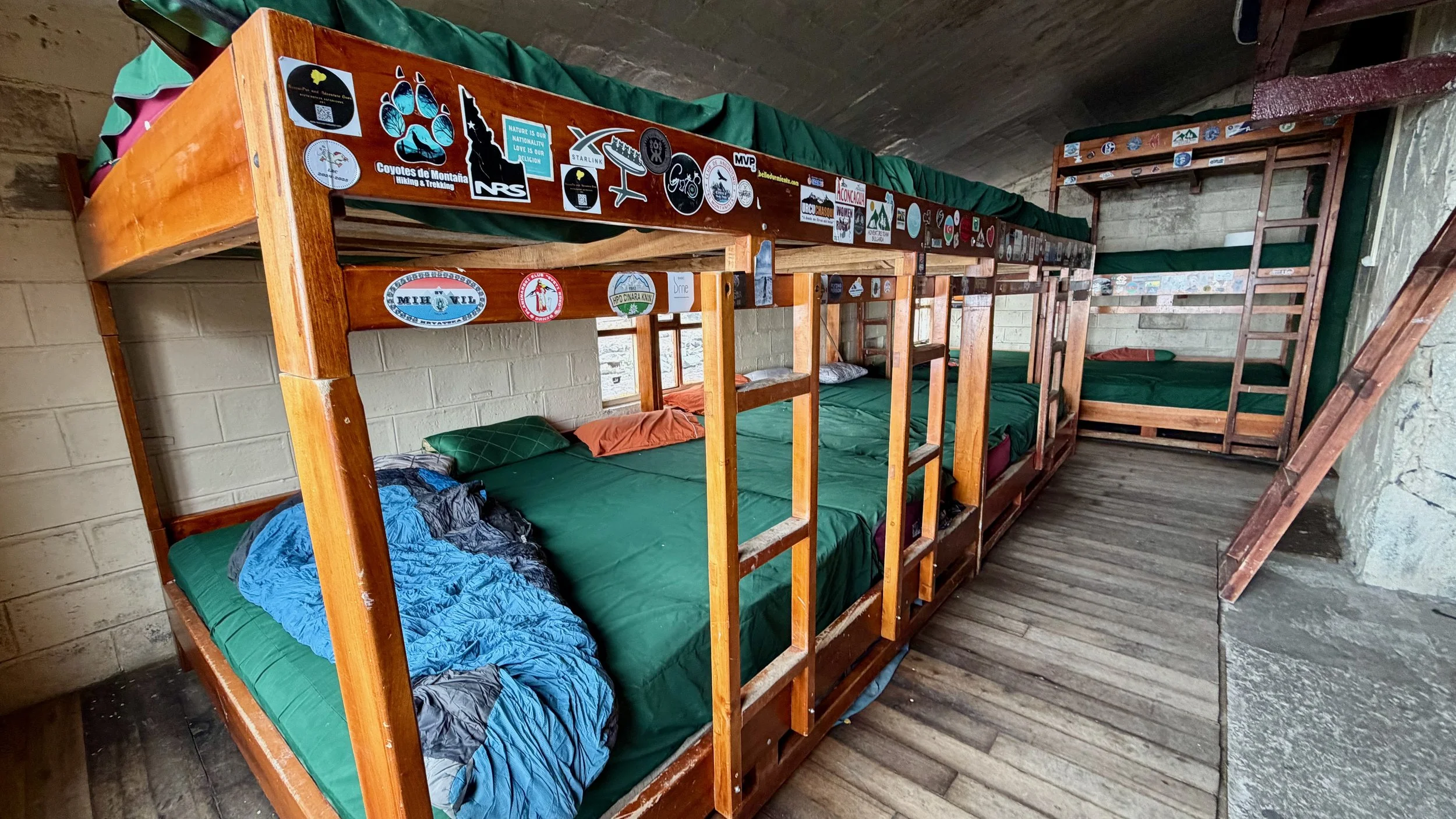
The cozy hut for Iliniza Norte
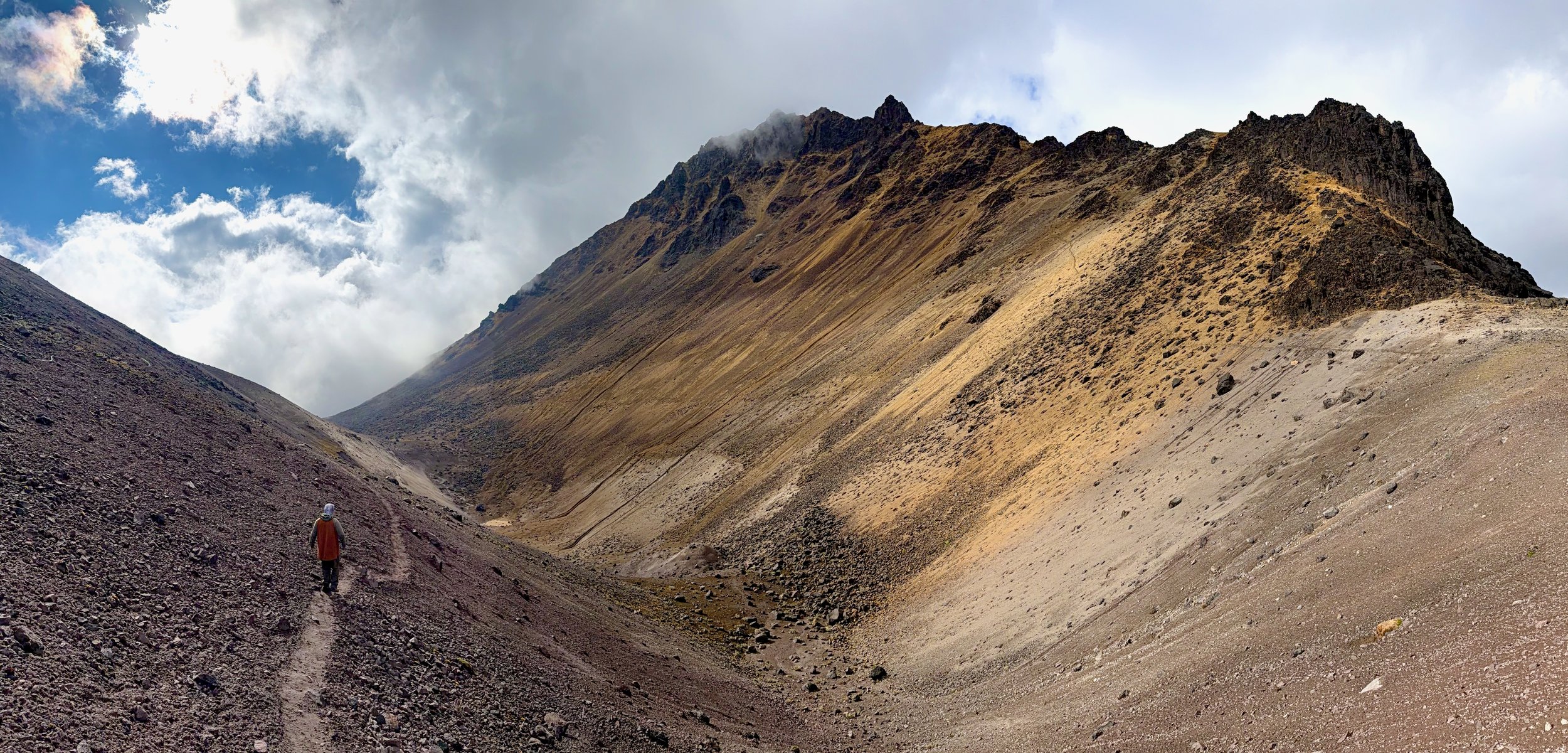
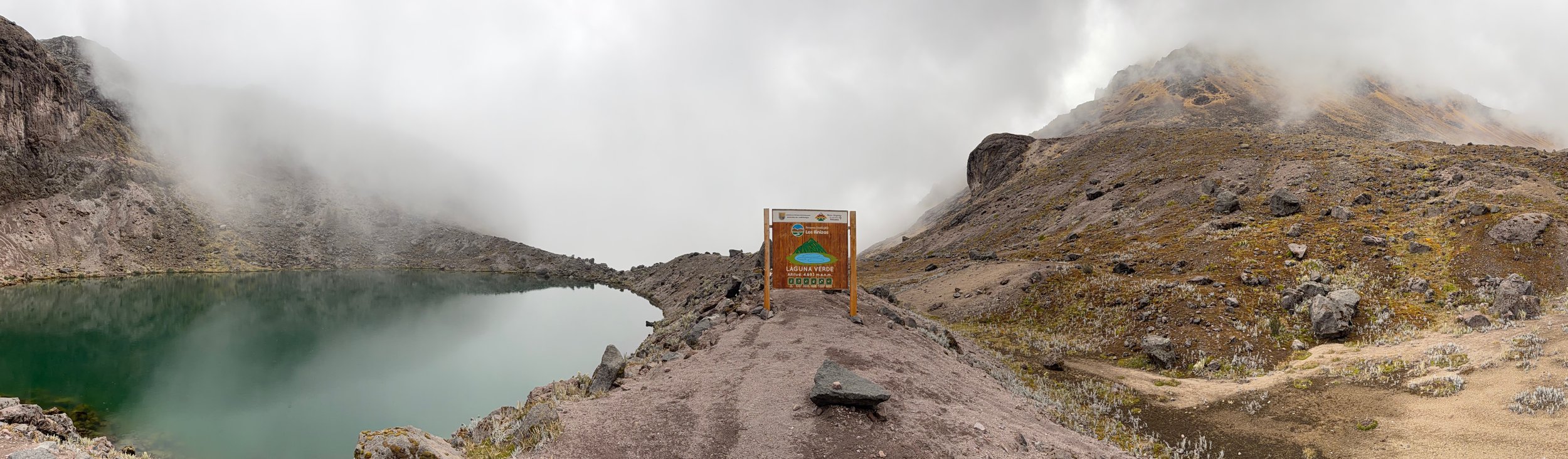
From the hut we did a short hike to Laguna Verde. The volcanic colours of Iliniza Norte in the sunny weather.
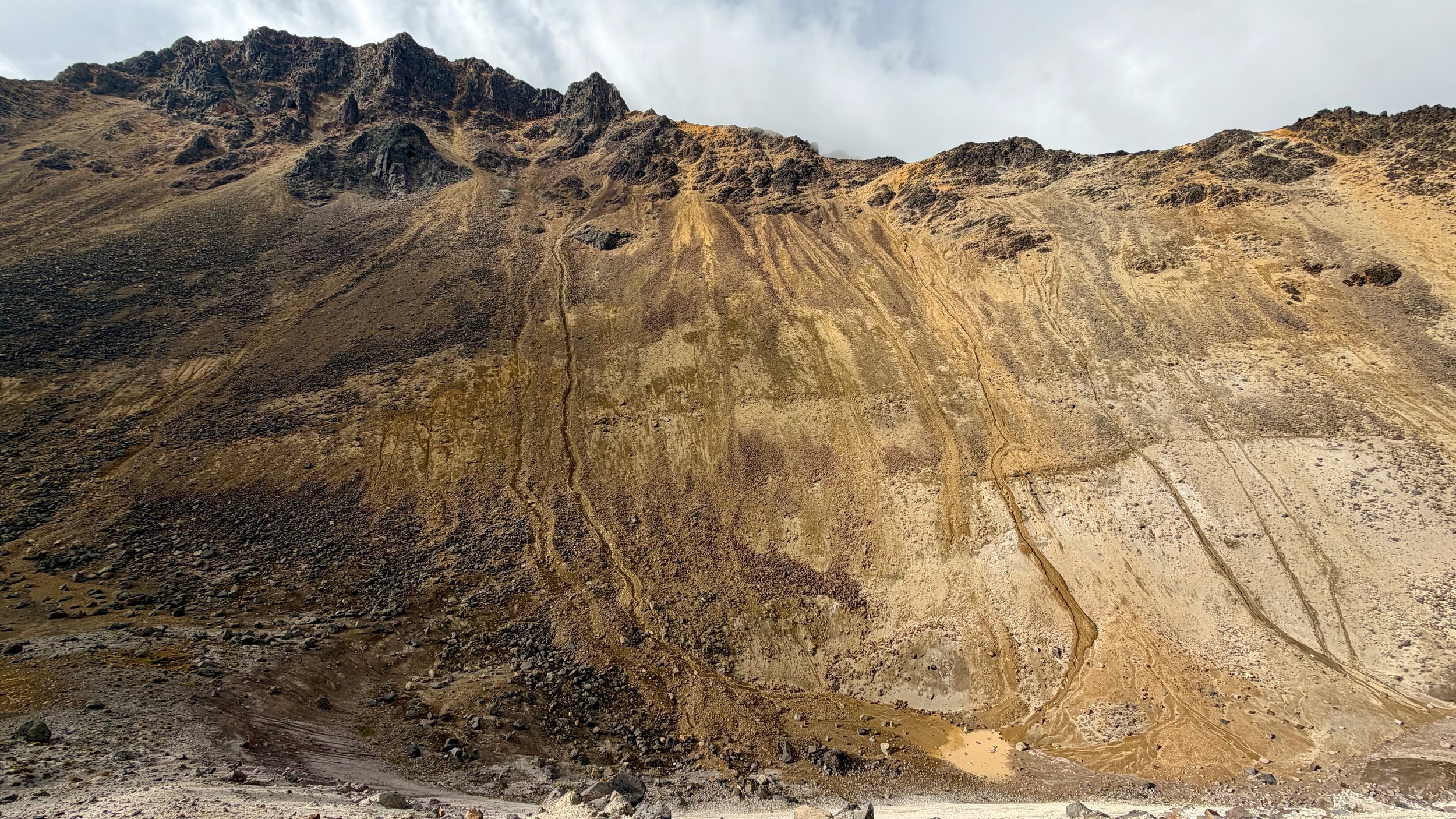
Iliniza Norte
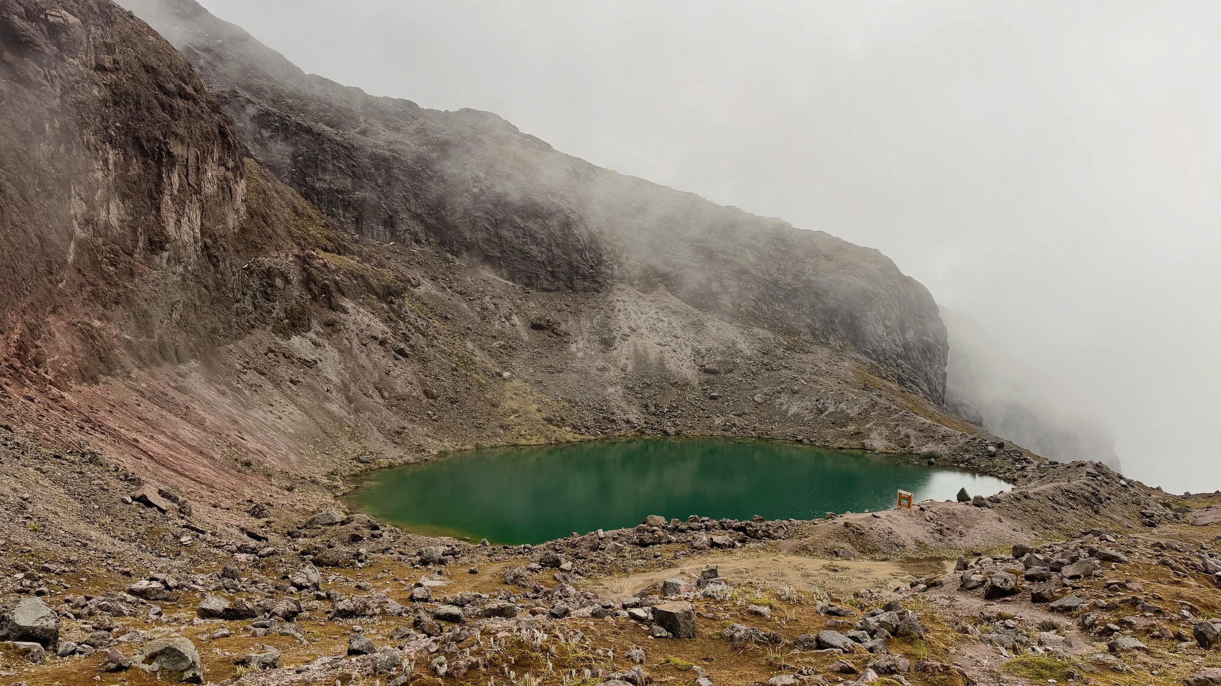
Laguna Verde
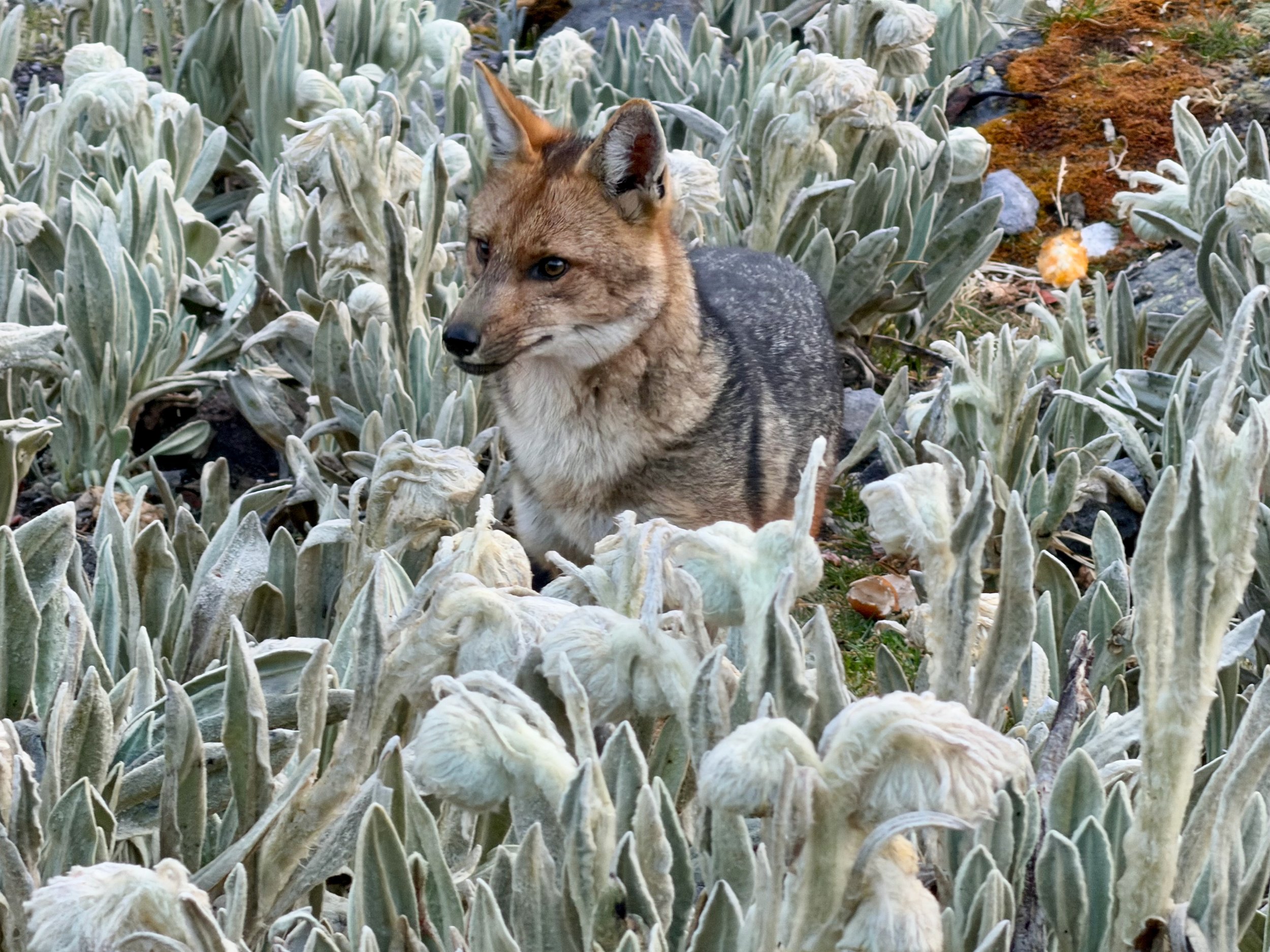
A local fox

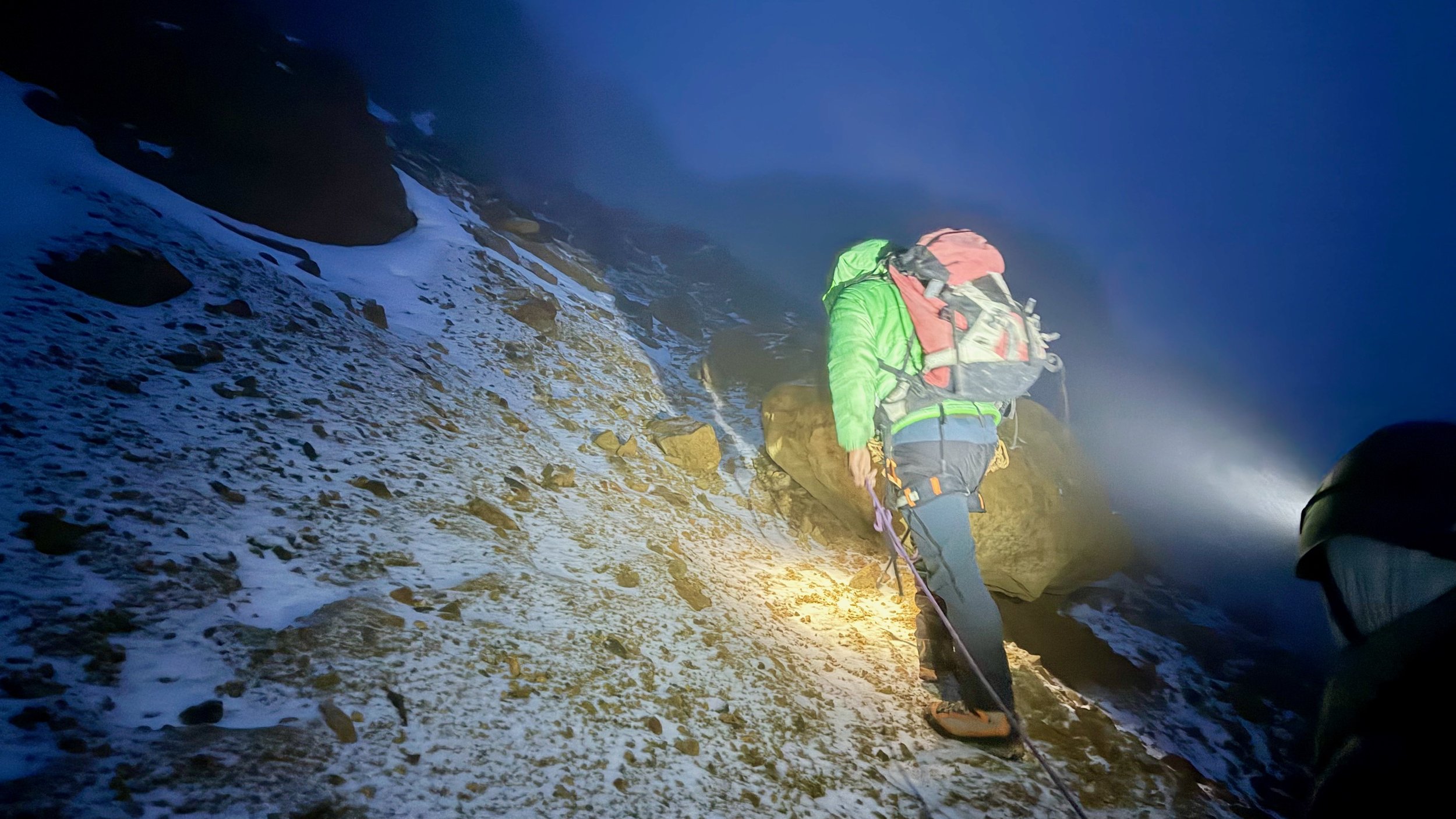
The hike to the top started at 6 am. The weather was misty with overnight snow and ice.

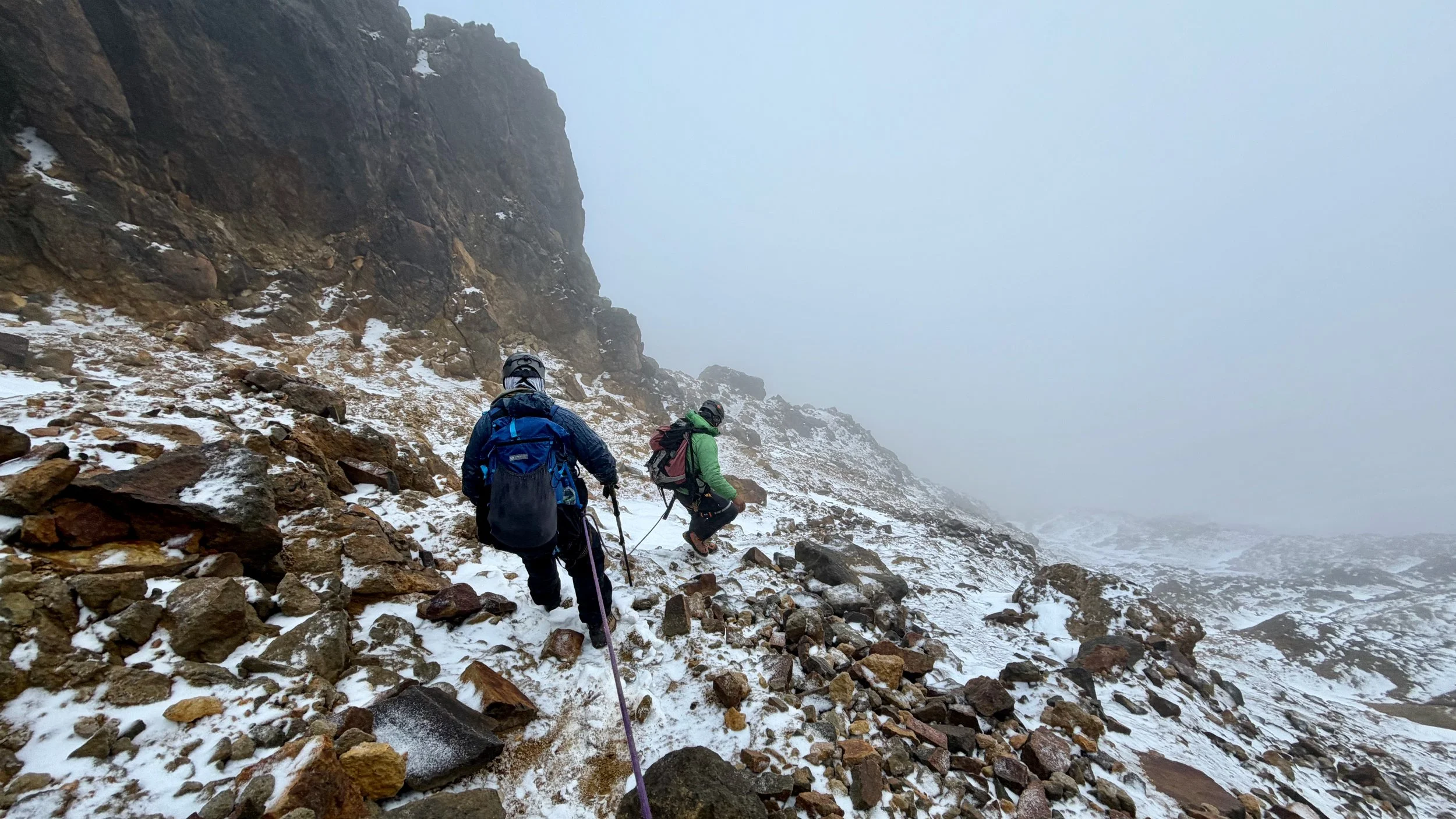
The icy conditions made the steep sections tricky. We had to traverse this slope.
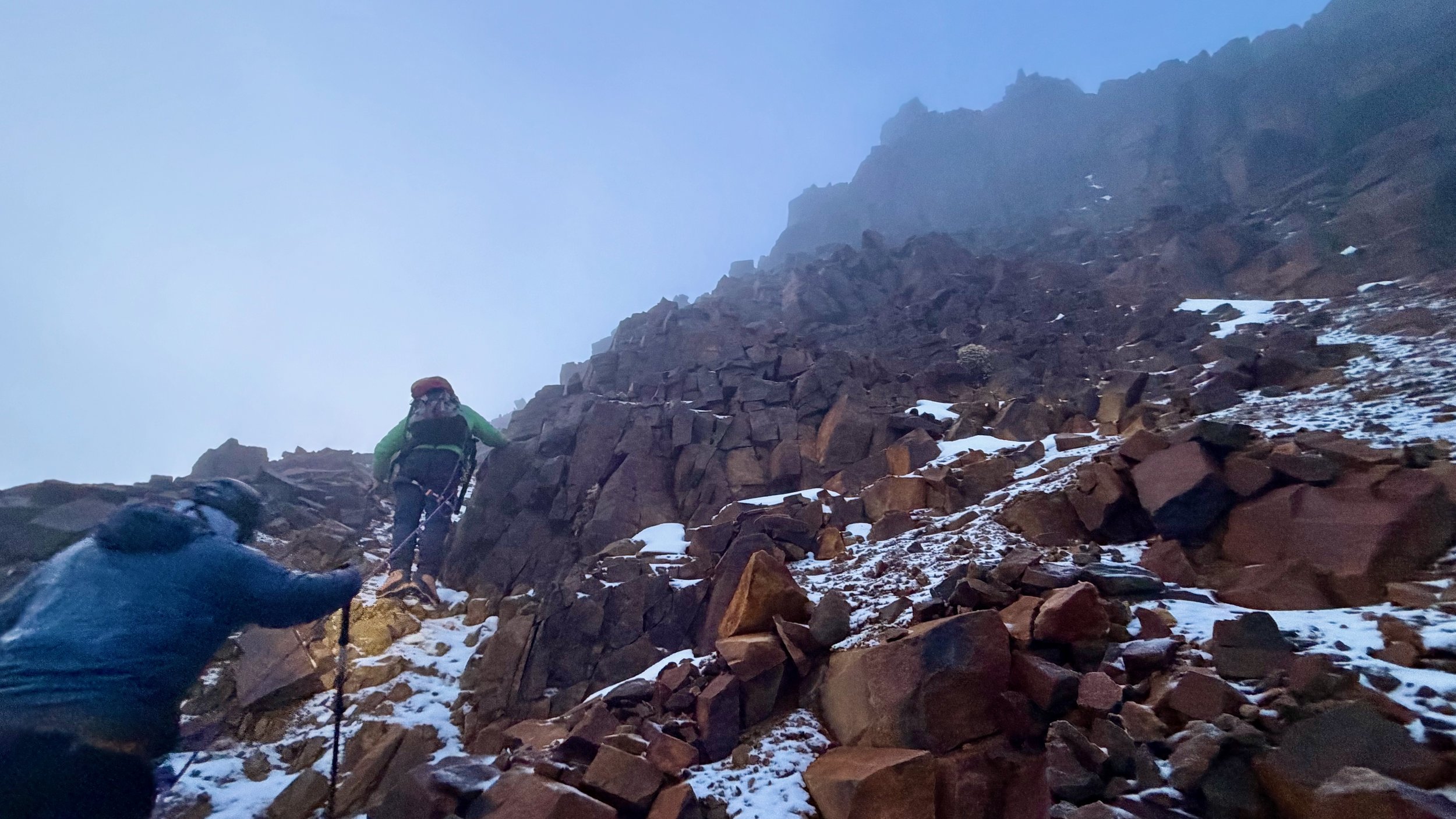
After the traverse, it was a steep hike to the top with some scrambling.
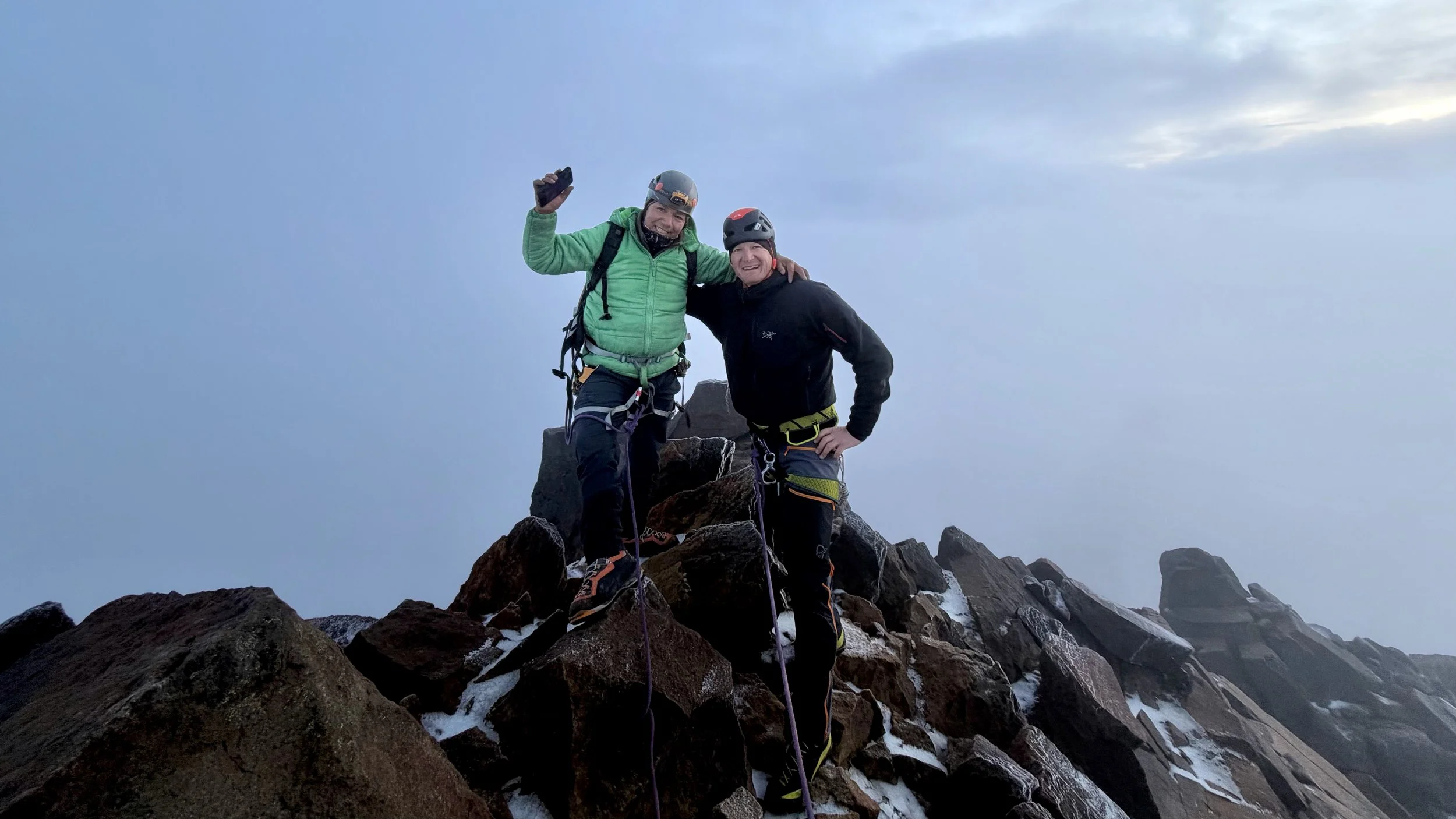
The summit!
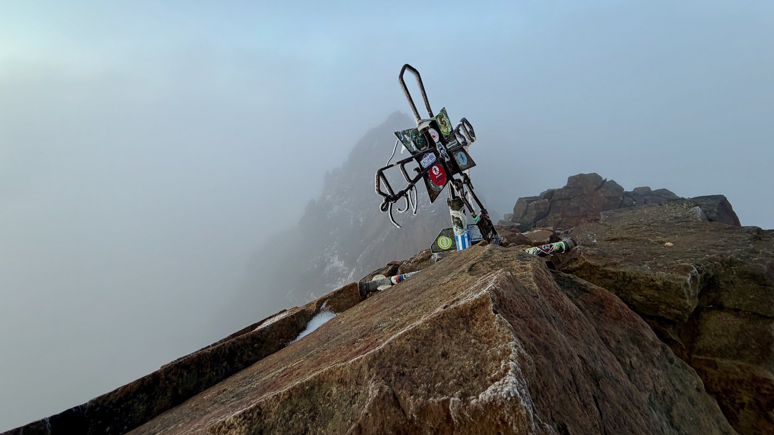
Finally the top but unfortunately no views…. I was a little disappointed.
The steep descend on icy rocks.