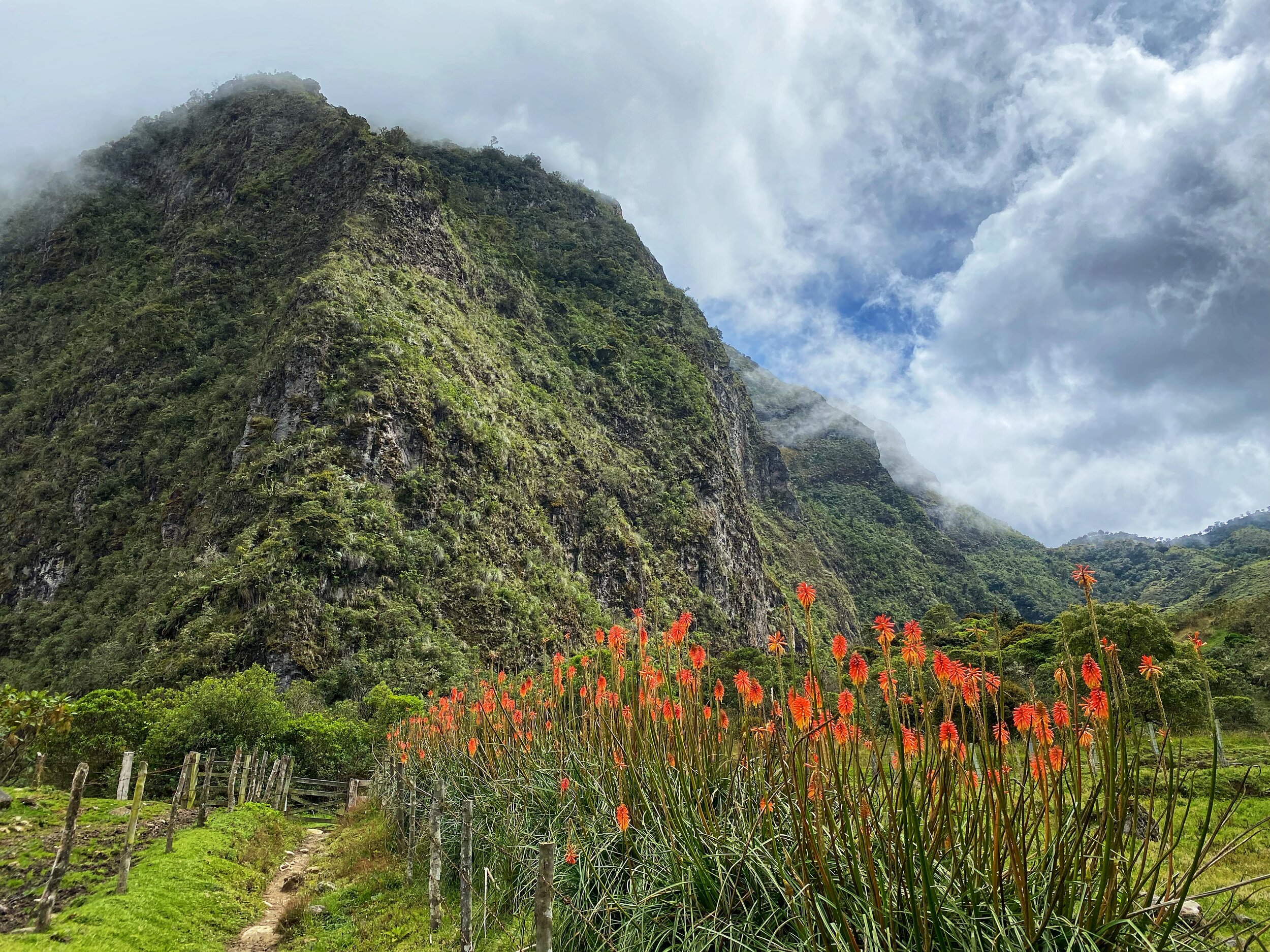
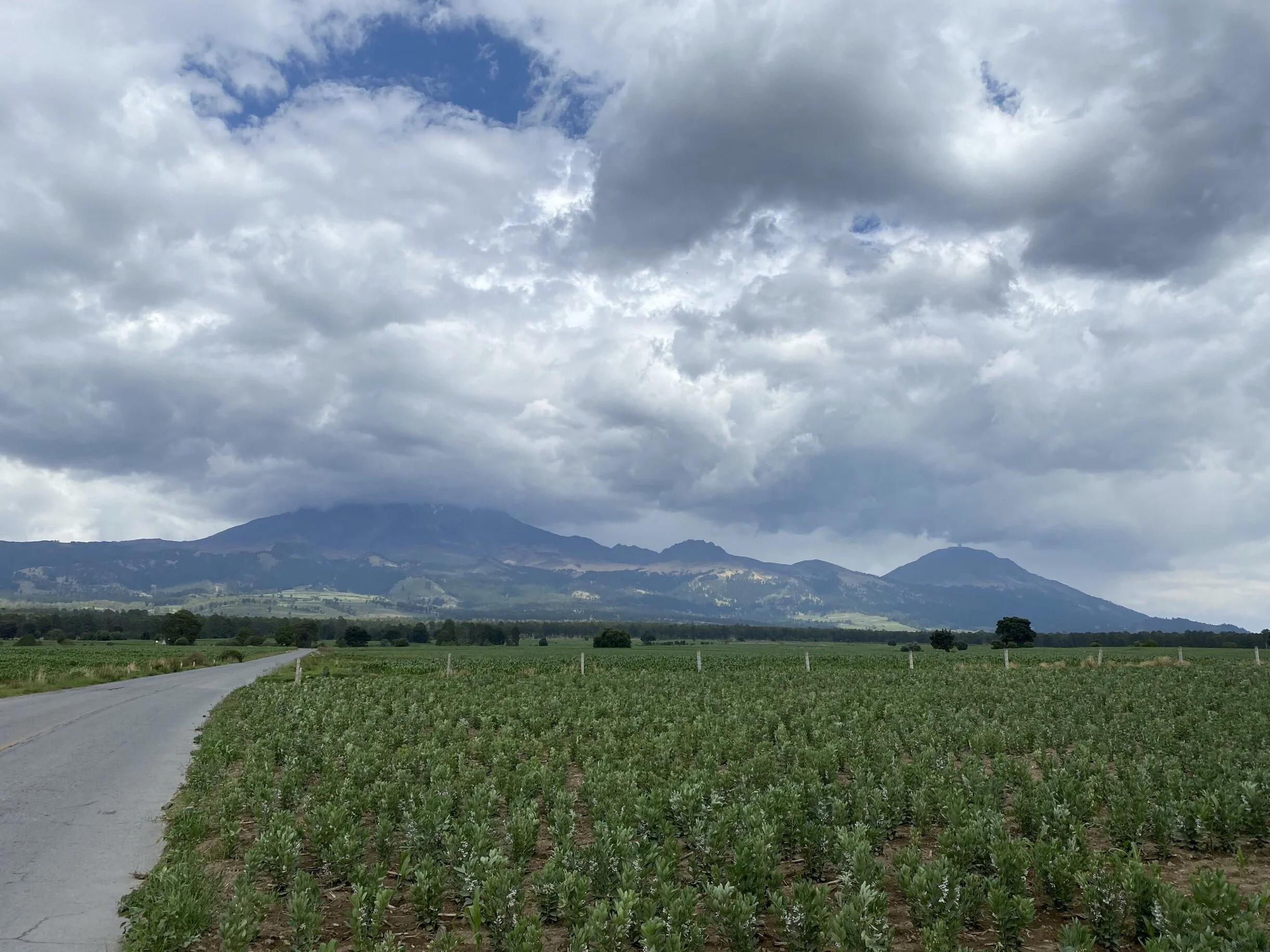
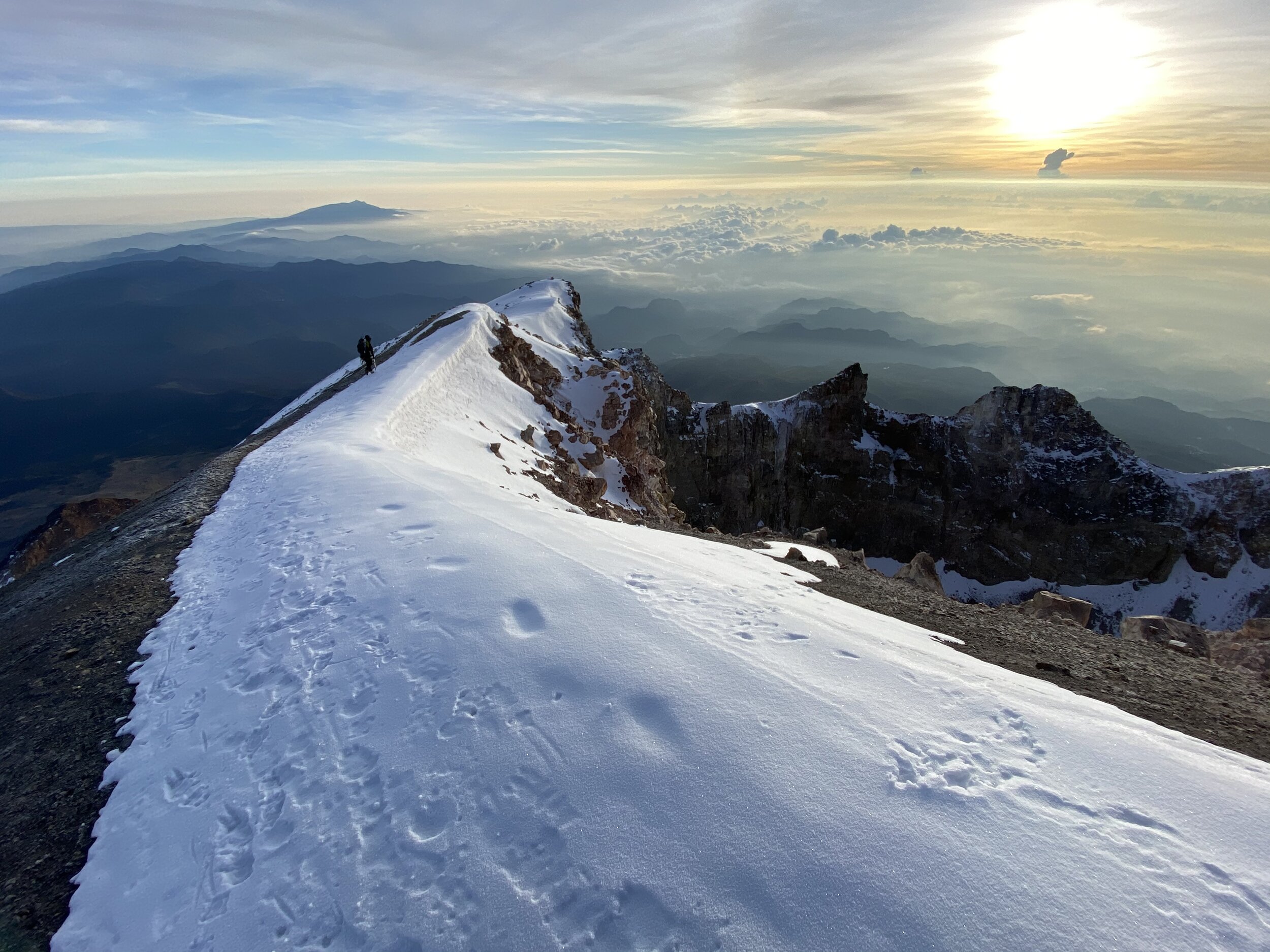
This where I live and spend a lot of time enjoying the stunning nature. I am blessed to be able to have all of this beauty within an easy drive from my home. After visiting many mountain areas of the world, I feel that Western Canada is one of the most beautiful and wild mountain environments left on Earth. The following pages contain more detailed account of each individual area of the Canadian Rockies. The photos on each page are a summary of many trips and are updated quite regularly as I continue exploring my backyard. Click on each link to go to the specific page:
Jasper National Park - Tonquin Valley
Jasper National Park - Mr Brazeau and Maligne Lake
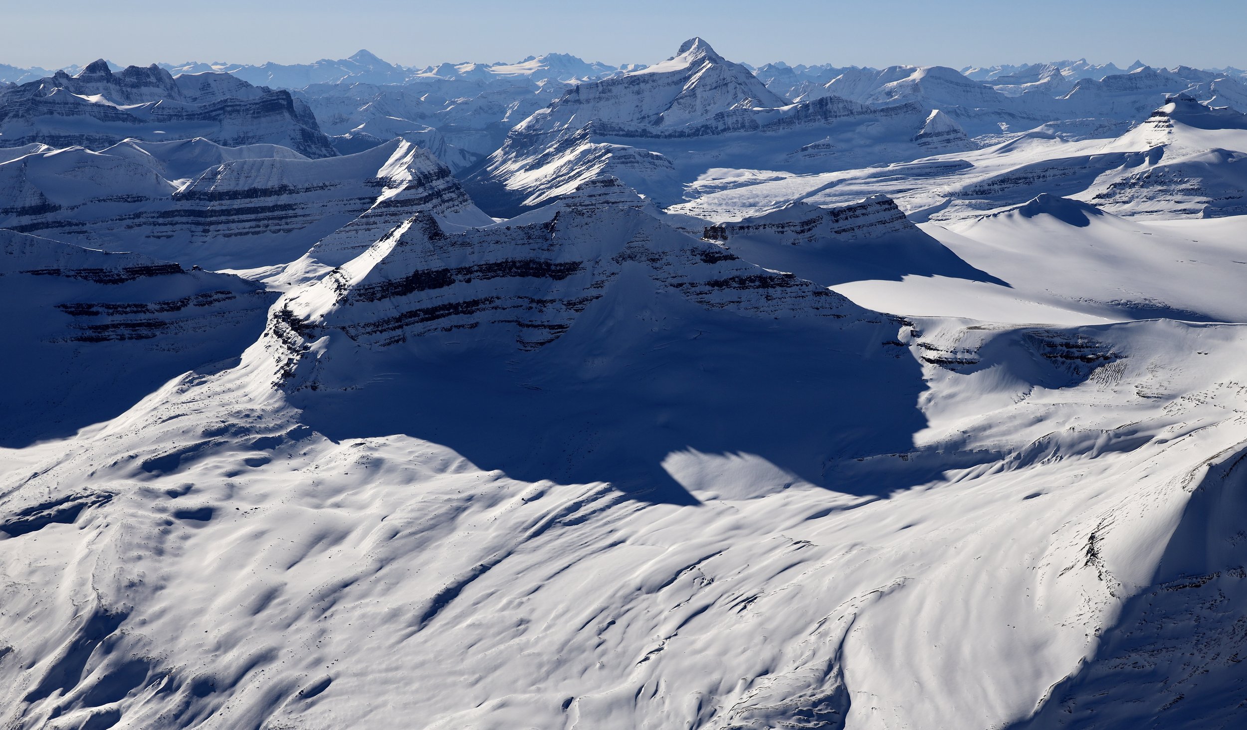
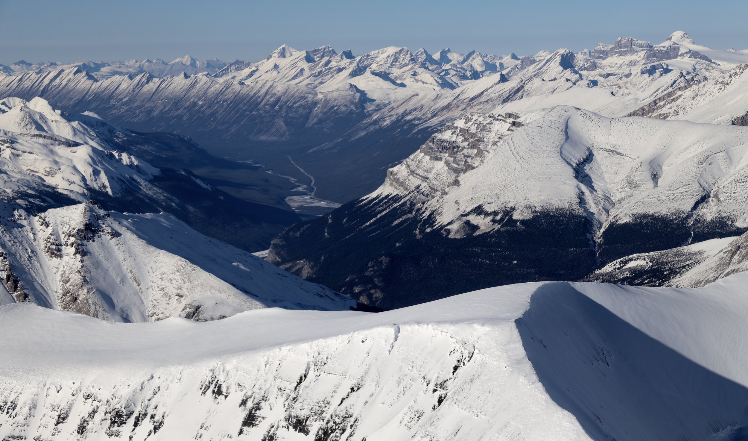
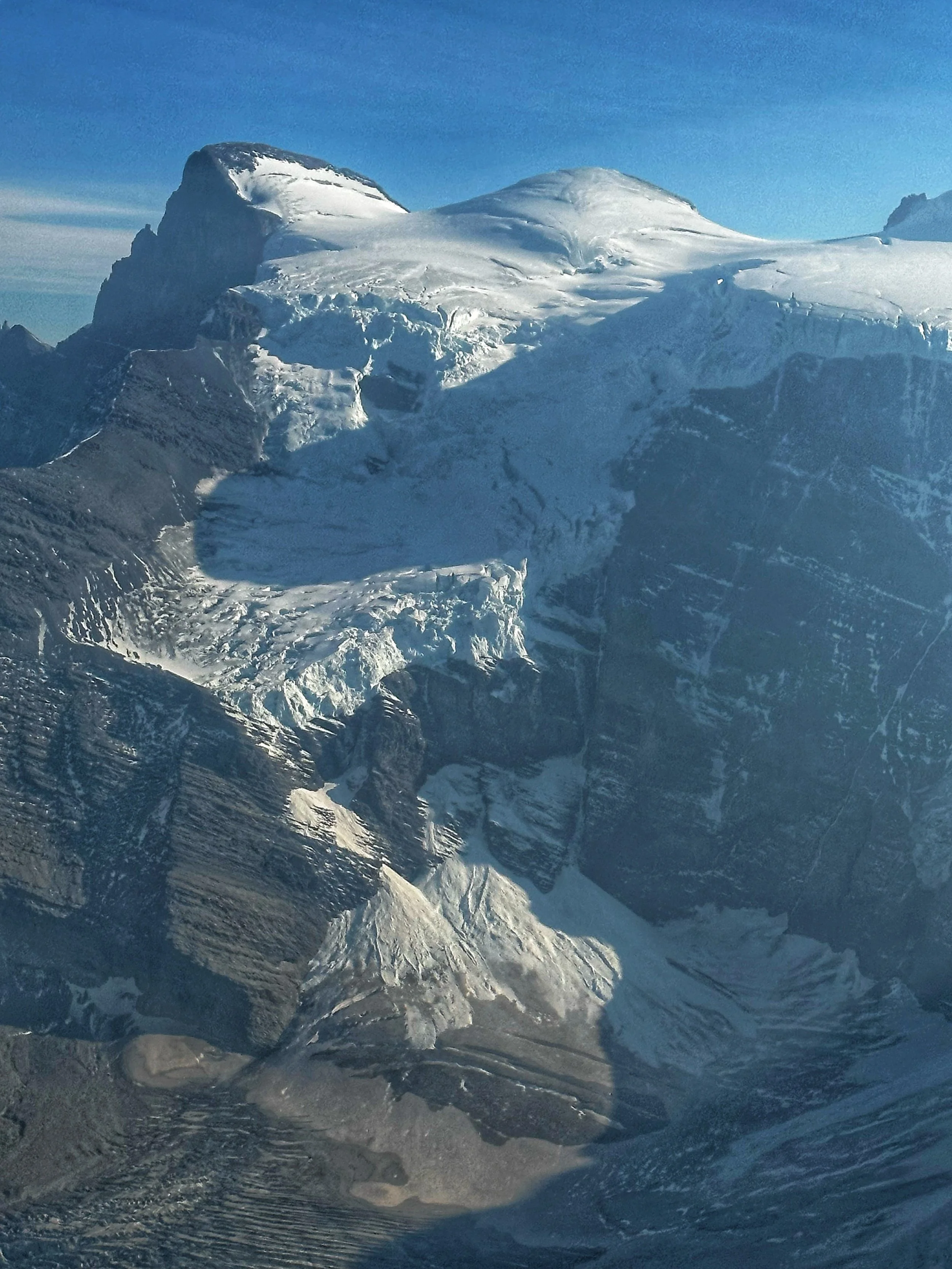
Jasper National Park - Columbia Icefield area
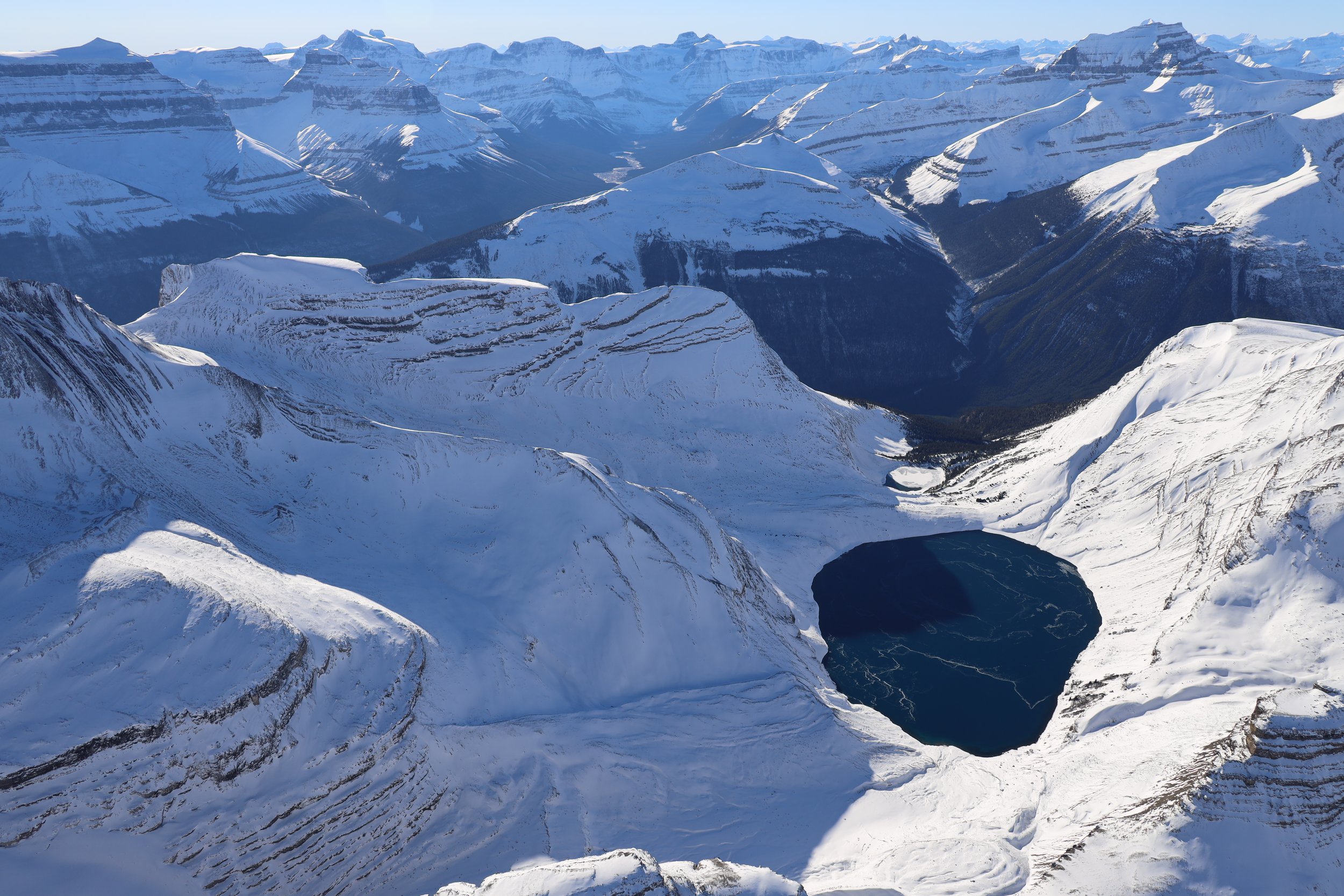
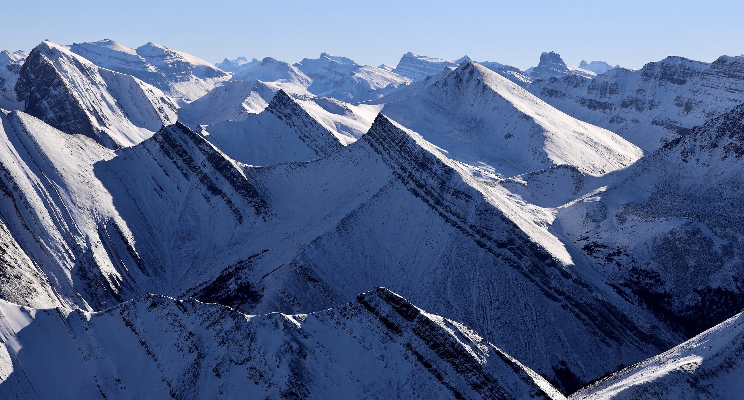
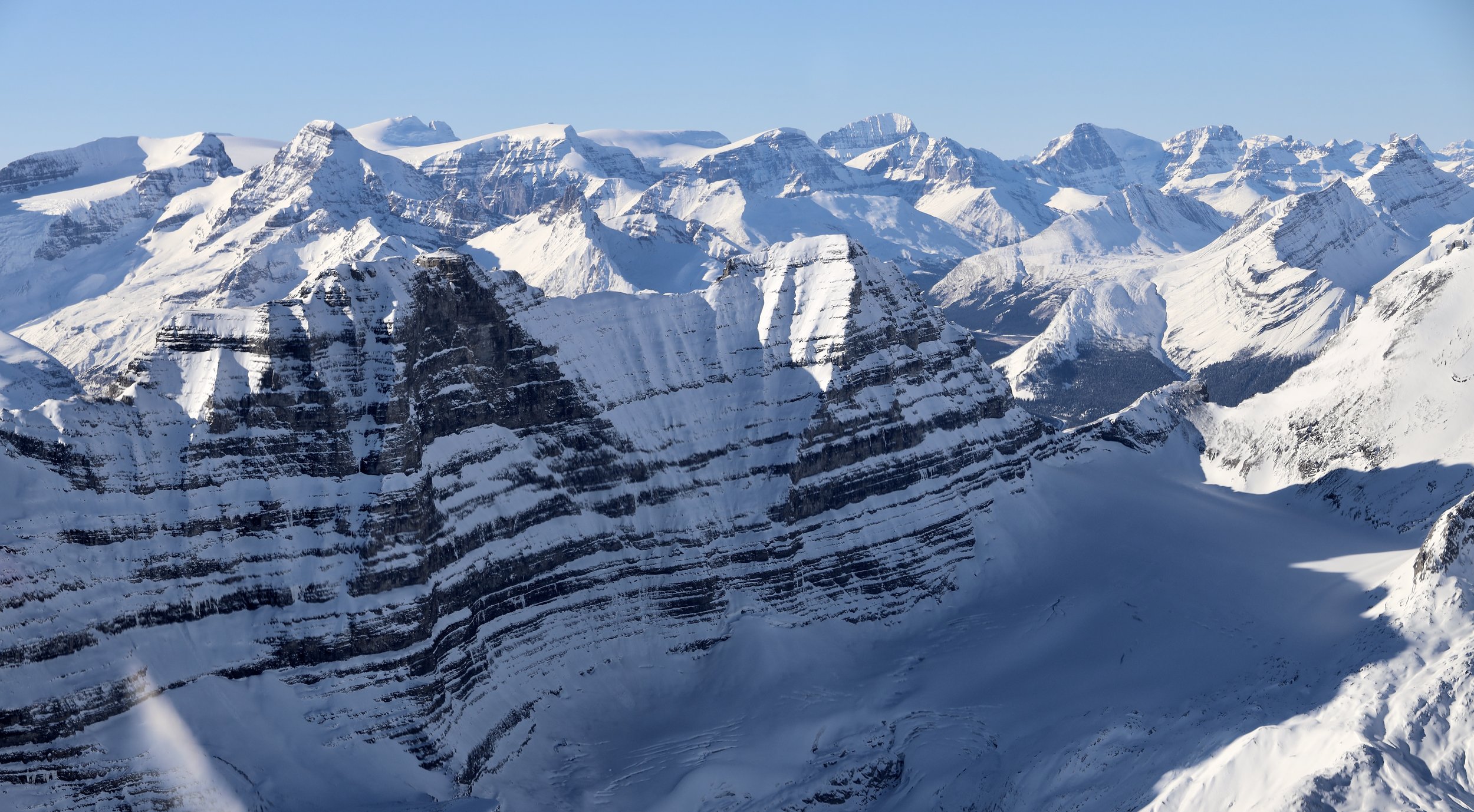
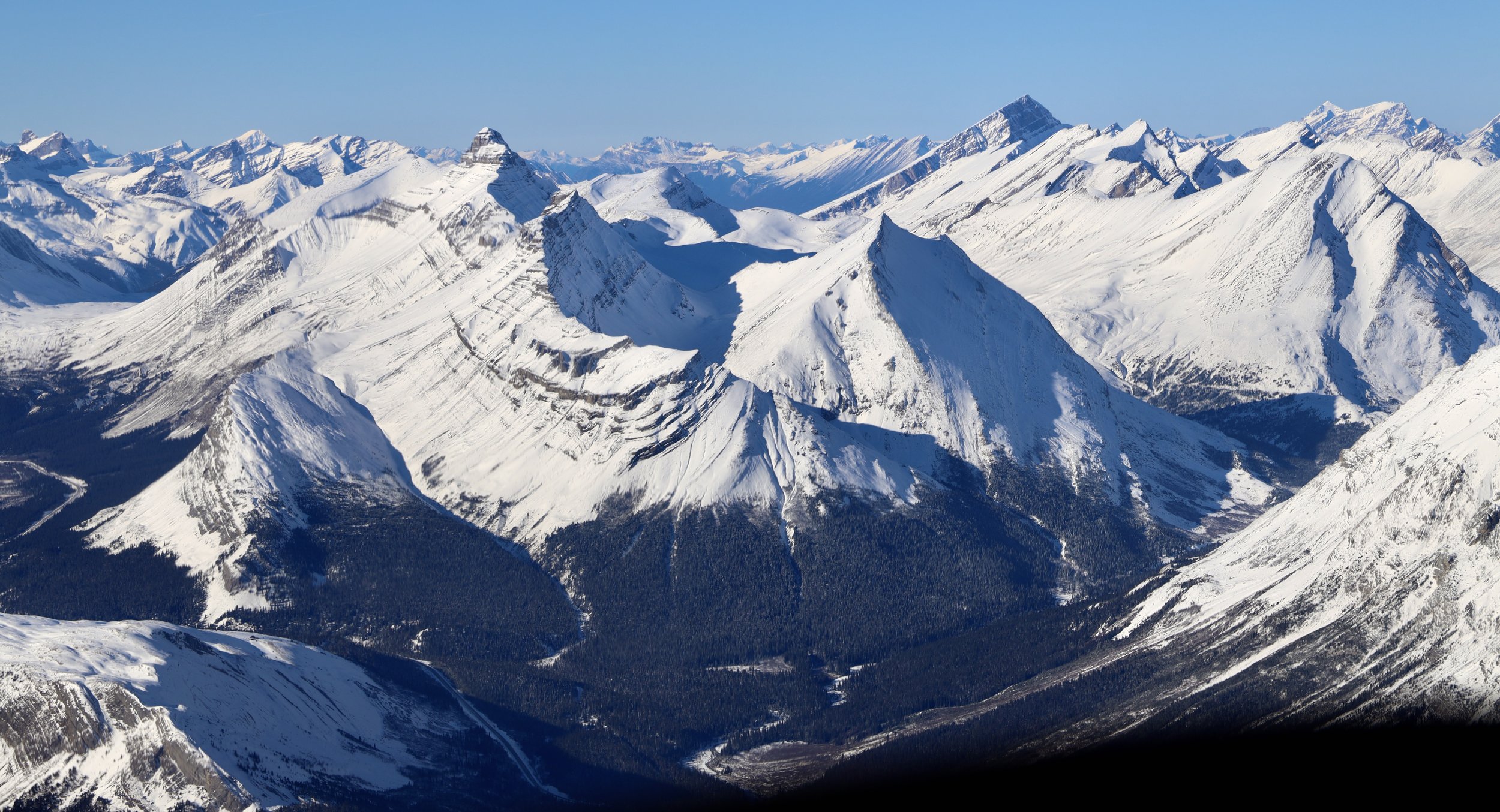
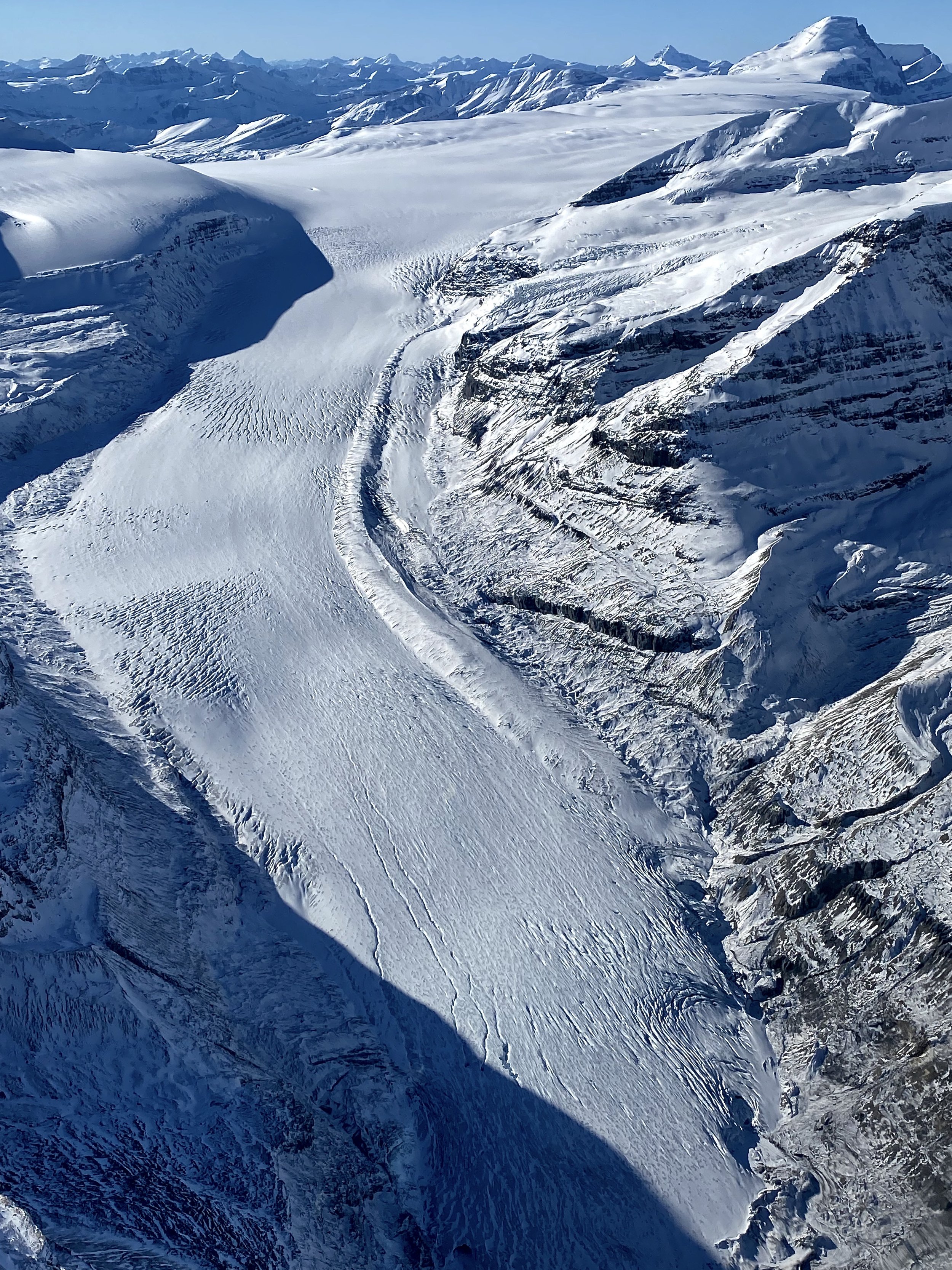
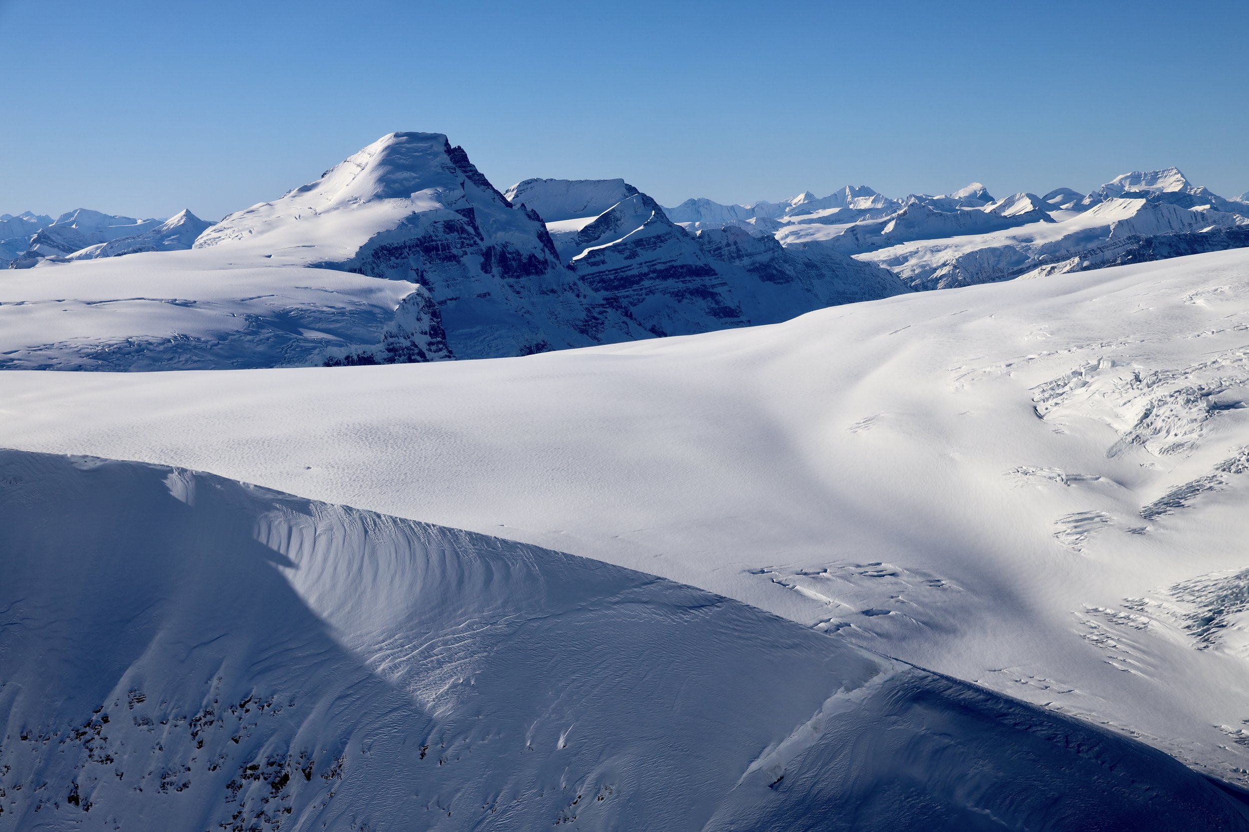
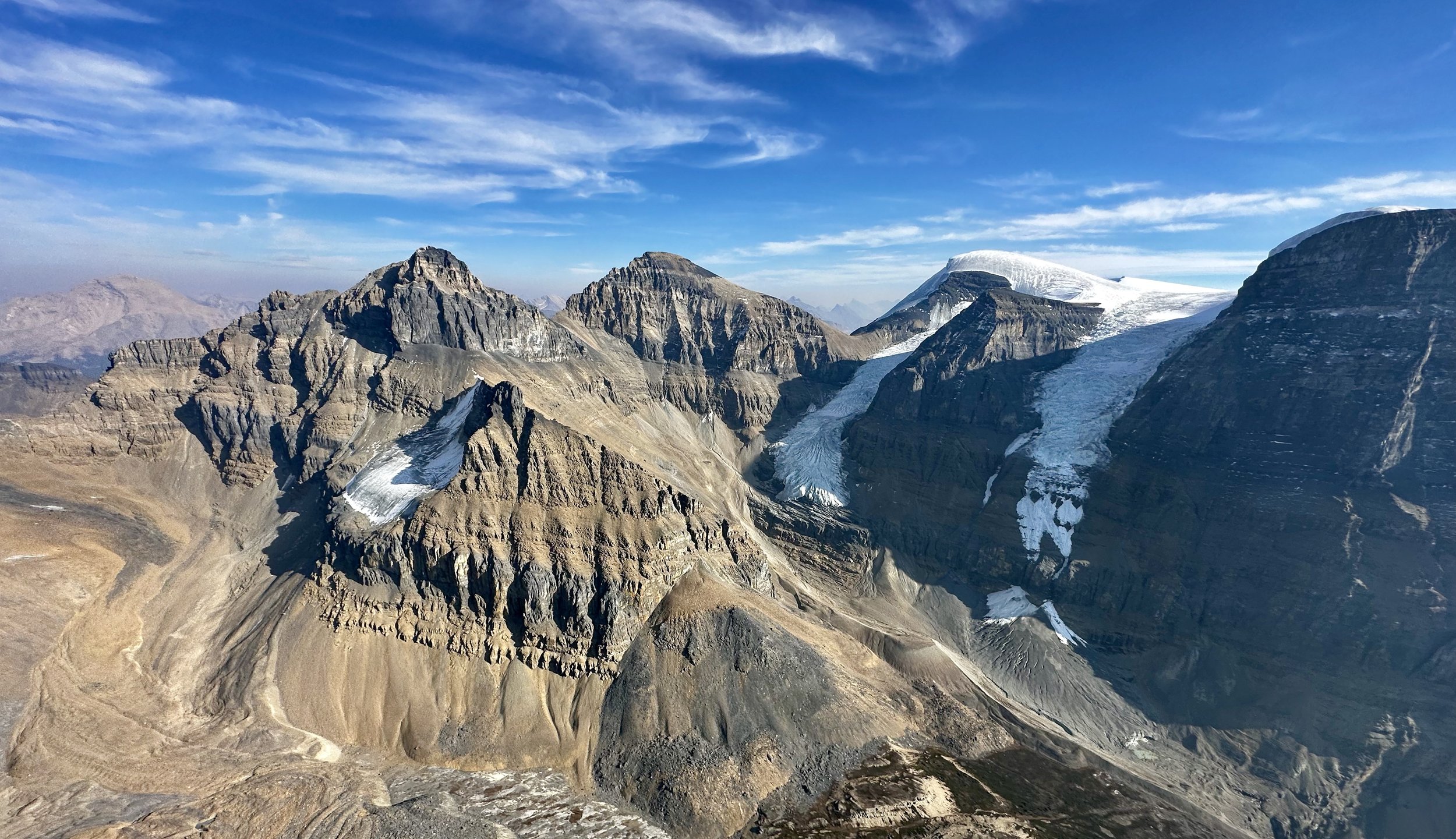
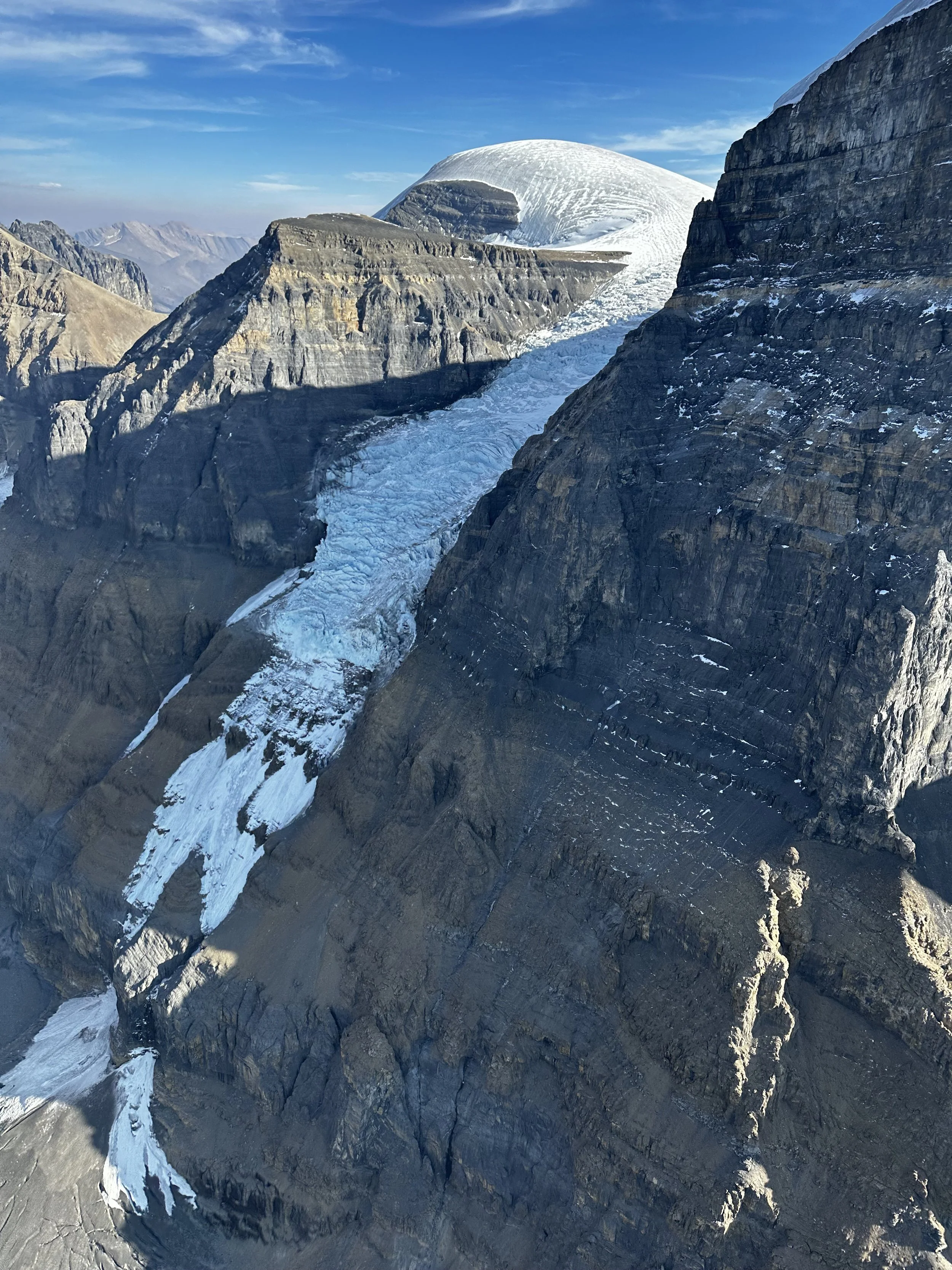
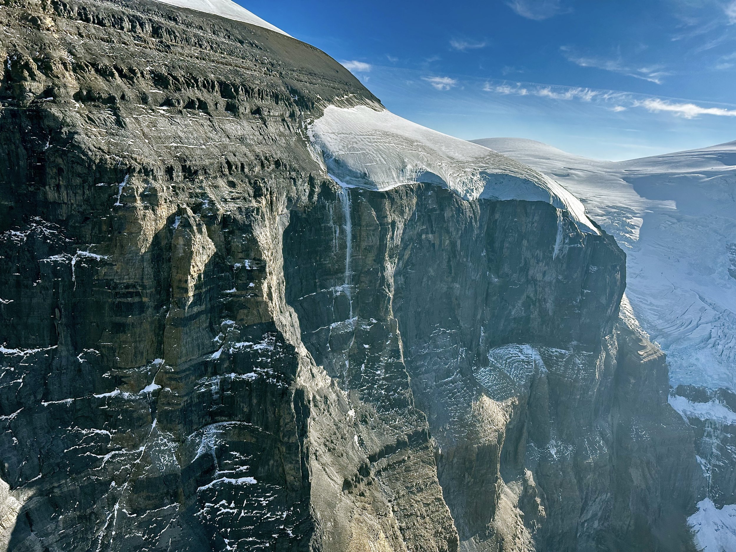
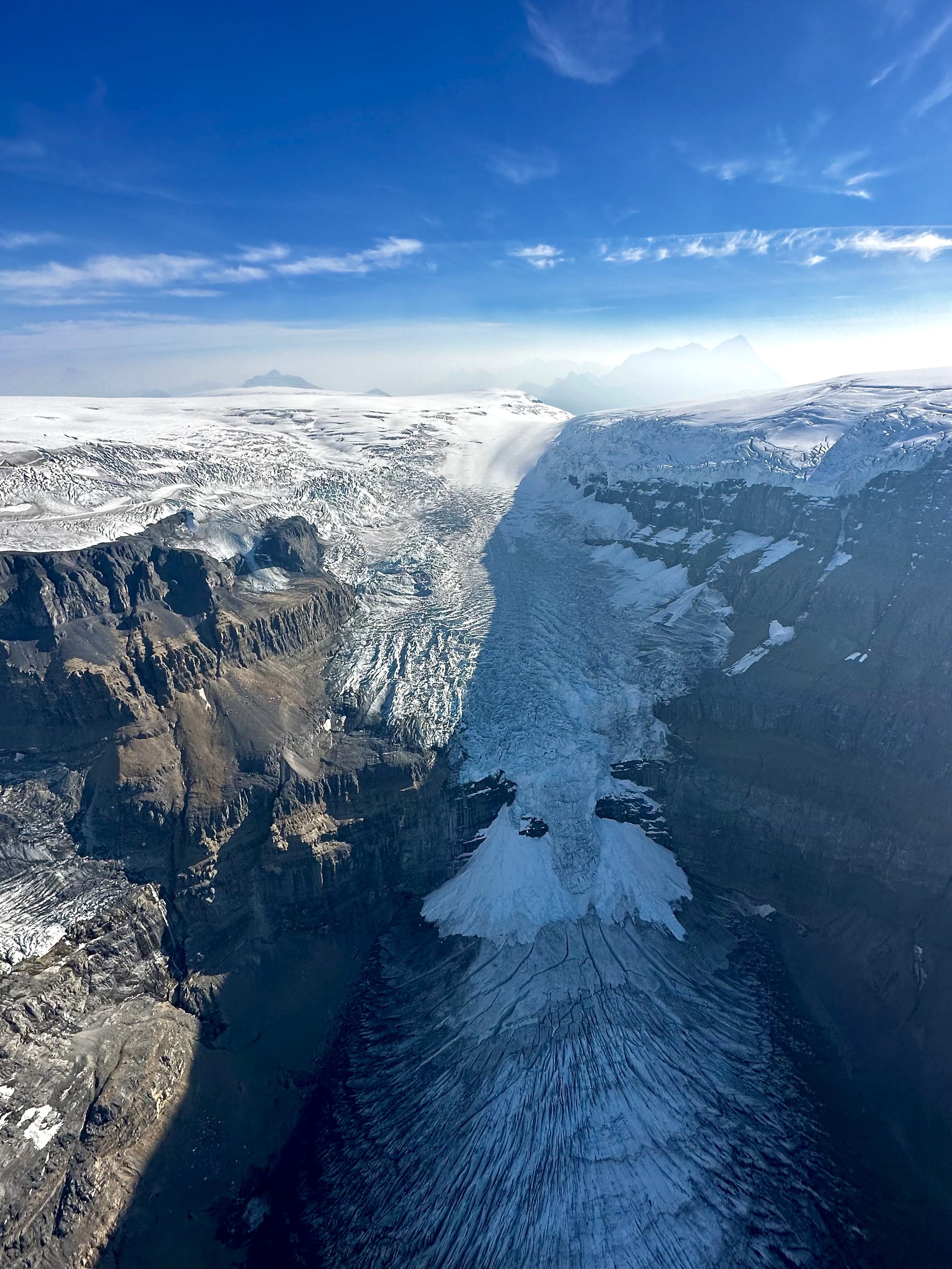
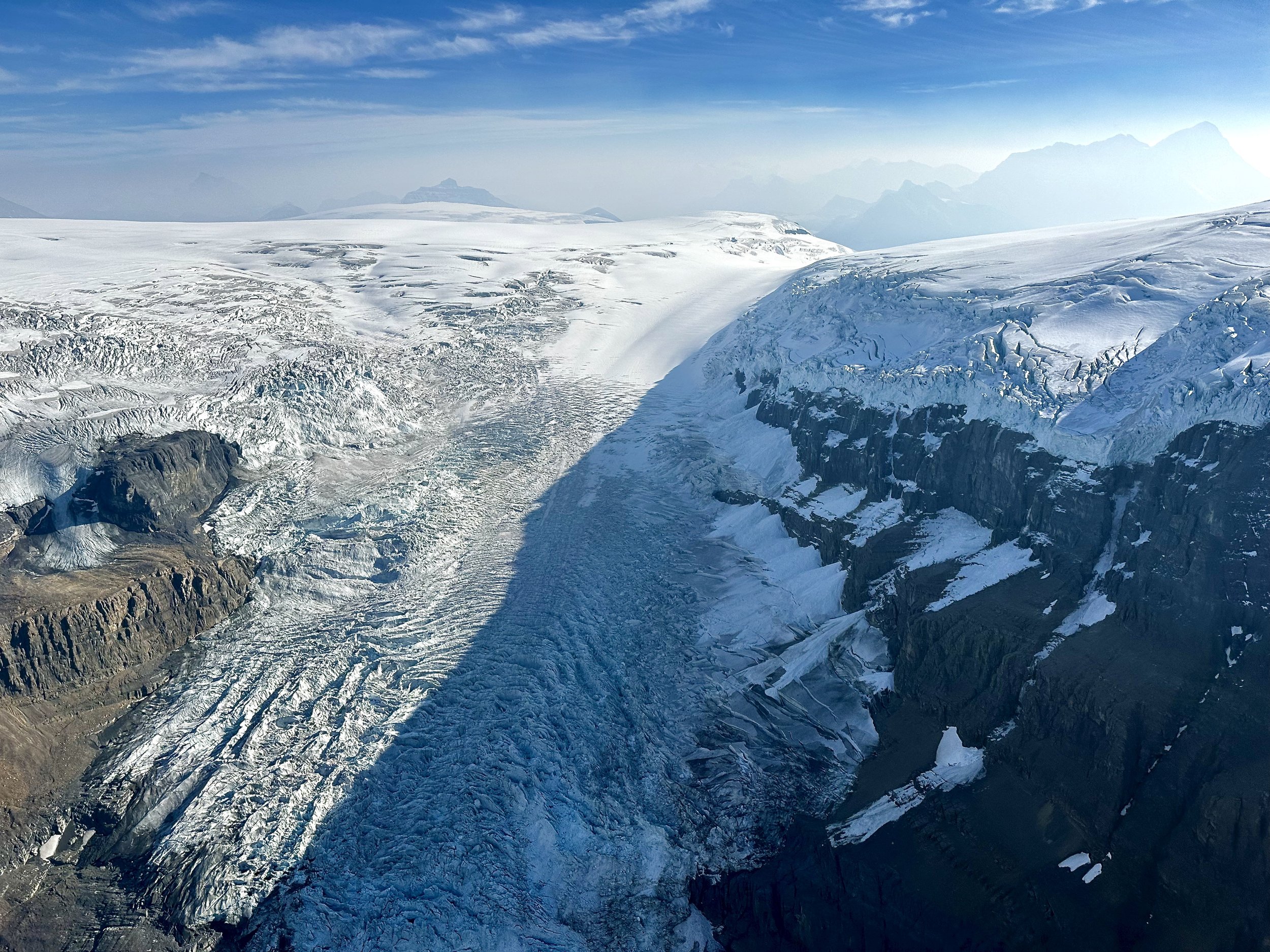
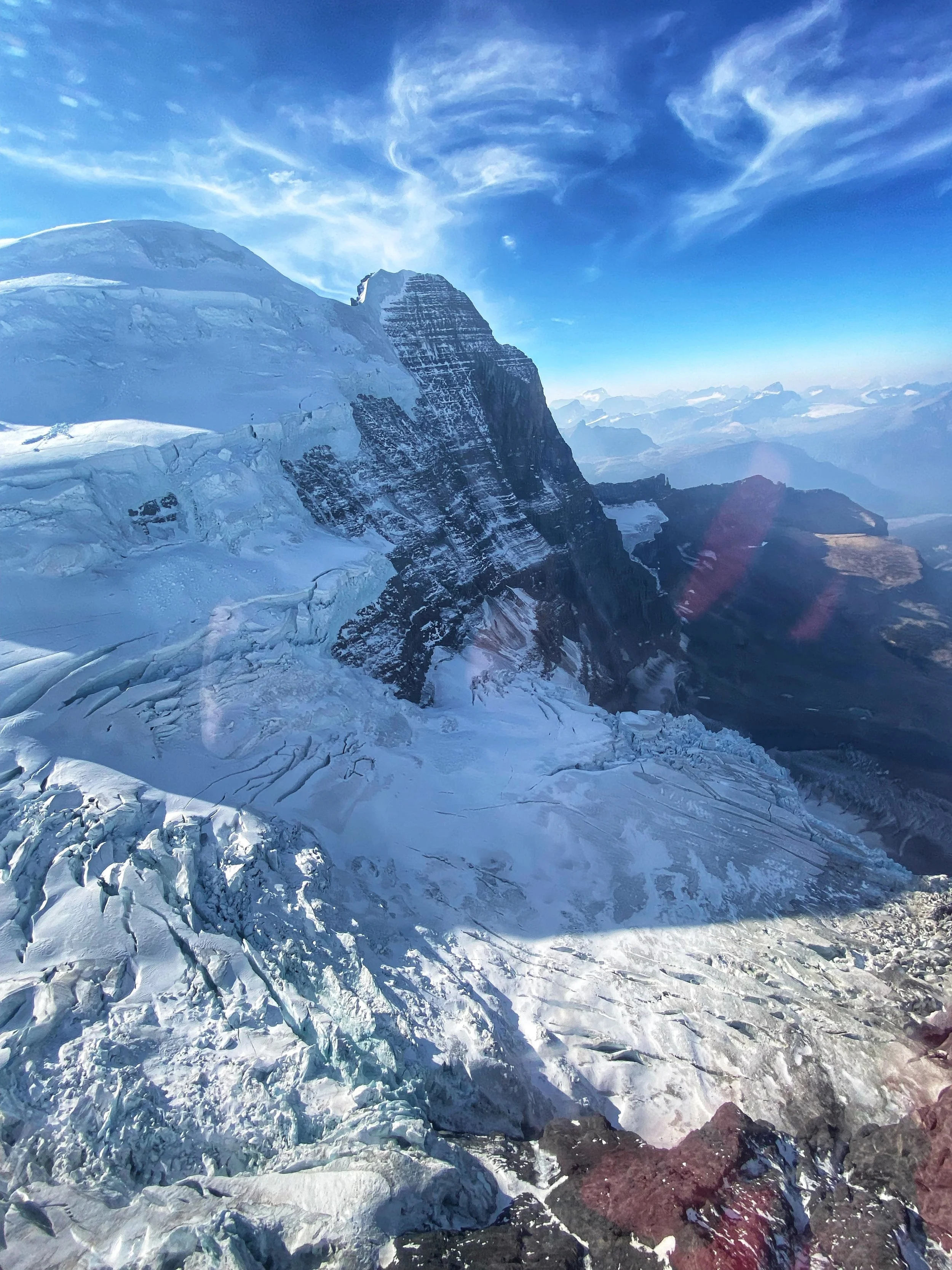
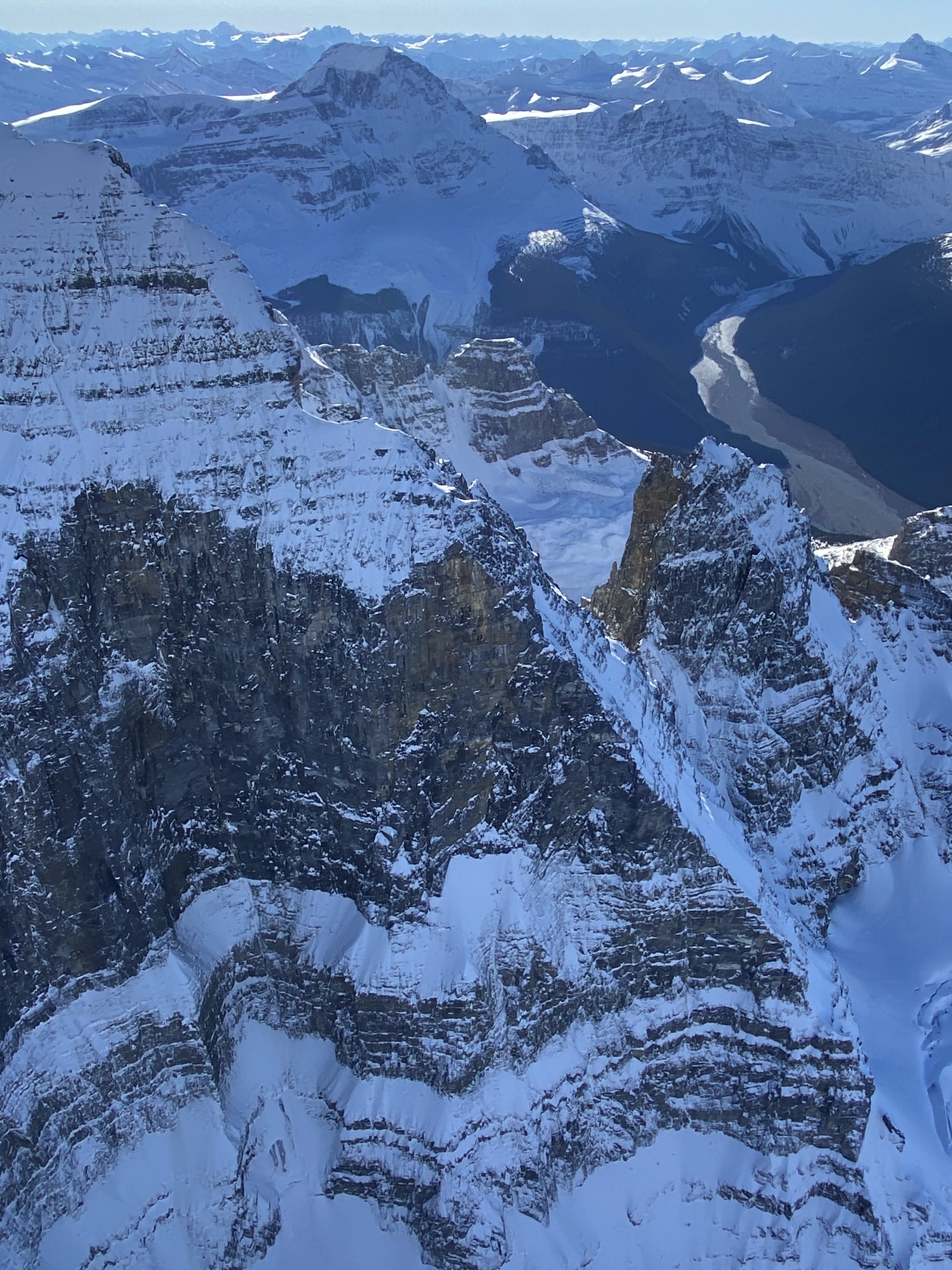
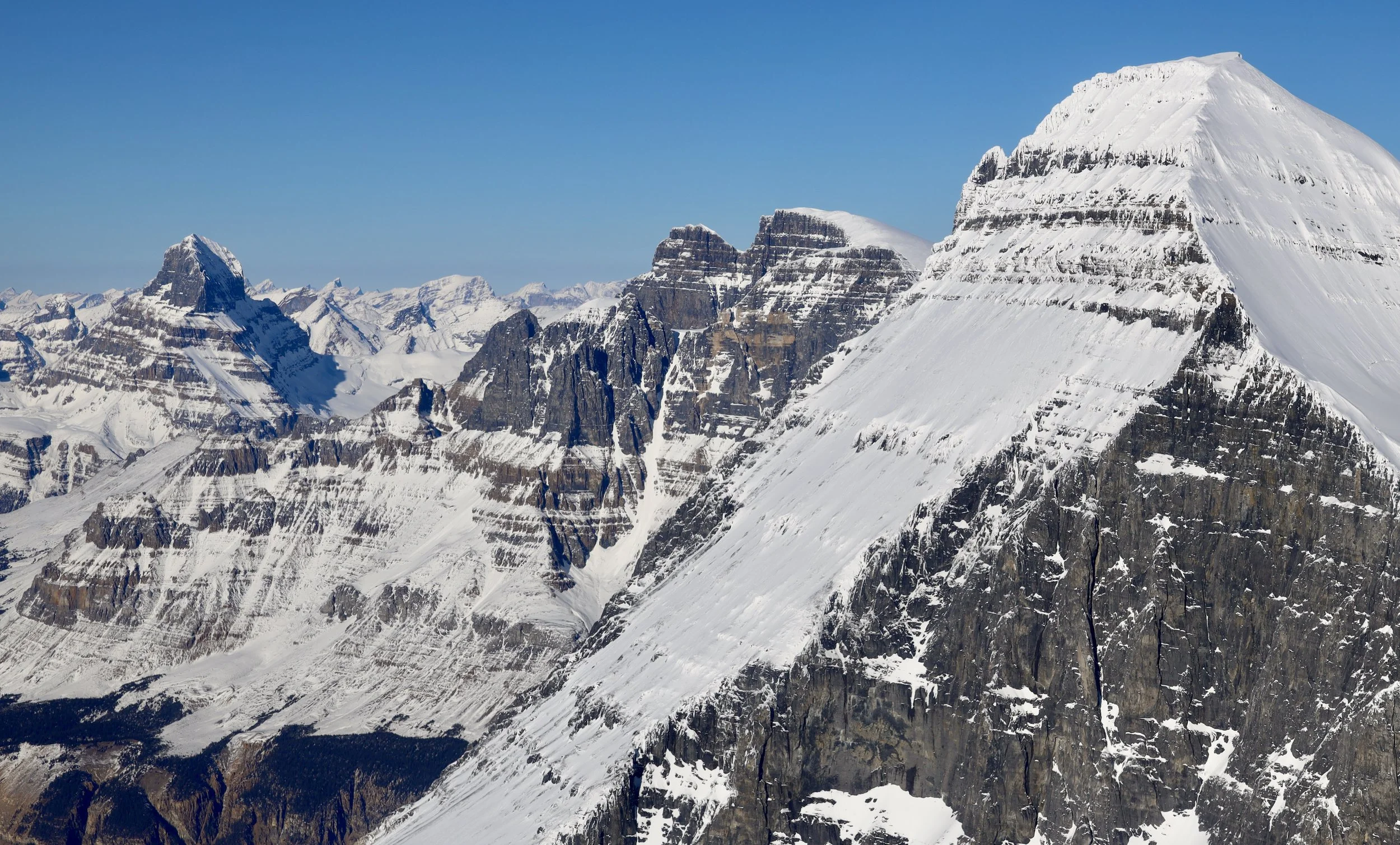
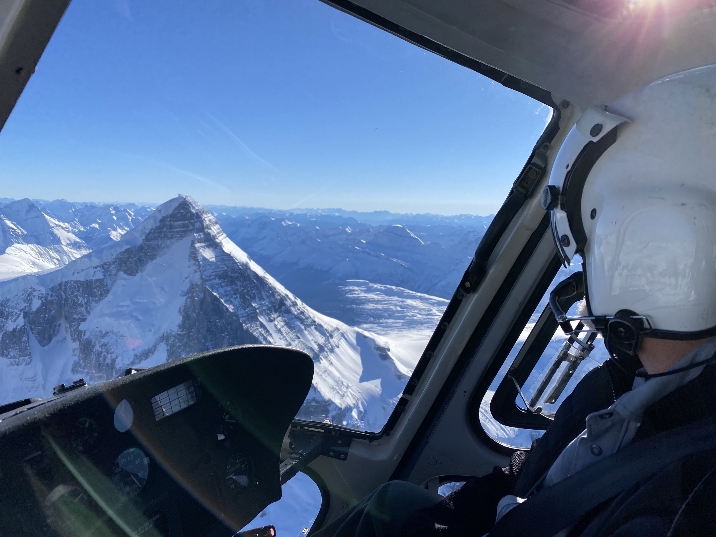
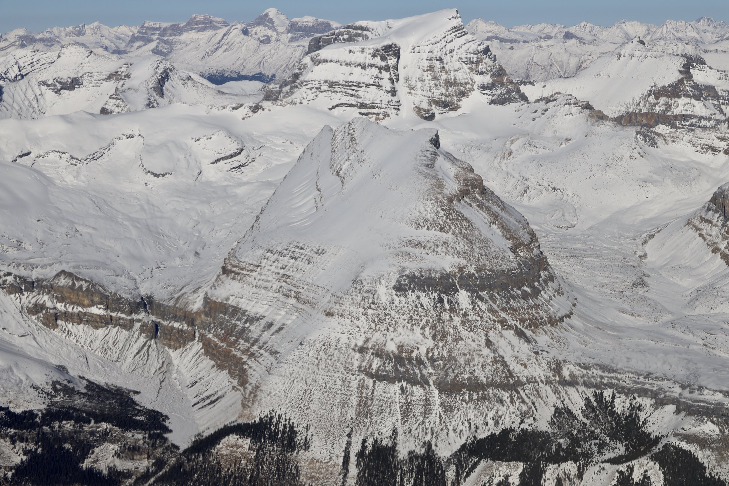
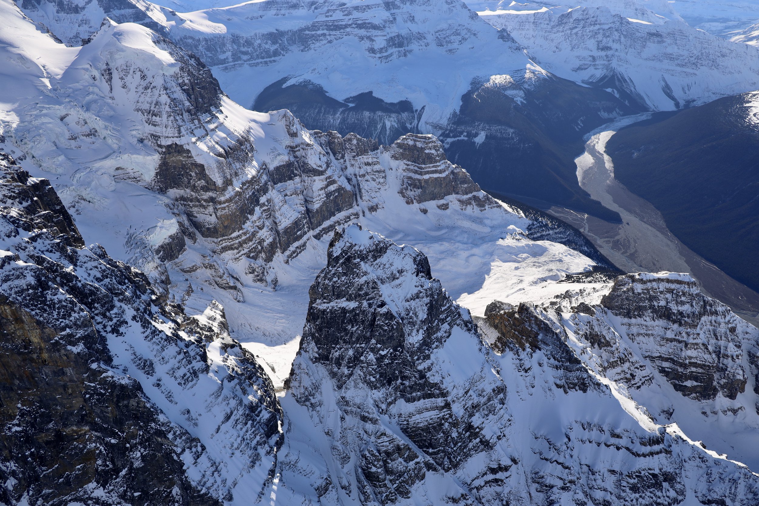
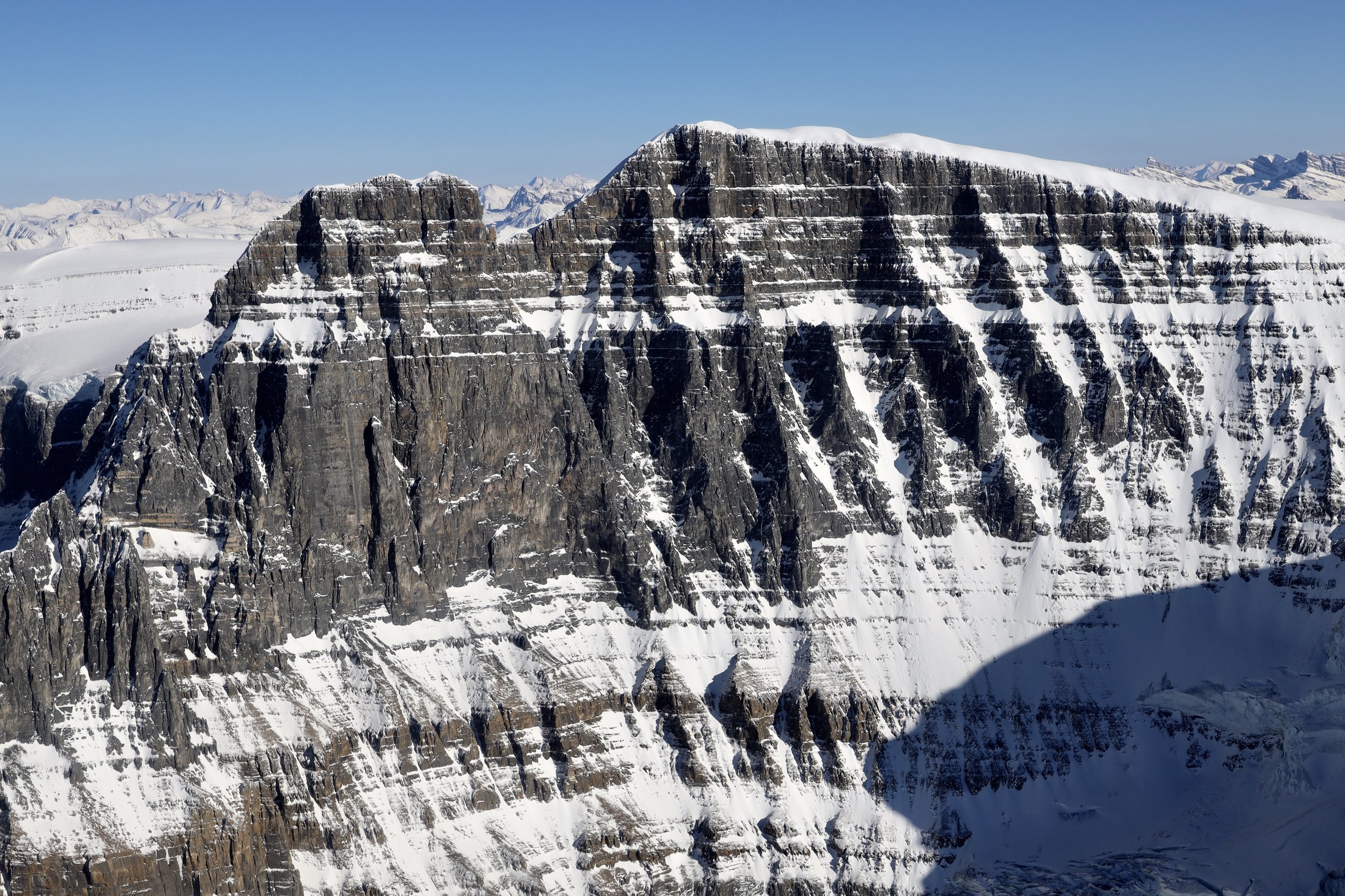
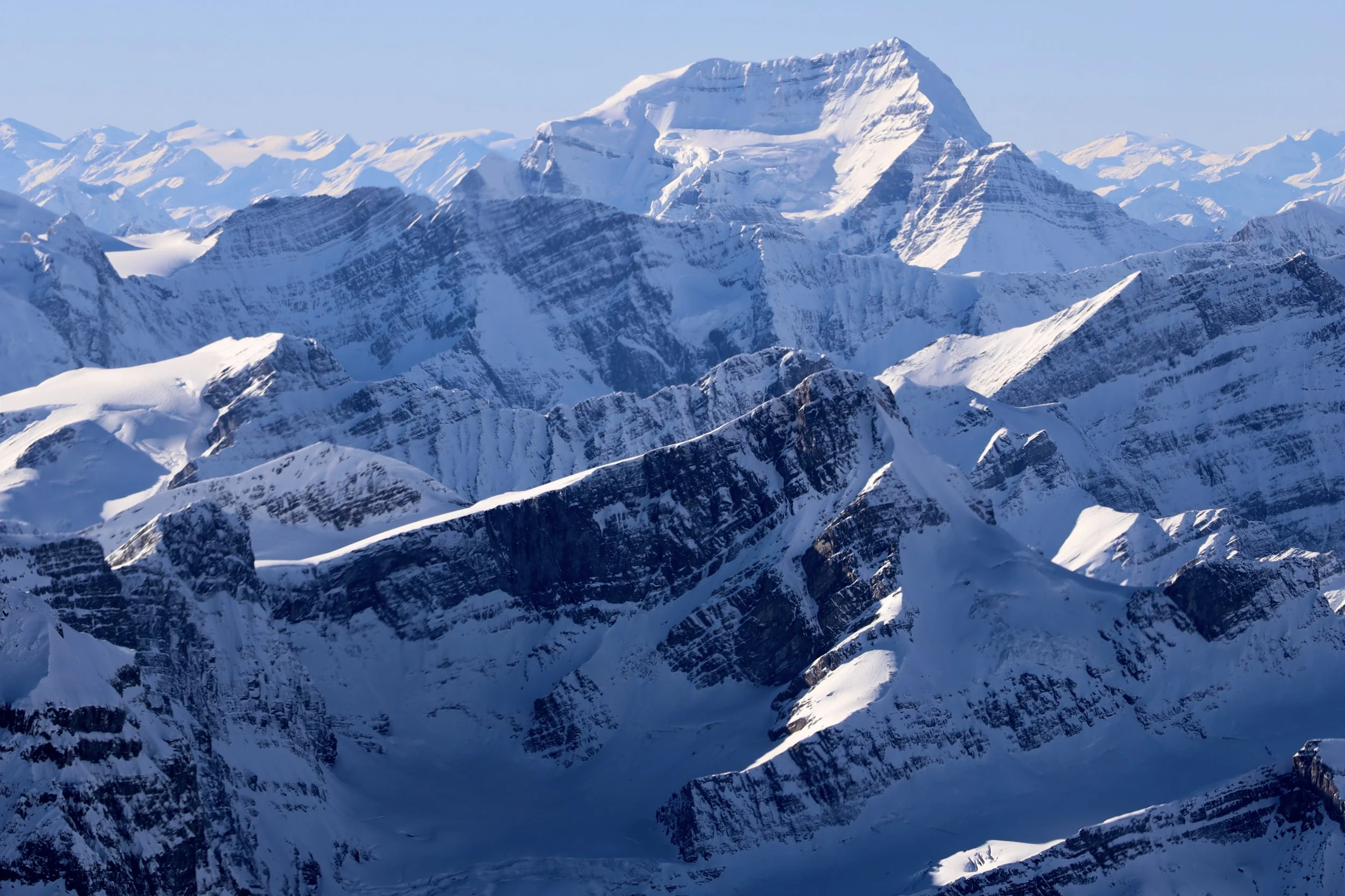
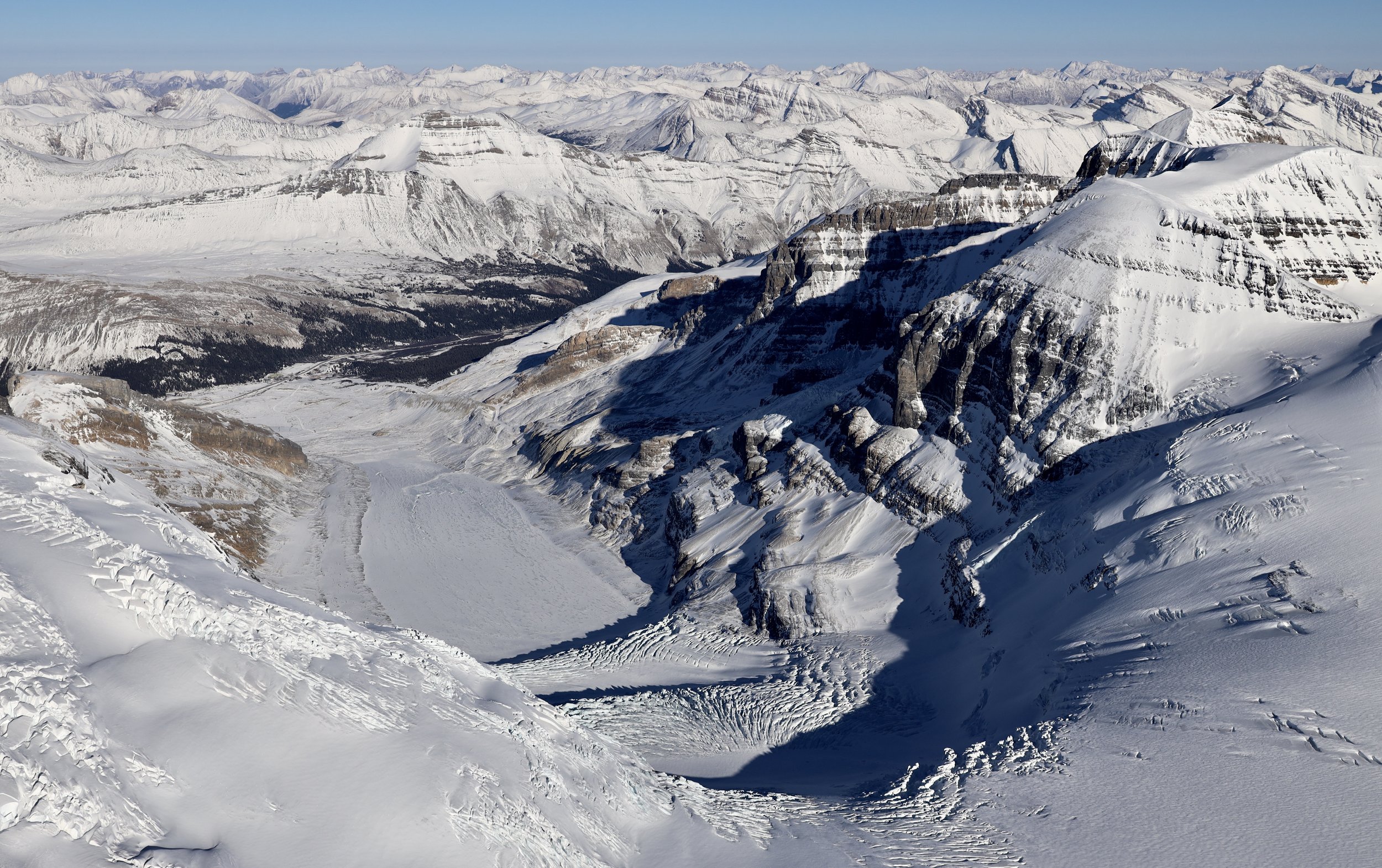
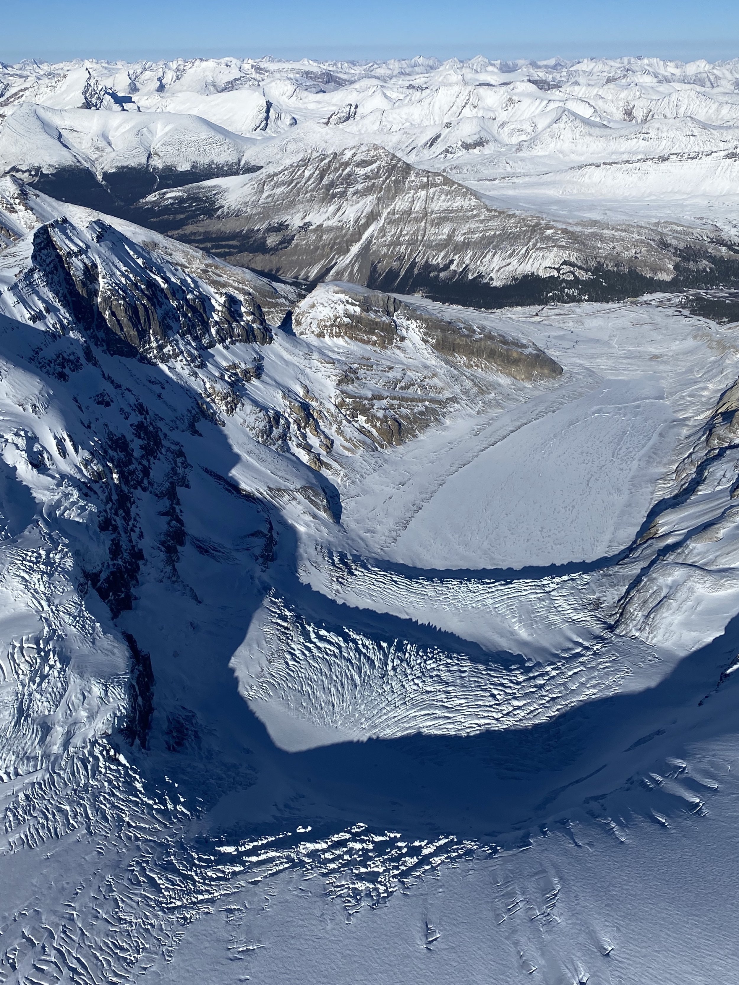
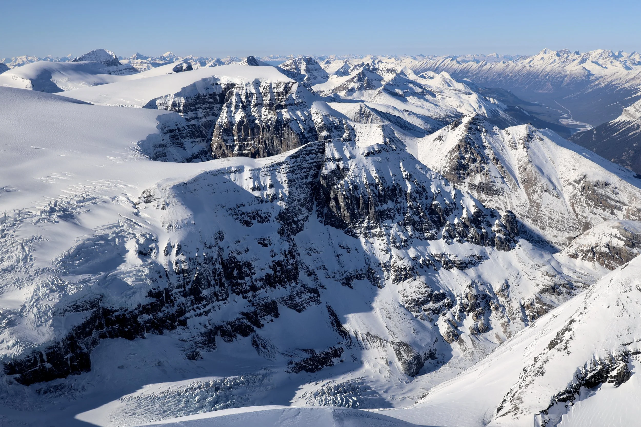
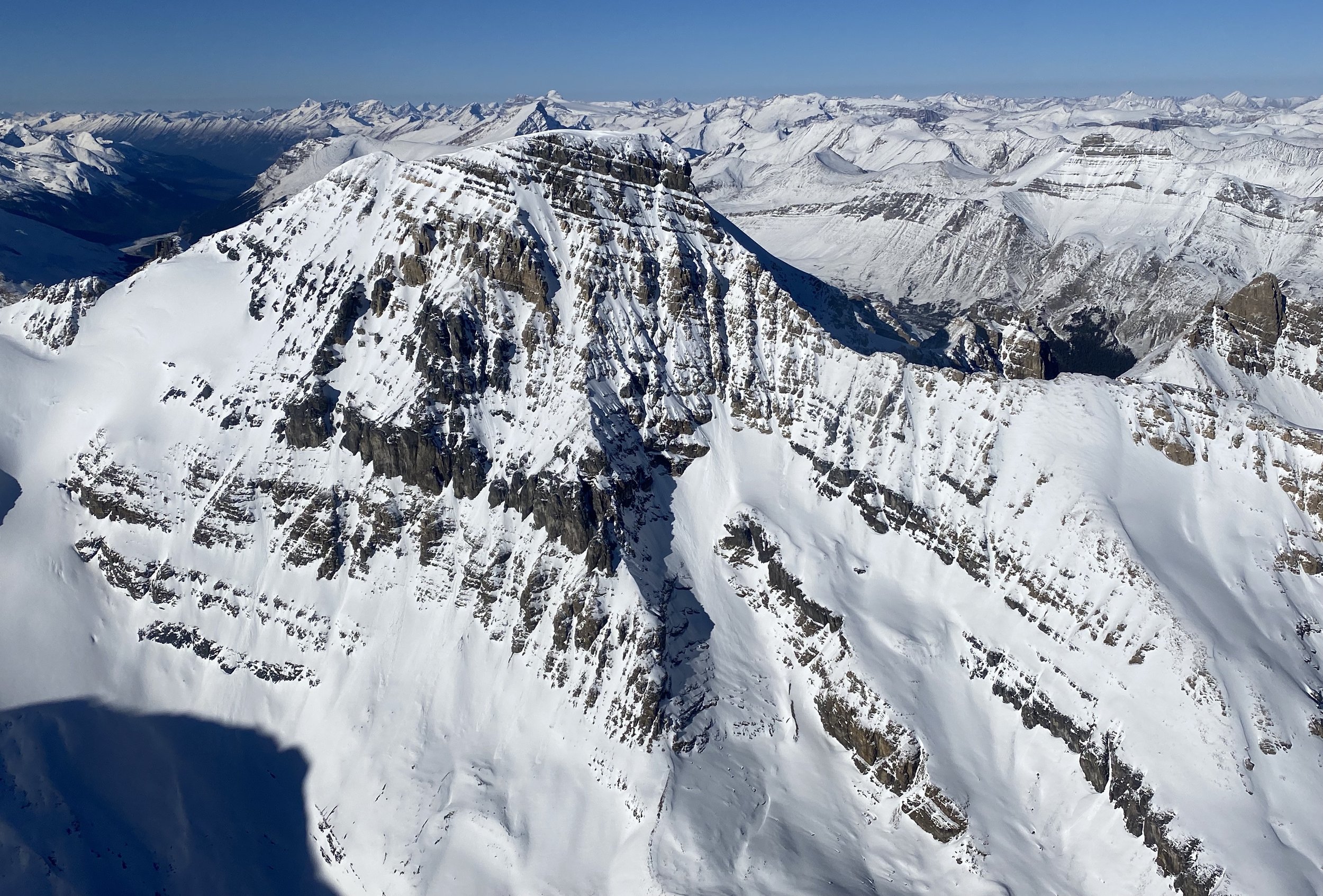
Columbia Icefield from the Air
Banff National Park - Wapta Icefield and Bow Lake
Banff National Park - Lake Louise and Moraine Lake
Mount Assiniboine Provincial Park BC
Here is a sample of various photos from the above folders:


Winter hiking around Canmore, Alberta in -30C

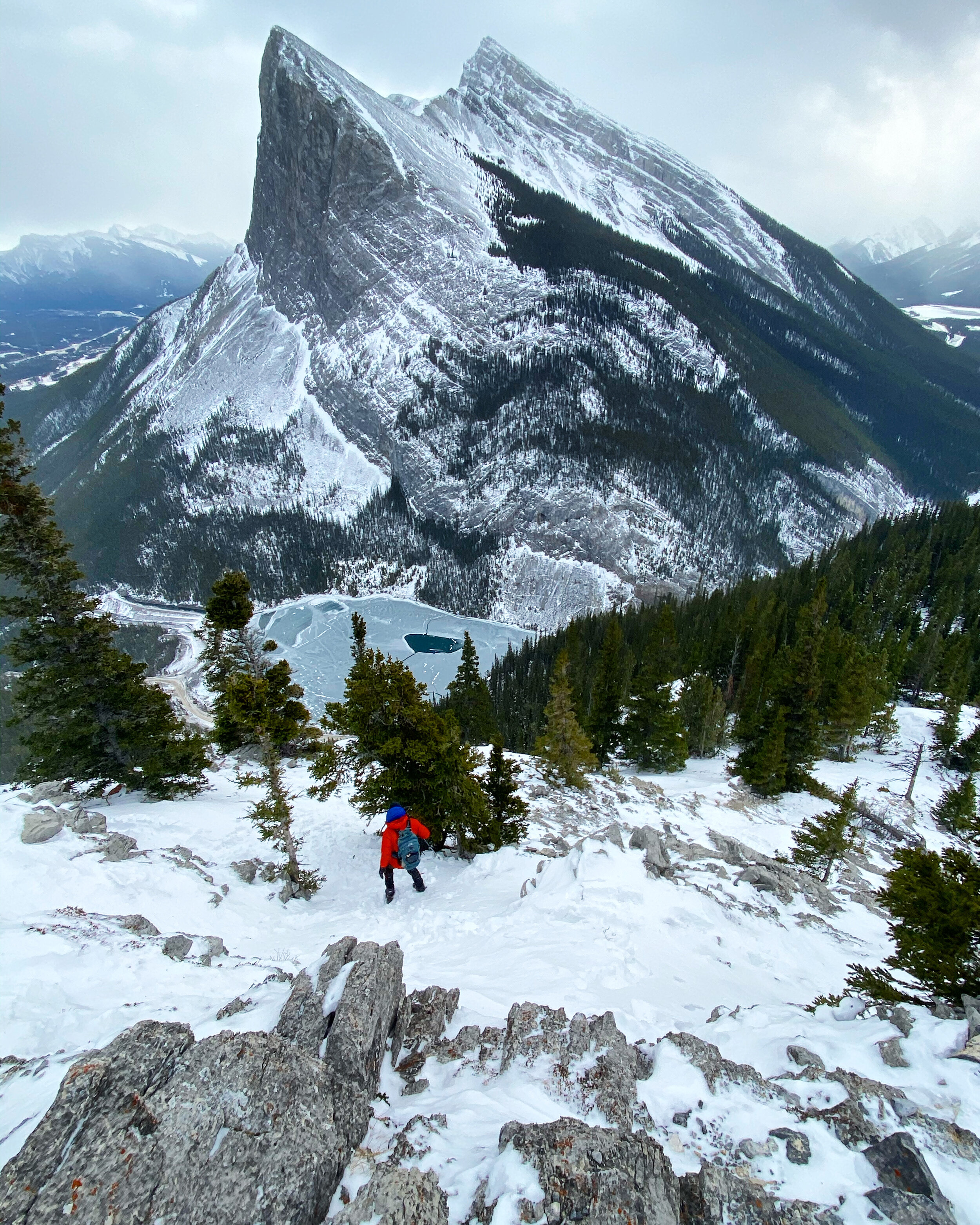
The view of the Bow Valley from Ha Ling in February

Grotto Mountain in February

Mount Rundle in January. The pointy peak is the Ha Ling.

Bow Lake

Bow Valley and Ha Ling Peak from the Miners Peak

Mount Balfour from the Iceline Trail in Yoho NP

The Iceline Trail in Yoho NP

Mt. President and Vice President. Below is the Iceline Trail. The view from the summit of the Whaleback Mountain in Yoho NP.

The closeup of Mt. President from the summit of the Whaleback Mountain. The glacier is almost too dangerous to climb.

View of the Watervalley from the Whaleback

The view of the Little Yoho Valley, the Presidents and the Iceline Trail from the Whaleback Mountain

The view of the Pharaoh Peaks from the Sphinx Mountain with the Egypt and Scarab Lakes below.

The Mummy Lake and the Scarab Lake with the Scarab Peak looming above.

The view of the Sunshine Meadows and the Monarch in the distance.

The view from the Greater Pharoah Peak, notice the thick grey smoke in the south (left of the photo) from the forest fires in the USA.

The view from the Greater Pharoah Peak to the Pharoah Peak Middle and Lesser Pharoah Peak.

Crowfoot Mountain

Crowfoot Mountain

The Rockwall Trail - Goodsir Pass

The Rockwall Trail - Wolverine Pass

The Rockwall on the Rockwall Trail

The Rockwall Trail

The Goodsir Towers from the Goodsir Pass
Moraine Lake and Mount Temple towering above

View from the summit of Totem Peak

Totem Peak

Mt. Victoria

Mt Victoria (right) and Mt. Lefroy (left)
Abbott Pass and the ACC Abbott hut

Panorama from Mt. Richardson 3085m

Panorama from Mt. Fairview

Panorama Ridge

Maramota Peak

Maramota Peak


Upper Totem Lake

Lower Totem Lake

The beautiful Moraine Lake

Hector Lake

Hector Lake

From left to right: Pulpit Peak, Hector Lake, Bow Peak and Mt. Hector

Floe Lake and part of the Rockwall in Kootenay NP

The view of the Rockwall from the Numa Mountain
Numa Mountain

Numa Mountain in Kootenay NP

Numa Mountain

The view from the summit of Vermillion Peak

Vermillion Peak in Kootenay NP

Mount Whymper from the summit of Vermillion Peak

The summit ridge of Vermillion Peak

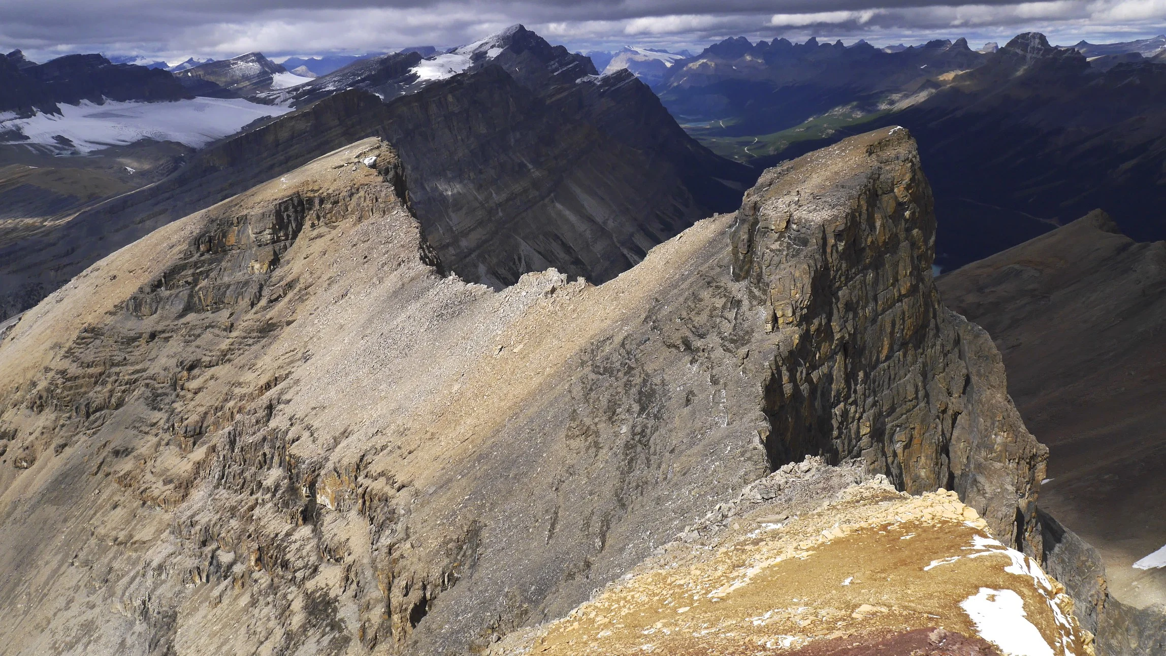
Rimwall Summit in Kananskis Country

View from the summit of Rimwall

Big Sister from Rimwall

Mt. Whymper from Vermilion Peak

The view from Mt. Whymper to Highway 93 and Mt. Stanley across the valley

The view from the summit of Mt. Whymper towards the Goodsirs (large mountains on the left)


The Goodsirs from Mt. Whymper

On Mt. Whymper

The view of Yoho from Narao Peak

Pope’s Peaks and Narao Peak in Yoho NP

The summit of Mt. Yamnuska

The front ranges of the Rockies from Mt. Yamnuska

Lake Louise

The incredible colours of Lake Louise, Banff NP, Alberta

Lake Louise and the backdrop of Mt. Victoria

Emerald Lake

Emerald Lake BC

Mount Lougheed from the Windtower

The Spray Lake from the Windtower

Grizzly Peak

Grizzly Peak in early spring

Early spring in the Rockies. Aborted attempt on the Windotower.

Early spring on Lady McDonald in Canmore

Moraine Lake in Banff National Park

The beautiful Grassi Lakes in Canmore

Banff National Park

Mount Rundle

Banff National Park, Two Jack Lake

Banff National Park

Lake Minewanka in Banff National Park

Lake Minewanka Banff National Park


Herbert Lake

Banff NP

Banff NP

Bow Lake in Banff National Park

Bow River in Banff National Park

Bow River and Mount Temple in Banff National Park
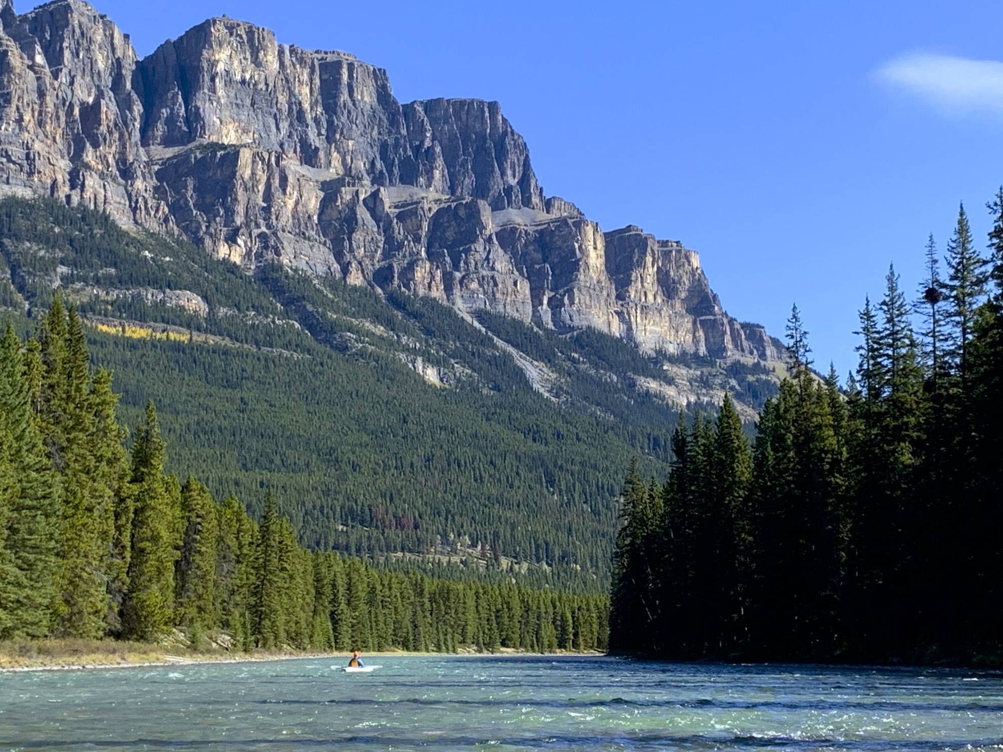
Castle Mountain and Bow River in Banff National Park

Bow River and the Castle Mountain

Bow River

Bow River

Bow Lake

Bow Lake

Bow Lake

Bow Lake


Grizzly Peak

Grizzly Peak

Upper Kananskis Lake

Upper Kananskis Lake

Upper Kananskis Lake

The Opal Range and the Upper Kananaskis Lake

Mount Lady McDonald

Mt. Athabasca summit 1996!

Mt. Robson

Valley of 10 peaks

Bow Lake

Bow Lake

Mt. Lady McDonald and Canmore

Mt. Rundle

Ha Ling in Canmore in winter

Mt. Nestor

Mt. Joffre

Mt. Joffre

Mt. Joffre

The summit of Mt. Joffre

The basecamp for Mt. Joffre

Cirque Peak

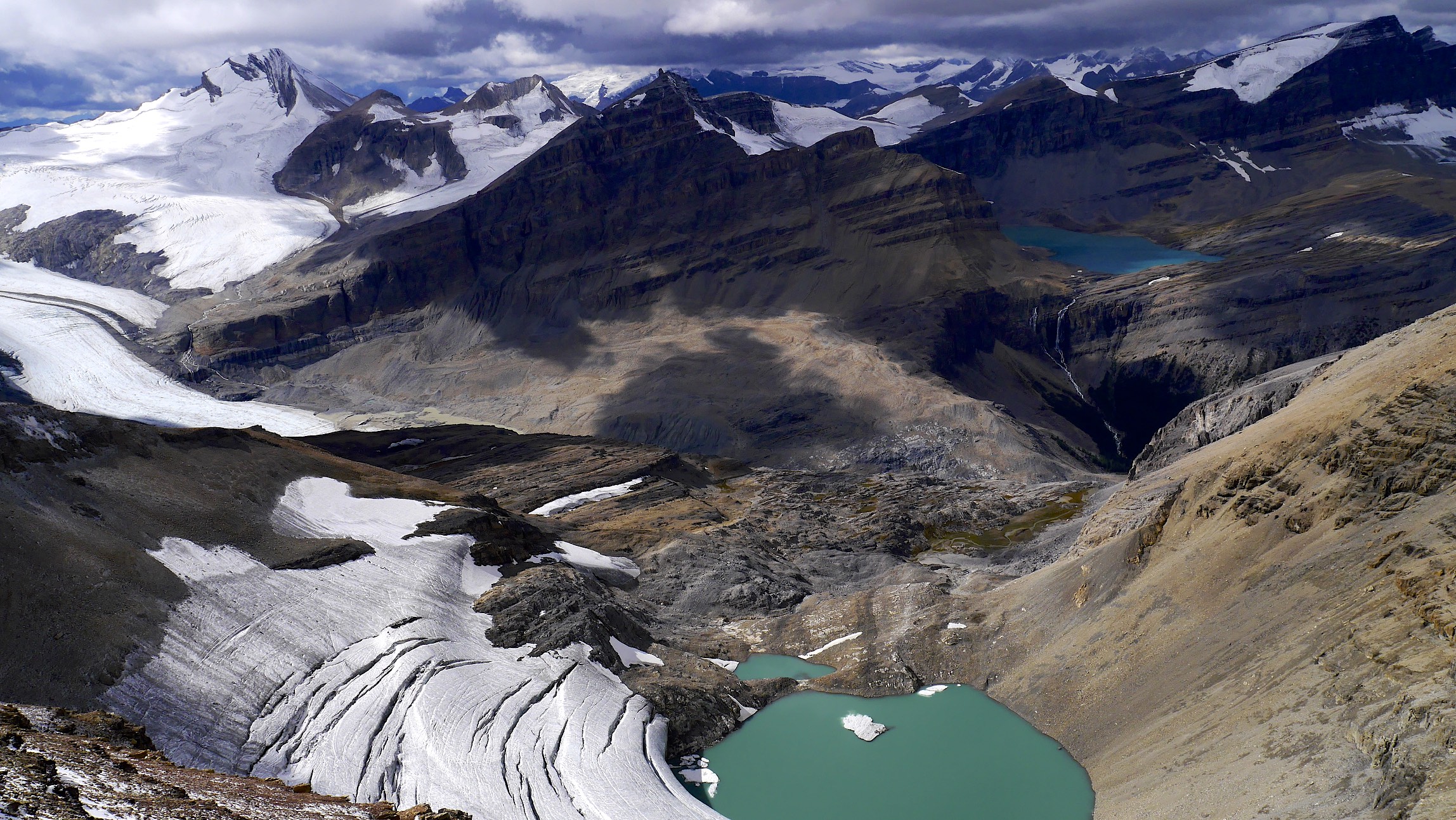
Wapta Icefield from Cirque Peak

Lake O'Hara from lower slopes of Mt. Huber

Mt. Huber

View from Huber Victoria Col

Basecamp for Mt. Huber and Mt. Victoria

Mt. Huber

The summit of Mt. Victoria

Mt. Victoria summit ridge

Lake Louise from the summit of Mt. Victoria

Lake Oesa

The summit of the Tower of Babel

Consolation Lakes and Panorama Ridge on the left

The Valley of 10 Peaks

Sentinel Pass

Kananaskis Country from the summit of Mt. Chester

Mt. Chester and Chester Lake area

Lake Louise and Mt. Victoria

Mt. Lefroy and the Death Trap glacier leading to the Abbot Hut

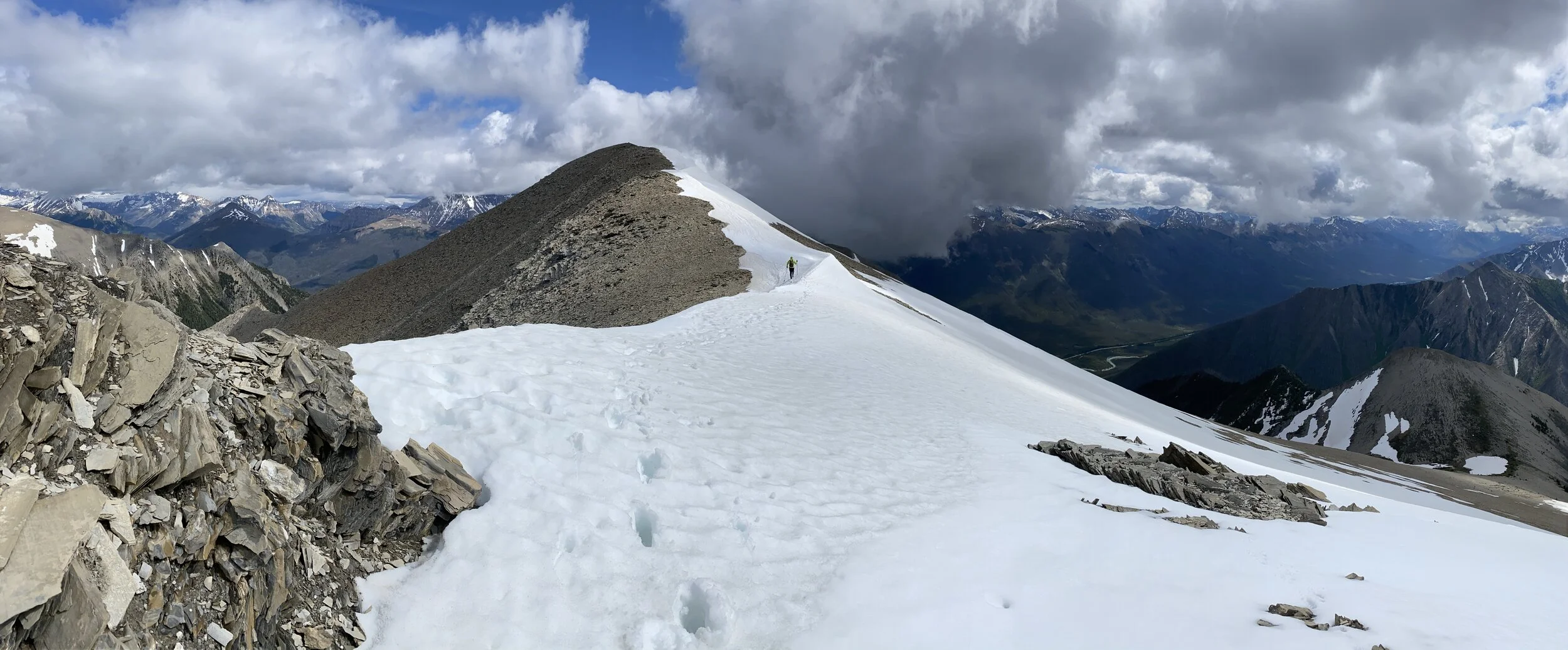
The summit of Mt. Joffre

Pink snow on the Wapta Icefield

Wapita Icefield

The Iceline trail and the Yoho Valley from Mt. Rhonda

Wapita Icefield from Mt. Rhonda

Peyto Lake from Mt. Rhonda, small blue Peyto hut is visible below

Mt. Rundle

En route to Mt. Woolley

The Twins Tower from the Woolley Shoulder

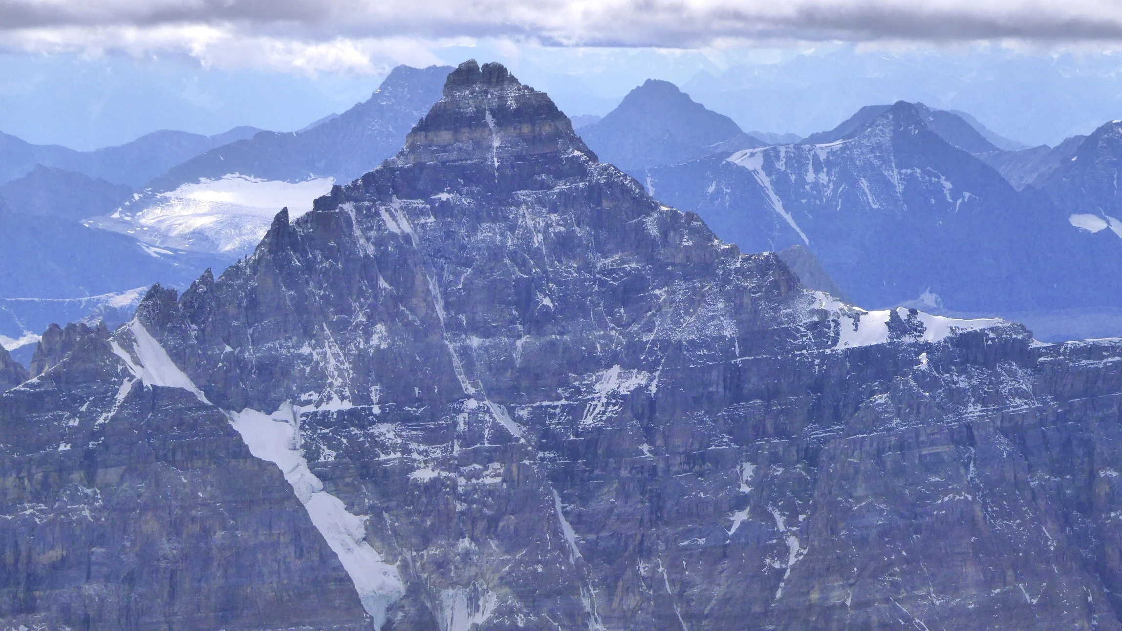
Mt. Alberta

Mt. Alberta

Mt. Alberta


Twins Tower and Mt. Columbia in the distance

Mt. Little Alberta

Mt. Athabasca from Nigel Peak

View to the north from Nigel Peak

Mt. Kitchener and Snowdme

Mt. Andromeda and the Athabasca Glacier from Nigel Peak

The pass between Moraine Lake and Lake McArthur


On the Abbot Pass

The Abbot Hut - Alpine Club of Canada

Lake O'Hara from the slopes of Mt. Lefroy

Mt. Lefroy

The large mountain in the distance is Mt. Hector. The view from Mount Lefroy.

The view west from Mt. Lefroy

Mt. Lefroy - the view of Mt. Victoria and Lake O’Hara

Mt. Victoria from Mt. Lefroy

The view from Mount Lefroy

The view of the Paradise Valley from Mt. Lefroy


The Goodsirs from Mt. Lefroy

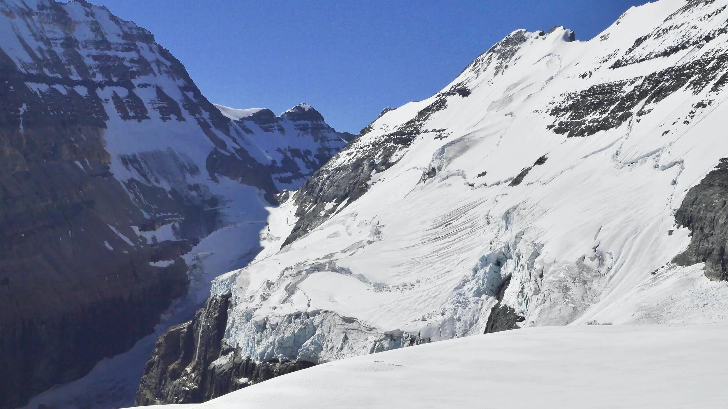
Mt. Athabasca and Mt. Andromeda


Bow Lake from the Bow Summit

Bow Lake from the Observation PEak

Ha Lin Peak in winter

Moraine Lake

Mt. Temple summit in early fall

Mt. Temple

Photo by Tyler Stalman

Photo by Tyler Stalman

Bow Lake

En route to the Abbot Hut

The Grand Brazeau

Moraine Lake

Sentinel Pass

Bow Lake from Mt. Jimmy Simpson

Mt. Warren from the Maligne Lake

Grizly Peak in the Kananaskis Country


Peyto Lake

Peyto Glacier

Mt. Lougheed 1

Hector Lake from Mt. Little Hector

On the summit of Storm Mountain

Elizabeth Parker Hut at Lake O'Hara

Photo by Tyler Stalman

The view from Mt. Jimmy Simpson

Mt. Edith Cavell

Moraine Lake

Mt. Edith Cavell summit ridge. The Tonquin Valley is visible on the right.

Spirit Island on the Maligne Lake

Maligne Lake

The Iceline trail in the Yoho National Park. Takawa Falls is in the valley below.

Mt. Woolley and Mt. Diadem

The Ramparts of the Tonquin Valley

Mt. Alberta

On the Peyto Glacier

Mt. Aberdeen, Mt. Lefroy and Mt. Victoria from Mt. Fairview

Mt. Assinibone


The view from Mt. Temple, the Valley of 10 Peaks and the Paradise Valley

The summit ridge of Mt. Temple with Lake Moraine below

The view of Mt. Nestor and The Spray Lake in the Kananaskis Country from Mt. Buller

The view of Bow Lake from the Bow Summit

Mt. Hector and Little Hector from the Bow Summit

Mt. Rhonda from the Peyto Glacier

The Peyto Lake

The Basecamp for Mt. Brazeau

The Grand Brazeau

The view from the summit of Mt. Brazeau

Maligne Lake, Mt. Warren and Mt. Brazeau

The summit ridge of Mt. Edith Cavell

Upper Paradise Valley seen from Mt. Temple

Moraine Lake from Mt. Temple

En route to Lake O'Hara

Mt. Huber and Mt. Victoria

Mt. Lefroy and Lake O'Hara in winter


Ha Ling Peak and the Three Sisters from Mt. Rundle above Canmore

Mt. Rundle

Mt. Lougheed

Kananaskis Country from Mt. Lougheed 1

Spray Lake from Mt. Lougheed 1


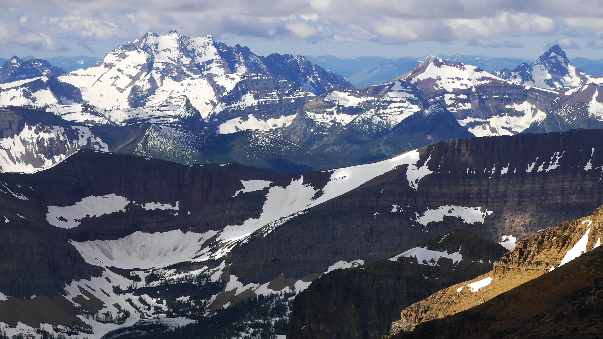
Waterton Lakes National Park - Mt. Blakiston

Cameron Lake in the Waterton Park

Summer in the Waterton Park

Maligne Lake


Maligne Lake

Observation Peak

The summit ridge of the Observation Peak looking north

The view of Bow Peak and Mt. Temple (in the distance) from the Observation Peak

Bow Lake

Bow Lake

The view from Mt. Jimmy Simpson

Wapta Icefield from Mt. Jimmy Simpson
The view of the Peyto Glacier from Mt. Jimmy Simpson

Bow Lake

Bow Lake

Bow Lake

Mt. President in Yoho National Park

Ha Ling Peak in winter