In late August of 2022, I walked the 160km trail from Rupnavalley to Skogar. The trail passes through many very different landscapes and surroundings. The trail is very well marked and maintained. What makes this trail challenging is the unpredictable weather, crazy wind and quite substantial amount of climbing (7000m of ascent and descend). Carrying all provisions for 10 days along with the tent and supplies adds to the effort. The reward is the scenery which is like nowhere else on Earth. Iceland is a land in the forming stage, the surroundings are very dynamic and at times seem alive. It is a land of many contrasts, fantastic light and epic vistas.
We started in Rupnavalleir. We divided the journey into 3 sections: Rjupnavalley to Landmannlaugar (57km), Landmannlaugar to Prosmork (56km), and Prosmork to Skogar (30km). We ascended as many small mountains that we could for areal views of the surrounding terrain. All the side trips added another 20-30km and a large gain of elevation. Overall we gained and lost around 7000m of elevation.
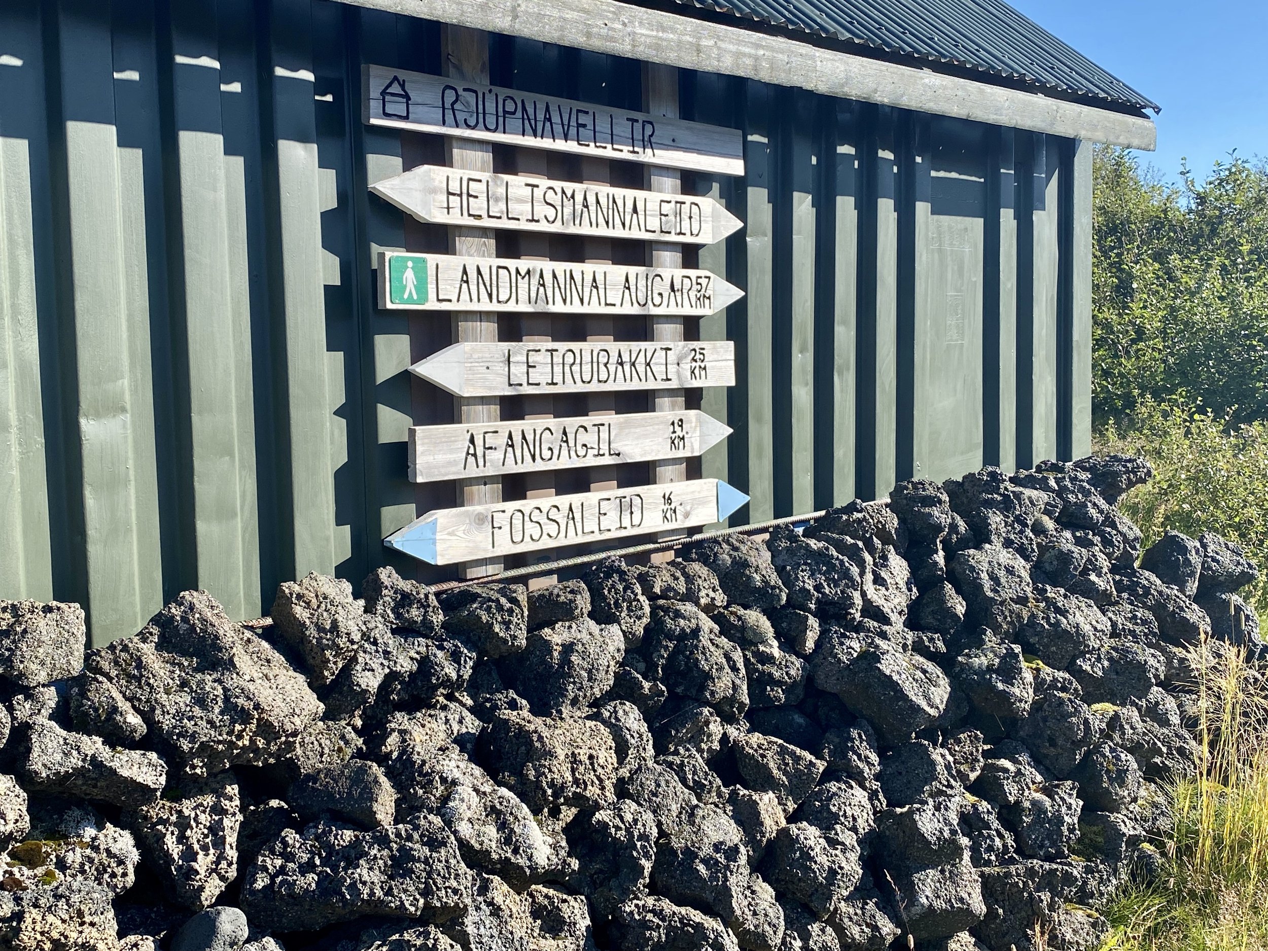
The sign wall at the beginning of our trek. Our first stop is Afangagil 19km away. It is a good warmup with a full pack!

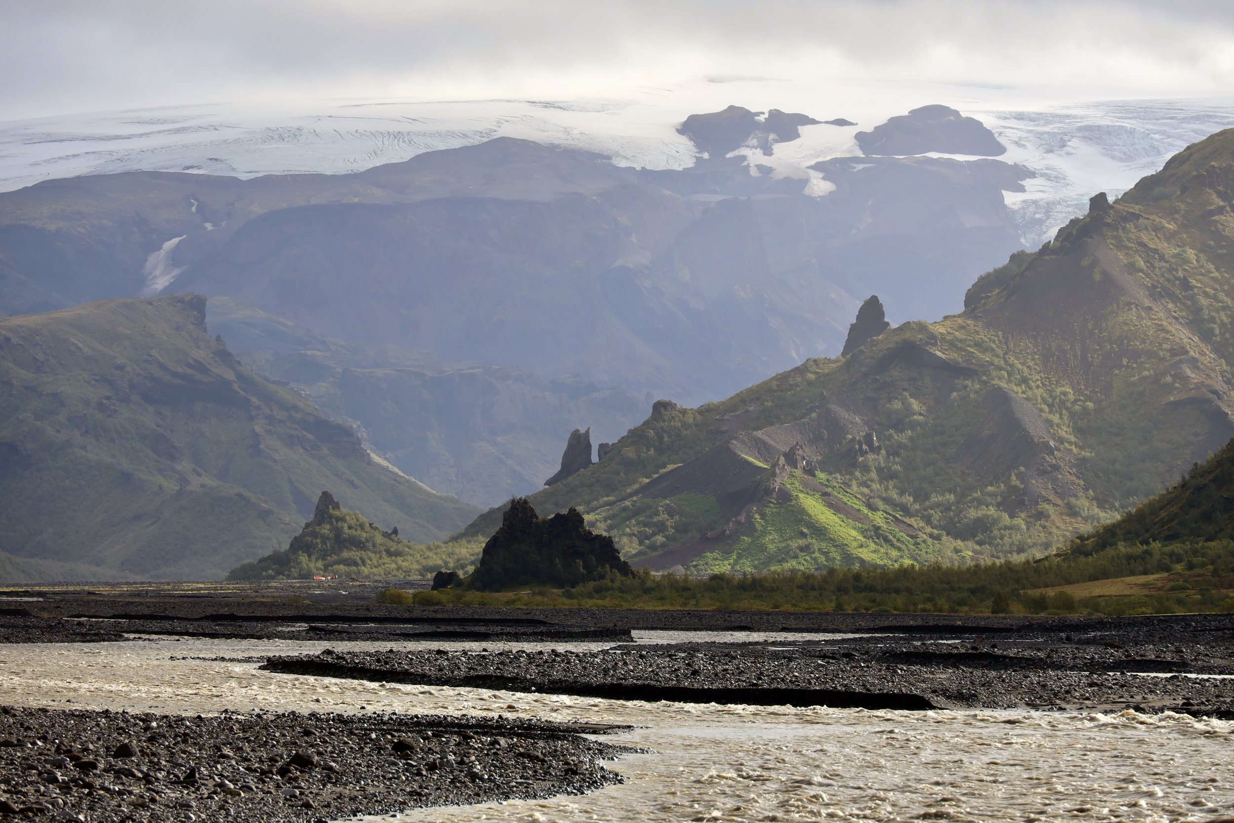
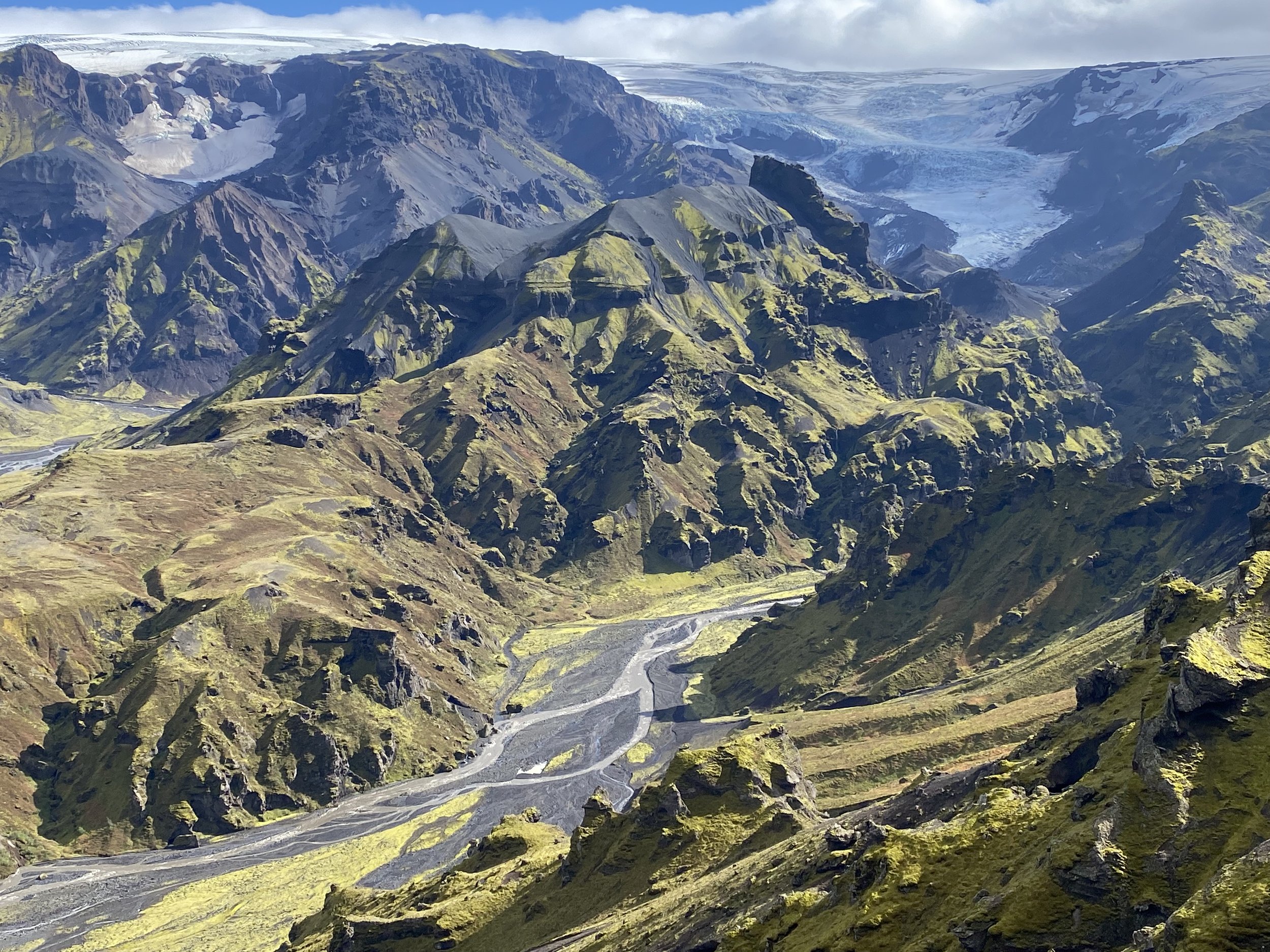
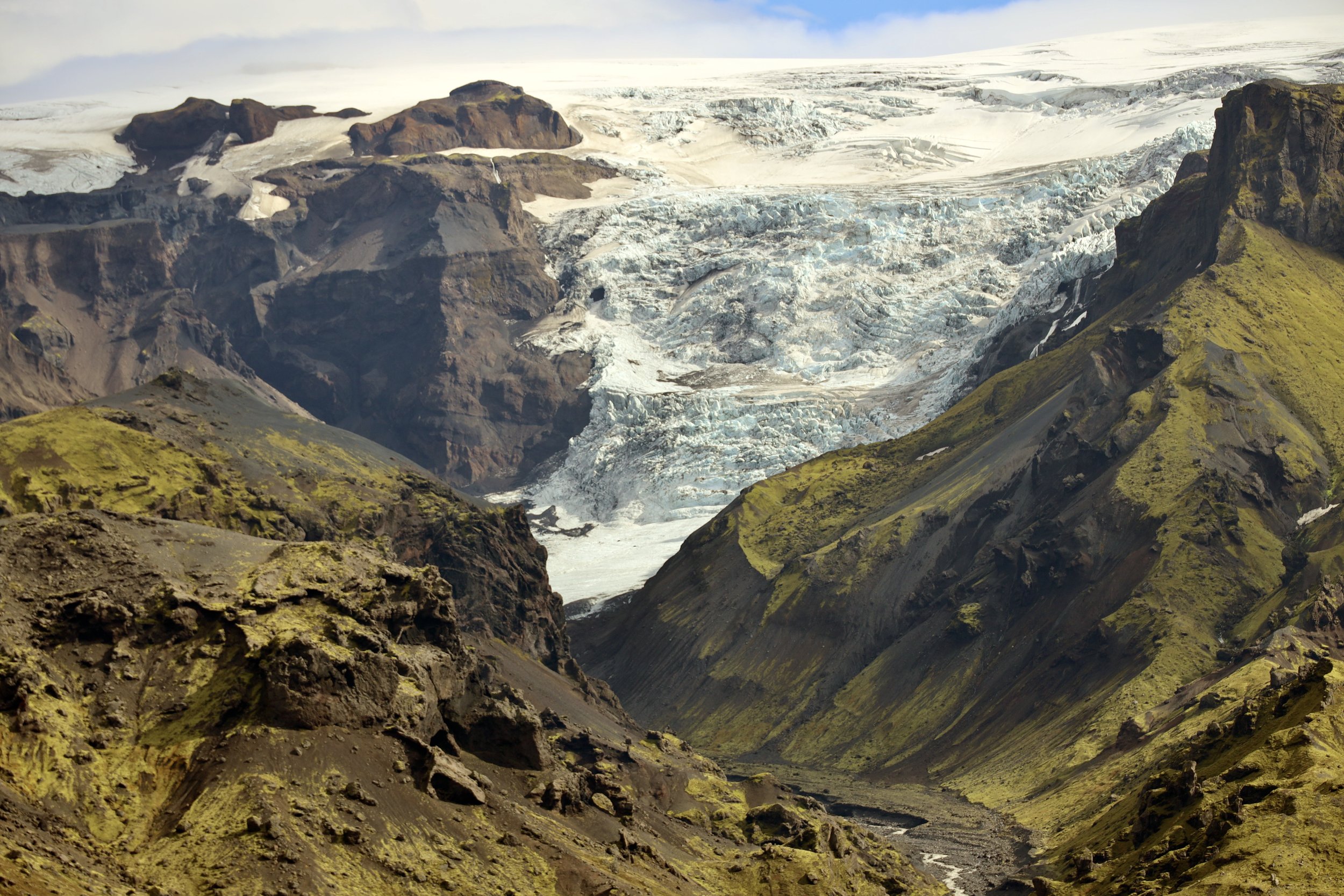
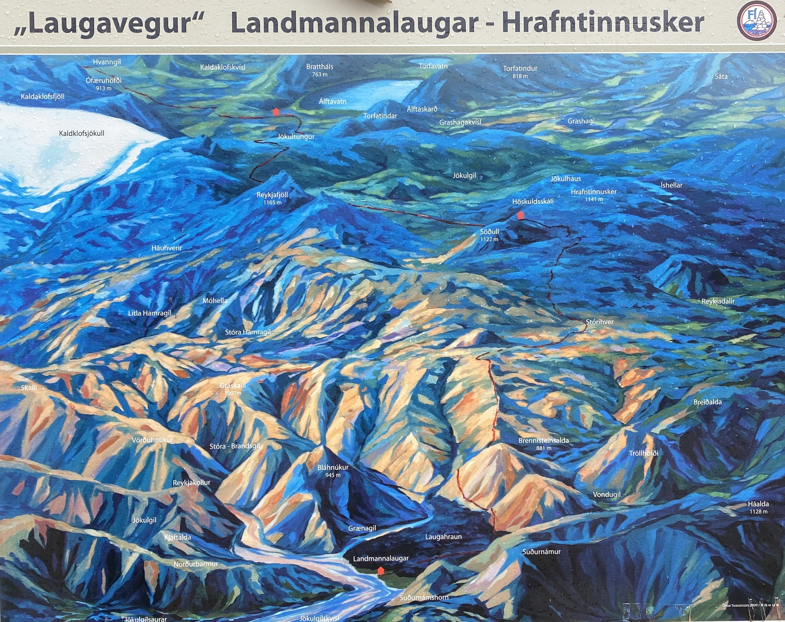
This map shows the overview of the mid section of the trek from Lanmannlaugar to Prosmork. From Prosmork we then crossed the pass between the two glaciated peaks: Myrdalsjokull and Eyjafjallajokul. The red dots mark the location the huts and camping sites.
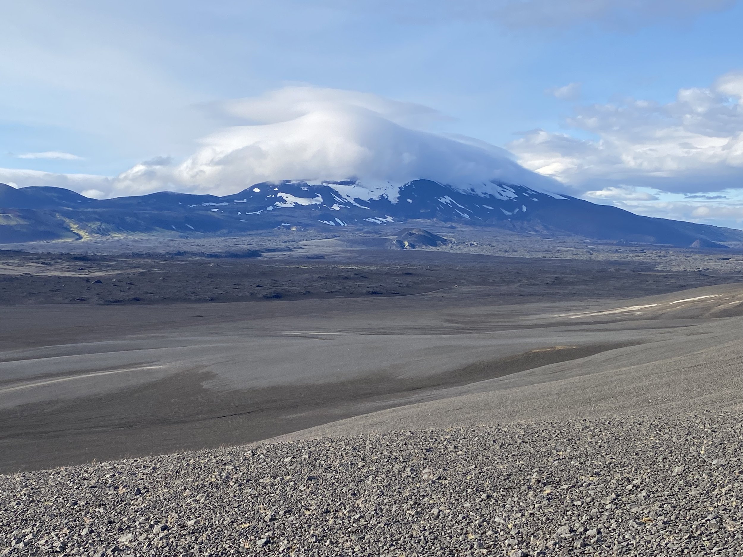
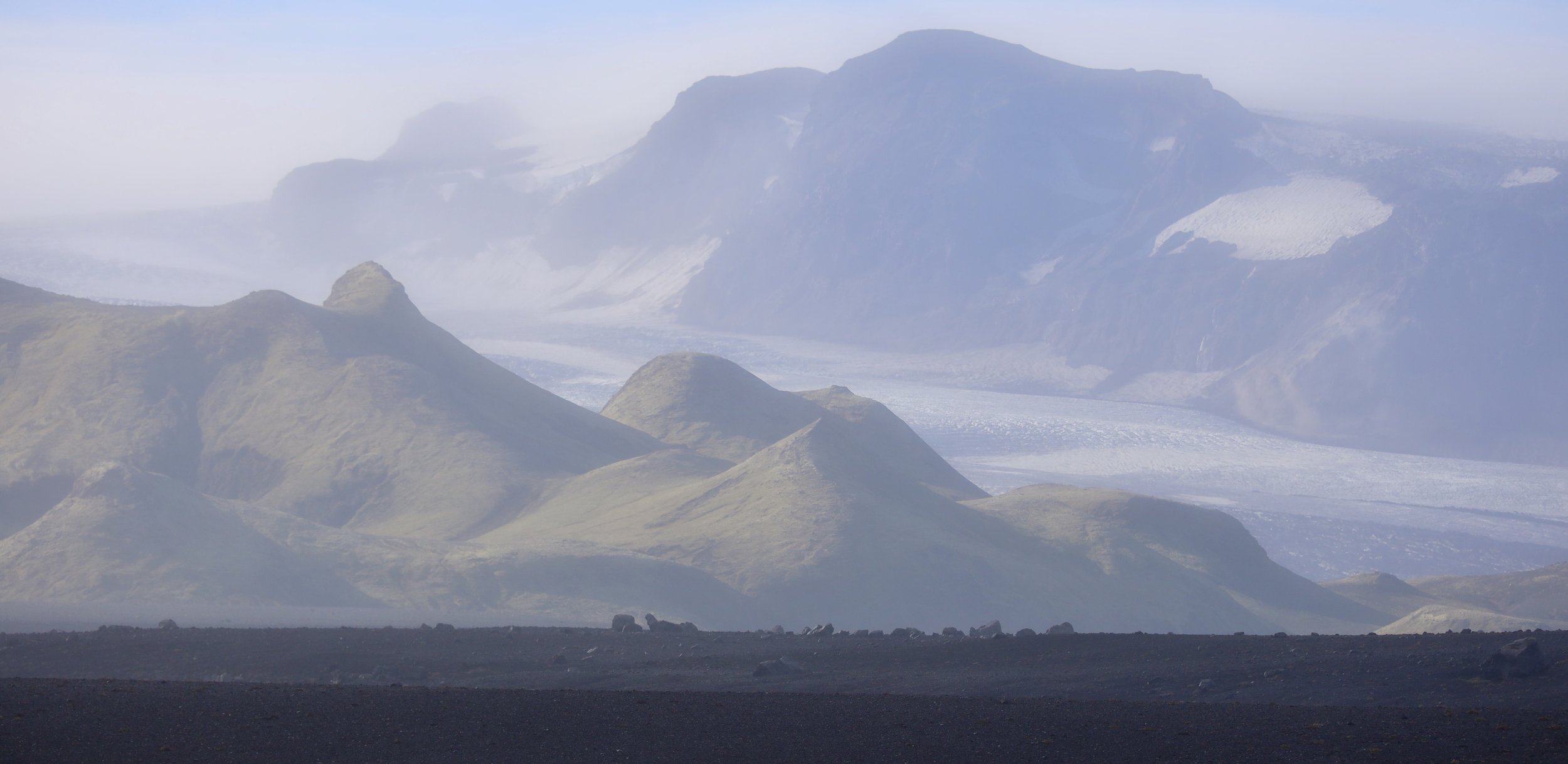
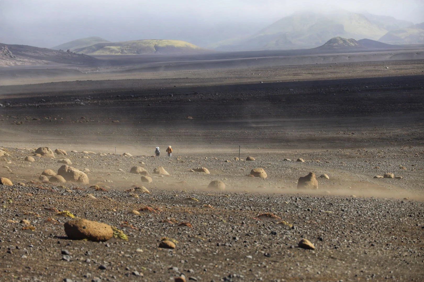
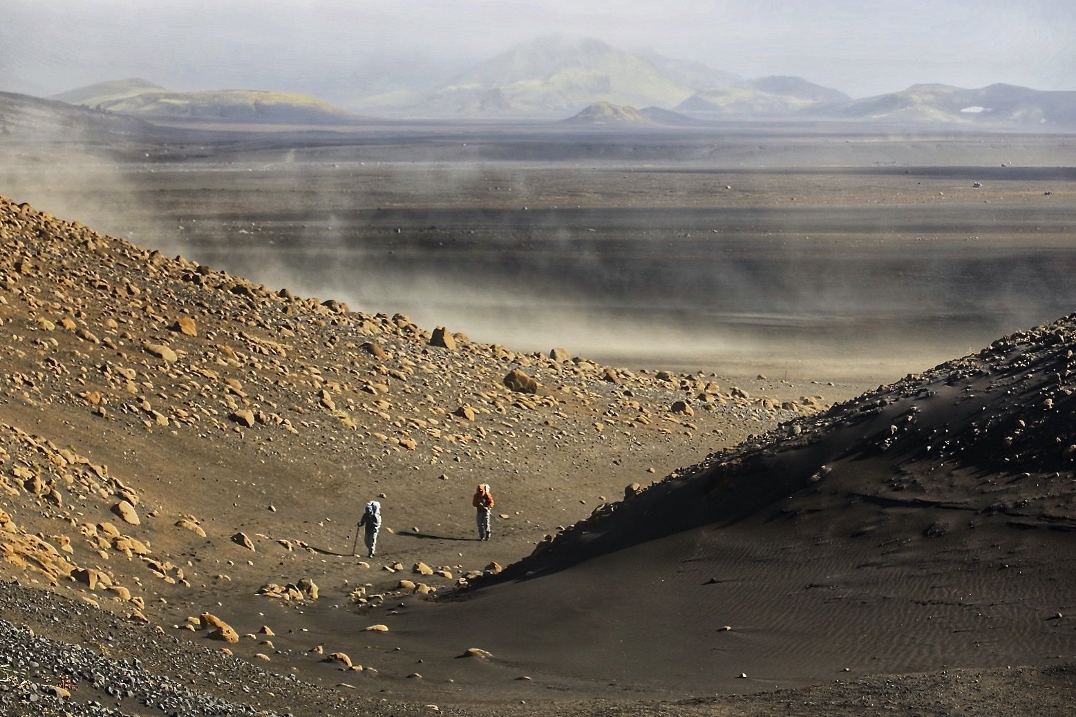
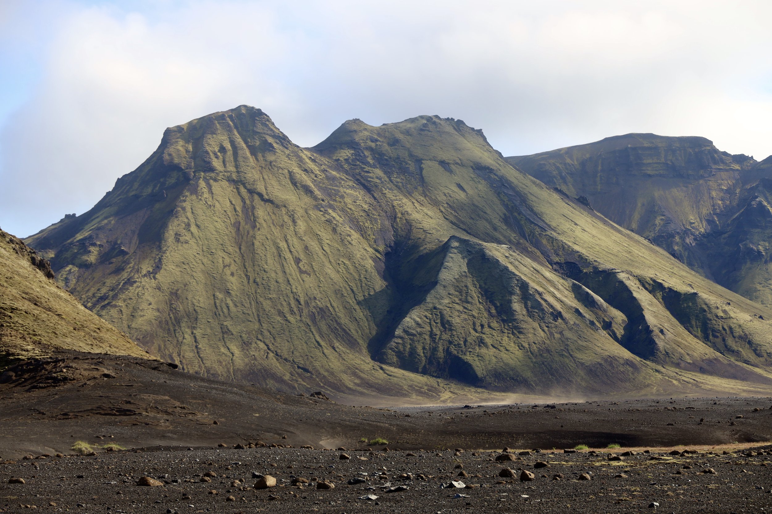
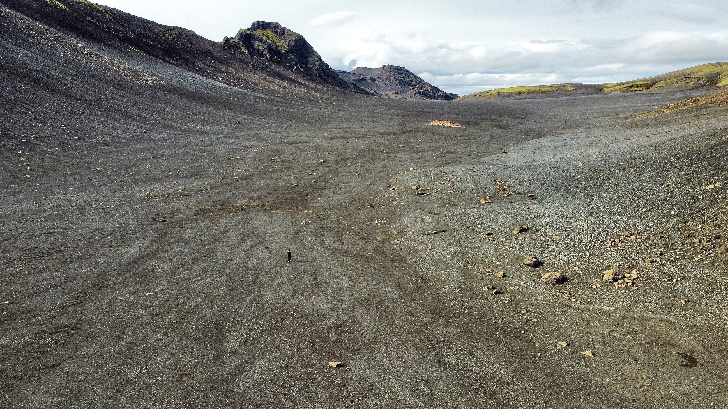
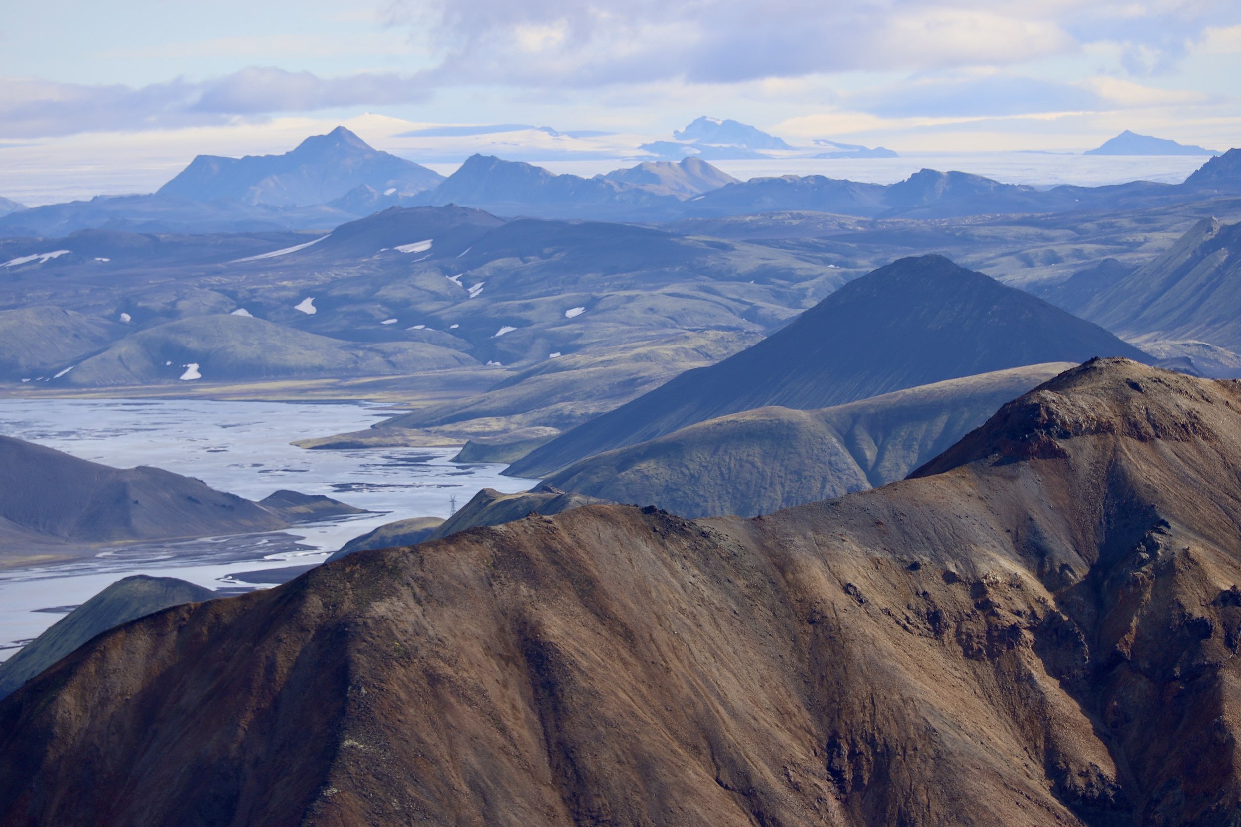
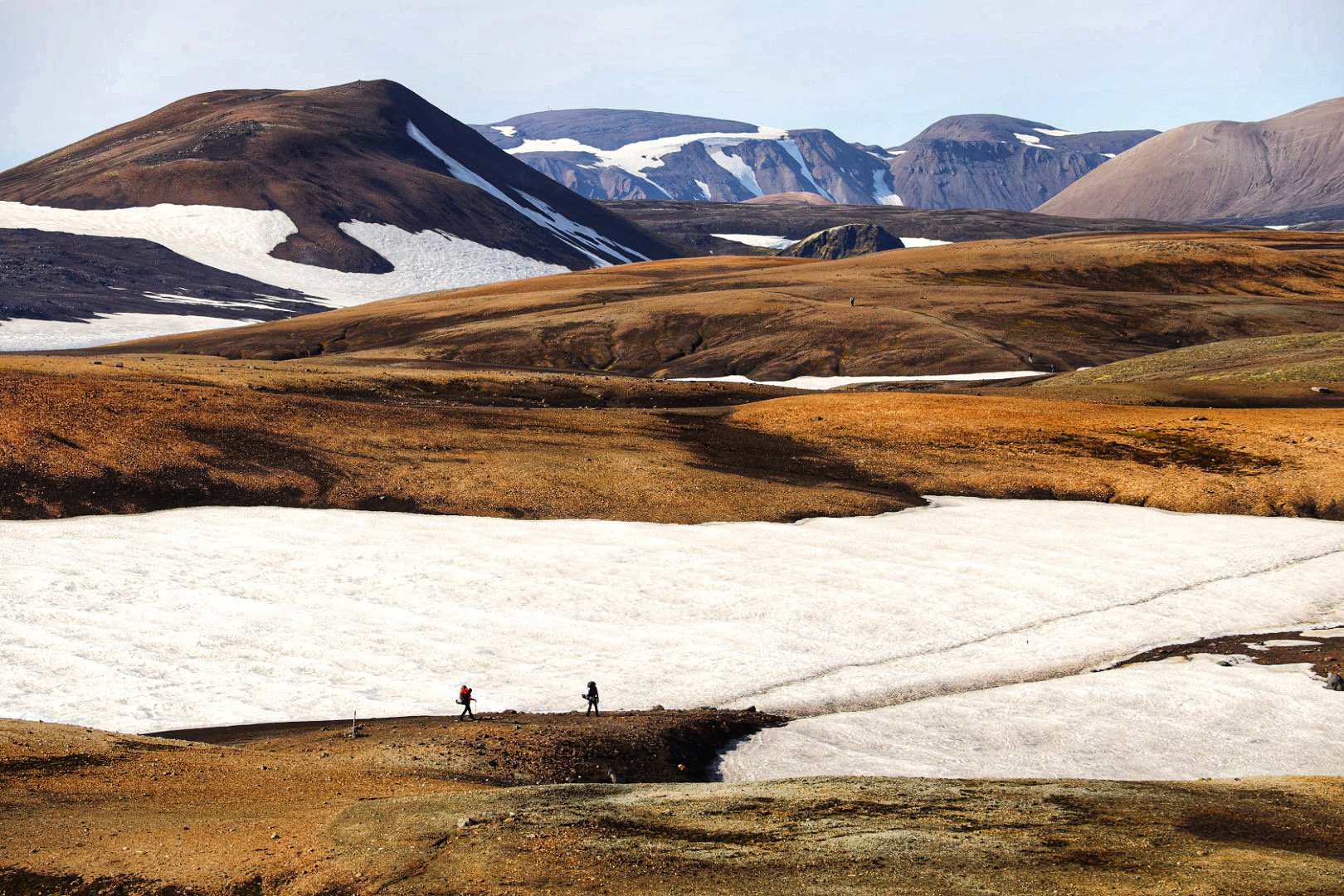
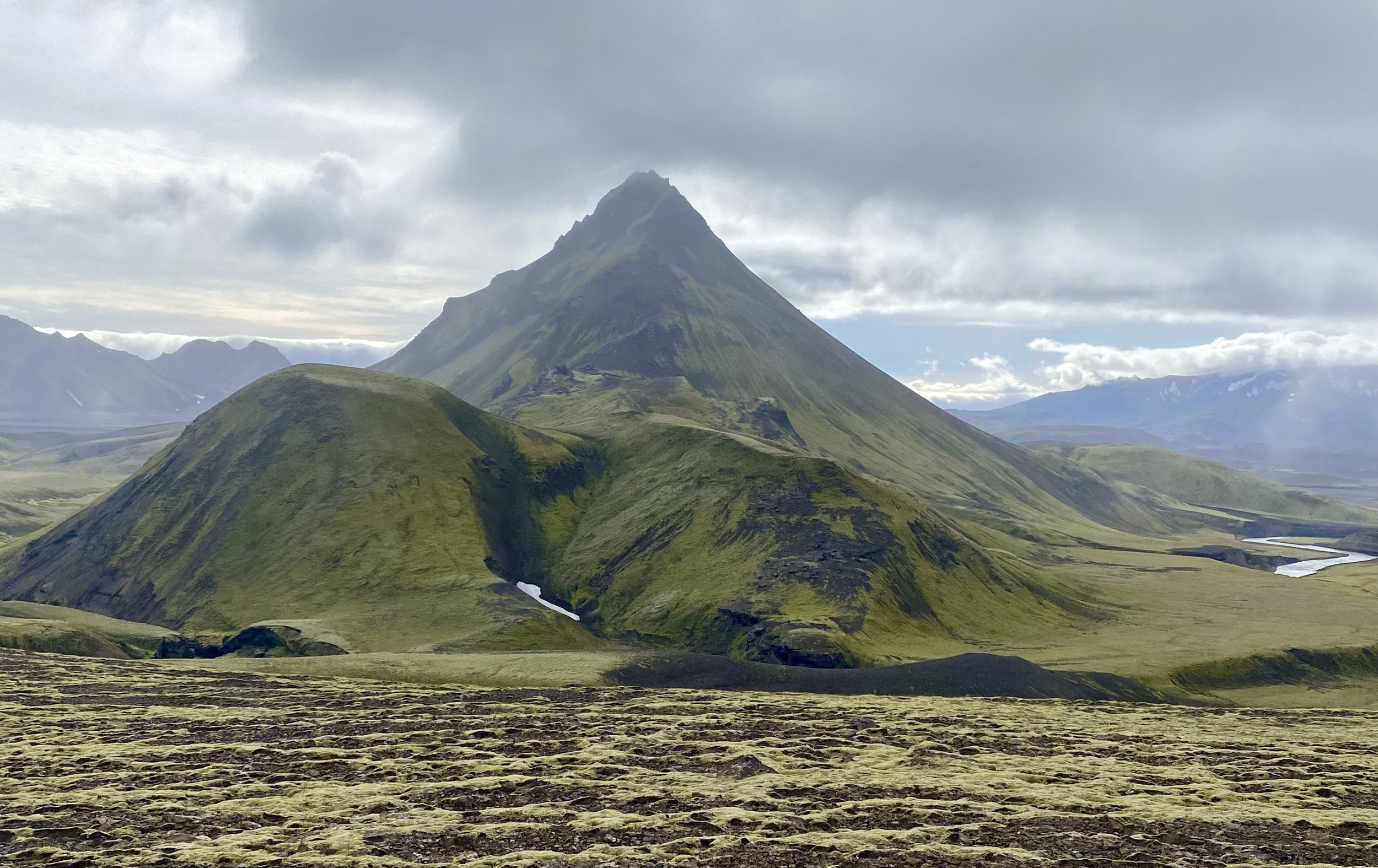
Tindfjallajokul Volcano 1462m. We crossed large volcanic sand plateaus at the base of this volcano.
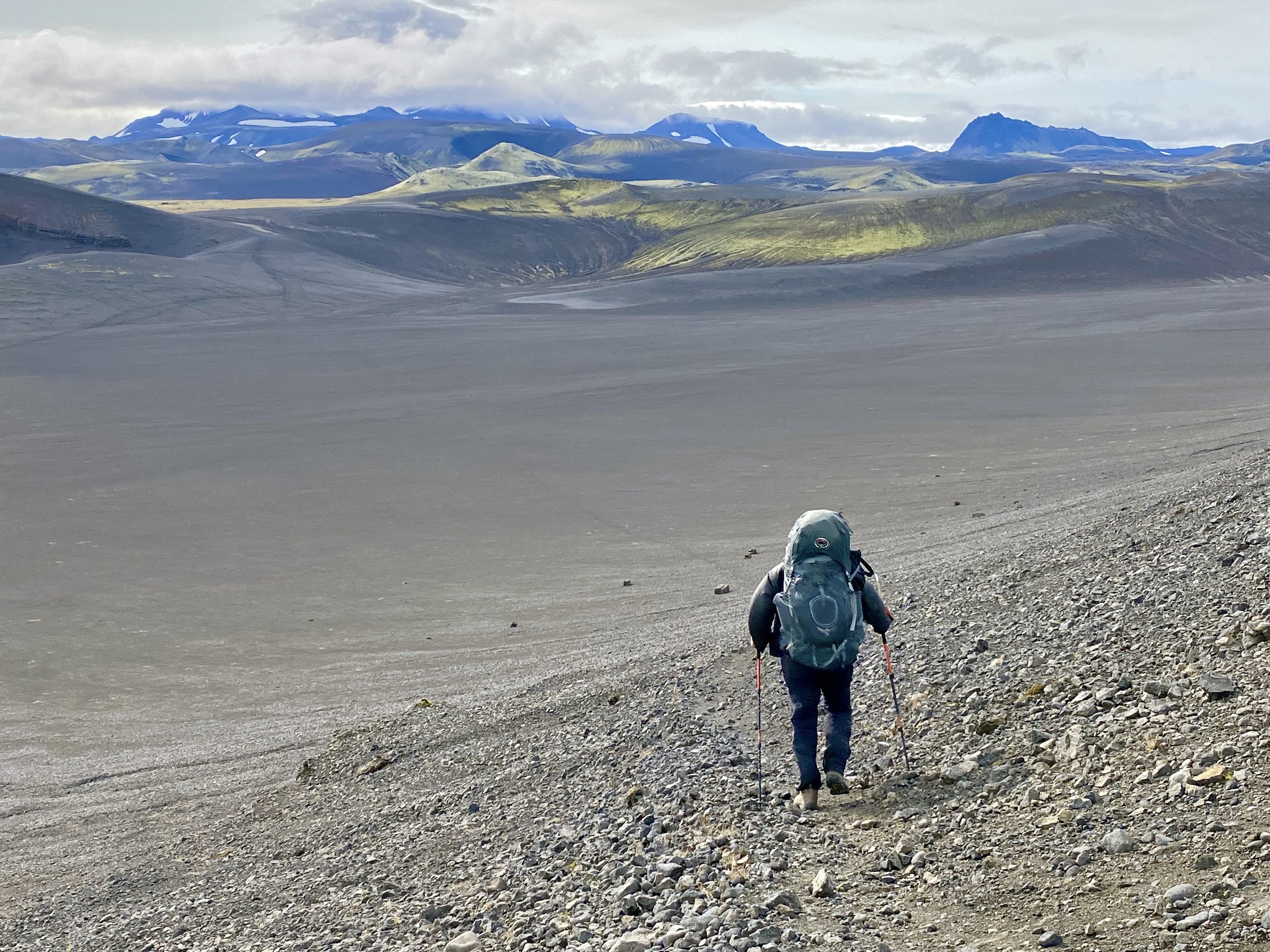


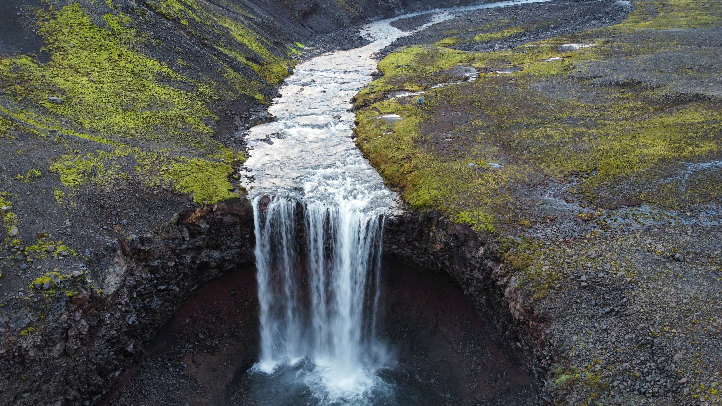
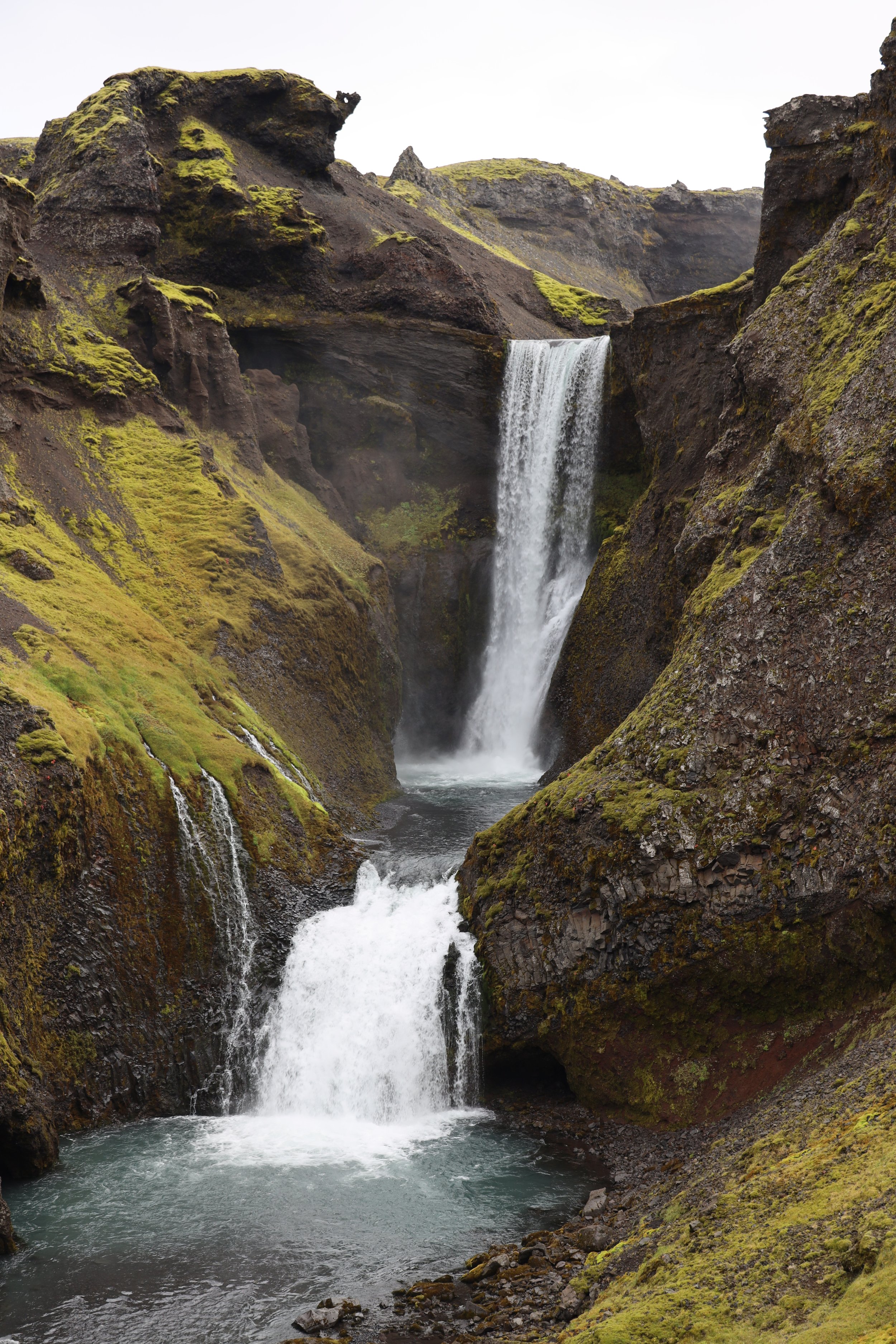
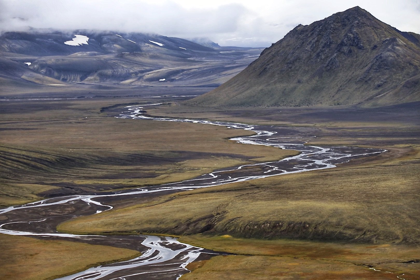
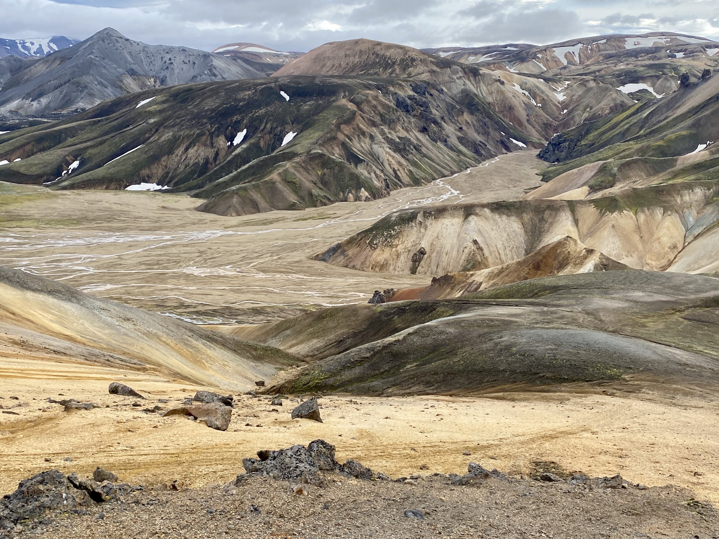
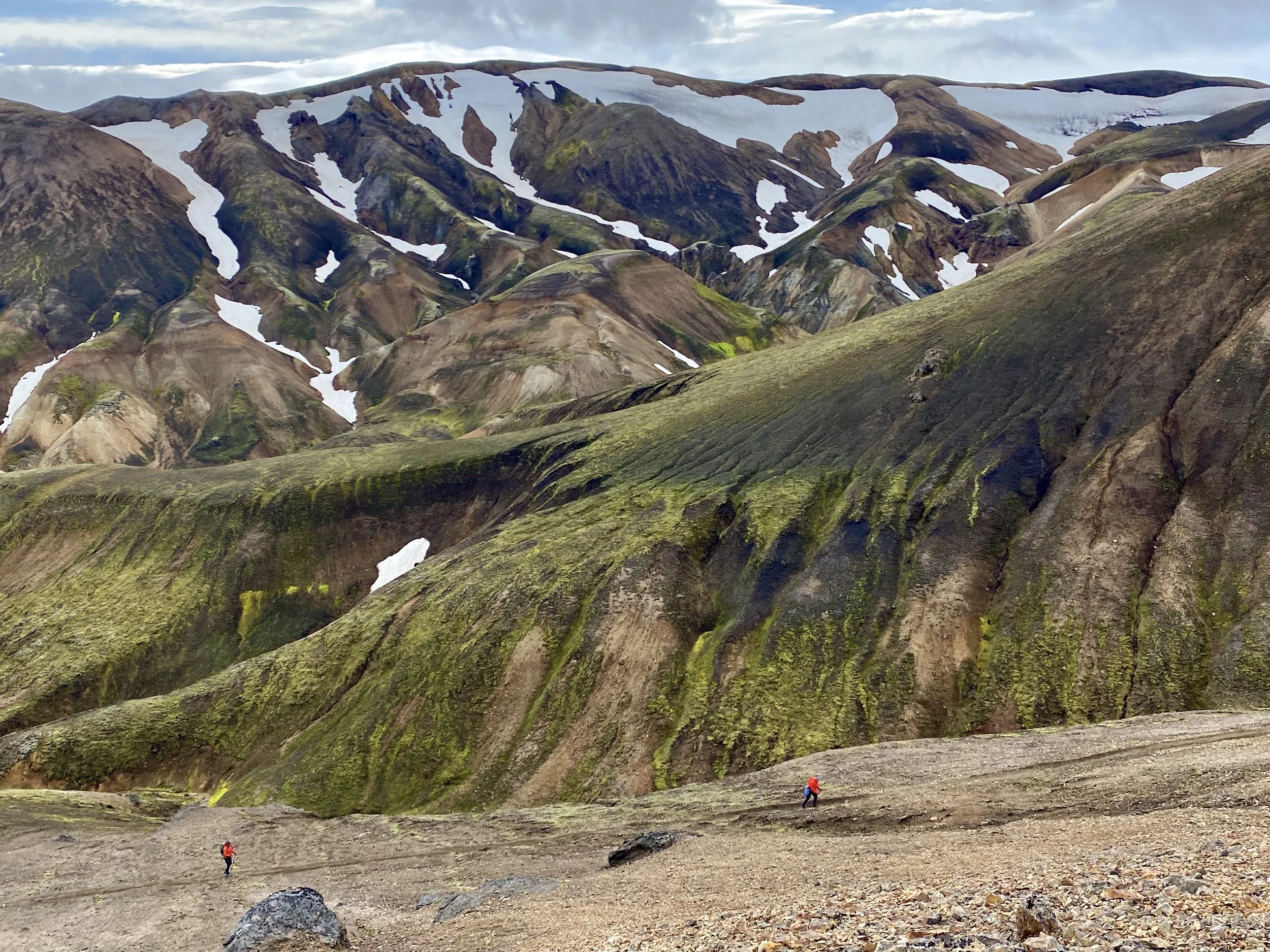
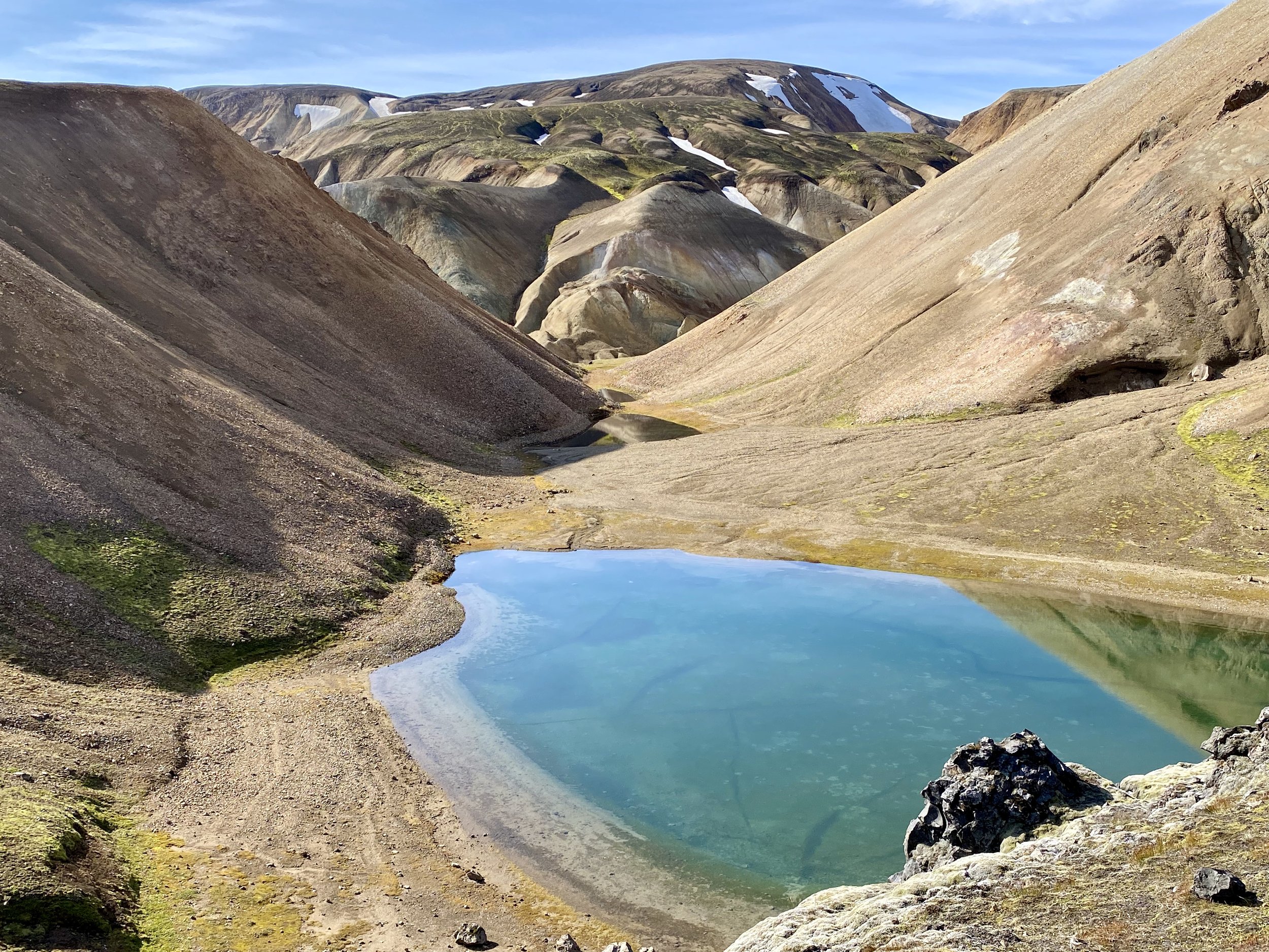
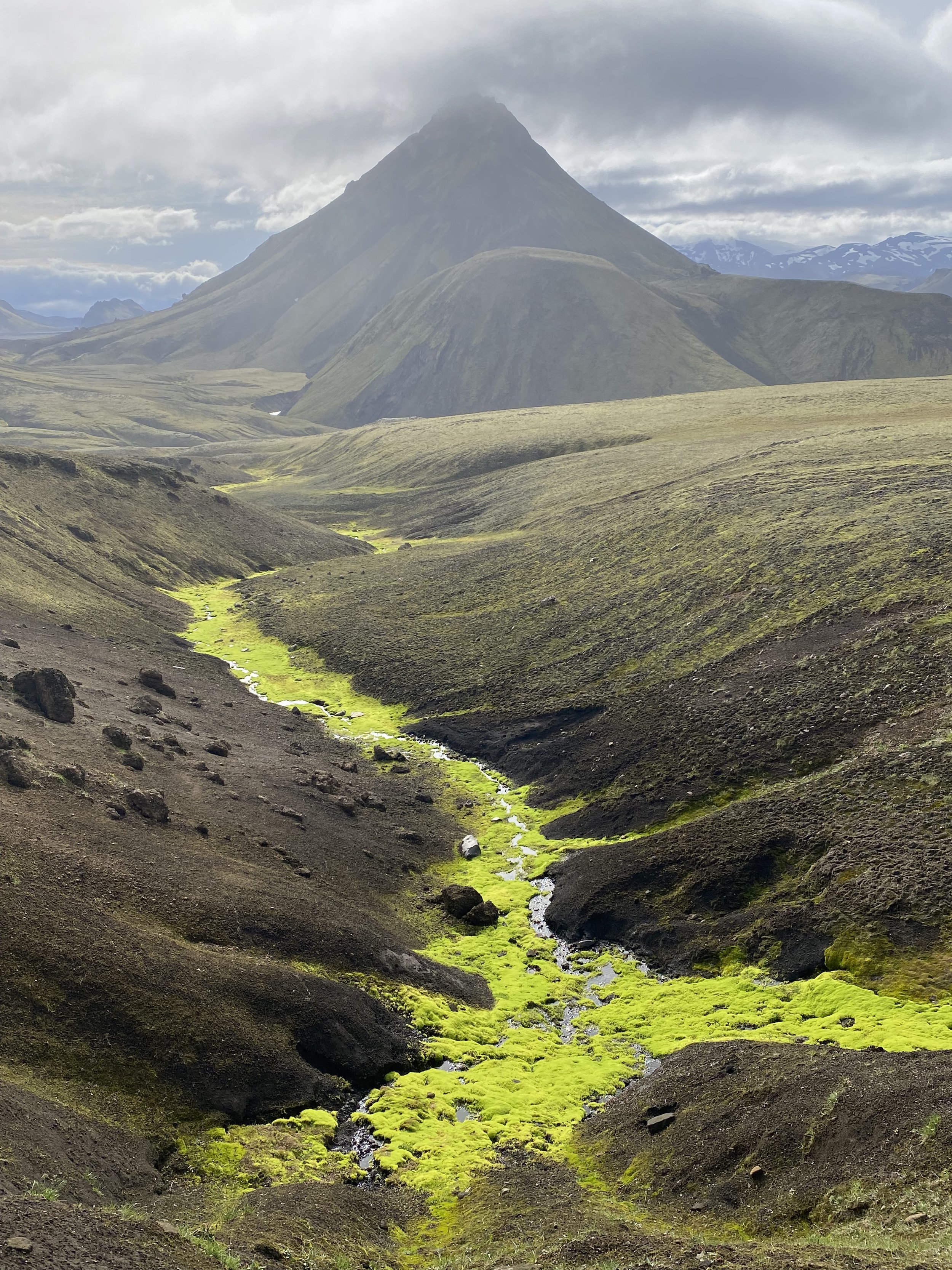
The scenery on the section from Afangagil to Landmannalaugar


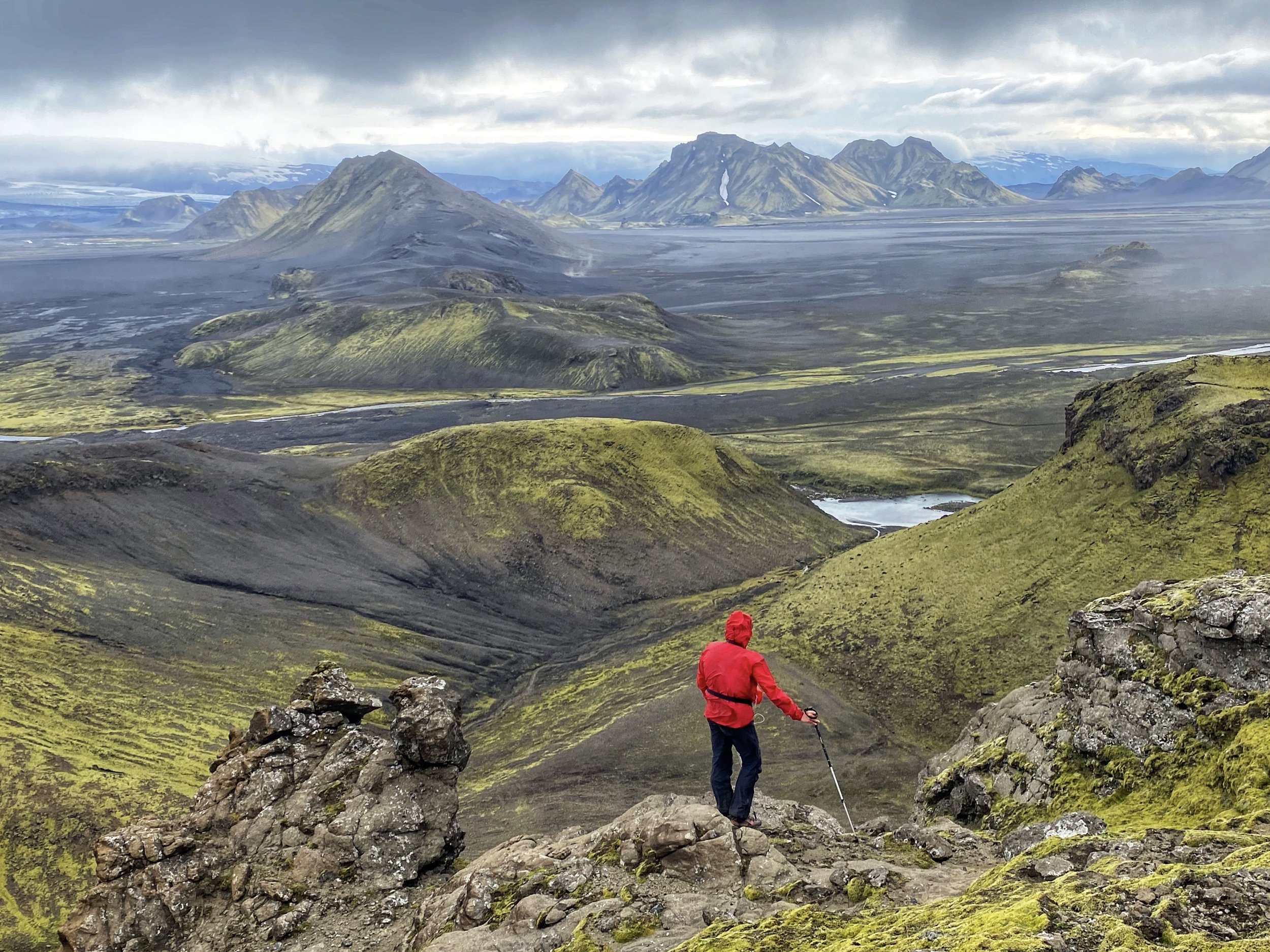
The view from above the campsite on the second day of the trek.


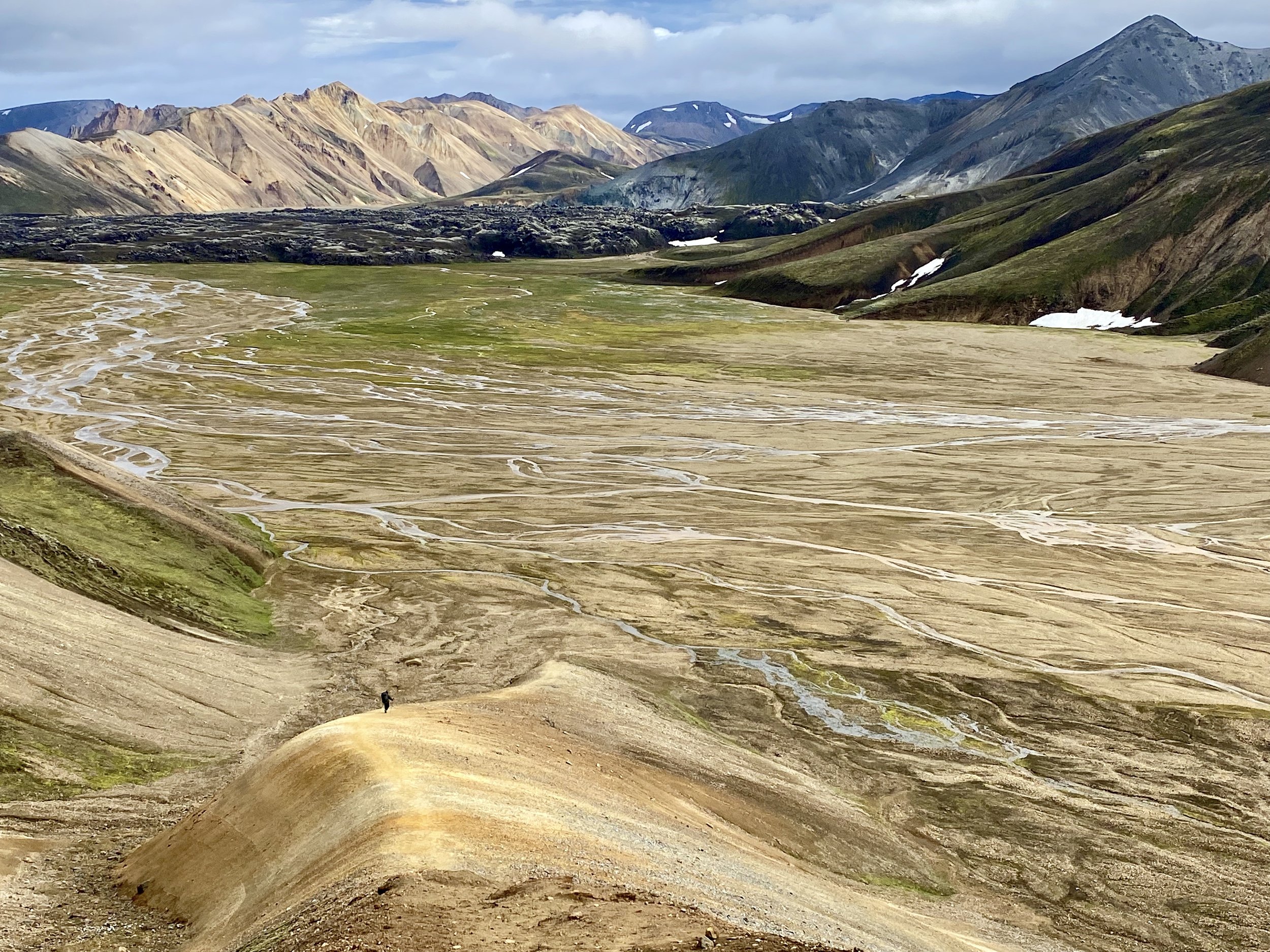
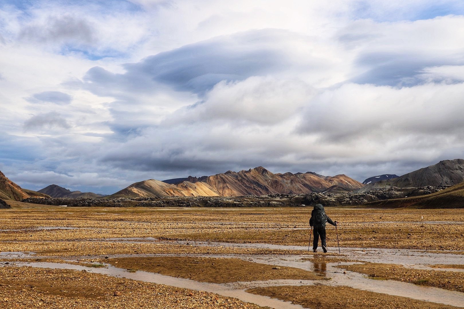
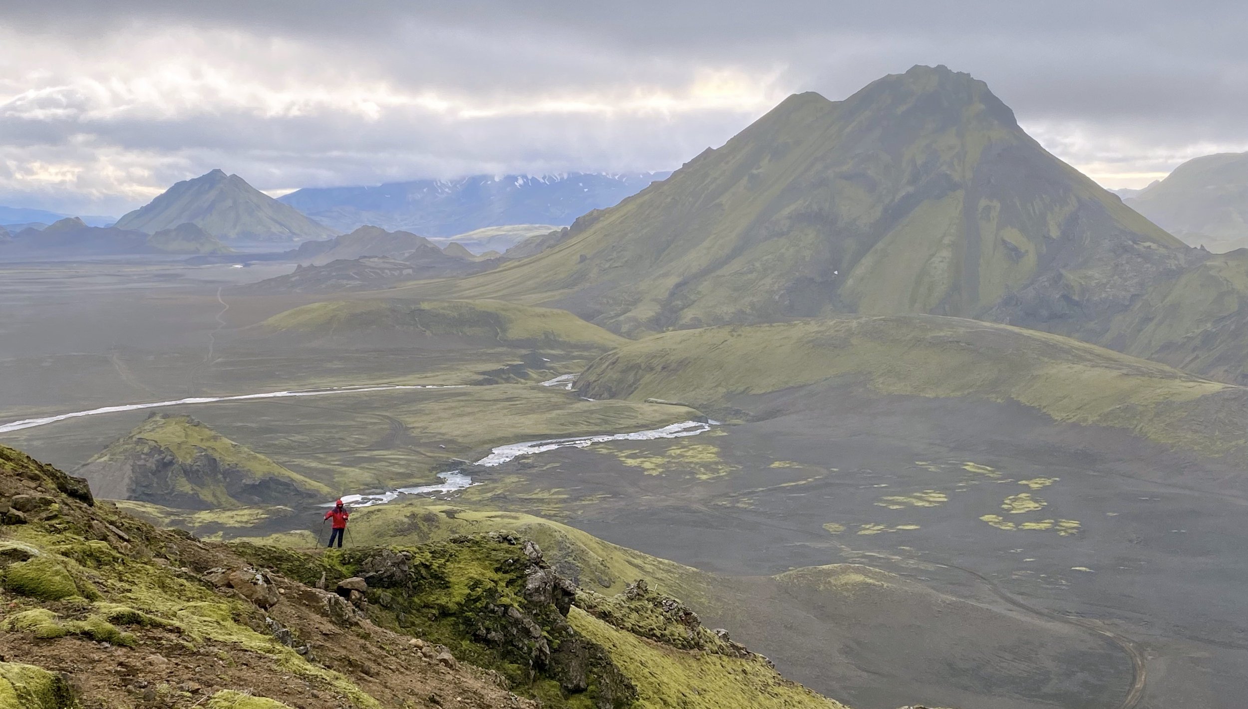
The view from a very exposed and windy ridge towards Landmannalaugar
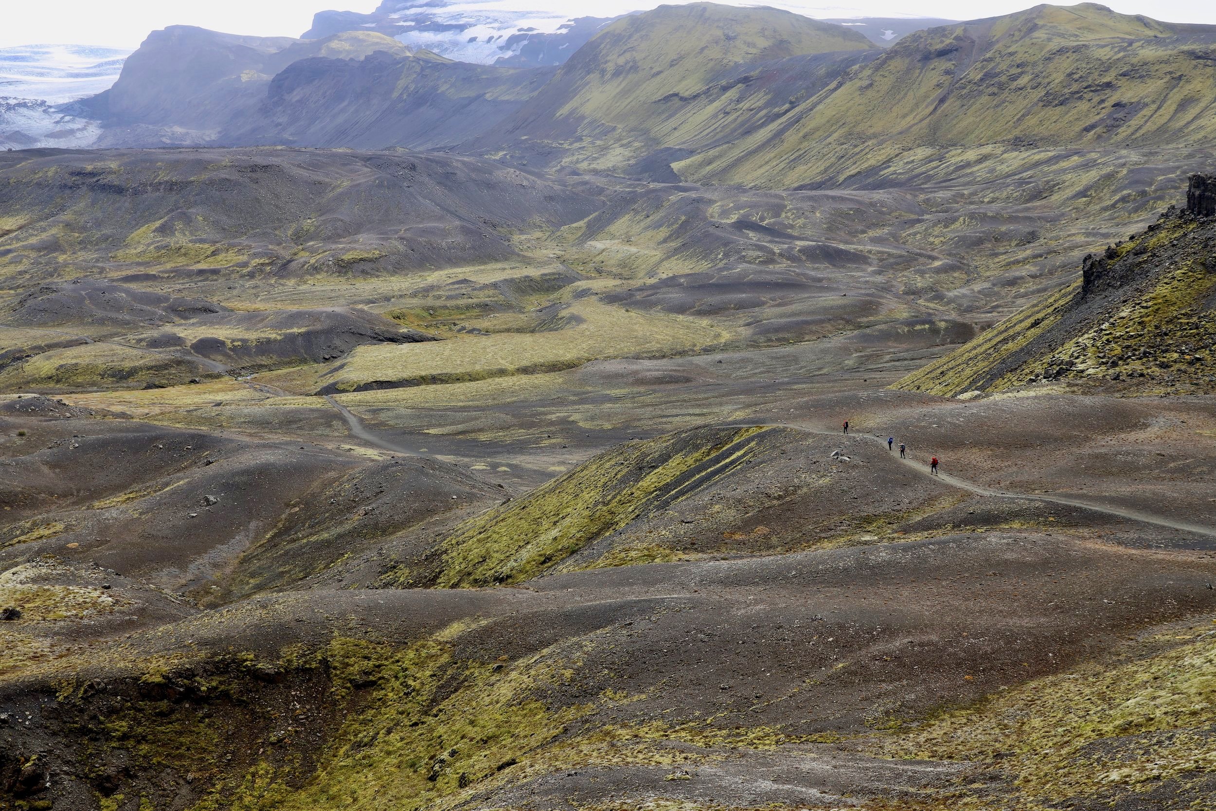
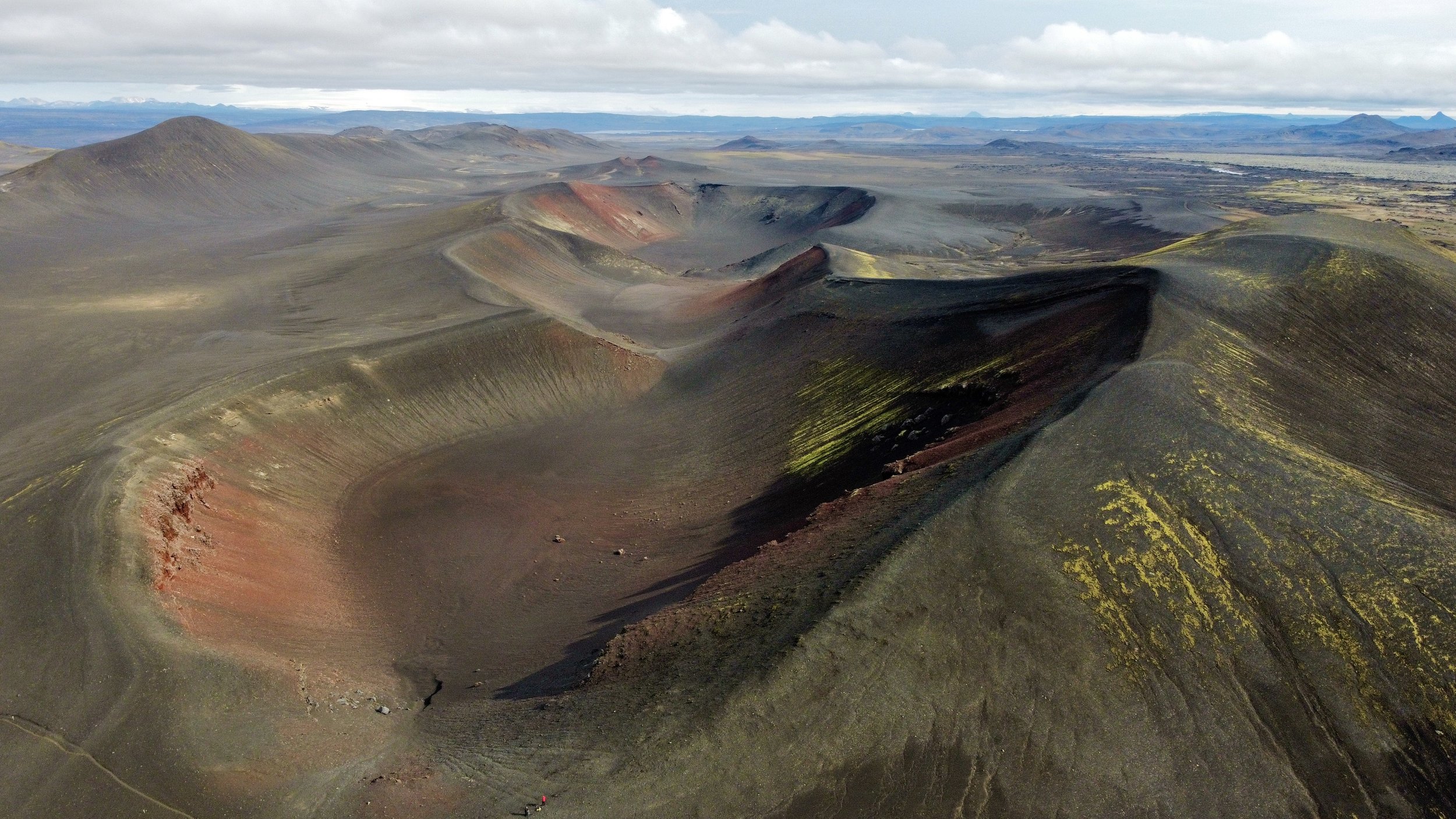
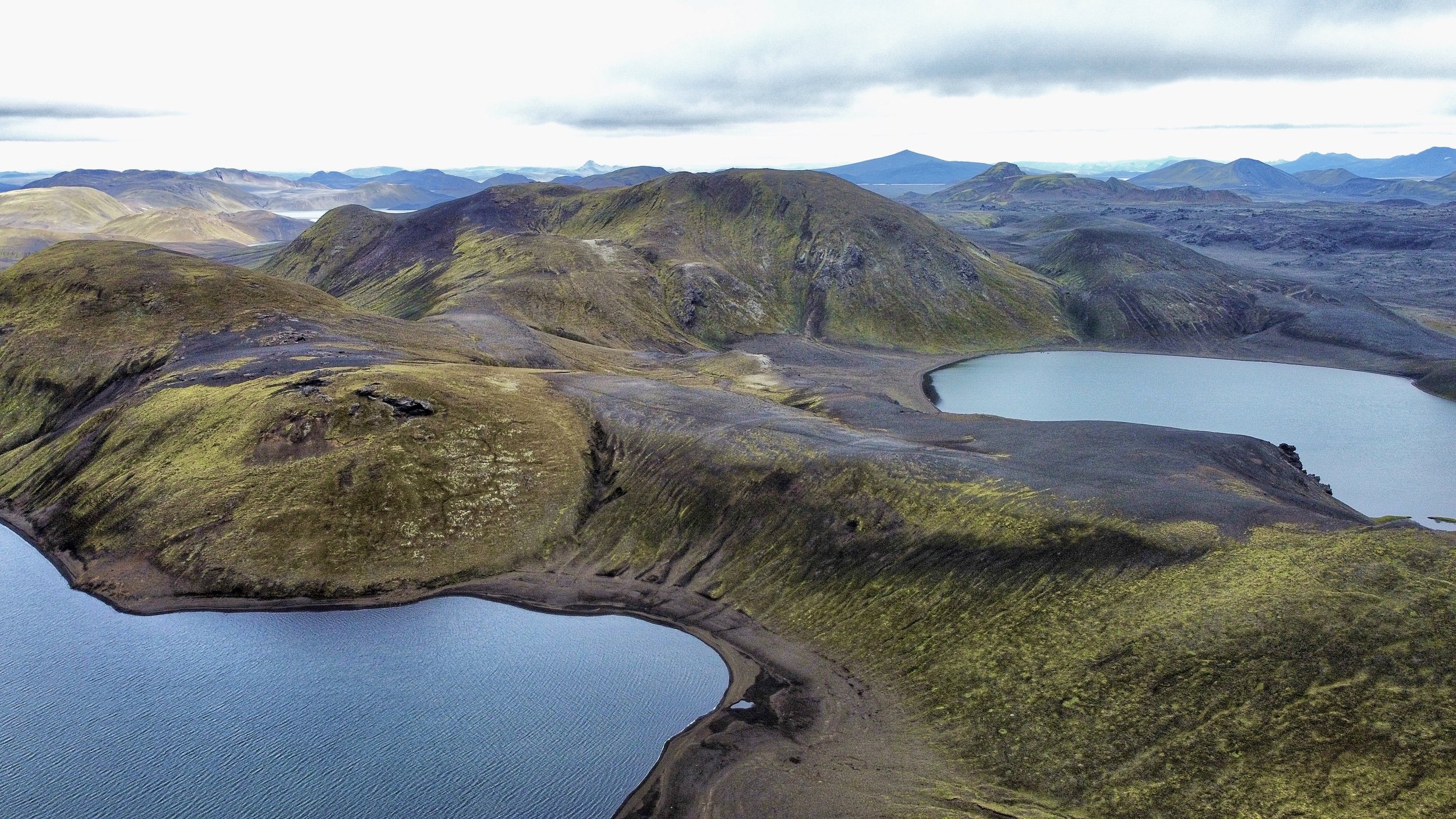
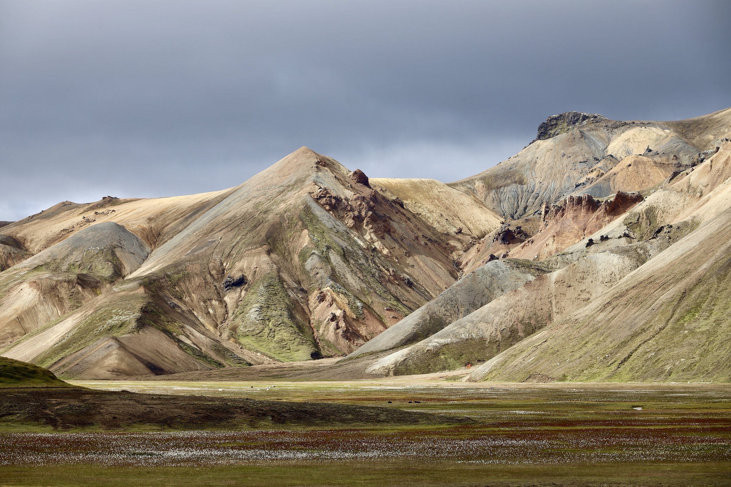
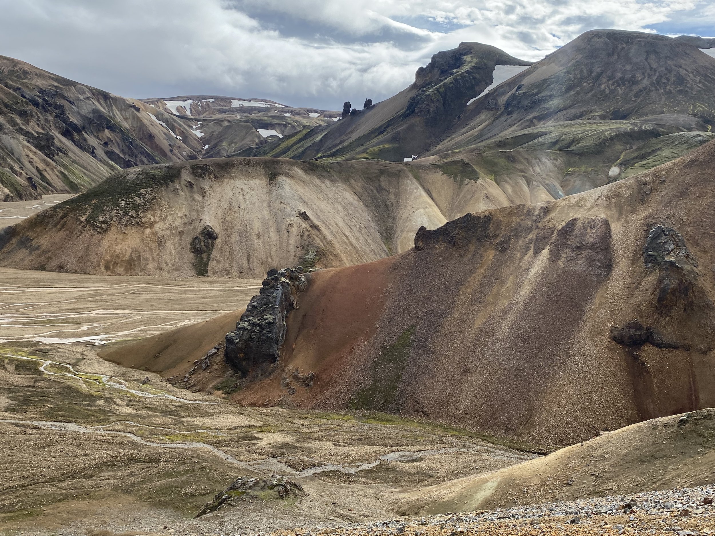
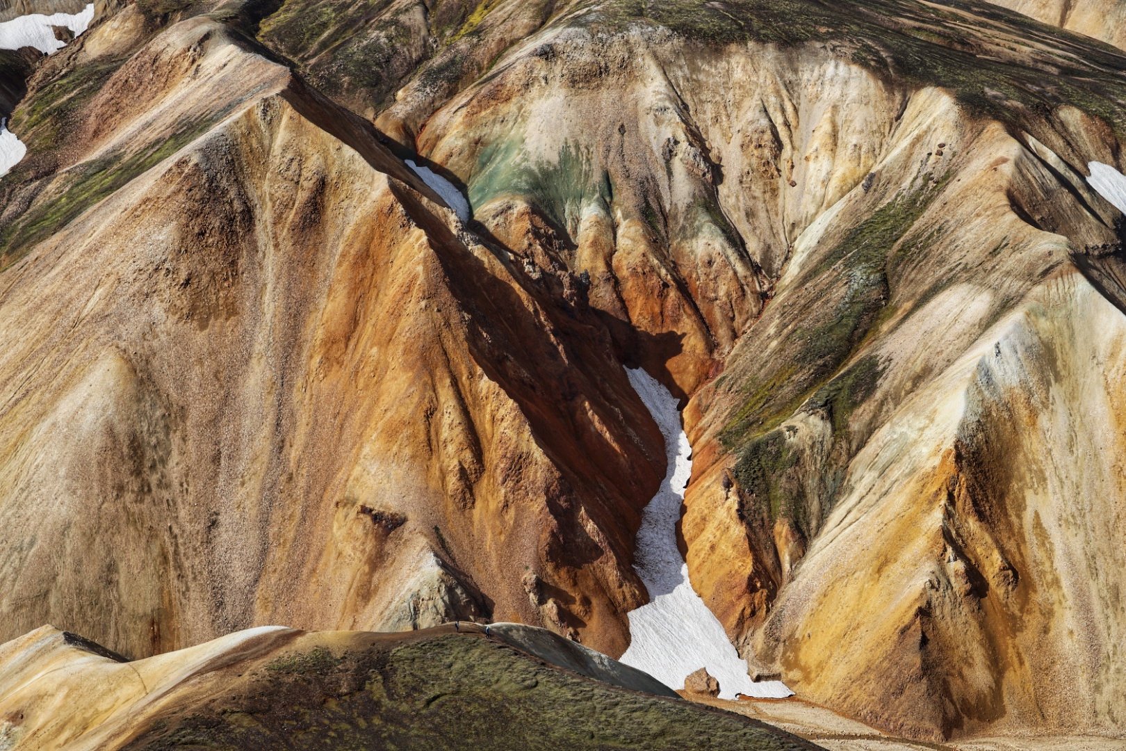
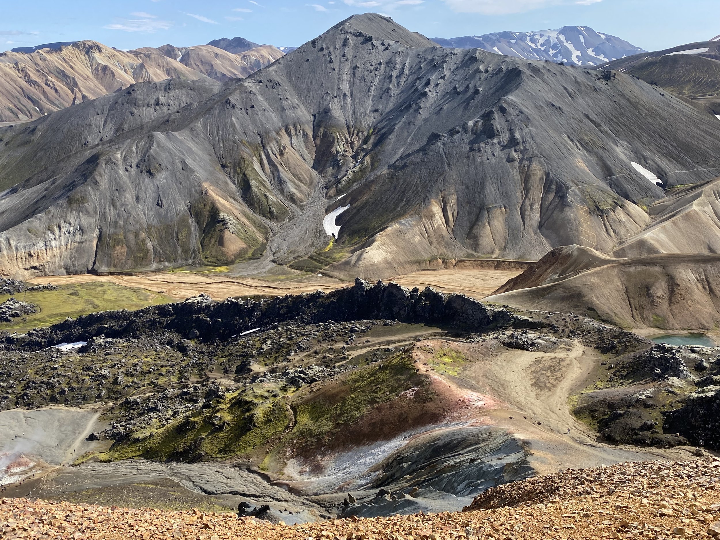
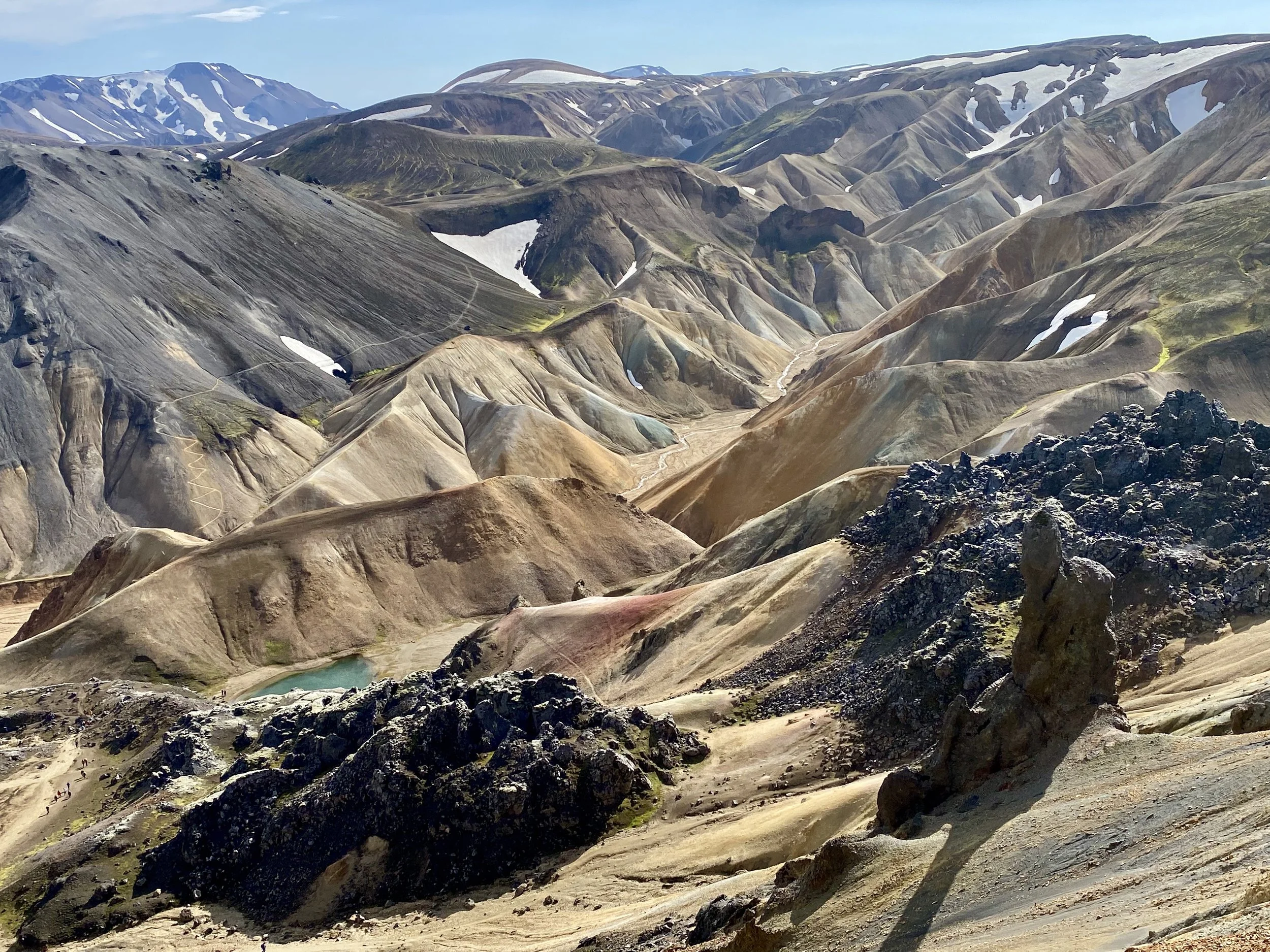
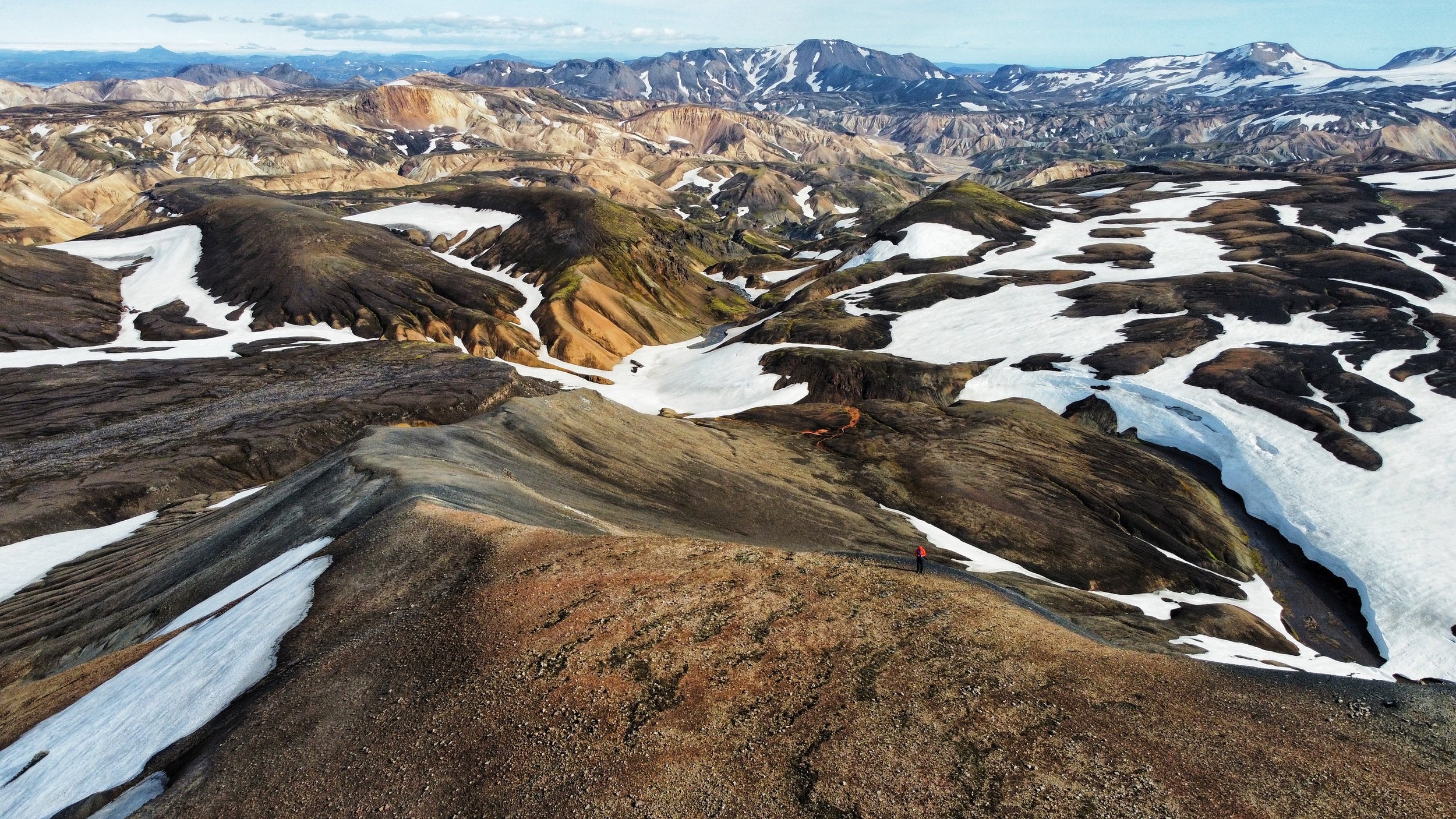
The area around Landmannalaugar warrants exploration. We hiked to the top of Mt. Blahnukur, then Brennisteinsalda and returned via the Vondugil Valley. All in all it took us a full day.


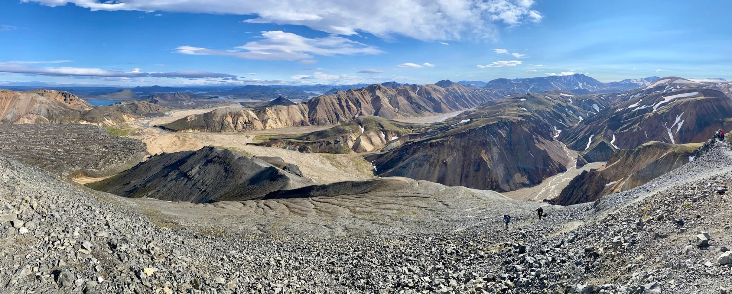


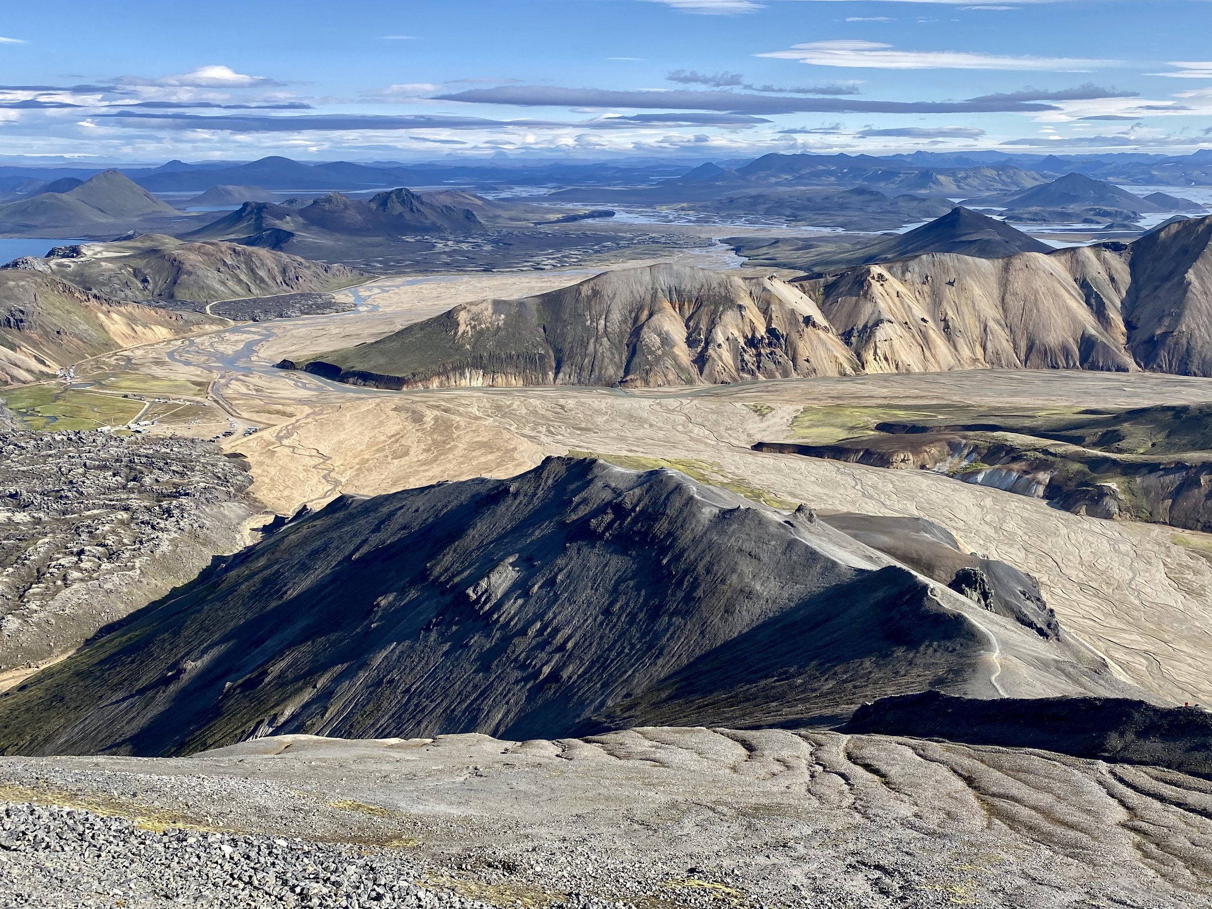
The top of Mt. Blahnukur


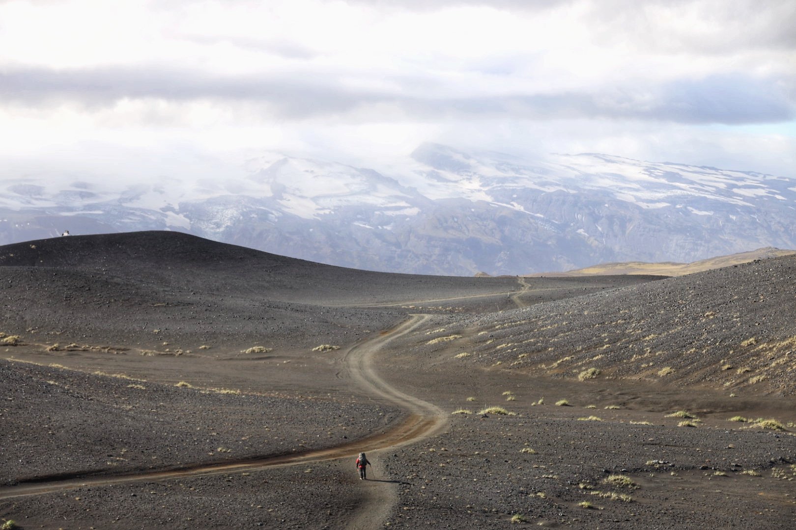
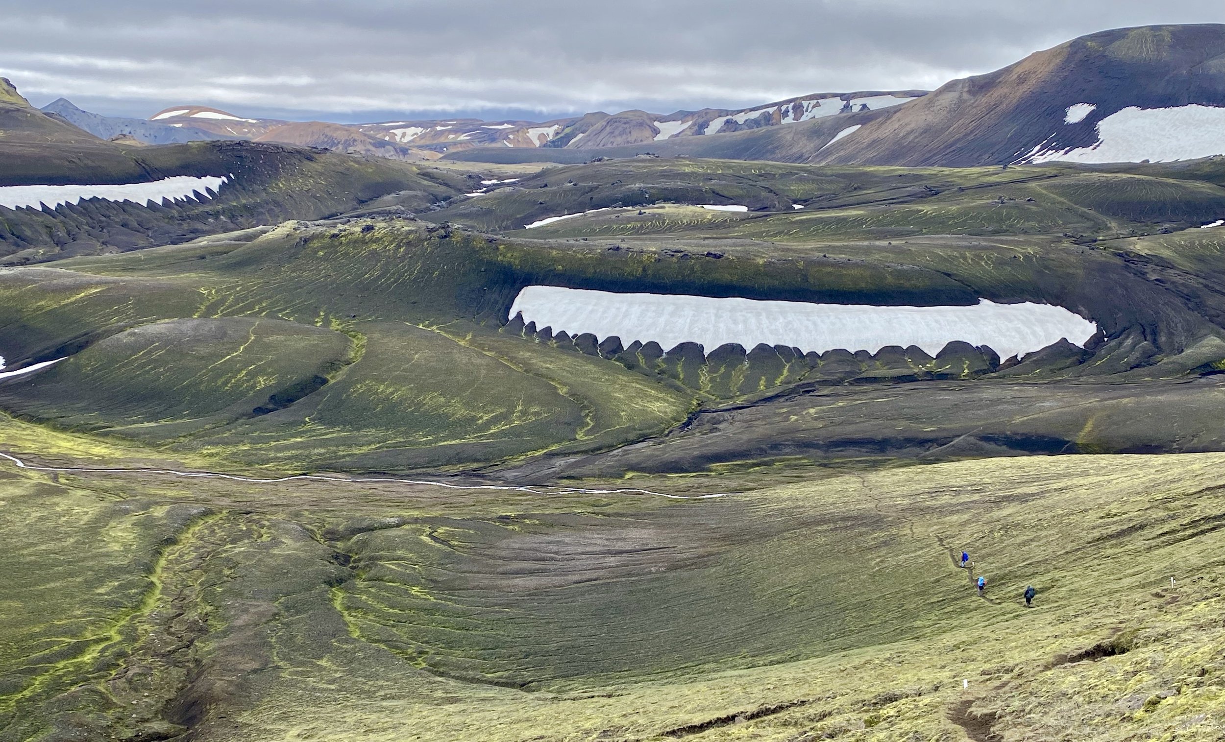
On the way to Hoskuldsskali, a steady climb of 700m.


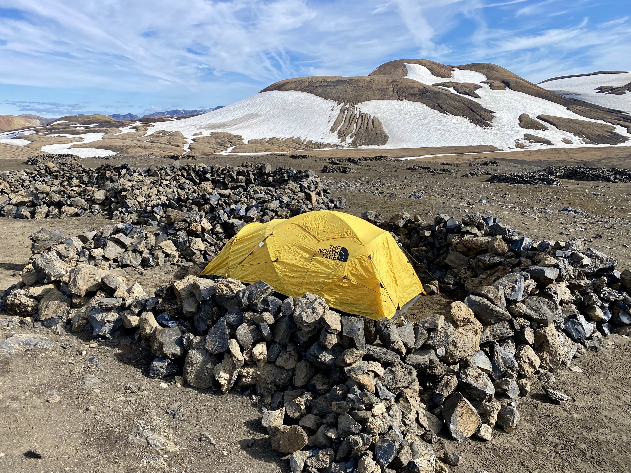
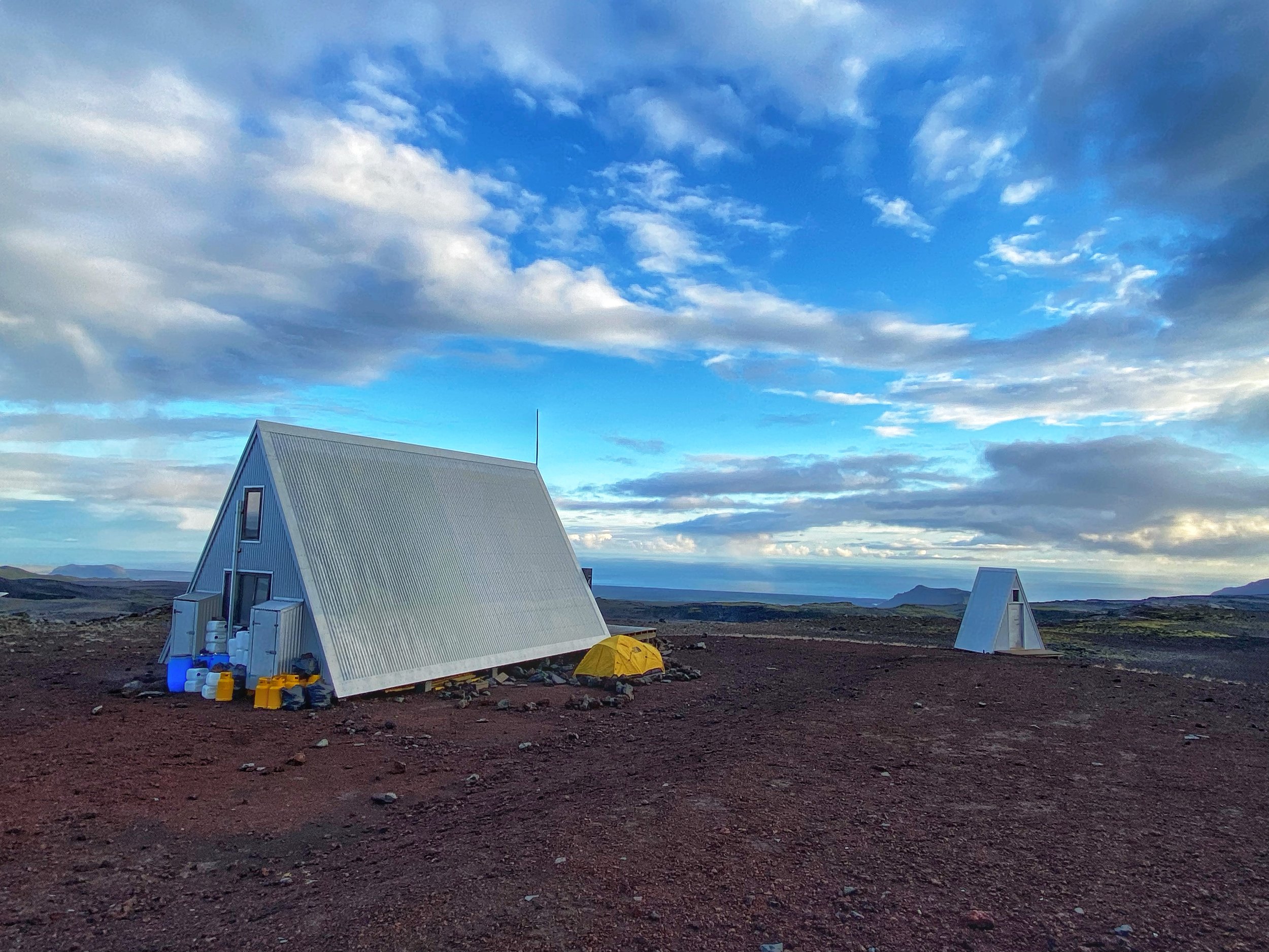
This campsite is known for bad weather and high winds. The protective walls at the campsite show how fierce the wind can be. Thankfully we had a calm night.


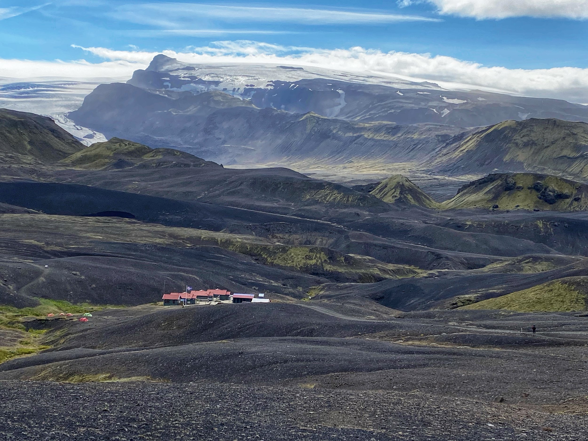
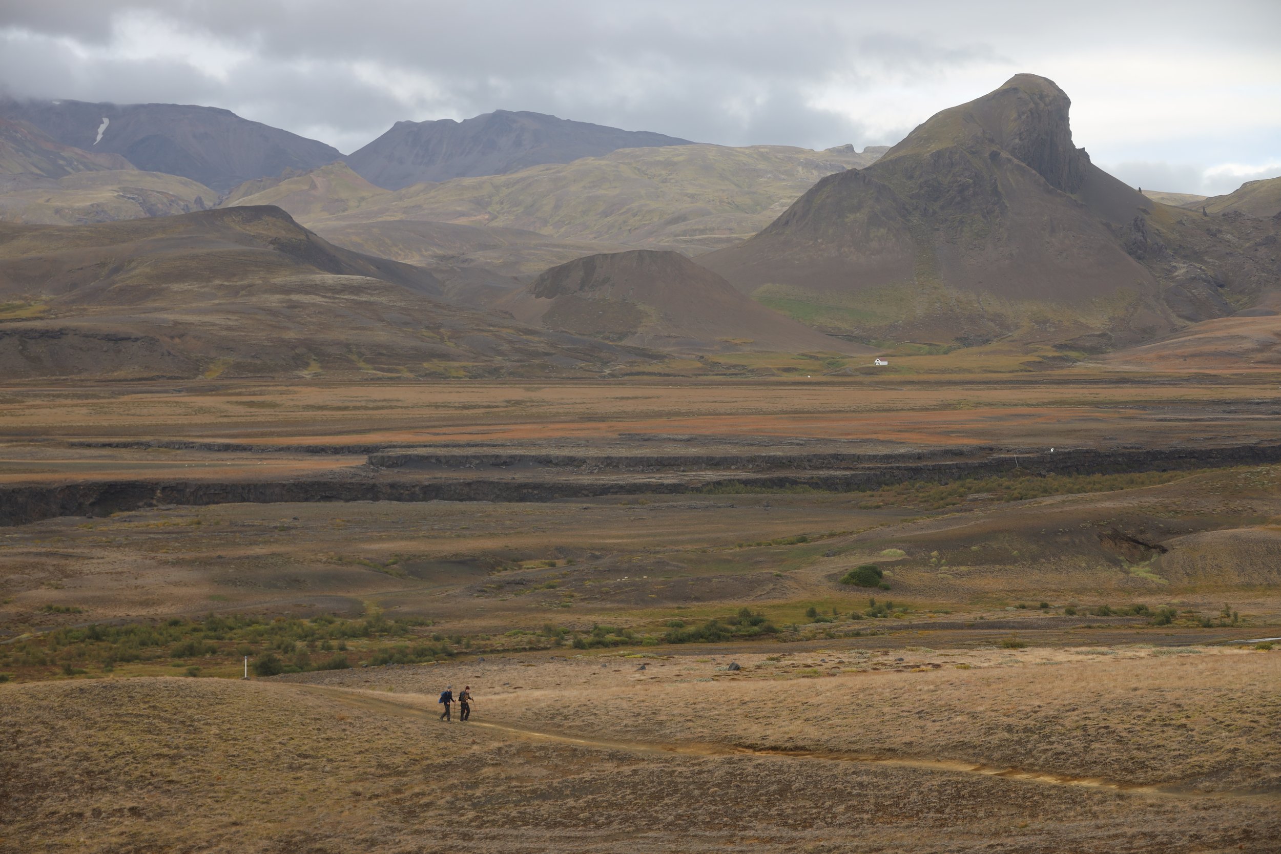
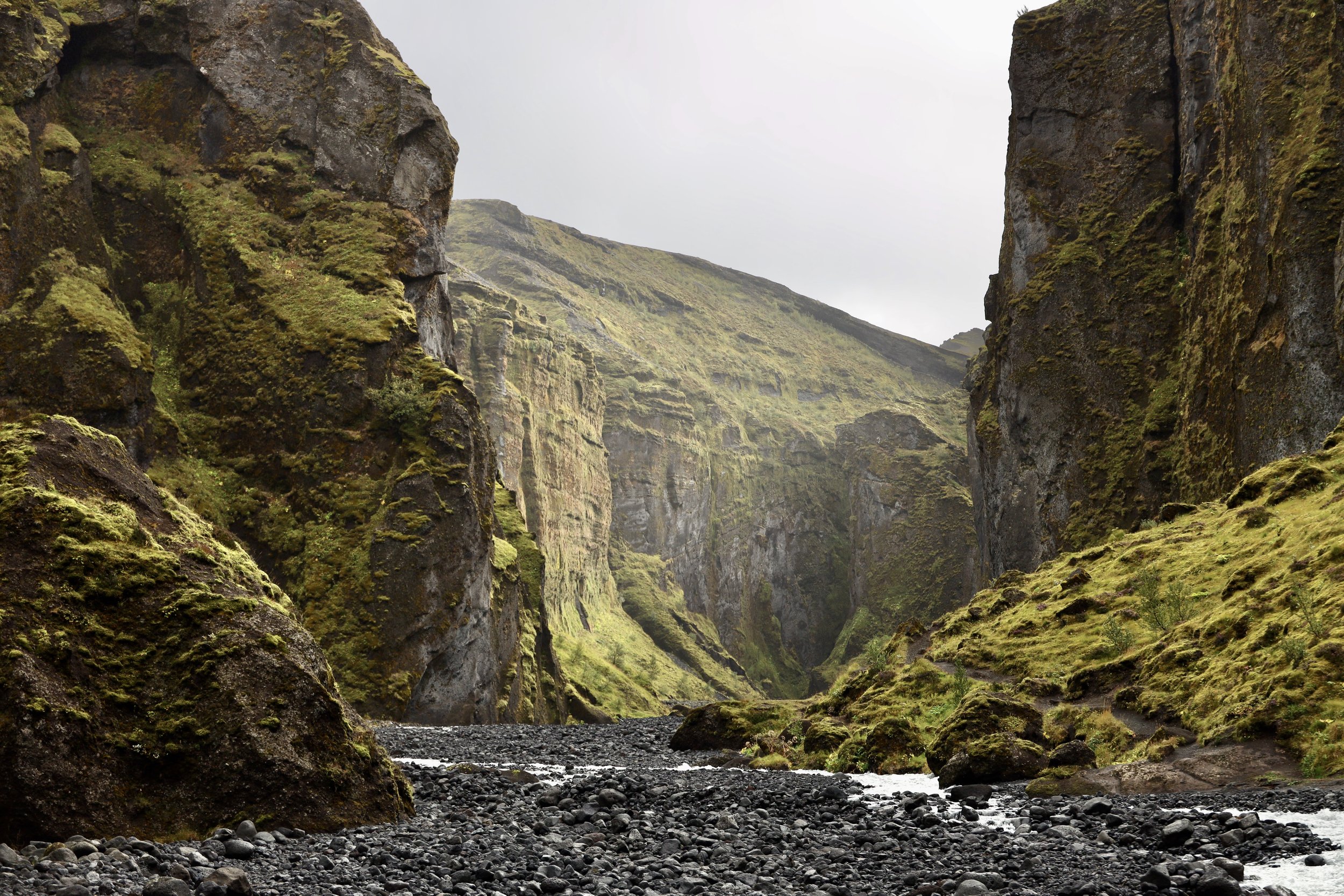
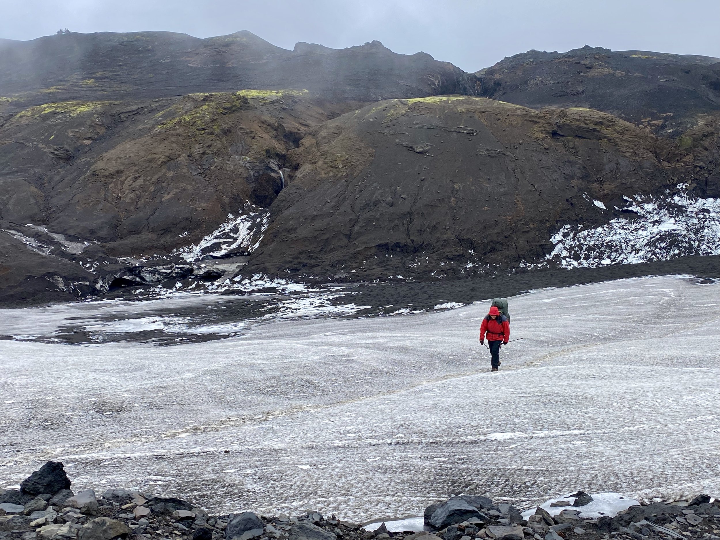
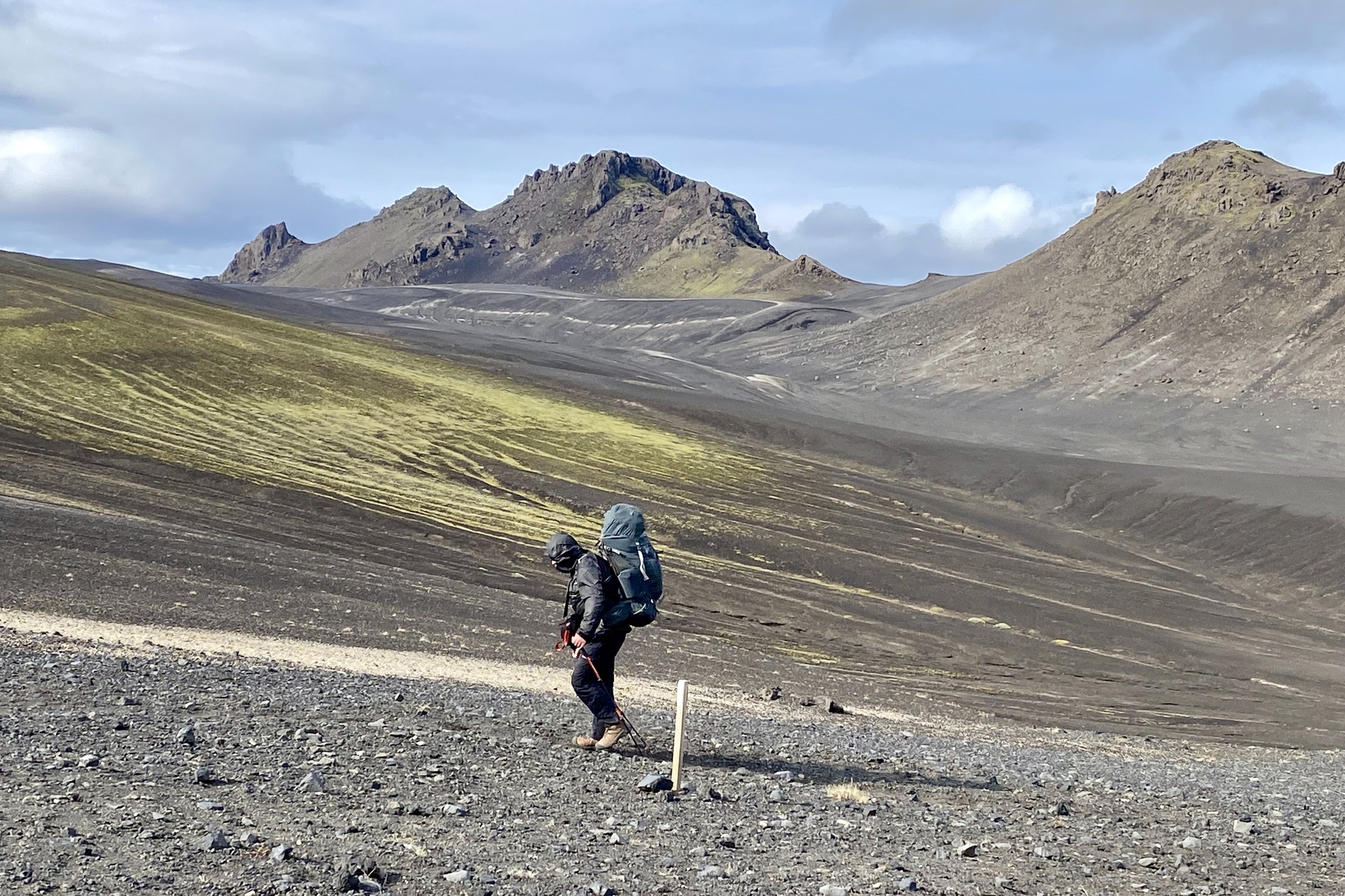
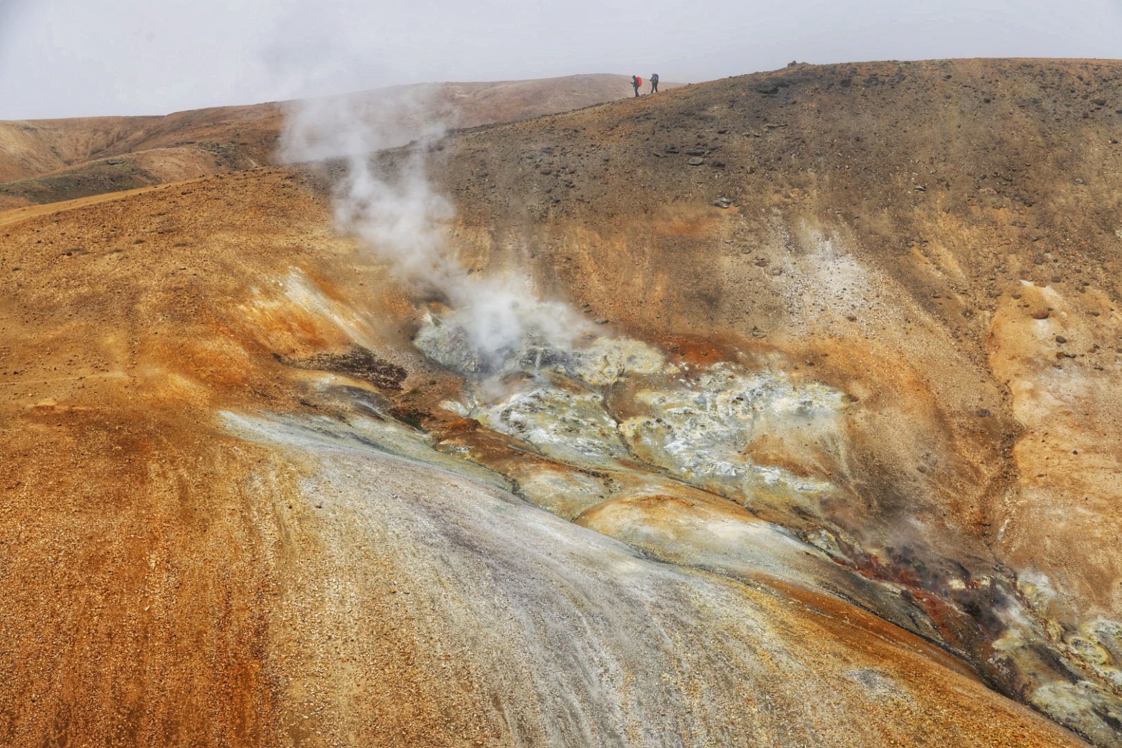
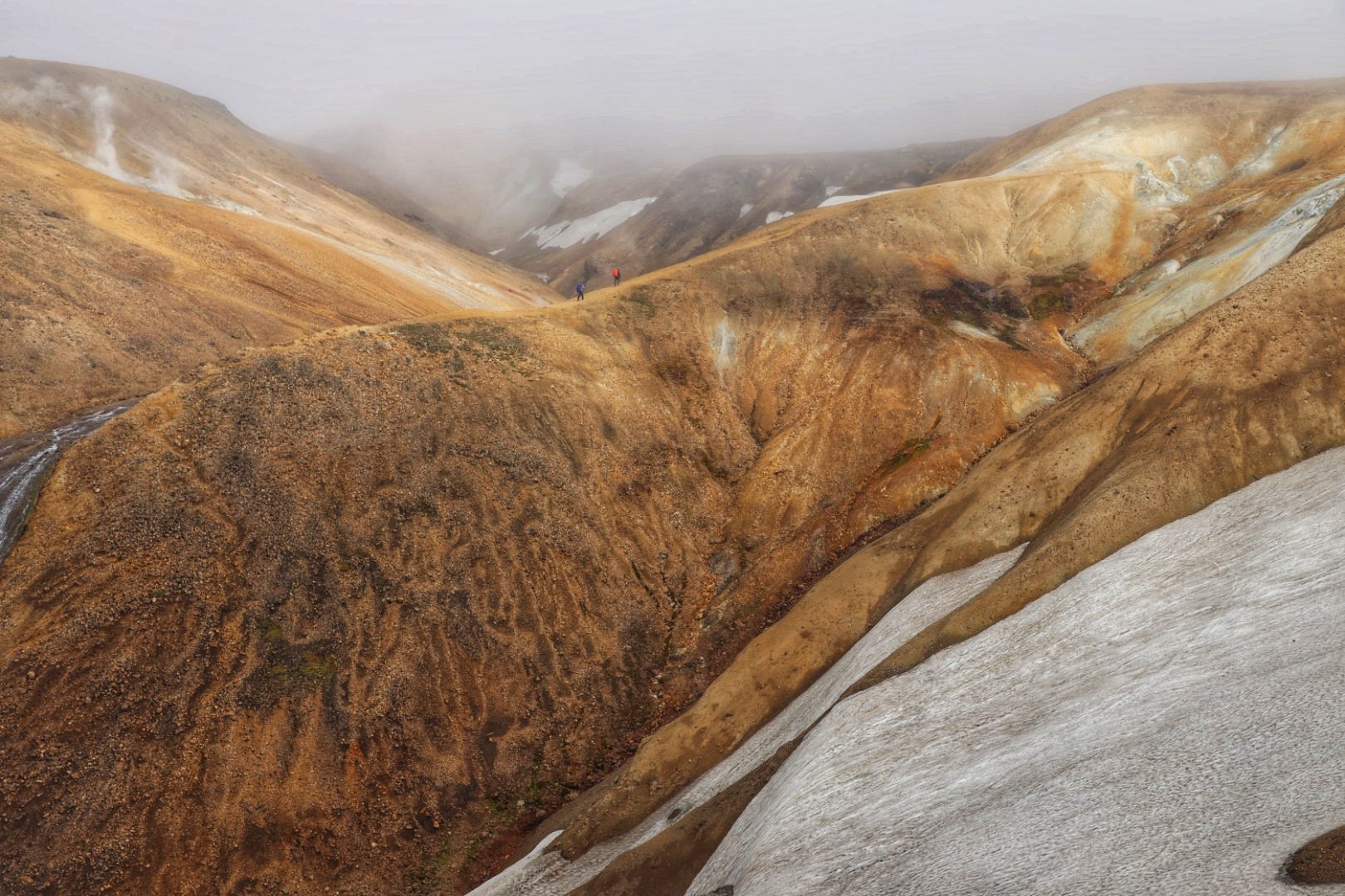
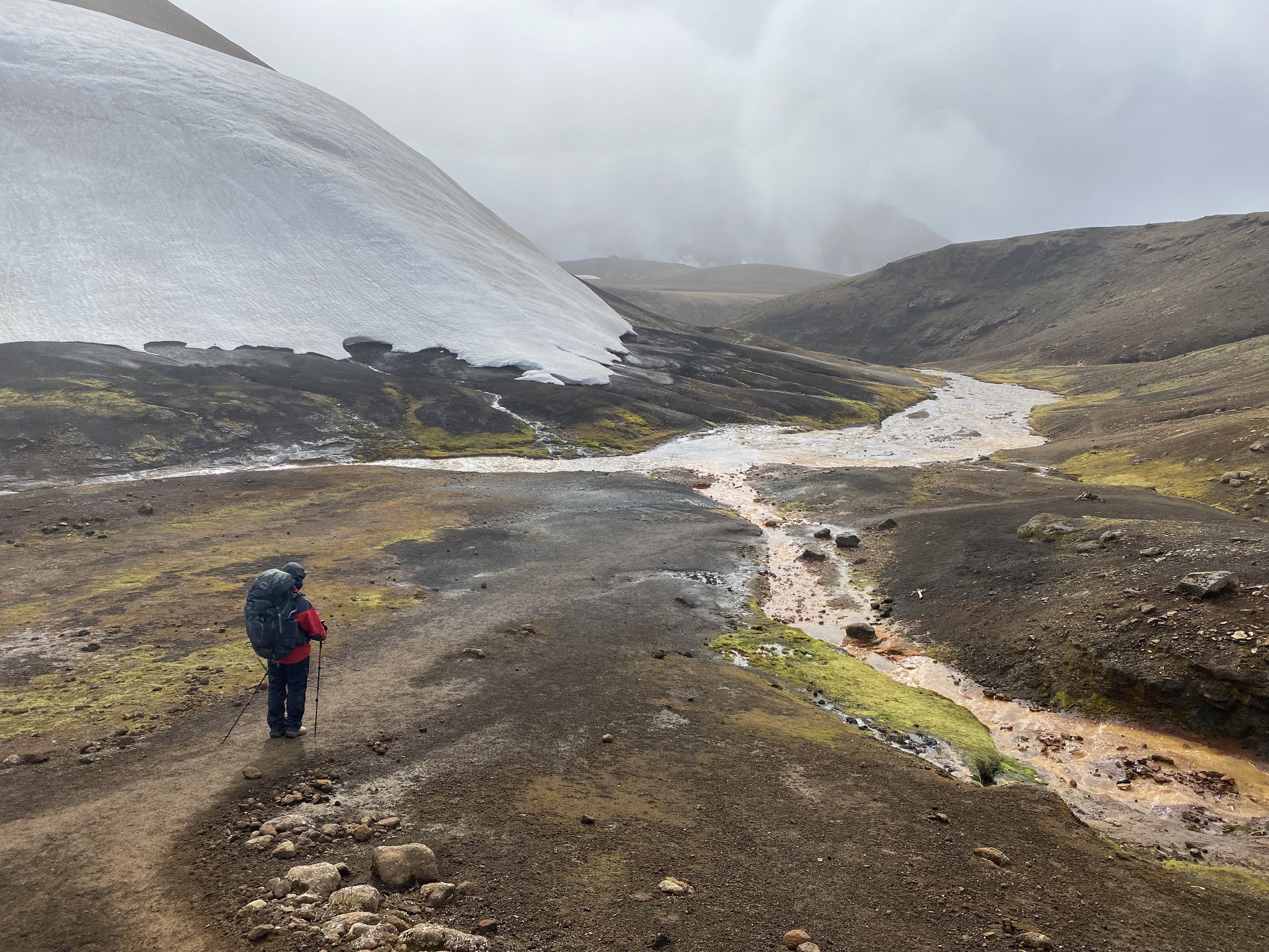
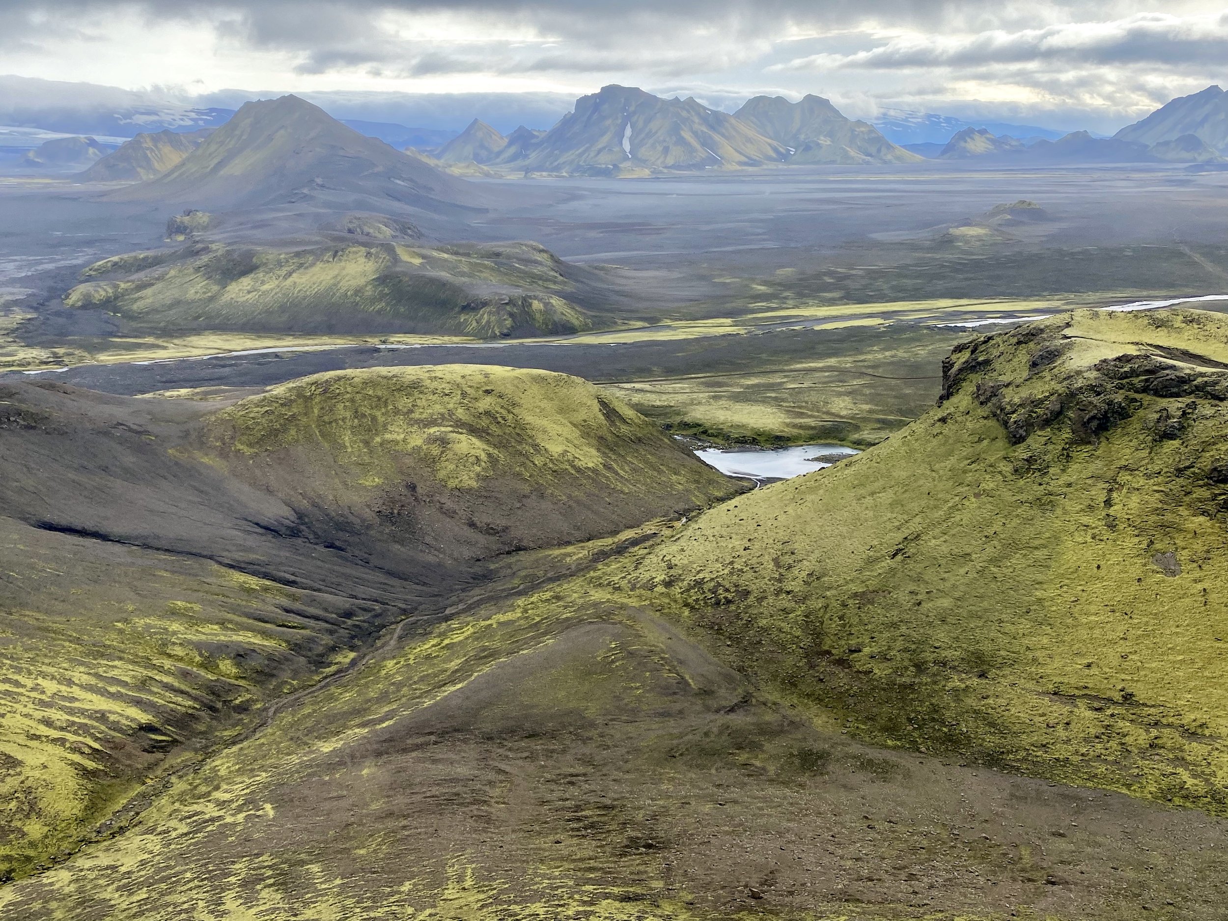
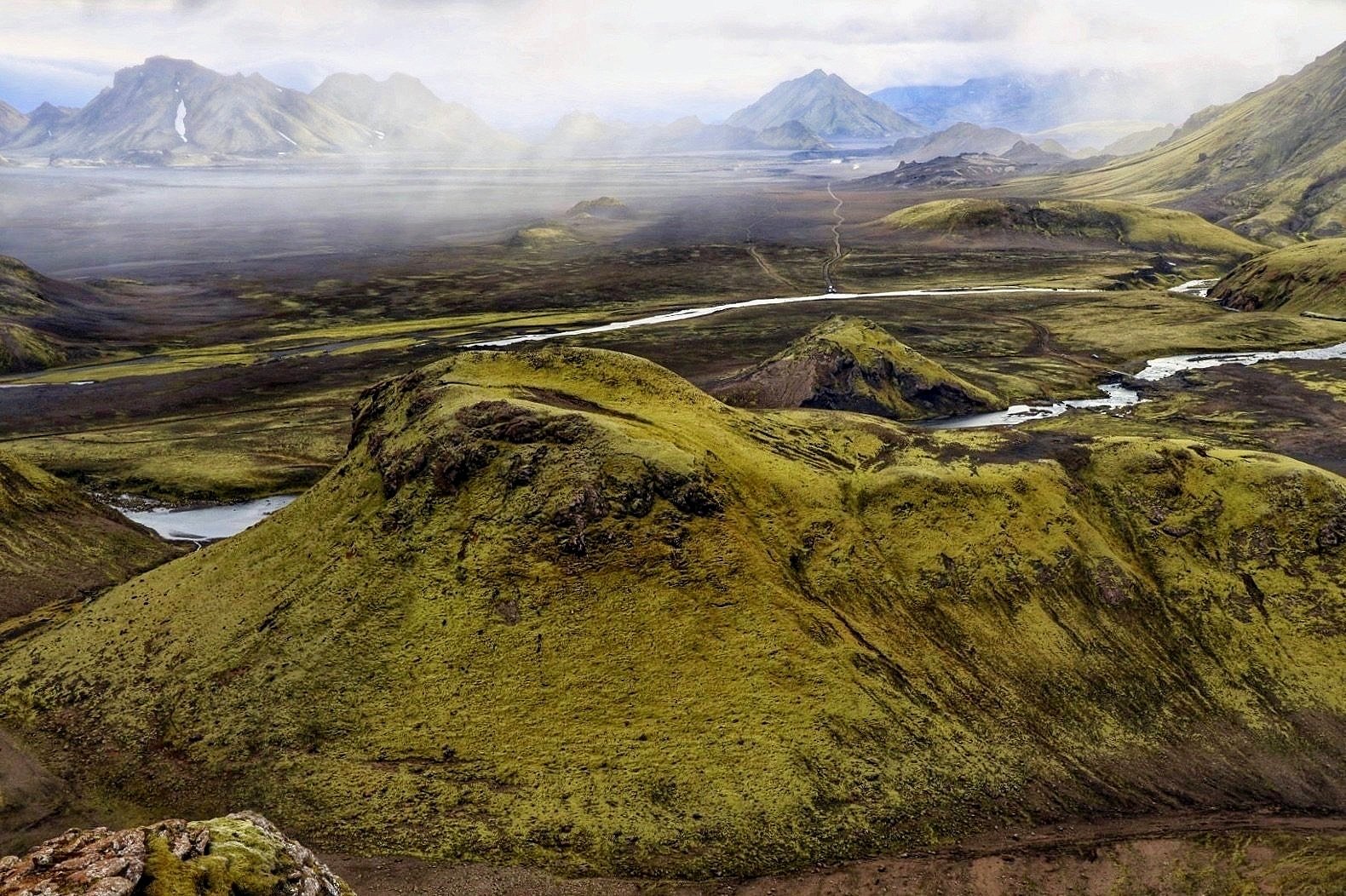
From Hoskuldsskali we hiked to Hvanngil. The weather changed for the worst. It was still beautiful despite the rain and occasional fog.
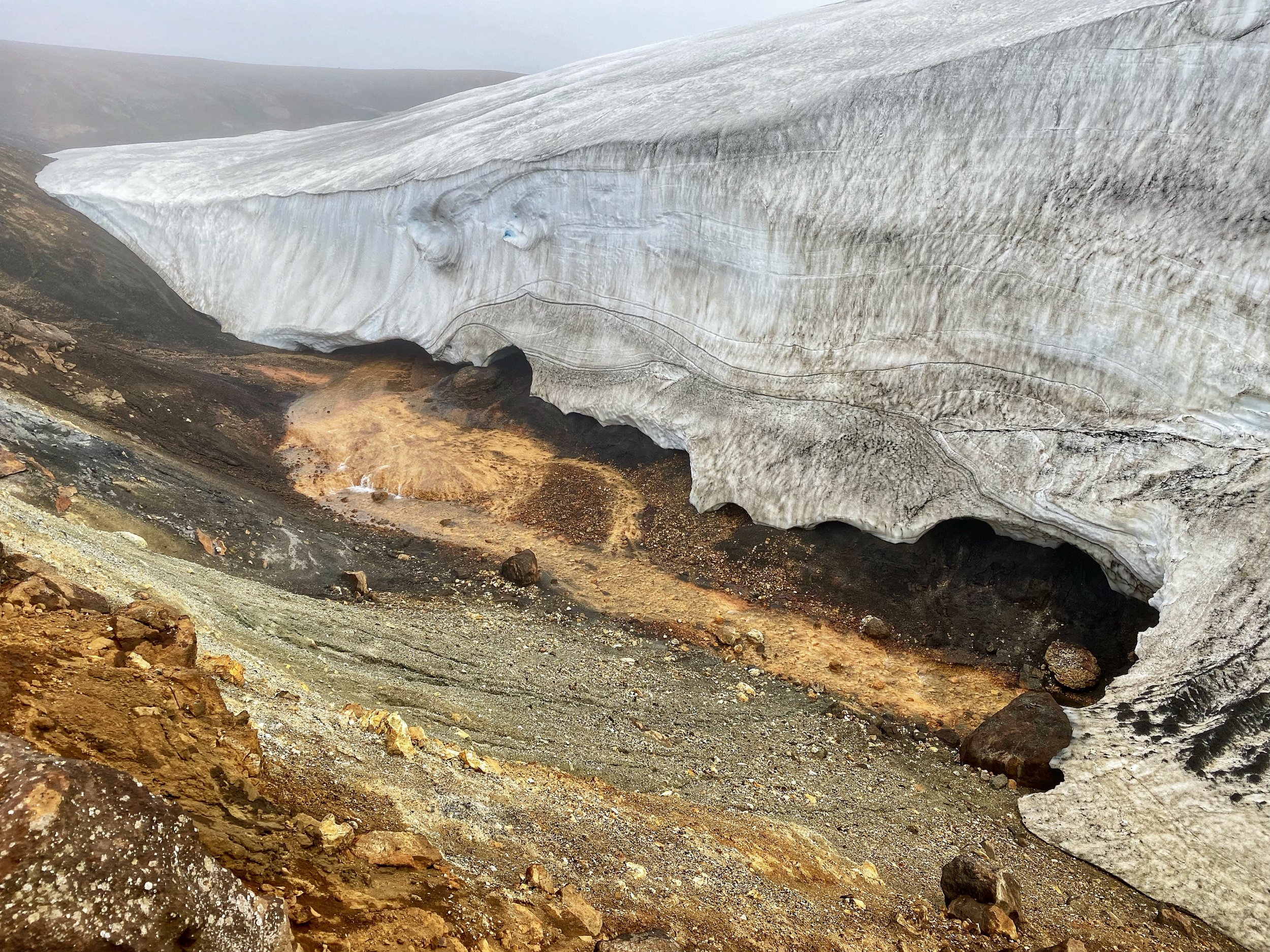
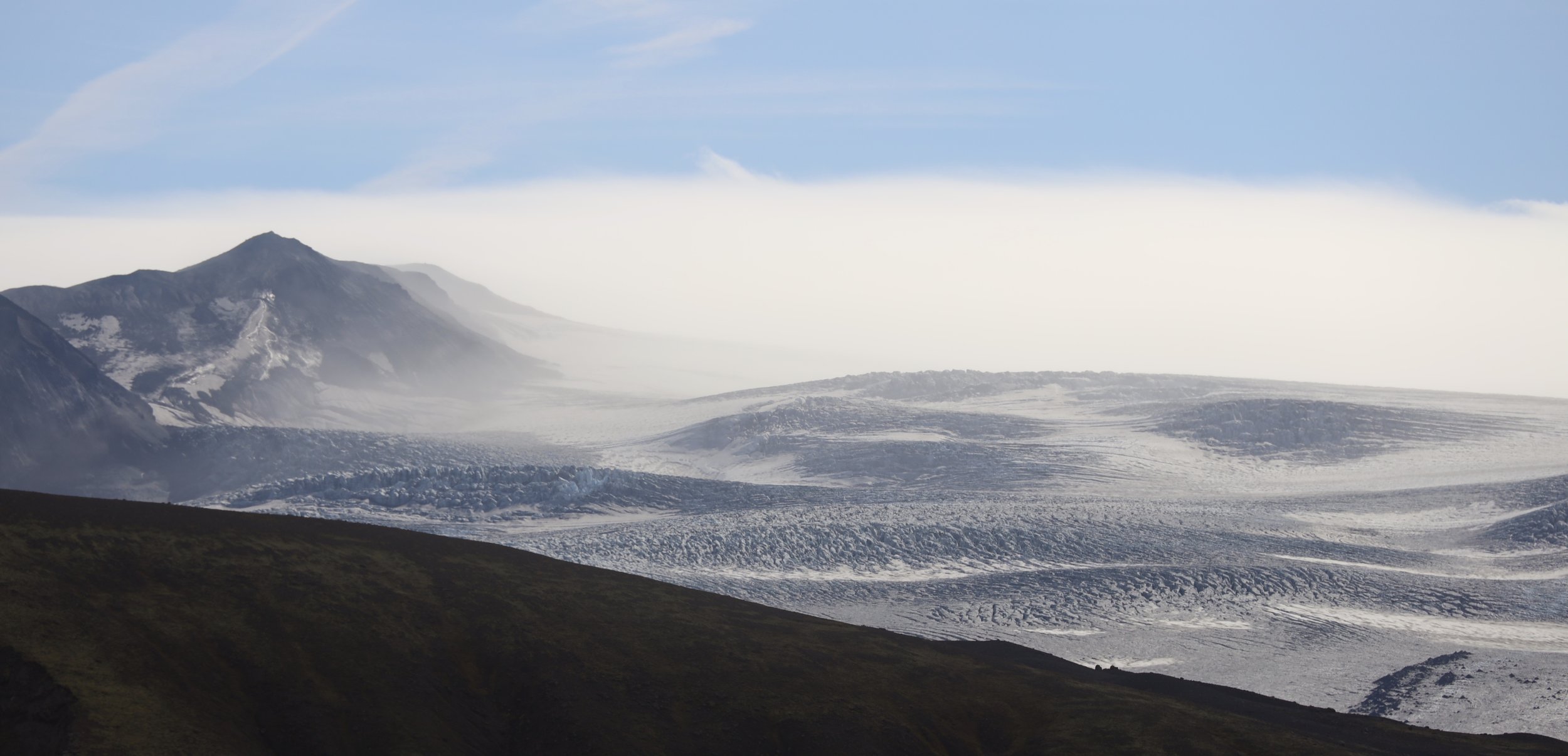
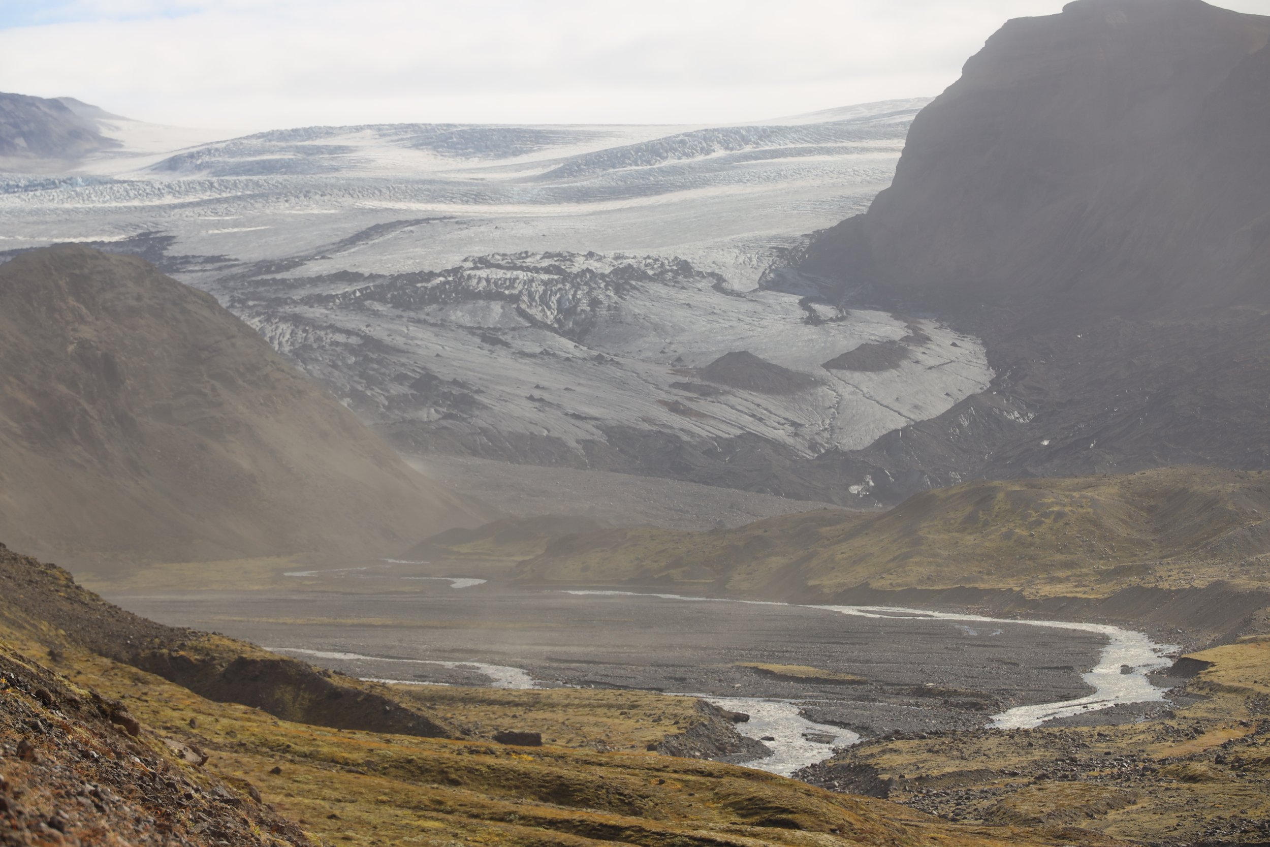
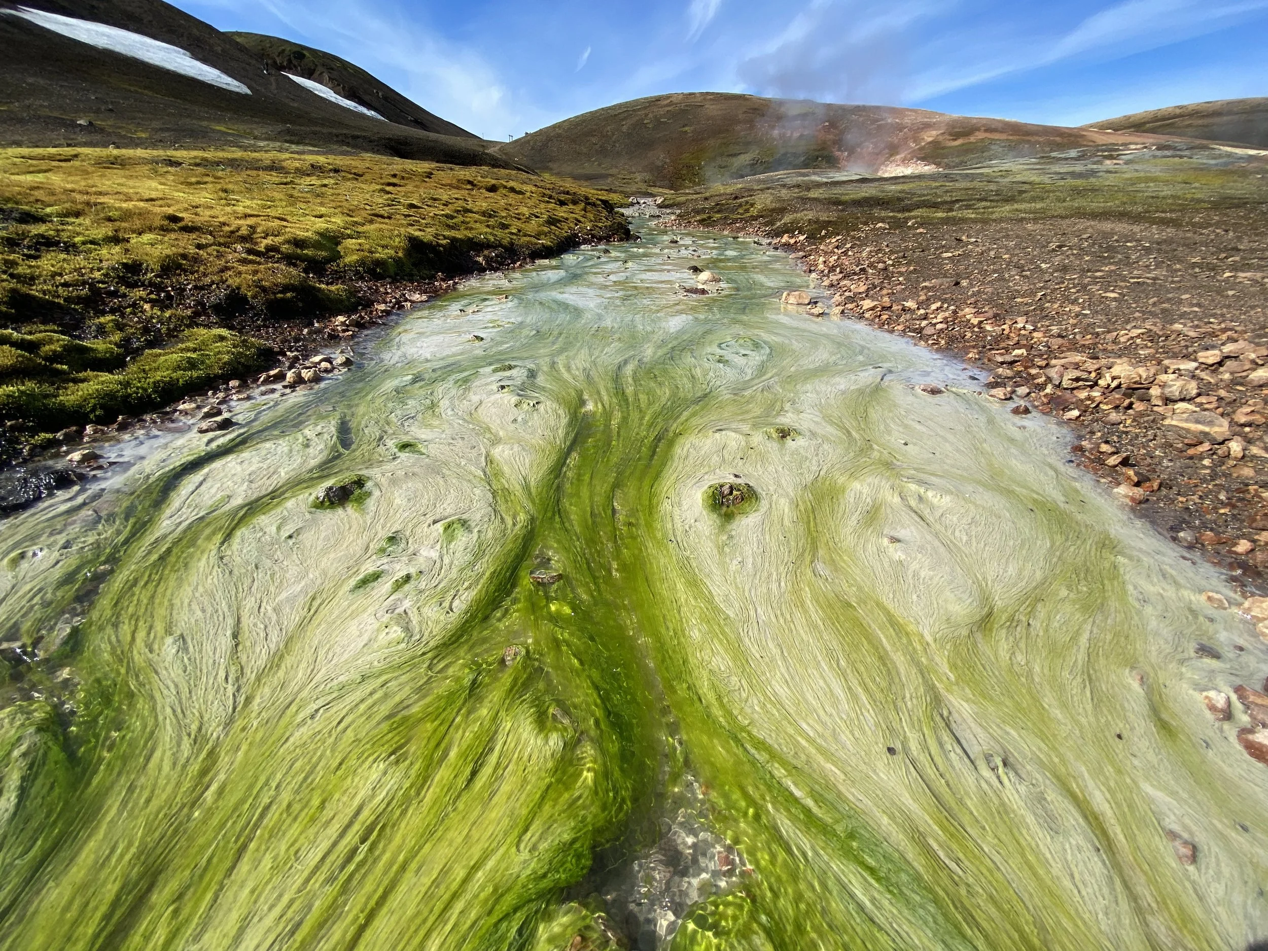
Hot water flowing from under the glacier.
Approaching Lake Alftavatn
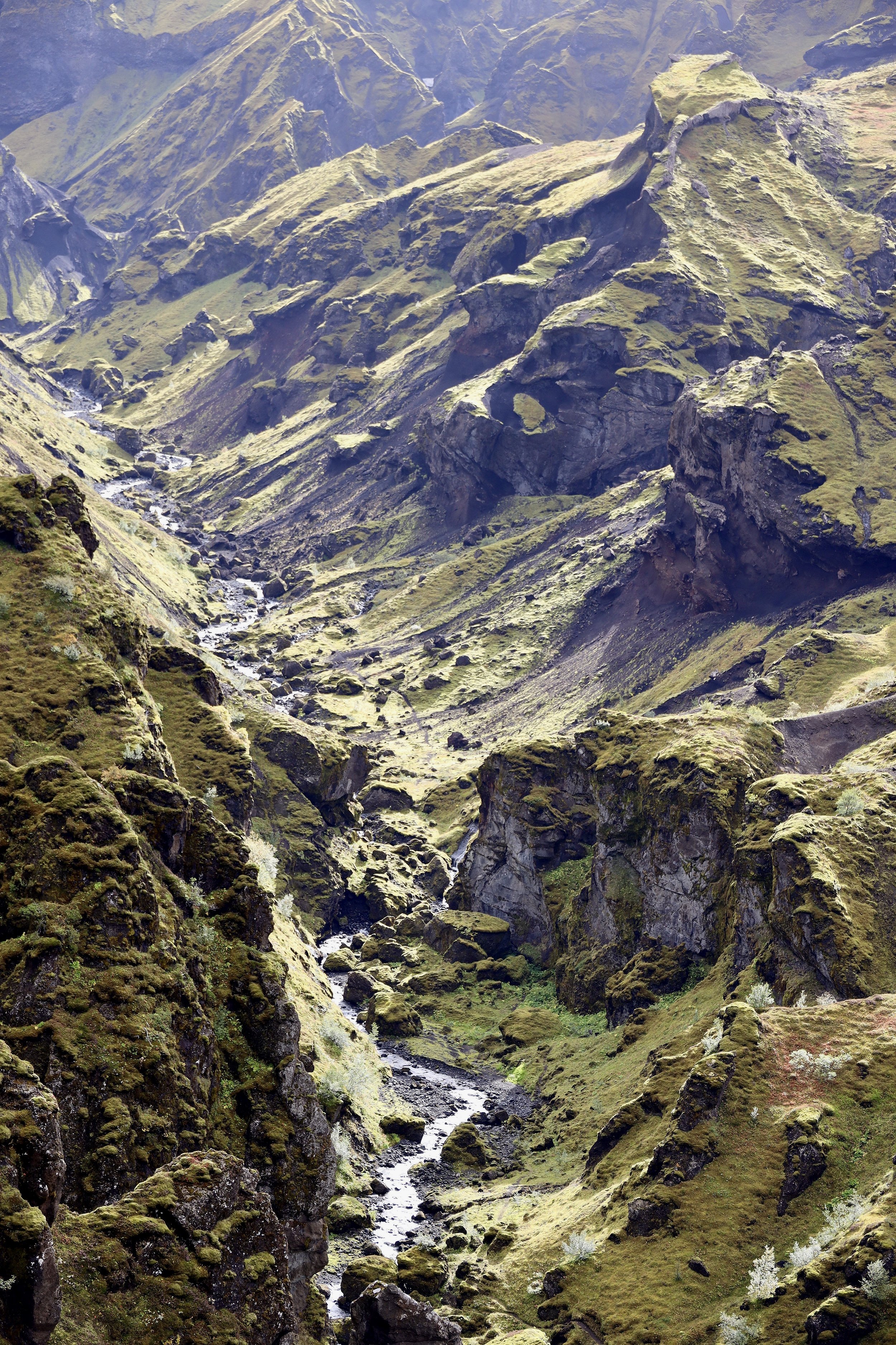
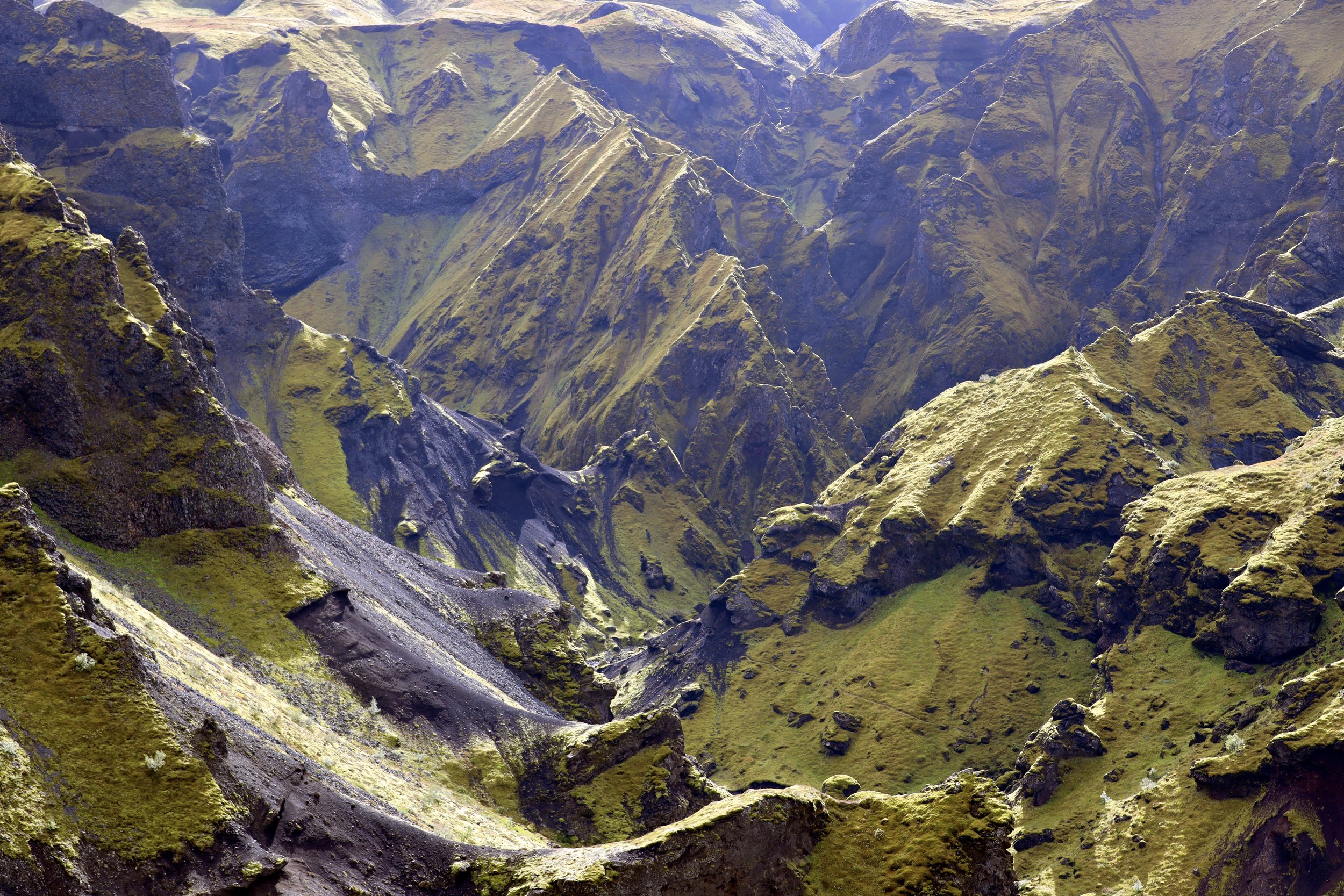
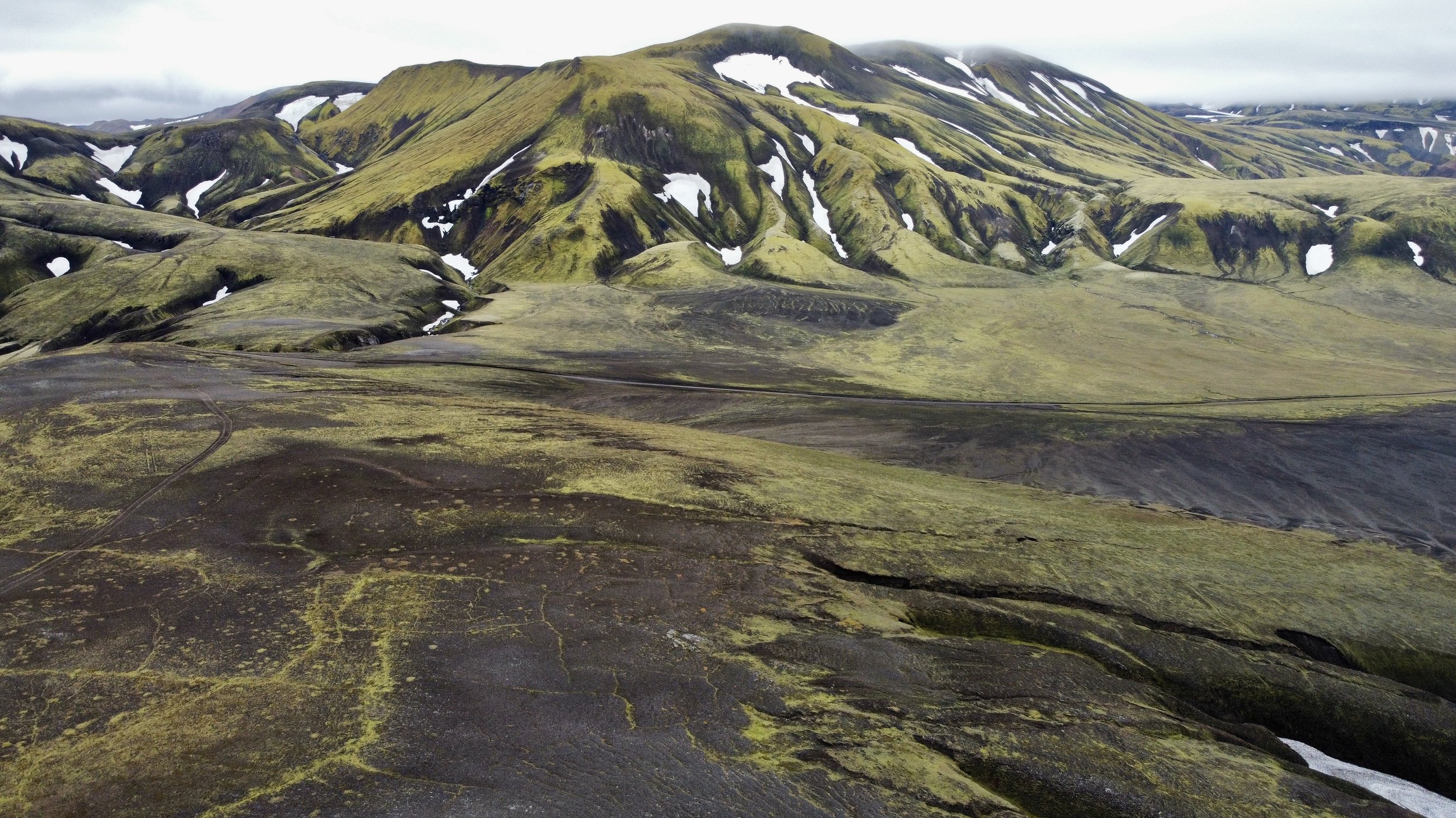
The mountain ridge above Hvanngil
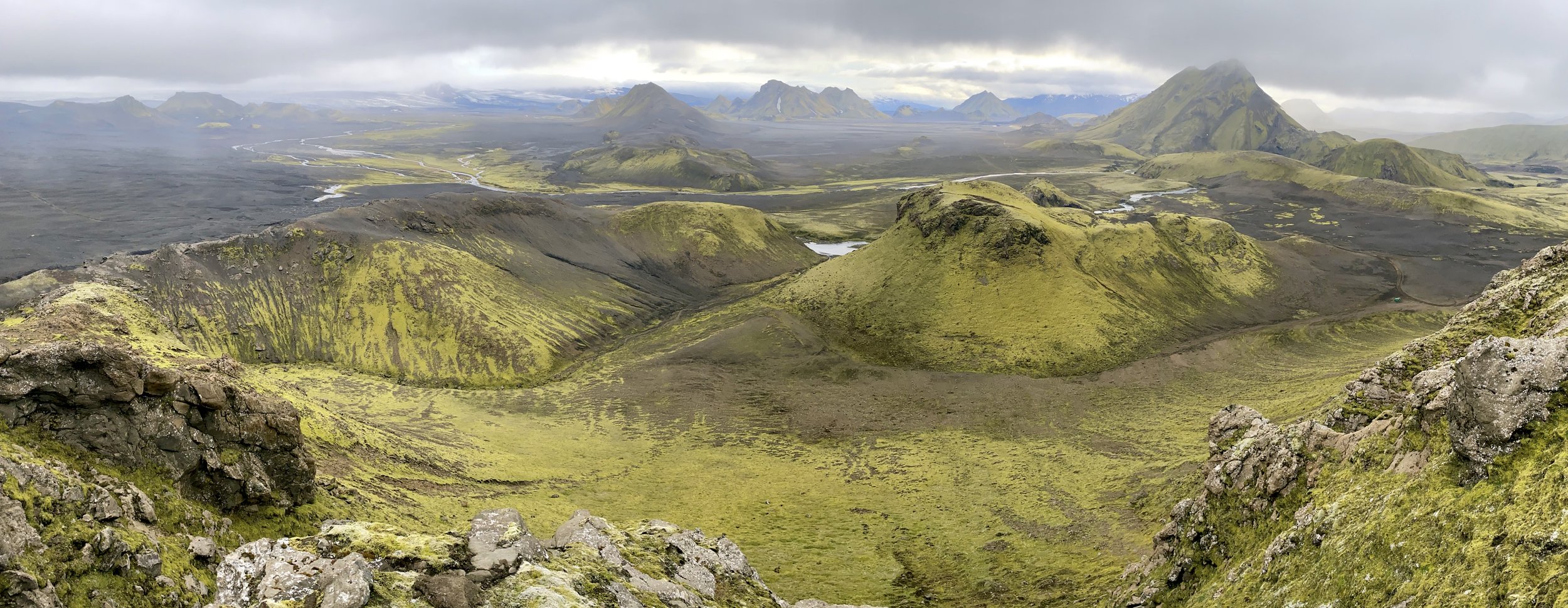
Hvanngil
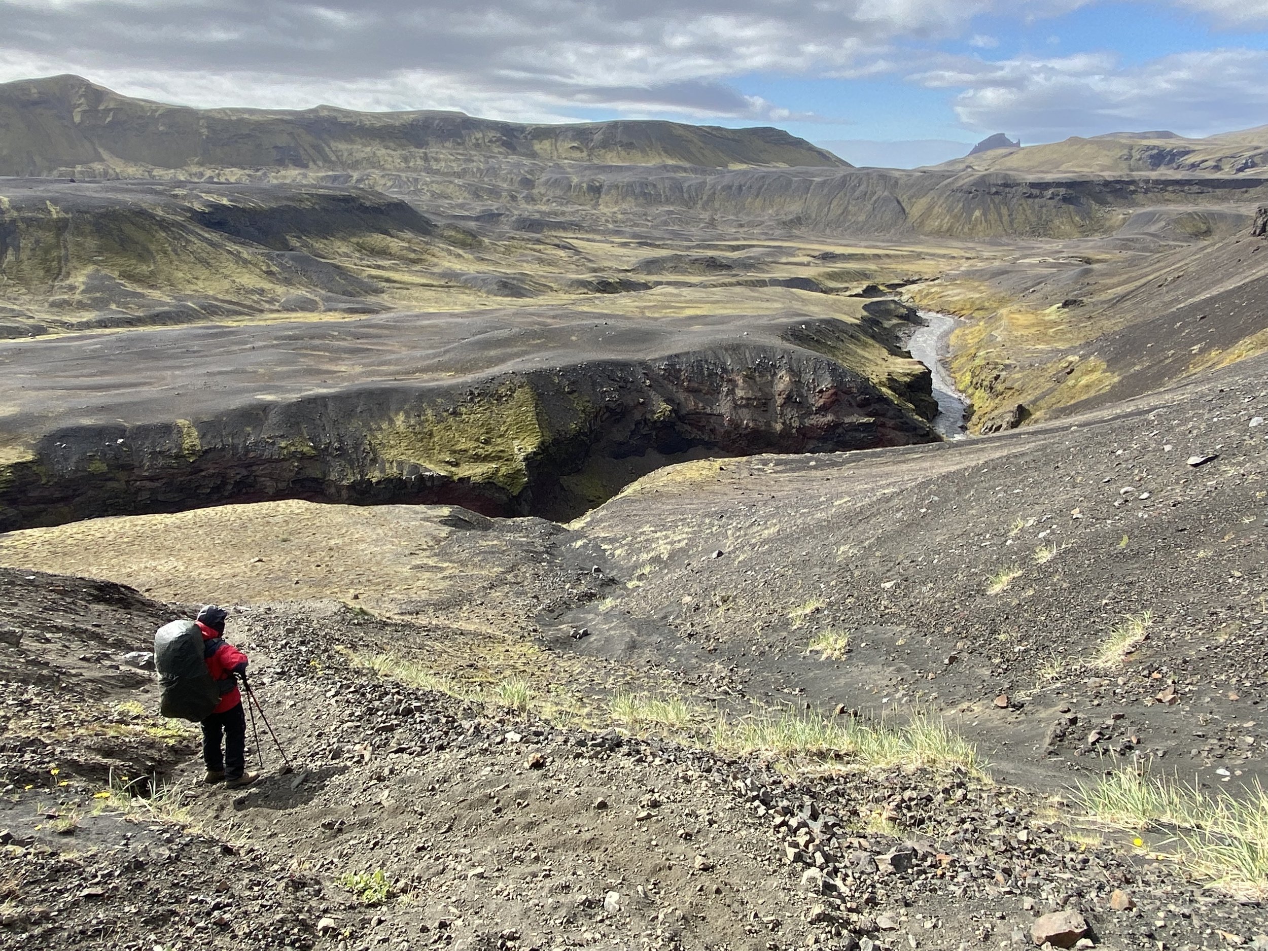
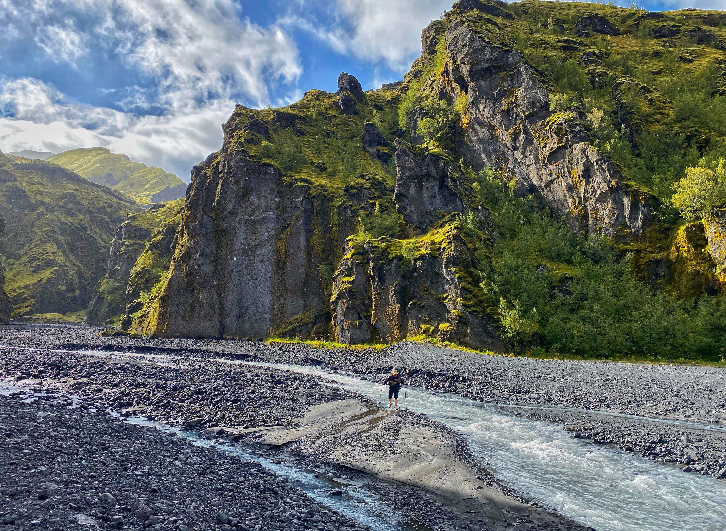
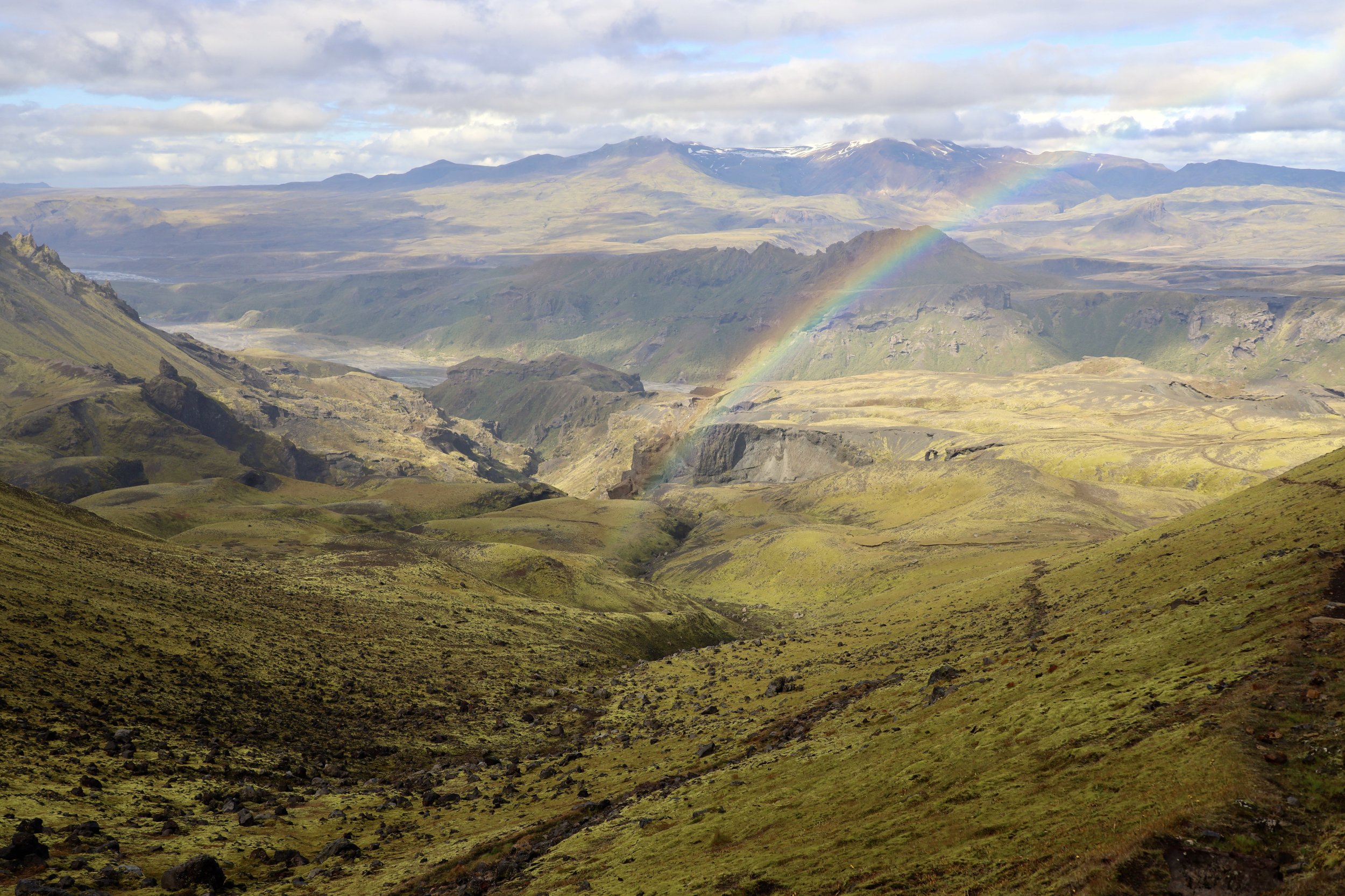
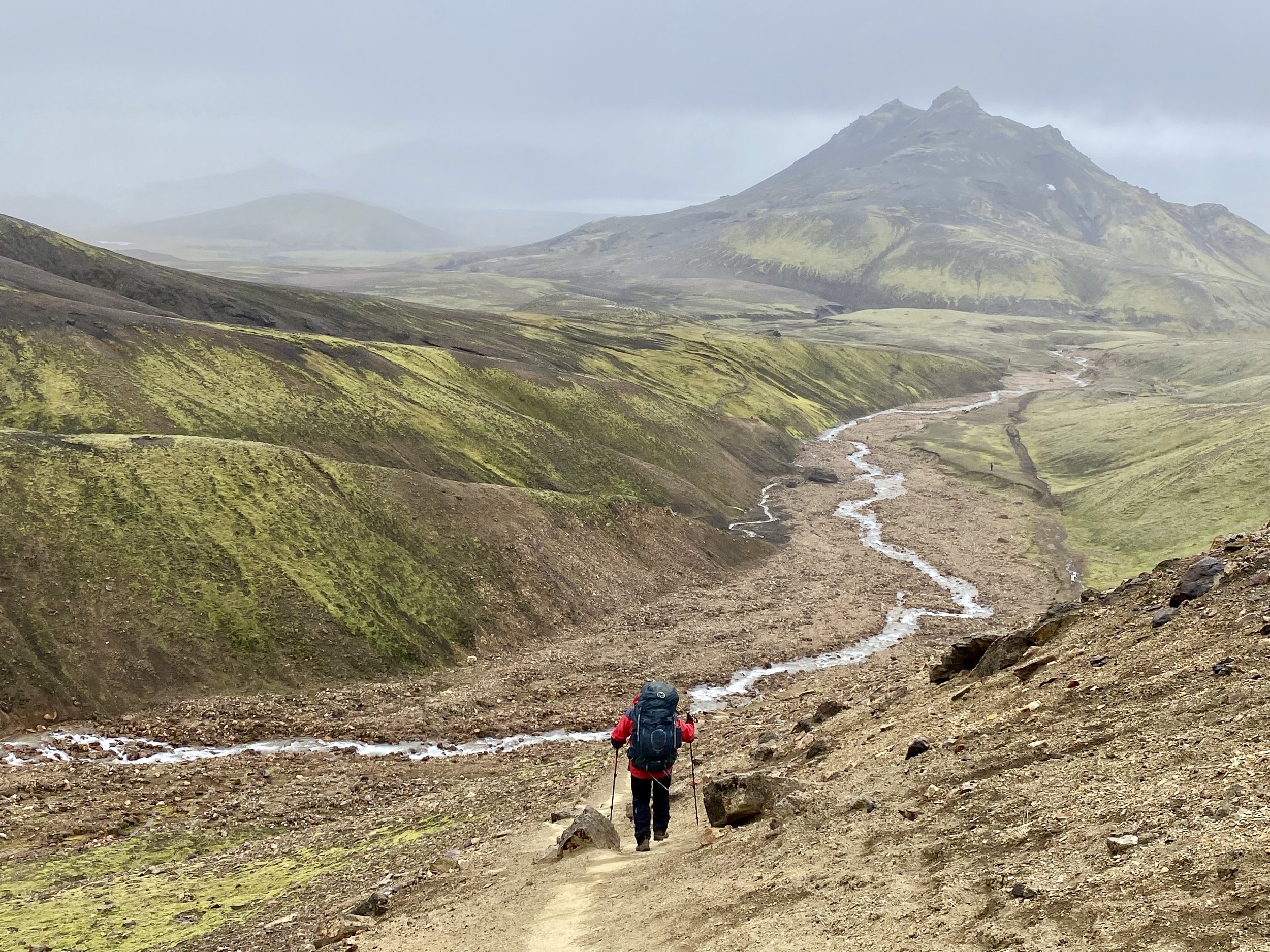
Hvanngil. The trail can be seen on the right hand side. In order to avoid the oncoming storm, we hiked 30km from Hvanngil to Prosmork. We were told by the warden at Hvanngil that it was dangerous to hike on exposed terrain during the storm. We decided to combine two days into one and take two days off during the storm.