Thanks to Kumar and Rajendra from www.mountainsunvalley.com who made this adventure a great success!


See the link for annotated photos of the Annapurna Himal

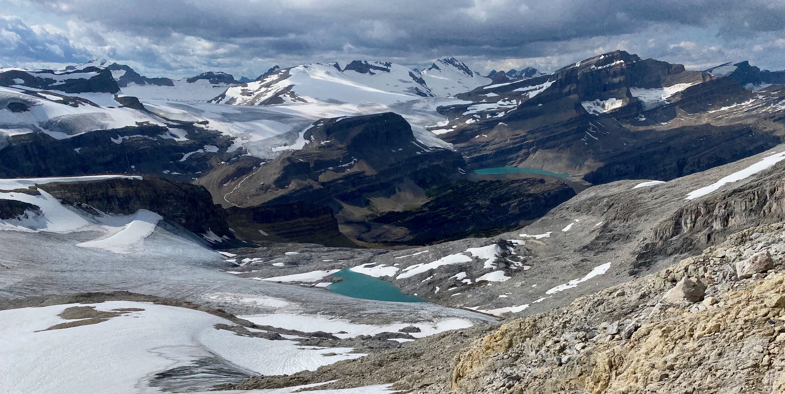
Annapurna from space. The South Annapurna BC is on the right side of the photo. Frozen Tilicho Lake is at the top centre of the photo.

The entire Annapurna Range from the south

On the way to the start of the trek we passed under the Dhaulagiri east wall and east icefall. Notice the cave dwelling - reminiscent of Mustang.

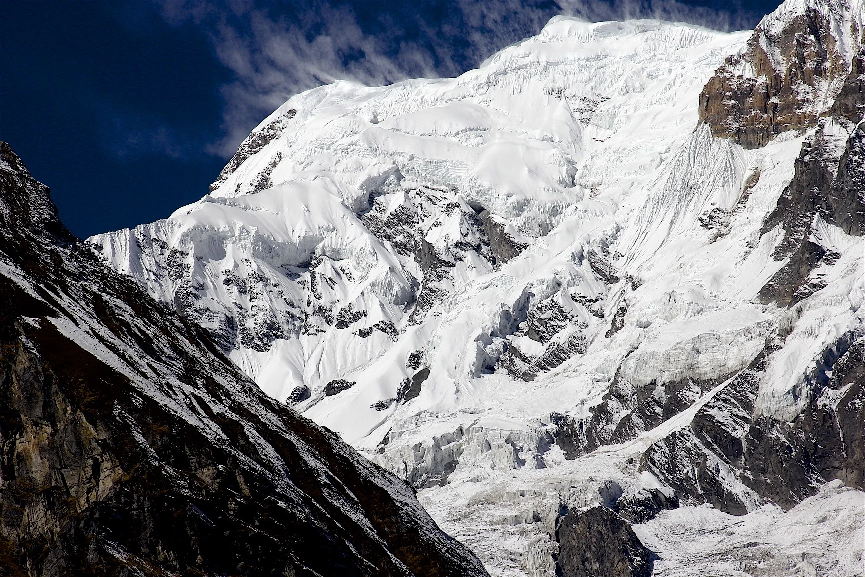
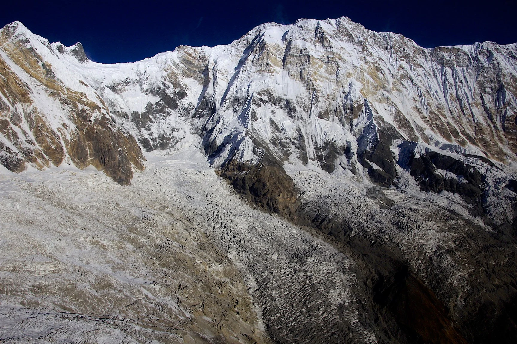
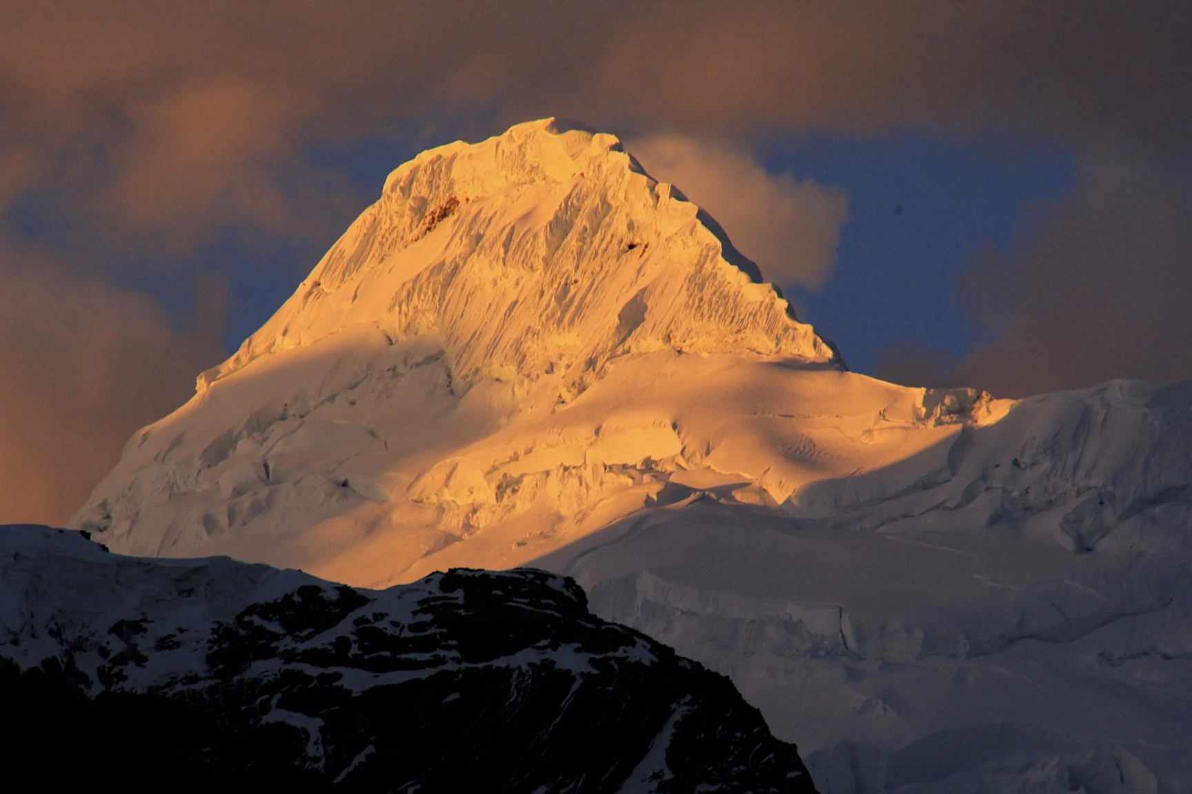
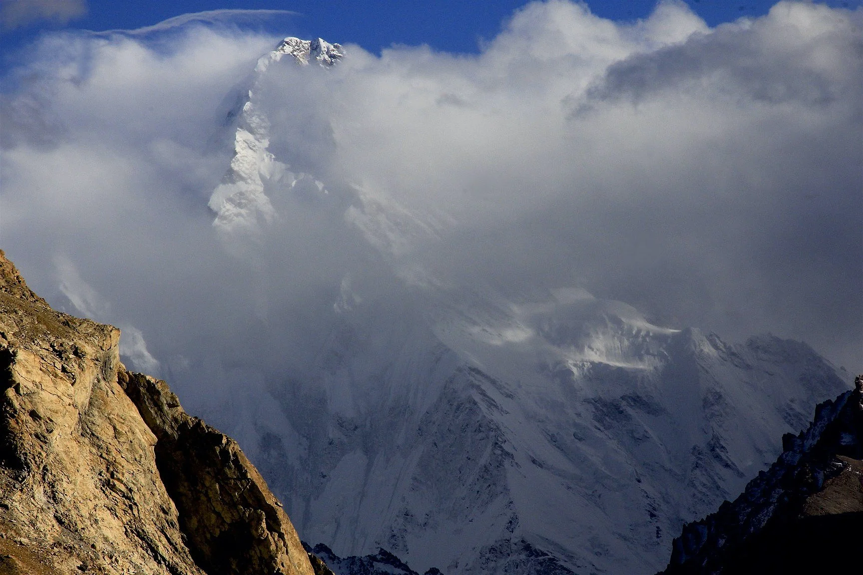
Dhaulagiri

Dhaulagiri
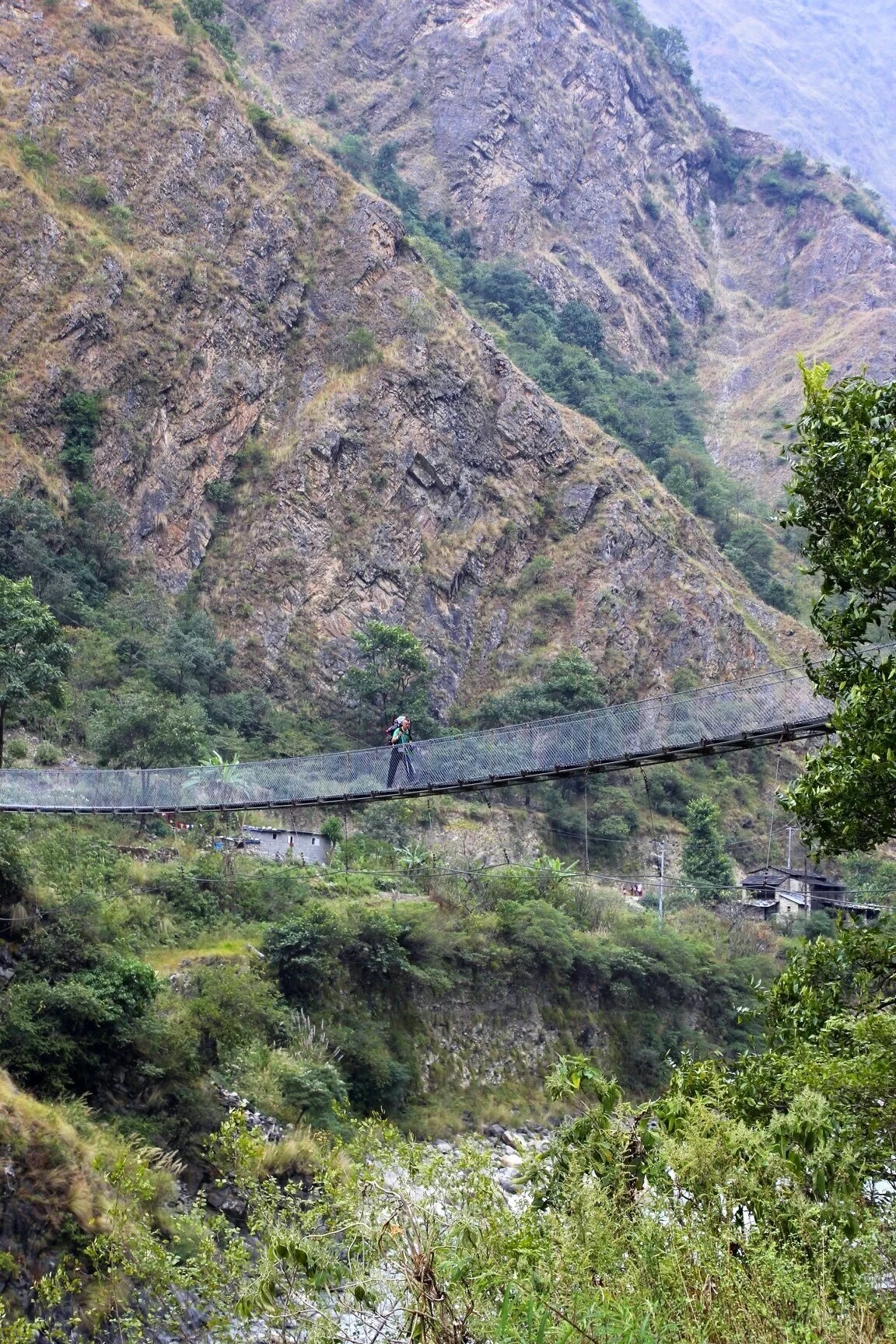
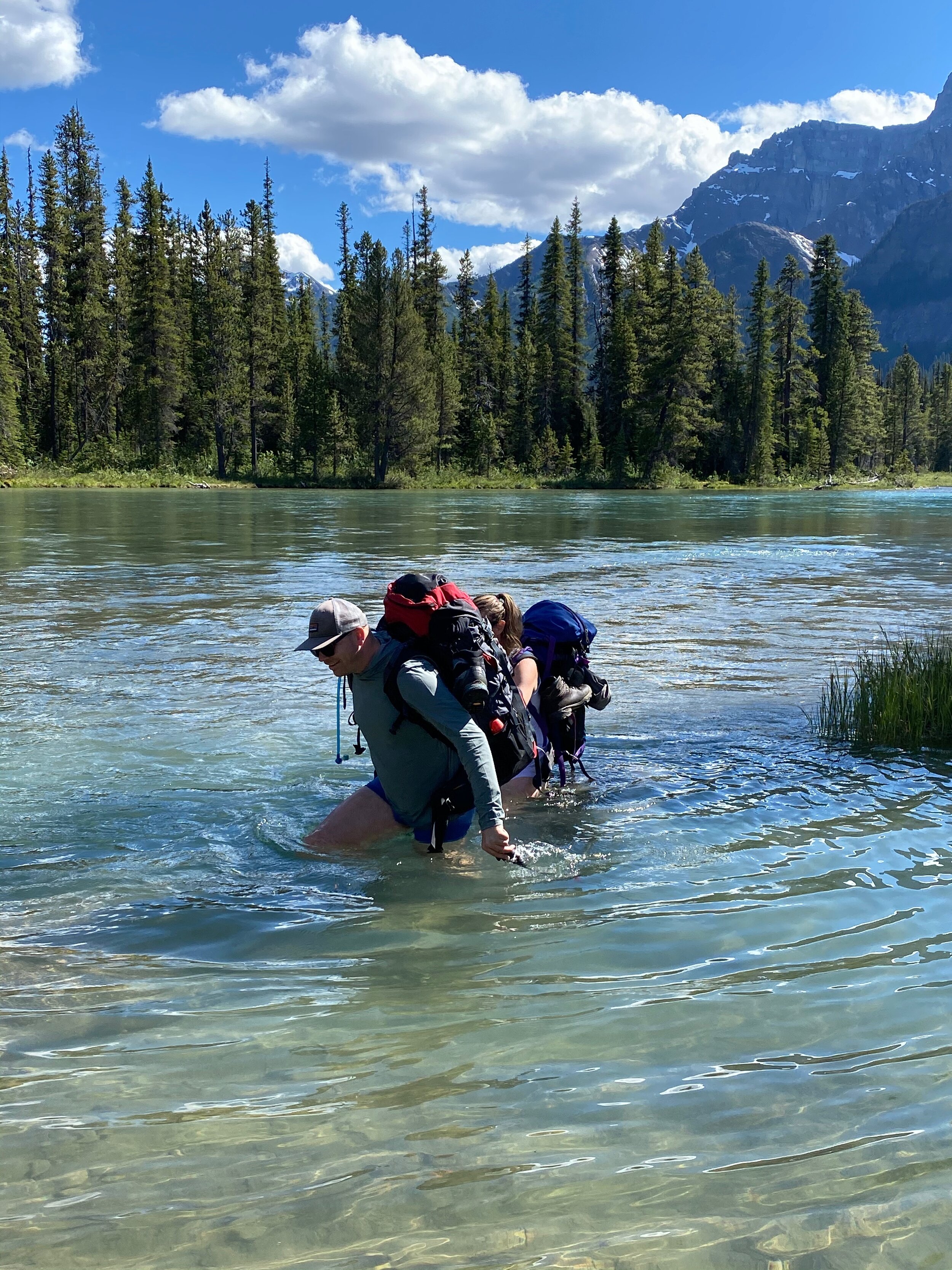
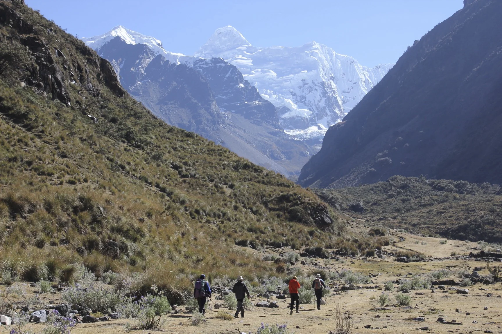
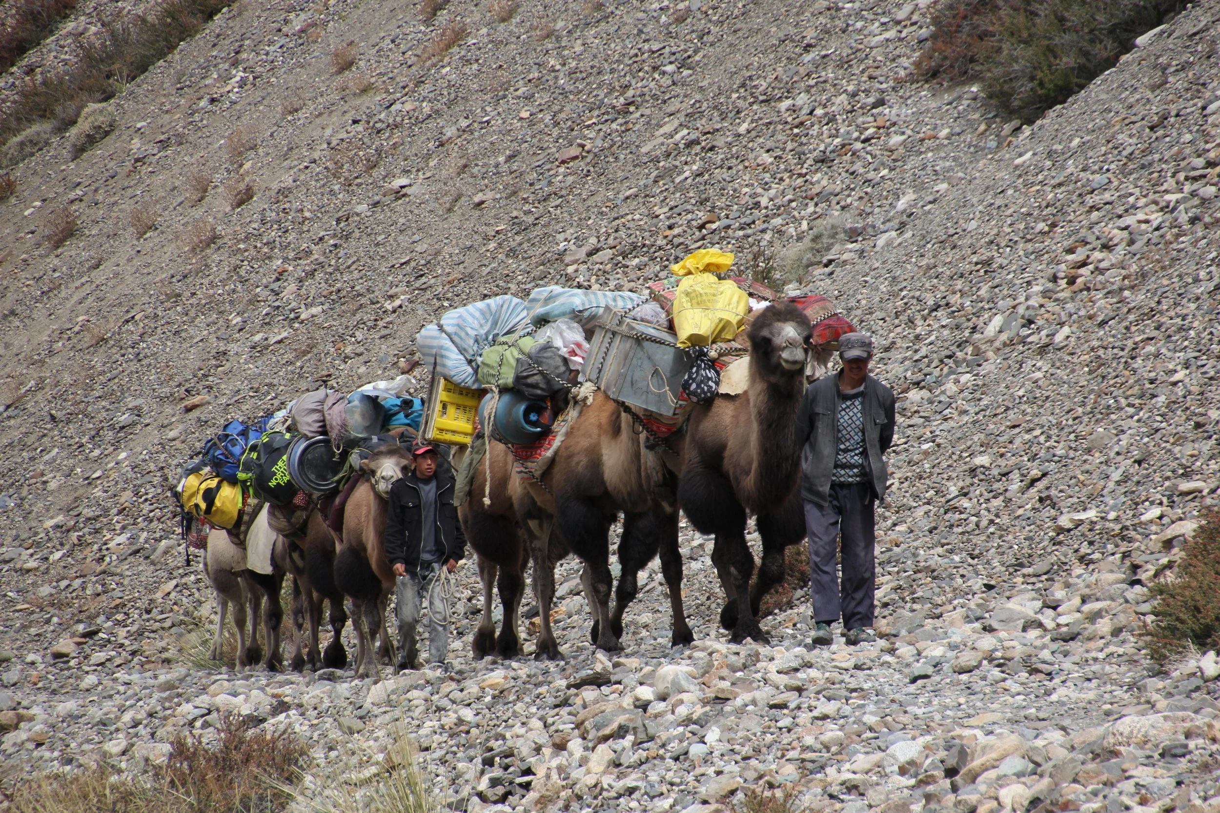
Start of our walk from Trisulli Bazar

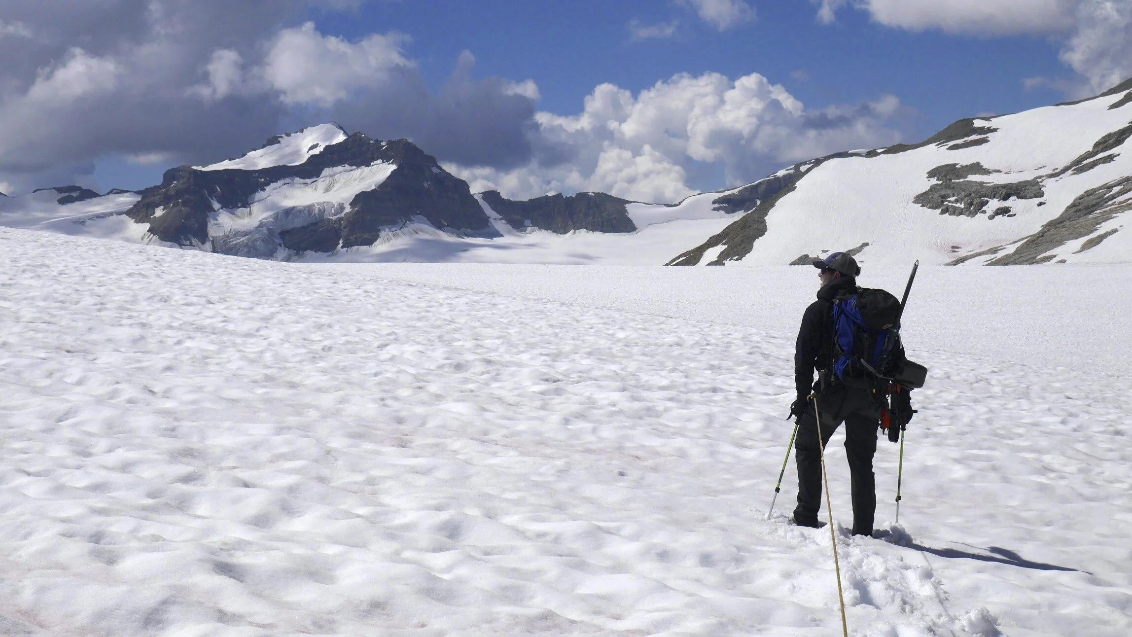
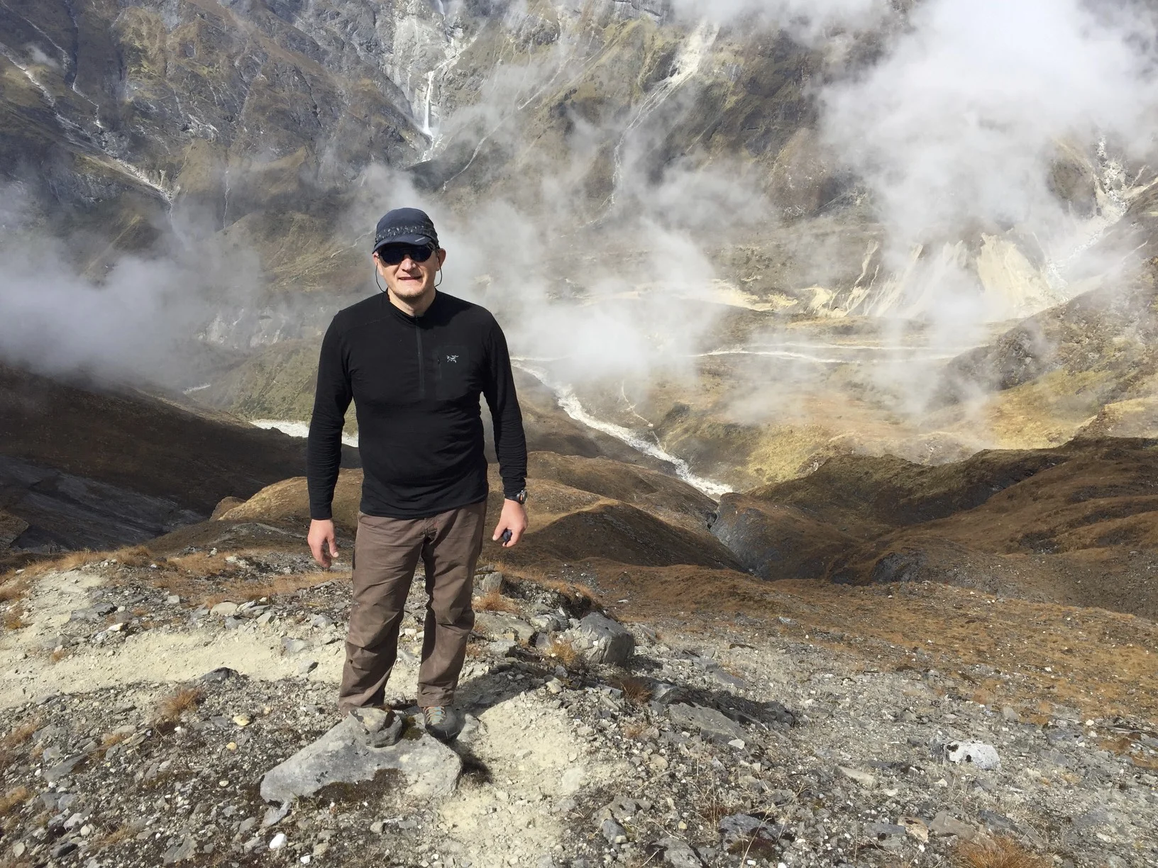
Going places!

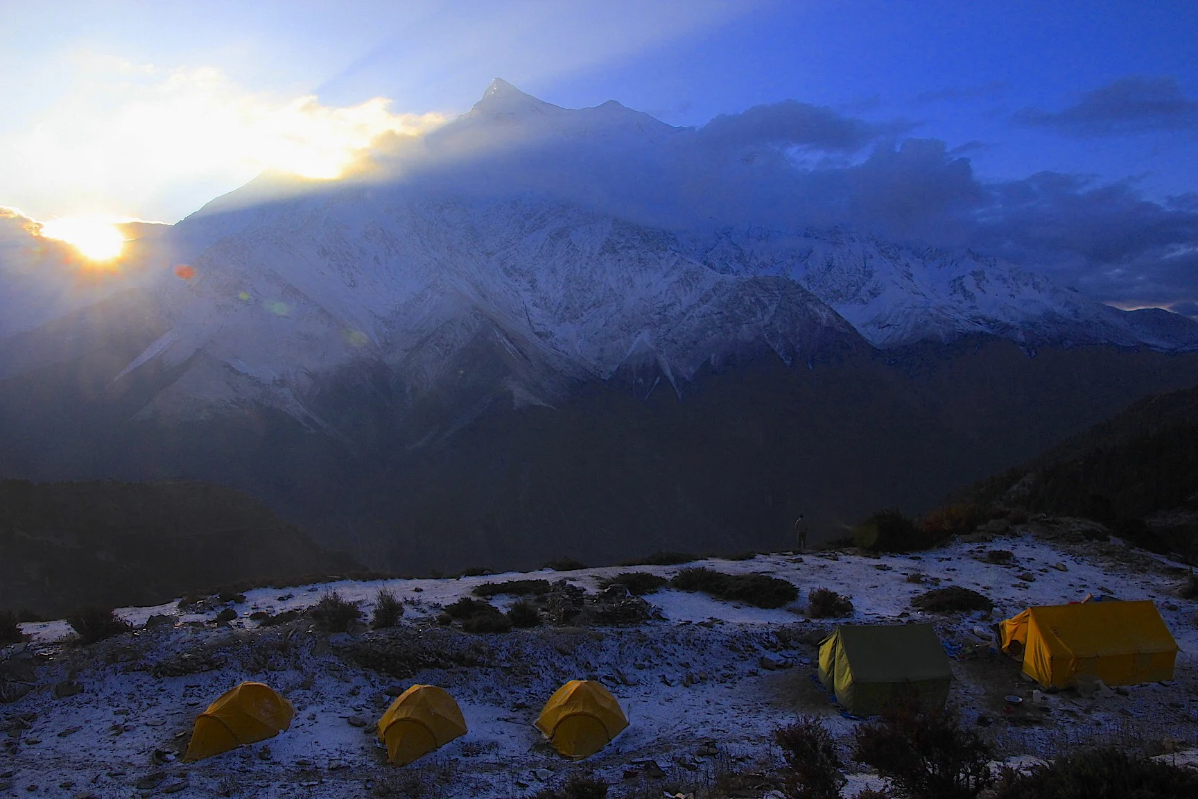
Dhaulagiri at sunrise

Dhaulagiri

Dhaulagiri II

Annapurna South

Annapurna South

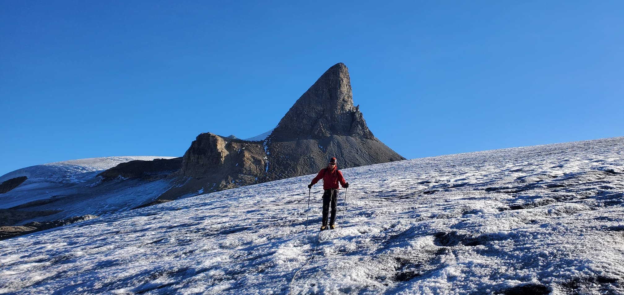
The Fang

Annapurna South

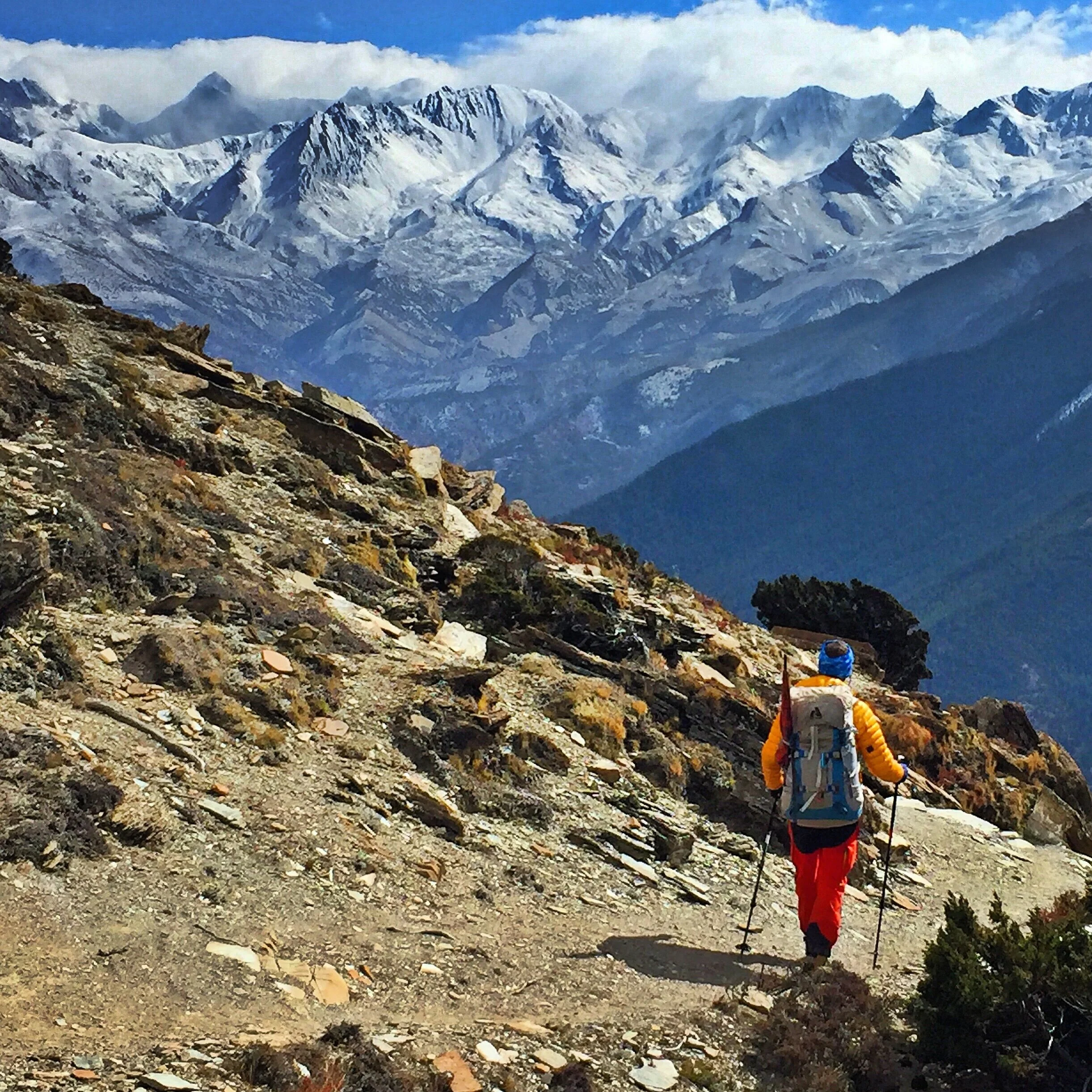
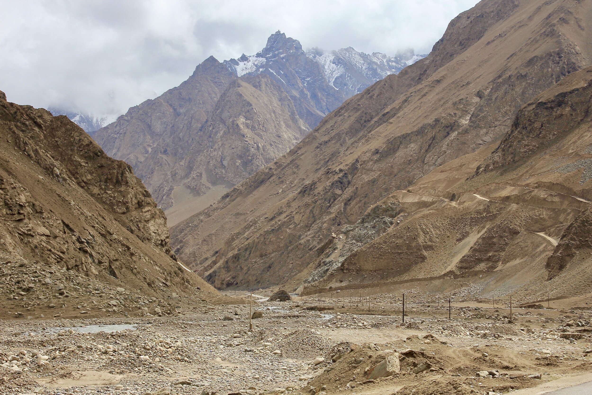
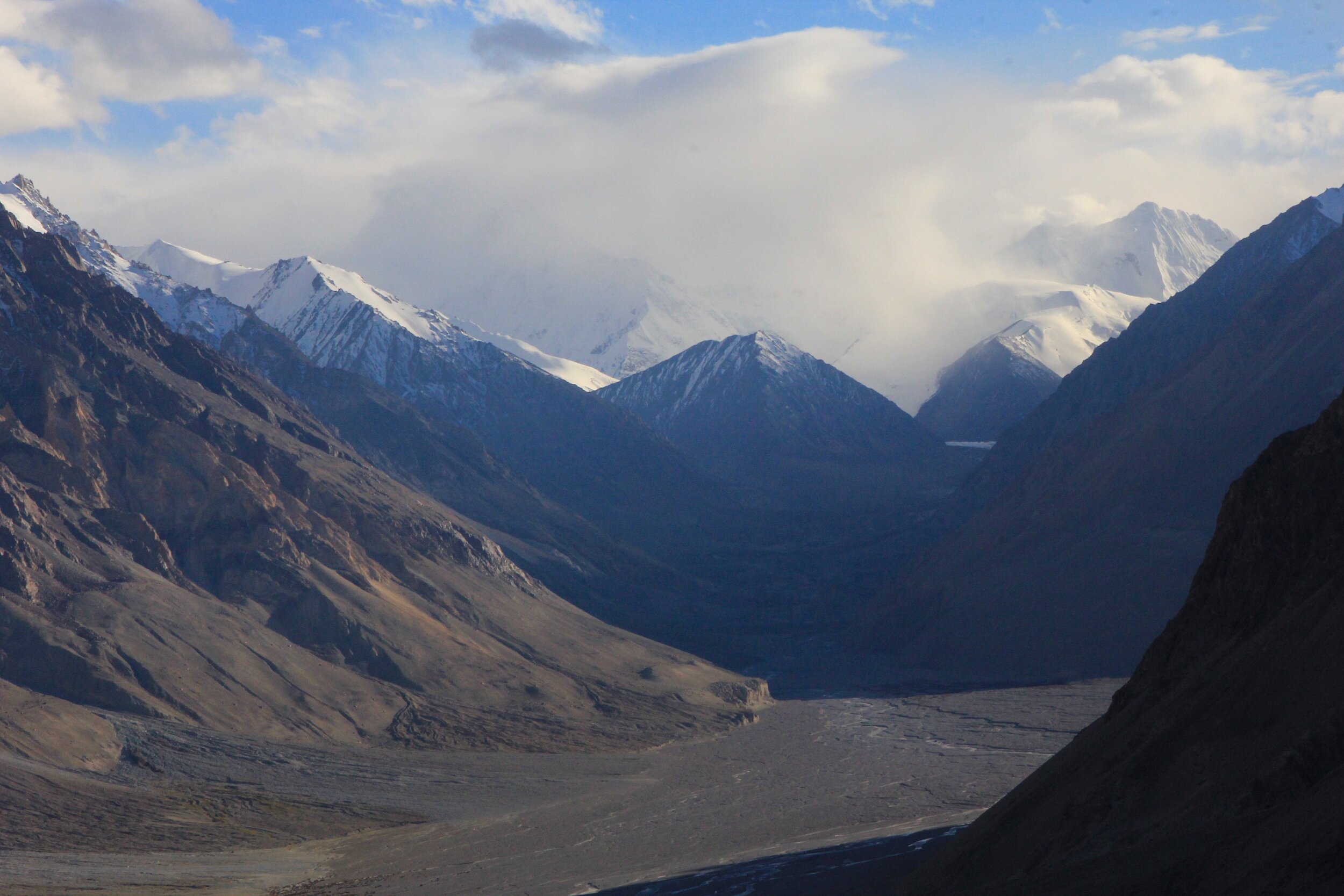
As we climbed out of the Kali Gandaki gorge, the spectacular panorama of Dhaulagiri and Annapurna ranges unfolded before us.

The sunrise over the eastern hills of Nepal

A book about Alex Macintyre who died on Annapurna I (great book by the way)

En route to Annapurna BC - Siduwa Teahouse, nice people and good food. Most importantly it serves cold beer.

Typical accommodations along the trail. No stars but no tent either :-)

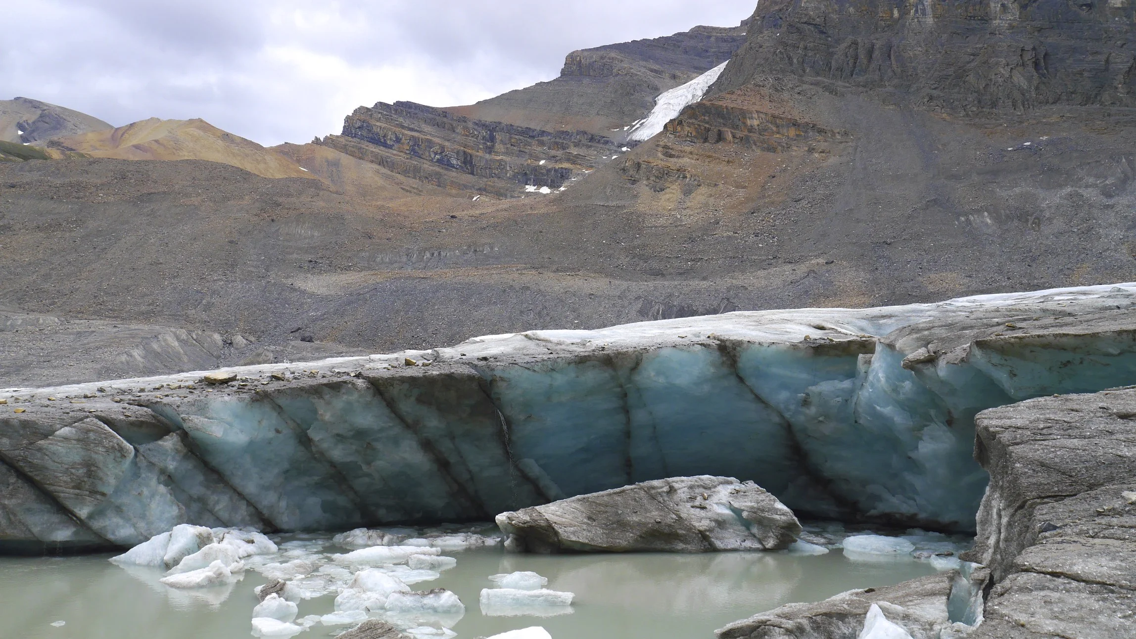
The trail to the Annapurna BC follows a deep gorge with spectacular waterfalls all around. This is the lower wall of Machapuchare.

Lower flank of Hinchuli, the site of a deadly avalanche in 2019 which killed 3 people.

Hinchuli - the south east flank


The last teahouse before the ABC. from here to ABC is only a 3 hour walk.

Machapuchare

Machapuchare

Machapuchare
Annapurna South

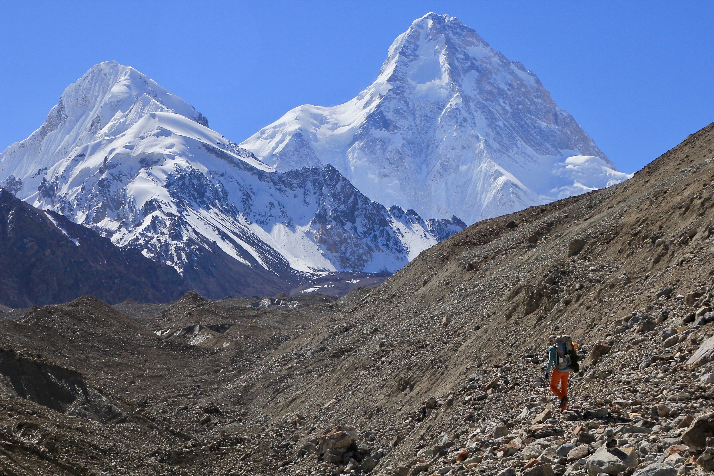
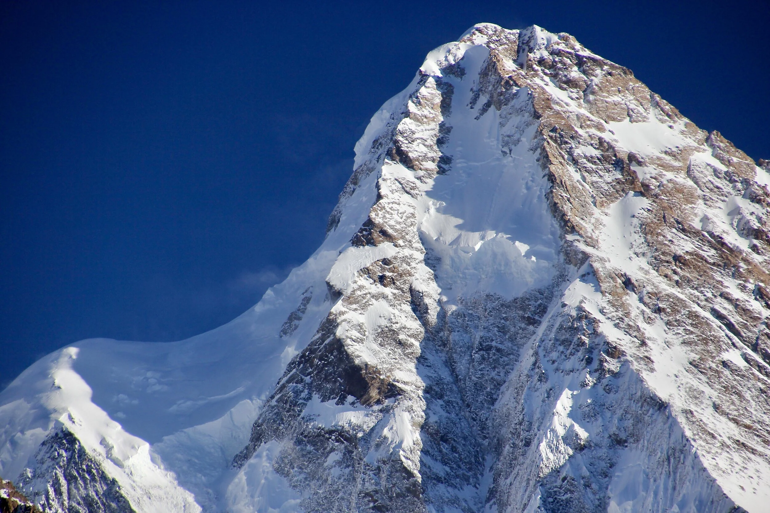
Annapurna I in all its splendour - 10,000ft of steep wall


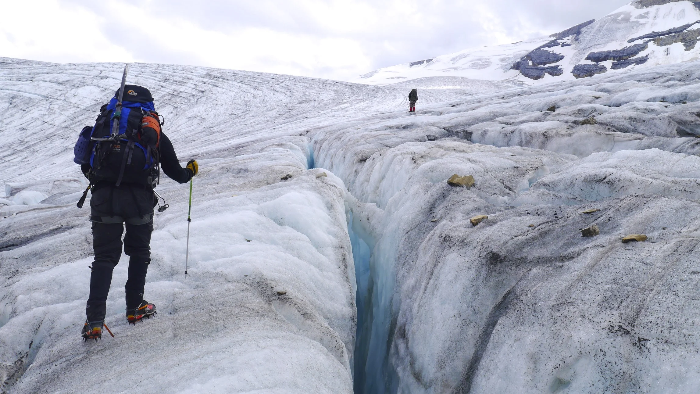
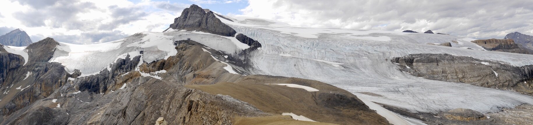
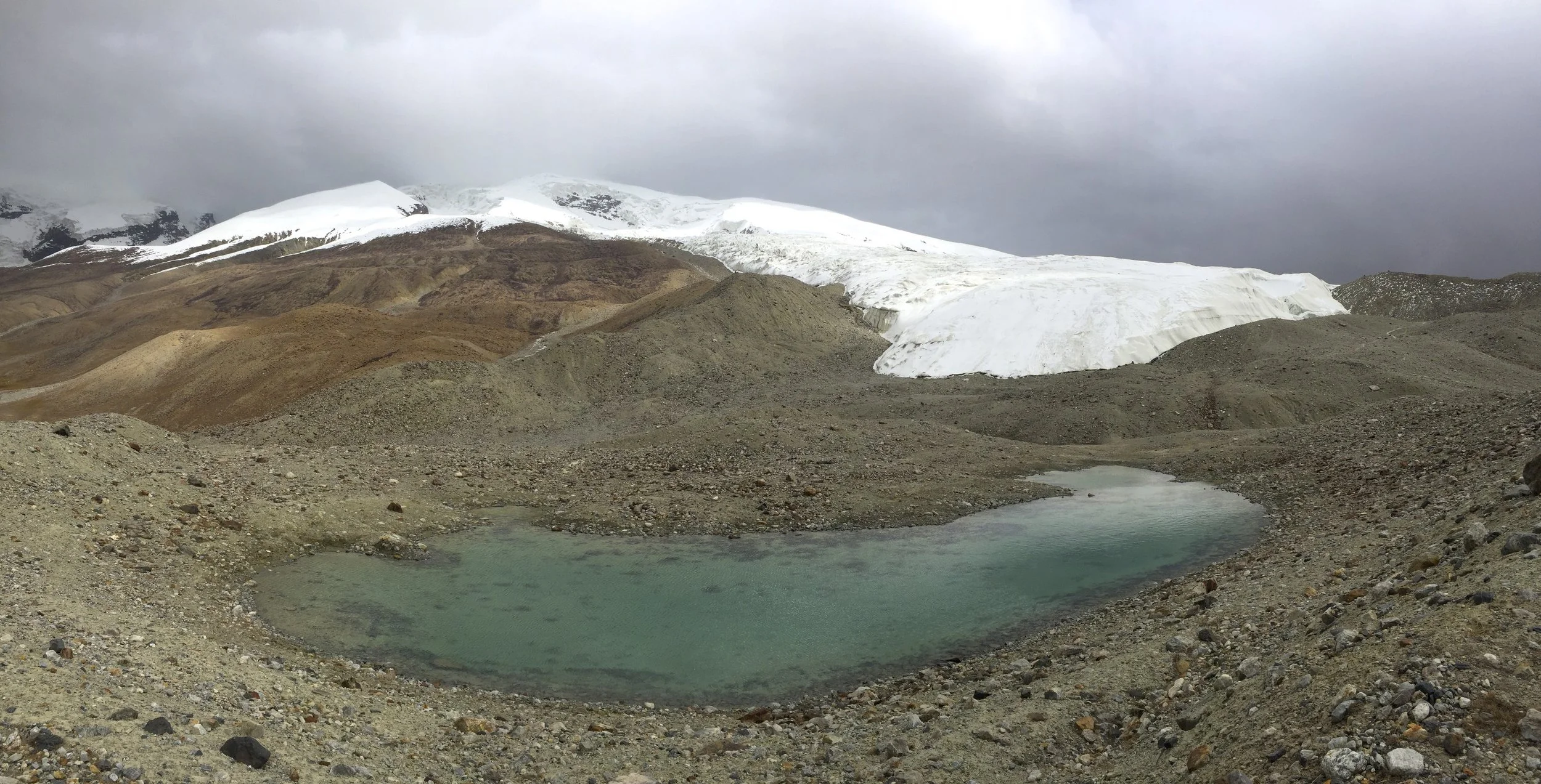
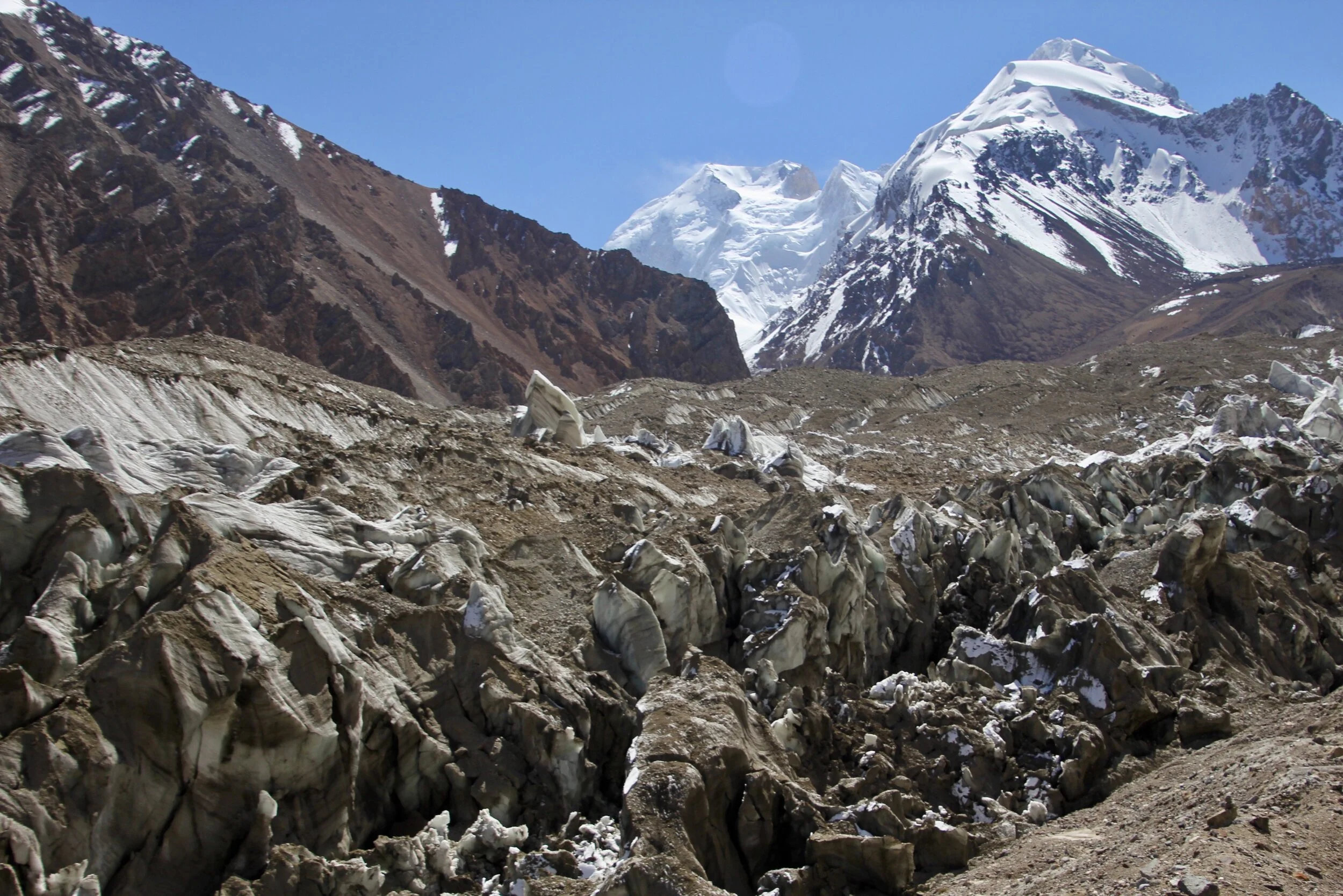
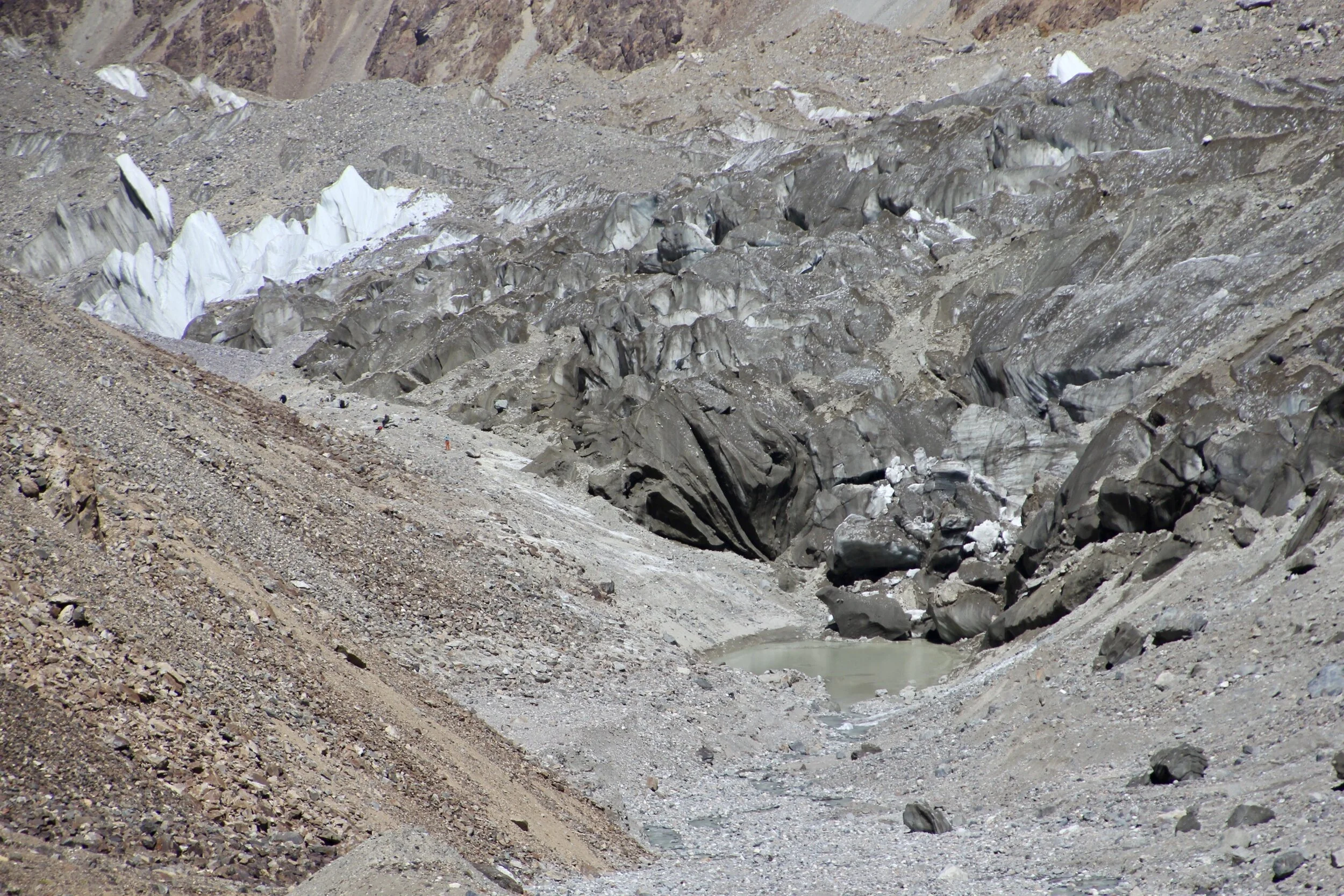
Looking down the Annapurna Glacier. The pointy peak on the right is Machapuchare.

Annapurna BC, the actual climbing BC is at the foot of the mountain - another day’s walk from here.

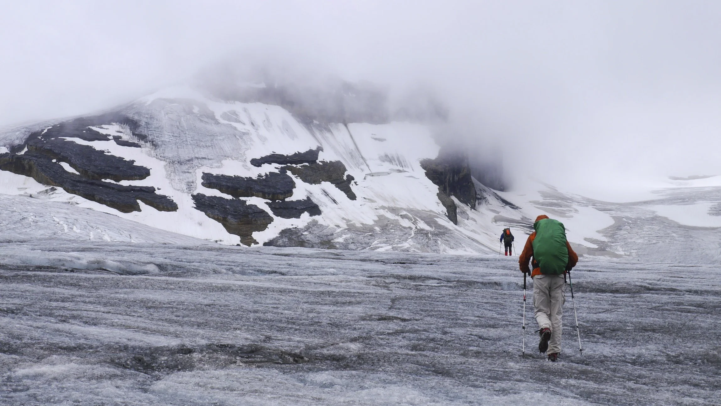
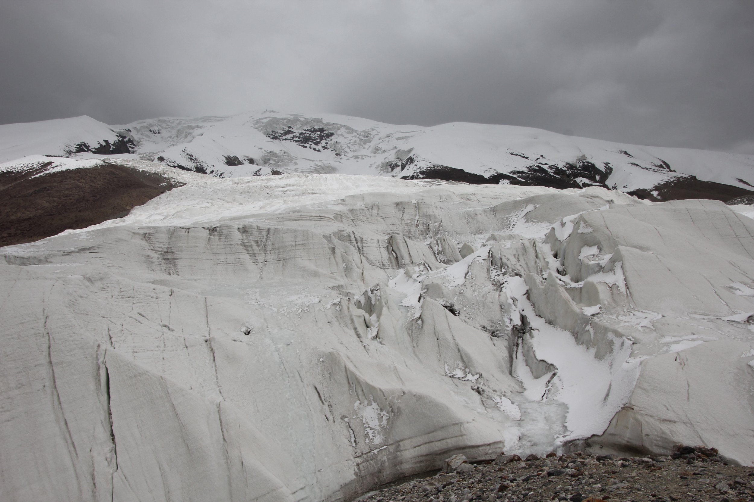
Annapurna I and the Annapurna Glacier


Annapurna South

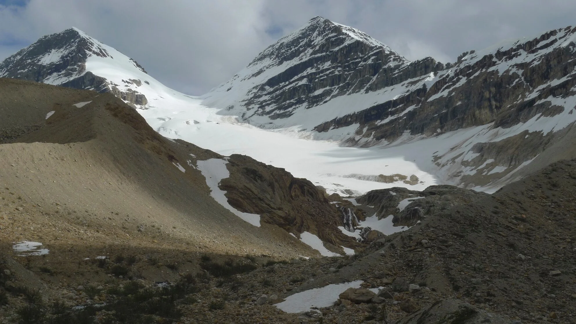
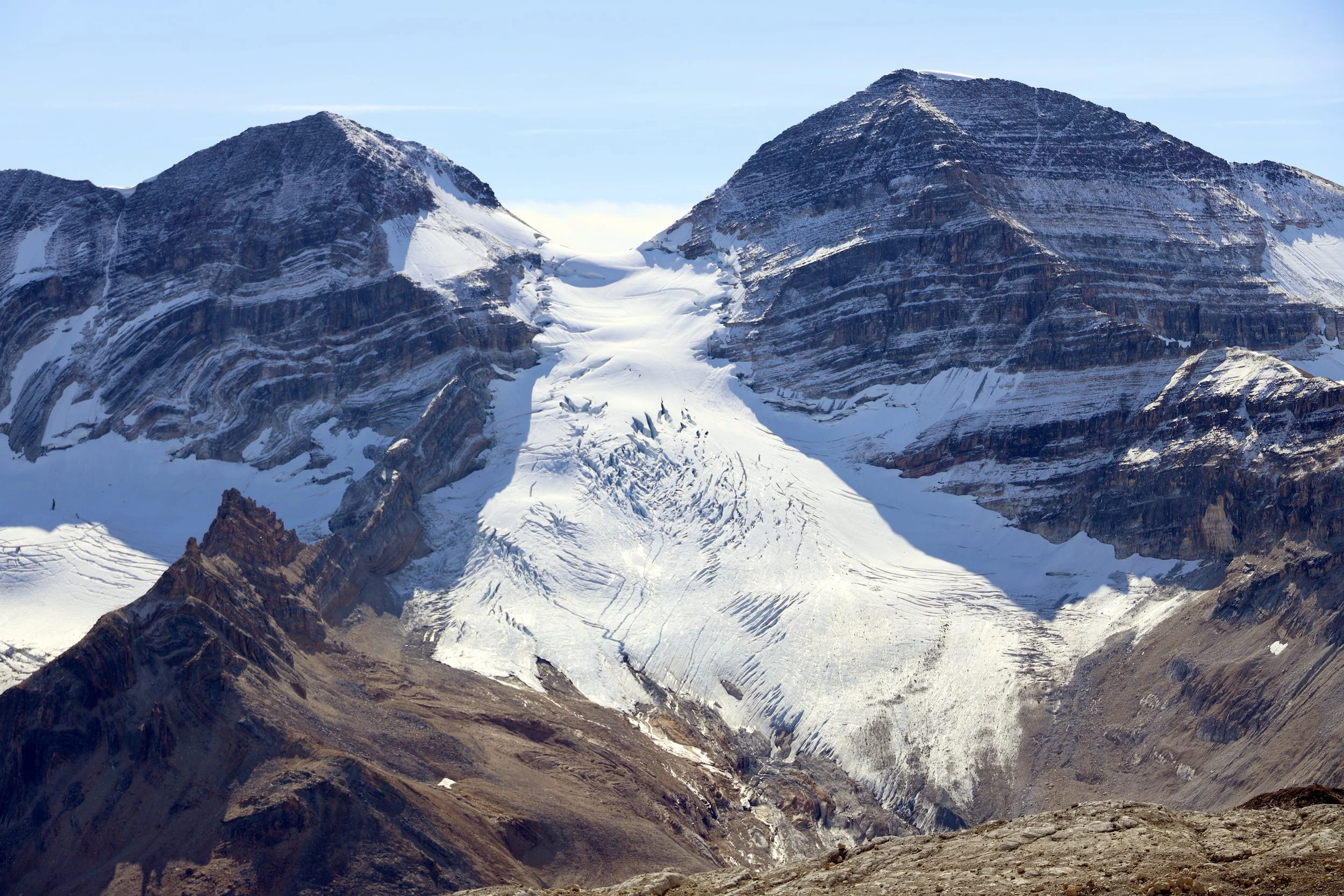
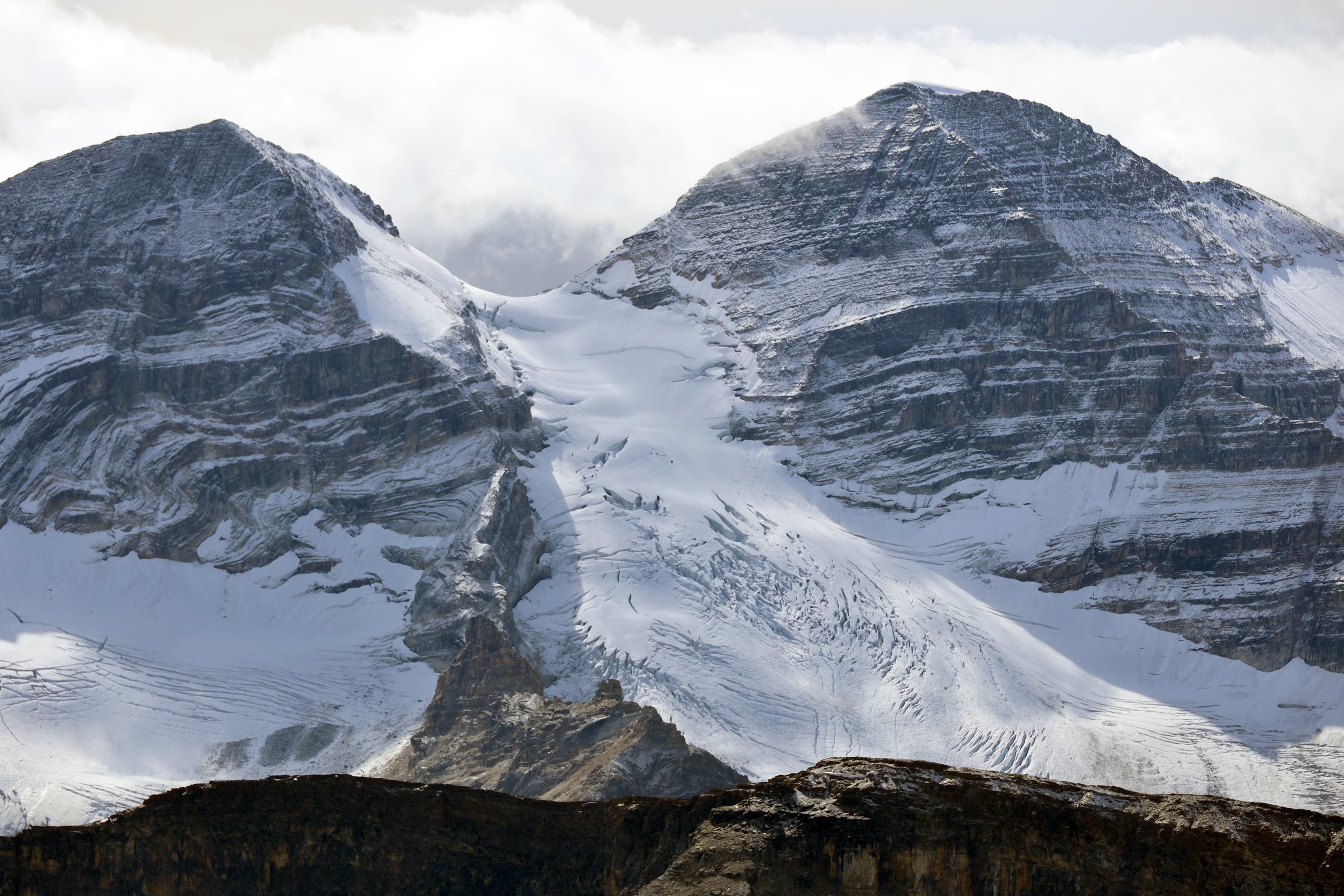
The icefall of Annapurna South and Himalchuli


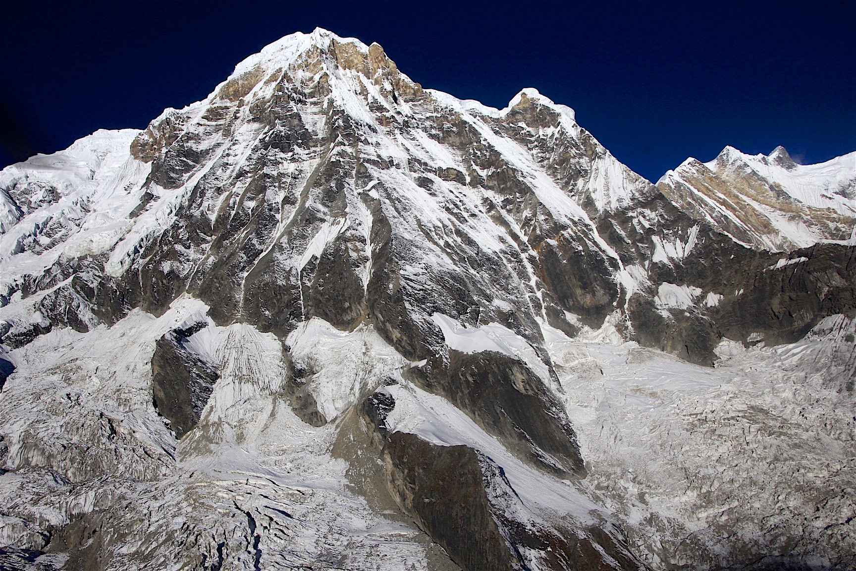
Annapurna 3

Annapurna 3

The Fang

One of the memorial plates at the ABC. Another sad story so common in these high mountains.


Prayer flags

The Heliport at the Annapurna BC. Due to recent changes and restrictions by the Gov, tourist flights to the ABC are no longer allowed.

Look what I found! Among flags from all over the world.


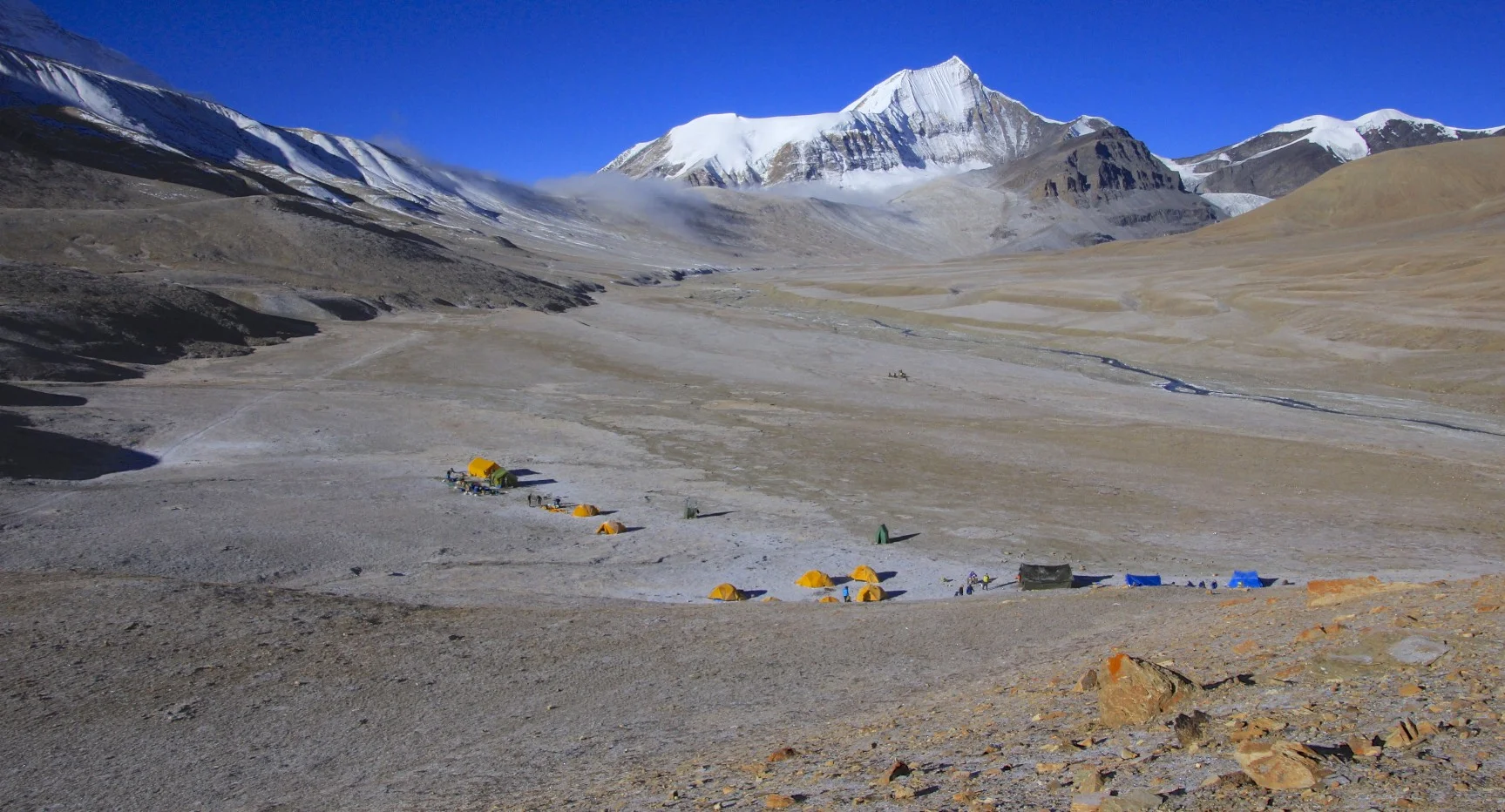
The elevation of the Annapurna BC

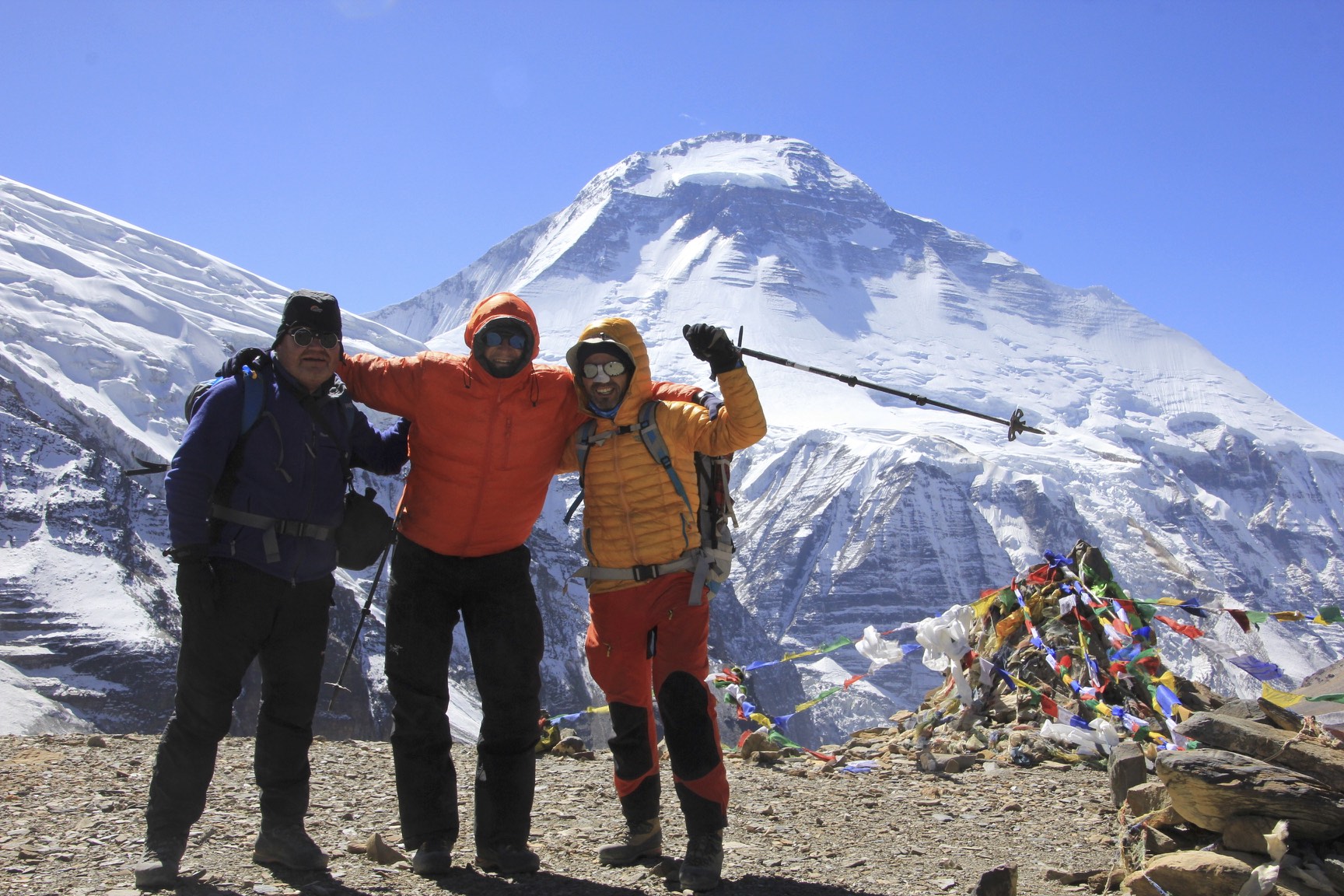
It was great to do this trek with Kumar - we shared so many adventures


Annapurna I

Machapuchare

Annapurna I at sunrise


Our ride! The helicopter brings people from Pokhara for a short stay at the ABC. We managed to get a ride around the glaciers and then down to Pokhara for a very good price (it was impossible to say no :-)).

Hiunchuli

Hiunchuli

Annapurna South from the helicopter. On the far right is the Fang.


Himalchuli and the icefall - what a different perspective!


Annapurna 1

The Roc Noir. Gangapurna is on the far right. See the Mesocanto La Trip photos for the photos of these peaks from the other side! They do look very different.


Gangapurna - the triangular peak at the top of the photo


Gangapurna - this peak is very prominent from the Annapurna Circuit trail

Annapurna III - the mountains on the horizon are on the border of Nepal and Tibet (China). Apparently the ridge visible in the photo on Annapurna III has not been climbed.


Machapuchare

Machapuchare

The north face of Machapuchare - absolutely spectacular from the helicopter at the altitude of almost 6,000m. This mountain looks awesome from all sides.


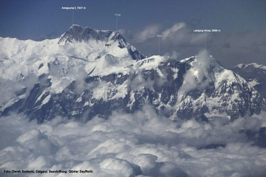
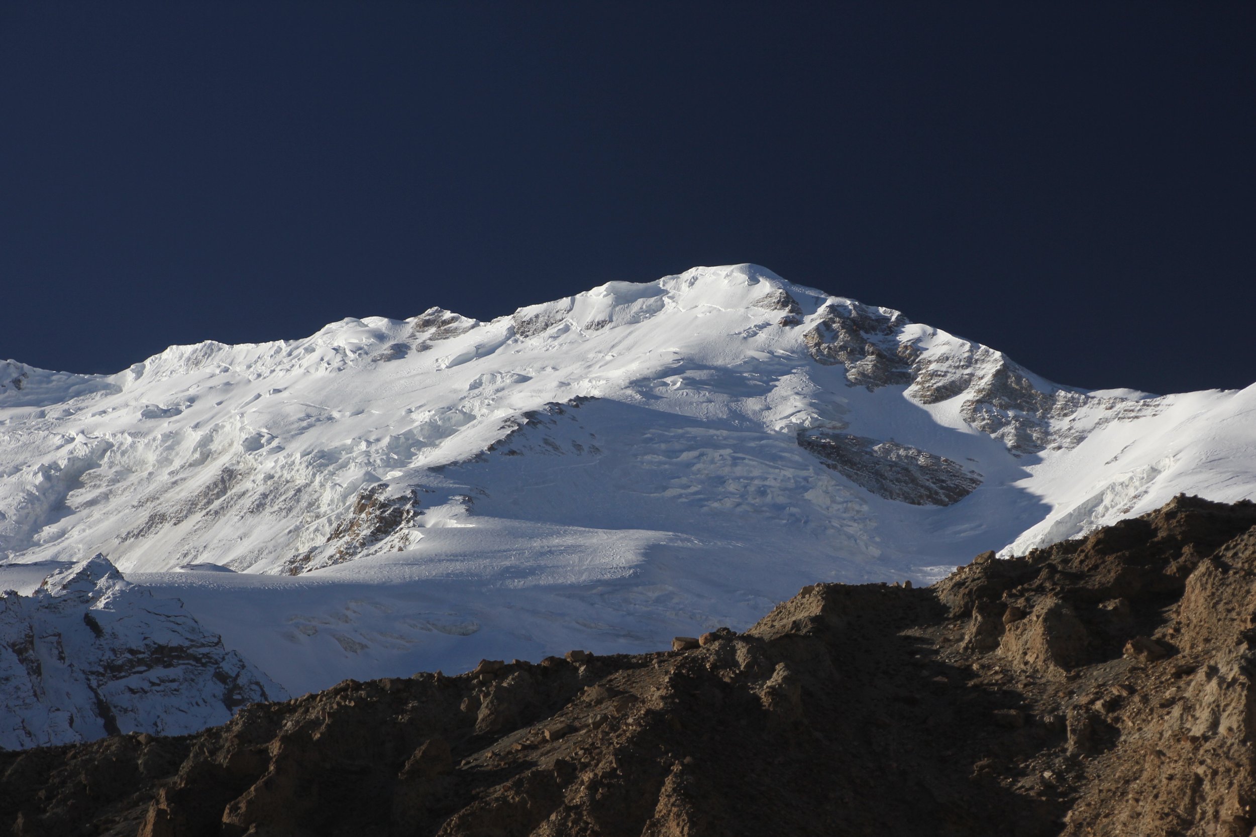
Annapurna II - almost 8,000m high

Annapurna 4 and Annapurna 2

Lamjung

Pokhara Airport

Machapuchare from Pokhara. Pokhara is a beautiful city and very different from the capital of Nepal.

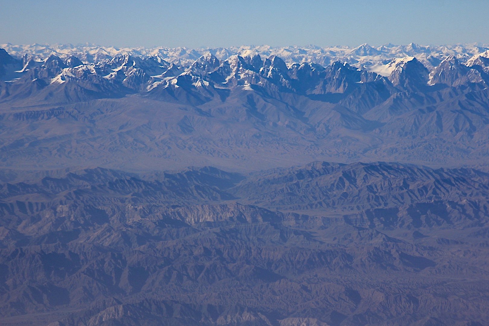
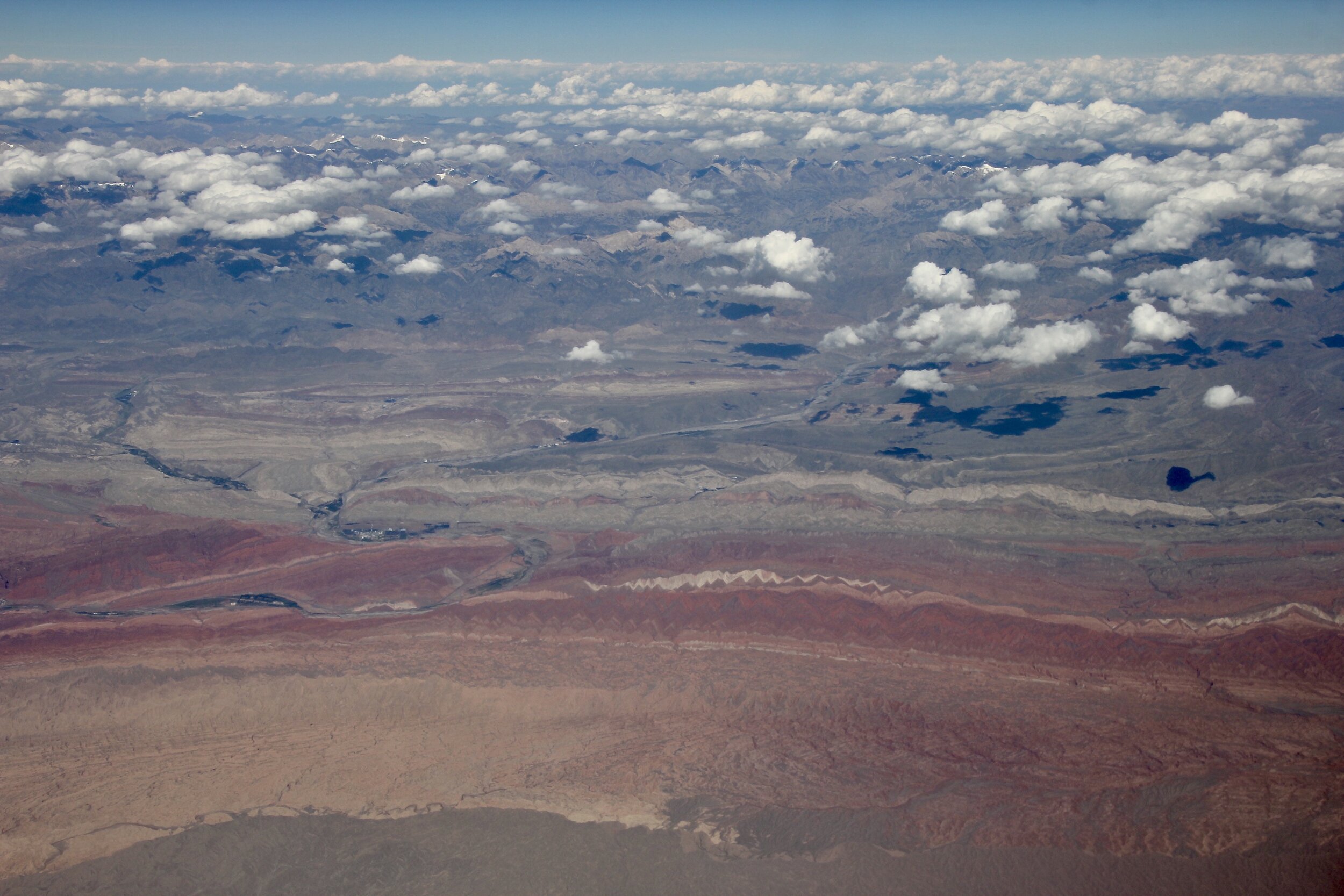
A few photos of the Annapurna Range from the KTM-DOH flight:
The flight over the Himalaya is always exciting! The mountains look different from 36,000ft. It is also fun to see the valleys and trails from above. The perspective is totally different as it is hard to see the lay of the land while trekking when the giants are towering above you!


Annapurna 2

Annapurna 2 (left) and Lamjung Himal (right)

Annapurna 4 (the pointy peak) and Annapurna 2 on the right

Annapurna 1 and the Annapurna Sanctuary

Annapurna 1

Gangapurna and Annapurna 3 (right)

Hiunchuli. Behind is Rock Noir and Gangapurna (on the right). The Annapurna BC is directly behind Hiunchuli.

Annapurna 3 and Machapuchare. We flew in the helicopter between the Annapurna 3 and Machapuchare at the altitude of 6,000m.

Annapurna 3 and Machapuchare

The Fang and Annapurna 1

The Fang and Annapurna 1

Annapurna 1, The Fang and Annapurna South

Nirgili Peak (left), The Fang, Annapurna 1 and Annapurna South

Nilgiri South (6,839m), Nilgiri Central (6,940m) and Nilgiri North (7,061m), The Fang and Annapurna 1. The “flat” land on the left is Mustang. The Annapurna North West face (the route of first ascent) is accessed from the valley between Nilgiri North and Annapurna. The valley on the extreme left is Kalli Gandaki - the deepest gorge in the world between the massifs of Annapurna and Dhaulagiri.


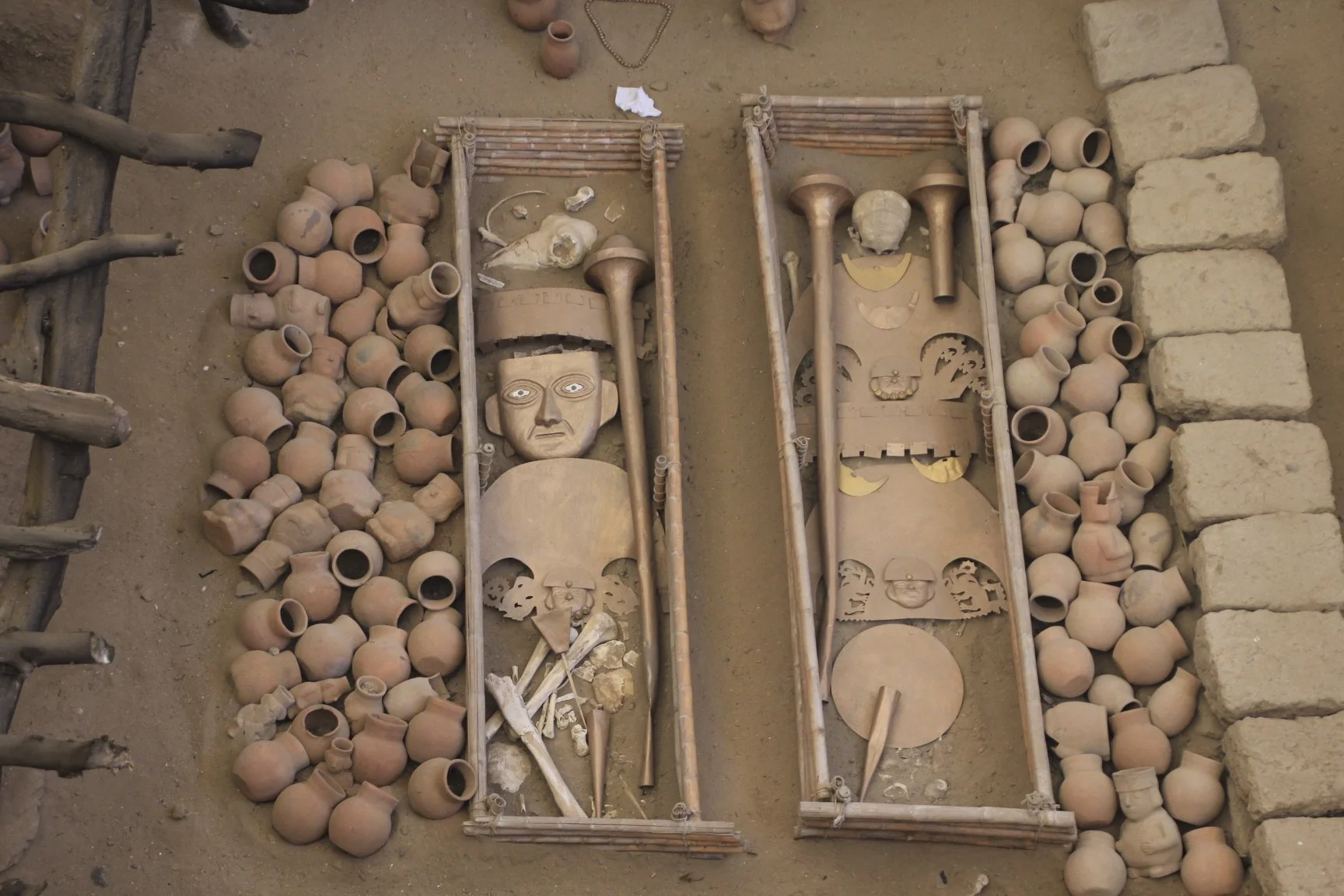


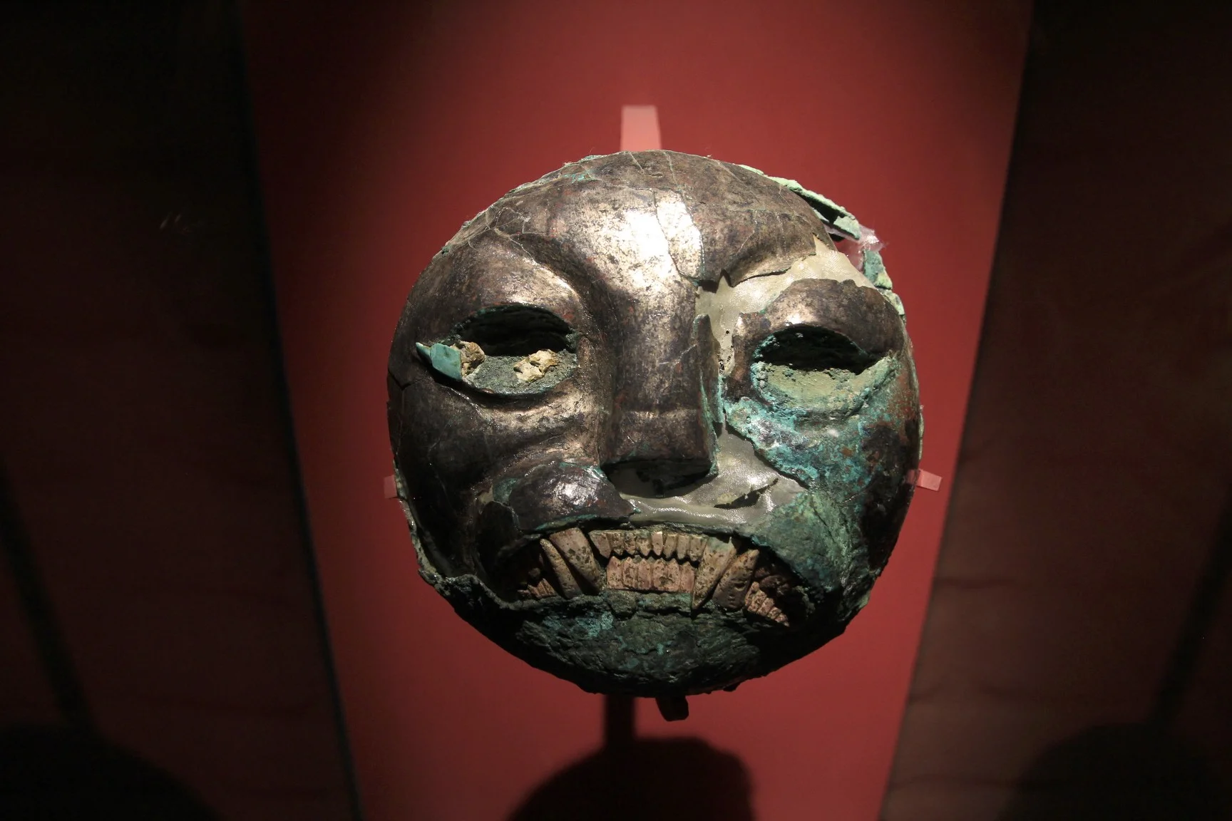


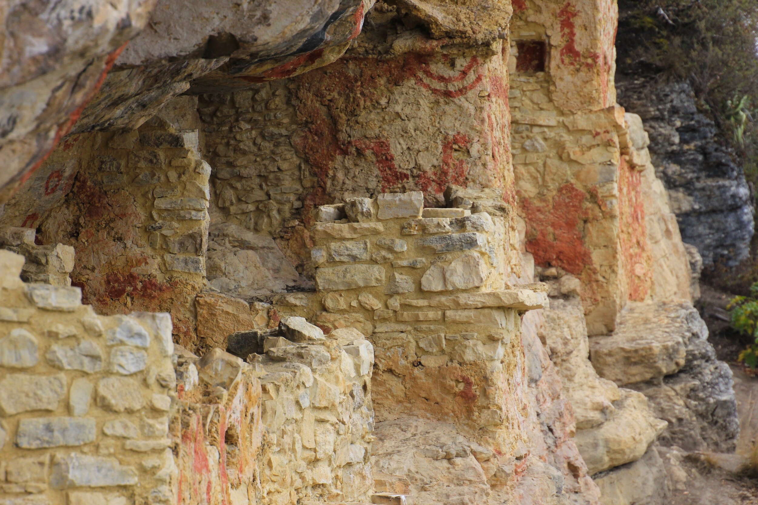


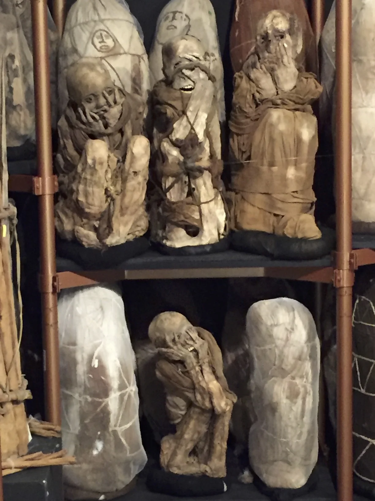


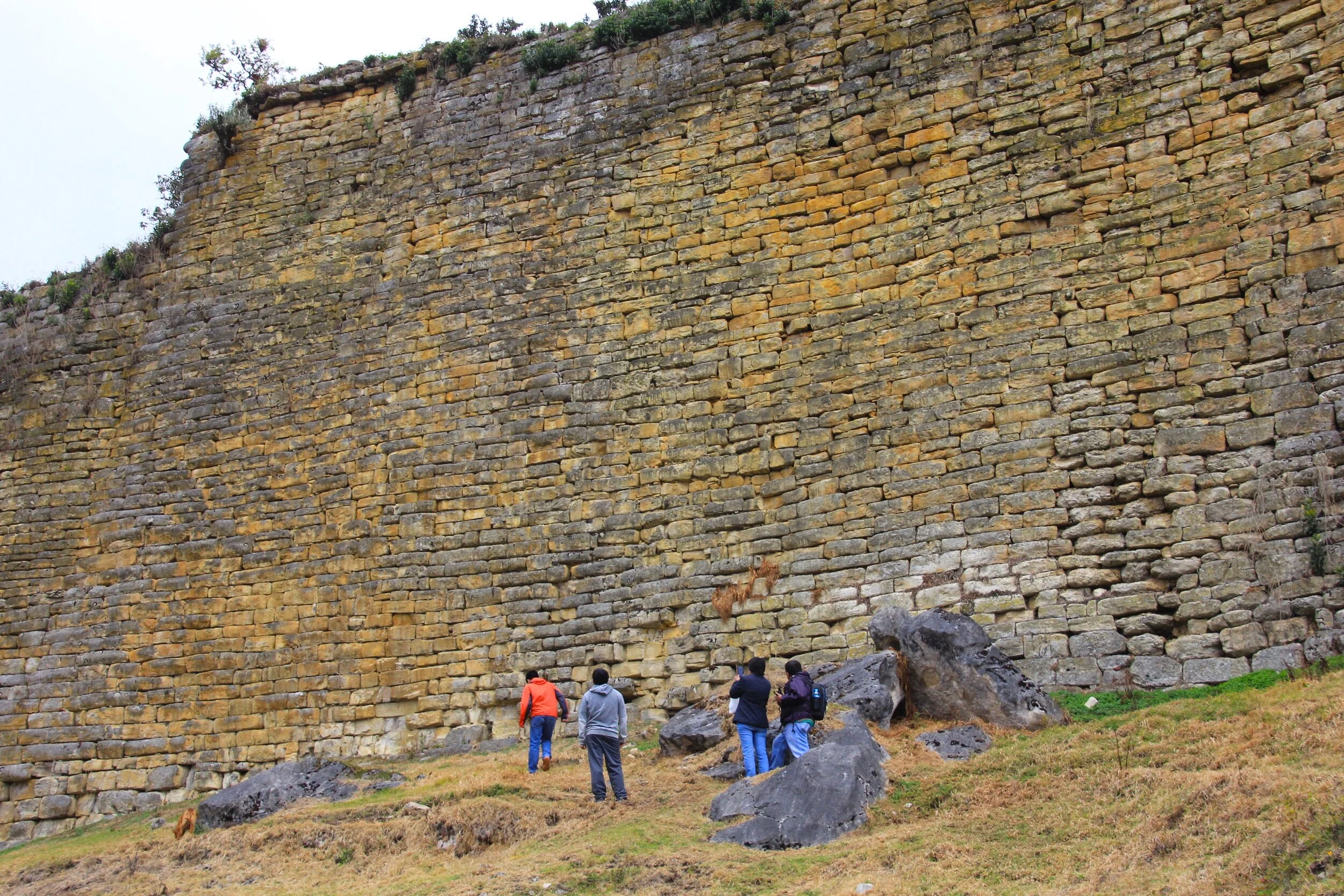
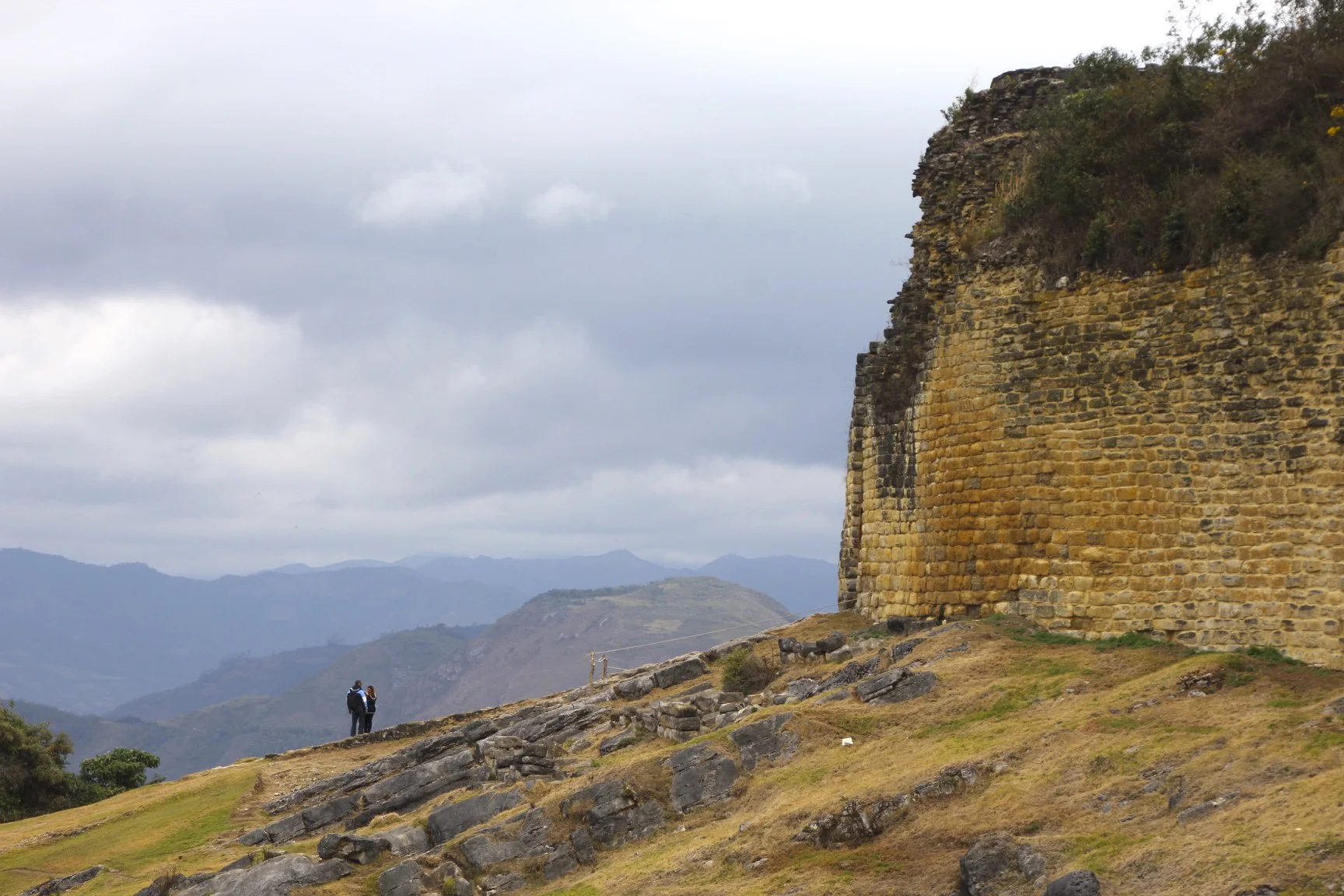
![When the Incas conquered this area, they replaced the funerary pattern. They emptied the mausoleums [of the pre-Inca Chachapoya dead] and conquered their spirit by conquering their sacred places".](https://images.squarespace-cdn.com/content/v1/5a95e83d372b96dbac073ec8/1521597838807-FO7FQP2KE1HJXYYY1BXQ/IMG_5222.jpg)