2020 is a CRAZY year. All my travel plans have been cancelled due to the pandemic. This gave me the opportunity to spend quality time in my own back yard and explore the places that were on my to-do list for a long time. In the prior years, the campsites booked early and were always full. This year, due to the travel restrictions, booking campsites was easy.
I visited Yoho valley many times before. However, I decided to explore some more remote corners (Watervalley) and scramble a few peaks. This is one of the most spectacular areas of the Canadian Rockies. What makes the Iceline Trail so special is its high location. The trail follows a line of glaciers descending from Mt. President. The trail is high above the Yoho Valley and provides spectacular views all around. It can be easily done as a day trip. To spend some quality time in the backcountry though, it is advisable to camp further up the Yoho Valley.
Yoho NP has 3 very distinct areas: the Yoho Valley (where the Iceline trail is located), Lake O’Hara area and Emerald Lake. There are some more remote parts that are seldom visited as access is difficult. Some of the most spectacular peaks of the Rockies are located here (for example the Goodsirs).

Source: Gov of Canada
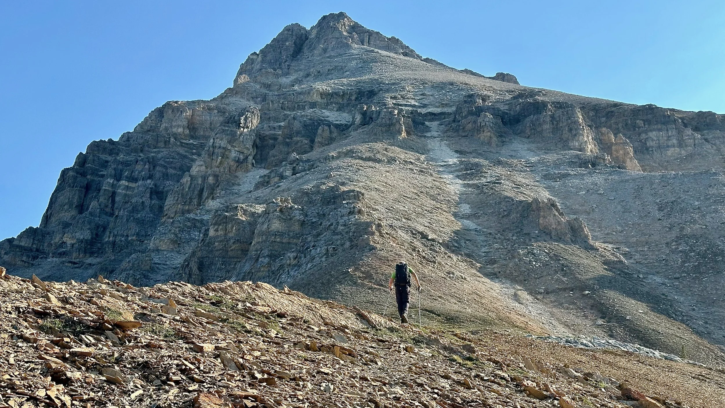
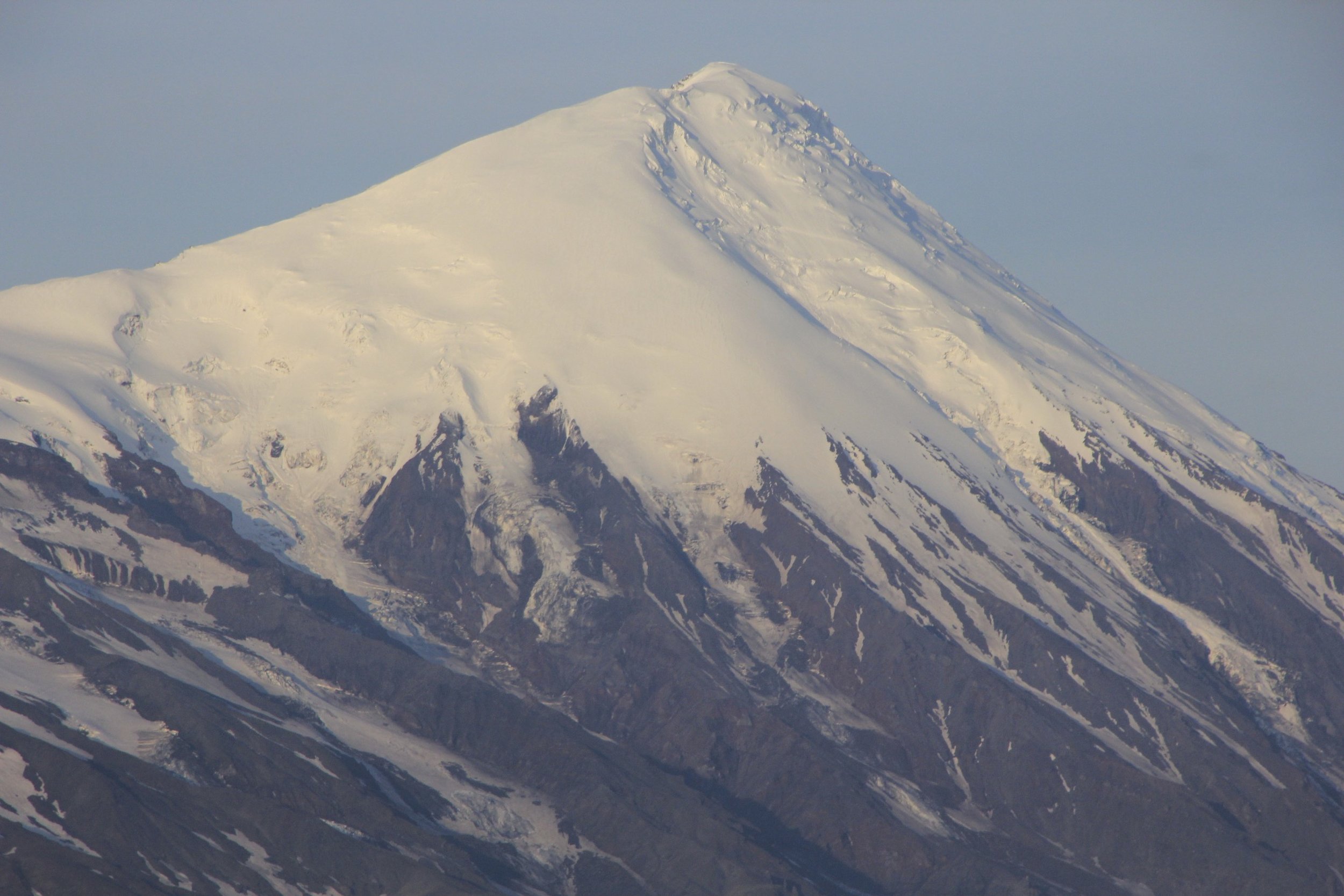
Mount Stephen. With close to 2000m elevation gain it is a BIG mountain.

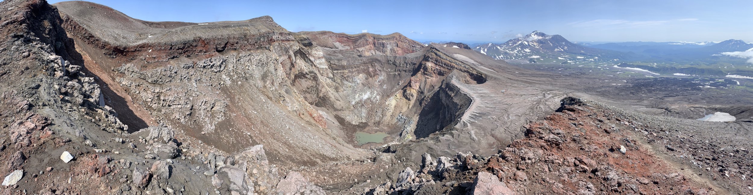
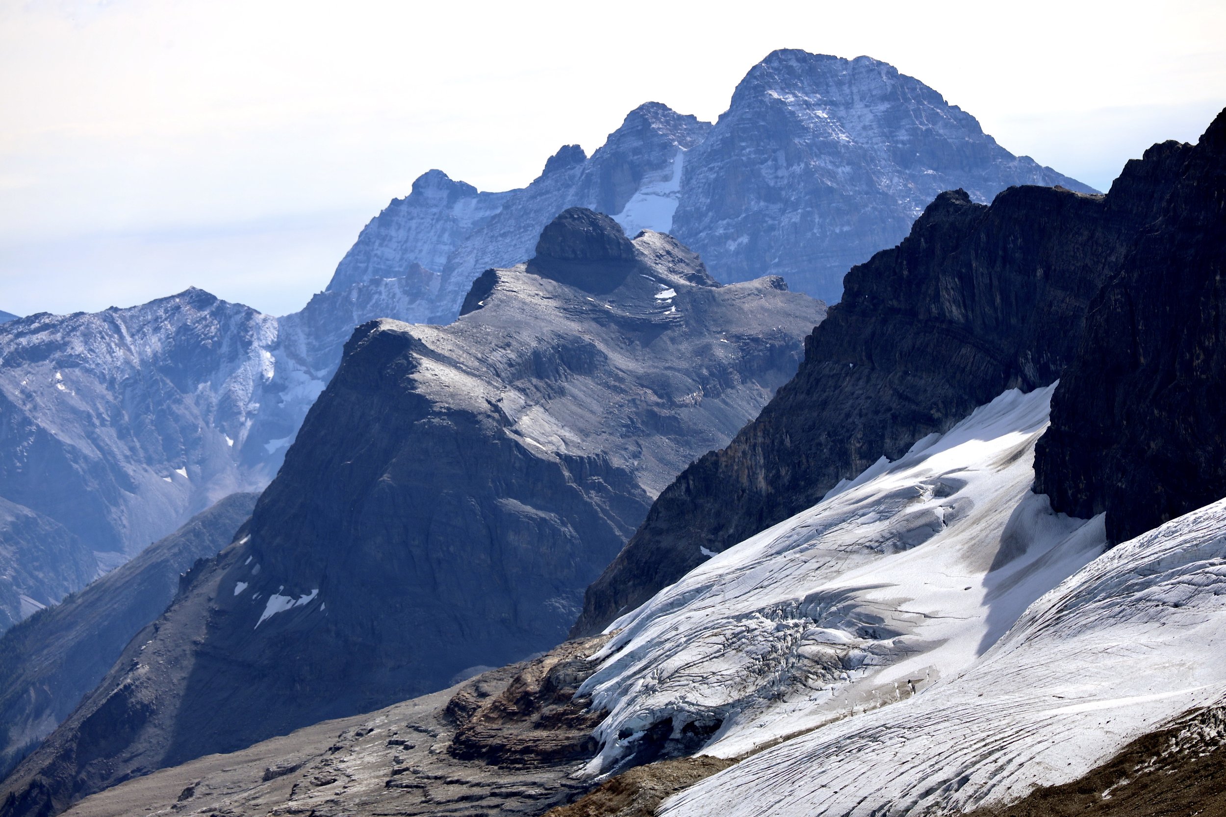
The difficult part of ascending Mt. Stephen is in the last 250 m. The prominent peaks on the horizon are the Goodsirs.

The exposed summit ridge of Mt. Stephen.

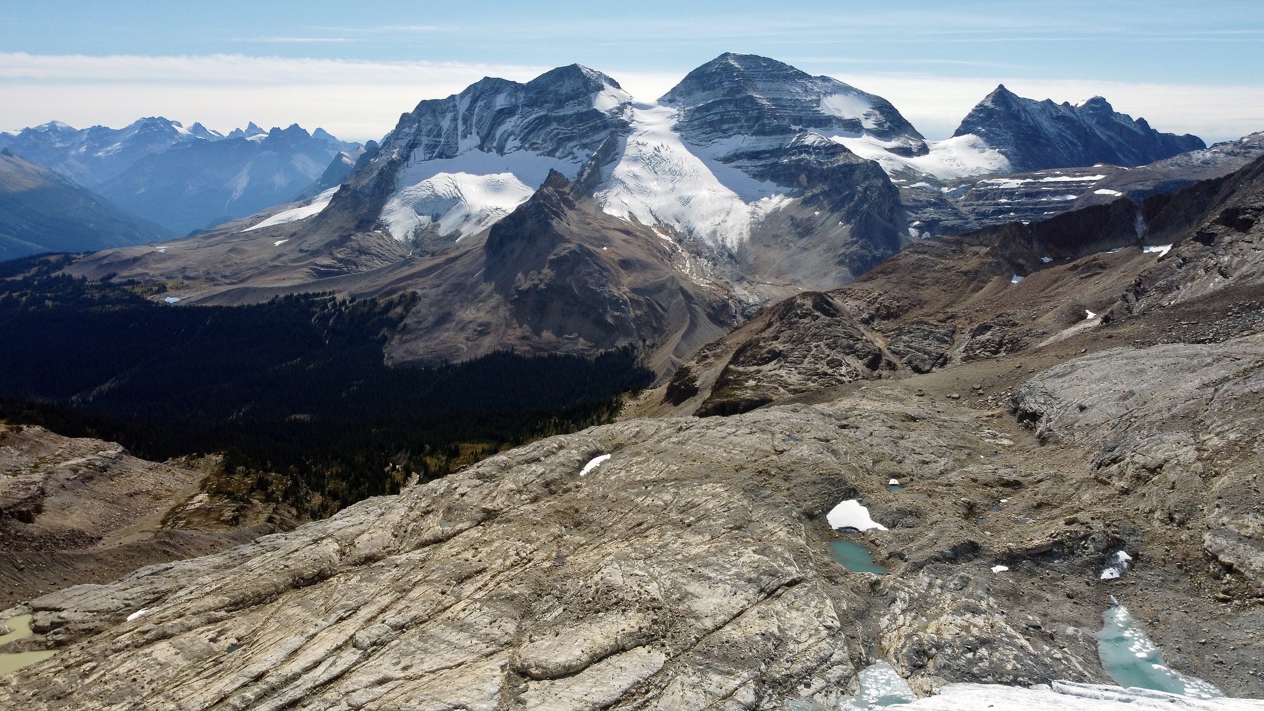
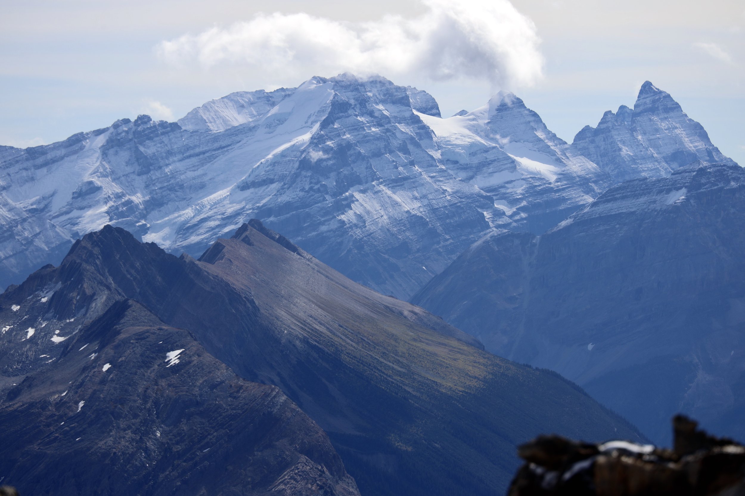
Looking towards Mt. Victoria (left), Huber, and the peaks of the Lake O’Hara.
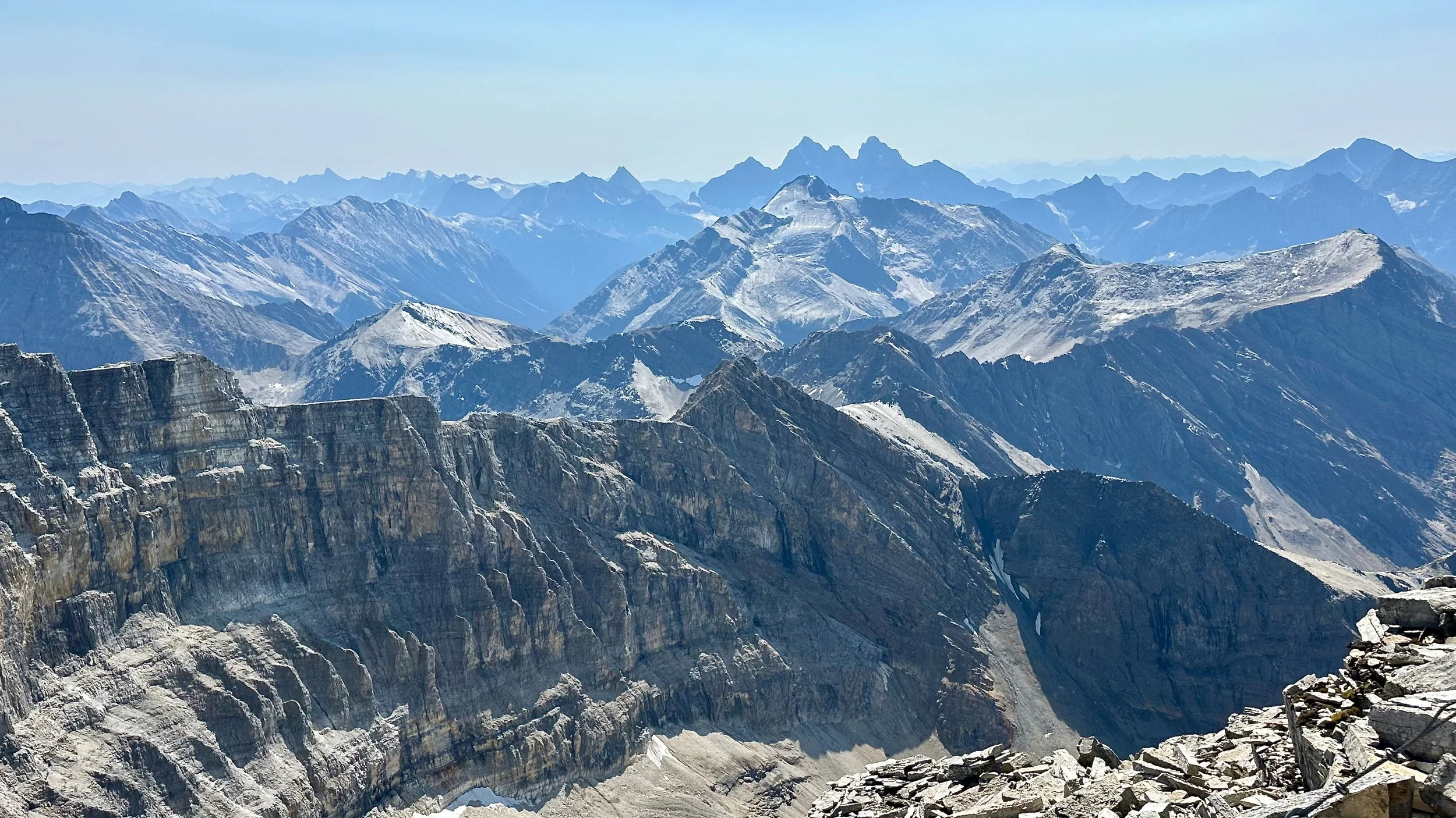
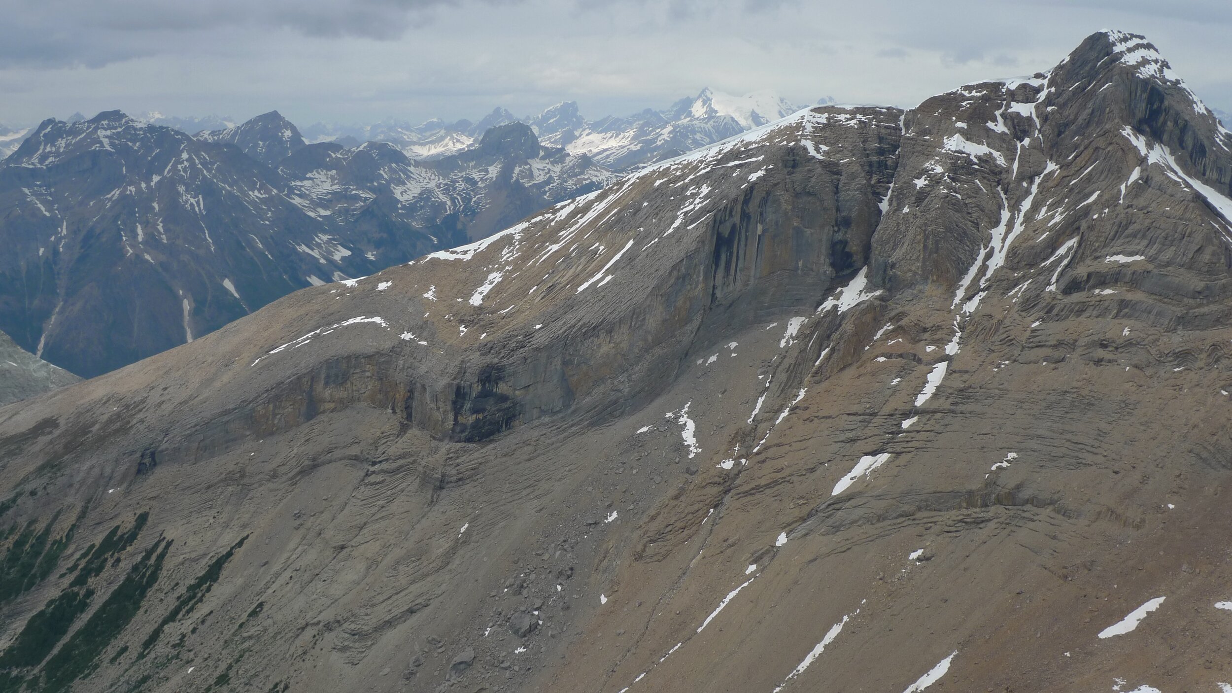
Looking towards the Rockwall and the Goodsirs.
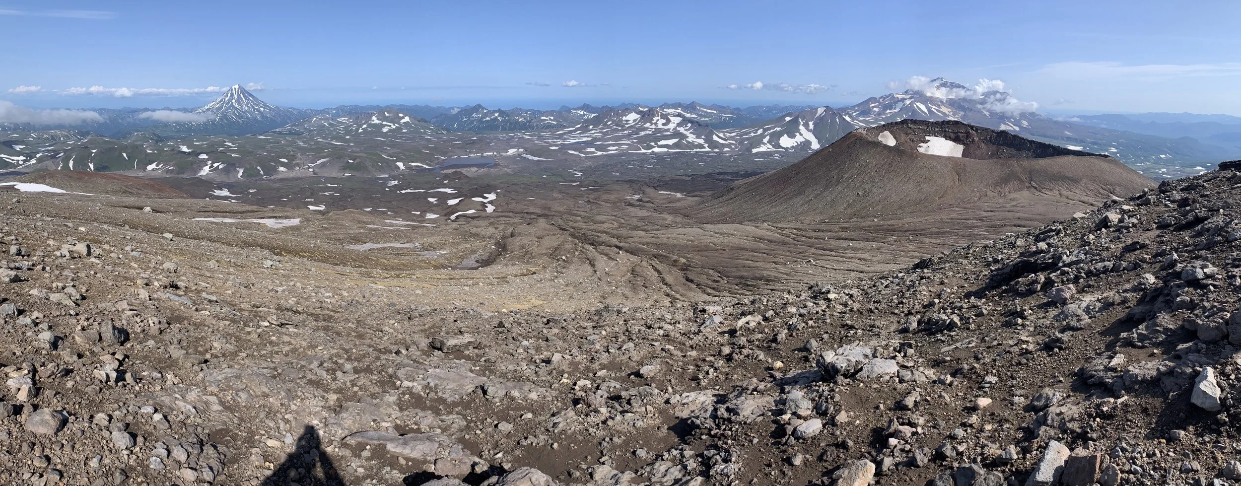
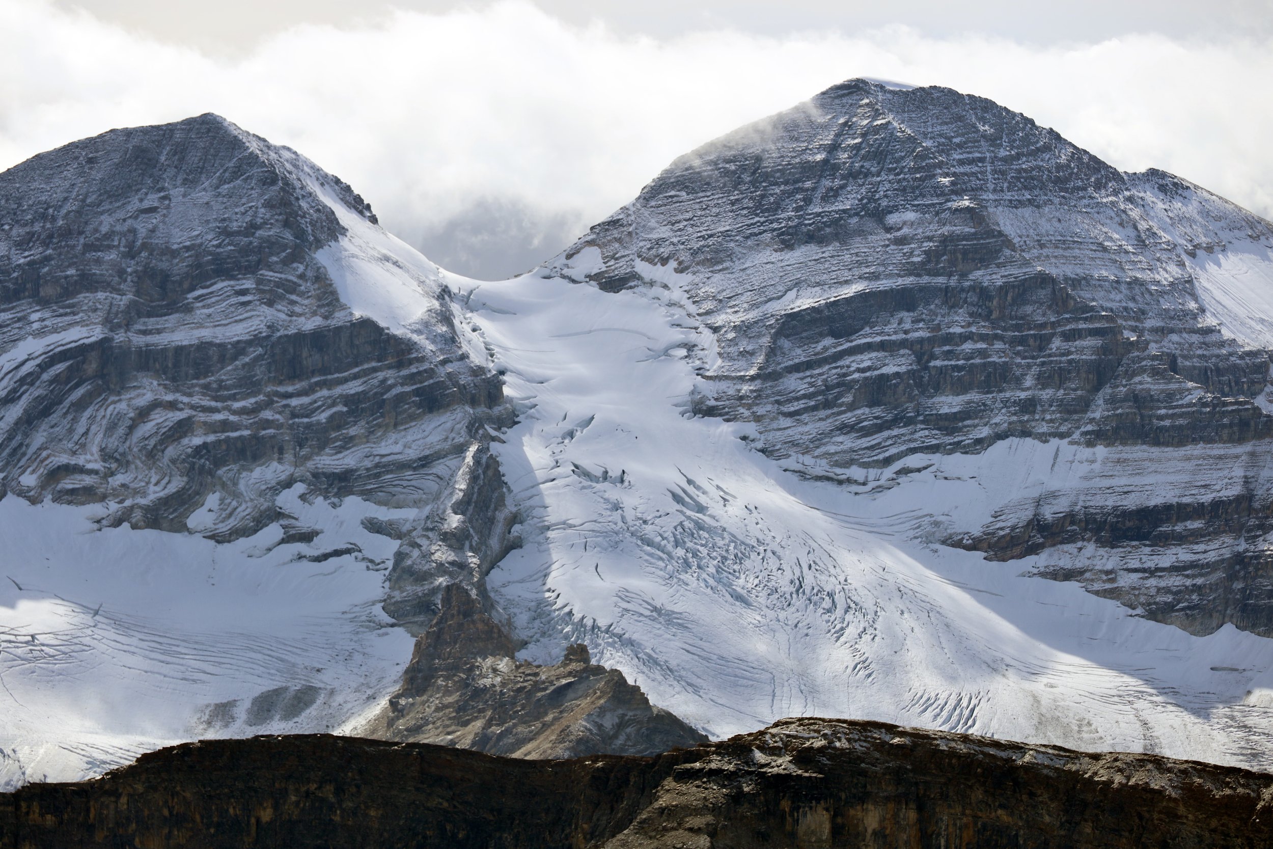
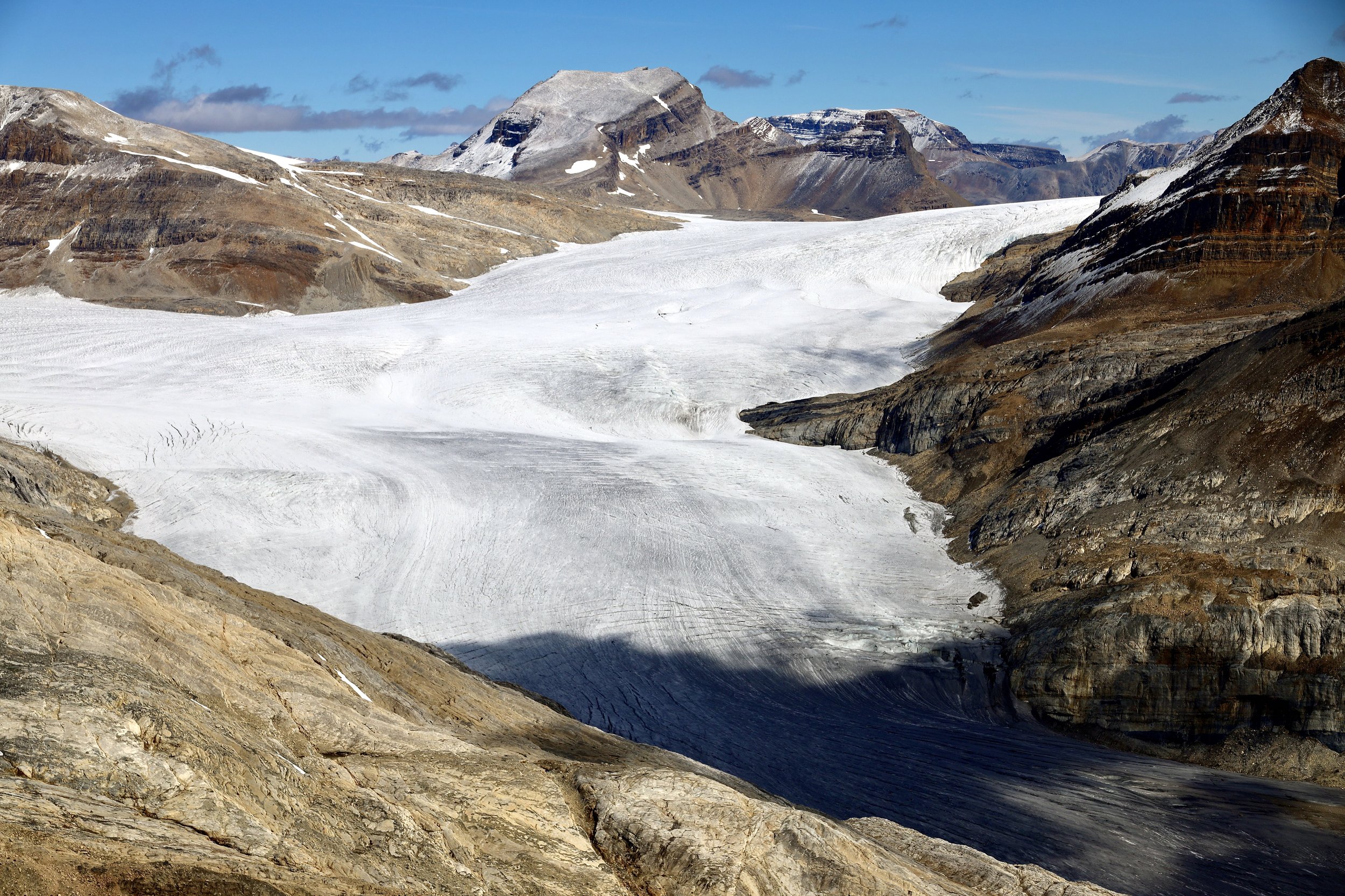
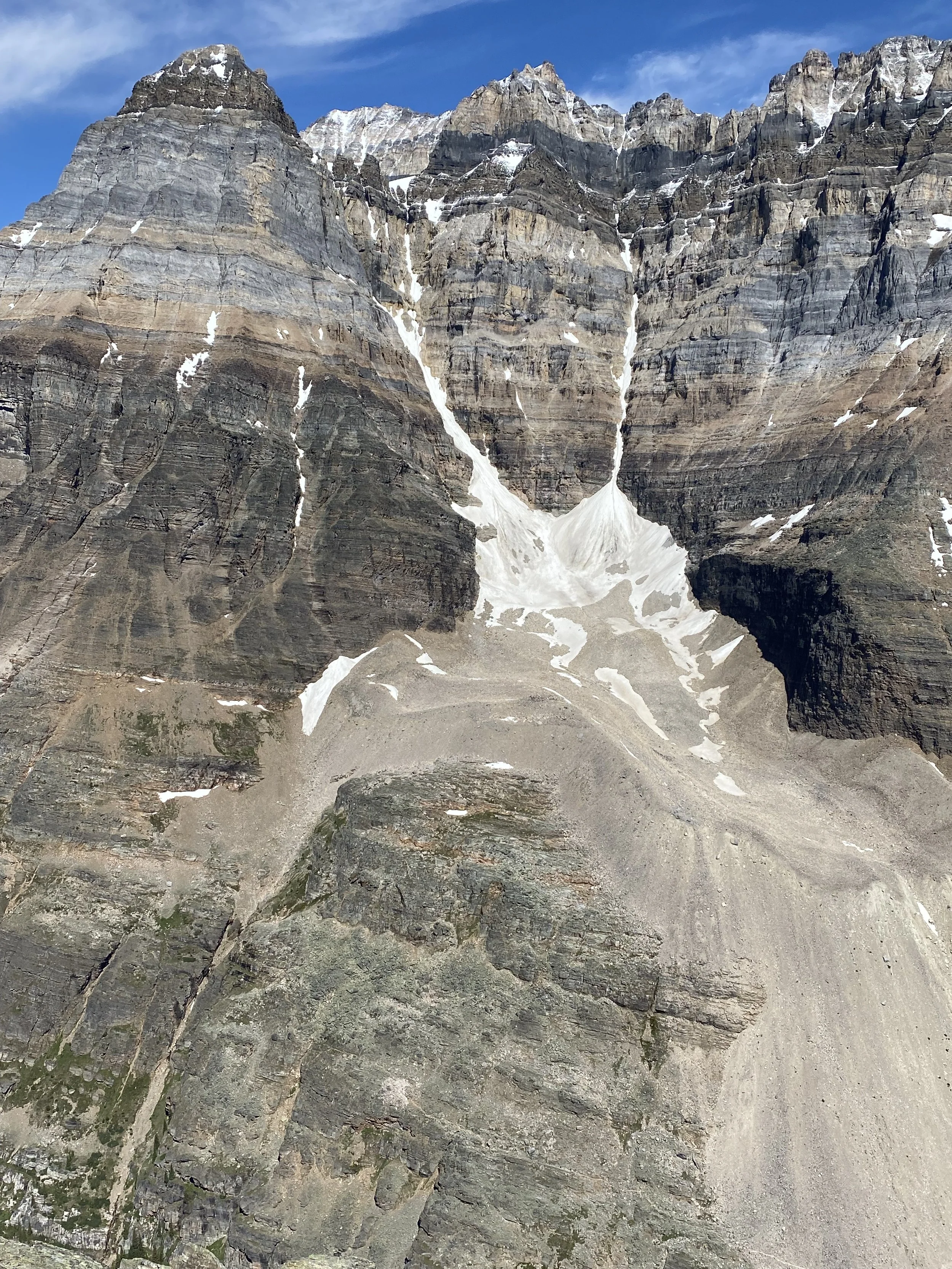
Looking towards Wapta Icefield. The Presidents are in the centre. On the right is the road to Takawa Falls.

Looking towards Wapta Icefield from the summit of Mt. Stephen.

Trans Canada Highway from Mount Stephen.

The town of Field and the Trans Canada Highway from the summit of Mt. Stephen
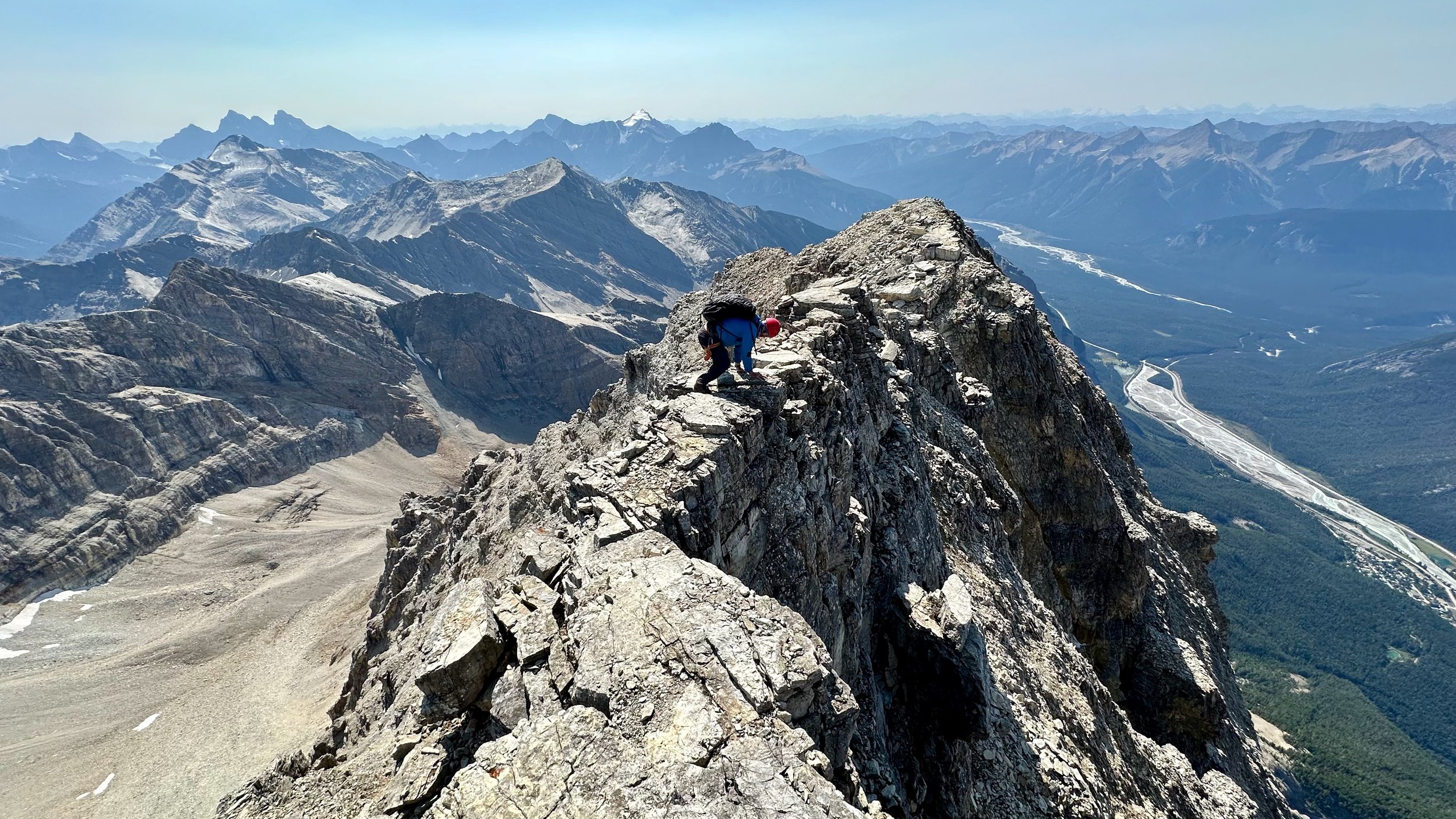
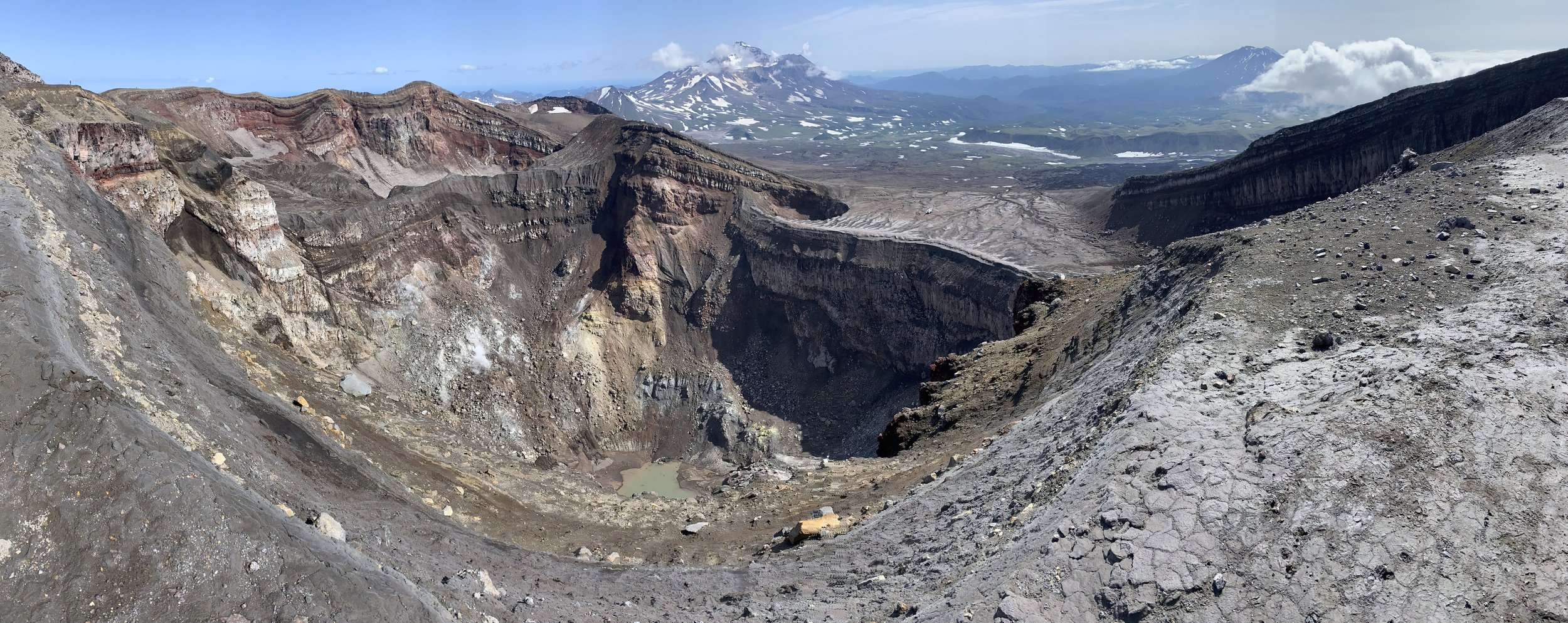
The narrow and exposed summit ridge of Mt. Stephen. The town of Field can be seen on the right 2 km below.

Mount Stephen

Yoho Valley

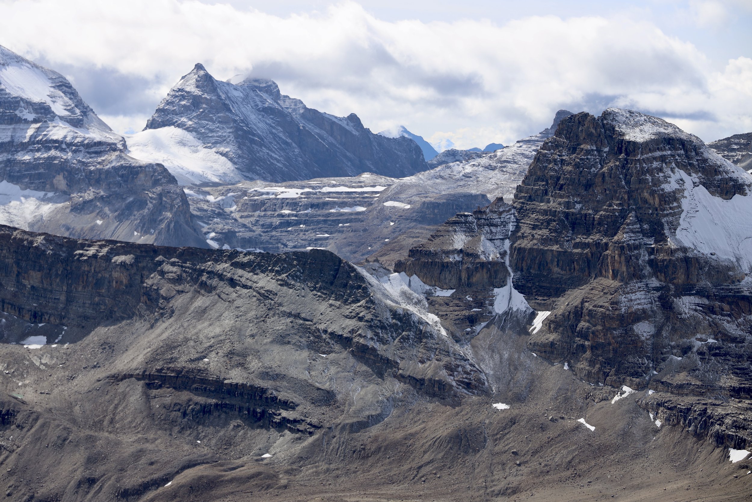
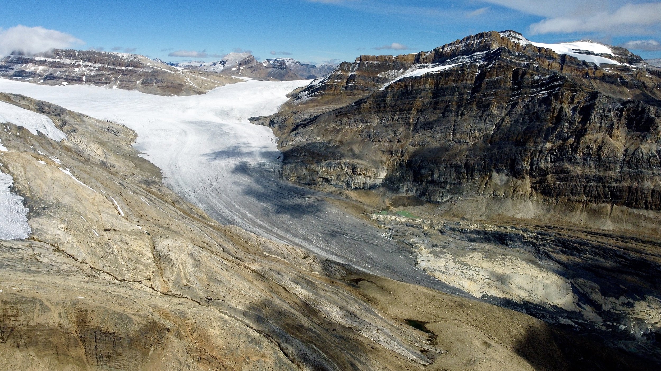
The overview of the entire Iceline Trail from the Whaleback Mountain. The trail follows the glaciers descending from Mt. President.

Mount Trolltinder as seen from the Iceline Trail. Mount Balfour towers over it and makes it look smaller and less impressive.
Trolltinder Mountain

Trolltinder Mountain 2917m

Along the Iceline Trail


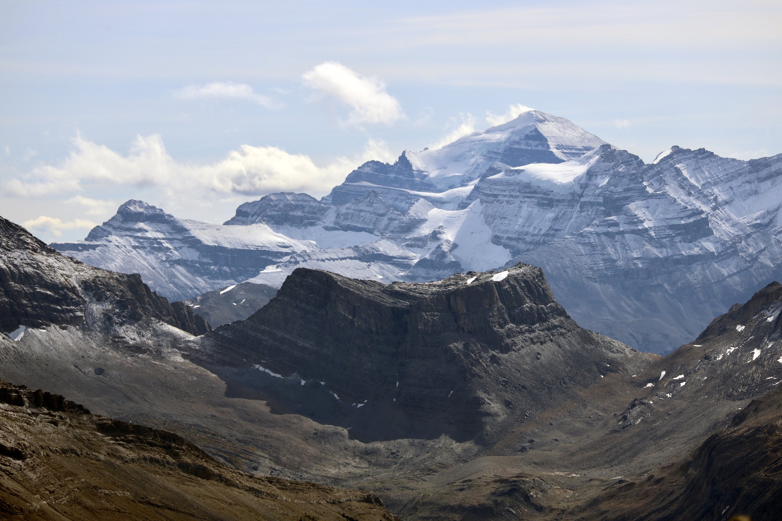
Looking towards Mount Victoria in Lake Louise


The trail runs above the main Yoho Valley

Yoho Mountain


The closeup of Mount Victoria north peak

Mount Rhonda on the Wapta Icefiled and the Yoho Glacier


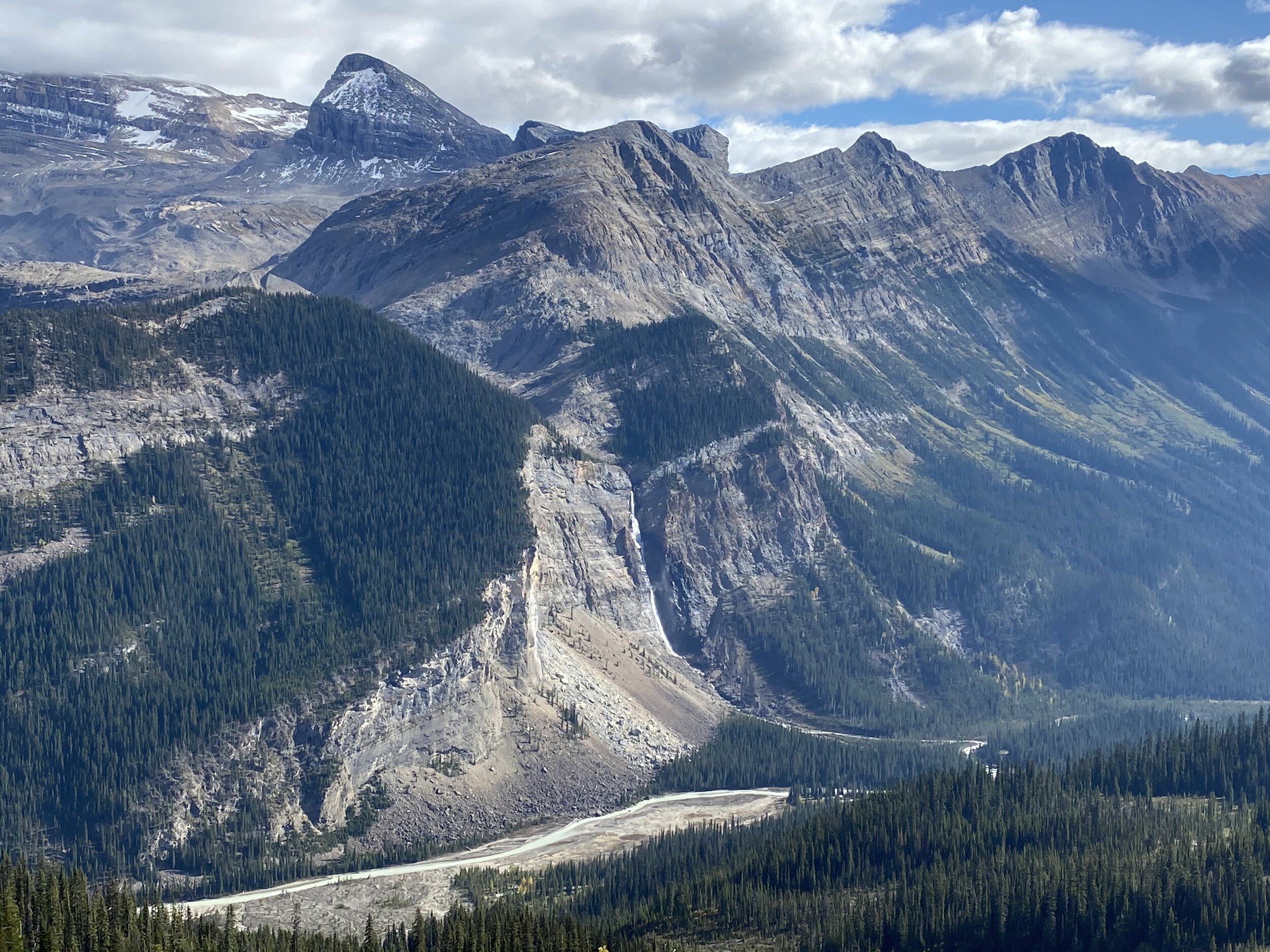
Mount Daly and Takakkaw Falls

Laughing Falls
Isolated Peak from The Whaleback
The view from Isolated Peak

The Whaleback from Isolated Peak

Watervalley from the Whaleback

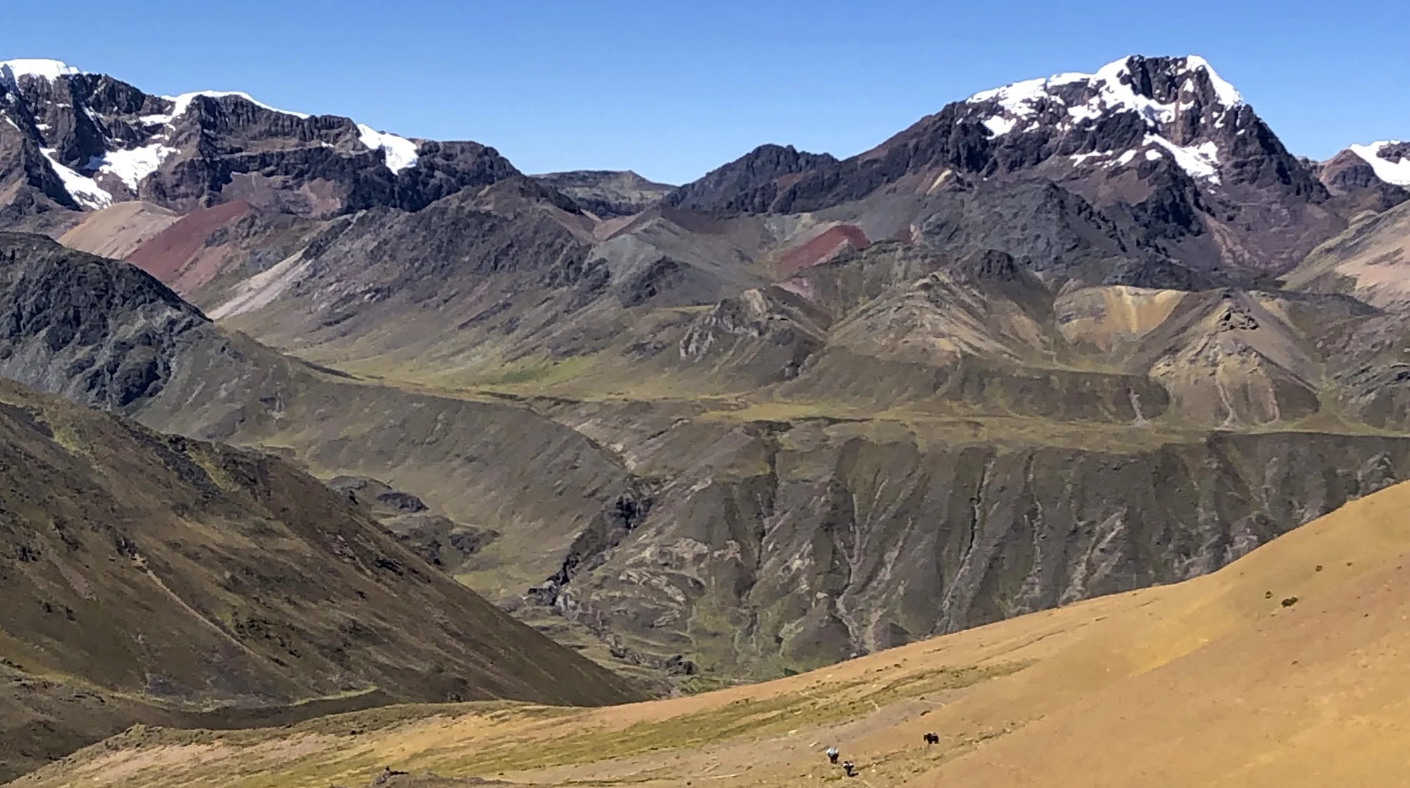
Mount President and Vice-President from the Whaleback


Whaleback Mt

Isolated Pk from Whaleback

Whaleback Panorama

The Presidents from the trail to Isolated Peak

Isolated Peak

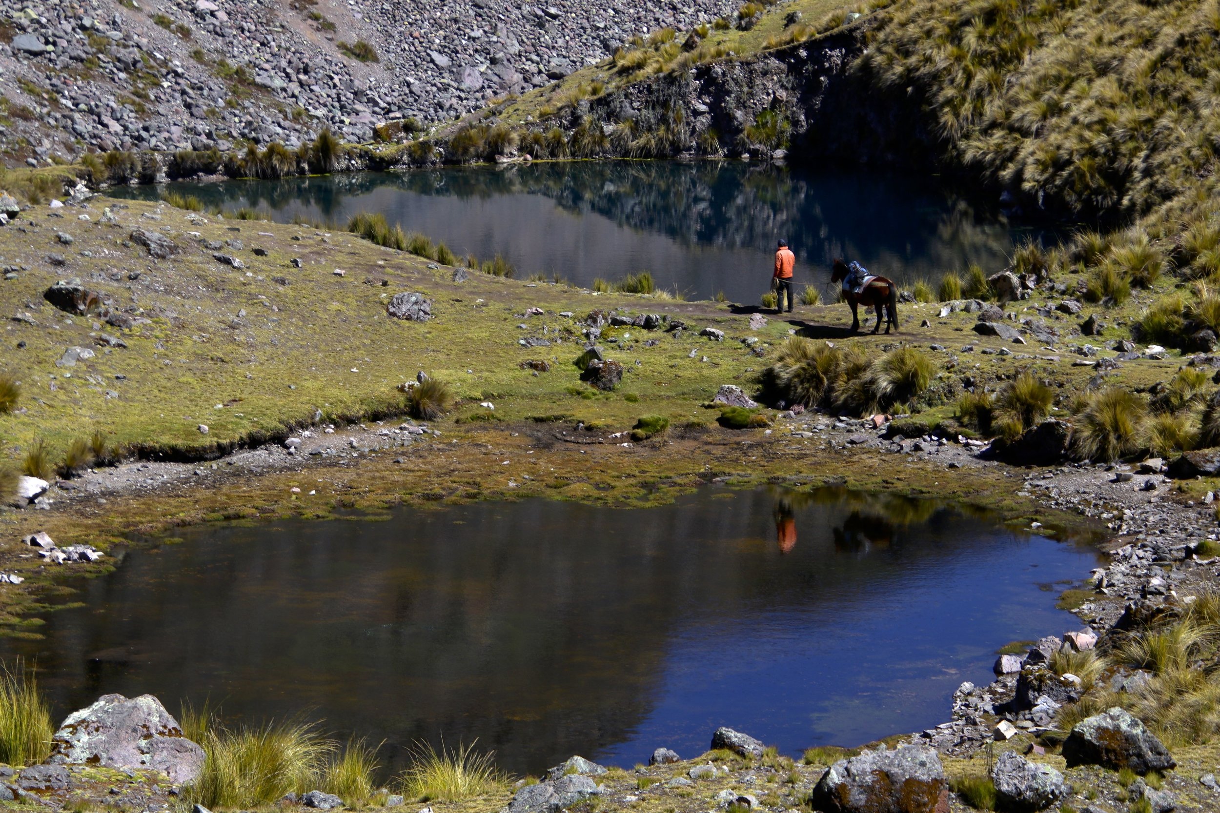
McArthur Glacier near Isolated Peak

McArthur Glacier
The view from the slopes of Isolated Peak

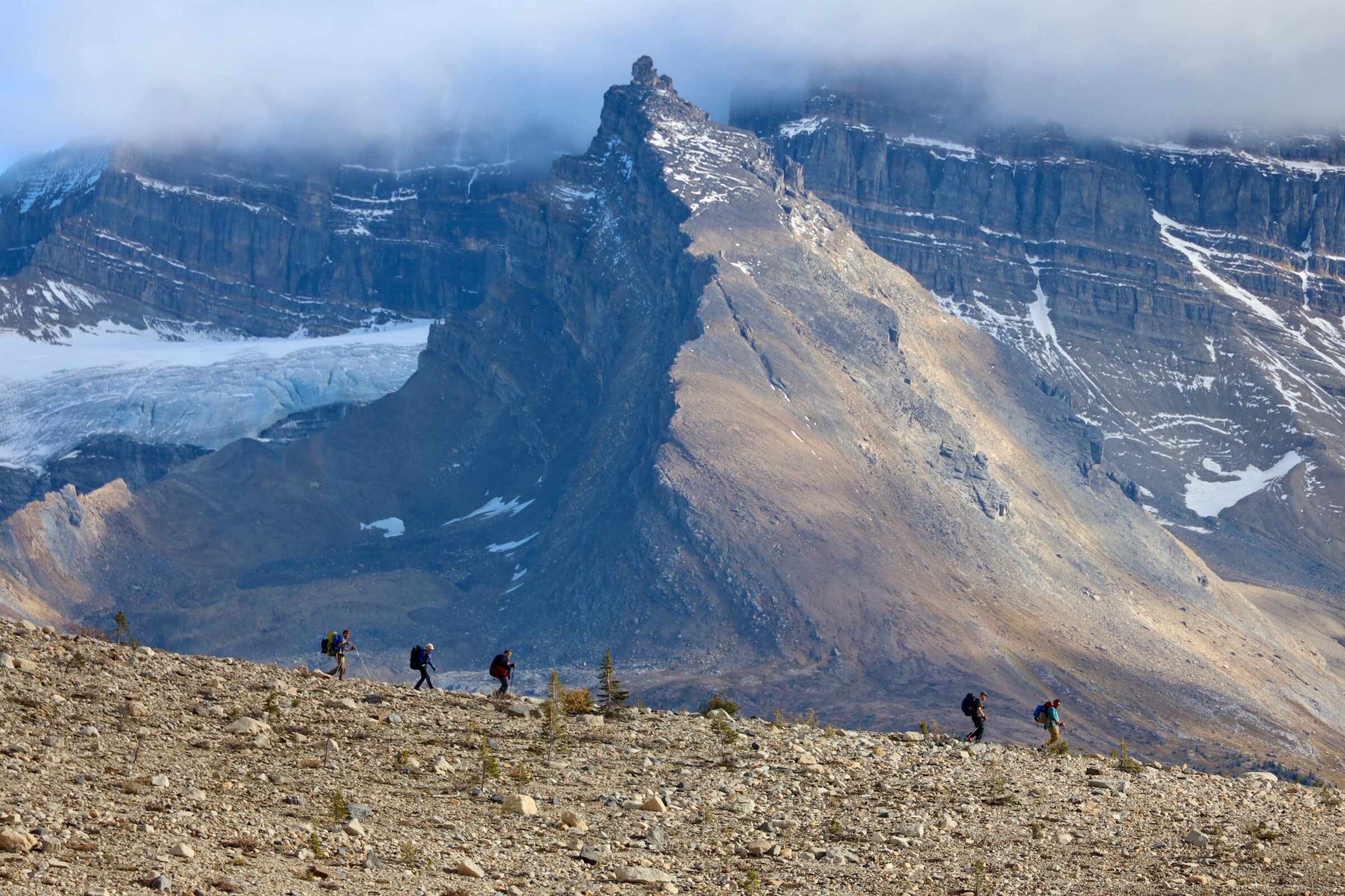
The Presidents from the trail to Kiwetinok Pass

The view of the Presidents from the Pass
Looking down the Little Yoho Valley from the Pass

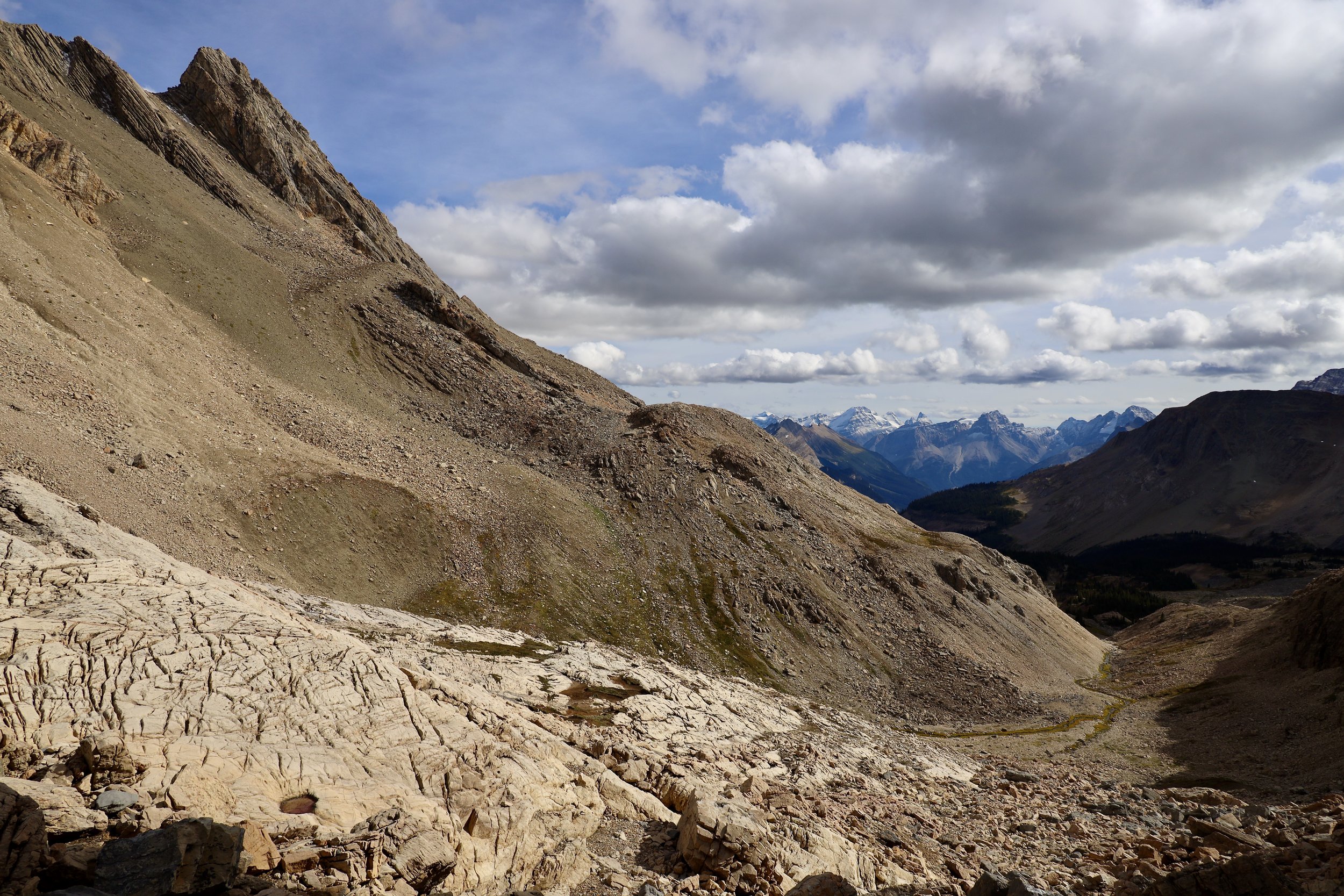
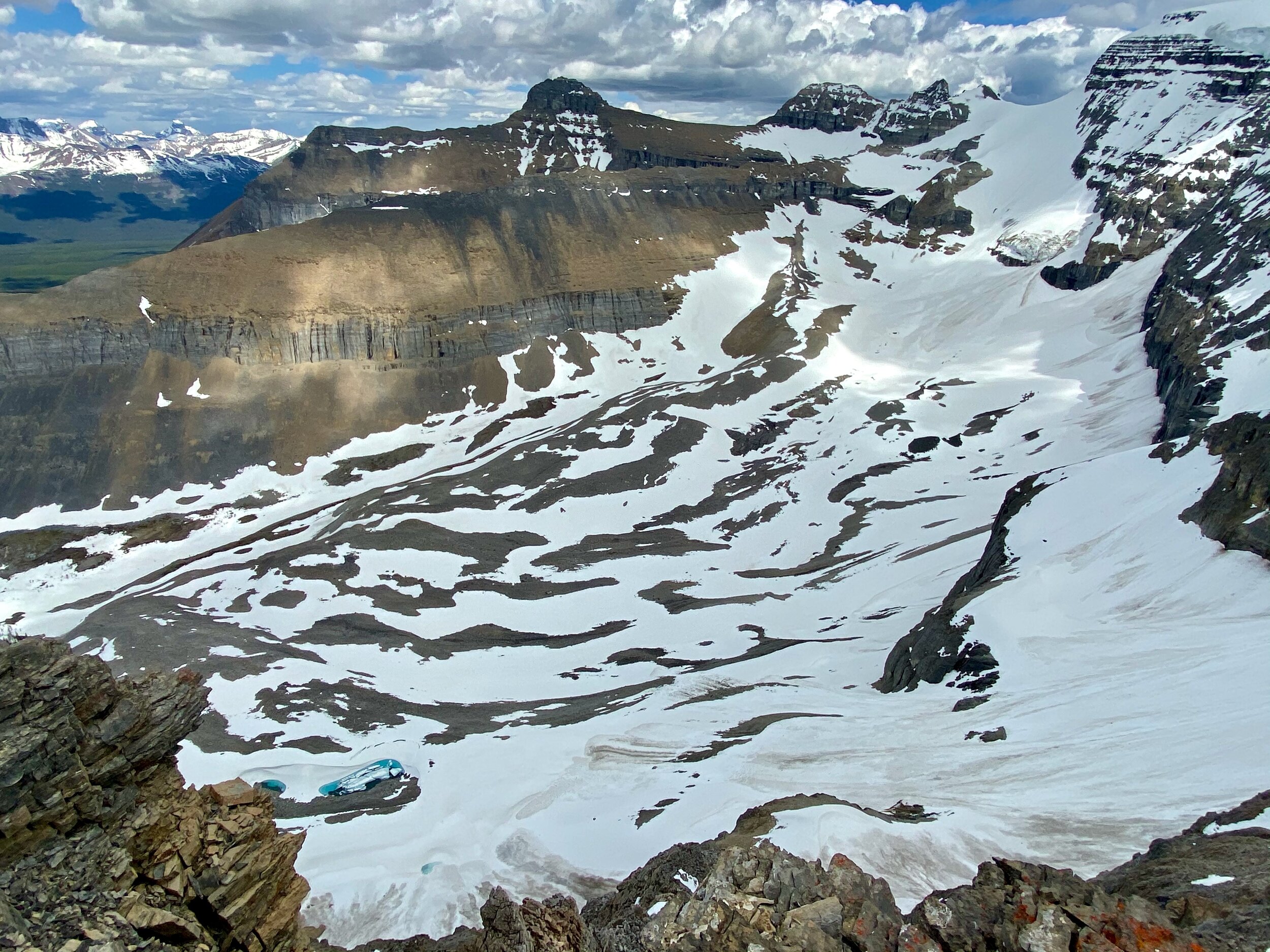
Kiwetinok Pass

Kiwetinok Pass

Kiwetinok Pass

Mount Kerr

Mt. Kerr
Mt. President from Mt. Kerr

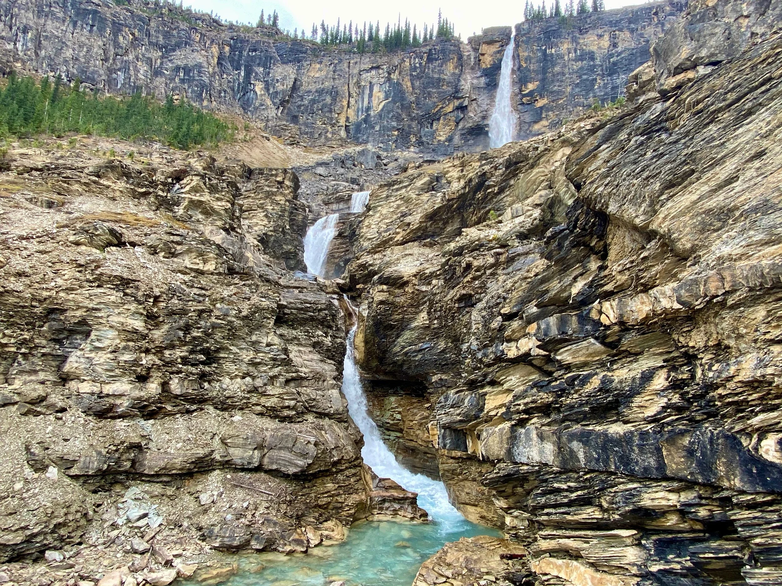
Twin Falls


Water Valley
Yoho Peak on the left and Water Valley

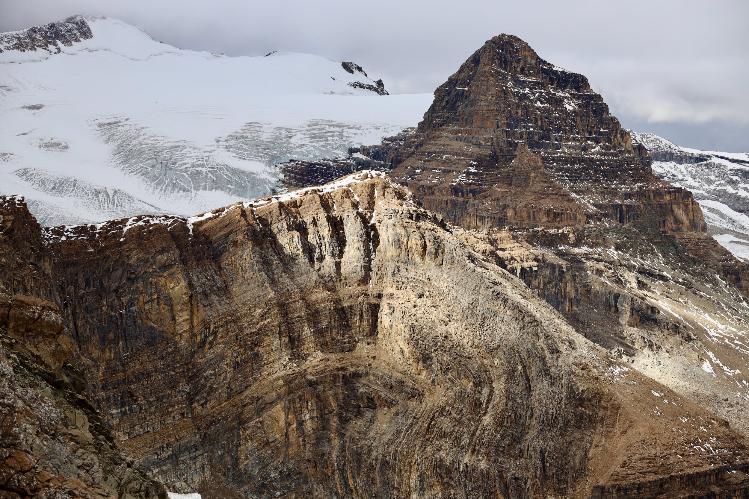
Mont Des Poilus and Des Poilus Glacier

Mont Des Poilus and Des Poilus Glacier from the slopes of Yoho Peak
Mount Temple from Yoho Peak
Mount Victoria from Yoho Peak
The summit of Whaleback and The Presidents from Yoho Peak
Isolated Peak from Yoho Pk

Isolated Peak from Yoho Pk

Water Valley from Yoho Peak

Mt. Des Poilus from Yoho Pk

Mt. Des Poilus 3161m
Mt. Collie 3116m
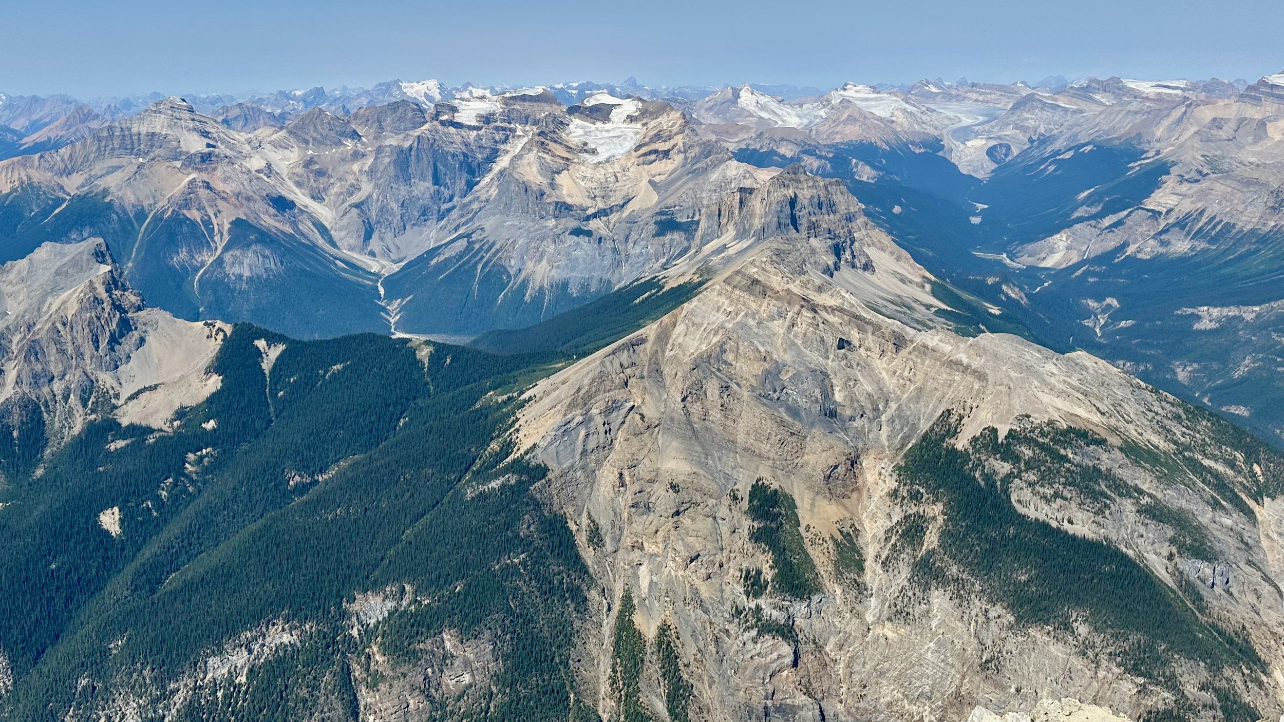
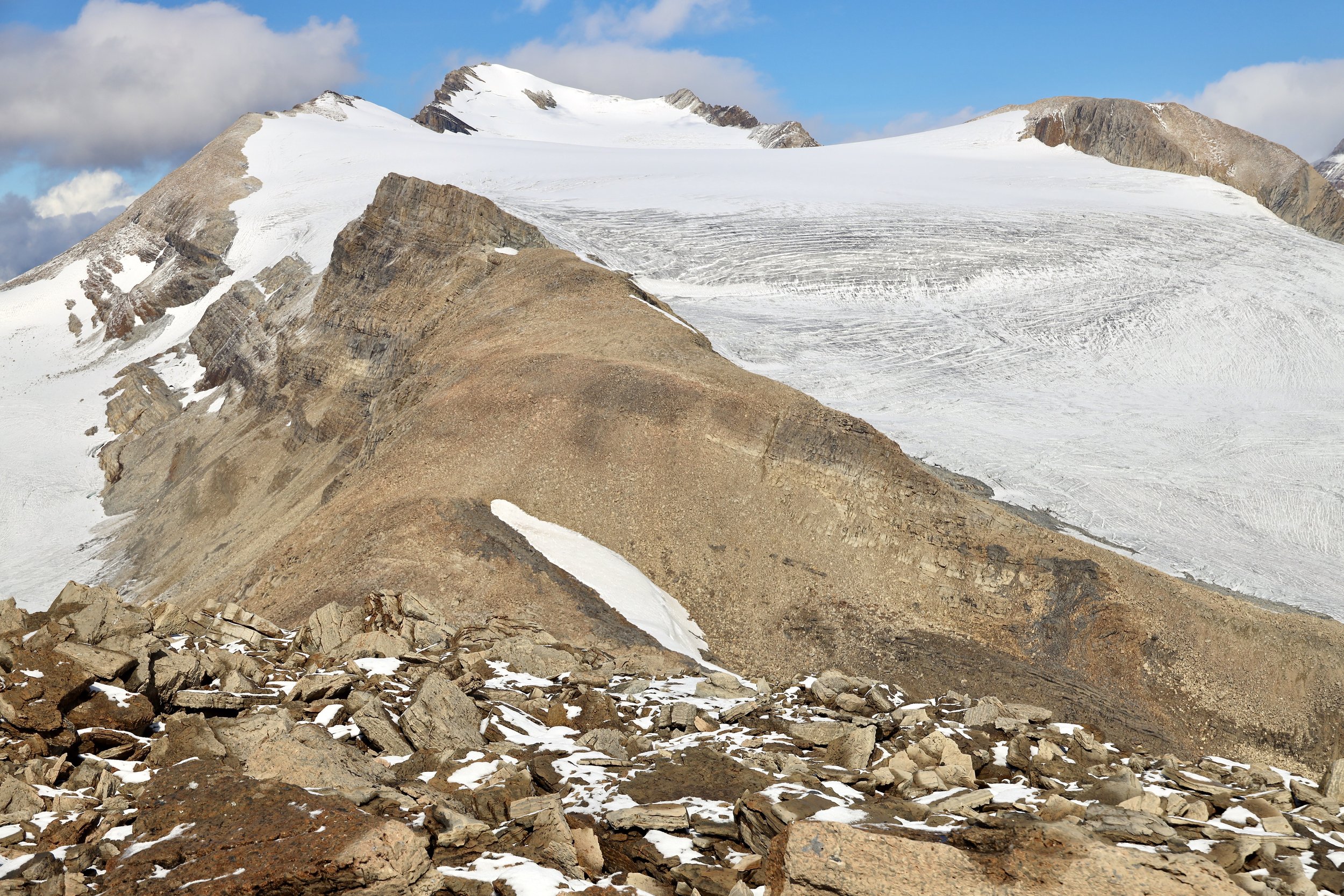
Wapta Icefield
Yoho Glacier and Wapta Icefield from Yoho Mt

The view from Yoho Peak

Yoho Pk

Mt Balfour from Yoho Pk

Guy Hut from Yoho Pk

The Guy ACC Hut

Natural Bridge - a rock formation that forms a natural bridge over the Kicking Horse River River

The Kicking Horse River

On the Narao Mountain

On the Narao Mountain

Sherbrook Lake and the Yoho from the Narao Peak

Cathedral Mountain from the Narao Peak

The ridge of the Narao Mountain with the Trans-Canada Highway below

Paget Peak

Paget Peak, Narao Peak and Victoria North

Narao Peak and Mt. Victoria Noth

Mt. Daly

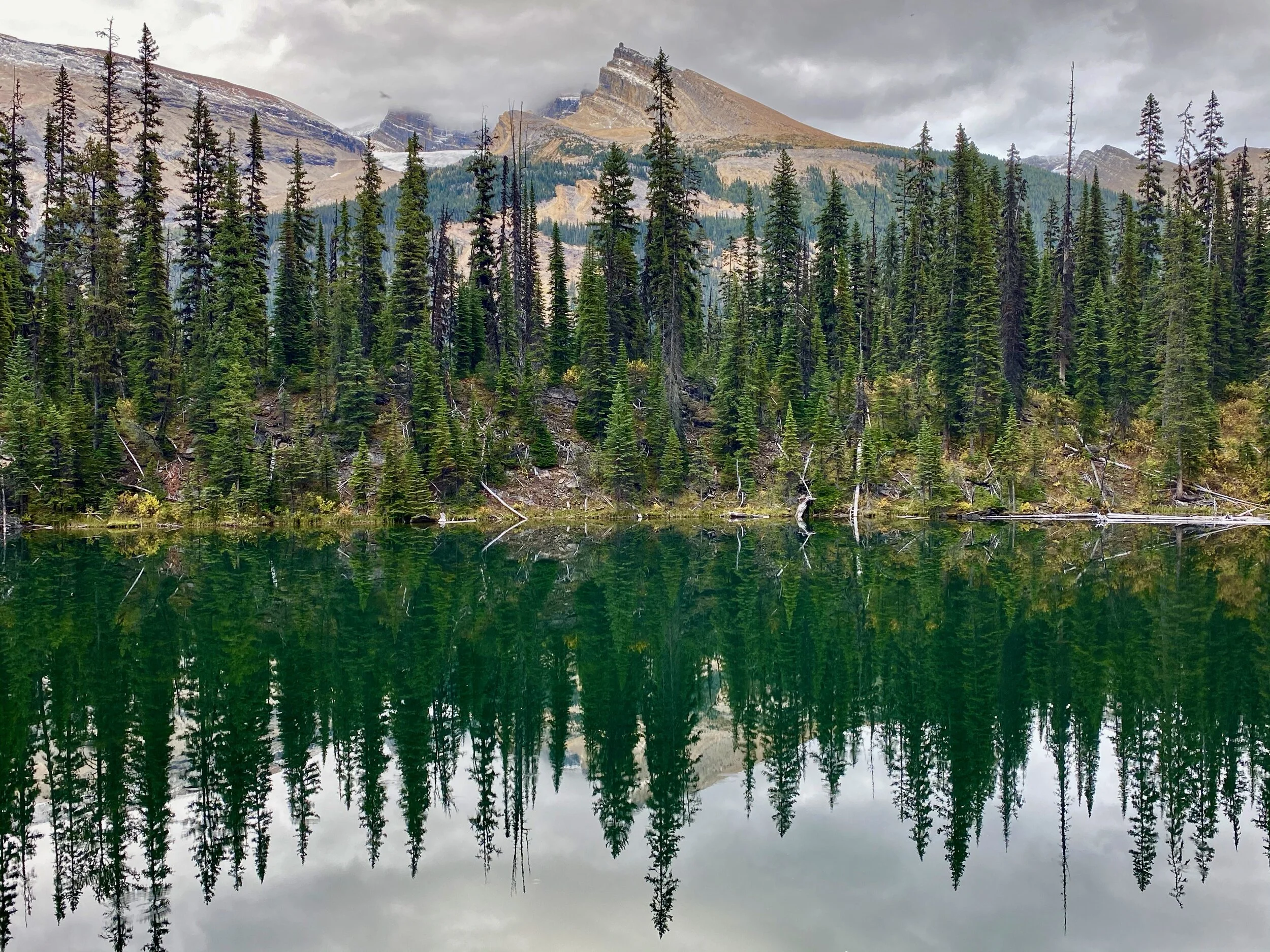
Sherbrook Lake

Sherbrook Lake


Lake Oesa and Mt. Lefroy from Yukness

Lake O’Hara

The view from Yukness to Glacier Peak

Ringrose Peak and Mt. Hungabee

Mt. Victoria from Yukness
Mt. Huber and Mt. Victoria

Mt. Biddle

Mt. Victoria and Lefroy from Yukness

Mt. Schaffer from Yukness

Mt. Huber (right)


Mt. Yukness 2847