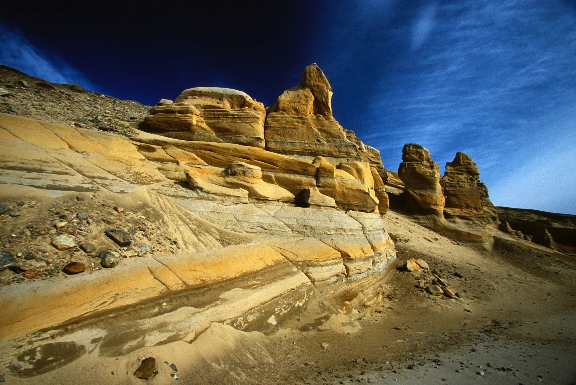
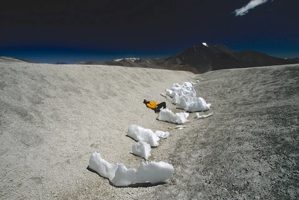
Sam Ford Fjord is an isolated and L shaped Arctic fjord, which is located on the Northeastern coast of the Baffin Island in the Arctic Archipelago, in the Qikiqtaaluk Region of Canada. The fjord stretches for approximately one hundred and ten kilometers and was traditionally one of the hunting areas of the Inuit, popularly known for its spectacular granite cliffs (some of them are the highest cliffs in the world) which rise high from the shores. We decided to explore it on Skis in early May. There were 3 of us: Jerry Kobalenko, David Holberton and me. We hired an outfitter from Clyde River, a small Inuit settlement on the shores of Baffin Island, to take us to the end of Stewart Valley by a skidoo. Our plan was to ski back and explore points of interest along the way. It was still winter and I never really got warm throughout the trip.


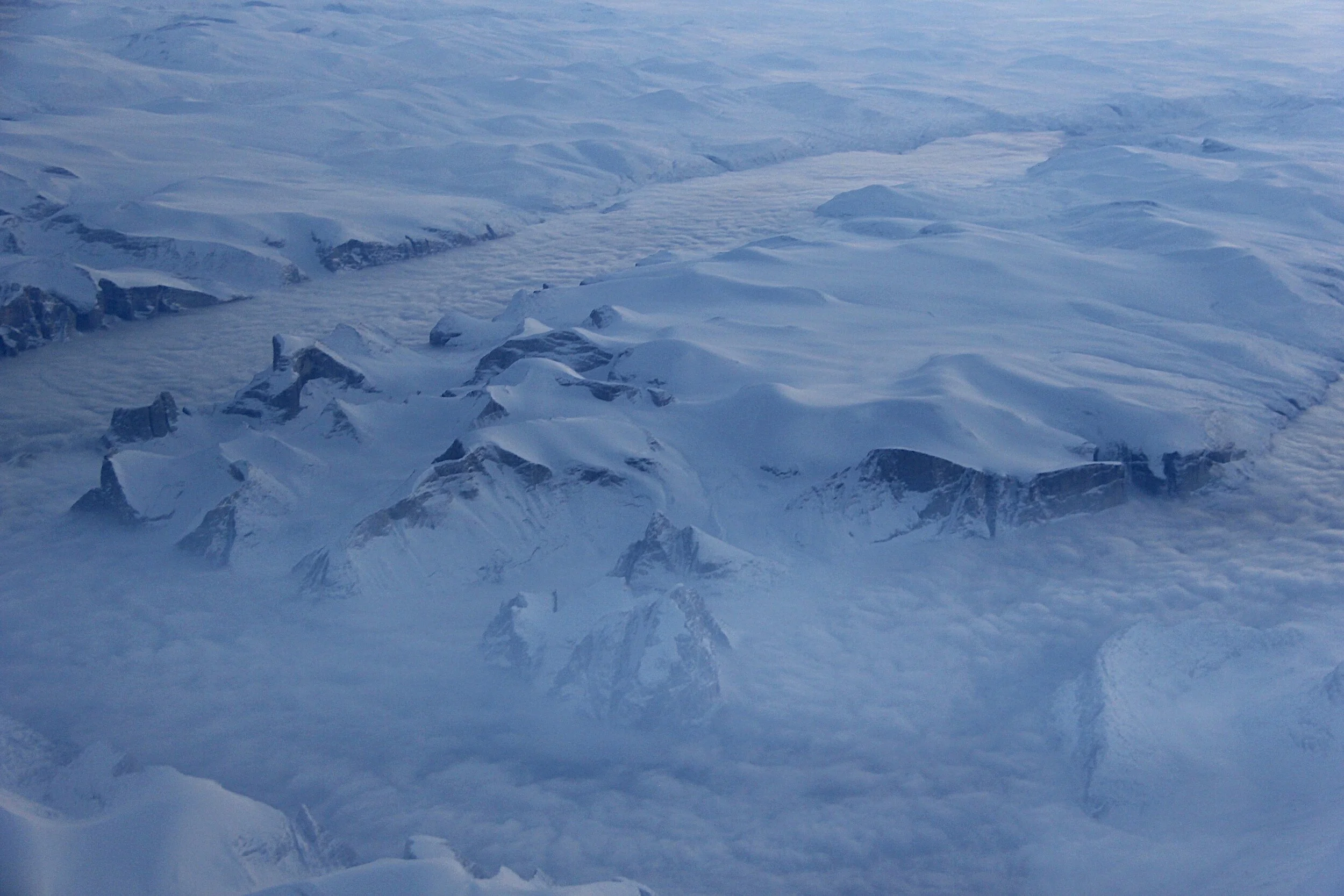
In 2012 I was flying from London to Calgary over the Sam Ford Fjord with good visibility.

Sam Ford Fjord. We traveled across the fjord in roughly in the middle of the photo. Sam Ford Fjord (Kangiqtualuk Uqquqti) stretches roughly from north northeast to south southwest for about 110 km (68 mi). Its mouth, located between the Remote Peninsula and Erik Point, is over 18 km (11 mi) wide, the width of the fjord narrowing gradually to an average of 3 km (1.9 mi) about 50 km (31 mi) inland. Kangiqtualuk Agguqti is a tributary fjord branching west from the fjord's western shore about 45 km (28 mi) to the south of its mouth. The Stewart Valley —with Sail Peaks stretches northwards from Walker Arm's nortwest corner and connects with the neighbouring Gibbs Fiord.

Sam Ford Fjord. The Polar Sun Spire is visible as the pointy peak down from the center of the photo.

The peaks from the areal photo above on Jerry Kobalenko’s photo

Photo by Jerry Kobalenko

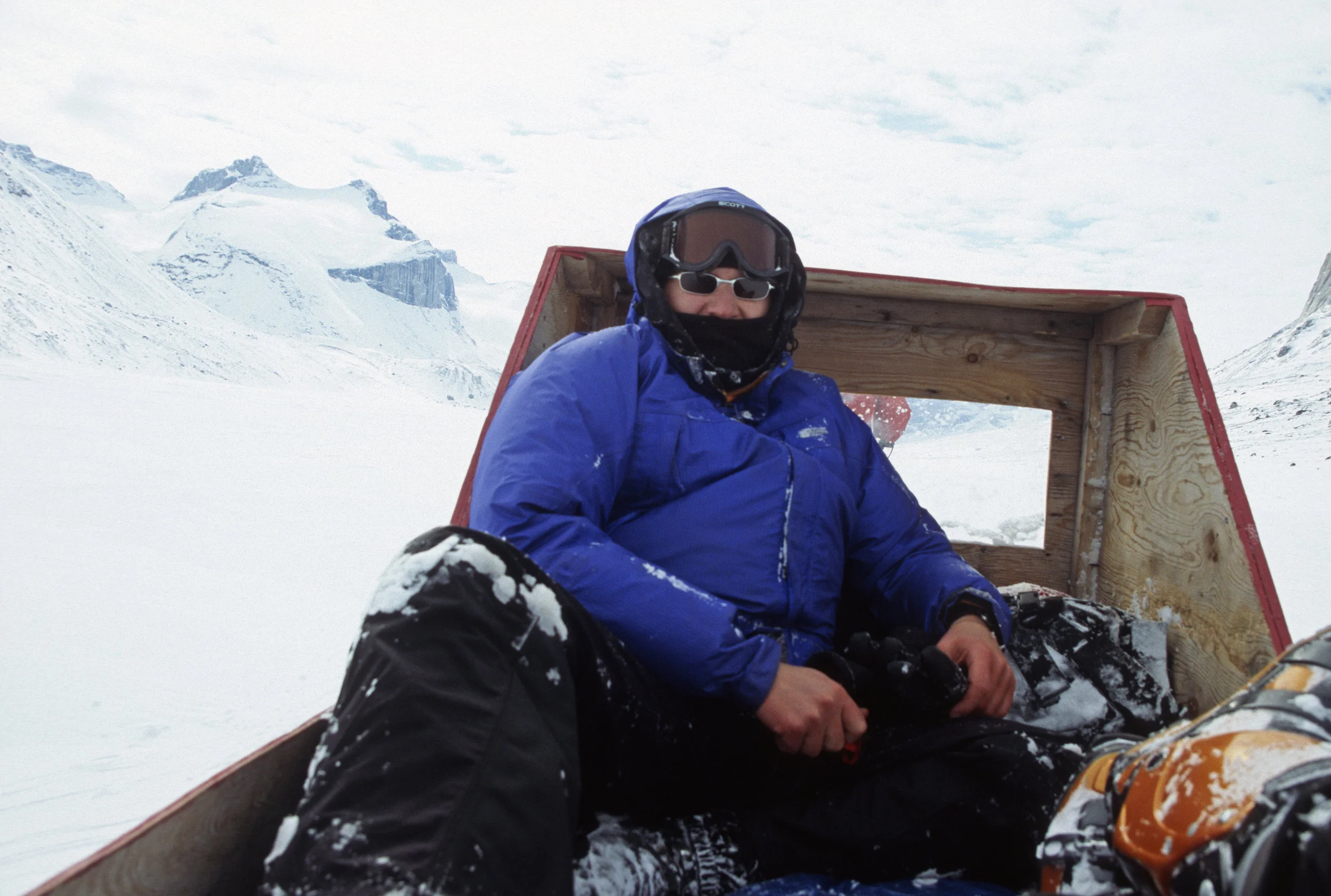
This is how we transferred ourselves and our gear to the start of the trek. The outfitter mainly helps with polar bear hunting.

Approaching the Sam Ford Fjord.
It took us 8 hours of travel from Clyde River to the end of Stewart Valley. By the time we arrived at our destination, I was completely frozen despite wearing all the clothes I had.

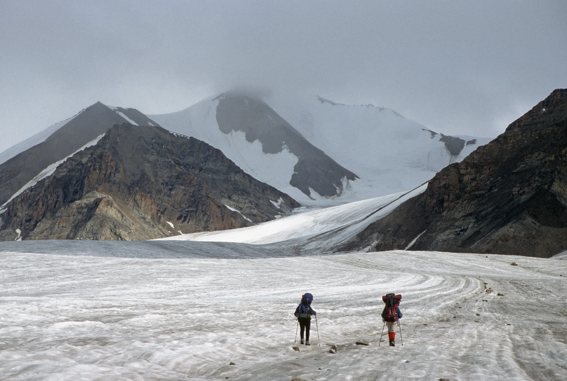
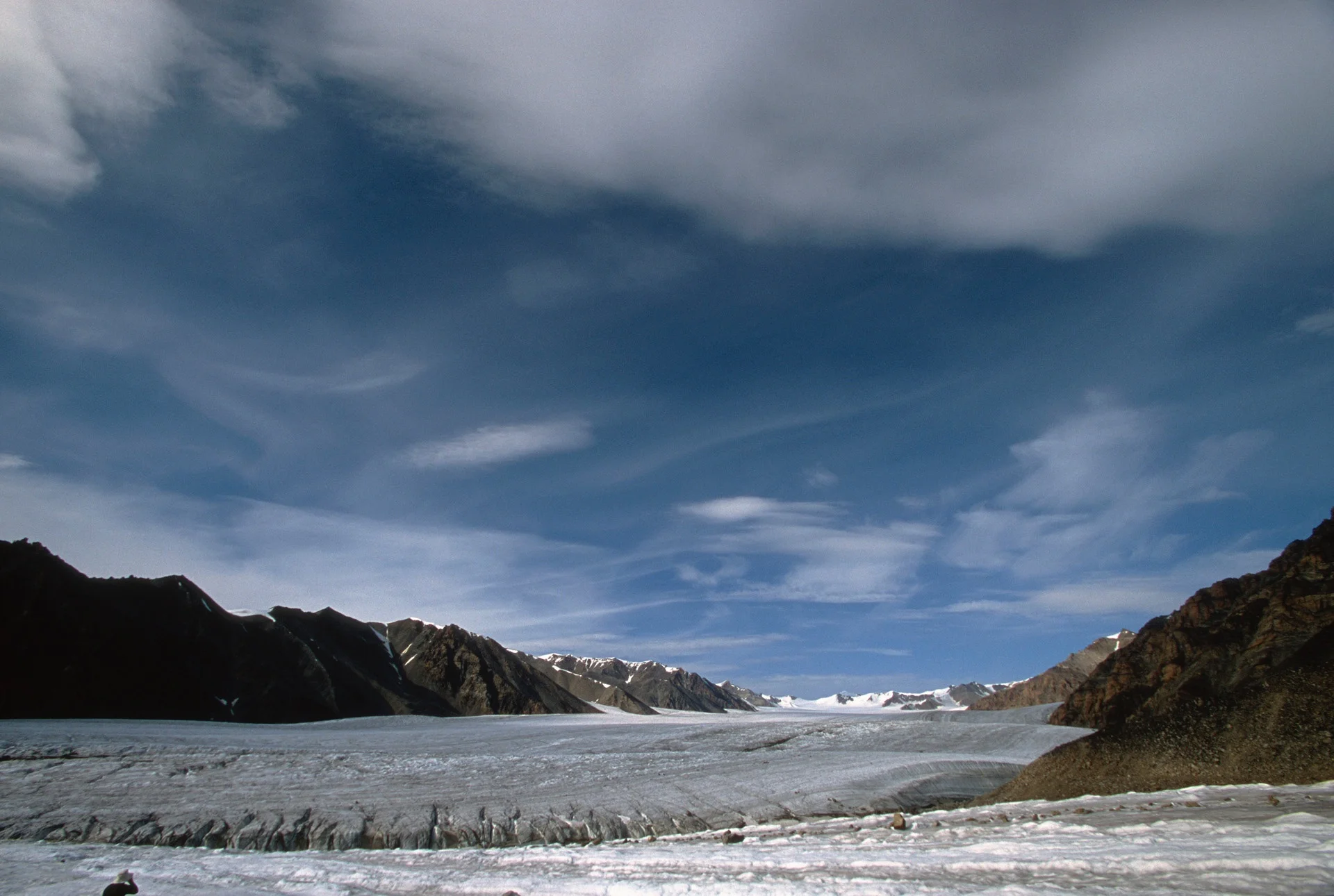
Approaching Sam Ford Fjord. The scenery was getting more and more spectacular.


In the Sam Ford Fjord

Skiing under the Great Sail Peak. Great Sail Peak rises 1617m and like its neighbor (Polar Sun Spire) is located near the Sam Ford Inlet, in nearby Stewart Valley. The peak is located to the north and to the east of Polar Sun Spire and is the lone 'big wall' in its region (if one excludes numerous walls that range from 500-700 meters).

Looking back at the Stewart Valley and the Great Sail Peak (on the right).

Our camp below the Walker Citadel in the Walker Arm of the Sam Ford Fjord


The frozen lake in the Stewart Valley

Stewart Valley and the Great Sail Peak in the distance.

The Great Sail Peak

David and I skiing under the Great Sail Peak (photo by Jerry Kobalenko).


Our camp 2 at the foot of the Great Sail Peak

Walker Citadel and the spectacular walls of the Sam Ford Fjord

Stewart Valley


The expanse of rock of the Walker Citadel is dwarfing David and Jerry

Approaching Walker Citadel

Our camp on the sea ice at the foot of the Walker Citadel

Looking up the Walker Arm

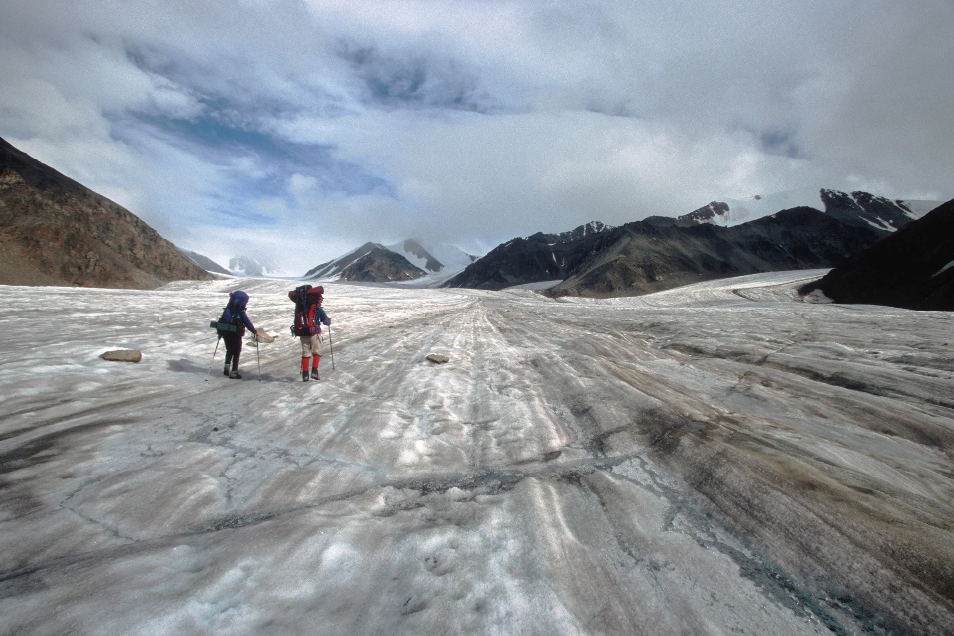
Skiing towards the Sam Ford Fjord


Our camp in the Sam Ford Fjord

David Holberton

Jerry Kobalenko

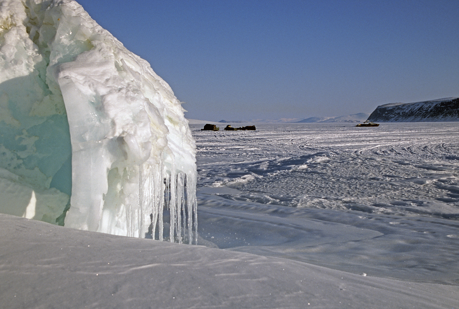
Clyde River

The community of Clyde River

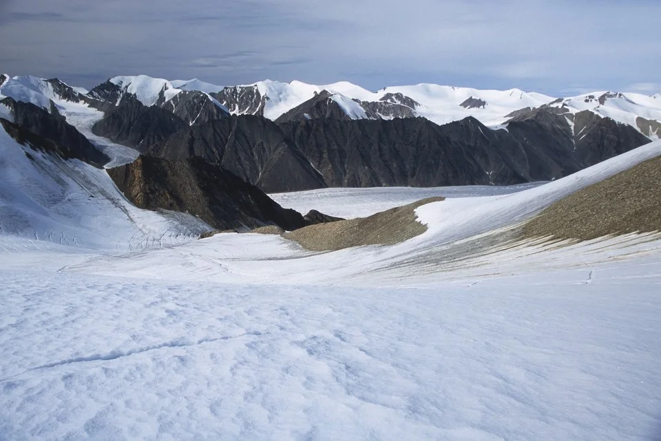
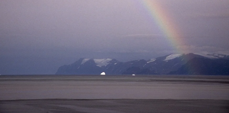
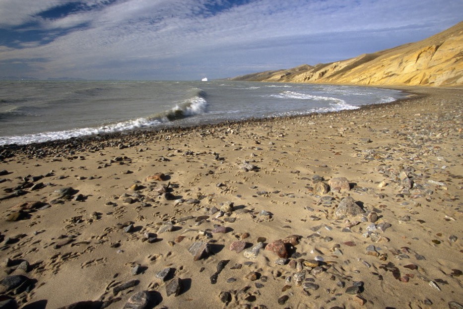
Sam Ford Fjord

Great Sail Peak


In the Sam Ford Fjord


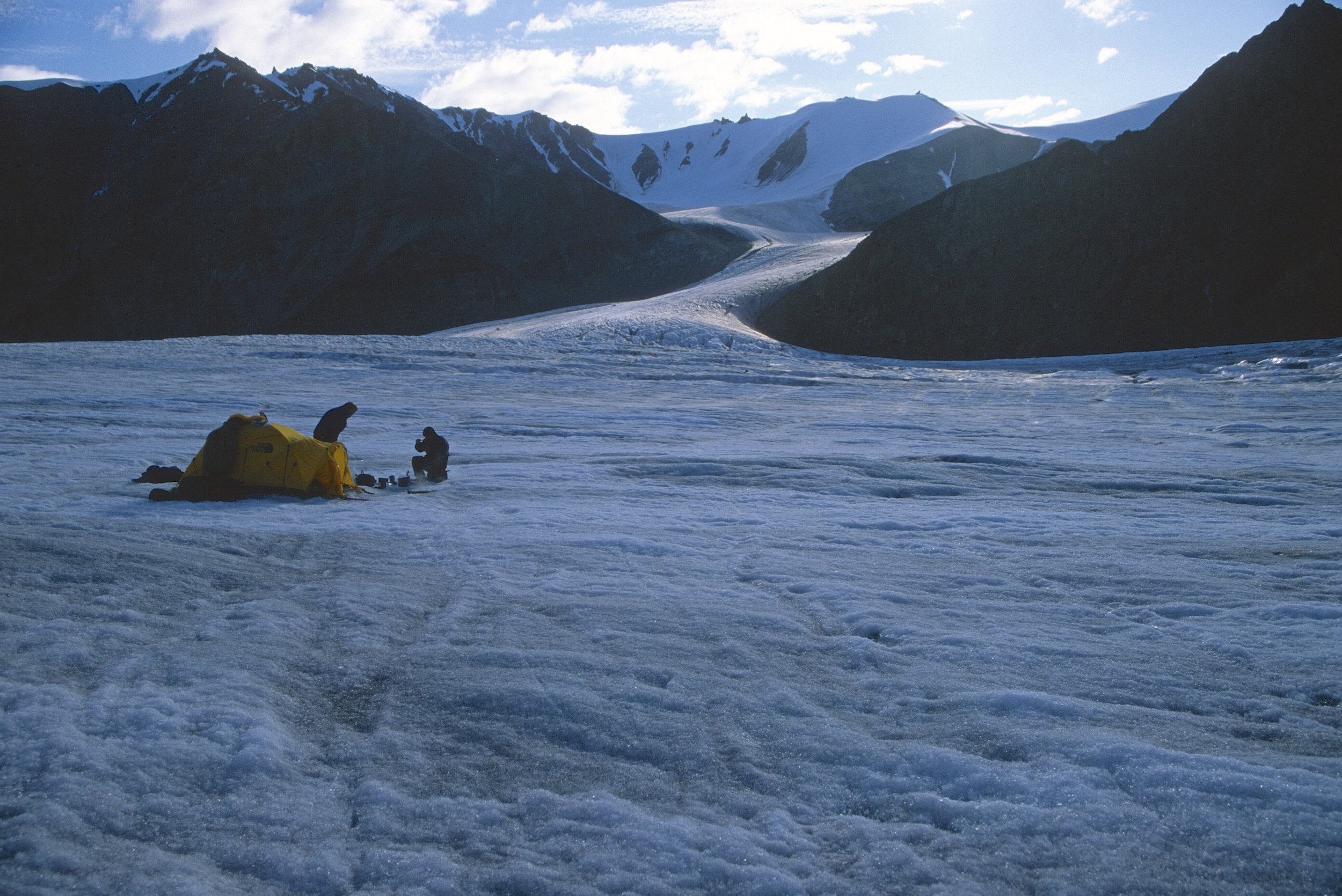
This was our kitchen each night


Skiing in the Sam Ford Fjord

Under the Polar Sun Spire


Our camp in The Sam ford Fjord