


The incredible Western China - Xinjiang home of the Karakoram Mountains and the mighty K2

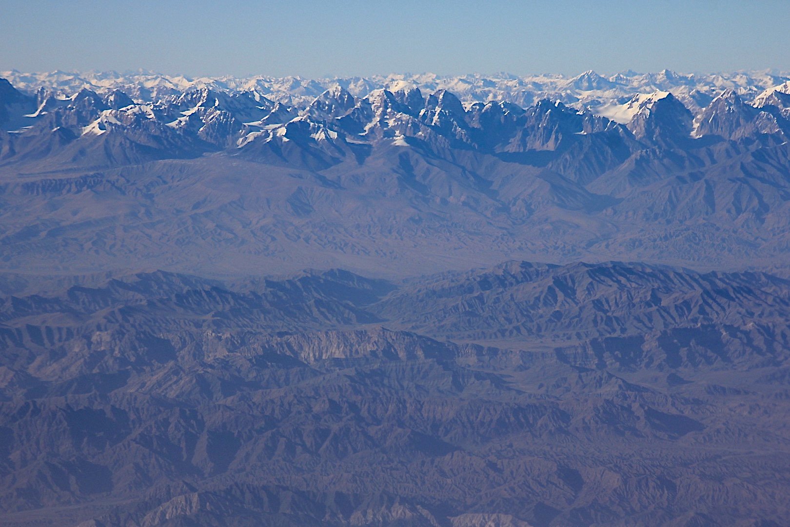
Xinjiang and on the horizon the Tien Shan Mountains of Kirgistsan

Western China - Xinjiang
The incredible Xinjiang

Xinjiang

Tien Shan Mountains of China

Tian Shan Mountains of China

Tian Shan Mountains of China

Tian Shan Mountains of China

The Tian Shan Mountain Range of China

Tian Shan Mountains

Tian Shan

Beautiful mountains near Urumchi. Bogda Peak or Bogda Feng is the highest mountain in the Bogda Shan range, in the eastern Tian Shan mountains, China, at 5,445 m and the northernmost 5,000 m or higher peak in Eurasia.


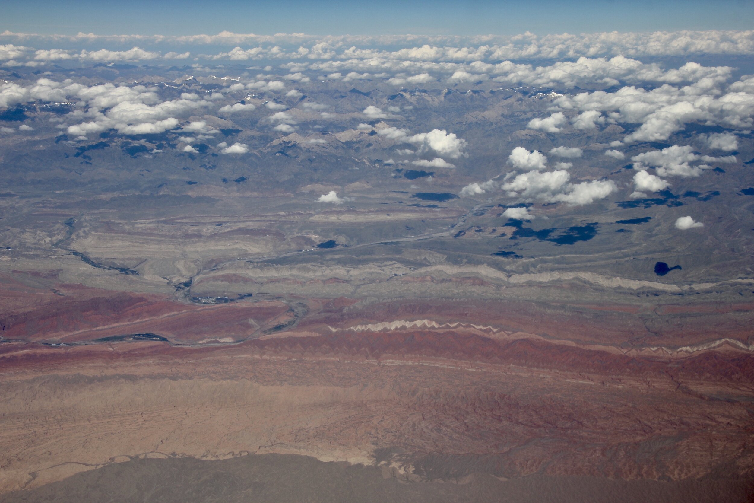
The Xinjang - Tibet Highway

Kunlun Mountains and the "Kashgar - Tibet" Highway

Kunlun Mountains

The Kunlun Mountains
The Xinjiang - Tibet Highway

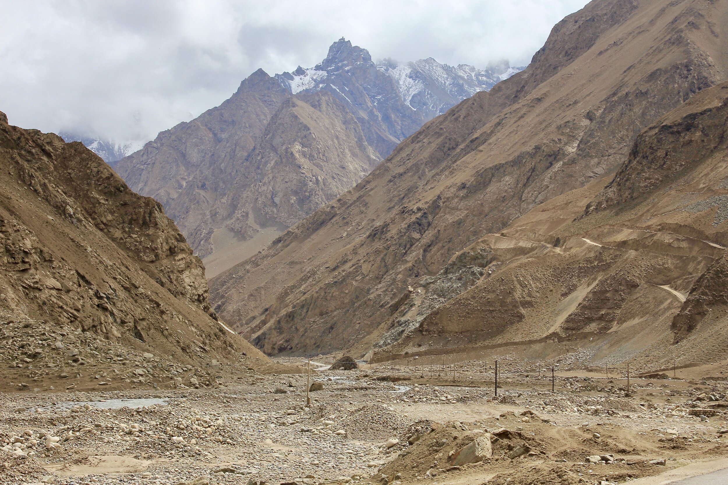
The road from Mazar to Ilik though north Karakoram Mountains

The north Karakoram

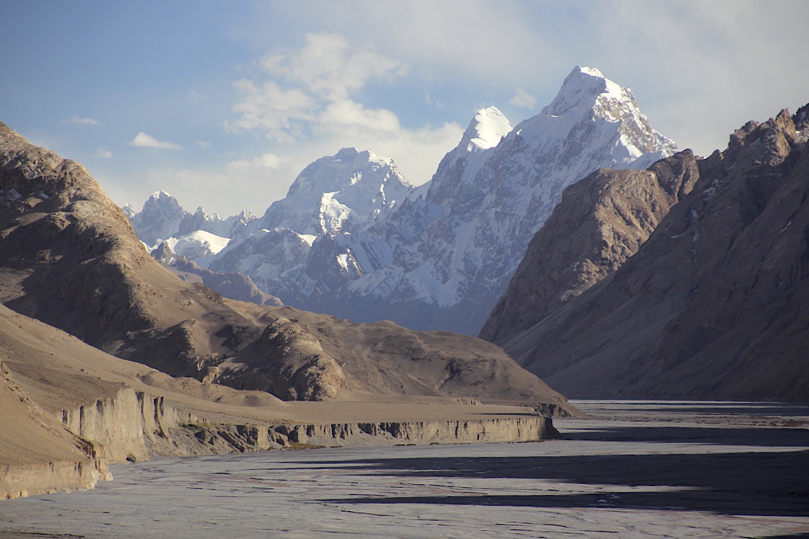
Yarkand River in Ilik

The Karakoram around Ilik

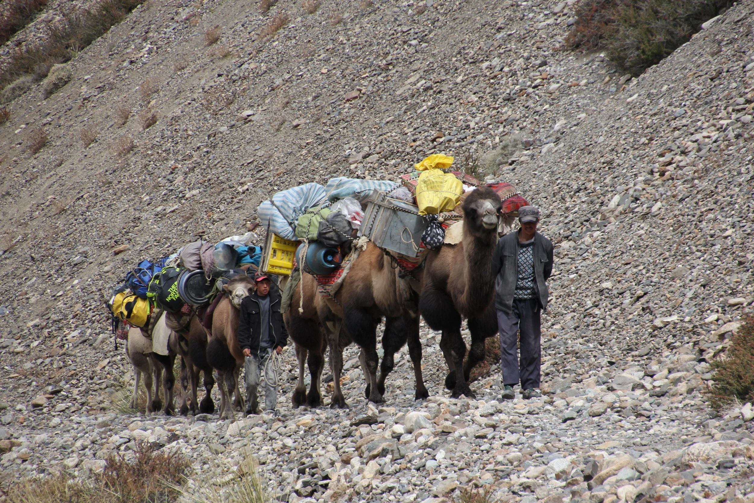
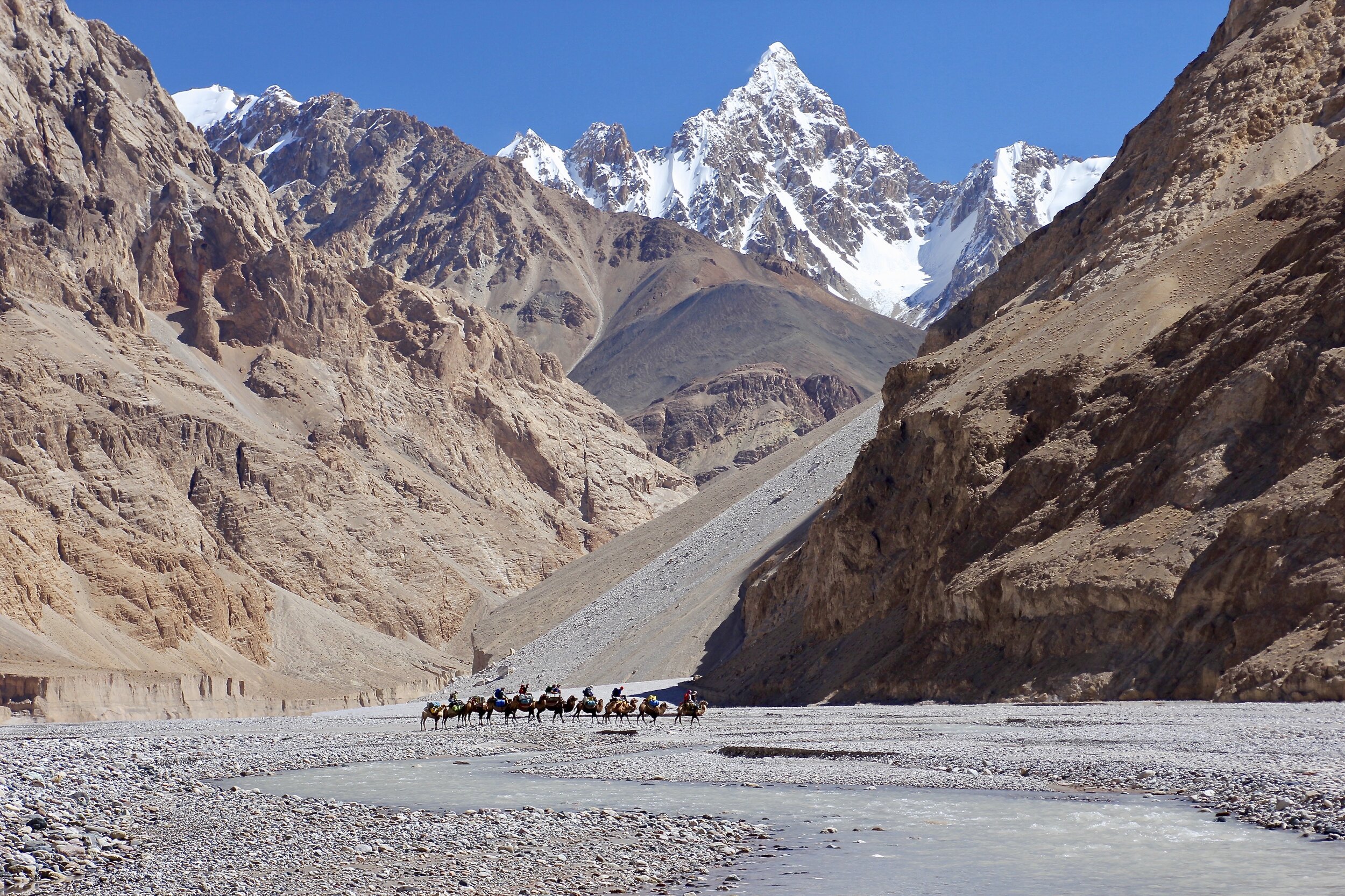
Ilik - the camels arrived

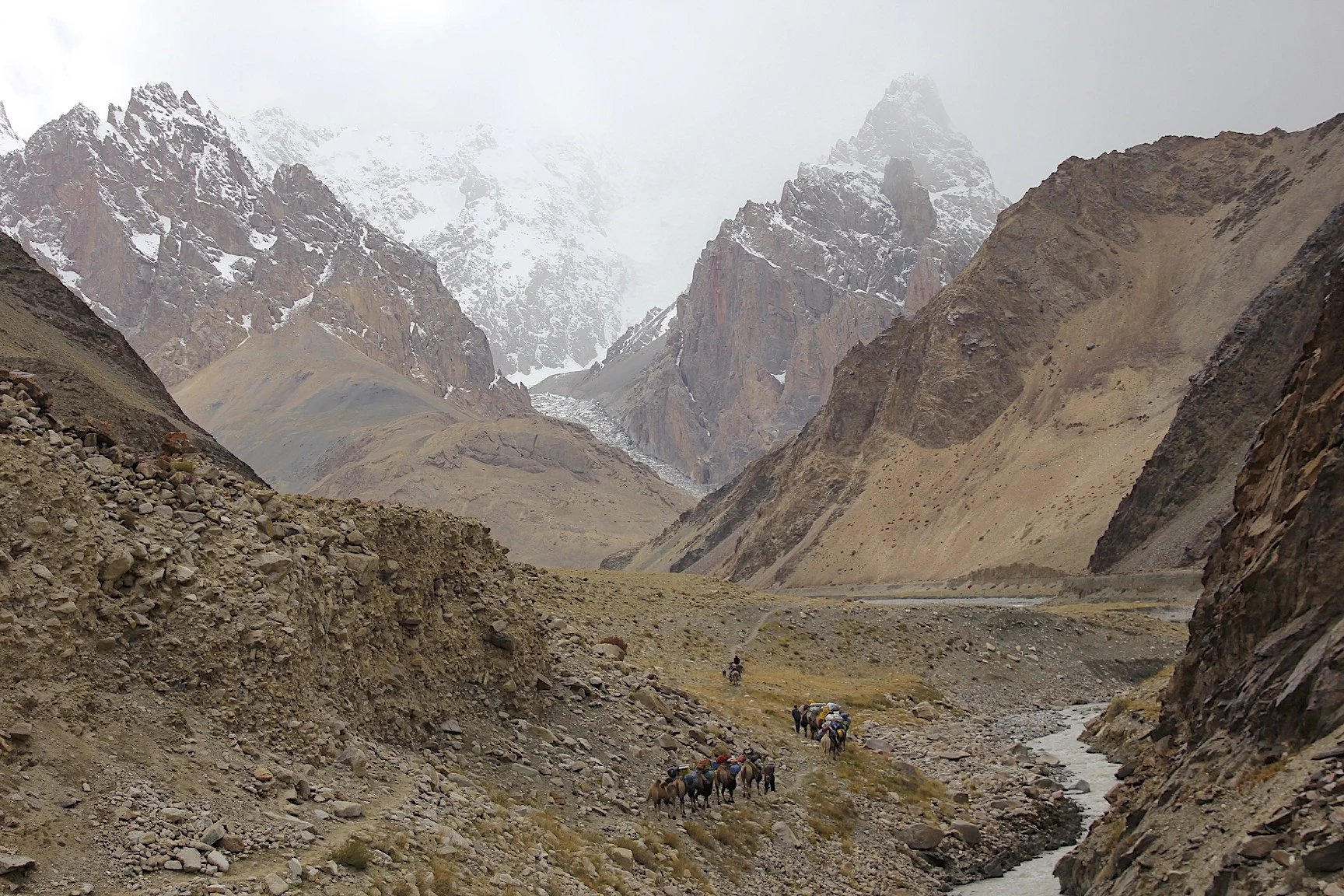
Start of our trek - the north Karakoram mountains

The awesome deep gorges of Northern Karakoram


The camel caravan in the river bed of North Karakoram mountains


The gorges of the north Karakoram - near Aghil Pass


Near the Aghil Pass


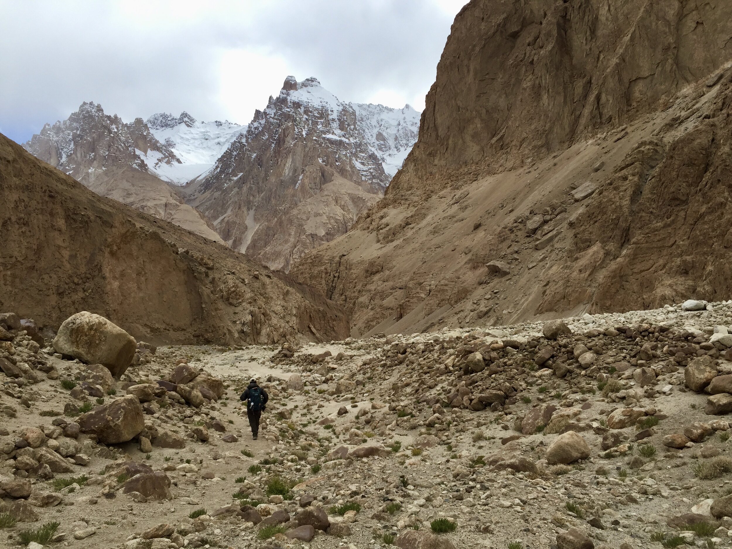
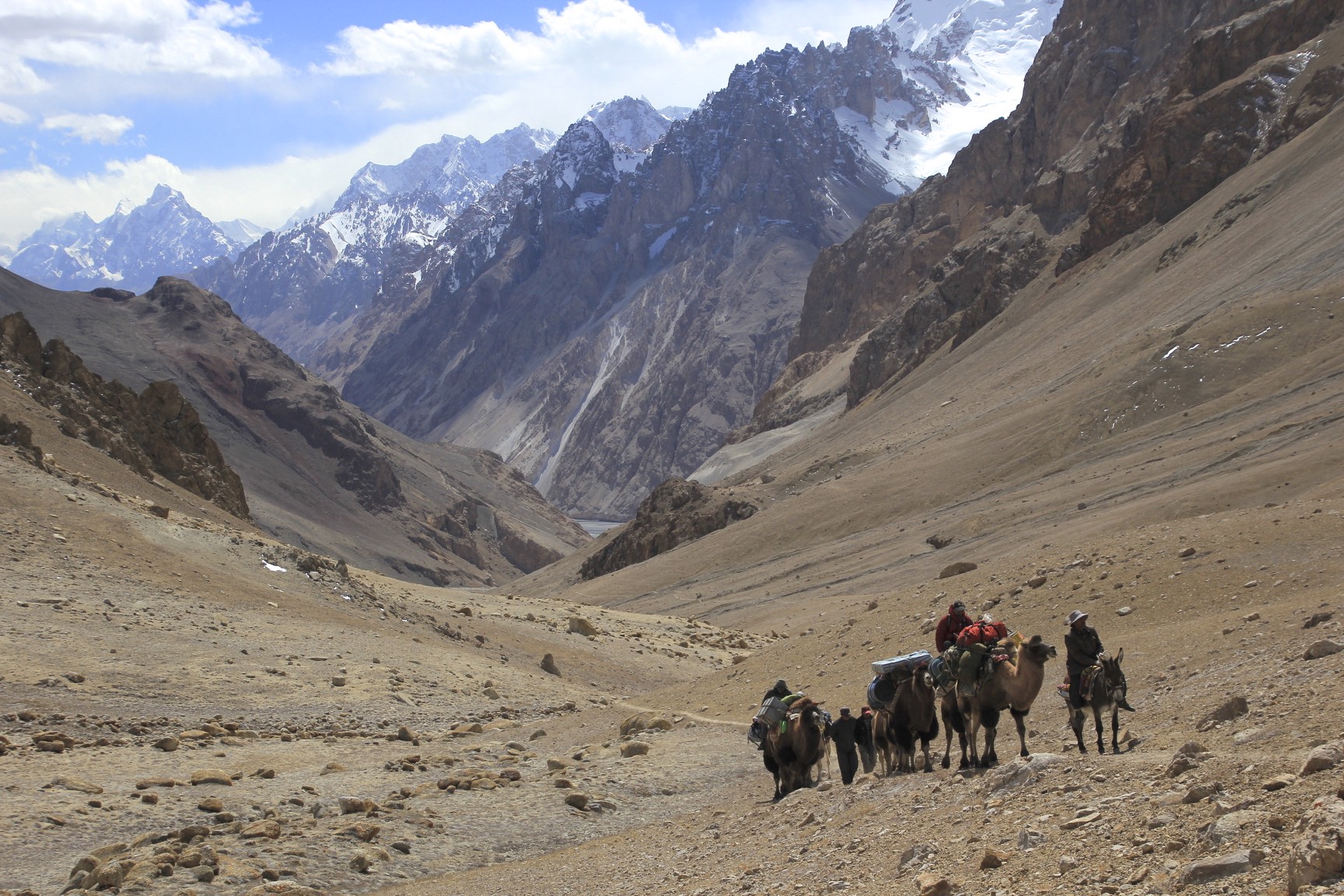
The approach to the Aghil Pass

The approach to the Aghil PAss

The approach to the Aghil Pass
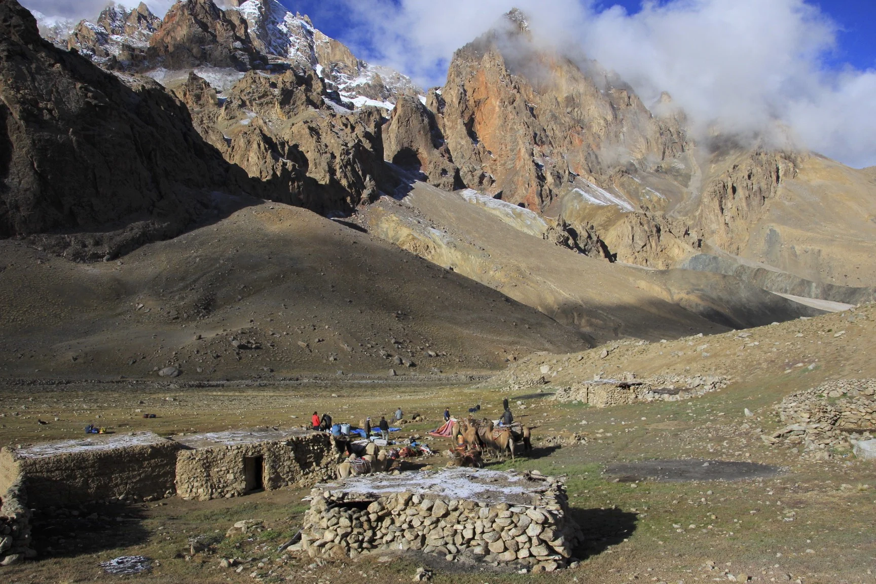

The last camp before the Aghil Pass


Aghil Pass

The high Karakoram from the Aghil Pass

The view from the top of Aghil Pass towards the Shagskam River Valley and the main Karakoram Range
Descending the Aghil Pass


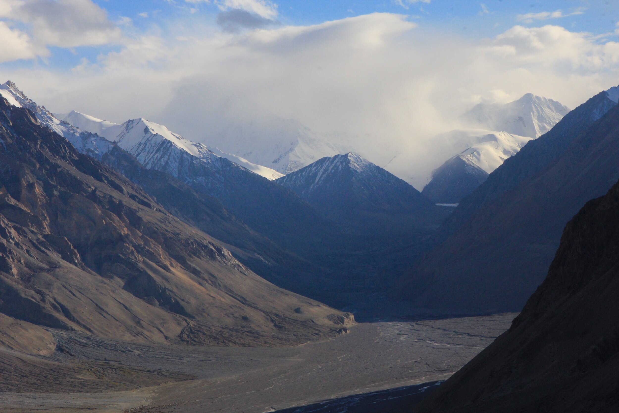
The Shagskam River Valley


Preparing to cross the Shakgskam River

Our caravan in the Shakskam River valley


Shagskam River Valley

Shagskam River Valley


These mountains make you feel so small
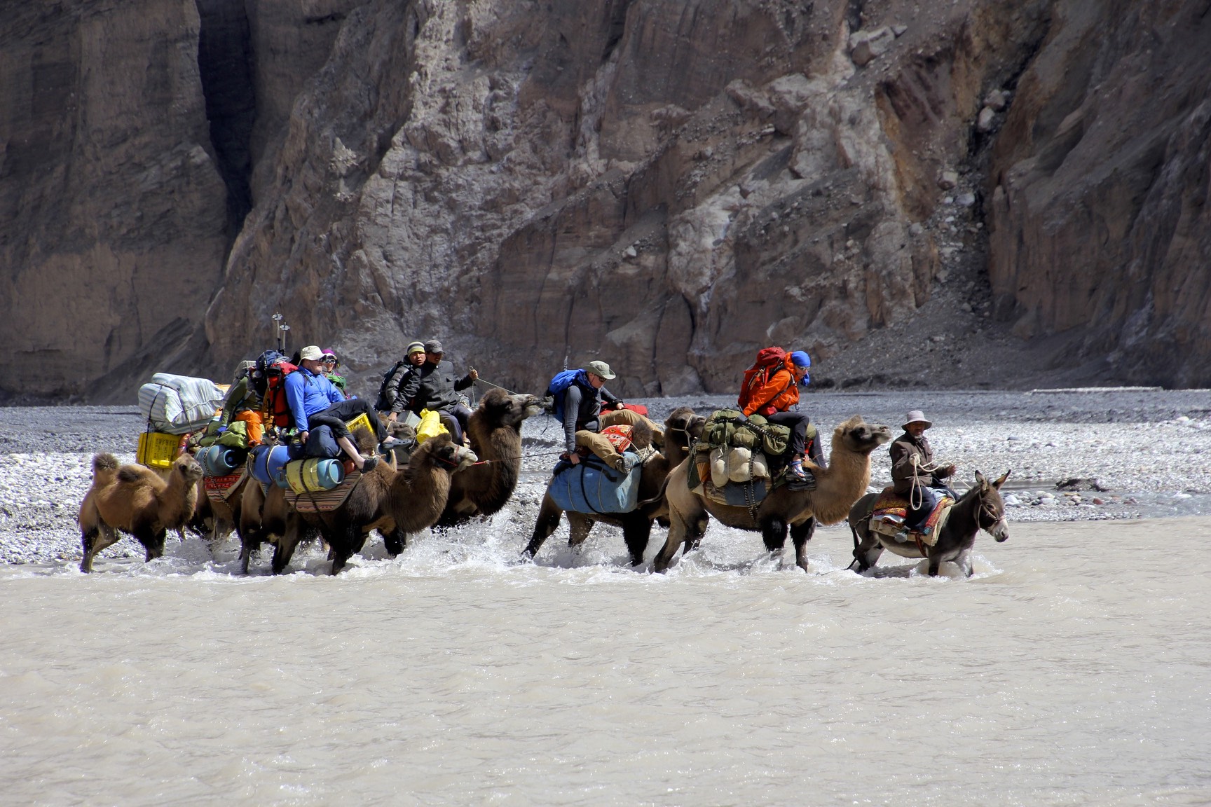
Crossing one of the main channels of the Shagskam River


In the summer, the entire valley is filled with water


The view of the Shagskam River Valley that we followed to get to K2

The Shagskam River Valley

View of the Chinese Base Camp - the last non glacier camp before K2 glacier
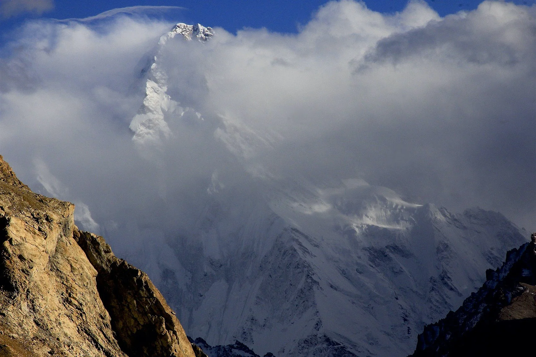
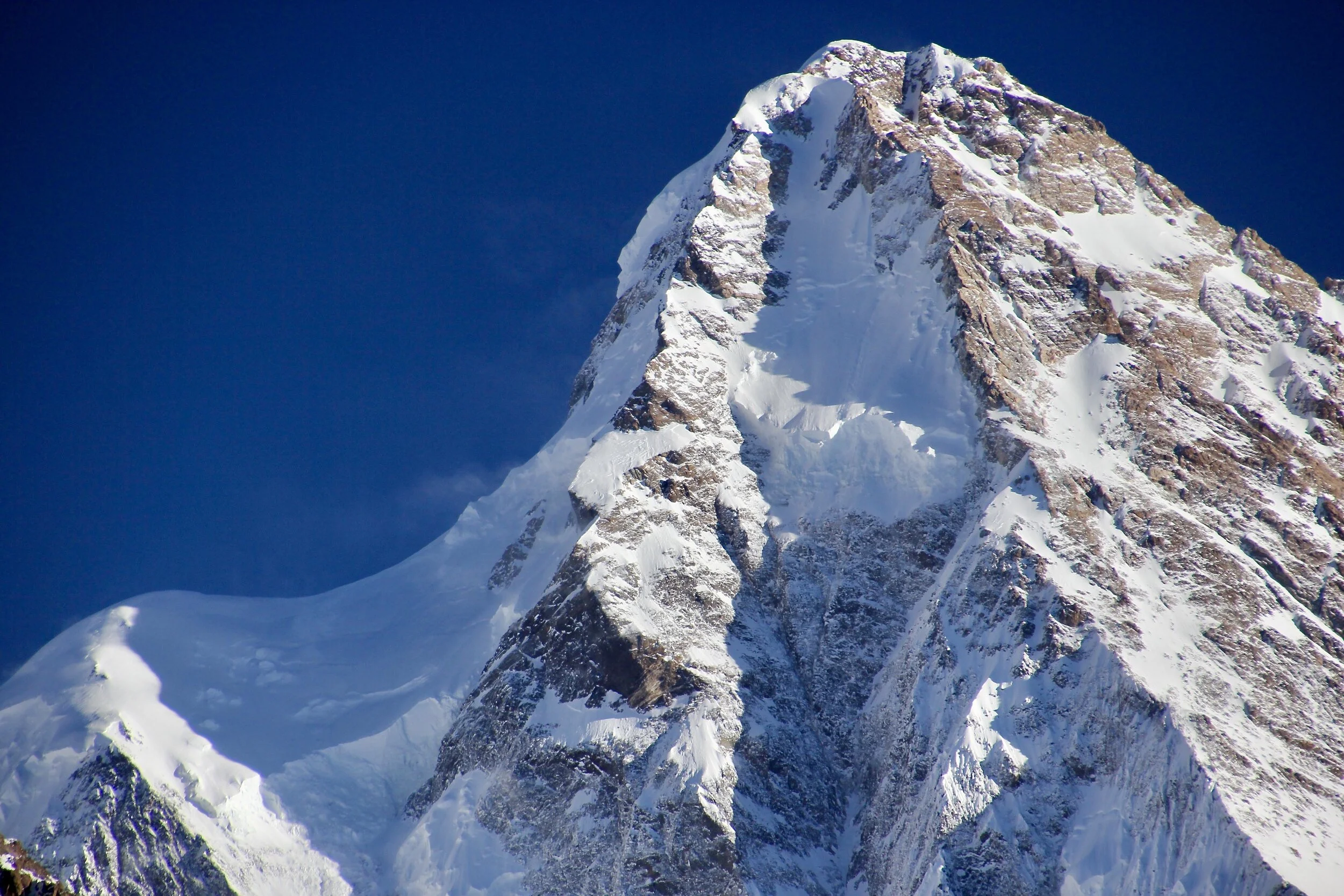
K2 - the steep north ridge

The Chinese BC and K2 (on the left)

Looking west down the Shagskam River valley - the area is closed to trekking by the Chinese army

Sarpo Lago River valley


K2 - 4km of rock

North Ridge of K2

The confluence of the Shagskam and the Sarpo Lago RIvers

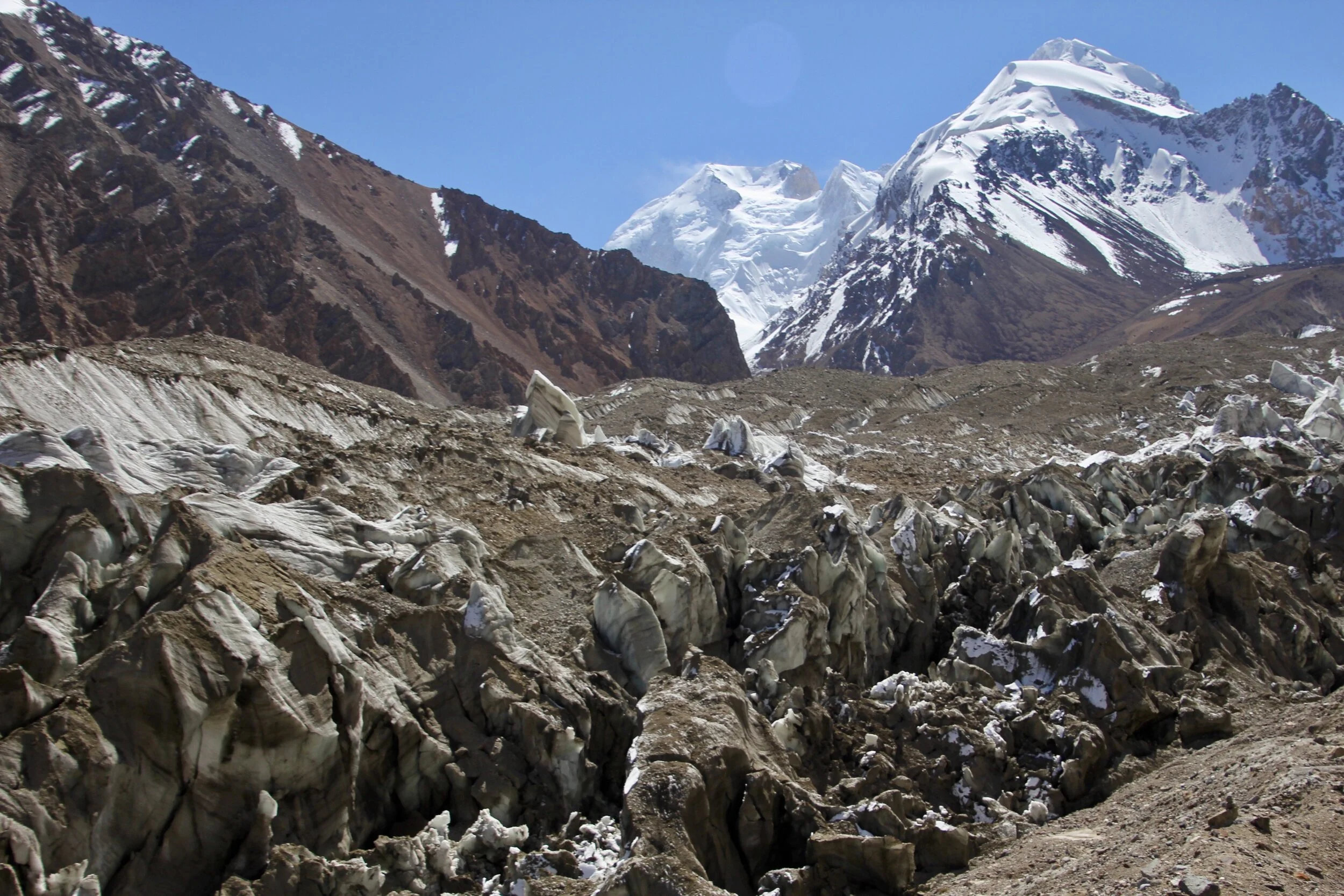
Approaching the K2 Glacier


K2 Glacier and K2
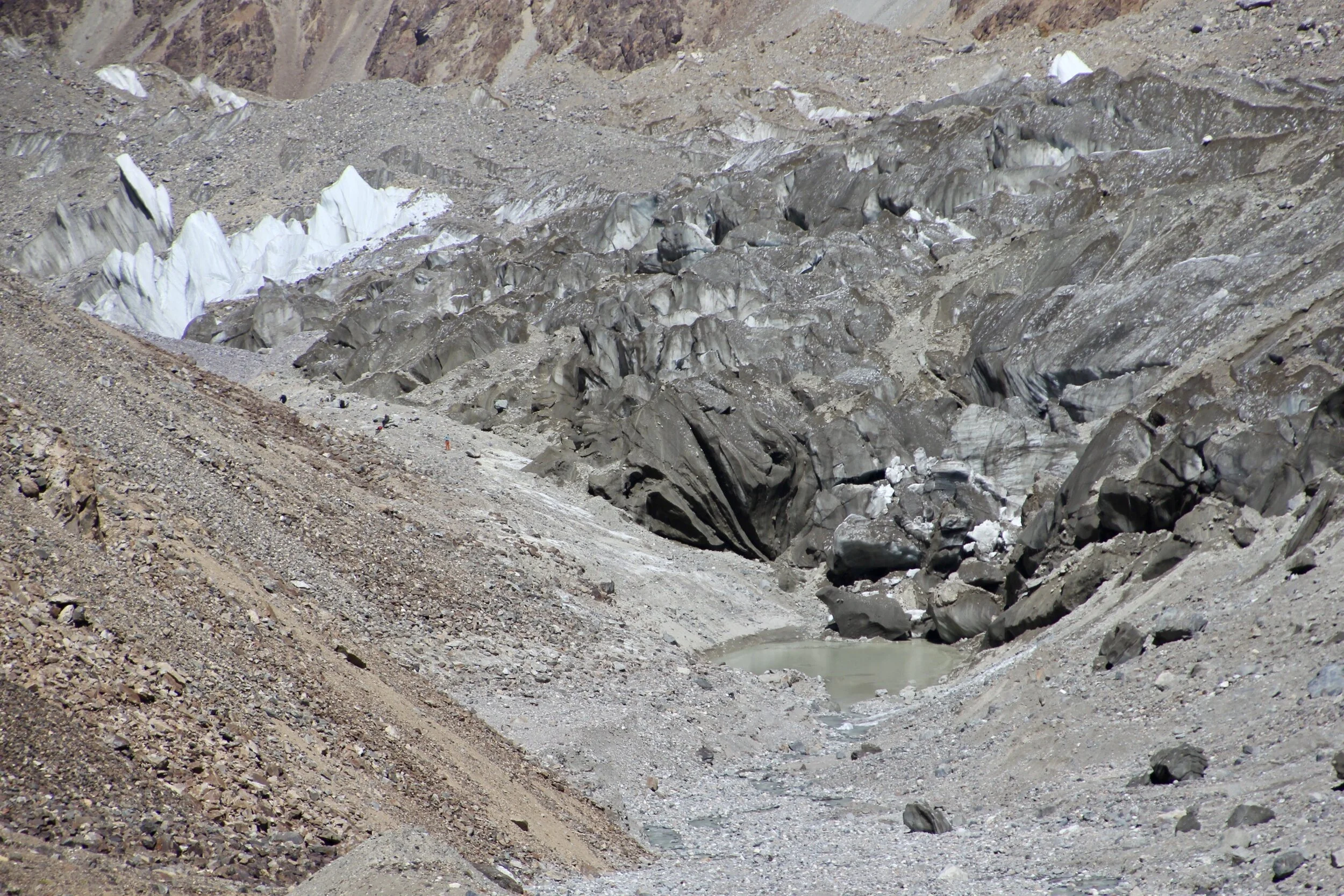
K2 Glacier

K2 Glacier and Italian BC, K2 in the distance

The Italian BC on the K2 Glacier

K2 - the north face and the north ridge

The Italian BC on the K2 Glacier

A side glacier flowing into the K2 Glacier

K2 and a side glacier
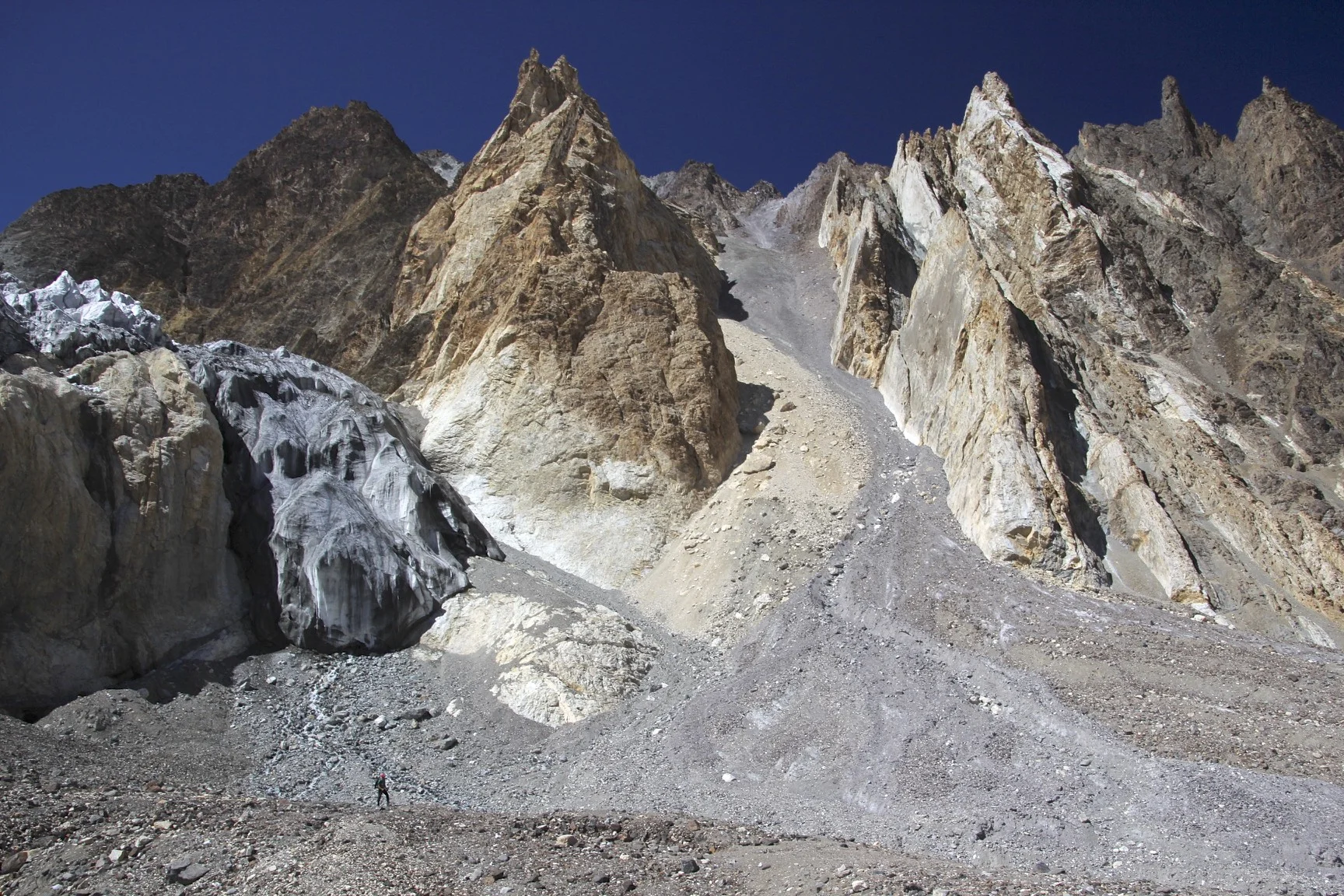
Mountains along the K2 Glacier

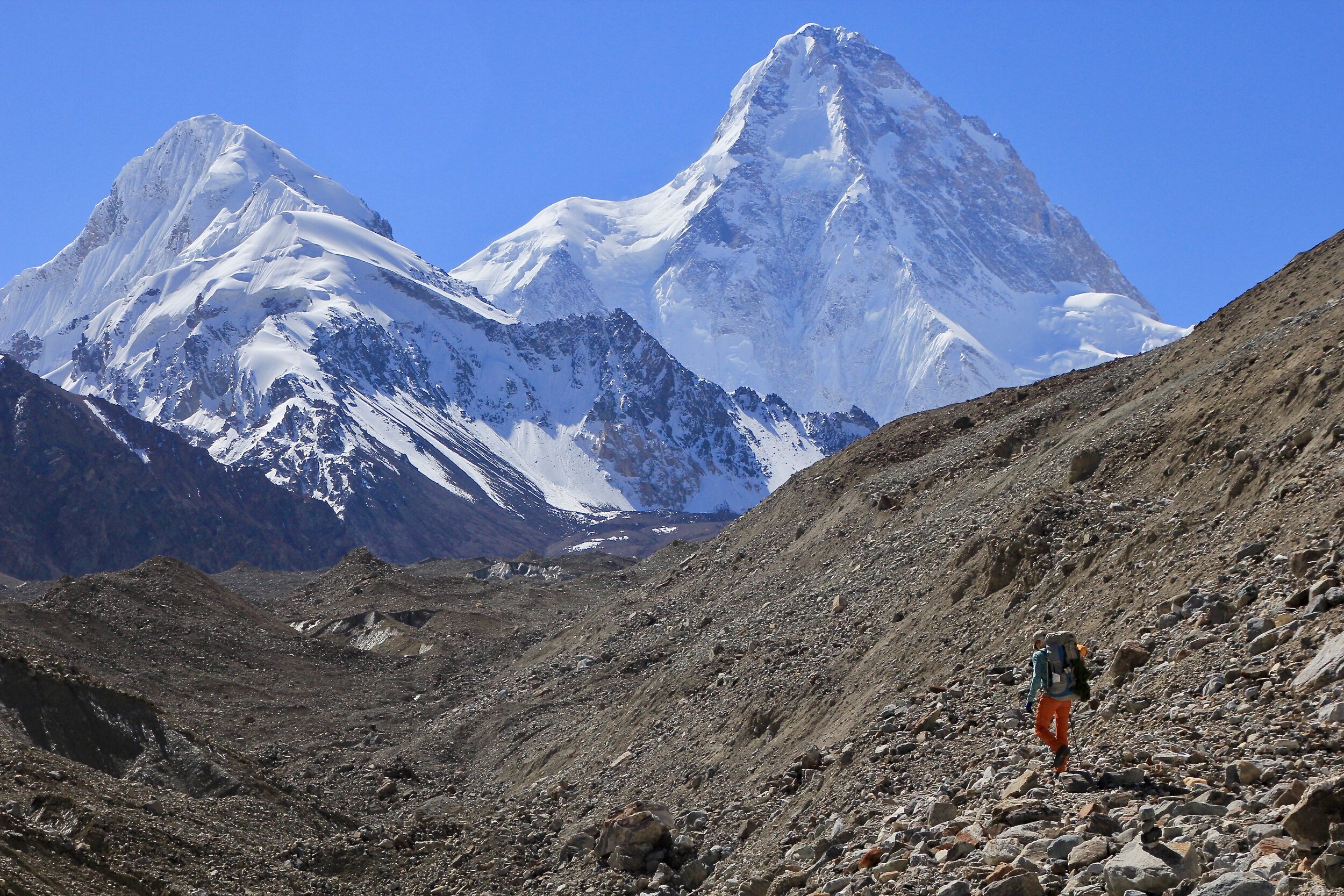
Skyang Kangri 7545m at the end of the side glacier flowing to the main K2 North Glacier

Skyang Kangri and K2

Skyang Kangri 7545m

Skyang Kangri 7545m


K2, Pakistan is on the other side

Unnamed peaks 7174m and 7152m. On the right, Peak 6639m

Unnamed peaks 7174m and 7152m.


The memorial to disappeared climbers of K2 north

At the memorial to the climbers who died on K2’s North Face

Looking down the Sarpo Lago River valley


Crevasse Glacier

The lower section of The Crown is visible on the right

Looking up to the Sarpo Lago Glacier

Skamri Glacier Valley
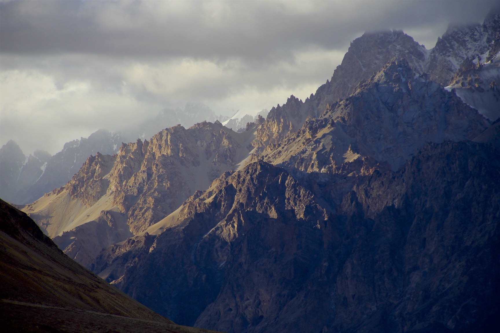
Peaks above Skamri Glacier


Approaching Aghil Pass

Aghil Pass


We stopped for tea at a local herder’s hut


